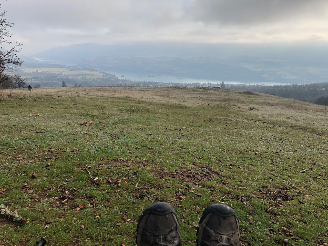
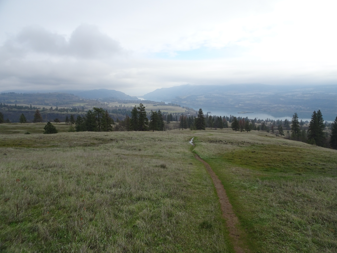
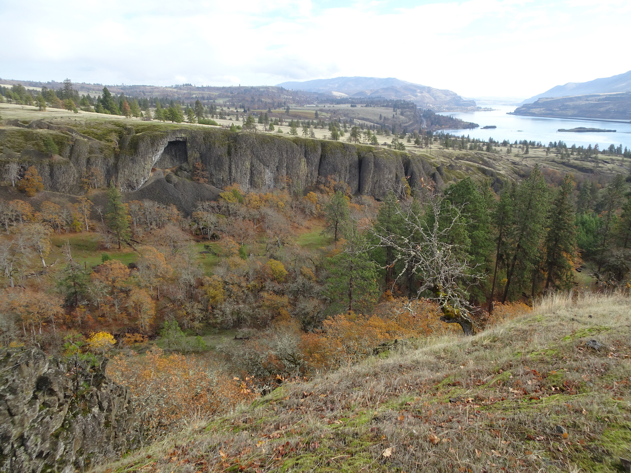
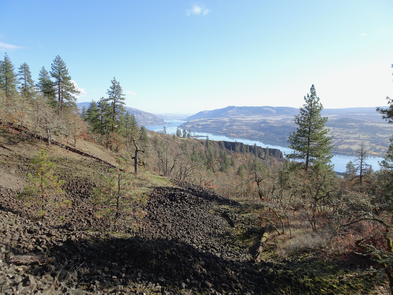
Three mostly repeat hikes in October: Vista Ridge on Mt Hood, Indian Heaven Wilderness in Washington, and Oaks Bottom in Portland.
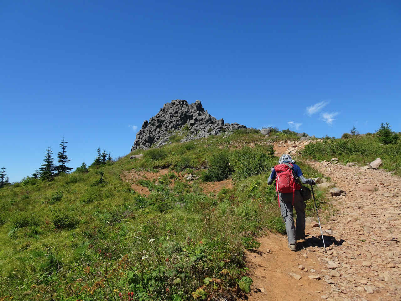
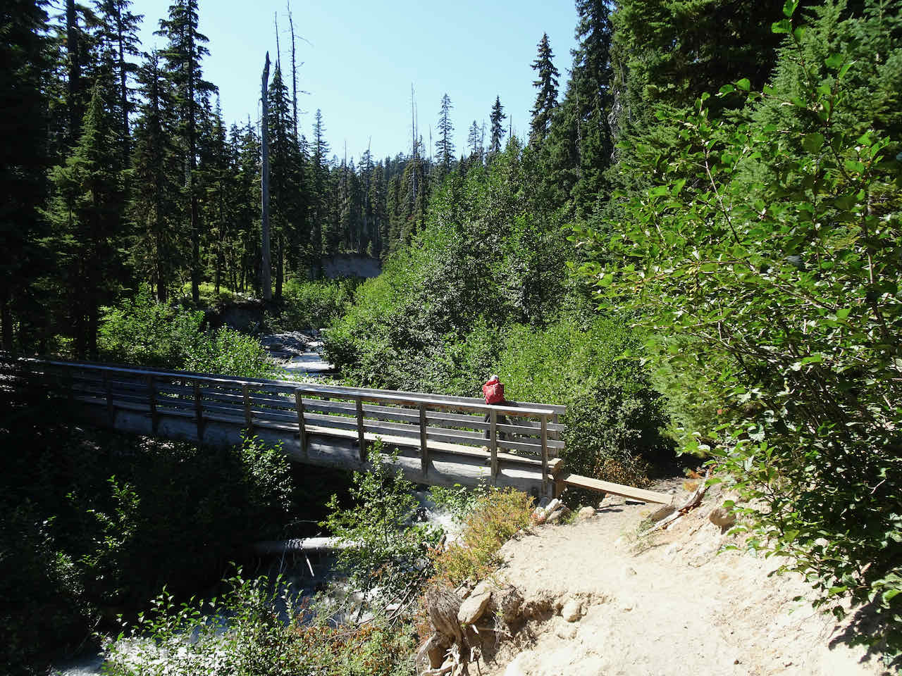
10/3 – Vista Ridge, Mt Hood
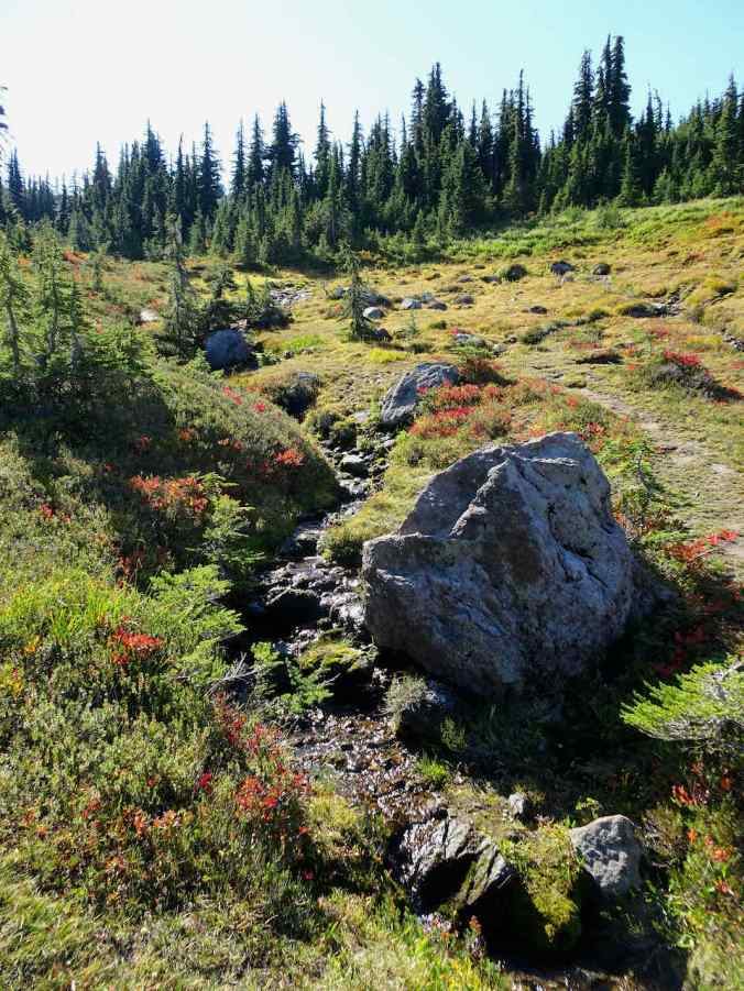
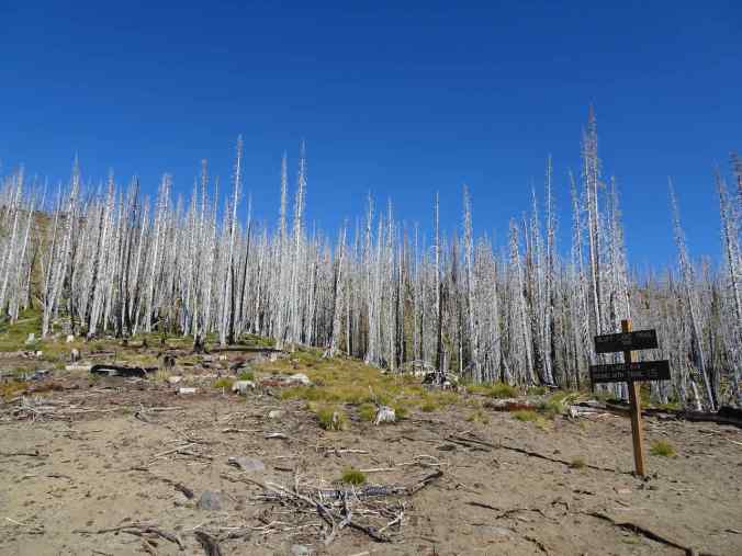
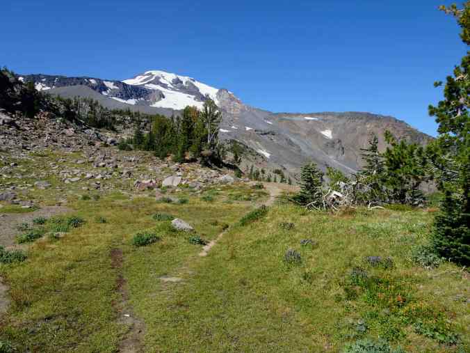
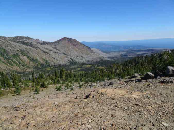
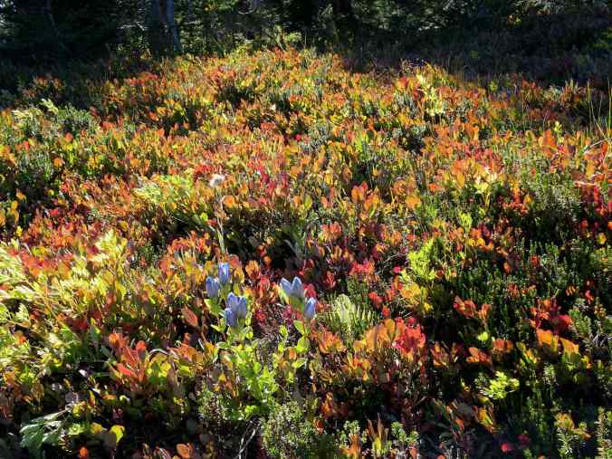
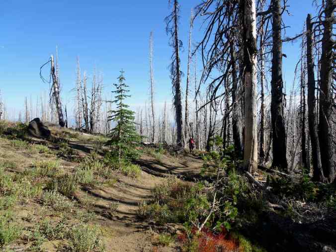
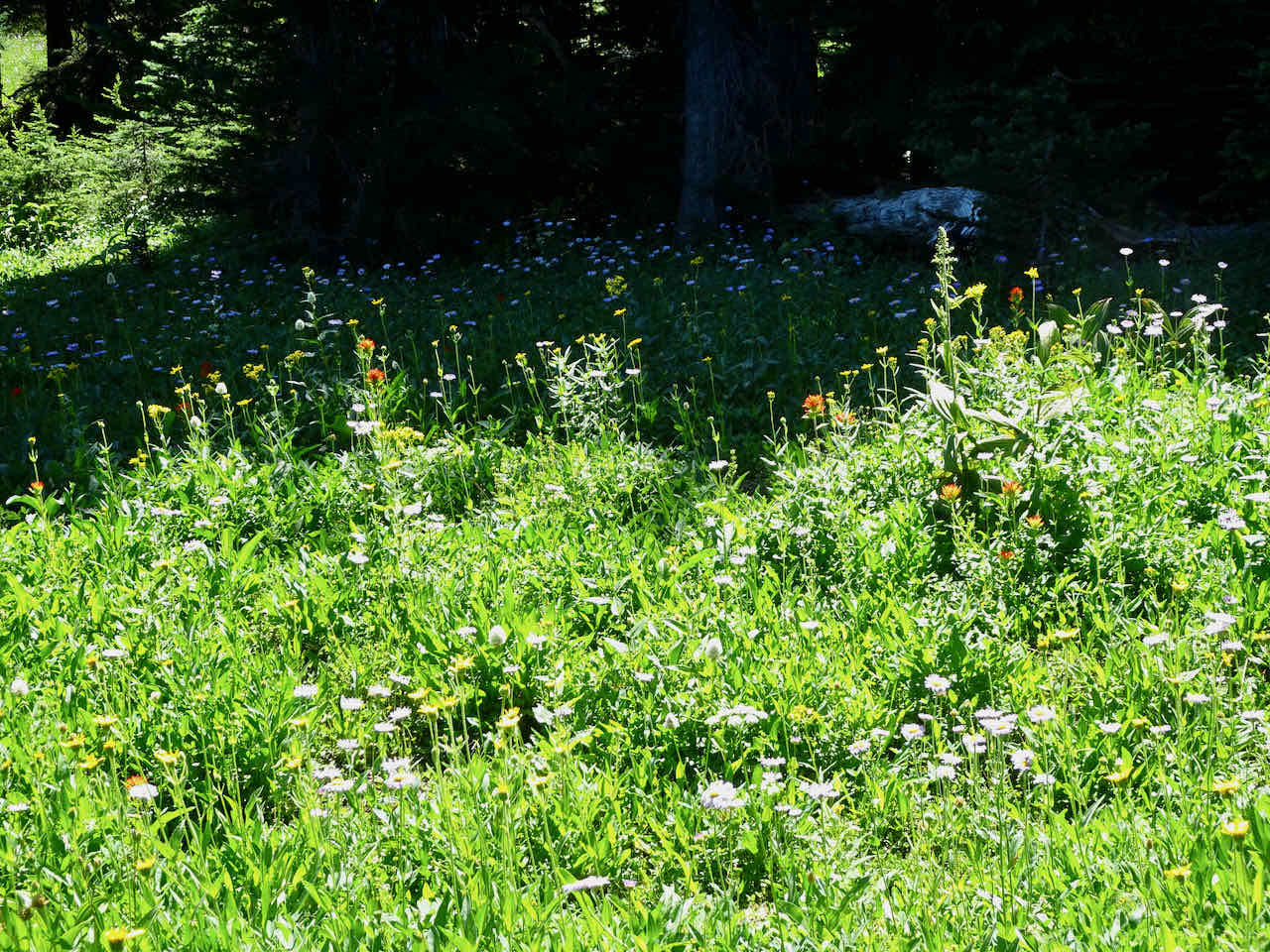
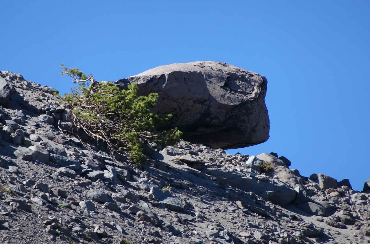
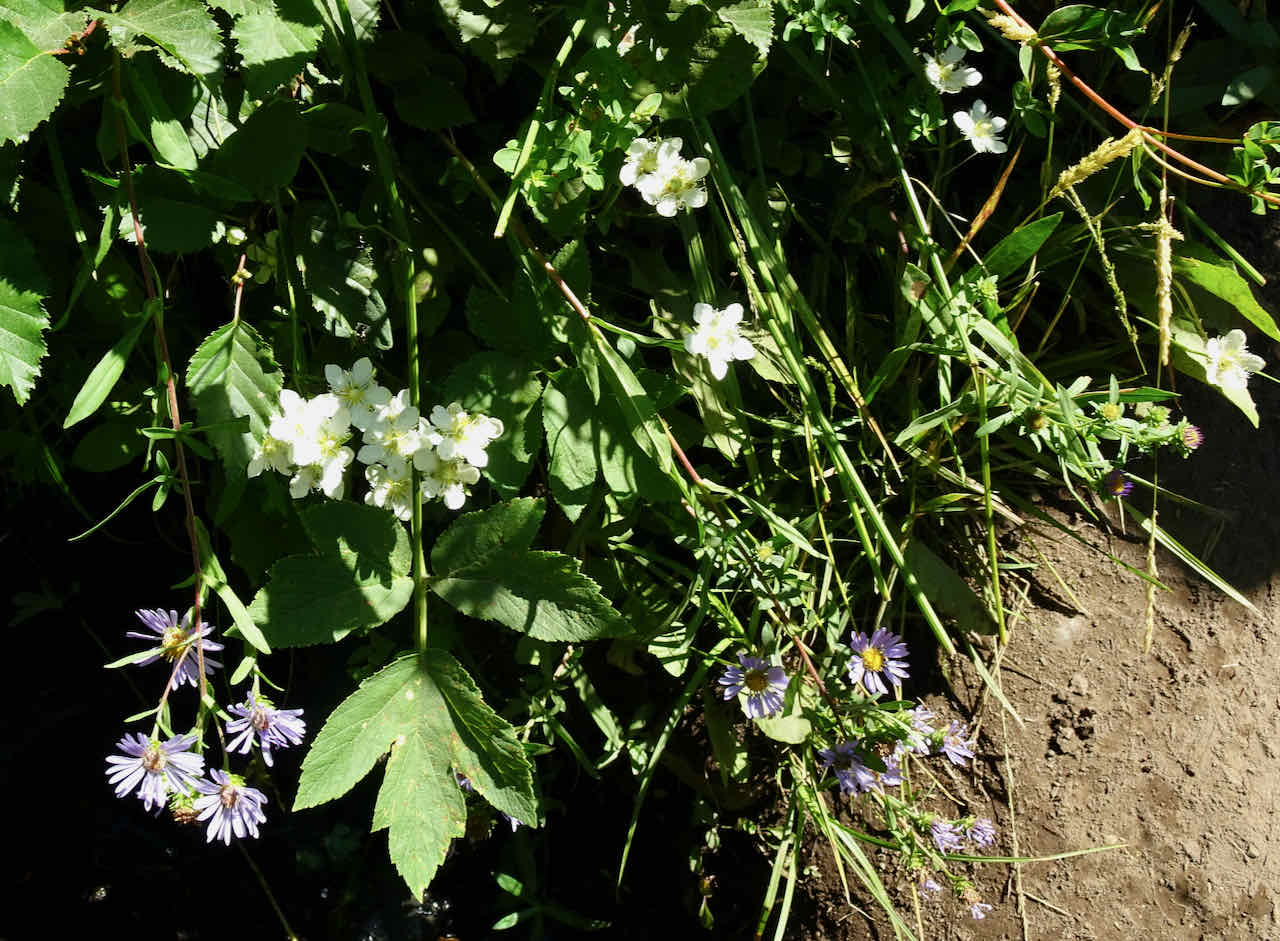
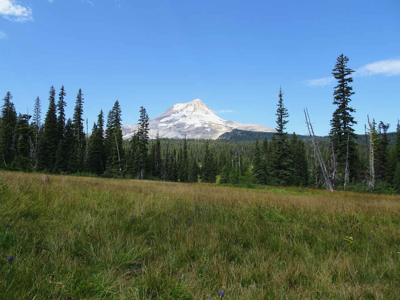
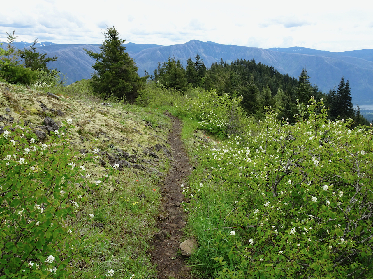
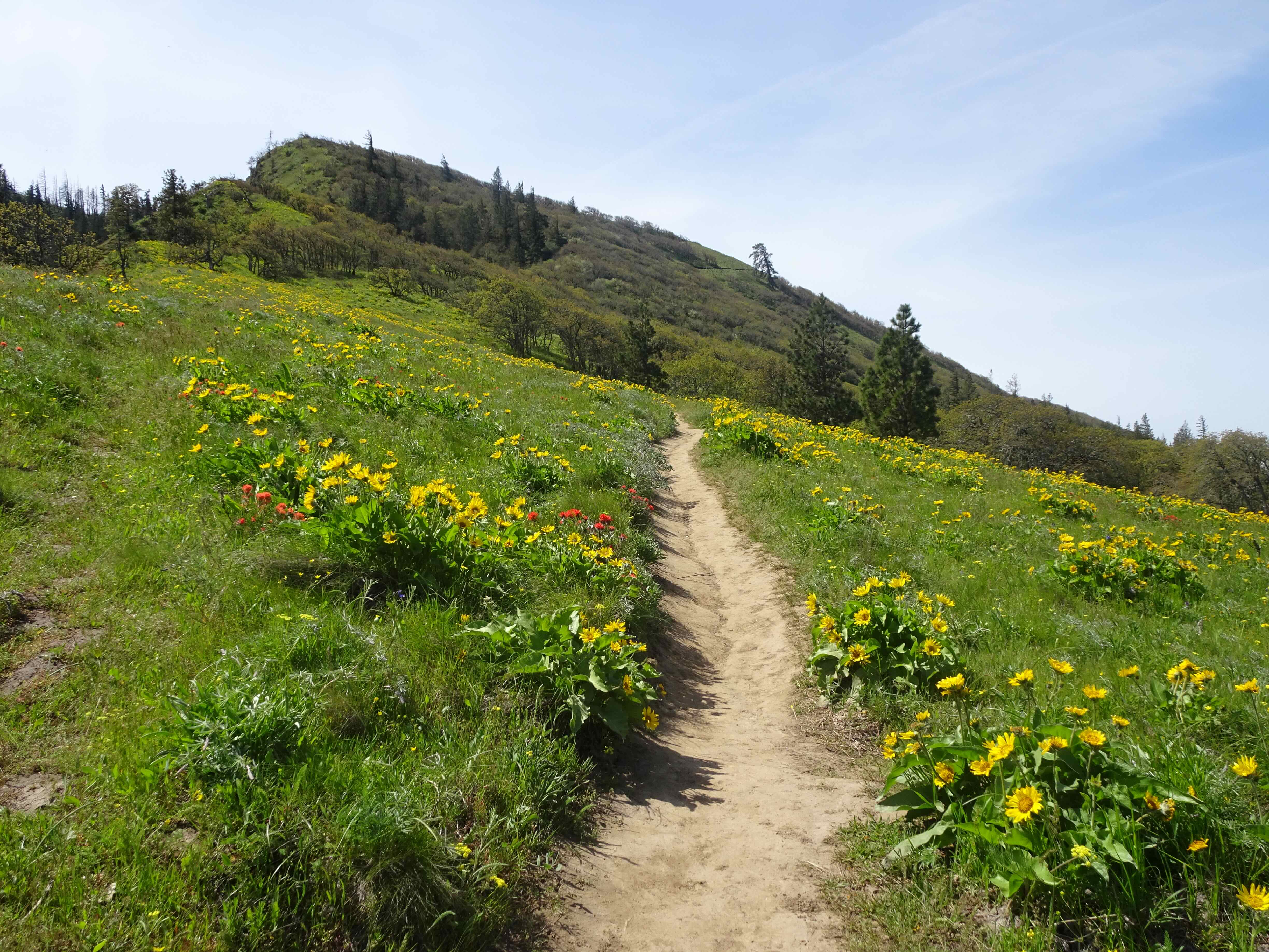
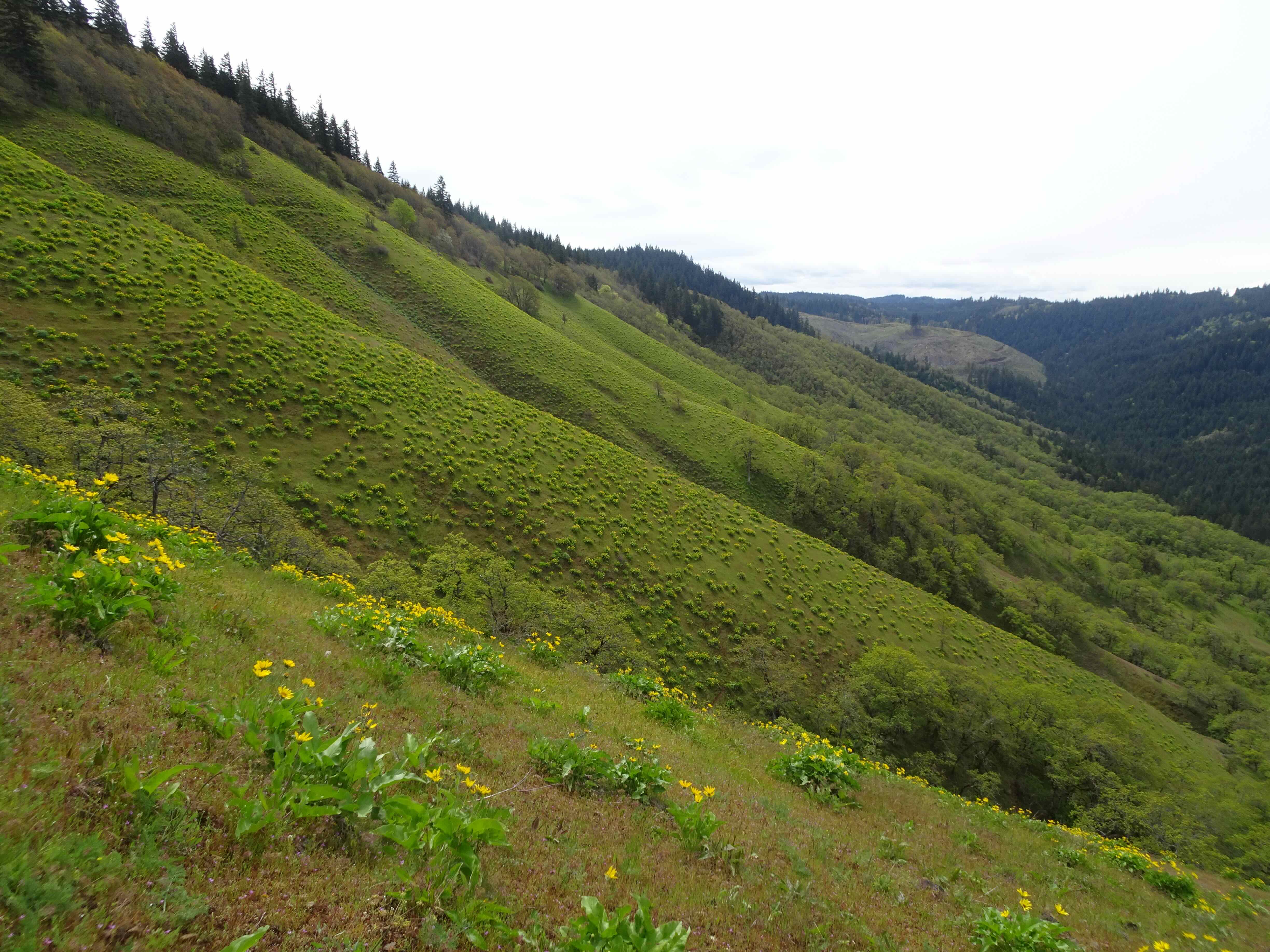
This is one of my favorite hikes on Mt Hood – especially during wildflower season. Today we enjoyed the fall colors in the burn zone – bright red huckleberries, white pearly everlasting, pink fireweed; and greeted a few of my haunted tree friends.
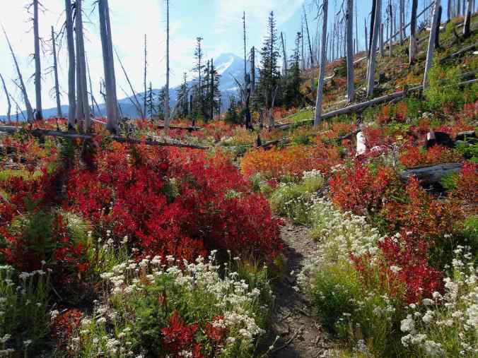
Huckleberries, pearly everlasting, and Mt Hood
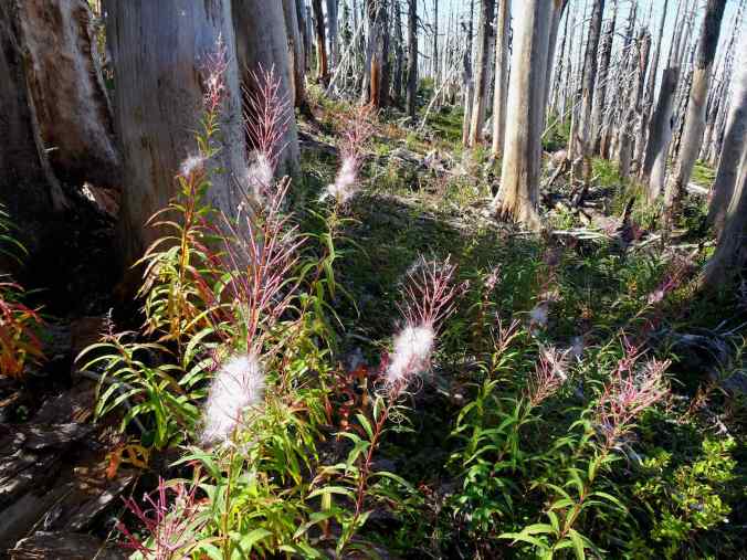
Fireweed
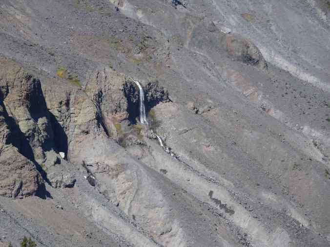
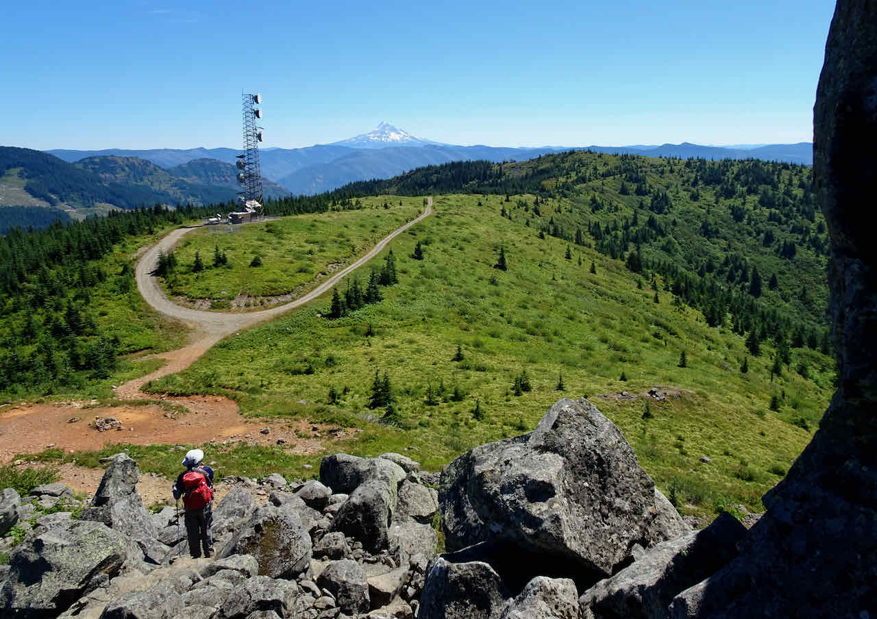
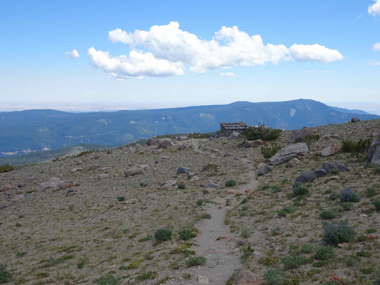
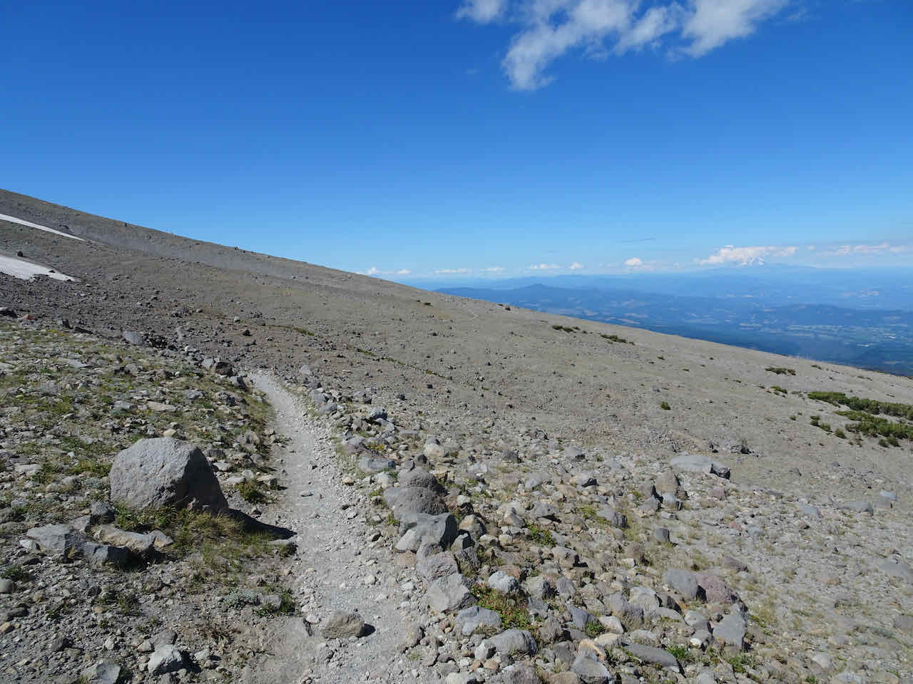
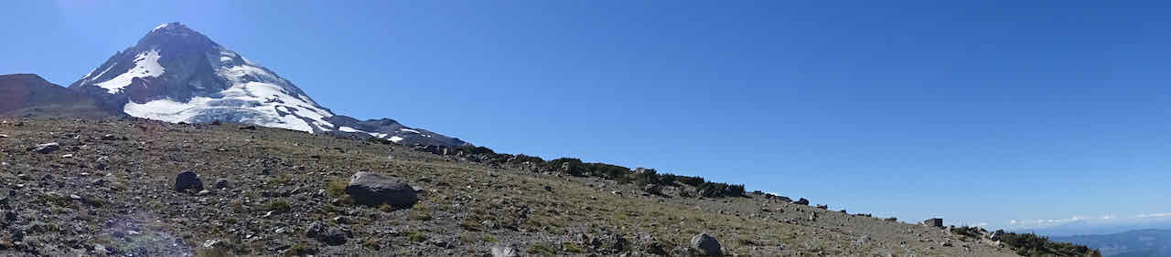
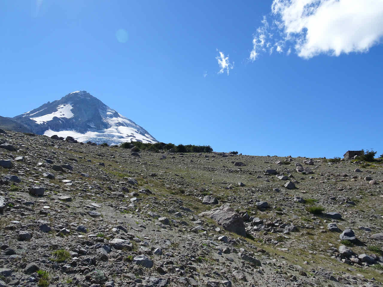
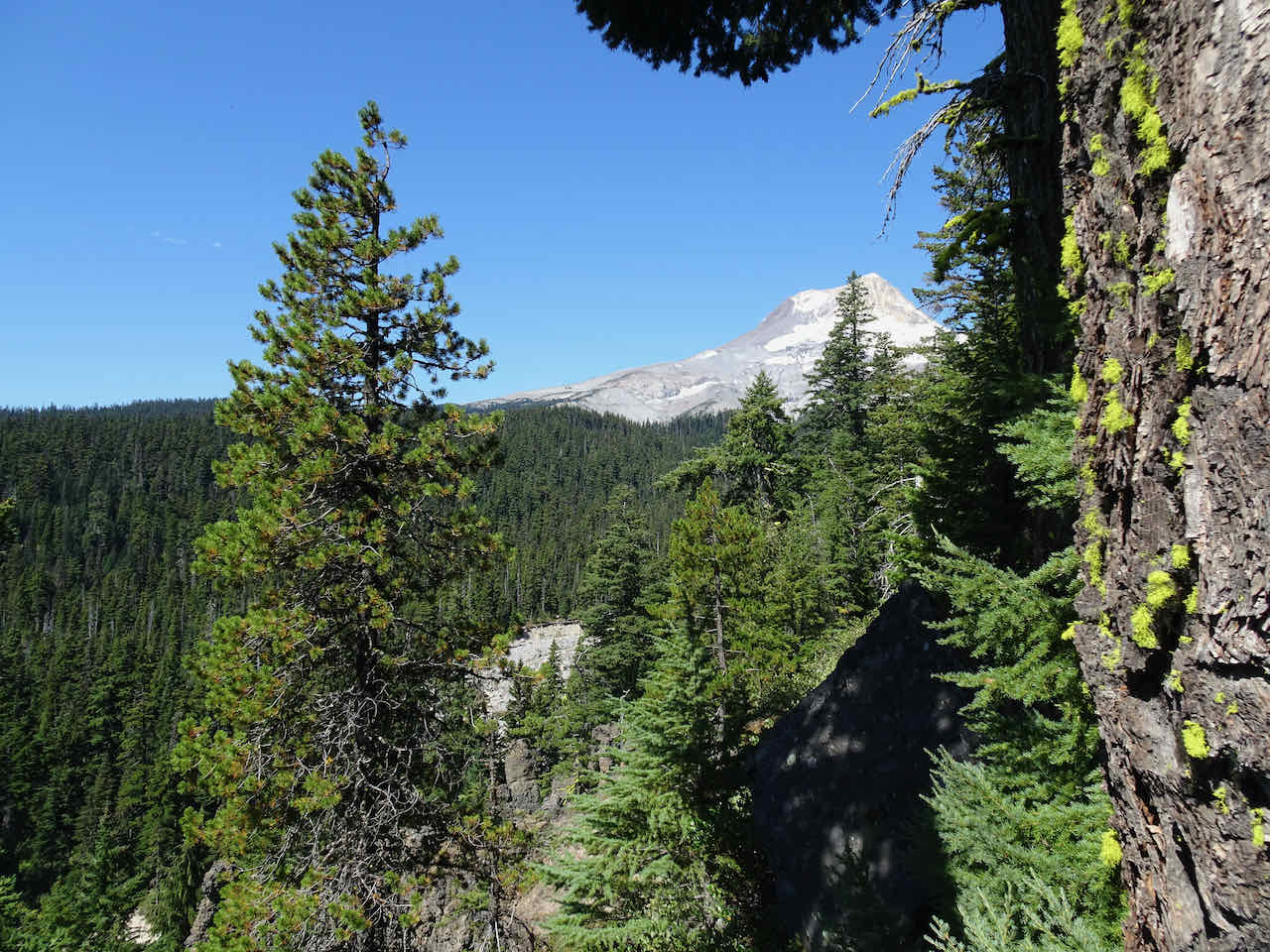
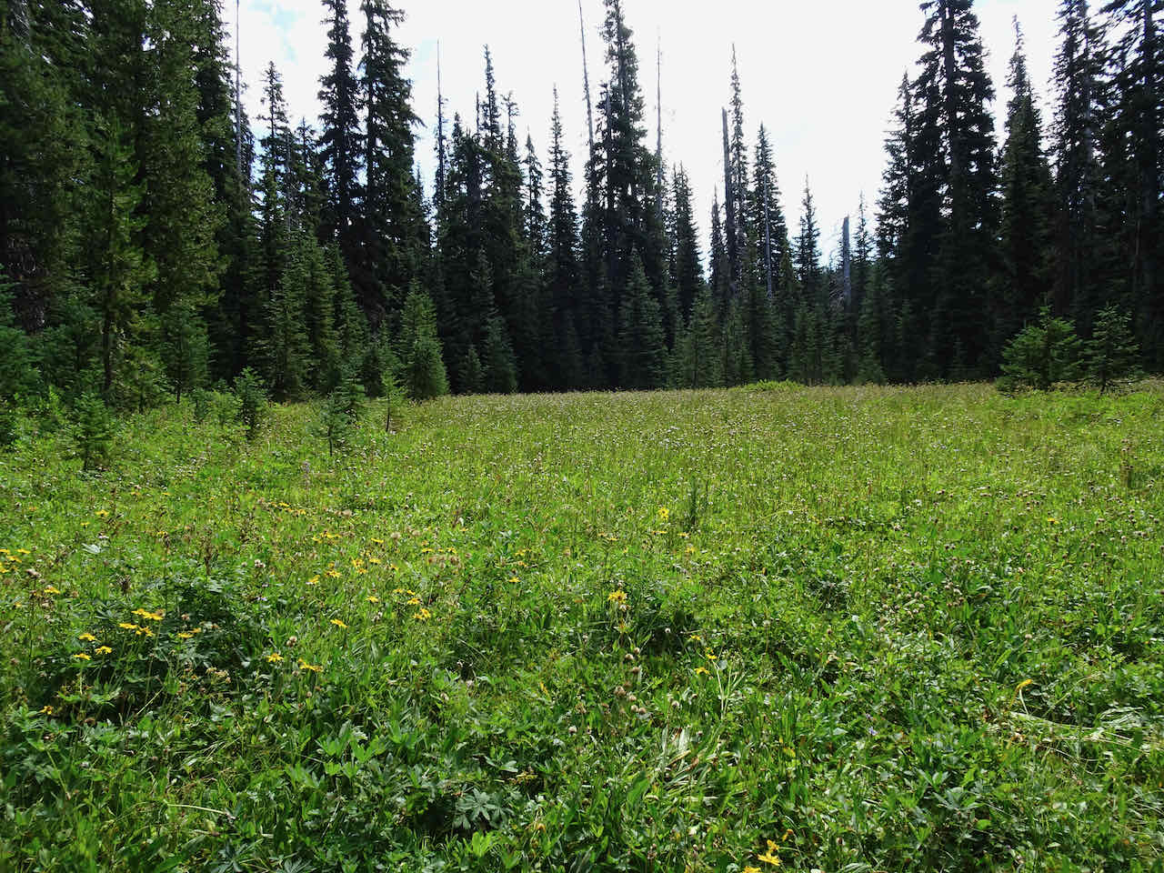
We stopped in Wy’East basin (5800 feet) for lunch, then hiked a little higher, toward Barrett Spur.
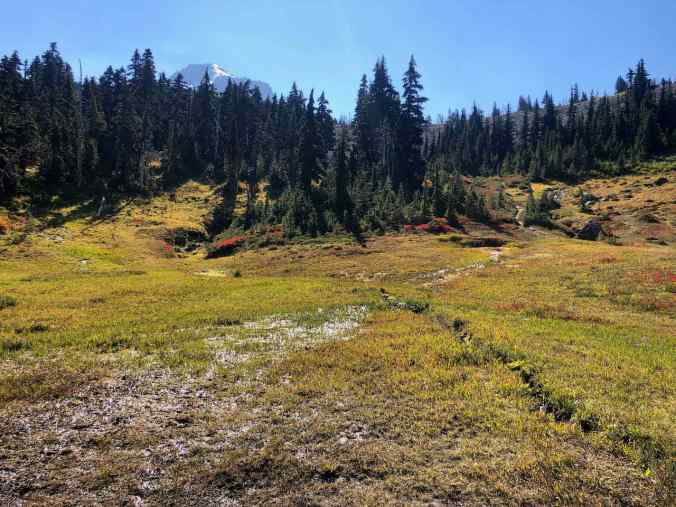
Wy’East Basin above the Timberline Trail
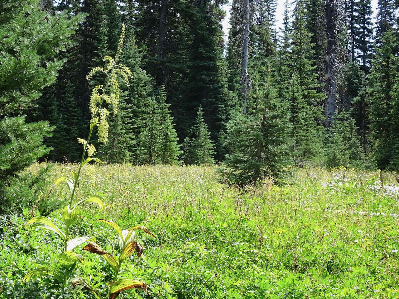
Huckleberry foliage and faded wild flowers
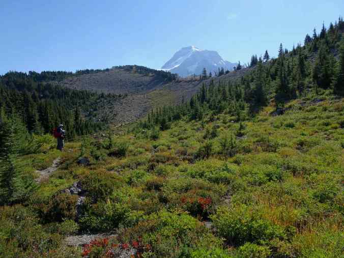
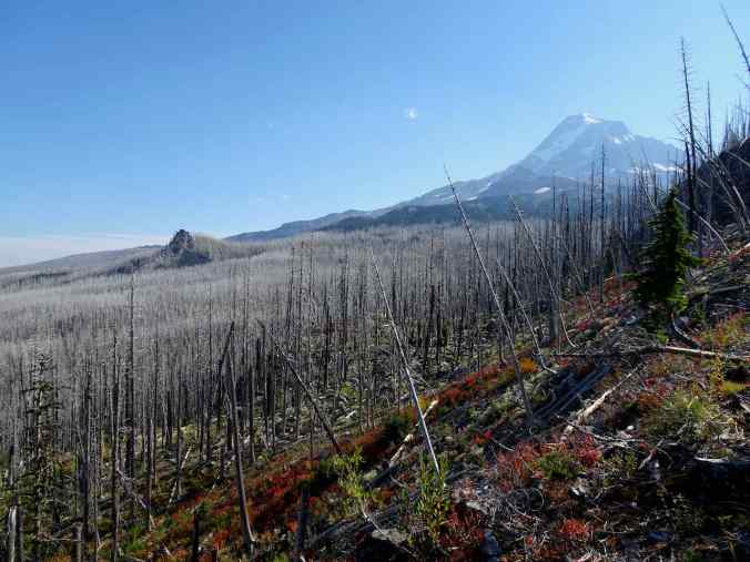
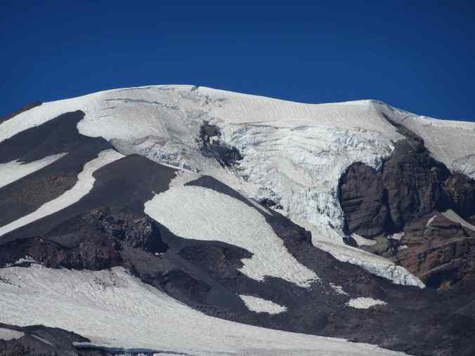
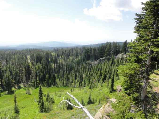
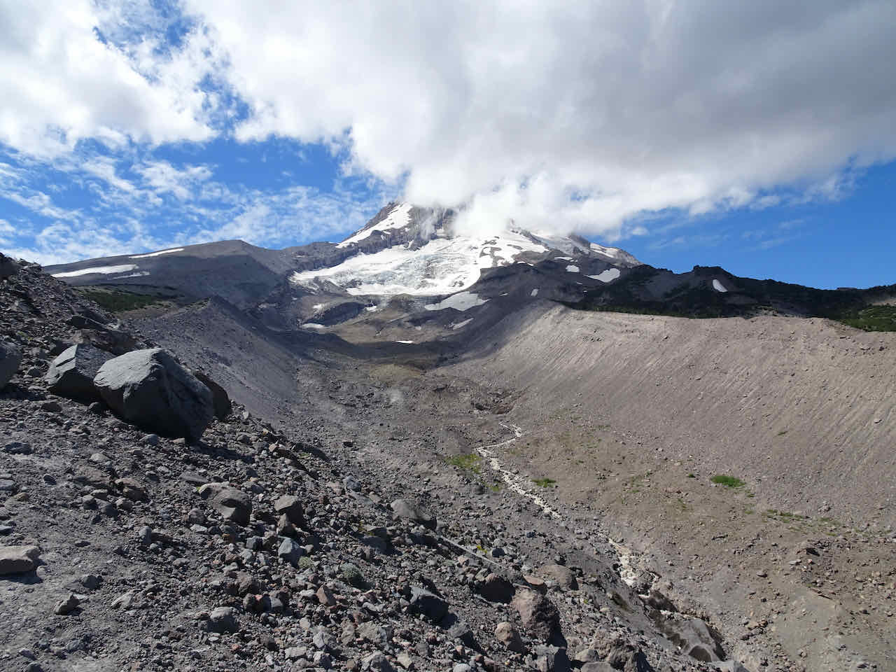
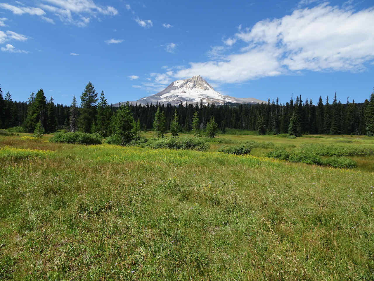
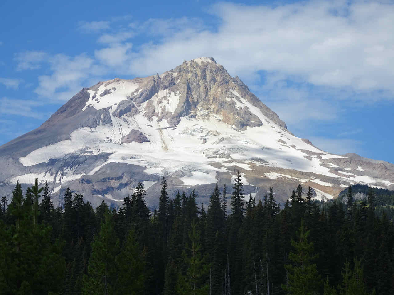
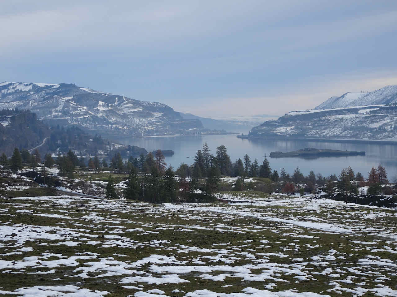
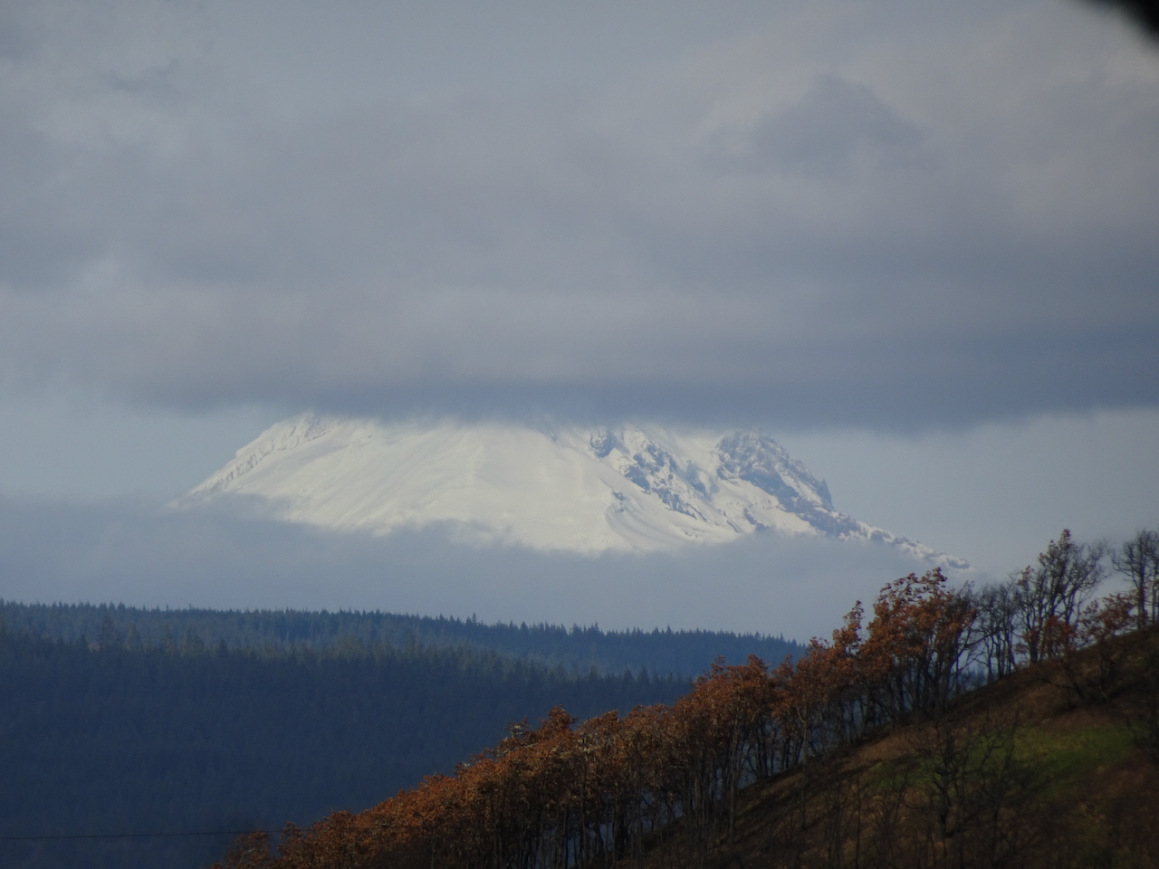
Toward Barrett Spur and Mt Hood

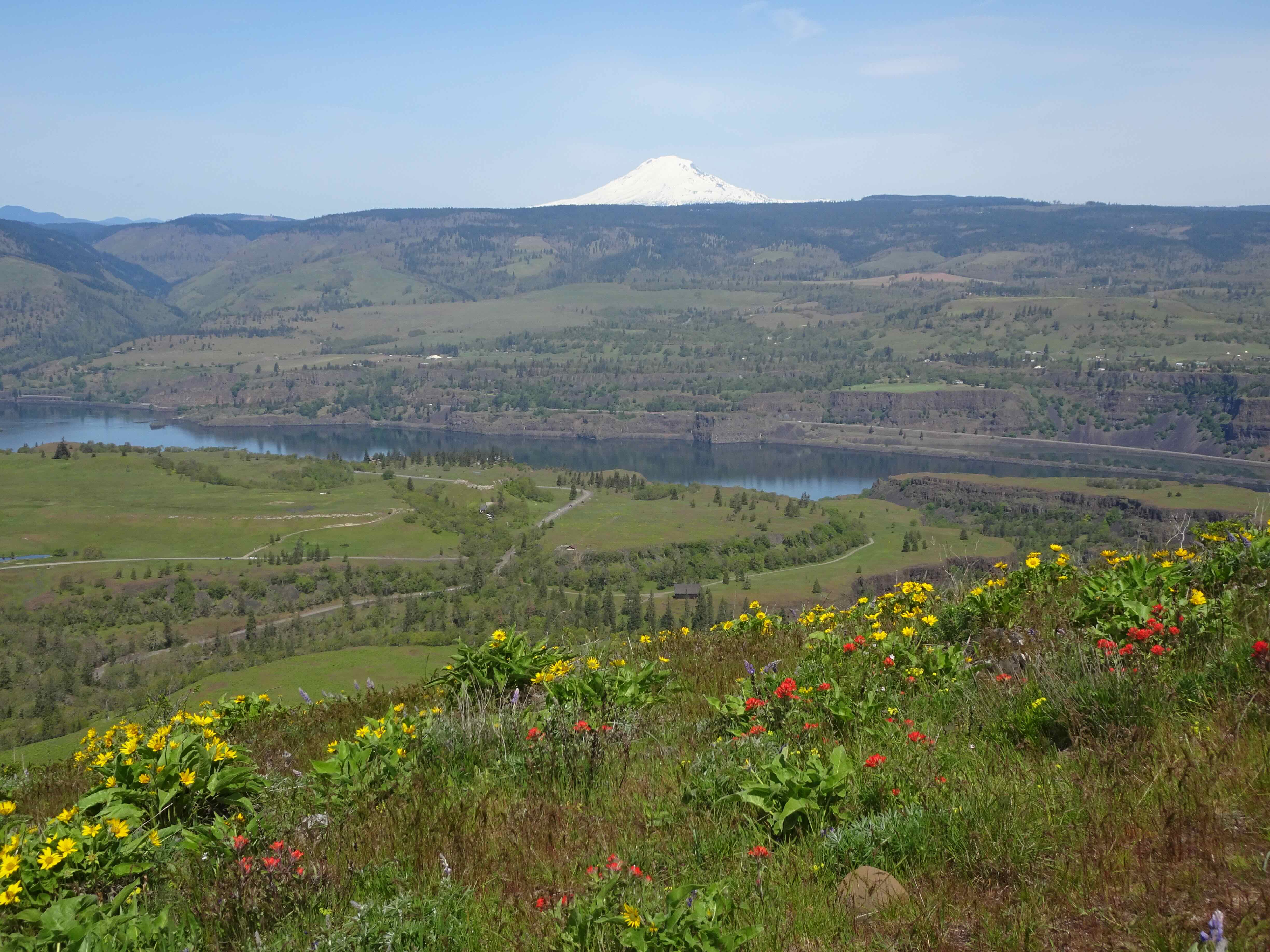
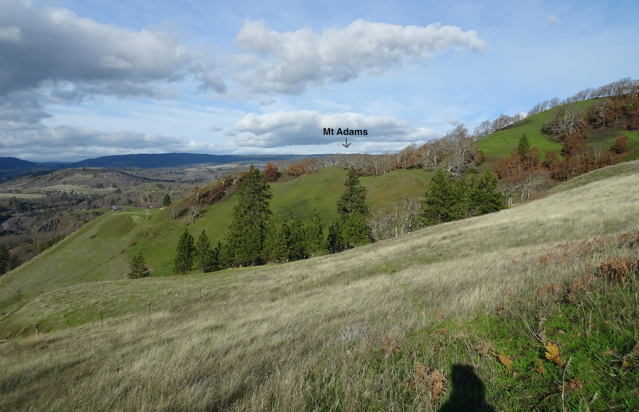
North view, toward Mt Adams and Mt Rainier, behind the haze
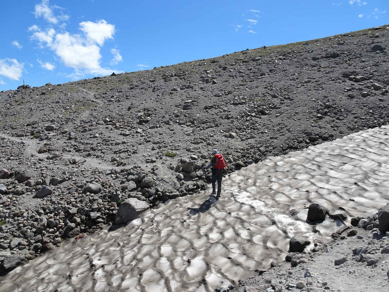
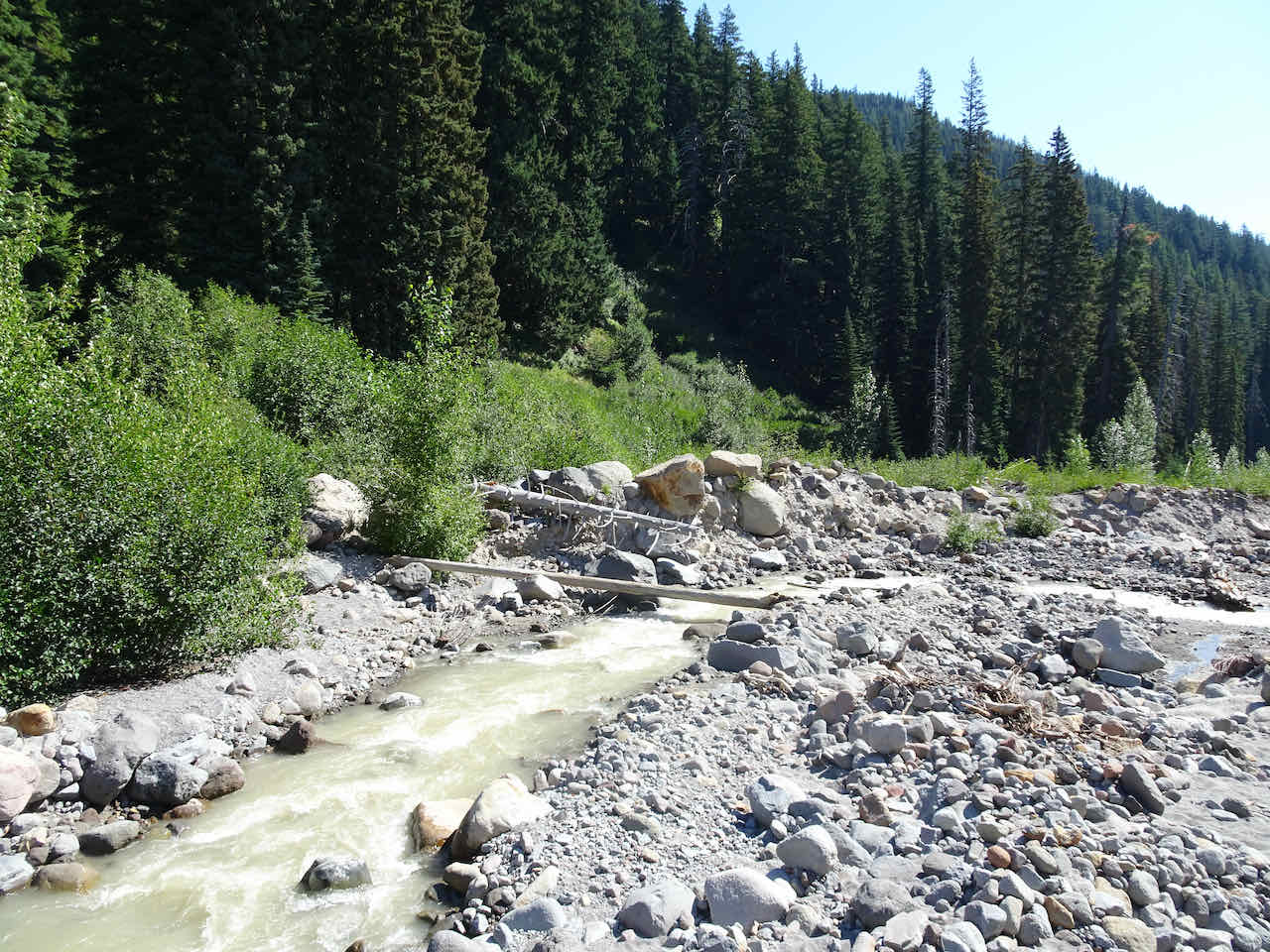
We returned back down the Vista Ridge Trail, about 6.5 miles, 1500 feet for the day.
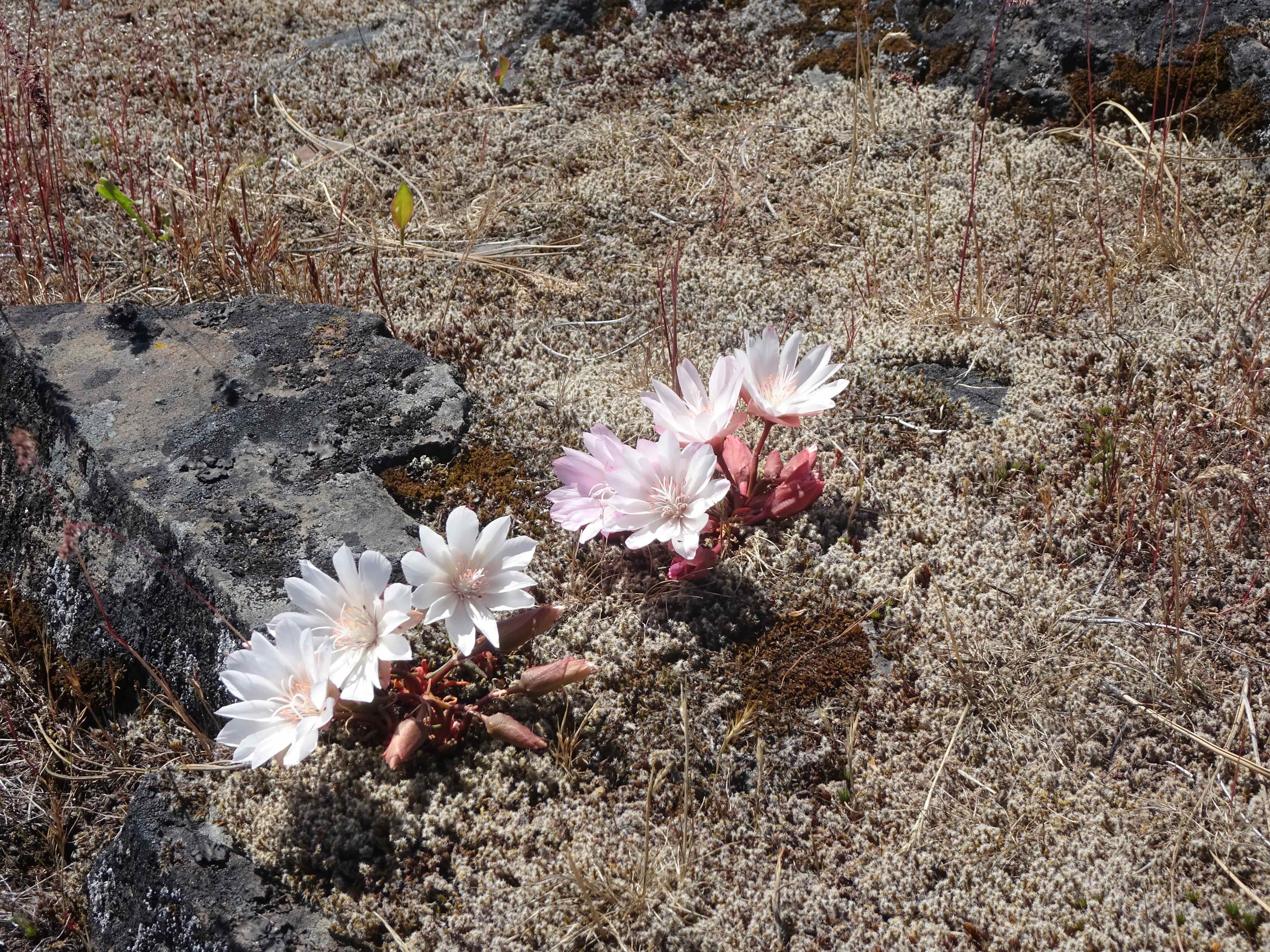
Pasque flowers
Huckleberry foliage
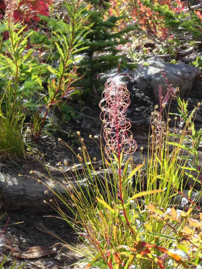
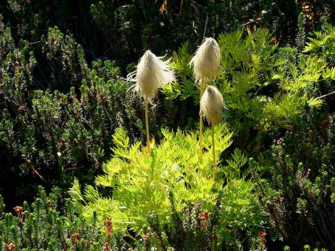
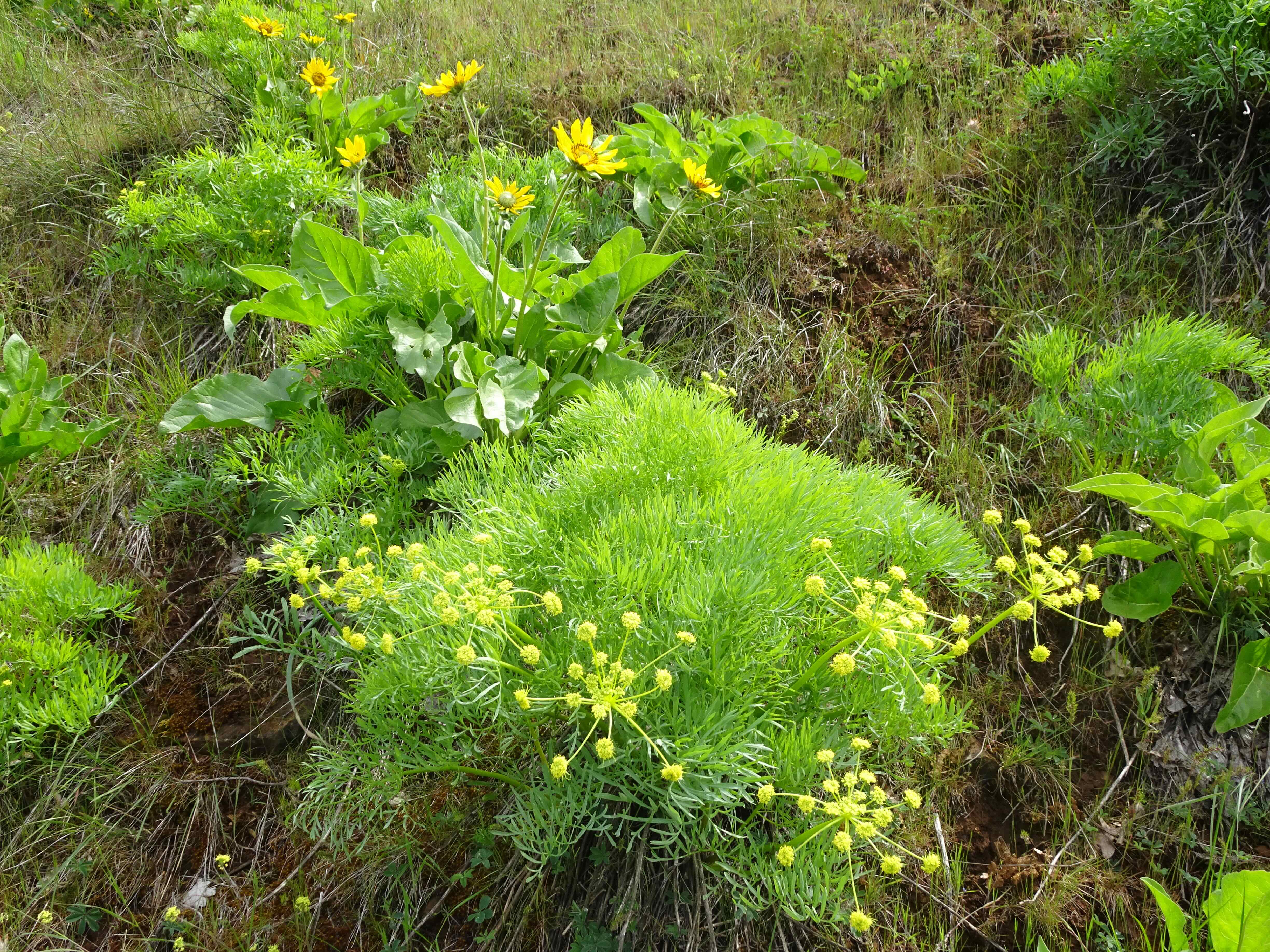
I stopped to look more closely at the fireweed – the four-petal flowers produce curly and fuzzy seedheads. On closer look, I noticed the seed casing split into four strands that curled away as the fuzzy seedheads emerged. I am not a botanist but found this fascinating.

Very few fireweed flowers still on view.
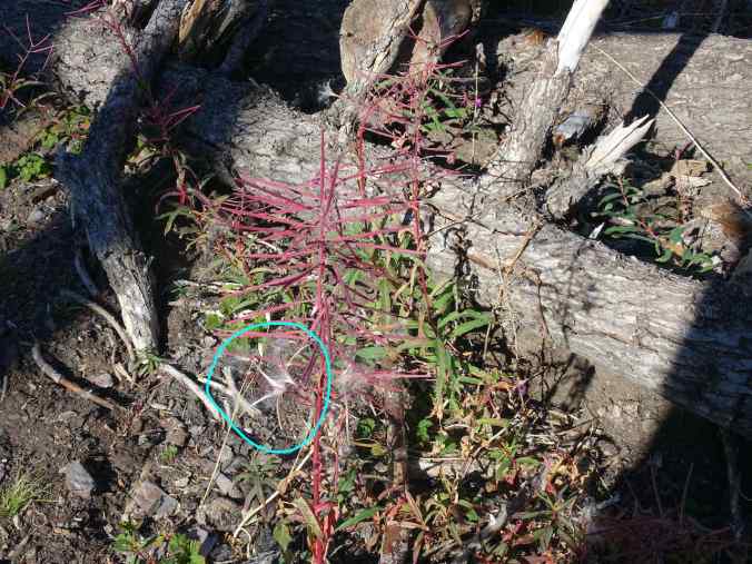
This four-part split seed caught my eye as I walked by. That is when I noticed this pattern on all the plants, though most were more fuzzy or curly, and less noticeable.
Fuzzier seeds, ready to fly.
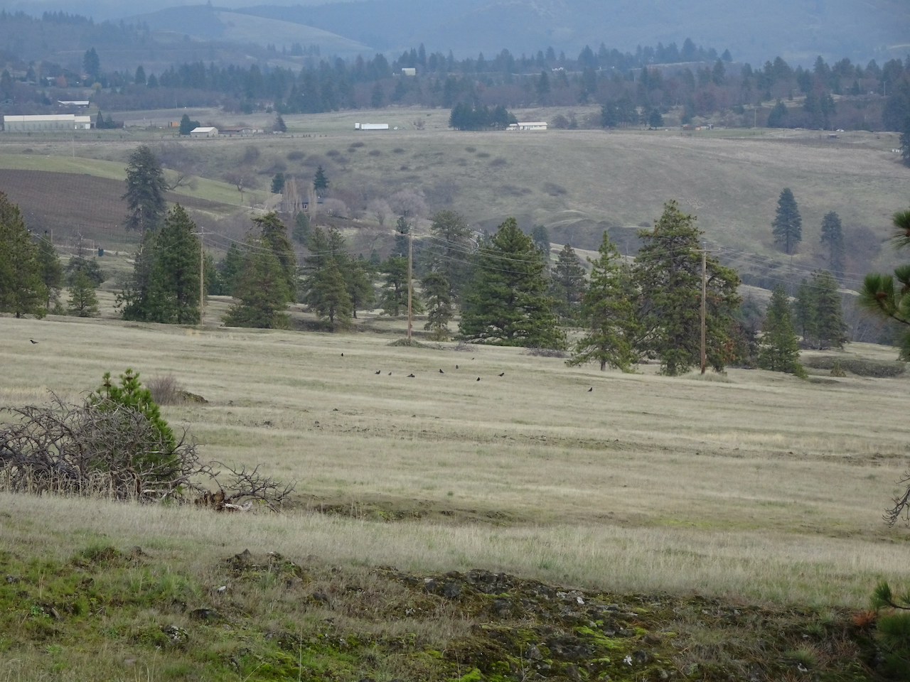
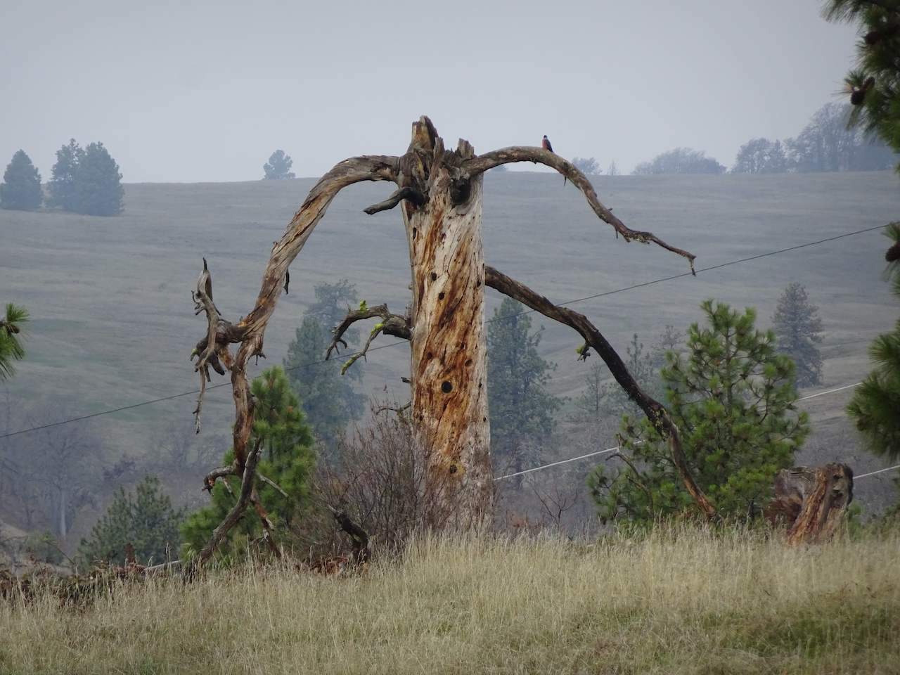
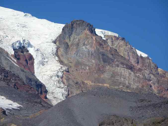
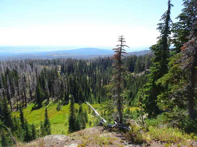
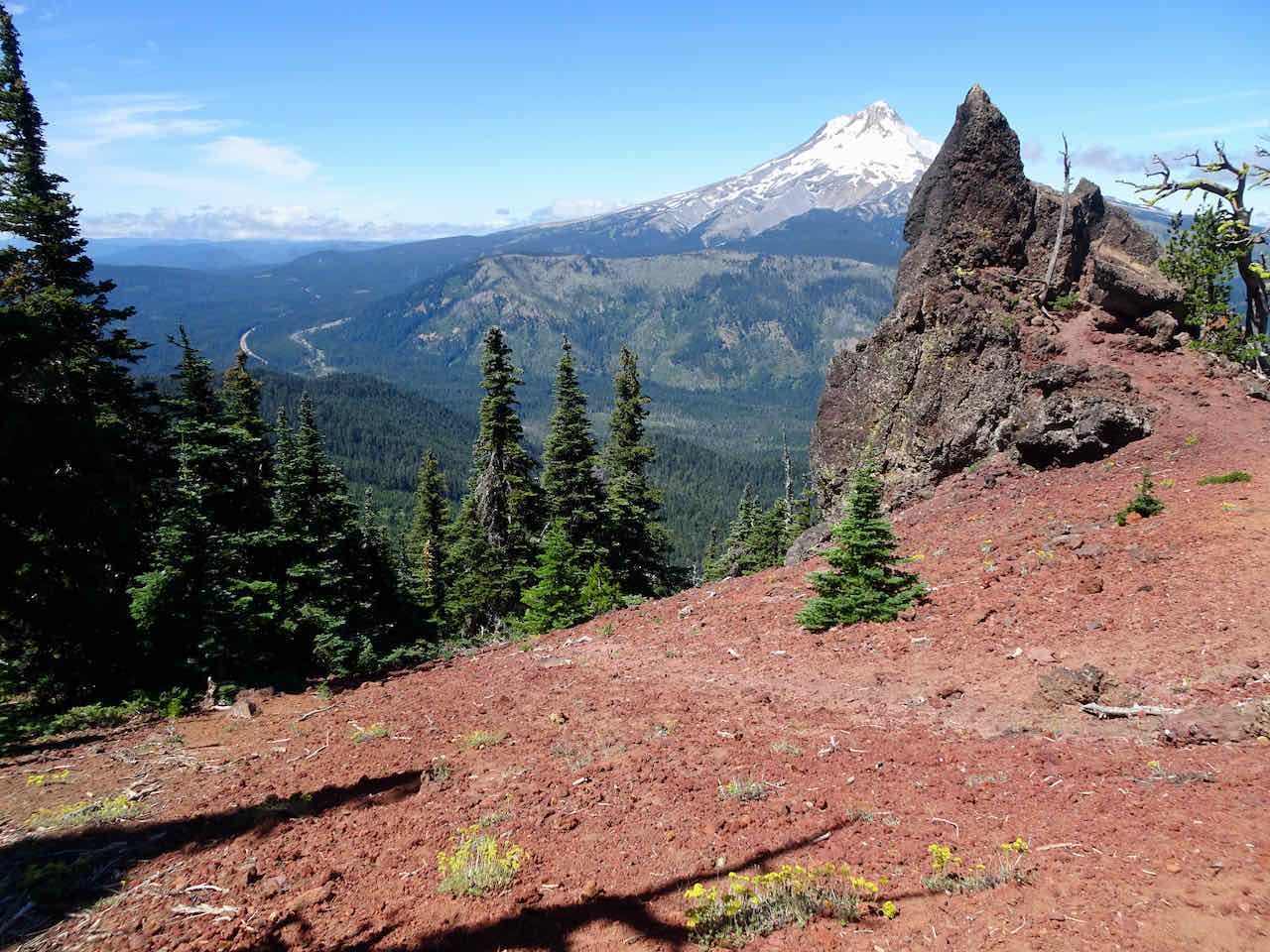
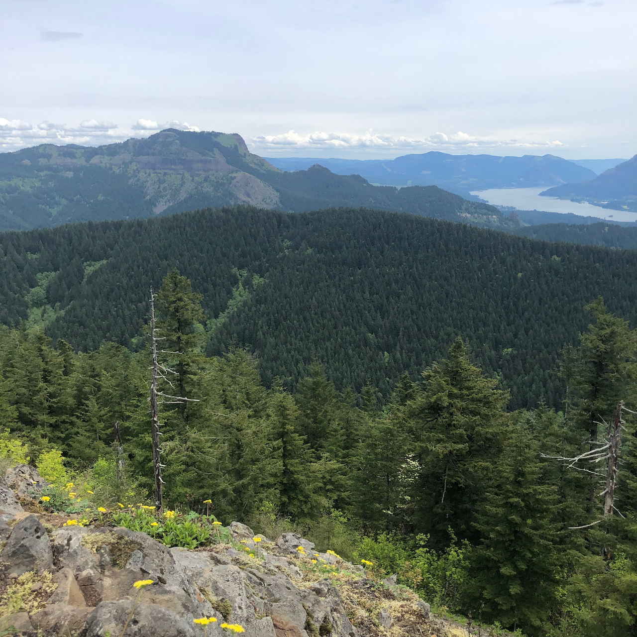
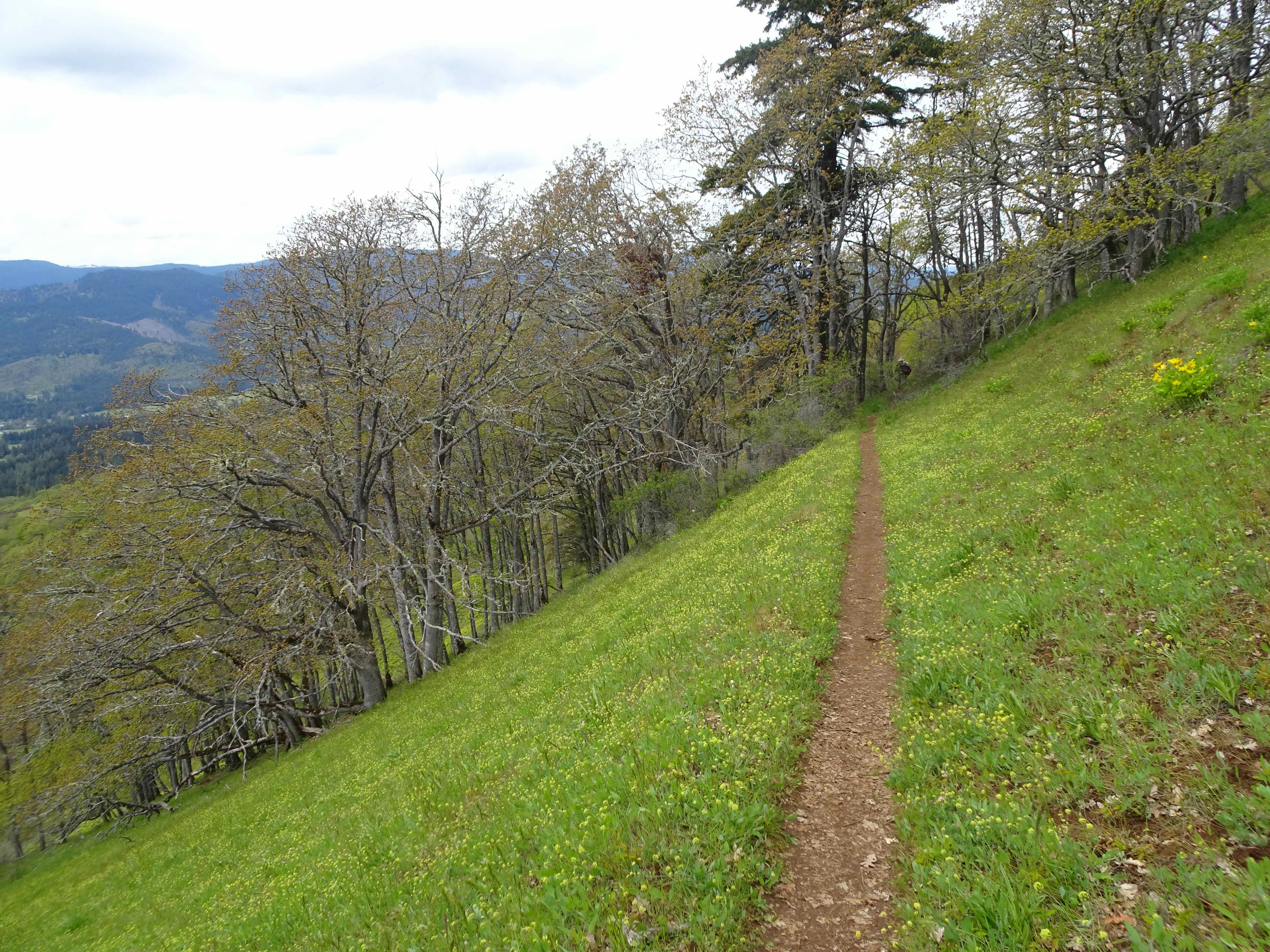
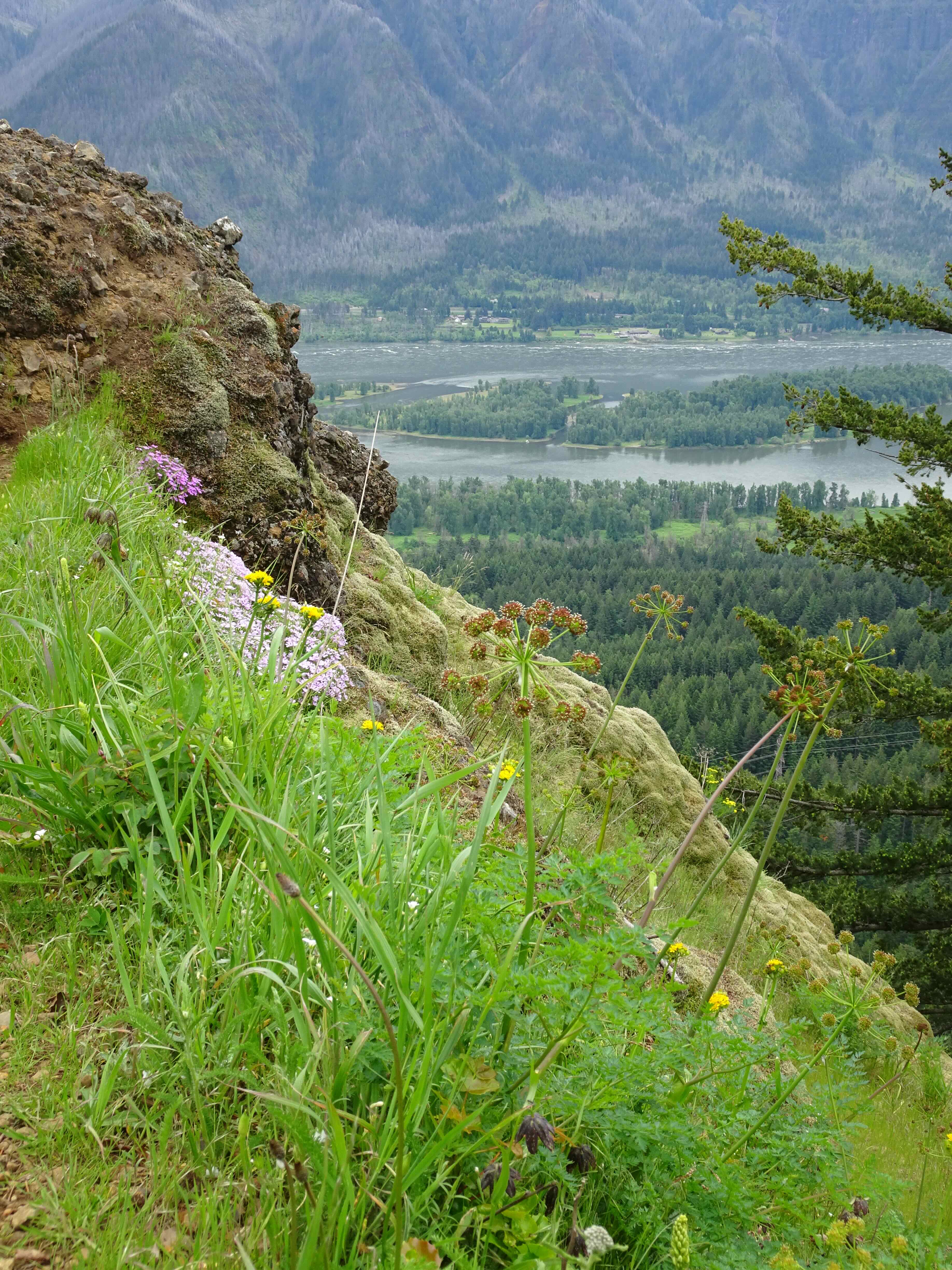
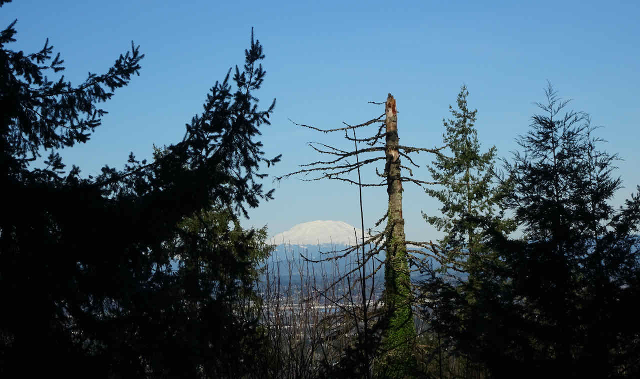
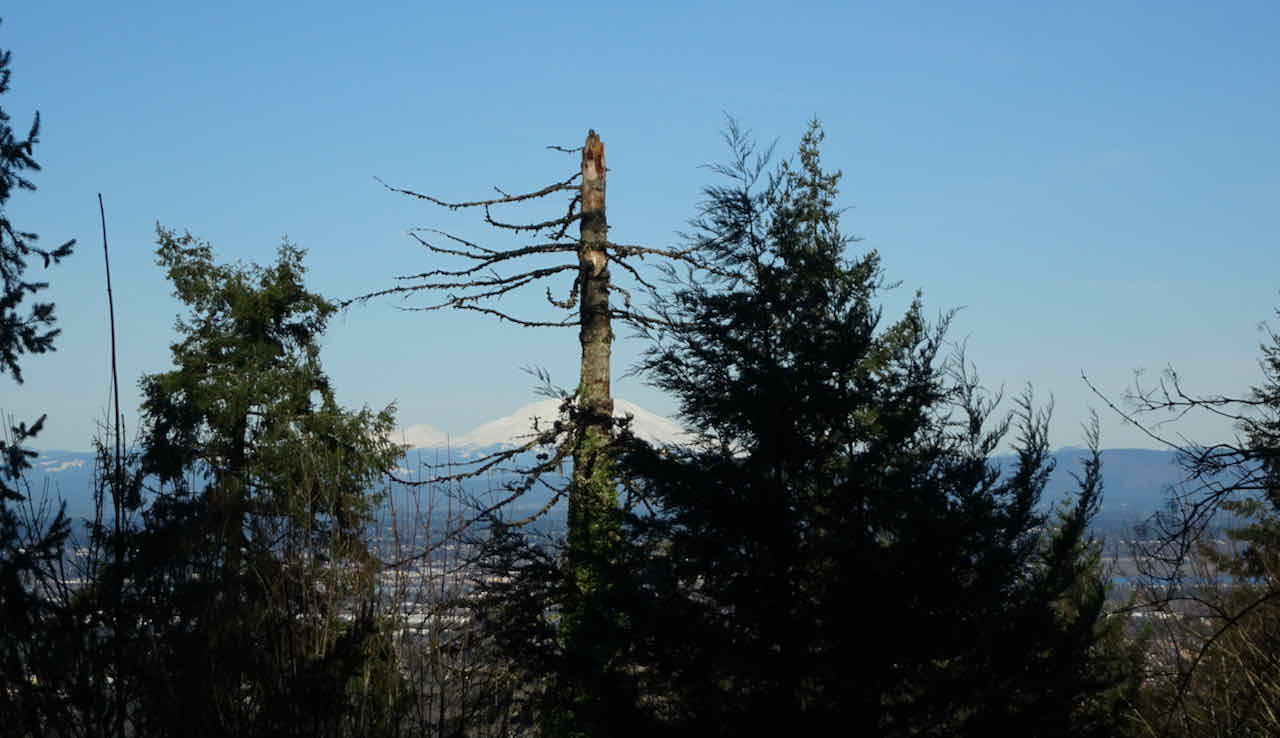
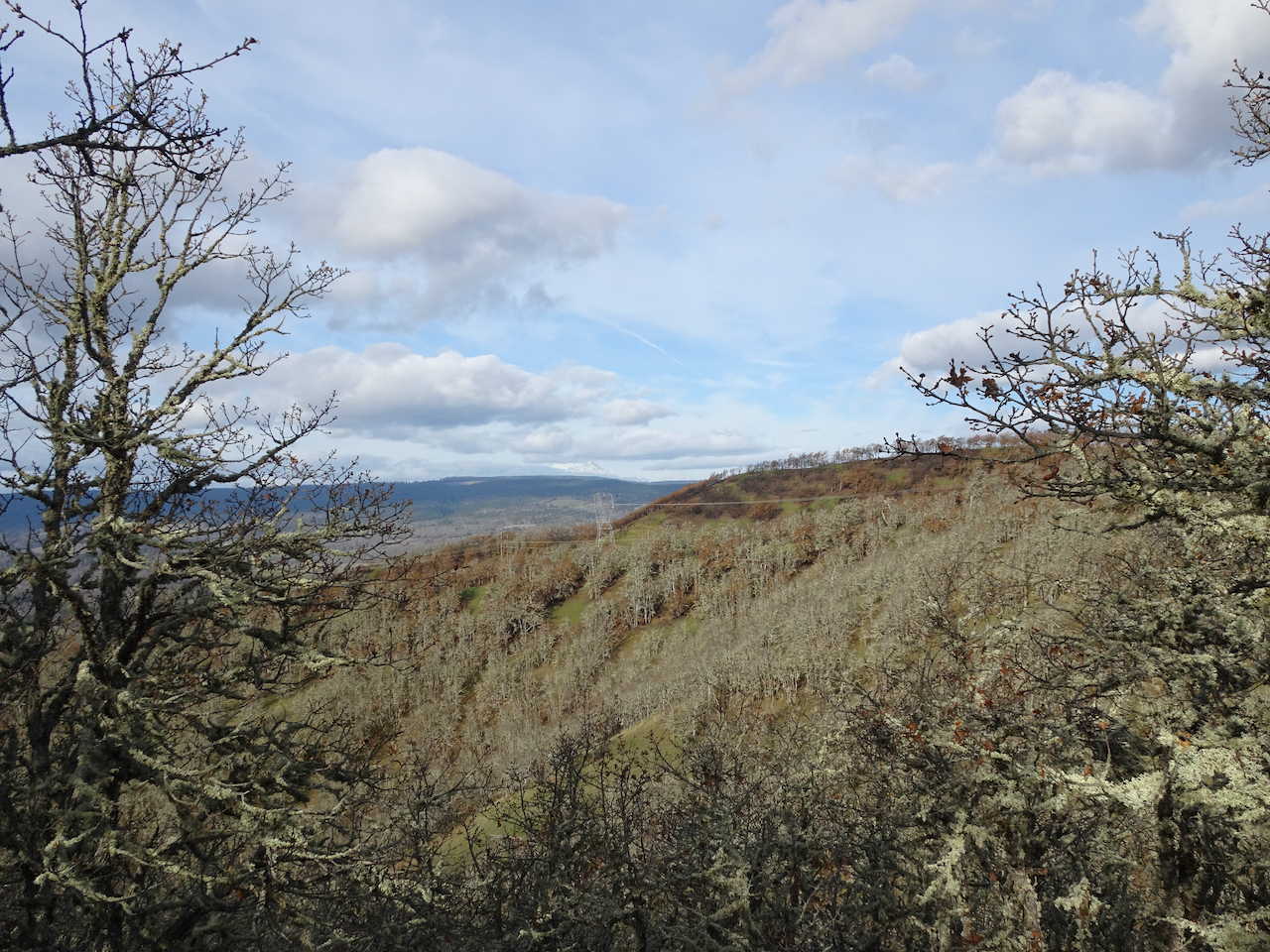
We took a moment to look out east from Vista Ridge, toward The Pinnacle and Mt Hood, and the remains of the Dollar Lake Fire of 2011.
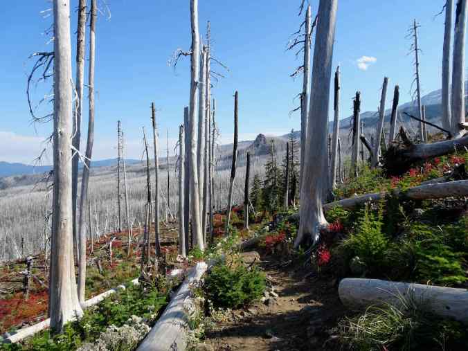
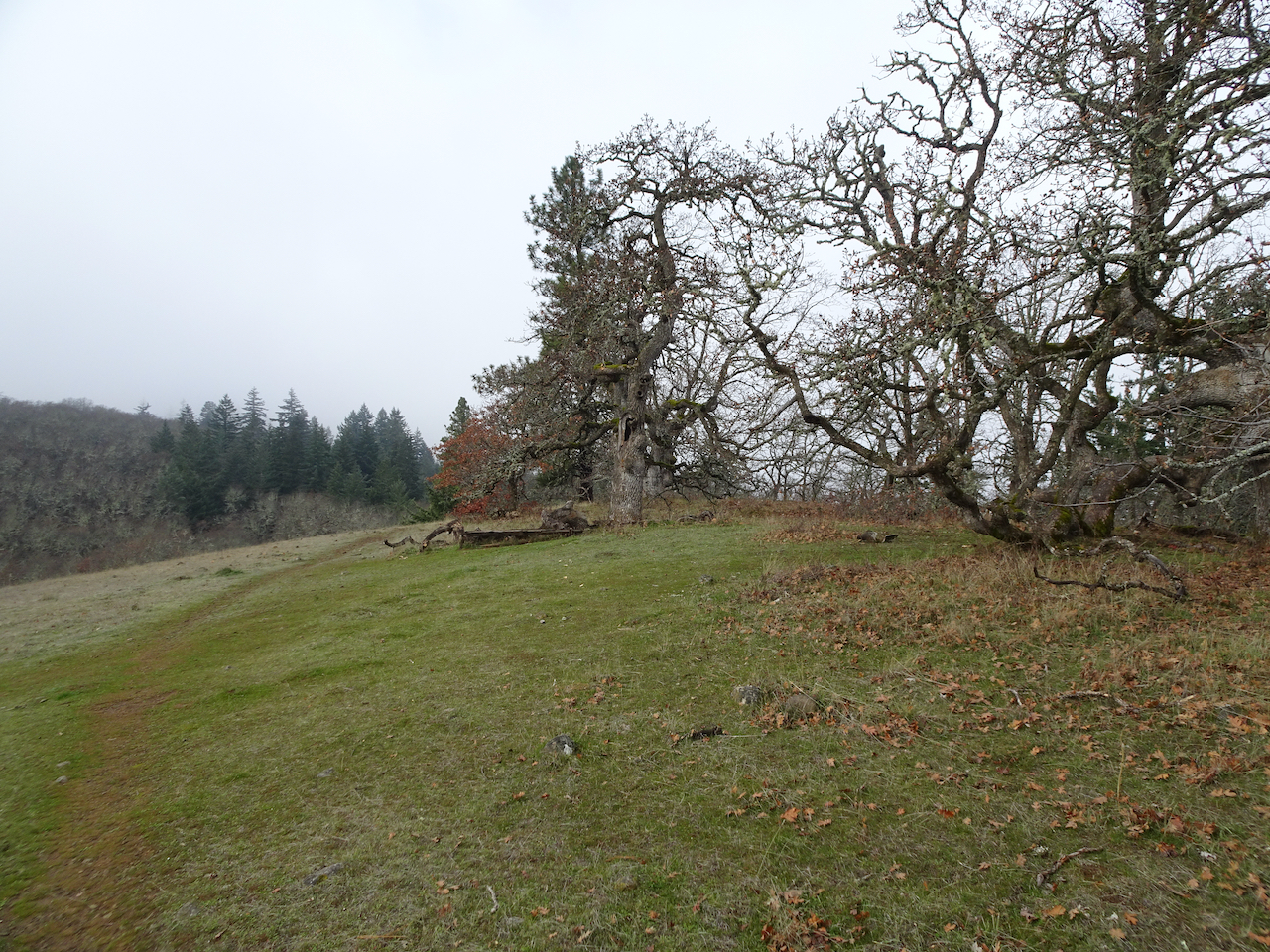
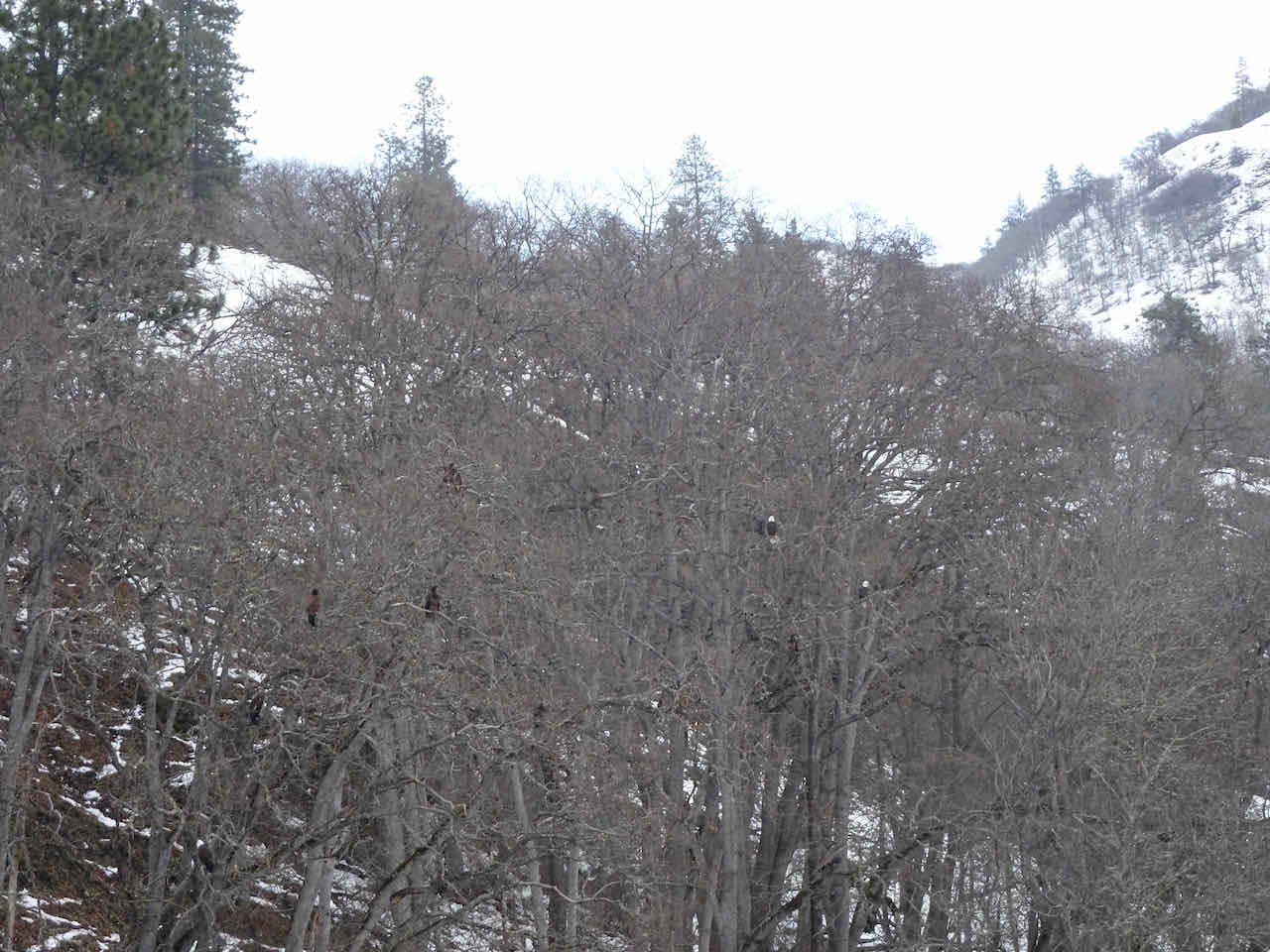
Farewell for the year to the haunted trees, by now knee deep in snow….


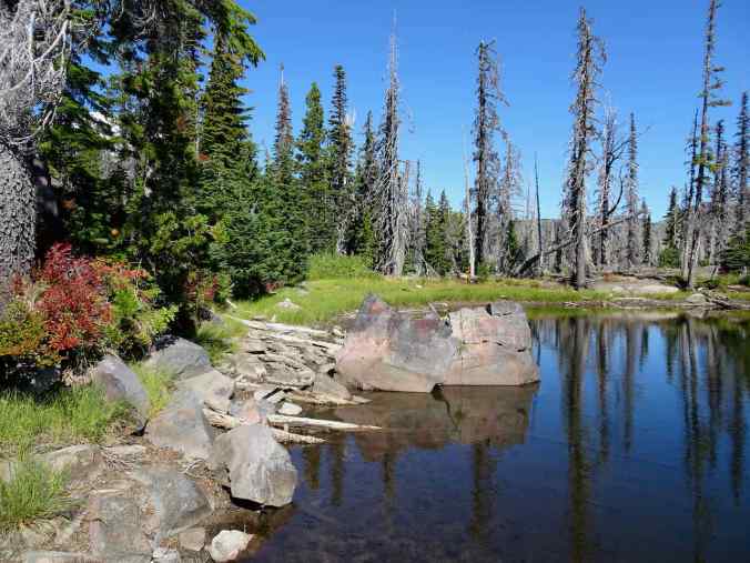
10/11 – Thomas Lake to Rock Lake to the Old Cascade Crest Trail, Indian Heaven Wilderness
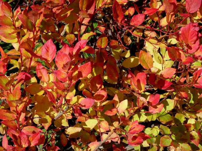
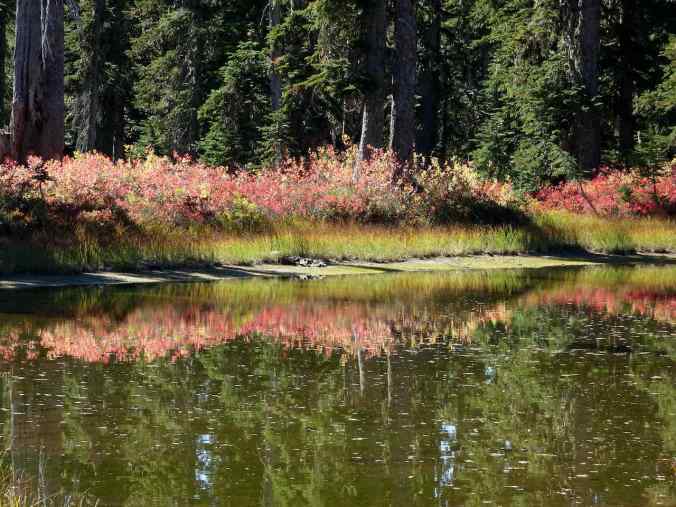
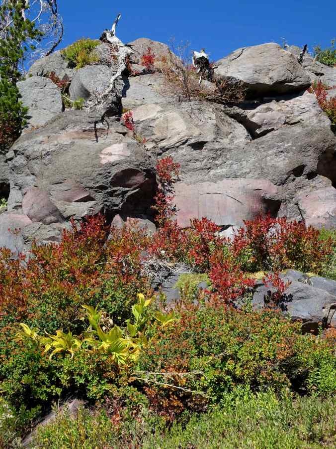
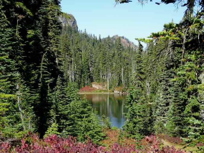
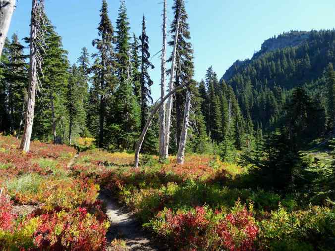
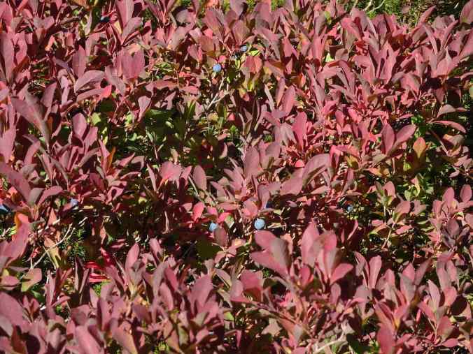
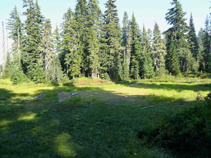
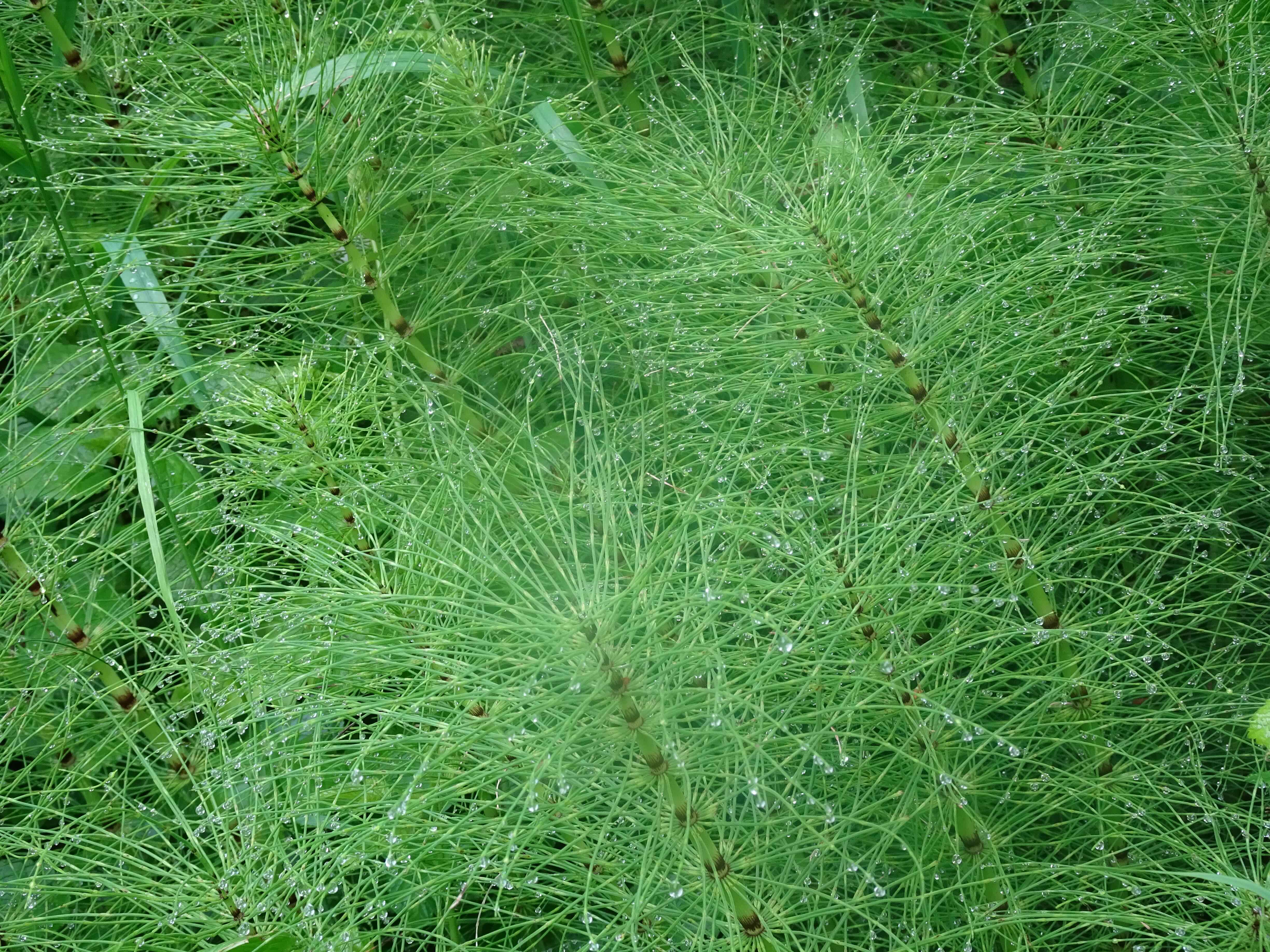
A beautiful fall day. We found the huckleberry foliage still changing – some bright red, some still green, in the faded summer meadows, and no mosquitos!

Thomas Lake – Rock Lakes – Old Cascade Crest Trail Loop. About 7 miles, 800 feet.

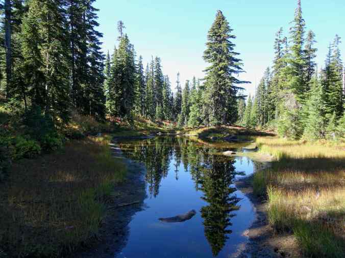
Beautiful reflections in Heather Lake.
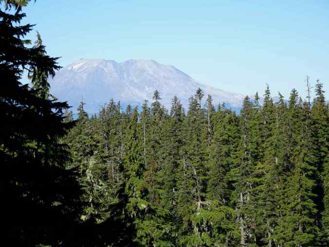
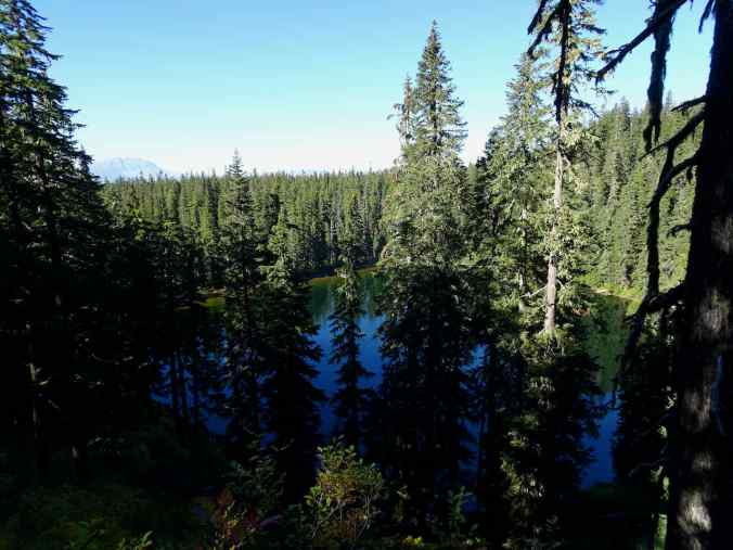
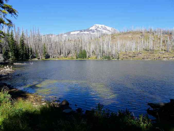
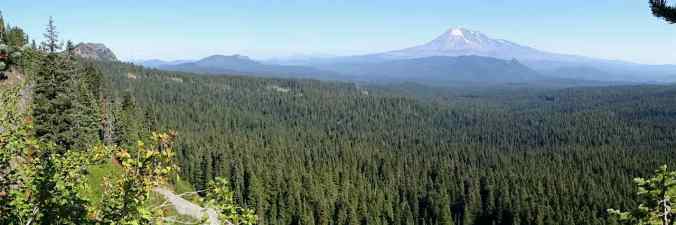
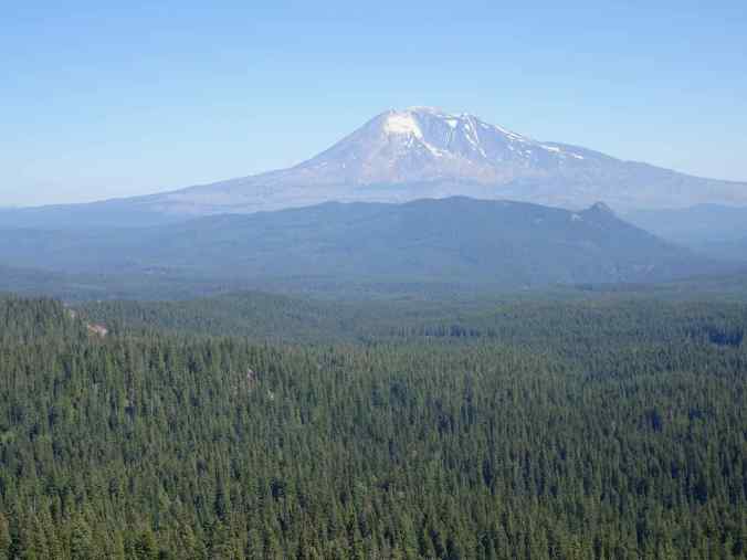
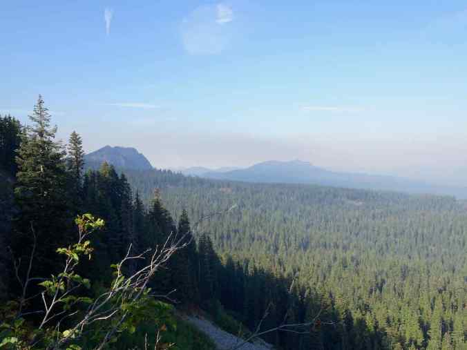
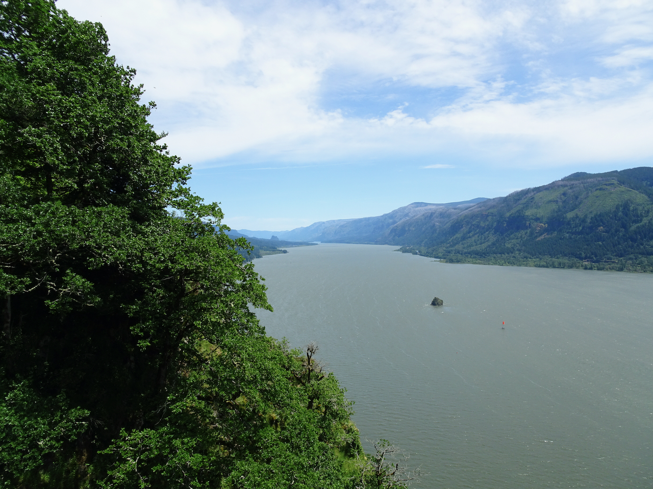
We continued past the first lakes on the trail, up hill, to the viewpoint of Mt St Helens,
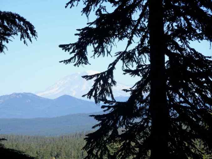
and a glimpse of Mt Rainier.
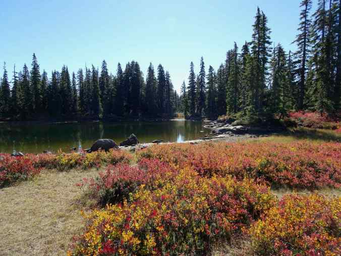
Rock Lakes lunch stop
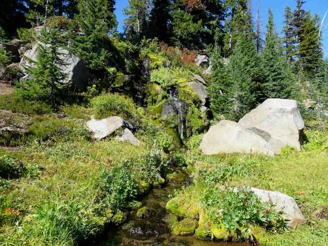
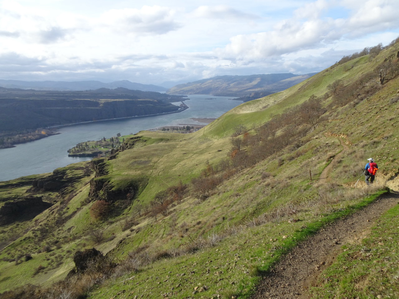
After lunch, we continued east beyond Rock Lakes, toward East Crater, to the junction with the Old Cascade Crest Trail. We had followed it north before, today we were trying the south trail.
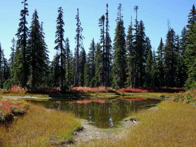
There are many small lakes along this route.

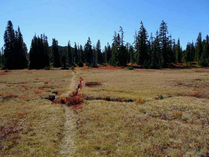
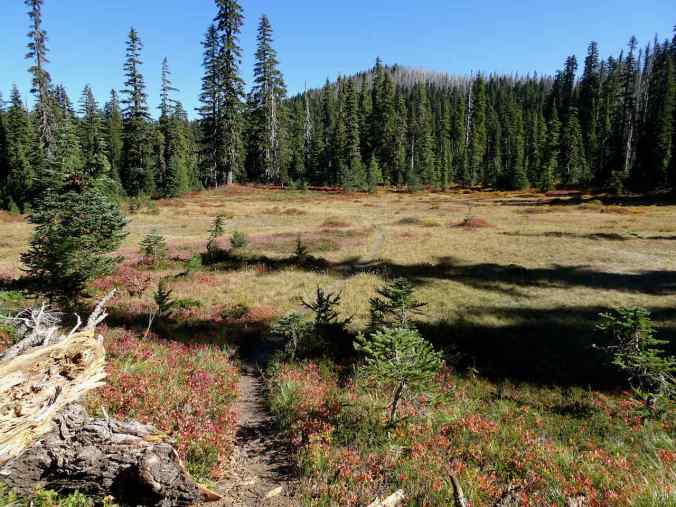
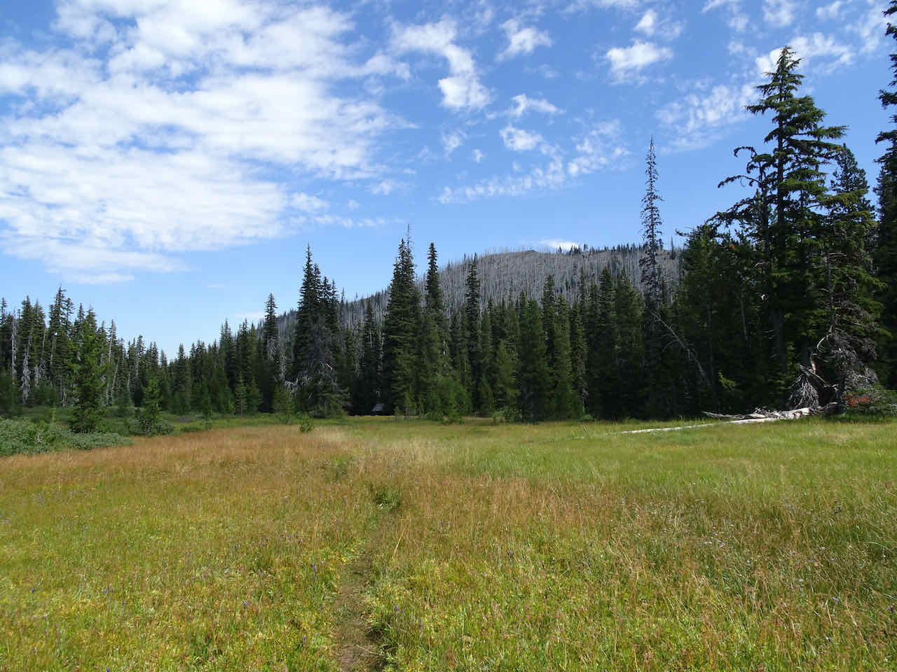
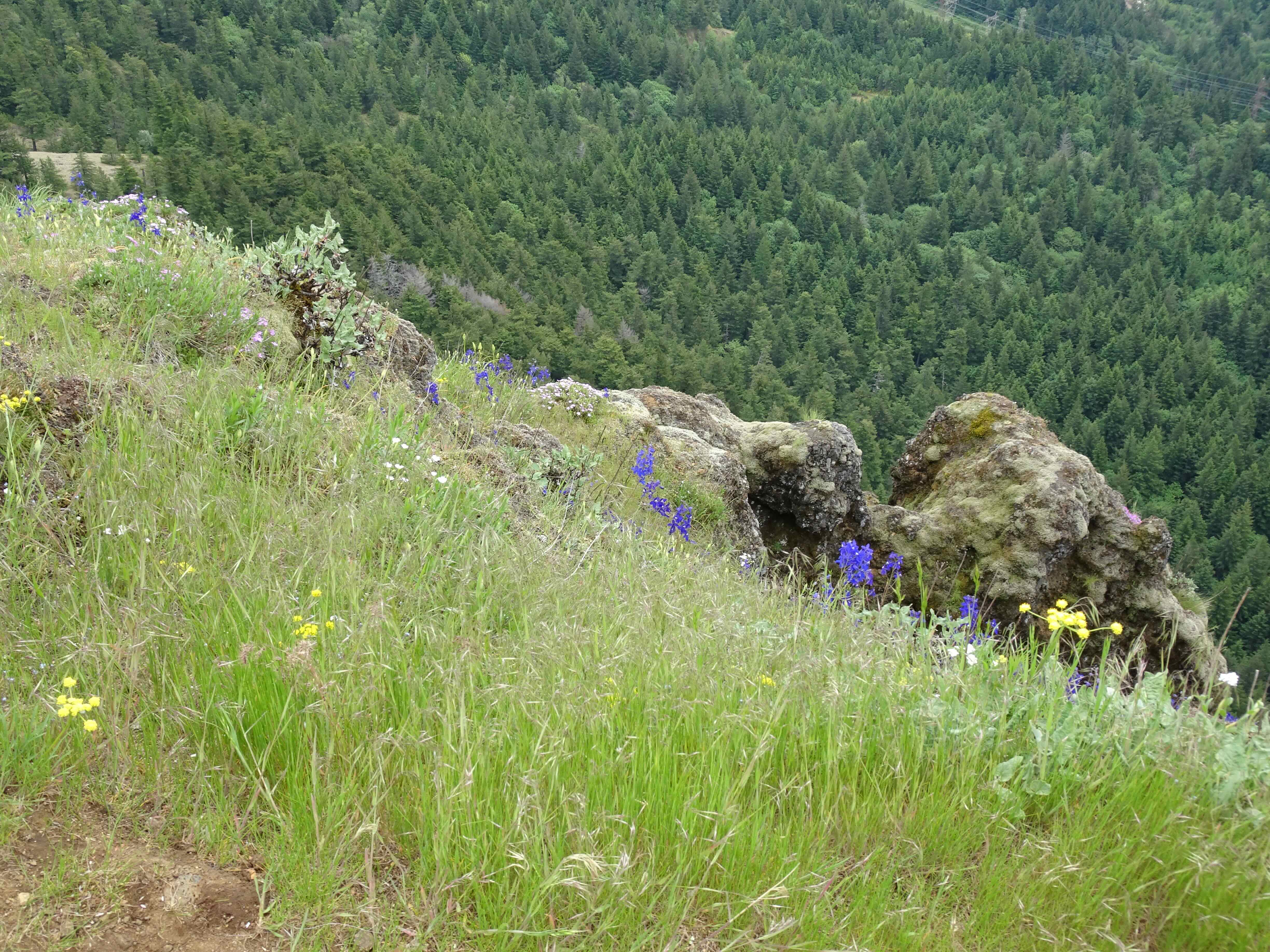
The trail eventually crosses a large meadow, with a view of Gifford Peak beyond.

Looking back north toward East Crater, shortly before this trail intersects the Blue Lake Trail.

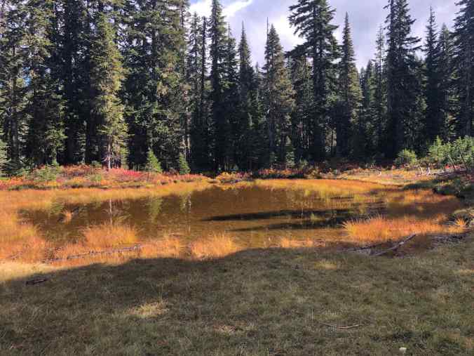
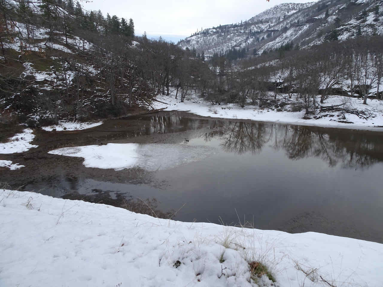
A shrinking lake near the trail junction.
At the trail junction, we headed north again to complete the loop. The Old Cascade Crest Trail is still used, and easy to walk, though it does not show up on recent trail maps.
Another peek at Mt St Helens beyond Eunice Lake on our return hike.
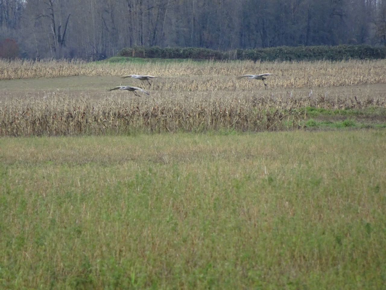
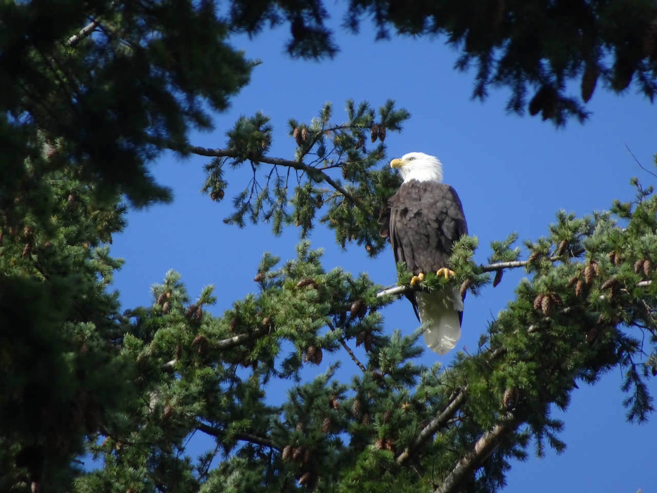
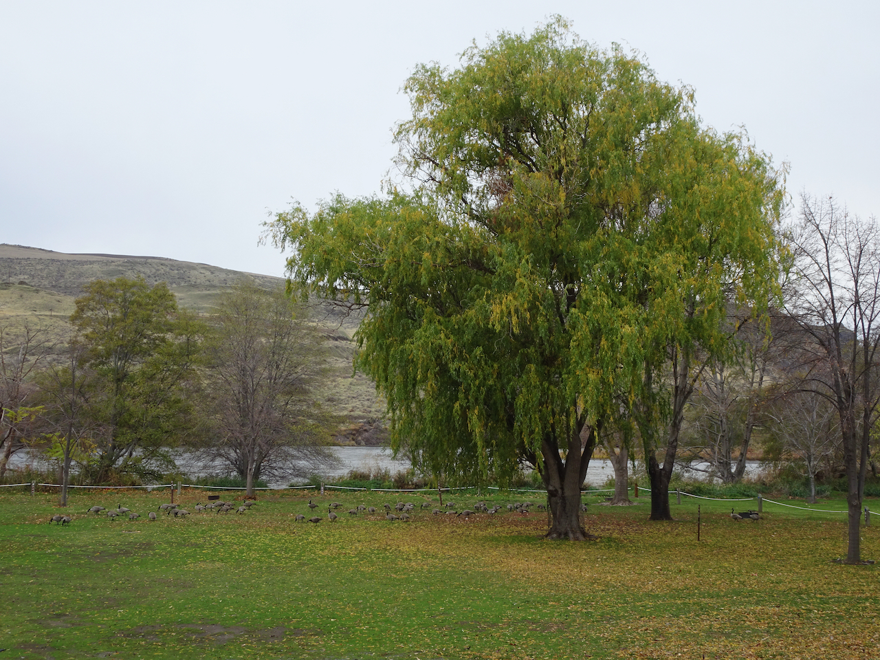
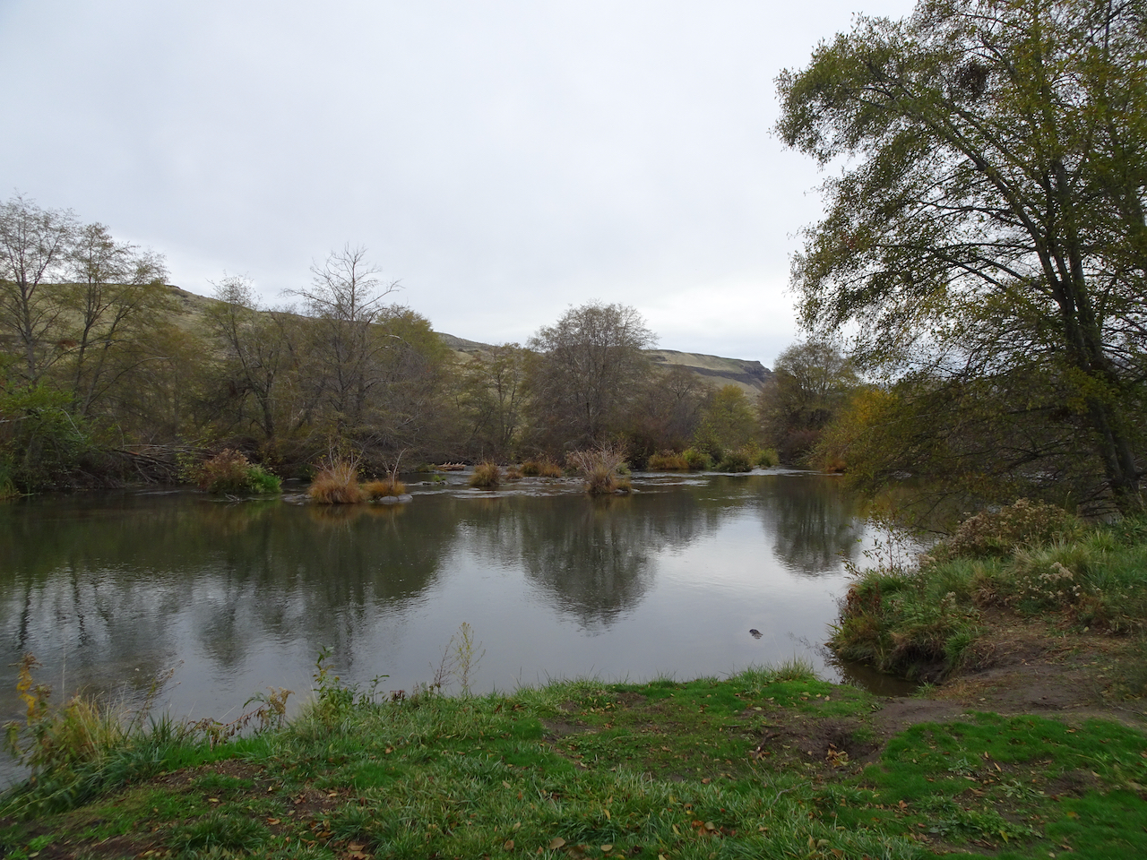
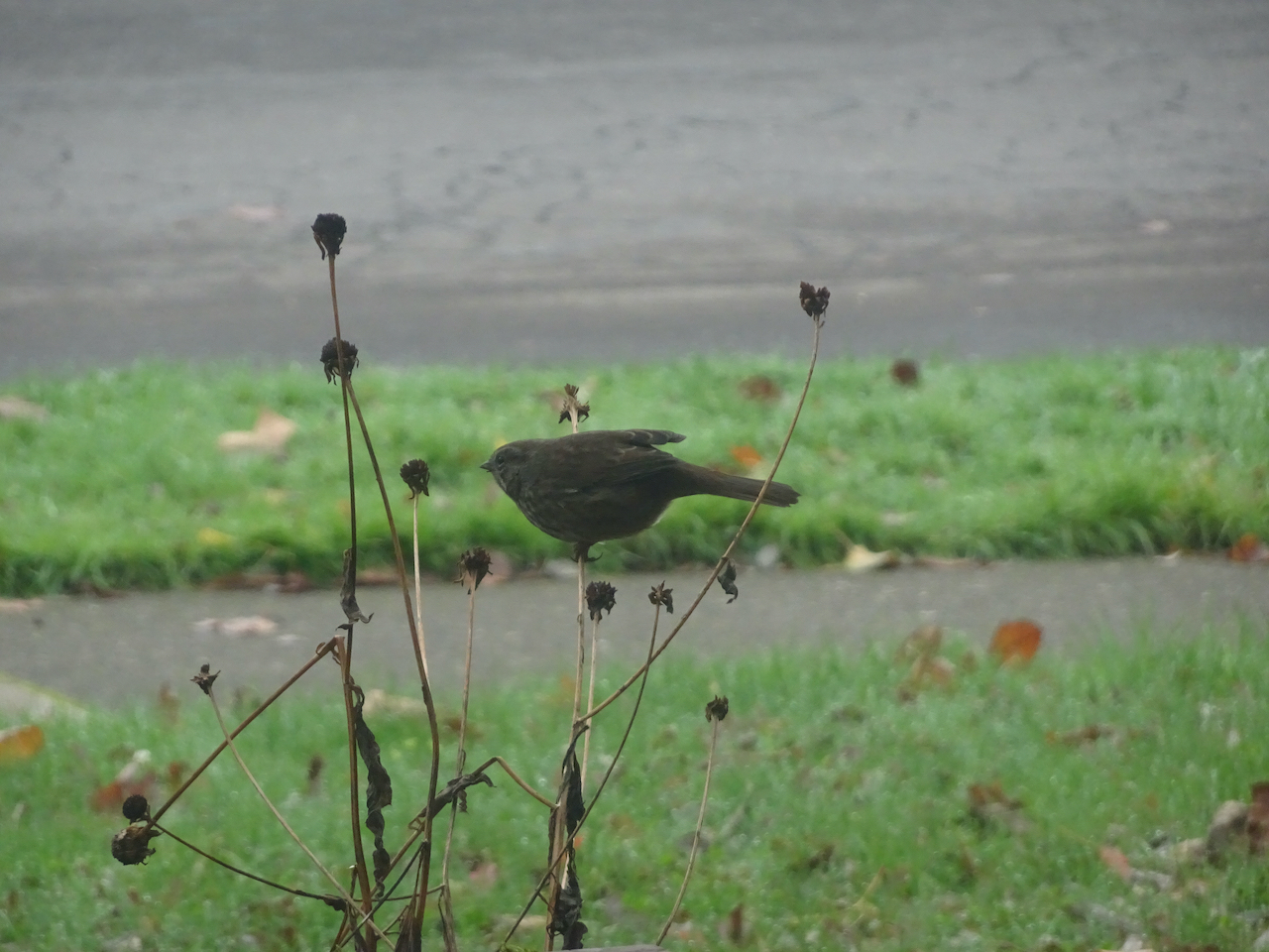
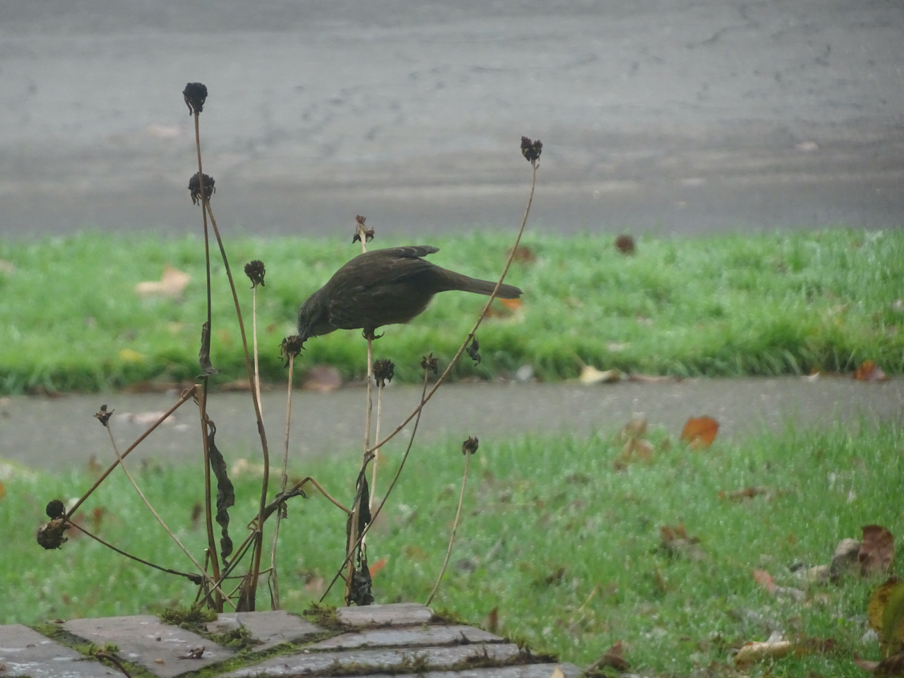
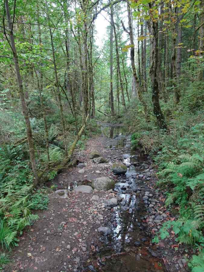
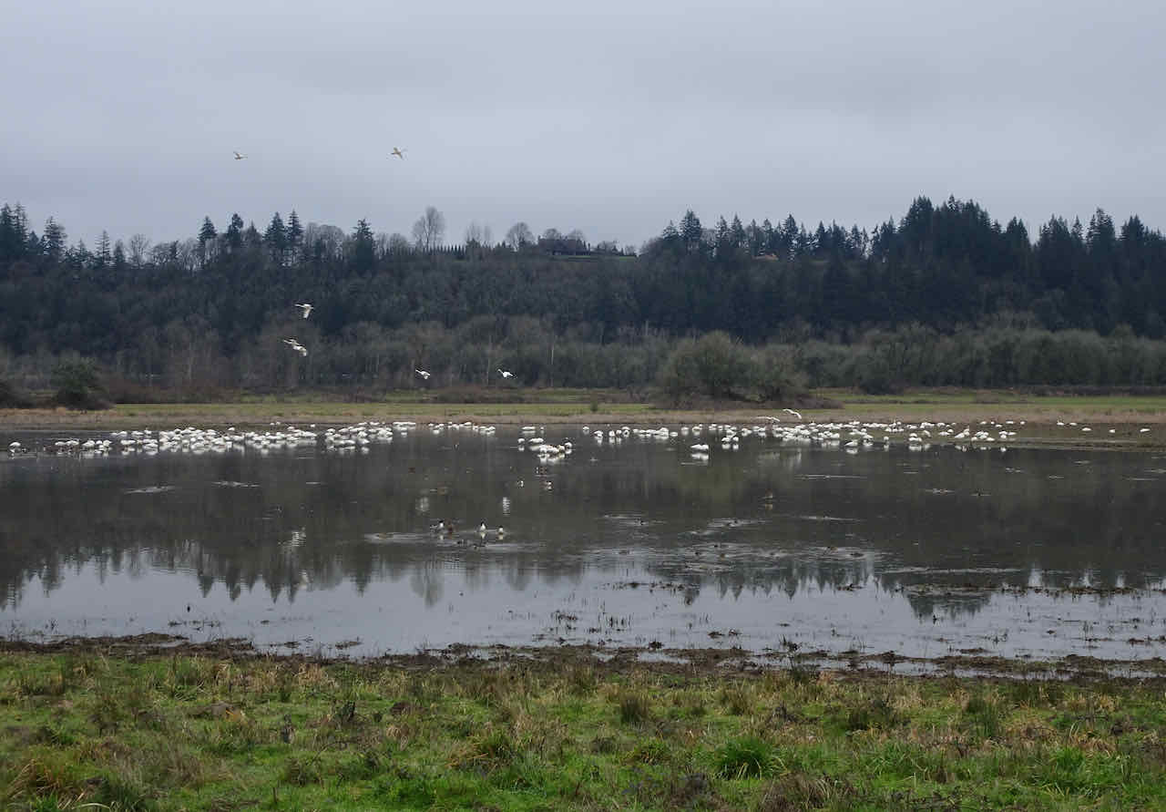
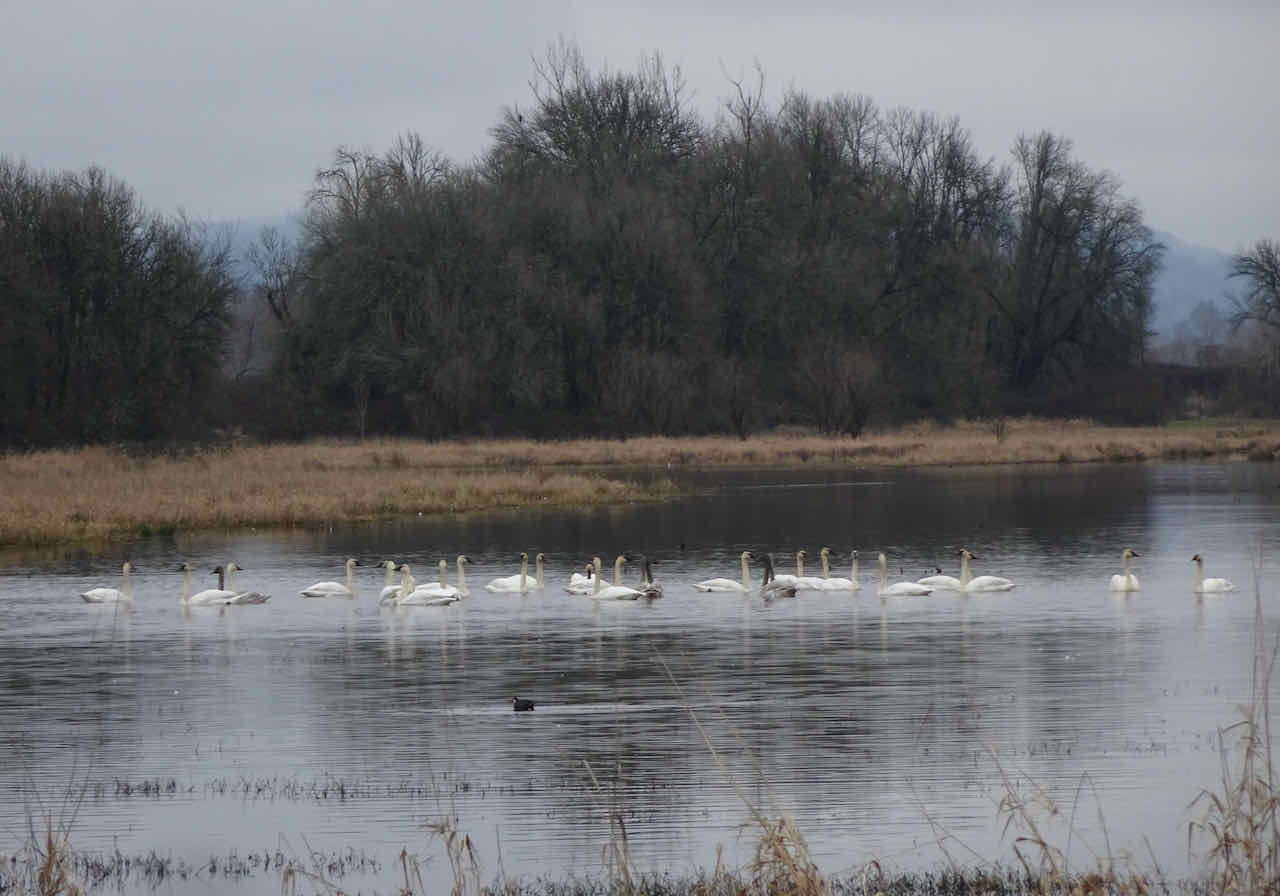
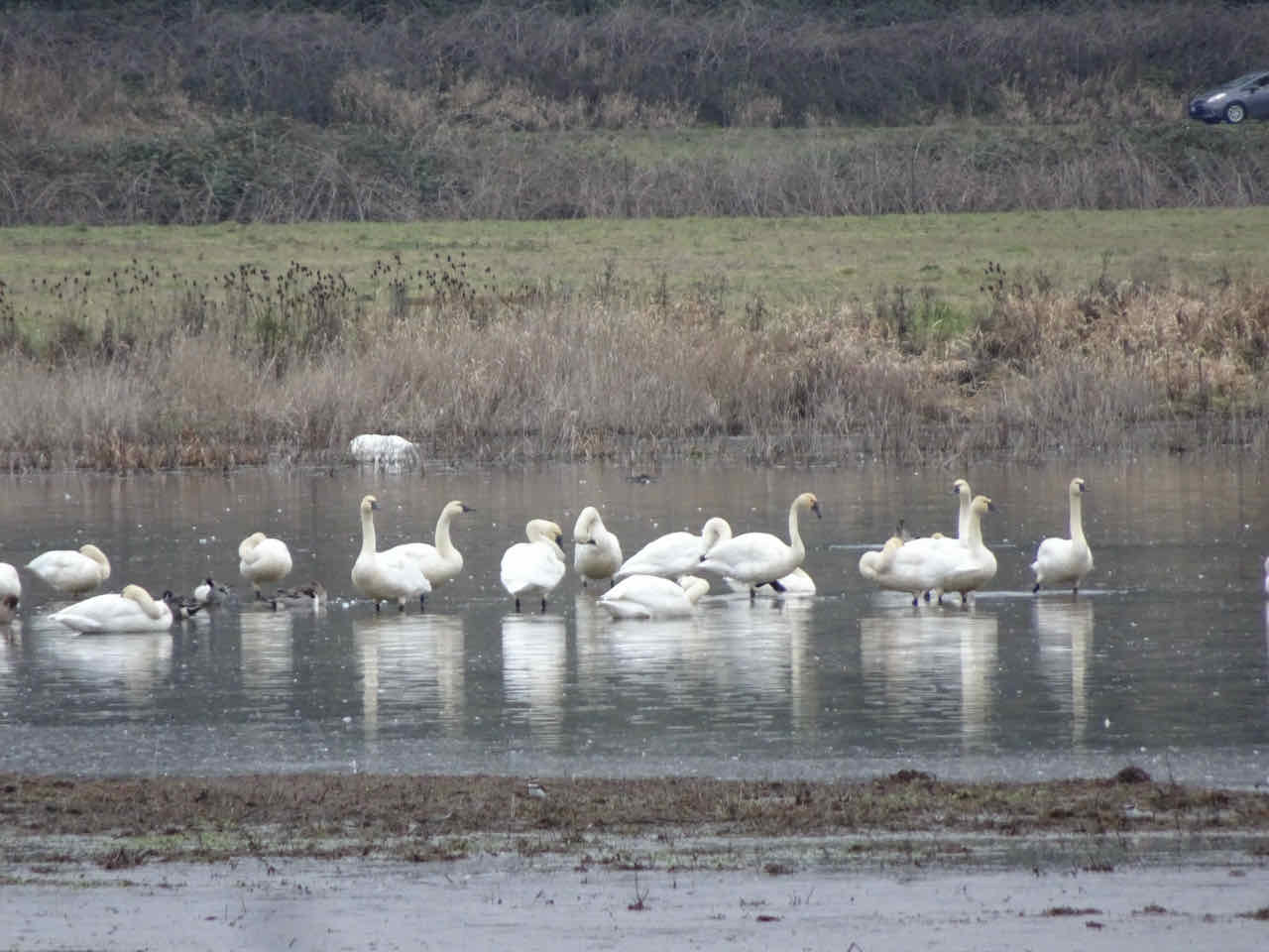
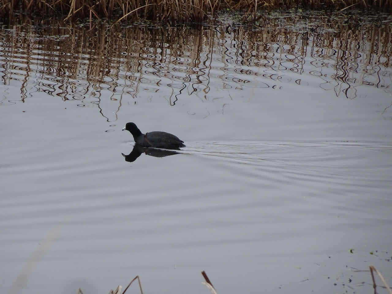
10/17 – Oaks Bottom Wildlife Refuge, Portland
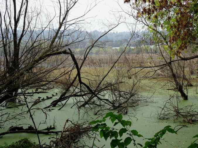
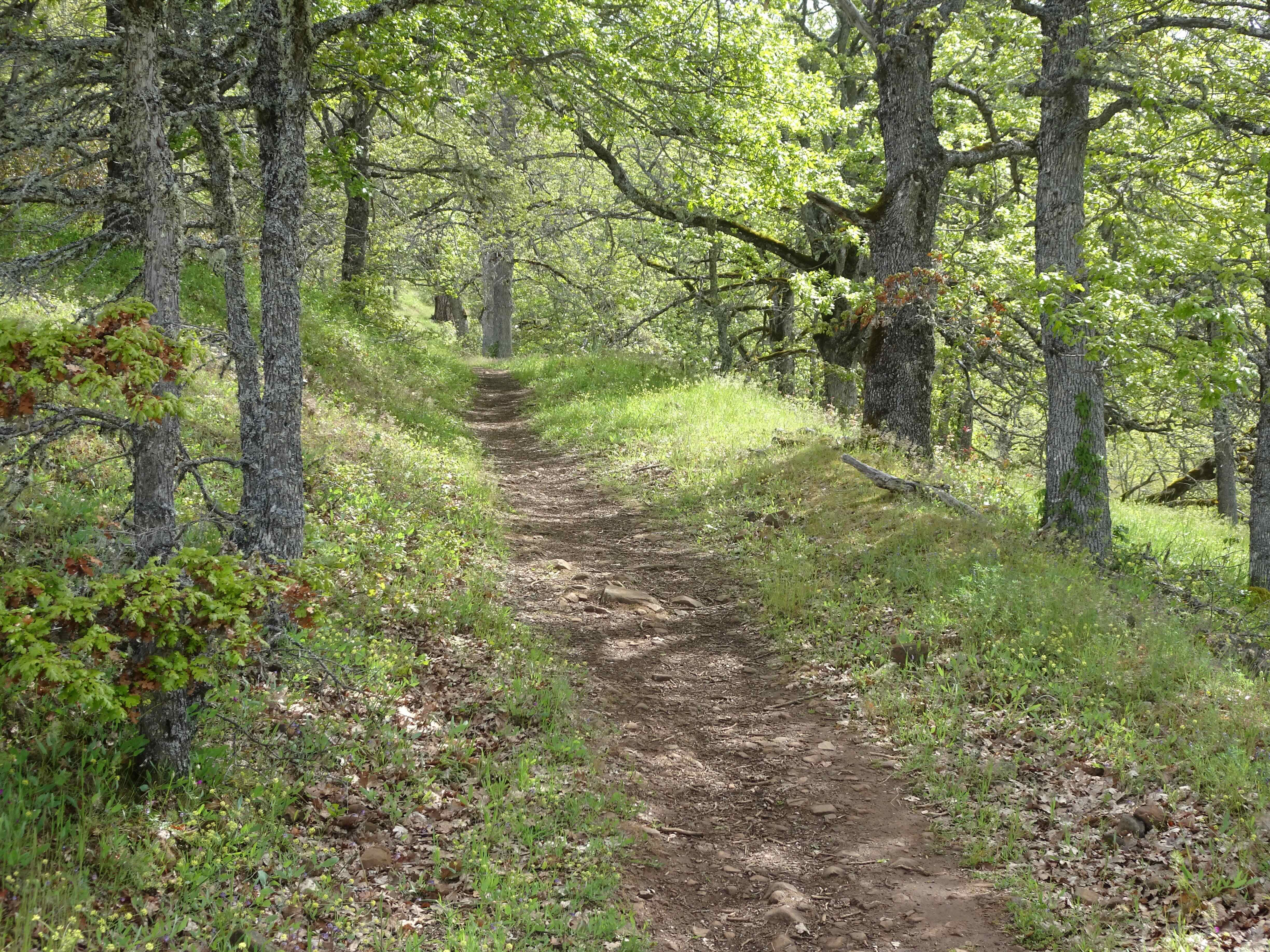
The standard 3 mile loop around the Wildlife Refuge, partly on the bike path, partly on dirt trails around the wetlands.

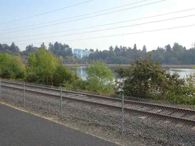
Wetlands and mausoleum mural from the bike path

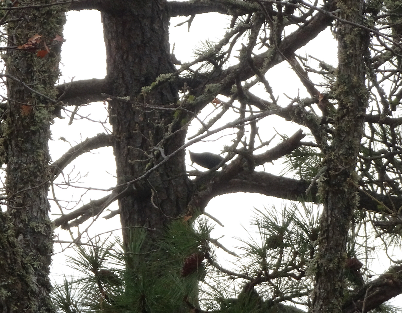
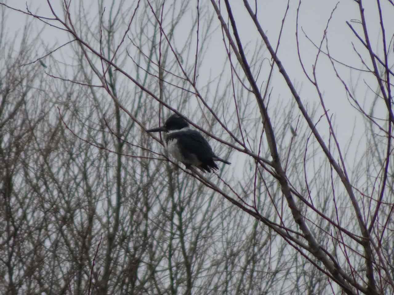
Cooper’s hawk

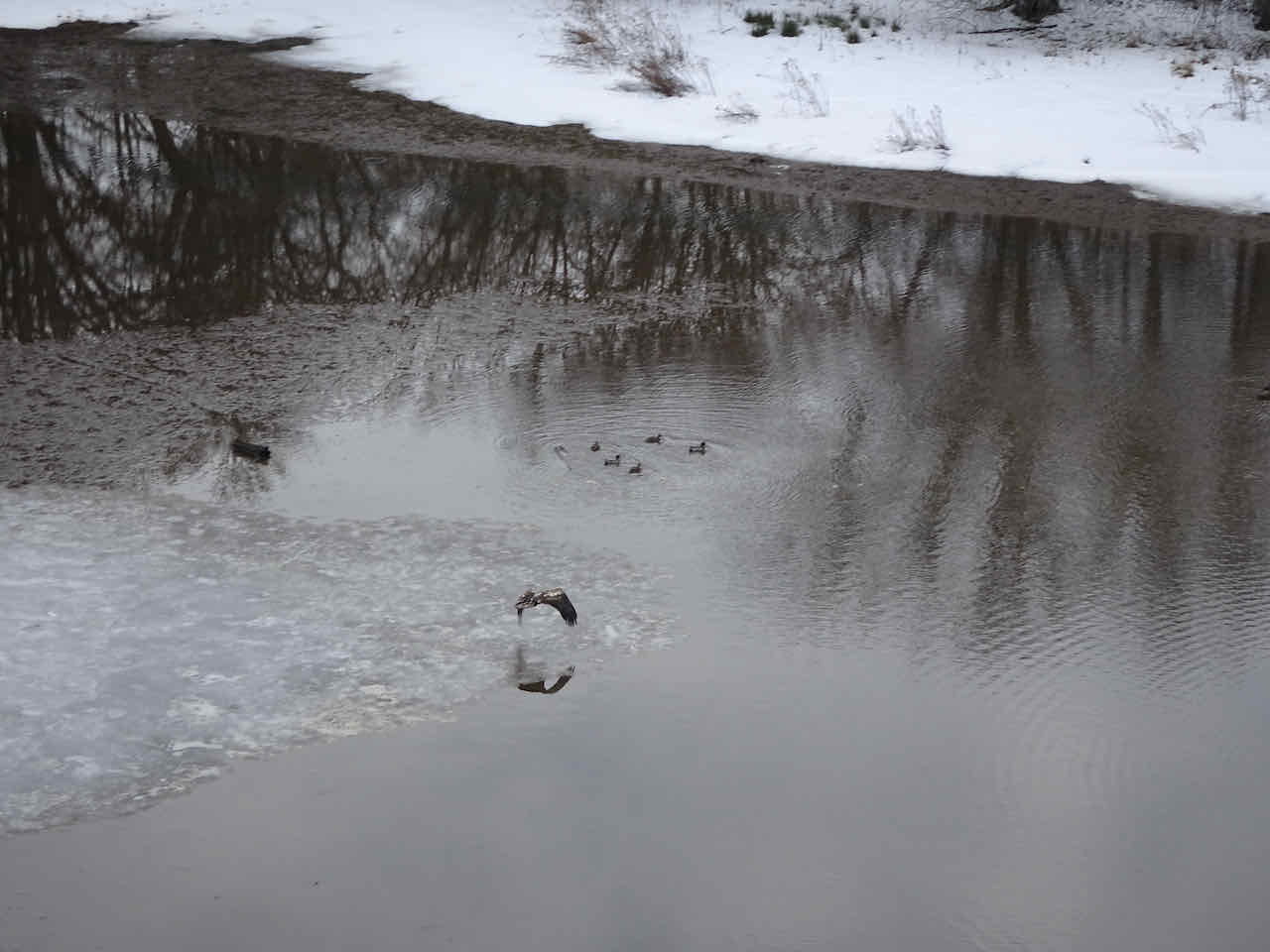
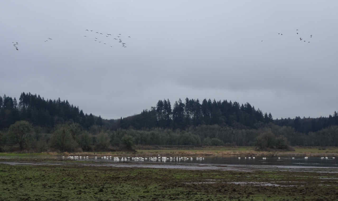
Wood ducks
Oaks Amusement Park across the wetlands

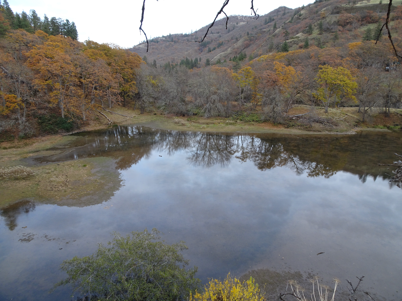
Reflections

Hint of fall…
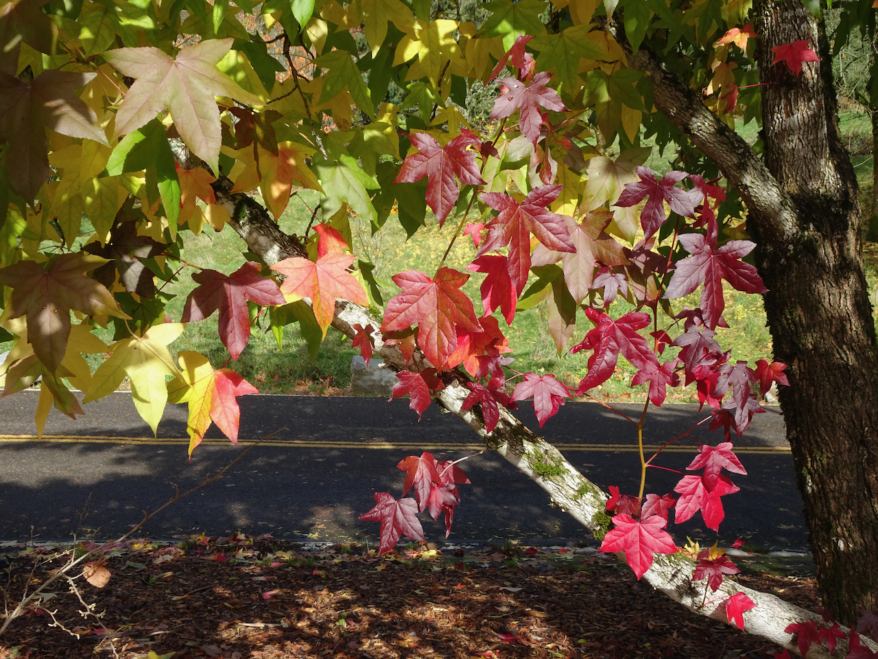
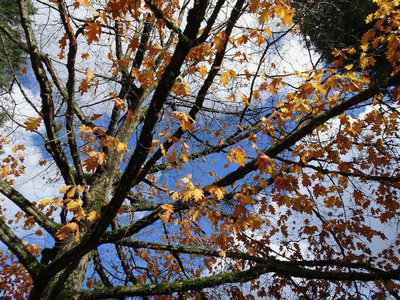
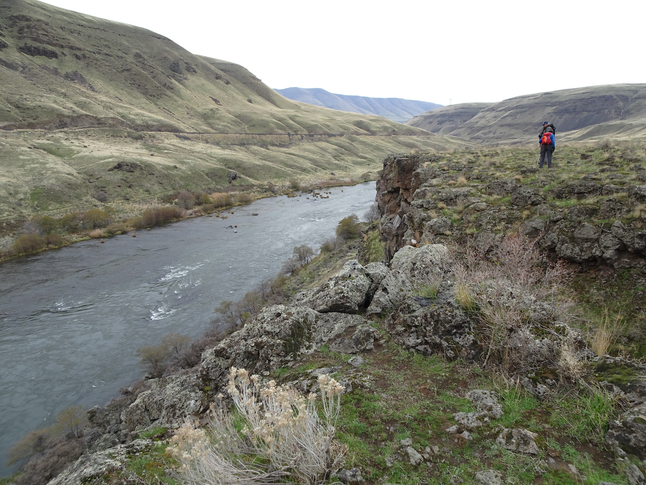
Later in the month we went to Washington, DC, where there were some long city/mall/museum walks, and to Shenandoah National Park, VA, where there were three other hikes, described in the next post.


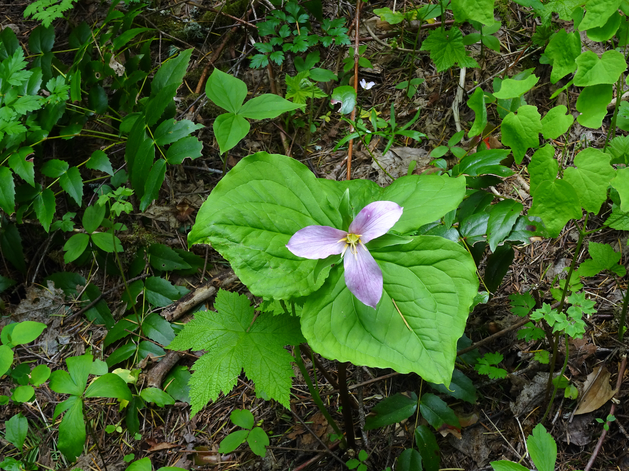
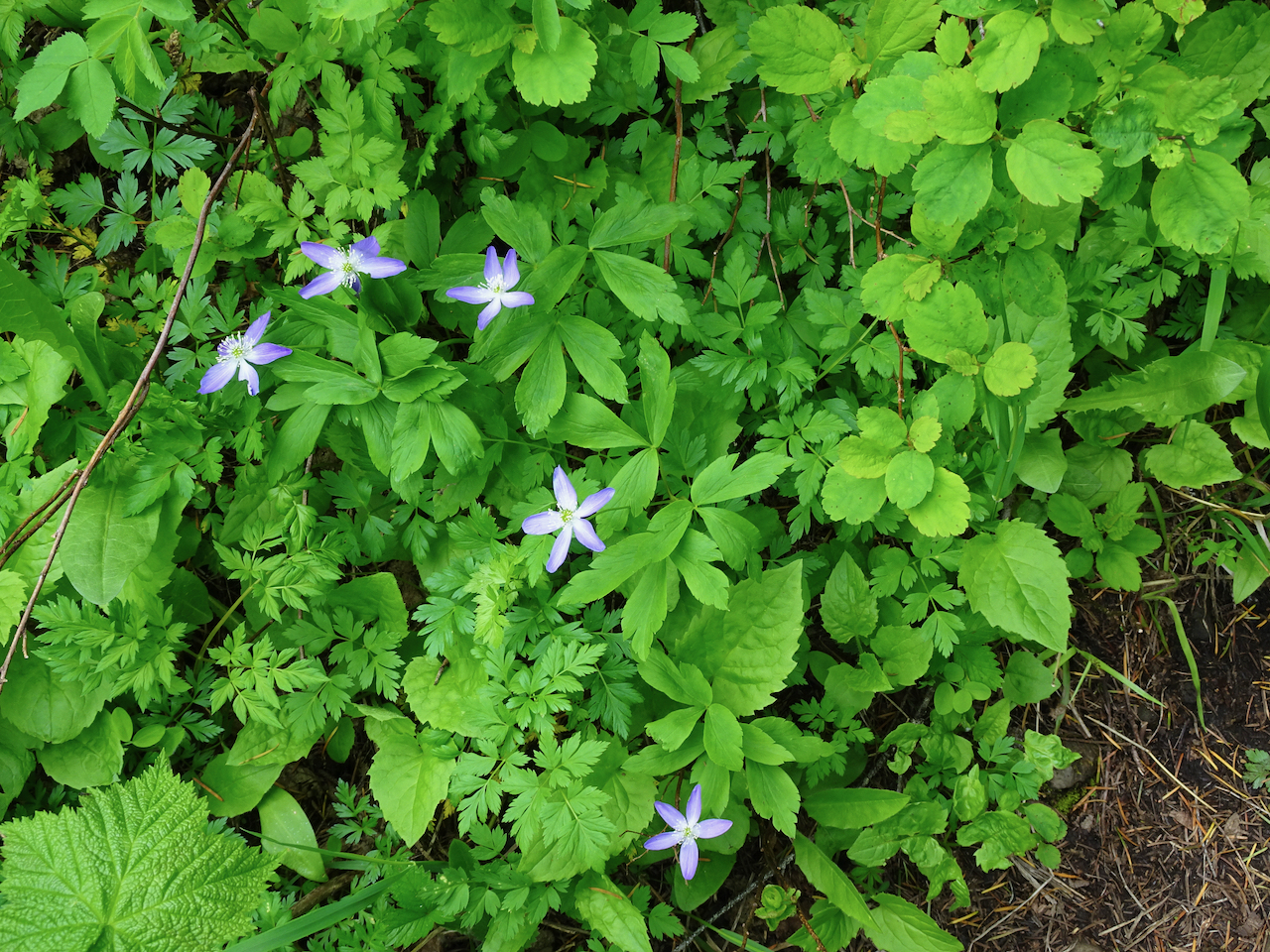
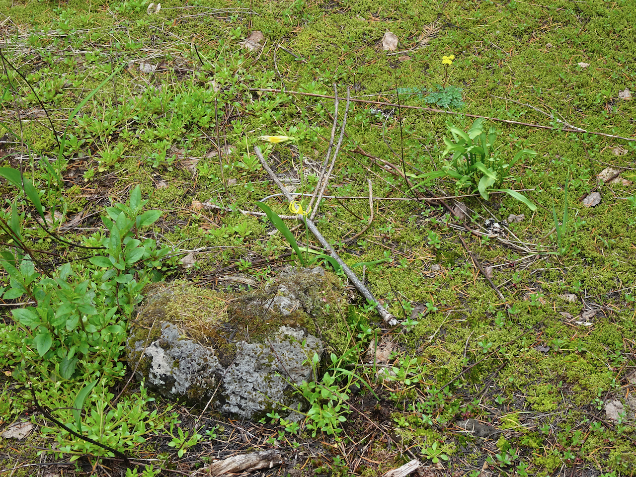


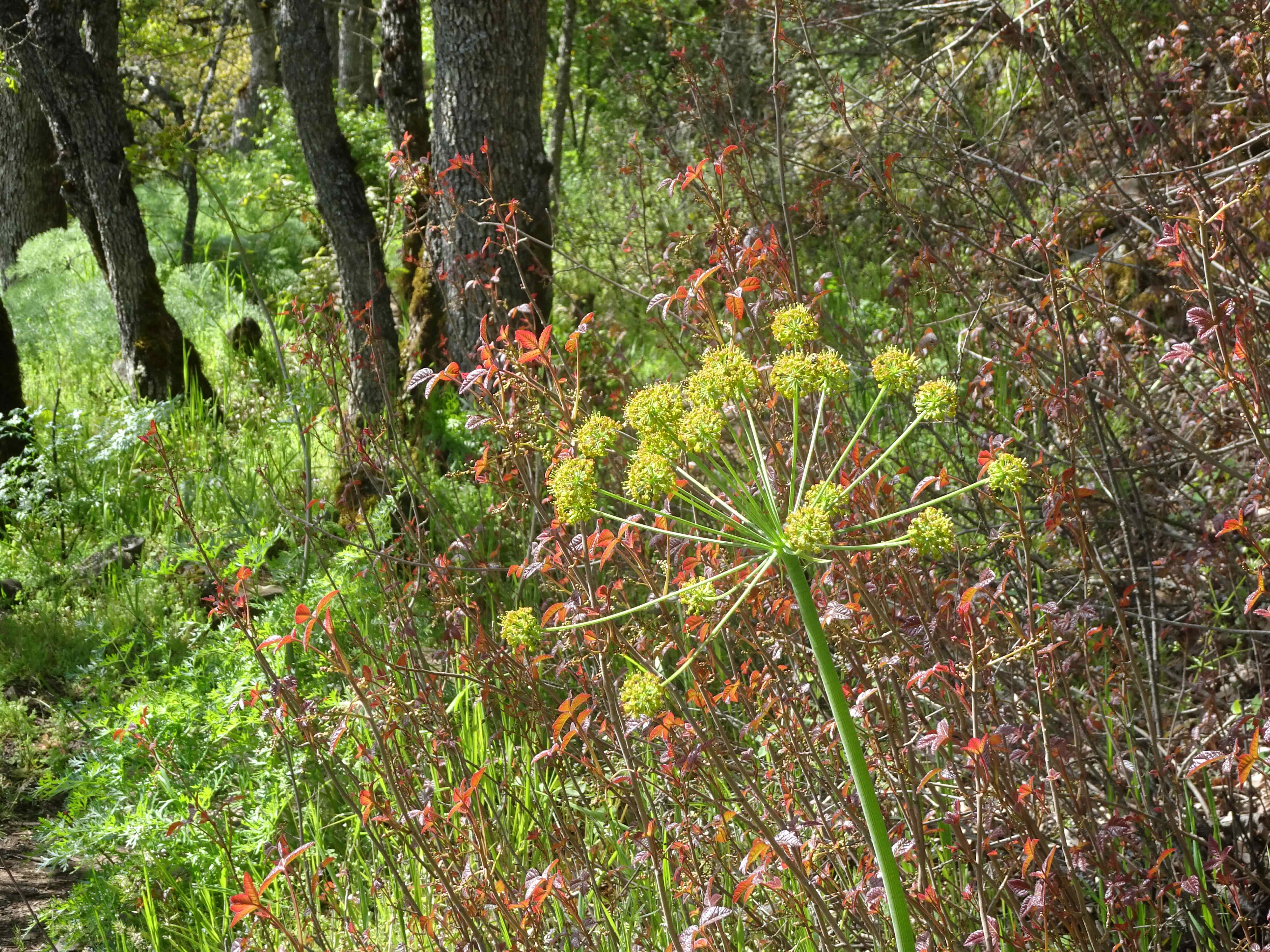


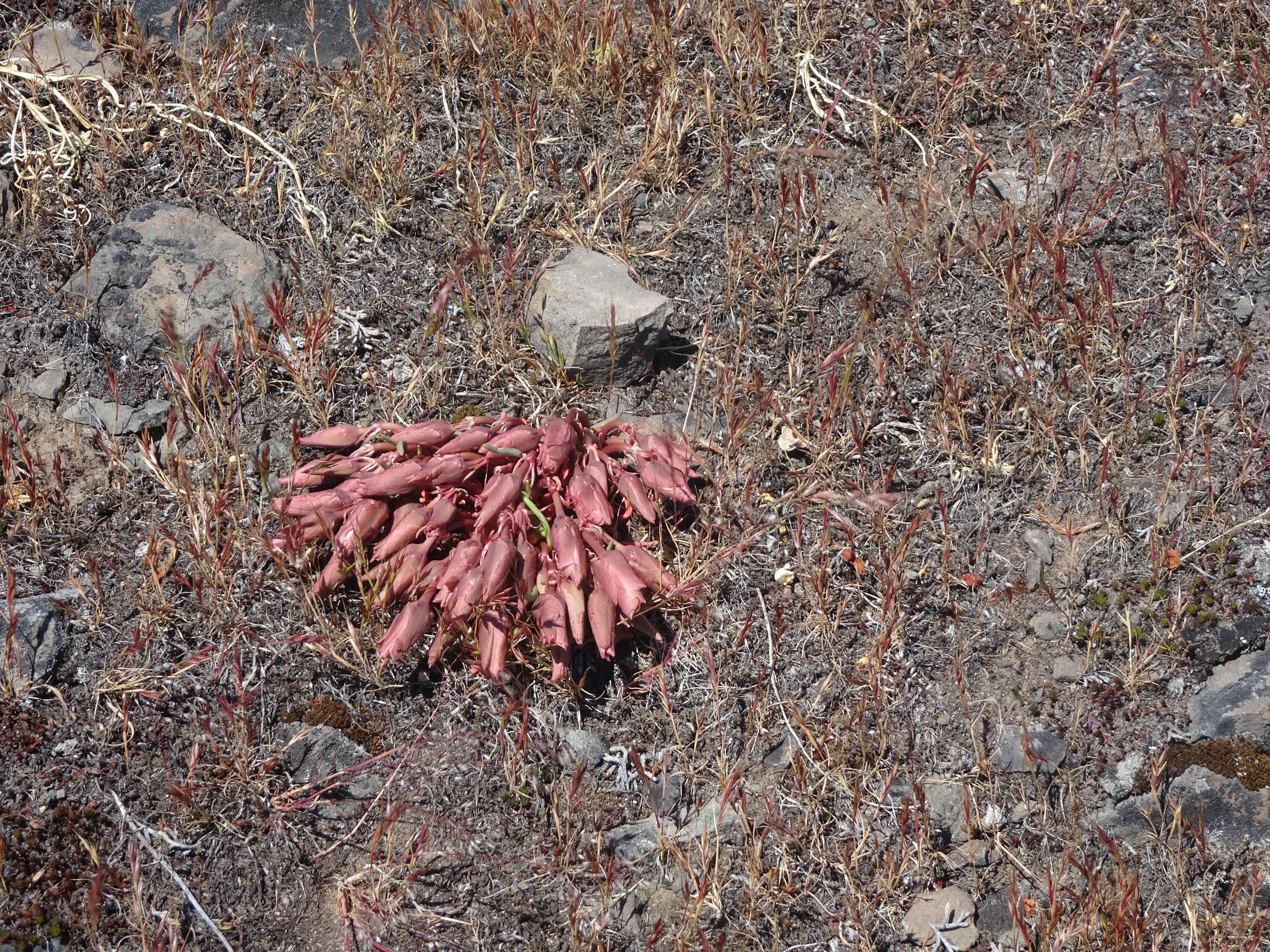


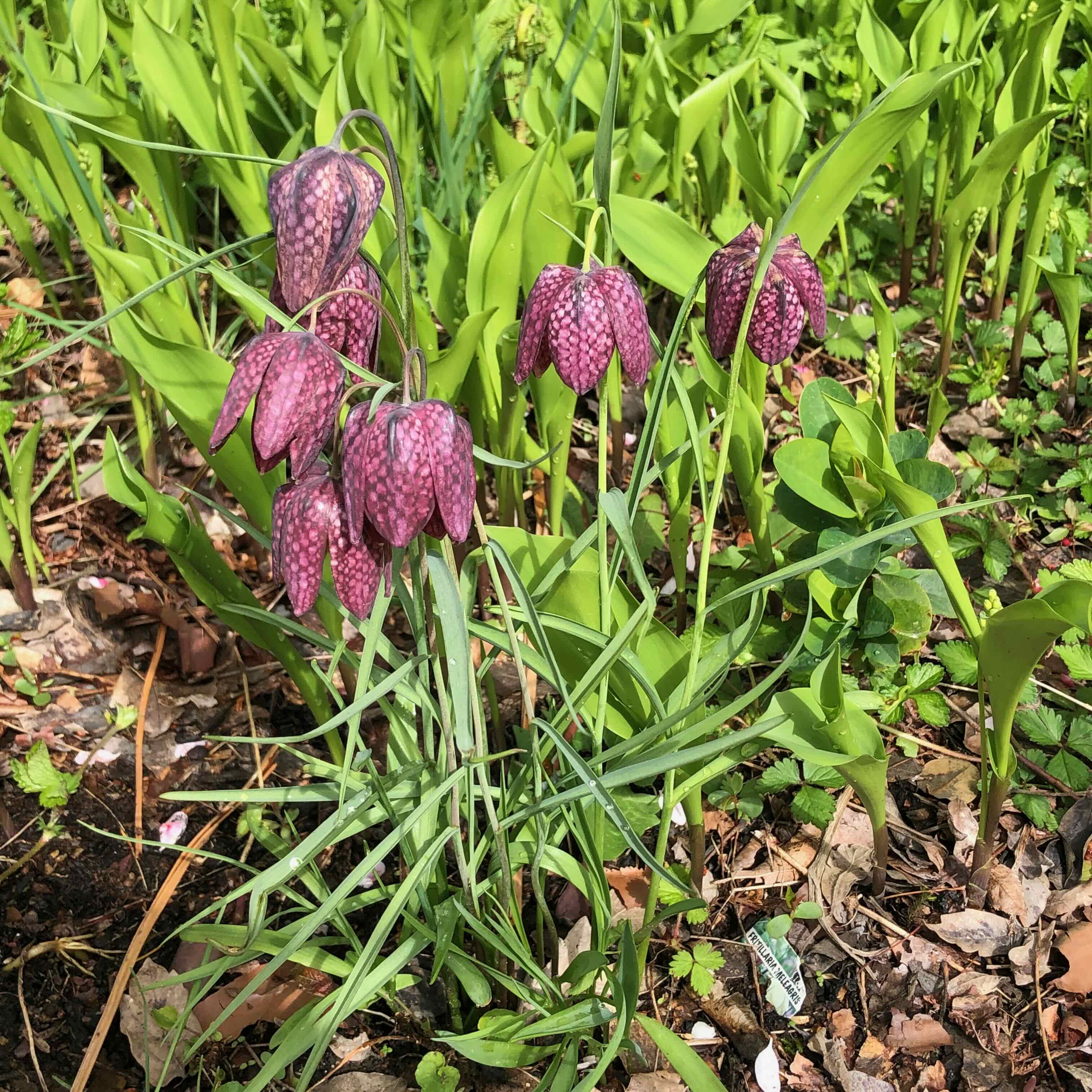


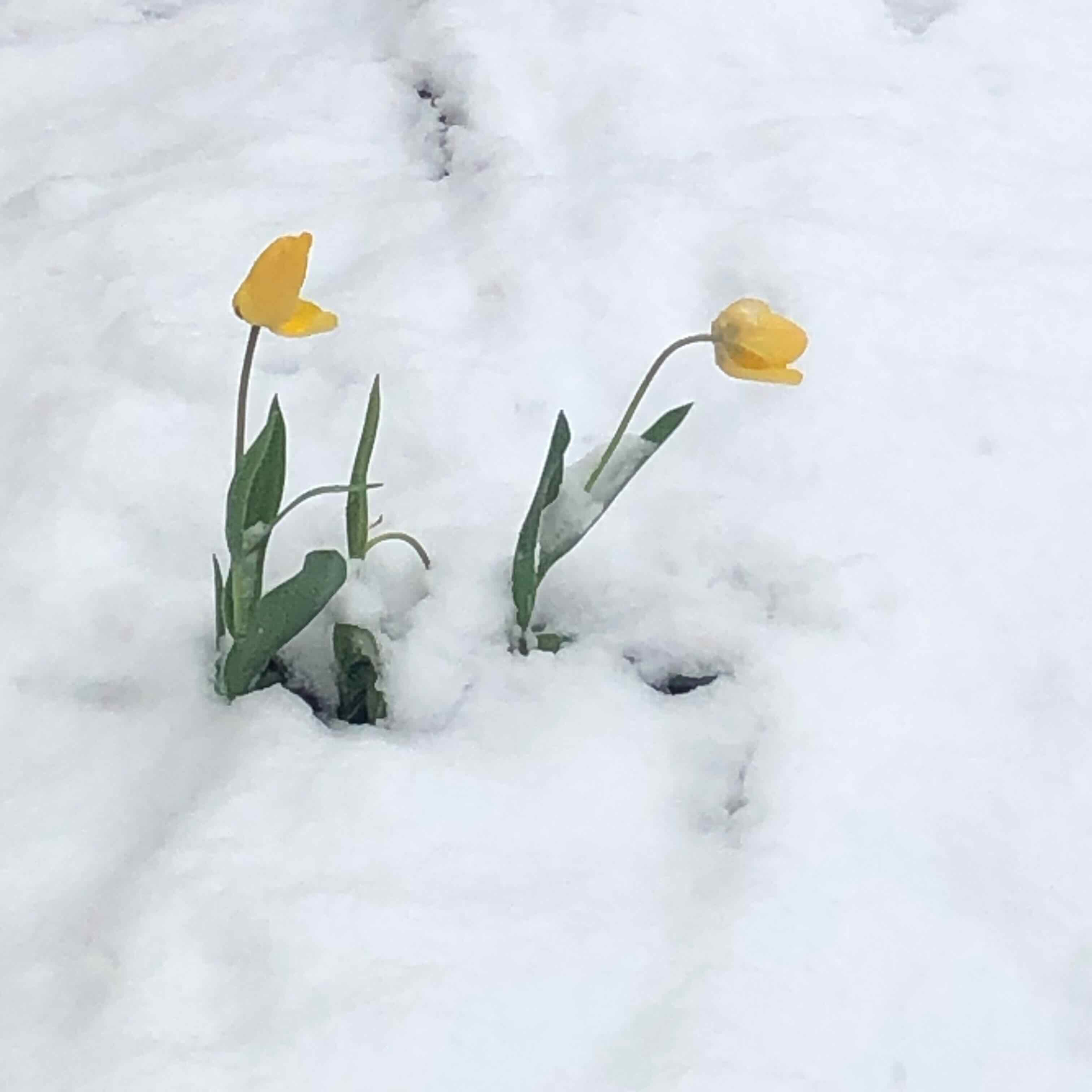


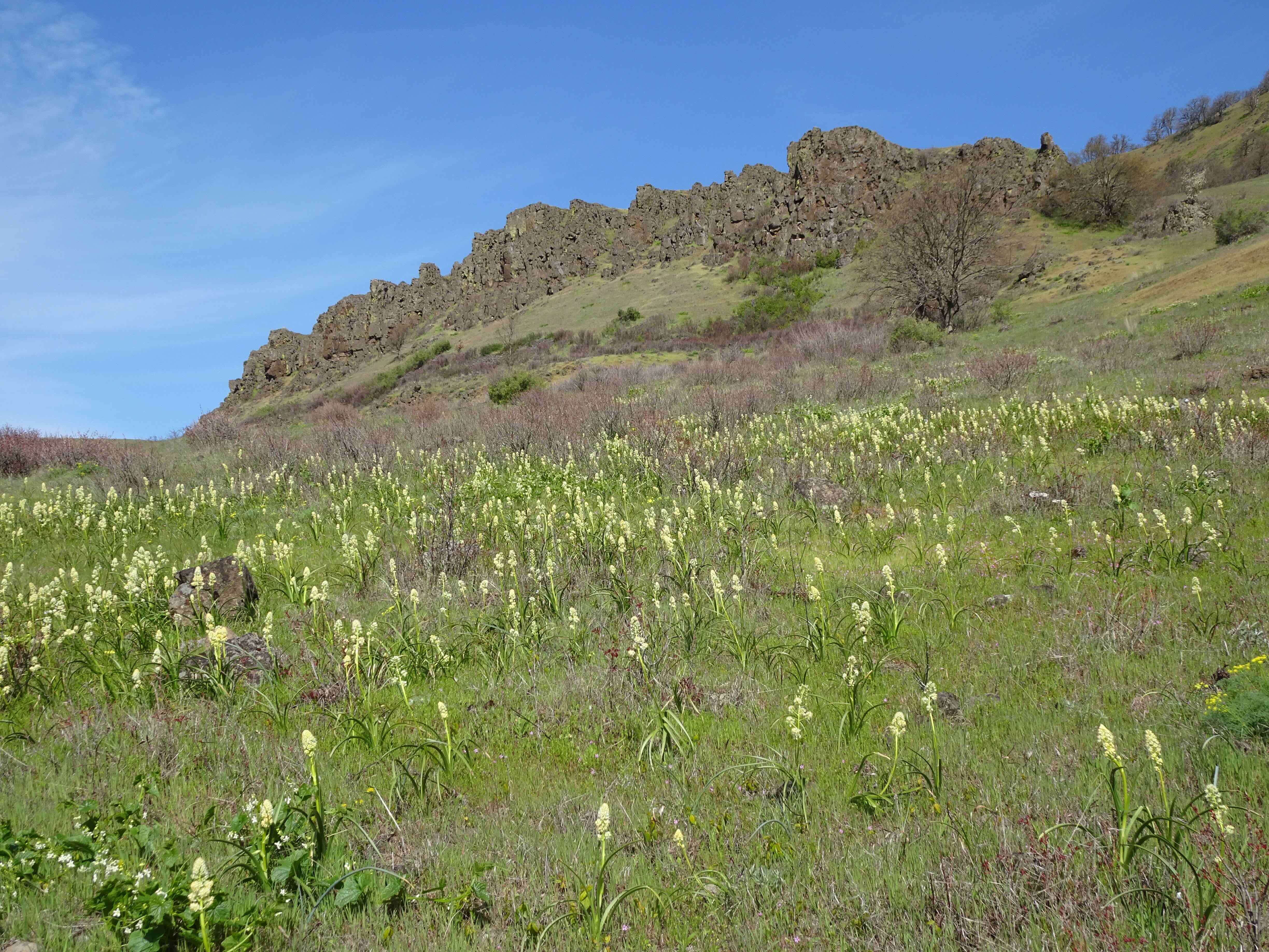
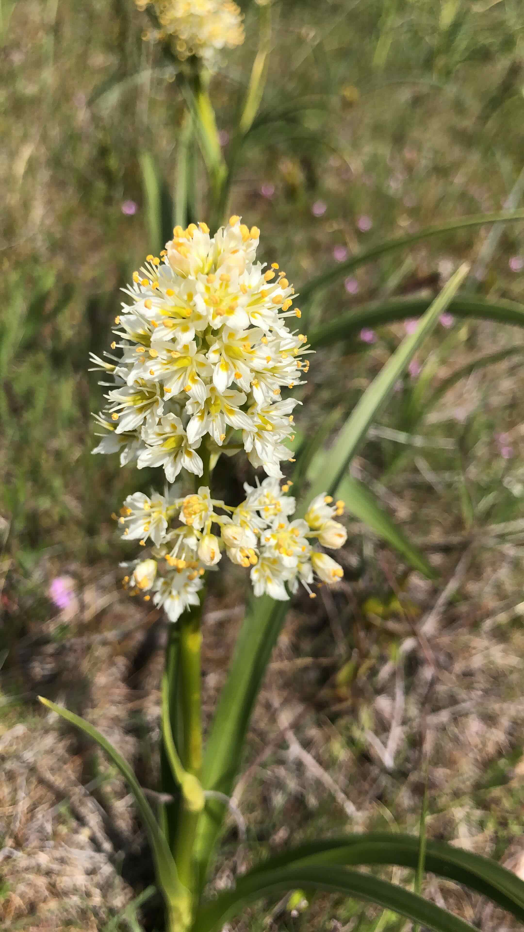

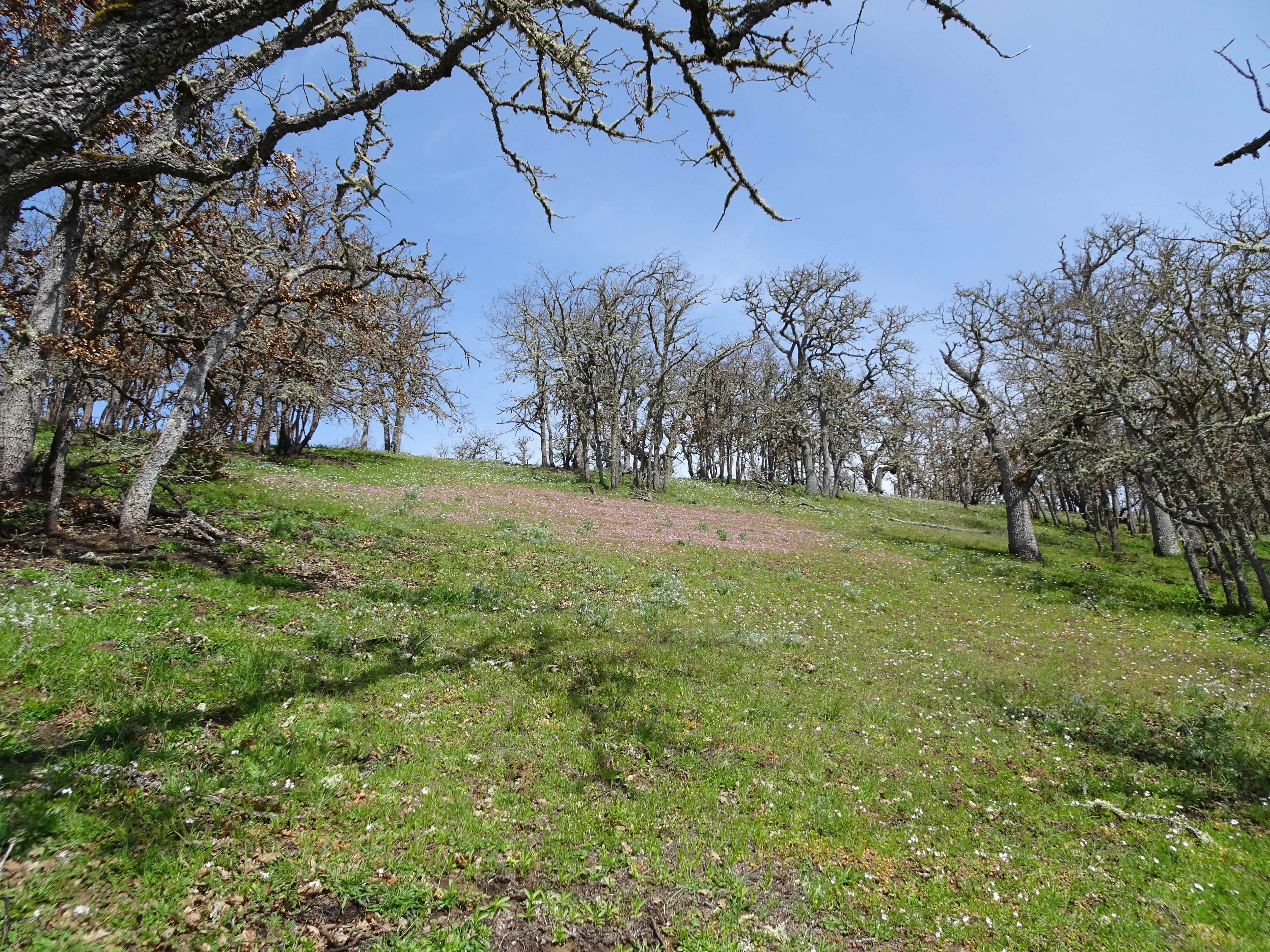


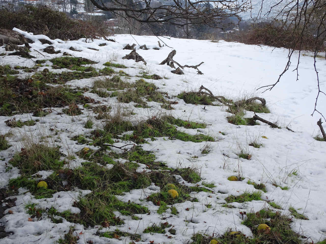


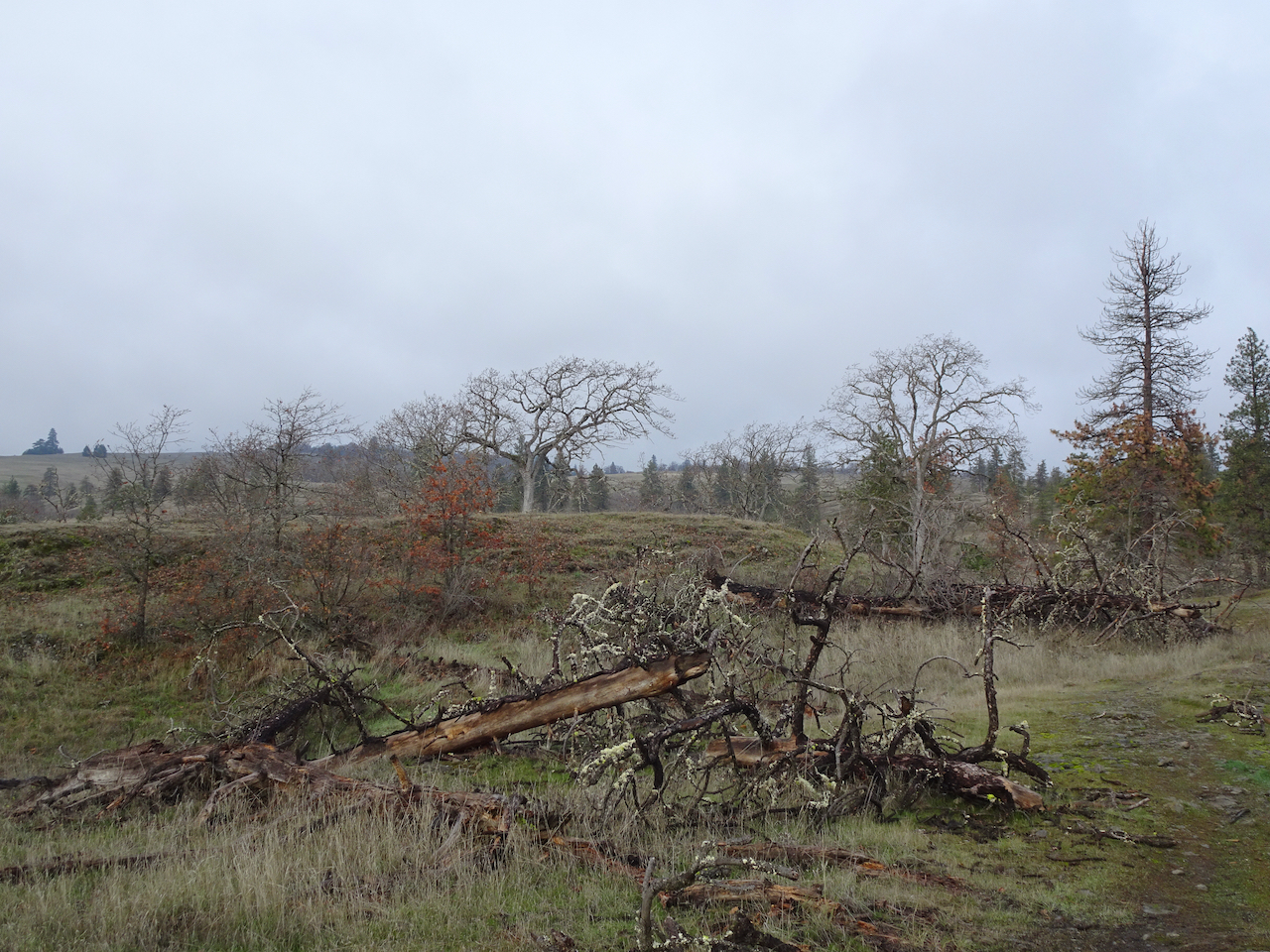
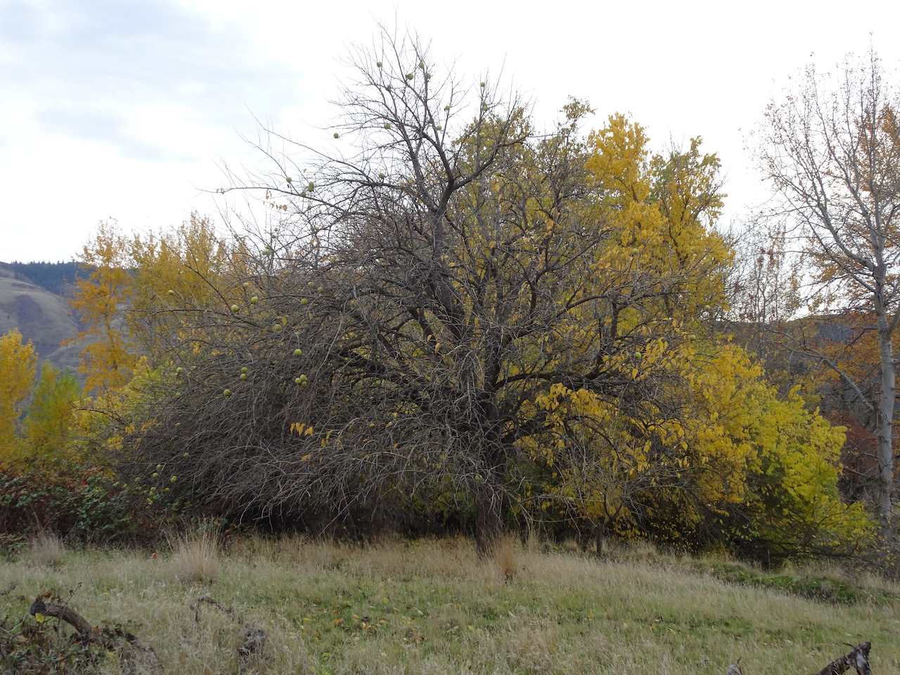
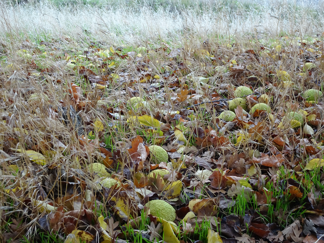
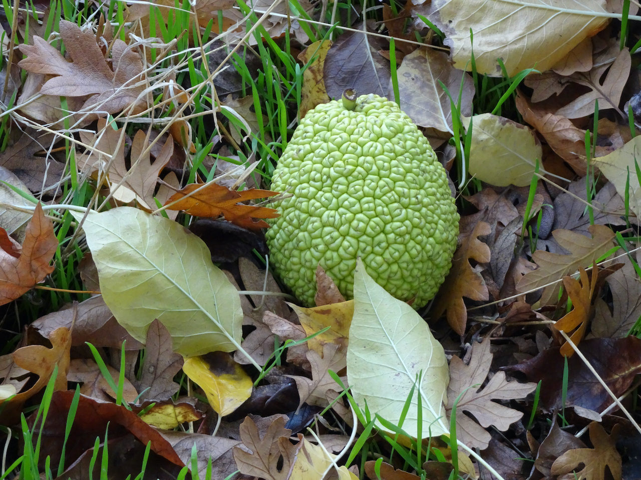
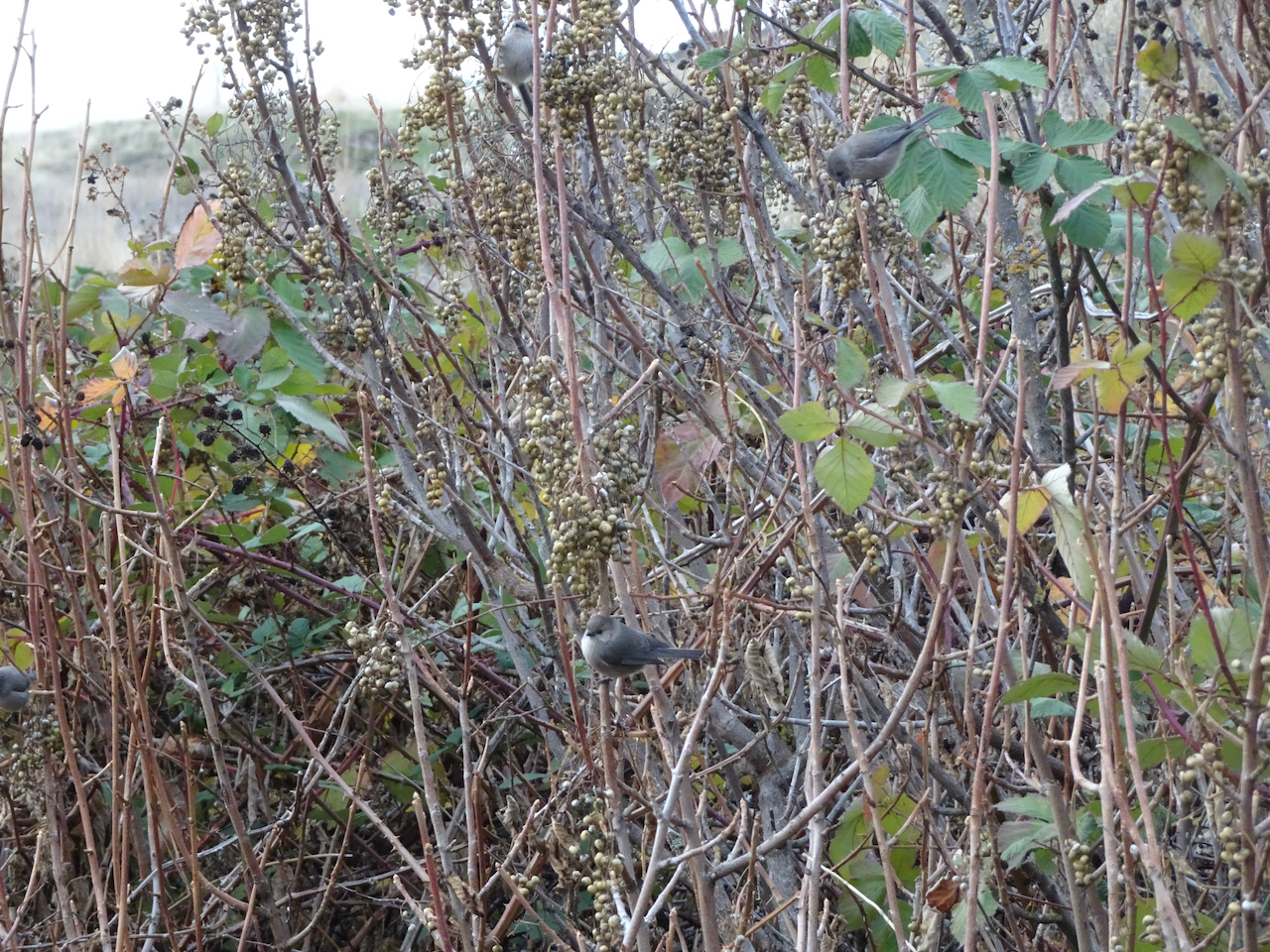
 some of our plant friends in their winter garb: