March 2021, so far….

We are sliding into spring around here. Flowers are blooming, with a few warm days between the rainy stretches. We were vaccinated at just about the one year anniversary of the pandemic, and I am grateful! I feel the hope of spring, yet I know we still have so far to go until everyone can say that. And then my daughter reminds me of our privilege in the world. I know. I can only live where I am, but I do know.

Knitting, reading, hiking, on we go, fuzzy days mushing into each other. Planning the weekly grocery list. Creating with my hands, my brain, I take notes. I try to find the distinguishing features of each day, and celebrate the positivity and the beauty. That is most of what I do, and will do, and am lucky to do. So….

Hiking

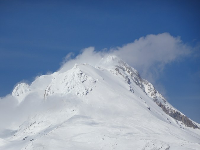
1) We snowshoed up White River on Mt Hood on March 2nd – clouds swathing the peak much of the day, but in a most artistic way.

DSC05859

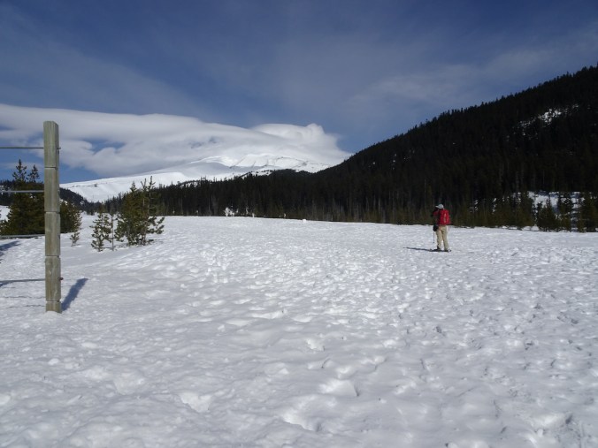
Mt Hood in clouds, near the Sno-Park.

DSC05884

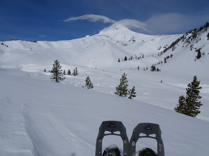
Lunch view, near the Timberline Trail crossing.

DSC05878

The snow on nearby Boy Scout Ridge looked unstable, so we kept our distance!

DSC05891

Return trip…

DSC05915

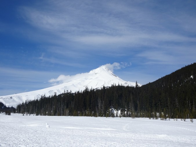
Last views – we can almost see the entire peak.

DSC05918

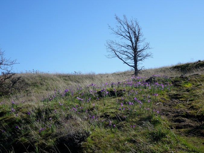
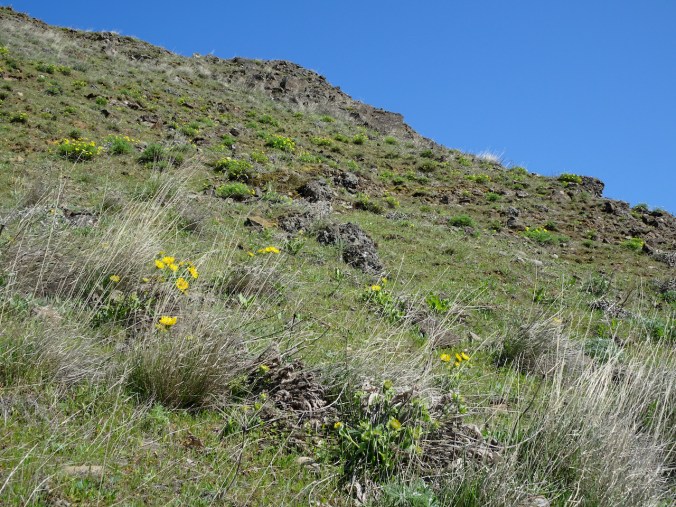
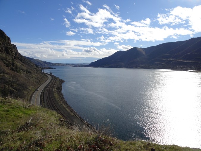
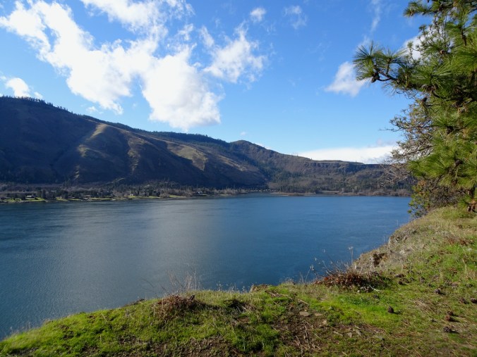
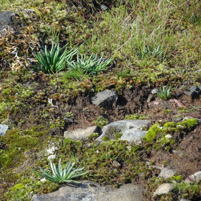
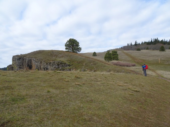
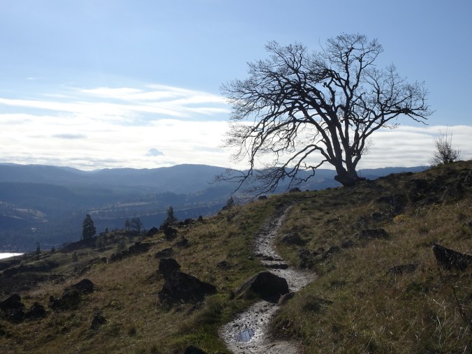
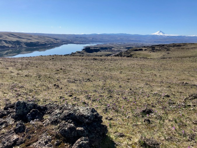
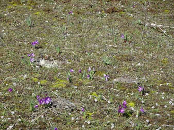
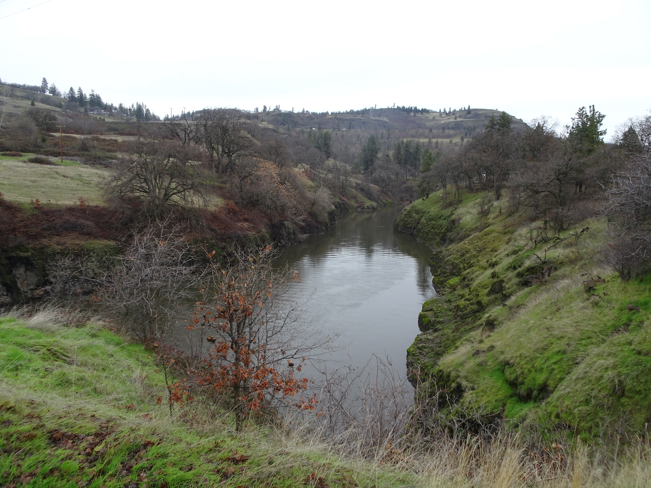
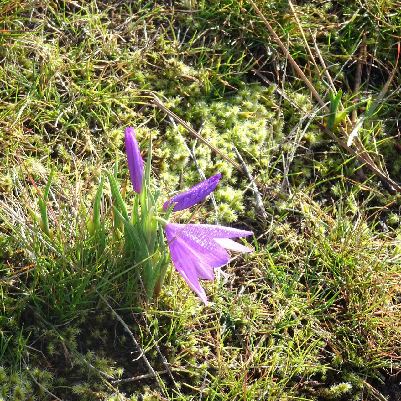
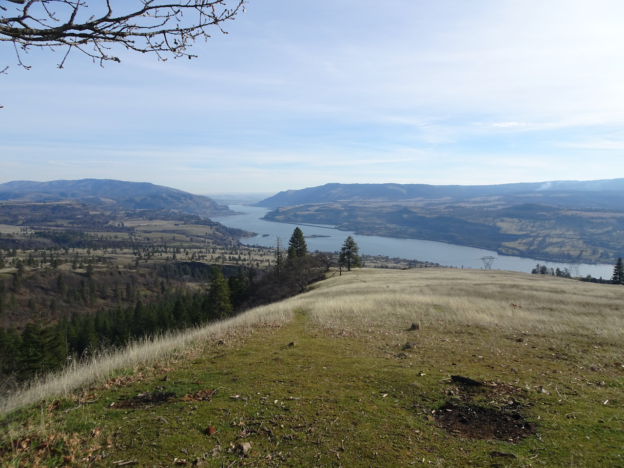
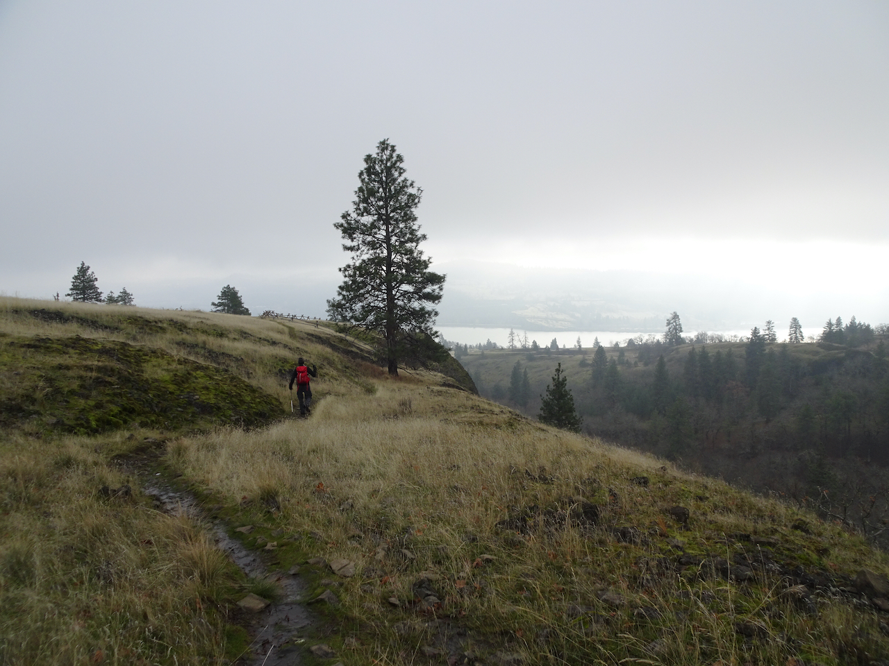
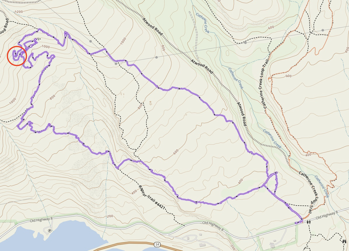
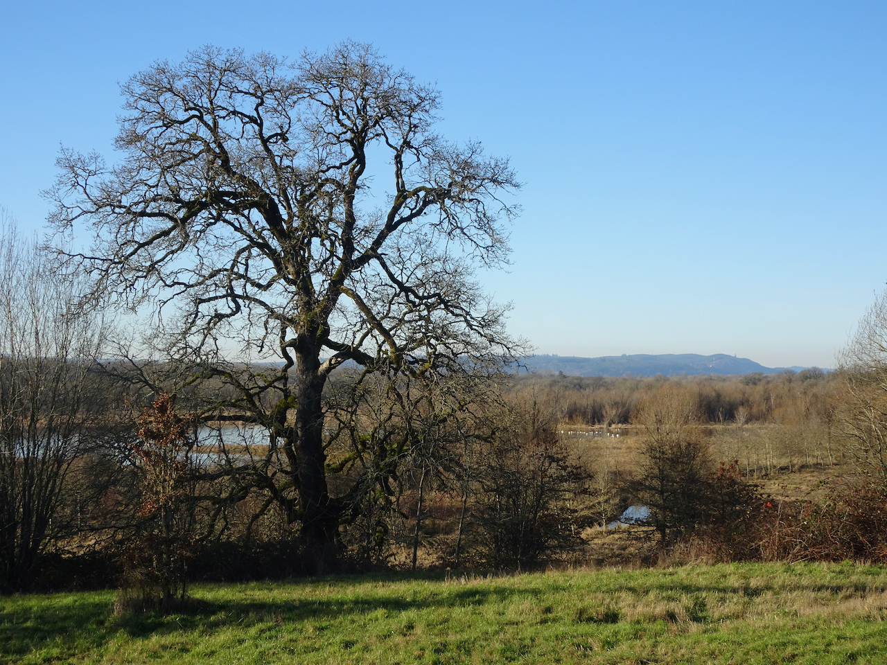
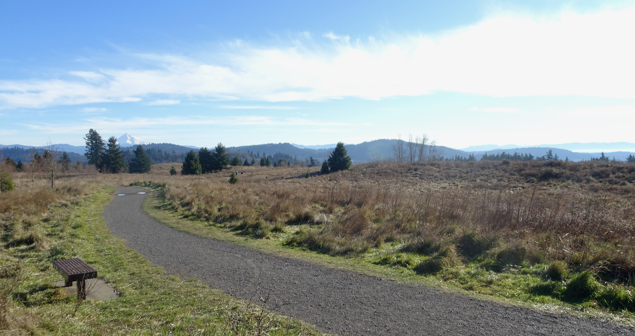
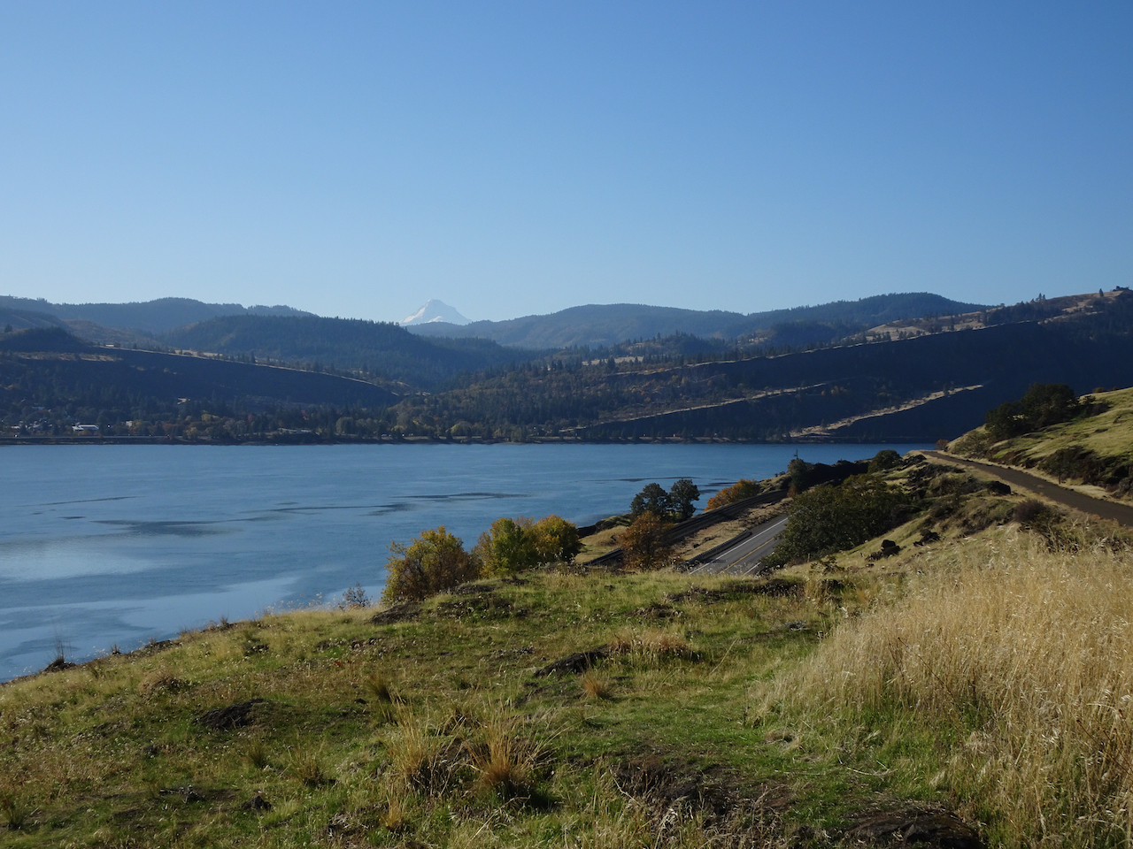
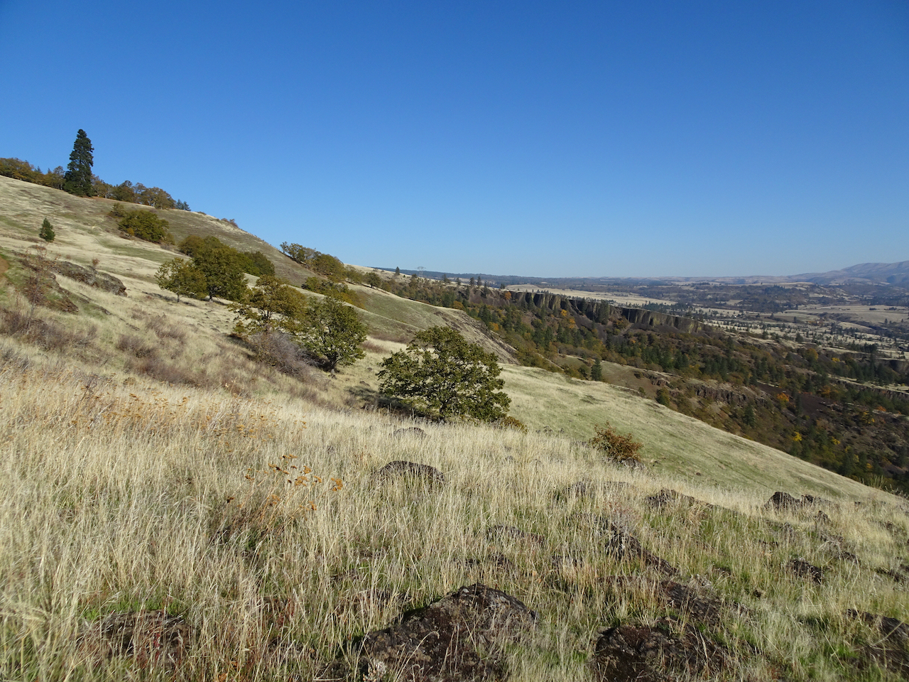
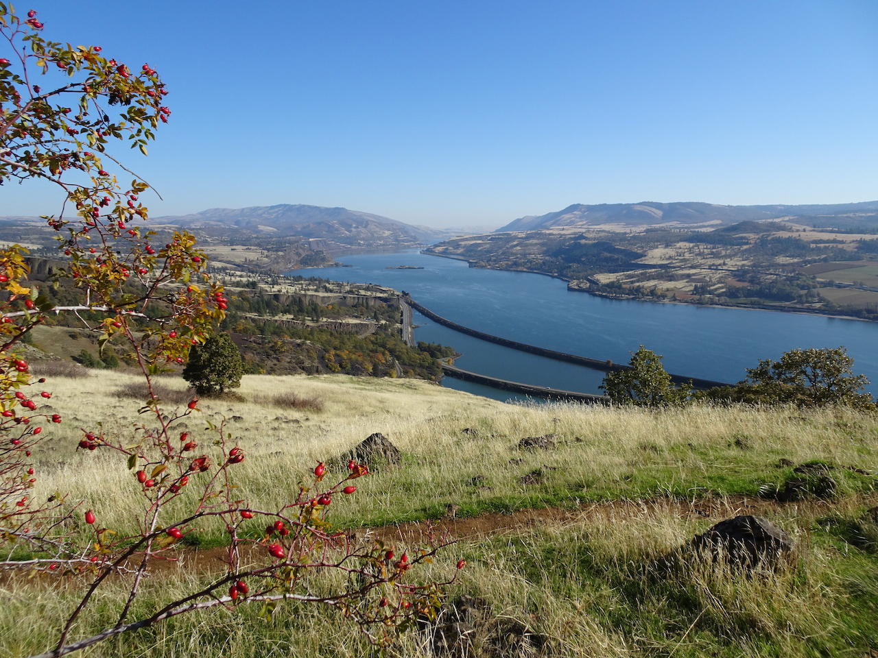
2) On March 11th we hiked Tom McCall Point and around Rowena Crest, east of Hood River in Oregon, to see the fields of  grass widows.

DSC05921

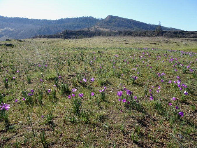
Thousands of grass widows on the plateau below Tom McCall Point.

DSC05924

Grass widows

DSC05925

More grass widows…

IMG_2867

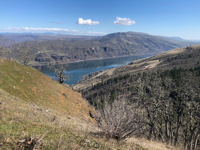
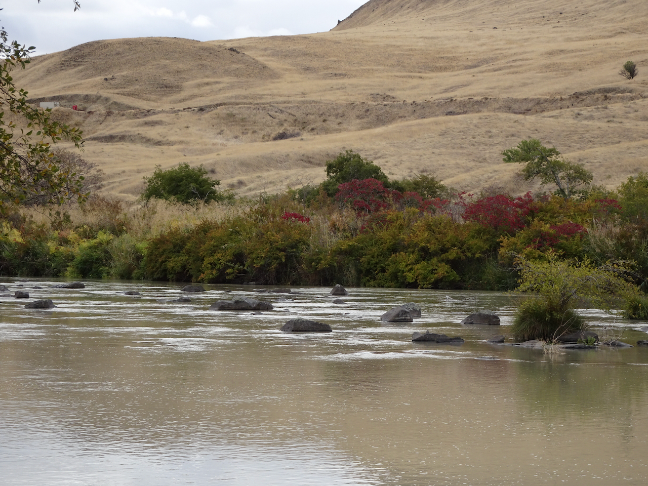
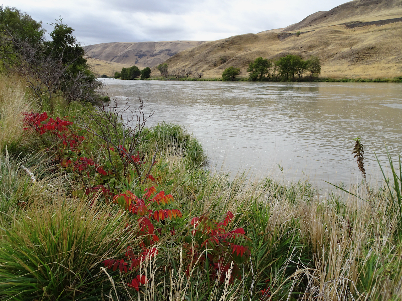
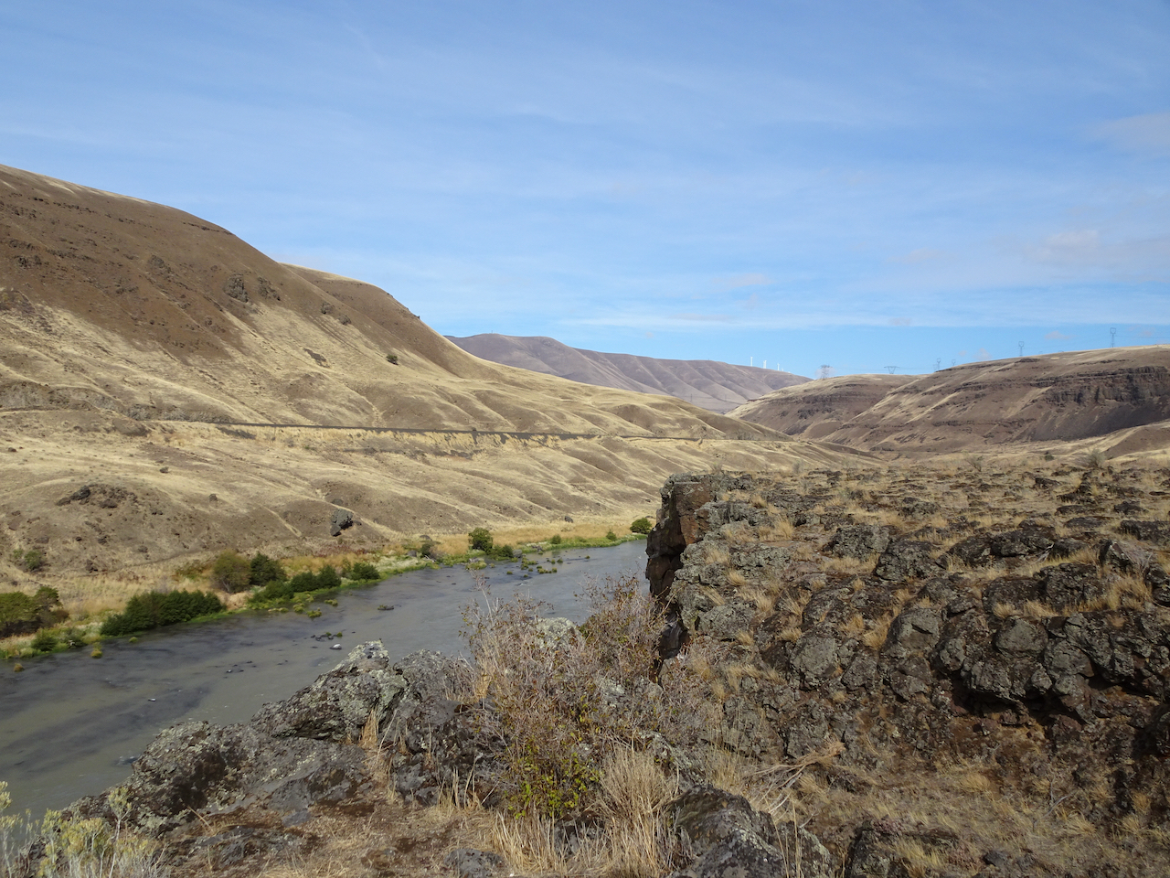
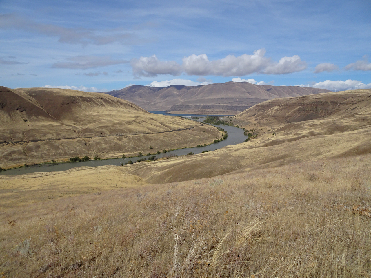
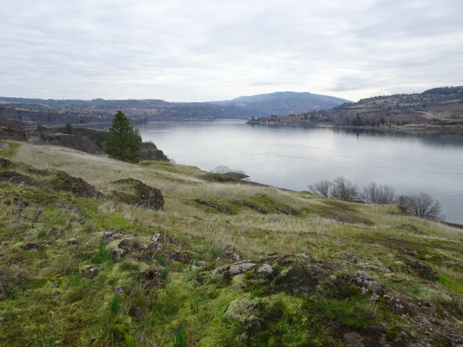
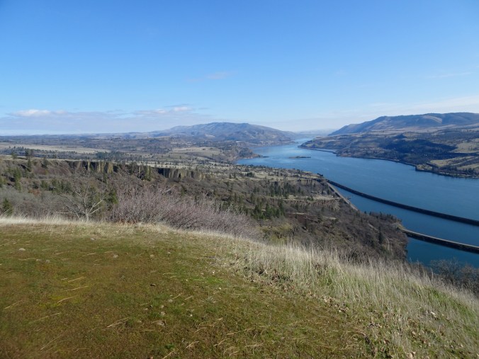
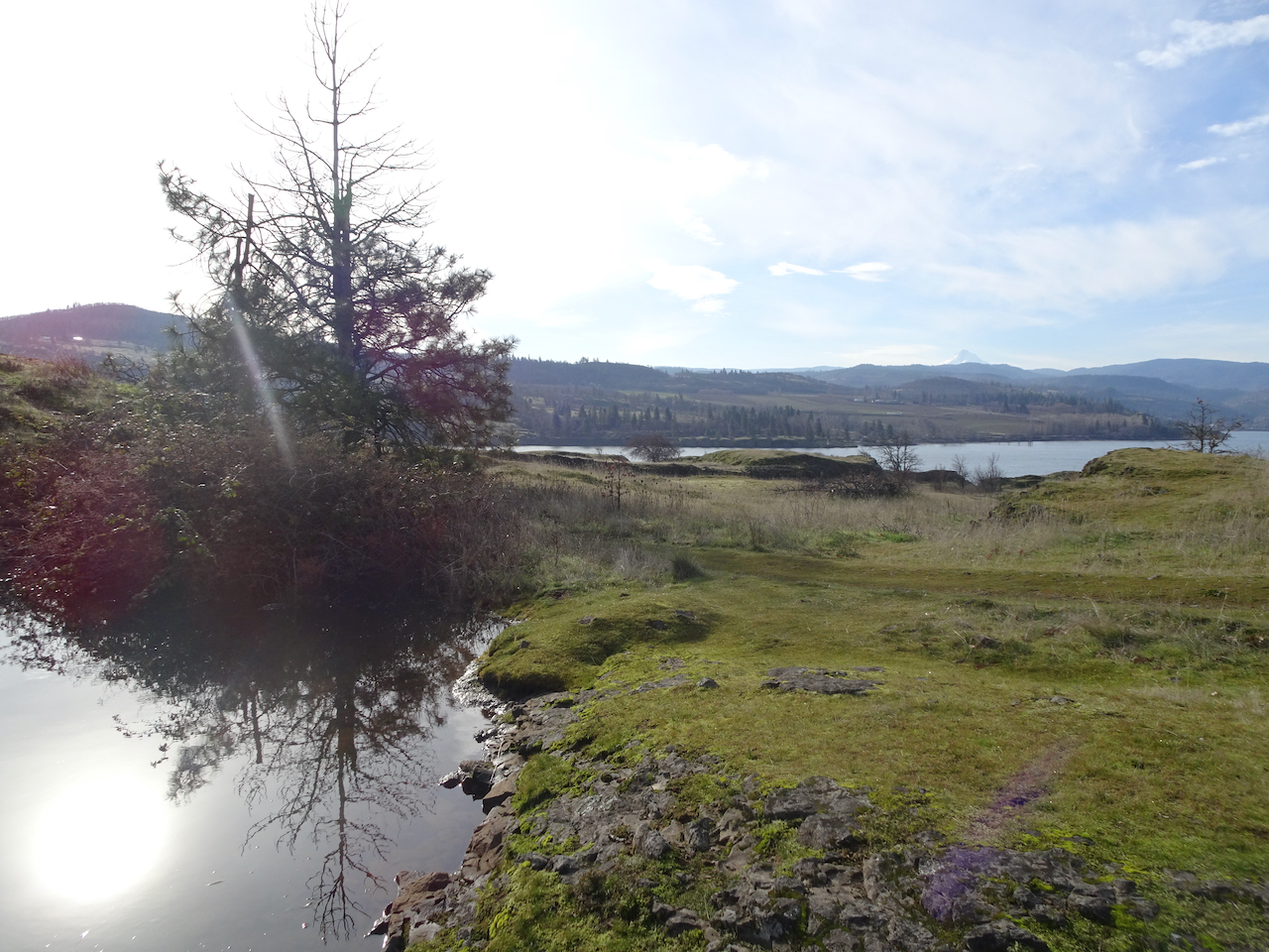
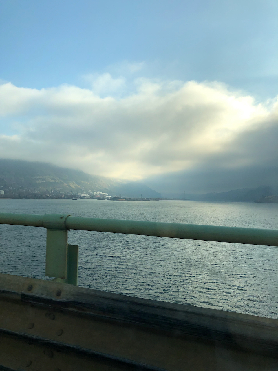
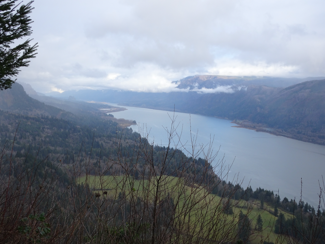
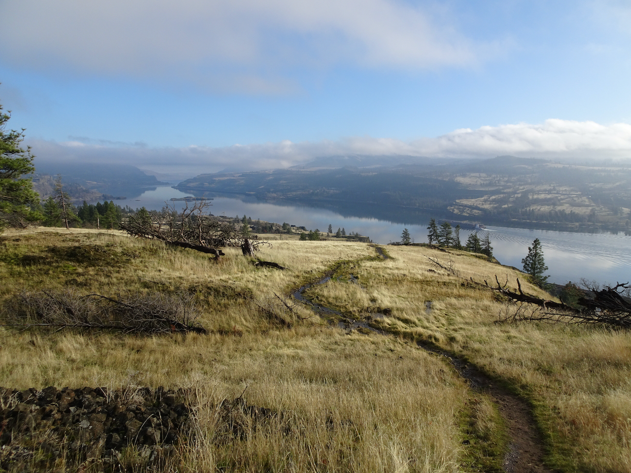
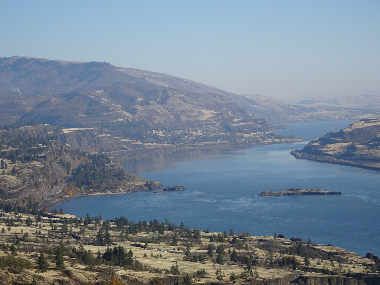
Columbia River reflecting the Cherry Orchard cliffs in Washington.
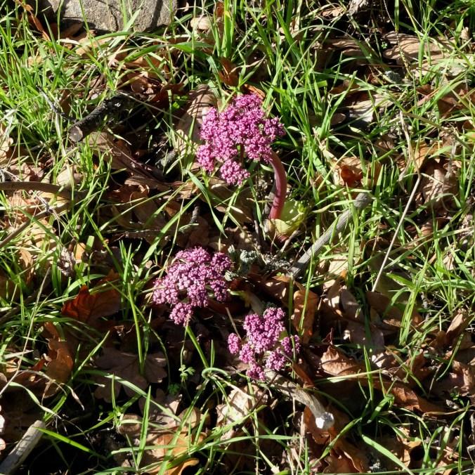
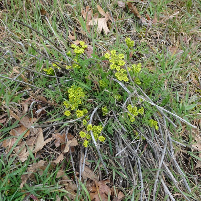
DSC05943

Parsley alley

DSC05947

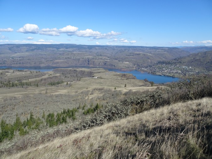
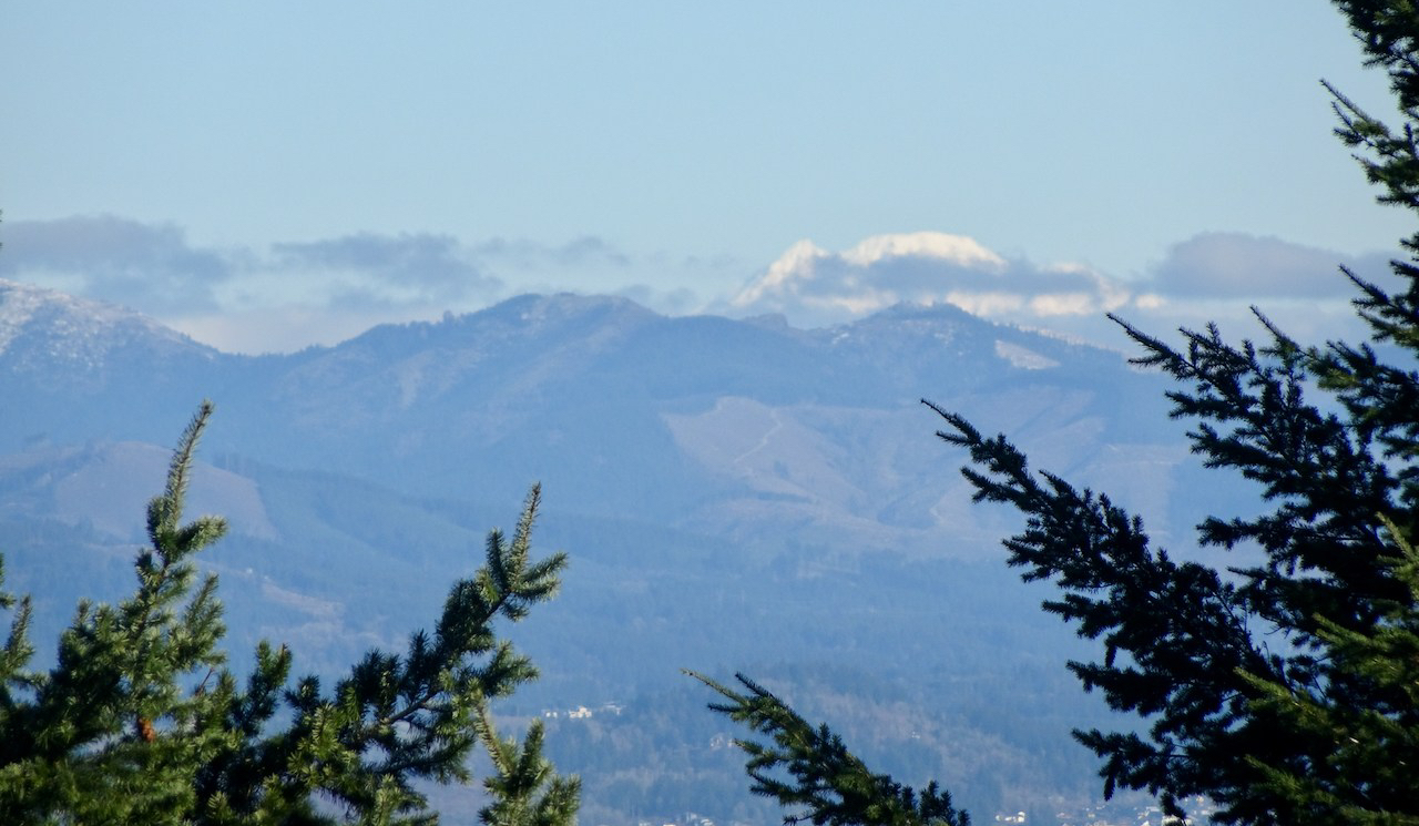
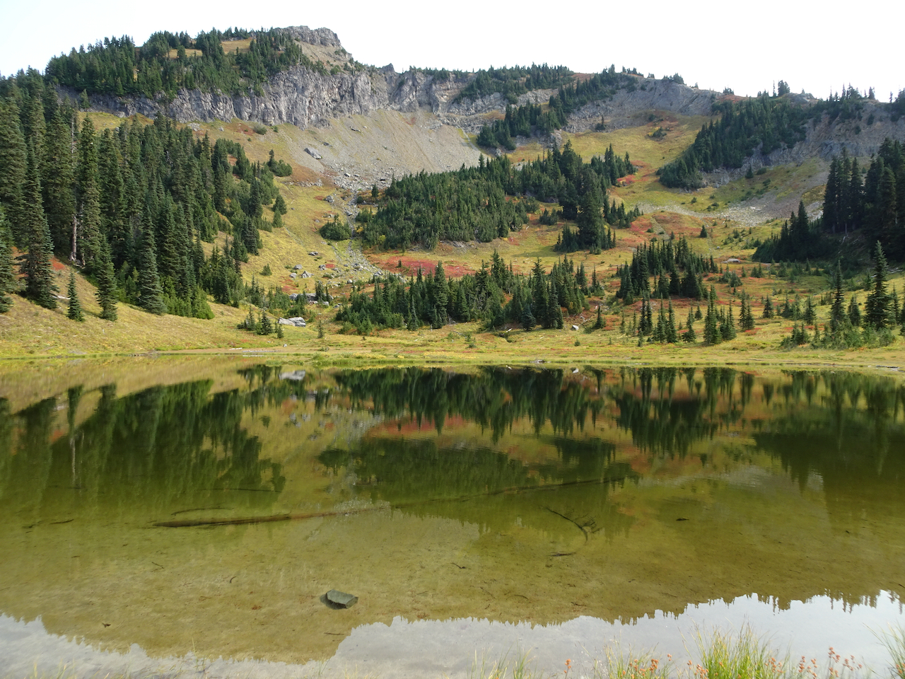
Mt Adams and Rowena Plateau, from near the top of Tom McCall Point.

DSC05969

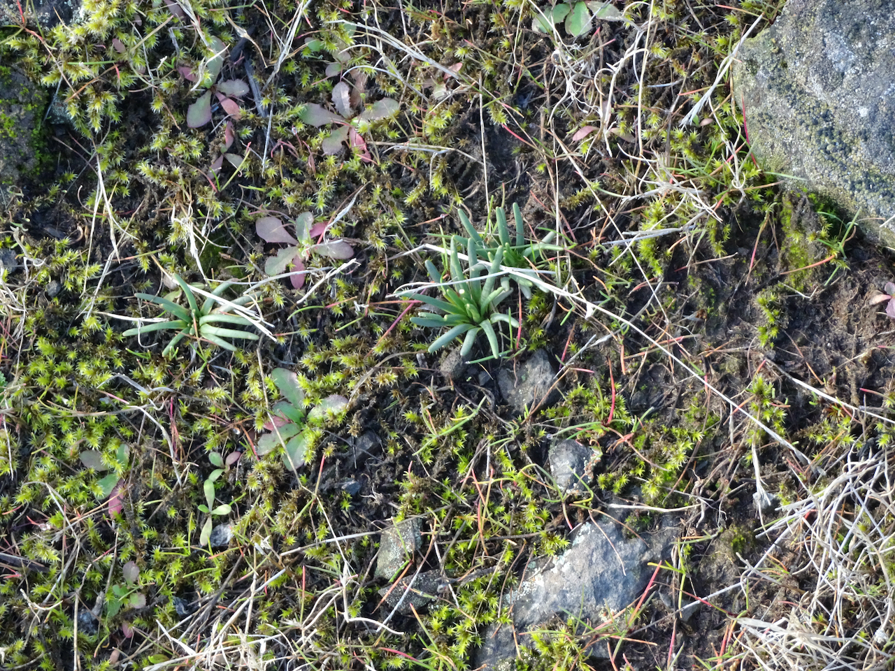
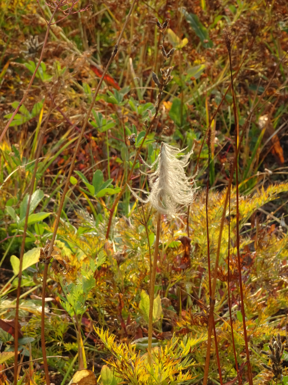
Tiny flowers of spring whitlow grass.

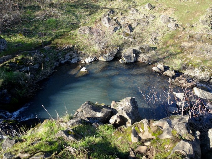
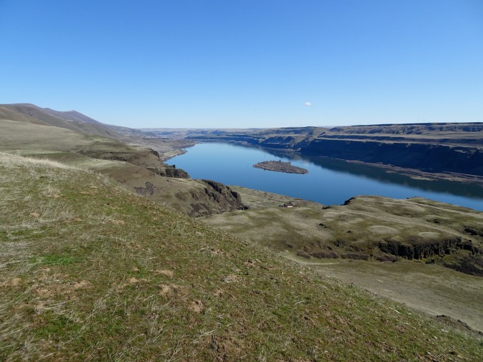
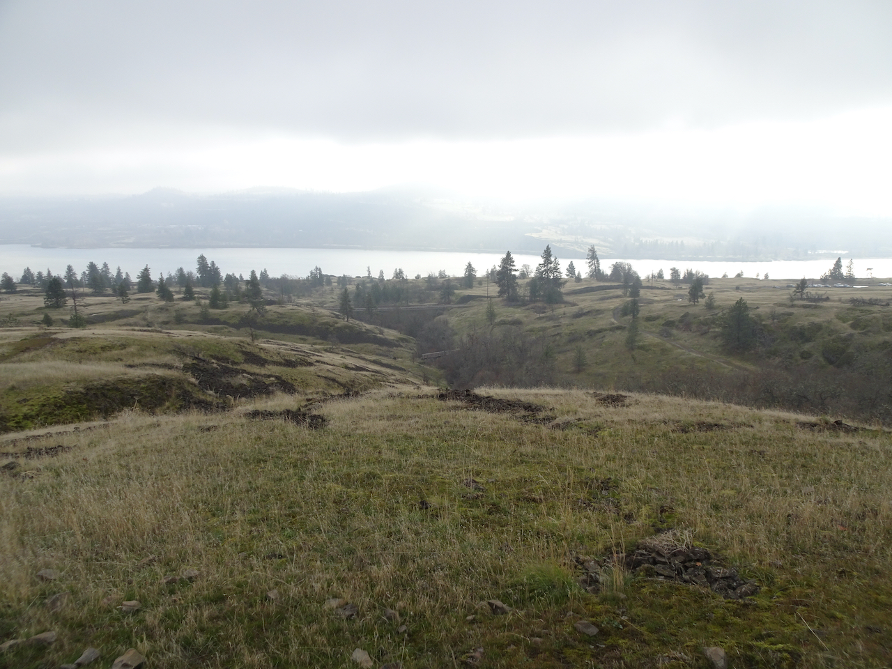
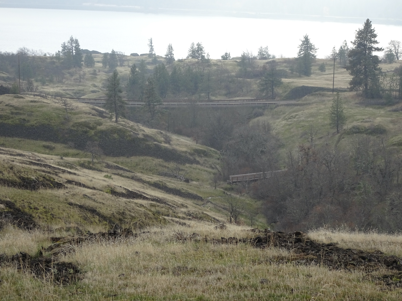
Then we walked around Rowena Crest, closer to the river:

DSC05980

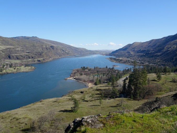
East view from Rowena Crest cliffs – kettle lakes in the foreground.

DSC05989

Westerly view.

DSC05998

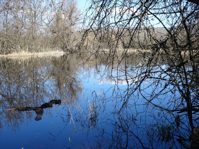
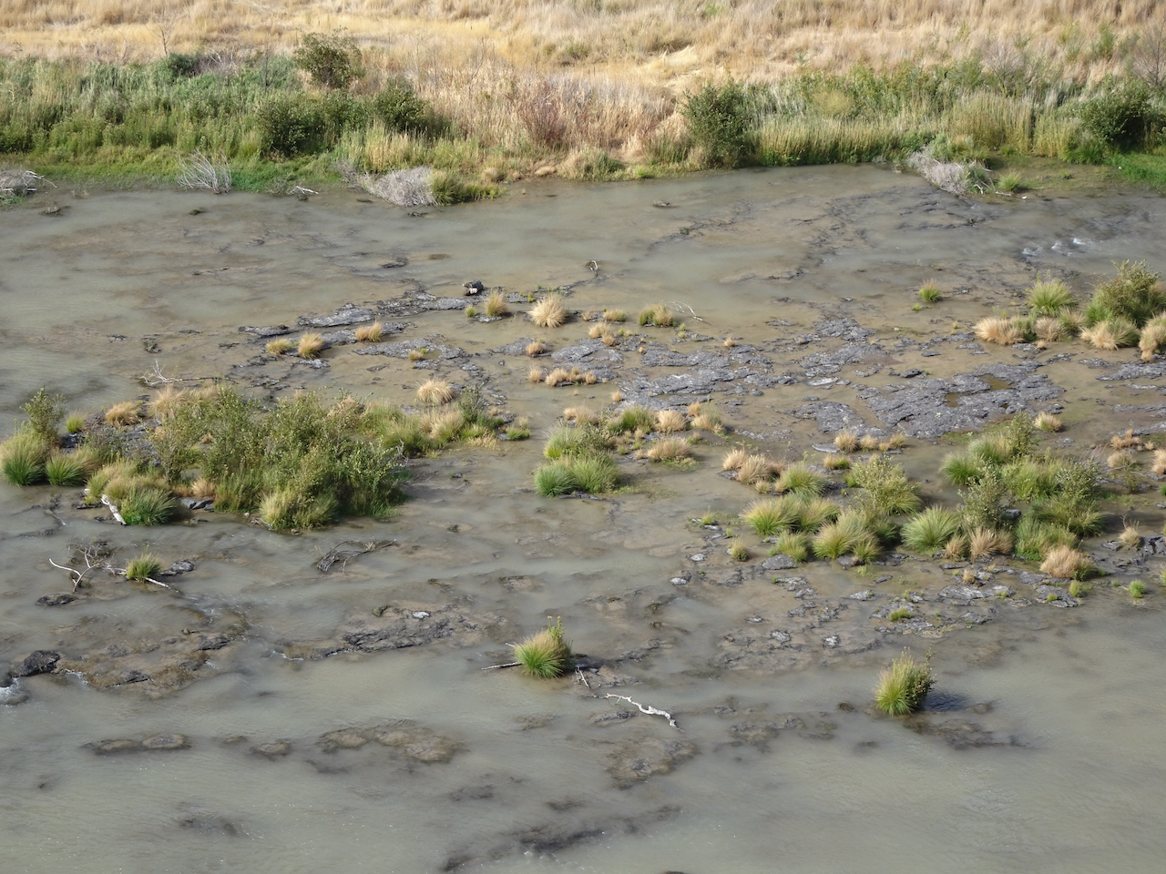
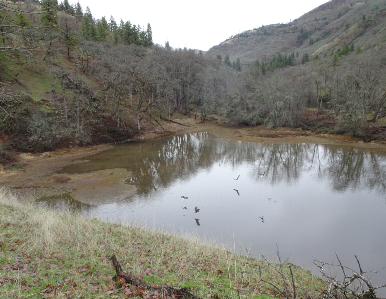
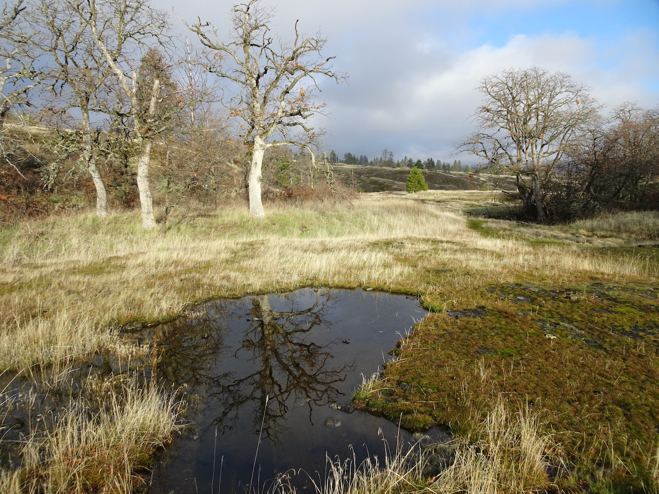
One of the lakes on Rowena Crest.

DSC05999

Abstractions in the lake reflections…

DSC05997

DSC06002

And more grass widows!

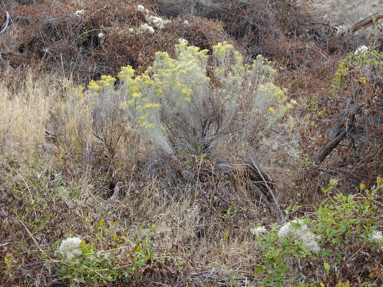
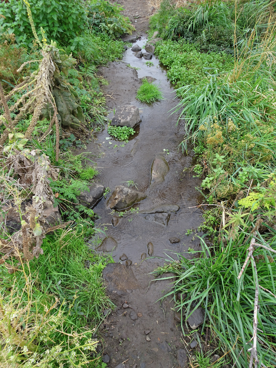
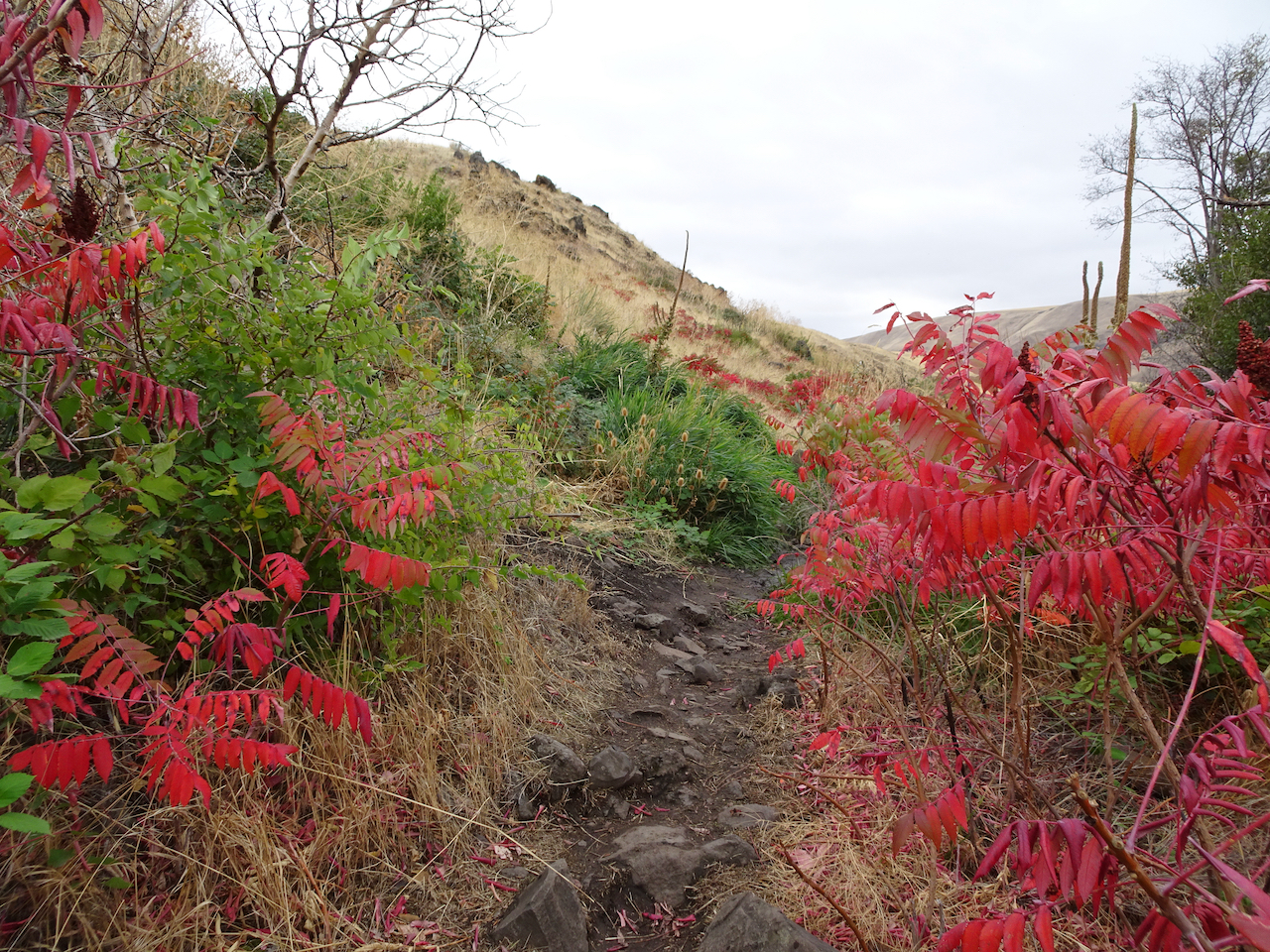
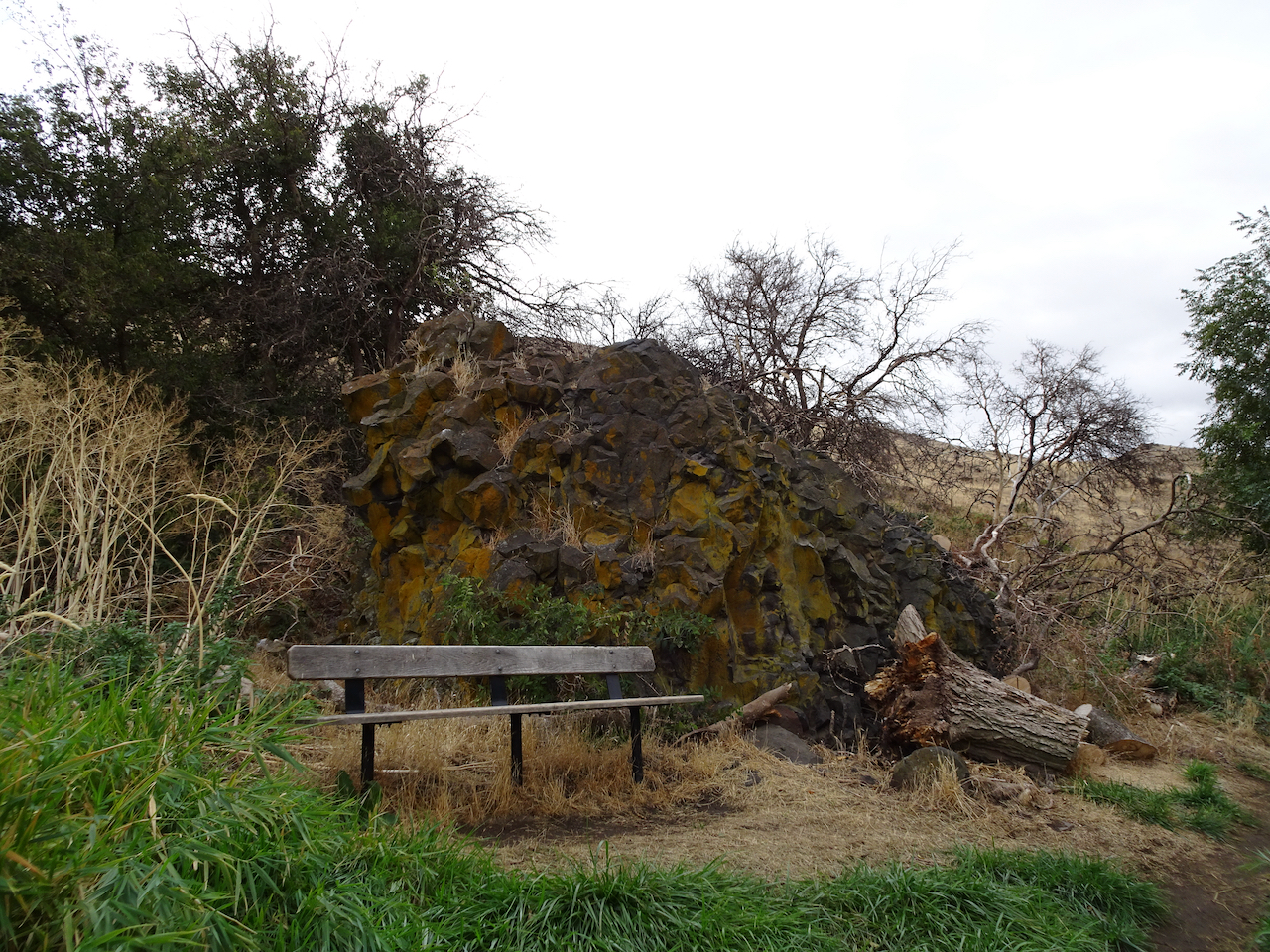
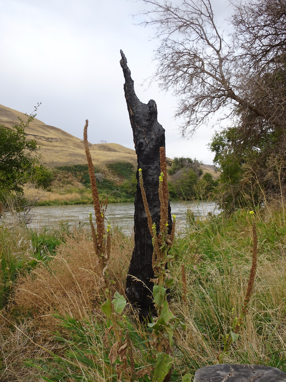
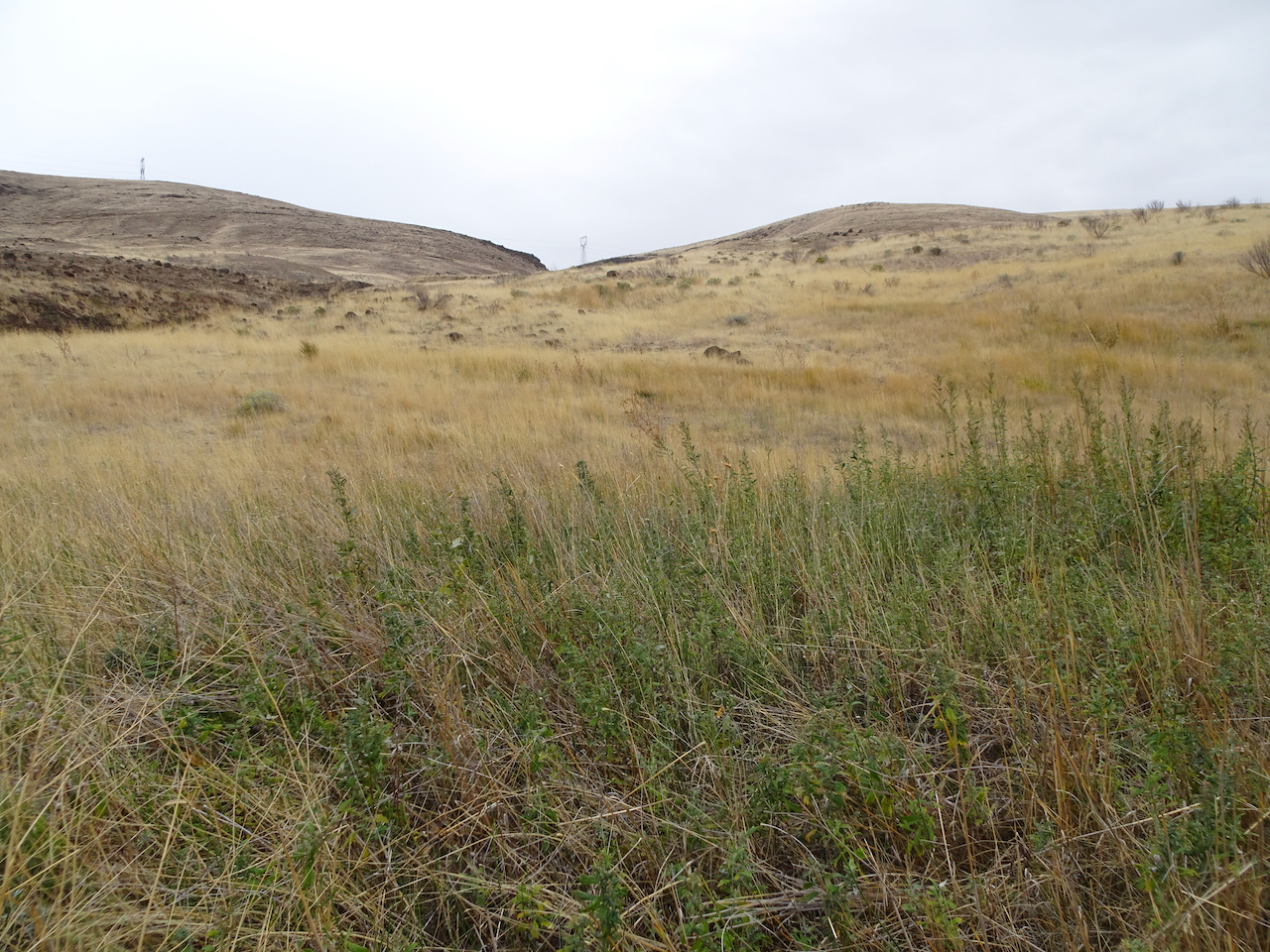
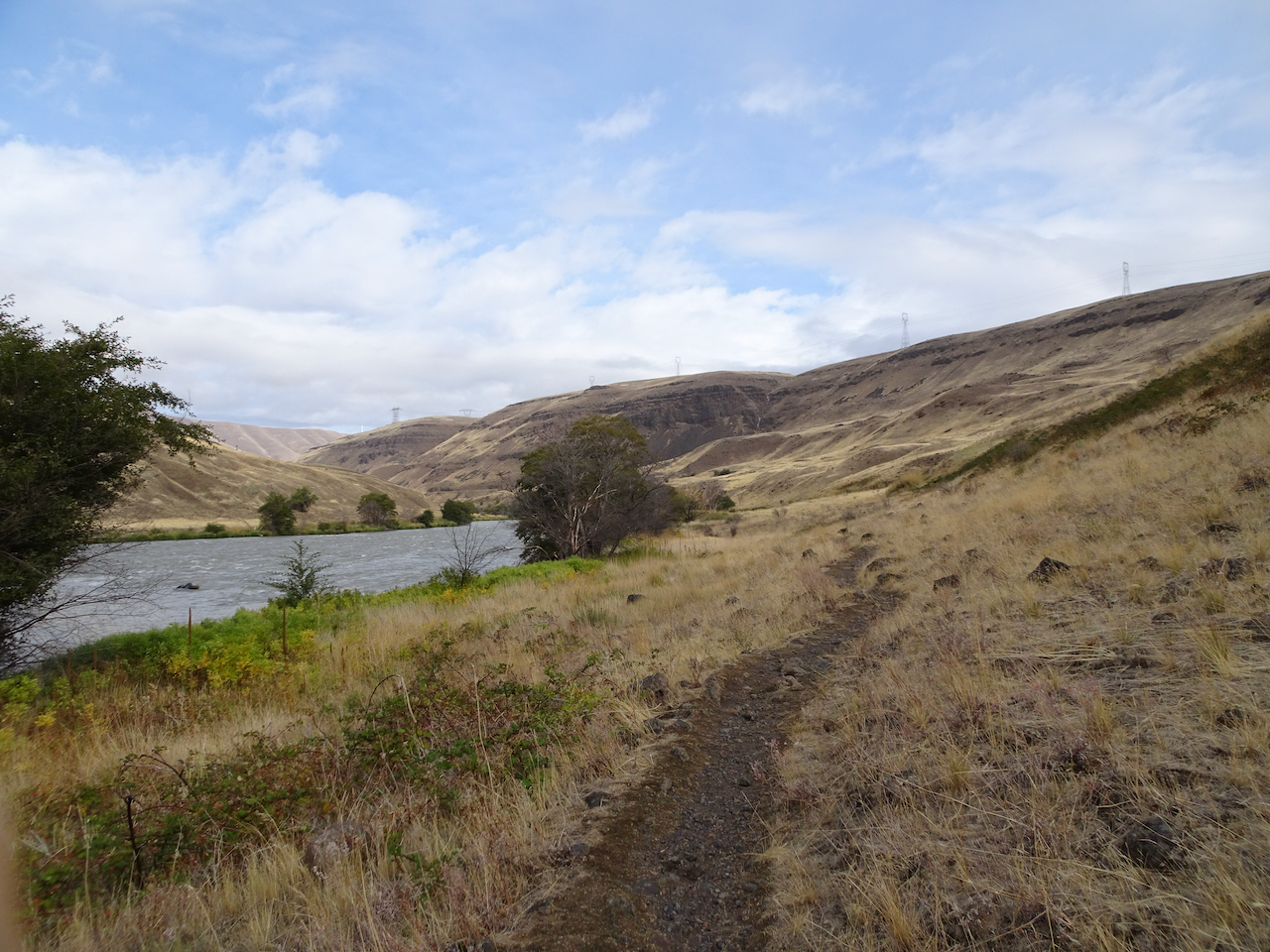
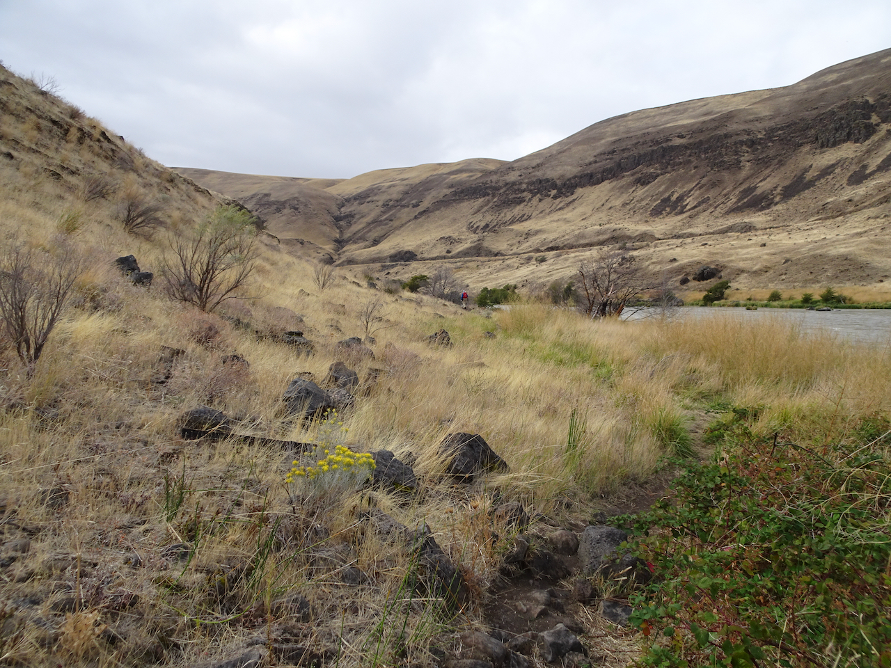
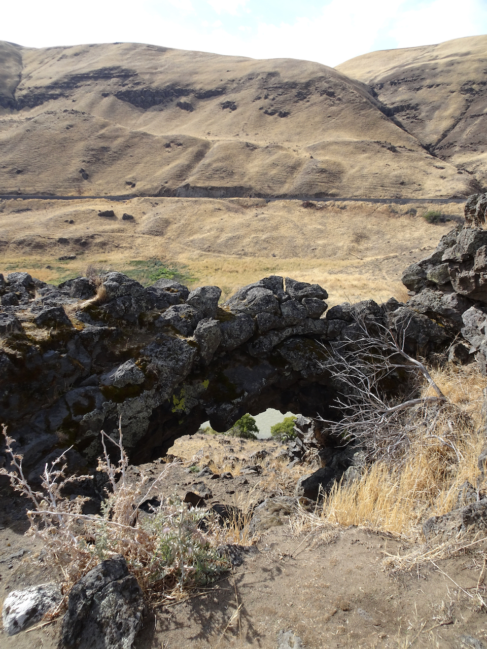
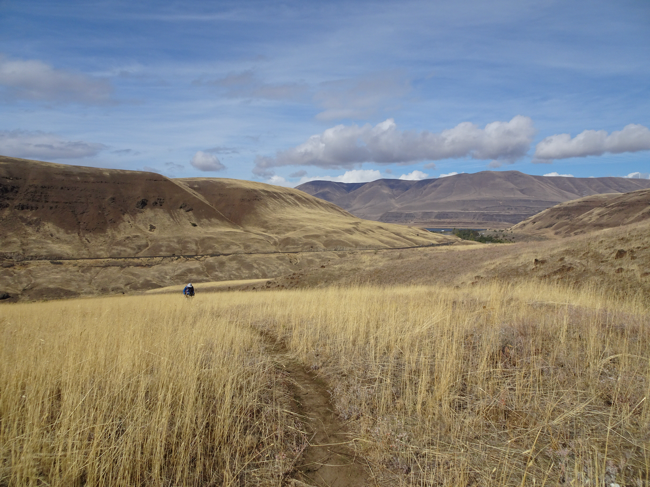
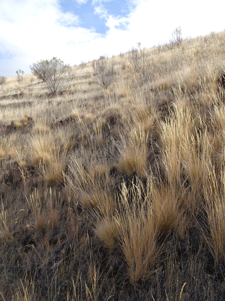
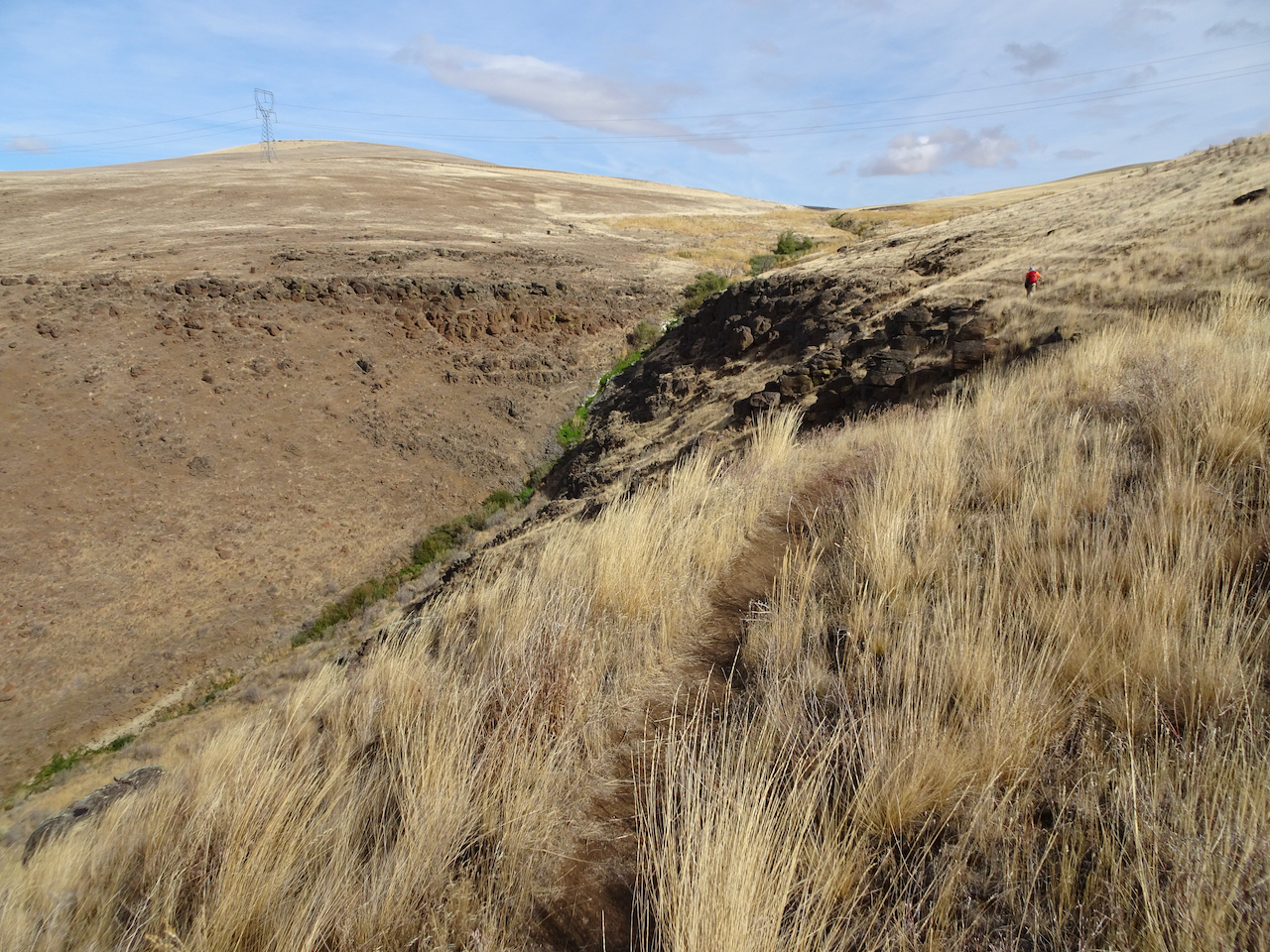
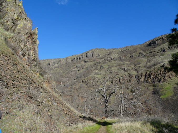
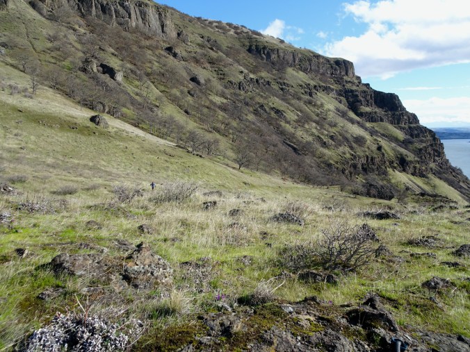
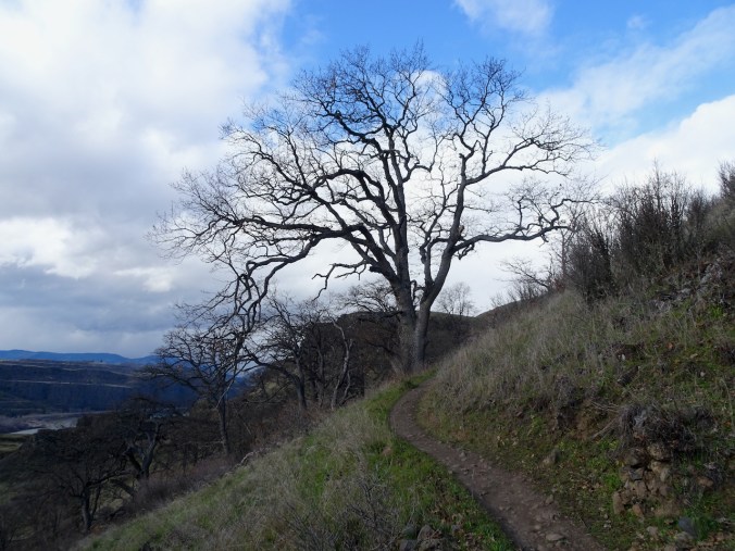
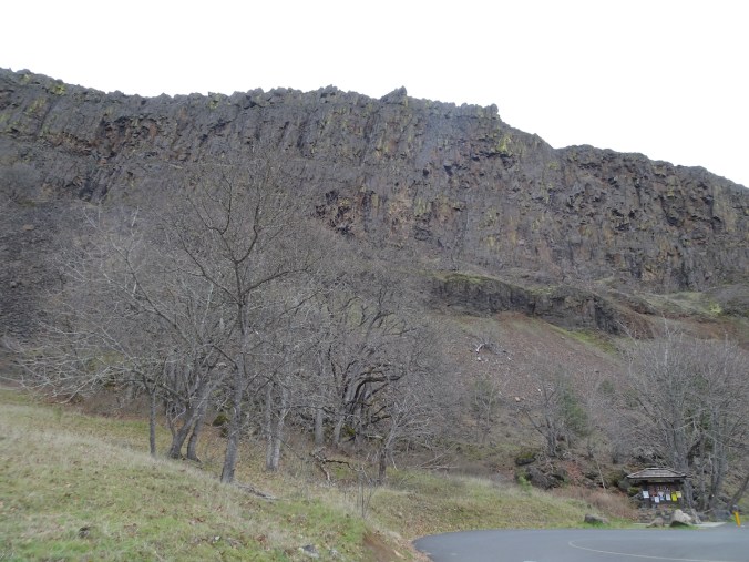
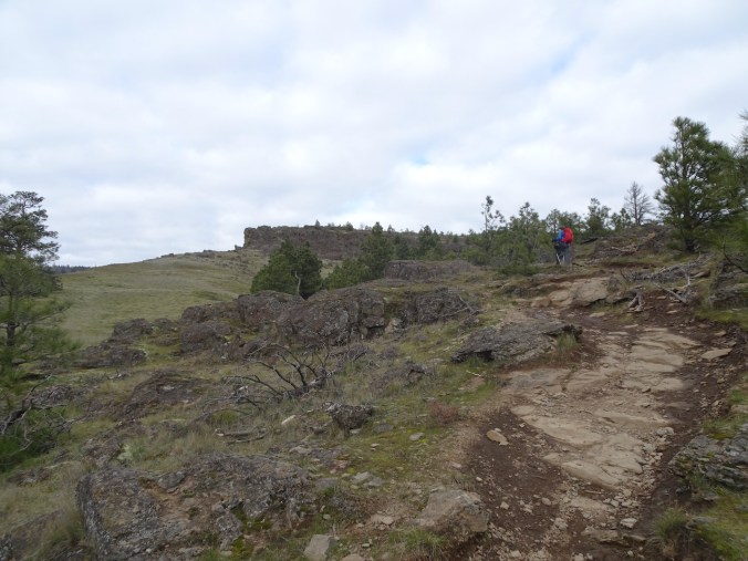
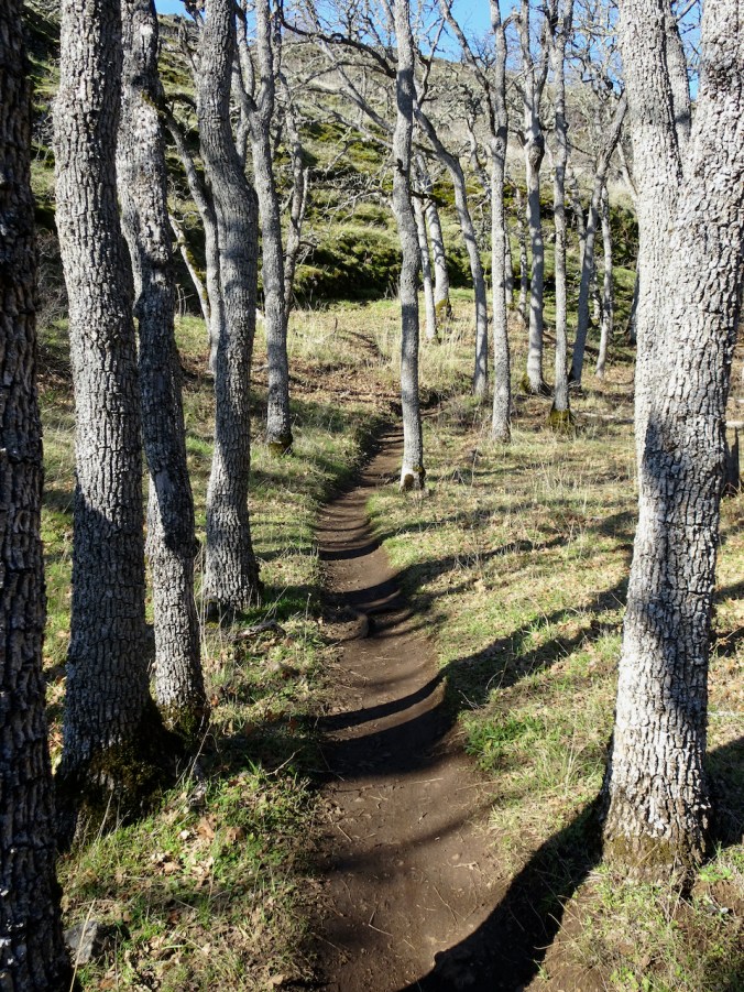
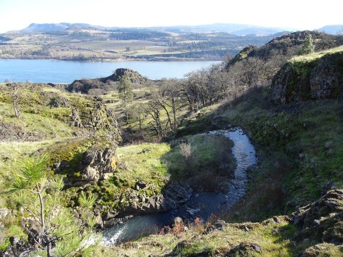
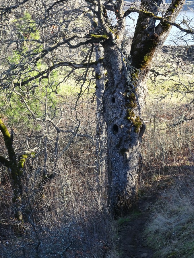
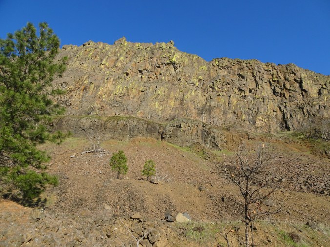
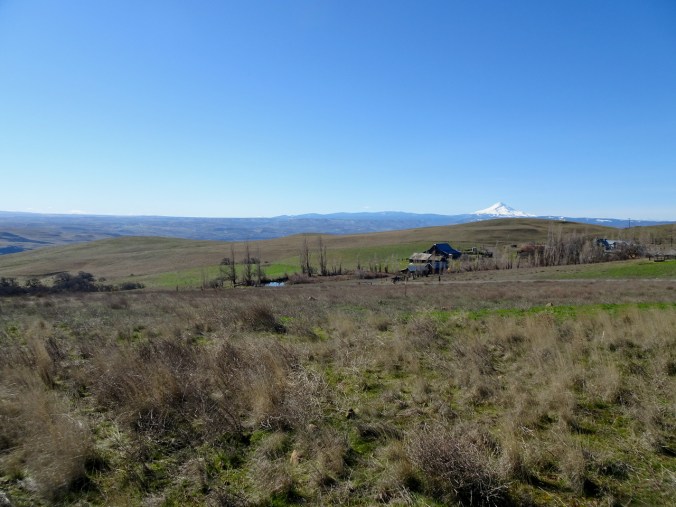
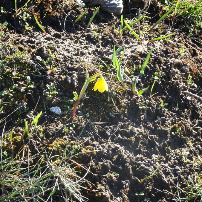
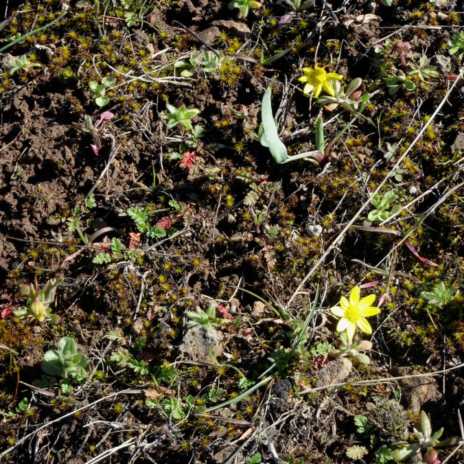
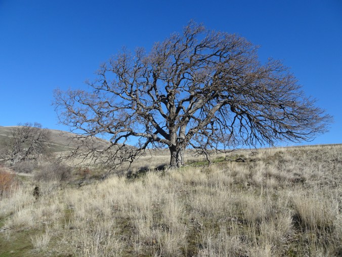
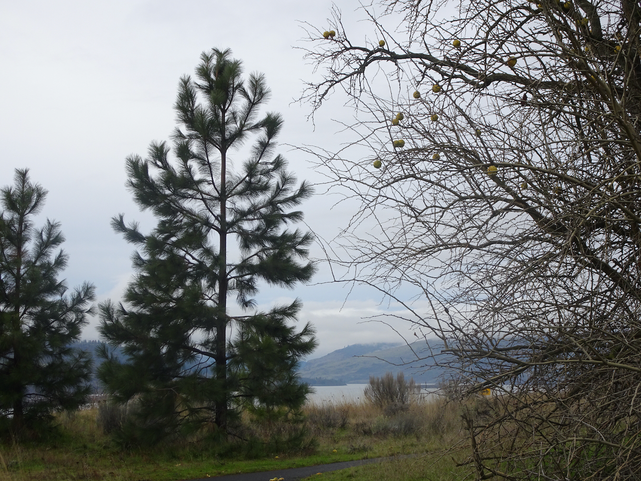
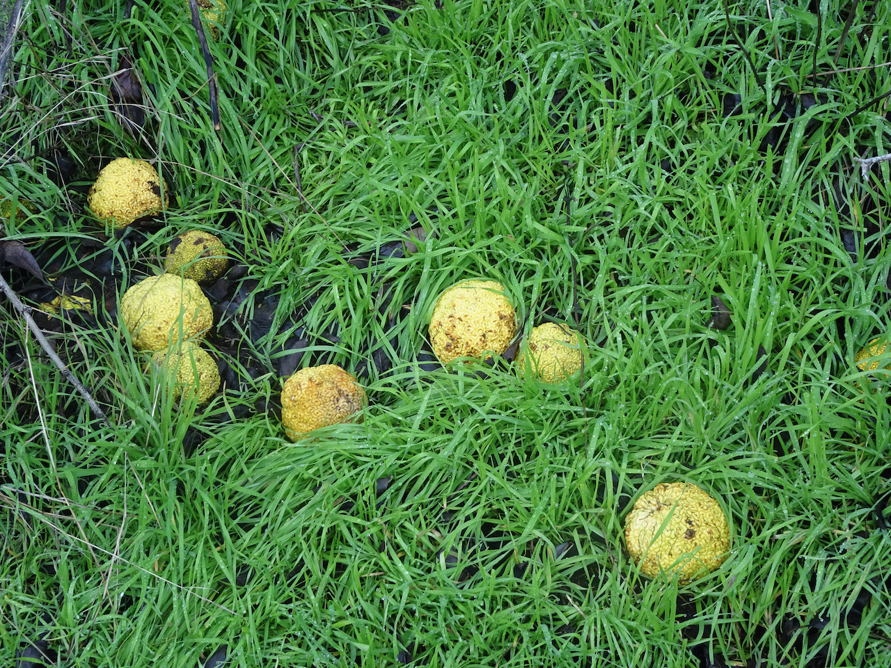
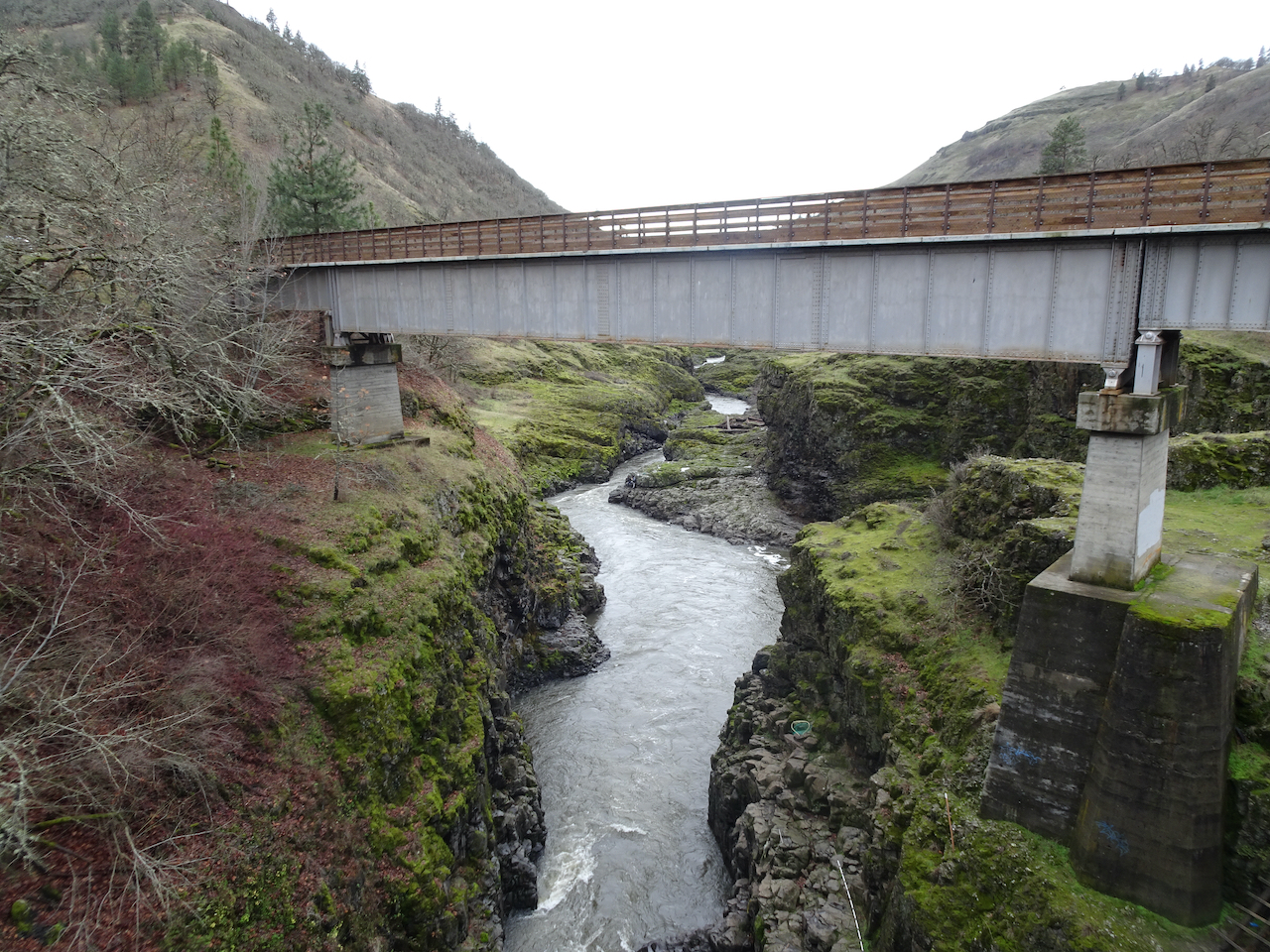
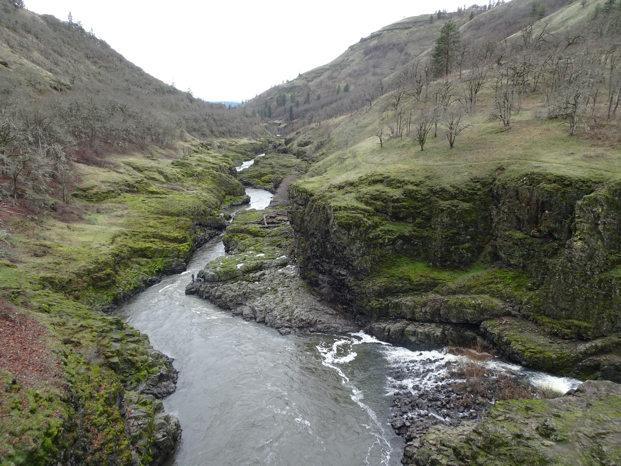
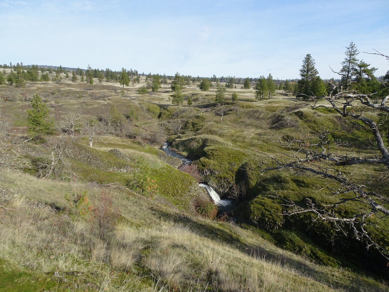
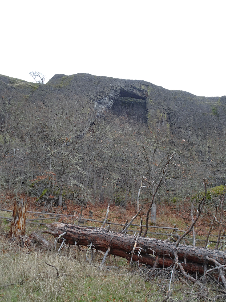
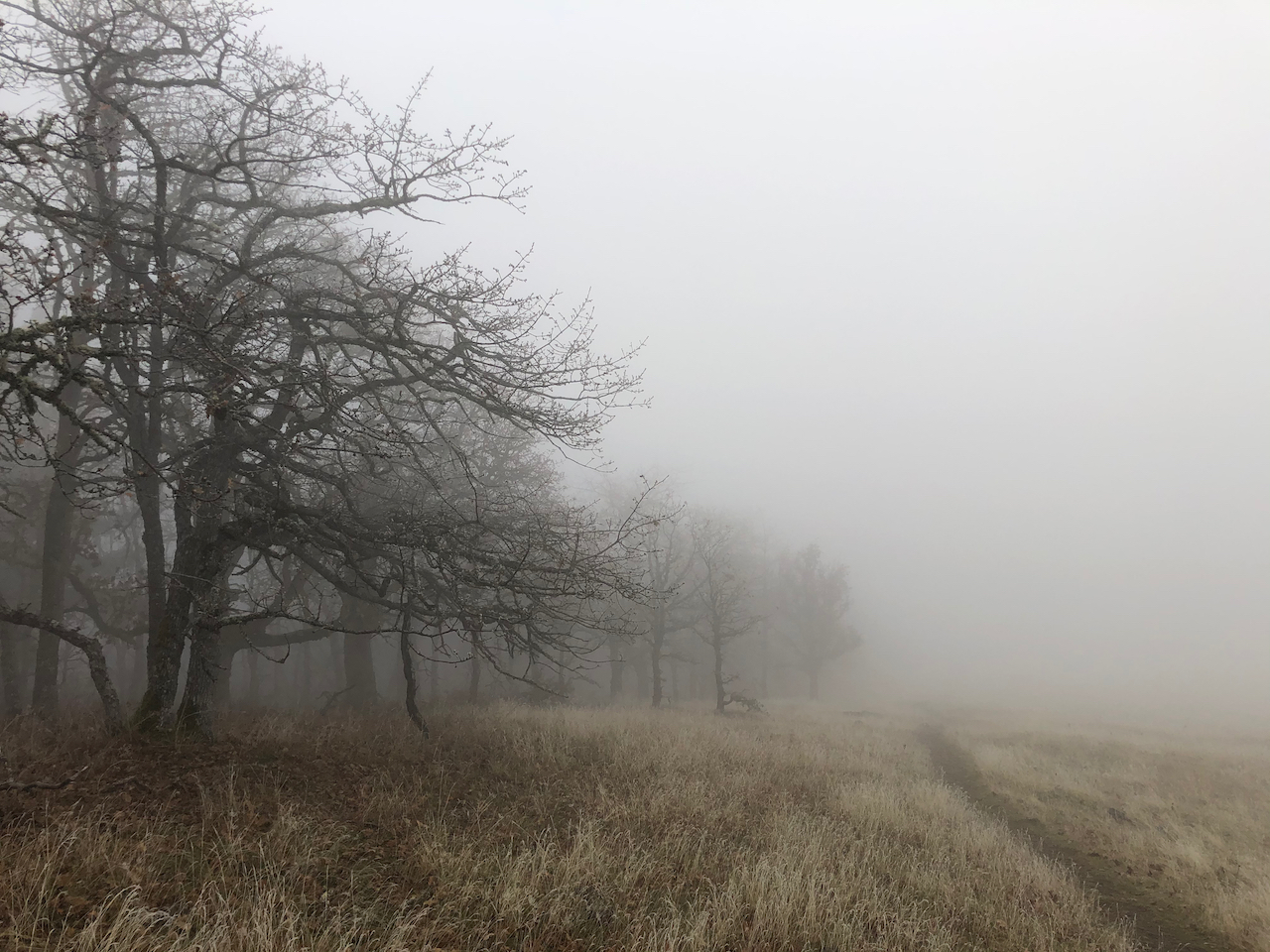
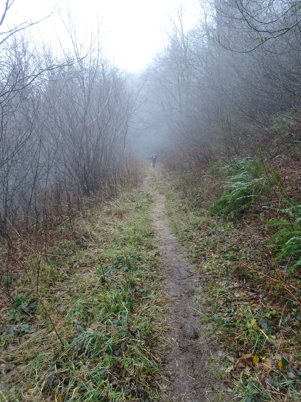
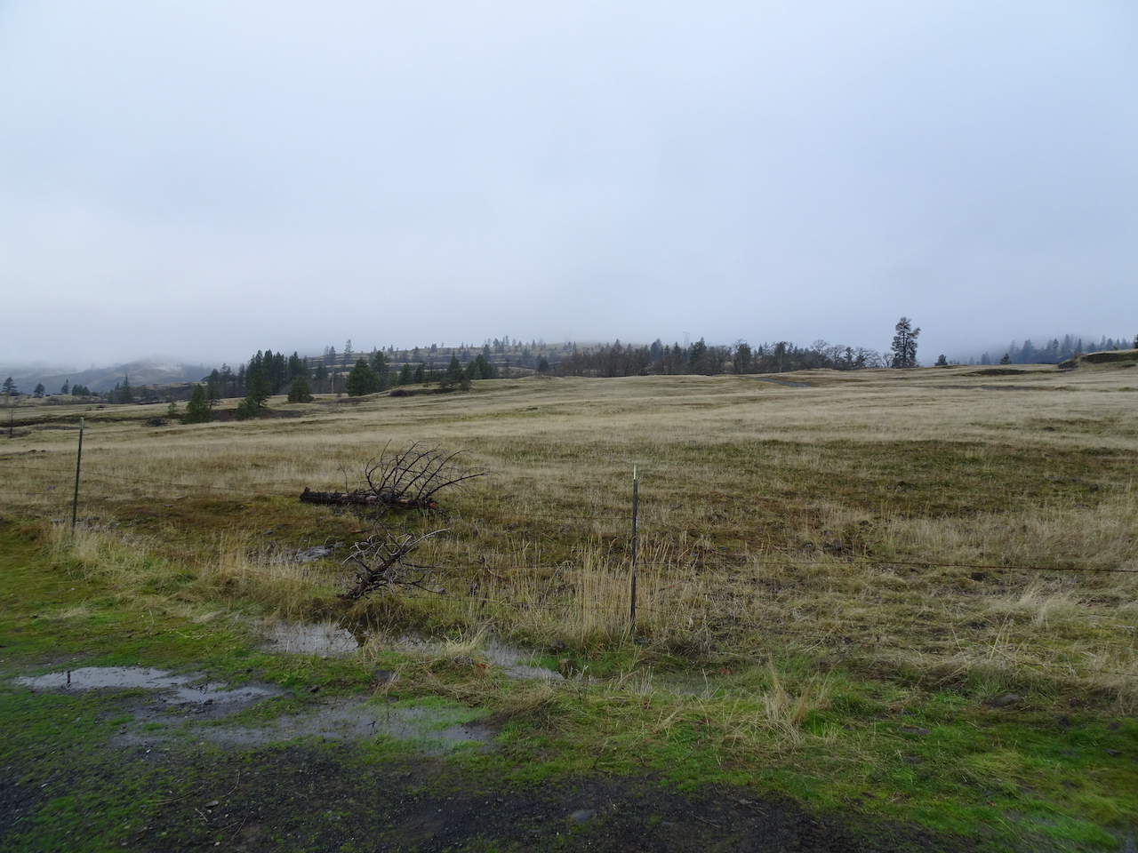
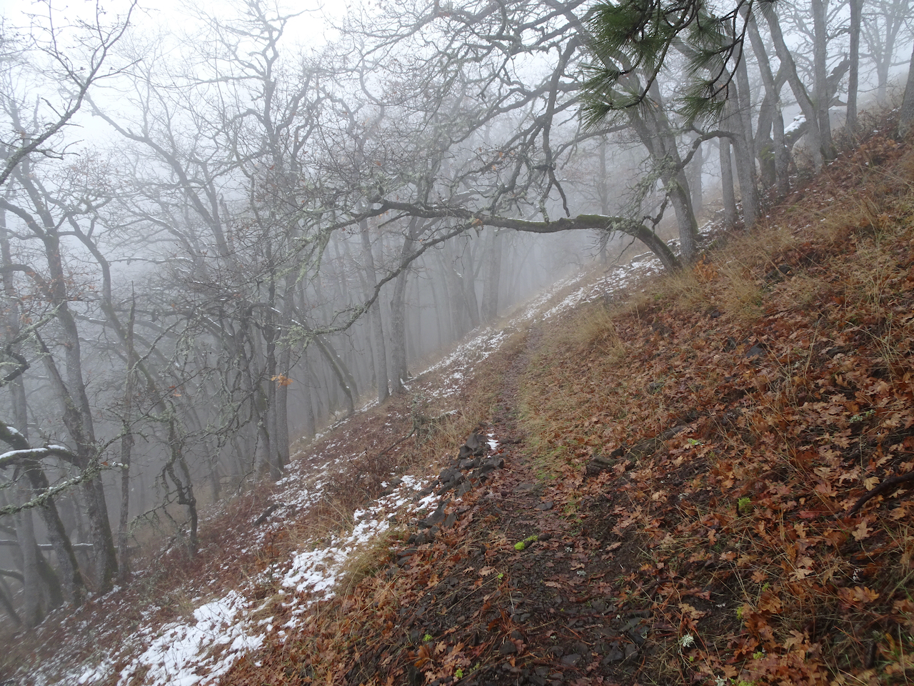
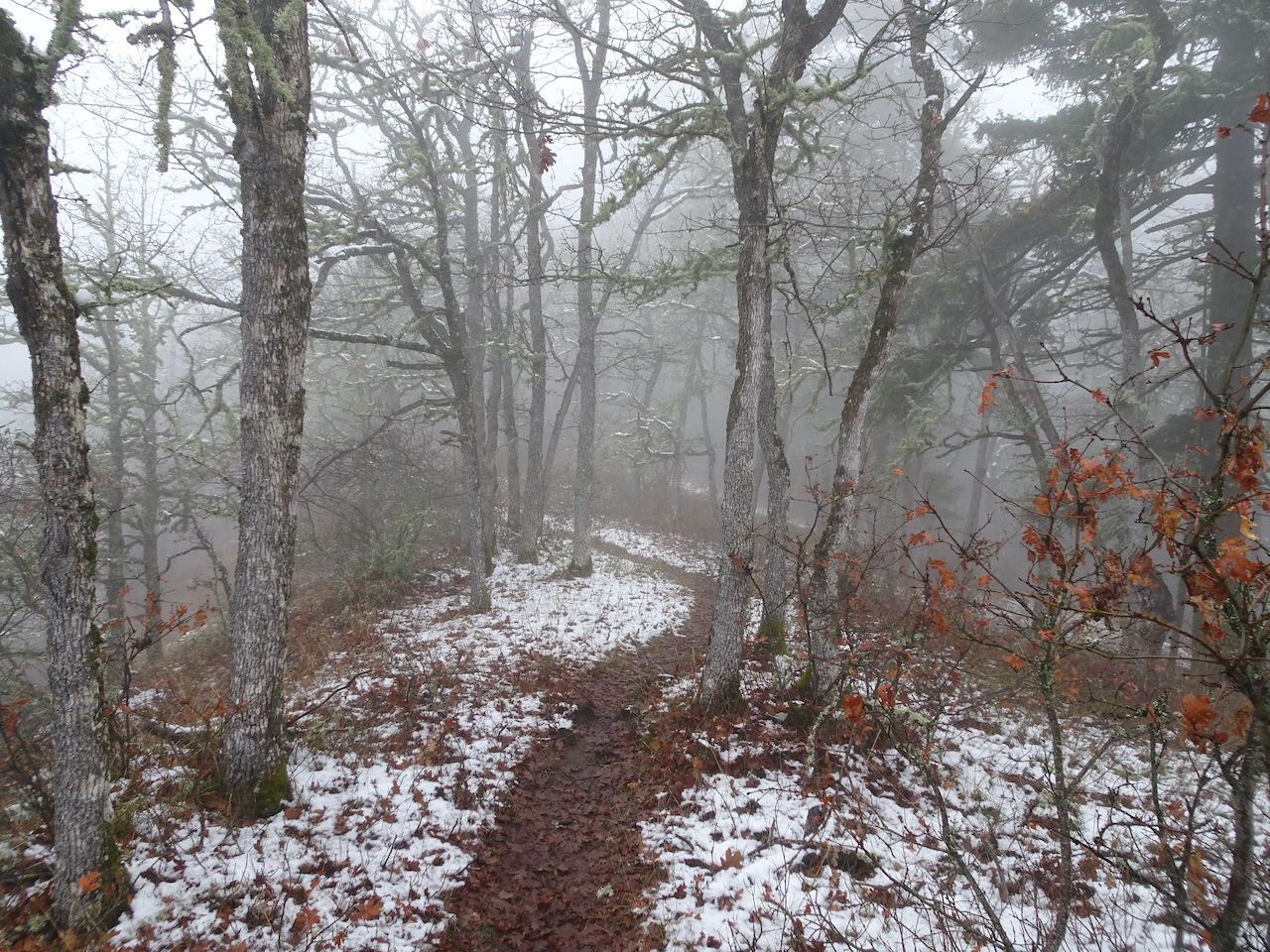
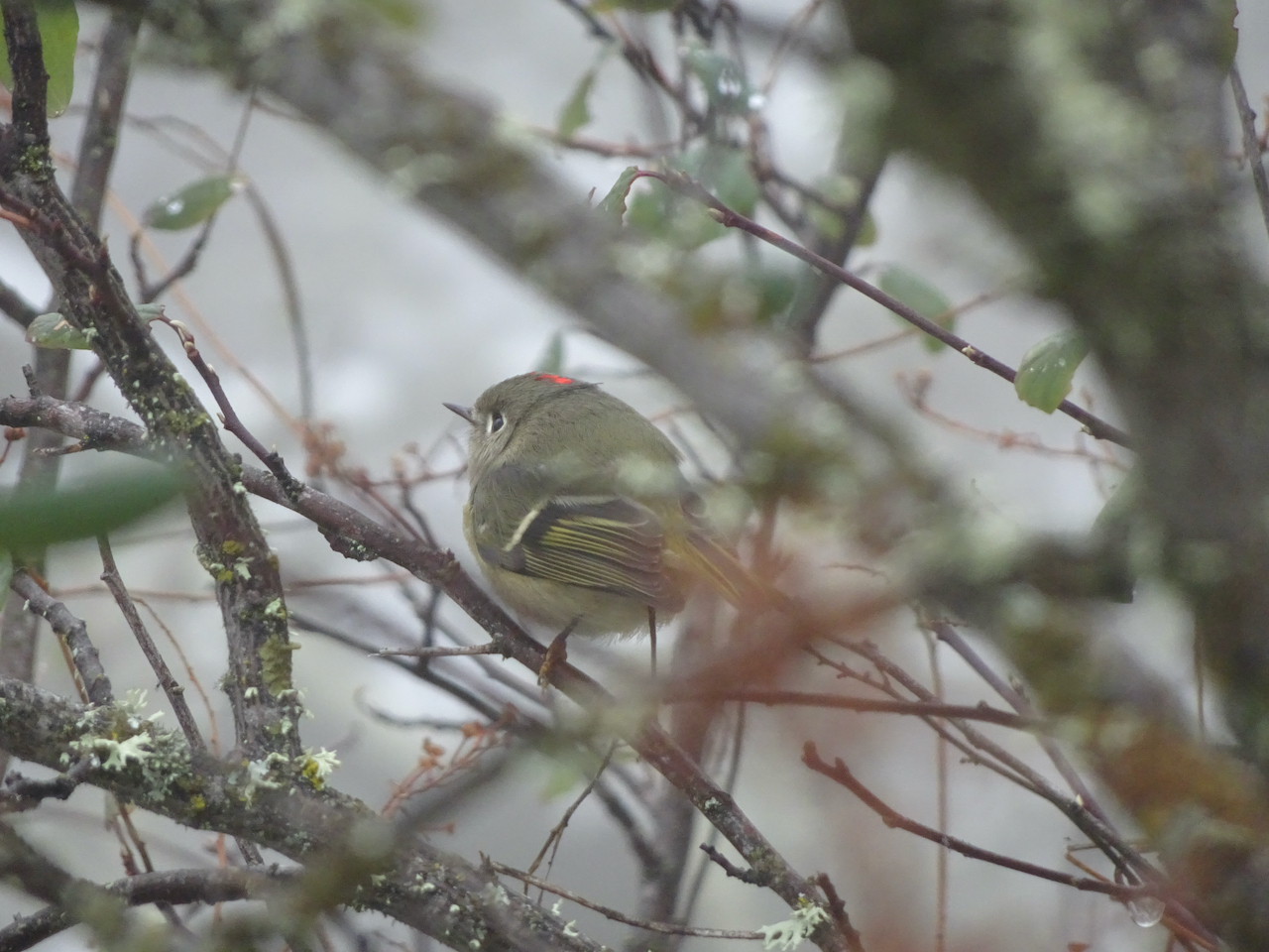
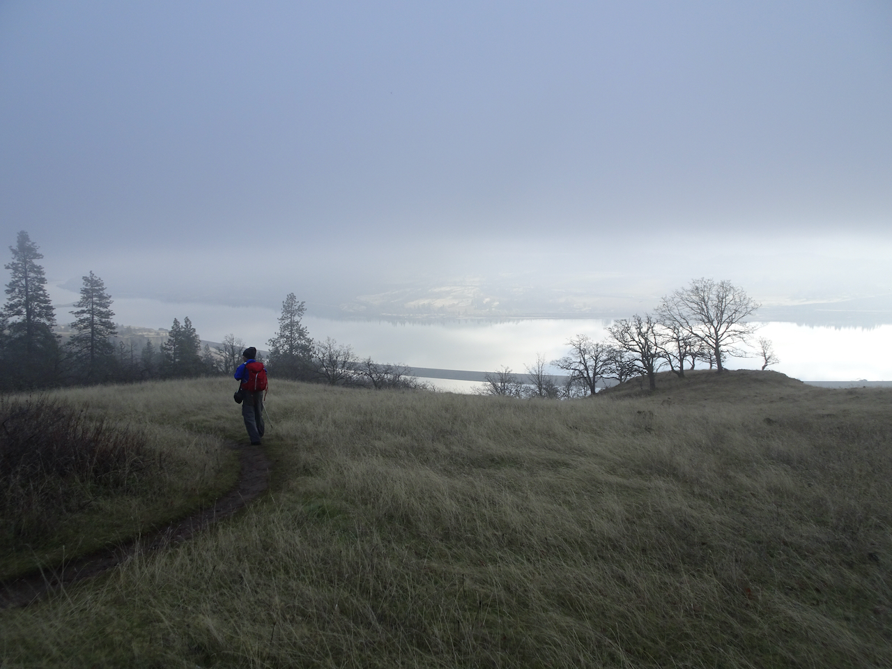
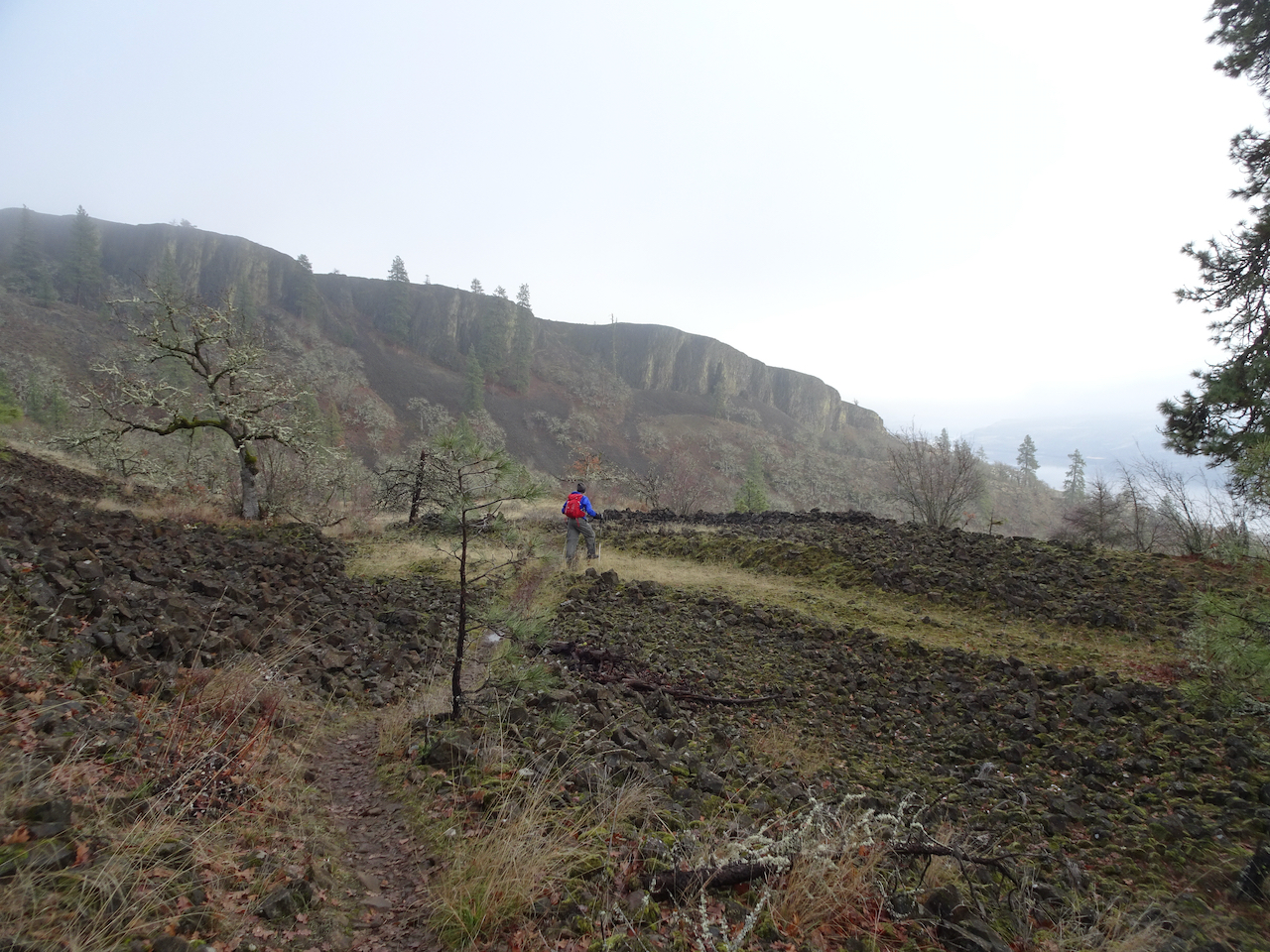
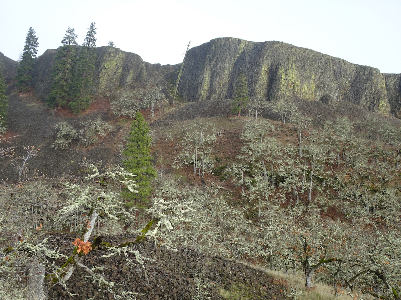
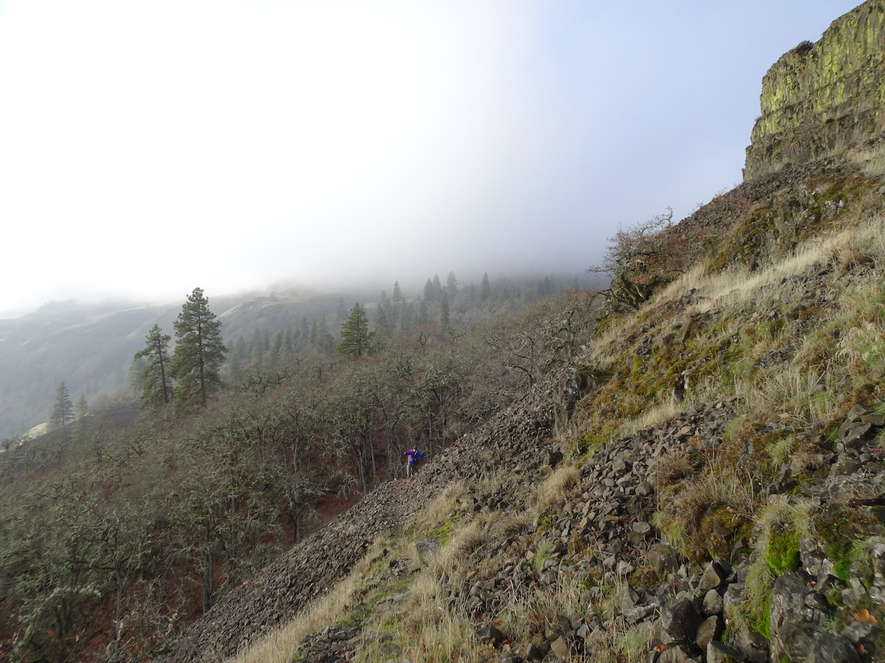
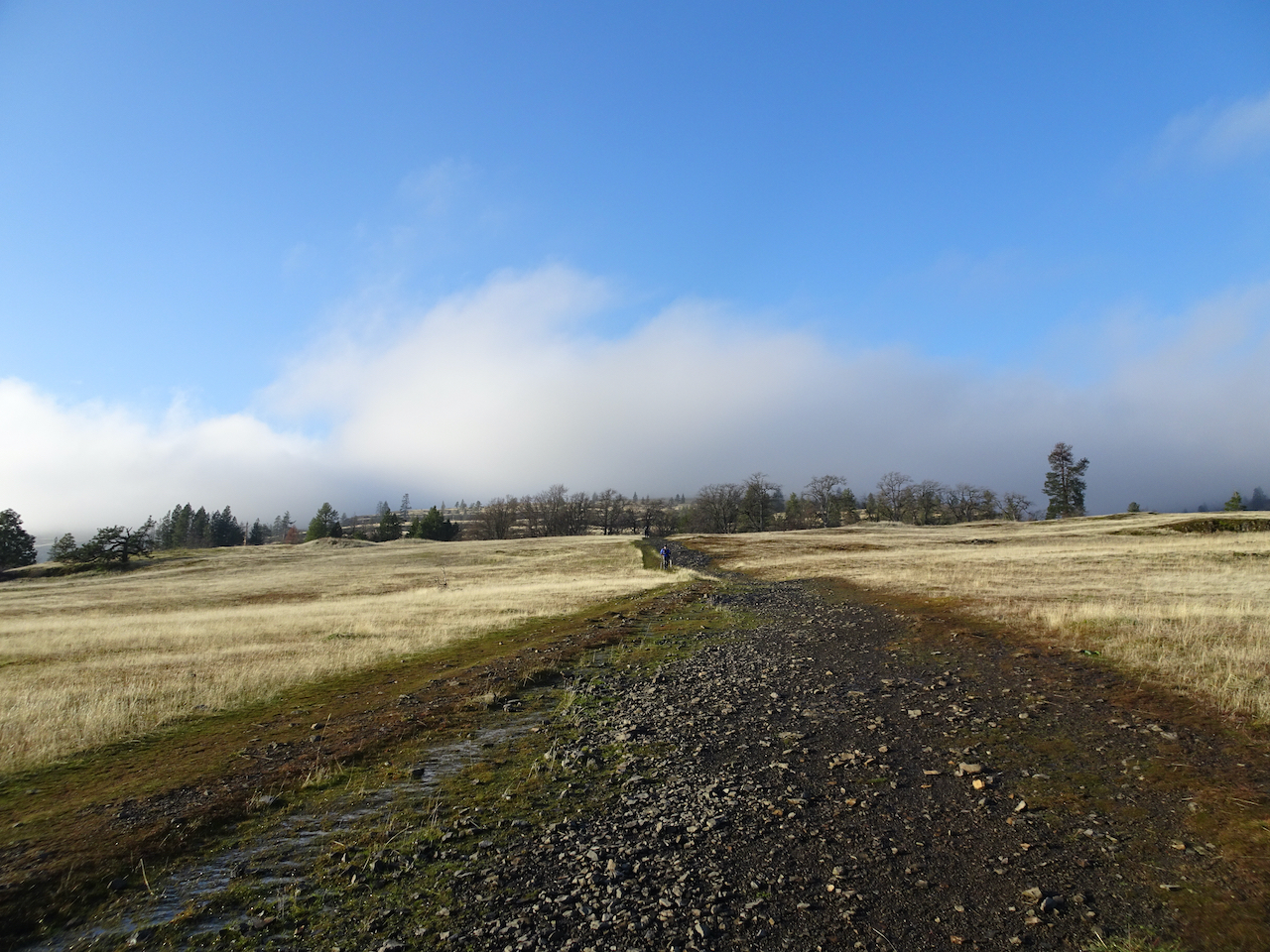
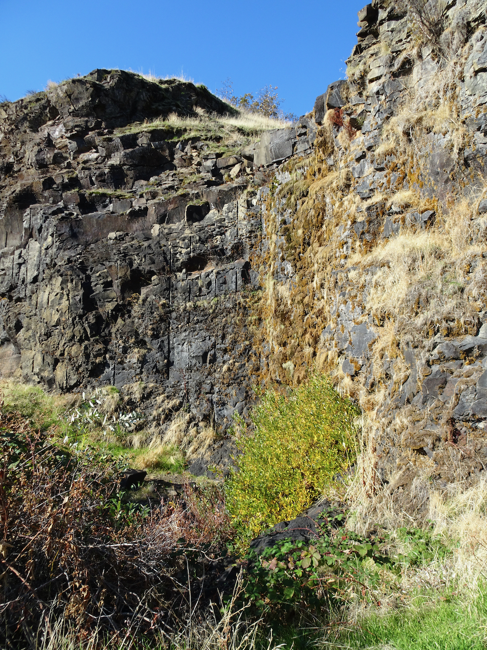
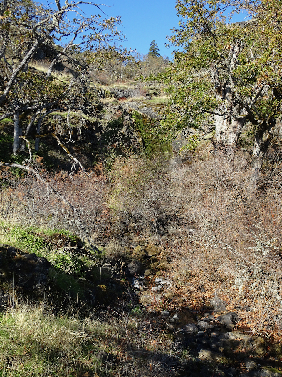
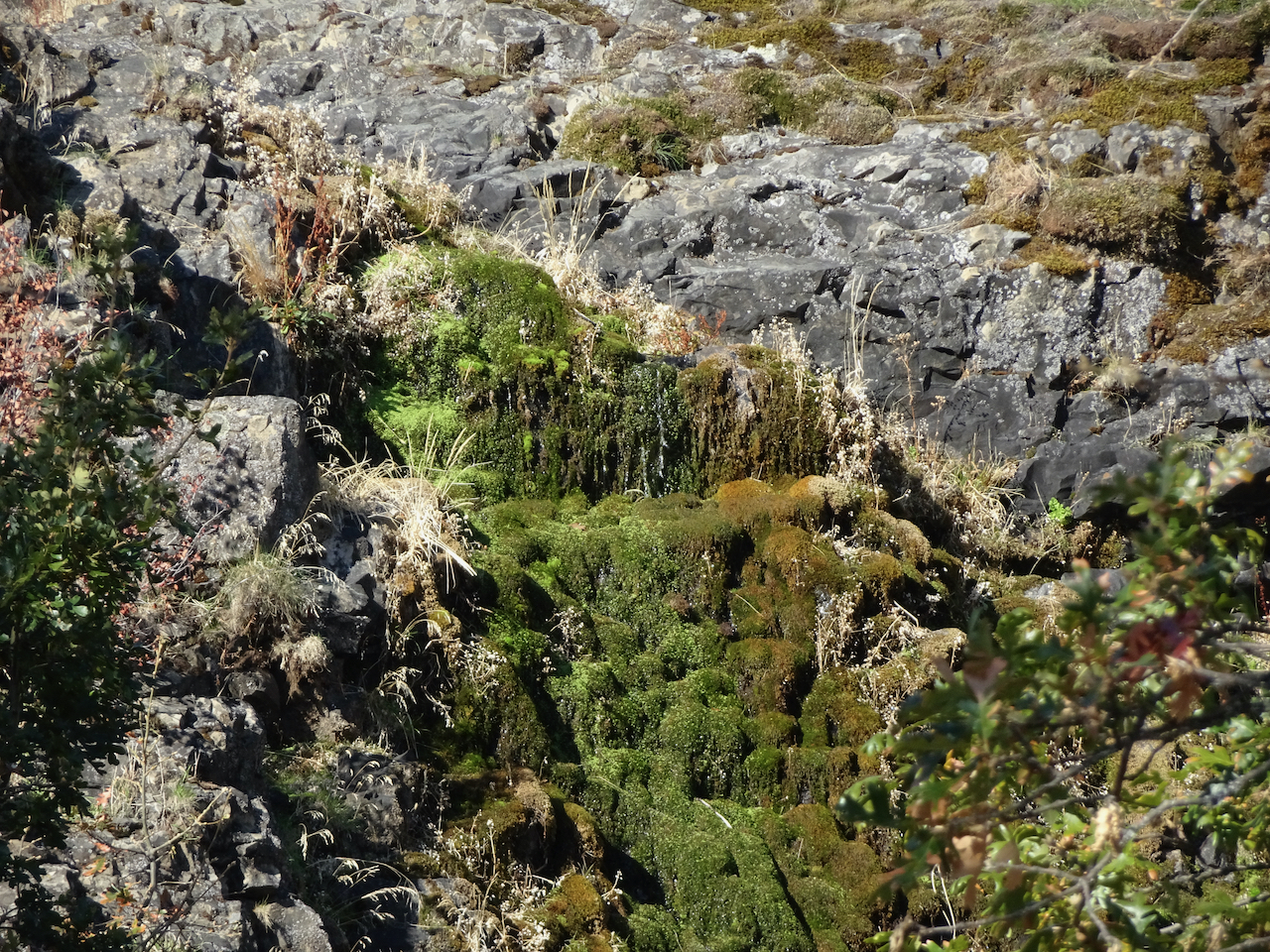
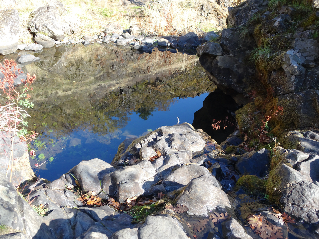
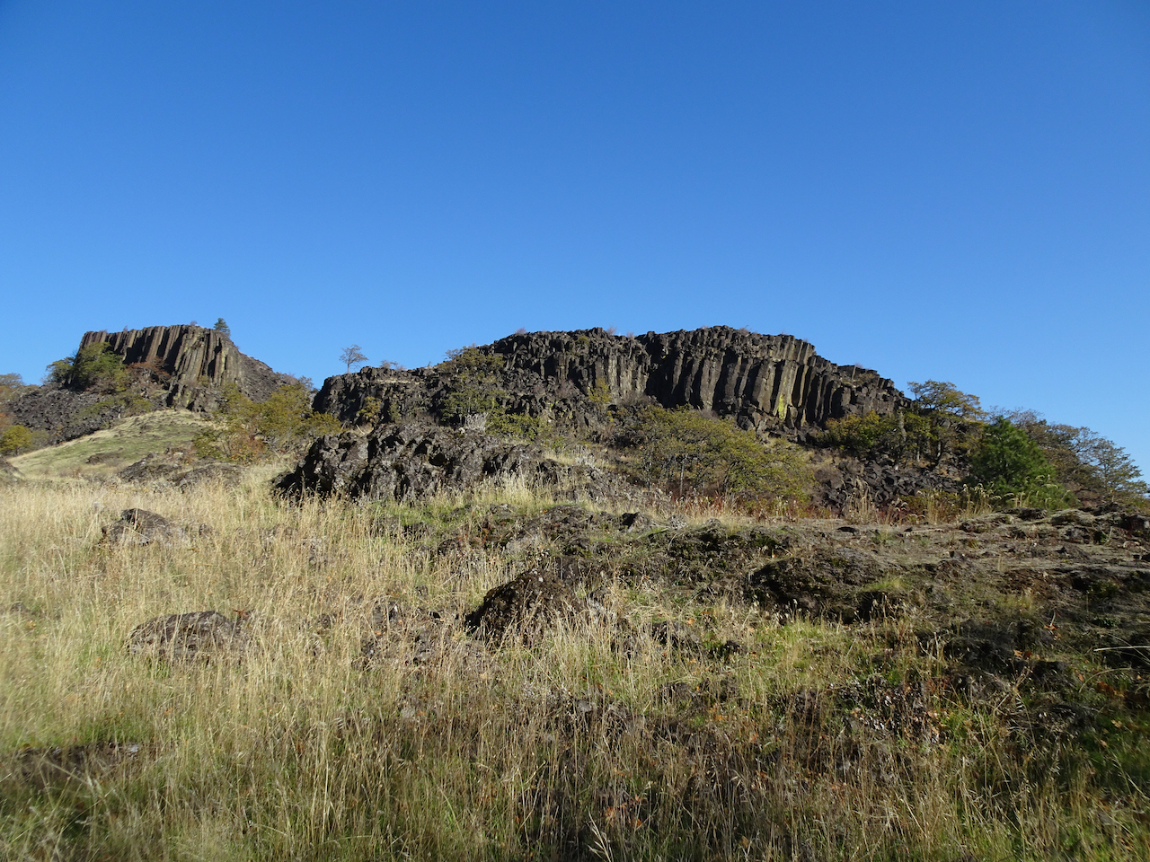
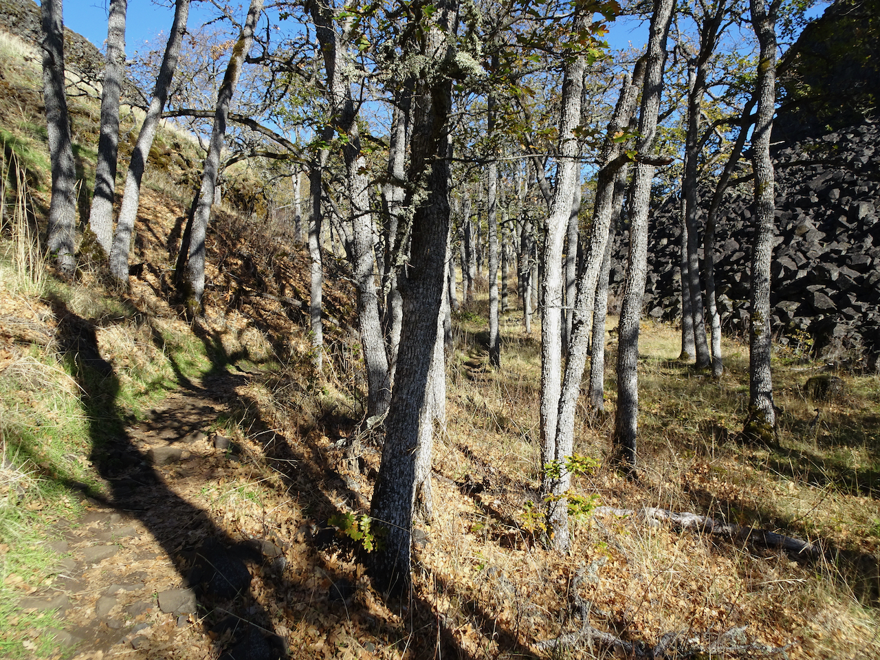
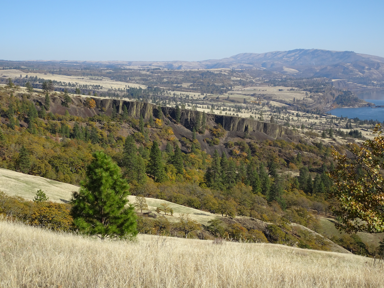
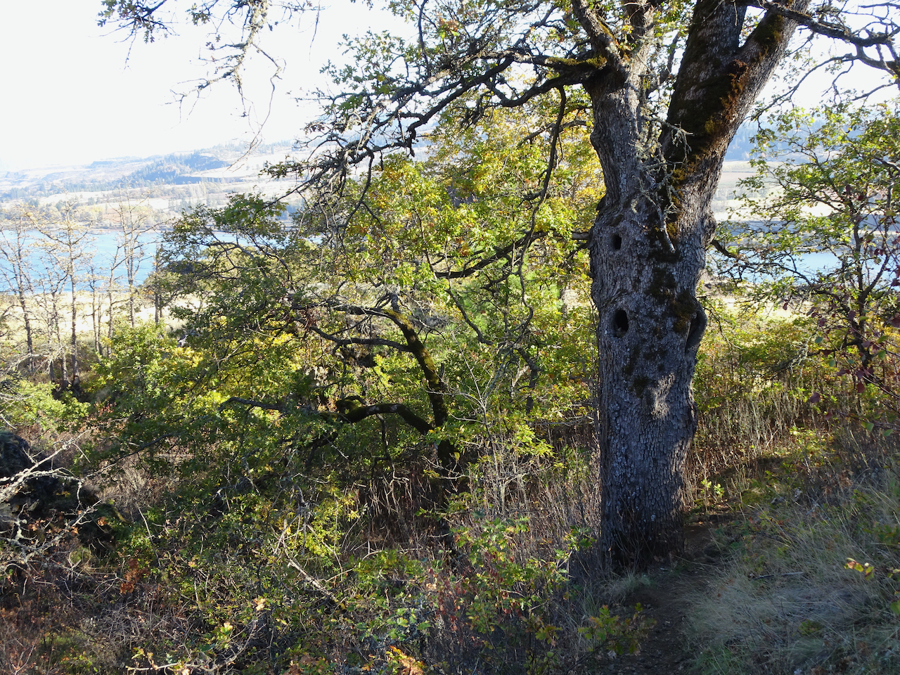
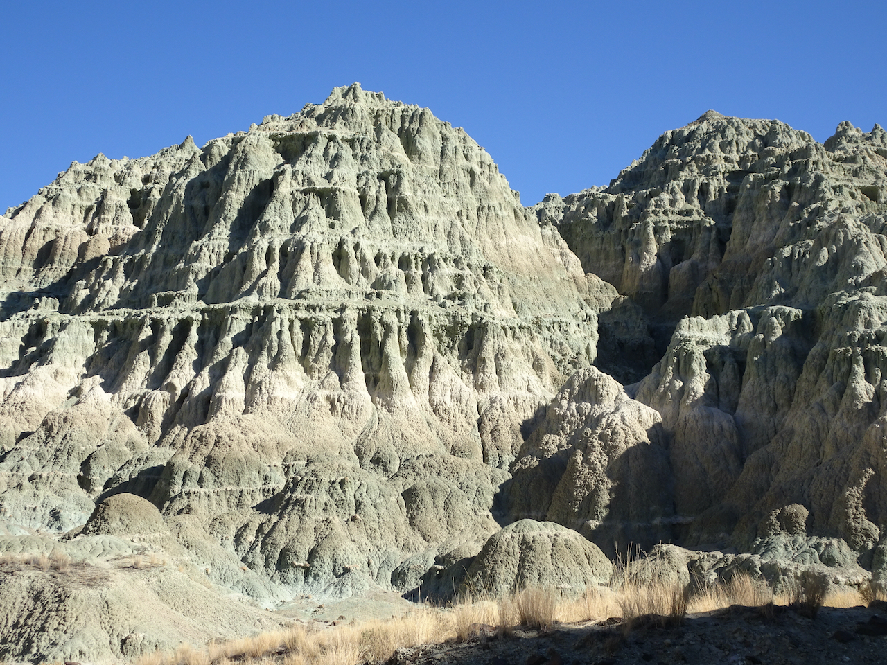
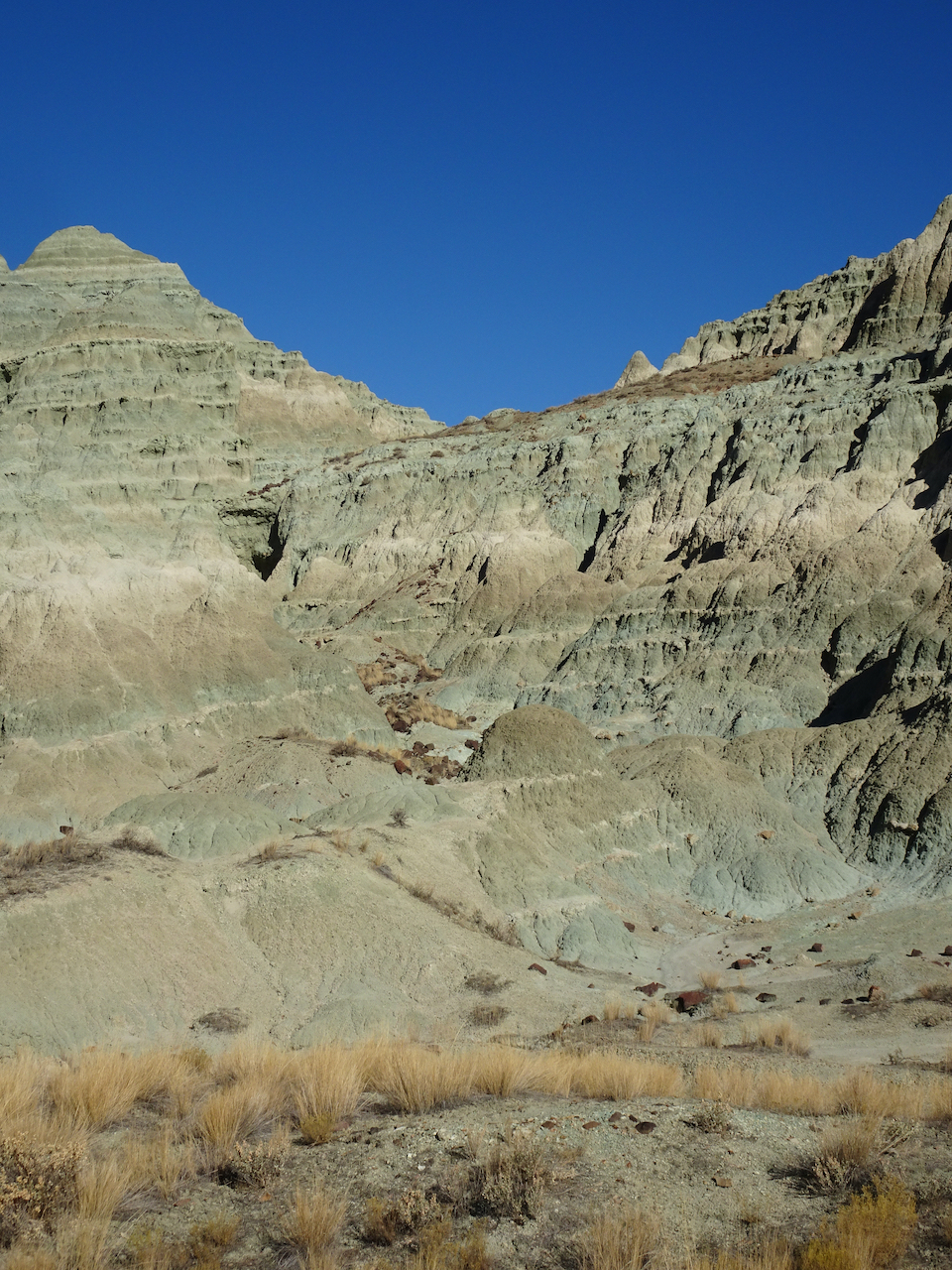
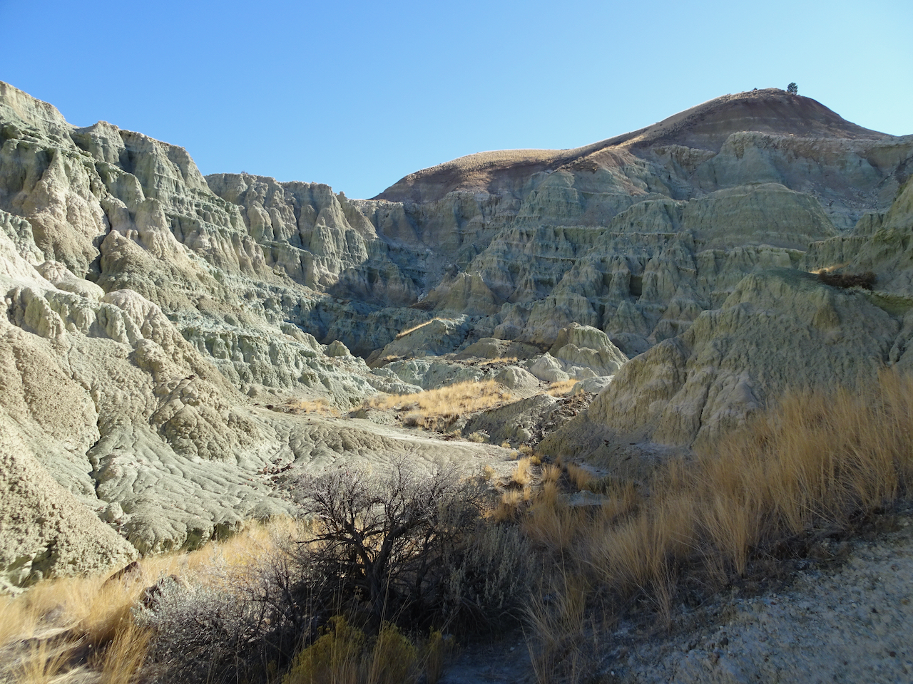
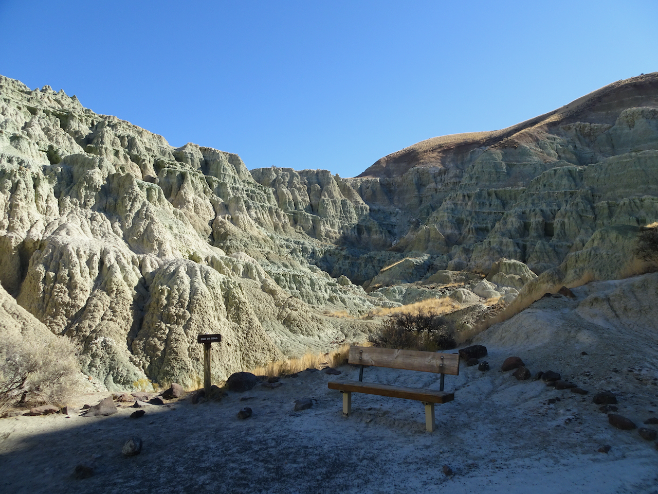
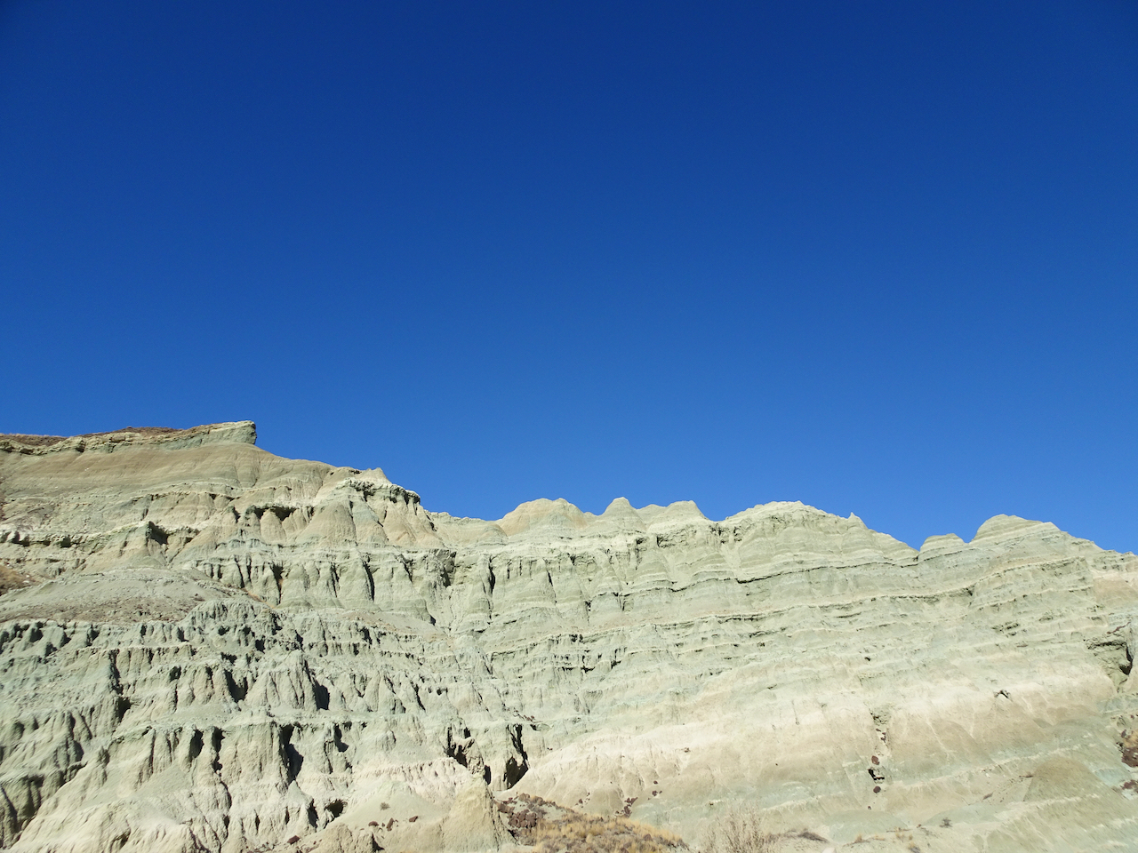
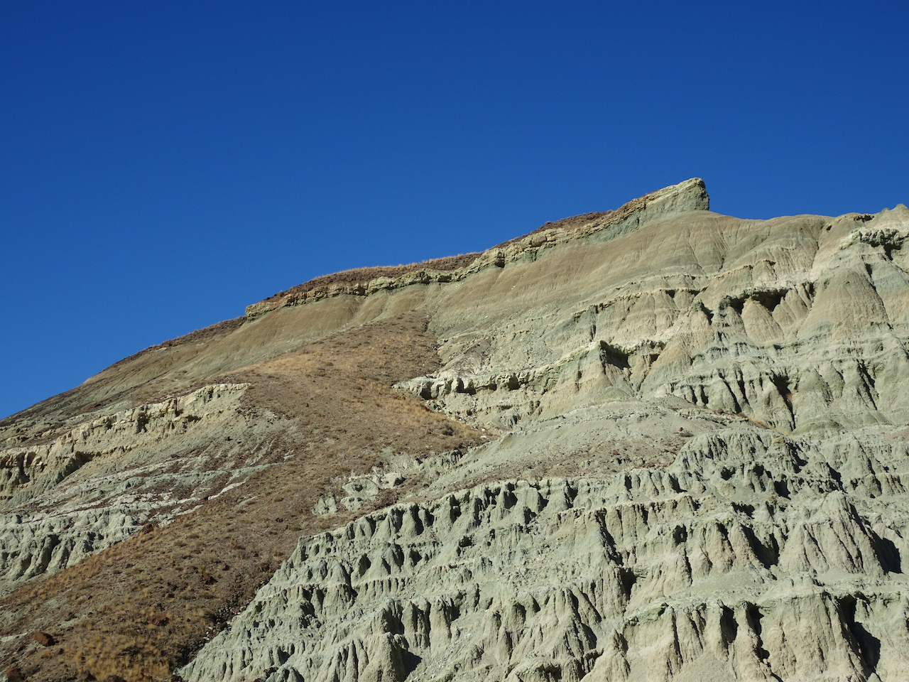
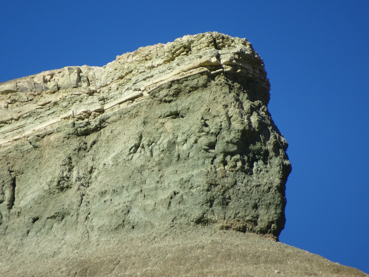
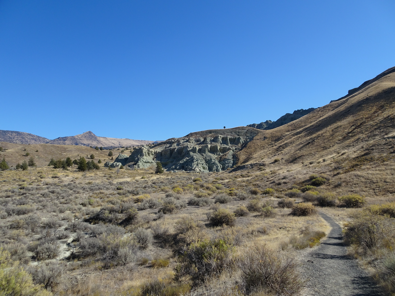
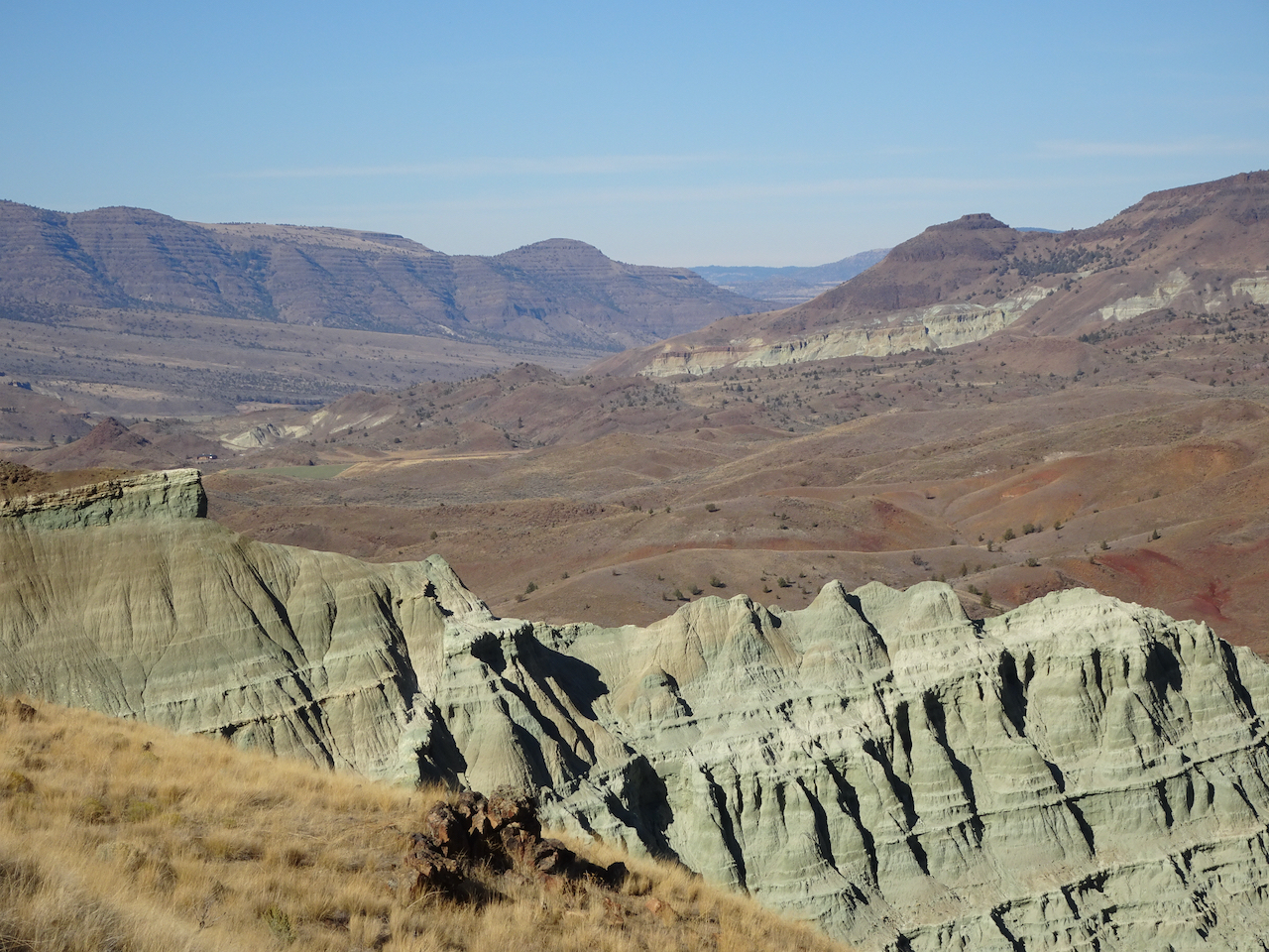
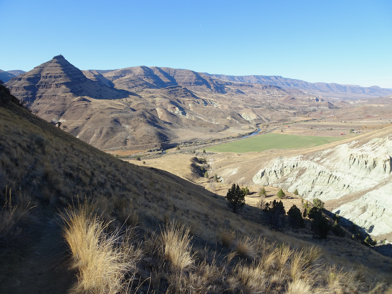
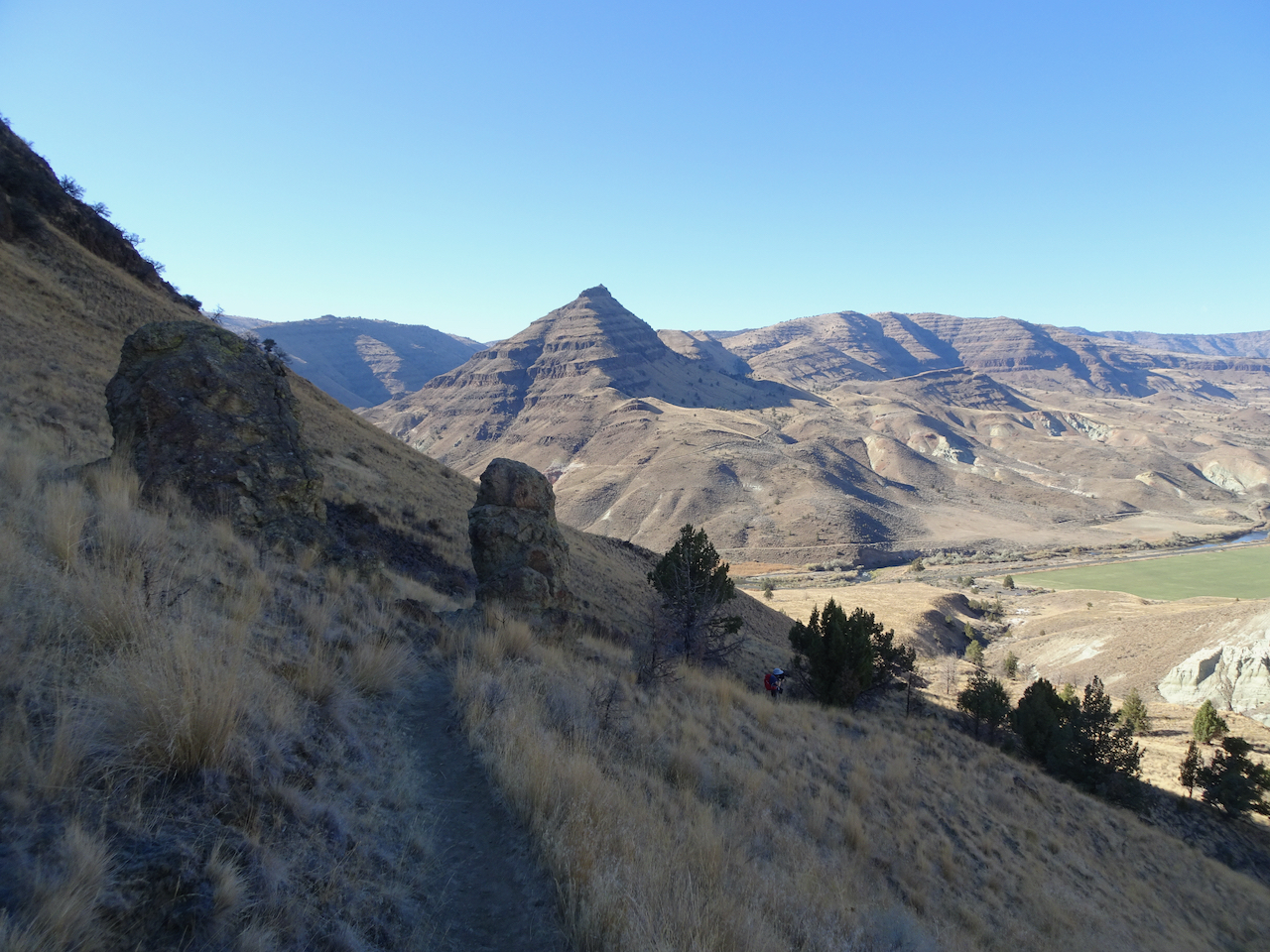
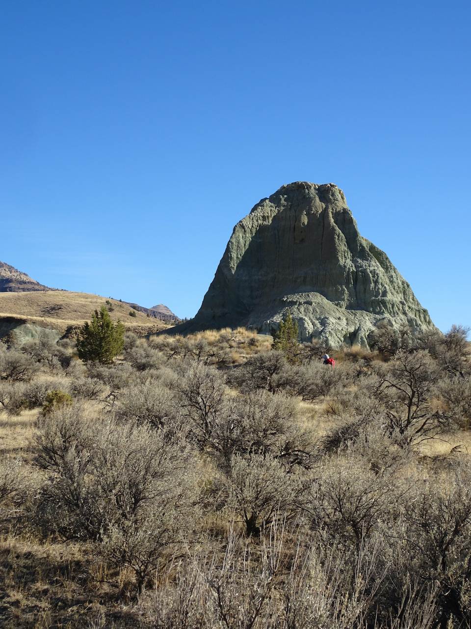
3) The next week, on March 16th, we went out across the river to Lyle Cherry Orchard again. No squalls this time – a perfect hiking day, and the first of the bright yellow balsam root blooms were opening as we hiked.

DSC06009

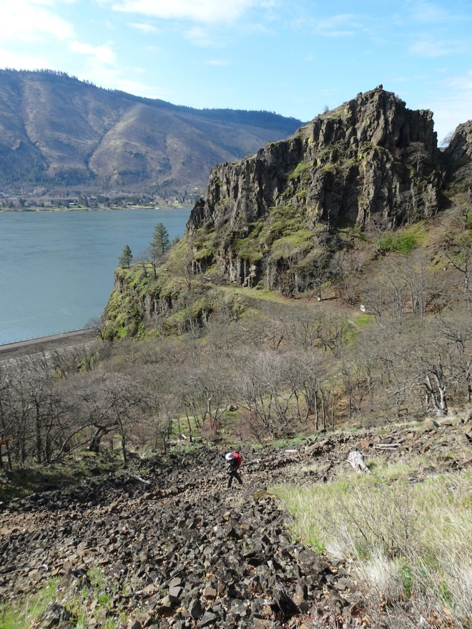
Hiking up above the Convict Road.

DSC06006

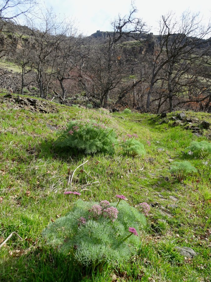
Columbia Desert Parsley in full bloom.

DSC06056

Balsam root opening on the upper slopes.

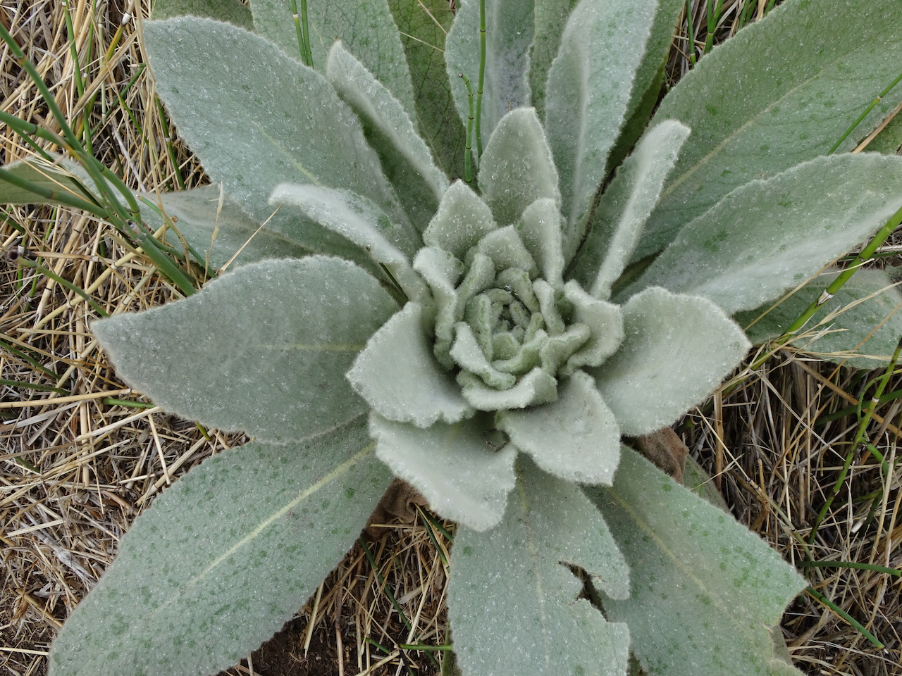
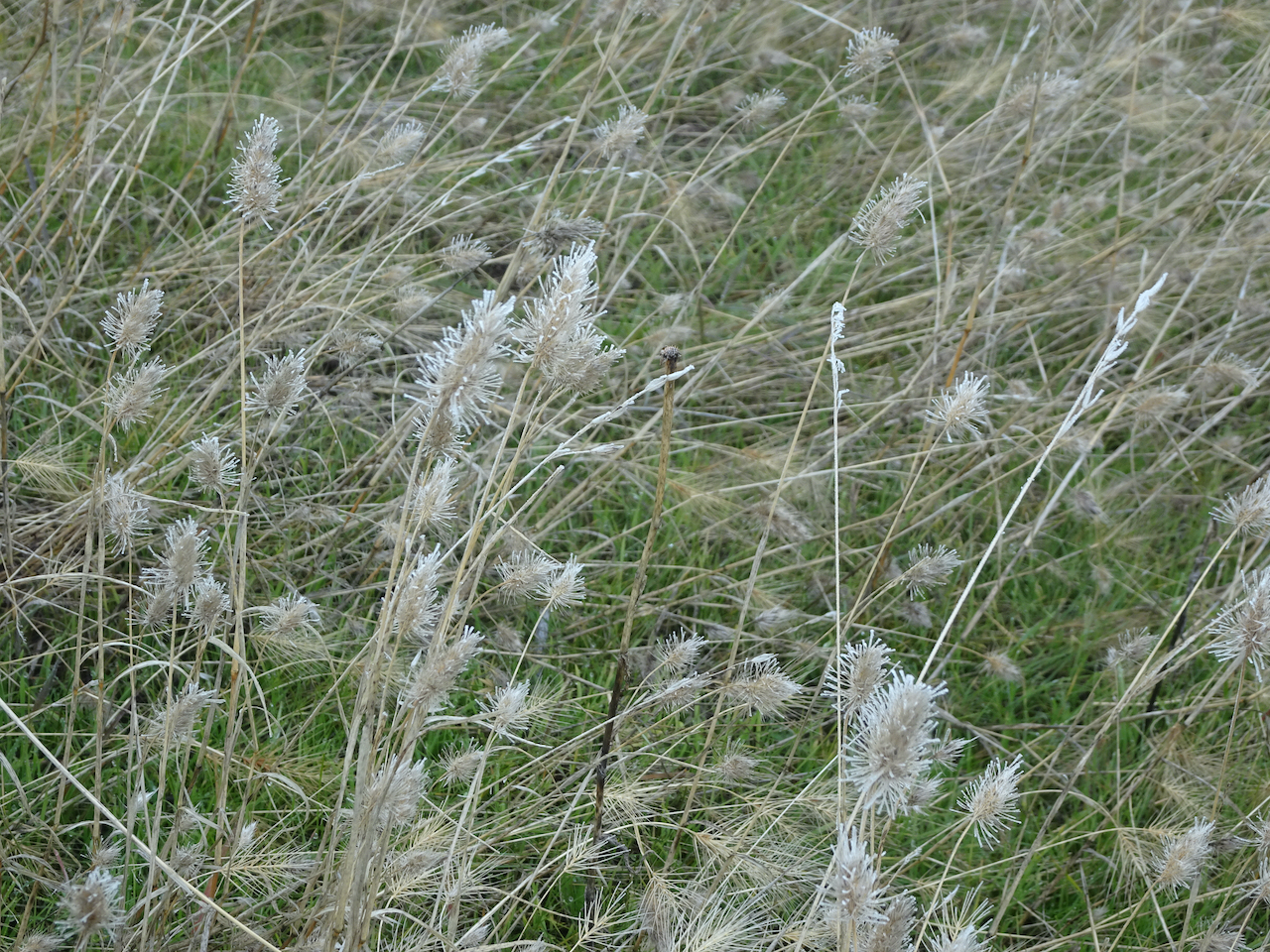
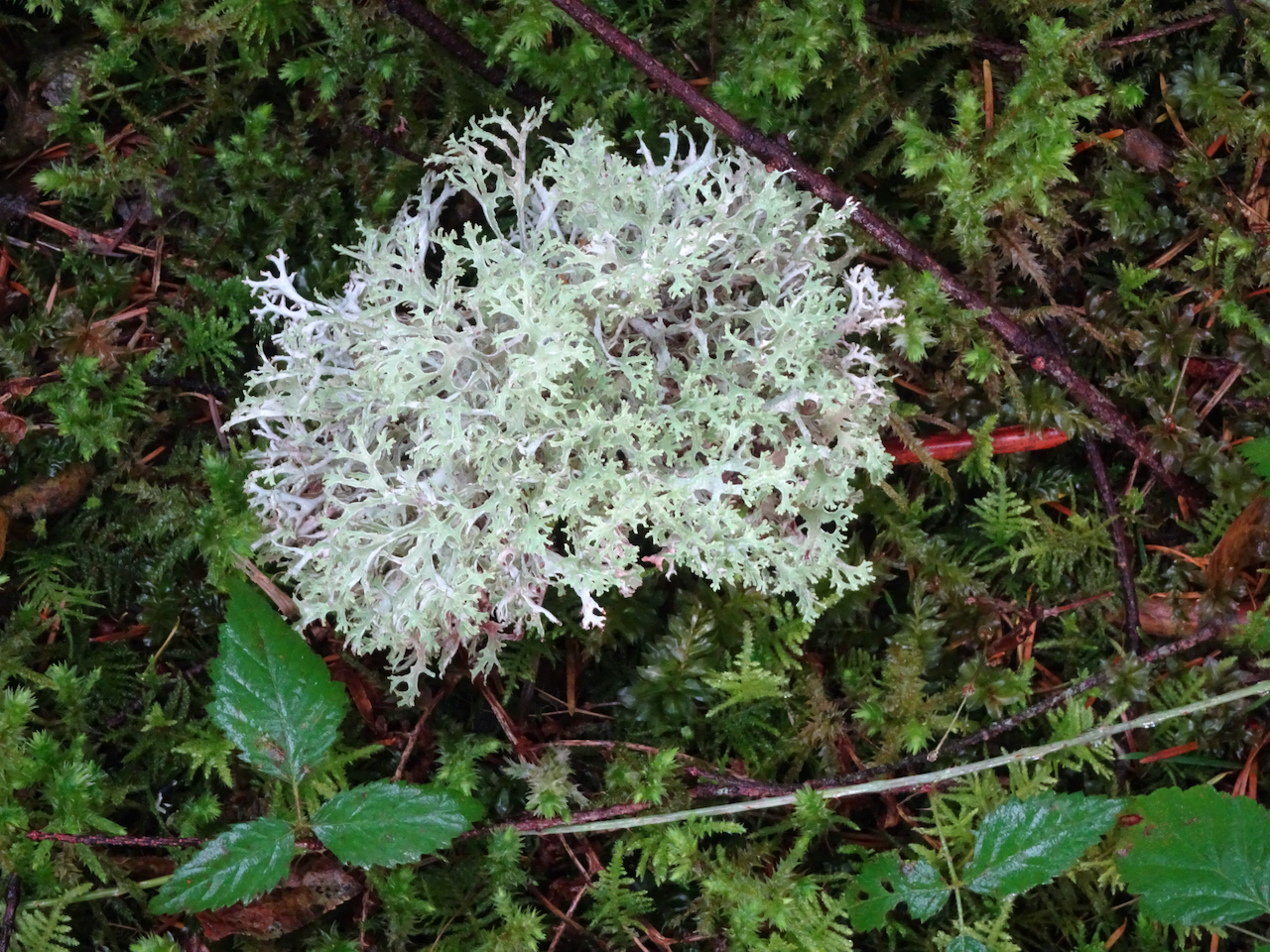
Lots of flowers showing for the first time this spring:

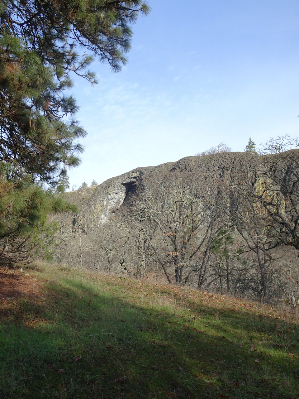
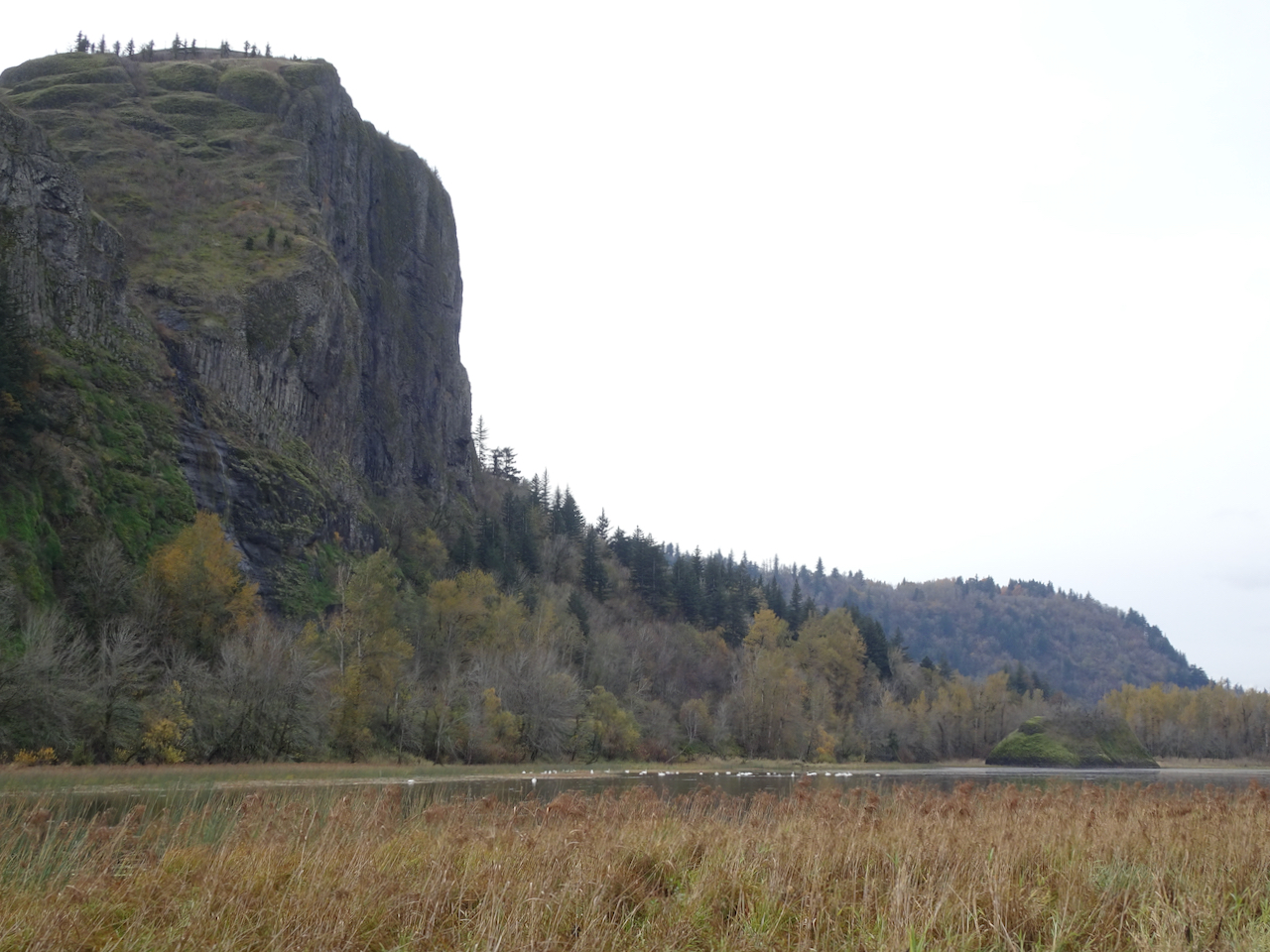
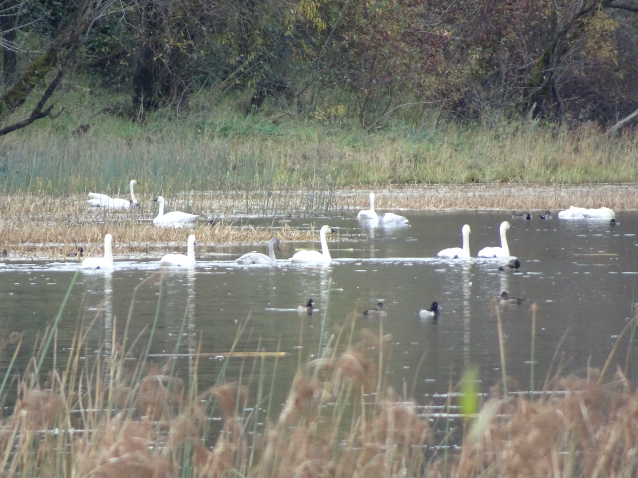
Stunning views from the cherry orchard:

DSC06045

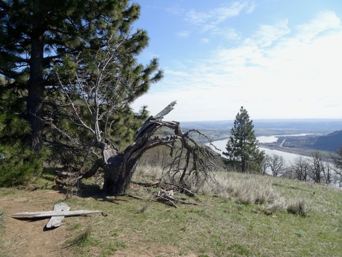
Eastward, one of the remaining cherry trees.

DSC06057

Westward, balsamroot

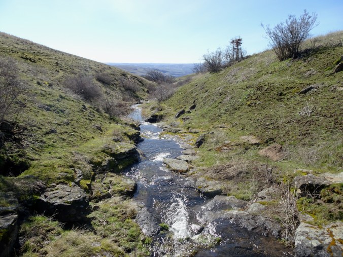
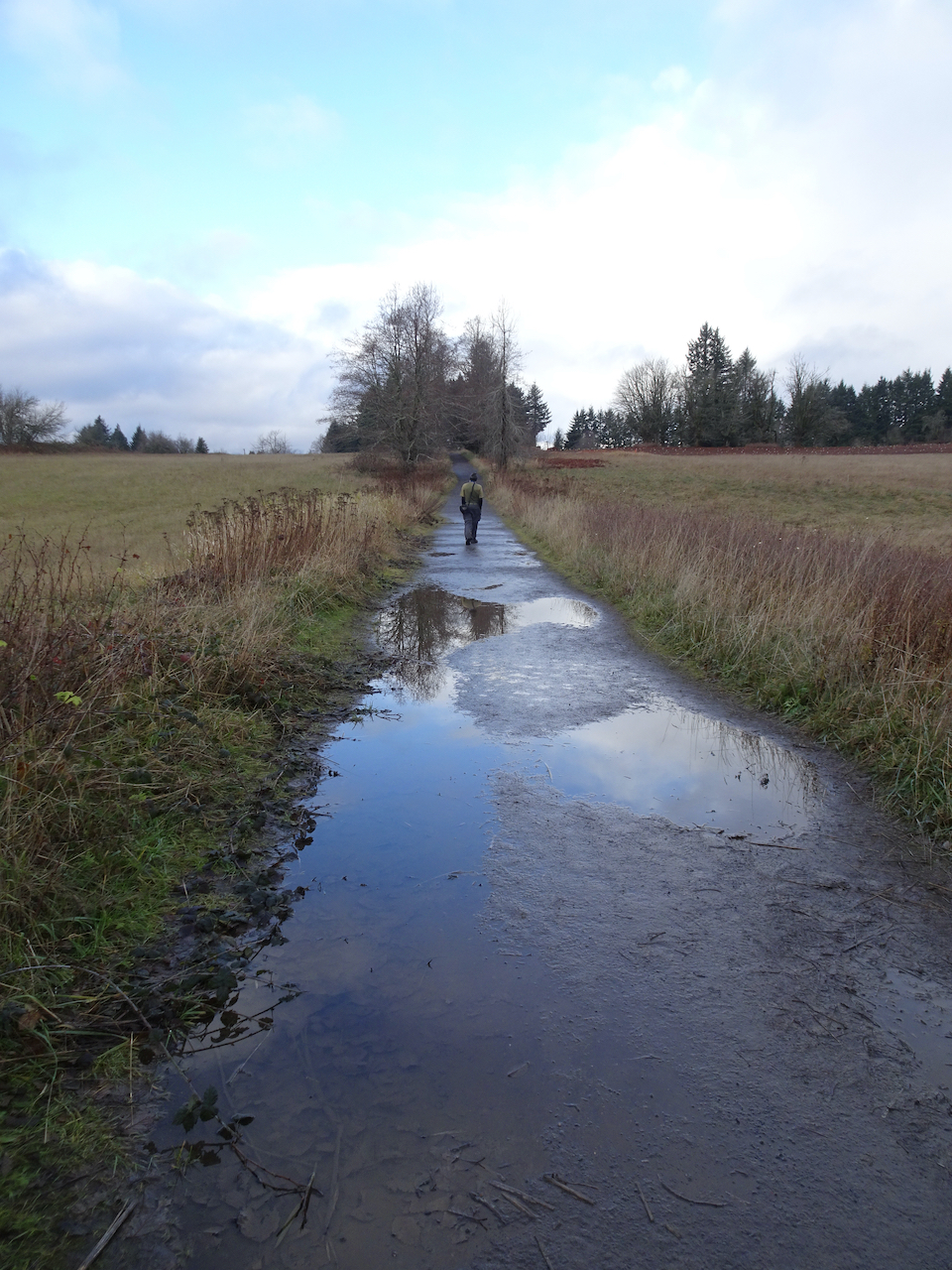
4) We also walked a fast loop through Tryon Creek Park, on March 17th, where the very first of the trillium were opening, a little later than last year.
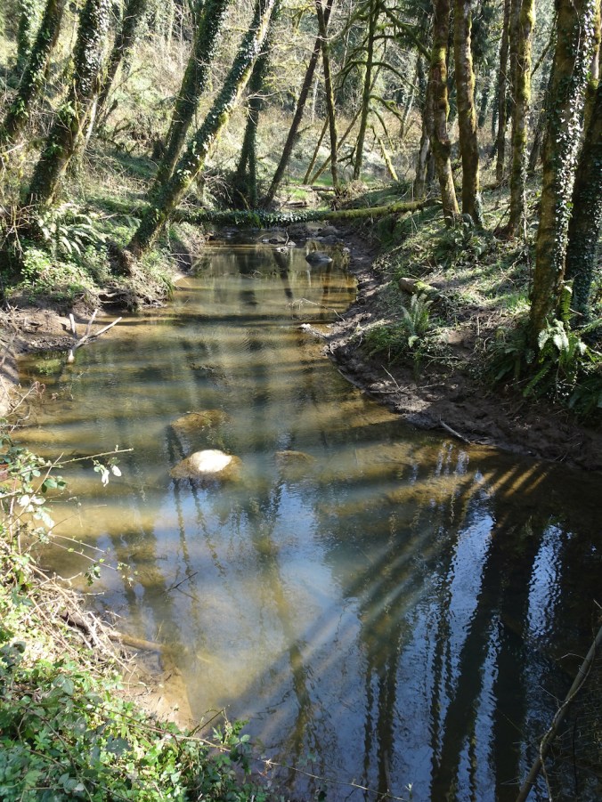
DSC06093

Tryon Creek

DSC06098

First trillium of spring
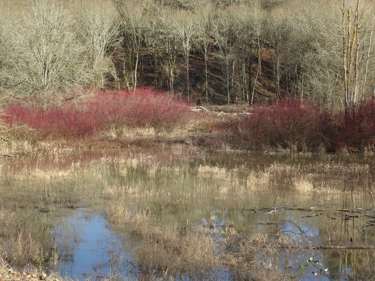
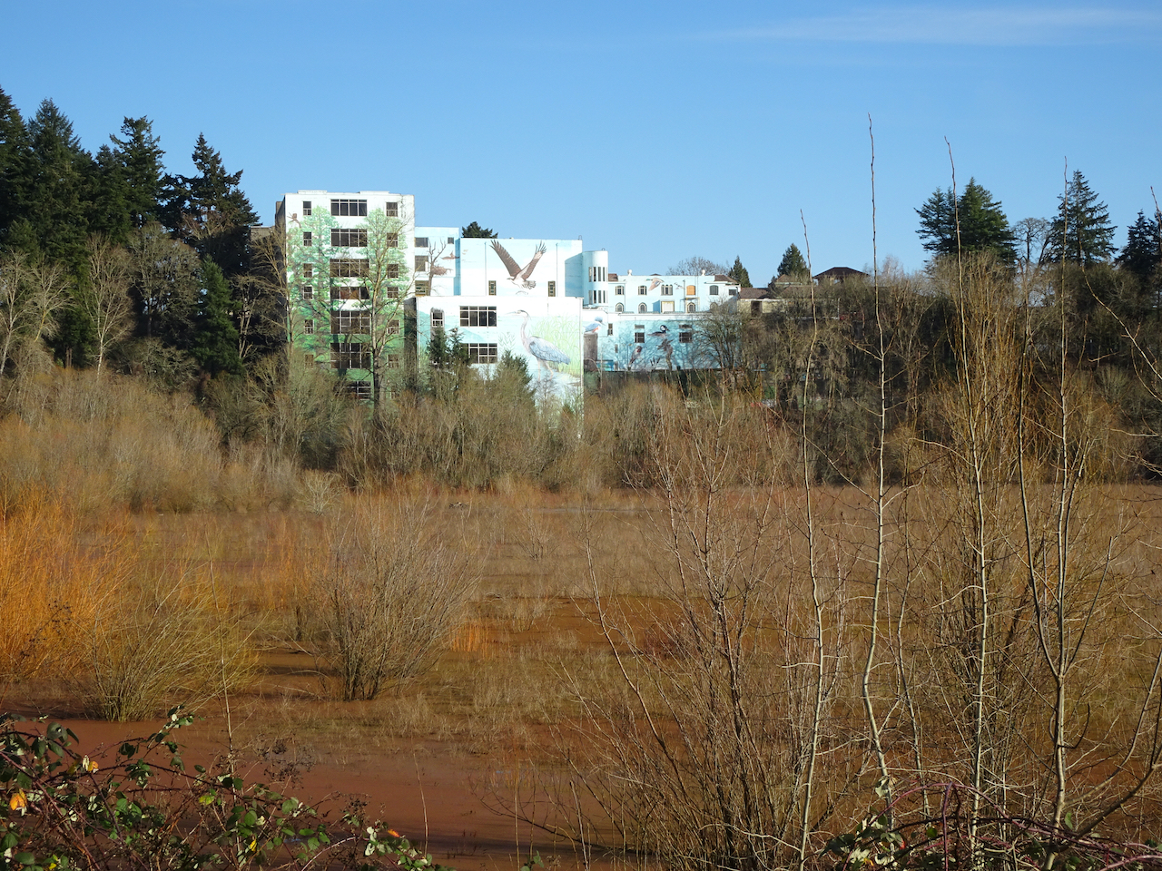
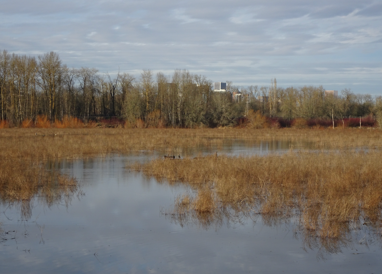
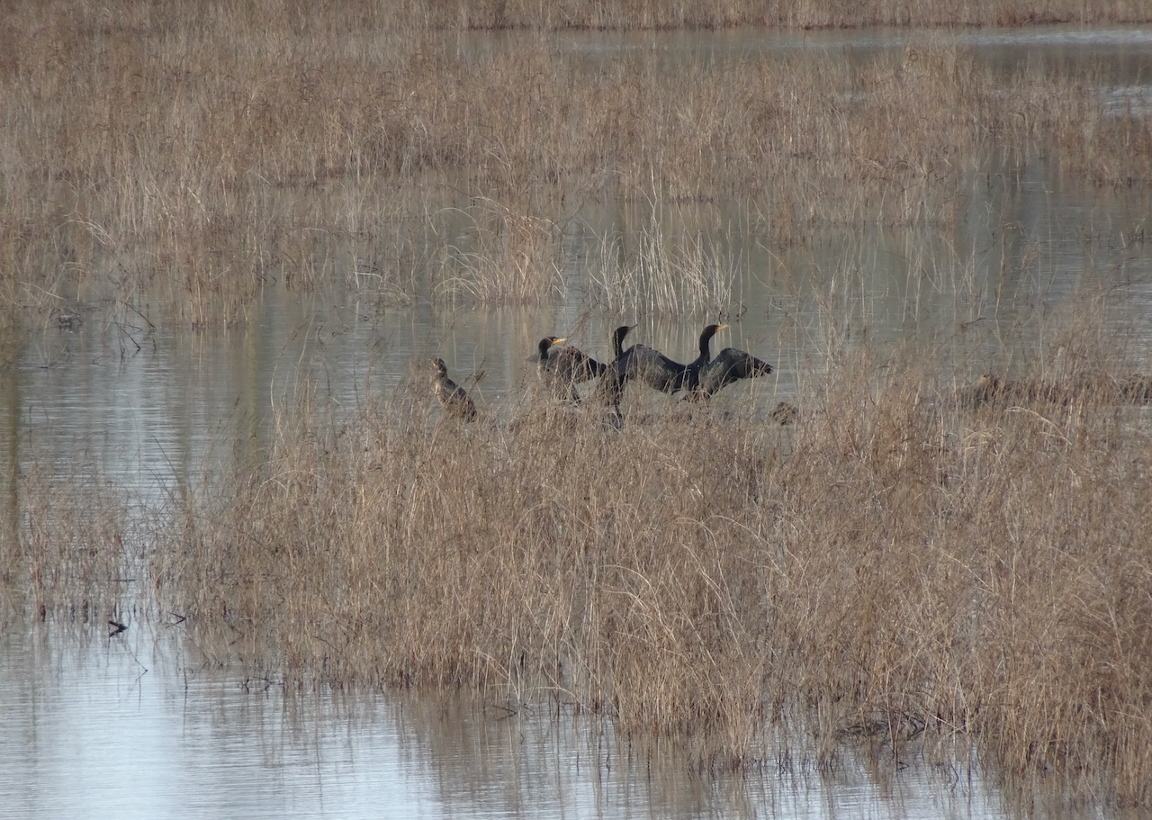
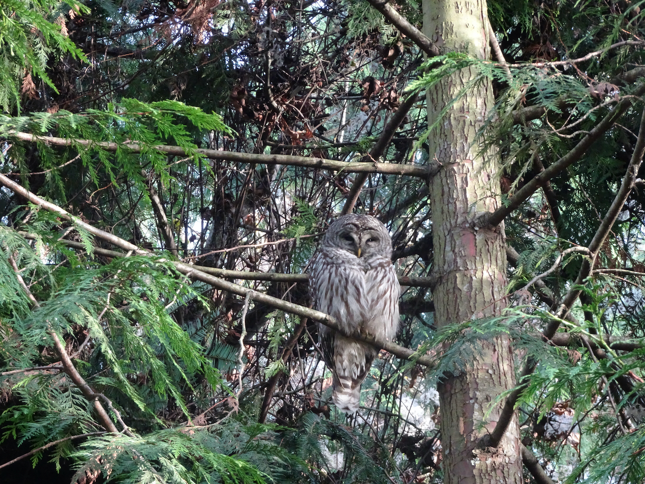
Around Portland

My neighborhood is also blooming.
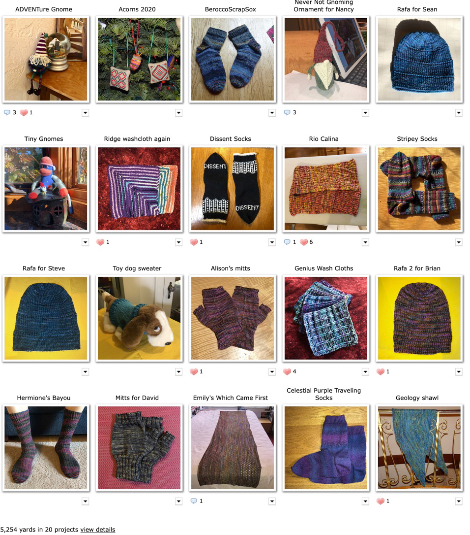
Knitting

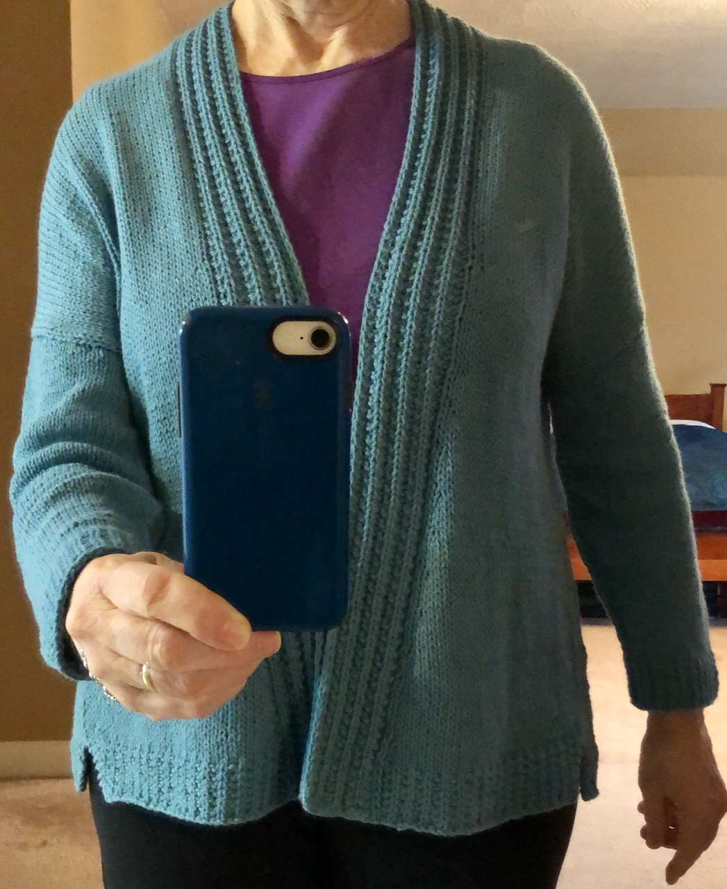
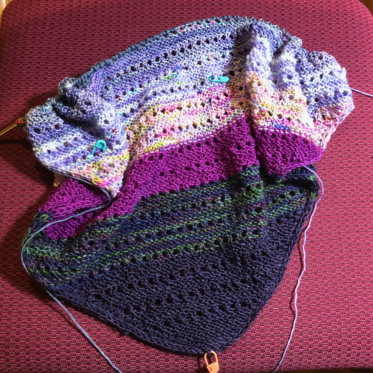
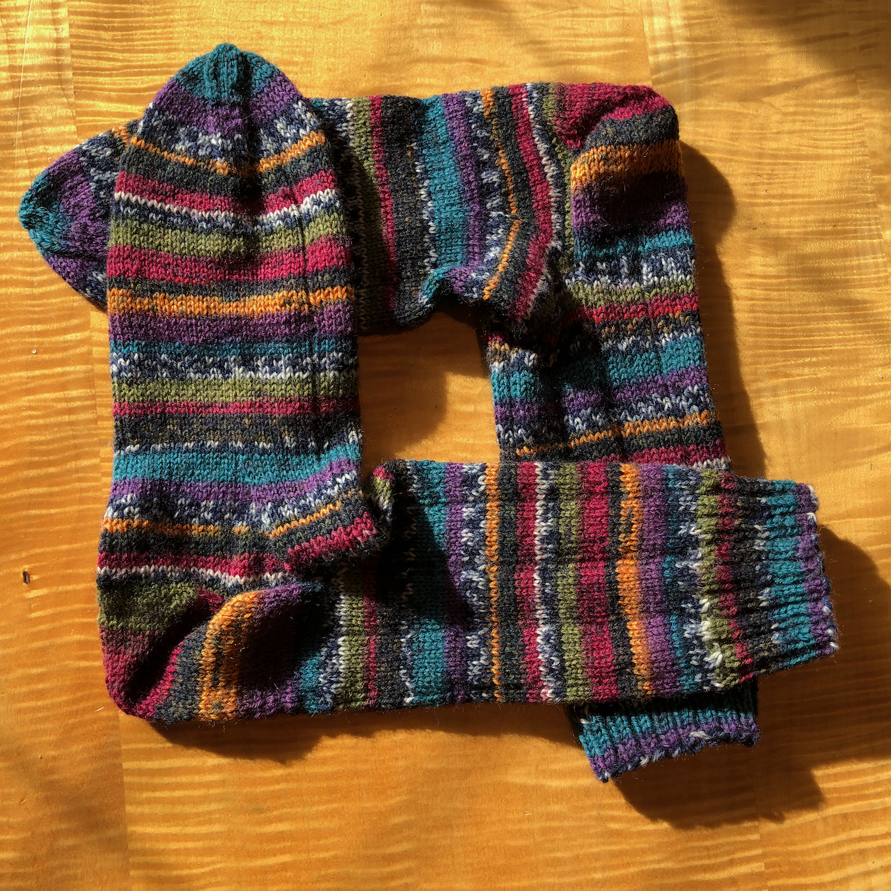
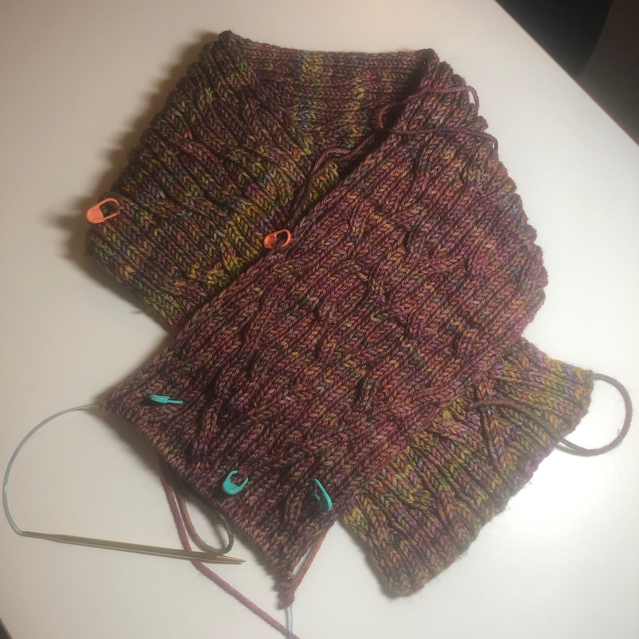
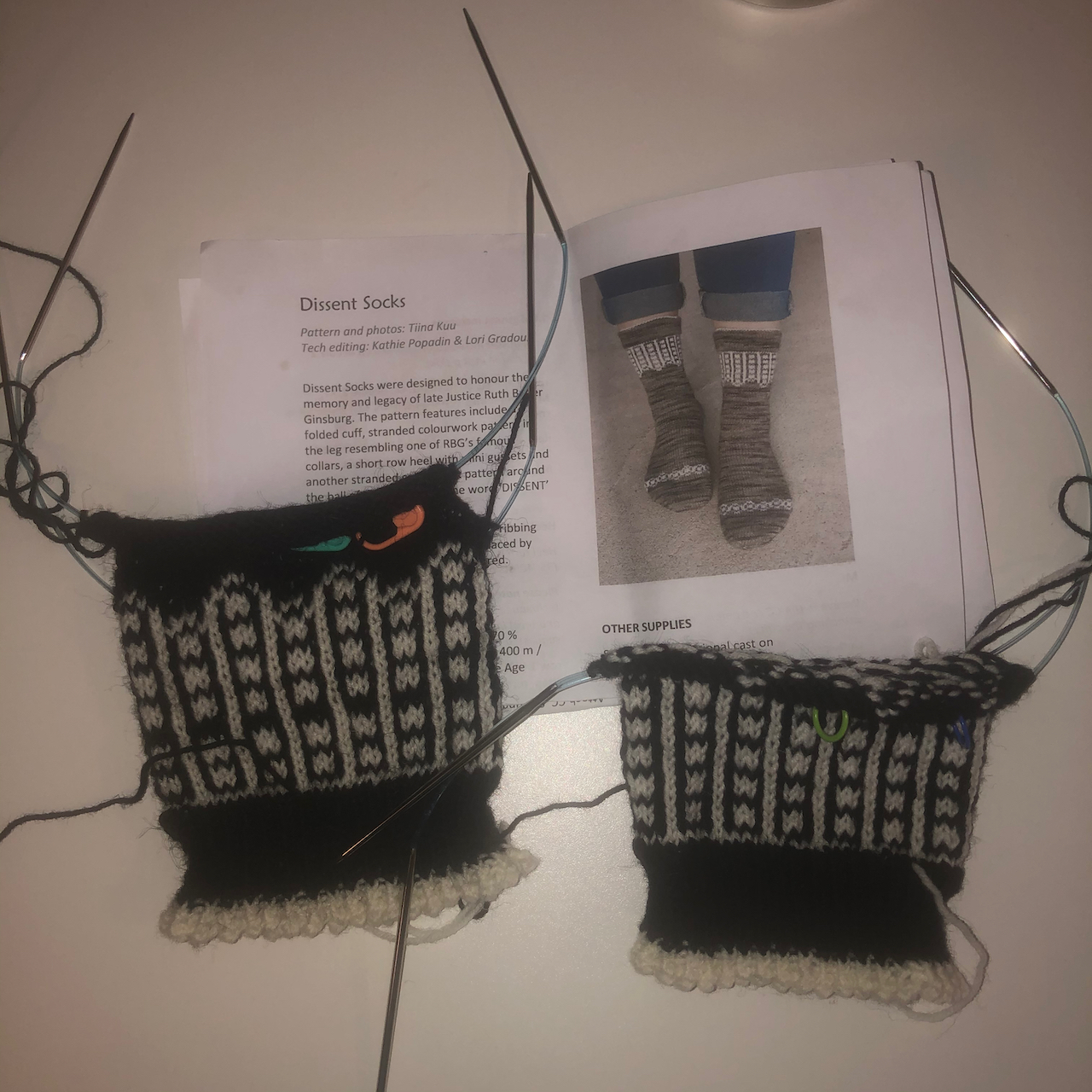
I finished knitting a pair of socks for me and another hat and a cowl for the guild charity project, and cast on new socks and a cardigan.

And…

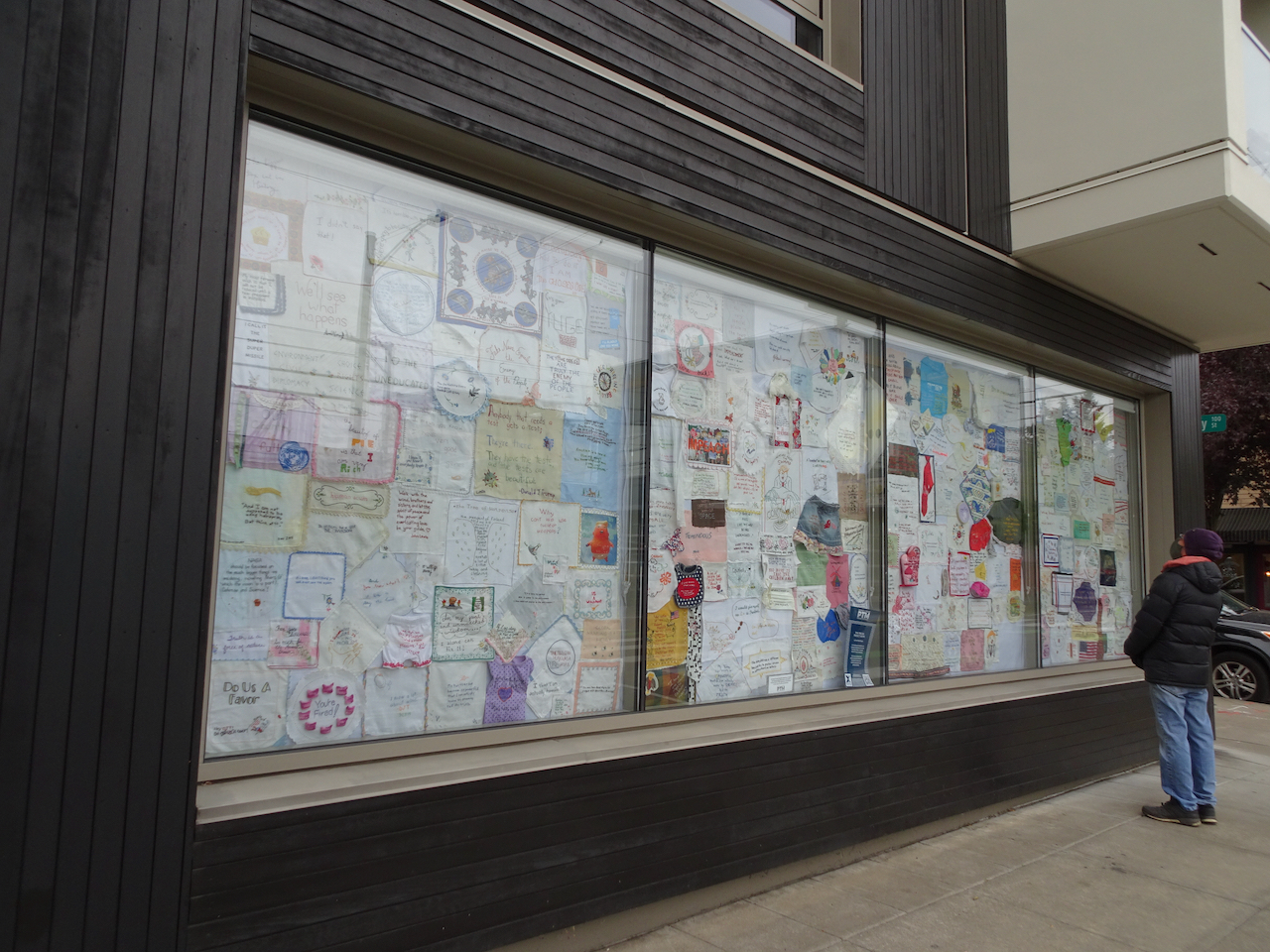
I hold the more difficult challenges to the outside world in my heart. This week it is yet another uniquely American gun violence episode in Georgia, another hate crime, anti-woman, anti-Asian. I know in my heart it is all true, and part of the work we all have to do – bring out all the biases into the light of day and see how they harm so many. I am listening and learning more each day, and it all rings true, and saddens me. I pledge to myself to be as much of an ally as I can recognize. Listen and learn. Validate. Search for the commonalities and not the otherness. From my place on the privilege spectrum.  That is most of what I do, and will do, and am lucky to do. And before I can publish this – yet another mass shooting at a grocery store in Colorado.

As a youngster with all the idealism of youth, I envisioned a giant magnet circling the world sucking away all the implements of violence, all the guns and weapons of war. On days like today with a heavy heart and a less idealistic world view, still I sigh and wish it could be true.

IMG_2823

Image 3-21-21 at 3.32 PM

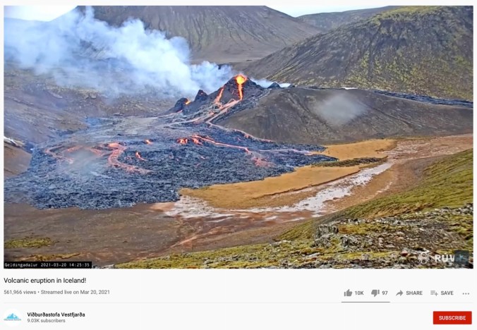
And a volcano is erupting in Iceland!

Hiking in February 2021

Despite the mid-month ice storm, we managed three hikes in February – all in the eastern Columbia River Gorge of Washington.

Lyle Cherry Orchard / Lower Catherine Creek – Feb. 2nd

We were hoping for good weather east of the mountains, but were foiled by a squall.

DSC05612

Starting up the Lyle Cherry Orchard trail, we could see nothing but blue sky from the Convict Road…

DSC05610

But there are clouds over the Columbia River to the east,

DSC05609

and west.

DSC05607

We saw our first Columbia Desert Parsley of the season,

DSC05618

and scattered grass widows.

DSC05620

As we continued up the tiers of basalt,

DSC05624

we noticed more ominous clouds to the west.

DSC05629

We continued up,

DSC05630

to about this point, when we encountered wind and driving rain on the unsheltered slope

DSC05627

We sheltered briefly under one of the oak trees, then headed down. 

By the time we reached the car, the skies were blue again, so we decided to stop at Catherine Creek before going home.

DSC05649

We walked the Lower Loop, with views of the waterfall,

DSC05651 (1)

and of our Ponderosa guide tree, up on the slopes above the Labyrinth.

We saw a few early wildflowers, and finished just in time for another squall to blow through.

DSC05637

Blue jay

DSC05640

Bitterroot foliage

DSC05645

Rain in a vernal pool.

We saw rainbows in our rear view mirror as we drove back to rainy Portland.

IMG_2686IMG_2683

Coyote Wall – Labyrinth Loop – Feb. 9th

We started cold and overcast, but hiked into a bluer, warmer day.

DSC05653

Looking up at the wall from the trailhead – we would soon be looking down from there….

DSC05661

View to the east from the lower slopes.

DSC05662

Ice on the trail.

DSC05657

First yellow parsley of the season,

DSC05666

and first prairie stars, with salt and pepper.

DSC05663

A bald eagle below us, watching the river.

DSC05668

Continuing up the Little Moab trail to the edge of the cliff…

DSC05670

Heralded by this raven the whole way.

DSC05673

Looking down at the trailhead,

DSC05675

and up the edge of Coyote Wall toward our lunch stop.

DSC05686

Trail continuing up the slope…

DSC05688

to the rocky edge where we took our lunch break.

DSC05695

The clouds began to part after lunch.

DSC05699

We headed east toward the Labyrinth across the upper slopes,

DSC05701

into a bluer sky.

DSC05702

Icicles in the upper Hidden Creek crossing.

DSC05718

Eastward view from our Ponderosa guide tree viewpoint on the Upper Labyrinth Trail.

DSC05721

Continuing down, we could see Mt Hood on the skyline peeking out from the clouds.

DSC05731

Through my favorite oak grove,

IMG_2701

Past the columnar basalt buttes,

DSC05736

Following the waterfalls of Hidden Creek down the Labyrinth,

DSC05747

beneath the blue sky.

DSC05739

DSC05756

These falls were nearly dry in November,

DSC05758

now the pool is overflowing.

DSC05764

Goodbye to the ghost tree.

DSC05766

And back to the trailhead beneath the wall. A successful day!

Dalles Mountain Ranch – Vista Loop – Feb. 24

After two weeks of snow and ice storms, we were finally able to find a blue sky day at Columbia Hills State Park, an hour and a half east of Portland. A beautiful day, edged by snow on the skyline. Take a peek here if you want to see this trail in full spring bloom!

DSC05809

View south and west from Dalles Mountain Ranch trailhead – Mt Hood in Oregon, far across the Columbia River. We are heading downhill toward the river.

DSC05822

Looking back to the ranch as we hike down Eight Mile Creek.

DSC05824

Creek crossing.

IMG_2816

Our lunch stop along the Missoula Floods scoured lower bench. Mt Hood, Columbia River, The Dalles and Horsethief Butte. Lots of purple grass widows in the foreground.

DSC05849

Eastward lower viewpoint.

DSC05843

Salt and pepper, grass widows.

DSC05830

Yellow bells

DSC05827

Gold stars

DSC05856

Another desert parsley

DSC05852

Looking back up to the ranch on the return hike.

DSC05853

One tree to rule them all.

Begin anew! January 2021

January 20, 2021 –  So far 2021 has not brought much change to our daily life, but the relief of having a new president casts a hopeful light on our future! We celebrated our 36th wedding anniversary this month, with homemade Indian food and leftover Christmas chocolate. We continue in pandemic lockdown mode, staying home unless doing essential shopping, going on neighborhood walks, or weekly out of neighborhood hikes. Vaccines are seeping into the community, mostly to health care professionals and long term care facilities. My husband has temporarily unretired and will be helping with vaccinations. Thus he was able to celebrate inauguration day doubly, as he got his first dose today.

Hiking: We have been on three hiking adventures so far. The first, on January 7th, was our annual trek to see the bald eagle nesting area along the Klickitat River near Lyle, Washington. We saw at least thirty birds, many of them juveniles that still have brown plumage. 

DSC05313

Bald eagles flying across the Balfour-Klickitat pond.

DSC05336

One eagle stayed perched in a tree nearby.

DSC05337

Closer view.

DSC05342

Many more eagles in the trees across the pond.

DSC05343

Zooming in, even more eagles can be seen disguised in the foliage.

DSC05359

Another dozen eagles were out on the sand bar where the Klickitat River flows into the Columbia River.

DSC05357

Two adults, one juvenile bald eagle on the sand bar.

DSC05369

Osage oranges along the trail here.

DSC05371

They are a curious fruit.

DSC05384

We walked a couple of miles along the Klickitat River trail.

DSC05396

Downy woodpeckers were in the bushes nearby.

DSC05404

This is a converted rail trail with a nice even tread.

DSC05421

We turned around at the Fisher Hill Trestle.

DSC05413

View down the Klickitat River from the trestle.

DSC05407

A side stream cascading into the Klickitat River.

DSC05424

On our return walk we saw a congregation of a couple of dozen eagles circling overhead.

On January 14th, we walked around Oaks Bottom Wildlife Refuge in Southeast Portland. The blue sky was reflected beautifully in the water, and we saw cormorants, herons, and a barred owl near the trailhead.

DSC05445

Blue sky.

DSC05456

Reflections in the marsh.

DSC05485

Winter foliage.

DSC05490

Muraled Mausoleum across the marsh.

DSC05498

Oaks Park on winter/Covid hiatus.

DSC05522

Cormorants and herons, Downtown Portland.

DSC05513

Cormorants.

DSC05548

Barred owl.

Back out at Catherine Creek, near Lyle, Washington, on January 19th, we found the first grass widow of spring, then hiked a long loop up Atwood Road, across the top of Sunflower Hill, then down the Desert Parsley Trail back to Rowland Wall, thus completing some of the gaps in our map there. It was a beautiful day – chilly, but conducive to hiking up hill at a steady pace to see the eastern gorge spread below magnificently.

DSC05557

First grass widow of spring!

DSC05560

Catherine Creek waterfall set in the winter landscape.

DSC05572

Mt Hood to the west.

DSC05574

The arch from Atwood Road.

DSC05578

An old stove near Atwood Road.

DSC05580

Lunch view from the top of Sunflower Hill.

DSC05590

Oak tree, Mt Hood, noonday sun.

DSC05602

Looking up at our guide Ponderosa from The Desert Parsley Trail.

Knitting: So far this year I have finished knitting a sweater and a gnome, I’ve started a blanket and a new pair of socks:

IMG_2511

Farallon Cardigan

IMG_2470

Here We Gnome Again

IMG_2641

Habitation Throw, using my “advent” yarns exchanged with my knitting group

IMG_2587

Artists Garden Socks

Quilting: I finished my Plaid Rectangles Charm Quilt, a companion piece to my Plaid Applecore Charm quilt.

IMG_2564

Plaid Rectangles Charm Quilt

IMG_2571

Companion quilts.

A New Day! After a long, satisfying hike yesterday, I got up way too early (for me) to watch the inauguration celebration. I felt some trepidation, due to the recent insurrection. I am very relieved to report that all proceeded beautifully. The participants were diverse, eloquent, hopeful, forward looking! I cried as I witnessed the swearing in of our first female vice president! The singing, the president’s speech, and the prayers were relevant, meaningful, beautifully delivered.  I adored the young poet laureate, Amanda Gorman, and the firefighter who signed as well as spoke the Pledge of Allegiance. The outgoing vice president was gracious in the transition. The colorful wool coats of the ladies brightened a blue sky day, when the Capitol, unfortunately, had to be surrounded by military lockdown, as the previous occupant never really conceded to his violent, deluded followers. I am disappointed that my daughter, sitting in her apartment about a mile away from the proceedings, could not witness the day. She assured me they remained safely within, while the din of helicopters continued above. Perhaps, going forward, the domestic terrorists will withdraw and think about the bill of goods they were sold, the lies told, the violence fomented by a greedy, disappointed narcissist who was only ever out for personal profit and aggrandizement, with no concern for the common good, no interest in public service. Good riddance! Meanwhile, executive orders and initiatives are already putting to right some of the damage, and asserting to the world that we want to participate in finding solutions for global problems.  

IMG_2624IMG_2626IMG_2623


2020 Review / 2021 Preview

Well, that was a year! When I reread my New Year’s post from last year, I wince and remember the saying about someone laughing when you make plans. I know that everyone in the world can relate – we did not forsee a global pandemic shutting everything down. We still don’t know what life will look like on the other side of the pandemic when we all have been vaccinated.  Nevertheless, I managed to accomplish about half of the things on my list of intentions. 

Travel: The  high point of the year was our month in New Zealand before everything shut down. Our plans to go to Washington DC and Italy were cancelled. We were able to take four midweek trips to hiking destinations within a few hours drive of our home – to Sisters, Yachats, and Prineville in Oregon, and Packwood in Washington (following all Covid-19 precautions). 

DSC07326

Hiking: I hiked almost 400 miles last year, almost 63000 feet of elevation gained, on 76 different adventures, 26 of which were in New Zealand. The hikes up Ben Lomond near Queenstown, and to the Sealy Tarns in Mt Aoraki National Park were my favorites there. Back home, we found a way to continue hiking in pandemic mode. At first we took several long urban hikes through Portland neighborhoods to high points or parks. We have hiked about half of the Wildwood Trail in Forest Park, and we have gone to farther flung, less popular trails, midweek. I feel lucky we can still get into nature.

Reading: I met my goal to read 64 books last year.

Image 1-18-21 at 12.43 PM

Knitting: I knit over 5000 yards of yarn into 20 different projects: 2 shawls, 1 scarf, 5 pairs of socks, 3 hats, 2 pairs of mitts, 2 sets of wash cloths, 4 gnomes, 2 acorn ornaments, and a toy dog sweater. 14 of the projects were gift or charity knitting.  Knitting was a main source of anxiety relief to get me through the chaos and unpredictability of this year. My knitting group has continued to meet on line, pulling each other through. I am so grateful I found this group in 2019, as it has been a great source of comfort for me this year.

Image 1-1-21 at 5.25 PM

2020 was a difficult year which tested resilience. I know I am privileged to have made it through in good health in a safe and comfortable home. I miss my family and friends. The worst part of the year was losing a brother-in-law to a noncovid illness in May, and not being able to travel to grieve with family. That loss haunts me every day, however correct the decision is/was for safety reasons. 

 2021 – The political upheaval and tension have been excruciating. The good news that we will have our new president, vice president and senate majority does not discount how hard it will be to undo all the harm caused by the lies, selfishness, and evil intent of the outgoing president. But it gives us reason for hope.  I hope for healing through an honest truth and reconciliation process. I hope it becomes widely accepted that racist agendas going back to the founding of our country have been used to convince the less advantaged to hate amongst themselves rather than to support government that is fair to all of the people. 

Image 1-9-21 at 10.57 AM

At some point, we will be vaccinated and be able to travel again. I hope to be able to see my farther located family members and friends. Meanwhile, I will keep on knitting, reading, quilting, hiking, and blogging. My blog has been evolving since I started it in 2017, as a way to document my life and my quilts – mostly as a scrapbook for personal use. I wrote my 200th post last year. I still have more than a dozen unfinished posts from our New Zealand trip, and a number of quilt story posts to finish. Those are my modest goals for the New Year. I hope when I look back next year, I will have had some new wonderful adventures in a calmer world.

Hiking in December, 2020

Another gathering of late reports…

Friday, December 4th, Tracy Hill, WA

The fog never lifted, and was sometimes frozen, as we hiked past the Catherine Creek Arch, all the way up Tracy Hill, and then down again. (Hike #72, 5 miles, 1100 feet)

IMG_2160

Looking toward our destination from the Hood River Bridge.

DSC04971

Passing the Arch on the way up,

DSC05005

and into the fog.

DSC05003

The frozen grasses and seed heads are pretty.

DSC04980

IMG_2167

Lunch stop with no view, near the top of Tracy Hill.

DSC05013

On our way down – eventually below the fog again.

DSC05024

Frozen vernal pond.

DSC05036

Hiking above the Arch on the return.

DSC05042

Our first time crossing the new trail bridge over Catherine Creek – we used to walk back along the highway.

DSC05043

We always see something new here – this time, frozen grasses and a new trail bridge.

Wednesday, December 9th, Hardy Ridge and Nancy Russell Overlook, WA

The rain was supposed to stop midmorning but didn’t, so we turned back about half way. We stopped for a quick view from Nancy Russell Overlook on the way home. (Hike #73, 6.2 miles, 1200 feet)

DSC05053

Soggy trail to Hardy Ridge.

DSC05055

Soggy lichen

DSC05065

Nancy Russell Overlook

DSC05059

Columbia River Gorge, looking east.

DSC05072

Puddles in the trail.

Monday, December 14th, Catherine Creek, WA

We finally found the path through the inside out switchbacks on the Shoestring Trail beneath Rowland Wall, as we hiked through fog, snow, and then a surreal landscape between fog and sun. (Hike #74, 4 miles, 850 feet)

DSC05073

Fog ahead – we began with hopes that the fog would lift.

IMG_2287

Looking to the east – it is sunny out there.

DSC05092

By the time we reached the pylons, we were in the fog.

DSC05093

When we dropped over Rowland Wall, we were walking through oak groves with patchy snow along our trail.

DSC05100

DSC05112

I saw a ruby crowned kinglet in the bushes.

DSC05115

The snow helped define the place in the path where we have lost the trail on previous occasions. Also, by hiking down instead of up, I thought we could make the connection, and we did!

Image 12-15-20 at 5.58 PM

Our GPS track for the day: the red circle is the place of the inside out switchbacks, developed by mountain bikers, where we have lost the trail in the past.

DSC05118

After lunch, we continued down, and looked behind us to see blue sky!

DSC05124

Continuing down toward Rowland Wall, below the fog.

DSC05136

We emerged out onto the grassy slopes, fog above, sun somewhere shining on the Columbia River.

DSC05149

DSC05152

Heading toward Rowland Wall.

DSC05162

The leaning tree and the Pinnacle.

DSC05165

Our path back up the wall.

DSC05167DSC05170DSC05177

Once above Rowland Wall, we could see more blue sky to the east.

DSC05185

Vernal pool near the trail head.

DSC05187

Catherine Creek Arch in the low sun.

DSC05189

Foliage of the bitterroot flowers of April!

DSC05192

Looking back up to where we have been.

Wednesday, December 23rd, Ridgefield Wildlife Refuge, WA

Swans from a distance, and an excellent view of moonrise. (Hike #75, 2.7 miles, 100 feet)

DSC05207

The best view of the swans in Carty Lake was from the entry bridge.

DSC05213

Upside down trees out in their full glory.

DSC05217

Moon rising…

DSC05218

DSC05231

Moon, photobombed by airplane, as we approach the bridge at the end of our hike.

Monday, December 28th, 2020, Powell Butte, Portland, OR

Cold and windy, with clear views of the surrounding Cascade Mountains. (Hike #76, 4.3 miles, 500 feet)

DSC05300

Mt Hood from the top of Powell Butte

DSC05303

Mt Jefferson

DSC05304

Mt Adams

DSC05305

Mt St Helens

Hiking in November, 2020

A gathering of late reports….

Monday, November 2nd, The Labyrinth

My favorite, often visited, eastern Gorge trail on a windless day with beautiful low autumn light. (Hike #69 for 2020, 4.4 miles, 1000 feet)

DSC04705

Trailhead, Rowland Lake, perfectly calm and reflective. Our destination is the tall Ponderosa Pine, left of center.

DSC04707

The Old Hwy 8 waterfall is completely dry.

DSC04709

Mt Hood on view to the west across the Columbia River.

DSC04712

The labyrinth waterfall is almost dry…

DSC04714

A few drips in the mossy wall,

DSC04723

and some still pools below in the streambed.

DSC04734

We wind around columnar basalts surrounded by golden grass,

DSC04748

Through the oak grove.

DSC04755

Mt Hood still on view in the glare, as the sun moves west

DSC04758

We pass a favorite trailside oak tree,

DSC04760

Almost to our destination Ponderosa…

DSC04763

The eastern Gorge beyond

DSC04768

Rowland Wall and the Catherine Creek area slopes.

DSC04771

Zoom in on Lyle and Memaloose Island

DSC04772

Tom McCall Point and the orchards of Mosier on the descent.

DSC04780

The haunted oak tree bids us farewell.

Monday November 9th, Dry Creek Falls

We spotted the winter swans in Mirror Lake at the base of Crown Point as we made our way through The Gorge to Cascade Locks.

DSC04798DSC04797
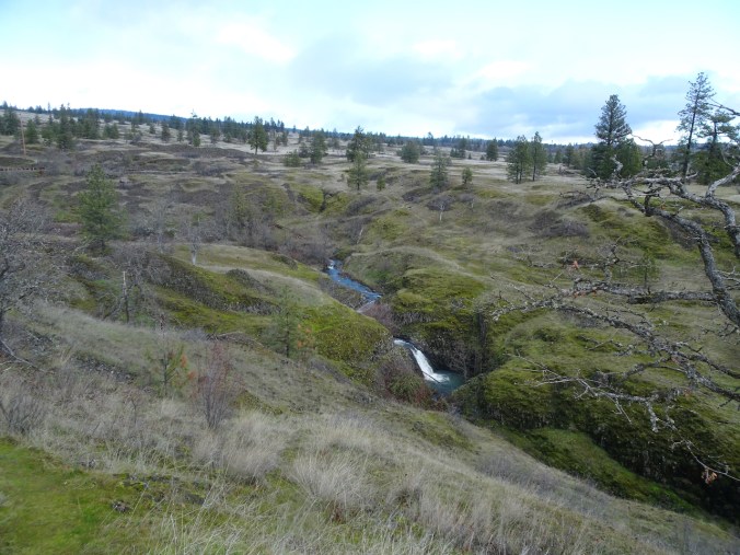
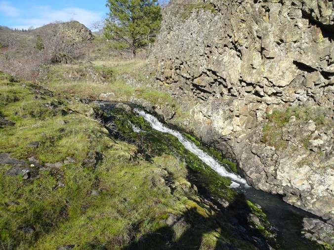
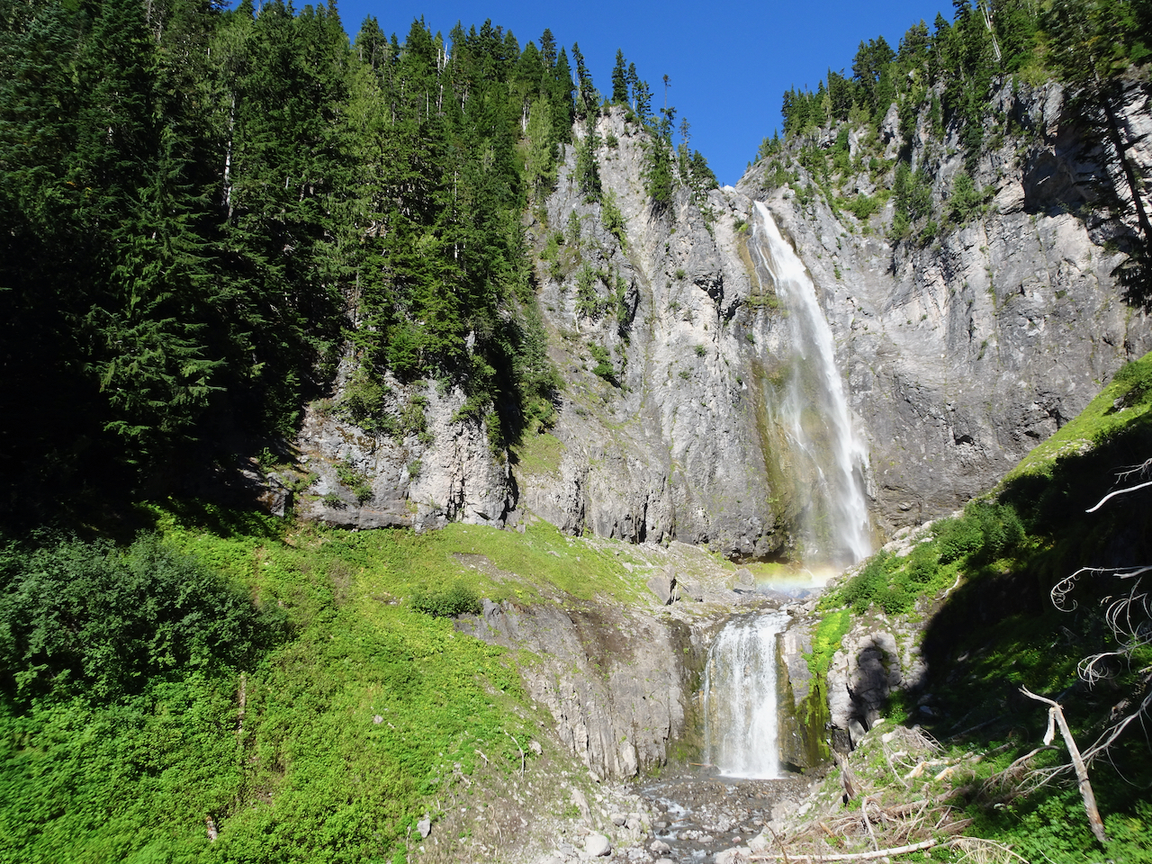
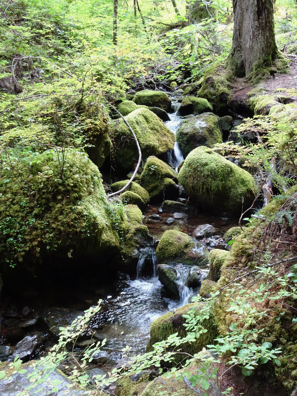
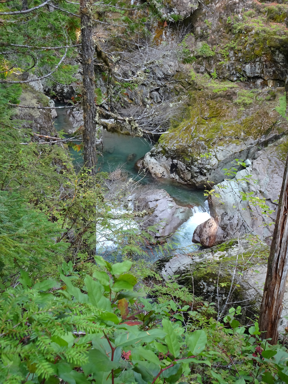
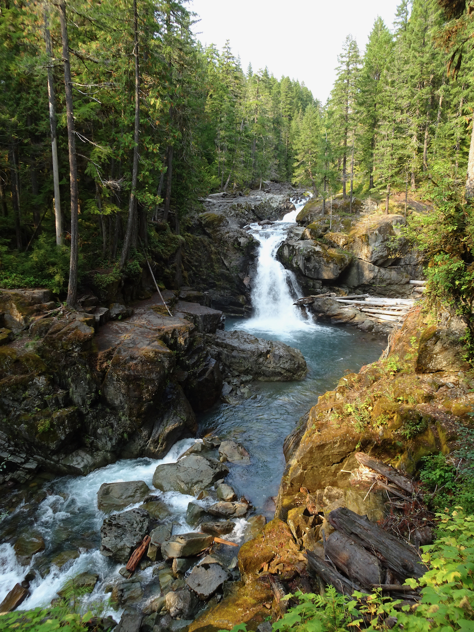
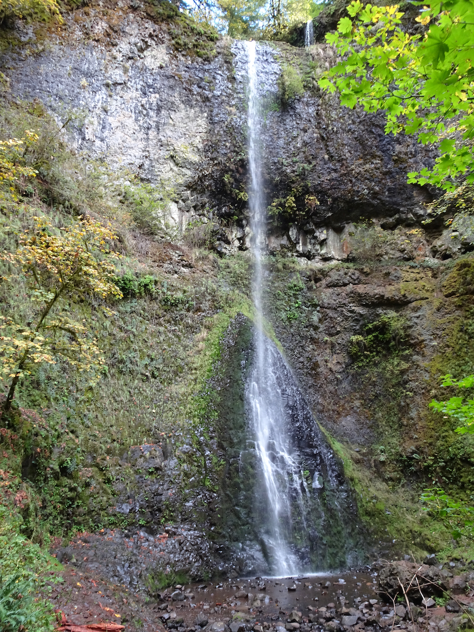
Dry Creek Falls, which we have hiked many times, is one of the closest waterfall hikes, most of the trails still being closed since the 2017 fire. Today we walked through falling Big Leaf Maple leaves lighting up the partially burned forest. (Hike #70, 4.9 miles, 1050 feet)

DSC04808

DSC04852

Bridge over Dry Creek on the Pacific Crest Trail.

DSC04848

DSC04835

Dry Creek Falls

DSC04832

Monday, November 16th, Finley Wildlife Refuge

Our first visit to this refuge, on a day when the Willamette Valley to the south was the only partly dry place within a two hour drive from home. Recovered farm land is a winter sanctuary for migratory birds. (Hike #71, 2.5 miles, 150 feet)

Screen Shot 2020-12-26 at 11.35.24 PM

Our first stop, the Prairie Overlook:

DSC04874

Miles of Willamette Valley grasslands.

From there, we walked the Homer Campbell Boardwalk through a wetter terrain.

DSC04888

Canadian Geese near the trailhead

DSC04889

DSC04894

The boardwalk…

DSC04893

Marshy forests

DSC04898

A bird blind at the end of the winter trail.

DSC04901

Back through the mossy and lichen covered trees.

DSC04907

Another hiker told us we would see swans in the McFadden Marsh, so we headed there for our lunch stop.

DSC04916

Swans, geese and other water fowl.

DSC04911DSC04919DSC04932

The weather had cleared a bit, so we hiked the Woodpecker Loop trail to stretch our legs a bit more.

DSC04951

Along the Woodpecker Loop trail.

DSC04953

High point – a shelter, and view of some of the high Cascade Mountain peaks to the east.

As we began our drive home, we found the best view of the Cascades was from a road pullout above some of the historic farm buildings.

DSC04961

Mt Jefferson

DSC04962

North, Middle and South Sisters.

We enjoyed our day at Finley Wildlife Refuge – anything to get out of the house for a few hours and walk in nature. I would like to visit in other seasons, but we usually have destinations closer to home…

In October we went to John Day Fossil Beds National Monument, Oregon

Another socially distant/Covid careful trip. We stayed three nights in Prineville, and had two days to explore the Painted Hills and Sheep Rock units of the National Monument. Indoor exhibits were closed, trails were available for walking. 

Painted Hills 10/27/2020

We walked five different short trails, each highlighting an aspect of the ancient lake beds that are exposed now as brilliantly colored and striped landforms. It was bitter cold out in the morning – well below freezing, but warmed up during the day.

Painted Hills Overlook – The main overlook has an amazing view of the Painted Hills. We walked to the upper overlook for more views.

DSC04271

Main overlook.

DSC04269

River of grass on the nearby hills.

DSC04284

Zooming in from the upper overlook:

DSC04286DSC04287DSC04288DSC04300

DSC04315

Upper overlook

Painted Cove Trail – We next walked the short loop through the red hills near the John Day River.

DSC04316DSC04321DSC04325DSC04335DSC04339

Red Scar Trail – Another short trail that leads past brilliantly colored badlands.

DSC04371

DSC04376

Red Scar Knoll and Red Hill

DSC04383DSC04412IMG_1859

Carroll Rim Trail – Our longest trail for the day (1.6 miles/400 feet) was a walk up to the Carroll Rim. As we hiked up, we could look down on the Painted Hills. From the top, we could see views in every direction.

DSC04420

Carrol Rim

DSC04424

Looking down from the trail.

DSC04451

View from the end of the trail.

DSC04433

View to the east

DSC04435

View to the northwest, Painted Cove area.

DSC04438

Close up of Painted Cove

DSC04485

View to the Painted Hills on the way down.

DSC04488

Back to the Painted Hills Overlook – for another look as the low western light added a glow to the Painted Hills.

IMG_1865DSC04522

On our drive back to Prineville, we saw a herd of deer, and a view of the Central Cascades.

IMG_1867

Deer near Painted Hills.

IMG_1870

Mt Bachelor, Broken Top and the Three Sisters on the horizon.

Sheep Rock Unit – Blue Basin – 10/28/2020

We first walked the Island in Time Trail in the heart of Blue Basin.

DSC04527

Entering Blue Basin – one of many bridges on this trail.

DSC04528

Ice in the creek – last time we were here there was bluish water in the creek.

DSC04544

Blue-green volcanic ash claystones.

DSC04545

One of many fossil displays along the trail.

DSC04548

We would be hiking on the surrounding hills later in the day.

DSC04562DSC04564DSC04570

DSC04591

Bench at the end of the trail.

This beautifully eroded skyline was a prominent feature.

DSC04584

DSC04585

Zooming in on the prow…

DSC04587DSC04588

We spotted this little bird on our way out.

DSC04596

After lunch, we hiked the longer Blue Basin Overlook Trail (3.25 miles/ 600 feet) around the encircling mountains. 

DSC04601

North of Blue Basin, the trail passes more blue badlands formations.

DSC04609DSC04611

Continuing up hill…

DSC04627

Boardwalk over mudstone

DSC04632

Views to the north

DSC04634

Robins and juniper berries.

Eventually we reached the viewpoint over Blue Basin –

DSC04643DSC04642

The trail circles around to the south, above the basin, giving views of the same beautifully eroded skyline I noticed earlier.

DSC04648DSC04667DSC04677

Eventually, we descended to the trailhead. 

DSC04680

John Day River Valley.

DSC04682

We also took a short hike on the Story in Stone Trail, located just a few miles north in the Foree unit. We saw similar landforms there.

DSC04691DSC04700

We thoroughly enjoyed our visit to this remote area. We were lucky with sunny, if cold, weather. The trails were mostly empty, an important Covid consideration. Lots of fresh air and a good change of pace from our sheltering at home routines.


We went to Mt Rainier in September –

-on a midweek getaway, to a self-contained cabin in Packwood, Washington, with our own food, following all Covid-19 precautions. We have seen the stunning wildflower displays of summer a few times, and had long been wanting to see the the mountain in fall colors.

Mount Rainier area hikes.

September 29, 2020 – Comet Falls/Van Trump Park

This trail, west of the Nisqually River and Paradise, follows Van Trump Creek all the way up to the stunning Comet Falls, then farther up the slopes to magnificent views of Mt Rainier from Van Trump park. (P.B. Van Trump  was one of the first to stand on the summit of the mountain, in 1870). A very challenging and satisfying hike (7 miles, 2500 feet).

DSC03467

Smaller falls near the trailhead.

DSC03471

Trail through the woods.

DSC03487

I first thought this was our waterfall, then continued over the next ridge:

DSC03498

Comet Falls! About 400 feet, counting smaller tiers above and below the main falls. Snow bank on lower right.

DSC03509

With rainbows in the mist!

DSC03516

DSC03517

Our trail continues up, with better views of Comet Falls.

The trail continued upward steeply, into Van Trump Park.

DSC03518

Above the waterfall, the mountain came into view.

DSC03526

Fall foliage on the slopes of Van Trump Park, glowing red!

DSC03527

DSC03528

Mount Rainier from our lunch stop in Van Trump Park.

Views of the glaciers from a new angle:

DSC03547DSC03532DSC03534DSC03545DSC03546

The trail down seemed steeper than the trail going up; that might just be my knees talking.

DSC03561

Mt Adams on view beyond the Tatoosh Range.

DSC03562

Glacial striations/polish and Mt Adams.

DSC03575

Uppermost tier of Comet Falls.

DSC03601

A particularly steep trail section.

DSC03560

A few late gentians in the upper meadows.

DSC03603

Vine maples just beginning to turn red.

We stopped at a couple of roadside viewpoints on our way out of the park.

DSC03609

Highway bridge over the Nisqually River canyon.

DSC03610

Nisqually River downstream.

We could not resist stopping to see the mirror image in Reflection Lakes.

DSC03619

September 30 – Naches Peak/Tipsoo Lake Loop, smoke haze at Sunrise, Silver Falls.

We hiked this loop trail (4 miles, 600 feet), with our views increasingly shrouded in haze. Wildfire smoke began drifting diffusely in, creating a grayish white sky that was so startlingly blue yesterday.

We were almost alone as we walked around Tipsoo Lake, admiring the beautiful reflections in its mirror-like surface.

DSC03641

Tipsoo Lake

DSC03647

Yakima Peak

DSC03650

Mt Rainier, slightly obscured by haze.

DSC03655

Mt Rainier reflected in Tipsoo Lake.

DSC03663

Yakima Peak – our trail rising along its base.

DSC03644

Pasque flower seed head

DSC03669

Meadow of huckleberry and aster seed heads.

Then we hiked the loop around Naches Peak – following the Pacific Crest Trail.

DSC03676

Crossing Hwy 410.

DSC03678

Hwy 410, headed down the canyon, to the east.

DSC03681

A new wilderness area for us!

DSC03688

Trail up over the shoulder of Naches Peak.

DSC03696

Naches Peak.

DSC03699

DSC03716

Looking back.

We passed a small lake with a friendly chipmunk.

DSC03711DSC03717DSC03723

Once over the shoulder of Naches Peak, we could see the Dewey Lakes to the southeast as the smoke haze increased.

DSC03740

One of the Dewey Lakes.

The trail circles back west,  with stunning views of Mt Rainier when there is no haze, as it passes more small lakes. 

DSC03746

Mt Rainier is ahead through the haze.

DSC03748

One of the trailside lakes.

DSC03760

More beautiful meadows!

DSC03767

Mt Rainier disappearing before our eyes!

We stopped to admire Upper Tipsoo Lake near the trailhead before finishing the hike.

DSC03781

Upper Tipsoo Lake.

After lunch we drove up to Sunrise, elevation 6400 feet, but the smoke haze obscured views, so we didn’t stay.

DSC03786

Dotted Blue line shows Mt Rainier skyline behind the smoke haze.

Instead we hiked to Silver Falls, on the Ohanapecosh River, through old and mossy forest, to see clear turquoise waters, and bright falling waters cutting through a slick rock gorge. All in all a lovely ‘recovery’ day from yesterday – the hikes being not so steep. We hope the smoke will blow out for tomorrow.

DSC03789

Small fairy falls in the mossy old growth forest.

DSC03791

Looking down on the blue waters in Ohanapecosh gorge.

DSC03795

Overlook at the top of Silver Falls.

DSC03803

Downstream view of the Ohanapecosh River below the bridge.

DSC03810

Silver Falls.

DSC03811

October 1 – Paradise, Golden Gate Trail, Panorama Point

The mountain was ‘out’ behind a thin veil of translucent haze! Smoke would gather throughout the day below us to the south on the flanks of the Tatoosh Range. 

DSC03830

View from the parking lot at Paradise.

DSC03831

Iconic gateway to the trail system.

We hiked across Paradise Valley, and up the Golden Gate switchbacks and granite steps, to the High Skyline Trail that circles the valley (6 miles, 1700 feet).

DSC03847

Looking up toward the red huckleberry foliage on Alta Vista, which would be our return trail in the afternoon.

DSC03855

Looking toward the Skyline trail on the east side of Paradise Valley.

We saw a black bear foraging in the meadows below, and at least eight marmots foraging and nest building on our way up.

DSC03880

While looking across at the waterfall,

DSC03883

I noticed a moving black spot in the valley below.

DSC03894

Black bear.

The slopes were still green, and full of fading wildflowers with a few remaining blooms.

DSC03889

Switchbacks of the Golden Gate Trail ahead.

DSC03920

Up the last switchback to the Skyline Ridge.

Once to the ridge, stark, glaciated landscape dominated.

DSC03922

High Skyline Trail

DSC03926

DSC03934

A glimpse over the ridge to the east to the next glaciated valley.

DSC03935

Our destination is around the cirque and above the snowfield – there are tiny humans on that ridge.

DSC03937

Rocky trail.

A mountain goat was resting near one of the snow fields in the cirque.

DSC03945

This is the closest we would get to the mountain goat (to the right of the snow field).

DSC03950

Mountain goat, zoom lens.

DSC03957

DSC03964 (1)

Looking down on the mountain goat after we climbed higher.

Over the rocky top above Panorama Point, near Pebble Creek, we sat on the rocks and ate our lunch with a full mountain view: 7000 feet of vertical relief, glaciers and sculpted rocks. We heard an occasional boom as something up there, heeding gravity, fell.

DSC03974

Lunch view.

DSC03981

Chipmunk on the rock.

DSC03984

Glacier close-ups.

DSC03985DSC03987

We made our way back down the steep granite steps, past Panorama Point and more glacier views.

DSC03989

Heading down to Panorama Point.

DSC03991

Panorama Point, with views in all directions:

DSC03992

East, where we have been.

DSC04004

South, toward our starting point, and the smoky Tatoosh Range.

DSC04003

West, to our downward trail and the Nisqually Valley.

DSC04013

Continuing down…

DSC04015

Rocky steps to Glacier View.

DSC04027

We saw one late pasque flower in the meadow.

The bear was still roaming in the valley below.

DSC04028DSC04031

We crossed through the brilliant red huckleberry foliage on the flank of Alta Vista.

DSC04033DSC04034DSC04048DSC04057DSC04061

After a last stop at Edith Creek and Myrtle Falls, I was done walking for a while. My legs were tired, my cup full! I have to agree with the sentiment carved in the steps at the trailhead. This is one of the most beautiful places I have been. I feel so lucky to have seen it in the fall!

DSC04067

Myrtle Falls

DSC04072

Edith Creek

DSC04077

This hungry deer near the trailhead paid no attention to the people taking his photo!

Knitting update, neighborhood walks, an art exhibit, and waterfalls…October 2020

Knitting

My fingers have been busy:

IMG_1786

Stripey socks – finished!

IMG_1850

Rio Calina Cowl – getting longer, and I might just make it into a long scarf instead of a cowl.

IMG_1853

Dissent Socks, in honor of Ruth Bader Ginsberg – I’ve finished the ankles – on to the heels!

Walks around the neighborhood,

New signs, whimsy, architectural elements:

Fall colors evolving…

I have been hunting witches and other Halloween displays, to be shared in a later post.

Portland Textile Month, Tiny Pricks Art Installation

We visited the exhibition window to see the stitchery, made by artists who embroider a quote onto a vintage textile as a form of protest. It is not how I want to spend my crafting time – but I was glad to get a chance to see a small sampling of the thousands of pieces that have been contributed to this crowd-sourced artwork.

DSC04262DSC04267DSC04266DSC04260DSC04268

Silver Falls State Park

October 19th – We hiked the 5 mile waterfall loop. It was hard to relax and enjoy the scenery –  there were a fair number unmasked, seemingly Covid-protocol-oblivious hikers. We cut our day shorter than usual. The waterfalls are always beautiful, and the light streaming through the yellow big leaf maples enchanting.

DSC04205

South Falls

DSC04221

Lower South Falls

DSC04238

Double Falls

DSC04244

Middle North Falls

DSC04255

Deschutes River/Ferry Springs Trail, Oregon – October 14th, 2020


Image 10-18-20 at 12.36 PM
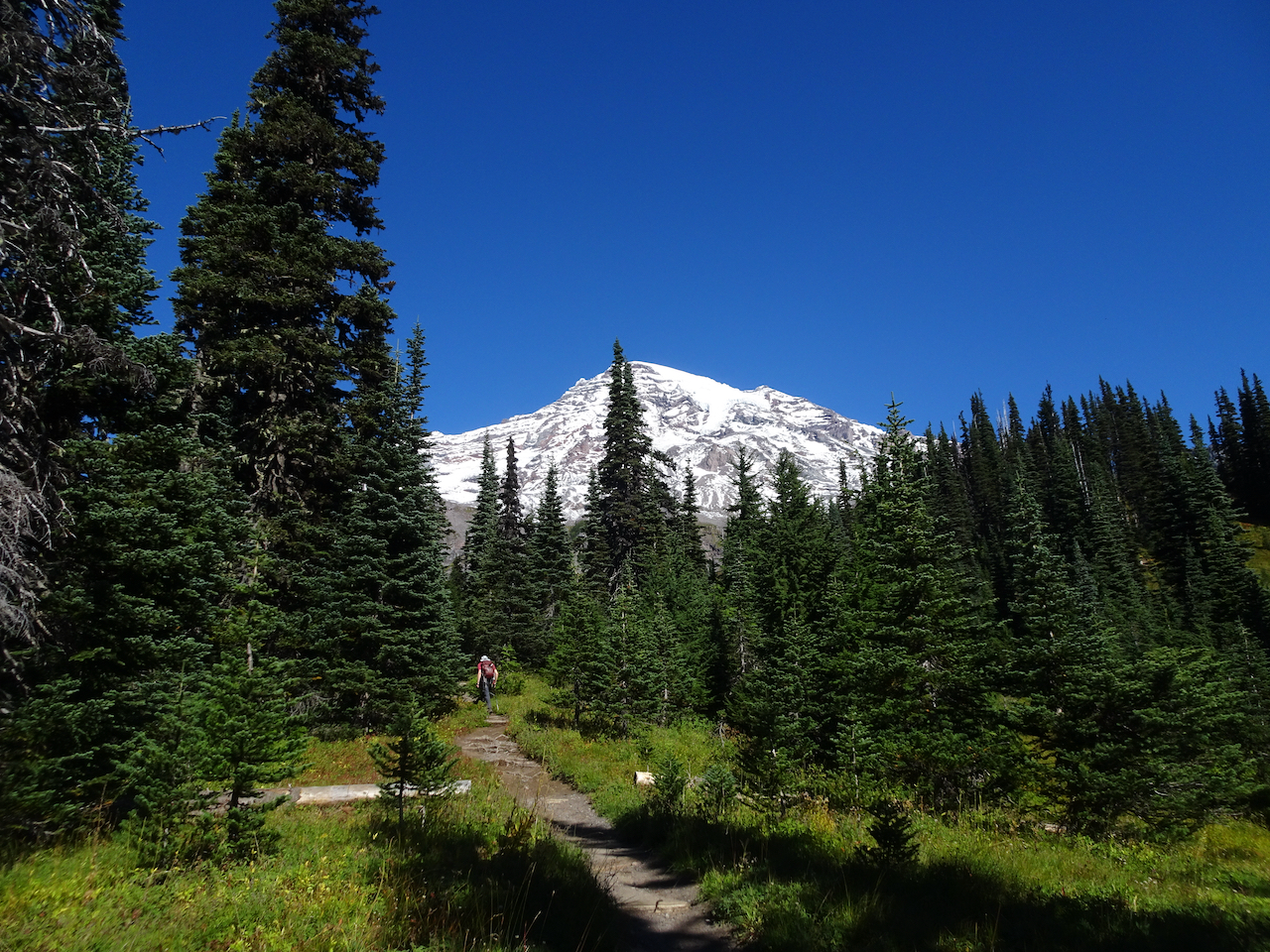
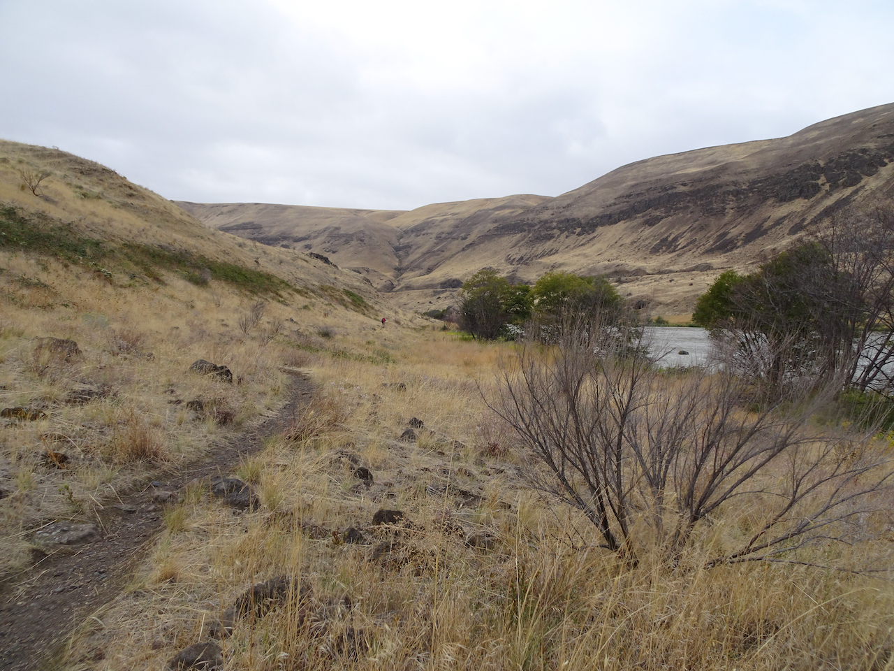
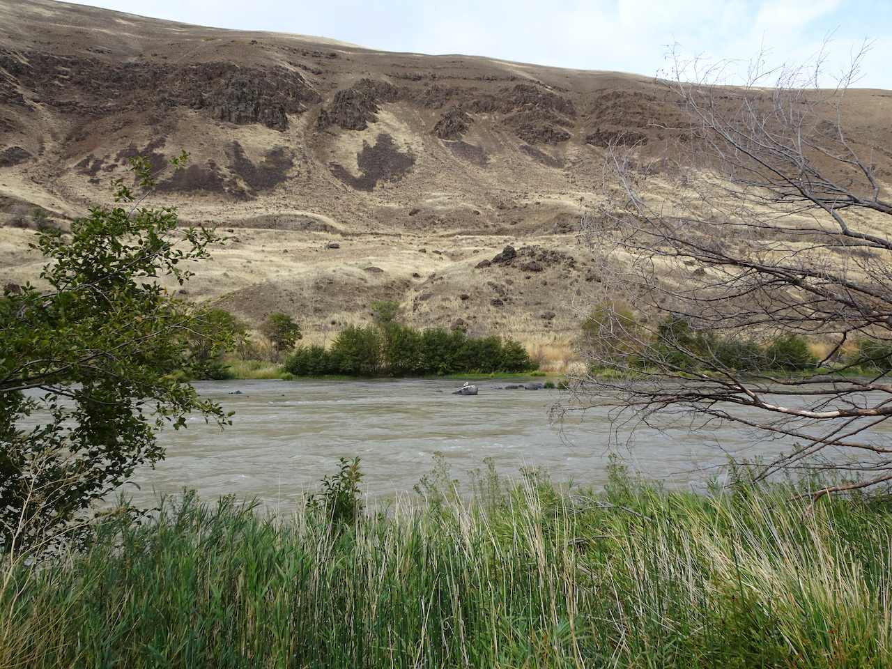
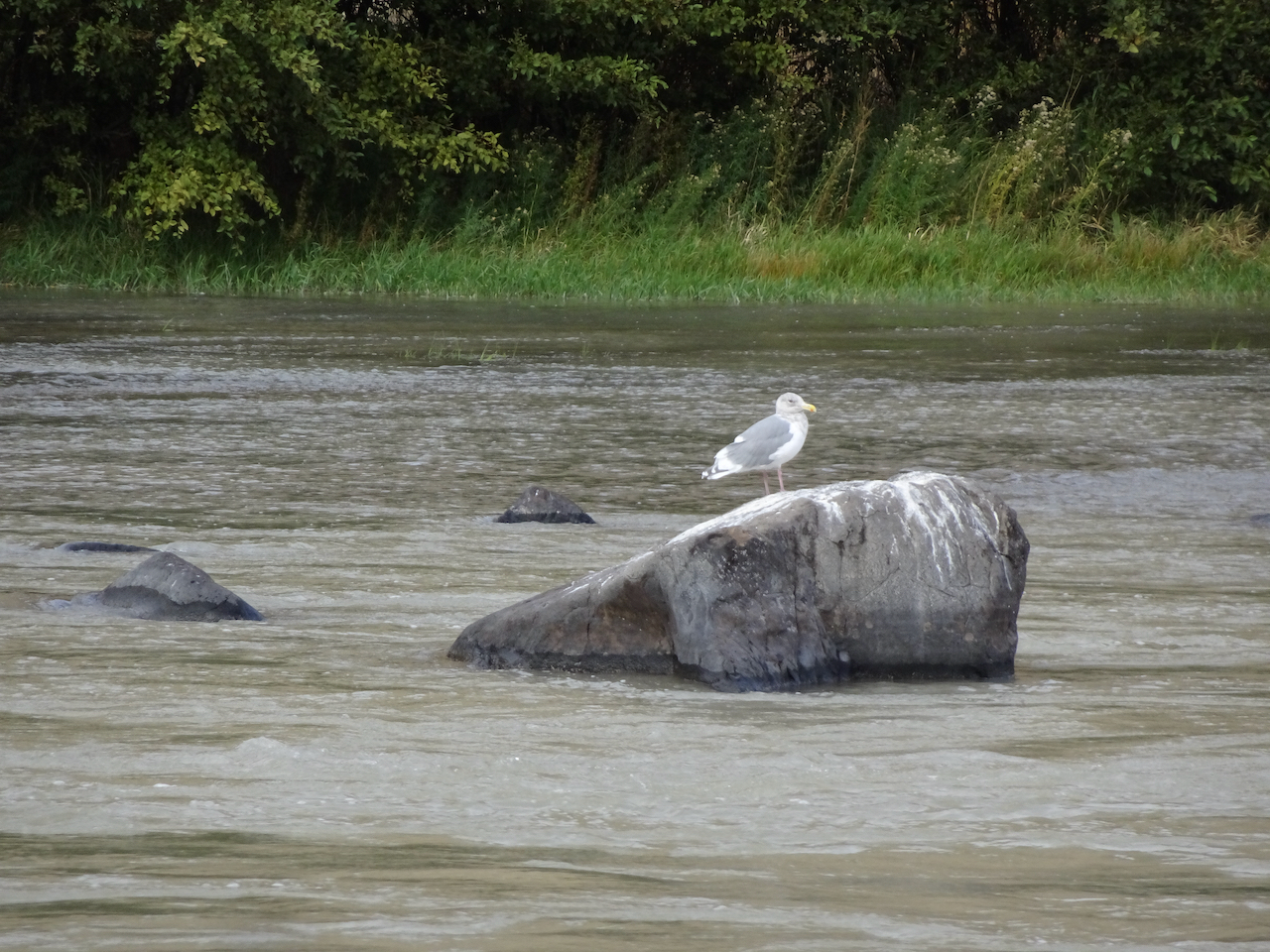
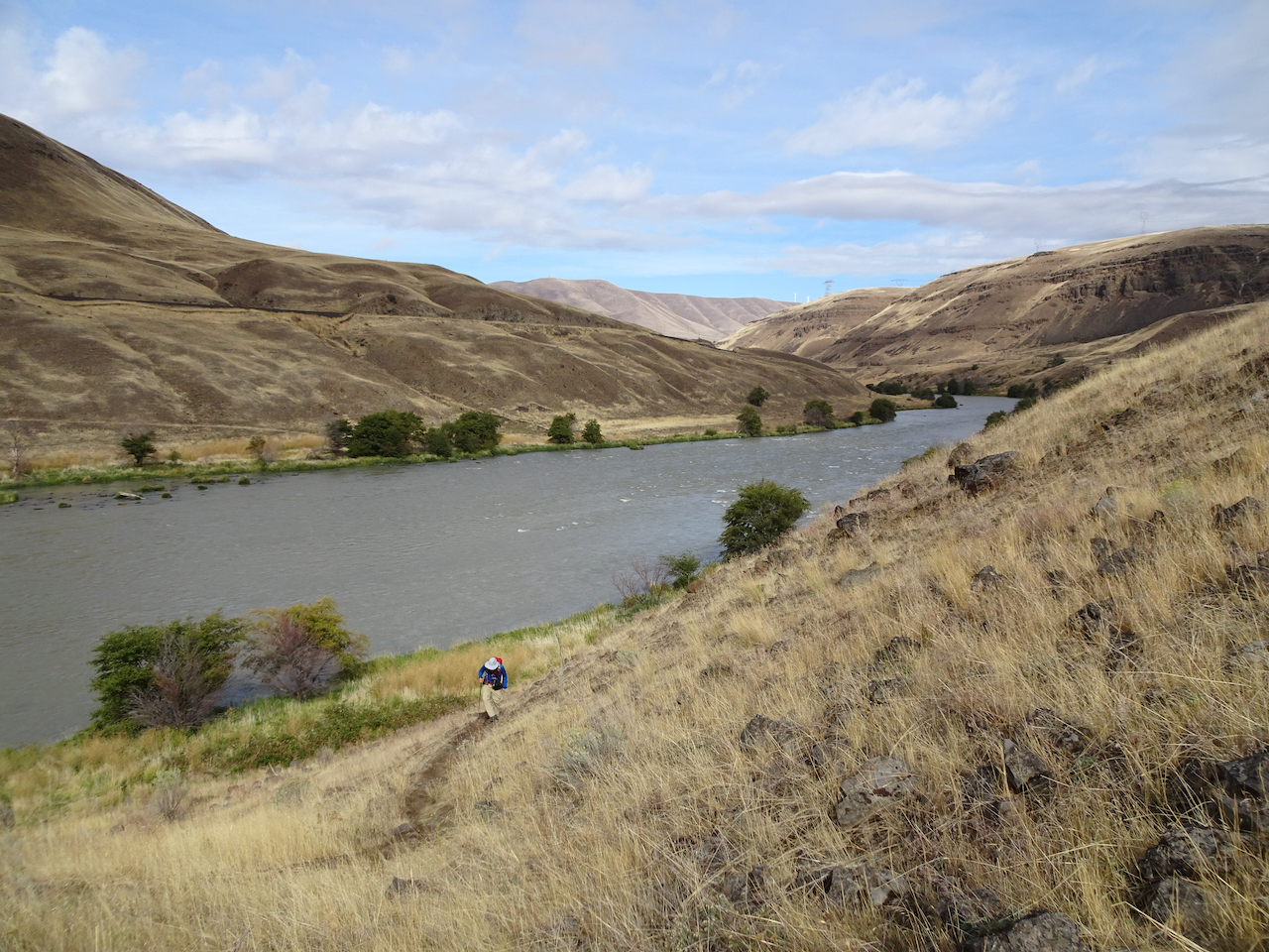
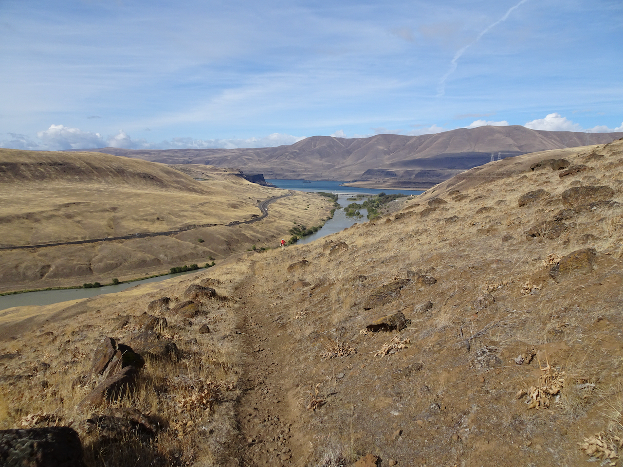
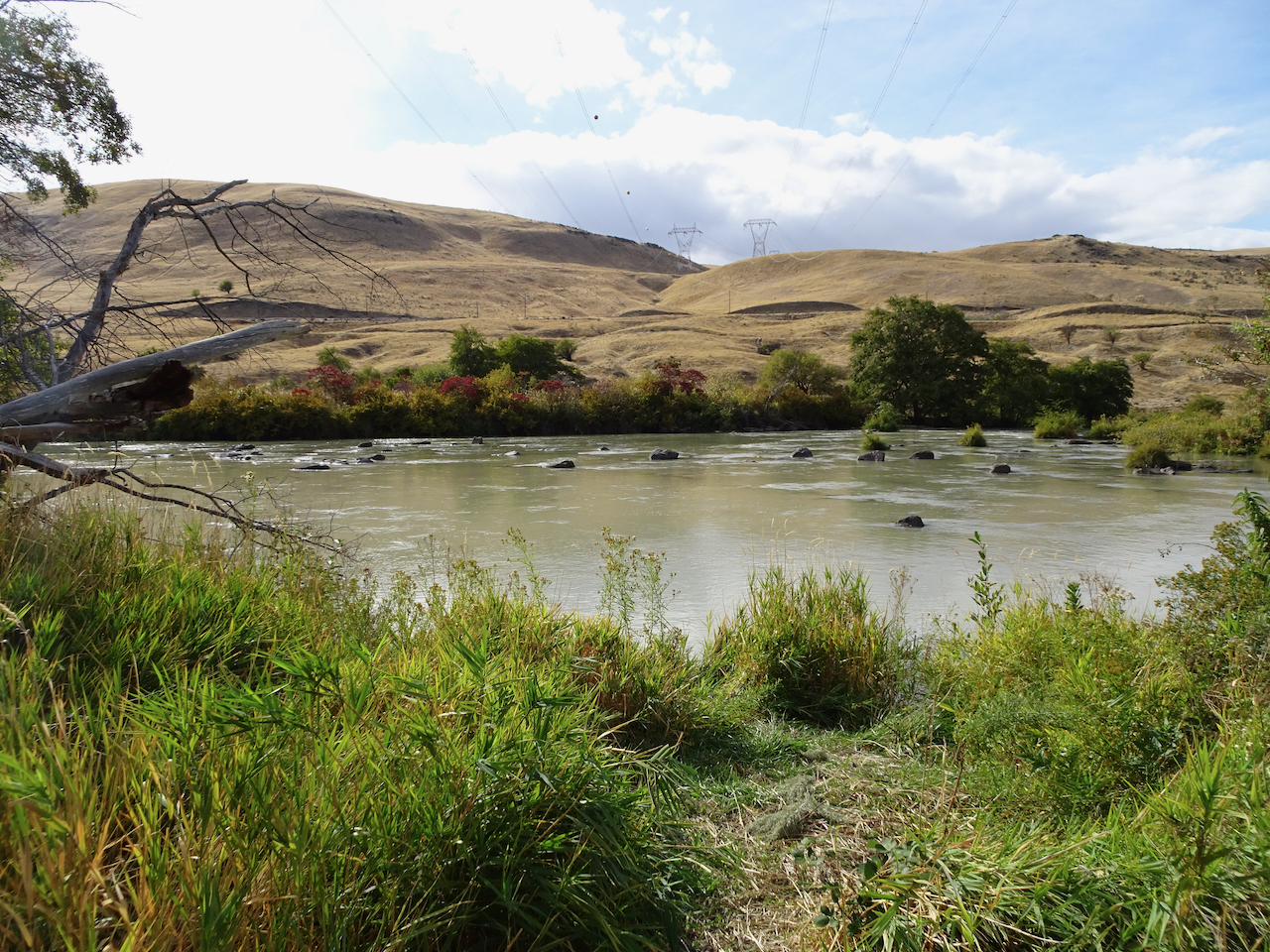
Deschutes River trail, a smattering of rain, it feels like walking through a purifying mist, and there’s no Covid out here.

DSC04083

Deschutes River

DSC04080

Rabbit brush

DSC04087

Sumac along the trail

DSC04091

Sumac

DSC04110

Raindrops on leaves

DSC04106

Raindrops in the creek

DSC04105

DSC04101

A place to rest

DSC04097

Burned tree from 2017 fire

DSC04096

Golden grasses

I could be wrong, we have passed a few hikers, anglers, a hydrologist; there are boats on the river, workers on the railroad across the river, campgrounds and powerlines nearby.

DSC04111

Looking uphill to the east.

DSC04119

Our trail continues south, upstream.

DSC04122

Columbia Hills to the north.

DSC04123

DSC04125

Rocky cliffs

DSC04128

Seagull in the river

DSC04129

Maybe because in this low desert landscape, with golden light on the black cliffs and the dry grass of late summer, I feel like I can really breathe out here; the scent of the high desert, and a smattering of rain only enhancing the sense of free fresh air.

DSC04132

Climbing up the cliffs..

DSC04133

DSC04134

Golden grasses

DSC04135

Lunch view north.

DSC04138

Looking down at the river from our lunch stop.

DSC04137

DSC04143

Looking down to the river through the rock arch.

Up on the hill now after lunch, golden and desolate views of the rivers, views of the black volcanic rocks that used to enclose cascading waters of Celilo Falls, cascading waters that used to have salmon leaping up them every year, salmon leaping up into the nets of the Celilo people, before the dam.

DSC04146

Ascending the hills.

DSC04150

Closer view of the Deschutes/Columbia Confluence

DSC04152

Windmills on the hills, power transmission lines to the dam, cell towers, highways, train tracks, campgrounds, and yet I feel alone on this golden hillside.

DSC04154

Golden grasses

DSC04157

Dried balsam root will bloom bright gold in spring.

DSC04165

Approaching the upper Ferry Springs crossing.

DSC04166

DSC04169

Ferry Springs

I feel alone even though the powerlines are buzzing above us, the powerlines are transmitting the thoughts and bytes of millions, and yet I feel blessedly alone.

DSC04170

Its all downhill now to the trailhead.

DSC04175

Dry waterfall and power lines humming above.

DSC04181

Back down to river level, with power lines.

I’m not really alone of course – hiking with Dan, in a respite from the city; the desert is a place of wide open freedom – harsh, spiky, dry, rocky, steep, prickly; hidden hazards beyond each cliff, under every rock, yet wide open above, on an autumn day, I am lucky to be here, to be breathing freely.

Bonus content: More River otters! There were six otters playing in the river near the trailhead – 

DSC04183

River otters

DSC04186DSC04192

DSC04195

River otters and ducks

Celilo Falls, Salmon fishing, before the dam:

“Courtesy of the U.S. National Library of Medicine” 

https://www.nlm.nih.gov/nativevoices/timeline/632.html