Another gathering of late reports…
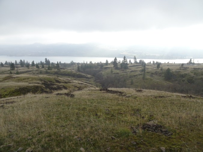
Friday, December 4th, Tracy Hill, WA
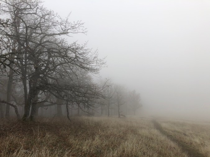
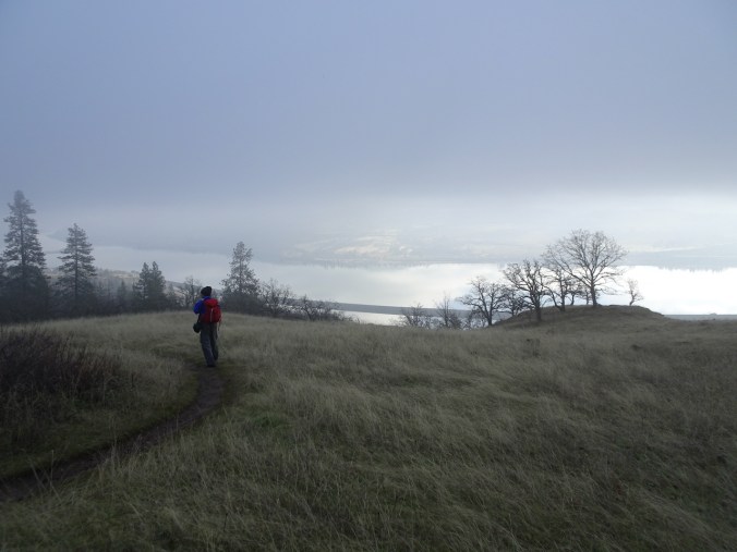
The fog never lifted, and was sometimes frozen, as we hiked past the Catherine Creek Arch, all the way up Tracy Hill, and then down again. (Hike #72, 5 miles, 1100 feet)
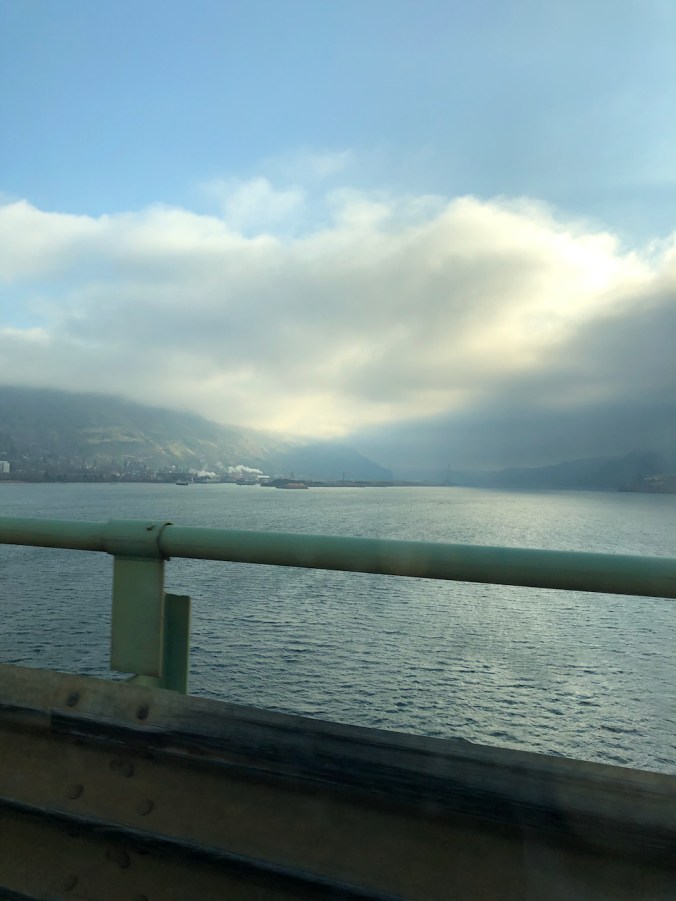
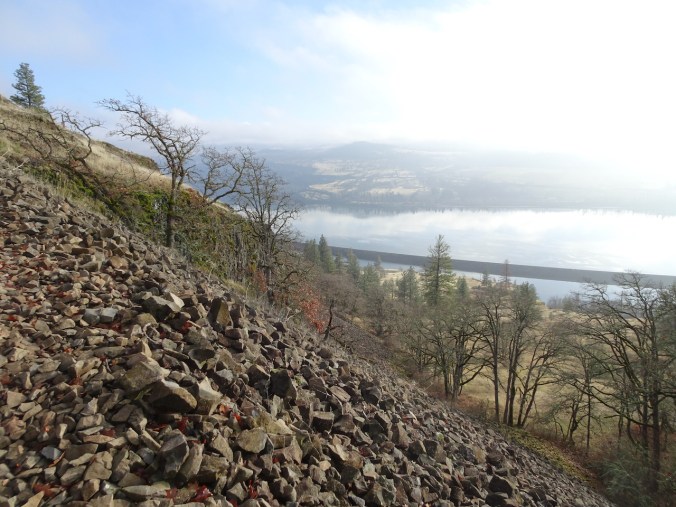
Looking toward our destination from the Hood River Bridge.
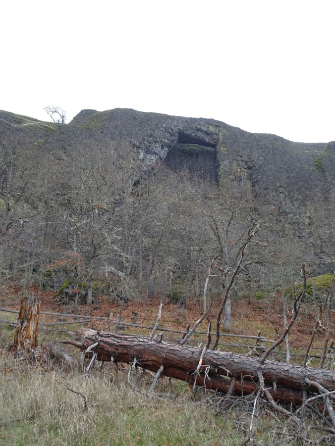
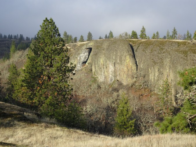
Passing the Arch on the way up,
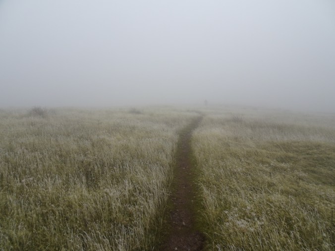
and into the fog.
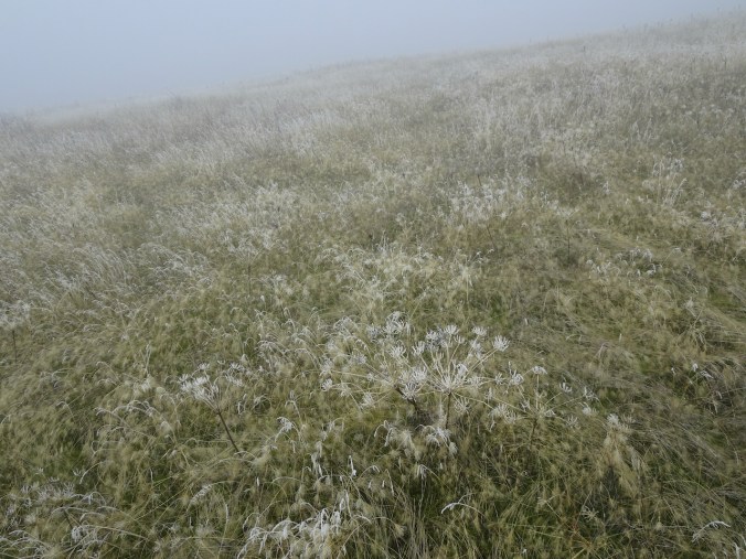
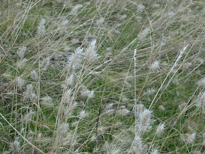
The frozen grasses and seed heads are pretty.
Lunch stop with no view, near the top of Tracy Hill.
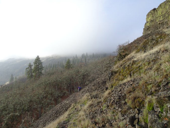
On our way down – eventually below the fog again.

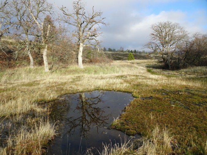
Frozen vernal pond.
Hiking above the Arch on the return.
Our first time crossing the new trail bridge over Catherine Creek – we used to walk back along the highway.
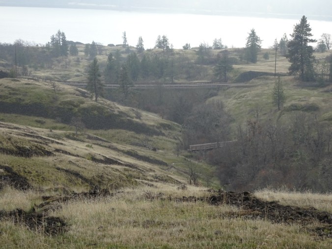
We always see something new here – this time, frozen grasses and a new trail bridge.
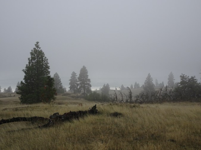
Wednesday, December 9th, Hardy Ridge and Nancy Russell Overlook, WA
The rain was supposed to stop midmorning but didn’t, so we turned back about half way. We stopped for a quick view from Nancy Russell Overlook on the way home. (Hike #73, 6.2 miles, 1200 feet)
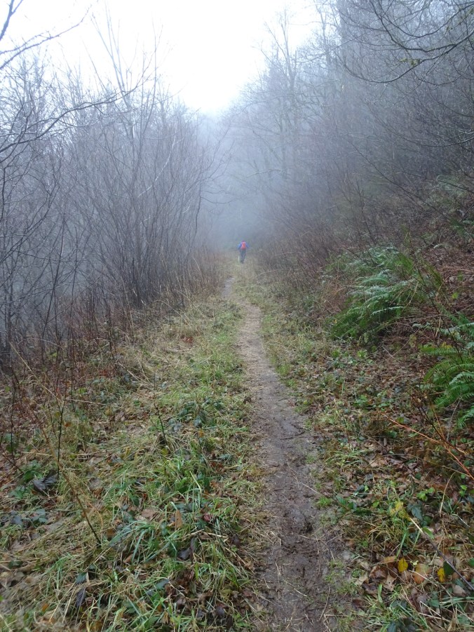
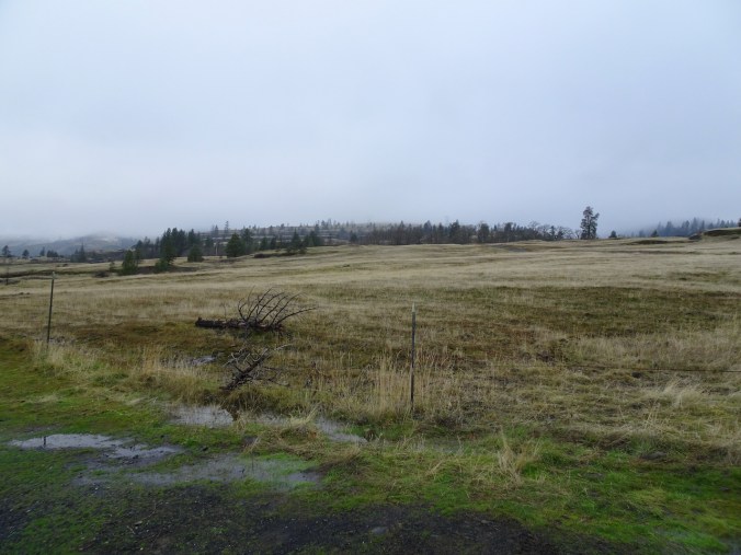
Soggy trail to Hardy Ridge.
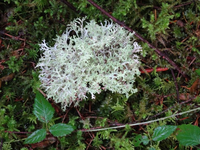
Soggy lichen
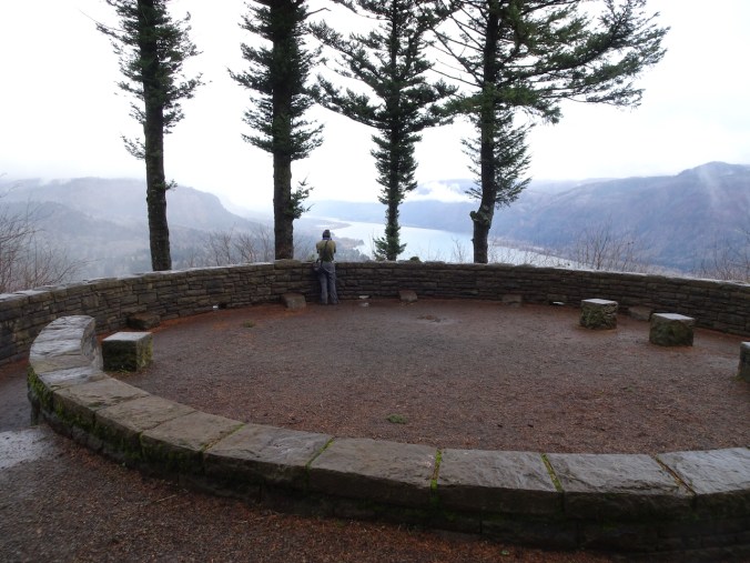
Nancy Russell Overlook
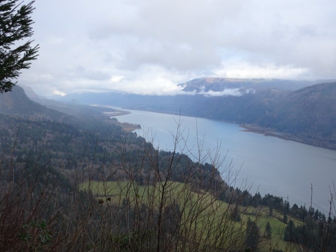
Columbia River Gorge, looking east.

Puddles in the trail.
Monday, December 14th, Catherine Creek, WA
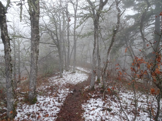
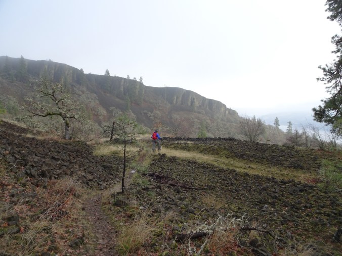
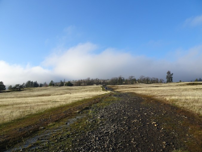
We finally found the path through the inside out switchbacks on the Shoestring Trail beneath Rowland Wall, as we hiked through fog, snow, and then a surreal landscape between fog and sun. (Hike #74, 4 miles, 850 feet)
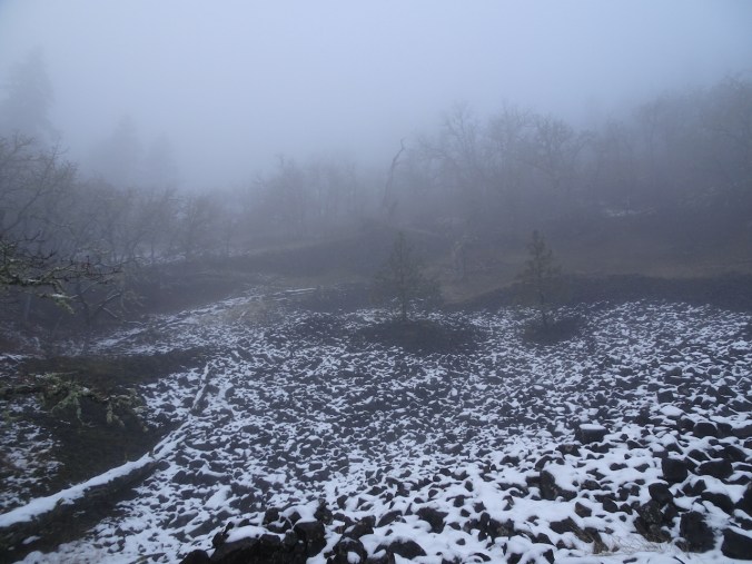
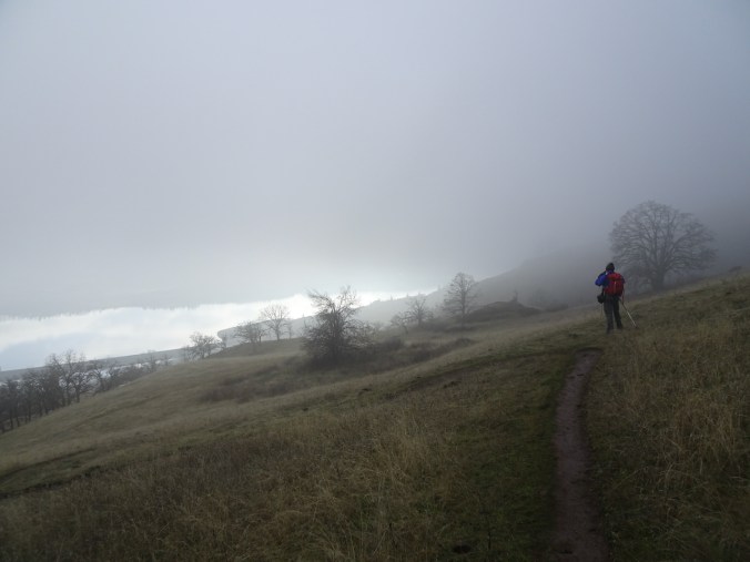
Fog ahead – we began with hopes that the fog would lift.
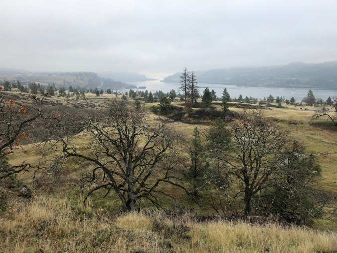
Looking to the east – it is sunny out there.

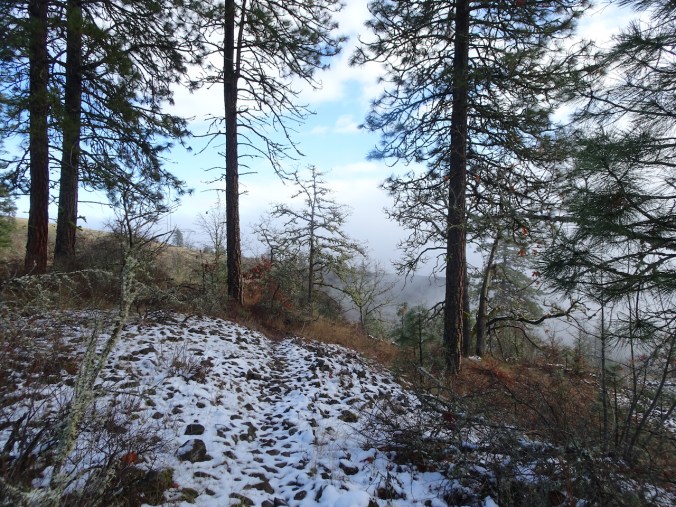
By the time we reached the pylons, we were in the fog.
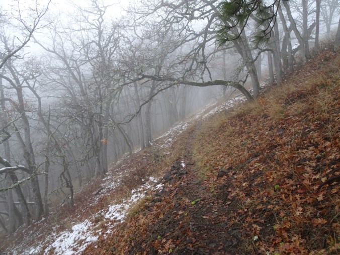
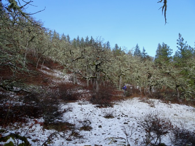
When we dropped over Rowland Wall, we were walking through oak groves with patchy snow along our trail.
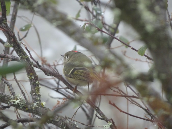
I saw a ruby crowned kinglet in the bushes.
The snow helped define the place in the path where we have lost the trail on previous occasions. Also, by hiking down instead of up, I thought we could make the connection, and we did!
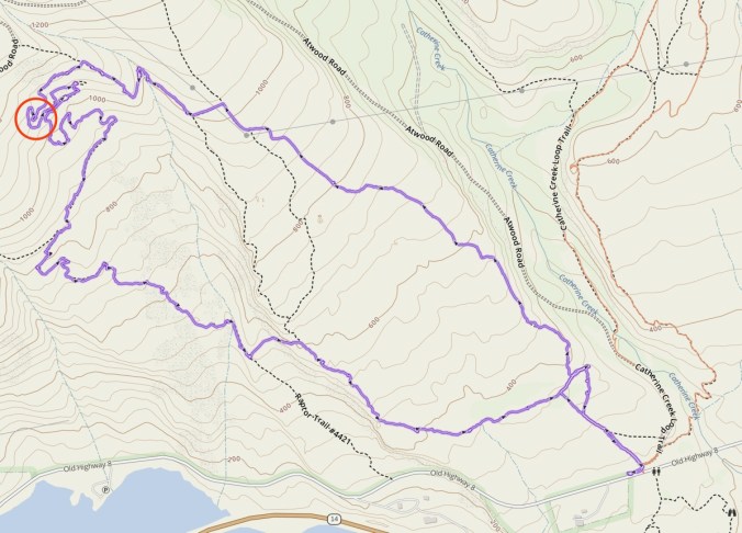
Our GPS track for the day: the red circle is the place of the inside out switchbacks, developed by mountain bikers, where we have lost the trail in the past.
After lunch, we continued down, and looked behind us to see blue sky!
Continuing down toward Rowland Wall, below the fog.
We emerged out onto the grassy slopes, fog above, sun somewhere shining on the Columbia River.
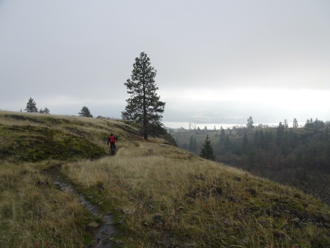
Heading toward Rowland Wall.
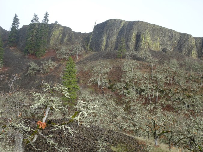
The leaning tree and the Pinnacle.
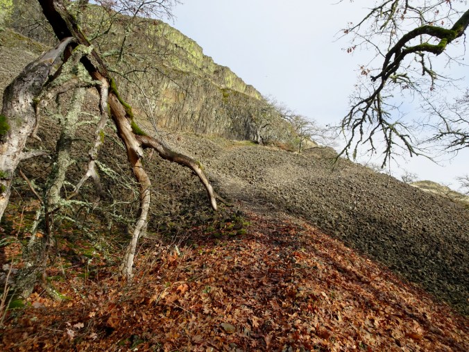
Our path back up the wall.

Once above Rowland Wall, we could see more blue sky to the east.
Vernal pool near the trail head.
Catherine Creek Arch in the low sun.

Foliage of the bitterroot flowers of April!
Looking back up to where we have been.
Wednesday, December 23rd, Ridgefield Wildlife Refuge, WA
Swans from a distance, and an excellent view of moonrise. (Hike #75, 2.7 miles, 100 feet)
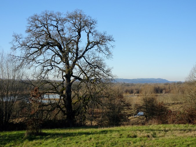
The best view of the swans in Carty Lake was from the entry bridge.
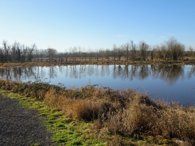
Upside down trees out in their full glory.
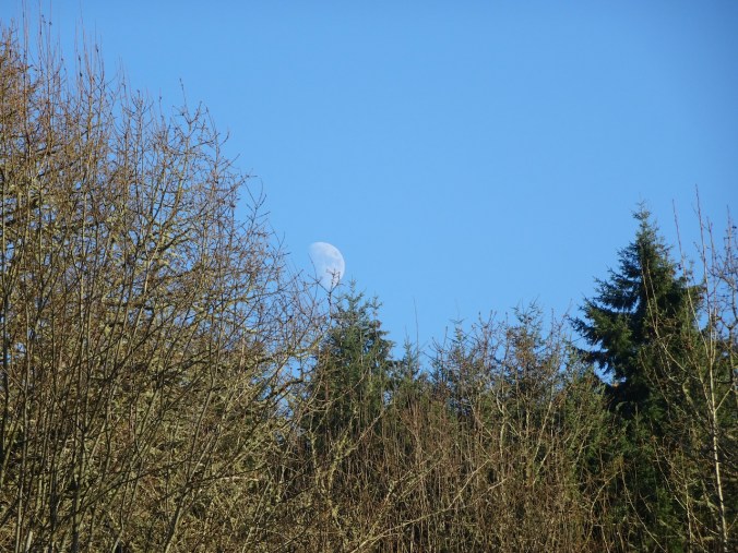
Moon rising…
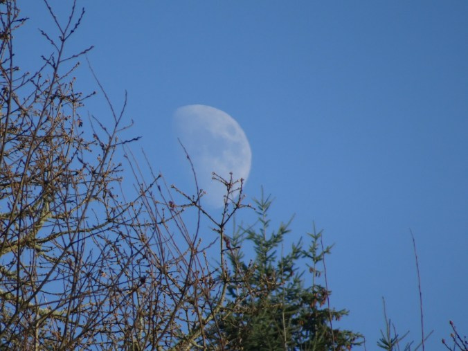
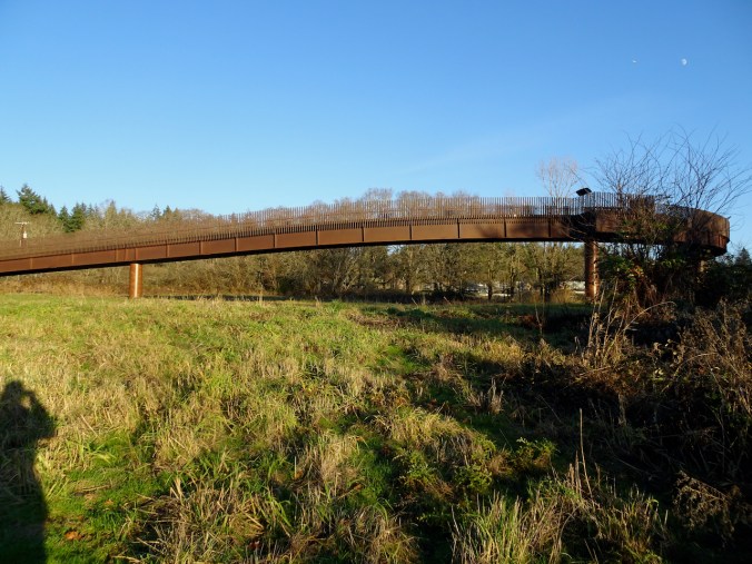
Moon, photobombed by airplane, as we approach the bridge at the end of our hike.
Monday, December 28th, 2020, Powell Butte, Portland, OR
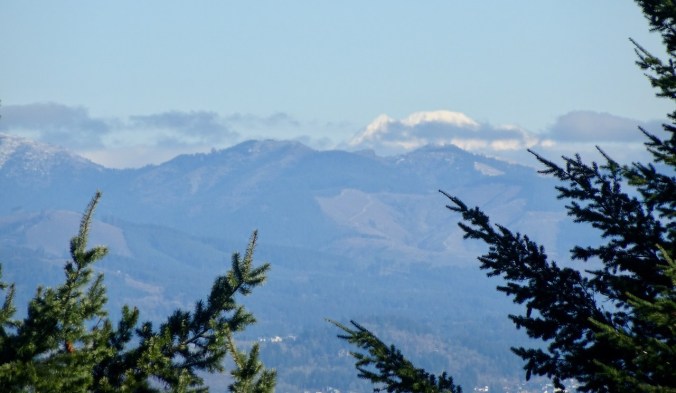
Cold and windy, with clear views of the surrounding Cascade Mountains. (Hike #76, 4.3 miles, 500 feet)
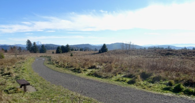
Mt Hood from the top of Powell Butte
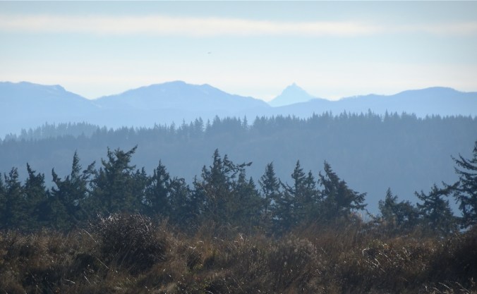
Mt Jefferson
Mt Adams
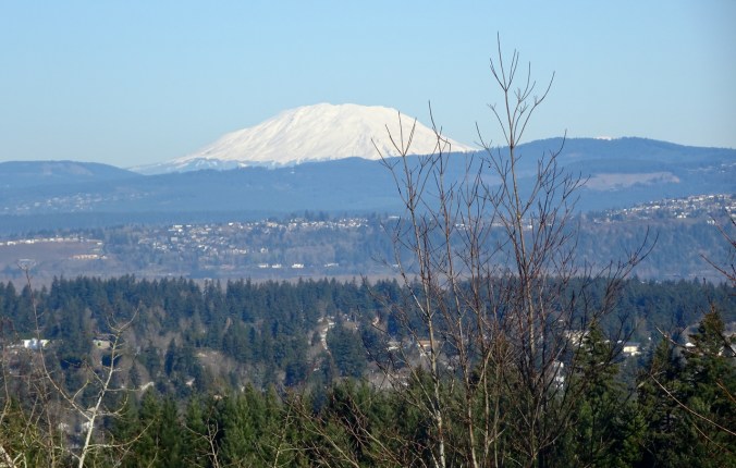
Mt St Helens
