Wind Mountain, WA Last Hike of the Week for 2017 (#59) 12/31/2017
Wind Mountain is a 1907 foot tall cone shaped mountain that juts out into the Columbia River on the Washington shore just west of Dog Mountain. These photos show Wind Mountain as seen on previous adventures:
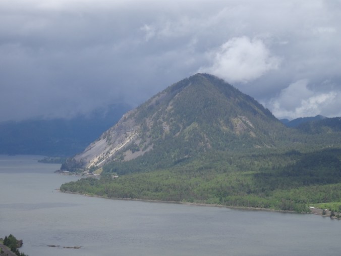
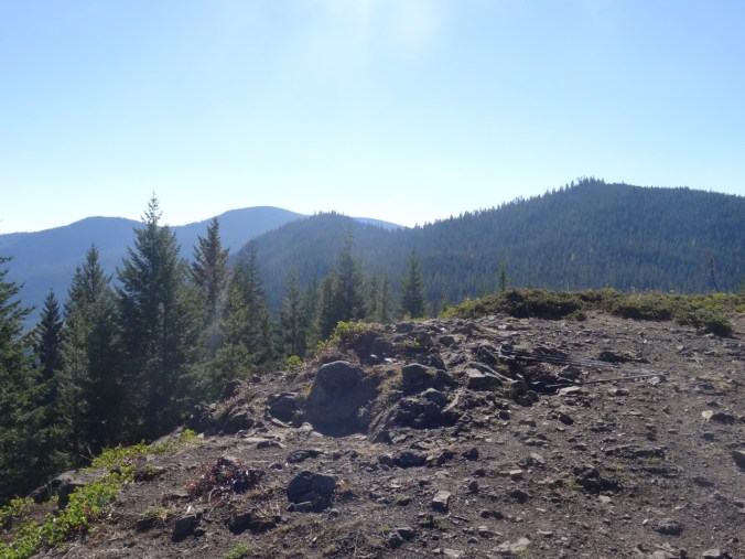
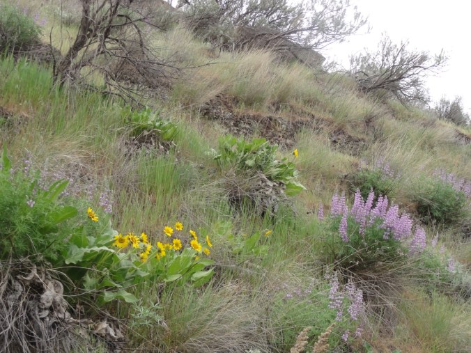
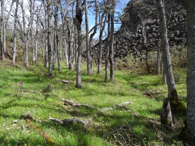
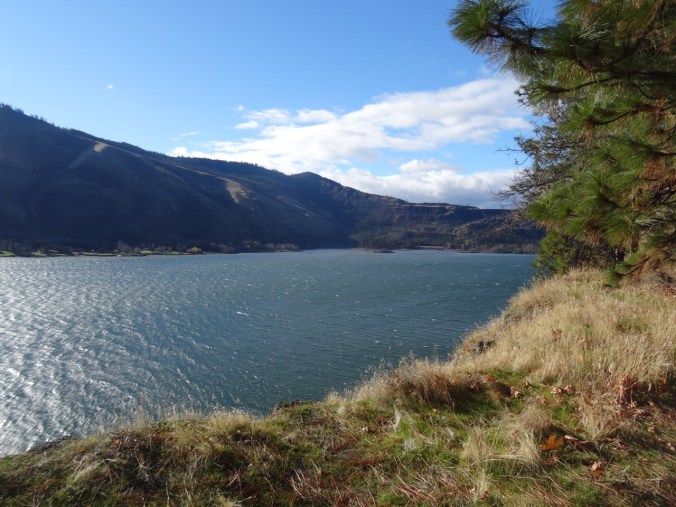
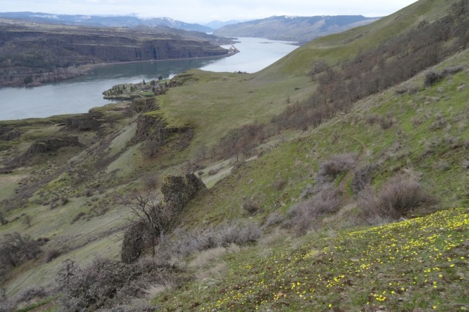
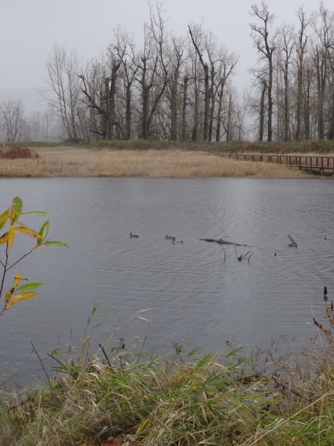
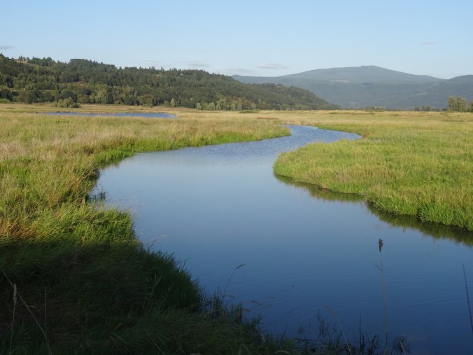
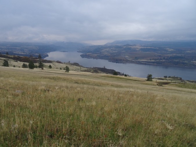
From the Starvation Ridge area (southeast), May 2017
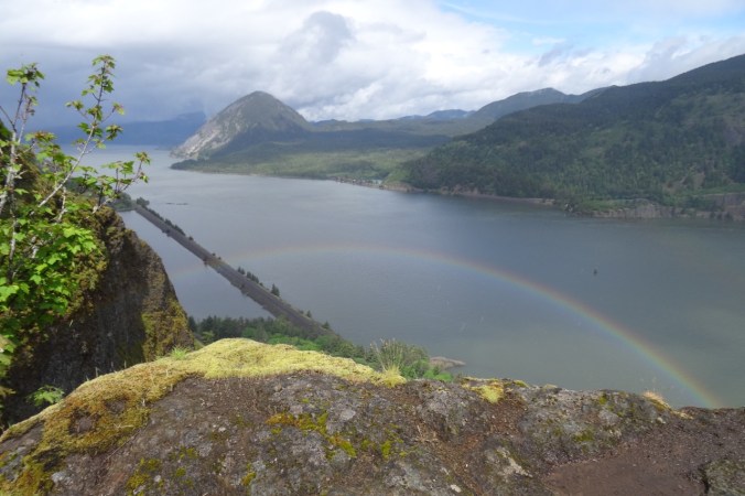
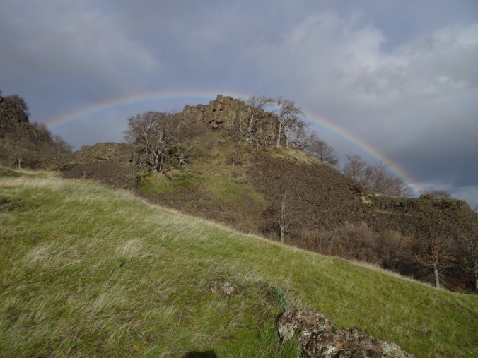
From Starvation Ridge, with rainbow, May 2017
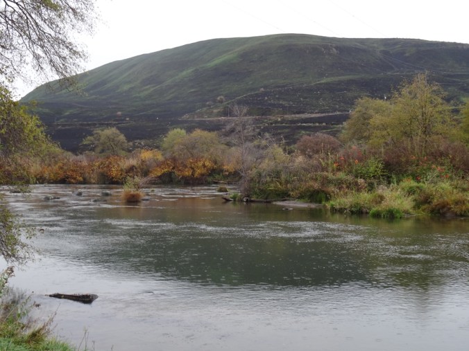
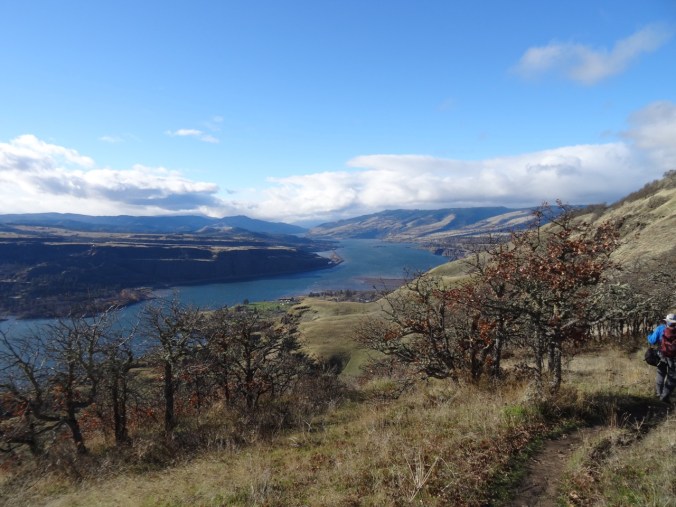
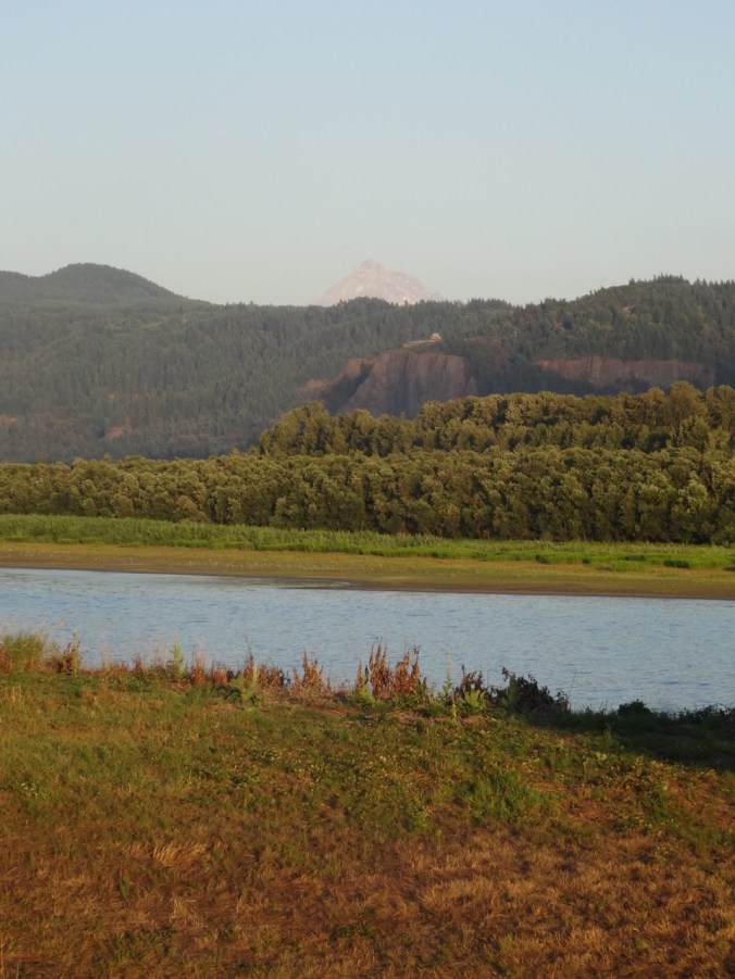
From Dog Mountain (east), May 2013
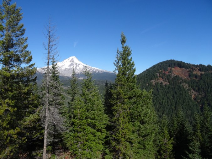
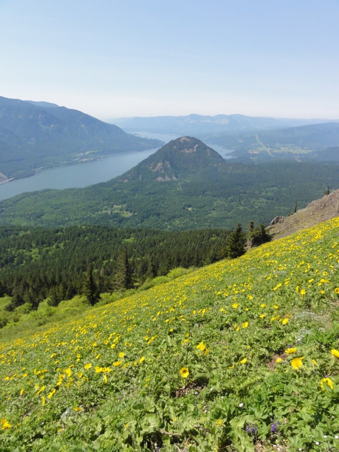
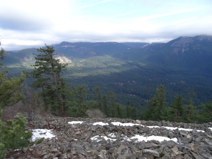
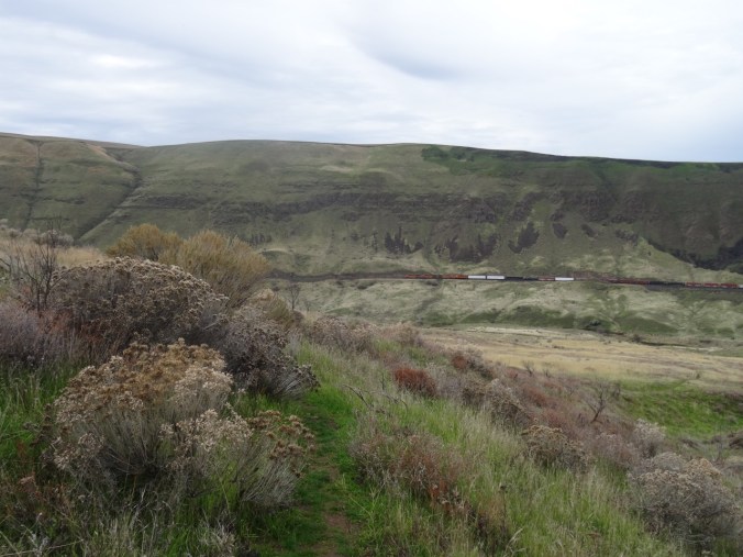
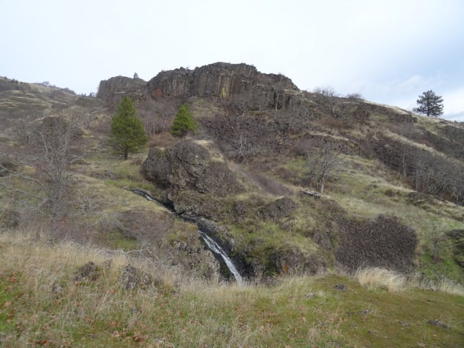
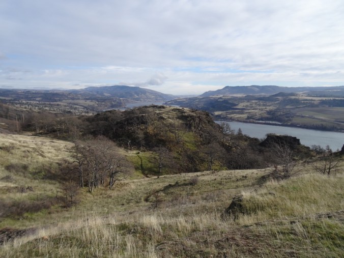
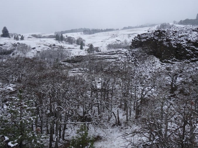
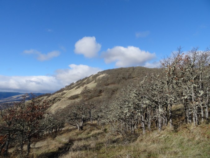
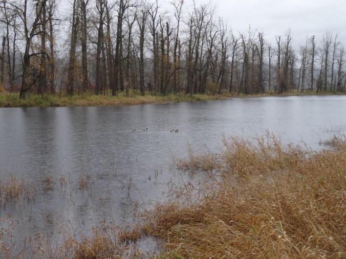
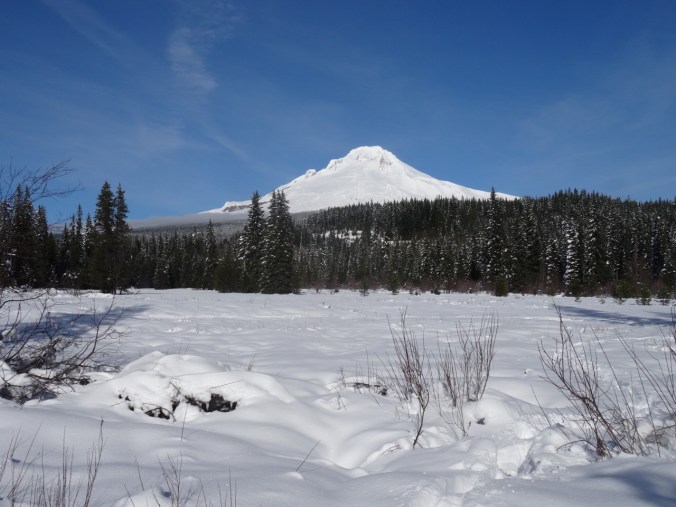
From Grassy Knoll (north). Wind Mountain is the lower cone on the right side of the photo, June 2017. Mt Defiance and Mt Hood are beyond, across the Columbia River. Wind Mountain is rather small by comparison, from this perspective.
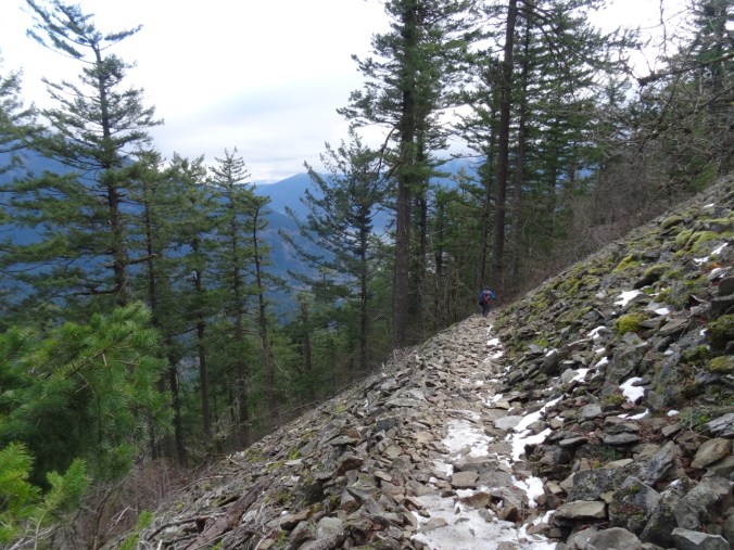
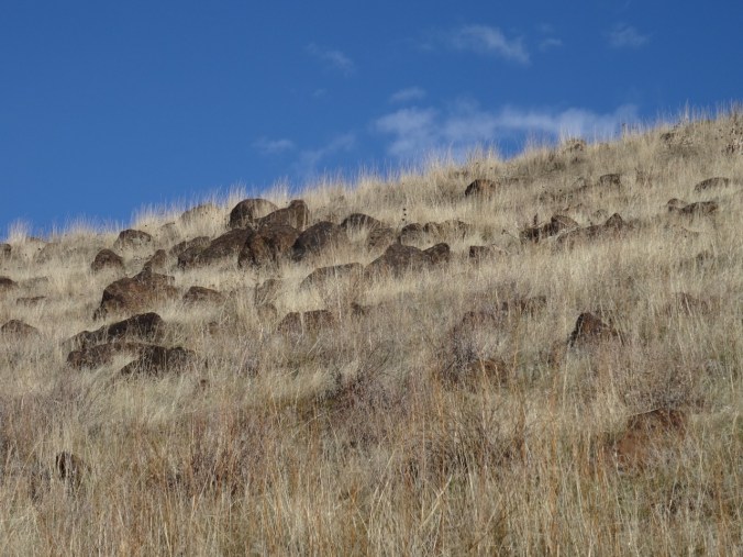
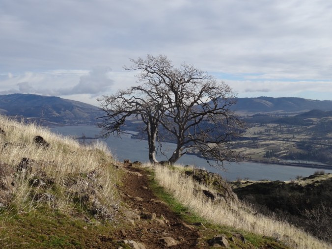
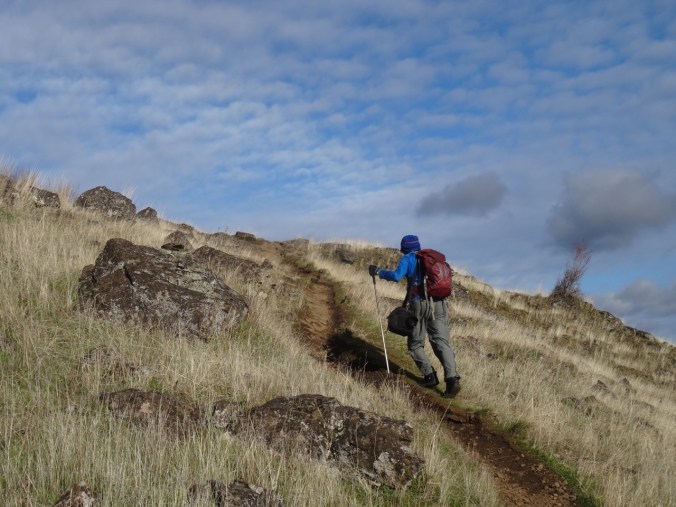
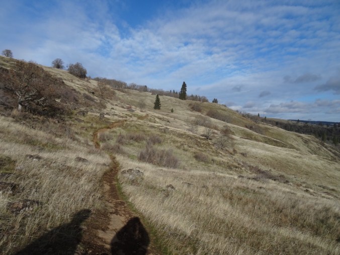
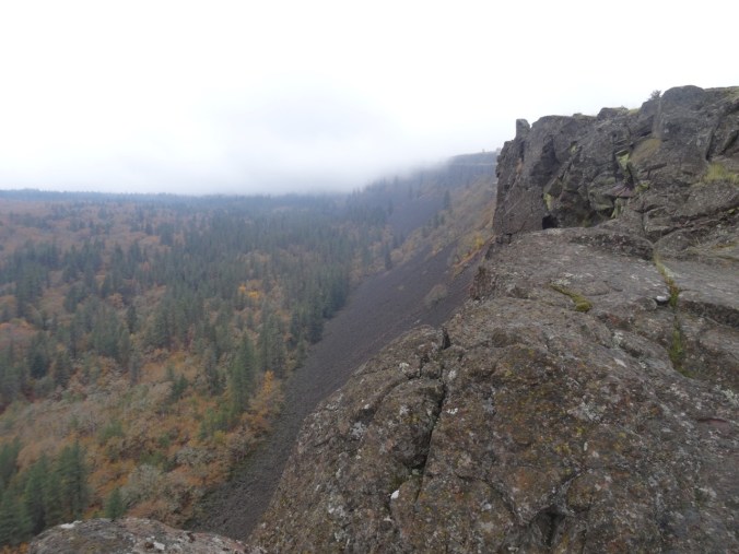
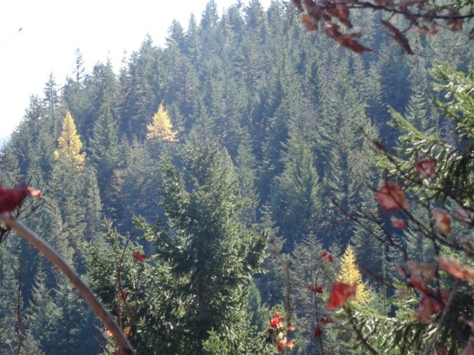
The trail is short and steep – about 1.25 miles/1100 feet up from the trailhead on the north slope. Our hike on New Year’s Eve was bitter cold at the beginning and eponymously windy. We enjoyed beautiful views from the top, and felt this was a great way to end 2017.
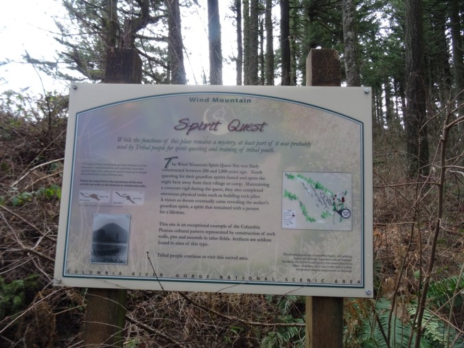
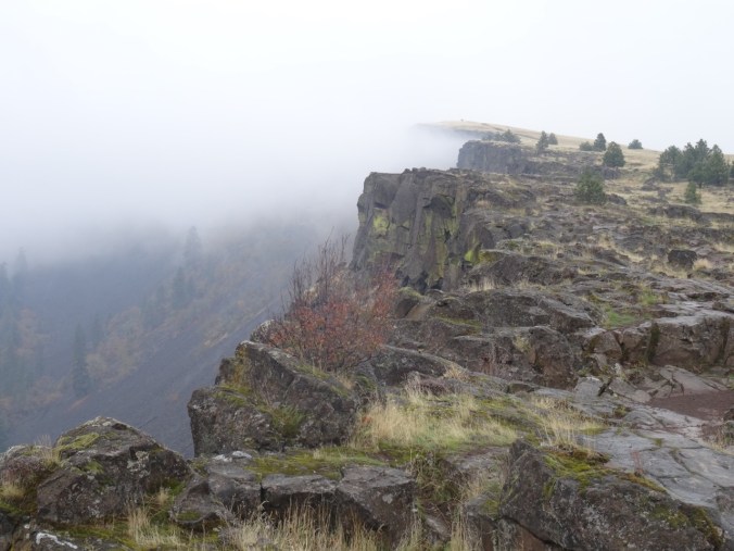
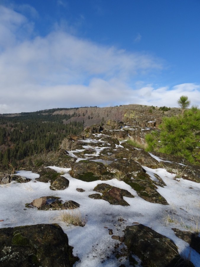
Historical significance explained near the top
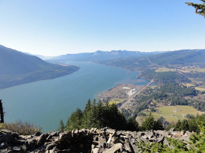
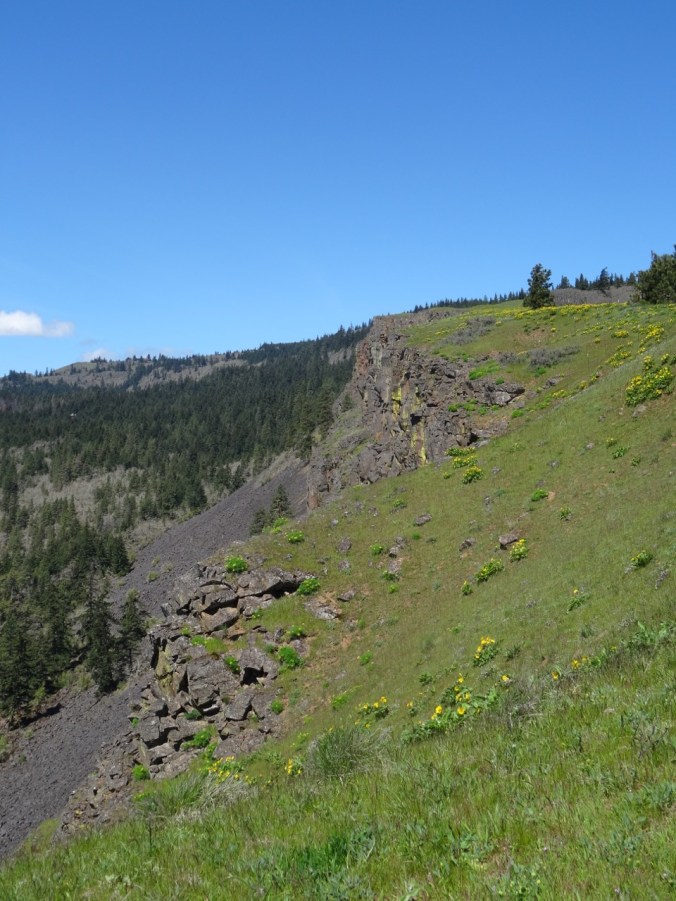
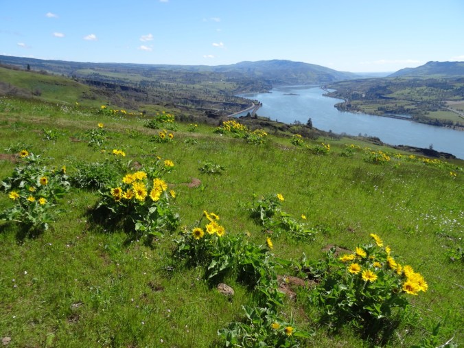
Views from the top:
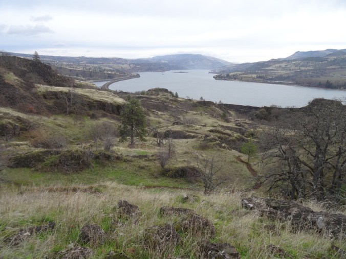
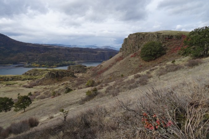
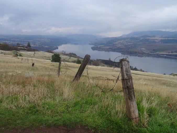
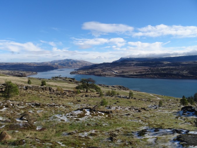
To the west – Beacon Rock in the distance

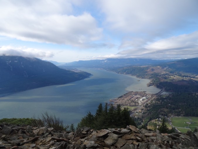
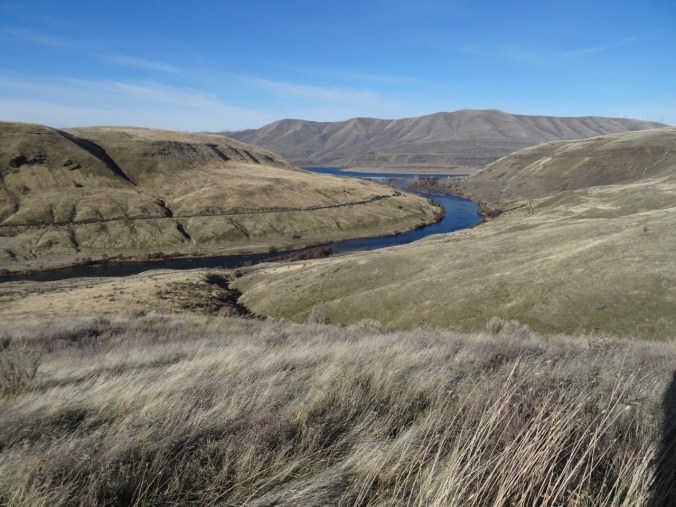
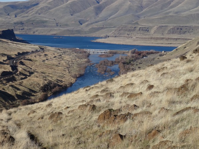
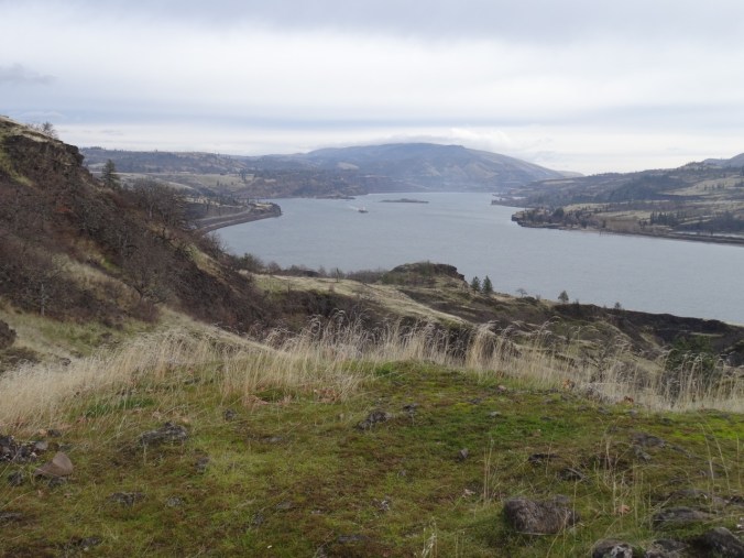
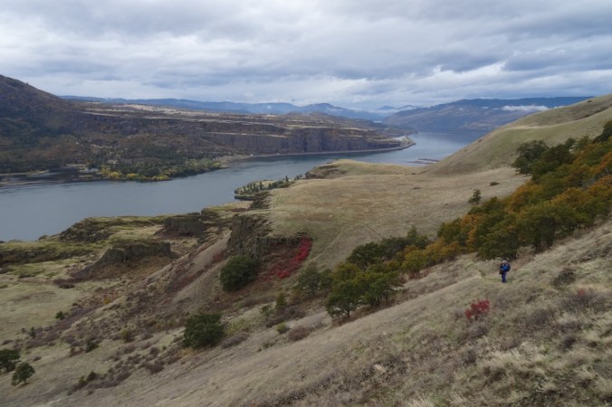
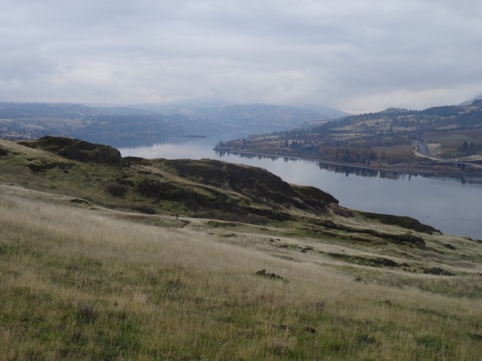
To the east, Dog Mountain and beyond toward Starvation Ridge across the Columbia RIver
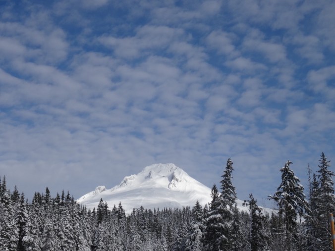
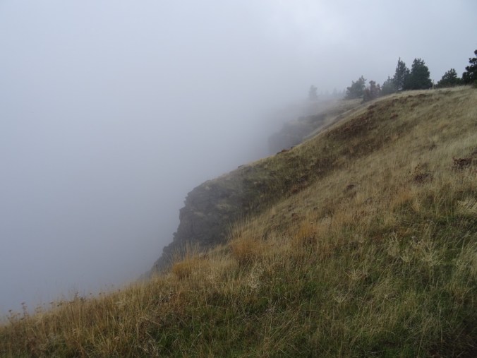
Looking north to where Grassy Knoll and Mt Adams would be if there were no clouds.
The trail seemed steeper on the way down.
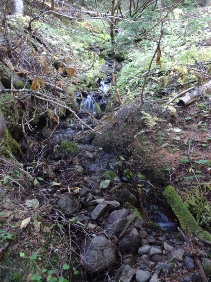
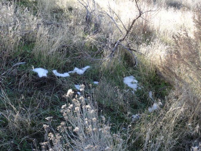
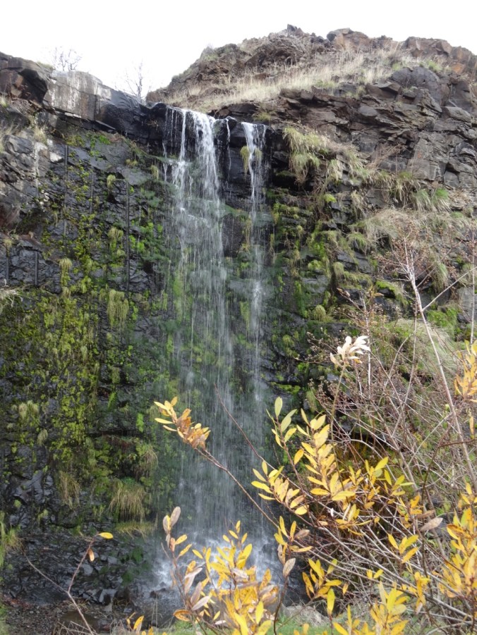
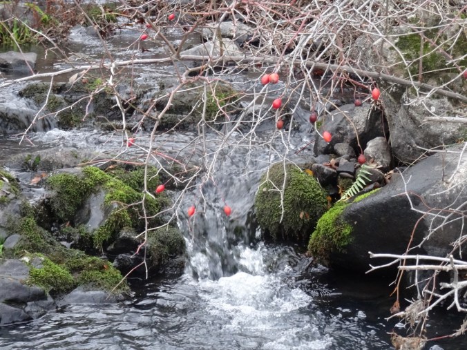
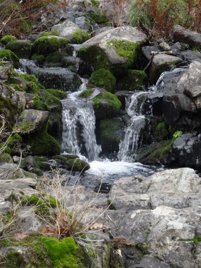
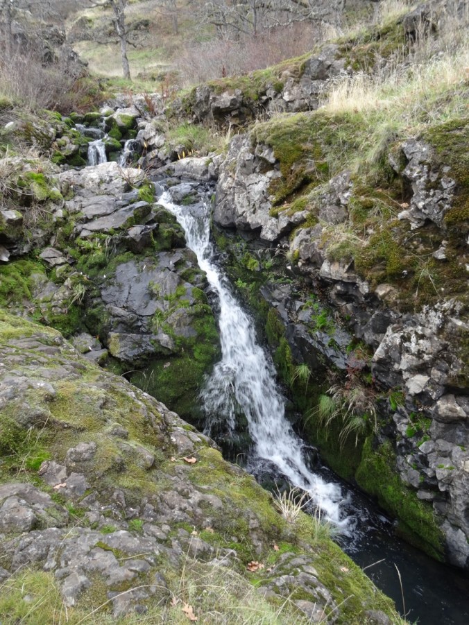
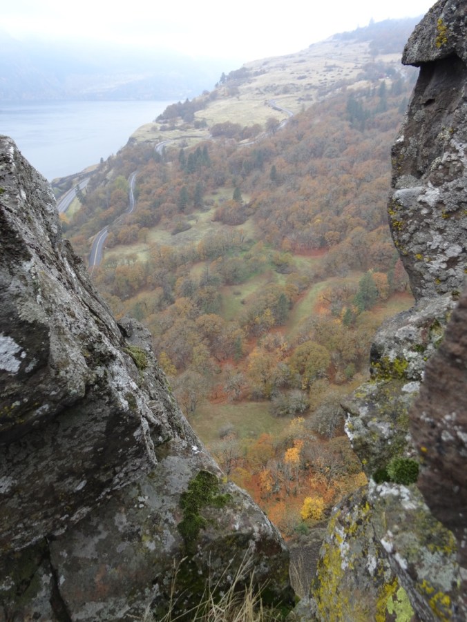
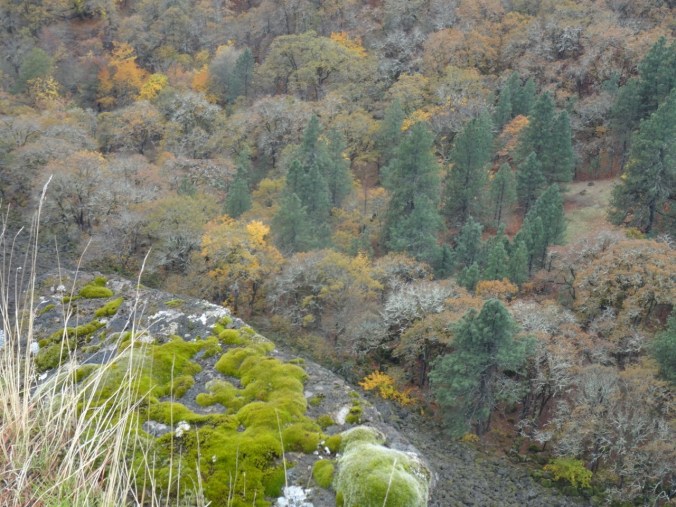
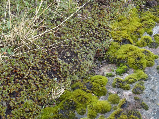
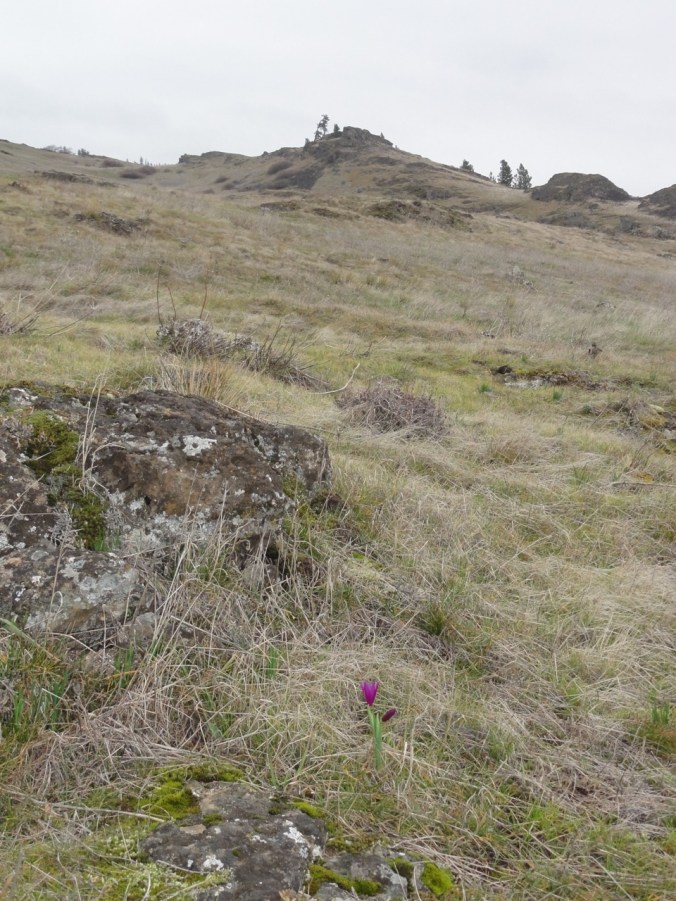
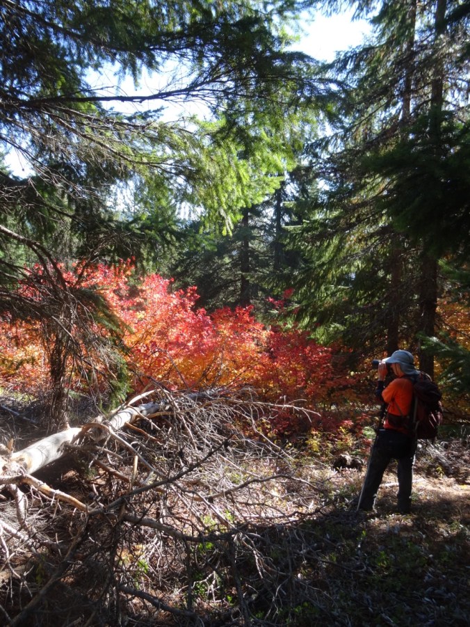
Some details:
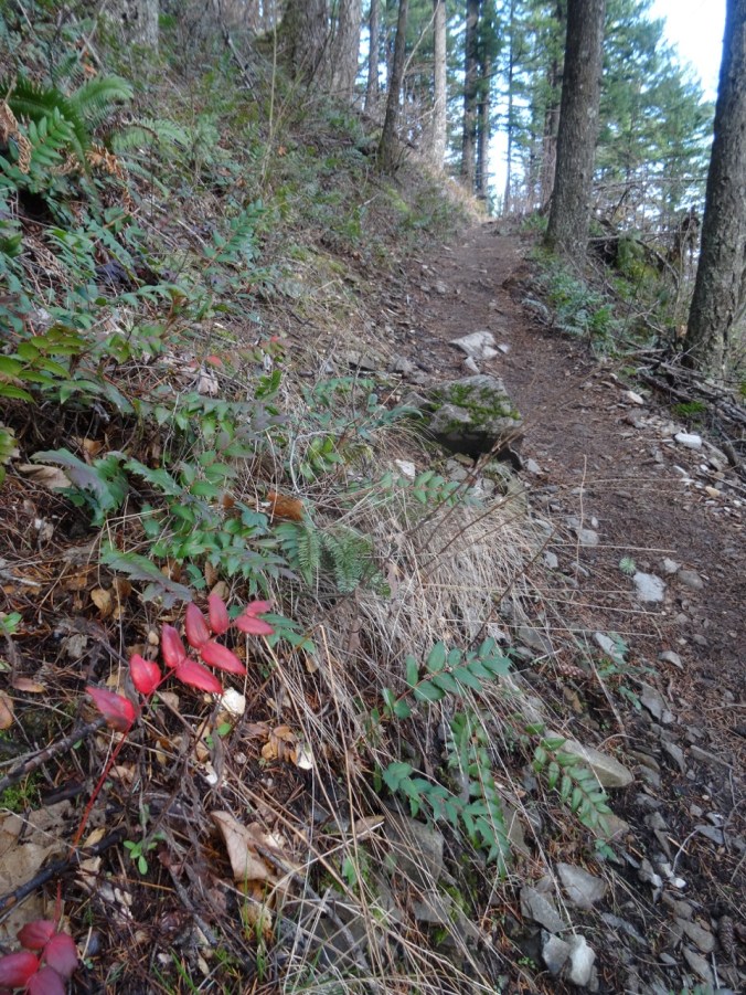
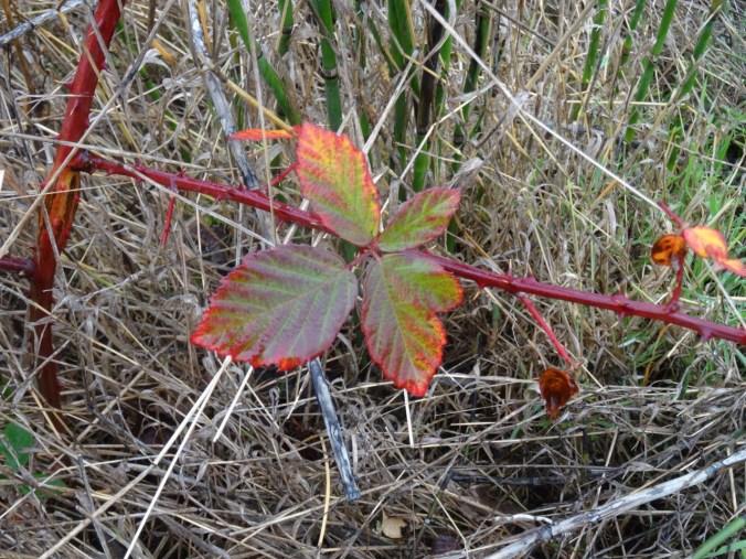
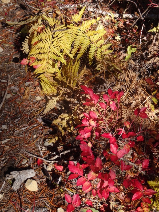
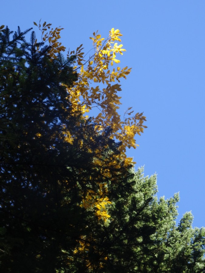
Red Oregon grape leaves
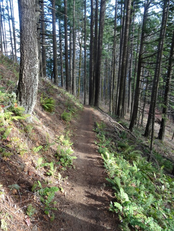
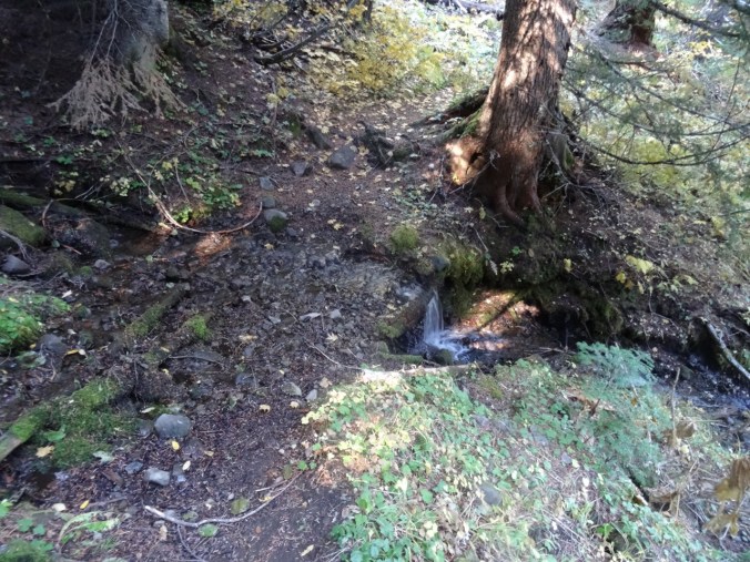
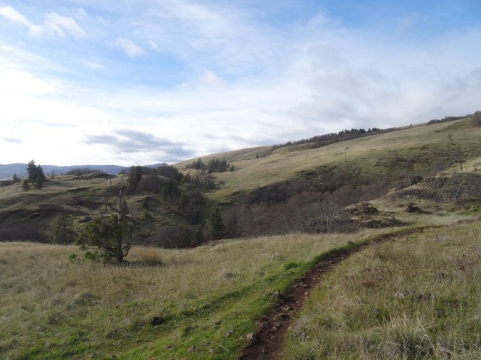
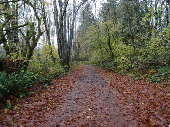
A peaceful forest path
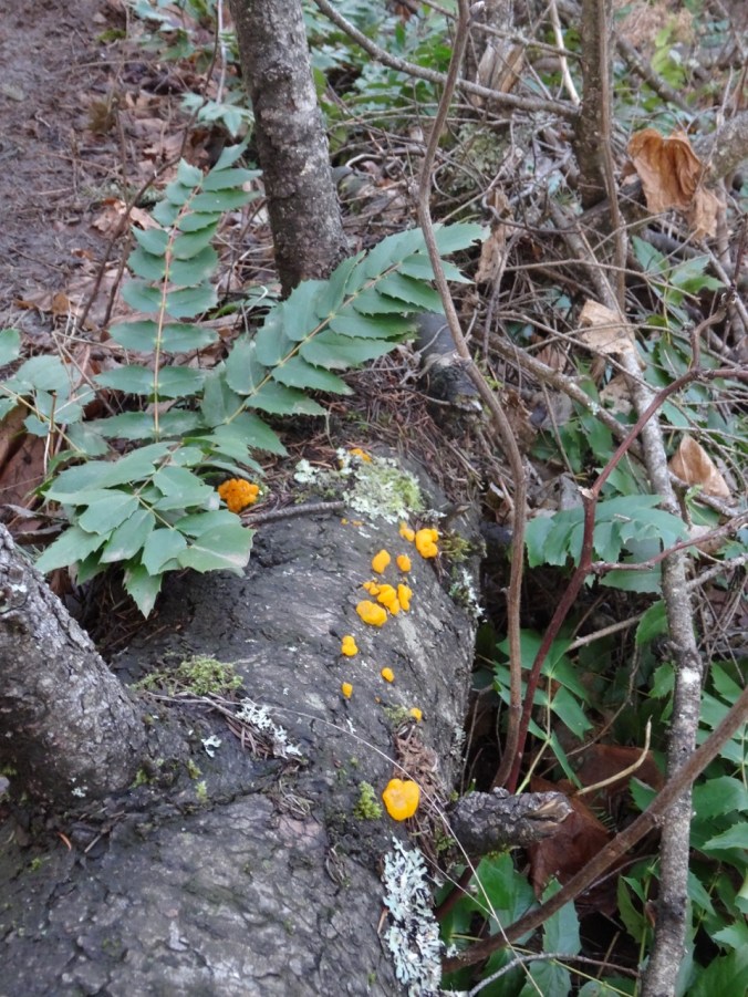
Fungus?
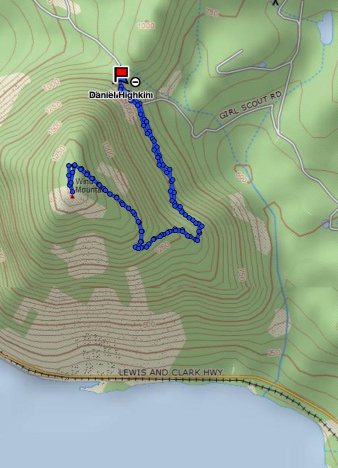
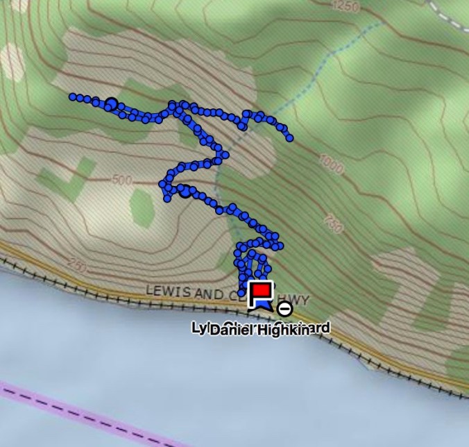
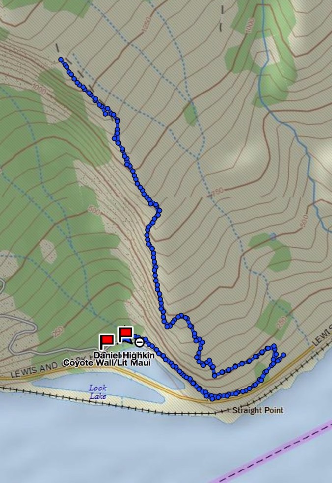
GPS track
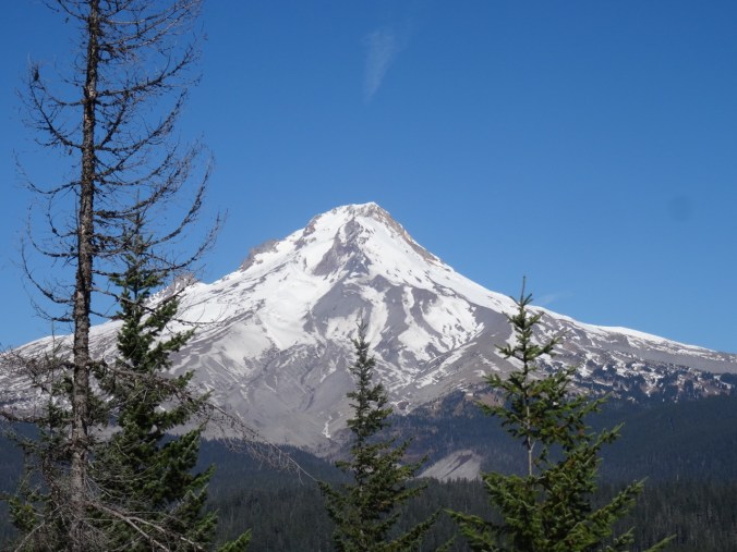
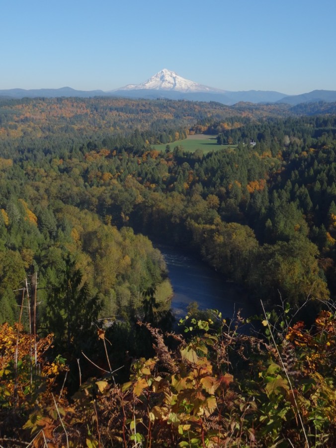
Lookback: We hiked here in February of 2013 on a less windy and cloudy day, and could see all the way to Mt Adams and Mt St Helens

East to Dog Mountain

North to Mt Adams

Northwest, with Silver Star Mountain and Mt St Helens
West to Beacon Rock
Happy New Year!
In the evening we went downtown for a lovely dinner out with friends, and a New Year’s Eve concert at the Arlene Schnitzer Concert Hall, featuring Pink Martini and the Oregon Symphony ringing in 2018 at midnight.
And finally, some totals for 2017:
603 Total Miles walked, of which 294 were on hiking trails during 59 hikes, with a total of 50,500′ elevation gained.
76 Books read according to my Goodreads page. My two favorites were: Jane Austen, The Secret Radical by Helena Kelly, and Martin Marten by Brian Doyle.
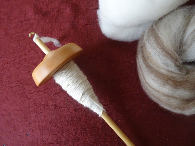
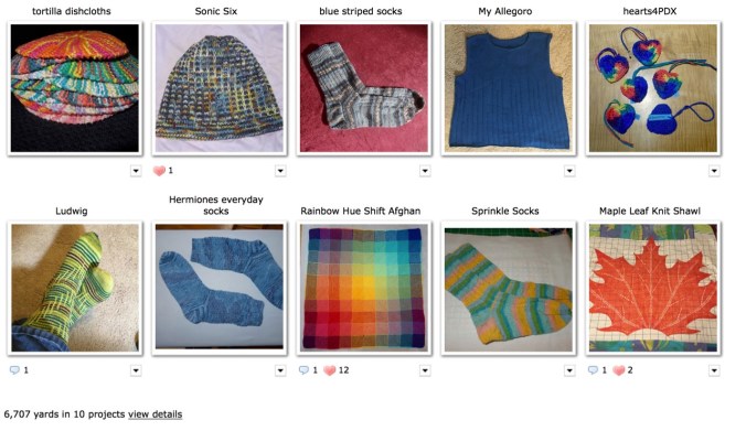
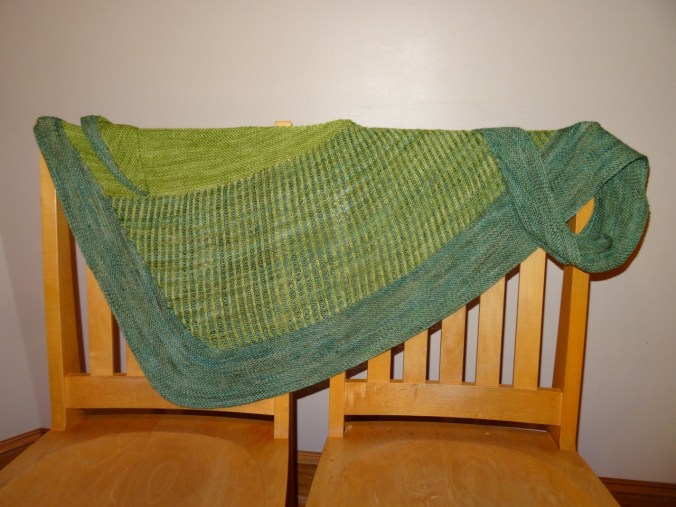
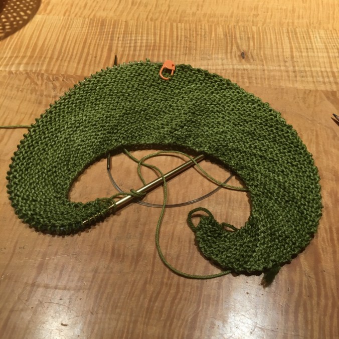
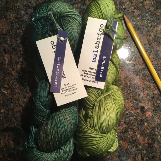
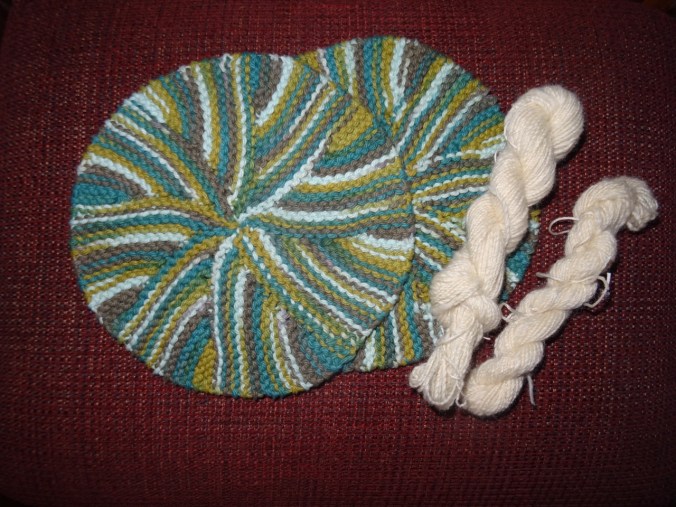
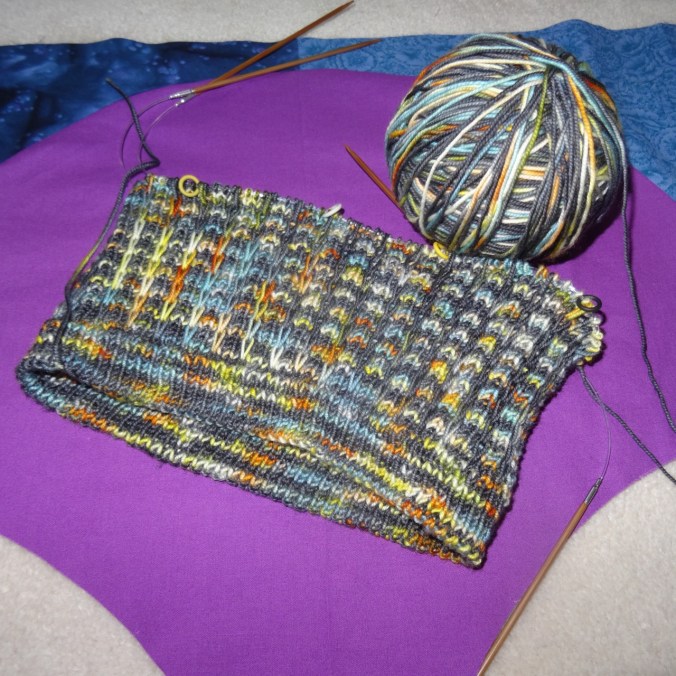
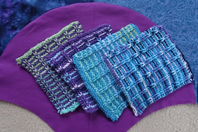
6707 yards of yarn knitted in 10 finished projects according to my Ravelry page:
38 Blog Posts I am happy to say I have posted weekly since beginning the blog last April. I am still exploring what I want it to be, but I have enjoyed the motivation to write a bit each week, and I love documenting life events. I hope to keep up the pace in 2018, with more detailed quilt stories added in, once the big adventure with the surgeon is gotten through on January 10th. I keep thinking of the chorus to an old camp story about a hike through the woods with various obstacles:
“Can’t go under it, can’t go over it, can’t go around it, gotta go through it.”
And I suppose the same can be said about the challenges that face our nation in the next year. Our family holiday letter included this statement:
“It would be incomplete not to mention that 2017 has been a difficult year on the political front. We marched with women and men in January, and although some days it feels like we are barely hanging on by our fingernails, we cling to the belief that the checks and balances built into our Constitution will hold, and that the rule of law and equal protection under the law will win the day.”
Welcome 2018!


 From the lunch spot at the top of Palmateer Point we identified the bright orange of Barlow Butte as another spot to put on our future hike list.