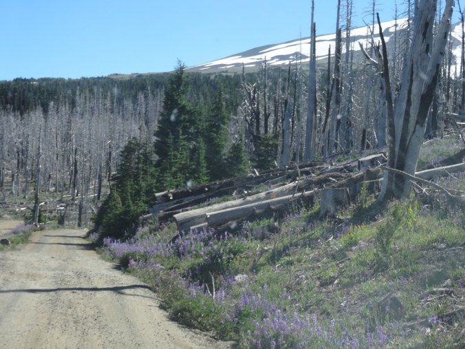
Eagle Creek fire update as of 9/11/17: 34000 acres, 7% contained.
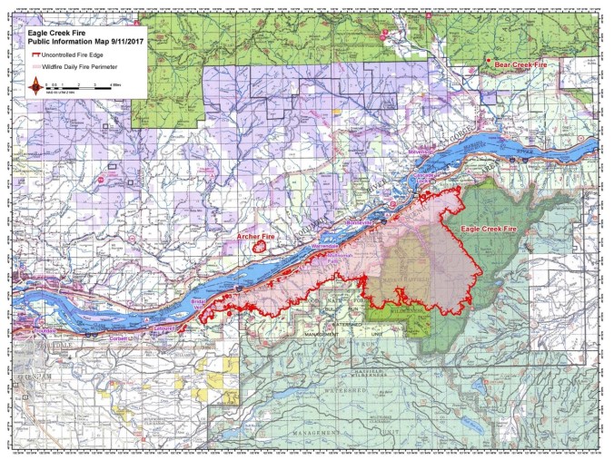
USFS Incident Map
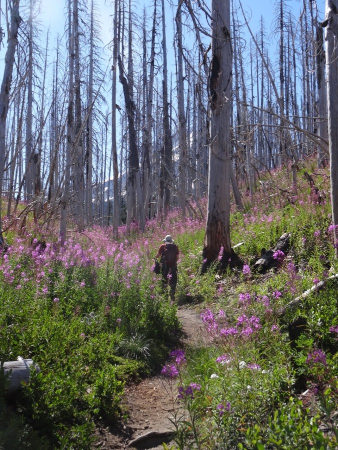
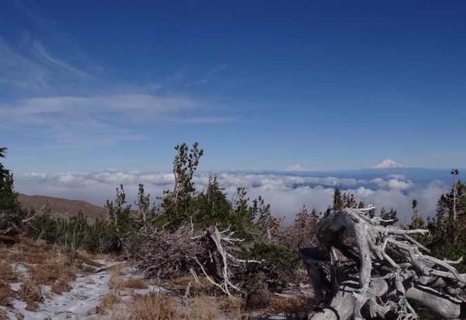
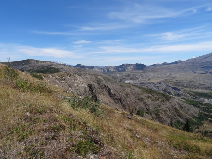
Boundary Trail toward Harry’s Ridge 9/10/2017 (#45)
The skies are alternating blue and cloudy today. Unsure of any firesafe place east of us, we opted to drive north to Johnston Ridge, Mt St Helens National Monument. Clouds that were floating at mountain level when we arrived late morning evaporated during the day.

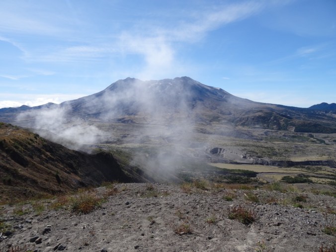
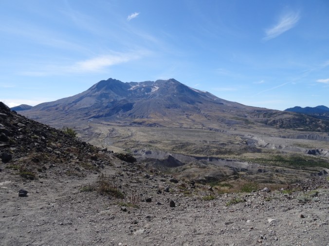
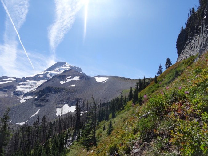
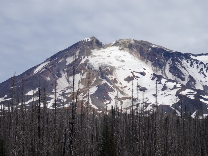
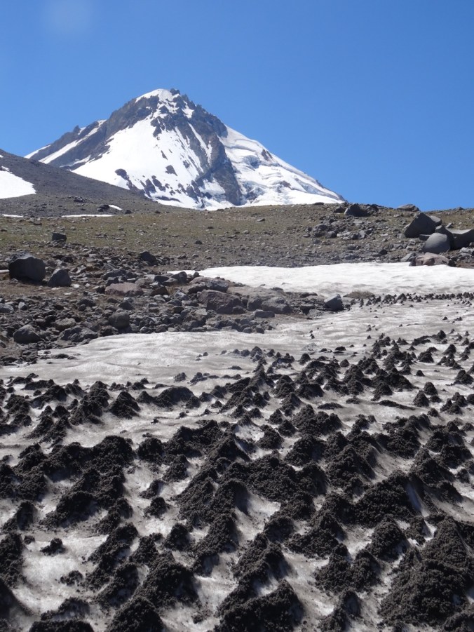
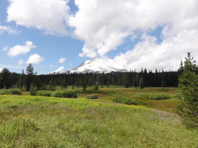
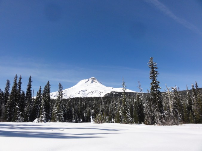
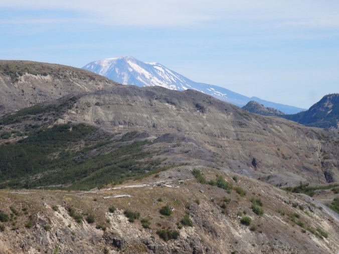
Mt St Helens
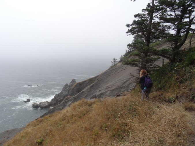
We hiked the Boundary Trail toward Harry’s Ridge.

Coldwater Peak, north of the Boundary Trail


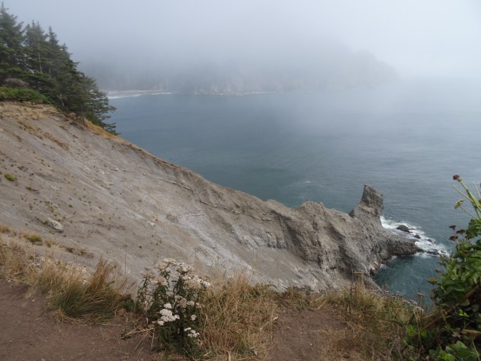
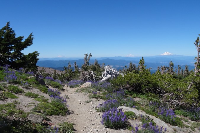
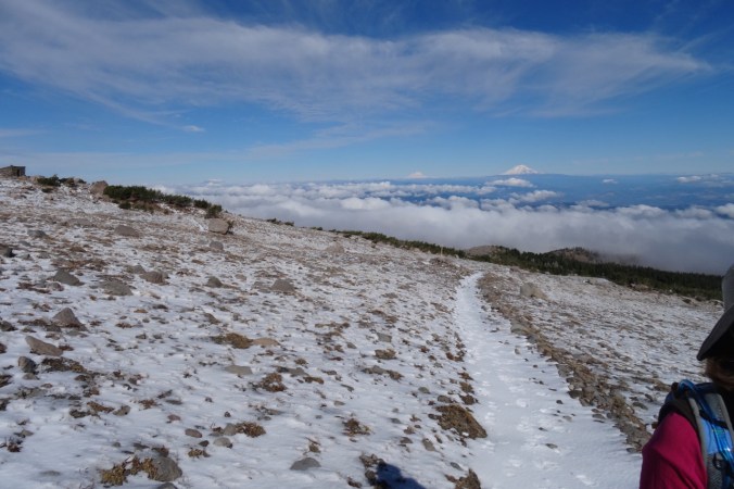
The trail that used to go along a steep, cliffy slope to the grand viewpoint at Devil’s Elbow is now closed. The new alternate route cuts over the ridge, and has a view to Spirit Lake from the pass at the top of the cutoff. We stopped there for lunch.
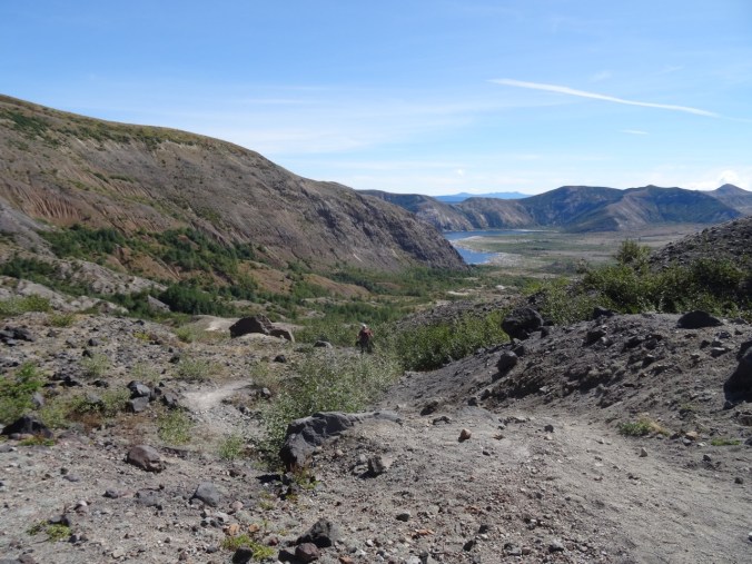
Lunch stop at the top of the new cut off trail, with view to Spirit Lake
I decided it was too hot to continue, so hiked slowly back to the observatory. Dan went on to Harry’s Ridge then met me back at the observatory later. I had the chance to watch the excellent 16 minute film that simulates the eruption and illustrates the forces of nature during the 1980 eruption.

View while hiking back toward Johnston Observatory
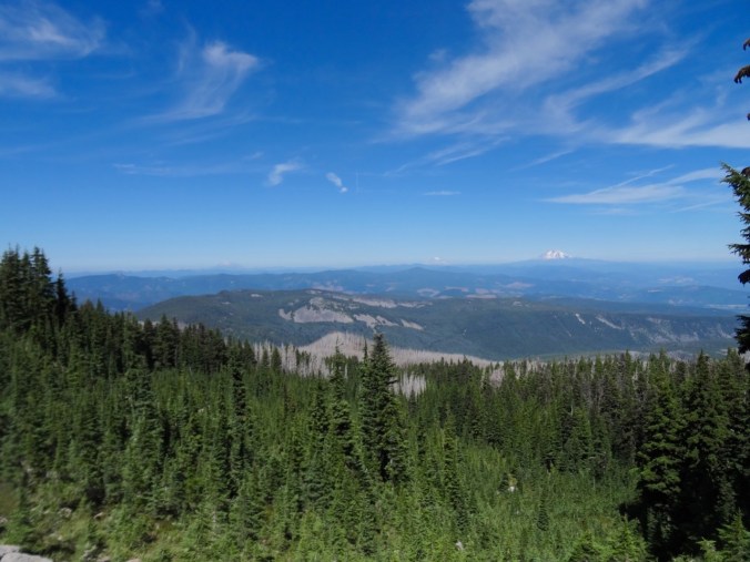
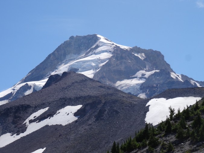
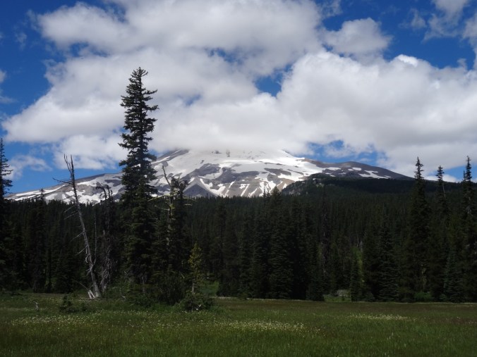
Looking east from the observatory toward Mt Adams
Mt Adams
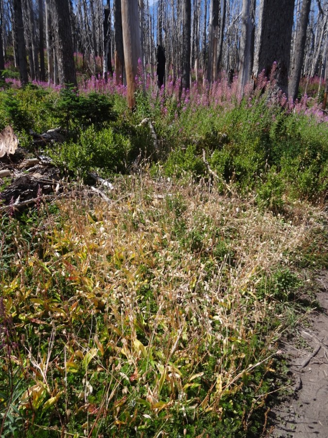
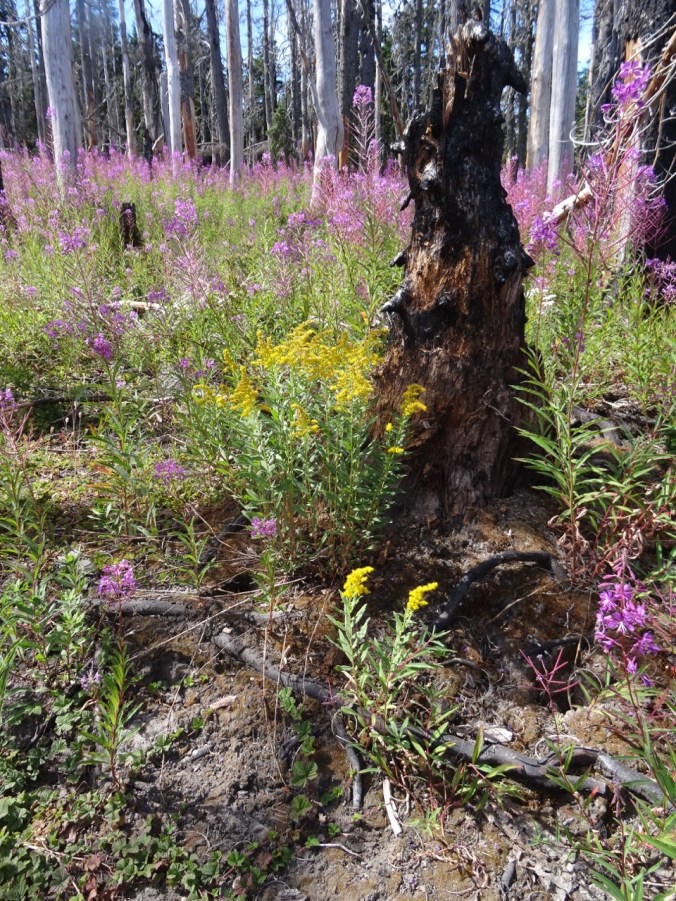
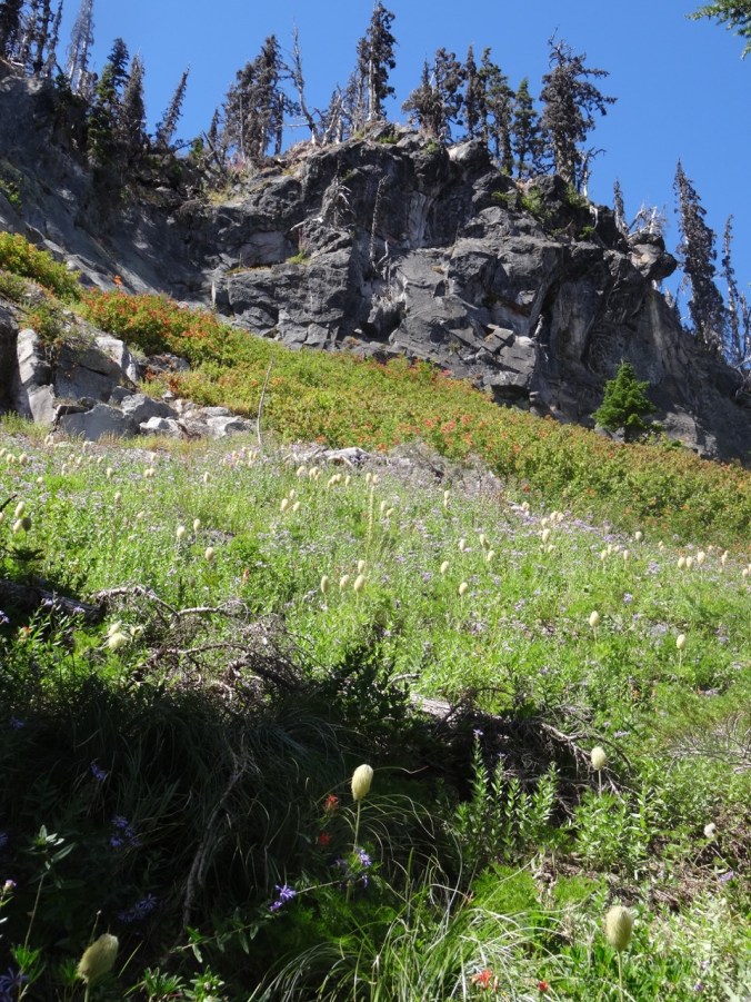
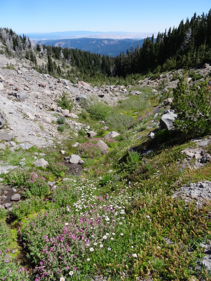
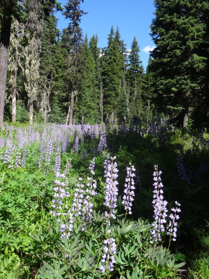
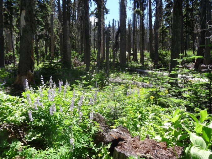
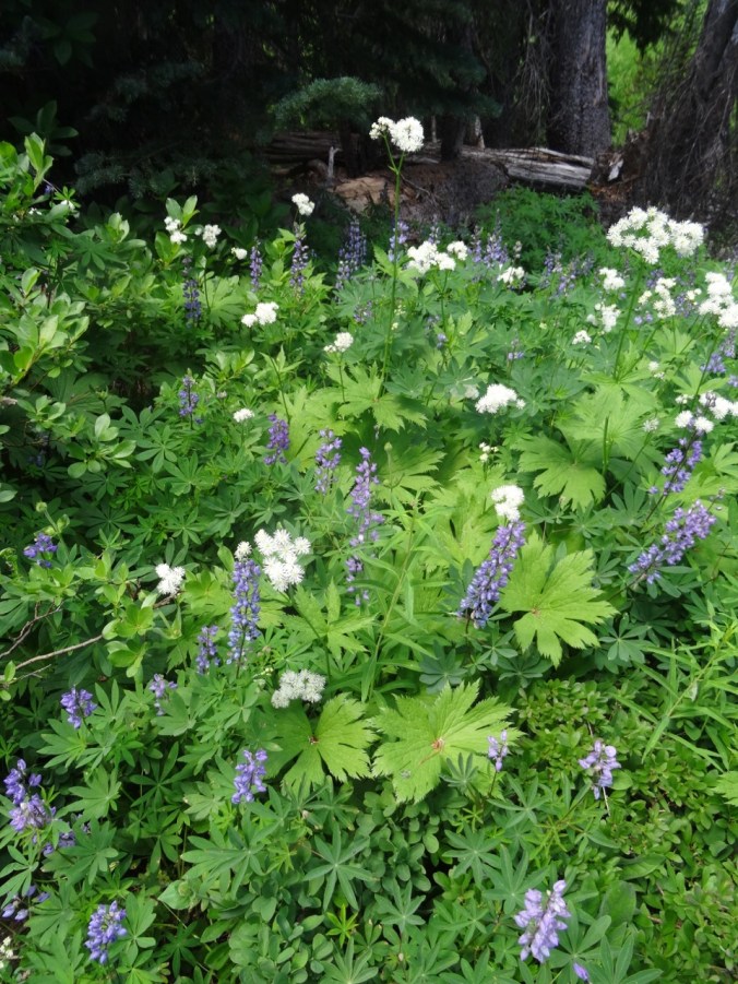
There are straggling summer flowers in bloom – lupine of both large and dwarf varieties, penstemon, paintbrush, yarrow, an abundant yellow composite, and equally abundant white pearly everlasting gilding the slopes, and standing out strongly in contrast to the early reds of fall.


We stopped at Coldwater Lake to walk the boardwalk trail that illustrates the Birth of the Lake. It was peaceful and beautiful there, with excellent views of Minnie Peak and Mt St. Helens. It is pleasant to walk through shady foliage after spending time in the blast zone. My total mileage for the day was about 5 miles/800 feet.


LOOKBACK:
Boundary Trail to Harry’s Ridge – we have hiked this trail in several seasons, with different views of the mountain:

June 2016

September 2017

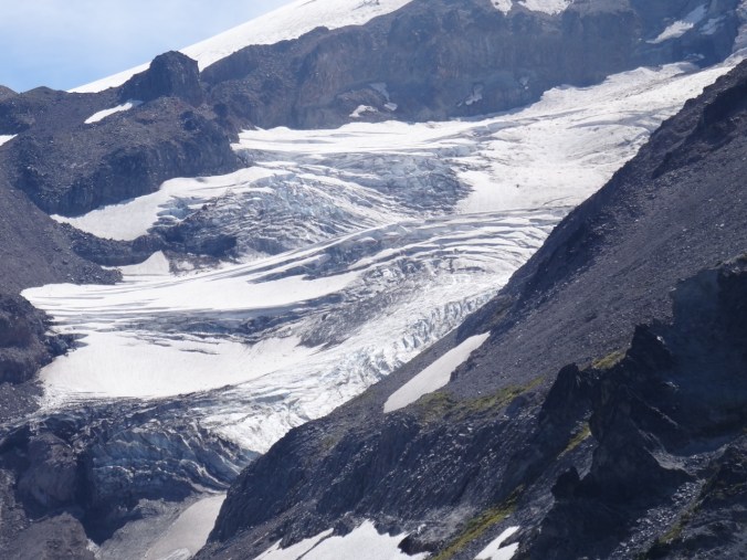
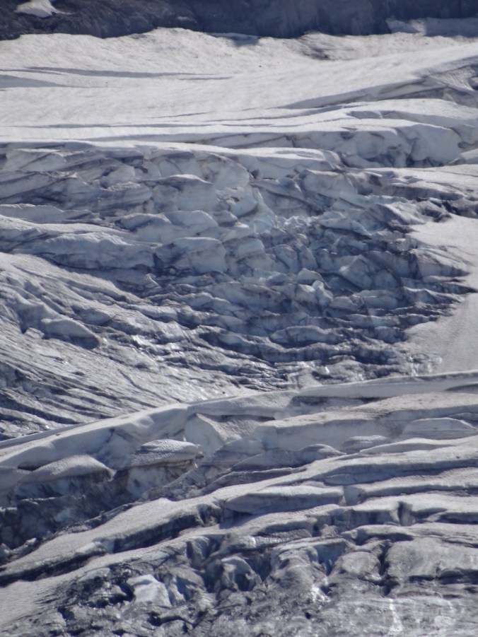
Inner crater dome close up June 2016
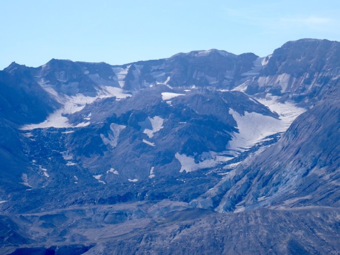
September 2017
Coldwater Lake:
In March of 2015, a low snow year, we walked the 12 mile loop around Coldwater Lake. The foliage was mostly dormant and brown. We had views of the mountain, walked by the abandoned logging machinery destroyed by the blast, got some closer views of Minnie Peak.
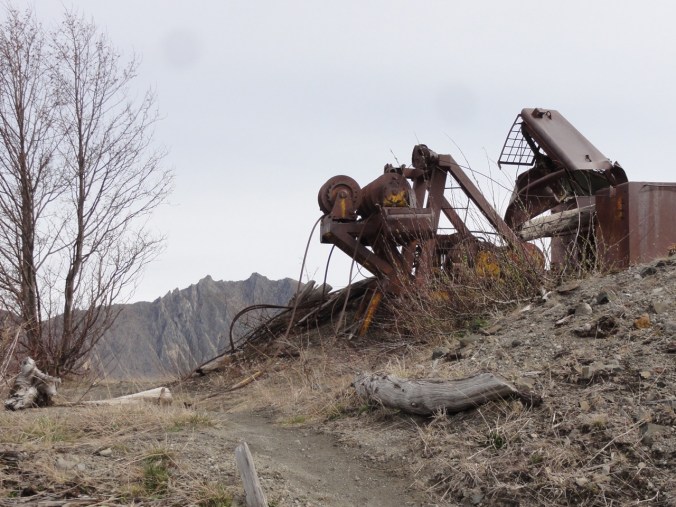
March 2015 Minnie Peak and old logging machinery on Coldwater Ridge

March 2015 Minnie Peak
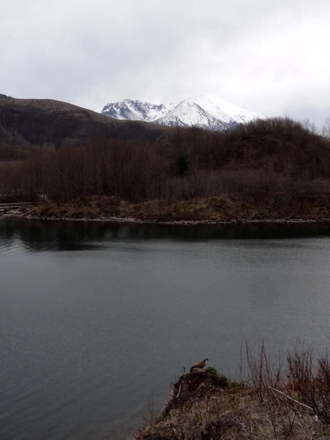
March 2015
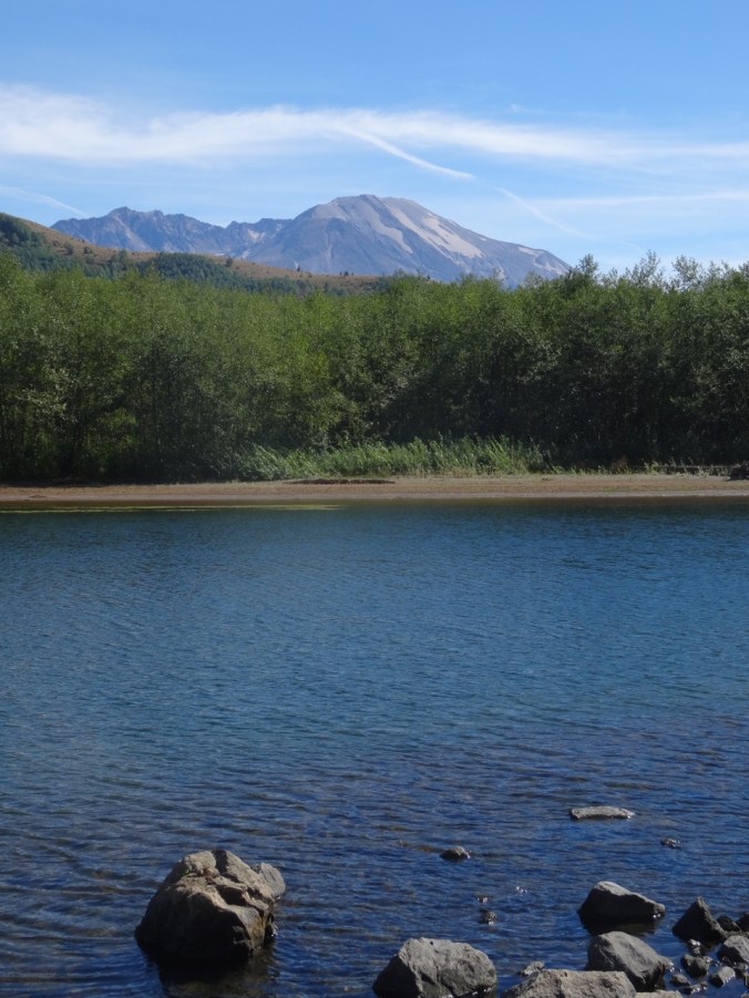
September 2017 Mt St Helens and Coldwater Lake
In Spring of 2017 we were in the area hiking the Hummocks trail, and we visited the Science and Learning Center, which gave us a snowy view of the boardwalk that we walked on today.

February 2017 Looking down on Coldwater Lake


")
")


")