Marquam Hill, Portland, OR (18-2)

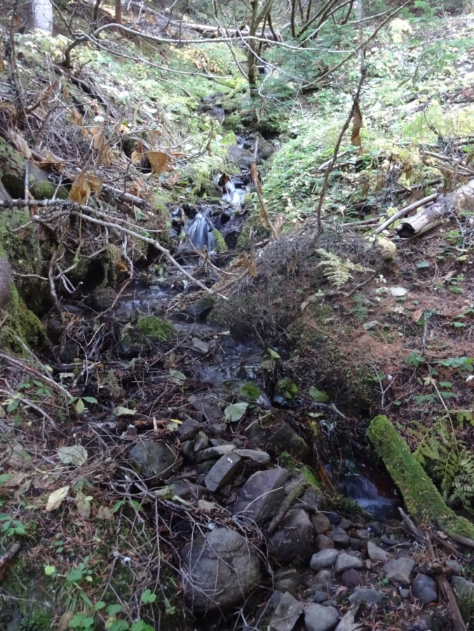
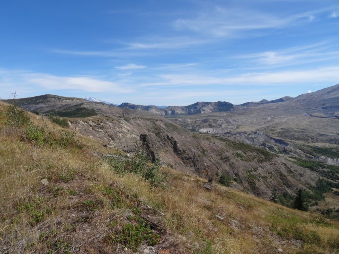
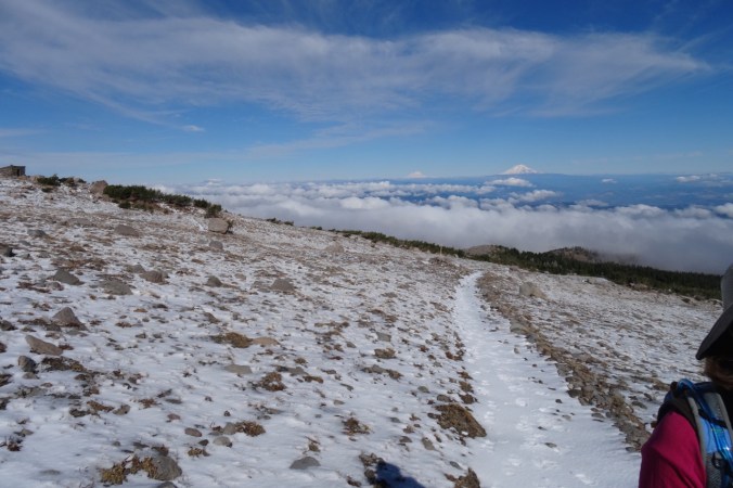
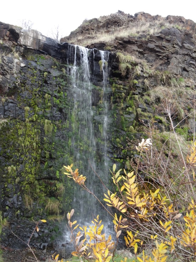
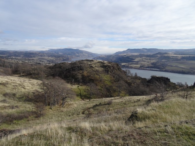
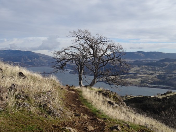
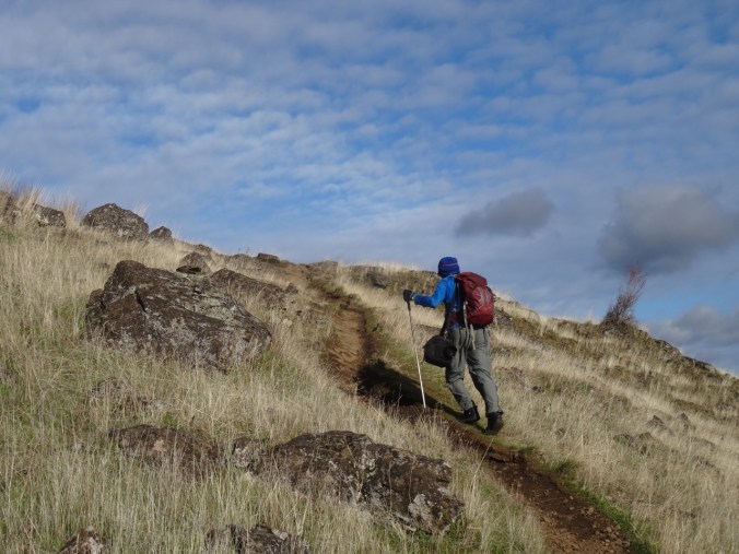
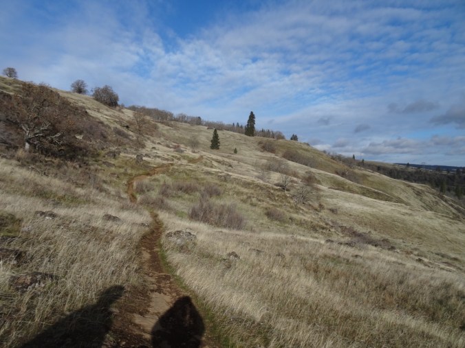
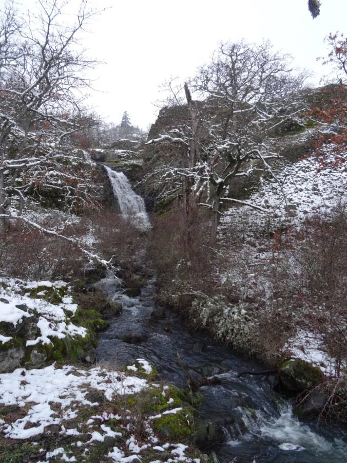
1/10/18     A different kind of Adventure of the Week:      Marqham Hill

Begins with a pre-dawn drive up Sam Jackson Road, four flights of stairs in the parking garage, into the entrance hall where I get my wristband; down to the preop suite where I wipe myself with antiseptic wipes and change into a snap on gown, booties and shower cap. That’s when it all gets real. Someone comes to start the IV;  I sign all the forms that admit knowledge of possible bad outcomes including death, and then they whisk me away into the OR ante room. I start shaking uncontrollably as they transfer me to the operating table, but they give me oxygen and then the mask, say “Count down five breaths”.  I only remember three.

Someone is tugging at a mask on my face. There are bright lights in my eyes. They are holding me in place, putting oxygen tubes in my nose, needles in my arms. I am coming awake and it is over and they say I am doing fine.

Then there are a number of hours I am in and out of awake. Dan is there holding my hand. Emily is sitting next to me giving me droplets of water and encouraging me to eat one saltine cracker that takes 2 1/2 hours. There is a light above that is too bright and one doctor says the hospital is full and I may have to stay in this space all night. It is very noisy and bright and I feel discouraged. Eventually they do find a room for me and wheel me in most carefully. Now here I have been for three days with the kindest of nurses caring for me, doctors coming and going in teams all hours of the night, needles poking, measuring ins and outs. Brian and Sean keep me company and take me on walks around the halls and I appreciate their presence. Dan is ever-present and stays the first night. Emily stays the next two nights and I slowly shed tubes and wires and medications until I feel almost ready to go home.

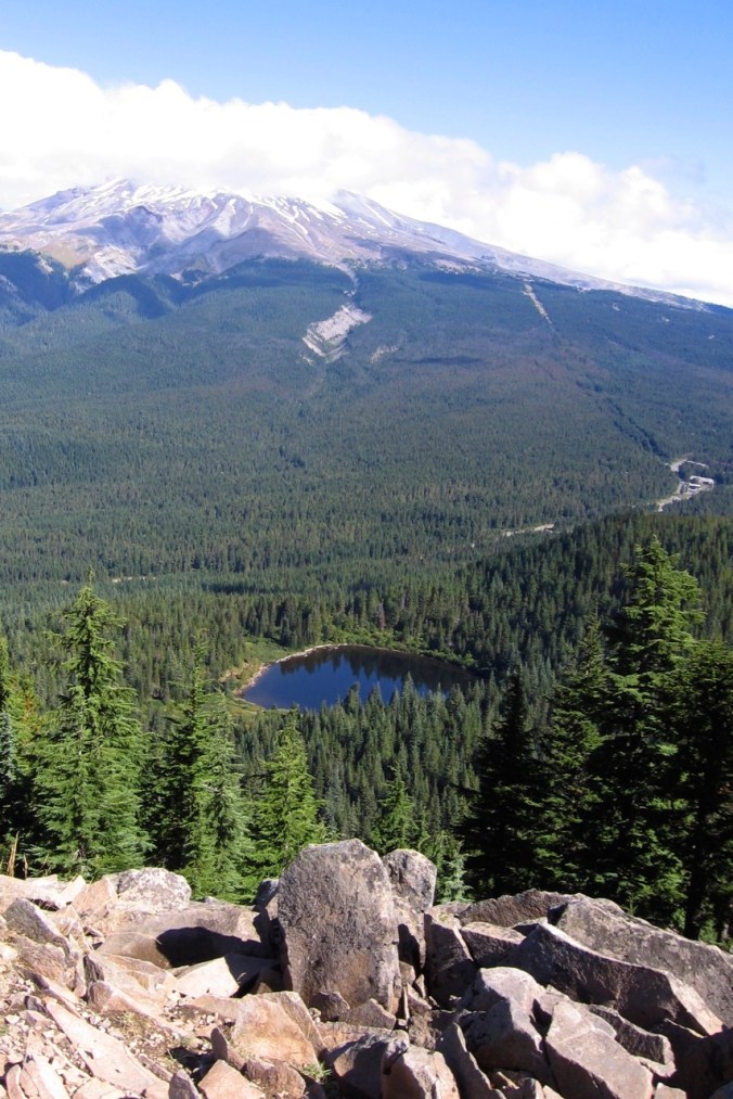
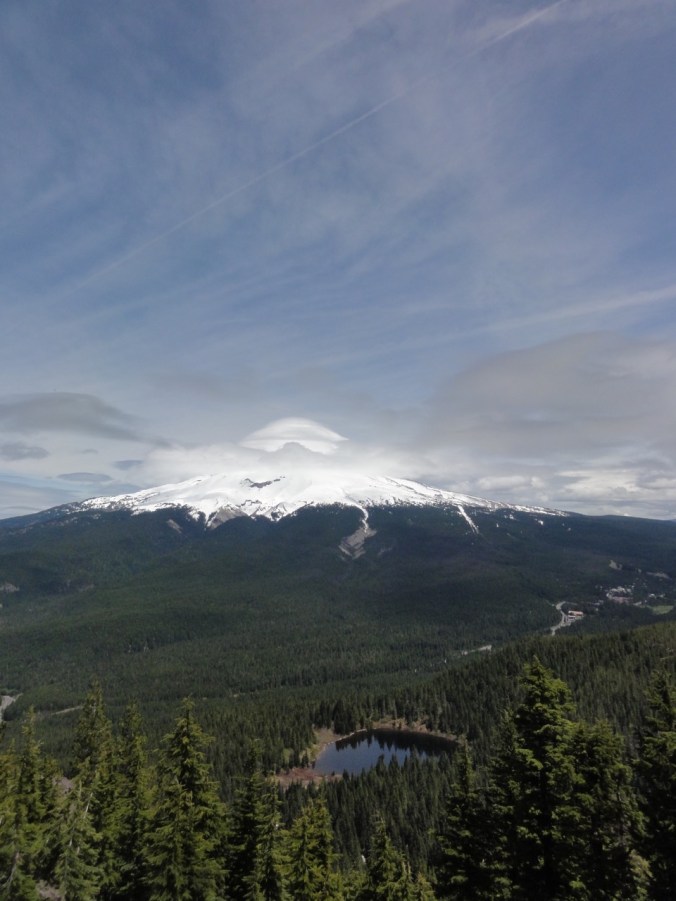
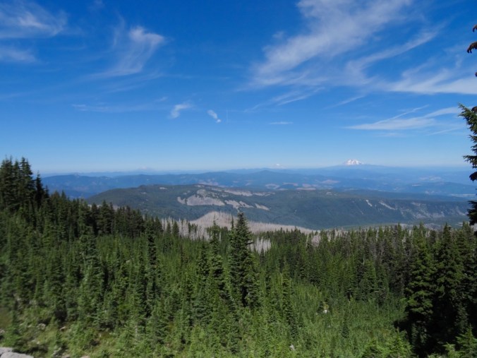
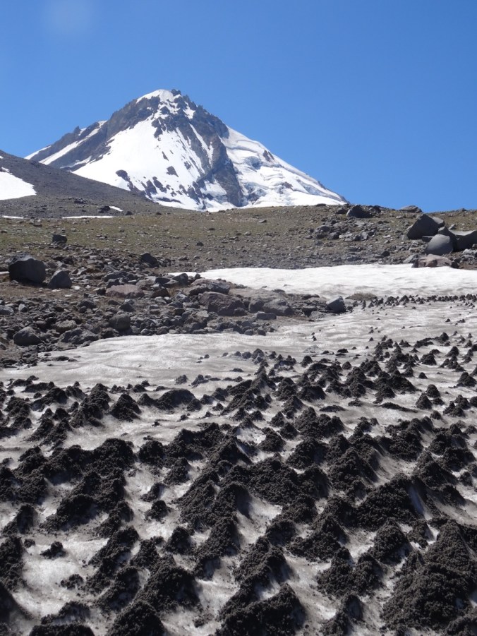
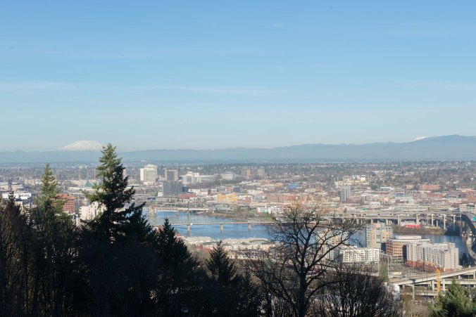
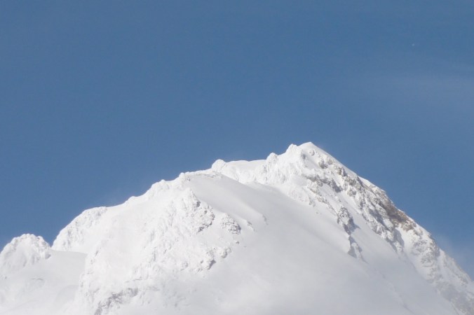
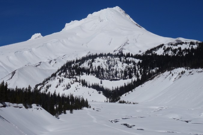
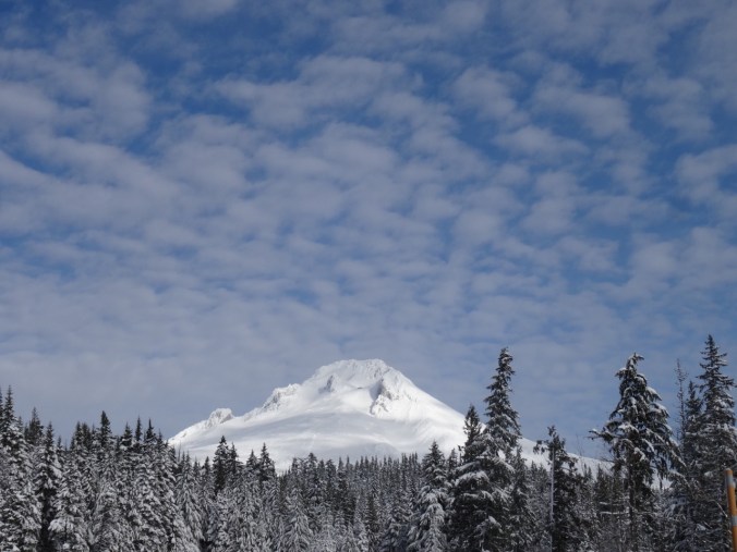
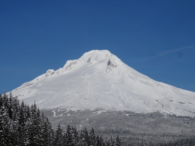
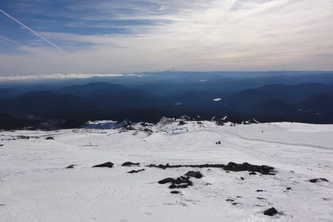
By day three I am feeling very accomplished to make several laps around the 10th floor neurosurgery ward, and a walk to the view plaza above the Portland Tram, resting and looking at all three snow covered peaks on the skyline on a beautiful blue sky day.

untitled-4

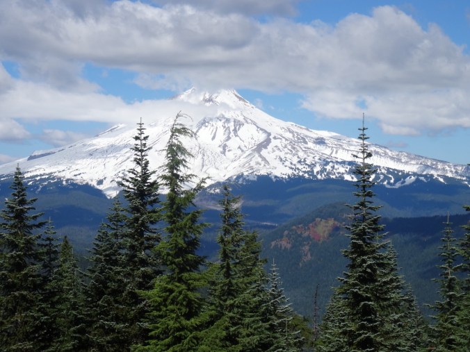
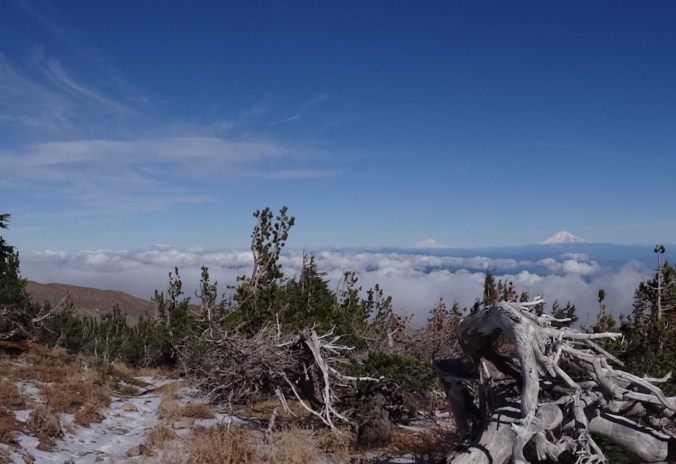
Mt Hood and lower waterfront from Portland Tram plaza

untitled-8

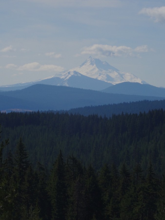
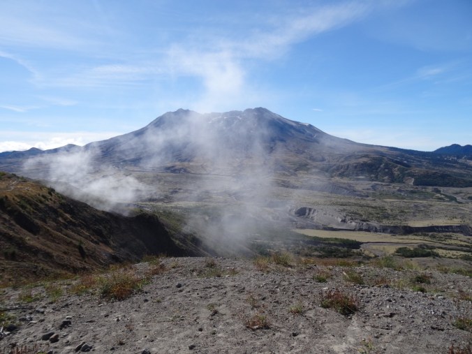
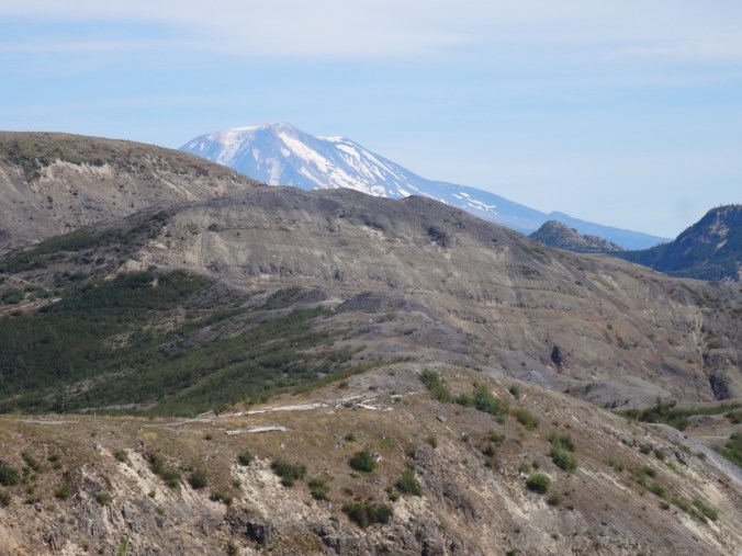
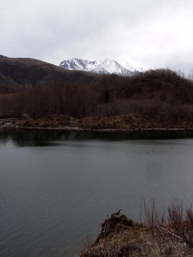
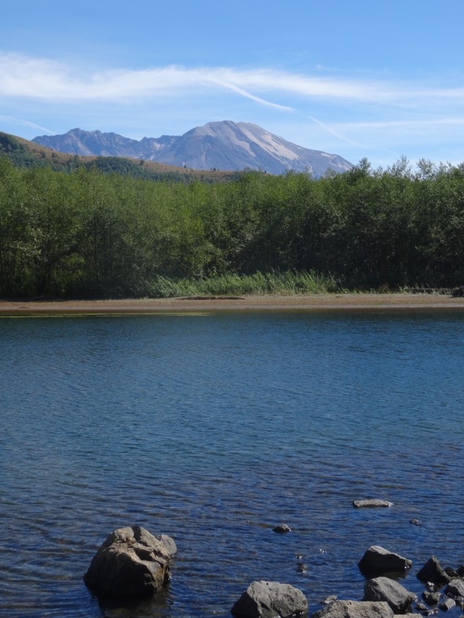
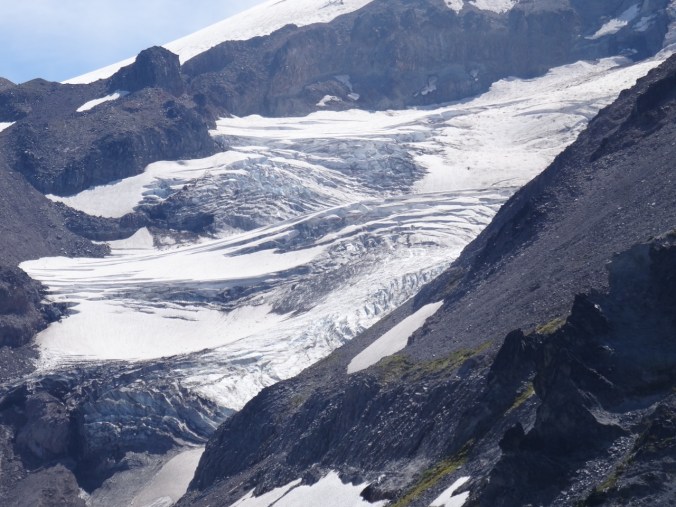
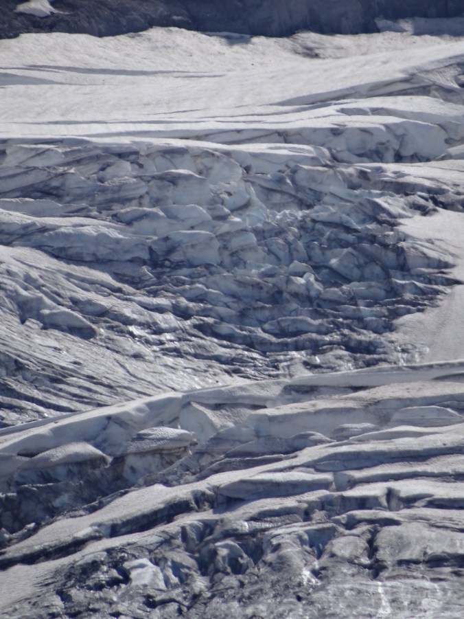
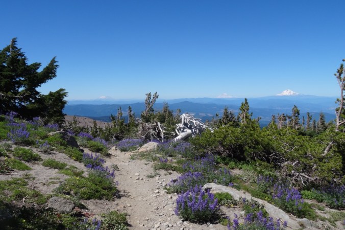
Mt St Helens and Mt Adams

untitled-19

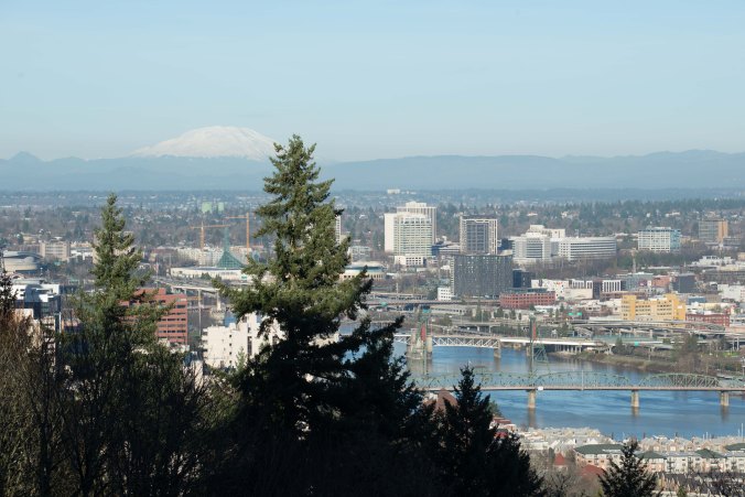
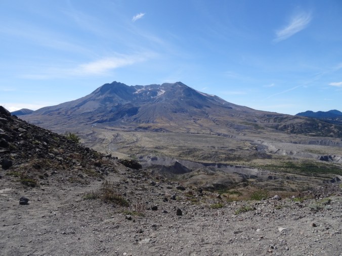
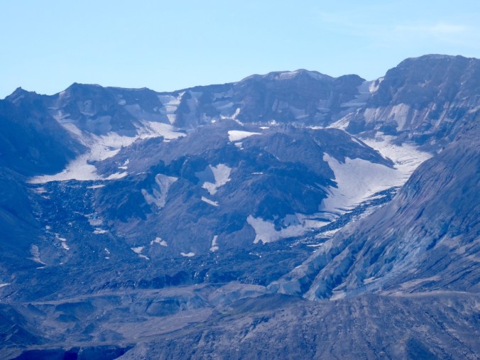
Mt St Helens and a peek at Mt Rainier over its left shoulder (photos by Dan)

Friends and family have texted emailed visited called, sent flowers balloons meals good wishes. Now I just look forward to slowly getting better and less dizzy as I adjust to the new me. No more excess human growth hormone seeping from an adenoma on my pituitary. No more hidden acromegaly.

After 4 days on the hill we drive home, me shielding my eyes from the too bright sun and the overwhelming motion around me. I walk as if balancing a marble on my brittle bubble of a head, each day my equilibrium slowly increasing. In a few weeks I hope to be able to move better, drive, smell, hike…continue the adventures.

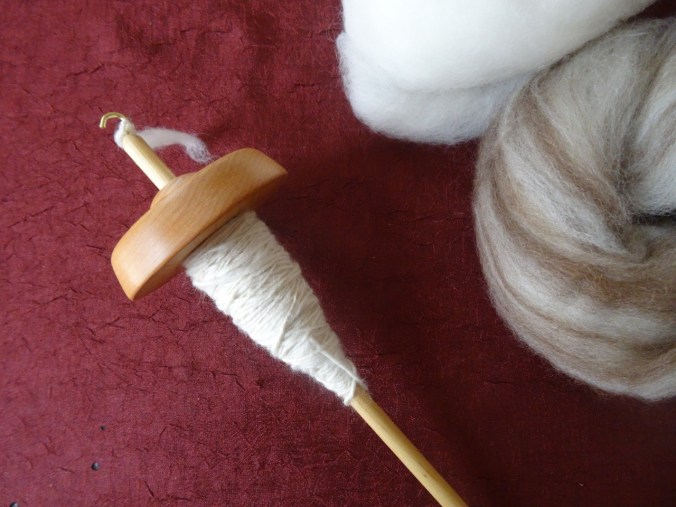
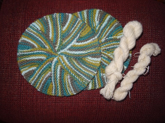
Meanwhile, the knitting:

I’ve added a few rows to the Girl From the Grocery Store Shawl, though I may rename it Girl in the Neurosurgery Ward.

IMG_0382


36. Labyrinth Hiking

The Labyrinth Trail, WA            12/16/2017         (#58)

East out of the Portland mist, through the frosted central gorge to the open dry eastern gorge, this time to the Labyrinth, trailhead at the Hwy 14/Old Hwy 8 intersection at Rowland Lake.

DSC00220

Waterfall along Old Hwy 8

The aptly named trail winds gently upward between columnar basalt buttes and a cascading stream.

DSC00229DSC00263DSC00264

DSC00240DSC00254DSC00267DSC00251


Bare trees, gold grasses, dried flower seed heads, lichen splotched talus piles, higher and higher, rising to views to the south of the Columbia River, the orchards, fields and cliffs around Mosier, Oregon.

DSC00266

To the east the open skies of the Columbia Plateau beckon; to the west, the lowering clouds of western Oregon gloam, this whole area scoured by the Missoula floods. We explore some of the side trails around the waterfall,

DSC00234

at the base of a columnar basalt butte,

and to our lunchstop viewpoint.

Then on up a bit more,

past the cliff that is covered with purple desert parsley in spring,

DSC00335

View toward Coyote Wall

DSC00339

past the oak tree on the trail’s edge,

DSC00348DSC00351

to the next high point.

DSC00357DSC00360DSC00363

Wind rising, we agree to turn around. Down we go, light changing, shoulders of Hood briefly exposed, back to the old highway then home.

LOOKBACK

During our first hike here in June of 2012, I was enchanted, just exploring the bones of the landscape, the windings between rock exposures then covered with halos of pinkish grass.

DSC05633

May 2012

We attained a high viewpoint back down to Rowland Lake and the river and began to realize the potential. Future trips saw the cliffs and mounds adorned with yellows and purples of spring wildflowers,

DSC05592

Mt Hood from Old Hwy 8 approach trail, May 2012

DSC06832

Balsam root near Hwy 8, April 2014

DSC06743

April 2014

DSC02842

Grass Widows, March 2017

DSC02807

Gold stars, March 2017

DSC01902

Buttercups in oak woodland, March 2016

DSC06806

Columbia Desert Parsley, April 2014

the white snows of winter,

DSC09847

December 2015

DSC09884

December 2015

and actual rainbows.

DSC00722

December 2016

Some comparisons: the waterfall –

DSC05620

May 2012

DSC02834

March 2017

DSC09831

December 2015

the oak tree –

DSC05667

May 2012

DSC09893

December 2015

We also brought back poison oak and left behind one contact lens.  We have explored a few of the side trails – there are many more to look forward to.

CRAFTING

Knitting the green shawl: finished another tortilla and the Sonic Six hat.

Decorating the tree – Diamond Log Cabin Christmas Tree Skirt (Quilt In A Day pattern) made in the early 2000’s.  I have learned a lot about color and fabric choices since then, but It still fits our decor and I like it well enough to continue to use it. The rest of the tree decorating is waiting for one child to be home from college.

35. Dreaming of White River, 12/11/2017

A little under the weather, so I missed the hike with Dan and a friend to White River on Mt Hood. He sent me this photo from our usual lunch stop:

63ADA16F-BC48-4A9E-850A-194C9F2AD26C

LOOKBACK:

This is a favorite adventure because the grade is gentle and the mountain is in view almost all the way up to a spectacular lunch spot. A few photos from previous years:

DSC04820

March 2012 – Close up of the peak of Mt Hood

DSC00771

February 2013

DSC00422

January 2014

DSC00796

March 2016

DSC02952

March 2017

Crafting:

A little of each- knitting, plying, stitching the leftover clams for the back of Atmospheric River, and what fun! deciding to use Fossil Fern as the focus fabric for my long planned hue shift quilt.

DSC00157

Flyaway Twist: begin the brioche, with lifelines

DSC00136

Panel of leftover clams for the otherwise light blue backing for the Atmospheric River quilt

DSC00172

Color wheel of fabrics for a new quilt


Other adventures:  Mostly a waiting week – I tried one new med, and also contracted a common cold from my son, so snowshoeing did not seem like fun.

32. Trillium Lake Snowshoe, Mt Hood

Trillium Lake Snowshoe  November 18, 2017    (#55)

We walked the loop around Trillium Lake from the Trillium Lake snowpark. It was a beautiful blue sky day with plenty of fresh snow.

DSC09872

View to Mt Hood from the snowpark

DSC09874

Access road from snowpark to the lake

We stopped near the dam for lunch.

DSC09881DSC09892

The lake has a thin ice layer.

DSC09900

Ice layer

DSC09906

Snowy lake shore

DSC09910

Lunch view

DSC09912

Ski runs above Timberline Lodge on Mt Hood

Continuing around the lake:

DSC09914

Lake view from the southern trail

DSC09916

Mt Hood ahead

Summit meadows

DSC09931DSC09938

5.5 miles/500′

Screen Shot 2017-11-18 at 4.58.31 PM

LOOKBACKS:

A summer view of Trillium Lake and Mt Hood:

DSC03772

June 2013

Looking back toward Trillium Lake and Mt Jefferson from the slopes of Mt Hood:

DSC03093

February 2015

CRAFTING:

DSC09868

Two more washcloths, 2 small skeins of handspun yarn.

29. Palmateer Point and Drop Spinning

Palmateer Point, Mt Hood       October 27, 2017      (#52)

When we were at Frog Lake Buttes in September, we saw the view of Mt Hood included a closer viewpoint at Palmateer Point.  We put that on our list for a future hike, and this late October fall day was perfect.  The hike starts at Barlow Pass, then proceeds south on the Pacific Crest Trail for 1.3 miles before heading east across Palmateer Creek to the rocky bald that is Palmateer Point.  There were landscape views that included the bright yellow triangular larches. Huckleberry and vine maple provide the reds and gold of autumn.   DSC09580DSC09583DSC09571DSC09626
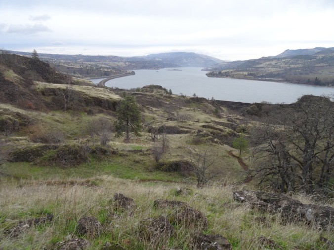
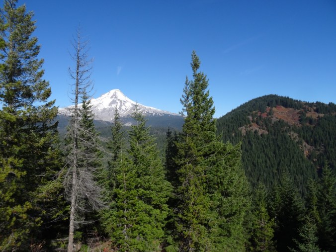
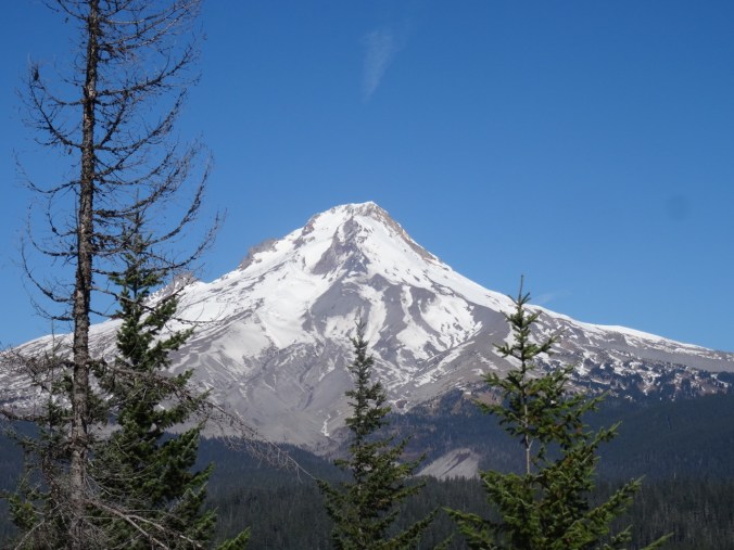
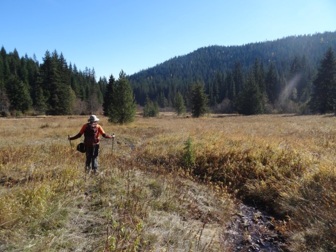
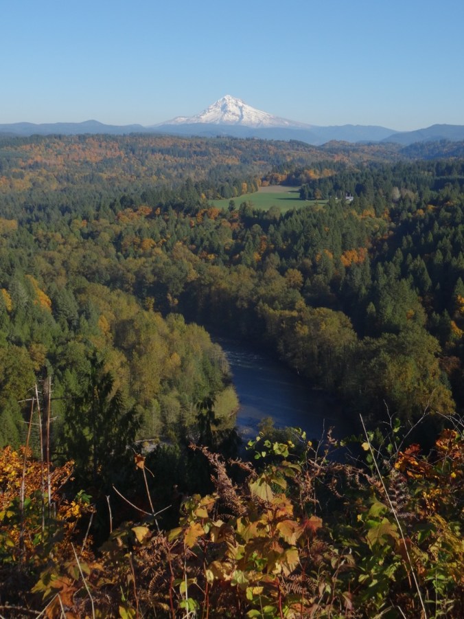
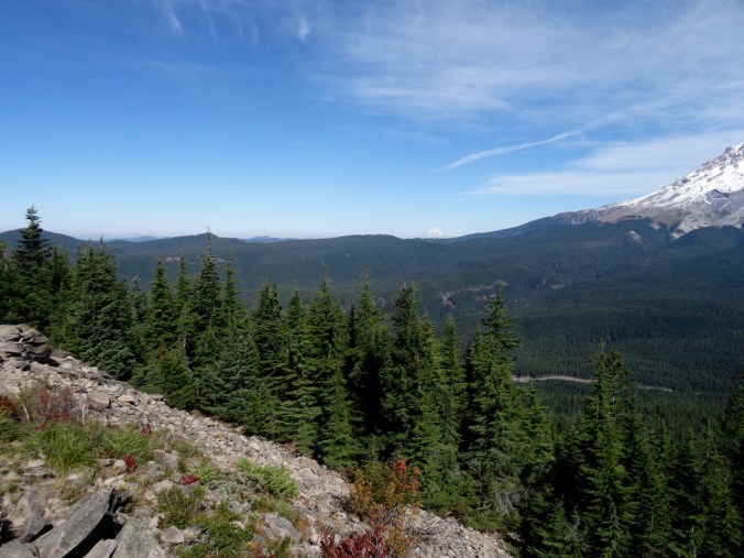
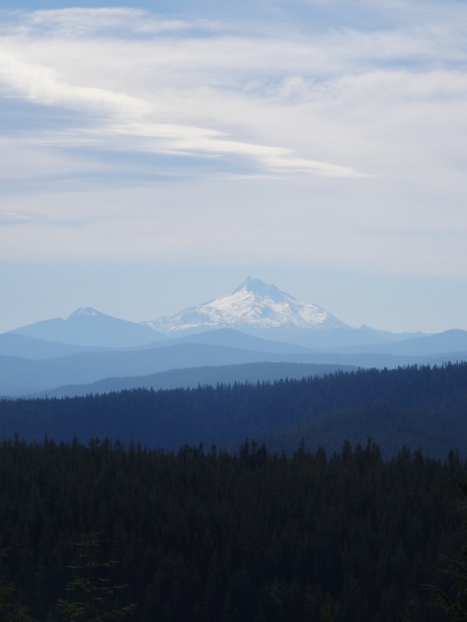
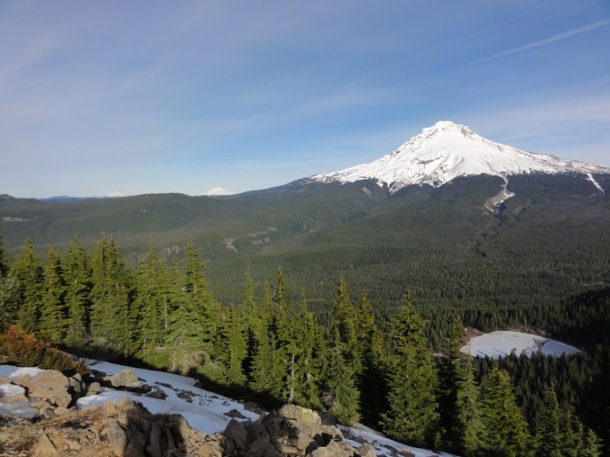
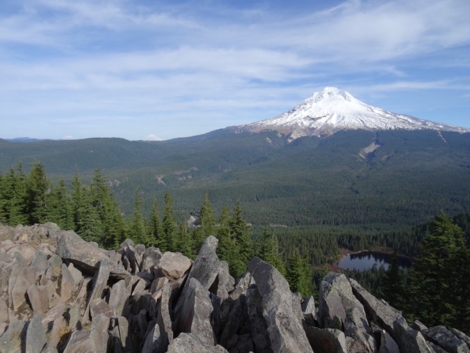
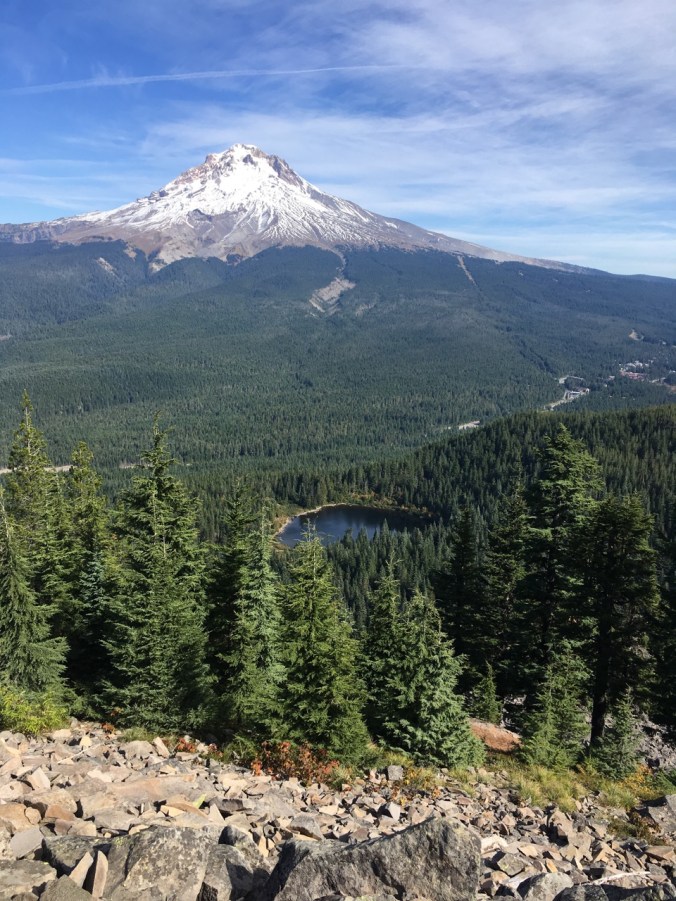
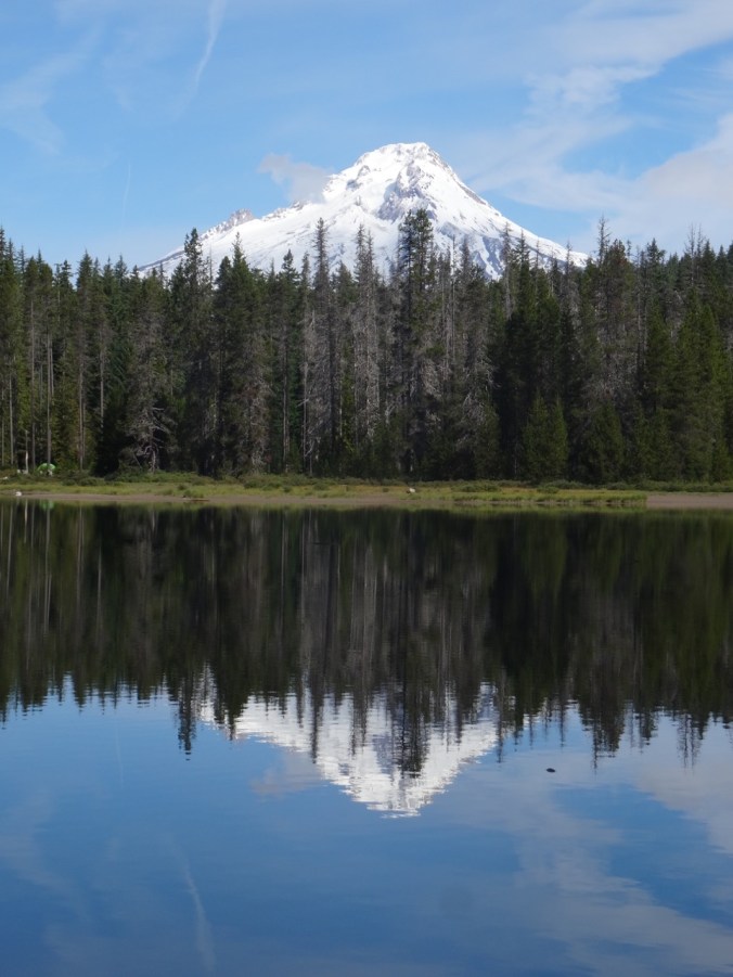
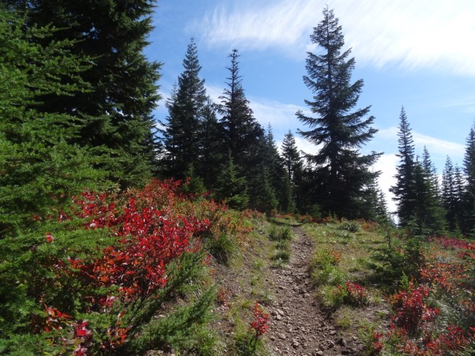
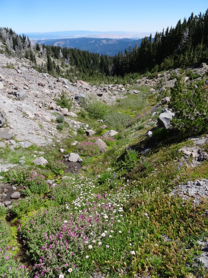
From the lunch spot at the top of Palmateer Point we identified the bright orange of Barlow Butte as another spot to put on our future hike list.

DSC09588

Approaching the top of Palmateer Point, with Mt Hood coming into view

DSC09595

Mt Hood and Barlow Butte

DSC09597

Mt Hood

DSC09592

Barlow Butte

DSC09598

Looking back toward Frog Lake Buttes

We circled around to the meadow called Devil’s Half Acre on our return trip.  The descent to the meadow on a steep hillside crossed by several small streams was really lovely and secluded. We will be back in spring to see the wildflowers in this meadow.

DSC09620DSC09622DSC09640DSC09644

DSC09648

Devil’s Half Acre

Total mileage for the day – about 6.5 miles, 800 feet.

Screen Shot 2017-10-27 at 8.52.02 PM

Jonsrud Viewpoint, Sandy, Oregon

We stopped on the way home to take in the view back to Mt Hood:

DSC09666DSC09657DSC09677

Drop Spinning

I took a drop spindle class at my local yarn shop, Twisted. I have long been fascinated with how it works as it looks like magic.  I’m glad to have a chance to try it – it is not that hard, but must take lots of practice to make a smooth, even yarn.  I don’t think I will take it up as an obsessive hobby, but I can see the appeal.

DSC09542

My first spinning

26. The Perfect Fall Hike on Mt Hood

Mirror Lake and Tom, Dick & Harry Mountain, Mt. Hood     October 6, 2017    (#49)

Screen Shot 2017-10-06 at 8.33.54 PM

Sunny skies, shady forest, bright red huckleberry and vine maple on the scree slopes, reflections of Mt Hood in Mirror Lake, five cascade volcanoes in view at the top. Total distance 6.6 miles, 1500 feet.


DSC09255

Mt St Helens, Mt Rainier and Mt Adams to the north

DSC09261

Mt Jefferson to the south


Lookback:

We have hiked here in every season, including with micro spikes on on New Years Day 2014, a low snow year; and a failed snowshoe attempt in January of 2016, when the snow above the lake was too deep to find a safe trail.  Spring and summer flowers, brilliant fall color, fabulous views when not cloudy.  The trail is overly popular for good reason.

Comparison photos: 

Views from Mirror Lake to Mt. Hood:

IMG_8223

September 27, 2010

DSC09993

January 1, 2014

DSC00011

January 8, 2016

DSC00176

November 4, 2016

DSC09303

October 6, 2017

Views to Mt Hood from the top of Tom Dick and Harry Mtn:

IMG_8210

September 27, 2010

DSC03502

June 1, 2013

DSC00029

January 1, 2014

DSC00203

November 4, 2016

IMG_0044

October 6, 2017

24. Frog Lake Buttes, Mt Hood

Frog Lake Butte, Mt Hood, Oregon      9/24/2017     (#47) 

A beautiful sunny day with only a few people fishing at Frog Lake when we began our hike.

DSC08809DSC08794

Views of Mt. Jefferson and red huckleberry bushes on the way up.

DSC08812DSC08815

A bit of snow from last week at our view point of Mt Hood atop the butte.

DSC08833DSC08816

A few asters and a million frogs in the meadow and around the lake shore on our return.  The frogs must have been sleeping this morning, but they were hopping all around my feet in a few areas.

DSC08847

2 cm frog on the rock

DSC08851

aster

DSC08880DSC08889DSC08891DSC08894

Looking back on the Frog Lake Buttes from the west side of the lake.

DSC08905

About 6 miles, 1500 feet.

Screen Shot 2017-09-25 at 10.20.56 PM


SaveSave

22. Mt St Helens Boundary Trail

Eagle Creek fire update as of  9/11/17:  34000 acres, 7% contained.

21640885_123414854982697_7881458328682540061_o

USFS Incident Map

Boundary Trail toward Harry’s Ridge     9/10/2017    (#45)

The skies are alternating blue and cloudy today. Unsure of any firesafe place east of us, we opted to drive north to Johnston Ridge, Mt St Helens National Monument.  Clouds that were floating at mountain level when we arrived late morning evaporated during the day.

DSC07837DSC07842

DSC07848

Mt St Helens

We hiked the Boundary Trail toward Harry’s Ridge.

DSC07855

Coldwater Peak, north of the Boundary Trail

The trail that used to go along a steep, cliffy slope to the grand viewpoint at Devil’s Elbow is now closed.  The new alternate route cuts over the ridge, and has a view to Spirit Lake from the pass at the top of the cutoff. We stopped there for lunch.

DSC07851

Lunch stop at the top of the new cut off trail, with view to Spirit Lake

I decided it was too hot to continue, so hiked slowly back to the observatory.  Dan went on to Harry’s Ridge then met me back at the observatory later.  I had the chance to watch the excellent 16 minute film that simulates the eruption and illustrates the forces of nature during the 1980 eruption.

DSC07861

View while hiking back toward Johnston Observatory

DSC07871

Looking east from the observatory toward Mt Adams

DSC07872

Mt Adams

There are straggling summer flowers in bloom – lupine of both large and dwarf varieties, penstemon, paintbrush, yarrow, an abundant yellow composite, and equally abundant white pearly everlasting gilding the slopes, and standing out strongly in contrast to the early reds of fall.

We stopped at Coldwater Lake to walk the boardwalk trail that illustrates the Birth of the Lake. It was peaceful and beautiful there, with excellent views of Minnie Peak and Mt St. Helens. It is pleasant to walk through shady foliage after spending time in the blast zone. My total mileage for the day was about 5 miles/800 feet.

LOOKBACK:

Boundary Trail to Harry’s Ridge – we have hiked this trail in several seasons, with different views of the mountain:

DSC05594

June 2016

DSC07868

September 2017

DSC05602

Inner crater dome close up    June 2016

DSC07849

September 2017

Coldwater Lake:

In March of 2015, a low snow year, we walked the 12 mile loop around Coldwater Lake.  The foliage was mostly dormant and brown.  We had views of the mountain, walked by the abandoned logging machinery destroyed by the blast, got some closer views of Minnie Peak.

DSC03346

March 2015   Minnie Peak and old logging machinery on Coldwater Ridge

DSC03371

March 2015    Minnie Peak


DSC03460

March 2015

DSC07882

September 2017 Mt St Helens and Coldwater Lake

In Spring of 2017 we were in the area hiking the Hummocks trail, and we visited the Science and Learning Center, which gave us a snowy view of the boardwalk that we walked on today.

DSC01570

February 2017   Looking down on Coldwater Lake


19. Vista Ridge again, Fireweed this time

Vista Ridge, Mt. Hood, Oregon   8/25/2017   (#43)

Looking for another trip to subalpine elevations, we walked up the Vista Ridge trail on the north side of Mt. Hood, as we had in late June.  This time, instead of millions of avalanche lilies, we were treated to the late summer swath of pink fireweed through the burn zone, with readily picked huckleberries along the way.  We could see the dried seedheads of the earlier lilies.  Other blooming plants in the burn zone were pearly everlasting and goldenrod, and plenty of Sitka Mountain Ash with ripening clusters of red berries provided additional color.

DSC07387

Fireweed and pearly everlasting understory in the burn zone

DSC07388

Mt Hood from the switchback viewpoint

DSC07399

Dried avalanche lily seedheads

DSC07402

Golden rod and fireweed

We reached the timberline trail, and rested in a shaded pocket at the edge of Wy’East basin, as lovely an alpine meadow as one could hope for – though the flowers are fading in the open areas. We continued walking east toward Elk Cove, hopping over the small strands of Clear Branch Creek that trickle down through Wy’east basin. Pink monkey flower, yellow groundsel, purple aster and lupine, and magenta paintbrush were the main riparian blooms.

We admired the view of the three Washington peaks from various angles, and turned the corner toward Elk Cove, with the rocky cliff of Barrett Spur to our right, and the looming peak of Mt Hood and its glistening Coe Glacier to the south.

DSC07435

Mts St Helens, Rainier and Adams

DSC07446

Turning the corner of Barrett Spur toward Elk Cove, with Mt Hood looming above

DSC07449

Close ups of the Coe Glacier

DSC07451DSC07450DSC07453DSC07452

We continued about half way down to Elk Cove, far enough to see the hanging meadow of pasque flowers, and the long drawn out ridge of Barrett Spur. That was our turn around point for the day.

DSC07462

Mt Hood and Barrett Spur

DSC07469

Pasque flower seed heads

Heading back toward Wy’East basin, we located the trail that leads up to Dollar Lake.  It is really more of a puddle.

DSC07470

Dollar Lake

DSC07475

Barret Spur and Mt Hood from the ridge above Dollar Lake

Back on the Timberline Trail, we meandered up the side trail to the upper part of WyEast basin to take in the slightly wider view of the horizon to the north.

From there, we retraced our steps back down the Vista Ridge trail, admiring the intense coral/red violet color of the fireweed, and greeting my favorite ghost trees on the way down.

Our total for the day was 9 miles/ 1500 feet.

Screen Shot 2017-08-27 at 9.13.37 PM

GPS track

LOOKBACK:

I perused my photos from our previous hikes up Vista Ridge.  Our trip in August of  2014 had more blooming flowers in the upper meadows.

DSC09148

August 5, 2014

DSC00463

March 29, 2015

DSC07517

August 25, 2017

The photo from August of 2013, taken only two years after the 2011 Dollar Creek Fire, shows a mostly blackened environment.  The contrast with the with the avalanche lily / fireweed lined trail of this year is striking, and shows how fast the vegetation is restarting. I didn’t get a picture of the abundant low huckleberry bushes along some parts of the trail – I was too busy eating the ripe berries.

Knitting and other home front activity:

15. Cloud Cap/Cooper Spur/ Timberline Trail, Mt Hood, Oregon 7/28/2017

Timberline Trail High Point from Cloud Cap  7/28/2017  (#39)

We drove up the dusty switchbacks of Cloud Cap Road, through the burned forest from the 2008 and 2011 fires.  Lupine, goldenrod, penstemon, aster and paintbrush lined the road, and the views to the Cascade peaks to the north appeared as we gained elevation.

DSC06816

Lupine lined road to Cloud Cap through the burned forest

The trail head is at 5600 feet, and we began our hike in the forest.  We soon rounded a bend to clear views of the mountain, and of our trail heading up through loose moraine and across a stream.  Abundant wildflowers lined the trail despite the dry dusty nature of the substrate.

After crossing the drainage, we continued up and soon emerged above timberline on a rocky alpine slope with local patches of snow.  We saw stunning views to the peak of Mt. Hood and it’s eastside glaciers, and to the Washington Cascade peaks of Mt St Helens, Mt Rainier and Mt Adams.

We continued gently up and down on the Timberline Trail, around ridges and across snowfields. We could see the peak, and the Cooper Spur moraine and ridgeline made distinctive by a huge boulder called tie in rock.  We hiked that ridge to the base of the glacier a few years ago, and we could see a few antlike people hiking along the ridgeline today.  We opted to stay along the timberline trail to its topographic high point, about 7300 feet.  We traversed along the ridge adjacent to this point to a lunch spot with 360 degree panoramic views, including views to the south of Gnarl Ridge, Lamberson Butte, and much further to the south, the silhouettes of Mt Jefferson and Black Butte that were somewhat obscured by wildfire smoke in that direction.  To the north, the view was still clear to Mt. Adams and Mt Rainier.


Though the landscape looks barren from a distance there were abundant flowers along the trail, some of them short or dwarf varieties.


I love to look at the shapes and textures of the glaciers:

These suncups in a melting snowfield on the trail created an otherworldly landscape.

DSC06754DSC06751


We stopped to look at the stone Cooper Spur shelter, and get a better look at the upper part of the Eliot Glacier.


Our round trip hike for the day was about 6 miles and 1650 feet.

Lookback: We completed this same hike in October of 2015 with friends.  At that time there was an early winter dusting of snow, creating a frosted white landscape.  The clarity and blueness of the sky was remarkable that day, despite the patchy clouds, with Cascade peaks both north and south easily seen.

The three Washington peaks to the north from timberline:

DSC06789

July 2017

Version 2

October 2015

and from above timberline, with the Cloud cap shelter on the left:

Version 2 (1)

July 2017

DSC08293

October 2015

Mt. Hood from the Timberline trail high point lunch spot; Cooper Spur/Tie-In Rock on the right:

DSC06700

July 2017

DSC08338

October 2015

Looking down Tilly Jane Creek from the trail crossing:

DSC06630

July 2017

DSC08280

October 2015

Craft Update:

I made a key basket for my son, and added one and a half knitted tortillas to my collection: