September, 2025

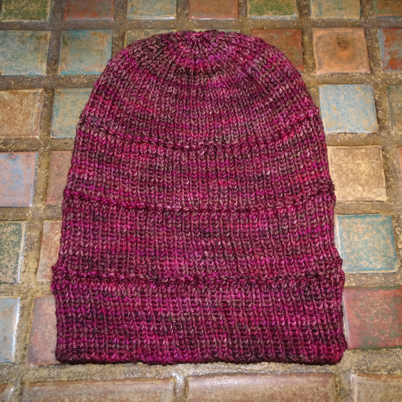
In September we visited an art festival, and went on two hikes in the mountains, and one at the beach. I took my usual neighborhood walks, read a few books, and made very little notable progress on my ongoing knitting projects. At the end of the month, we flew to the east coast to visit family there (next post).

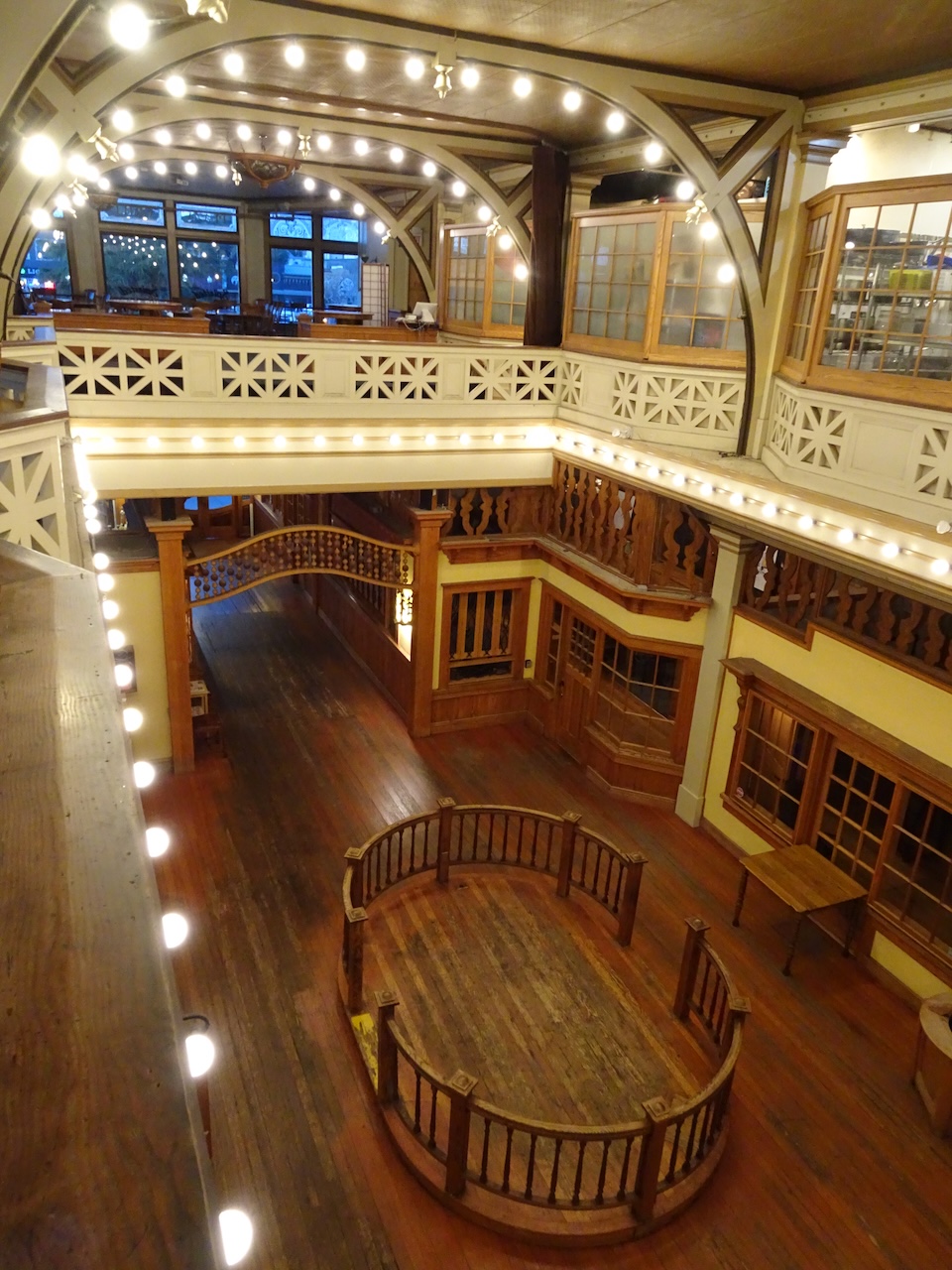
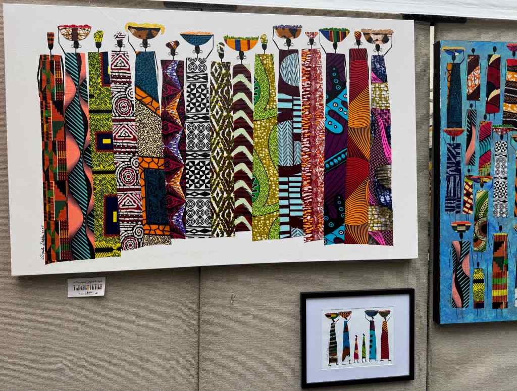
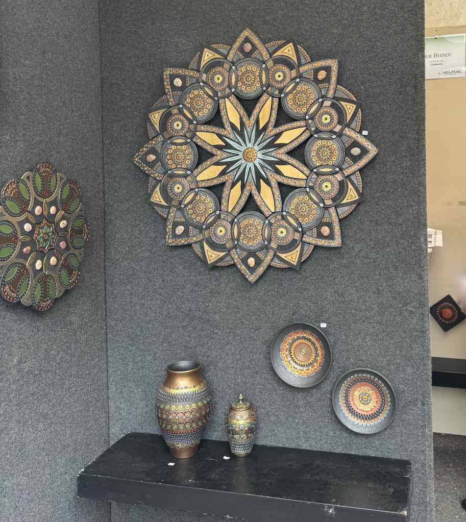
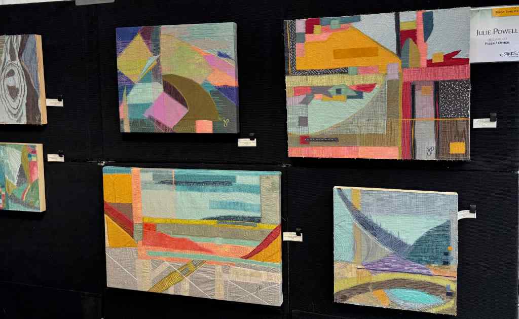
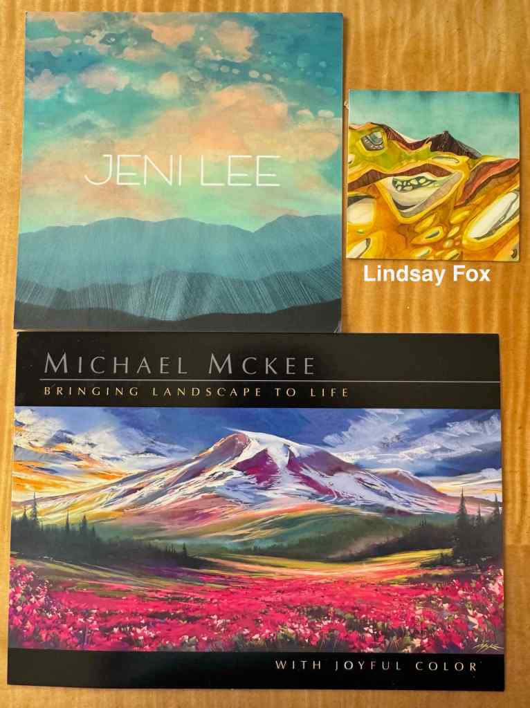
9/1 – Art in the Pearl

Some of my favorite artwork in this year’s show:

Angela Dallas
Julie Berndt
Julie Powell
Landscape artists

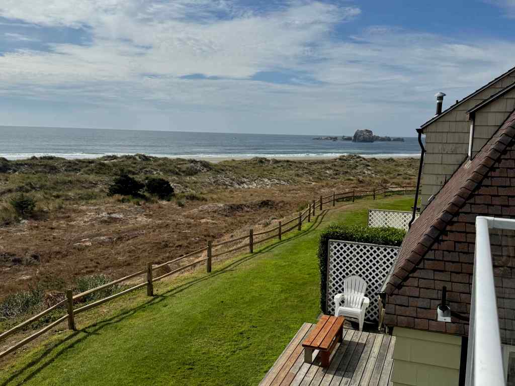
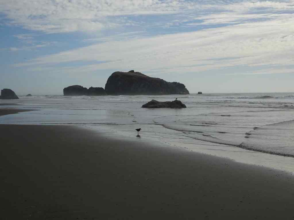
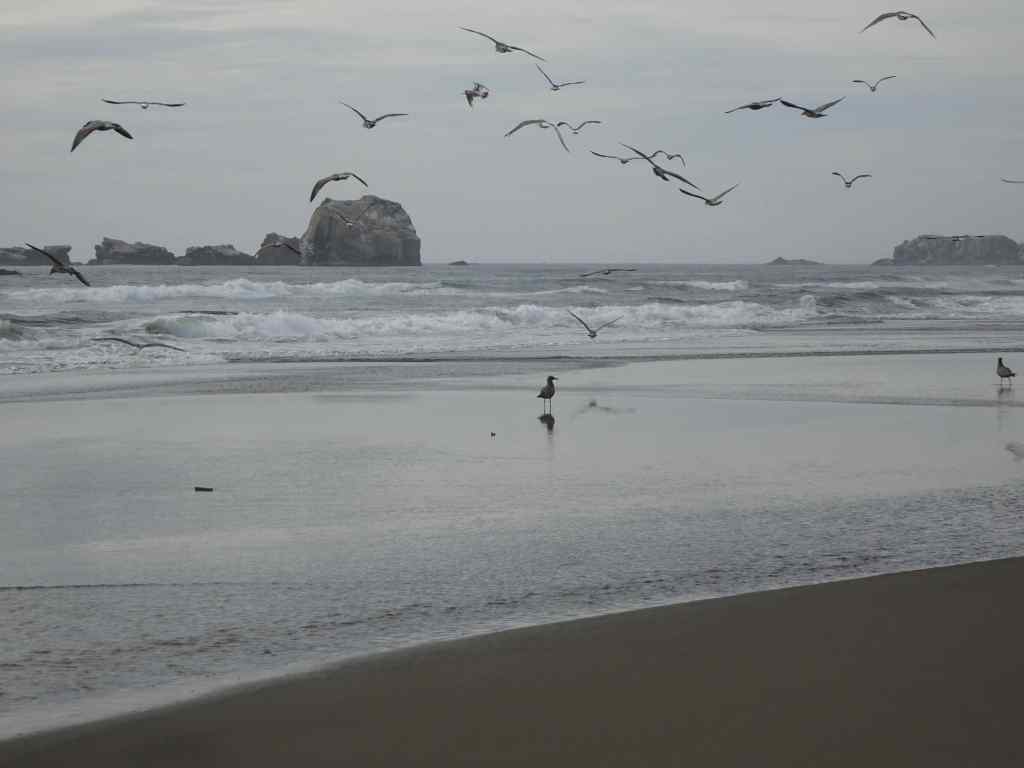
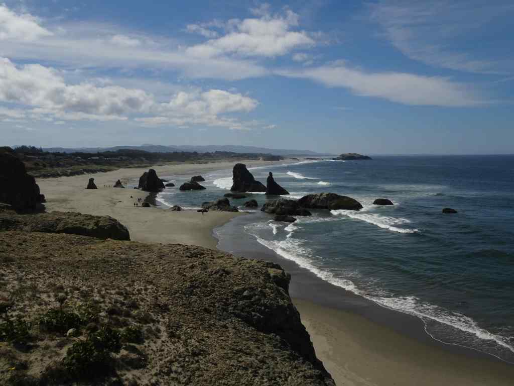
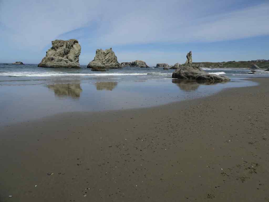
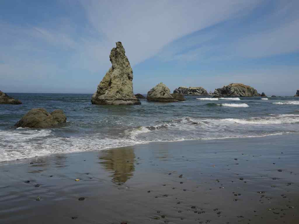
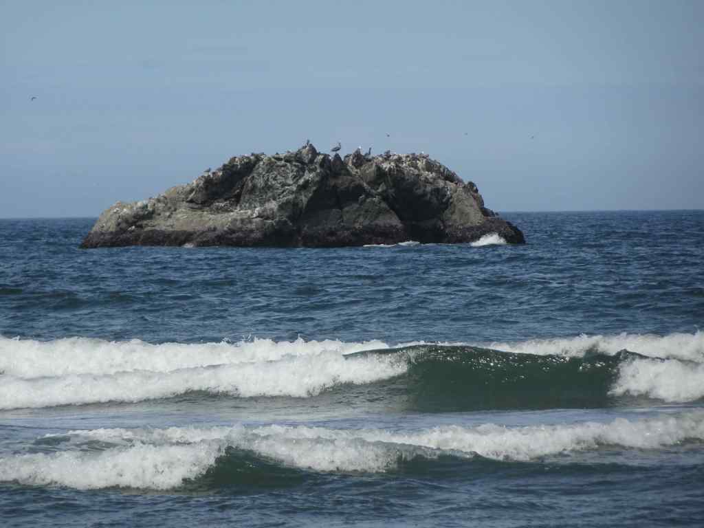
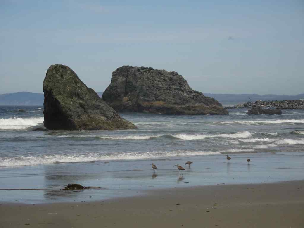
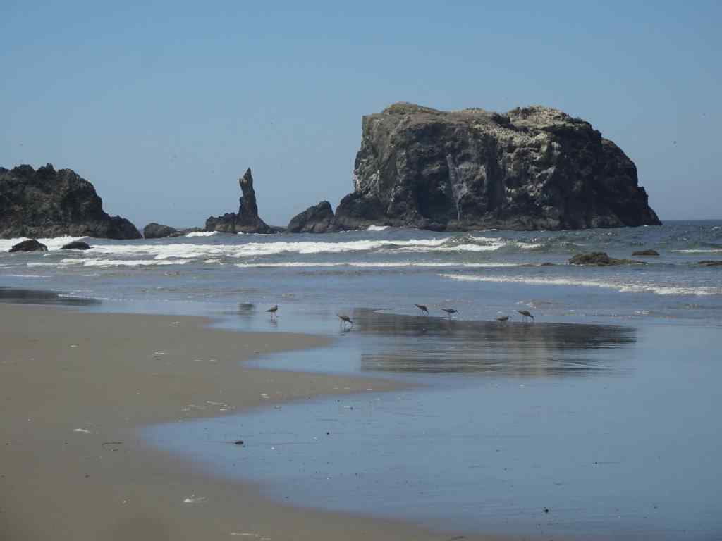
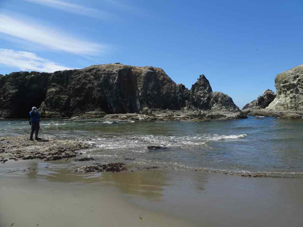
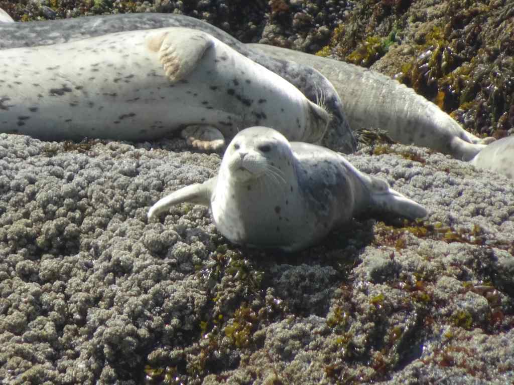
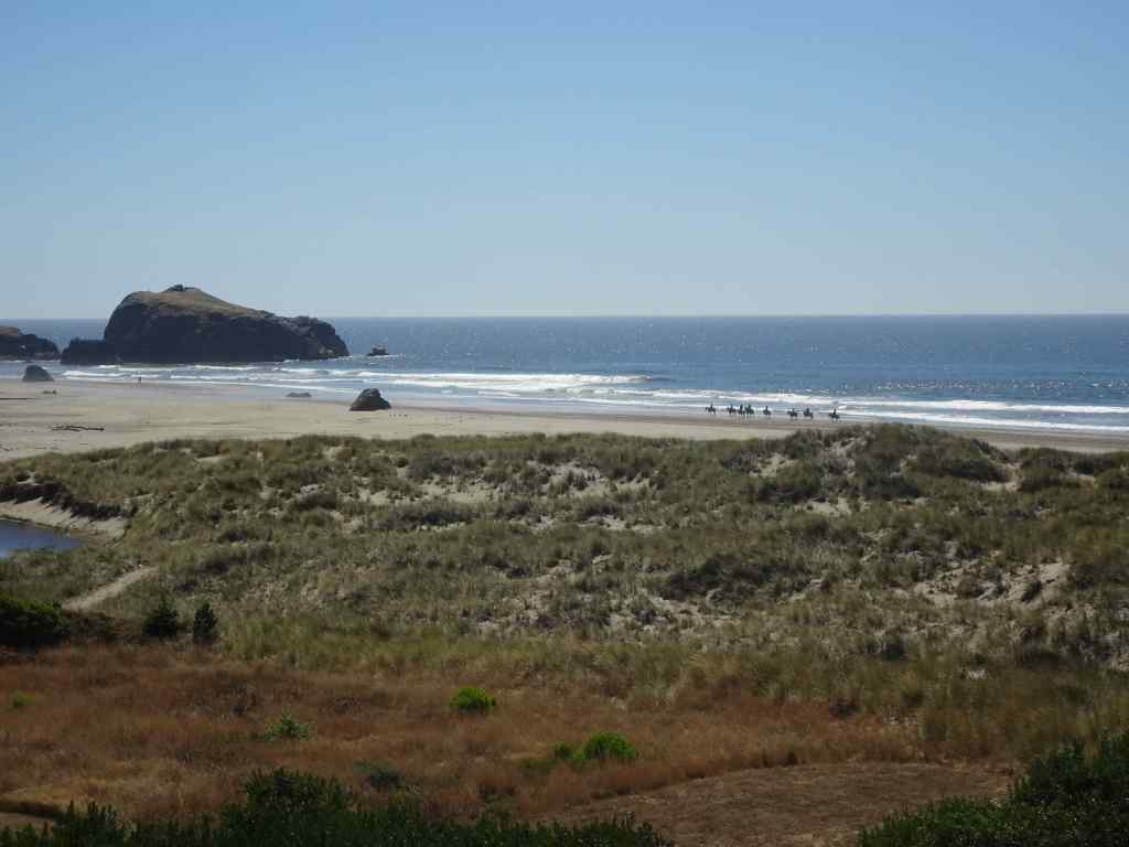
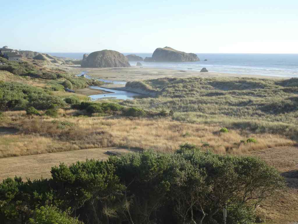
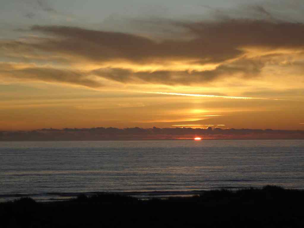
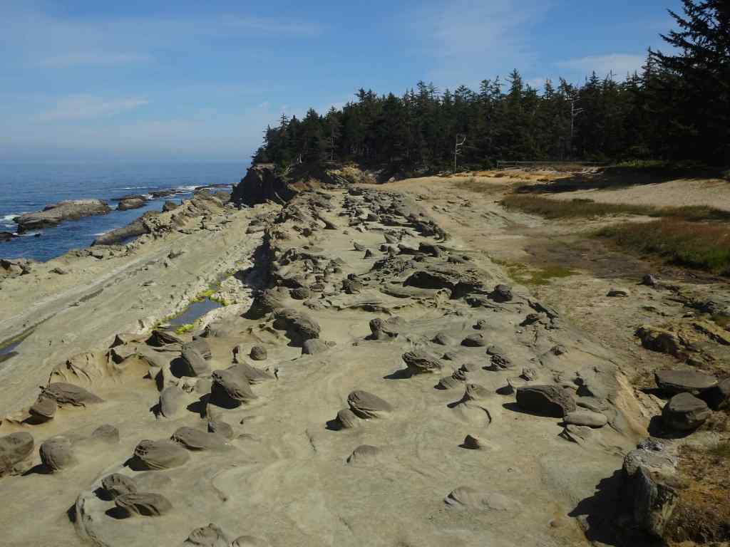
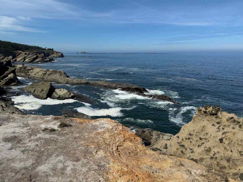
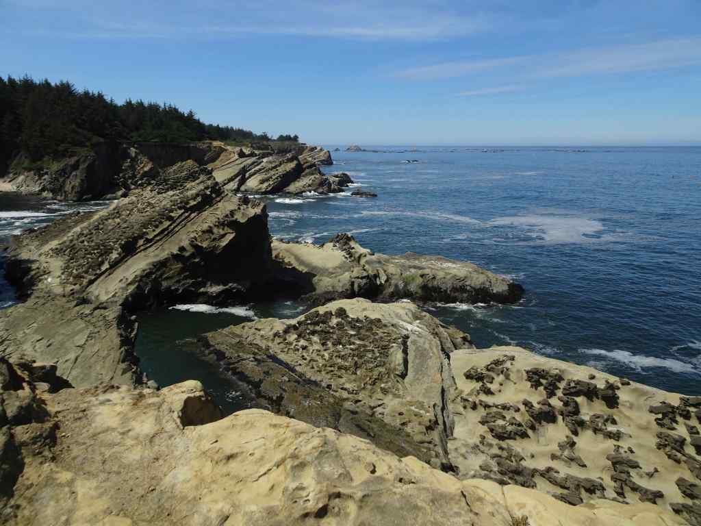
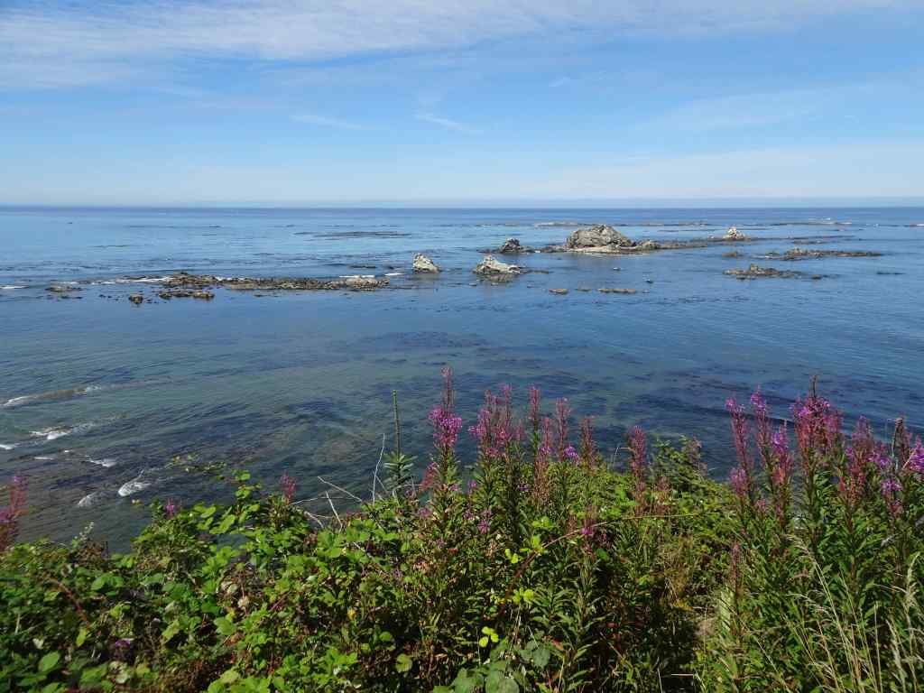
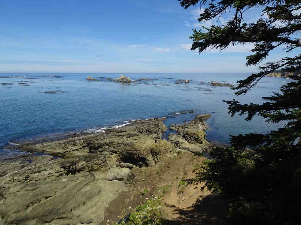
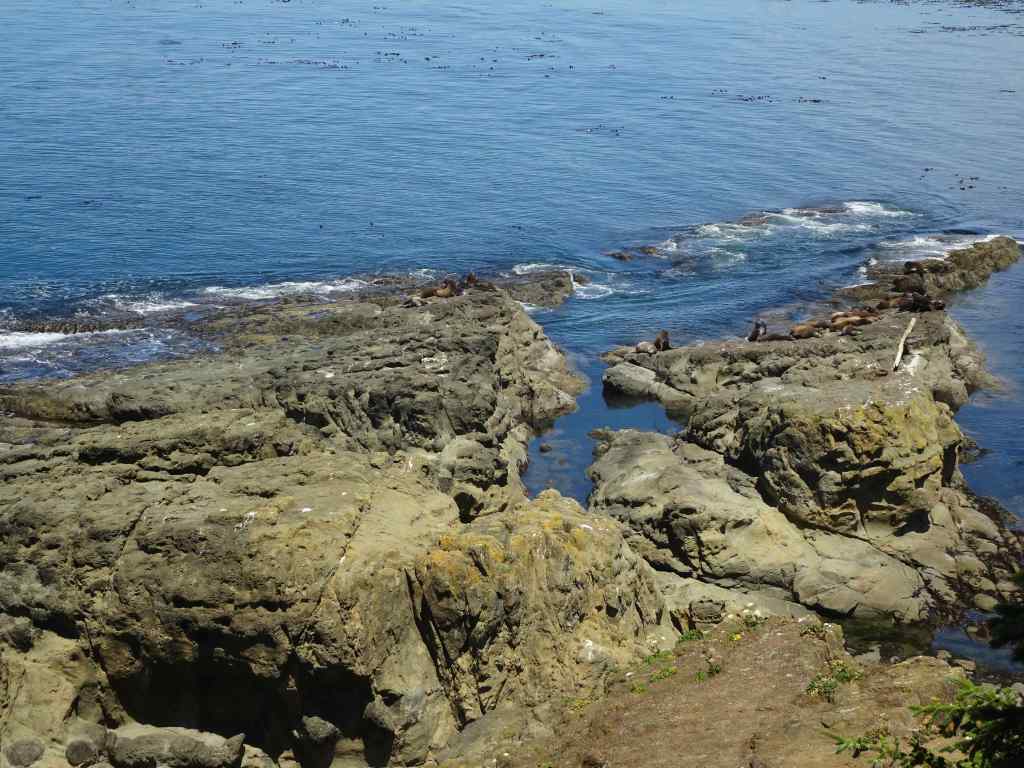
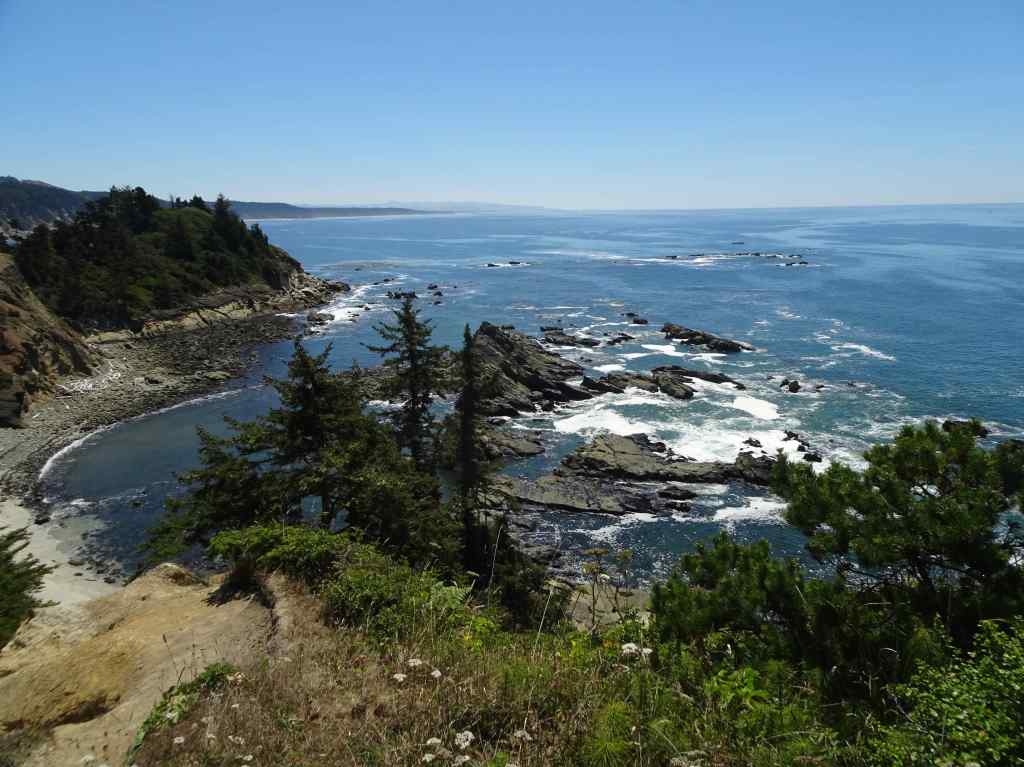
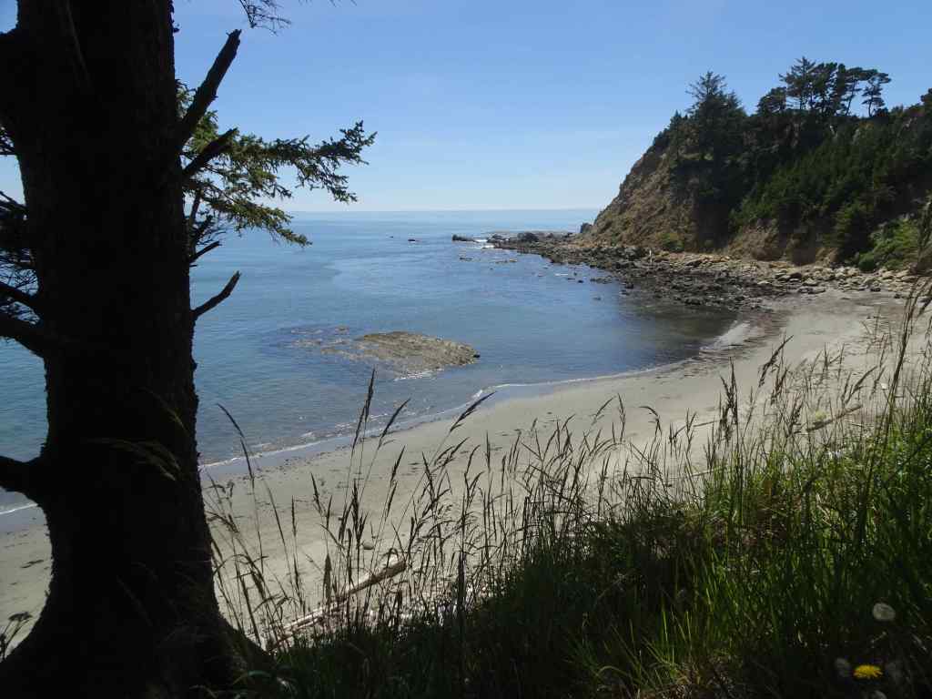
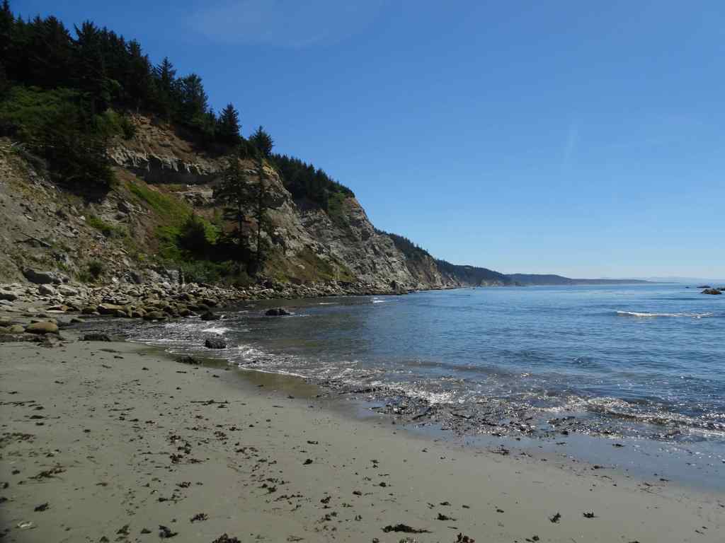
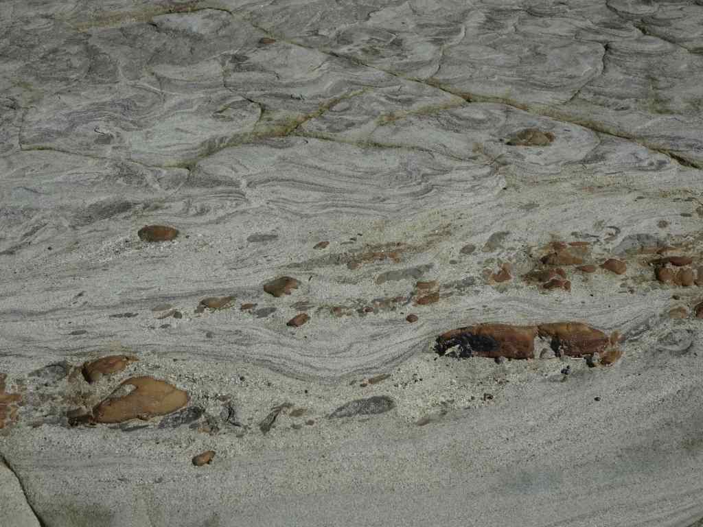
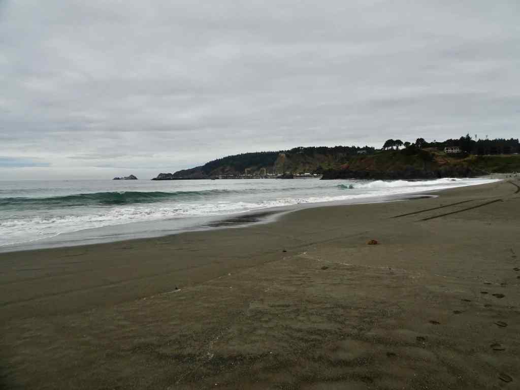
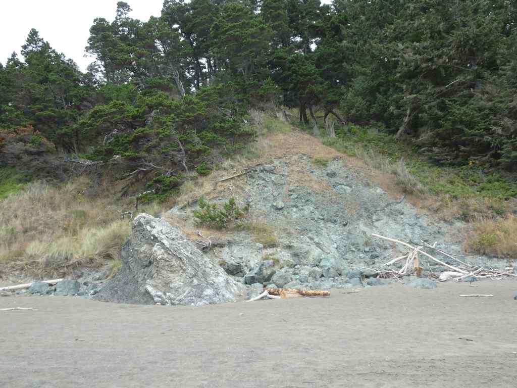
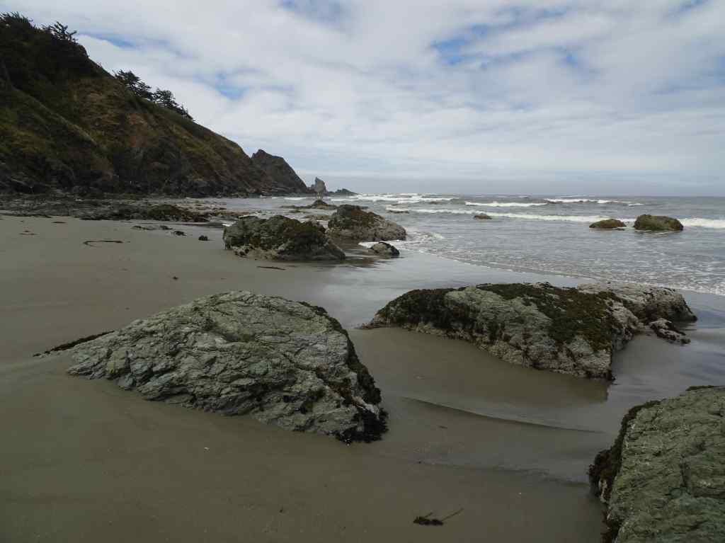
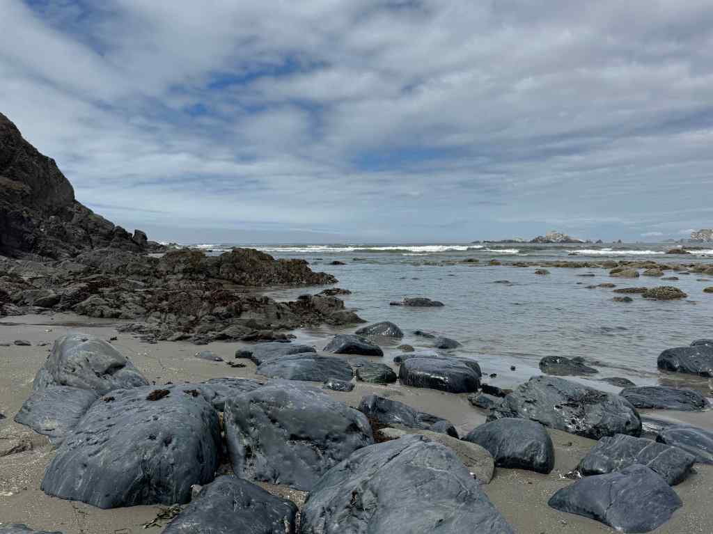
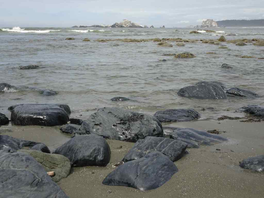
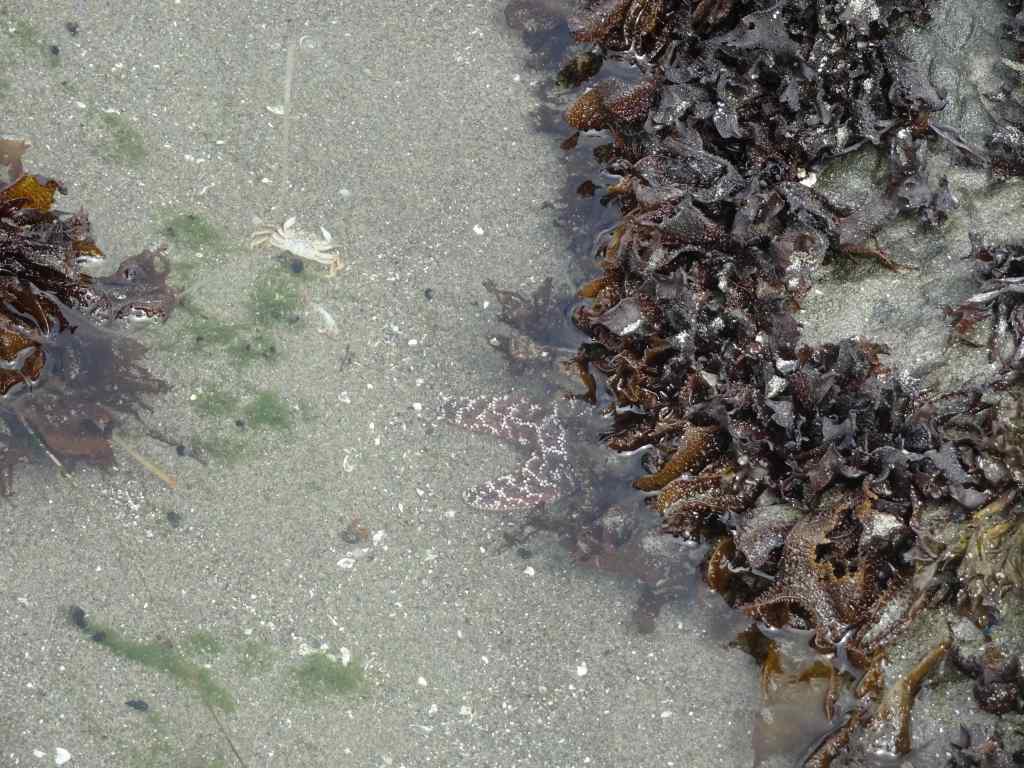
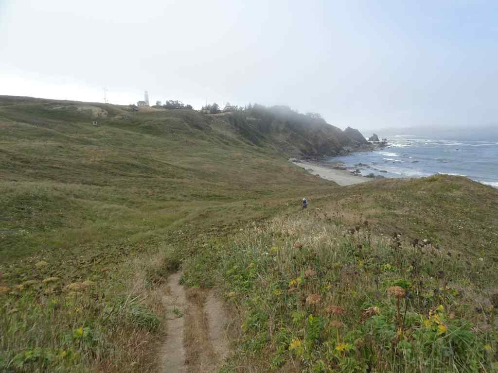
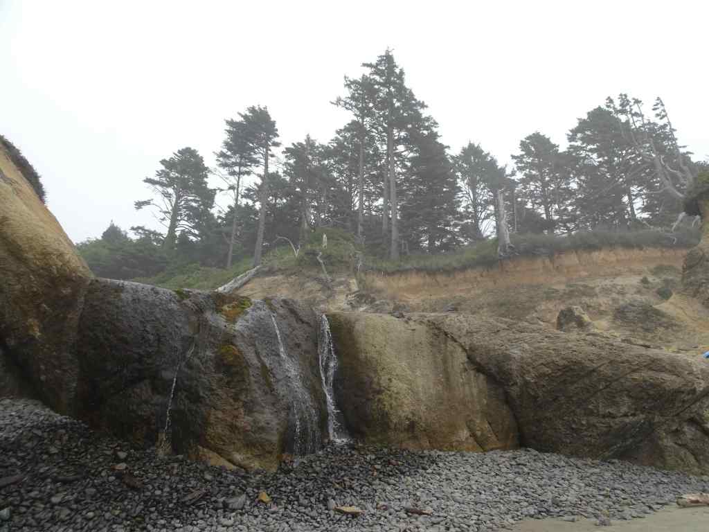
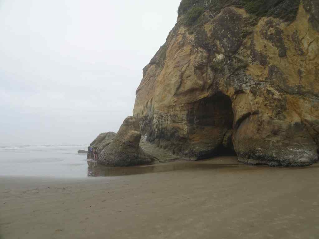
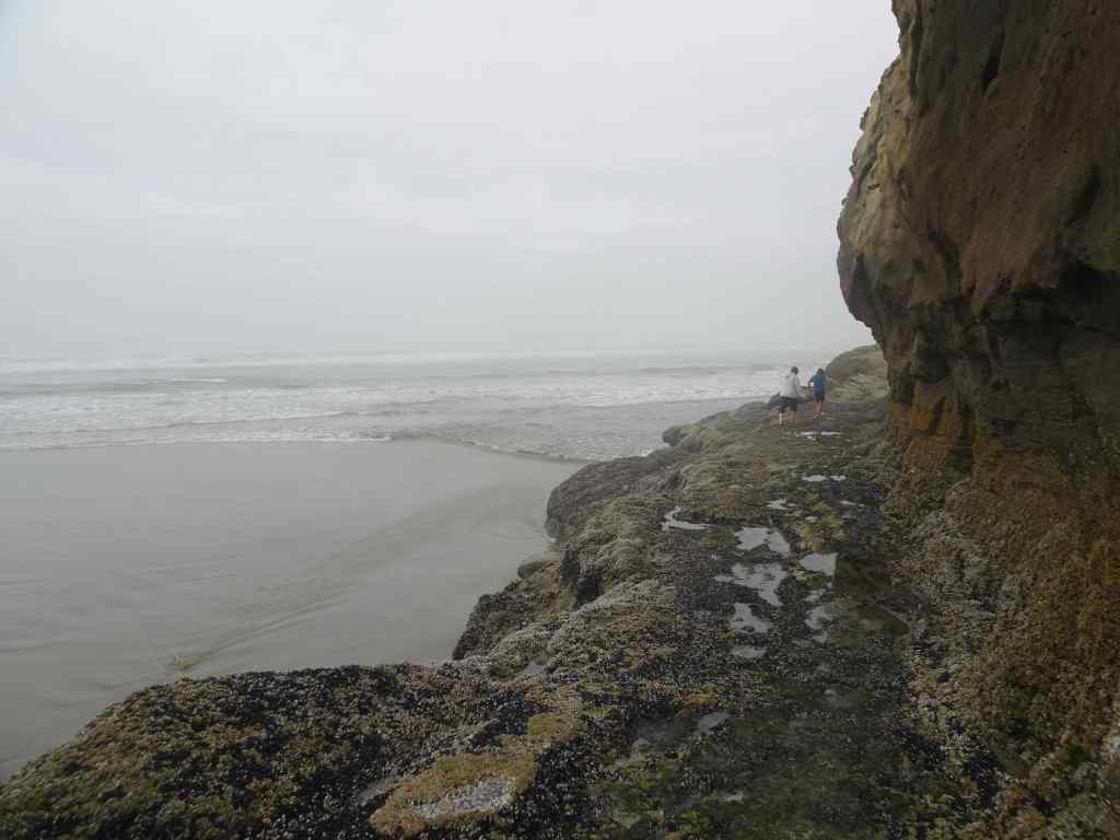
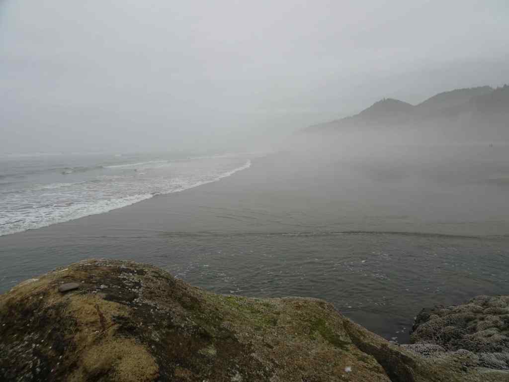
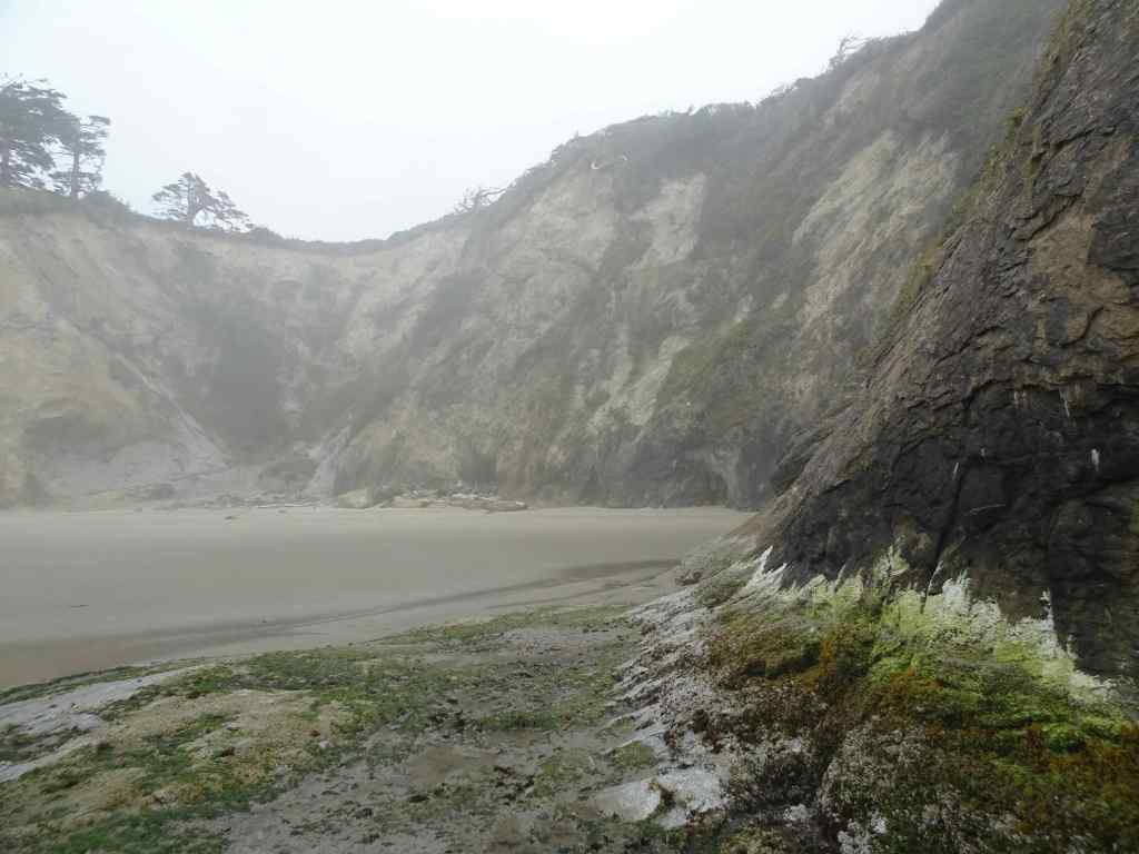
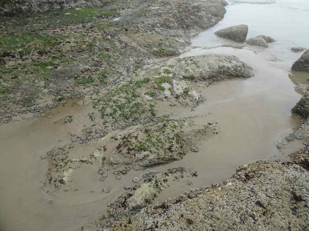
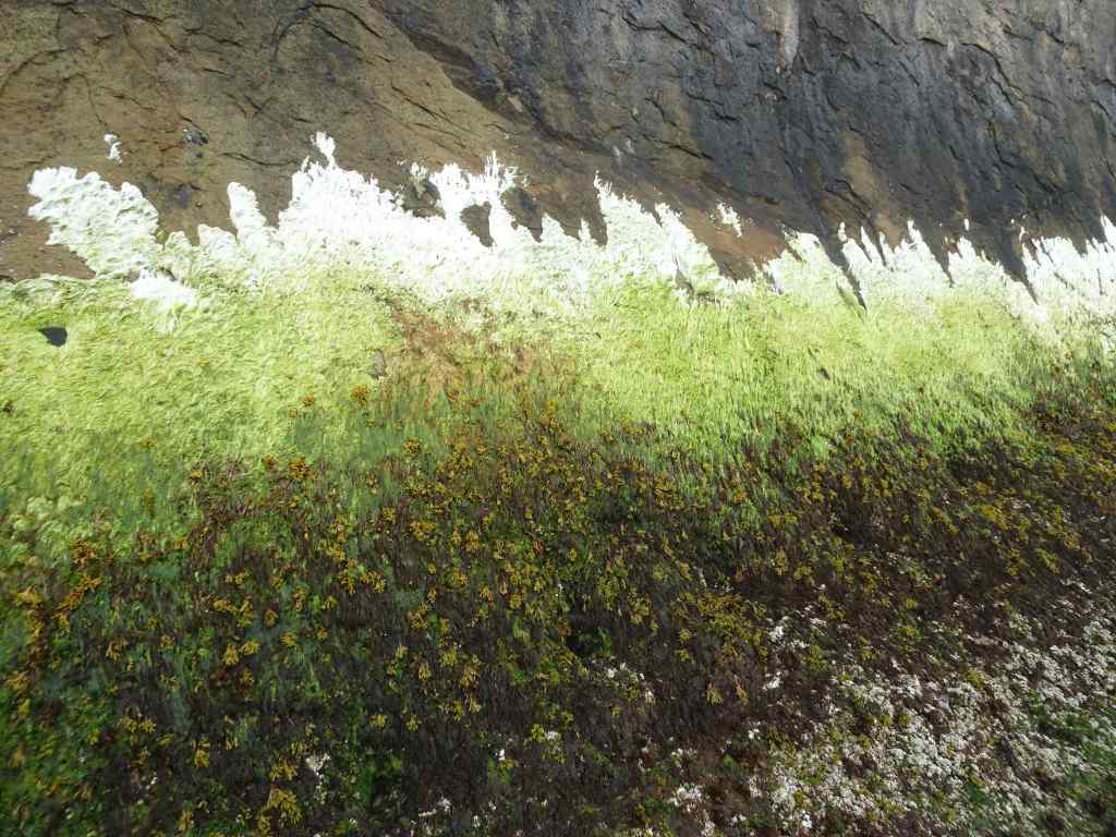
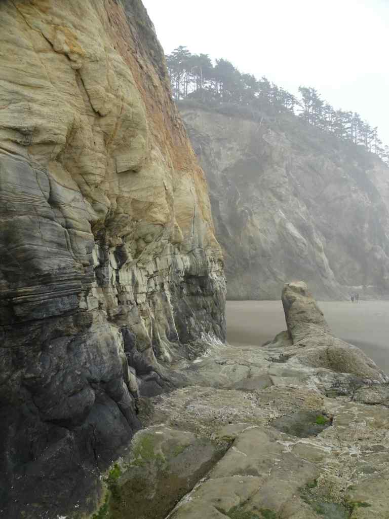
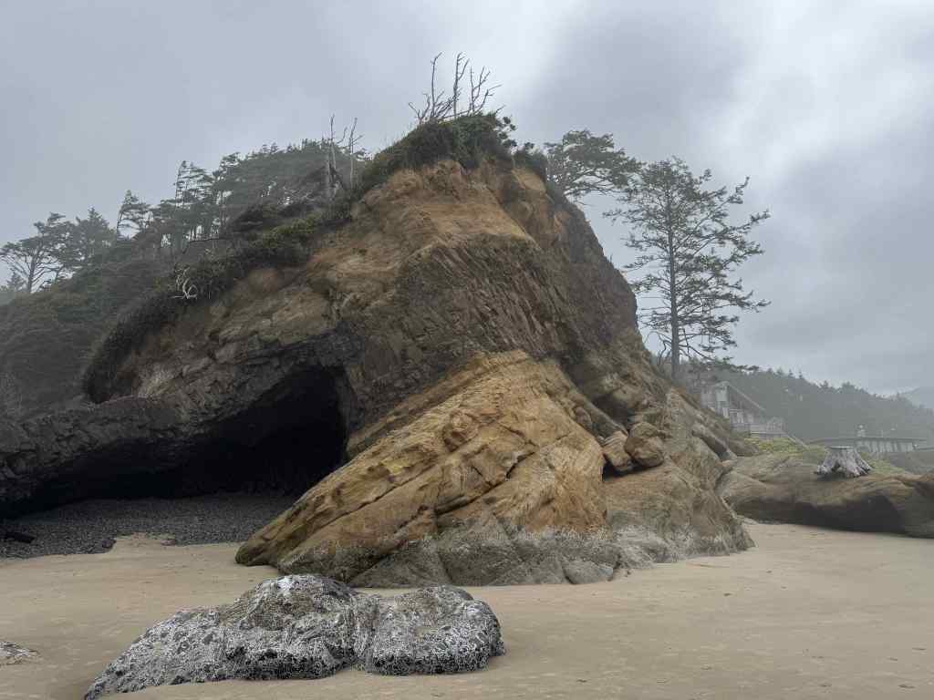
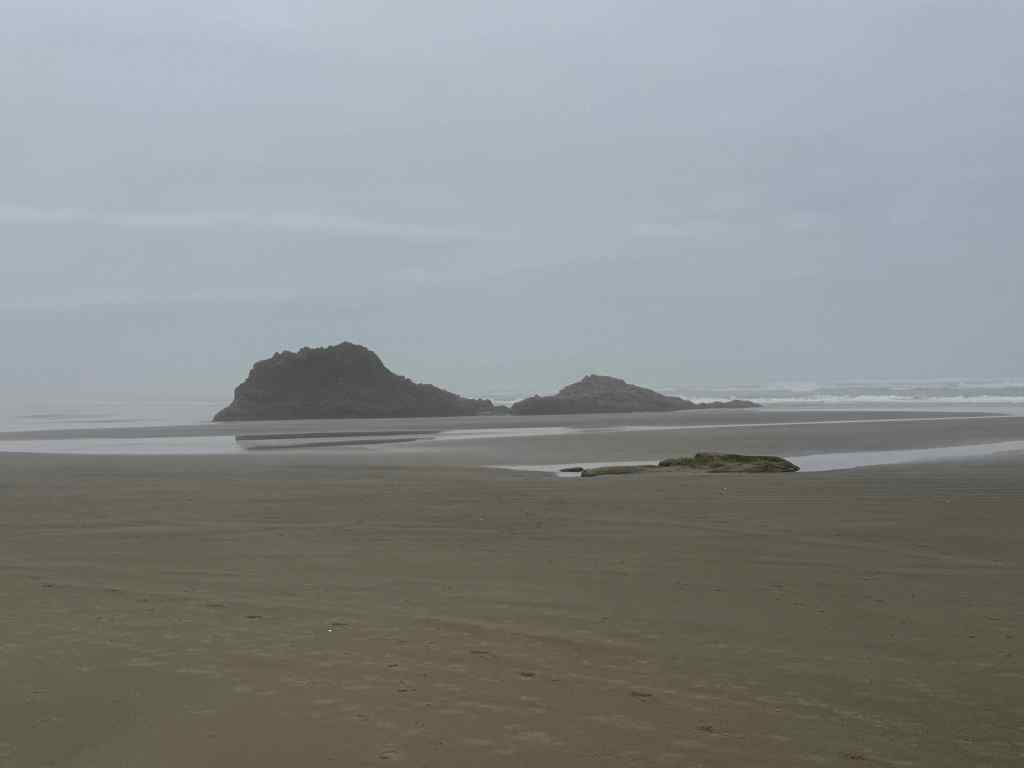
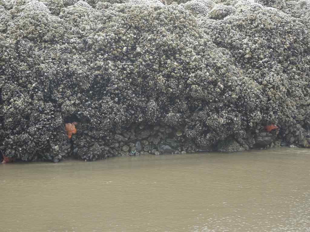
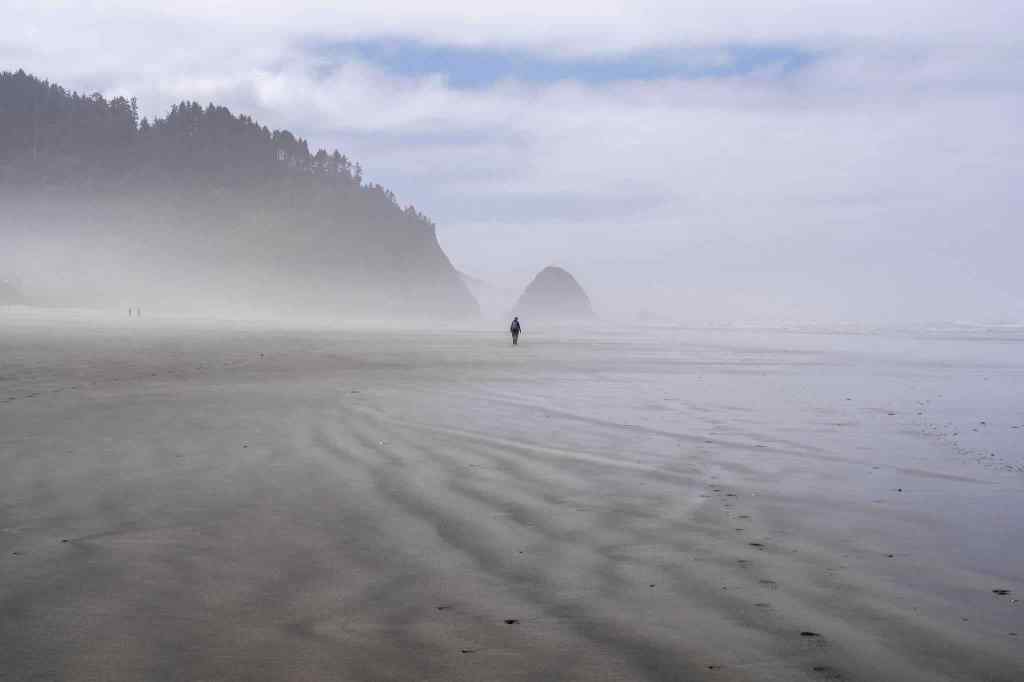
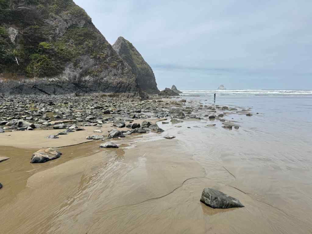
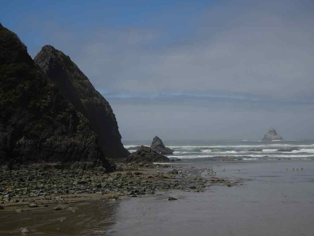
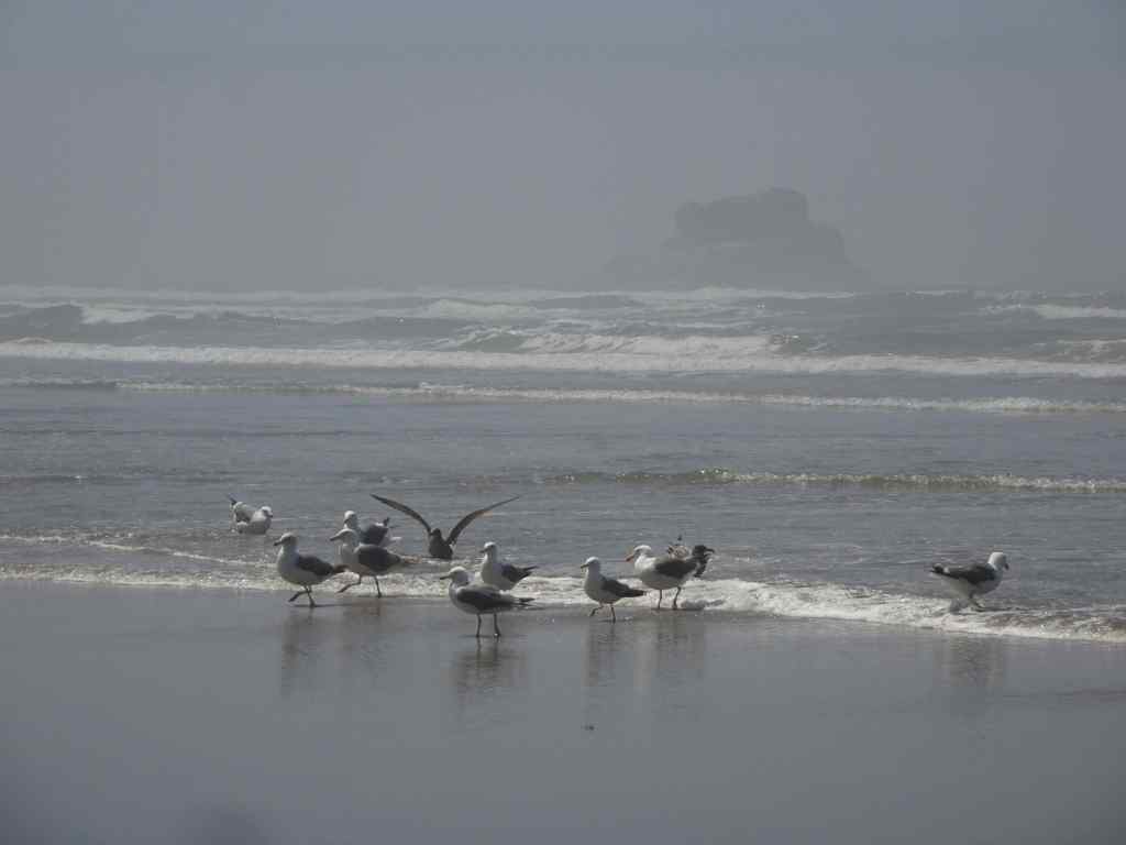
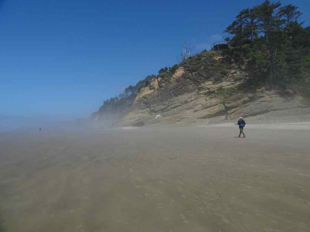
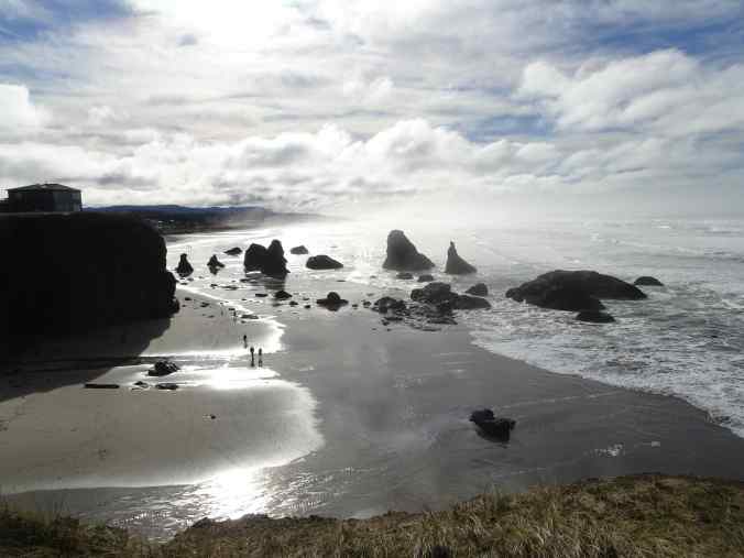
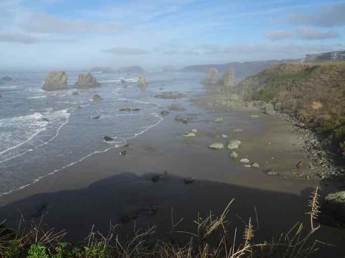
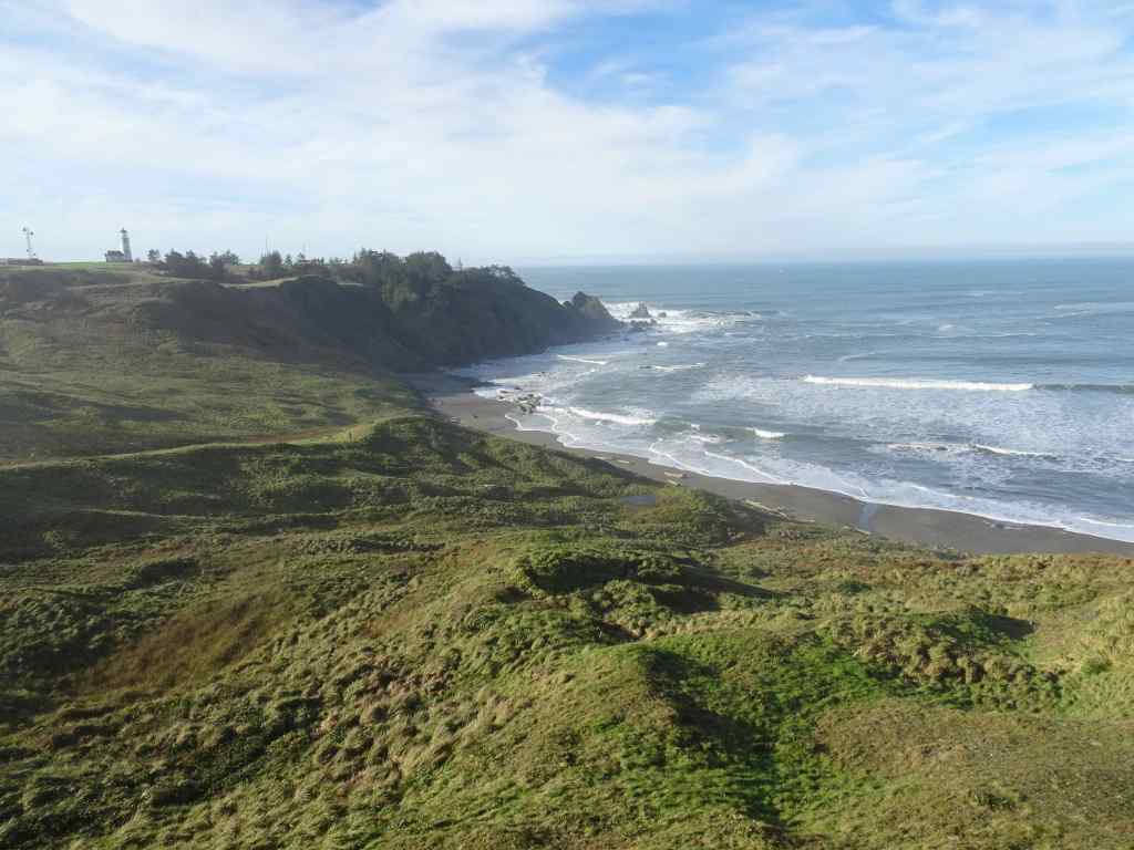
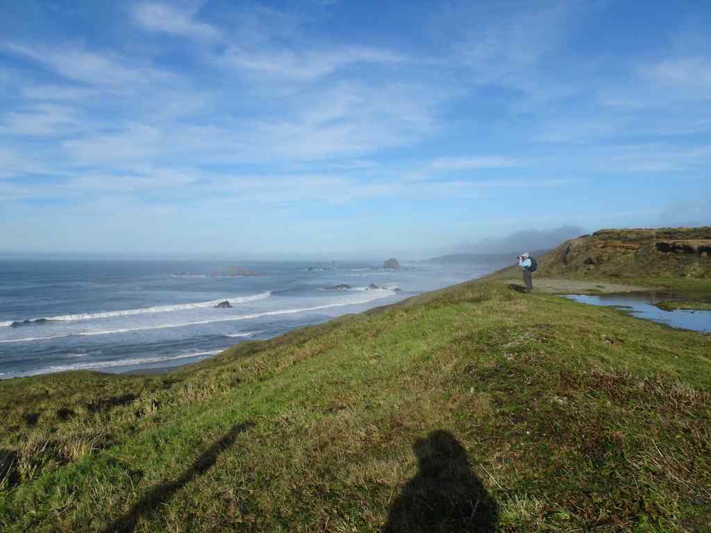
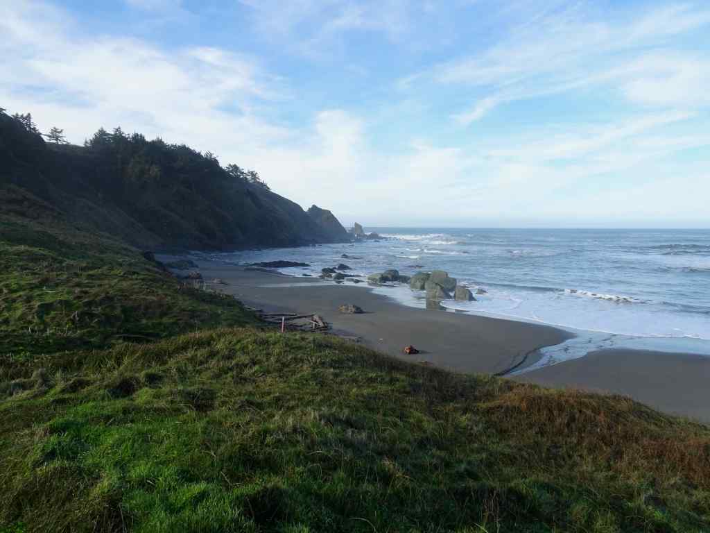
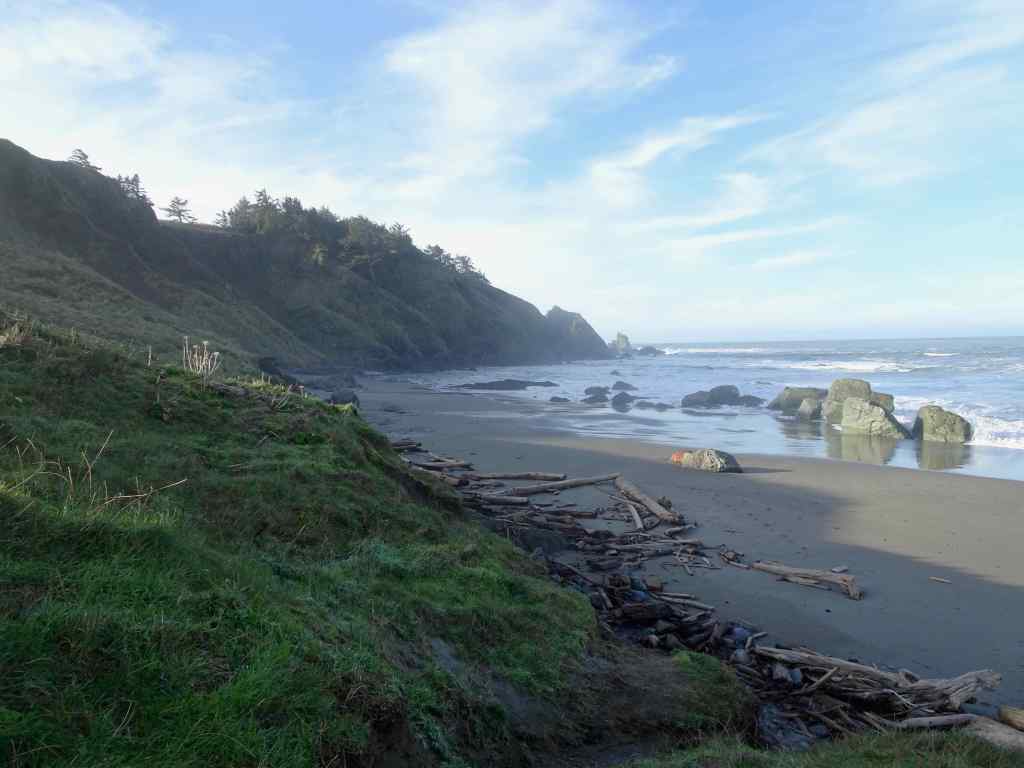
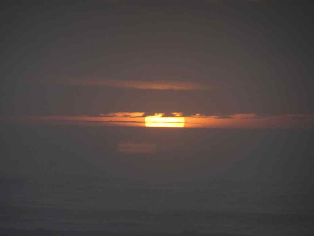
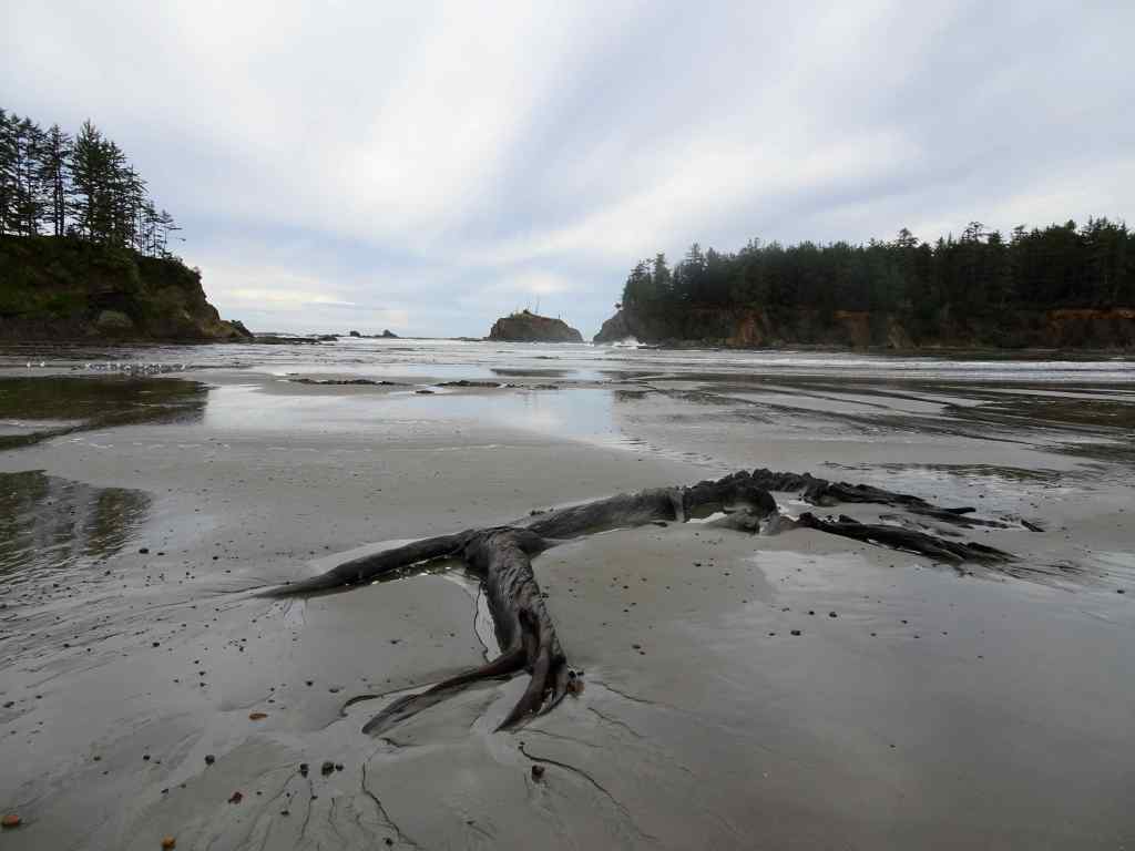
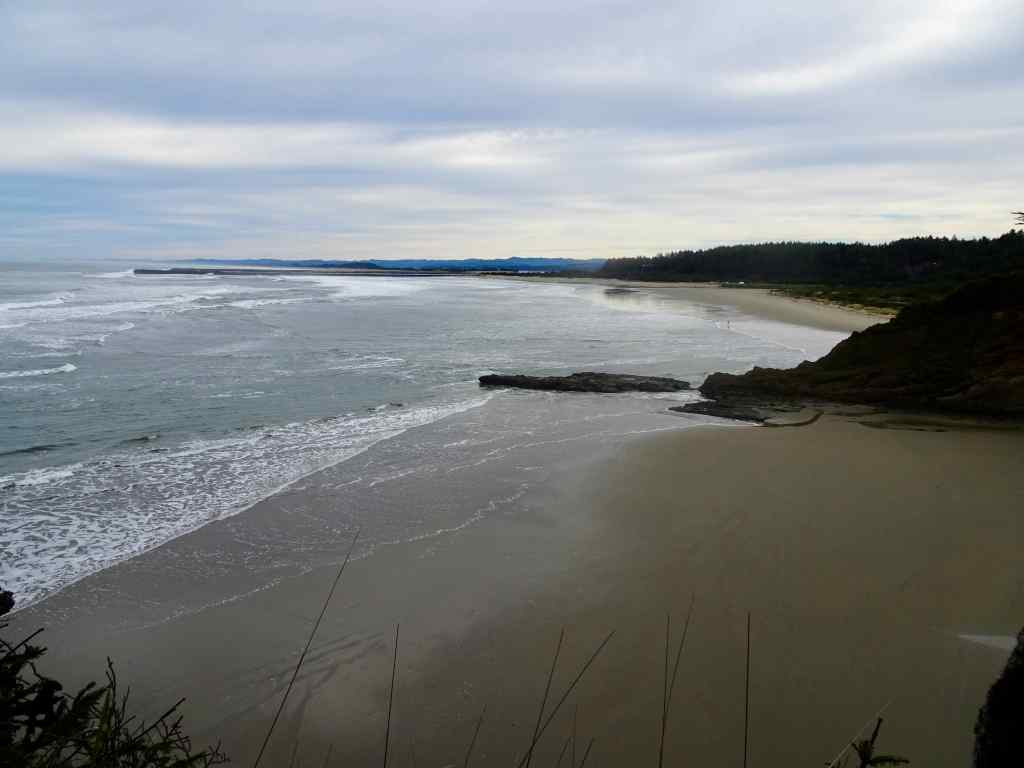
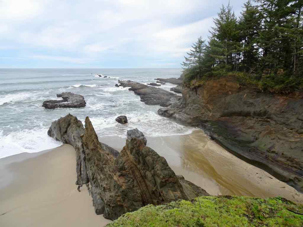
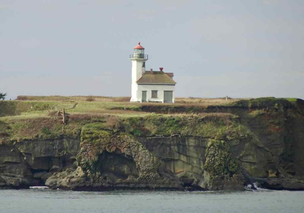
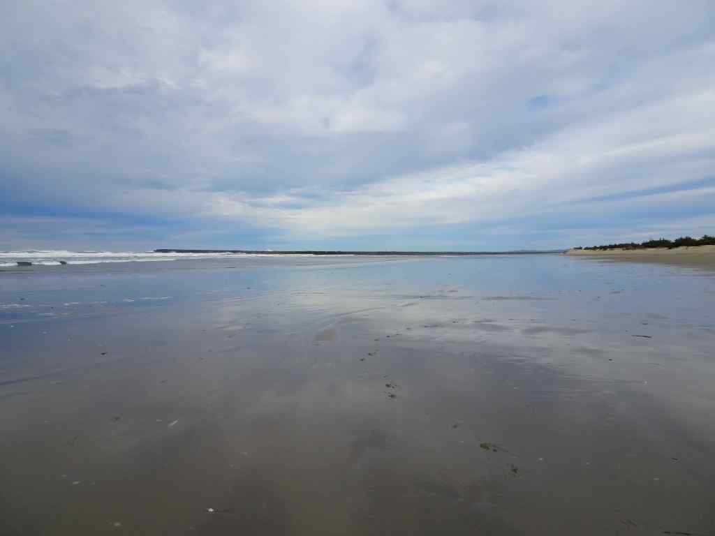
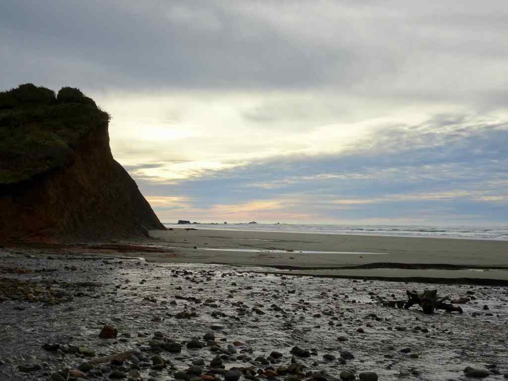
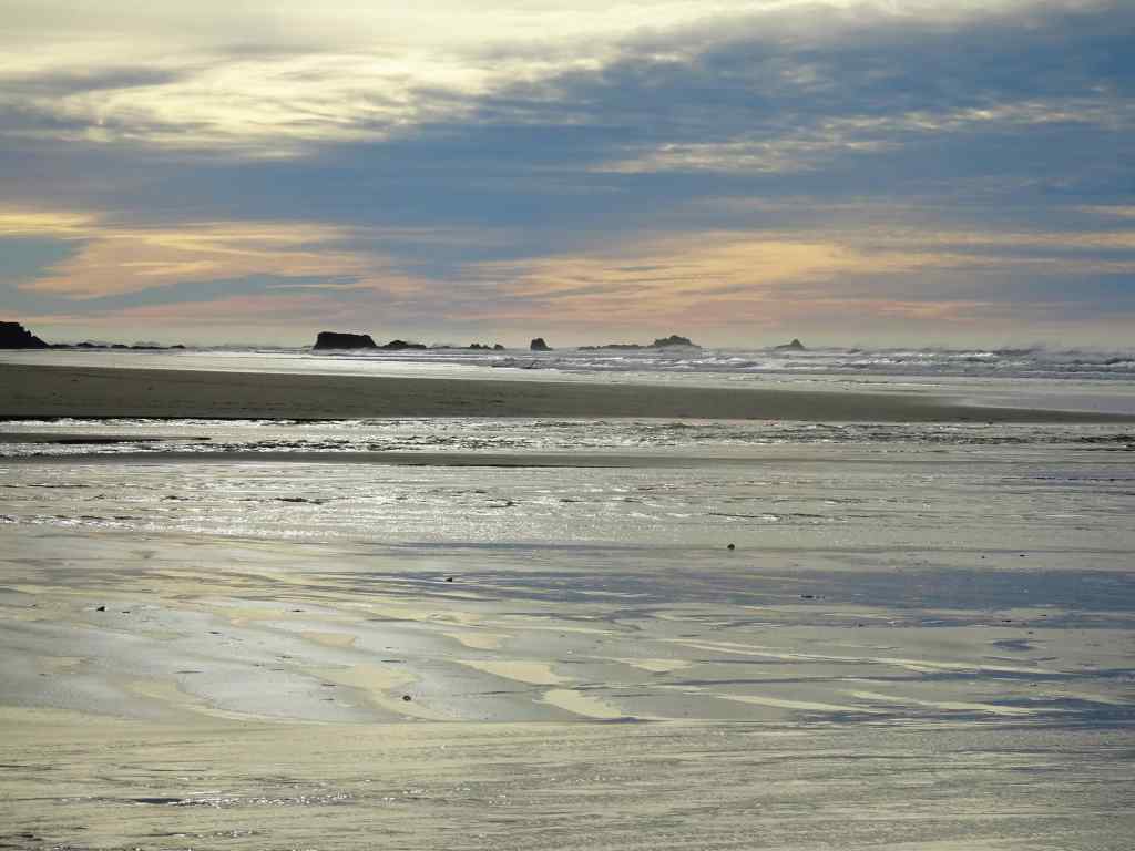
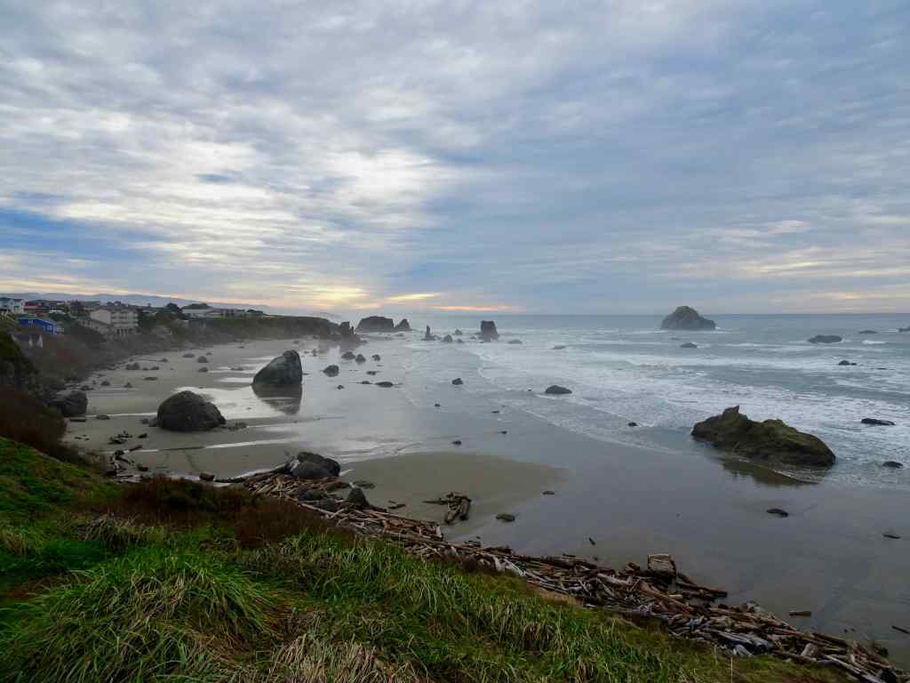
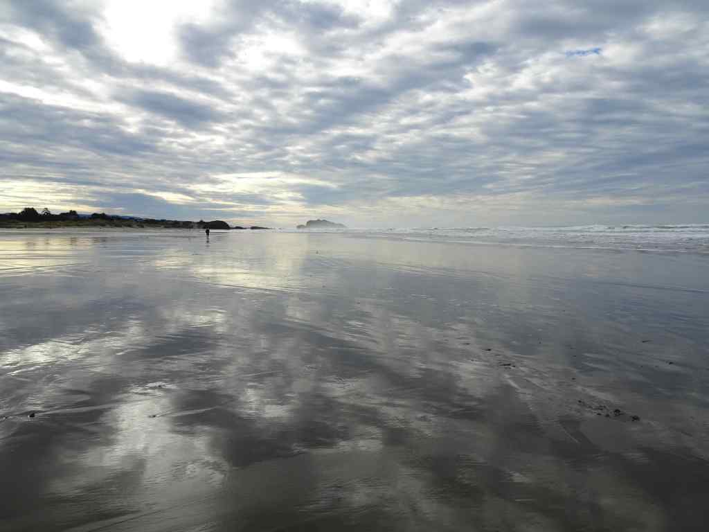
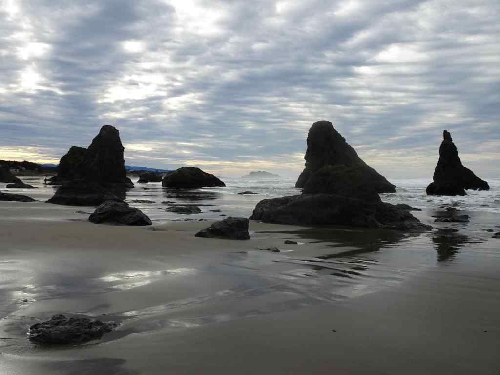
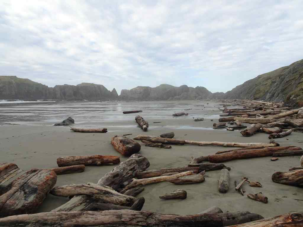
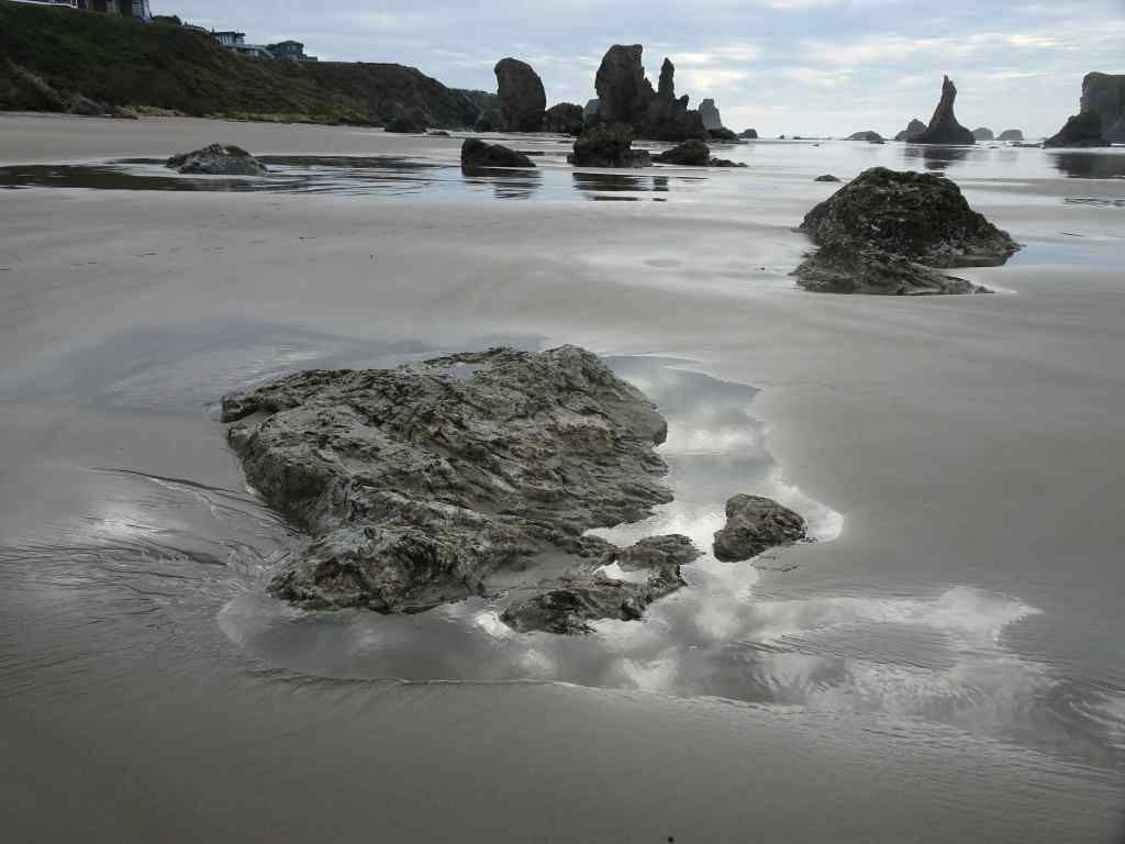
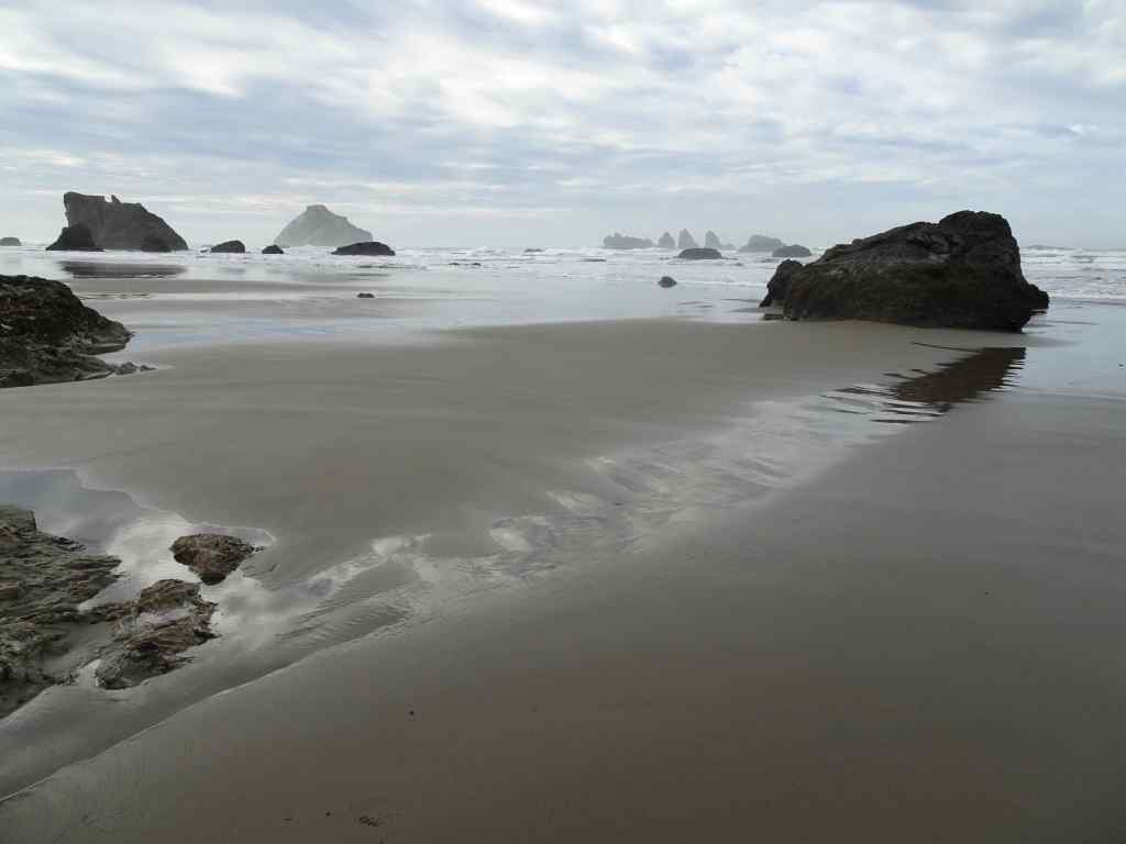
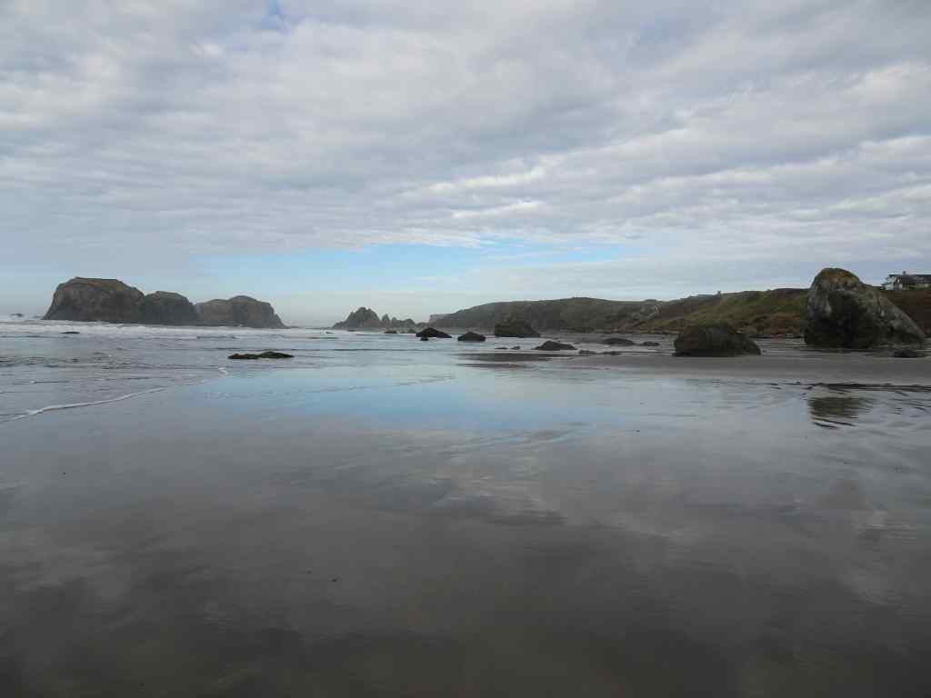
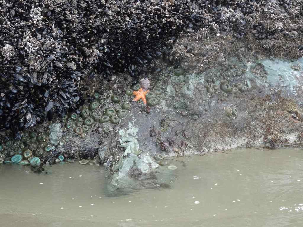
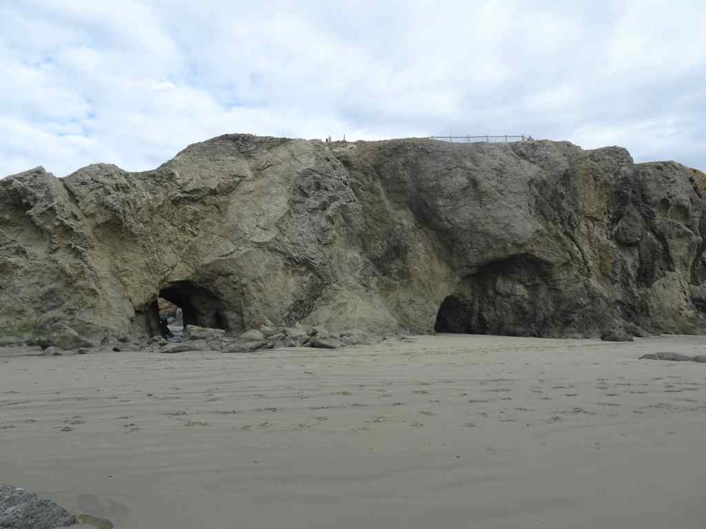
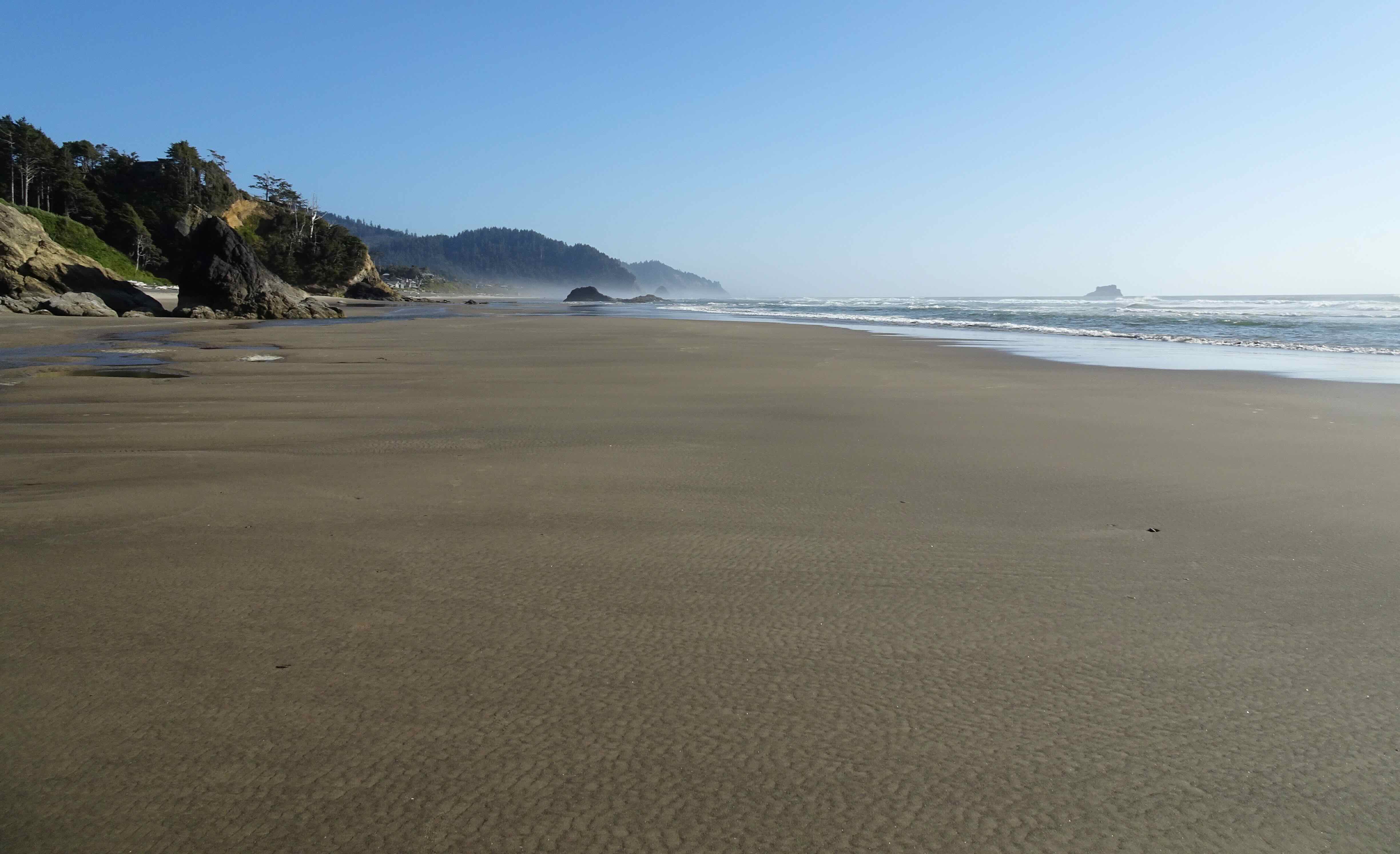
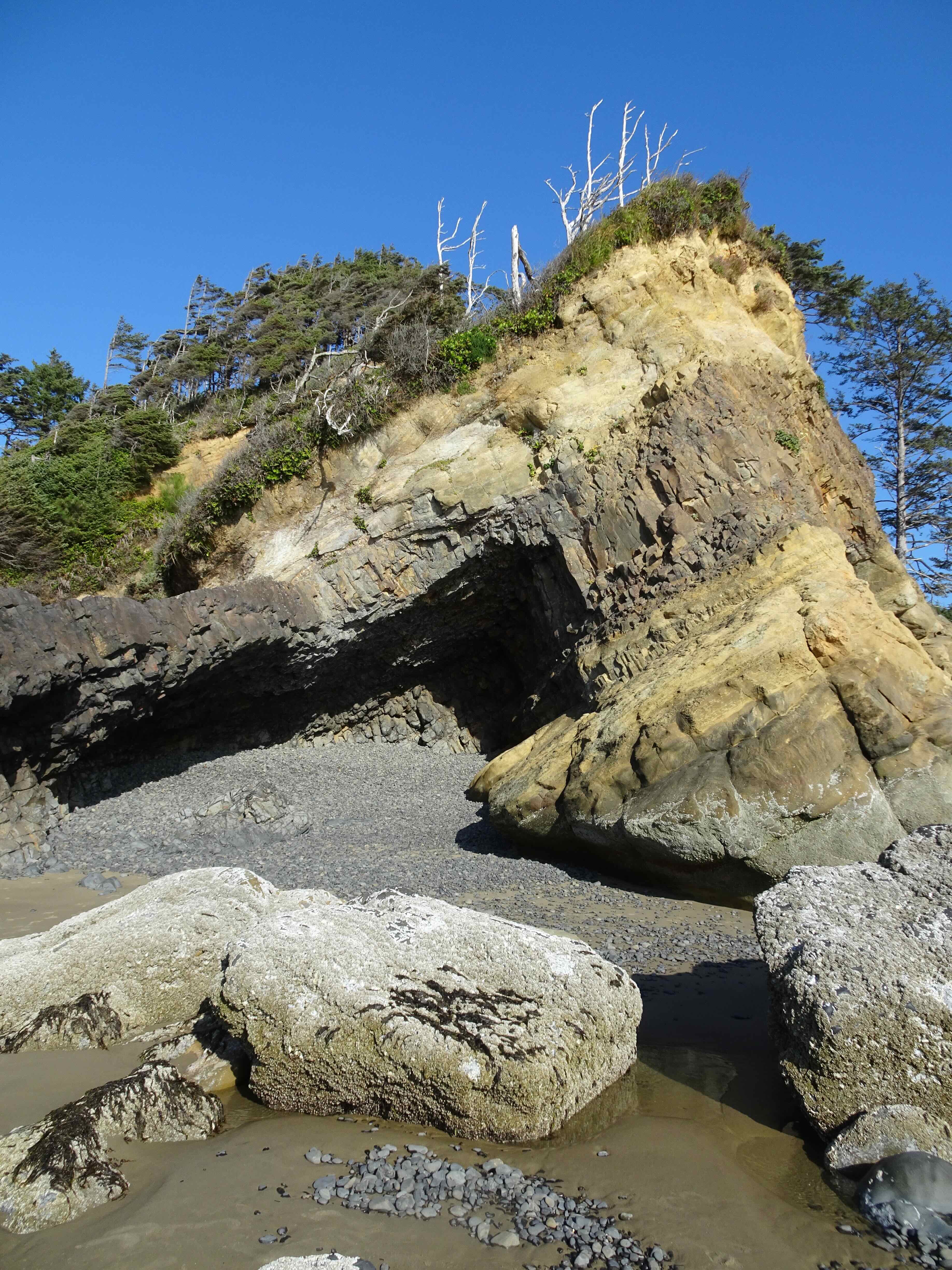
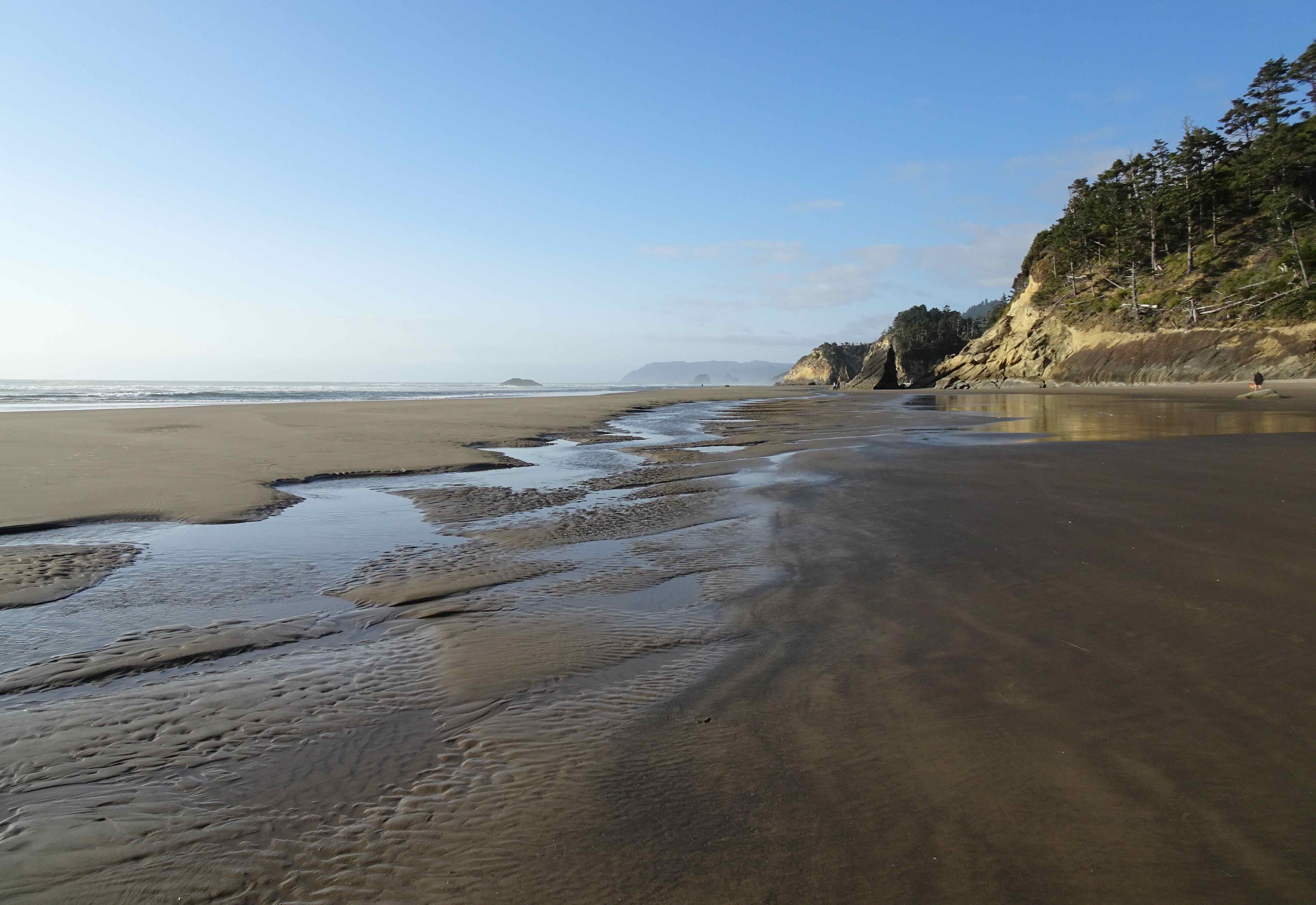
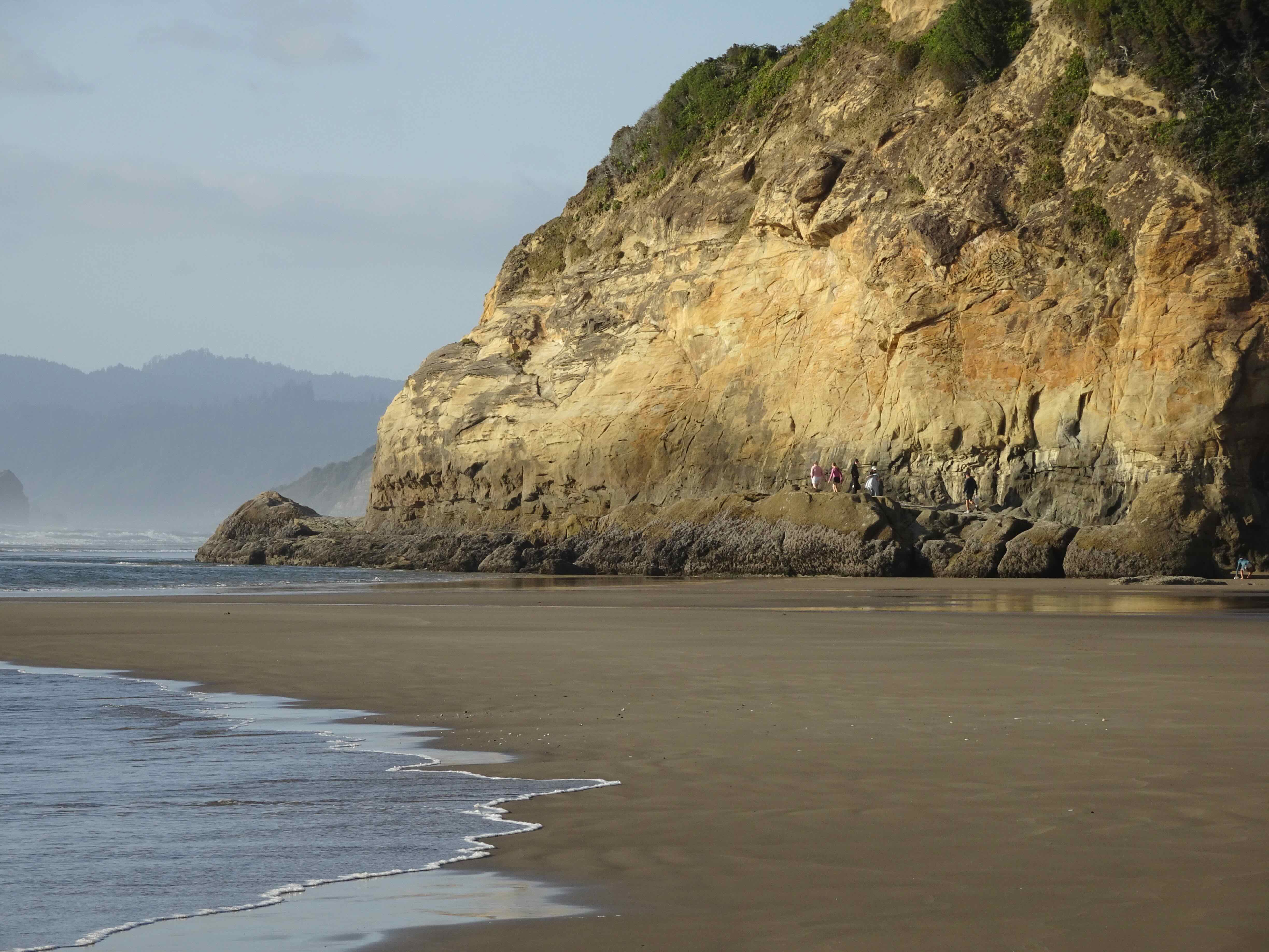
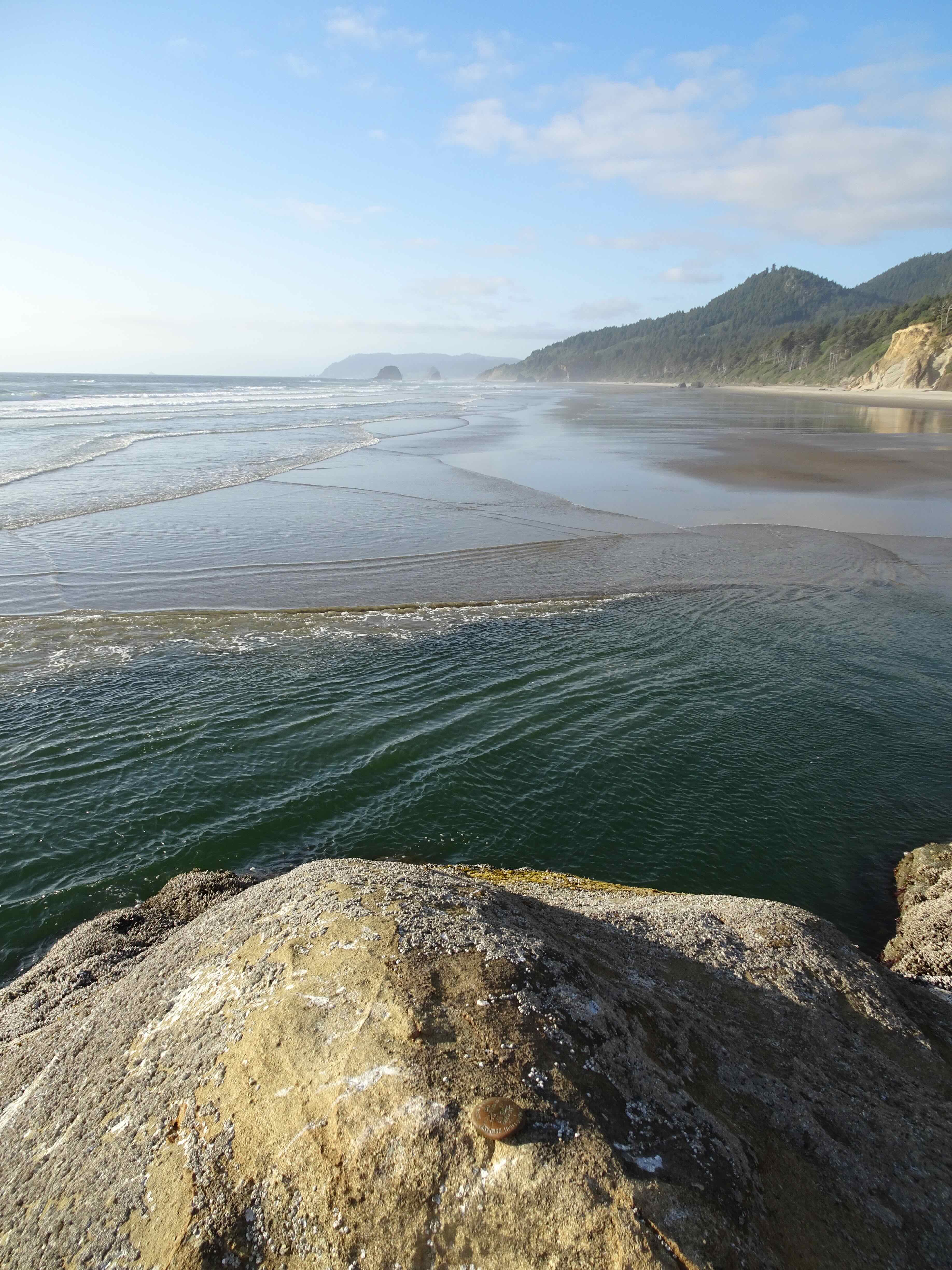
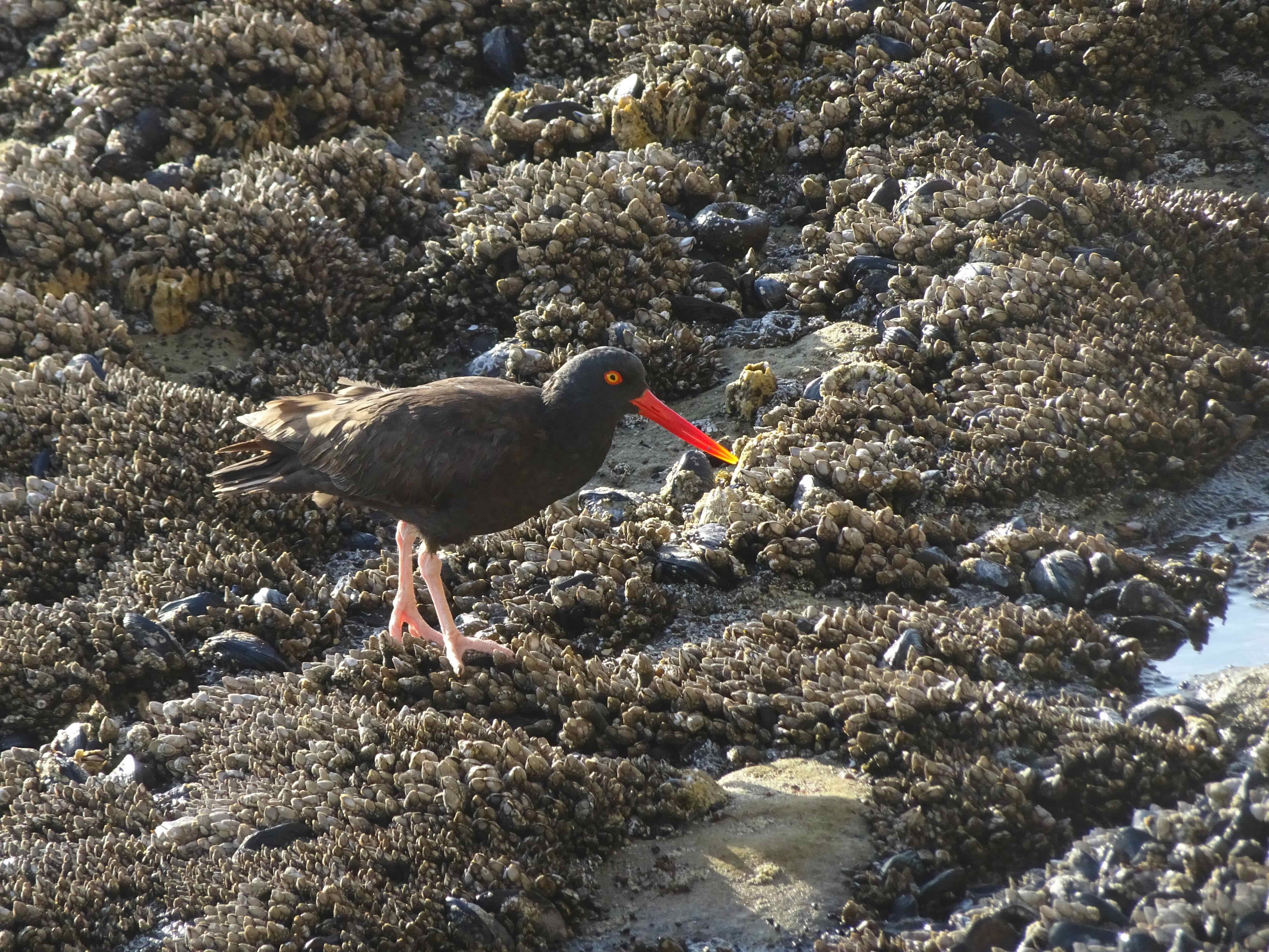
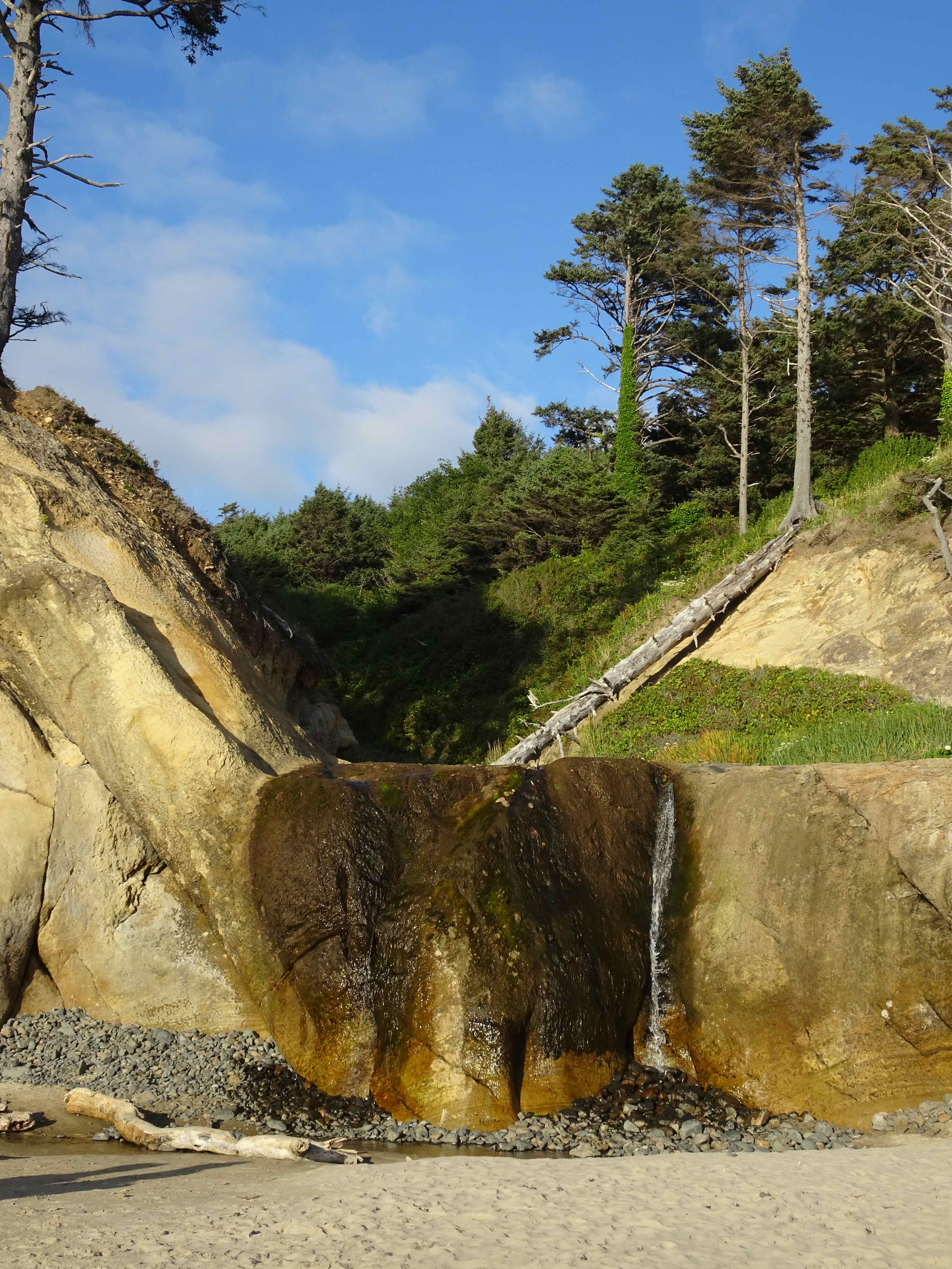
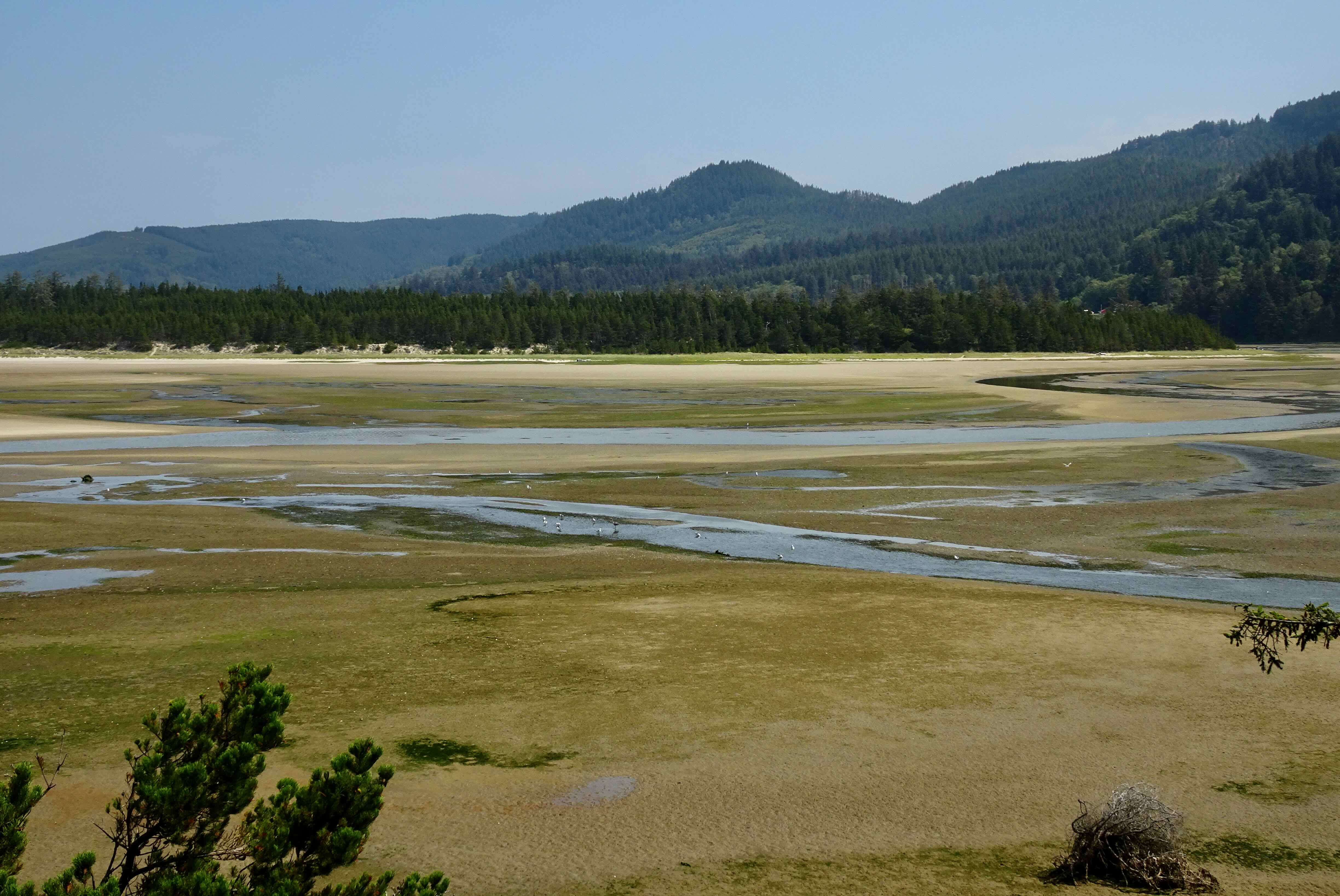
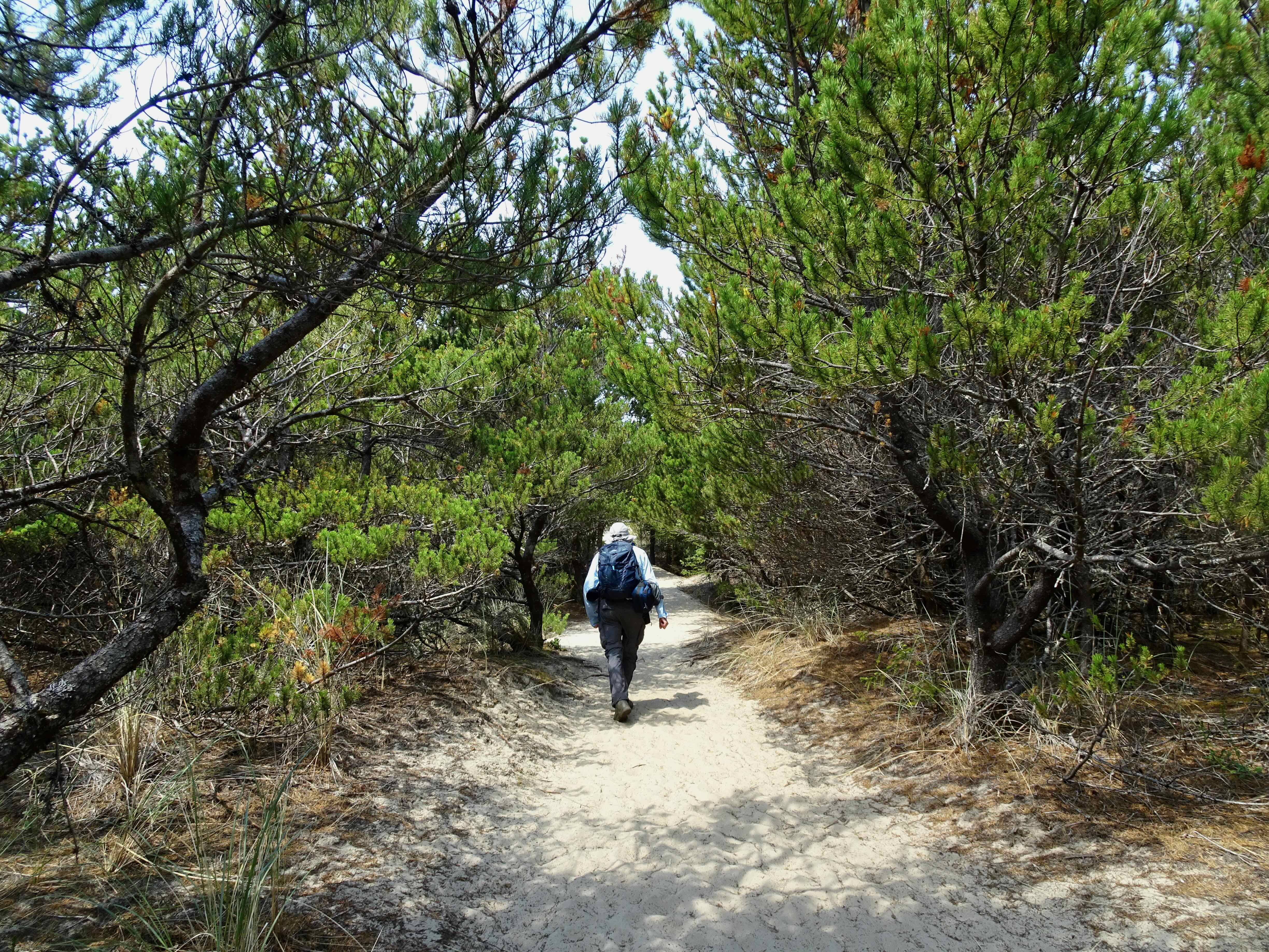
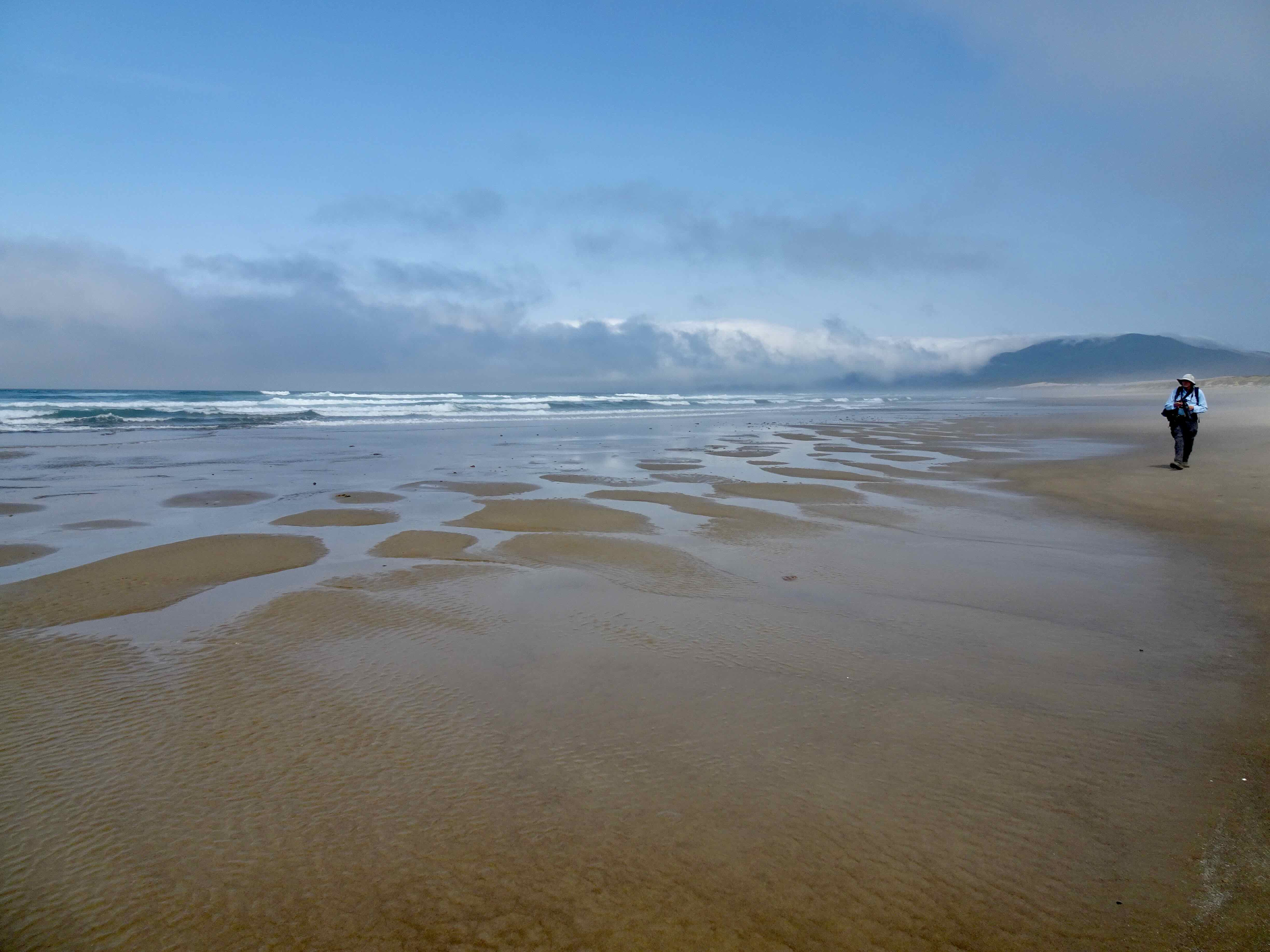
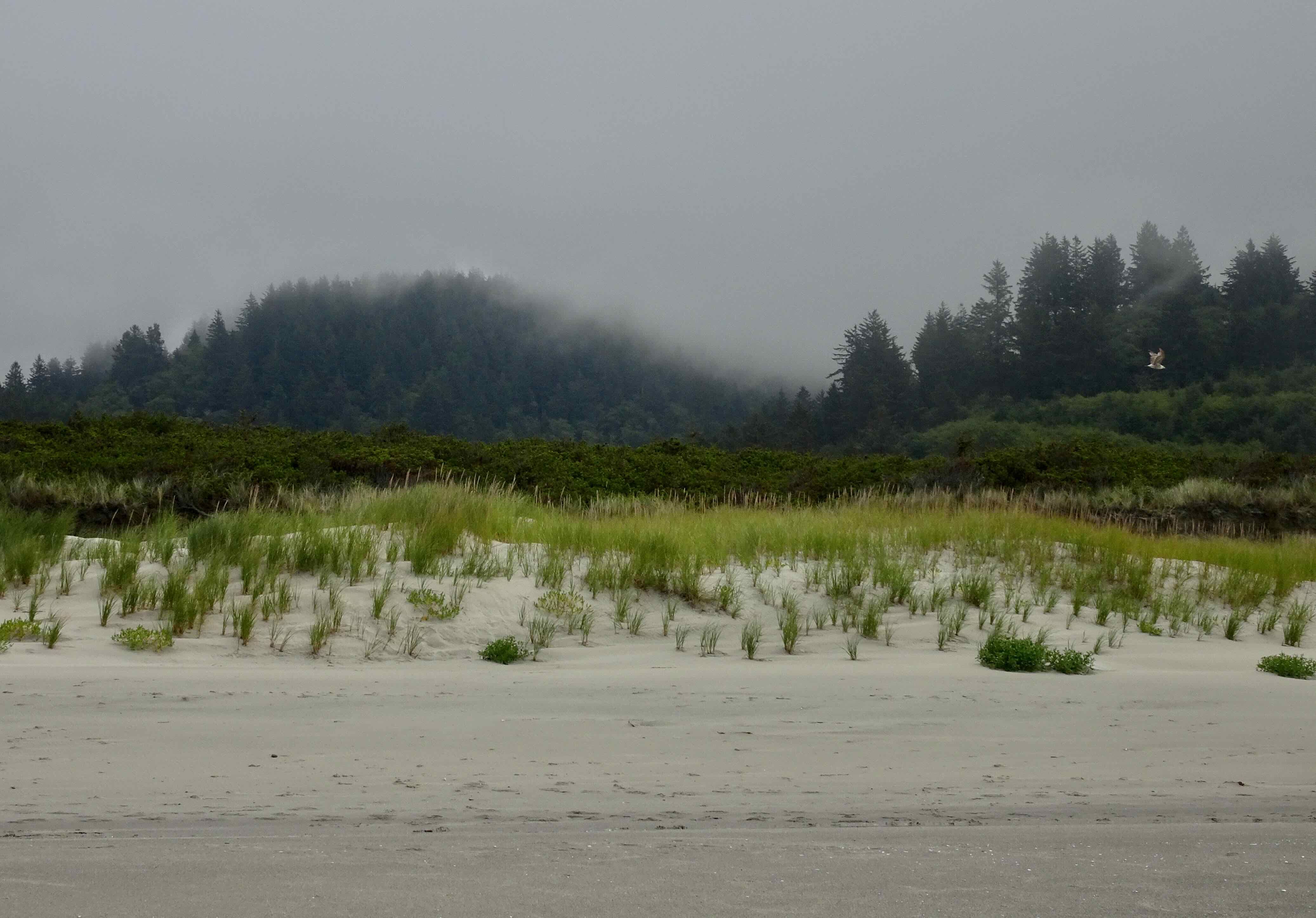
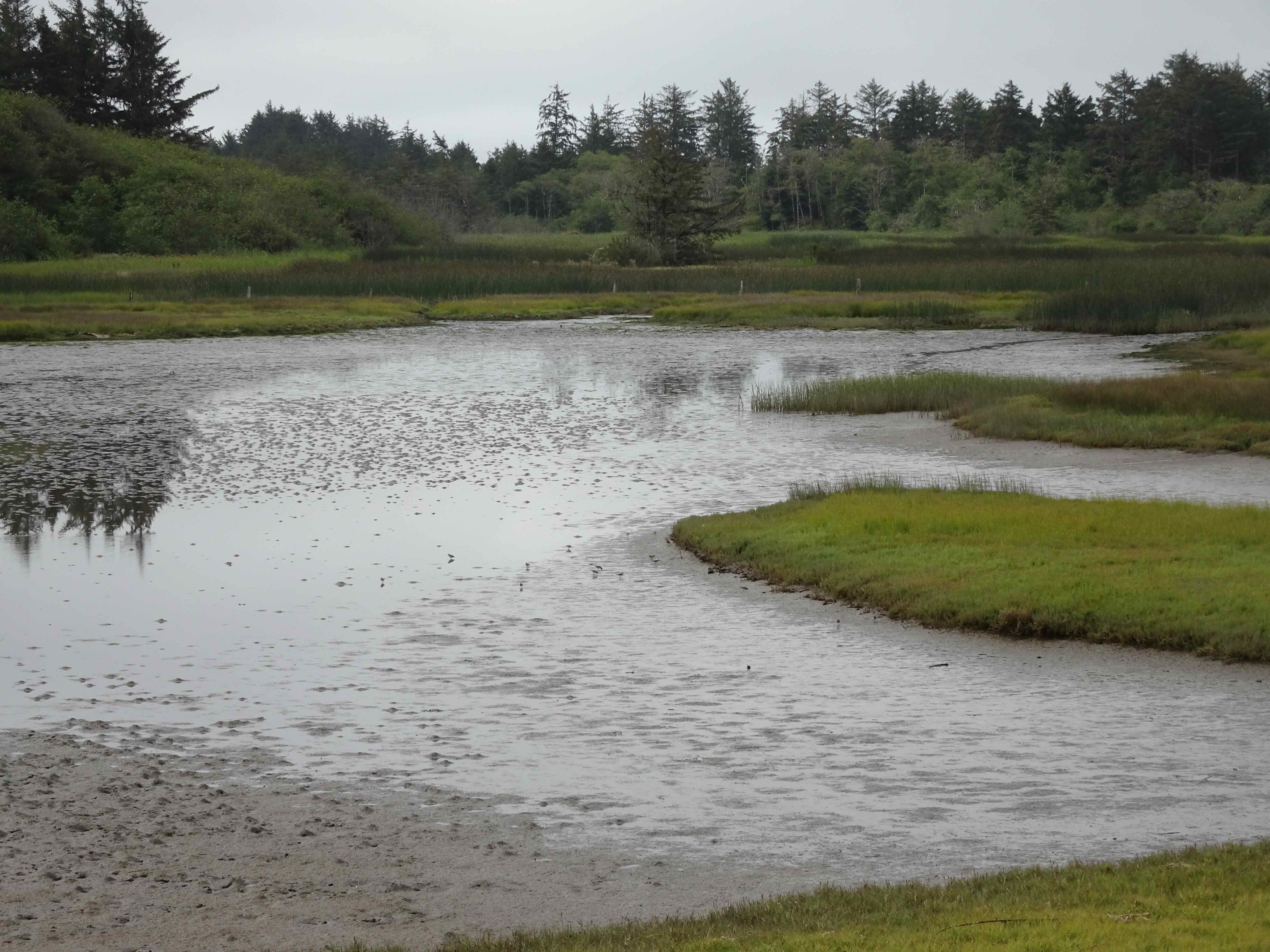
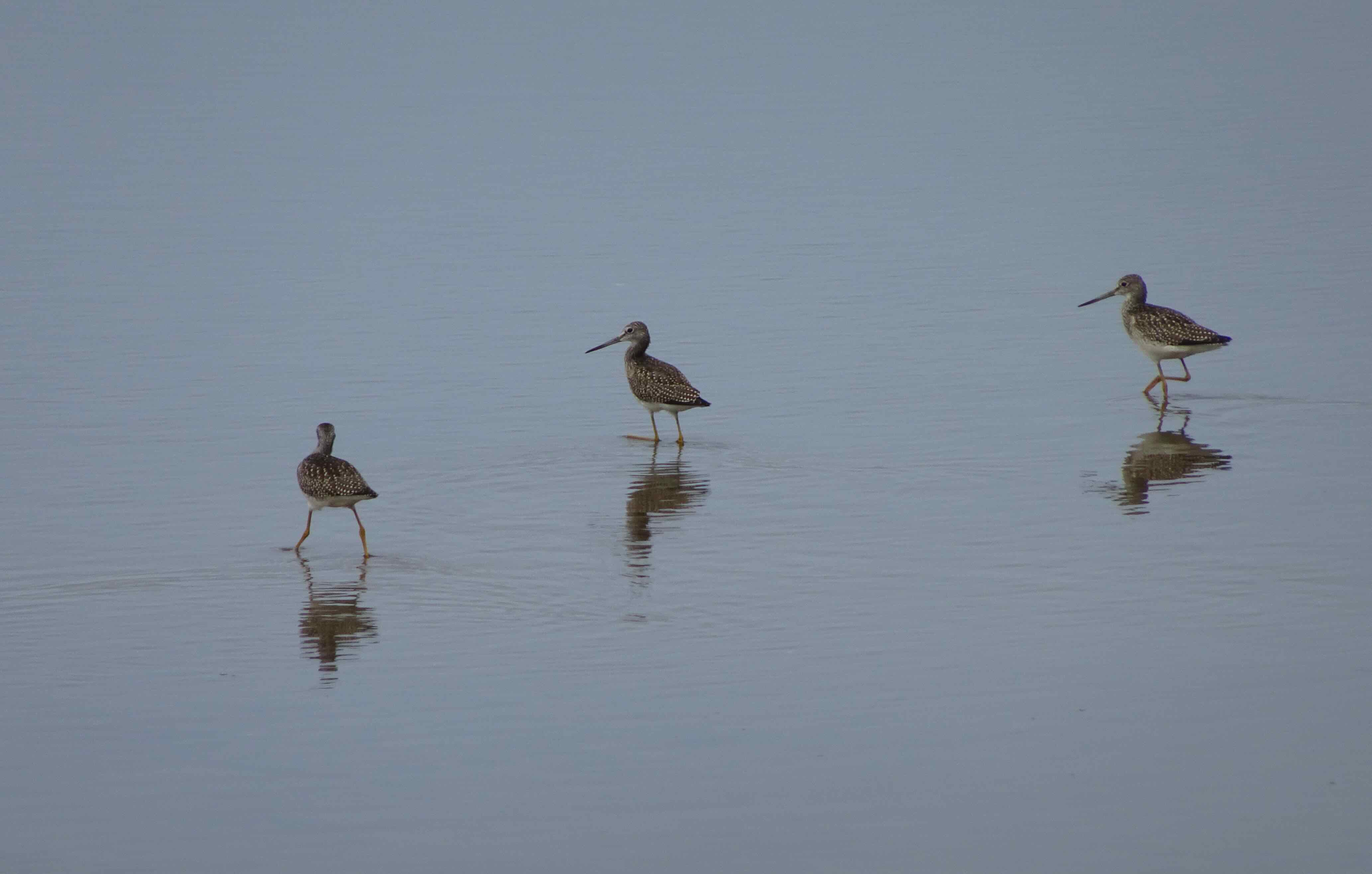
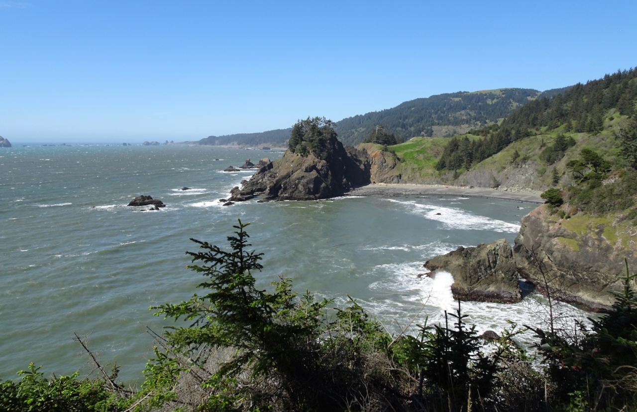
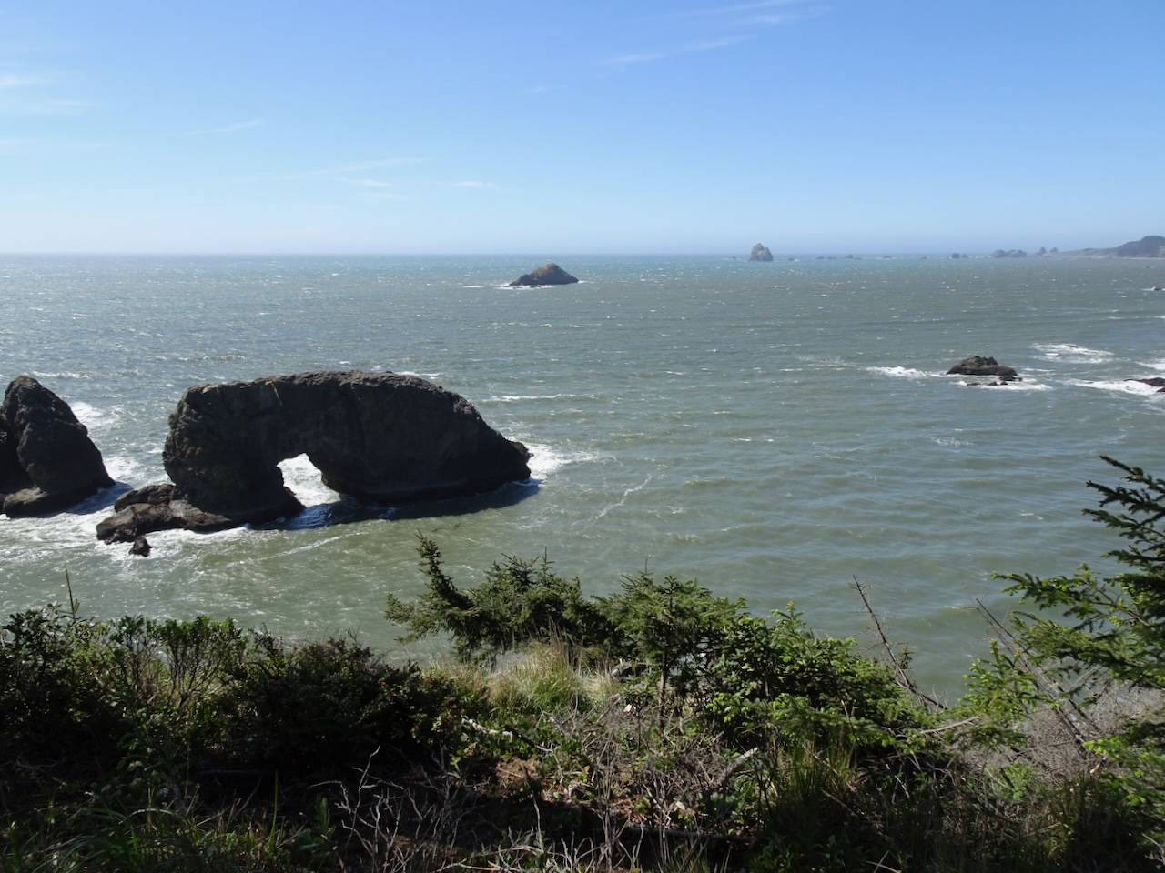
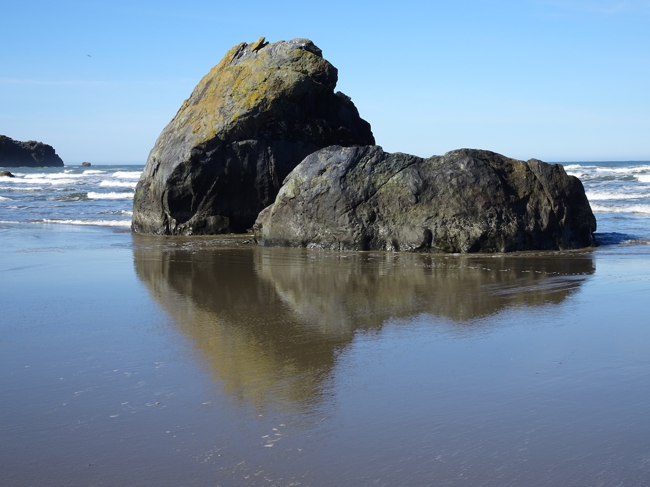
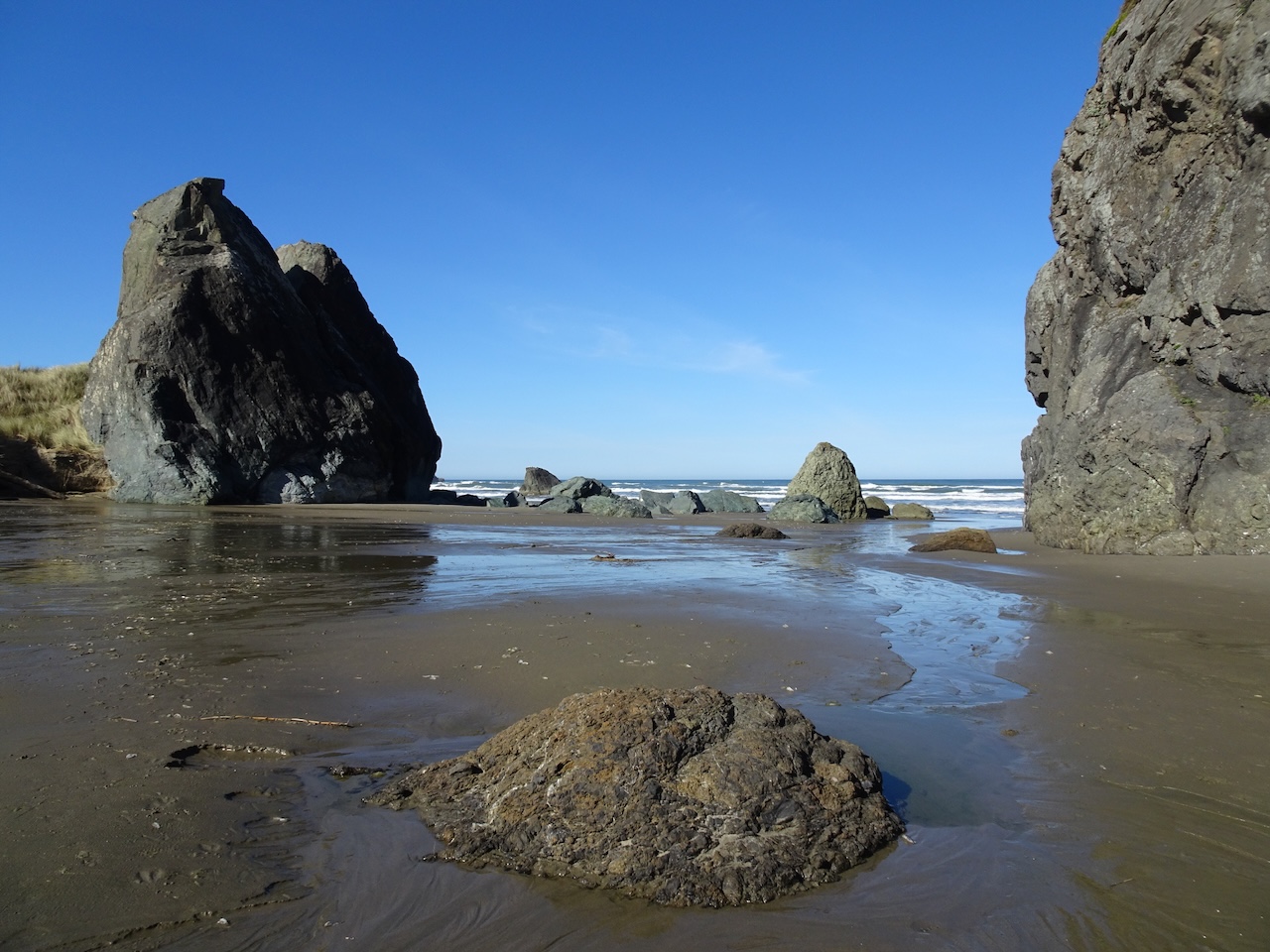
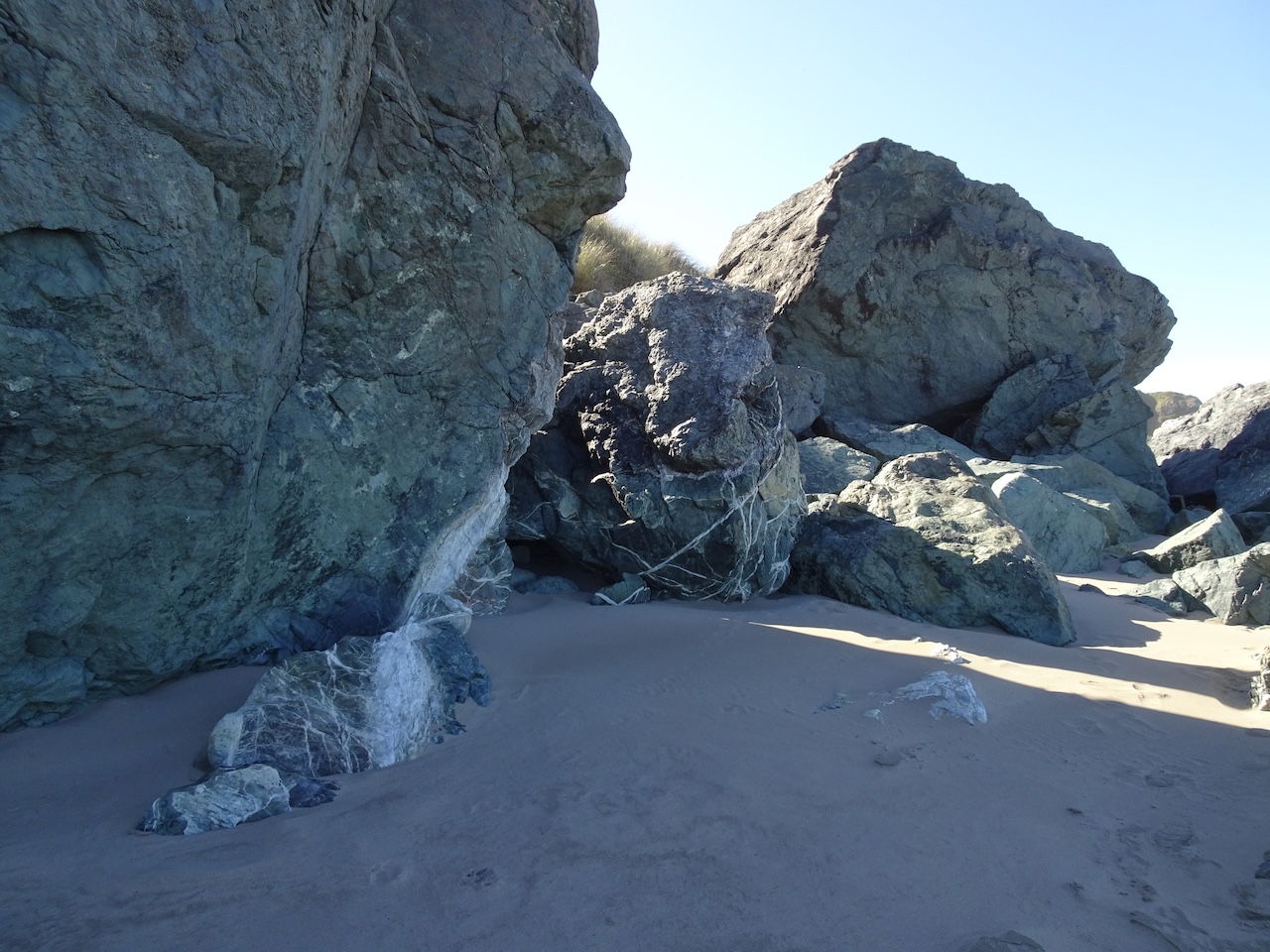
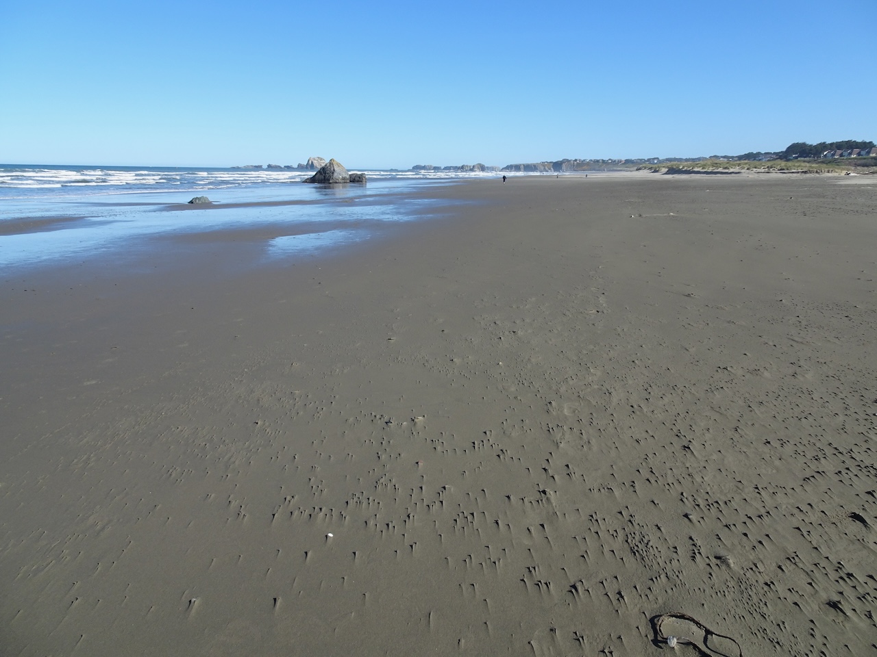
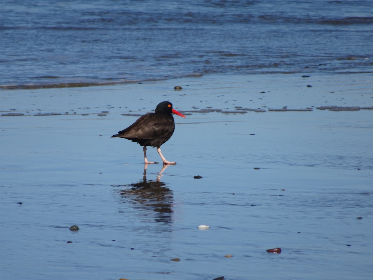
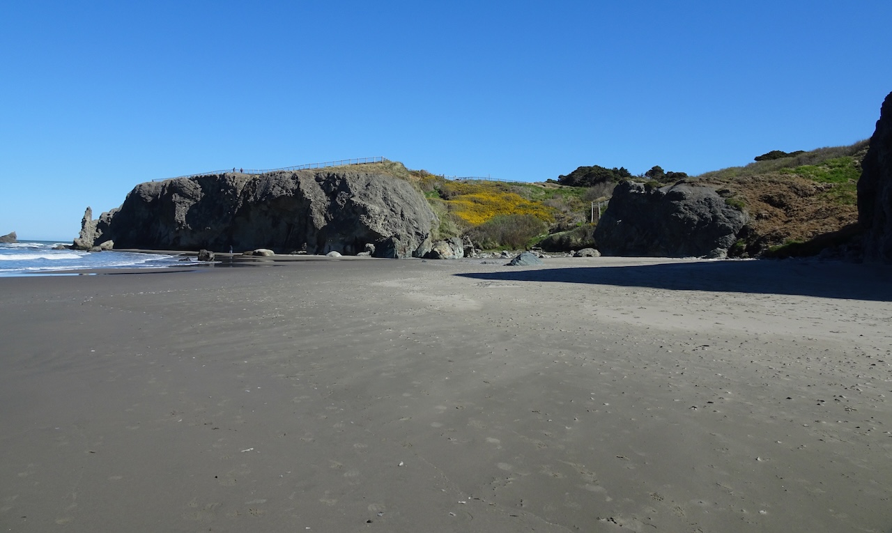
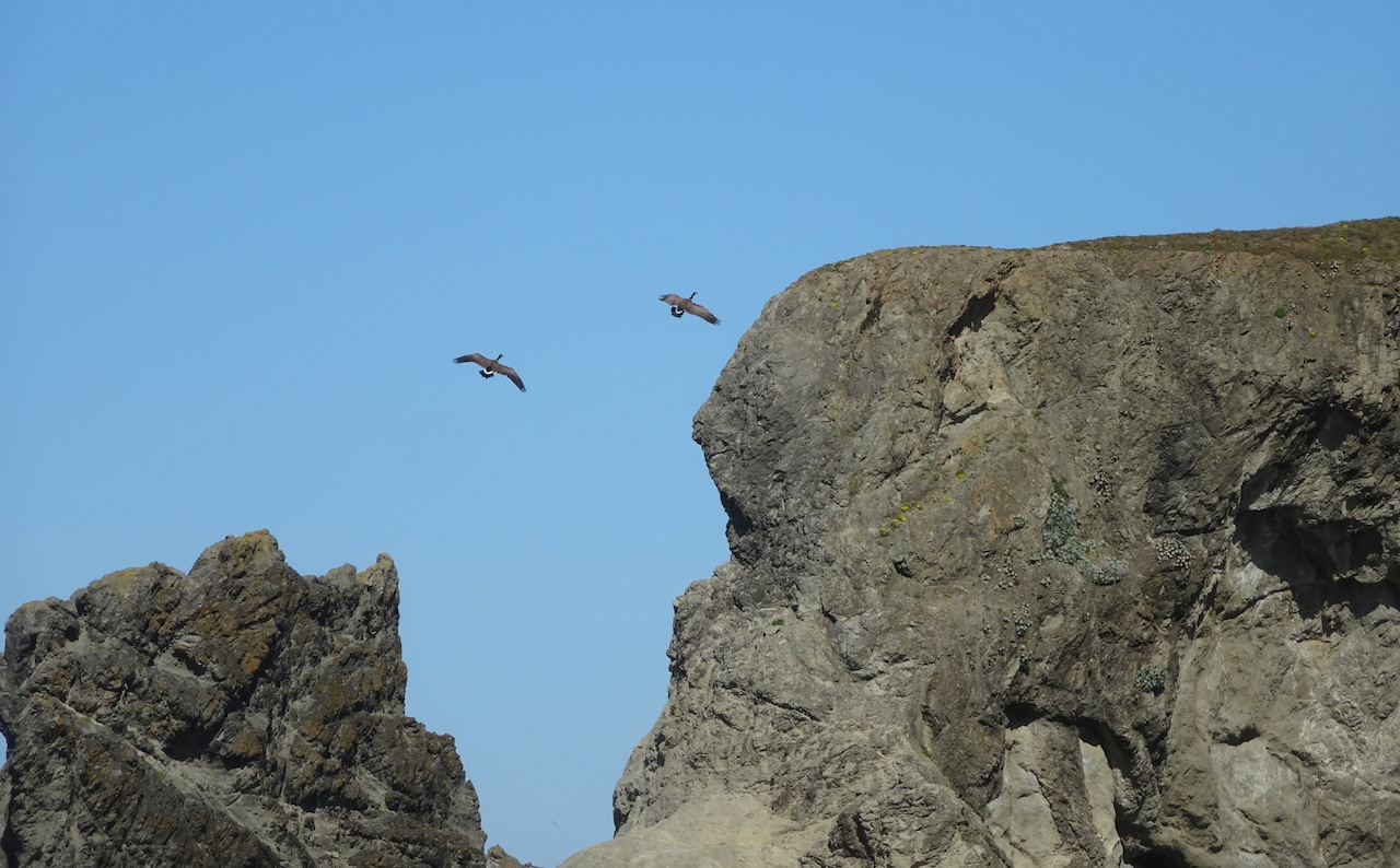
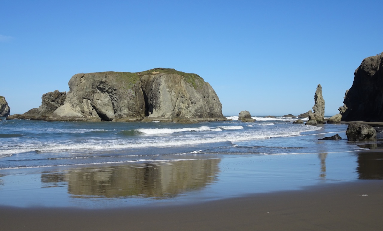
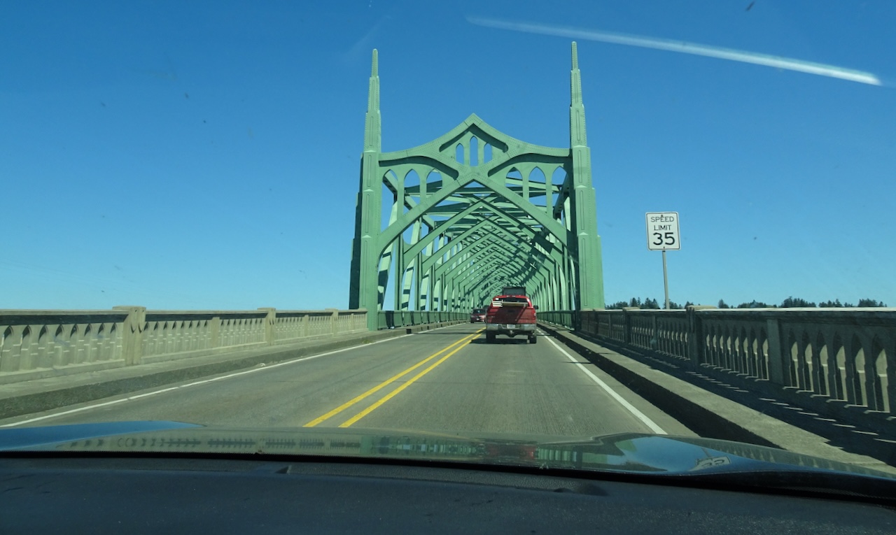
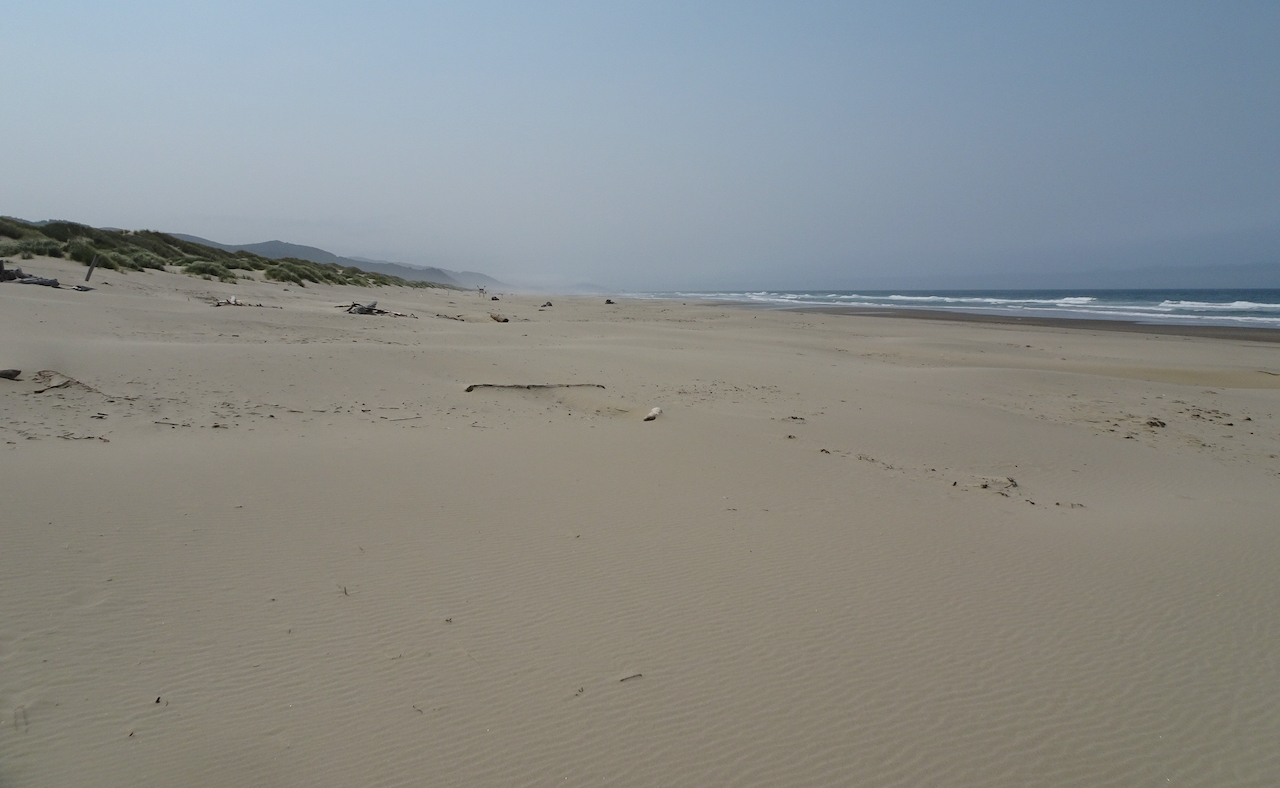
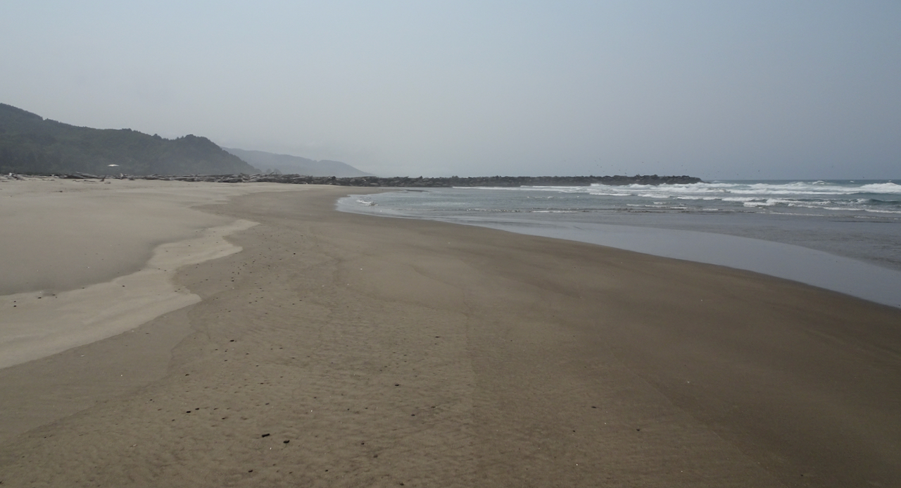
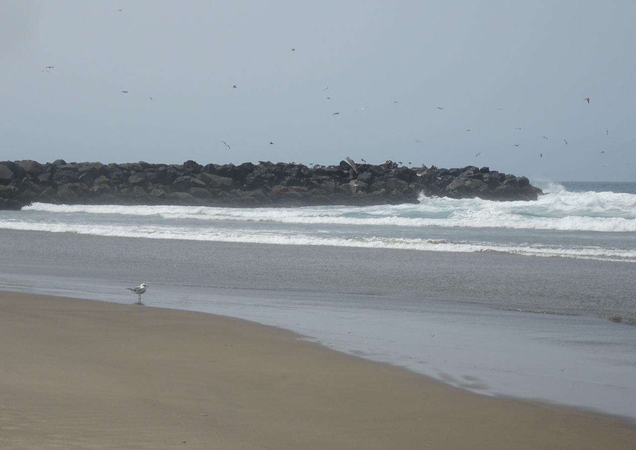
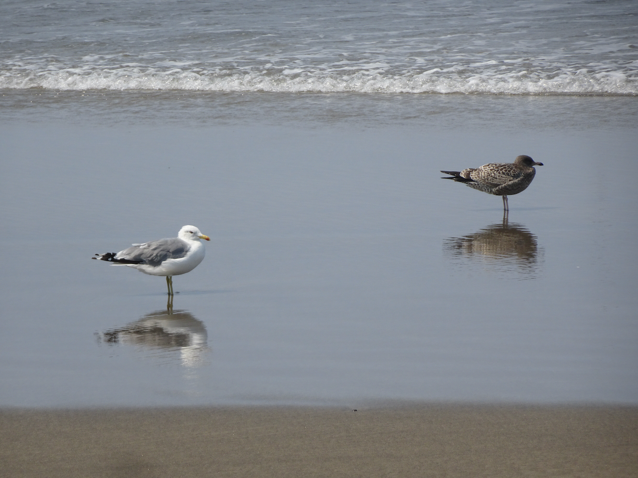
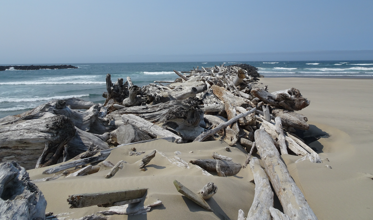
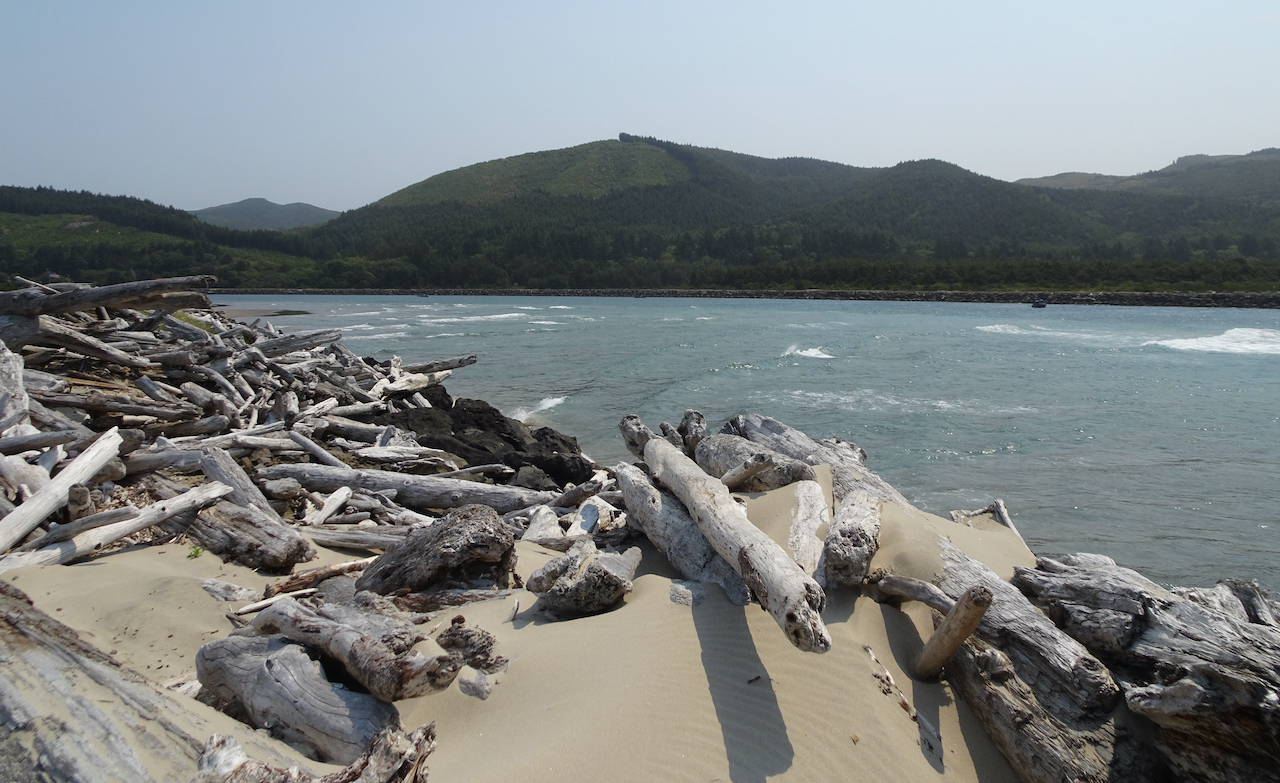
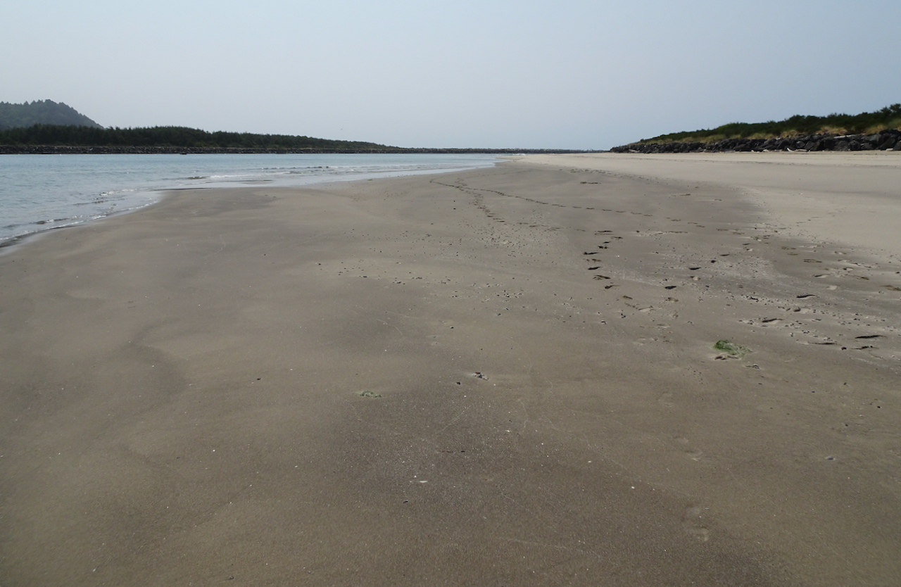
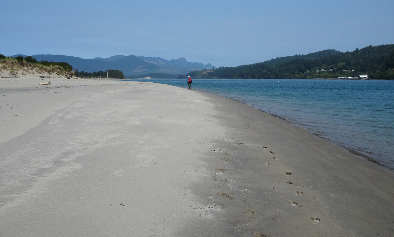
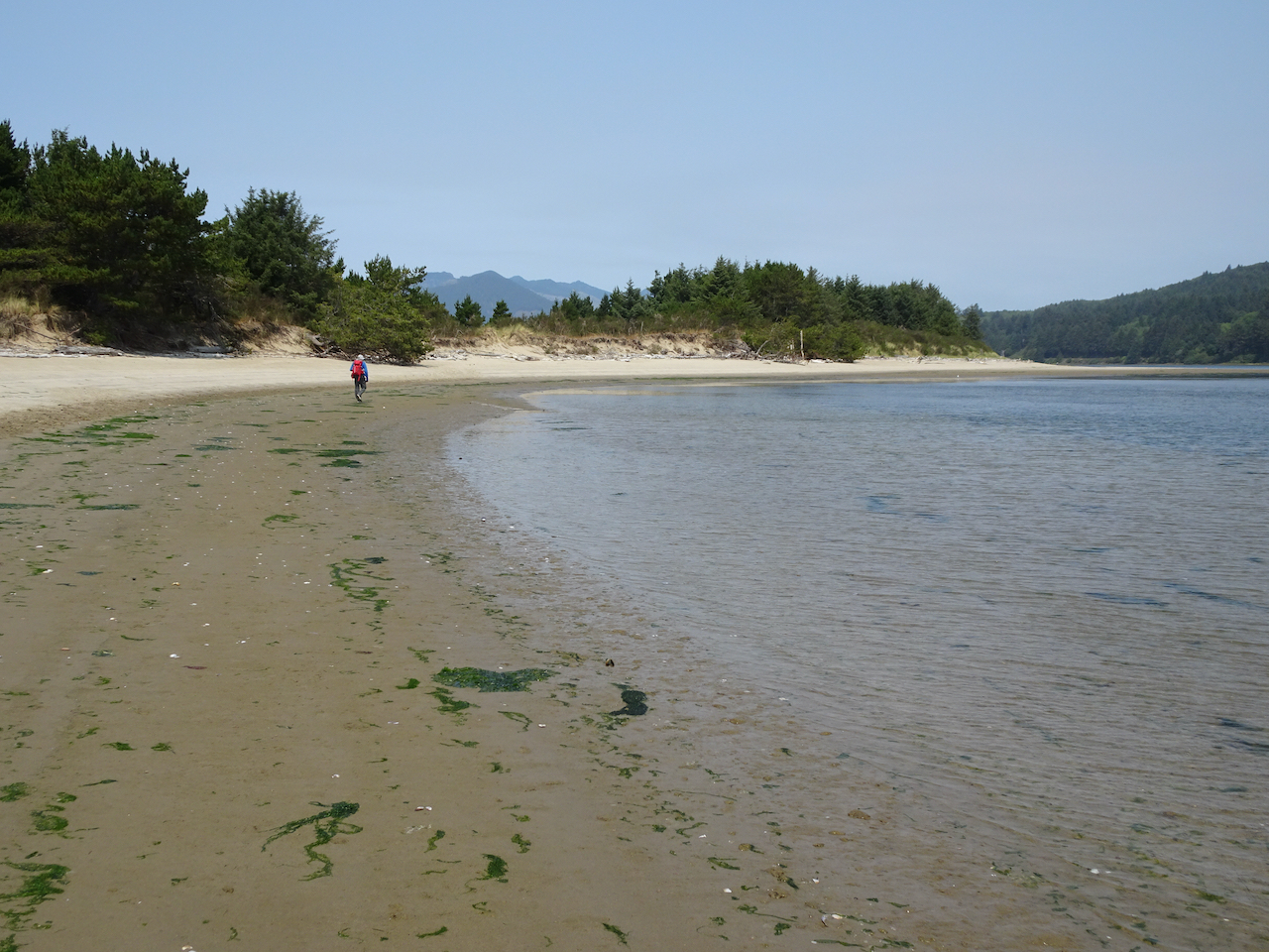
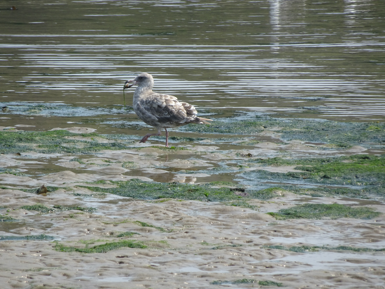
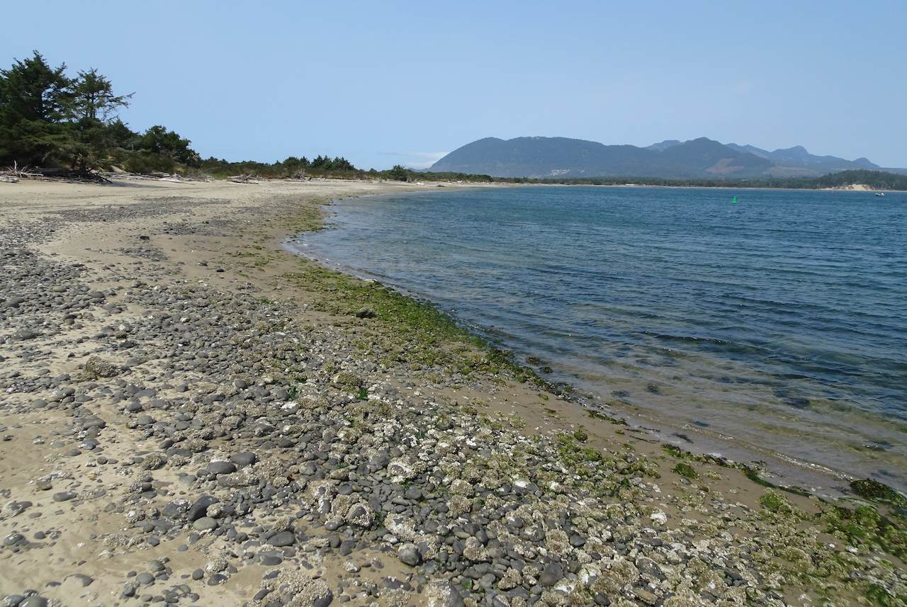
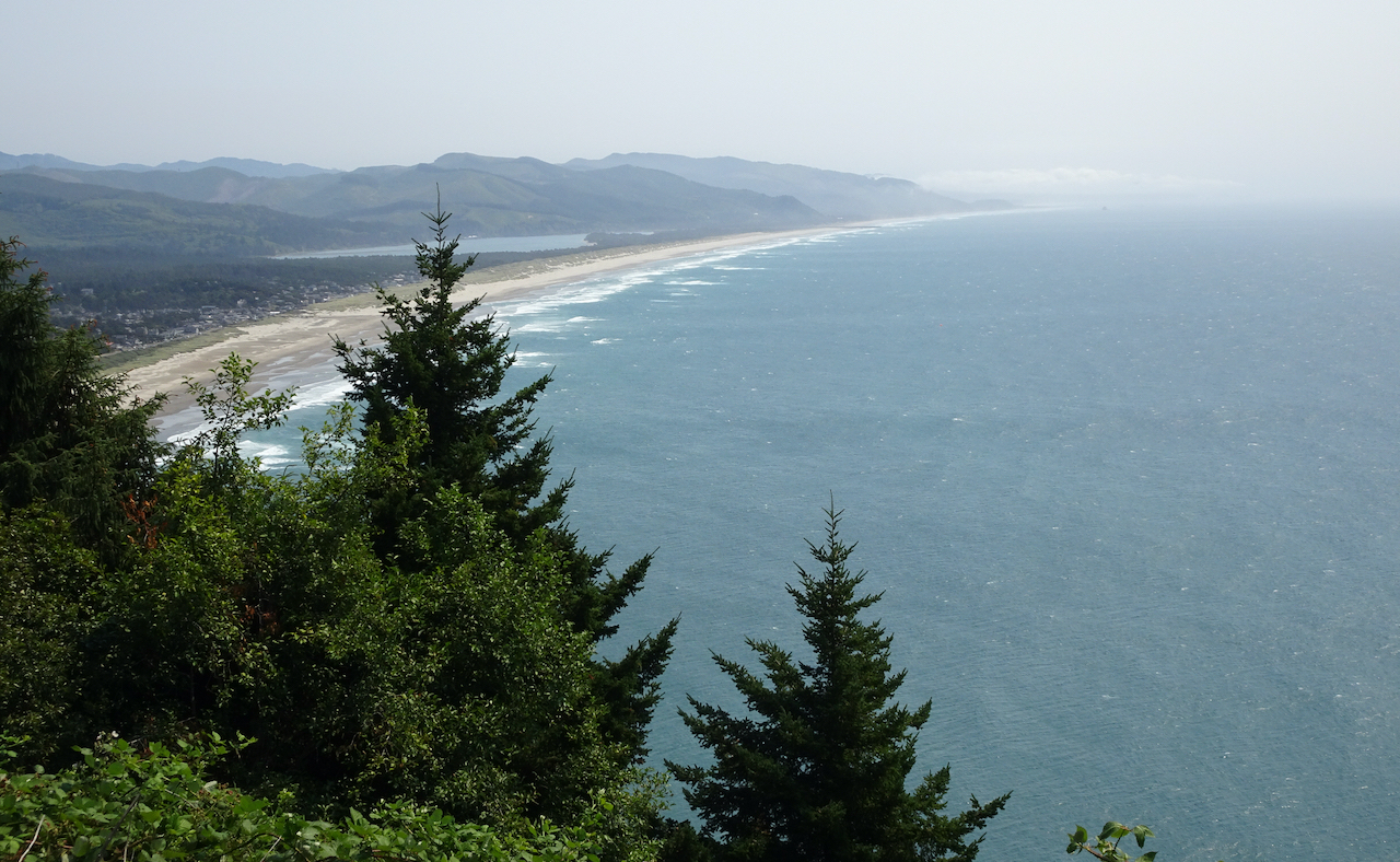
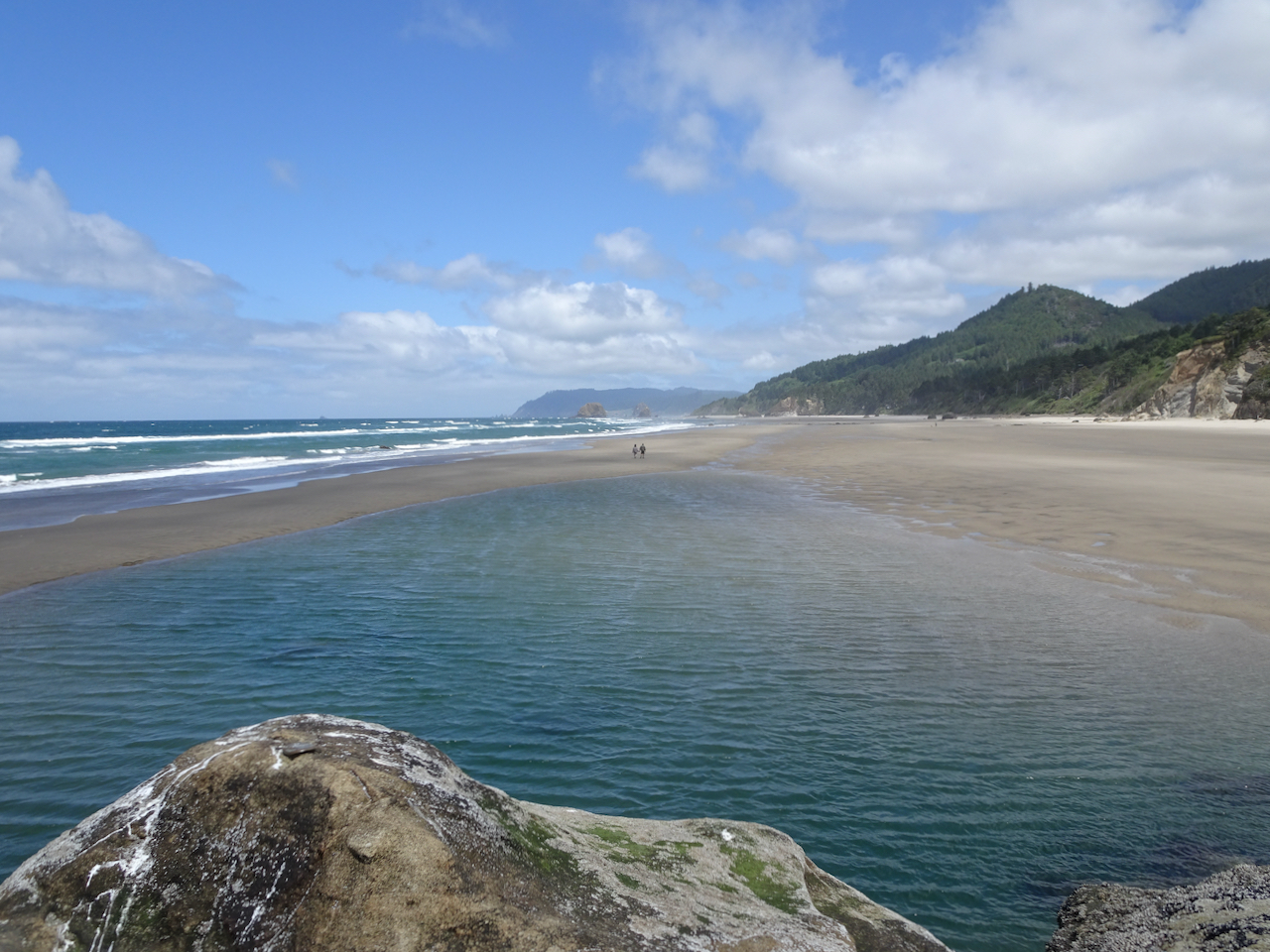
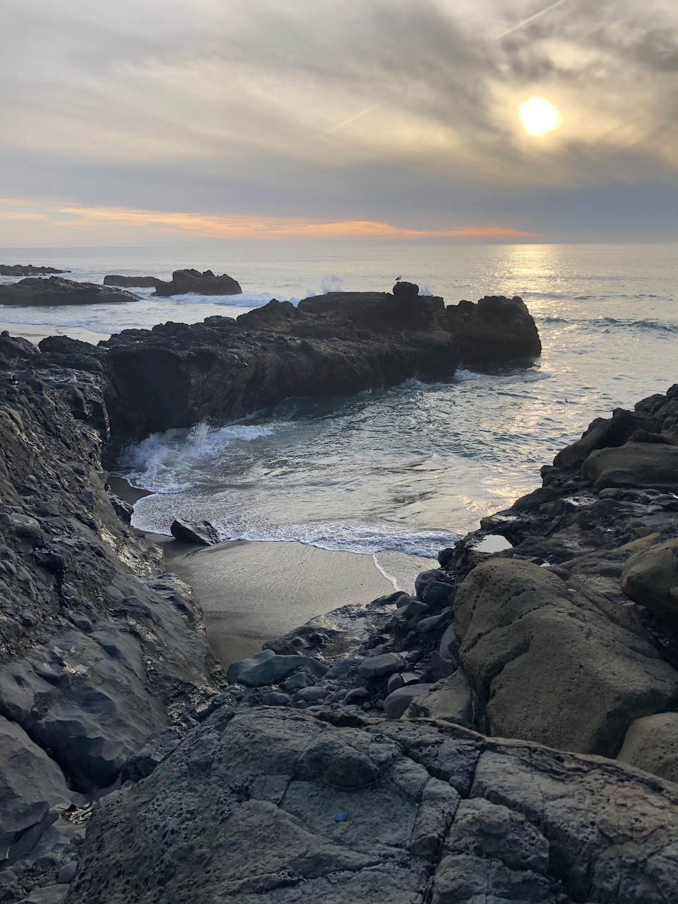
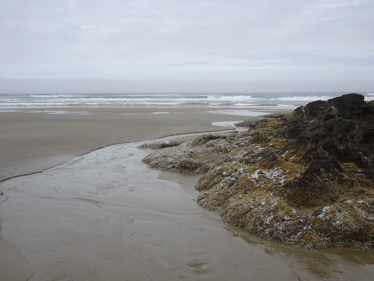
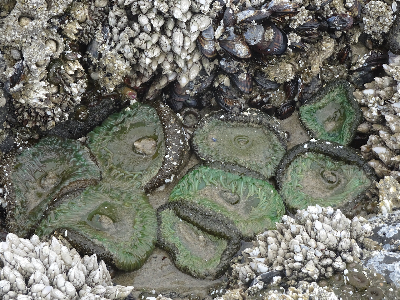
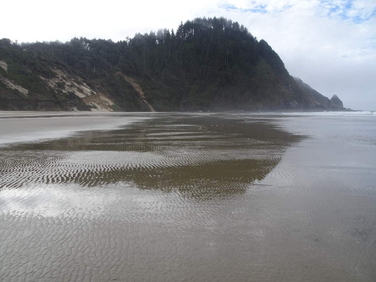
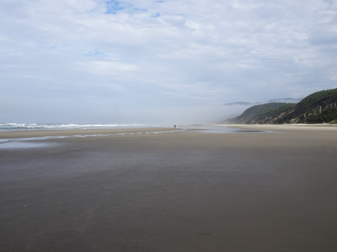
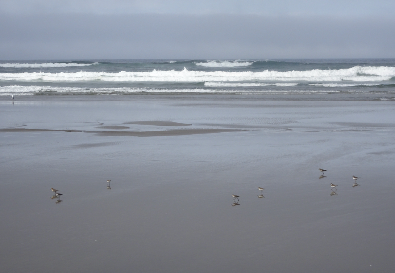
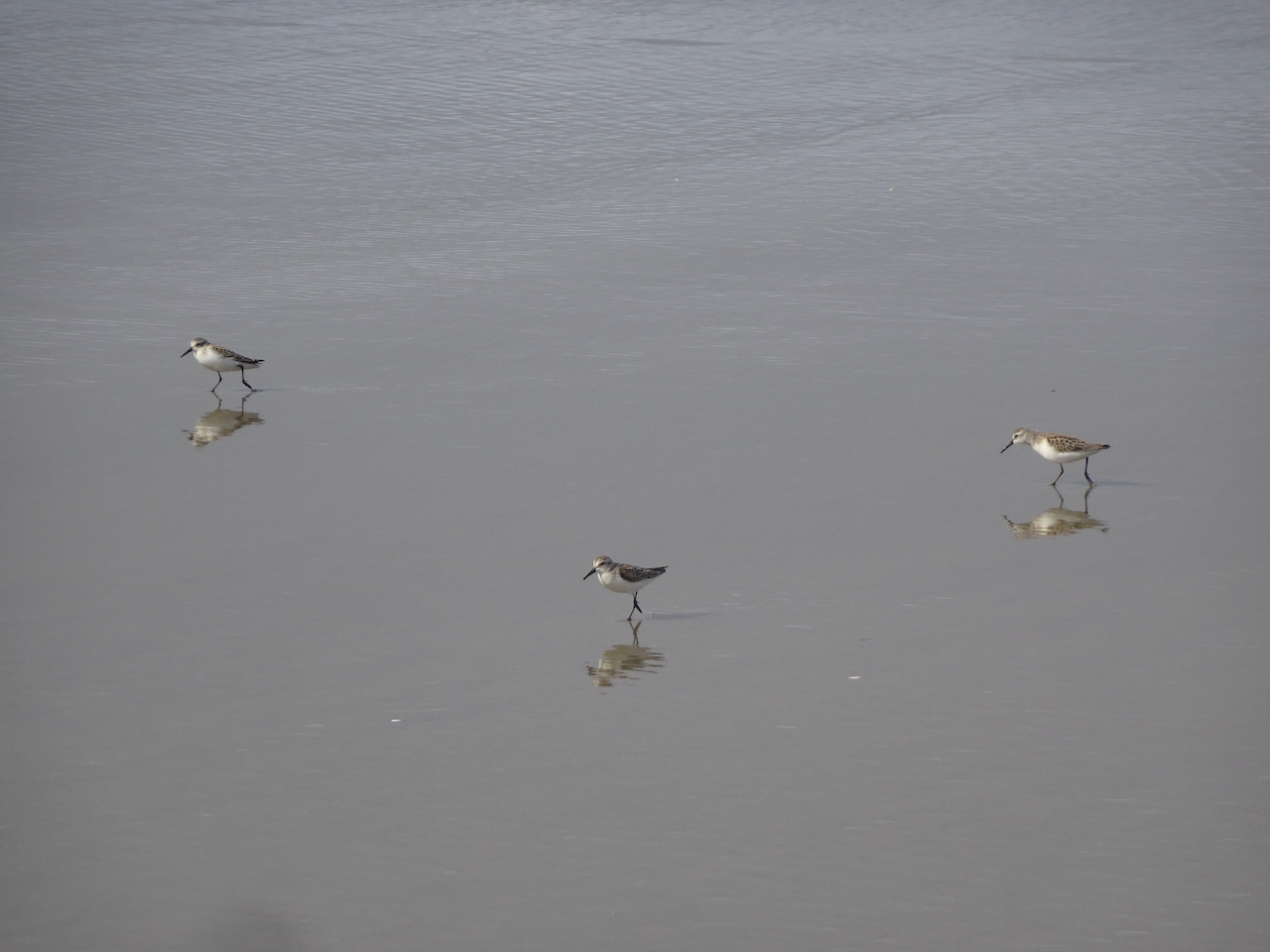
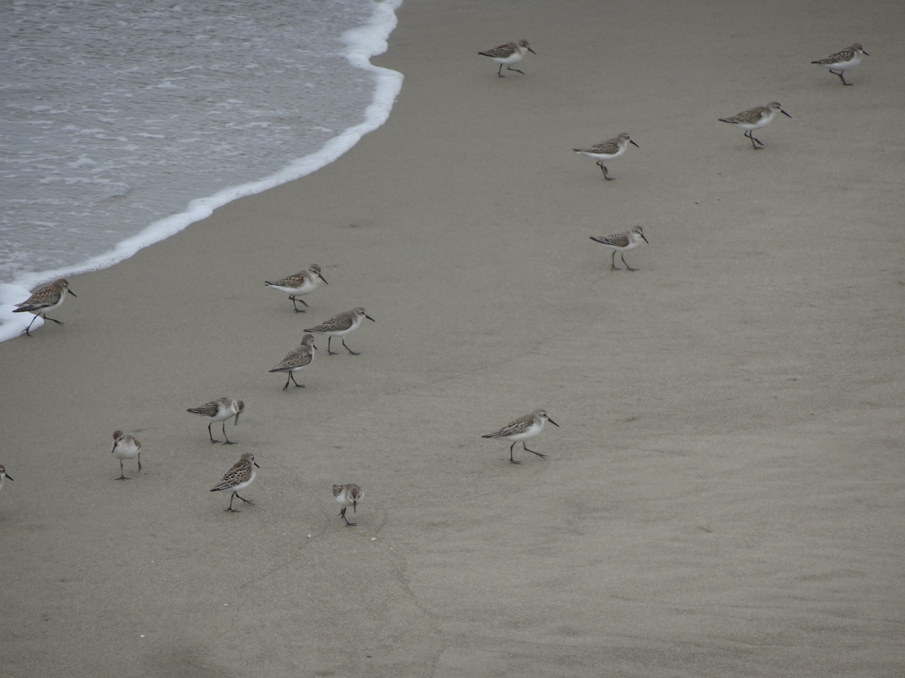
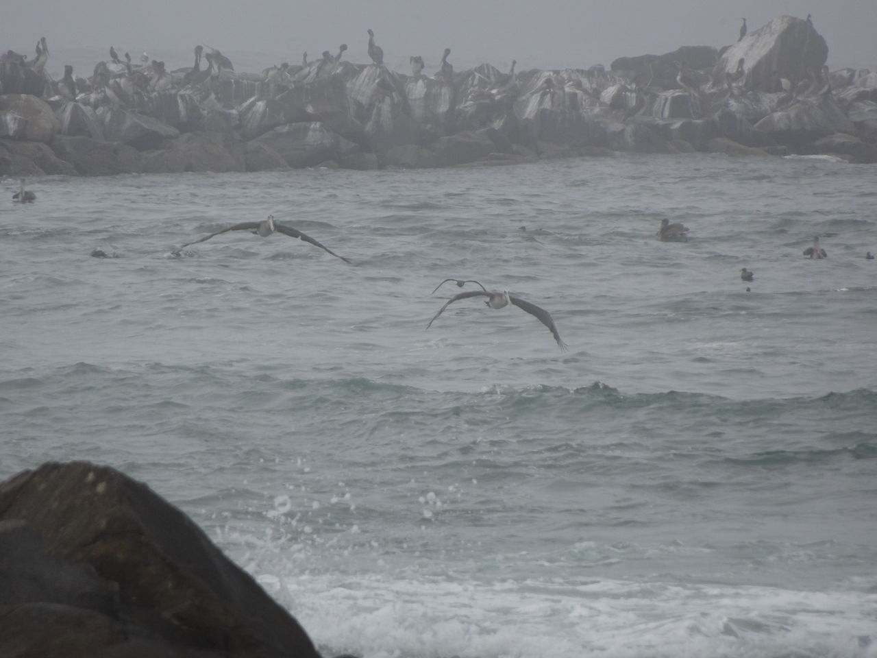
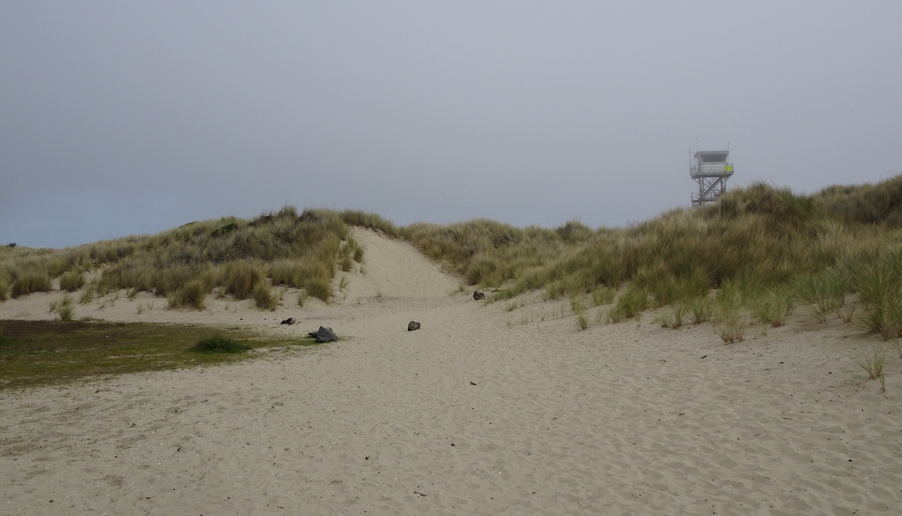
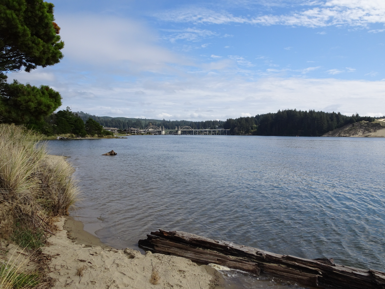
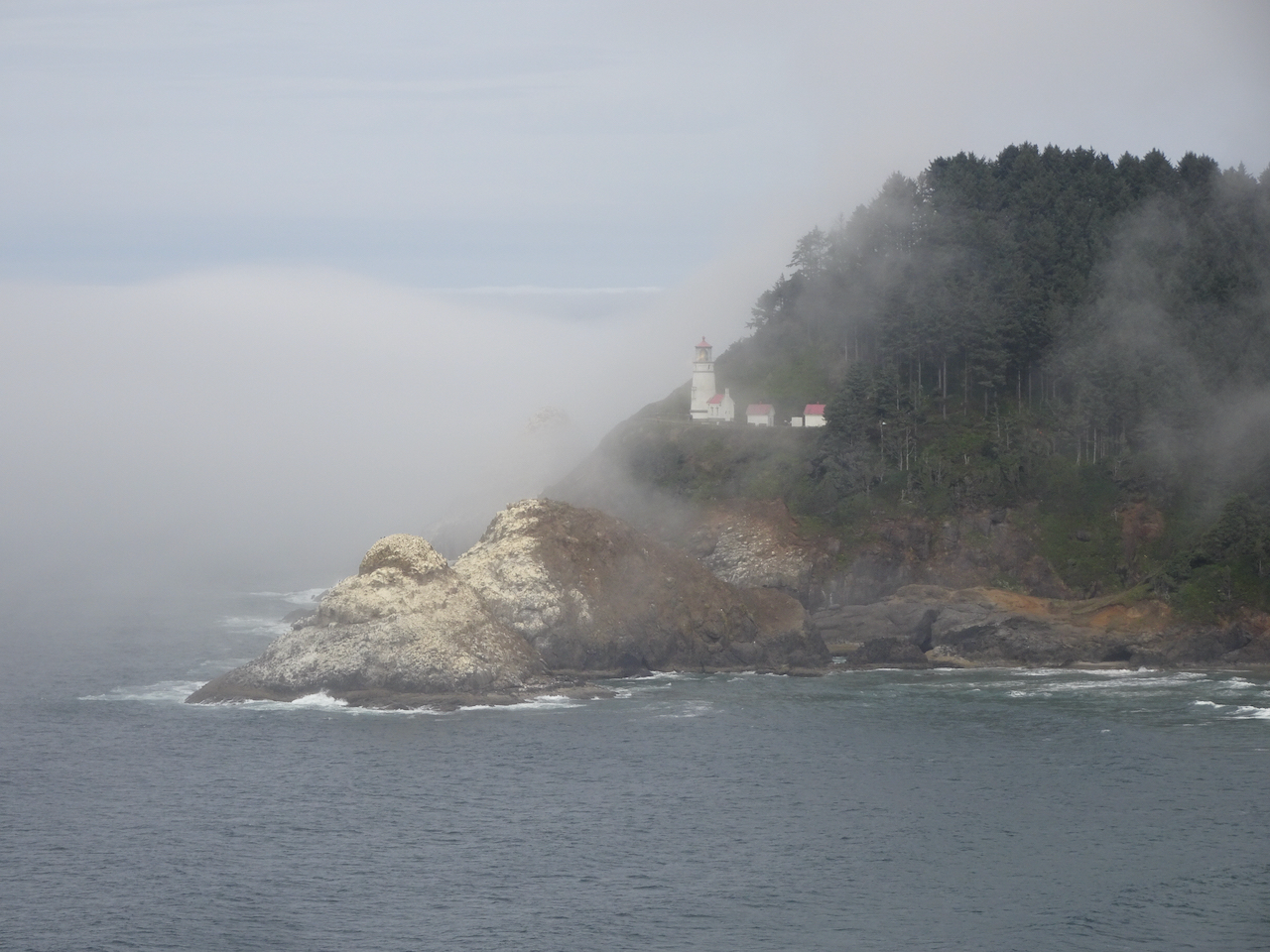
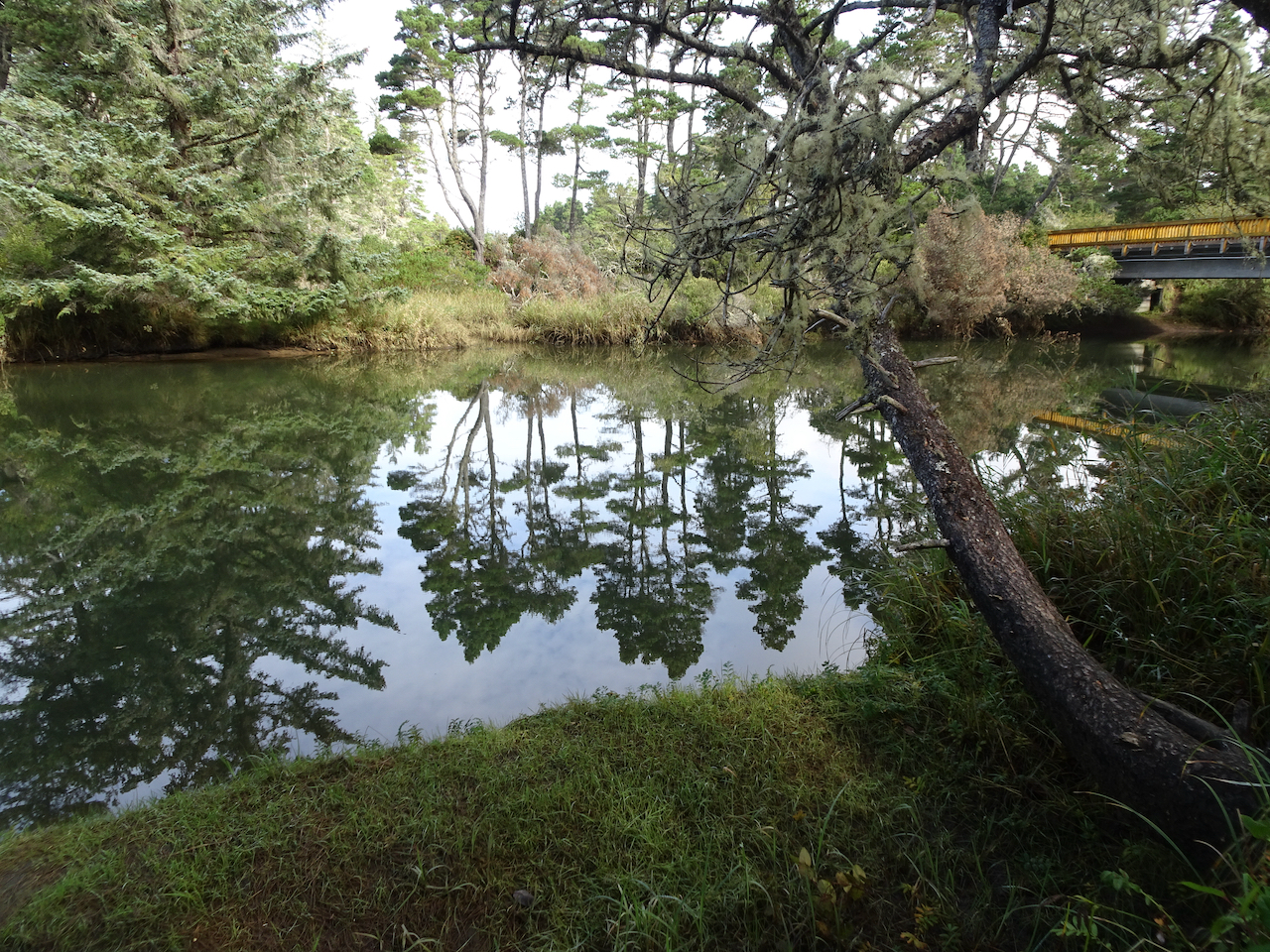
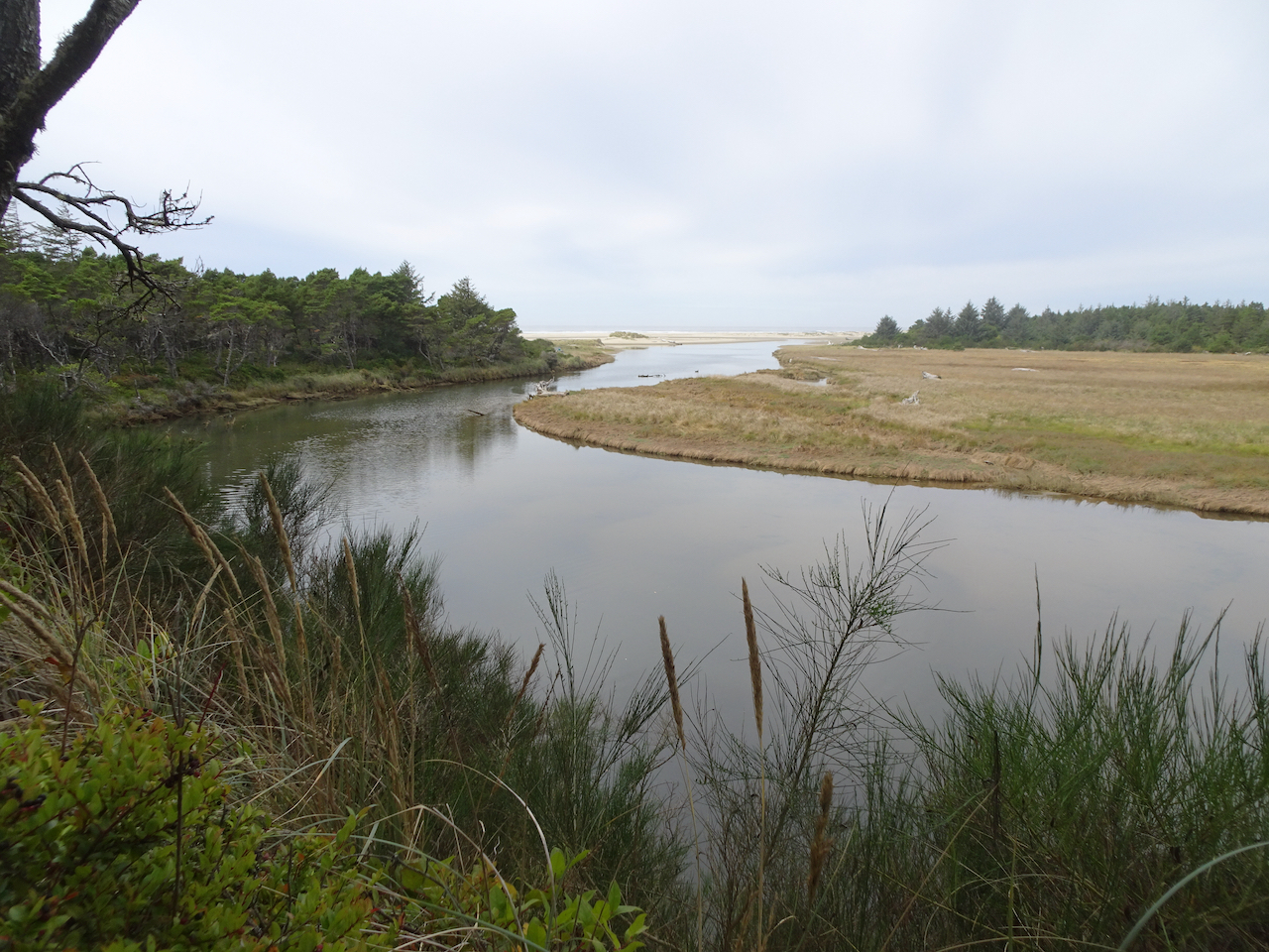
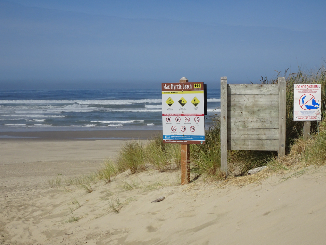
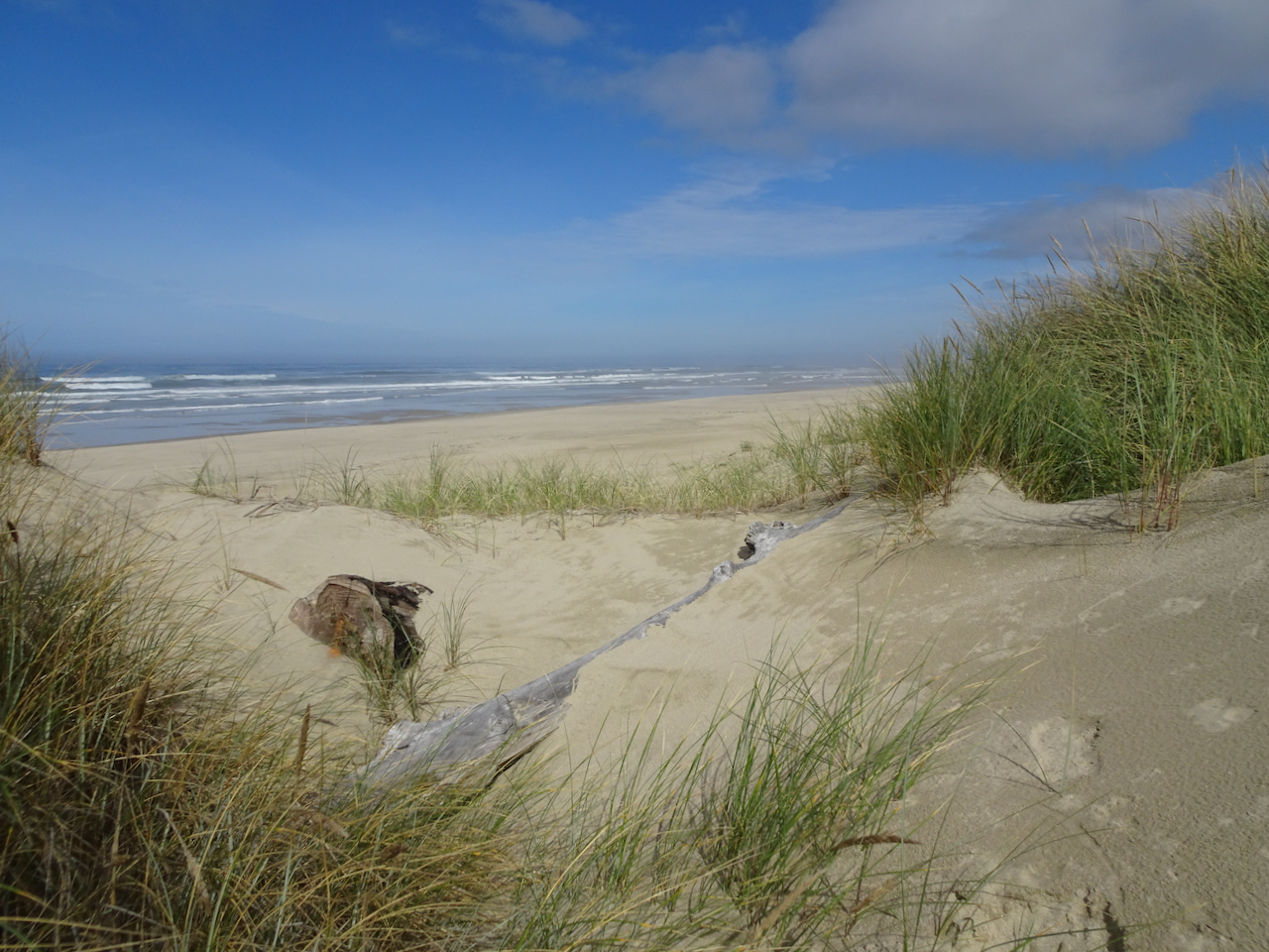
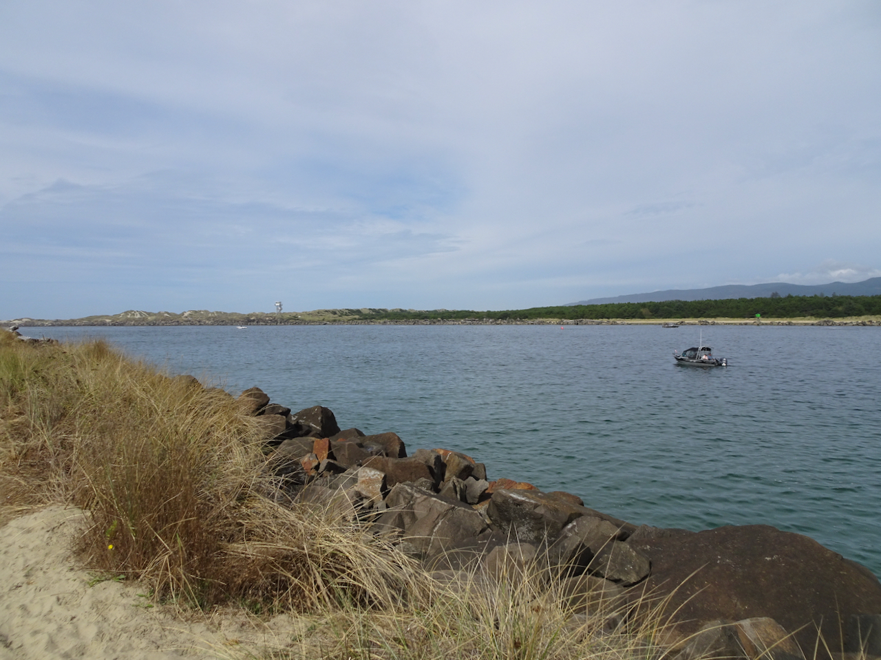
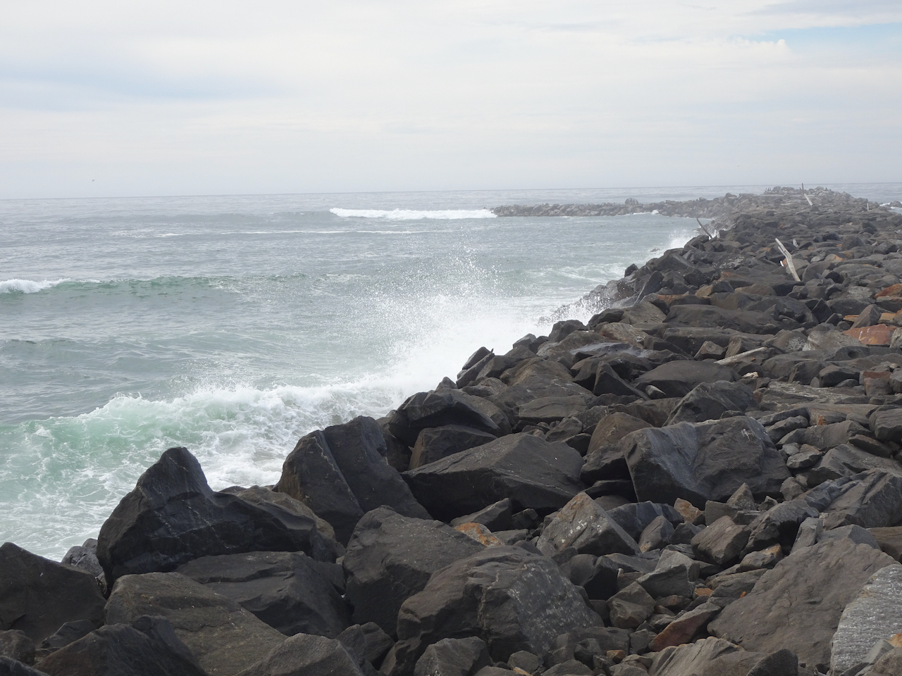
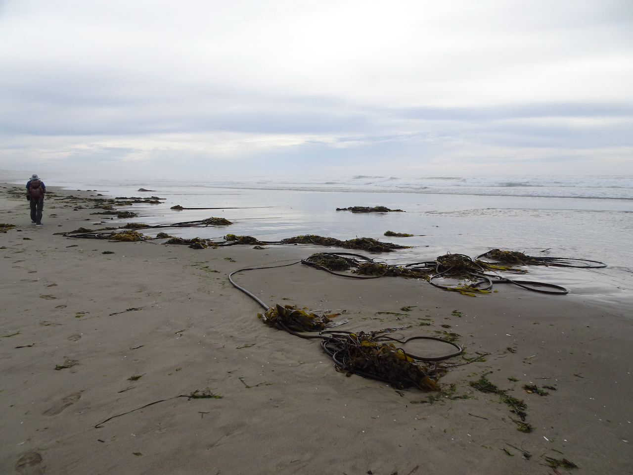
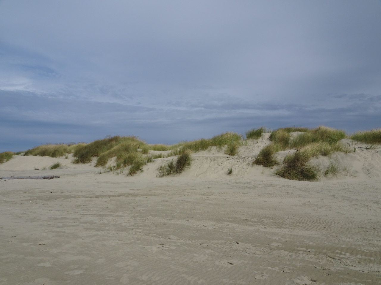
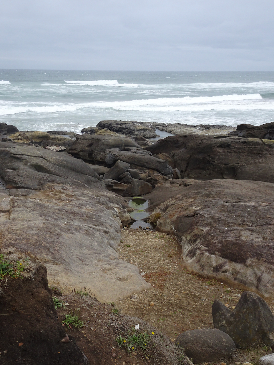
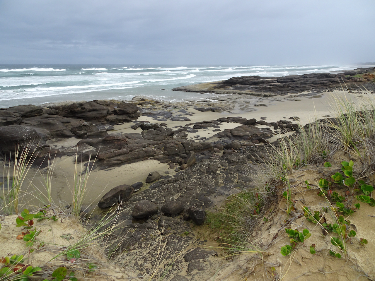
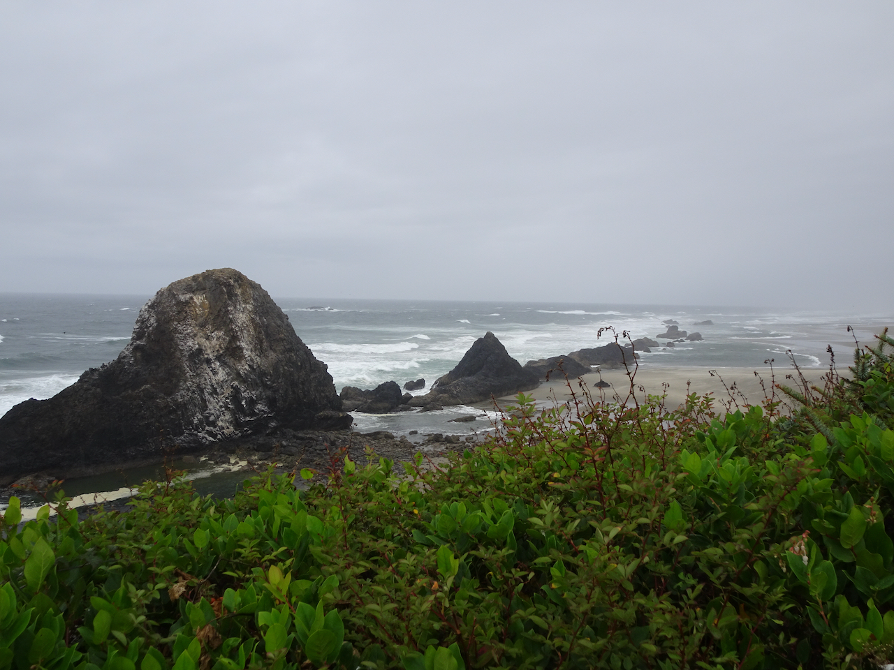
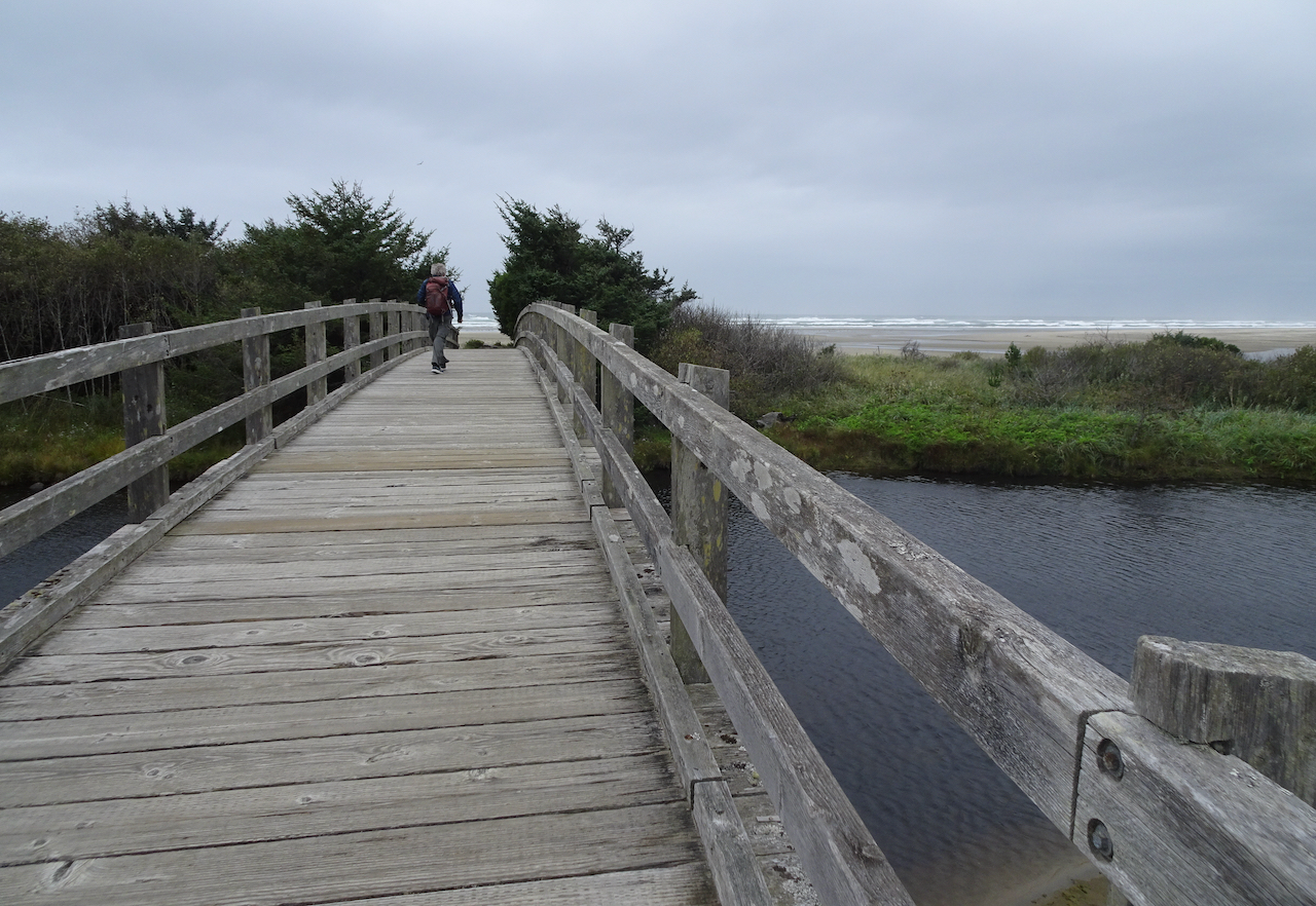
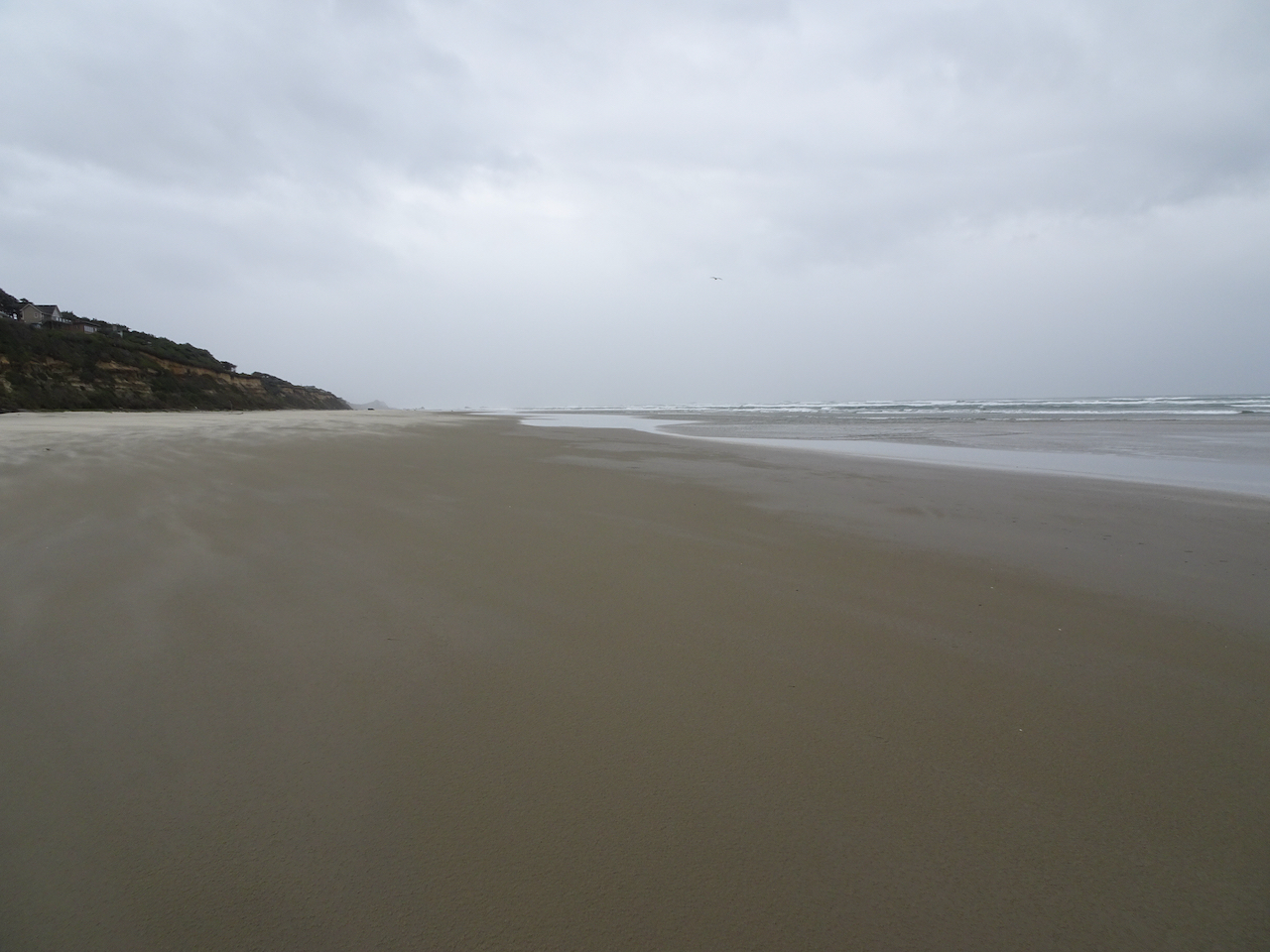
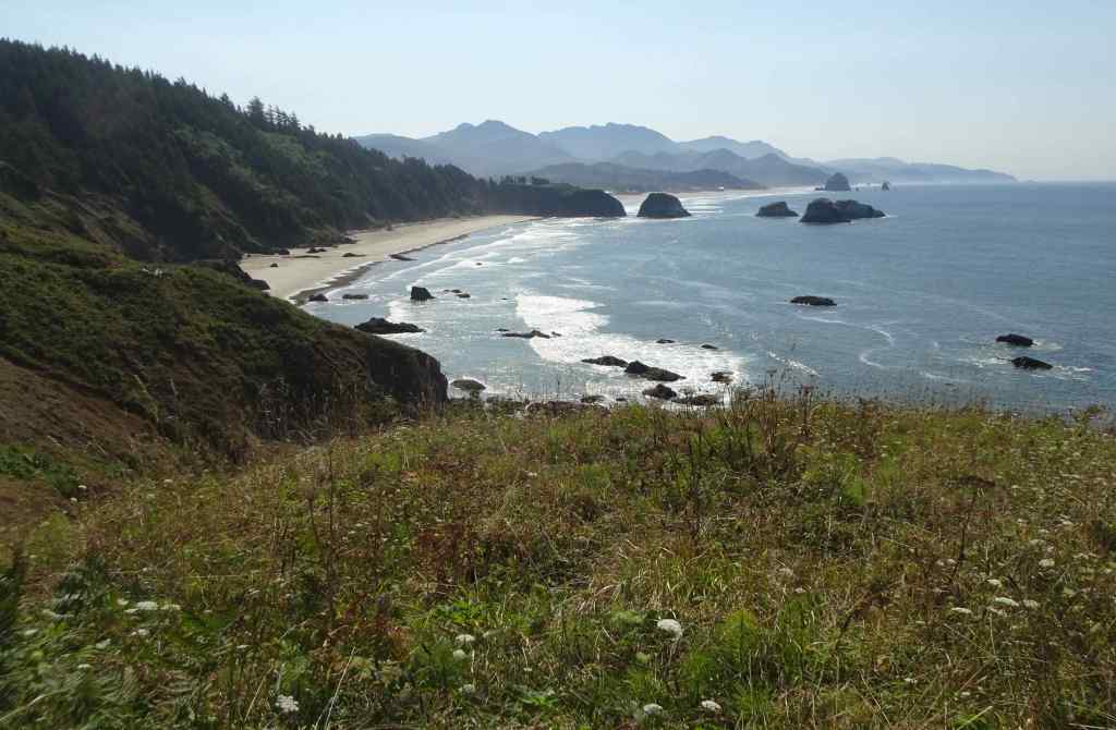
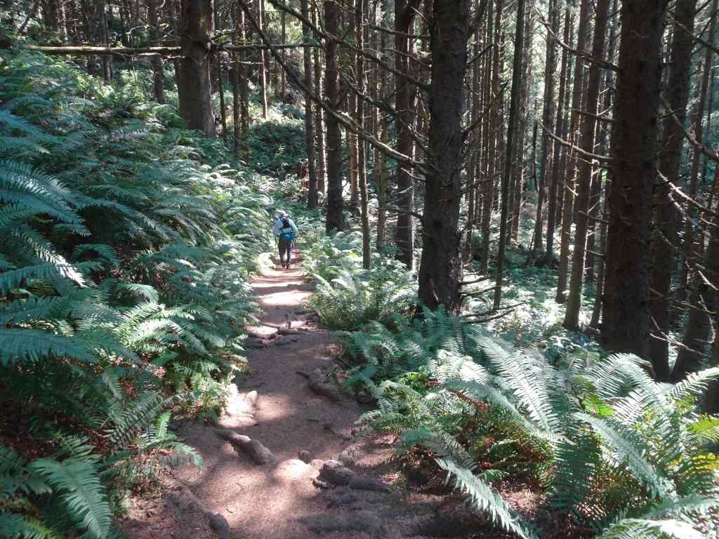
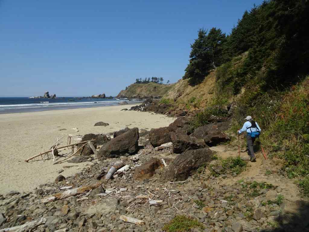
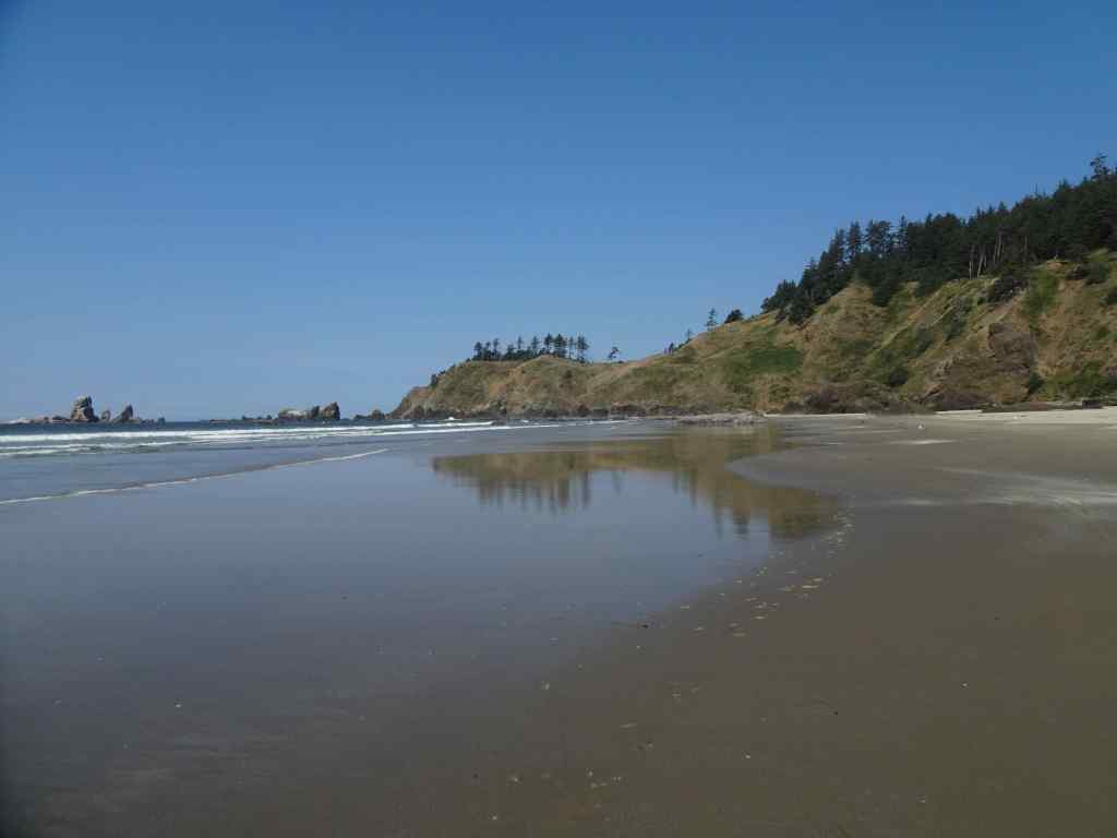
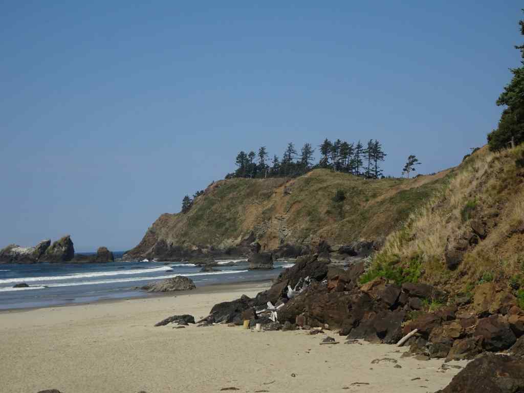
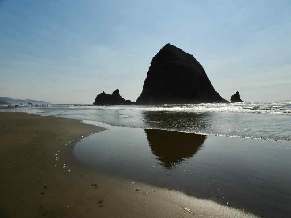
9/2 – Crescent and Cannon Beaches, OR

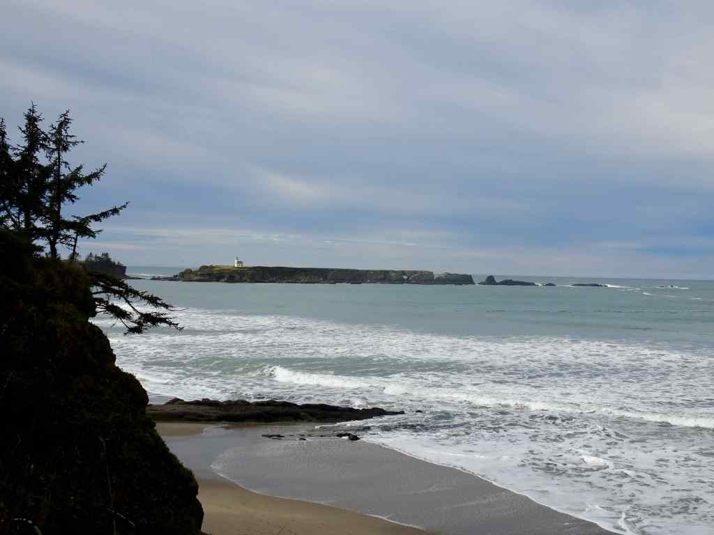
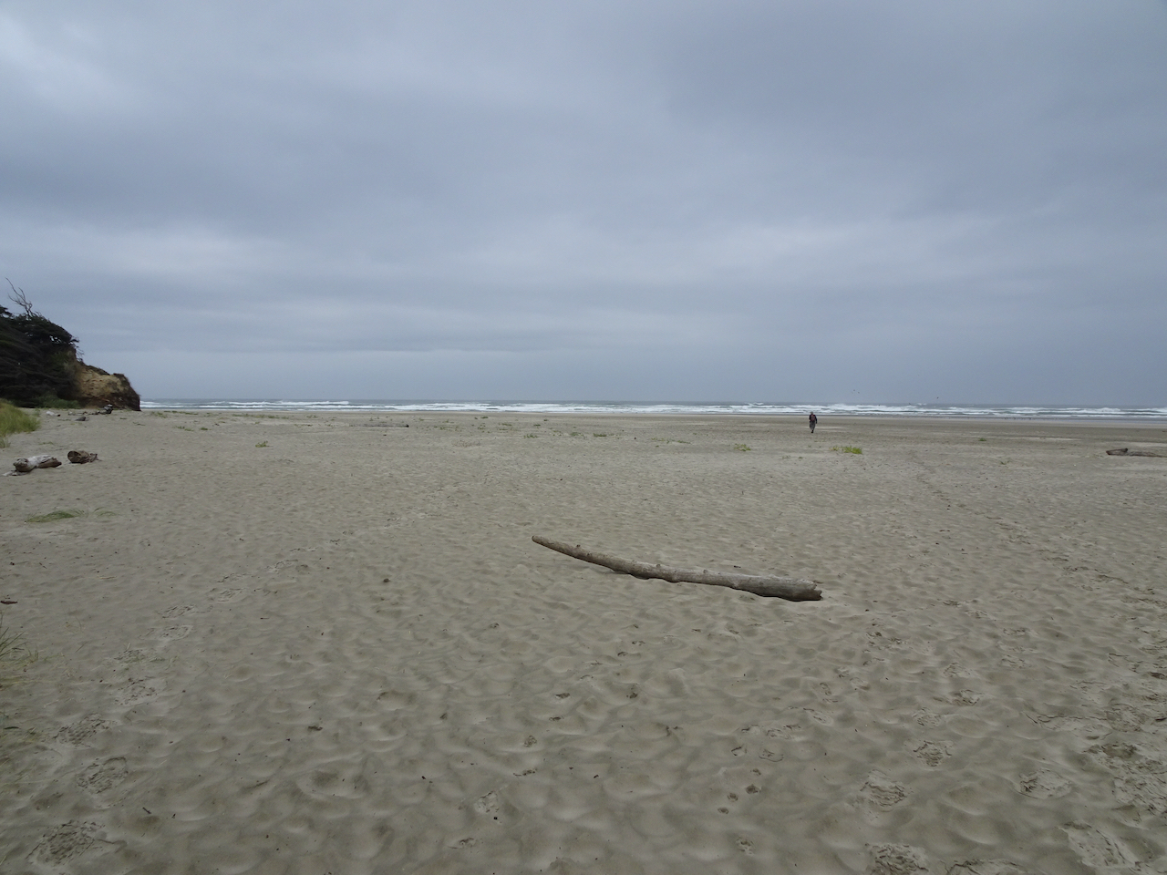
A hot day in Portland. We drove to the coast for a short hike to Crescent Beach in Ecola State Park, then went to Cannon Beach to walk near Haystack Rock at low tide.

View to Crescent Beach and Cannon Beach from Ecola Point.
Trail through the forest, about 3 miles round trip.
Descending to Crescent Beach, looking south.
Looking north.
We walked down the beach and found a spot to eat lunch.
Zooming in on Ecola Point, where we began our hike. We hiked back up after lunch.
South view along Crescent Beach.

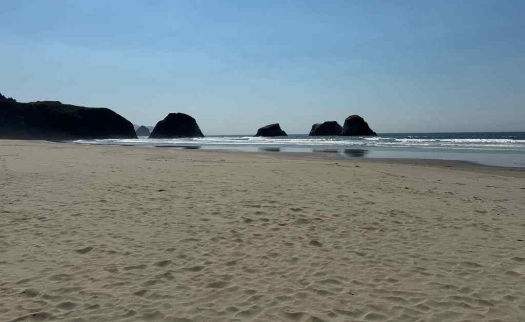
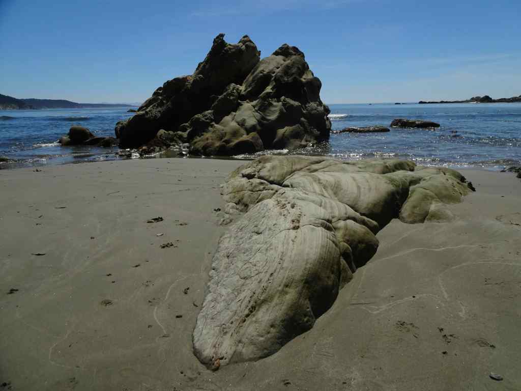
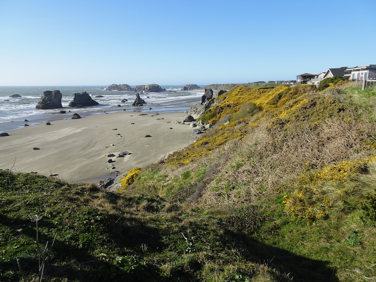
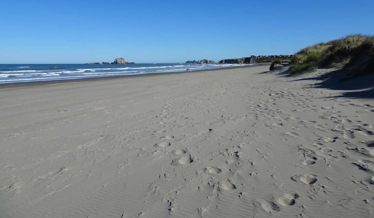
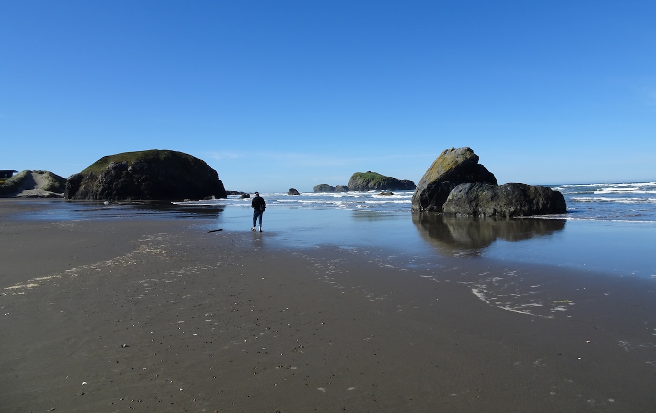
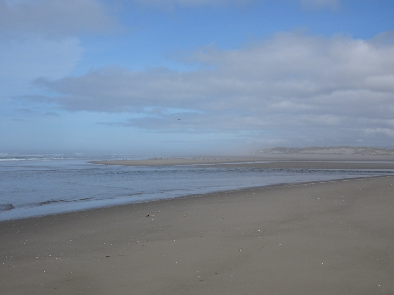
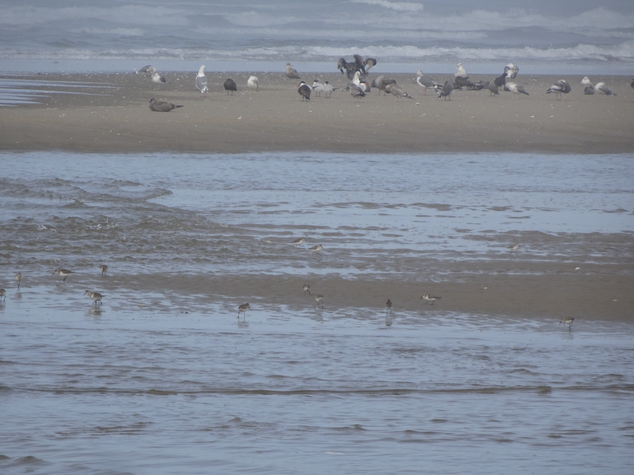
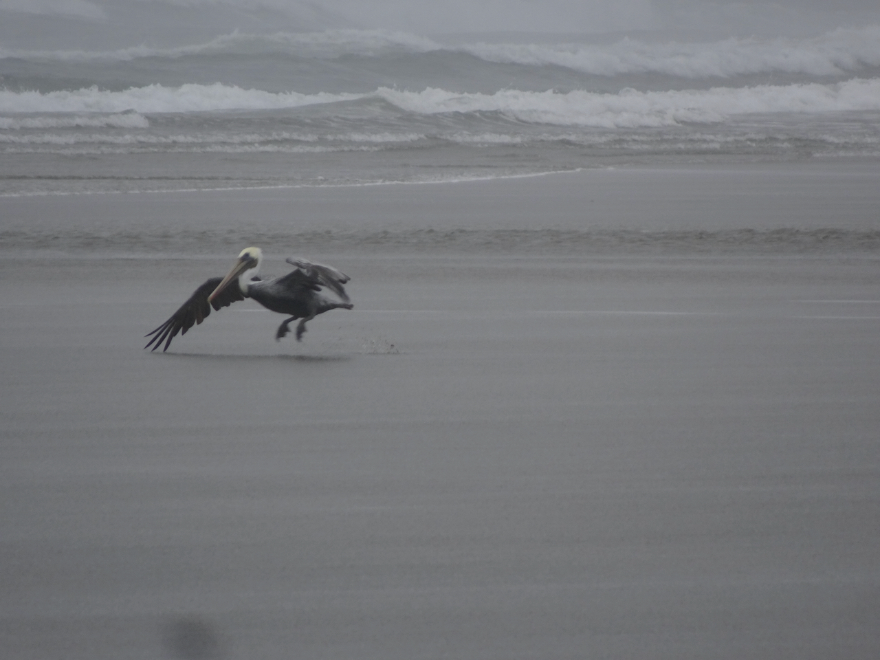
After an ice cream break in Cannon Beach, we walked toward Haystack Rock. It wasn’t a particularly low low tide today. My husband took a much longer walk, while I found a good perch right in front of the Needles, and watched several pods of pelicans fly north along the breaker zone.

Walking toward Haystack Rock.
View from my perch in the sand.
Zooming in on The Needles, with pelican.
Pelicans.

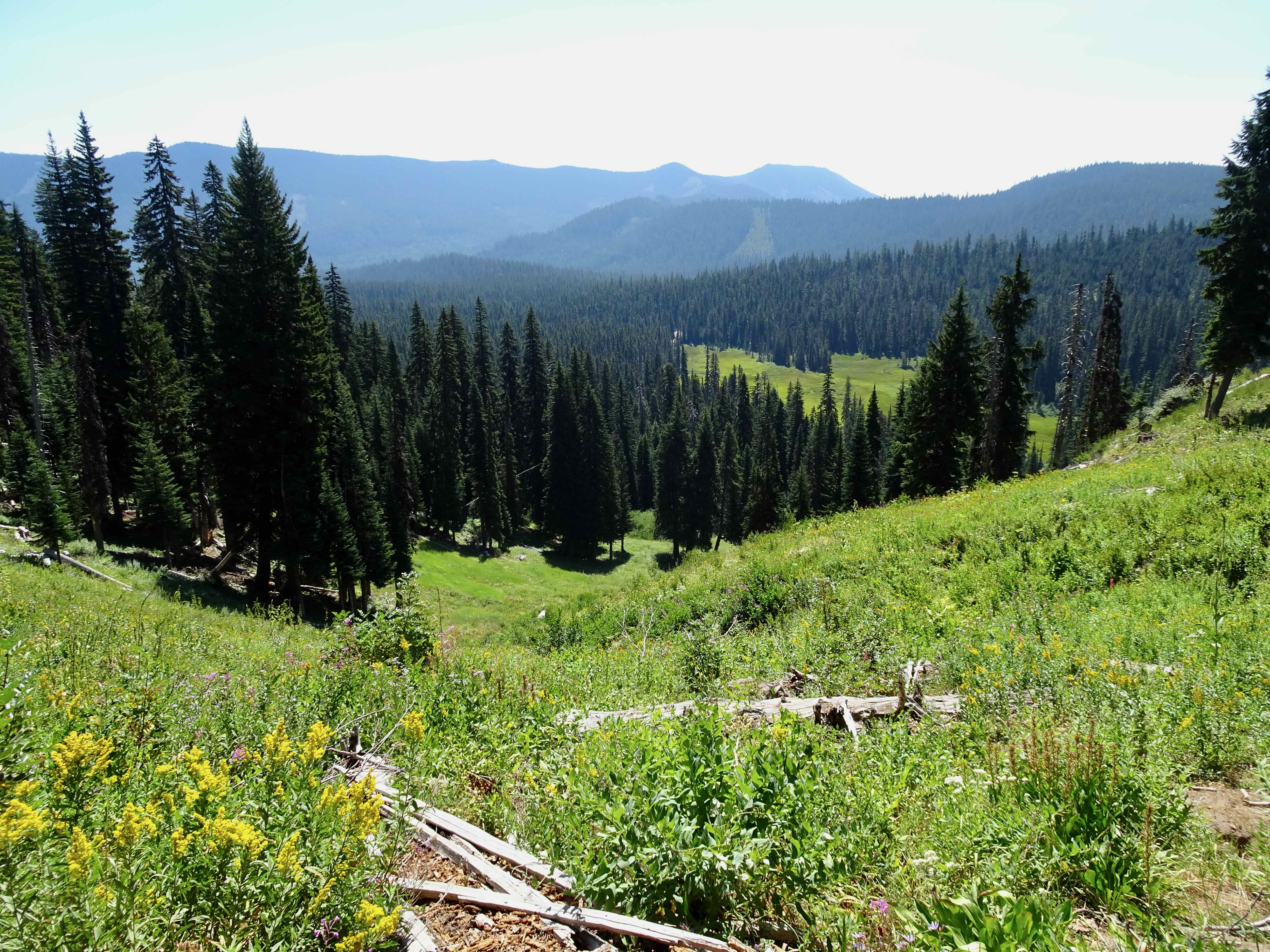
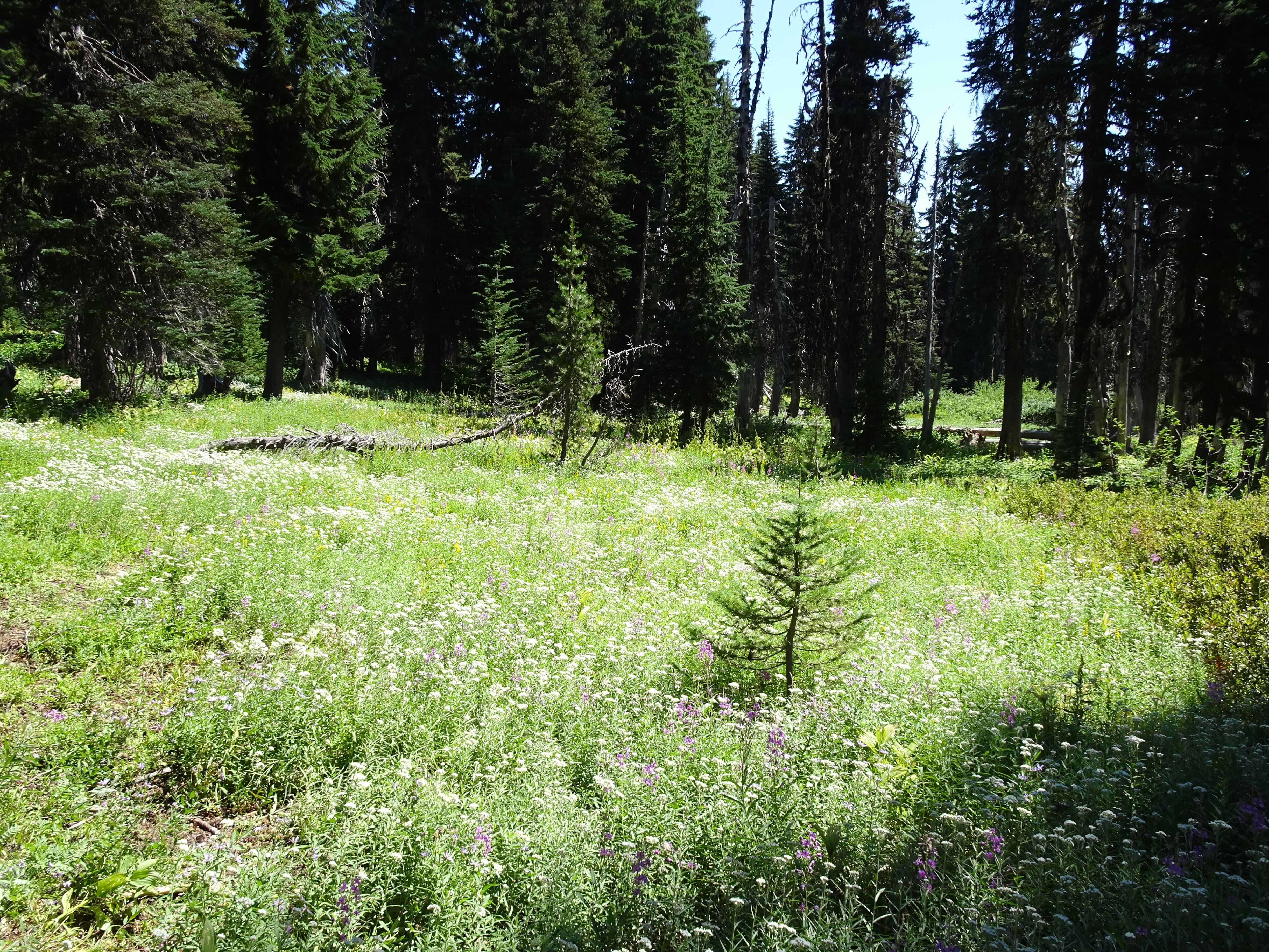
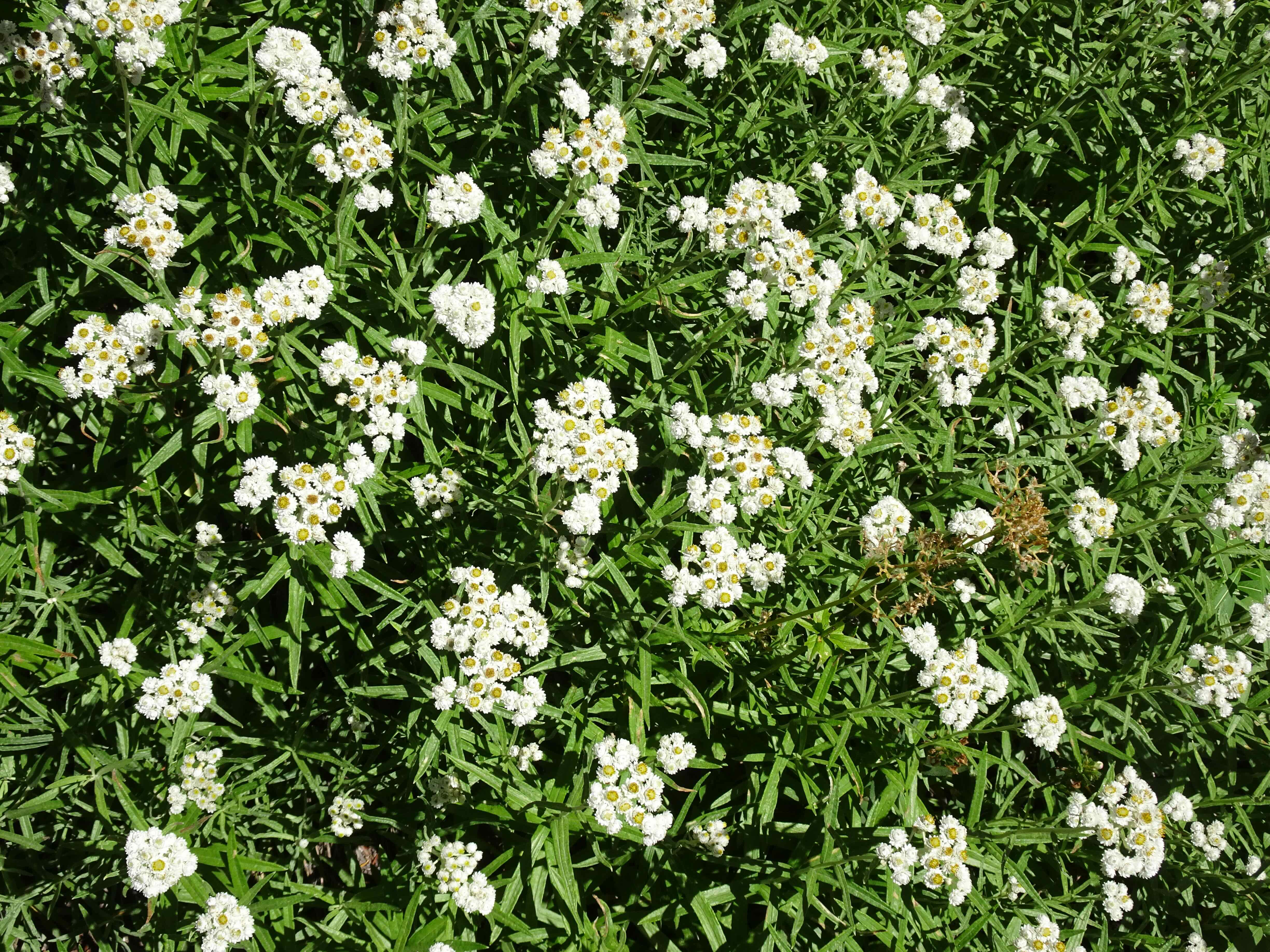
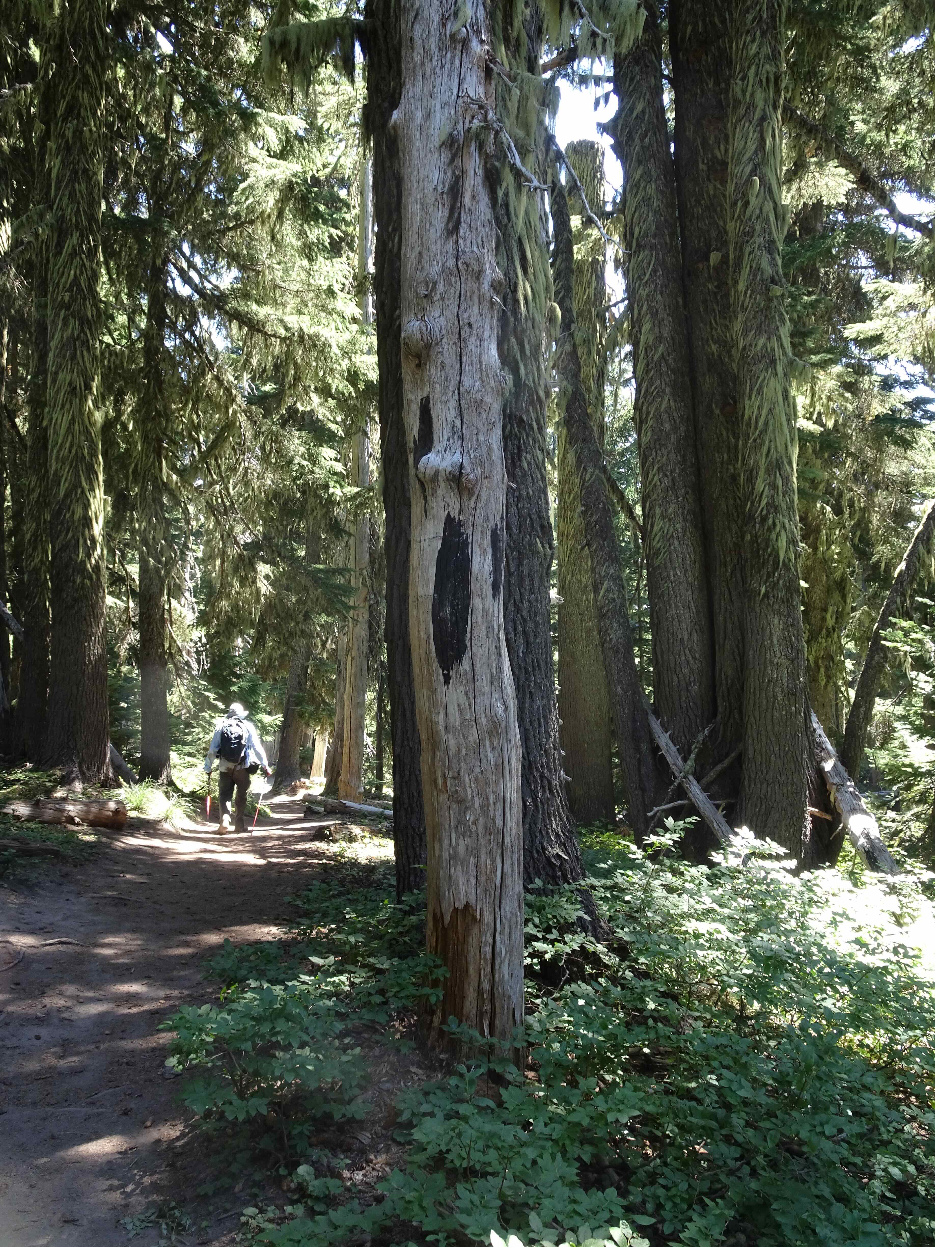
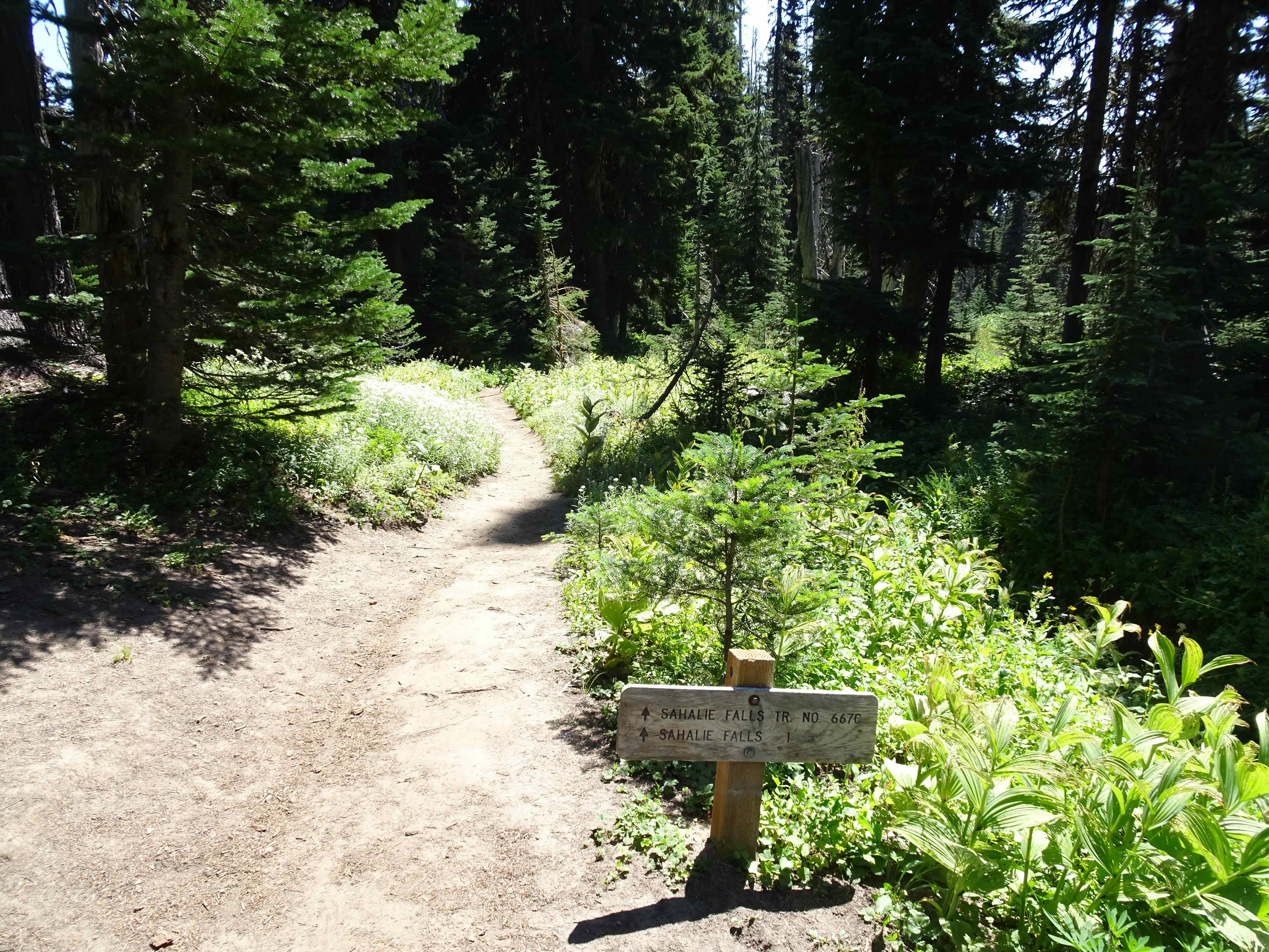
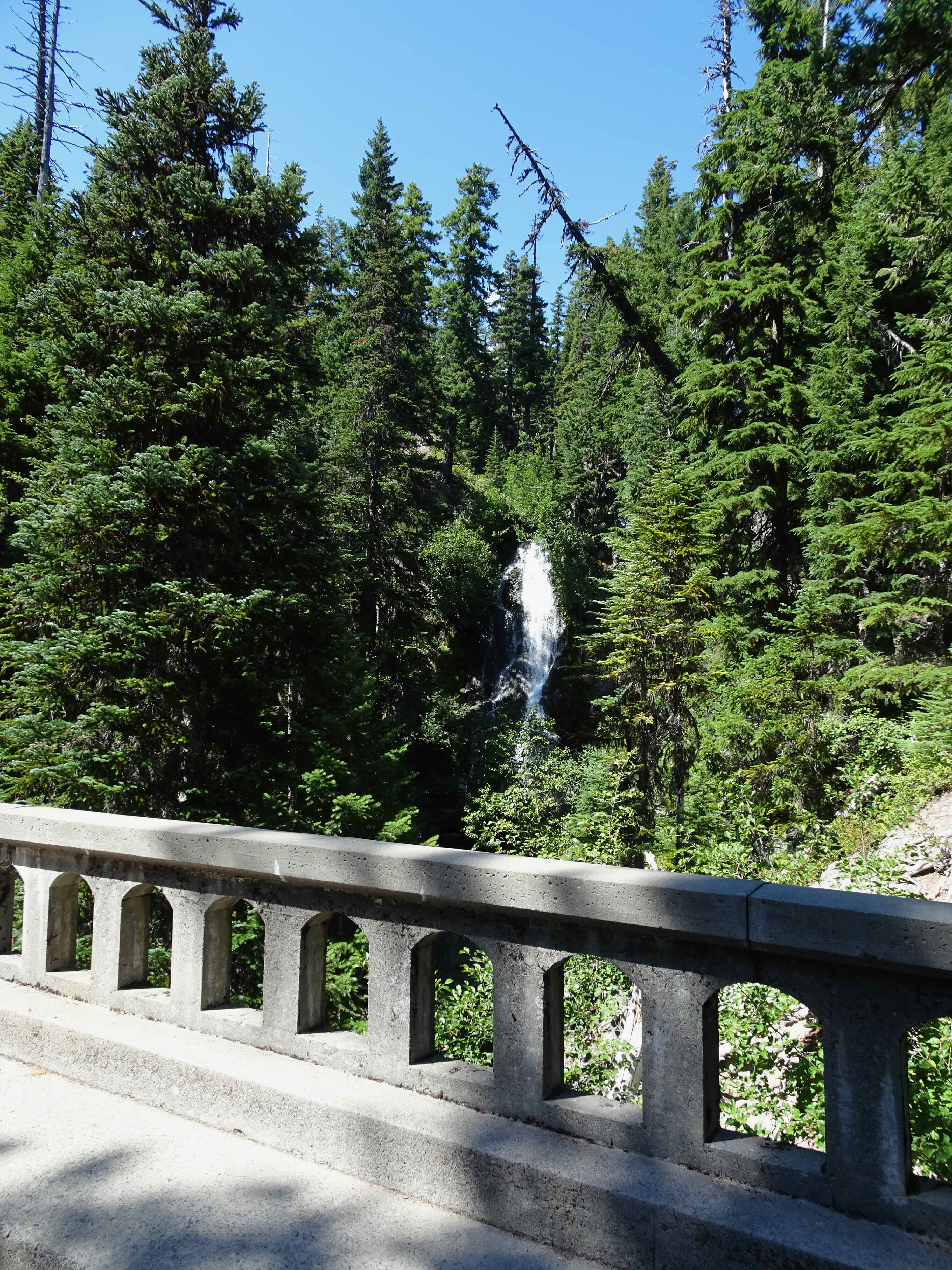
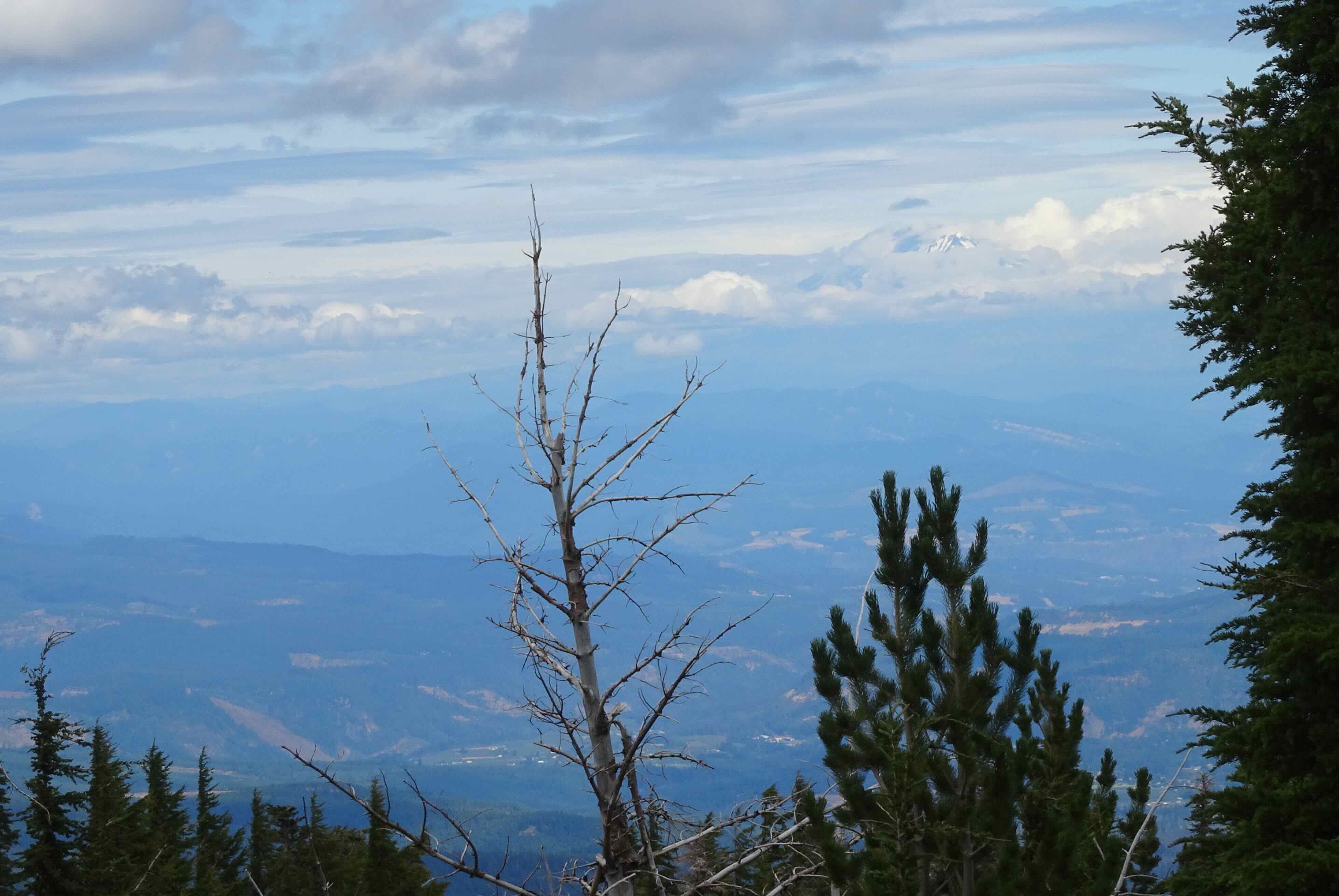
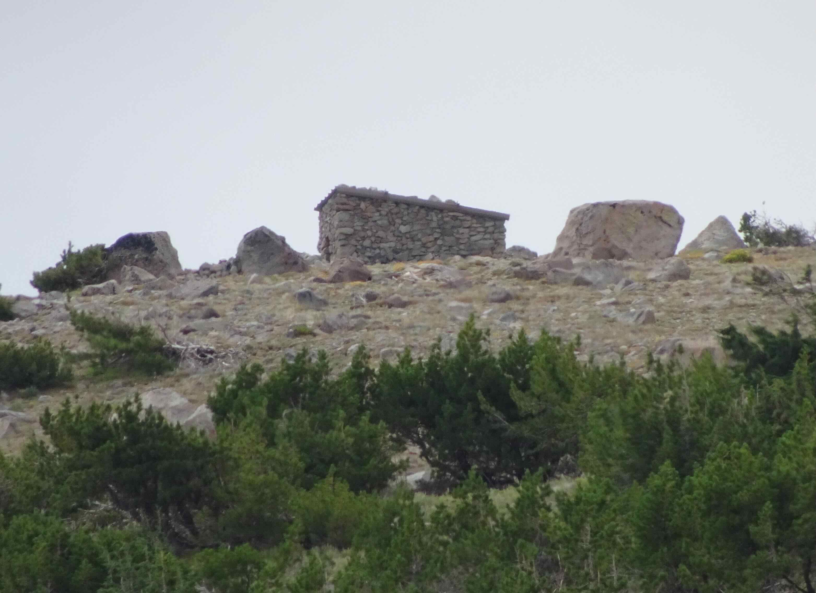
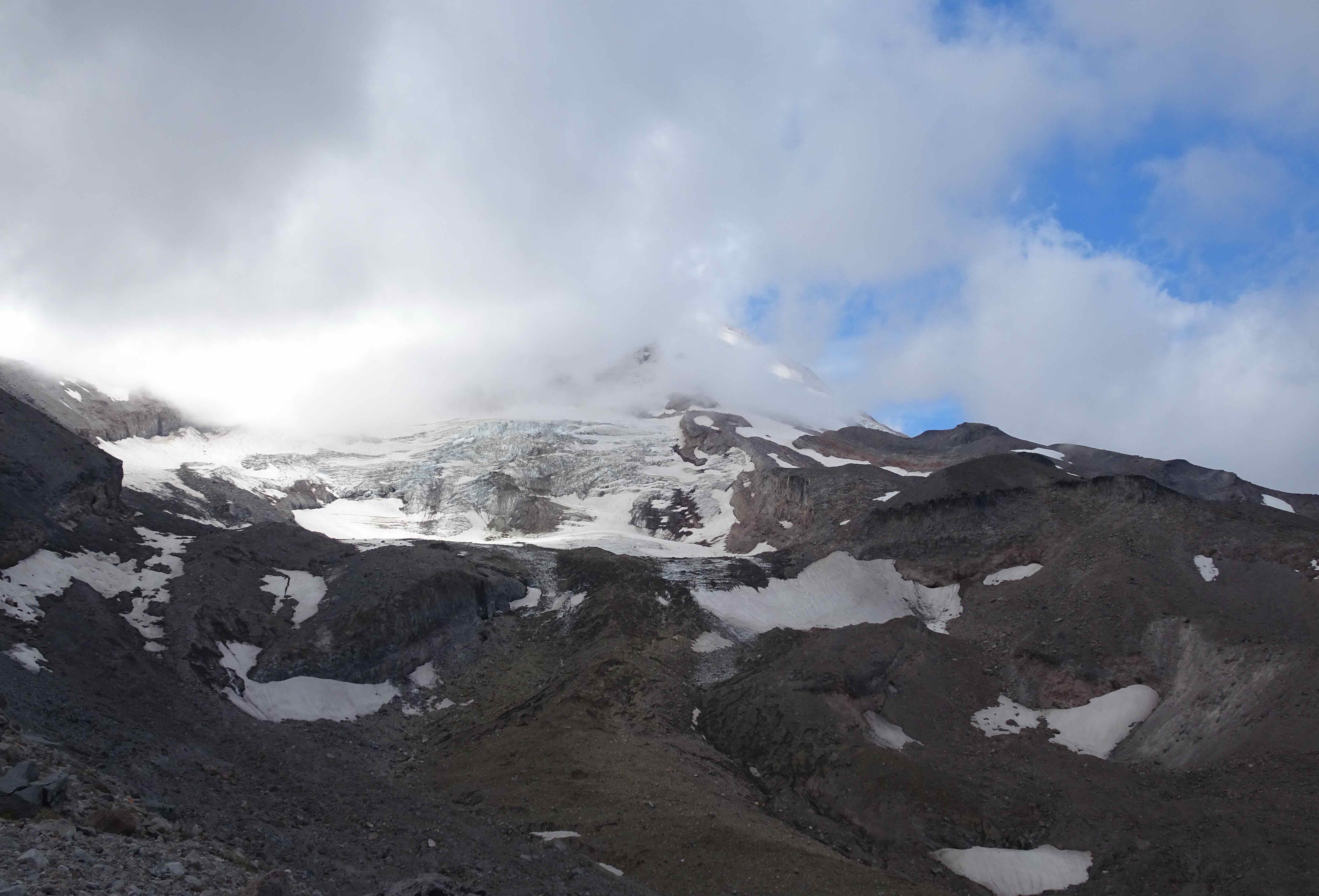
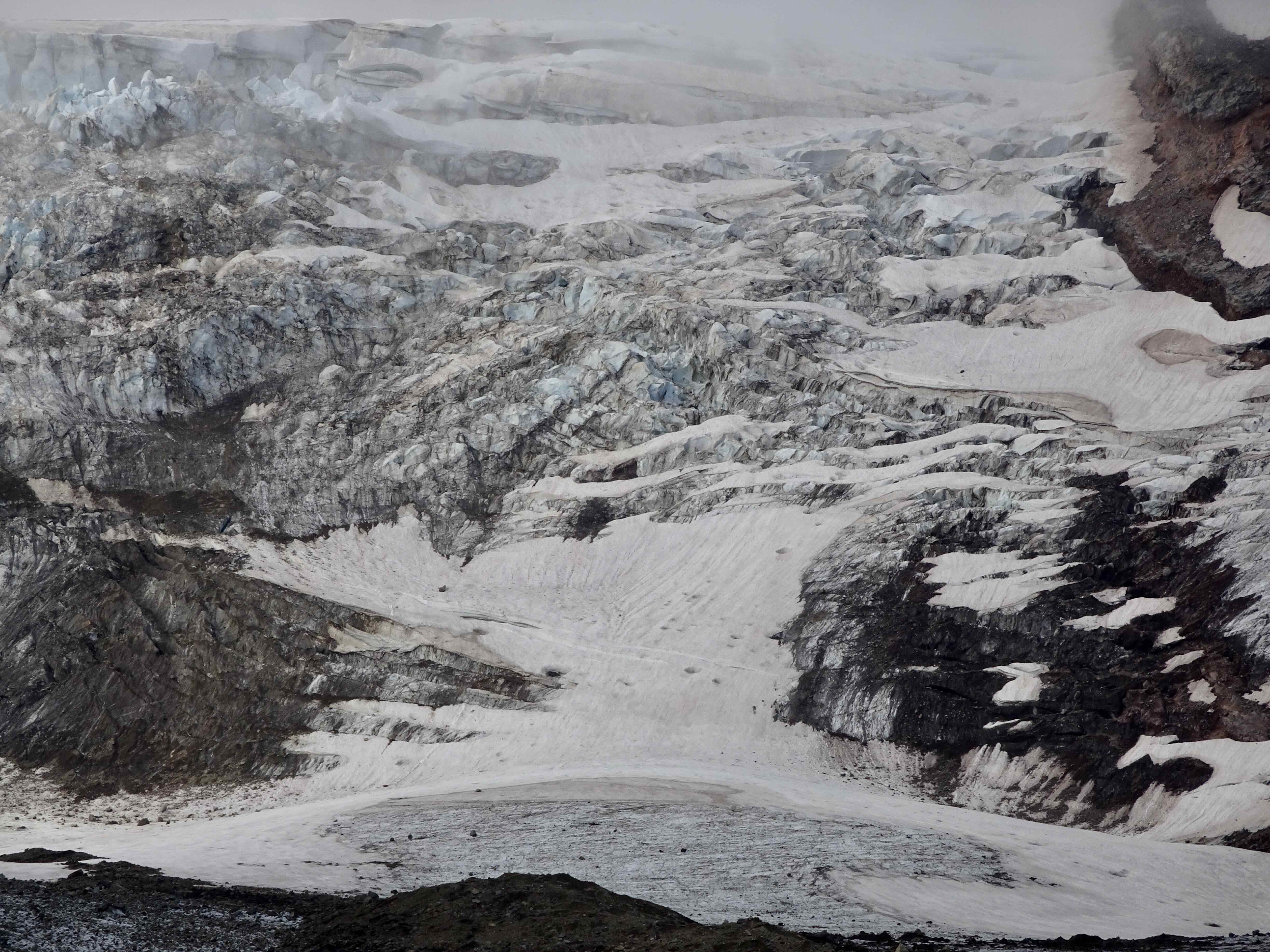
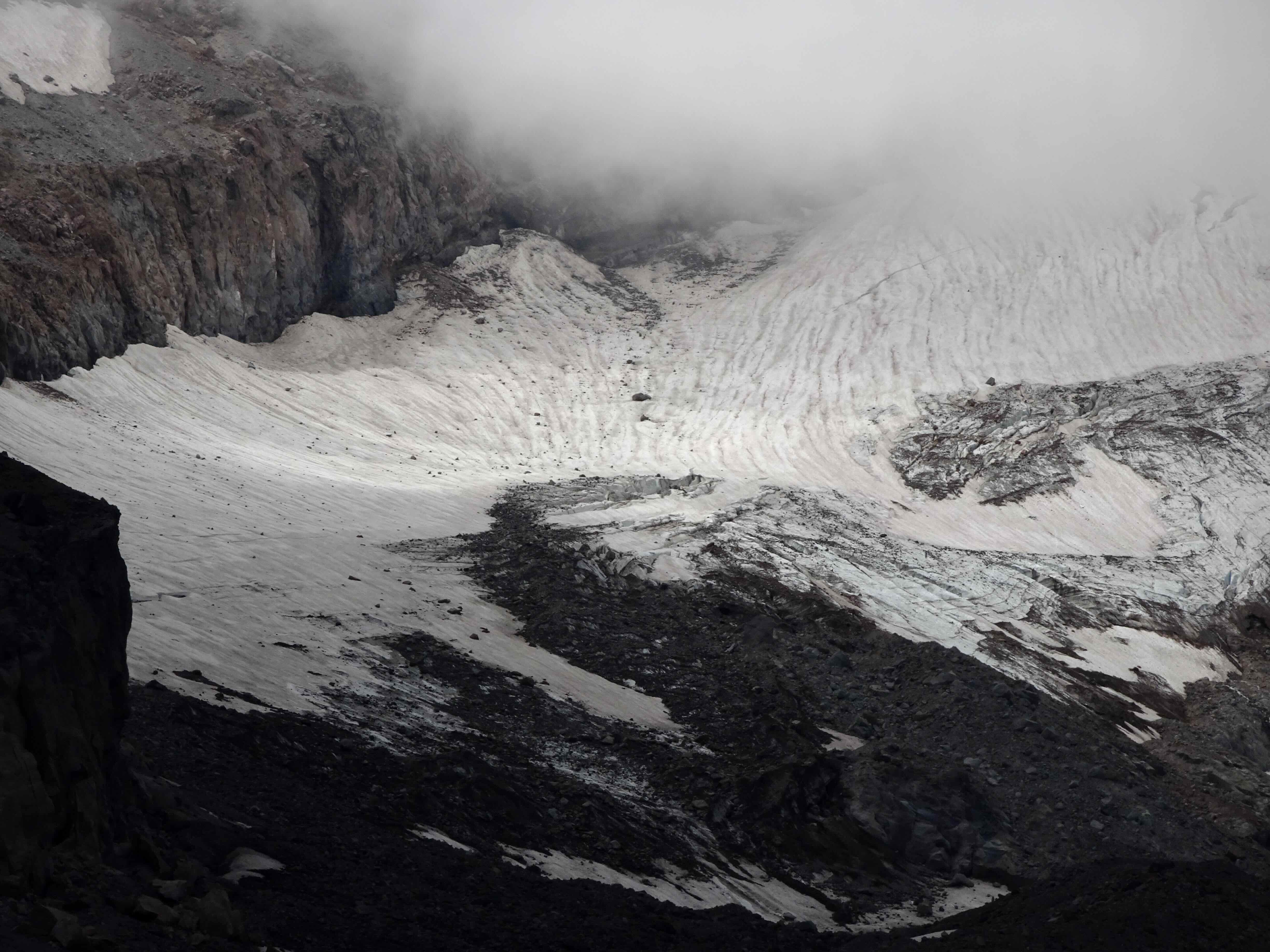
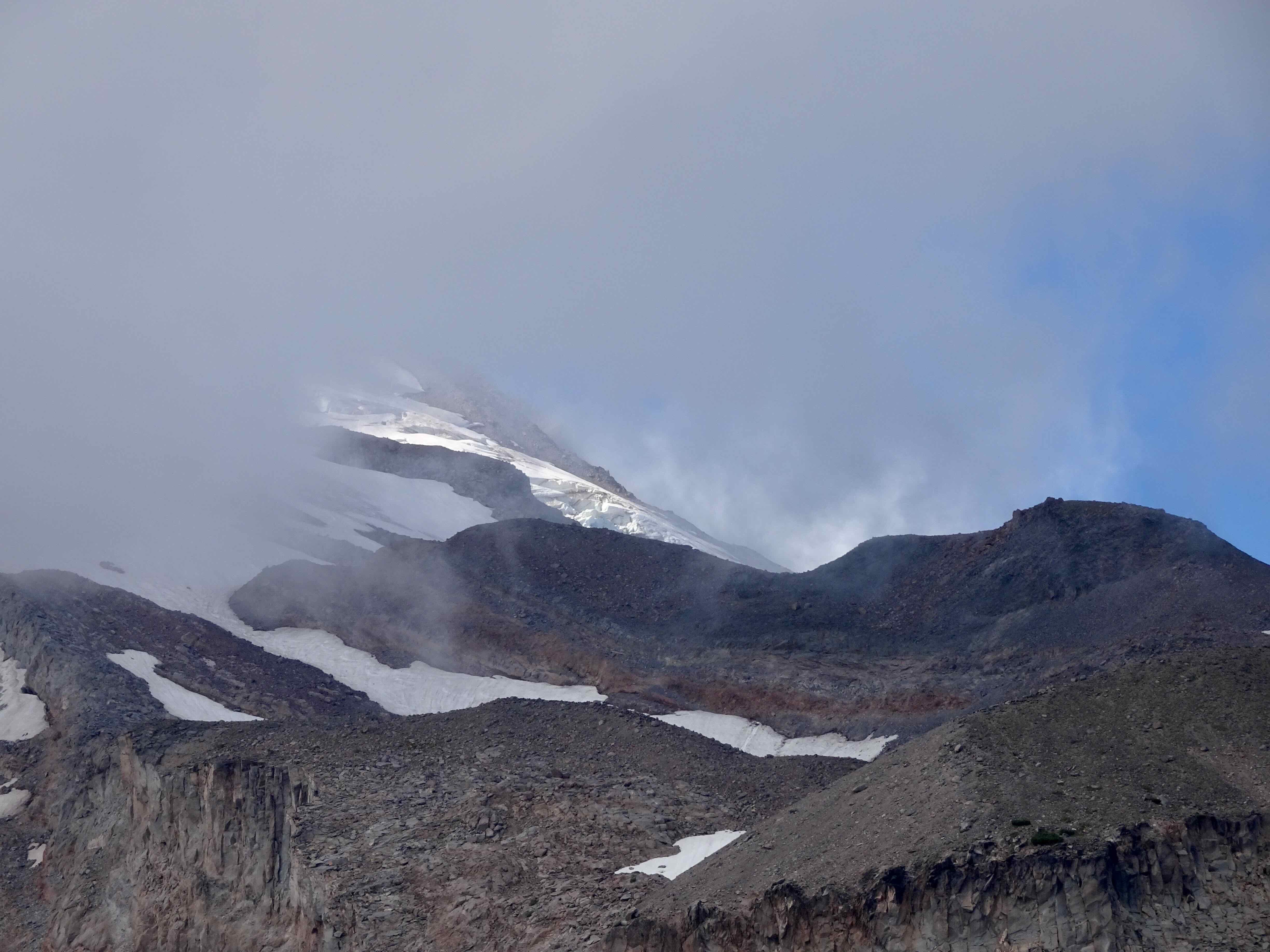
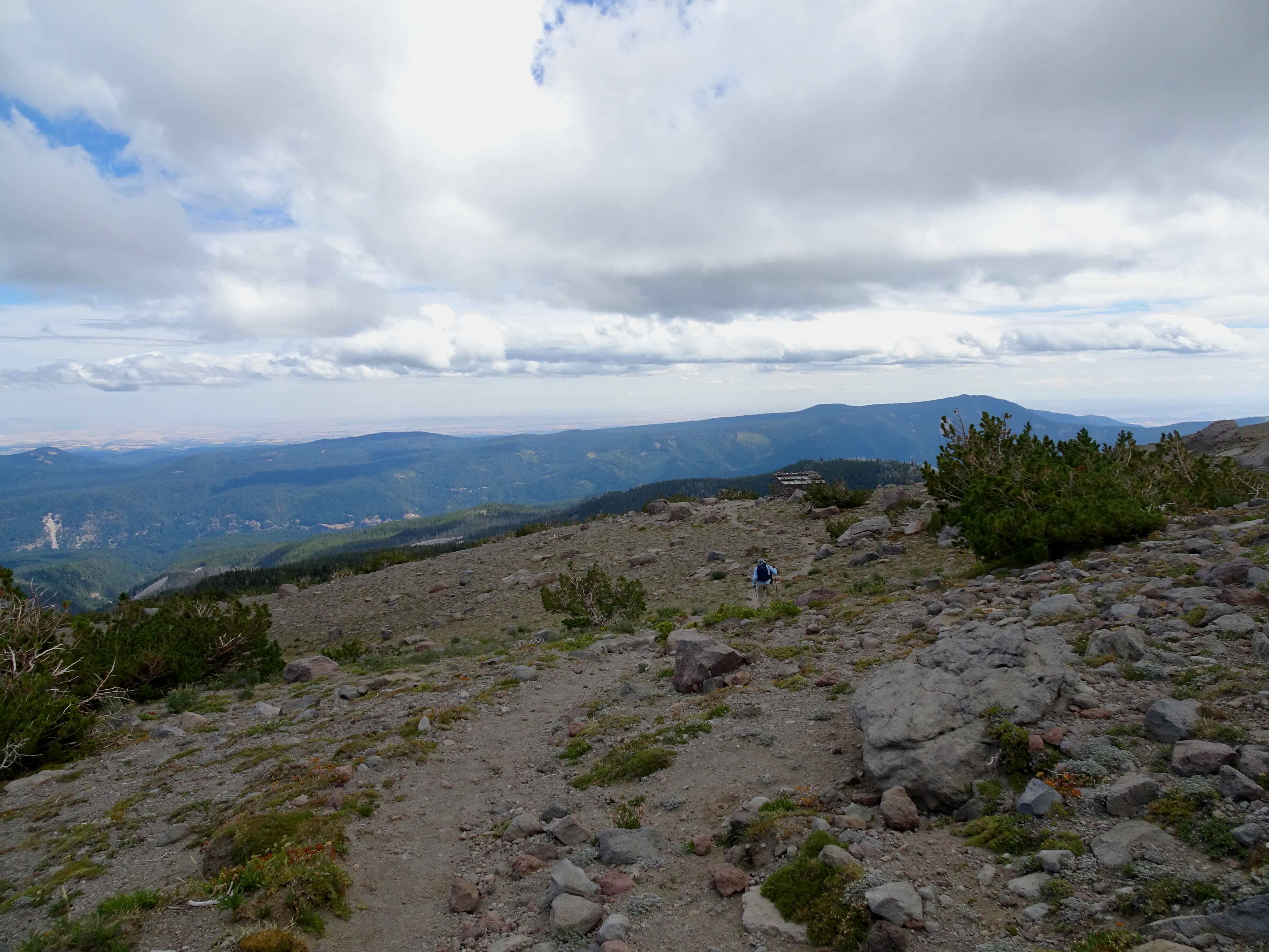
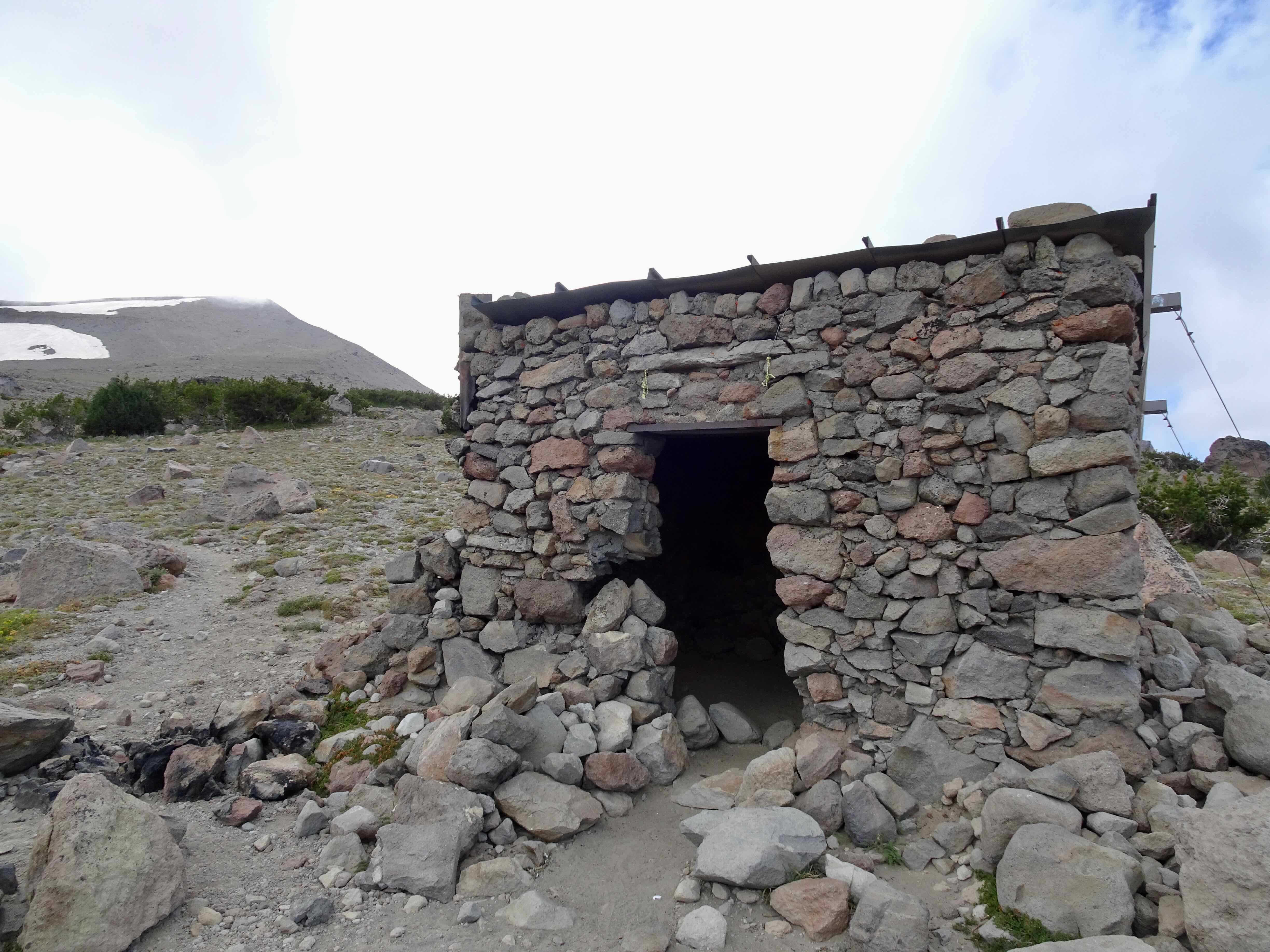
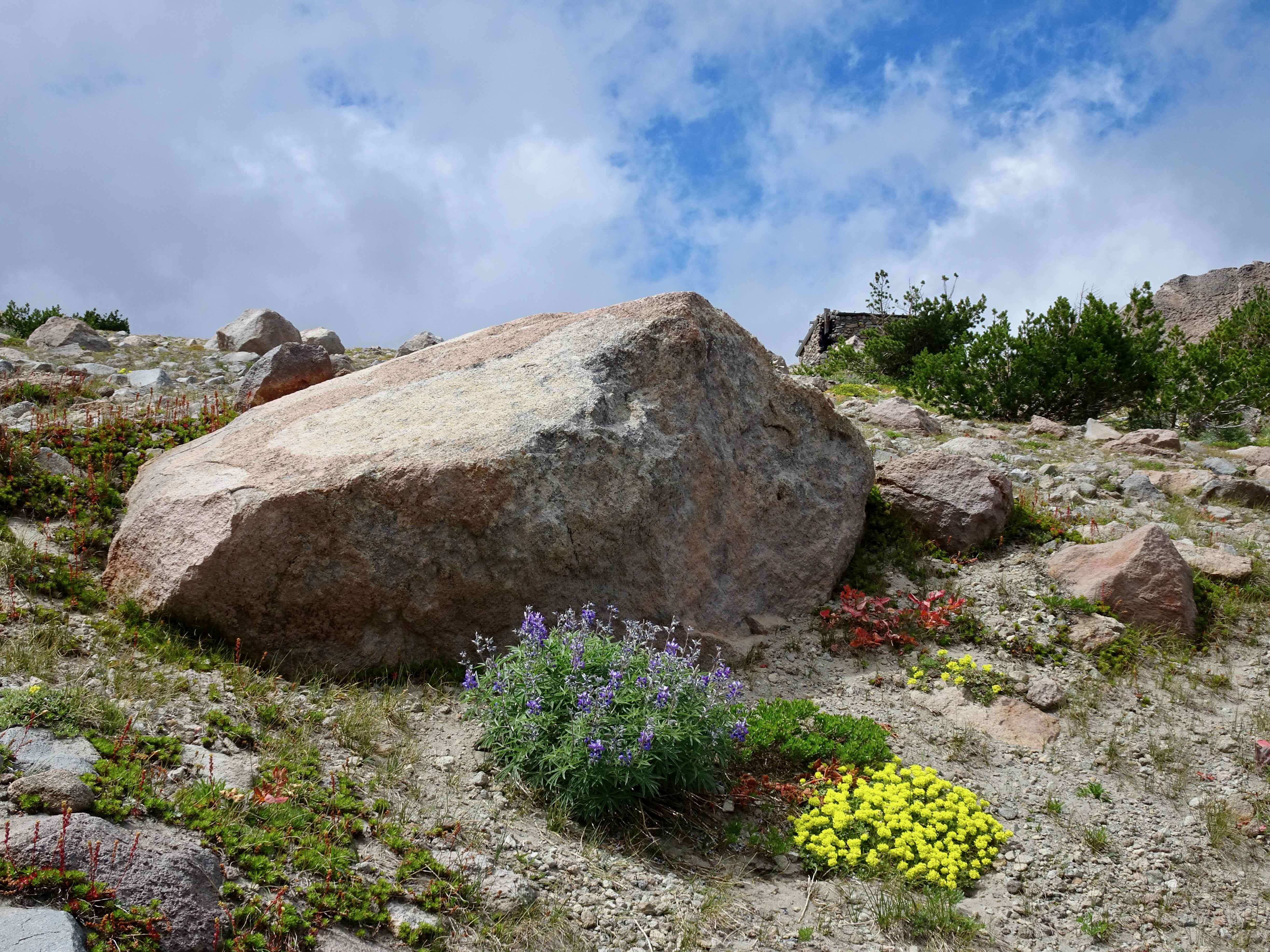
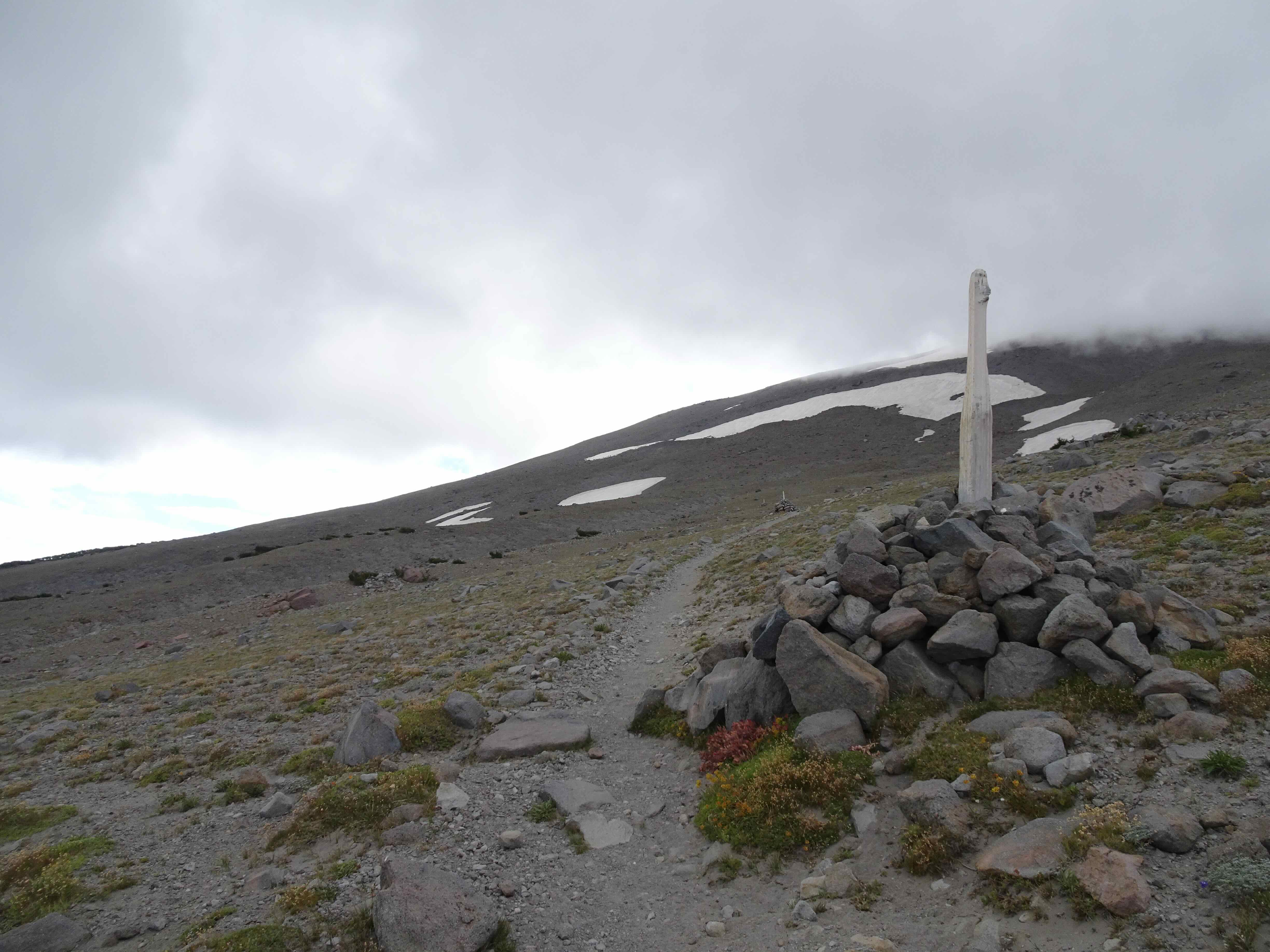
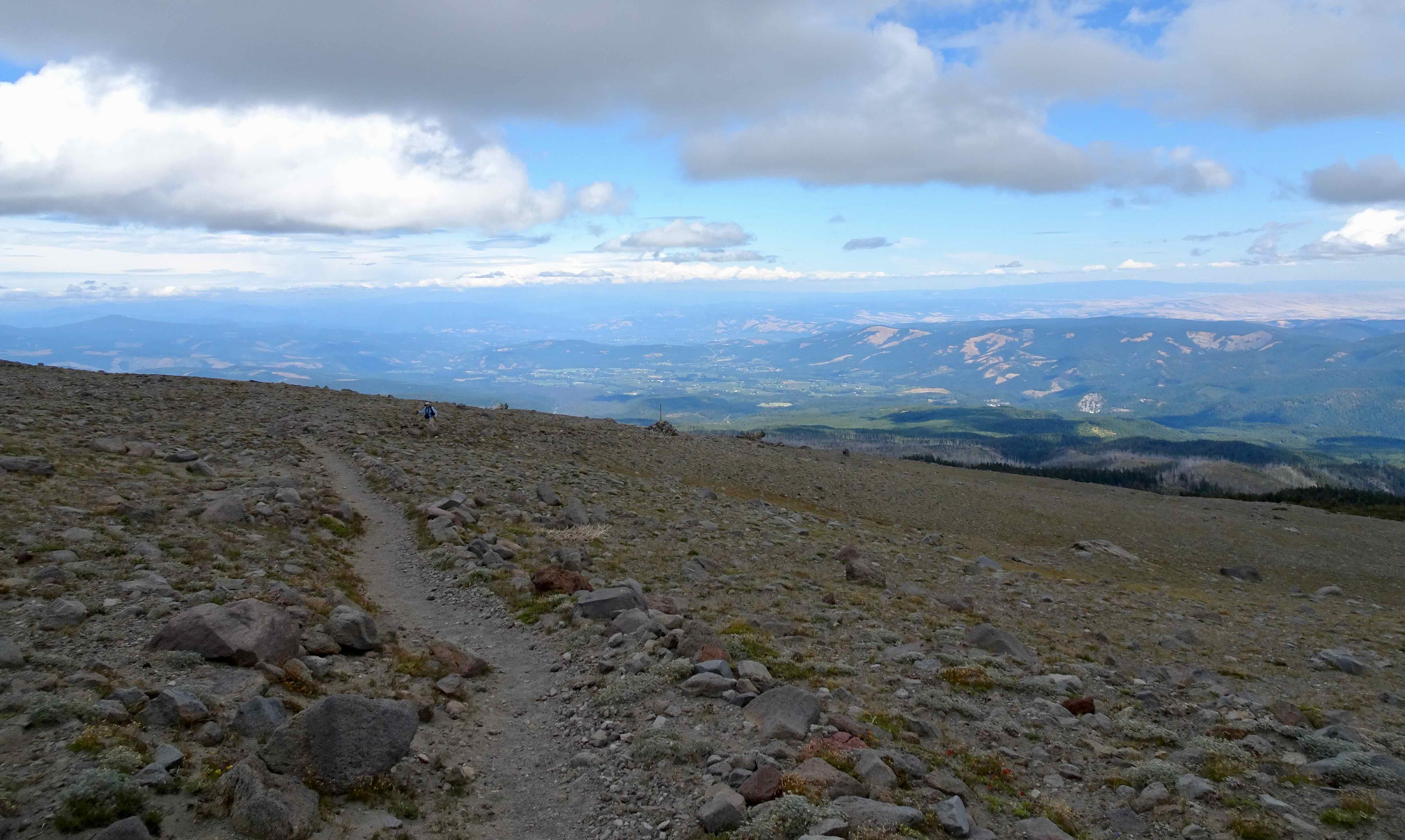
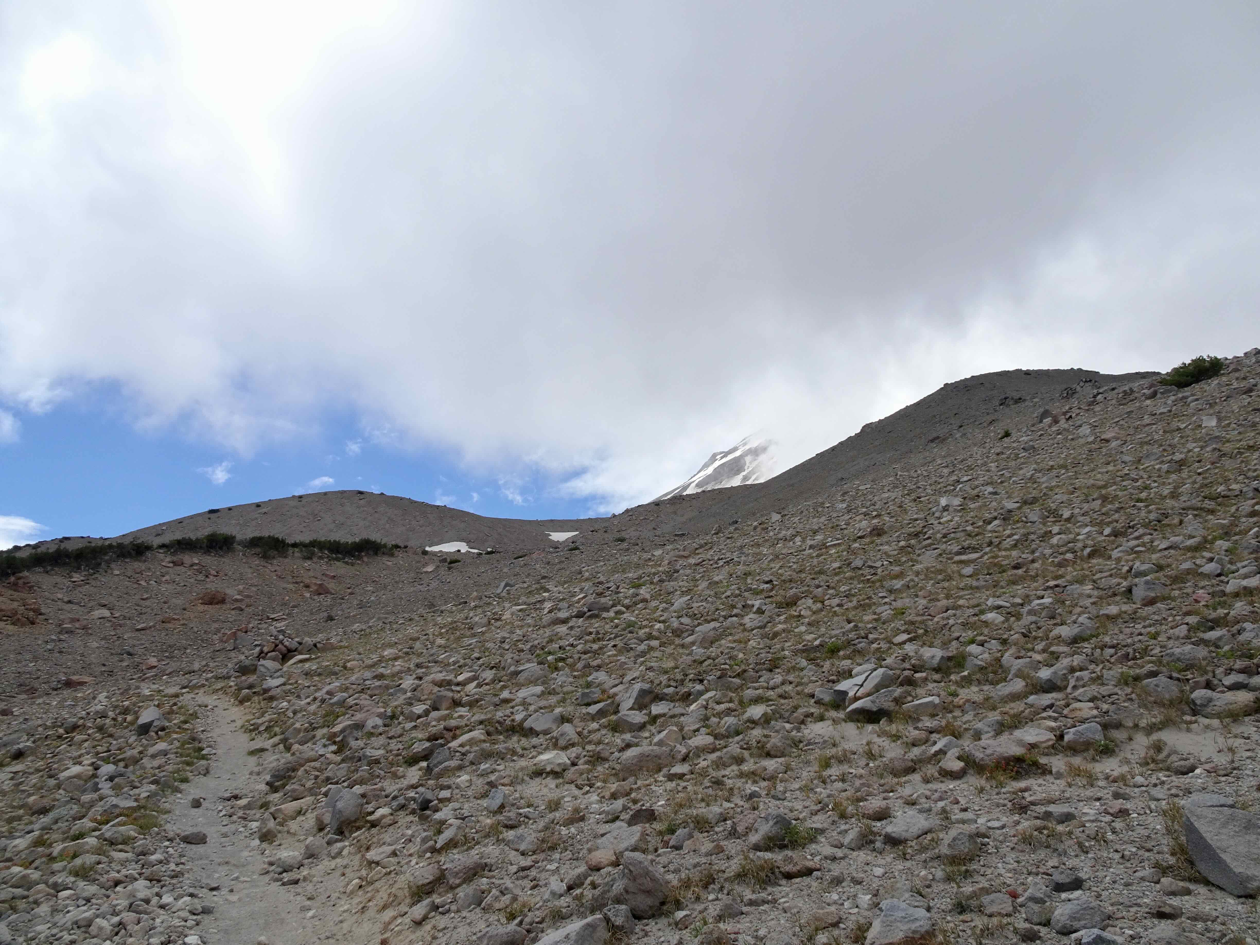
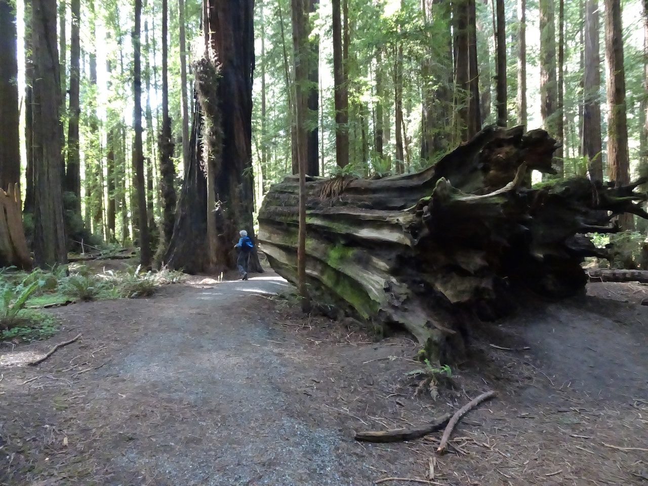
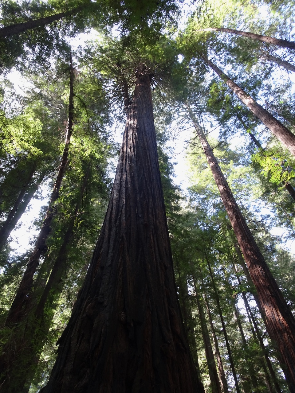
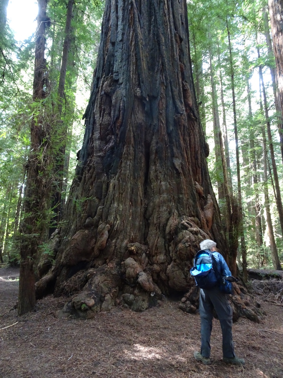
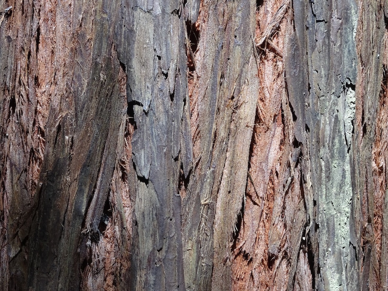
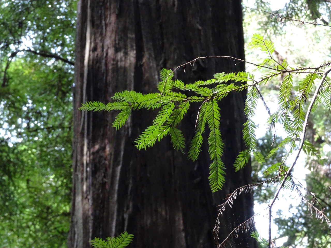
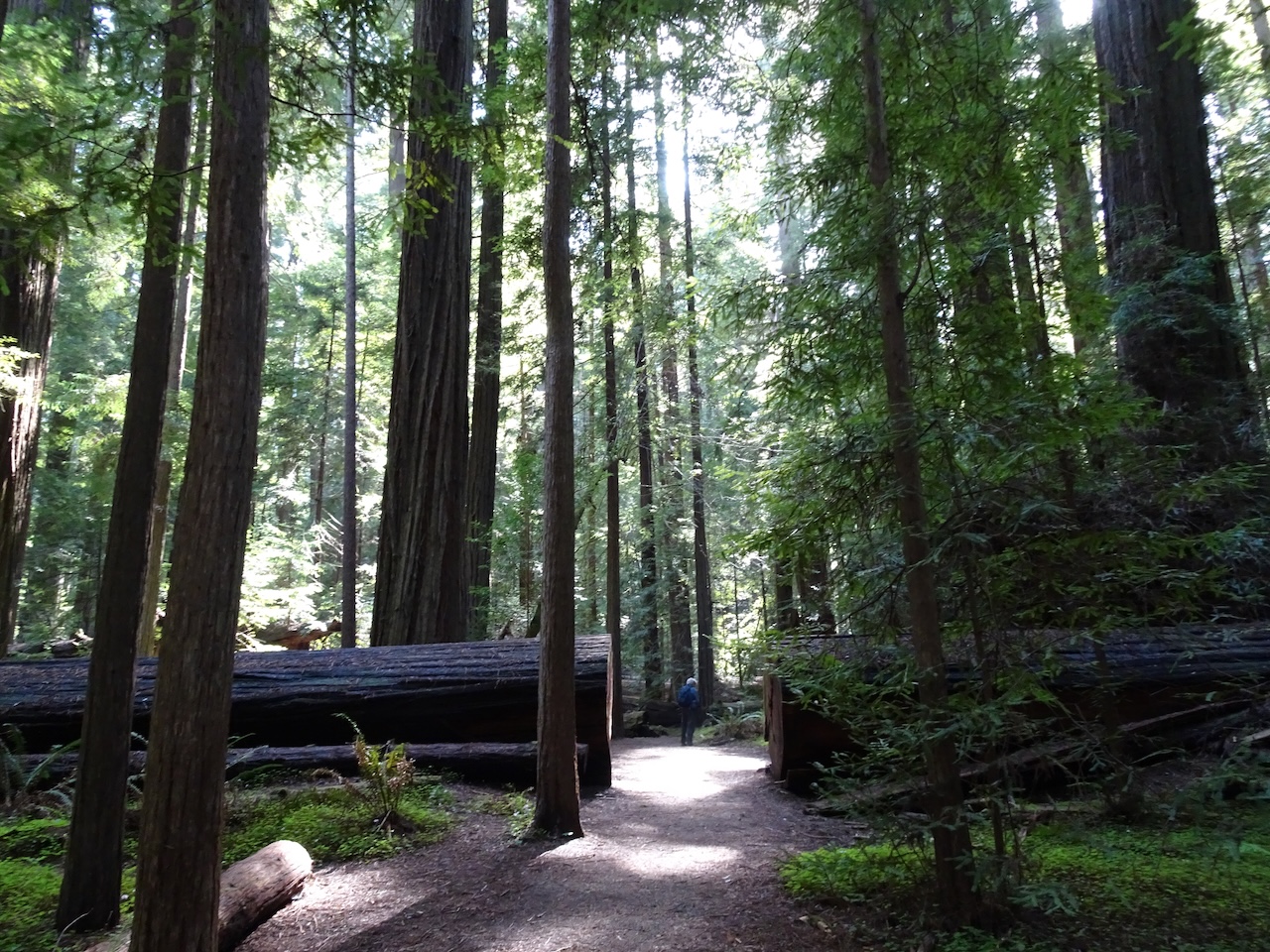
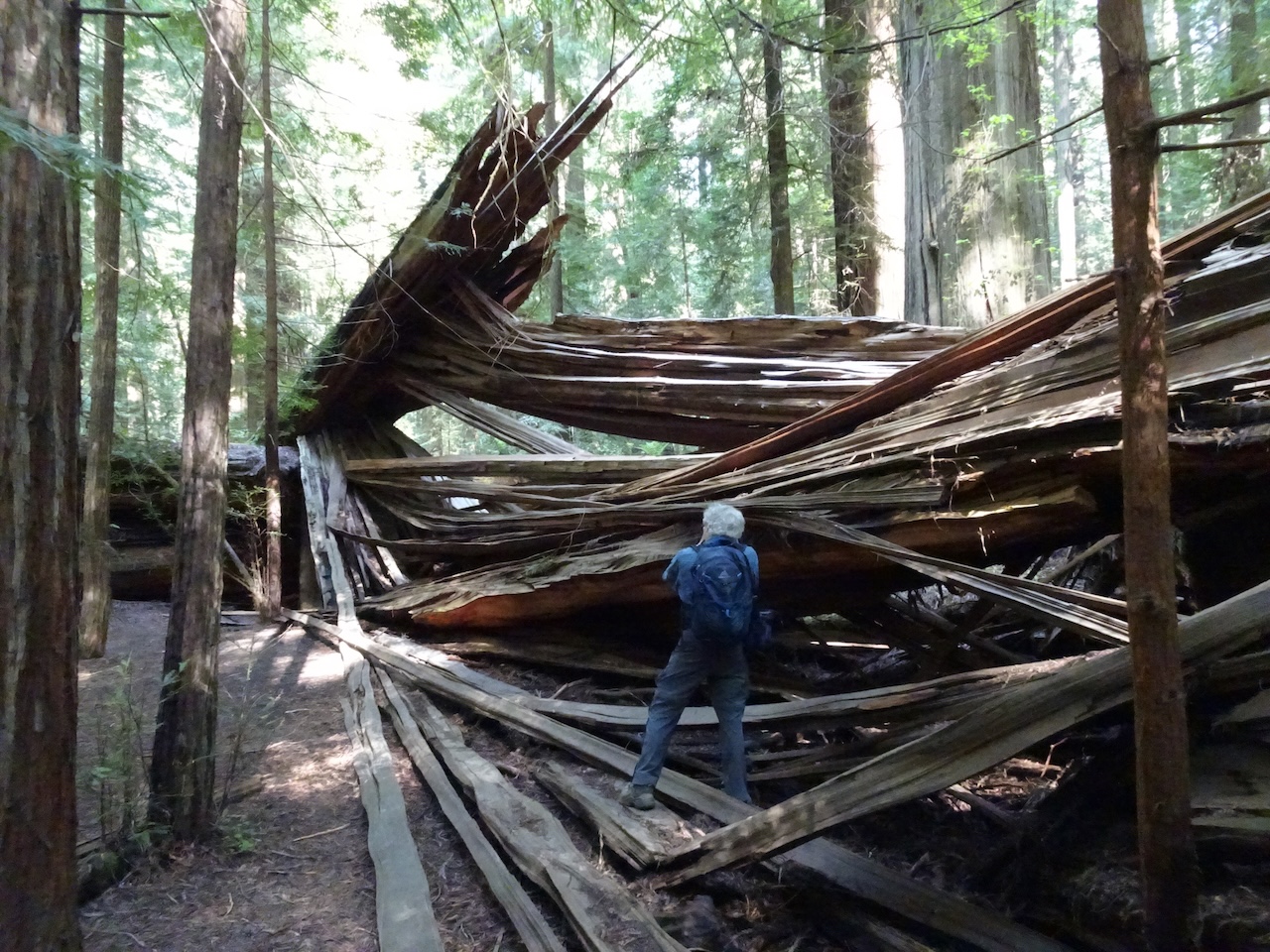
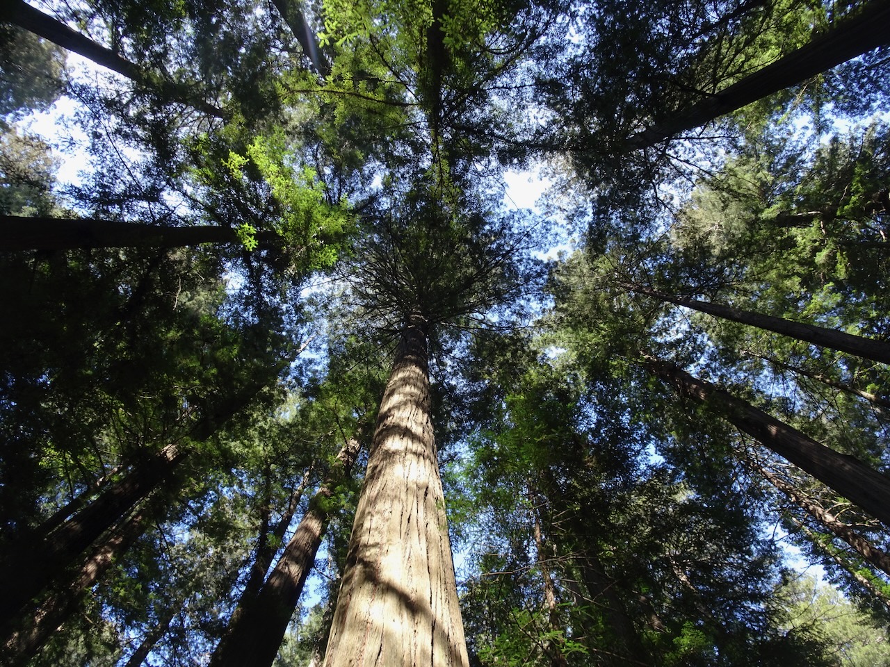
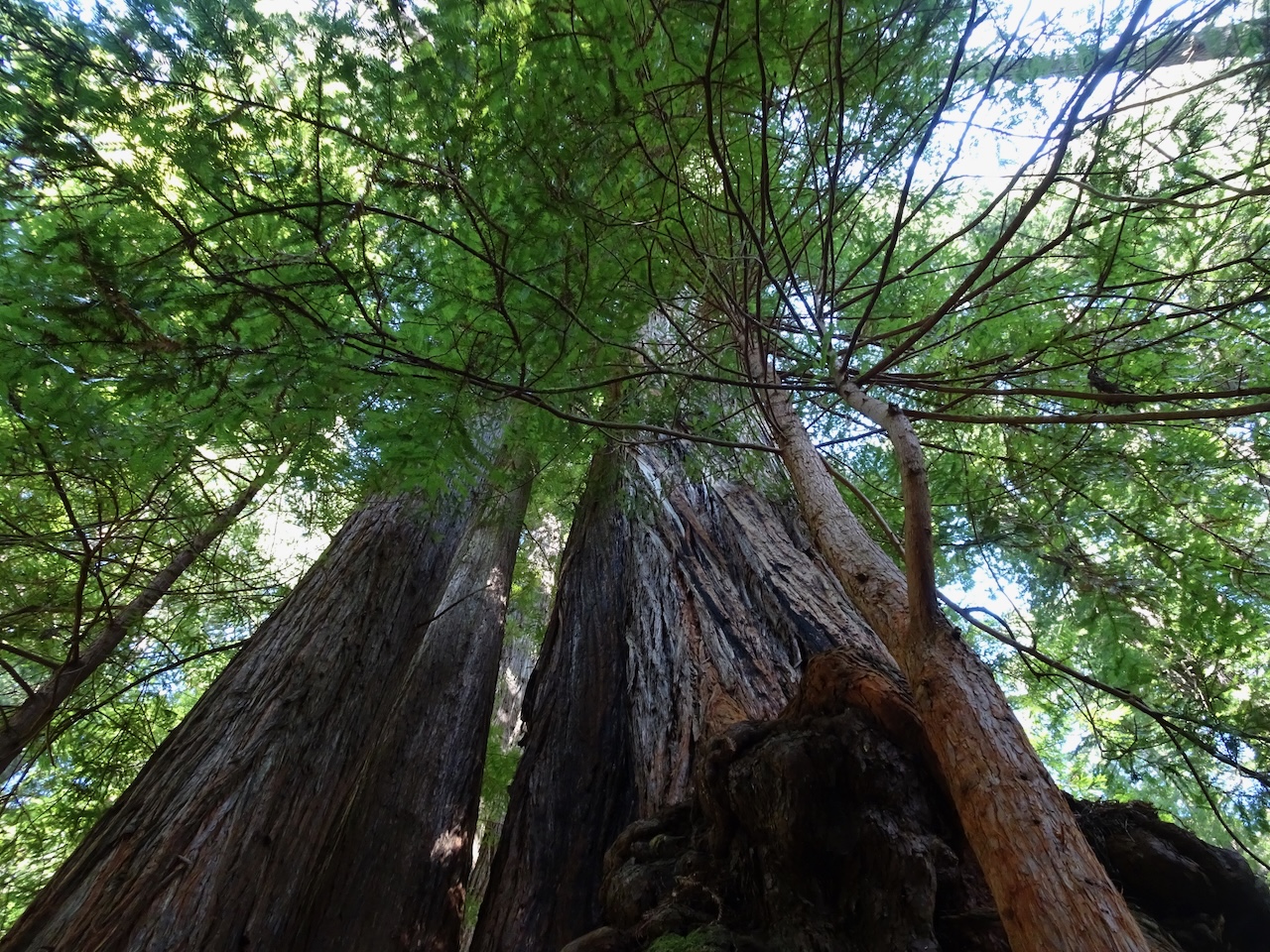
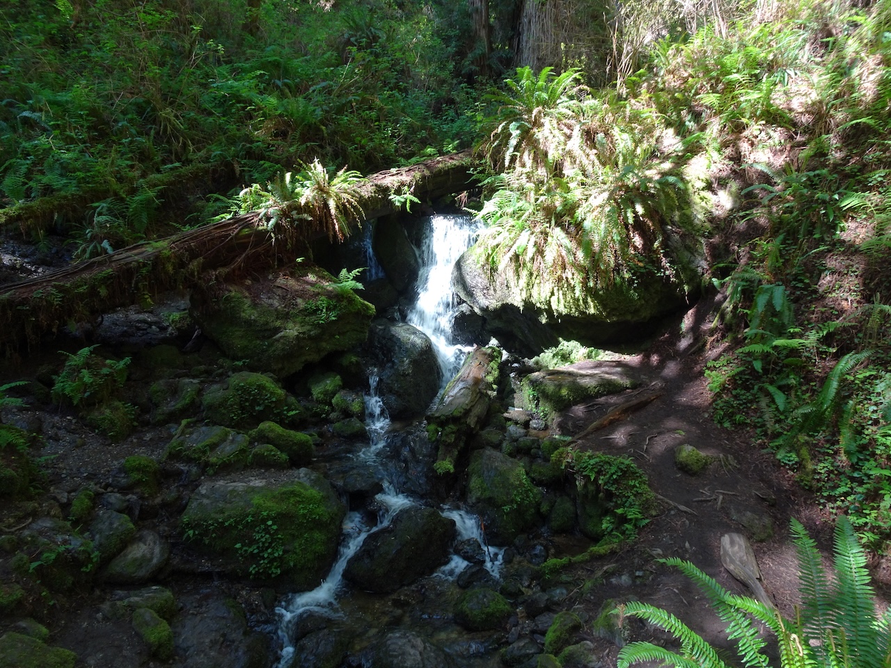
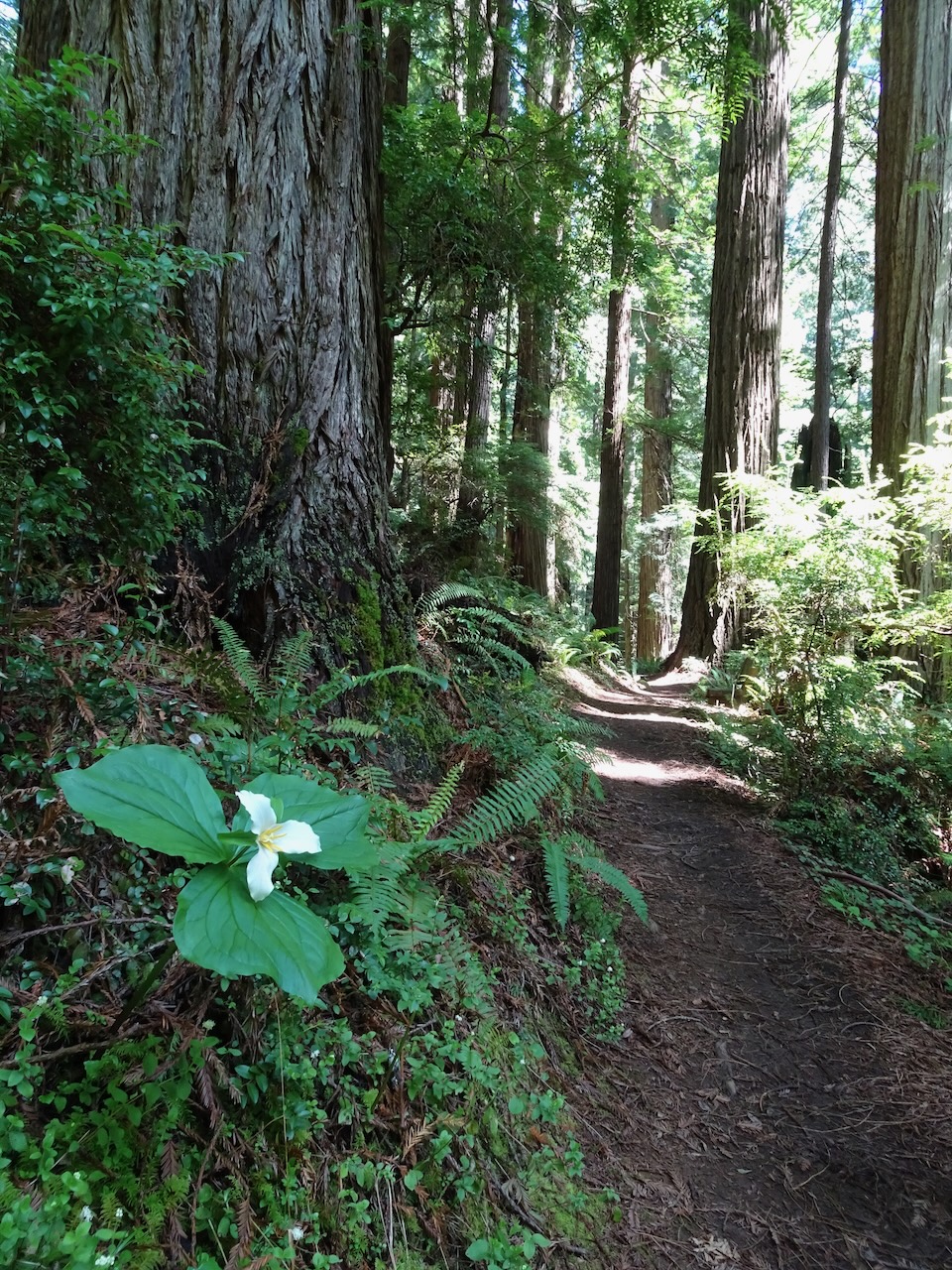
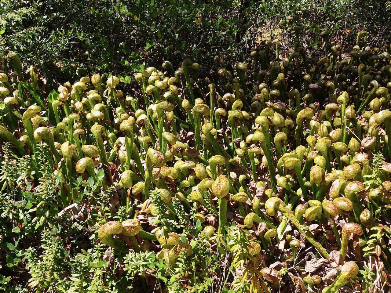
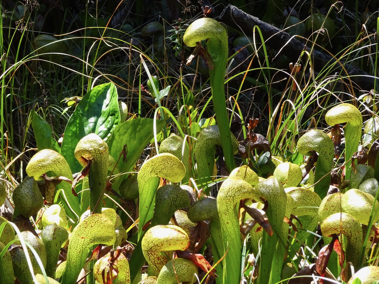
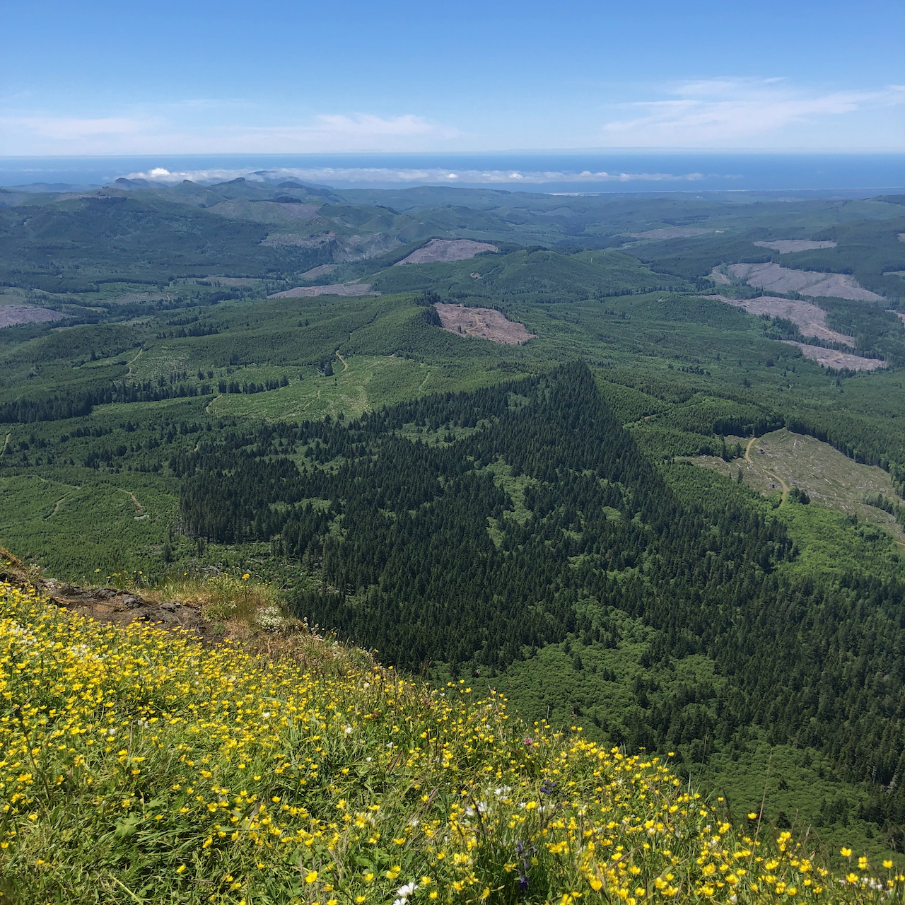
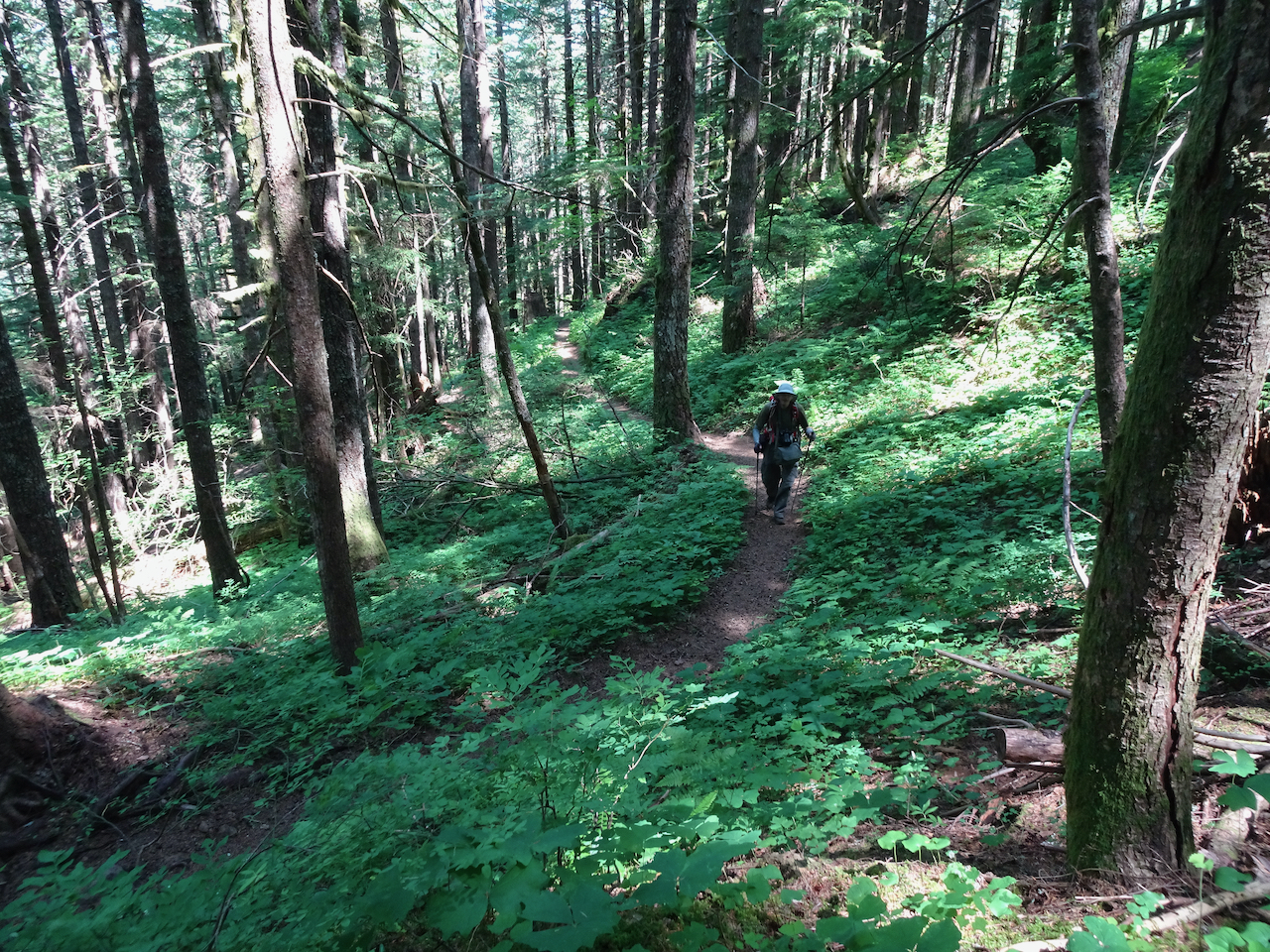
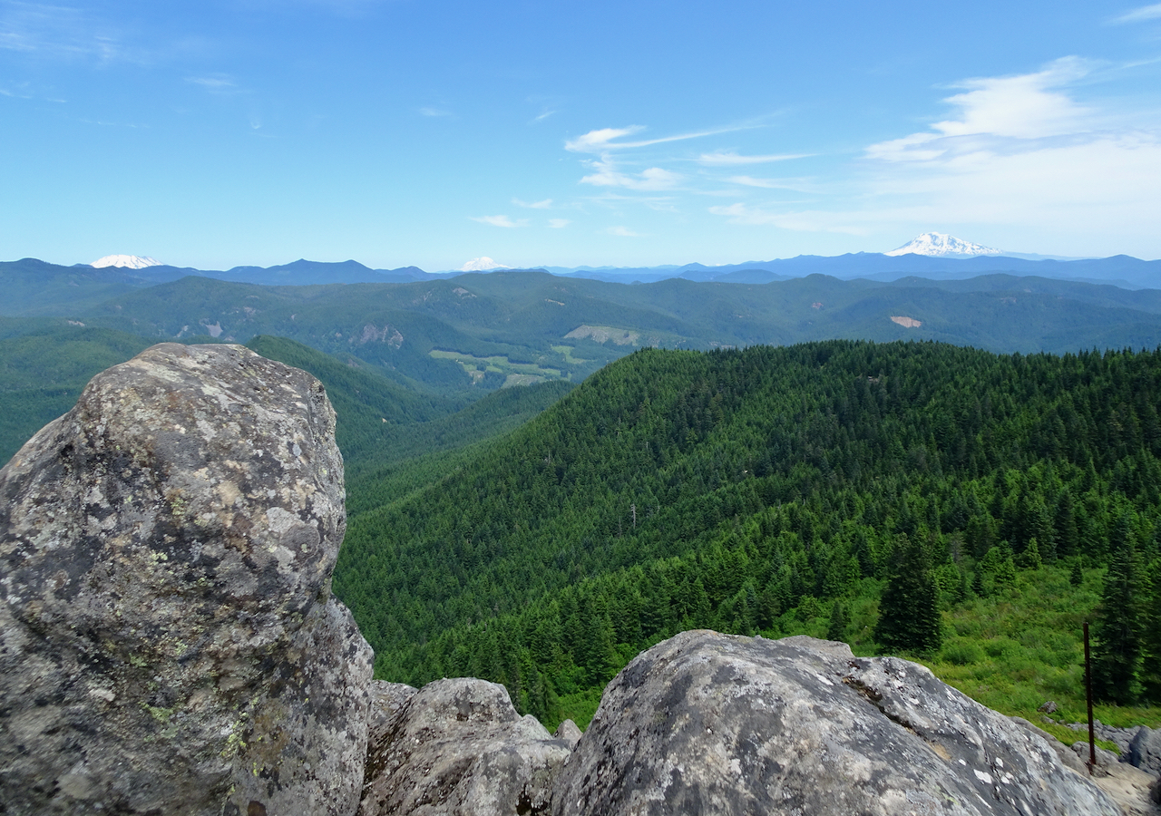
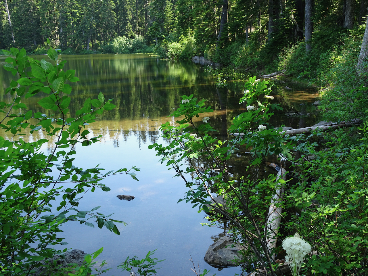
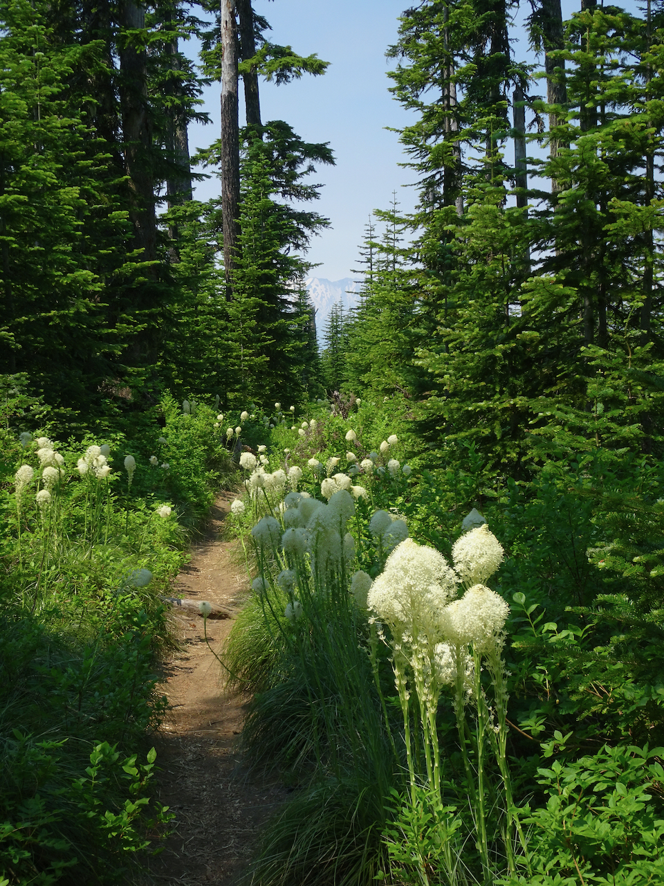
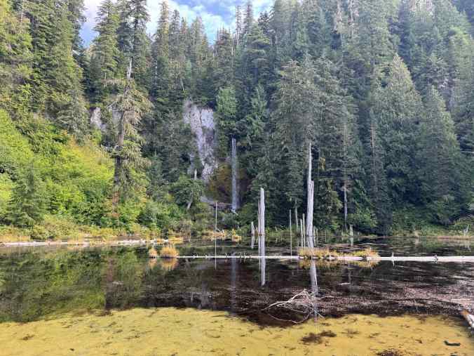
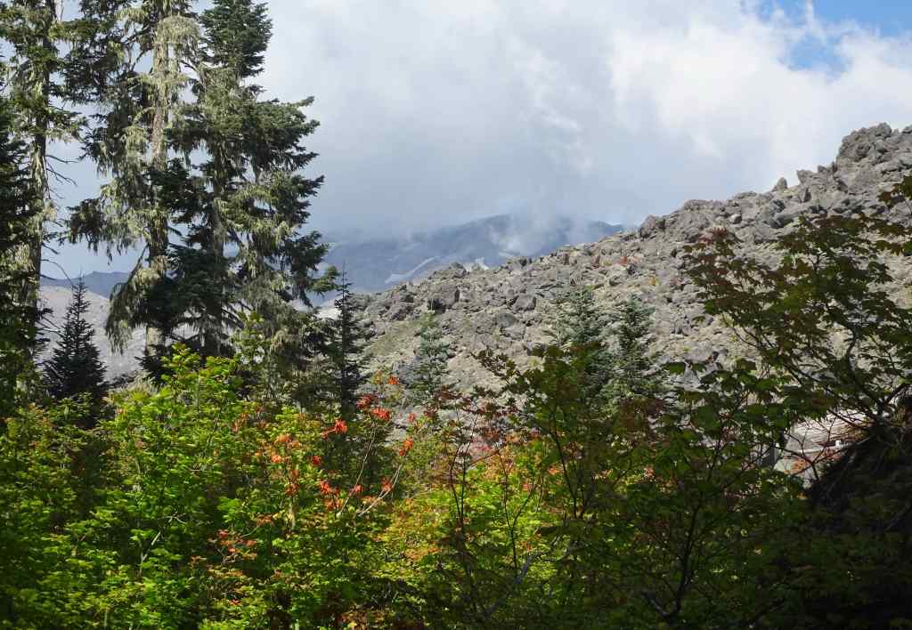
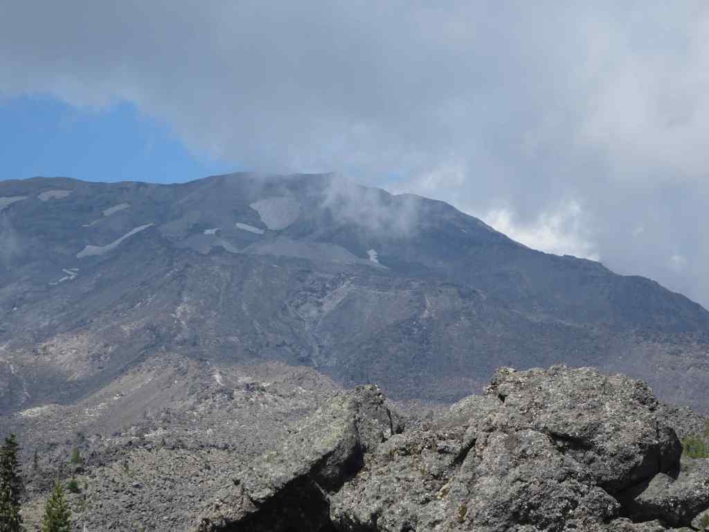
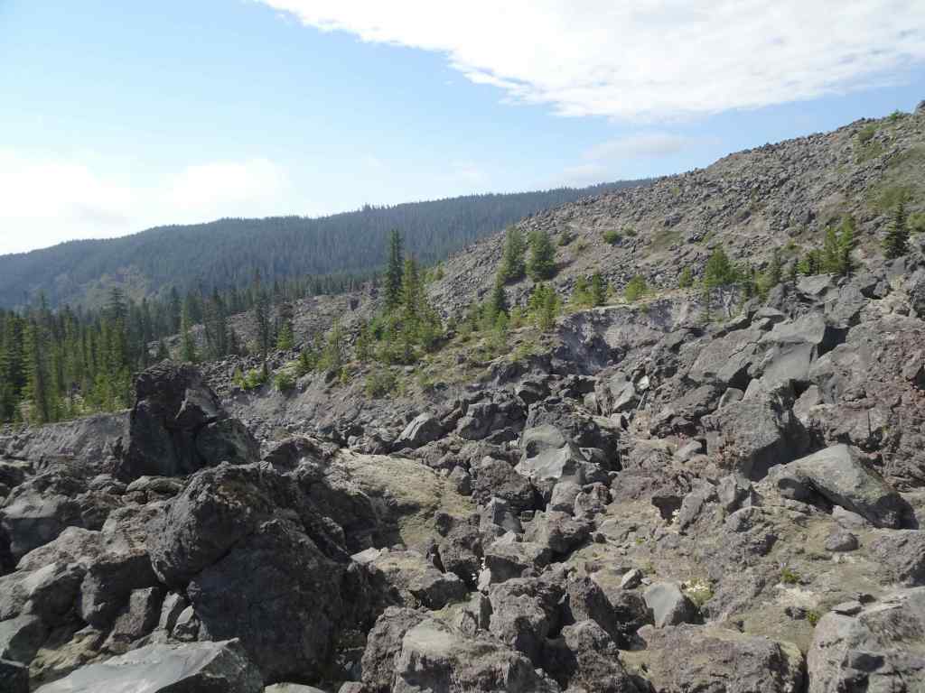
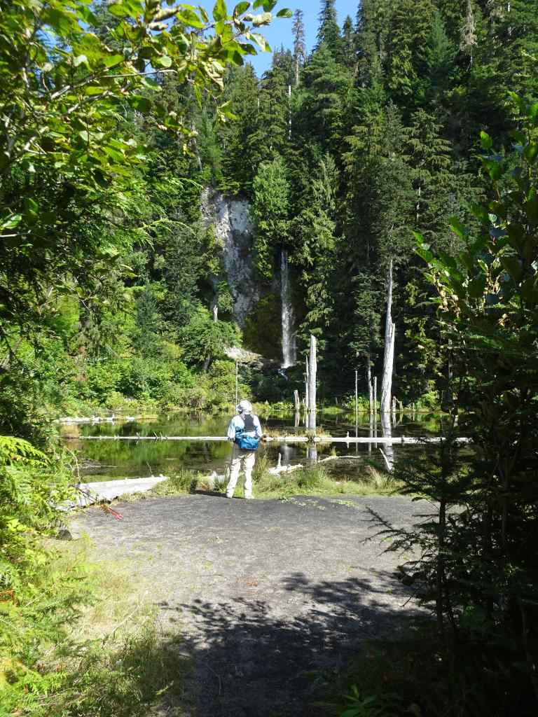
9/10 – June Lake, Mt St Helens, WA

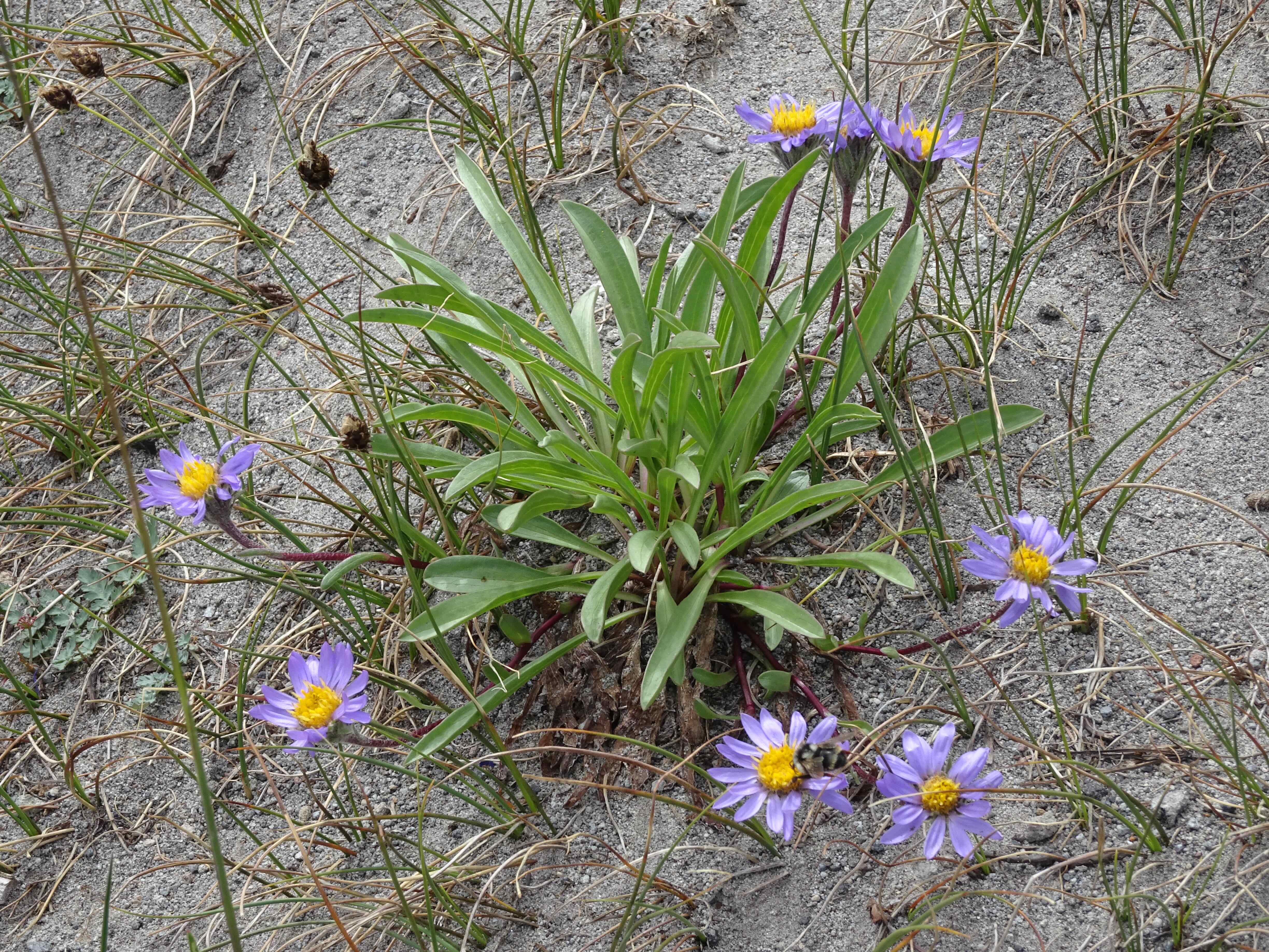
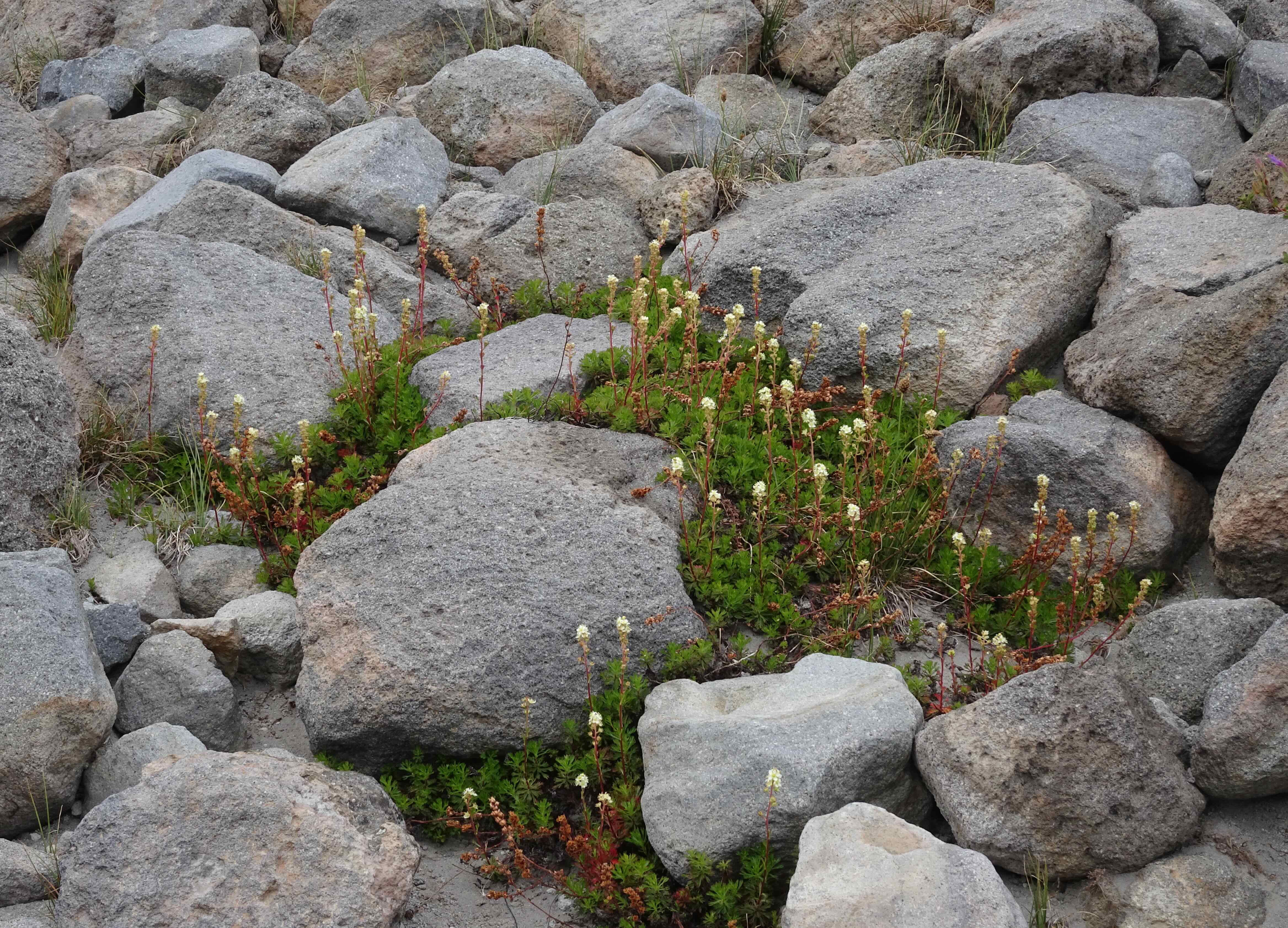
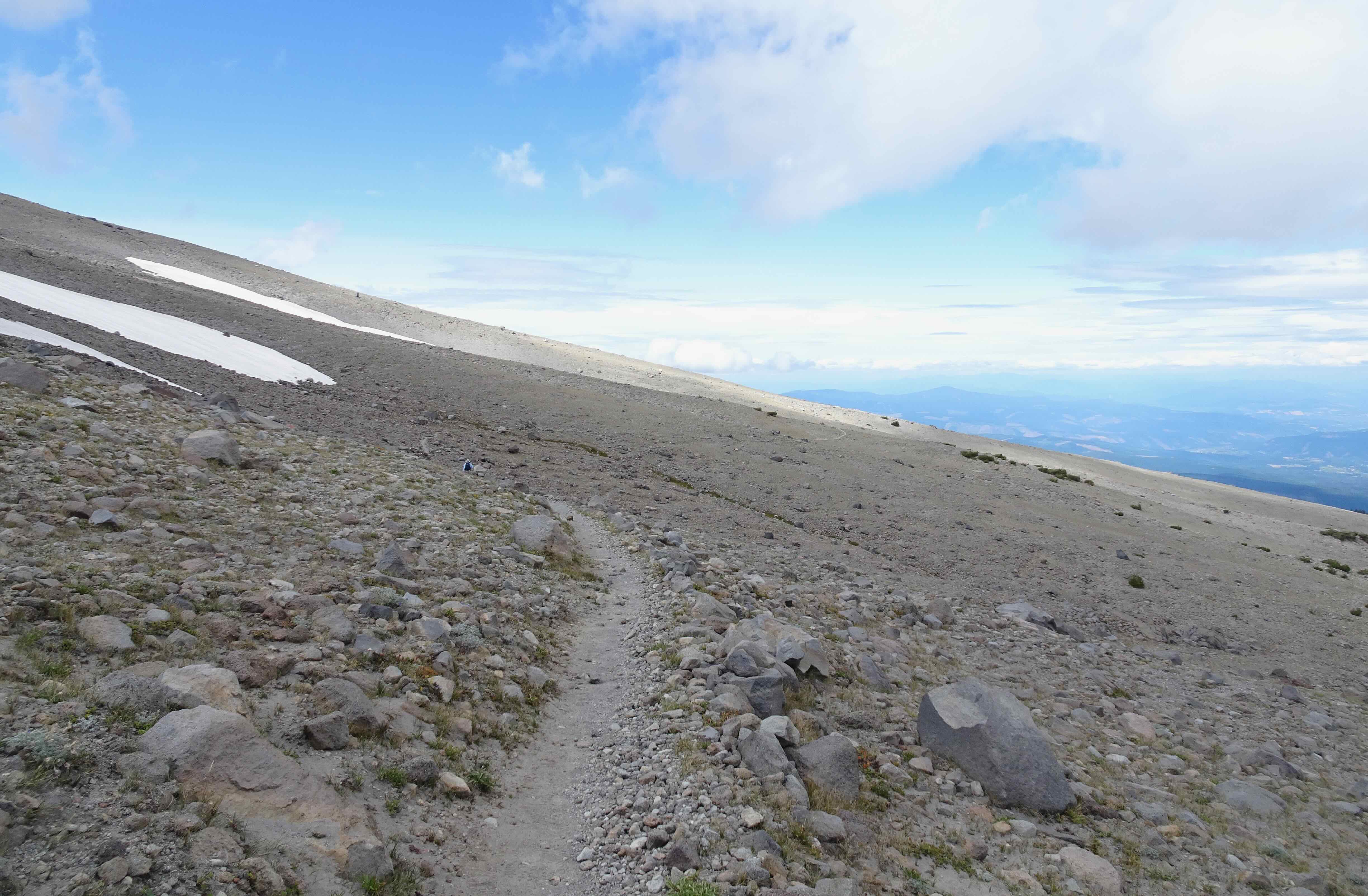
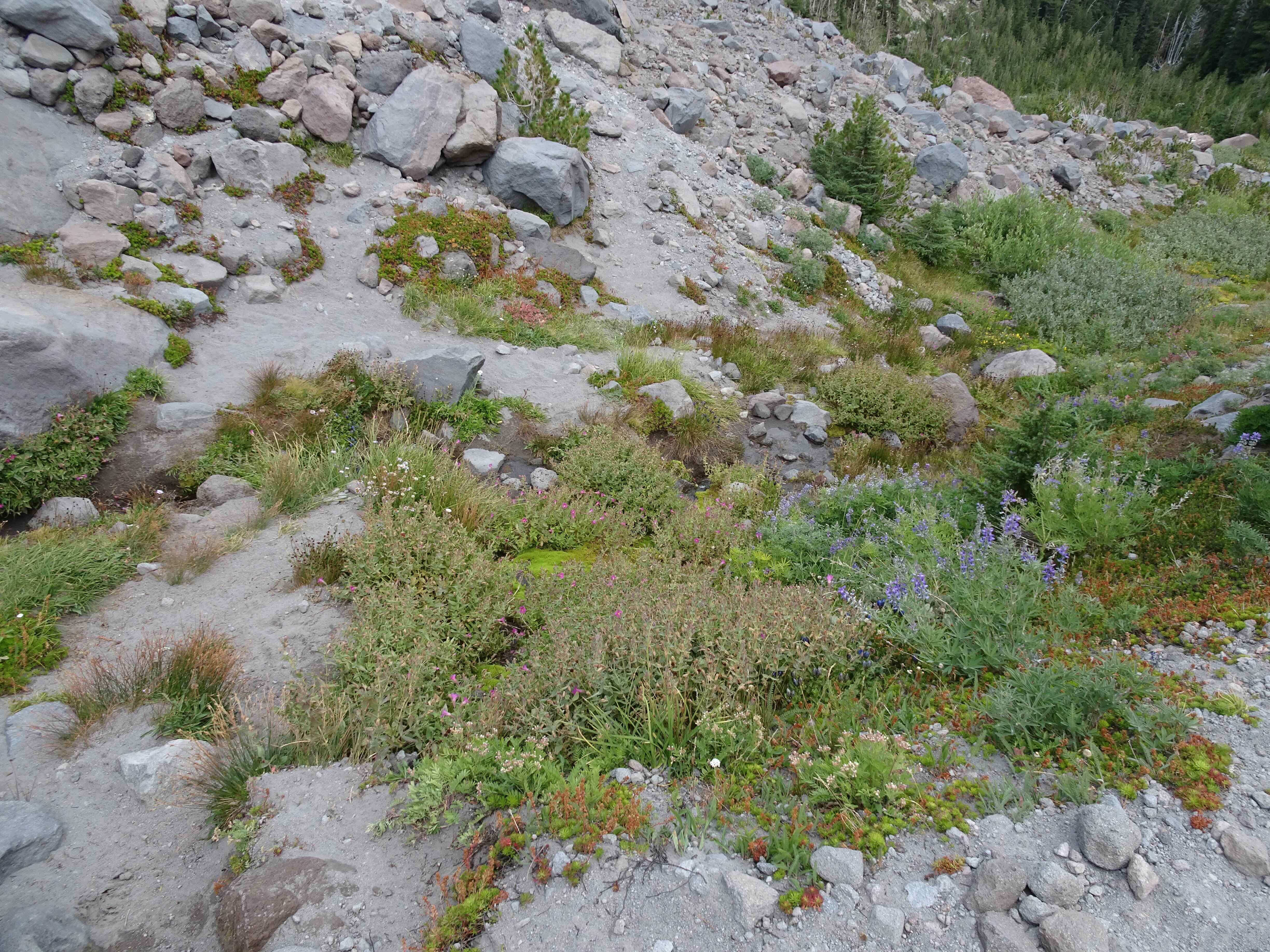
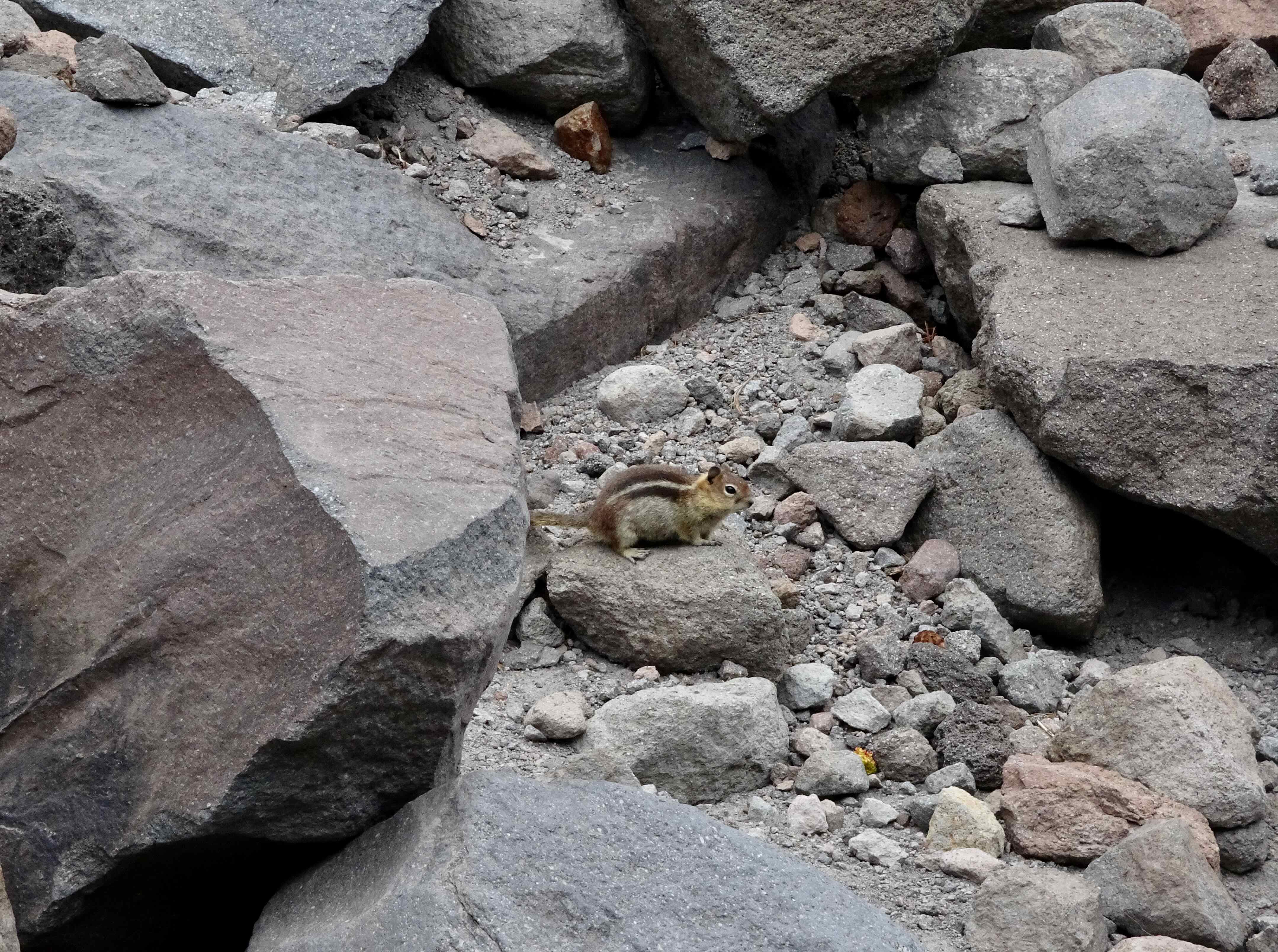
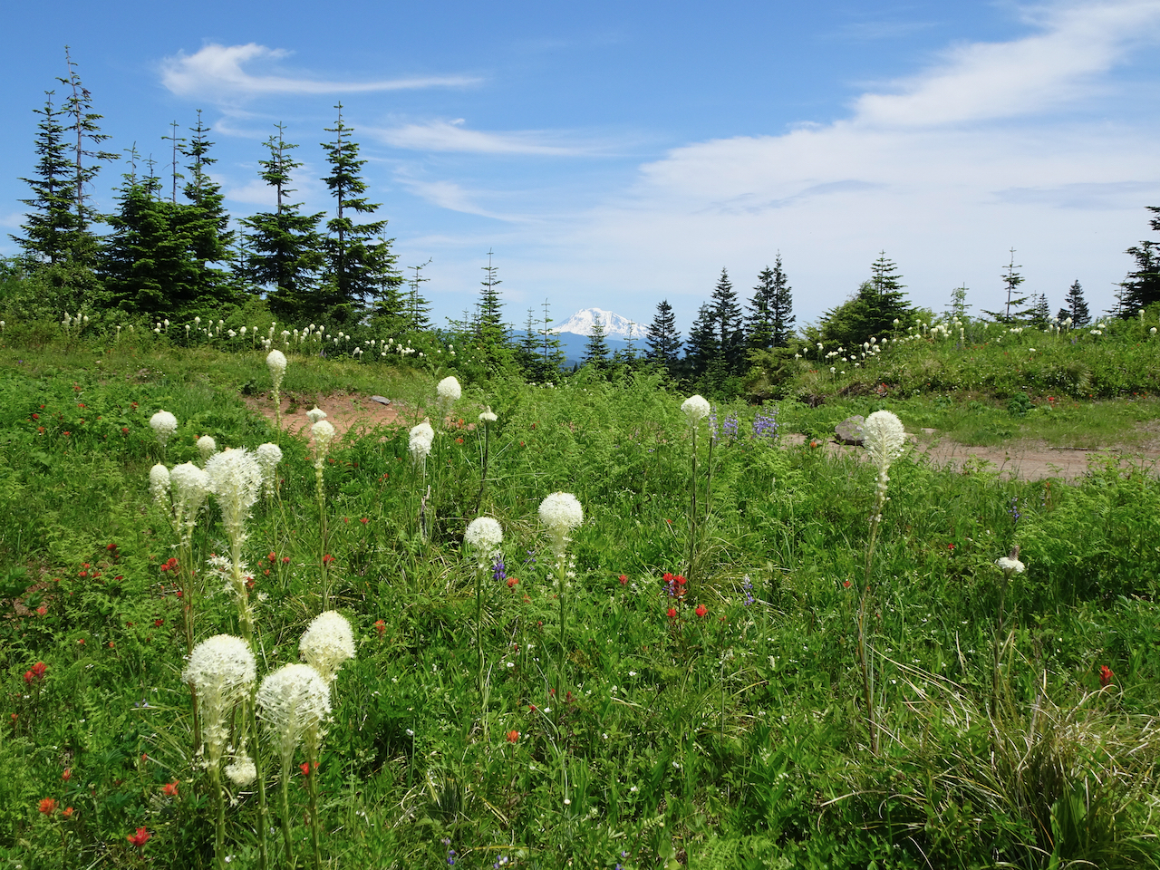
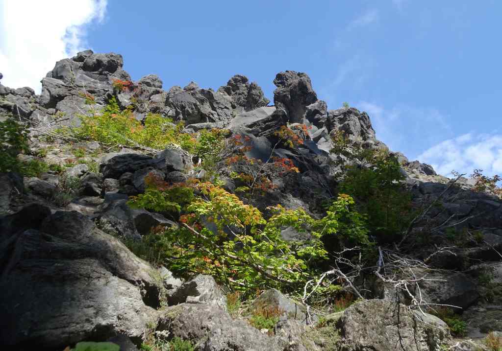
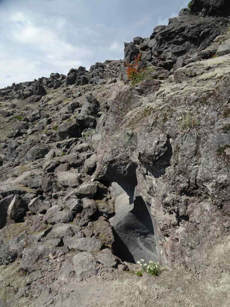
Another hot day. Another relatively easy hike, first to June Lake, then up onto some of the lava flows (Worm Flows) on the south side of the mountain (4 miles, 800 feet).

Trail to June Lake through the forest.

Some of the late wildflowers along the way:

June lake is calm, reflecting the waterfall coming out of the lava flow above.

June Lake

Then we went up a fairly steep trail, and onto the Loowit Trail, and the lava flows:

Up the Worm Flows…
Vine Maples beginning to turn orange.
A few flowers along the rocky trail.
A glimpse of the top of Mt St Helens beyond the clouds.
We went just high enough to get the full mountain view.
Zooming in on a glacier near the summit ridge.
The trail not taken ahead – our knees and balance had enough for the day.

We descended, with another stop at the beautifully reflective June Lake…

June Lake
June Lake

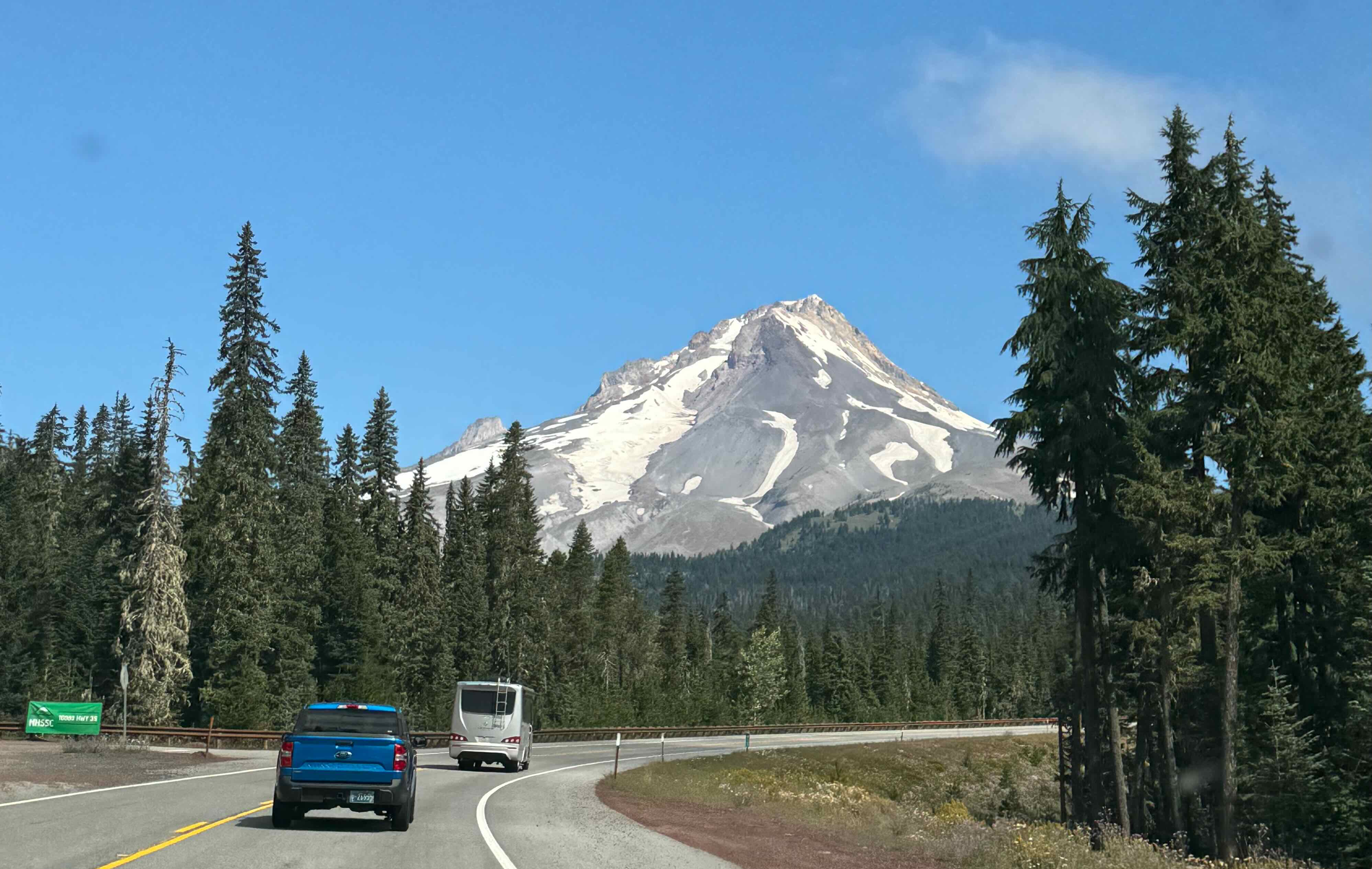
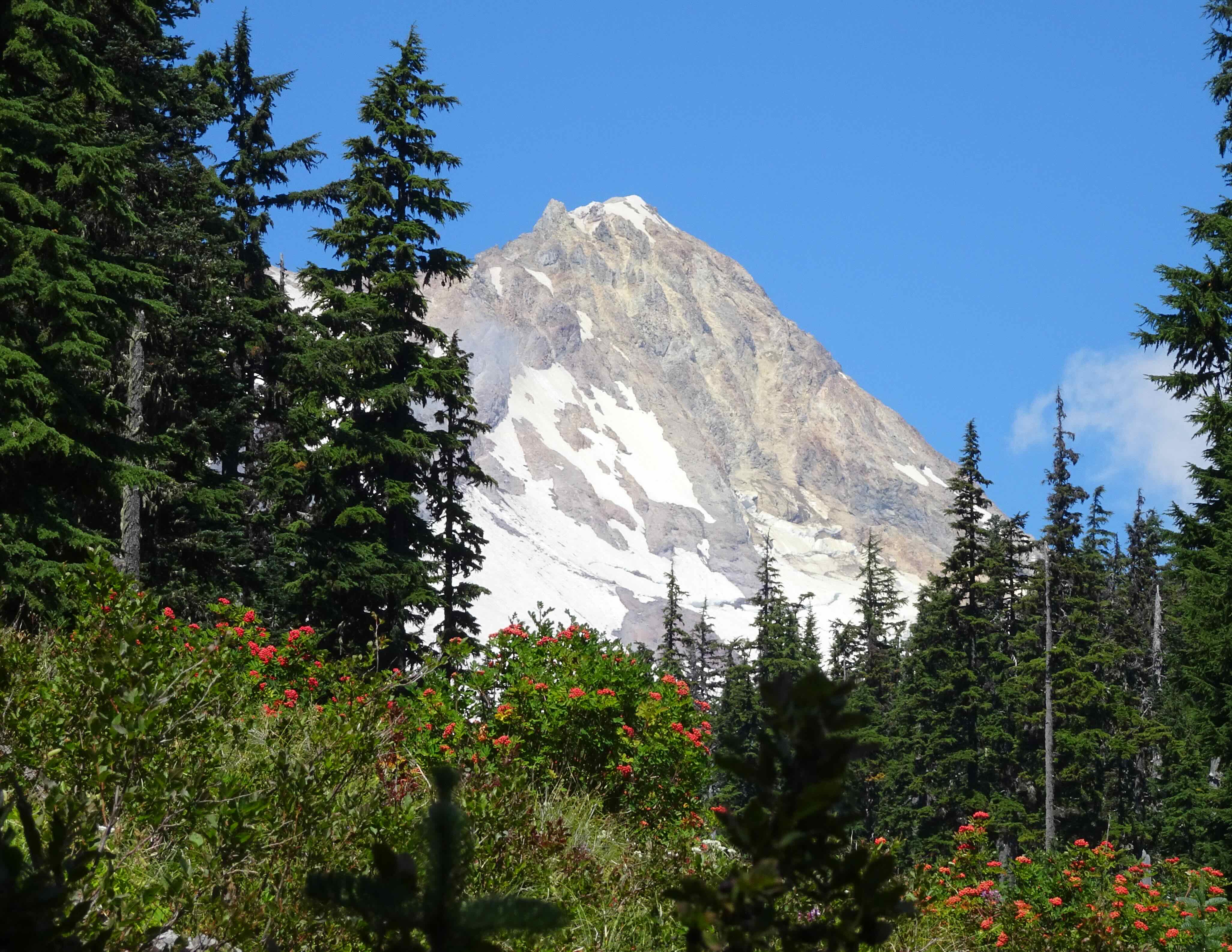
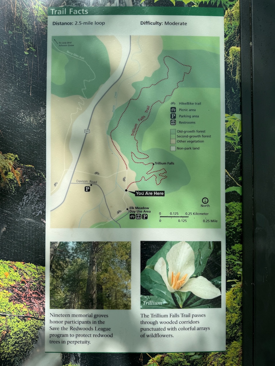
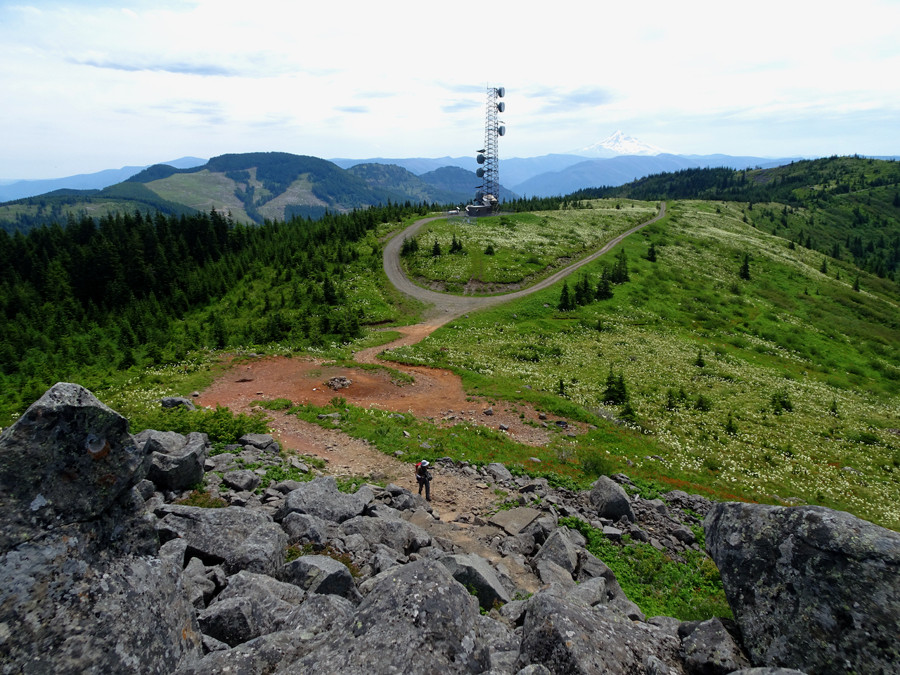
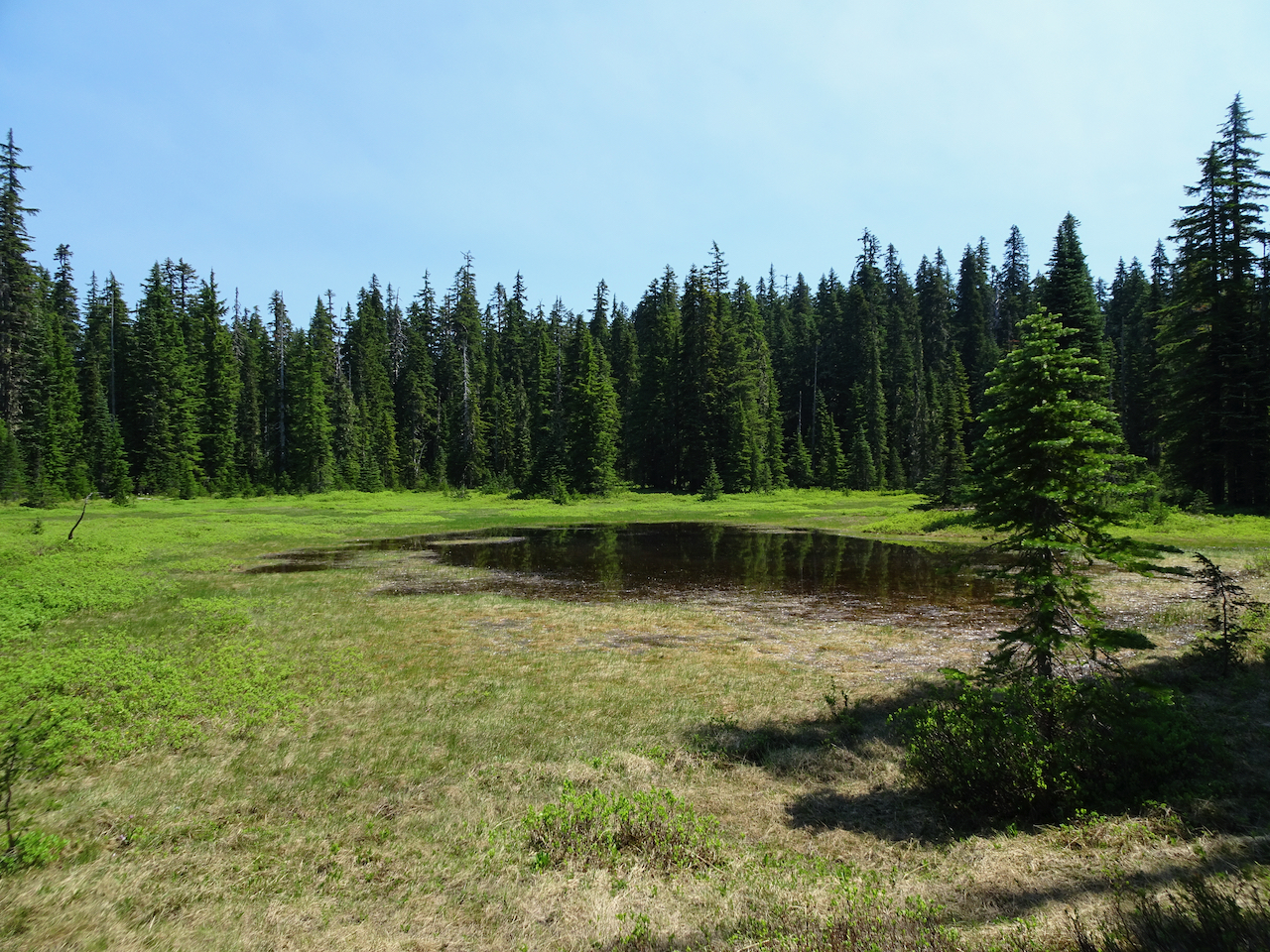
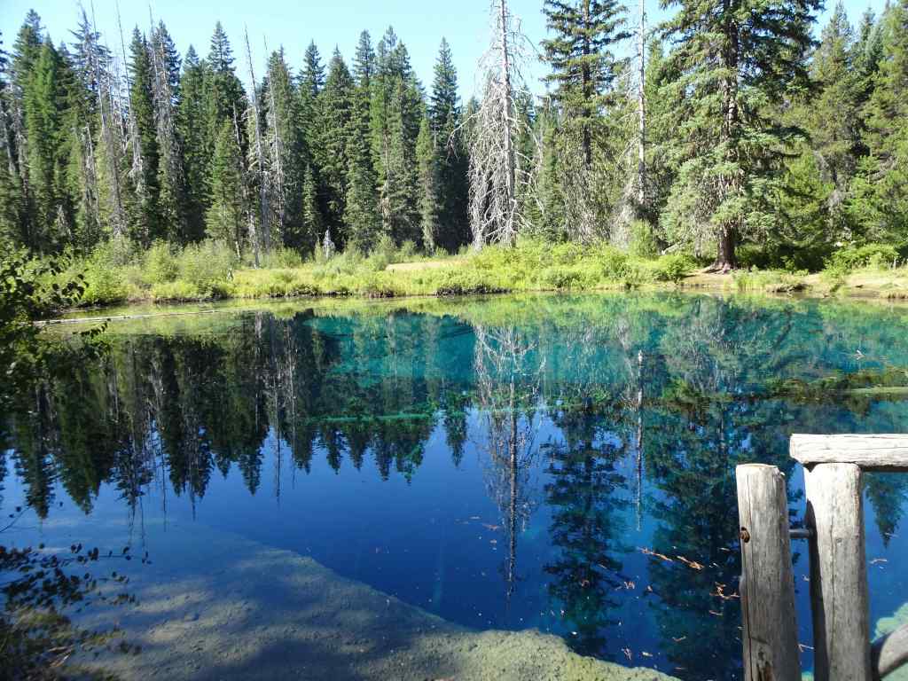
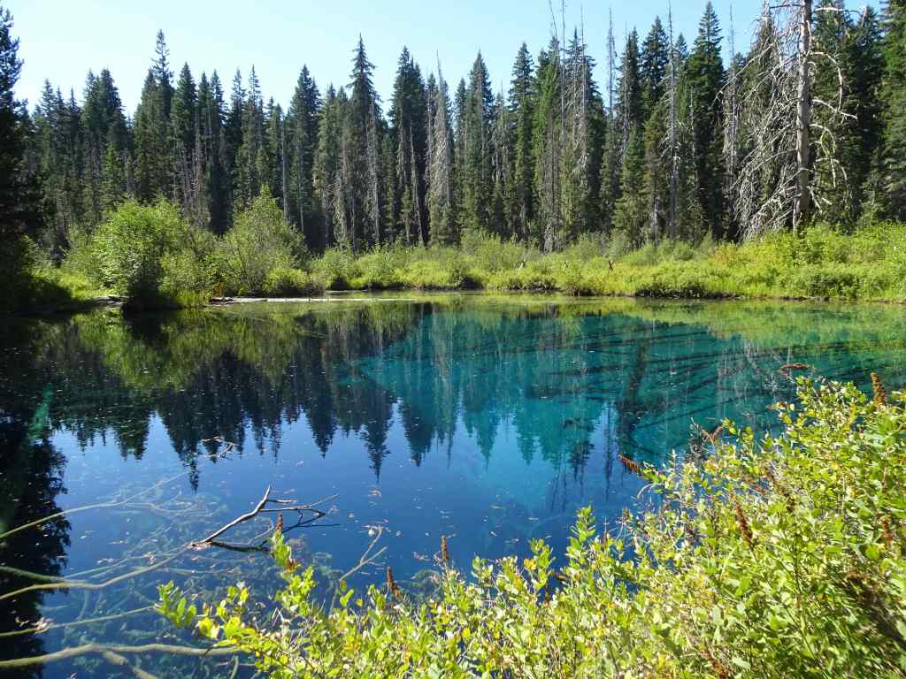
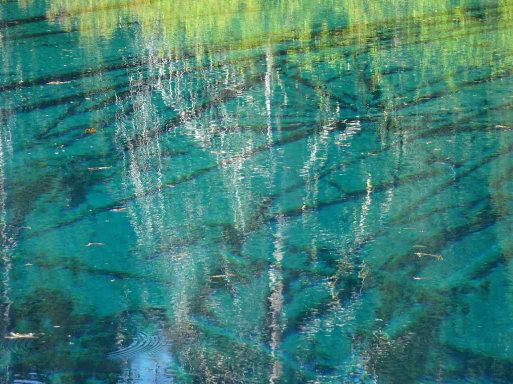
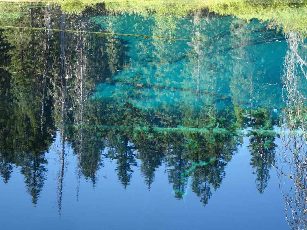
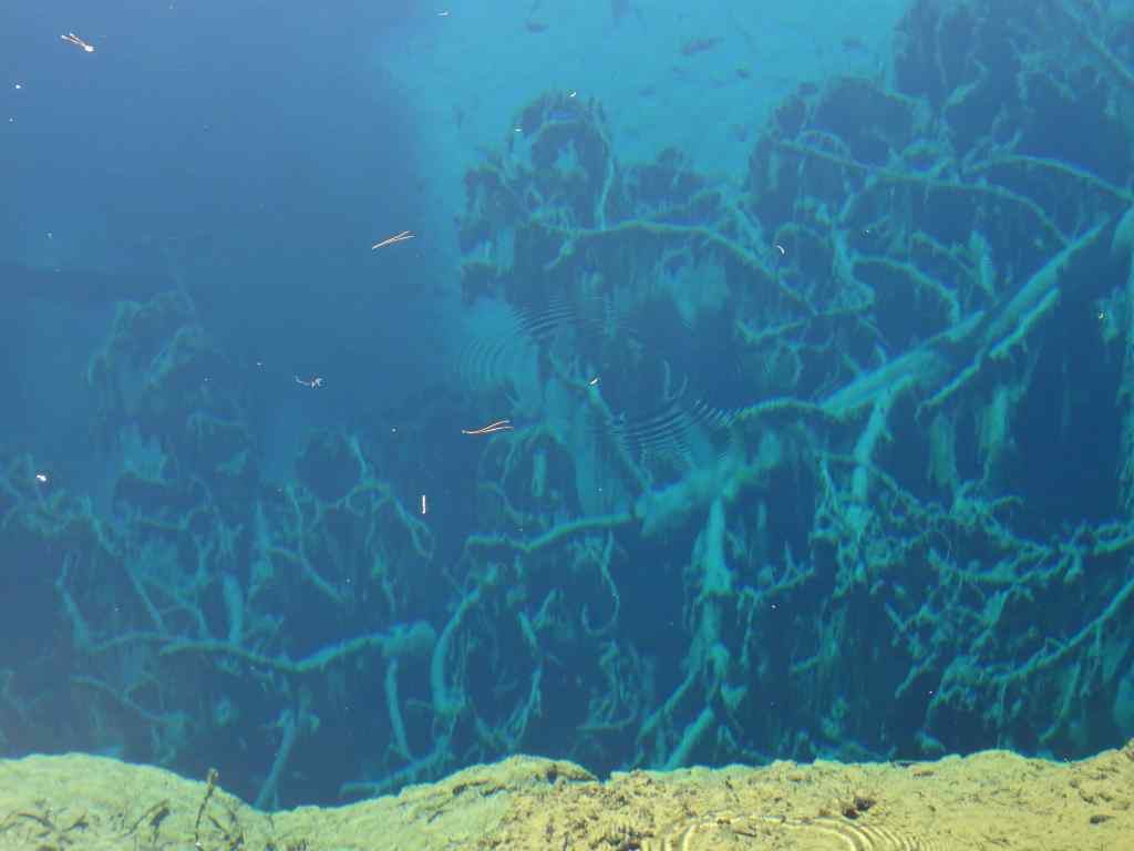
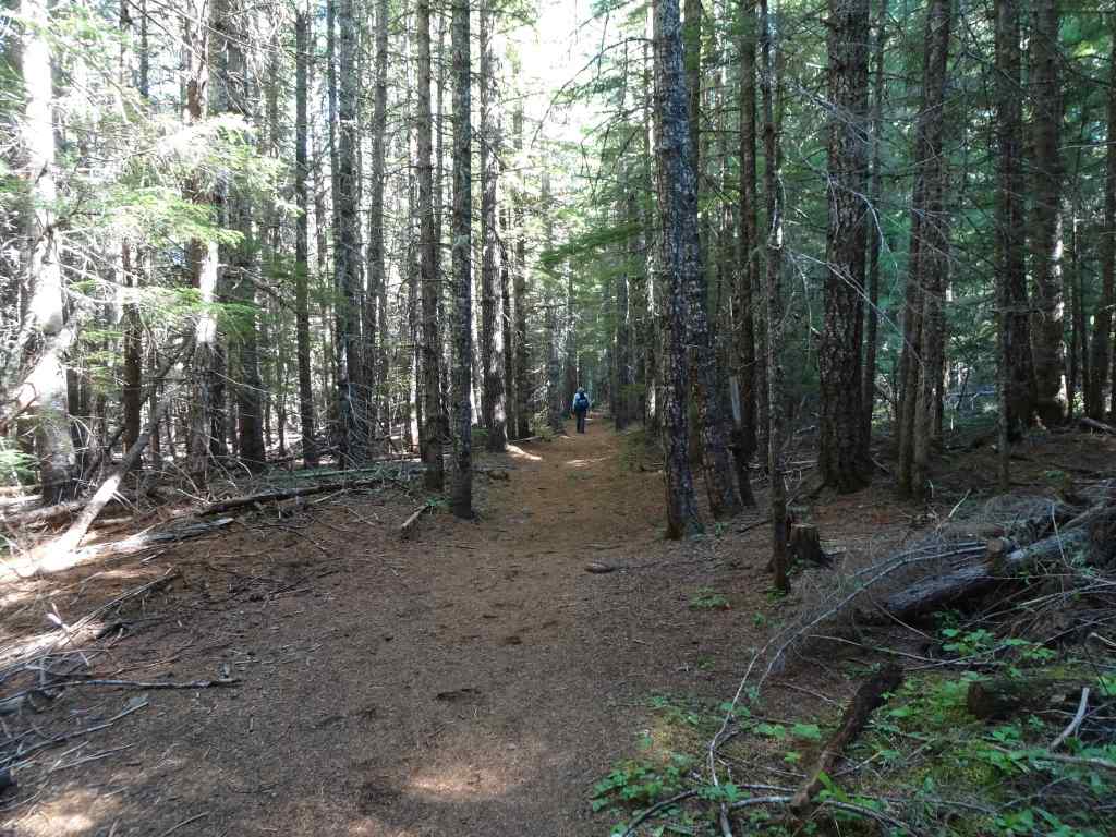
9/16 – Little Crater Lake, Mt Hood, OR

And yet another hot day! Another easy hike, first to Little Crater Lake, then to the eastern edge of Timothy Lake along the Pacific Crest Trail (3.5 miles, 50 feet).

This small artesian spring-fed lake is always a treat, with its deep turquoise color, reflections and transparency. An indulgent photo stop.

Little Crater Lake
Reflections
Transparency
Glowing images
Upside down trees
Submerged branches

We walked to the eastern edge of Timothy Lake, then retraced our steps.

Timothy Lake
Pacific Crest Trail – nice and shady on a hot day.
Passing by Little Crater Lake again.

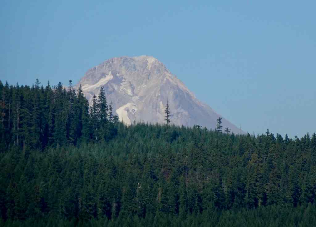
We were told we could see Mt Hood from the Timothy Lake Dam, so we drove around the lake to see the view – it was just a glimpse over a ridge.
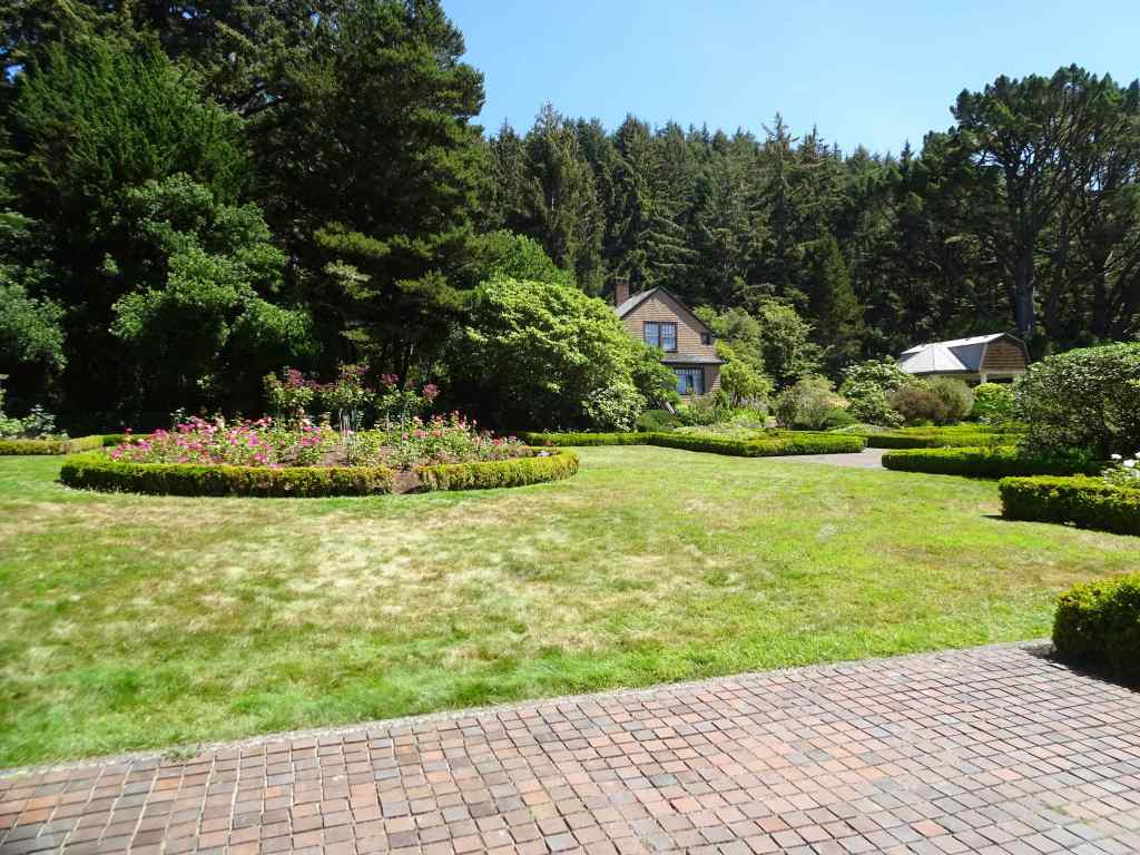
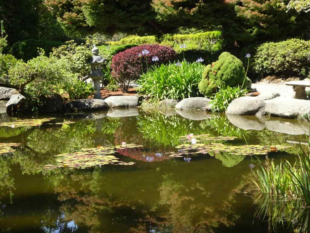
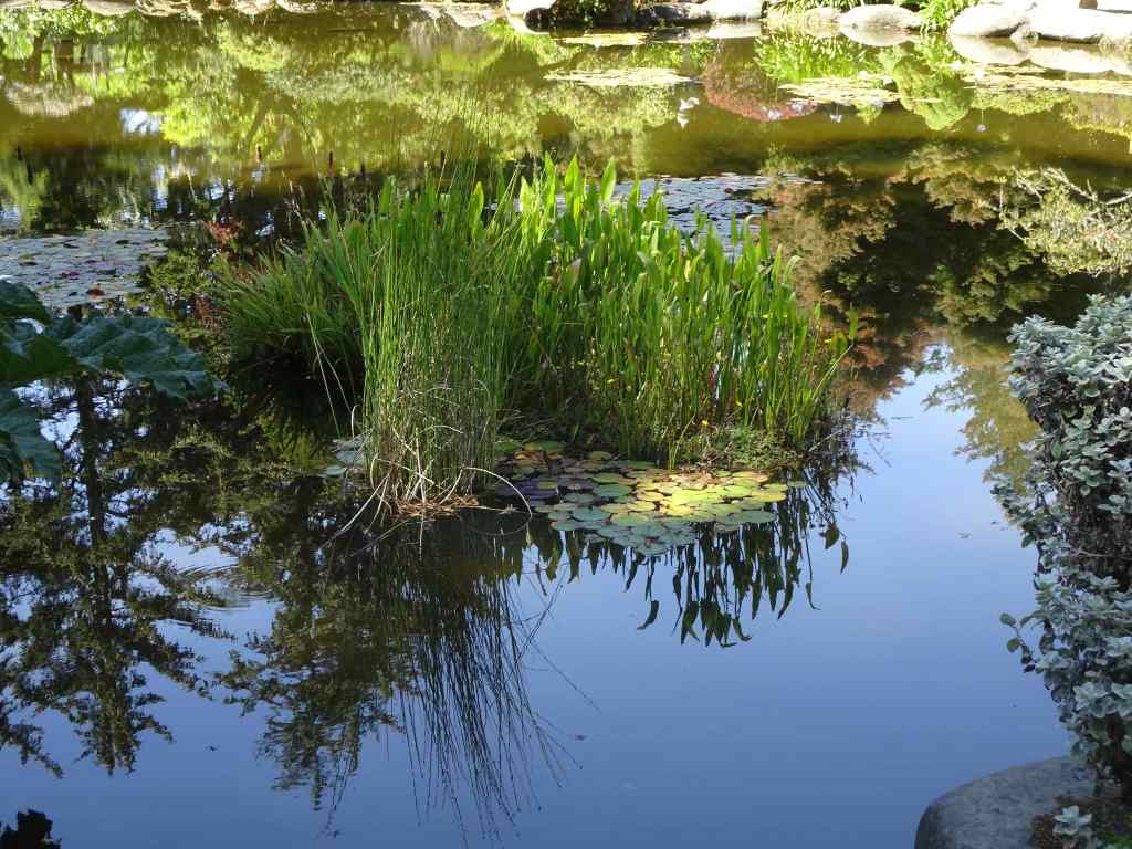
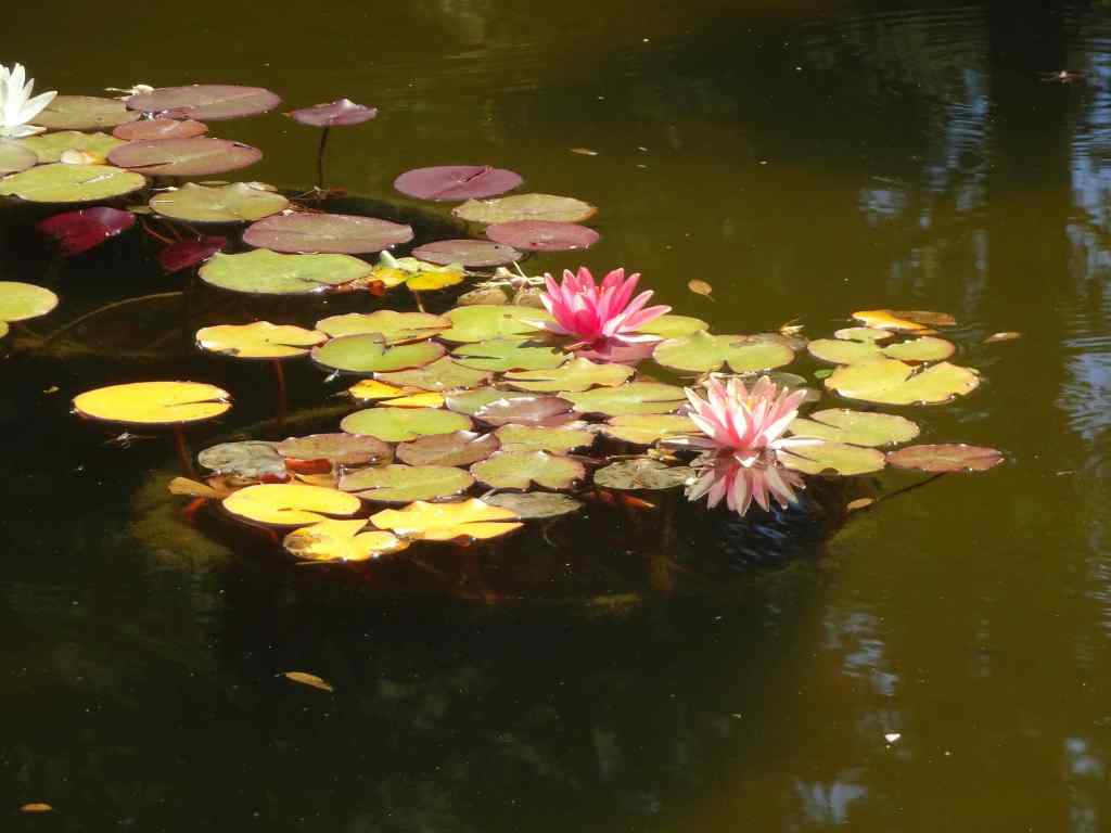
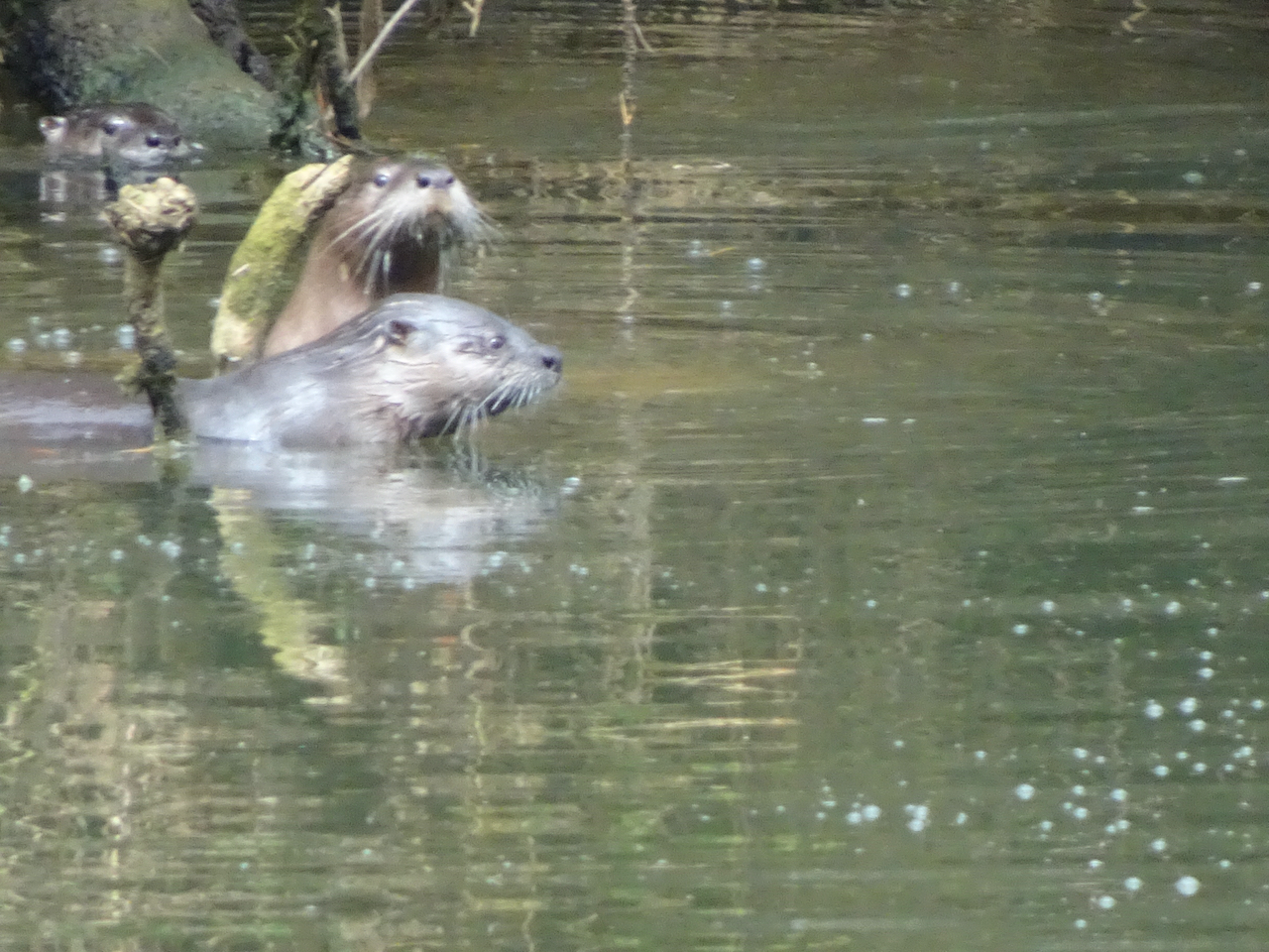
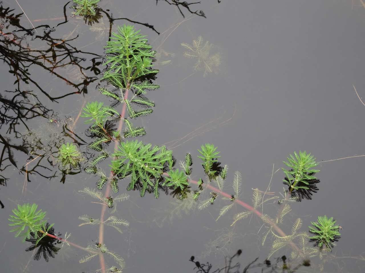
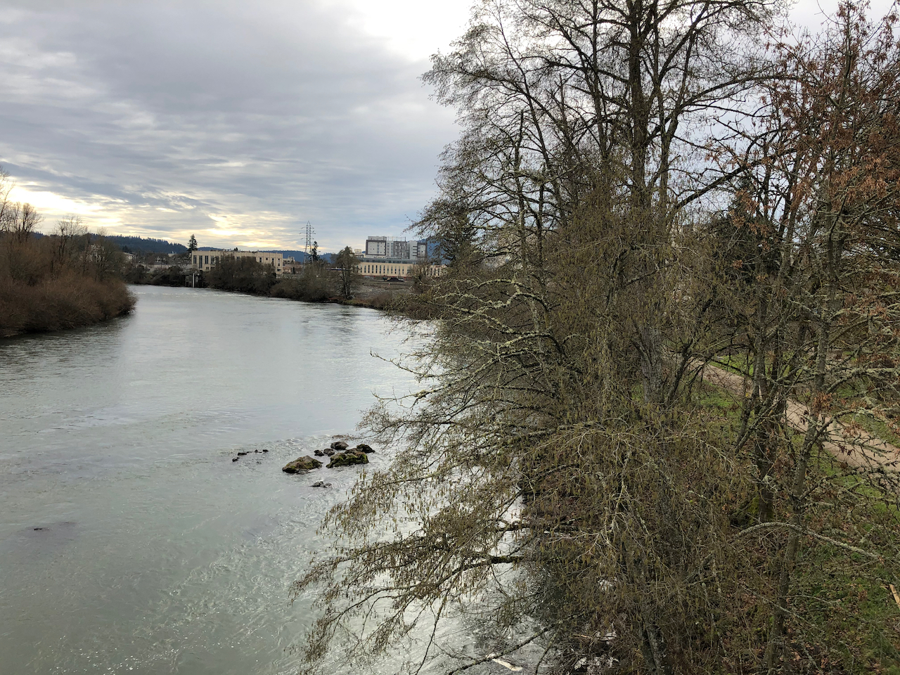
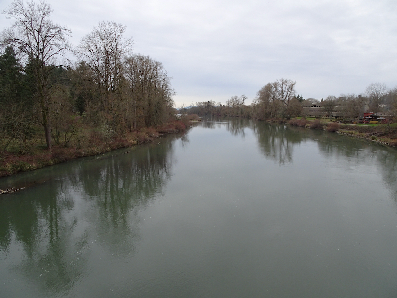
Timothy Lake, Mt Hood in the distance.
Zoom in to Mt Hood – almost snow free!

Neighborhood walks

Flowers and landscape elements I noticed in September:

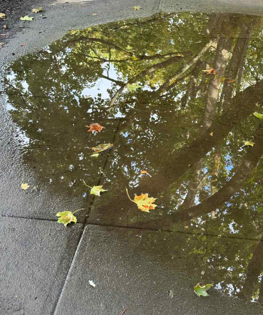
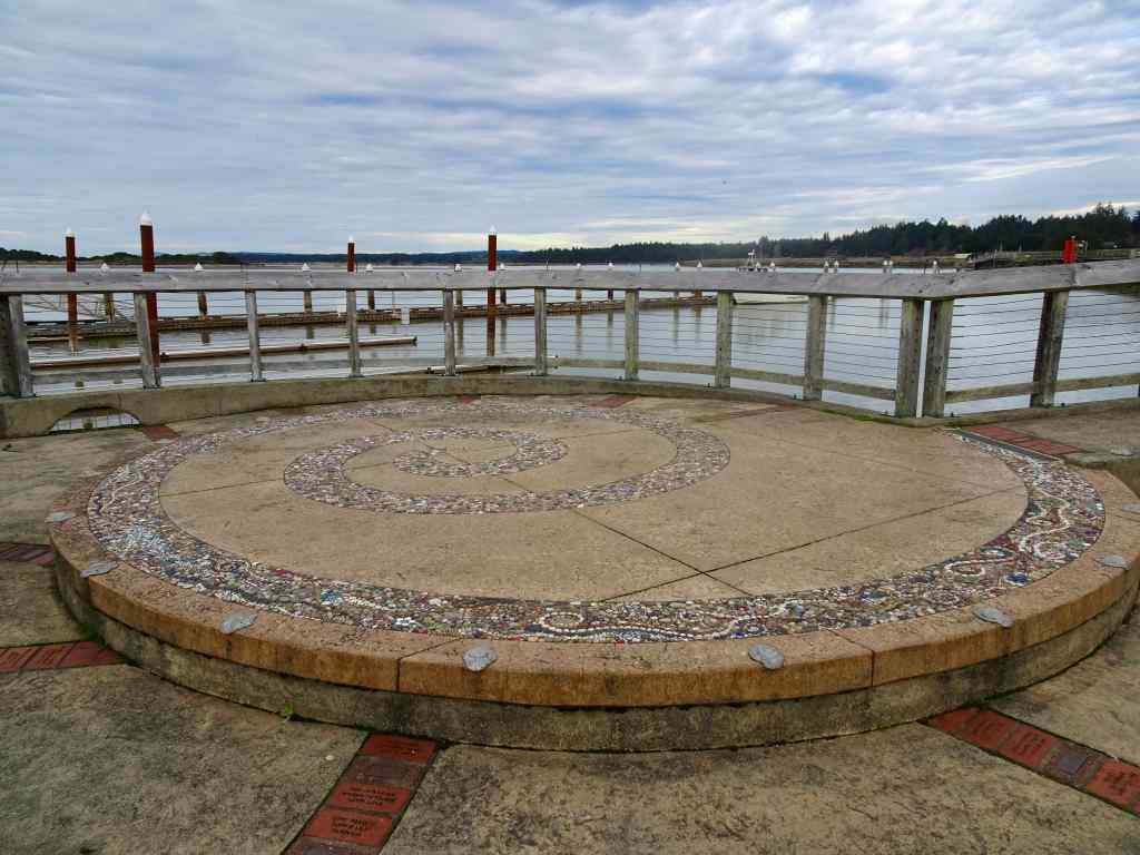
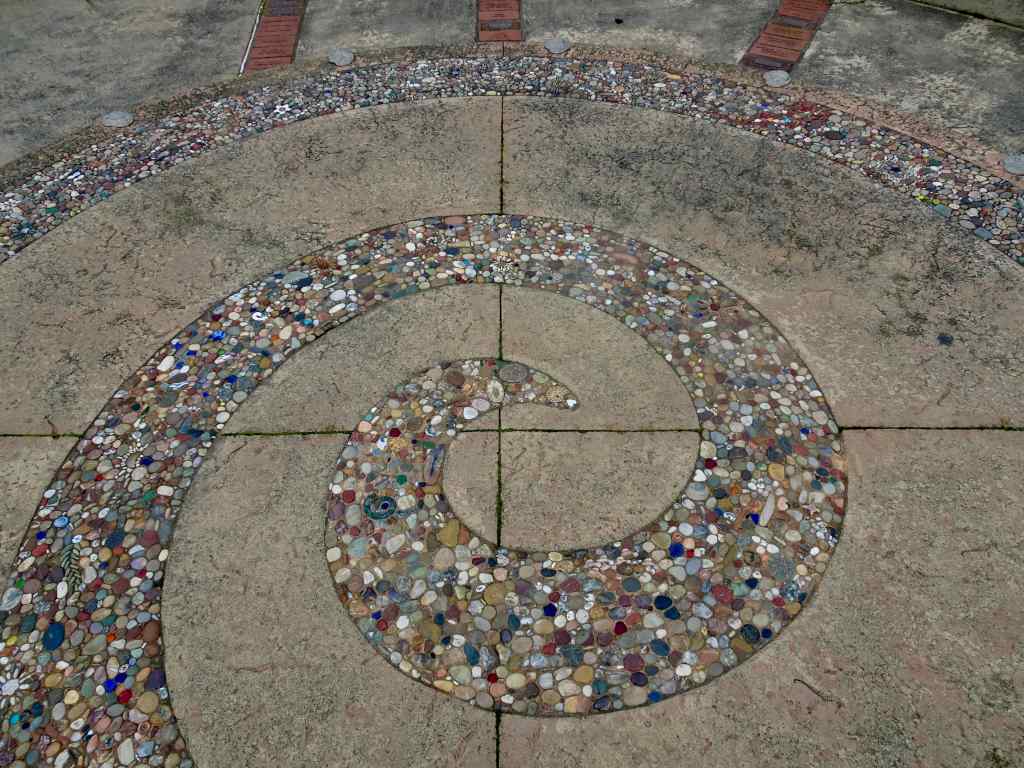
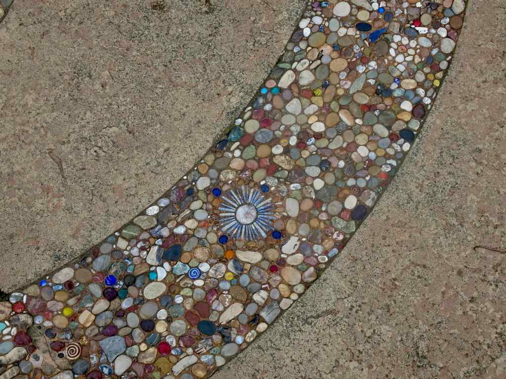
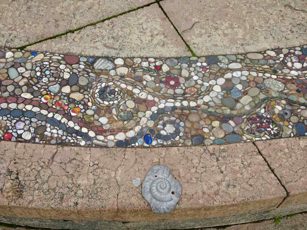
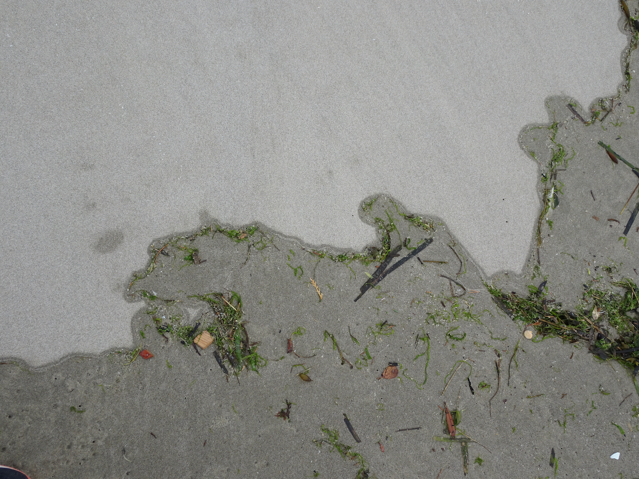
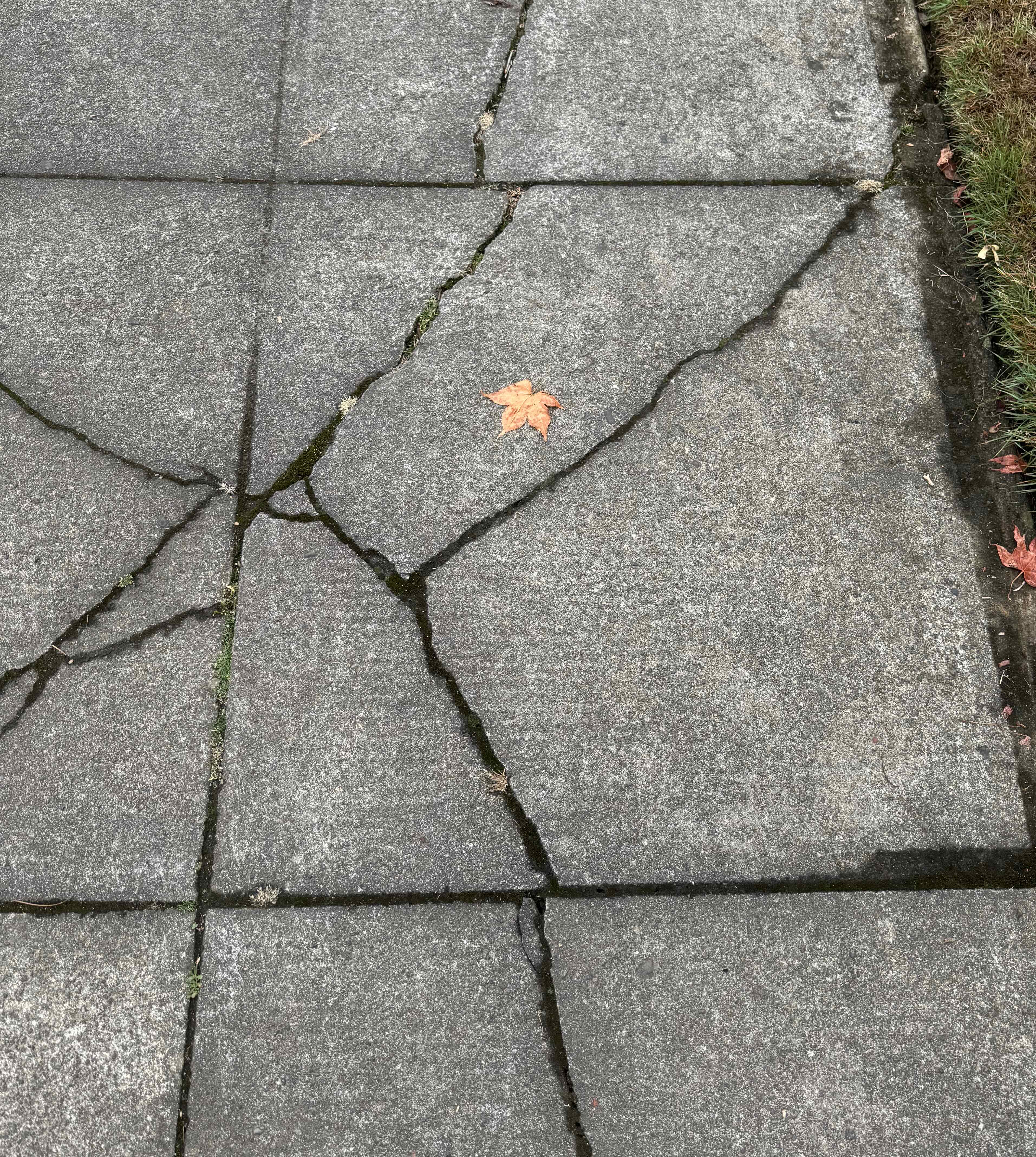
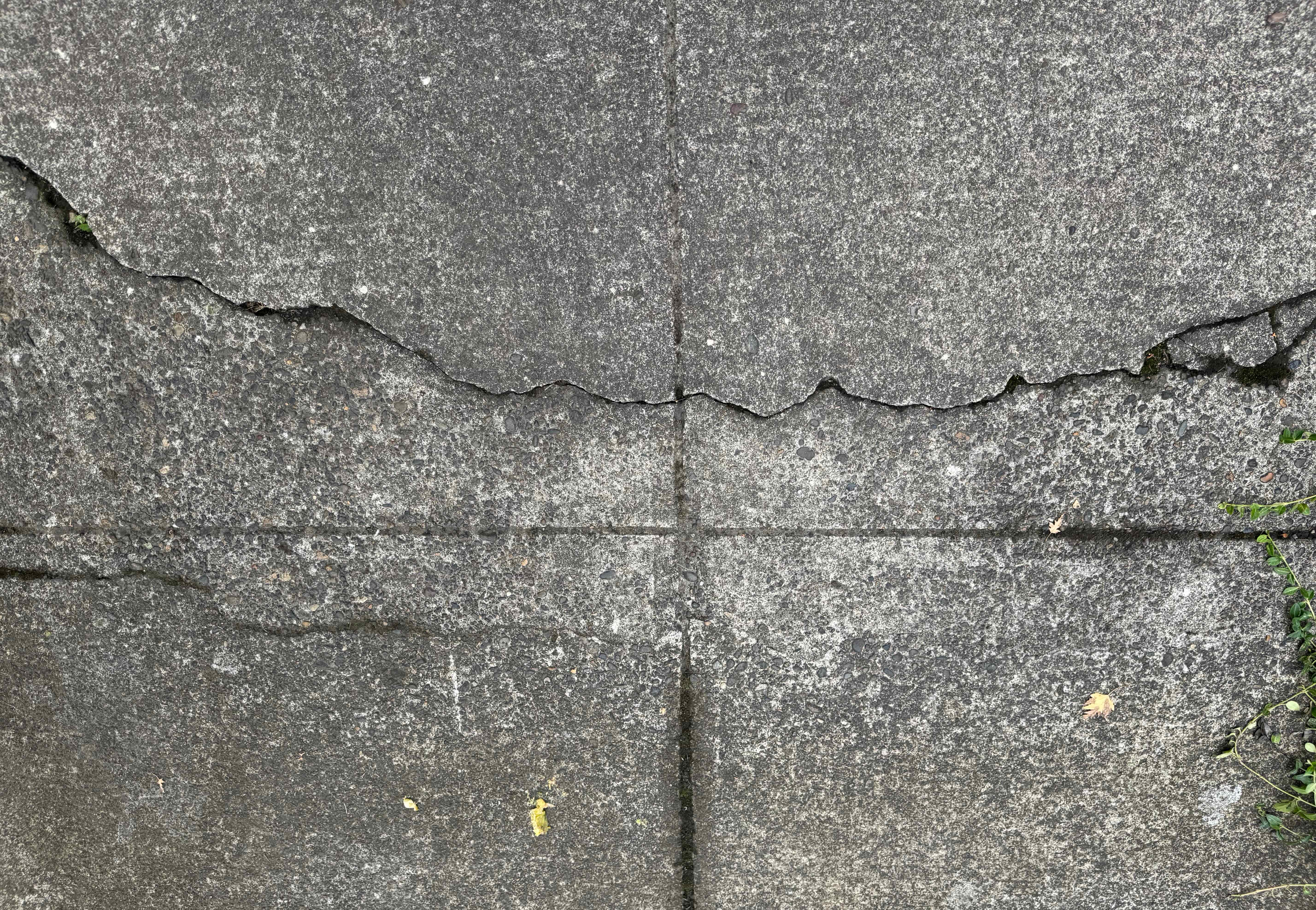
I haven’t done much quilting lately, so I composed a concrete quilt from some of my favorite sidewalk cracks.

September books

September books

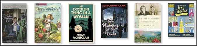
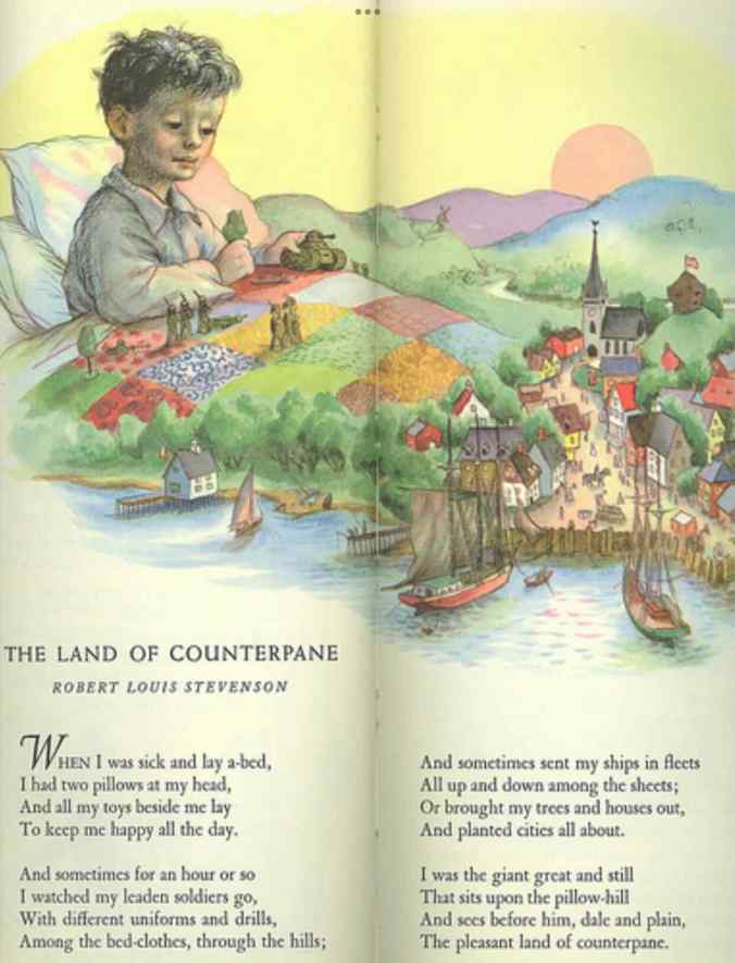
I finished six books in September. The most inspiring was the biography of Robert Louis and Fanny Stevenson – A Wilder Shore, by Camille Peri. They were a very unusual couple for their time. He chose writing instead of the family business of lighthouse engineering. She grew up in rural Indiana, spent time with her first husband in the mining camps of Nevada, then in bohemian San Francisco, before going to France with her children to study art. They traveled all over the world, by horse carriage, train and ship, eventually settling in Samoa. It seems amazing to me that they were so widely travelled, and that she lived her own style, ignoring much of the expected behavior of a proper Victorian lady. I was inspired to reread my childhood copy of his poem, The Land of Counterpane, from A Child’s Garden of Verses, with illustration by Garth Williams – this is one of the definitive visual memories from my childhood – the quilt, and the imaginary play it inspired.
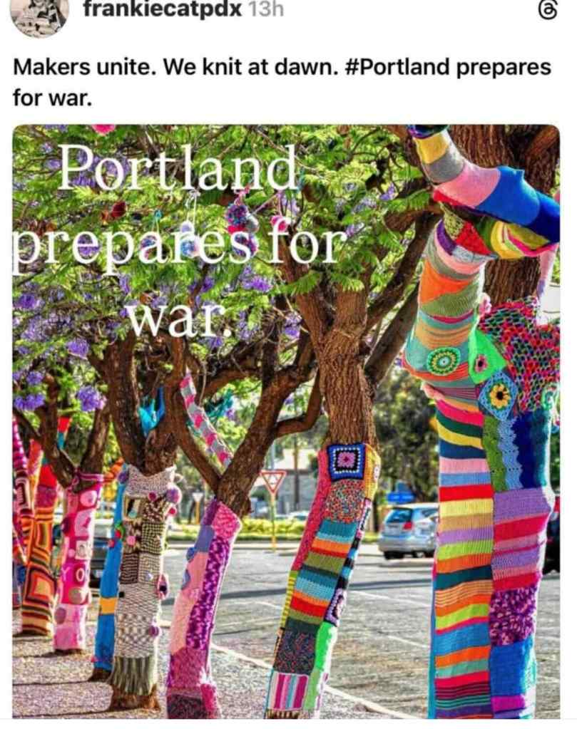
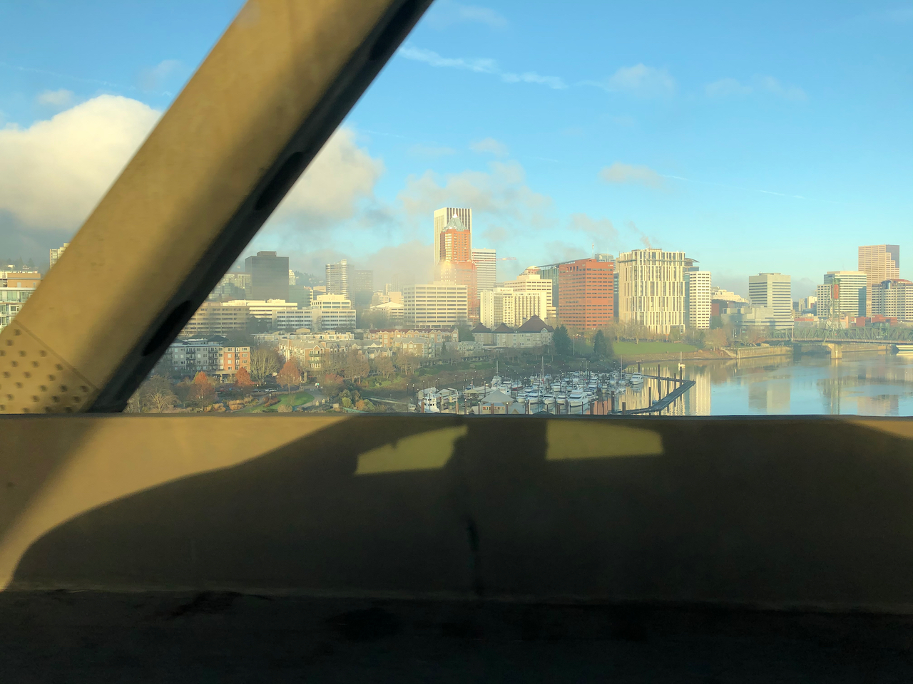
From The Tall Book of Make Believe

Also in Portland…

Things started to heat up. Deliberate misinformation reported a ‘war zone’ throughout the city. The only actual activity is near the Federal ICE facility in southwest Portland, where the true spirit of Portland is on display in peaceful protests that defend free speech and due process. I am writing this in October, when things have gotten crazier but in September, we were just getting ready for threatened invasion! I’m sure I will be adding something about the frogs next month.

Wall art in my neighborhood.
Screen shot of local fiber arts.

Bandon, Oregon, August 3-7, 2025

We had planned a trip to Mt Rainier for my birthday week. Then my wonky hip started acting up, and my breathing felt really challenged on my last couple of mountain hikes. When my doctor decided I needed a full cardiac work up, we realized that expecting to enjoy hiking the steep trails at Mt Rainier was unrealistic. Luckily, the place we stayed in Bandon last January had a room available, so we pivoted. At the worst, I could sit on the balcony overlooking the beach and stare at the horizon and the wave trains. I could go for some flat walks on the beach, and find a rock to sit on while my husband walked farther. It turned out to be a very good week for us. We had beautiful weather, some lovely beach walks, and so far, all my medical work ups have not turned up anything other than a likely bad reaction to a new medicine I was trying, and being out of shape because of not doing as much hiking as usual while I was in Utah (too hot), and while my husband was recuperating from his neck surgery in the spring. And maybe, just the entropy of being one year older…

View south from the balcony
View north from the balcony

8/3 – Bandon Beach South

Our first evening, we took a walk to the south of our hotel…

Walking south of Bandon
Lots of shore birds
Walking north again, with birds
Sunset from the balcony

8/4 – Face Rock North

We were expecting low tide in the afternoon, so a perfect day for walking north from Face Rock, enjoying the beautiful beach and the marine wildlife.

View south from the Face Rock overlook.
View north from the Face Rock overlook, our destination for the day.
Sea stacks and reflections.
Lots of shiny stones in the swash zone.
Dry sand blowing into the ripple marks.
Pelicans and cormorants on the islet.
Elephant rock.
More reflections.

We spent a fair amount of time watching a flock of whimbrels.

Whimbrels
Zooming in
Walking south
With sea stacks
Walking north

I wasn’t the only one beach combing for agates in the swash zone as the tide went out.

Pebbles of many colors. I looked for the smallest one I could find of each color.

Around lunch time, we saw a pod of seals napping on a nearby islet.

Seals napping
Closer view
This one is awake.
Seal pup.

Walking back south, we encountered a bit more marine life…

Walking south along Bandon beach
Sea anemones
Oyster catchers

Back at the hotel, we were treated to another lovely sunset.

Horses walking south
Evening view
Sun going down
Sunset

8/5 – Shore Acres and Cape Arago State Parks

We drove north to Shore Acres and Cape Arago State Parks. This road was closed by a landslide when we were here in January. We visited several beach overlooks and a beautiful cove, and then walked in the historic Shore Acres Garden.

Location Map of Shore Acres and Cape Arago State Parks.

Our first stop was the Shore Acres cliff viewpoints, where we could see dipping sandstone beds and their oddly eroded concretions. It reminded me of the shoreline at Point Lobos, in California. The one other time I was here, it was windy and there were huge waves. Today, it was very calm.

Looking north, Shore Acres State Park
Concretions
Tide pools in the dipping sandstone beds.
Not much wave action.

Looking south from some of the viewpoints:

Viewing Gazebo, on the far left – a protected viewpoint for windy days, built on the site of the historic Simpson Mansion.
Another view of the dipping sandstones and eroding concretions.
Concretions close up
Another view
Southern viewpoint.
Water rushing in at low tide.

We drove farther south in the park, to the Simpson Reef Overlook.

View to Simpson Reef, with seals and sea lions. It was very noisy, with the sound of the marine mammals barking!
Seals piled up on the beach, and on the rocks.
Seals and cormorants
More seals
Marine nursery

Farther south along this dead end road is Cape Arago. We walked the short trail to the North Cove overlook.

Looking north from the northern tip of Cape Arago…
More sea lions on the rocks
And a pelican flight
Looking south from the trail

And then we walked the short trail down to the South Cove.

South Cove, Cape Arago
Looking south from the beach.
Sea stack and sandstone outcrop
Pebbly sandstone textures.

Next, we walked through the Shore Acres Gardens.

Entry to Shore Acres Gardens
Formal Gardens
Our favorite area was the pond
Beautiful reflections
Lily pads
Lilies

We drove back to Bandon, and had a delicious fish and chips dinner at the harbor.

Bandon
Dinner!
We sat at a picnic table on the pier.
It was a beautiful evening!

8/6 – Port Orford and Cape Blanco

Another beautiful, calm day on the Oregon Coast. We drove south to Port Orford, where we had been once before, in 2007, to see the views and the beaches. We walked the trails at Port Orford Head, to the viewpoints, then had lunch at nearby Battlerock State Beach.

Port Orford Head is the site of an historic Coast Guard Museum.
The trails go through the woods, and emerge onto cliff edge viewpoints
View to the south
View to the north. Cape Blanco, in the distance, where we would end our day.
Zoom in on Cape Blanco light house through the mist.

Lunch stop at Battlerock Beach:

My husband took a walk down Battlerock Beach, while I sat on a rock and admired the views.
View to the north, toward Port Orford Head, where we hiked earlier today, and Port Orford harbor.
A large outcrop of serpentinite in the beach cliff.
Artwork in the nearby Visitor Center, made of upcycled marine debris.
Art information

On to Cape Blanco, remembering our lovely walk here in January.

Cape Blanco Lighthouse
Trail down to the beach
Once again I mostly stayed put while my husband took a much longer walk.
I could sit all day, watching the waves as the tide receded.
Pelicans
Beautiful views
Shiny rocks
Sea star and crab
Sea anemones
Fog rolling in on our hike out.

By the time we returned to our hotel, mist had rolled in all along the coast, so there was no sunset view.

8/7 – Home again, home again, jiggity jig

The next day, we drove home, passing over one of the beautiful Art Deco bridges on the Oregon Coast.

McCullough Bridge, Coos Bay, Oregon

It had been a lovely week, despite my hiking limitations. I brought home some agates, postcards, and a few small birthday gifts, along with my memories.

July 2025 – A day at the Oregon coast

A hot day inland- a good day to go west to the Oregon Coast and walk on one of our favorite beaches, deliciously foggy at first, then sunny.

7/17 – Hug Point

We first walked over the old road at Hug Point – our timing was such that tide would be coming back in soon…

The waterfall
Approach to the road around Hug Point.
Circling the point.
View north from the high point.
Beach to the north.
Sea anemones on the old road bed
Rock wall plant gradient.
And back to the south side beach.

Then we walked all the way south to Arch Cape, passing our favorite landmarks…

The cave – with an addition – a giant stump stranded on the rock ledge –
probably from a winter storm.
Big barnacle rock,
with a few sea stars among the barnacles and mussels.
Walking south toward Arch Cape, fog starting to disperse. Photo credit to my husband.
Arch Cape Creek and Castle Rock.
Lunch view near Arch Cape, with a flock of sea gulls.

And the walk north – about five miles round trip today.

Fog rising, tide coming in.
The seagull flock accompanied us most of the way.
Blue skies ahead.

Bandon, Oregon January 5-9, 2025

We celebrated our 40th wedding anniversary with a trip to the southern Oregon Coast. We stayed just south of Bandon, in a room with a view.

Looking south
View south
Looking north
View north

We had easy access to the wide sand beach south of Face Rock, and took several long walks north and south over the next few days. We also drove south to Cape Blanco, and north to Cape Arago. Other than a bit of rain the day we arrived, we had fabulous weather – sunny and calm.

Locations of hikes and beach walks on the southern Oregon Coast near Bandon.

1/6 – Bandon Beach and Cape Blanco

We walked north to Face Rock in the morning.

South view, Bandon Beach
North toward Face Rock
Oyster catcher
Rock pillars off shore
The tunnel near Face Rock
Looking south from the Face Rock overlook
Looking north from the Face Rock overlook

After lunch, we drove south to Cape Blanco. We walked down to the beach, then along the strand line to the north, at approximately low tide.

Looking west toward the Cape Blanco Lighthouse,
and northward from the bluff above the beach.
Cape Blanco beach
Lots of wave action in the rock garden,
Tide going out…
And another view of the beach on the north side of Cape Blanco.

Later that evening I watched the sun set from our room…

Sunset

1/7 – Beaches to the north – Sunset Bay, Yoakam Point, Blastendorff Beach, Seven Devils Beach

We drove north to Cape Arago, but a recent washout closed the road, so we could only go as far as Sunset Bay. We started with a short walk there, then explored a few locations to the north.

Sunset Bay at low tide

We walked about a mile around Yoakam Point, looking at the view from various cliff overlooks:

Looking east toward Blastendorff Beach
Yoakam Point
Cape Arago
Cape Arago Lighthouse
Natural arch

We ate lunch and then took a walk at Blastendorff Beach.

Blastendorff Beach, and jetty to the Coos Bay inlet

Driving back south, we took a side trip to the Seven Devils Wayside, and walked on the beach there. We even saw someone panning for gold.

Historical uses of this area…
Looking south from Merchants Beach
Painterly sky and water

Back in Brandon, we took a walk along the pier. It was mostly deserted, with most shops closed. I was fascinated by the mosaic installation on the boardwalk.

Bandon pier
Spiral Mosaic
Mosaic center
Mosaic detail
So many great little details – I looked at it for a long time!

Later, we walked out onto Coquille Point again, to watch the sunset. We met a large puffin sculpture there.

Coquille Point overlook
Looking south
Puffin made of flotsam
Another view of the Puffin sculpture

1/8 – Low tide near Bandon – Face Rock and Coquille Point

With low tide in the afternoon, this was a perfect day to walk north toward Face Rock and then beyond Coquille Point and look at tide pools, water, sky, and all the reflected permutations.

Bandon Beach, looking north…
Looking south – reflections – water – sky
Sea stacks
Logs north of Coquille Point
More reflections
Low tide beach
Blue sand and sky
Sea stars and anemones
Closer view
More reflections
Face Rock tunnel
Tide pools
Sky and water…

Later, we enjoyed another sunset from the Coquille Point Overlook…

South view
Sun just dipping below the horizon
The flotsam Puffin glowing in the sunset.

We enjoyed our few days of calm weather and beach walks, a break from the ‘real’ world, and what was to come next in January.

Looking back:

Coberg, Oregon, January 5, 1985

August 2024 Hiking

I went on four hiking adventures in August – two to the coast on very hot days, and two to the slopes of Mt Hood.

August 5 – Ecola State Park and Hug Point, Oregon Coast

I like to spend my birthday in nature. It was too hot for hiking inland, so we headed to the coast for the day. We started at Ecola State Park, had a picnic lunch with a view, and took a  3 mile hike down to Crescent Beach and back.

DSC09704

View south from Ecola Point

DSC09723

Looking north from Crescent Beach toward Ecola Point

High tide was in the middle of the afternoon, so we wandered around Cannon Beach for a bit. I treated myself to a few quilting fabrics at Center Diamond, then we had an early dinner in town.

IMG_2185

Birthday fabric, including puffins that remind me of Iceland.

Next, we went to one of our favorite beaches – Hug Point. First we walked south, looking at all the landmarks from the summers we spent entire weeks here with our kids.

DSC09736

View south from Hug Point

DSC09740

I was pleased to see pods of pelicans flying along the surf line.

DSC09747

The Cave

IMG_2163

Big Barnacle Rock and Castle Rock

DSC09752

The little blue cottage on the bluff where we spent many a happy summer week

DSC09761

Farther south, more pelicans on a sand bar

DSC09785

Pelicans!

Then we walked north, up over Hug Point.

DSC09798

Walking toward Hug Point,

DSC09801

as the tide is going out.

DSC09806

View north from Hug Point

DSC09810

and looking toward the beach just on the other side

DSC09820

Oyster catcher among the mussels, barnacles and anemones on the Hug Point road bed

DSC09822

The Waterfall

DSC09825

Goodbye for now…

It was a beautiful evening – not too crowded, hot, or windy. As we drove home, I was completely satisfied with my birthday adventure.

August 8 – Sitka Sedge State Park, Oregon Coast

Another hot day inland, we decided to investigate this relatively new State Park near Pacific City, a little farther down the coast from our usual spots.

Screenshot

Our trail through Sitka Sedge Natural Area, about 4 miles.

The entry trail along a dike separates the Sand Lake Estuary from a wetland to the south. Then the trail goes through a vegetated dune that runs parallel to the coast. We walked through the forest for a bit, and ate lunch looking back toward the estuary wetlands.

DSC09844

Sand Lake Estuary

DSC09866

Sandy trail over the dunes

DSC09849

Heron and gulls from our lunch stop

After lunch we emerged onto the foggy beach, and walked south for a ways, before circling back up and over the dune, completing the loop to the entry trail.

DSC09867

Emerging onto the beach

DSC09881

Looking north, beach off limits for now, as it is sand plover nesting season.

DSC09873

Looking south – lots of jellyfish in the flotsam

DSC09893

And back over the dunes…

It was a good place for a walk on a hot day – we saw a few birds and a hang glider, but not many other people.

DSC09833

Wetland south of the dike, with sand pipers

DSC09926

Sand pipers

DSC09952

Yellow legs

DSC09940

Cedar waxwing

August 14 – Umbrella Falls, Mt Hood

Another hot day, and an easier trail on Mt Hood. I still feel like I am getting my hiking legs back. I had never been to Umbrella Falls, always opting for the harder hikes in the area that go up higher on Mt Hood. Also, one can practically drive to Umbrella Falls from the Mt Hood Meadows parking area, but we wanted to hike. This trail offered a fair amount of shade, some wildflower meadows, a peek at the mountain and two waterfalls.

IMG_2214

Mt Hood, from Hwy 35

DSC09962

Shady trail junction from the Elk Meadows Trail

DSC09970

Views across the ski runs of Mt Hood Meadows

IMG_2218

We could see the top of the mountain from our shady lunch spot

DSC09980

Mt Hood, Sitka Mountain Ash berries

IMG_2220

Umbrella Falls

DSC00001

Umbrella Falls

DSC00003

Fireweed

DSC00011

Meadows of pearly everlasting

DSC00019

Pearly everlasting

DSC00013

This tree spoke to me on the way down

DSC00018

Trail junction

It turns out that the trail viewpoint of Sahalie Falls requires scrambling down a steep cliff, but I could see from the map that we could drive to a better view point along the frontage road.

DSC00036

Sahalie Falls, from the old road

IMG_B388B9086D2D-1

Trail Map – 4.3 miles, 700 feet elevation gain.

August 20 – Cloud Cap Shelter and TImberline Trail High Point, Mt Hood

One of my favorite spaces on the edge of the sky…requiring a long drive up a deteriorating road to the trailhead at the Cloud Cap Campground (elev. 5800 feet). Then up the rocky and sandy East Eliot Moraine trail, a few close ups of the Eliot Glacier during our lunch stop, a visit to the Cloud Cap Shelter, then a gradually rising track across the alpine slopes to the 7300 foot high point on the Timberline Trail. The mountain was mostly under the cloud cap today, but I still and always enjoy the elevation and the views!

DSC00046

Looking northeast from the East Eliot Moraine – Mt Adams peeking through the clouds, and our starting point from the Cloud Cap Campground. The Cloud Cap Inn/Crag Rats Headquarters has a new roof!

DSC00040

Zooming in on Mt Adams

DSC00052

Looking along our trail up the moraine toward the Eliot Glacier

DSC00056

The Cloud Cap Shelter on the skyline

DSC00057

Zoom view

DSC00074

The mountain is trying to come out!

DSC00064

Eliot Glacier close ups…

DSC00071

Elliot Glacier

DSC00073

Eliot Glacier

DSC00065

Sun break

DSC00078

Crossing south to the Cloud Cap Shelter

DSC00079

No one else here, though we did pass a few groups of backpackers today.

DSC00089

Lupine and buckwheat

DSC00092

Southbound along the cairn-posted Timberline Trail

DSC00094

And looking back northeast – the Hood River Valley beyond.

DSC00091

Asters

DSC00097

Partridge foot

DSC00098

A few short snow crossings

DSC00099

Approaching the high point of the Timberline Trail

IMG_2275

My husband took this photo of me walking along the high point ridge to our usual rest stop.

DSC00100

The other side of the ridge – Mt Jefferson on the horizon. The Timberline Trail continues down to Gnarl Ridge.

DSC00114

Mini lupine

DSC00119

Heading back to the Timberline Trail high point saddle – We can see Cooper Spur, but the top of Mt Hood is still hiding under the cloud.

DSC00127

We walk back along the edge of the sky.

DSC00149

We take the main Timberline Trail below East Eliot Moraine on the way down, and I look for the giant boulder that has been teetering on the edge the last few times we have hiked here.

DSC00148

It is still here!

DSC00150

Monkey flowers and lupine in Tilly Jane Creek

DSC00152

And this little ground squirrel, wishing us farewell until next time…

Later in the month, my husband had a surgery on his hand, so we will be curtailing our hikes for a few weeks. But there will be more adventures soon!

California Road Trip, part 3, Northbound – April 2024

We drove home to Portland through the redwoods of Northern California and past the beaches of southern Oregon.

Tuesday, April 16 – Returning North – We left Oakland via the Richmond Bridge, heading north on 101.  We passed the exit to my college, but did not stop until we reached the redwoods.

DSC04758

Crossing the Bay Bridge – Mt Tamalpais to the west.

DSC04763

The hills in Sonoma County were green!

DSC04765

Waving at Sonoma State University as we drive past…

Our first stop in Humboldt Redwoods State Park, was at the Gould Grove.

DSC04773

Stretching our legs at the Gould Grove Nature Trail, a short loop.

DSC04775

Into the forest…

DSC04779

Just breathtakingly beautiful!

DSC04780

and large!

DSC04783

Red wood

We drove a little farther along The Avenue of the Giants

IMG_1167

Avenue of the Giants

And then stopped for another walk, in the Founders Grove.

DSC04790

Founders tree

DSC04794

Looking up…

DSC04796

Oxalis on the forest floor

DSC04808

Horizontal nurse log

DSC04811

Foliage

DSC04823

Scale…

DSC04826

Shattered tree

DSC04829

Looking up again.

We stayed that night with a friend in Arcata, and went to dinner in a fabulous old building in the town square – The Plaza Grill.

DSC04851DSC04850DSC04848DSC04846

Wednesday, April 17th – Continuing northward…we stopped in the morning for a short hike on the Trillium Falls Trail in Redwoods National Park –

IMG_1174

Trail guide

DSC04861

Redwoods

DSC04873

Red wood

DSC04880

Trillium Falls

DSC04914

Trillium

We continued driving north on 101, into Oregon. We were planning to stop at some of the beautiful beaches in the Boardman Corridor, but the wind was howling, so beach walking not a good option. We stayed in Bandon, our destination for the evening, hoping for a calmer day tomorrow.

IMG_1184

Welcome back to Oregon!

DSC04927

Beach views at Arch Rock in southern Oregon

DSC04928

Arch Rock

DSC04944

Crossing one of the many Art Deco bridges on the Oregon Coast – over the Rogue River in Gold Beach.

DSC04946

Looking North from the Face Rock viewpoint in Bandon – the wind it is howling!

DSC04949

View toward Bandon Beach from our hotel.

Thursday, April 18th – The wind had calmed! We had time for a long walk on Bandon Beach in the morning, before heading north again towards home.

DSC04955

Crossing the beach dunes…

DSC04956

Looking north toward Face Rock

DSC04963

But first we walked south, to the rock formations on the beach

DSC04964

Reflections in the sand…

DSC04975

DSC05001

And shadows

DSC05000

Serpentinite

DSC04992

with veins

DSC05012

Time to walk north, toward Face Rock

DSC05020

Sea stacks, with oyster catcher

DSC05026

Oyster catcher

DSC05034

Sea stacks

DSC05037

Face Rock viewpoint, where we nearly blew away last night

DSC05040

Flying geese

DSC05042

Face Rock

Goodbye to the beach for now – though I would love to return to Bandon for a longer stay. We drove north on 101, with a short detour to the Darlingtonia Wayside near Florence, to eat lunch and take a quick look at the carnivorous plants.

DSC05046

Another Art Deco bridge, this time over Coos Bay.

IMG_1193

Darlingtonia Wayside

DSC05057

Carnivorous plants

DSC05064

From there, it was about 3-4 hours driving to our home. I loved seeing the California landscapes again, and I hope to return and see many more places we have yet to visit.

Image 5-13-24 at 10.22 AM

Location Map, California Road Trip, April 2024

A walk on the beach – Nehalem Bay, Oregon

Nehalem Bay State Park, Oregon,   August 3, 2021

Too hot for hiking inland, we decided to drive out to the coast and walk the loop around Nehalem Bay spit.

IMG_A8A8D3C30919-1

The green line is our track – about 5 miles round trip.

DSC08178

Crossing the spit to the ocean beach.

DSC08183

View north to Neahkanie Mountain.

DSC08189

We are walking south, wind at our back, to the Nehalem Jetty.

DSC08196

Equestrians on the tidal bars.

Most of the birds we saw were near the jetty.

DSC08205 (1)

Nehalem Jetty

DSC08206DSC08209DSC08211DSC08215

The rock jetty was also a catch for sand and drift wood.

DSC08220

Nehalem River north jetty

DSC08222

Looking across to the south jetty and shore.

We found a lunch spot on the jetty with a wind shelter. After lunch, we crossed to the inland shore of the spit, and walked north along the Nehalem River/Bay, with different views and shore features, and the added advantage of being less windy.

DSC08233

Mussels in the low tide zone.

DSC08231

Looking back seaward

DSC08235

Walking north along Nehalem Bay

Some of the marine life washed up in the low tide zone:

Continuing north along Nehalem Bay:

DSC08249DSC08254

DSC08256

Looking for clams.

DSC08259

DSC08264DSC08269

We enjoyed our day at the beach – fresh air, mountain and ocean views, a few birds.

On our return drive, we stopped at the highway overlook in Oswald West State Park, to look back at Nehalem Bay and the jetty. And to once again thank former Oregon governor, Oswald West, for claiming the beaches in Oregon as public land, in 1911.

DSC08270

Looking south from Oswald West overlook

DSC08272

Nehalem River Jetty

Six Hikes in June, 2021

We had six hiking days in June, all repeat hikes, so I am showing just a few highlight photos, and linking past posts for trail details.

  1. June 3 – Hamilton Mountain, WA, hike – I love this hike, however challenging (8 miles, 2200 feet), and always feel accomplished to have made the trek again, especially when I get to see the lovely Lewisia flowers on the upper switchbacks.

2. June 10 – Grassy Knoll, WA, hike – Another well loved hike. A bit rainy today, and on the early side for flowers blooming, but so green and lush along the trail!

3. June 17 – Saddle Mountain, OR, hike – We were here last month before the full bloom of the upper meadows, so hiked again on our way to an overnight at the Oregon Coast.

DSC07818

Saddle and summit

IMG_3527

Pacific Ocean from the summit

DSC07836

Washington peaks from the summit

4. June 18 – Oregon north coast beaches – We stayed overnight in the Tolvana area of Cannon Beach, with a lovely view of Haystack Rock beyond the parking lots.

DSC07859

The next day we walked from Arcadia Beach and around Hug Point at low tide, to Big Barnacle Rock. We visited all our favorite landmarks from 30 years of visiting this stretch of beach nearly every summer, often staying for a week when our kids were young. So beautiful!

DSC07870

The sphinx of Arcadia Beach guards the northern beaches,

DSC07872

but we are heading south, along these open sands as the tide recedes.

We saw some birds and tide pool creatures:

Next we crossed over the old road carved out of Hug Point, passable at low tide.

DSC07928

Looking south toward Arch Cape from Big Barnacle Rock – our turnaround point.

DSC07932

North view, crossing back over Hug Point.

DSC07941

Walking into the wind, sand rivers pelting our legs.

5. June 22 – Three Corner Rock – Another repeat hike. We were the only ones on the trail today. It was just shady enough in the forest to be comfortable.

DSC07955

Our big surprise was the profuse bear grass bloom in the upper meadows below the rock. And almost no wind.

Views from near the summit (we didn’t scramble to the upper platform):

DSC07986

Looking south – Mt Hood and the cell tower, and so much bear grass!

DSC07989

St Helens, Rainier, Goat Rocks and Adams

DSC07979

Mt Adams

DSC07997

Mt St Helens

And a few more flowery views before heading down:

DSC07995DSC07972

6. June 30 – Thomas Lake to Rock Lake Mosquito chase – Indian Heaven Wilderness, WA – Why we thought we could out-smart the famous mosquitos of summer in Indian Heaven I do not know, except sometimes you have to find out for your self. Which we did.

There  was plenty of water (mosquito breeding grounds) in Indian Heaven.

DSC08011

Thomas Lake

DSC08013

Dee Lake

DSC08018

Shooting stars, Heather Lake

DSC08019

Vernal Lake in one of the meadows.

The highest trail section had snow patches, with marsh marigolds and avalanche lilies blooming nearby.

We made it to Rock Lakes, and sat long enough to devour our lunch as quickly as possible, while the mosquitos devoured us through our DEET sprayed clothing.

We had reached our tolerance point, so rushed back down the trail, stopping just long enough to notice Mt St Helens through the trees.

DSC08050DSC08049

We learned our lesson! There is not enough DEET in the world to make this a comfortable time in Indian Heaven. We will return in late summer or fall when the mosquitos are gone. 


Fresh Air at the Oregon Coast

September 20 to 23, 2020

We were able to reschedule our planned trip to the central Oregon Coast until after the wildfire smoke cleared out. We stayed in a hotel, brought our own food, and walked on the beaches and trails, following all the covid-safety protocols. Many of the parks and trails along the coast were closed due to the recent windstorms and wildfire smoke event, or due to Covid precautions. But all of the beaches were open for walking.

Screen Shot 2020-10-11 at 2.45.57 PM

Central Oregon Coast, and places we walked on our trip.

Sunday, September 20th

Yachats, Oregon

We arrived in Yachats in the evening, in time to walk along the rocky outcrops near our hotel as the tide was receding, and watch a lovely sunset, with pelicans and gulls.

Yachats sunset

Yachats sunset

Pelican

Pelican

Yachats sunset

Yachats sunset

Pelican peleton

Pelican peleton

Monday, September 21st –

Washburne to Hobbit Beach at low tide – A lovely three mile walk toward Haceta Head.

DSC02869

Tidal pools and sand bars on the beach as we walk south toward Haceta Head.

DSC02893

Rocky outcrop with tide pools.

DSC02900

Sea anemones, barnacles, and mussels.

DSC02909

Blue sky, blue sand.

DSC02915

Ripples.

DSC02928

Return walk north.

DSC02953

A skittering of sand plovers.

DSC02954

Sand plovers, doubled.

Darlingtonia Wayside

After our beach walk we continued south along the coast looking for more adventures. Our next stop was to see a swath of carnivorous plants.DSC03030DSC03026

North Jetty

We followed the north side of the Siuslaw River to it’s mouth and took a walk along the North Jetty, where we again saw pelicans and plovers.

DSC03039

Entry to the North Jetty.

DSC03041

Walking seaward on the North Jetty – those shadows in the distance are birds!

DSC03055

Another skittering of sand plovers! It makes me so happy just to watch them!

DSC03056

Plovers.

DSC03060

Pelicans and other sea birds far out on the jetty.

DSC03074

Pelican in flight!

DSC03087

I spotted one seal nearby.

DSC03091

The dunes and lifeguard tower near the North Jetty entrance.

DSC03102

A line of rocks in the estuary make perfect perches for the seabirds.

DSC03104

Pelicans and gulls on their perches.

Exploding Whale park

As we drove back toward Florence, this park caught our attention. It is named for the infamous attempt to dispose of a washed up dead whale with dynamite, on a nearby beach, about 50 years ago.

DSC03115

Local citizens voted for the park name.

DSC03118

DSC03119

A short walk here reveals nice views of the highway bridge, and the dunes to the south.

DSC03117

Haceta Light House

We stopped briefly south of Haceta Head in the early afternoon to see the lighthouse through the fog. On our return trip north in later in the day, the view was much clearer.

DSC03001

Haceta Head Lighthouse from the beach, through the fog.

DSC03012

Lighthouse from the highway viewpoint, early afternoon.

DSC03126

Lighthouse from the highway viewpoint, late afternoon.

Monday, September 22nd

Wax Myrtle Trail and Lagoon Trail, Siltcoos River

Campgrounds in this area were closed, and the trails were particularly empty on this beautiful September day.

DSC03131

The walk to Wax Myrtle Beach follows the Siltcoos River.

DSC03146

We spotted a heron in the estuary as we got closer to the beach.

DSC03148

Heron.

DSC03224

We followed the Siltcoos River to the sea.

DSC03156

A line of sand dunes border Wax Myrtle Beach.

DSC03158

Dunes and beach.

DSC03170

We walked north to the mouth of the Siltcoos River, where birds were out on the low tide sandbars.

DSC03187

Pelican.

DSC03218

More plovers in the foreground!

As we walked back upriver on our return hike, another hiker pointed out three river otters who were swimming upstream and eating fish along the way. We followed along with them until they disappeared upriver. This is my first time seeing them in the wild!

DSC03225DSC03230

DSC03242

All three otters in this photo – the third one in the upper left corner. They are very fast and hard to photograph!

DSC03253

We walked partway around the nearby lagoon, where these beautiful plants floated on the surface.

DSC03260

DSC03262DSC03274

South Jetty, Siuslaw River

We drove back north toward Florence, and decided to drive out to the South Jetty of the Siuslaw River, just across from where we had walked on the North Jetty the previous day. There were plenty of people out there, also plenty of room to walk on beaches and in the dunes. 

DSC03276

DSC03278

Looking seaward between the jetties. The North Jetty lifeguard tower is on the horizon.

DSC03288

Waves crashing against the South Jetty. Not as many pelicans on the outer jetty.

DSC03282

South Jetty beach from South Jetty.

DSC03294

Seaweed on South Jetty beach.

DSC03302

Swash zone.

DSC03317

Looking south.

DSC03331

Sand dunes to the east all along the beach for miles.

Sunset in Yachats

We had a lovely colorful sky outside our hotel.

DSC03381DSC03388

Wednesday, September 23rd Yachats

We woke up to wind, and predictions of a storm coming in. We walked a short way on the beach in the wind before heading north toward home.

DSC03403DSC03404DSC03415

Seal Rock and Ona Beach

On our drive north, we stopped to look at the Seal Rocks, in the wind. 

DSC03426

Seal Rocks to the south.

DSC03419

Seal Rocks to the north.

We stopped at Ona Beach, just to the north of Seal Rocks, and walked out to the beach.

DSC03430

Crossing Beaver Creek on our way to the beach.

DSC03432

Beaver Creek estuary

DSC03434

Squirrel getting ready for winter.

DSC03436

Ona Beach.

DSC03449

Windblown sand across the tidal flats.

DSC03441

Sand ripples, birds on the low tide bars.

DSC03442

These might be our last pelican sightings for the year.

DSC03447DSC03446DSC03463

DSC03460

Ona Beach, looking south toward Seal Rocks. Too windy to explore today – we will have to come back another time.

Rain started as we headed back to the car. I felt so refreshed from our few days in the fresh air and wide open spaces of the Oregon coast, and thankful that I could be there during this difficult year of pandemic, climate and political crises. 

Colorful holidays, and a visit to Eugene

Christmas week, 2019

Various Christmas trees, lights, candles and sweets:

We drove to Eugene for a day to visit family and walk along the Willamette River.

IMG_0224

Leaving Portland via the Macadam Bridge.

IMG_0227

Dense fog in the Willamette Valley.

IMG_0235

Sunny skies and lunch at the Public Market in Eugene.

IMG_0237

View upriver from the Peter DeFazio Bridge.

DSC05254

Downstream view- a heron, and the Ferry Street Bridge.

Four of the twenty four American Nobel Peace Prize Laureates that are honored in the Peace Plaza at Alton Baker Park.

DSC05261

Downstream view from the Ferry Street Bridge.

Knitting

DSC05253

I  finished the Rafa’s Hat for my son after he tried it on – thankfully it fit and he wore it for the rest of the day.

IMG_0239

I unsuccessfully searched my button collection for buttons for the Meris cardigan.