Memorial Day weekend visit to Astoria, Oregon
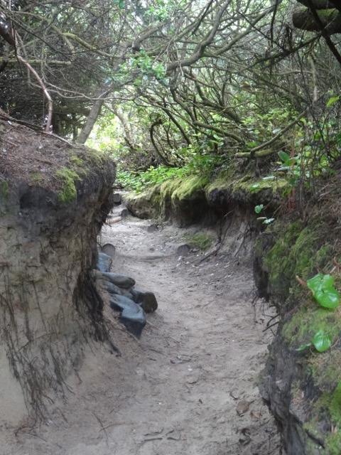
May 26-28, 2018 A family member was camping at Fort Stevens State Park, so we made plans to stay in Astoria for a couple of nights and visit them. On Saturday we took a short walk to Coffenbury Lake from the campground.
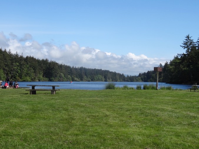
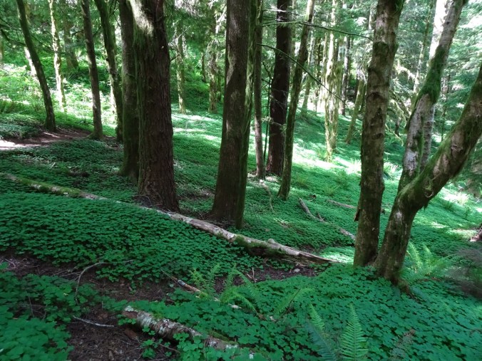
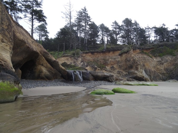
Coffenbury Lake, Fort Stevens State Park
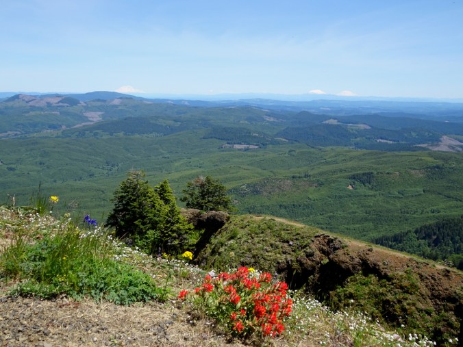
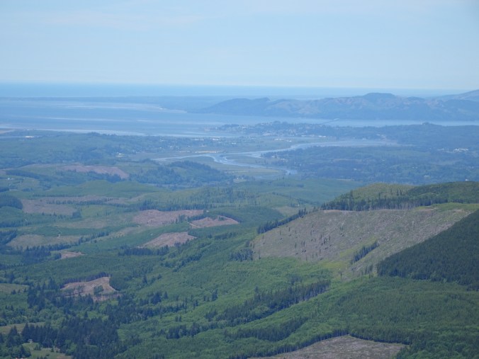
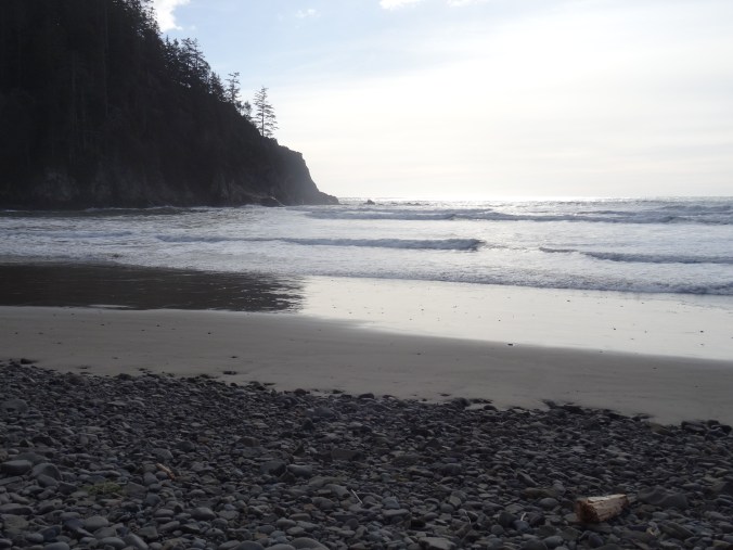
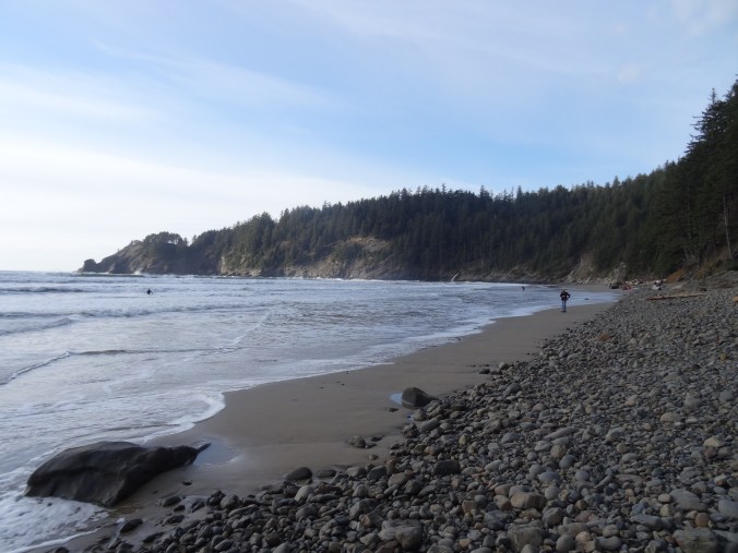
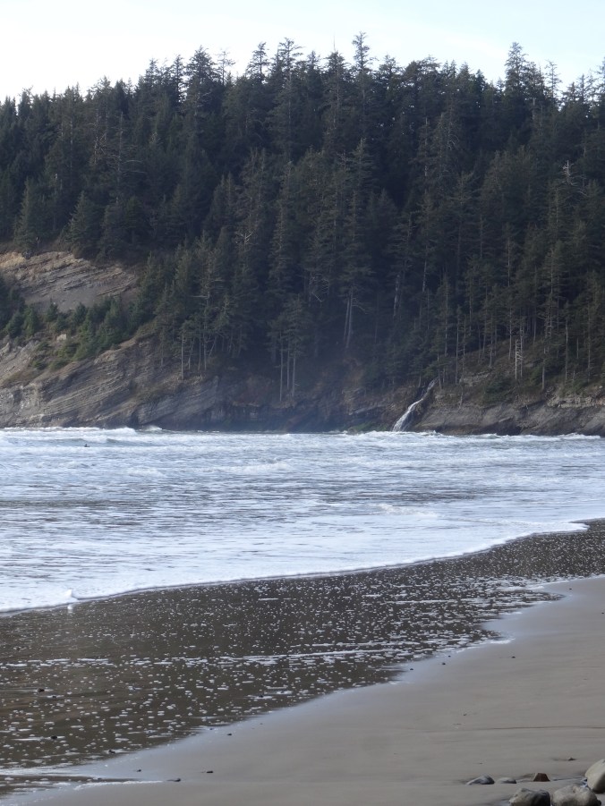
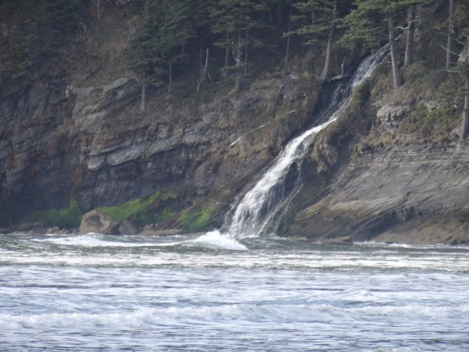
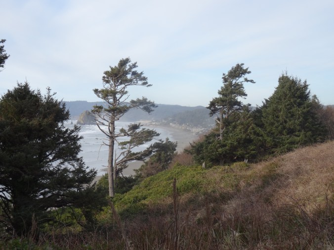
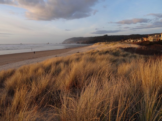
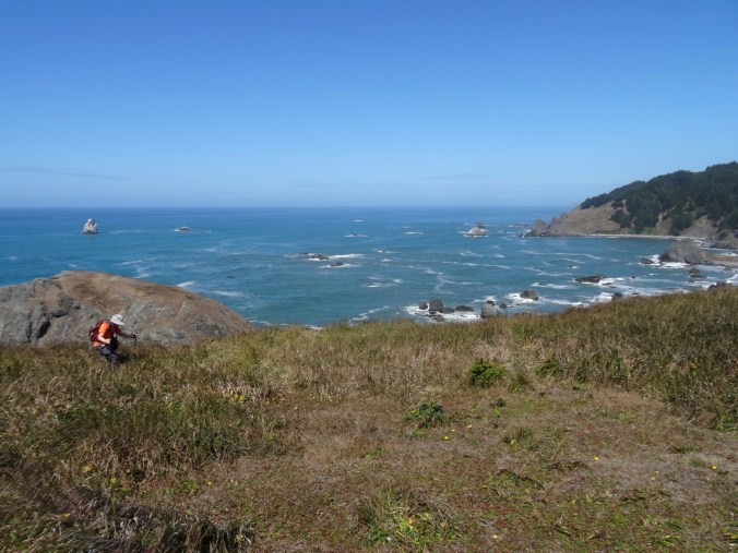
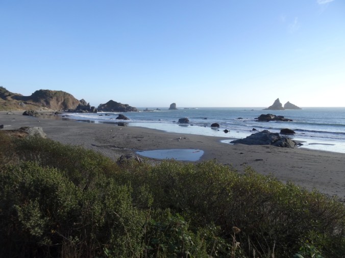
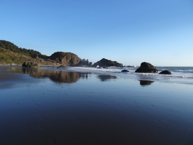
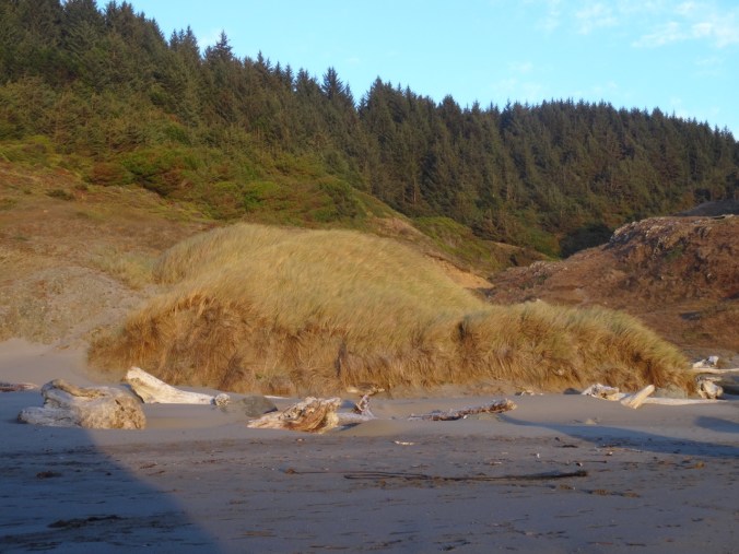
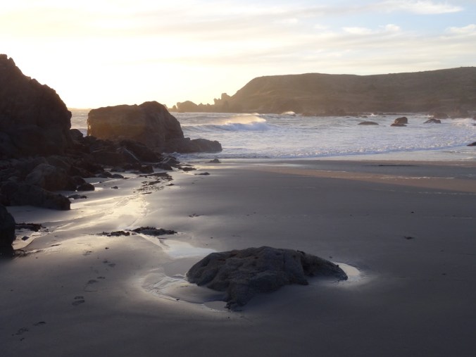
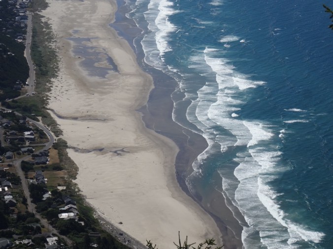
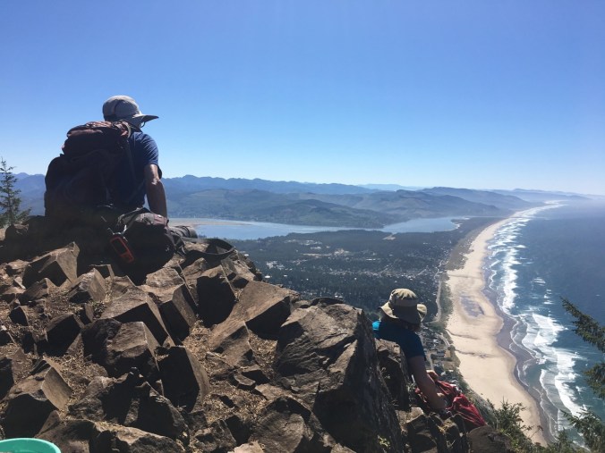
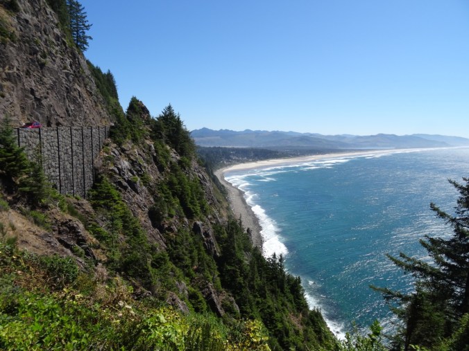
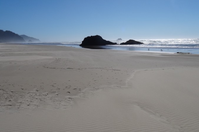
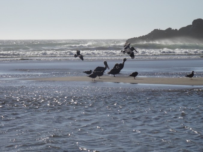
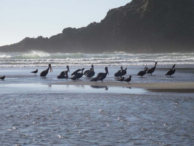
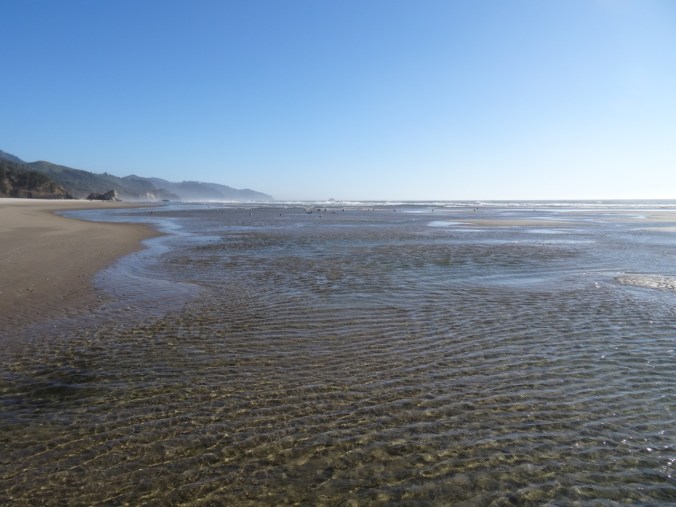
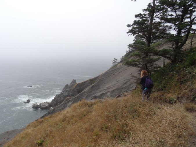
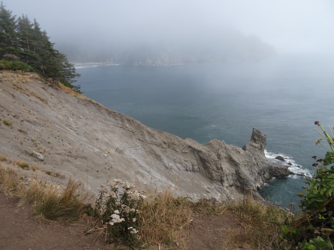
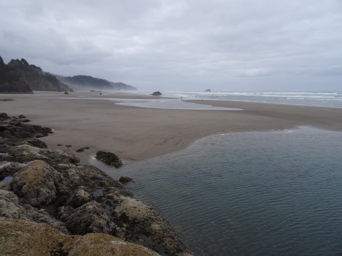
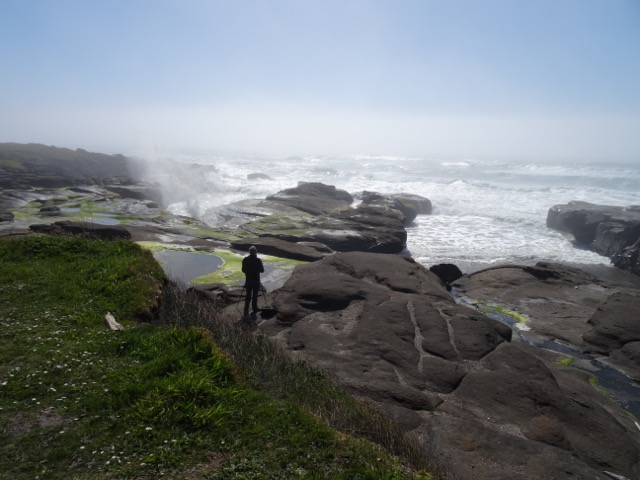
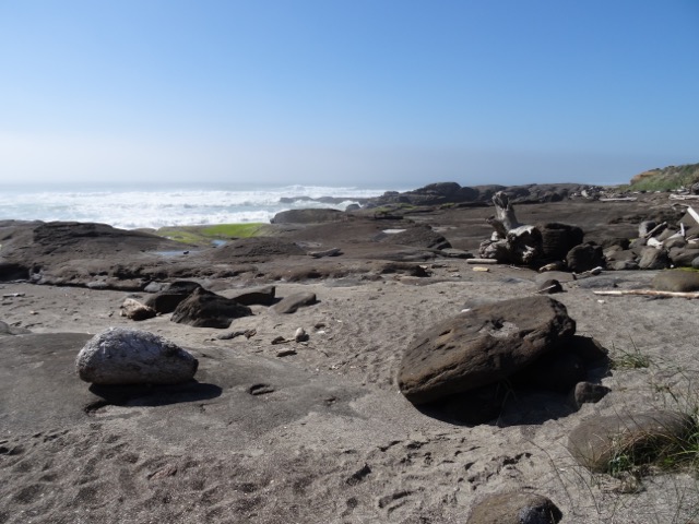
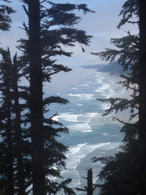
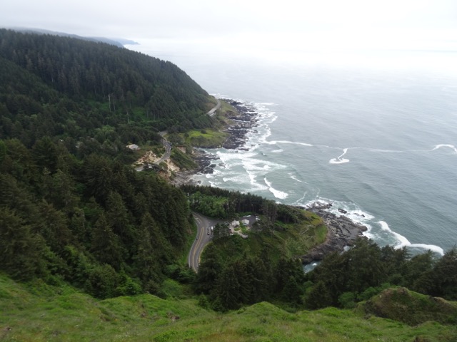
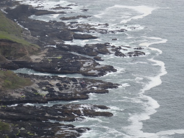
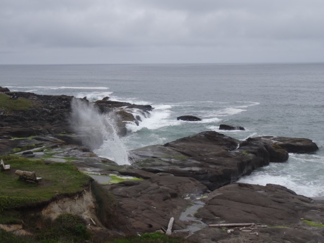
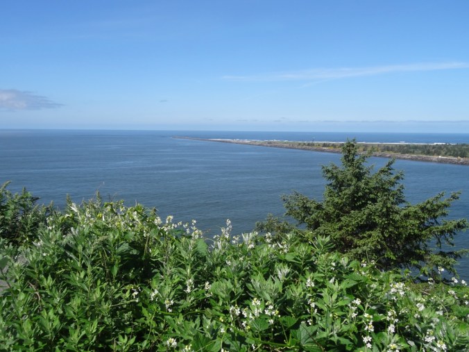
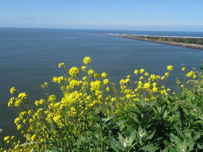
It was a beautiful evening, so we headed north to Clatsop Spit for a picnic on the beach, then visited several viewpoints to admire the clear views in every direction. We looked back toward Astoria, north toward Washington and Cape Disappointment, and west to the jetties that bound the shipping channel over the Columbia Bar.

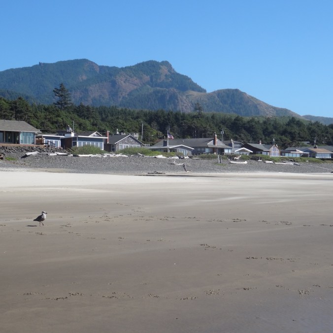
View back to Astoria

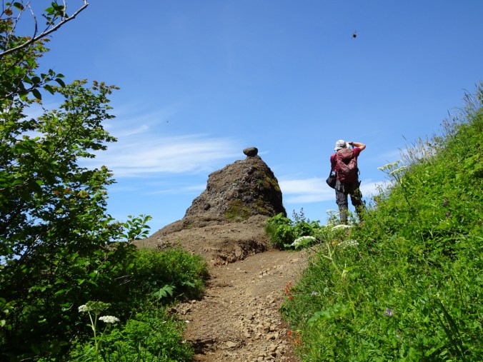
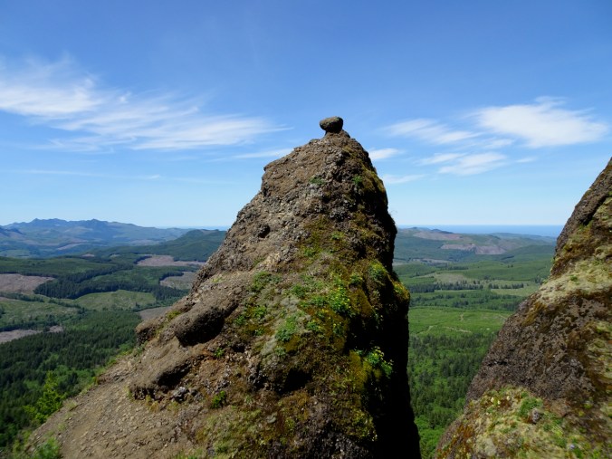
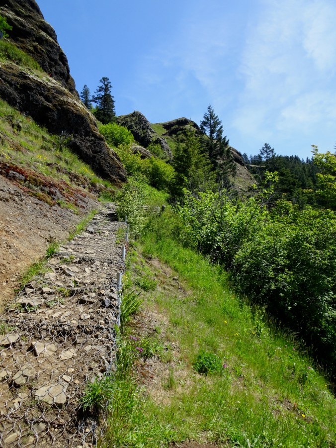
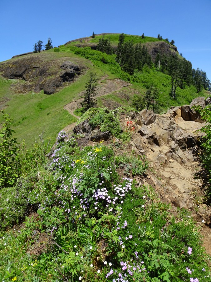
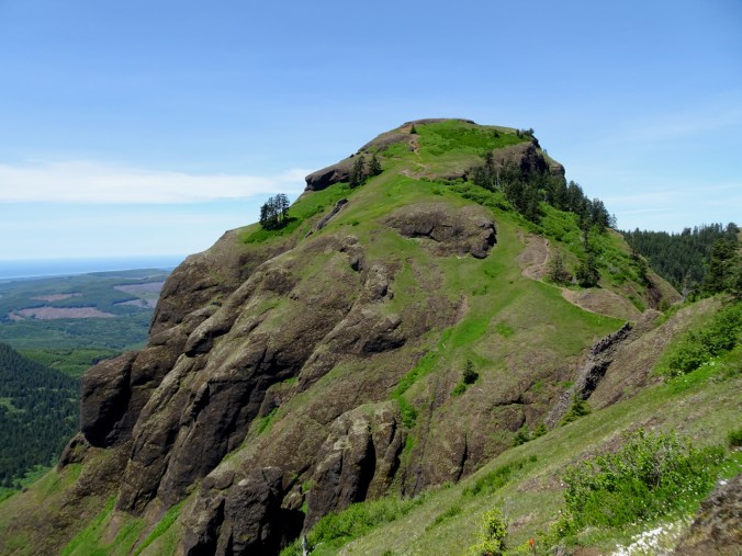
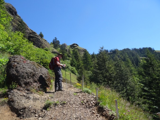
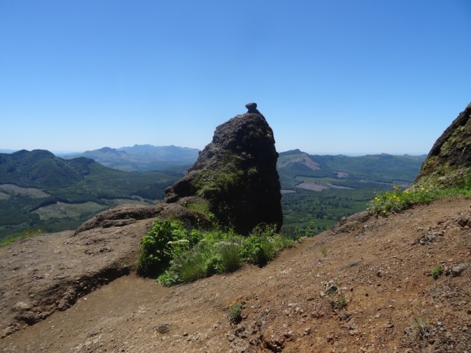
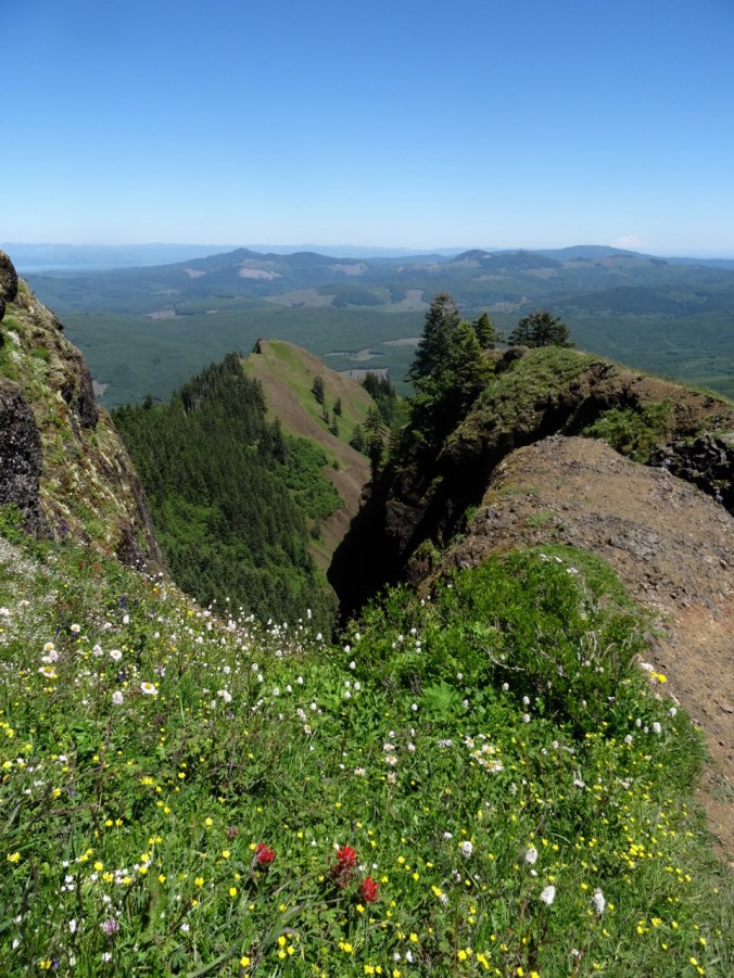
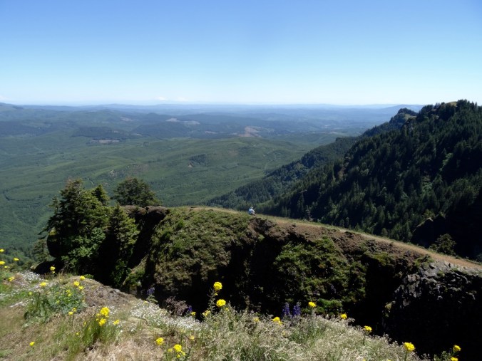
Sadle Mountain

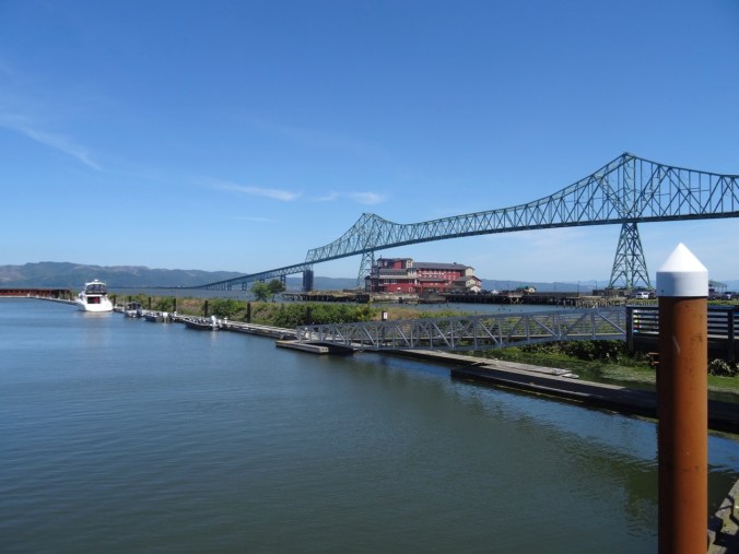
Bridge and column

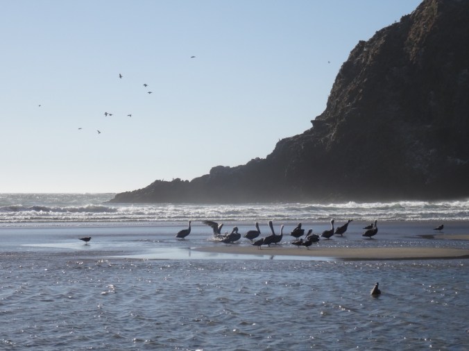
Bird in Scotch broom

Trestle Lake

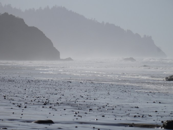
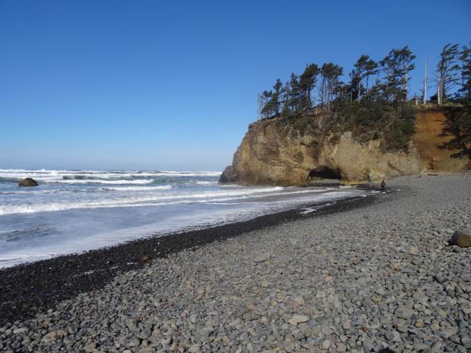
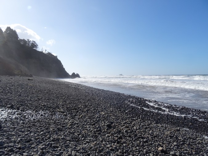
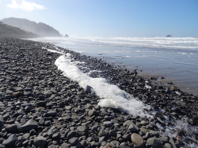
South toward Tillamook head
")
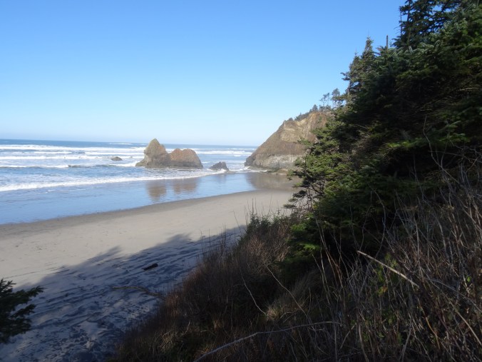
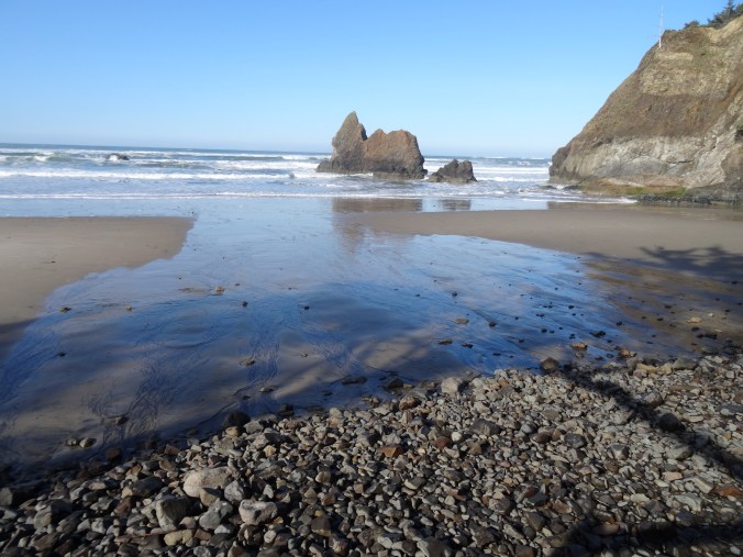
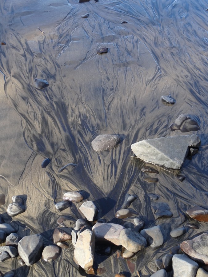
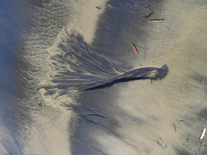
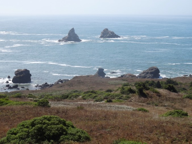
Clatsop Spit

Trestle Lake and Astoria
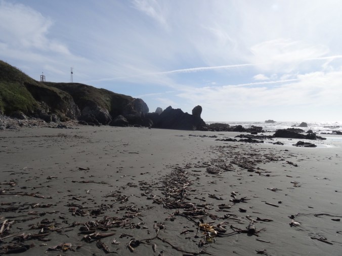
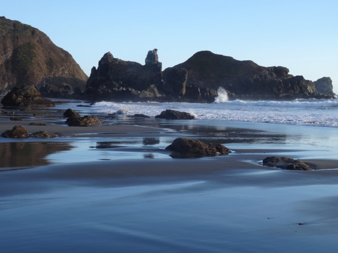
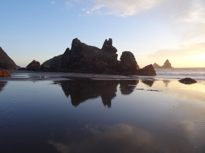
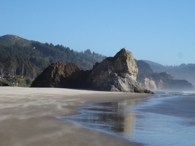
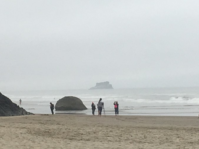
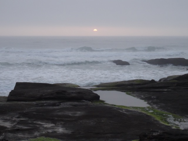
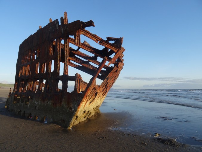
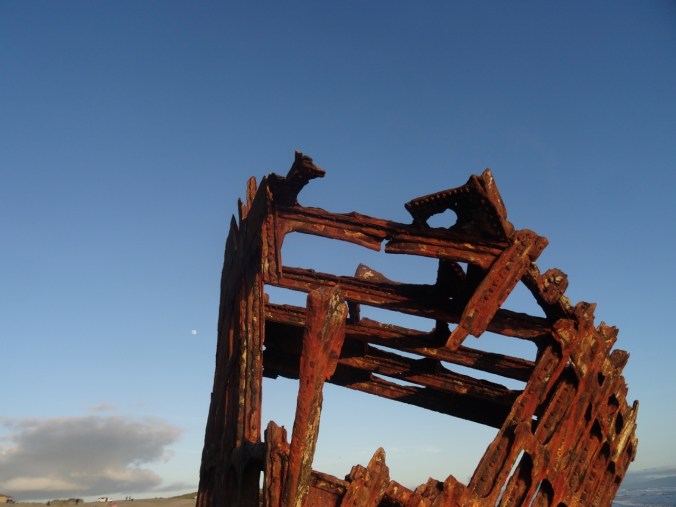
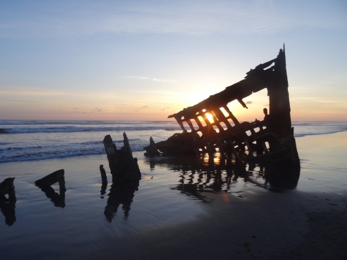
By sunset we made our way to the beach where the Wreck of the Peter Iredale slowly rusts away in the surf. This is an iconic Oregon landmark we had never visited, so I was glad to finally see it profiled against a colorful sky.


Sunday morning we drove across the Columbia River on the Astoria-Meglar Bridge to Washington.
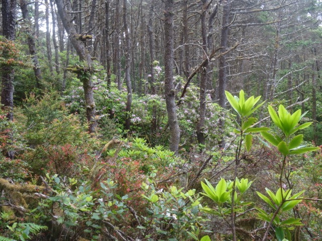
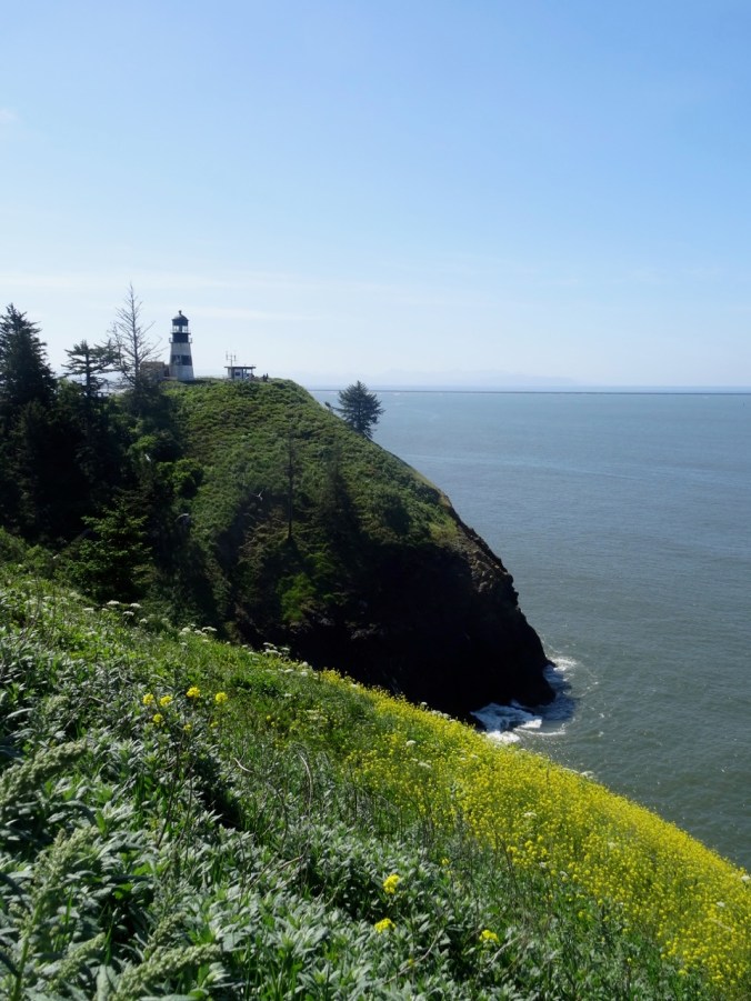
We had once visited Cape Disappointment on a disappointingly foggy day. Today was sunny and clear. We took the short hike to the lighthouse and the Lewis and Clark Visitor Center.

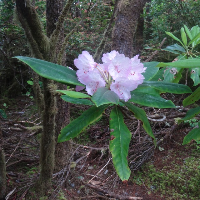
Rhododendron

Cow parsley

Dead Man’s Cove

Dead Man’s Cove

Cape Disappointment Lighthouse

Lewis & Clark Visitor Center
North Jetty
Lewis and Clark made it to this point, but did not recognize the mouth of the river because of the wide expanse of the estuary. We had beautiful views today, and interesting exhibits, including a decommissioned fresnel lighthouse lens – always so fascinating to look at.

Wallflowers and north jetty
Looking back toward the lighthouse
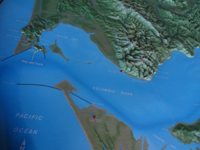
Map view of the mouth of the Columbia River
Later in the day we returned to Astoria and bought some fresh spring Chinook salmon to BBQ at the campground with our family members.
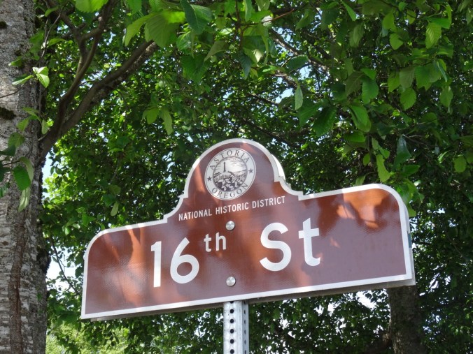
Monday we took a stroll along the waterfront in Astoria.
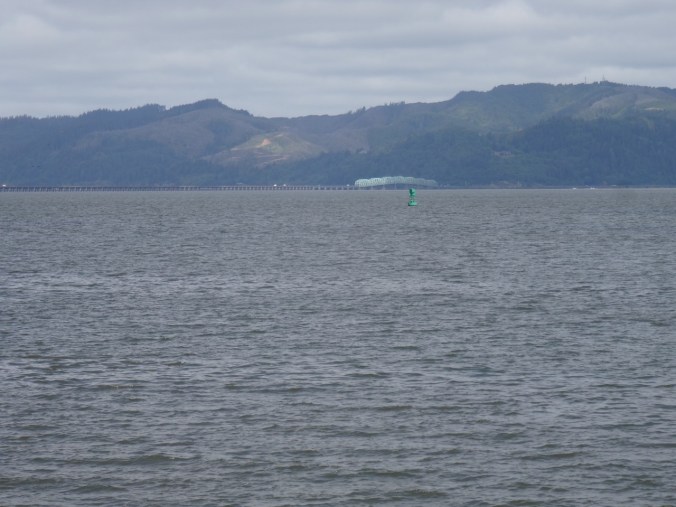
View to Washington


Cormorant on old pilings

Old pilot car
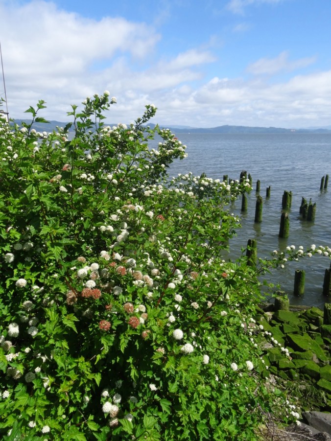
Pacific nine bark

Waiting for salmon to bite

Looking back up hill to the Astoria Column
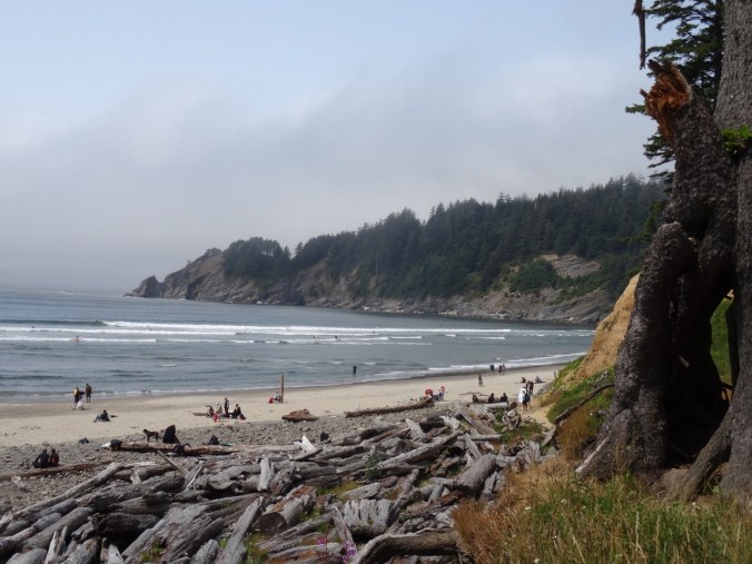
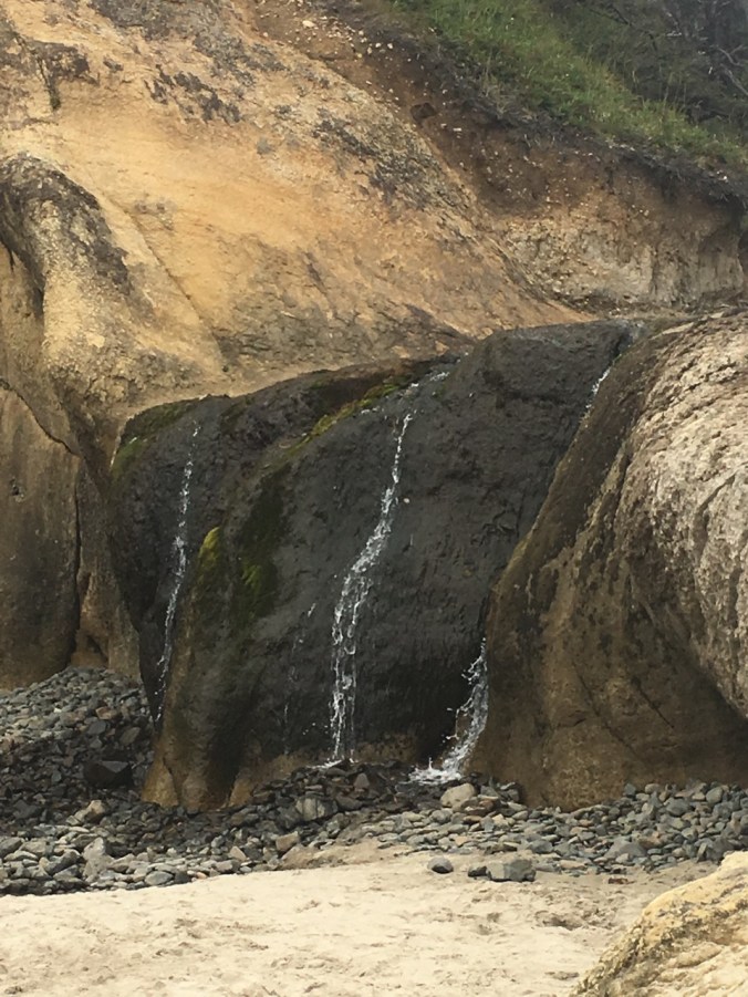
We stopped to eat our lunch at Youngs River Falls before returning home. A pleasant weekend getaway.
England Trip Report Part 2
Day 2: London, Museums in the rain April 27, 2018
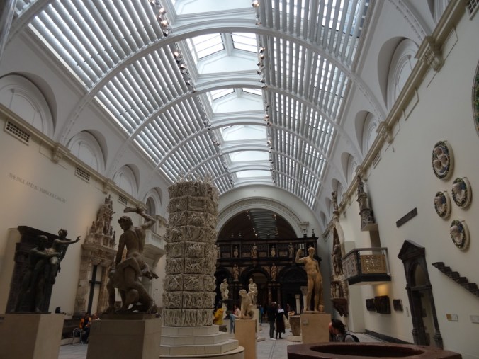
A rainy day. It was only two tube stops to the Victoria & Albert Museum in South Kensington. We didn’t even have to leave the underground – a long tunnel leads to the museum entrance. When we visited in 2011, the textile exhibit had been undergoing renovation, and I was hoping to see it this visit. But it turns out that there is no longer a textile wing. Textiles are scattered throughout the museum in various exhibits. Some highlights of our viewing:
From the Europe 1600-1815 Gallery:
And two drawing room spinning wheels:
The museum entrance has a domed ceiling with a fabulous Chihuly Glass Sculpture:
Medieval/Renaissance Sculpture Gallery
There is a Fashion Through Time exhibit:
Upstairs galleries are devoted to Ironwork, Glass, Ceramics and other decorative arts:


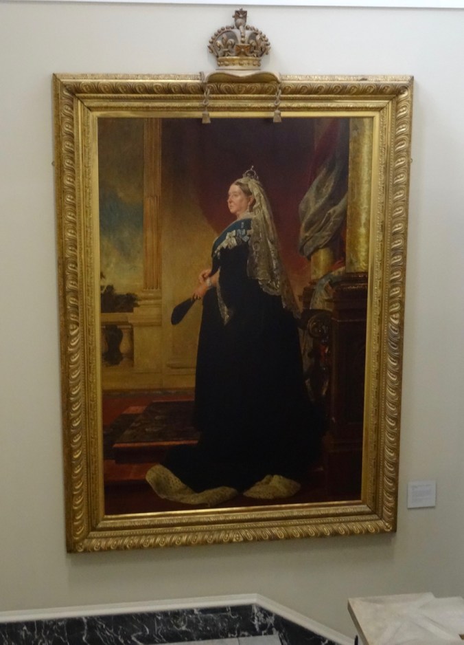
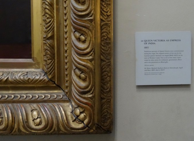
And Queen Victoria oversees all:
We grabbed a sandwich in the museum cafe. It was still rainy outside, so we went next door to the Natural History Museum.

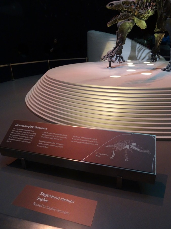
This is a huge complex – one could never see it all, but we took in some dinosaurs:

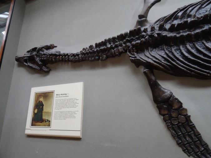
We would see more of Mary Anning’s work later when we visited Lyme Regis.
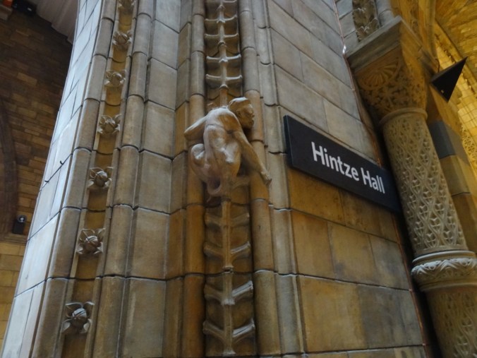
Architectural details throughout the museum inspired by Natural History:
The enormous Hintze Hall:

and the Dodos.
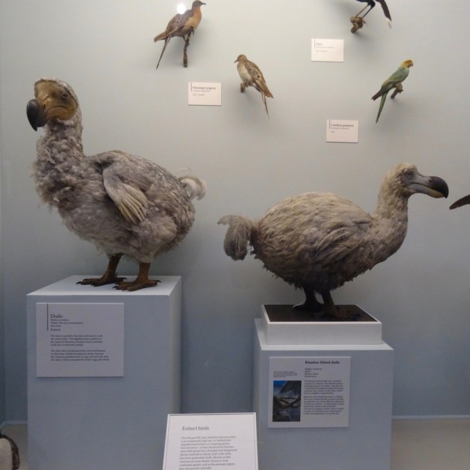
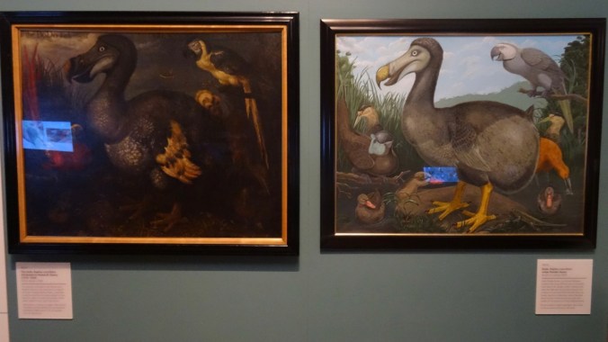
There were tons of people and it was a bit overwhelming, but I enjoyed seeing the exhibits.
The rain had let up, so we continued walking north, past the Royal Albert Hall, the Albert Memorial,
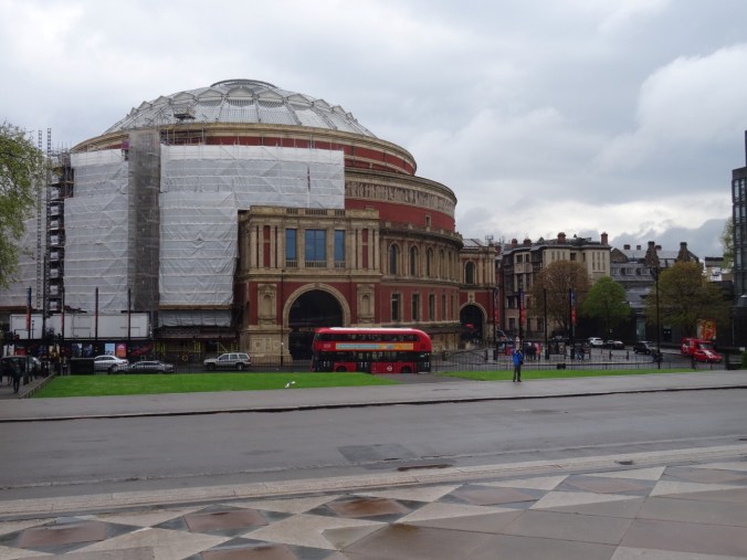
Royal Albert Hall

Albert Memorial

and on to the gardens outside Kensington Palace.
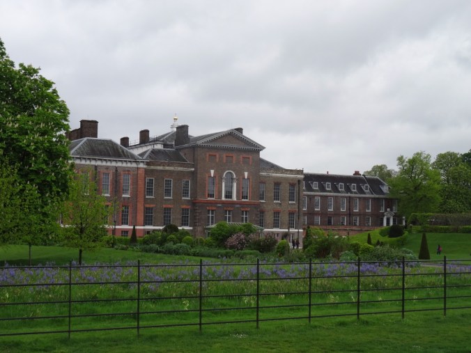
Kensington Palace
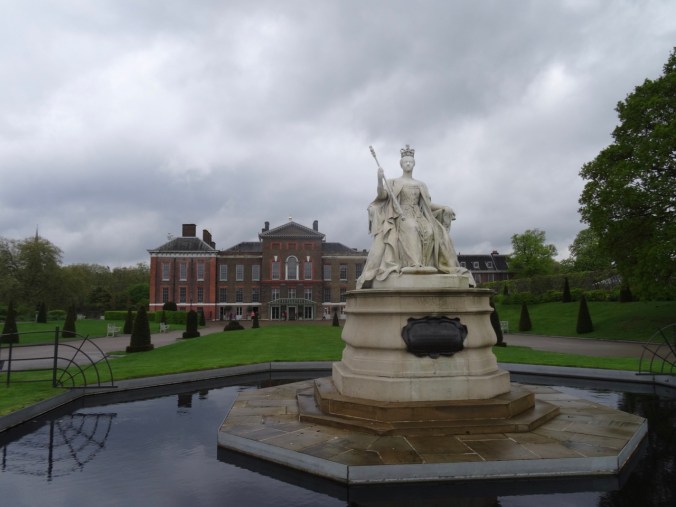
Victoria again
This happened to be the day the name of new baby Prince Louis Arthur Charles was announced, so there was a small press pool camped out in their compound. We continued walking until we found ourselves at the Queensway station. We took the tube back to our lodging, refreshed, then found a nearby Indian restaurant for our dinner.
London, Day 3: Jane Austen’s portrait and more walking April 28, 2018
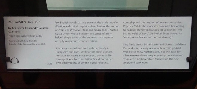
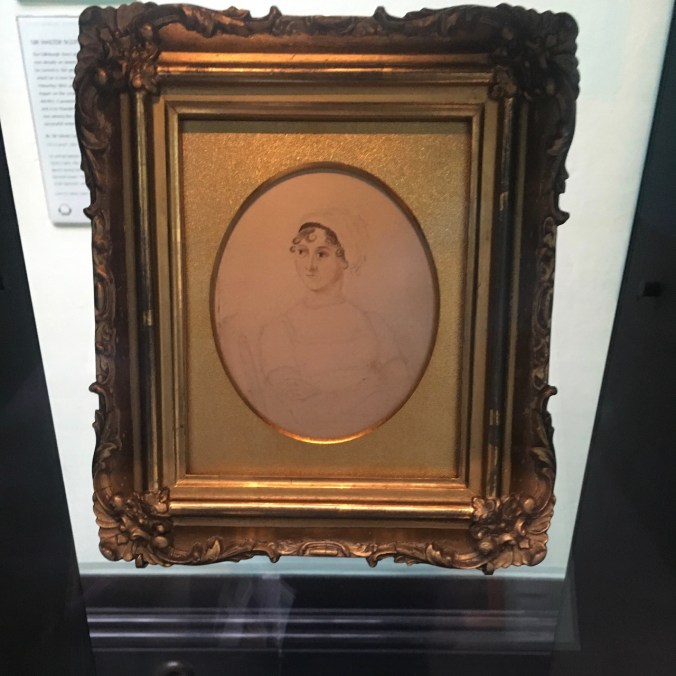
One of my goals for this trip was to see the Jane Austen portrait at the National Portrait Gallery in Trafalgar Square. Off we went on the tube to Leicester Square, followed by a short walk to the museum. We found the portrait exhibited in a specially lighted cabinet. It is the only existing picture of Jane Austen made during her lifetime – hard to imagine in these selfie days. The portrait is small and the pencil lines are faded. It was drawn by her sister Cassandra in 1810 when Jane was 35 and Cassandra was 37. I appreciated getting to spend several minutes looking at her as she was seen by the person who knew her best in the world.

Jane Austen Portrait in special case
We then took some time to explore the rest of the museum – an excellent walk through the faces of British history. As with any museum, one can’t see everything, but these portraits caught my eye:
Three views of Queen Elizabeth I:

Queen Elizabeth I

Queen Elizabeth I

Queen Elizabeth I
The only American in the museum:

George Washington
Some of my favorite authors:

the Bronte Sisters

Emily Bronte

George Eliot

Virginia Woolf

Charles Dickens

Robert Louis Stevenson

Rupert Brooke
Recent royalty:
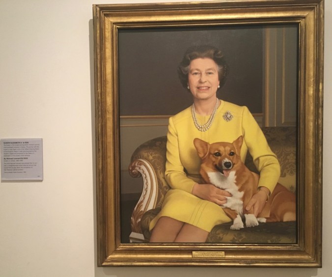
Queen Elizabeth II
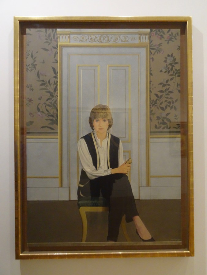
Princess Diana
After stopping for lunch in the National Gallery Cafe,
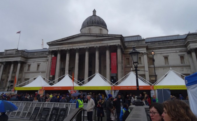
National Gallery
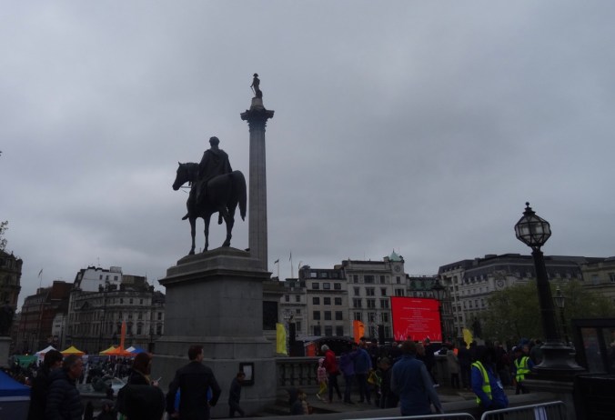
Trafalgar Square
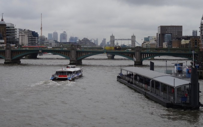
we decided to walk across the Thames again on the Hungerford Bridge,
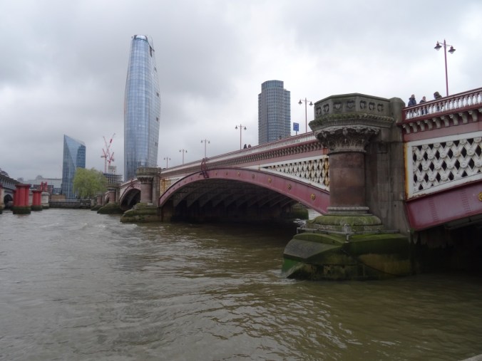
then walk east along the south bank as far as the Millenium Bridge. It was a busy Saturday – a bit overwhelming how many people there are in London at any one moment. Every language and ethnicity, especially in the tourist areas.
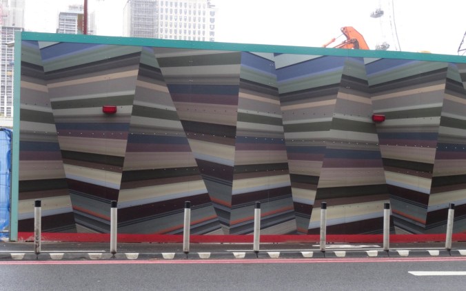
Mural hiding a construction site on the river
We crossed back to the north on the Millenium Bridge,
Tower Bridge
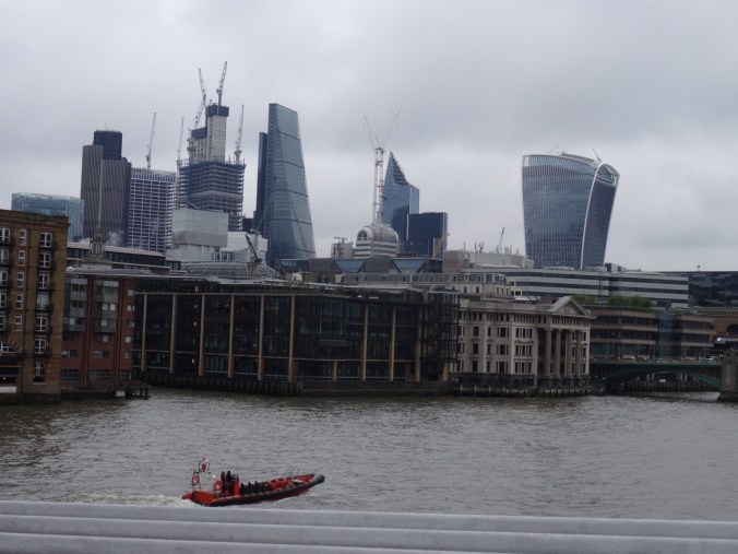
Non-orthagonal buildings on the skyline
the Shard
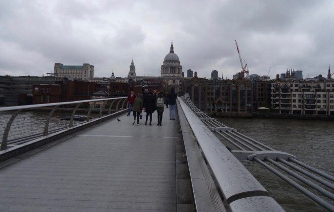
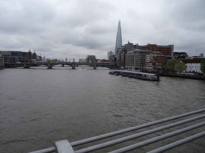
St Pauls ahead
but then felt too tired to attempt St Paul’s,

St Paul’s Cathedral
which we had visited in 2011, so we wandered back toward Blackfriars, and took the tube back to Victoria from there.

Looking back under the Millenium Bridge: Shakespeare’s Globe and the Tate Modern Museum
We found an Italian restaurant nearby – most of the patrons were getting ready to see Wicked or Hamilton playing at the two nearby theaters.

Victoria Palace Theater – we saw Billy Elliot here in 2011.
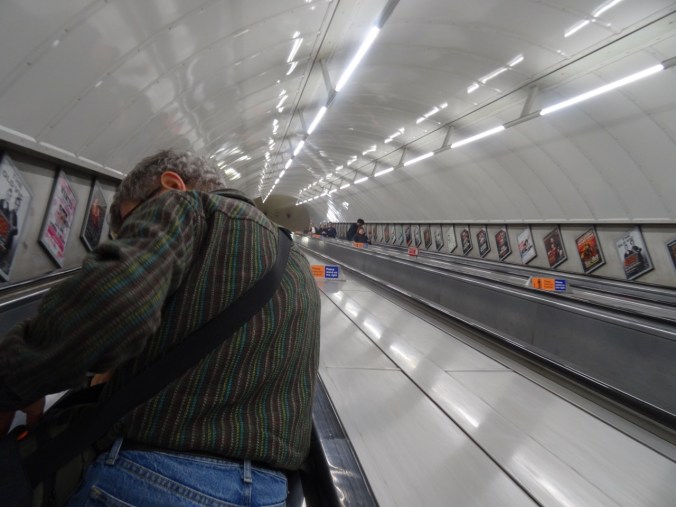
Typical tube scene
We had accomplished our sightseeing goals for London, had somewhat adjusted to the time shift, and were ready for the next phase of our journey – on to Brighton by train, then further exploration of southern England by car and trail.
SaveSave