Vista Ridge, Mt. Hood, Oregon 8/25/2017 (#43)
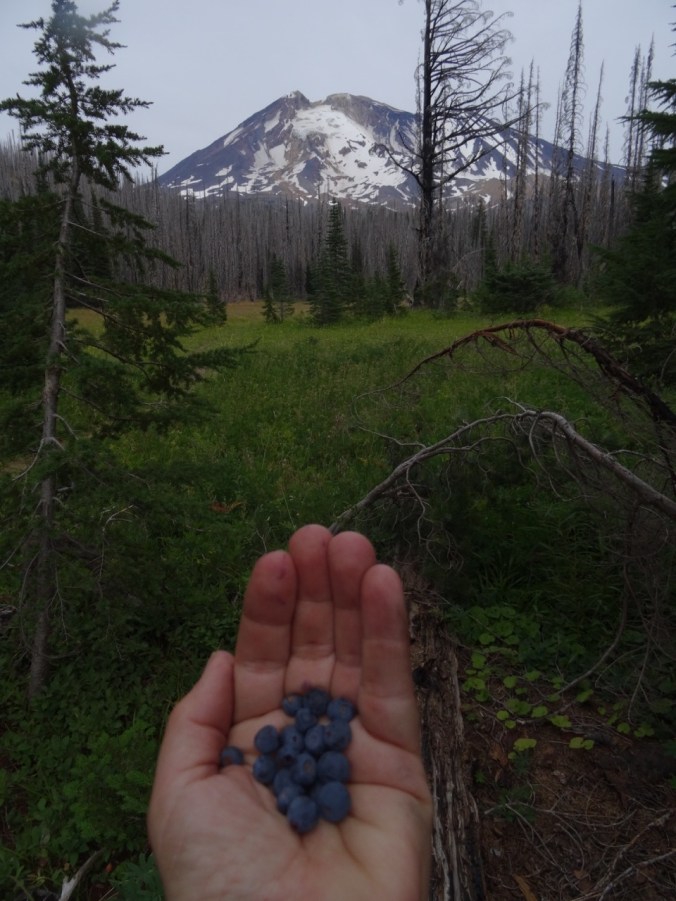
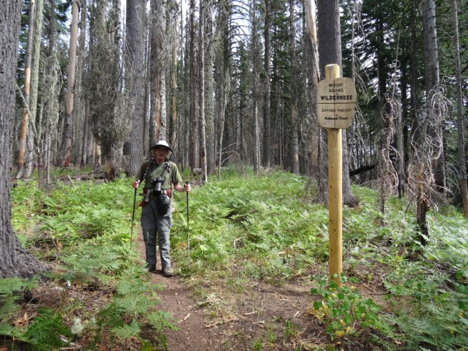
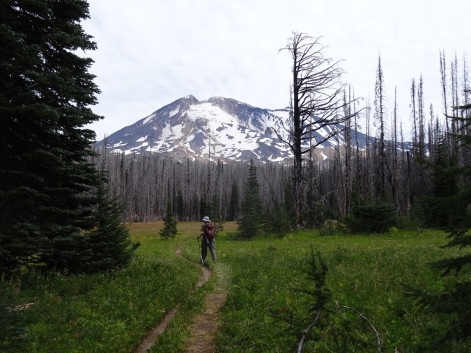
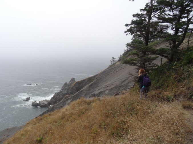
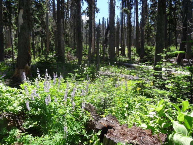
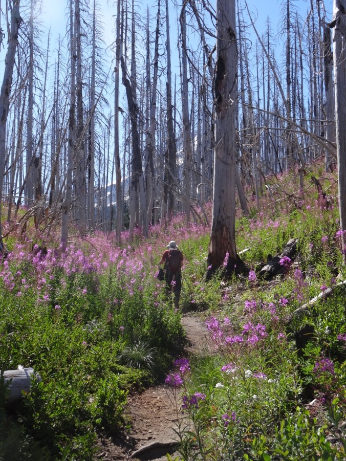
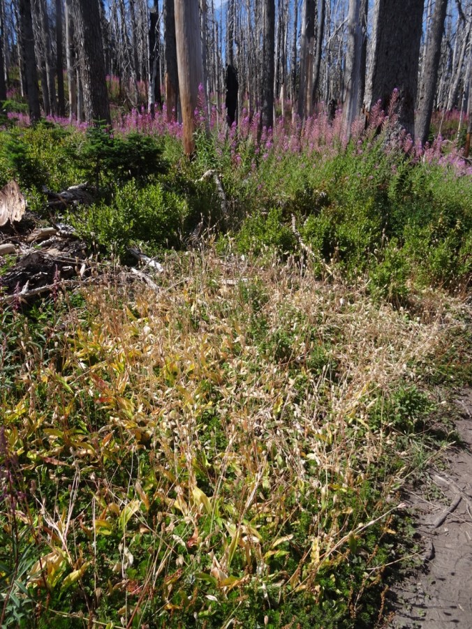
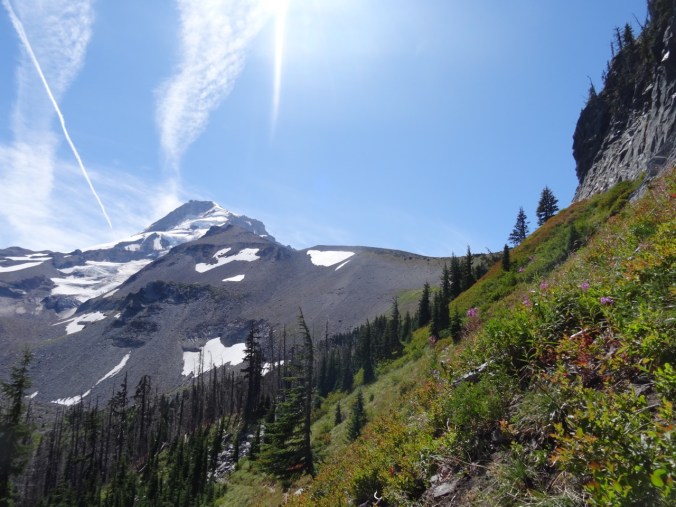
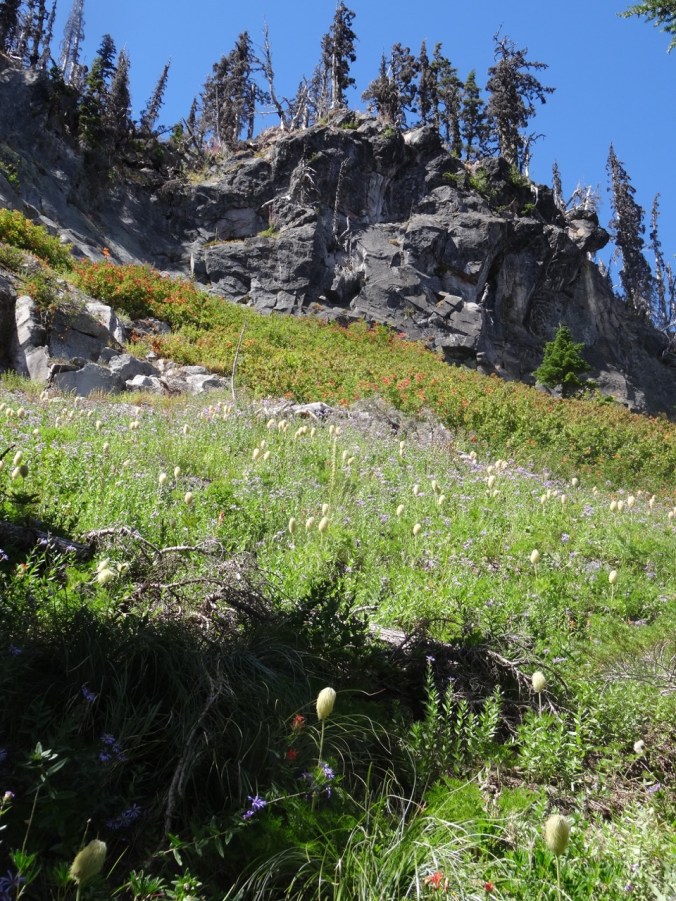
Looking for another trip to subalpine elevations, we walked up the Vista Ridge trail on the north side of Mt. Hood, as we had in late June. This time, instead of millions of avalanche lilies, we were treated to the late summer swath of pink fireweed through the burn zone, with readily picked huckleberries along the way. We could see the dried seedheads of the earlier lilies. Other blooming plants in the burn zone were pearly everlasting and goldenrod, and plenty of Sitka Mountain Ash with ripening clusters of red berries provided additional color.
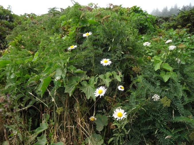
Fireweed and pearly everlasting understory in the burn zone

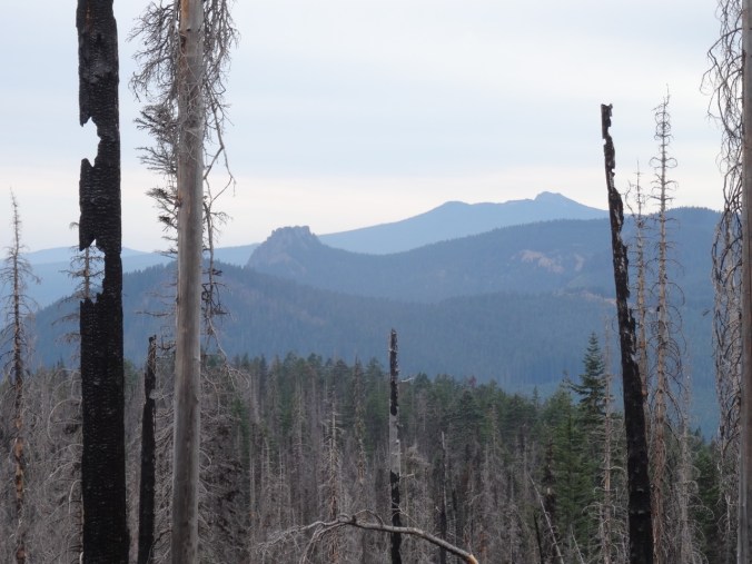
Mt Hood from the switchback viewpoint
Dried avalanche lily seedheads
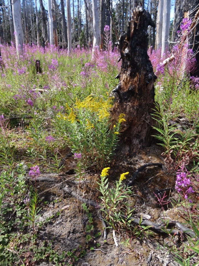
Golden rod and fireweed
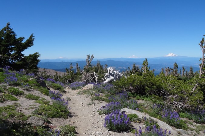
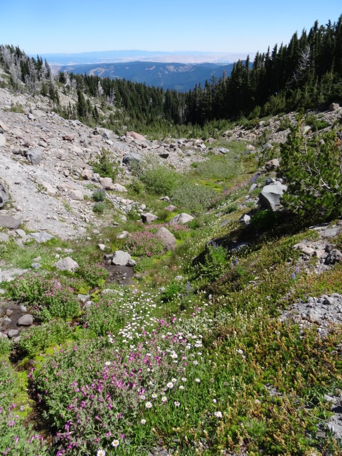
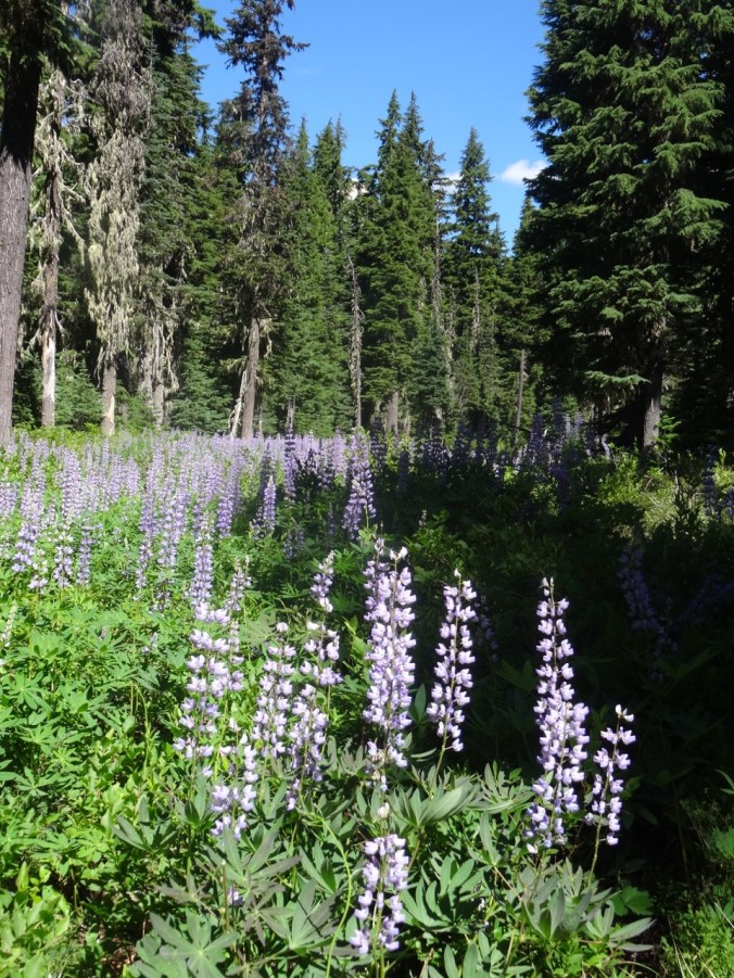
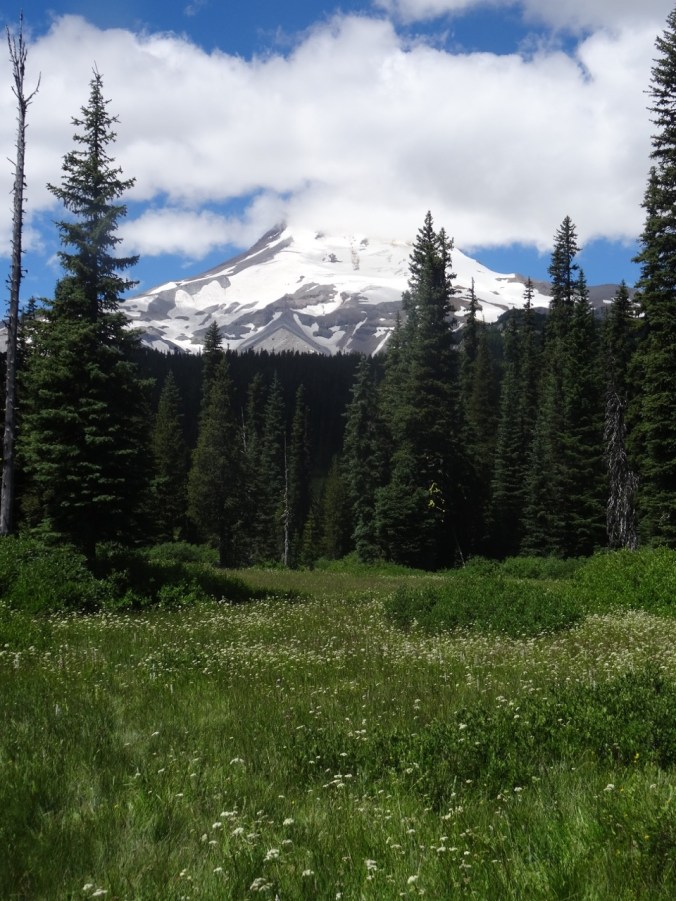
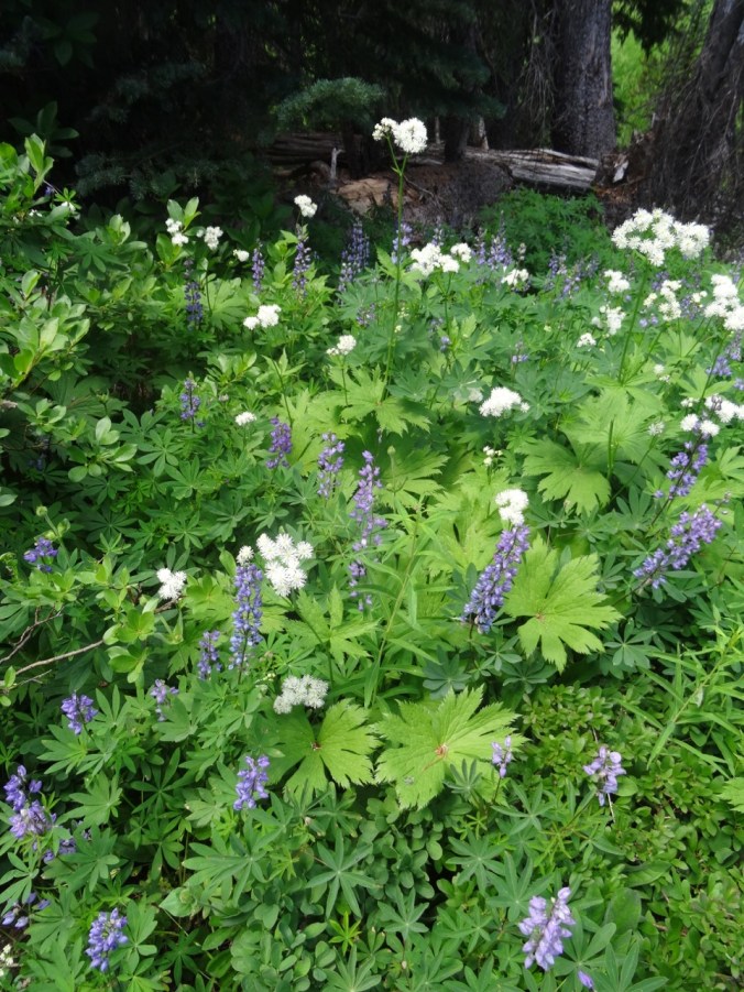
We reached the timberline trail, and rested in a shaded pocket at the edge of Wy’East basin, as lovely an alpine meadow as one could hope for – though the flowers are fading in the open areas. We continued walking east toward Elk Cove, hopping over the small strands of Clear Branch Creek that trickle down through Wy’east basin. Pink monkey flower, yellow groundsel, purple aster and lupine, and magenta paintbrush were the main riparian blooms.


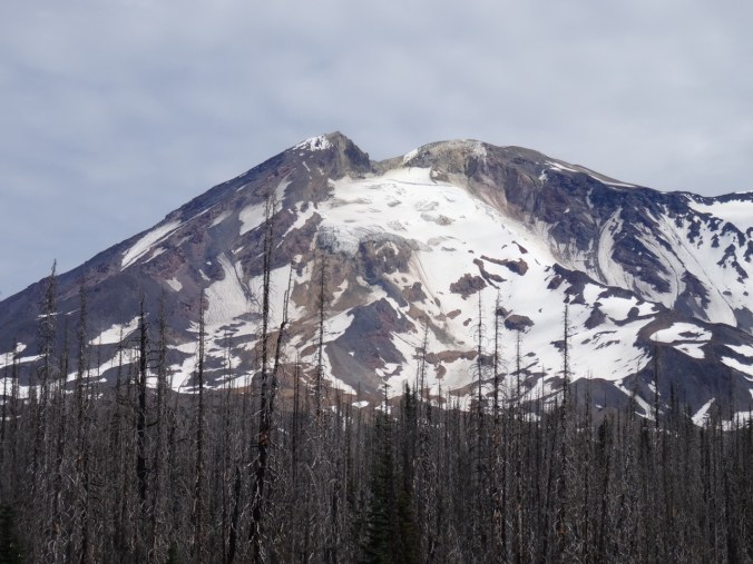
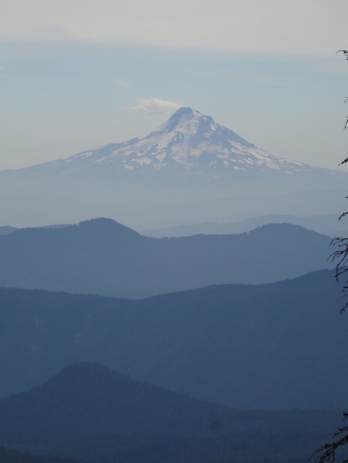
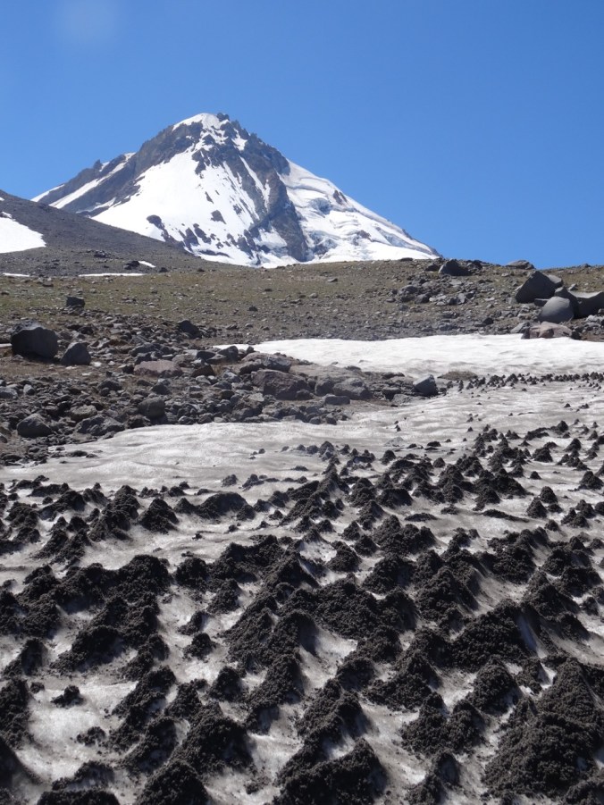
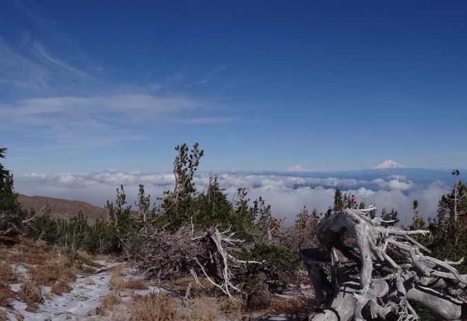
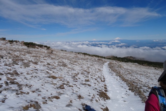
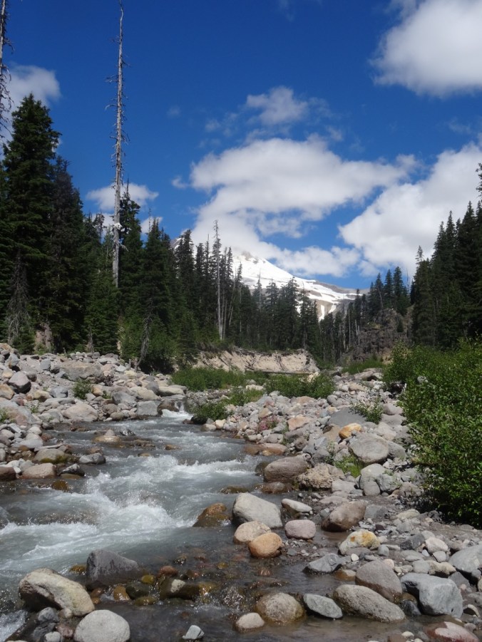
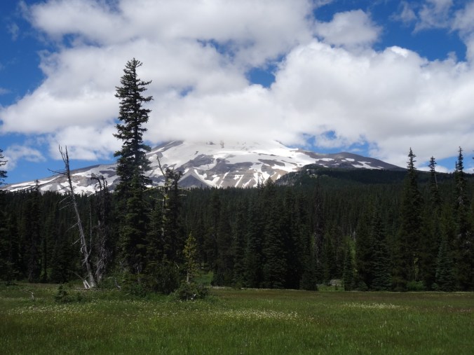
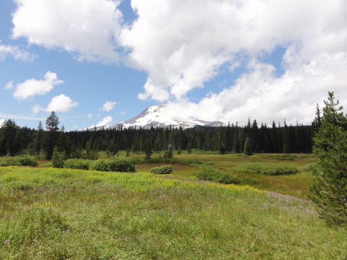
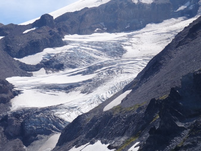
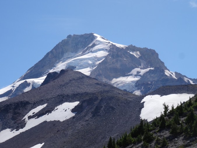
We admired the view of the three Washington peaks from various angles, and turned the corner toward Elk Cove, with the rocky cliff of Barrett Spur to our right, and the looming peak of Mt Hood and its glistening Coe Glacier to the south.
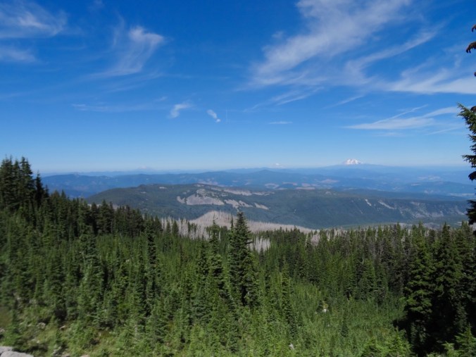
Mts St Helens, Rainier and Adams

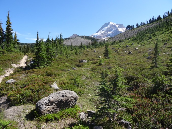
Turning the corner of Barrett Spur toward Elk Cove, with Mt Hood looming above

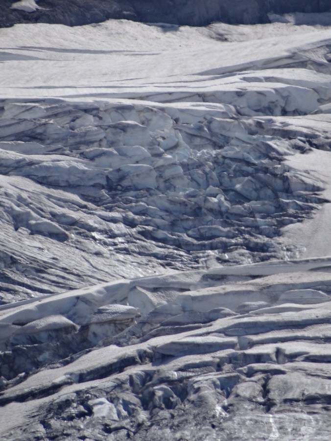
Close ups of the Coe Glacier


We continued about half way down to Elk Cove, far enough to see the hanging meadow of pasque flowers, and the long drawn out ridge of Barrett Spur. That was our turn around point for the day.
Mt Hood and Barrett Spur
Pasque flower seed heads
Heading back toward Wy’East basin, we located the trail that leads up to Dollar Lake. It is really more of a puddle.
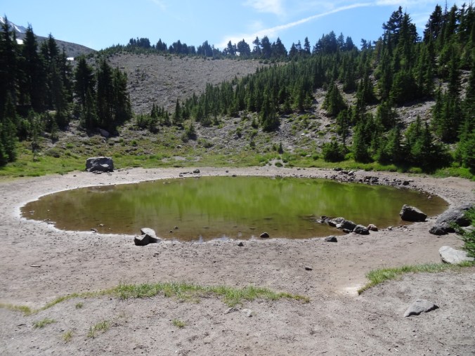
Dollar Lake
Barret Spur and Mt Hood from the ridge above Dollar Lake
Back on the Timberline Trail, we meandered up the side trail to the upper part of WyEast basin to take in the slightly wider view of the horizon to the north.


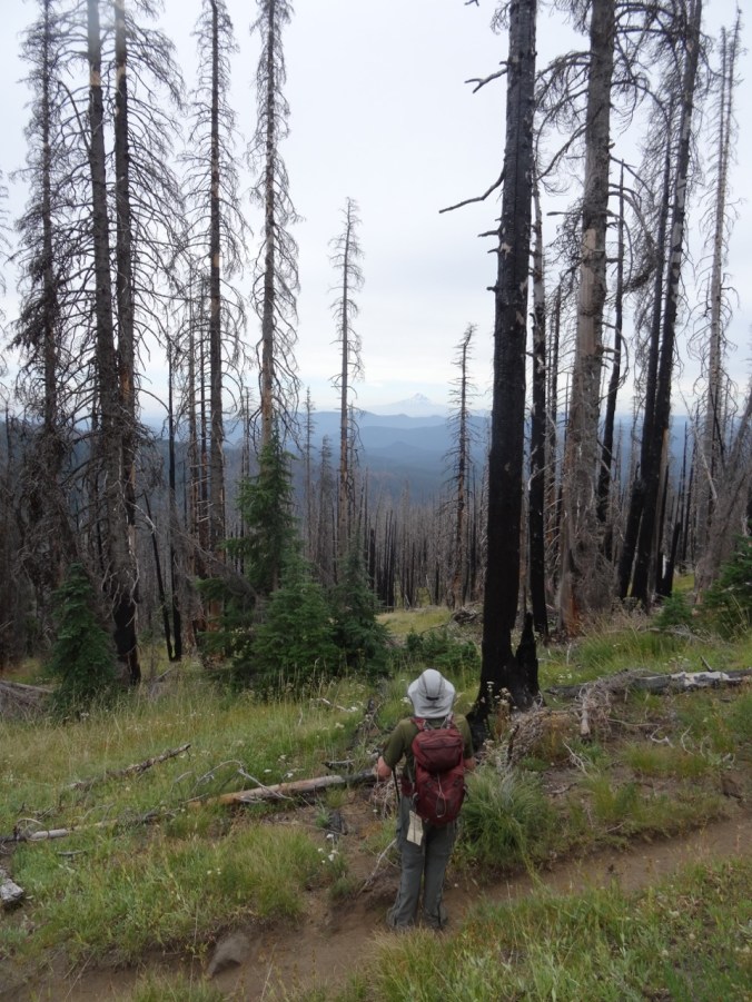
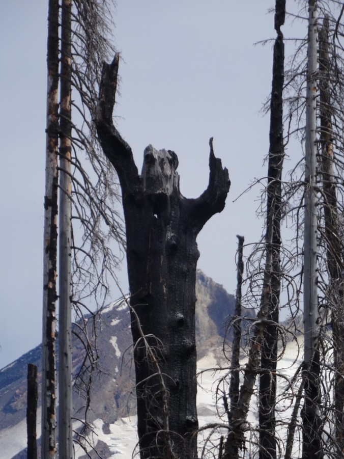
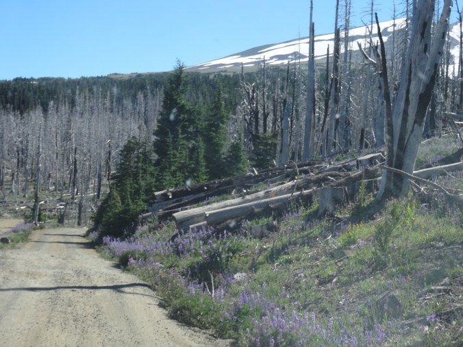
From there, we retraced our steps back down the Vista Ridge trail, admiring the intense coral/red violet color of the fireweed, and greeting my favorite ghost trees on the way down.


Our total for the day was 9 miles/ 1500 feet.
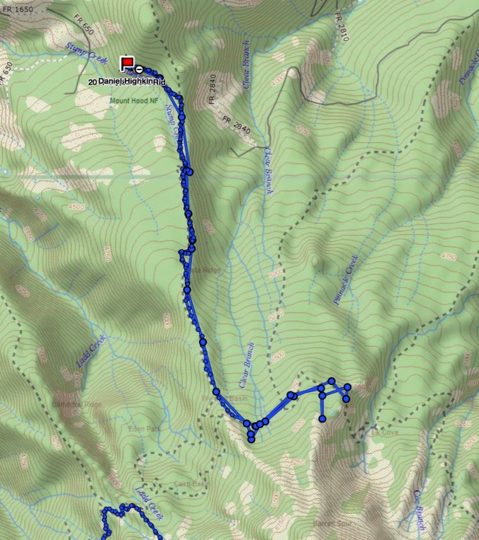
GPS track
LOOKBACK:
I perused my photos from our previous hikes up Vista Ridge. Our trip in August of 2014 had more blooming flowers in the upper meadows.

August 5, 2014
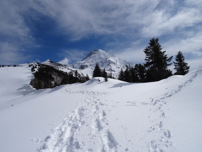
March 29, 2015
August 25, 2017
The photo from August of 2013, taken only two years after the 2011 Dollar Creek Fire, shows a mostly blackened environment. The contrast with the with the avalanche lily / fireweed lined trail of this year is striking, and shows how fast the vegetation is restarting. I didn’t get a picture of the abundant low huckleberry bushes along some parts of the trail – I was too busy eating the ripe berries.


Knitting and other home front activity: