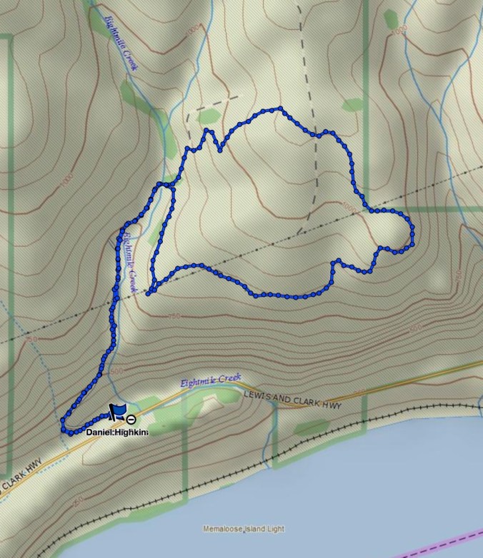
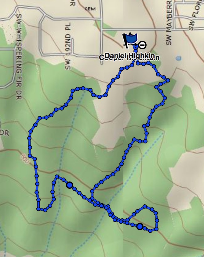
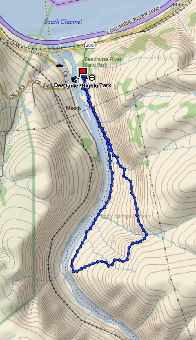
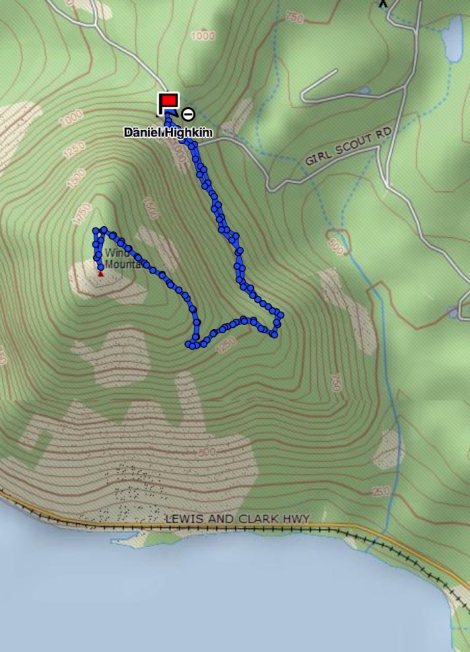
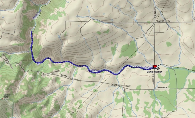
Bitterroot Trail- Rowland Wall Loop 4/20/18 (hike#16)
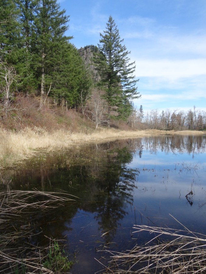
The Bitterroot Trail branches off north of the vernal pools/fairyland swales that are just above the main parking area.

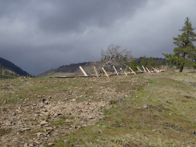
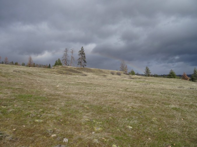
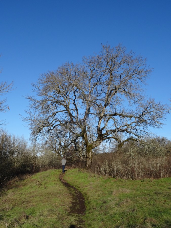
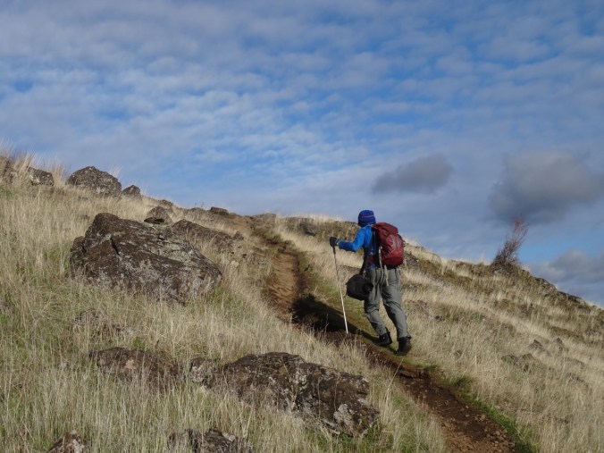
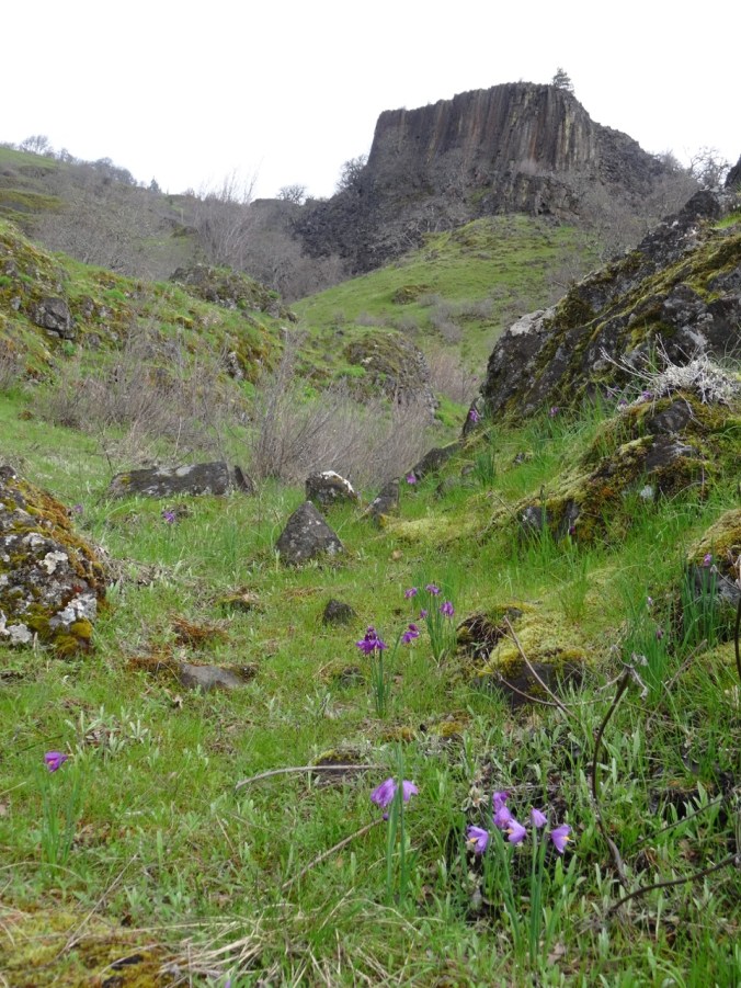
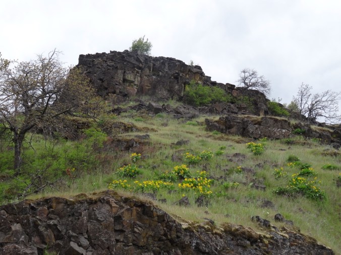
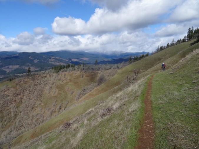
View up Sunflower Hill, where we are going.

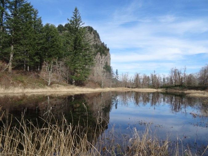
Fairy ponds with camus
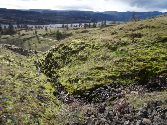
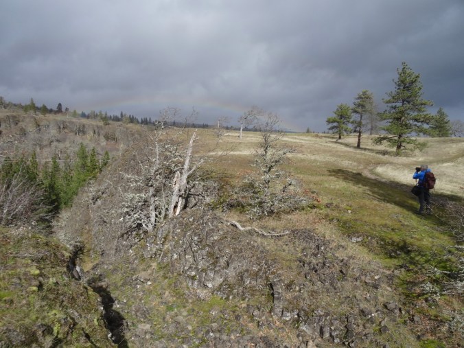
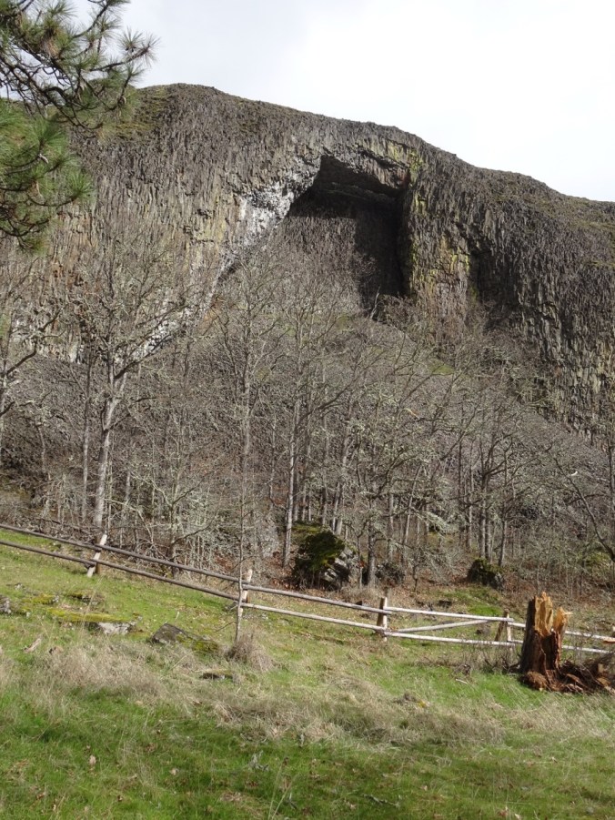
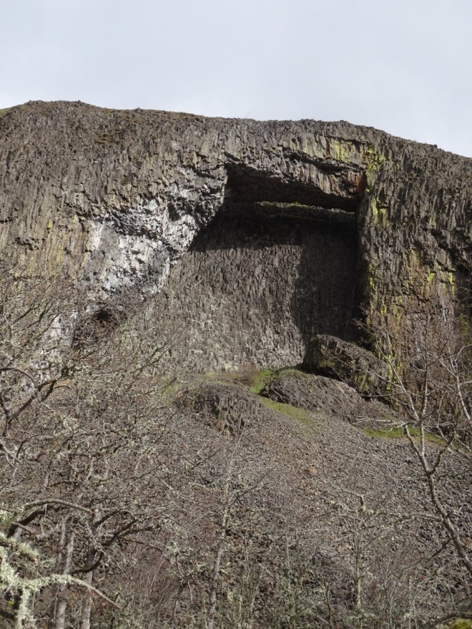
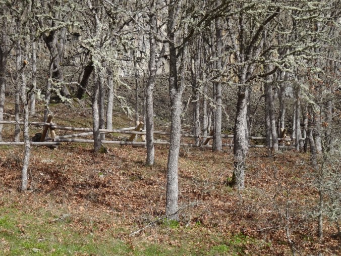
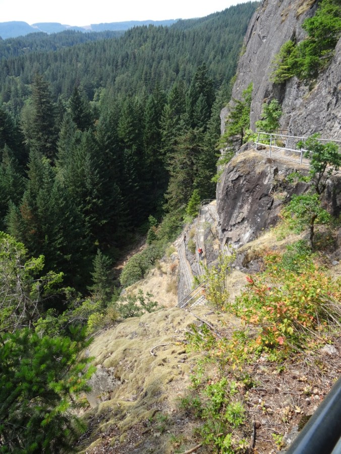
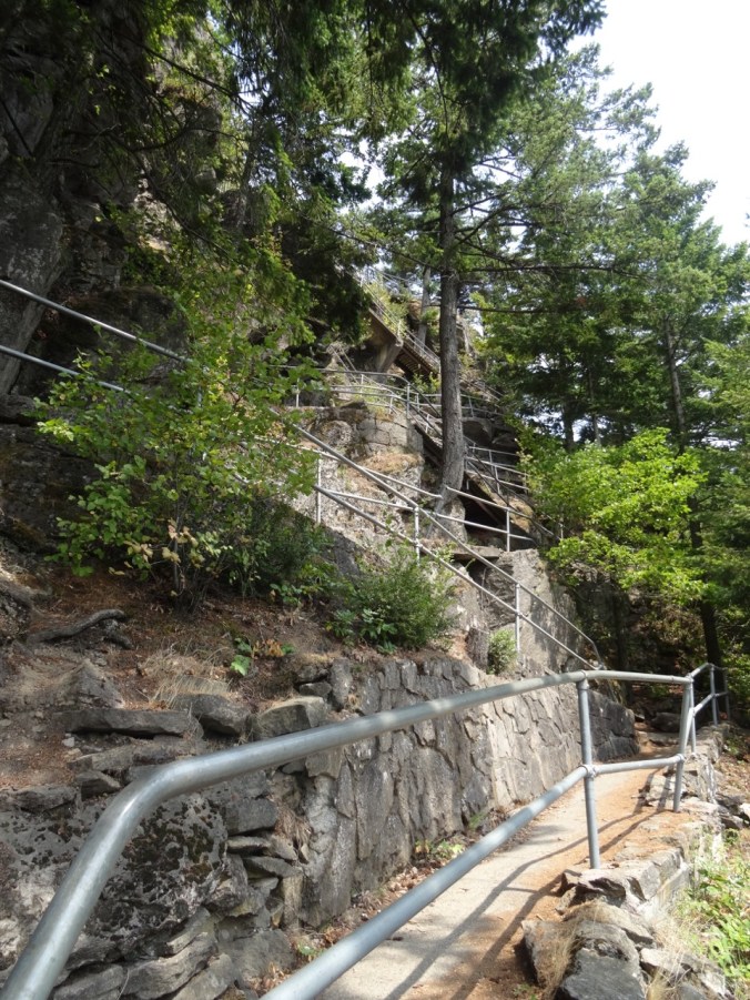
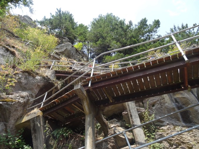
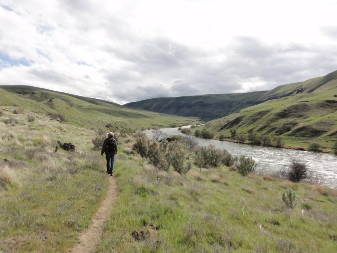
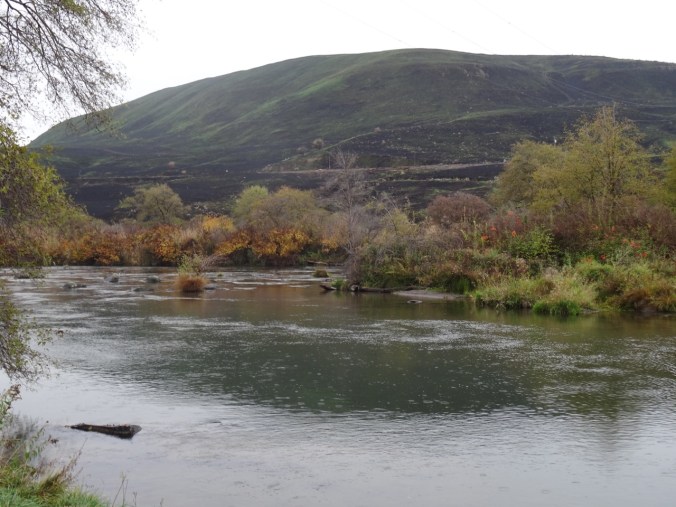
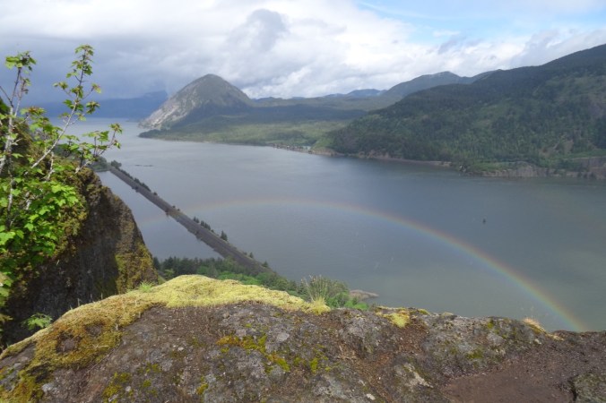
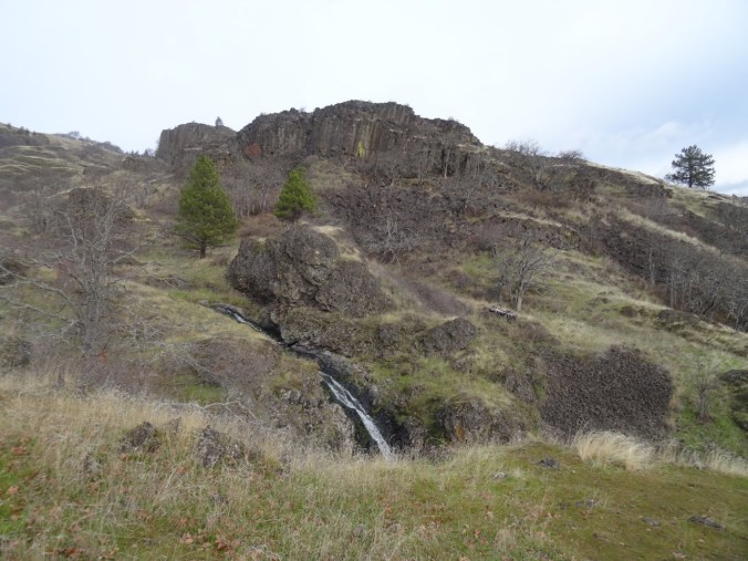
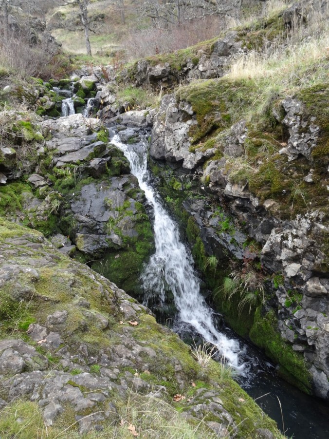
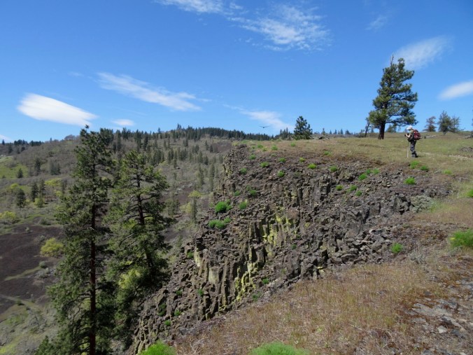
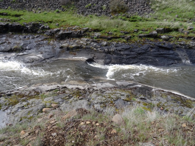
The trail follows the steep western edge of Catherine Creek, and we get great views of the arch as we continue north.

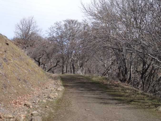
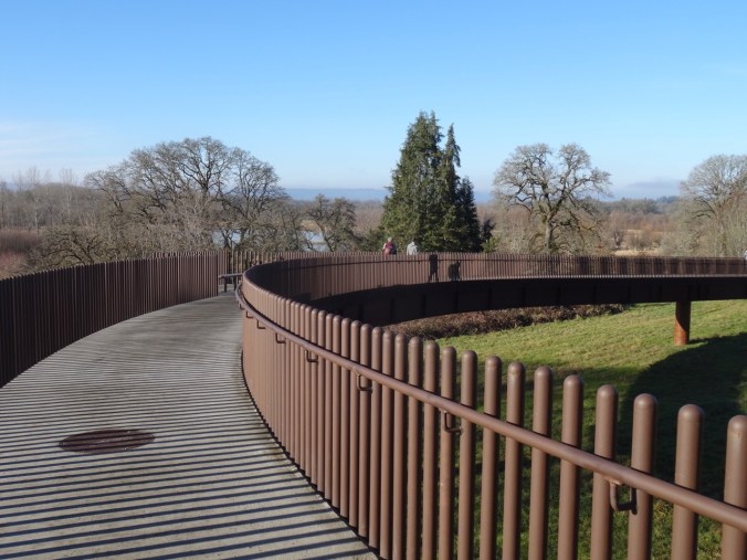
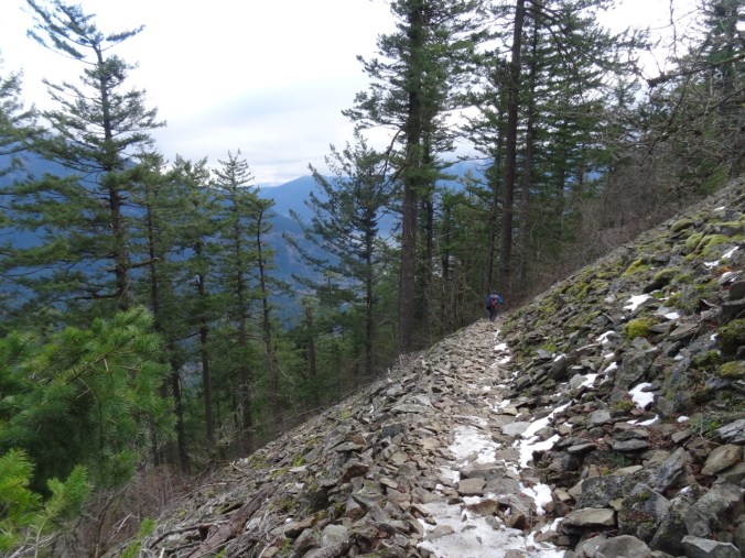
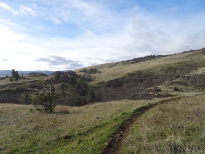
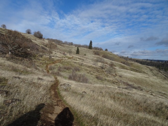
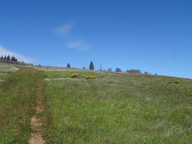
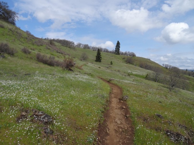
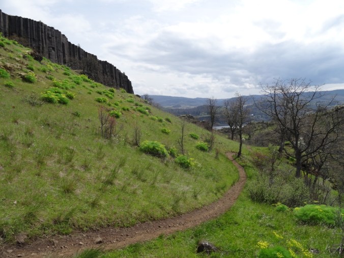
Bitterroot Trail
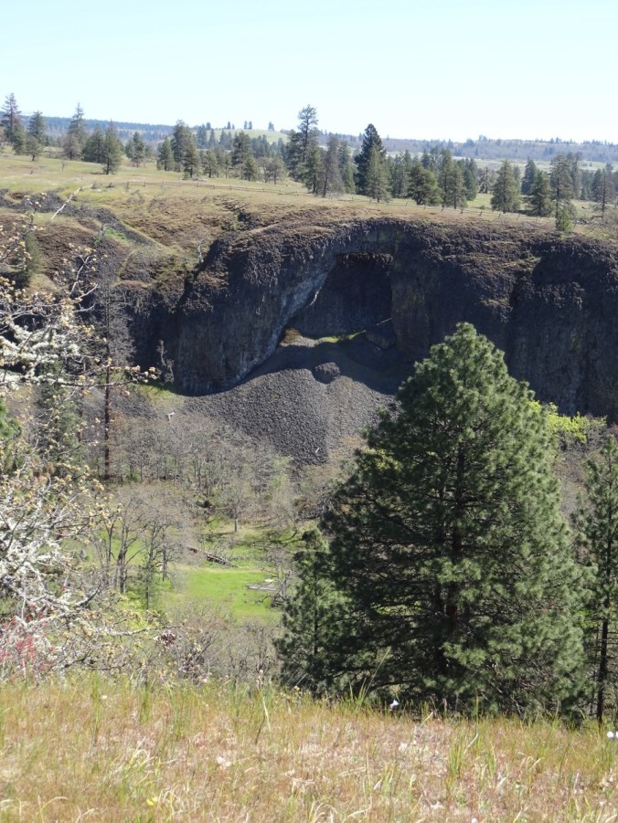
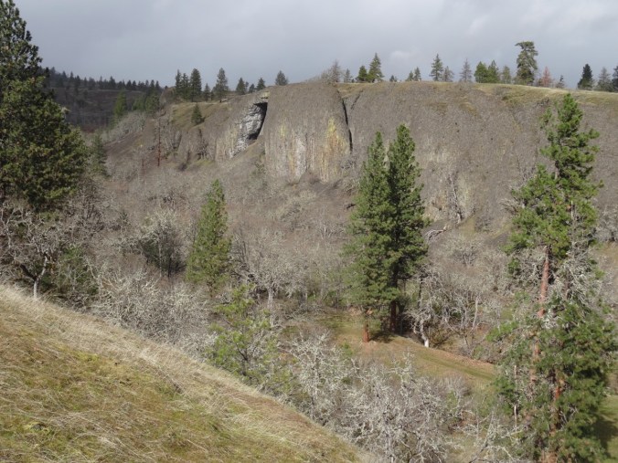
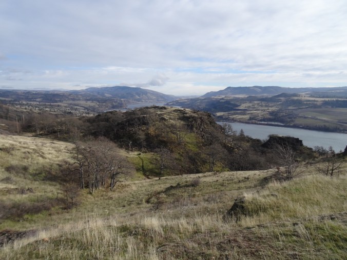
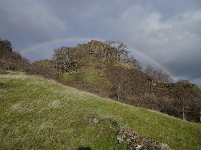
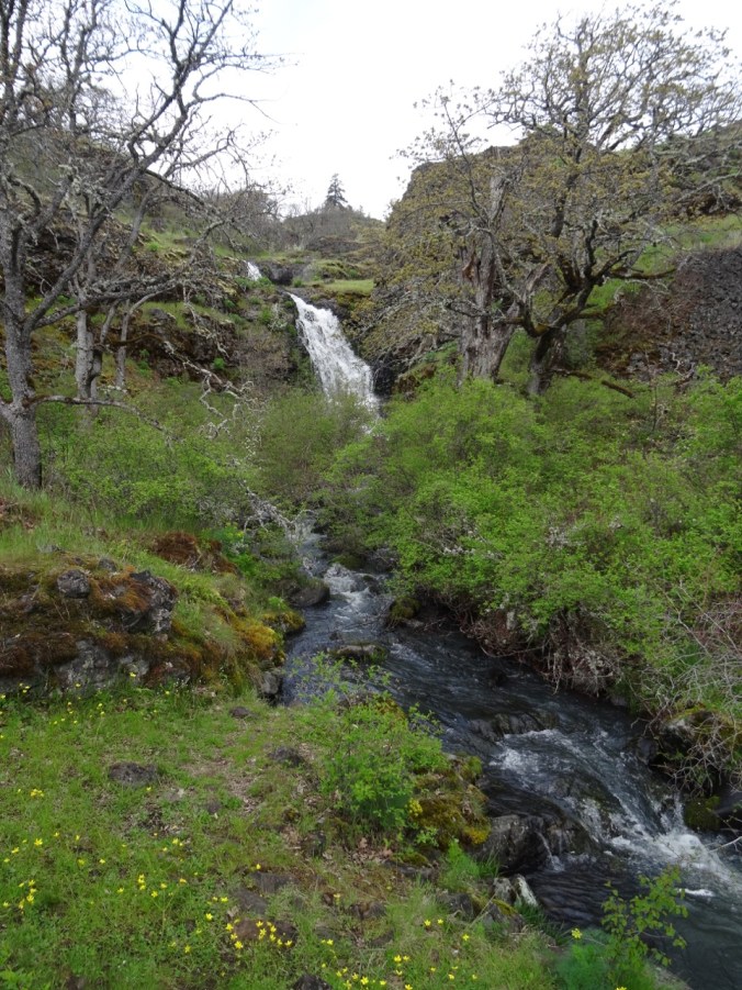
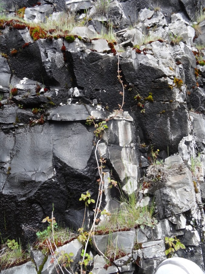
Catherine Creek Arch
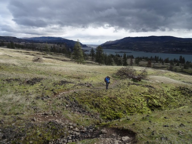
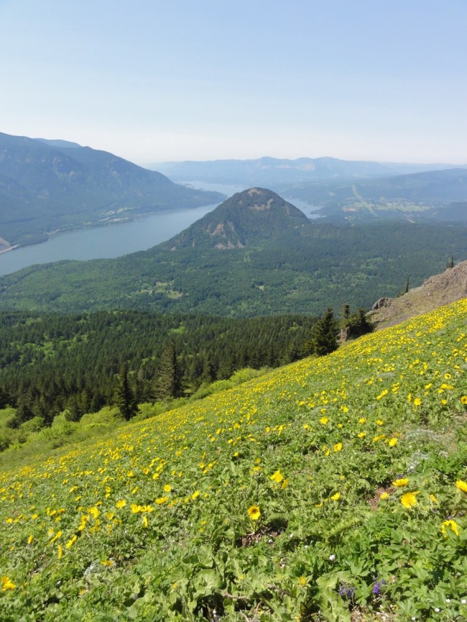
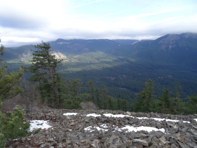
Long distance views appear as we gain elevation.

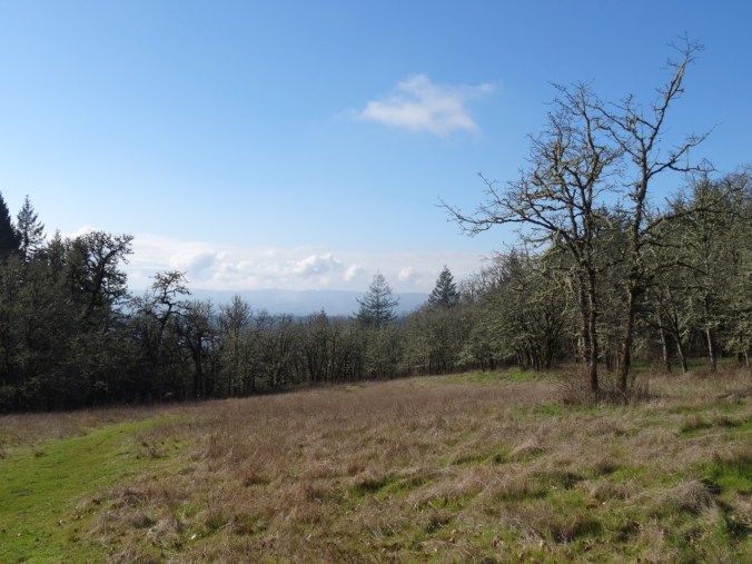
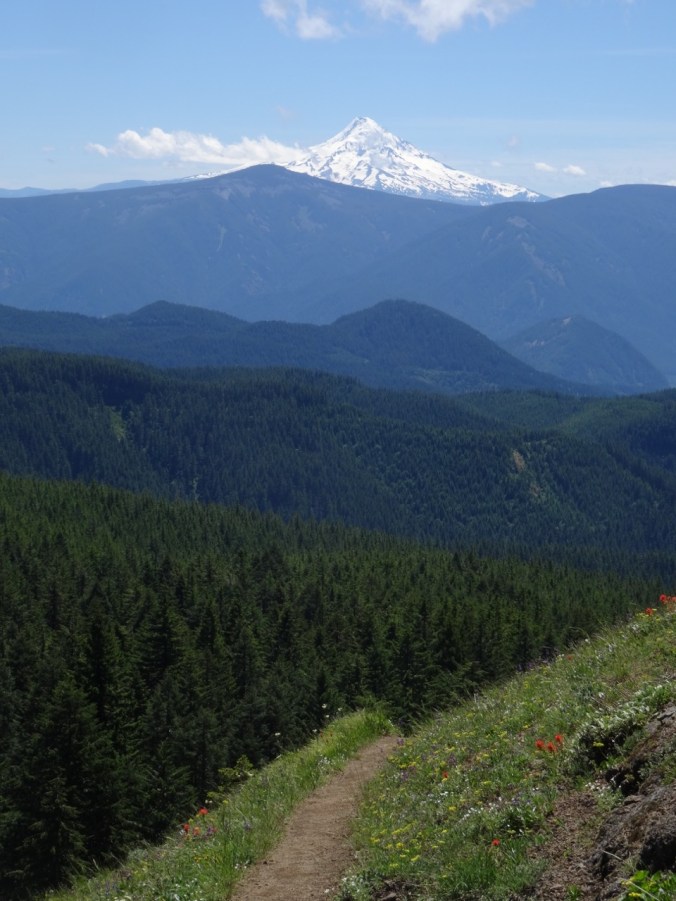
Mt Hood to the west

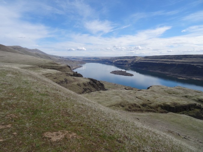
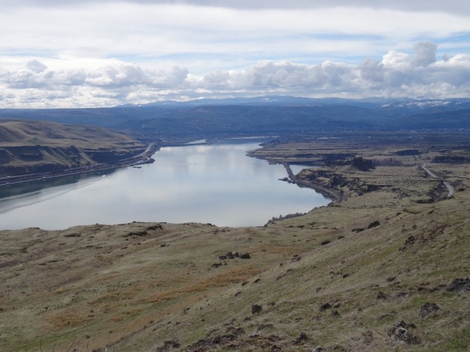
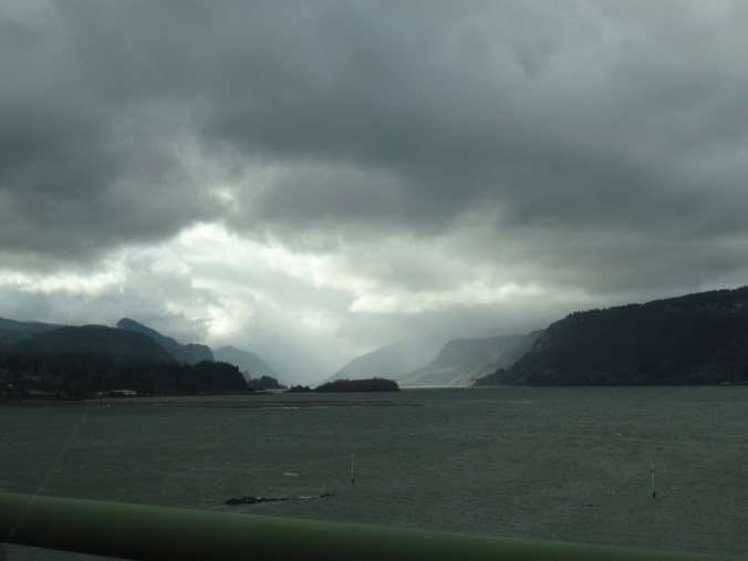
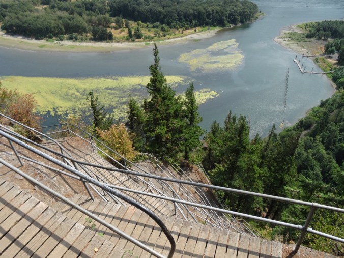
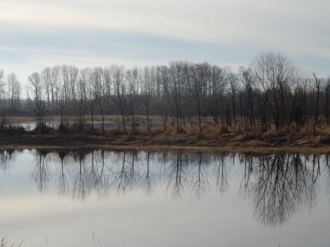
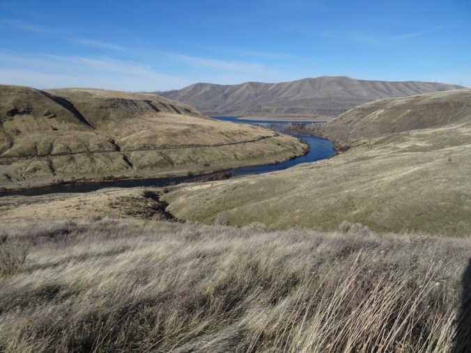
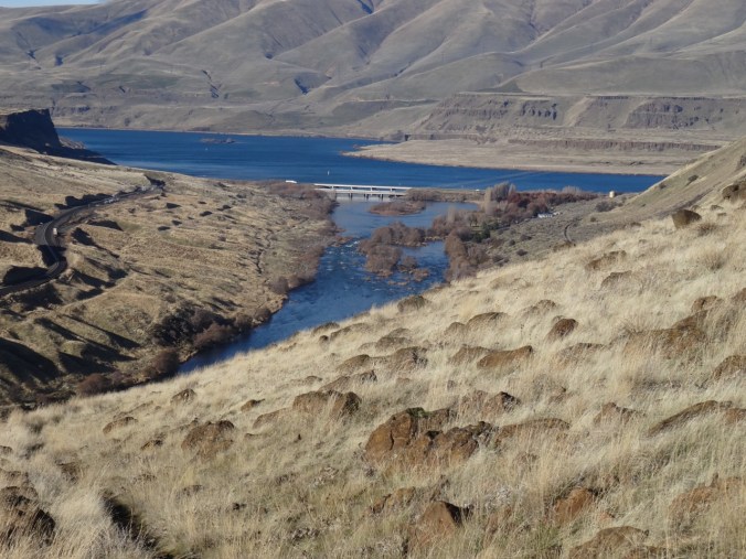
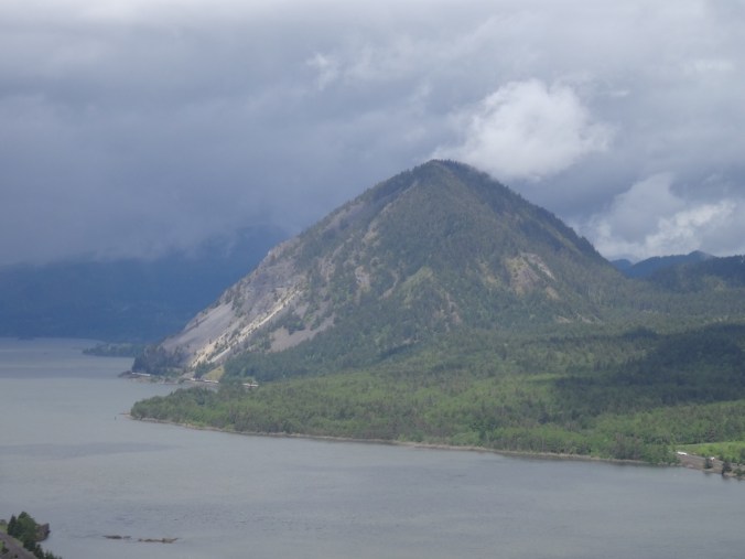
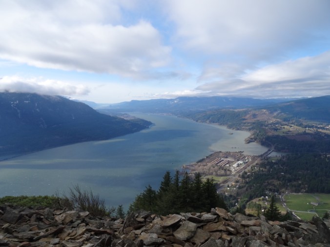
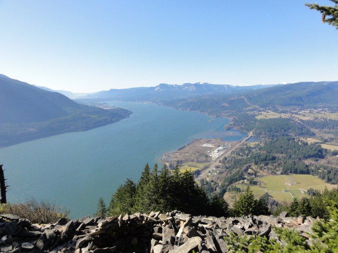
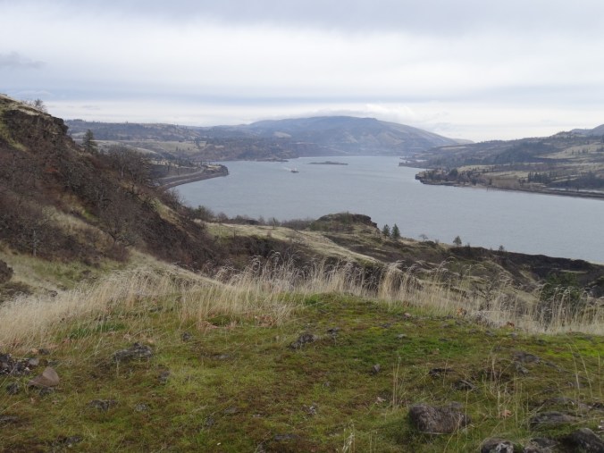
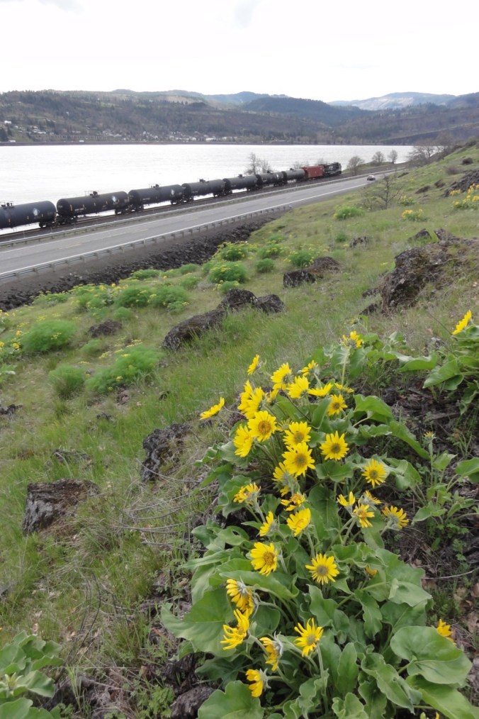
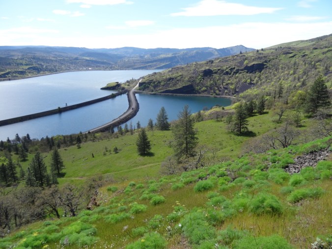
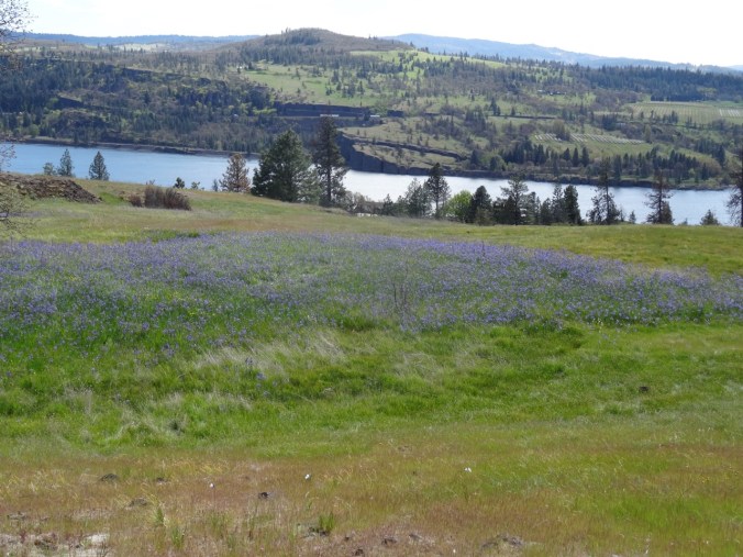
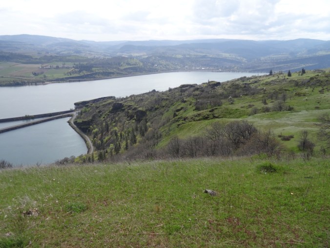
View to the east of the Columbia River
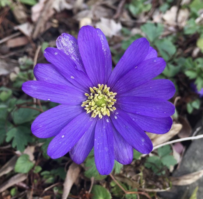
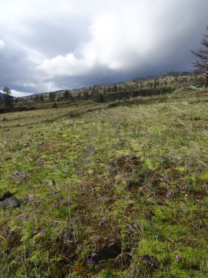
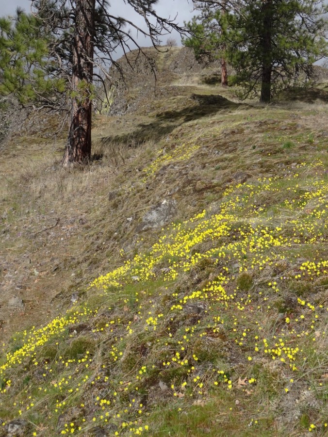
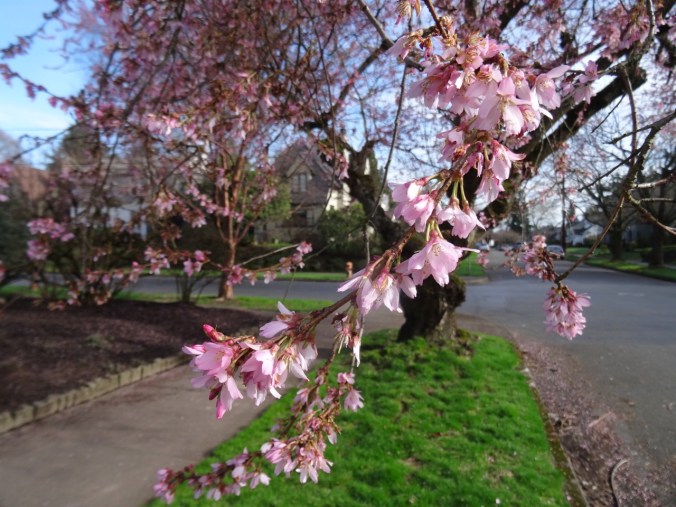
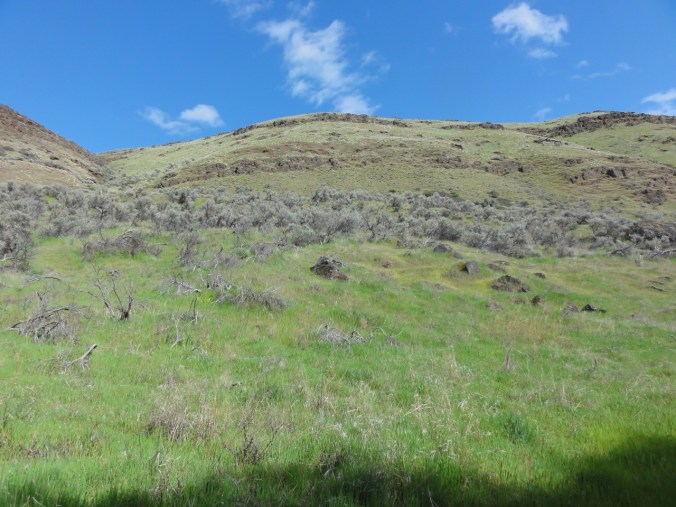
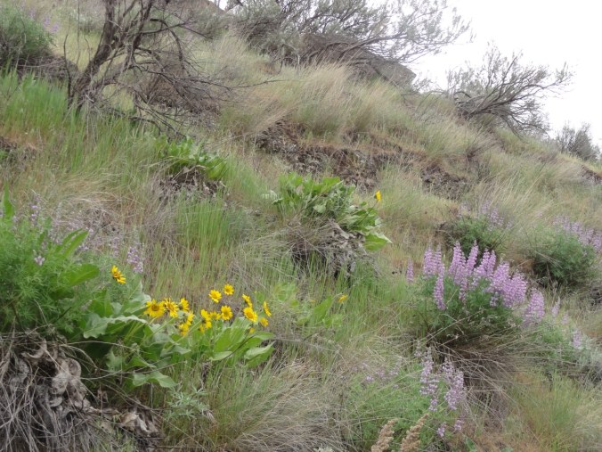
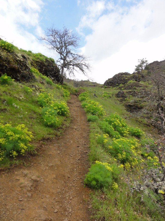
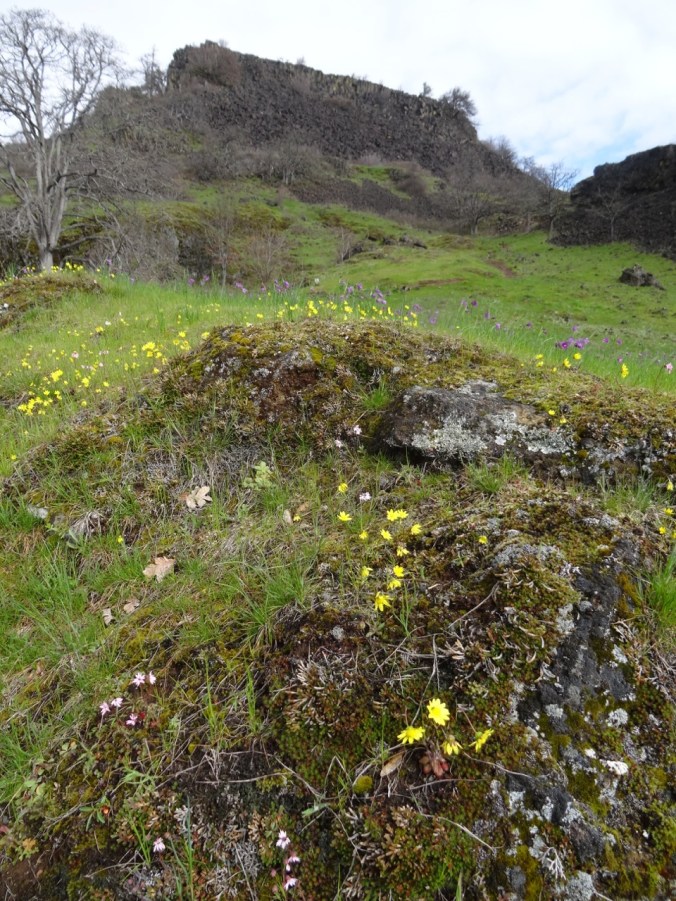
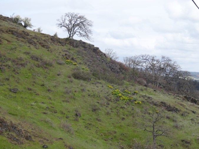
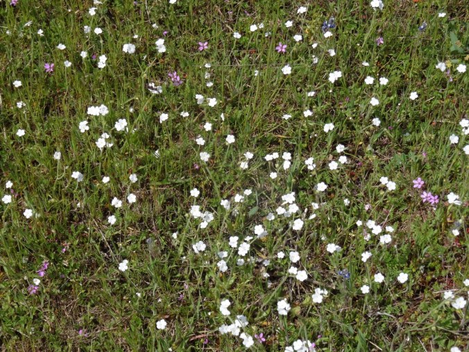
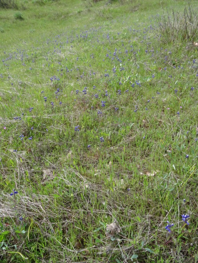
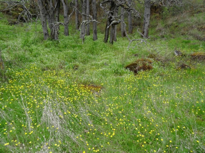
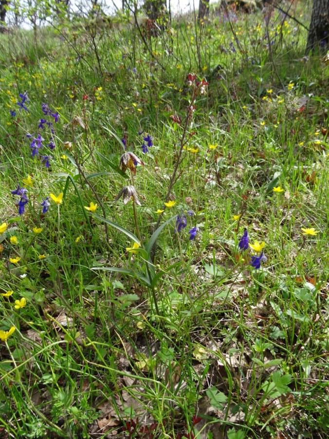
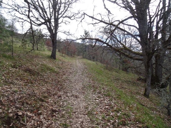
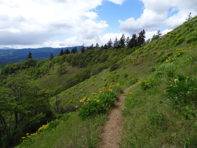
A variety of spring flowers line the trail all the way up to our destination above the power line corridor on Sunflower Hill (named before cattle grazed away all the balsamroot).


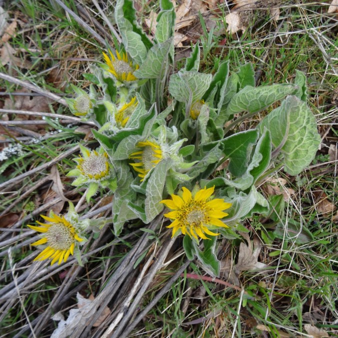
The first clump of balsamroot we see marks a trail junction.
We have gone up to the top of the hill from here in the past. Today we decide to head downhill on the Rowland Wall trail.

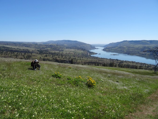
We find a rocky promontory for a lunch perch. On this beautiful blue sky day we have a clear view of Mt Hood.

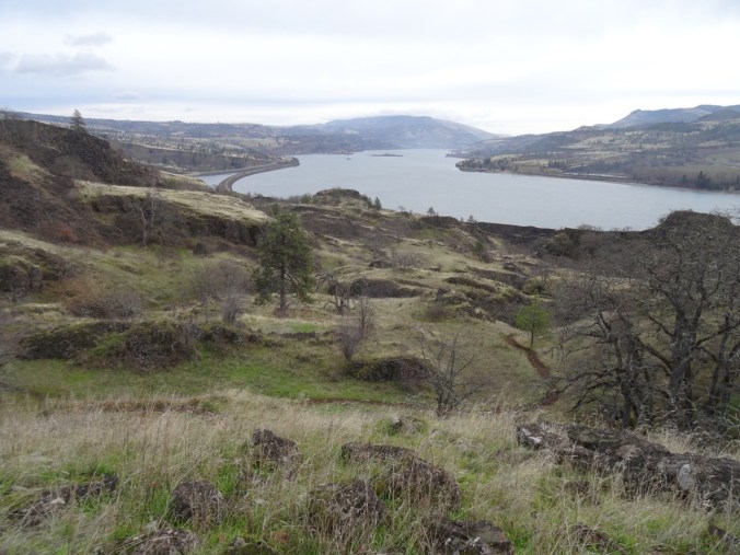
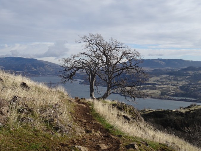
View to the west – the Labyrinth area and Mt Hood
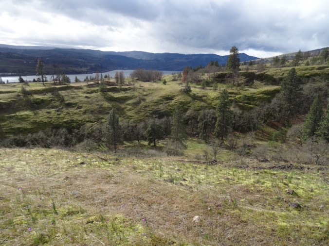
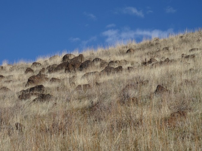
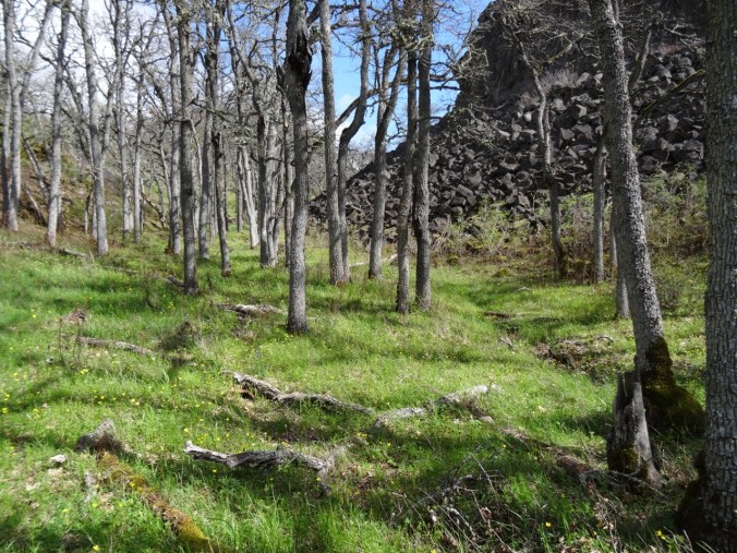
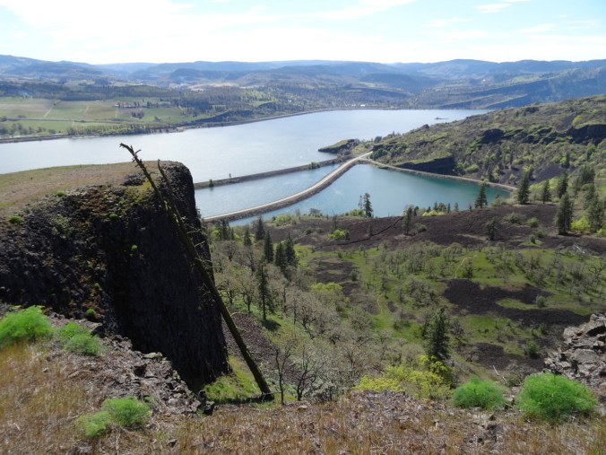
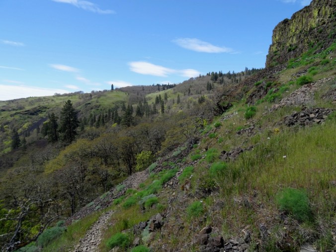
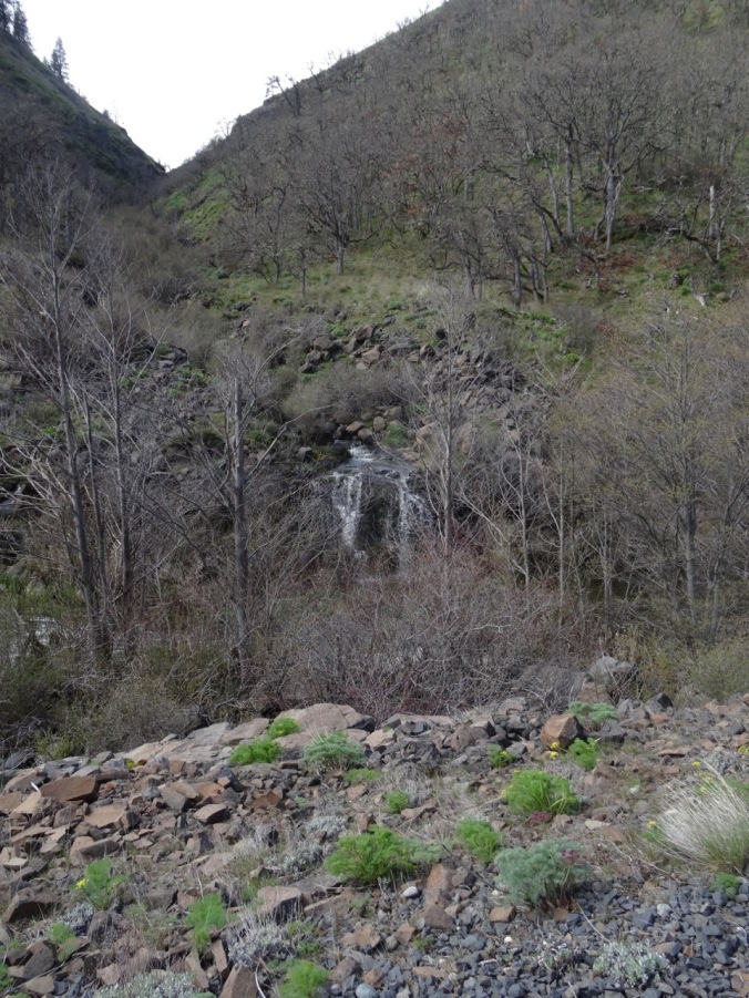
As we continue down the rocky cliffs atop the wall east of Rowland Creek
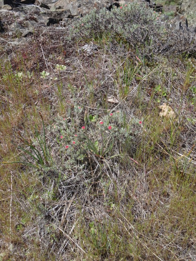
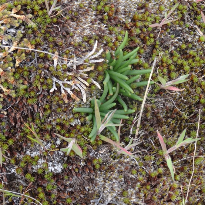
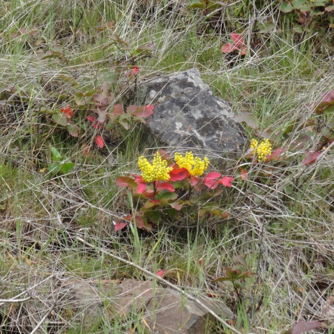
we see our first blooming paintbrush of the season, and bitteroot foliage whorls, one of which is massive!

paintbrush

bitterroot foliage
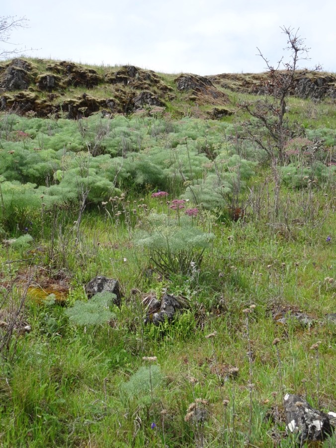
buckwheat
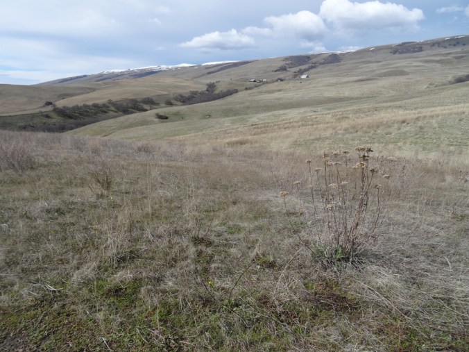
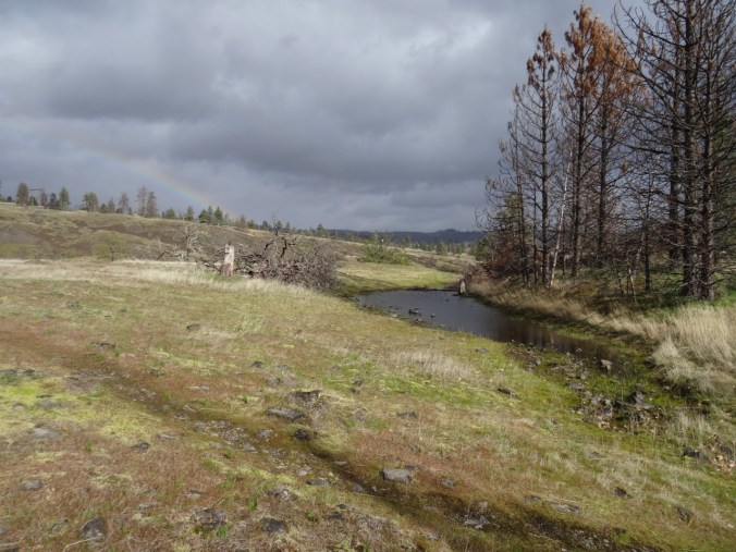
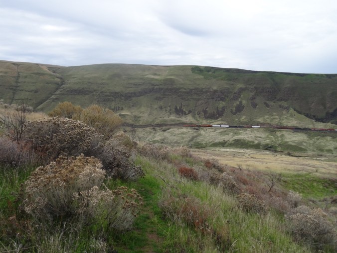
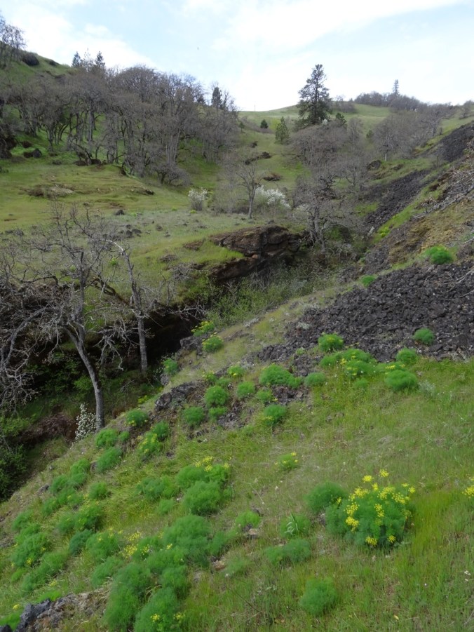
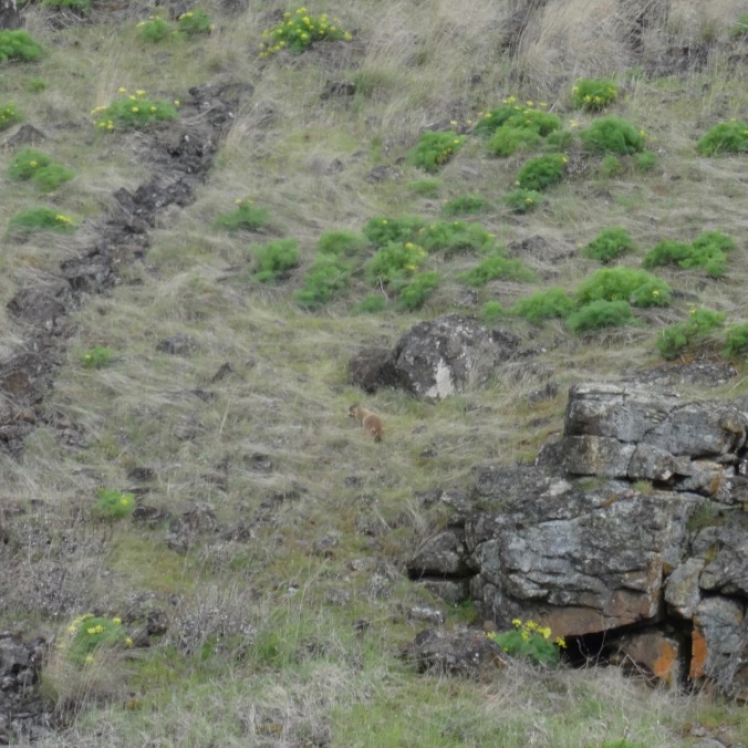
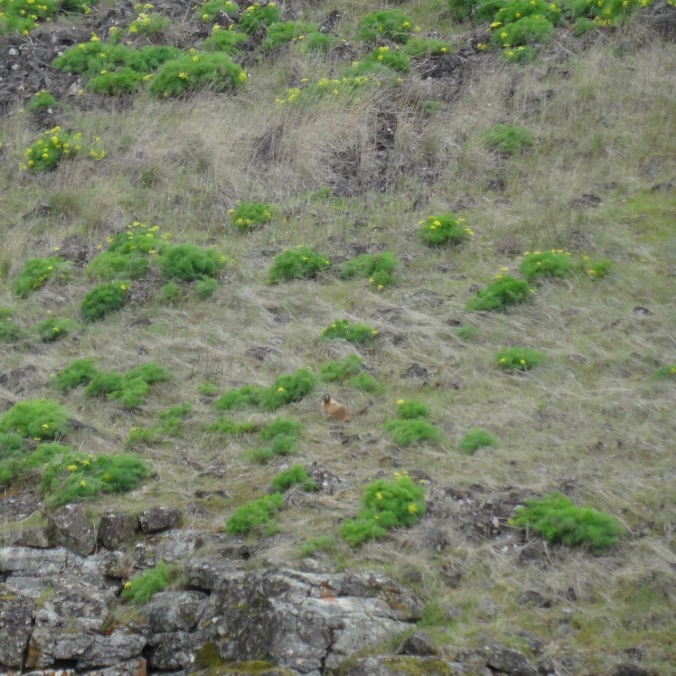
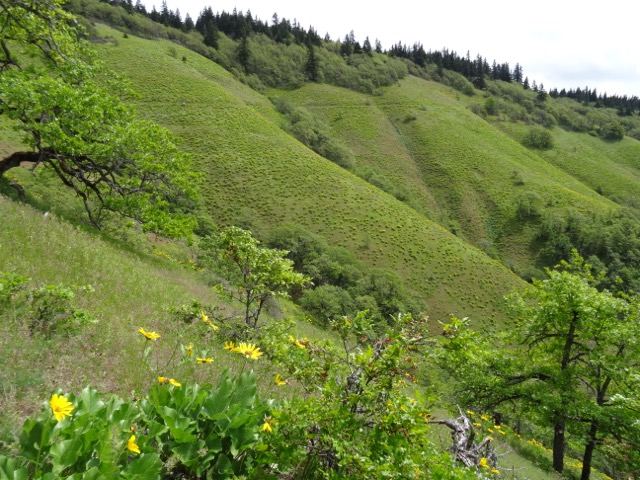
I note the trails that criss cross Rowland basin below us, spying out options for future hikes.
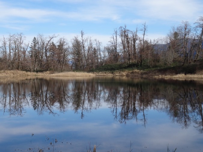
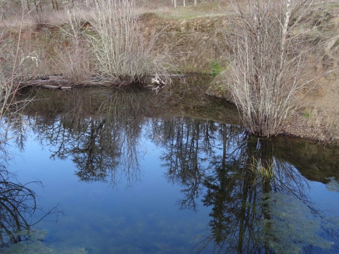
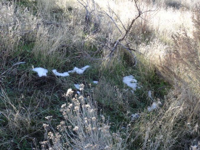
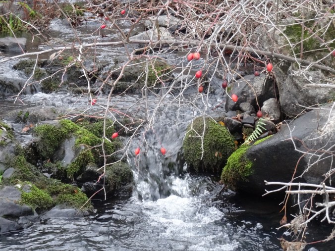
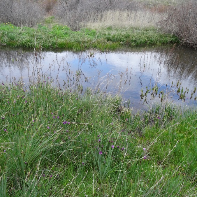
Camus swale
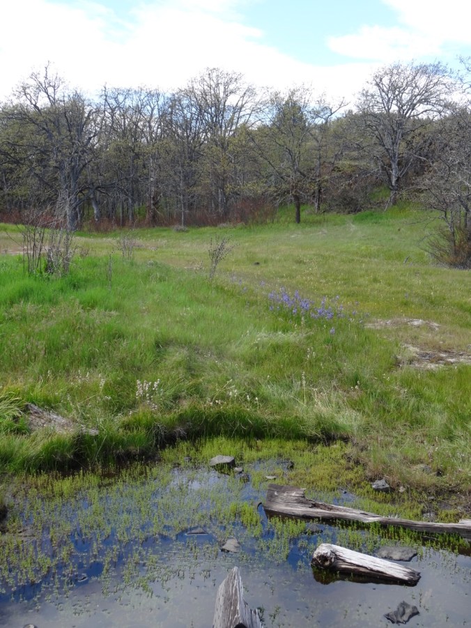
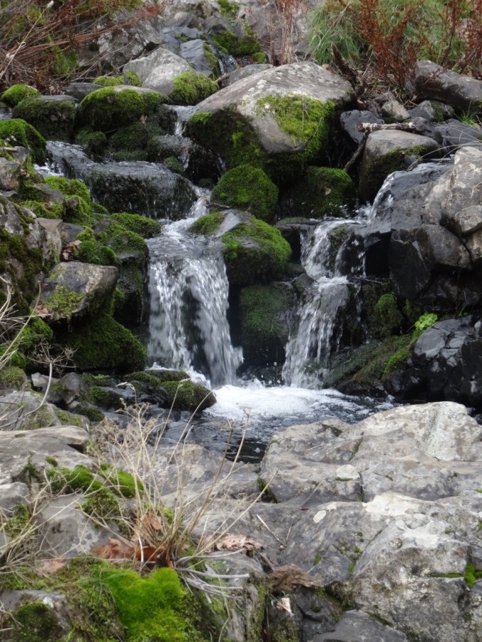
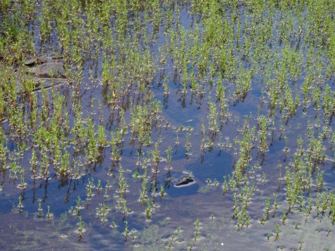
Vernal pool
3.5 miles, 1000 feet.


CRAFTING
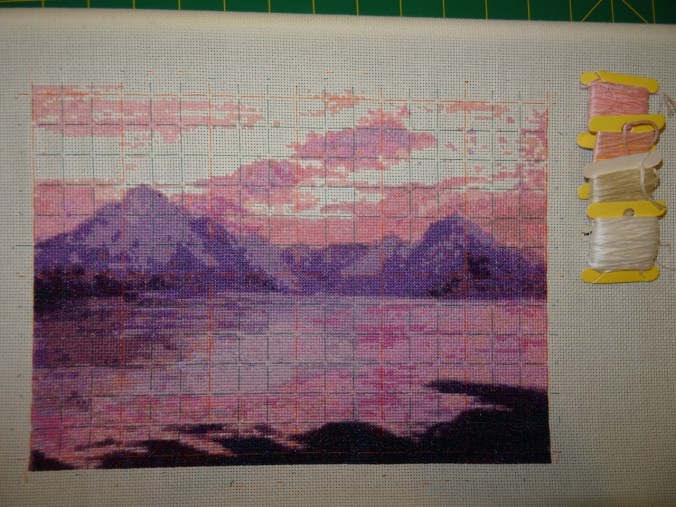
The Elgol Cross Stitch is getting closer to completion; just the sky colors of pale pink, cream and white remain to be filled in.
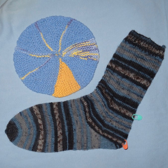
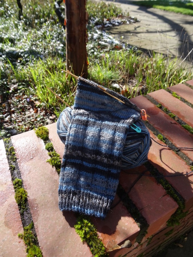
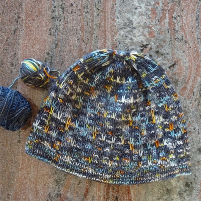
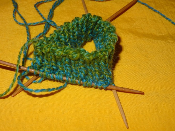
I cast on the Cornwall socks for travel knitting; k2p2 ribbing, top down vanilla sock.
Blogiversary!
My first post, April 22nd, 2017, documented a hike up Coyote Wall. I have posted just about every week since then. I will be traveling for the next three weeks, so there will most likely be a delay in posting about our upcoming adventures.


")