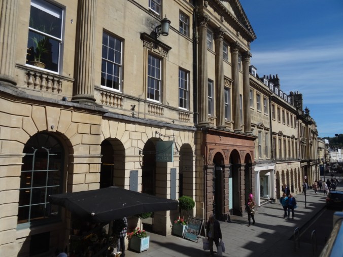
Bath, UK – May 11, 2018

Day 16, Roman Baths, River Walk, Postal Museum

Our second day in Bath (Bath, Day 15) began with a tour of the Roman Baths. The natural hot springs were a social center for Romans in the first to sixth centuries AD, and then for the Georgians in the 1700-1800’s. Museum exhibits describe life in Roman times. Docents dressed in Roman attire add to the ambiance, anachronistically juxtaposed with the adjacent towering spires of Bath Abbey and other Georgian buildings, and the modern day tourists and buskers.
DSC04747

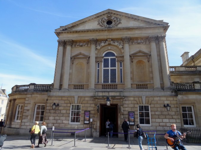
The Roman Baths

DSC04968

DSC04923

The Great Bath

DSC04965

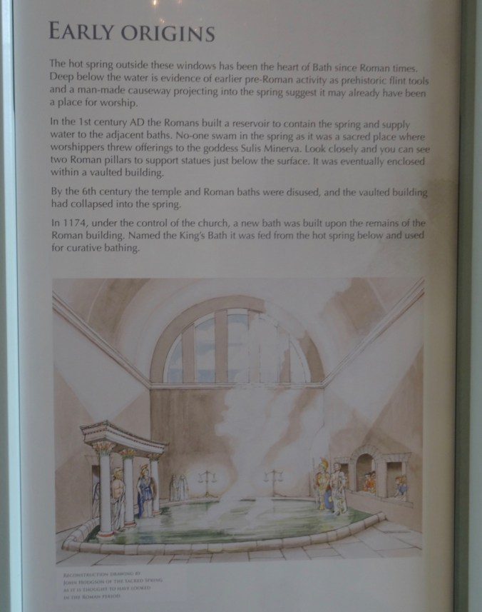
Roman History

DSC04964

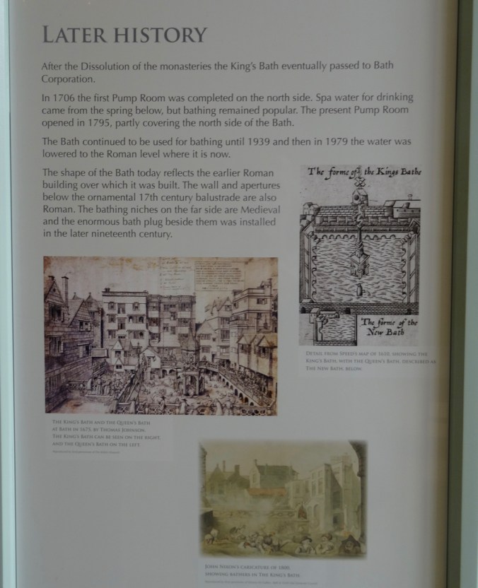
Georgian History

DSC04820

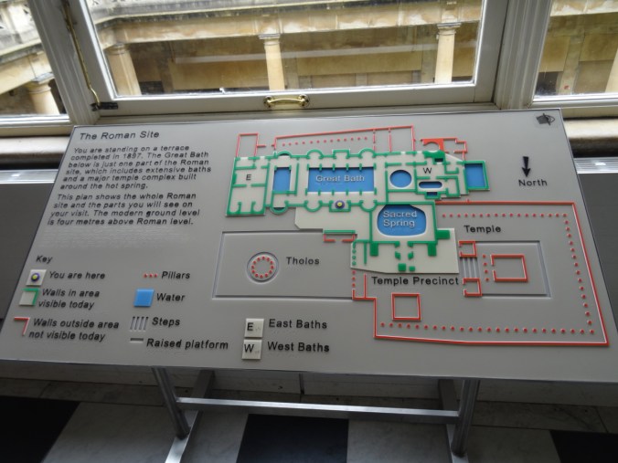
Floor plan

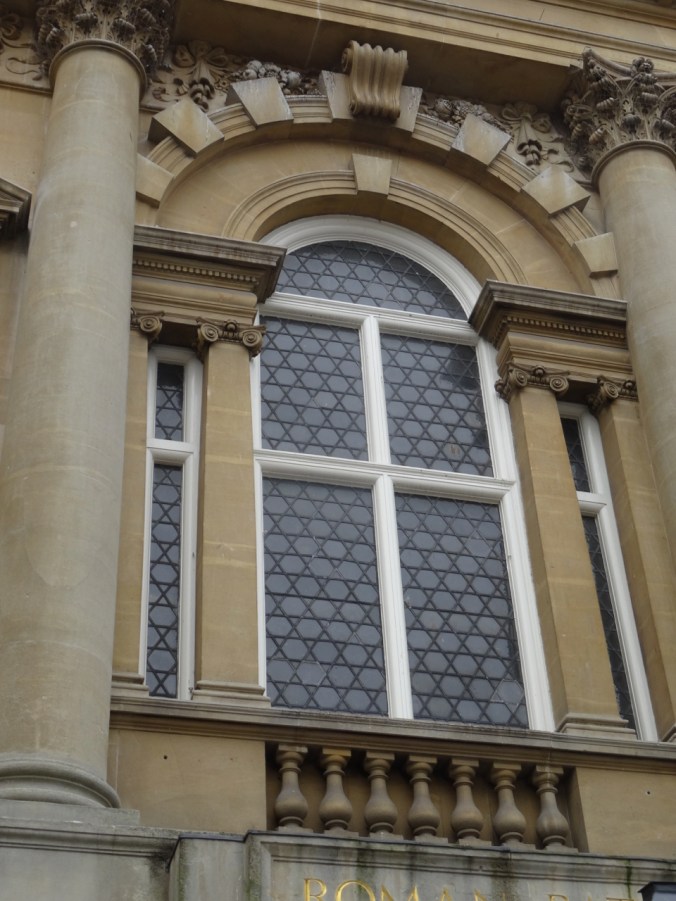
More exterior details:

DSC04931

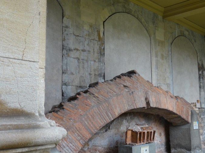
Brick Arch

DSC04821

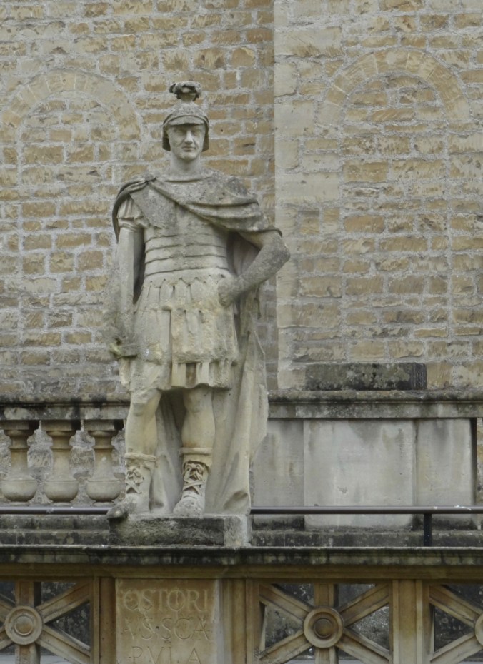
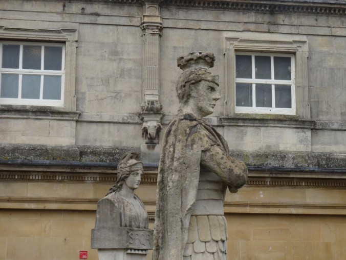
One of many Victorian-era statues of Roman leaders on the terrace
DSC04829

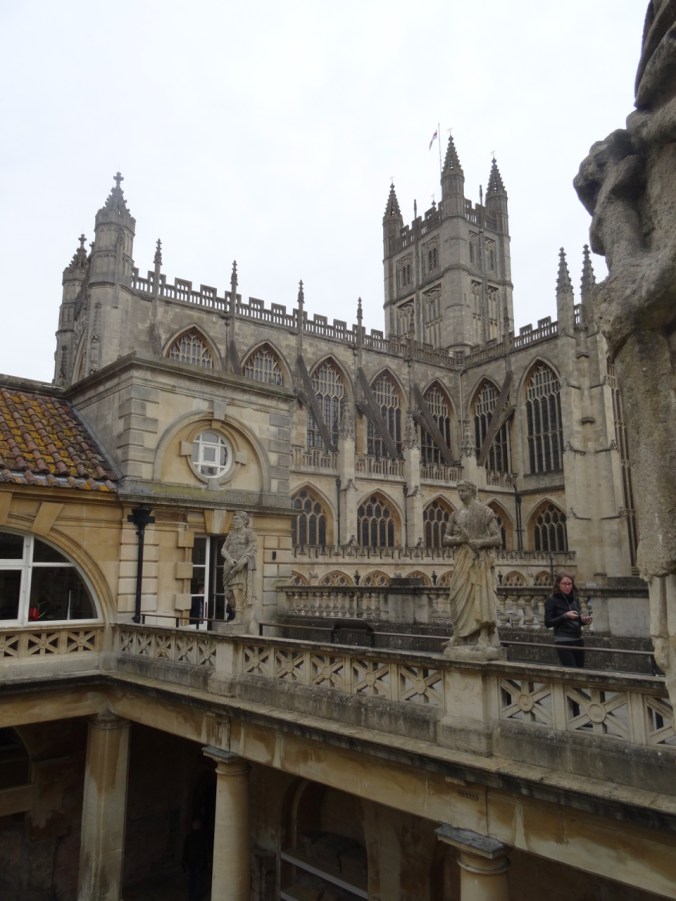
View of Bath Abbey beyond the terrace

DSC04830

Roof tiles

DSC04831

Another Roman – Agricola

DSC04835

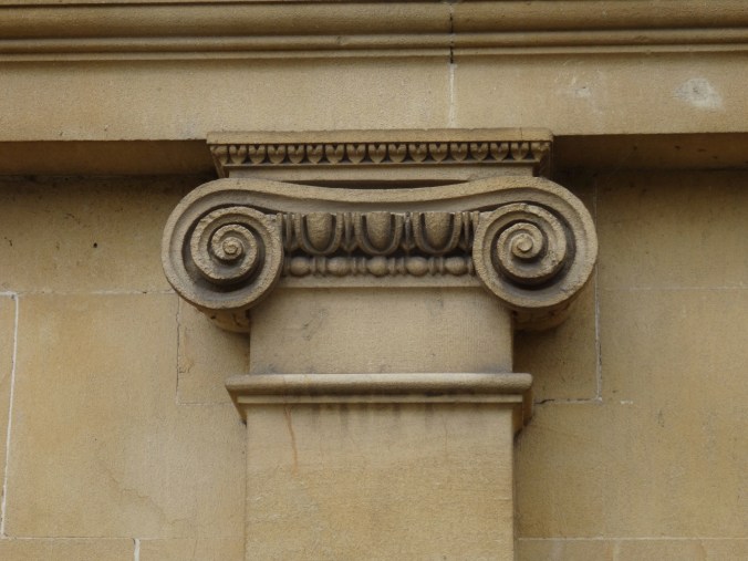
Ionic columns

DSC04840

The Great Bath

DSC04845

The Sacred Spring

History and archeology exhibits were informative and a little overwhelming. A few visits to this museum would be necessary to take it all in.
DSC04854

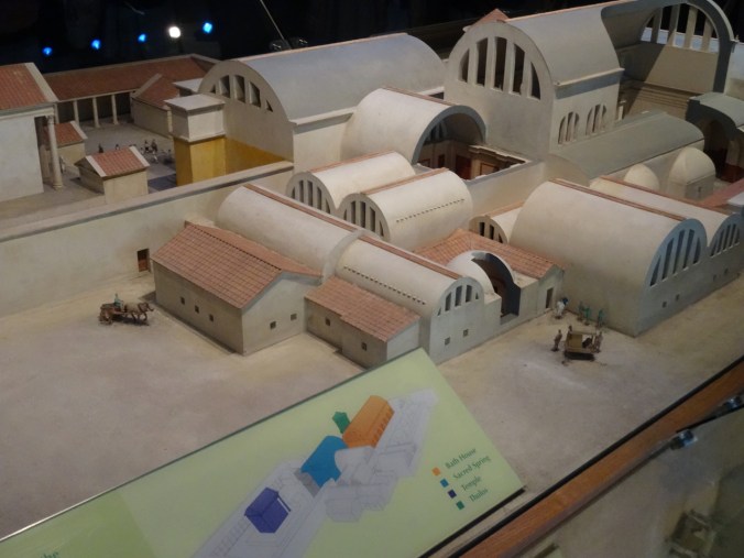
Reconstructed model of the Roman Baths
DSC04867

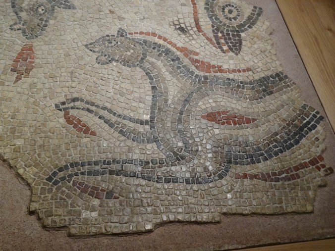
Mosaic floor from the bath house

DSC04881

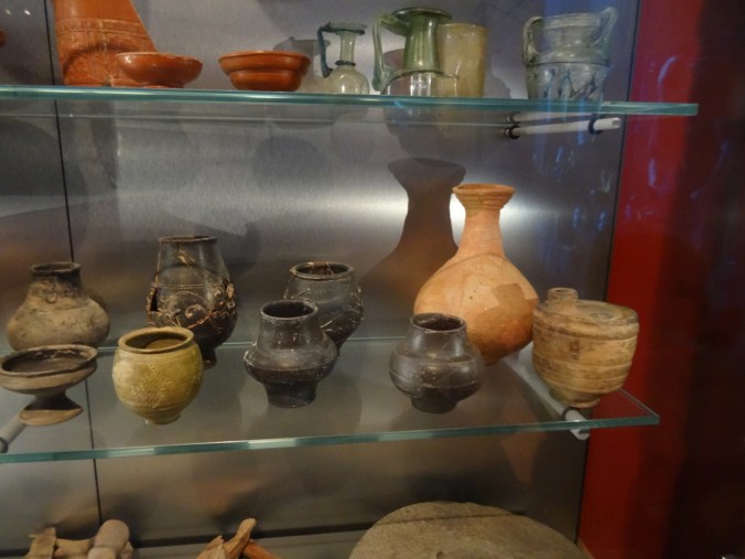
Pottery

Many items have been recovered from the springs during archeological studies. DSC04853

DSC04851

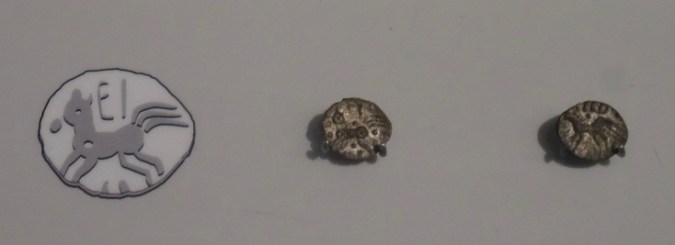
Pre-Roman coins

DSC04871

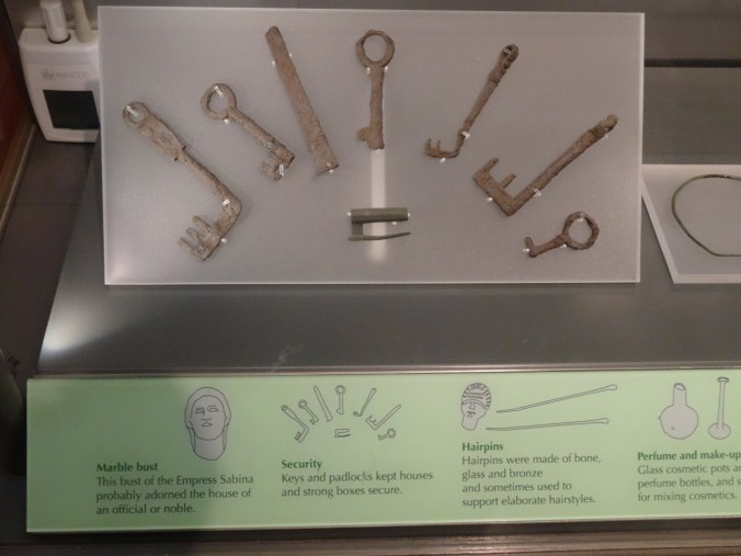
Keys

DSC04878

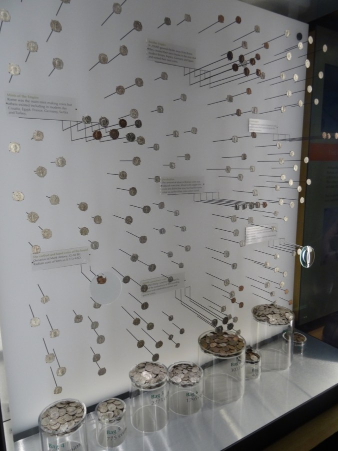
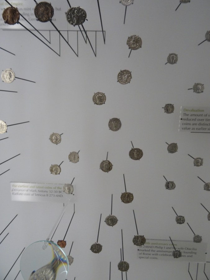
Roman Coins

DSC04880

DSC04903

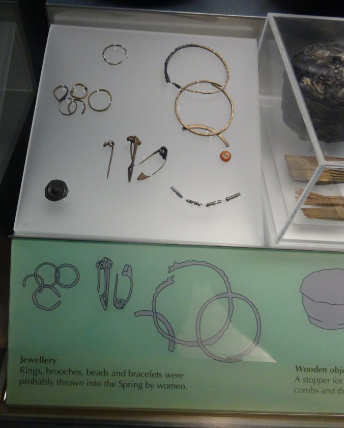
Jewelry

DSC04889

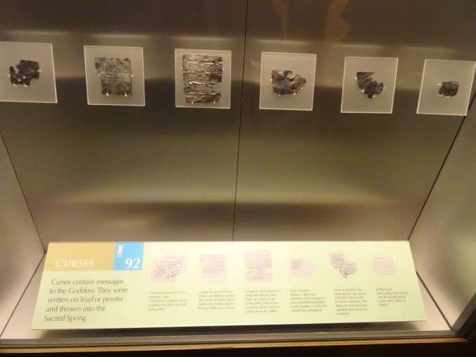
Curses written on metal pages

More underground architecture:
DSC04910

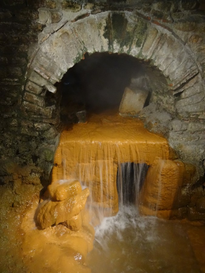
The spring

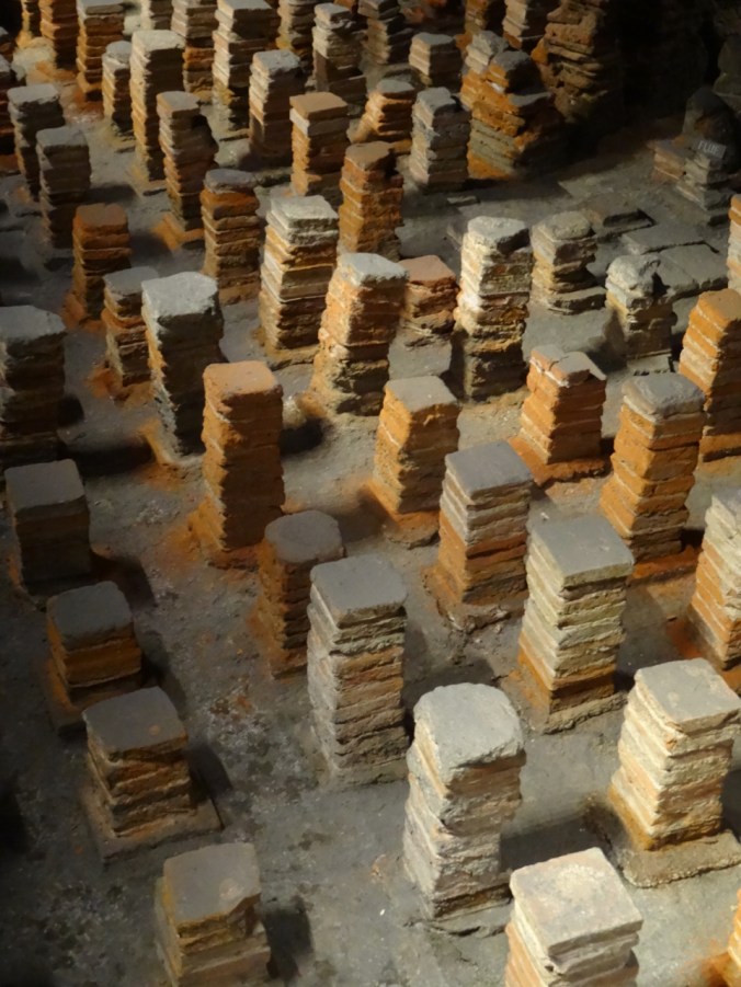
Hypocausts – The Romans devised a method of underfloor heating. Stacks of bricks allowed for warm air to be circulated in the space below the spa room floors.

DSC04938DSC04939DSC04954

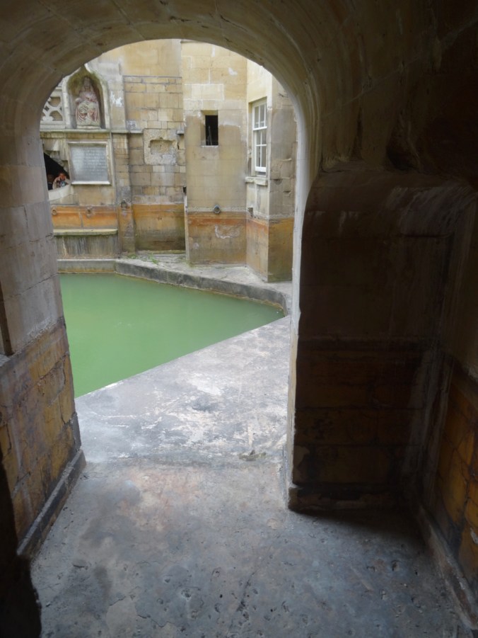
A last look at the Sacred Spring and the Great Bath:
DSC04906

DSC04919

Roman docent

River Walk

After our tour we wandered up and down both sides of the River Avon, and found a picnic ground viewpoint to eat our lunch.
DSC04972

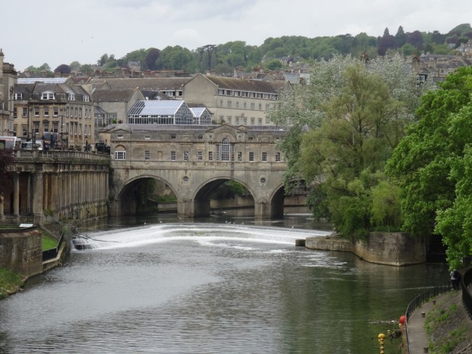
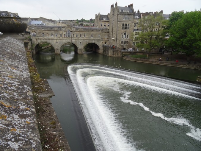
Pulteney Bridge from the Parade Grounds

DSC04988

Looking toward the weir and Bath Markets

DSC04983DSC04993

DSC05015

Tour boat

DSC05020

Pulteney Bridge

DSC05024

North side of the Pulteney Bridge

DSC05026

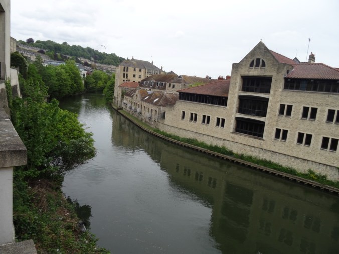
Looking up river from the Pulteney Bridge

We did a little window shopping and wandering.
DSC05033

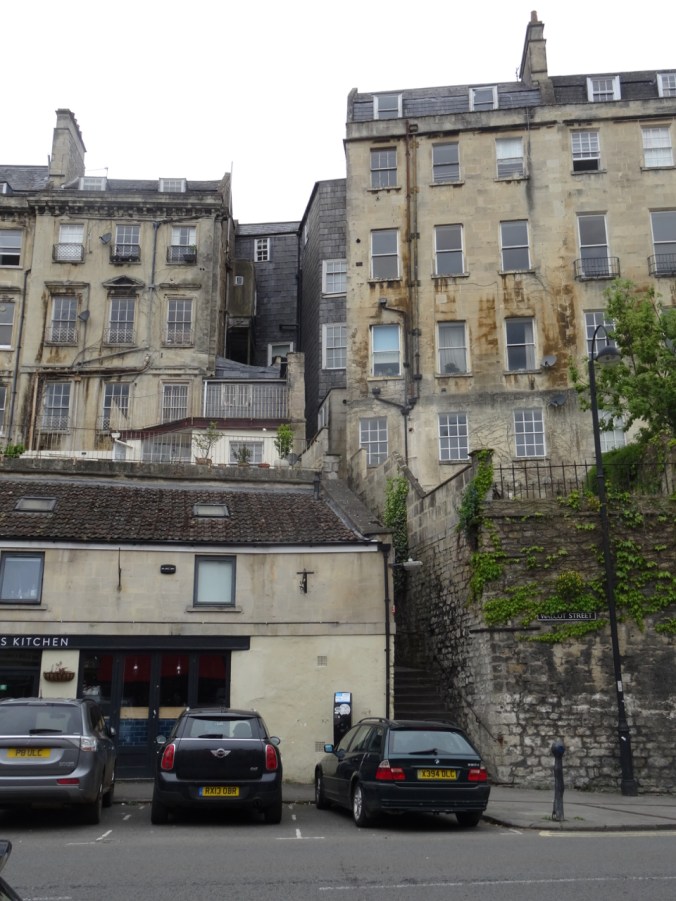
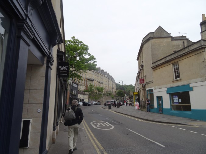
Approaching the backside of one of the crescents
DSC05007

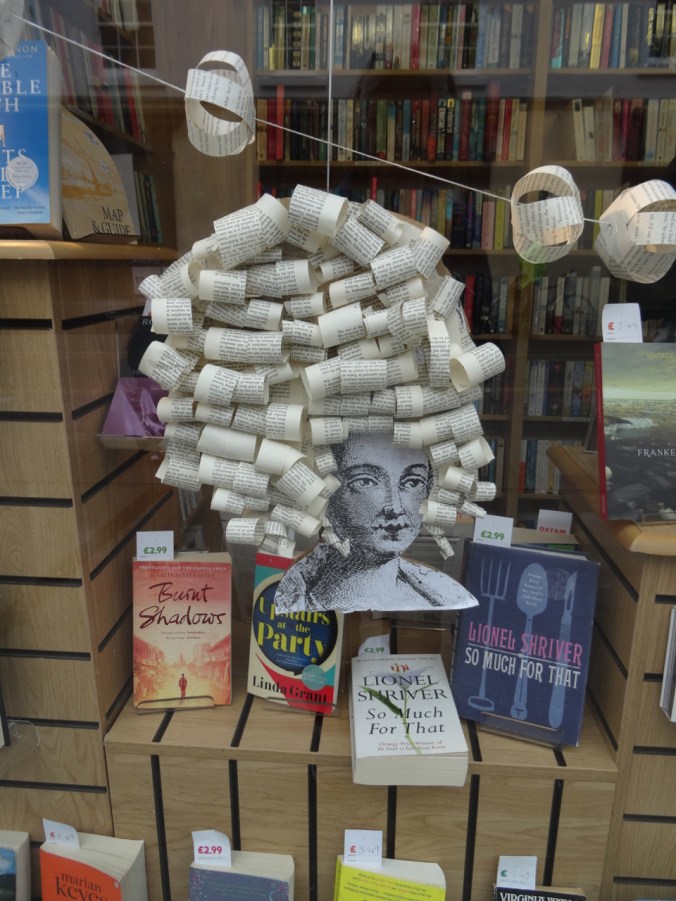
Book shop window

DSC05030

Fascinators for the upcoming Royal wedding (Meghan and Harry, 2018)
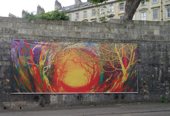
DSC05034

Street mural

DSC05035

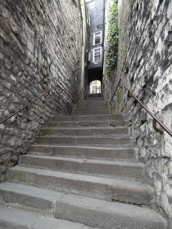
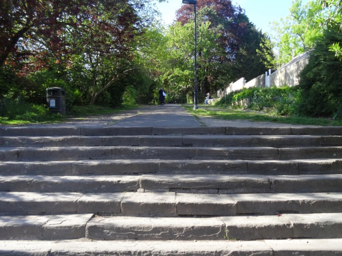
Public staircase

DSC05036

Looking up

DSC05039

DSC05043

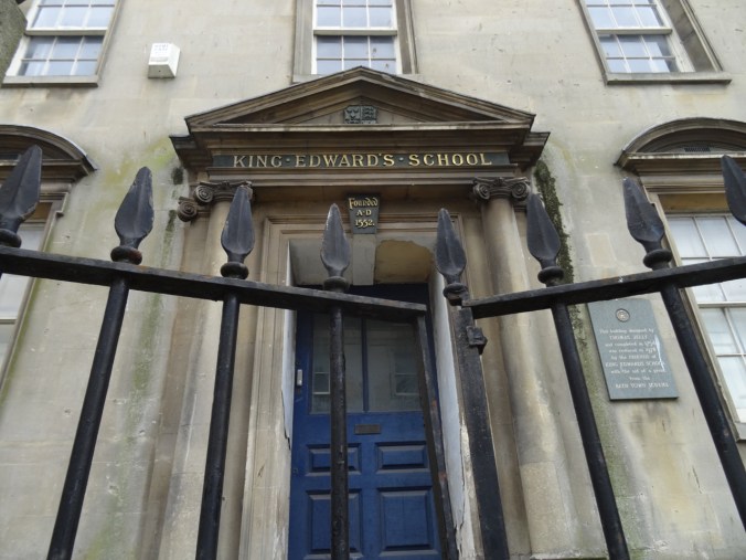
Old school

Bath Postal Museum

After shopping and walking for a while, we decided to visit the Bath Postal Museum. The well curated exhibits highlight many curiosities from the early history of mail as a commercial and government endeavor. 

DSC05050

A lightweight coach designed to speed transport of mail delivery, 1874.
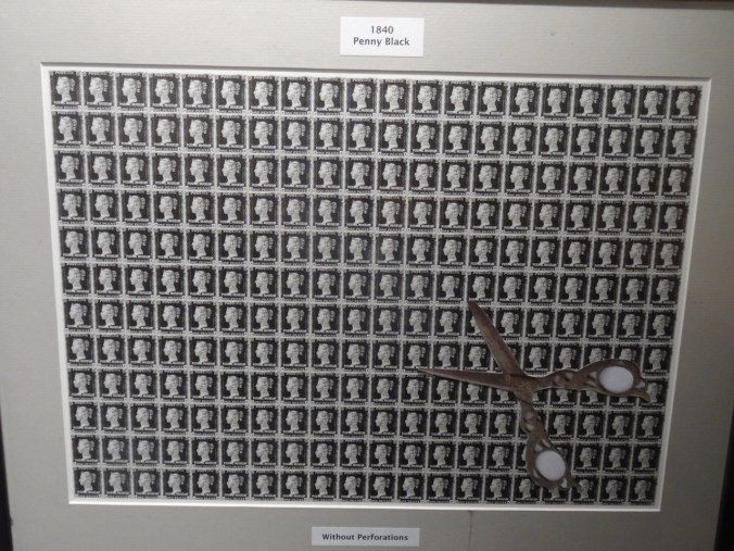
DSC05045

The world’s first self-adhesive postal stamp

DSC05046

Victoria on the Penny Black stamp

DSC05044

DSC05047

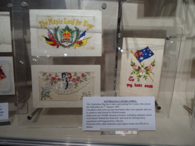
WWI era postcards

DSC05054

The cross written letter uses every bit of letter paper – must have been a challenge to actually read.

At this point, we had used up all of our sight seeing time. We ended the day by driving to an airport hotel near Heathrow, to prepare for our flight home the next day.
Daffodils and Knitting

March 12, 2019

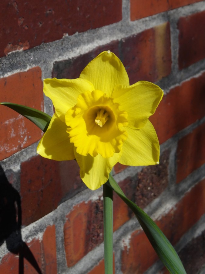
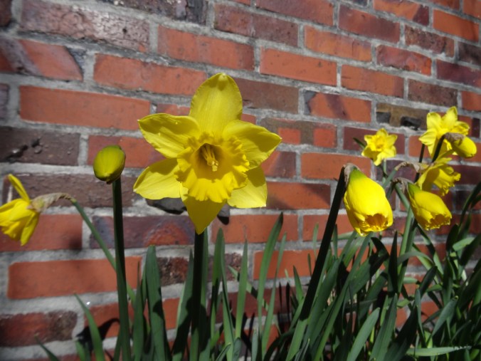
The wildflowers I like to hike to are still under a foot of snow out in the Columbia River Gorge, but the garden is finally starting to bloom. Daffodils in my front yard are opening and not freezing.

DSC02201DSC02206

Knitting Slippers

DSC02207

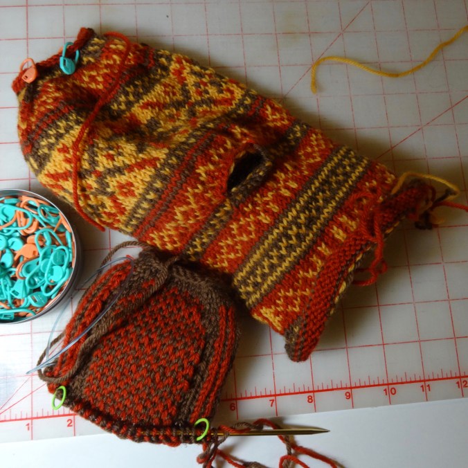
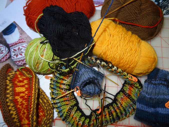
I found a free pattern from Knit Picks for Frost Slippers. I already have the same wool yarn,  leftover from my son’s Dr Who Scarf, which I knit for him in 2011. The yarn, Wool of the Andes, is a bit toothsome, but perfect for stranded color work, and I got the itch to make these slippers. The trick of the project is that the uppers and soles are knit two at a time, magic loop method, then steeked and sewn together. So the knitting looks like a crazy balaclava, but is very fun to do. I have finished the uppers, and am making good progress on the soles. We’ll see how much I do or don’t like the steeking and sewing, but I am enjoying the interesting construction so far.

And just for fun, I’m adding a photo of the Dr Who scarf – 120″ long!

DSC01178_2

Winter Travel in the Portland Art Museum


Portland Art Museum   3/3/2019

I visited the Portland Art Museum instead of going for a hike last weekend, as it is still snowy and too cold out for me. There were three exhibits I wanted to see.

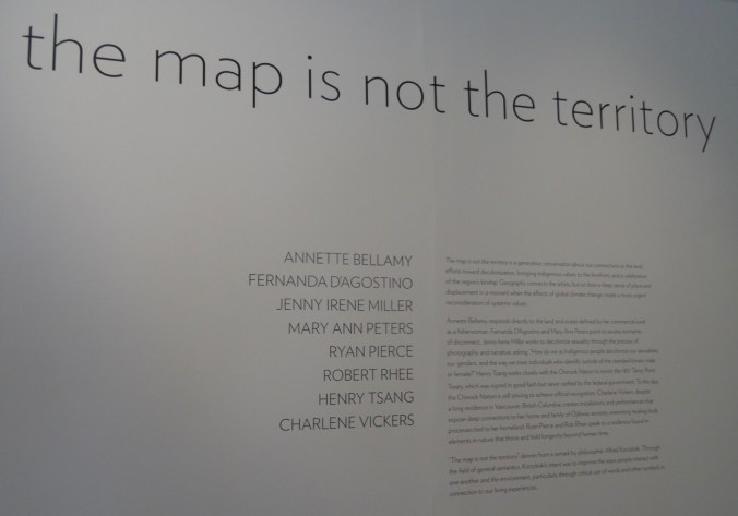
The Map Is Not The Territory

DSC02151

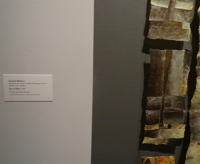
This exhibit focuses on relationship to geography by artists who are Indigenous people.  The floating rocks piece has been advertised all around town, and certainly appealed to me, with my past as a geologist, and my love of hiking in the natural world. The artist Annette Bellamy had three striking pieces that I contemplated for a while:

DSC02160DSC02152DSC02163DSC02155DSC02156DSC02159DSC02157

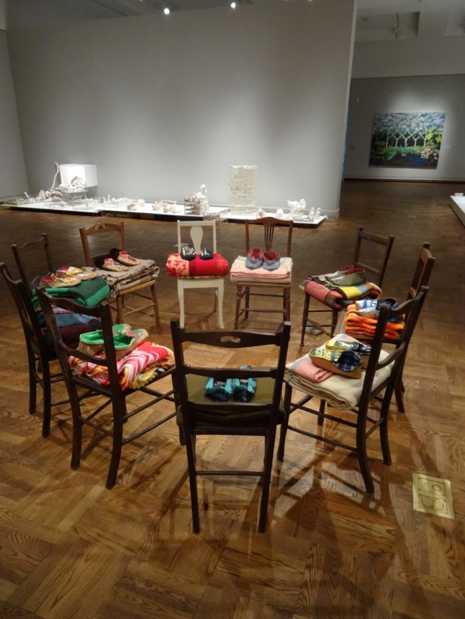
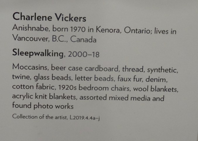
The circle of chairs, blankets and shoes by Charlene Vickers created a sense of community.

DSC02167DSC02165

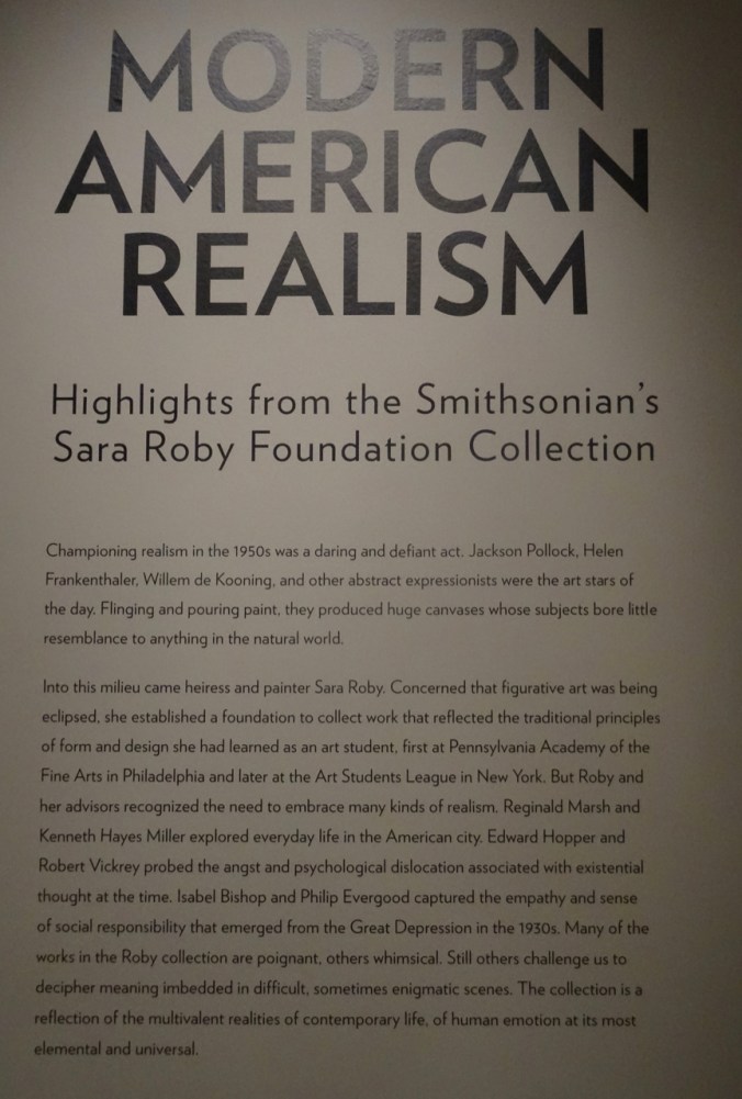
Modern American Realism

DSC02181

This collection had some beautiful images that reminded me of places I have been.

DSC02170

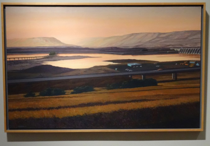
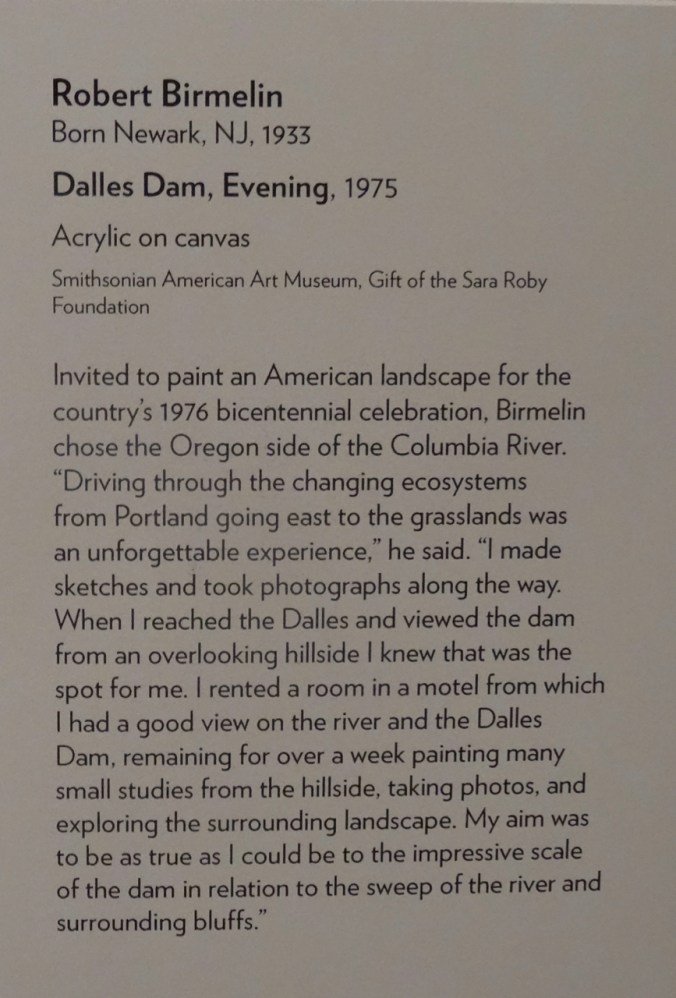
We visited the Dalles Dam about a month ago, so when I saw this picture glowing across the gallery I immediately recognized the place.

DSC02171

DSC02174

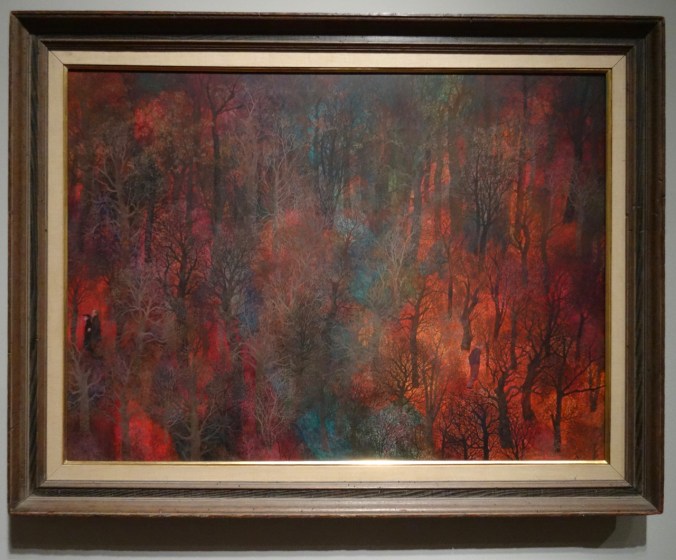
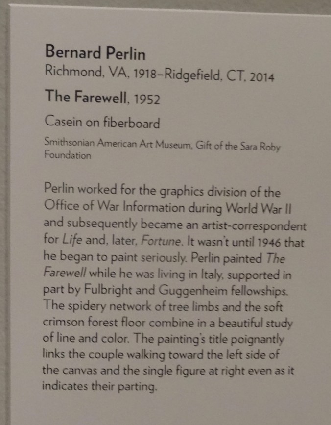
The vivid colors attracted me to this painting of a forest in autumn.

DSC02175

IMG_1937

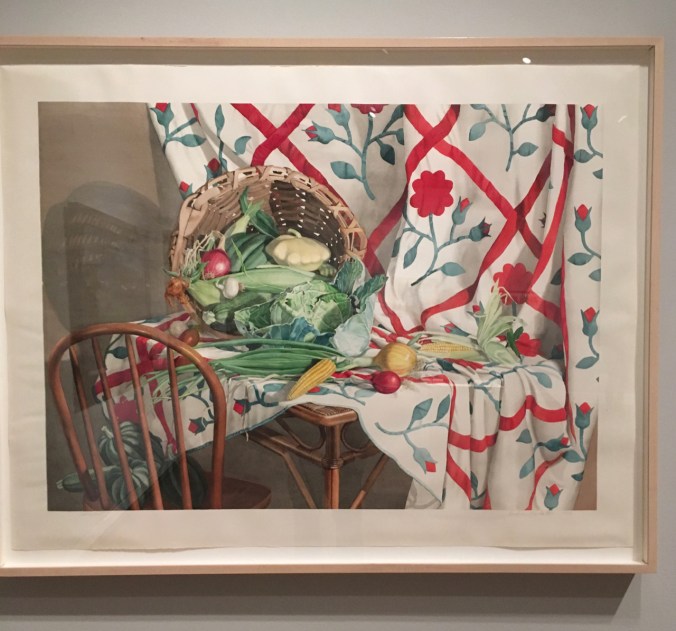
A family member’s kitchen could have been the inspiration for this painting.

IMG_1938

Picturing Oregon

DSC02189

DSC02190

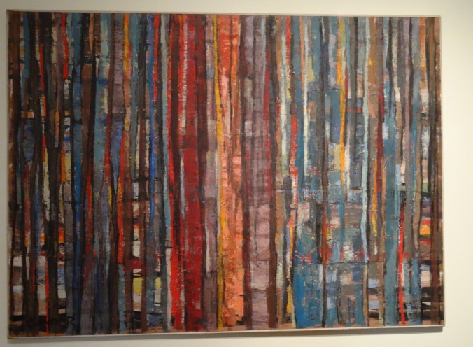
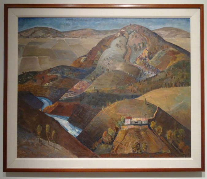
The vivid colors in this painting immediately reminded me of the forest painting in the previous exhibit.

DSC02191

DSC02192

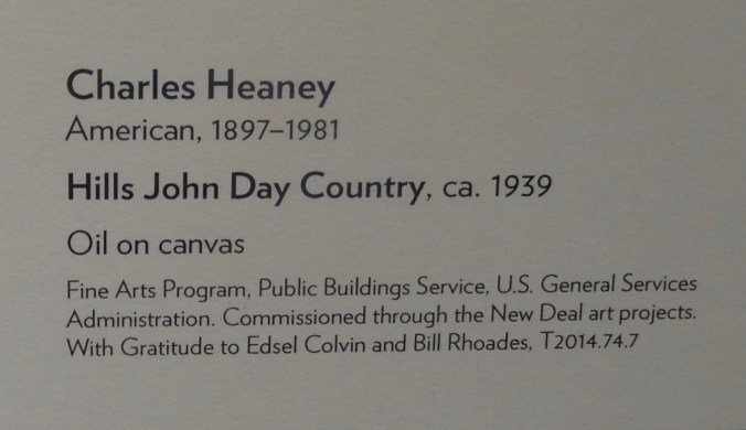
We have enjoyed hiking in the John Day country.

DSC02193

A stroll through the art gallery provided lots of inspiration, and mental traveling, out of the cold. The photos never quite do the artworks justice but at least remind me of my journey. There were many more pieces in the museum. These were the images that caught my attention that day.
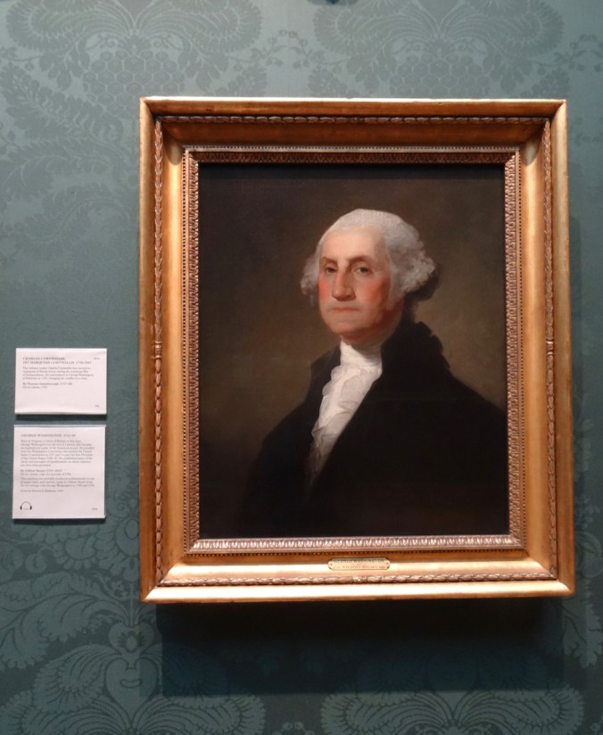
I also visited a portrait of  George Washington, who was scrupulous about even the perception of conflict of interest while in office. Here it is, compared to his portrait  in the British National Portrait Gallery, which we saw last April.

DSC02195

DSC02194

Portland Art Museum

DSC02834

British National Portrait Gallery

Knitting

I cast on another brioche hat and some stranded knit slippers, both out of leftover stash yarn, and still have an ongoing sock.

DSC02196

Garden

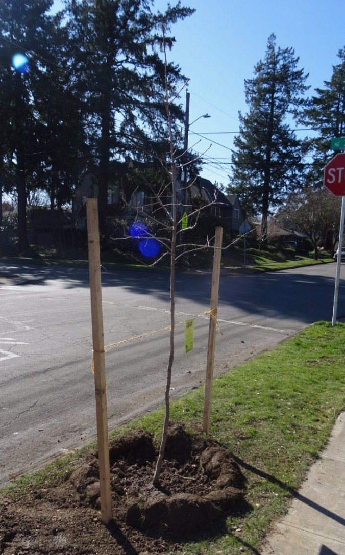
We planted a Black Tupelo street tree where our flaming ash had been on the parkway, with help from Friends of the Trees.

dsc02135-e1551920322609.jpg

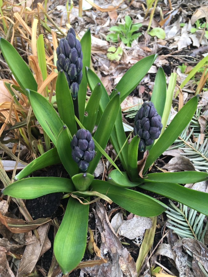
Our spring flowers are trying to bloom, but it is snowing again!!!

IMG_1923

hyacinths

DSC02123

crocuses

Exploring Bath, UK – May 10, 2018

Day 15 – Following Jane Austen around town

We left Devon and drove to the city of Bath in Somerset, a world heritage city known for Georgian architecture and Roman Baths. Also home to Jane Austen for a few years of her life, and the setting for parts of her novels – Northanger Abbey and Persuasion.

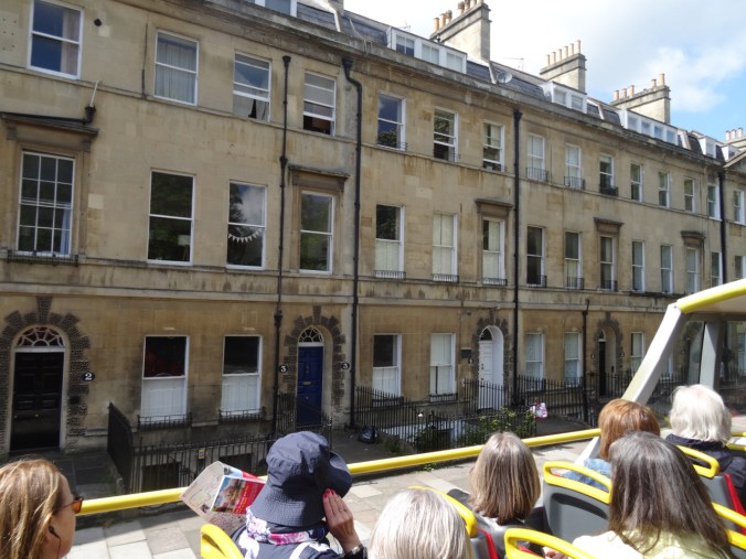
After setting up in our B&B on Charlotte St, we took an Open Top Bus tour, then walked around town to get a closer looks.

Version 3

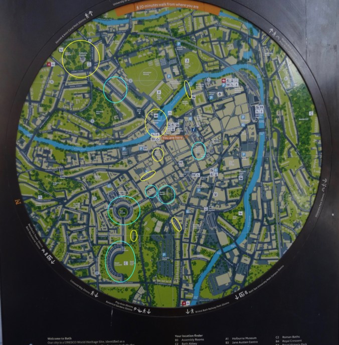
Signpost map of Bath, with some of our highlights circled.

Jane Austen Centre:

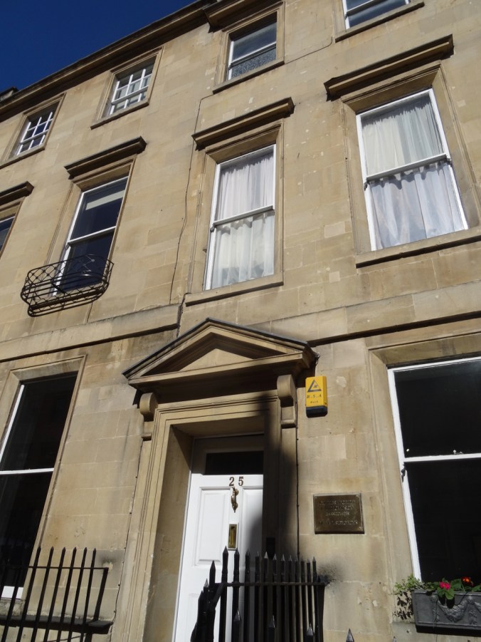
Our first stop was the Jane Austen Centre on Gay Street, which is just down the block from Number 25, where Jane Austen lived in 1805. It is now a dentist office.

DSC04698

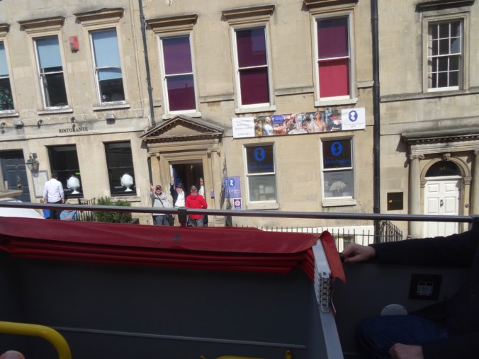
Jane Austen Centre on Gay Street

DSC04755

25 Gay Street, home to Jane Austen in 1805.

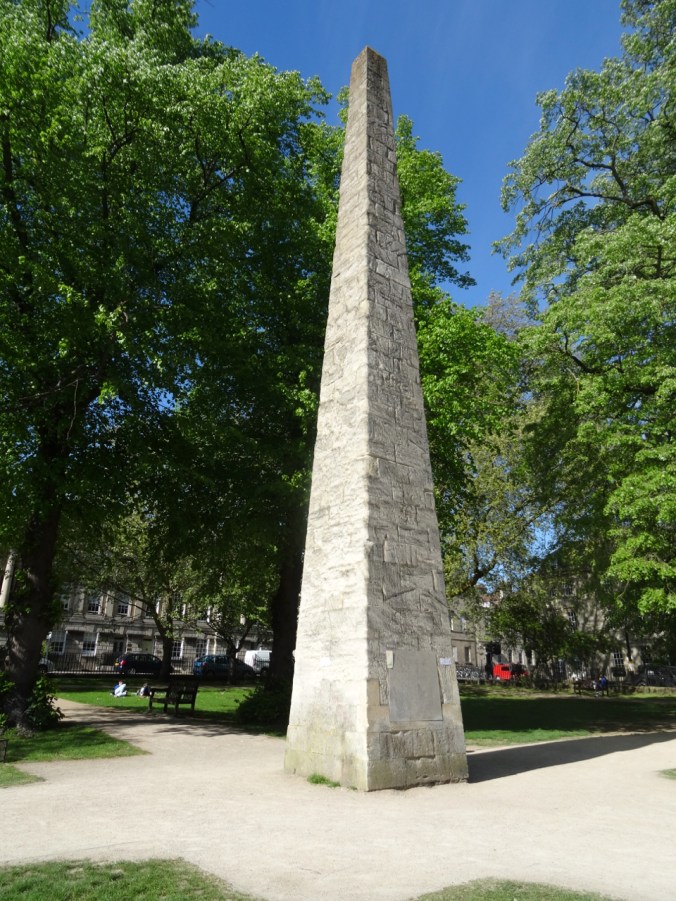
Jane Austen spent some time in lodgings near Queen Square. She would have been familiar with the Obelisk in Queen Square Gardens which dates back to 1738, and was made in honor of the Prince of Wales by Beau Nash, the Master of Ceremonies of the town at the time. It is made of the same Jurassic oolitic limestone that is the prominent building stone throughout Bath.

DSC04751

Obelisk in Queen Square

DSC04752

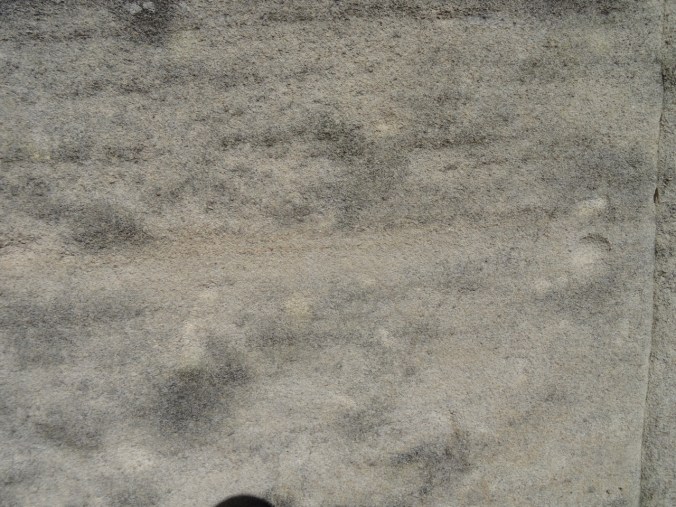
Bath Stone – Jurassic oolitic limestone

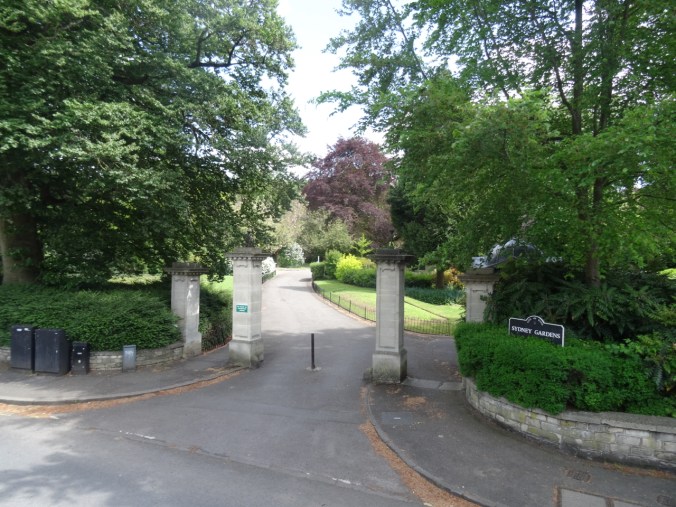
While on the Open Top Bus Tour, we were shown another of Jane Austen’s former residences at 4 Sydney Place near the Sydney Gardens.

DSC04636

4 Sydney Place – Jane Austen lived here in 1801,

DSC04638

and walked here.

Jane Austen would have been familiar with many other Georgian buildings around town:

DSC04610

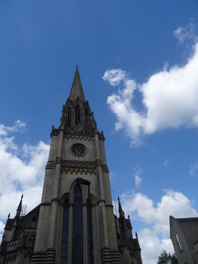
St Michael’s Church

DSC04746

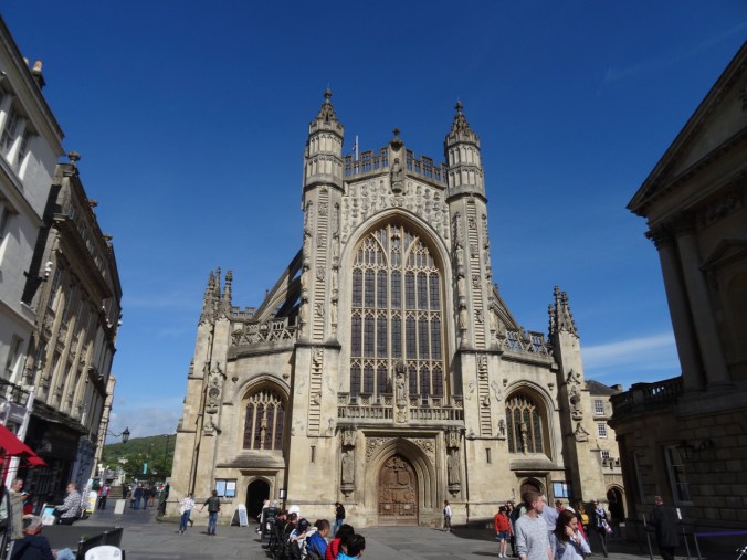
Bath Abbey

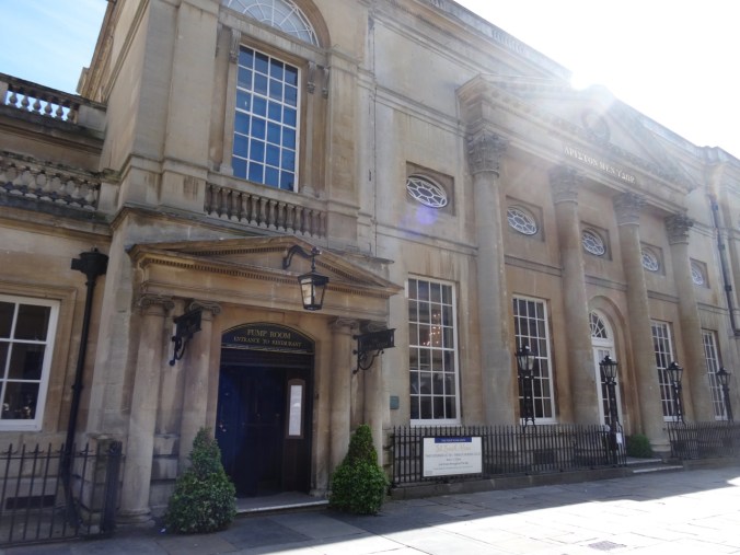
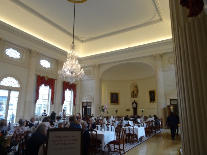
The Pump Room: Where people drank the waters in hopes of improved health. Some of Jane Austen’s characters met in the Pump Room for their daily drink and for socializing.

DSC04748

DSC04958

The Pump Room is now a restaurant.

A few other streets and shopping areas:

DSC04630

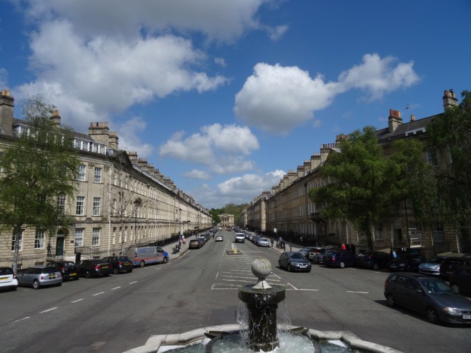
Great Pulteney Street

DSC04737

Milsom Street

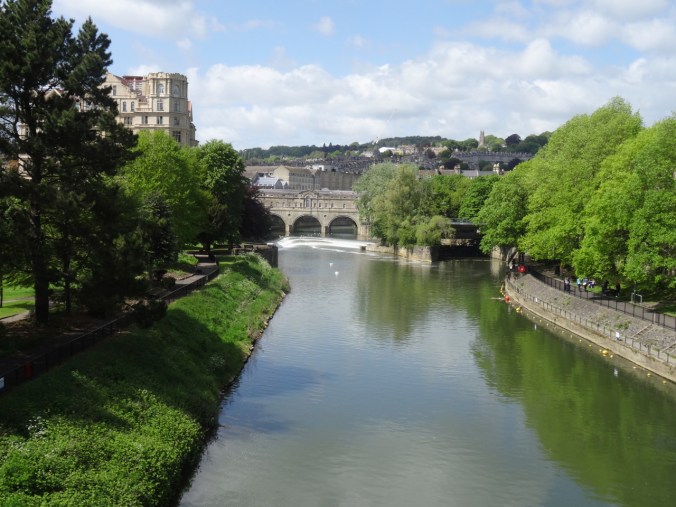
The River Avon runs through town, and we crossed several times. This is the view of Pulteney Bridge from the North Parade Bridge:

DSC04624

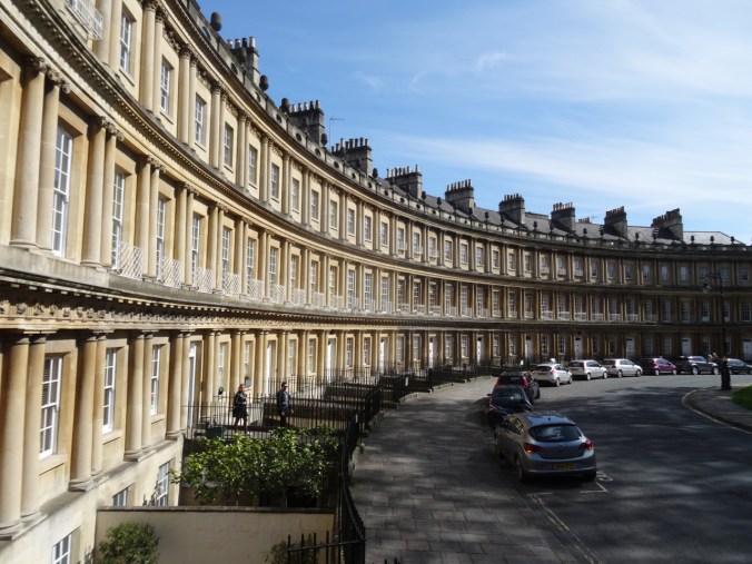
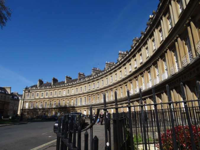
Two of the landmark Georgian streets and buildings in Bath are The Circus, and The Royal Crescent. The imposing curved edifices are built of Bath Stone.

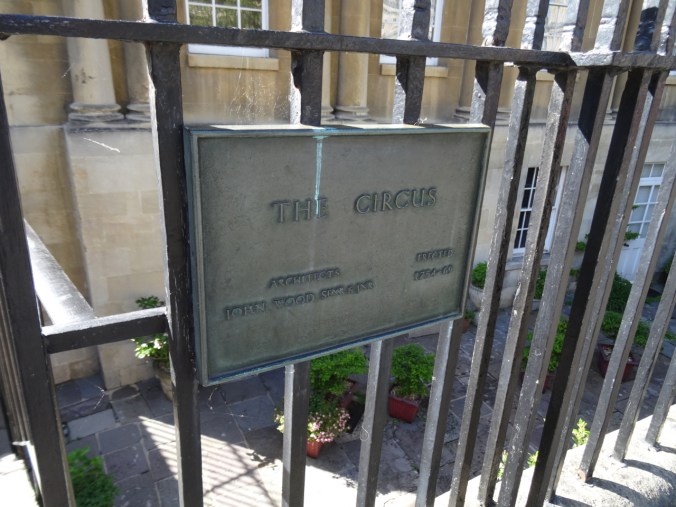
The Circus: Three massive crescents form a complete circle around a central green.

DSC04710DSC04757

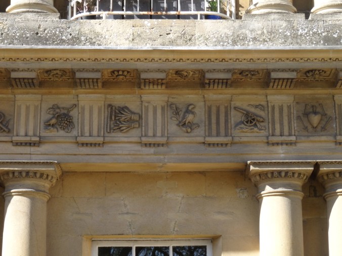
A closer look at the architectural details along the eaves:

DSC04773DSC04771DSC04774

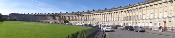
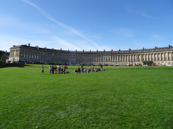
The Royal Crescent: An even larger crescent of Georgian buildings.

DSC04791DSC04800DSC04799

The Royal Crescent is over 500 feet long and difficult to photograph!

We walked along the Gravel Path, a protected off street pedestrian walk that leads from the parks near the Royal Crescent to the heart of town. It is where Jane’s characters Anne Elliot and Captain Wentworth finally found some privacy to declare their love.

DSC04807

The Gravel Path

DSC04811

The Gravel Path

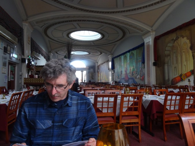
Bath is an easy town navigate on foot, and if we had been staying longer, it would have been easy to walk into the surrounding hills to see other places where Jane Austen walked. For this day, it was time to enjoy a delicious Indian meal and then plan our next day’s adventure – to see the Roman Baths, and a little more sight seeing around town – our last full day of the trip.

DSC04812

A Winter Day at the Oregon Coast

2/21/2019

We drove over the snowy Coast Range from Portland to Cannon Beach and explored some of our favorite places on a cold, sunny day. Everywhere else within reach was colder, wetter, snowier.
Arcadia Beach State Park

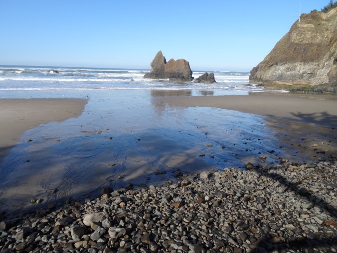
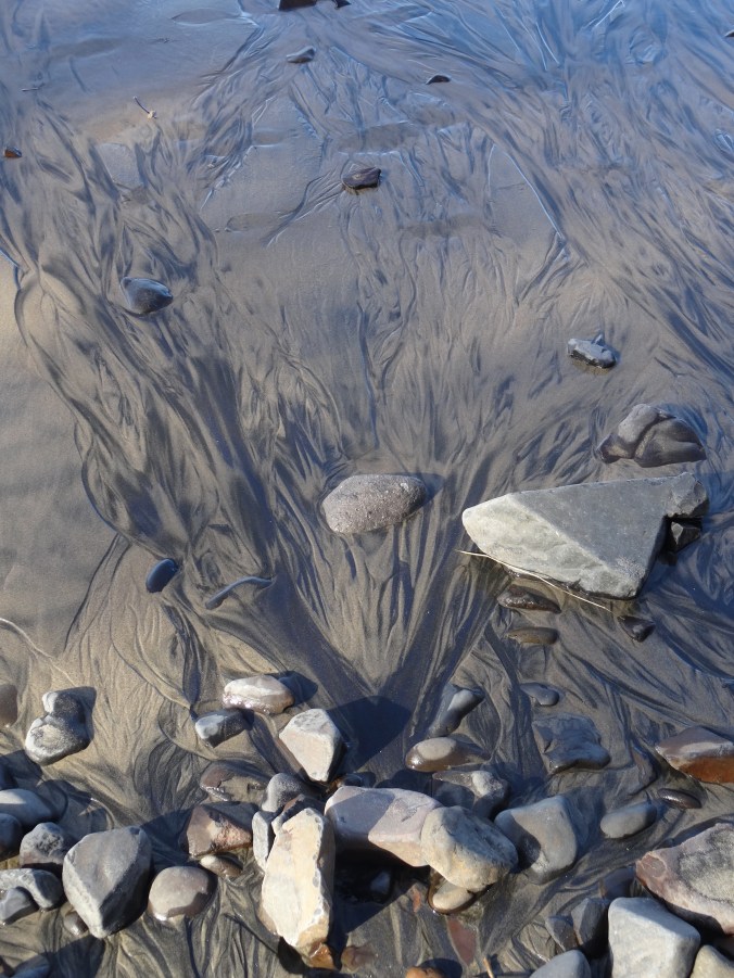
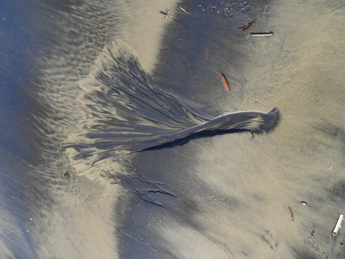
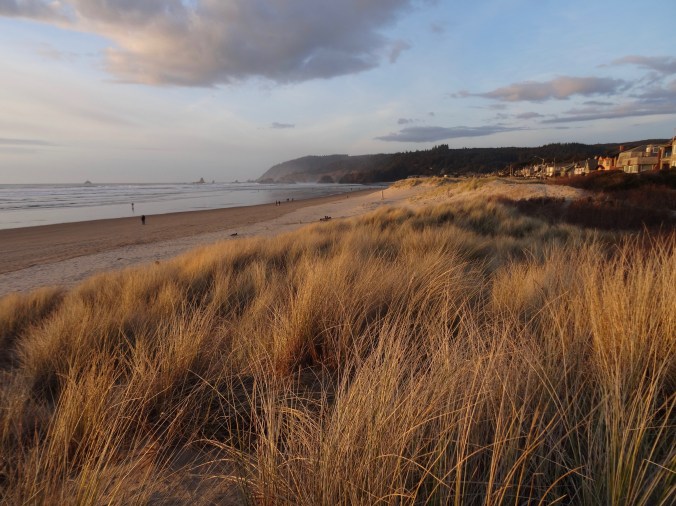
First stop, late morning. High tide was in the early afternoon so the beach was shrinking as we walked a couple of miles south along the shore. We could not get around any of the headlands. Heavy mineral concentrations on the sand-depleted winter beaches made beautiful patterns.

DSC02008

Looking down on Arcadia Beach from above – at low tide we would be able to walk around the headland and north all the way to Cannon Beach.

DSC02010

Tidal channels

DSC02013

Heavy mineral patterns

DSC02021

DSC02022

Foot for scale.

DSC02024

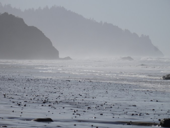
View to the south toward Hug Point and beyond.

DSC02025

Zooming in on Hug Point – as close as we would get to it today.
Hug Point State Park

Tide even higher, so our stop here was brief.

DSC02028

Beach at Hug Point State Park – north view at high tide. We would not be able to see the waterfall or Hug Point itself today.
DSC02027

South view – in the summer the sand stretches for miles at low tide!

Arch Cape Beach

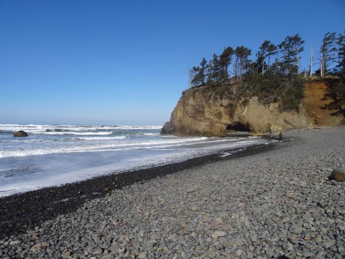
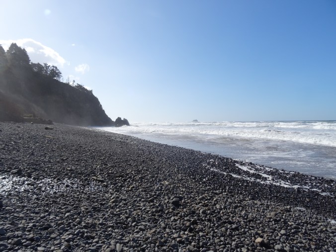
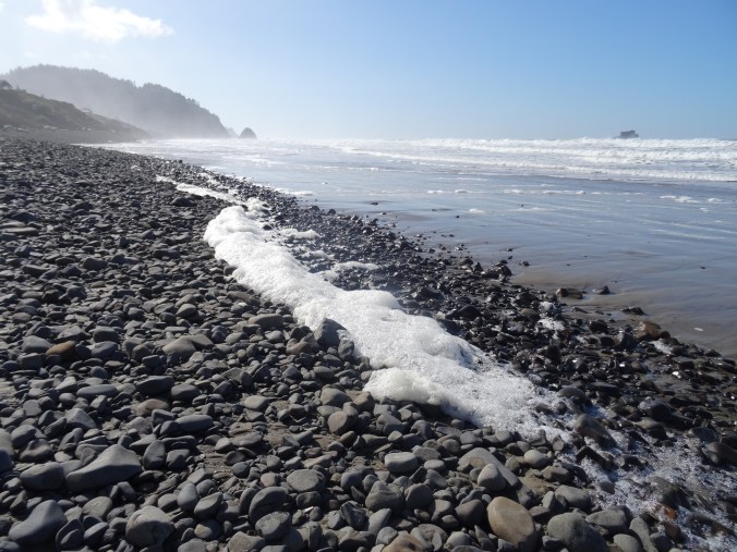
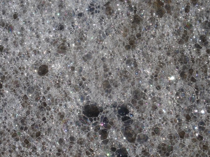
We have stayed near this beach many times over the past 30 years. We found a log to perch on while we ate our lunch. Only the rocky shingle was exposed on the winter beach. Thick foam was washing around in the swash zone, floating on the ebbing water, sparkling in the sun.

DSC02032

Lunch view to the north.

DSC02035

Lunch view to the south, Arch Cape and Castle Rock.

DSC02036DSC02040

Neahkahnie Viewpoint

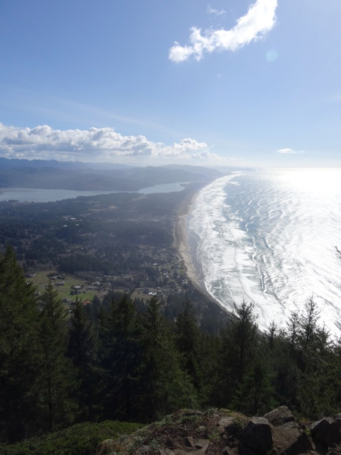
At the south end of Oswald West State Park, the view to Nehalem Bay and Manzanita to the south is stunning.

DSC02042

Neahkahnie Mountain

We hiked the three mile round trip to the top of Neahkahnie Mountain – beautiful views on this cold day.
DSC02043

DSC02046

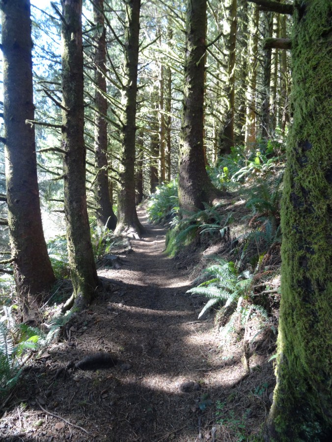
Much of the trail is through shady forest.
DSC02047

View from the rocky top. Nehalem Bay and Manzanita Beach.

DSC02048

Note the snow capped peaks in the Coast Range.

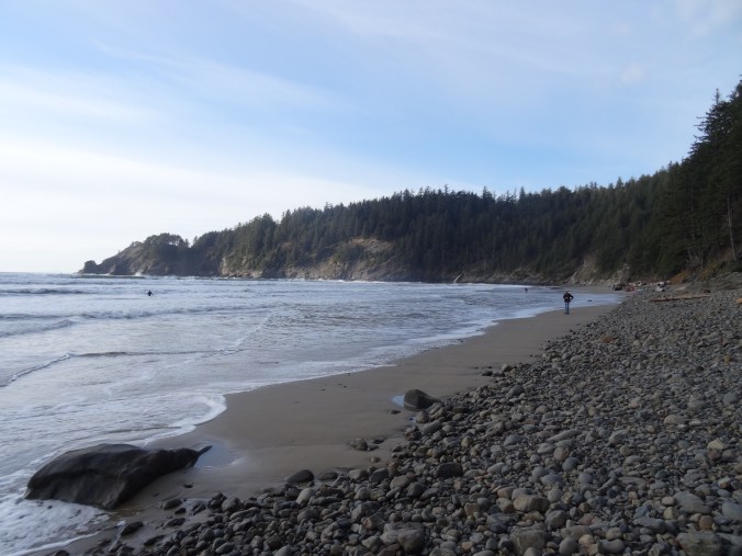
Short Sand Beach, Oswald West State Park

We walked a couple of miles here on the interconnected trails that lead to Short Sand Beach in Smuggler’s Cove.

DSC02055

Bridge over Necarney Creek

DSC02059

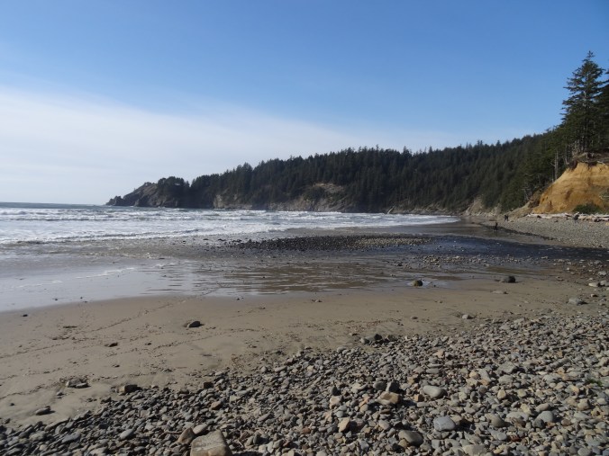
View to north from the south beach

DSC02066

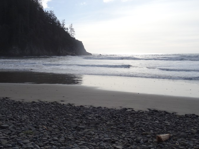
View to south from the south beach

DSC02067

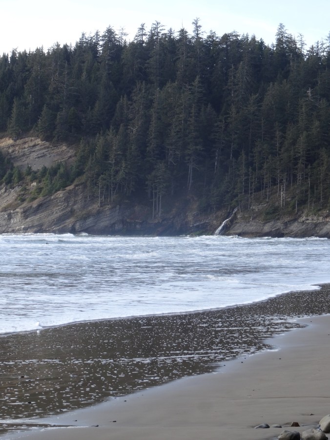
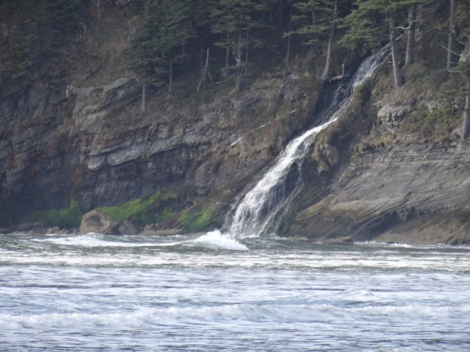
North beach of Smuggler’s Cove – Falcon Point and Blumenthal Falls

There were a few surfers in the water.

DSC02070

I accidentally photographed a surfer when I was zooming in on the falls.

DSC02071

DSC02075

Blumenthal Falls

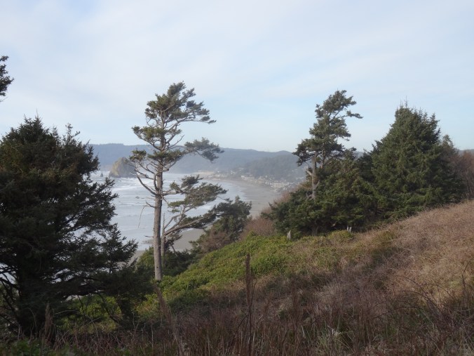
Silver Point View

Looking back toward Cannon Beach and Haystack Rock.

DSC02081

Cannon Beach/Haystack Rock at Sunset

After an early dinner in Cannon Beach, we parked near Haystack Rock. Dan walked down the beach to photograph the sunset. I watched from above, keeping warm in the car. (Hike #11, 8 miles, 1100 feet for the day).

Version 2

Haystack Rock

Version 2

Tillamook Head to the north.

DSC02099

Crafting

I finished the first sock of this pair. I have set up a frame to practice canvas stitching.

DSC02120

Winter Gardens, Portland

Hoyt Arboretum  2/15/2019

Two hours with no rain – we took a walk to the Winter Garden in Hoyt Arboretum, Washington Park. (Hike #9, 2 miles, 200 feet)


We saw more blooming witch hazel near the Vietnam Veteran’s Memorial:

Crystal Springs   2/17/2019

A dry day – we met friends at Crystal Springs Rhododendron Garden, and walked all around the lakes and garden paths. We then crossed the road and walked along Crystal Springs Creek through Reed Canyon on the Reed College campus. (Hike#10, 3 miles, 150 feet).

DSC01956

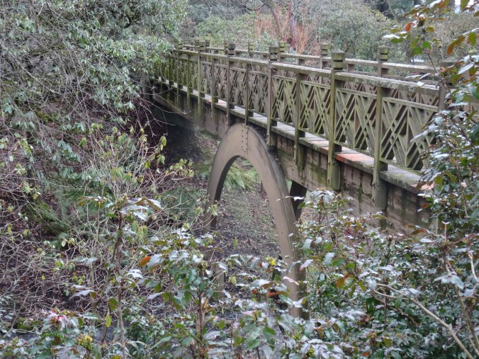
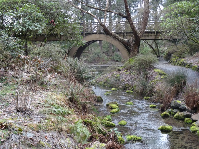
Bridge at the north end of the gardens near the entrance.

DSC01958DSC01946DSC01955DSC01945

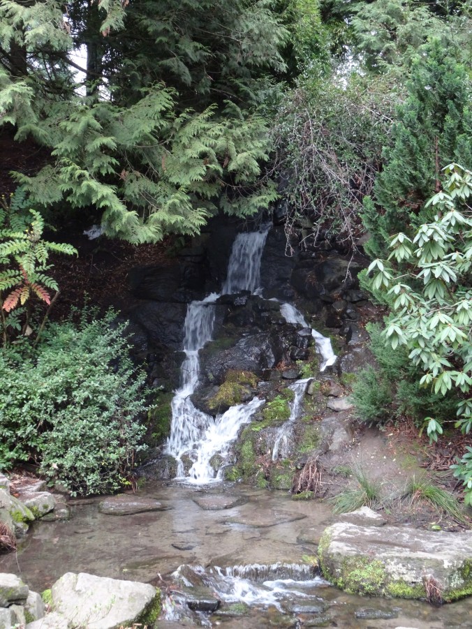
Winter plants were blooming, though nothing like the riot of color during rhododendron and azalea season.

Water birds and reflections:

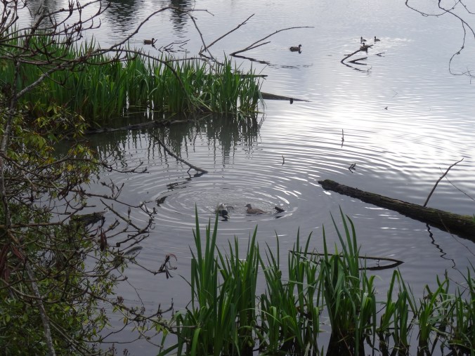
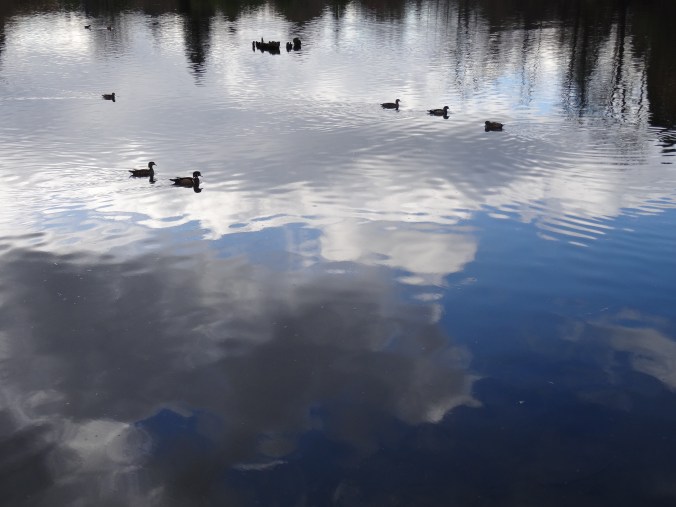
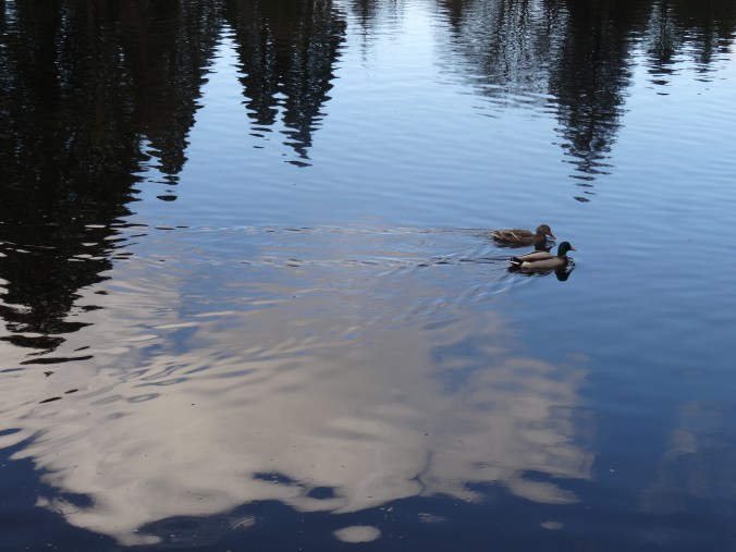
DSC01966DSC01970DSC01974DSC01975DSC01976DSC01984

Crystal Springs Creek trail in Reed Canyon:

DSC01985

The bicycle/pedestrian bridge across the canyon.

DSC01986

Walking east along Reed Canyon.

DSC01987

A great blue heron near the marsh.

DSC02000

The spring inlet on the east end of campus.

DSC02003

The lake on the west end of campus.

Cross Stitch

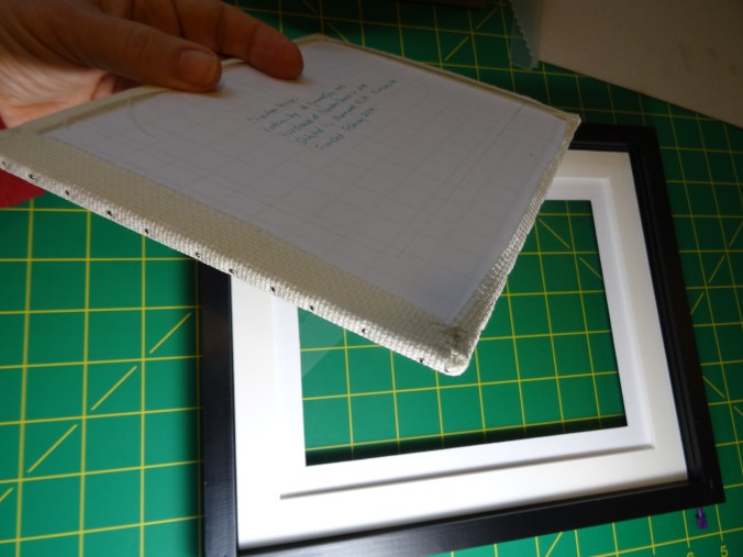
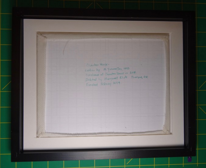
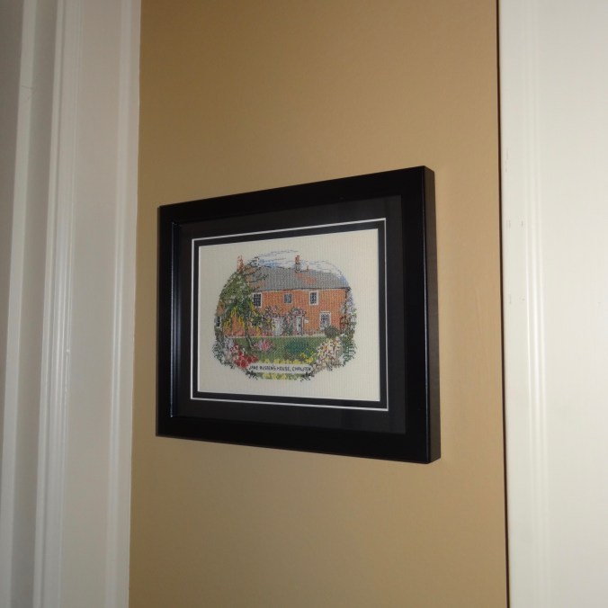
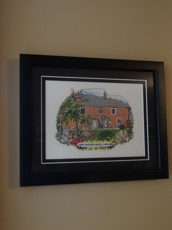
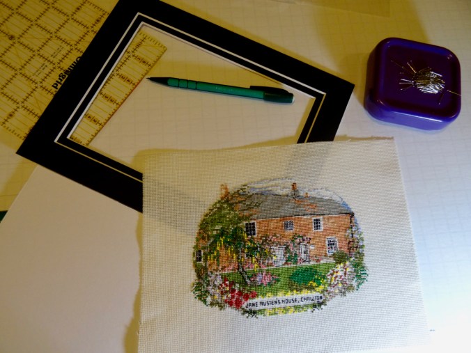
I mounted the Jane Austen House Cross Stitch on foam board using sequin pins and a few stitches at the corners. The piece is now hanging on my wall!

DSC01866DSC01861DSC01871DSC01878

DSC02928

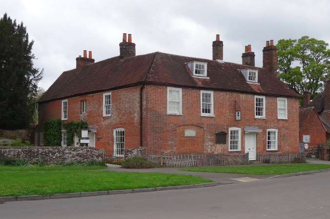
Jane Austen’s House in Chawton, May 2018. I realize now the cross stitch kit view is the side facing the garden, not the street front.

Knitting

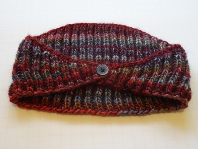
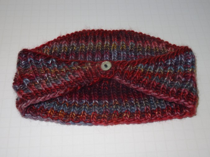
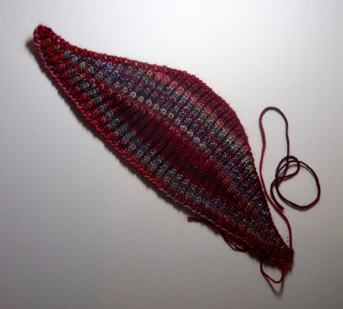
I found buttons for my Brioche Headscarf, and have worn it!


DSC01853DSC01854DSC01839

White herons at Ridgefield

Ridgefield Wildlife Refuge, Washington,  2/7/2019

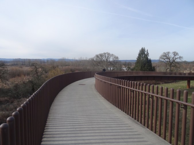
Cold and snowy in the Pacific Northwest. We went to the wildlife refuge to stretch our legs and look for birds. We walked the Oaks to Wetlands trail in the Carty Unit. Hike #8, 3.2 miles.

DSC01737

Bridge into the refuge.

DSC01738

Old oak tree.

DSC01752

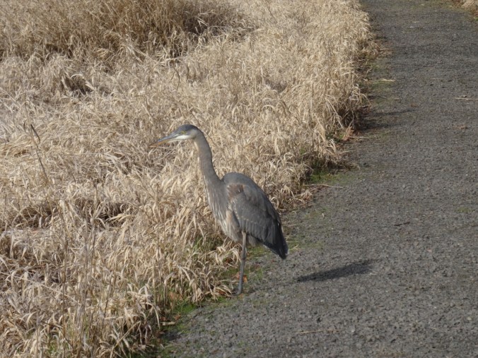
Great blue heron on the path.

DSC01753

DSC01769

Wild geese in the distance.

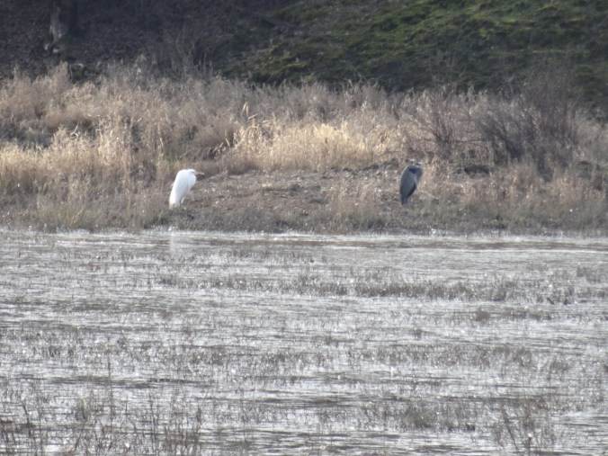
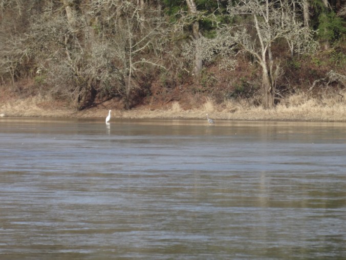
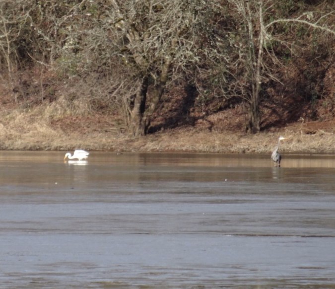
We saw several great blue herons, and two of them seemed to have a white egret companion, but after a little googling, we found that there is a white morph of the great blue heron.

DSC01767

Two herons across one of the lakes.

DSC01768

We saw another pair in the distance across the northernmost lake.

DSC01796

Icy shoreline, two herons in the far distance.

DSC01776

Zoomed in – the two herons.

DSC01789dsc01788.jpg

Crafting

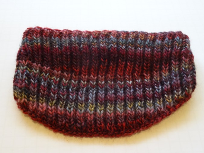
I knit a Brioche Headscarf, pattern by Margaret K. L. Thompson, out of the leftover Berroco Millifiori hat yarn. Two evenings of knitting, I just need to add a button.

dsc01808.jpgDSC01818

I am working on framing my Jane Austen’s House cross stitch.

DSC01821DSC01819

Lewis River Waterfalls, a hat finish, and snow in Pdx

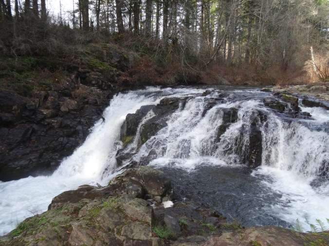
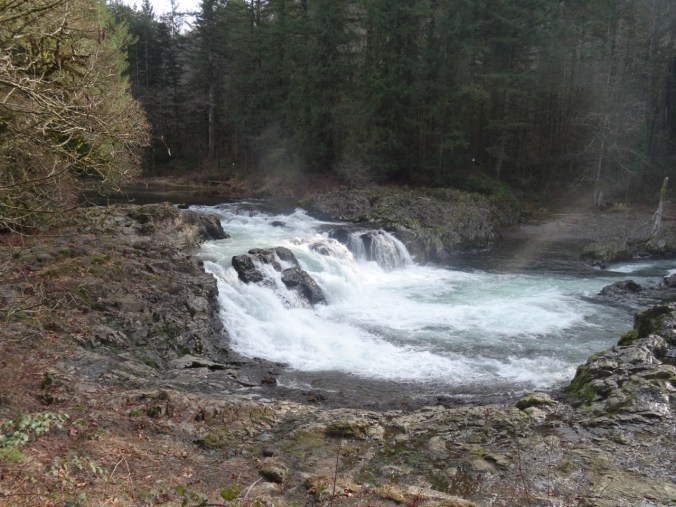
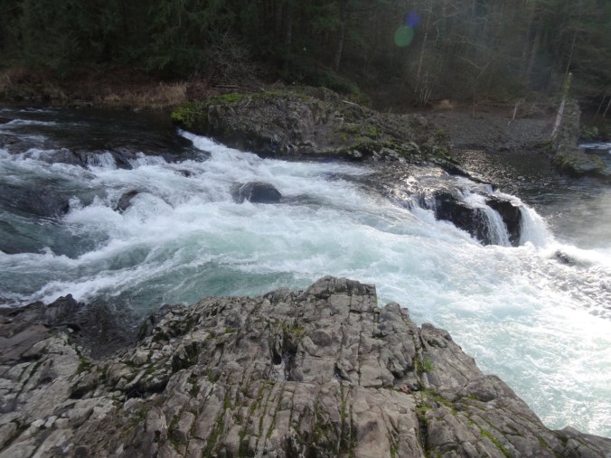
January 31, 2019  Moulton Falls, Bells Mountain trail, and Lucia Falls, Washington

Our first time hiking here. We have passed through on our way to Silver Star Mountain in the summer, and noted the crowds enjoying the swimming holes along the Lewis River near Battleground, Washington. Today we stopped to see the waterfalls in the off season, and to hike up the nearby Bells Mountain trail for a view of Mt St Helens.

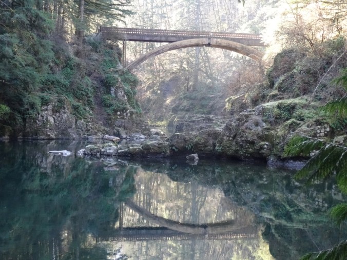
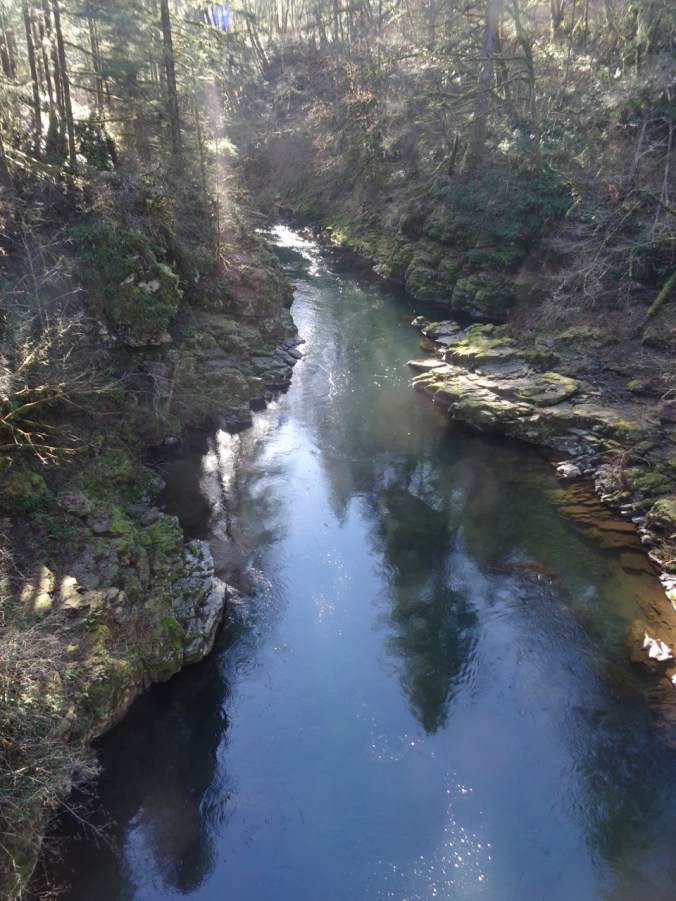
The rails to trails path along the Lewis River goes over this beautiful bridge, the East Fork High Bridge, which is apparently a popular jumping spot in summer.

DSC01629DSC01630DSC01656

DSC01635

Downstream from the bridge.

DSC01637

Upstream from the bridge.

DSC01648

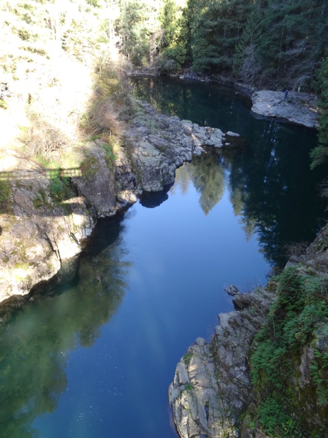
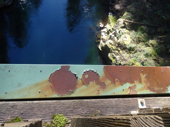
Looking down…

DSC01651

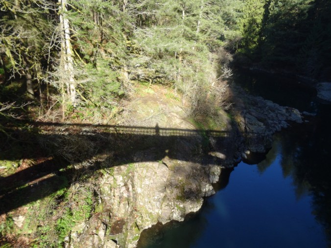
My shadow self portrait.

Up the Bells Mountain trail – about 1000 feet up in 1.5 miles, so a good work out.

DSC01662

Uphill through ferns and second growth forest…

DSC01664

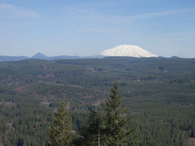
Until we cross a clear cut area, and the view to Mt St Helens opens up.

DSC01665DSC01667

DSC01670

Ice on the trail

DSC01675

Lunch time view – across the Lewis River area to Mt St Helens.

DSC01679

Passing Moulton Falls on the return hike

DSC01696

Nearby Yacolt Falls

And Lucia Falls:

DSC01710DSC01713DSC01721

Total for the day:  6.7 miles, 1100 feet, hike #7.

Knitting

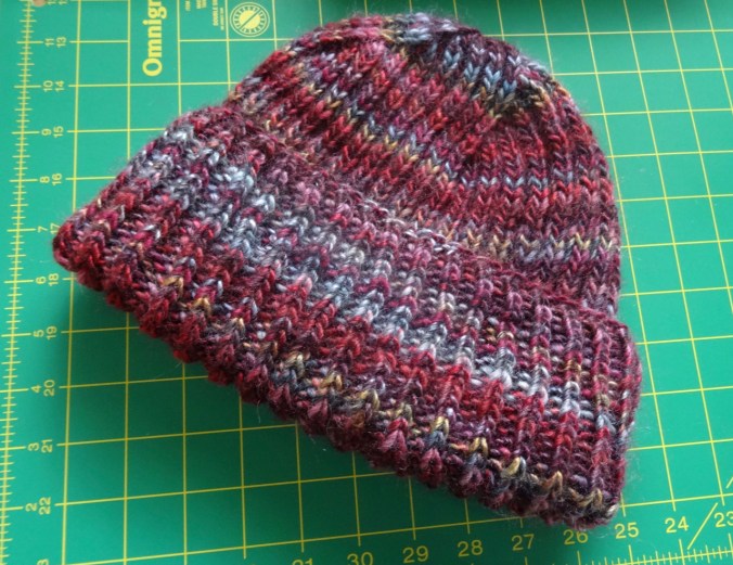
I finished my Brioche Watch Cap, after having to buy an extra skein of Berocco Millifiore yarn, just in time for snow in Portland.

DSC01725

Neighborhood, 2/5/2019

Snow…

DSC01730DSC01732DSC01733

And a view of Mt St Helens and the Ross Island and Tilikum Crossing Bridges from the OHSU eighth floor waiting room. Latest follow up results are all good!

IMG_1843

1/29/2019


Exploring North Devon – Lynton to Ilfracombe, UK

Day 14  – More North Devon   Wednesday, May 9, 2018

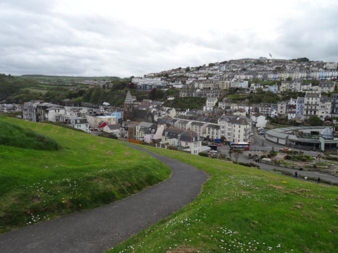
Our plan for the day was to explore along the coast of North Devon to the west of our lodging in Lynton.

Screen Shot 2019-01-18 at 9.10.44 PM

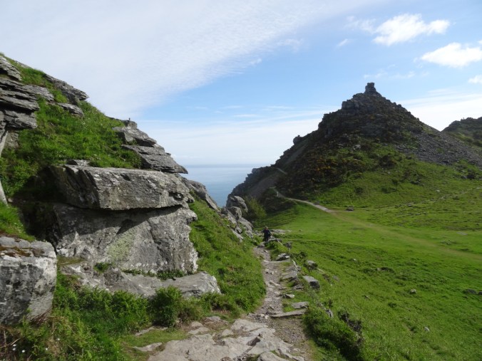
Valley of Rocks – Castle Hill

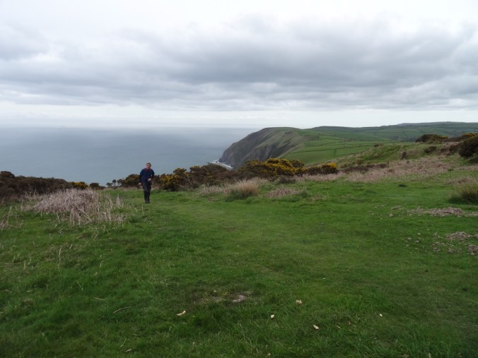
Our first stop was in the Valley of Rocks again. We wanted to climb to the top of Castle Hill this time. We had great views and a wildlife encounter.

DSC04366

Valley of Rocks

DSC04373

This bird escorted us up the path on an otherwise quiet day.

DSC04375

Dan ascending, the bird on the upper left.

DSC04386

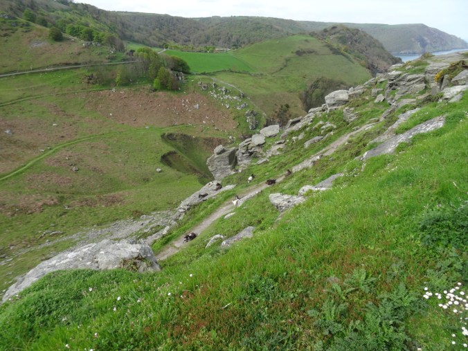
I hiked up the next rise to find my path blocked by feral goats.

DSC04390

We found another path to the top.

DSC04391

Looking down on the goats.

DSC04395

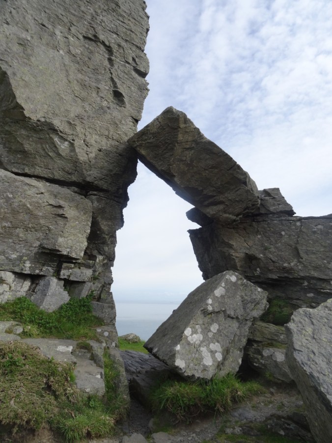
An ‘arch’ of Devonian sandstone near the top.

DSC04400

View to the west, where we hiked two days ago.

DSC04412

Looking down on the goats again as we head down hill.

DSC04417

Another ‘cheese wring’ across the road.

Trentishoe

Next, we drove west through the rolling landscape, and stopped for a coastal view at Trentishoe Hill.

DSC04427

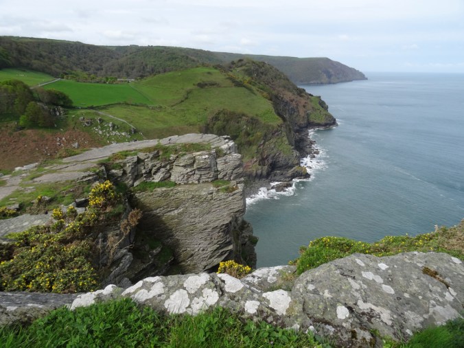
Looking east along the Devon coastline.

DSC04425

A rocky cove beyond the blooming gorse.

Holdstone Down

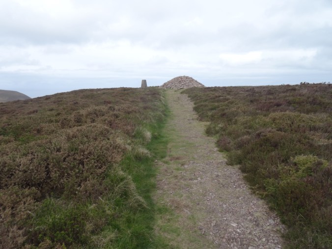
We took a short hike to a trig point at Holdsmore Down.

DSC04432

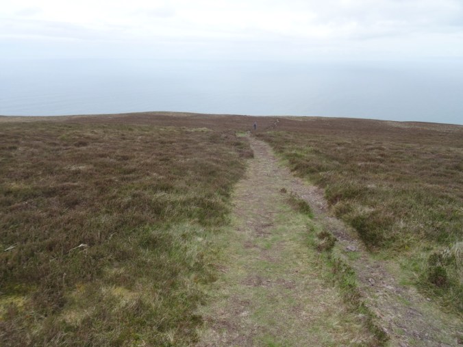
Track across Holdstone Down.

DSC04428

Holdstone Down trig point

DSC04433

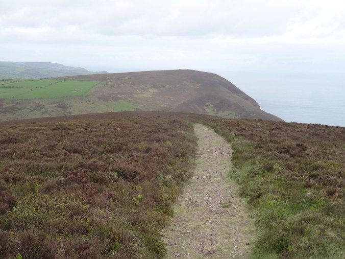
View to the west

DSC04435

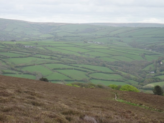
Looking south across downs to the manicured counterpane farm fields.

Combe Martin

We explored the rocky cove and beach at Combe Martin as the tide was coming in. it would have been nice to explore around to the next cove, but seemed too risky.

DSC04439

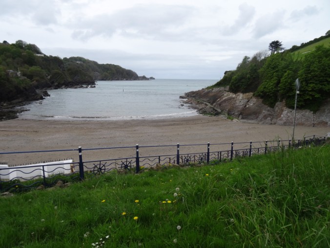
The beach at Combe Martin, tide rising.

DSC04442

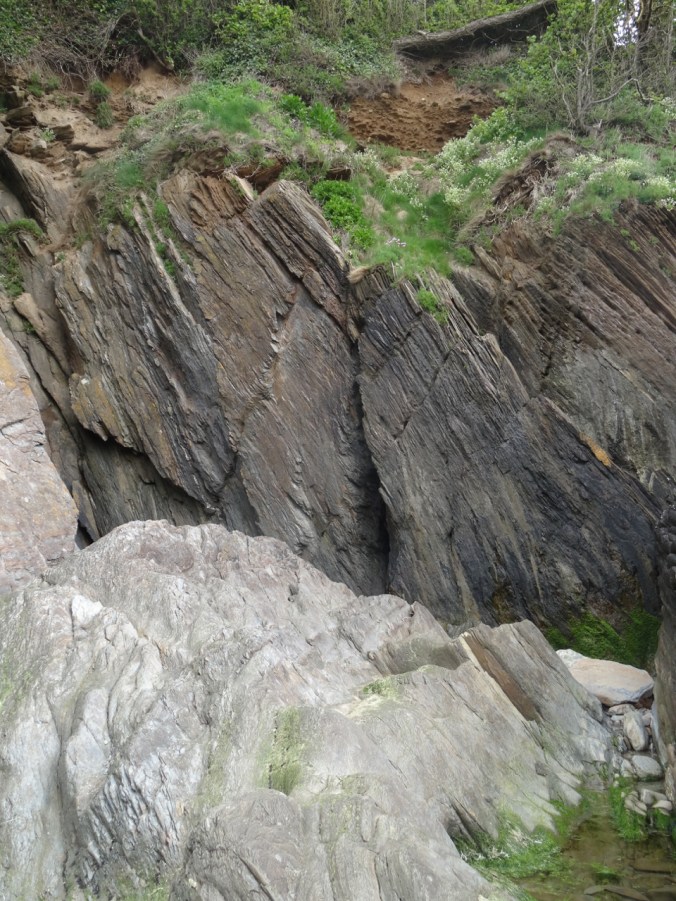
Dipping Devonian sandstones form one wall of the beach.

DSC04443

The walk along the cliffs.

DSC04444

Spring flowers above.

DSC04447

Looking back to town.

DSC04450

Sandstone and the view across the harbor.

DSC04451

Walking around the cliff edge.

DSC04455

Tide pools

DSC04457DSC04458

DSC04461

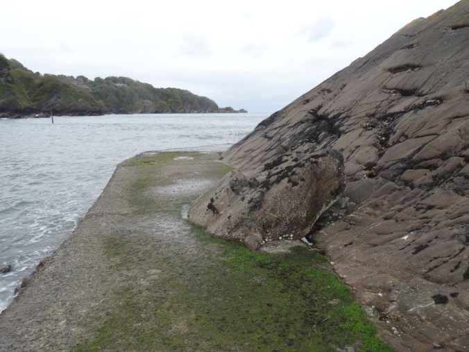
Tide coming in along the outer walkway.

DSC04462

DSC04463

Limpets and snails

DSC04465

Eroding stairway up the cliff.

DSC04474DSC04477

DSC04481

After exploring the beach we drove on to the western viewpoint looking back down to Combe Martin beach.

DSC04487

The walkway along Combe Martin beach.

DSC04486DSC04485

We could also see to the west from the upper viewpoint.

DSC04490DSC04492

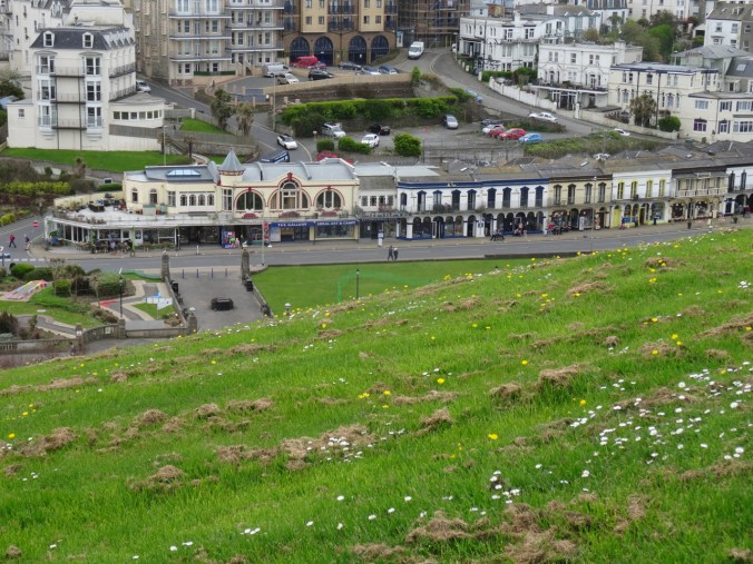
Ilfracombe

Our last stop was the sprawling town of Ilfracombe. It is surrounded by water and spread out over several rocky hills. The rising tide meant we could not go into the famous Tunnel Beach. Instead, we explored the viewpoints and some local art installations, and finally stopped at a teashop for a famous Devon Cream Tea – two light and fluffy scones with Devon cream and strawberry jam, and a pot of tea. All was delicious.

DSC04496

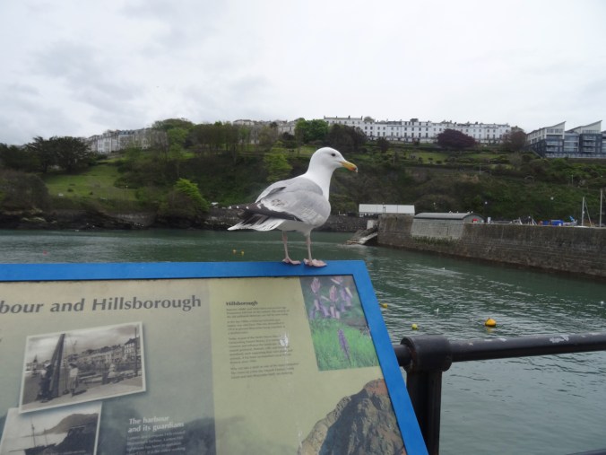
Ilfracombe Harbor

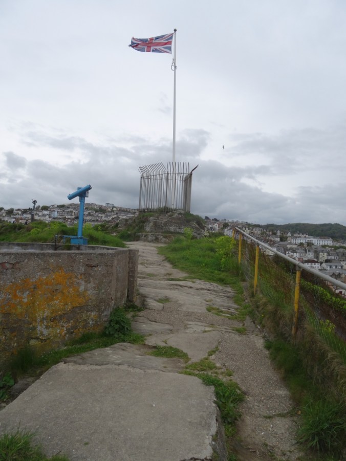
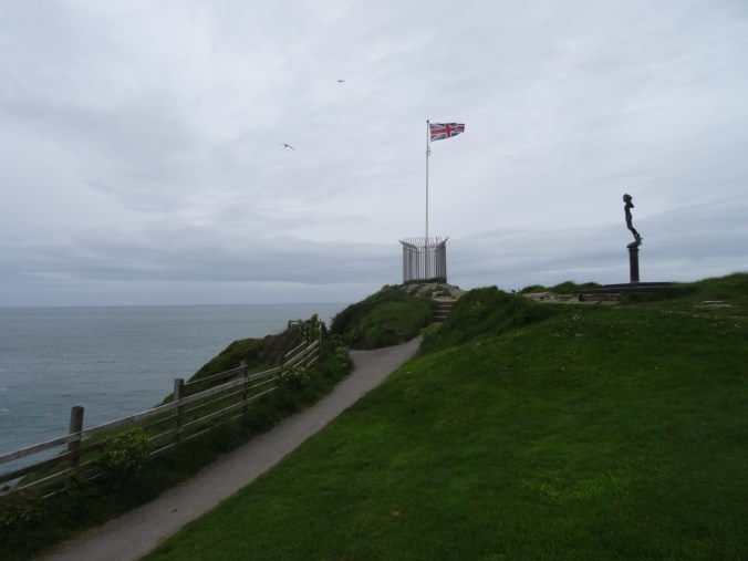
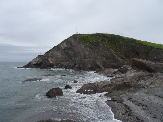
We walked through town, then uphill to the Ilfracombe Observatory, with great views all around

DSC04501

Back to the southeast.

DSC04504

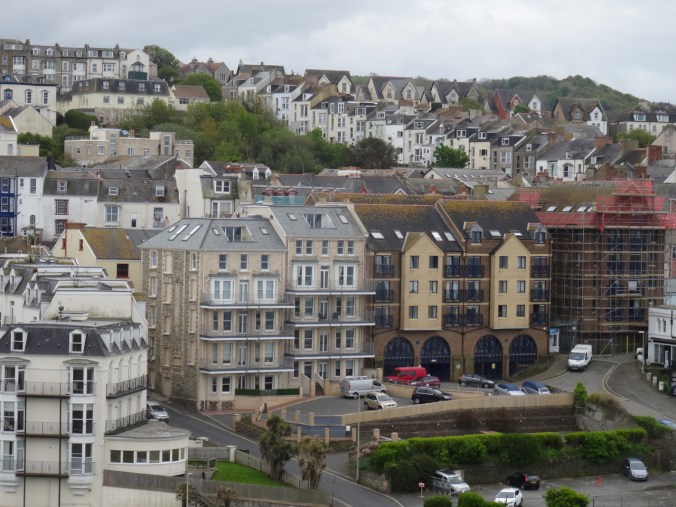
We had our tea in one of these shops.

DSC04505

To the southwest.

DSC04506

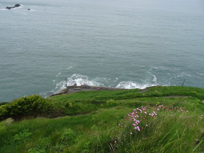
To the north – the sea.

DSC04510

Top of the hill.

DSC04518

DSC04517

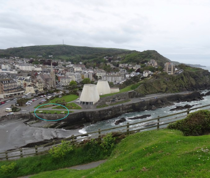
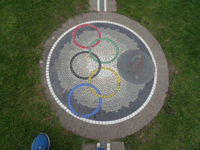
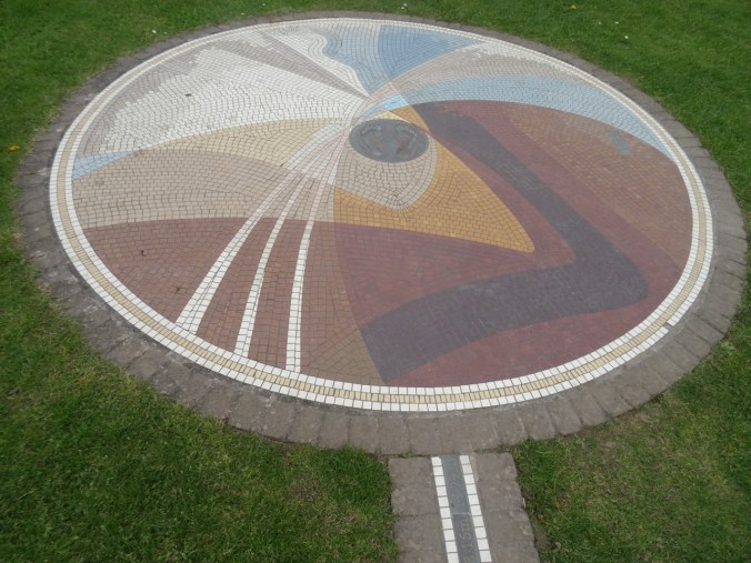
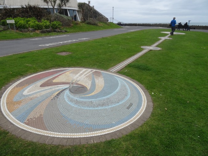
The Tunnel Beaches are along those cliffs to the west. As we admired the view, we noticed an interesting mosaic installation just beyond the beach.

Version 2

DSC04532

We could actually pace out the distance this local athlete had triple jumped while setting a (still standing) world record in 1995.

DSC04534DSC04536DSC04537

DSC04539

It’s hard to imagine going this distance (18.29 meters/60 feet) in three ‘steps’!

DSC04546

Looking back to the beach and Observatory Hill.

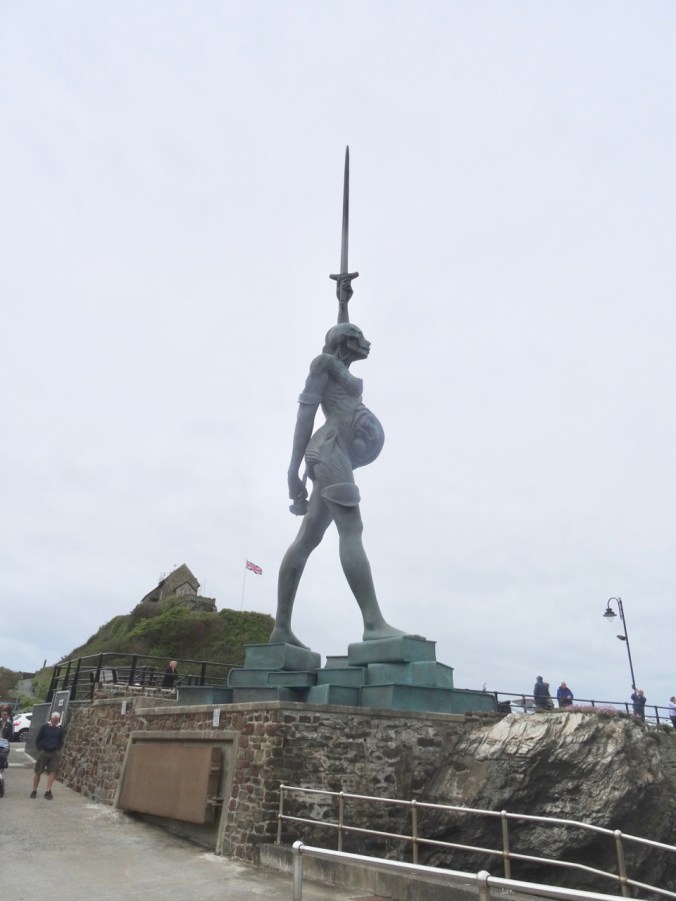
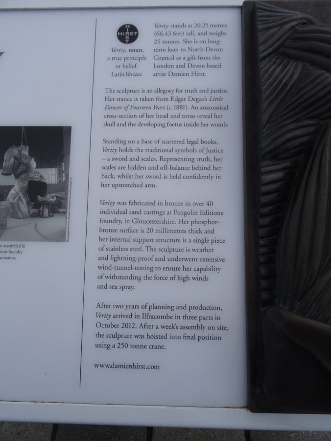
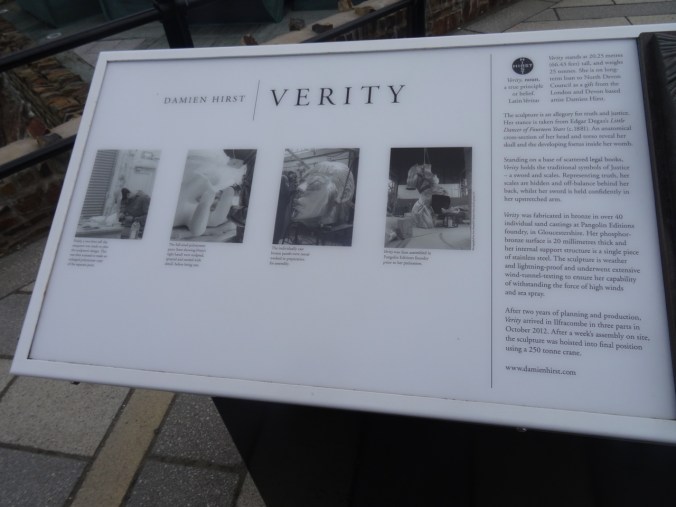
After our tea, we walked back toward the harbor, with the goal of seeing another local art installation called Verity – which, at more than 20 m high, can’t be missed!

DSC04549DSC04550

Verity by Damien Hirst, Ilfracombe Harbor

DSC04556

This side of the statue displays the organs beneath the skin.

DSC04567DSC04568DSC04572

DSC04573

This was our last stop for the day. We found our way back to Lynton, and packed up our belongings, ready to leave tomorrow for our next stop, Bath. And more Jane Austen history.

Silver Falls and Steigerwald

1/27/2019 Steigerwald Wildlife Refuge, WA

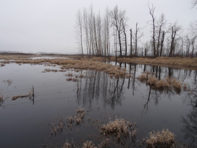
A short walk on a foggy day with one of our sons.

DSC01373DSC01375

DSC01378

Ducks

DSC01446

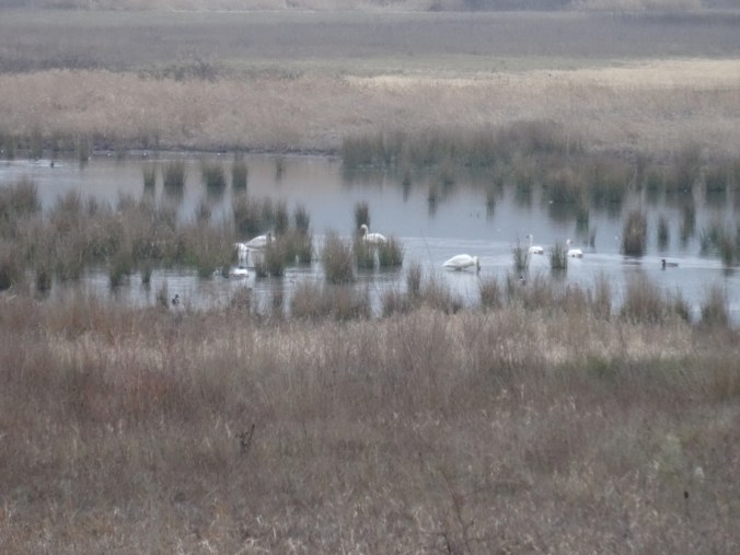
Swans

DSC01390DSC01396

DSC01440

Great Blue Heron near the bridge

DSC01424

Ephemeral reflections

DSC01425DSC01429DSC01430DSC01432DSC01433DSC01423

DSC01437

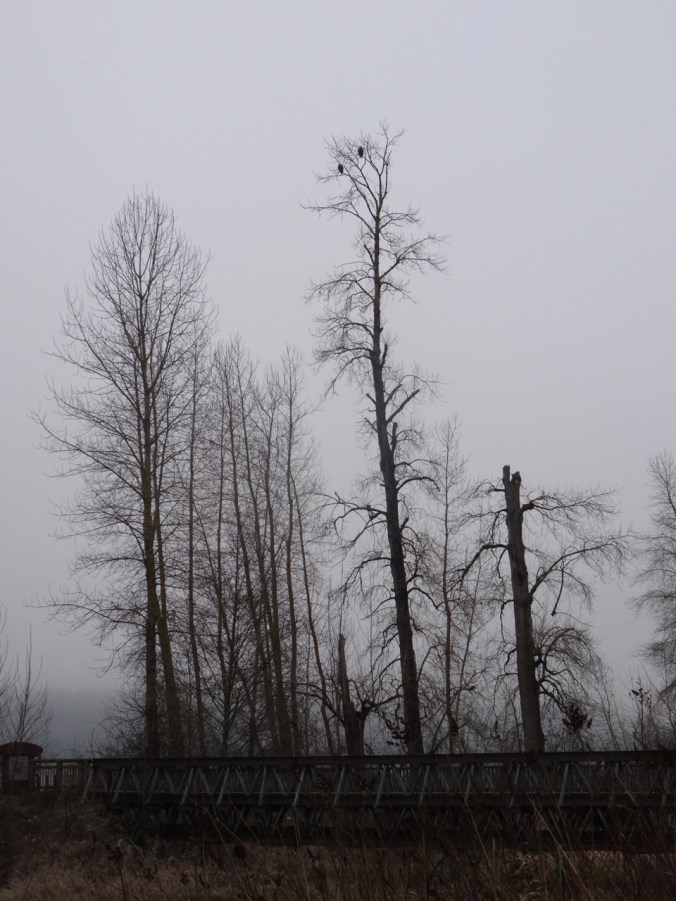
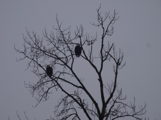
Bald eagle pair watching over all.

DSC01443

2.3 miles, hike #5 for 2019.

1/28/2019 Silver Falls, OR

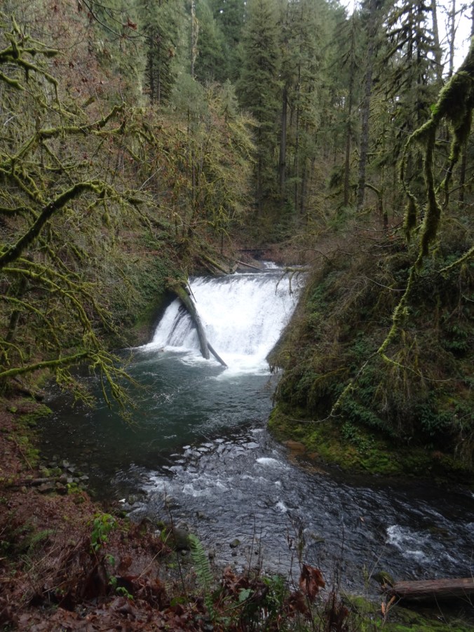
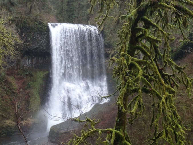
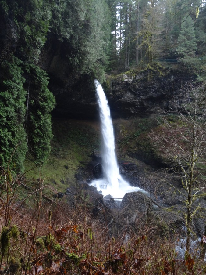
Windy and cold in Portland, but warmer to the south. We drove to Silver Falls State Park in the Cascade foothills east of Salem, Oregon, where the North and South Forks of Silver Creek fall in steep drops or shorter cascades over ledges of volcanic rock. We hiked the Trail of Ten Falls, though we skipped one – so the Trail of Nine Falls. One or more waterfalls every mile of the seven mile loop keeps the trail interesting. Lots of water in the falls, compared to my last visit in August of 2017!

South Falls 177 ft

We started at South Falls, but skipped the path behind the falls as I didn’t want to start out the hike wet.

DSC01454

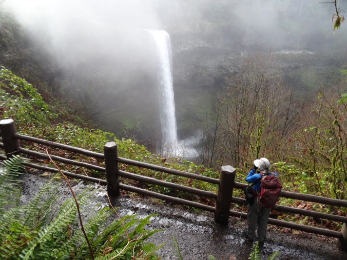
South Falls from the upper viewpoint

DSC01467

DSC01472

South Falls from the bridge.

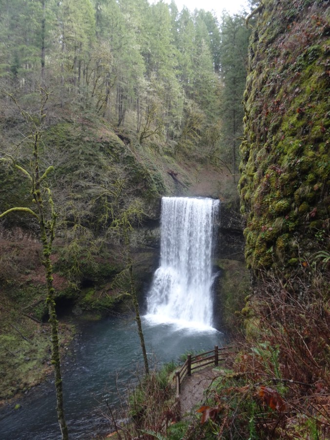
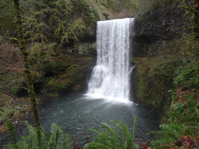
Lower South Falls 93 ft

DSC01484

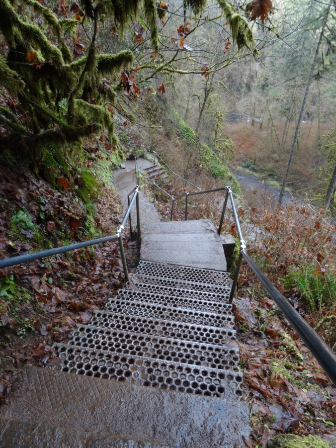
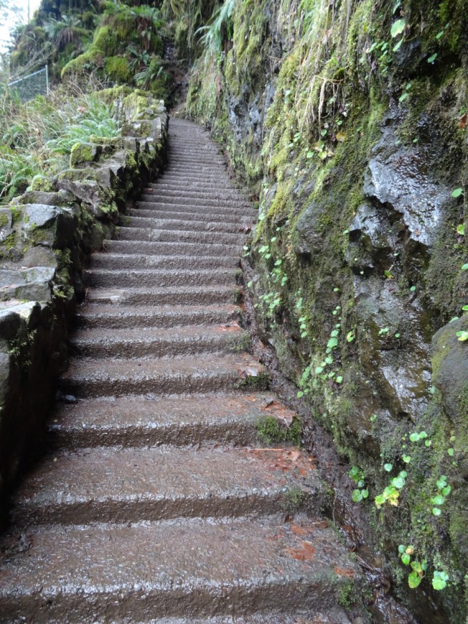
Stairs down the cliff.

DSC01485DSC01493DSC01497

DSC01503

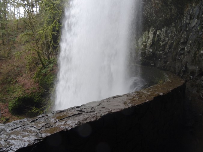
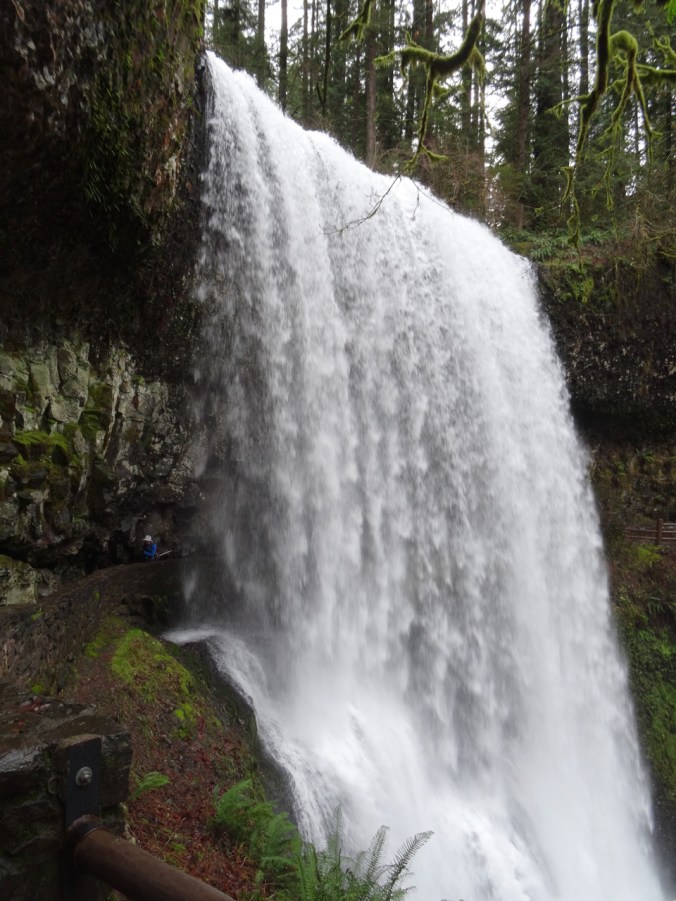
Walking behind the falls.

DSC01509

Dan on the left, emerging from behind the falls.

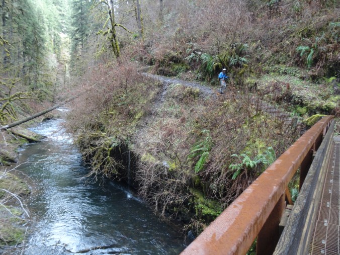
The trail follows the river, with occasional bridge crossings.

DSC01512

Lower North Falls 30 ft

DSC01518

Double Falls 178 ft

DSC01525

Drake Falls 27 ft

DSC01528

Named for the man who created the park.

Middle North Falls 106 ft

DSC01540DSC01545

Twin Falls 31 ftDSC01557

North Falls 136 ft

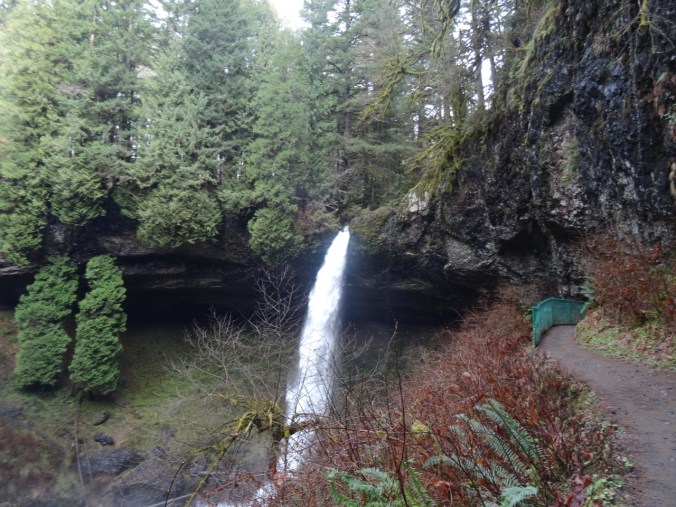
The trail leads behind North Falls.

DSC01576DSC01584

DSC01590

Behind the falls.

DSC01593

DSC01602

Looking back.

DSC01607

And now we have to climb up out of the canyon.

DSC01608

Looking back down at North Falls.

We did not walk the extra distance to Upper North Falls (65 ft), but followed the Rim Trail toward –

Winter Falls 134 ft

We only saw the upper lip of this one, though there is a trail down to the base.

DSC01620

Winter Falls rim.

This was the last waterfall of the hike (7.0 miles, 1200 feet, hike #6 for 2019).

Wildlife

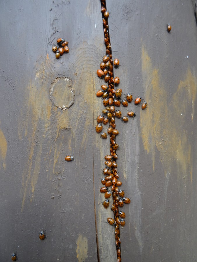
There was a ladybug picnic on one of the fence posts:

DSC01463DSC01465