Day 7 – Road Day – Through Dartmoor to Fowey
Happy Birthday Dan! We had his celebratory birthday dinner the previous evening in Lyme Regis. We were as close as we may ever get to the Isle of Wight, he does not seem to be losing his hair, and we were very glad to be sharing this wonderful adventure. Onward to Cornwall, where Dan had planned several hiking adventures for us.
Dartmoor National Park
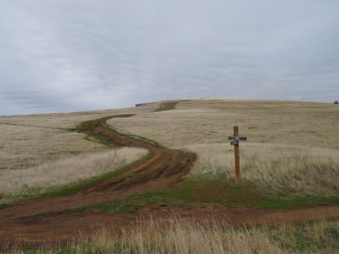
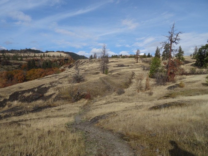
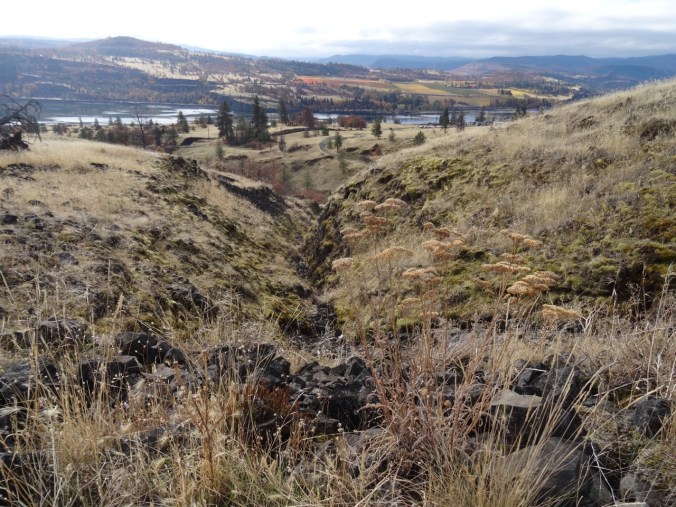
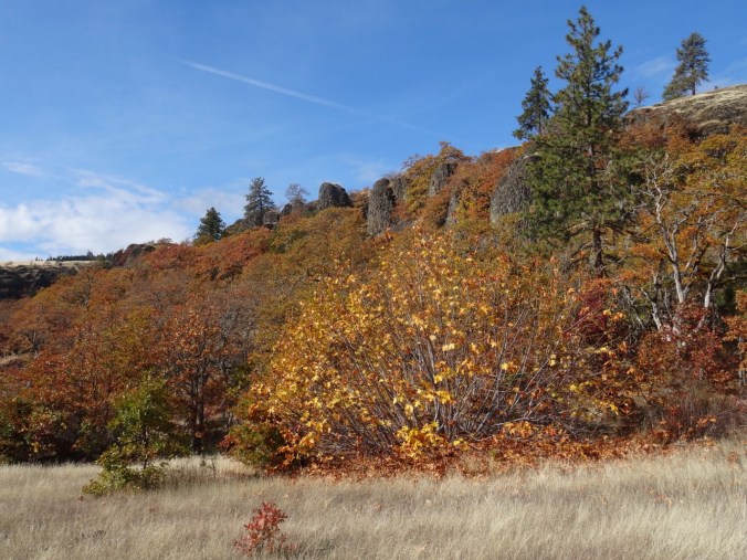
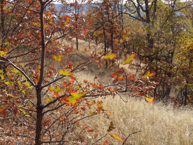
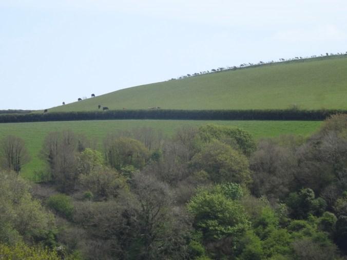
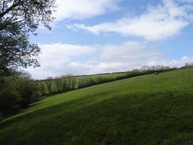
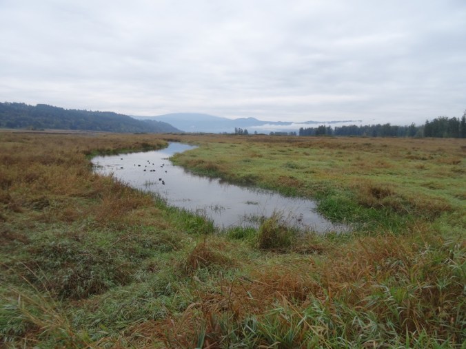
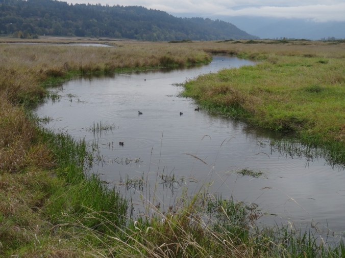
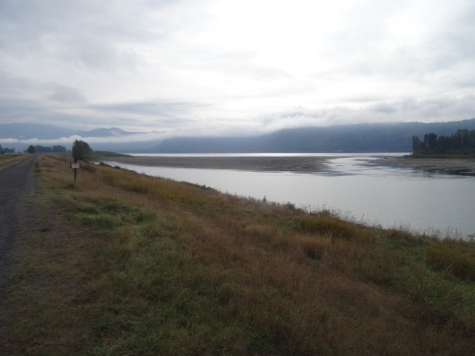
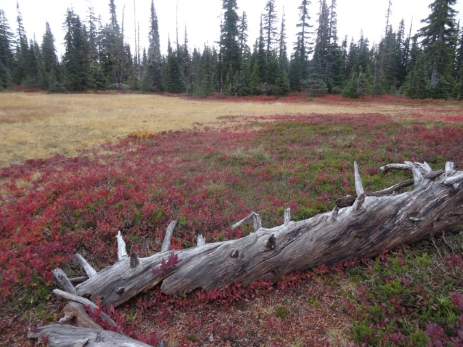
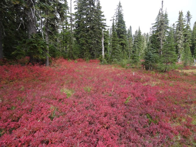
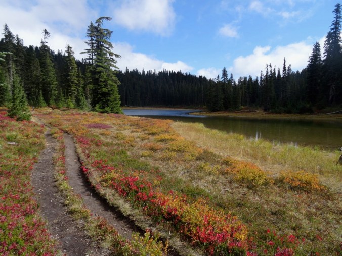
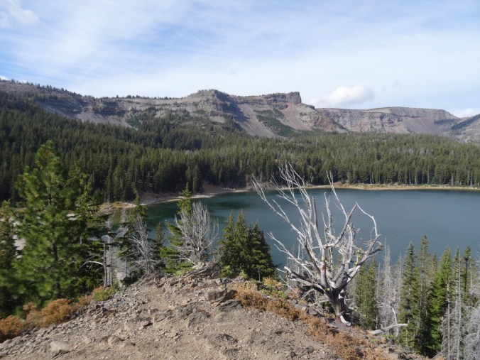
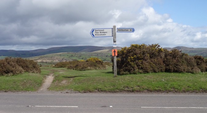
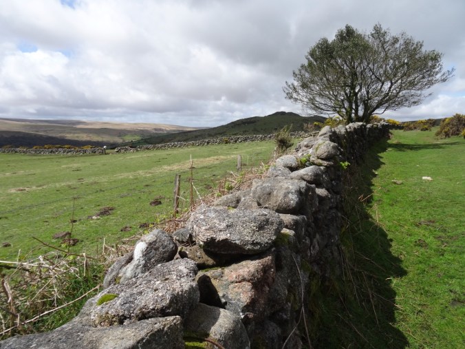
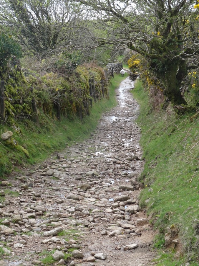
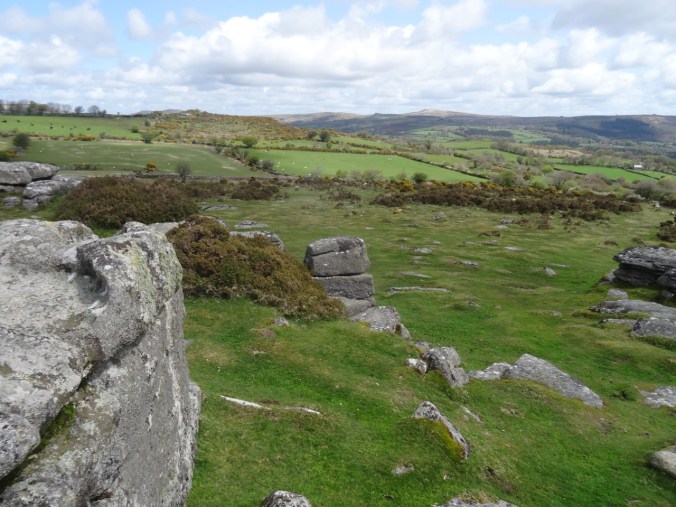
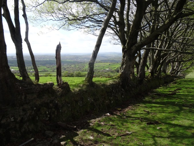
We chose a slightly roundabout way to Fowey by driving through Dartmoor National Park. The moors are broad uplands bisected by river valleys. Rocky ‘Tors‘ cap the high points, and much of the landscape is divided by walled and treed hedgerows. Most of the land has or is being grazed and/or farmed at some point in history. This is not a USA style National Park, with wilderness and limited access. There are roads, villages, farms and livestock as well as walking paths (hiking trails). The land is being conserved in partnership with the farmers.
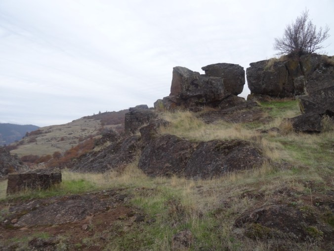
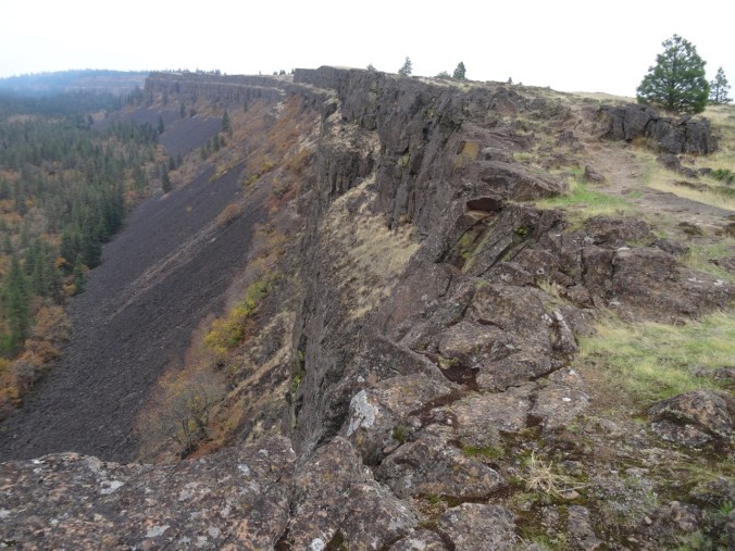
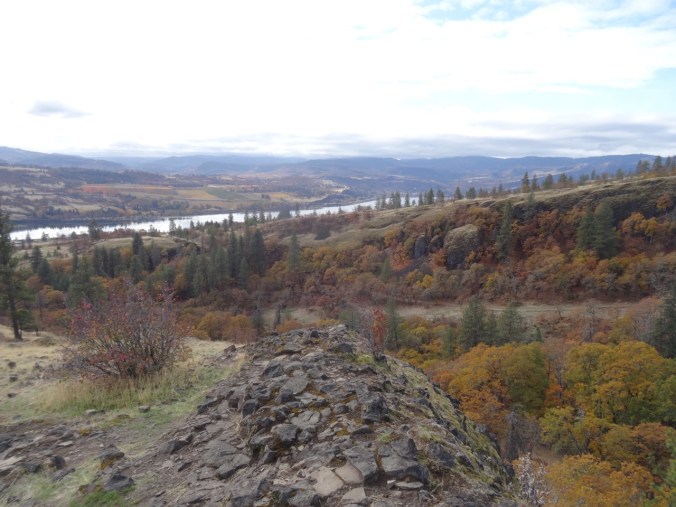
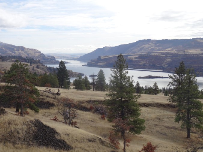
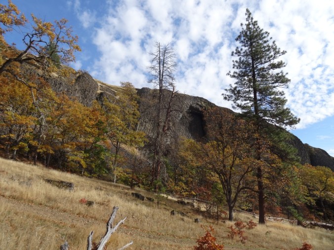
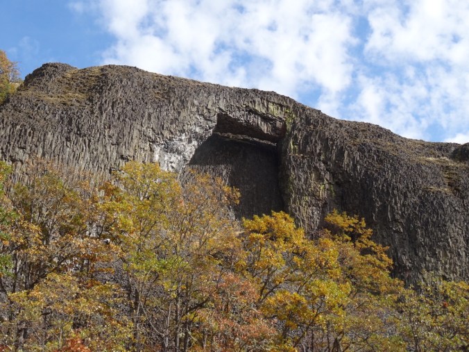
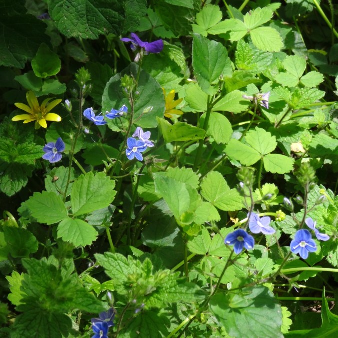
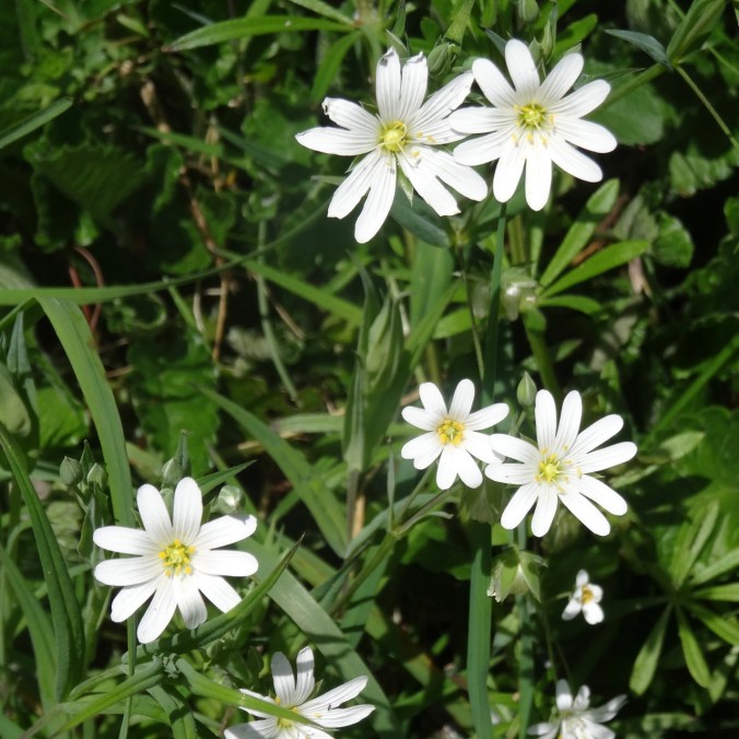
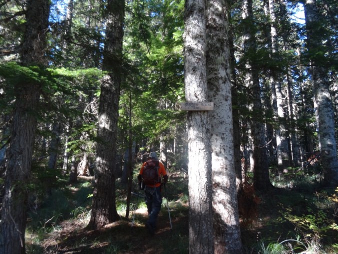
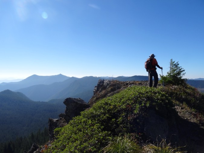
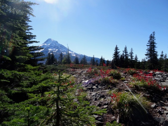
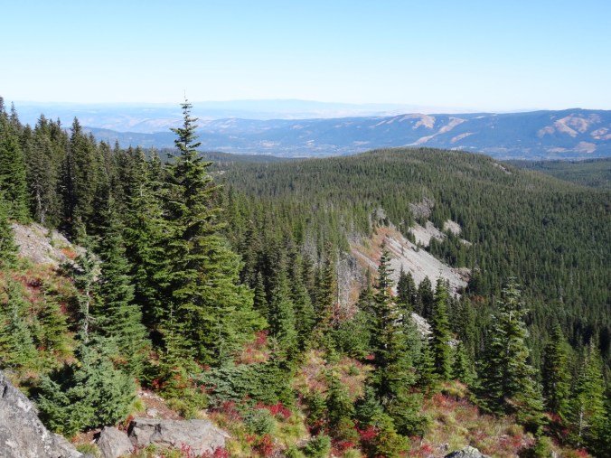
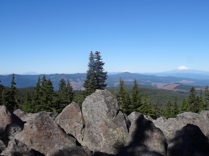
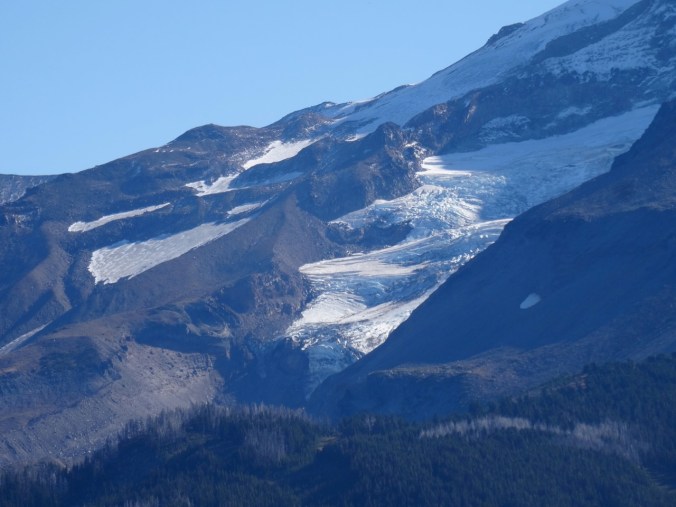
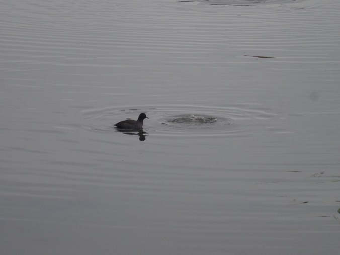
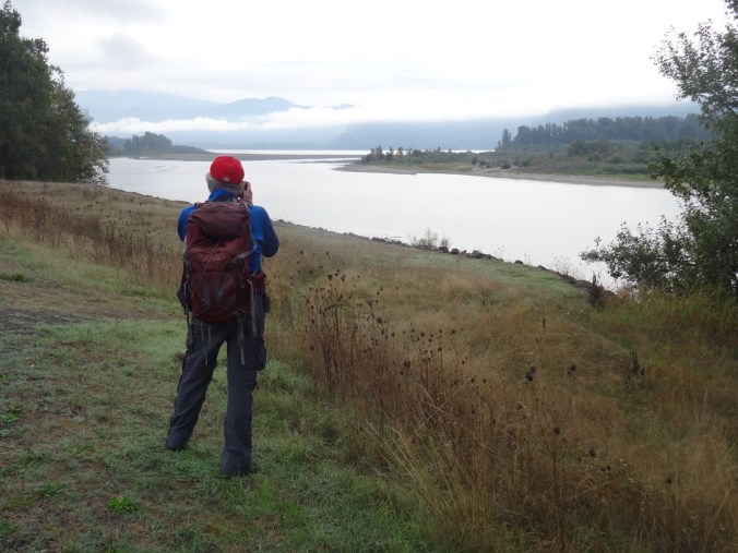
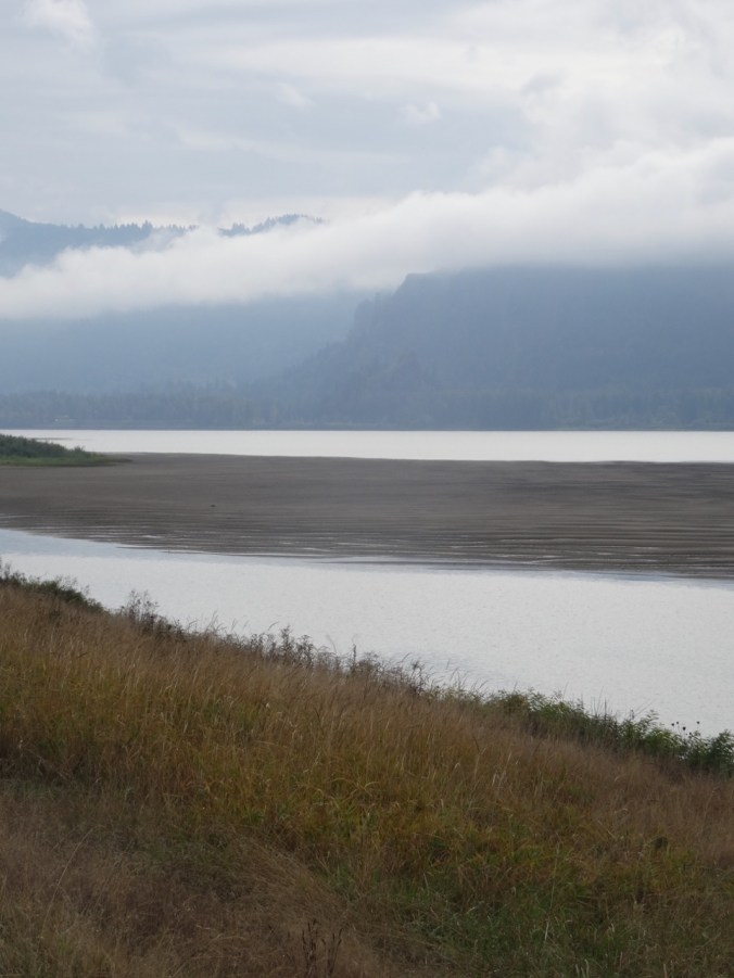
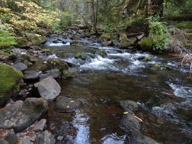
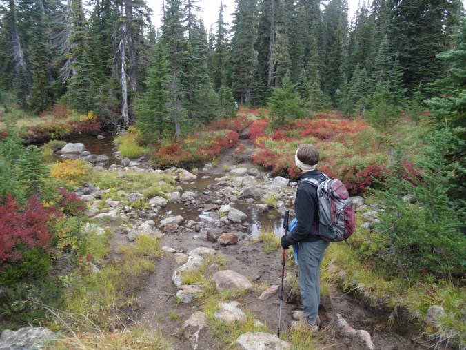
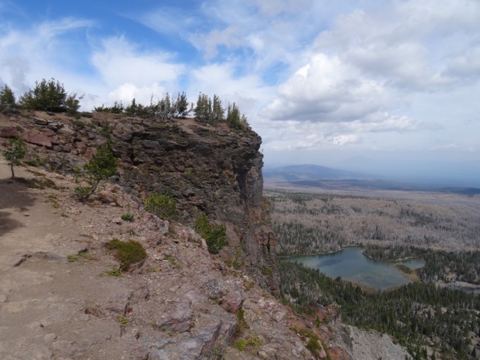
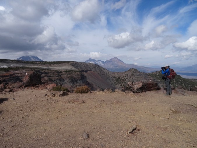
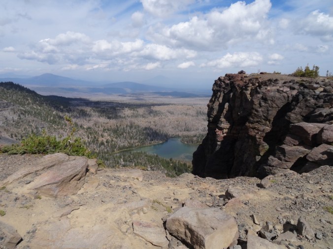
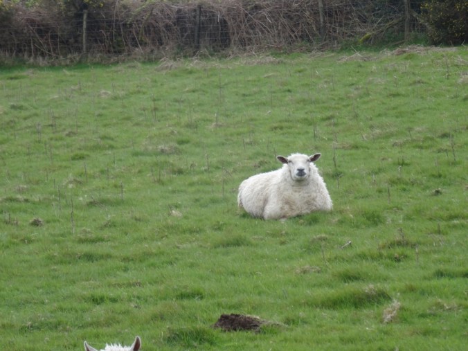
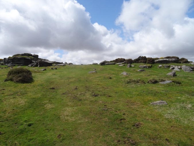
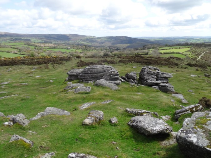
Our road wound up and onto the moors. We reached a parking area at what seemed to be the top of the moor and stopped to look around. There was a trail heading off to the nearby Tor – Mel Tor. We walked along the hedgerows, around the sheep and cow enclosures, and up a path to the top of the rocky promontory. From the summit we could see moorland in every direction, and the River Dart to the south.

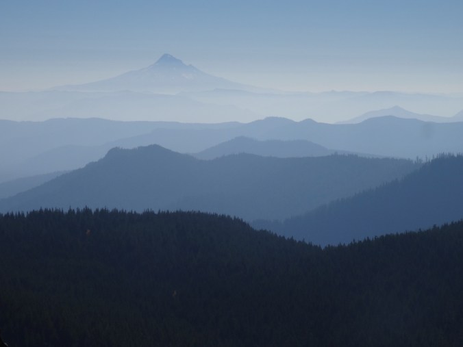
View across Dartmore
Nearby Bel Tor
Our path to Mel Tor – sheep ahead
Another sheep
Up the hill
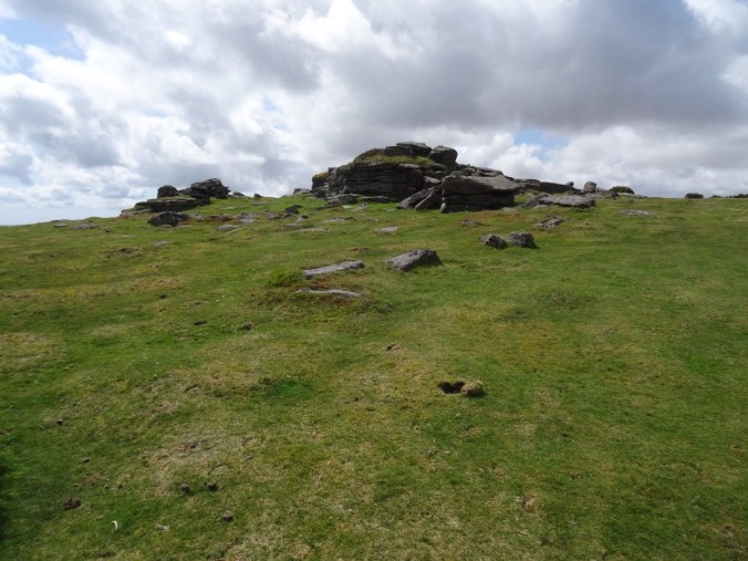
Mel Tor
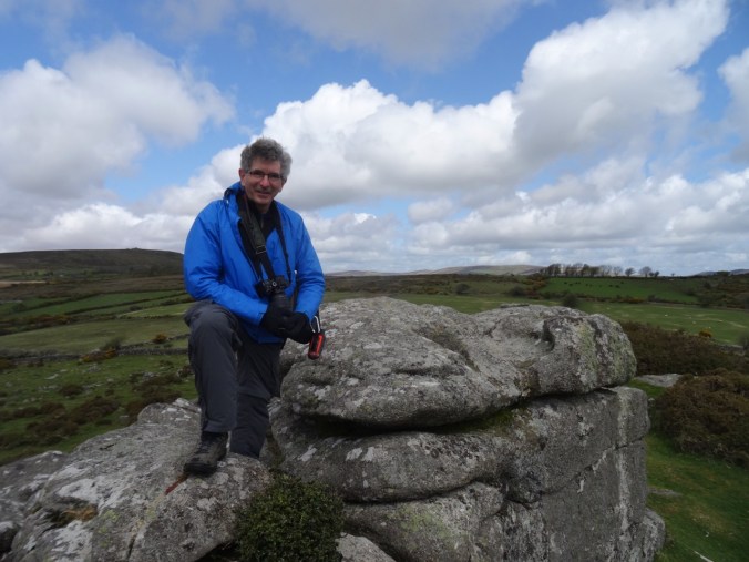
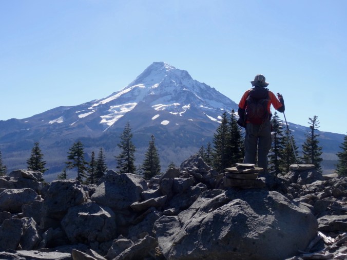
Birthday boy at the top
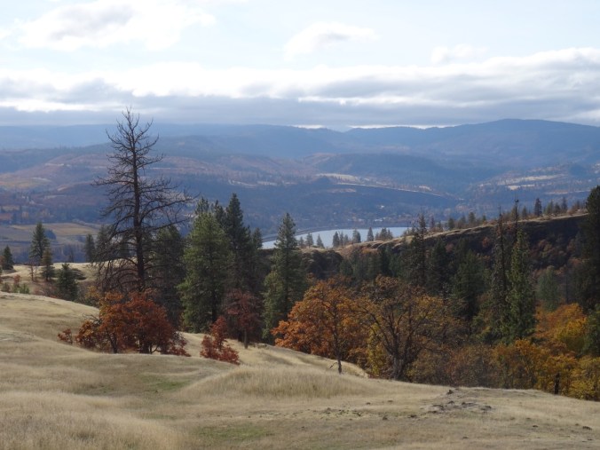
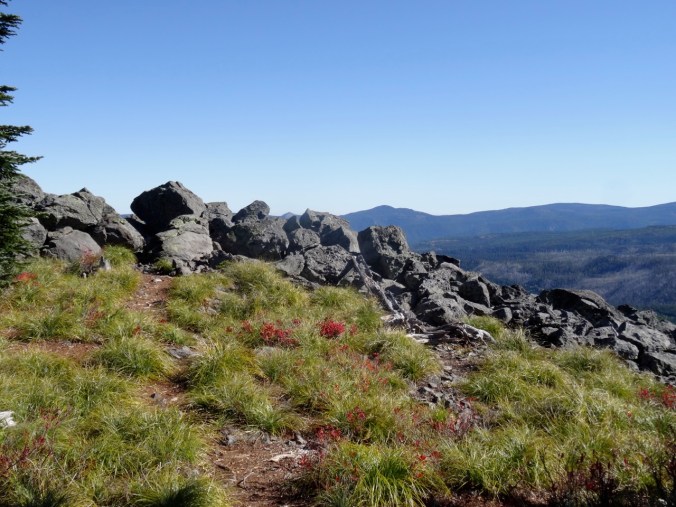
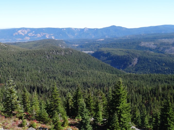
Views across Dartmore

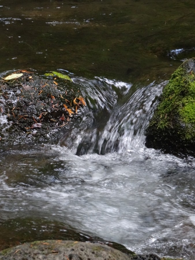
The River Dart below
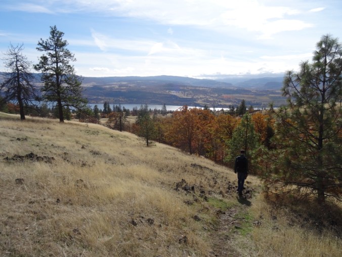
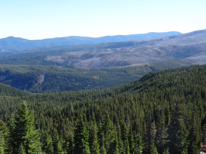
Another view on the way down

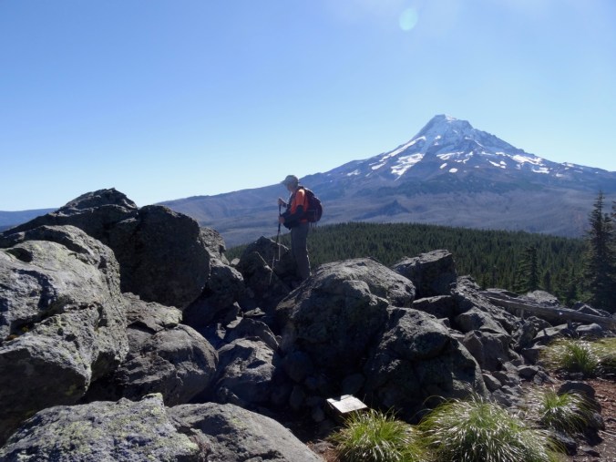
Looking back to Mel Tor


Another sheep
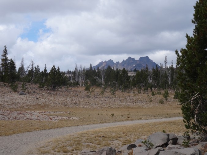
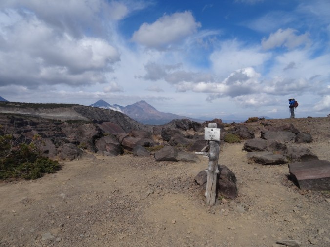
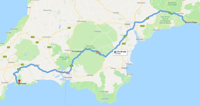
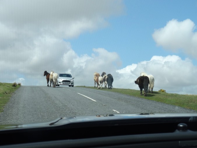
We continued our drive west, over the moors, planning to stop at the National Park Visitor Centre at Princetown for more information about the park. But first we had to drive through a herd of wild Dartmoor wild ponies? Apparently they range freely over the moors, and we were lucky to see them before we knew that we should look for them.


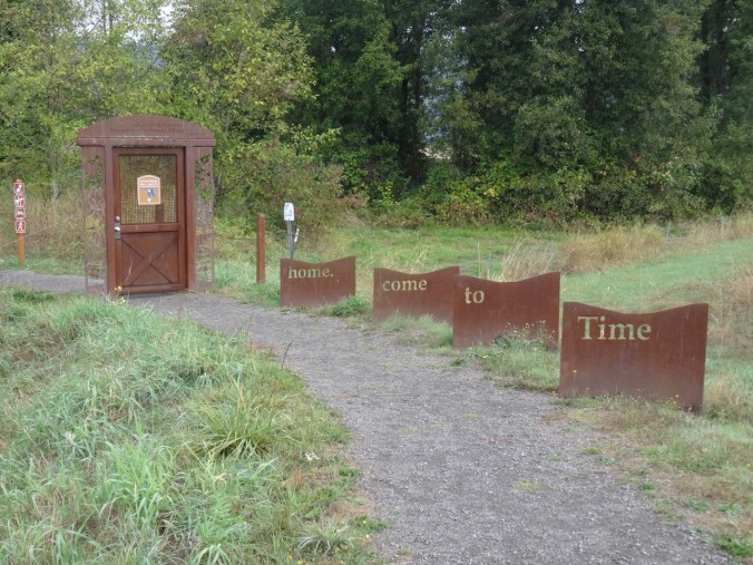
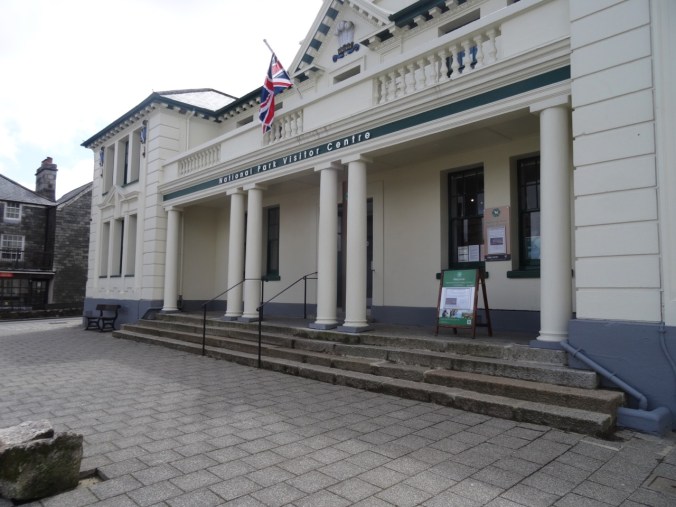
We stopped in Princetown for lunch and a visit to the National Park Visitor Centre.

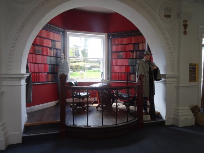
Sherlock Holmes tableau in the Visitor Centre
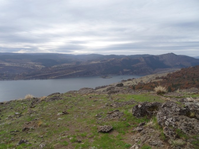
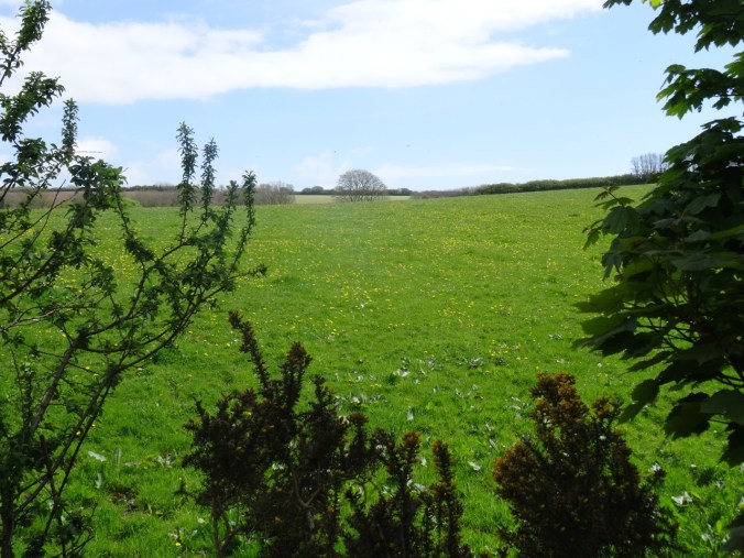
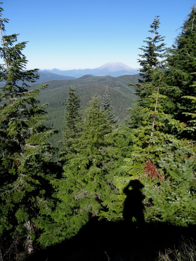
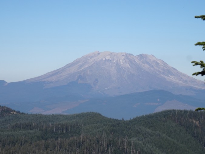
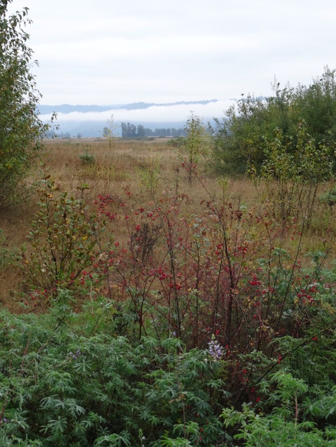
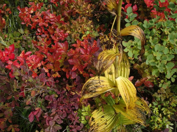
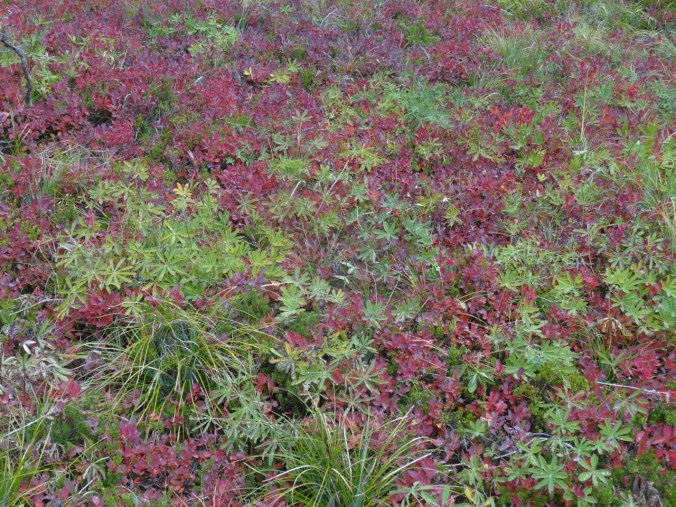
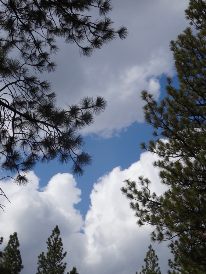
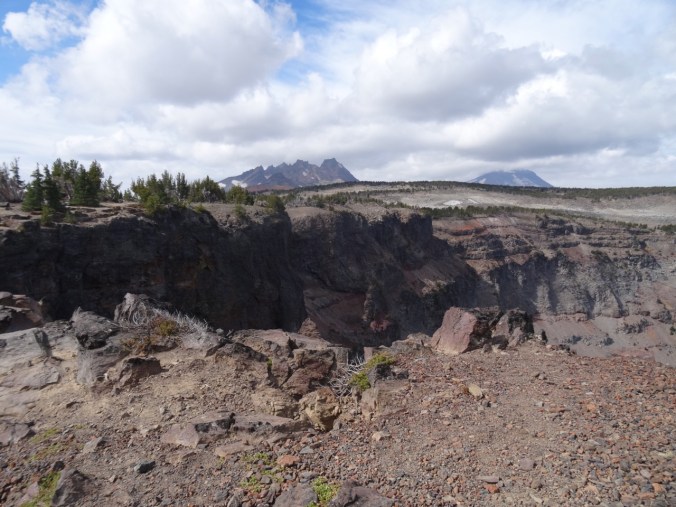
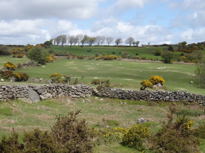
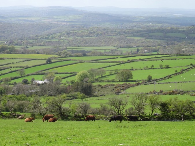
We stopped again at a picturesque viewpoint over the moor before leaving the National Park. The landscape reminds me of the Land of Counterpane illustration from my childhood copy of the Robert Louis Stevenson book A Child’s Garden of Verses. I keep looking for that edition in used book stores but have yet to find it. The boy’s patchwork bedquilt was transformed to a land of hedgerows and fields, similar to my view here, and nothing like I see anywhere in the US. I think my love for British literature makes all the typical British scenes seem so magical to me. The western US is much different – dryer, wilder, more expansive, beautiful, but not ‘British’.
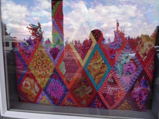
Land of counterpane
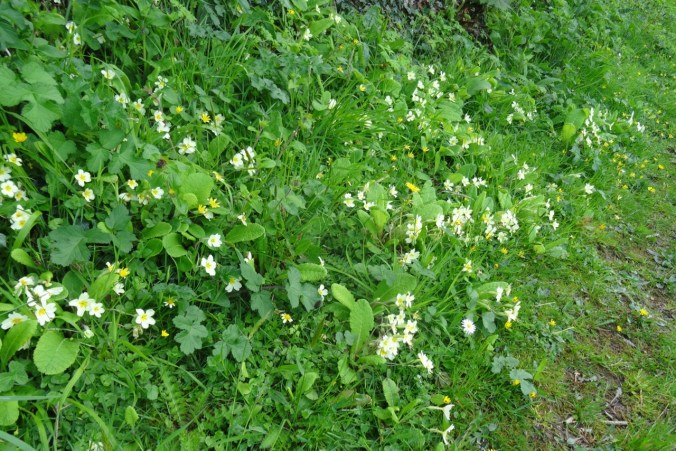
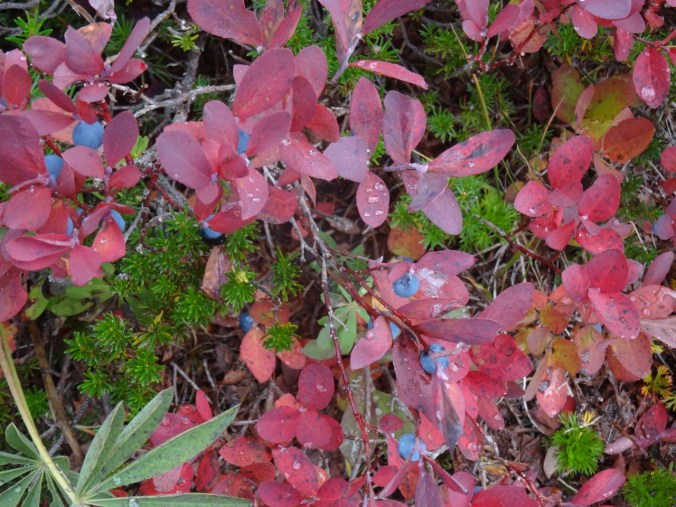
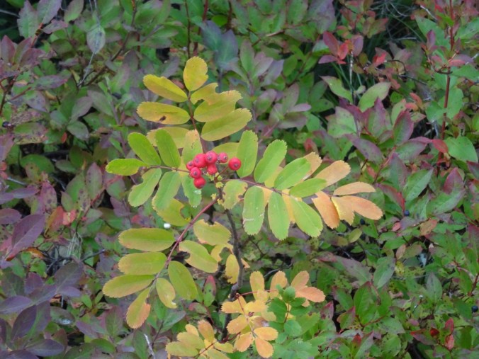
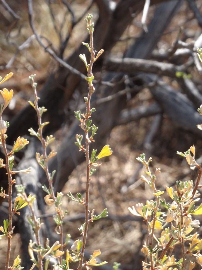
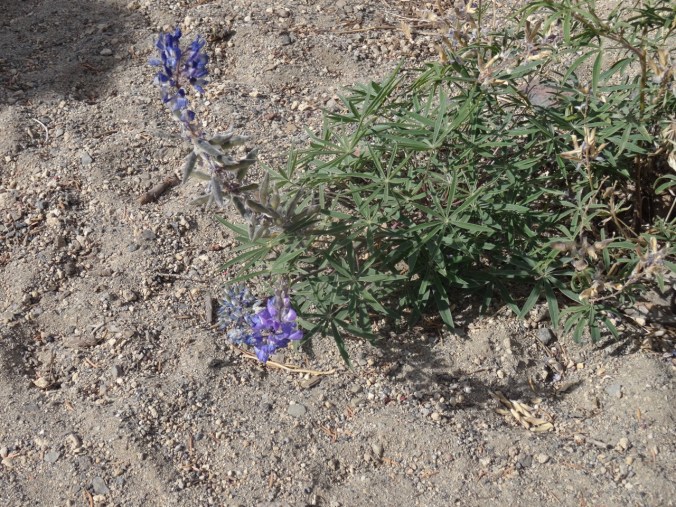
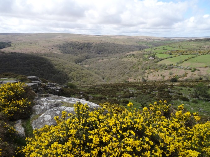
Hedgerow
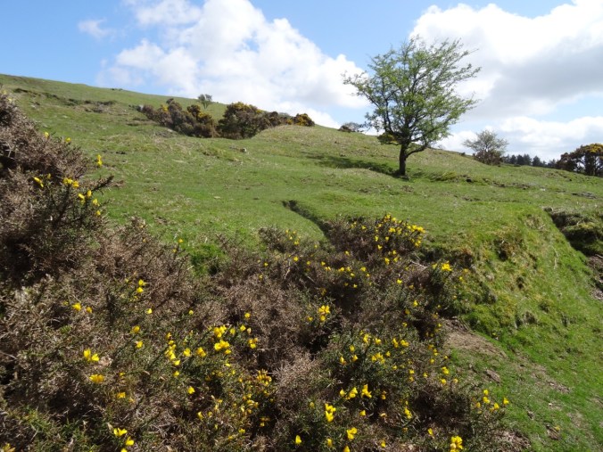
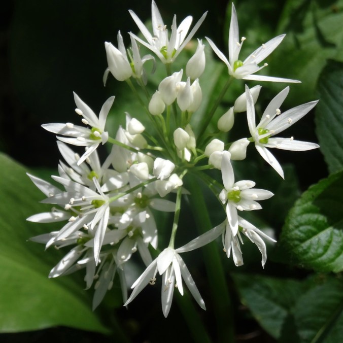
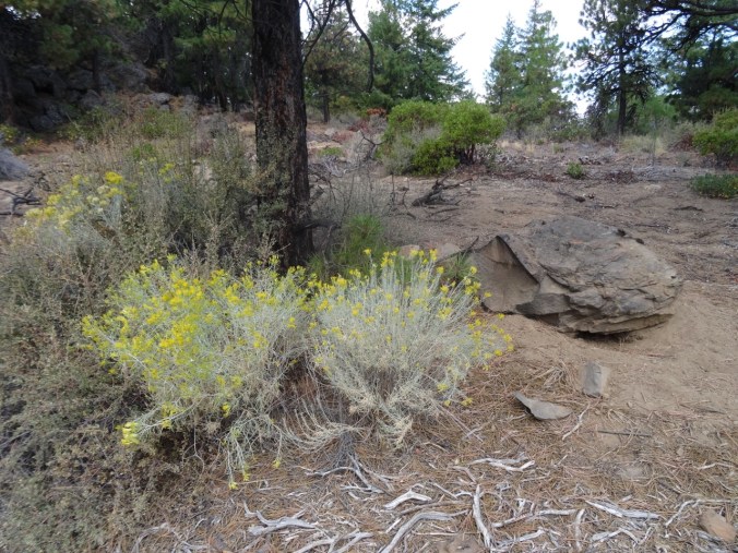
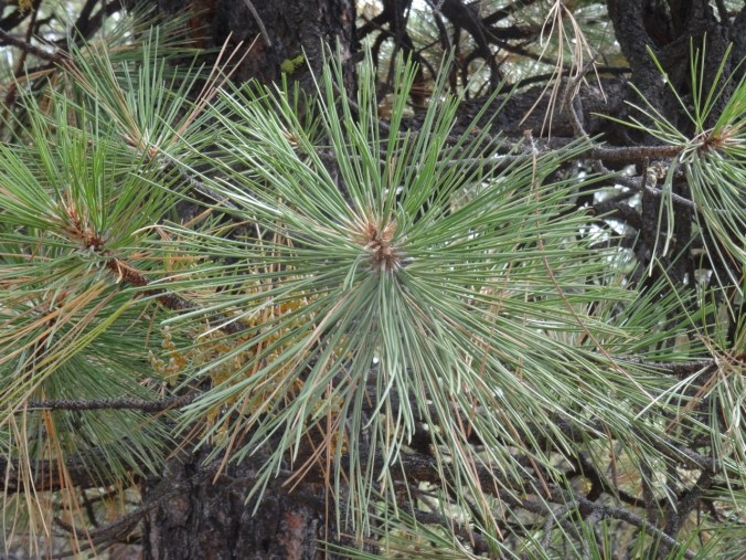
Gorse
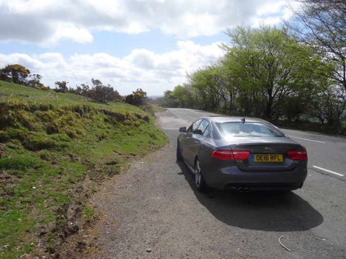
Our rental car
In Saltash we bought groceries for four days of home cooking at our self catering cottage in Fowey.
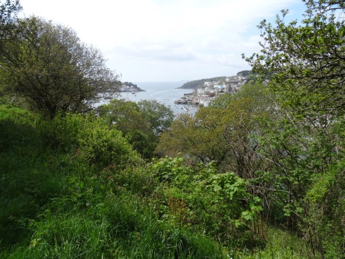
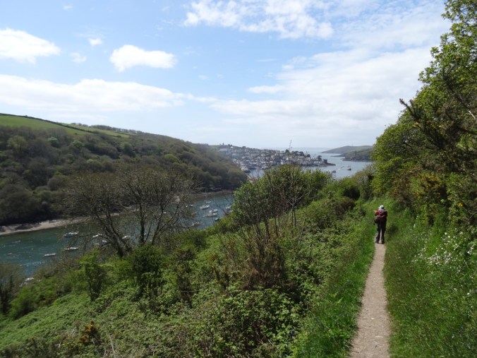
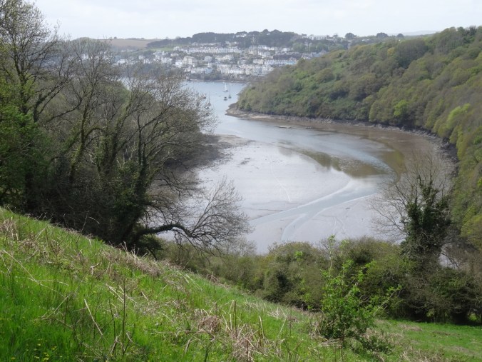
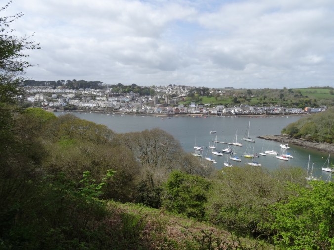
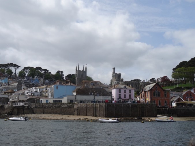
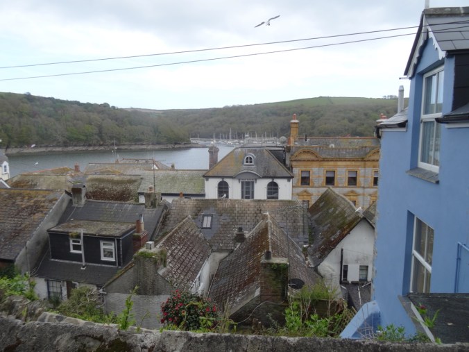
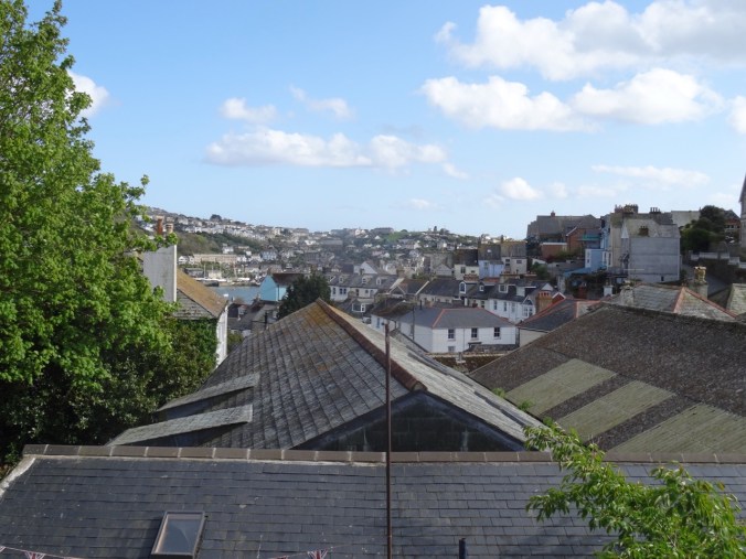
Fowey
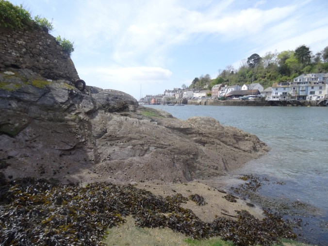
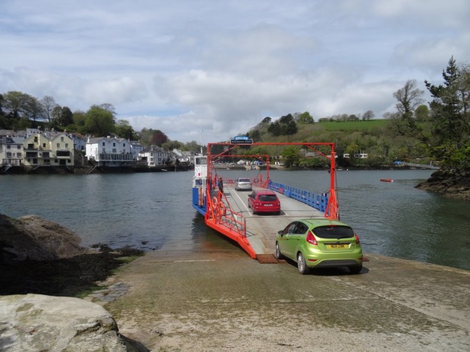
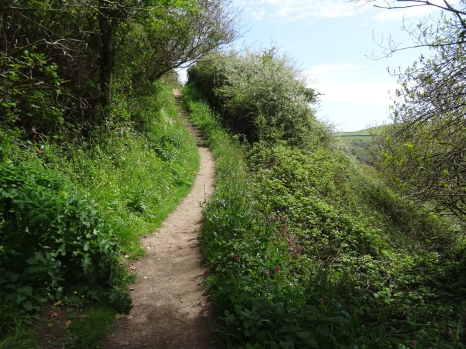
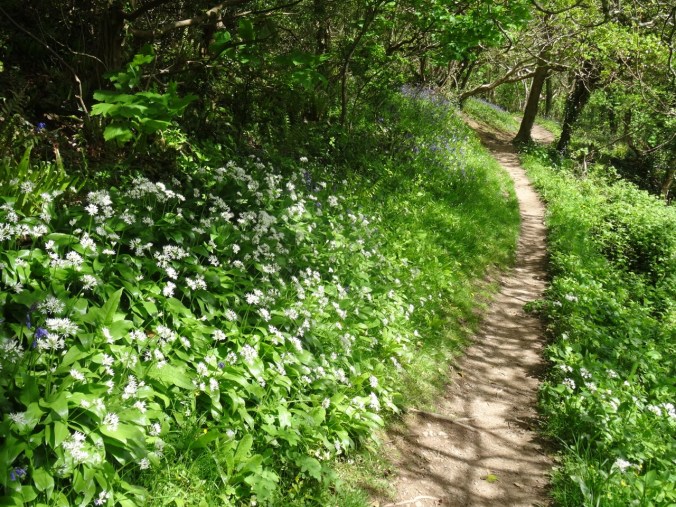
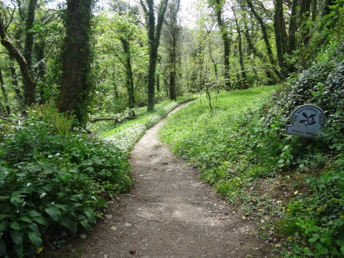
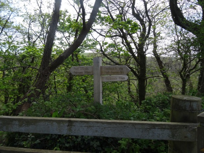
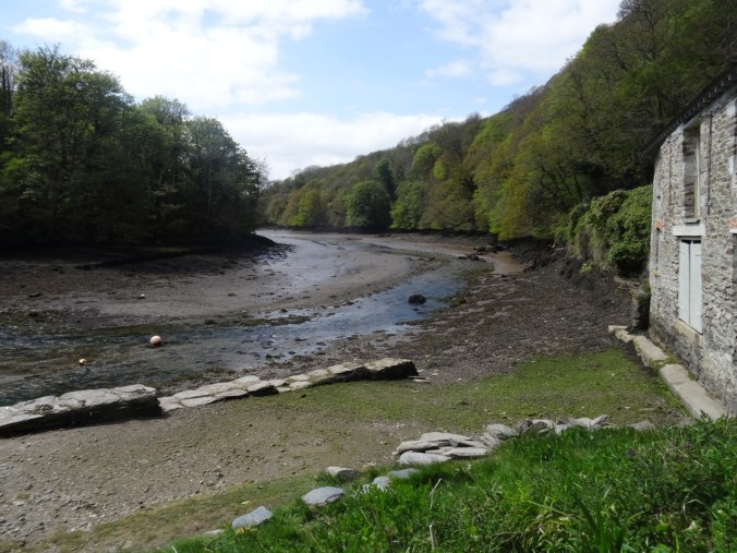
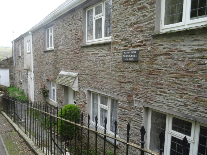
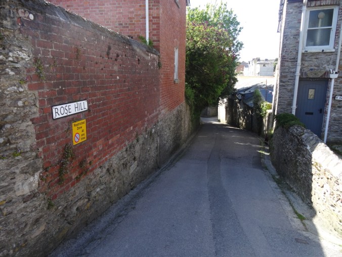
Fowey is a Cornish village that is draped down the cliffs above the harbor on the estuary of the River Fowey. Our rented cottage was in a row of dwellings about a quarter mile above the harbor, not too far from the community carpark. The streets and lanes are very narrow and steep, and individual homes do not necessarily have car parking. We were able to park in a construction zone long enough to offload our luggage and groceries, then moved our car to the carpark and walked back down the hill via the scenic route, to the cottage.
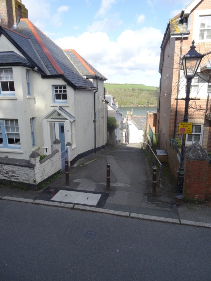
Narrow lane down to the harbor

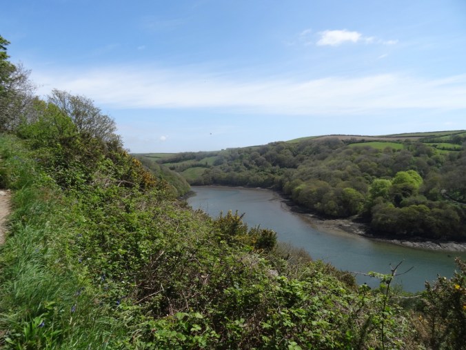
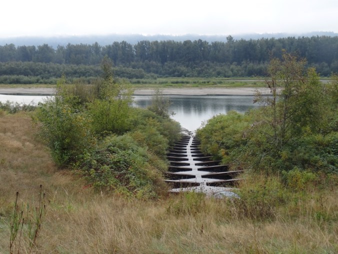
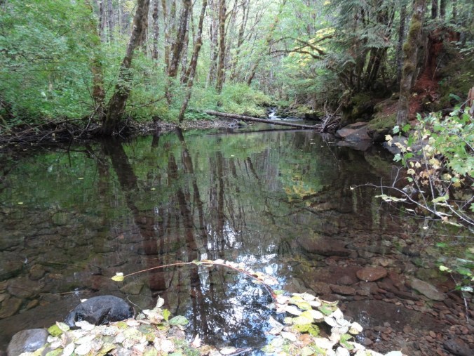
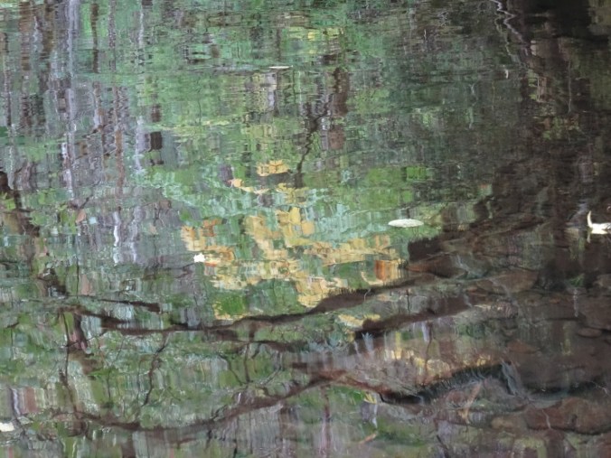
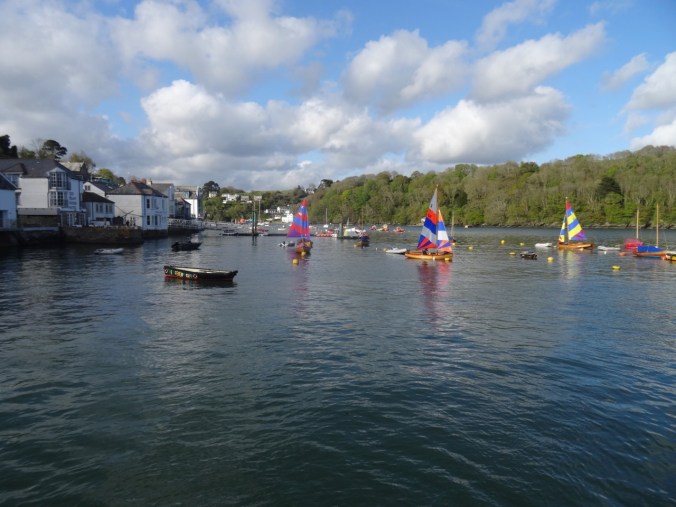
Upstream view of the River Fowey

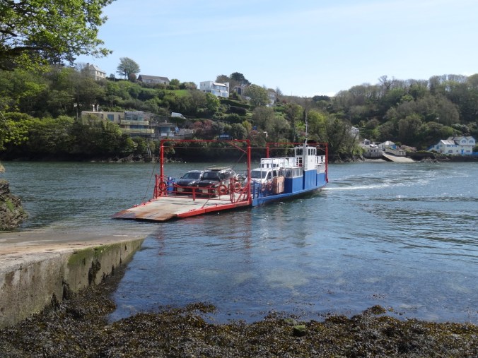
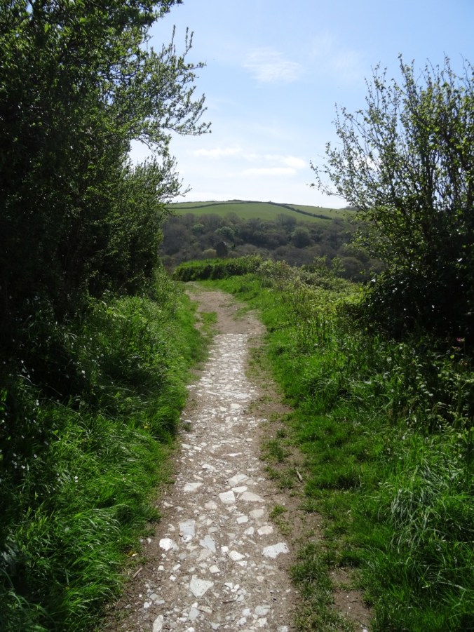
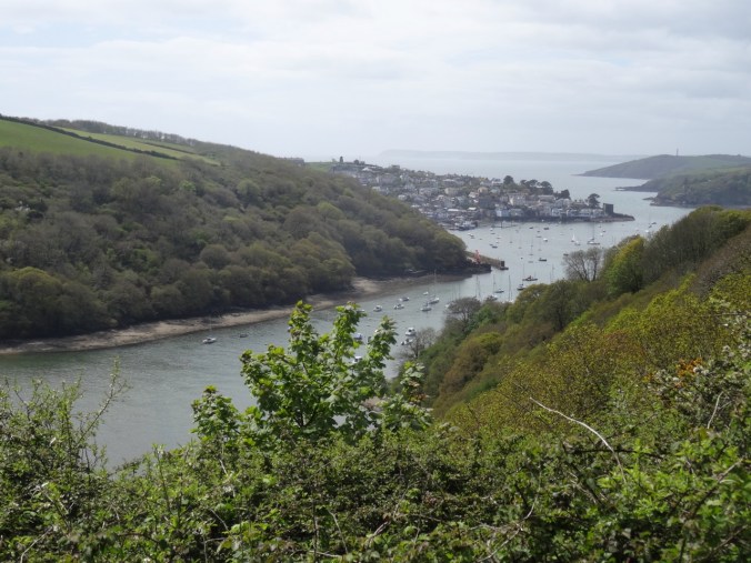
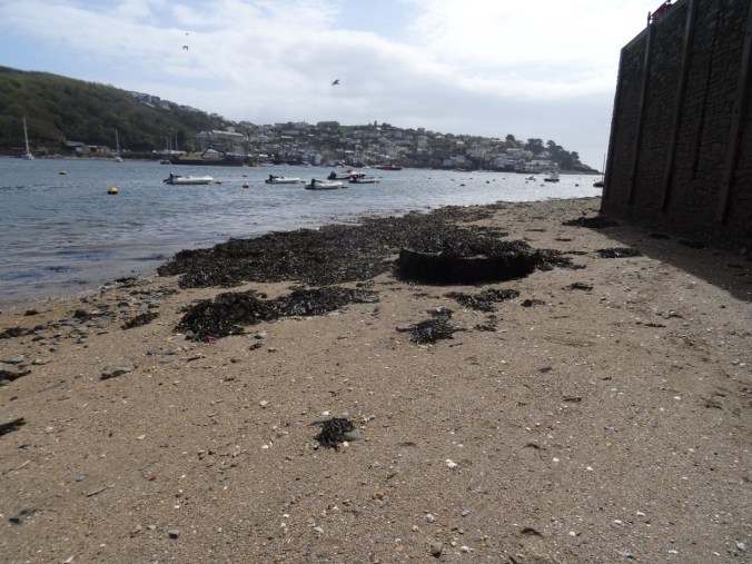
View across the estuary to where we would walk tomorrow


Polruan, across the river
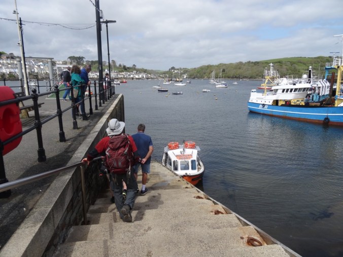
We walked all the way down to the harbor
Upstream view from the quay

Downstream toward the mouth of the River Fowey

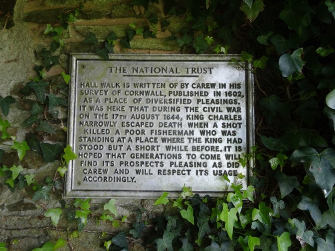
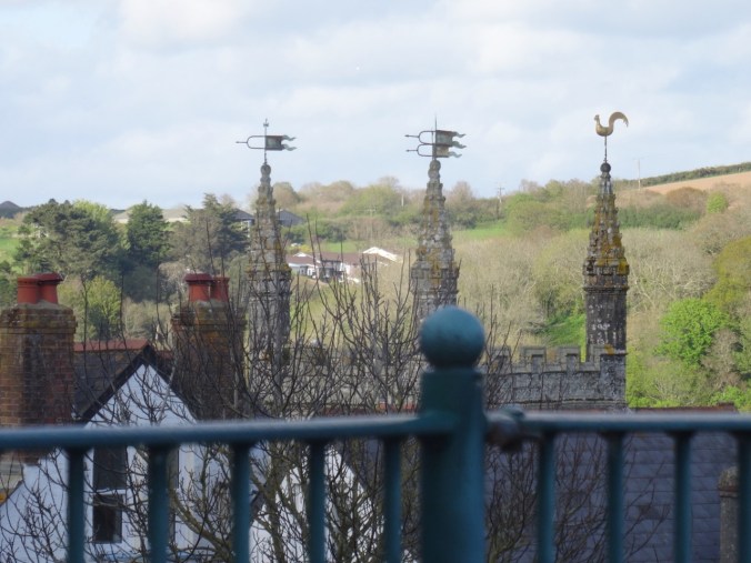
Local history
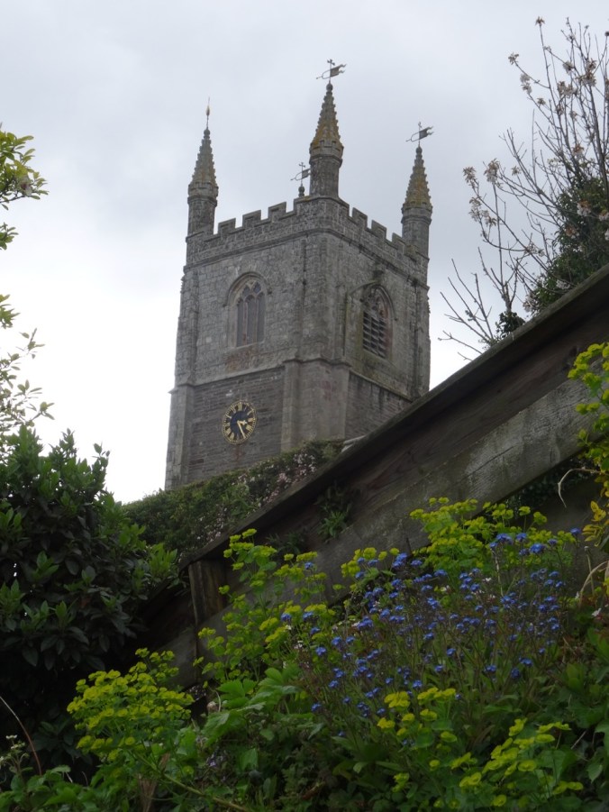
We walked past this church
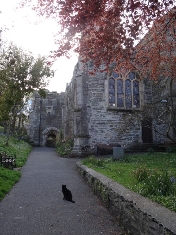

and around the maze of buildings and lanes, trying to get a feel for the locale. We were glad to have prepurchased our groceries – there were restaurants and Cornish pasty shops aplenty but I did not see any grocery stores. We enjoy eating out while traveling, but after a few days we miss our own cooking – simpler, cheaper and healthier. We returned to our cottage for the evening.
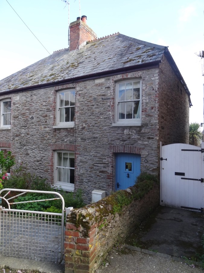
Our cottage
View from the window
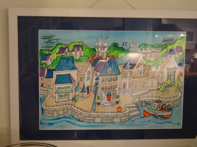
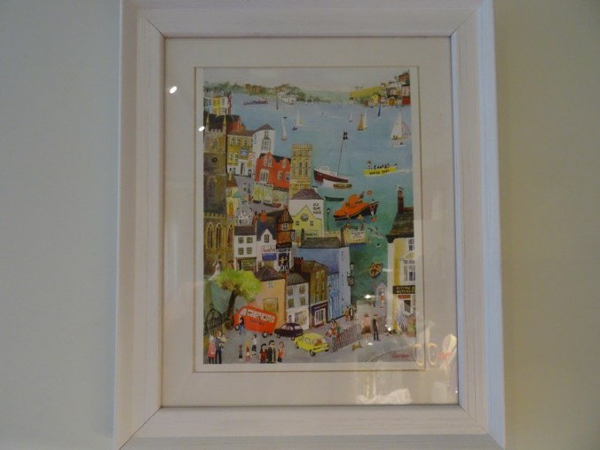
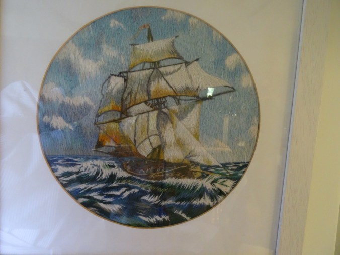
Local artwork depicting Fowey Harbor in our cottage