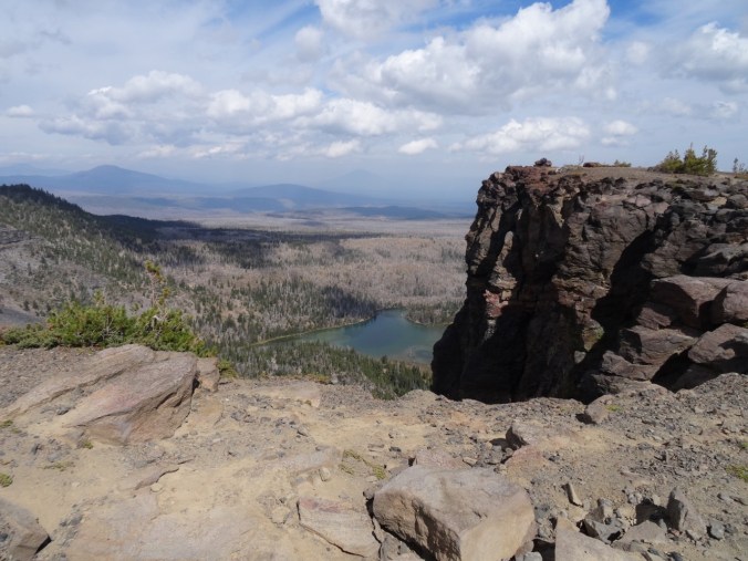
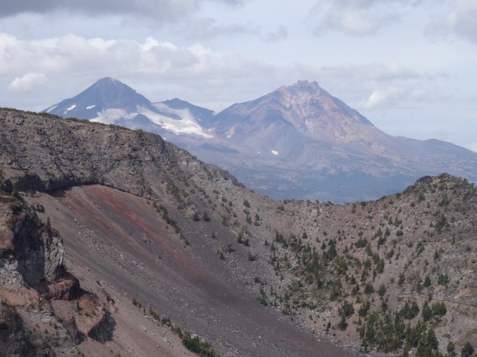
Tuesday, May 1st. We left Chawton and the bad weather behind and drove to the Dorset coast in search of fossils, views, and another peek at Jane Austen.
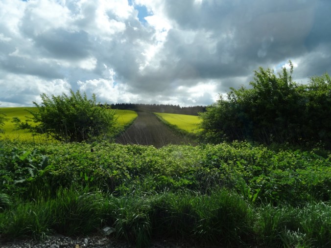
Canola fields through the car window
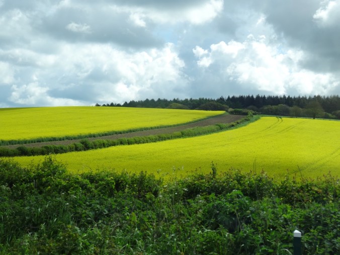
Canola field
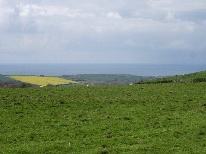
The sea comes into view
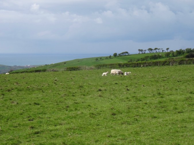
and sheep! with lambs!
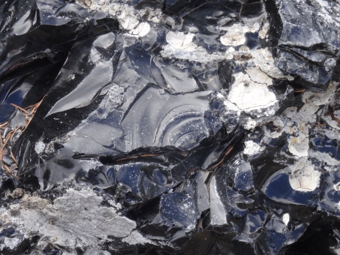
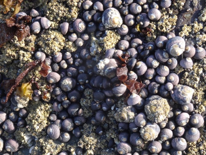
Ammonites, Charmouth Beach
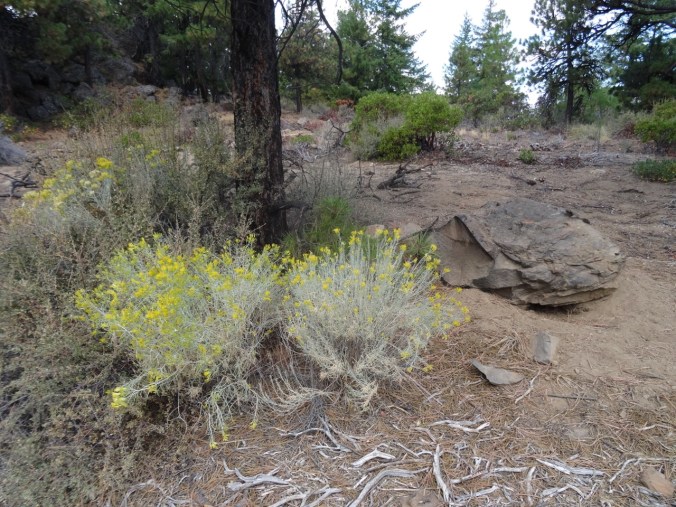
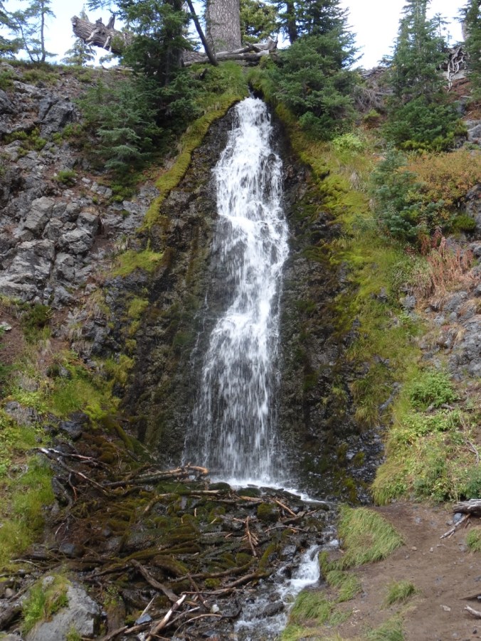
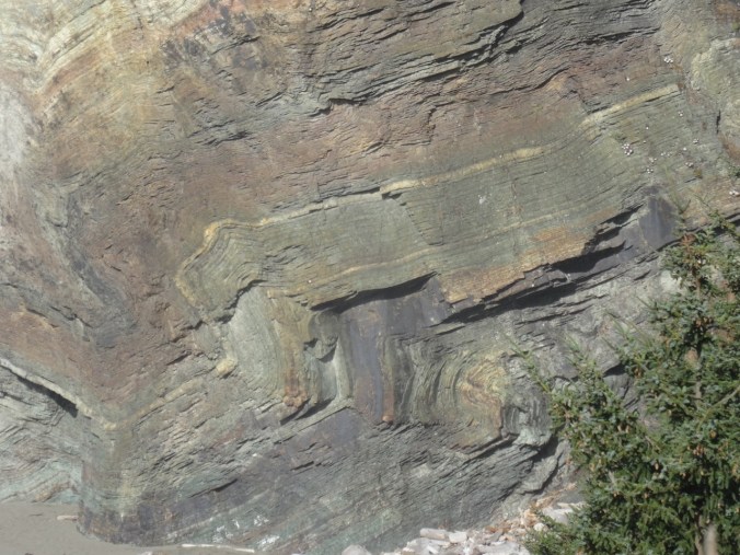
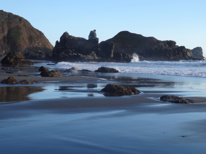
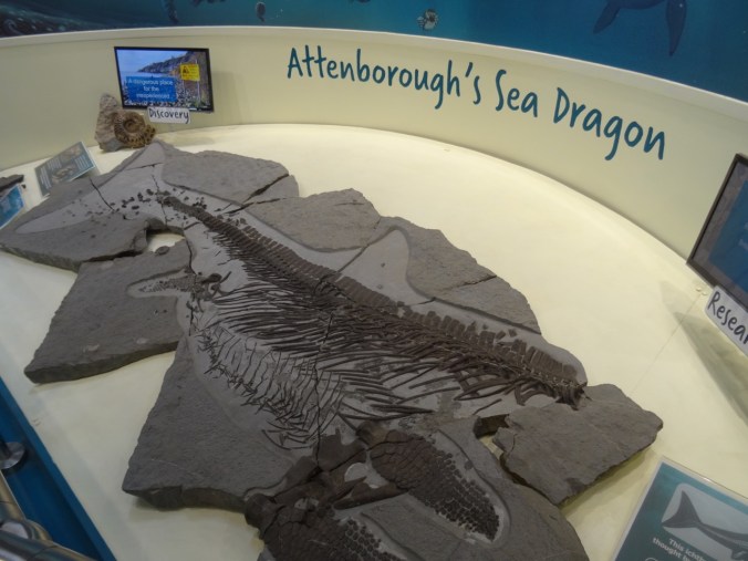
Charmouth Beach is flanked by eroded cliffs that shed fossils. The Coast Heritage Center at Charmouth had excellent displays about the geology and the fossils to be found in the cliffs.

I always appreciate a good location map.
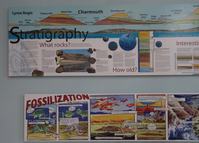
Geologic overview
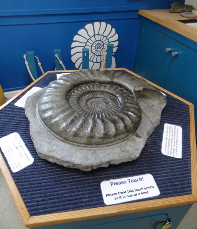
Large ammonite
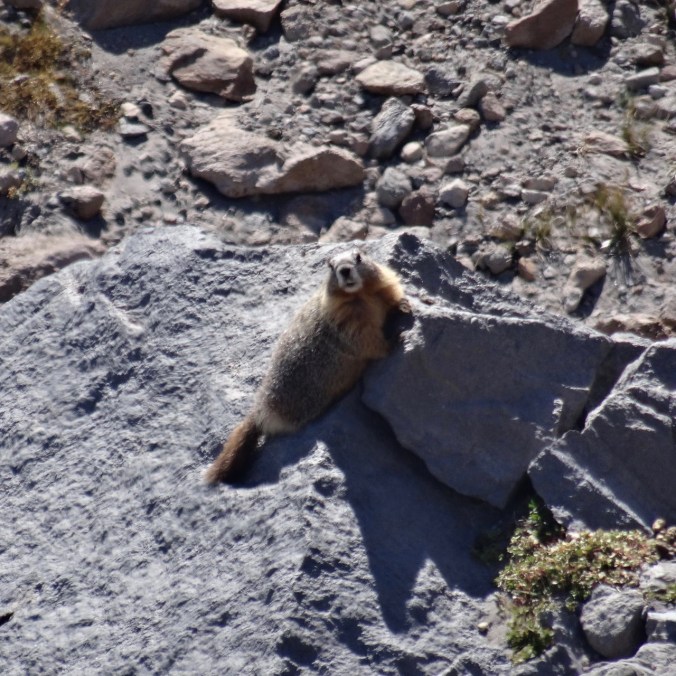
We didn’t see any of these, but we didn’t stay very long.
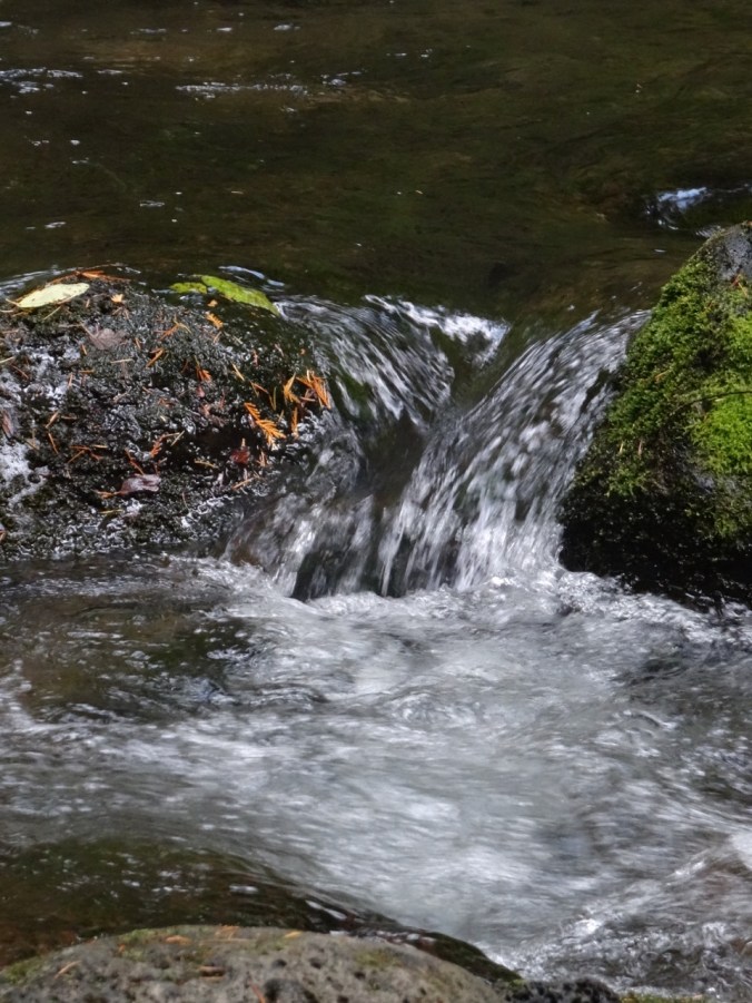
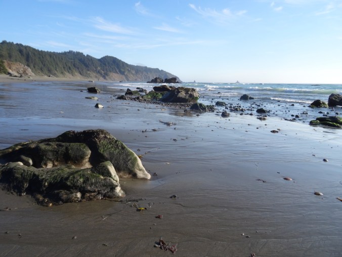
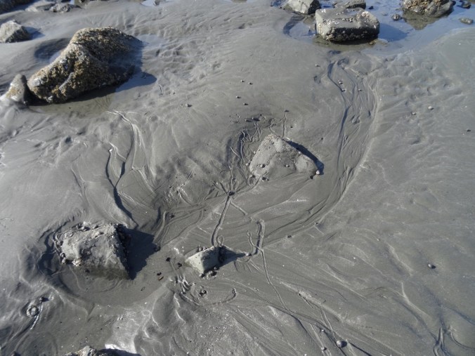
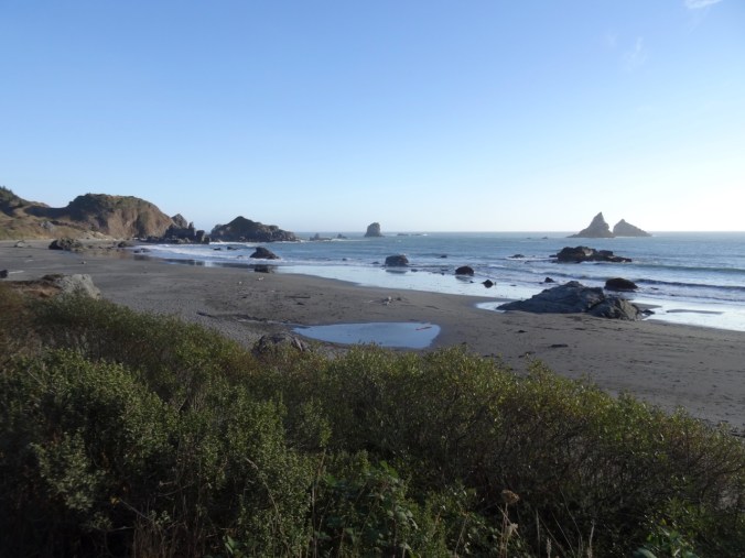
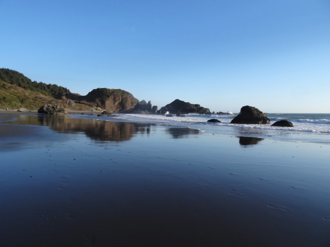
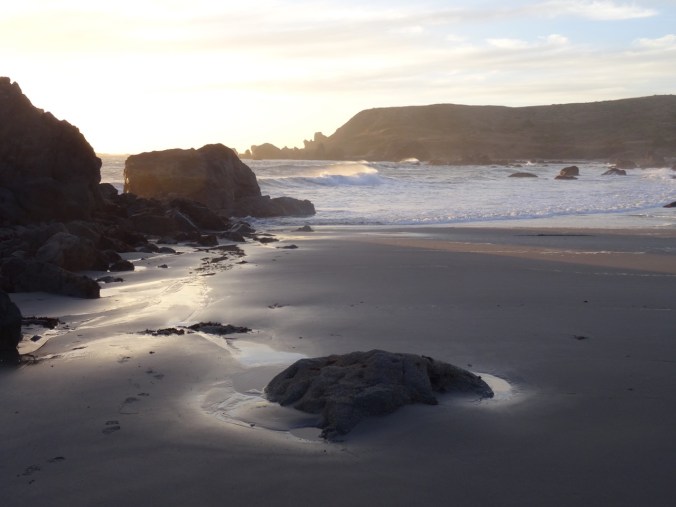
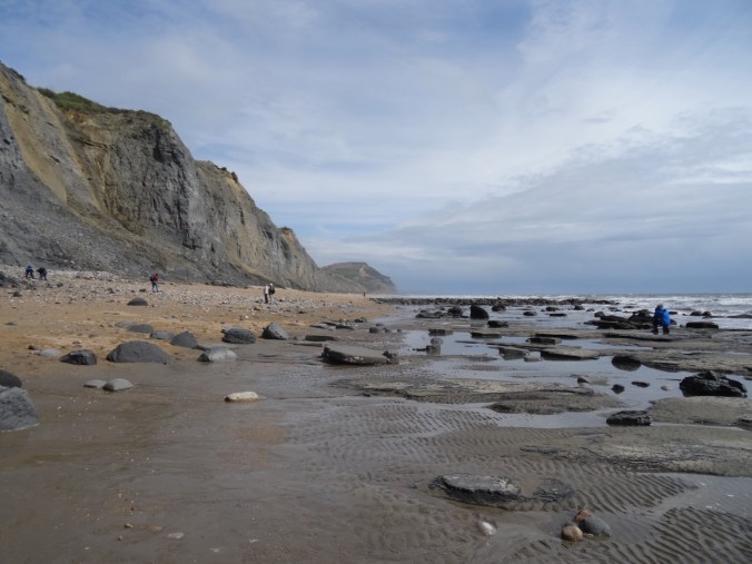
We had timed our visit to coincide with low tide. We walked both the east and west beaches.

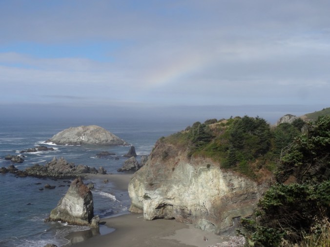
Walking down to the west beach; Lyme Regis in the distance.

Beach huts

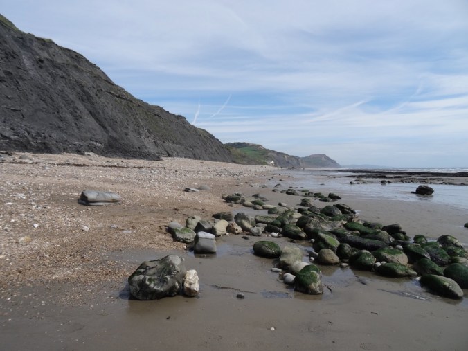
Shale cliffs along the west beach
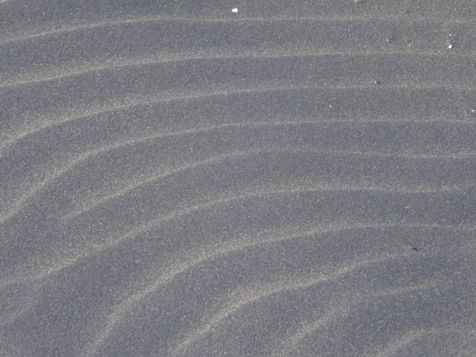
Lots of beach glass in the sand
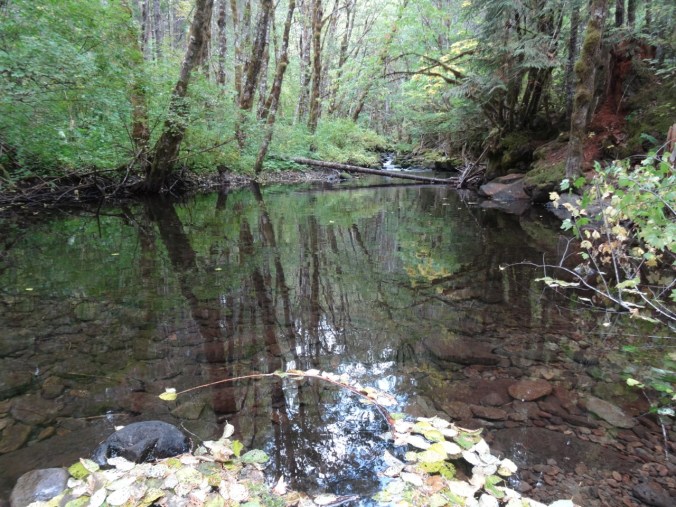
Walking back toward the River Char.
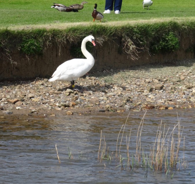
One of Her Majesty’s swans near the bridge over the river.

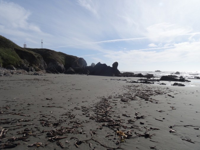
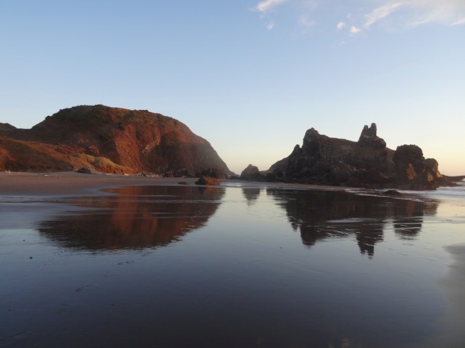
Dan walking along the east beach
Dan with his camera

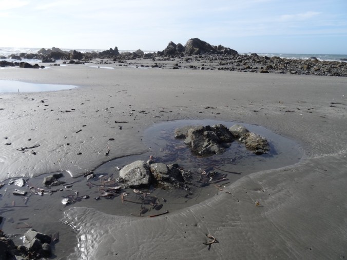
Low tide
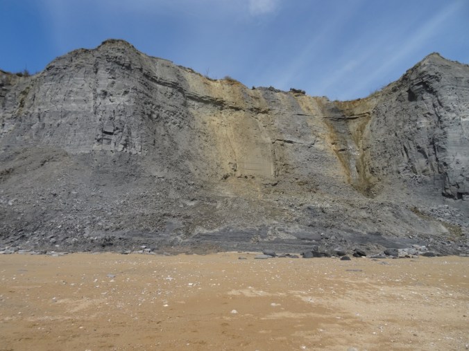
The cliffs above the fossil beach.
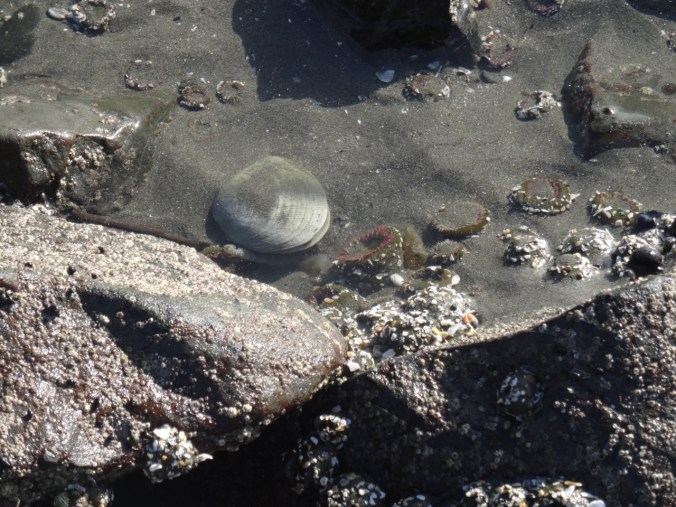
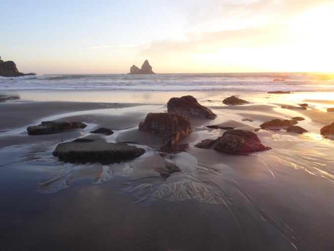
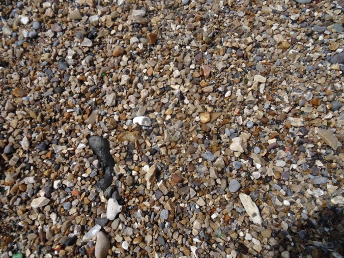
With a tip from a local collector, I learned to spot the cylinders of belemnites, and spirals of pyritized ammonites.
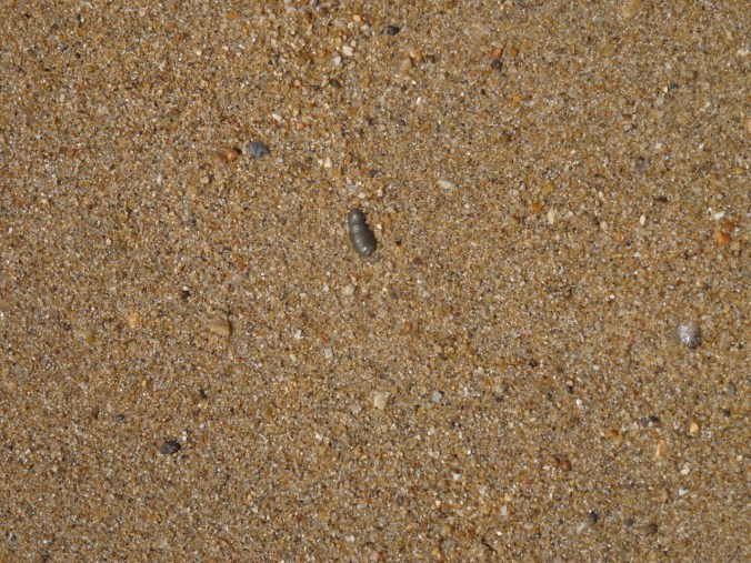
A bit of pyritize ammonite in the sand – about a half inch long.
I kept just a few tiny bits for my collection, and otherwise enjoyed a beautiful beach day.
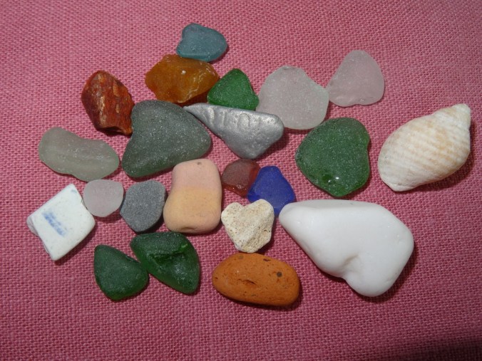
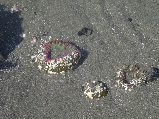
Bits of beach glass and rock – the little snail shell is about half an inch long.
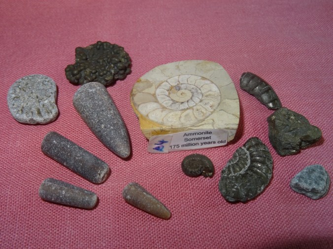
Bits of belemnites and ammonites, plus a small polished ammonite I bought at the shop near the beach.
Lyme Regis
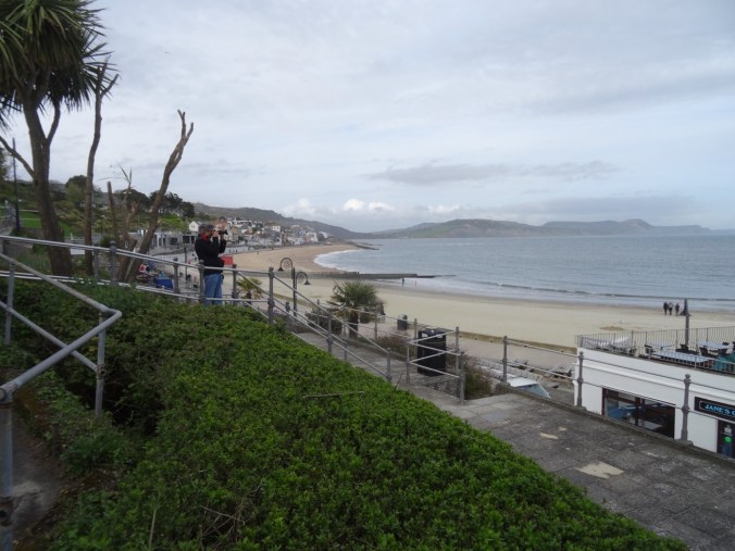
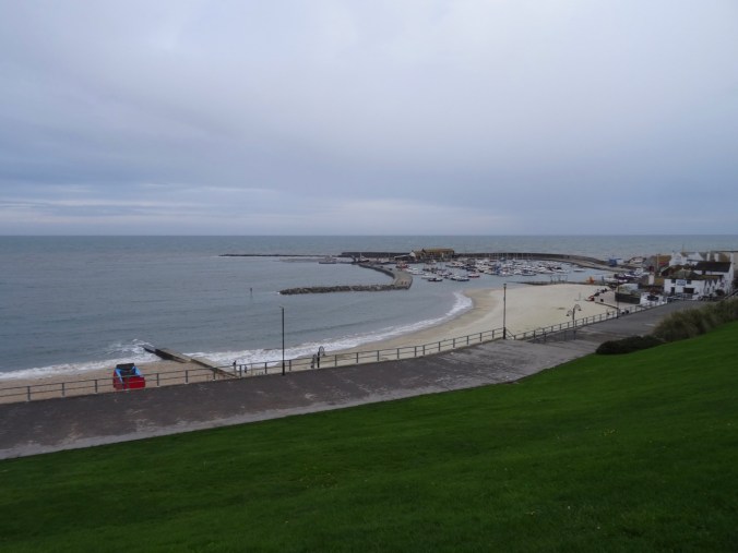
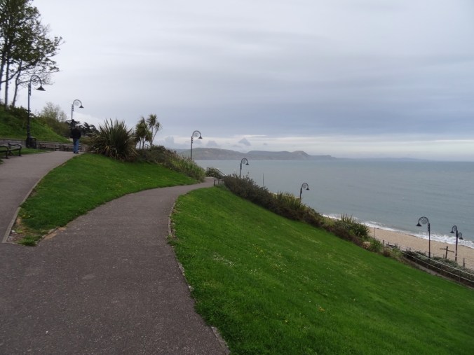
In nearby Lyme Regis, we checked into a B&B on the hill above town, then walked down the path to the seafront. There was a great view over the coastline – where we had been in Charmouth, and where we wanted to go on the Cobb.

Lyme Regis

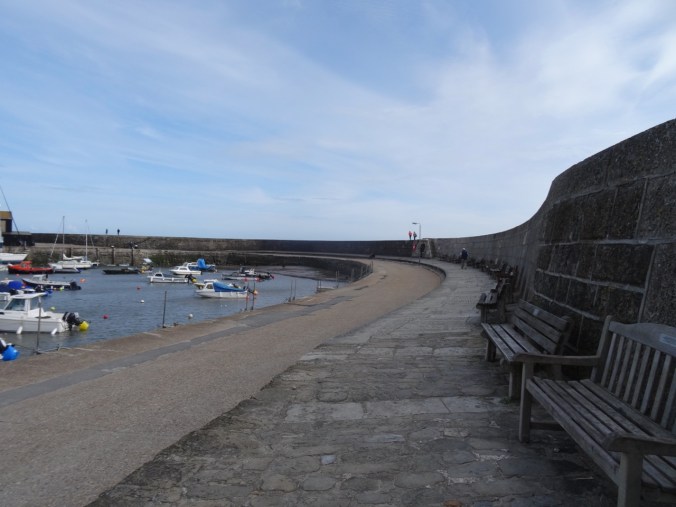
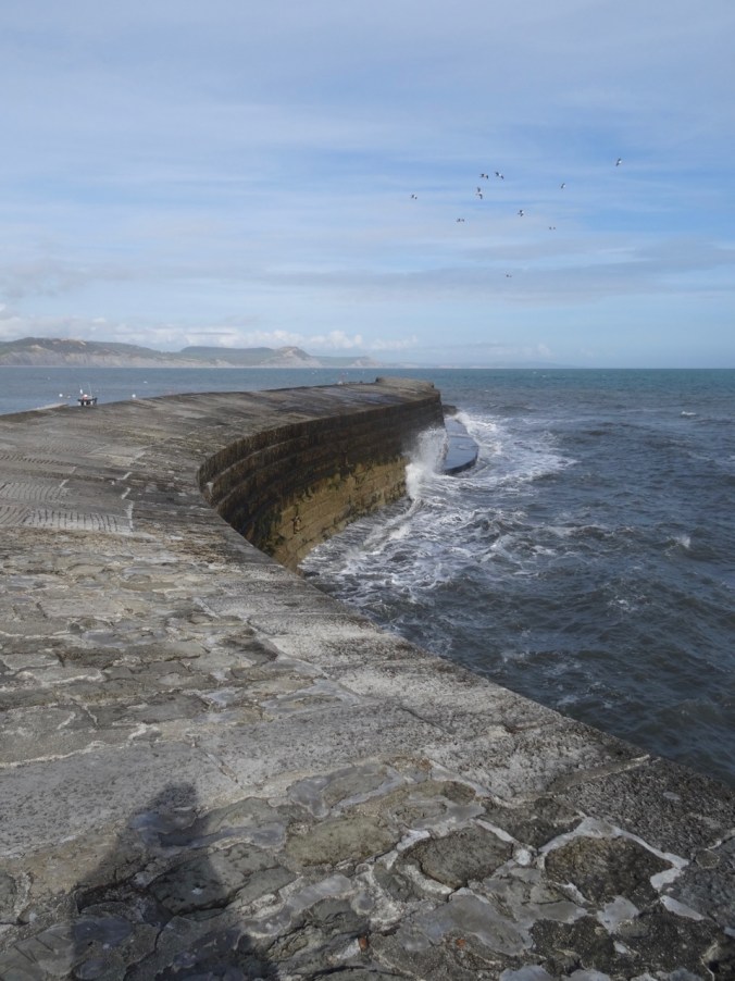
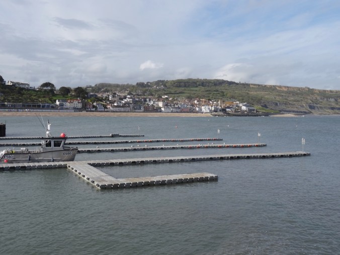
Lyme Regis Harbor and Cobb
The Cobb is the local name for the curved manmade breakwater around the harbor.
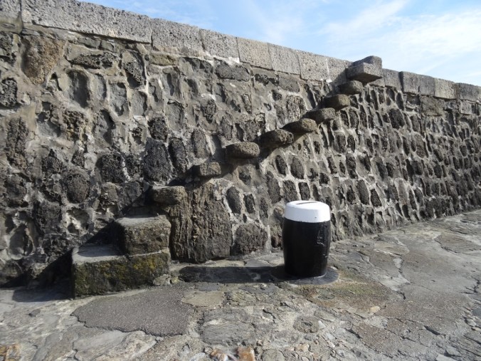
The walk along the Cobb has been immortalized by Jane Austen in her novel Persuasion. Teenager Louisa Musgrave flirted with Captain Wentworth by having him jump her down from the steps on the Cobb – could have been these steps,

The first set of Cobb steps – not too scary….
these steps,
The second set of Cobb steps
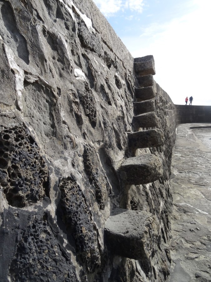
A little more precarious…

Looking down from the top
or these steps.
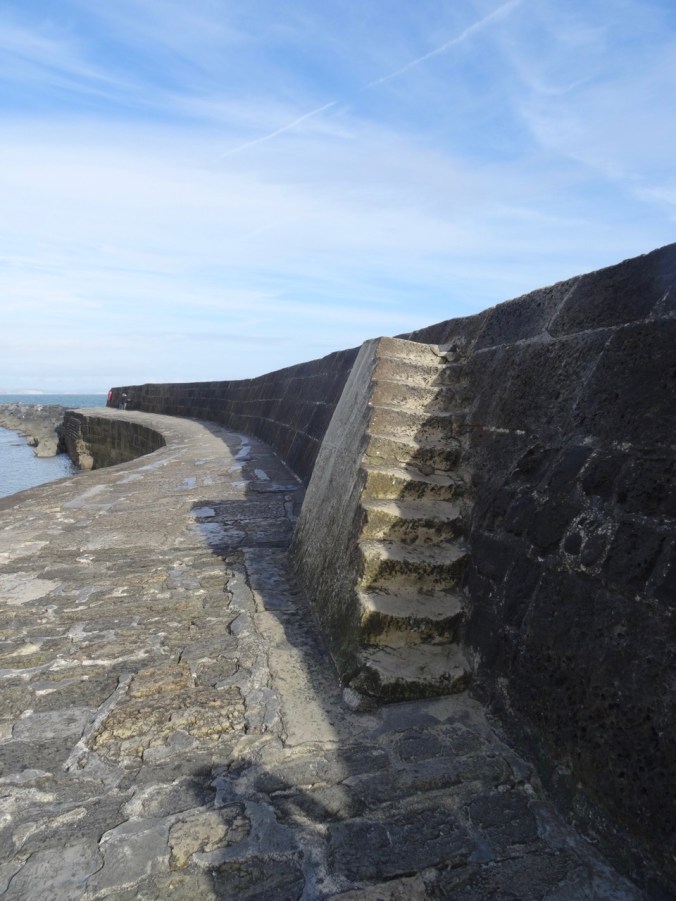
The third set of Cobb steps

The pavement at the bottom was equally hard when she jumped too soon, landed on her head, and was taken up lifeless. She recovered slowly with the help of a different sea captain, learned to appreciate poetry and curb her impulsiveness, and left Captain Wentworth free to marry our heroine Anne by the end of the story. Jane Austen lived here in Lyme Regis for a time, and must have walked along the Cobb, maybe even seen a boisterous teen be jumped down the steps.
We walked along the Cobb, on the lower, wind shielded side, to the end. I went up the steps to see the view, but the wind and sea spray made staying on the high path feel unsafe.

Looking west from the top of the Cobb
Upper Cobb views
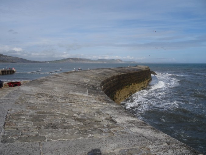
From the far end of the lower Cobb we looked back across the harbor to the town and to Charmouth beach where we had been earlier today.
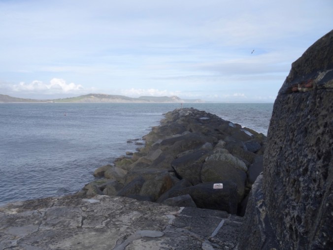
The far end of the Cobb path
Looking back to Lyme Regis

Looking across to Charmouth
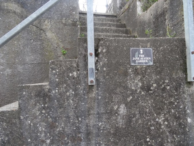
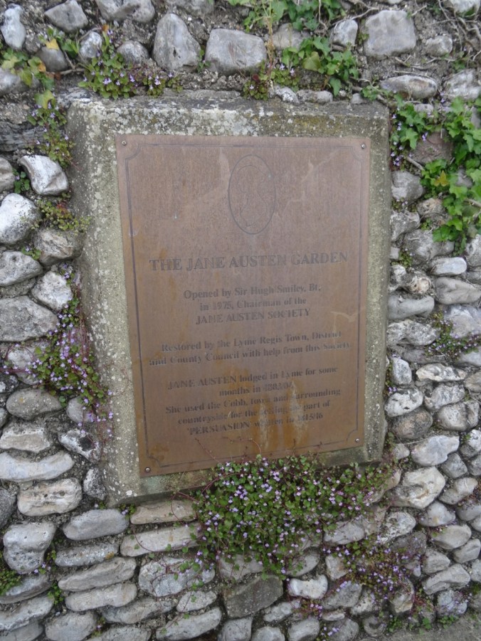
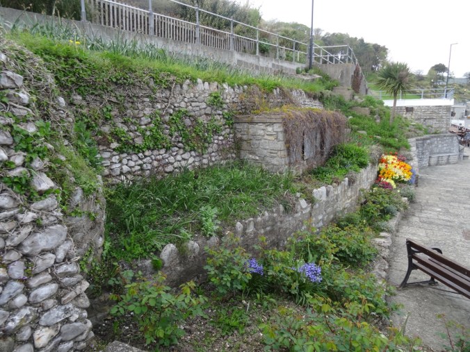
After retracing our steps, we walked around the shops and gardens near the Cobb, including the rather run down Jane Austen tribute garden.
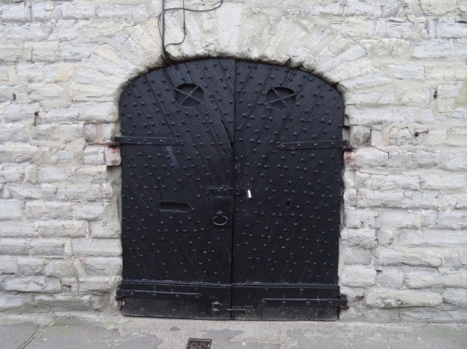
An interesting old door

Slate tiles
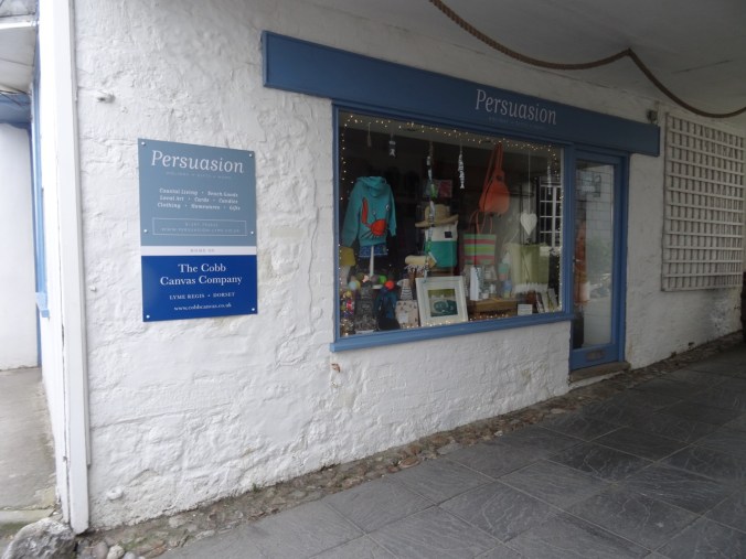
Persuasion gift shop
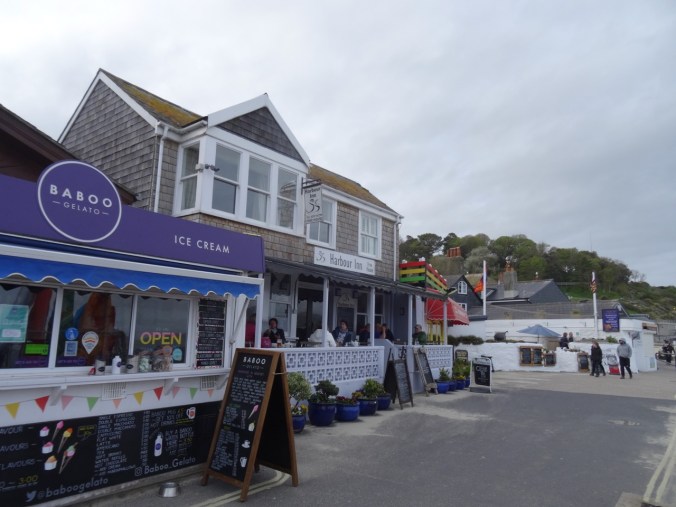
Later, we went to the lovely Harbour Inn for a delicious early birthday dinner for Dan. I had the gurnard, a local fish, and he had the vegetarian special.
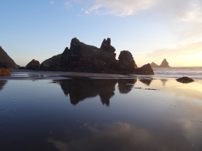
As we walked back up the hill after dinner, we took in the views again, punctuated by silhouettes of the charming ammonite light posts.
The Cobb

In the morning we set off for Fowey on the southern coast of Cornwall, where we had reserved a cottage for a four day stay.