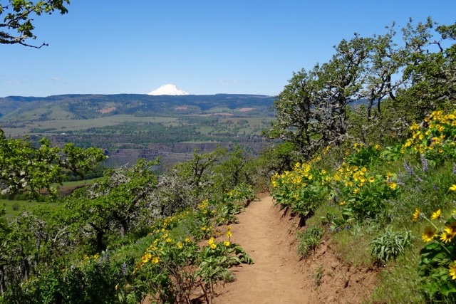
Mary’s Peak and Yachats 804 Trail Friday, May 26 (#28)
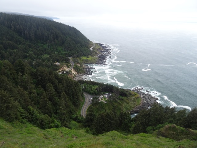
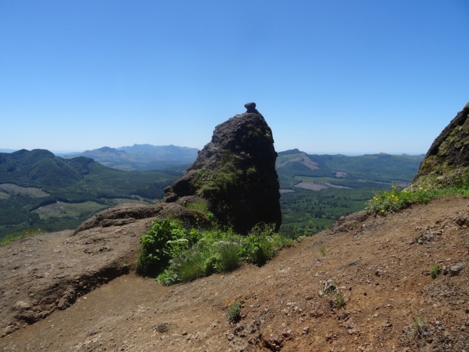
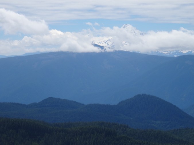
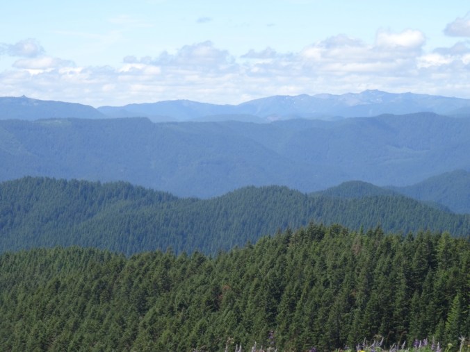
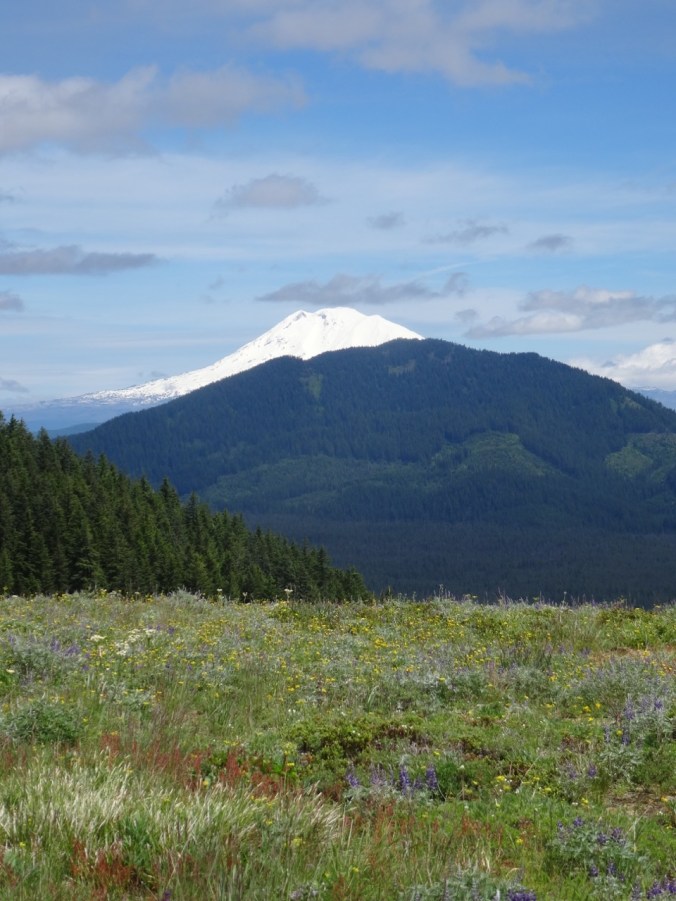
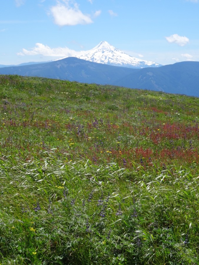
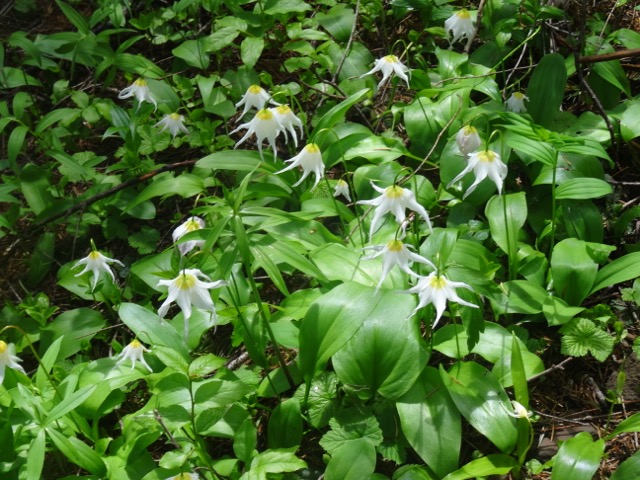
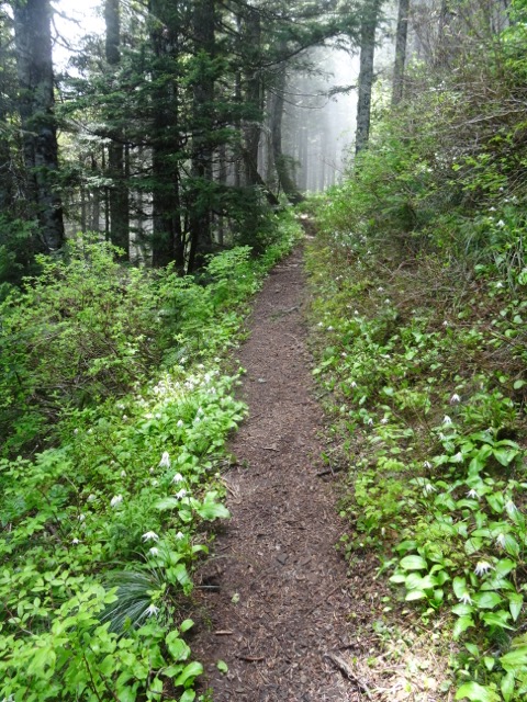
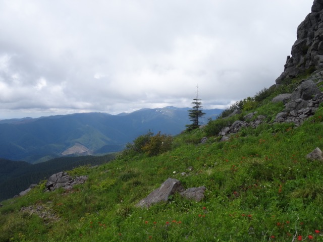
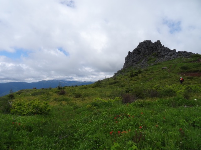
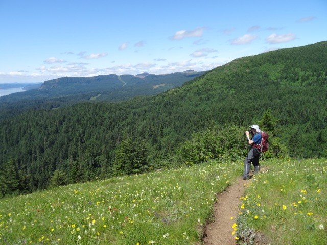
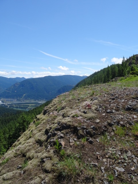
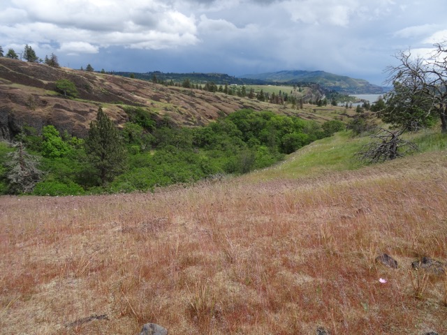
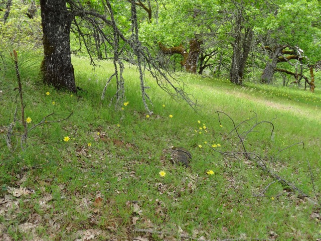
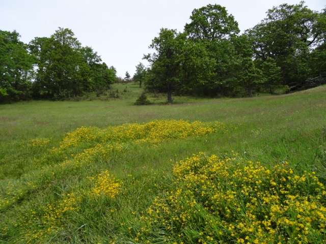
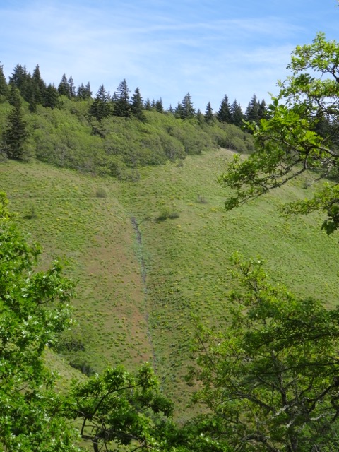
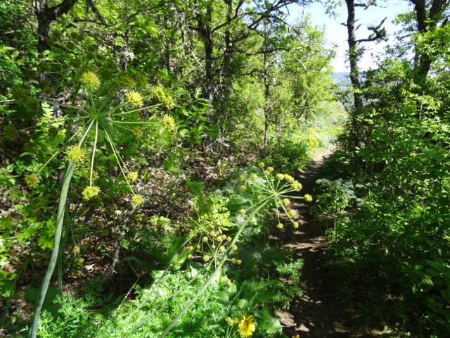
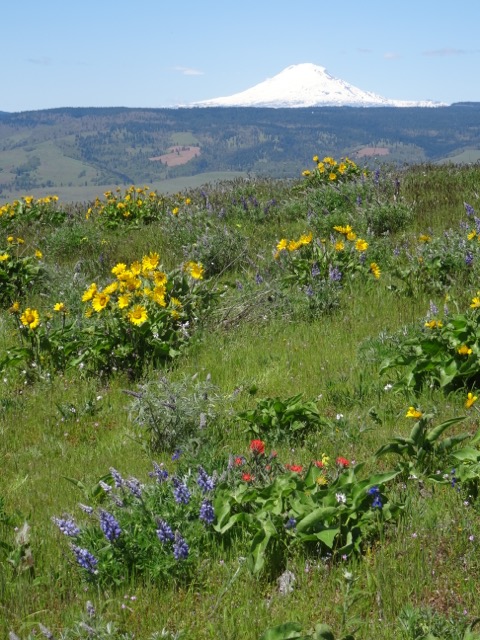
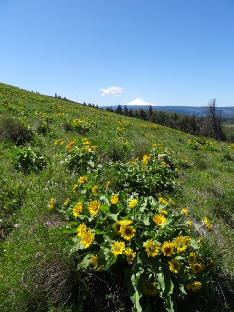
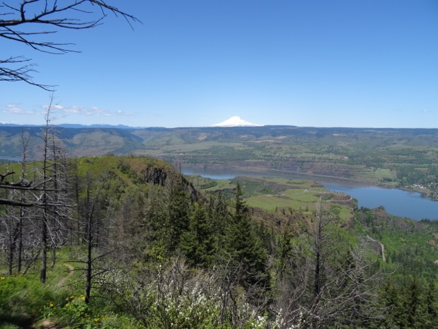
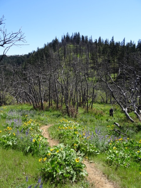
We started our weekend by driving to Mary’s Peak in the central Coast Range just west of Corvallis. The meadows near the trail head were full of yellow Pioneer violets. There were glacier lilies and radio towers at the top, along with a view of the Oregon Cascades from north to south: Mt. Hood, Mt. Jefferson, Three Fingered Jack, Mt. Washington, the Three Sisters, Mt. Bachelor, and Mt. Thielson.
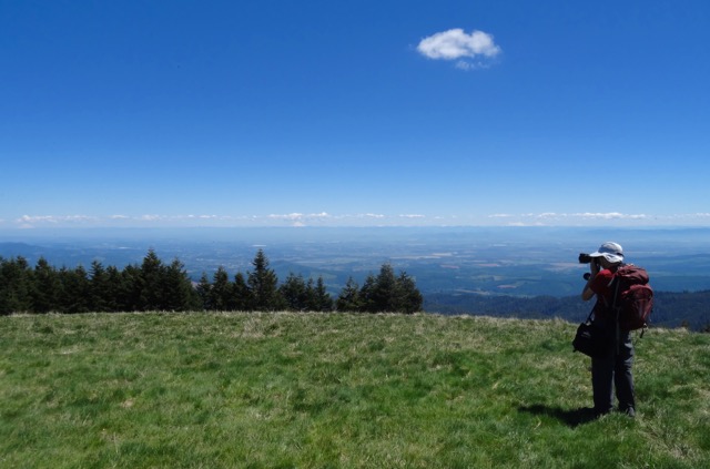
Dan at the top of Mary’s Peak, with the Cascade Mountains from Mt. Hood to Mt. Bachelor on the skyline.

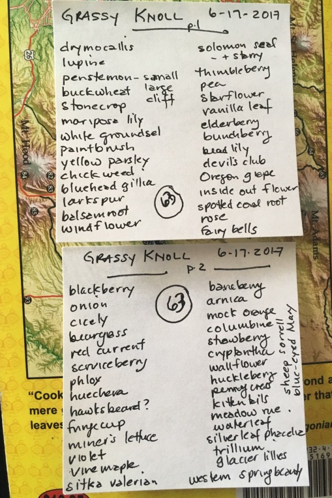
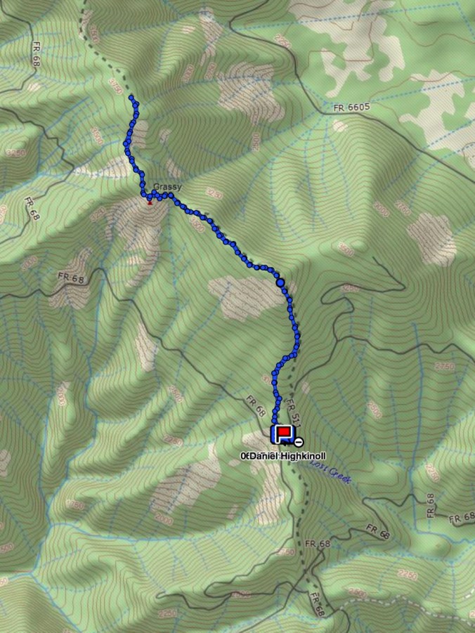
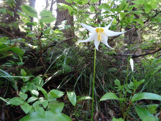
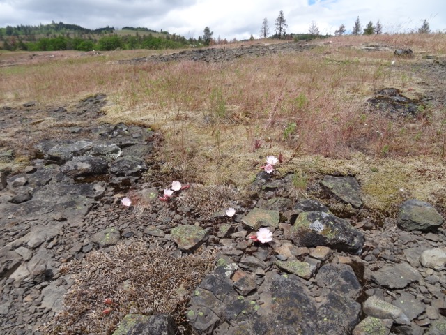
Flower list
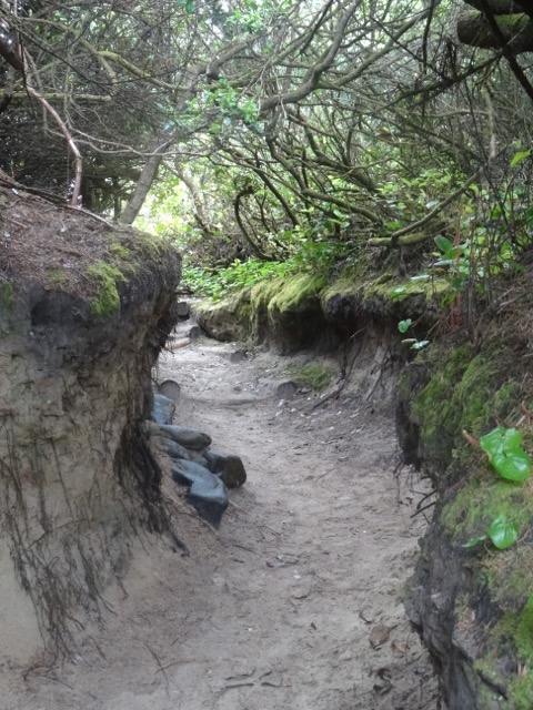
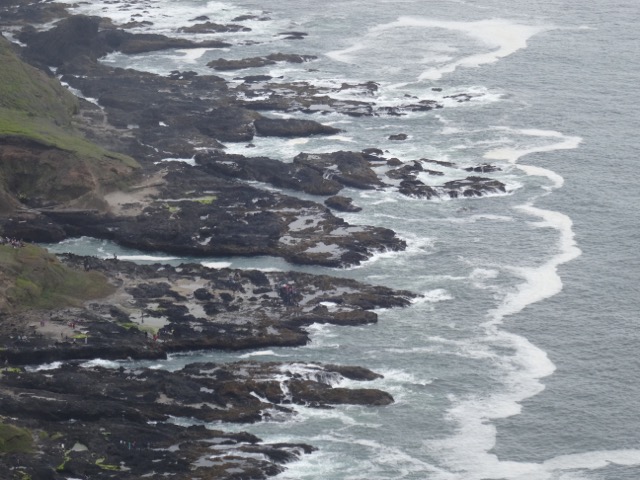
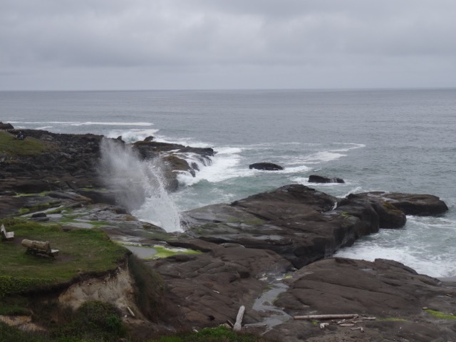
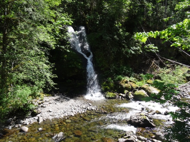
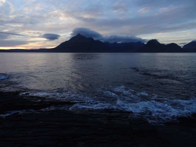
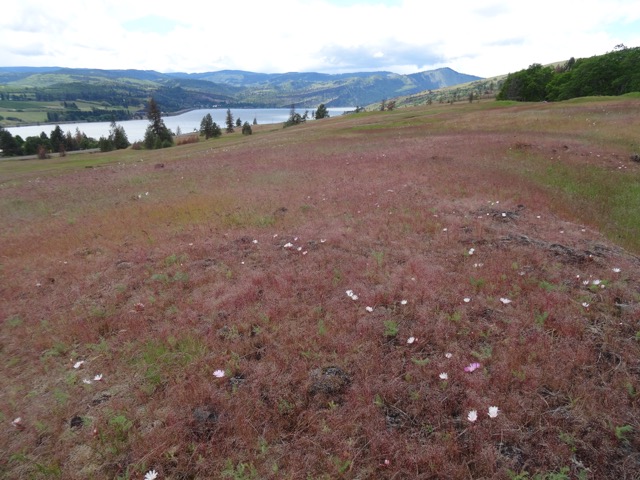
After our short hike we continued on Highway 34 west through the Alsea River valley, twisting and winding through riparian landscape to the sea at Waldport, then south along Highway 101 to Yachats. The Overleaf Hotel overlooks a black lava armored swash zone that was spouting waves at high tide. We were also looking out on the 804 trail that outlines the edge of land there. We walked along the trail after dinner, admiring the early summer wild flowers and exploring some of the coves and natural jetties as the tide ebbed. We watched a red shrouded sun sink into the sea.
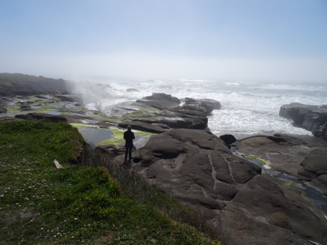
Spouting waves near our hotel
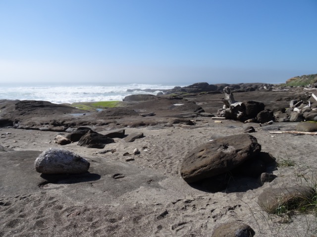
Another beach view
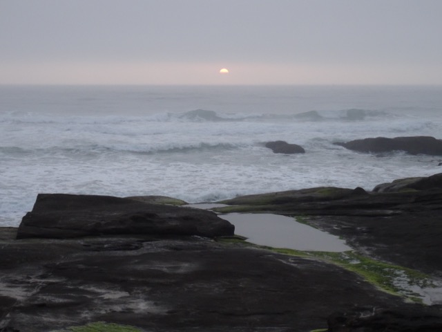
Sunset
Meanwhile, back in Portland, the terrorism had come to our neighborhood. Three honorable men defended two girls from an intolerant ranter on the Max train and were stabbed in the neck at close range, killing two of the men. We followed this horrific story from afar all weekend.
Cape Perpetua Saturday, May 27 (#29)
We started at the Cape Perpetua Visitor Center, and hiked down to the tide pools at low tide, and then to the Cook’s Chasm area, but decided to return at high tide to see the wave action.

Sea Anemones
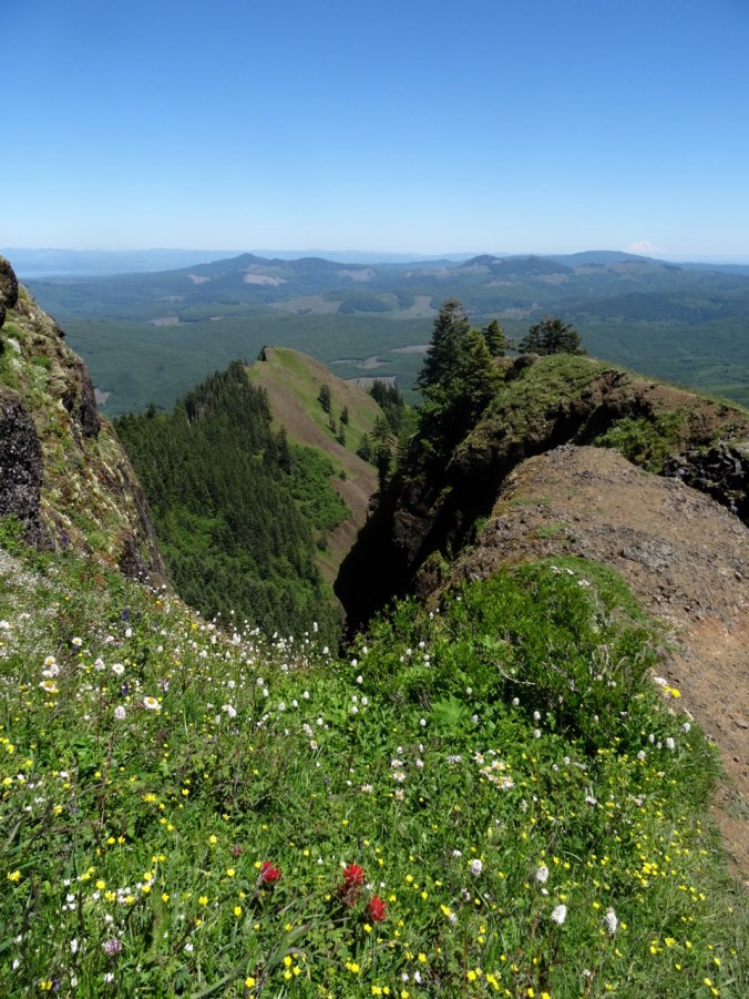
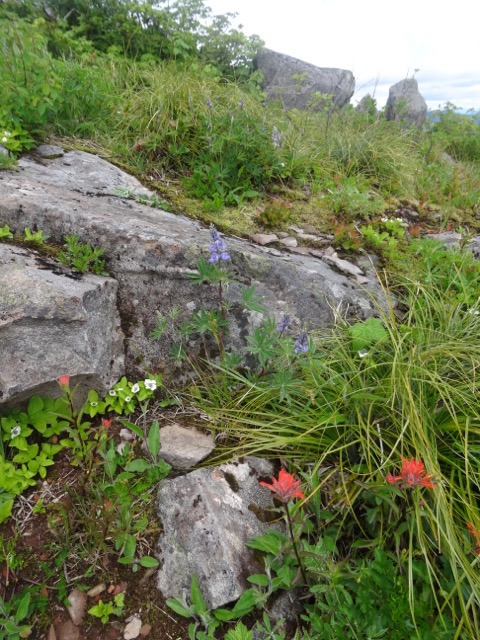
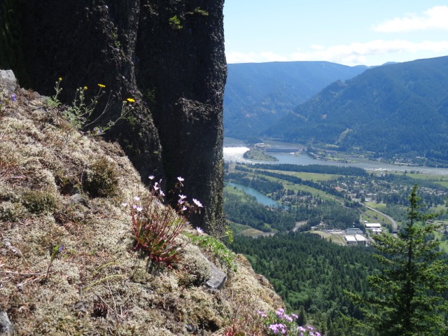
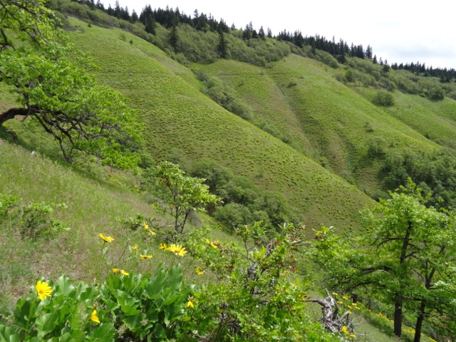
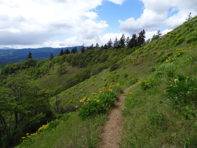
We then hiked up the St. Perpetua trail to the CCC stone shelter on the cliff. The trail passes through forest and hanging wildflower meadows. The views were somewhat obscured by fog.

CCC stone shelter

Flax

Lupine and plantain

Seaside Birdsfoot trefoil

Monkeyflower

Foggy view to Cooks Chasm area

Salal

Iris
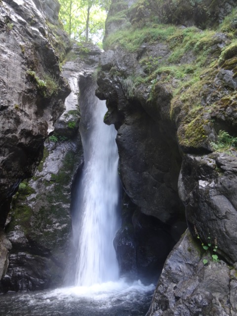
In the afternoon we returned to Cook’s Chasm at high tide, and saw the Spouting Horn, and Thor’s Well, and a lot more people.

Thor’s Well

Thor’s Well

Spouting Horn
Back in our room, we saw large sea creatures in the waves, and took photos with our zoom lenses. At first we assumed it was a whale, or four. But when I googled whales I could not find the fringed fins I was seeing. After a little more searching, I realized we were seeing sea lions, whose tail fins look like fingers. But we did see four of them from our window surfing the waves.

Sea lion or two
Later, we went for a delicious dinner at the Drift Inn in Yachats, and then a walked south from our room on the 804 trail.


Sea thrift on the rocks
Heceta Head and Lighthouse, Hobbit Beach Sunday, May 28 (#30)
Washburne Beach was foggy as we started our hike. We walked about a mile along the beach at low tide, few others about, and passed a bald eagle sitting in a snag above the beach.

Dan; bald eagle in snag

Bald eagle

beach sand
The southern part of the beach is called Hobbit Beach, presumably because the sandstone bluffs are eroded into hobbit holes by water seeps dripping down.
This slideshow requires JavaScript.
The fog was lifting as we headed up from the beach through the rhododendron and Sitka spruce forest on Heceta Head.
Into the misty forest
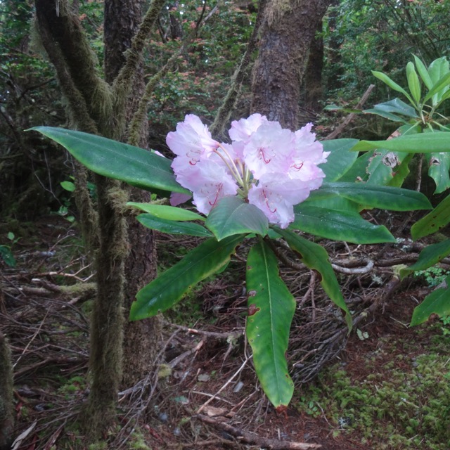
rhododendron
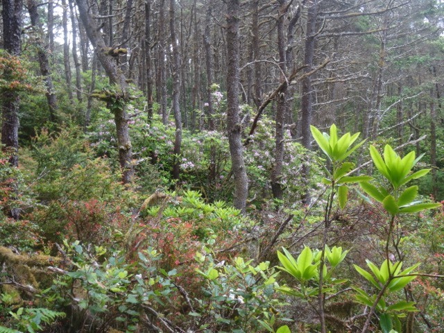
Rhododendron forest
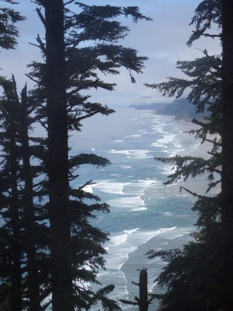
View back to Hobbit Beach
By the time we switchbacked down to the Heceta Head Lighthouse on the south side, we could see the lovely blue water and birds on the rocks. We ate our lunch near the light house and took a brief tour through the lower part of the old building.

Heceta Light House

View south from the light house

Birds on the rocks – cormorants and sea gulls

Fresnel lens
Then we retraced our trail back to Hobbit Beach, which by now had plenty of people and a higher tide.

Sitka Forest

Hobbit Beach
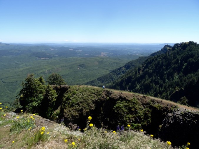
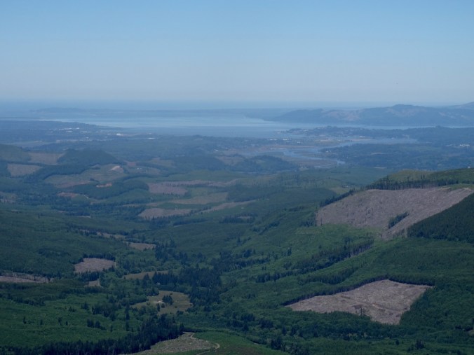
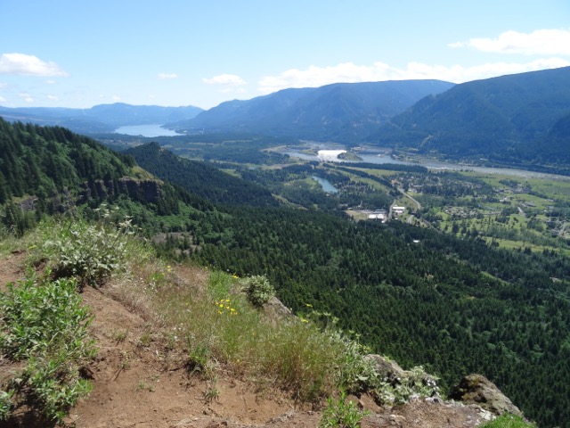
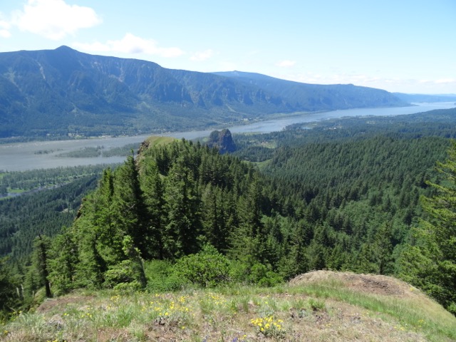
On our way back to Yachats, we drove up to the CCC shelter that we hiked to yesterday. Today, the skies were clearer and we could see the views we missed. We also stopped for a look at the Devil’s Churn area, another place where the waves create large splashes as they are constricted in rock crevices. In the evening, we sat in the spa pools at our hotel that overlook the beach.
Less foggy view from the Cape Perpetua shelter
Zoomed in, now I can see the Spouting Horn and Thor’s Well

Devil’s Churn
Yachats 804 Trail and home, Monday, May 29
We took another low tide walk through the rocky headlands near our hotel. There were sea stars clinging to the rocks at the lowest levels, giving us hope that the species will recover from the disintegration disease that wiped many of them out during the past few years. Dan also saw a breaching whale while I poked around in the tide pools. Soon enough it was time to pack up and head home after a lovely weekend by the sea.
Spouting slot at high tide

Slot at low tide
A few more low tide beach views:

Arch at low tide

Anemones and a star

Closer view

Low tide beach beyond the cliffs

sea weed

Another star

Snails
Flowers near the beach:

silverweed

red clover

beach pea

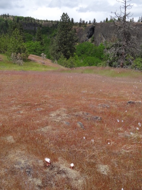
Yachats flower list


")


")


")


")

