September 20 to 23, 2020
We were able to reschedule our planned trip to the central Oregon Coast until after the wildfire smoke cleared out. We stayed in a hotel, brought our own food, and walked on the beaches and trails, following all the covid-safety protocols. Many of the parks and trails along the coast were closed due to the recent windstorms and wildfire smoke event, or due to Covid precautions. But all of the beaches were open for walking.
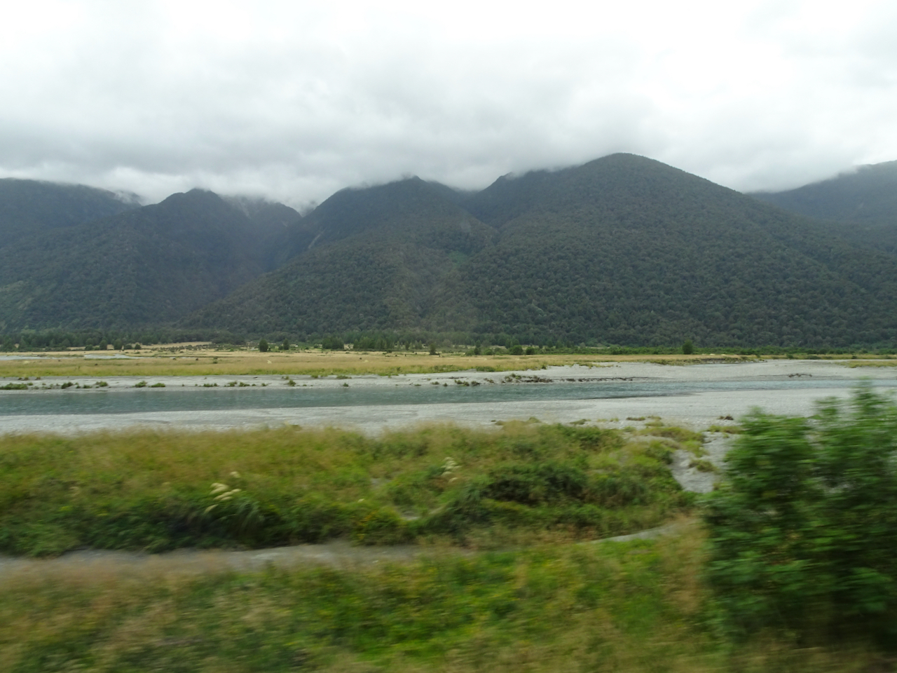
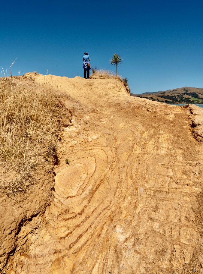
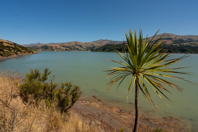
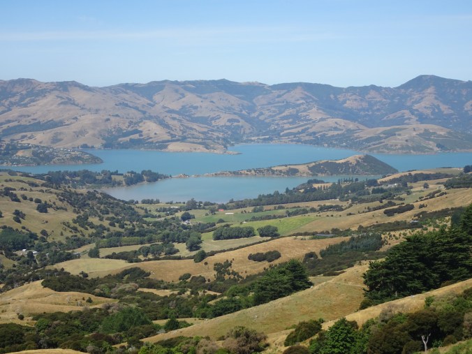
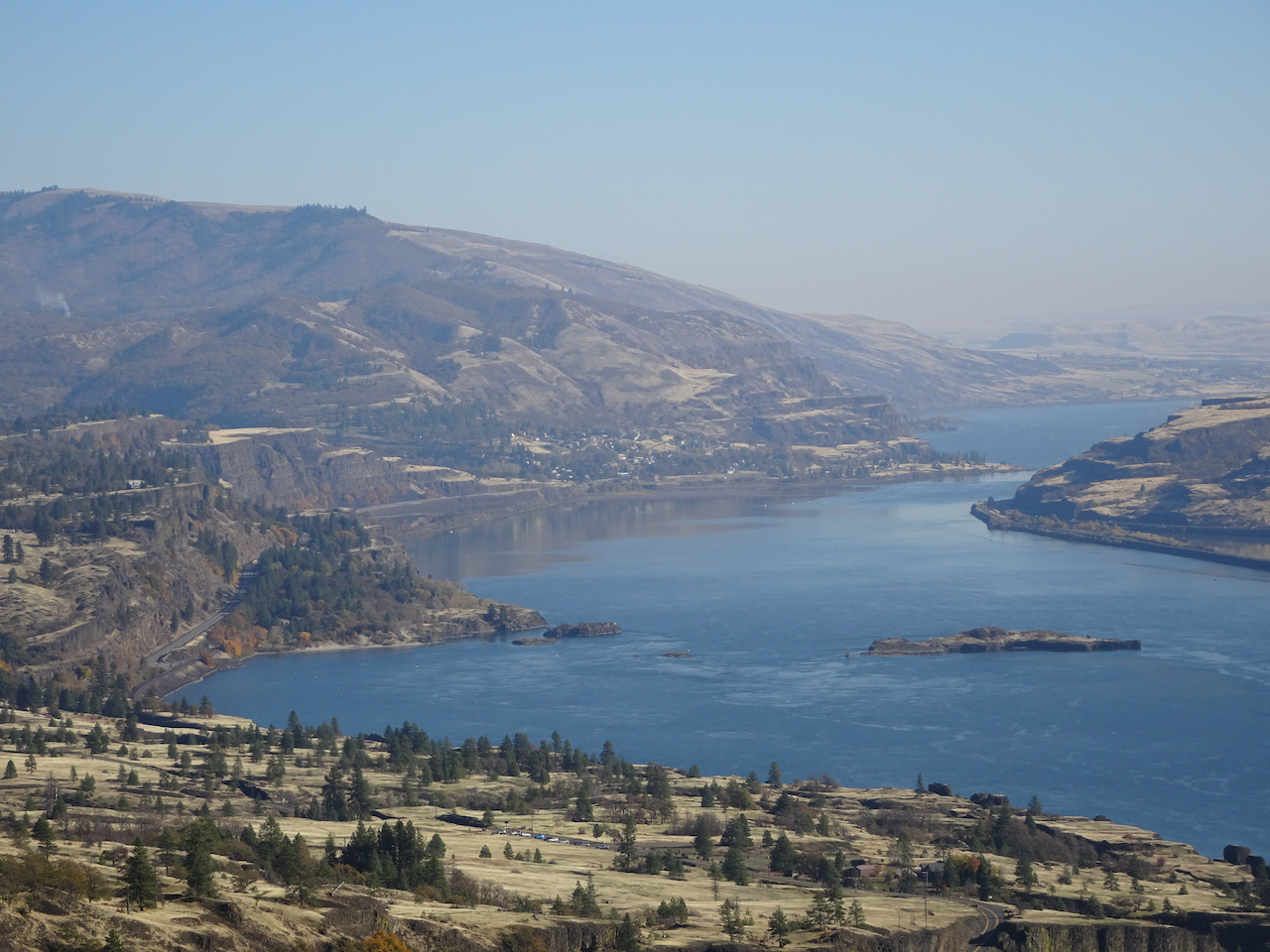
Central Oregon Coast, and places we walked on our trip.
Sunday, September 20th
Yachats, Oregon
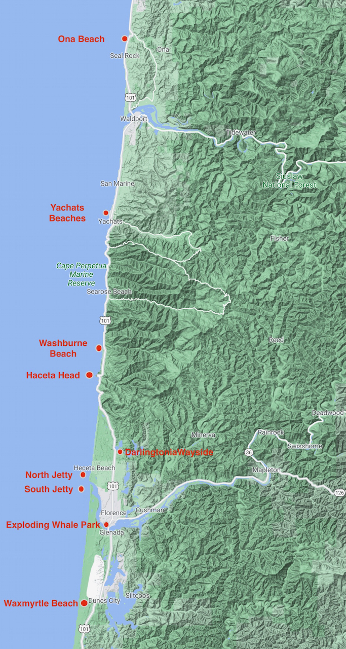
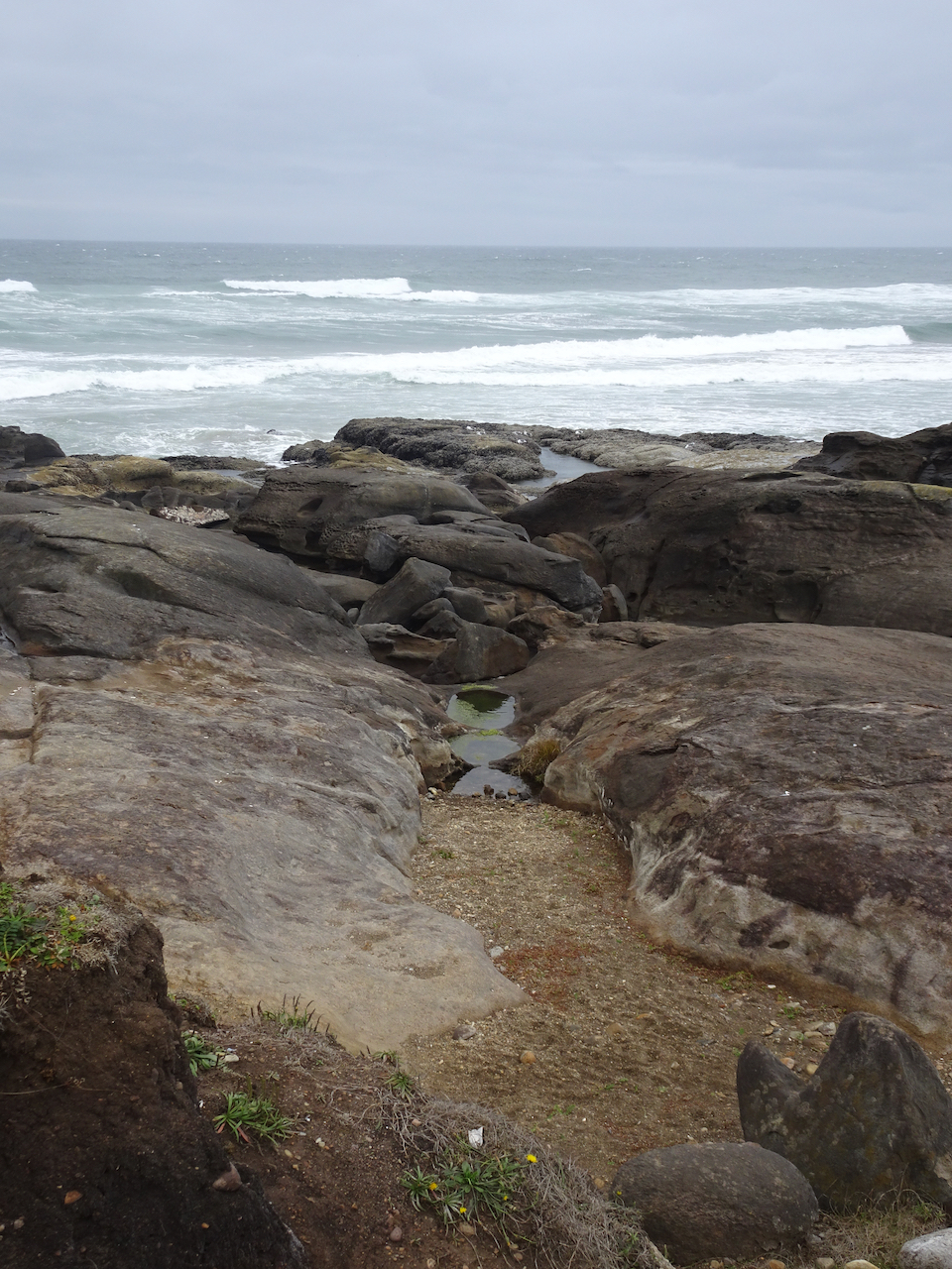
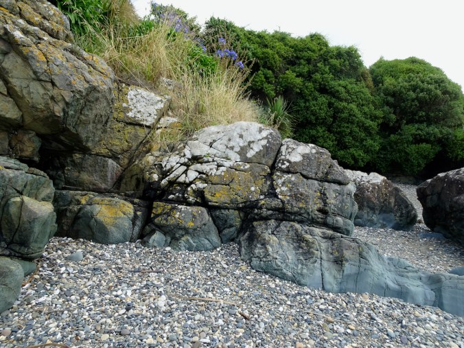
We arrived in Yachats in the evening, in time to walk along the rocky outcrops near our hotel as the tide was receding, and watch a lovely sunset, with pelicans and gulls.
Yachats sunset

Pelican

Yachats sunset

Pelican peleton
Monday, September 21st –
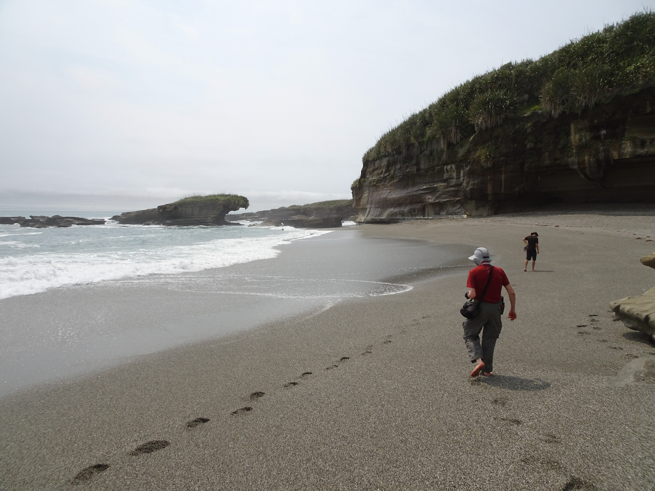
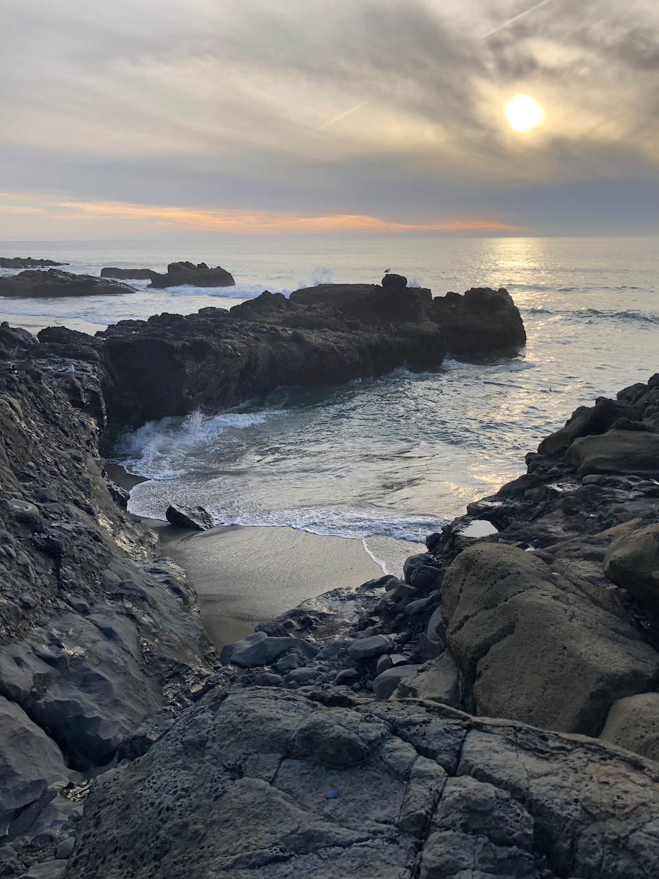
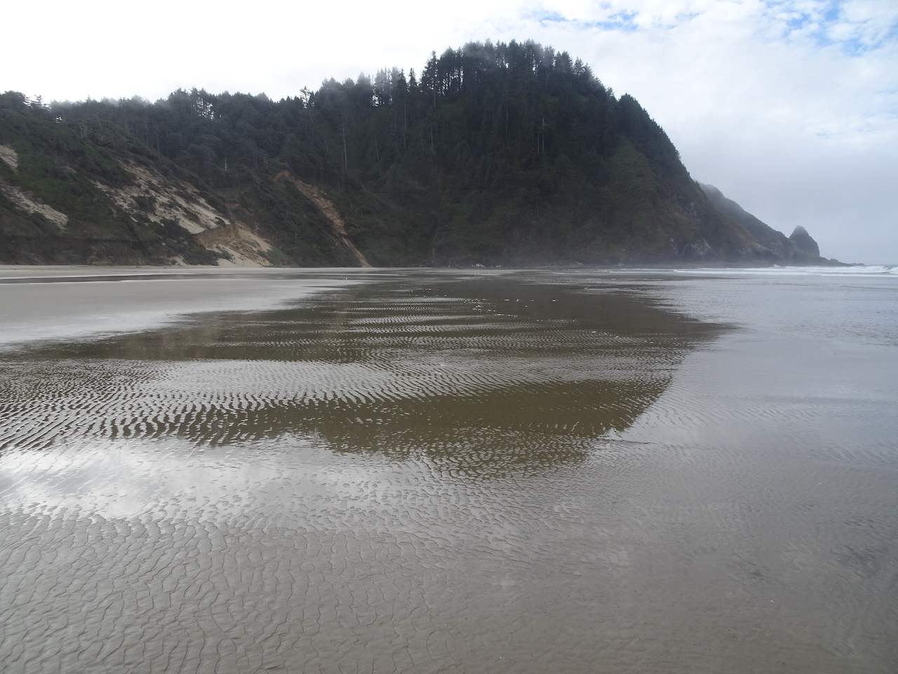
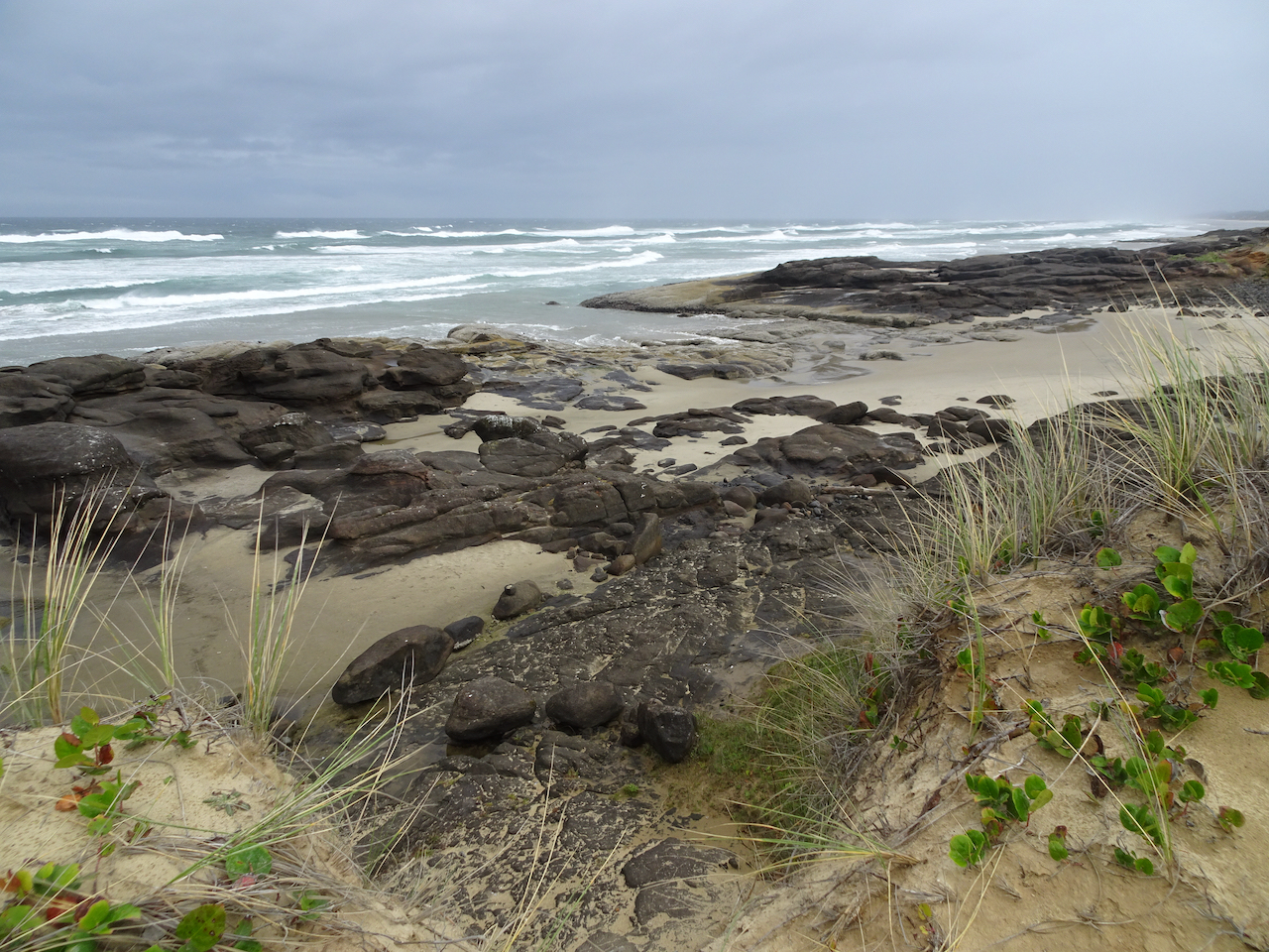
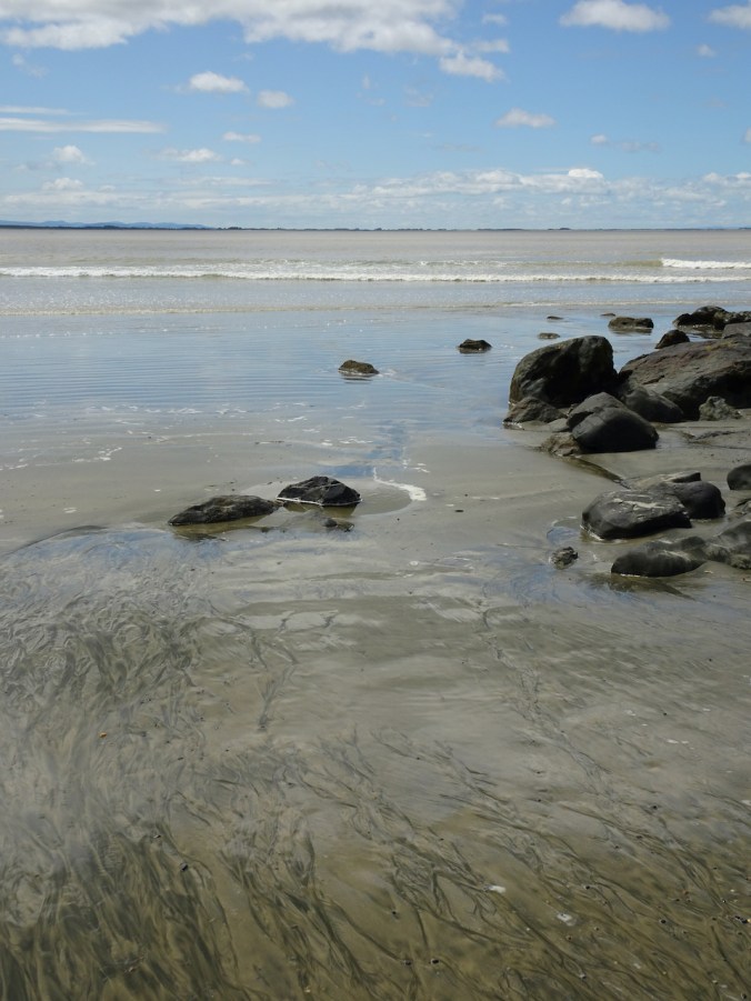
Washburne to Hobbit Beach at low tide – A lovely three mile walk toward Haceta Head.

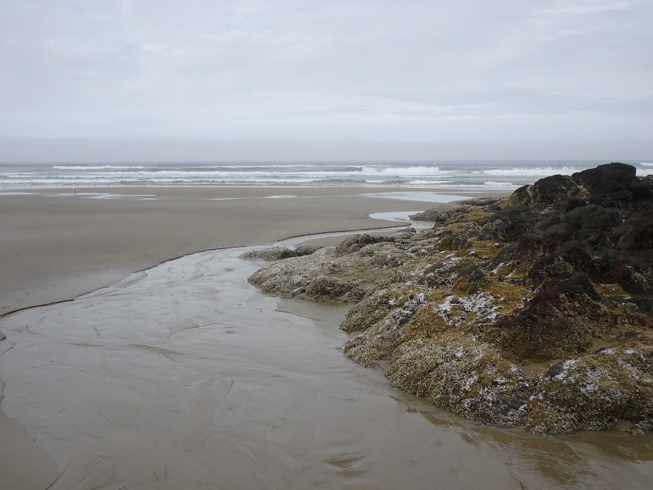
Tidal pools and sand bars on the beach as we walk south toward Haceta Head.
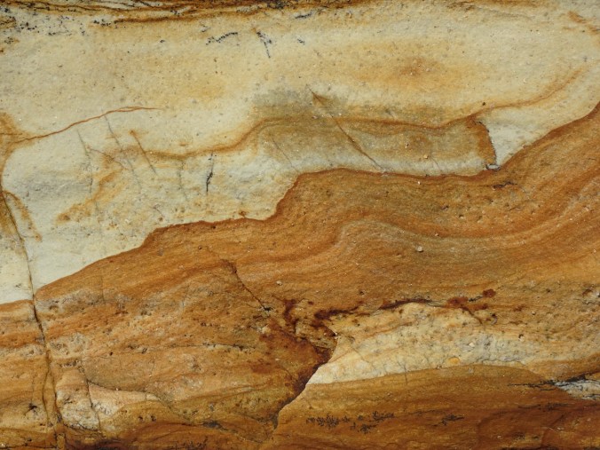
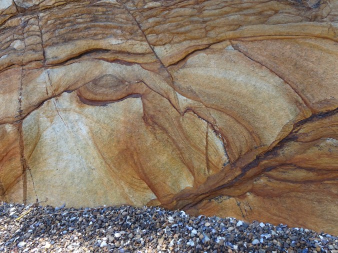
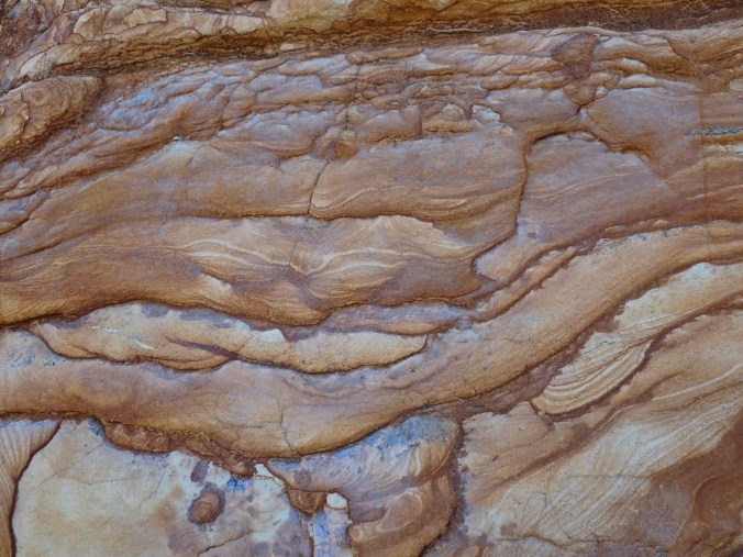
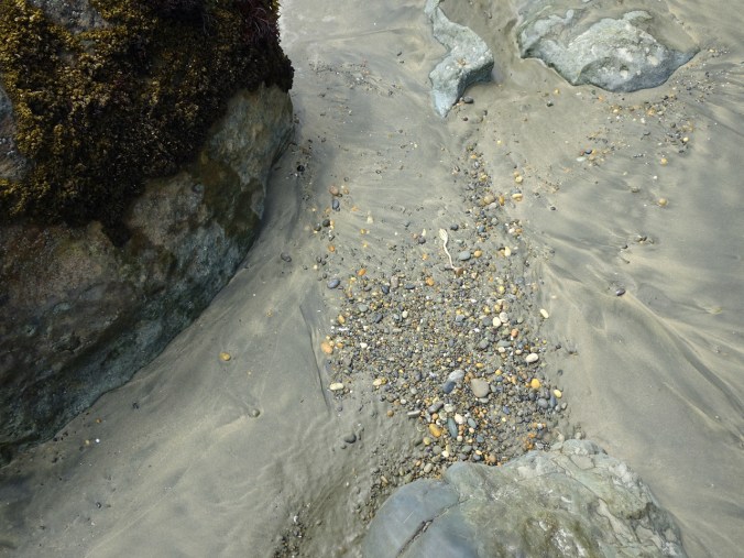
Rocky outcrop with tide pools.
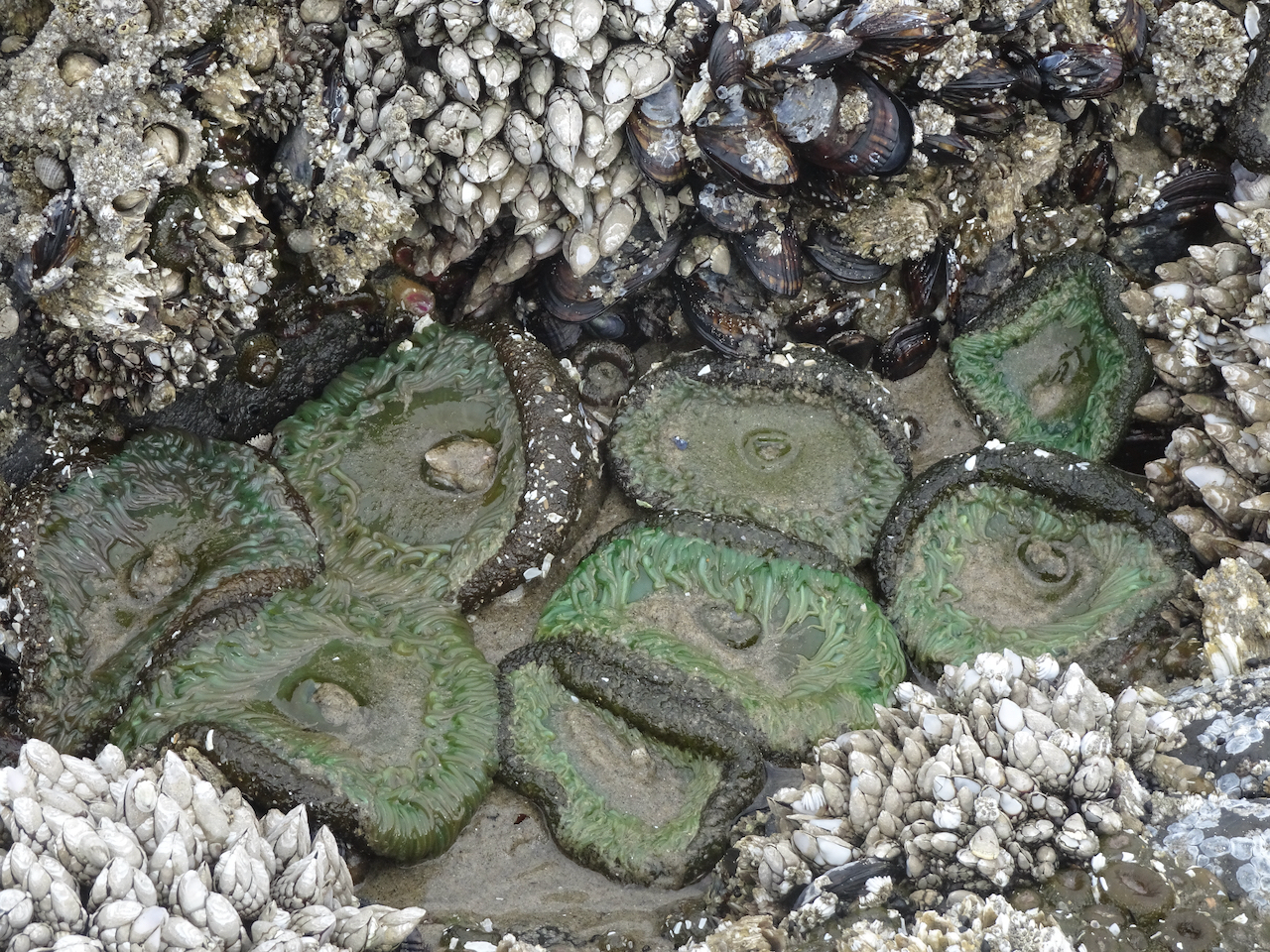
Sea anemones, barnacles, and mussels.

Blue sky, blue sand.
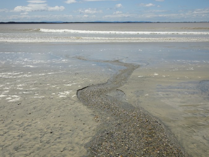
Ripples.
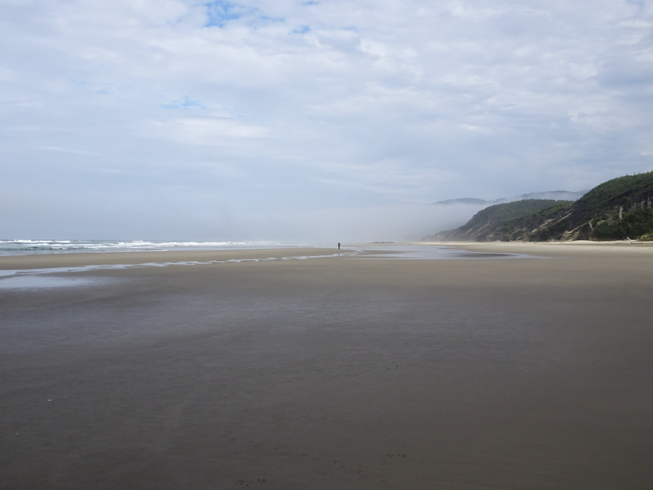
Return walk north.
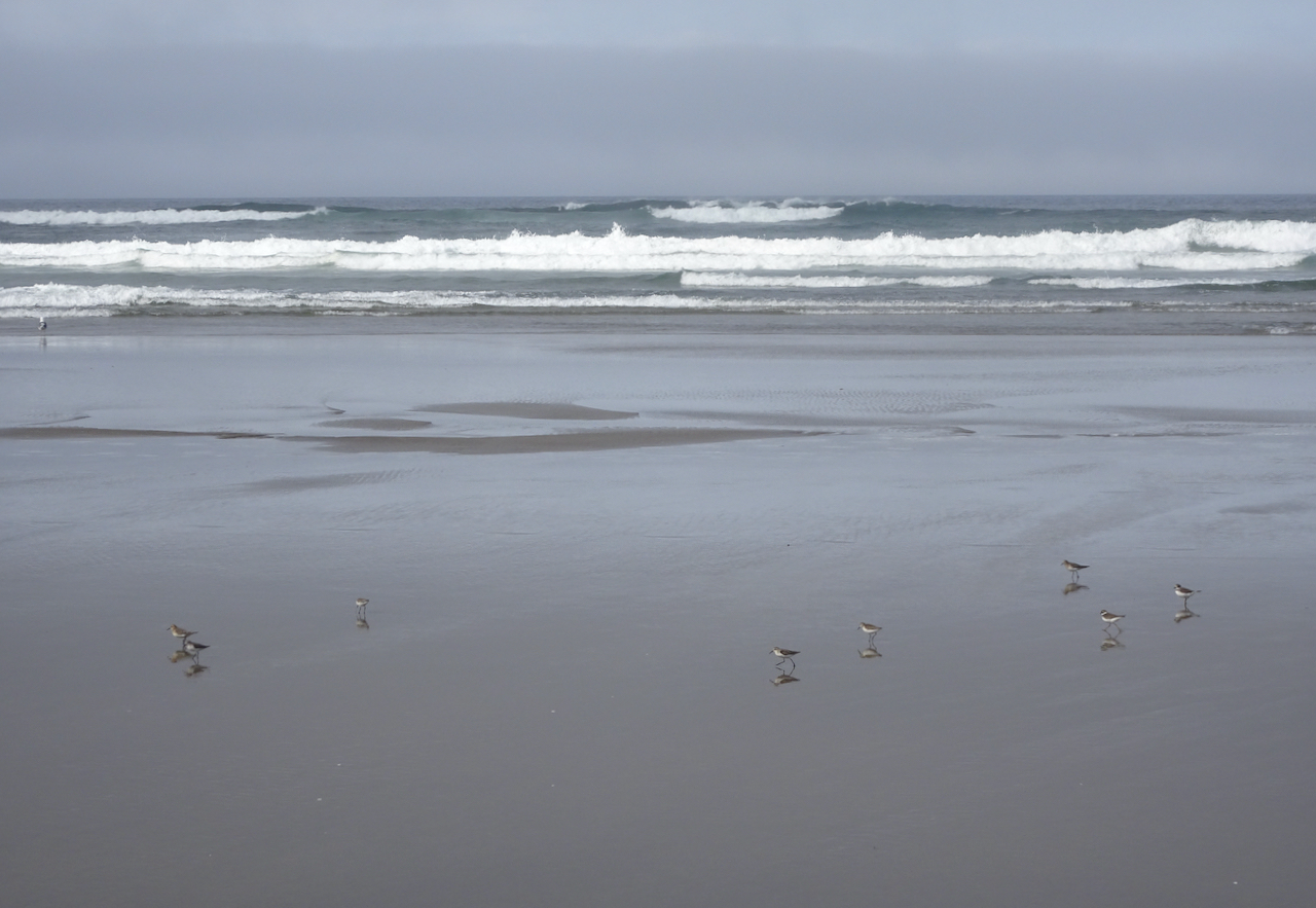
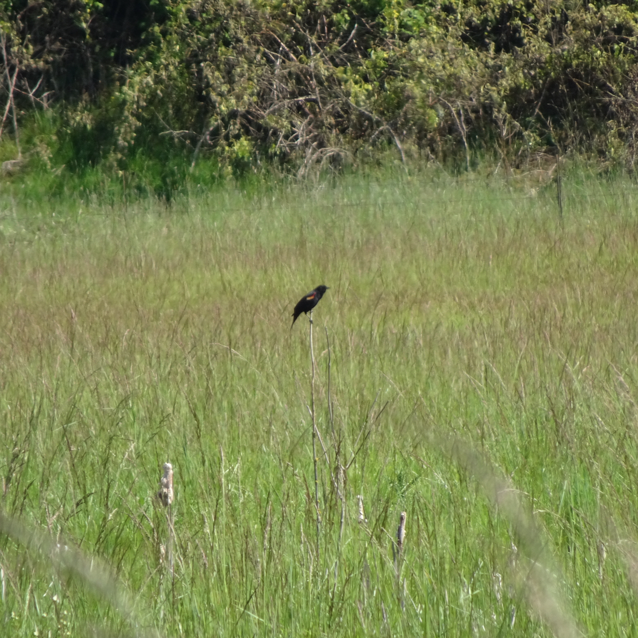
A skittering of sand plovers.
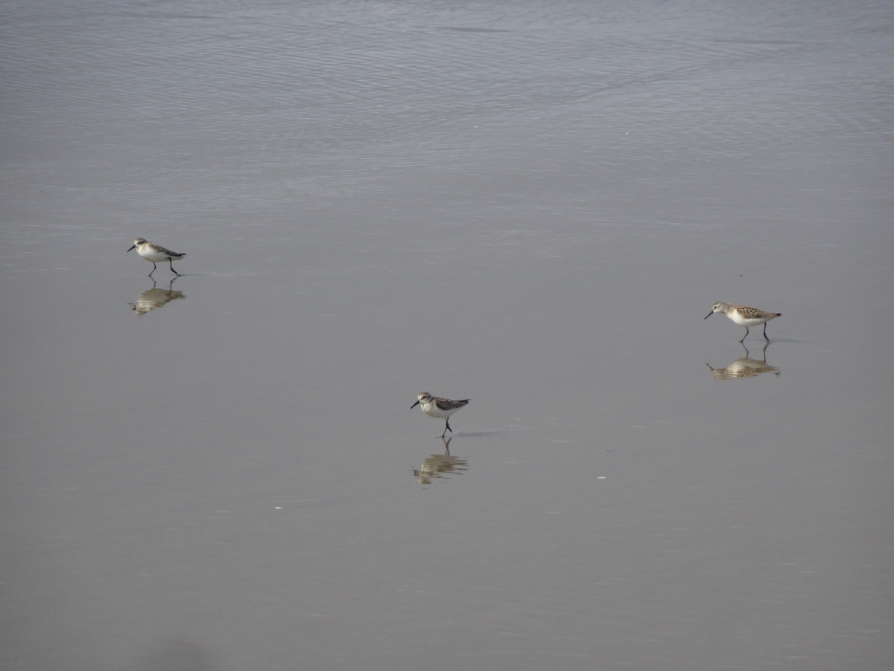
Sand plovers, doubled.
Darlingtonia Wayside
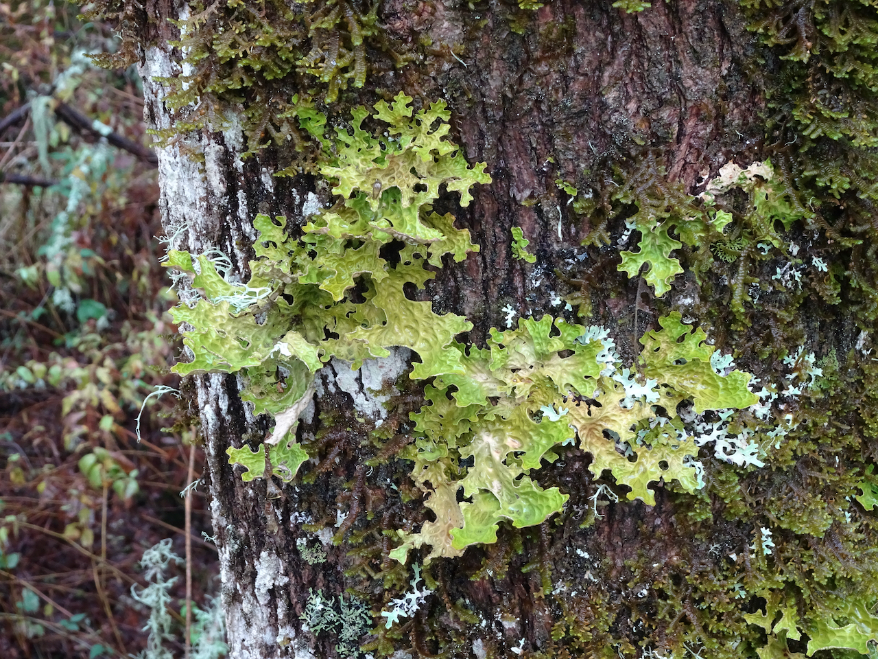
After our beach walk we continued south along the coast looking for more adventures. Our next stop was to see a swath of carnivorous plants.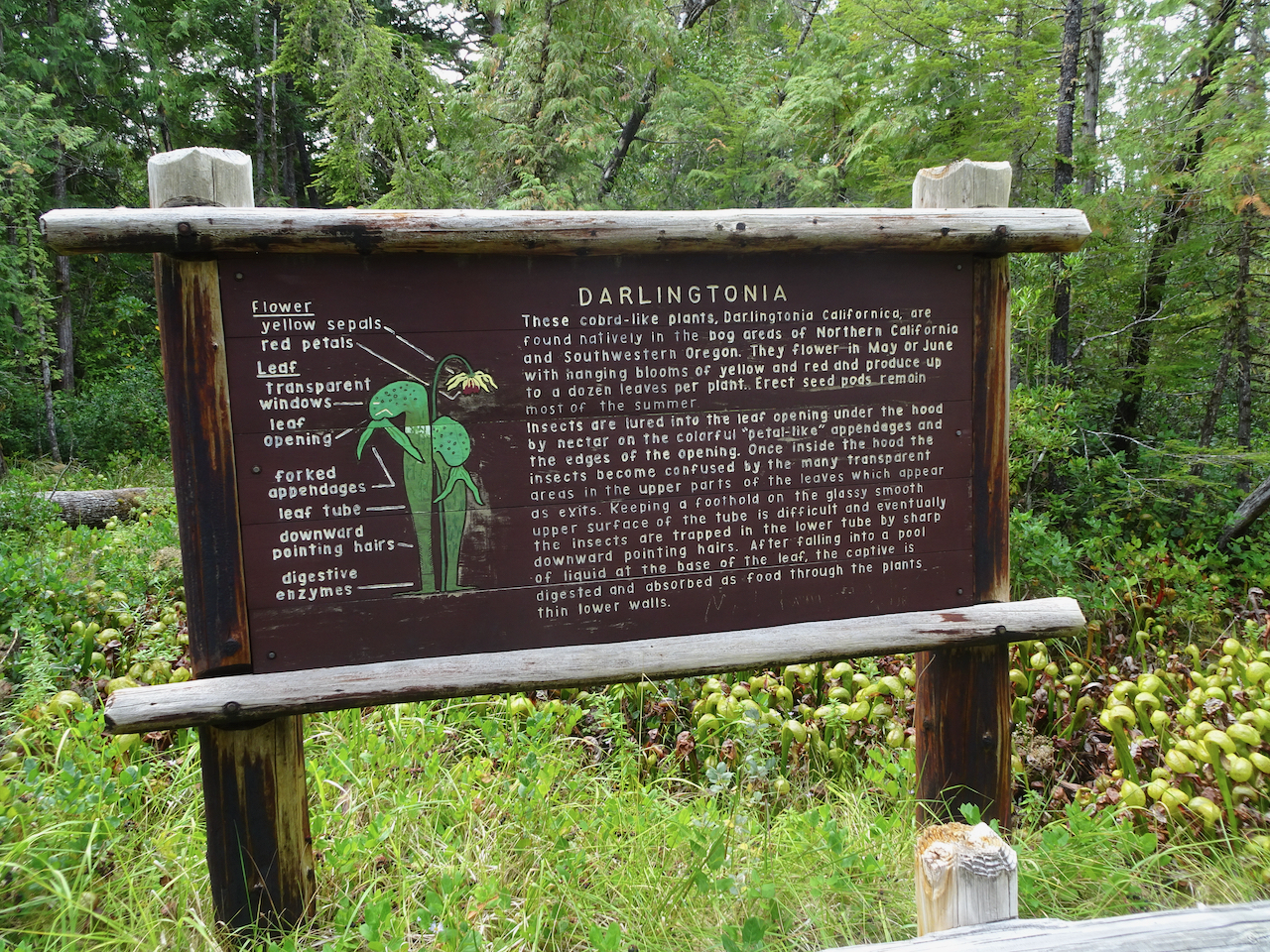

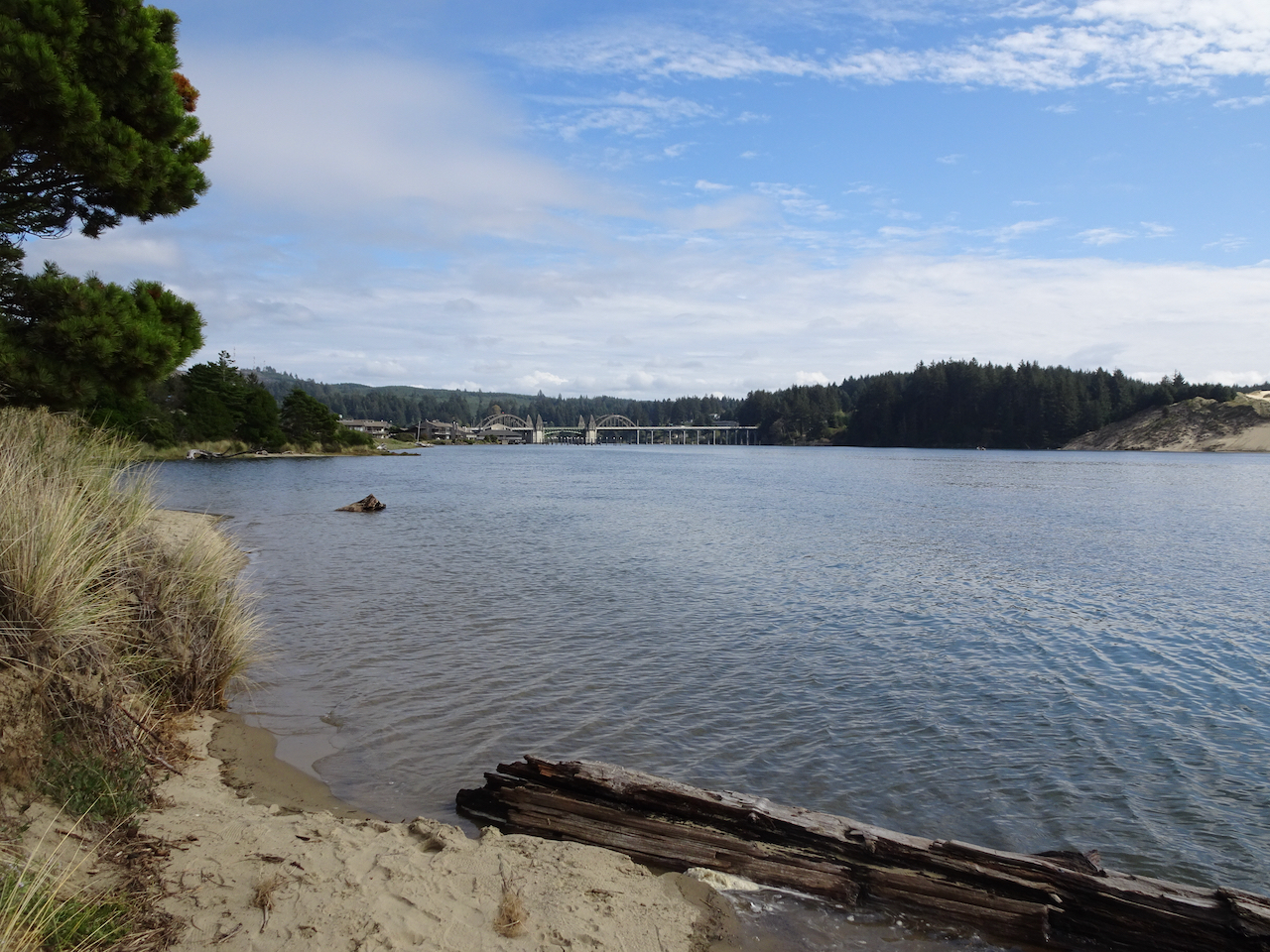
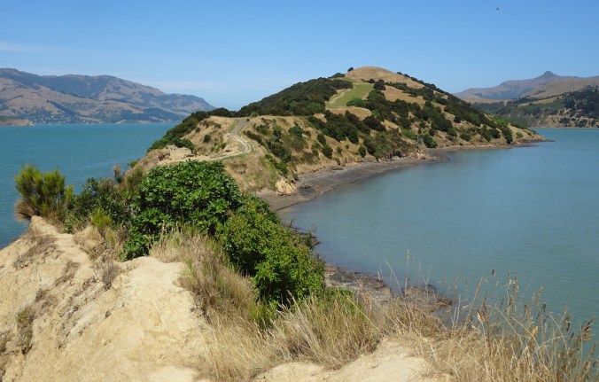
North Jetty
We followed the north side of the Siuslaw River to it’s mouth and took a walk along the North Jetty, where we again saw pelicans and plovers.

Entry to the North Jetty.

Walking seaward on the North Jetty – those shadows in the distance are birds!

Another skittering of sand plovers! It makes me so happy just to watch them!
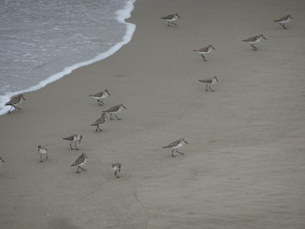
Plovers.
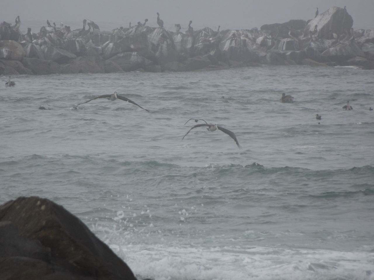
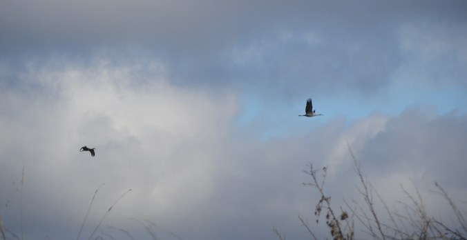
Pelicans and other sea birds far out on the jetty.

Pelican in flight!

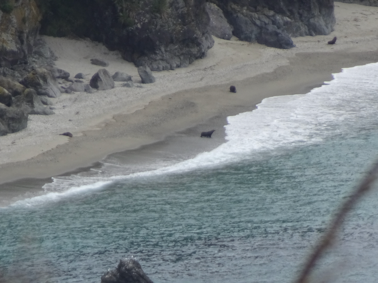
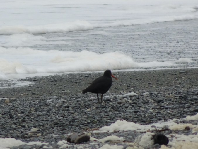
I spotted one seal nearby.
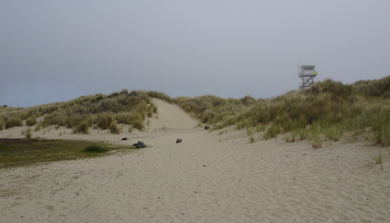
The dunes and lifeguard tower near the North Jetty entrance.

A line of rocks in the estuary make perfect perches for the seabirds.

Pelicans and gulls on their perches.
Exploding Whale park
As we drove back toward Florence, this park caught our attention. It is named for the infamous attempt to dispose of a washed up dead whale with dynamite, on a nearby beach, about 50 years ago.

Local citizens voted for the park name.

A short walk here reveals nice views of the highway bridge, and the dunes to the south.

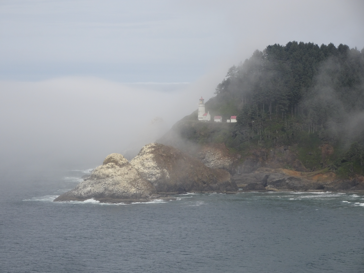
Haceta Light House
We stopped briefly south of Haceta Head in the early afternoon to see the lighthouse through the fog. On our return trip north in later in the day, the view was much clearer.

Haceta Head Lighthouse from the beach, through the fog.
Lighthouse from the highway viewpoint, early afternoon.

Lighthouse from the highway viewpoint, late afternoon.
Monday, September 22nd
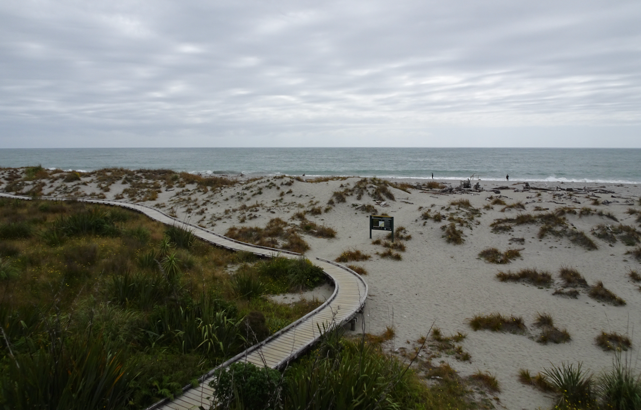
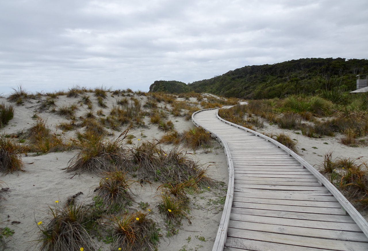
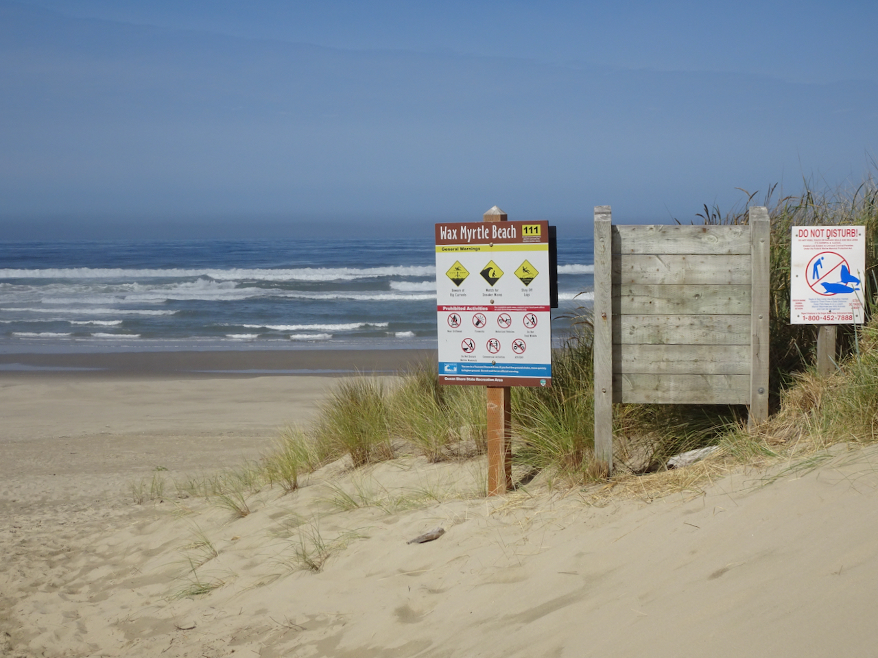
Wax Myrtle Trail and Lagoon Trail, Siltcoos River
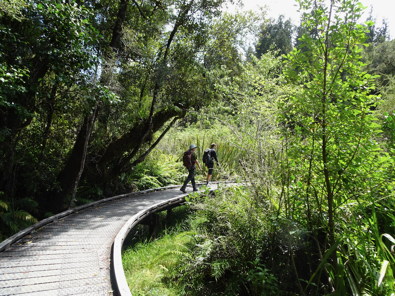
Campgrounds in this area were closed, and the trails were particularly empty on this beautiful September day.
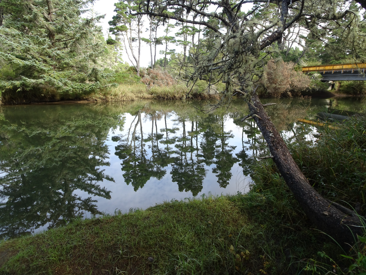
The walk to Wax Myrtle Beach follows the Siltcoos River.

We spotted a heron in the estuary as we got closer to the beach.

Heron.
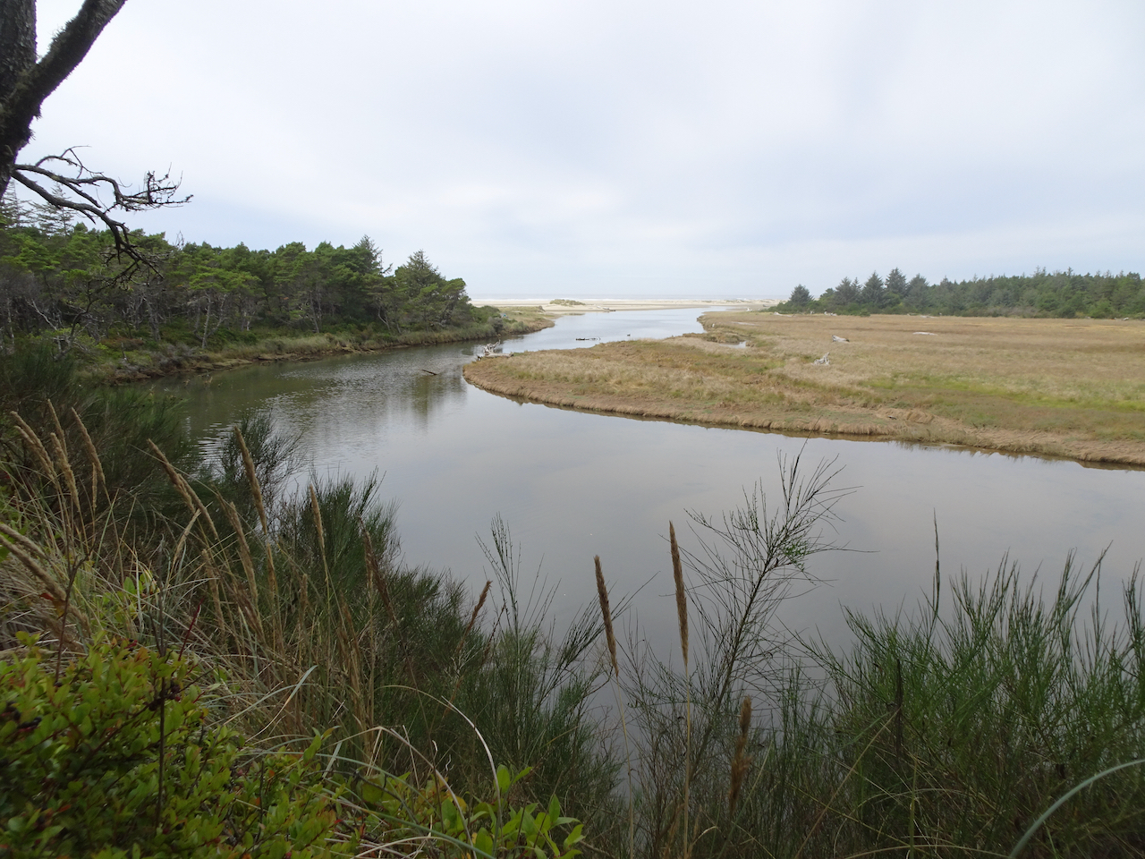
We followed the Siltcoos River to the sea.
A line of sand dunes border Wax Myrtle Beach.
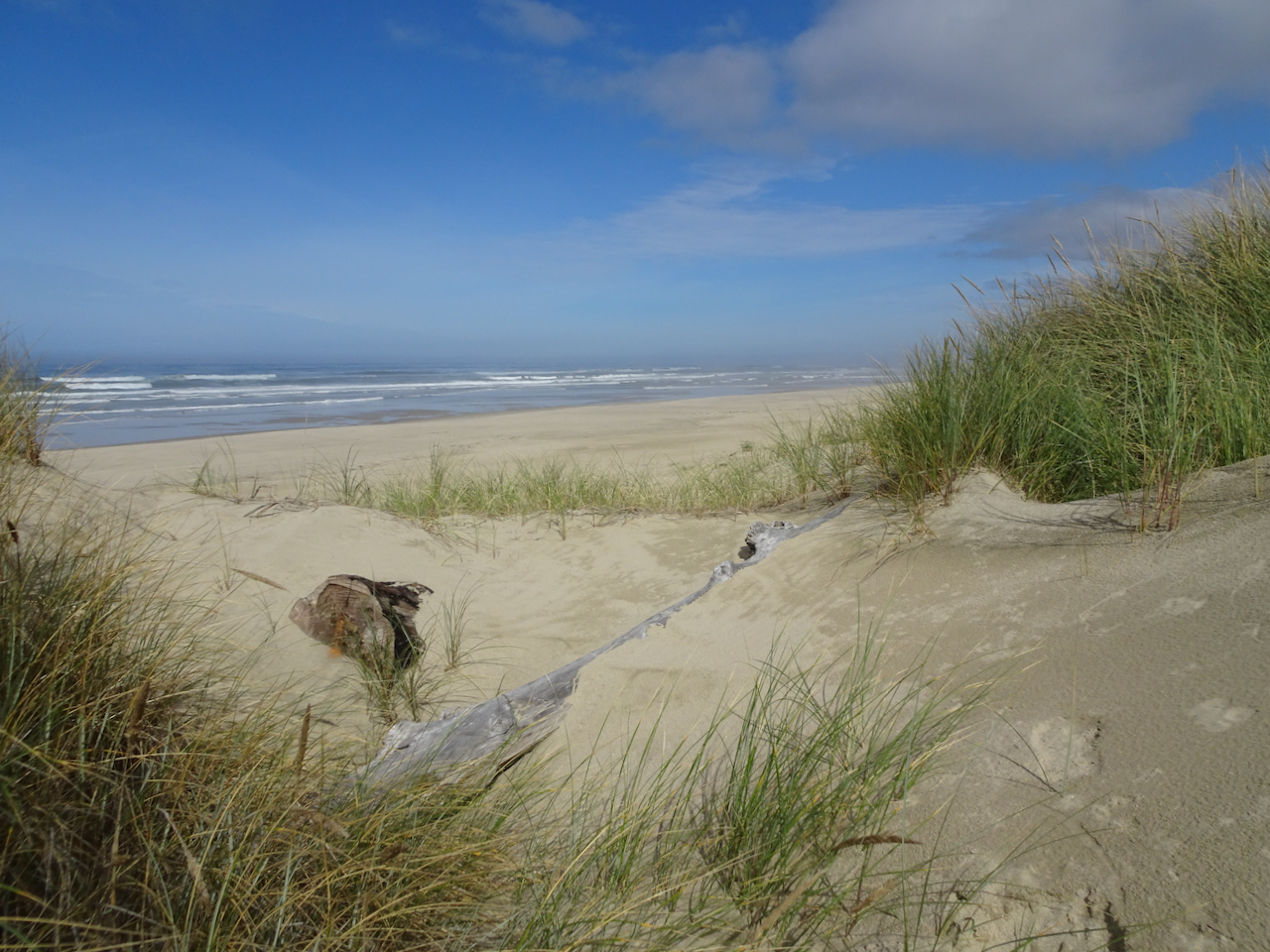
Dunes and beach.
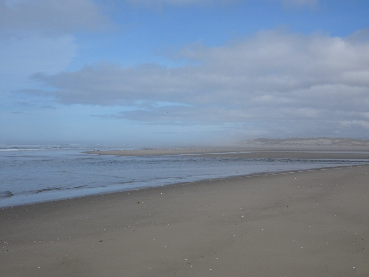
We walked north to the mouth of the Siltcoos River, where birds were out on the low tide sandbars.

Pelican.
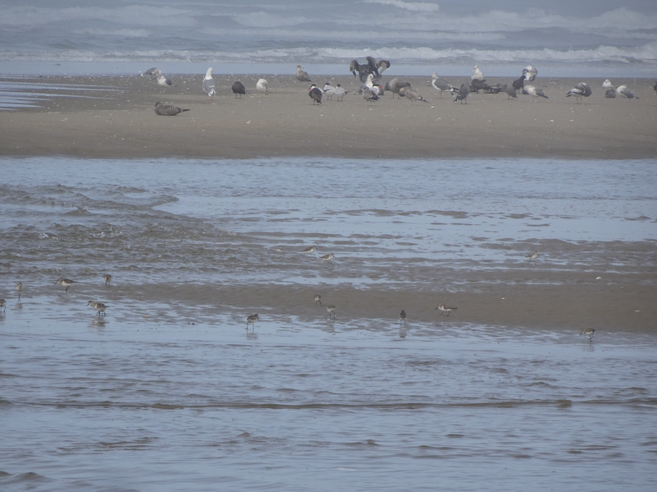
More plovers in the foreground!
As we walked back upriver on our return hike, another hiker pointed out three river otters who were swimming upstream and eating fish along the way. We followed along with them until they disappeared upriver. This is my first time seeing them in the wild!


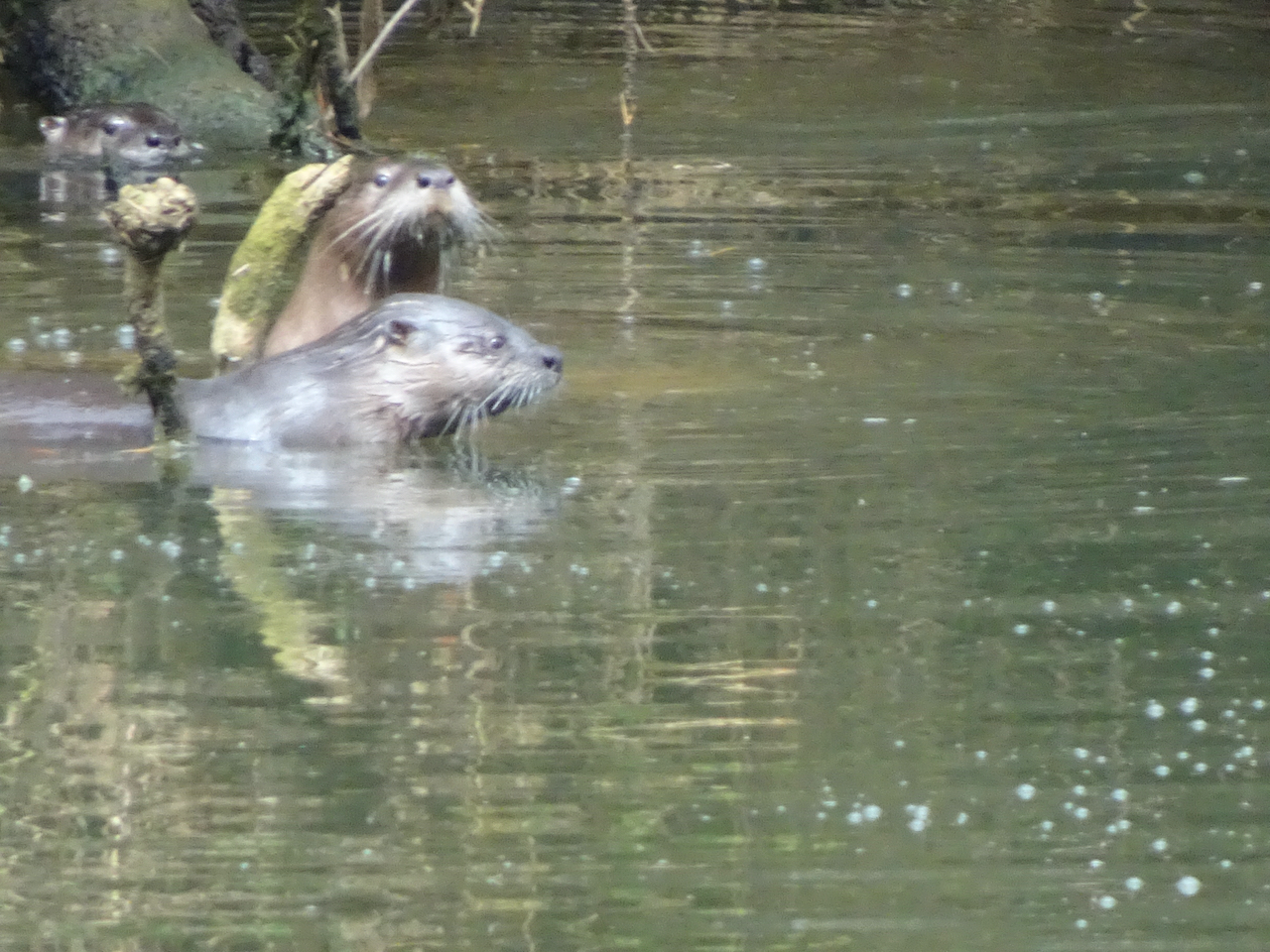
All three otters in this photo – the third one in the upper left corner. They are very fast and hard to photograph!

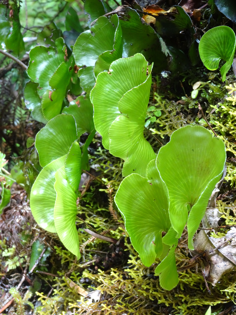
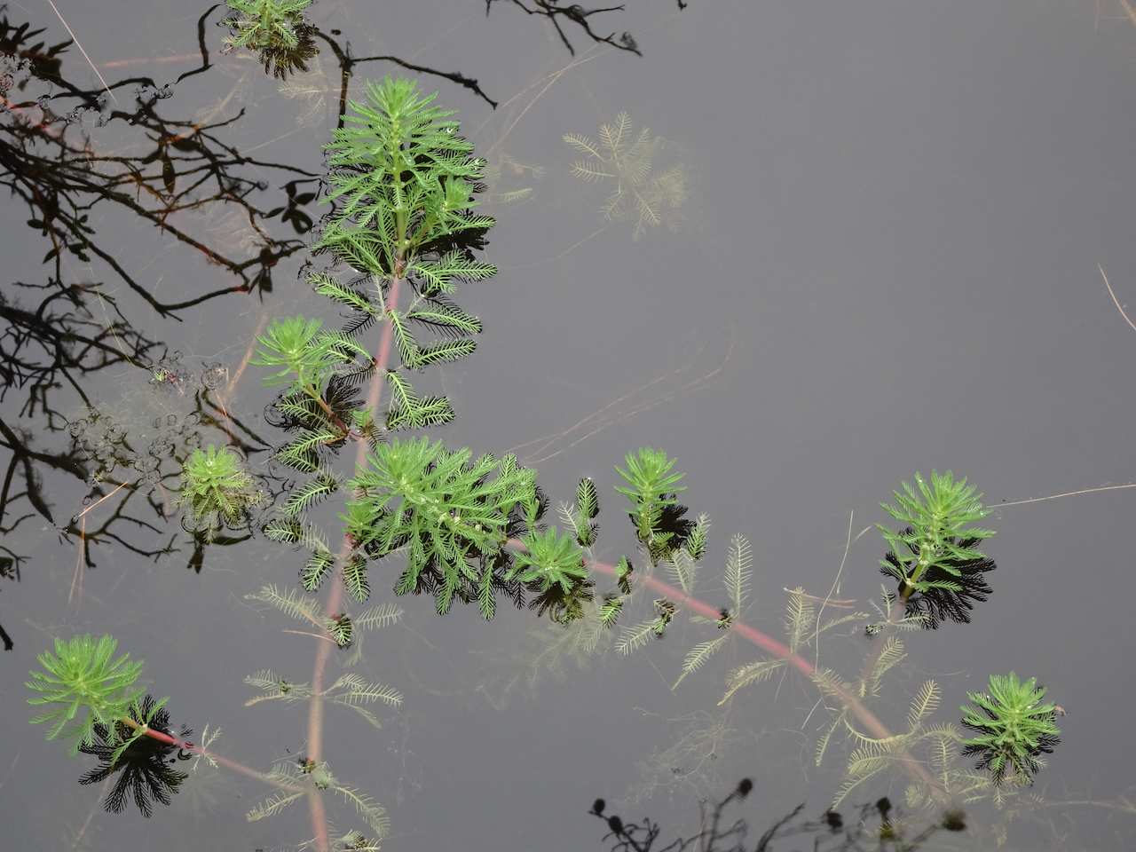
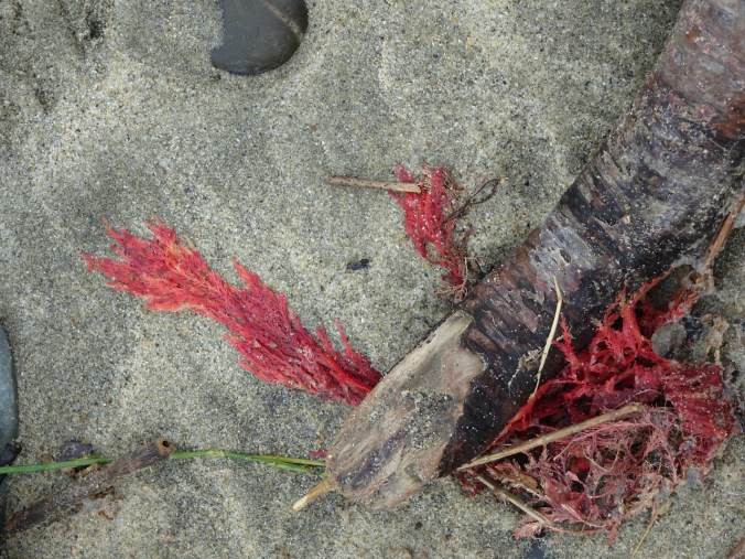
We walked partway around the nearby lagoon, where these beautiful plants floated on the surface.


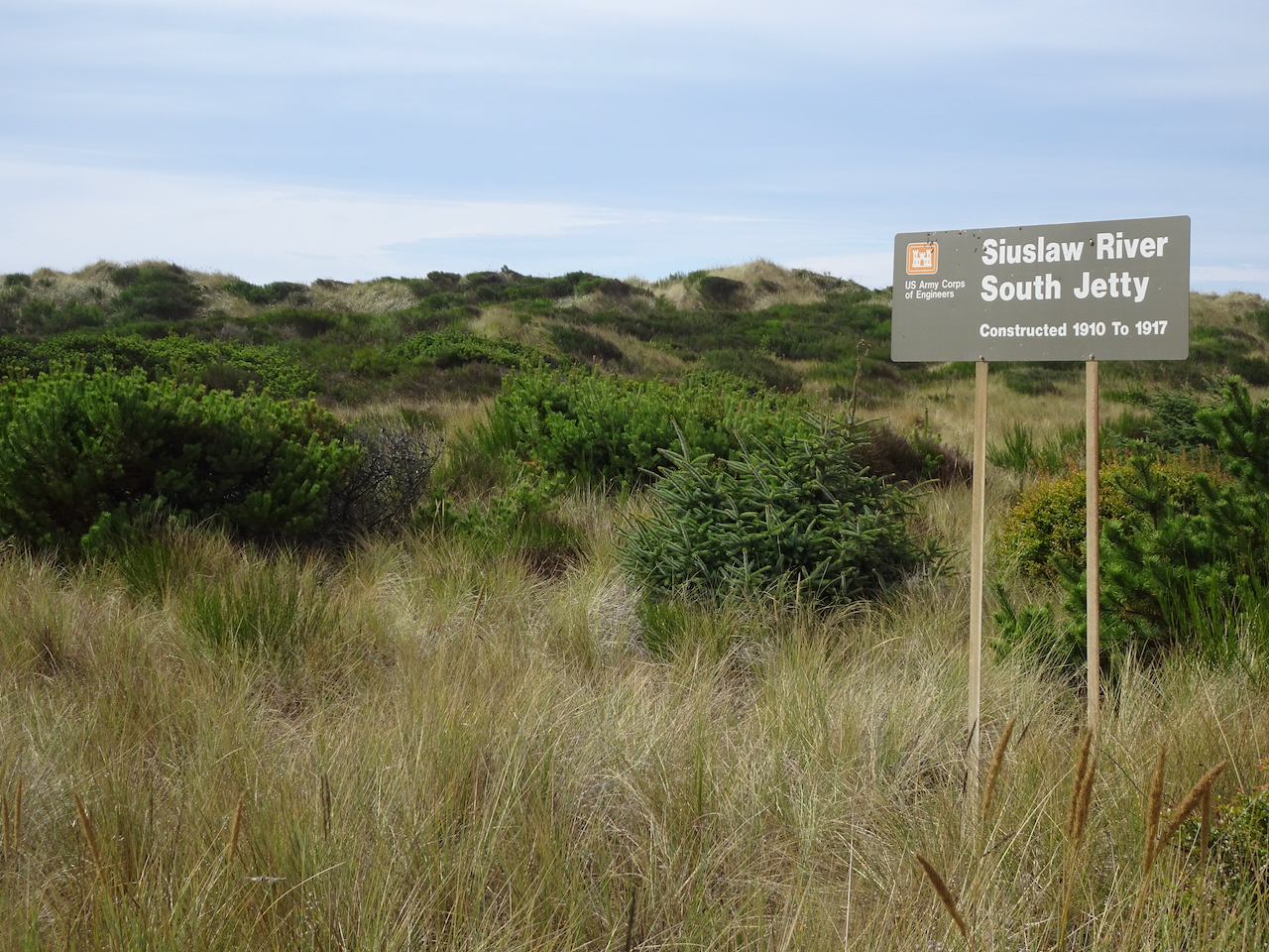
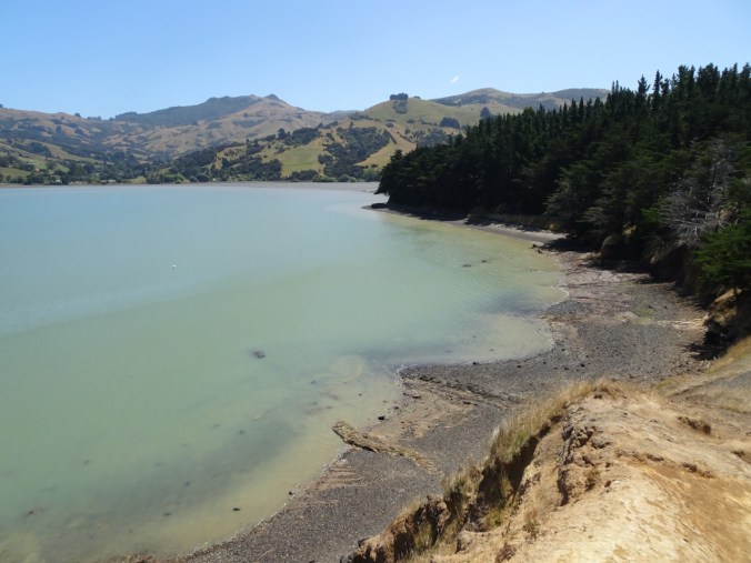
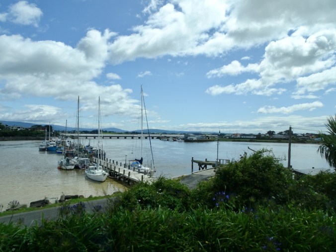
South Jetty, Siuslaw River
We drove back north toward Florence, and decided to drive out to the South Jetty of the Siuslaw River, just across from where we had walked on the North Jetty the previous day. There were plenty of people out there, also plenty of room to walk on beaches and in the dunes.
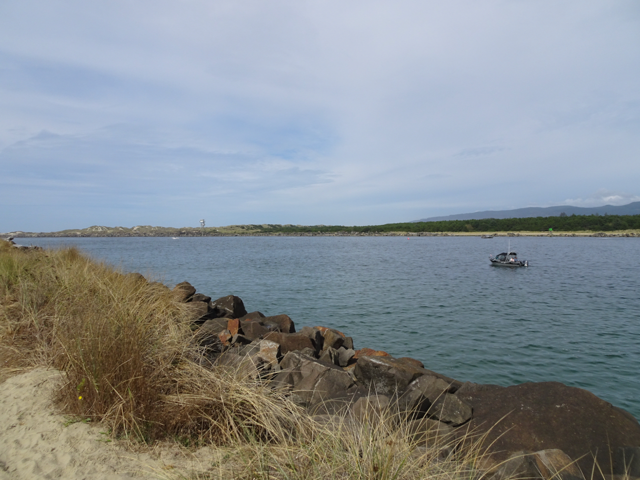
Looking seaward between the jetties. The North Jetty lifeguard tower is on the horizon.
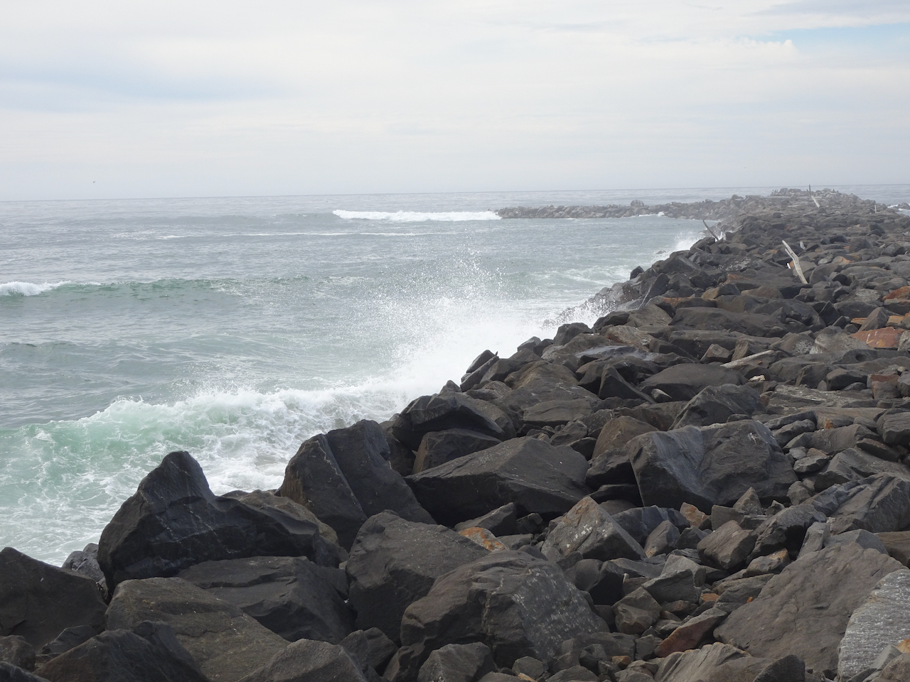
Waves crashing against the South Jetty. Not as many pelicans on the outer jetty.

South Jetty beach from South Jetty.
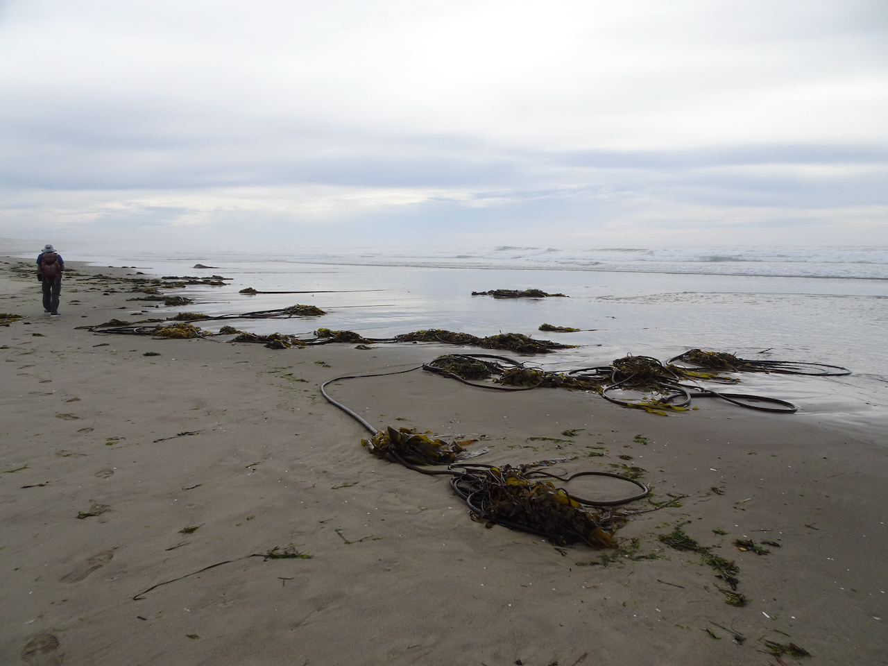
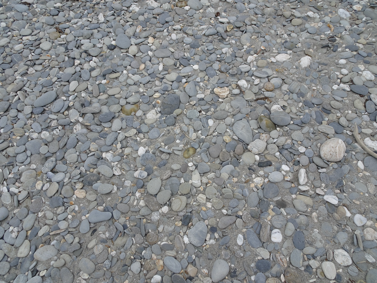
Seaweed on South Jetty beach.
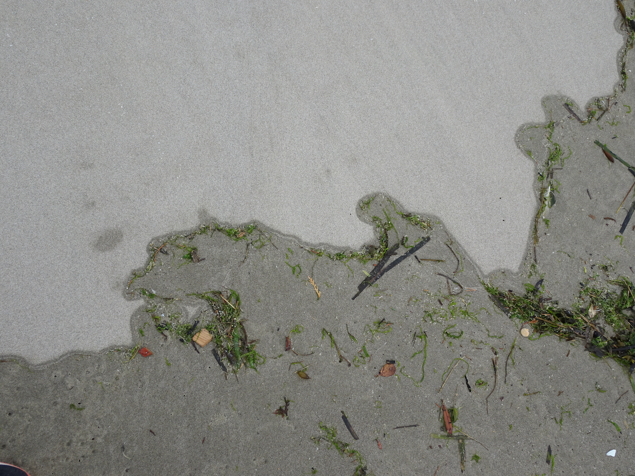
Swash zone.

Looking south.
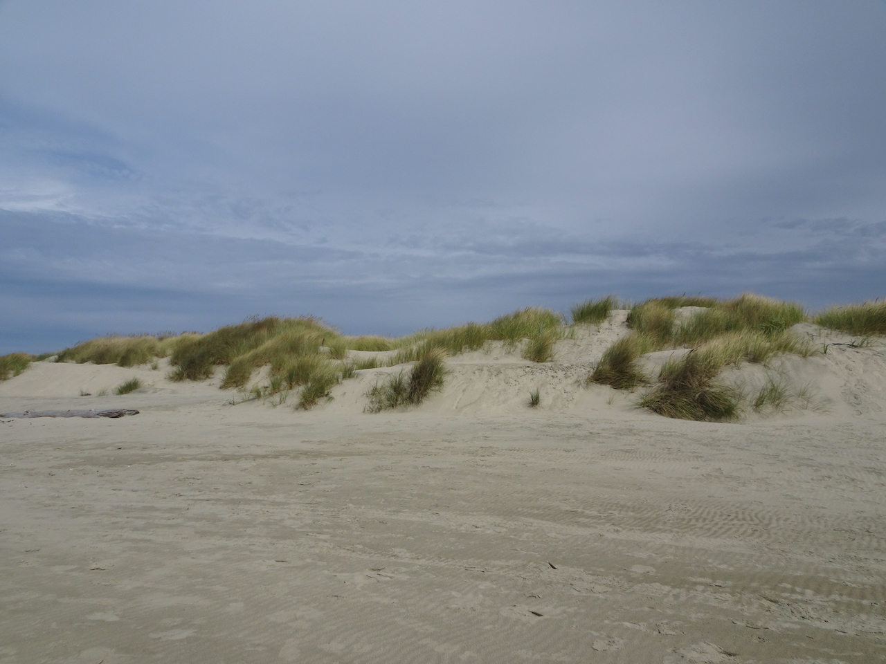
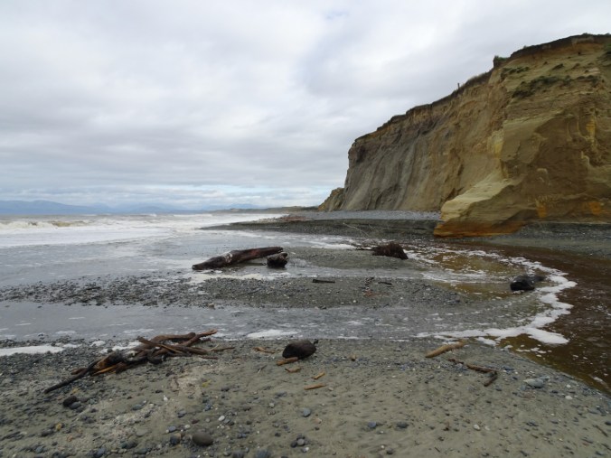
Sand dunes to the east all along the beach for miles.
Sunset in Yachats
We had a lovely colorful sky outside our hotel.


Wednesday, September 23rd Yachats
We woke up to wind, and predictions of a storm coming in. We walked a short way on the beach in the wind before heading north toward home.

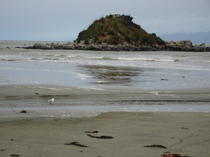
Seal Rock and Ona Beach
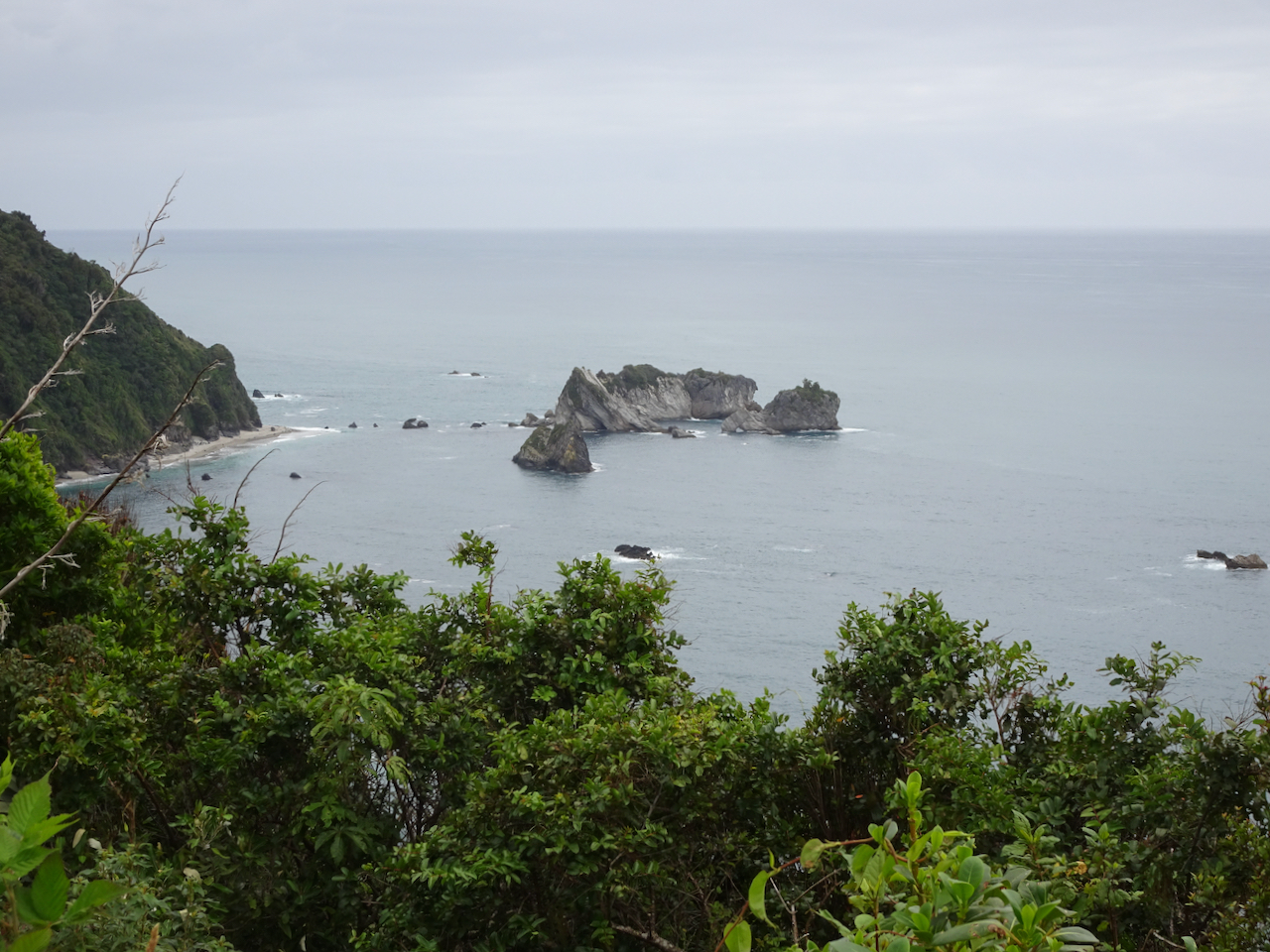
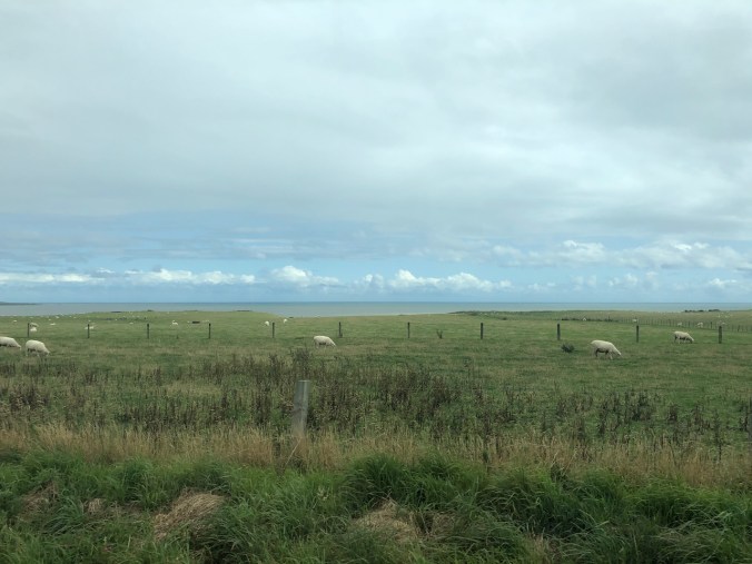
On our drive north, we stopped to look at the Seal Rocks, in the wind.

Seal Rocks to the south.
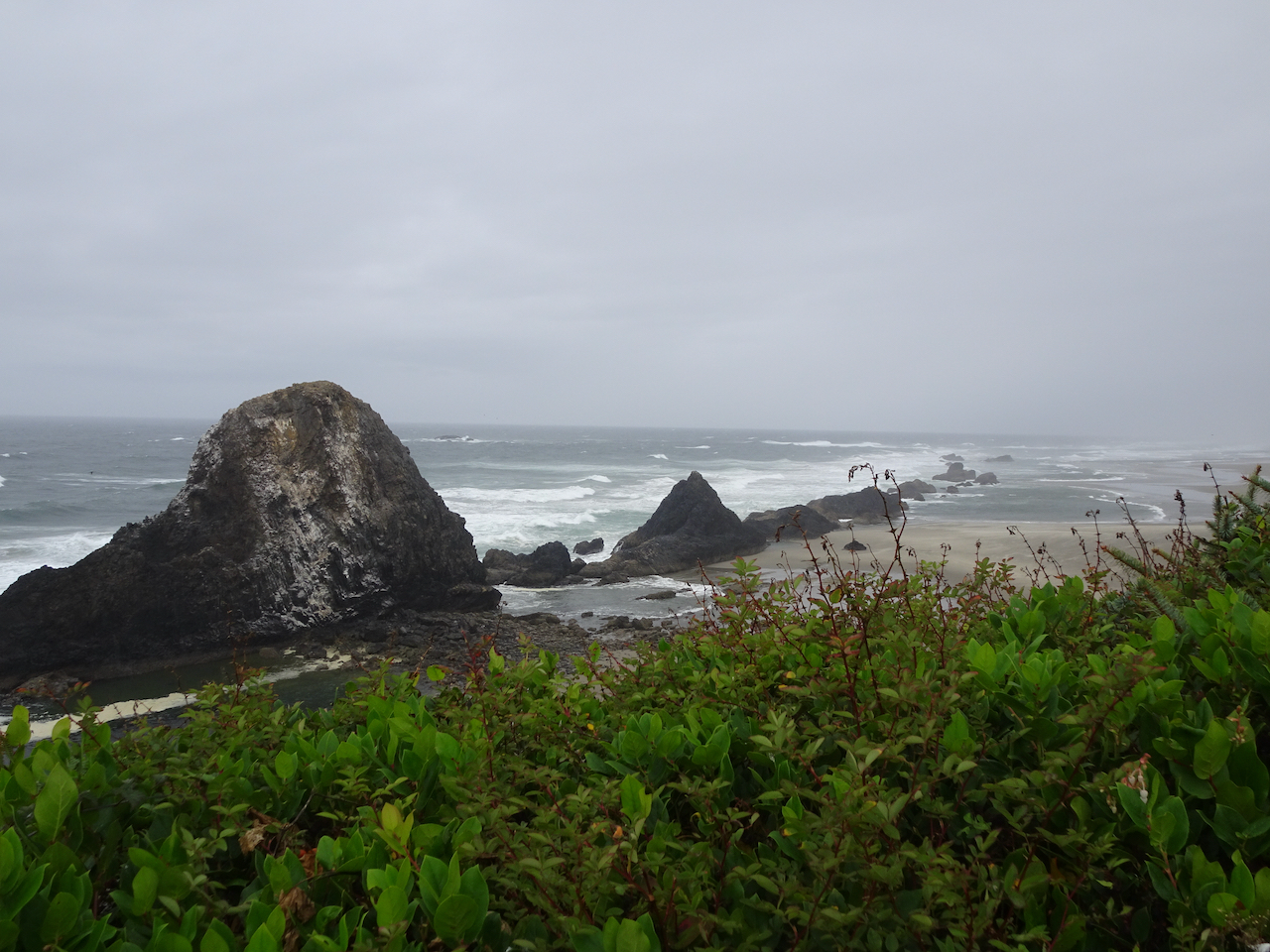
Seal Rocks to the north.
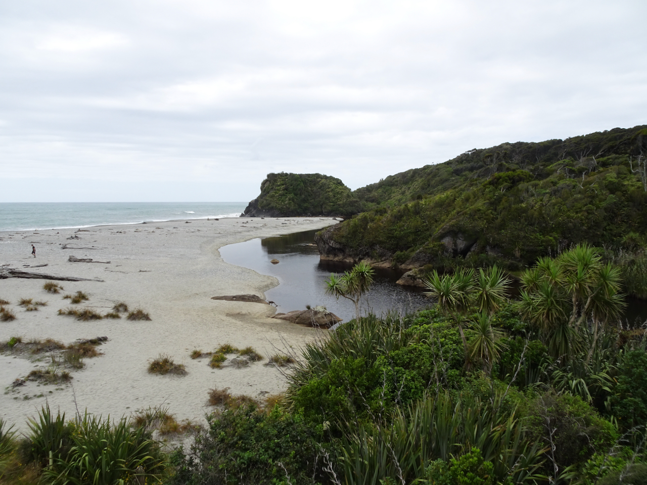
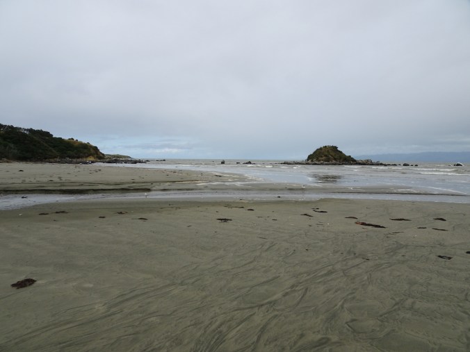
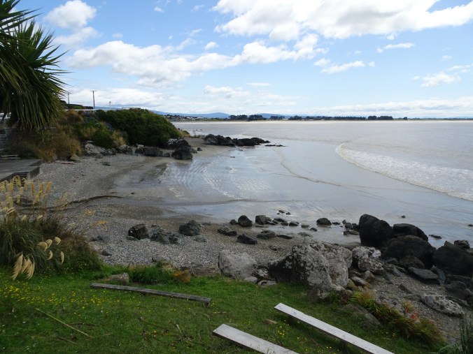
We stopped at Ona Beach, just to the north of Seal Rocks, and walked out to the beach.
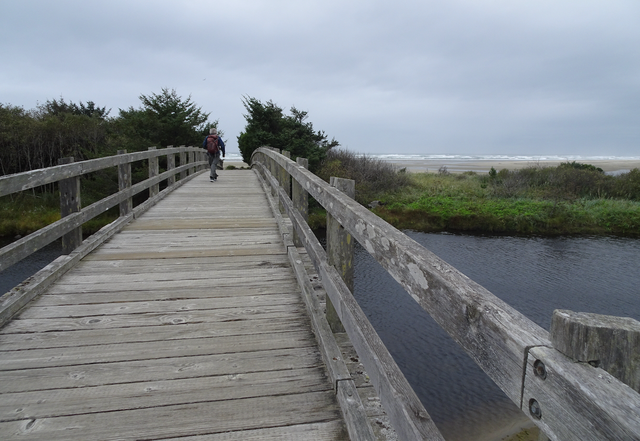
Crossing Beaver Creek on our way to the beach.

Beaver Creek estuary

Squirrel getting ready for winter.
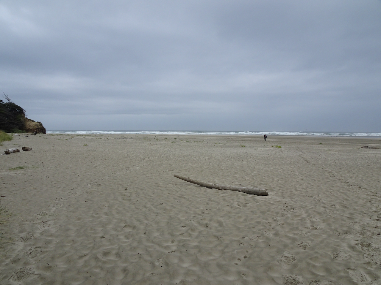
Ona Beach.

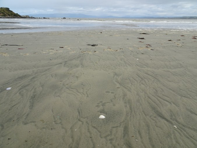
Windblown sand across the tidal flats.

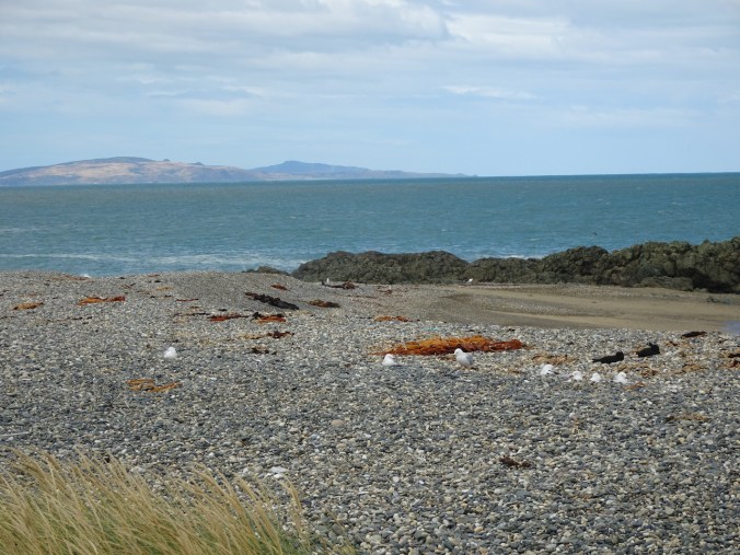
Sand ripples, birds on the low tide bars.

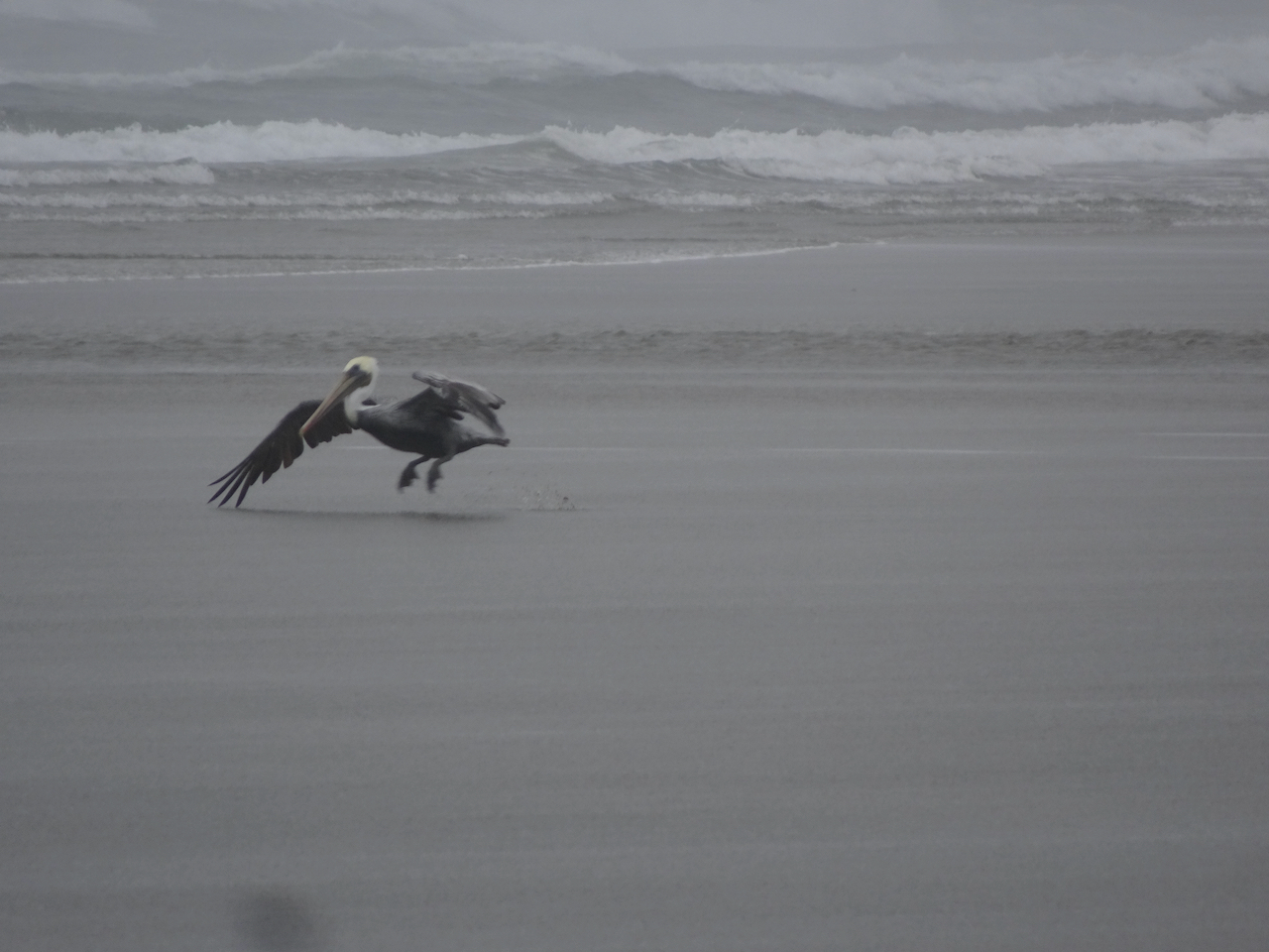
These might be our last pelican sightings for the year.


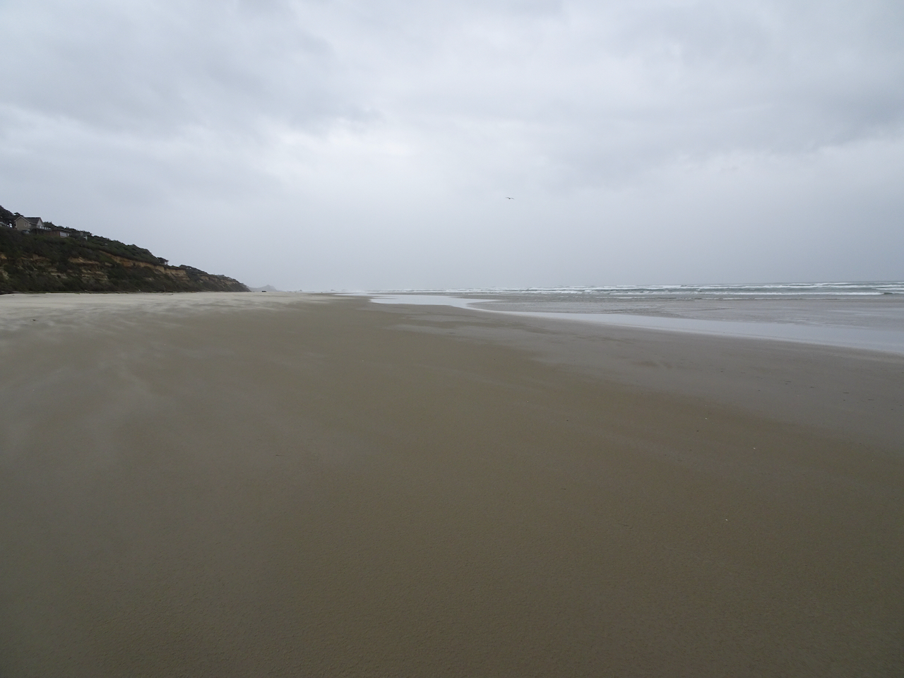
Ona Beach, looking south toward Seal Rocks. Too windy to explore today – we will have to come back another time.
Rain started as we headed back to the car. I felt so refreshed from our few days in the fresh air and wide open spaces of the Oregon coast, and thankful that I could be there during this difficult year of pandemic, climate and political crises.


 Dry Creek Falls, which we have hiked