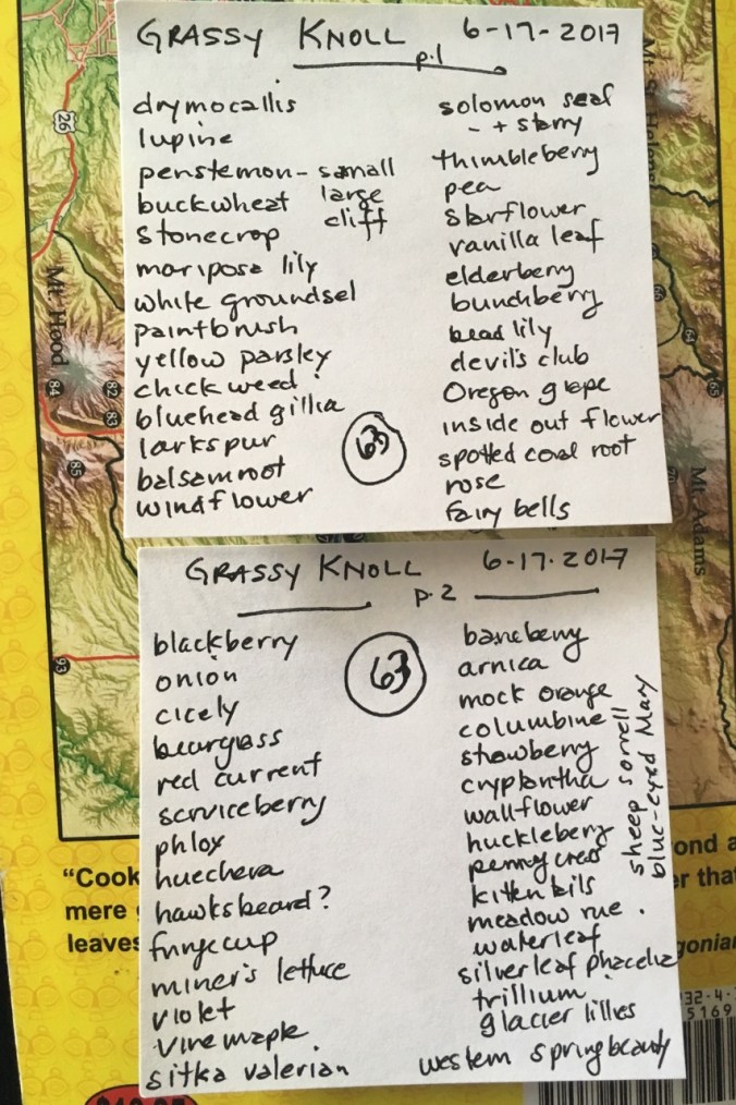
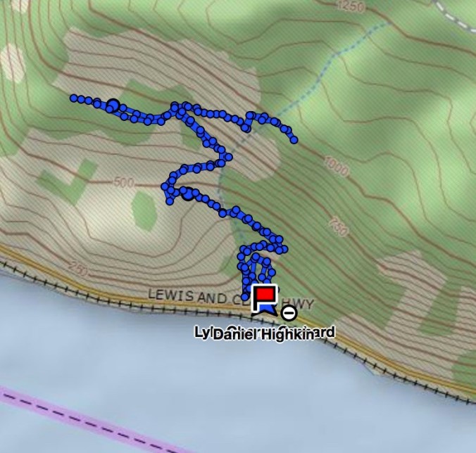
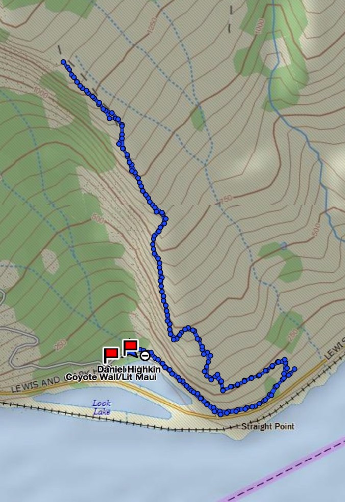
The Labyrinth Trail, WA 12/16/2017 (#58)
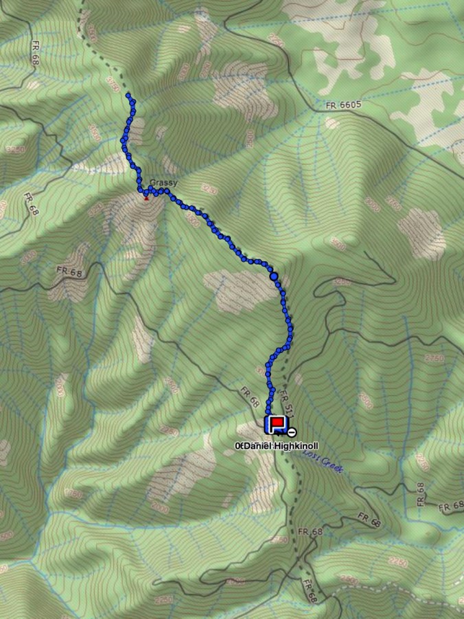
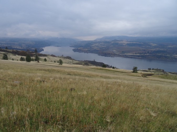
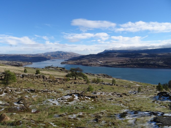
East out of the Portland mist, through the frosted central gorge to the open dry eastern gorge, this time to the Labyrinth, trailhead at the Hwy 14/Old Hwy 8 intersection at Rowland Lake.
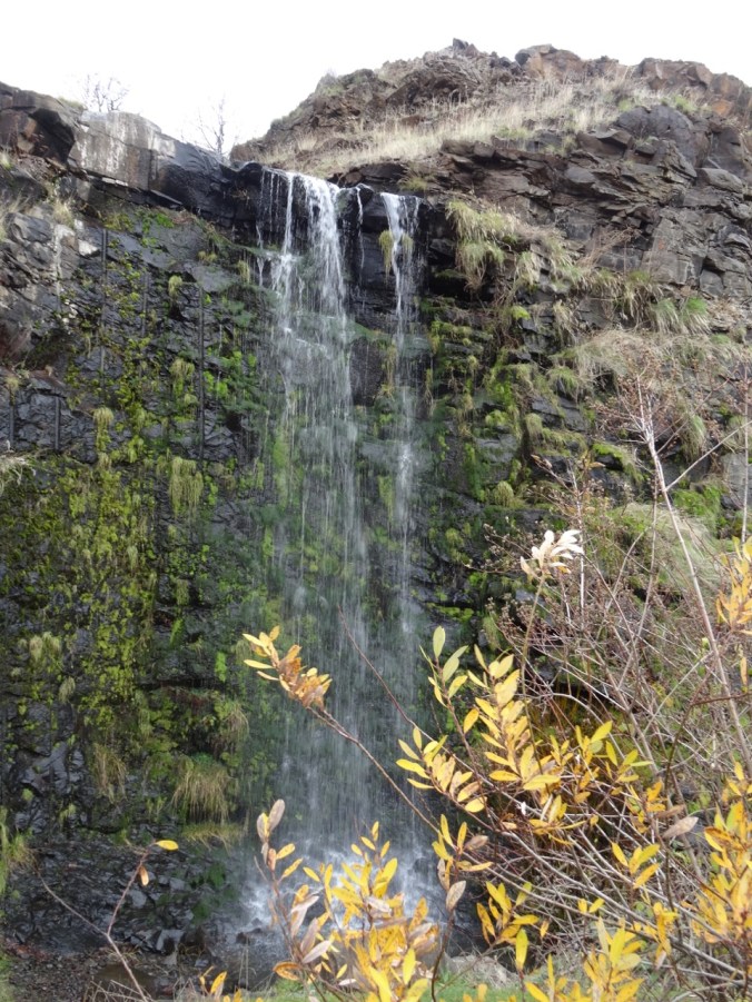
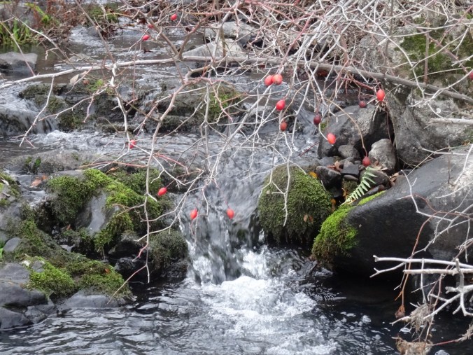
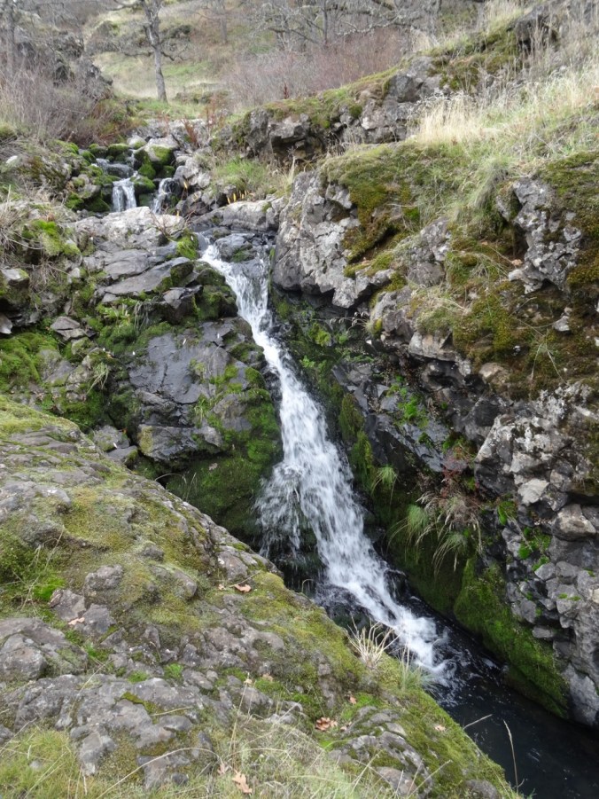
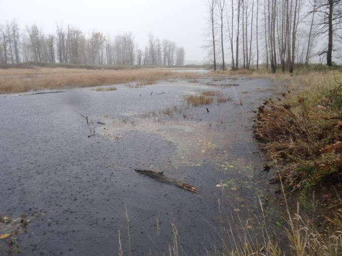
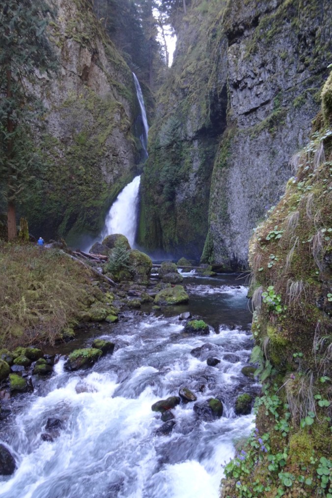
Waterfall along Old Hwy 8
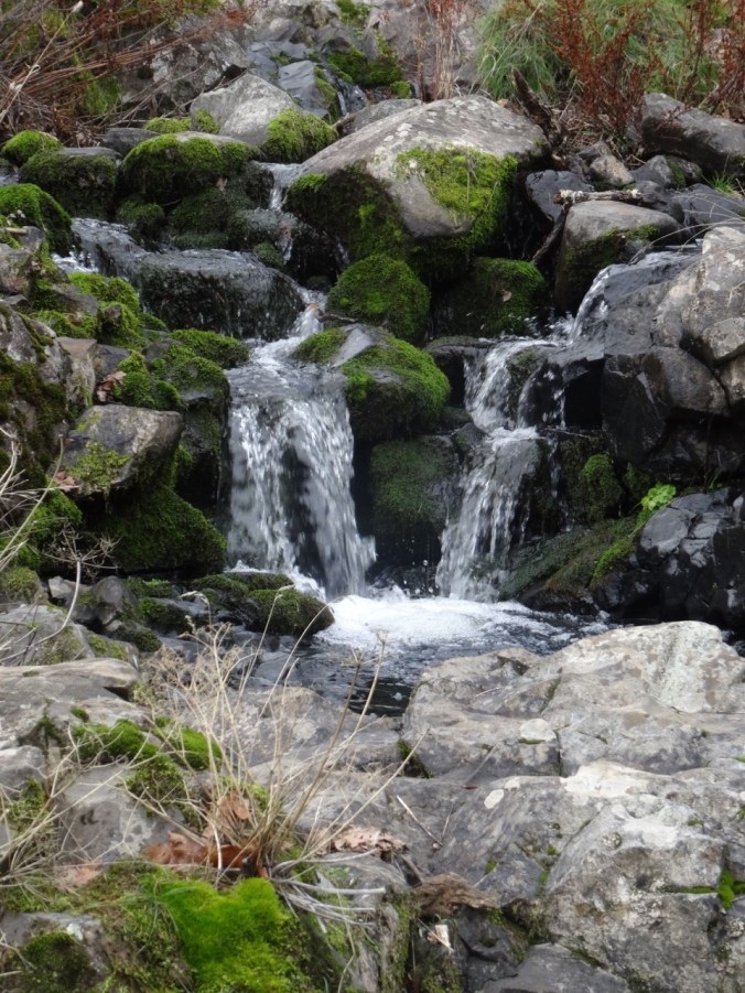
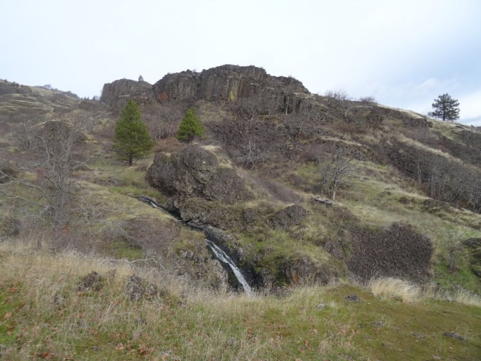
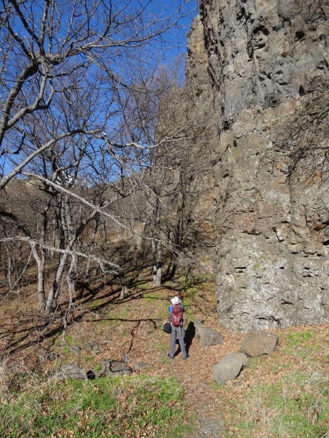
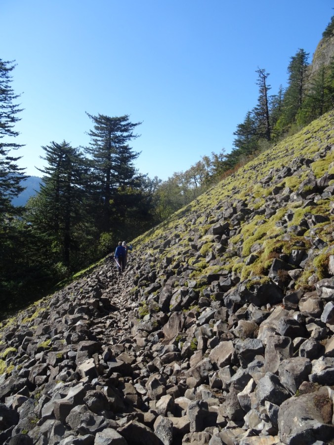
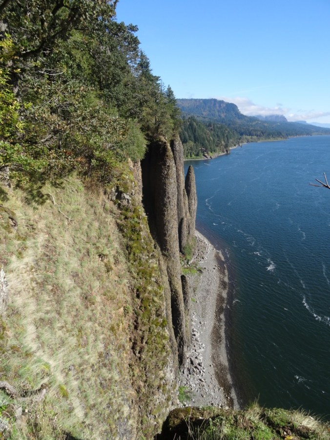
The aptly named trail winds gently upward between columnar basalt buttes and a cascading stream.

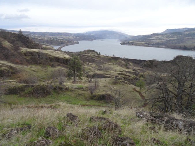

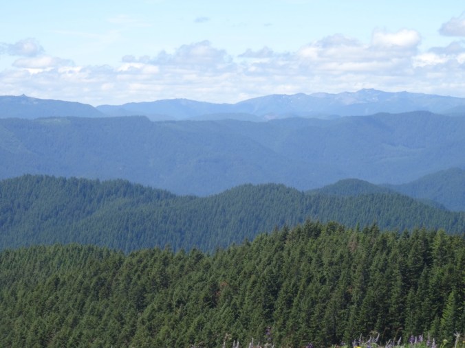
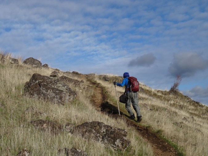
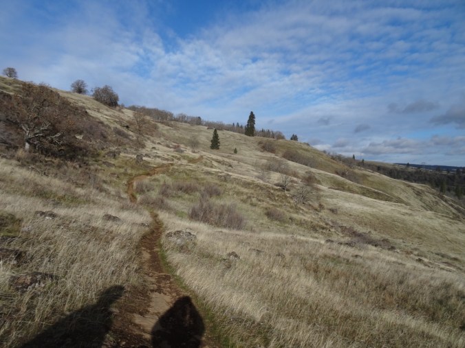
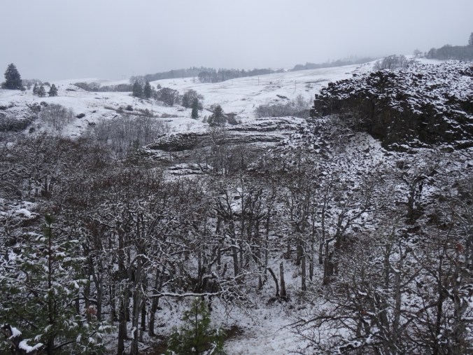
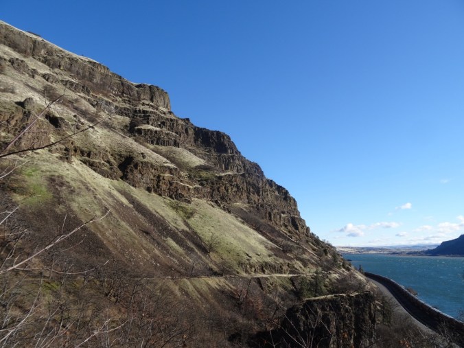
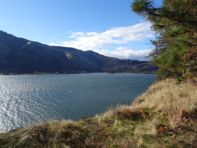
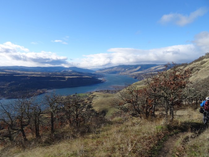
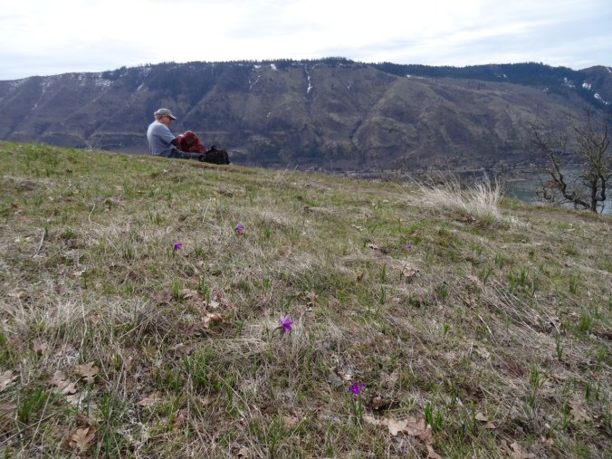
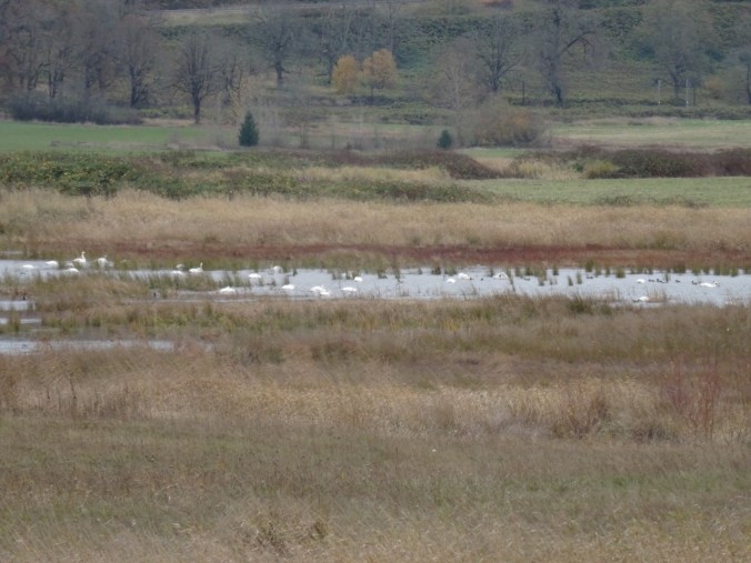
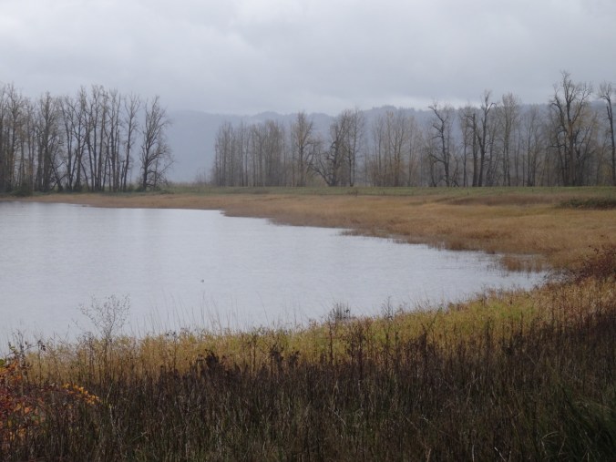
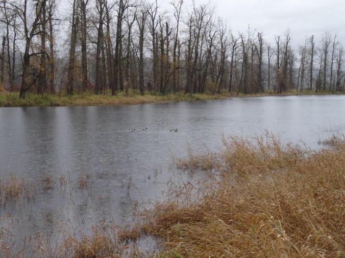
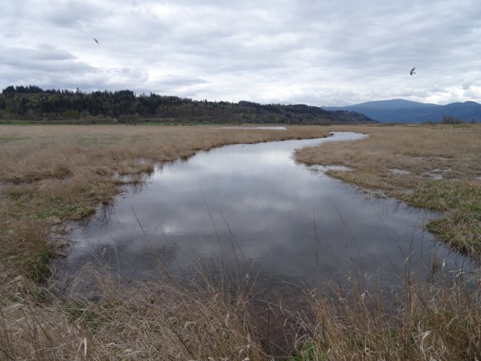
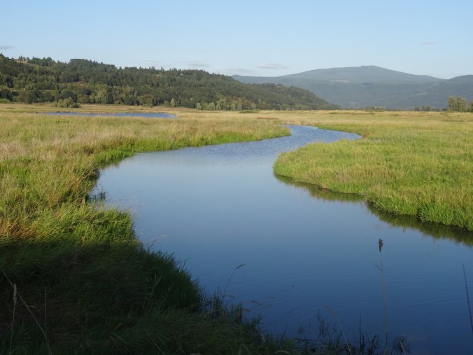
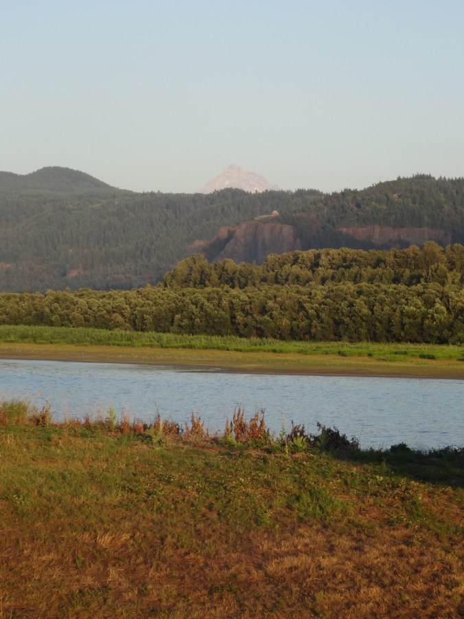
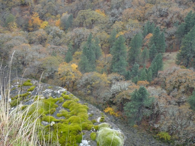
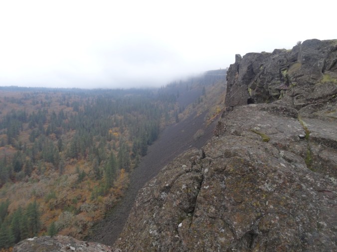
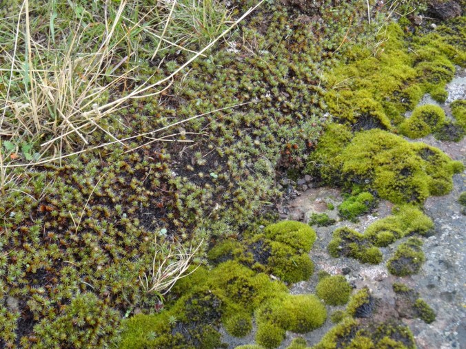
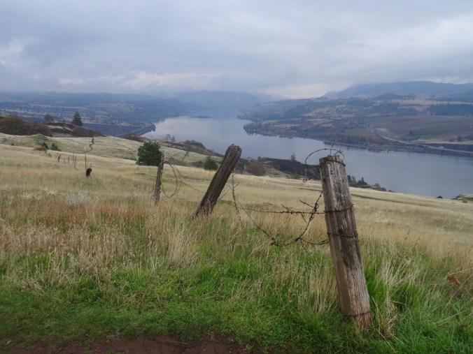
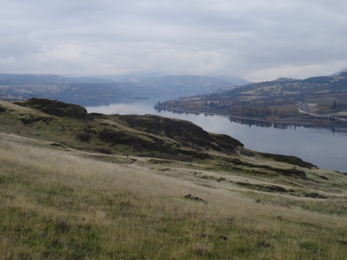
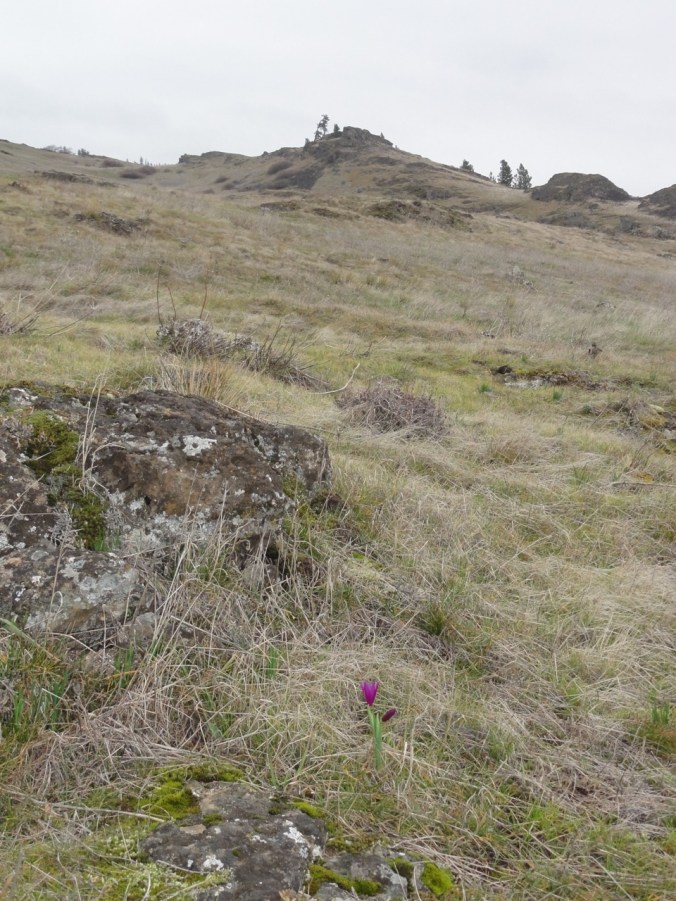
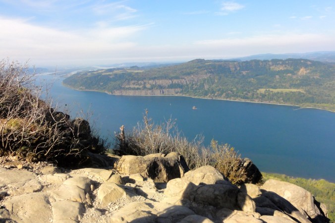
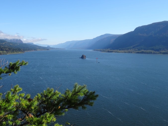
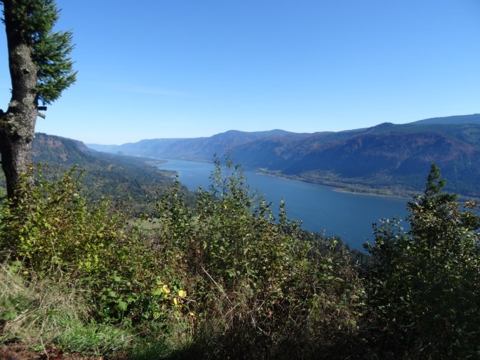
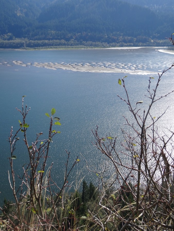
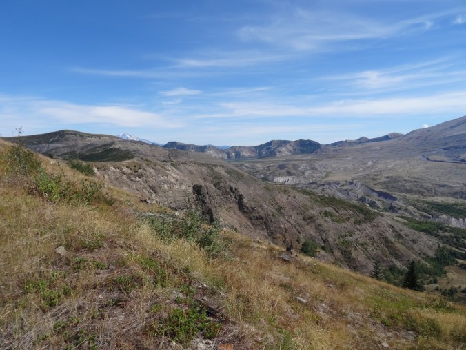
Bare trees, gold grasses, dried flower seed heads, lichen splotched talus piles, higher and higher, rising to views to the south of the Columbia River, the orchards, fields and cliffs around Mosier, Oregon.
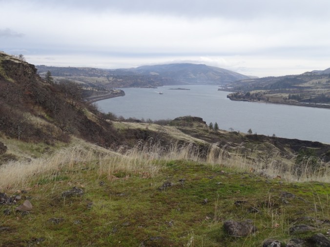
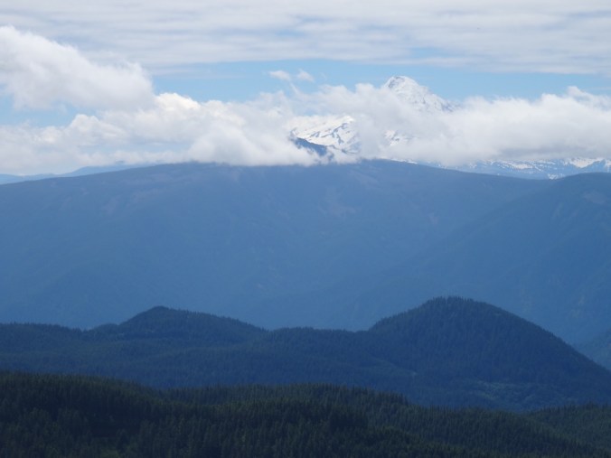
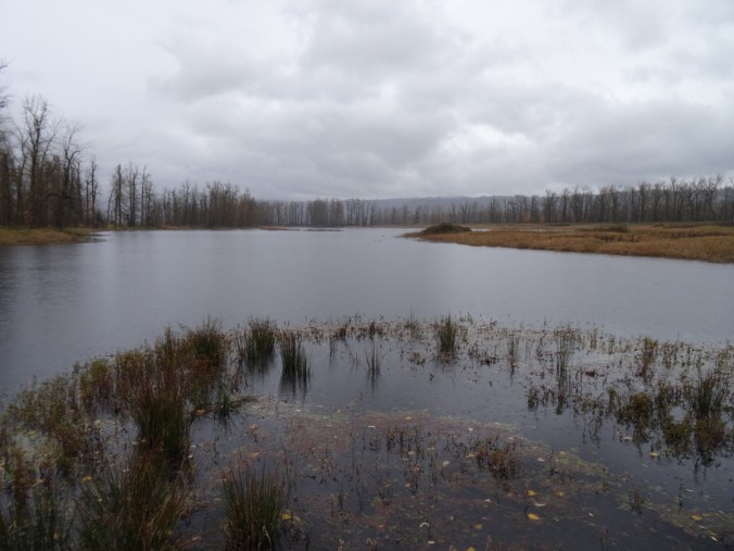
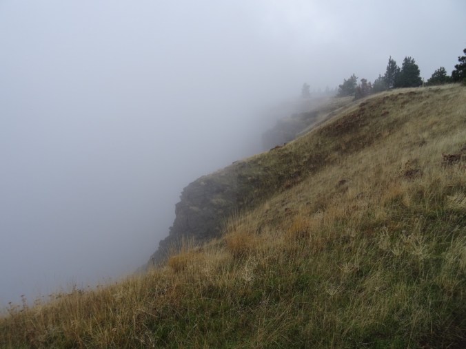
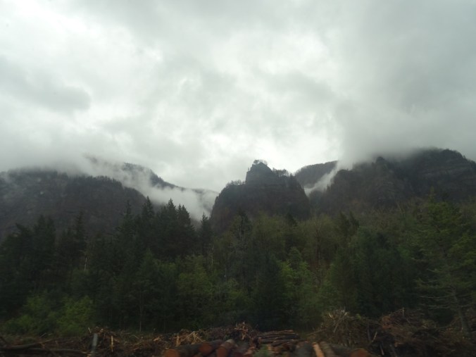
To the east the open skies of the Columbia Plateau beckon; to the west, the lowering clouds of western Oregon gloam, this whole area scoured by the Missoula floods. We explore some of the side trails around the waterfall,

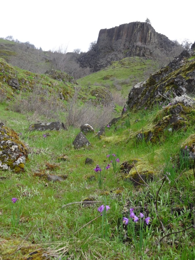
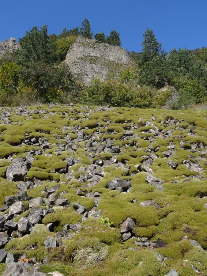
at the base of a columnar basalt butte,


and to our lunchstop viewpoint.

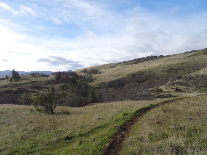
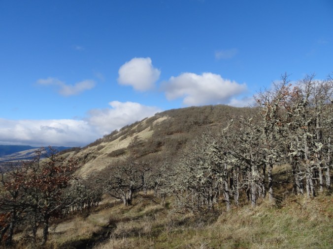
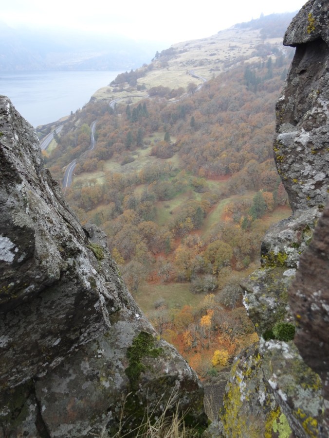
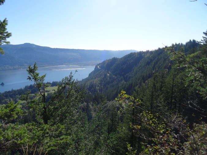
Then on up a bit more,


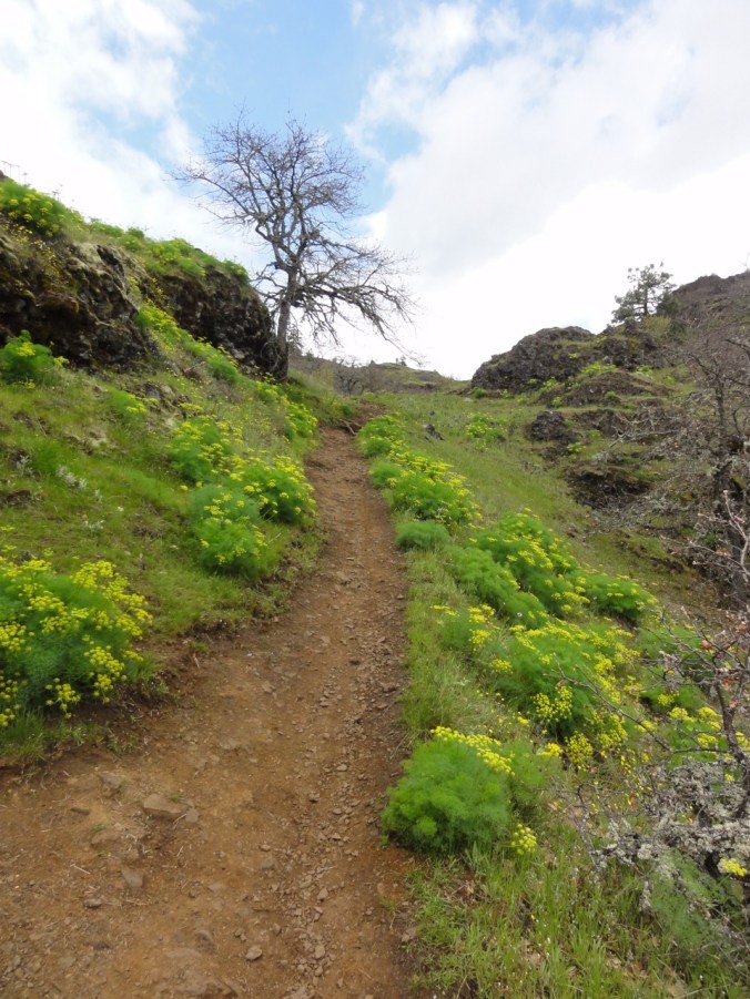
past the cliff that is covered with purple desert parsley in spring,
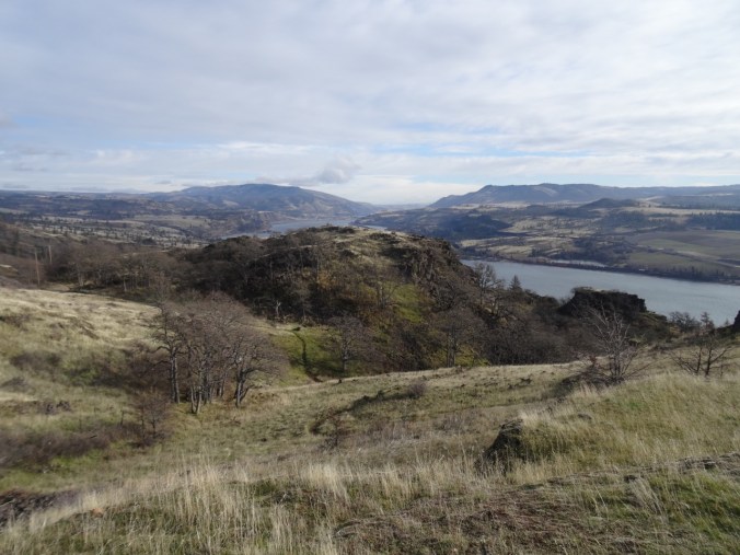
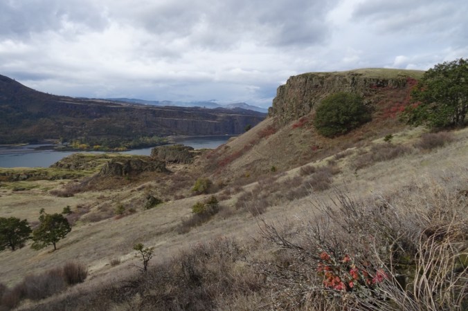
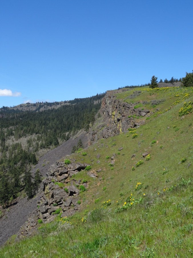
View toward Coyote Wall
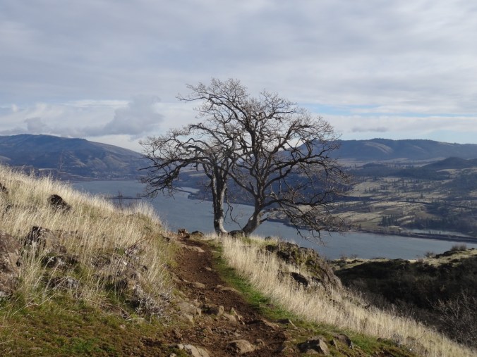
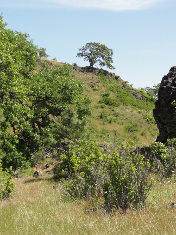
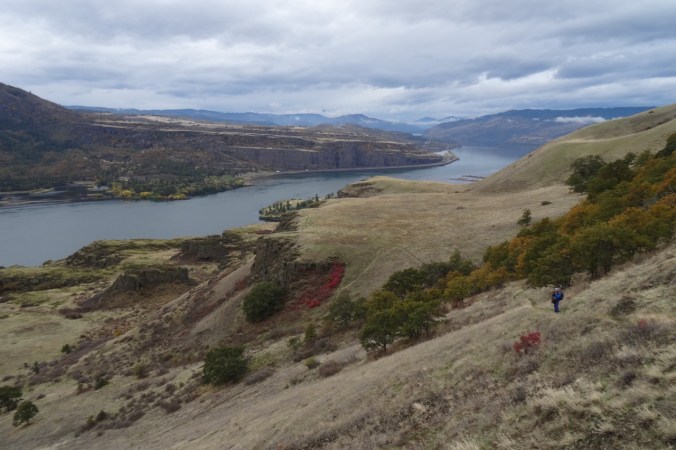
past the oak tree on the trail’s edge,

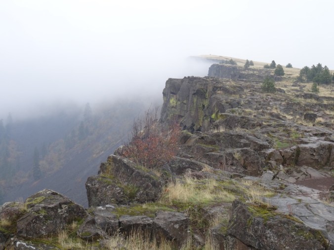
to the next high point.

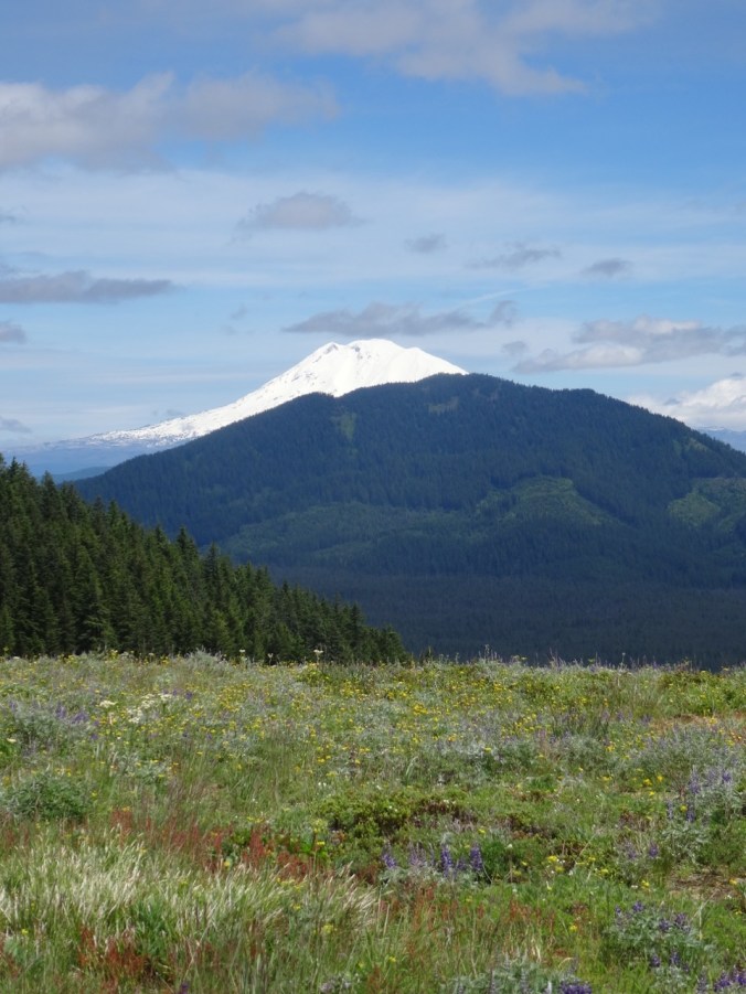
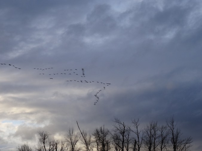
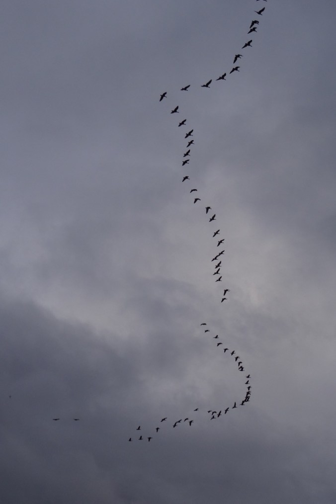
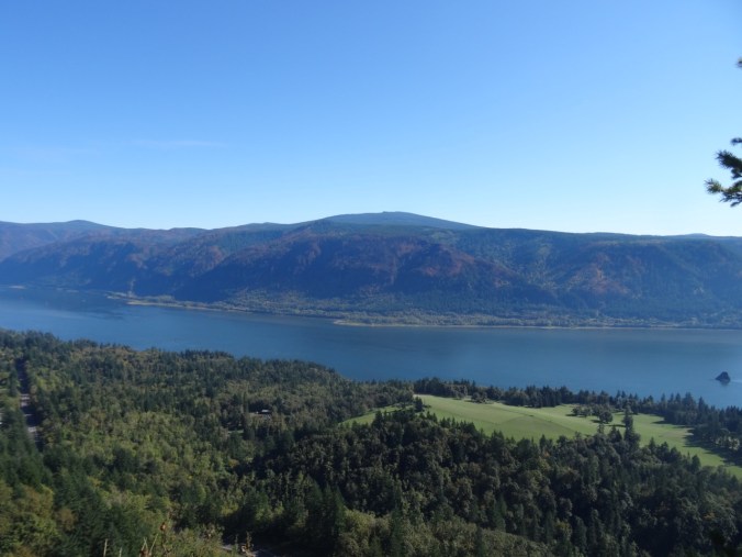
Wind rising, we agree to turn around. Down we go, light changing, shoulders of Hood briefly exposed, back to the old highway then home.


LOOKBACK
During our first hike here in June of 2012, I was enchanted, just exploring the bones of the landscape, the windings between rock exposures then covered with halos of pinkish grass.

May 2012
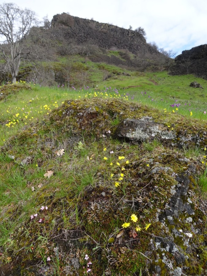
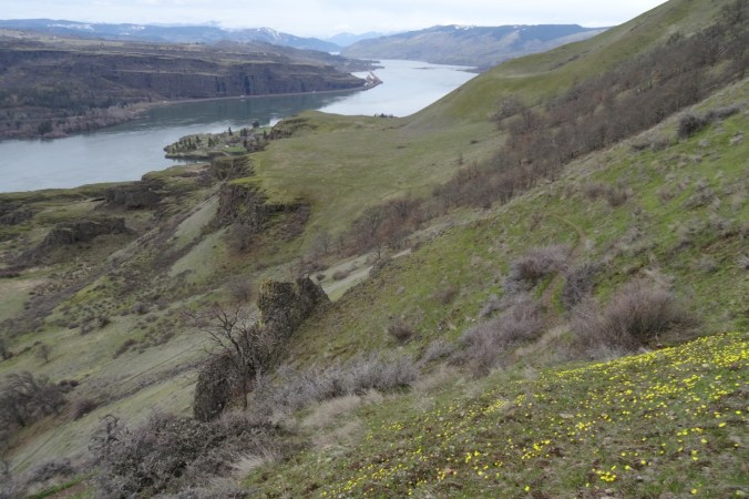
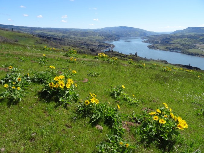
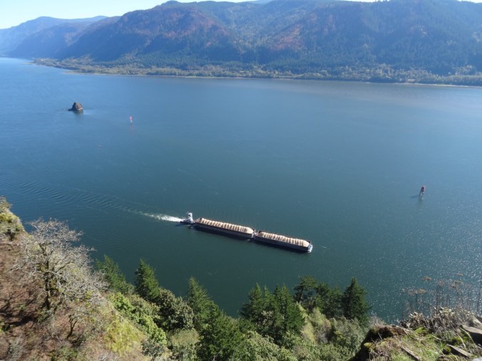
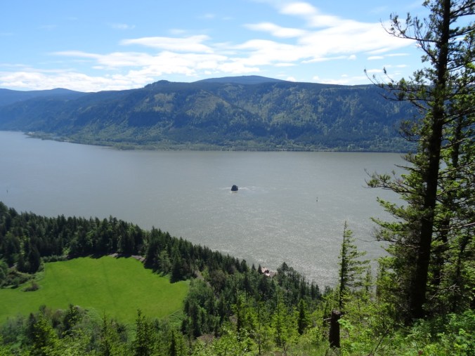
We attained a high viewpoint back down to Rowland Lake and the river and began to realize the potential. Future trips saw the cliffs and mounds adorned with yellows and purples of spring wildflowers,

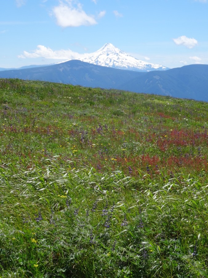
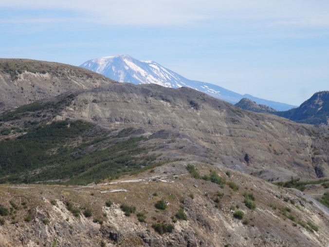
Mt Hood from Old Hwy 8 approach trail, May 2012
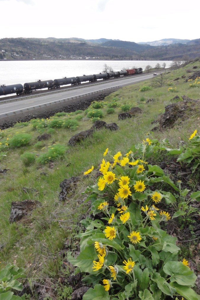
Balsam root near Hwy 8, April 2014
April 2014
Grass Widows, March 2017
Gold stars, March 2017
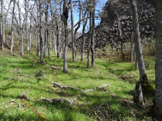
Buttercups in oak woodland, March 2016

Columbia Desert Parsley, April 2014
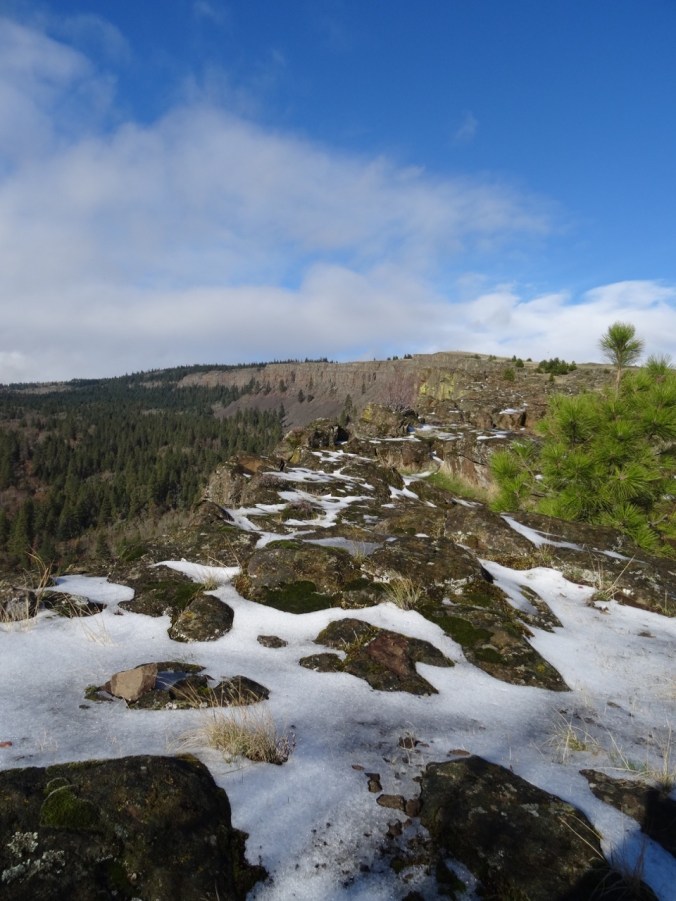
the white snows of winter,

December 2015
December 2015
and actual rainbows.
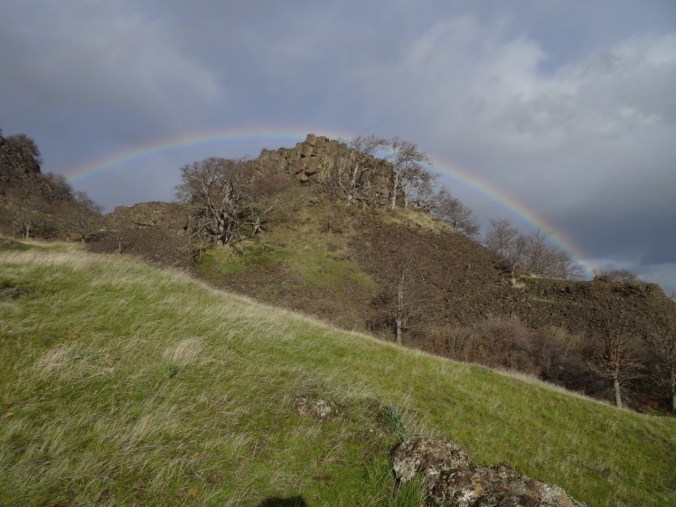
December 2016
Some comparisons: the waterfall –

May 2012
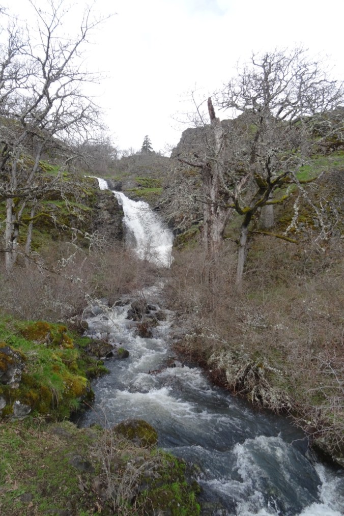
March 2017
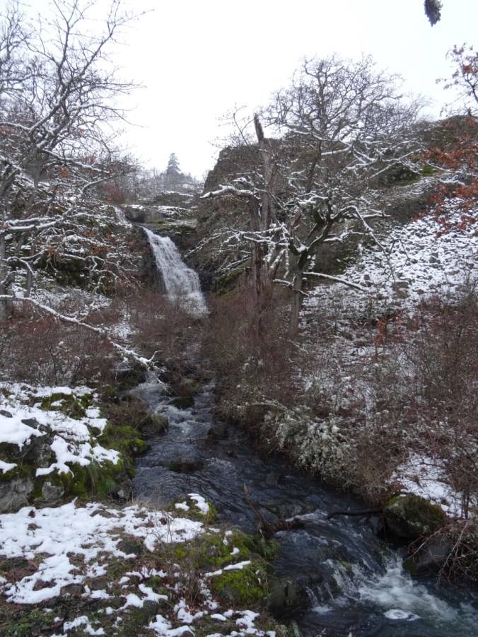
December 2015
the oak tree –
May 2012

December 2015
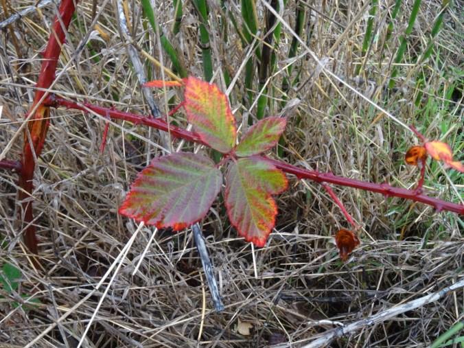
We also brought back poison oak and left behind one contact lens. We have explored a few of the side trails – there are many more to look forward to.
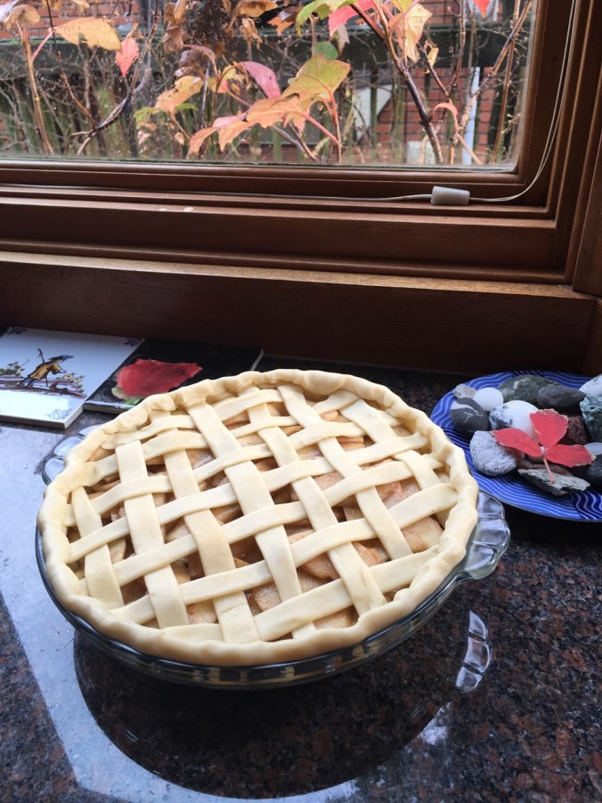
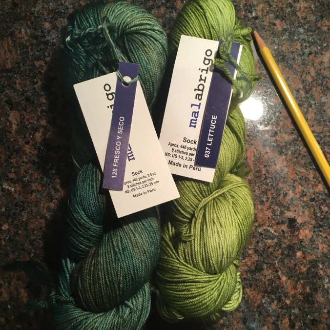
CRAFTING
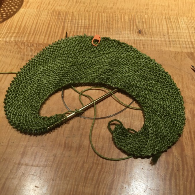
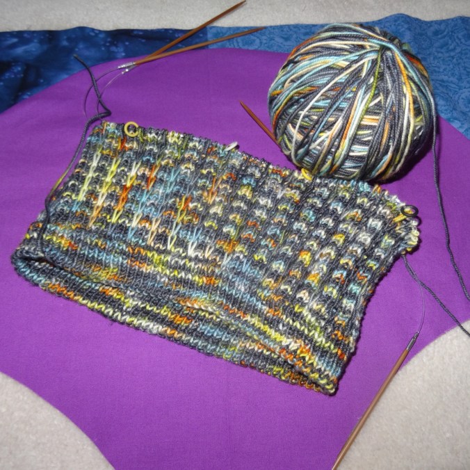
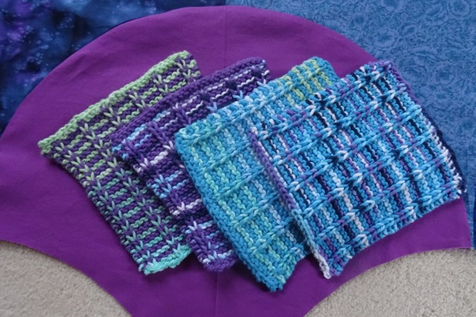
Knitting the green shawl: finished another tortilla and the Sonic Six hat.


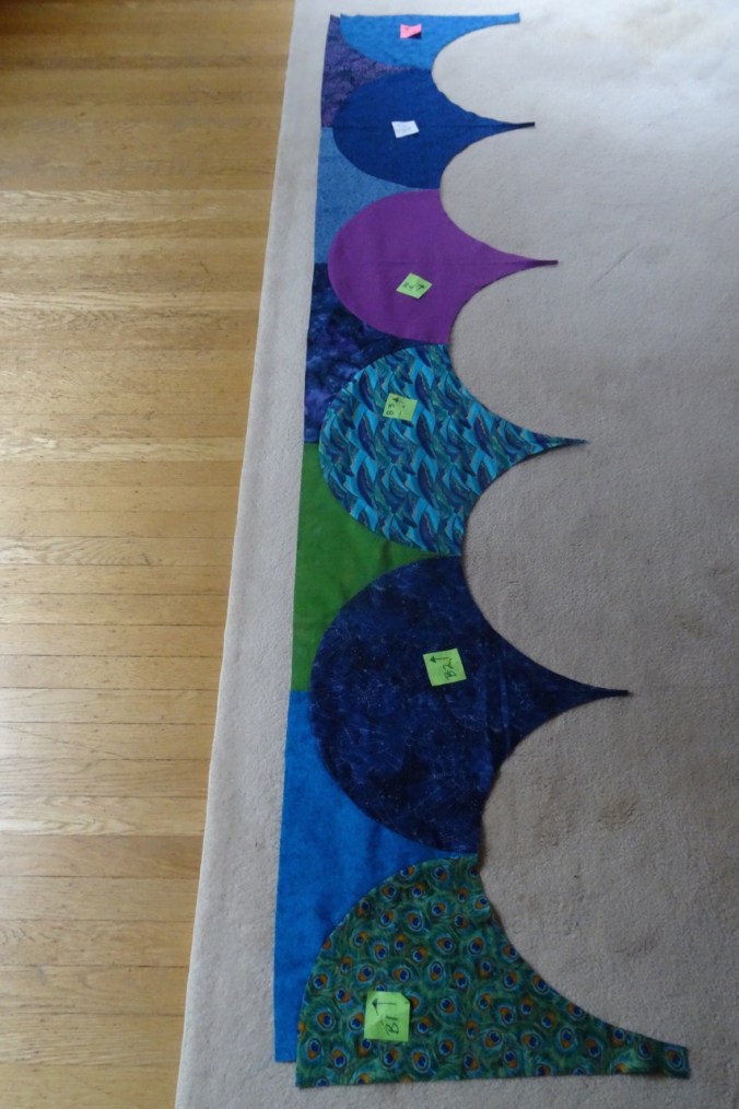
Decorating the tree – Diamond Log Cabin Christmas Tree Skirt (Quilt In A Day pattern) made in the early 2000’s. I have learned a lot about color and fabric choices since then, but It still fits our decor and I like it well enough to continue to use it. The rest of the tree decorating is waiting for one child to be home from college.


")


")
")


")