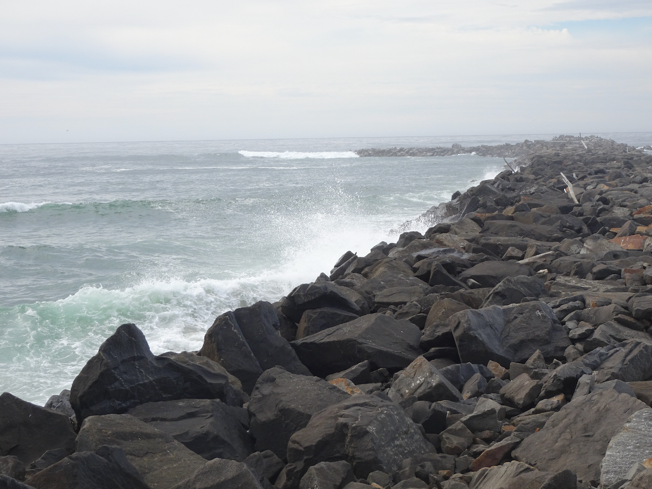
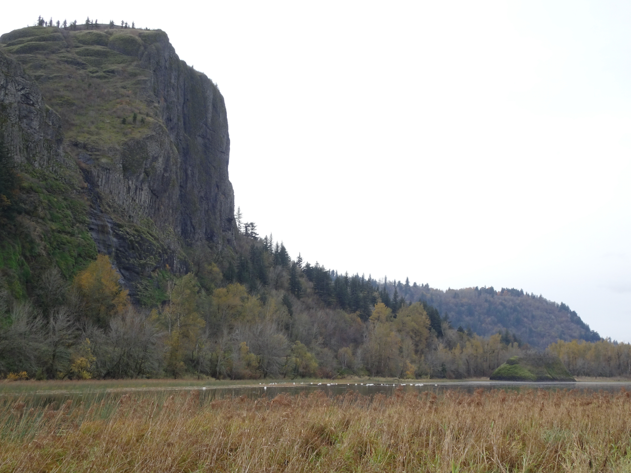
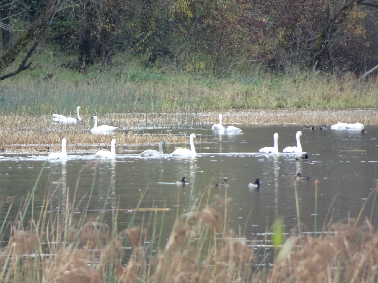
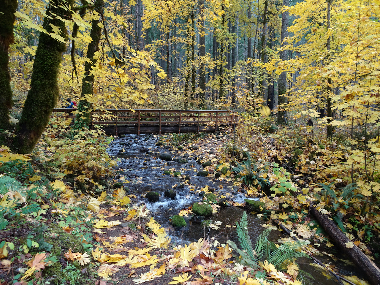
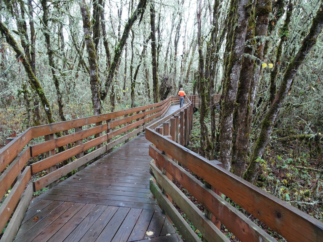
Despite the mid-month ice storm, we managed three hikes in February – all in the eastern Columbia River Gorge of Washington.
Lyle Cherry Orchard / Lower Catherine Creek – Feb. 2nd
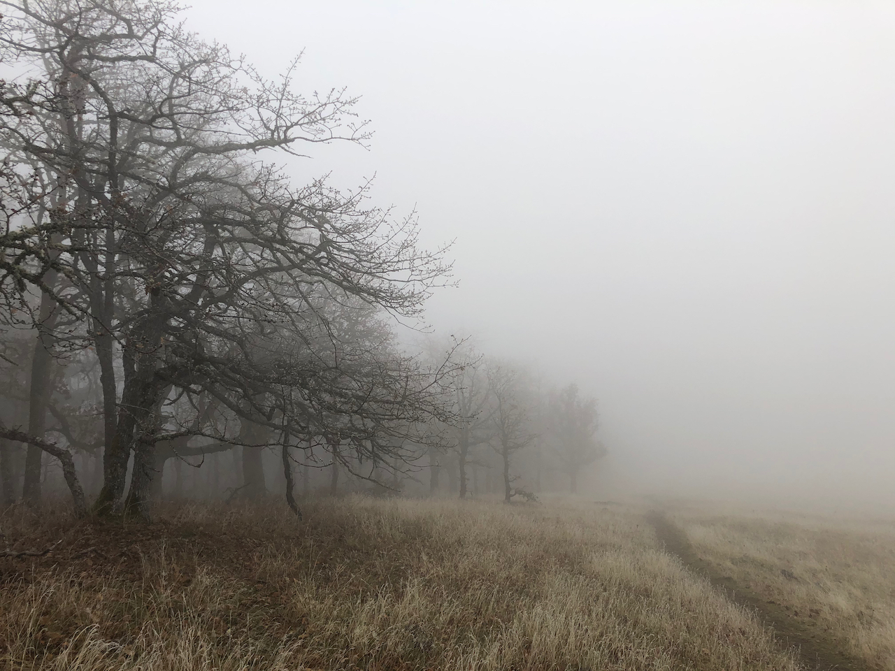
We were hoping for good weather east of the mountains, but were foiled by a squall.
Starting up the Lyle Cherry Orchard trail, we could see nothing but blue sky from the Convict Road…
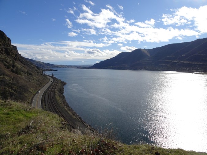
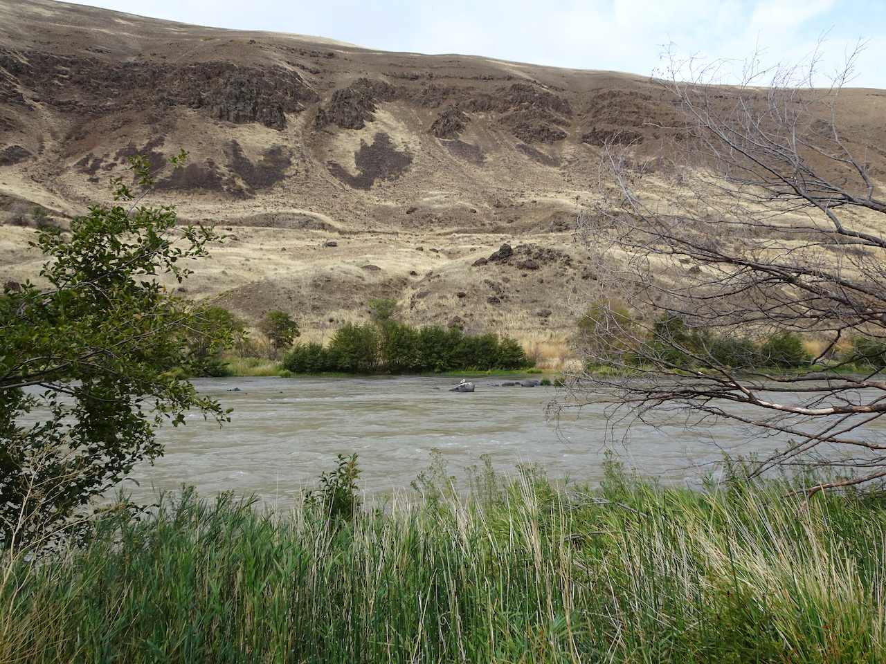
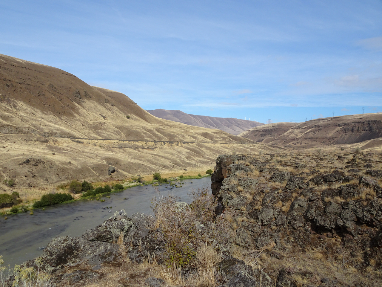
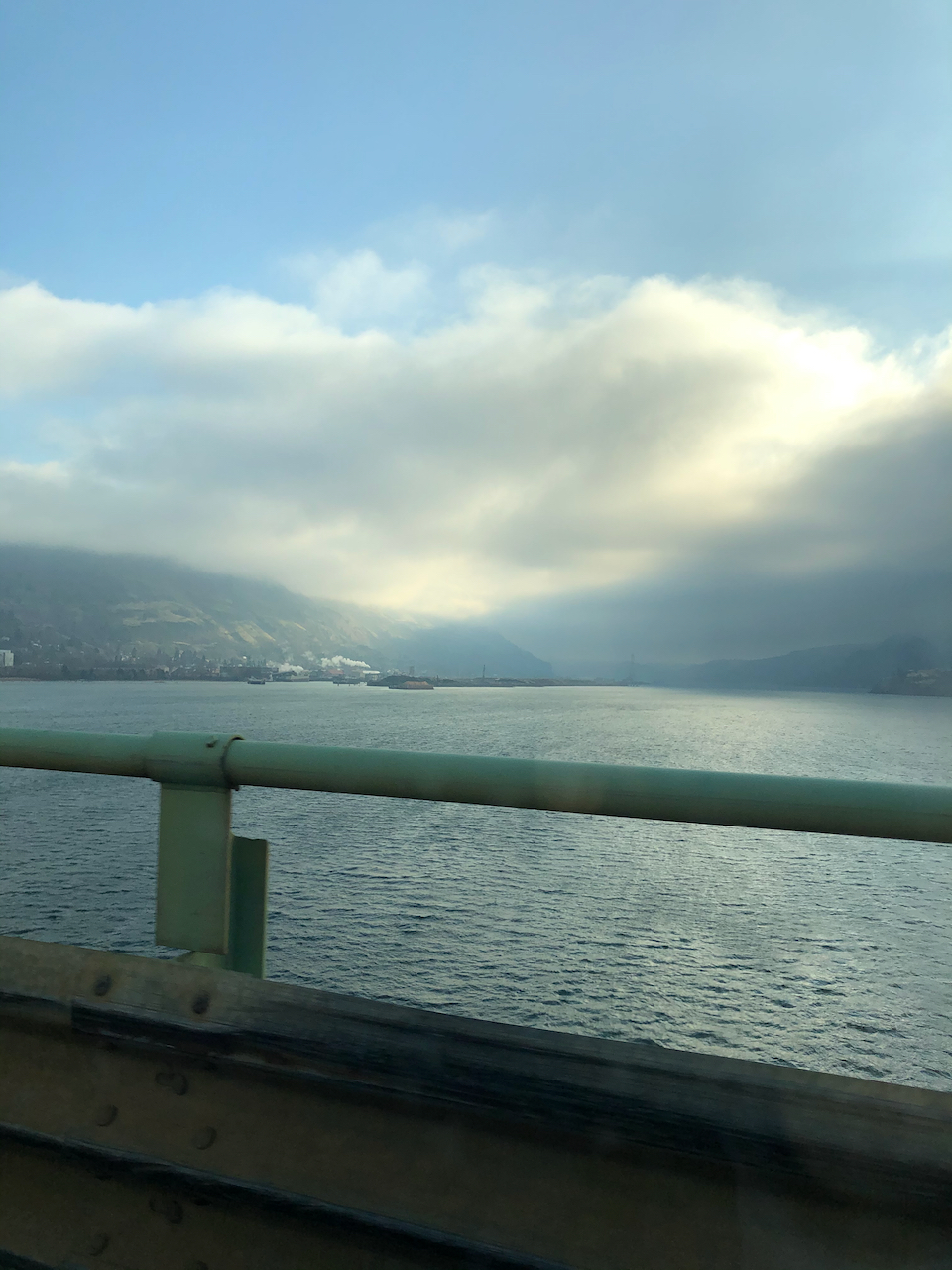
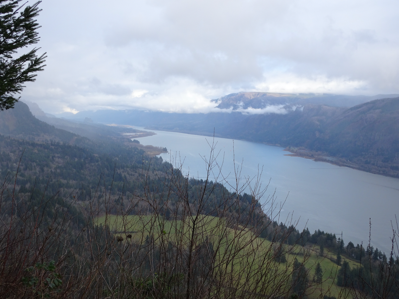
But there are clouds over the Columbia River to the east,
and west.
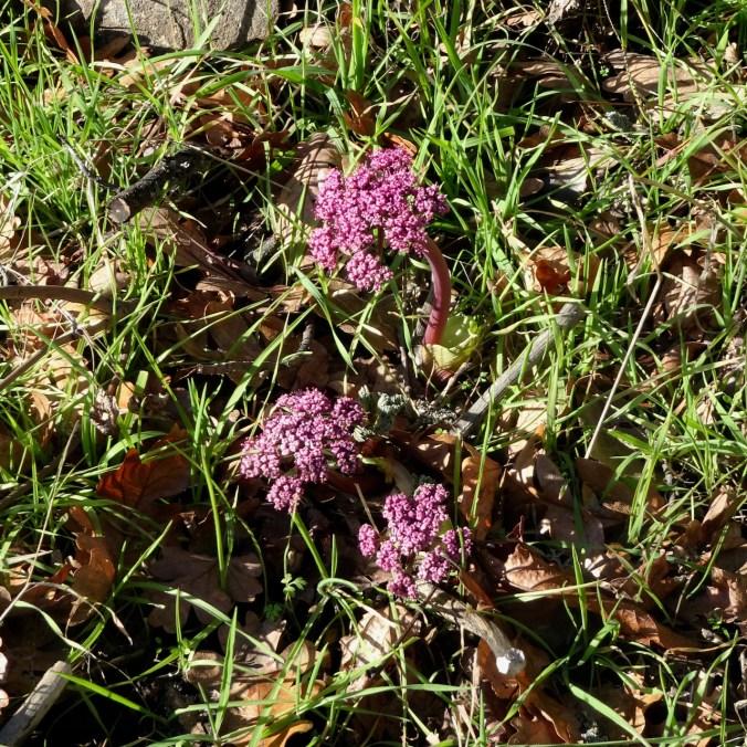
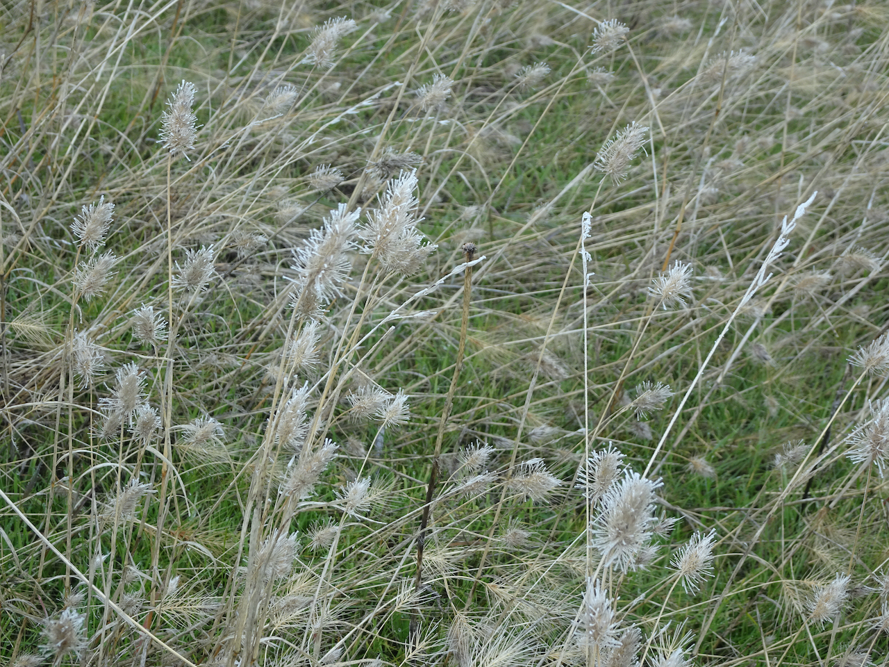
We saw our first Columbia Desert Parsley of the season,

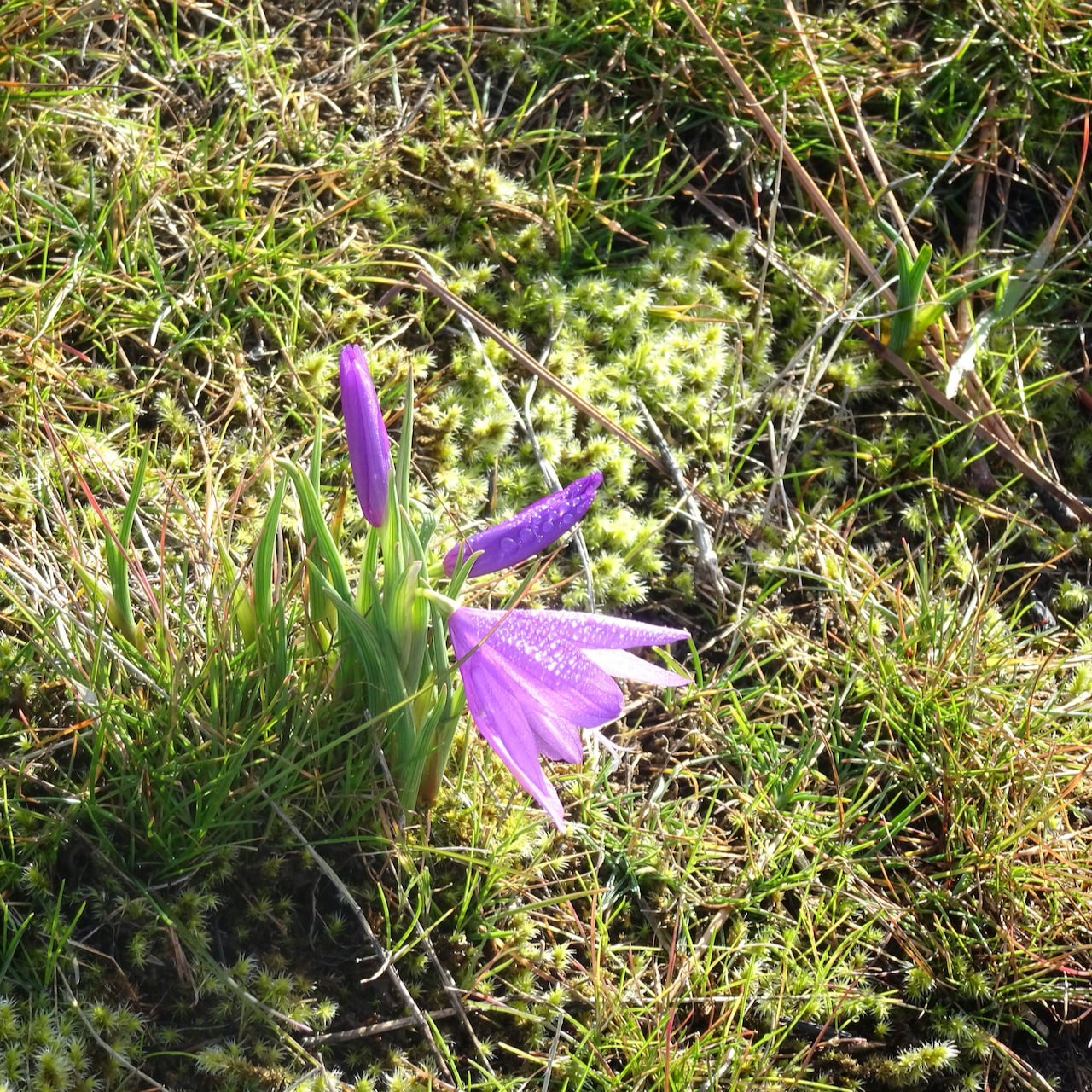
and scattered grass widows.
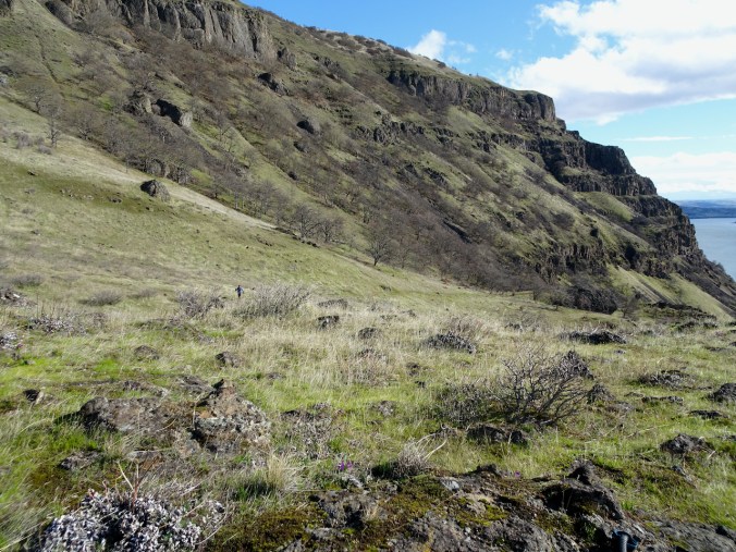
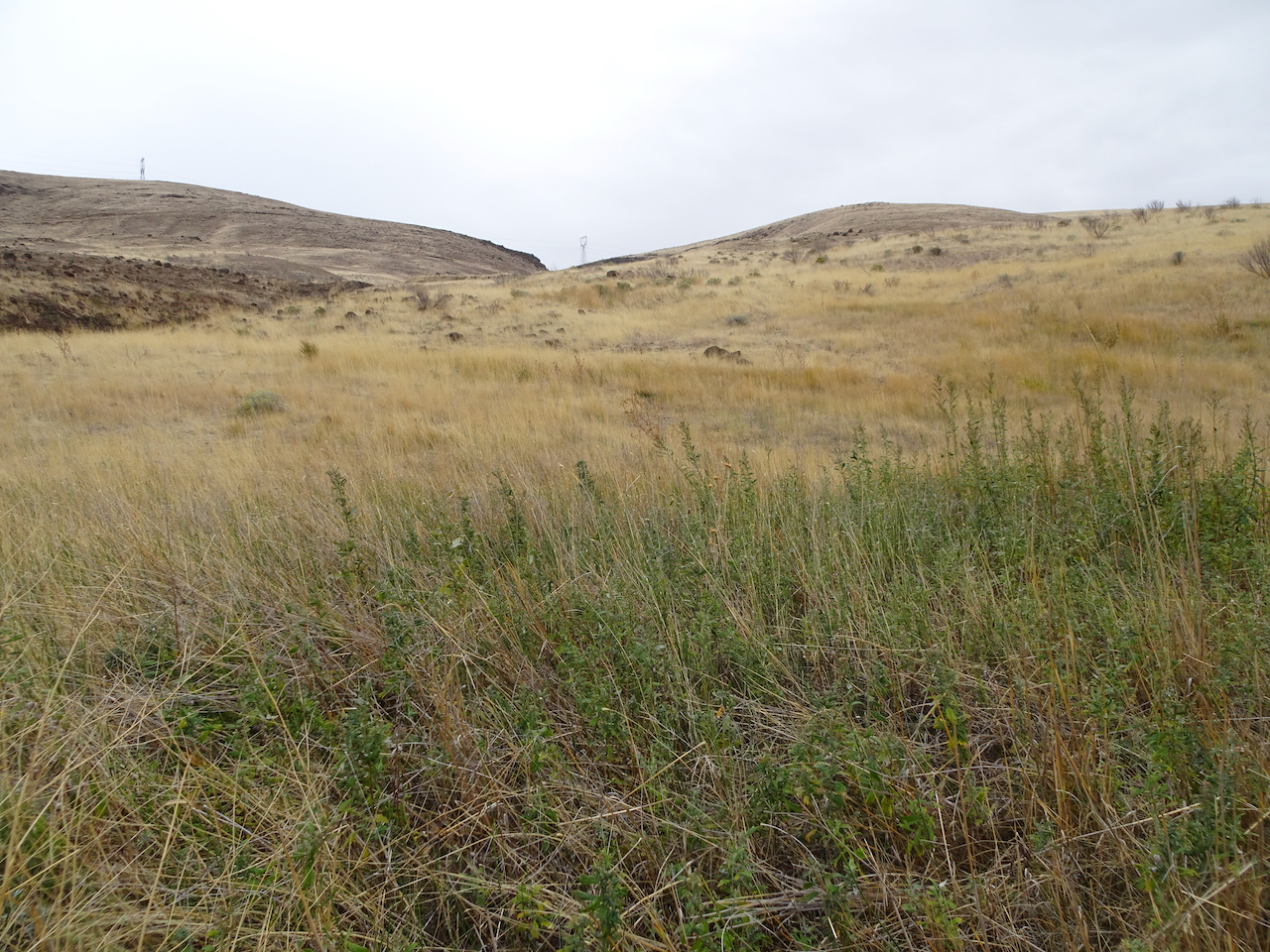
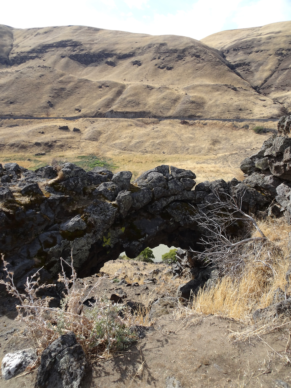
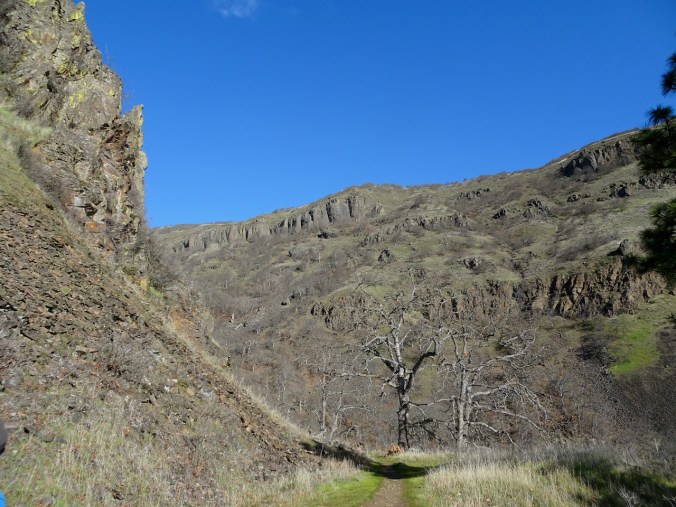
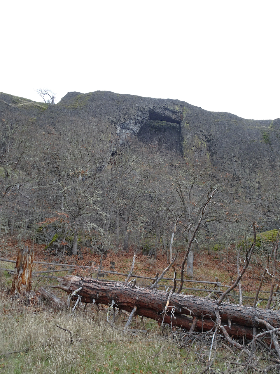
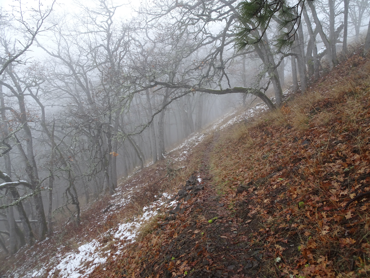
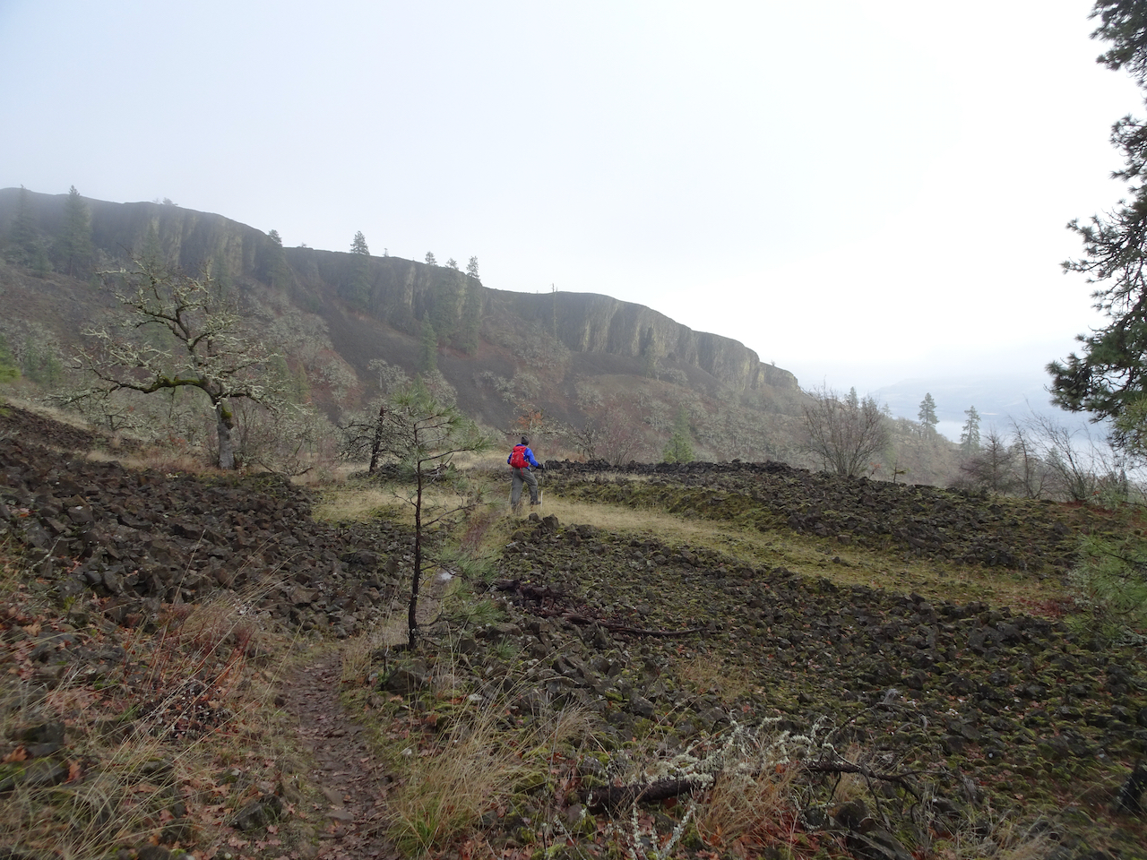
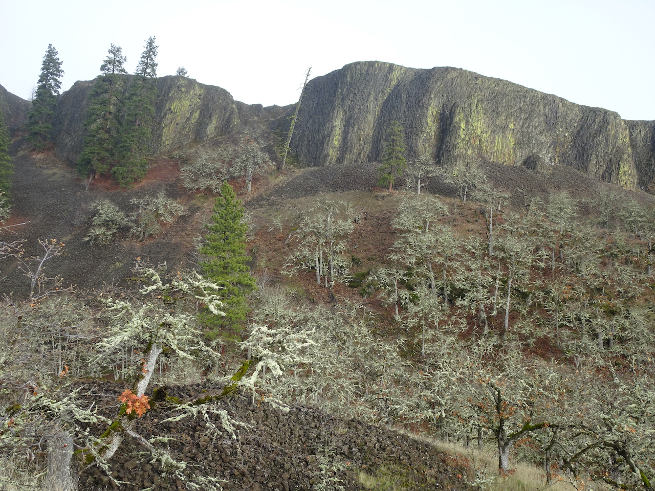
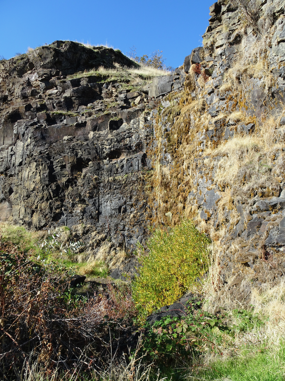
As we continued up the tiers of basalt,

we noticed more ominous clouds to the west.

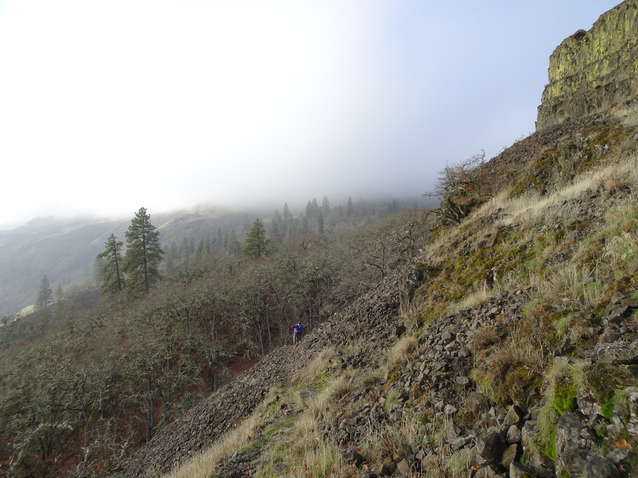
We continued up,

to about this point, when we encountered wind and driving rain on the unsheltered slope
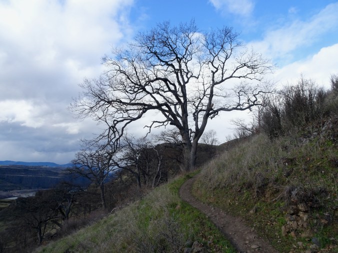
We sheltered briefly under one of the oak trees, then headed down.
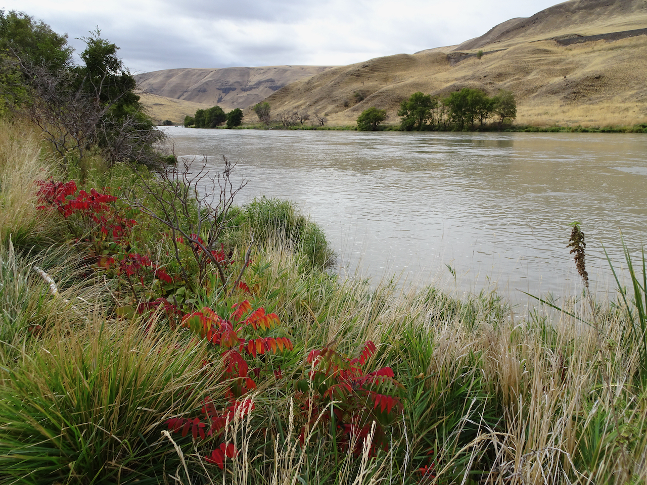
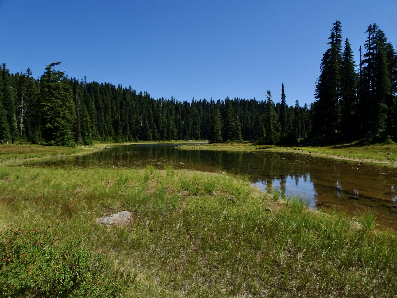
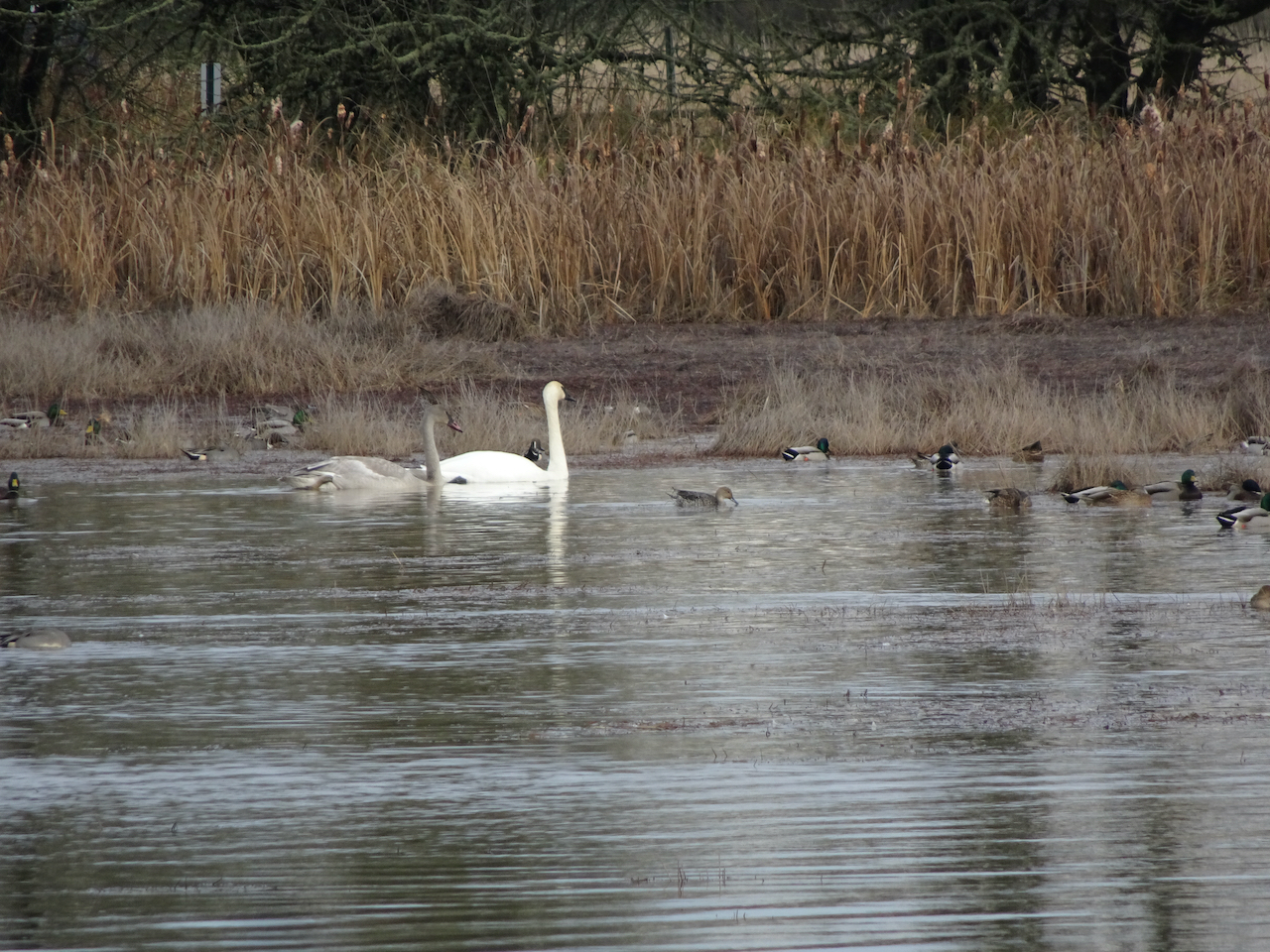
By the time we reached the car, the skies were blue again, so we decided to stop at Catherine Creek before going home.
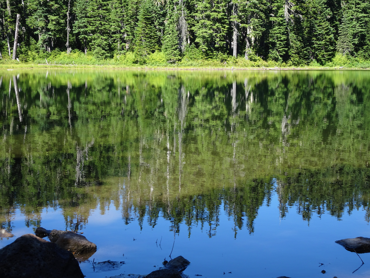
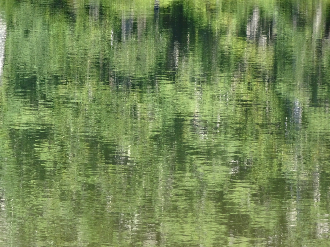
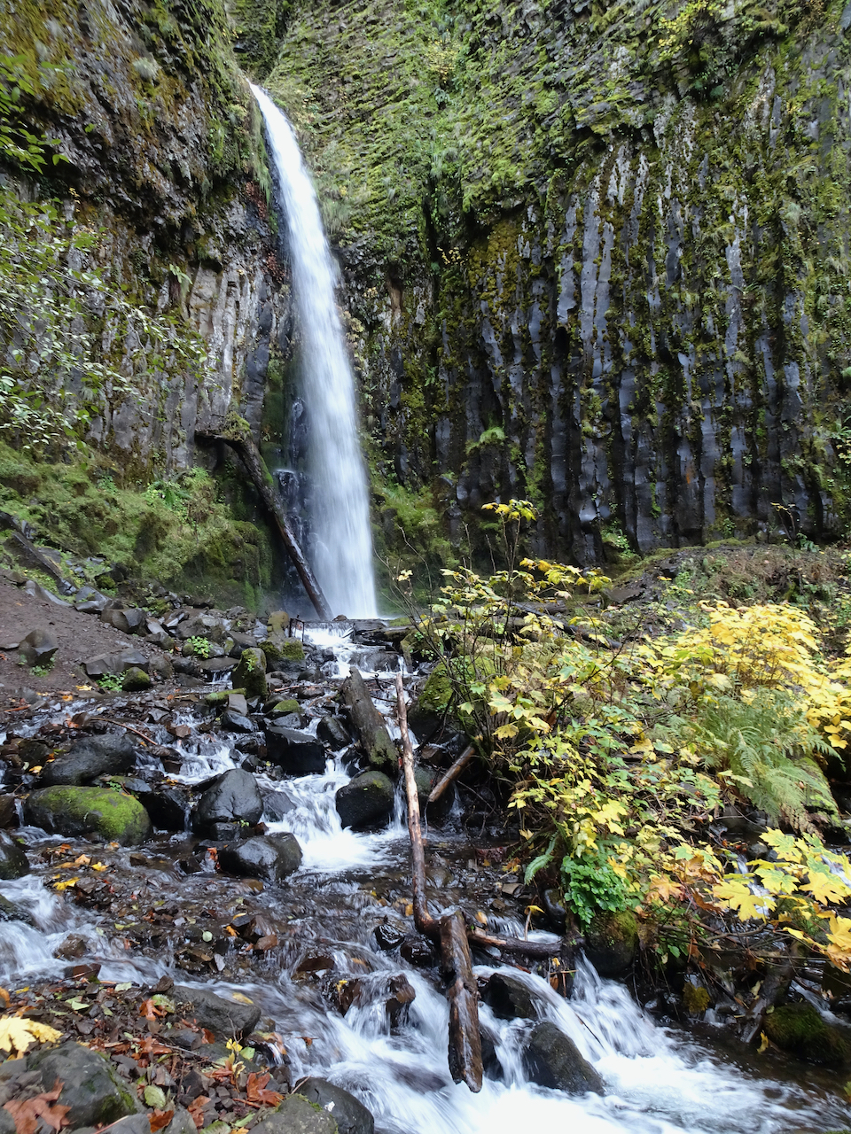
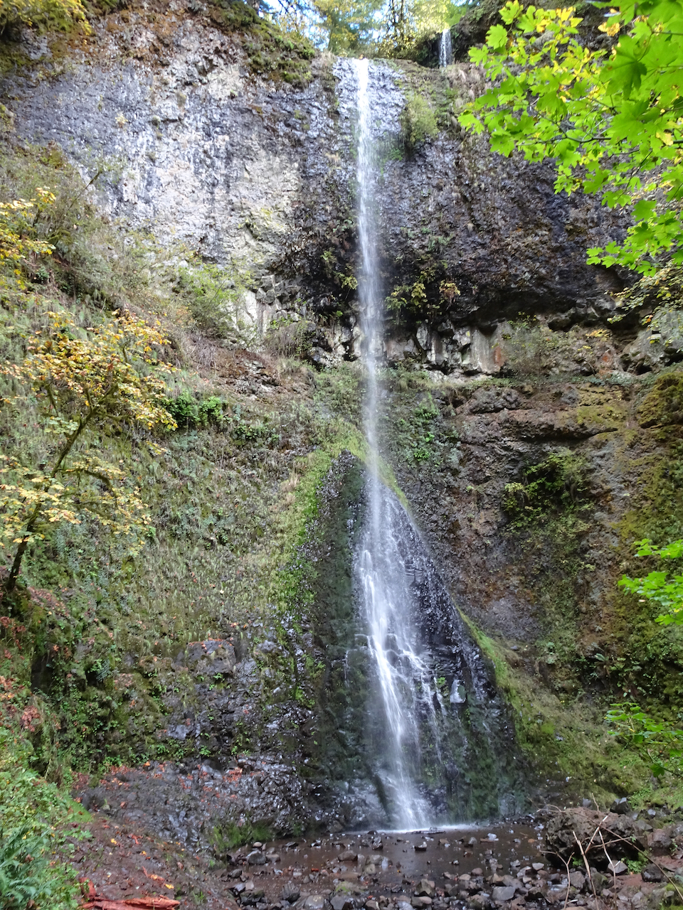
We walked the Lower Loop, with views of the waterfall,

and of our Ponderosa guide tree, up on the slopes above the Labyrinth.
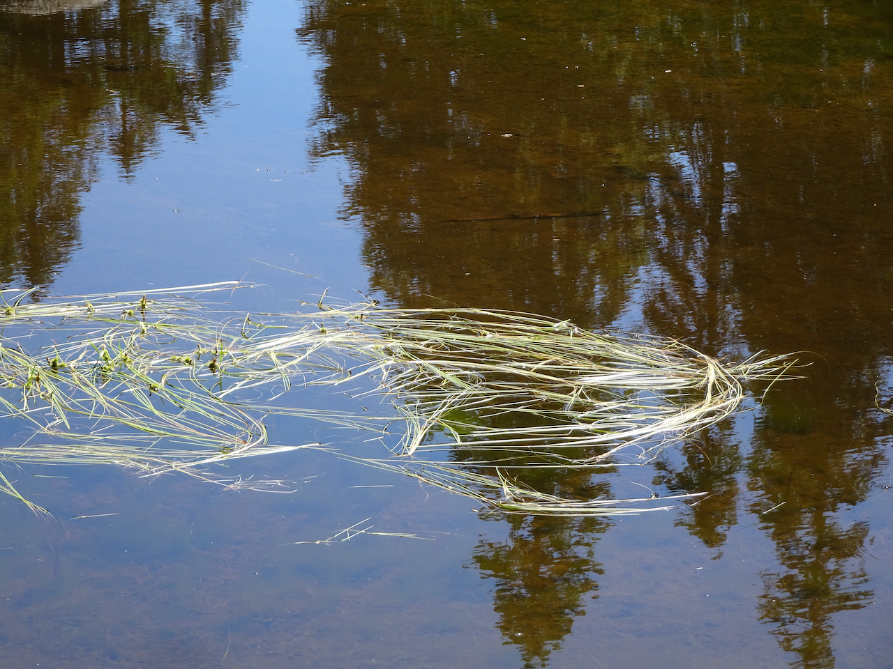
We saw a few early wildflowers, and finished just in time for another squall to blow through.

Blue jay
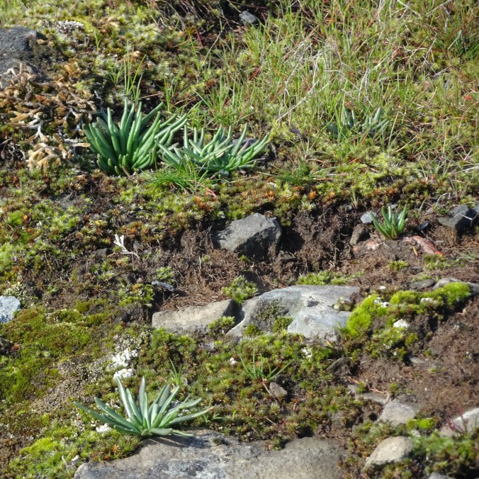
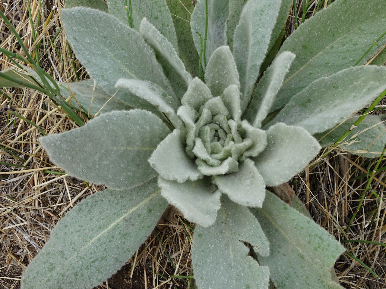
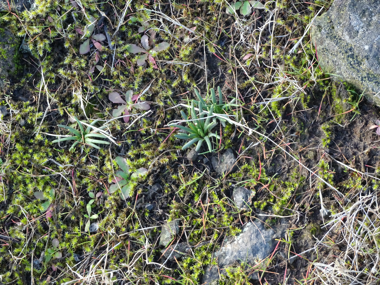
Bitterroot foliage

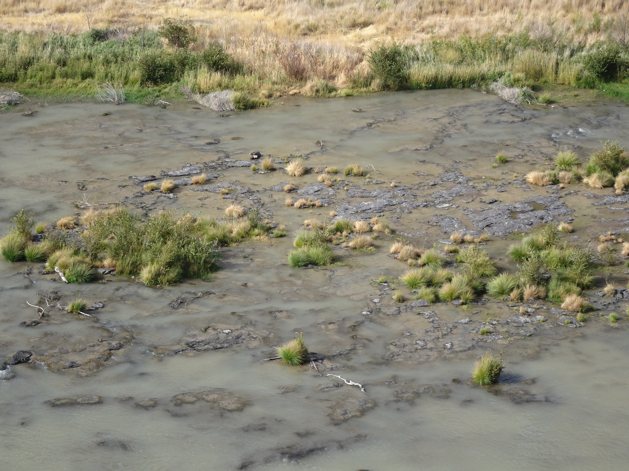
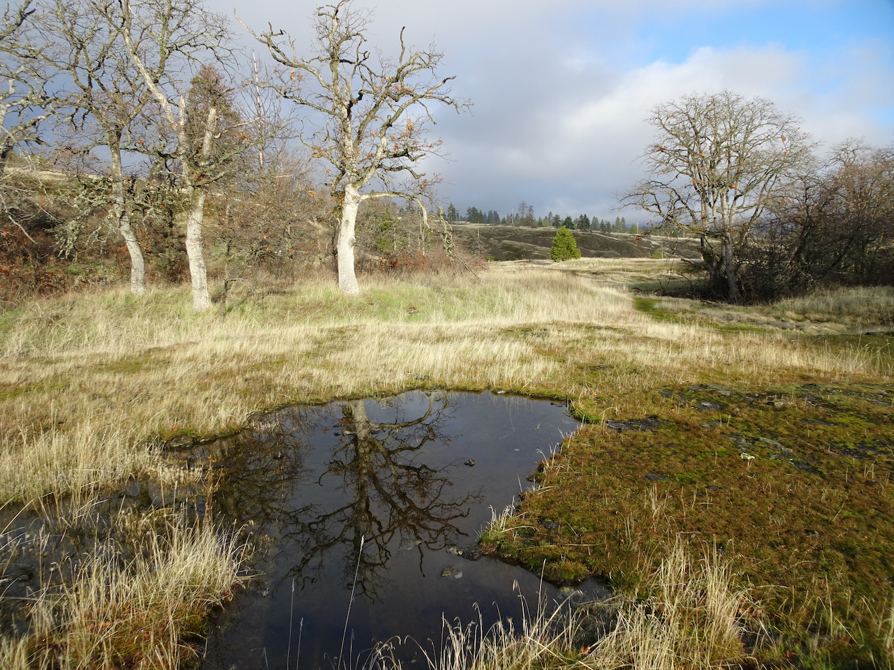
Rain in a vernal pool.
We saw rainbows in our rear view mirror as we drove back to rainy Portland.


Coyote Wall – Labyrinth Loop – Feb. 9th
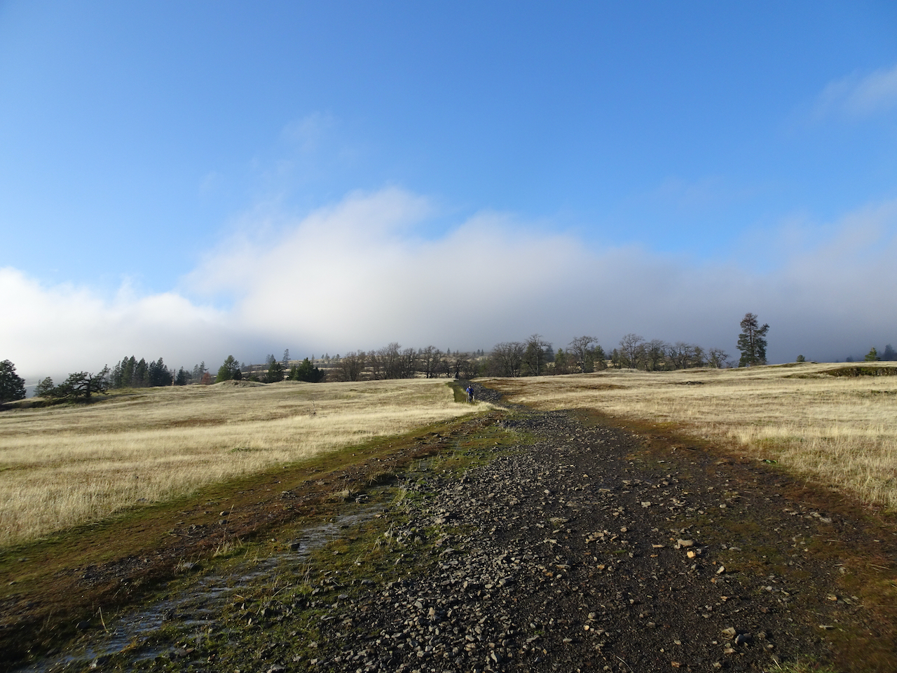
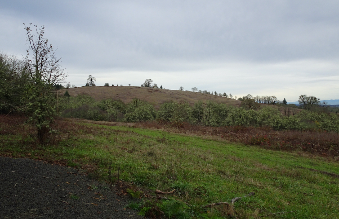
We started cold and overcast, but hiked into a bluer, warmer day.
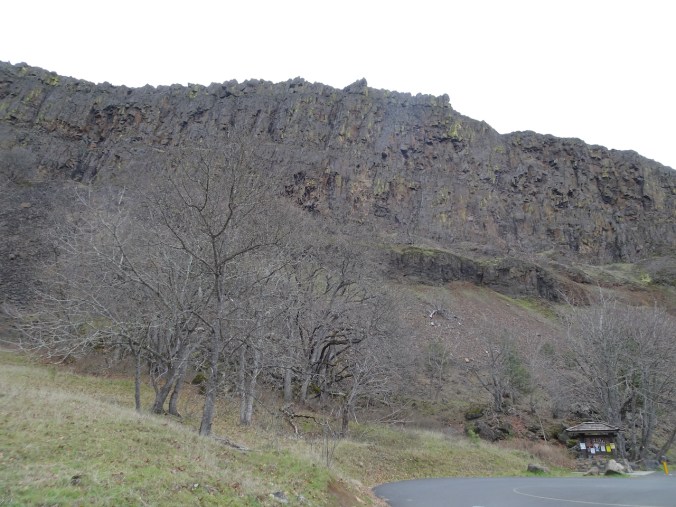
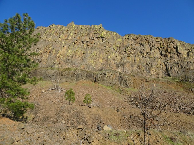
Looking up at the wall from the trailhead – we would soon be looking down from there….
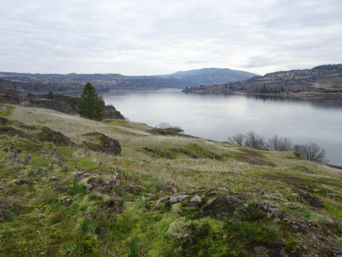
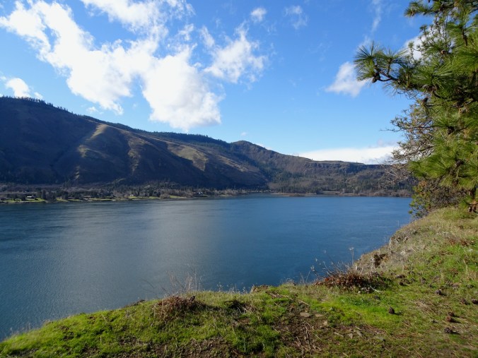
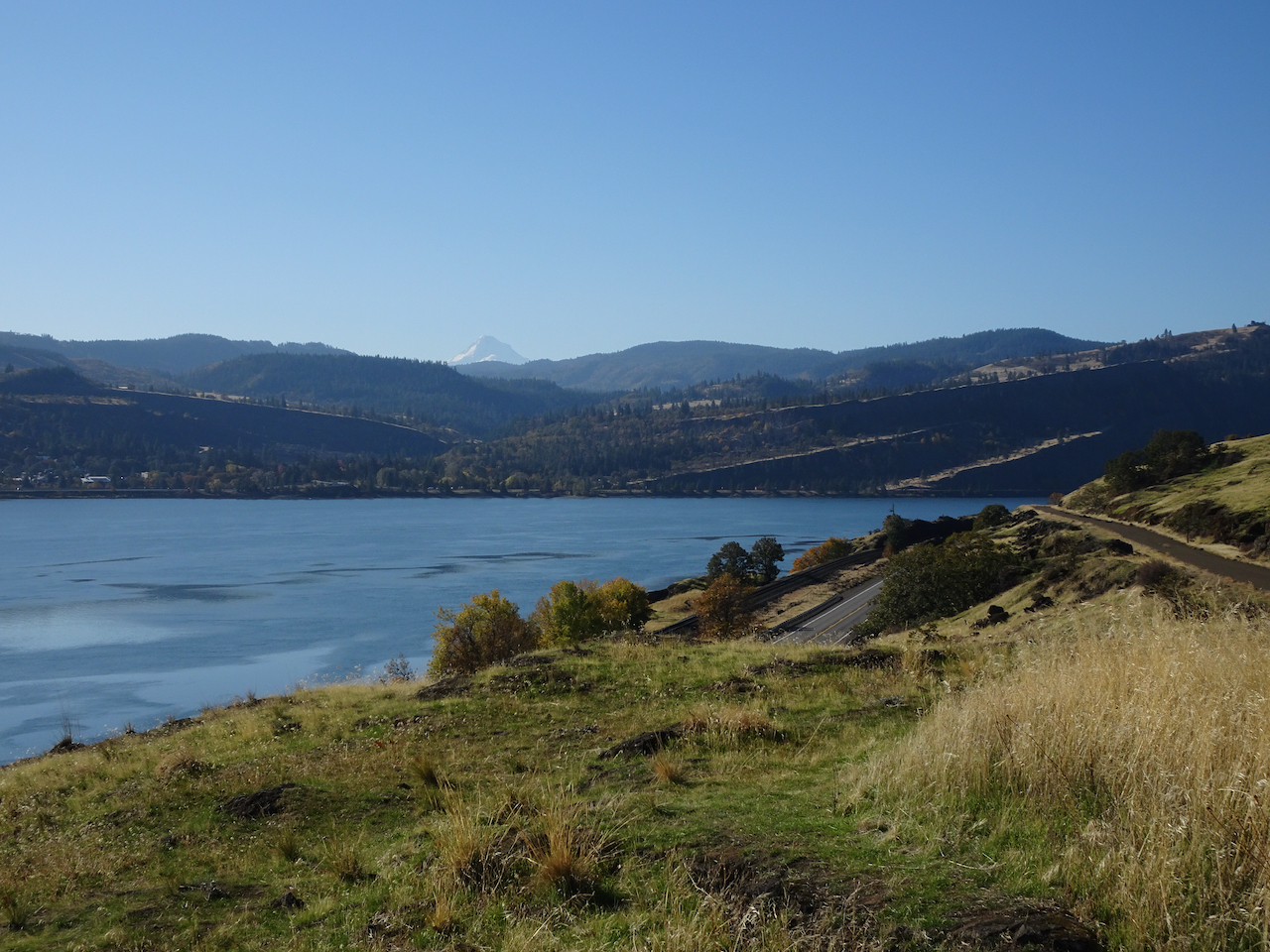
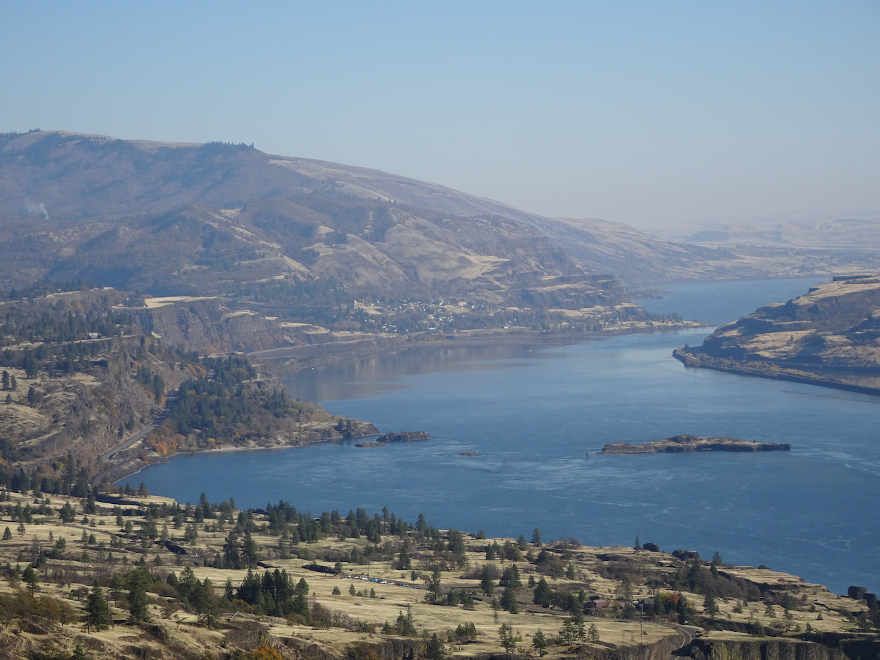
View to the east from the lower slopes.

Ice on the trail.
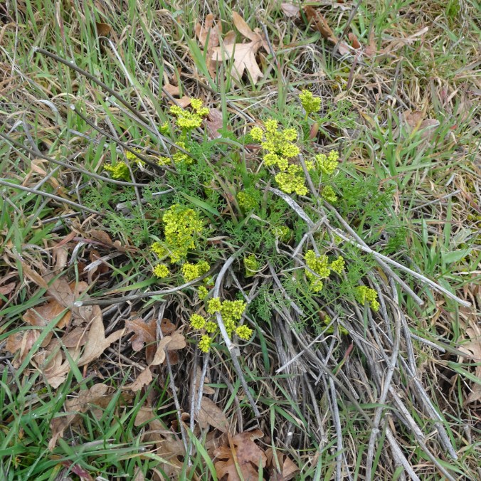
First yellow parsley of the season,

and first prairie stars, with salt and pepper.

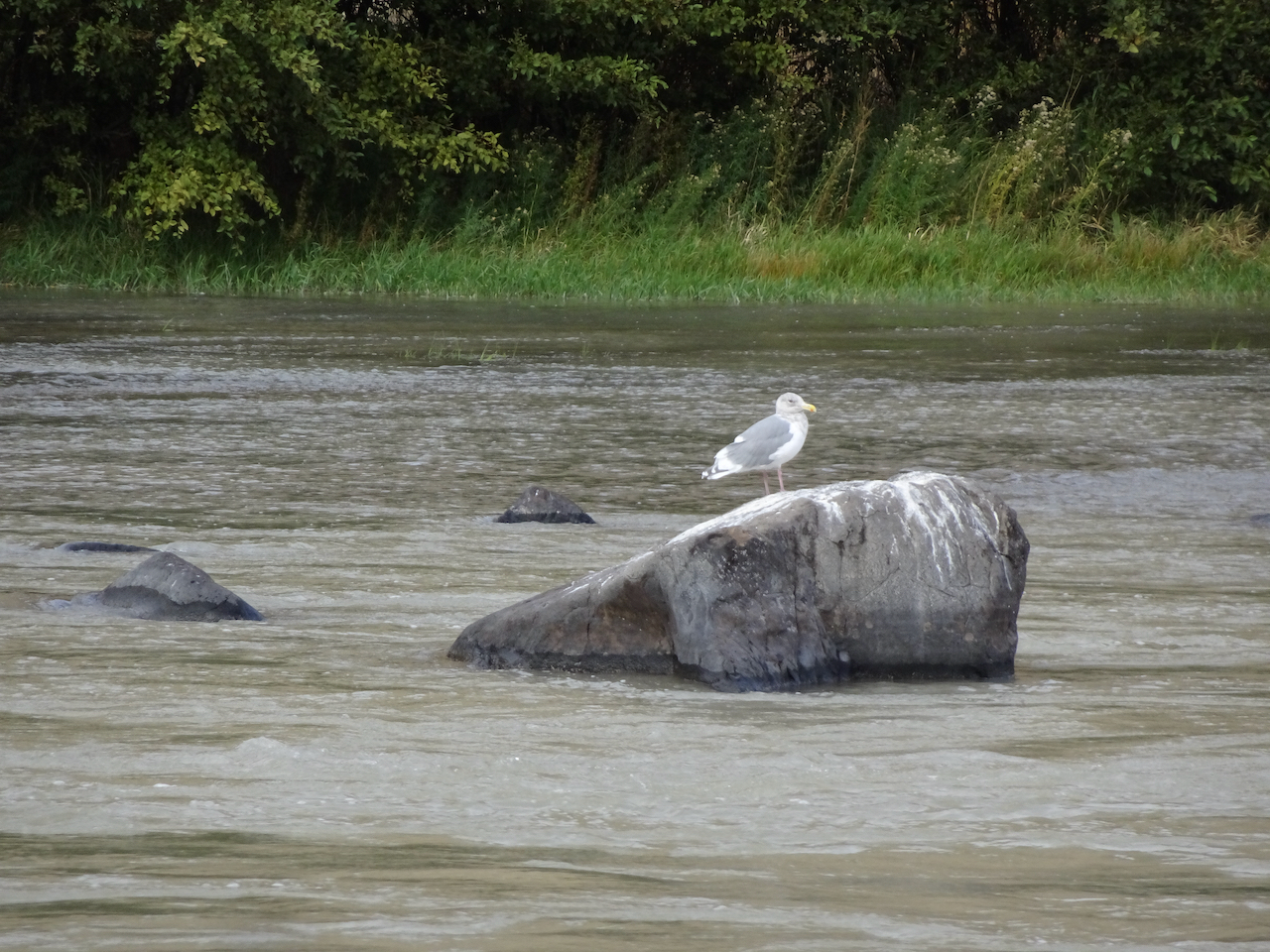
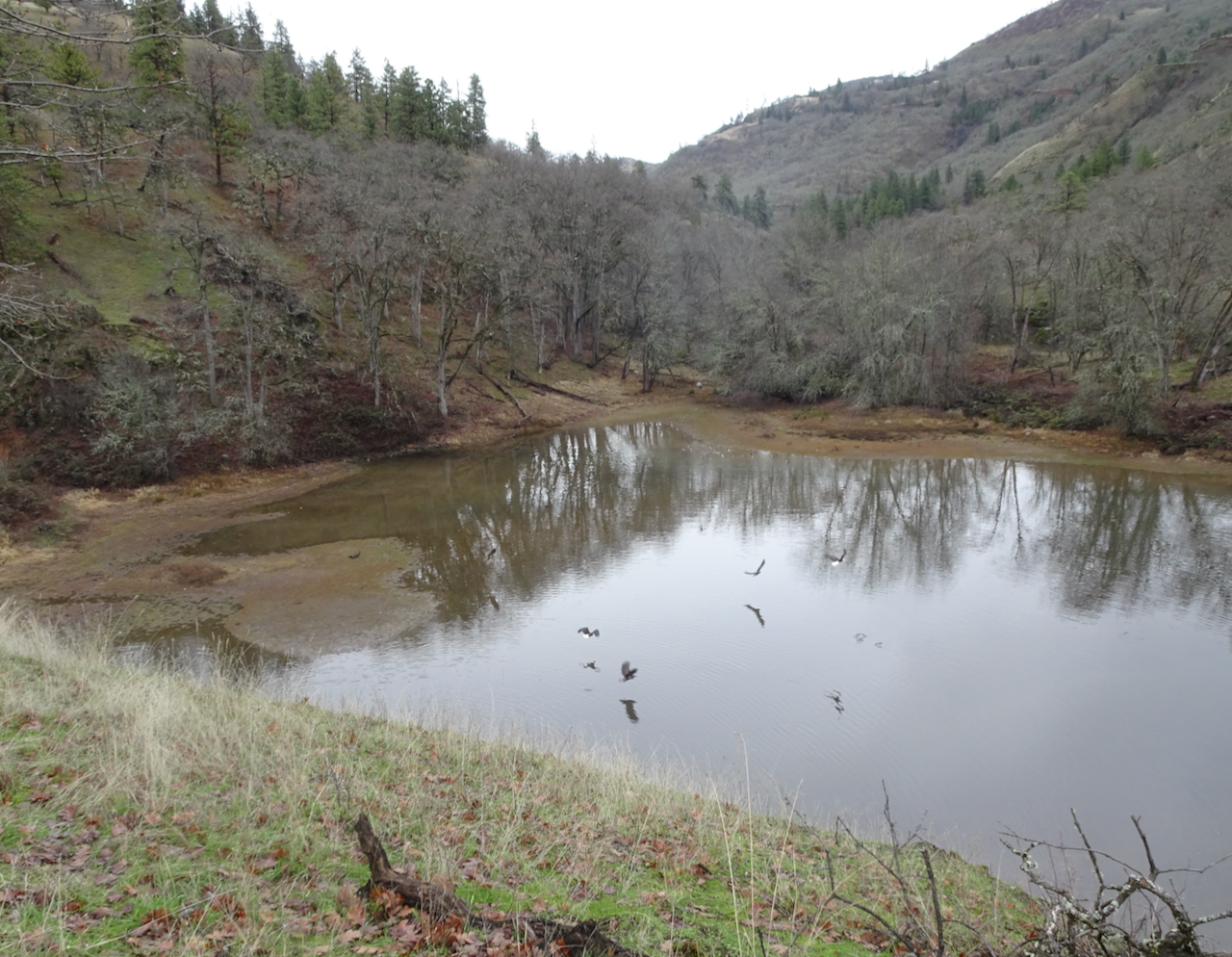
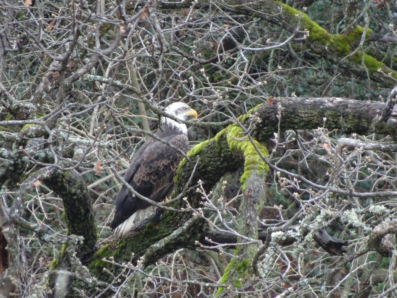
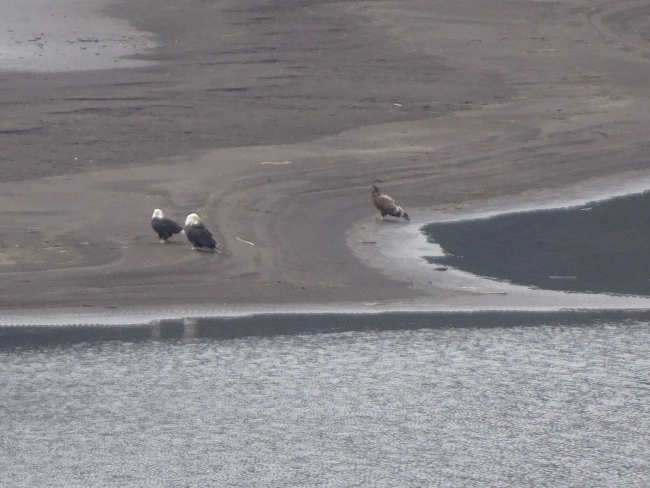
A bald eagle below us, watching the river.
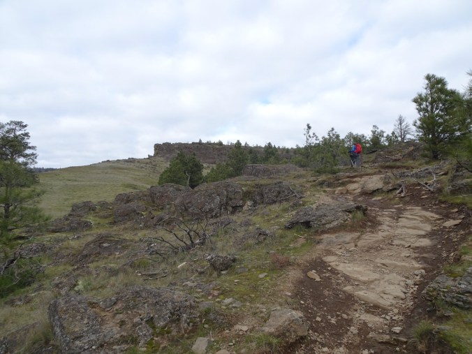
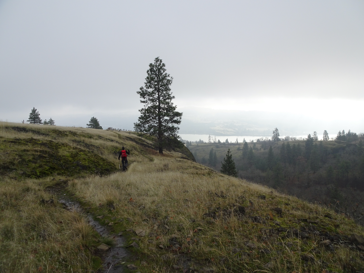
Continuing up the Little Moab trail to the edge of the cliff…
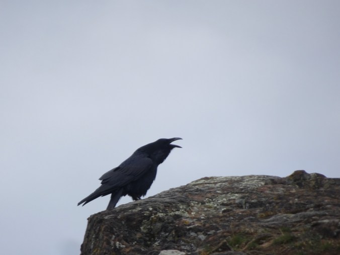
Heralded by this raven the whole way.

Looking down at the trailhead,

and up the edge of Coyote Wall toward our lunch stop.
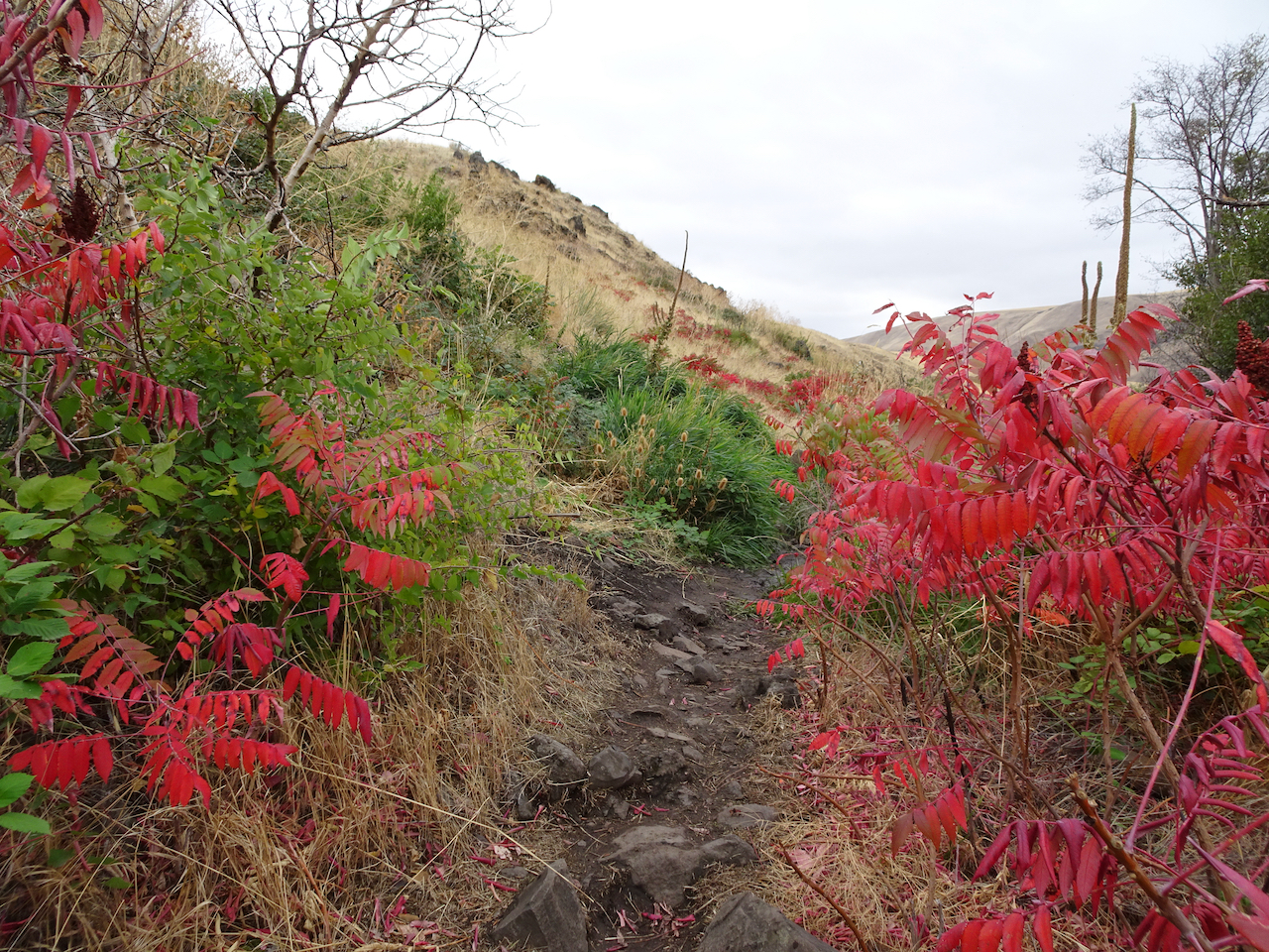
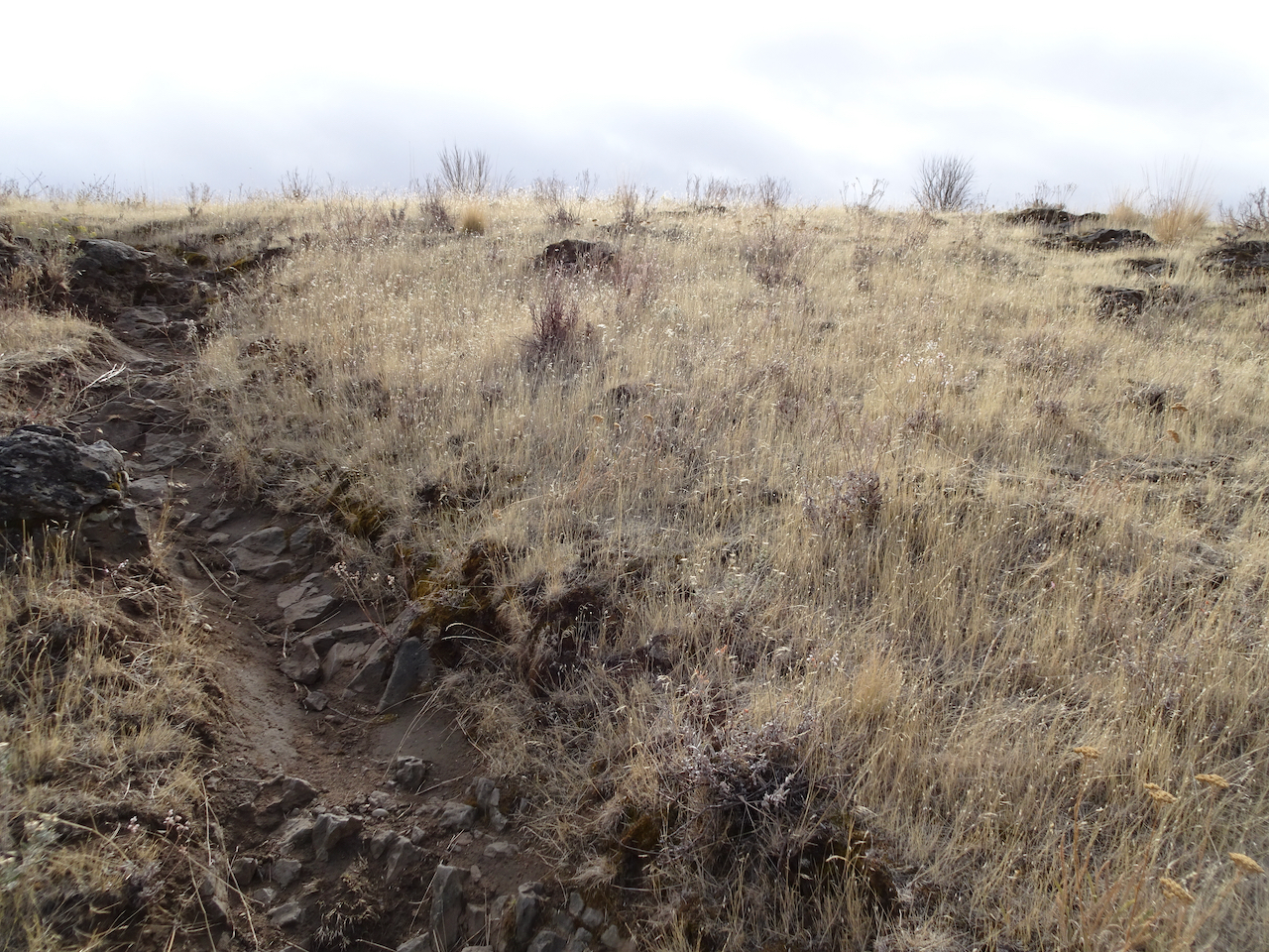
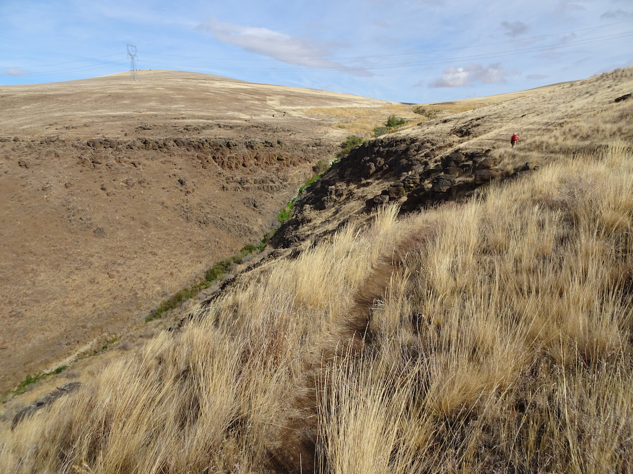
Trail continuing up the slope…
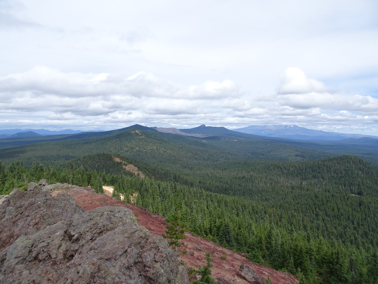
to the rocky edge where we took our lunch break.

The clouds began to part after lunch.

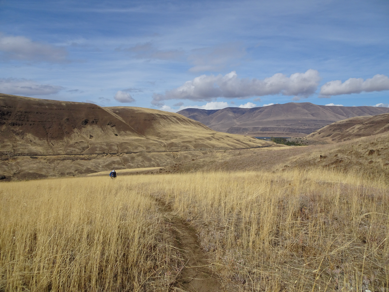
We headed east toward the Labyrinth across the upper slopes,

into a bluer sky.

Icicles in the upper Hidden Creek crossing.
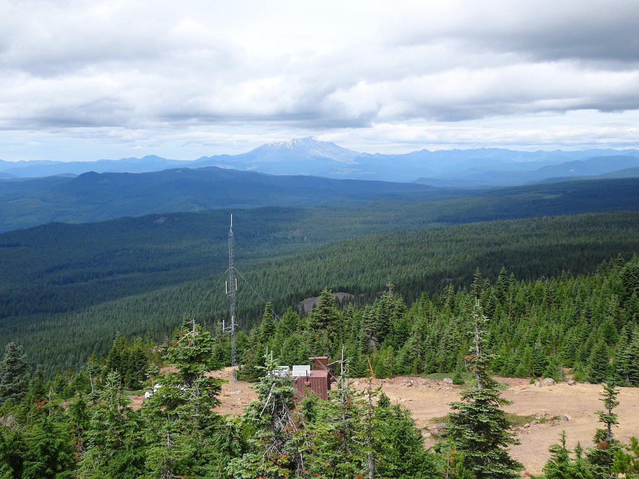
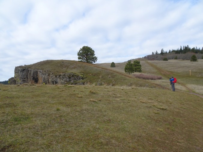
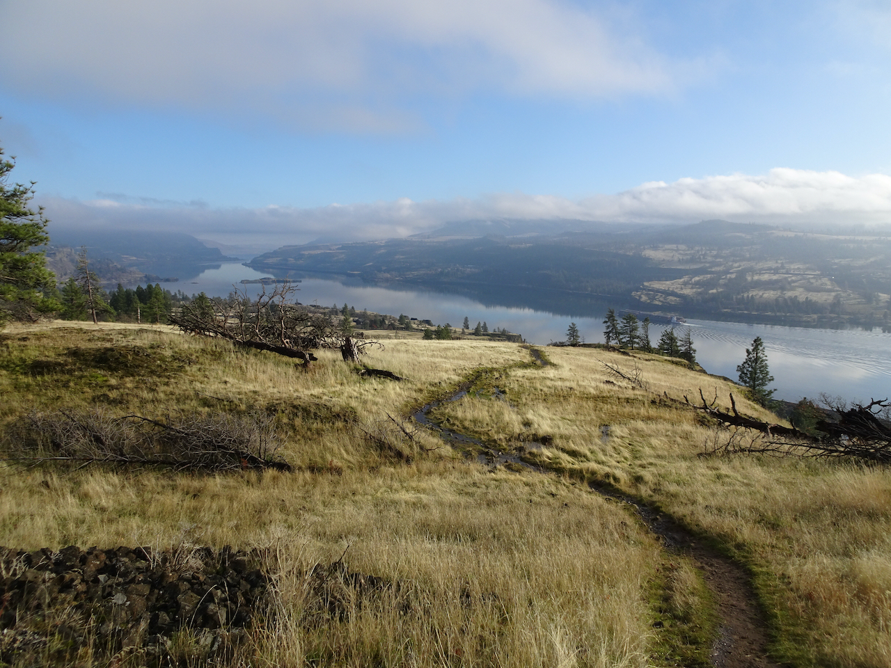
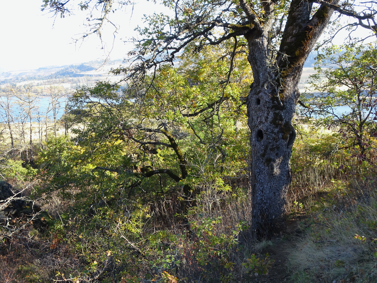
Eastward view from our Ponderosa guide tree viewpoint on the Upper Labyrinth Trail.
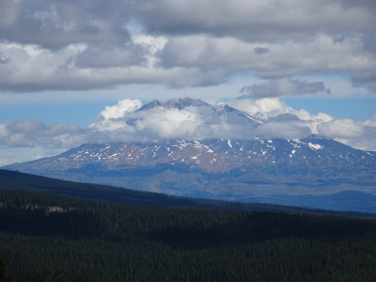
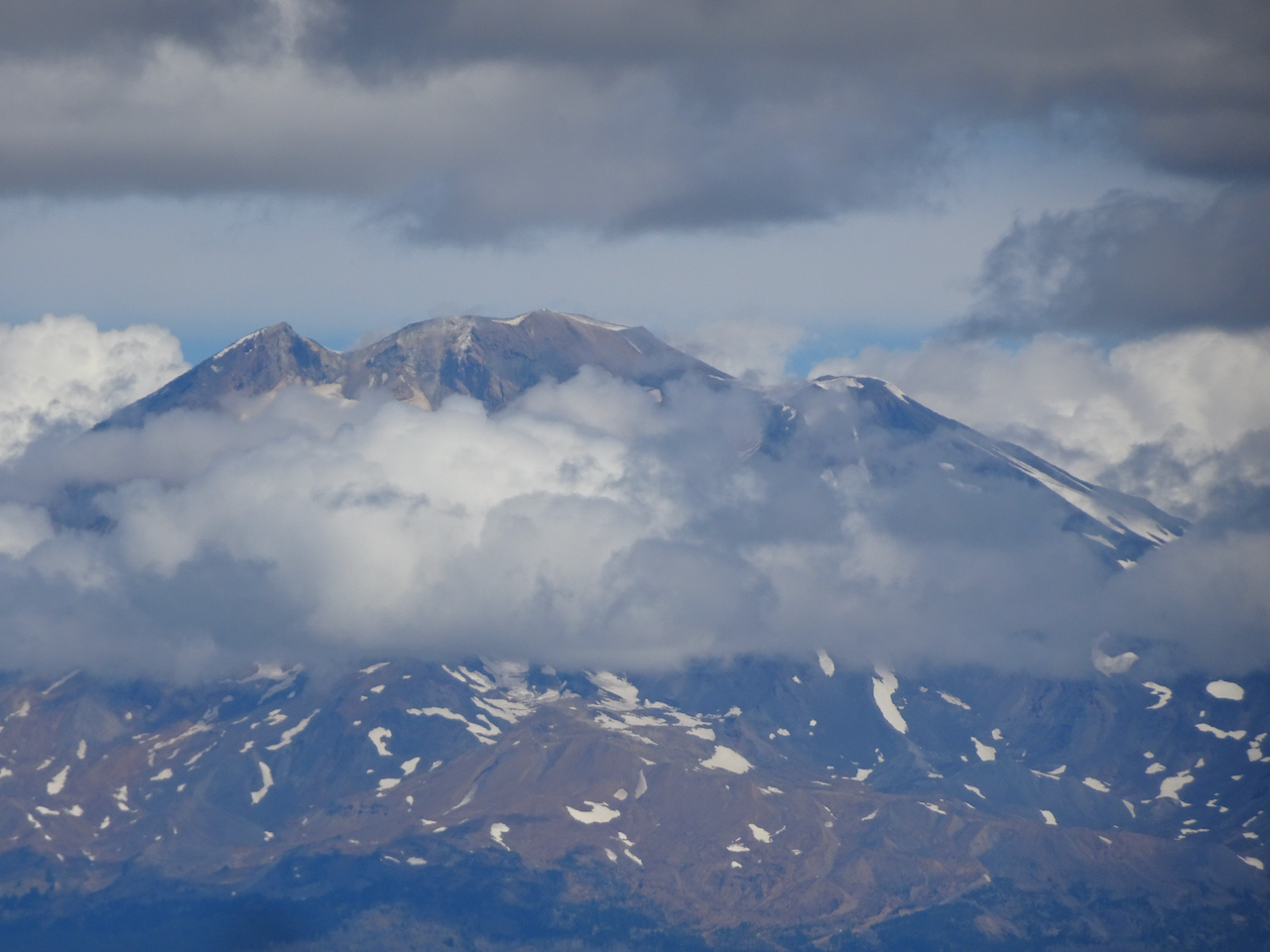
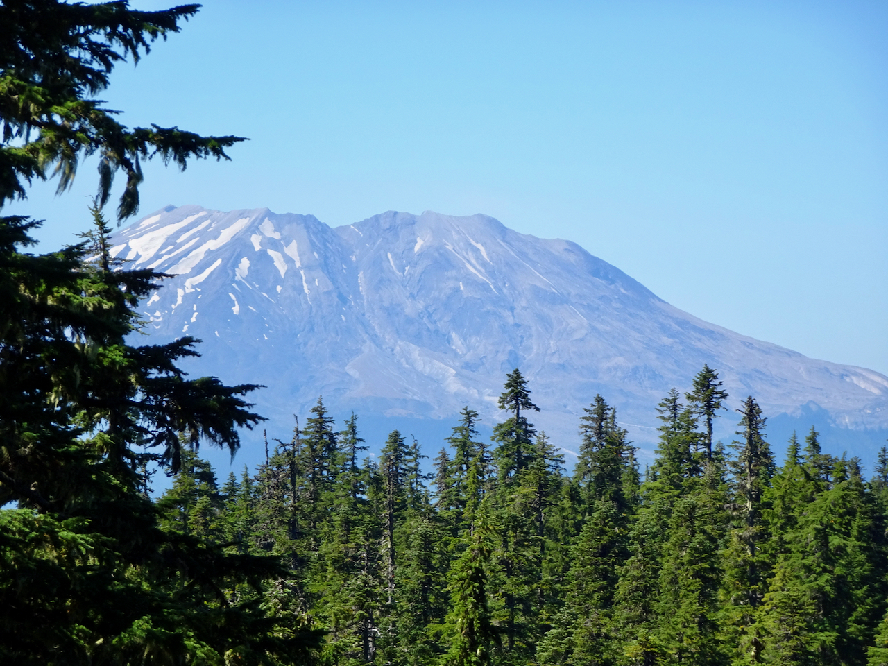
Continuing down, we could see Mt Hood on the skyline peeking out from the clouds.
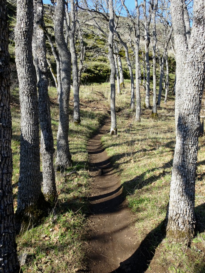
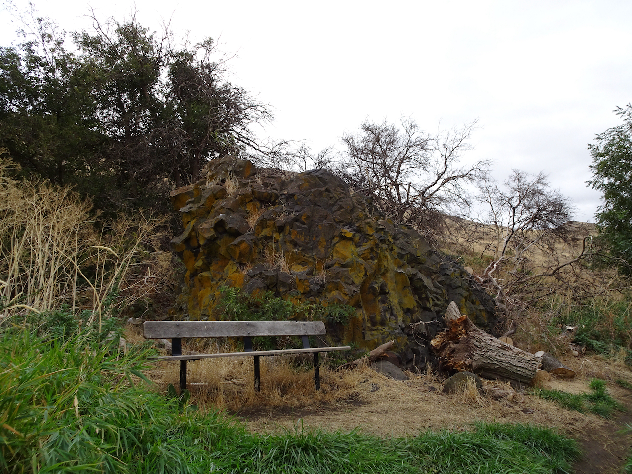
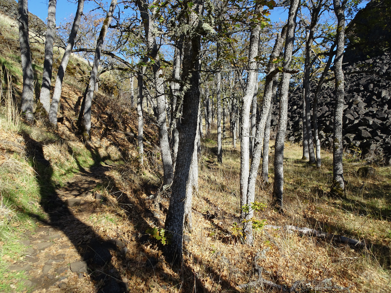
Through my favorite oak grove,

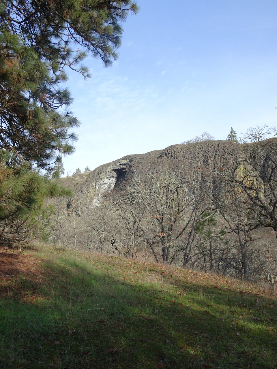
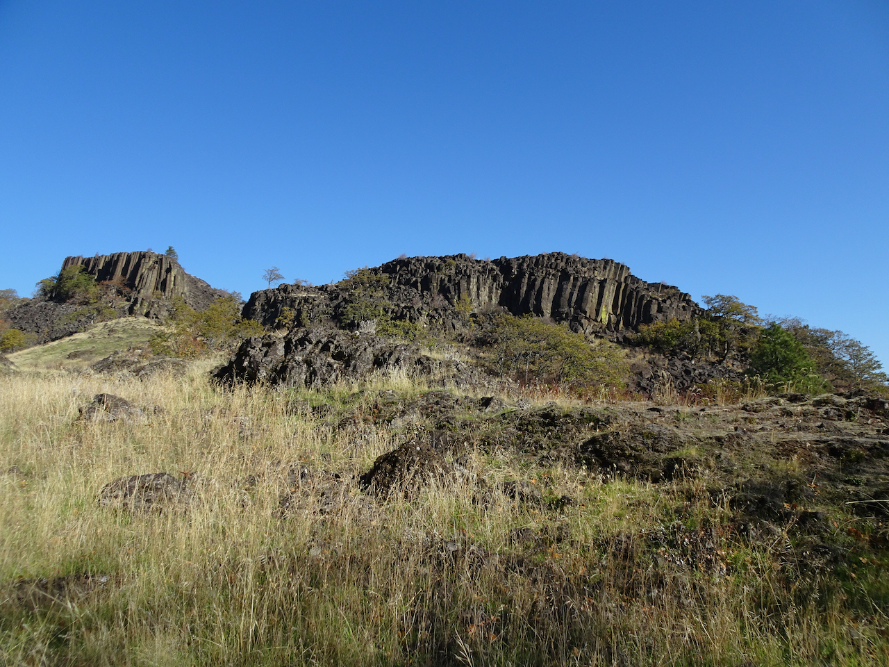
Past the columnar basalt buttes,
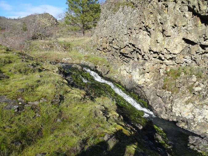
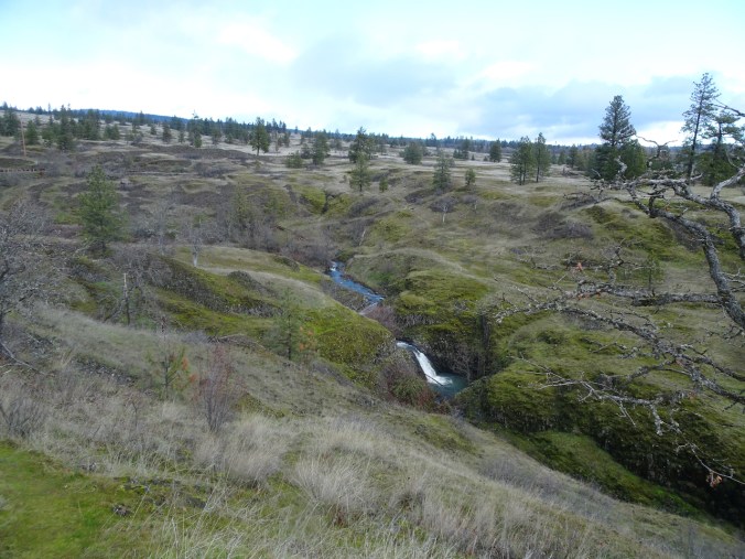
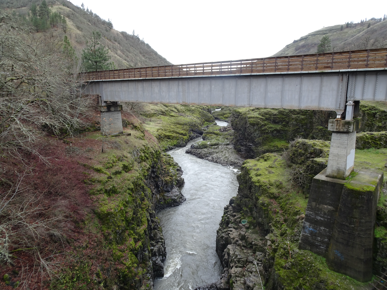
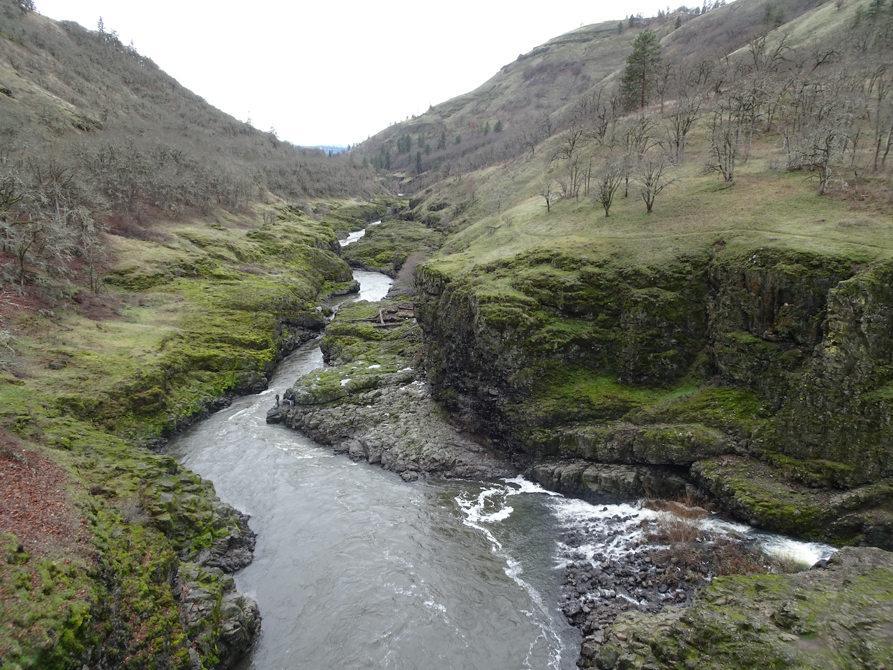
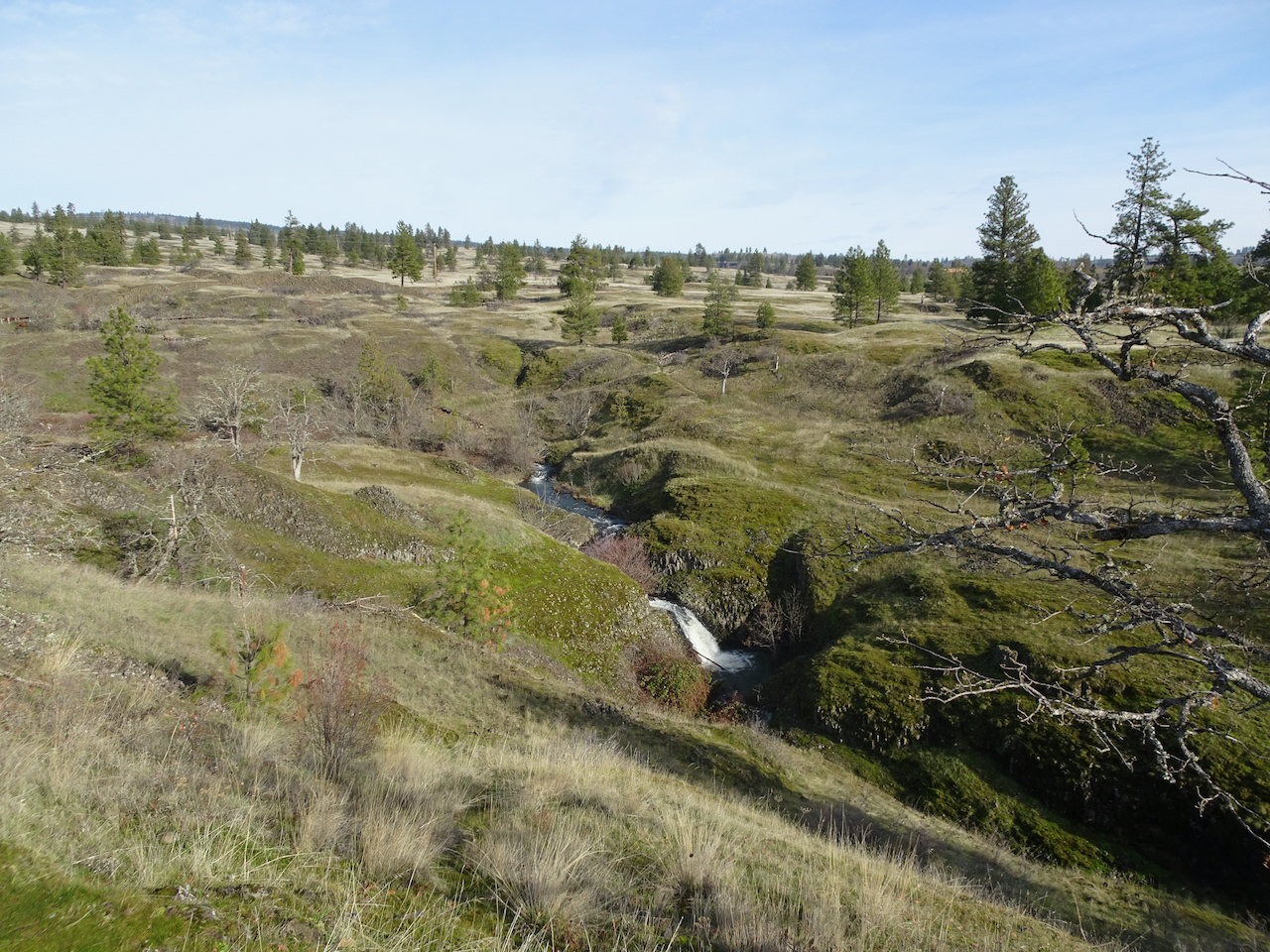
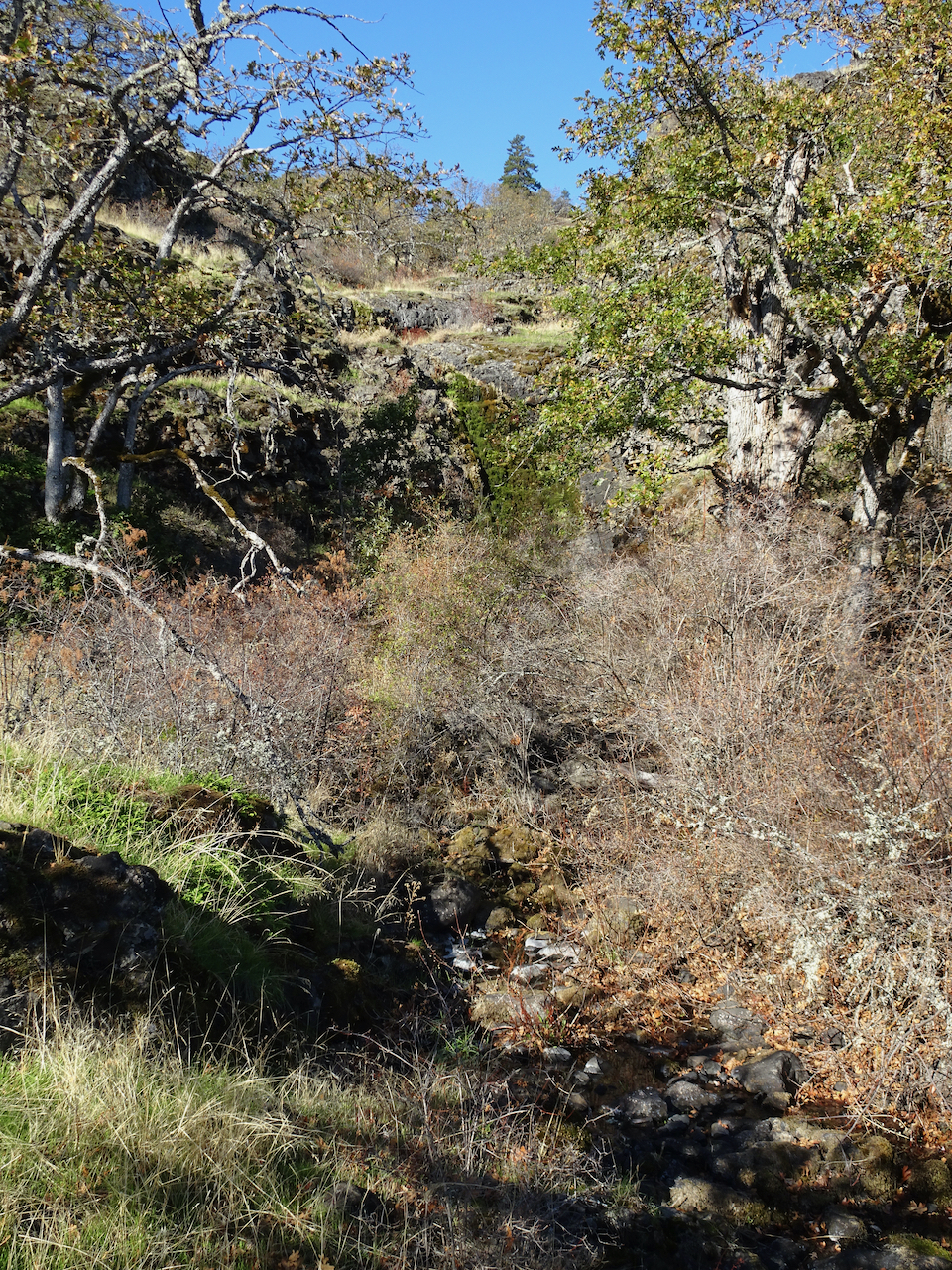
Following the waterfalls of Hidden Creek down the Labyrinth,

beneath the blue sky.
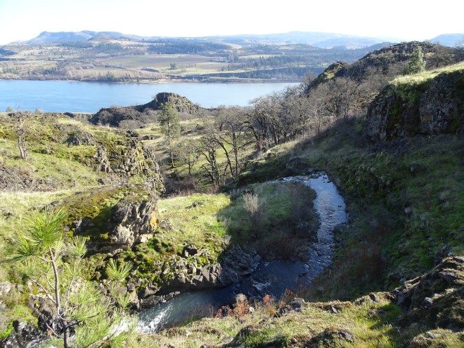

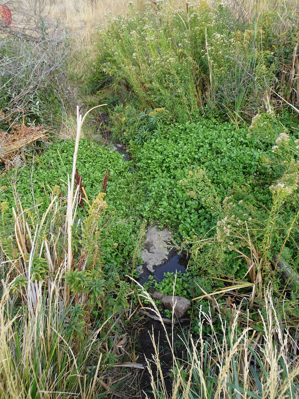
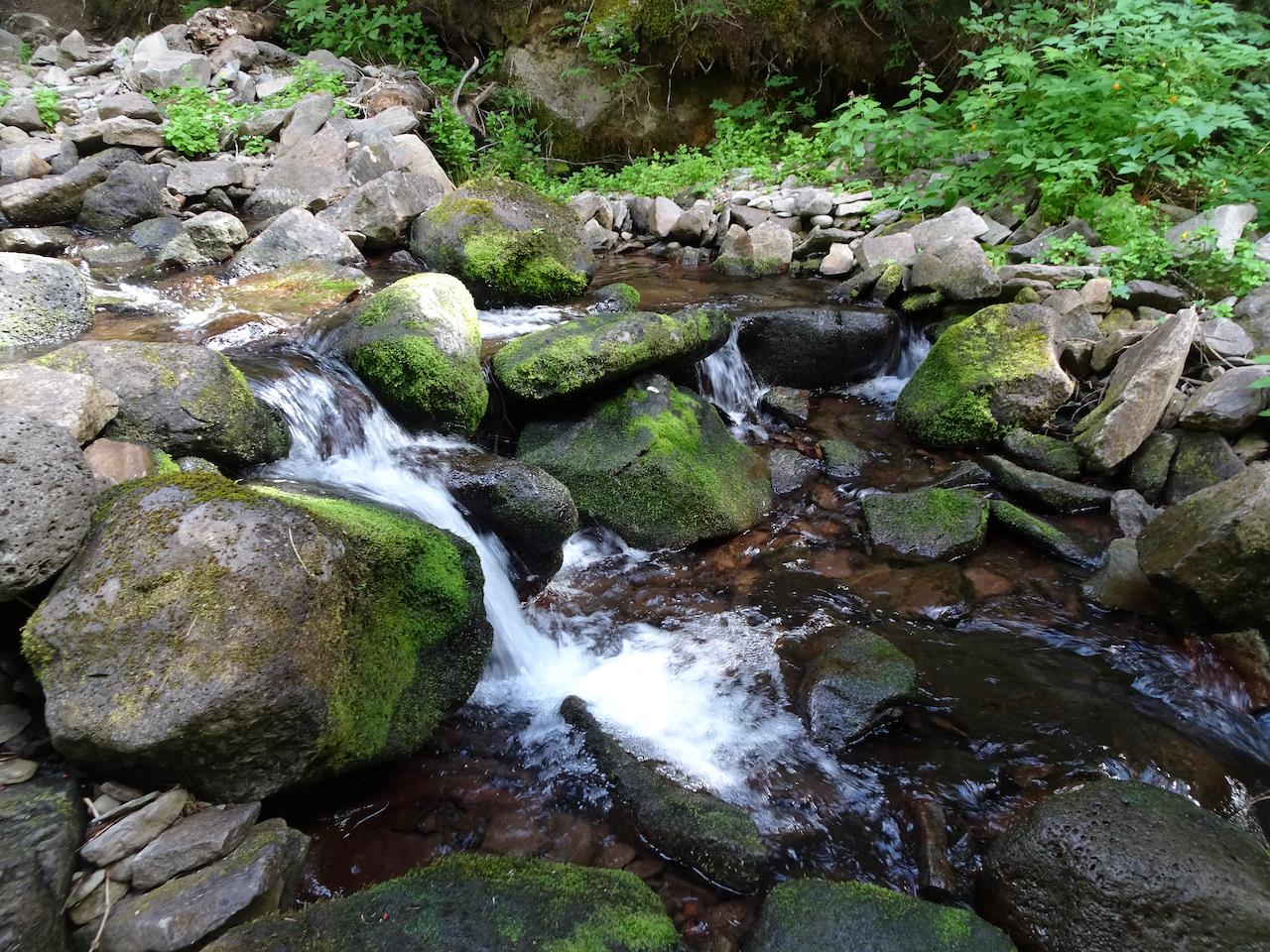
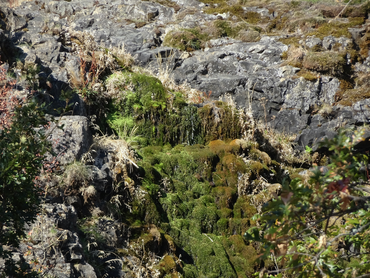
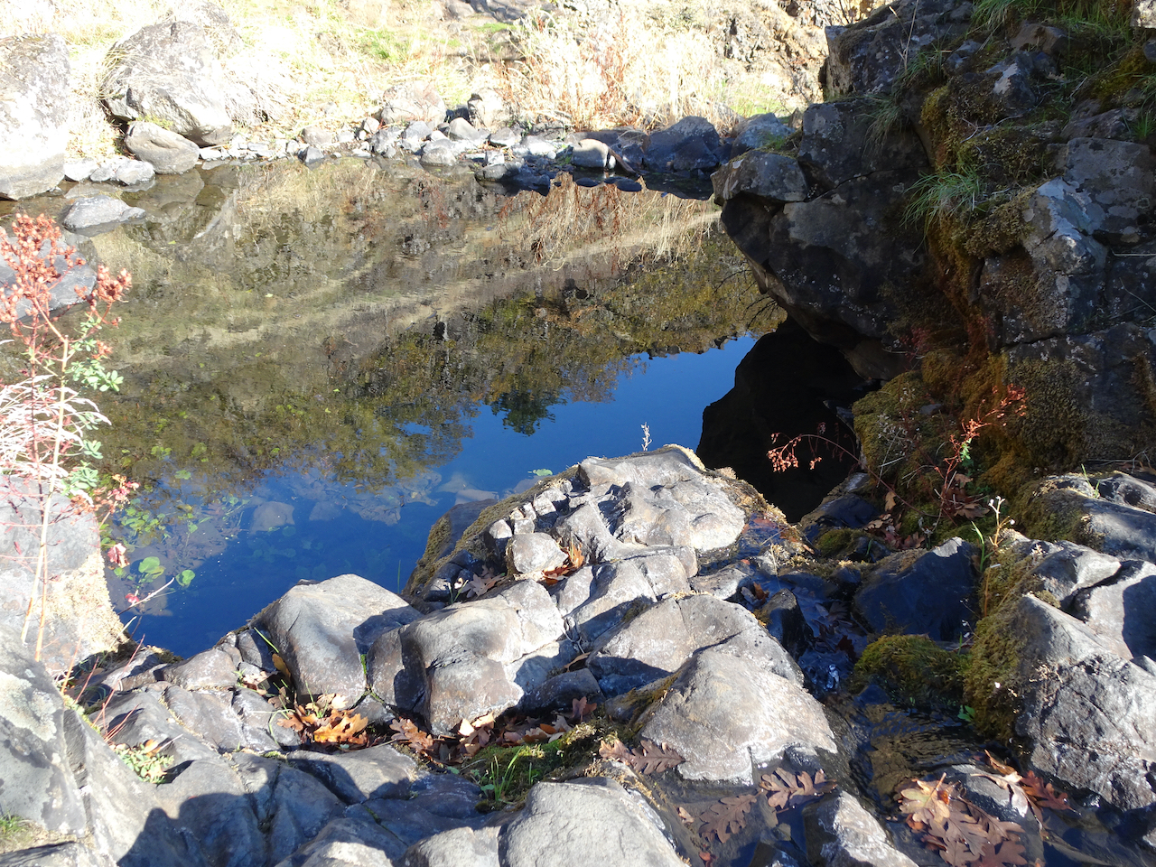
These falls were nearly dry in November,
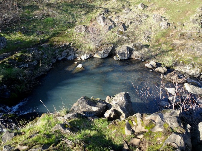
now the pool is overflowing.
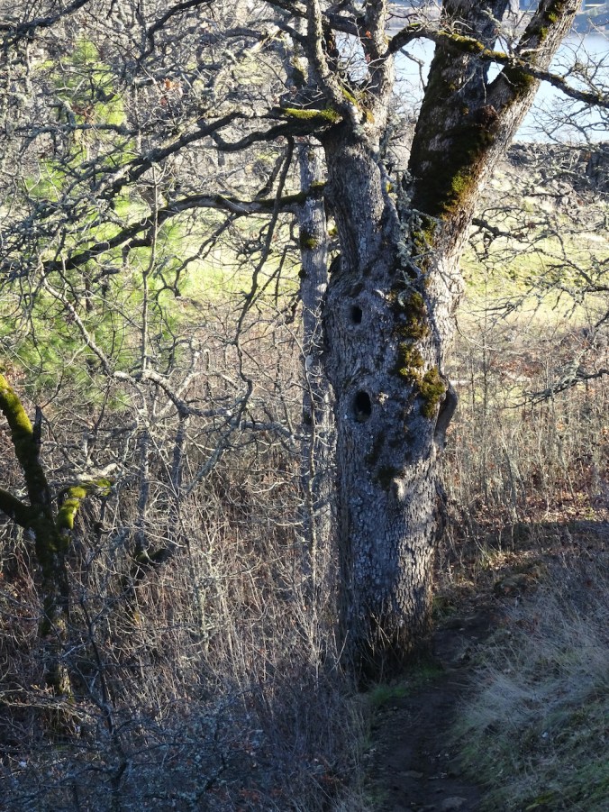
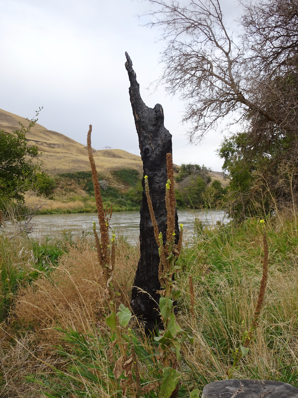
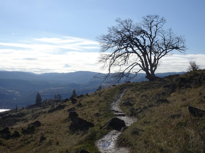
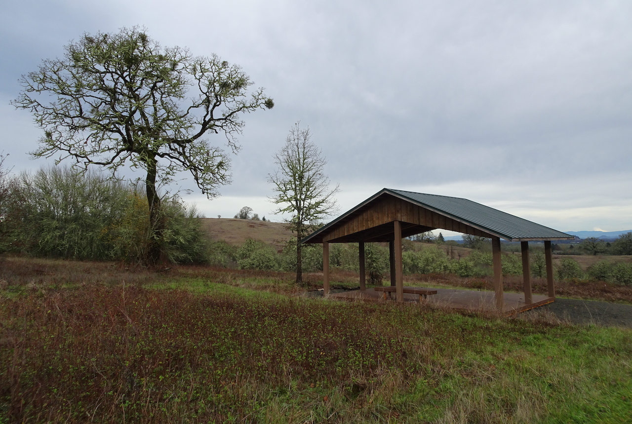
Goodbye to the ghost tree.
And back to the trailhead beneath the wall. A successful day!
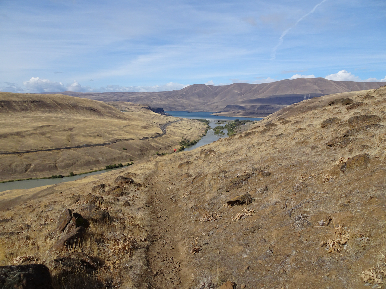
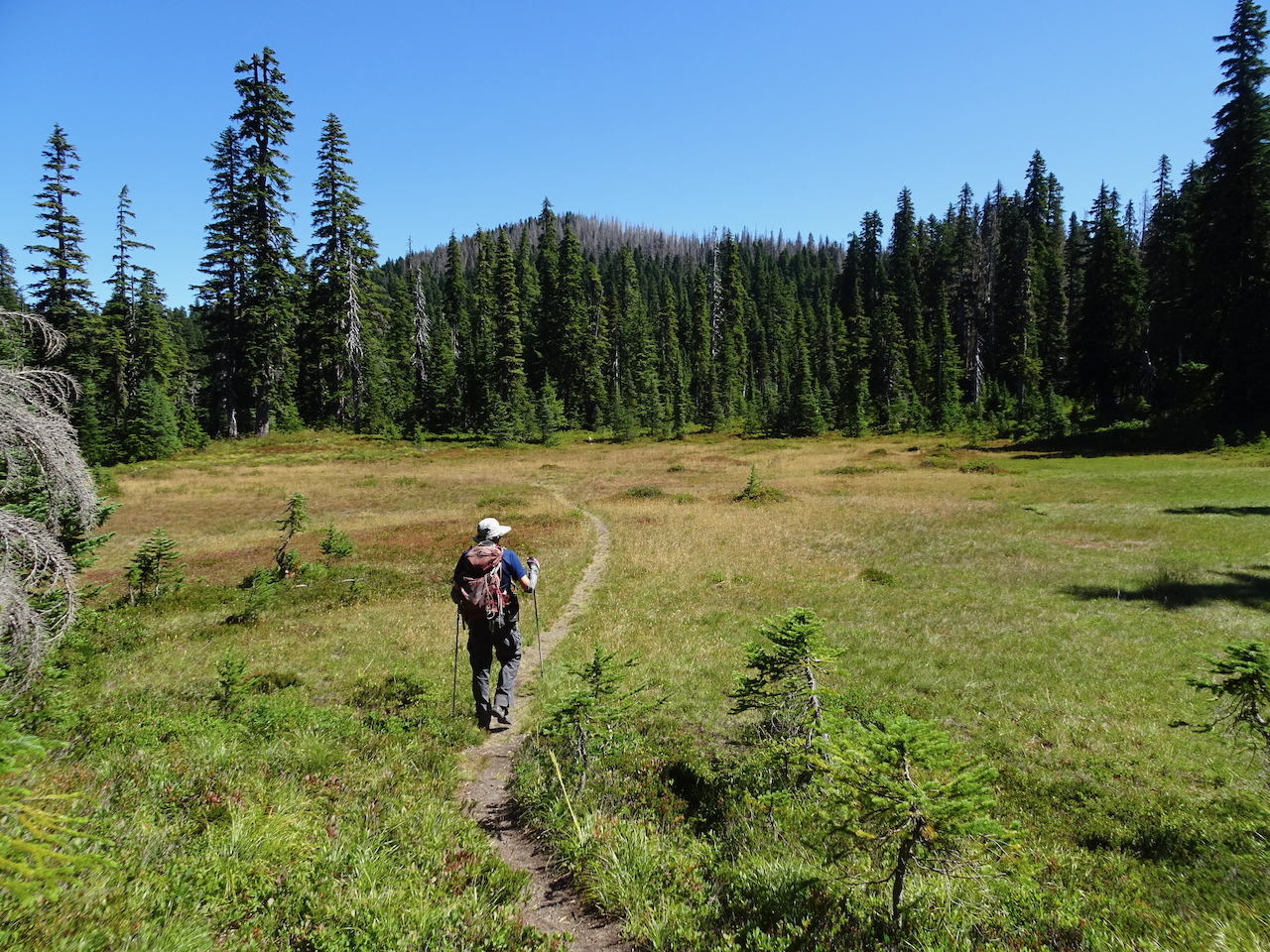
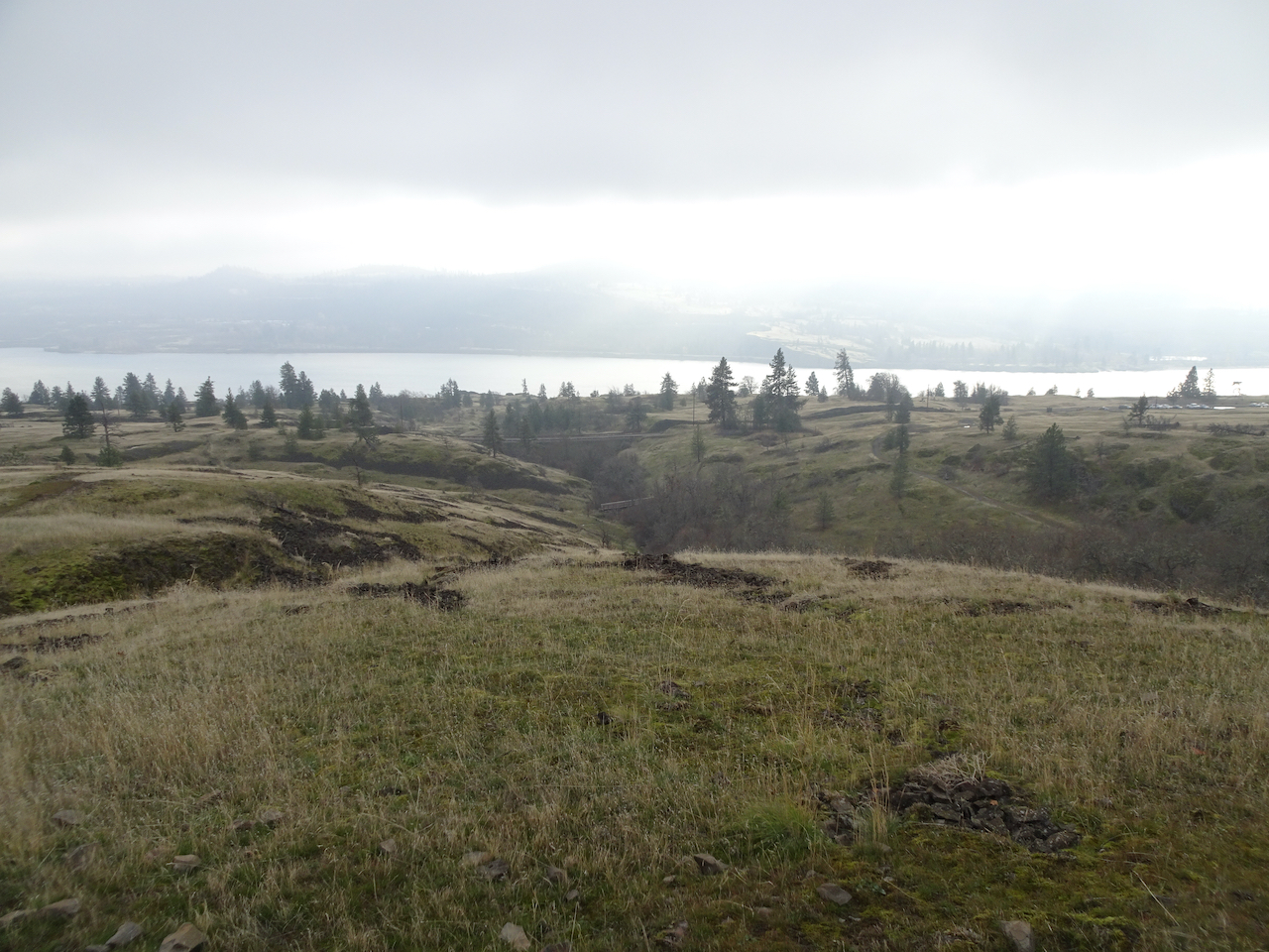
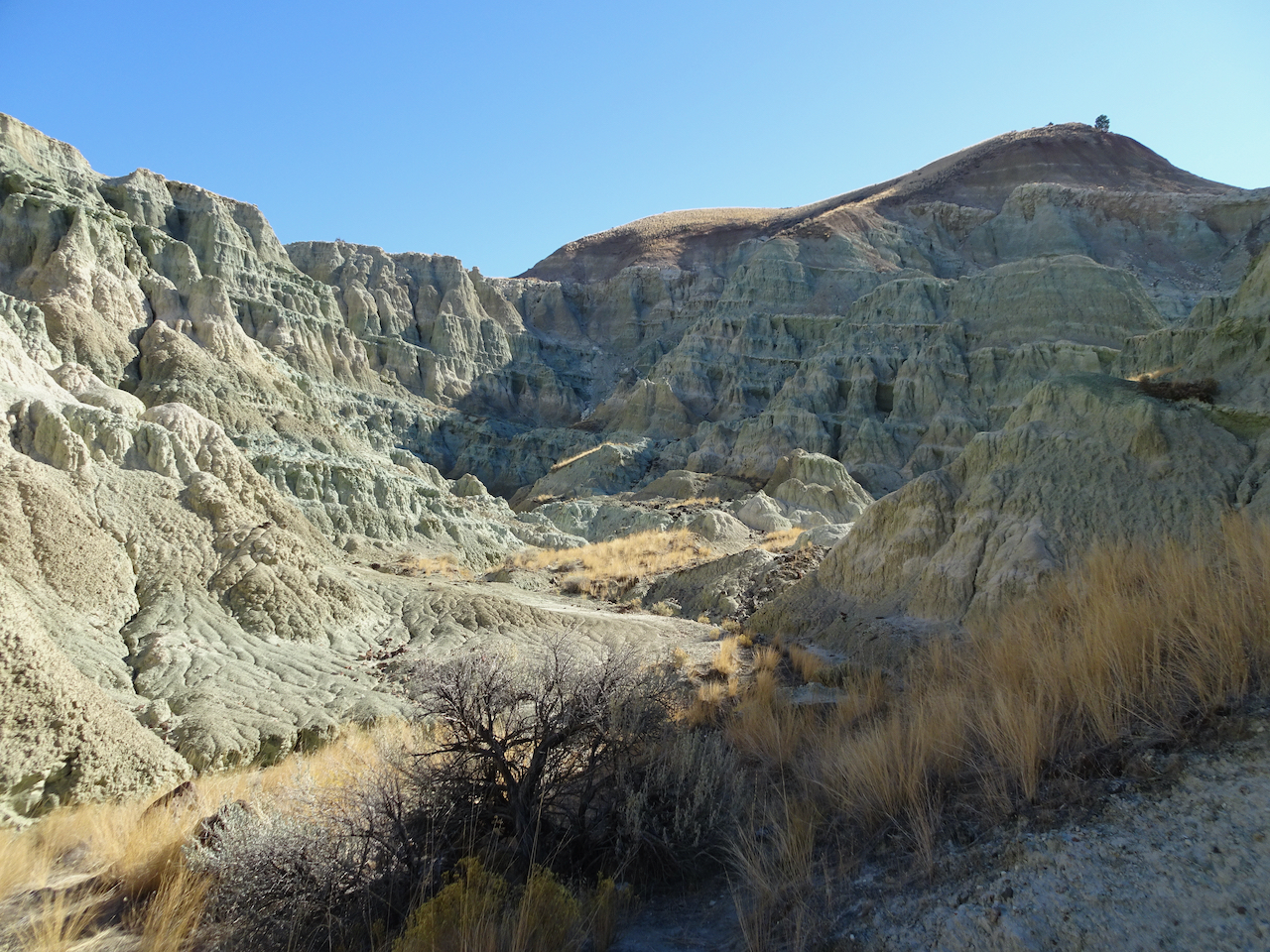
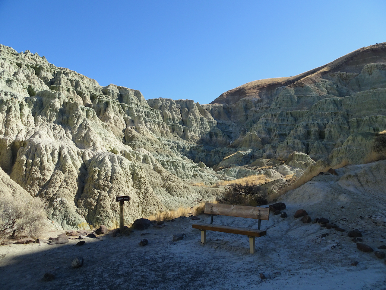
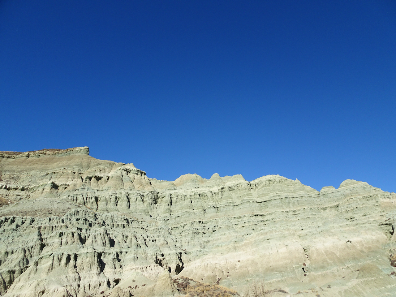
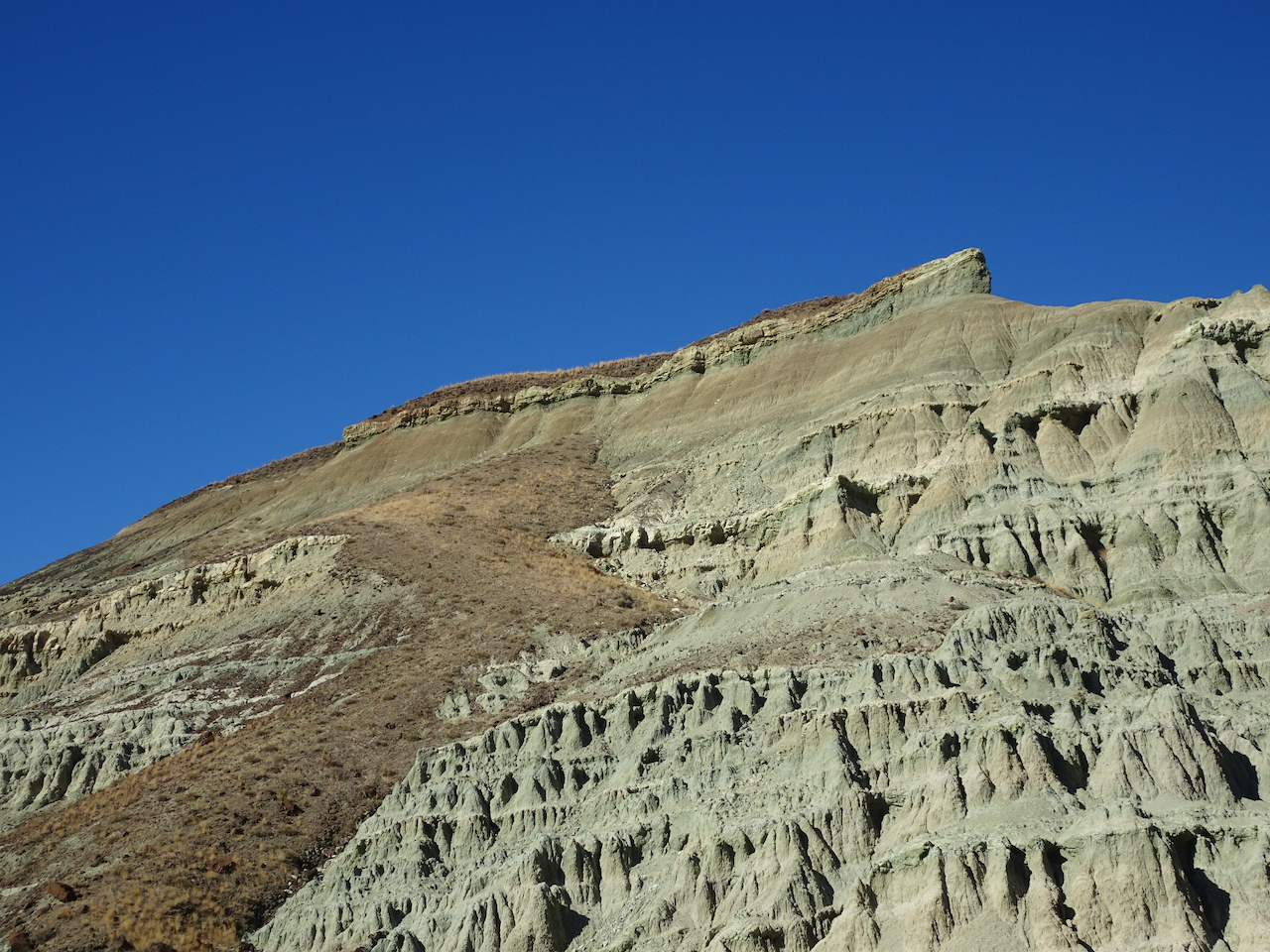
Dalles Mountain Ranch – Vista Loop – Feb. 24
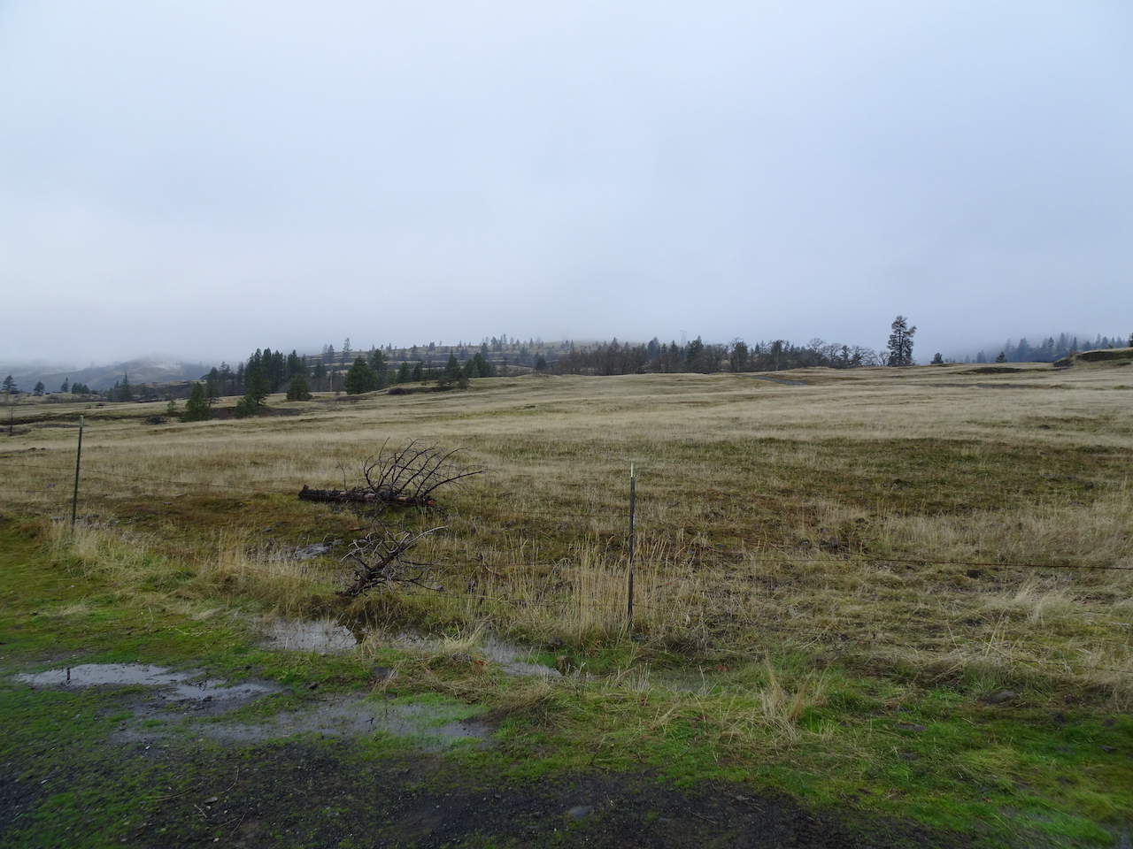
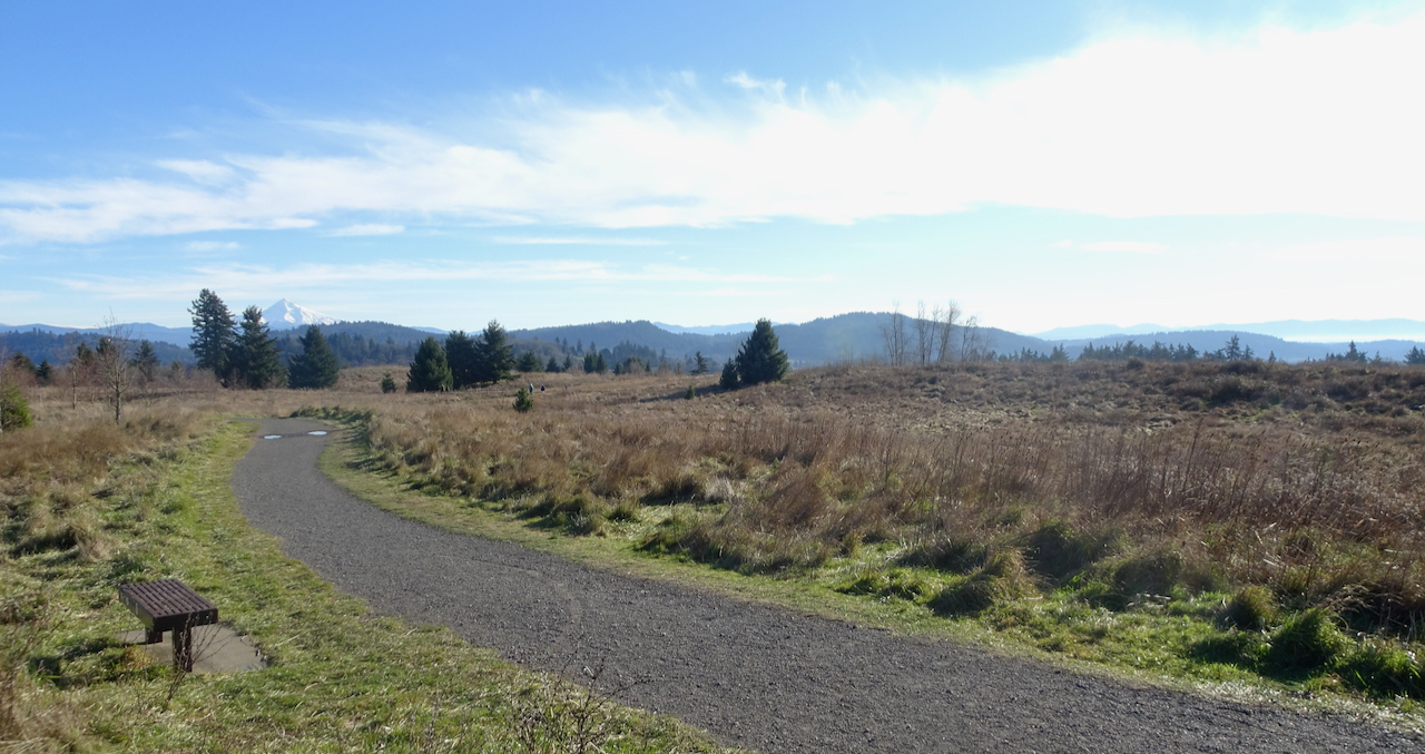
After two weeks of snow and ice storms, we were finally able to find a blue sky day at Columbia Hills State Park, an hour and a half east of Portland. A beautiful day, edged by snow on the skyline. Take a peek here if you want to see this trail in full spring bloom!
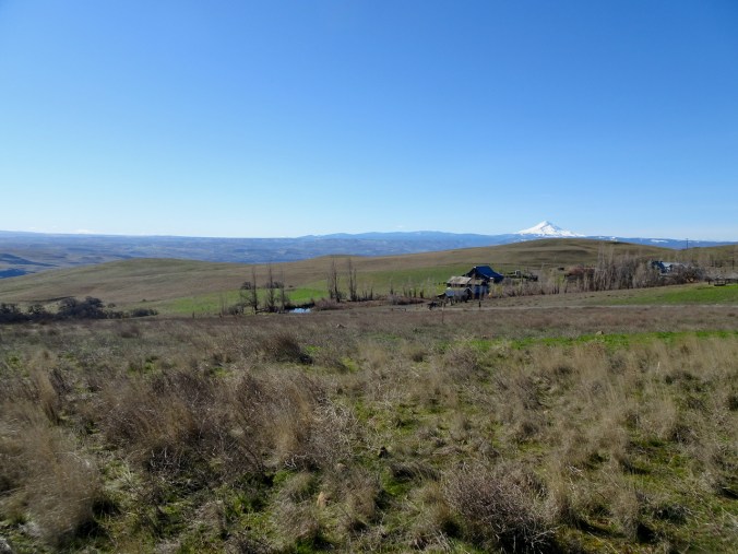
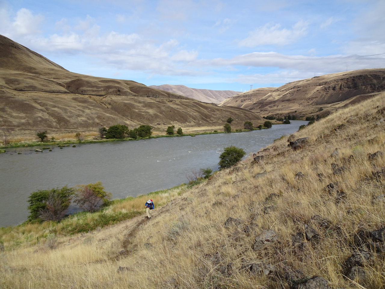
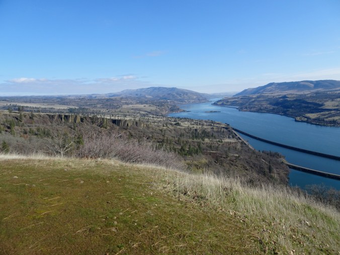
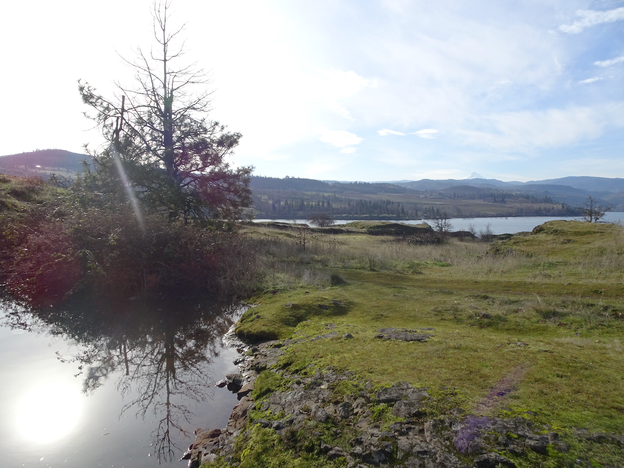
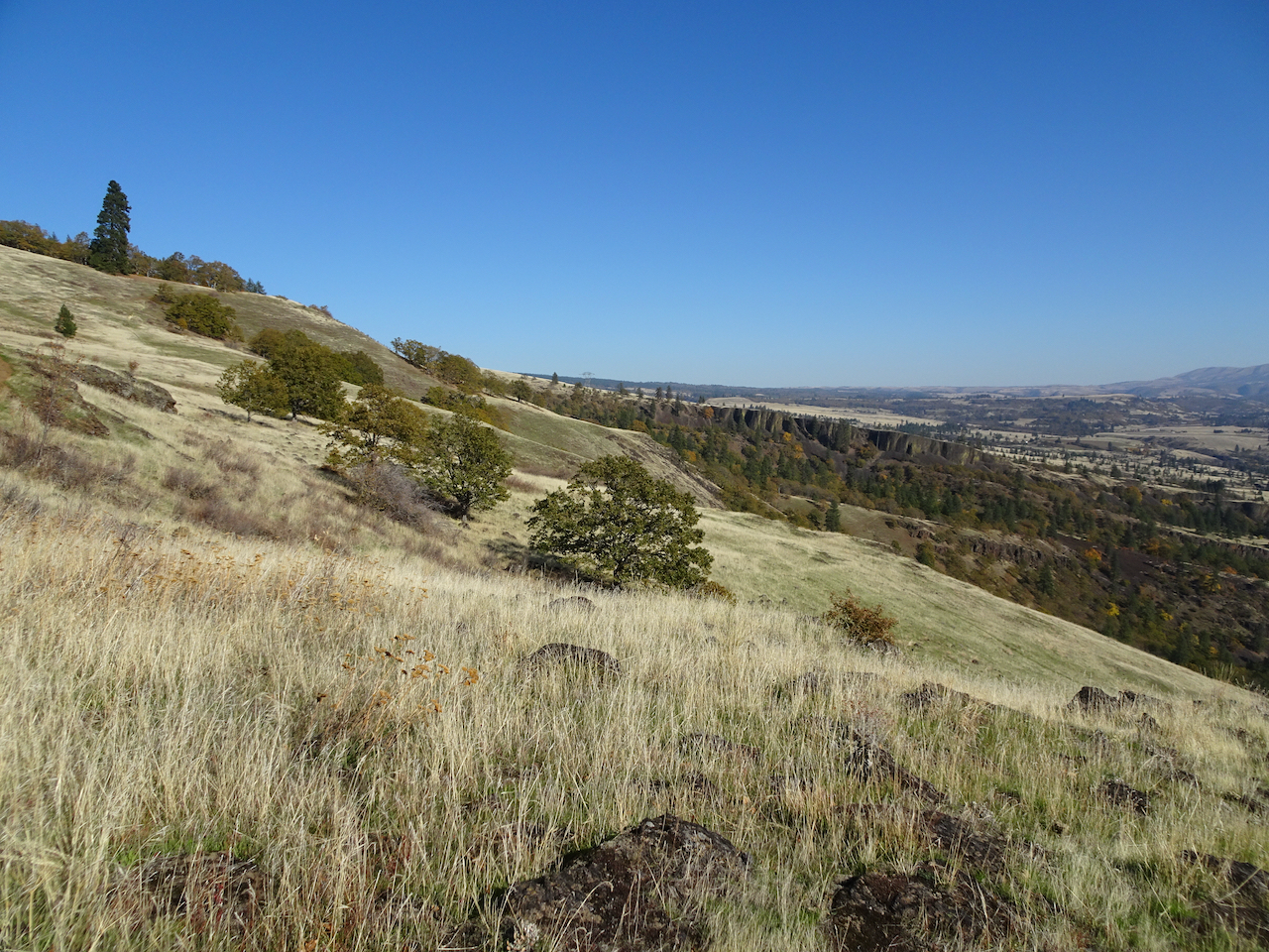
View south and west from Dalles Mountain Ranch trailhead – Mt Hood in Oregon, far across the Columbia River. We are heading downhill toward the river.

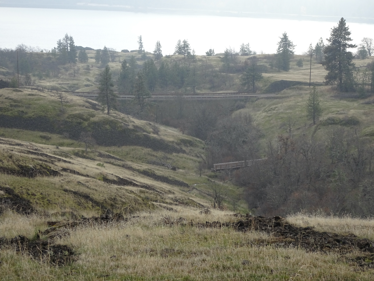
Looking back to the ranch as we hike down Eight Mile Creek.
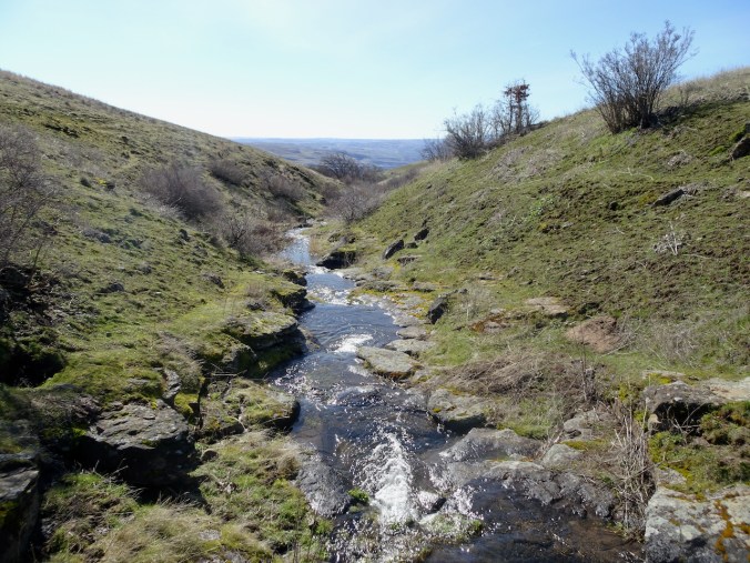
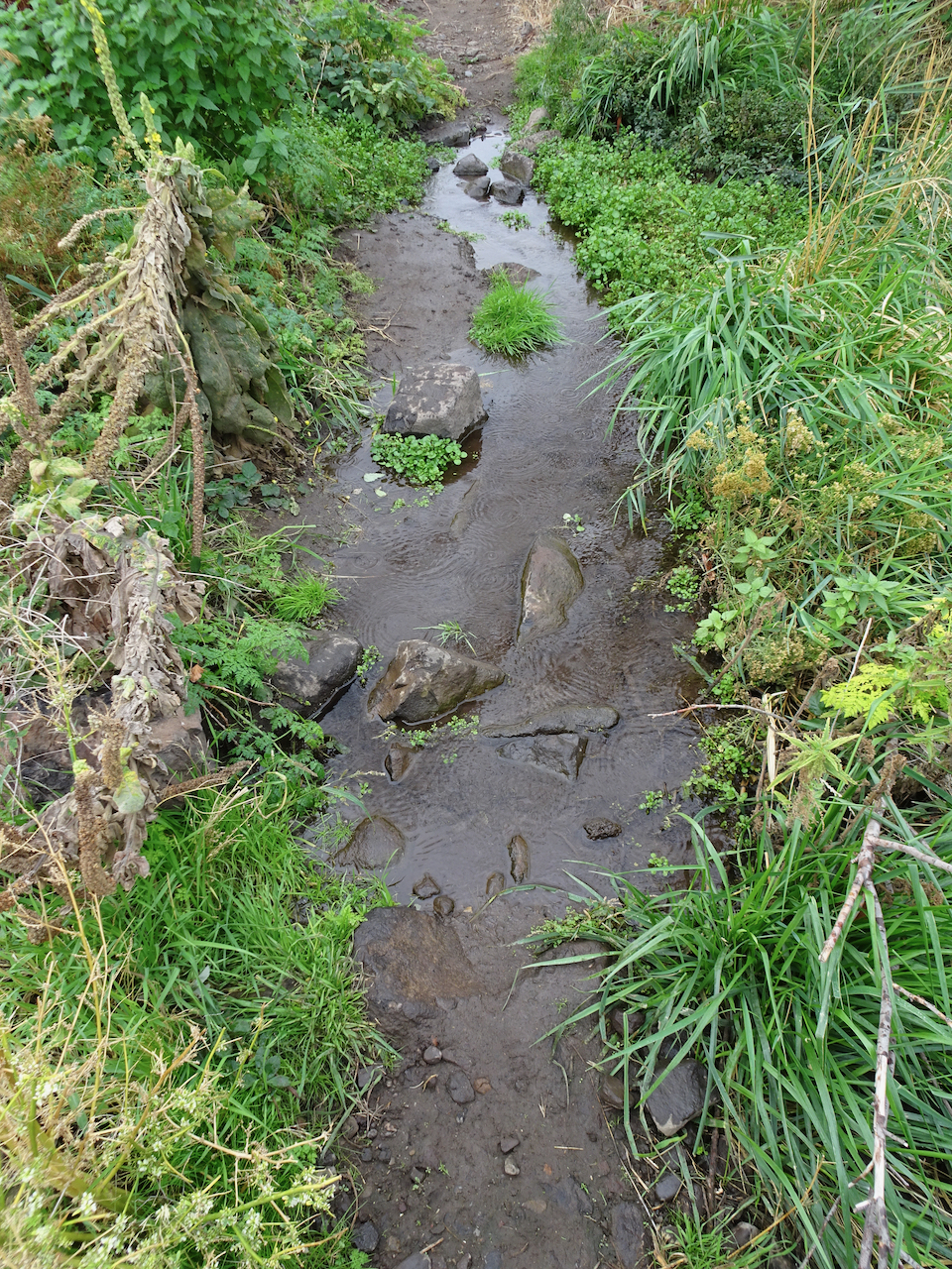
Creek crossing.
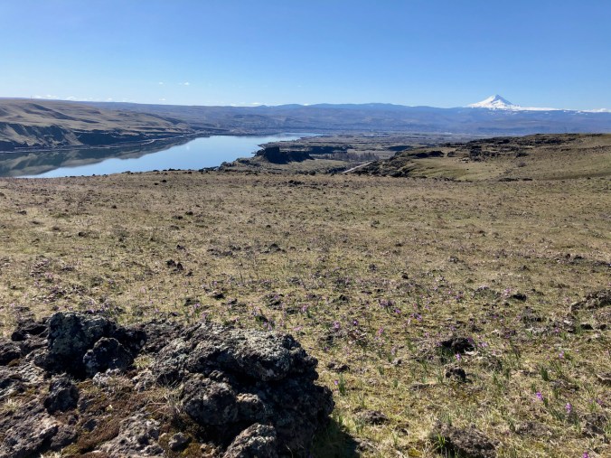
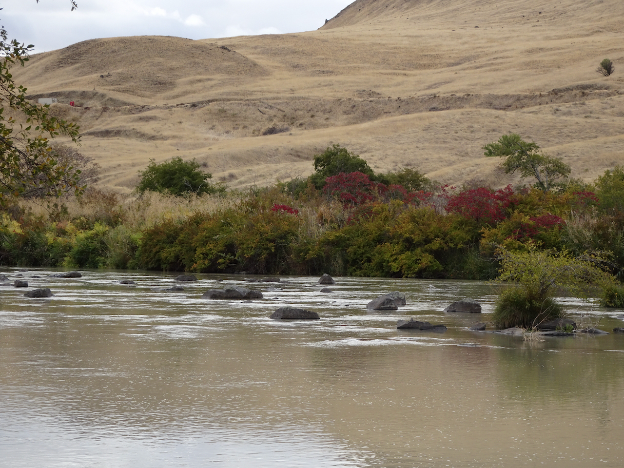
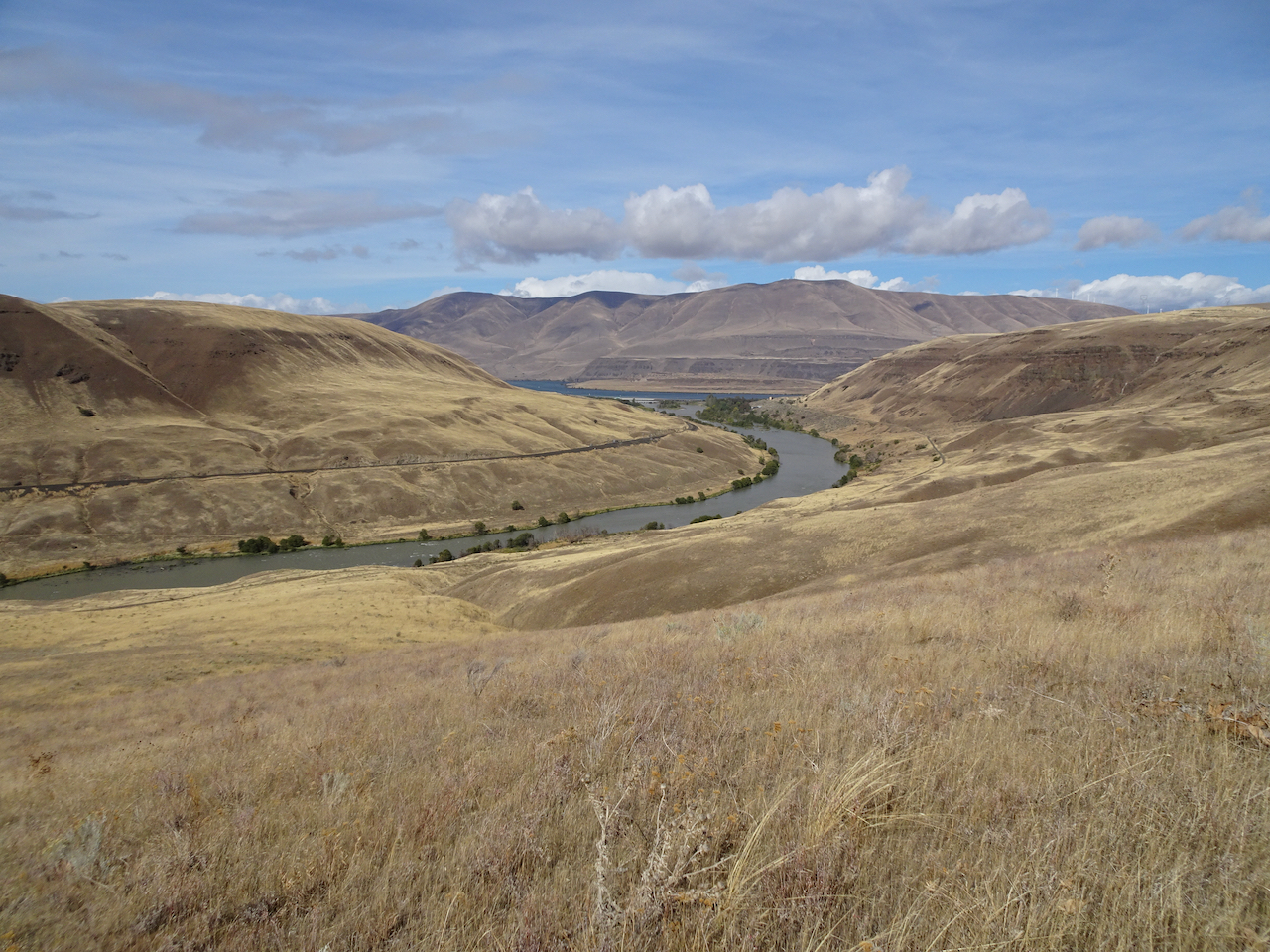
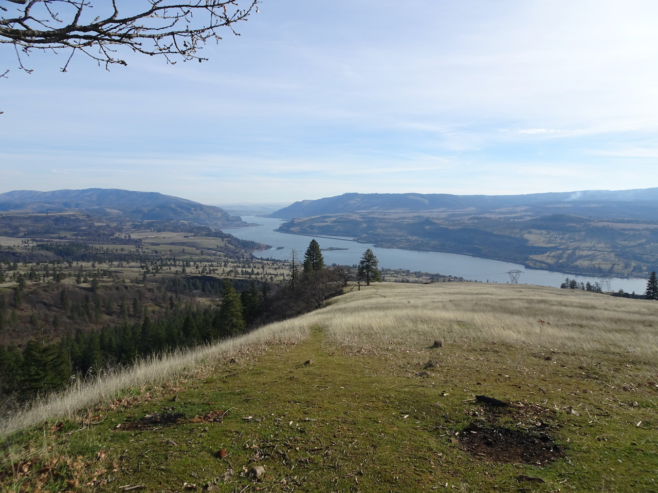
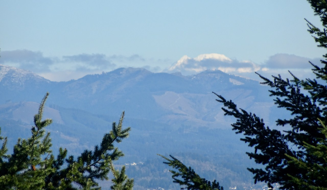
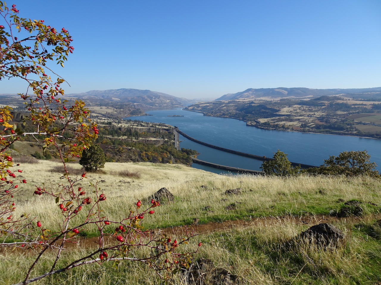
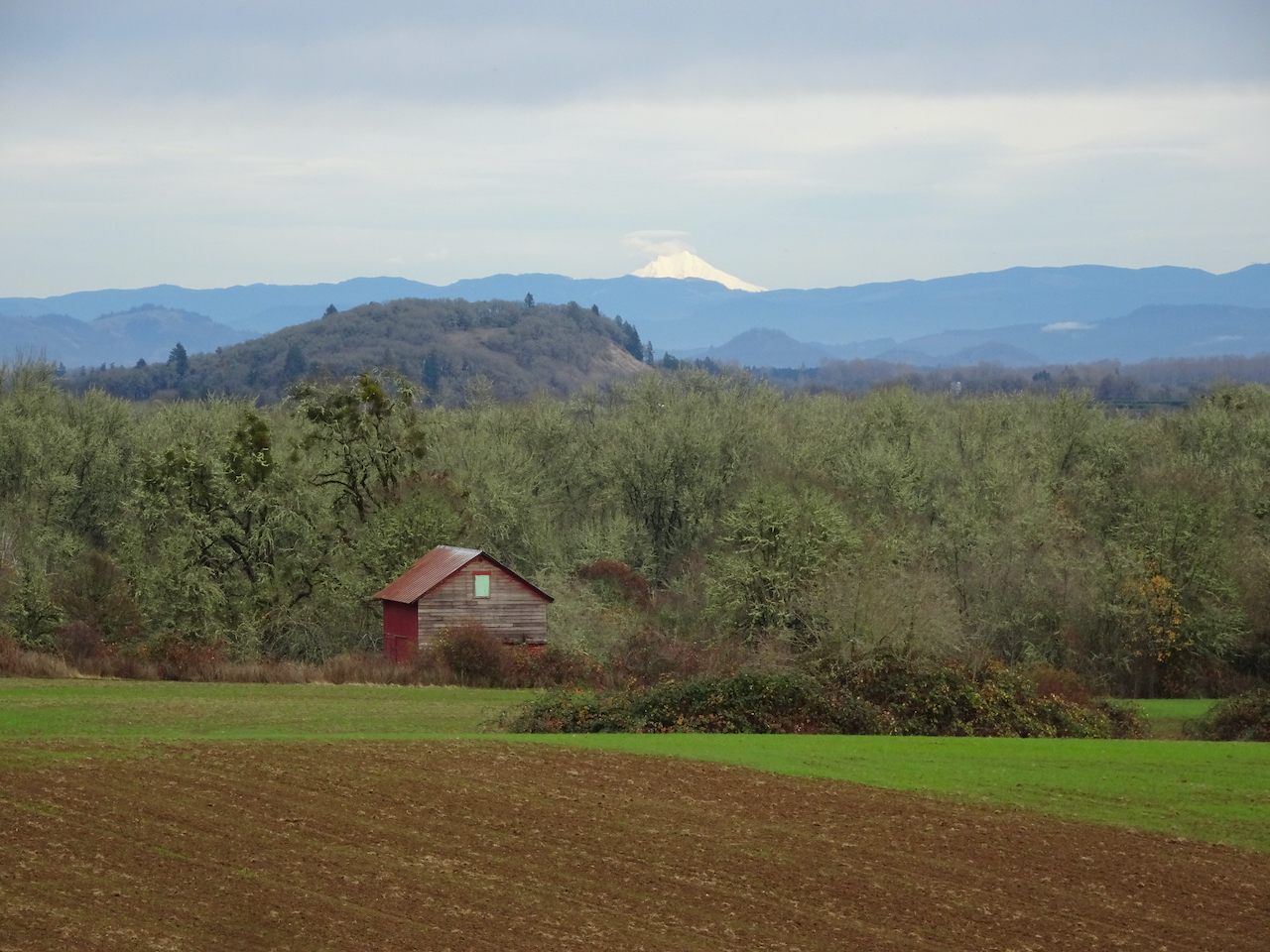
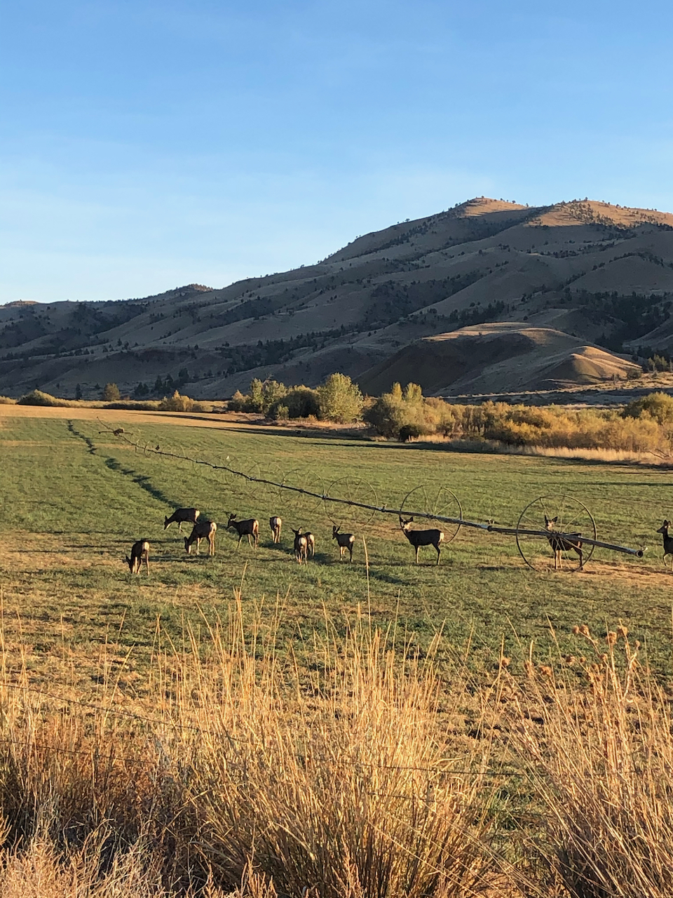
Our lunch stop along the Missoula Floods scoured lower bench. Mt Hood, Columbia River, The Dalles and Horsethief Butte. Lots of purple grass widows in the foreground.
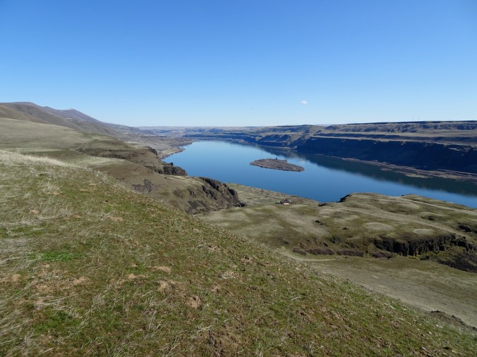
Eastward lower viewpoint.
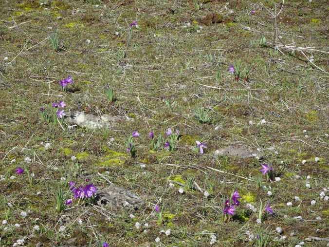
Salt and pepper, grass widows.
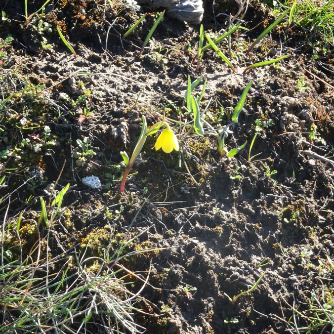
Yellow bells
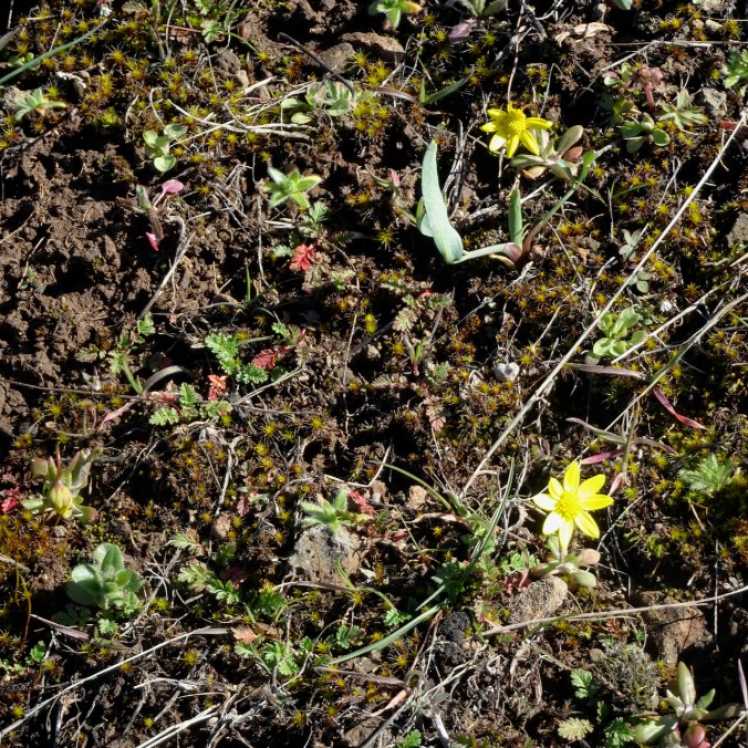
Gold stars

Another desert parsley

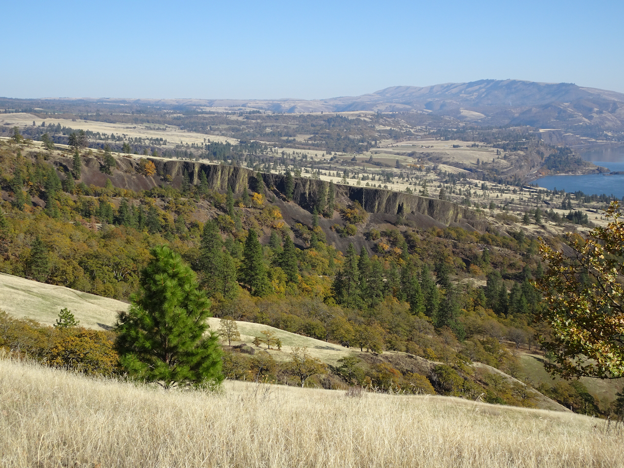
Looking back up to the ranch on the return hike.
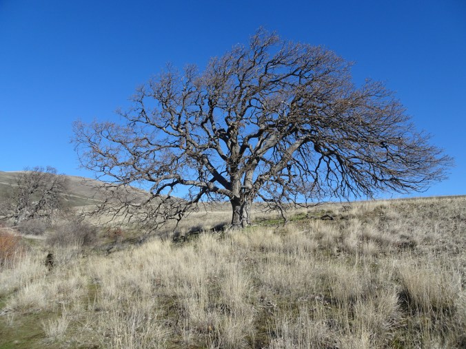
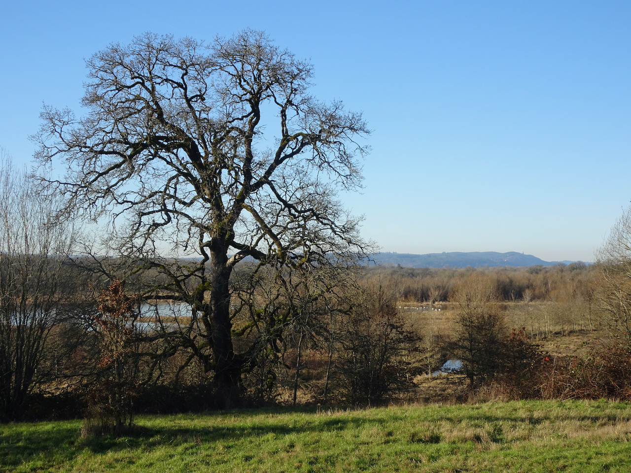
One tree to rule them all.


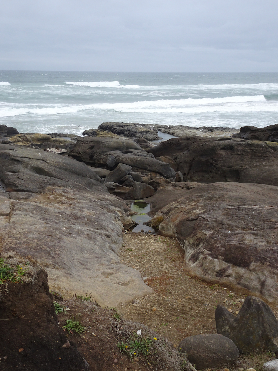
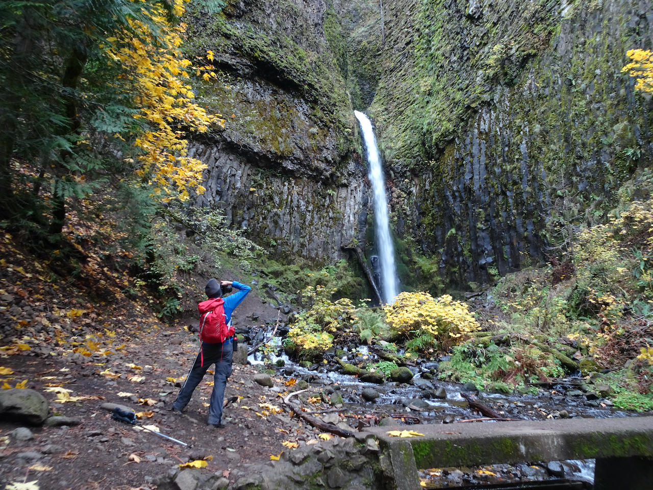
 Dry Creek Falls, which we have hiked


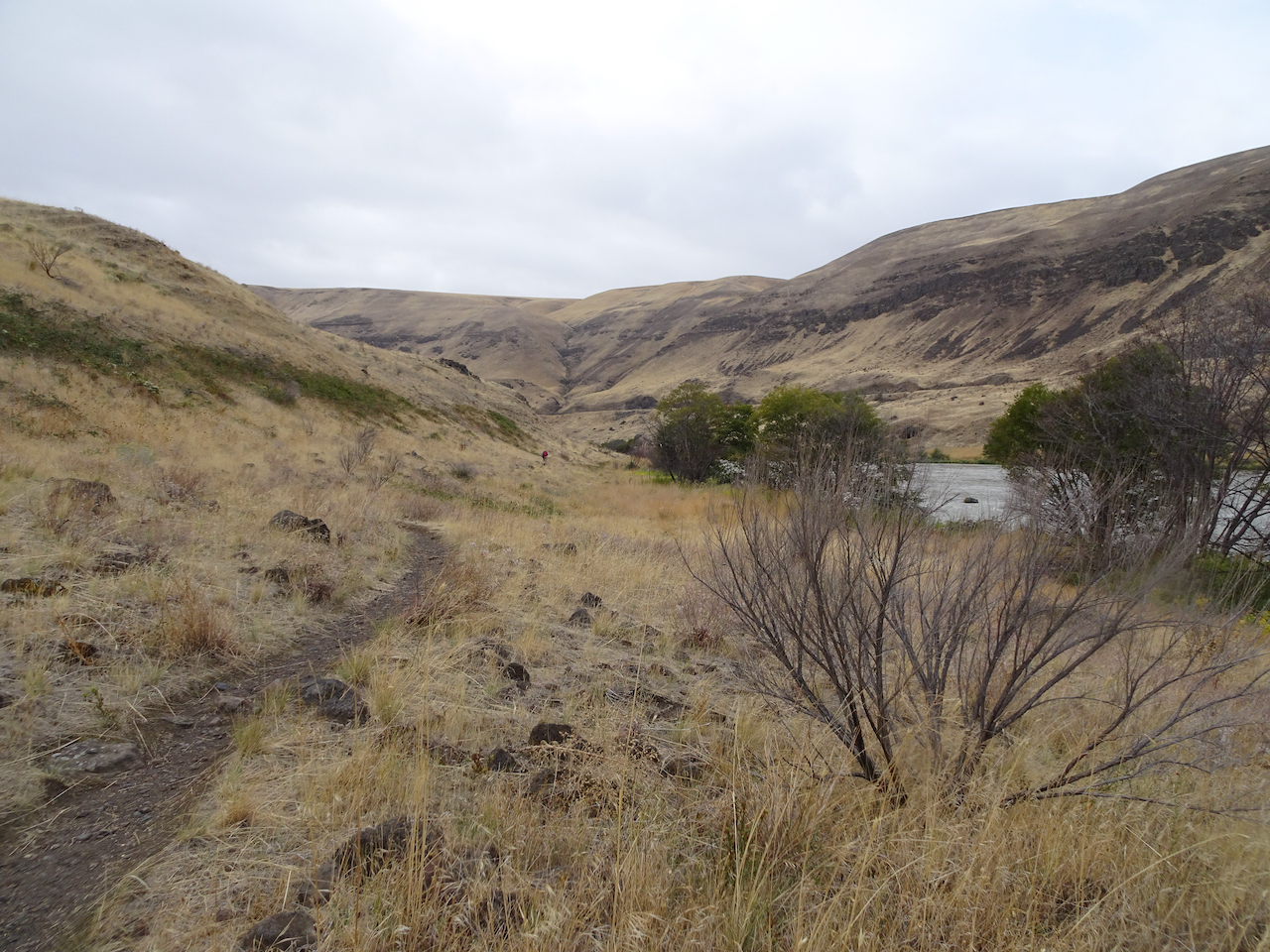
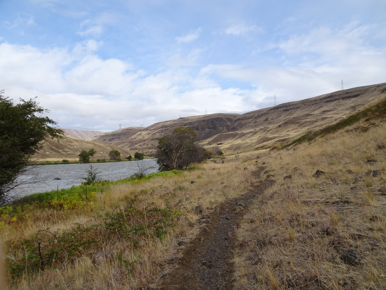
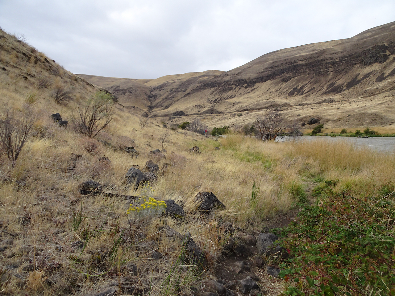
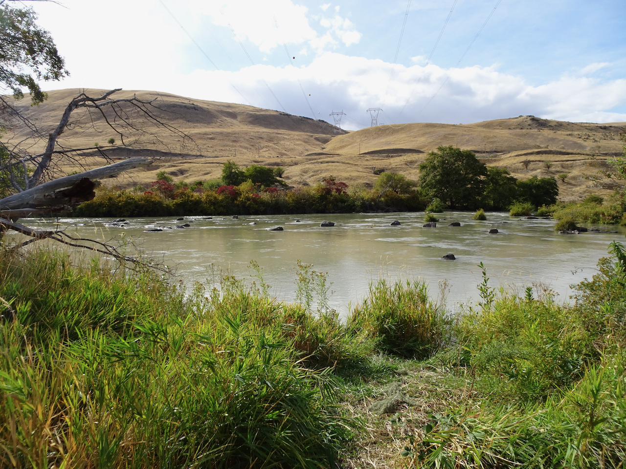
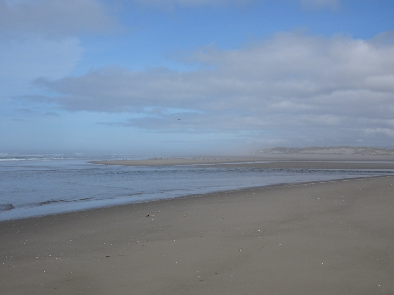
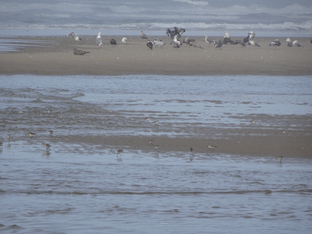
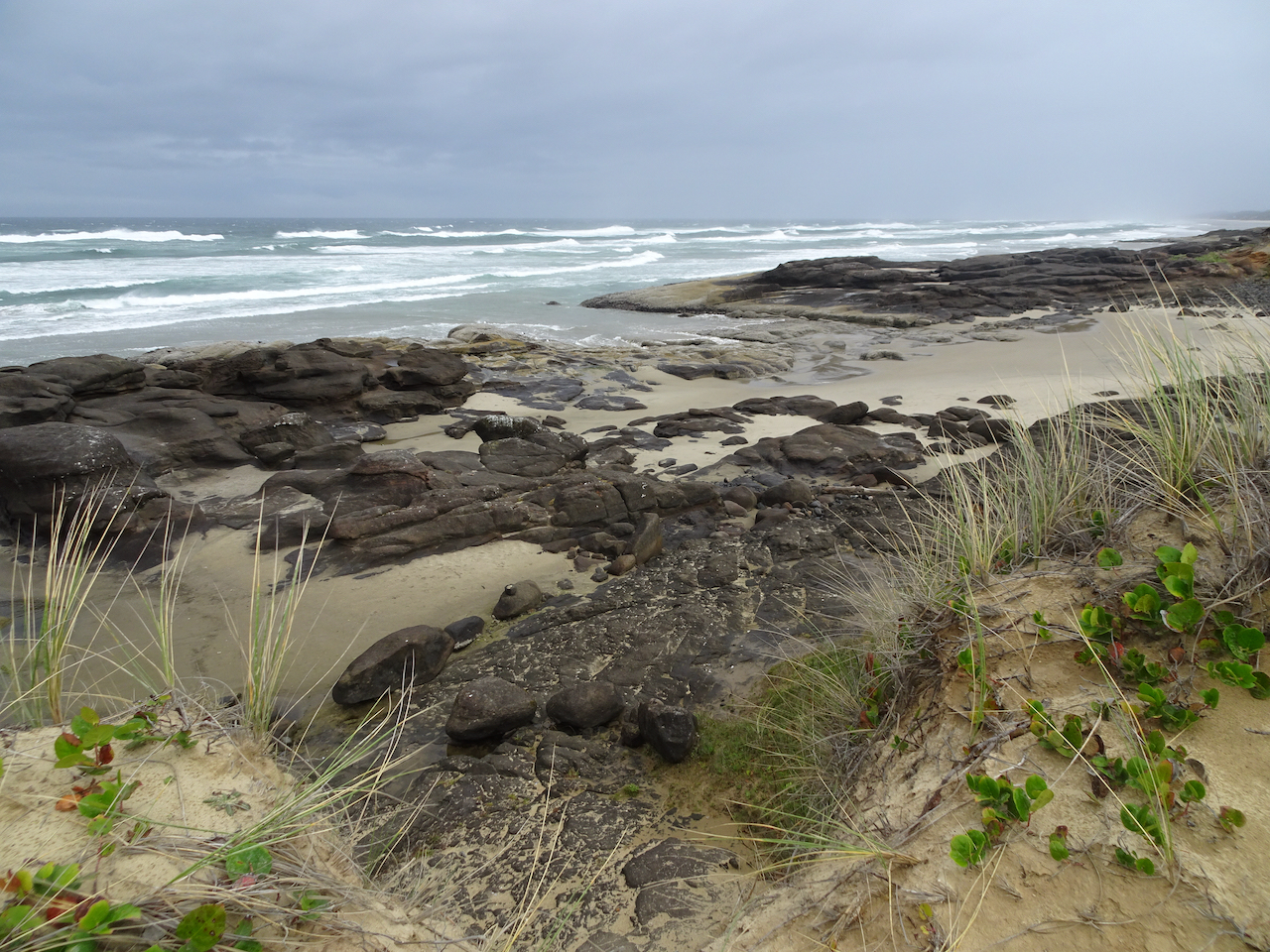
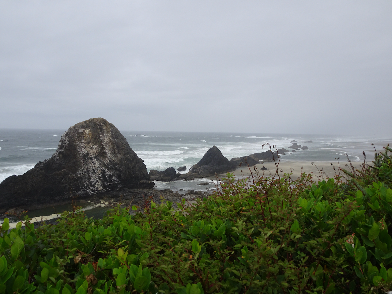
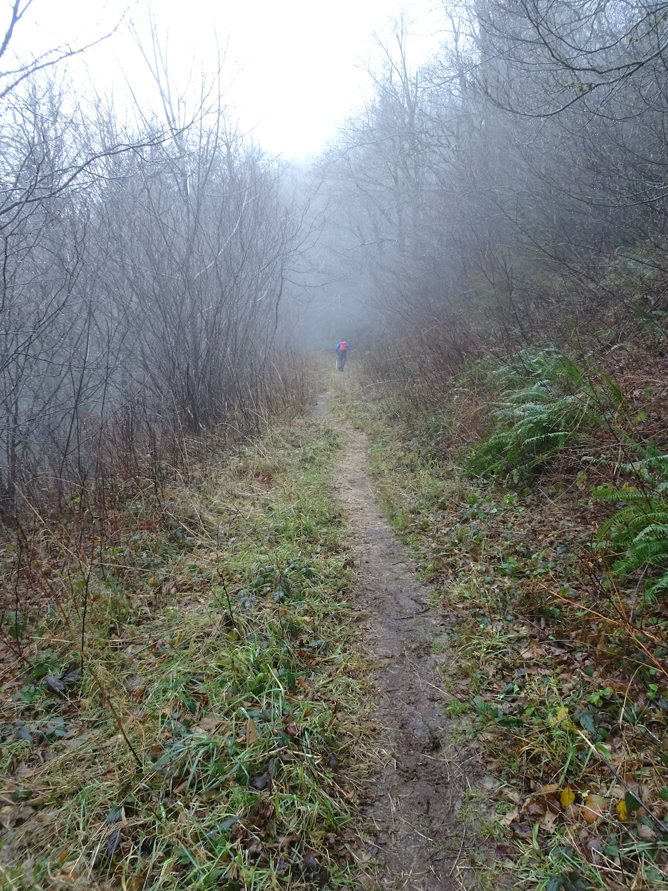
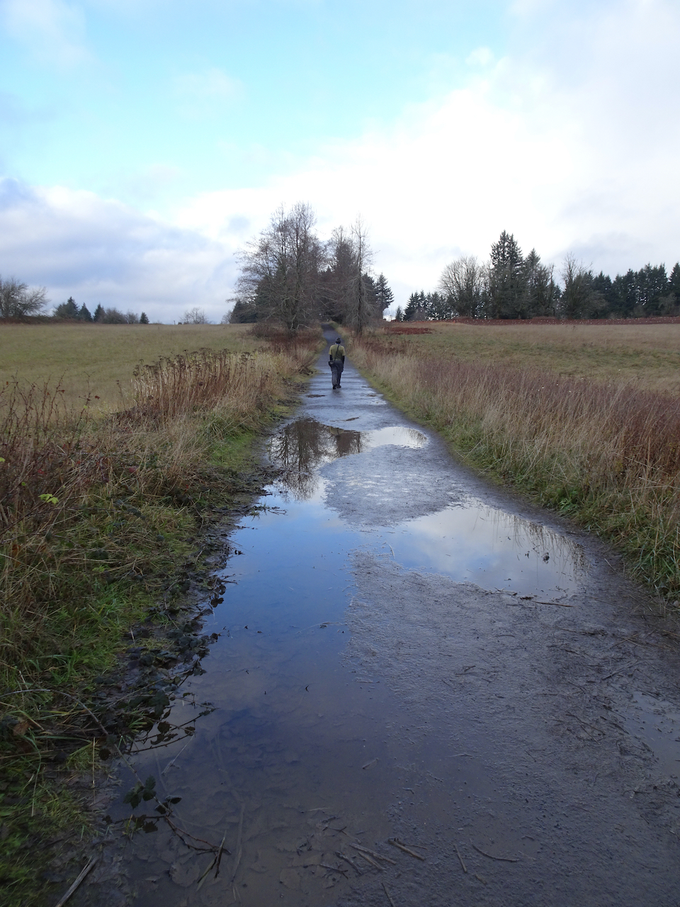
 Deschutes River trail, a smattering of rain, it feels like walking through a purifying mist, and there’s no Covid out here.