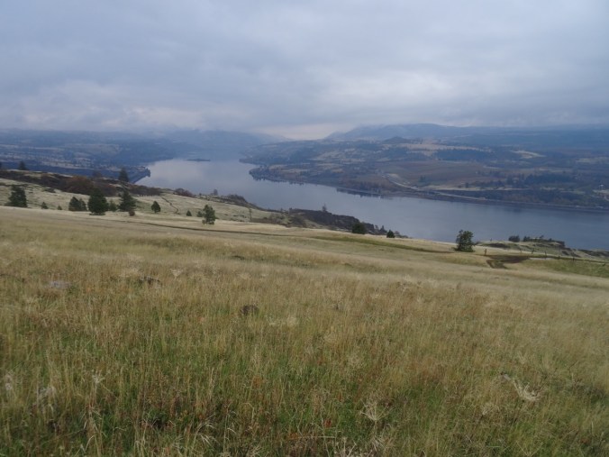
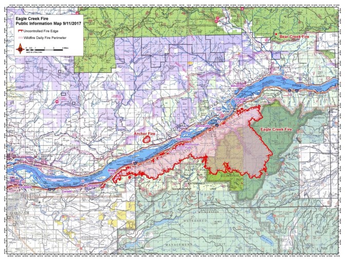
My post 20 about the Columbia Gorge fire, (still out of control as I write this) delayed finishing this post.
Neahkahnie Mountain 9/1/2017 (#44)
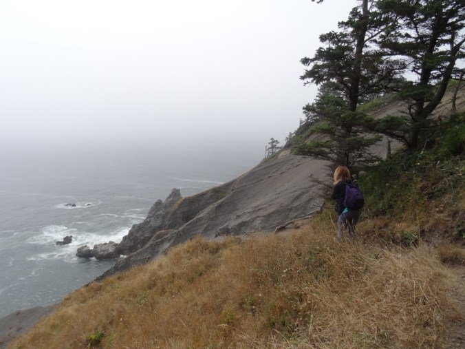
The heat and wildfire smoke have settled into the Portland area for the long weekend and beyond. We drove out to the coast this morning, for a repeat of the day trip I took with my sister and son in August. No fog bank this time – the sky was clear blue and it was actually a little hotter than I would have liked for the hike.
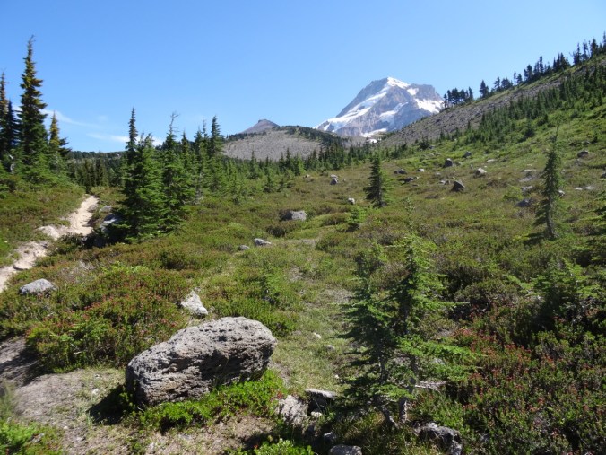
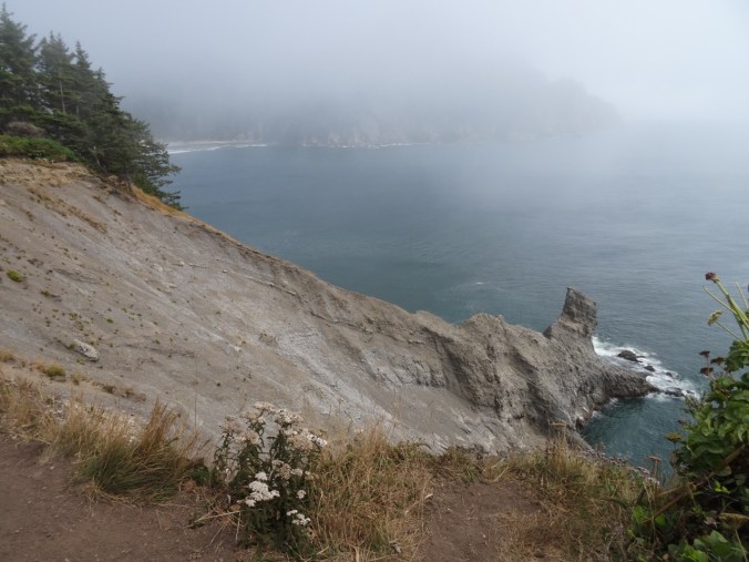
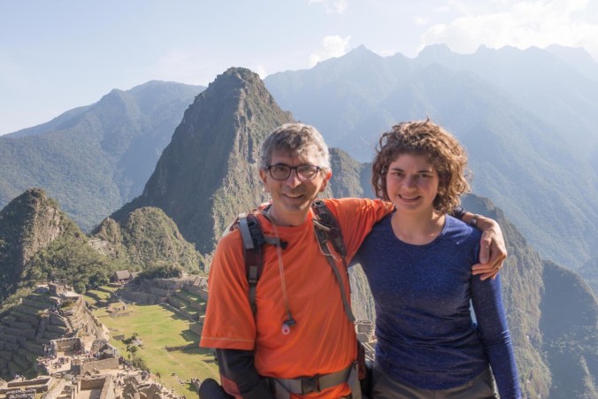
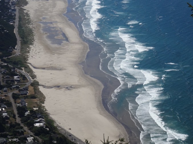
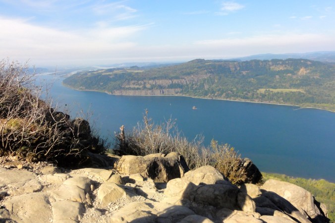
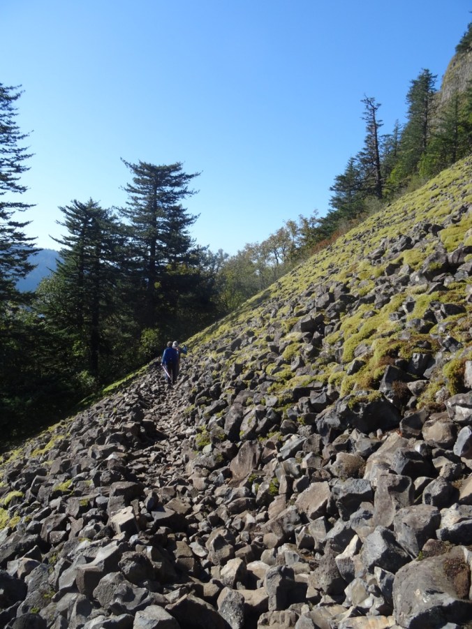
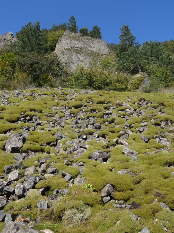
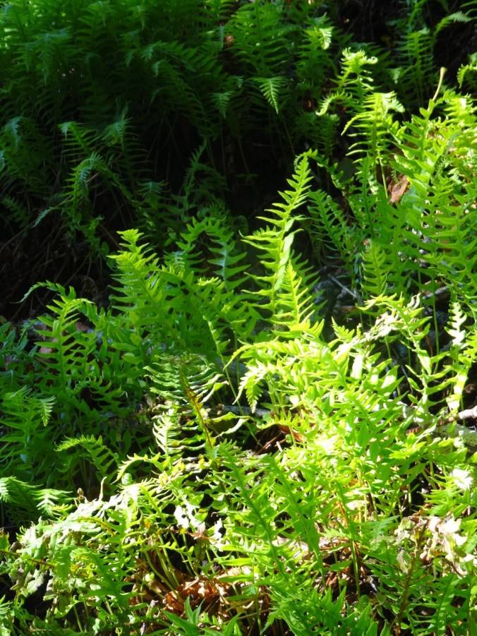
Neakanie Mtn juts 1680 feet up from the ocean. The south trailhead is at about 700 feet, so we only had to climb about a thousand feet over one and a half miles to reach the top. The first mile is steep switchbacks through coastal forest with a few straggling flowers, and shady much of the way. The last half mile is just below the ridgeline, over rocky outcrops, with a final slight scramble to the summit – a rocky spine with not much space for the two or three families who were there with us. We perched where we could long enough to eat sandwiches, while admiring the incredible view over Nehalem Bay, and watching the wave trains swash along the beach below.
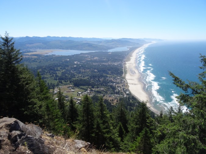
Nehalem Bay/Manzanita from Neahkahnie Mtn
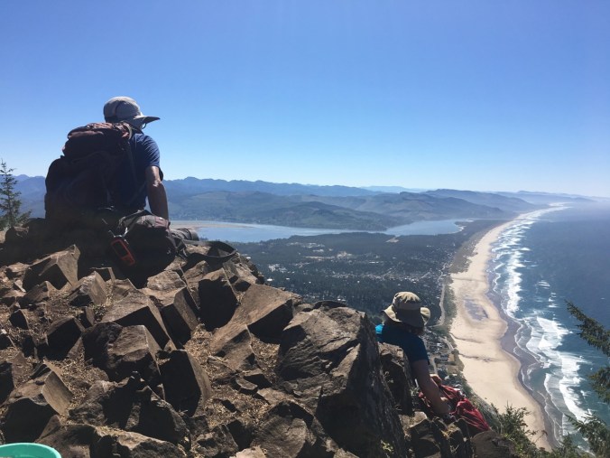
A fellow hiker took this photo of us while we were eating, and kindly emailed it to us. It is one of my favorite photos of us on a hike. Meanwhile, it was actually rather roasting up there, so we started down and fairly quickly returned to the trailhead.
With most of the day still ahead of us before the low tide at about 5 pm, we next went to the famous Neahkanie Point overlook on the highway, and paused to say Thank You! to Oswald West, Oregon governor about 100 years ago who was foresighted enough to reserve much of the Oregon coast as public land.
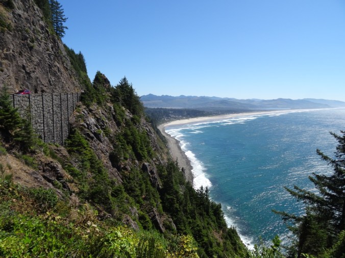
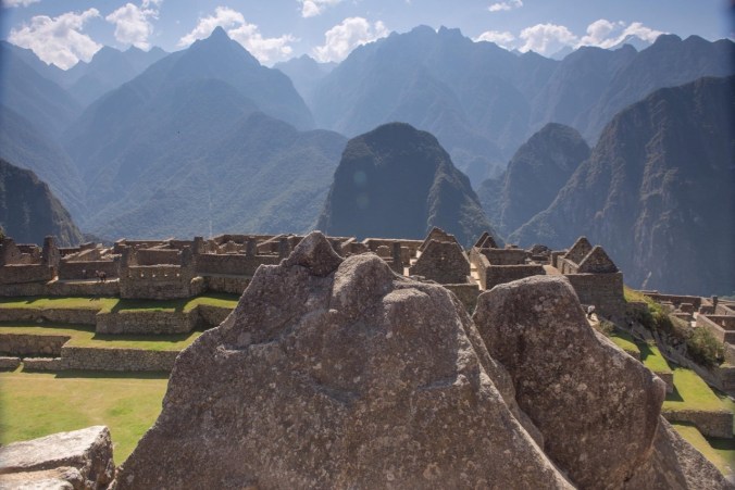
South view, Neahkahnie Viewpoint

Thank you Oswald West
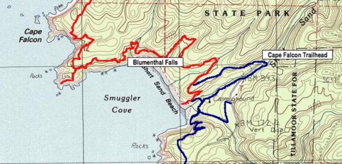
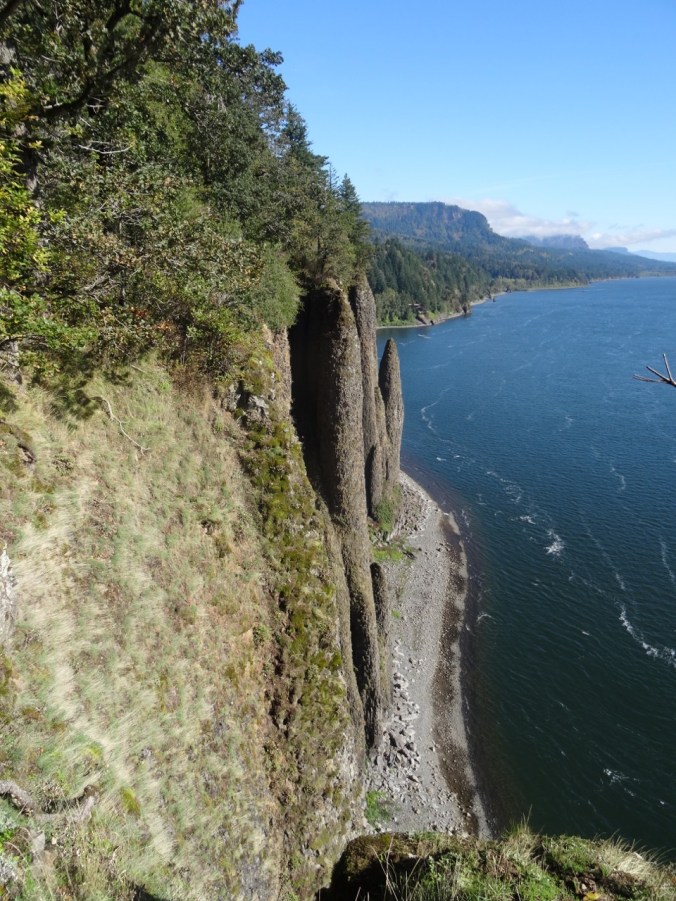
Next we walked about a half mile down to a viewpoint over Devil’s Cauldron, a coastal cliff chasm that creates a lot of splash. There was a lovely bench in the shade which we had to ourselves for a while. We sat and admired the view, which includes Cape Falcon in the distance – the very Cape that Helen, Brian and I hiked out to about a month ago – interesting to see from this angle.

Cape Falcon

Devil’s Cauldron
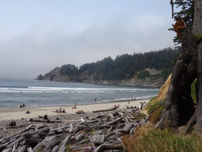
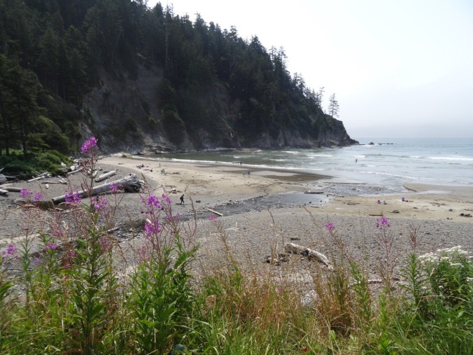
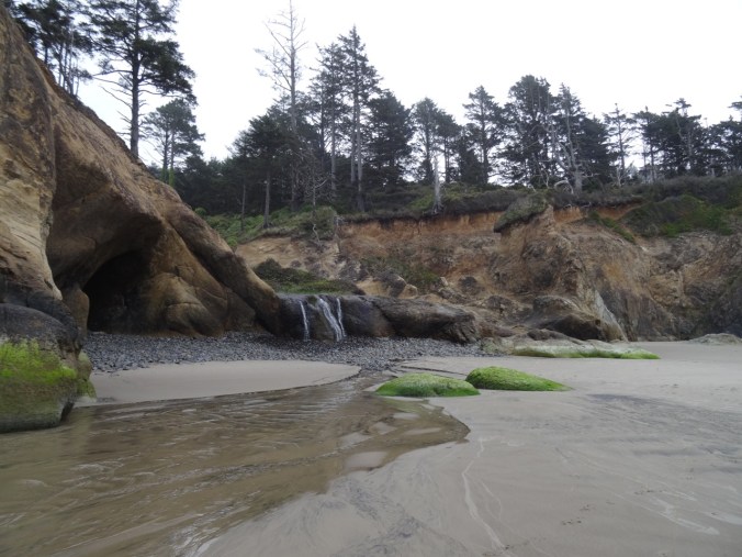
Next stop – Hug Point. We have spent a lot of time on this stretch of beach, from Arch Cape to Cannon Beach, during the last 28 years. We rented a house for a week here with our kids nearly every summer, and if they remember any one place as a favorite family vacation spot, this is it. First we walked south toward Arch Cape, passing The Cave and Big Barnacle Rock. I am impressed with how deep the sand is! Ten or more years ago heavy winter storms washed away so much sand and deflated the beach such that the sections of cobbled beach were persistent all summer. It is more fun to walk on the sandy beach! Tide was going out, but not very low today – we could not walk around the west side of Big Barnacle Rock, but it was nice to say Hi and have a good peek into The Cave.
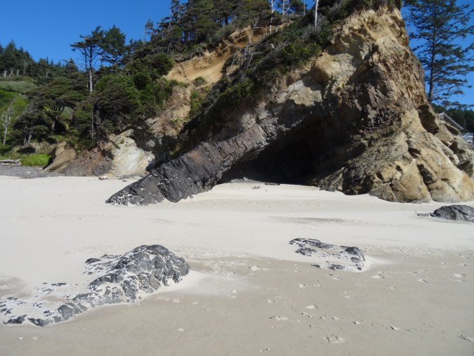
The Cave
Big Barnacle Rock
Neahkahnie Mountain, which we climbed this morning
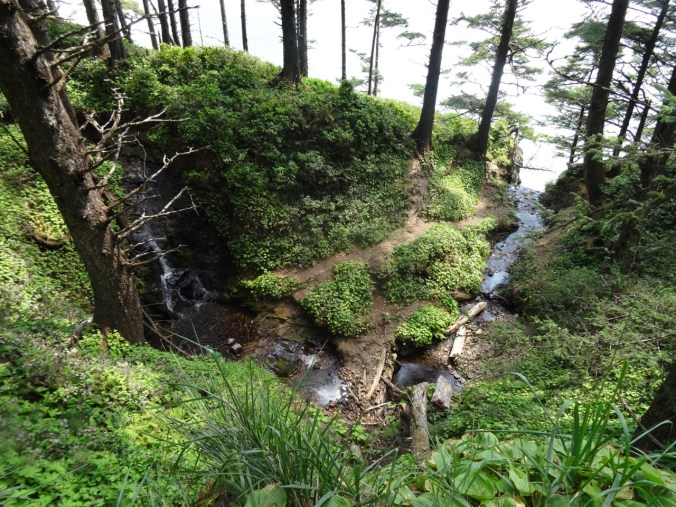
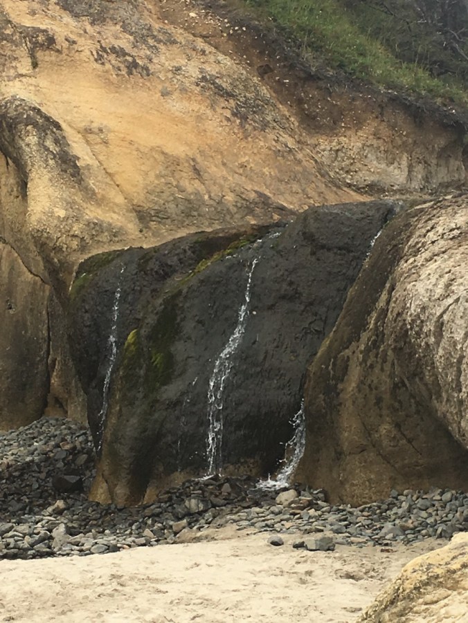
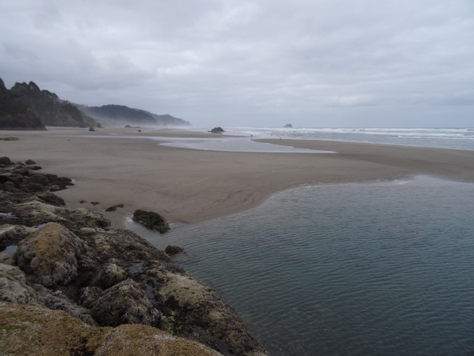
We walked back north to Hug Point, now the cool wind in our face! All the way onto Hug Point, (once the actual road, cut by people out of the sandstone headland), and around to the other side, looking north to Arcadia and Cannon Beaches. On the walk back we got a close look at the waterfall, then drove north along the coast to Arcadia Beach.

Walking north around Hug Point

View north from theHug Pont

Beach view on the north side

Looking south

Back onto the south side

The Waterfall
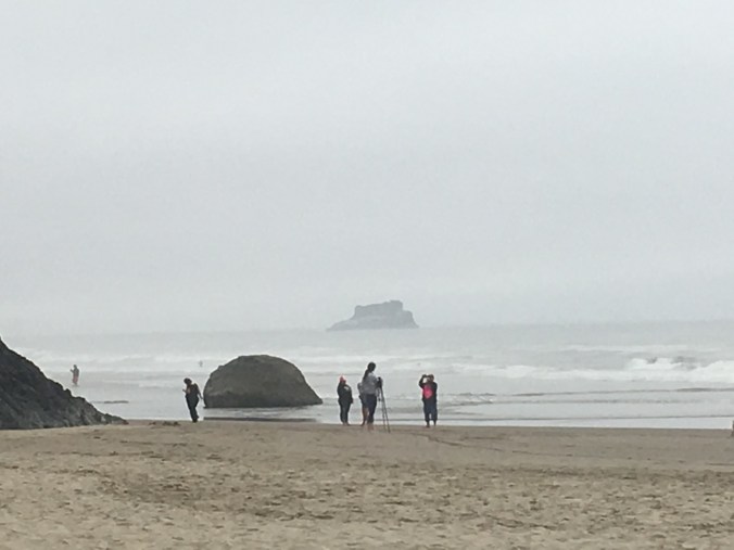
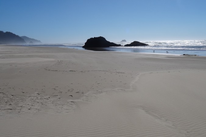
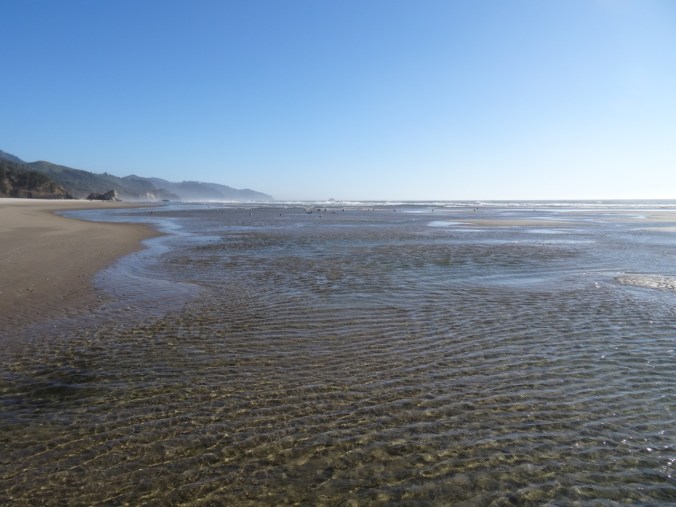
Dan wanted to see if there were any sea stars at Big Starfish Rock (Silver Point) at low tide. We walked north from Arcadia Beach as the tide ebbed, splashing in the tidal pools that sparkle in the sun. The water was so blue today, and the air so fresh! We spotted a sea star in the sand, but none at the rock. We arrived just as the tide was beginning to rise, so couldn’t get close to the small arch which we were hoping was covered in sea stars. Again, not a low tide day, so we couldn’t really tell if they were there.
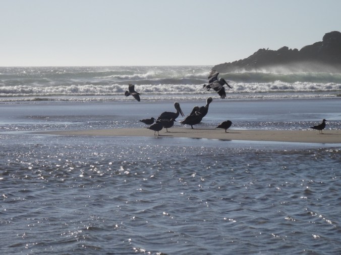
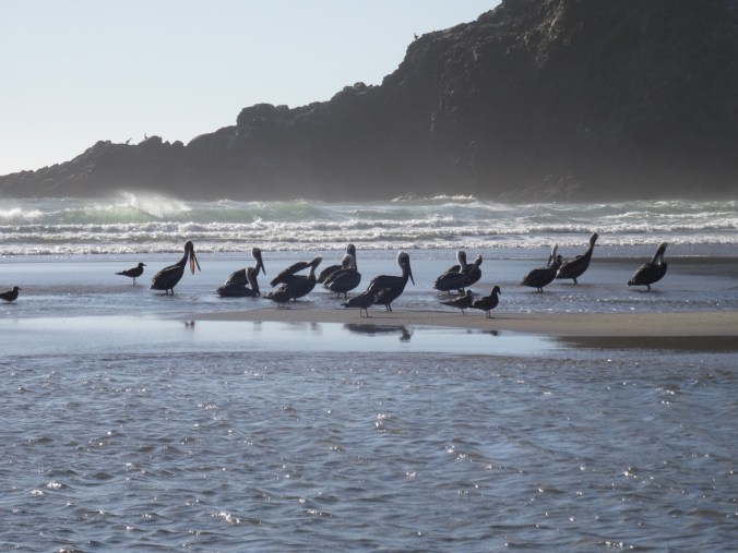
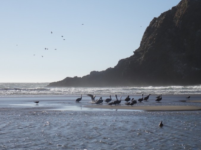
I had seen a couple of lines of pelicans from a distance flying along the swell line. We were treated to watching a pod of about a dozen of the elegant birds land on a tidal sand bar just as the rising tide isolated the bar from the beach. They were standing on the sand bar, facing north, and seemingly grooming. We watched for a long time, taking pictures, though the sun angle was not great for our purposes. Another couple of pods also flew near so that I could see over thirty pelicans at once. Pretty cool! We have named the sea stack behind them Big Pelican Rock, to honor a family tradition of naming important viewpoints.


We walked back to Arcadia beach, noticing the promontory we now call the Sphinx of Arcadia, because that is what it looks like.
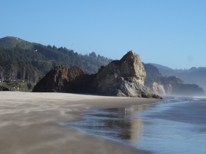
the Sphinx of Arcadia
We finished the day with a delicious dinner at the Pelican Brewery in Cannon Beach, followed by an uneventful ride home, over the coast range, into the hazy Willamette Valley.
LOOKBACK:
I could go crazy here! We have so many pictures of this locale. I will just show these two comparisons, which I find interesting because they show how much sand has returned to the beach between photos. The first is The Cave, 2008 and 2017. The second is an alcove near Hug Point 2011 and 2017.

The Cave, August 2008

The Cave, September 2017

September 2011, Alcove near Hug Point,

September 2017, Alcove near Hug Point


")
")


")