Two hikes in January – it was mostly too cold, wet, icy to hit the trails this month.
First Day Hike – January 1 – Columbia River Gorge and Powell Butte
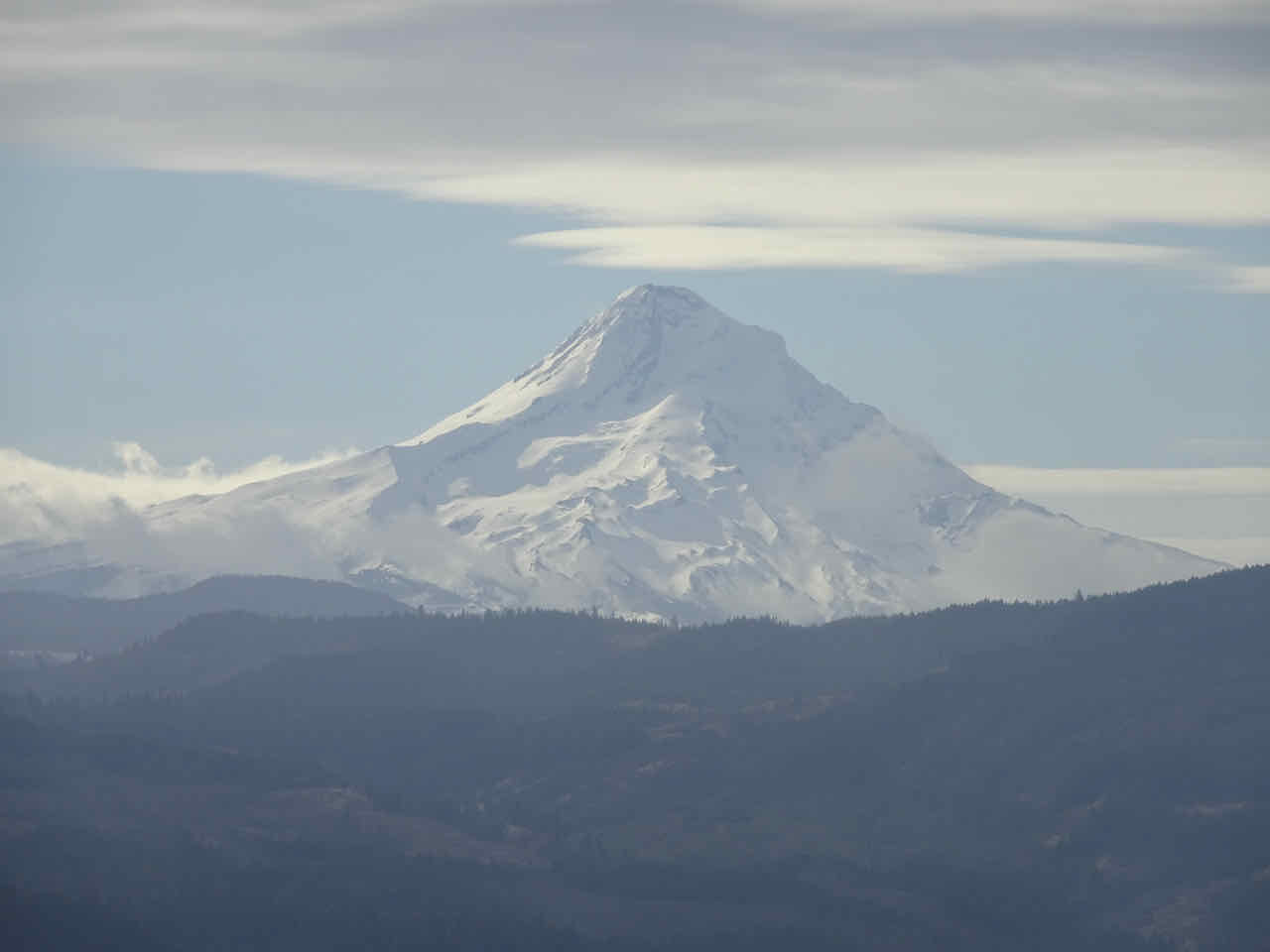
The skies were blue and the sun was out! We could see the mountain as we drove east out of Portland!

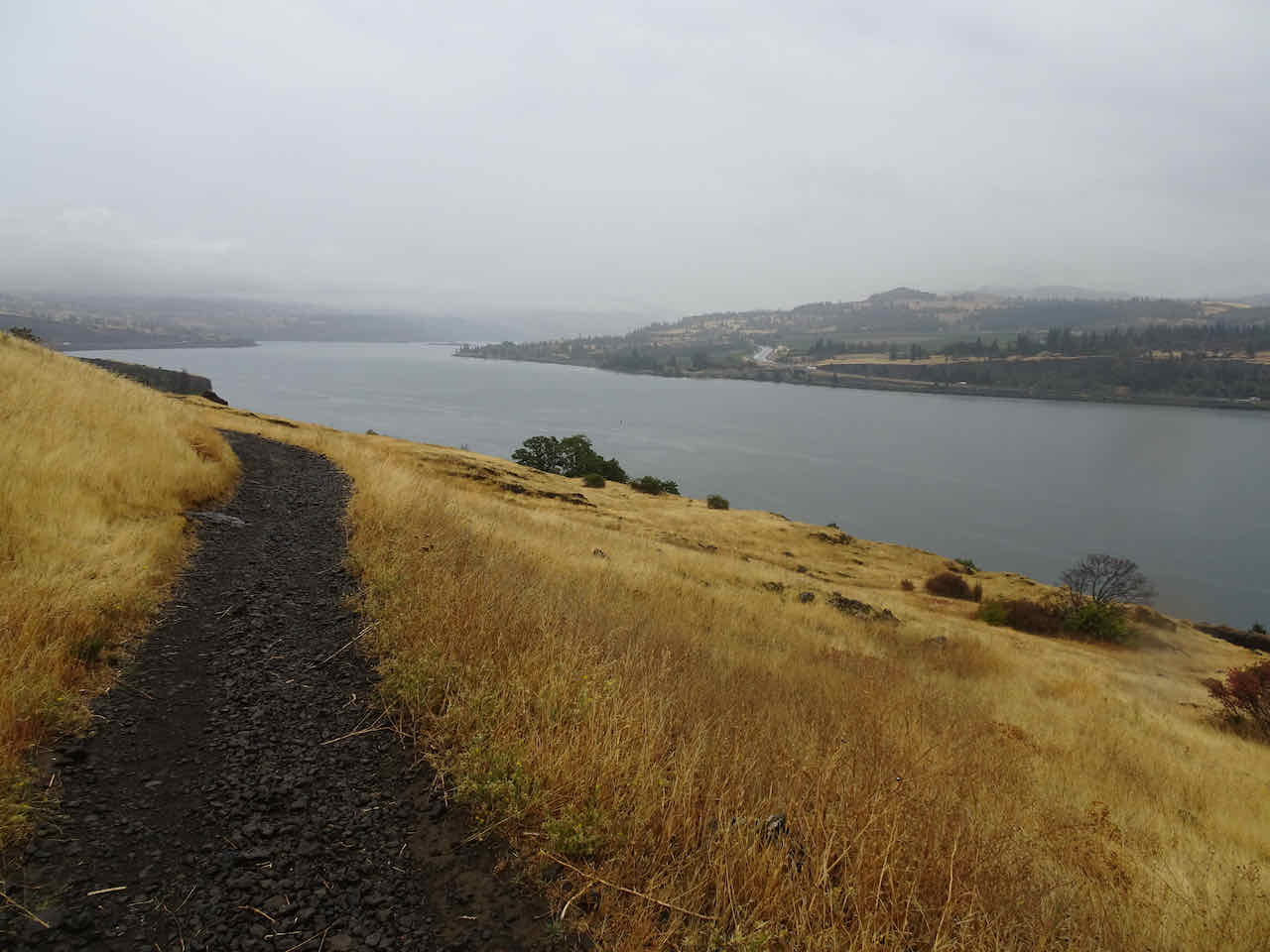
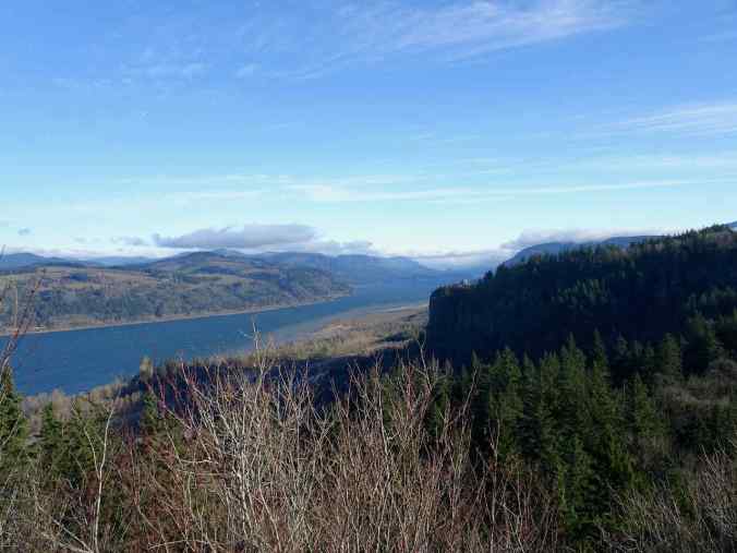
But in the Gorge, the east winds were strong and cold, and fog banks covered many of the slopes. We turned around and drove back to town on the Historic Highway, stopping for views at Vista House. The winds were so strong I could barely open the car door!
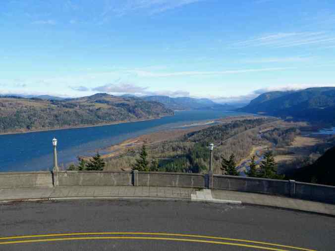
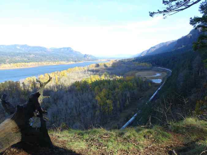
Looking east – white caps on the river!
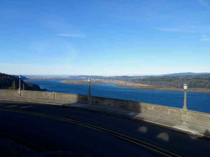
Looking west…
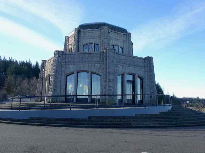
And Vista House.
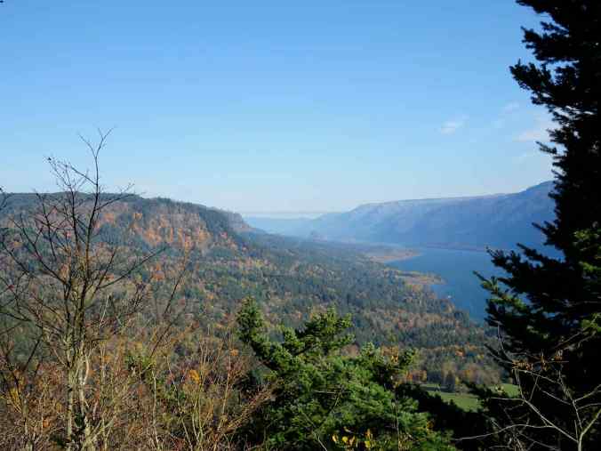
We stopped again for a quick view from Women’s Forum/Chanticleer Overlook…
Looking back at Vista House, the Columbia River, Beacon Rock…
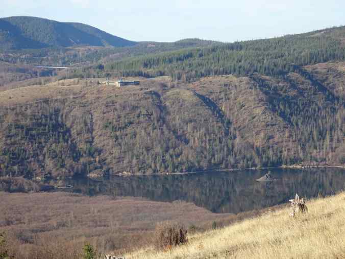
And then we drove to Powell Butte in east Portland, where hiking trails lead up the sides and around the top of this volcanic butte. It is also the location of an enormous covered reservoir, a main stop in the Portland water system. Lots of other people were there on this sunny first day, so that we had to hike up from the north parking lot on 148th Avenue because the upper lots were all full. But we persisted, and were rewarded, finally, with a chance to stretch our legs a bit on this beautiful day. It was a lot less windy here!
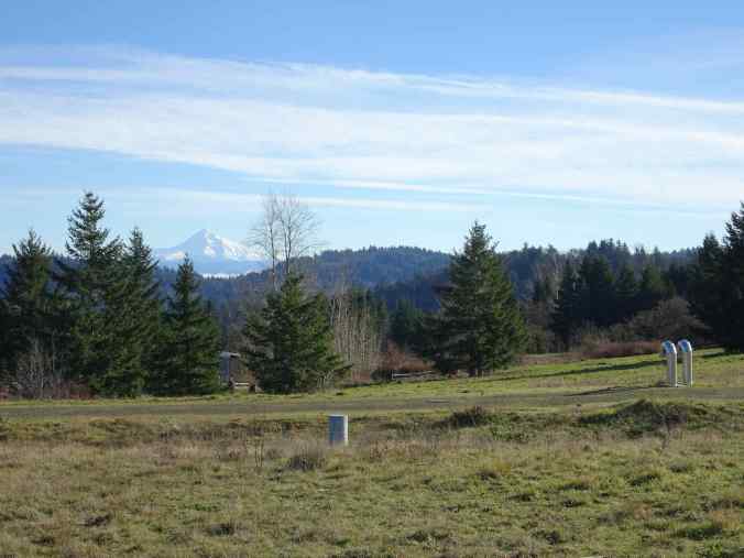
We could see Mt Hood beyond reservoir infrastructure as we reached the top.
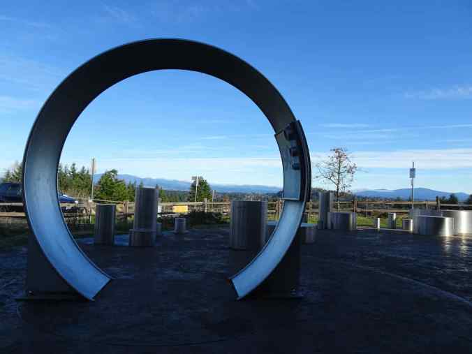
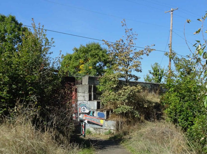
The museum at the top utilizes pipes as part of an exhibit that explains the water system

Pipe as embedded surface art.

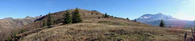
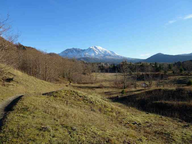
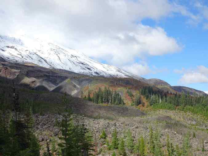
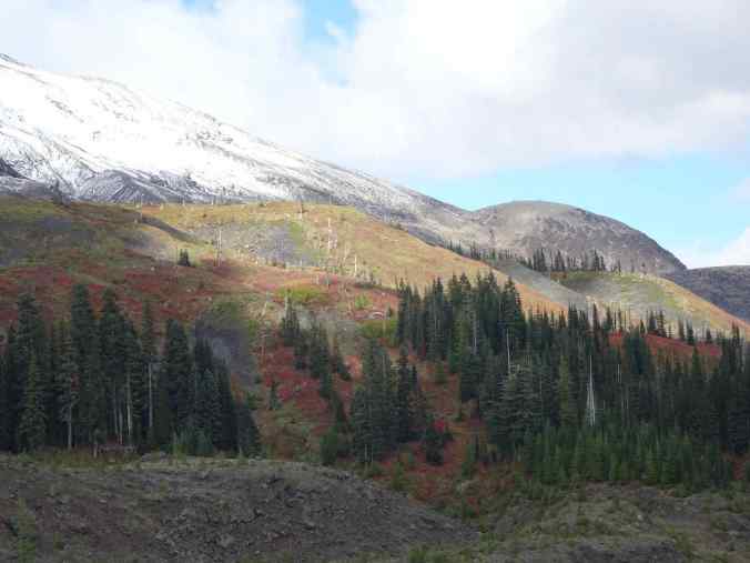
We made a loop to the high point on top, with better views of Mt Hood,
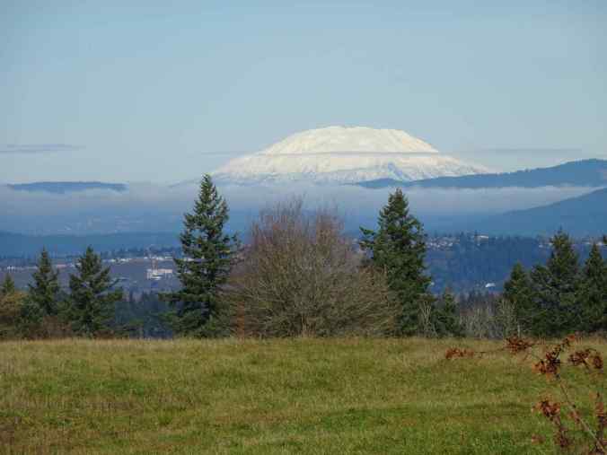
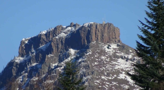
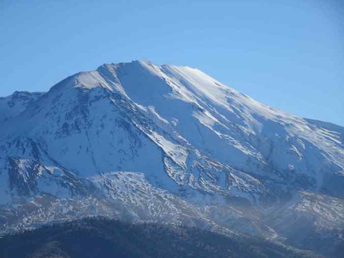
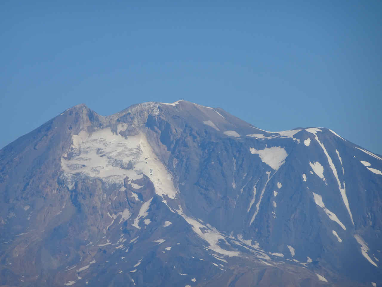
and Mt St Helens.
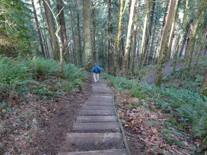
Eventually, we returned down the Blackberry Stairs to our car, after a 3.5 mile hike.
Thus we began the New Year as we mean to go on, with weekly hikes. Nature got a little bit the better of us in this regard…there was snow, ice, and below freezing temperatures for a week, and then a fair amount of rain. But I did get out for one more hike in January – to see the eagles!
January 23 – Balfour-Klickitat Natural Area, and Coyote Wall, WA
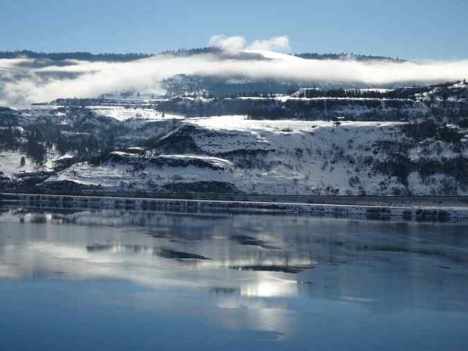
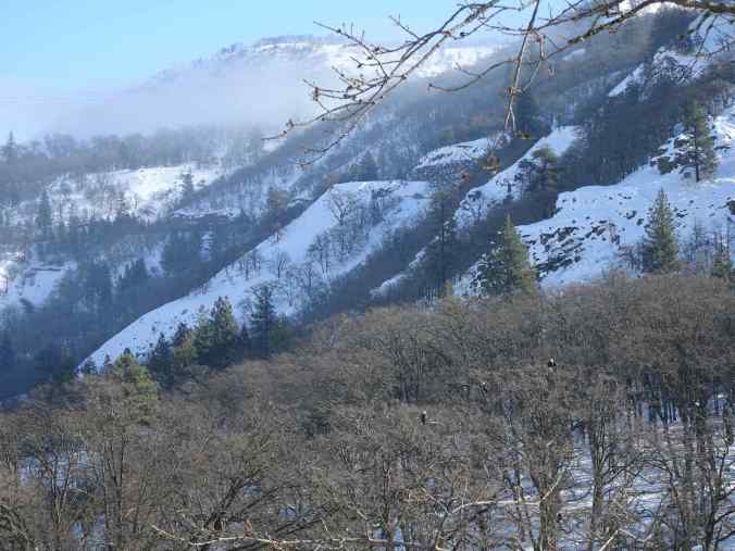
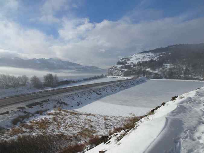
There was a lot of snow all through the Gorge, and more than I expected in the eastern Gorge. It was quite beautiful, and not as cold as it had been. We drove over the Hood River Bridge to Washington…

Looking east from the bridge
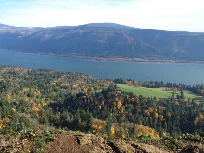
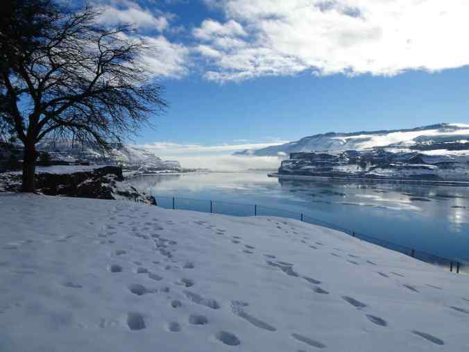
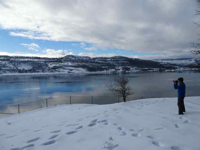
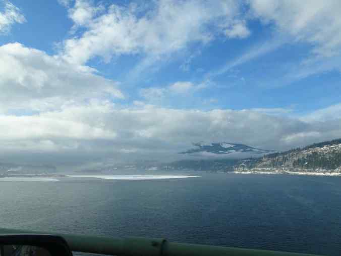
The views across the Columbia River from the Chamberlain Lake Rest Area on Hwy 14 were sparklinging in the sunlight!
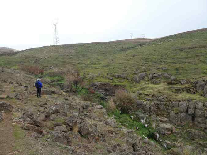
We reached The Balfour-Klickitat Natural Area, just west of Lyle, and found that the parking area had not been plowed. We parked just below, on Hwy 14, and walked up along the Klickitat River on a snowshoe trail. We wore microspikes on our boots to assist our grip on the six inches of snow.
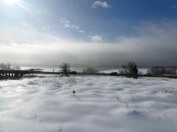
Looking back across the Columbia River from near the parking area.
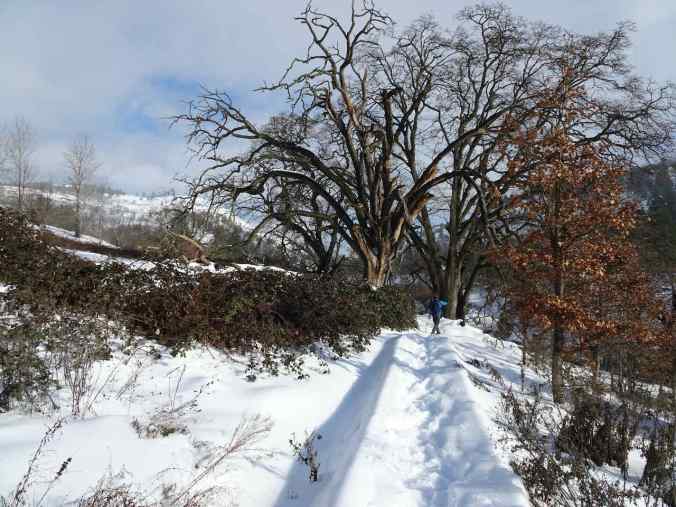
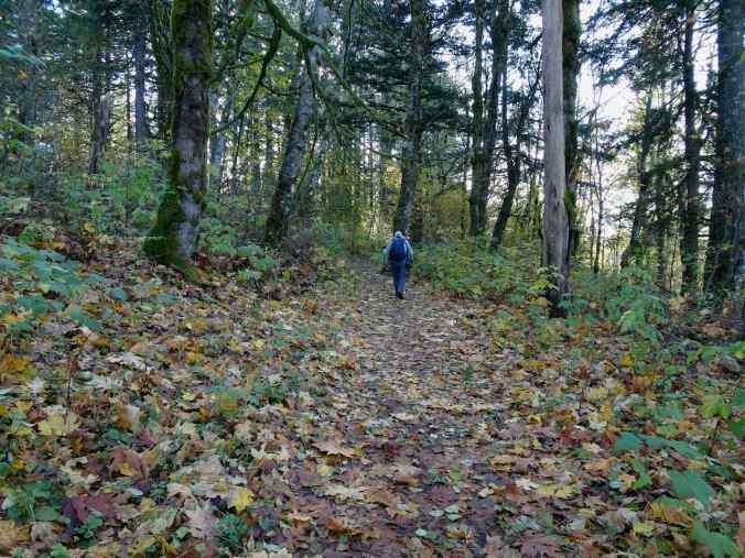
Walking along the Klickitat River Trail
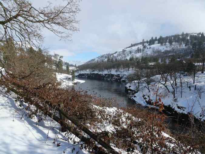
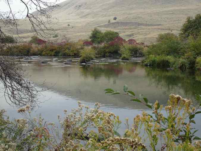
Klickitat River
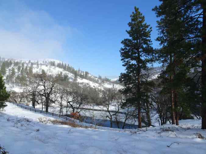
A perennial stream enters the Klickitat River on the west side of this little lake.
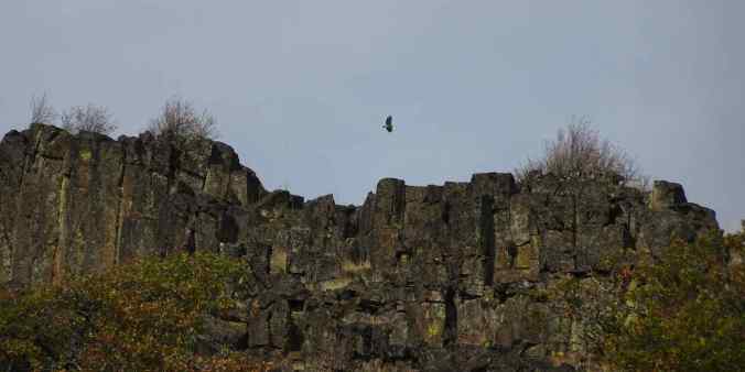
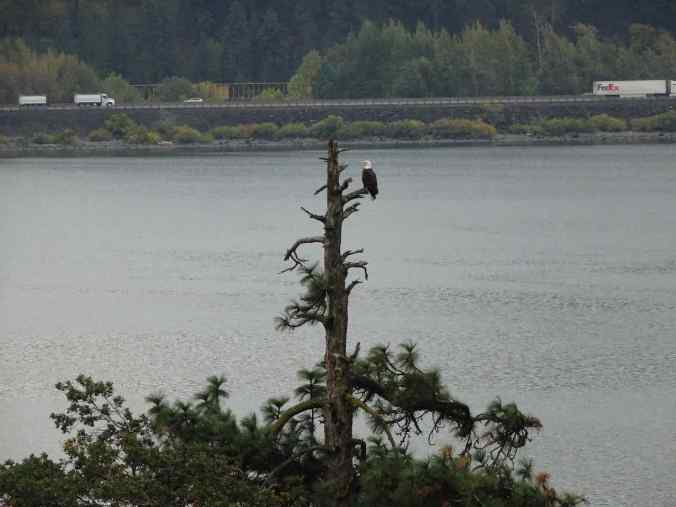
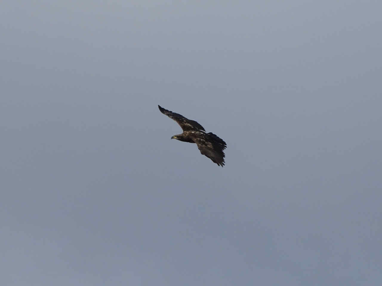
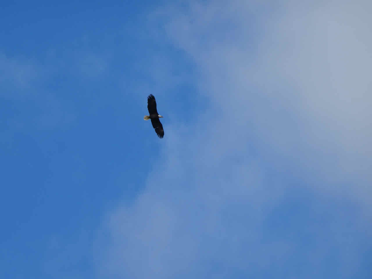
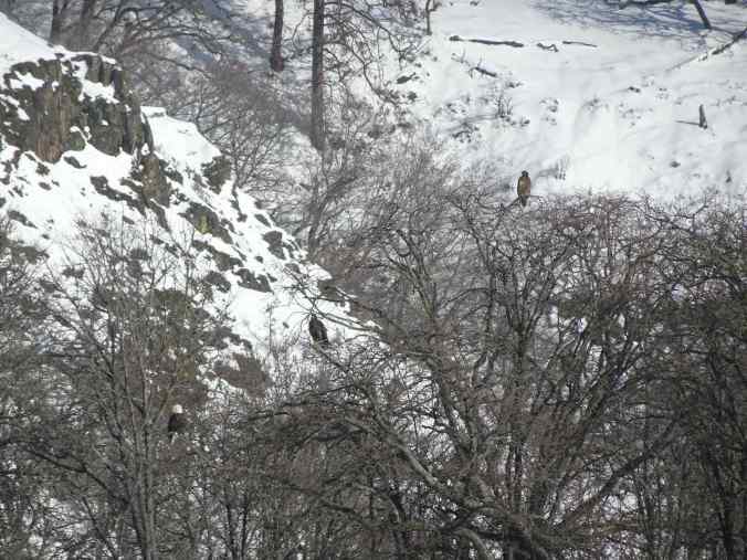
We reached the overlook to the lake where bald eagles congregate this time of year, and there they were! We counted about 25 different eagles over the course of our observations.
The white plumage of bald eagle pops out against the gray tree branches across the lake.
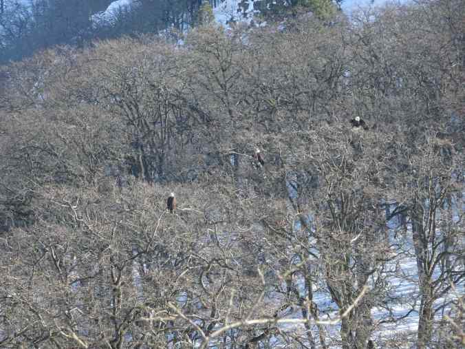
Closer view
Another one
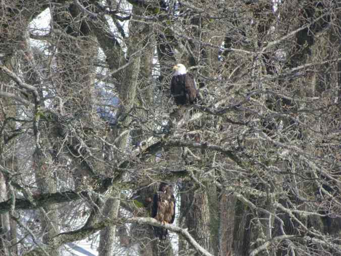
We noticed these two on our side of the lake…
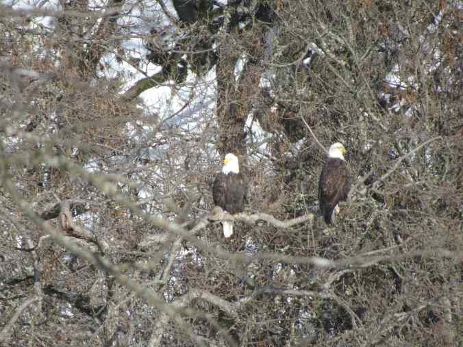
Zooming in…
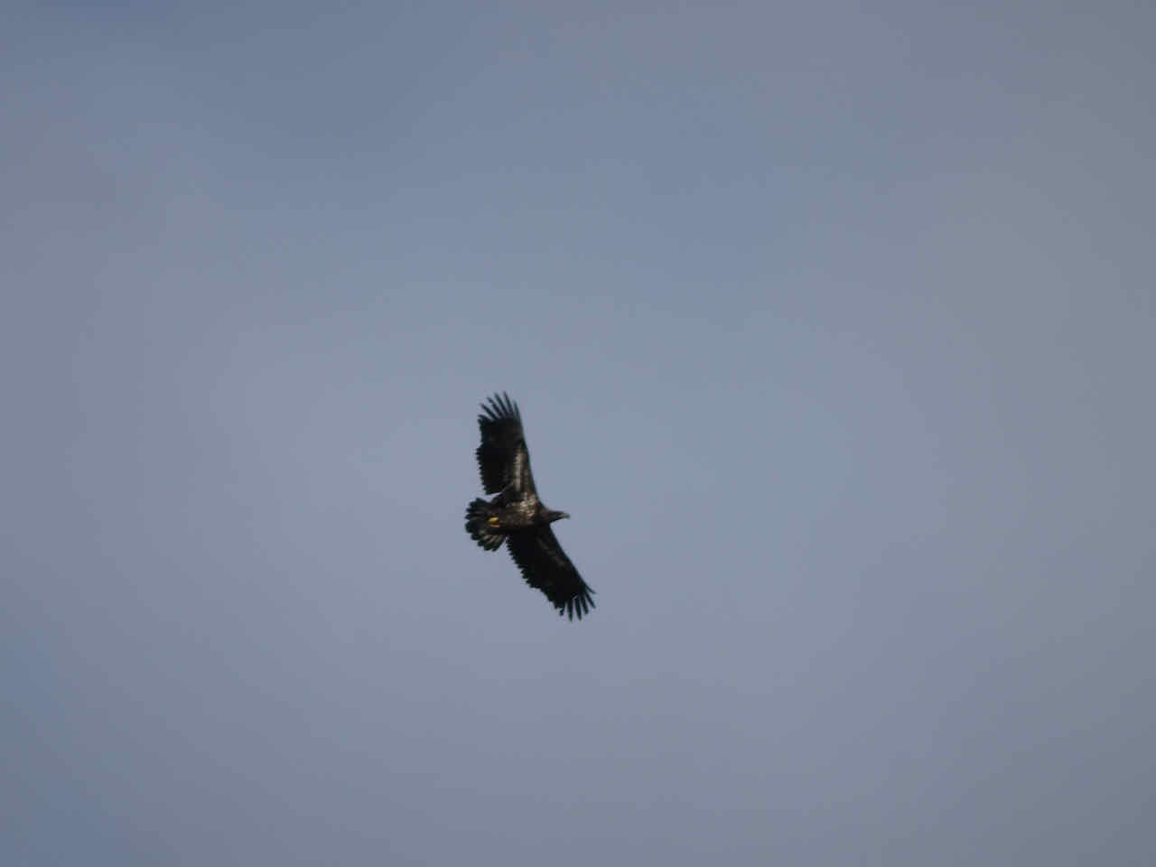
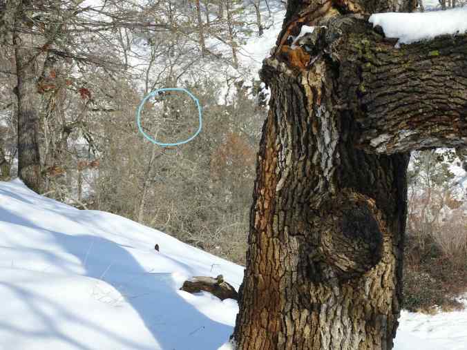
The more we scanned the landscape, the more we saw, though the brown juvenile birds are harder to see. Then we noticed a snag in the distance that was covered in birds!
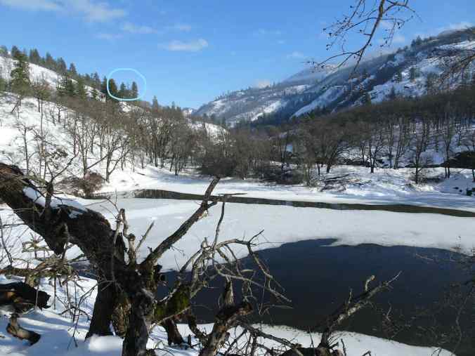
Distant snag, circled in blue
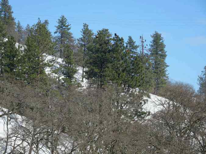
Zooming in. Birds were coming and going. There are also three perched in the trees to the left of the snag.
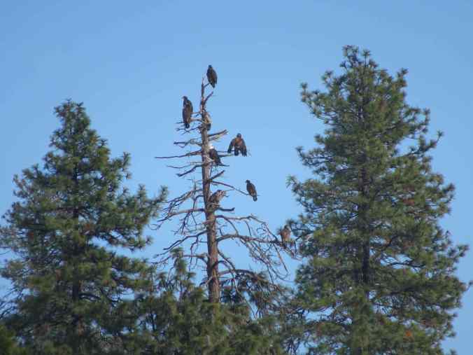
Nine eagles perched on the snag in this view.
There were also ducks down on the lake, and flying about…
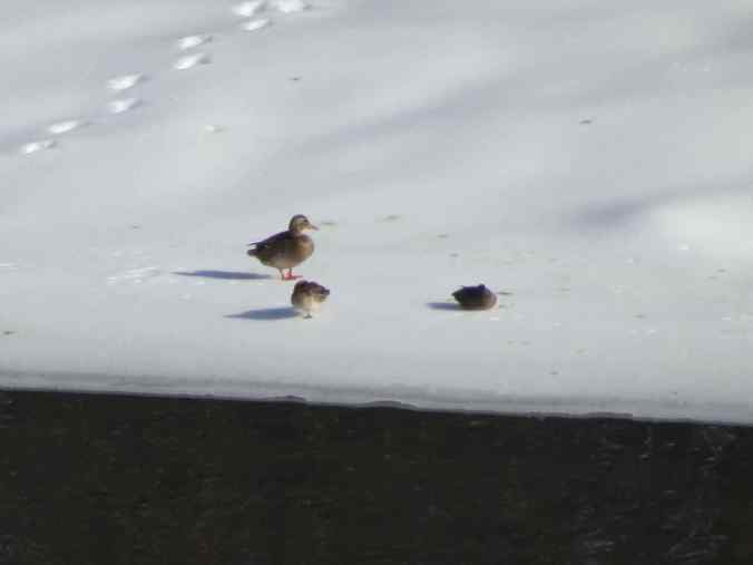
Ducks
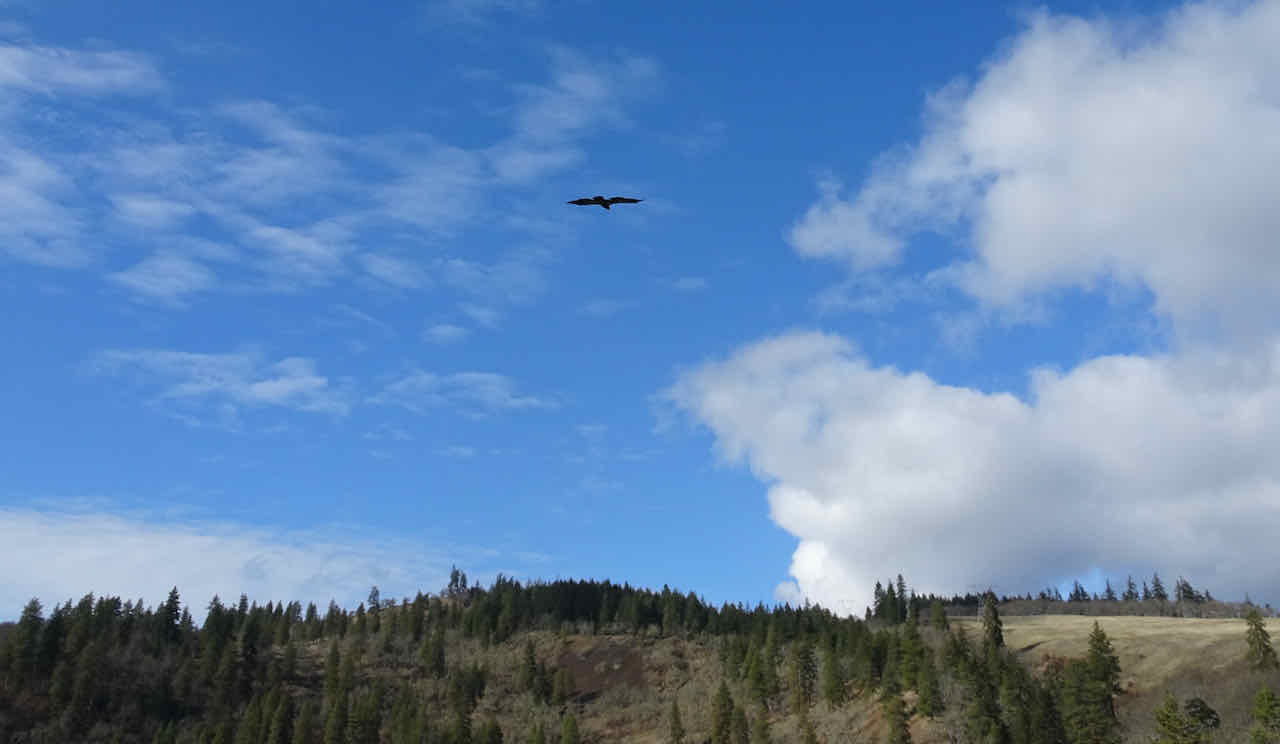
Eventually the fog started rolling in, so we returned to our car.
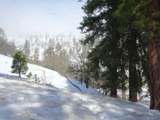
Fog
Goodbye to the eagles for this year.
It is always a treat to see them before they return to Canada.
We drove back west on Hwy 8, planning to walk at Catherine Creek, if possible, but it was completely fogged in. We sat in the car, eating our lunch and hoping the fog would move on, but no luck.

Lunch view at the Catherine Creek Trailhead.
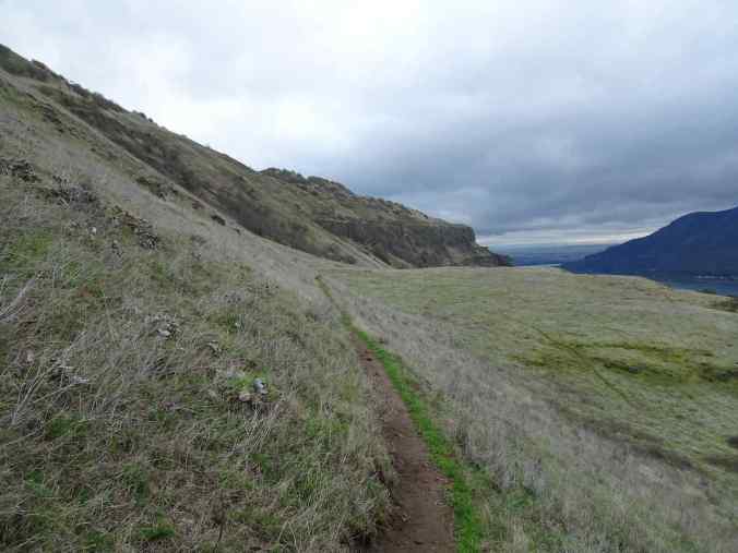
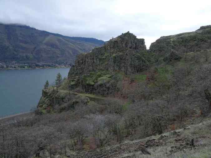
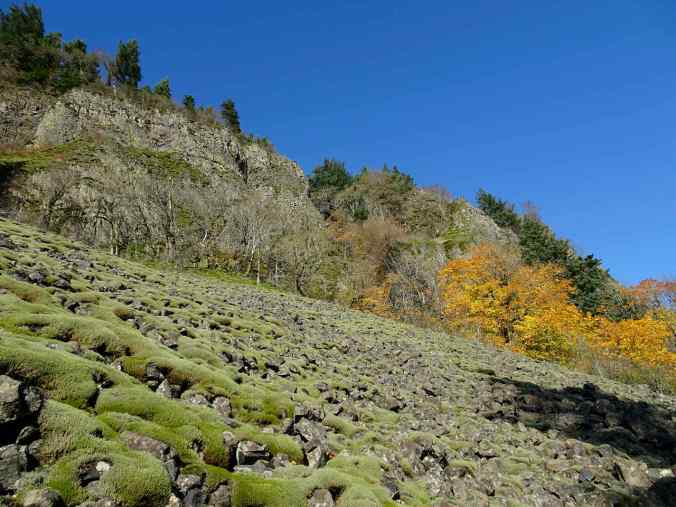
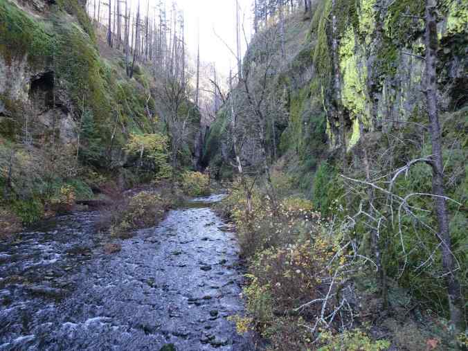
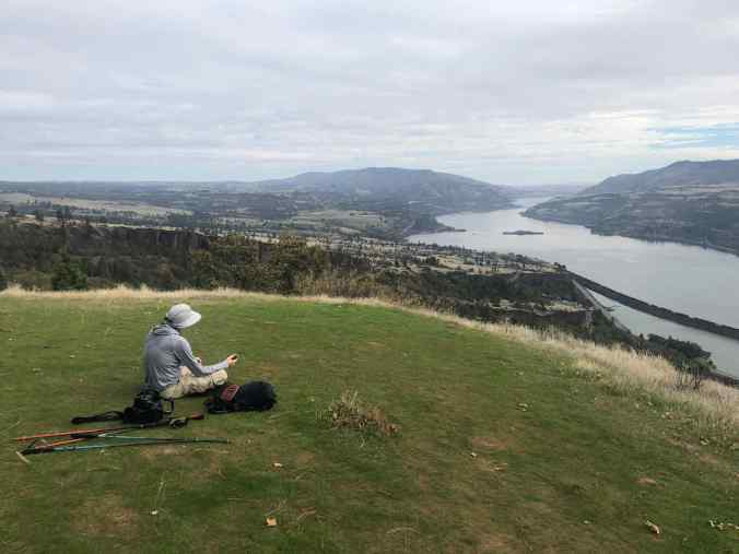
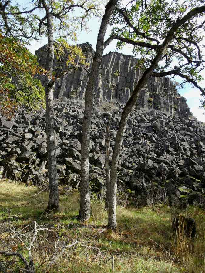
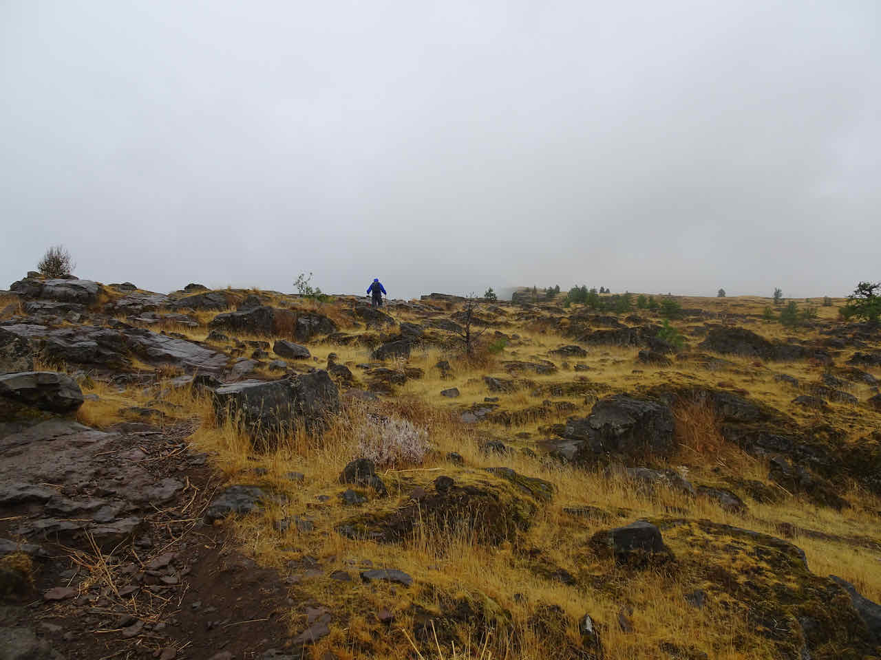
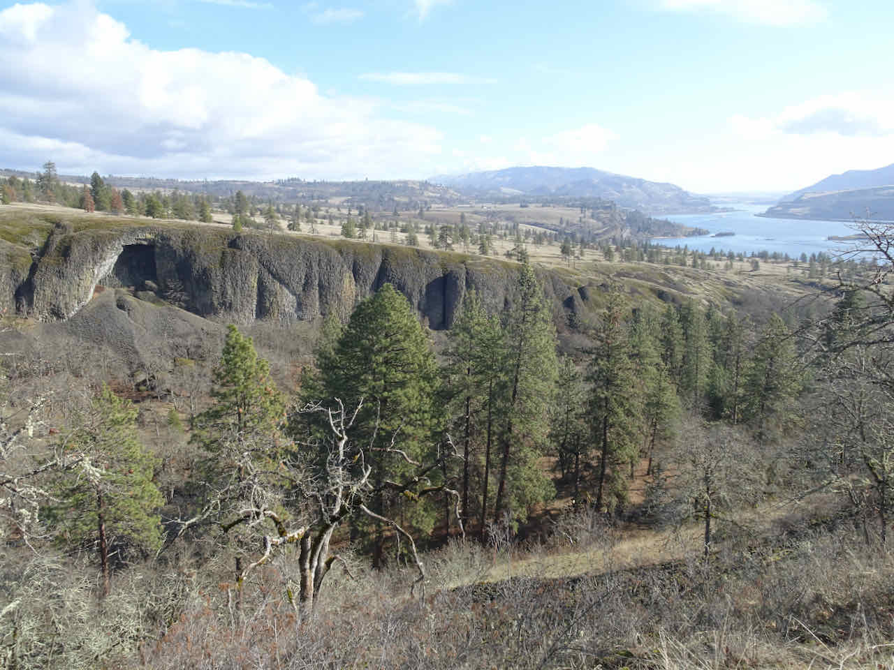
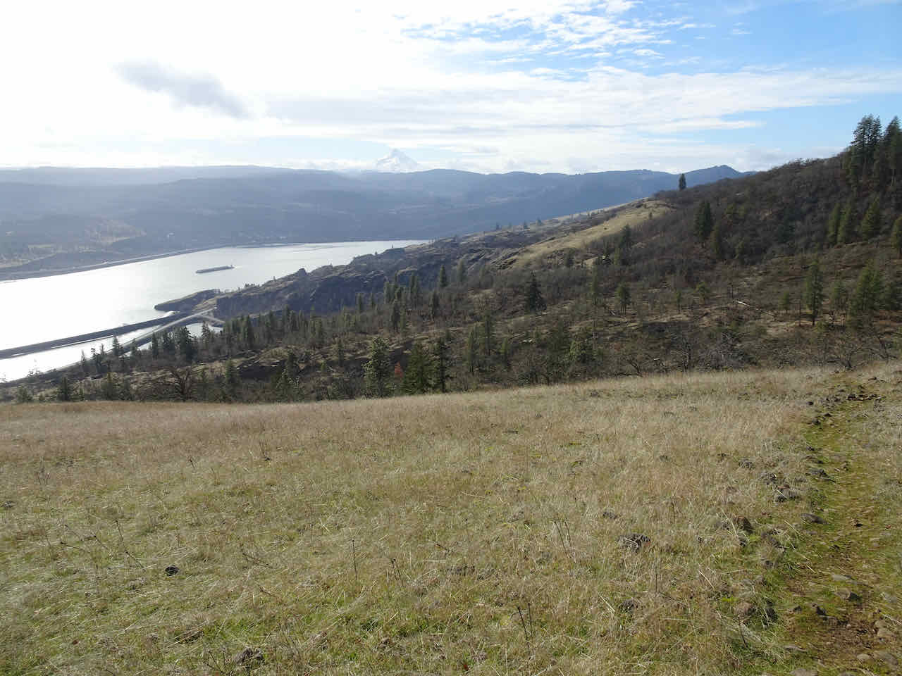
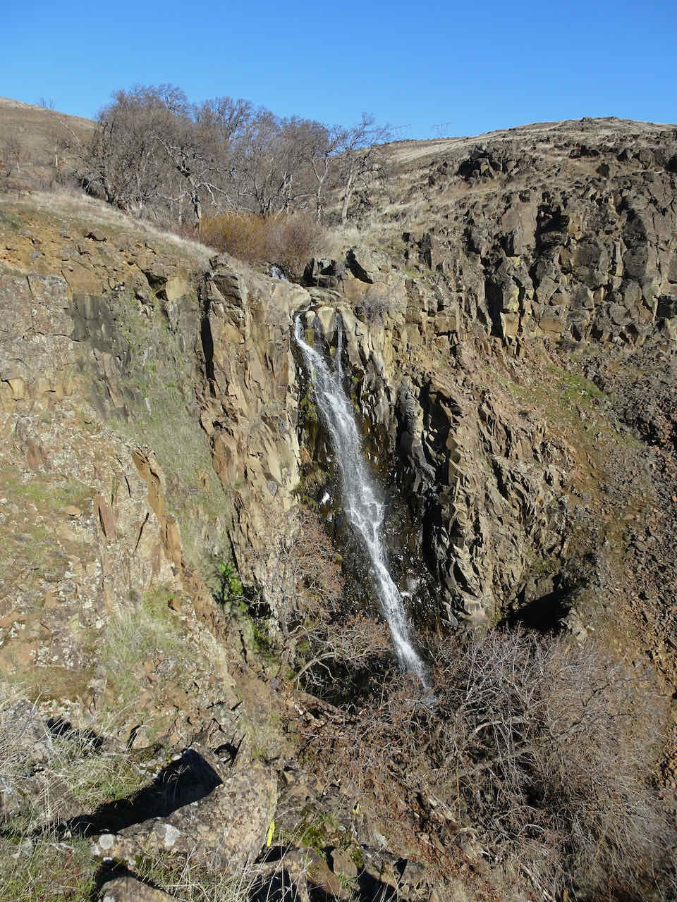
We continued west to the Coyote Wall Trailhead, once again parking near Hwy 14, because the parking area was not plowed. We walked under the cliffs, and along Look Lake to the frozen waterfall, and then turned back, as the fog was beginning to settle here, too.
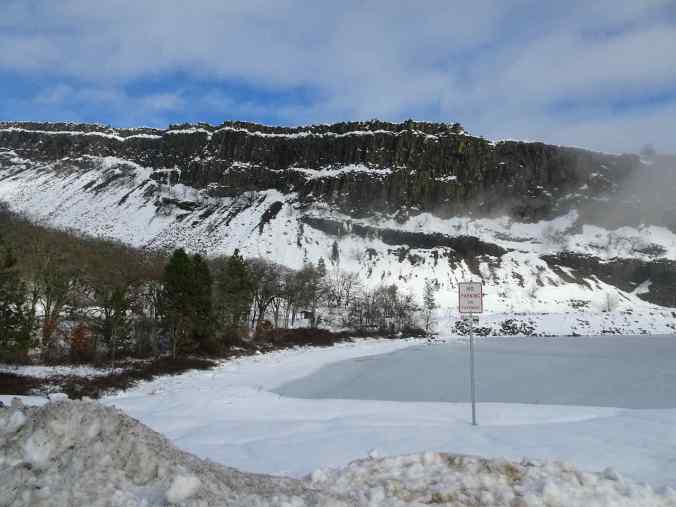
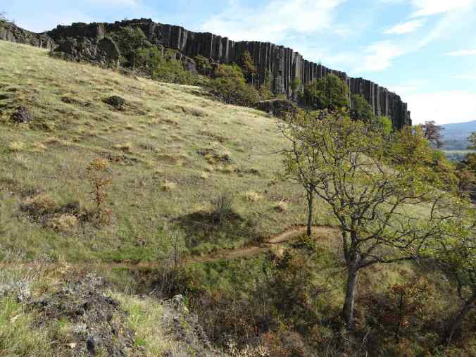
Looking toward Coyote Wall from the snowplow berm near Hwy 14.

Our path along the old highway under Coyote Wall

Looking back toward sunlit cliffs at the top of Coyote Wall

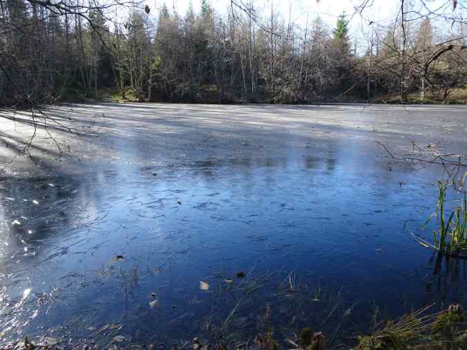
Look Lake

Sunlight in the melted lake ice
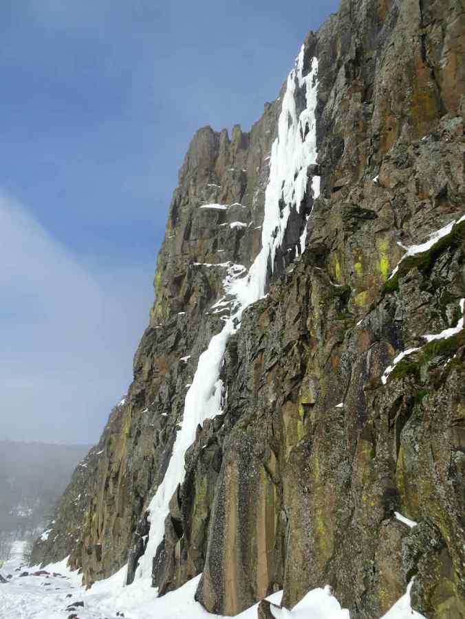
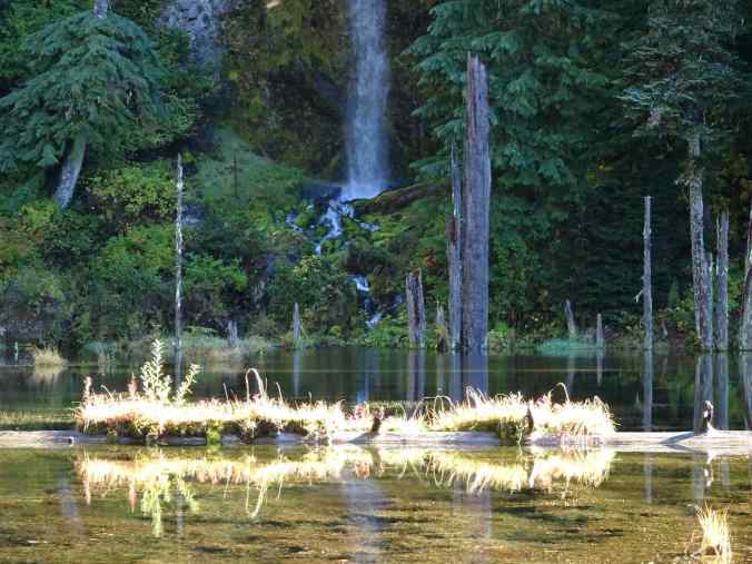
Frozen waterfall

Waterfall icicles

Fog rolling in ahead…
View over Look Lake as we walk back westward.
We had seen enough for the day, and it was time to warm up again.
View to the west as we drove back over the Hood River Bridge. Even the sandflats out along the Hood River Delta were covered with snow.
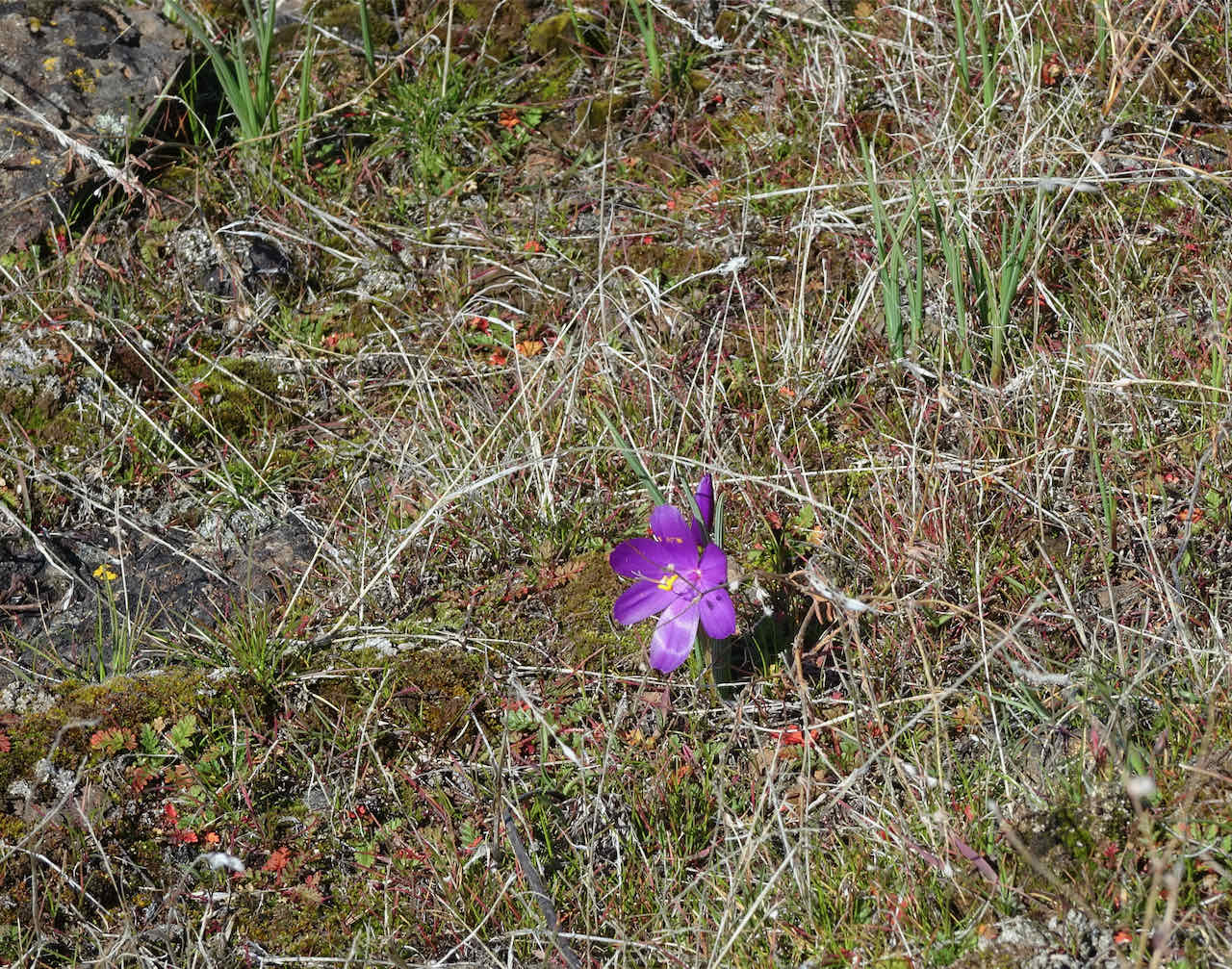
We will be back next month to see the first spring wildflowers after the snow melts.