Mt Rainier National Park, August 5 – 9, 2019
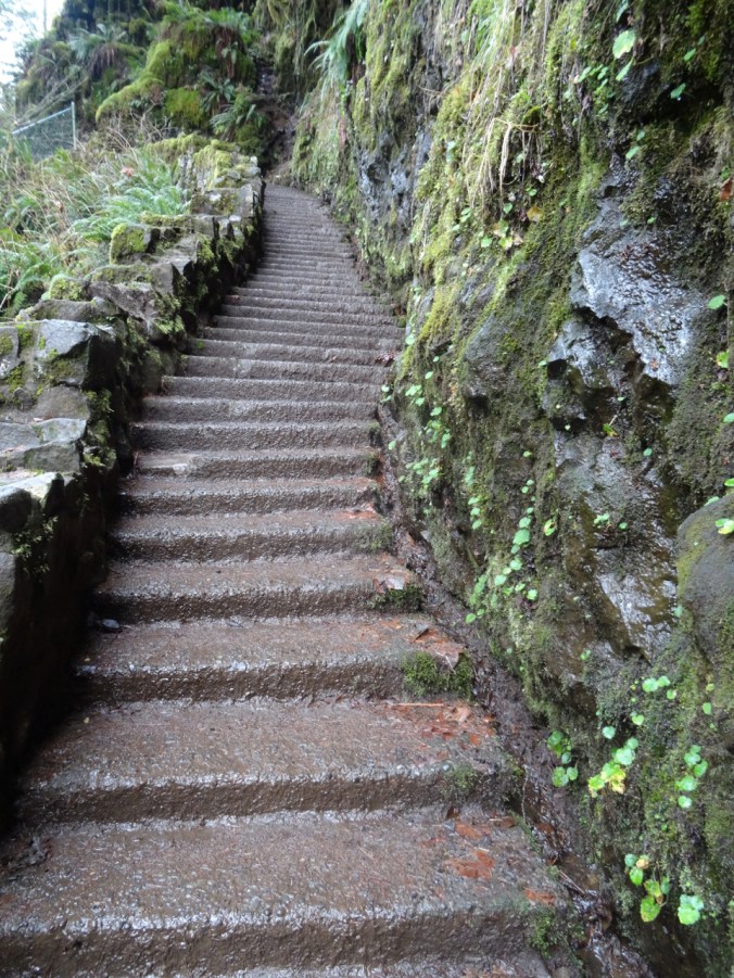
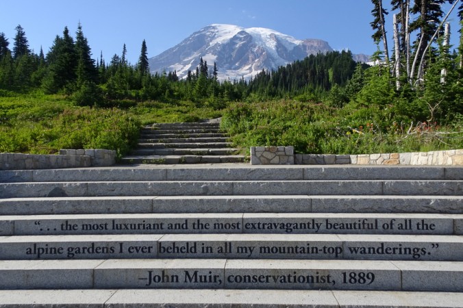
For my birthday my dear husband planned a visit to Paradise at the height of wildflower season. We stayed in the newly refurbished Paradise Inn, authentically both rustic and lavish, perched at 5420 feet above sea level, and 8990 feet below the top of Mt. Rainier. We hiked many trails in the area from Monday evening to Friday morning, alternately focusing on the incredible wildflower blooms at our feet, and the massive glaciers looming above us on the slopes of this active volcano. We had sunny days – it was almost too warm on the shadeless trails above timberline. On Thursday the clouds rolled in below us, and we watched their flowing patterns throughout the day. I took more than 700 photos on three long and four shorter hikes. My knees and toes held out admirably. We mostly ate out of our ice chest and suitcase pantry, but had one lovely meal at the restaurant. There are not enough superlatives to describe the wonder – but John Muir’s words, carved into the stairs leading to the mountain from the Visitor’s Center, come close.
Paradise Inn
We were lucky to have a room with a view of the Tatoosh Range, immediately to the south.

Looking down from the trail at Paradise Inn and the Tatoosh Range.
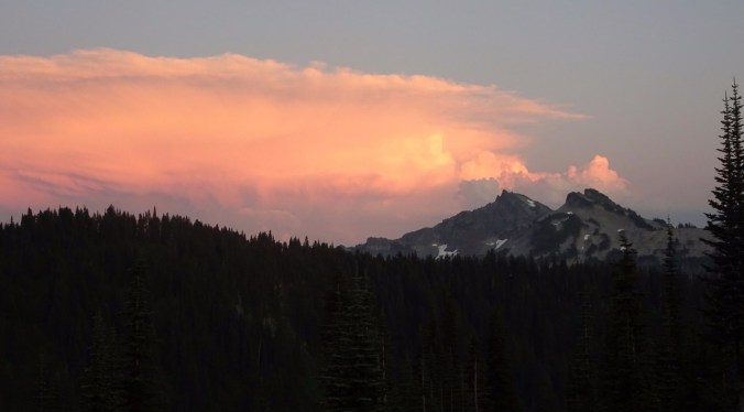
Sunset view from our window.

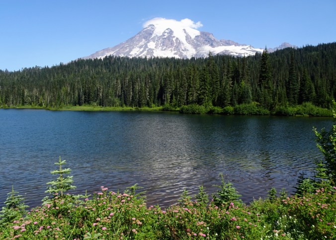
Paradise Inn and Mt Rainier from Paradise Valley Road.
Hiking Highlights:

Hikes #34 -38, 28.8 miles, 4520 feet
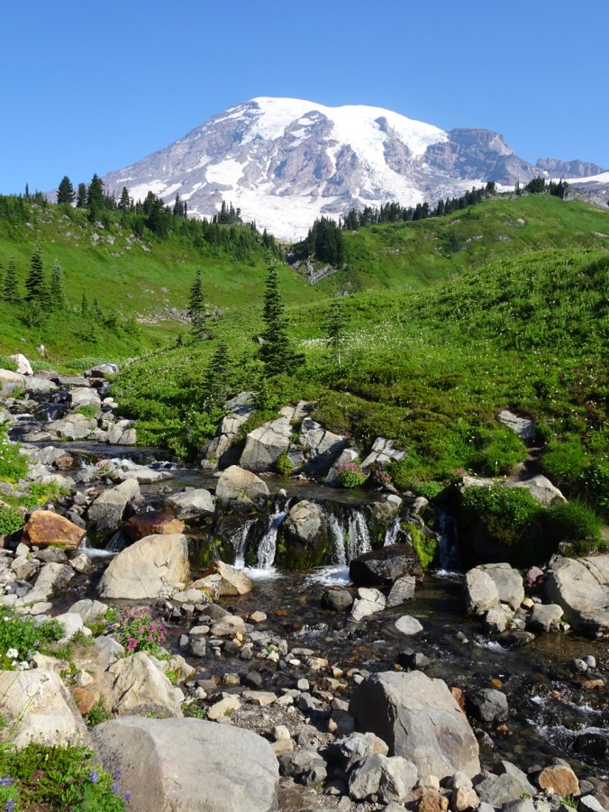
August 5th – Alta Vista – An evening walk with picnic dinner at this amazing viewpoint:
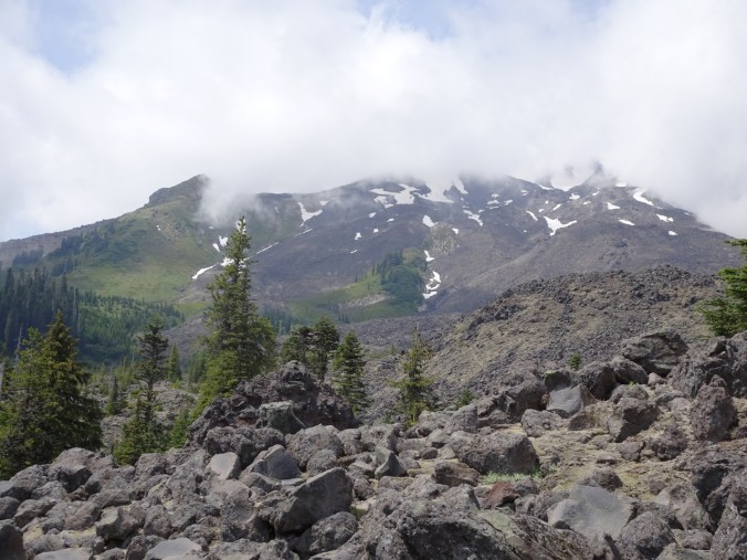
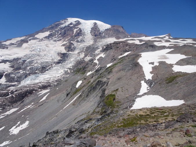
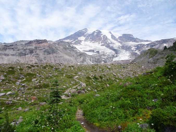
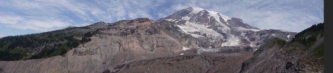
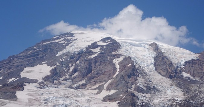
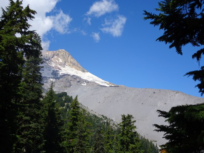
Mt Rainier
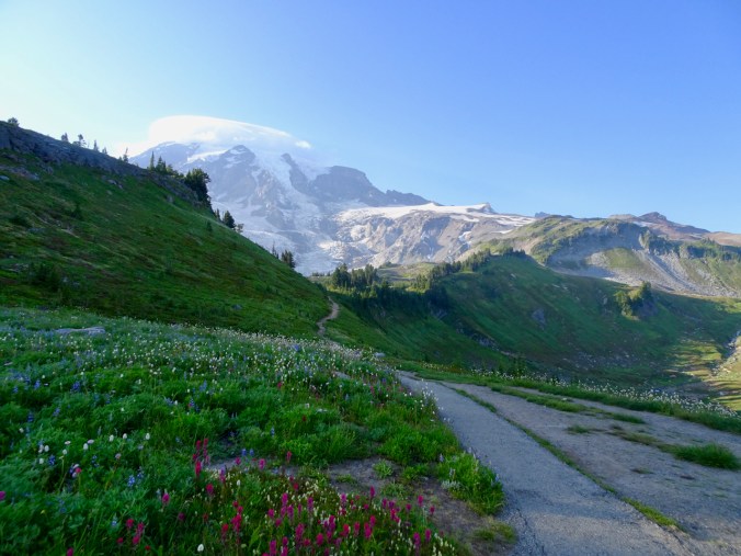
Across Paradise Park, preview of the Golden Gate Trail.
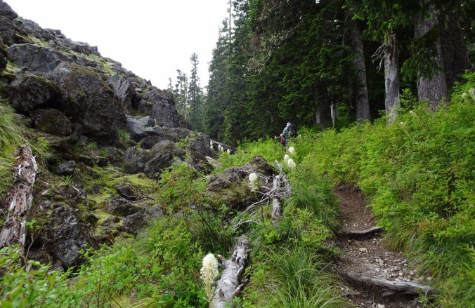
August 6 – Pebble Creek and Panorama Point via Golden Gate and Skyline Trails
Edith Creek in Paradise Park
Tatoosh Range from the Golden Gate trail.

The lower humps in front of Mt Rainier are our destination.

Snow and pasque flowers along the Skyline trail.

Tiny people on the overlooks ahead.
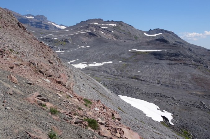
A peek over the ridge to the barren, recently glaciated valley to the east, where the Paradise Glaciers have receded.
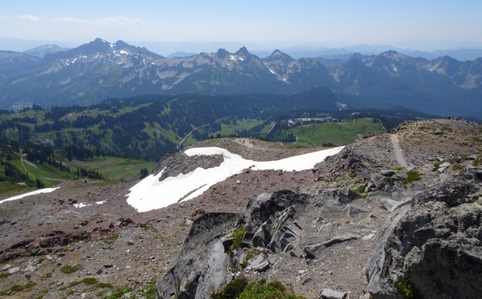
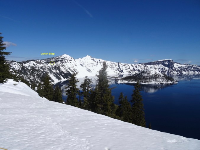
Lunch view, below us – Panorama Point, Paradise Park and Inn, Tatoosh Range.
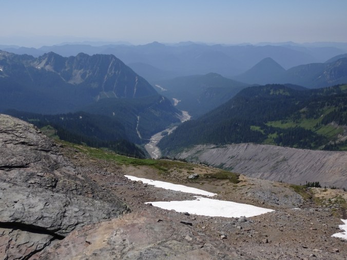
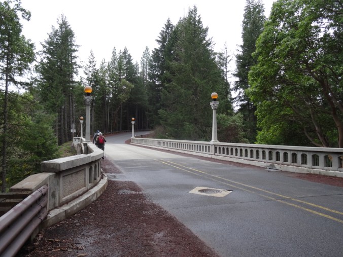
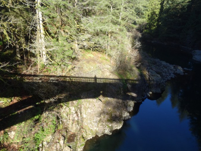
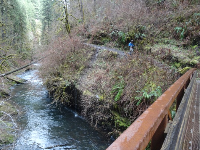
Nisqually River and highway bridge.
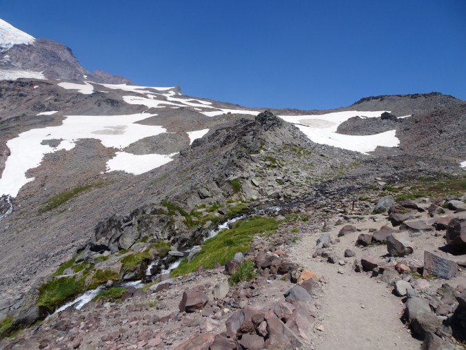
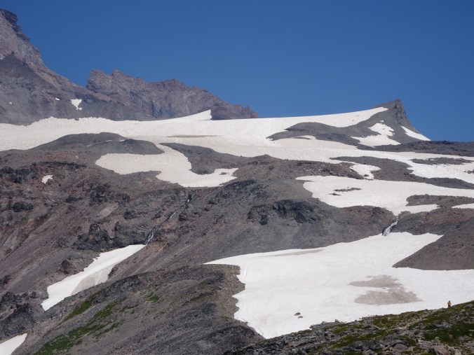
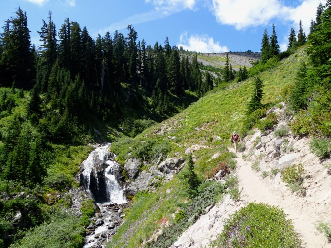
Our high point – Pebble Creek. People planning to summit the mountain will camp at the Muir Snowfield on the high ridge above.
Mt Rainier from Pebble Creek crossing.

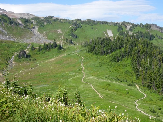
Looking down on the anastomosing trail system above Paradise Inn.

We walked to Myrtle Falls in the evening.
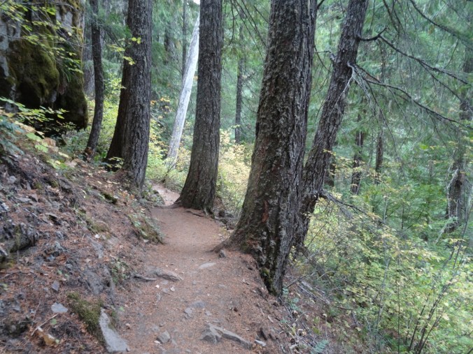
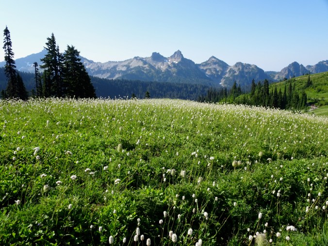
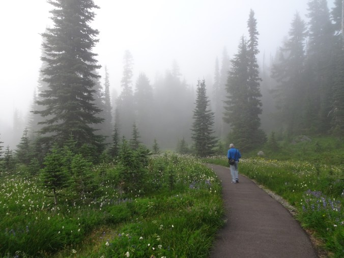
August 7 – Lakes Loop – We hiked downhill from Paradise Inn, past Reflection Lakes, then back up to the Skyline Trail. The ranger assured us the wildflowers along the return hike were incredible, and that was an understatement!

Another morning in Paradise!
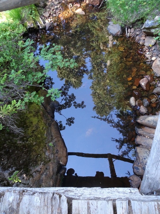
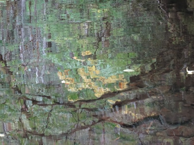
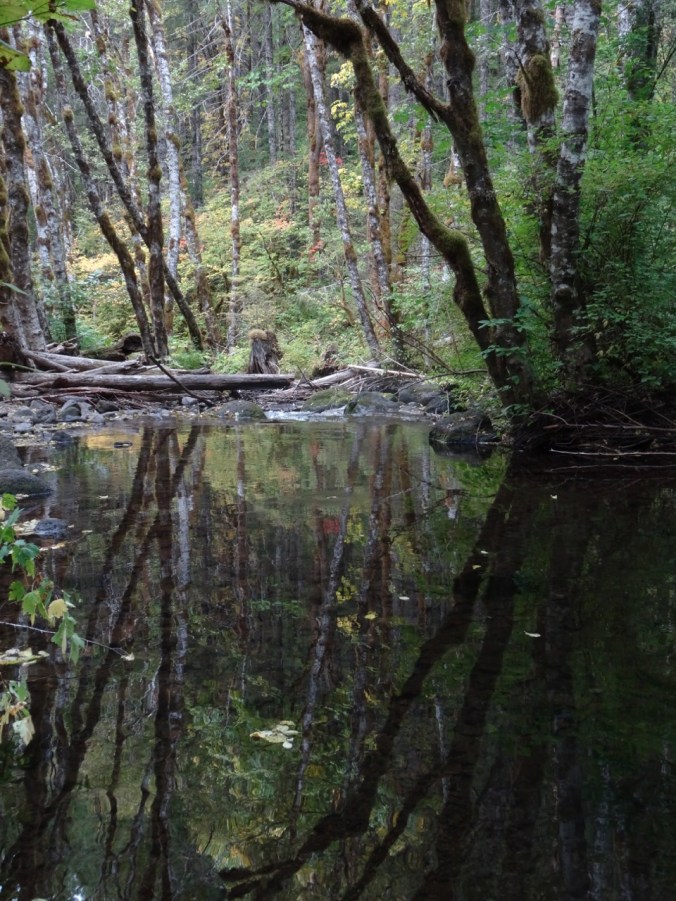
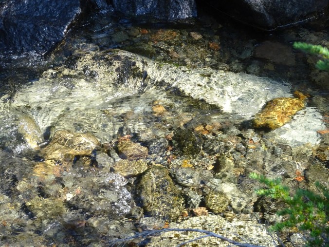
Our reflections in a stream crossing.

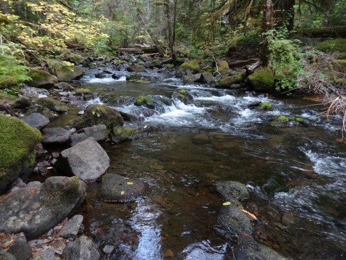
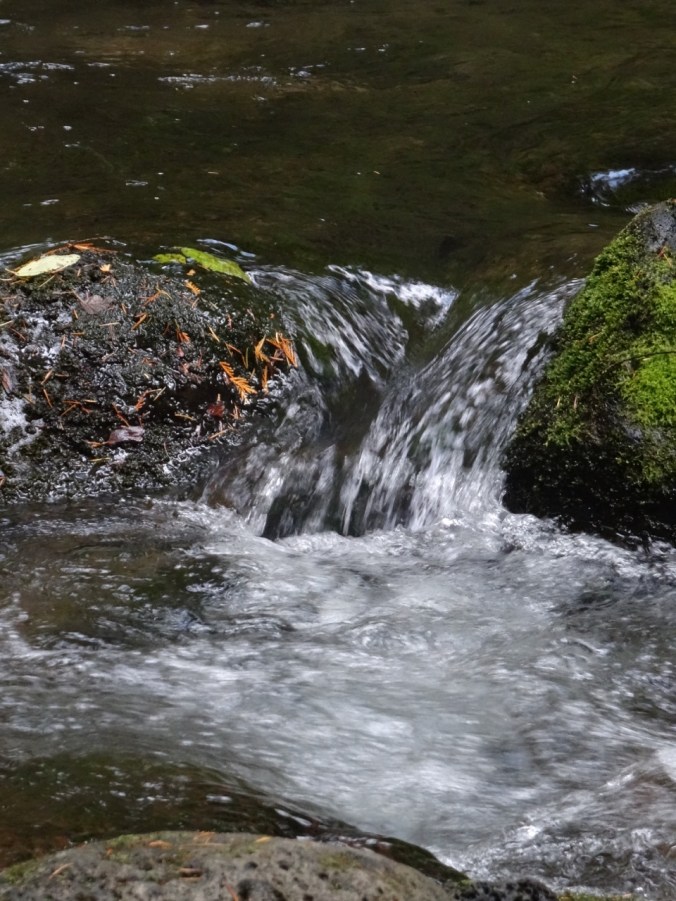
Small waterfall along the way, in the shady forest.
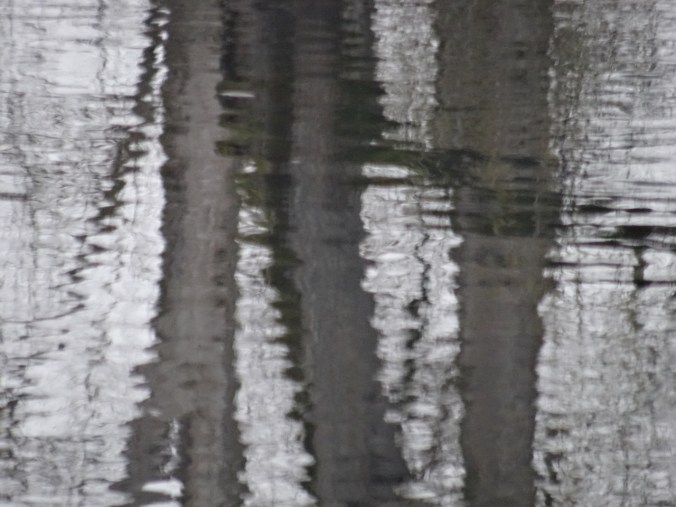
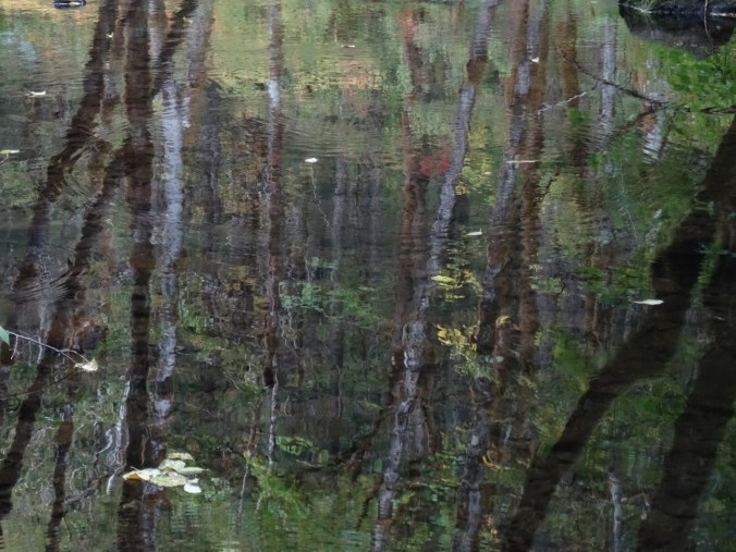
Reflection Lake, a little too much breeze for the reflection today.

Hiking back up – lunch view of Reflection Lakes and Stevens Canyon from Faraway Rock.

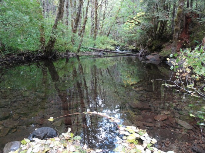
Small reflective lake along the trail.

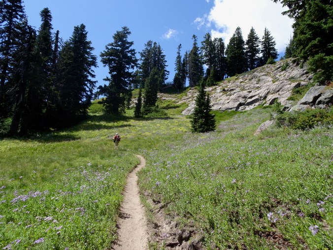
As we entered the meadows along the ridge, the wildflowers were stunning,
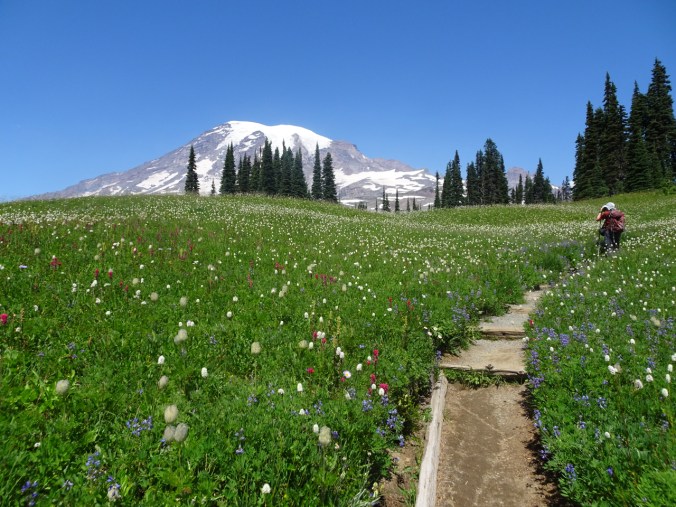
and continued to be so for a couple of miles!


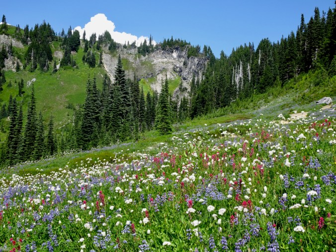
I am out of words to describe amazing wildflowers at this point, but they do help to pull me along the trail when I get tired.
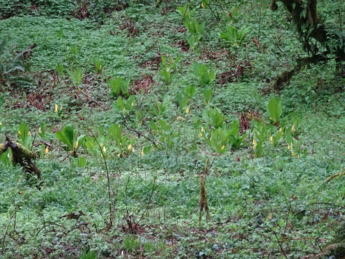
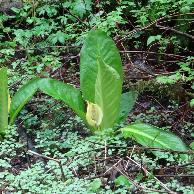
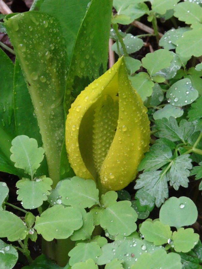
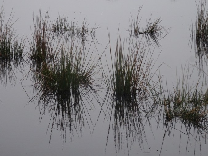
August 8 – Deadhorse, Glacier Moraine and Glacier Vista trails – This was a lower mileage, less elevation day. We found a bit of solitude on the Glacier Moraine trail, and more amazing flowers, including some marshy, wetland species we hadn’t seen yet.
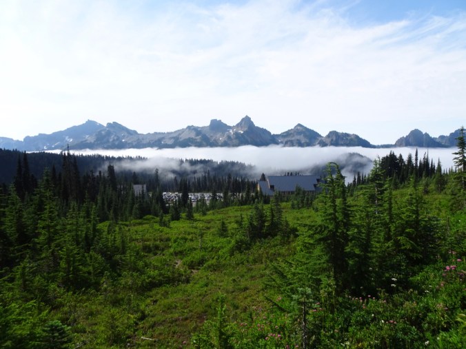
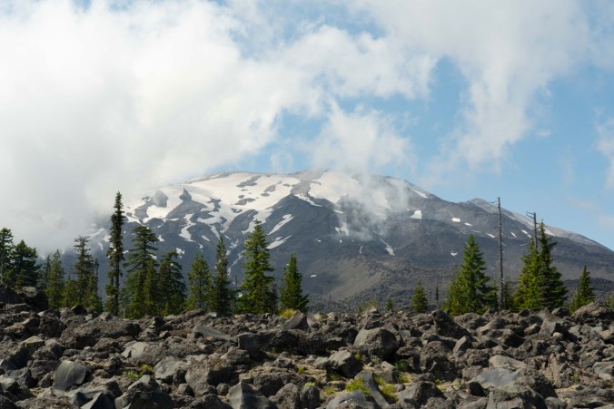
The clouds rolled in overnight, and stayed all day at about 5000 feet, so we hiked above the clouds most of the day.
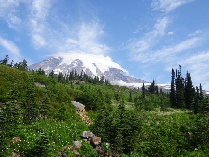
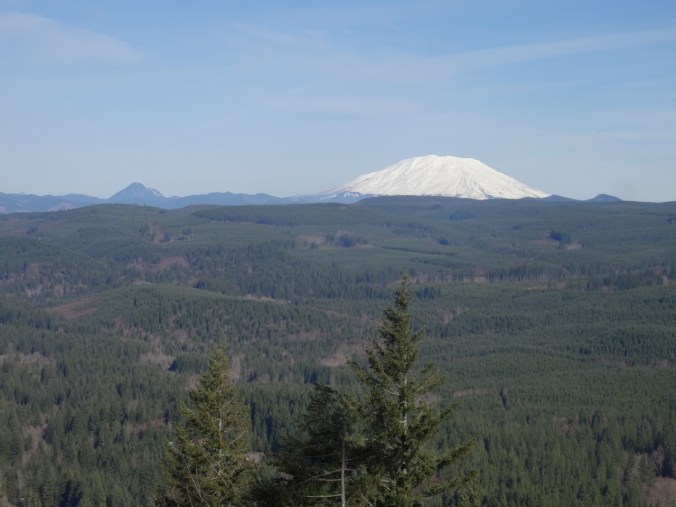
Mt Rainier had a few cloud caps coming and going.

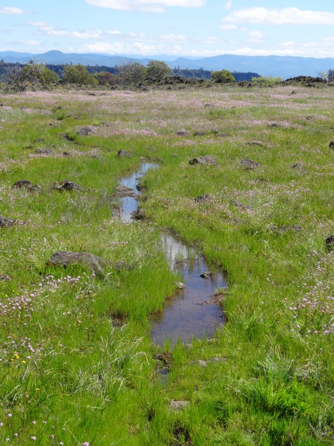
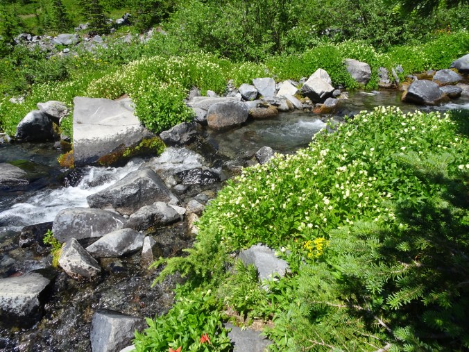
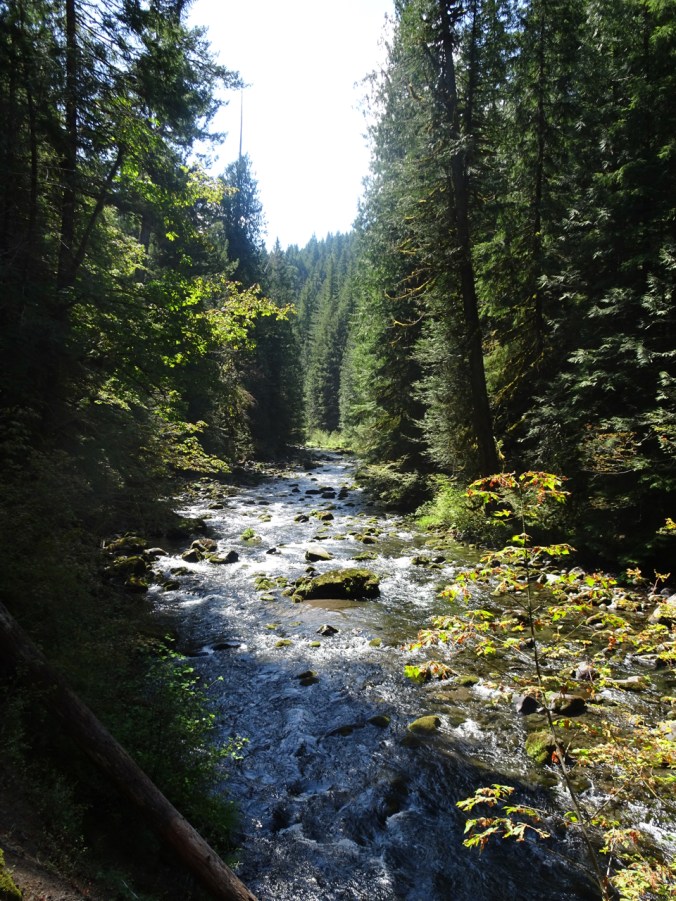
Lush stream meadows along the Deadhorse Trail.
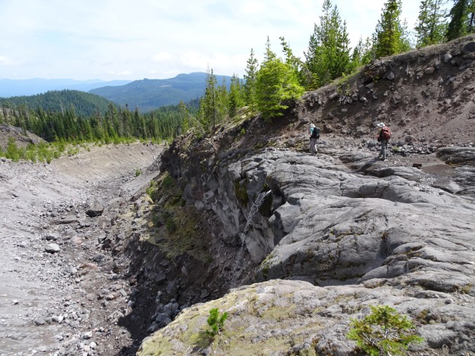
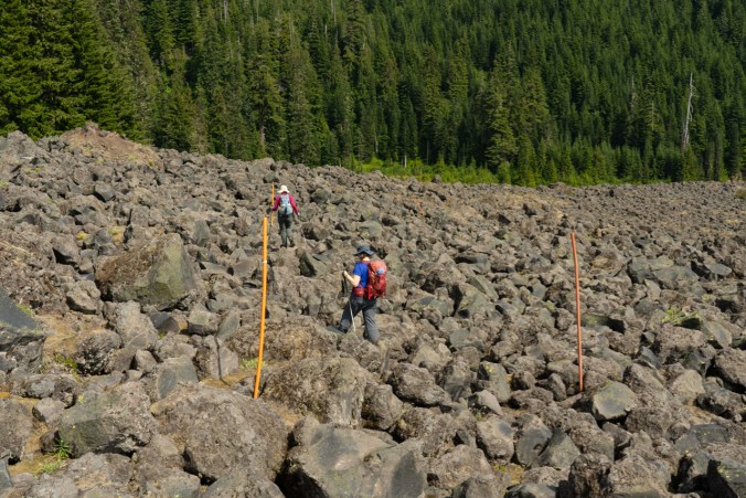
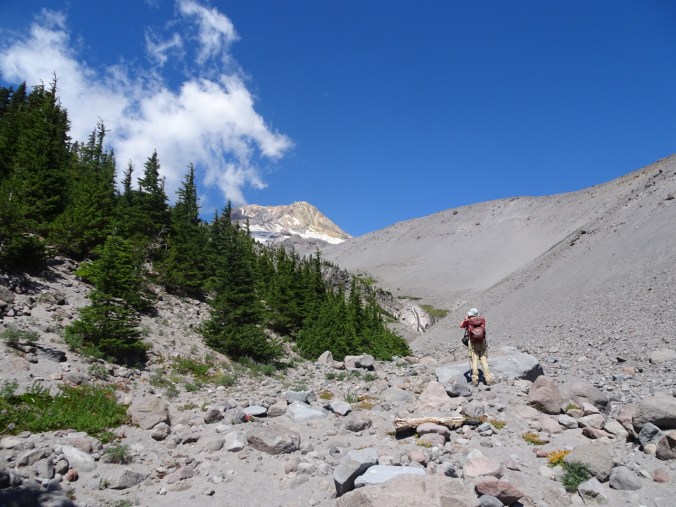
The Glacier Moraine trail leads to a viewpoint on the Nisqually Glacier Moraine.

Neon moss, monkey flowers, saxifrage, etc. along the damp slopes.
We are headed to the lip of the moraine.
Panorama of my view – can’t begin to take it all in!
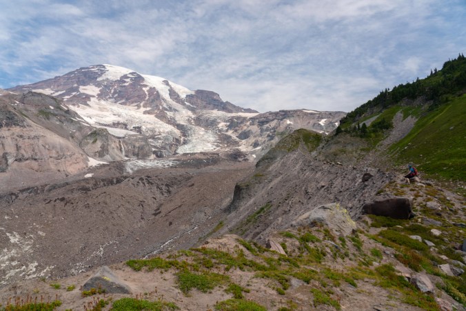
I am sitting on the edge of the moraine, overlooking the Nisqually Glacier.
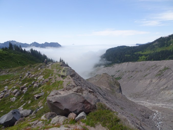
Dan taking the above photo of me as the fog creeps up the Nisqually Valley beyond him.
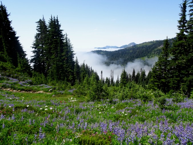
The fog stayed at about that level all day.
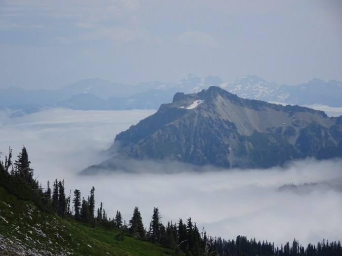
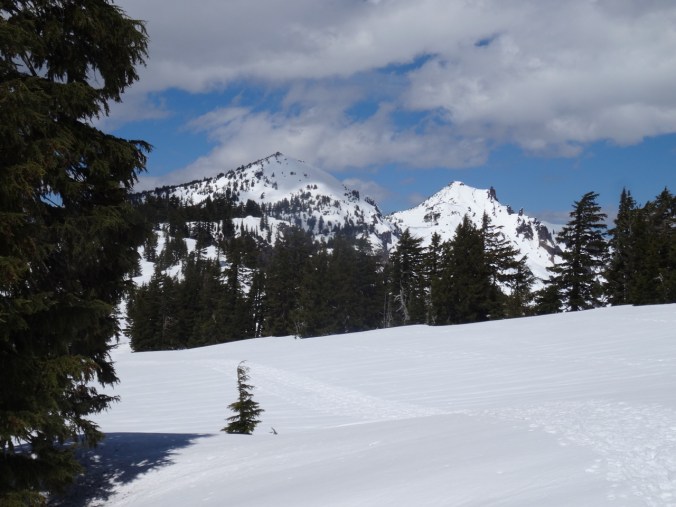
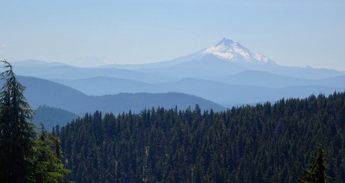
Zoomed view of Stevens Peak in the Tatoosh Range, and the Goat Rocks beyond.
After dinner we walked the Nisqually Vista trail.
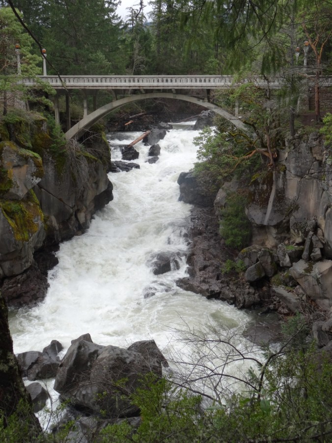
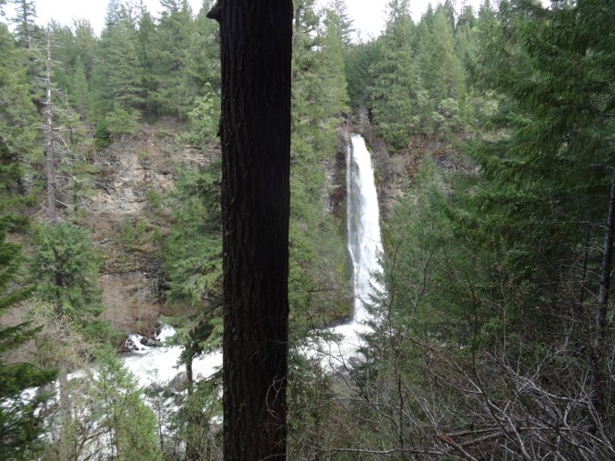
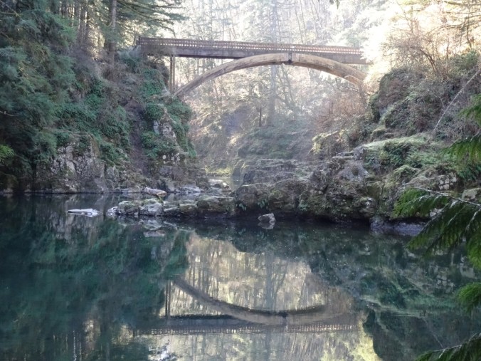
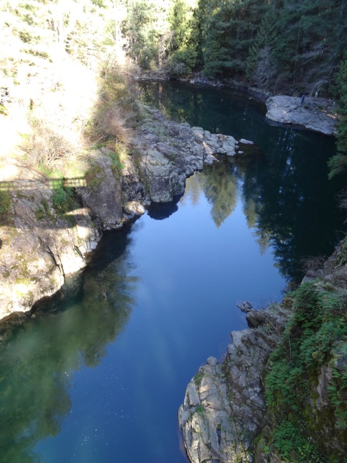
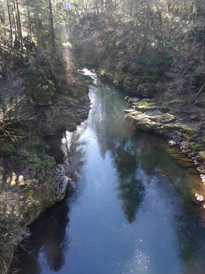
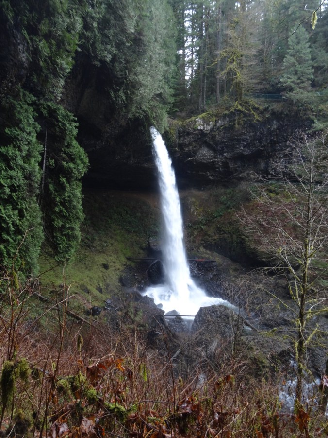
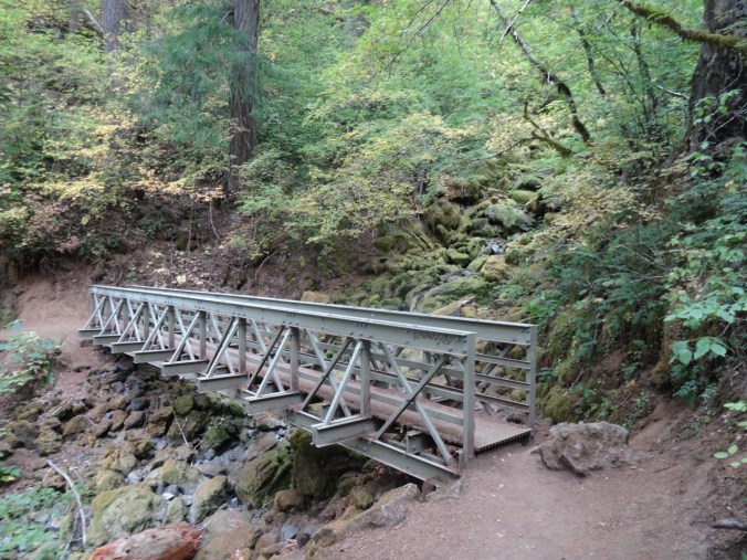
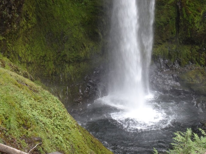
August 9 – Christine Falls – On our way out of the park on Friday morning, we took the short hike to the bridge over Christine Falls.

Christine Falls
We stopped for a picnic lunch at Longmire.
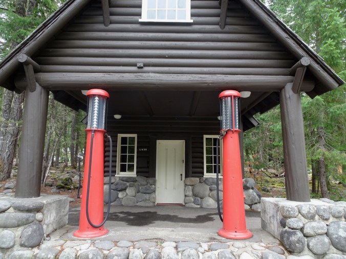
Old gas pumps at the Longmire Visitor’s Center
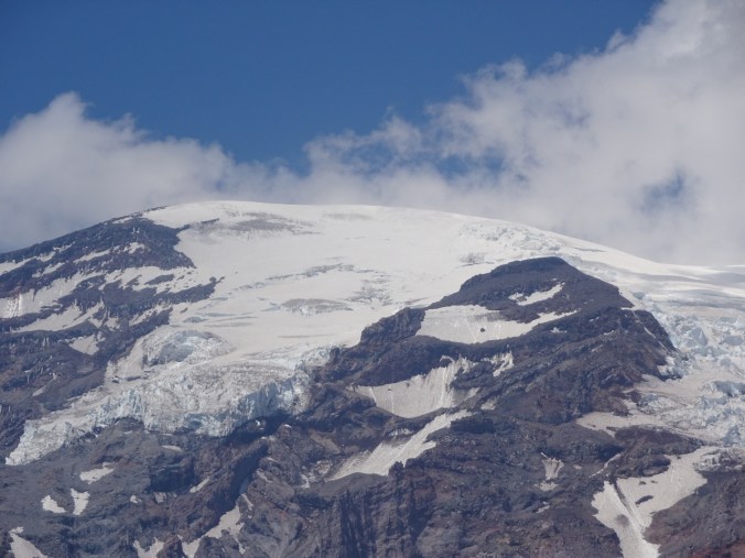
Glacier Closeups:
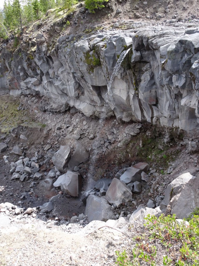
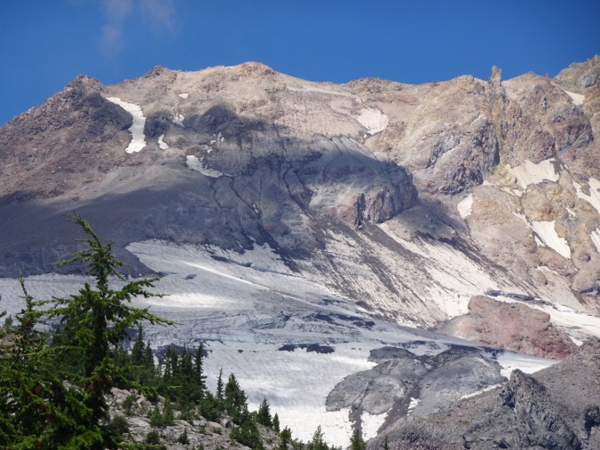
Nisqually Glacier – a river of ice.
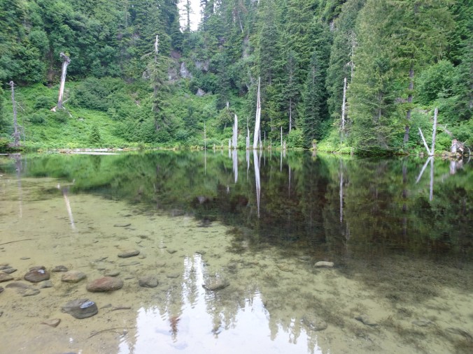
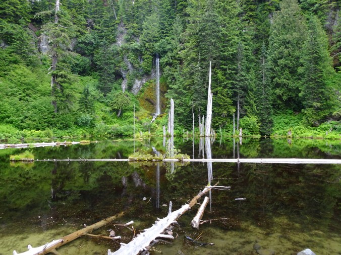
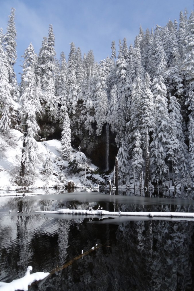
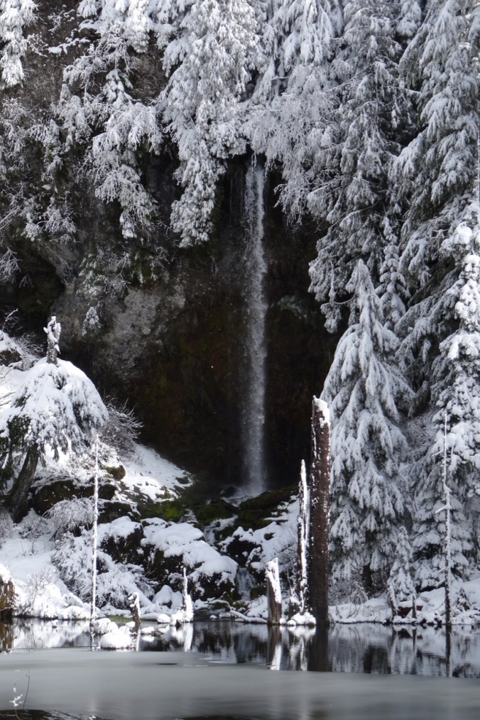
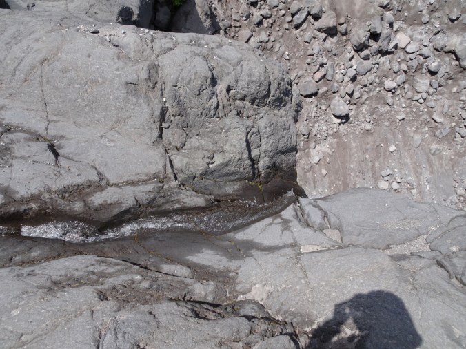
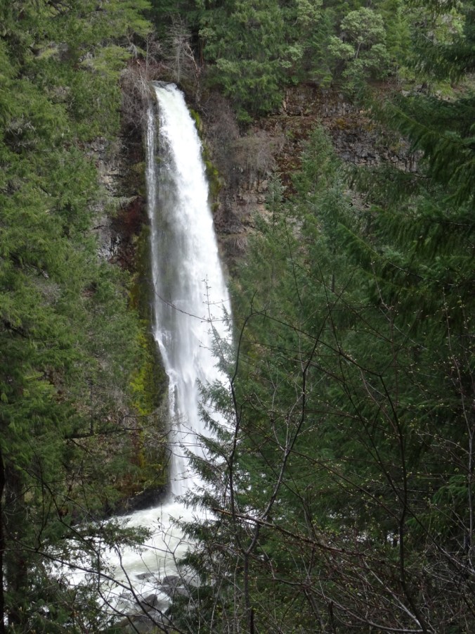
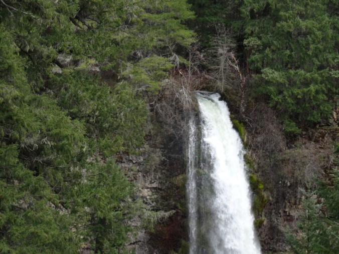
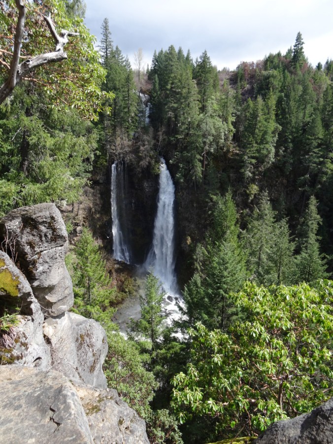
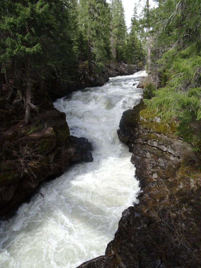
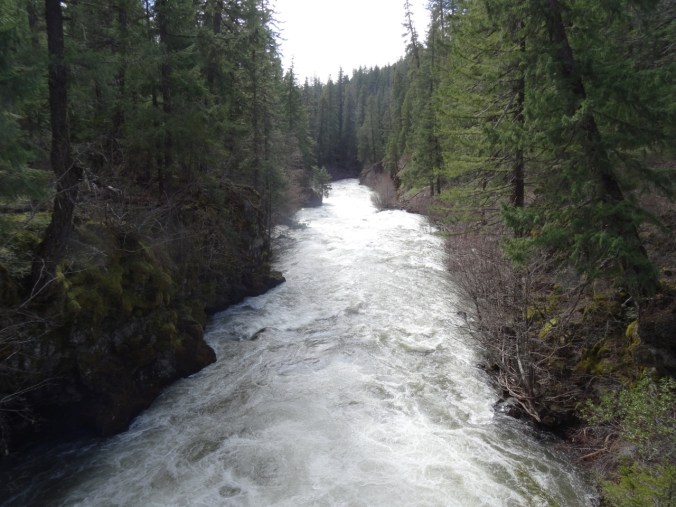
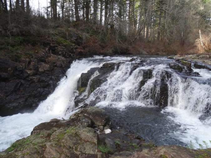
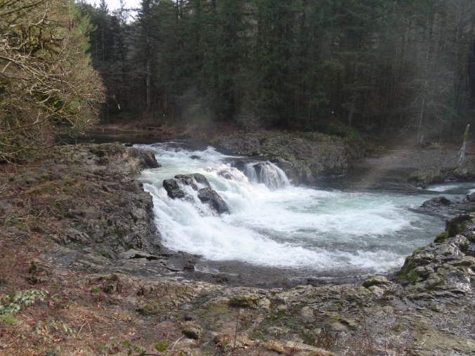
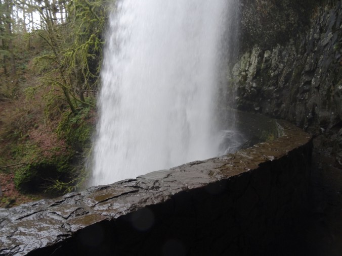
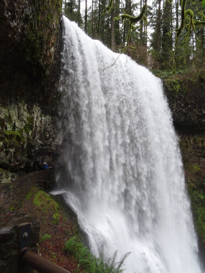
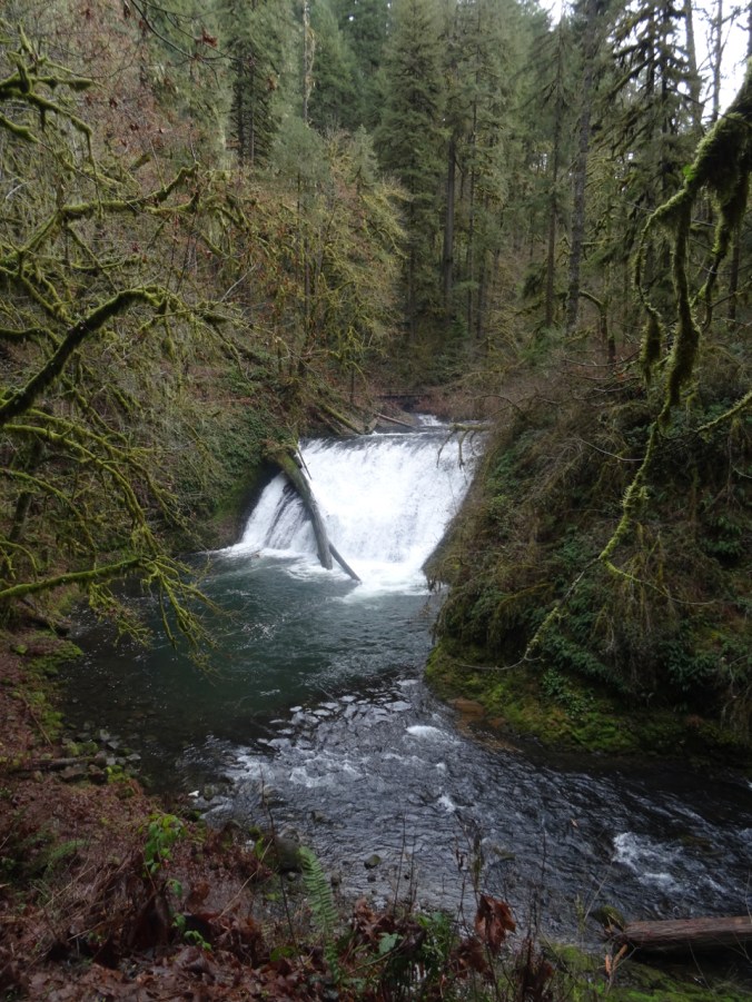
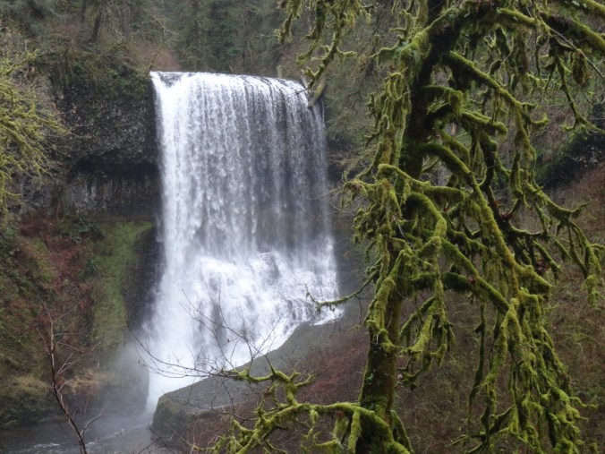
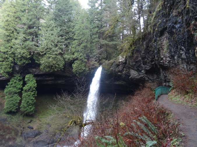
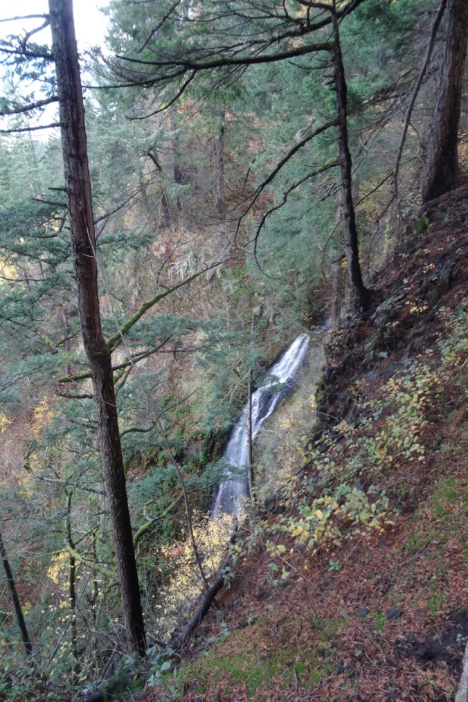
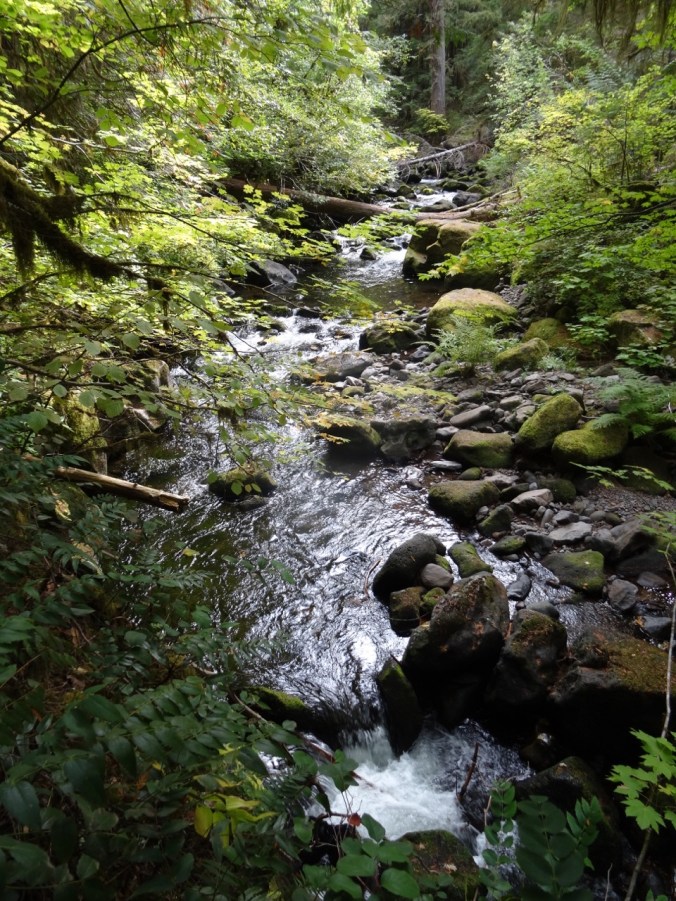
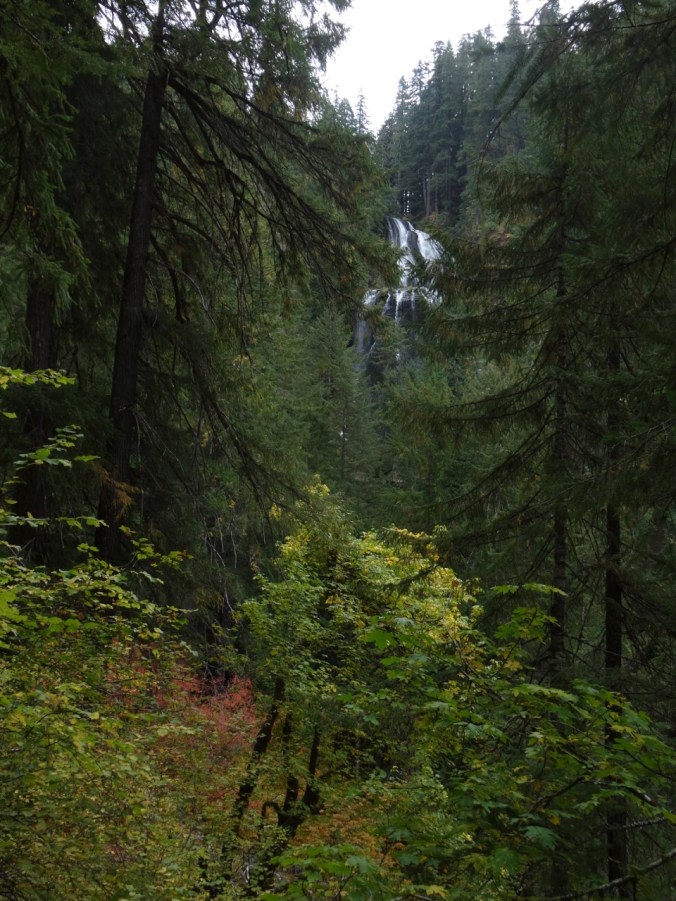
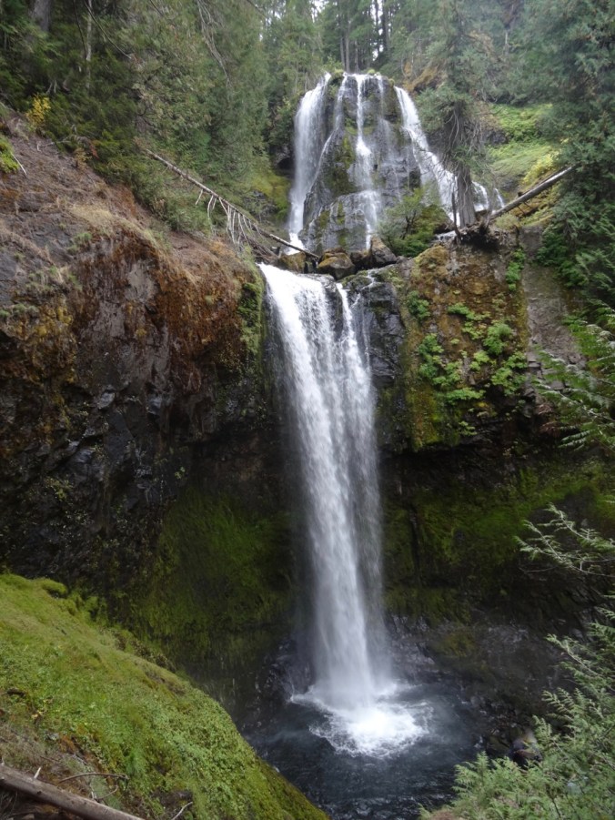
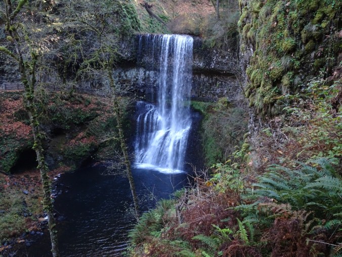
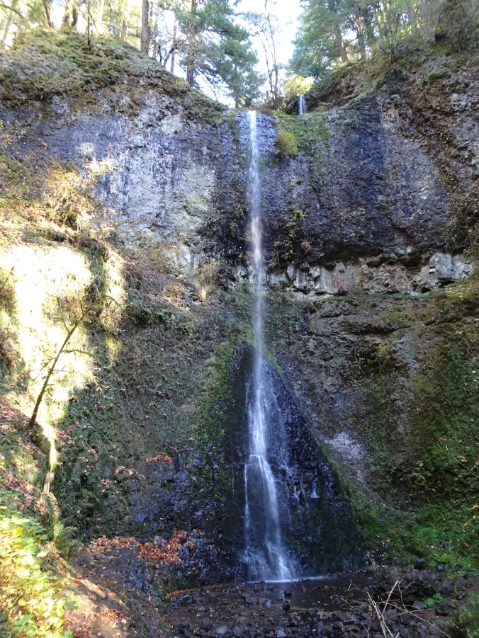
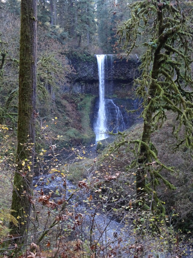
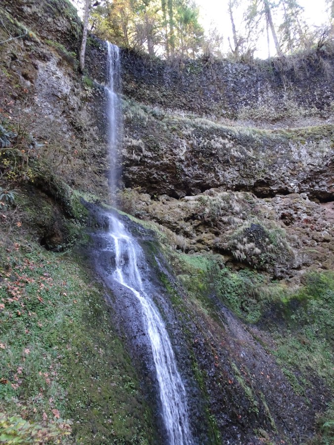
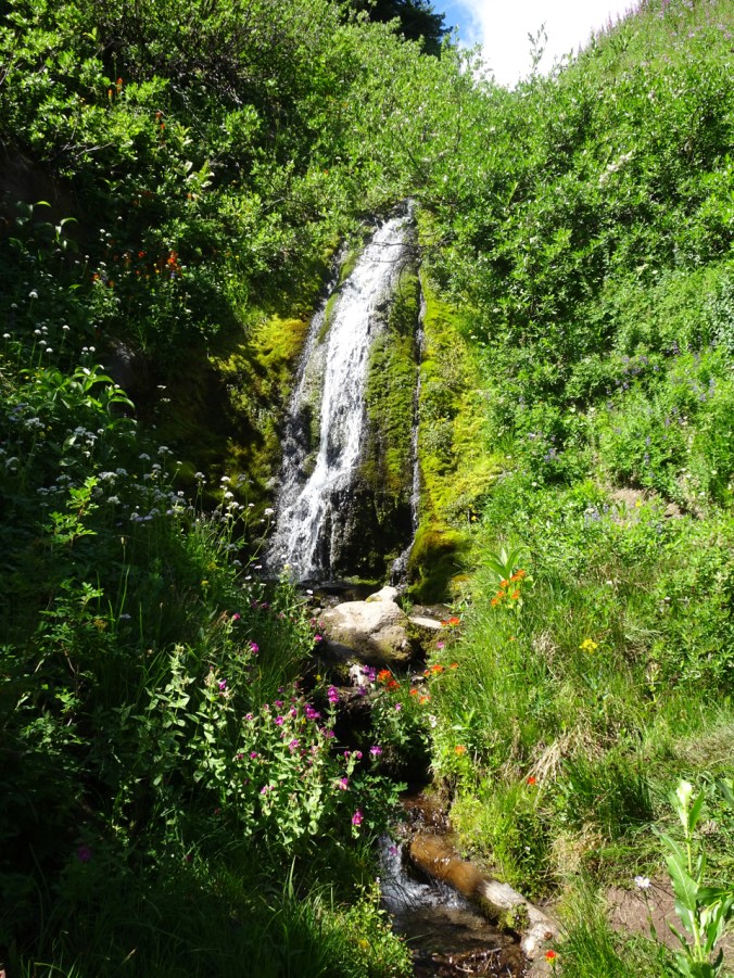
Waterfalls:
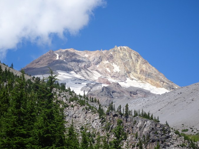
Top of the Mountain:
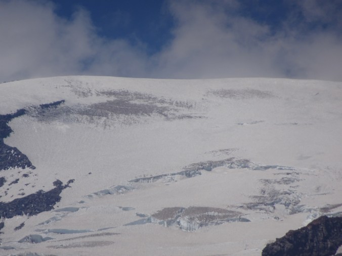 Muir Snowfield:
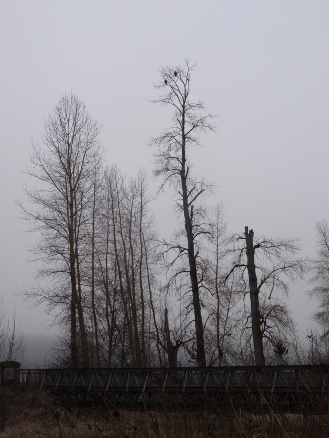
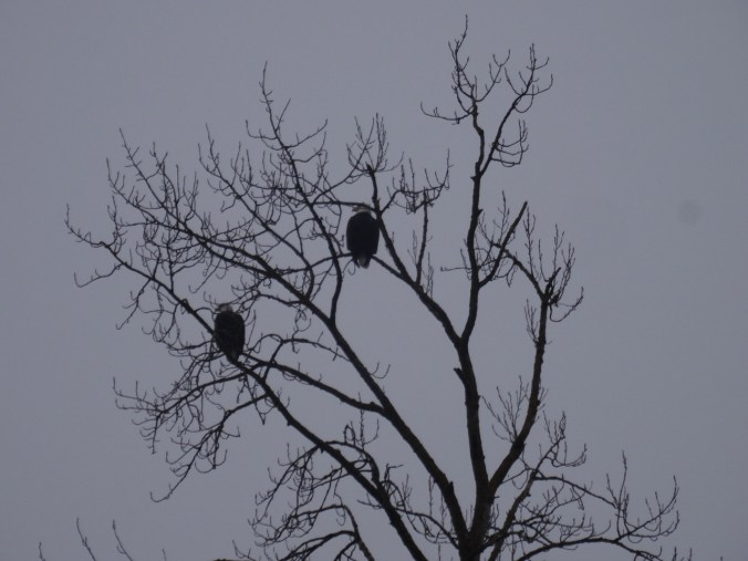
Wildlife
We saw several marmots, deer, and various birds as well as the usual marauding chipmunks.

Gray Jay

grouse posing near the trail
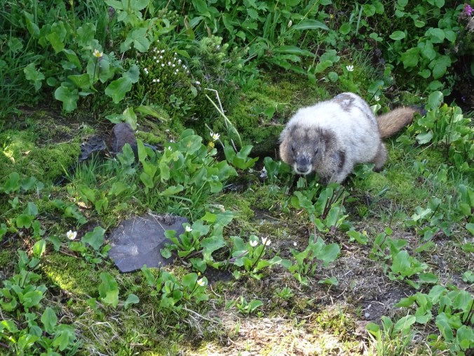
Marmot eating marsh marigolds near the top of the Gold Gate trail.
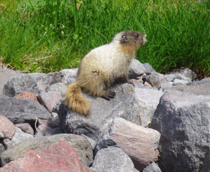
Marmot at a stream crossing on the Glacier Moraine trail, dwarfed by the Mountain above.

Marmot, Mt Rainier
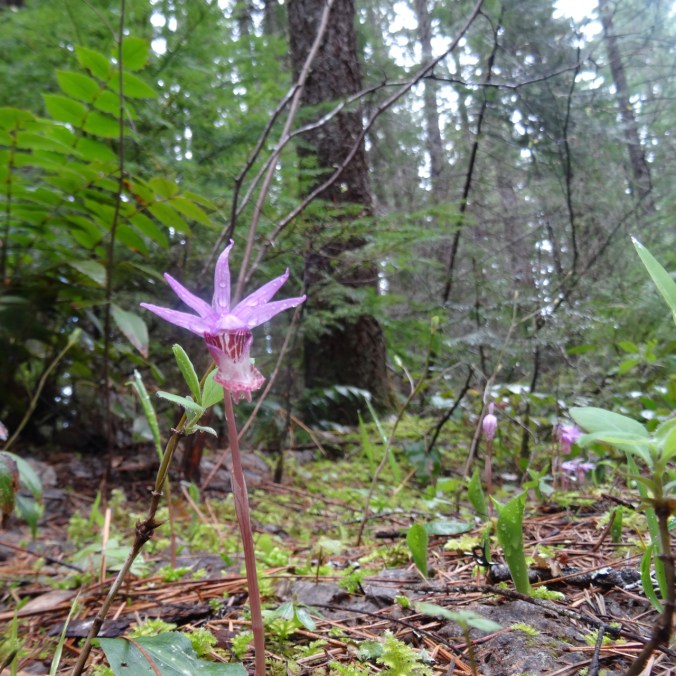
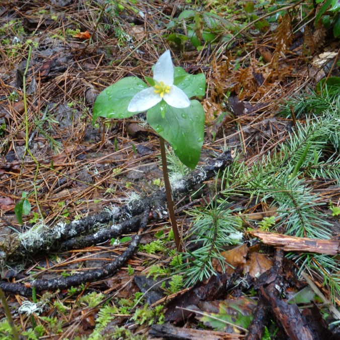
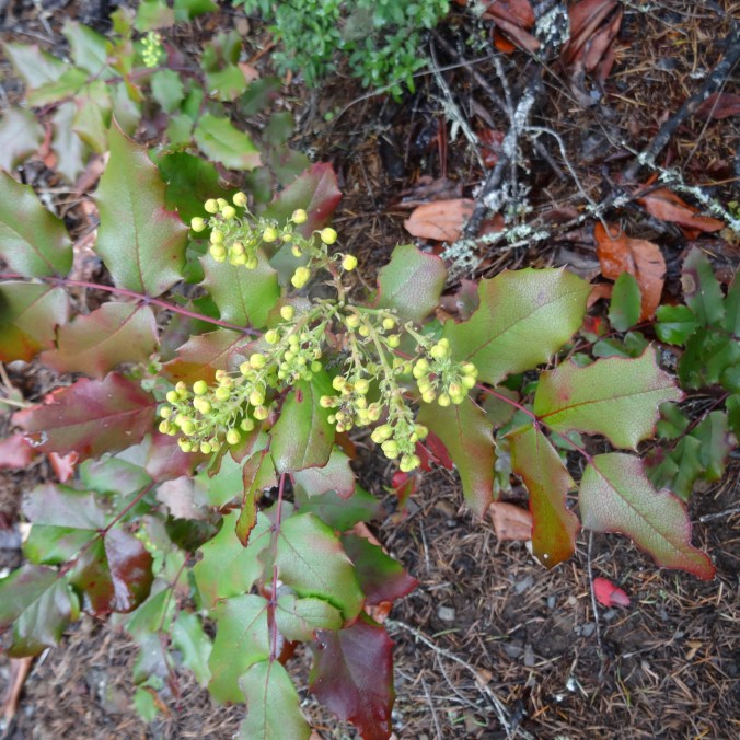
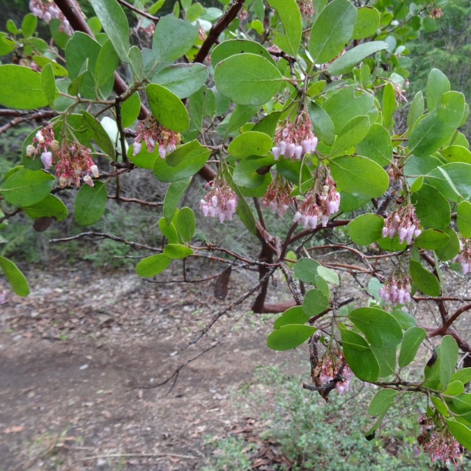
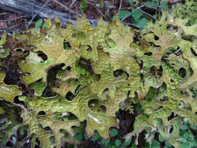
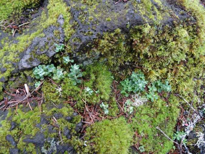
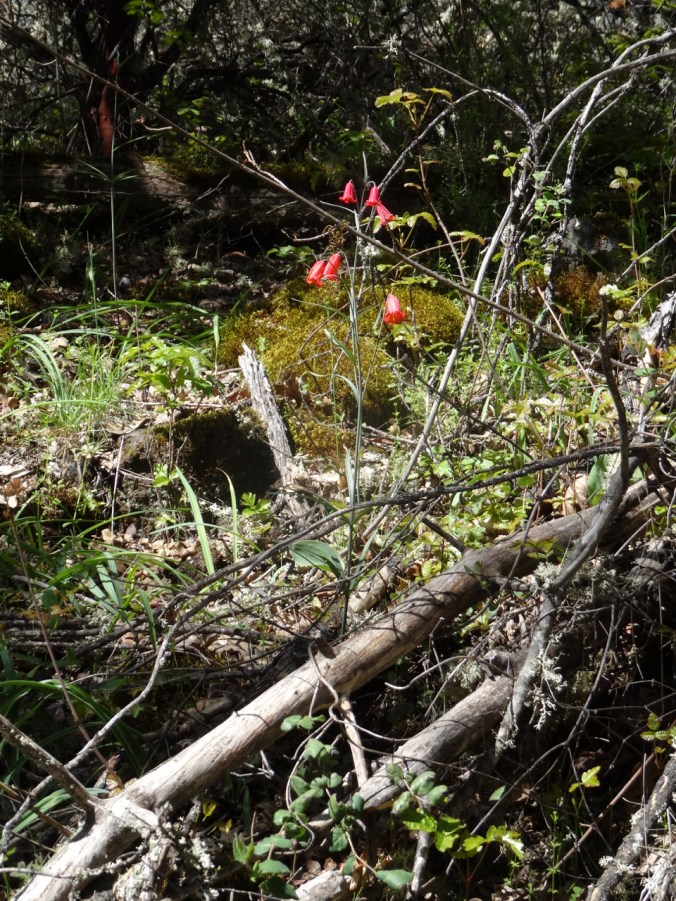
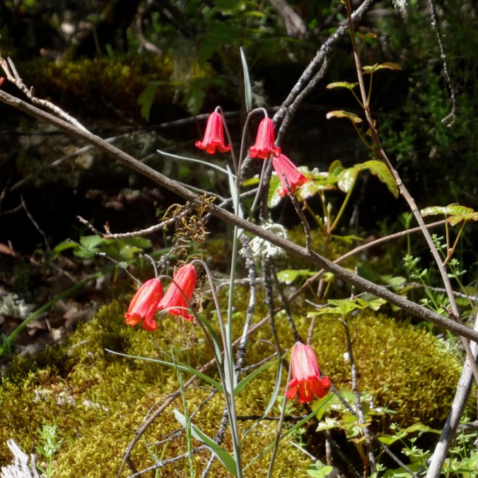
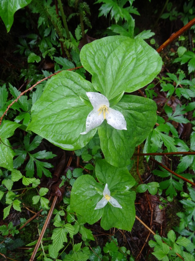
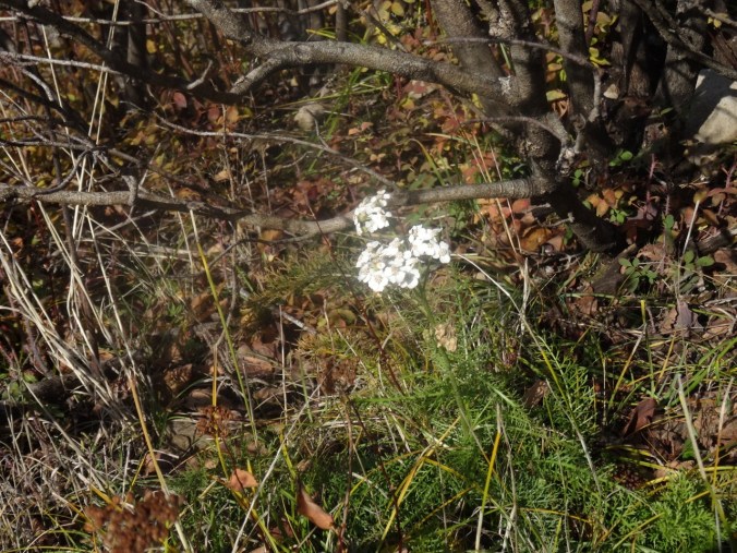
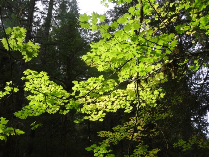
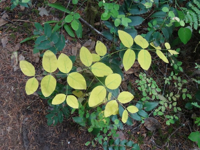
New or notable Wildflowers
So many flowers! I tried to note all that I could identify – at least 65 different types, but I am no expert in discerning the many varieties of some of these:

pasqueflower, paintbrush, heather

arrowleaf groundsel

speedwell and heather

pasqueflower shedding petals

brief bloom of the pasqueflower

dwarf alpine gold

gentian

aster

leatherleaf saxifrage

heartleaf saxifrage

pink willowherb

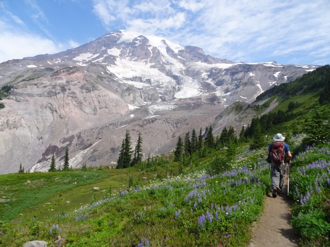
lupine

paintbrush, lupine, bistort, arnica, valerian

pasqueflower seedhead

yellow willowherb

lovage

flower list

monkey flower, aster, paintbrush, saxifrage

bird beak lousewort

yellow penstemon

Mt Rainier lousewort

tolmie’s saxifrage

coiled and sickletop louseworts

fireweed

cinquefoil, paintbrush

paintbrush, rosy spirea

partridge foot, dwarf lupine
In all this was a fabulous trip! We had nearly clear views of Mt Rainier during our entire stay. We didn’t move our car all week. No internet or cell service away from the Visito’s Center. I am so appreciative of the National Park Service, and laws that preserve our national treasures such as Mt Rainier!
And a brief Look Back…
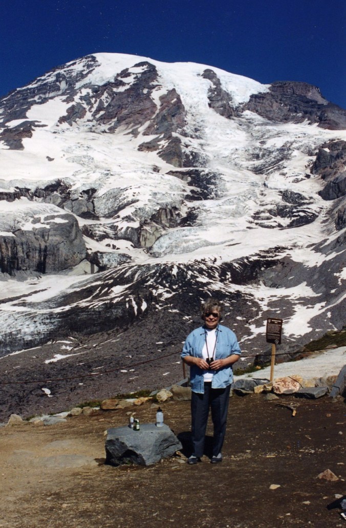
In 1995, when our boys were two and six years old, we spent a long September weekend with my Mom at Paradise. She loved the mountains, and this was her first chance to visit Mt Rainier. She was 71 years old, and not in hiking shape of late, so was proud of herself to make the three mile hike to Glacier Vista overlook, helping to guide our two young ones more than 1000 feet up the trail. This was a couple of years before macular degeneration, and then later, ALS. I thank her for taking us hiking and camping in our youth, even after our father died and she was on her own with nine children. I remember her naming the flowers – paintbrush and lupine and aster, in Tuolumne Meadows. She was a wonder woman, and I wish she was here to wish her a Happy 95th Birthday today! I hope there is chocolate cake on the other side!


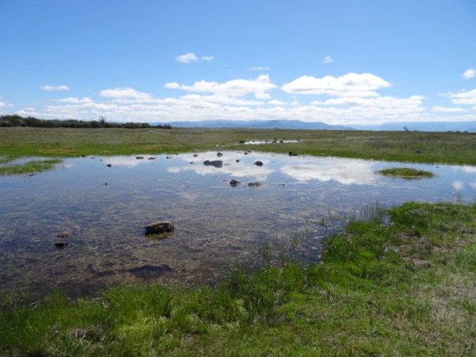
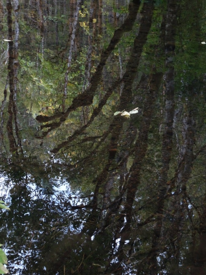
 The walk to the lake is easy, with flowers blooming along the way, and magical mirror reflections at the lake.