Washington DC, May 20-25, 2021

Last spring (2020) we cancelled a trip to Washington, DC, due to Covid. Our daughter has been working there for two years, and we hadn’t seen her since the 2019 winter holidays. Fully vaccinated, heeding all CDC precautions, and despite predicted high temperatures and a cicada invasion, we finally got to visit her!

May 20 –  Flying, Georgetown

We were able to take the five hour nonstop flight from Portland, Oregon, to National Airport, where our daughter met us.

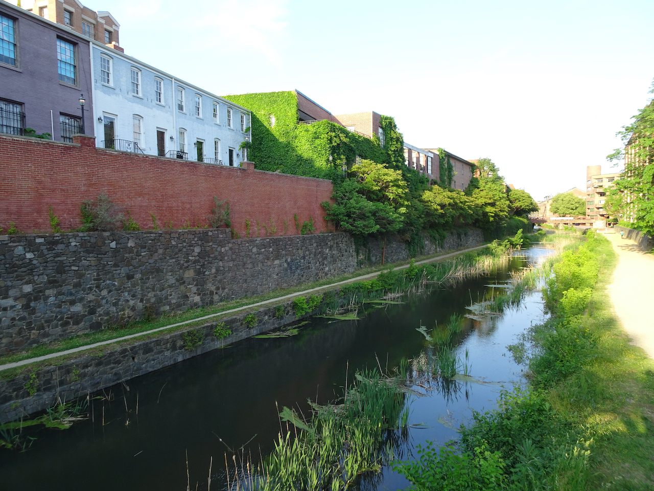
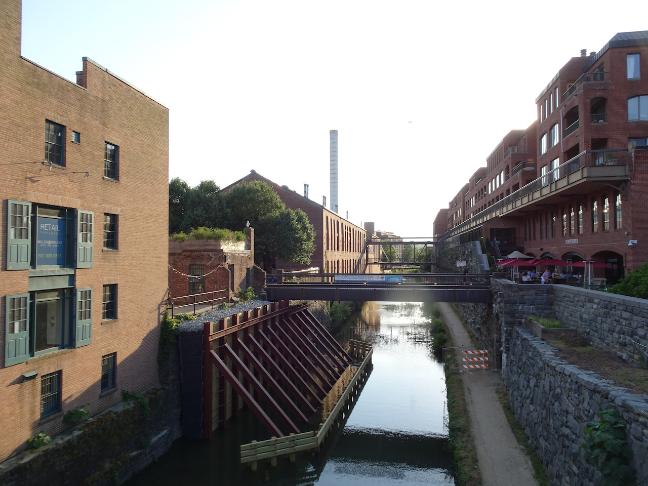
We stopped in Georgetown for al fresco tacos and a walk along the canal and waterfront.

DSC07117

C & O Canal, Georgetown

DSC07120

DSC07122

Georgetown waterfront path, Kennedy Center in the distance.

Then we checked in to our AirB&B lodging in Logan Circle, near our daughter’s apartment.

May 21 – National Mall walk

It was ‘only’ supposed to be 80 degrees today. We went on an 8 mile walk, from Logan Circle, past the White House, the Washington Monument and the Tidal Basin, looking at the monuments along the way.

DSC07137

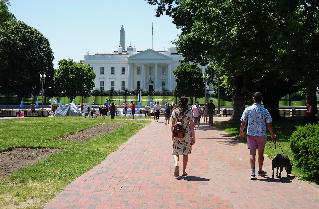
Walking toward the White House.

DSC07140

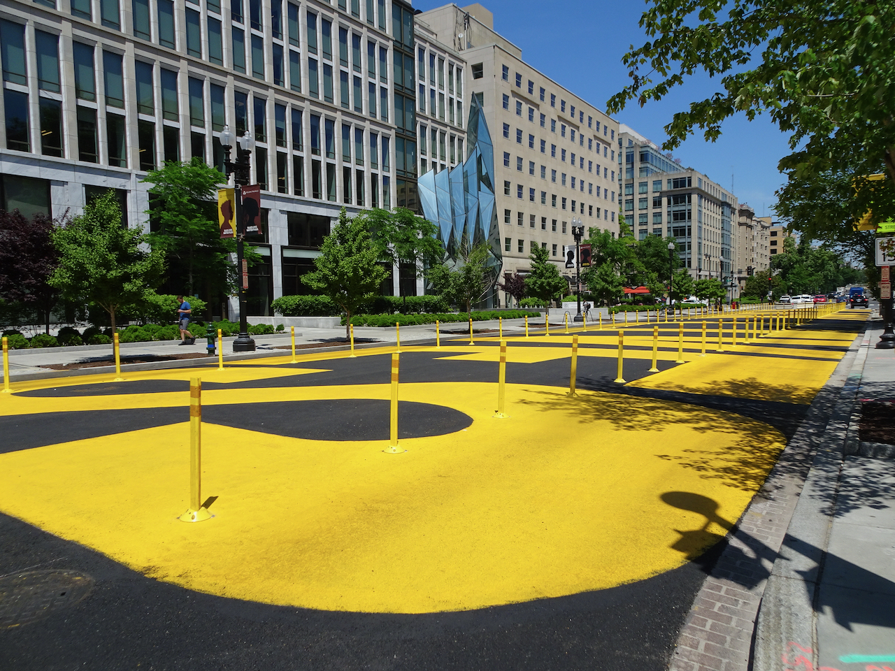
Looking north at Black Lives Matter Plaza.

DSC07143

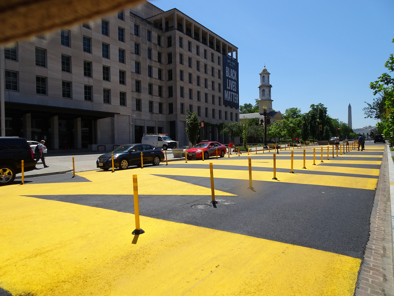
Looking south at Black Lives Matter Plaza.

DSC07148

Approaching the north side of the White House.

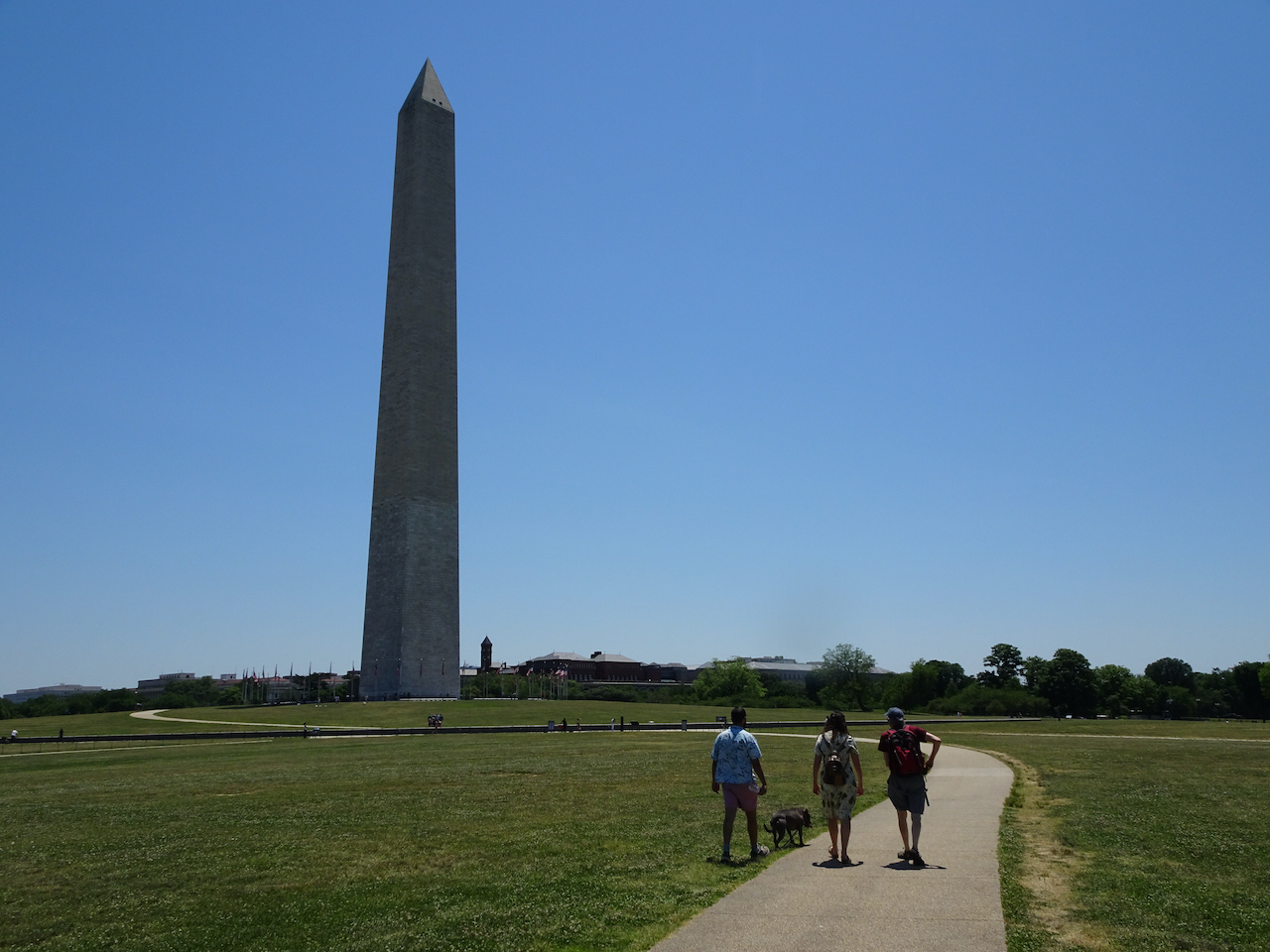
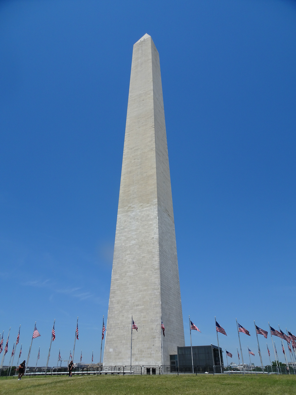
Next stop: the Washington Monument on the National Mall.

DSC07158DSC07171DSC07164

DSC07169

Looking west across the mall toward the Lincoln memorial.

DSC07173

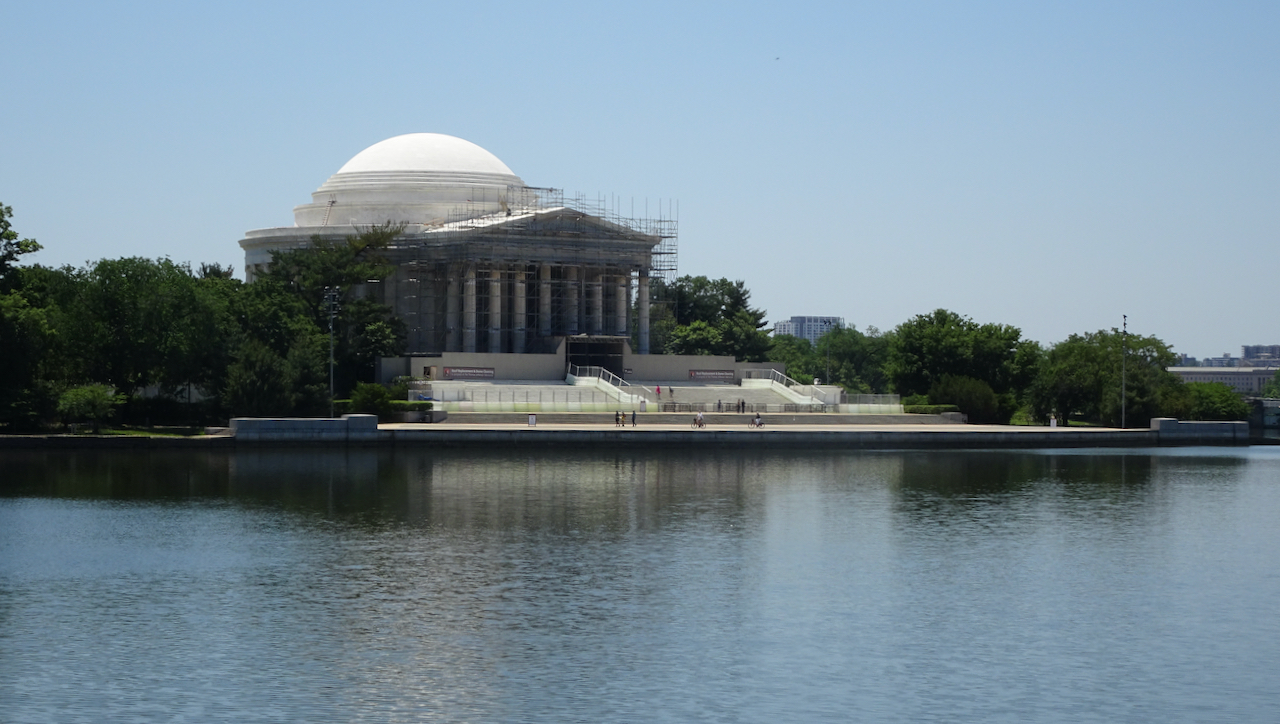
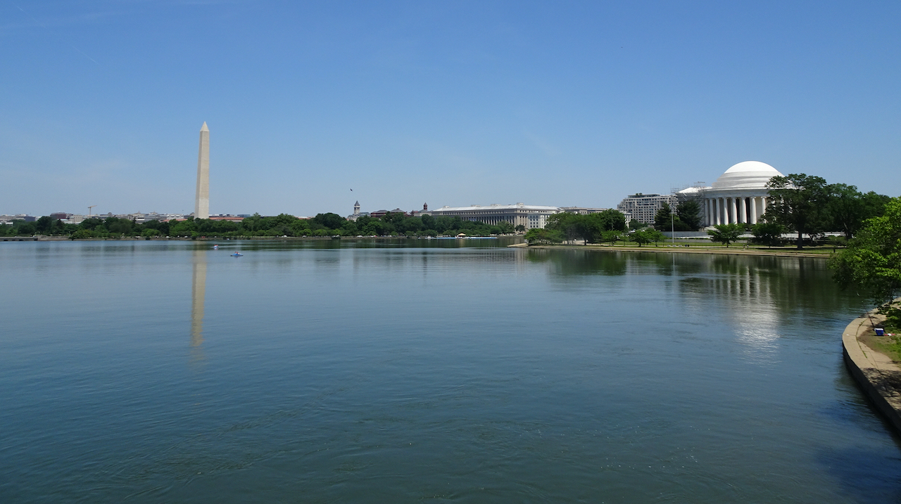
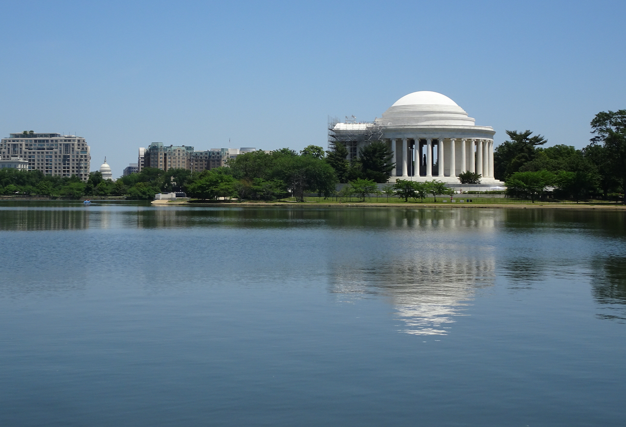
Our next stop: the Jefferson Memorial, under reconstruction, where we ate our picnic lunch in some nearby shade.

DSC07175

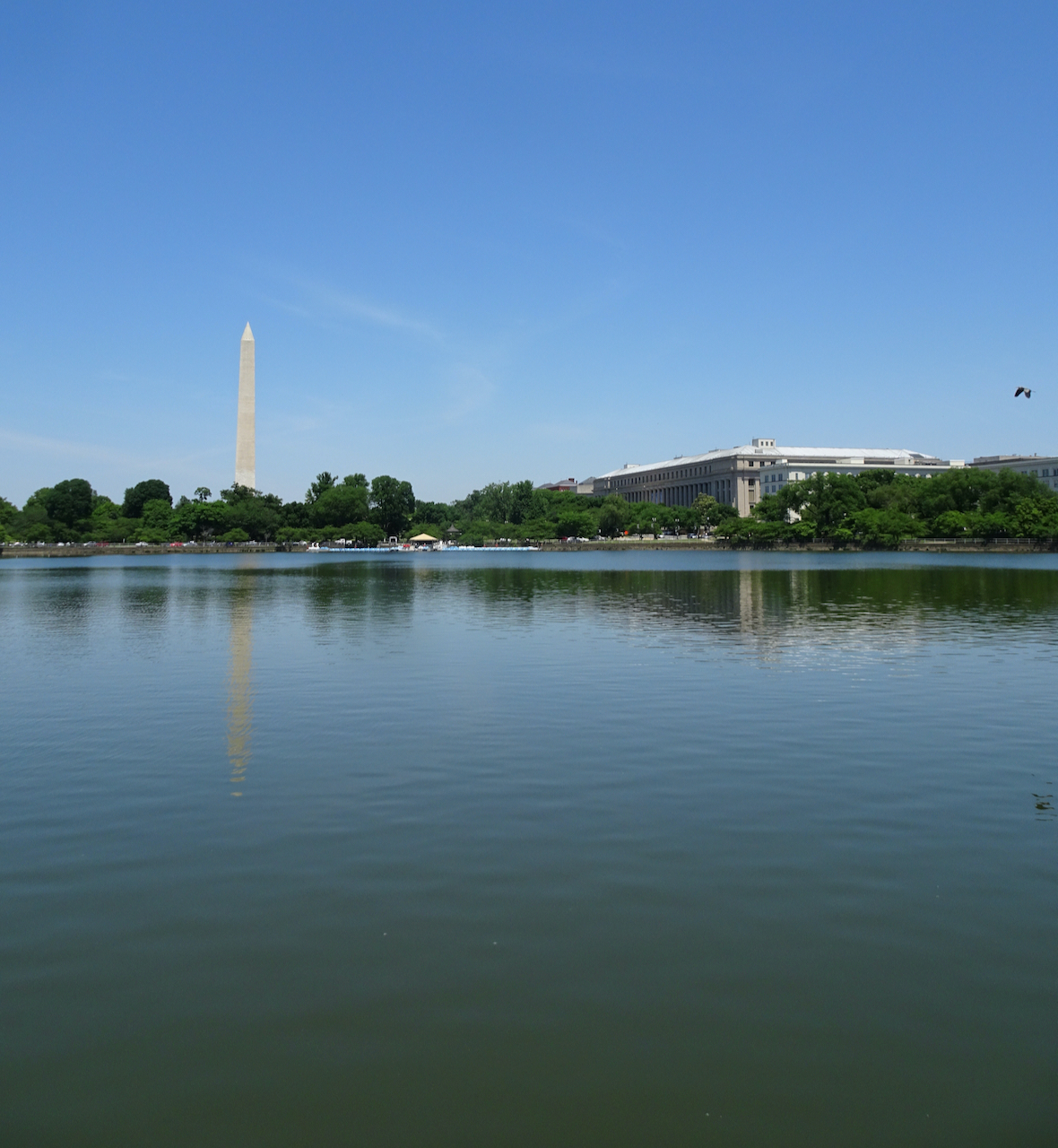
A blue heron flew across our view as we sat on the grass, admiring reflections in the tidal basin.

IMG_3396

Two official helicopters flew past, as well. According to our daughter, two helicopters means it is the Vice President’s entourage, three for the President. So that might have been Kamala Harris in one of them.

DSC07183

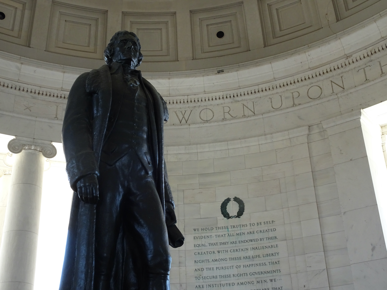
Inside the Jefferson memorial.

DSC07191

Looking back as we continued walking around the Tidal Basin.

DSC07195

The Capitol in the distance, Jefferson’s profile in the monument.

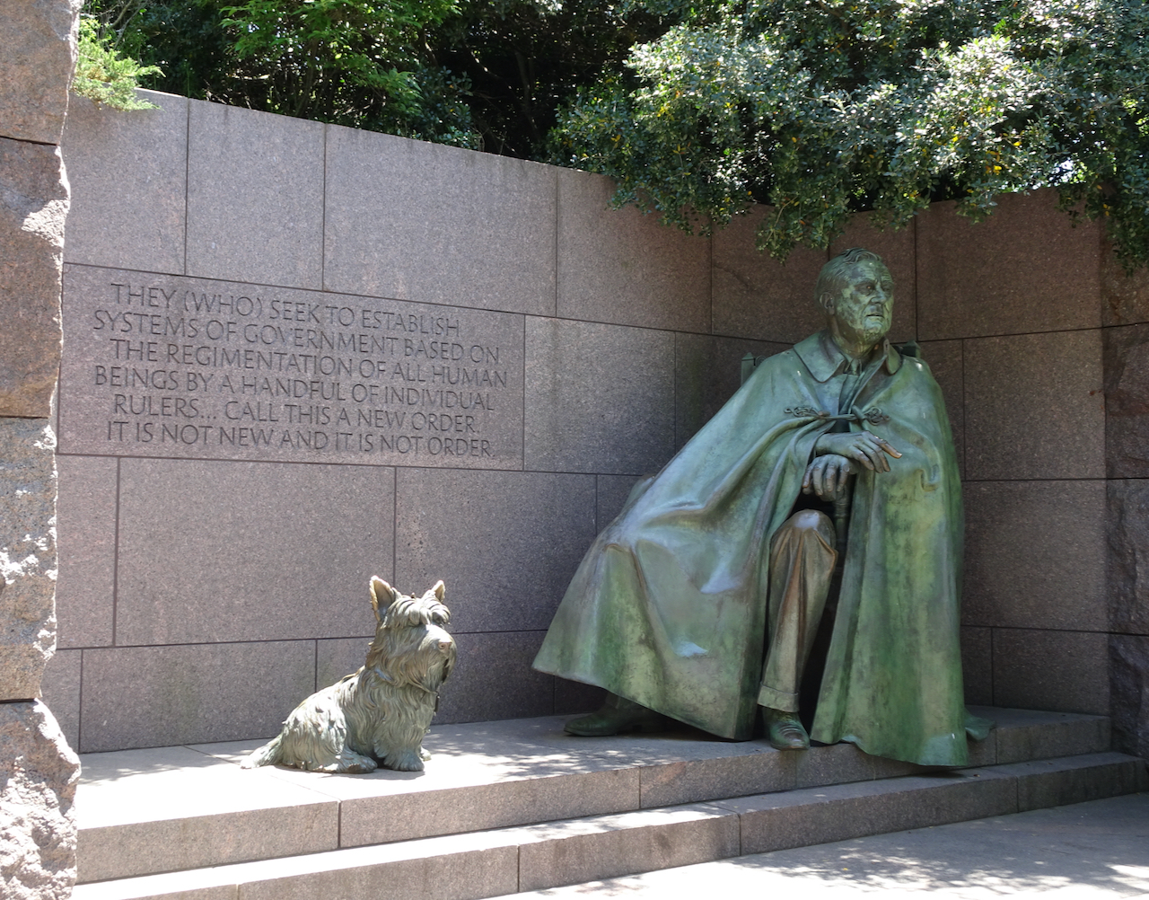
Our next stop was a series of exhibits documenting the legacy of President Franklin Delano Roosevelt.

DSC07213

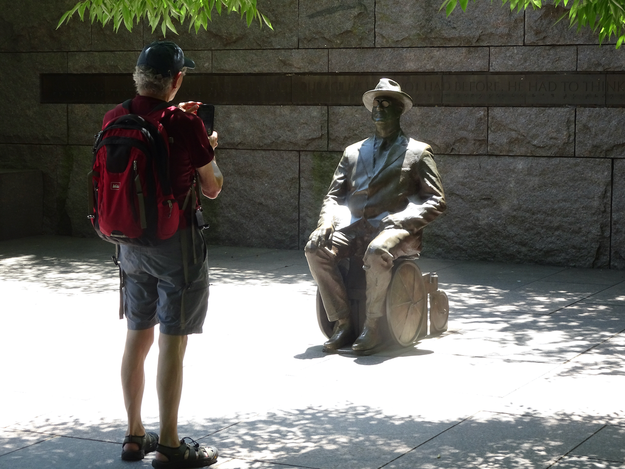
FDR, lifesized, in wheelchair.

DSC07211

Tributes to the hardships of the Great Depression in the 1930s.

DSC07210

DSC07203

Panels representing the New Deal Programs that revived the economy.

DSC07202

FDR and his dog, Fala.

DSC07198

The amazing First Lady Eleanor Roosevelt also gets an alcove.

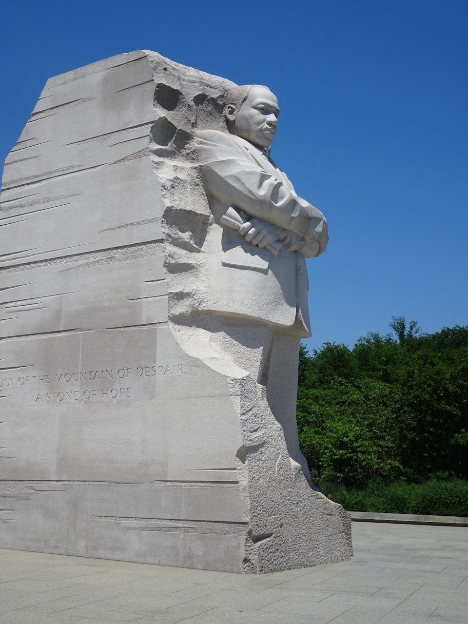
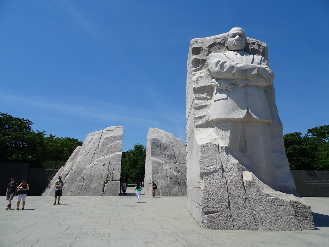
Our next stop was the Martin Luther King, Jr. Memorial, new since my only other visit to the capitol in 2008.

DSC07214

The large granite sculpture of Martin Luther King, Jr. was much larger than I expected, a very fitting tribute to his legacy.

DSC07216

By now we were feeling the heat, and I had seen most of the memorials in this area on my previous visit, so we continued toward the Lincoln Memorial, which I wanted to see again.

DSC07219

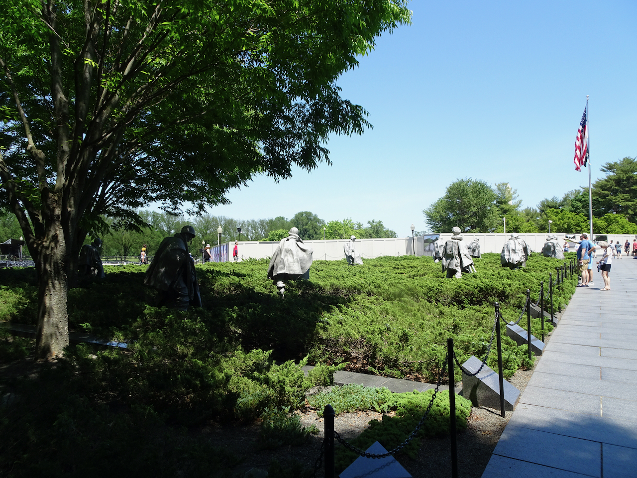
After crossing Independence Avenue again, we passed by the Korean War Memorial.

The Lincoln Memorial:

DSC07222

That airplane is probably on the same flight path we were on the previous day.

DSC07227

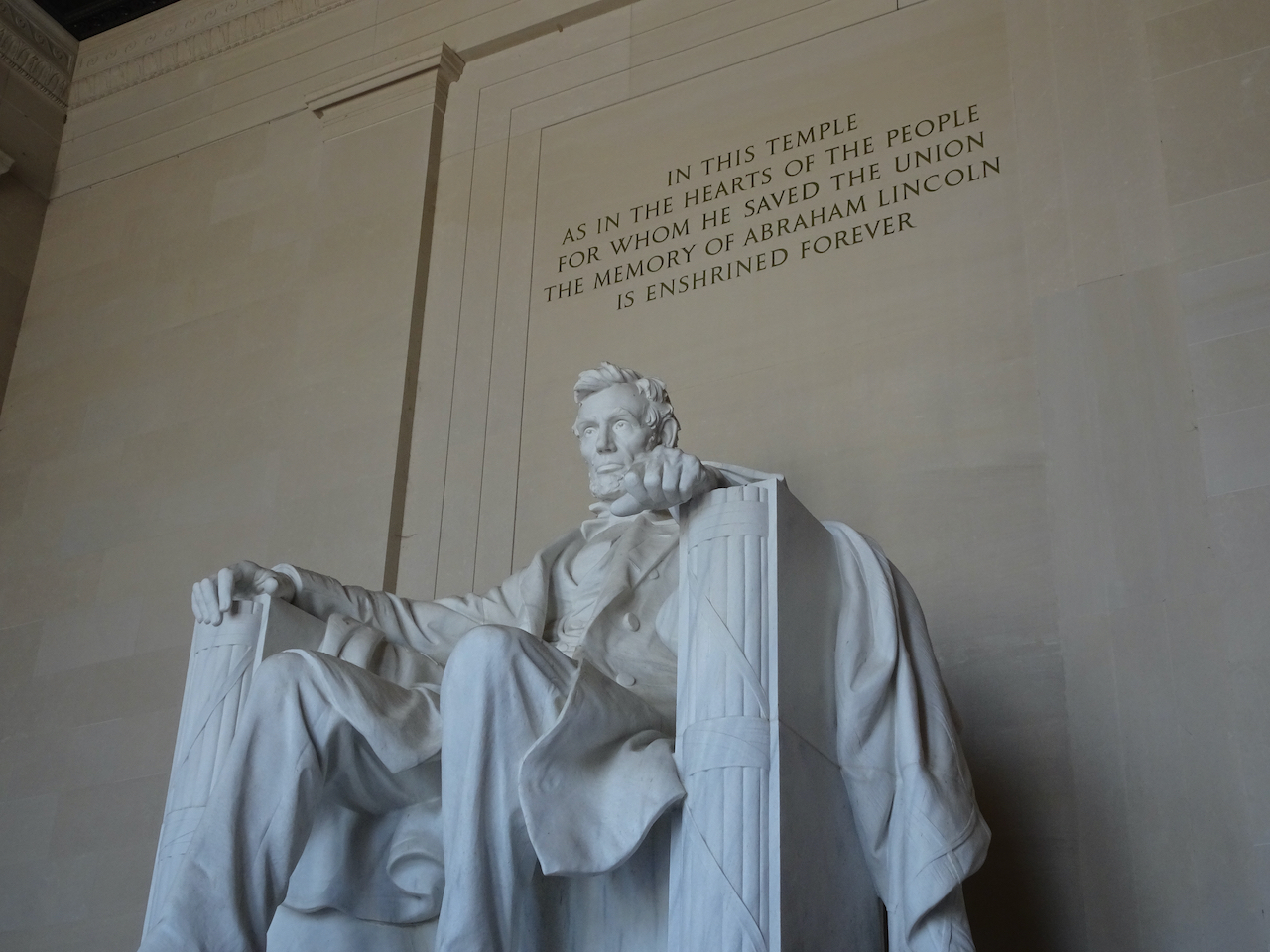
President Lincoln

DSC07229

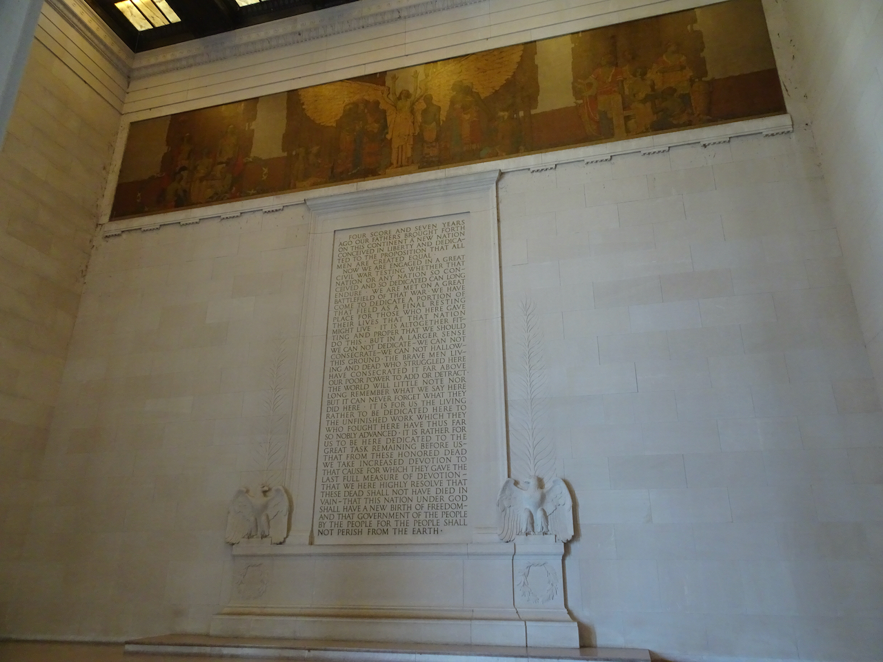
The Gettysburg Address

DSC07231

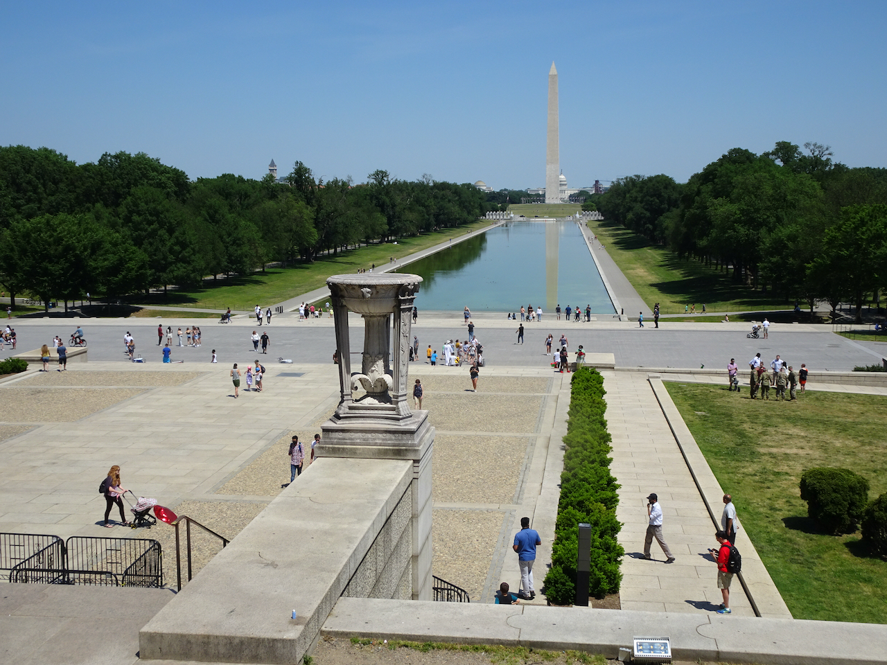
View north from the steps

DSC07232

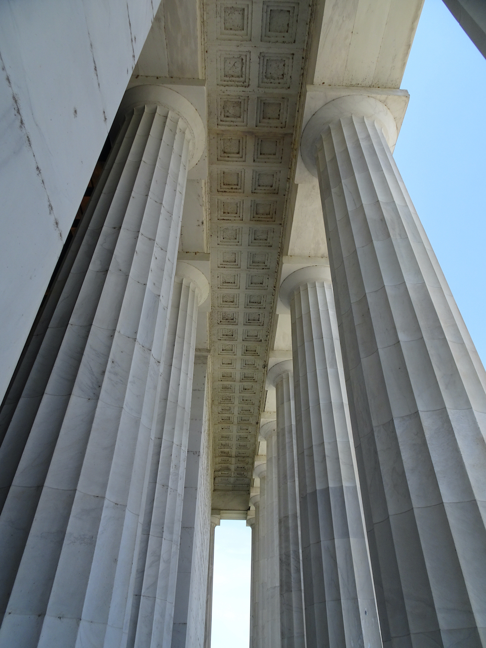
Columns

We still had a couple of miles to walk back to our lodging.

DSC07236

We visited the Viet Nam War Memorial.

DSC07238

We saw the Federal Reserve building on Constitution Avenue.

DSC07246

We sipped cold drinks while walking north toward Dupont Circle.

DSC07250

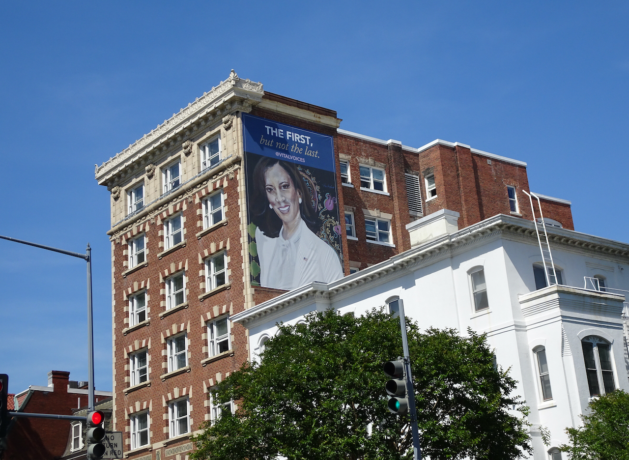
We caught another glimpse of our Vice President!

After resting from our long walk we enjoyed a takeout Ethiopian dinner.

May 22 – Great Falls National Park

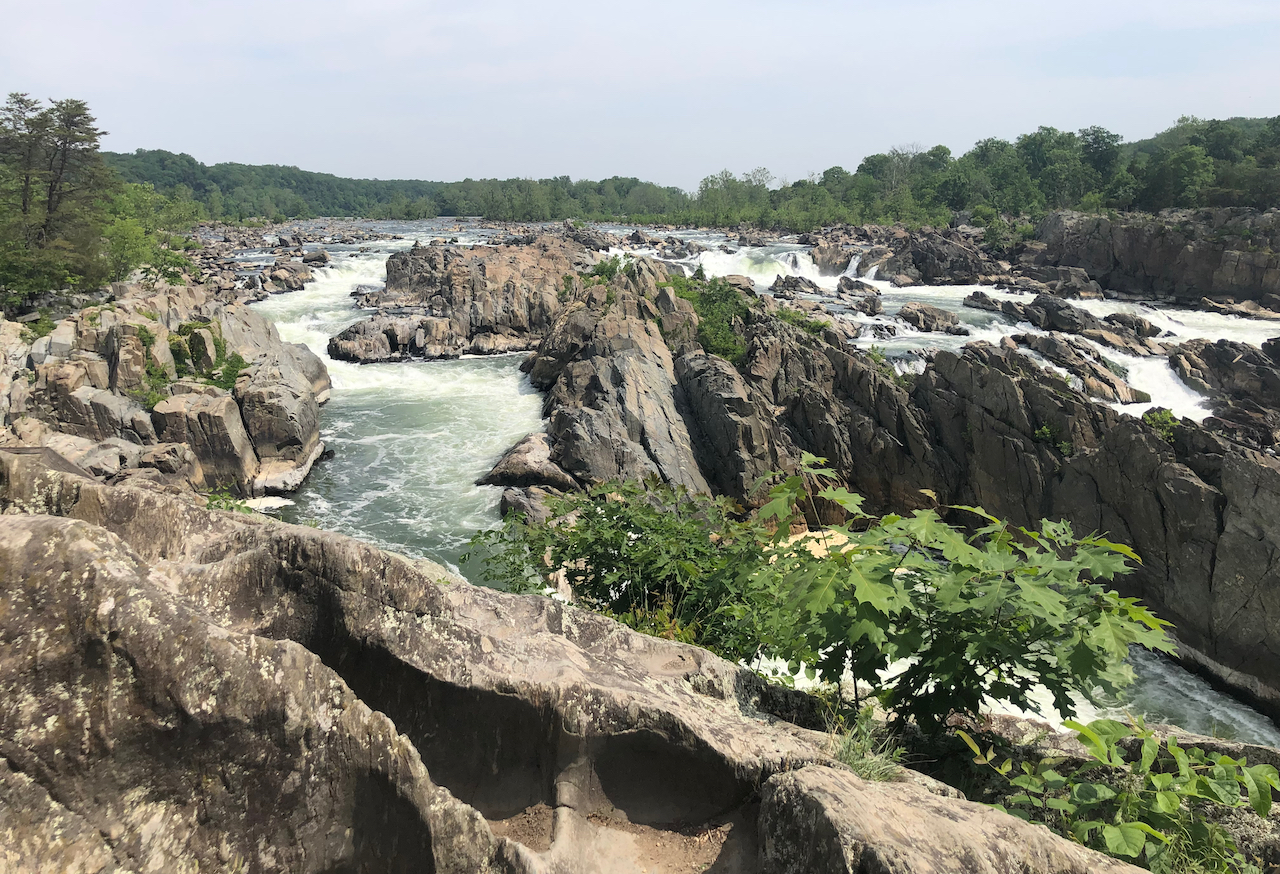
A hot day – into the 90s! We drove about an hour to Great Falls National Park, VA, to see the falls. It was too hot for a serious hike, but we enjoyed the views and some wildlife.

DSC07253

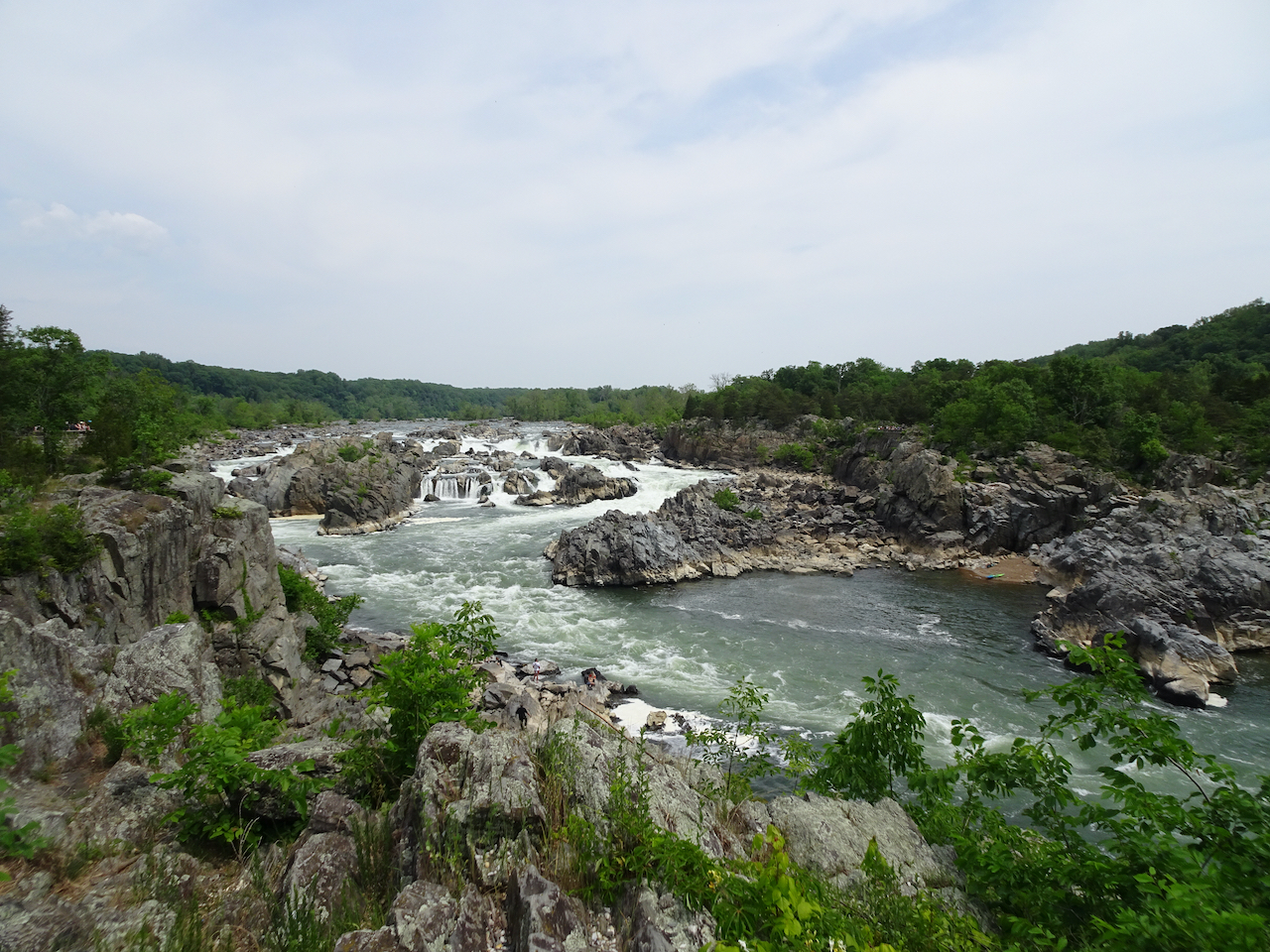
The very calm Potomac River, above the falls.

IMG_3407

First viewpoint of the Great Falls of the Potomac River

DSC07263

Downstream from the falls, and a kayaker

DSC07269

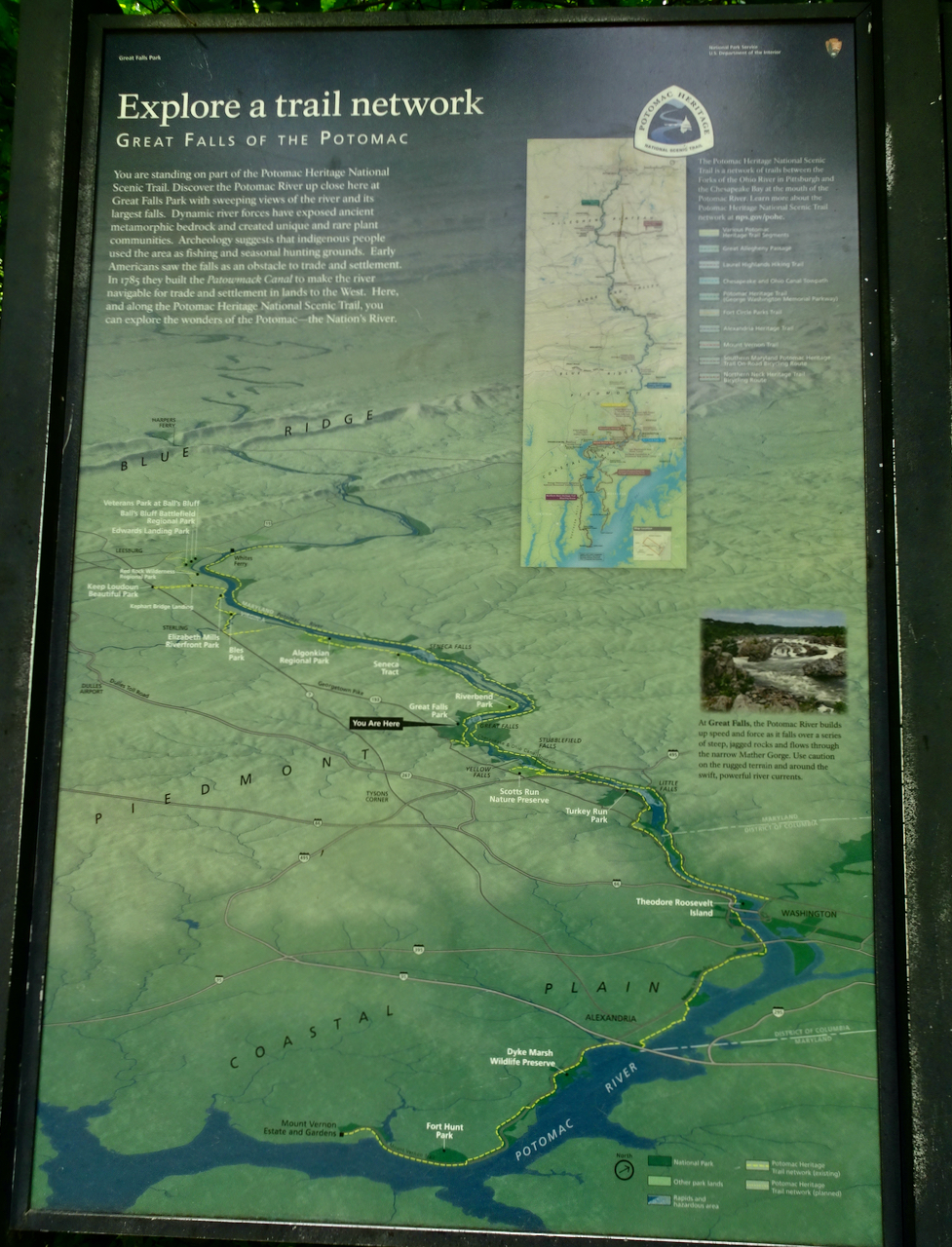
Park map

We walked downstream to a few of the viewpoints:

DSC07276DSC07280DSC07281

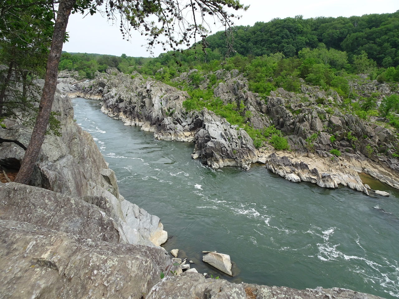
We turned around after looking at Mather Gorge:

DSC07285

DSC07289

Upstream, Mather Gorge

DSC07286

Downstream, Mather Gorge

As we walked back, keeping to shady paths where possible, we spotted some wildlife:

DSC07290

Broad-headed skink, sitting on a log near the trail.

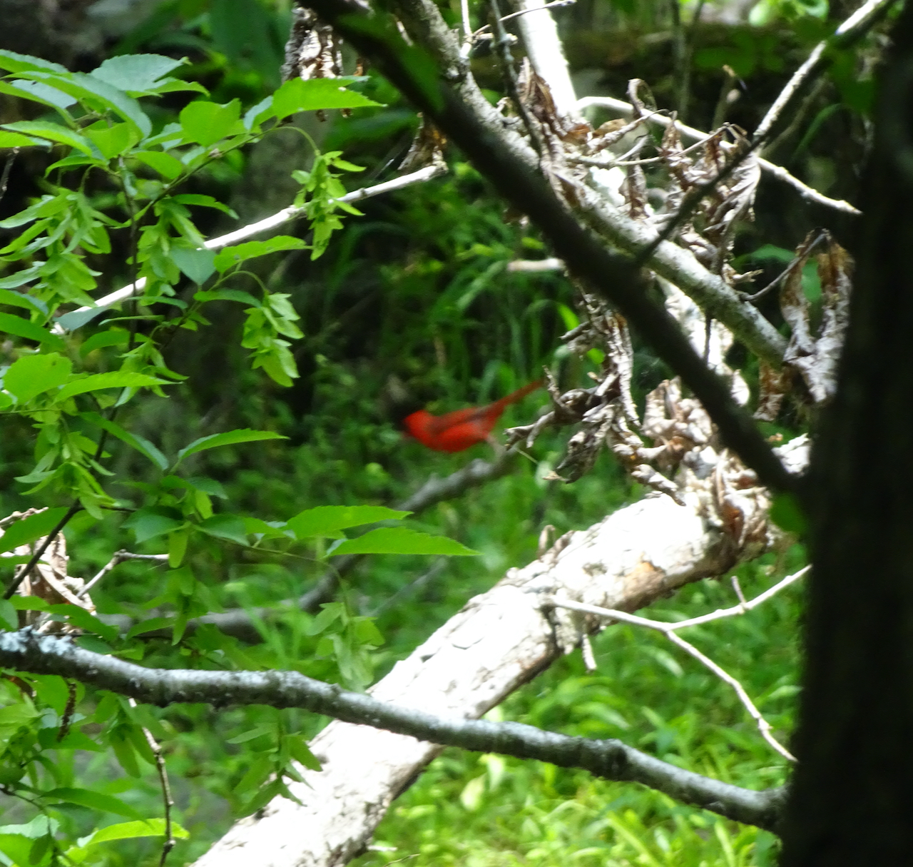
I was very excited to see cardinals for the first time, bathing in the nearby creek while we were eating lunch in the shade. They are very hard to photograph!

DSC07295

Male cardinal

DSC07301

Female cardinal

Despite the heat, we enjoyed our visit to the natural world so near our nation’s capitol.

May 23 – Cicadas of Baltimore

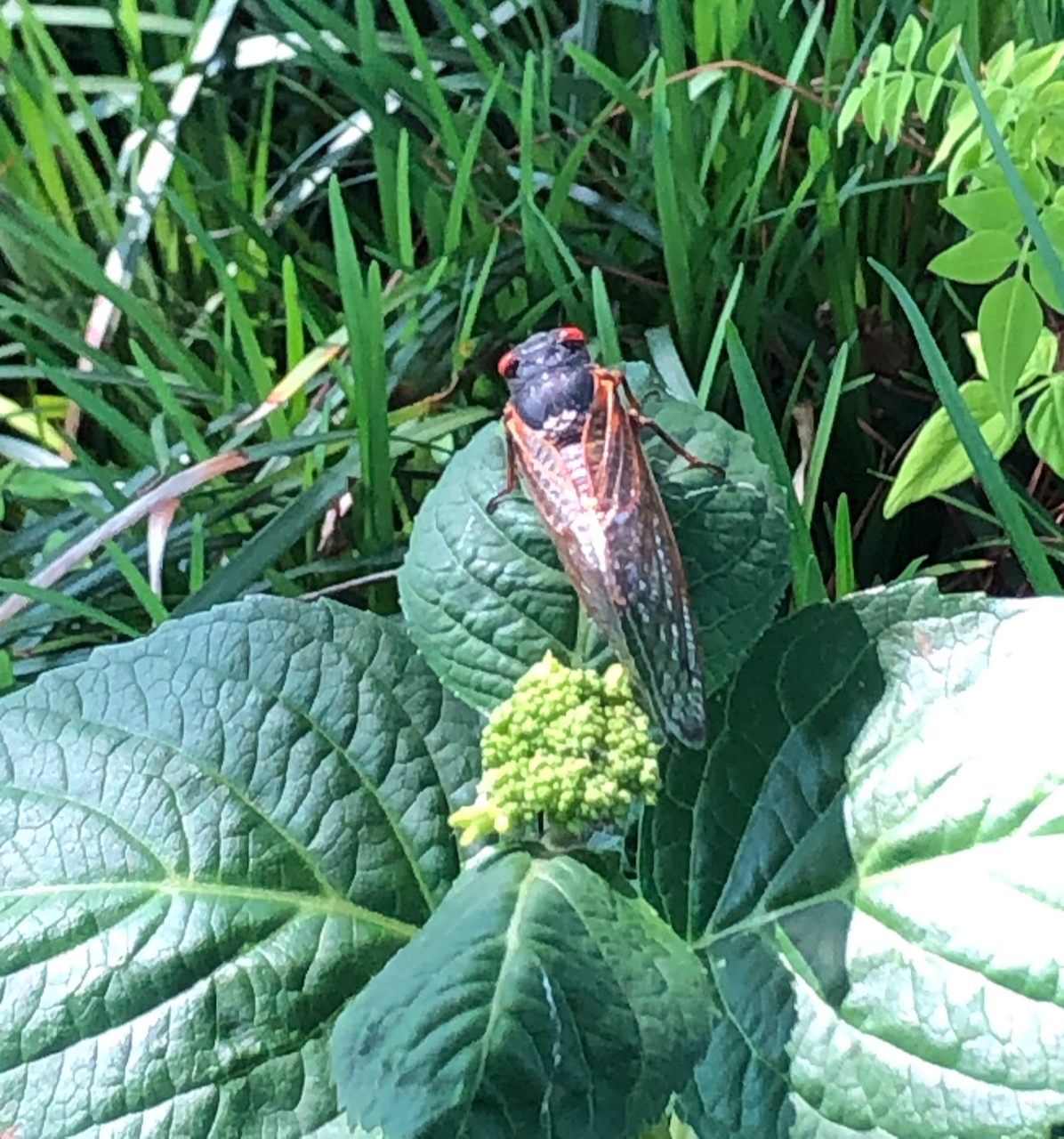
We saw these everywhere, though they were not particularly dense in DC proper. On Sunday, we were invited to visit cousins who live in a green suburb on the northside of Baltimore. Just opening the car door upon arrival, we got the full impact of the sound of cicadas. This short video by my husband captures the sound.

I added in my few other cicada photos here.

DSC07150

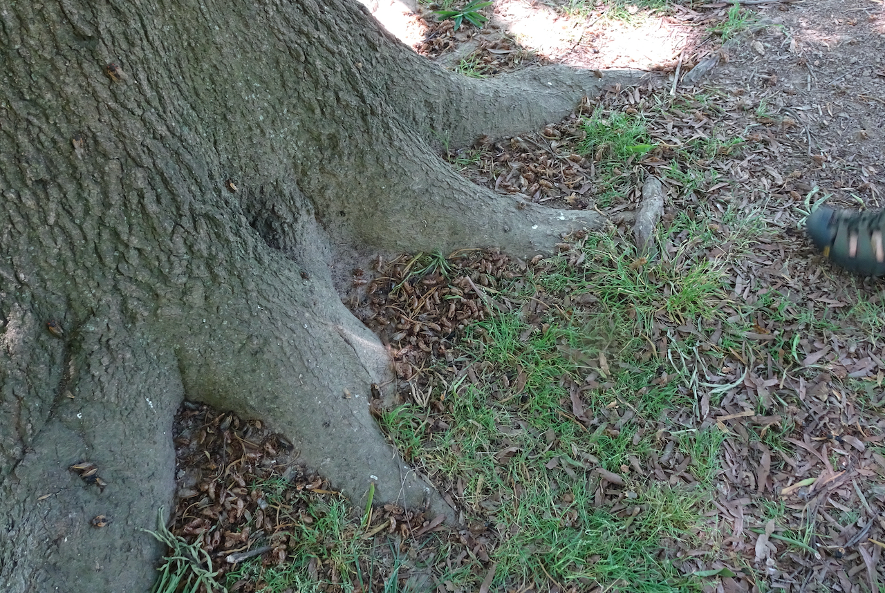
Cicada carcasses, Lafayette Square

DSC07254

Cicada ground holes, Great Falls NP

IMG_3423

Pharaoh cicada, National Arboretum

May 24 – Smithsonian National History Museum

We were lucky to get reservations for this newly reopened museum. We looked at inspiring exhibits of American innovation and history for a couple of hours.

DSC07302

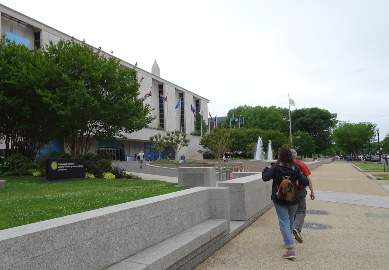
Arriving at the museum entrance after a slightly rainy walk. Good day to be inside.

DSC07306

Interior views:

DSC07307

Inventions:

Pop culture:

DSC07333

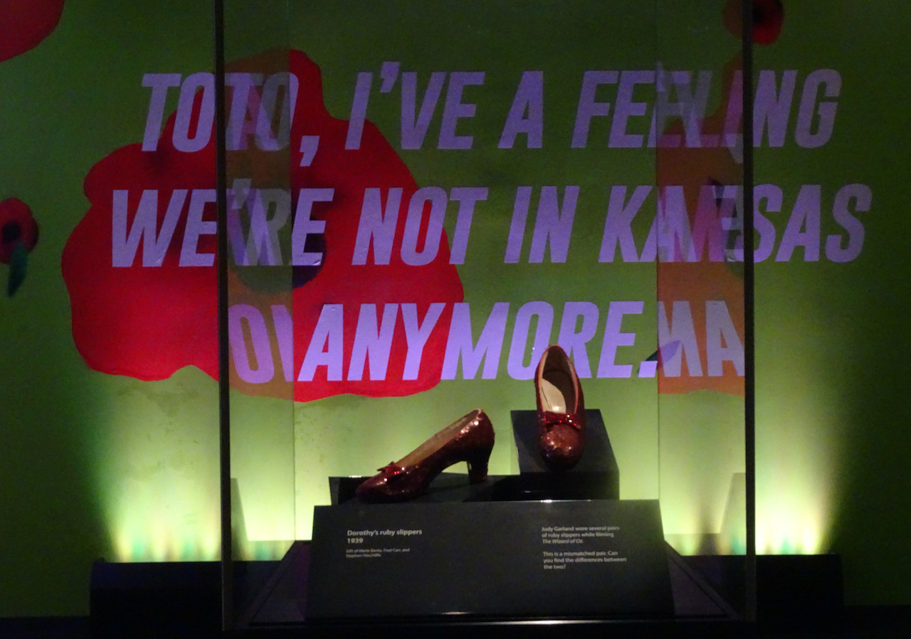
Dorothy’s ruby slippers

DSC07334

DSC07427

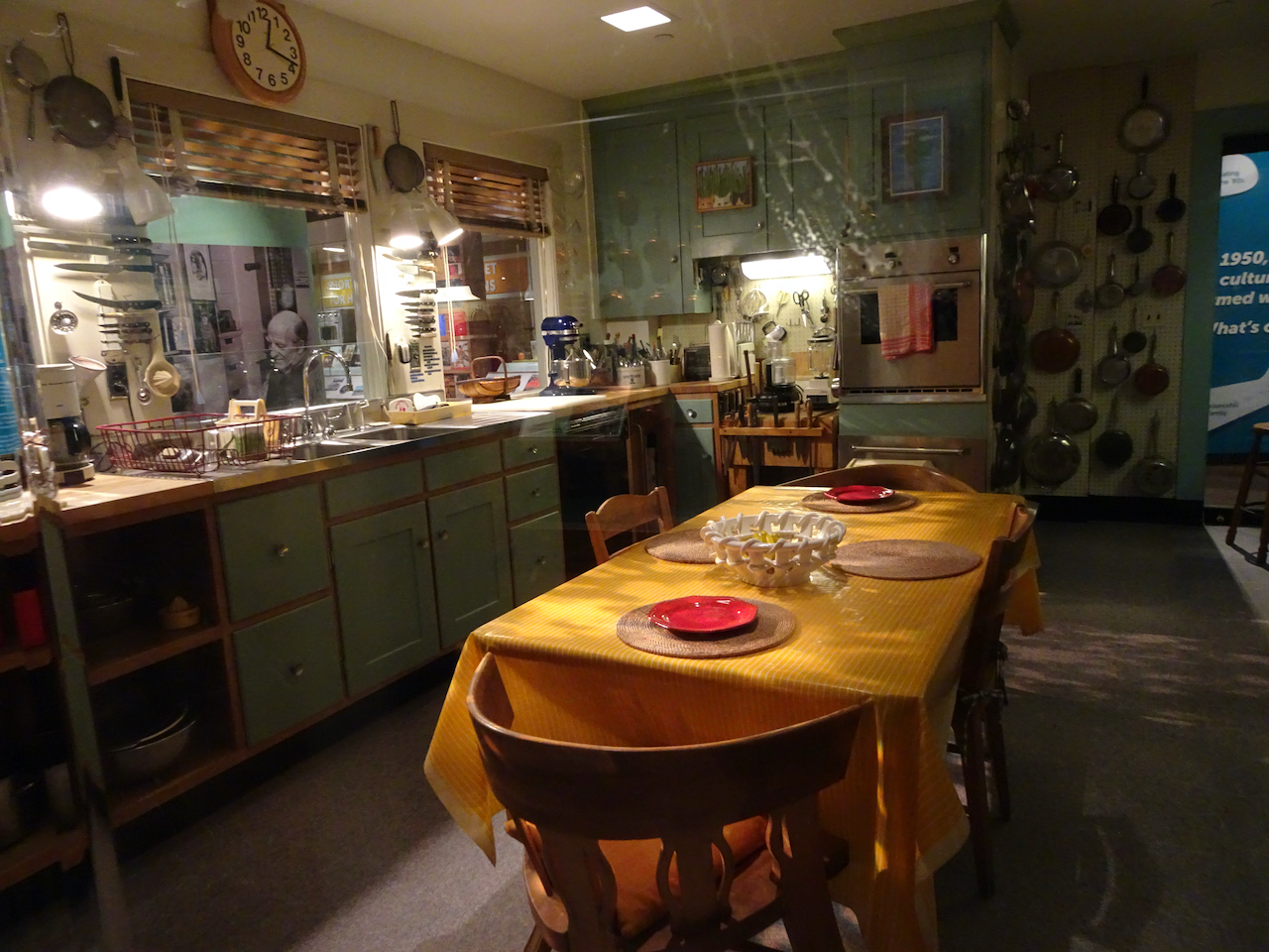
Julia Child’s Kitchen

DSC07425

DSC07339

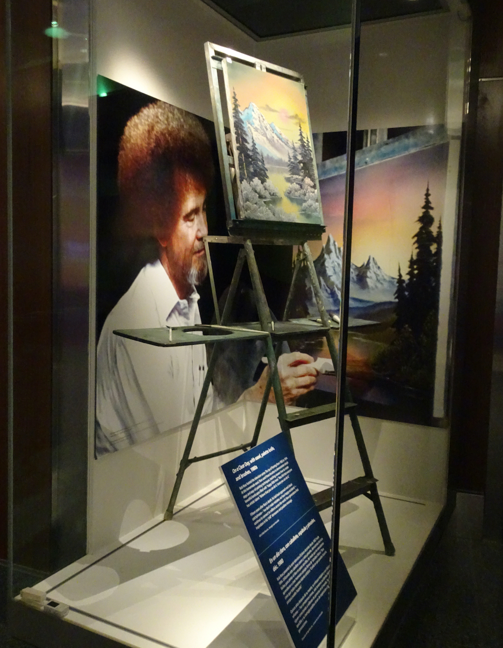
Bob Ross

IMG_3416

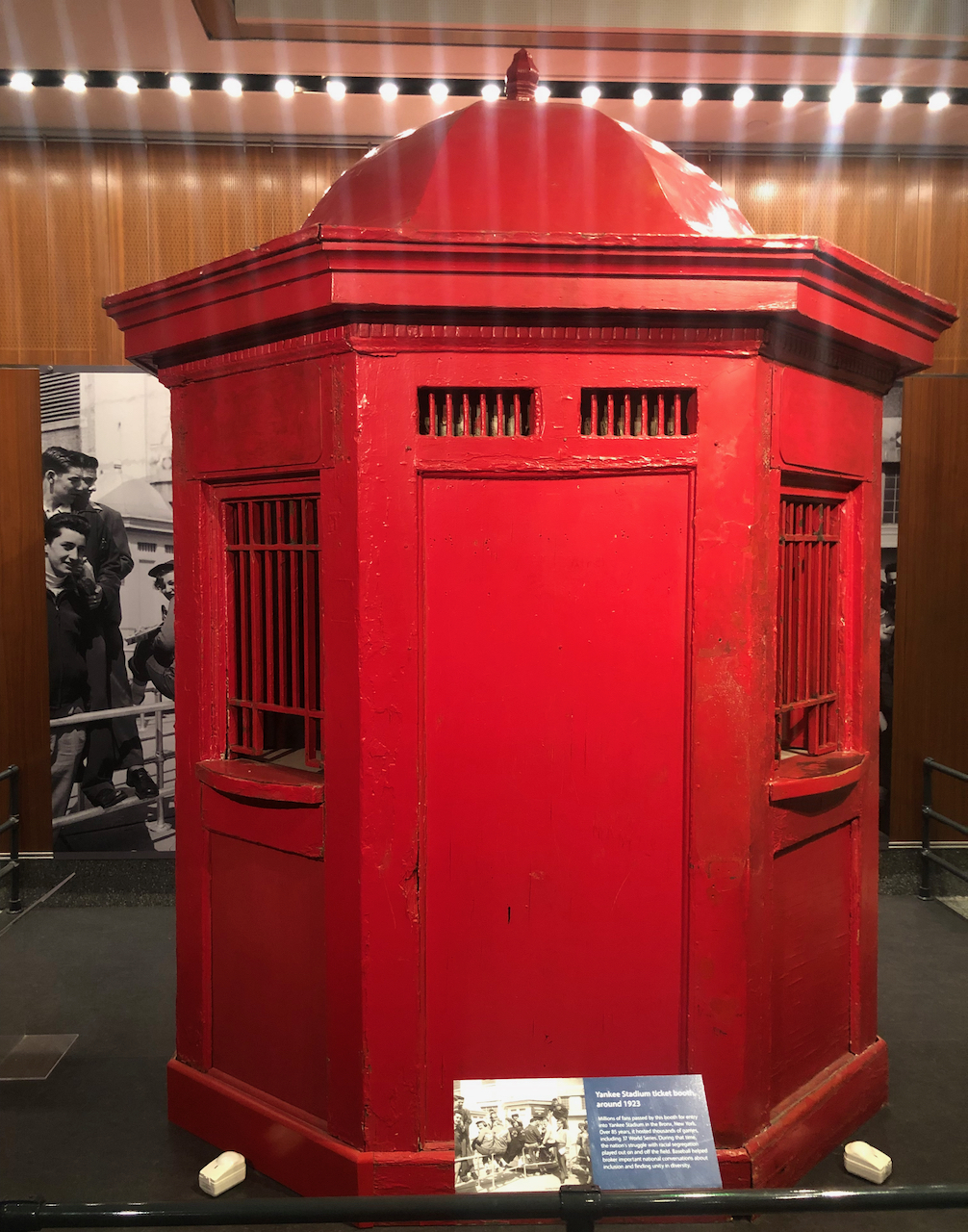
Yankee ticket booth

History of politics and everyday life:

DSC07347

DSC07328

George Washington’s chair

DSC07329

Political signs

DSC07330

Ballot box

DSC07359

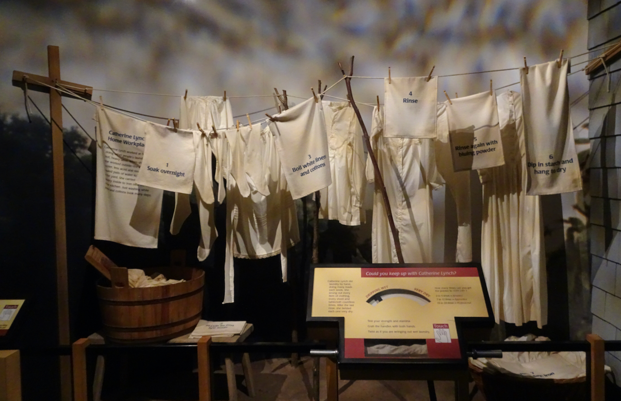
An exhibit on the changing house through time illustrated the rigors of laundry.

DSC07366

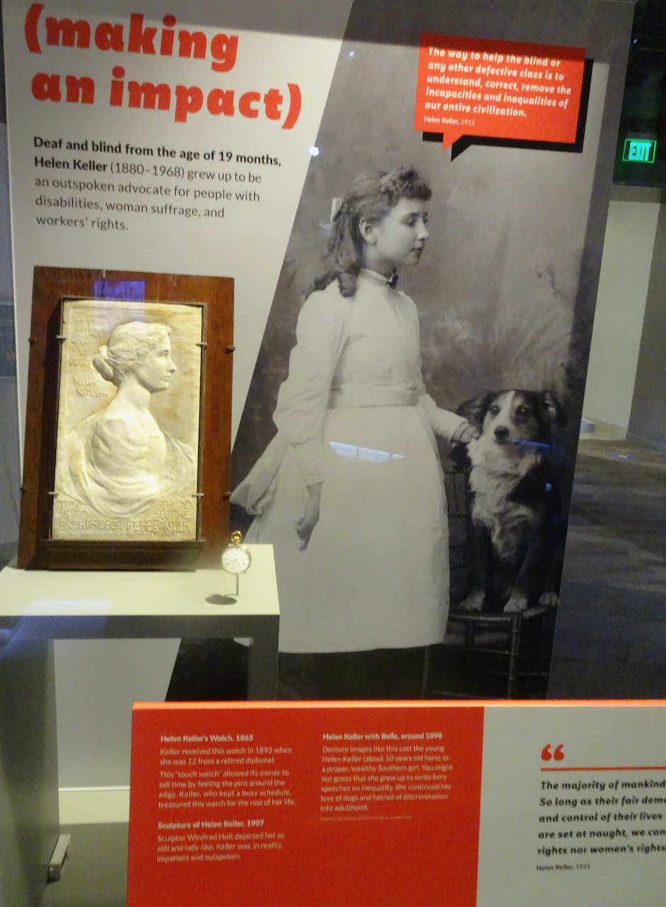
Helen Keller’s watch

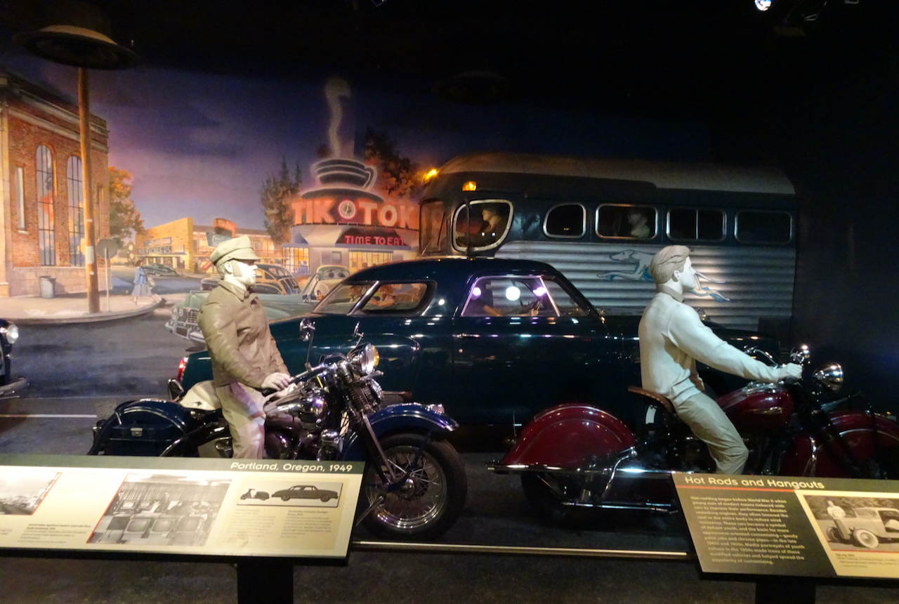
I was surprised to find my own neighborhood depicted in the Transportation exhibit.

DSC07409DSC07411

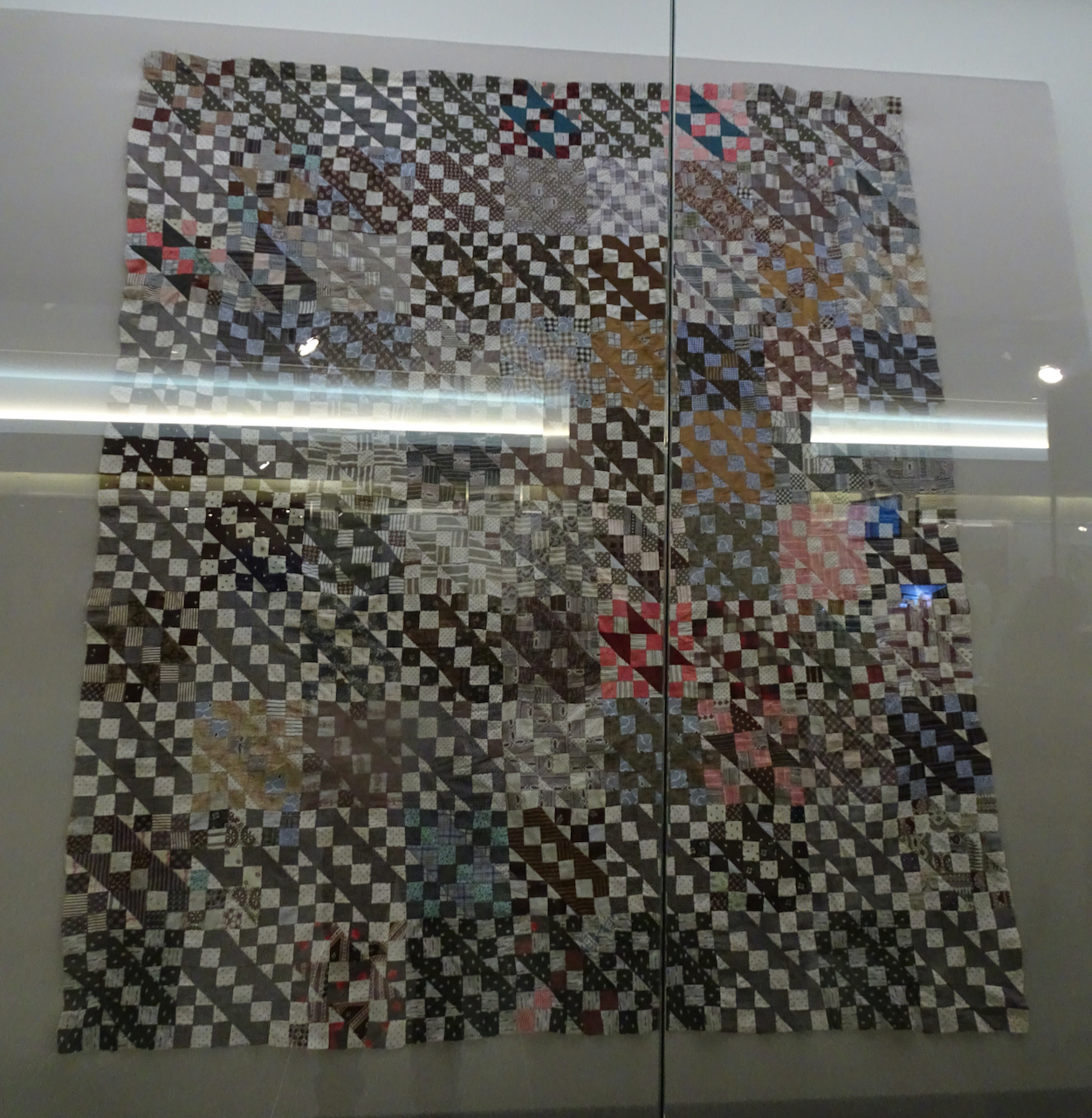
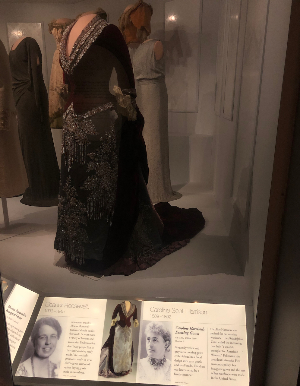
I am always on the lookout for interesting textiles, and I found many to admire throughout the exhibits:

DSC07304

DSC07305

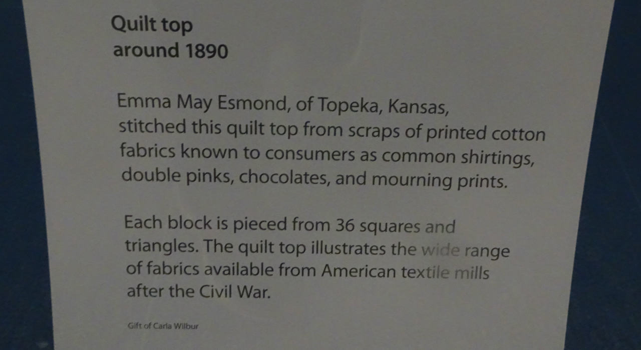
Old quilt top in the lobby

First Lady dresses:

IMG_3415

So many beads!

DSC07316

Michelle Obama’s dress

Some other old textiles,

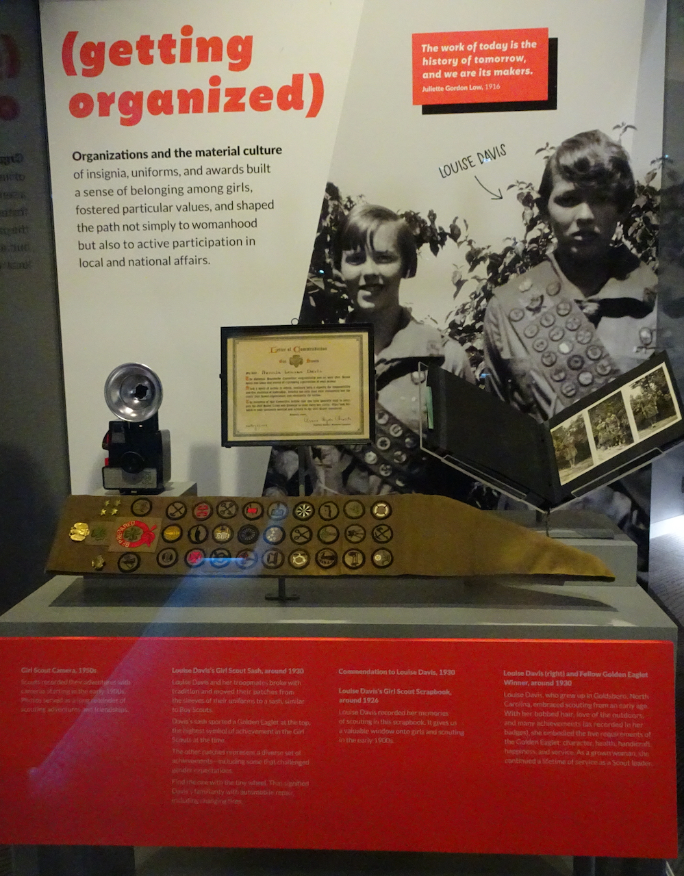
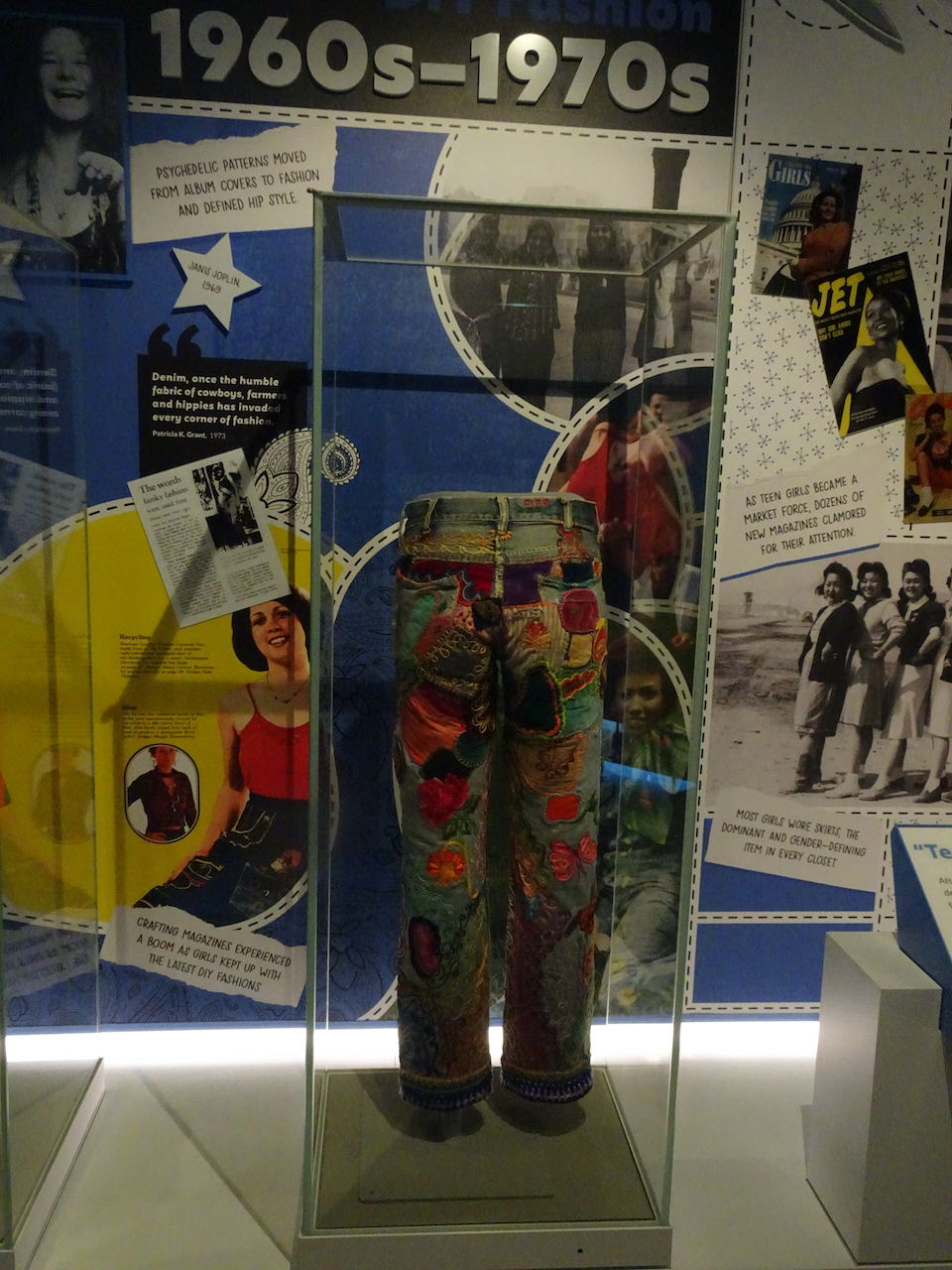
and a couple of items that reminded me of my own youth:

DSC07370DSC07377

We enjoyed our time in the museum, but after while I could not take in any more. I love knowing this representation of our material life is preserved, and I hope to visit again someday.

May 25 – National Arboretum, flying home

Our last day. We drove to the Union Market for lunch.

DSC07445

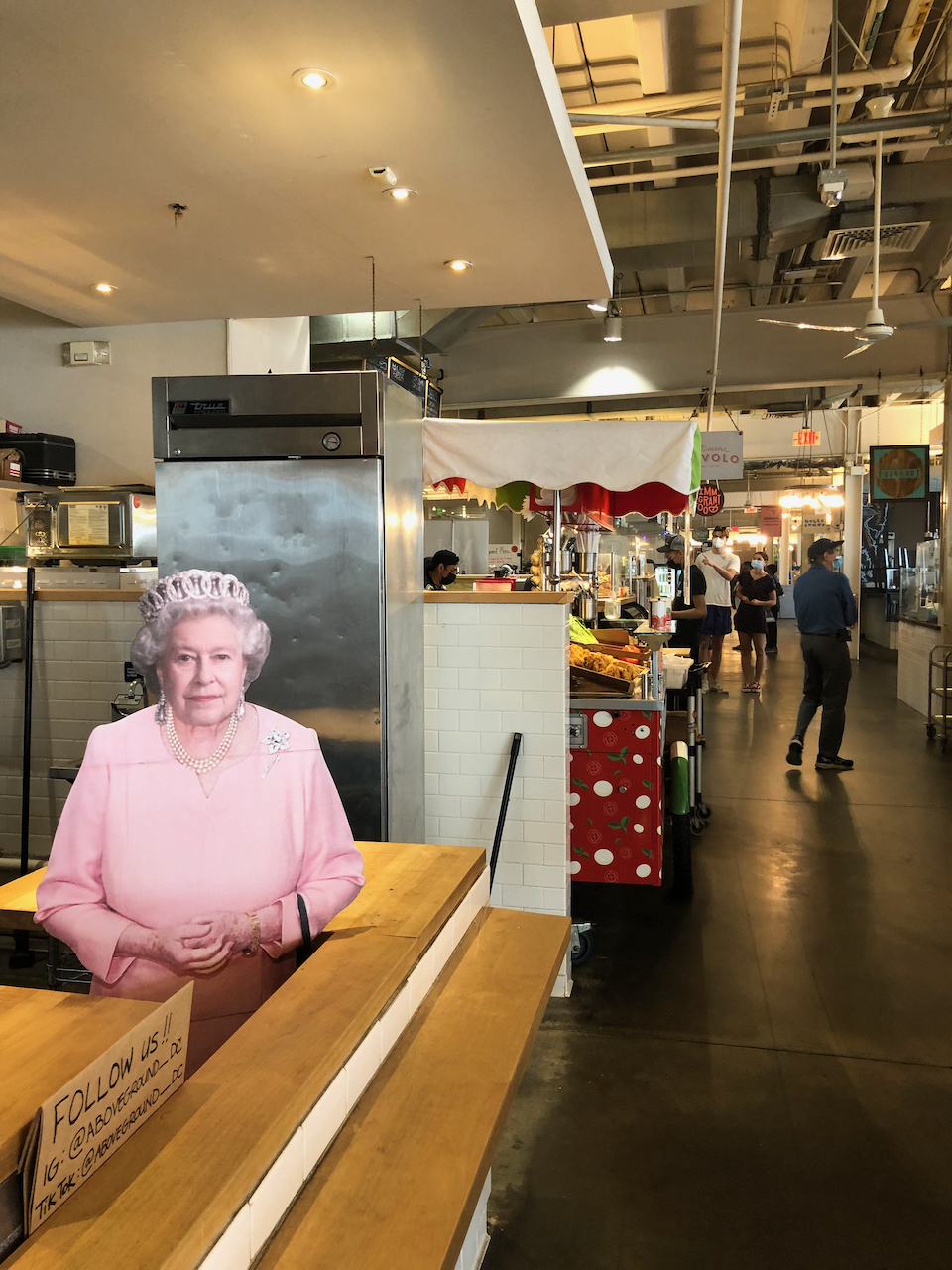
The Union Market is a converted warehouse, now a food court and entertainment center.

IMG_3420

The queen!

DSC07448

The rooftop has lots of room for dining,

DSC07449

and views over the city.

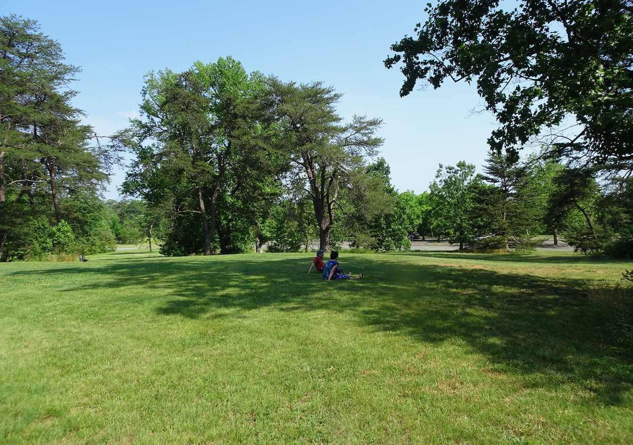
We then wandered around a bit at the National Arboretum.

DSC07462

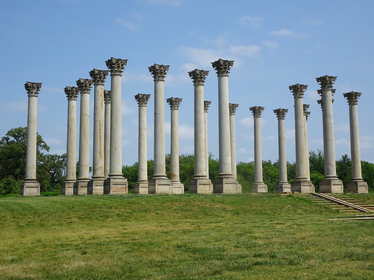
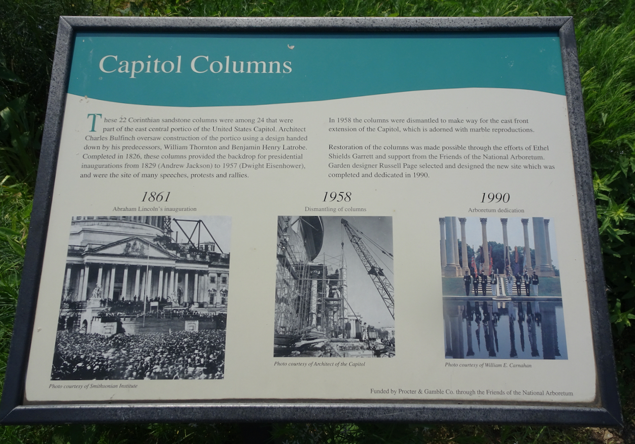
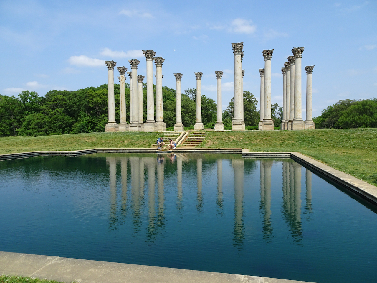
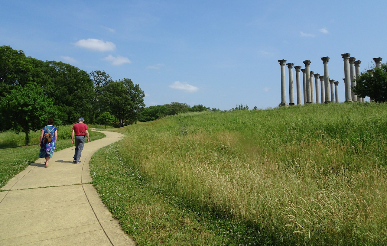
Repurposed columns from the U.S. Capitol building stand out on a hill in the center of the arboretum.

DSC07452DSC07458DSC07460

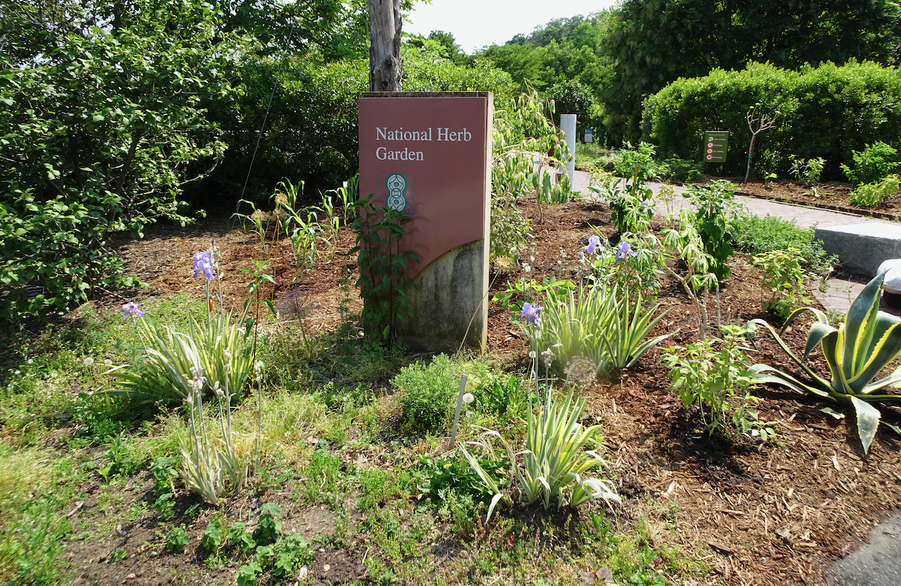
The National herb garden had some pretty blooms:

DSC07463DSC07464

It was too hot to go far, but we enjoyed our last day with our daughter.

DSC07477DSC07478

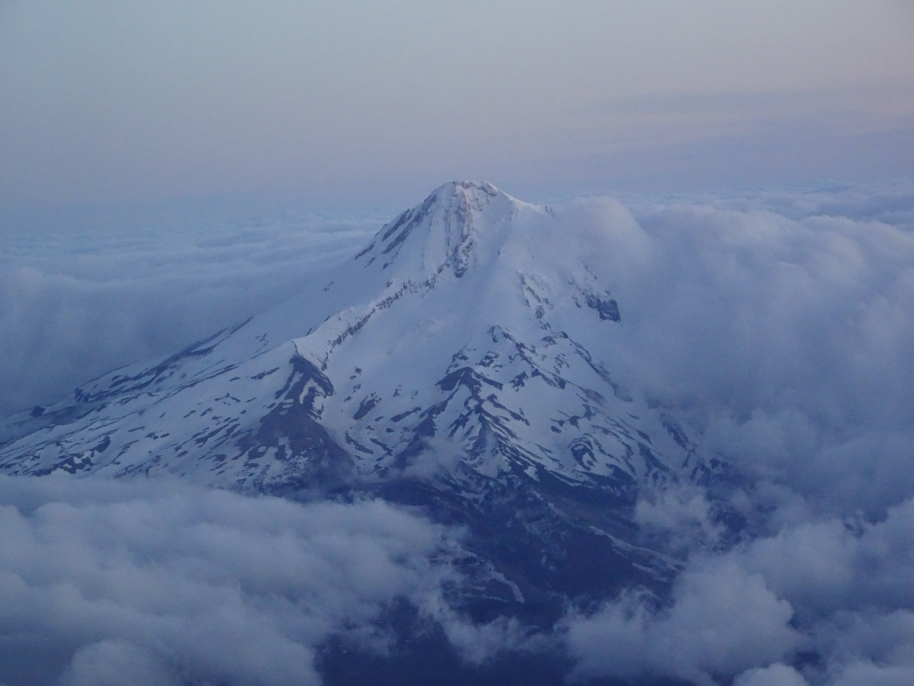
Our flight home was mostly above clouds until we saw Mt Hood peeking through.

DSC07495

This was a wonderful trip, reuniting with our daughter and getting a flavor for her life in DC. And testing the waters for traveling again in the post-vaccination world. We are looking forward to more adventures as the world opens up, however slowly.

Eastern Gorge Trip, April 2021

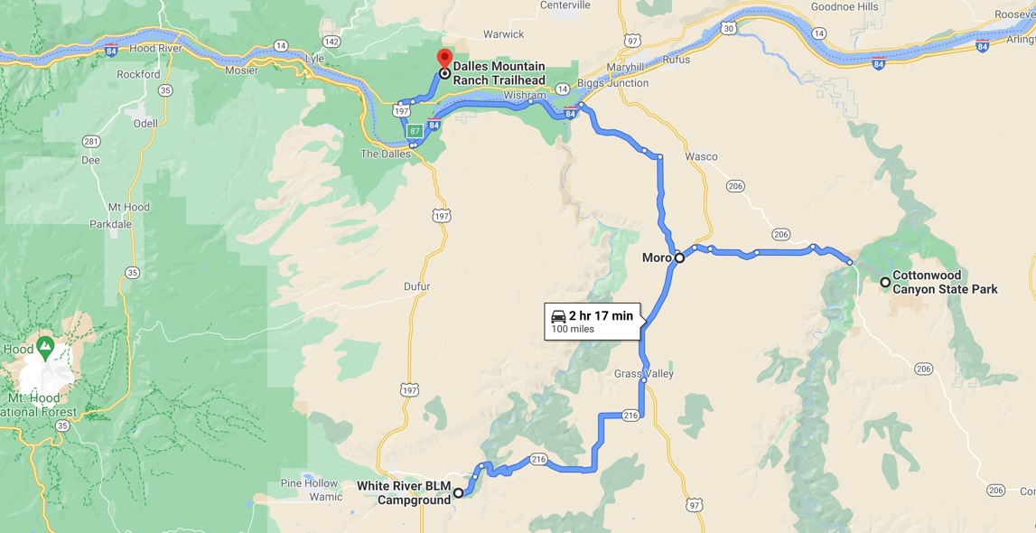
We spent a few days hiking east of the Cascade crest and the rain. We stayed in a small hotel in the small town of Moro, and explored two Oregon State Parks for the first time, then visited the Columbia Hills in Washington on our way home.

Image 5-16-21 at 5.31 PM

IMG_3228

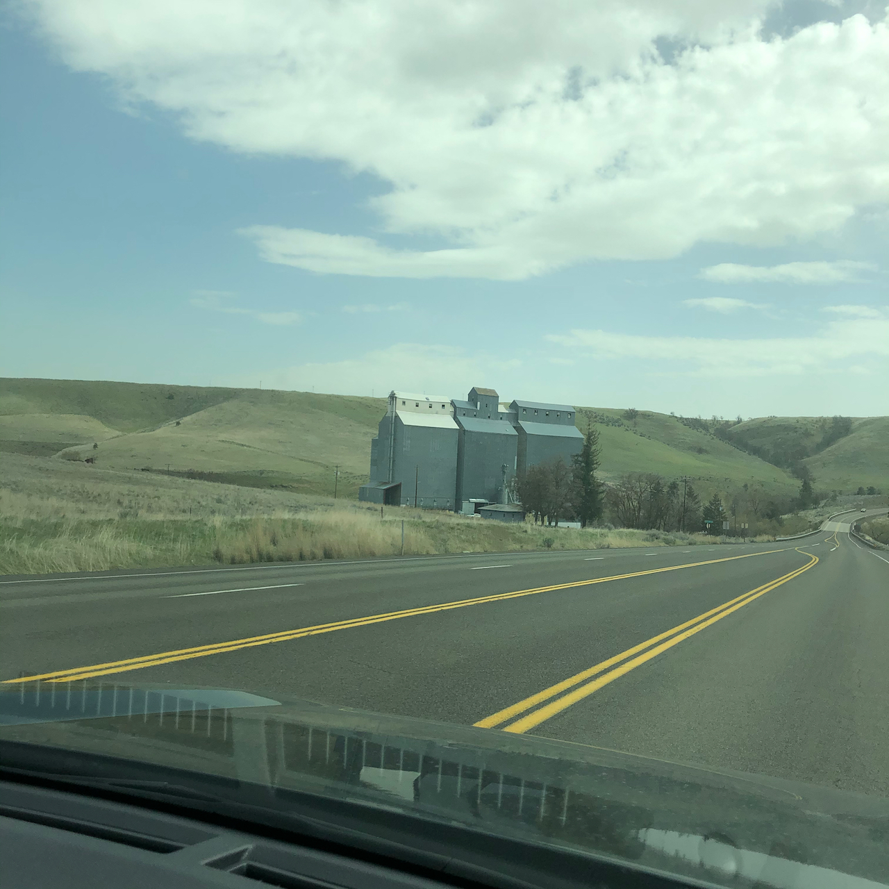
Driving south of the Columbia River to White River Falls State Park – low hills and agricultural buildings our new scenery.

April 13th,  White River Falls State Park, Oregon

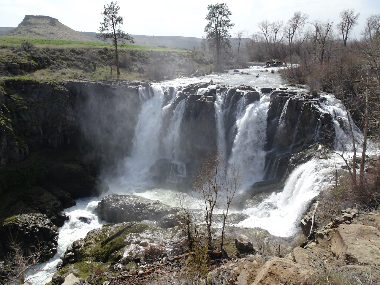
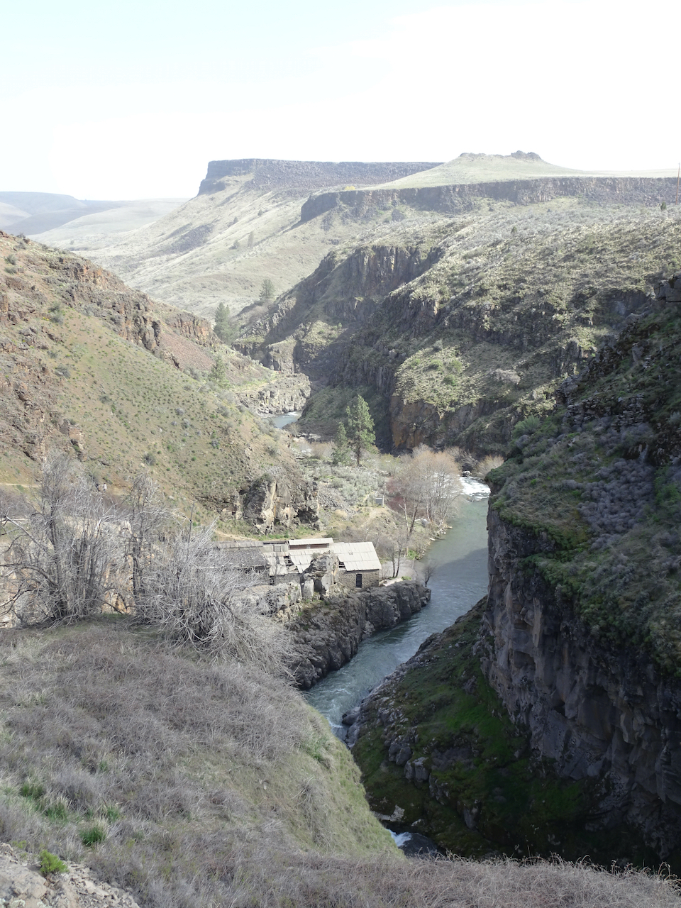
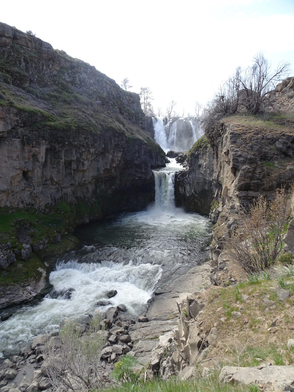
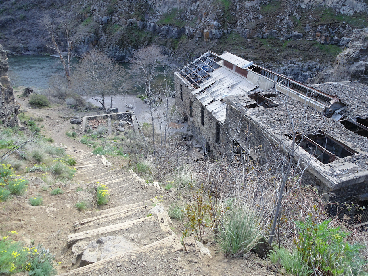
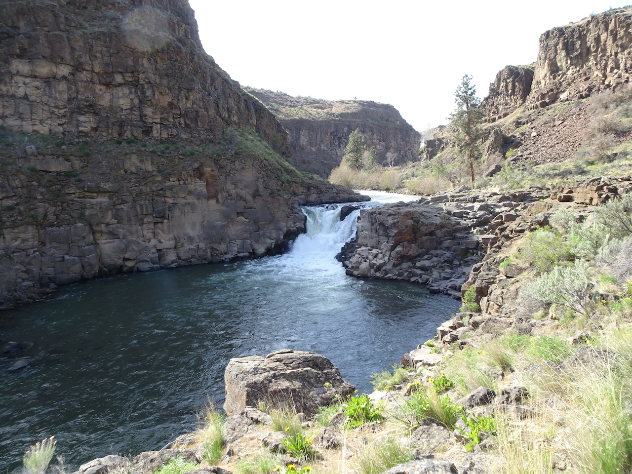
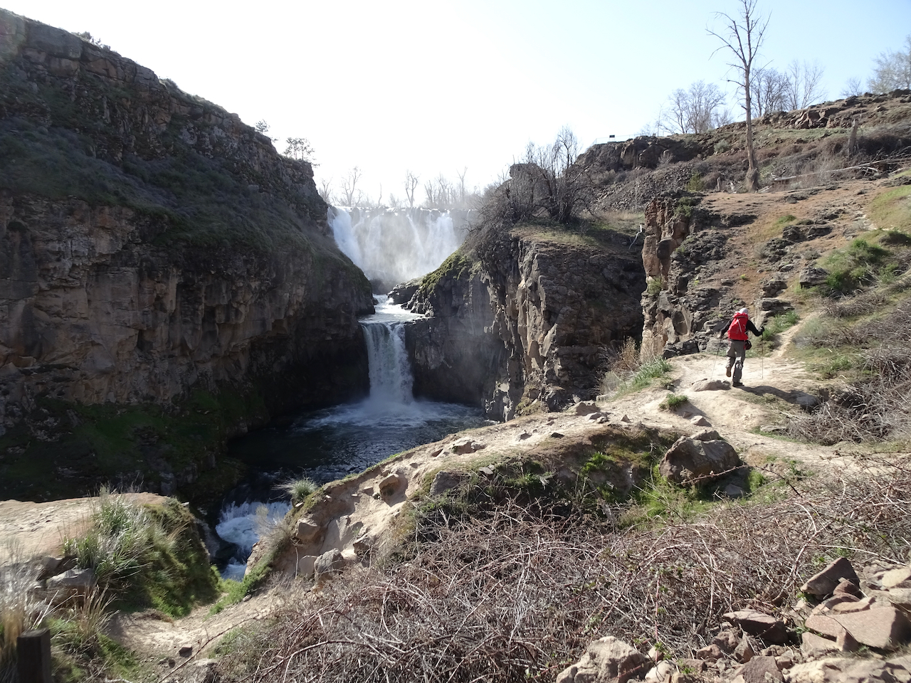
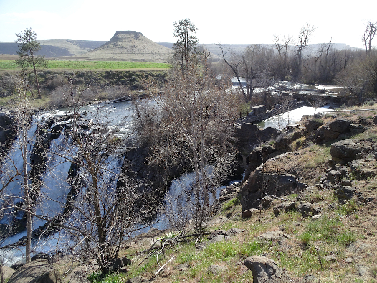
We admired the White River Falls from the overlook, then walked downstream to see the lower tiers of the falls. We were about 2 miles upstream from the confluence with the Deschutes River, and about 50 miles from the source, the White River Glacier on Mt Hood, near a favorite winter snowshoe location. Here, the White River tumbles over cliffs, past the ruins of a hydropower plant that was abandoned in 1963, when a giant dam on the nearby Columbia River was built.

DSC06403

White River Falls

DSC06406

DSC06411

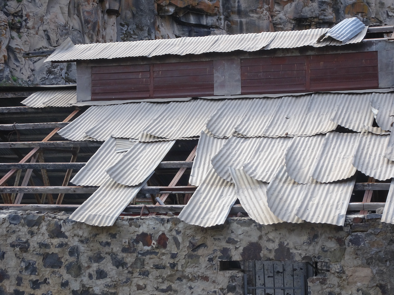
Abandoned power plant.

This is a beautiful falls, though the surrounds are a bit of a wasteland – cement and disconnected pipes, wire grids, a broken building with roof gaps, graffiti, tumble weeds and leaves blown in, plants growing out of the cracks, moss in the crevices.

DSC06428DSC06441DSC06443DSC06447DSC06446

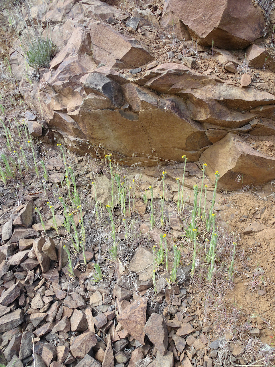
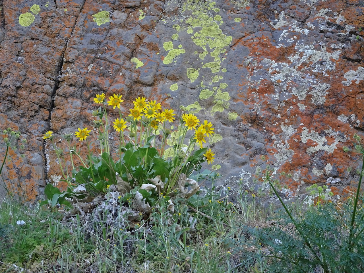
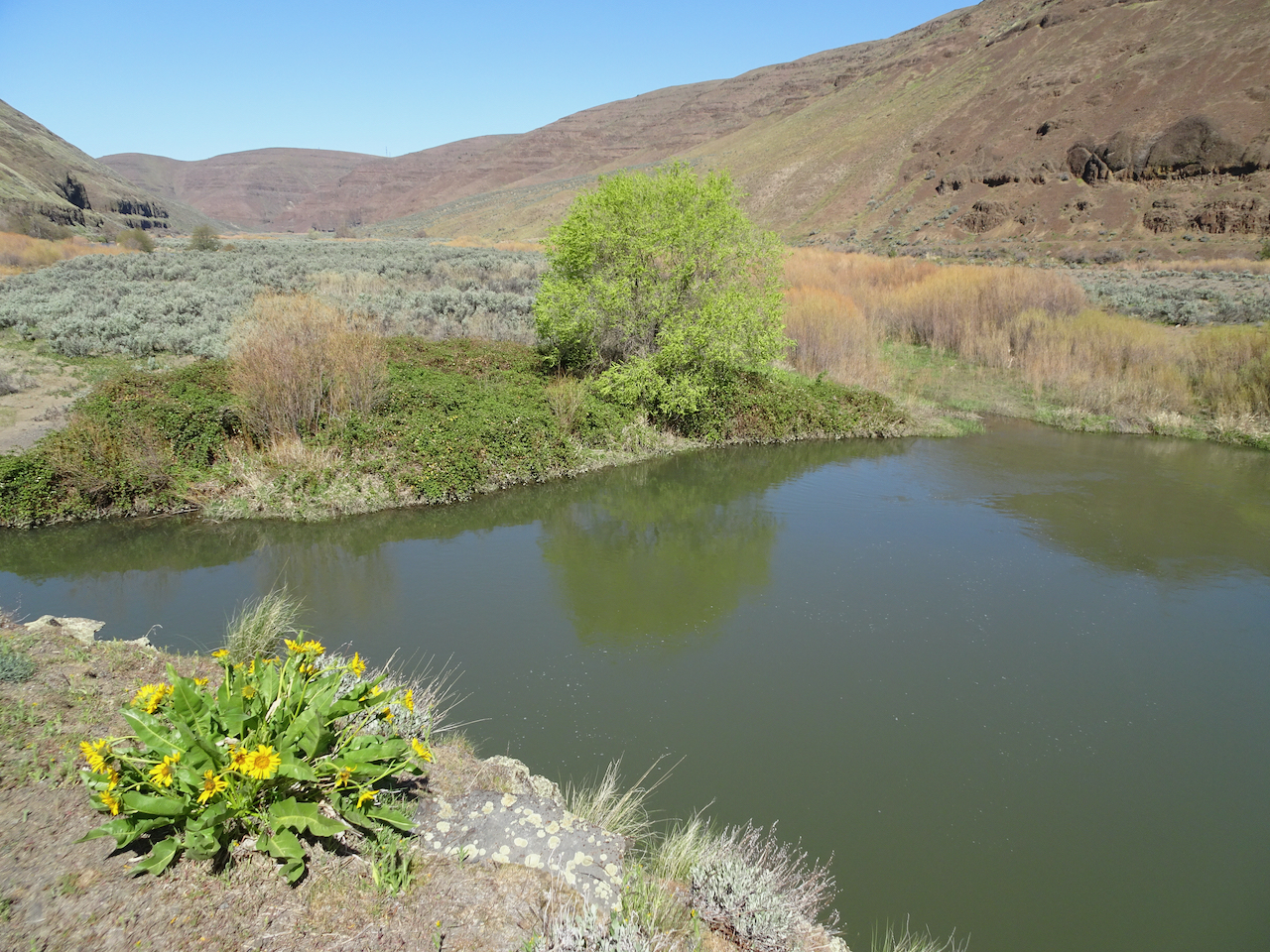
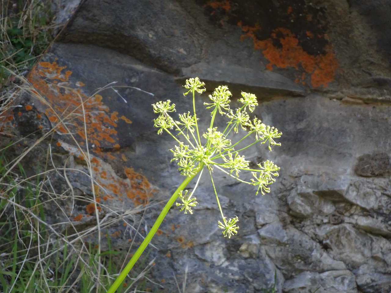
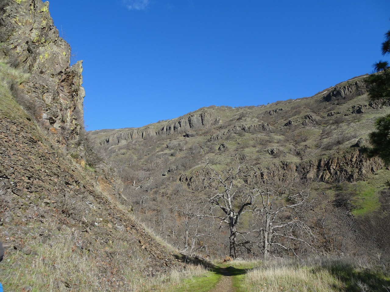
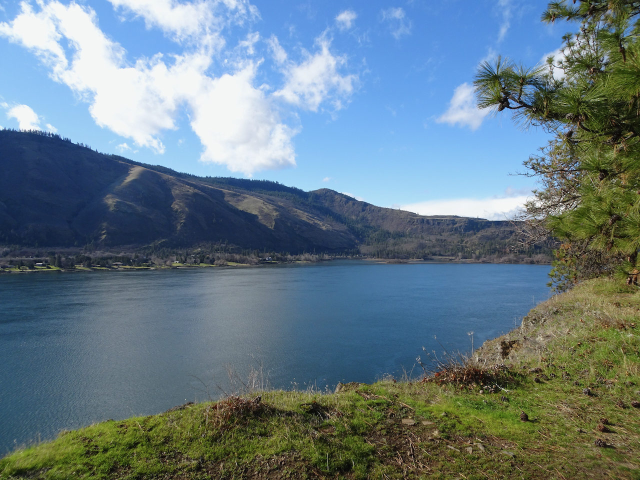
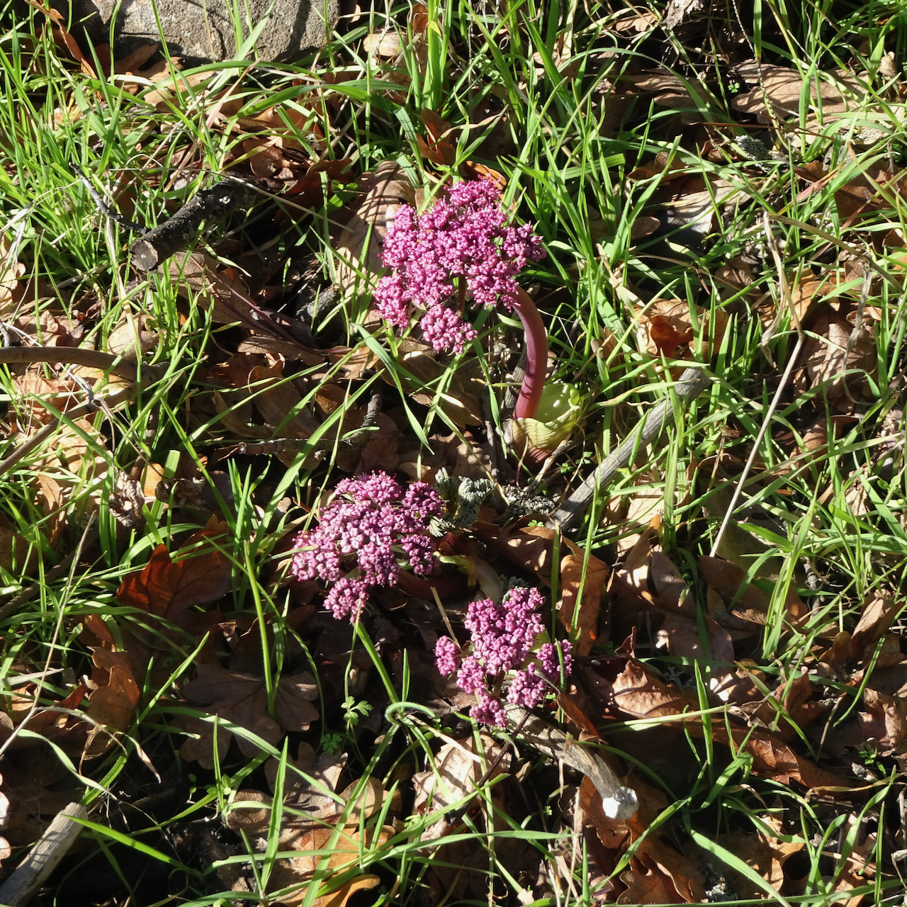
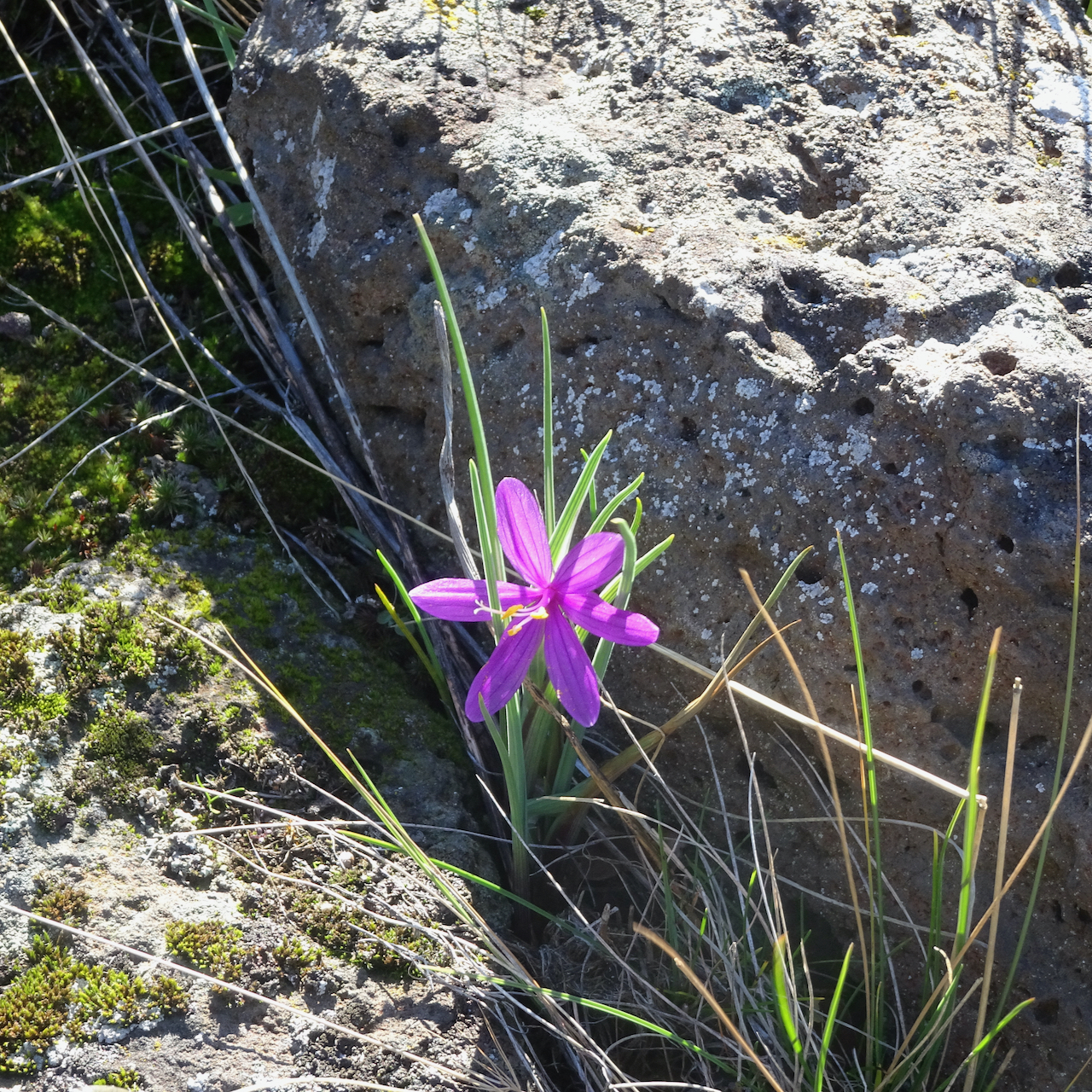
Bright yellow balsamroot and parsley were blooming around the canyon, and gold fiddle neck striped the edges of the rocky path.

DSC06465

Balsamroot, parsley

DSC06416

fiddleneck

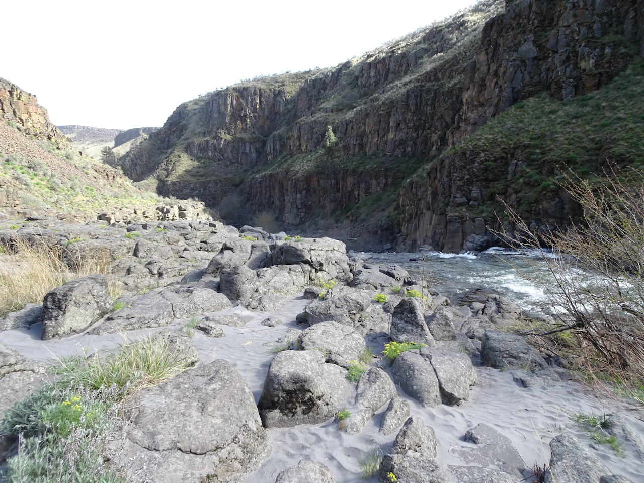
Down by the river we had a bit of a wind shelter. Quiet today, but in summer people come to swim. We walked a ways down stream to see the third tier of the falls, the smoothed rocky shelves with potholes, now exposed, and smooth, sandy banks.

DSC06450

Sandy beach above the lower falls.

DSC06460

Lower falls; upper falls visible to the upper right.

DSC06468

Downstream along the White River.

We walked back up to the rim, past the ruins of the powerhouse and almost post-apocalyptic scenery.

DSC06476

Return hike.

DSC06480

More of the ruins of the old power plant.

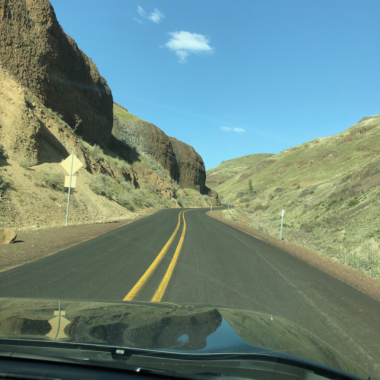
From White River Falls, we drove east across the Deschutes River on our way to Moro, along a long, smoothly curved road on the Warm Springs Reservation. Balsamrooot blooms were sprinkled on cliffs above the canyon.

IMG_3229

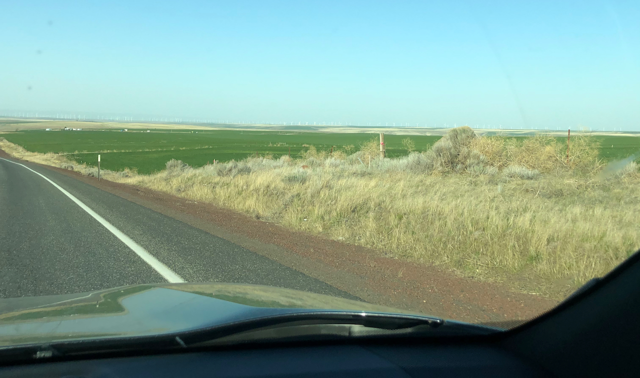
We passed sagebrush uplands and cultivated green fields, a 360 degree horizon punctuated by white windmills gleaming in the afternoon light.

IMG_3230

Many white wind turbines on the horizon.

April 14th, Cottonwood Canyon State Park, Oregon

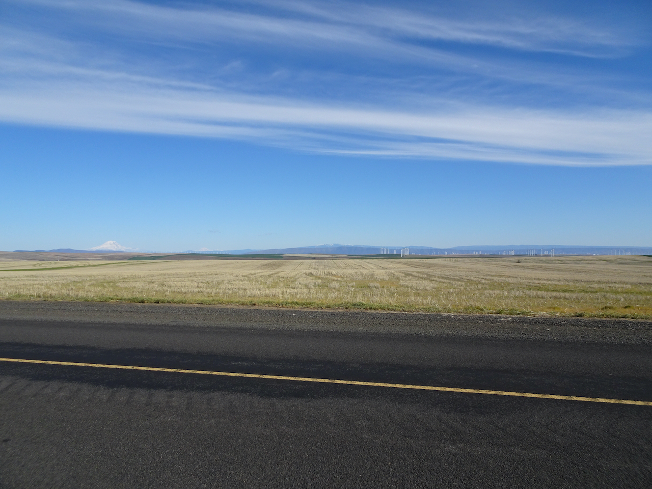
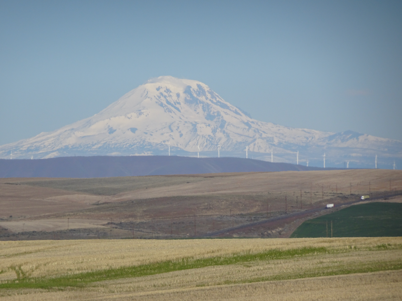
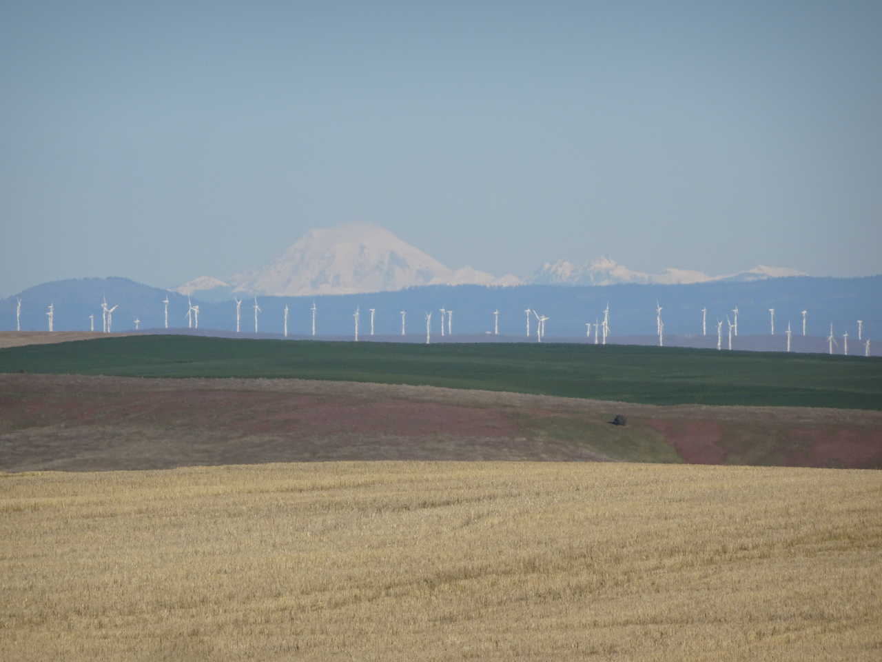
We drove across the uplands between the John Day and Deschutes Rivers on a beautiful clear blue morning.  Mt Hood, Mt Adams and Mt Rainier were on the horizon, and more windmills.

DSC06485

Mt Hood

DSC06486

Mt Adams and Mt Rainier

DSC06490

Mt Adams, windmills

DSC06491

Mt Rainier and the Goat Rocks, windmills

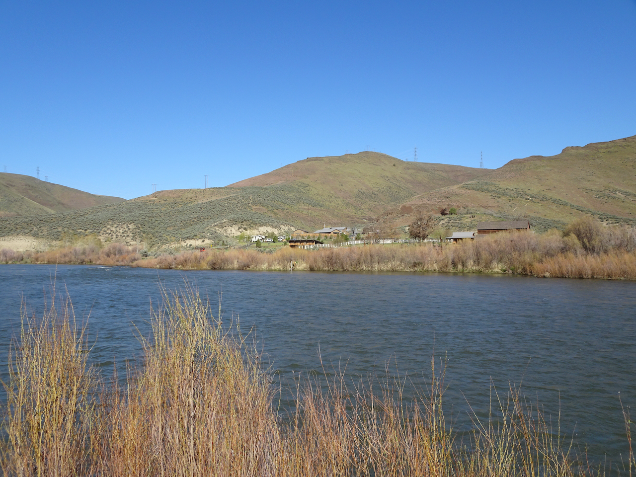
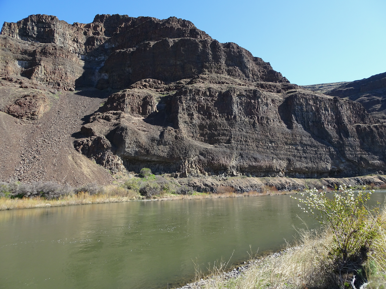
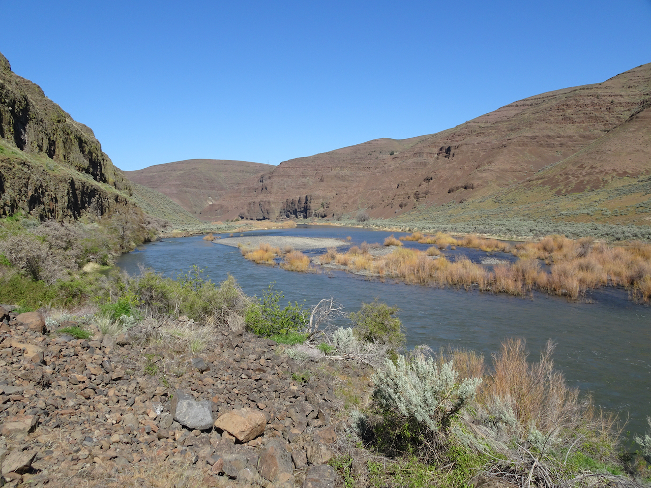
The Lost Coral Trail in Cottonwood Canyon State Park is 9.6 miles out and back. The trail follows an old road along the John Day River, sometimes beneath river-cut cliffs, sometimes across the point bars, as the wide blue river sweeps down stream.

DSC06497

Trailhead

DSC06510

Under the cliffs

DSC06507

Balsamroot above

DSC06506

Bicolored cluster lilies

DSC06512

Desert parsley and lichen

DSC06515

Balsamroot and parsley

DSC06518

DSC06522

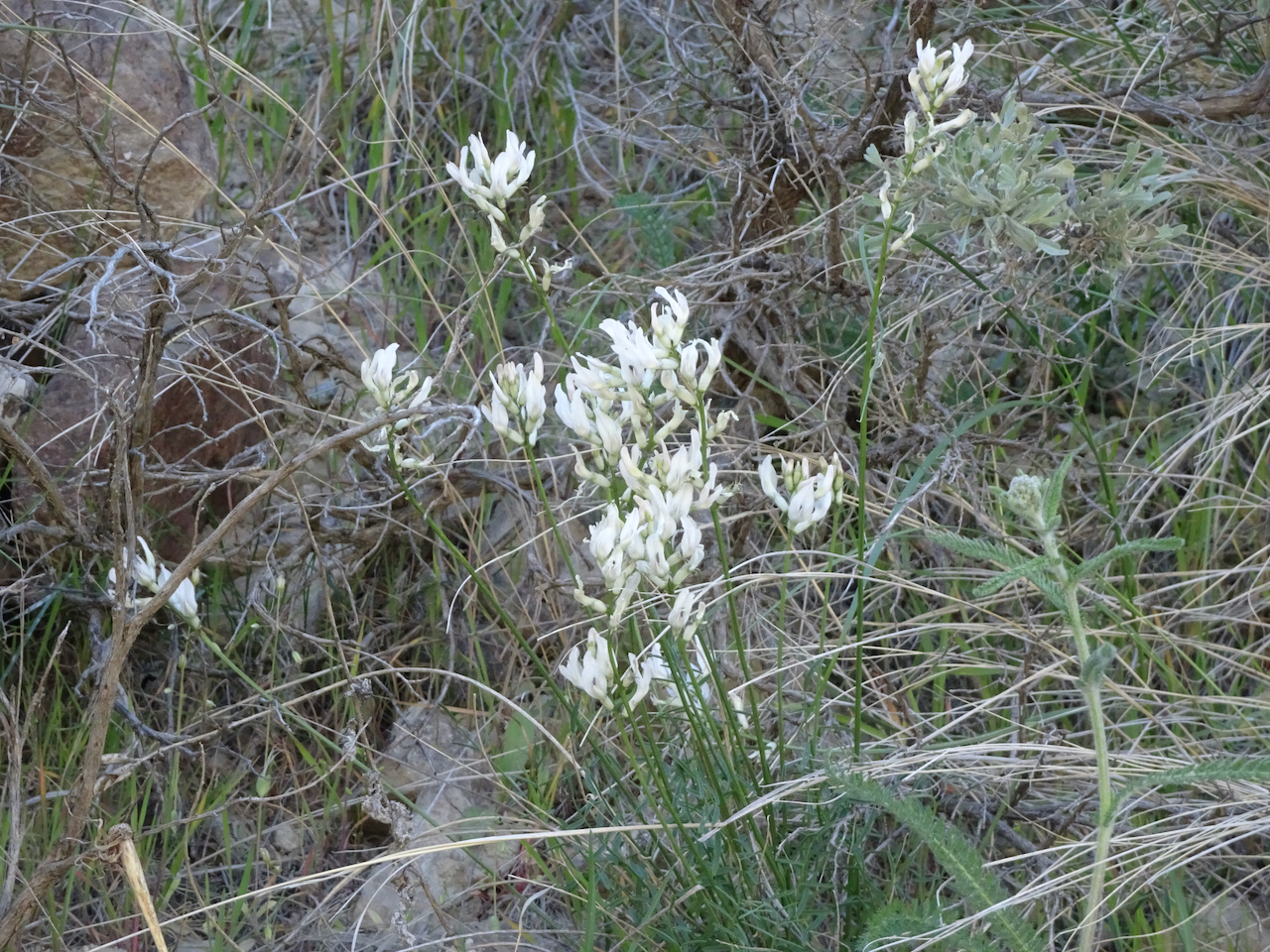
milk vetch

DSC06508

Cottonwood Canyon campground across the river.

Continuing along the river, the slopes were speckled with wildflowers; willows on the bars and a few trees were beginning to leaf out.

DSC06526

Flowering alluvial fan across the river.

DSC06528

Cliffs and reflections, serviceberry in bloom.

DSC06547

Sagebrush

DSC06548

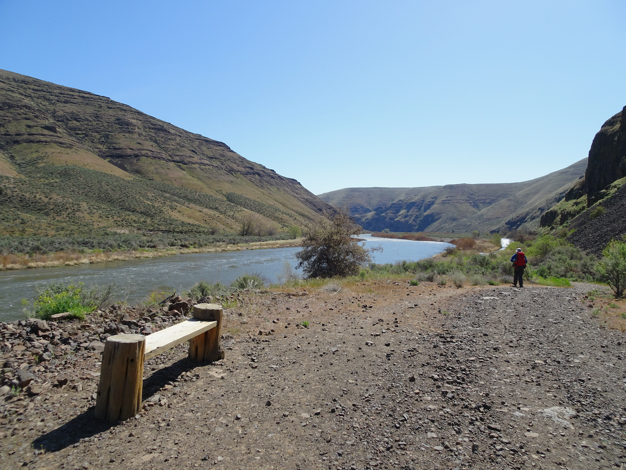
A welcome bench for rest and contemplation.

DSC06563

Lovely desert colors in the rocks, river, plantlife.

At our turnaround point, we found a phlox-covered slope and beautiful views of the river. We saw three equestrians – our only other people on the trail today.

DSC06580

Three equestrians in our downstream lunch view

DSC06576

Upstream lunch view.

DSC06583

phlox

We retraced our steps upstream after lunch, admiring the views along the river in the changing light.

DSC06595

Walking upstream.

DSC06601

Many colors along the river.

DSC06603

Grassy tufts in the river.

DSC06604

Larkspur

DSC06605

Back under the cliffs near the trailhead.

DSC06609

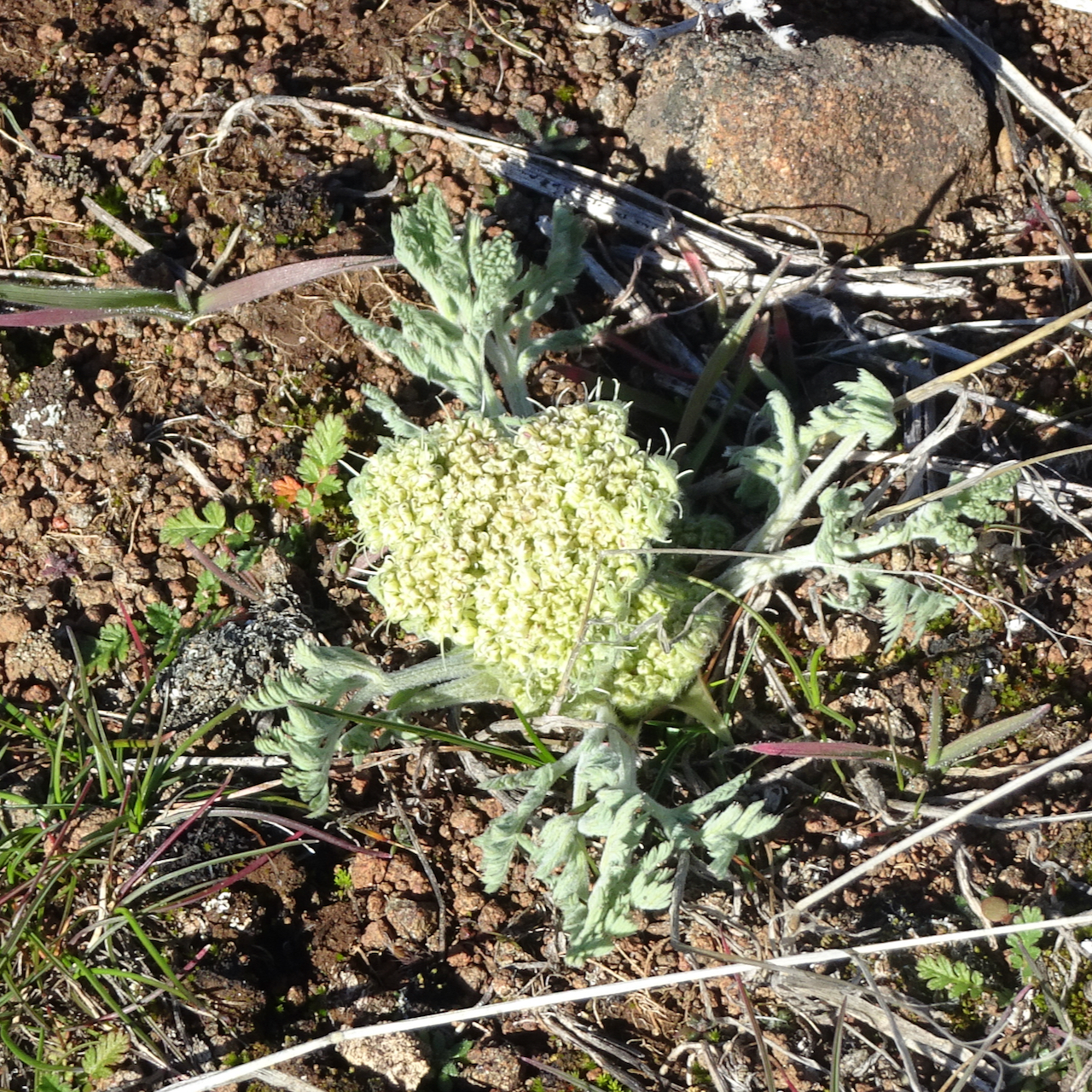
Parsley

I don’t know if I still love the desert as much as I used to. The rocky, prickly, isolation of it has caught up with my age. Dust and wind, and there must be snakes around somewhere …I just don’t know…

April 15th, Dalles Mountain Ranch, Columbia Hills State Park, WA

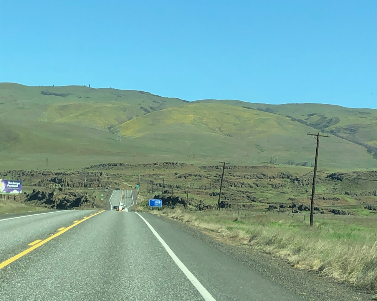
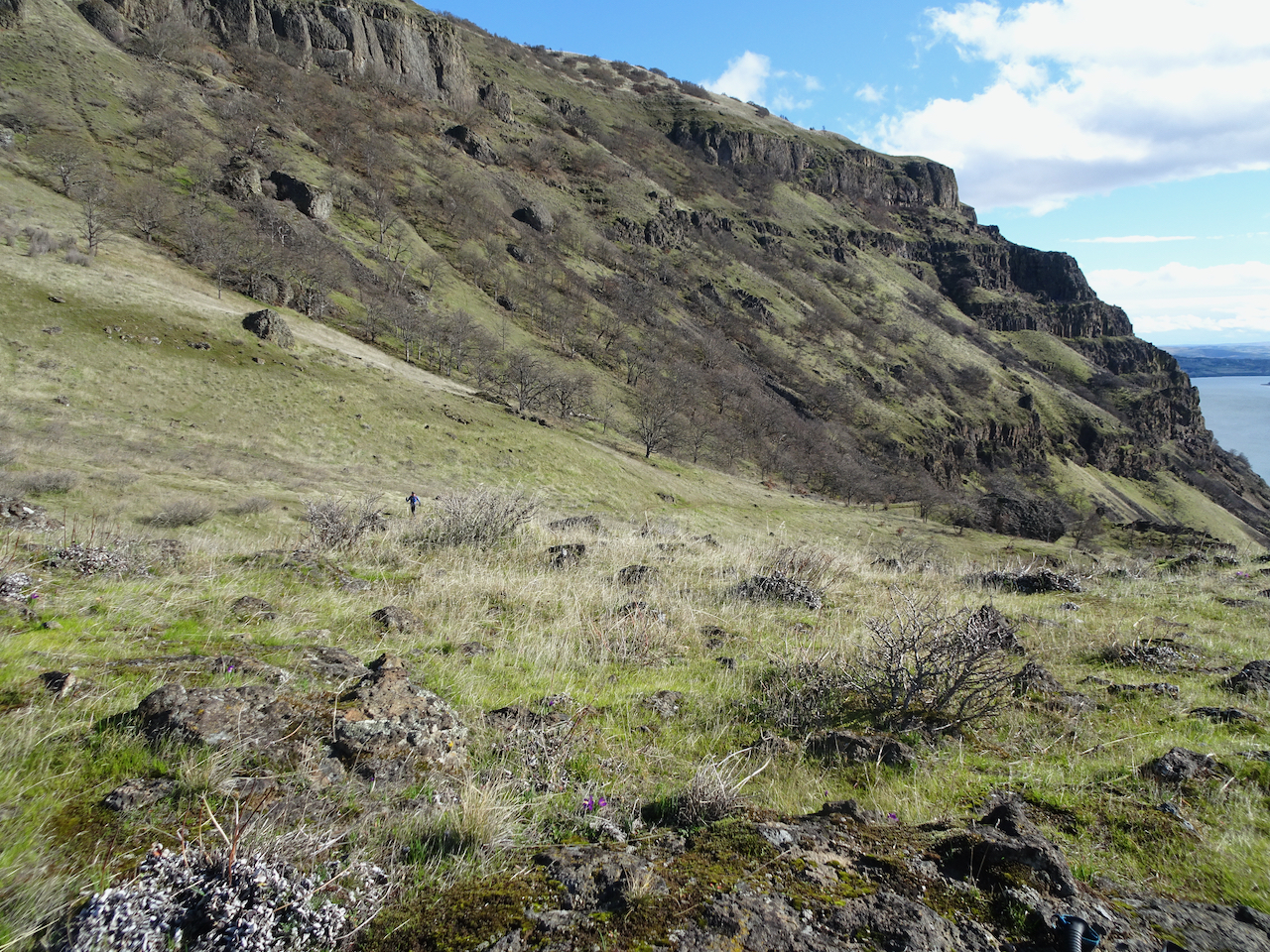
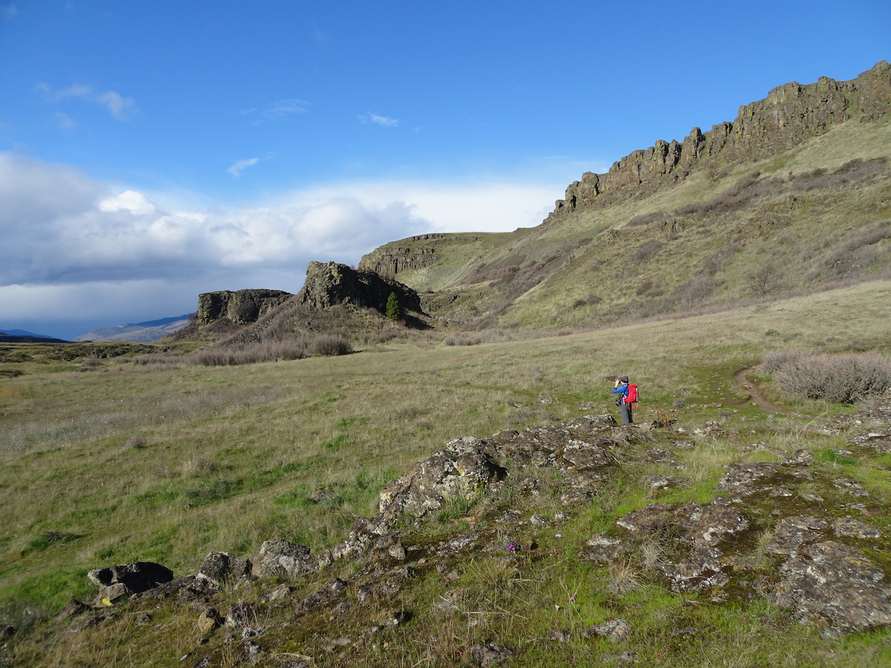
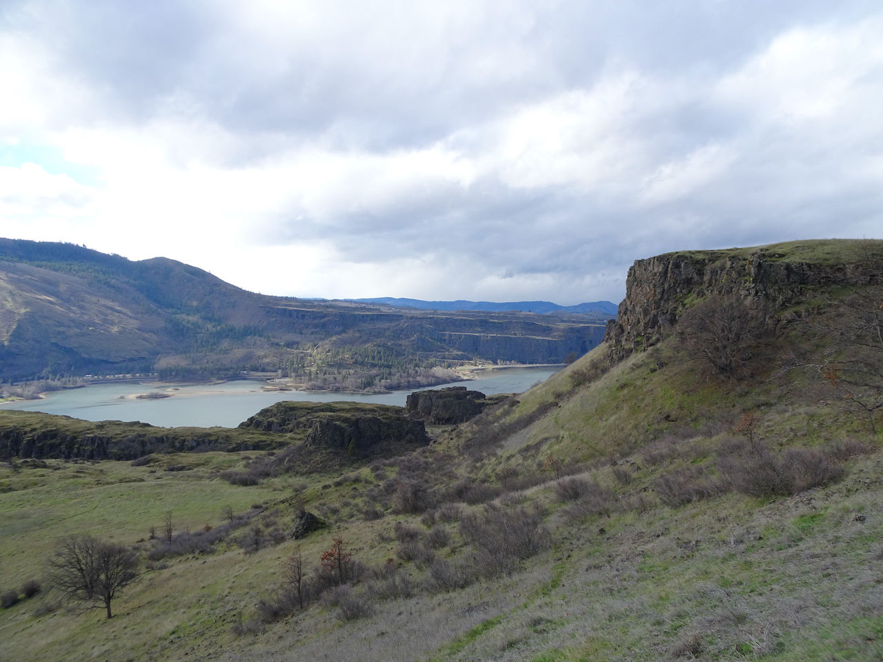
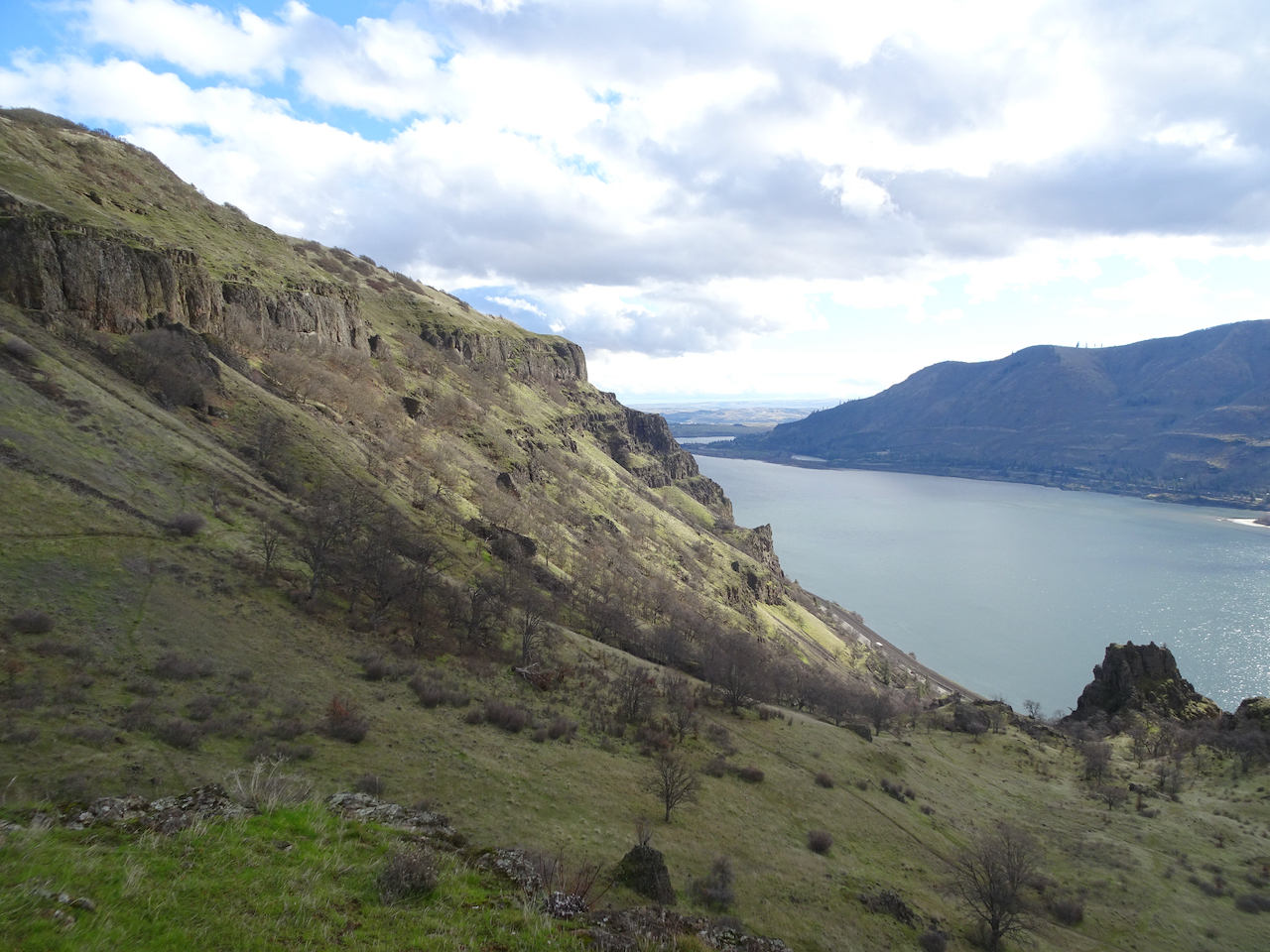
We drove back across the windmilled uplands, in view of the three mountains on the skyline, all the while watching the painted slopes of the cliffs and hills on the north side of the Columbia River. Distinct patches of yellow, white, and purple across the green and brown indicate the slopes are blooming with the wildflowers that we are going to see.

IMG_3248

Looking at the Columbia Hills in Washington from Oregon.

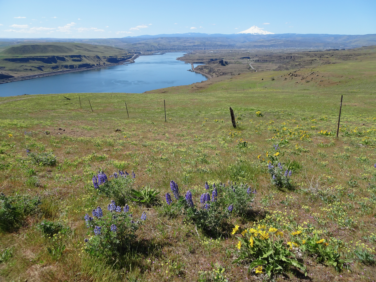
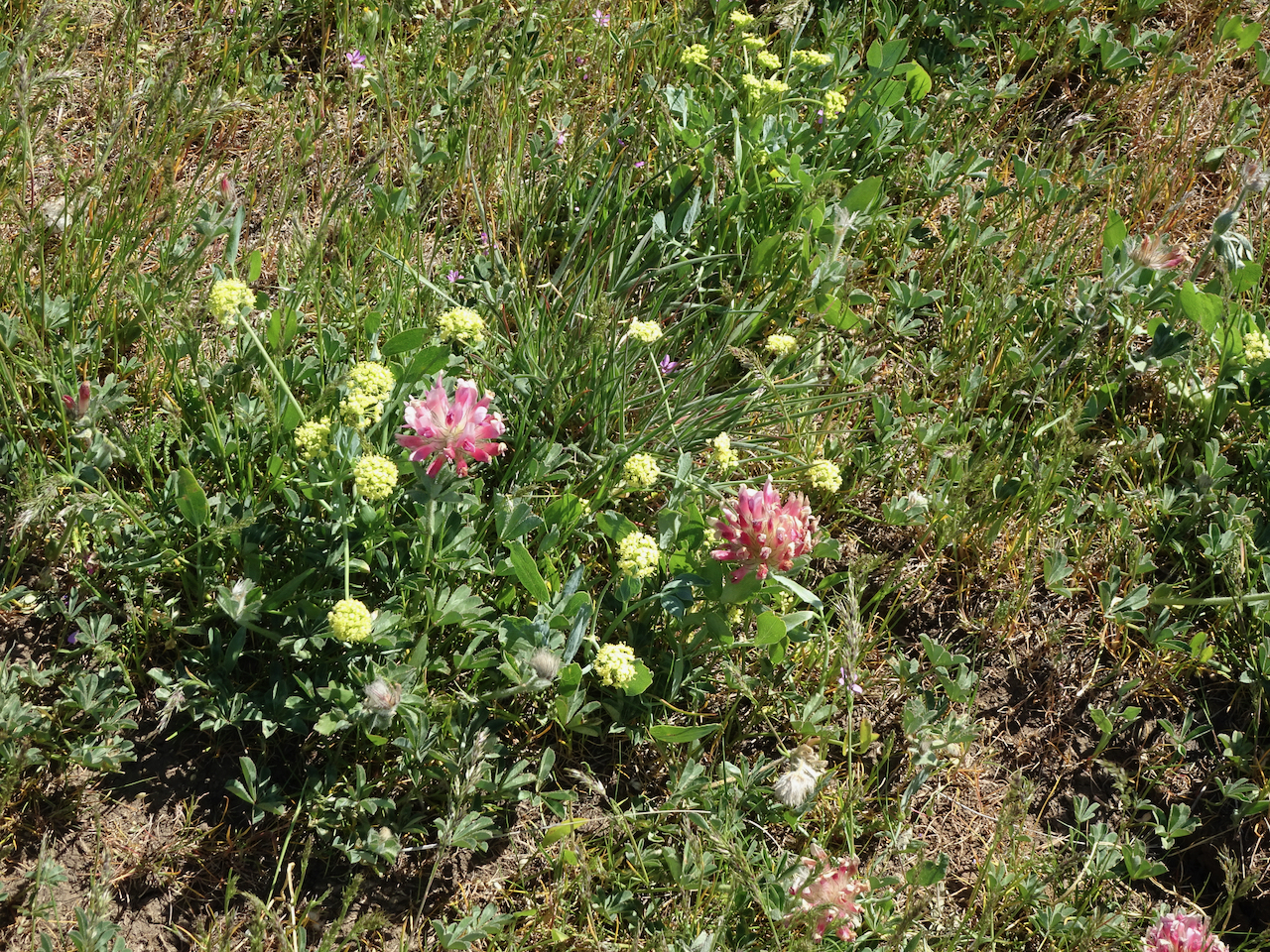
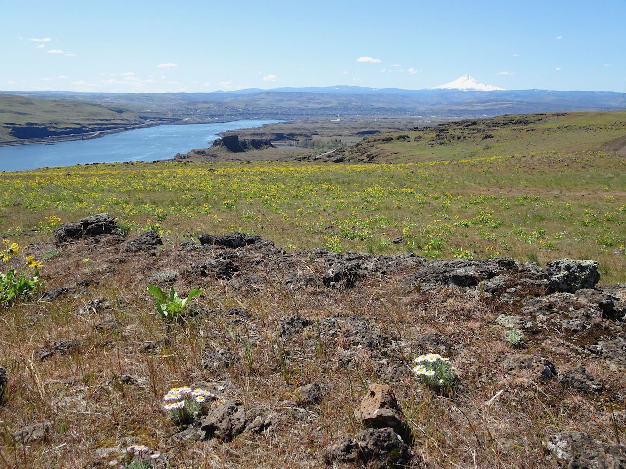
We hiked the Ranch Loop clockwise from the Dalles Mountain Ranch Trailhead – we have been here before, most recently in February, when only the early flowers were on view. Today there were so many flowers out – gold balsamroot, purple lupine, pale pink phlox, and always the yellow parsley and pink filagree creating a pastel underglaze on almost every slope.

DSC06621

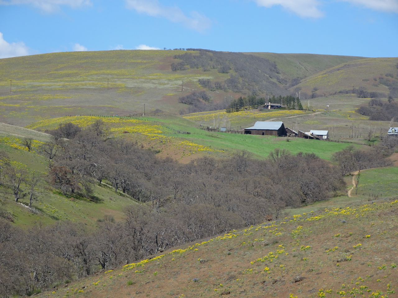
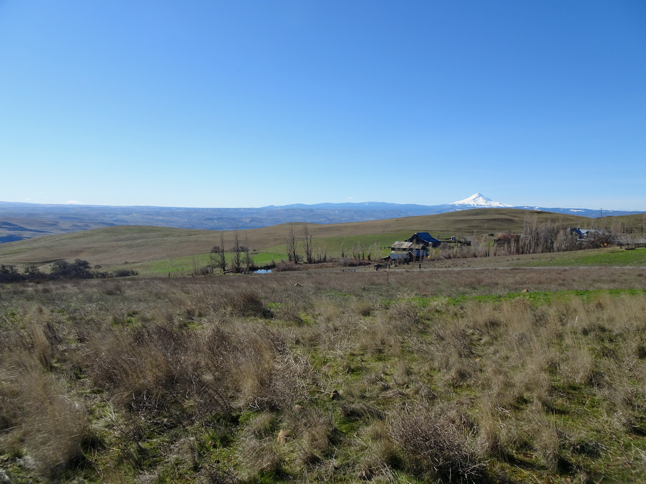
Mt Hood and ranch buildings from near the trailhead.

DSC06638

The “one tree”, still no leaves, with a flowery background

DSC06653

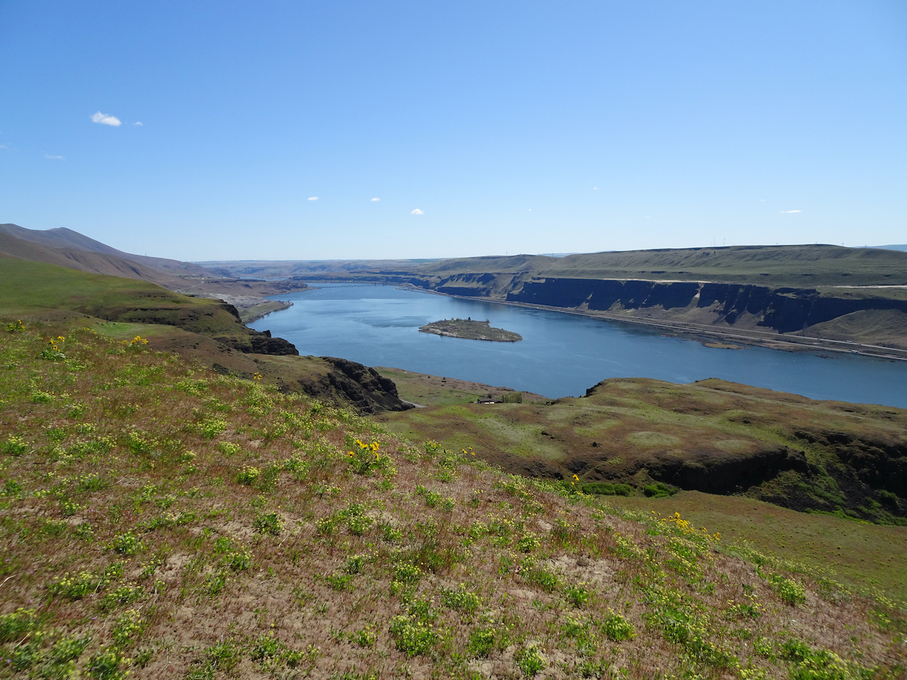
Balsamroot all the way down to the Columbia River.

DSC06669

Lower east-most view.

DSC06671

Lupine and western view from the high point on the lower trail.

DSC06674

Large head clover

DSC06695

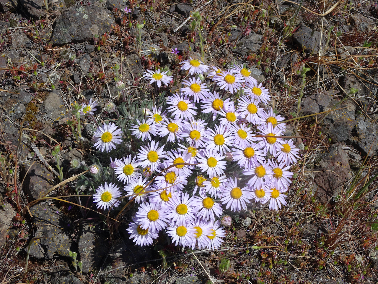
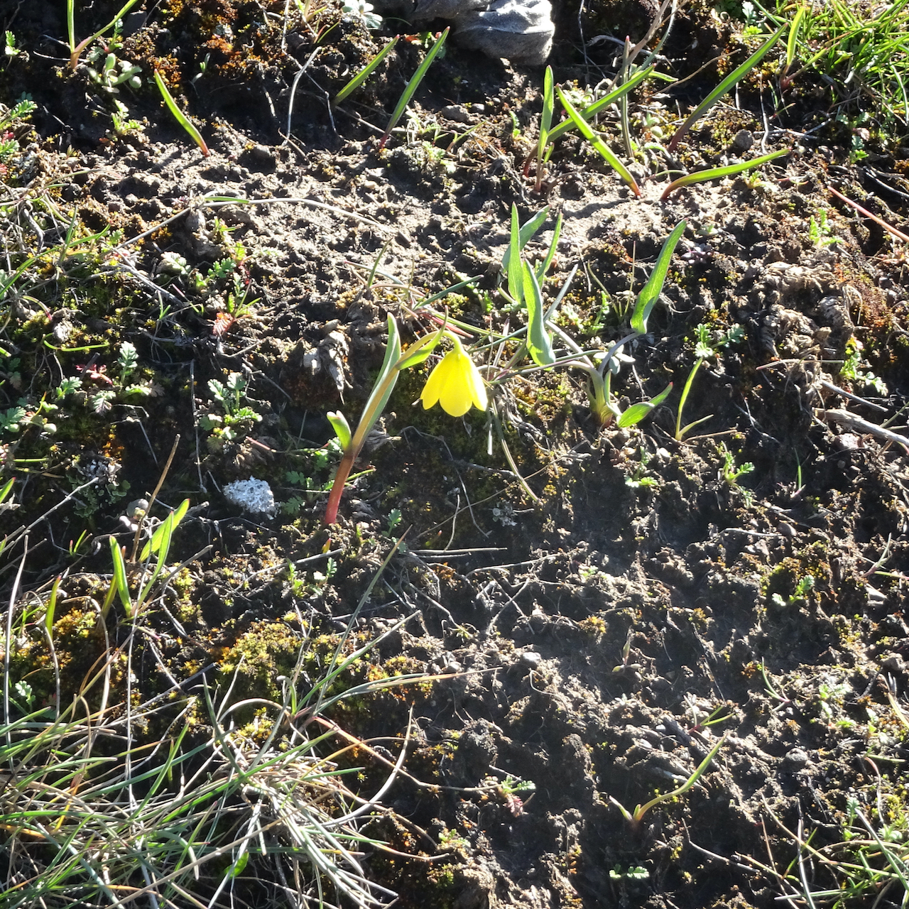
Fleabane

DSC06696

Lunch view – in February this area was covered in purple grass widows.

DSC06700

Back up Eight Mile Creek to the ranch.

DSC06713

We finally spotted the old car that is so often photographed among the flowers at the ranch.

We enjoyed this hiking trip, a chance to get out of town and enjoy the spring flowers at a couple of new locations.

Hiking in February 2021

Despite the mid-month ice storm, we managed three hikes in February – all in the eastern Columbia River Gorge of Washington.

Lyle Cherry Orchard / Lower Catherine Creek – Feb. 2nd

We were hoping for good weather east of the mountains, but were foiled by a squall.

DSC05612

Starting up the Lyle Cherry Orchard trail, we could see nothing but blue sky from the Convict Road…

DSC05610

But there are clouds over the Columbia River to the east,

DSC05609

and west.

DSC05607

We saw our first Columbia Desert Parsley of the season,

DSC05618

and scattered grass widows.

DSC05620

As we continued up the tiers of basalt,

DSC05624

we noticed more ominous clouds to the west.

DSC05629

We continued up,

DSC05630

to about this point, when we encountered wind and driving rain on the unsheltered slope

DSC05627

We sheltered briefly under one of the oak trees, then headed down. 

By the time we reached the car, the skies were blue again, so we decided to stop at Catherine Creek before going home.

DSC05649

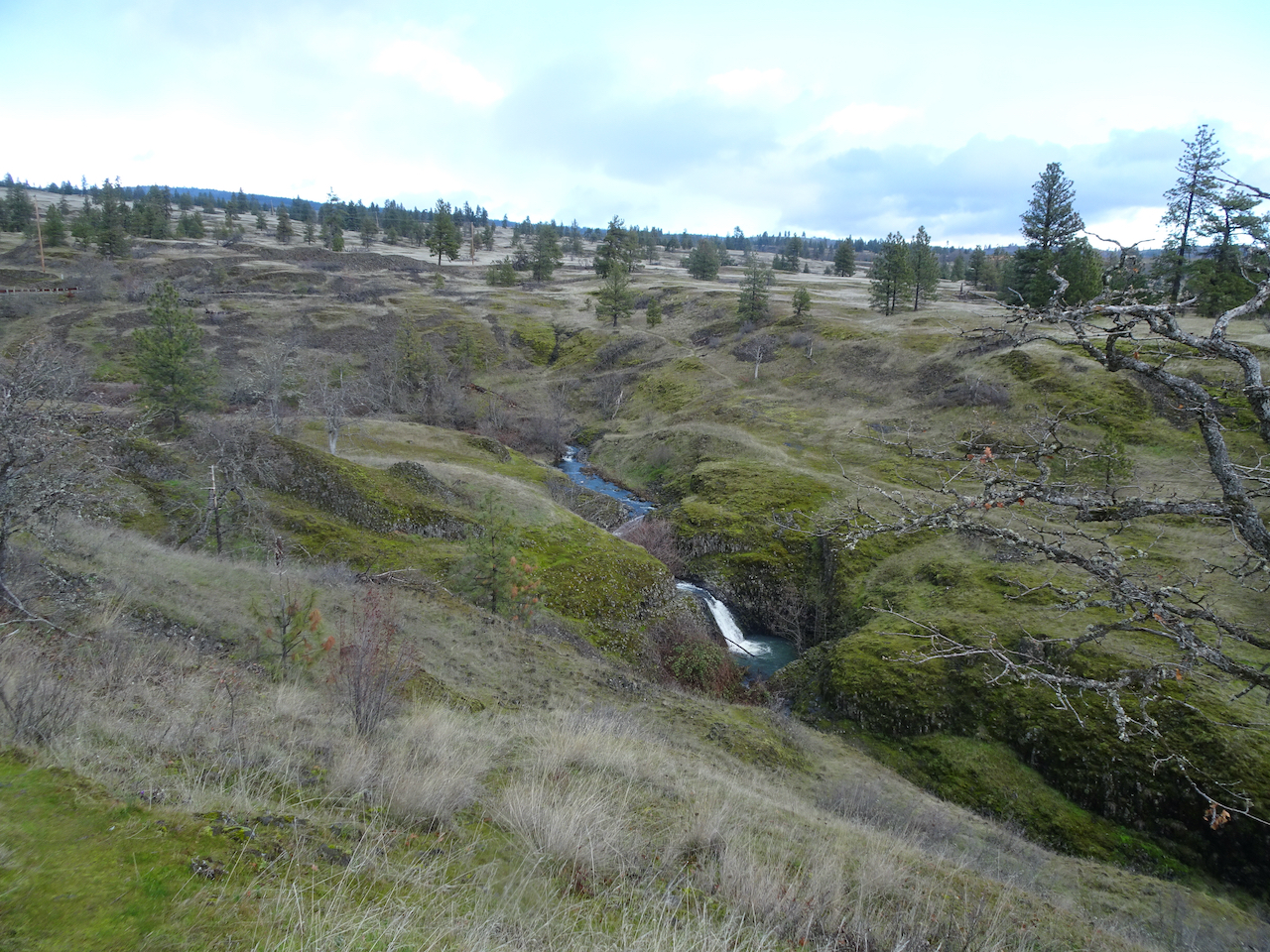
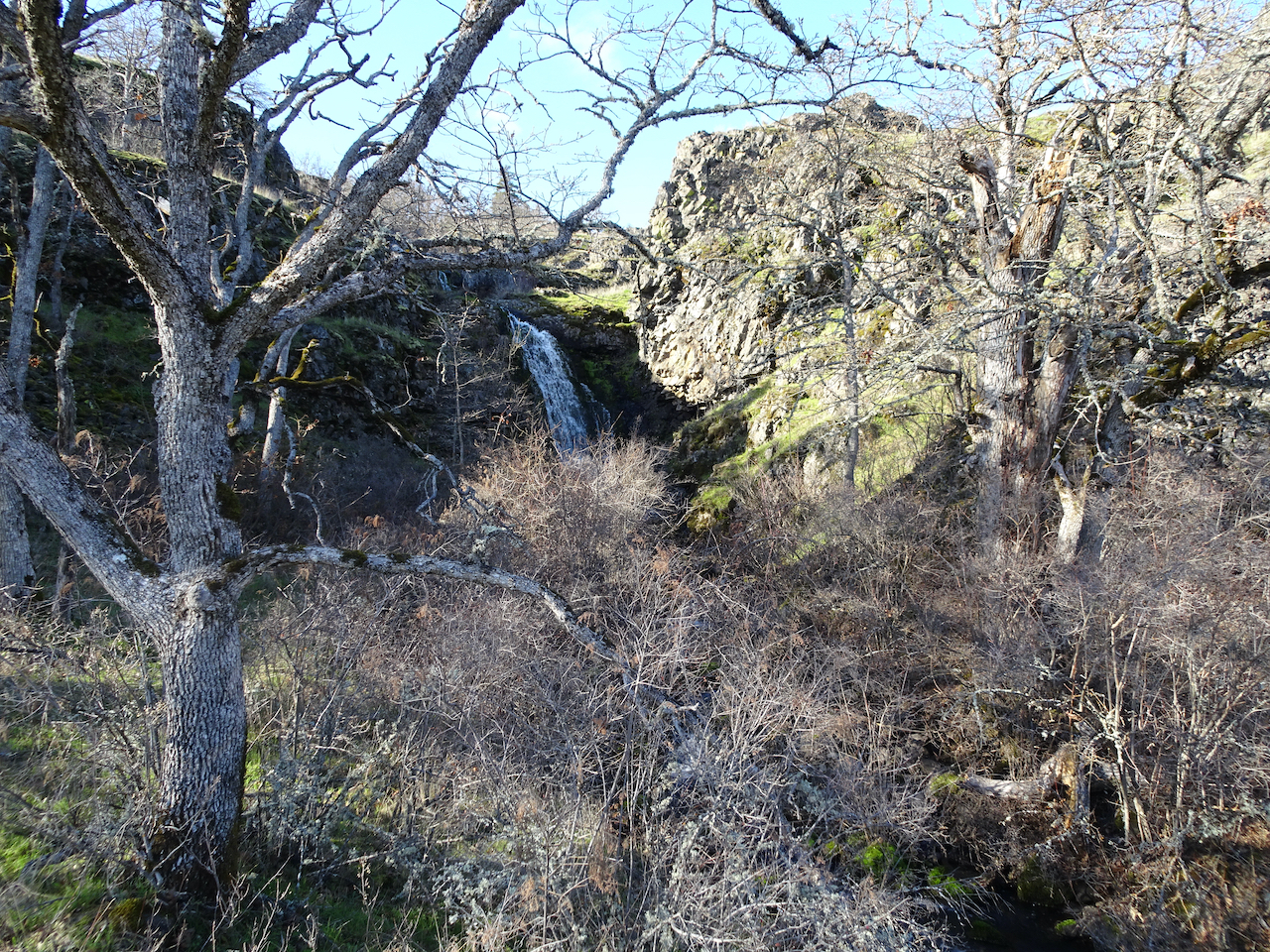
We walked the Lower Loop, with views of the waterfall,

DSC05651 (1)

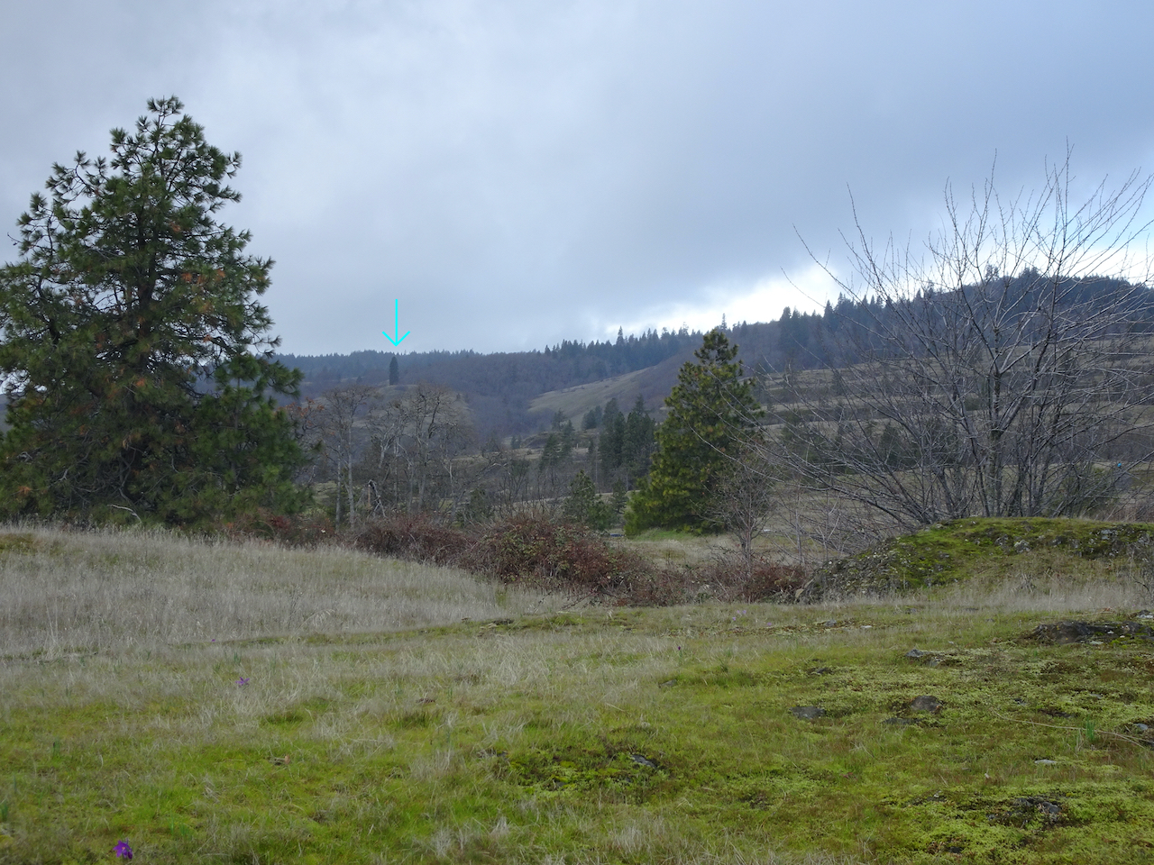
and of our Ponderosa guide tree, up on the slopes above the Labyrinth.

We saw a few early wildflowers, and finished just in time for another squall to blow through.

DSC05637

Blue jay

DSC05640

Bitterroot foliage

DSC05645

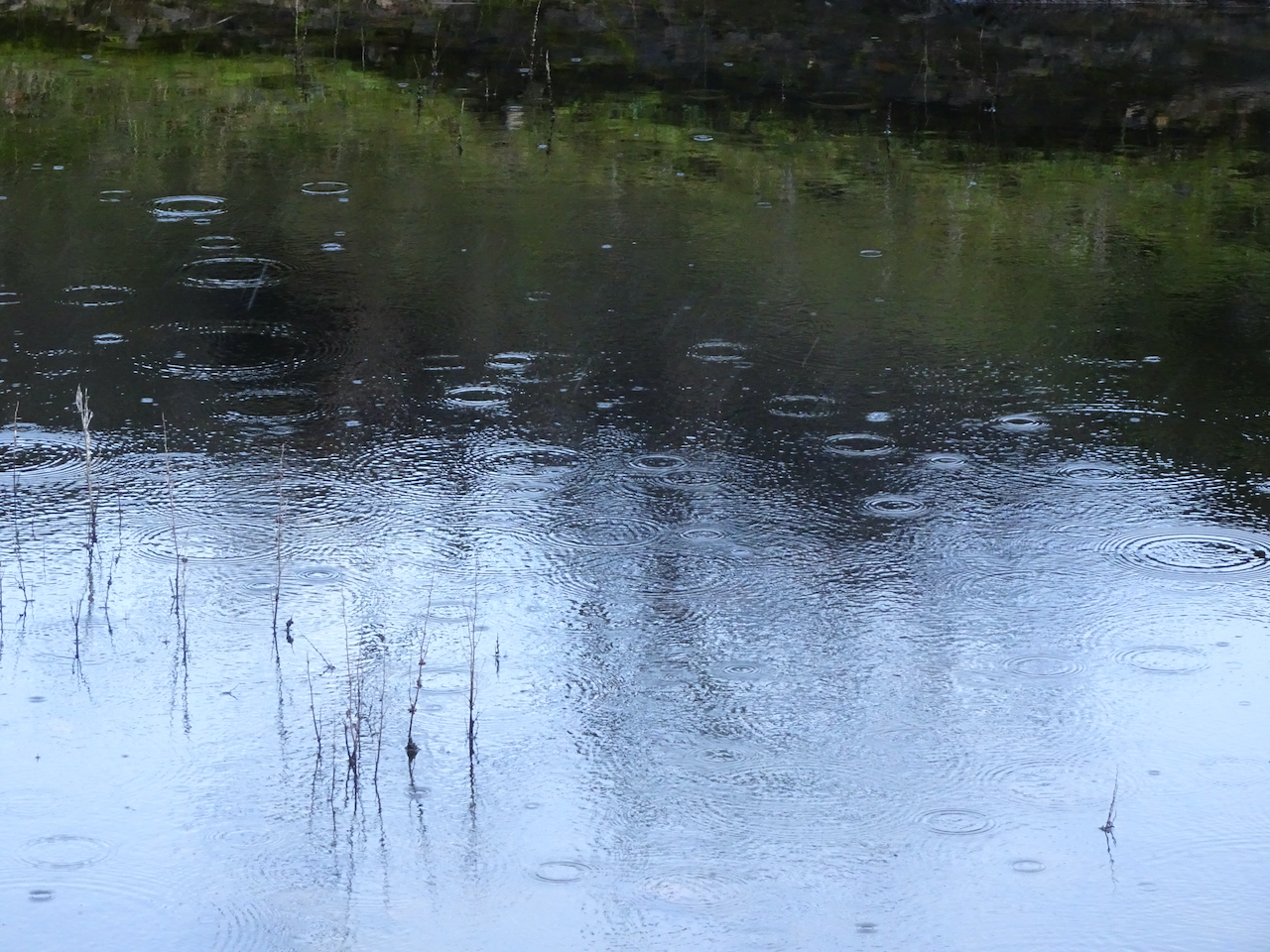
Rain in a vernal pool.

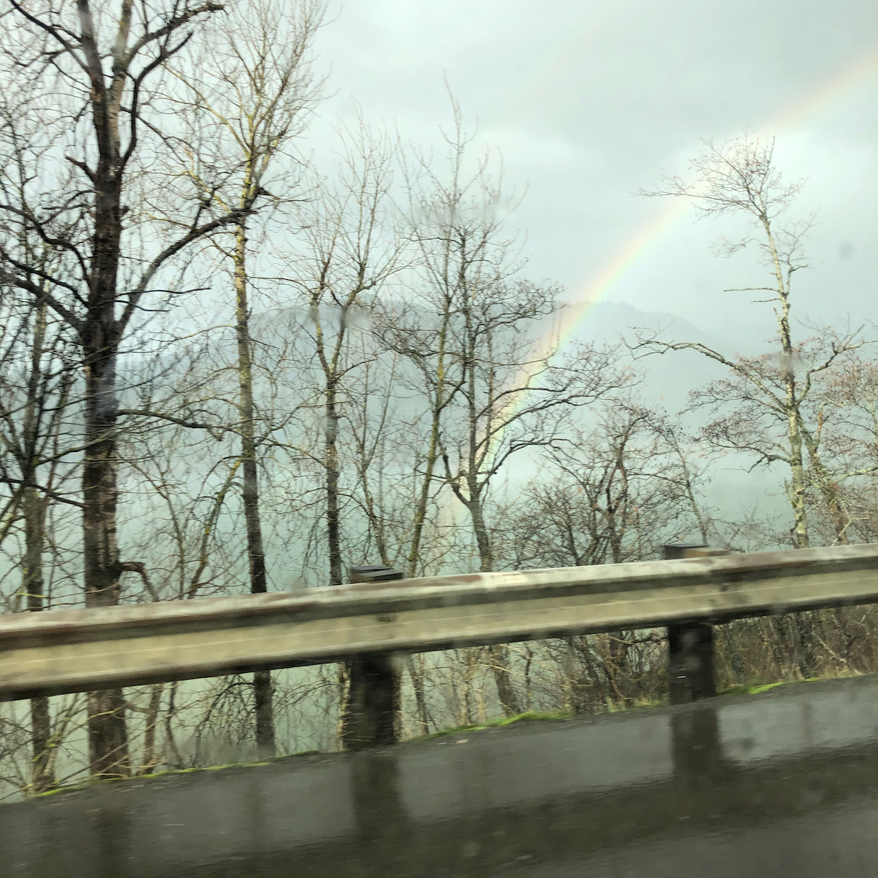
We saw rainbows in our rear view mirror as we drove back to rainy Portland.

IMG_2686IMG_2683

Coyote Wall – Labyrinth Loop – Feb. 9th

We started cold and overcast, but hiked into a bluer, warmer day.

DSC05653

Looking up at the wall from the trailhead – we would soon be looking down from there….

DSC05661

View to the east from the lower slopes.

DSC05662

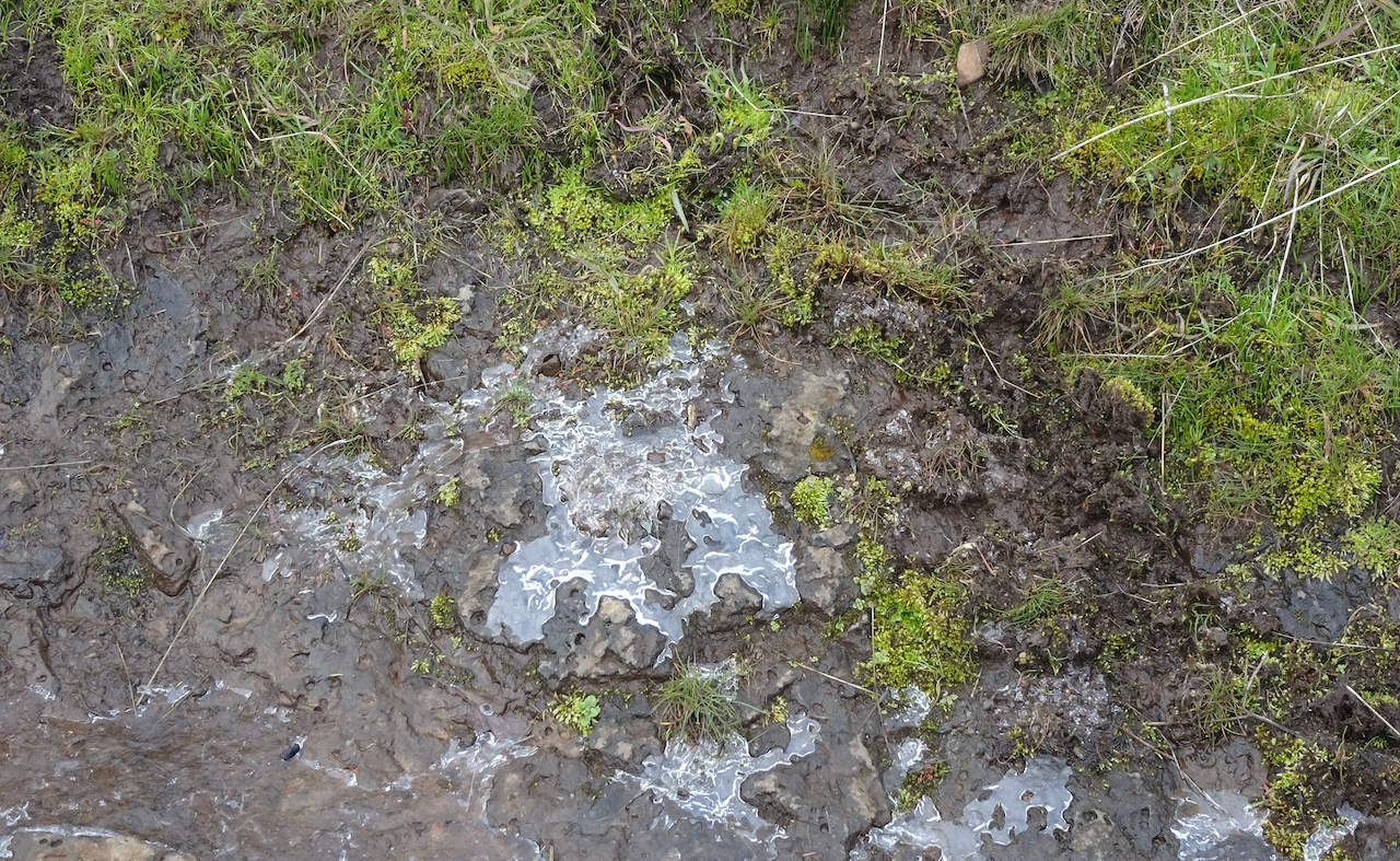
Ice on the trail.

DSC05657

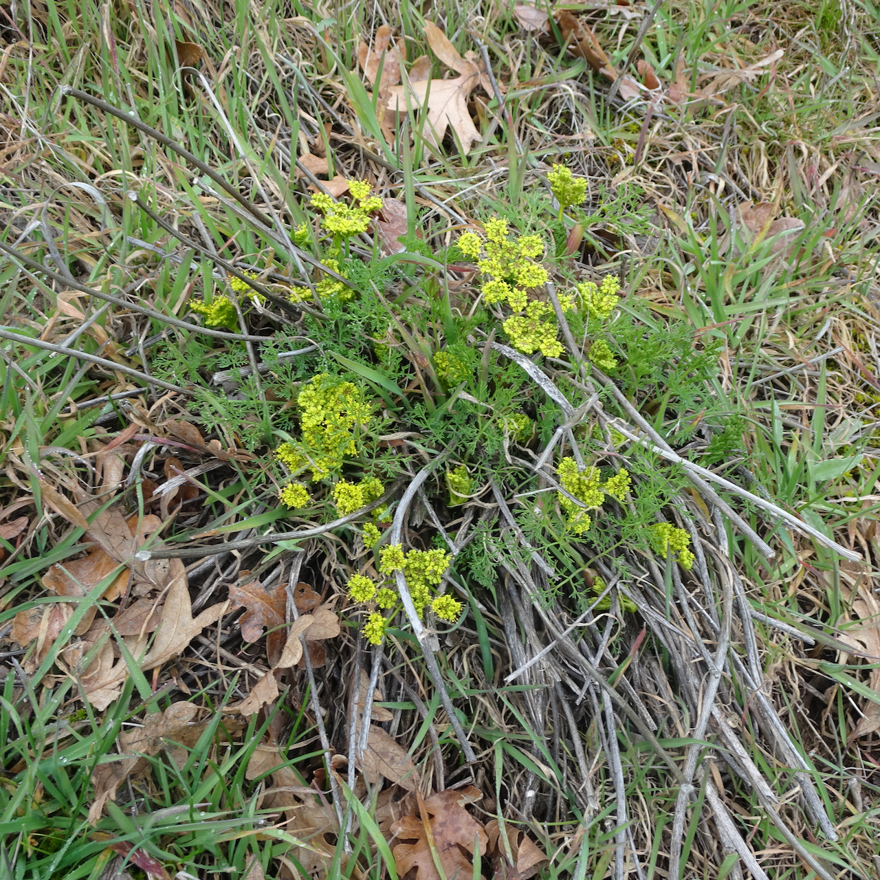
First yellow parsley of the season,

DSC05666

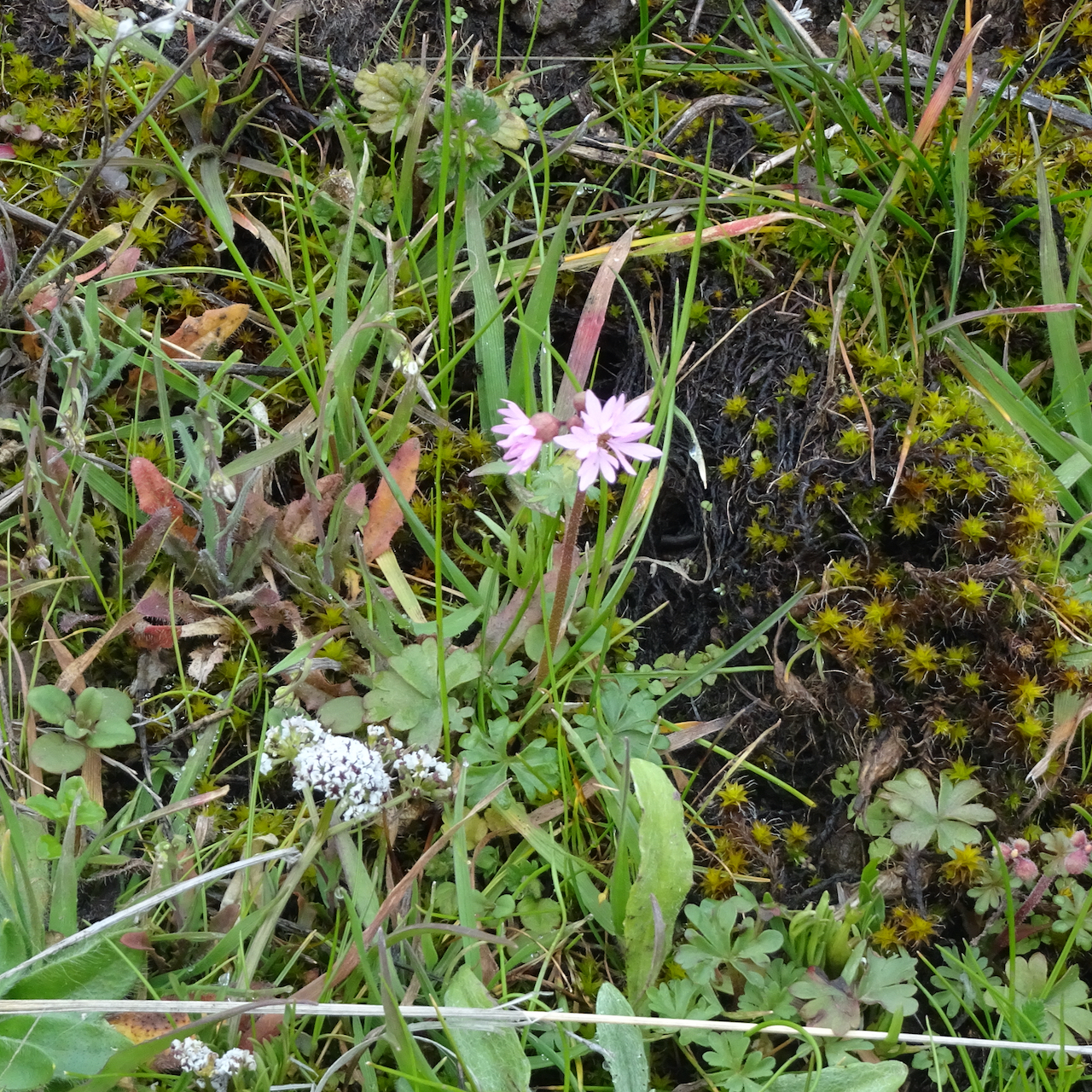
and first prairie stars, with salt and pepper.

DSC05663

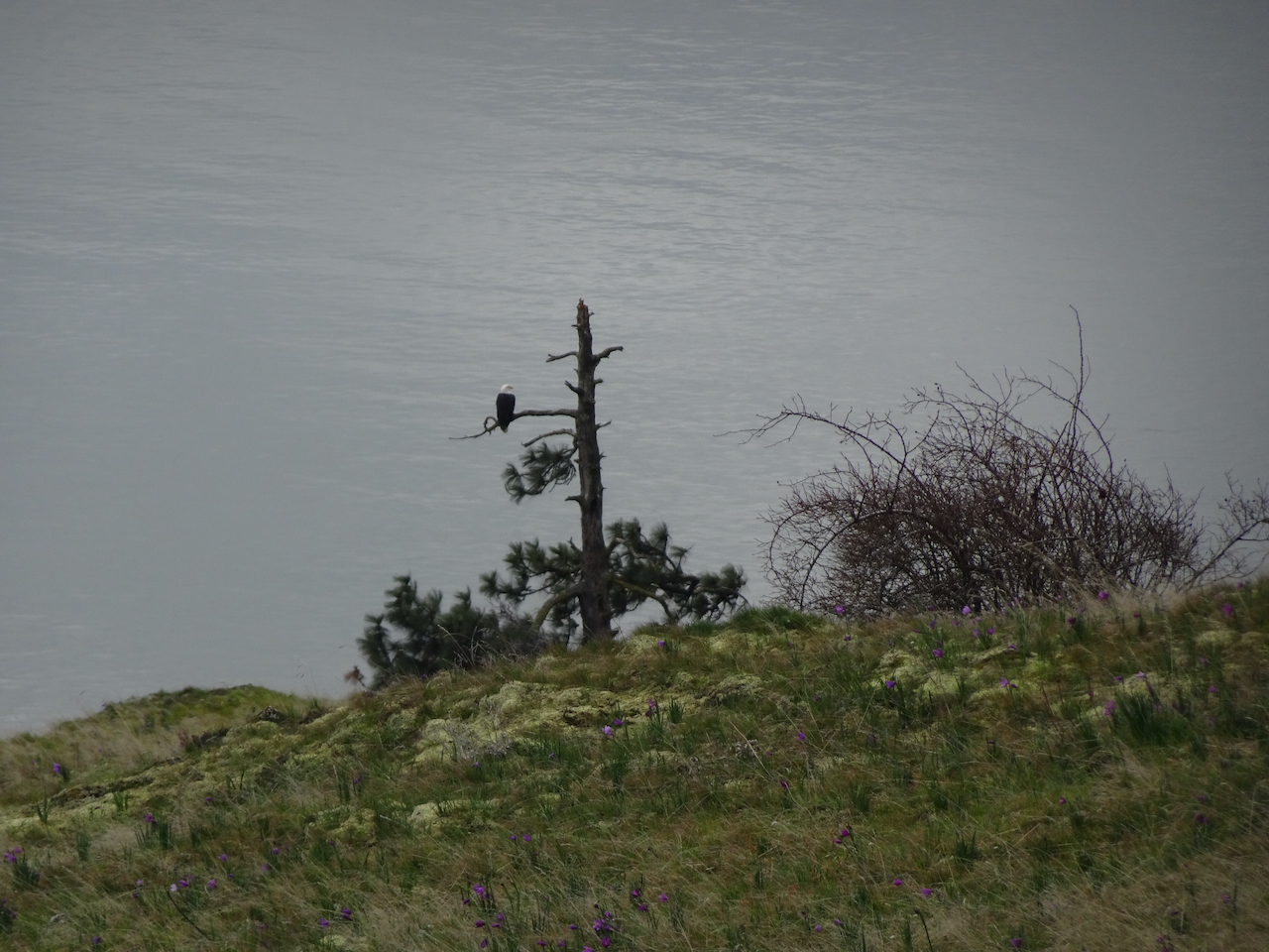
A bald eagle below us, watching the river.

DSC05668

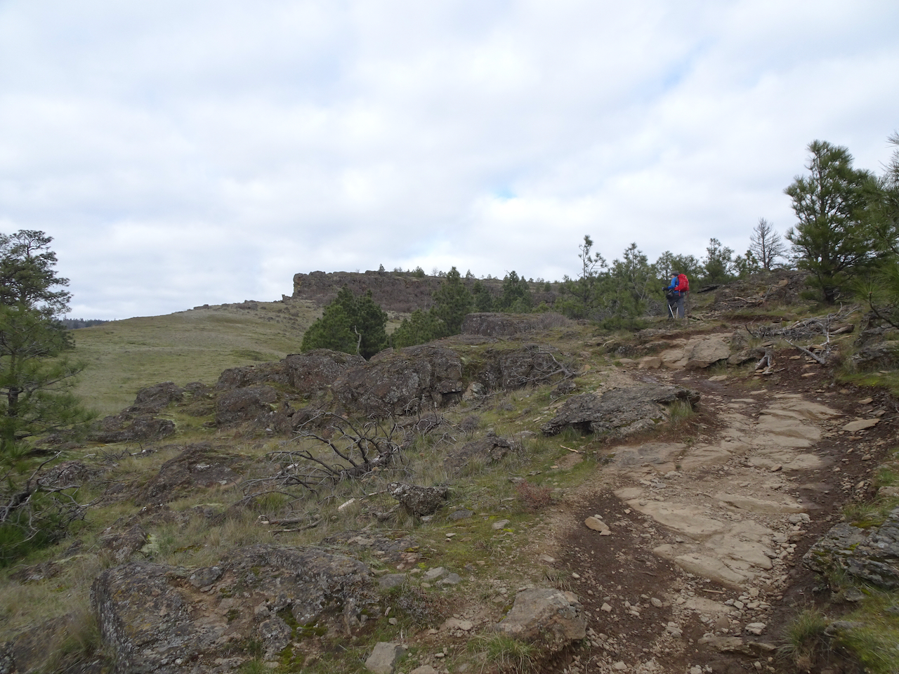
Continuing up the Little Moab trail to the edge of the cliff…

DSC05670

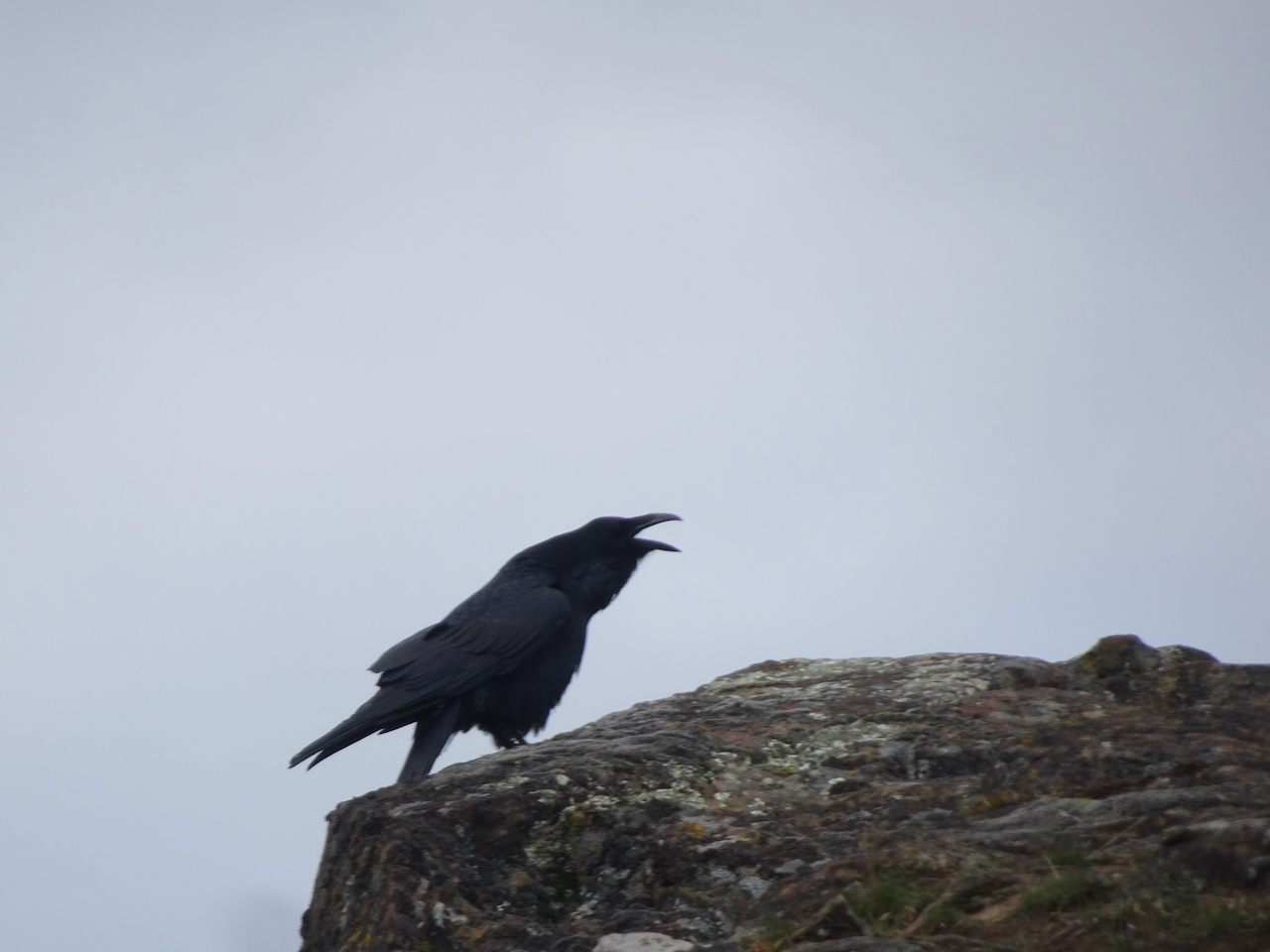
Heralded by this raven the whole way.

DSC05673

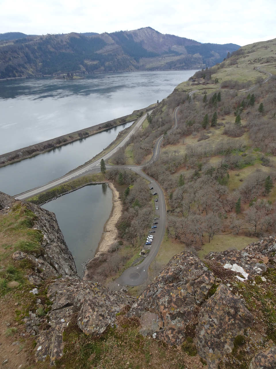
Looking down at the trailhead,

DSC05675

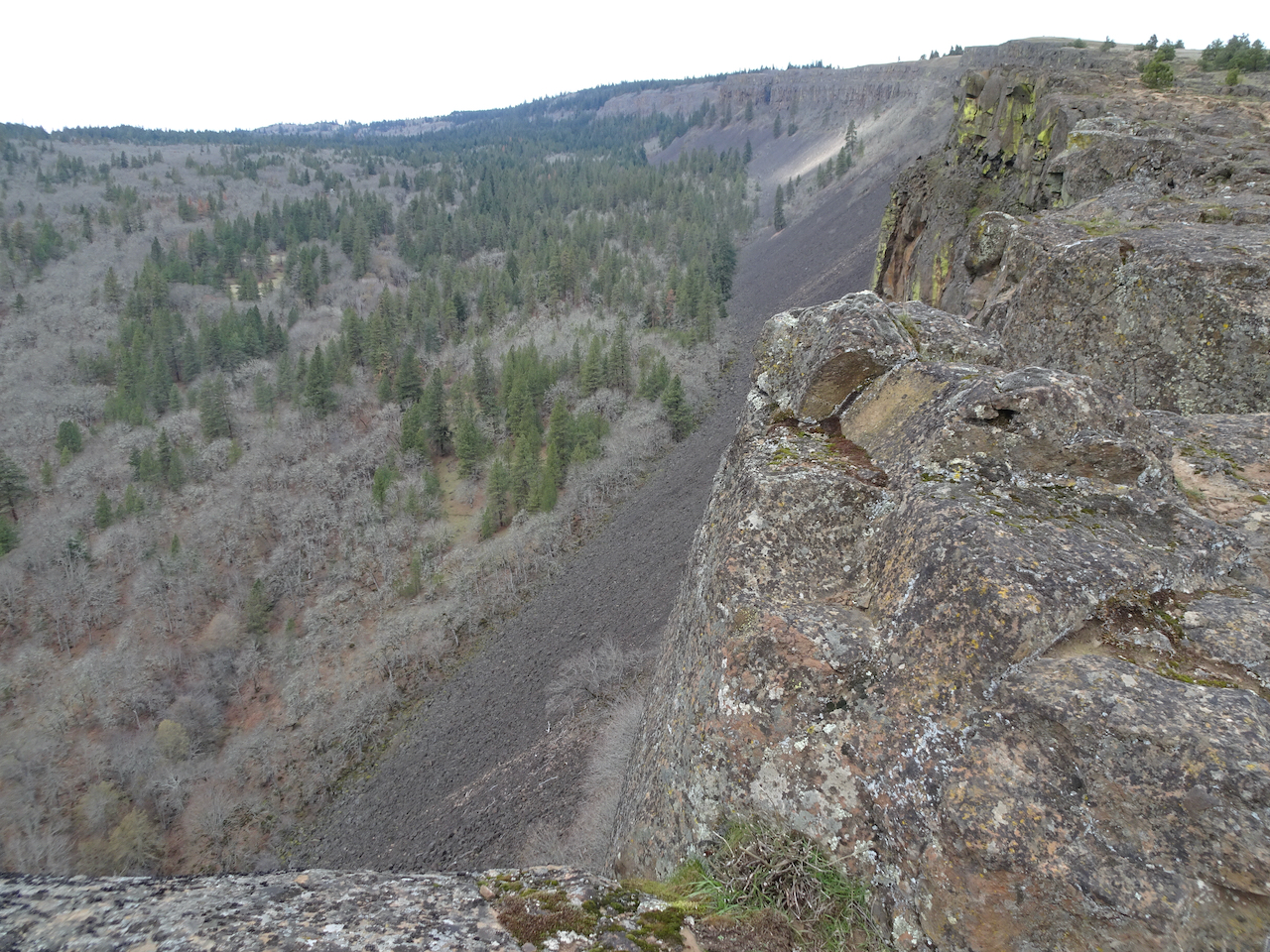
and up the edge of Coyote Wall toward our lunch stop.

DSC05686

Trail continuing up the slope…

DSC05688

to the rocky edge where we took our lunch break.

DSC05695

The clouds began to part after lunch.

DSC05699

We headed east toward the Labyrinth across the upper slopes,

DSC05701

into a bluer sky.

DSC05702

Icicles in the upper Hidden Creek crossing.

DSC05718

Eastward view from our Ponderosa guide tree viewpoint on the Upper Labyrinth Trail.

DSC05721

Continuing down, we could see Mt Hood on the skyline peeking out from the clouds.

DSC05731

Through my favorite oak grove,

IMG_2701

Past the columnar basalt buttes,

DSC05736

Following the waterfalls of Hidden Creek down the Labyrinth,

DSC05747

beneath the blue sky.

DSC05739

DSC05756

These falls were nearly dry in November,

DSC05758

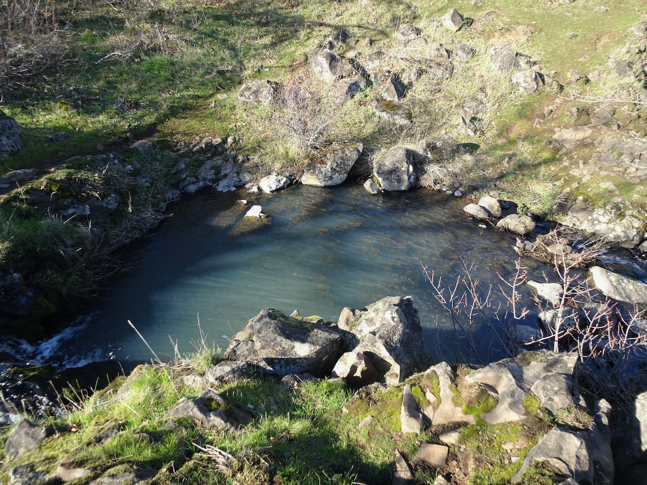
now the pool is overflowing.

DSC05764

Goodbye to the ghost tree.

DSC05766

And back to the trailhead beneath the wall. A successful day!

Dalles Mountain Ranch – Vista Loop – Feb. 24

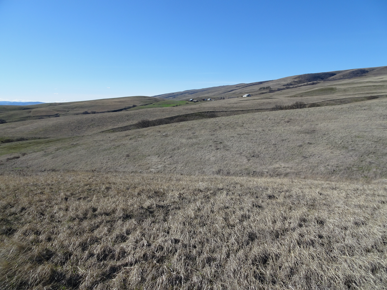
After two weeks of snow and ice storms, we were finally able to find a blue sky day at Columbia Hills State Park, an hour and a half east of Portland. A beautiful day, edged by snow on the skyline. Take a peek here if you want to see this trail in full spring bloom!

DSC05809

View south and west from Dalles Mountain Ranch trailhead – Mt Hood in Oregon, far across the Columbia River. We are heading downhill toward the river.

DSC05822

Looking back to the ranch as we hike down Eight Mile Creek.

DSC05824

Creek crossing.

IMG_2816

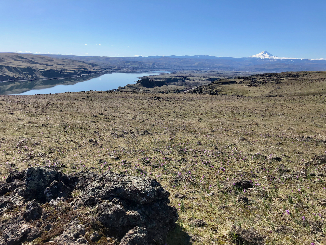
Our lunch stop along the Missoula Floods scoured lower bench. Mt Hood, Columbia River, The Dalles and Horsethief Butte. Lots of purple grass widows in the foreground.

DSC05849

Eastward lower viewpoint.

DSC05843

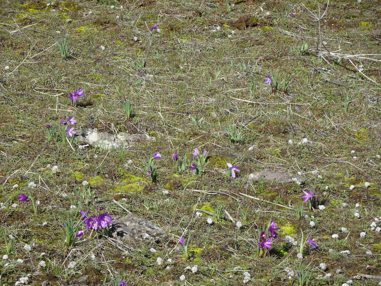
Salt and pepper, grass widows.

DSC05830

Yellow bells

DSC05827

Gold stars

DSC05856

Another desert parsley

DSC05852

Looking back up to the ranch on the return hike.

DSC05853

One tree to rule them all.

NZ2020: Days 9 and 10, Deluge in Doubtful Sound

February 2nd and 3rd, 2020: Overnight cruise on Doubtful Sound, Fiordland, NZ

After our day off in Queenstown, we began the second part of our tour by meeting three new tour members, and an additional tour guide, in our hotel restaurant. We drove south and west, from Queenstown to Manapouri, in a steady rain, with two stops along the way.

Image 9-10-20 at 6.33 PM

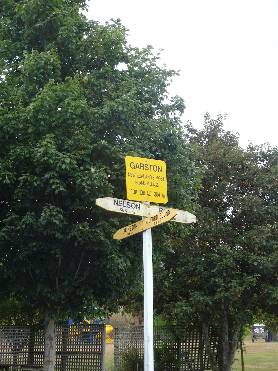
Our first break was in the town of Garston – a small inland village with a speciality in honey production. We sampled some honey, then resumed our journey. Mountains, clouds, green fields full of sheep, elk and deer whizzed by, through the rain.

DSC06307DSC06308

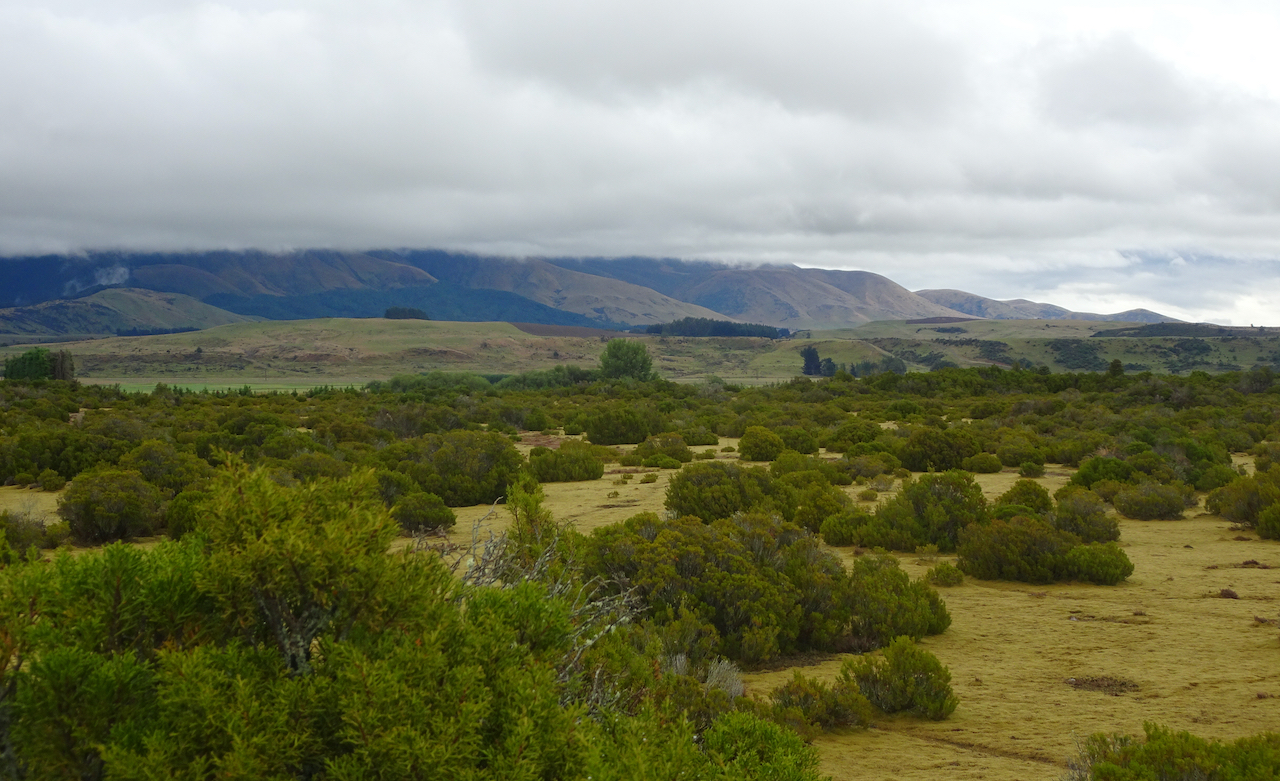
We next took a short leg stretching break at a wilderness reserve that demonstrated the native plant communities that are typical of this cold, mountainous inland area before European settling and agriculture. We took in what we could, but the rain and clouds obscured mountain views and much exploring.

DSC06315

DSC06318

View to the Southern Alps.

DSC06321

DSC06324

Closer view of some of the plants.

Off we went again, this time to our final tour bus destination – Pearl Harbor in Manapouri, where we began our overnight in Doubtful Sound adventure. We said goodbye to one of our guides for the moment, as he was staying with the bus. To get to Doubtful Sound, deep in the mountains of the Southern Alps, one must take a ferry boat across Lake Manapouri, to the far shore.

DSC06325

Crossing Lake Manapouri by ferry.

DSC06332

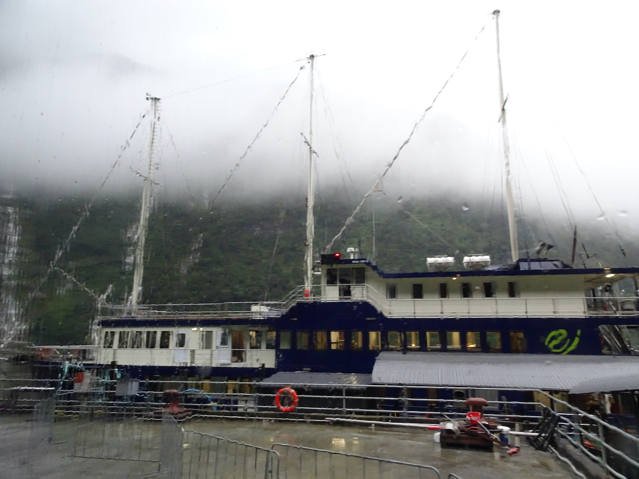
Next we boarded a bus that took us over the steep, 13 mile long Wilmot Pass Road, then down to Deep Cove Dock at Doubtful Sound. There, we boarded the Fiordland Navigator, our home for the next 24 hours.

DSC06552

Fiordland Navigator, from the bus window, in the pouring rain.

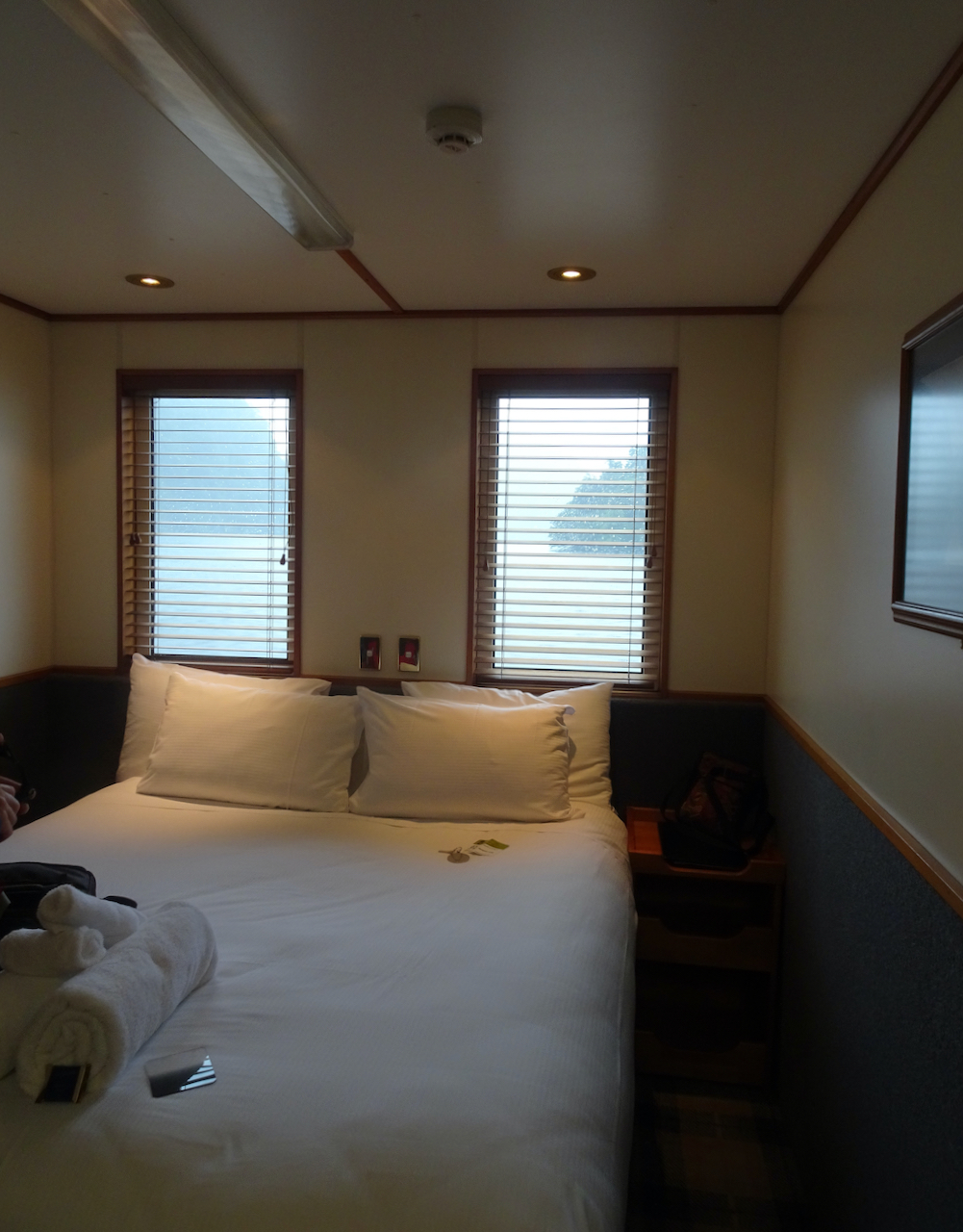
The Navigator was a very comfortable ship with an experienced, multitasking crew that choreographed our time on board with a well crafted schedule. The 42 passengers were shown into the main cabin/dining salon. We received our safety briefings, and were assigned our sleeping accommodations – for us, a private cabin, but for most, four bed bunk rooms.

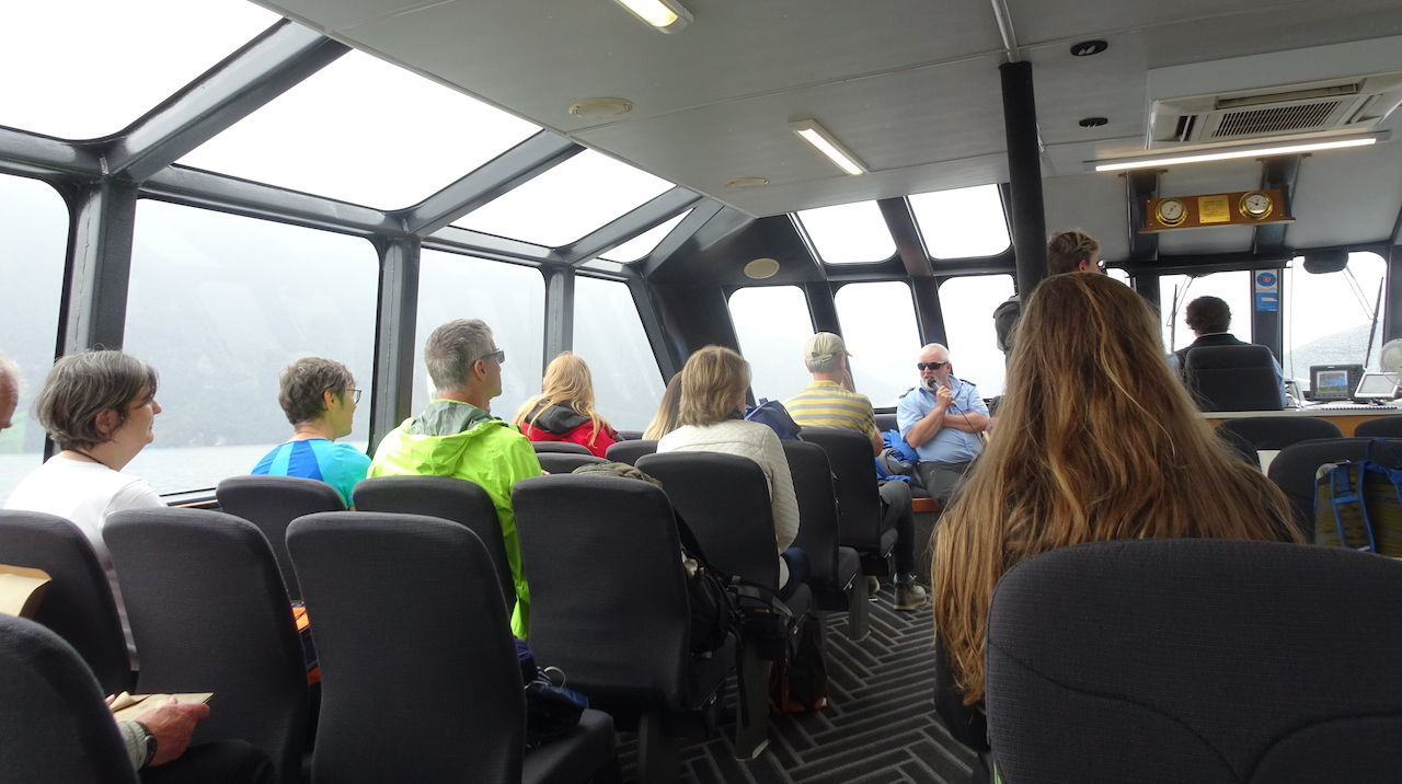
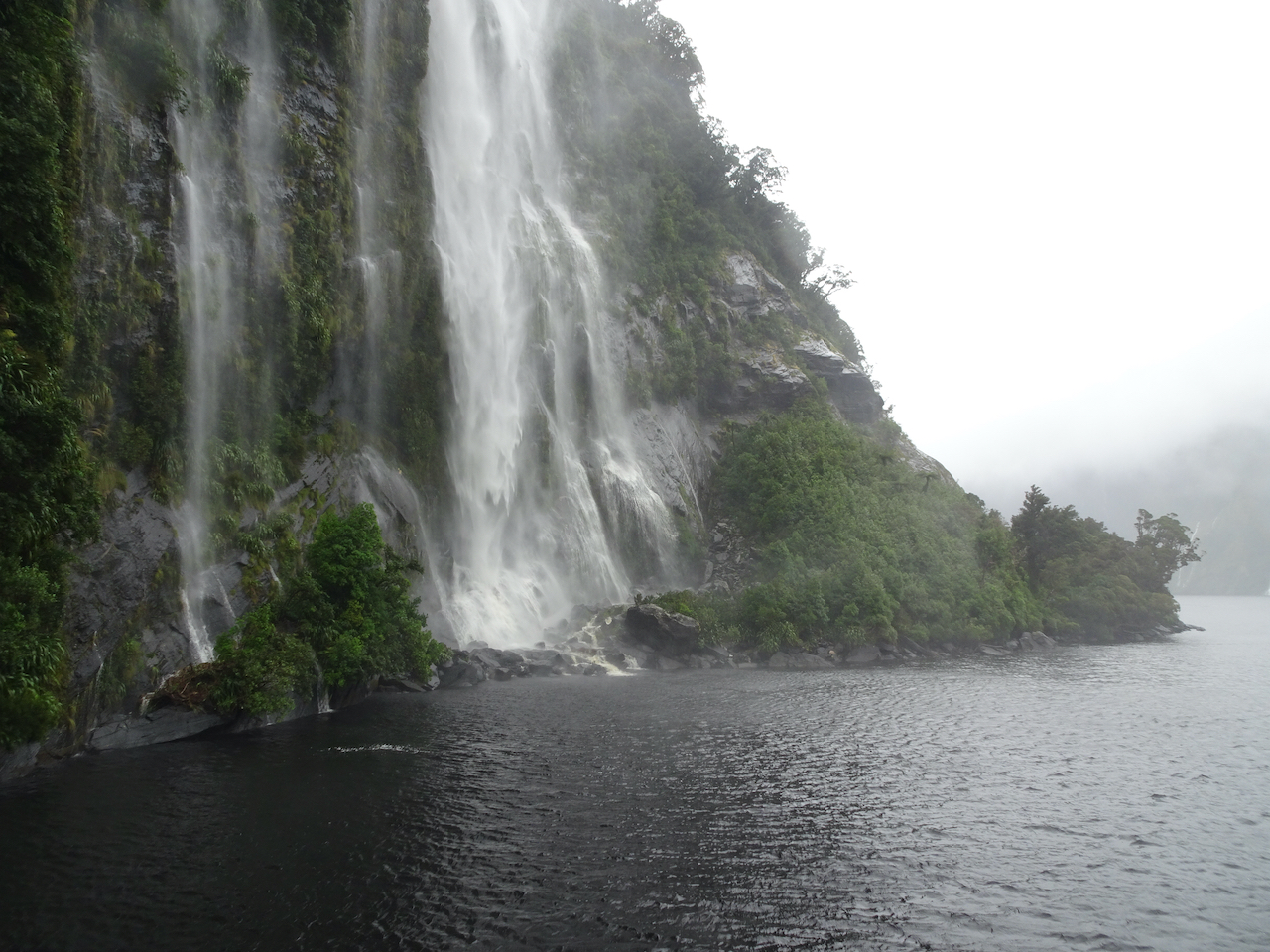
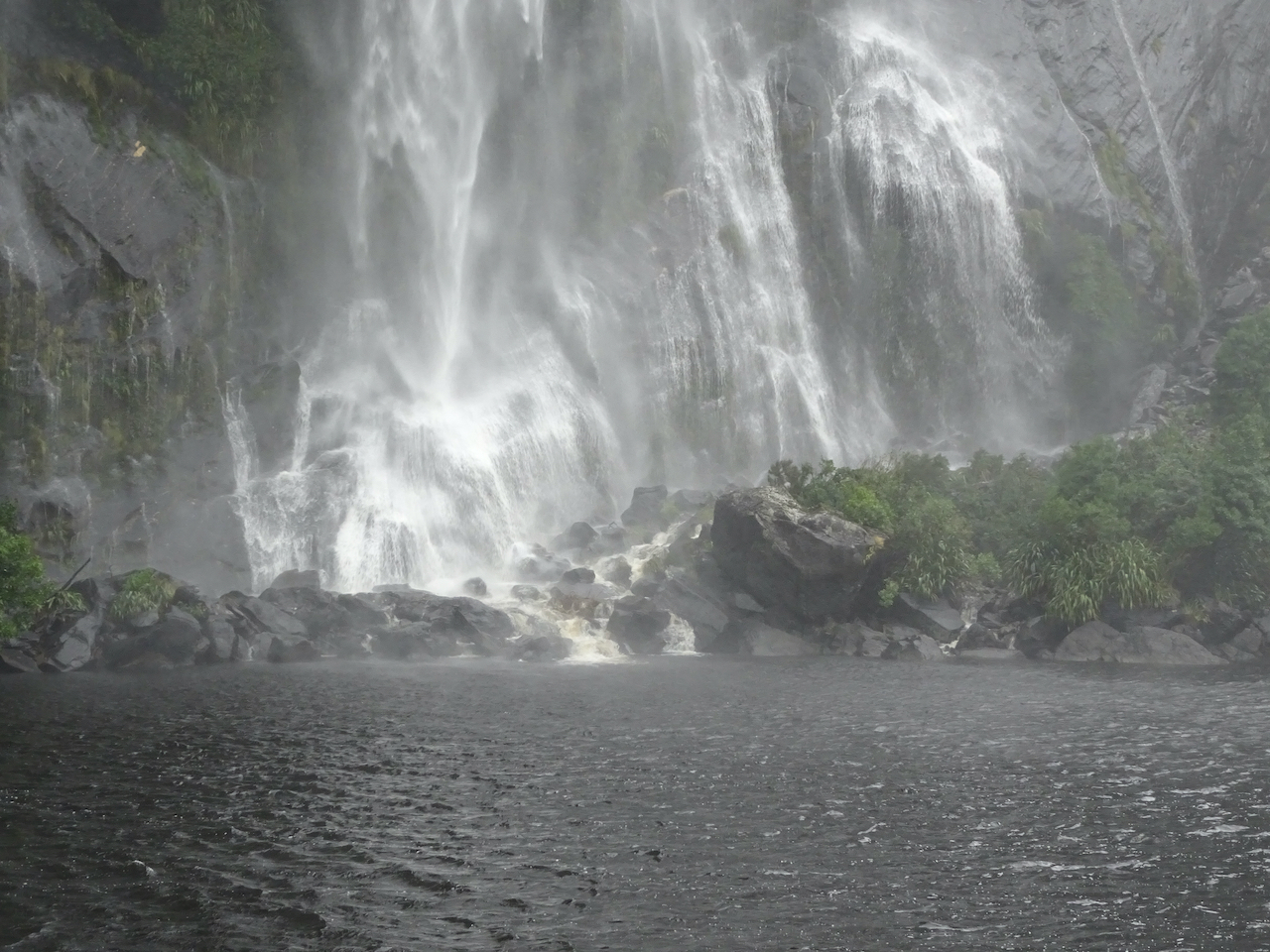
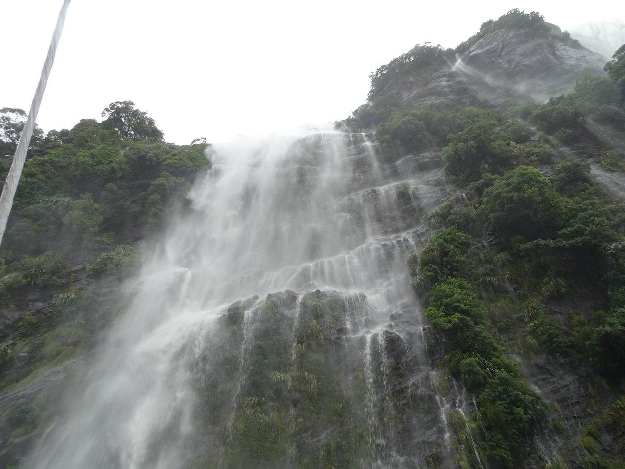
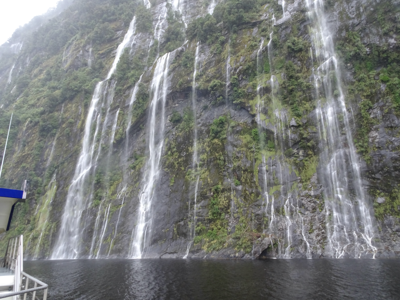
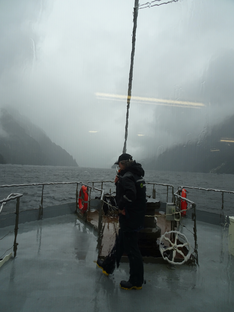
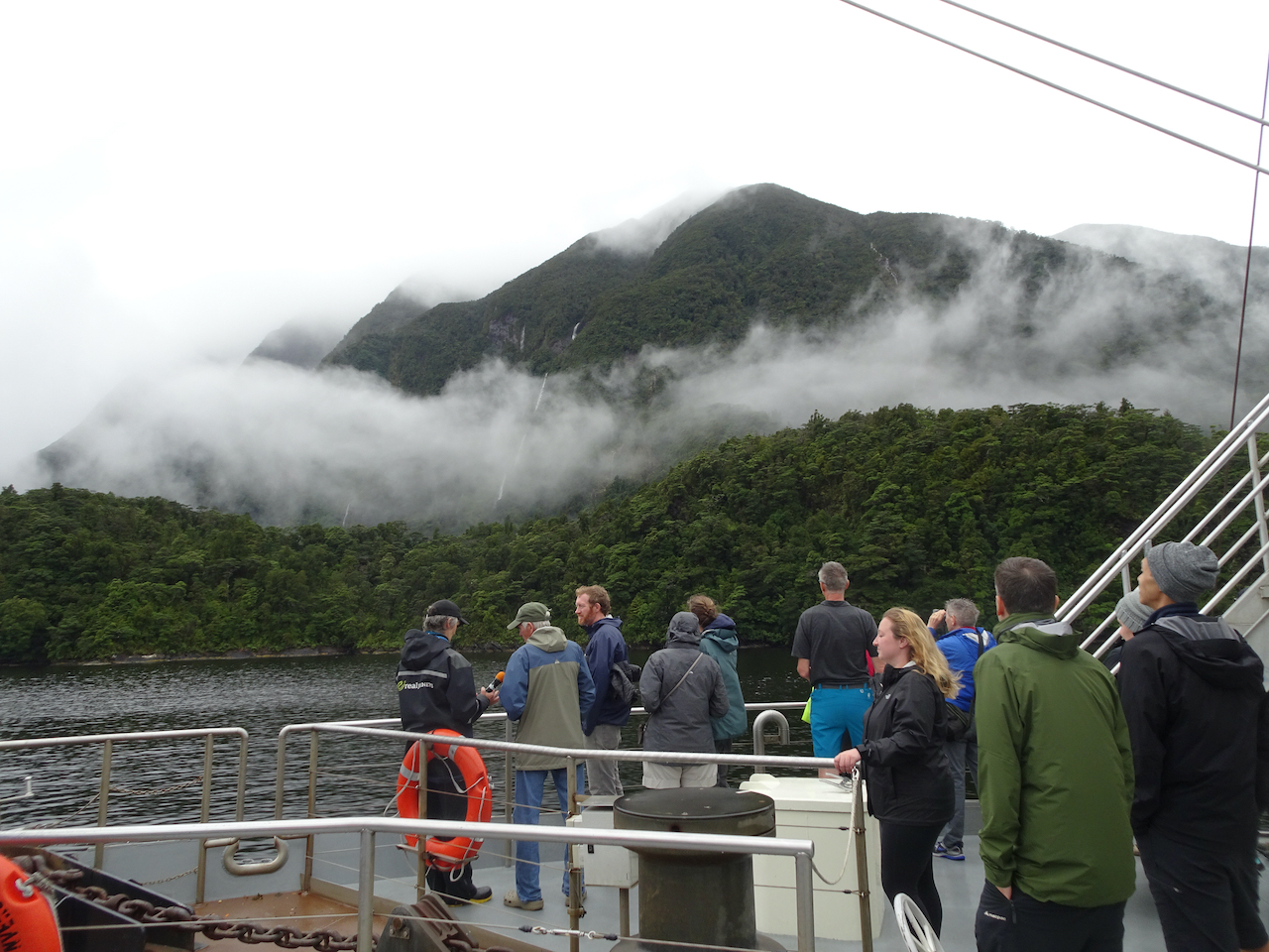
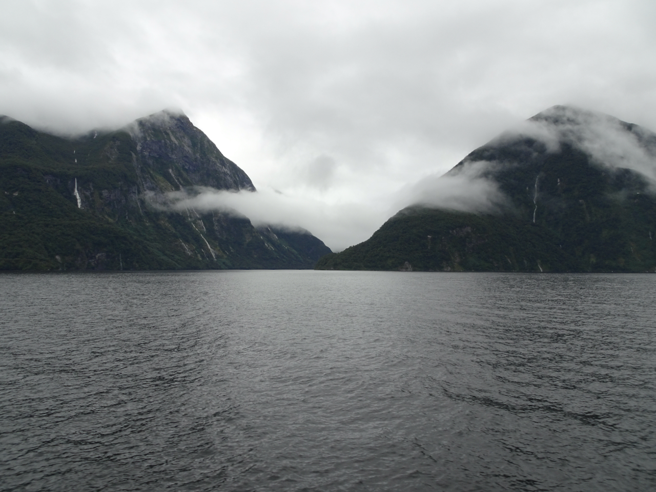
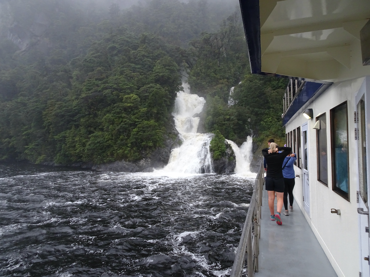
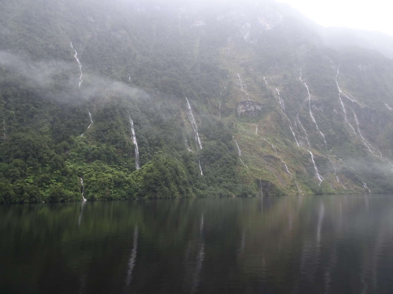
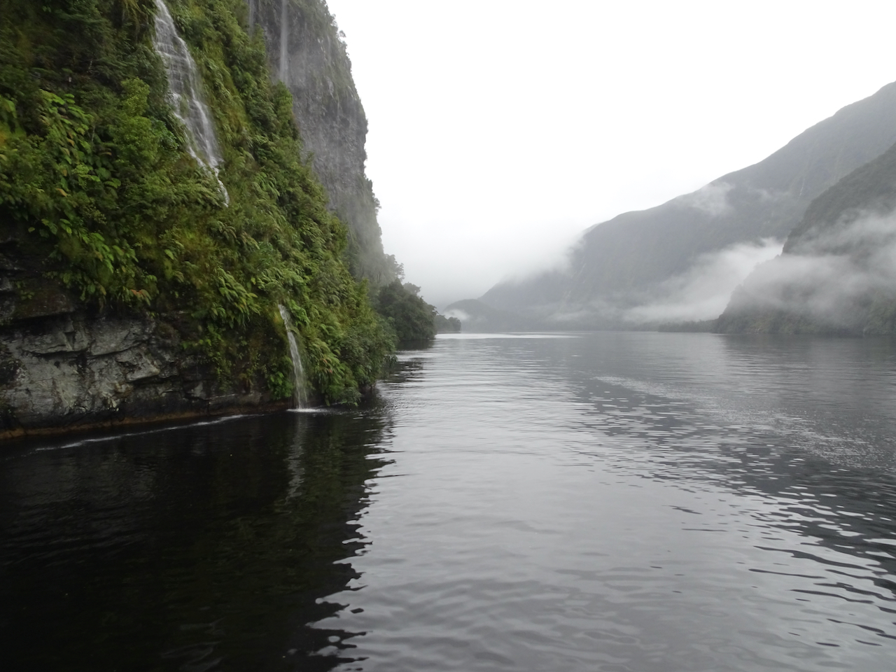
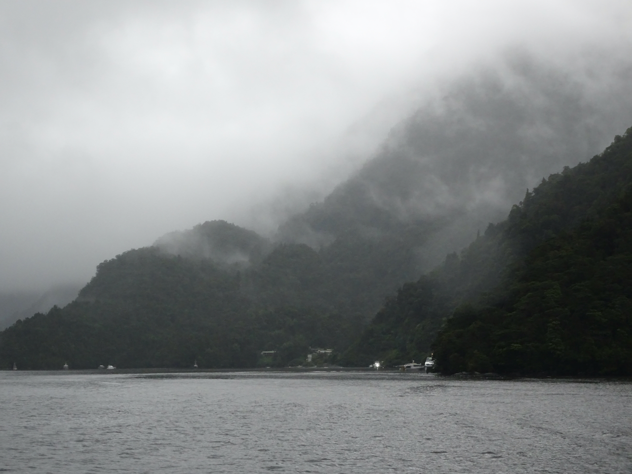
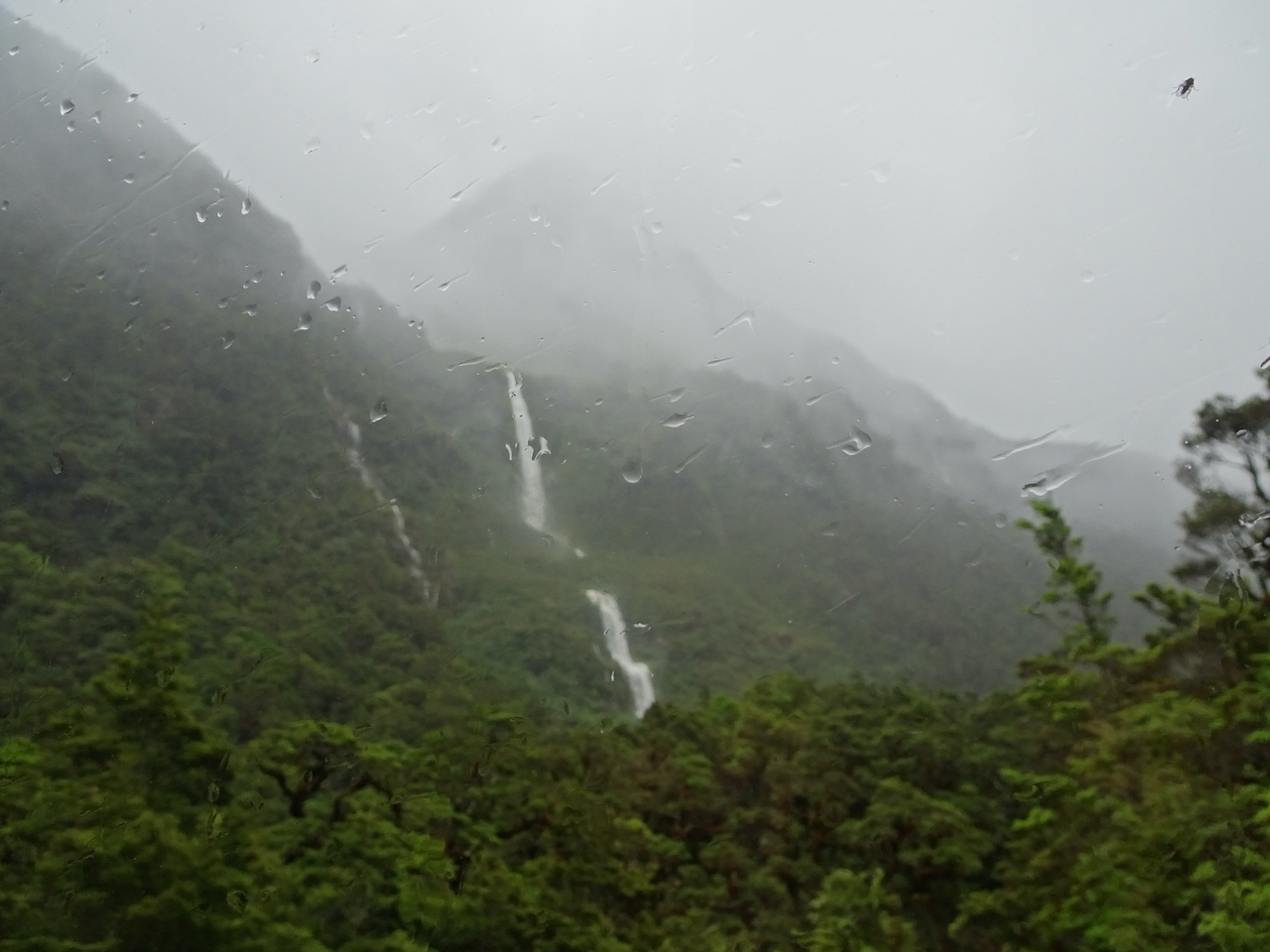
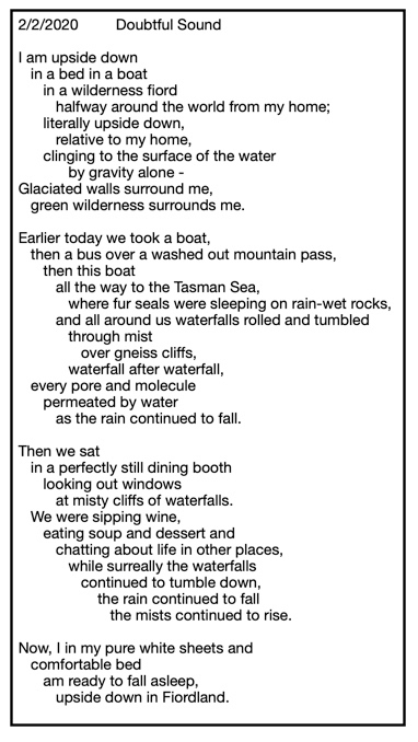
Then we were free to explore and wander, and hopefully see all the views, while the naturalist pointed out various features of interest. Steep glaciated gneiss walls rose up on both sides of the fiord, draped in brilliant green foliage, and streaked with tumbling white waterfalls in every direction. Our naturalist told us that they usually see a lot of waterfalls, but because of the steady downpour, we were seeing more than usual, and more volume than usual. We could see fairly well from the large windows in the dining salon and forward viewing cabin, and even from under covered walkways on the lower deck. How lovely it would have been to stand or sit on the upper deck as we passed through the fiord, but the drenching rain made that uncomfortable. We did go out for short forays, and longer moments during rain breaks, but really, it did rain most of the time this first day. We made the best of it, constantly, not always successfully, trying to keep water off camera lenses. We assumed that this much rain was typical. Later, we learned that this was a particularly wet stretch of weather – more so than usual, and that it would affect the next few days of our tour. Our intrepid naturalist spent most of her time out on the deck, narrating the landscape, seemingly unphased by the drenching.

DSC06365

Waterfall after waterfall…

DSC06373DSC06370DSC06374DSC06380DSC06383

DSC06359

Our intrepid naturalist…

DSC06406

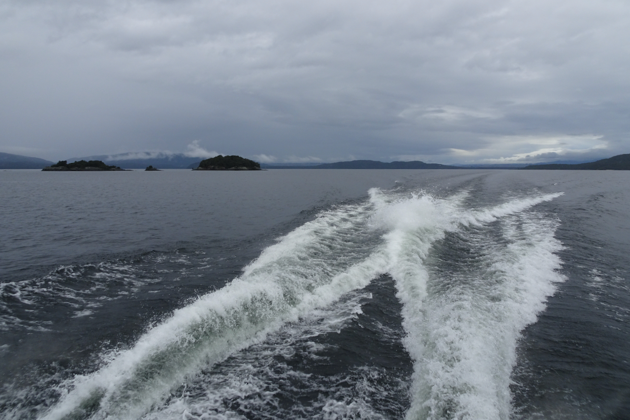
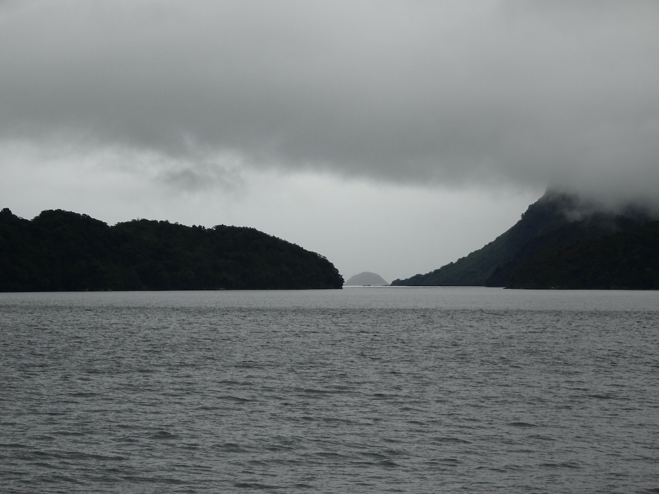
A rain pause as we continue west toward the Tasman Sea.

DSC06400DSC06399

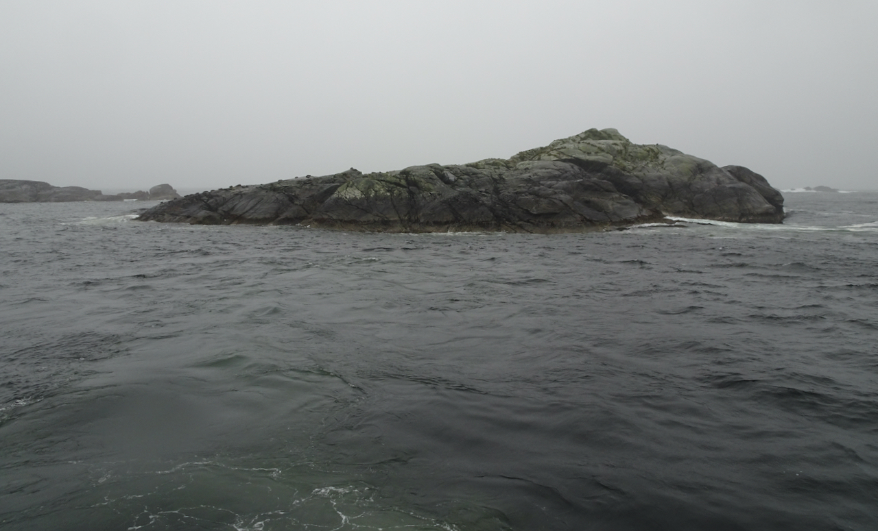
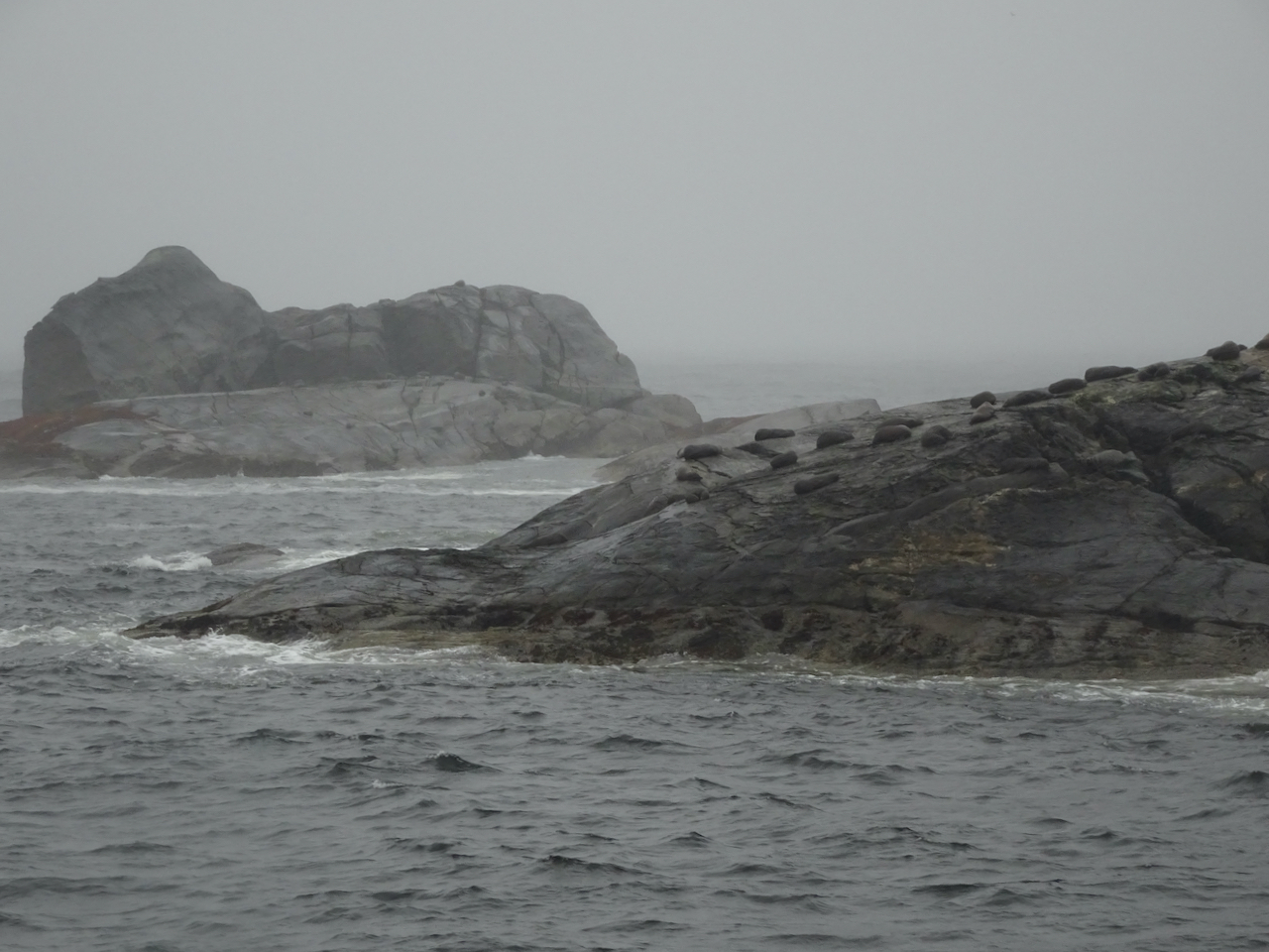
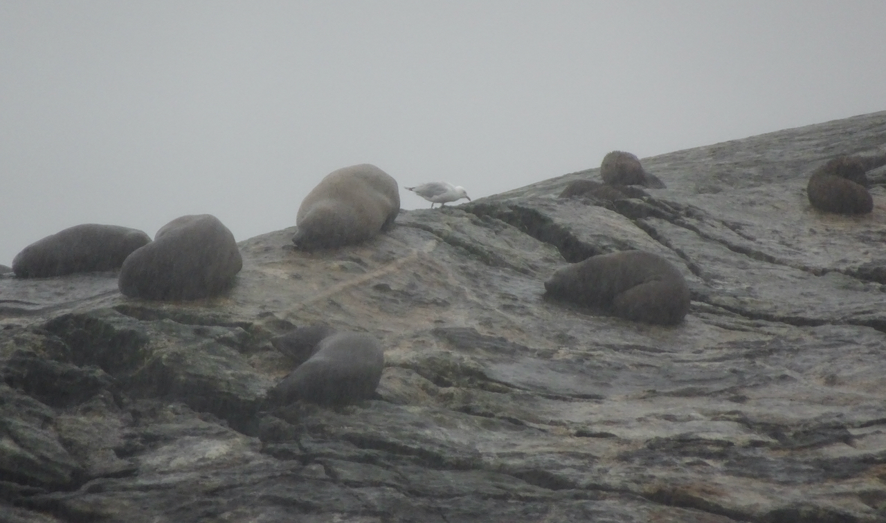
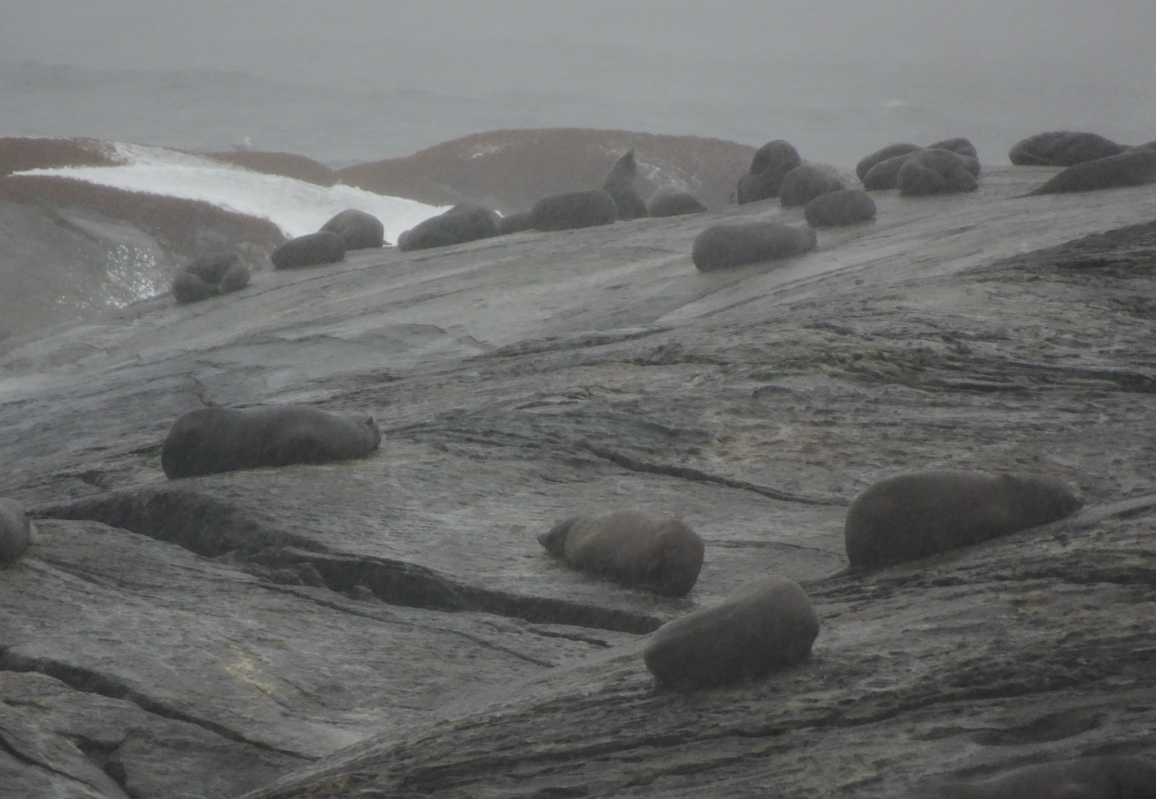
We travelled all the way to the entrance of the fiord with the Tasman Sea. We stopped to watch fur seals basking on the rocky islands in the sound entrance – also unphased by the constant rain. But of course, they are creatures of water and cold.

DSC06418

Fur seals on rocky islands near the mouth of Doubtful Sound.

DSC06413DSC06417DSC06425DSC06427

We turned back inland, still watching the waterfall-striped walls of the fiord go by. We reached the “activities” location and weighed anchor for a while. Here, most of the crew switched to guide mode. Most of the passengers, despite the rain, opted to go out in kayaks or rafts, to get a closer view of the walls and waters of the fiord. I might have joined in better weather, but it was still rainy and cold. I felt that just being where I was, in the middle of a fiord in the wilderness was a fairly extreme adventure for me. We watched the kayakers and boaters from the deck.

DSC06455

After they all returned safely, the crew changed roles again, and became ushers/servers for a delicious, many options, buffet dinner. It was all run like clockwork, yet not pressured or uncomfortable. Our little group sat in a booth with windows and enjoyed getting to know each better as the beautiful landscape drifted past. Later, we retired to our tiny stateroom and slept very comfortably in crisp white sheets. I peeked out our window occasionally, to see rain and dark and gray.

DSC06470

Dining salon.

DSC06356

Sleeping cabin.

The next morning, breakfast was run again in buffet fashion, extremely efficiently, and we packed up, ready to enjoy another morning of viewing in Doubtful Sound.

DSC06462

DSC06464

Morning waterfall viewing.

DSC06471DSC06485DSC06486

We traveled into the Hall Arm of the Sound, where we experienced a quiet moment – engine off, passengers in a preselected spot, five minutes of complete silence, during a break in the continuous rain.

DSC06492DSC06511

Afterward, the boat motored up again, dipped its snout into a flowing waterfall, and we eventually made our way back to Deep Cove.

DSC06516DSC06526DSC06519DSC06528DSC06529DSC06534

DSC06551

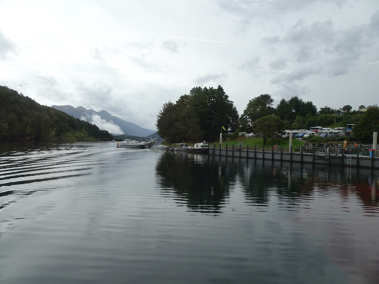
Return to Deep Cove.

During both journeys across Wilmot Pass by bus, the drivers expressed concern about the river ford being washed out. Both times we made it across, but there was plenty of heavy equipment at the crossing keeping the road clear. We reboarded the ferry to Manapouri, ready for our next adventure.

DSC06343

Waterfall from the bus windows on Wilmot Pass.

DSC06338

Wilmot Pass river crossing, from the bus.

DSC06561

Pearl Harbor – return to Manapouri.

Our next stop was supposed to be Milford Sound – a place we really wanted to see. We were supposed to drive to Milford Sound via Hwy 94, with a hike up Key Summit on the Routeburn Track enroute, and a short cruise on Milford Sound the next morning. Over the past 24 hours there had been over a half meter of rain in the area and more than a meter of rain during the four day deluge. All roads to Milford Sound were flooded. People there were stranded and moving to higher ground – no one could get in or out by land. It was several days before they were finally able to open the roads. Meanwhile, our guides and tour company had formulated a new plan for our tour. They found lodging in nearby Te Anau, accommodations that were open because the people with those reservations were trapped in Milford Sound, or because so many of the usual tourists from Asia this time of year were beginning to cancel travel due to a spreading coronavirus in that part of the world.  (I am finally writing this account about a year later, after almost a year of global pandemic. That was one of the early signs of it, though we didn’t really think too much of it in the moment.) Meanwhile, we had a new agenda for our tour, starting with a rainy walk on the Kepler Track near Te Anau.

We loved our Doubtful Sound experience. I might have liked it more had we had sun, but we had soo many waterfalls – I don’t imagine I will ever see more in such a short time. We got to experience an extreme rain event – a different sort of bucket list item, I guess. I am very glad we were with an experienced tour company for this time, because they very swiftly arranged new plans. I had been expecting a more rustic experience on the boat, but it was actually fairly luxurious – delicious hot meals, a dry viewing cabin, extremely comfortable bed with privacy, and amazing scenery. It was a beautiful immersive adventure!

Image 2-5-21 at 5.28 PM

Hiking in November, 2020

A gathering of late reports….

Monday, November 2nd, The Labyrinth

My favorite, often visited, eastern Gorge trail on a windless day with beautiful low autumn light. (Hike #69 for 2020, 4.4 miles, 1000 feet)

DSC04705

Trailhead, Rowland Lake, perfectly calm and reflective. Our destination is the tall Ponderosa Pine, left of center.

DSC04707

The Old Hwy 8 waterfall is completely dry.

DSC04709

Mt Hood on view to the west across the Columbia River.

DSC04712

The labyrinth waterfall is almost dry…

DSC04714

A few drips in the mossy wall,

DSC04723

and some still pools below in the streambed.

DSC04734

We wind around columnar basalts surrounded by golden grass,

DSC04748

Through the oak grove.

DSC04755

Mt Hood still on view in the glare, as the sun moves west

DSC04758

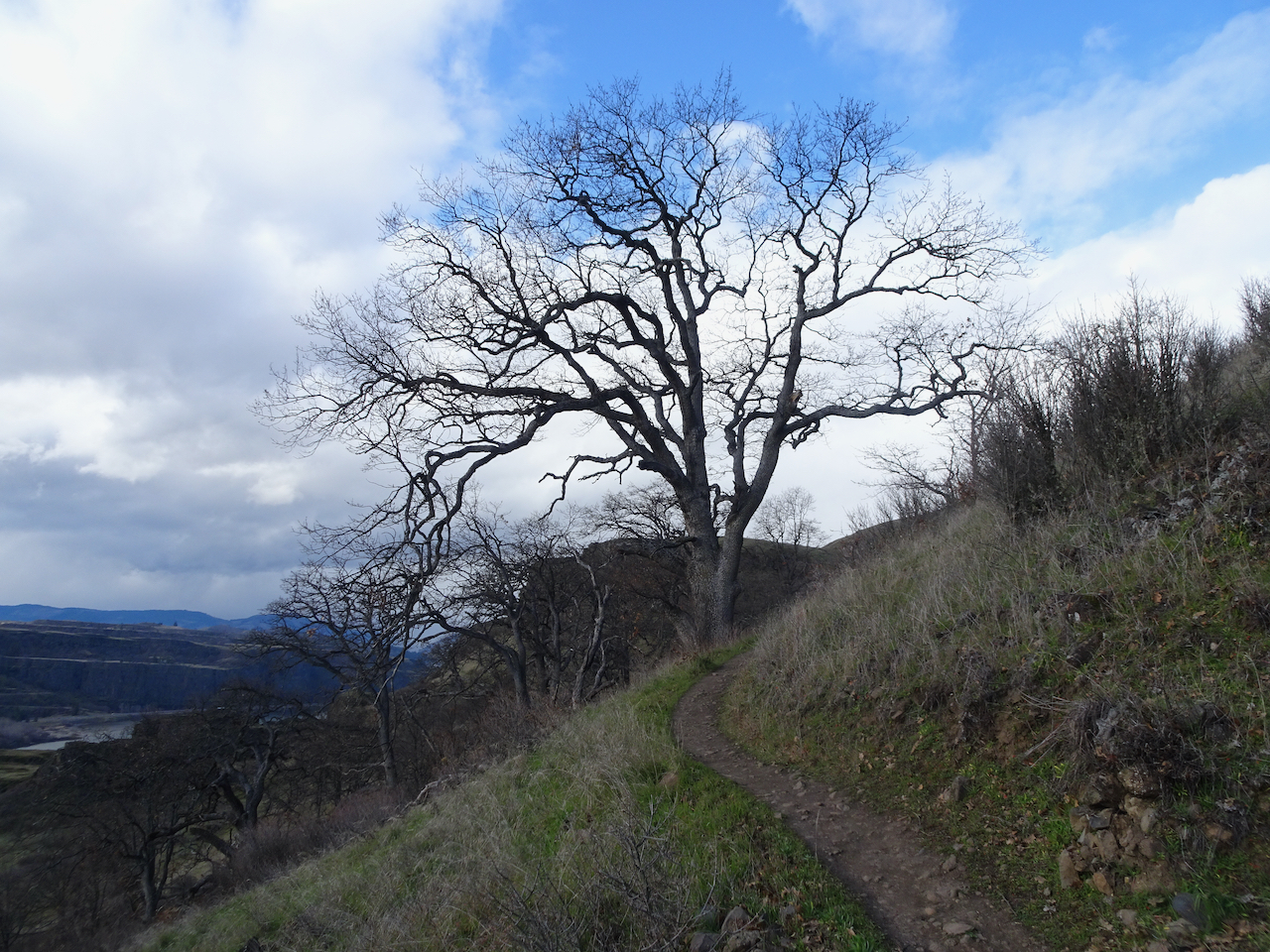
We pass a favorite trailside oak tree,

DSC04760

Almost to our destination Ponderosa…

DSC04763

The eastern Gorge beyond

DSC04768

Rowland Wall and the Catherine Creek area slopes.

DSC04771

Zoom in on Lyle and Memaloose Island

DSC04772

Tom McCall Point and the orchards of Mosier on the descent.

DSC04780

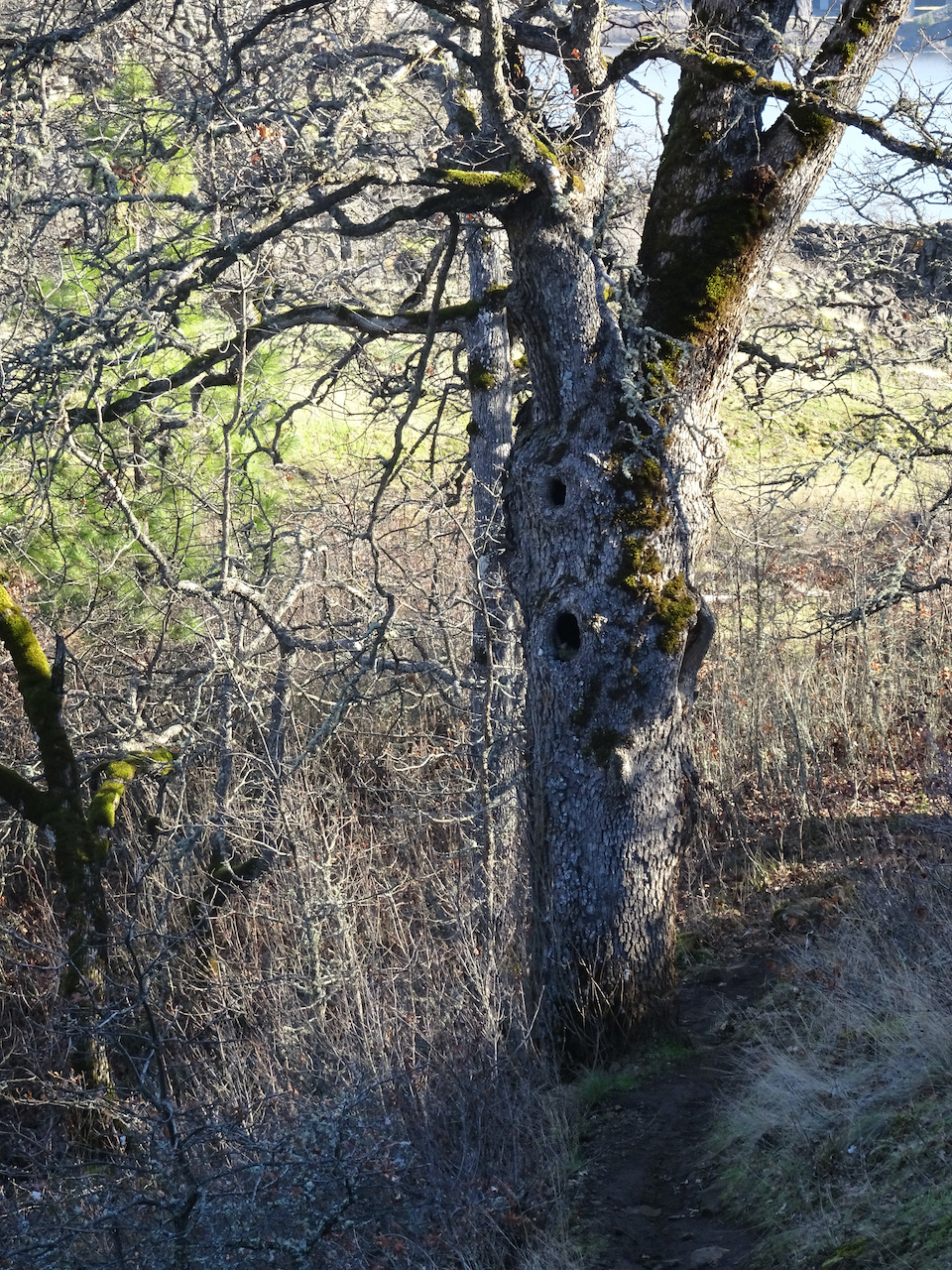
The haunted oak tree bids us farewell.

Monday November 9th, Dry Creek Falls

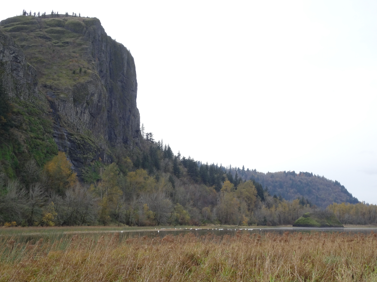
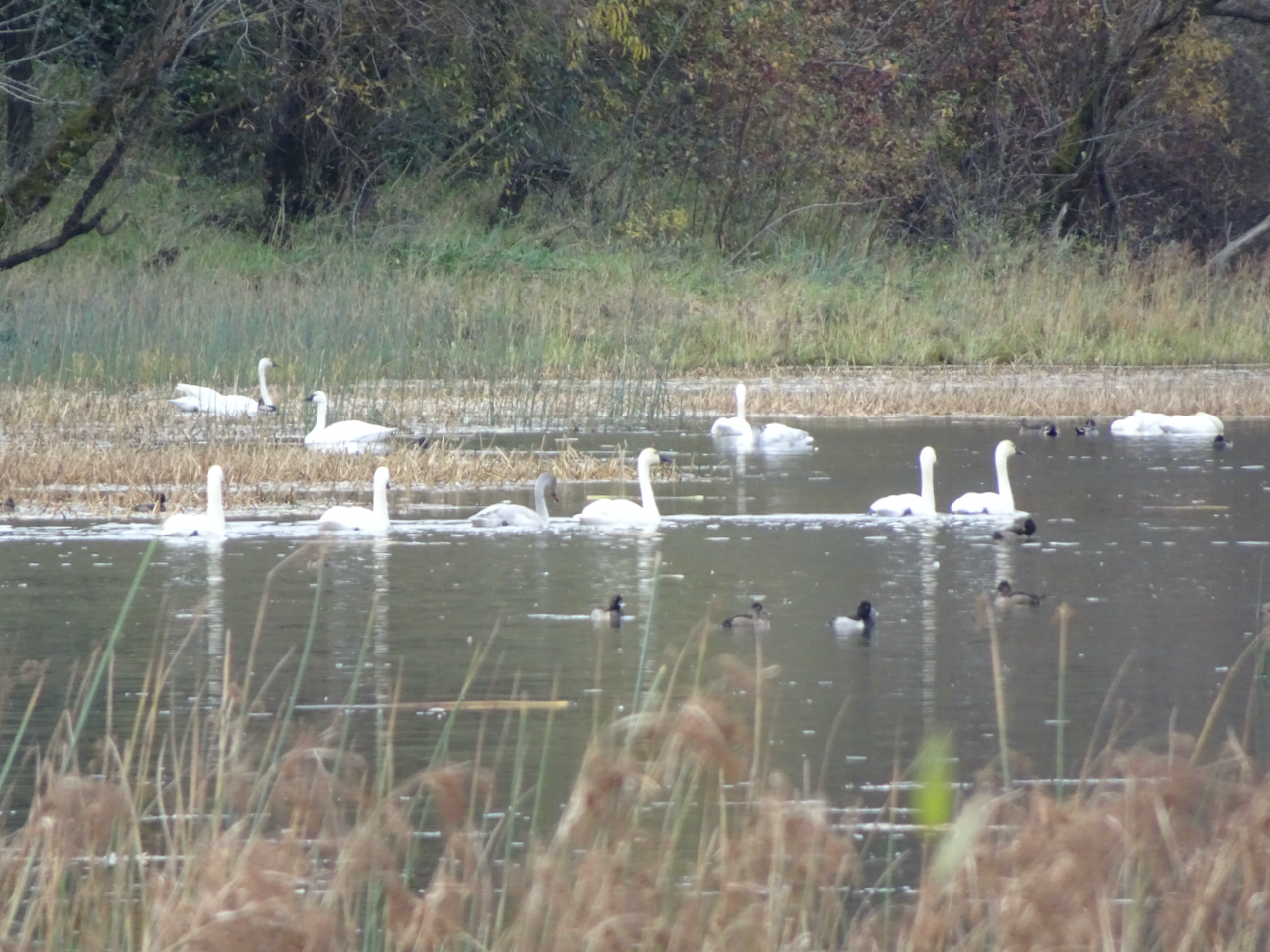
We spotted the winter swans in Mirror Lake at the base of Crown Point as we made our way through The Gorge to Cascade Locks.

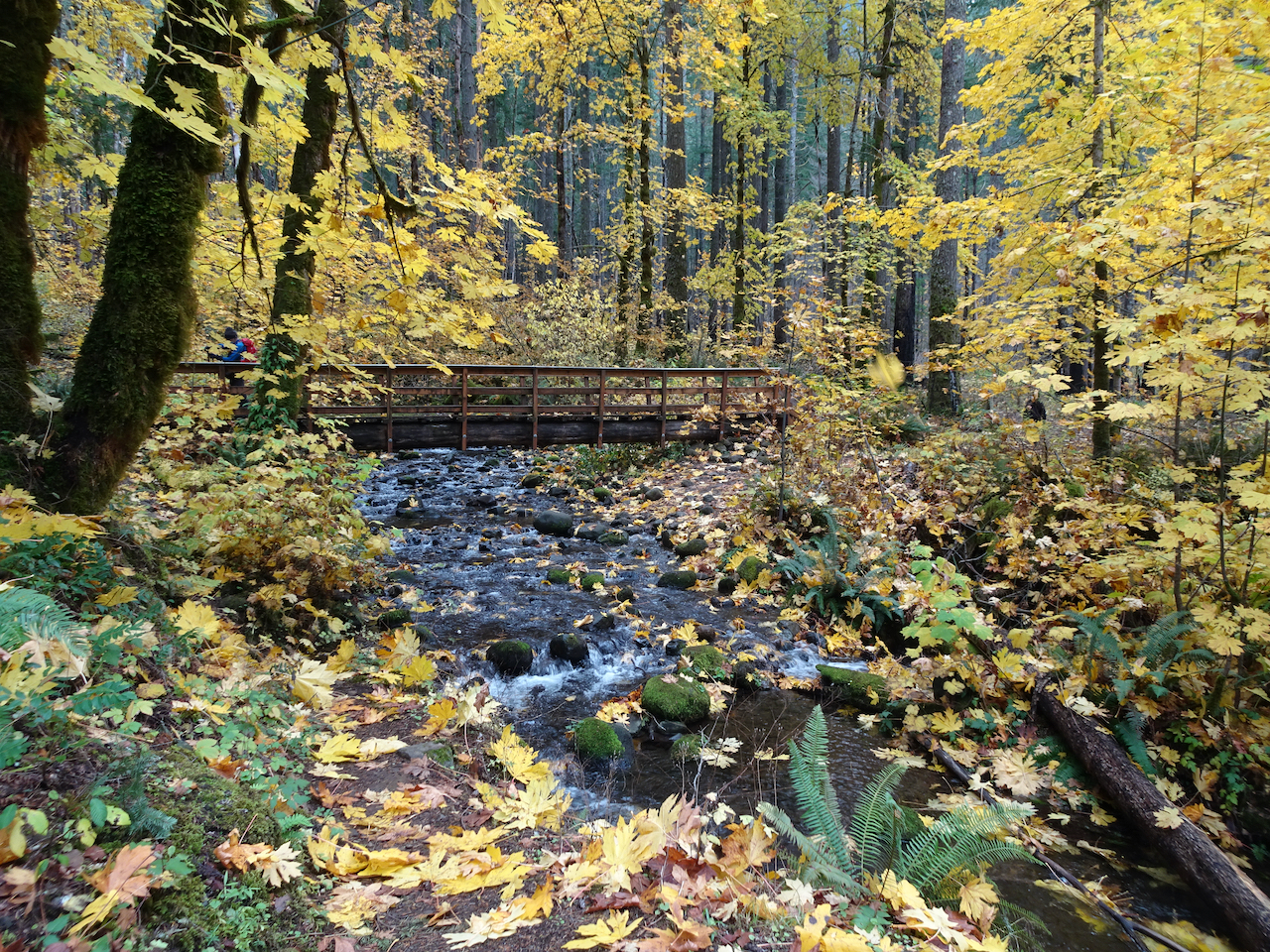
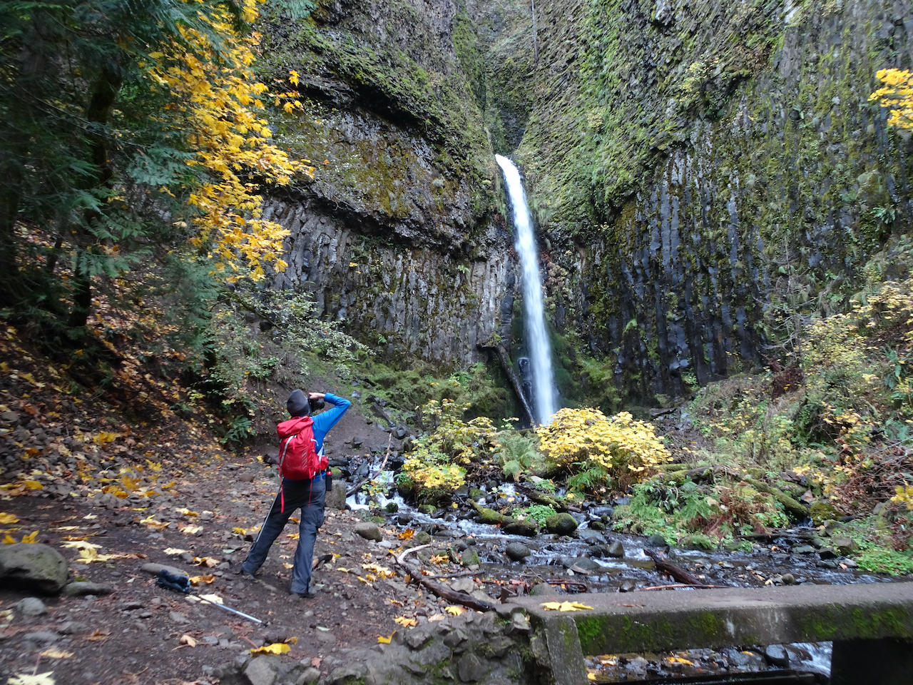
DSC04798DSC04797Dry Creek Falls, which we have hiked many times, is one of the closest waterfall hikes, most of the trails still being closed since the 2017 fire. Today we walked through falling Big Leaf Maple leaves lighting up the partially burned forest. (Hike #70, 4.9 miles, 1050 feet)

DSC04808

DSC04852

Bridge over Dry Creek on the Pacific Crest Trail.

DSC04848

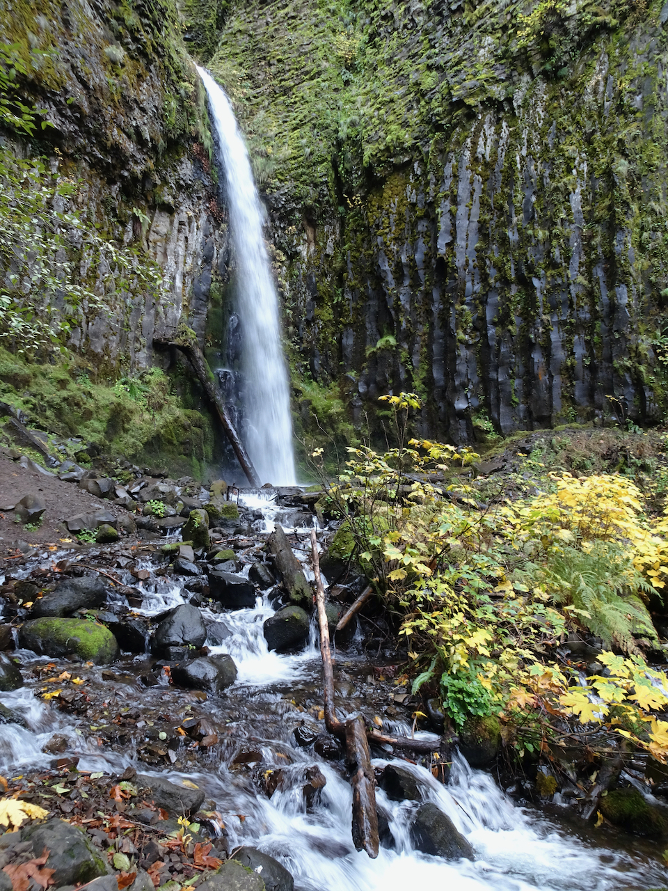
DSC04835

Dry Creek Falls

DSC04832

Monday, November 16th, Finley Wildlife Refuge

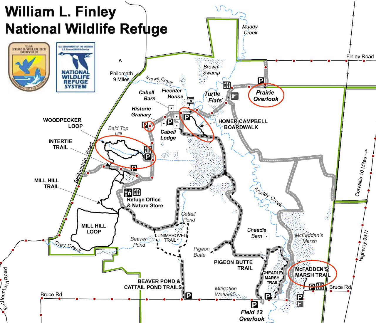
Our first visit to this refuge, on a day when the Willamette Valley to the south was the only partly dry place within a two hour drive from home. Recovered farm land is a winter sanctuary for migratory birds. (Hike #71, 2.5 miles, 150 feet)

Screen Shot 2020-12-26 at 11.35.24 PM

Our first stop, the Prairie Overlook:

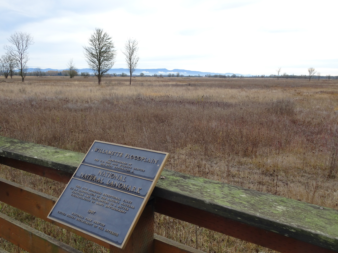
DSC04874

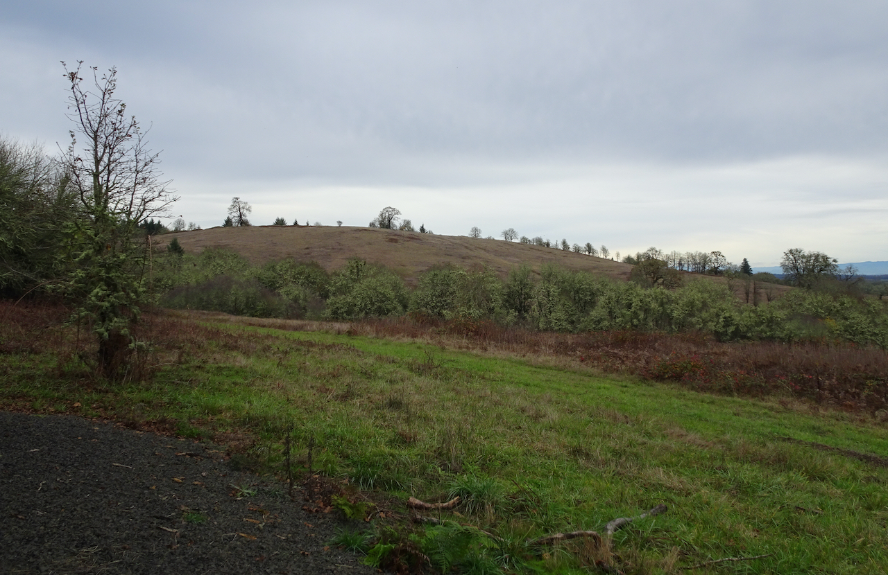
Miles of Willamette Valley grasslands.

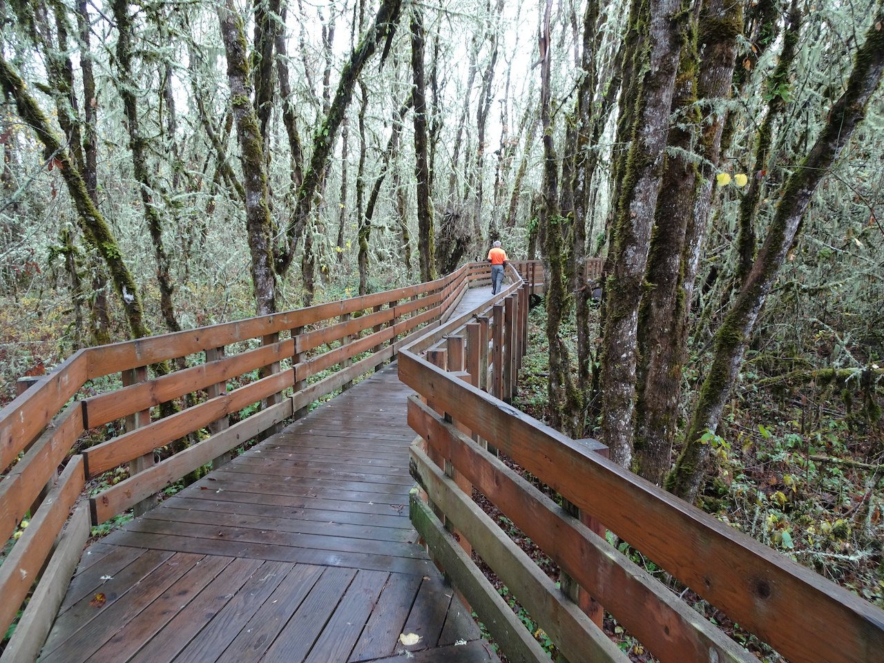
From there, we walked the Homer Campbell Boardwalk through a wetter terrain.

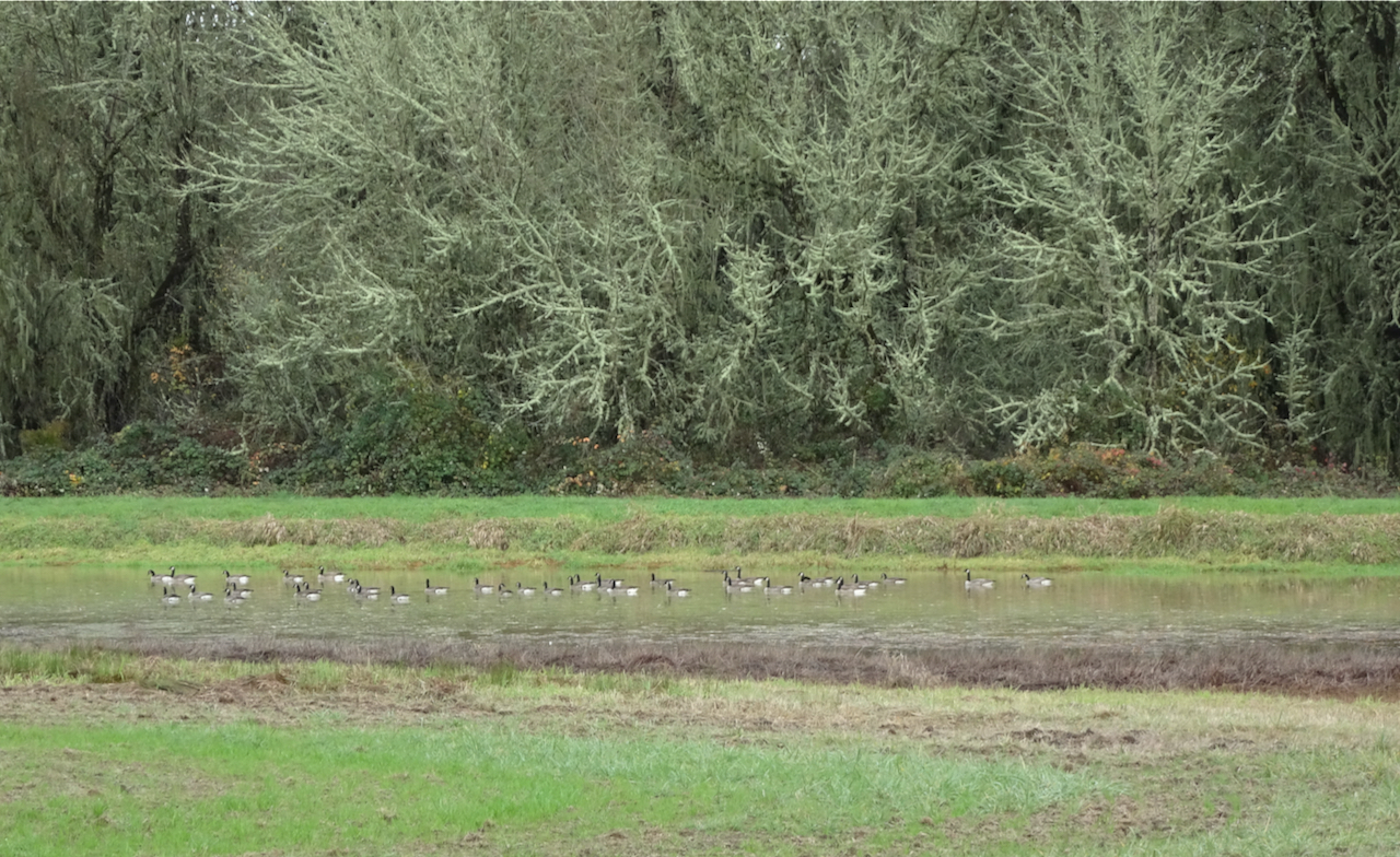
DSC04888

Canadian Geese near the trailhead

DSC04889

DSC04894

The boardwalk…

DSC04893

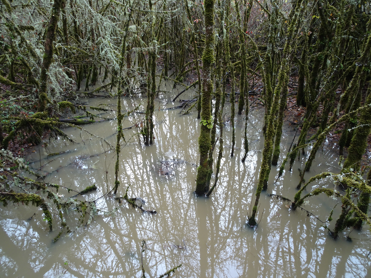
Marshy forests

DSC04898

A bird blind at the end of the winter trail.

DSC04901

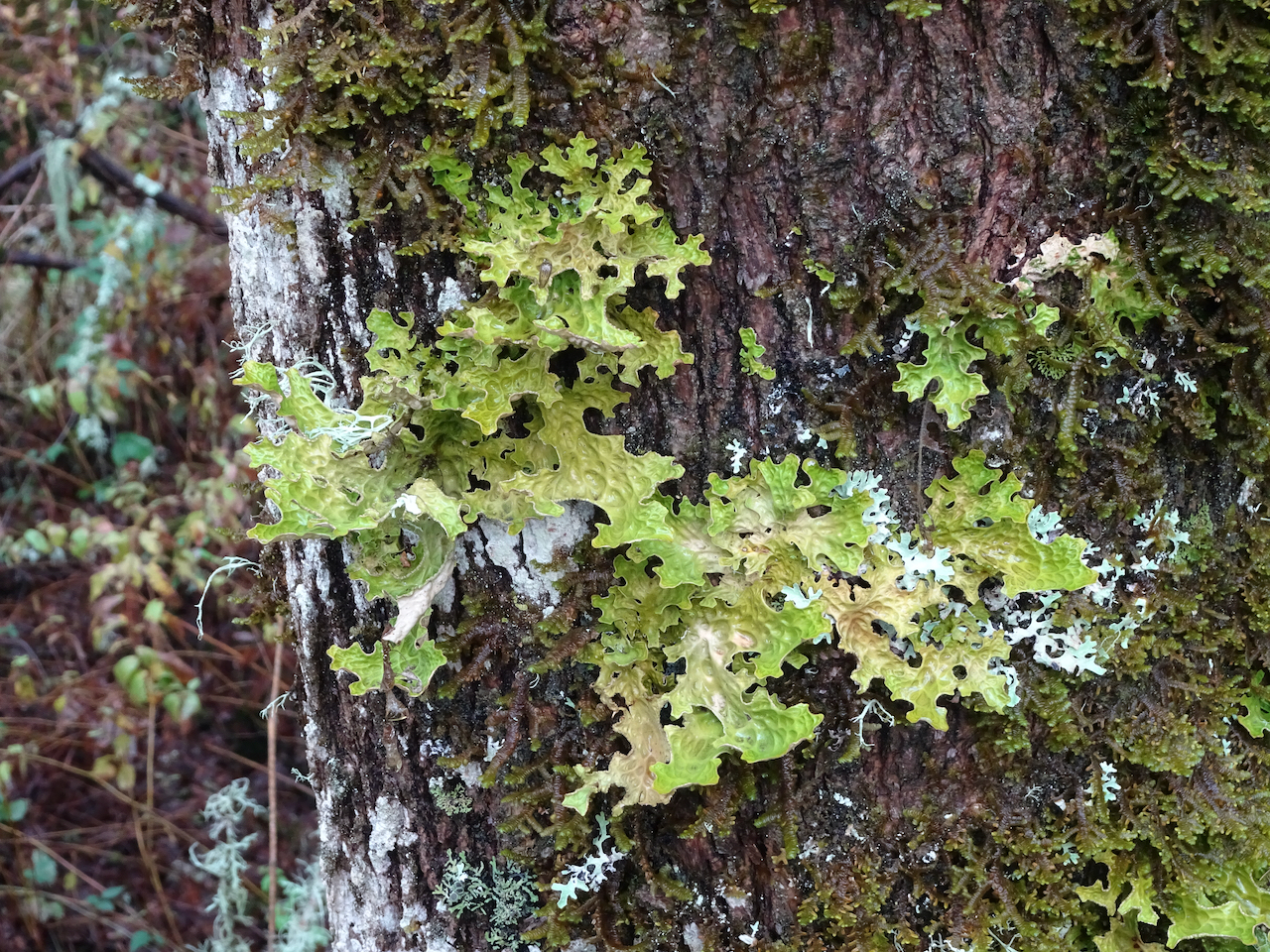
Back through the mossy and lichen covered trees.

DSC04907

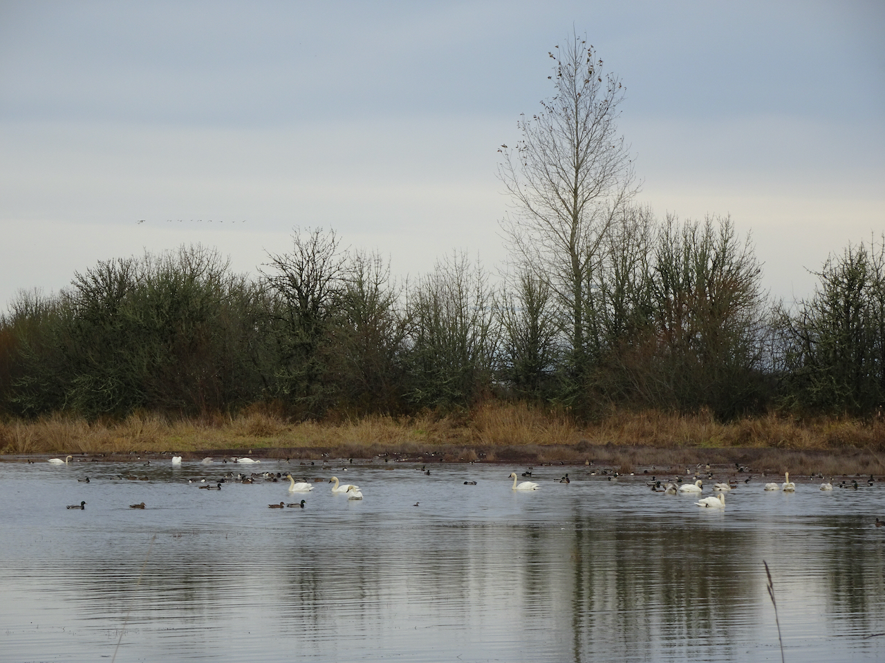
Another hiker told us we would see swans in the McFadden Marsh, so we headed there for our lunch stop.

DSC04916

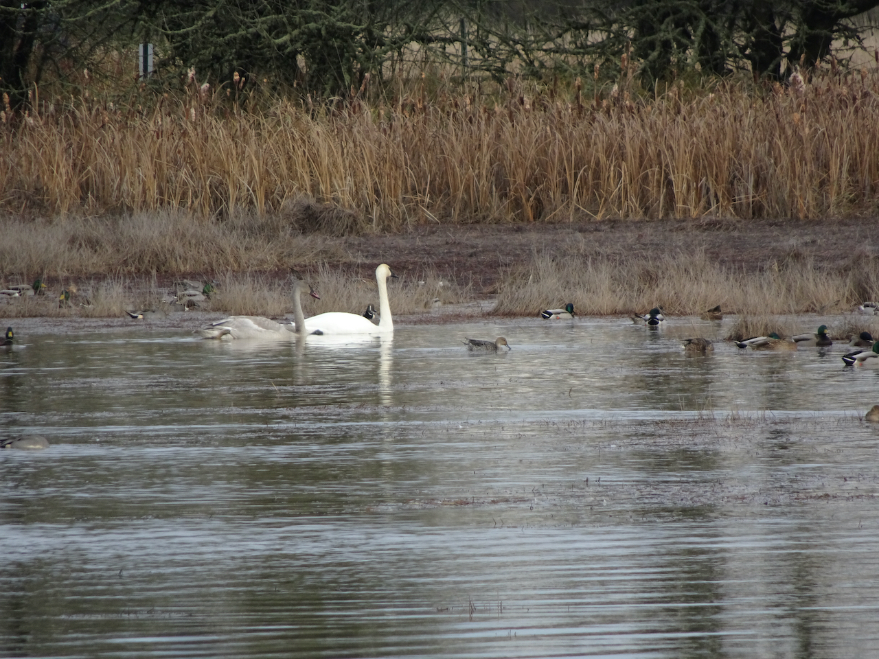
Swans, geese and other water fowl.

DSC04911DSC04919DSC04932

The weather had cleared a bit, so we hiked the Woodpecker Loop trail to stretch our legs a bit more.

DSC04951

Along the Woodpecker Loop trail.

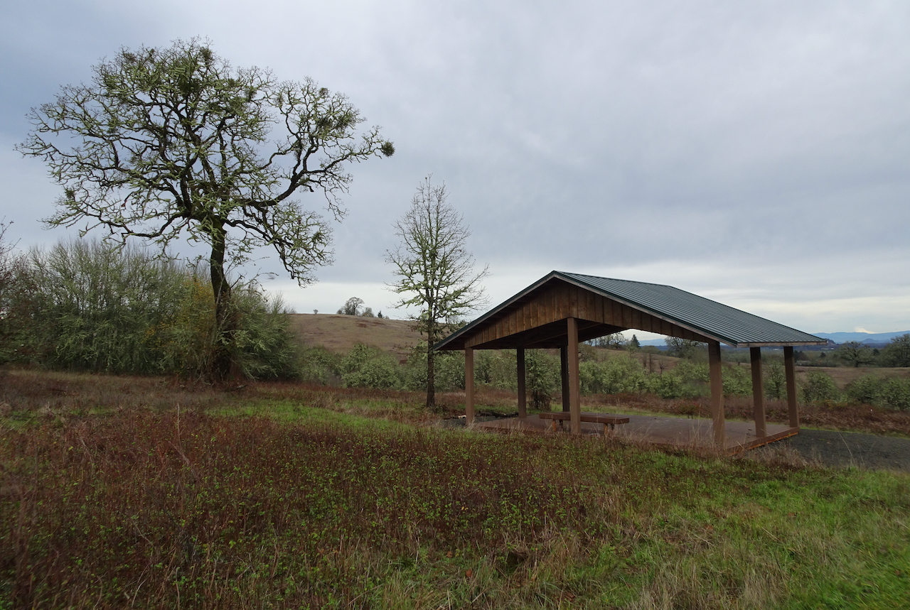
DSC04953

High point – a shelter, and view of some of the high Cascade Mountain peaks to the east.

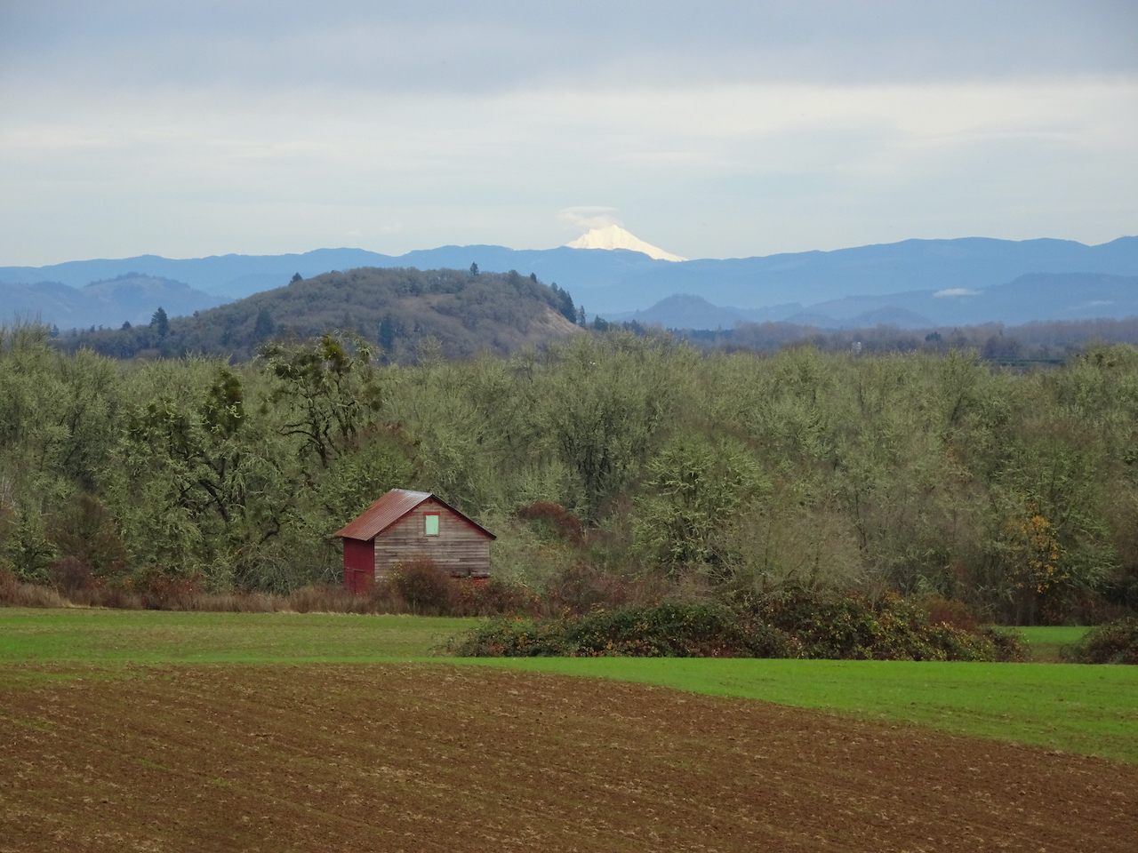
As we began our drive home, we found the best view of the Cascades was from a road pullout above some of the historic farm buildings.

DSC04961

Mt Jefferson

DSC04962

North, Middle and South Sisters.

We enjoyed our day at Finley Wildlife Refuge – anything to get out of the house for a few hours and walk in nature. I would like to visit in other seasons, but we usually have destinations closer to home…

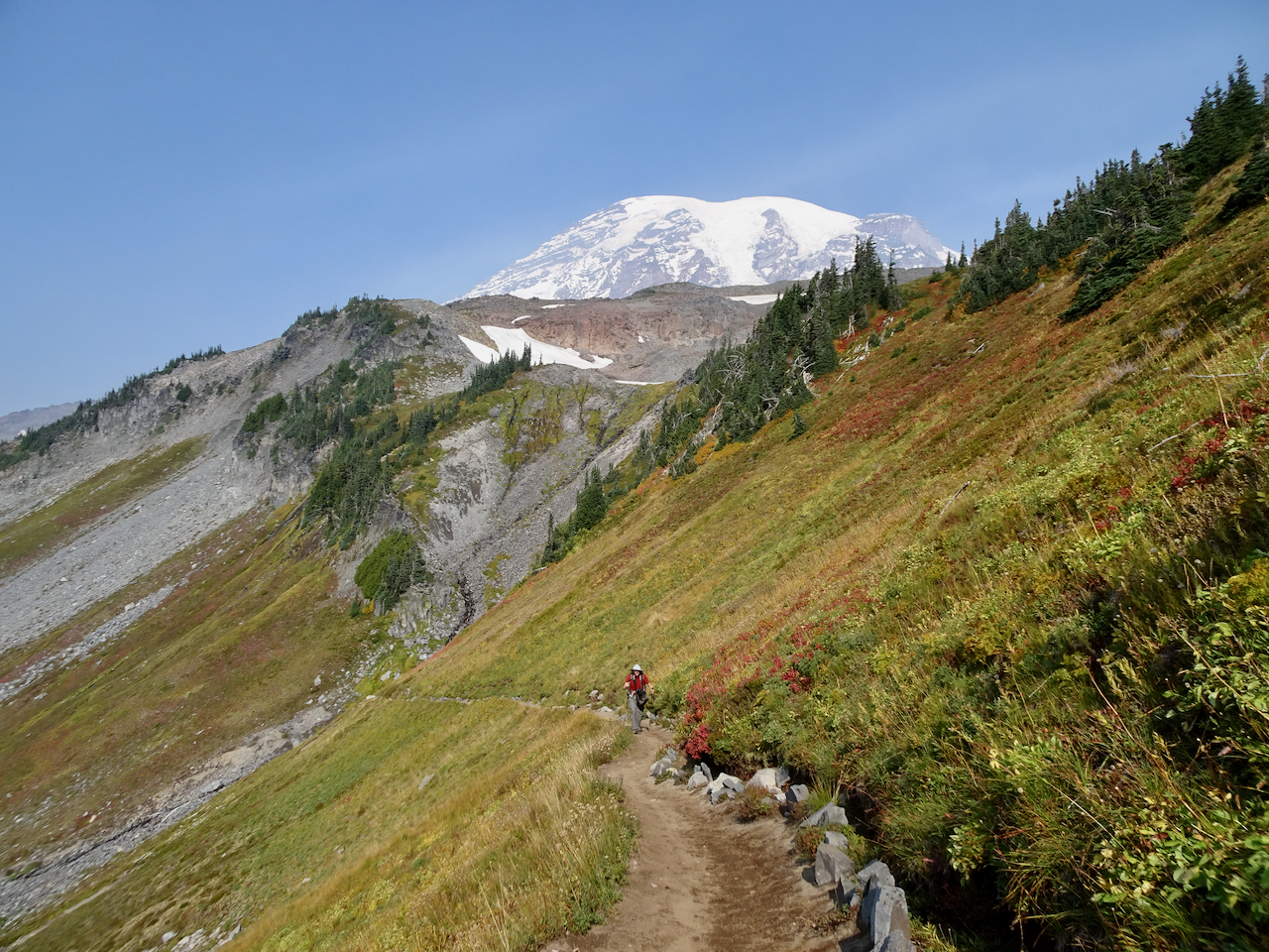
We went to Mt Rainier in September –

-on a midweek getaway, to a self-contained cabin in Packwood, Washington, with our own food, following all Covid-19 precautions. We have seen the stunning wildflower displays of summer a few times, and had long been wanting to see the the mountain in fall colors.

Mount Rainier area hikes.

September 29, 2020 – Comet Falls/Van Trump Park

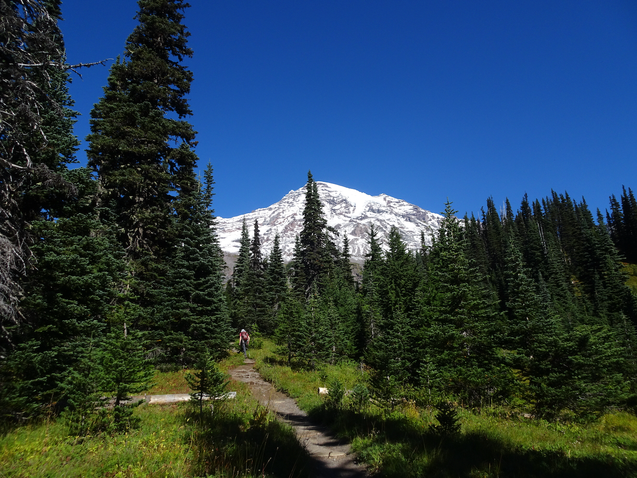
This trail, west of the Nisqually River and Paradise, follows Van Trump Creek all the way up to the stunning Comet Falls, then farther up the slopes to magnificent views of Mt Rainier from Van Trump park. (P.B. Van Trump  was one of the first to stand on the summit of the mountain, in 1870). A very challenging and satisfying hike (7 miles, 2500 feet).

DSC03467

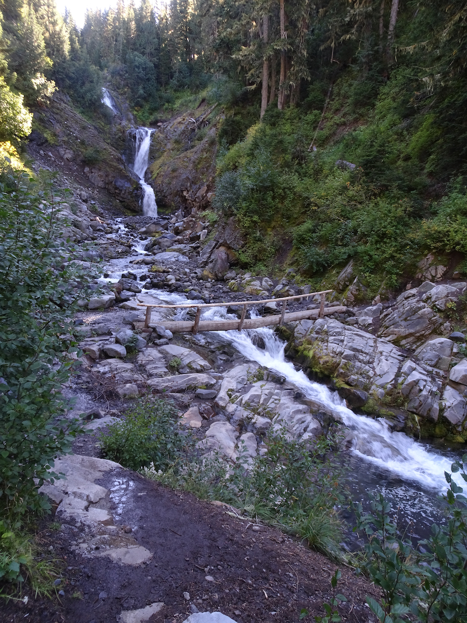
Smaller falls near the trailhead.

DSC03471

Trail through the woods.

DSC03487

I first thought this was our waterfall, then continued over the next ridge:

DSC03498

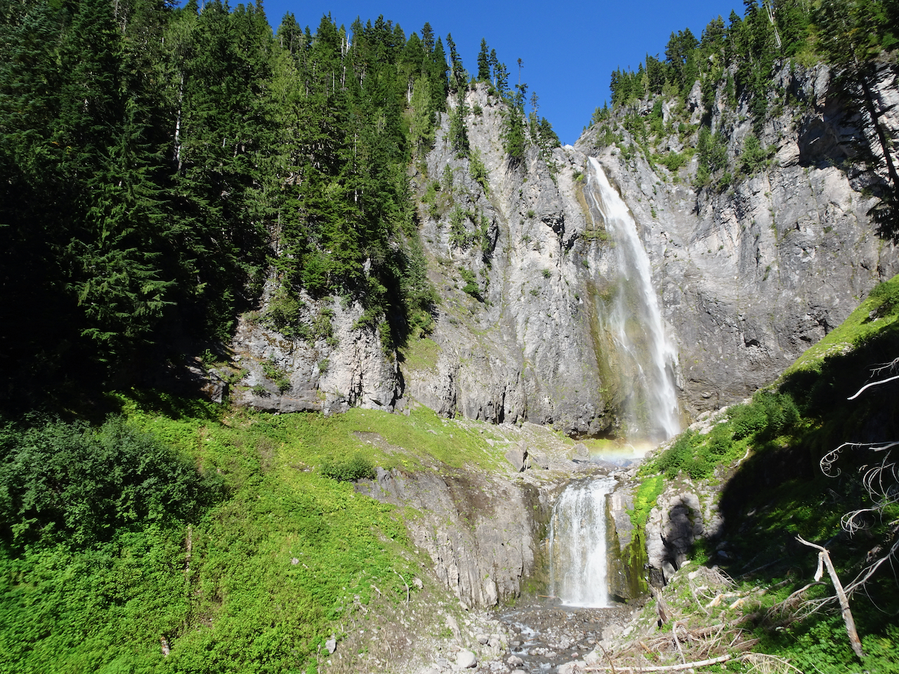
Comet Falls! About 400 feet, counting smaller tiers above and below the main falls. Snow bank on lower right.

DSC03509

With rainbows in the mist!

DSC03516

DSC03517

Our trail continues up, with better views of Comet Falls.

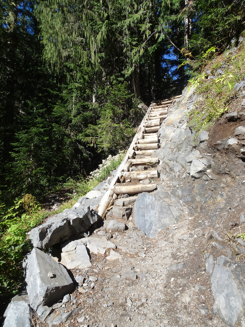
The trail continued upward steeply, into Van Trump Park.

DSC03518

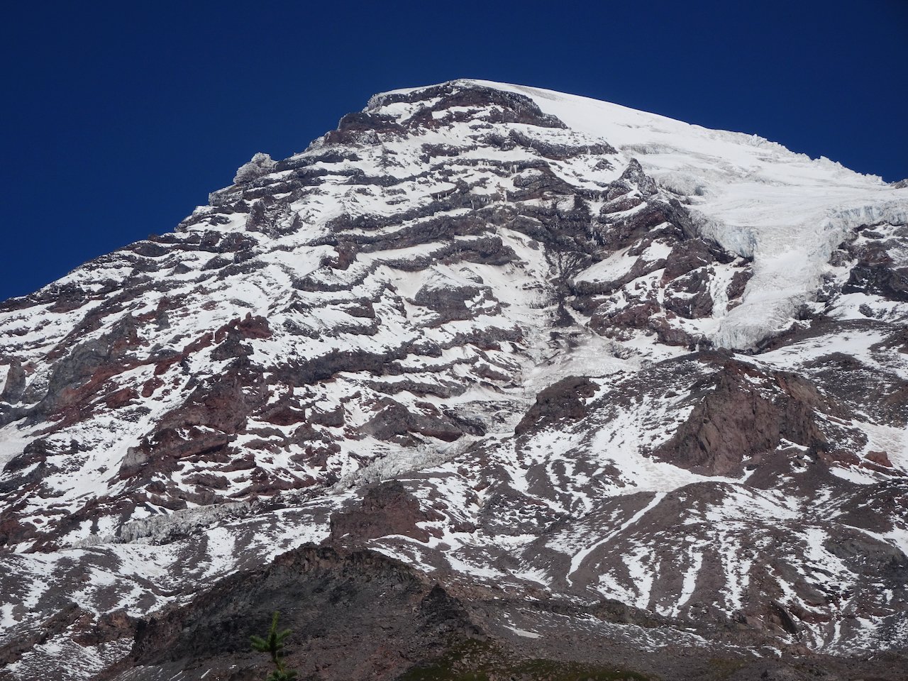
Above the waterfall, the mountain came into view.

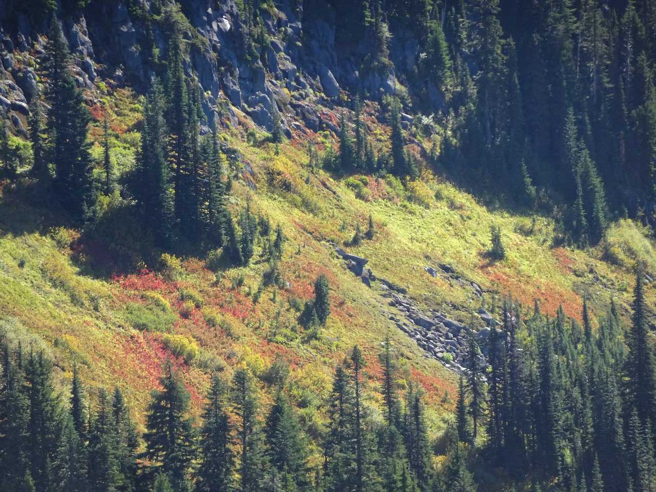
DSC03526

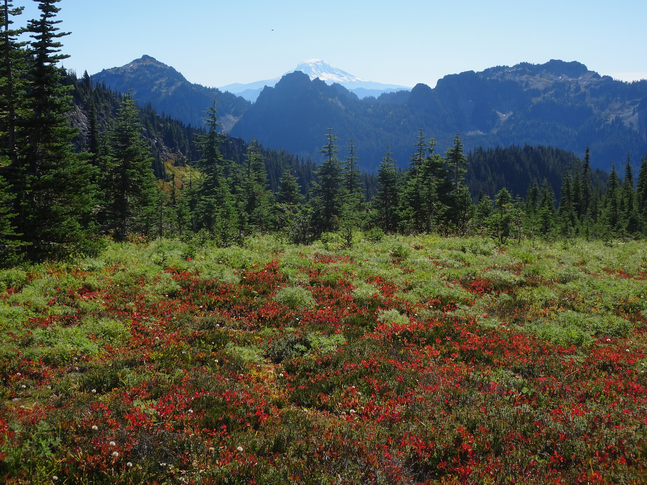
Fall foliage on the slopes of Van Trump Park, glowing red!

DSC03527

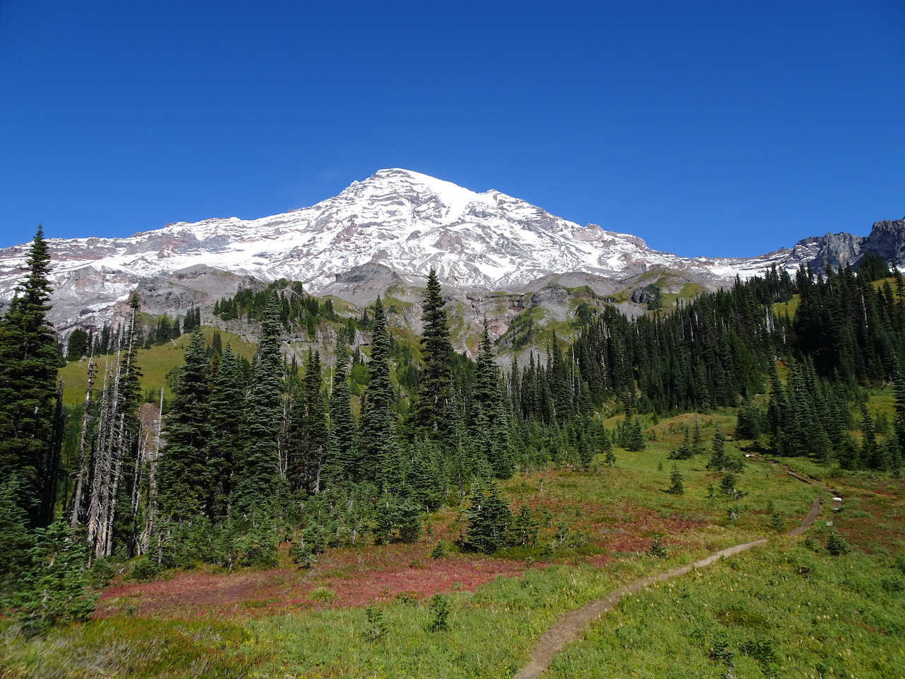
DSC03528

Mount Rainier from our lunch stop in Van Trump Park.

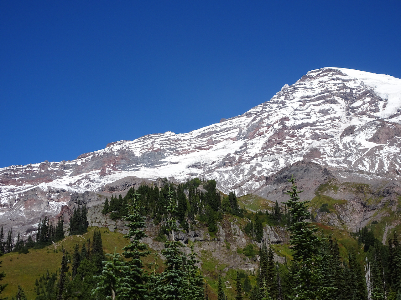
Views of the glaciers from a new angle:

DSC03547DSC03532DSC03534DSC03545DSC03546

The trail down seemed steeper than the trail going up; that might just be my knees talking.

DSC03561

Mt Adams on view beyond the Tatoosh Range.

DSC03562

Glacial striations/polish and Mt Adams.

DSC03575

Uppermost tier of Comet Falls.

DSC03601

A particularly steep trail section.

DSC03560

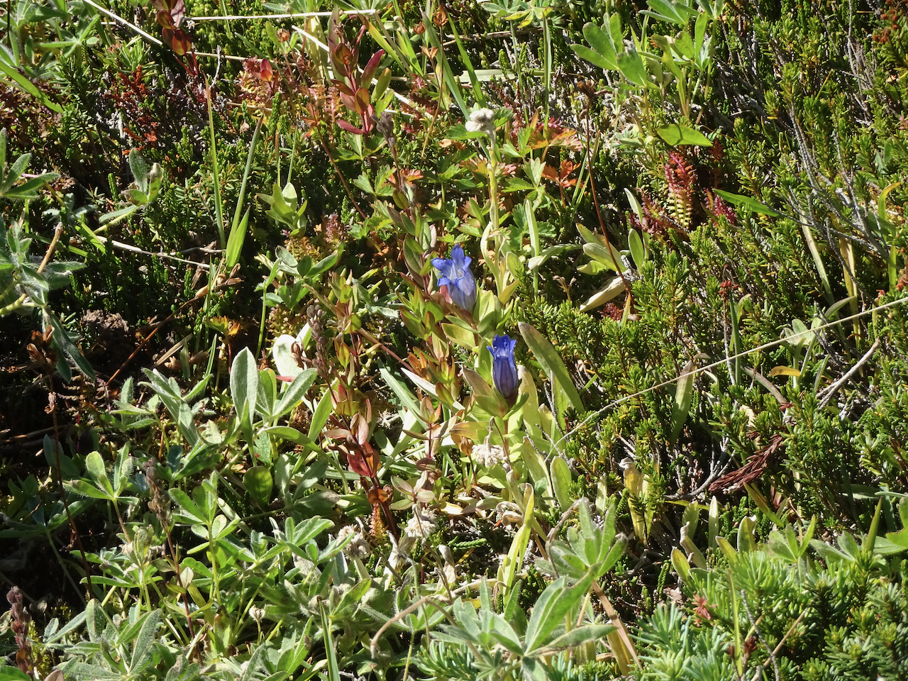
A few late gentians in the upper meadows.

DSC03603

Vine maples just beginning to turn red.

We stopped at a couple of roadside viewpoints on our way out of the park.

DSC03609

Highway bridge over the Nisqually River canyon.

DSC03610

Nisqually River downstream.

We could not resist stopping to see the mirror image in Reflection Lakes.

DSC03619

September 30 – Naches Peak/Tipsoo Lake Loop, smoke haze at Sunrise, Silver Falls.

We hiked this loop trail (4 miles, 600 feet), with our views increasingly shrouded in haze. Wildfire smoke began drifting diffusely in, creating a grayish white sky that was so startlingly blue yesterday.

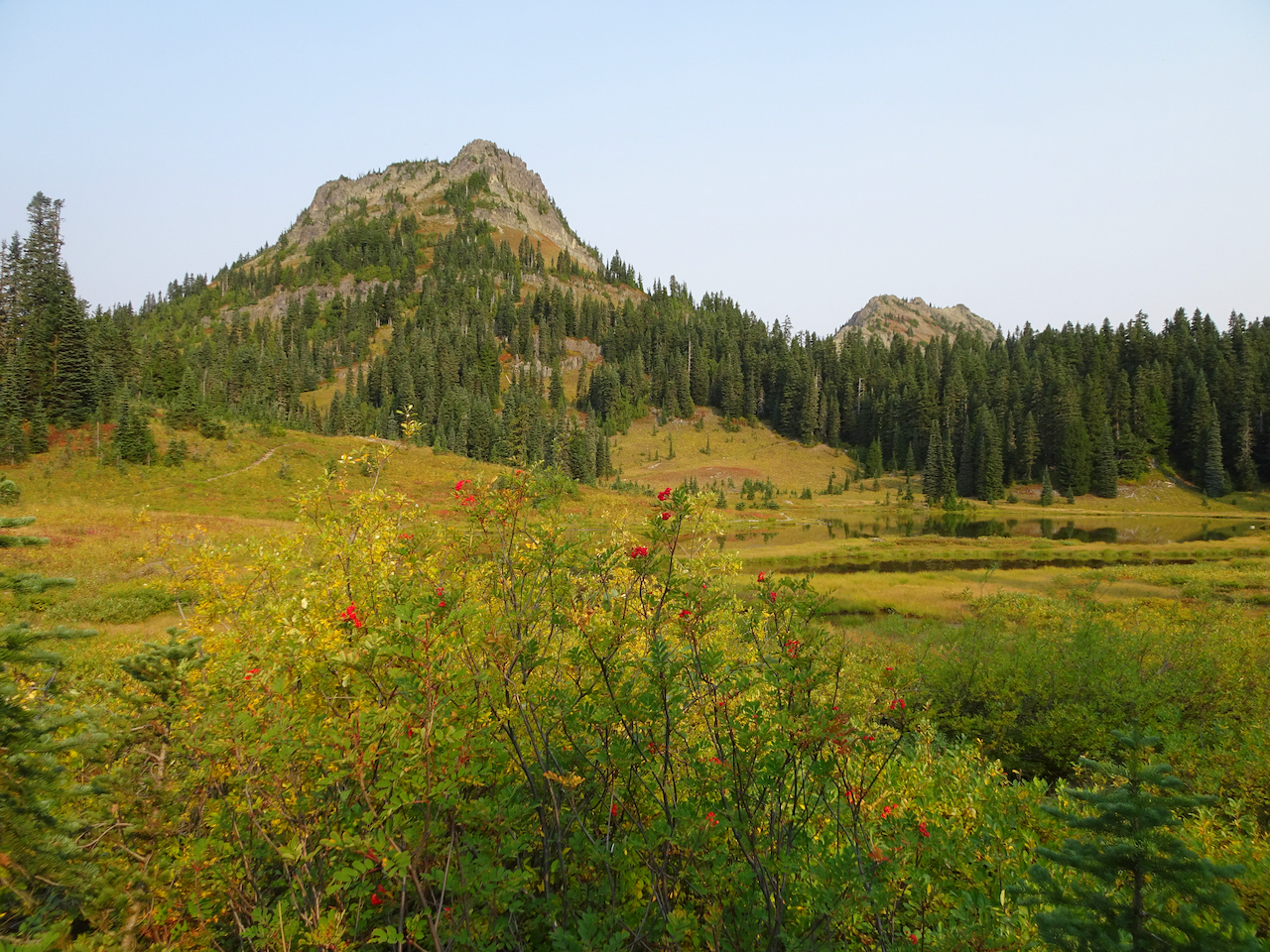
We were almost alone as we walked around Tipsoo Lake, admiring the beautiful reflections in its mirror-like surface.

DSC03641

Tipsoo Lake

DSC03647

Yakima Peak

DSC03650

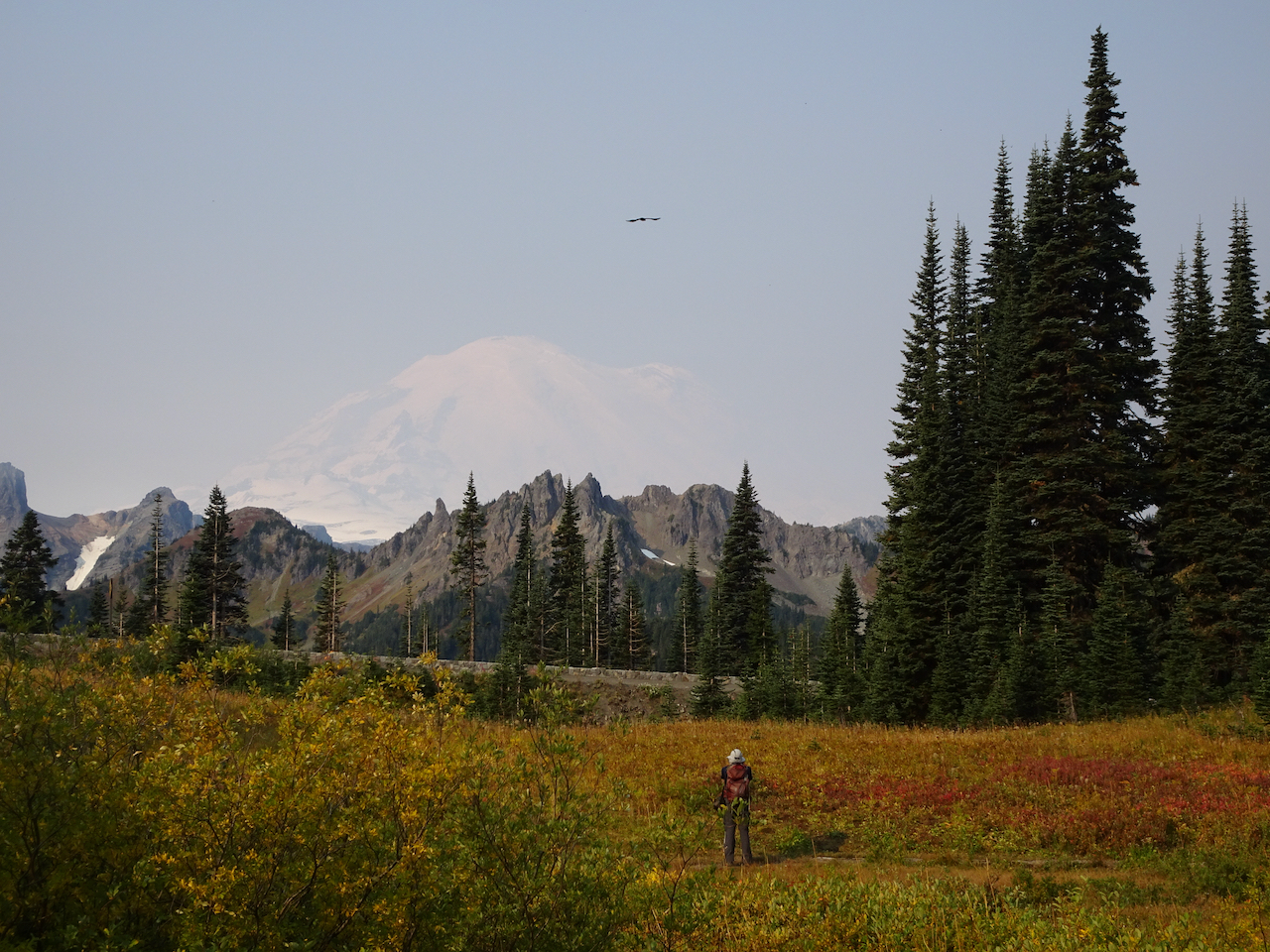
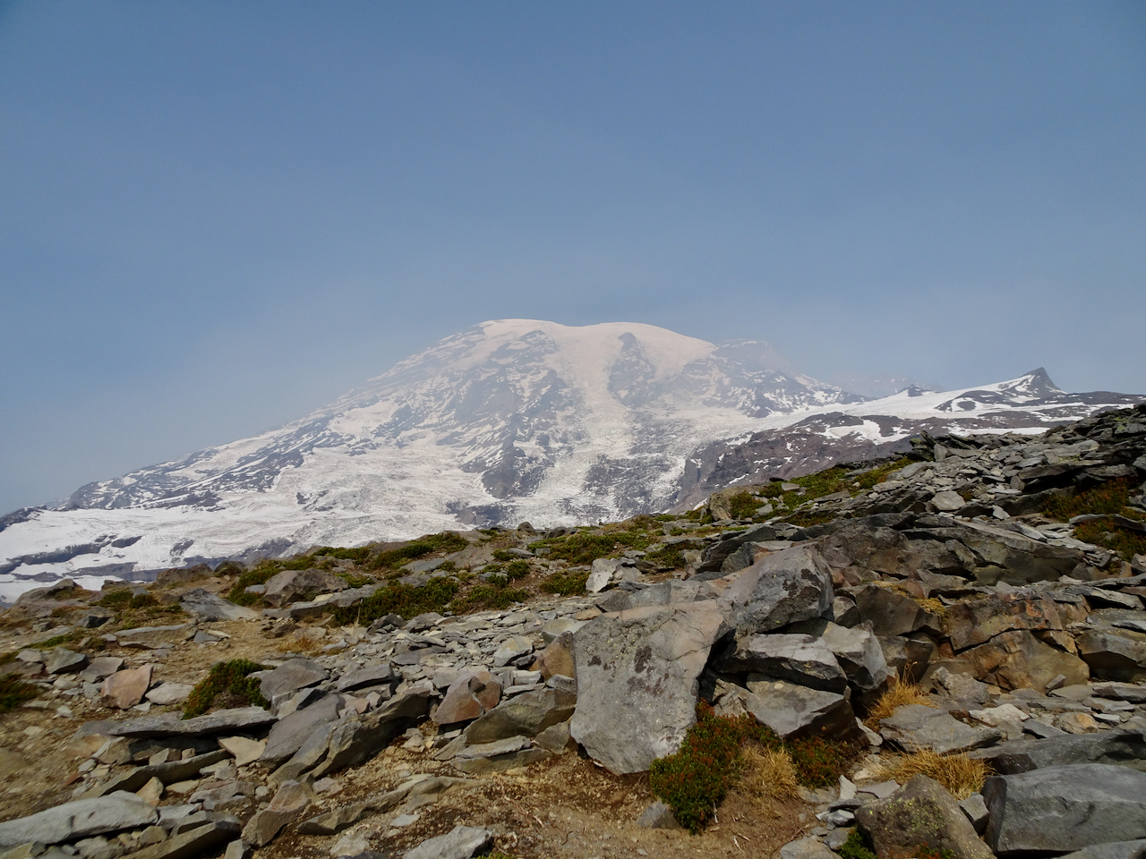
Mt Rainier, slightly obscured by haze.

DSC03655

Mt Rainier reflected in Tipsoo Lake.

DSC03663

Yakima Peak – our trail rising along its base.

DSC03644

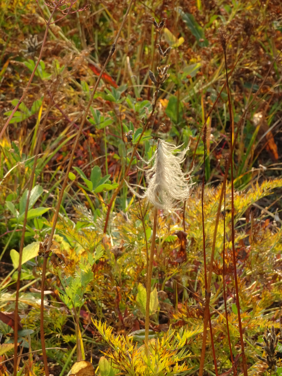
Pasque flower seed head

DSC03669

Meadow of huckleberry and aster seed heads.

Then we hiked the loop around Naches Peak – following the Pacific Crest Trail.

DSC03676

Crossing Hwy 410.

DSC03678

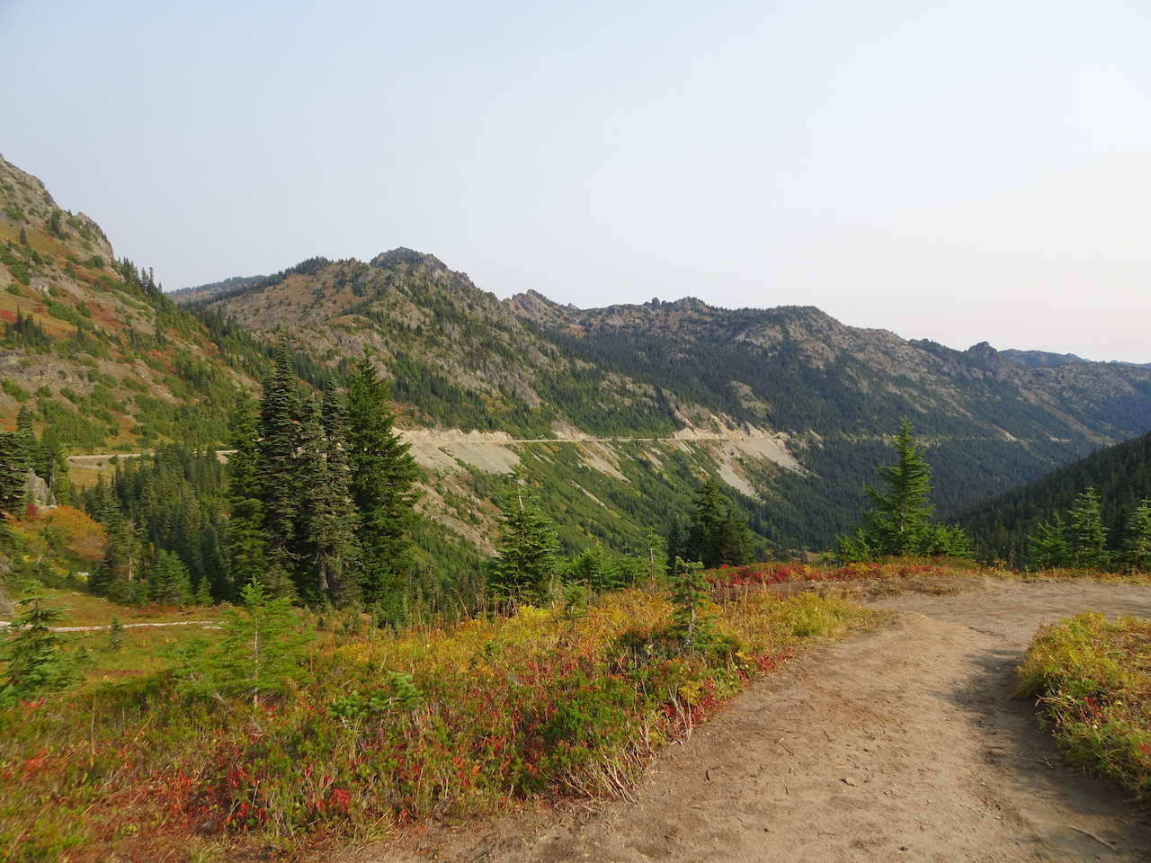
Hwy 410, headed down the canyon, to the east.

DSC03681

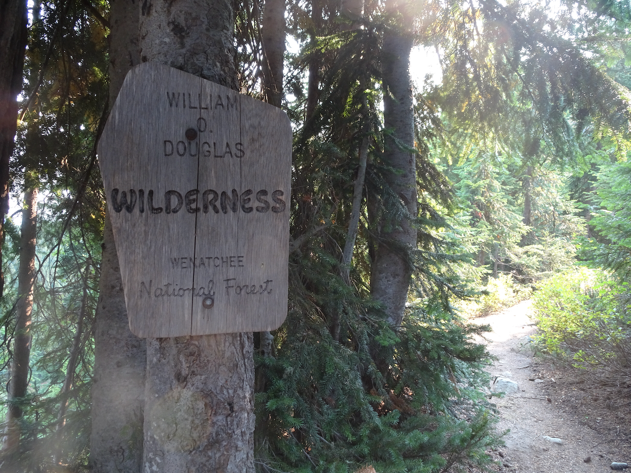
A new wilderness area for us!

DSC03688

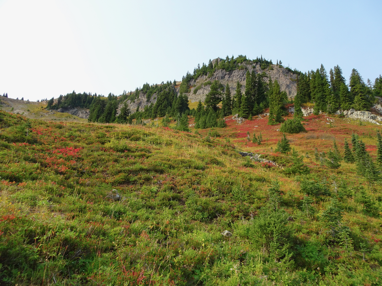
Trail up over the shoulder of Naches Peak.

DSC03696

Naches Peak.

DSC03699

DSC03716

Looking back.

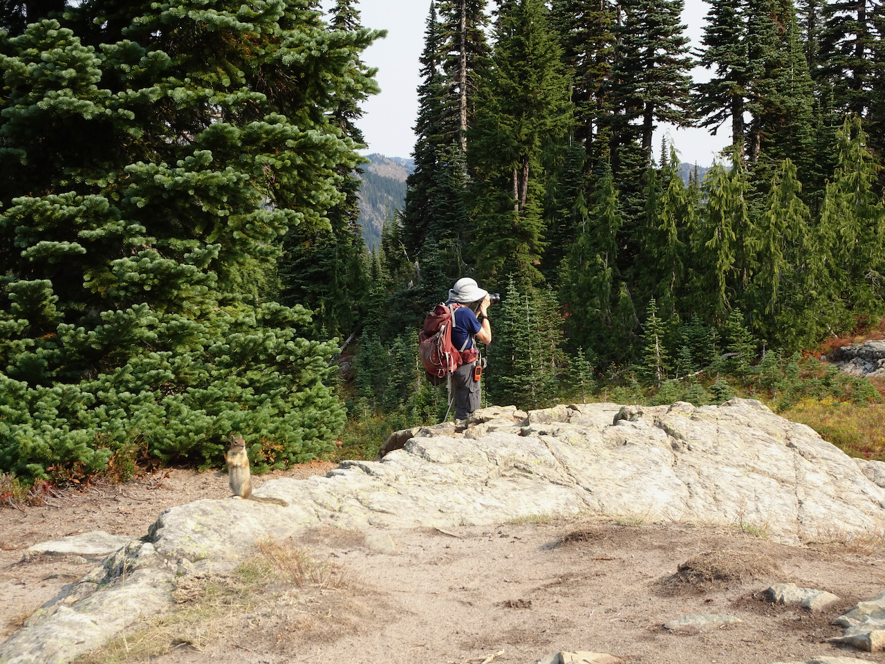
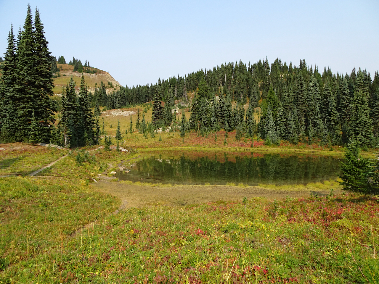
We passed a small lake with a friendly chipmunk.

DSC03711DSC03717DSC03723

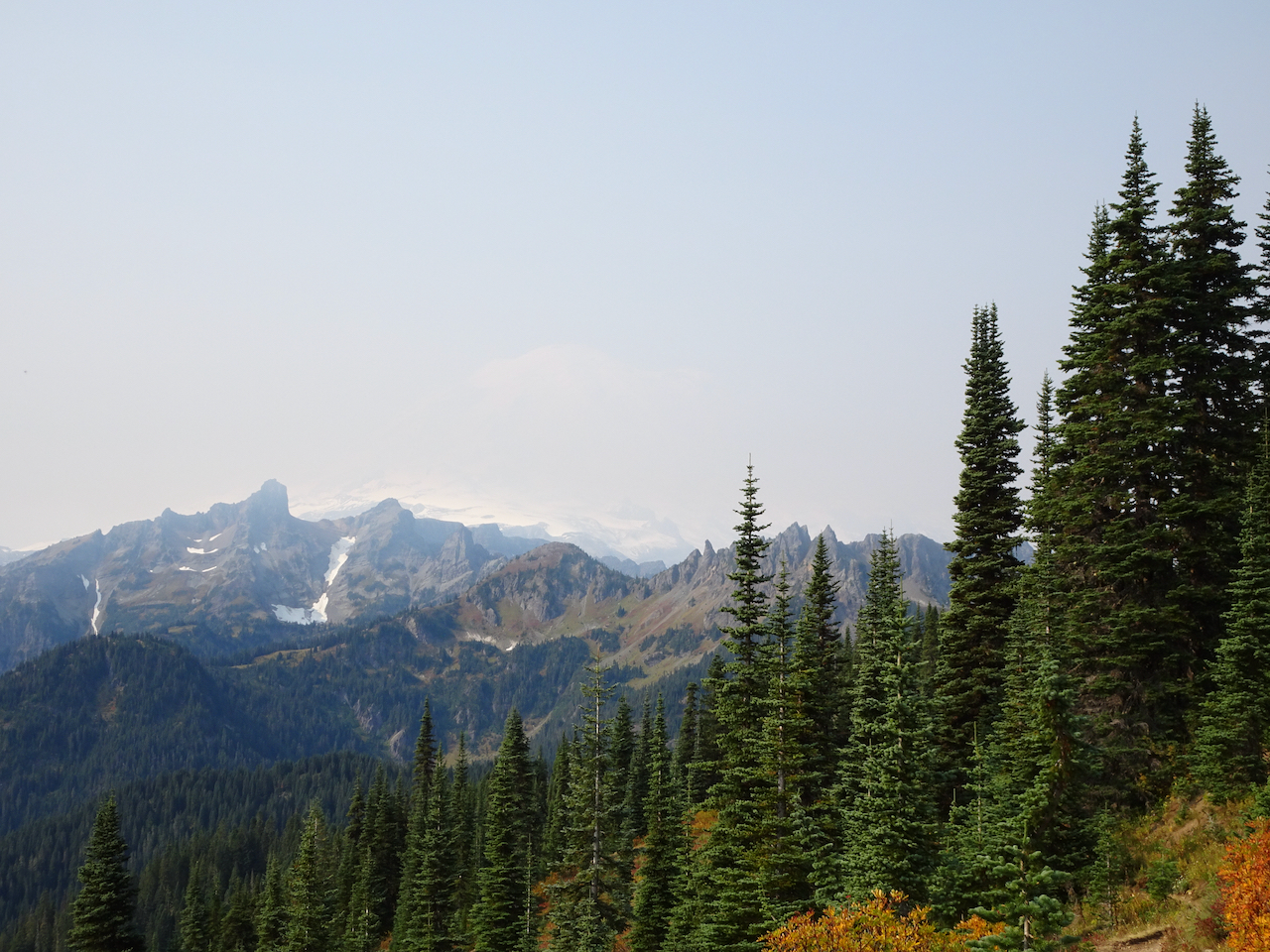
Once over the shoulder of Naches Peak, we could see the Dewey Lakes to the southeast as the smoke haze increased.

DSC03740

One of the Dewey Lakes.

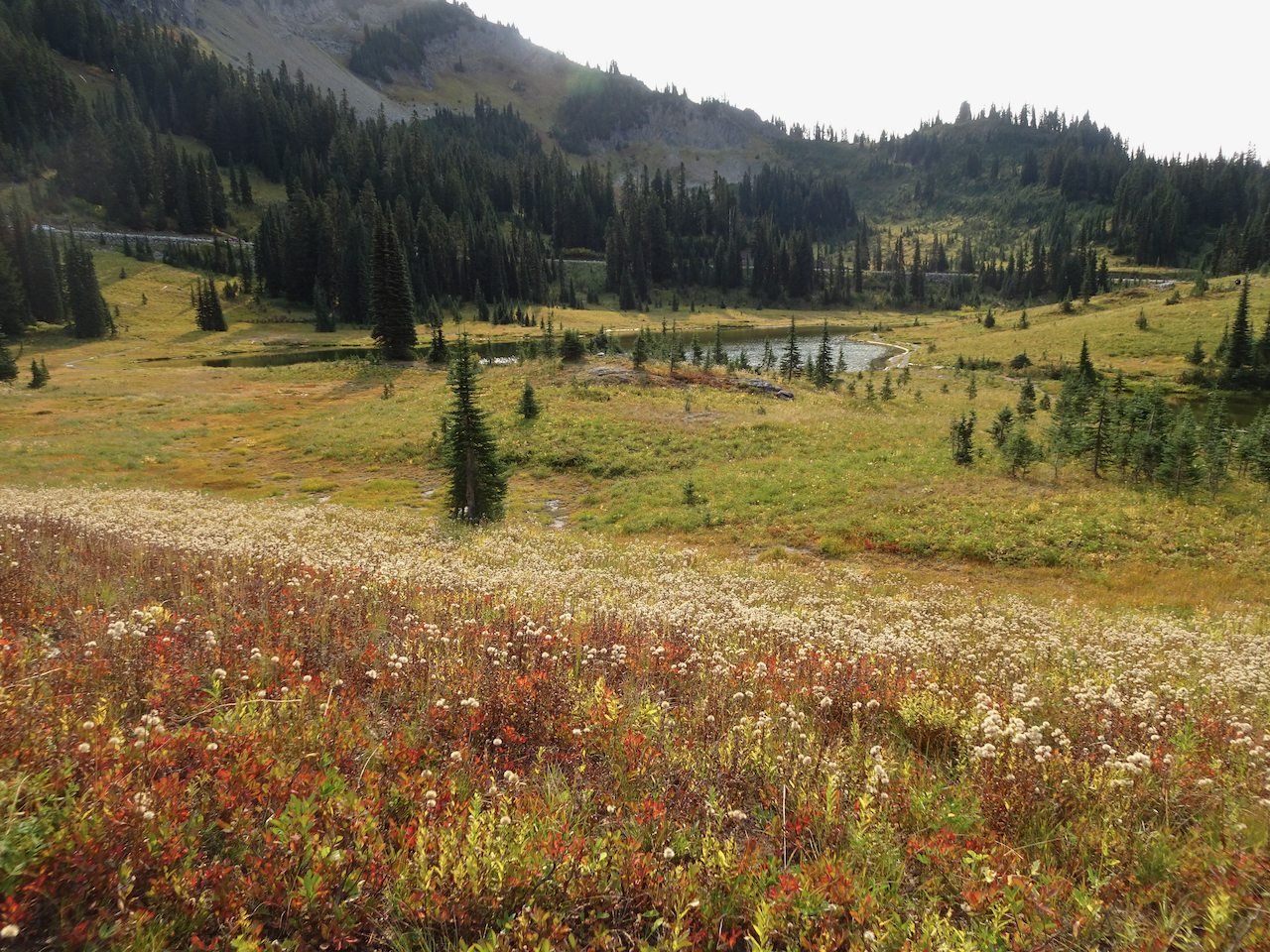
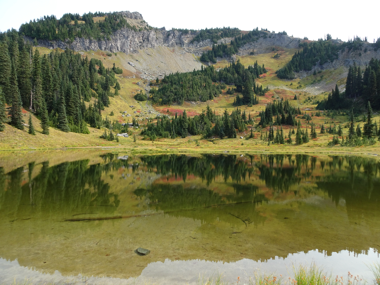
The trail circles back west,  with stunning views of Mt Rainier when there is no haze, as it passes more small lakes. 

DSC03746

Mt Rainier is ahead through the haze.

DSC03748

One of the trailside lakes.

DSC03760

More beautiful meadows!

DSC03767

Mt Rainier disappearing before our eyes!

We stopped to admire Upper Tipsoo Lake near the trailhead before finishing the hike.

DSC03781

Upper Tipsoo Lake.

After lunch we drove up to Sunrise, elevation 6400 feet, but the smoke haze obscured views, so we didn’t stay.

DSC03786

Dotted Blue line shows Mt Rainier skyline behind the smoke haze.

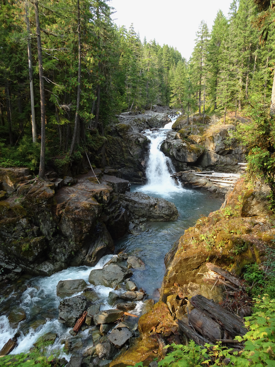
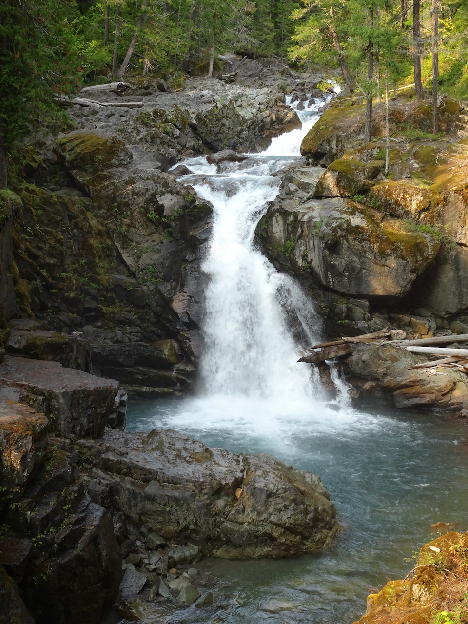
Instead we hiked to Silver Falls, on the Ohanapecosh River, through old and mossy forest, to see clear turquoise waters, and bright falling waters cutting through a slick rock gorge. All in all a lovely ‘recovery’ day from yesterday – the hikes being not so steep. We hope the smoke will blow out for tomorrow.

DSC03789

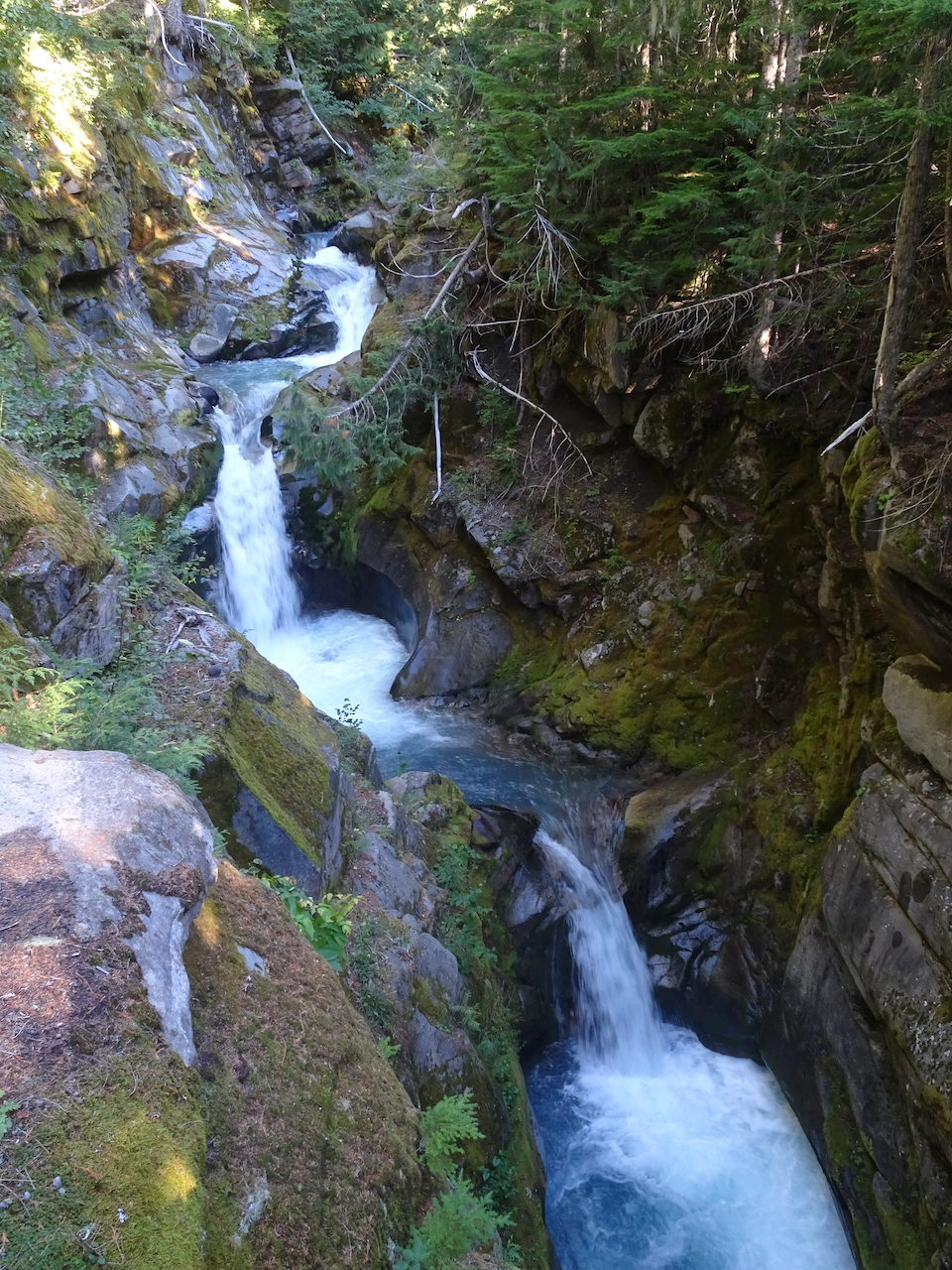
Small fairy falls in the mossy old growth forest.

DSC03791

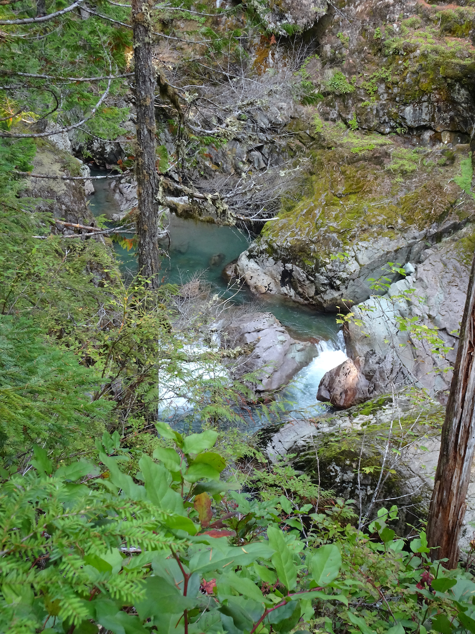
Looking down on the blue waters in Ohanapecosh gorge.

DSC03795

Overlook at the top of Silver Falls.

DSC03803

Downstream view of the Ohanapecosh River below the bridge.

DSC03810

Silver Falls.

DSC03811

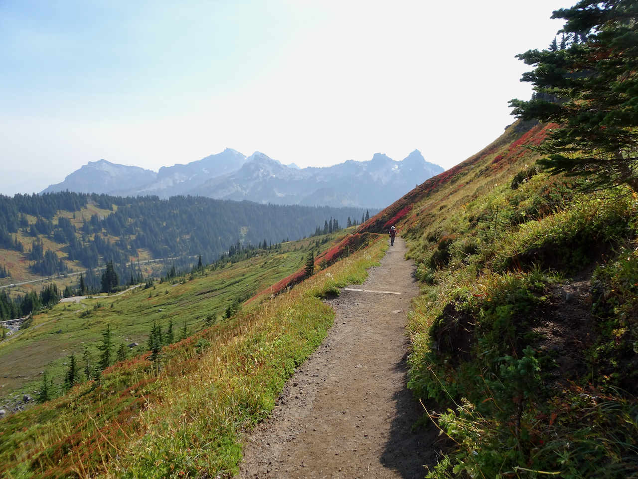
October 1 – Paradise, Golden Gate Trail, Panorama Point

The mountain was ‘out’ behind a thin veil of translucent haze! Smoke would gather throughout the day below us to the south on the flanks of the Tatoosh Range. 

DSC03830

View from the parking lot at Paradise.

DSC03831

Iconic gateway to the trail system.

We hiked across Paradise Valley, and up the Golden Gate switchbacks and granite steps, to the High Skyline Trail that circles the valley (6 miles, 1700 feet).

DSC03847

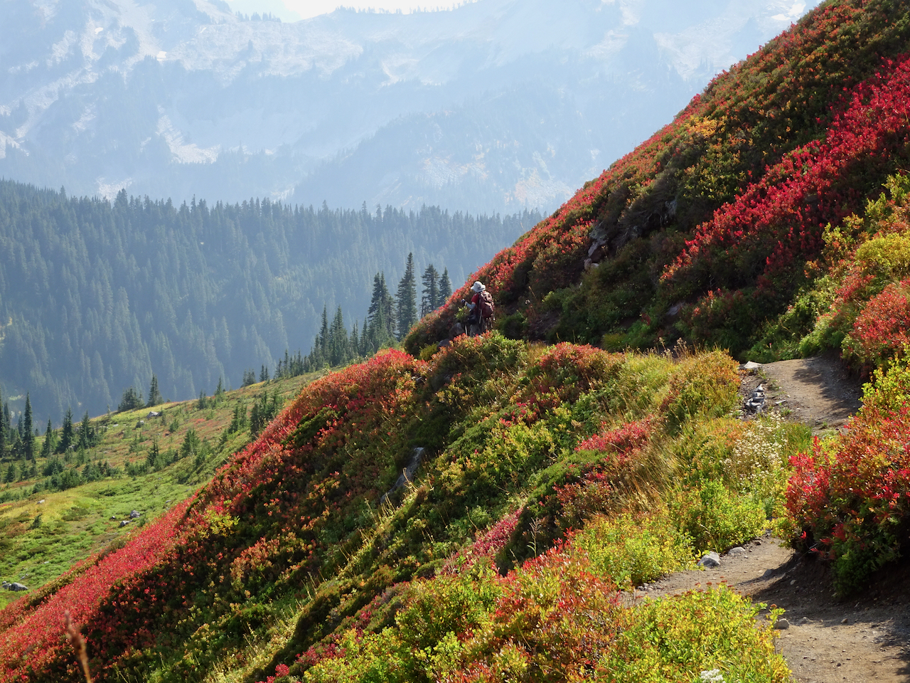
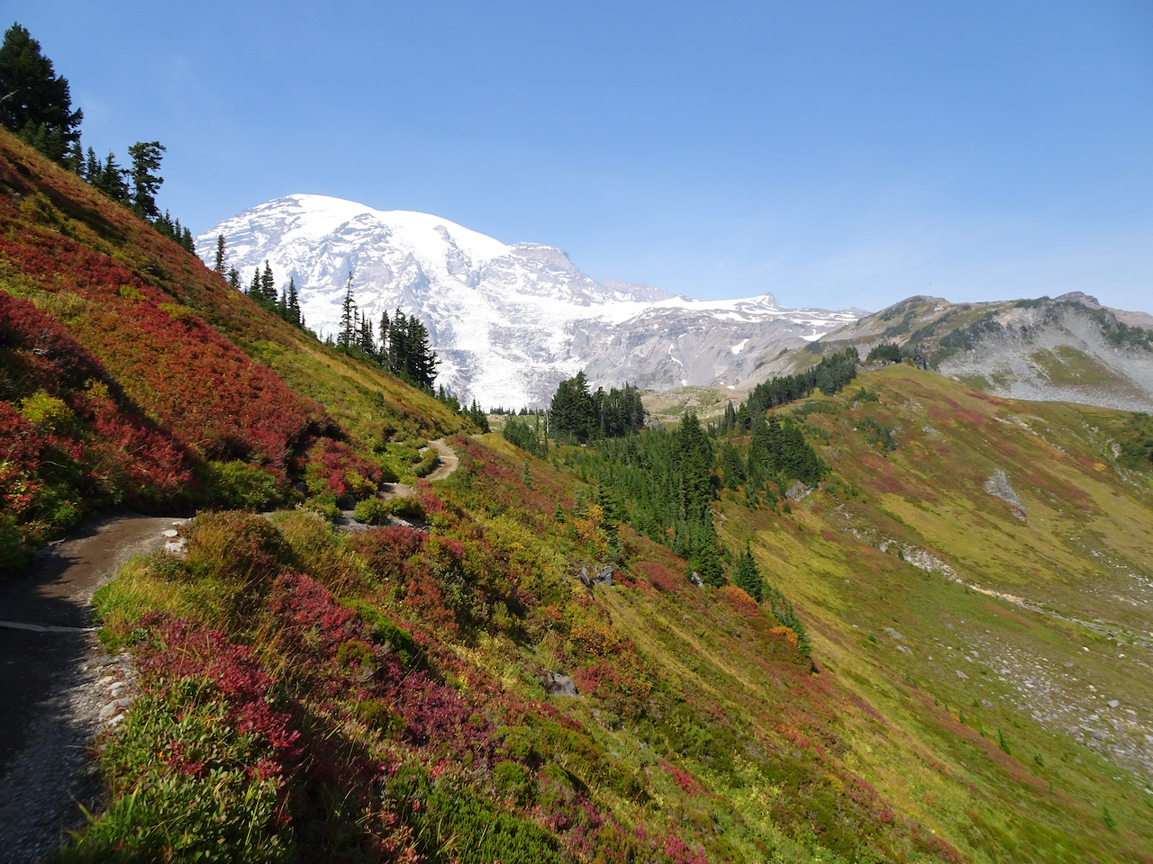
Looking up toward the red huckleberry foliage on Alta Vista, which would be our return trail in the afternoon.

DSC03855

Looking toward the Skyline trail on the east side of Paradise Valley.

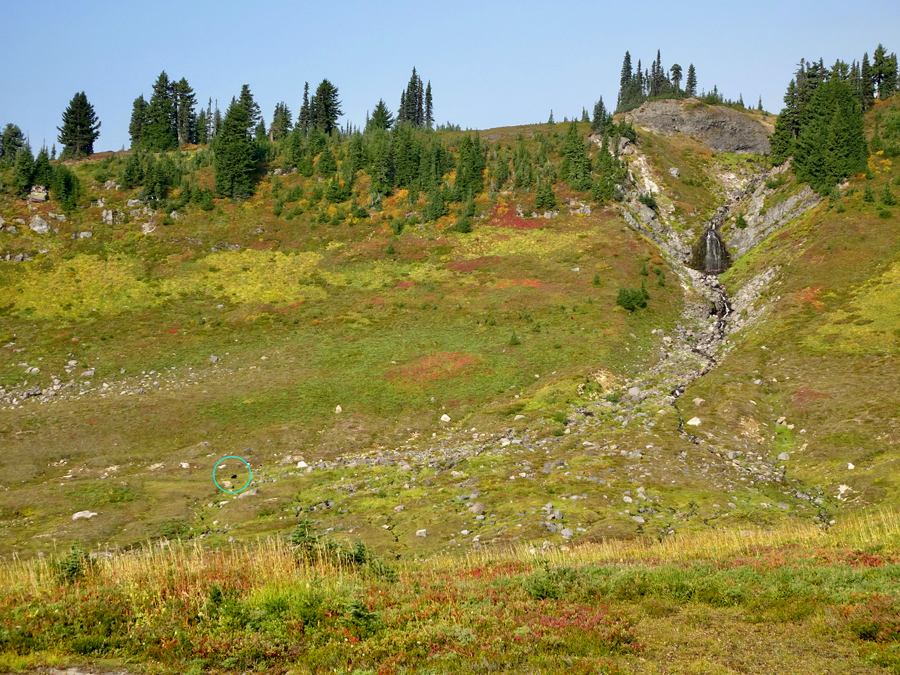
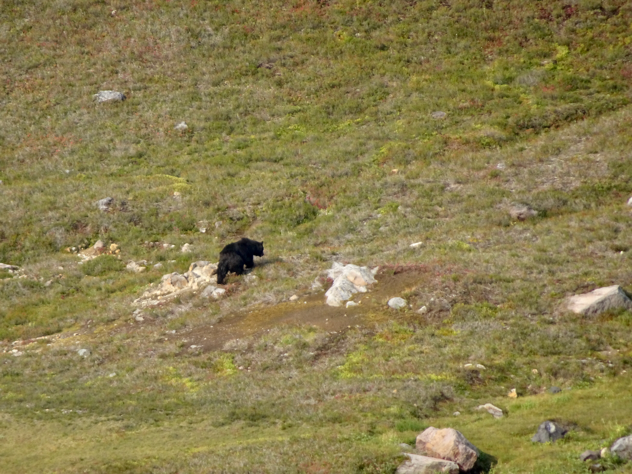
We saw a black bear foraging in the meadows below, and at least eight marmots foraging and nest building on our way up.

DSC03880

While looking across at the waterfall,

DSC03883

I noticed a moving black spot in the valley below.

DSC03894

Black bear.

The slopes were still green, and full of fading wildflowers with a few remaining blooms.

DSC03889

Switchbacks of the Golden Gate Trail ahead.

DSC03920

Up the last switchback to the Skyline Ridge.

Once to the ridge, stark, glaciated landscape dominated.

DSC03922

High Skyline Trail

DSC03926

DSC03934

A glimpse over the ridge to the east to the next glaciated valley.

DSC03935

Our destination is around the cirque and above the snowfield – there are tiny humans on that ridge.

DSC03937

Rocky trail.

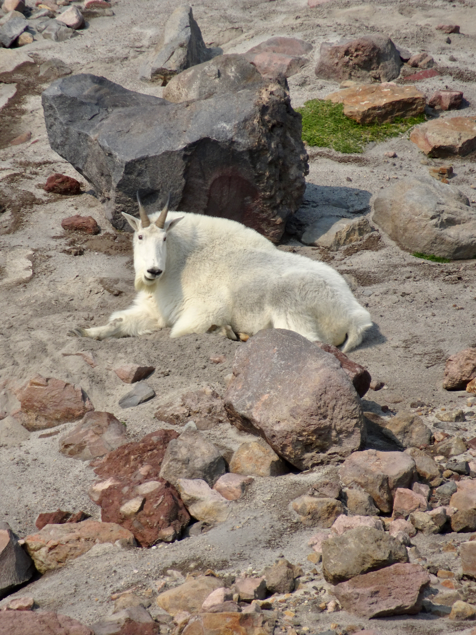
A mountain goat was resting near one of the snow fields in the cirque.

DSC03945

This is the closest we would get to the mountain goat (to the right of the snow field).

DSC03950

Mountain goat, zoom lens.

DSC03957

DSC03964 (1)

Looking down on the mountain goat after we climbed higher.

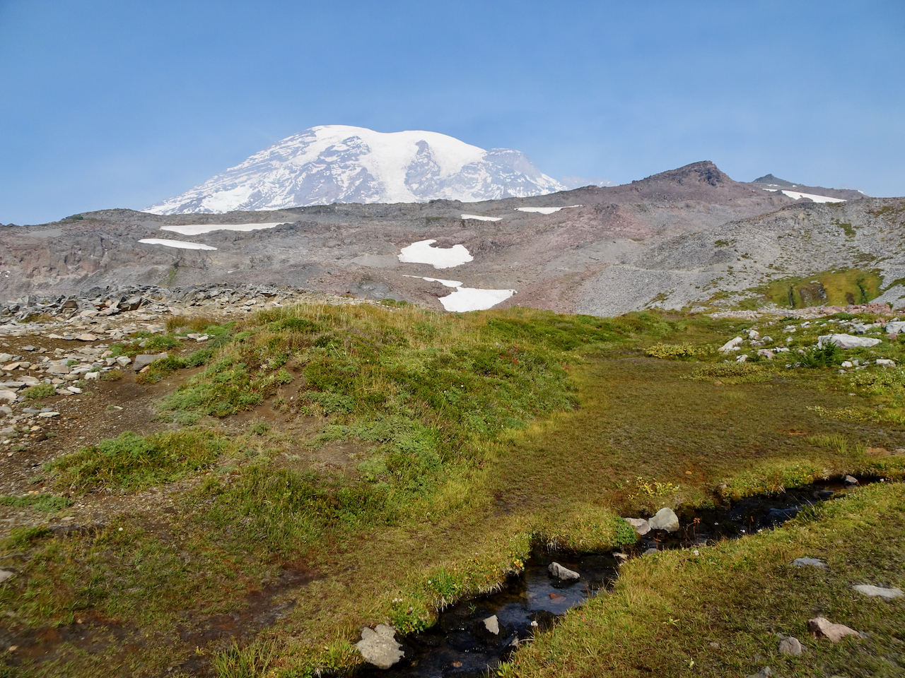
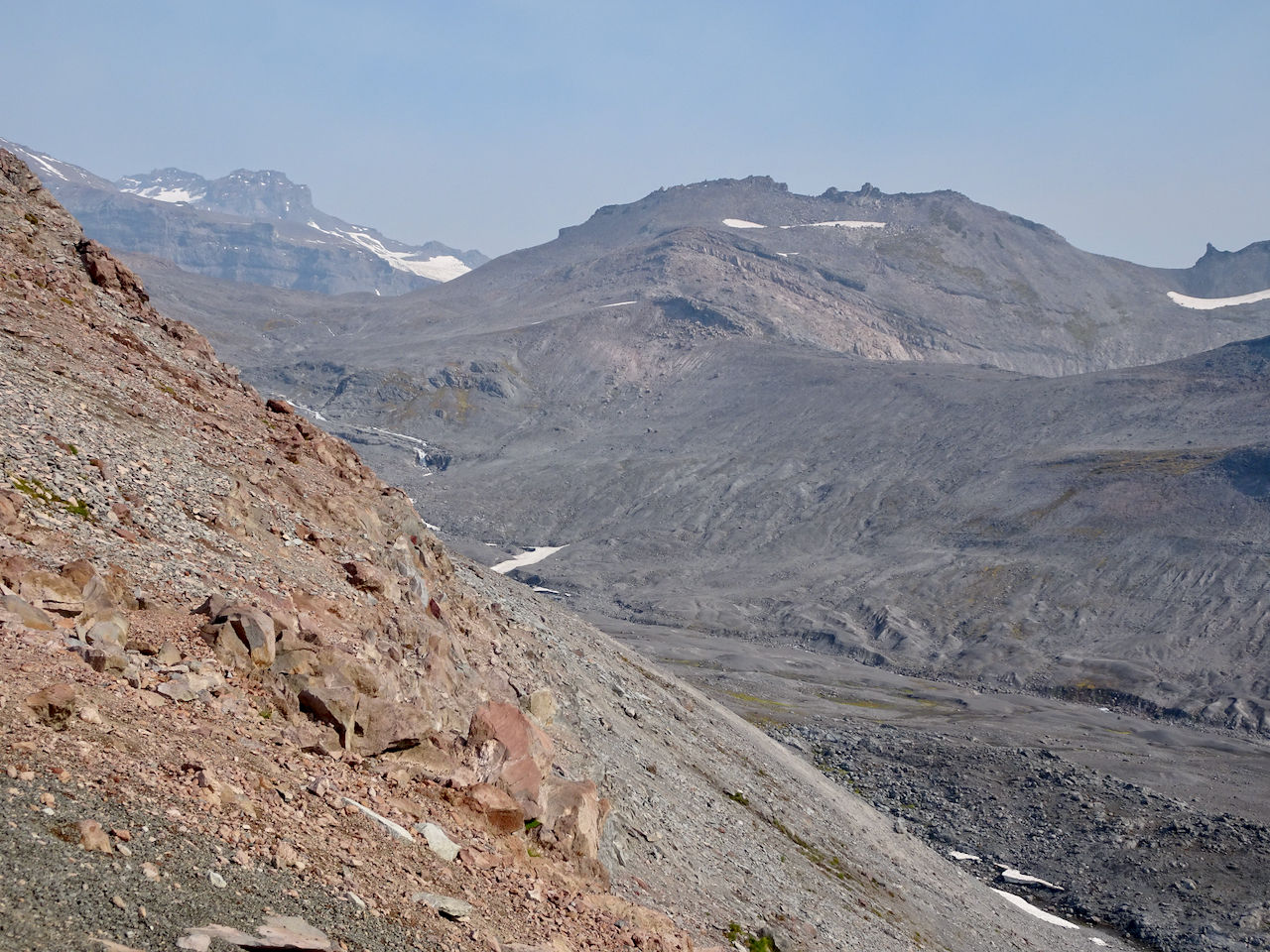
Over the rocky top above Panorama Point, near Pebble Creek, we sat on the rocks and ate our lunch with a full mountain view: 7000 feet of vertical relief, glaciers and sculpted rocks. We heard an occasional boom as something up there, heeding gravity, fell.

DSC03974

Lunch view.

DSC03981

Chipmunk on the rock.

DSC03984

Glacier close-ups.

DSC03985DSC03987

We made our way back down the steep granite steps, past Panorama Point and more glacier views.

DSC03989

Heading down to Panorama Point.

DSC03991

Panorama Point, with views in all directions:

DSC03992

East, where we have been.

DSC04004

South, toward our starting point, and the smoky Tatoosh Range.

DSC04003

West, to our downward trail and the Nisqually Valley.

DSC04013

Continuing down…

DSC04015

Rocky steps to Glacier View.

DSC04027

We saw one late pasque flower in the meadow.

The bear was still roaming in the valley below.

DSC04028DSC04031

We crossed through the brilliant red huckleberry foliage on the flank of Alta Vista.

DSC04033DSC04034DSC04048DSC04057DSC04061

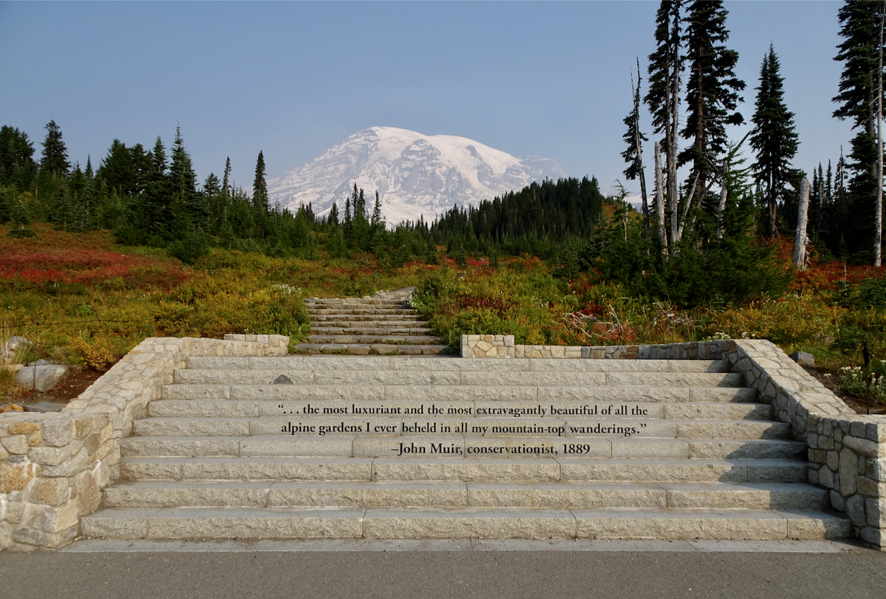
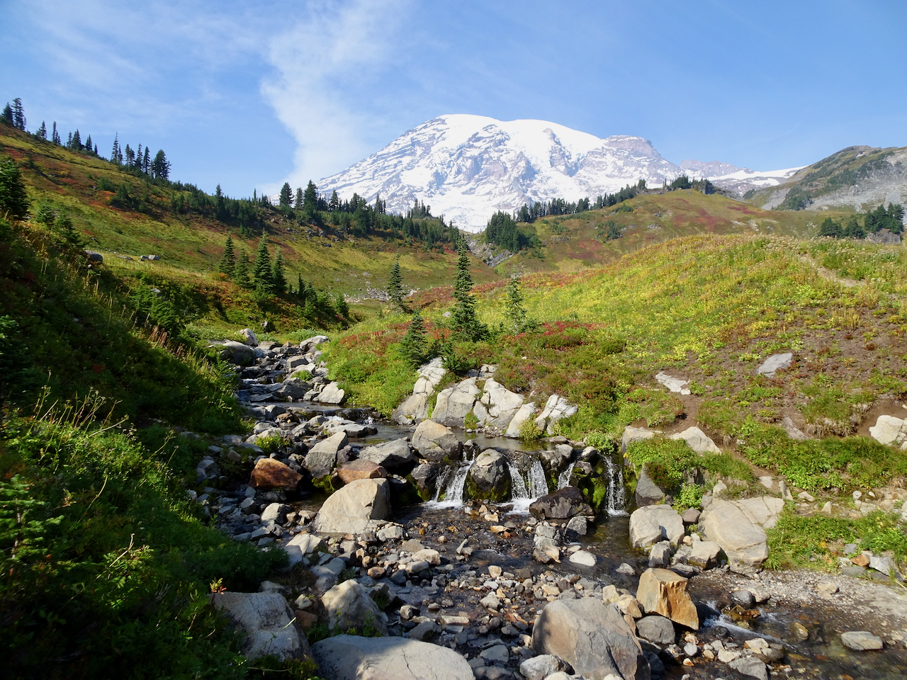
After a last stop at Edith Creek and Myrtle Falls, I was done walking for a while. My legs were tired, my cup full! I have to agree with the sentiment carved in the steps at the trailhead. This is one of the most beautiful places I have been. I feel so lucky to have seen it in the fall!

DSC04067

Myrtle Falls

DSC04072

Edith Creek

DSC04077

This hungry deer near the trailhead paid no attention to the people taking his photo!

Knitting update, neighborhood walks, an art exhibit, and waterfalls…October 2020

Knitting

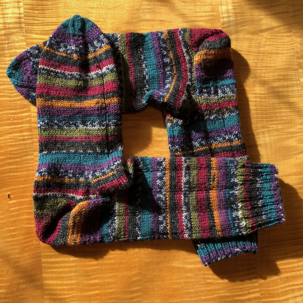
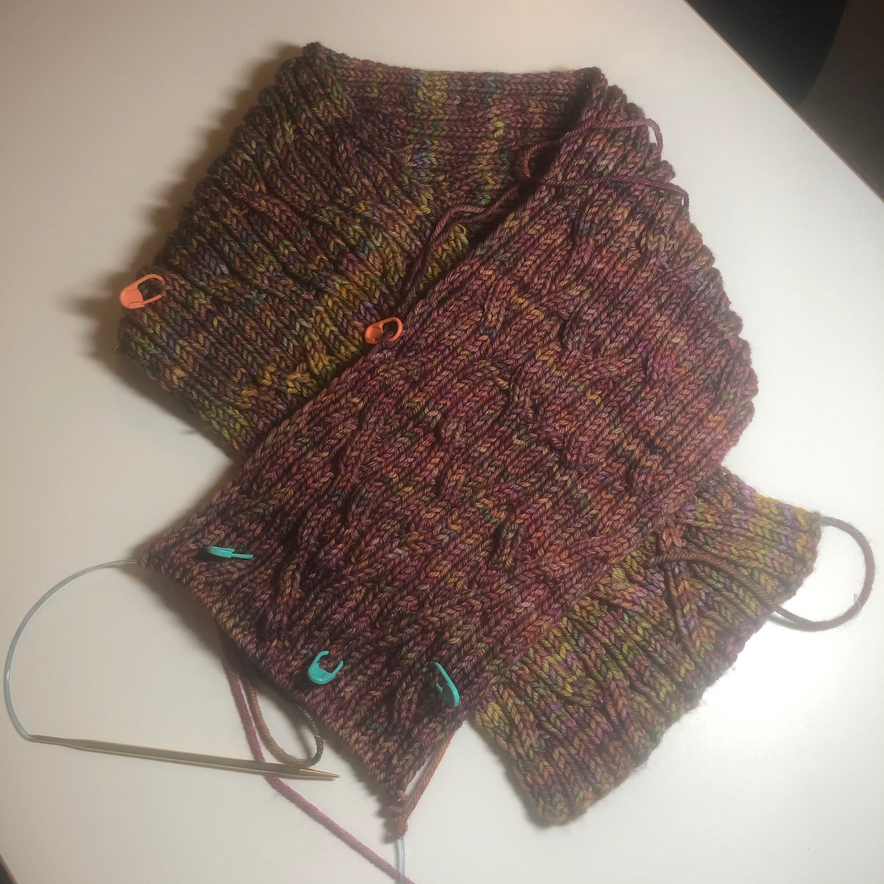
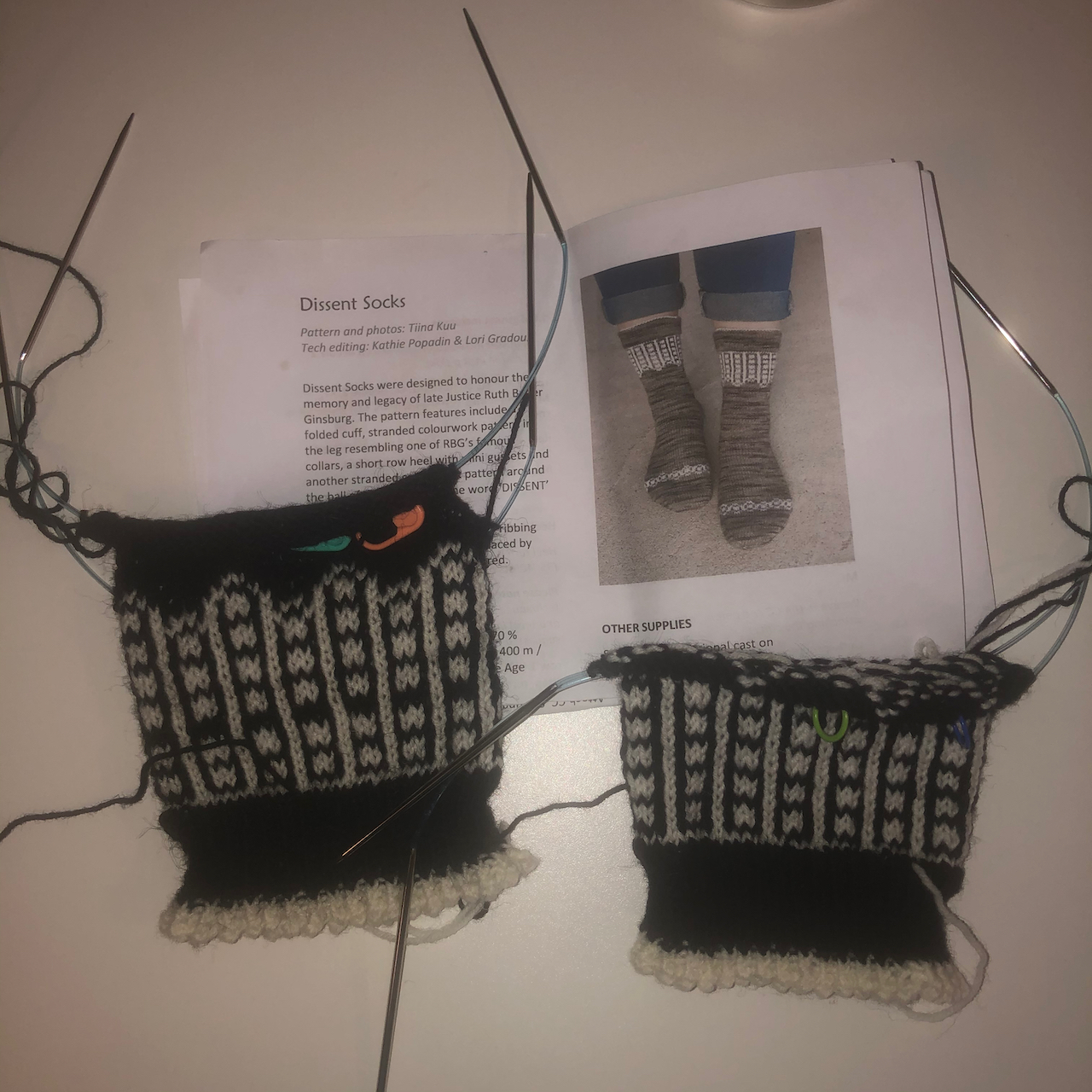
My fingers have been busy:

IMG_1786

Stripey socks – finished!

IMG_1850

Rio Calina Cowl – getting longer, and I might just make it into a long scarf instead of a cowl.

IMG_1853

Dissent Socks, in honor of Ruth Bader Ginsberg – I’ve finished the ankles – on to the heels!

Walks around the neighborhood,

New signs, whimsy, architectural elements:

Fall colors evolving…

I have been hunting witches and other Halloween displays, to be shared in a later post.

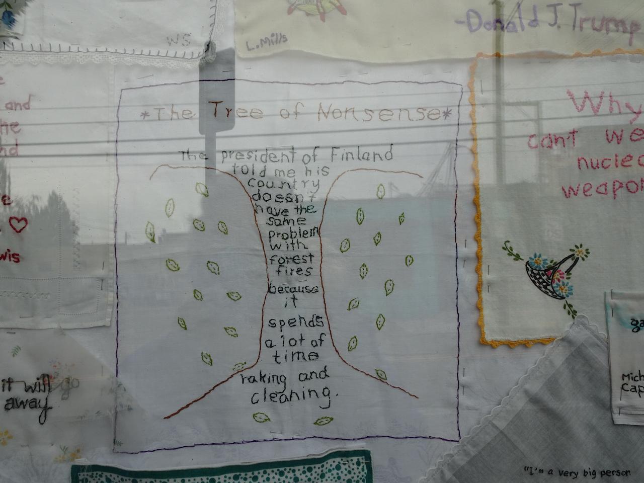
Portland Textile Month, Tiny Pricks Art Installation

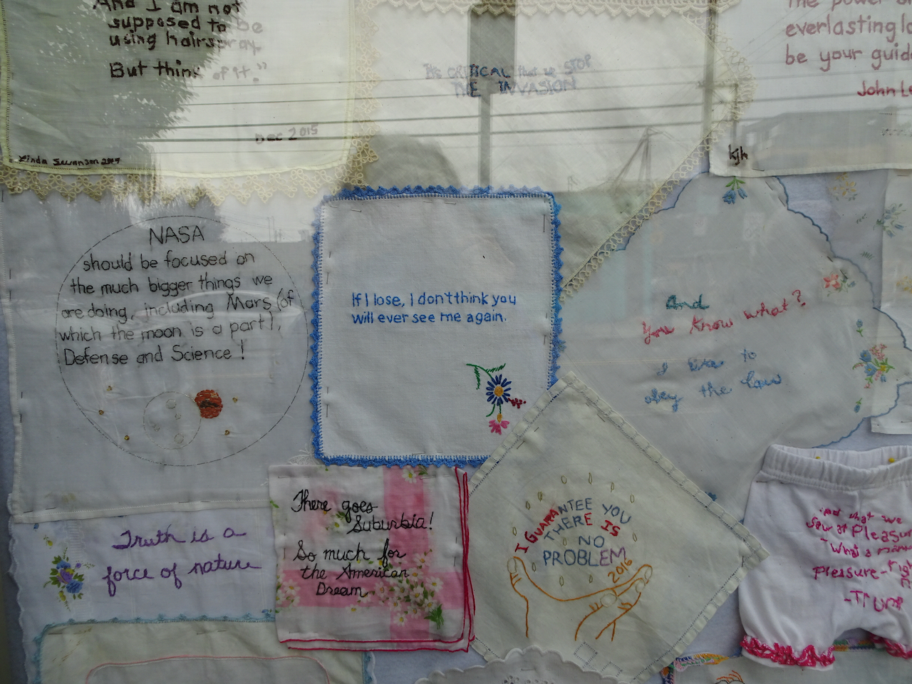
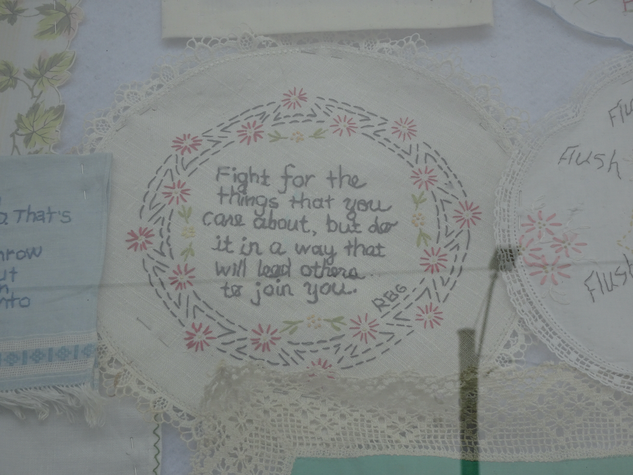
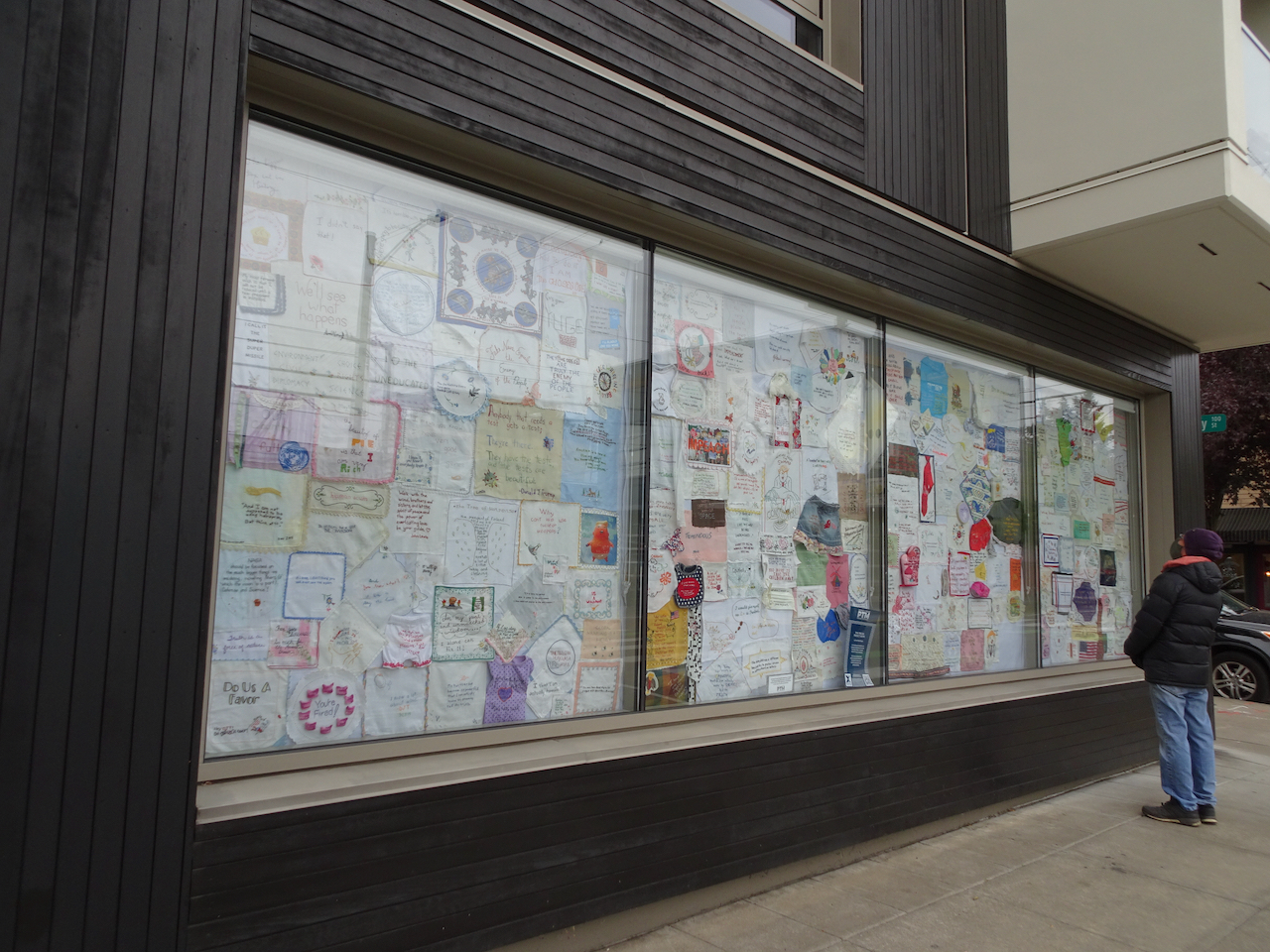
We visited the exhibition window to see the stitchery, made by artists who embroider a quote onto a vintage textile as a form of protest. It is not how I want to spend my crafting time – but I was glad to get a chance to see a small sampling of the thousands of pieces that have been contributed to this crowd-sourced artwork.

DSC04262DSC04267DSC04266DSC04260DSC04268

Silver Falls State Park

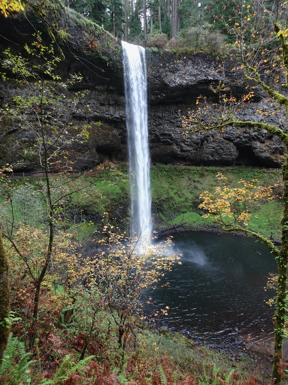
October 19th – We hiked the 5 mile waterfall loop. It was hard to relax and enjoy the scenery –  there were a fair number unmasked, seemingly Covid-protocol-oblivious hikers. We cut our day shorter than usual. The waterfalls are always beautiful, and the light streaming through the yellow big leaf maples enchanting.

DSC04205

South Falls

DSC04221

Lower South Falls

DSC04238

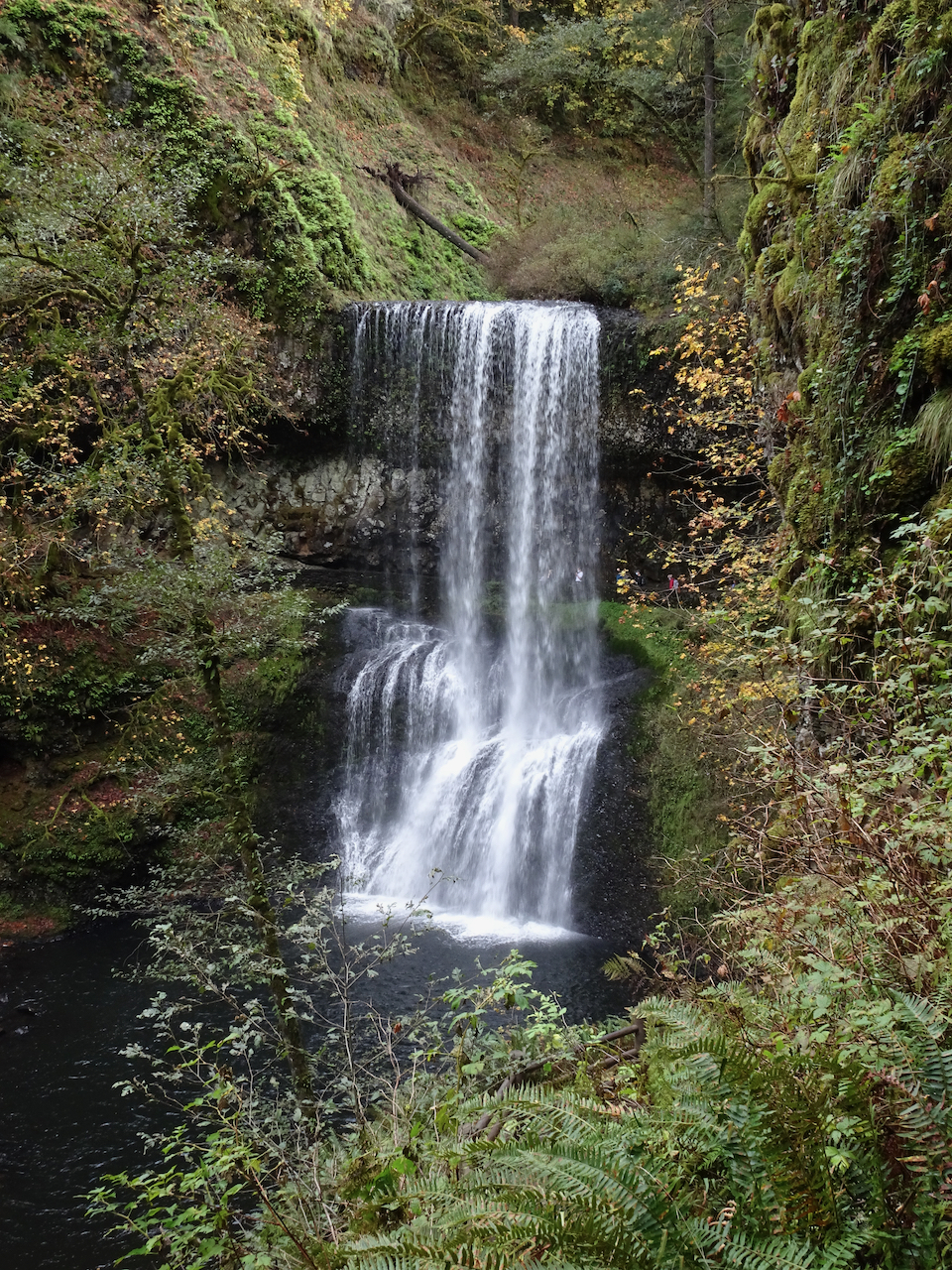
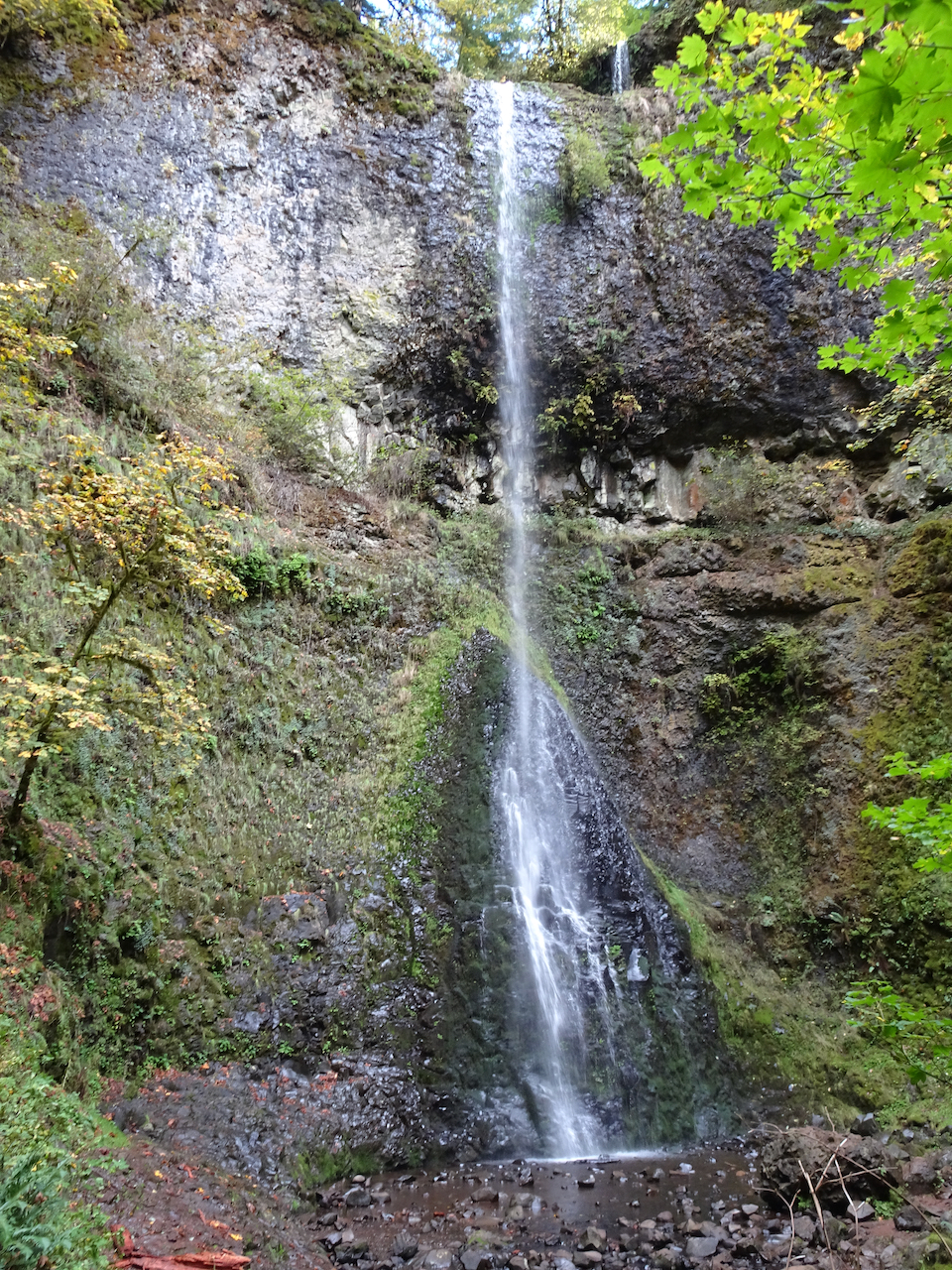
Double Falls

DSC04244

Middle North Falls

DSC04255

NZ2020: Day 6, Franz Josef Glacier

January 30, 2020 –

After our rainy drive yesterday, we were delighted to see the mountains above Franz Josef this morning.

DSC05949

Blue sky and snow capped peaks, Franz Josef, New Zealand.

Franz Josef Glacier hike

We had an early start for our walk to the Franz Josef Glacier viewpoint. I remember thinking, as we walked up the Waiho Valley, that this was our best hike so far!

DSC05953

Waiho River Valley

DSC05954

The glacier is filling the valley on the left.

DSC05957

The trail emerges from the forest at an overlook that marks the advanced position of the glacier in 1908.

DSC05970

IMG_0340

We still have a bit of a walk to get closer to the glacier.

DSC05969

Zooming in on the glacier from the 1908 overlook.

We continued walking up the glaciated Franz Valley on sediment eroded from the mountains above.

DSC06023

DSC06024

Haast Schists – beautiful metamorphic rocks!

DSC06035

We reached the river crossing, and continued walking up the valley.

DSC05980DSC05984

DSC05988

A huge waterfall is gushing out of rocks below the glacier on the right – we can see the mist cloud from here.

DSC05992

DSC05991

Jagged glacier surface

We passed waterfalls and beautiful, glacially polished schists in the valley walls.

DSC06032DSC05995DSC05993

DSC09930

The last viewpoint is ahead, on the low hummocks.

We reached the end of the trail, the closest viewpoint, due to safety concerns.

DSC05999DSC06002DSC06003

DSC06005

From here we can see the waterfall mist cloud, but not the waterfall. Helicopter tours were landing in front of the dark rocky area on the left side – they looked like ants from here.

The bare scraped rocks and talus piles were covered in colorful lichens and mosses.

DSC06019DSC06018DSC06001

DSC06006

Turbulent water full of glacial dust in the outflow stream.

DSC06026

View down the Waiho Valley from the upper endpoint of the trail.

DSC06029

Last look back at the Franz Josef Glacier from the valley trail.

We continued walking on the local trail network to a couple of other viewpoints, first to Sentinal Rock.

DSC06038

Franz Josef Glacier from Sentinal Rock.

DSC06041

Winding Waiho River.

We continued on a short distance to Peter’s Pool.

DSC06045

Reflections in Peter’s Pool

By the time we were leaving the area, the clouds had moved in again among the peaks. I’m glad we got an early start to our day! (Hike#6, 5 miles, 400 feet)

DSC06050

Car park view: I love that this tour bus has kiwi-shaped grill openings.

Alpine Fault geology interlude. I loved learning about New Zealand geology on this trip. I didn’t research much before our travels. As the landscape unfurled before me, I enjoyed looking, learning and speculating. Now I am investigating in more detail as I process my photos and thoughts. I learned in Franz Josef that the giant, active Alpine Fault runs right through the center of town. The Alpine Fault is a major transcurrent fault and tectonic plate boundary between the Pacific and Australian plates. The Southern Alps are constantly rising along the fault zone that connects subduction zones to the north and south. The metamorphic rocks I saw along the Waiho River were deformed along the plate boundary.

On with our tour:

After our hike we continued south on Hwy 6, with much beautiful scenery ahead for the day. Our guide spotted and pointed out many recent land slips in the mountains, and we had several road repair delays. There had already been flooding this year, with more to come! But we didn’t know that yet.

Image 3-22-20 at 11.33 PM

Lake Matheson

We stopped for a walk around Lake Matheson.

DSC06054

Hike #7, 3 miles, 200 feet.

DSC06053

New Zealand pigeon (kereru) posing near the trailhead.

DSC06071DSC06070

DSC06061

At this viewpoint, the Southern Alps may be seen reflected in the lake.

DSC06064

We were not so lucky today – the clouds had moved in.

DSC06069

DSC06073

It was a lovely hike, with beautiful lunchtime views of the lake, and interesting foliage to admire.

DSC06056

Kidney ferns

DSC06058

Lancewood

Knights Point

Farther south on Hwy 6, we stopped at this clifftop viewpoint over the Tasman Sea.

DSC06084

DSC06086

Treeferns, lancewood and flax covered the coastal cliffs to the north.

DSC06078

To the south we could see to a headland. When I zoomed in, I could see that some of the ‘rocks’ were actually Elephant seals.

DSC06088

Elephant seals

DSC06081

Ship Creek

The highway descended back to sea level. Our stop at Ship Creek was our last chance to walk on a West Coast beach before we turned east to cross the mountains at Haast Pass. We climbed up the Observation Tower for a wide view, then spent a little time on the beach.

DSC06091

DSC06093

View of the beach from the Observation Tower.

DSC06095

View inland from the tower.

DSC06096

Sand dunes

DSC06103

Beach boardwalk, going north.

DSC06101

Pebbly shingled beach – great skipping stones!

Onward! Our views were diminished by clouds as we headed east into the mountains.

DSC06105

Driving view as we cross over the Haast River on the longest one lane bridge in New Zealand .


DSC06107

In Haast Pass, where rivers change direction.

We made a brief stop in Mt Aspiring National Park to see Thunder Creek Falls.

DSC06117

Thunder Creek Falls

Our overnight destination was a lodge at Makarora.

DSC06124

Evening sky above Makarora.

We would be headed to Lake Wanaka tomorrow.

Note: The most difficult thing about these posts is paring down the photos. I love to remember every view!


NZ 2020: Day 3, Christchurch to Punakaiki

January 27, 2020

Our guide picked us up in the morning in Christchurch to begin a two week guided hiking tour of the South Island of New Zealand.  The agenda for the first day was to cross the Southern Alps at Arthur’s Pass, and to arrive in Punakaiki on the West Coast by the end of the day.

Image 3-22-20 at 11.10 PMThe South Island is about 500 miles long, and 150ish miles wide, with steep mountains along the west coast. The mountains create a rain shadow for the eastern part of the island. We were on our way to experience the rain forests and wetter climate of the west coast.

Castle Hill

Our first hiking stop was Castle Hill. We walked up the hill and through the maze of giant, weirdly eroded limestone boulders and knobs that standout in the landscape.

DSC09460

DSC05634

We learned early on that most of the wildflowers we would see are non-native, and considered weeds. (“If it’s pretty it’s a pest!”) The national effort to remove alien wildlife, both plants and animals, was an ongoing theme during our trip.

DSC05639

Wandering among the limestone boulders.

DSC05640DSC05641DSC05644DSC05649DSC05654DSC05656

DSC05651

View back to the car park.

Hike #2 of 2020, 2.2 miles, 150 feet.

Arthur’s Pass National Park

We could see we were headed for clouds and rain as we continued west toward the mountains.

DSC05669

We stopped to look at the Waimakariri River, one of the largest of many broad, braided glacial outwash rivers that cross the eastern plains of the South Island.

DSC05670

Waimakariri River

DSC05682DSC05685DSC05684

DSC05691

We made a quick stop to view Devil’s Punchbowl Falls, 131 meters high.

Rain began as we drove through Arthur’s Pass.

DSC05700

One of many road preservation structures and roadworks we would see in this geologically active country.

DSC05701

Rata tree blooms – these are native!

DSC05704

Quintessential New Zealand green pastures with sheep and cows.

We reached the west coast near Kumara, then headed north to Punakaiki, admiring the beautiful beaches and lush green, misty slopes along the way. It had been a lovely first day of our tour.
DSC05710

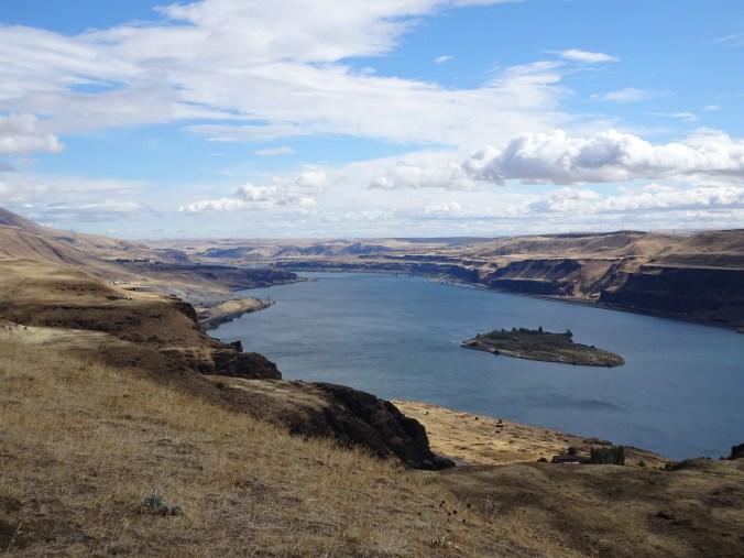
Driving north along the west coast of the South Island of New Zealand.

DSC05715

West coast sun, clouds and beaches!

Trip note: Our tour was with the New Zealand company Active Adventures. I have only good things to say about our experience with them. Amazingly, because of some last minute changes, we were the only two people on the first five days of our tour. We had been expecting up to twelve people, and instead we had a private tour, with an entire small bus and guide to ourselves. This is the first time we have taken this type of tour, and we were not sure what to expect, but we soon became good friends with our guide. We appreciated being able to simply enjoy the adventure without worrying about  the logistics of meals and lodging, or the left-sided driving.  As the trip went on, there were challenges from the weather, and we were very glad that our local, experienced guides could nimbly create alternative itineraries – more about that later.

Tomorrow we would explore the landscape around Punakaiki.

Hamilton Mountain, WA, and first knit socks of 2020

January 3, 2020 – Our first hike of the New Year was to Hamilton Mountain in Beacon Rock State Park on the Washington side of the Columbia River Gorge. We’ve been many times, usually to see the cliffs become hanging gardens in the spring. Today we had perfect winter hiking conditions – not too cold, a bit muddy, full waterfalls, clear views from the top.

DSC05264

The first summit of Hamilton Mountain, as seen from the power line cut on the lower trail.

DSC05296

Approaching the upper cliffs, eastern gorge beyond.

DSC05301

Bonneville Dam, with Mt Hood appearing to the south.

DSC05315

First view from the summit- Mt Adams glowing in winter white beyond Table Mountain.

DSC05317

Wide view from the summit.

DSC05324

Mt Hood to the south, in low winter light.

After lunch at the summit we continued the trail to the northern saddle/plateau –

DSC05334

A last look back at Mt Hood.

DSC05344

Western gorge, filling with mist and a painterly sky.
DSC05332

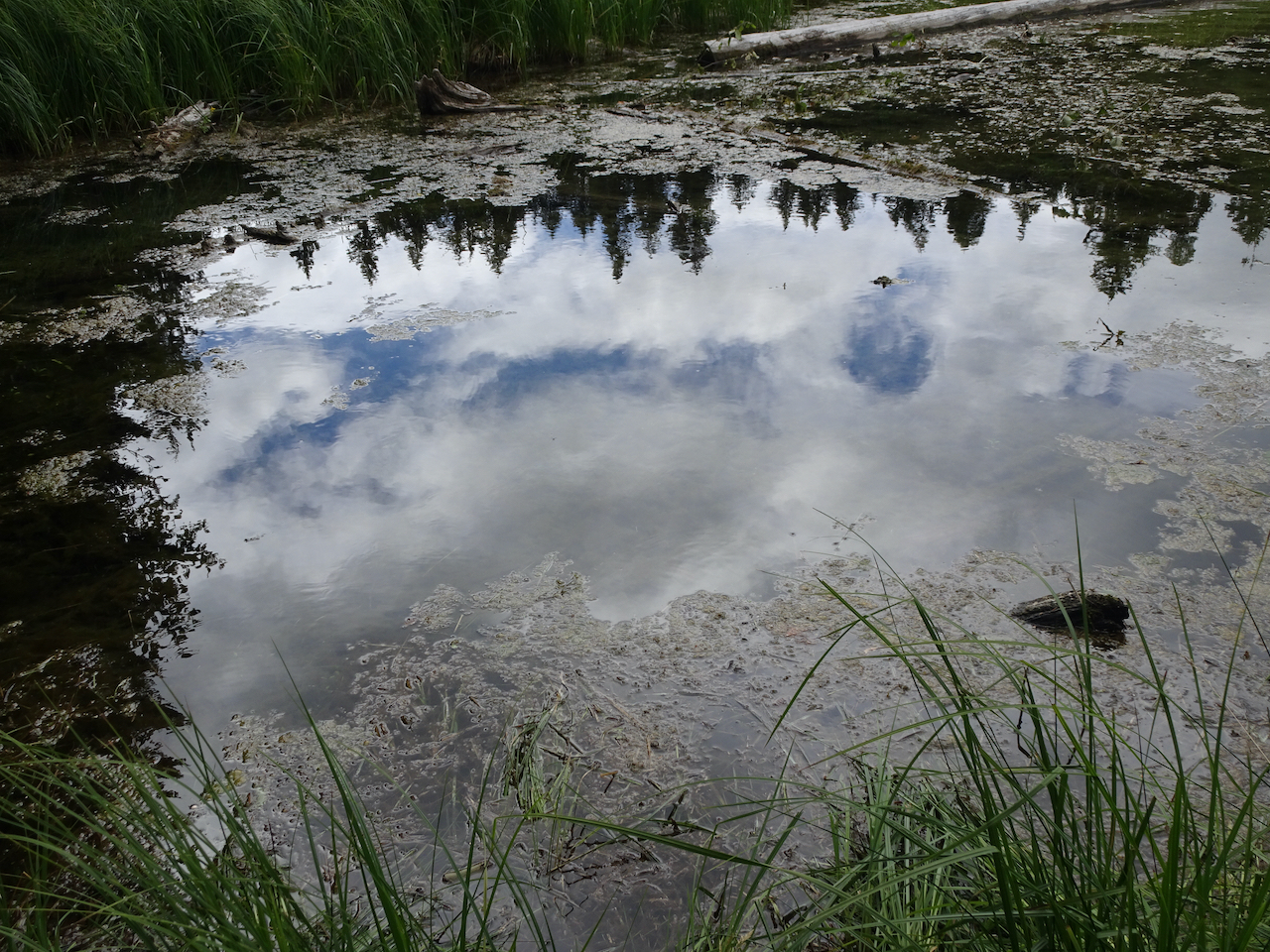
Columbian lewisia foliage in the saddle.

DSC05351

Crossing over a very full Rodney Falls on the return hike.

Hike #1 for 2020, 8.2 miles, 2250 feet.

Knitting

IMG_0266

First knit finish in 2020 – traveling socks that I started last May.