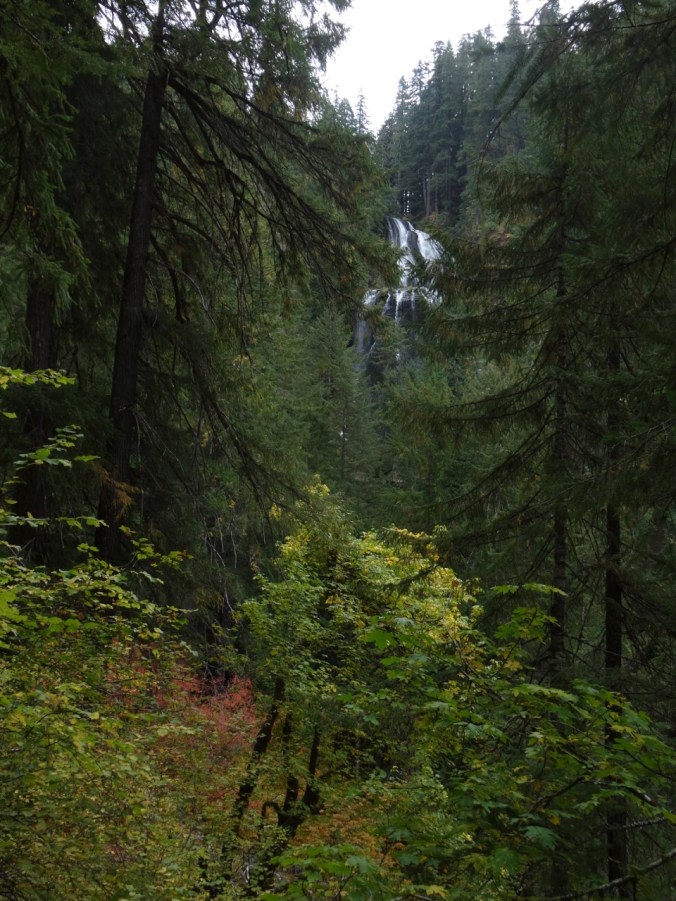
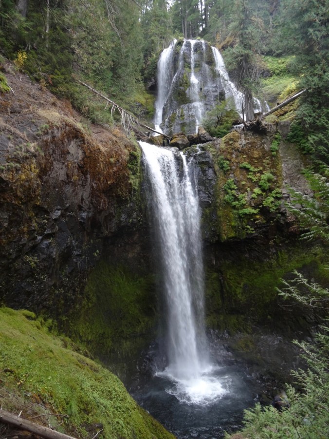
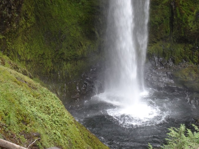
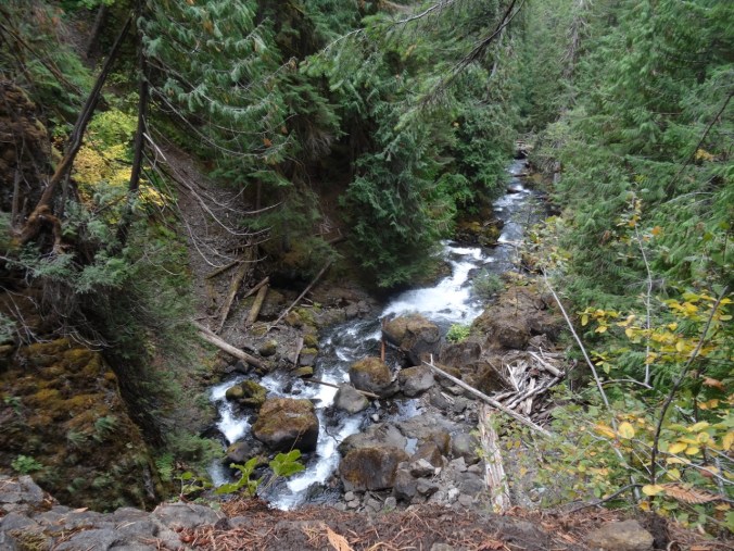
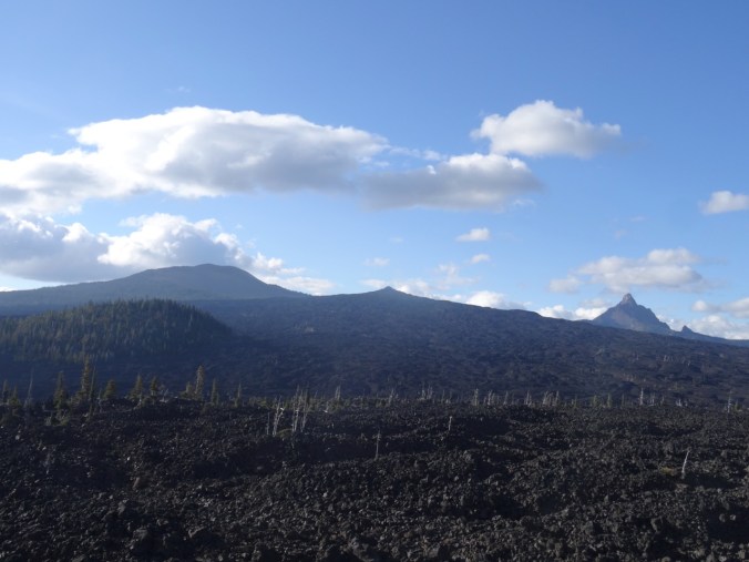
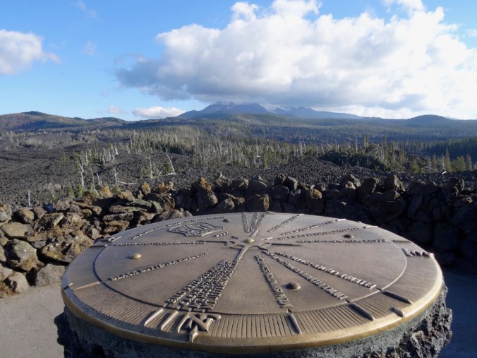
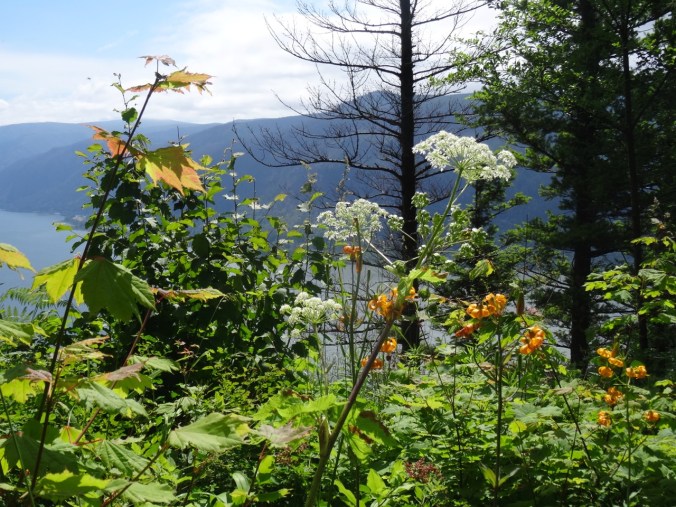
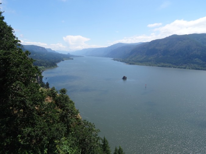
Lewis River Waterfalls, a hat finish, and snow in Pdx

January 31, 2019  Moulton Falls, Bells Mountain trail, and Lucia Falls, Washington

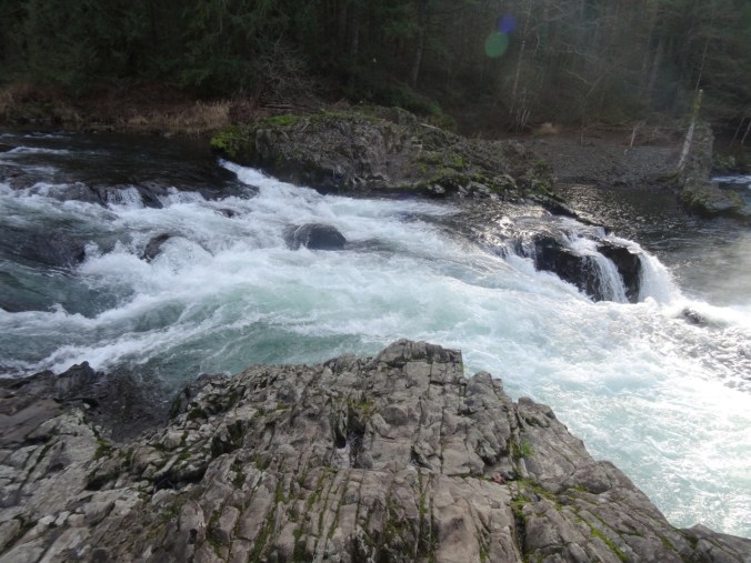
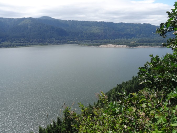
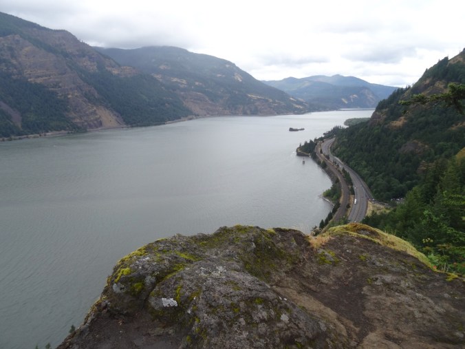
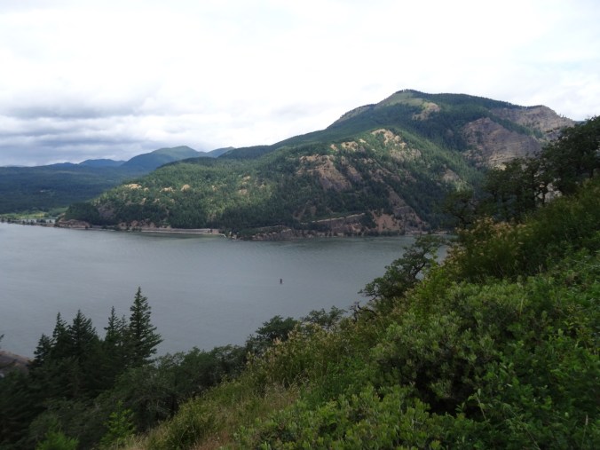
Our first time hiking here. We have passed through on our way to Silver Star Mountain in the summer, and noted the crowds enjoying the swimming holes along the Lewis River near Battleground, Washington. Today we stopped to see the waterfalls in the off season, and to hike up the nearby Bells Mountain trail for a view of Mt St Helens.

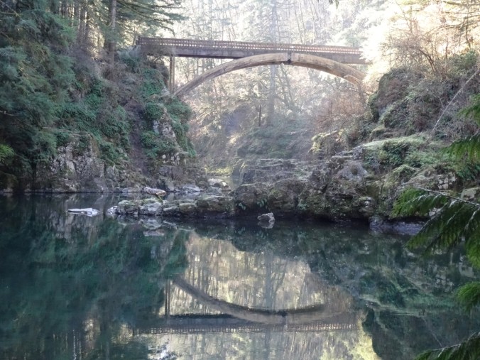
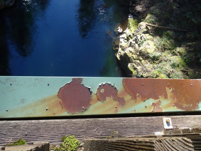
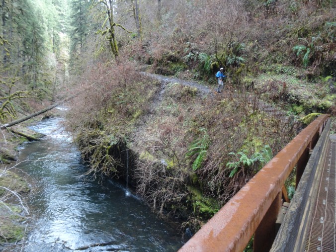
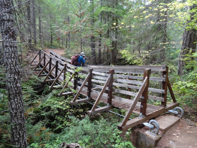
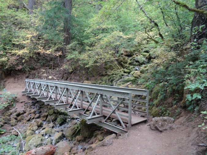
The rails to trails path along the Lewis River goes over this beautiful bridge, the East Fork High Bridge, which is apparently a popular jumping spot in summer.

DSC01629DSC01630DSC01656

DSC01635

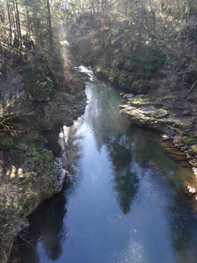
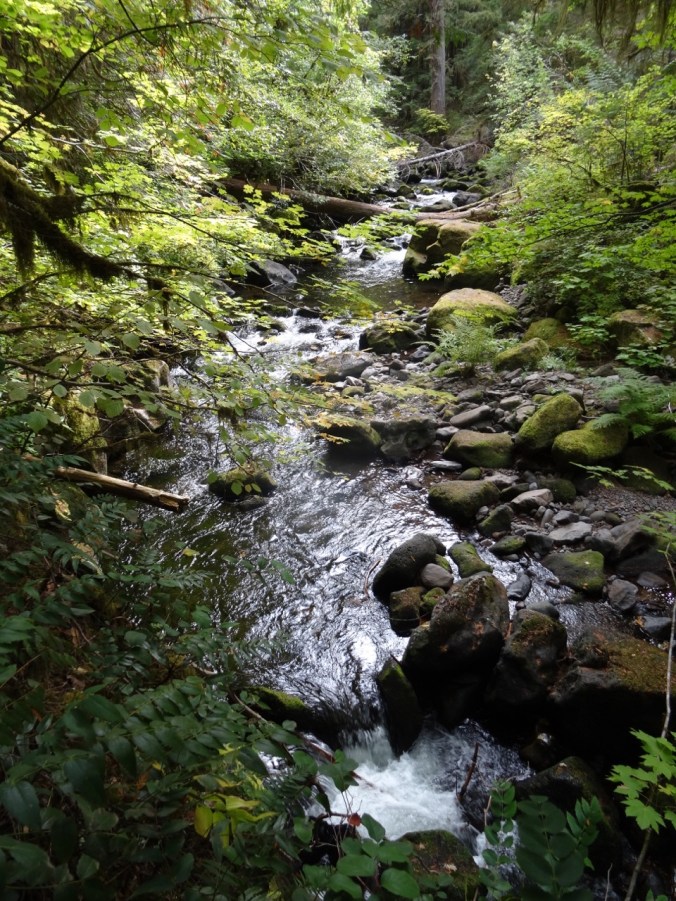
Downstream from the bridge.

DSC01637

Upstream from the bridge.

DSC01648

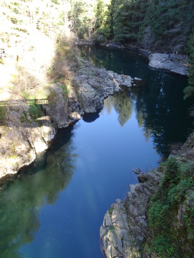
Looking down…

DSC01651

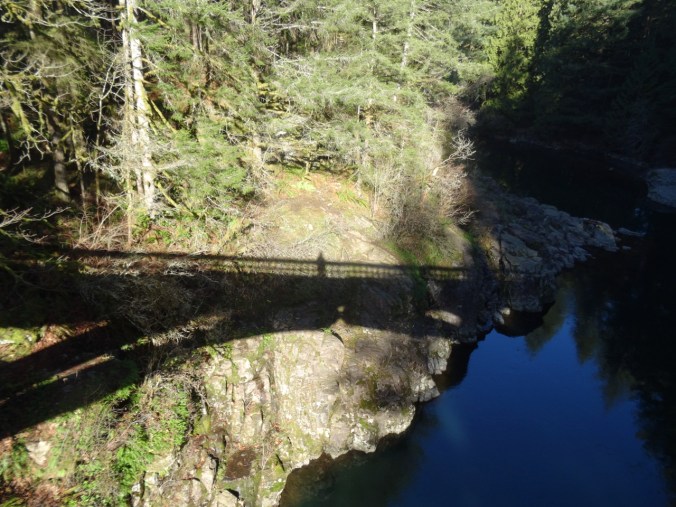
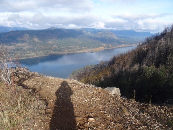
My shadow self portrait.

Up the Bells Mountain trail – about 1000 feet up in 1.5 miles, so a good work out.

DSC01662

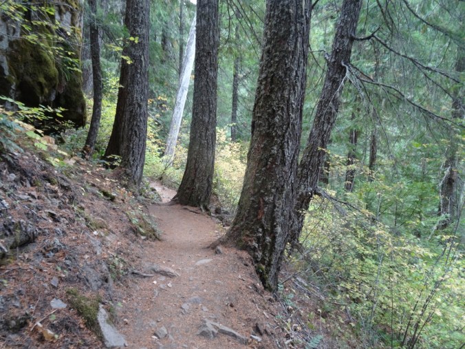
Uphill through ferns and second growth forest…

DSC01664

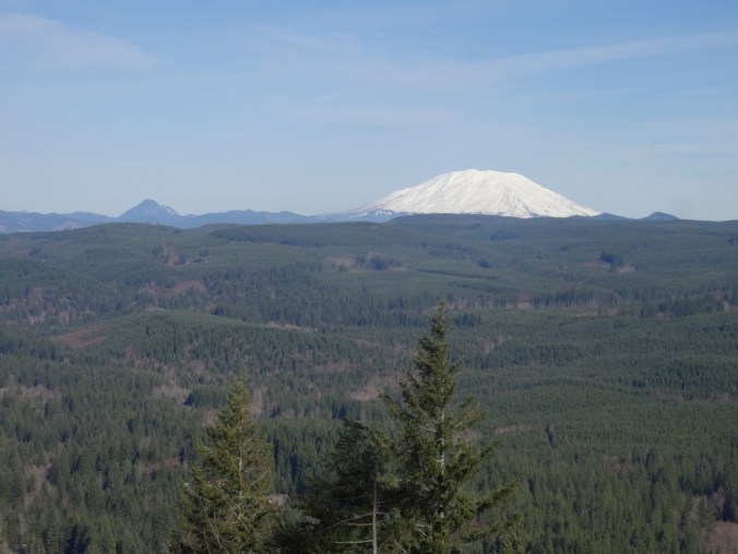
Until we cross a clear cut area, and the view to Mt St Helens opens up.

DSC01665DSC01667

DSC01670

Ice on the trail

DSC01675

Lunch time view – across the Lewis River area to Mt St Helens.

DSC01679

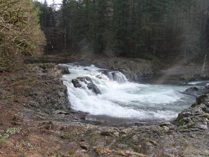
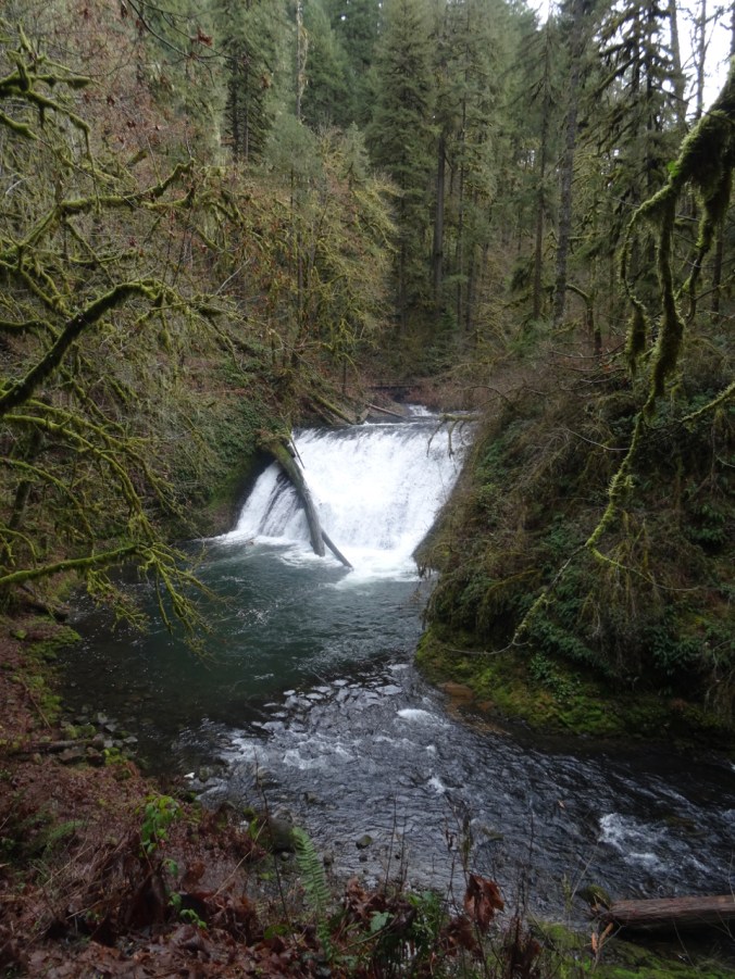
Passing Moulton Falls on the return hike

DSC01696

Nearby Yacolt Falls

And Lucia Falls:

DSC01710DSC01713DSC01721

Total for the day:  6.7 miles, 1100 feet, hike #7.

Knitting

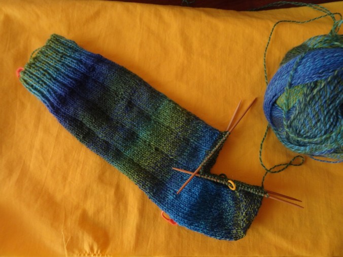
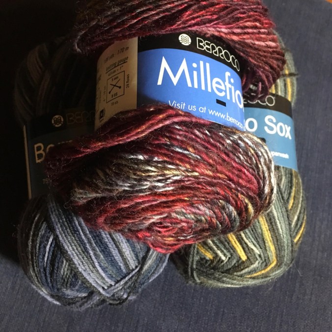
I finished my Brioche Watch Cap, after having to buy an extra skein of Berocco Millifiore yarn, just in time for snow in Portland.

DSC01725

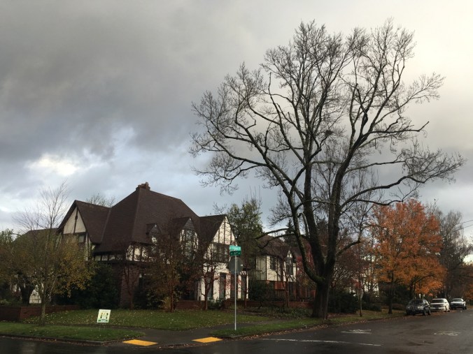
Neighborhood, 2/5/2019

Snow…

DSC01730DSC01732DSC01733

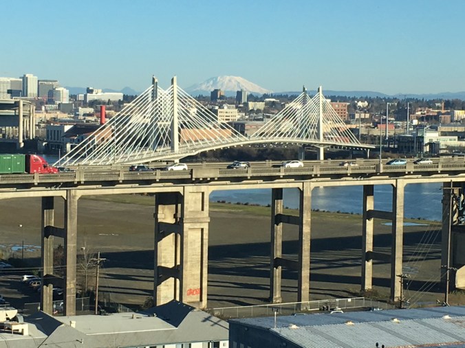
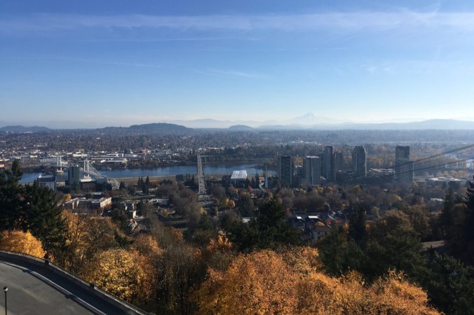
And a view of Mt St Helens and the Ross Island and Tilikum Crossing Bridges from the OHSU eighth floor waiting room. Latest follow up results are all good!

IMG_1843

1/29/2019


Silver Falls and Steigerwald

1/27/2019 Steigerwald Wildlife Refuge, WA

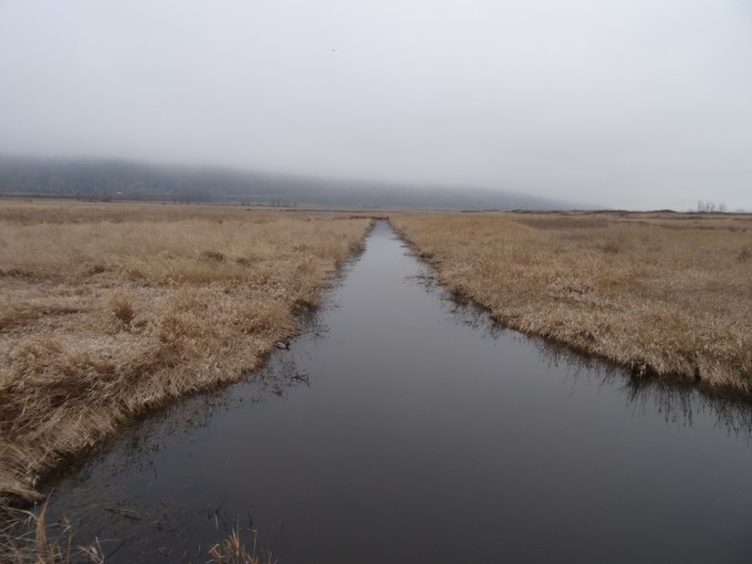
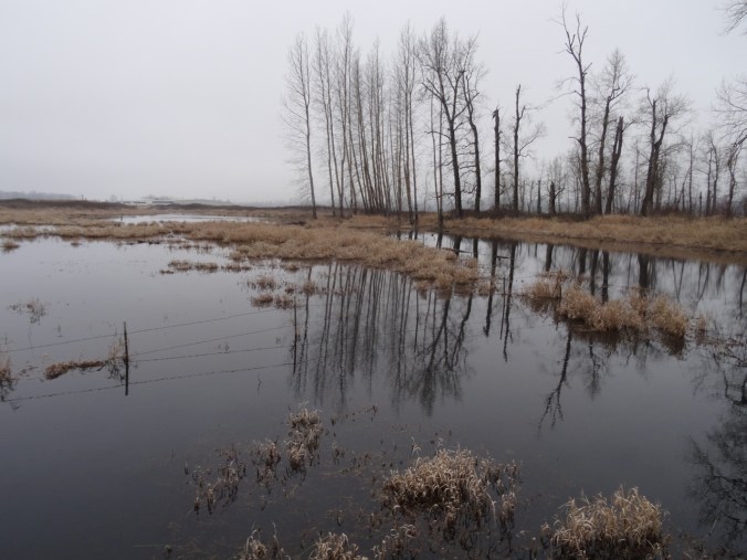
A short walk on a foggy day with one of our sons.

DSC01373DSC01375

DSC01378

Ducks

DSC01446

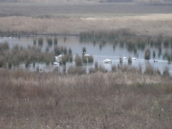
Swans

DSC01390DSC01396

DSC01440

Great Blue Heron near the bridge

DSC01424

Ephemeral reflections

DSC01425DSC01429DSC01430DSC01432DSC01433DSC01423

DSC01437

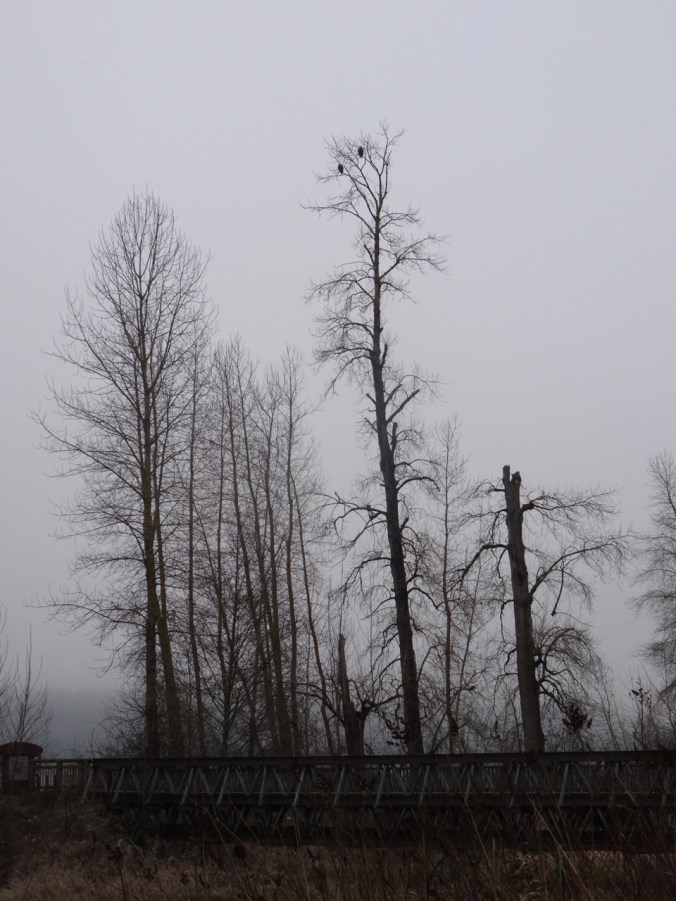
Bald eagle pair watching over all.

DSC01443

2.3 miles, hike #5 for 2019.

1/28/2019 Silver Falls, OR

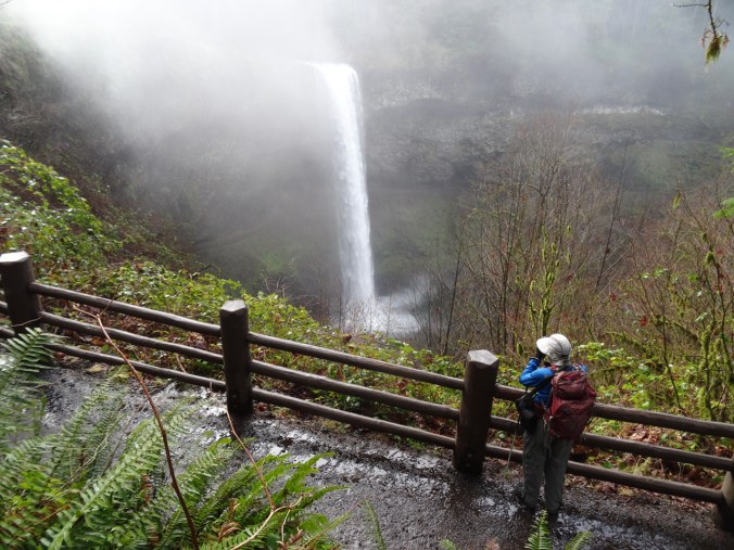
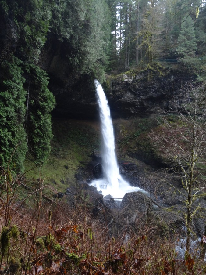
Windy and cold in Portland, but warmer to the south. We drove to Silver Falls State Park in the Cascade foothills east of Salem, Oregon, where the North and South Forks of Silver Creek fall in steep drops or shorter cascades over ledges of volcanic rock. We hiked the Trail of Ten Falls, though we skipped one – so the Trail of Nine Falls. One or more waterfalls every mile of the seven mile loop keeps the trail interesting. Lots of water in the falls, compared to my last visit in August of 2017!

South Falls 177 ft

We started at South Falls, but skipped the path behind the falls as I didn’t want to start out the hike wet.

DSC01454

South Falls from the upper viewpoint

DSC01467

DSC01472

South Falls from the bridge.

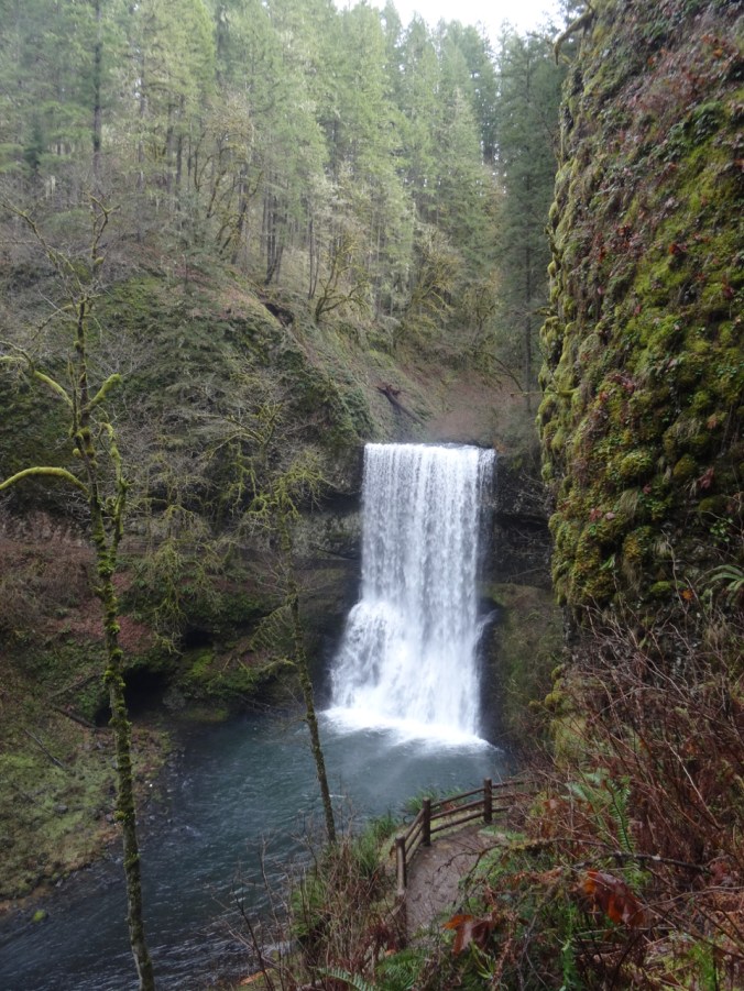
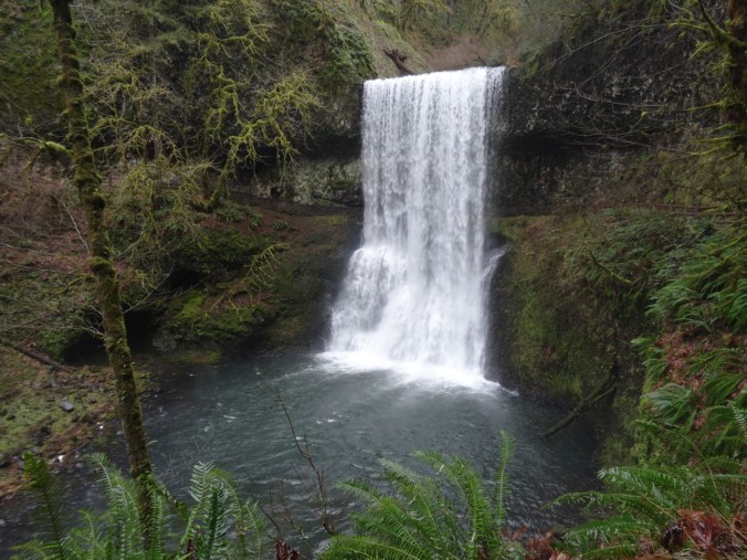
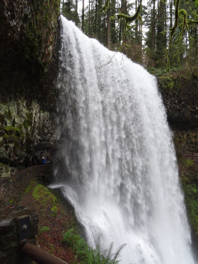
Lower South Falls 93 ft

DSC01484

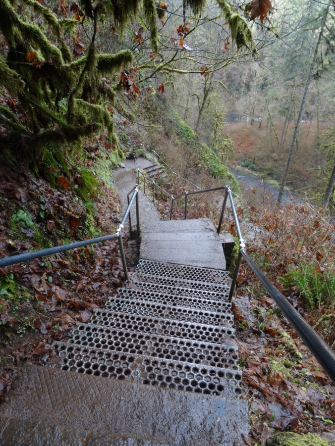
Stairs down the cliff.

DSC01485DSC01493DSC01497

DSC01503

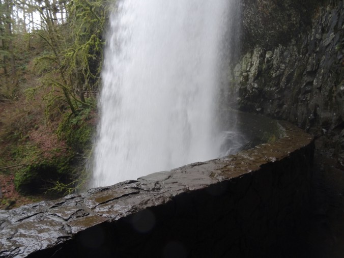
Walking behind the falls.

DSC01509

Dan on the left, emerging from behind the falls.

The trail follows the river, with occasional bridge crossings.

DSC01512

Lower North Falls 30 ft

DSC01518

Double Falls 178 ft

DSC01525

Drake Falls 27 ft

DSC01528

Named for the man who created the park.

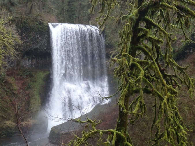
Middle North Falls 106 ft

DSC01540DSC01545

Twin Falls 31 ftDSC01557

North Falls 136 ft

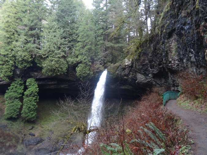
The trail leads behind North Falls.

DSC01576DSC01584

DSC01590

Behind the falls.

DSC01593

DSC01602

Looking back.

DSC01607

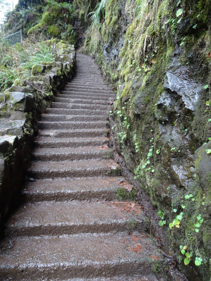
And now we have to climb up out of the canyon.

DSC01608

Looking back down at North Falls.

We did not walk the extra distance to Upper North Falls (65 ft), but followed the Rim Trail toward –

Winter Falls 134 ft

We only saw the upper lip of this one, though there is a trail down to the base.

DSC01620

Winter Falls rim.

This was the last waterfall of the hike (7.0 miles, 1200 feet, hike #6 for 2019).

Wildlife

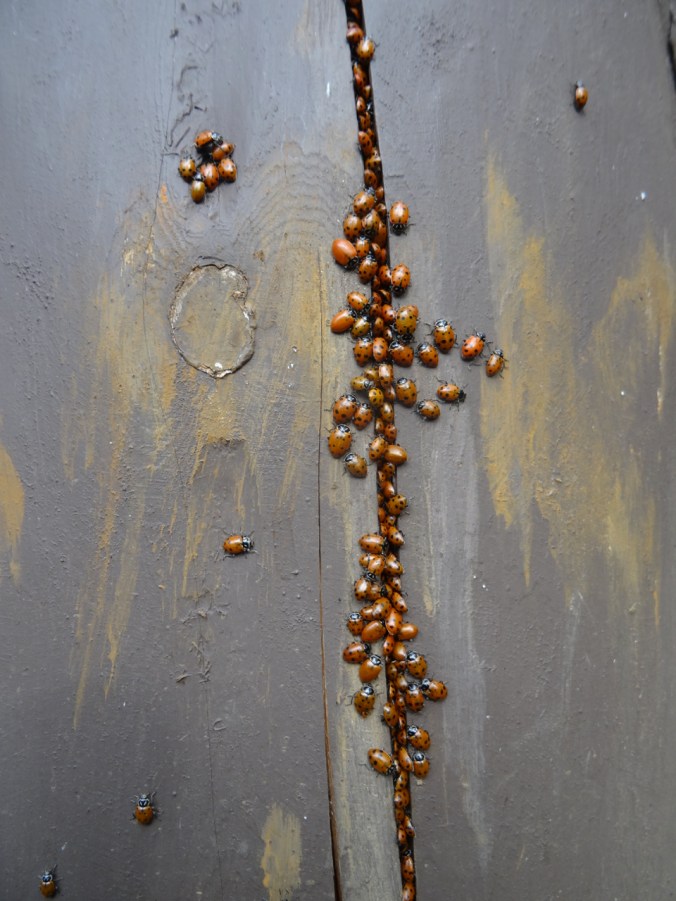
There was a ladybug picnic on one of the fence posts:

DSC01463DSC01465

Return to Angel’s Rest (18-53)

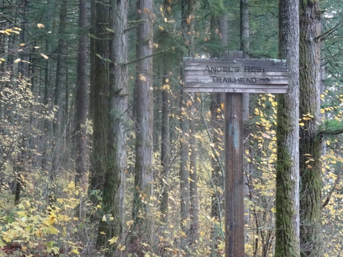
Angel’s Rest Trail, Oregon   November 24, 2018

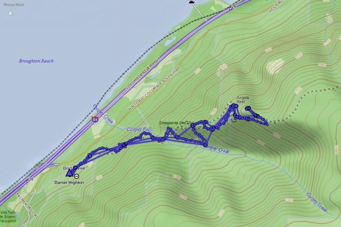
A few trails in the Columbia River Gorge that have been closed since the September 2017 Eagle Creek Fire were reopened for the first time this past weekend. We went to Angel’s Rest on Saturday morning, along with hundreds of other local hikers. It was with care, scrutiny, appreciation, and gratitude that we made our way up 1500 feet to the iconic views over the gorge. The trail was in great shape, thanks to the many trail keepers who have worked on recovery.

DSC00428

Into the woods

DSC00312

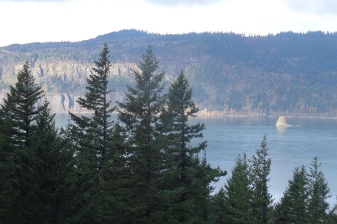
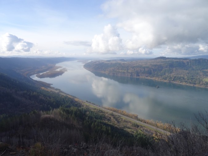
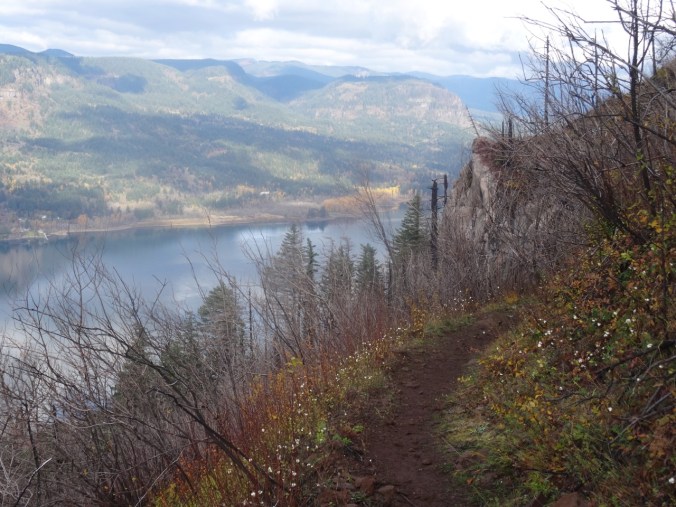
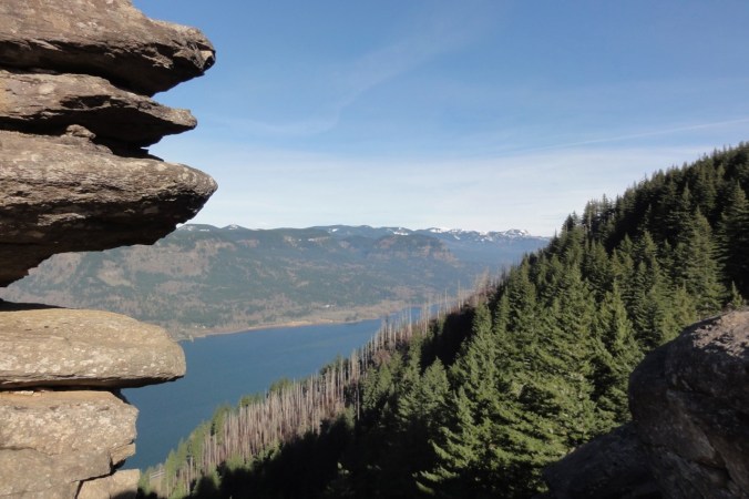
Views of Cape Horn, the Columbia River and Phoca Rock emerge on the lower trail.

DSC00315

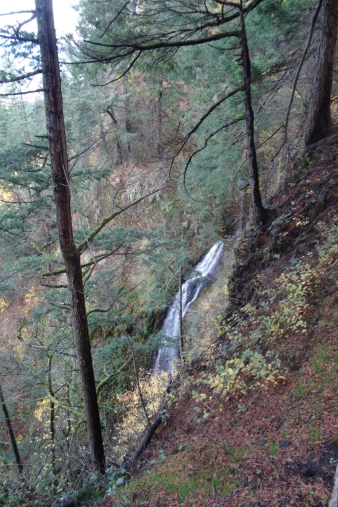
Coopey Falls

DSC00330

Angel’s Rest – our destination.

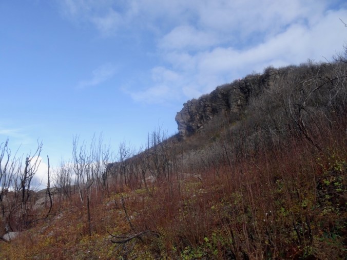
The trail begins to switchback up the front of Angel’s Rest.

DSC00339

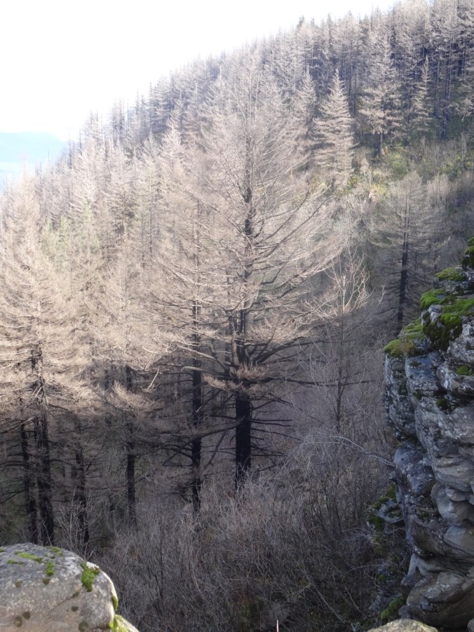
Burned tree trunks and open views line the trail.

DSC00347

First view west toward the trailhead.

DSC00349

Well repaired trail surface next to blackened trees.

DSC00351

Blackened stump.

Nearing the top, the views unfold:

DSC00361

To the west, from near the top.

DSC00370

The Hilary Step of Angel’s Rest – leads to the ridge crest. Sometimes there is a line of hikers waiting to go up or down.

DSC00411

From the top, looking toward the overlook where many rest.

DSC00380

Open view west – toward Portland, Cape Horn in Washington and Phoca Rock.

DSC00387

Open view east – toward Hamilton Mountain in Washington.

We wandered around on top for a while, admiring the view from various perspectives, and found a place to eat lunch.

DSC00394

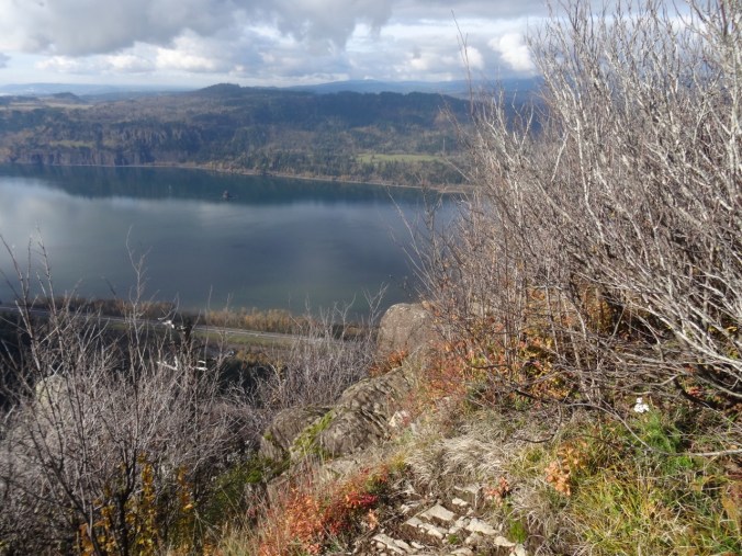
Closer view of Cape Horn in Washington.

DSC00395

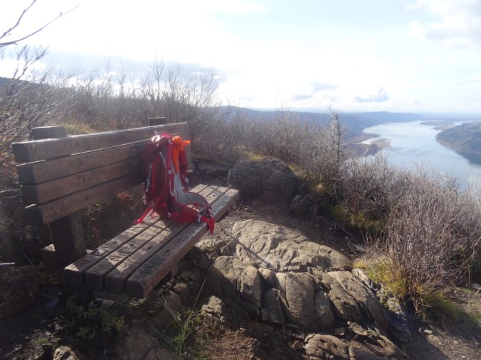
The bench is still there.

DSC00397

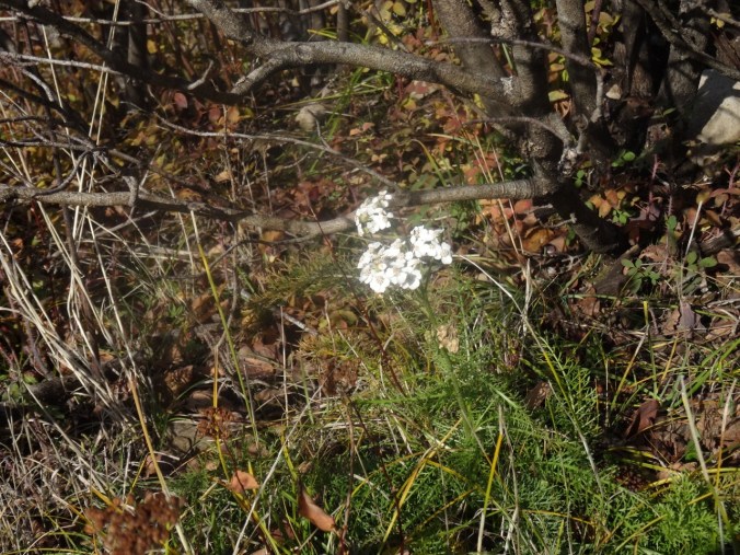
We saw a single blooming white yarrow near our lunch stop.

DSC00396

Yarrow

We headed down, stopping for a few more views along the way.

DSC00404

Looking back toward the top, where the first views are seen.

DSC00407

My shadow in the low November light.

DSC00413

My favorite sculpted shoreline of the Columbia River.

DSC00415

View through the rock piles.

DSC00416

Seasonal berries

DSC00417

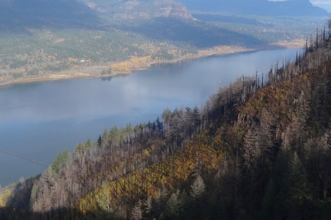
Trees that are burned, dying, no longer evergreen.

Looking back as we hiked down:

DSC00420

Where we were – and much more visible with all the undergrowth burned away.

DSC00422

White berries lined this part of the trail – not sure what they are – possible snowberries, or the dreaded poison oak.

Image 11-28-18 at 1.18 PM

Golden Hike of the year, #62, 5.2 miles, 1500 feet.

Look back:

I found a couple of comparison photos from previous hikes – this one in January of 2013:

DSC00623

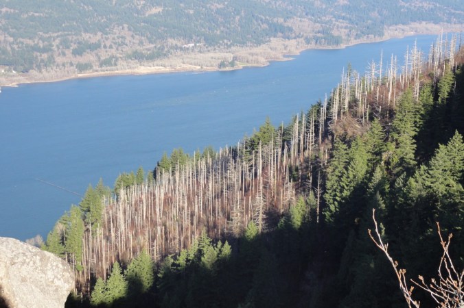
January 2013 – the white tree trunks are left from a fire in 1991.

DSC00368

November 2018 – the white trunks are blackened, and the green trees are now dying.

A closer view:

DSC00628

January 2013

DSC00400

November 2018

An image taken in 2017 from Cape Horn looking over to today’s hike to Angel’s Rest.

Version 2

Angel’s Rest, October 2017, From Cape Horn, WA.

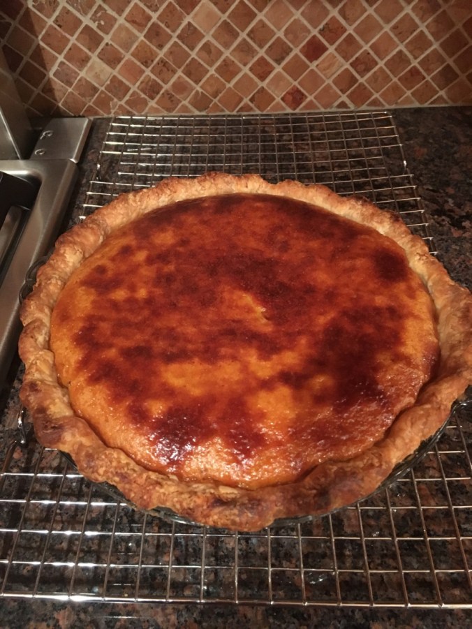
Pumpkin Pie

A lovely Thanksgiving dinner with a small gathering of family and friends.

56455561396__6DC3EE2D-A9BB-4FCC-907B-ADFF24C3AD45

Knitting

Another round cloth. Some new sock and hat yarn acquired from my LYS on Black Friday.

DSC00434IMG_1726

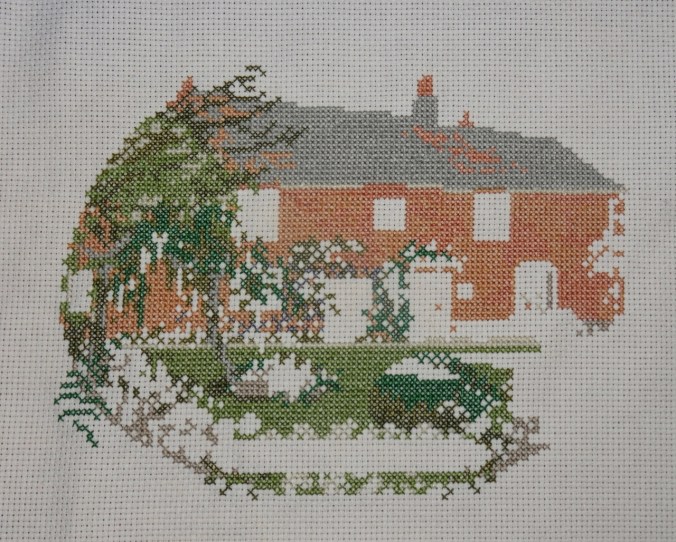
Jane Austen House Cross Stitch

I have been rather obsessively cross stitching in the evenings.

DSC00438

Neighborhood

Leaves fully gone from the flame ash tree.

IMG_1724

Other Adventures

It has been about a year since I was diagnosed with a pituitary tumor. I had another trip through the MRI this week to evaluate the tumor surgery site, accompanied by a Joni Mitchell soundtrack in my head this time. Fortunately, all appears well. And I could see all three mountains from the OHSU tram view patio.

IMG_1709

Mt St Helens on the left; the top of Mt Adams just right of center on the horizon. Tillikum Bridge over the Willamette River on the right.

IMG_1710

Tillikum Bridge on the left; Mt Hood on the horizon – looking east from the OHSU tram patio.

Falls Creek Falls (18-42)

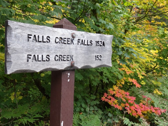
Falls Creek Falls Trail, Gifford Pinchot National Forest, WA     9/29/2018    (#54)

This trail provides fall foliage along Falls Creek, and an impressive waterfall at the terminus.

DSC09433

Colorful vine maples at the trailhead

DSC09436

Into the woods

DSC09452

Over the first bridge

DSC09459

Along the creek

DSC09475

Over the upper bridge

DSC09476

Around this turn we hear the falls

DSC09479

Then look up and see the upper falls

DSC09483

Middle and lower tiers (about 225 feet high) of Falls Creek Falls viewed from the end of the trail.

DSC09488

Lower plunge pool

DSC09489

Downstream view

After eating our lunch, we returned back down the trail,

DSC09496

Through the vine maple corridor

DSC09497

Under the big leaf maple canopy

DSC09502

With a pause by the stream

DSC09516

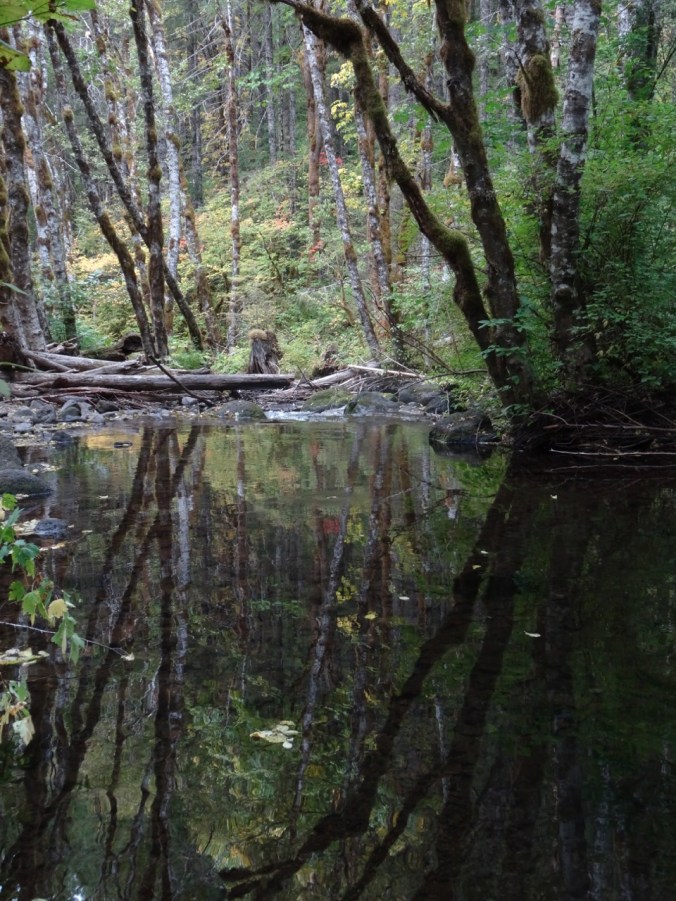
And another pause near the trailhead to play with the impressionistic reflections…

DSC09528DSC09536DSC09550DSC09555DSC09556

We saw a variety of leaf displays…

DSC09465

Vine maple – green

DSC09434

DSC09458

Vine maple – turning orange

DSC09443

DSC09501

Vine maple – orange

DSC09469

Solomon seal, with berries

DSC09432

Vine maple – red

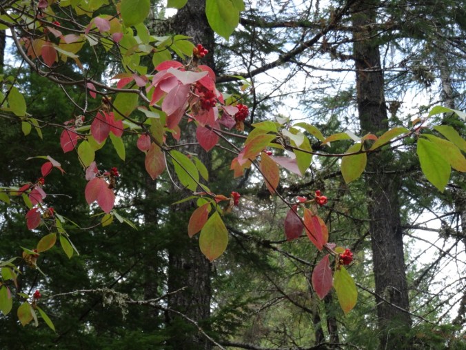
My new identification for the day was Pacific dogwood without the distinctive white flowers. In the fall it has red leaves and red seed pod clusters.

DSC09521

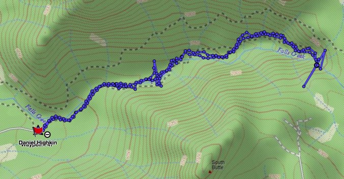
About 4 miles round trip and 800 feet.

Screen Shot 2018-10-01 at 6.00.23 PM

CRAFTING

I have made knitting progress on my Ivy Lace Cardigan and a round dishcloth.

DSC09562

Fall Equinox, Indian Heaven, WA (18-41)

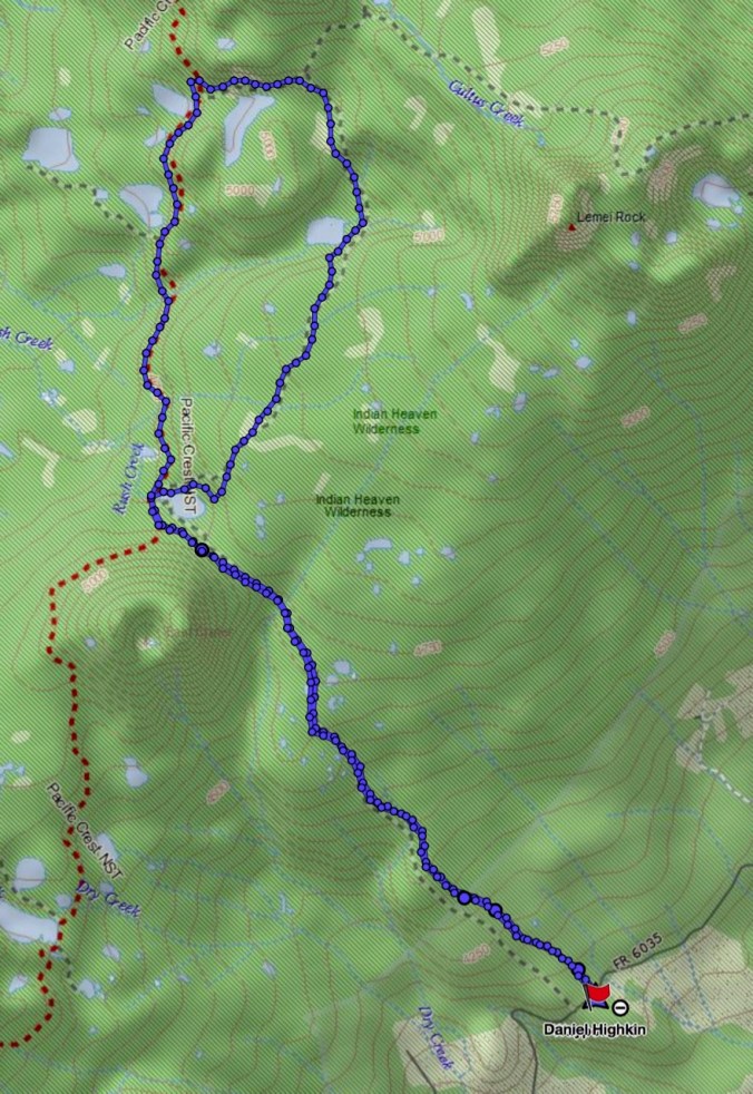
East Crater Trail, 9/23/18 (Hike #53)

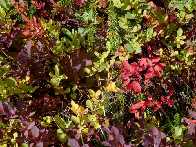
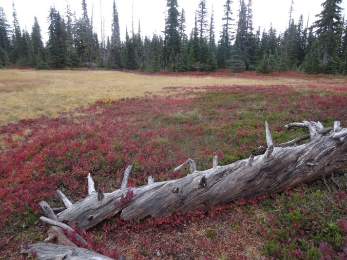
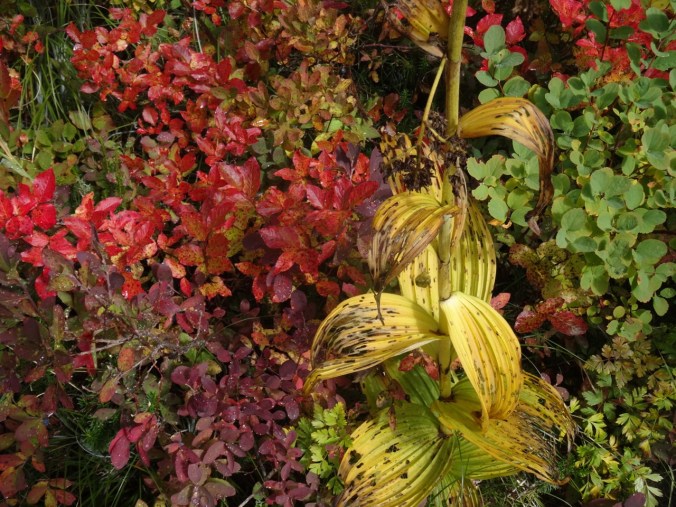
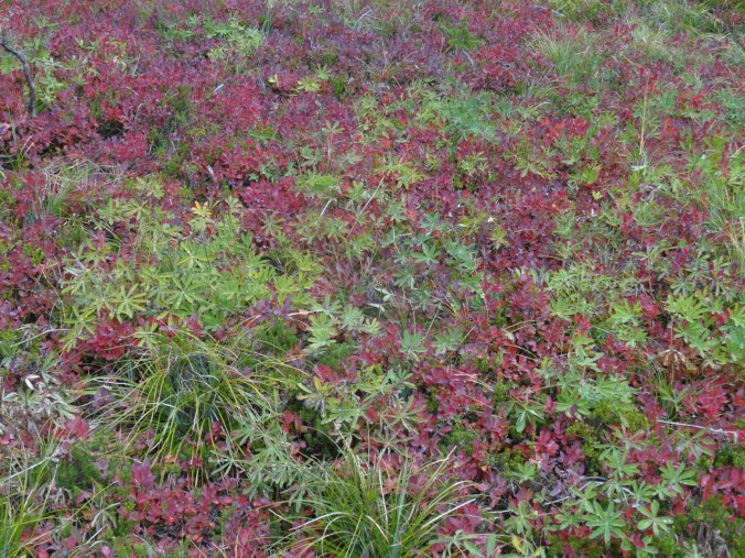
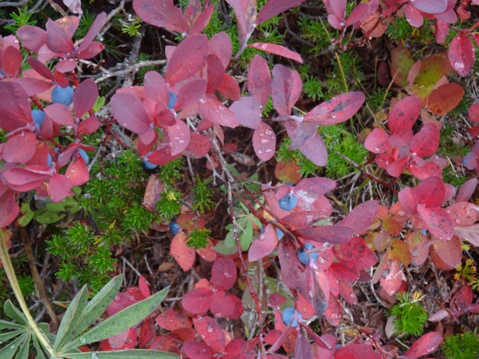
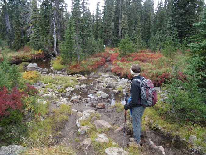
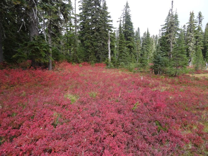
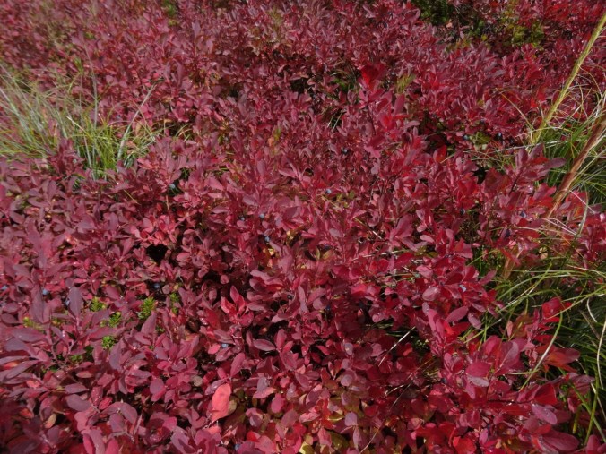
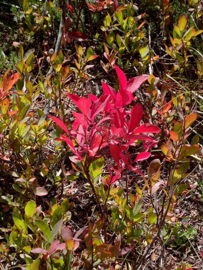
Indian Heaven is a landscape of lakes, cinder cones, forests and meadows in the Gifford Pinchot National Forest southwest of Mt Adams. The Pacific Crest Trail runs right through the center of the Wilderness on its northward path through southern Washington state. There are abundant wild huckleberries in late summer. By fall, the huckleberry and other foliage display a vibrant spectrum of bright colors – reds, oranges, fuchsias, magentas, yellows, yellow oranges and yellow greens that stand out in sharp contrast to the forest and lake greens and browns, and the sky blue.

Last fall the Indian Heaven Wilderness was closed due to the East Crater Fire that occurred at the same time as the Eagle Creek Fire, so we are back this year after a 2 year absence.

Today we hiked the East Crater Trail to Junction Lake in the center of the wilderness area, then completed a loop that passed several lakes and followed the Pacific Crest Trail back south to Junction Lake.

DSC09141

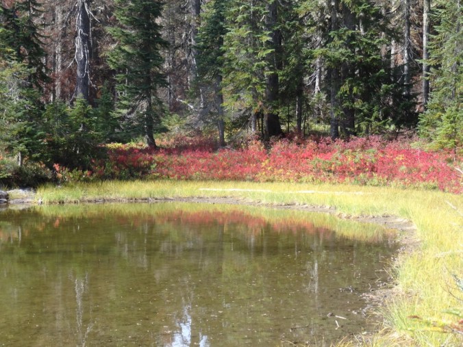
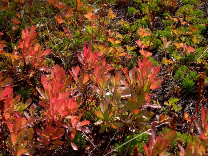
Red huckleberry bushes in the forest

DSC09154

Layers of color

DSC09159

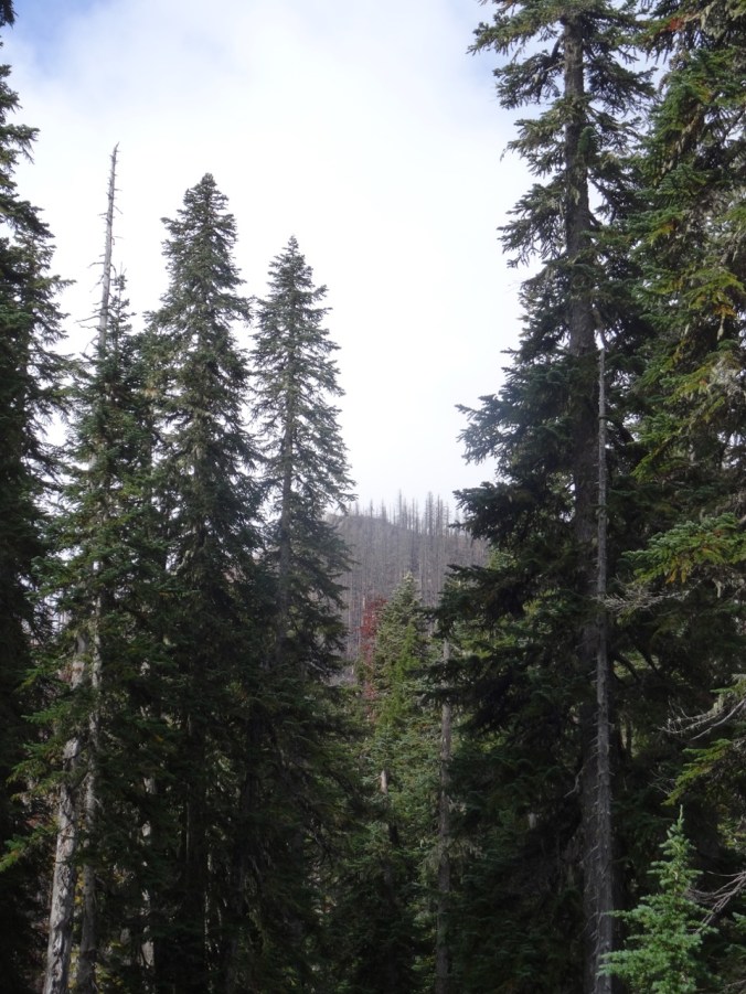
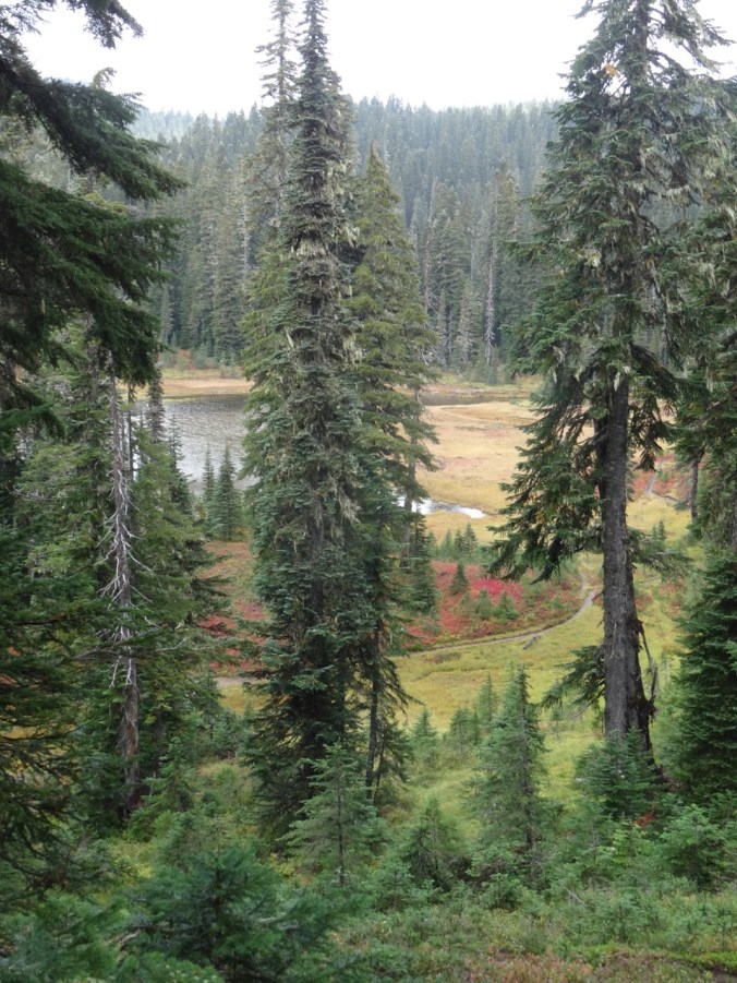
Unnamed lake just east of East Crater – the burn from last year seen beyond and above.

DSC09260DSC09262

DSC09164

Top of East Crater

DSC09173

Junction Lake

So much color in the meadows!

DSC09167DSC09179DSC09175DSC09182

DSC09184

Ripe huckleberries

DSC09185DSC09190DSC09186DSC09194

DSC09189

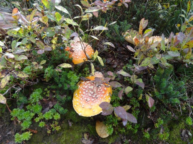
Amanita

DSC09200DSC09215

Dropping down to Lemei Lake where we had our lunch:

DSC09202

DSC09209

Lunch view

DSC09215

The southbound section of the Pacific Crest trail was more forested, with views through the trees of a couple of bigger lakes.

DSC09229

DSC09230

Bear Lake

We passed Junction Lake again, then hiked back to the trailhead.

DSC09232

DSC09233

Huckleberry and spirea

DSC09234

Mountain Ash

DSC09246

Huckleberry stump

DSC09245DSC09257

DSC09265

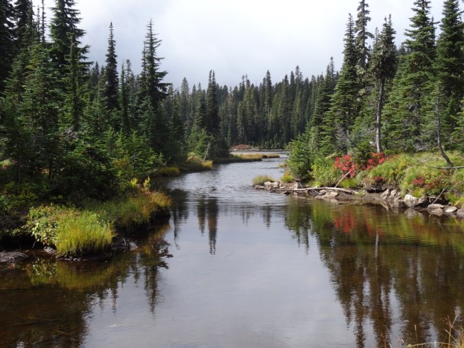
The last little lake on the trail out.

Our total for the day:  9.6 miles/1000 feet elevation.

Screen Shot 2018-09-23 at 9.33.50 PM

Panther Creek Falls

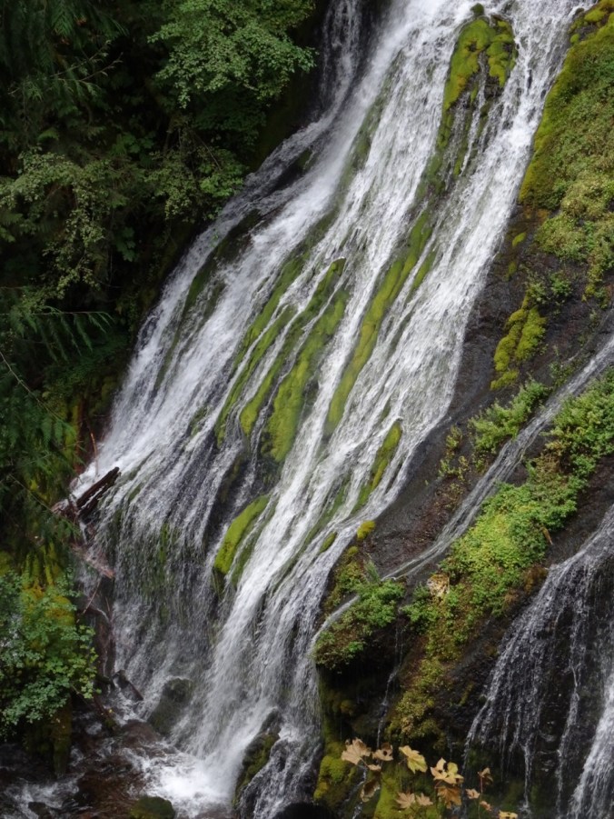
We made a quick stop on our drive home at this massive waterfall complex – there are three creeks that tumble together into the main branch of Panther Creek.

DSC09276DSC09281DSC09279DSC09283

Quilting

I went to the Northwest Quilt Expo in Portland and purchased some fabric for my next quilt project:

DSC09431

Late Summer Adventures, Part 2 – Crater Lake and the Obsidian Trail (18-39)

Crater Lake 9/12/2018

We left Boardman to drive to Sisters, Oregon for another few days of hiking. The webcams at Crater Lake National Park showed the smoke haze had mostly lifted, so we added a side trip to see Crater Lake.

We had been to Crater Lake about 20 years ago, but our visit that summer was early in the season and there was too much snow to do much more than admire the view from the one small area that was accessible. It has been a goal to return and hike down to the lake, take the boat to Wizard Island, and hike to the many viewpoints around the lake. We were foiled again this year by the extremely bad air quality that was present during the time we had planned, but at least we got to see the views on a nearly clear day and admire the absolutely blue water.

DSC08486

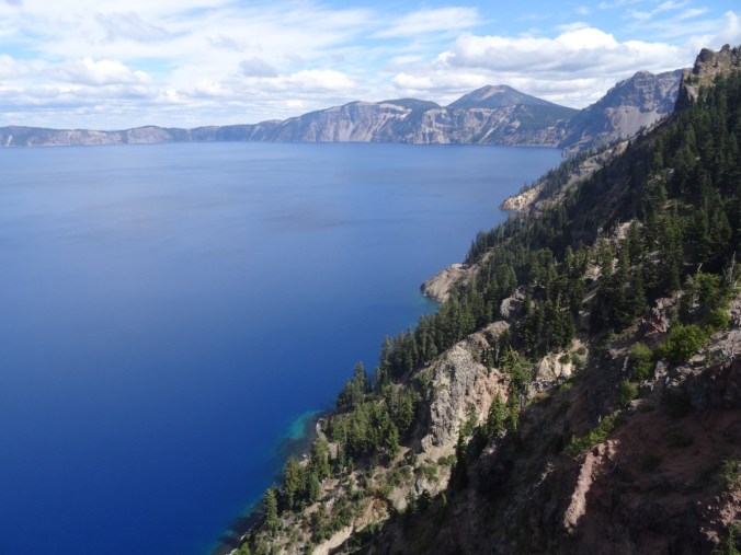
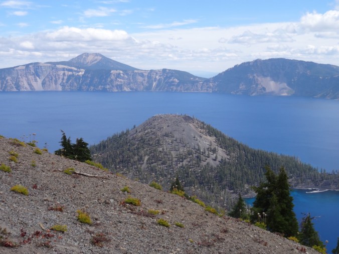
Discovery Point – first view of the lake and a sign showing what Mt Mazama looked like before the eruption and collapse that created Crater Lake.

DSC08490

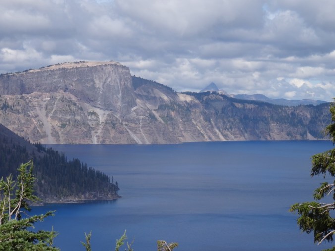
Close view of Llao Rock; Mt Thielson in the distance.

DSC08506

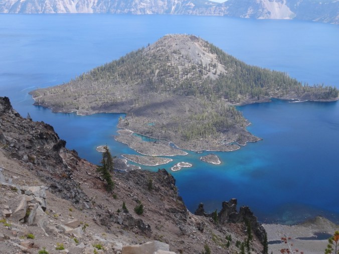
Wizard Island

DSC08498

South view to Garfield Peak

DSC08516

Wizard Island and Mt Scott beyond

DSC08517

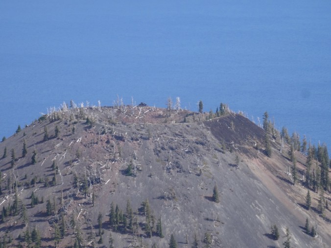
Crater at the top of Wizard Island

DSC08543

The tropical blue water in the shallows around Wizard Island

Obsidian Trail 9/13/2018

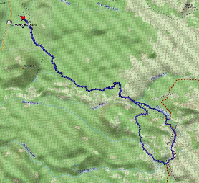
We have stayed in Sisters, Oregon several times, but have yet to explore all of the trails in the area. This was our first time to hike in the Obsidian Area of the Three Sisters Wilderness (#50) (12 miles, 2000 feet).

Screen Shot 2018-09-21 at 4.30.07 PM

The first few miles are through forest, including part of the 2017 Milli Fire burn zone.

DSC08558

Obsidian trail

DSC08560

Bear Grass and huckleberry foliage

DSC08563

Sims Butte through the Milli burn zone

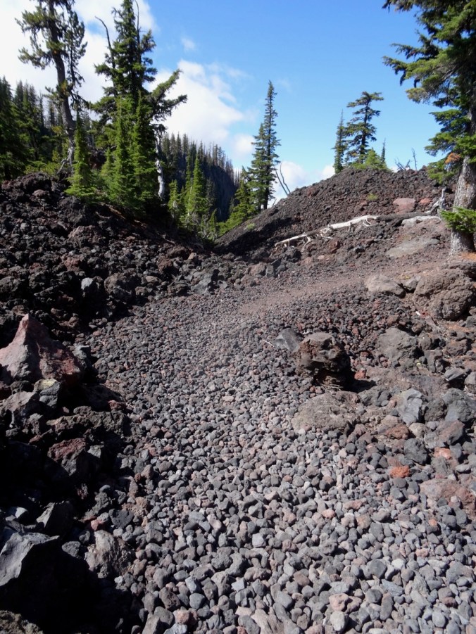
At about 3.5 miles, the trail ascends over and through a lava flow, with views to the Obsidian Cliff and to North and Middle Sisters – though today the Sisters were hiding in clouds.

DSC08565

Trail up the lava flow

DSC08568

Obsidian Cliff with burned forest above

DSC08583

Trail through the flow

DSC08588

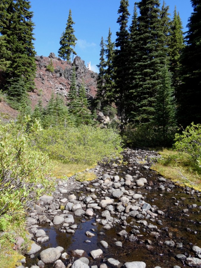
White Branch Creek on the other side

The trail continues up through forest, meadows and past interesting rock formations.

DSC08614

Middle Sister in the clouds

DSC08619

DSC08630

Late summer pasque flower meadow with Obsidian Cliffs beyond

Next we reached Obsidian Falls.

DSC08657DSC08652

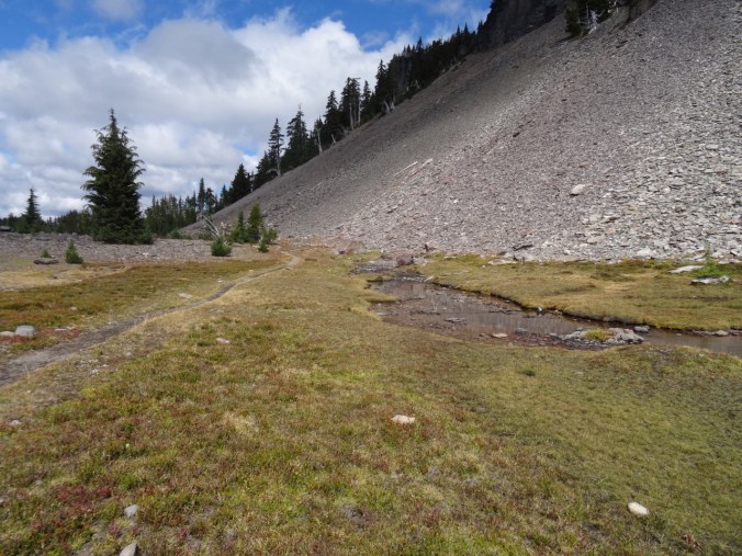
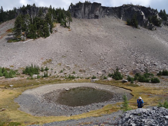
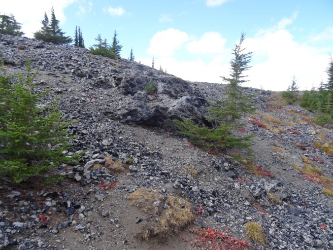
Beyond the falls is a high basin with a spring and a pond between a craggy cliff and an Obsidian flow.

DSC08678DSC08687DSC08695

DSC08699

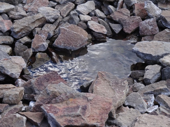
A bubbling spring at the base of the cliff

DSC08702

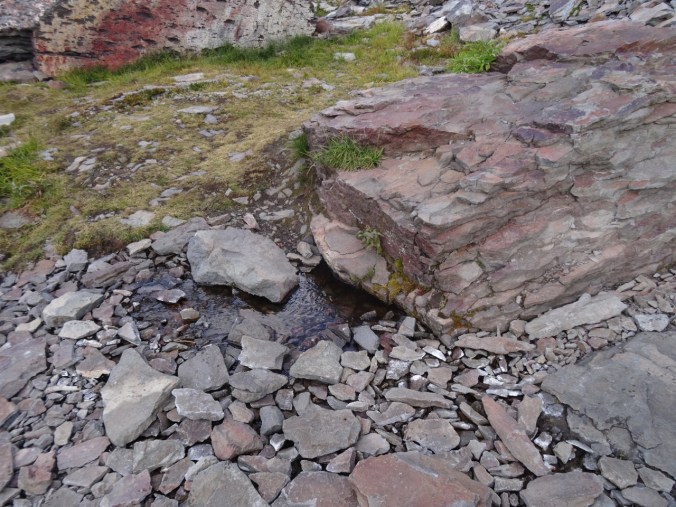
Another spring

DSC08707

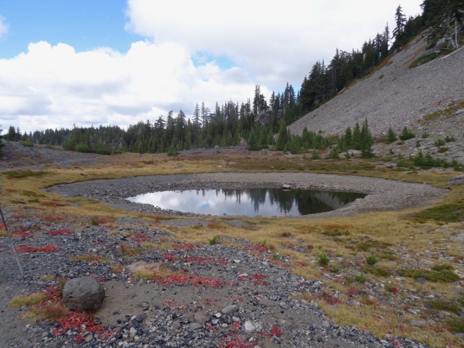
A pond

DSC08719

Dan photographing the Obsidian flow

DSC08709

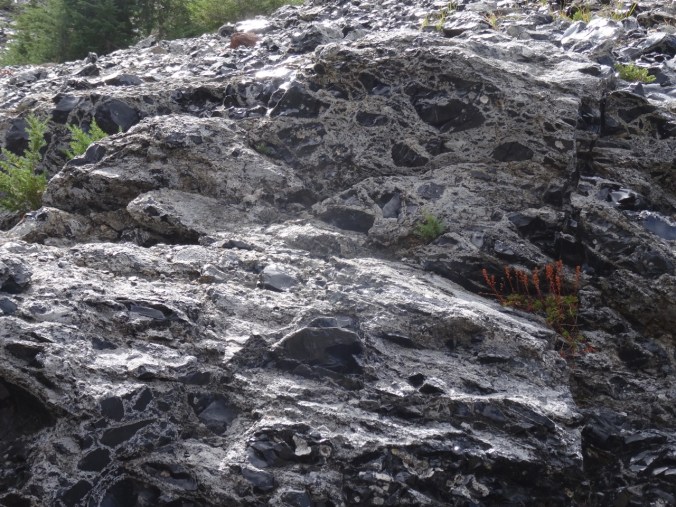
Obsidian flow

DSC08715

Closer view of the obsidian

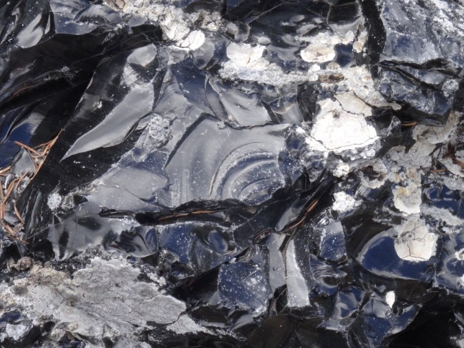
DSC08717

obsidian

DSC08731

conchoidal fracture

Over the dividing ridge is another pond.

DSC08739DSC08745

We continued around the loop to cloud obscured views of North and Middle Sister, a good view of the Little Brother, and a view down to Glacier Creek.

DSC08746

The Little Brother

DSC08762

Glacier Creek, cloud obscured Sisters

DSC08767

The Little Brother

The trail descends to Sunshine Meadow along White Branch Creek.

DSC08774

Mt Washington and the Belknap Craters from the trail

DSC08776

Huckleberry lined path to Sunshine Meadow

DSC08780

The last magenta paintbrush in Sunshine Meadow

DSC08778

and an obscured view of the Sisters

We continued down the Glacial Way, back over the lava flow

DSC08785

Lava flow ahead

DSC08795

Clearest view of the day of Middle and North Sisters

DSC08816

Fall colors

DSC08822

Collier Cone – a future destination.

and back through the burn zone to the trailhead,

DSC08830

which, after twelve miles for the day, I was very glad to see.

Sparse but welcome wildflowers today:


Dee Wright Observatory

We had to drive over Makenzie Pass to return to the town of Sisters at the end of the day, so we stopped for a quick overview:

DSC08833

Dee Wright Observatory

DSC08846

Belknap Craters and Mt Washington to the north.

DSC08850

Cloud covered North and Middle Sisters to the south.

Cascade Lakes Weekend & ‘Tour de Craft’/Week 2 (18-30)

We love hiking in the Three Sisters Wilderness area just west of Bend, Oregon, and so planned a weekend of hikes. Our daughter wanted to join Dan to hike to the top of South Sister, and one of our sons decided to join them at the last minute. Dan and I drove out Wednesday evening. The ‘kids’ joined us Thursday evening, then returned home after the Friday hike. It was hot everywhere, but we had some beautiful hikes through summer meadows.
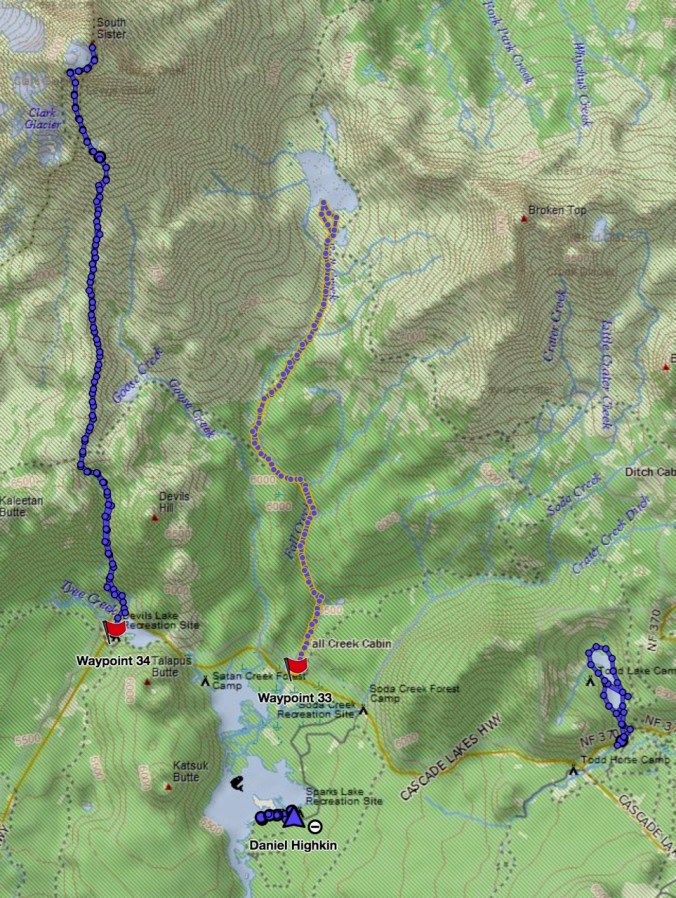
Screen Shot 2018-07-22 at 10.01.39 PM


A weekend of GPS tracks.

Green Lakes    Thursday 7/19/2018  (Hike#42)

My choice for Thursday was to hike into the Green Lakes basin between South Sister and Broken Top. It is a lovely hike along Fall Creek. The first two miles are through partially shady forest, with numerous waterfalls and cataracts to look down upon.

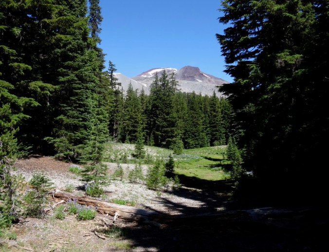
Eventually South Sister comes into view above the trees.
DSC06725

DSC06726

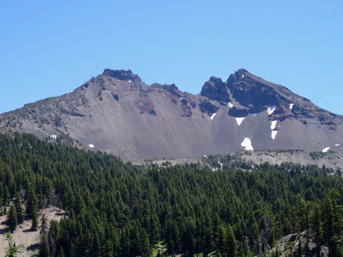
South Sister; true summit behind Hodge Crest.

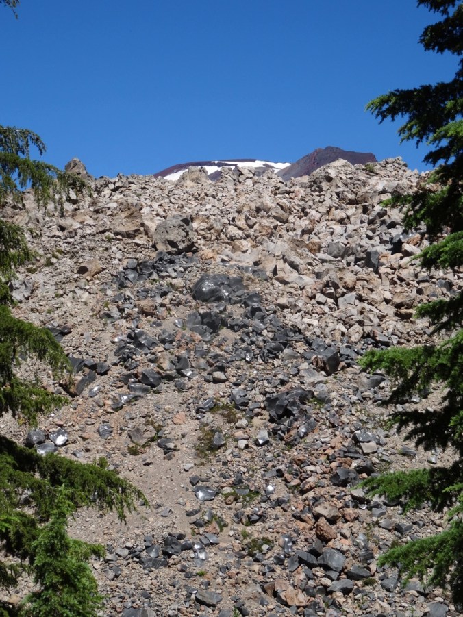
The upper trail is bound to the west by a wall-like volcanic flow studded with large chunks of shiny obsidian that glint in the sunlight.
DSC06734

After two switchbacks, the remainder of the trail is lined with blooming alpine riparian plants – so pleasant to walk along that I was able to ignore the sun and the gradual climb.

Once into the Green Lakes Basin, the looming Broken Top and a view of the Hodge Crest of South Sister, as well as a peek at the top of Middle Sister to the north, surround the stunning very cold Green Lakes.

DSC06755

Broken Top beyond the southernmost Green Lake
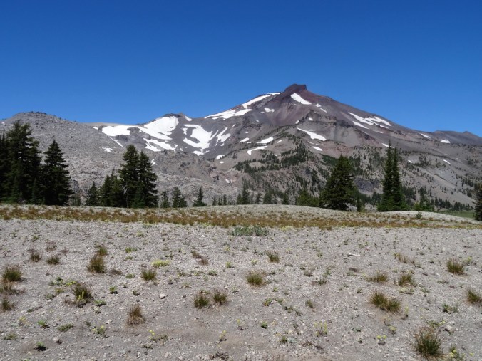
DSC06760

South Sister

DSC06763

Just the top of Middle Sister on the right skyline

We rested in the shade for a while, first with a view of Broken Top,
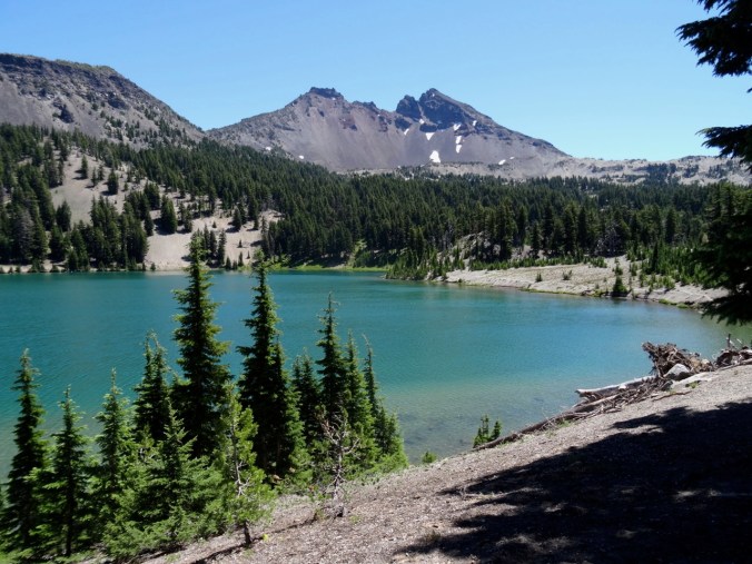
DSC06770

Lunch view of Broken Top

DSC06772

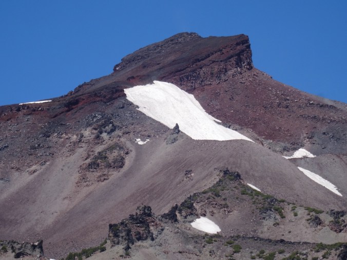
Zooming in…

then with a view of South Sister. From this viewpoint we can only see the Hodge Crest, which is about 300 feet lower than the true summit.
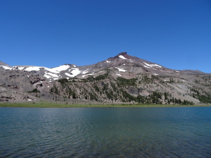
DSC06784

South Sister

DSC06786

Zooming in

DSC06787

Zooming in more

DSC06799

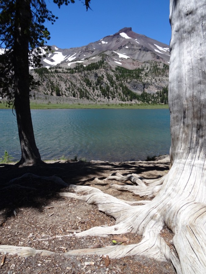
Artsy view with tree roots

The meadow flowers that grow on the moraine-like surface of the Green Lakes basin showed me a couple of new flowers I hadn’t seen before.

So many flowers in the meadows:

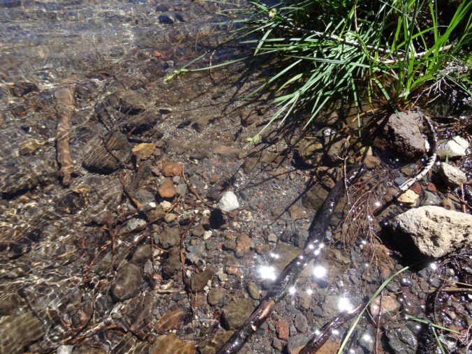
And, for the first time, I spotted a floating rock (pumice) in the wild. We used to float pumice in Intro Geology labs many years ago. Of course it must be a common occurrence in this volcanic landscape where the surface is speckled with pumice stones, but this was a first sighting for me.
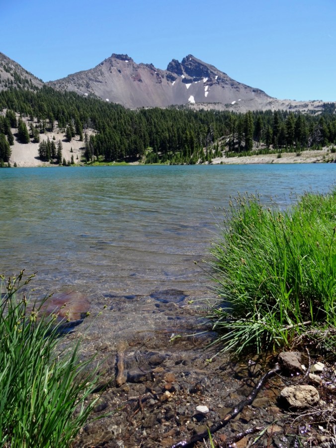
DSC06809

Floating pumice in Green Lake, Broken Top beyond.
DSC06802

Floating pumice rock

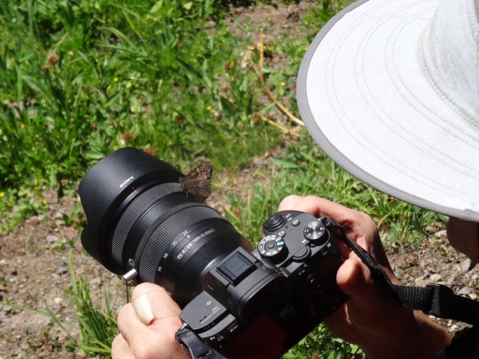
Critters: We saw a frog in one of the creeks, and Dan was photobombed by a butterfly he was trying to photograph:

DSC06826

frog

DSC06857

butterfly

We retraced our steps back to the trailhead. The total for the day, 9.2 miles/1200 feet was the longest I have hiked this spring. The elevation rise on this hike is very gradual, so I found I could manage. I am glad my body cooperated today after the fail last week. It was not quite as hot here, and there was a breeze that helped.

Spa Day/Dan and Brian climb South Sister 7/20/2018

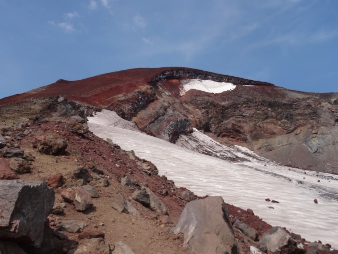
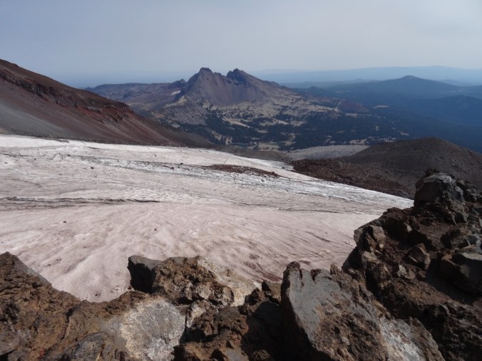
Two of our children accompanied Dan up the grueling trail (5000 feet/12miles round trip) to the top of South Sister (elevation 10,358′). I hiked part of this trail in 2015 – about 4000 feet and ten miles of it. I got to the point where I was looking over at the top of Lewis Glacier, about 1000 feet below the summit.
DSC05836

2015 – My view from my turnaround point, 1000 feet below the summit of South Sister
DSC05823

2015 – Lewis Glacier on South Sister and view to Green Lakes basin below Broken Top
DSC05824

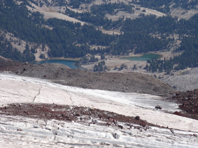
2015- Zoomed in view to Green Lakes, where we hiked yesterday.

Emily went about half way up today, but her running injury to her calf caused her to turn back, and so I got to spend part of my down time at the hotel with her. The guys made at the top:

IMG_0865

Brian and Dan on the top of South Sister, 7/20/2018. Middle and North Sisters to the immediate north. Beyond are several Cascade Peaks: Mts Washington, Jefferson, Hood and Adams

Todd and Sparks Lakes 7/21/2018  (Hike#43)  

Today we took two leisurely flat hikes, for a total of 3.5 miles.

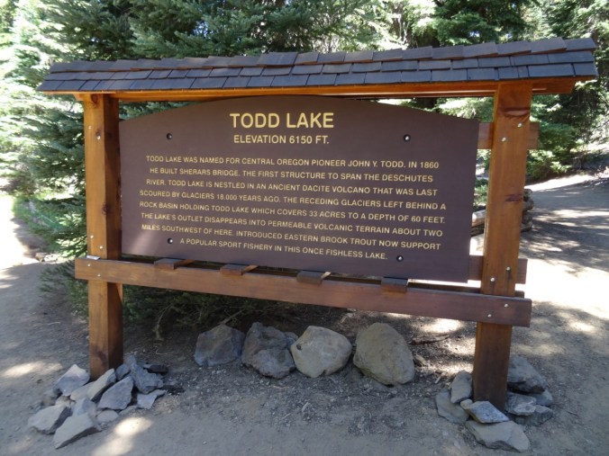
Todd Lake

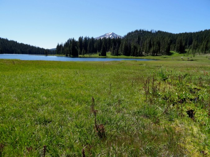
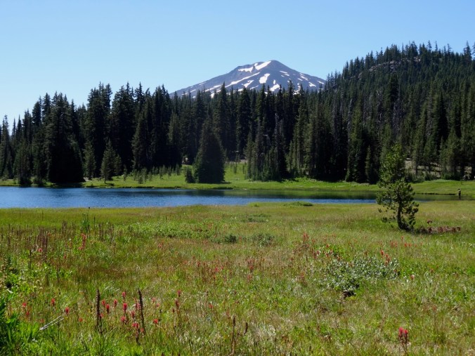
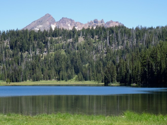
We had never been to Todd Lake before – the challenge here on a summer Saturday is to nab a parking space, but we got one, so we wandered slowly around this sparkling gem, views alternating to the east side of Broken Top and the northwest side of Mt Bachelor above the forests and wildflower meadows. It really was a perfect little stroll along the lakeshore with a nice breeze to cut the heat.
DSC06878

DSC06880

Broken Top across Todd Lake

Polliwogs were swimming along the lake shore.

DSC06889DSC06891

Wildflowers in abundance along the southern shore

This inlet had both magenta and red-orange paintbrush –

DSC06913

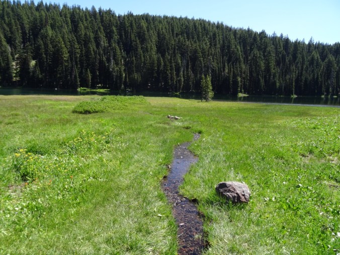
Wide meadows on the west side of Todd Lake had swaths of elephant head that were mostly past bloom, lots of paintbrush, trickling streams lined with flowers, and views to Mt Bachelor.
DSC06911DSC06923DSC06921DSC06930DSC06938

We ate lunch near a trickling inlet with views of Mt Bachelor

As we walked into the forested north shore trail, the wildflower suite changed a bit.

Back to the starting point of the loop, Broken Top is in view again.

DSC07012DSC07008

SPARKS LAKE

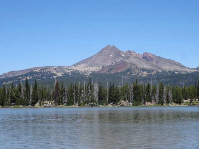
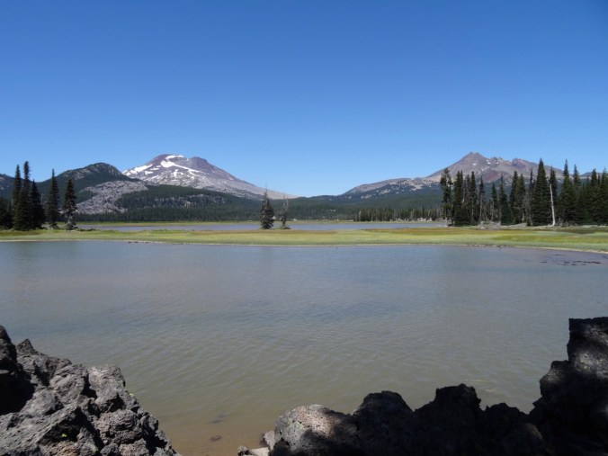
Then we drove down the dusty road to the Roy Atkeson Trail at Sparks Lake. We walked a short way down the trail to the stunning viewpoints across lava rock and the shallow lake to South Sister and Broken Top from a slightly different, southern vantage point.  Hotter here, and fewer flowers, but still a worthwhile visit.
DSC07024

South Sister and Broken Top from Sparks Lake

DSC07023

Dan, South Sister

DSC07017

Broken Top

DSC07032

The flowers:

DSC07063

Dee Wright Observatory    7/22/2018

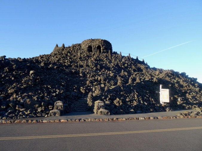
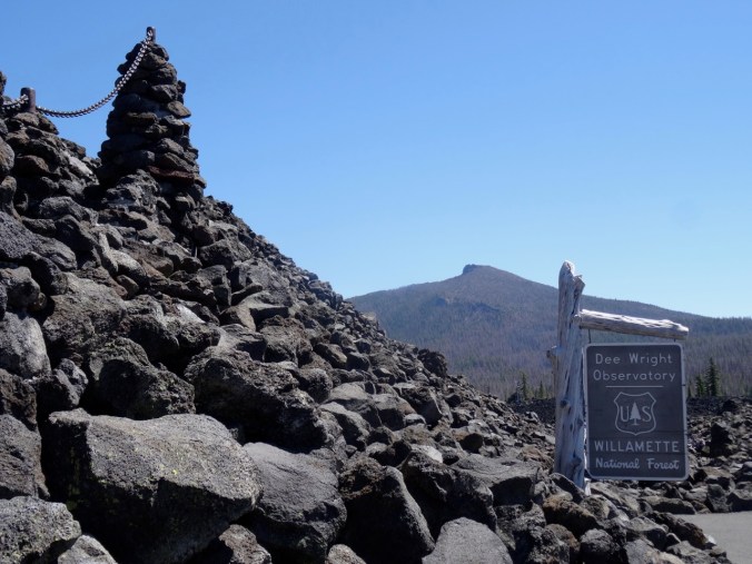
On our drive home on Sunday, we took a side trip to McKenzie Pass to this famous lookout in the lava fields between the Three Sisters and Mt Washington.  I love the expansive views and sere landscape.
DSC09444

Dee Wright Observatory (2016 photo)

DSC07080

History

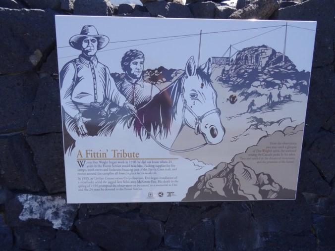
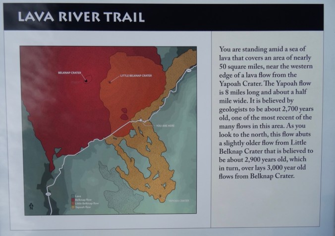
There is also a short trail through the lava field here, with signage about the geologic history of the McKenzie Pass area.
DSC07959

DSC07114

A lava stairway winds to the top of the observatory with panoramic views the whole way.

DSC09445

2016 photo

DSC07082

North and Middle Sisters

DSC07093

Northward view

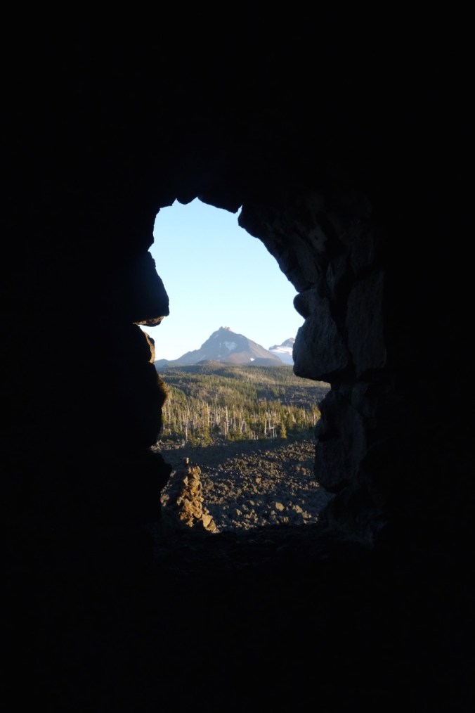
The shelter at the top is also a peak finder with windows framing the significant mountains.
DSC09460

Window framing North Sister (September 2016)
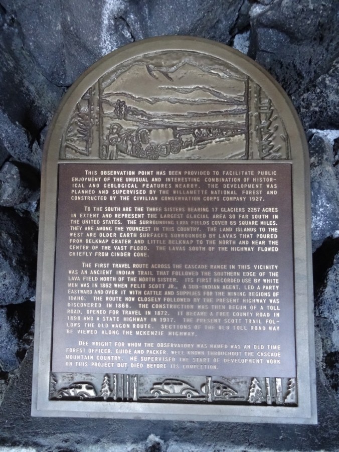
DSC07107

Historical plaque inside the shelter

The stairs continue to the upper viewing platform above the shelter to 360 degree views.

DSC09464

2016 photo

The brass peak finder at the top provides reference points in every direction:
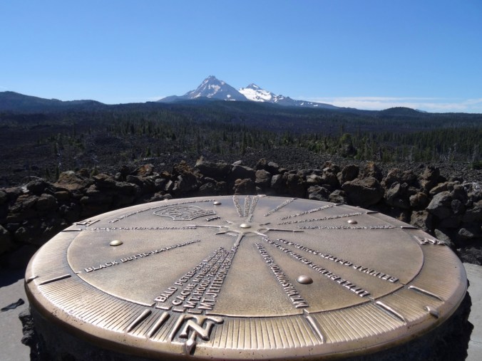
DSC07092

North and Middle Sisters

DSC07089

Closer view

Belknap Craters, Mts Washington and Jefferson and points north:

DSC07102

We could actually see all the way to Mt Hood today  – a little white point over the shoulder of Mt Jefferson.

In 2015 we hiked to the Belknap Craters on a windy day.
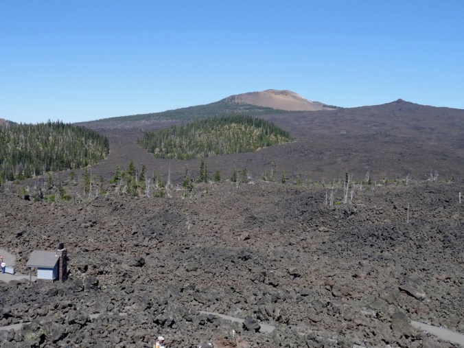
DSC07094

Belknap Craters

DSC07096

Closer view of the where the trail goes through the lava field.

Black Crater, to the east:
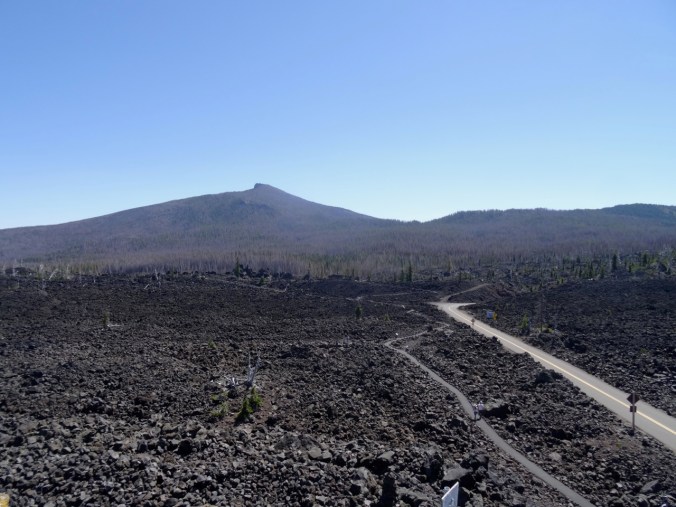
DSC07090

We have experienced sunsets, moonrises, wind and thunderstorms here, and spotted wildfires in the distance. Today, as we drove the 15 miles from Sisters, we passed through the blackened landscape from the Milli fire here last year.

DSC07078

Black Crater 2018, with blackened forest on the flanks.

DSC09448

Black Crater, September 2016, at sunset – note the shadow of the observatory in the foreground, and the green trees on the slopes in the background.

Tour de Craft

Tour de France is getting exciting this week – the cobblestones,  Alpine stages, and change of hands of the yellow jersey. I look forward to finishing this Welcome Blanket– just the binding to go – though our central Oregon trip has cut into my craft time.

DSC07120

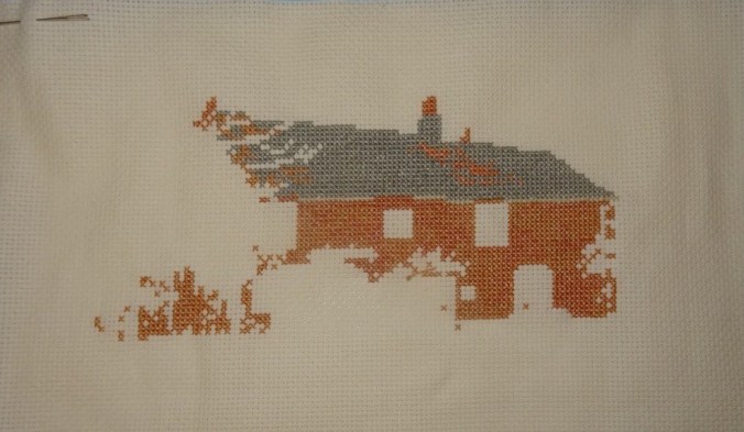
I knit about an inch on my Cornwall sock, and added few stitches into the roof of Jane Austen’s cross stitch house.
dsc07125-e1532563599855.jpg

Garden

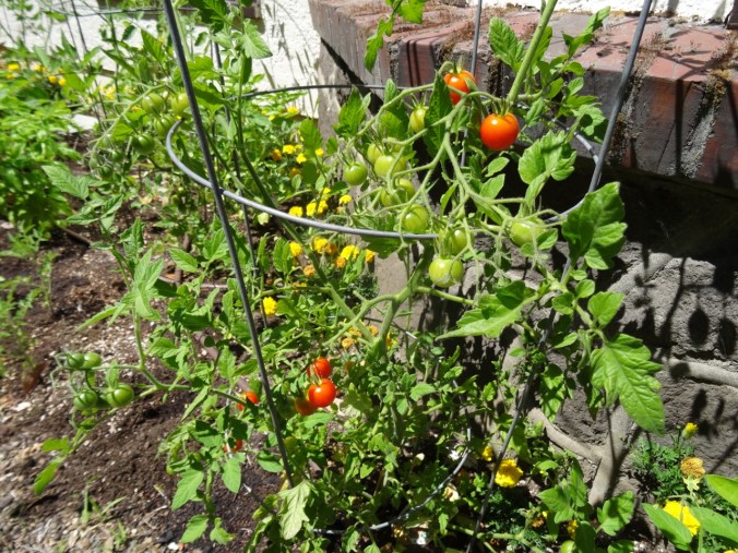
We ate our first ripe tomatoes this week, and we have plenty of basil.
DSC07127

Ripe tomatoes

DSC07129

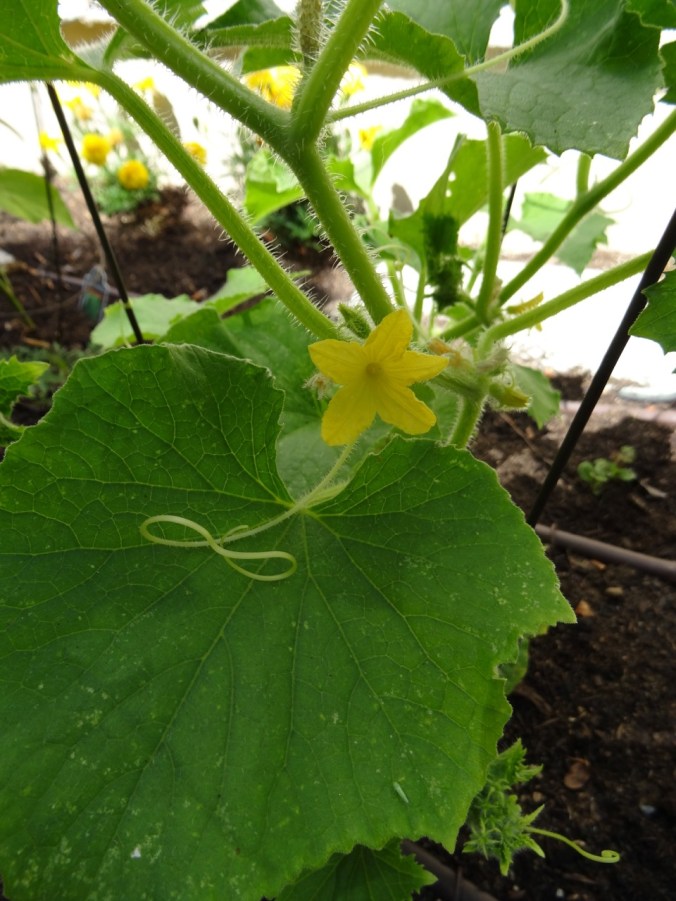
Cucumber flowers but no fruit

DSC07130

DSC07132

First Rudbeckia bloom!
Cape Horn again, June 16th, 2018 (18-23)

Cape Horn Trail, Washington,  June 16, 2018,  (Hike # 37)

We hiked the upper section of the Cape Horn trail, from Strunk Road to the Waterfall Overlook, with stops at the Nancy Russell Overlook. The last of the larkspur and lupine were hanging on. Prolific flowers were cow parsnip, tiger lily, candy flower, columbine and penstemon. 3.5 miles, 600 feet. Previous hikes: May and November, 2107.

DSC06212

Upper trail

DSC06222

Into the woods

DSC06245

Tiger lilies and cow parsnip

DSC06267

Waterfall

The views:

DSC06271

East along the Columbia River toward Beacon Rock

DSC06270

West toward Sand Island

The flowers:

CRAFTING

I’ve turned the heel on the first of the Cornwall socks:

DSC06301

I began the Jane Austen House cross stitch kit, a souvenir from my visit there in April.

DSC06302DSC06305

GARDEN

We have planted tomatoes, basil, jalapeño, cucumber and parsley – time tested and always consumed in our household.

DSC06294

Garden flowers in bloom:

Starvation Creek again (18-22)

Lower Starvation Loop Hike, June 10, 2018      (hike #36)

We did this hike in early May last year, in the rain, with rainbows, and with early spring flowers. This year it was still a bit rainy, but we managed to hike on a wet weekend when Mt Hood actually received more snow! We saw the late spring flowers – always interesting to see what blooms next. And our daughter, temporarily home from college before heading off for her summer adventures, joined us. I got to practice my uphill in a steep section, but the hike was much shorter than last week. And I don’t think my new treatment regimen gave me any setback at all, so Yay!  (3.2 miles, 800 feet)
Views from the high point:

DSC06137

East – Columbia River and trailhead parking below

DSC06160

North to Dog Mtn

DSC06150

West, Wind Mtn, no rainbows this year

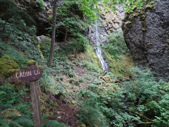
Cabin Creek crossing, a fairy glen:

DSC06111

Photo shoot with Dad:

DSC06152

Wildflower suite:

Wet foliage:

DSC06144

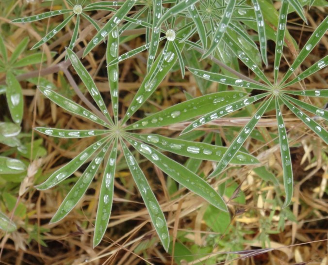
lupine

DSC06113

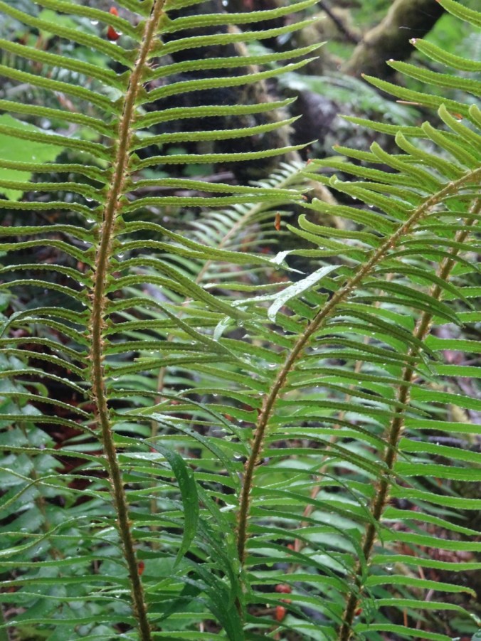
ferns

Waterfalls:

DSC06175

Lancaster Falls

DSC06182

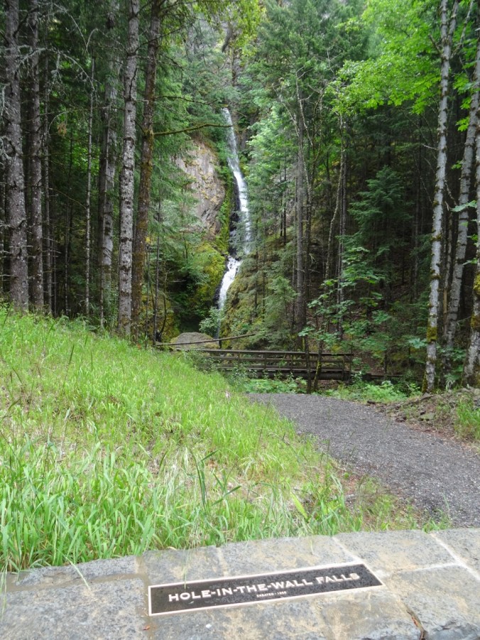
Hole In The Wall Falls

DSC06187

Cabin Creek Falls

Wildflower Lookback:

DSC04105

May 2017 – monkey flower, rosy plectritis, blue eyed Mary and shooting stars in the meadow

DSC06166

June 2018 – dry meadow

CRAFTING

I finished cross stitching the Elgol scene, and removed the guidelines.

DSC06189

Next I will decide how to frame it. And get started on one of two new cross stitch projects waiting in the wings.

DSC06194DSC06199

I find the focused attention of counted cross stitching soothing these days. I also ordered fabric to make a baby quilt for our niece.

Astoria, Oregon; London Museums (18-19)

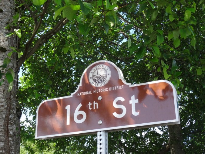
Memorial Day weekend visit to Astoria, Oregon

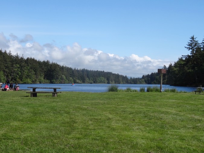
May 26-28, 2018   A family member was camping at Fort Stevens State Park, so we made plans to stay in Astoria for a couple of nights and visit them. On Saturday we took a short walk to Coffenbury Lake from the campground.

DSC05595

Coffenbury Lake, Fort Stevens State Park

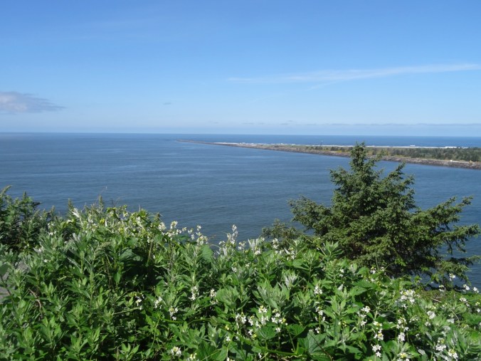
It was a beautiful evening, so we headed north to Clatsop Spit for a picnic on the beach, then visited several viewpoints to admire the clear views in every direction. We looked back toward Astoria, north toward Washington and Cape Disappointment, and west to the jetties that bound the shipping channel over the Columbia Bar.

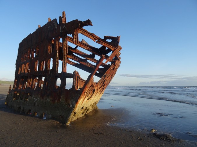
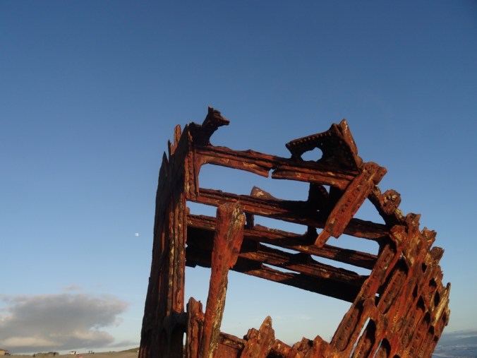
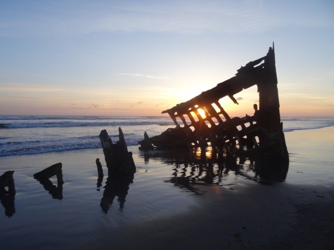
By sunset we made our way to the beach where the Wreck of the Peter Iredale slowly rusts away in the surf. This is an iconic Oregon landmark we had never visited, so I was glad to finally see it profiled against a colorful sky.

DSC05685DSC05686DSC05690

DSC05729DSC05733

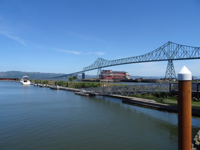
Sunday morning we drove across the Columbia River on the Astoria-Meglar Bridge to Washington.

DSC05860

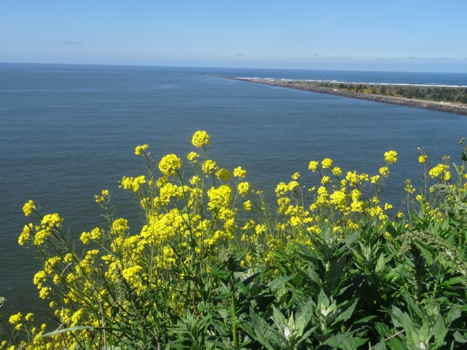
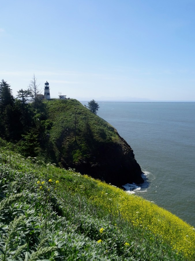
We had once visited Cape Disappointment on a disappointingly foggy day. Today was sunny and clear. We took the short hike to the lighthouse and the Lewis and Clark Visitor Center.

DSC05777

Lewis & Clark Visitor Center

DSC05780

North Jetty

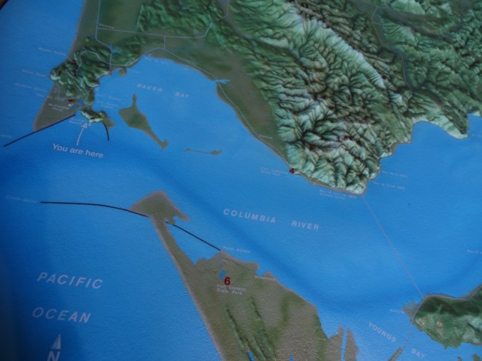
Lewis and Clark made it to this point, but did not recognize the mouth of the river because of the wide expanse of the estuary.  We had beautiful views today, and interesting exhibits, including a decommissioned fresnel lighthouse lens – always so fascinating to look at.

DSC05822

DSC05816

Wallflowers and north jetty

DSC05817

Looking back toward the lighthouse

DSC05824

Map view of the mouth of the Columbia River

Later in the day we returned to Astoria and bought some fresh spring Chinook salmon to BBQ at the campground with our family members.

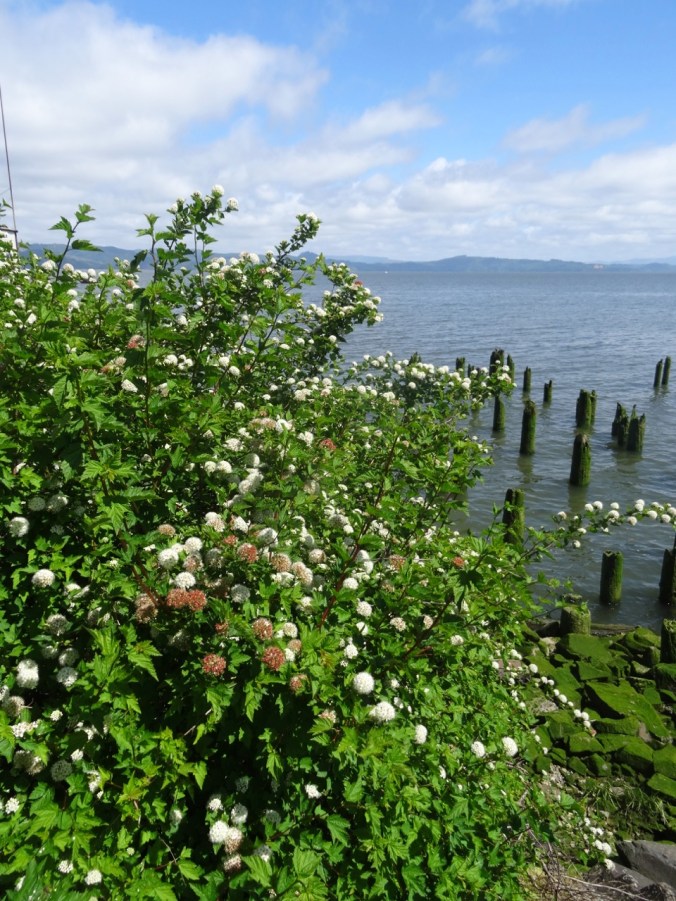
Monday we took a stroll along the waterfront in Astoria.

DSC05875

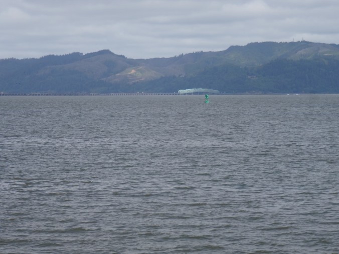
View to Washington

DSC05885

DSC05880

Cormorant on old pilings

DSC05871

Old pilot car

DSC05867

DSC05877

Pacific nine bark

DSC05897

Waiting for salmon to bite

DSC05903

Looking back up hill to the Astoria Column

We stopped to eat our lunch at Youngs River Falls before returning home.  A pleasant weekend getaway.

England Trip Report Part 2

Day 2: London, Museums in the rain          April 27, 2018

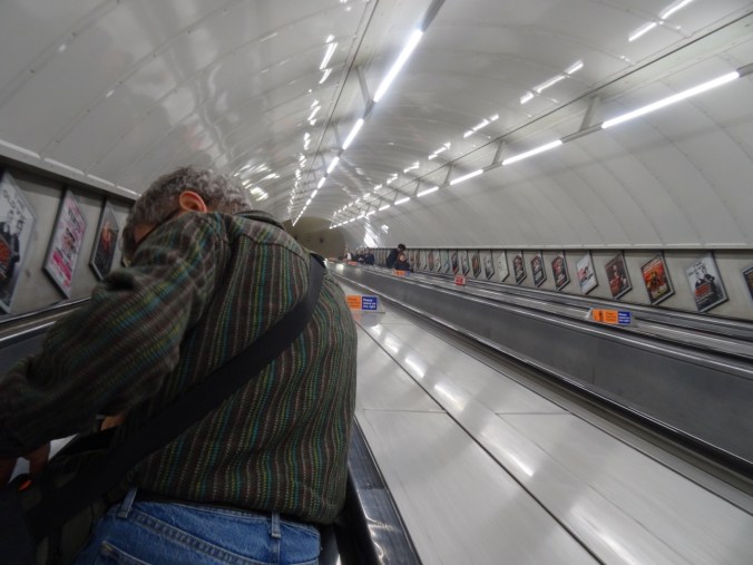
A rainy day. It was only two tube stops to the Victoria & Albert Museum in South Kensington. We didn’t even have to leave the underground – a long tunnel leads to the museum entrance. When we visited in 2011, the textile exhibit had been undergoing renovation, and I was hoping to see it this visit. But it turns out that there is no longer a textile wing. Textiles are scattered throughout the museum in various exhibits. Some highlights of our viewing:

From the Europe 1600-1815 Gallery:

And two drawing room spinning wheels:

The museum entrance has a domed ceiling with a fabulous Chihuly Glass Sculpture:

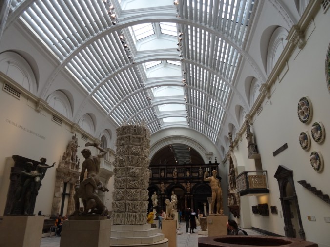
Medieval/Renaissance Sculpture Gallery

DSC02730

There is a Fashion Through Time exhibit:

Upstairs galleries are devoted to Ironwork, Glass, Ceramics and other decorative arts:

DSC02757DSC02768

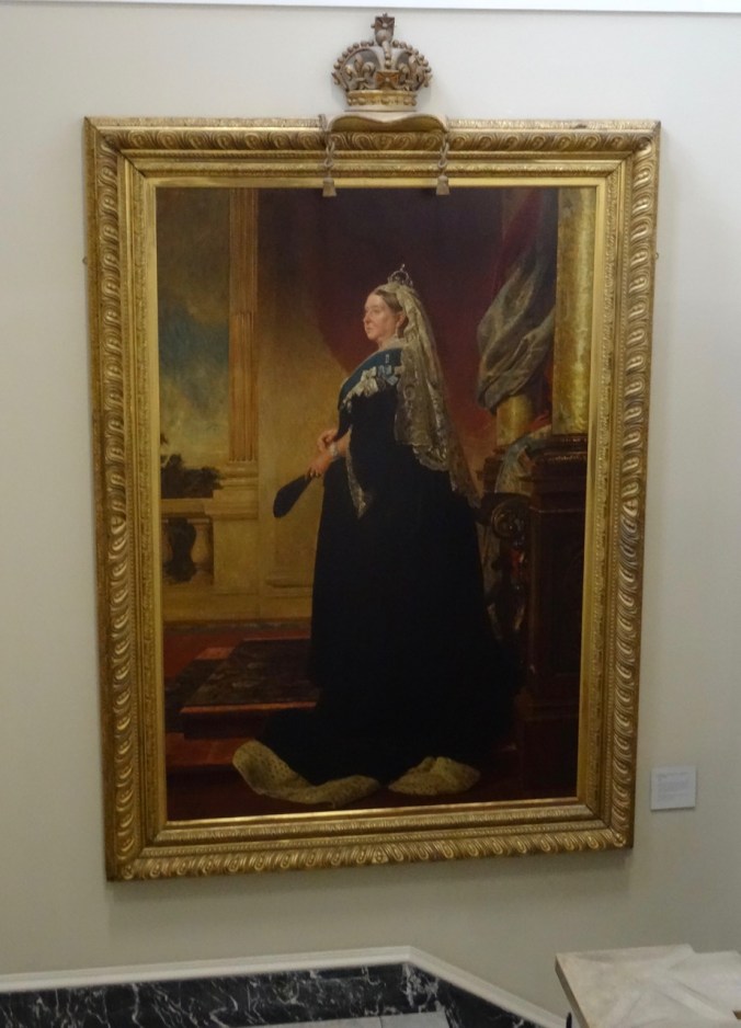
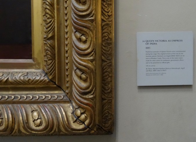
And Queen Victoria oversees all:

DSC02771DSC02773

We grabbed a sandwich in the museum cafe. It was still rainy outside, so we went next door to the Natural History Museum.

DSC02779

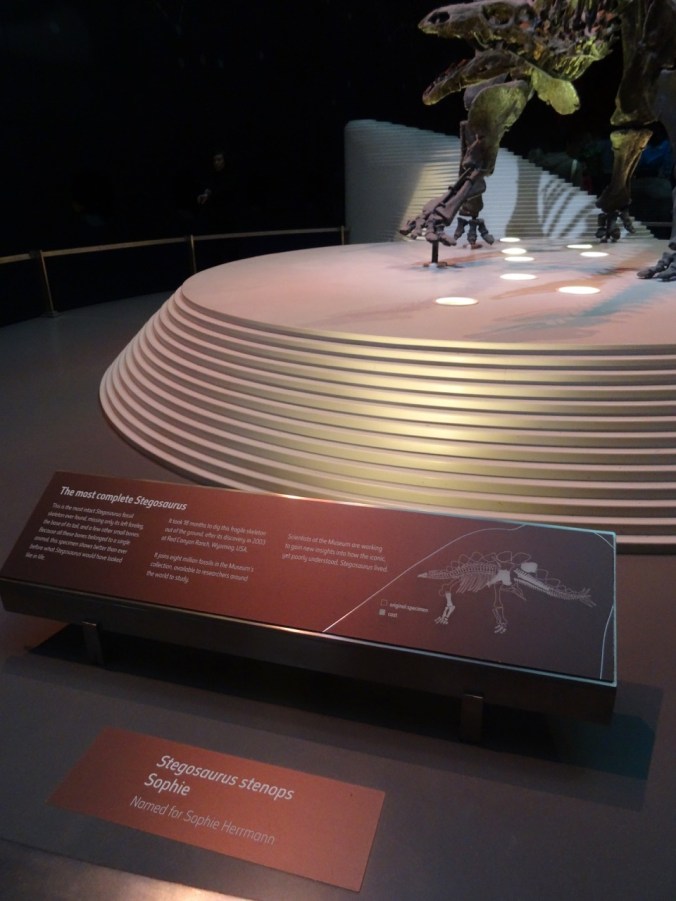
This is a huge complex – one could never see it all, but we took in some dinosaurs:

DSC02782DSC02781

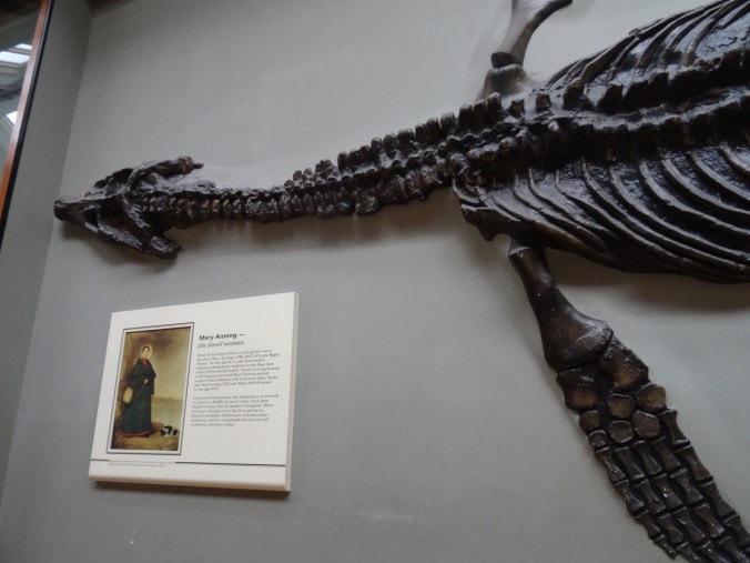
DSC02790

We would see more of Mary Anning’s work later when we visited Lyme Regis.

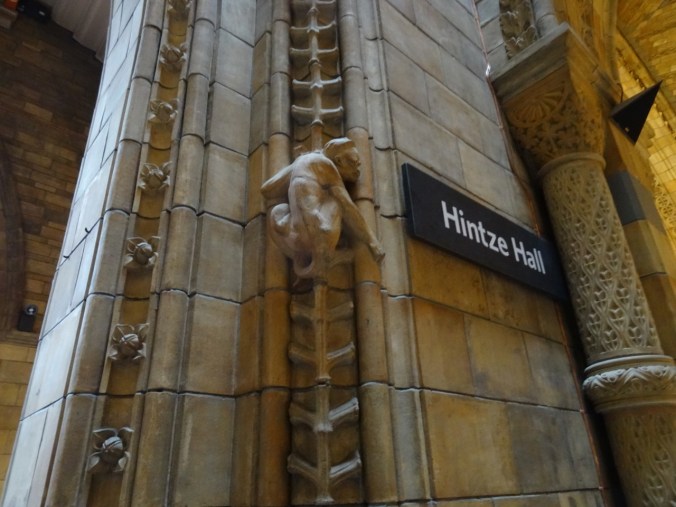
Architectural details throughout the museum inspired by Natural History:

The enormous Hintze Hall:

DSC02813DSC02814

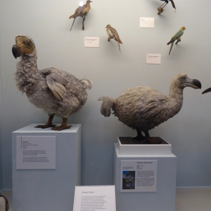
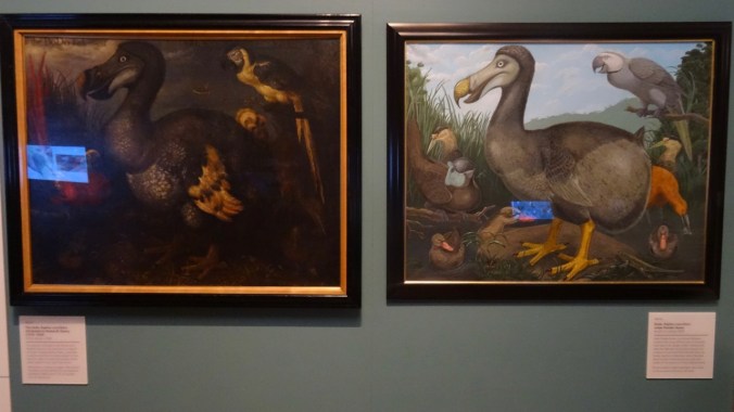
and the Dodos.

DSC02789DSC02812

There were tons of people and it was a bit overwhelming, but I enjoyed seeing the exhibits.

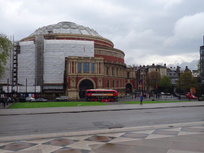
The rain had let up, so we continued walking north, past the Royal Albert Hall, the Albert Memorial,

DSC02820

Royal Albert Hall

DSC02816

Albert Memorial

DSC02822

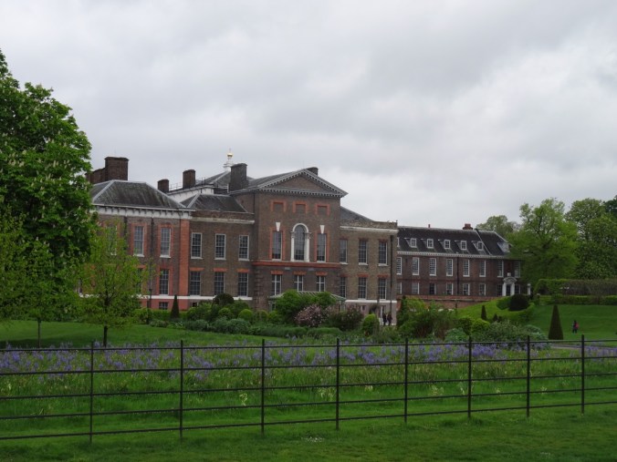
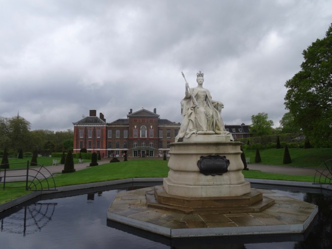
and on to the gardens outside Kensington Palace.

DSC02823

Kensington Palace

DSC02824

Victoria again

This happened to be the day the name of new baby Prince Louis Arthur Charles was announced, so there was a small press pool camped out in their compound. We continued walking until we found ourselves at the Queensway station. We took the tube back to our lodging, refreshed, then found a nearby Indian restaurant for our dinner.

London, Day 3:  Jane Austen’s portrait and more walking            April 28, 2018

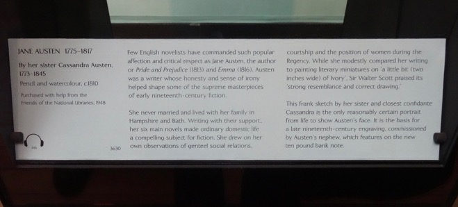
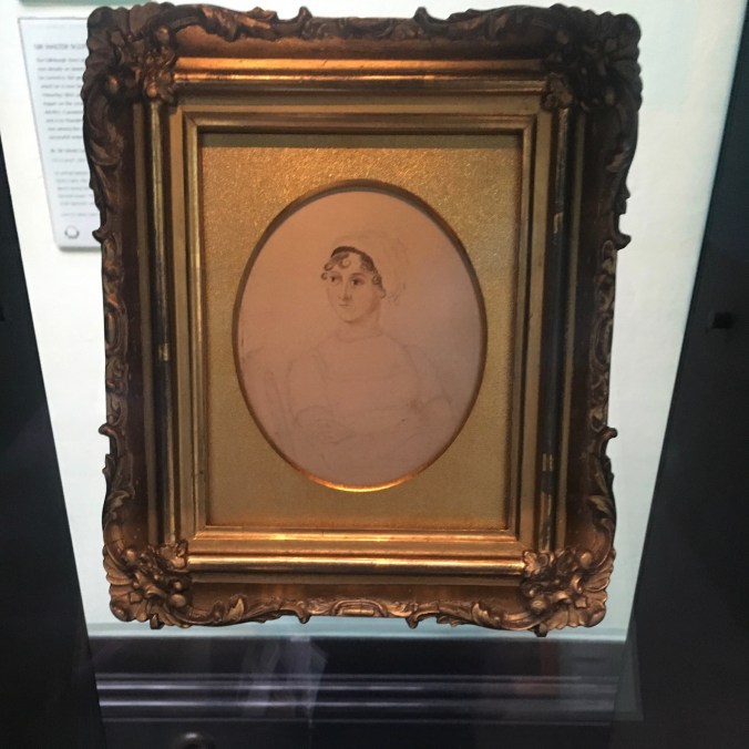
One of my goals for this trip was to see the Jane Austen portrait at the National Portrait Gallery in Trafalgar Square. Off we went on the tube to Leicester Square, followed by a short walk to the museum. We found the portrait exhibited in a specially lighted cabinet. It is the only existing picture of Jane Austen made during her lifetime – hard to imagine in these selfie days. The portrait is small and the pencil lines are faded. It was drawn by her sister Cassandra in 1810 when Jane was 35 and Cassandra was 37. I appreciated getting to spend several minutes looking at her as she was seen by the person who knew her best in the world.

DSC02829

Jane Austen Portrait in special case

DSC02831

IMG_0638

We then took some time to explore the rest of the museum – an excellent walk through the faces of British history. As with any museum, one can’t see everything, but these portraits caught my eye:

Three views of Queen Elizabeth I:


The only American in the museum:

DSC02834

George Washington

Some of my favorite authors:


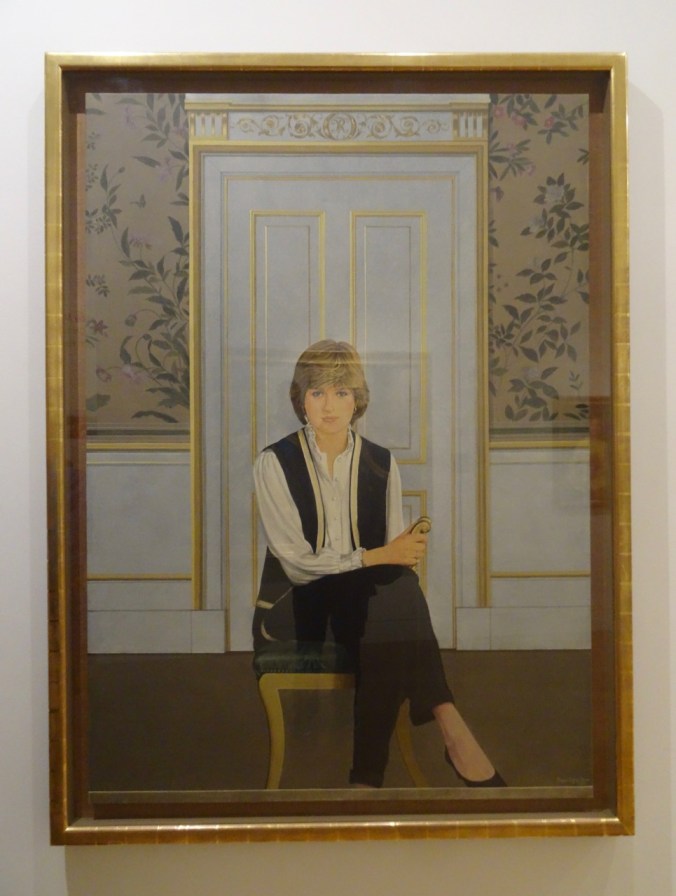
Recent royalty:

IMG_0581

Queen Elizabeth II

DSC02853

Princess Diana

After stopping for lunch in the National Gallery Cafe,

DSC02857

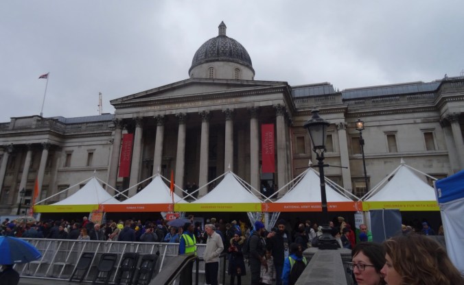
National Gallery

DSC02855

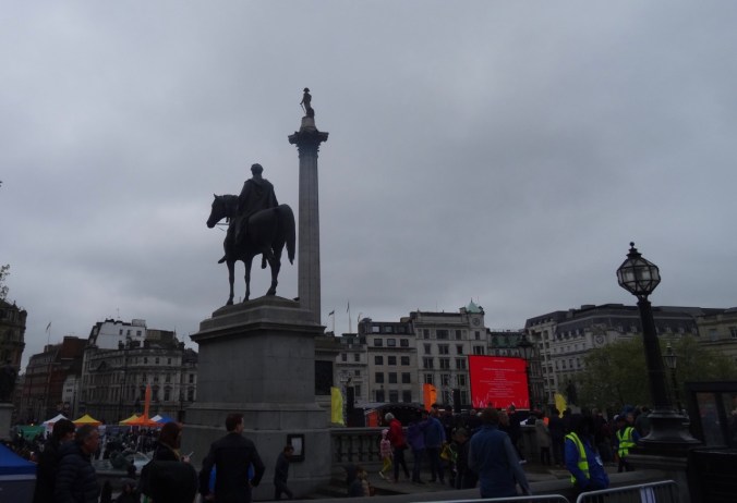
Trafalgar Square

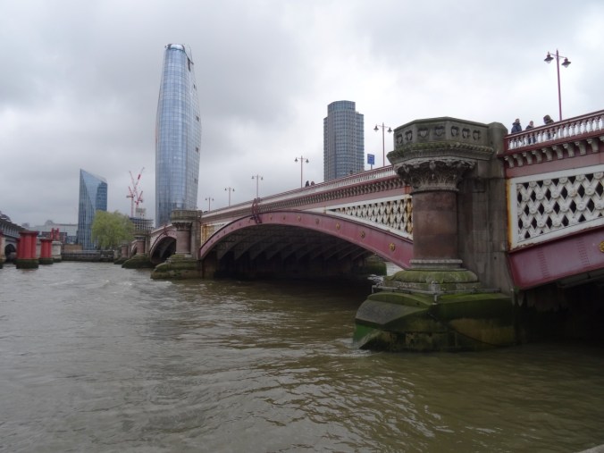
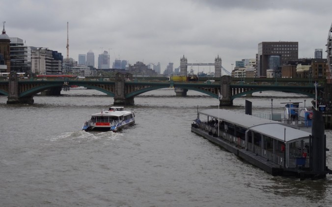
we decided to walk across the Thames again on the Hungerford Bridge,

DSC02887

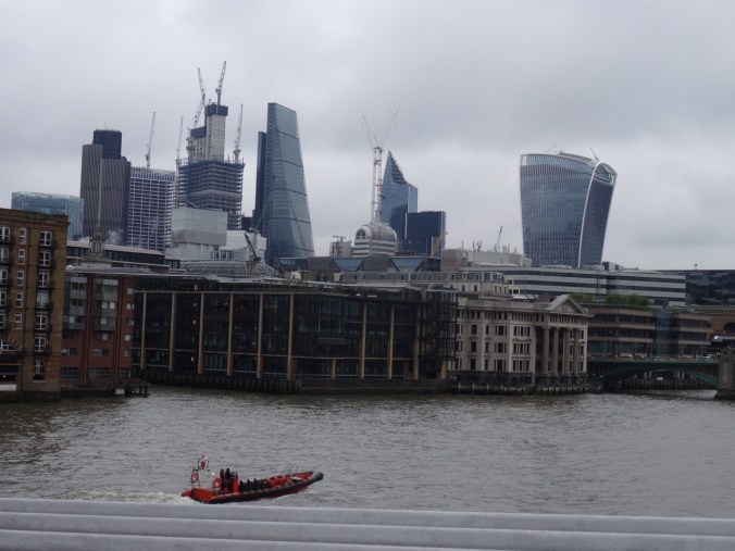
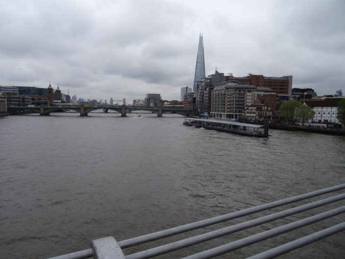
then walk east along the south bank as far as the Millenium Bridge. It was a busy Saturday – a bit overwhelming how many people there are in London at any one moment. Every language and ethnicity, especially in the tourist areas.

DSC02863

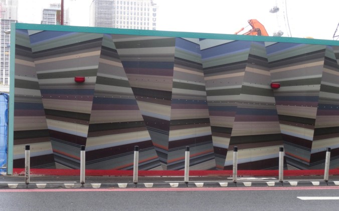
Mural hiding a construction site on the river

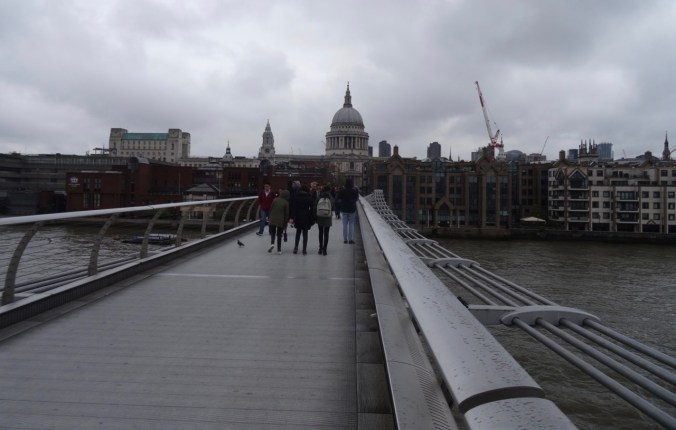
We crossed back to the north on the Millenium Bridge,

DSC02870

Tower Bridge

DSC02873

Non-orthagonal buildings on the skyline

DSC02876

the Shard

DSC02874

St Pauls ahead

but then felt too tired to attempt St Paul’s,

DSC02880

St Paul’s Cathedral

which we had visited in 2011, so we wandered back toward Blackfriars, and took the tube back to Victoria from there.

DSC02885

Looking back under the Millenium Bridge: Shakespeare’s Globe and the Tate Modern Museum

We found an Italian restaurant nearby – most of the patrons were getting ready to see Wicked or Hamilton playing at the two nearby theaters.

DSC02828

Victoria Palace Theater – we saw Billy Elliot here in 2011.

DSC02594

Typical tube scene

We had accomplished our sightseeing goals for London, had somewhat adjusted to the time shift, and were ready for the next phase of our journey  – on to Brighton by train, then further exploration of southern England by car and trail.

SaveSave