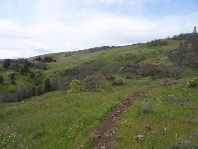
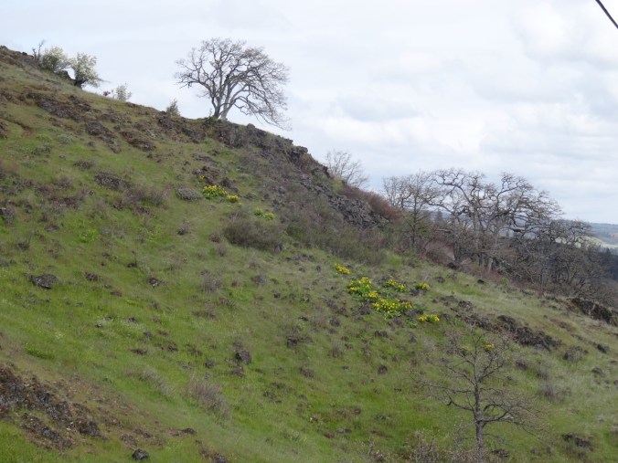
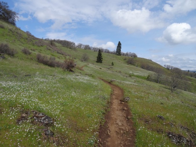
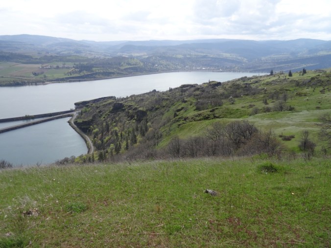
The Labyrinth in bloom with a side of Poison Oak (18-15)

Labyrinth Trail, WA      4/15/2018      (#15)

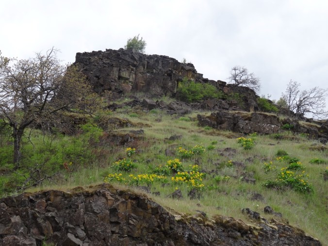
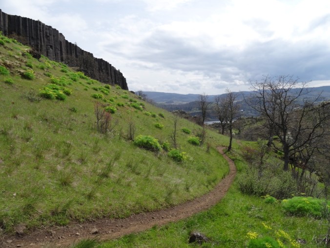
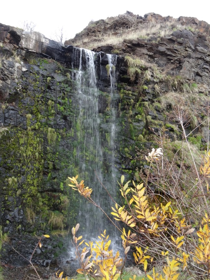
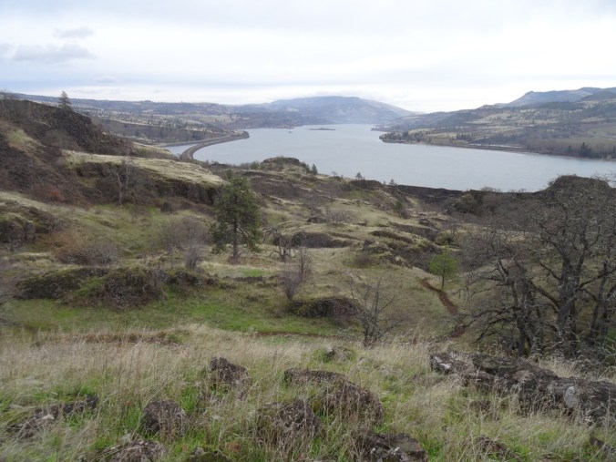
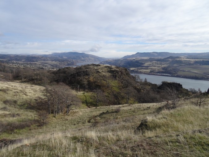
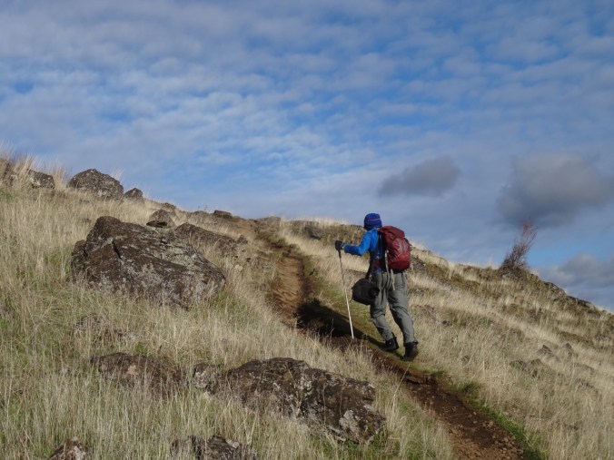
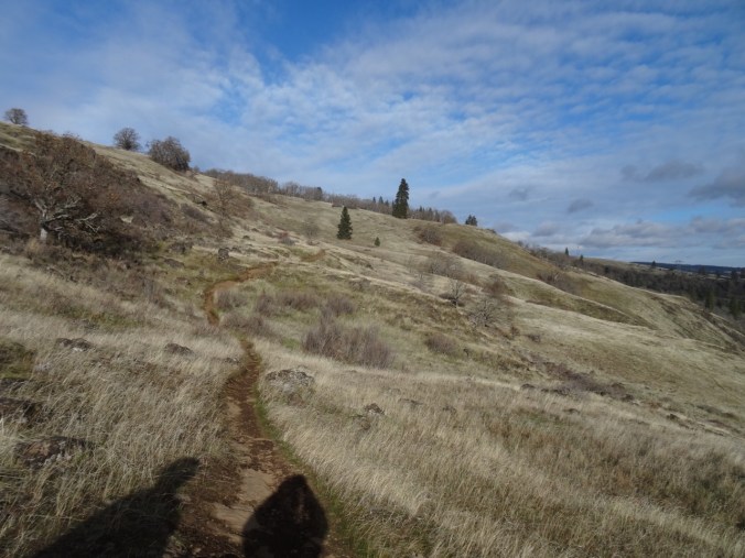
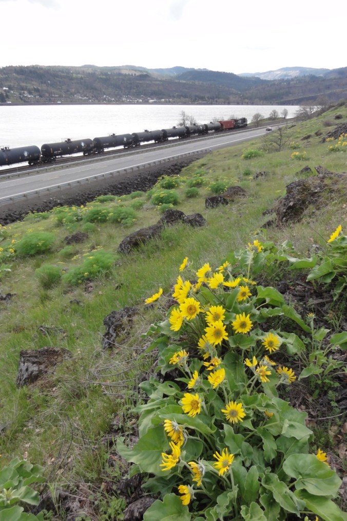
So many hikers in the eastern gorge today – predicted to be the best weather day of the weekend. We opted for the Labyrinth trail, teased by the blooming balsamroot near the waterfall off Hwy 14.  We were not disappointed.

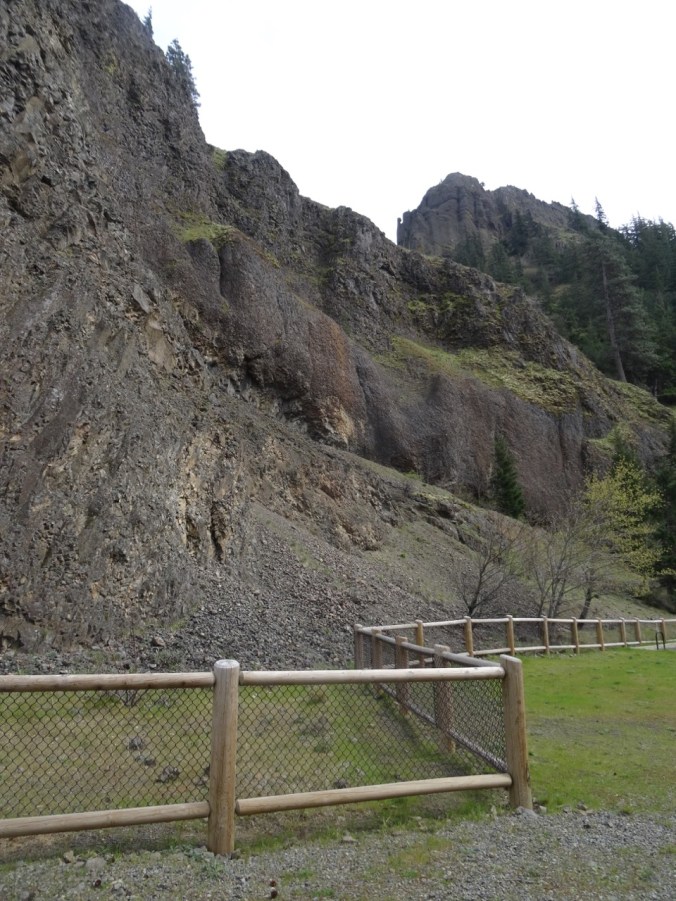
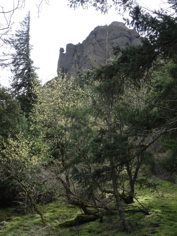
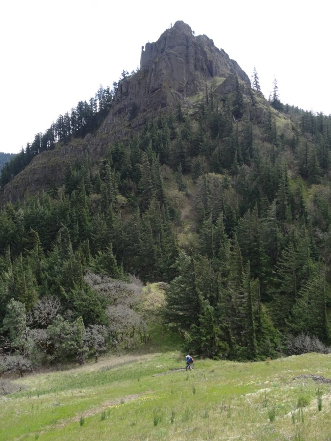
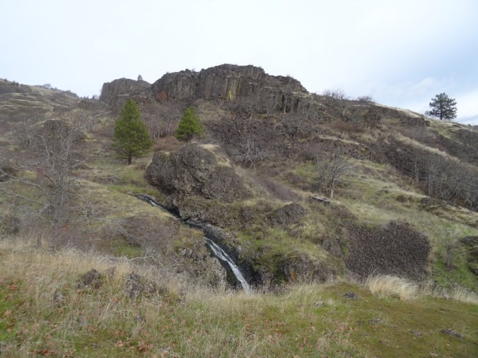
From the trailhead, we could see our destination – a tall fir tree on the cliff above.

DSC02287

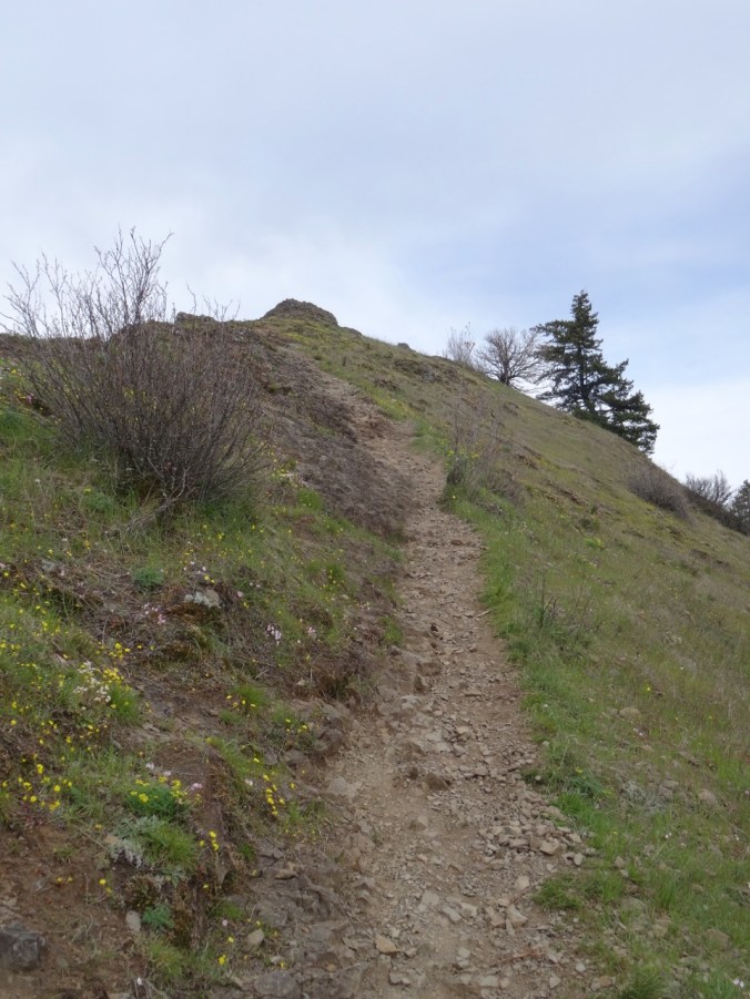
We began by hiking along the old highway, then up the trail through the basalt labyrinth:

DSC02294

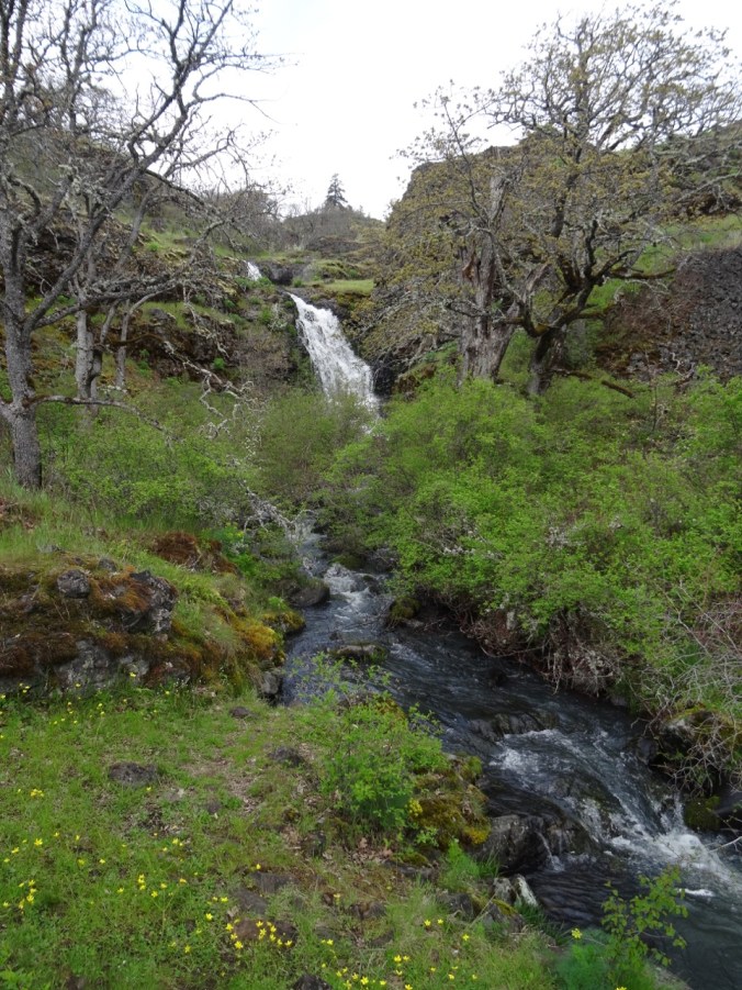
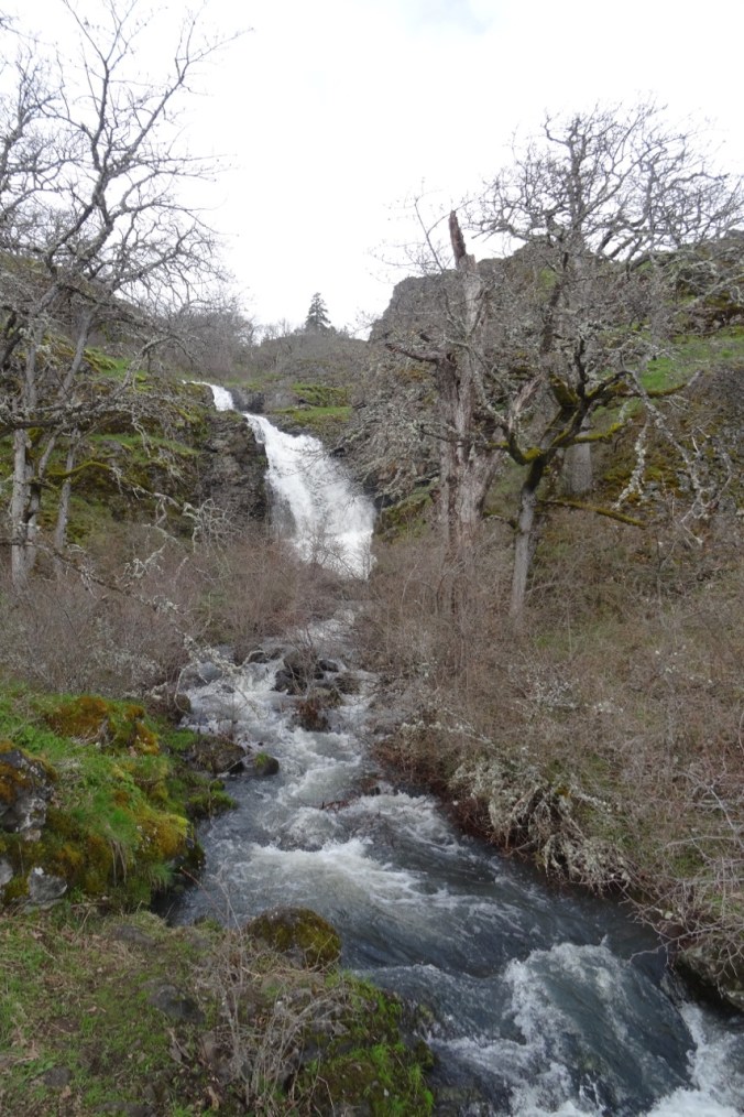
Waterfall on the old highway

DSC02301

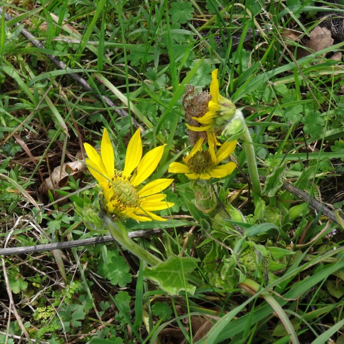
Balsamroot near the trailhead

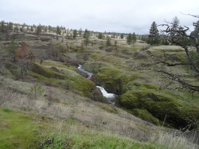
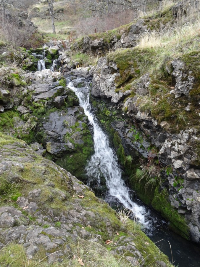
We hiked up past the upper waterfall,

DSC02330

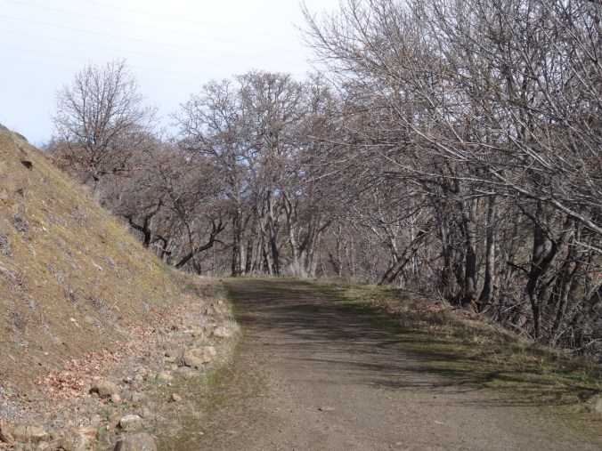
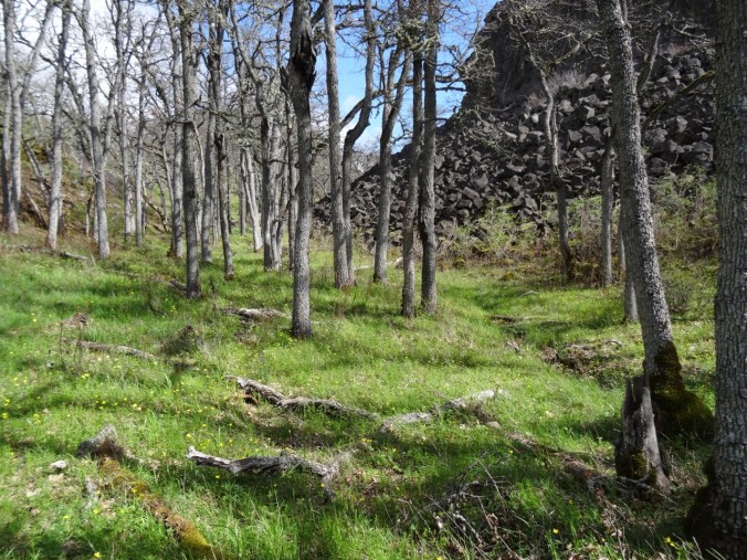
Through the oak woodlands,

DSC02353

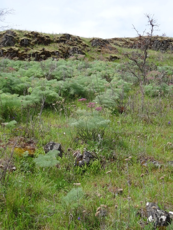
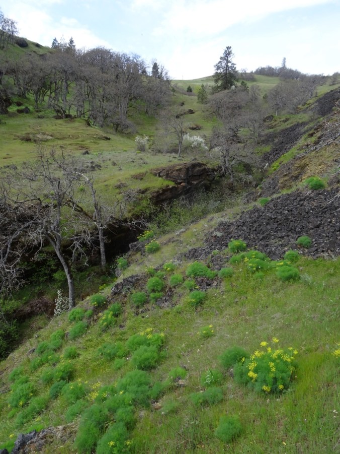
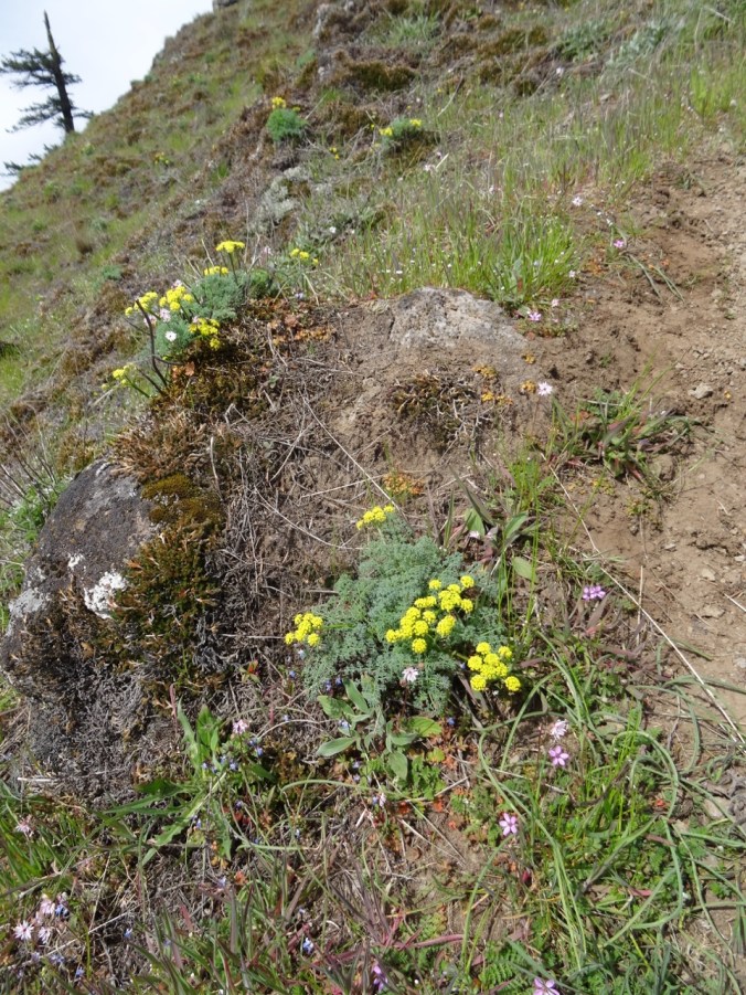
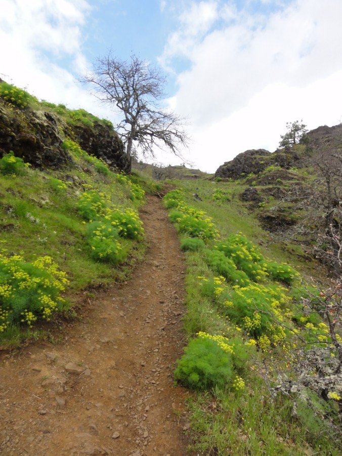
Over the desert parsley rocky balds,

DSC02359

Desert parsley cliffs

DSC02368

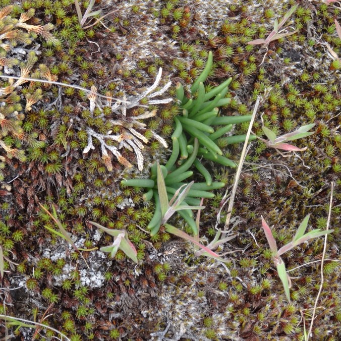
Bitter root foliage – to bloom next month

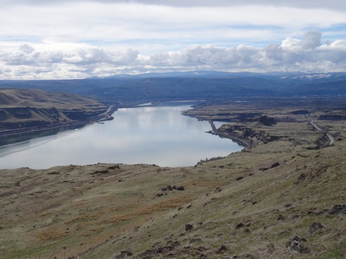
From here we could see west to the Coyote Wall meadows:

DSC02363

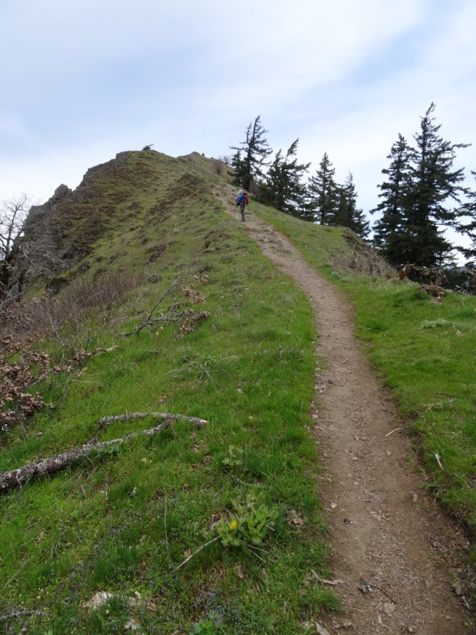
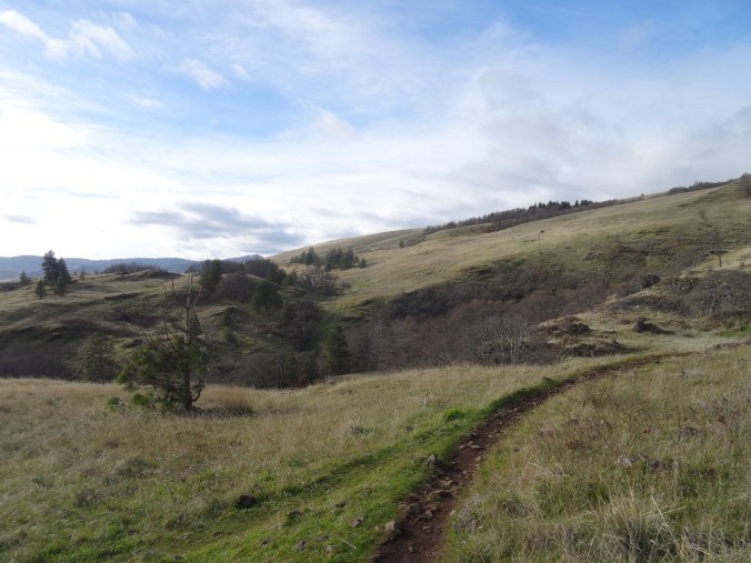
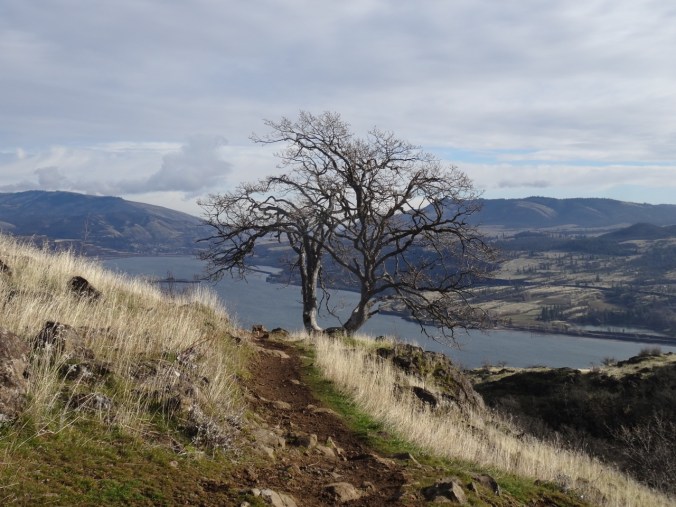
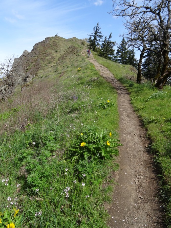
Our trail continued east, toward the prominent oak tree on the cliff edge:

DSC02367

Above here the views to the east,

DSC02379

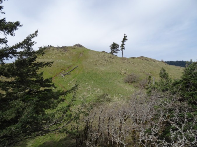
and toward our destination (that tall fir tree) opened up:

DSC02380

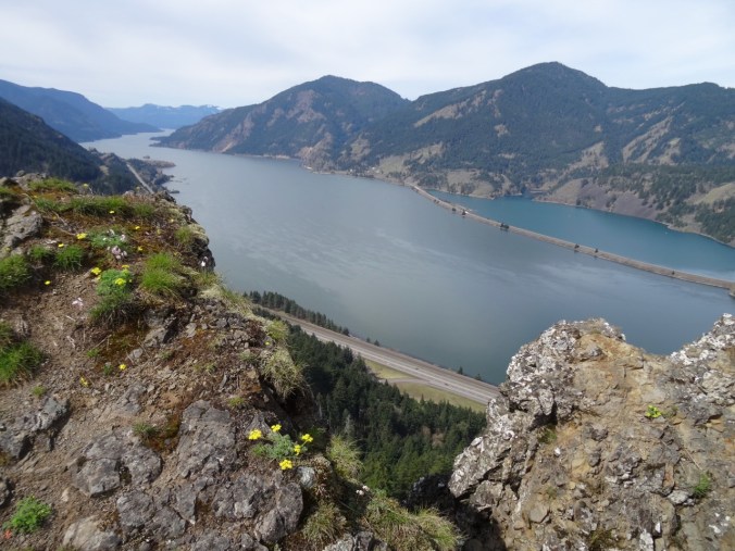
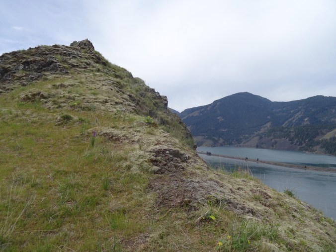
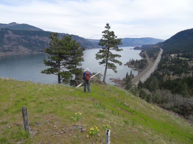
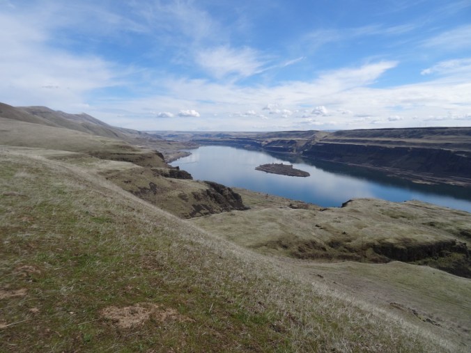
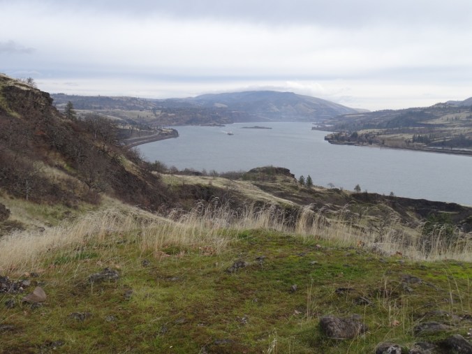
When we reached the viewpoint near the fir tree, we could see our car parked below, near Rowland Lake:

DSC02384

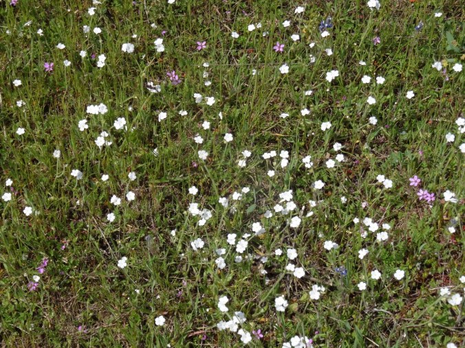
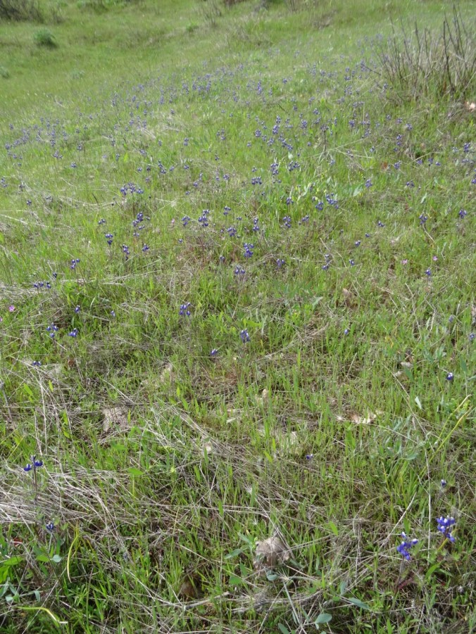
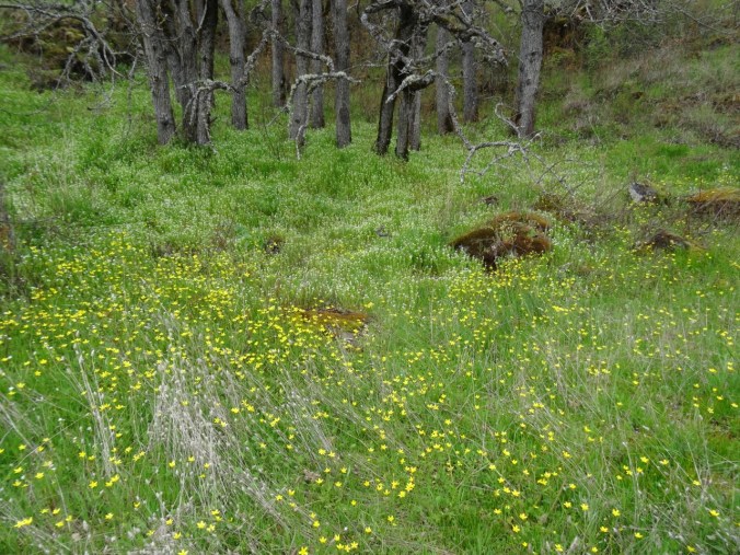
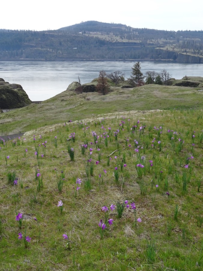
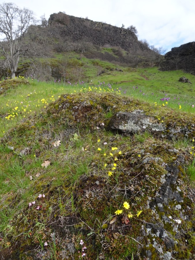
Swaths of small flowers tinted many of the grassy areas:

DSC02388

Popcorn flower and filaree

DSC02387

Two-colored lupine

DSC02329

Miner’s lettuce and buttercups

DSC02315

Tomcat clover

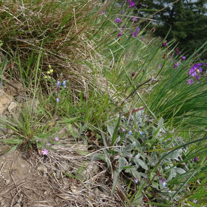
Many other spring flowers were blooming along the trail:

On the way down, we looked back in the lovely afternoon light at the glowing landscape.

DSC02408


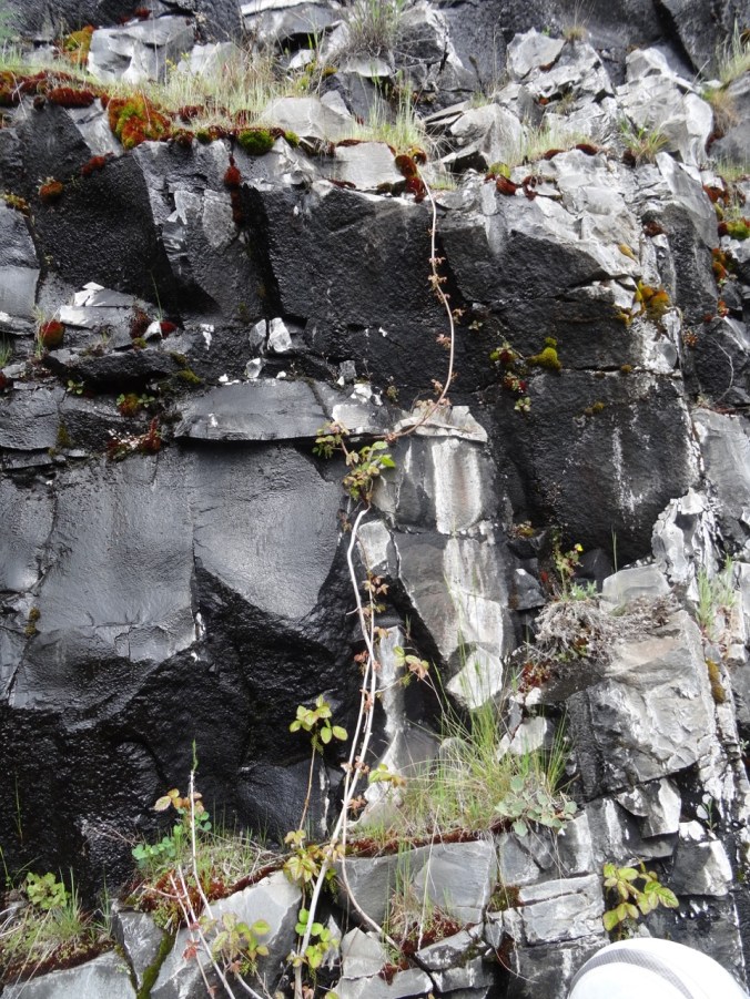
And just to add an element of risk to the venture, in addition to the (mostly polite) mountain bikers bombing down the trail, every nearly bare stick and twig, from the vines on the rock walls,

DSC02291

climbing poison oak

to the trail side shrubs,

DSC02418

glowing red poison oak leaf buds

to the grassy swathes,

DSC02394

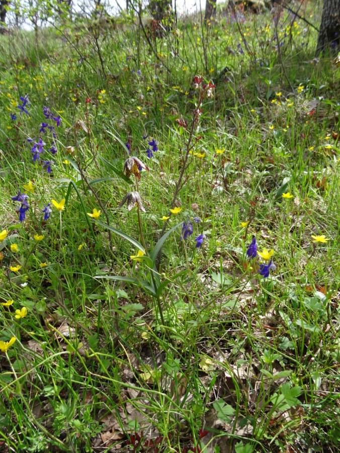
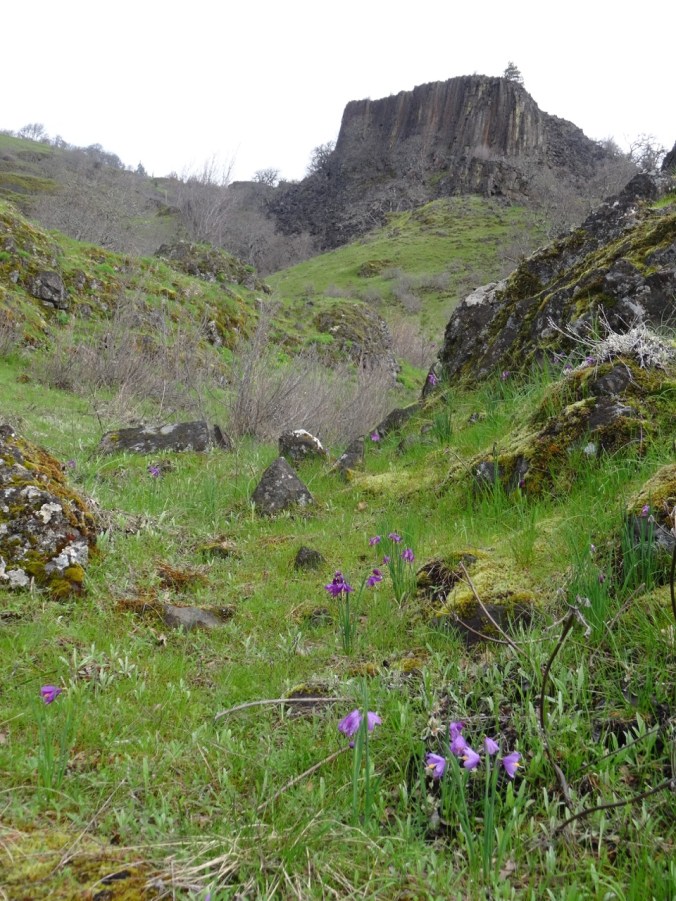
chocolate lilies, buttercups, larkspur and poison oak

even the bare rocky talus piles,

DSC02404

poison oak shoots

were sporting the shiny deep red oily gloss of newly budding poison oak leaves. We tiptoed around them, knowing this place is my nemesis for the rash. Despite a lifetime of hiking and many years of of bushwhacking with geologists through the scrublands of the western US, and being exposed but never reacting, I finally got the rash after a hike here a few years ago, and have gotten it twice since, each time a little worse. This is my favorite trail in the eastern gorge, so I proceed with caution! Hopefully no rash this week.

DSC02421

One-eyed ghost tree along the trail – ogling the waterfall, or fleeing the poison oak?

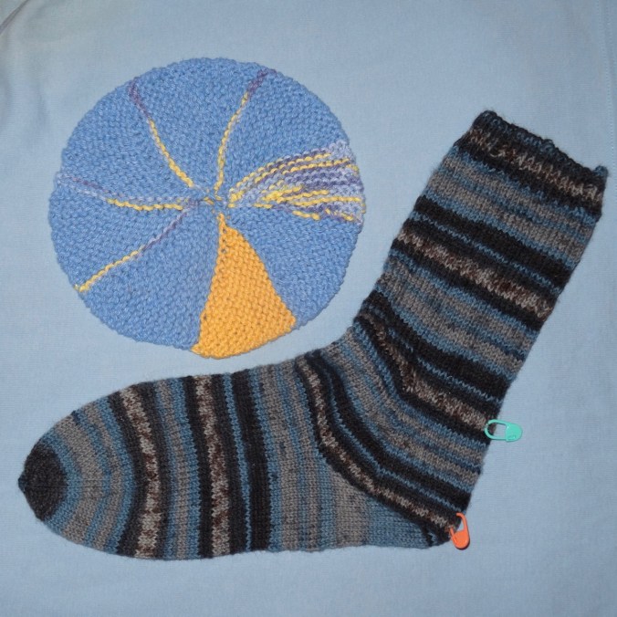
New sock yarn for travel knitting –

DSC02286

Klickitat Trail; Poetry to the Rescue (18-14)

Swale Canyon, Klickitat Trail, WA     4/8/2018         (Hike #14)

Chasing east out of the rain, we started from the Harms Road trailhead north of Lyle, WA, and walked 8 miles round trip on this nearly flat former rail bed.  We began on a high grassy plateau, then slowly dropped between rim rock cliffs.

DSC02191DSC02195DSC02228

Bright yellow parsley lined the trail and slopes, and other spring flowers were blooming locally.

DSC02210

yellow parsley with gold stars

DSC02211

grass widows

DSC02194

a duck

DSC02230

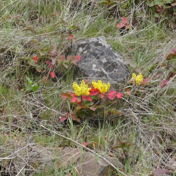
Oregon grape

DSC02248

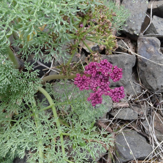
Columbia desert parsley

DSC02244

shooting stars and saxifrage

DSC02233

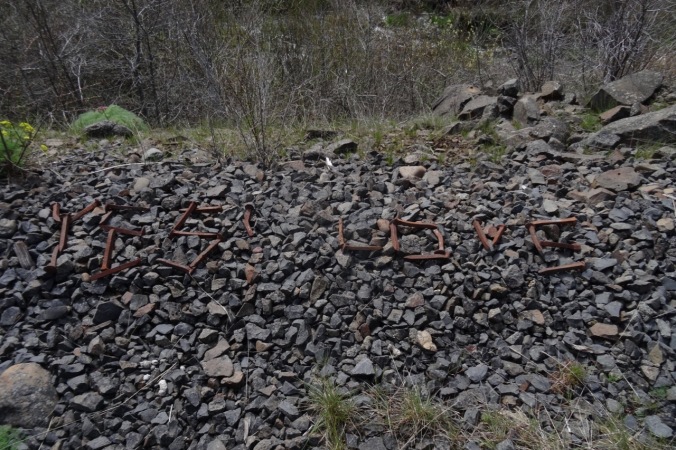
message written with old nails

DSC02255

Dutchman breeches

DSC02260

yellow parsley, red shrub

DSC02259

golden currant

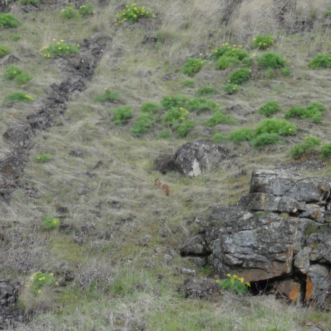
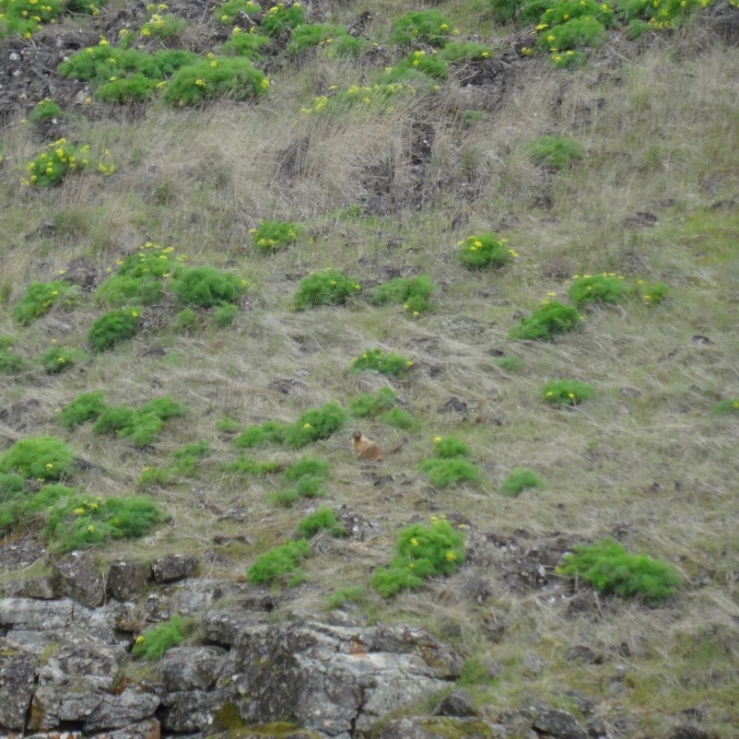
We saw large marmots on the cliffs across the river

DSC02207

marmot in the center

DSC02203

the marmot across the river

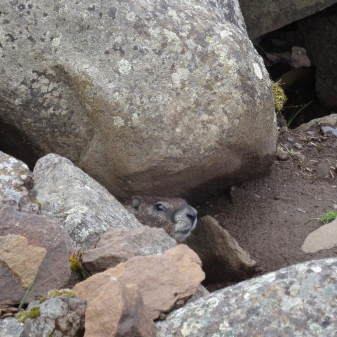
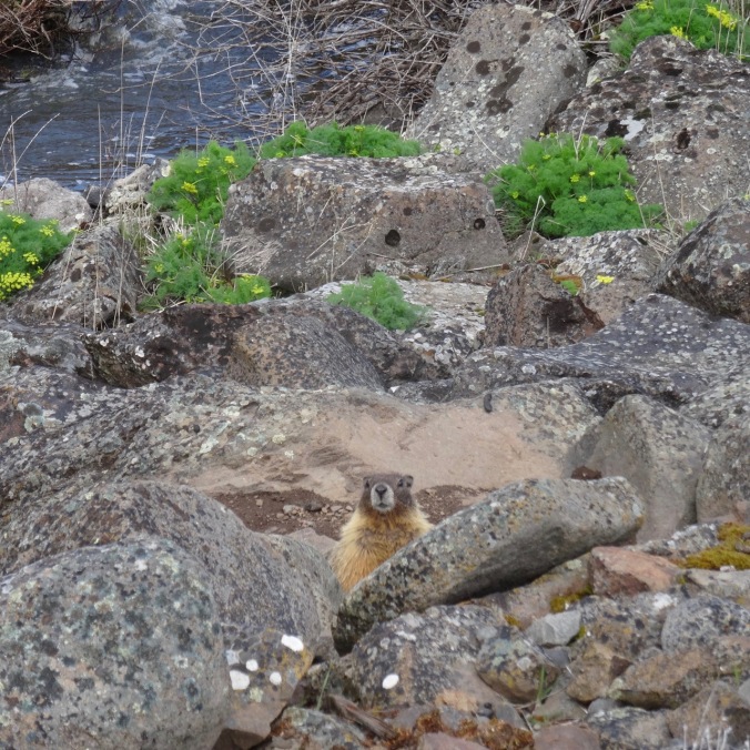
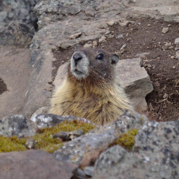
and a couple of smaller ones near the trail.

DSC02216DSC02268DSC02272

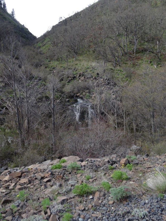
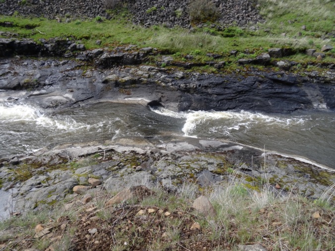
A waterfall and some rocky pools marked our turnaround point, about 4 miles in.

DSC02235

waterfall

DSC02240

rock pools

DSC02253DSC02252

DSC02241

The trail continues, but we turned around here.

This was a great trail for a long walk with friends on an overcast windy day.

DSC02265

My first post-surgery 8 mile day, a good omen for the upcoming trip to Cornwall.

Screen Shot 2018-04-08 at 10.17.08 PM

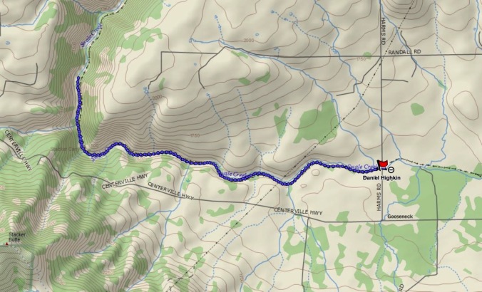
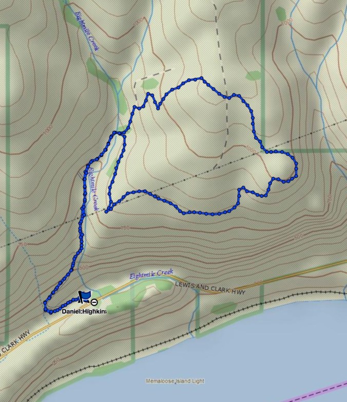
GPS track – Swale Canyon trail

Crafting:

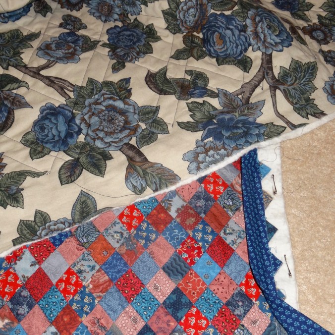
I have been playing with leftover Smithsonian reproduction fabrics, including a feathered star and a lot of four patches that I pieced before I was inspired to use the collection for the Jane Austen quilt.

DSC02188

I have been filling in cross stitches on Elgol.

I need to choose a knitting project for upcoming travel – probably socks.

Garden:

DSC02177

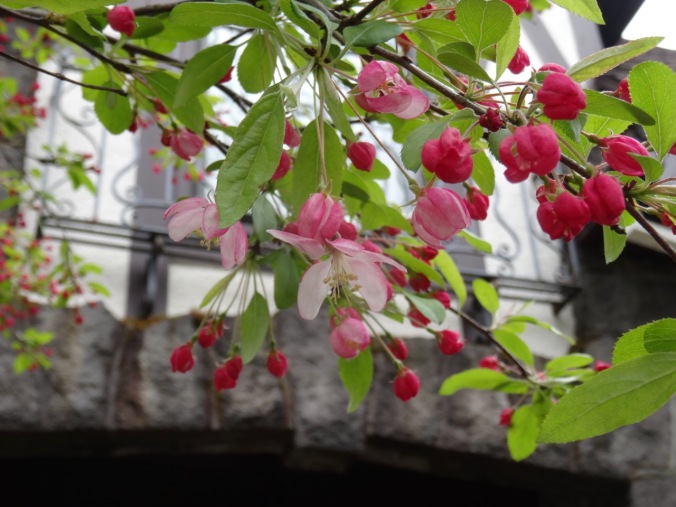
Crabapple blooming

Other Adventures:

Another trip through the MRI this week – the neurosurgeon was able to show me the small void in my brain where the tumor had been. I am grateful for a good outcome and still contemplating additional medication going forward.

Poetry to the rescue!

I silently recite verses memorized long ago to take my mind off of the enclosed space and noise inside the MRI.

Lochinvar rides by my side, then I walk along the beach with the Walrus and the Carpenter as the clanging alternates between jack hammer and diesel engine.

I compose bad haiku to describe the experience-

dissociation/I pretend all is normal/while the machine clangs

or

poetry verses/distract from the jack hammers/of the MRI

Time passes. I wonder how Emily completed mental tasks while inside an MRI machine and participating in a scientific study.

Then Alexander Hamilton drops in from a forgotten spot in the middle of the Caribbean to keep me company.

I don’t mind the journey so much with my poetry companions, but I also think I need to learn some new verses before the next trip in six months.

Spring Flowers, Mitchell Point, Oregon (18-13)

Mitchell Point trail          3/31/2018                       (#13)

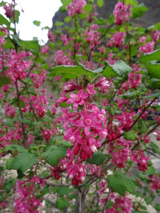
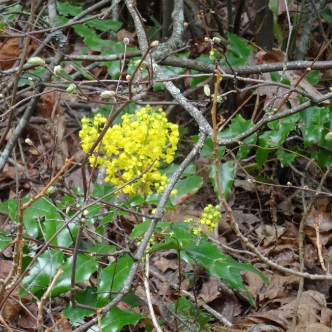
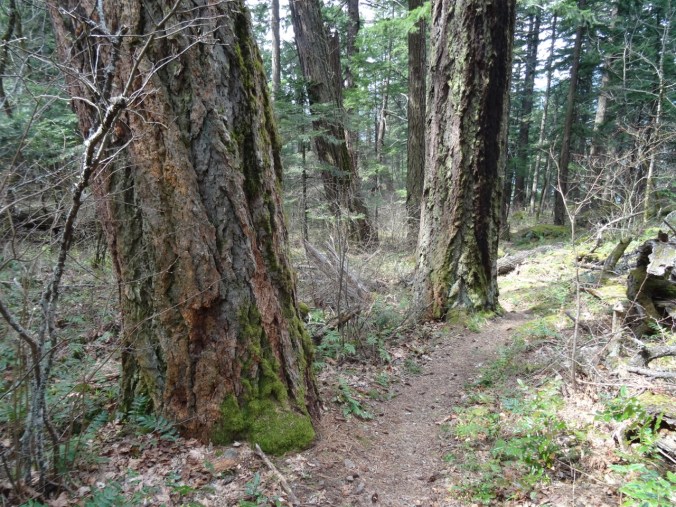
Mitchell Point is a steep promontory east of the burn area and west of Hood River on the Oregon side of the Columbia RIver Gorge. It has been closed since the fire last fall, but has recently reopened. We took this short, steep hike (3 miles/1300 feet) to both upper and lower points.   Oaks toothwort, Oregon grape and red currant were blooming along the lower trail.

DSC02175

View of Mitchell Point from the trailhead


DSC02066

red currant

DSC02069

Oregon grape

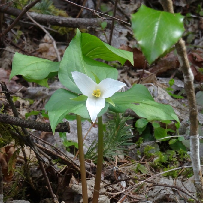
After crossing the rocky scree slope I found one trillium, my first of the season, in the upper wooded trail on the way up.  

DSC02077

Hounds tongue and glacier lilies were blooming in the upper saddle and power line corridor.


DSC02081

hounds tongue

DSC02084

glacier lilies

At the top we enjoyed the steep hillside meadows full of gold stars, grass widows, prairie stars, yellow and white parsleys, slender phlox, blue eyed Mary, popcorn flower, filaree, and saxifrages.

DSC02132

yellow parsley, prairie stars,

DSC02126

grass widows, yellow bells, salt and pepper

DSC02124

lots of gold stars

DSC02096

phlox, blue eyed Mary, grass widows

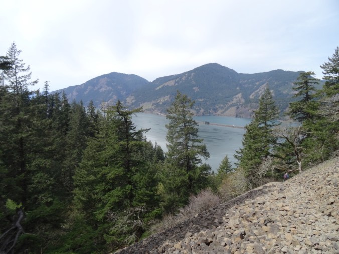
The upper trail traverses the spine of the ridge, with great views in every direction along the Columbia River. We stopped for lunch on the rocky crest.

DSC02101

Yellow meadows near the top

DSC02122

West view from the top

DSC02112

North view

DSC02116

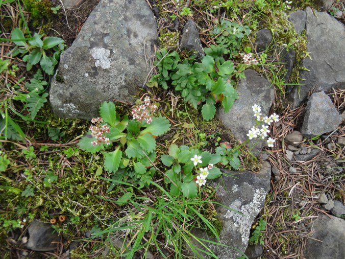
East view, with saxifrage

On the way down, I found two fairy slipper orchids in the upper wooded trail area where I remembered them being abundant the last time we were here in April of 2015.  

DSC02140

fairy slipper

DSC02135

douglas fir

DSC02146

saxifrages

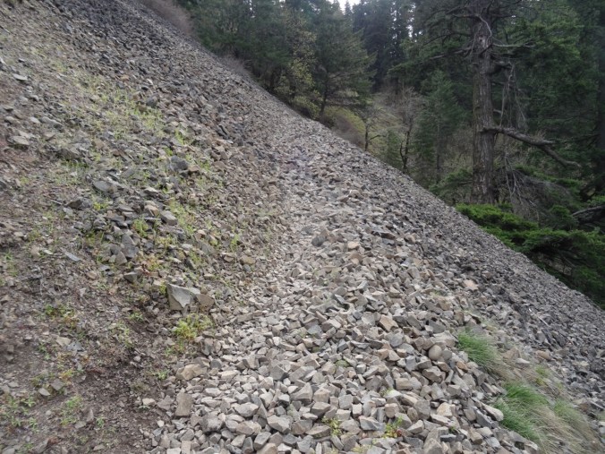
We crossed the rocky scree field again.

DSC02072

Trail across the scree slope

DSC02144

Looking directly up at Mitchell Point, where we ate lunch

DSC02143

NW view

We then took the spur trail to the lower point, and found another grassy and flowered meadow, and also some blooming larkspur and a good view of where we had been. We missed this trail the last time we were here.

DSC02147

Mitchell Point from the Spur Trail

DSC02151

The grassy slope of lower Mitchell Point

DSC02157

View across the river and meadow flowers

DSC02158

Looking east

DSC02155

Looking back up at Mitchell Point

DSC02163

Closer view of the top

DSC02169

Balsamroot

DSC02166

Tomcat clover

DSC02150

Larkspur, gold stars

Lookback:

In midApril of 2015, the tiny meadow flowers were past bloom, but the balsam root was in full flower. Since one can’t be everywhere at once, it is a joy to see each location in a different season of bloom.

DSC02086

March 2018

DSC00793

April 2015

Easter eggs

IMG_0537

Garden

IMG_0533

Tulips

Crawford Oaks Trail (18-9)

Columbia Hills State Park, WA, Vista Loop    3/3/2018     (#9)

We walked the lower loop from the Crawford Oaks trailhead, passing Eight Mile Falls.

DSC01274

Eight Mile Falls from the trailhead

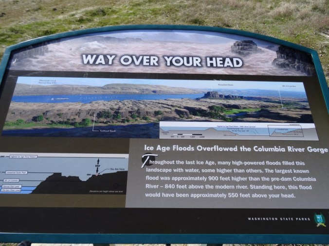
Signs along the way document the depth of the Missoula floodwaters – always an exercise  for the imagination that this landscape was scoured many times!

DSC01198

Eight Mile Falls from the trail

DSC01210

Back toward the river and Horse Thief Butte

DSC01272

Eight Mile Falls from the trail

The trail continues on a oak lined road along the creek, then crosses the creek.

DSC01211

Gold Stars and oak trees

We then headed south  toward the river on the Vista Loop, along along the Missoula Flood scoured benches of volcanic rock, with views east and west in wide angle view.

DSC01241

View east along the Columbia River

DSC01244

West view back toward The Dalles; shoulders of Mt Hood behind the clouds on the right.

The trail crosses the power line corridor a couple of times.

DSC01252

Mt Hood is behind those clouds.

The crest of the Columbia Hills was draped with snow.

DSC01265

Dalles Mountain Ranch and Columbia Hills

Early spring blooms were sprinkled throughout  the dried grasslands.


A lovely 5 mile/1000foot hike – I had no problems, but I could feel my quads and triceps were a bit out of shape.

Screen Shot 2018-03-03 at 8.22.29 PM

Quilting

I finished the crosshatch quilting in the center of the Jane Austen quilt, and made the binding.  Still pondering center motifs.

DSC01280

Knitting

One sock done, another started. The strong heel fits fine – not sure why it isn’t more widely known, especially for people who don’t like to pick up stitches, and don’t like the wrap and turn short row heel.


Also, another scrappy tortilla is in the pile.

DSC01282

In my garden:

IMG_0468

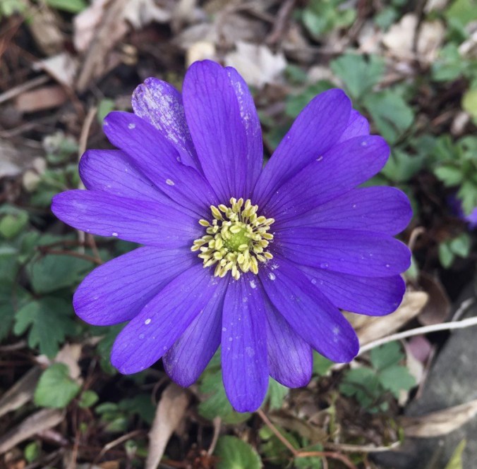
The first wind flower

In the meantime:

It has been almost two months since my surgery. I feel almost normal, but unfortunately, the growth hormone levels have not actually decreased as low as expected. It could still happen, but if not, then there will be trials of medication in store for me.  I am visualizing a completely healthy and functional pituitary.

Back on the Trail – Grass Widows, Bald Eagles and Osage Oranges (18-4)

This has mostly been a recovery week – taking things very slowly, and with awareness to my limitations. I have been able to walk more, drive the slow back way, and gradually increase all my activities.

Catherine Creek Trail, WA   1/28/2018      (#3)

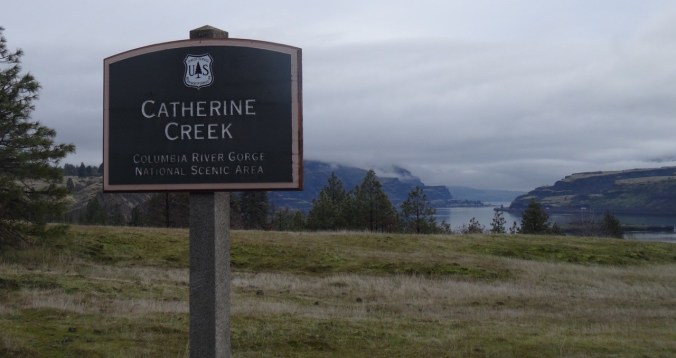
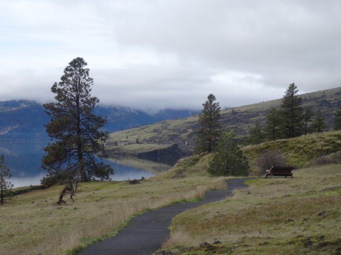
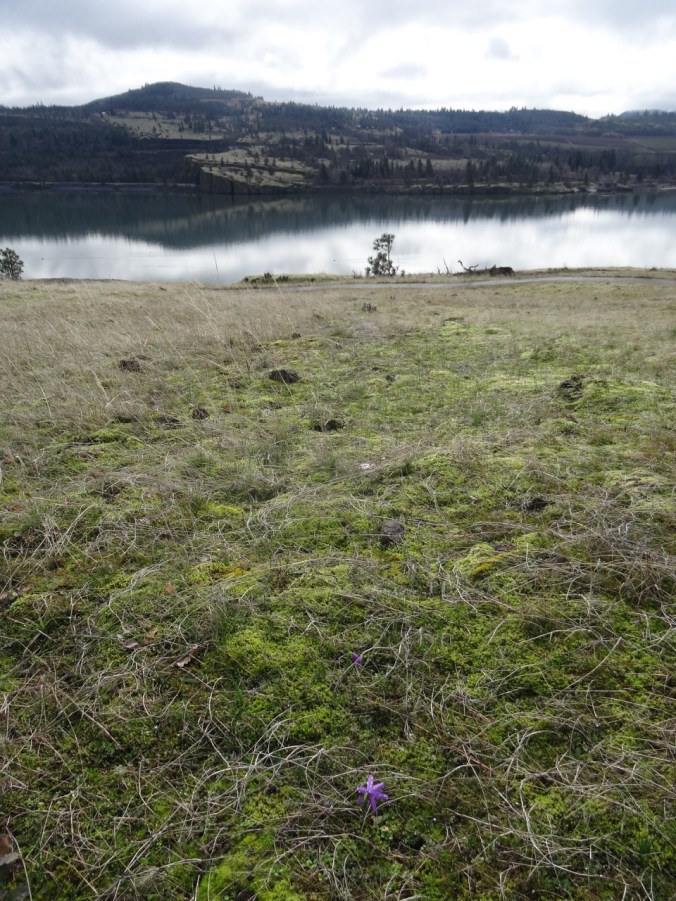
I saved my weekend energy for a walk on one of the easiest trails – the Universal Access  trail at Catherine Creek just east of Hood River along the Columbia River. We often include this trail as a quick stop on our hiking trips to see the latest blooms.  Today at my slow pace I appreciated the paved surface and benches along the way, the small details and micro landscapes. Grass widows are beginning to bloom.

DSC00751DSC00768

DSC00757

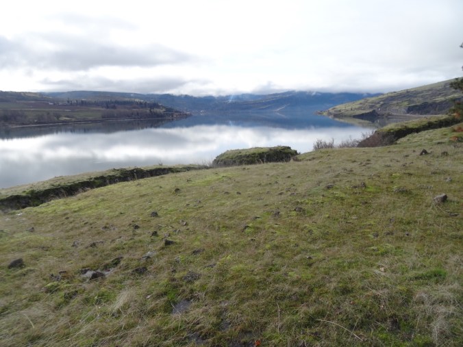
View to the west, labyrinth waterfall in the distance

DSC00782DSC00762DSC00801

Lookback: A couple of pictures with snow, and with more flowers:

DSC01230

1/27/2017

DSC00712

2/26/2016

Balfour-Klickitat Eagles

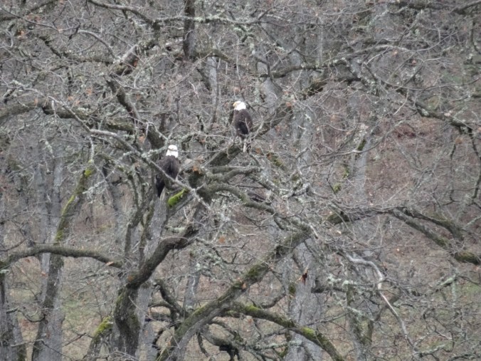
We also stopped at the Balfour-Klickitat trail near Lyle, WA to look for bald eagles in their nesting area. We saw about a dozen, mostly juveniles, perched in the trees around the pond, and taking occasional practice flights.

DSC00814

White spots are bald eagles

DSC00823

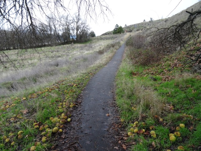
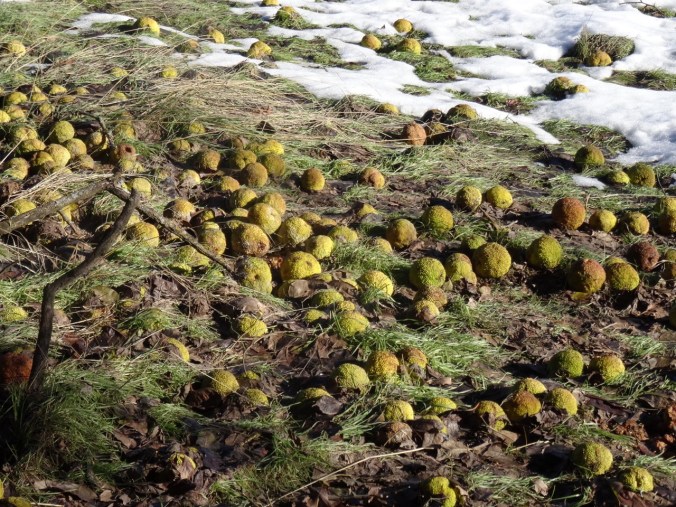
Another highlight of this location are the Osage oranges, at this point, mostly lying on the ground in colorful curious piles. Signage explains that the fruit is inedible, but that the thorny dense foliage was used as a natural fencing material by settlers in the west in the 1800’s.

DSC00806DSC00826


Lookback : A couple of pictures from snowier days:

DSC09792

12/28/2015    Six eagles

DSC00981

12/30/2016   Osage oranges

Knitting and quilting

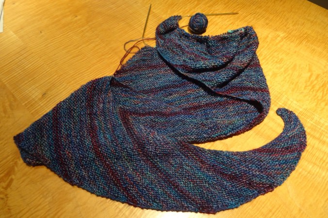
Progress on the Girl in the Neurosurgery Ward Shawl:

DSC00829

My sister sent me a bouquet of fabric as a get well gift – a beautiful rainbow of batiks that will fit beautifully into my collection for my rainbow themed quilts in planning stages.

IMG_0421

And the first crocus peaked up in my front yard:

img_0418.jpg

36. Labyrinth Hiking

The Labyrinth Trail, WA            12/16/2017         (#58)

East out of the Portland mist, through the frosted central gorge to the open dry eastern gorge, this time to the Labyrinth, trailhead at the Hwy 14/Old Hwy 8 intersection at Rowland Lake.

DSC00220

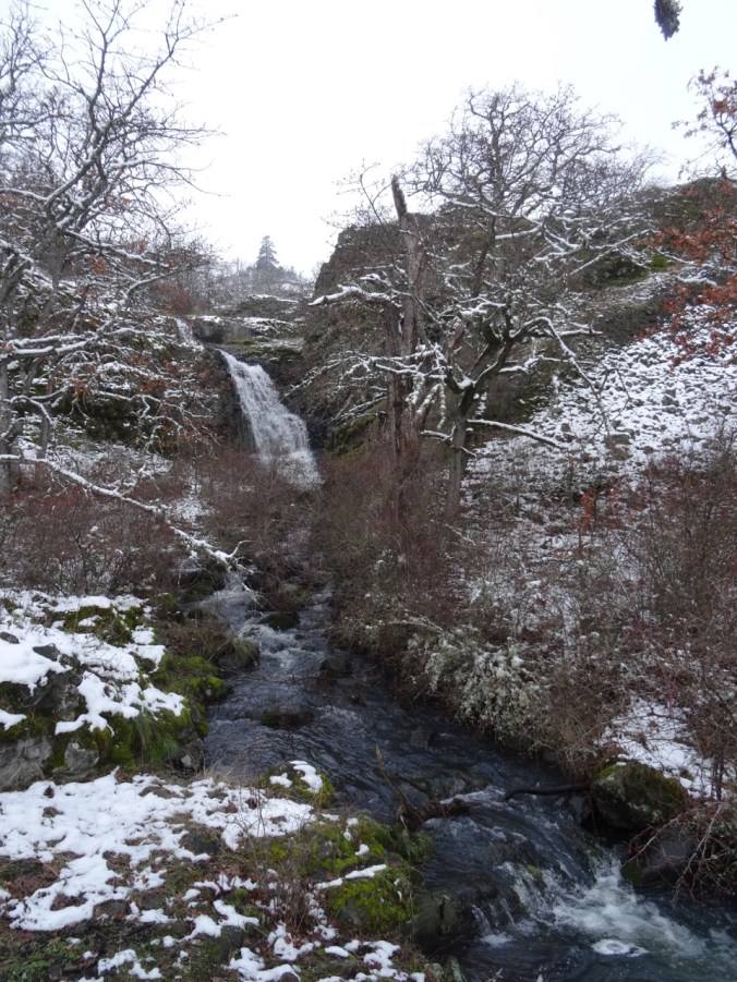
Waterfall along Old Hwy 8

The aptly named trail winds gently upward between columnar basalt buttes and a cascading stream.

DSC00229DSC00263DSC00264

DSC00240DSC00254DSC00267DSC00251


Bare trees, gold grasses, dried flower seed heads, lichen splotched talus piles, higher and higher, rising to views to the south of the Columbia River, the orchards, fields and cliffs around Mosier, Oregon.

DSC00266

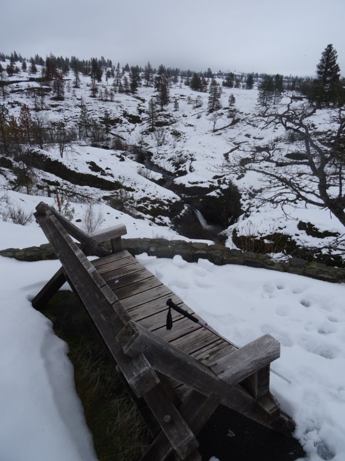
To the east the open skies of the Columbia Plateau beckon; to the west, the lowering clouds of western Oregon gloam, this whole area scoured by the Missoula floods. We explore some of the side trails around the waterfall,

DSC00234

at the base of a columnar basalt butte,

and to our lunchstop viewpoint.

Then on up a bit more,

past the cliff that is covered with purple desert parsley in spring,

DSC00335

View toward Coyote Wall

DSC00339

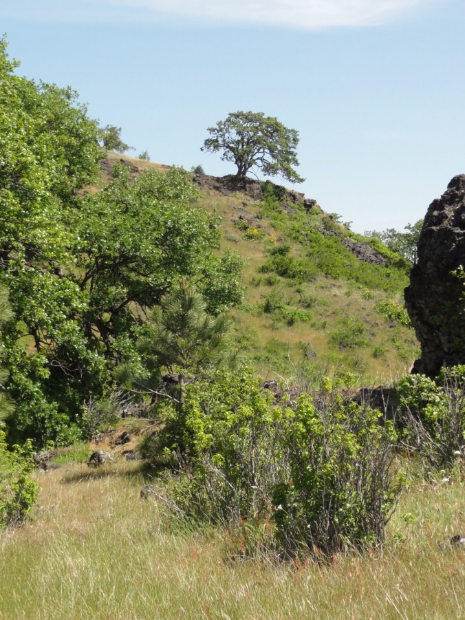
past the oak tree on the trail’s edge,

DSC00348DSC00351

to the next high point.

DSC00357DSC00360DSC00363

Wind rising, we agree to turn around. Down we go, light changing, shoulders of Hood briefly exposed, back to the old highway then home.

LOOKBACK

During our first hike here in June of 2012, I was enchanted, just exploring the bones of the landscape, the windings between rock exposures then covered with halos of pinkish grass.

DSC05633

May 2012

We attained a high viewpoint back down to Rowland Lake and the river and began to realize the potential. Future trips saw the cliffs and mounds adorned with yellows and purples of spring wildflowers,

DSC05592

Mt Hood from Old Hwy 8 approach trail, May 2012

DSC06832

Balsam root near Hwy 8, April 2014

DSC06743

April 2014

DSC02842

Grass Widows, March 2017

DSC02807

Gold stars, March 2017

DSC01902

Buttercups in oak woodland, March 2016

DSC06806

Columbia Desert Parsley, April 2014

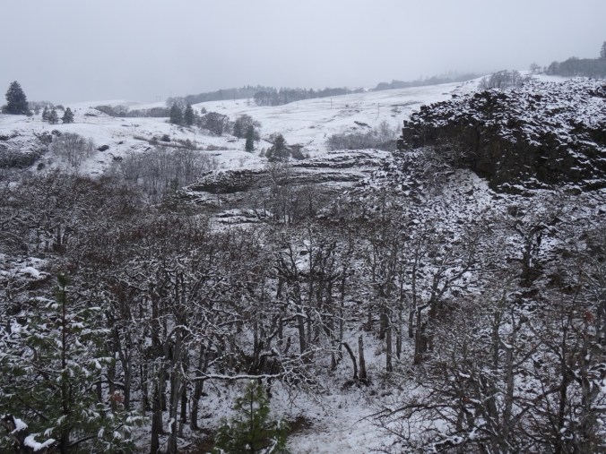
the white snows of winter,

DSC09847

December 2015

DSC09884

December 2015

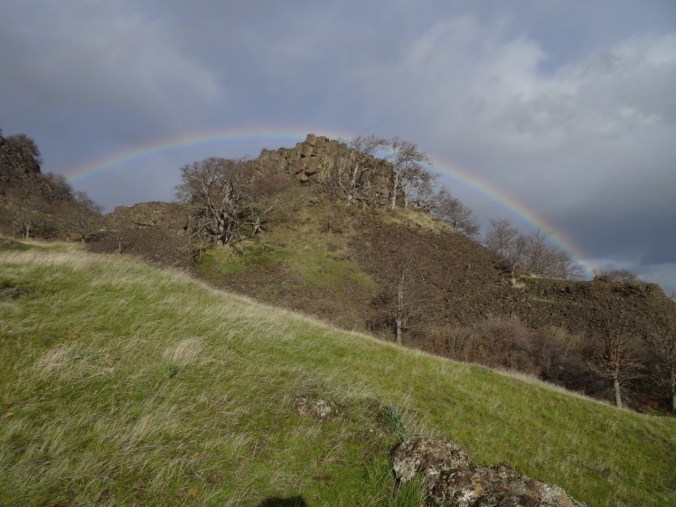
and actual rainbows.

DSC00722

December 2016

Some comparisons: the waterfall –

DSC05620

May 2012

DSC02834

March 2017

DSC09831

December 2015

the oak tree –

DSC05667

May 2012

DSC09893

December 2015

We also brought back poison oak and left behind one contact lens.  We have explored a few of the side trails – there are many more to look forward to.

CRAFTING

Knitting the green shawl: finished another tortilla and the Sonic Six hat.

Decorating the tree – Diamond Log Cabin Christmas Tree Skirt (Quilt In A Day pattern) made in the early 2000’s.  I have learned a lot about color and fabric choices since then, but It still fits our decor and I like it well enough to continue to use it. The rest of the tree decorating is waiting for one child to be home from college.

25. Early Fall in the Gifford Pinchot

September 30, 2017    Rainy weekend predicted; possible dry window Saturday to the east of Portland;  Indian Heaven still closed from the Crater Fire; windy along the Columbia River. We decided to try some short hikes in the Gifford Pinchot National Forest between Mt Adams and Indian Heaven, near Trout Lake, WA.

IMG_0036

Our first drive through the Columbia River Gorge since the fire: Good photos are posted in official feeds elsewhere.  I was pleased to see how much is not burned. That said, it was sobering to see the extent of the burn: blackened trees on the skyline, blackened forest floors down to the highway in some places, blackened trunks on still green trees.  I felt great appreciation for the fire fighting, for the massive cleanup that has already occurred, and for the challenge ahead. We will be back someday but not soon.

DSC09082

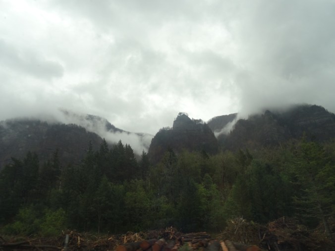
Through the passenger window of a moving car:  Blackened trees on the skyline; slash piles below.

We got a glimpse of Mt Adams and an intense, wide rainbow just as we entered Trout Lake.


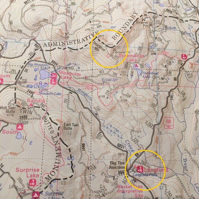
Steamboat Mountain  (#48)

This short hike (1.5 miles, 400′) is touted by Scott Cook in his Curious Gorge book to have some of the best views of the Cascades and a relatively easy trail. The weather was not in our favor, though.  When we parked at the trailhead/quarry, we could just see the top of Steamboat Mountain from the base.


As we hiked up the well graded trail through red huckleberry the clouds closed in.


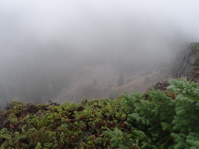
From the rocky top, I could just make out our Suburu parked at the base, but no mountains, no views.

DSC09103

Looking down at our Suburu (center of photo) from the top


We ate our lunch, hiked down.  We were reminded that we are now in hunting season, as people were firing guns just on the other side of the quarry.

Langfield  Falls

Driving back south toward Trout Lake, we visited Langfield Falls, just east of Tire Junction.  There is a short trail down to the waterfall viewpoint, and another user trail along the creek above the falls. A spatter of rain, a lovely waterfall.


Natural Bridge

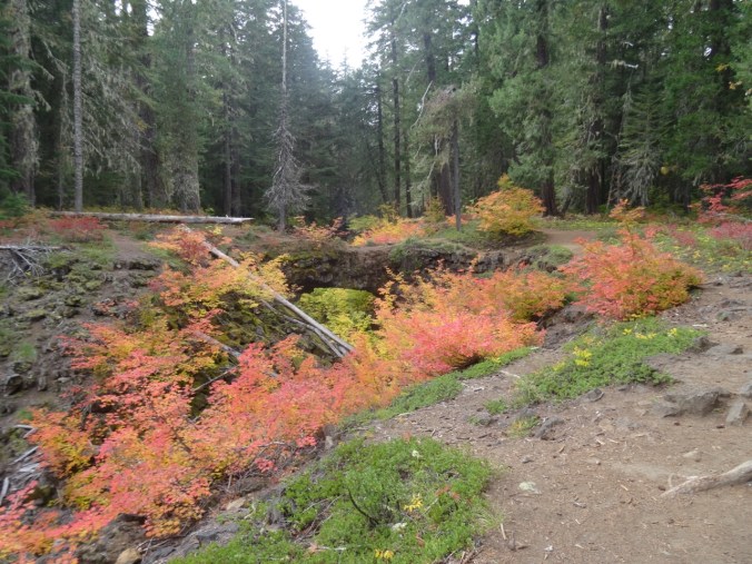
Back to Trout Lake, then west about 5 miles, is the Natural Bridge area- a collapsed lava tube with bridges in places of incomplete collapse.  A friend from the Portland Hikers Facebook group had tipped us off to brilliant fall color here, and we found this to be true – even if we were early for the full show.  The inner collapsed tube is overgrown with vine maples that blazed in gradation through the spectrum from bright green, to yellow green, yellow, yellow orange, orange, red orange and red: the analogous colors from half the color wheel on view.  We wandered around for a while, and Dan set up his tripod as we waited for sunbreaks to illuminate the scene.

DSC09140

One of the Natural Bridges


DSC09182

Dan with tripod

23. Visiting the Midwest

As I write this I get an Eagle Creek Fire update:  Rain has finally slowed the fire, and operations are turning to cleanup and recovery.

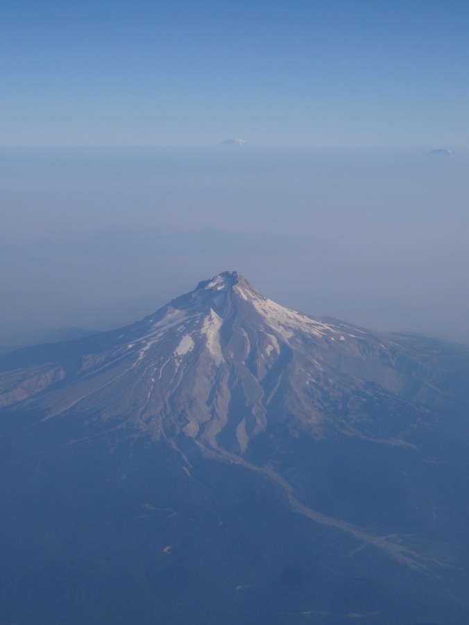
We flew to Ohio, passing over the south side of Mt Hood – smoke not impeding our view today to Mt Adams and Rainier beyond.

DSC07967

Mt Hood, Mt Rainier and Mt Adams

Ohio

Oberlin College

We visited our daughter at Oberlin College in Ohio. I had previously only had a brief peak at the campus the day we moved her into her dorm two years ago.  She and her roommate are now in a two bedroom apartment and enjoying the non-dorm lifestyle. We walked all around campus, seeing the various buildings and rooms where she spends her time. She introduced us to friends that seemed to appear around every corner.  I enjoyed the quiet, but intensely busy vibe on this early-term late summer weekend.  We got coffee from The Local, ate delicious dinners at The Feve and Indian Garden, and joined her for a student prepared lunch at her dining coop.

Brandywine Falls, Cuyahoga National Park, Ohio   Sept. 17, 2017  (#46)

She also wanted to go for a hike.  We chose a 4 mile hike about an hour from campus, the Stanford/Brandywine Falls trail. It was a beautiful sunny day though the humidity was much greater than we are used to in the Pacific Northwest. There was enough shade in the woodlands to stay comfortable, a few summer flowers struggled along, and fall colors were beginning to pop.


Chicago

We then flew to Chicago to visit to our son. Beautiful weather continued on Monday as we enjoyed the Architectural Boat Tour.

Windows and reflections:

After lunch we rented Divvy bikes and rode four miles along Lakeshore Drive trail from Millenium Park back to Lakeview where we were joined by long time friends for dinner.

DSC08332

The Bean, i.e. Cloud Gate, in Millenium Park

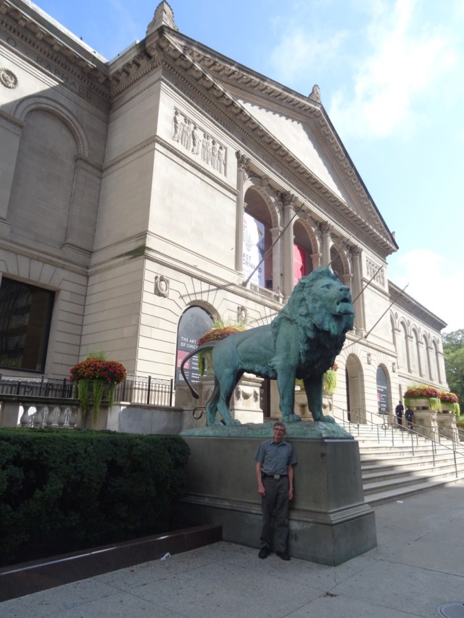
The next day we visited the Chicago Art Institute.

DSC08357

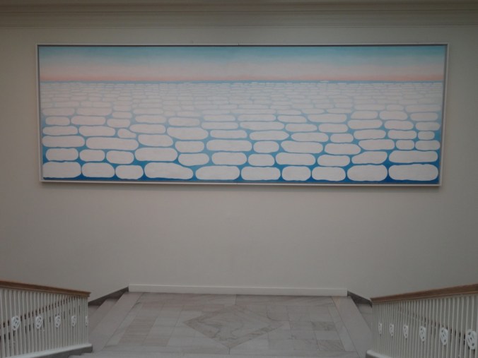
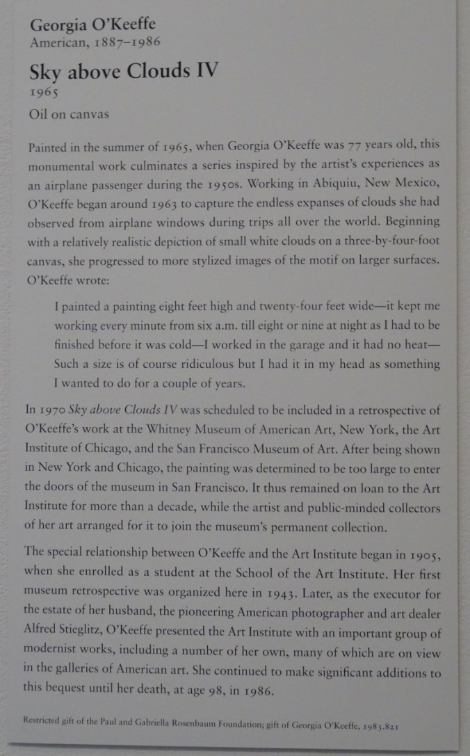
We spent most of our time in the Impressionism and Modern American galleries. My favorite piece was by Georgia O’Keefe, a 24 foot long painting that filled a stairwell:

DSC08426DSC08428

This also caught my eye:

DSC08430

We walked around some of the parks near the Art Institute.

After dinner we went to see Hamilton!

This was my first visit to Chicago, and only lasted two days, but I enjoyed my time, and can see why my son likes living there.

Knitting update:

DSC07915

11 dishcloths

21. It’s cool at the beach! plus a pod of pelicans!

My post 20 about the Columbia Gorge fire, (still out of control as I write this) delayed finishing this post.

Neahkahnie Mountain      9/1/2017      (#44)

The heat and wildfire smoke have settled into the Portland area for the long weekend and beyond.  We drove out to the coast this morning, for a repeat of the day trip I took with my sister and son in August.  No fog bank this time – the sky was clear blue and it was actually a little hotter than I would have liked for the hike.

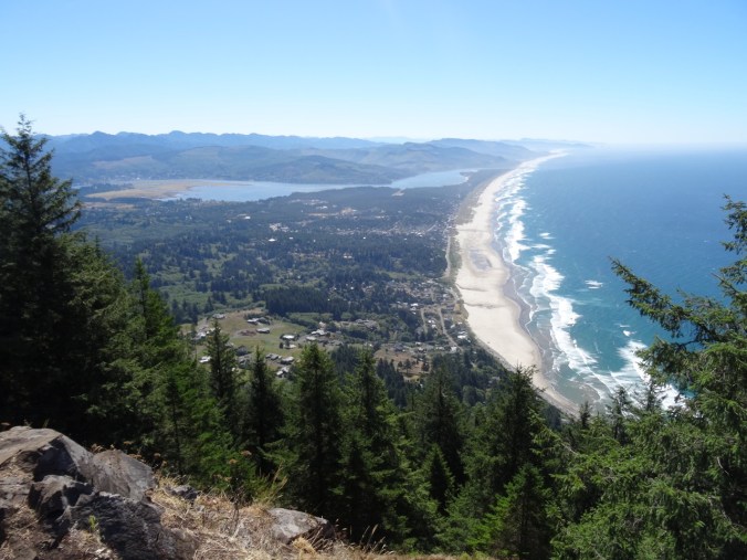
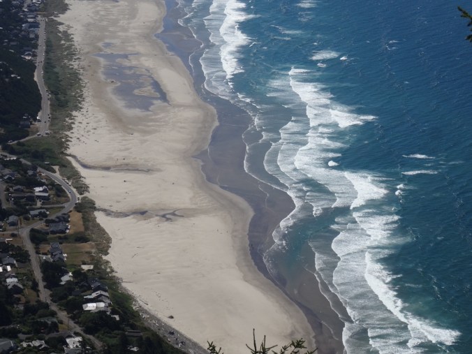
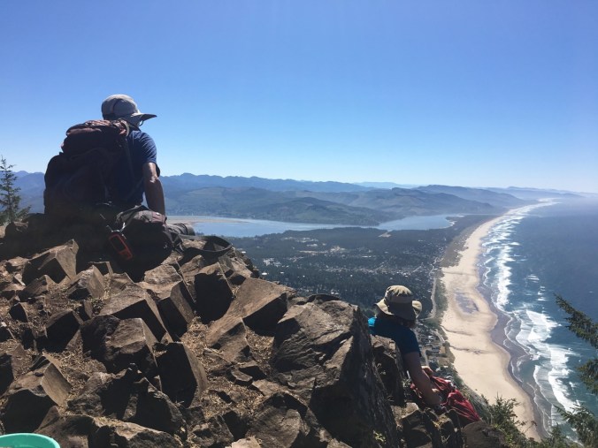
Neakanie Mtn juts 1680 feet up from the ocean.  The  south trailhead is at about 700 feet, so we only had to climb about a thousand feet over one and a half miles to reach the top. The first mile is steep switchbacks through coastal forest with a few straggling flowers, and shady much of the way.  The last half mile is just below the ridgeline, over rocky outcrops, with a final slight scramble to the summit – a rocky spine with not much space for the two or three families who were there with us.  We perched where we could long enough to eat sandwiches, while admiring the incredible view over Nehalem Bay, and watching the wave trains swash along the beach below.
DSC07573

Nehalem Bay/Manzanita from Neahkahnie Mtn
DSC07583

A fellow hiker took this photo of us while we were eating, and kindly emailed it to us.  It is one of my favorite photos of us on a hike.  Meanwhile, it was actually rather roasting up there, so we started down and fairly quickly returned to the trailhead.
unnamed

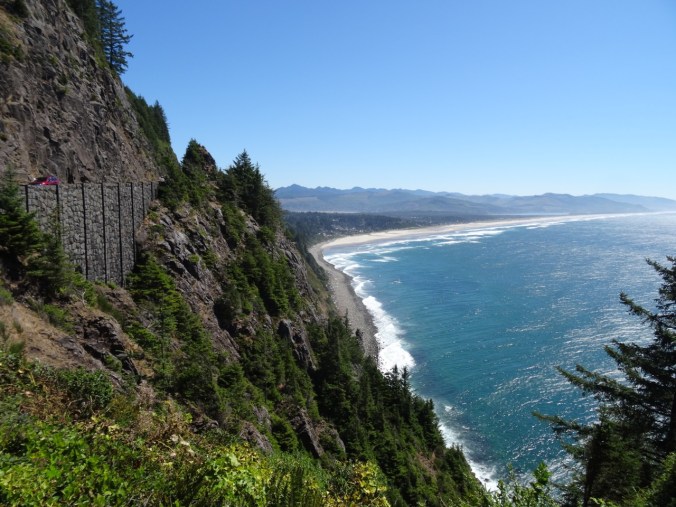
With most of the day still ahead of us before the low tide at about 5 pm, we next went to the famous Neahkanie Point overlook on the highway, and paused to say Thank You! to Oswald West, Oregon governor about 100 years ago who was foresighted enough to reserve much of the Oregon coast as public land.
DSC07601

South view, Neahkahnie Viewpoint

Next we walked about a half mile down to a viewpoint over Devil’s Cauldron, a coastal cliff chasm that creates a lot of splash.  There was a lovely bench in the shade which we had  to ourselves for a while. We sat and admired the view, which includes Cape Falcon in the distance – the very Cape that Helen, Brian and I hiked out to about a month ago – interesting to see from this angle.

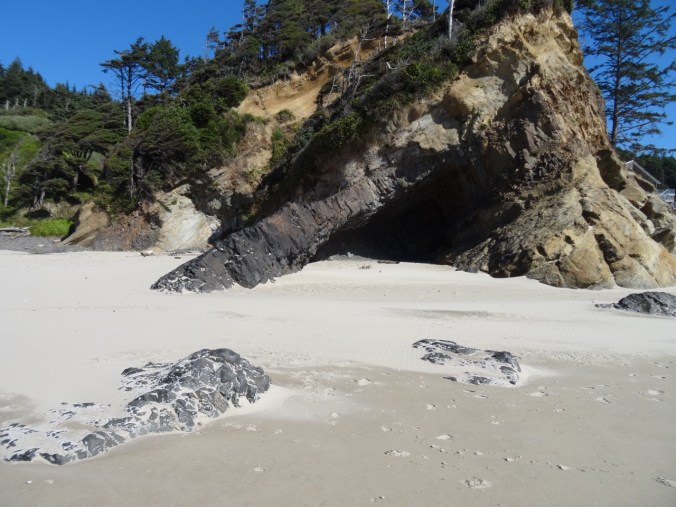
Next stop – Hug Point.  We have spent a lot of time on this stretch of beach, from Arch Cape to Cannon Beach, during the last 28 years. We rented a house for a week here with our kids nearly every summer, and if they remember any one place as a favorite family vacation spot, this is it. First we walked south toward Arch Cape, passing The Cave and Big Barnacle Rock.  I am impressed with how deep the sand is!  Ten or more years ago heavy winter storms washed away so much sand and deflated the beach such that the sections of cobbled beach were persistent all summer. It is more fun to walk on the sandy beach!  Tide was going out, but not very low today – we could not walk around the west side of Big Barnacle Rock, but it was nice to say Hi and have a good peek into The Cave.
DSC07645

The Cave

DSC07652

Big Barnacle Rock

DSC07664

Neahkahnie Mountain, which we climbed this morning

We walked back north to Hug Point, now the cool wind in our face!  All the way onto Hug Point, (once the actual road, cut by people out of the sandstone headland), and around to the other side, looking north to Arcadia and Cannon Beaches.  On the walk back we got a close look at the waterfall, then drove north along the coast to Arcadia Beach.

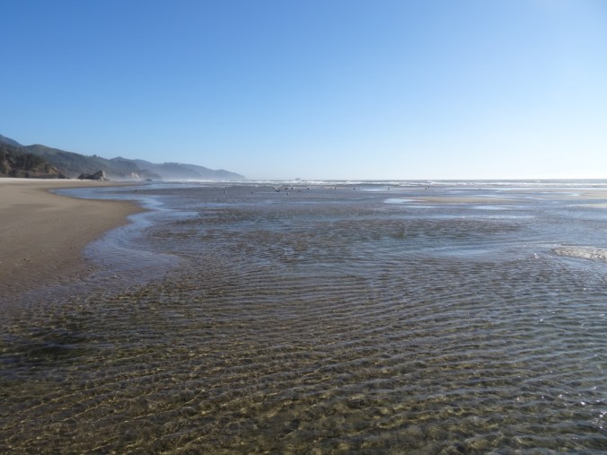
Dan wanted to see if there were any sea stars at Big Starfish Rock (Silver Point) at low tide.  We walked north from Arcadia Beach as the tide ebbed, splashing in the tidal pools that sparkle in the sun. The water was so blue today, and the air so fresh!  We spotted a sea star in the sand, but none at the rock. We arrived just as the tide was beginning to rise, so couldn’t get close to the small arch which we were hoping was covered in sea stars.  Again, not a low tide day, so we couldn’t really tell if they were there.

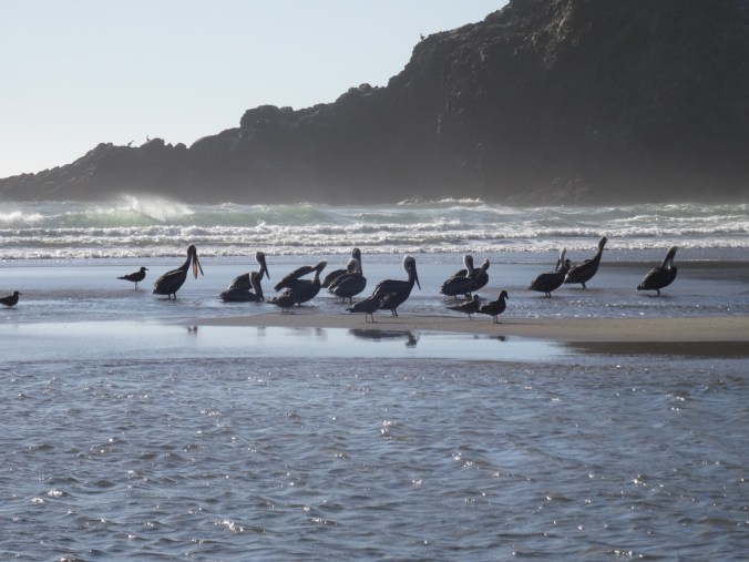
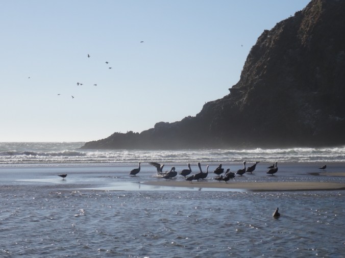
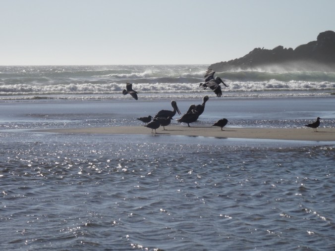
I had seen a couple of lines of pelicans from a distance flying along the swell line.  We were treated to watching a pod of about a dozen of the elegant birds land on a tidal sand bar just as the rising tide isolated the bar from the beach.  They were standing on the sand bar, facing north, and seemingly grooming.  We watched for a long time, taking pictures, though the sun angle was not great for our purposes.  Another couple of pods also flew near so that I could see over thirty pelicans at once.  Pretty cool! We have named the sea stack behind them Big Pelican Rock, to honor a family tradition of naming important viewpoints.

DSC07746

DSC07779

DSC07803

DSC07801

DSC07807

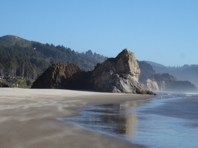
We walked back to Arcadia beach, noticing the promontory we now call the Sphinx of Arcadia, because that is what it looks like.
DSC07745

DSC07819

the Sphinx of Arcadia

We finished the day with a delicious dinner at the Pelican Brewery in Cannon Beach, followed by an uneventful ride home, over the coast range, into the hazy Willamette Valley.

LOOKBACK:

I could go crazy here!  We have so many pictures of this locale. I will just show these two comparisons, which I find interesting because they show how much sand has returned to the beach between photos. The first is The Cave, 2008 and 2017.  The second is an alcove near Hug Point 2011 and 2017.

20. The Columbia River Gorge is on fire!!!

September 5, 2017

In northeast Portland the sun is cloaked in an orange shroud, the air tastes bitter, smells like smoke, and is dripping ash, ash from the burning trees in our beloved Columbia River Gorge!  The heat has pushed the human caused (allegedly a teenager with firecracker) conflagration west along the famous waterfall corridor.  Residents have evacuated and their homes are intact so far. Firefighters are working hard, may they stay safe!  But the weather is so hot and dry and the winds relentless – we all fear for the next stage of this tragedy.  It is a waiting game now as I reflect on all the lovely hikes we have taken in the area – waiting to know which of these amazing places are intact, and which will begin a new phase of regrowth and regeneration.  I am no stranger to hiking in burn zones, but this particular area was so lush and green.  It is very sad.
From east to west, some of our favorite places that are threatened or burned:

Herman Creek

 Dry Creek Falls

DryCreekFalls

Dry Creek Falls April 2017

Eagle Creek

Note that steep trail area is likely where the fireworks were used.

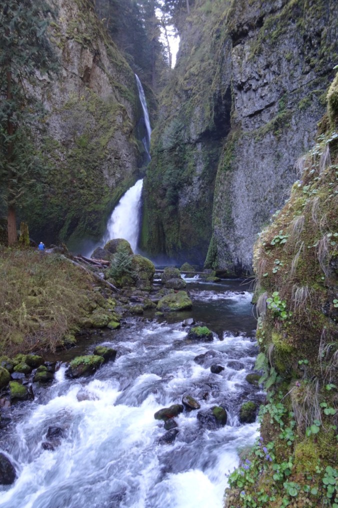
Wahclella Falls

WahclellaFalls

Wahclella Falls April 2016

McCord Creek / Elowah Falls

Oneonta / Horsetail area

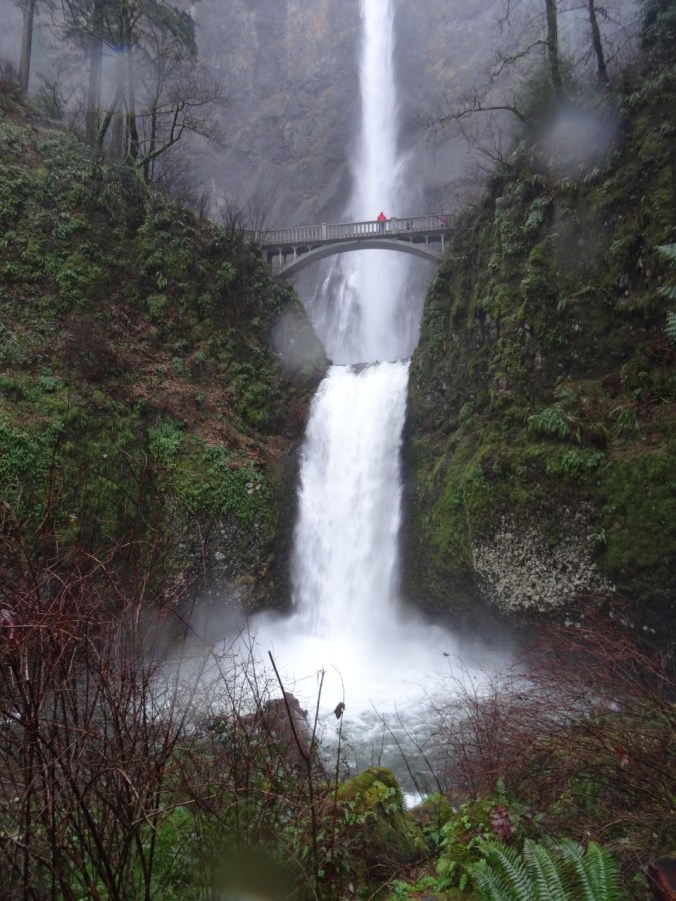
Wahkeena / Multnomah Falls Loop

Multnomah Falls

MultnomahFalls

June 2014

MultnomahFalls (2)

December 2015

MultnomahFalls (3)

November 2014

Angel’s Rest

Latourell Falls

Views from Washington toward Oregon where the fire is burning

HamiltonMtn

Hamilton Mountain, looking toward Bonneville Dam May 2016

CapeHorn

Cape Horn looking upriver April 2016