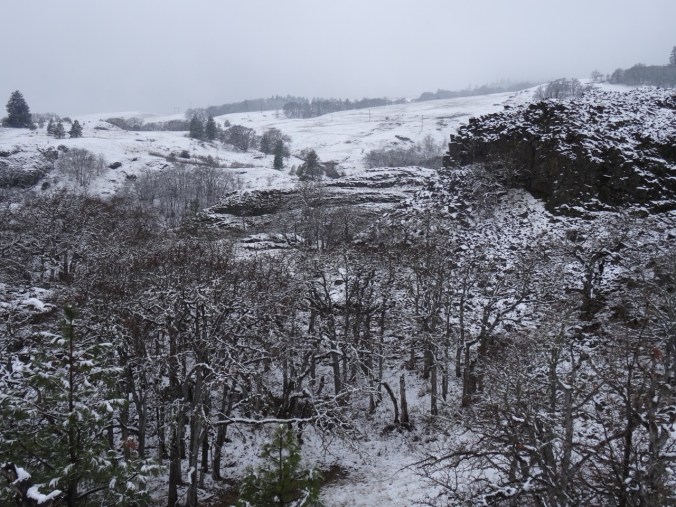
River to Rock Trail, Beacon Rock State Park, WA 2/10/2018 (#5)
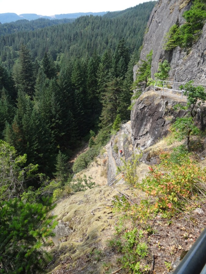
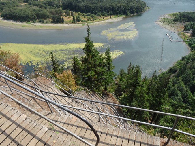
From the switchback staircases on Beacon Rock we have looked down to see a dock on the Columbia River.

August 2015
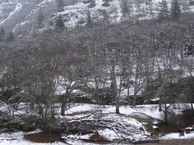
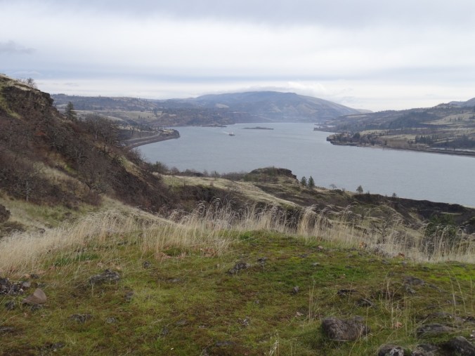
Today we looked up at the ant-sized people climbing the Beacon Rock stairs from the dock. We walked to the dock from the Doetsch Ranch Trailhead. There are great views of Beacon Rock,
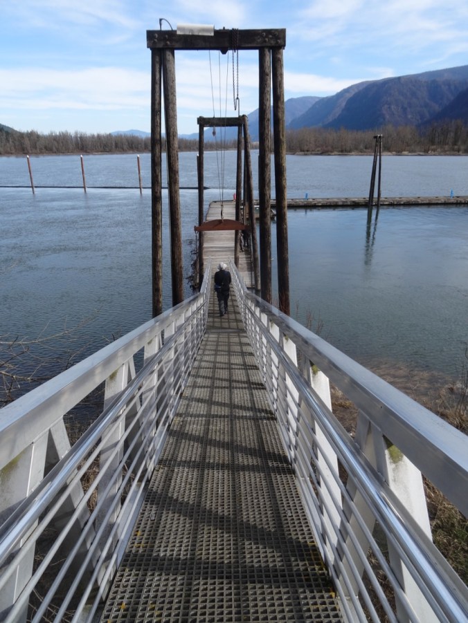
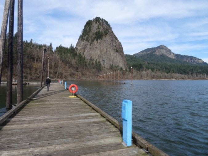
Beacon Rock boat dock
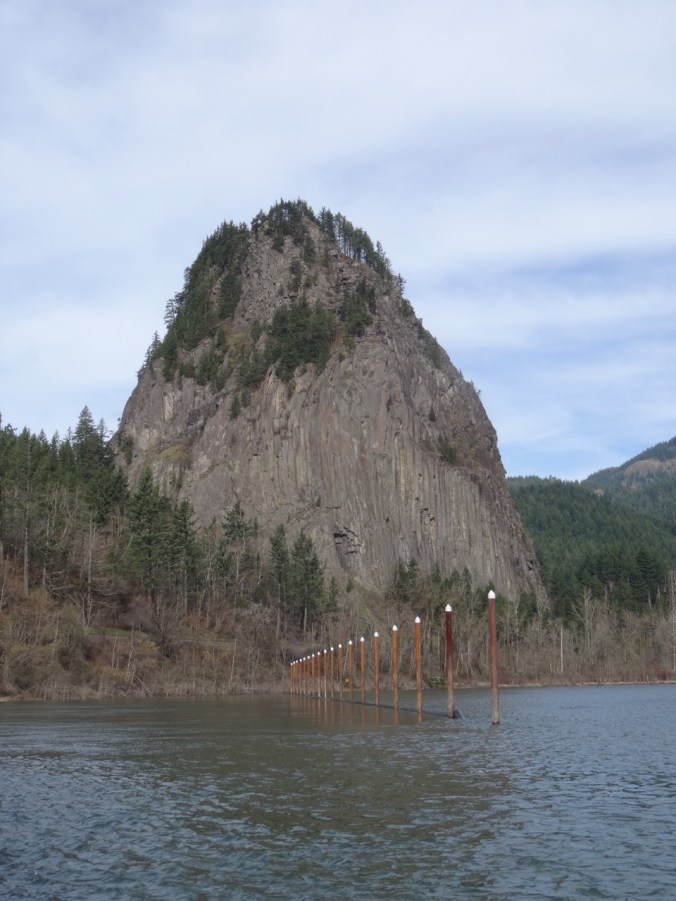
Beacon Rock from the boat dock

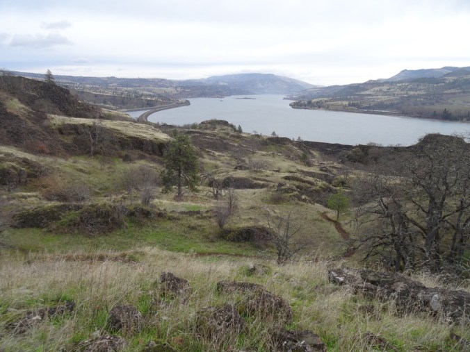
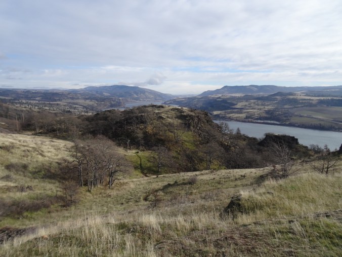
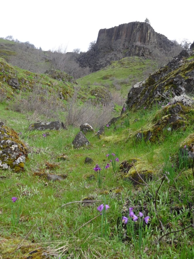
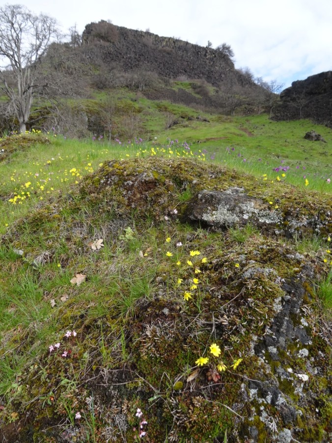
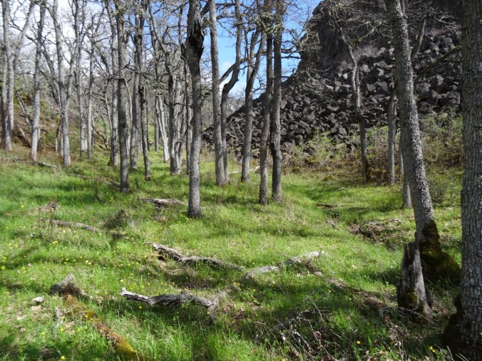
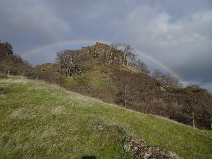
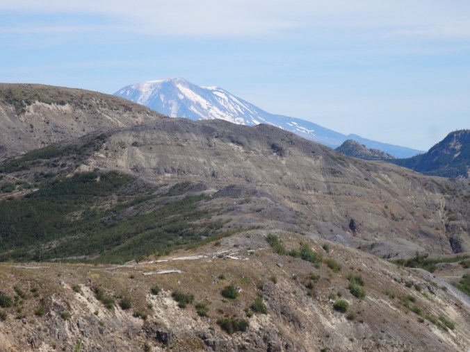
Beacon Rock, Table Mountain, Aldrich Butte

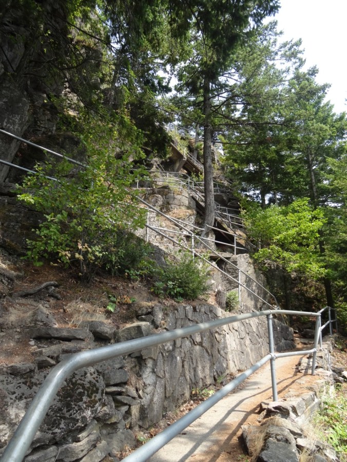
Stairs and switchbacks
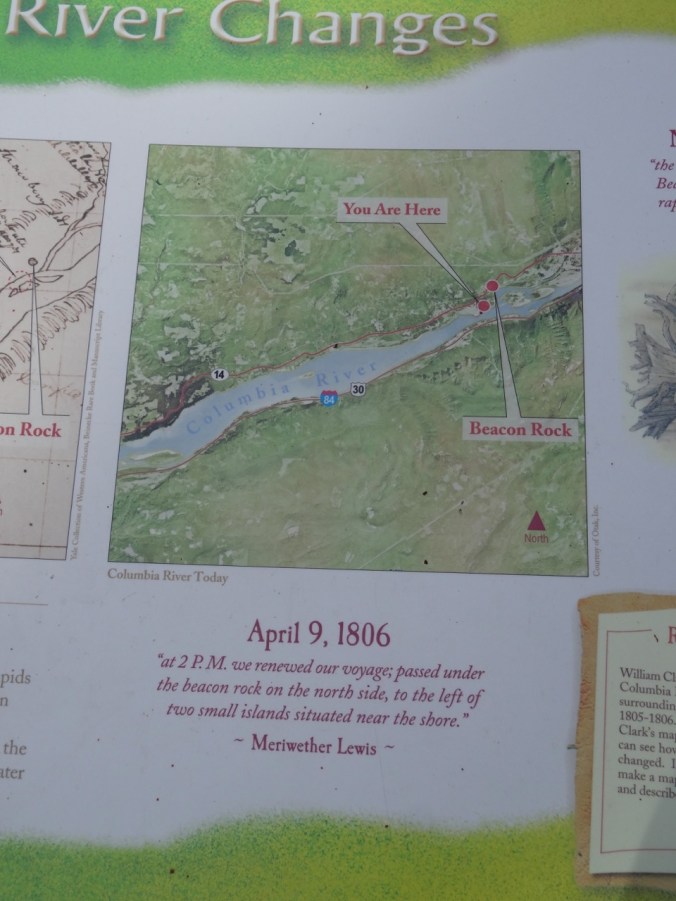
History
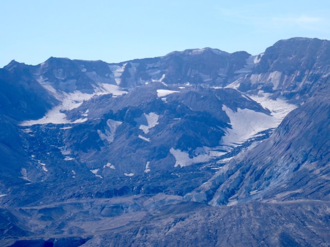
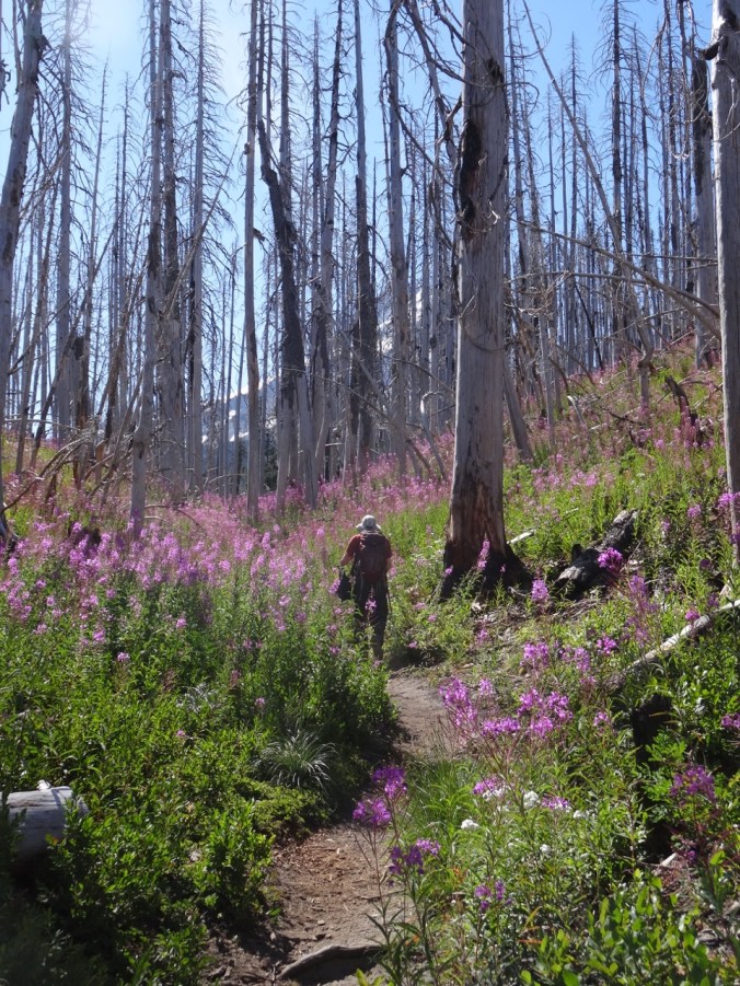
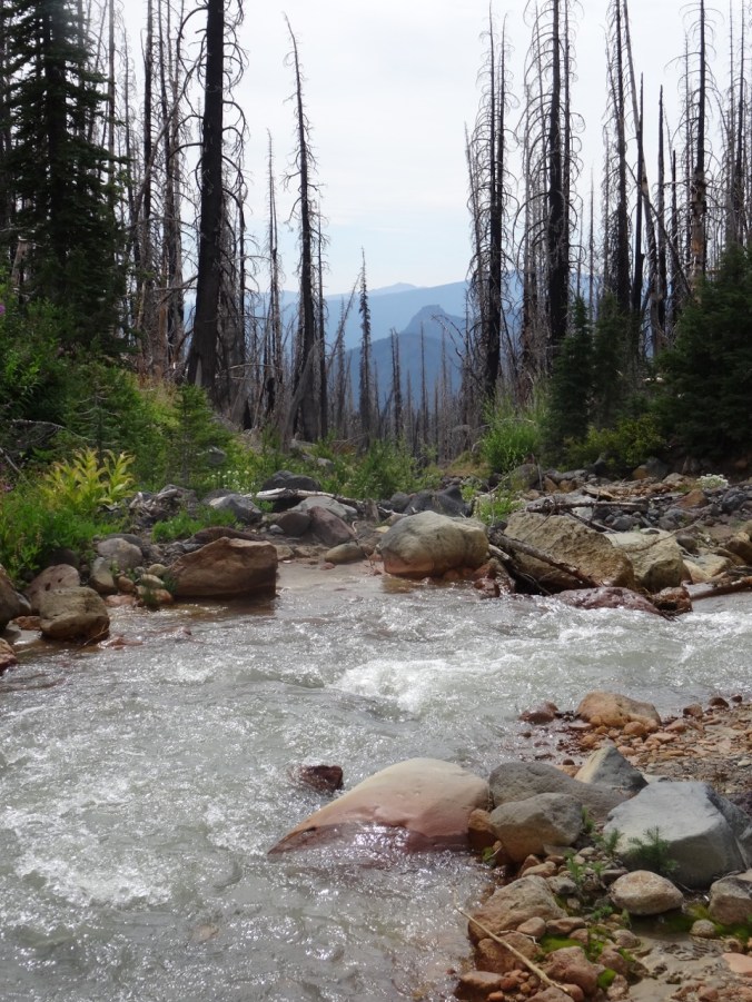
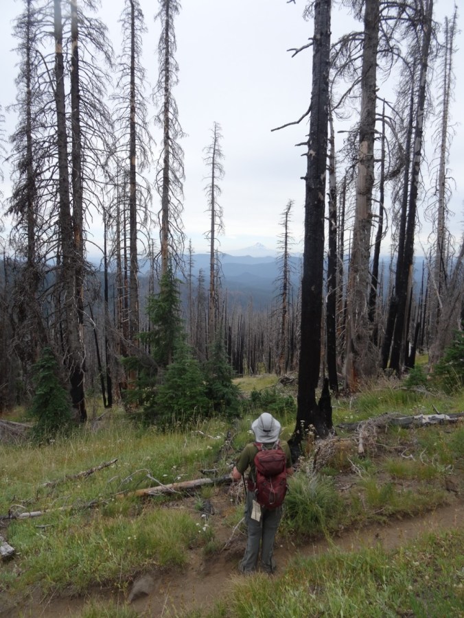
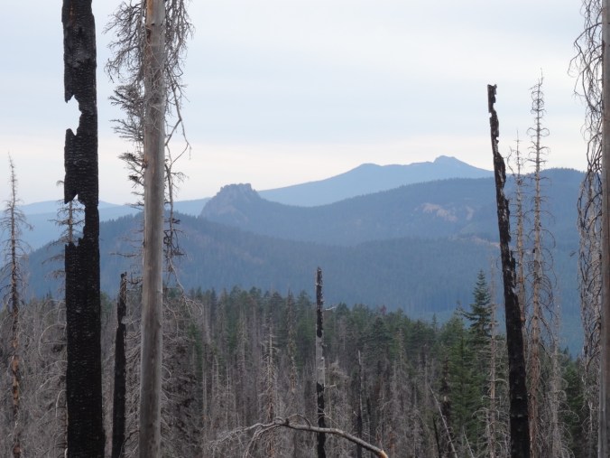
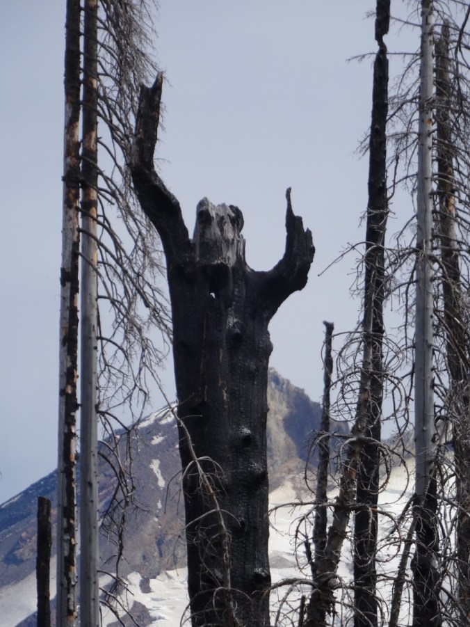
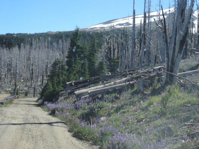
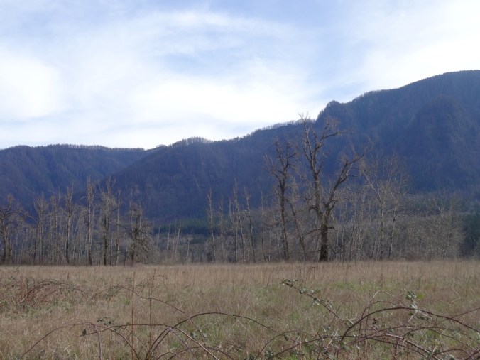
and of the burnt trees along the ridge line on the Oregon side of the Gorge.


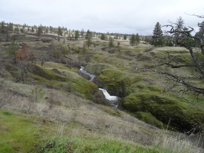
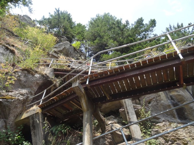
We had planned to continue up the River to Rock trail toward Beacon Rock, but they remove an all important bridge during the winter.
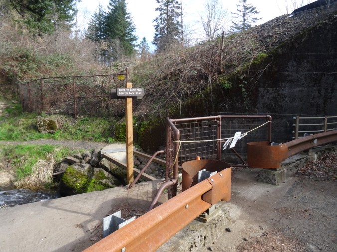
No bridge.
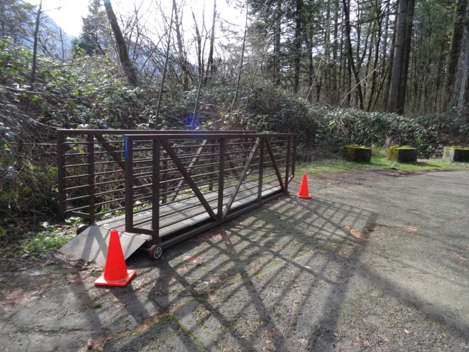
It is parked across the road.
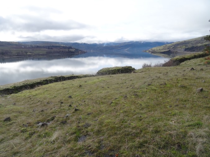
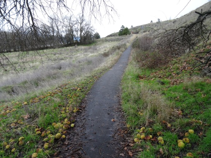
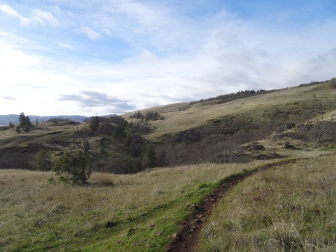
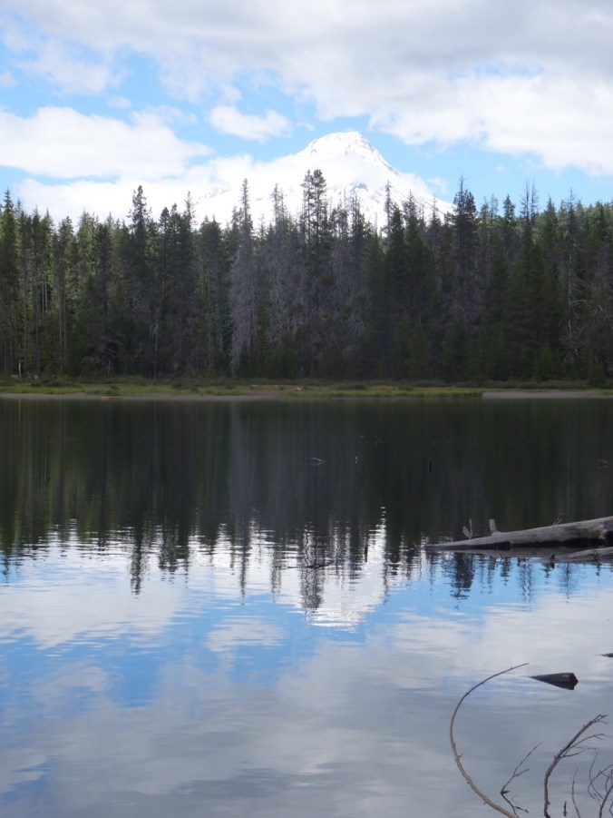
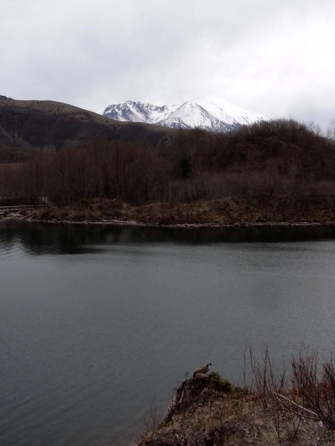
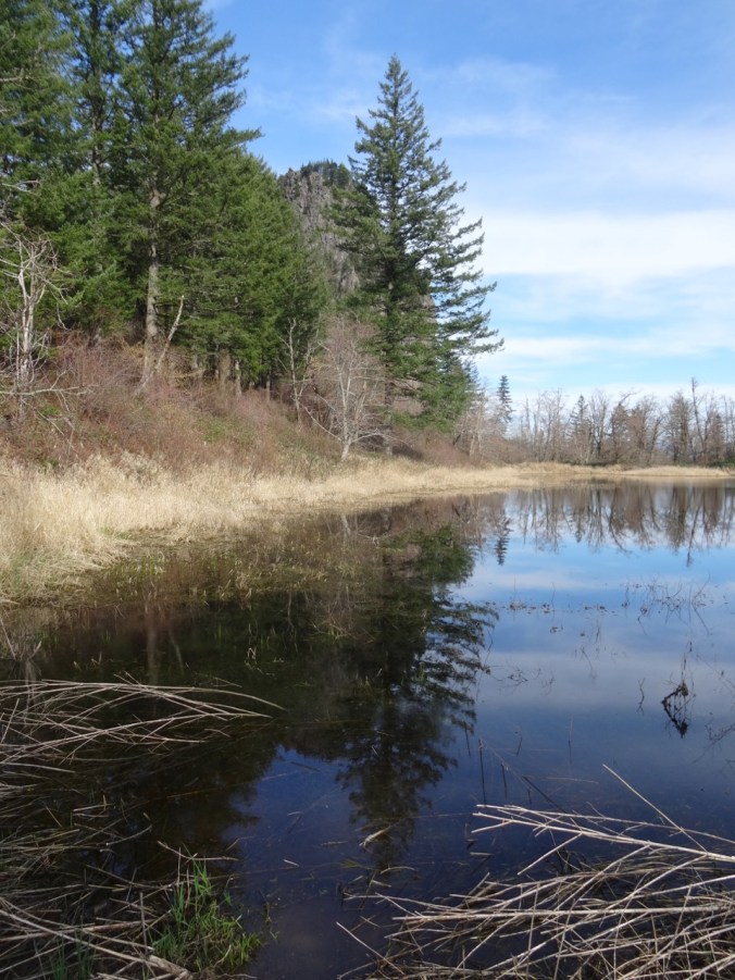
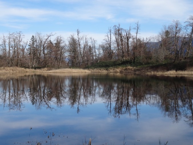
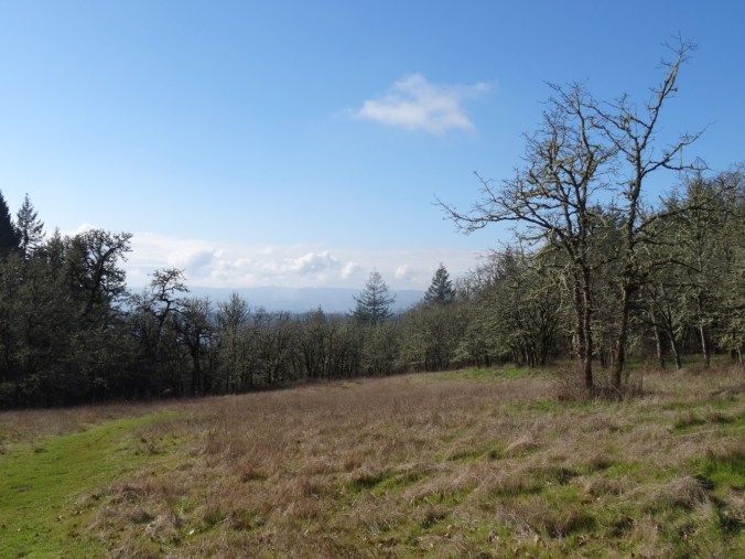
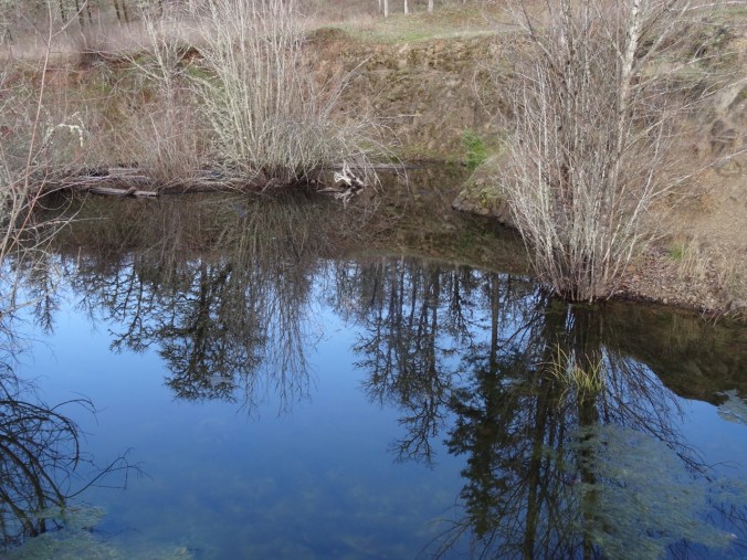
After completing the loop around the former Doetsch Ranch area, we parked at the upper River to Rock trailhead and walked down to the viewpoints around Riddell Lake.

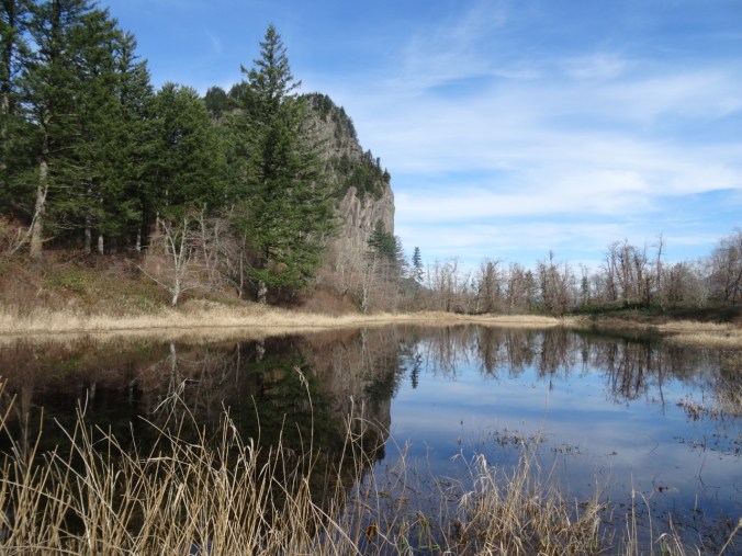
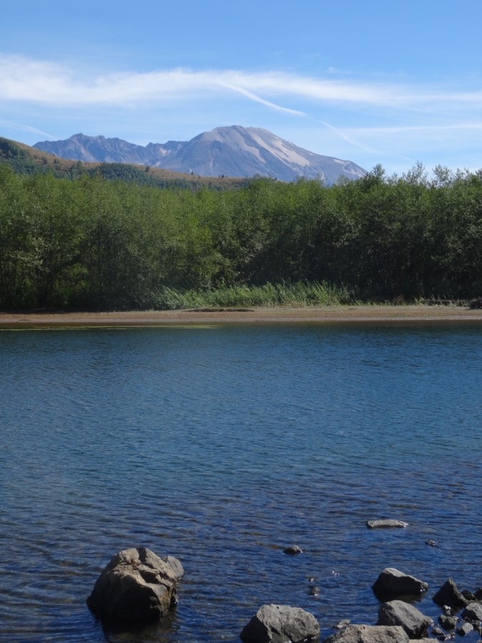
Riddell Lake


Closest view of the stairs and switchbacks.
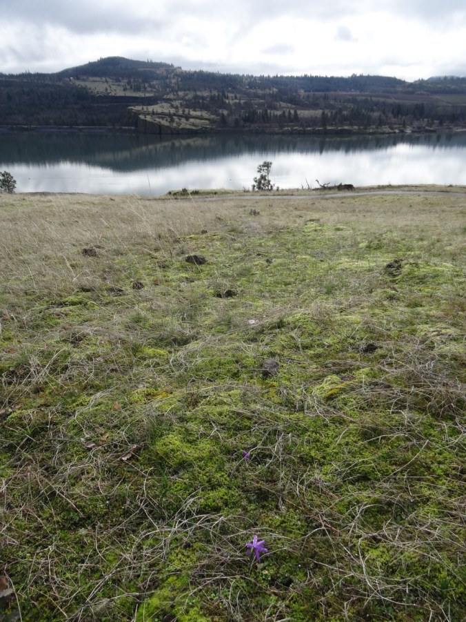
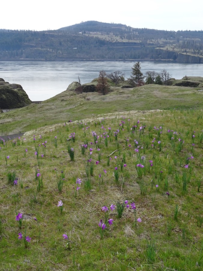
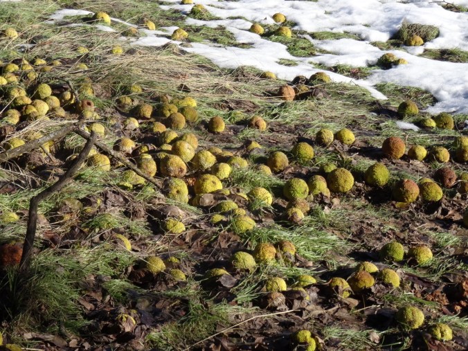
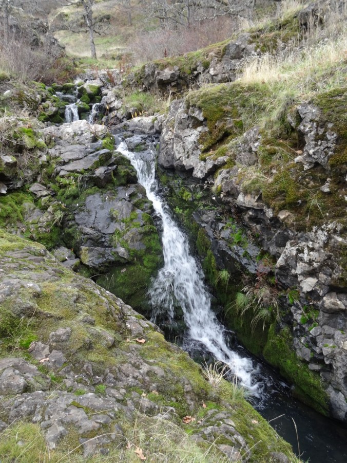
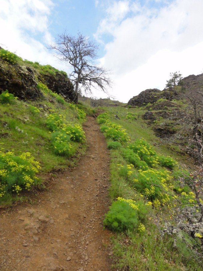
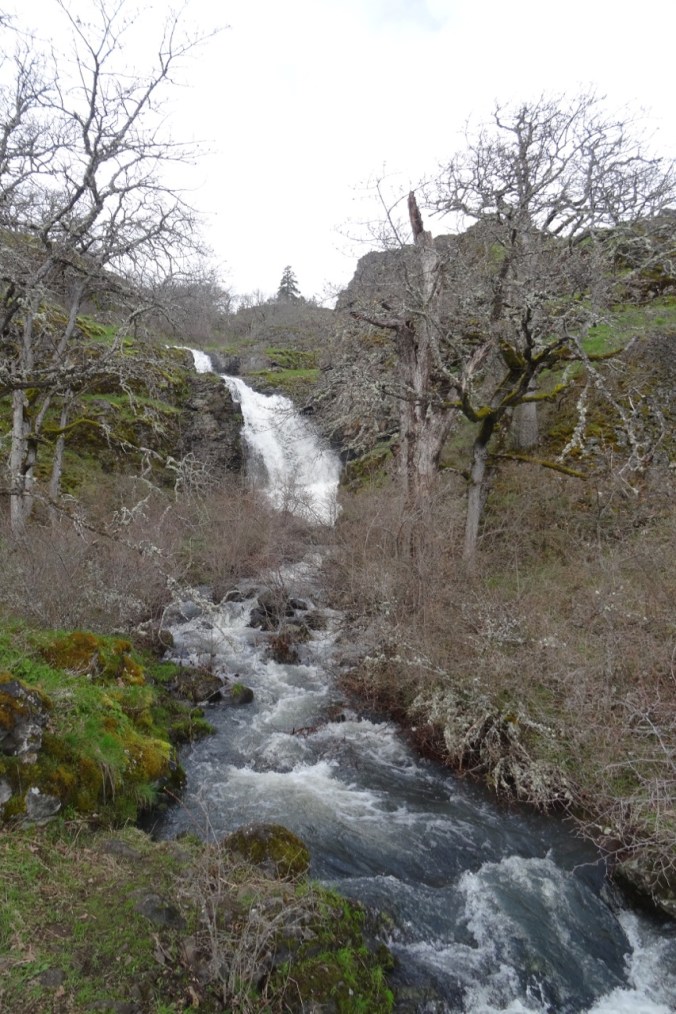
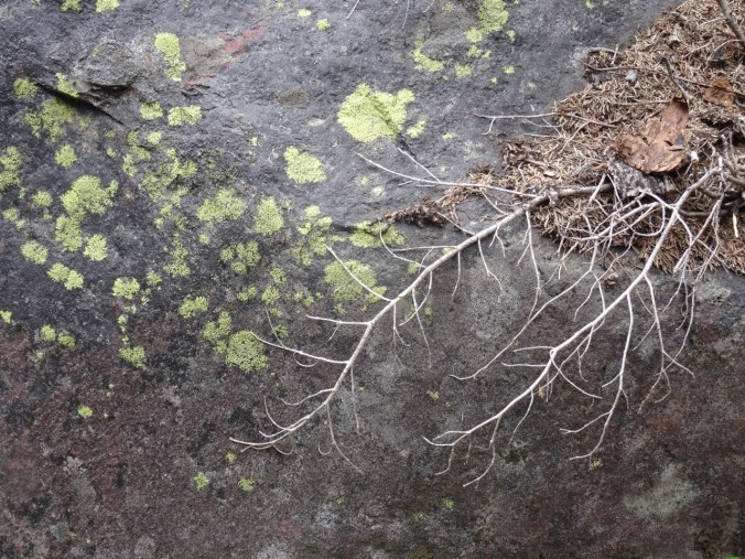
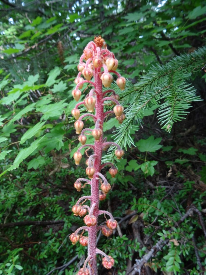
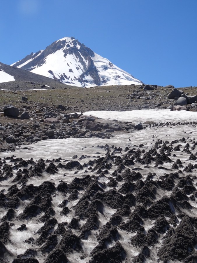
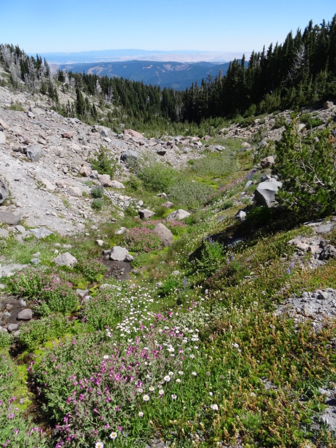
Spring plants and natural history – the Missoula Floodwaters were 200 feet above the top of Beacon Rock!


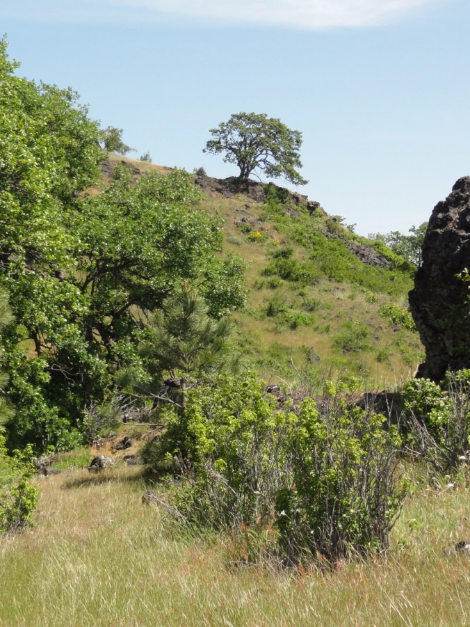
Although I have been feeling well, like I turned a corner in stamina this week, I was glad to reach the top of the small hill back to the trailhead. Today was not the day to climb Beacon Rock, but it was great get a close view of its columnar structure from a new vantage.

3 miles/200 feet
Lookback: Switchbacks and stairs on the Beacon Rock trail.

November 2013
November 2013
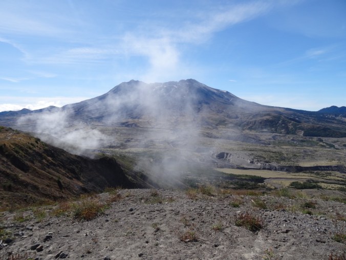
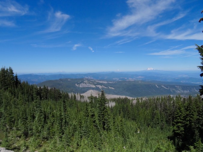
August 2015
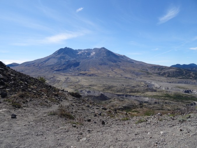
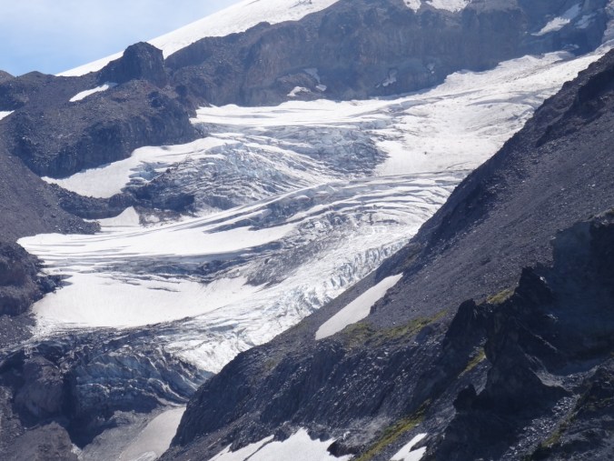
August 2015

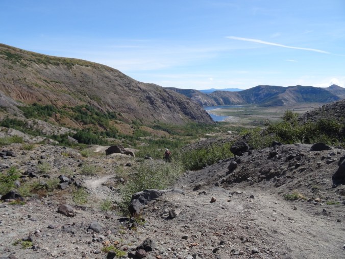
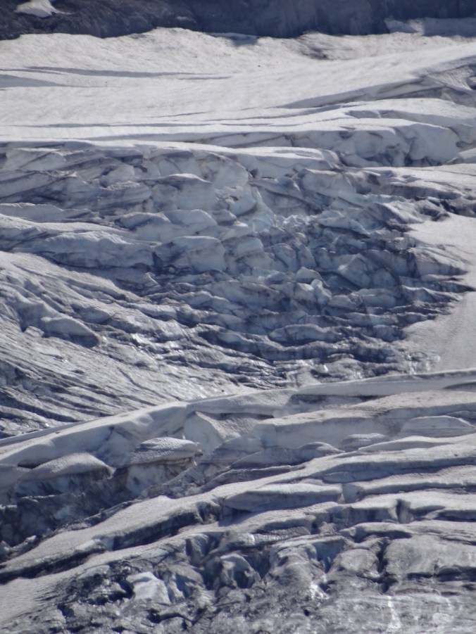
August 2015
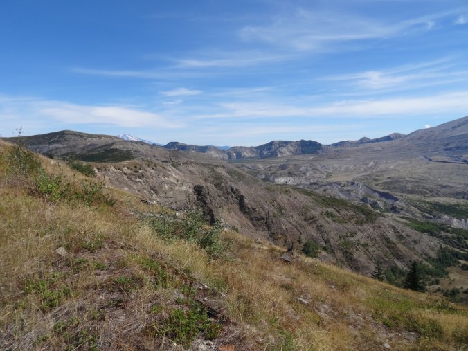
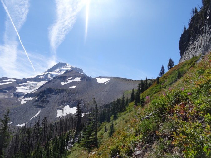
August 2015
Cooper Mountain Nature Park, OR 2/11/2018 (#6)
We walked the 2.8 mile loop with friends on a clear cold Sunday. Nice to continue stretching my legs, and the 300 feet elevation change was plenty. We enjoyed the view of the Tualatin Hills as we ate our lunch from a well placed bench on the overlook trail. There should be a good wildflower display here come spring.

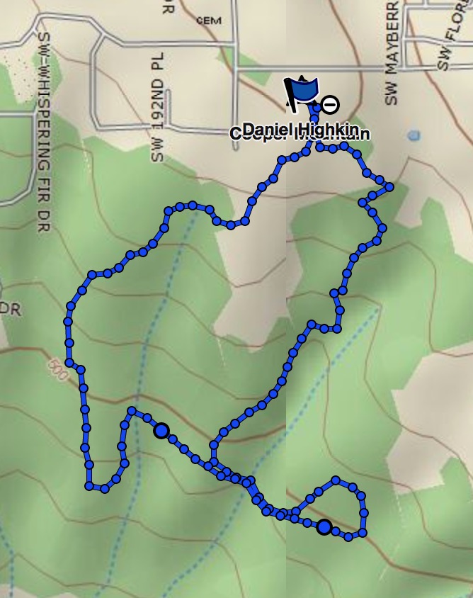
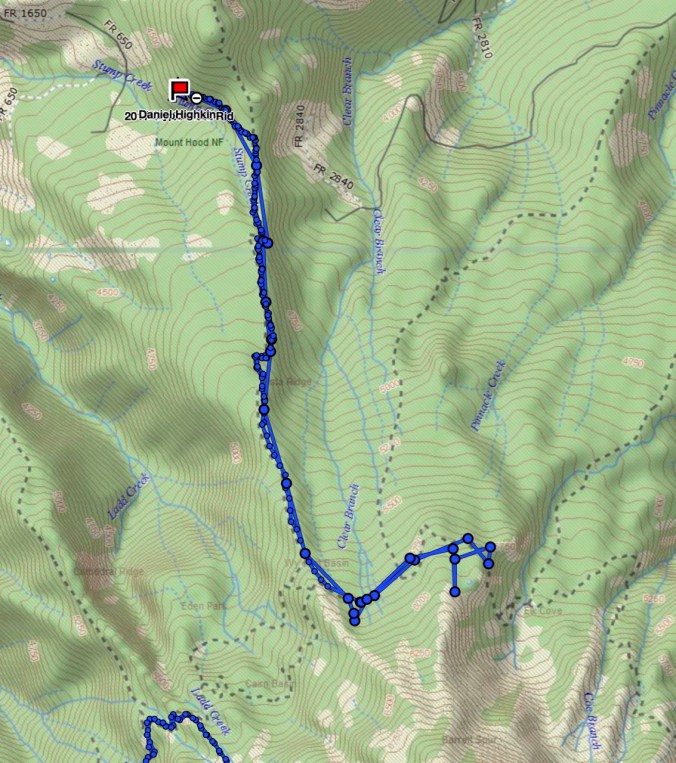
Cooper Mountain GPS track
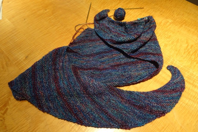
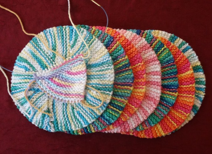
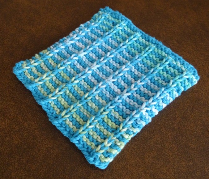
Knitting
I finished the second Sonic Six hat, easily winning at yarn chicken, and in good time for Valentines Day.
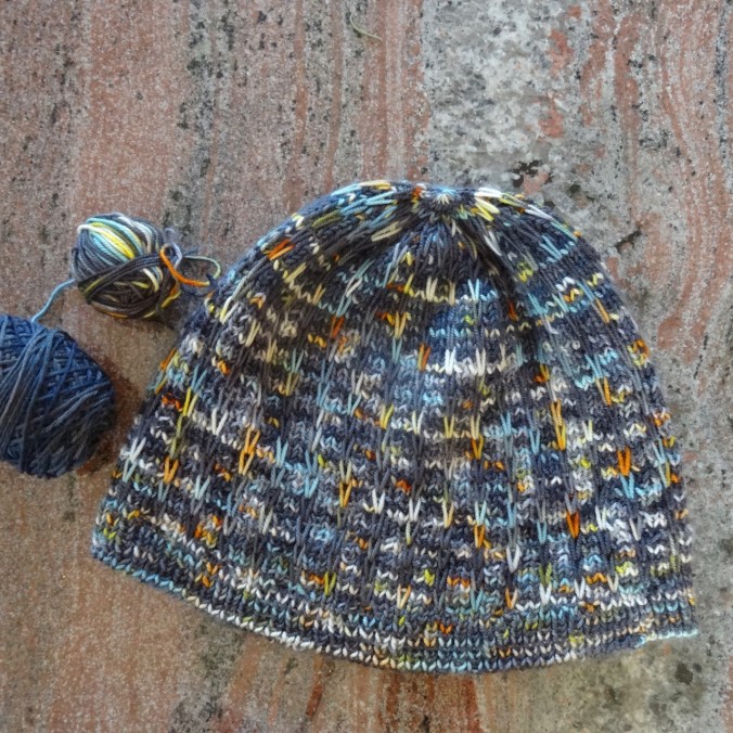
I cast on and finished a bulky weight Brassica hat, out of Collinette Prism yarn in the Fresco colorway. This is the last of the yarn I bought in Scotland last year.


Flowers in the neighborhood:
My yard:


Down the street:
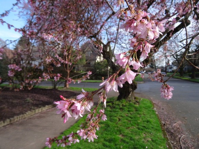
First cherry trees blooming!

heather

Chinese paper bush