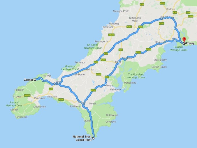
Day 9, Friday, May 4th, 2018
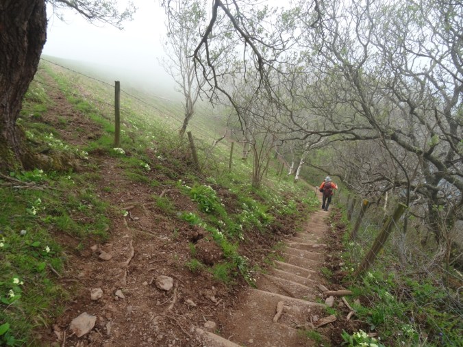
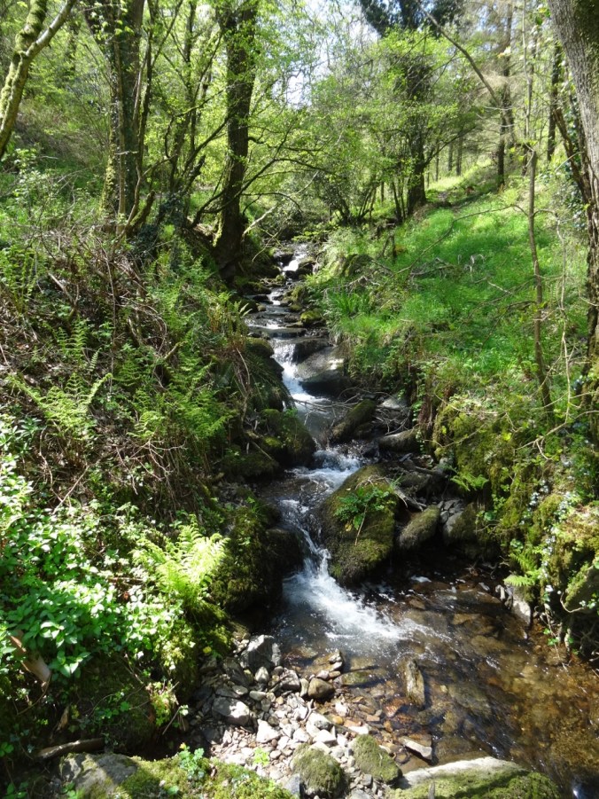
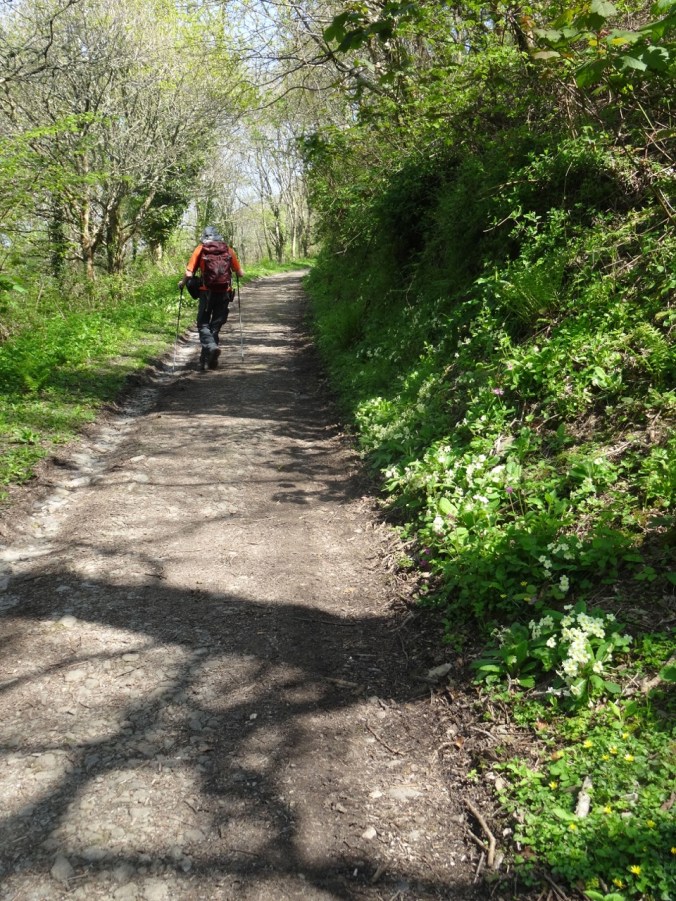
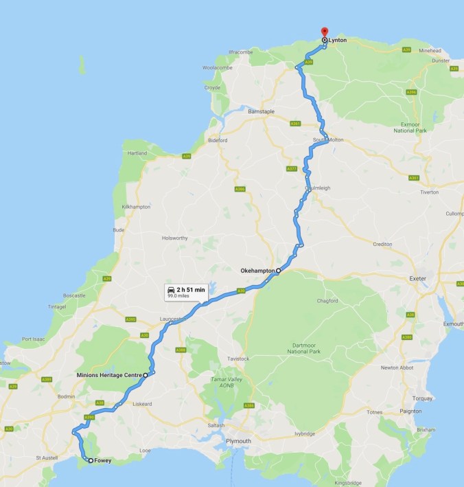
We drove from our lodging in Fowey to Perranporth on the north coast of Cornwall. Dan planned a one way hike on the Southwest Coast Path from St Agnes back to Perranporth. A low cloud ceiling remained for the entire day, but it wasn’t too cold – good hiking weather. We passed broad moors, coastal cliffs, beaches and tin mines. Some of the scenes for the BBC Poldark series were filmed in this general area.
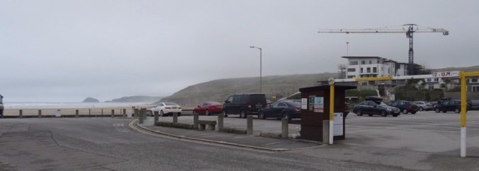
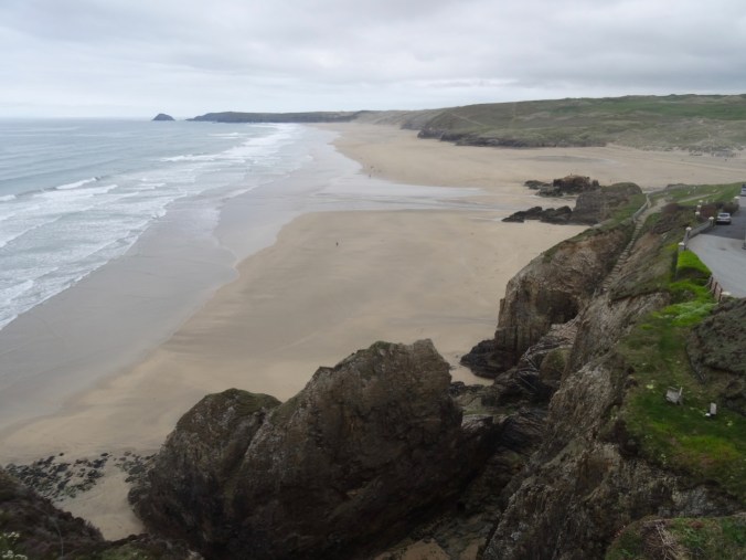
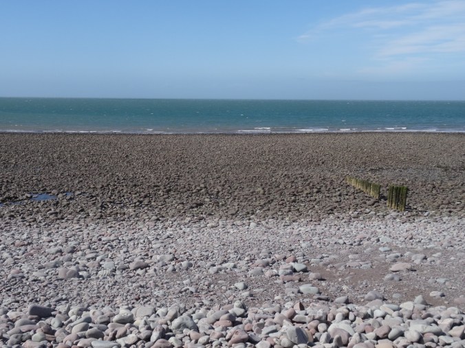
Carpark at the beach in Perranporth.
We parked in Perranporth and took the local bus to St Agnes – a bit of an adventure in itself, because the bus was running almost an hour late. The driver very kindly made sure we got out at the right stop in St Agnes, so at 11 AM, we were finally our way for what would be a ten mile hike, with 1500 feet of total elevation gain, as we walked up and down the coastal cliffs.

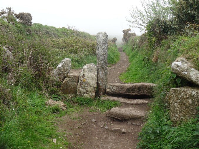
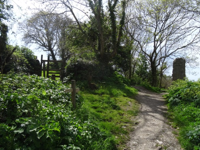
We walked through St Agnes,
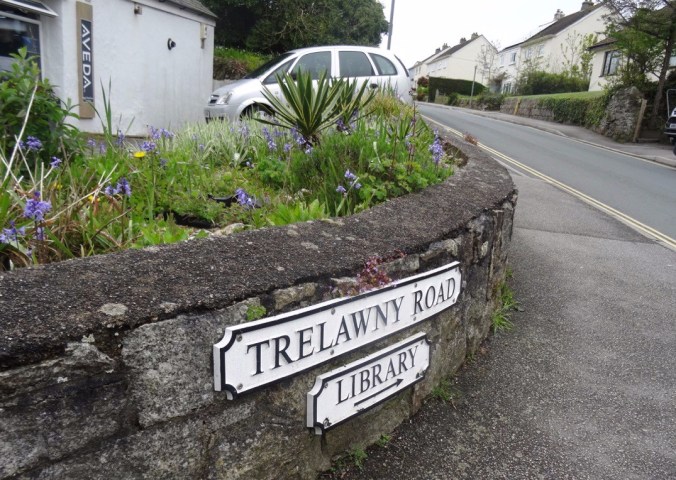
A street sign for Harry Potter fans
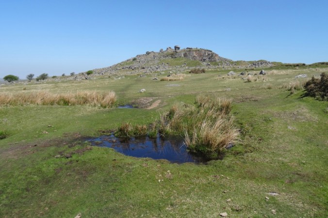
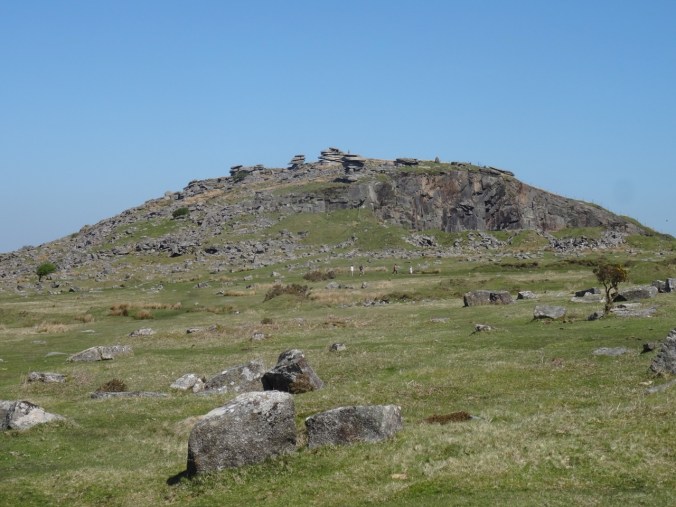
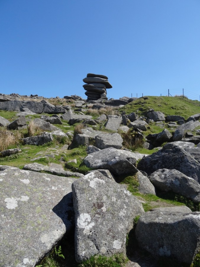
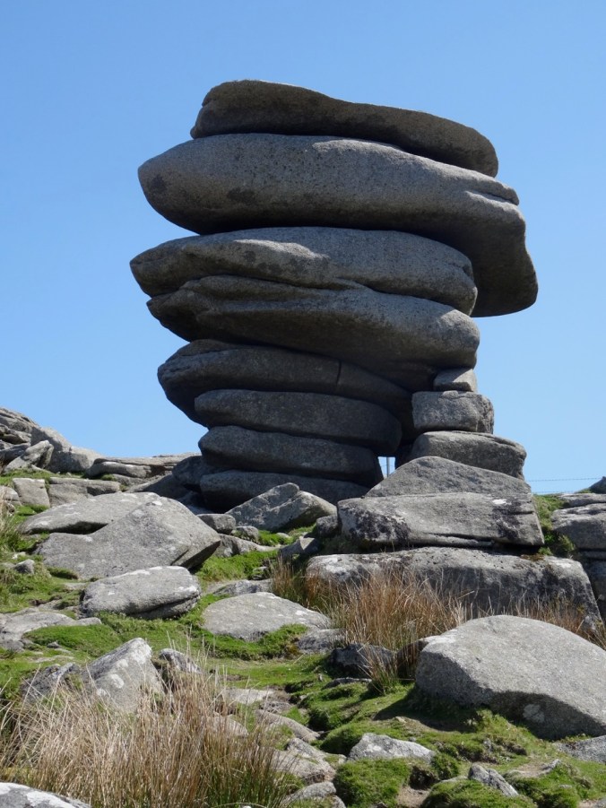
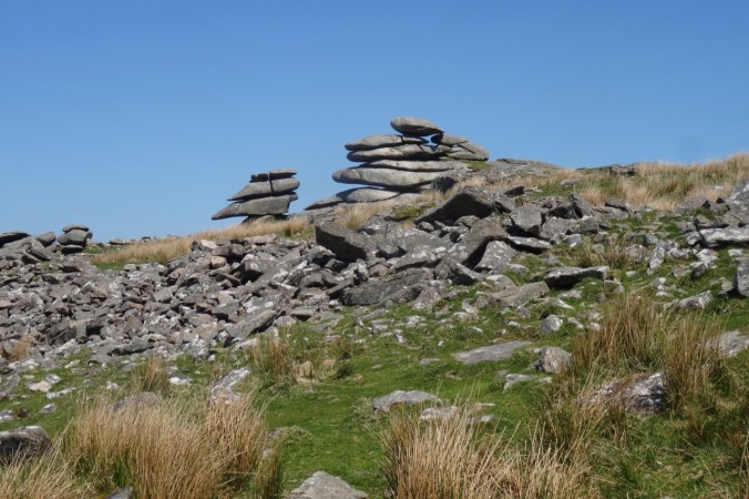
along some farm roads, then uphill to St Agnes Beacon.
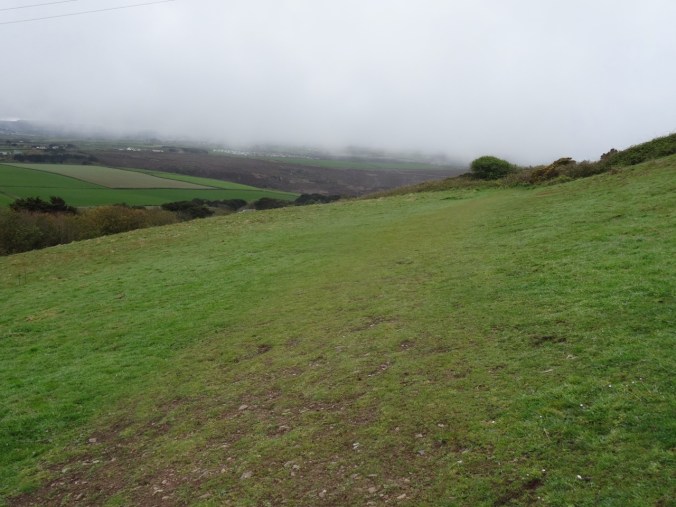
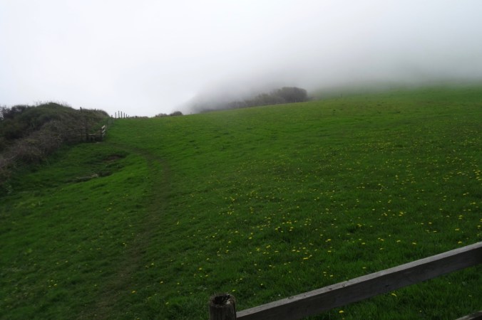
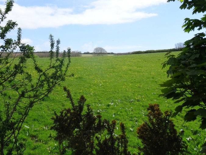
First view of the coast over the field
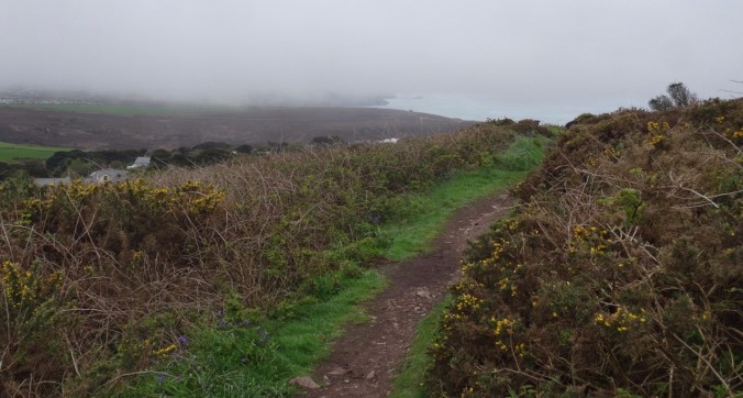
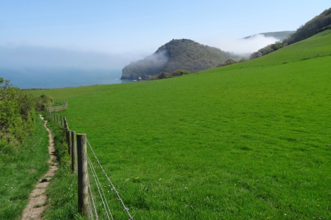
Our track to the north
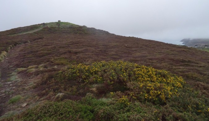
St Agnes Beacon ahead, beyond the gorse
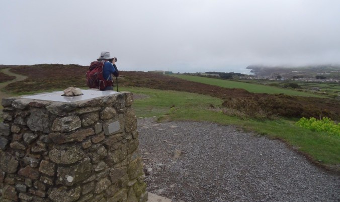
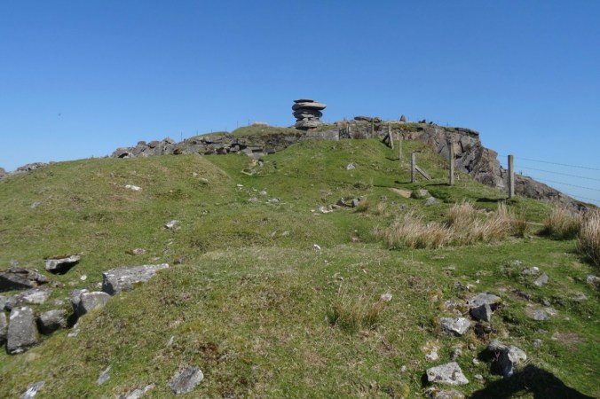
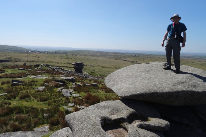
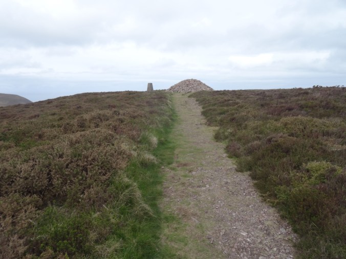
Lunch stop at St Agnes Beacon
On a clear day the views must be incredible!
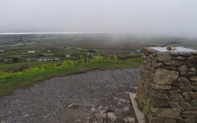
Land of counterpane beyond.
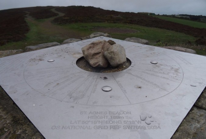
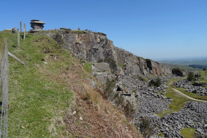
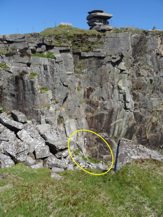
Location finder on the Beacon.

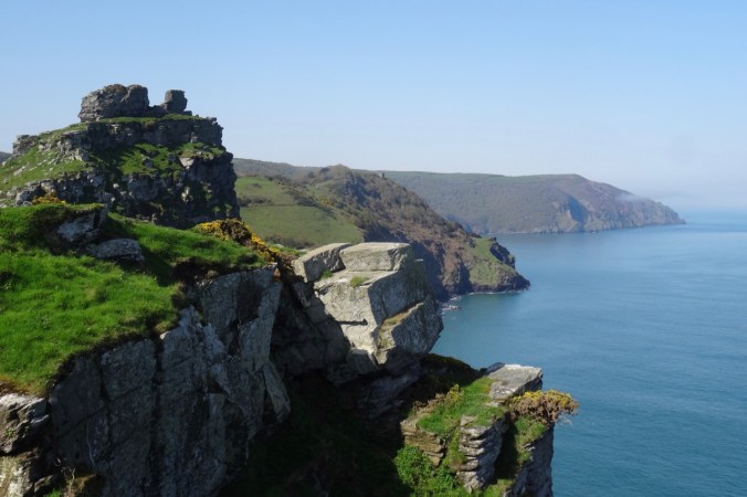
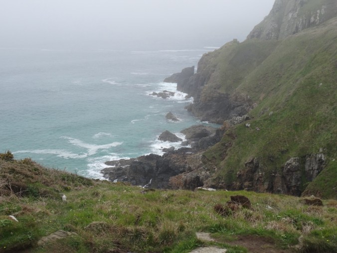
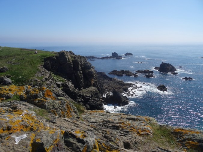
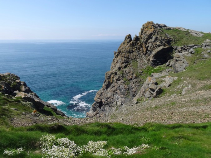
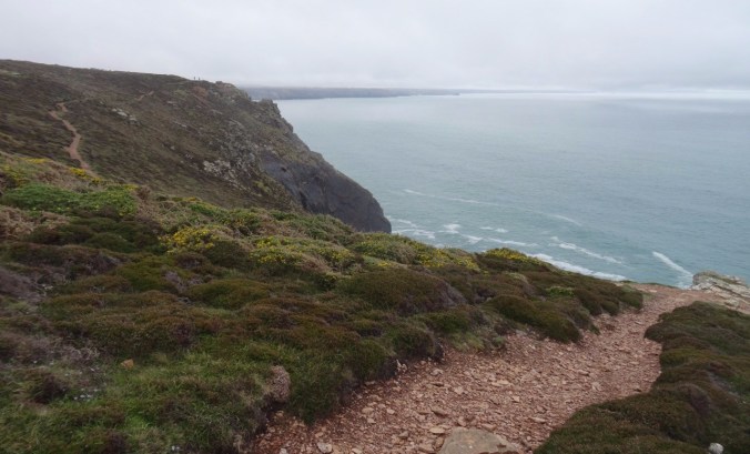
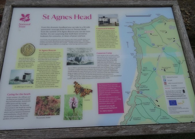
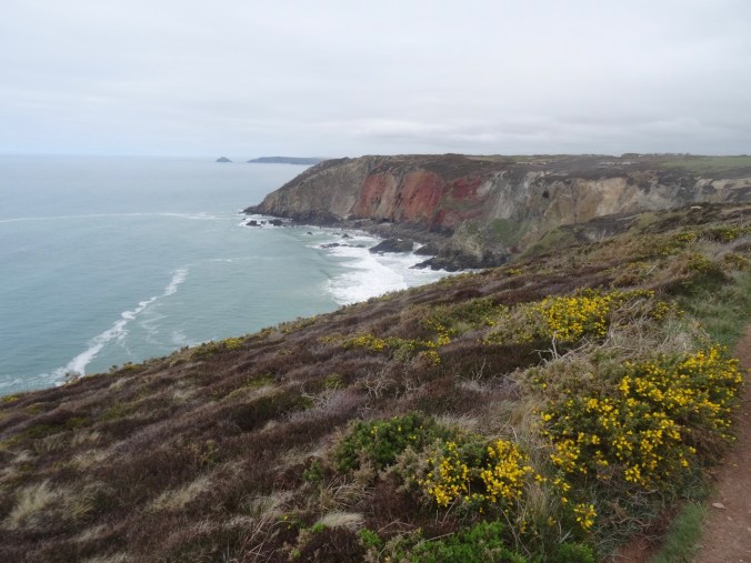
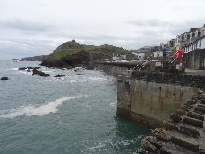
We continued downhill toward St Agnes Head – a promontory on the coast.
Looking west…
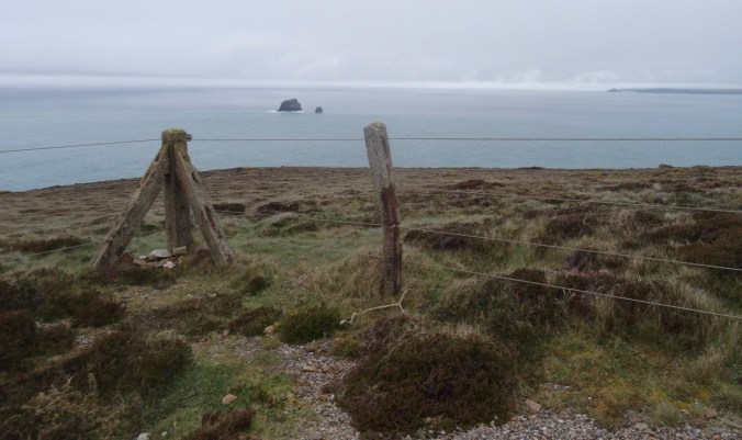
Looking east…
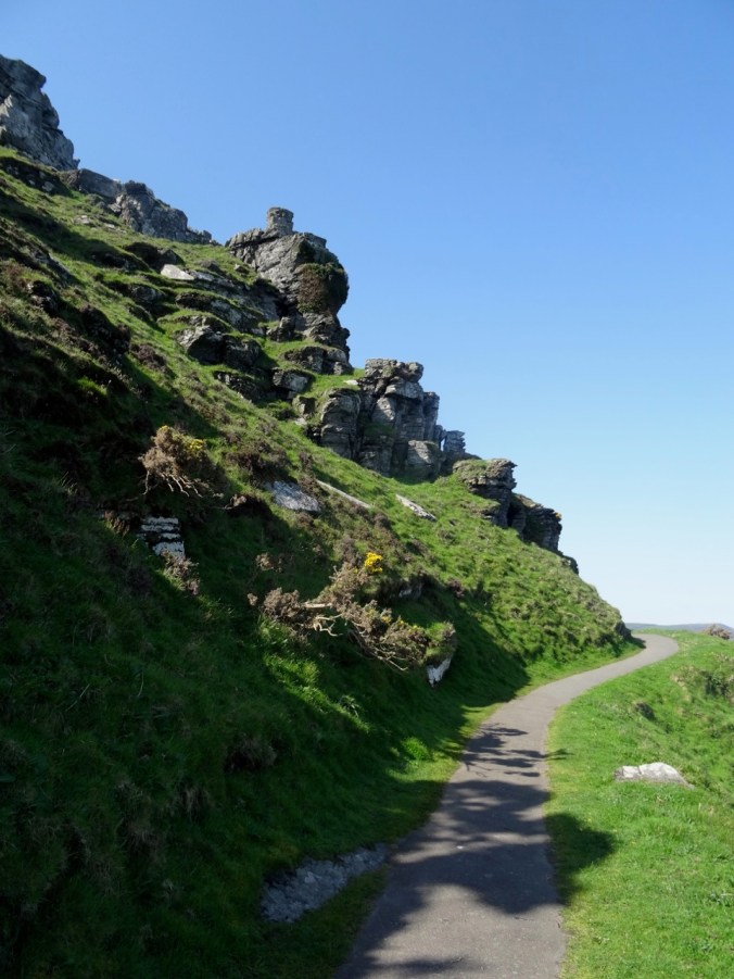
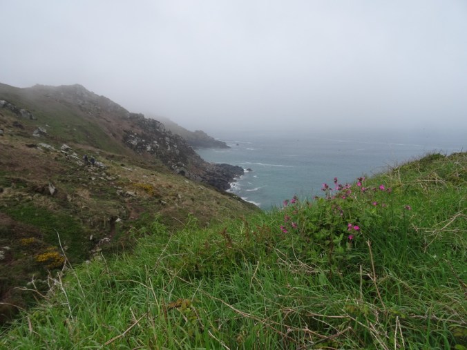
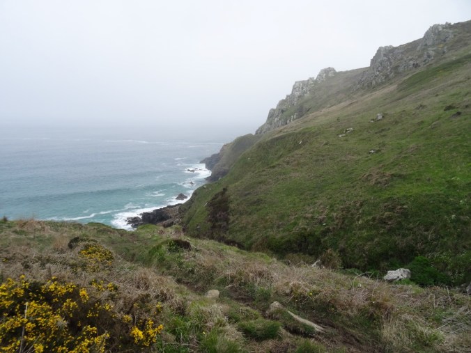
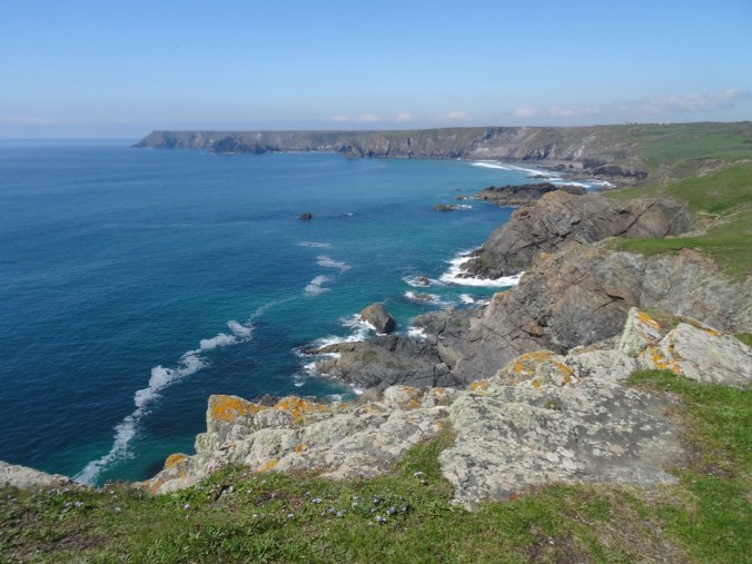
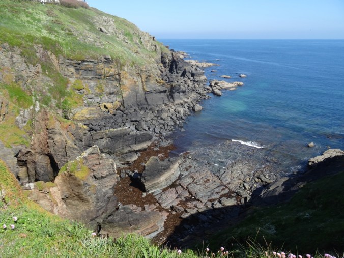
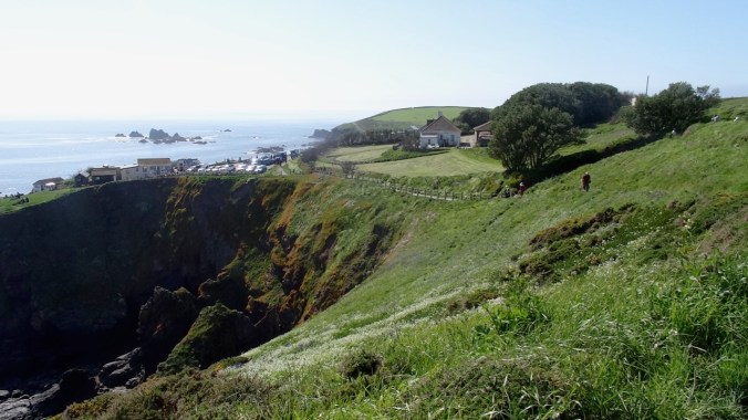
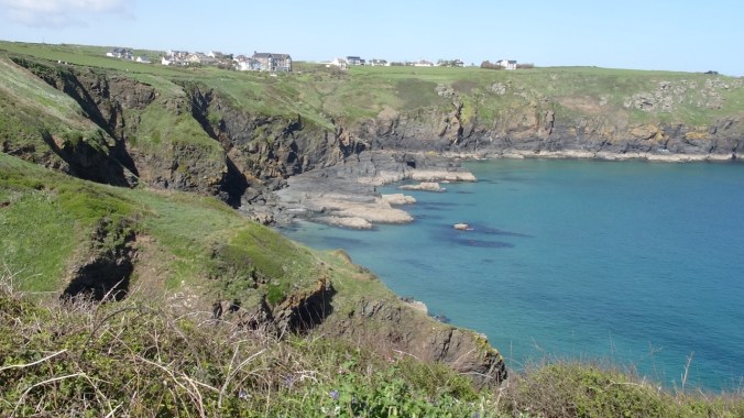
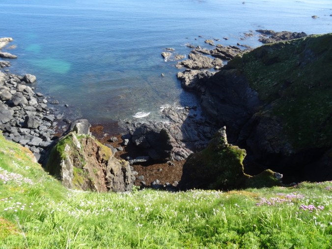
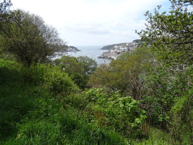
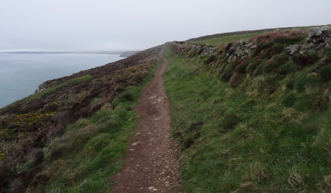
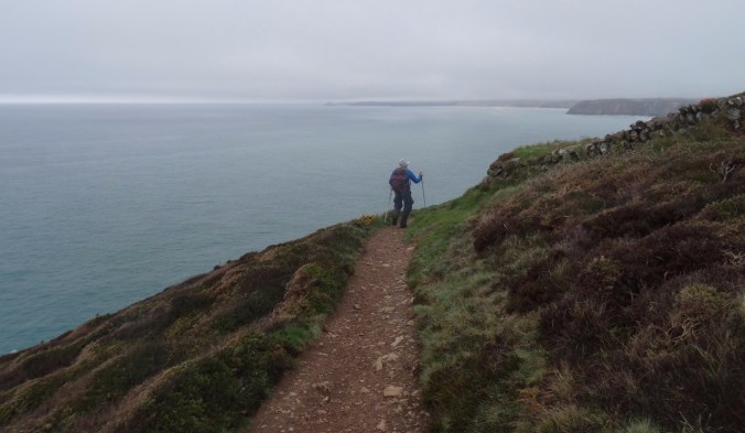
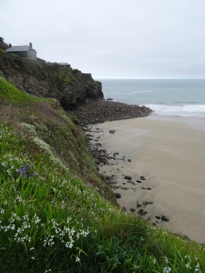
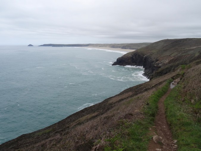
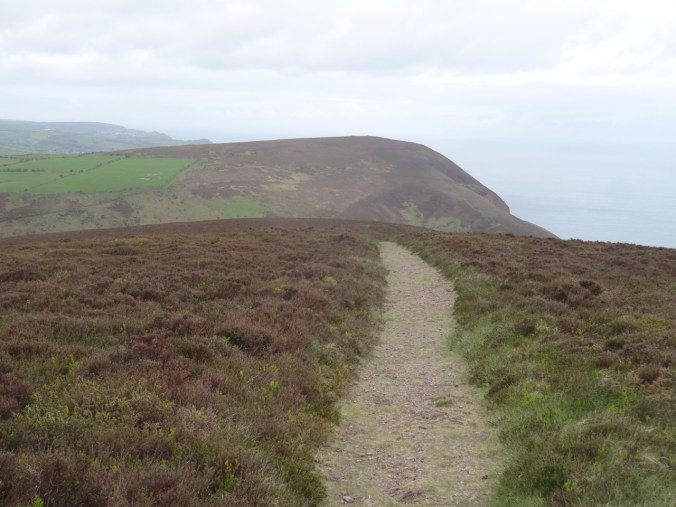
From St Agnes Head we turned east on the SW Coast Path toward Perranporth. The trail stayed above the high cliffs until we reached the descent to Trevaunance Cove.

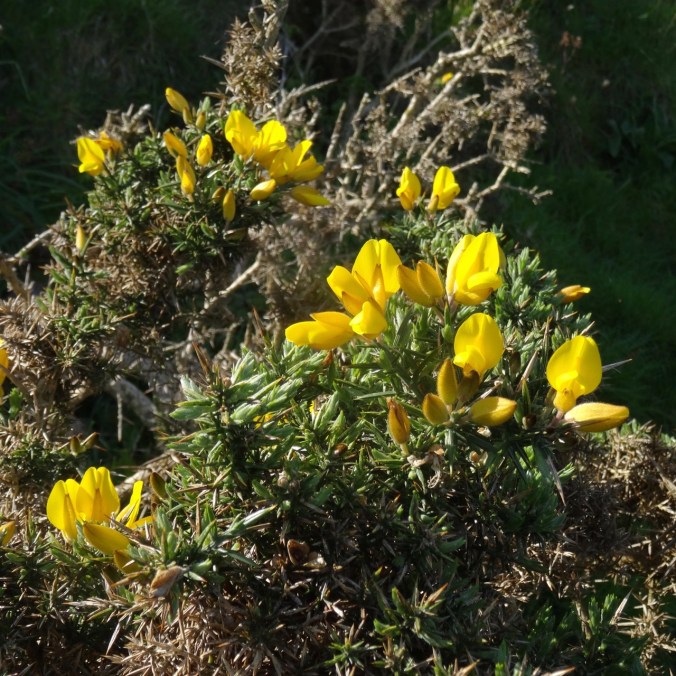
Gorse along the trail
Hedgerows
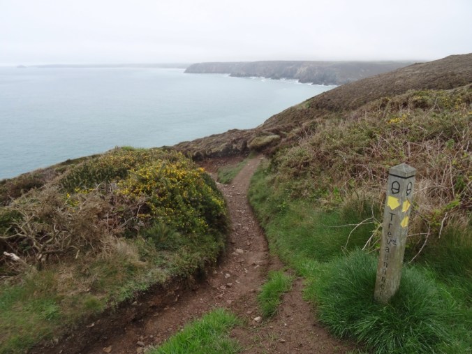


First glimpse of the beach ahead

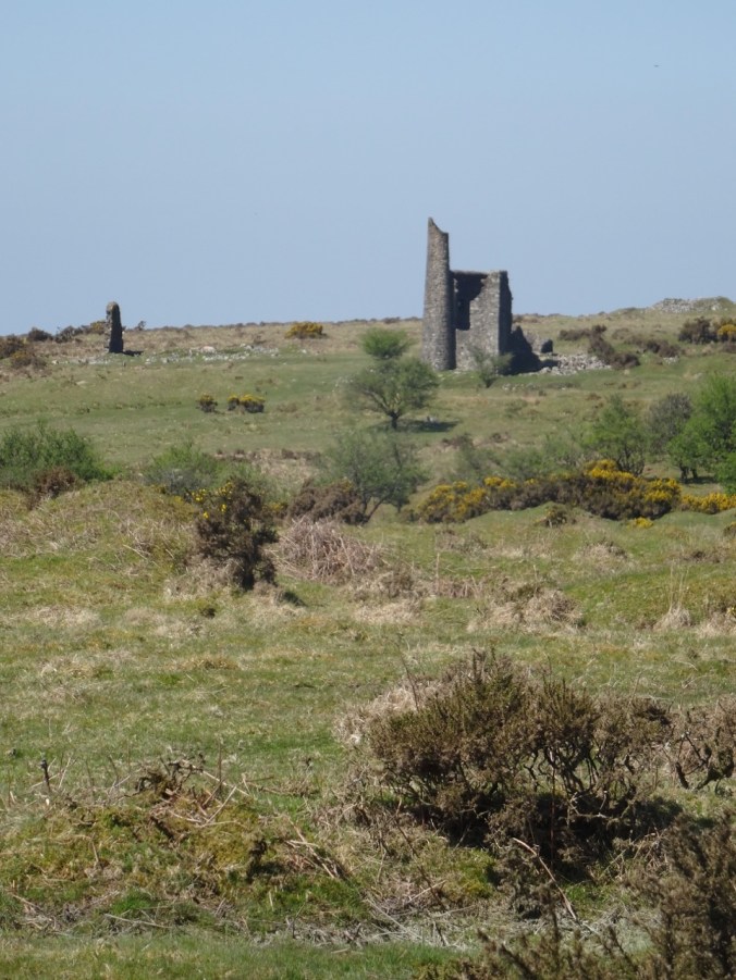
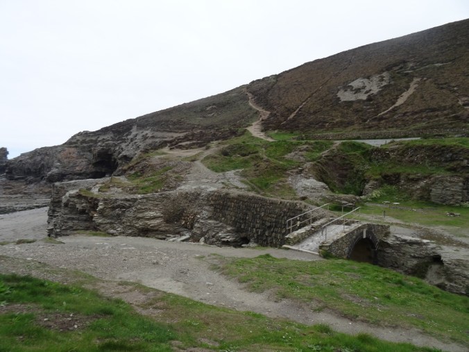
Old tin mine

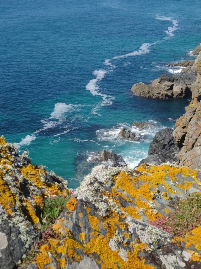
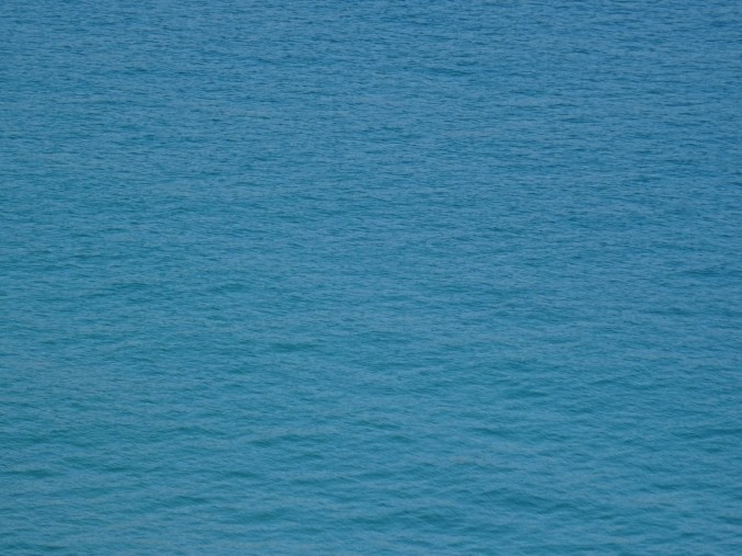
The turquoise blue water of Cornwall

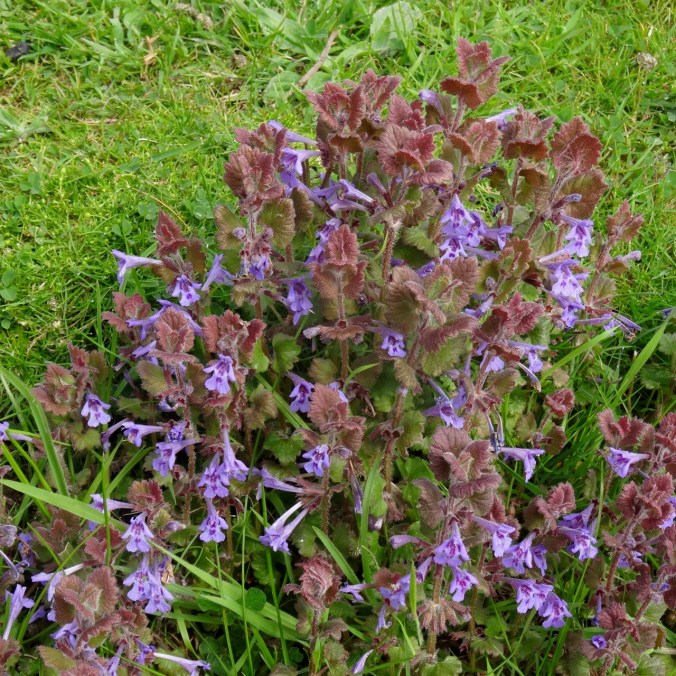
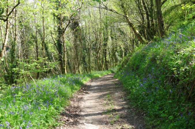
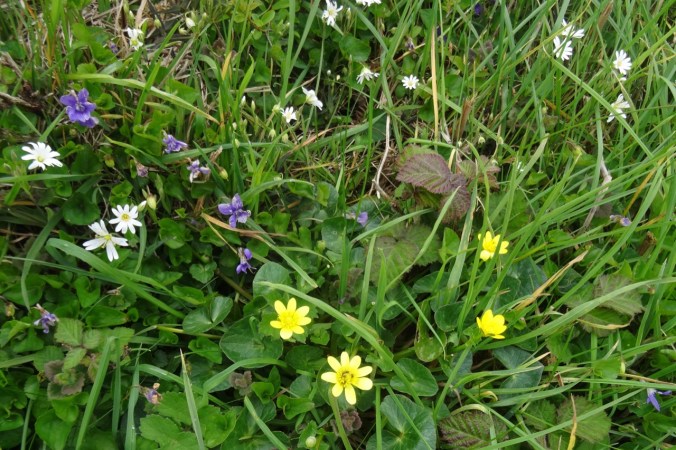
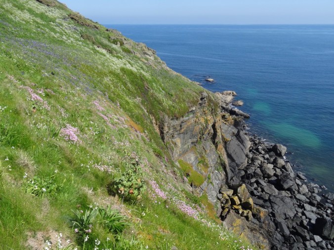
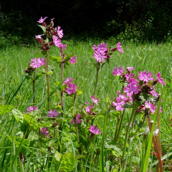
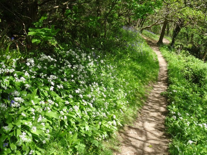
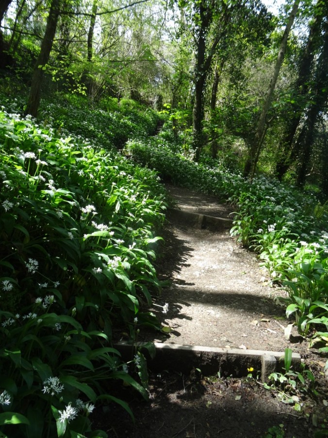
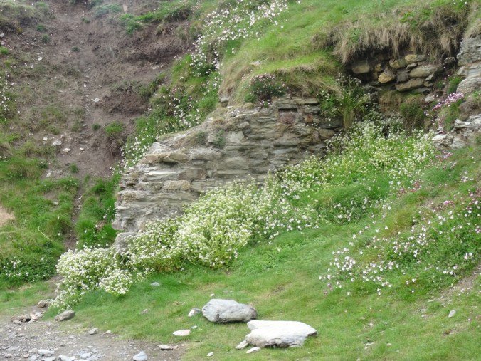
Flower-lined path
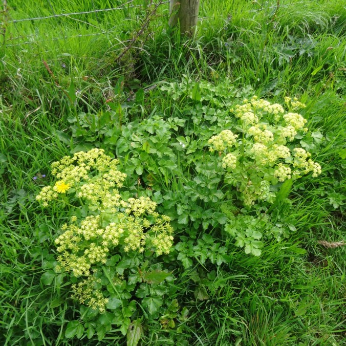
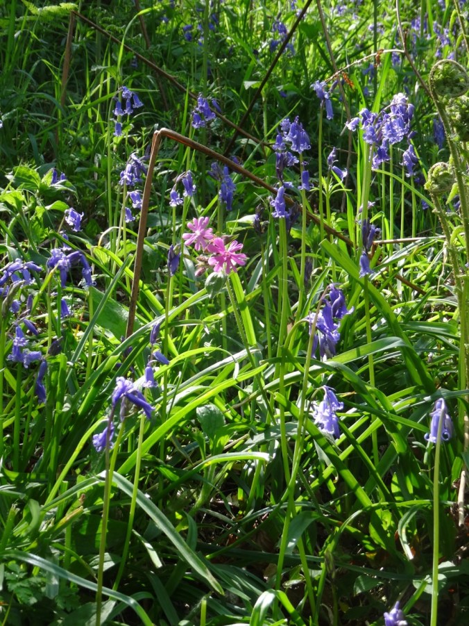
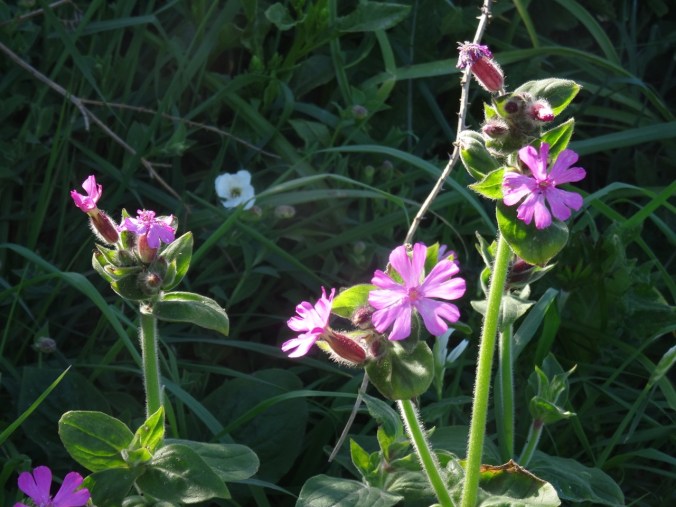
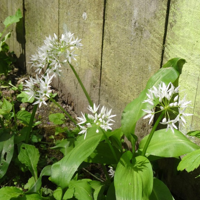
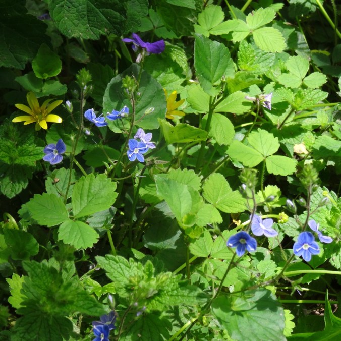
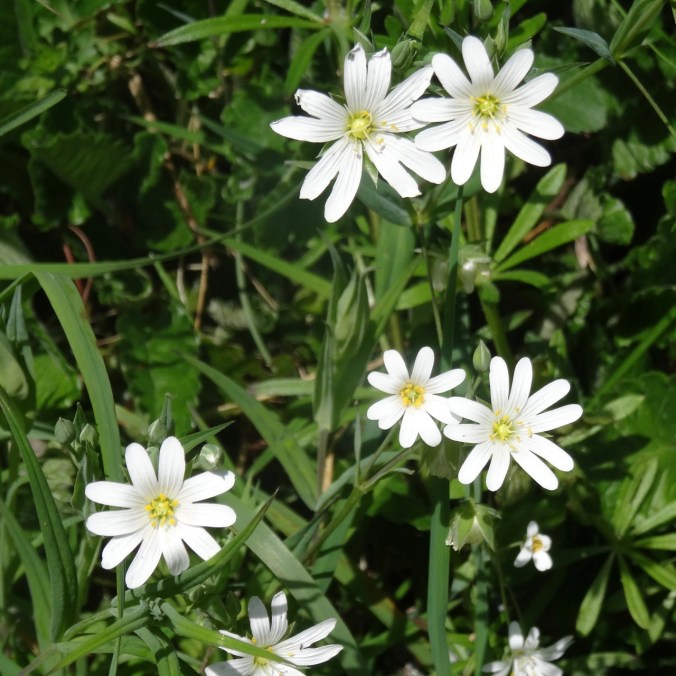
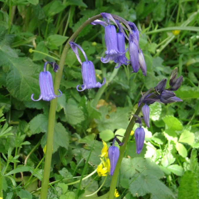
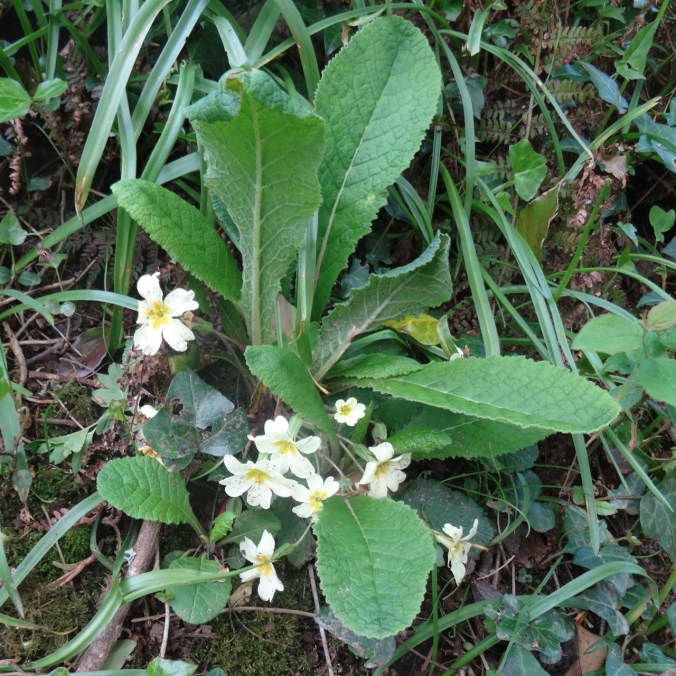
There were so many flowers along the path…

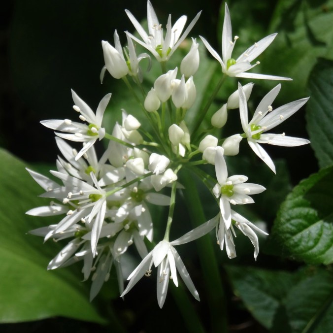
Scilla
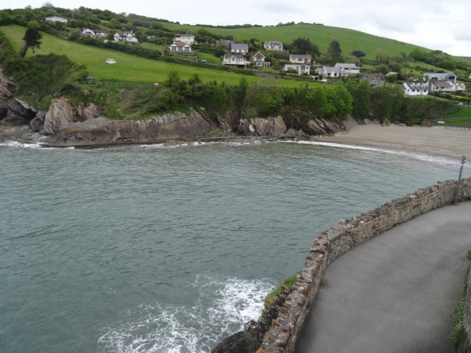
We looked down to Trevaunance Cove, noticing the standup paddlers in the water.
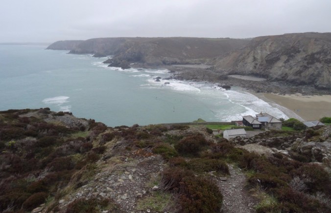
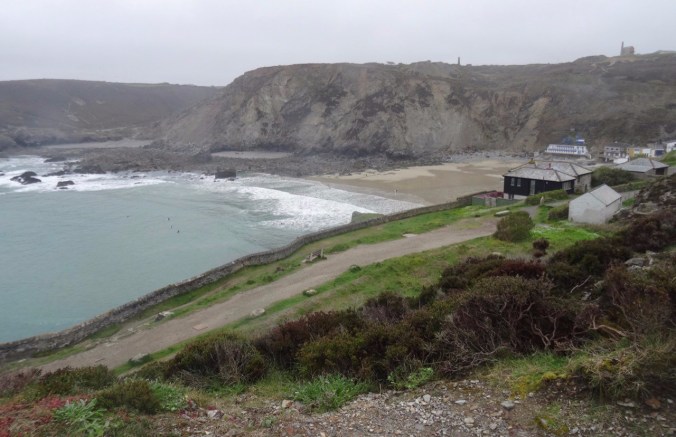
Trevaunance and Trevellas Coves
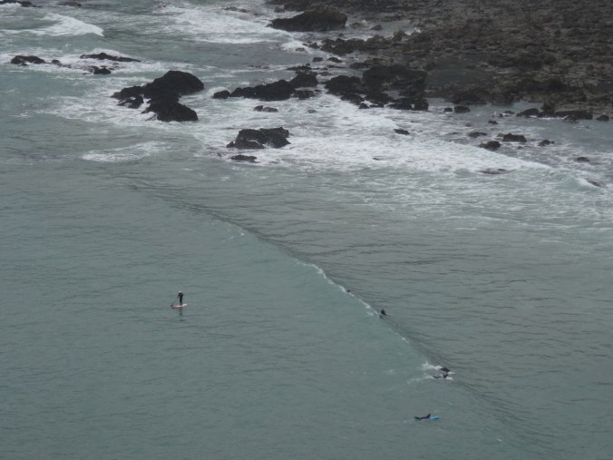
Stand up paddle boarders
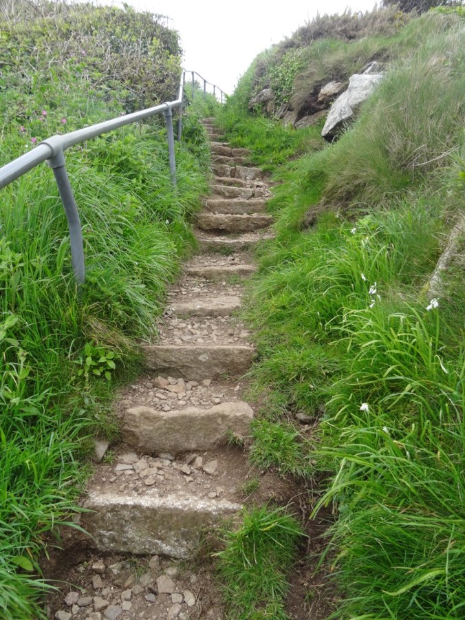
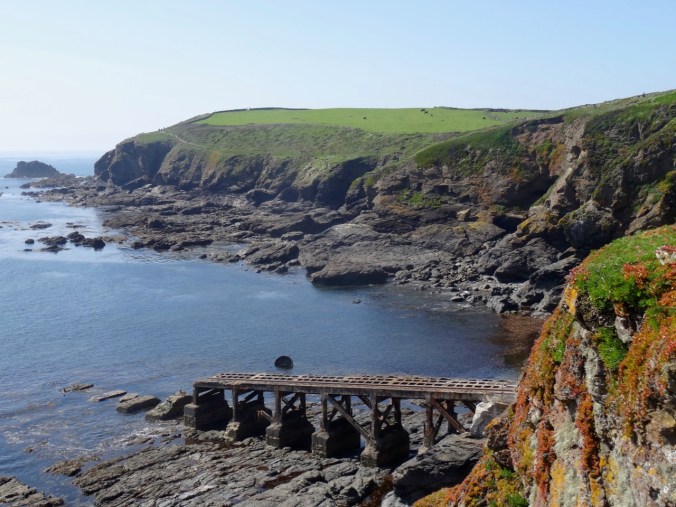
Tin mines on the cliffs above Trevaunance Cove

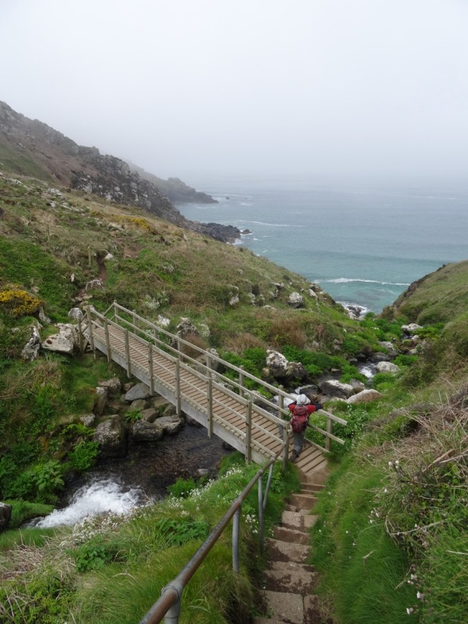
Stairway down the cliffs

Our path along the beach and rocks to Trevellas Cove
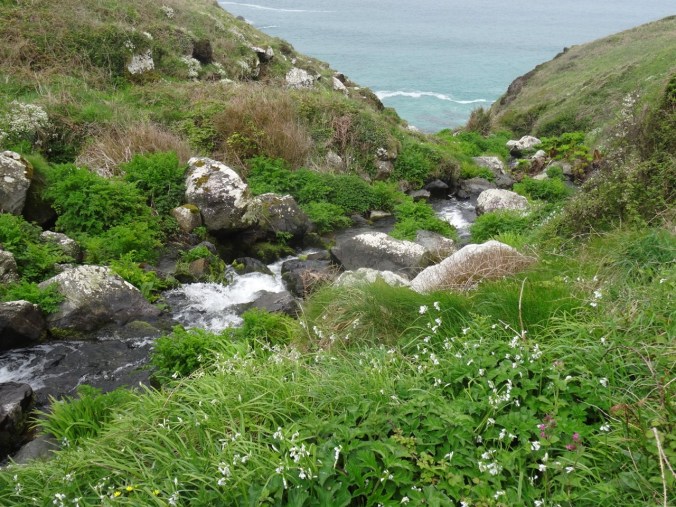
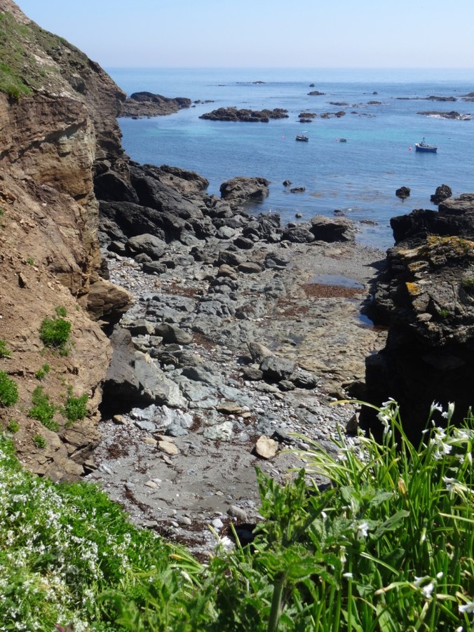
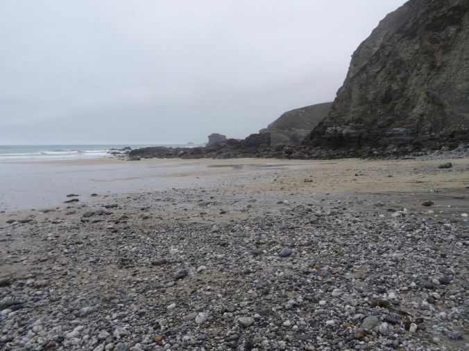
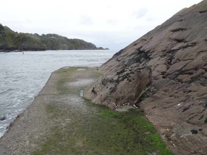
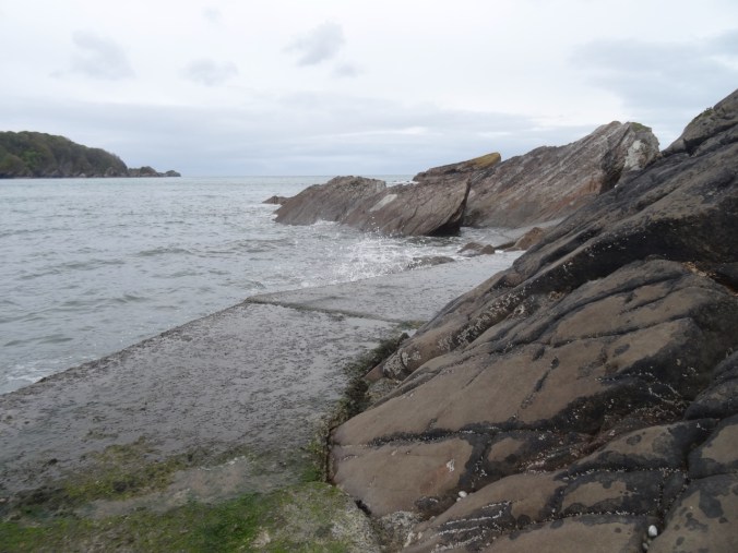
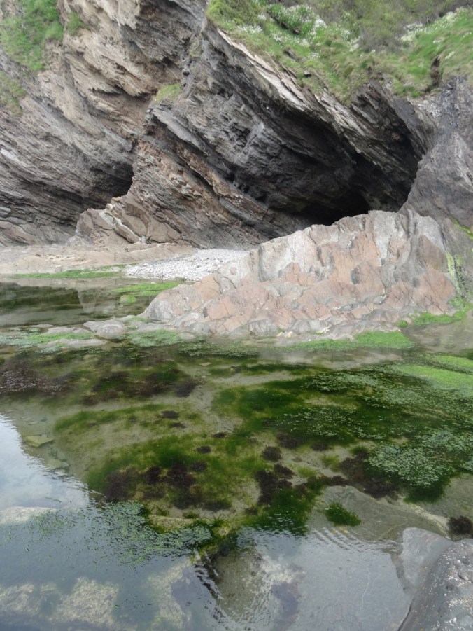
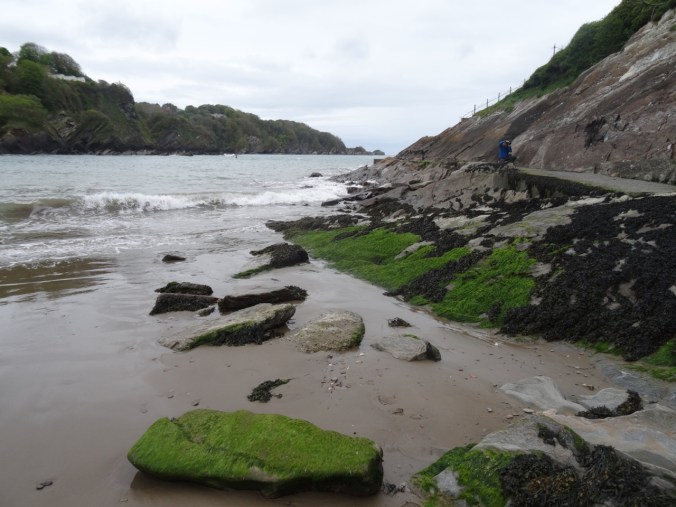
Fortunately, the tide was out. We walked across the beach, then picked our way over and around the rocky outcrops to Trevellas Cove, enjoying the tide pooling along the way.
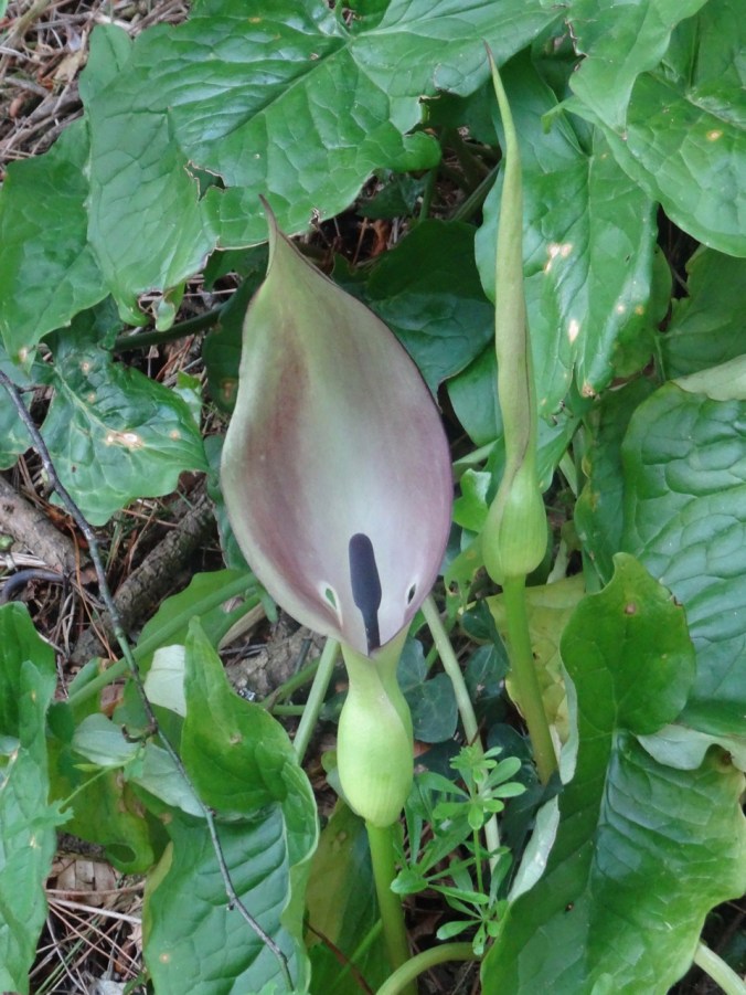
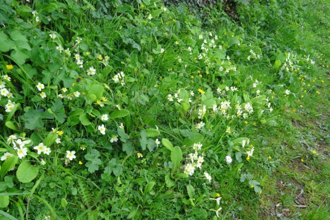
Flowers blooming on the cliffs
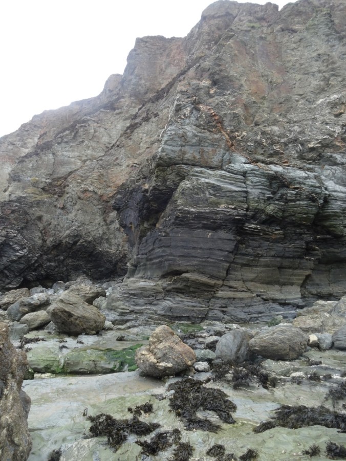
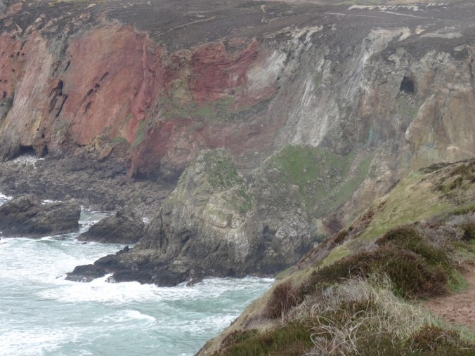
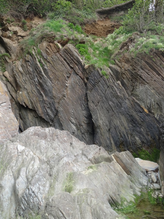
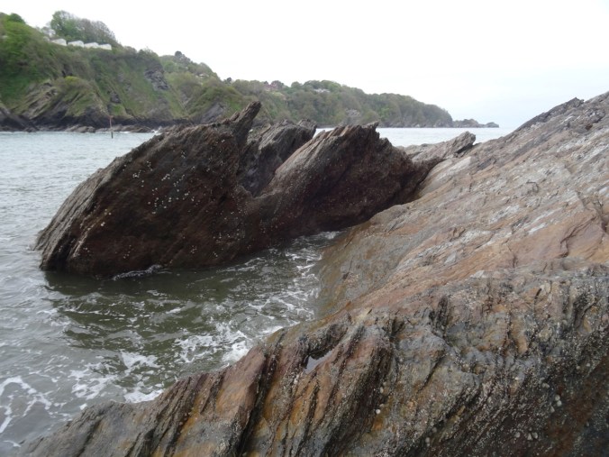
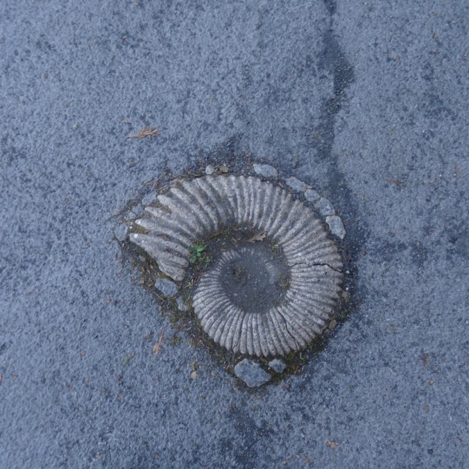
Devonian metamorphic rocks

Limpets
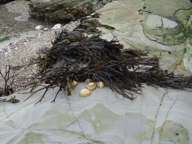
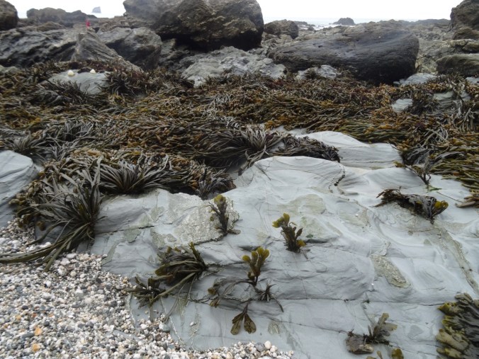
Seaweed
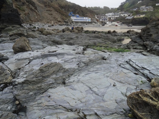
View back to the village at Trevaunance Cove
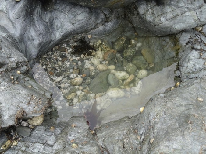
Tidepools
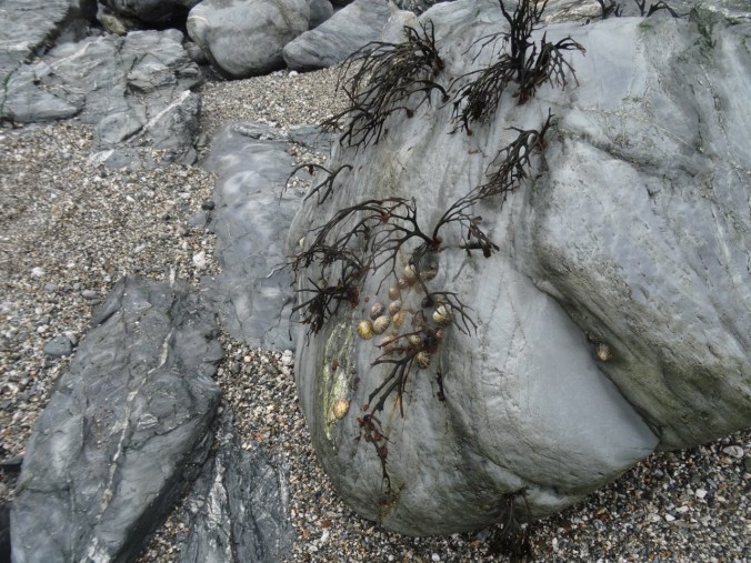
Seaweed and limpets


The rocky gap on the beach at low tide
Looking back again
More tide-swept sea weed
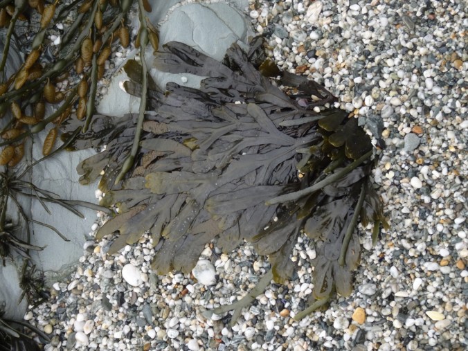
Pebbly sand and seaweed
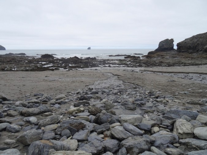
Ebb tide channel
We crossed over into Trevellas Cove and could see our path up the cliffs.


Looking back to our beach crossing

Another look back
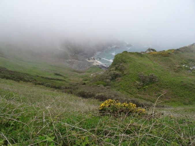
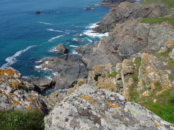
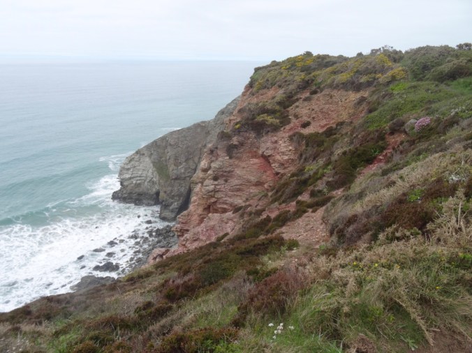
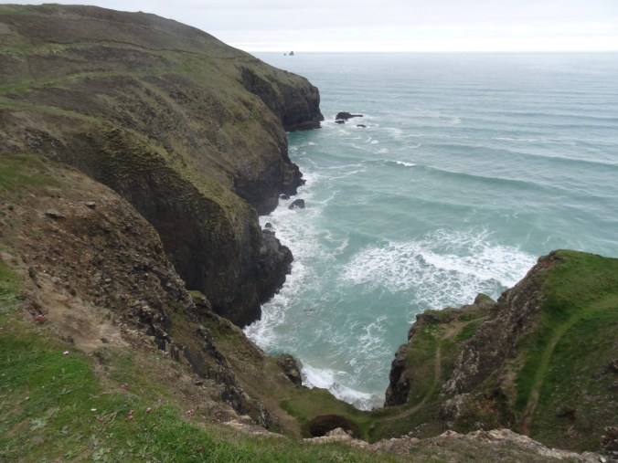
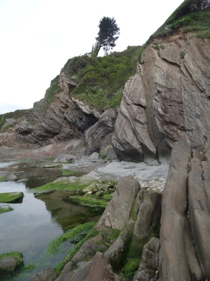
Continuing east toward Perranporth, the next section of the SW Coast Path again stayed high on the cliffs with views down to beaches.

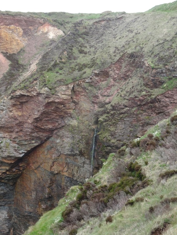
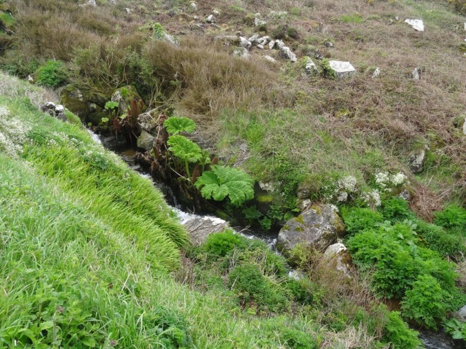
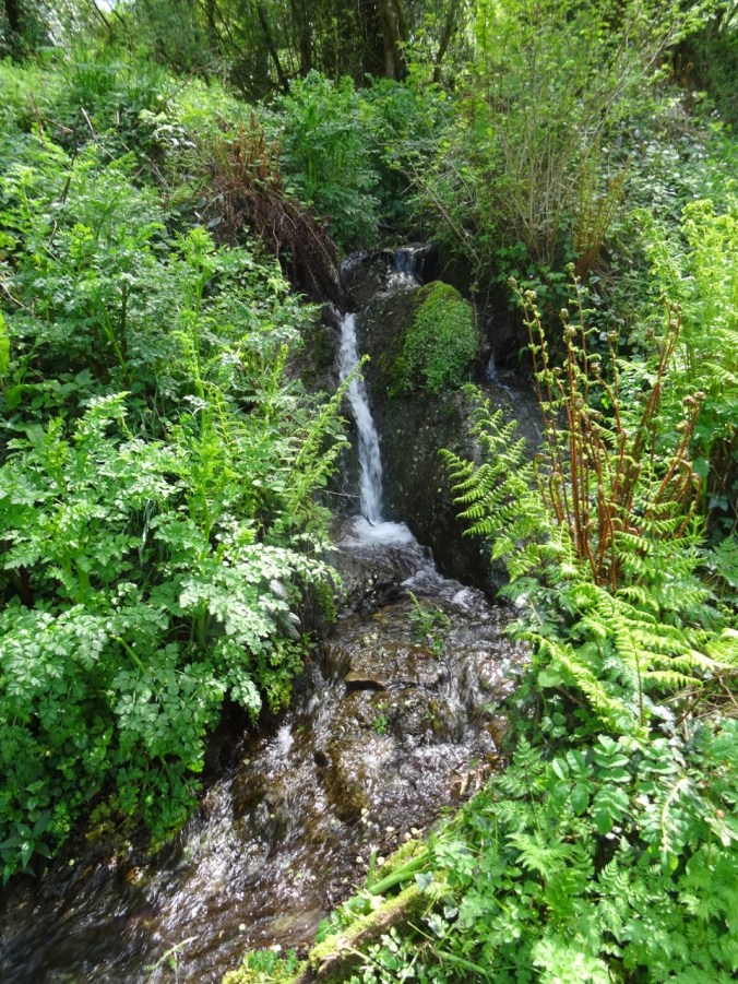
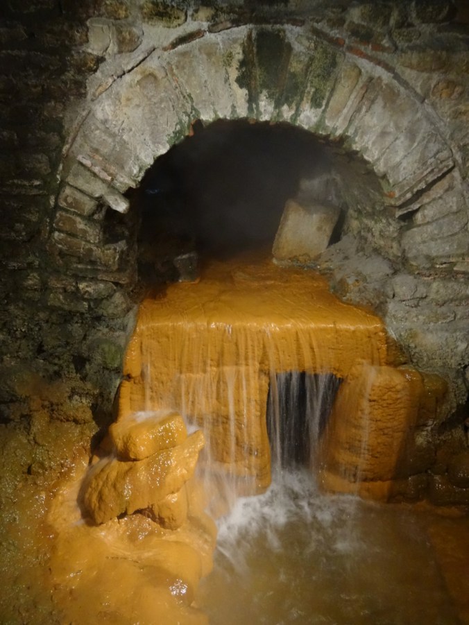
Waterfall
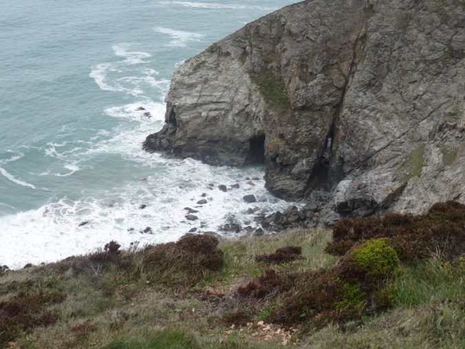
Beach caves and arches
We passed old tin mines and tailing piles,
Mine opening in distant cliff

Covered mining site
Closer view of the cliff mine
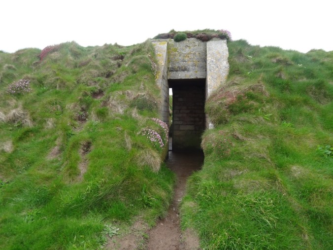
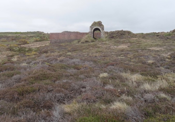
Ruins of WWII bunkers and an airfield are also along the trail.

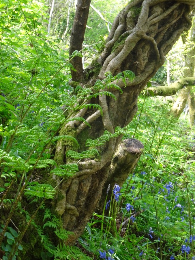
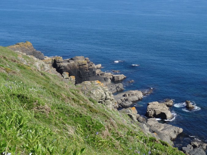
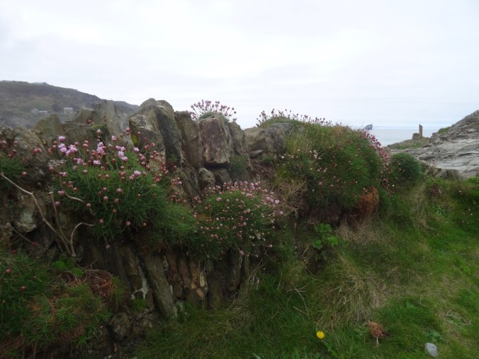
Plenty of flowers and spectacular geological outcrops.
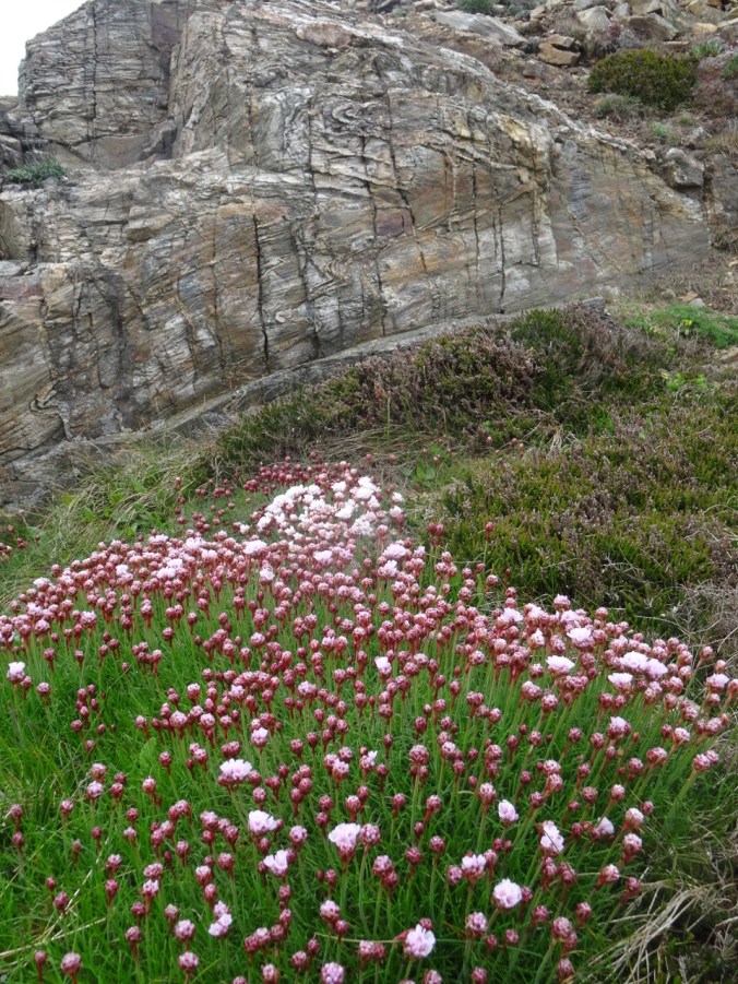
Sea thrift and folded Devonian metamorphic rocks
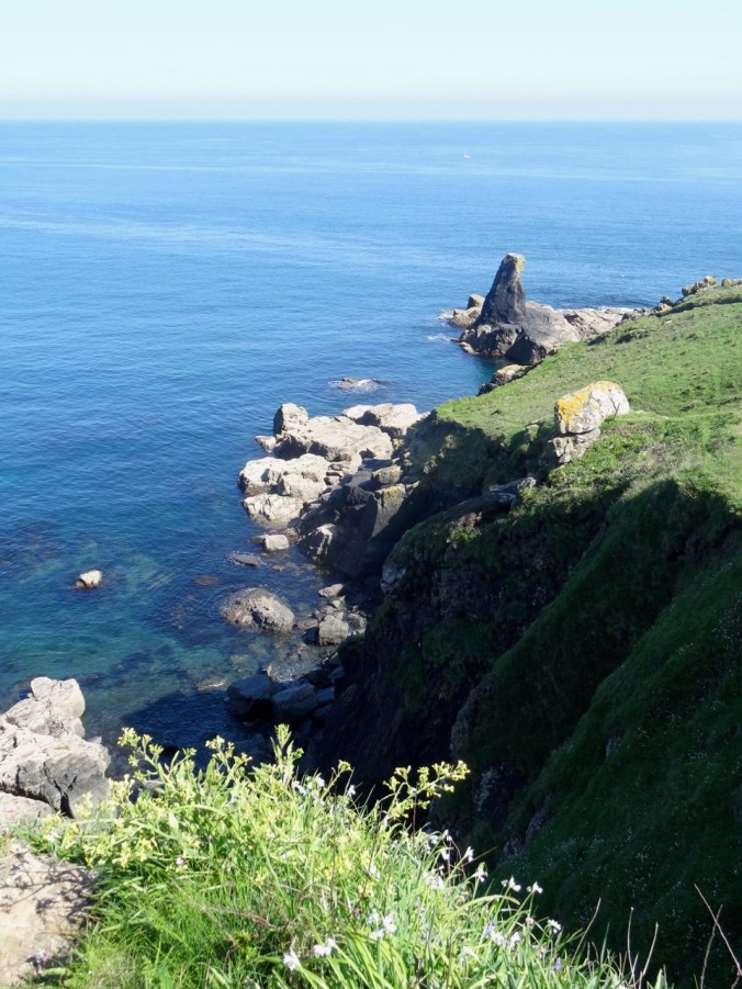
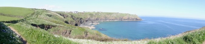
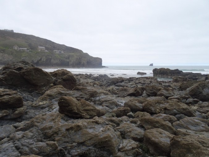
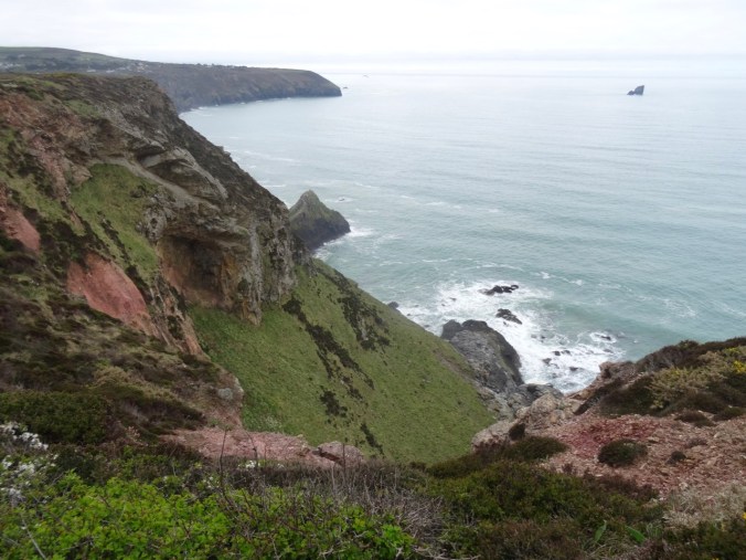
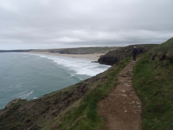
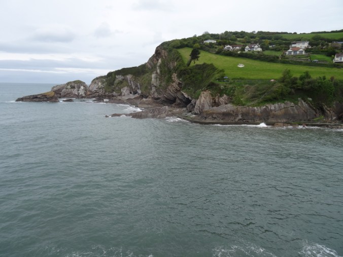
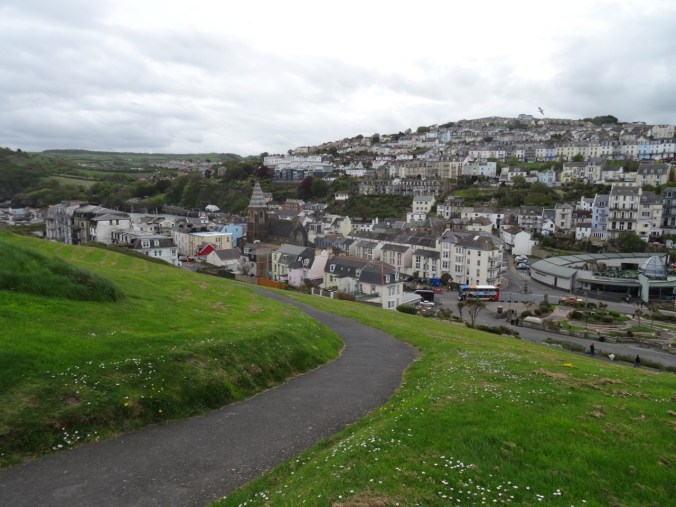
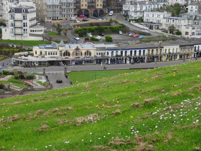
Eventually, we reached views of the beaches of Perranporth.
View toward Perranporth from Cligga Head
Last look back to the west

Bird covered rocks
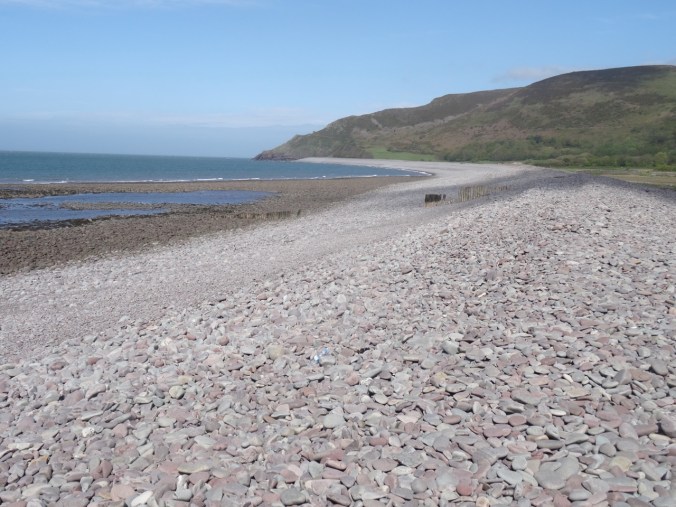
We were glad to wind our way down the cliffs to the car park in Perranporth after a long, beautiful hike.

The Jaguar GPS led us back to Fowey by the narrowest and hedgerow-bound of winding back roads – we learned from this day to ignore the B roads with lots of numbers. The GPS route would recalculate to stay on A or low number B roads if we ignored turn directions when we didn’t like the look of the road. The new route might be longer in miles, but shorter in time and less scary in narrowness and visibility. Also, the signs that say “Weak Bridge Ahead” are a little disconcerting, though we were sure they meant heavy trucks, not passenger cars. You never know though. Some of the buildings and hedgerows certainly date back to the time of Poldark. Roads that are about two feet from the doors of farm houses cannot really be meant for through travelers. We needed a smarter GPS or more experienced operator. It would have helped if we had looked at the overview map of the route before embarking, but the GPS in the car did not seem to offer this option in a practical way. I personally prefer to preplan my routes with more diligence, but sometimes when traveling, and changing plans on the fly, on the whims of the weather, we wing it – with the consequences of the narrow hedgerow and the blind corners. After this day I used my Google Maps Iphone App and did not use the Jaguar GPS though she did have a charming British accent and manners, directing us, “Please, at the next roundabout, take the second exit toward St Agnes.”
We enjoyed making ourselves a Mexican dinner back at the cottage.


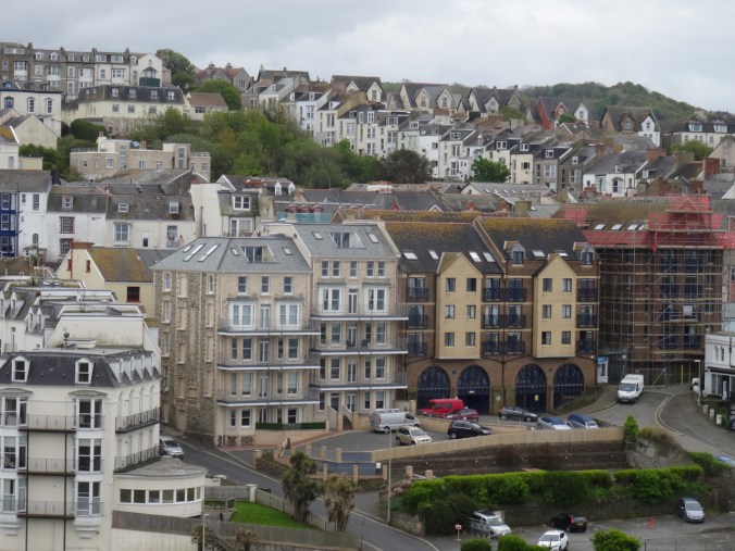


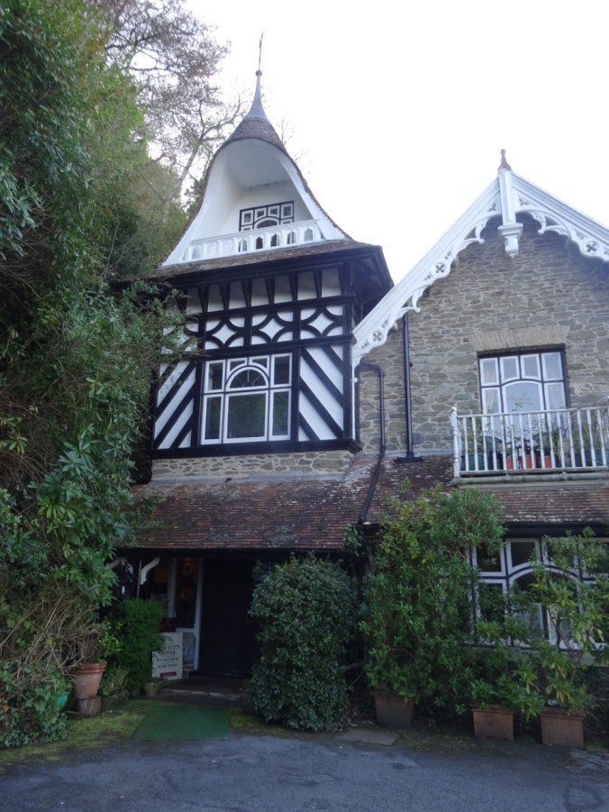

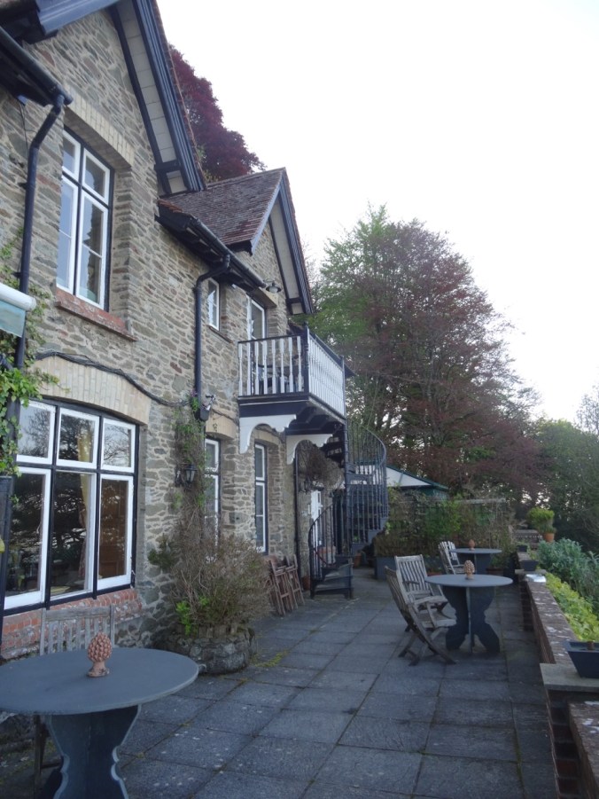
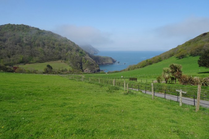
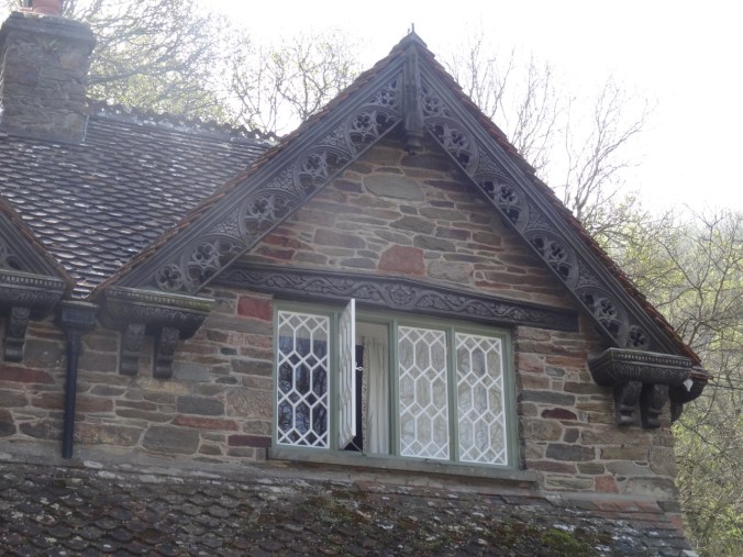
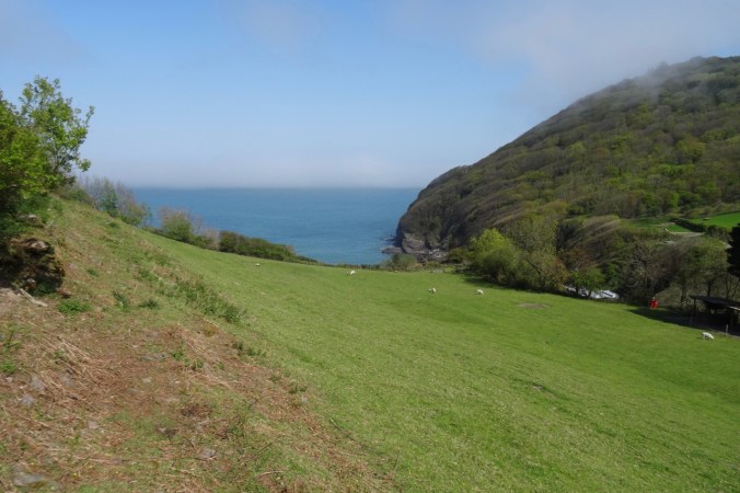
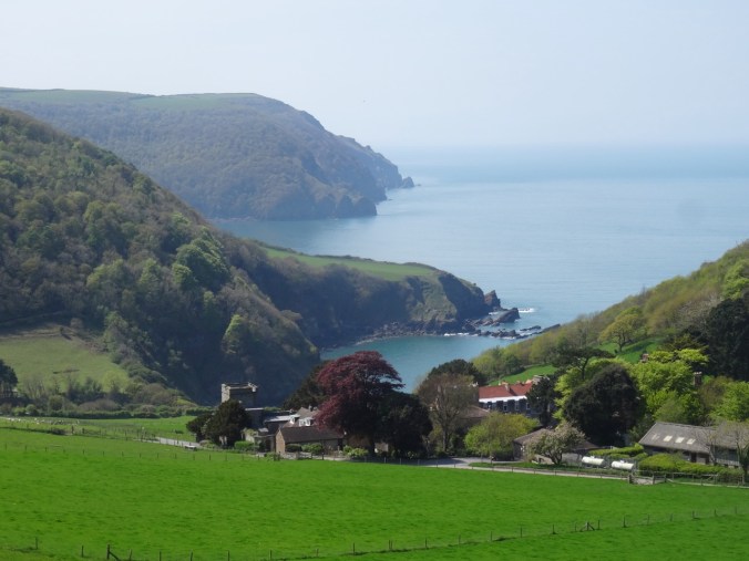
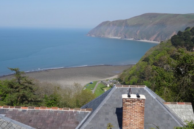
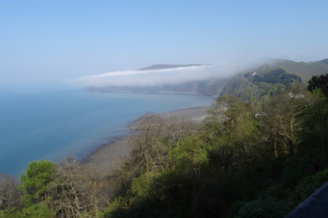
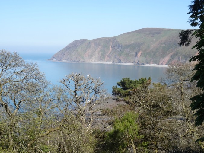
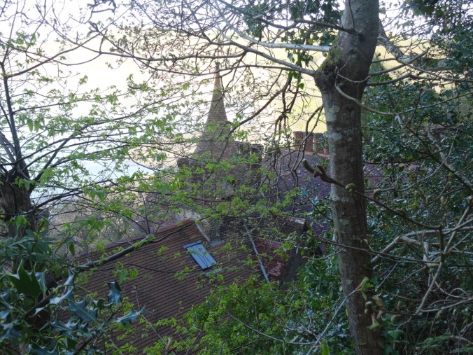
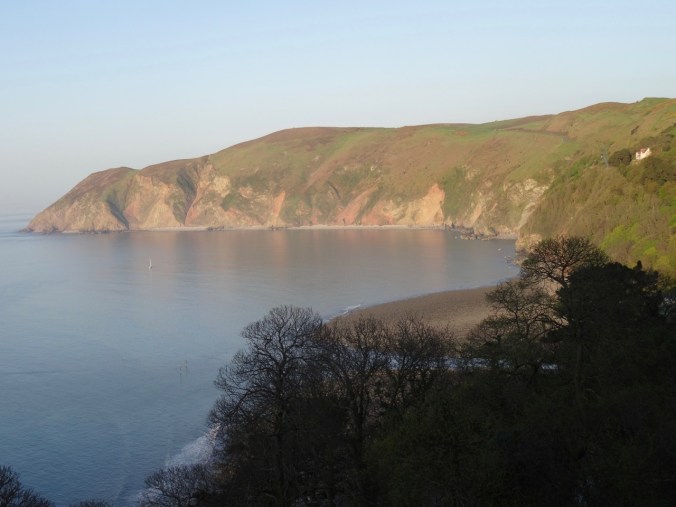
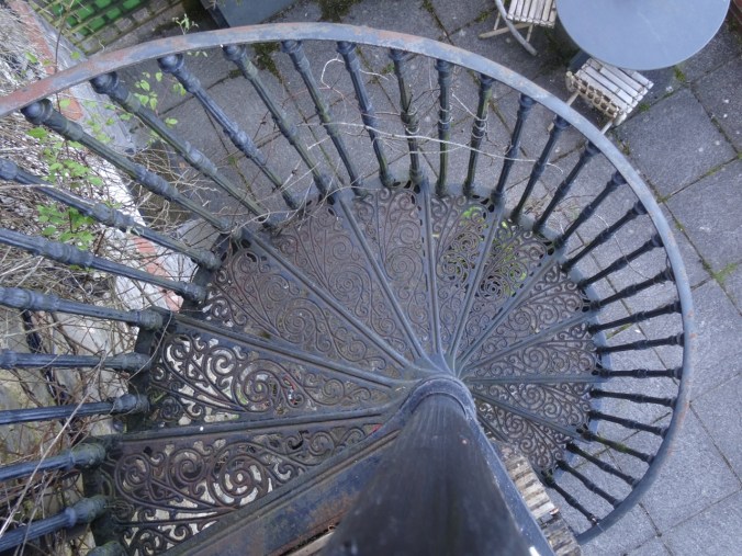 Our self-catering apartment had updated plumbing and kitchen, with a private, very tiny balcony and spiral staircase, and a tremendous view across the bay to Countisbury Hill and Lynmouth Bay. We enjoyed the location and historical ambiance.