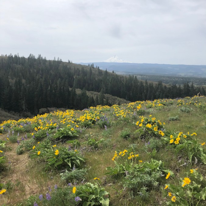
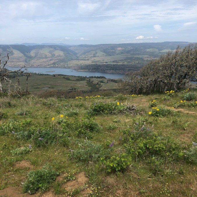
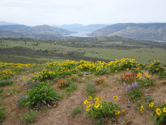
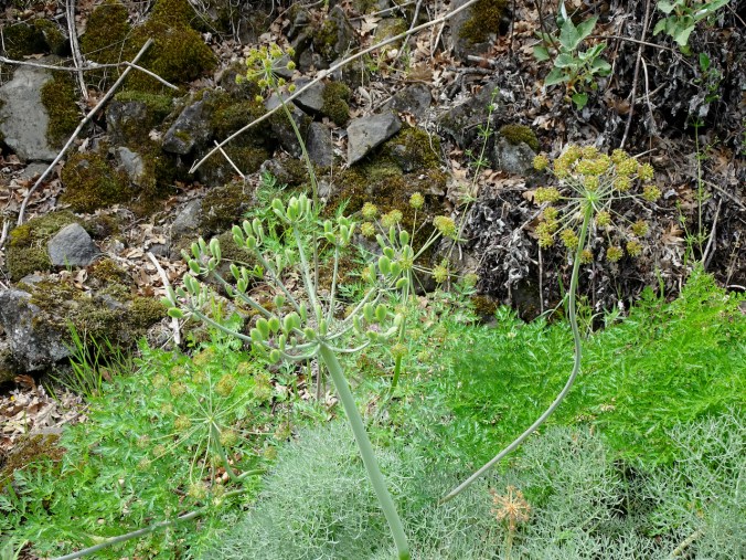
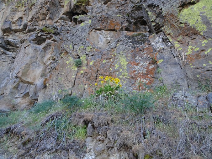
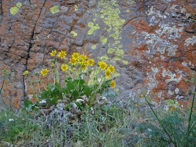
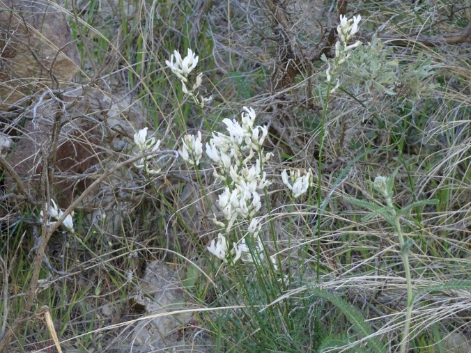
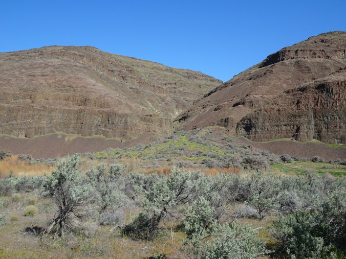
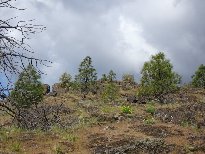
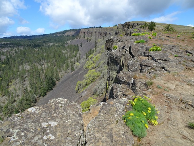
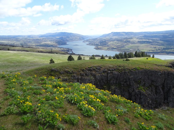
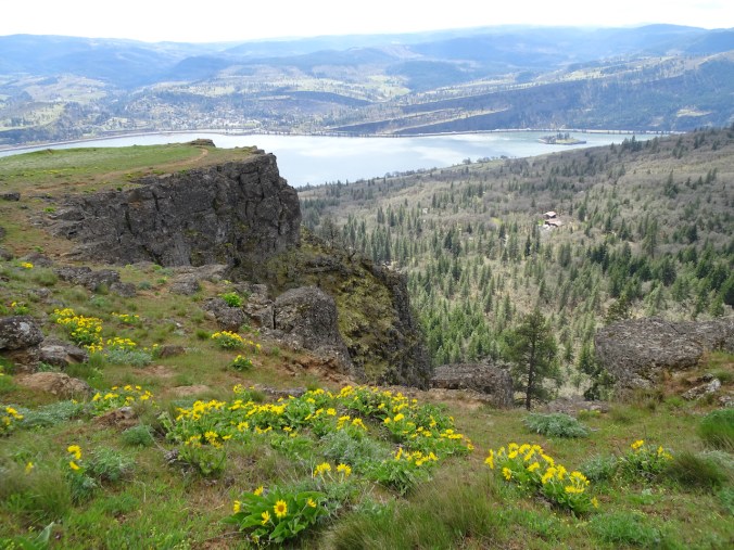
March 2021, so far….

We are sliding into spring around here. Flowers are blooming, with a few warm days between the rainy stretches. We were vaccinated at just about the one year anniversary of the pandemic, and I am grateful! I feel the hope of spring, yet I know we still have so far to go until everyone can say that. And then my daughter reminds me of our privilege in the world. I know. I can only live where I am, but I do know.
Knitting, reading, hiking, on we go, fuzzy days mushing into each other. Planning the weekly grocery list. Creating with my hands, my brain, I take notes. I try to find the distinguishing features of each day, and celebrate the positivity and the beauty. That is most of what I do, and will do, and am lucky to do. So….

Hiking

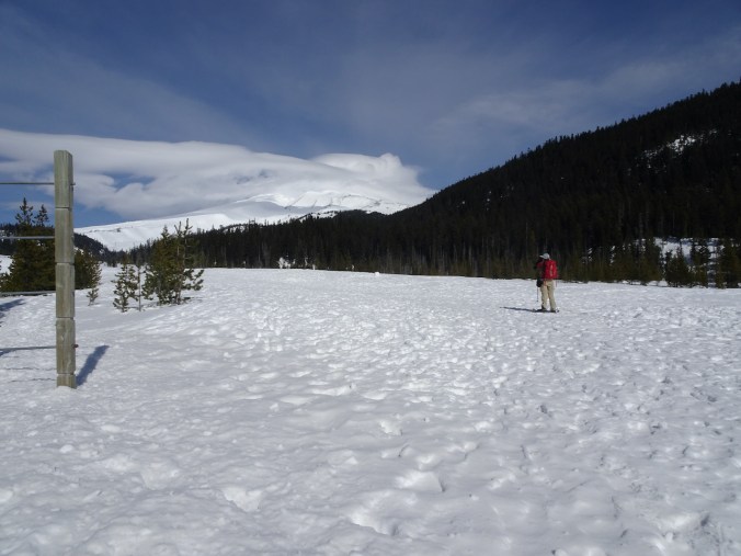
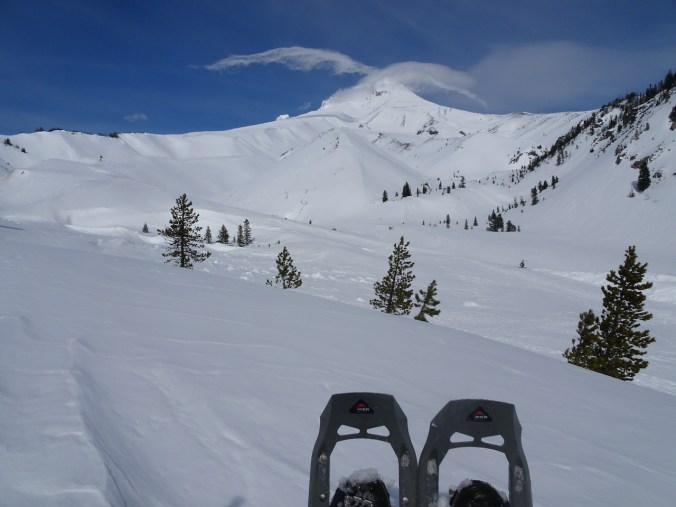
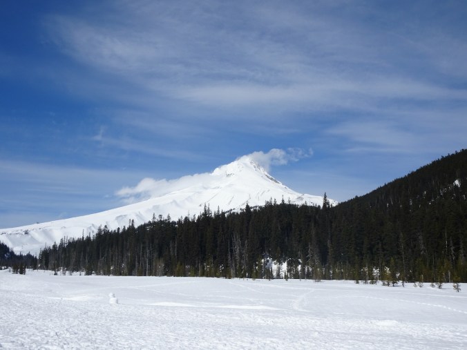
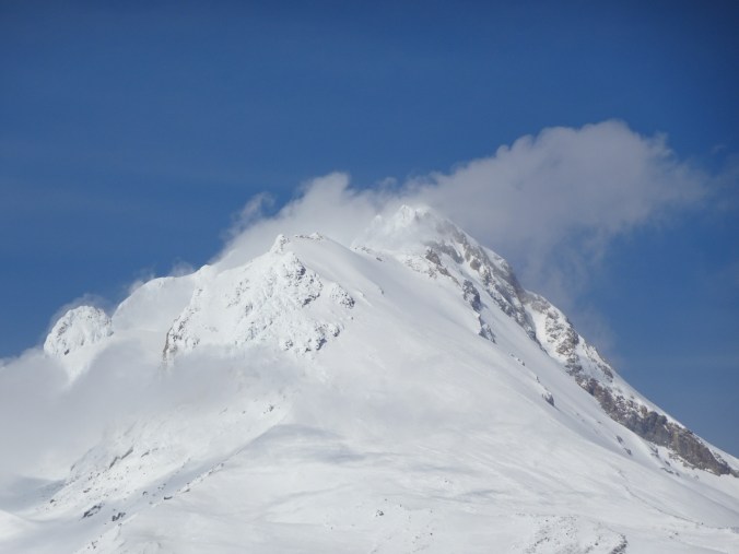
1) We snowshoed up White River on Mt Hood on March 2nd – clouds swathing the peak much of the day, but in a most artistic way.

DSC05859

Mt Hood in clouds, near the Sno-Park.

DSC05884

Lunch view, near the Timberline Trail crossing.

DSC05878

The snow on nearby Boy Scout Ridge looked unstable, so we kept our distance!

DSC05891

Return trip…

DSC05915

Last views – we can almost see the entire peak.

DSC05918

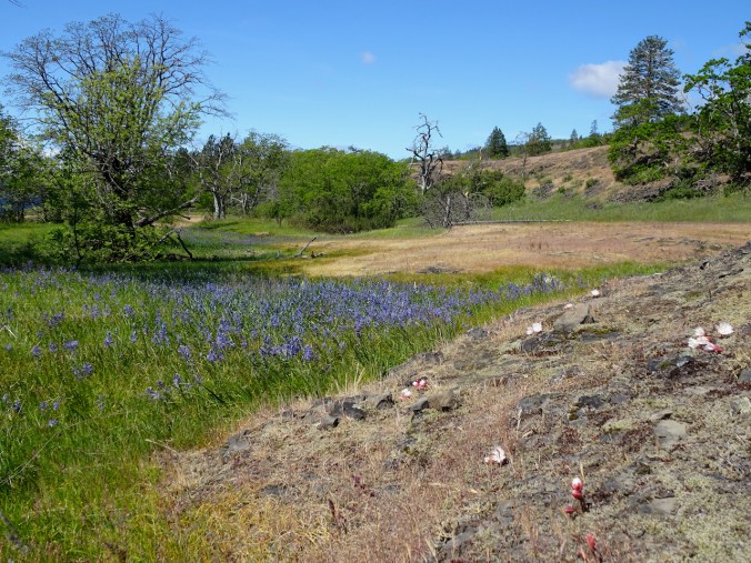
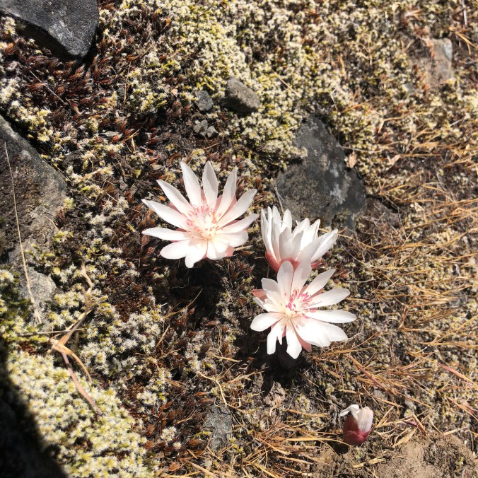
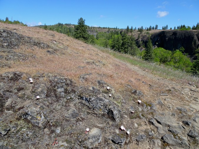
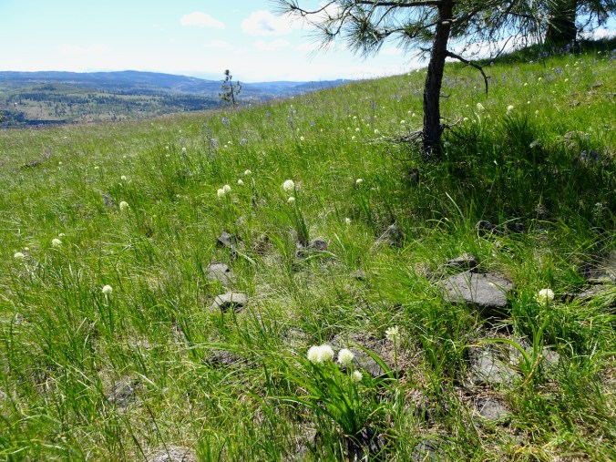
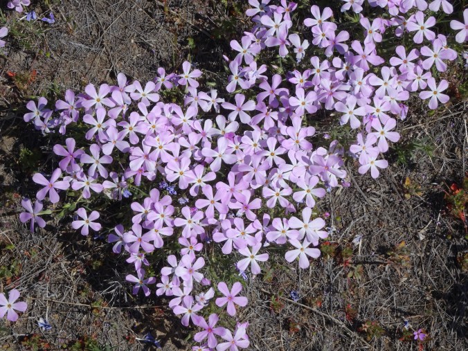
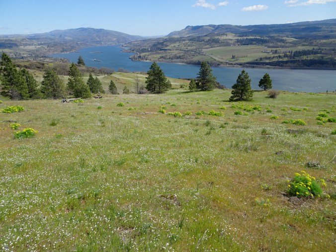
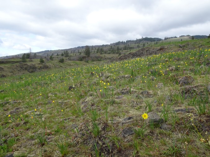
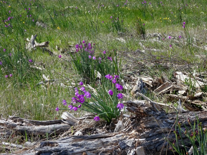
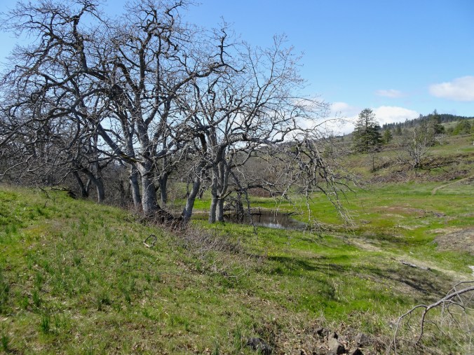
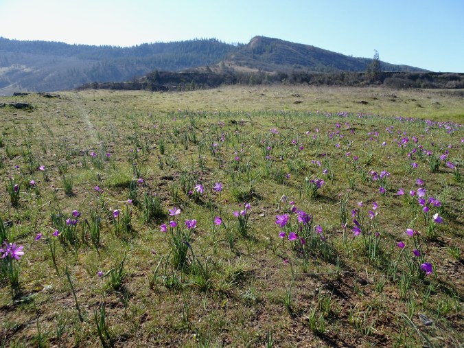
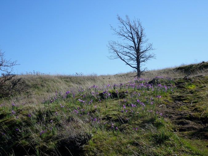
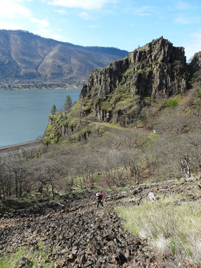
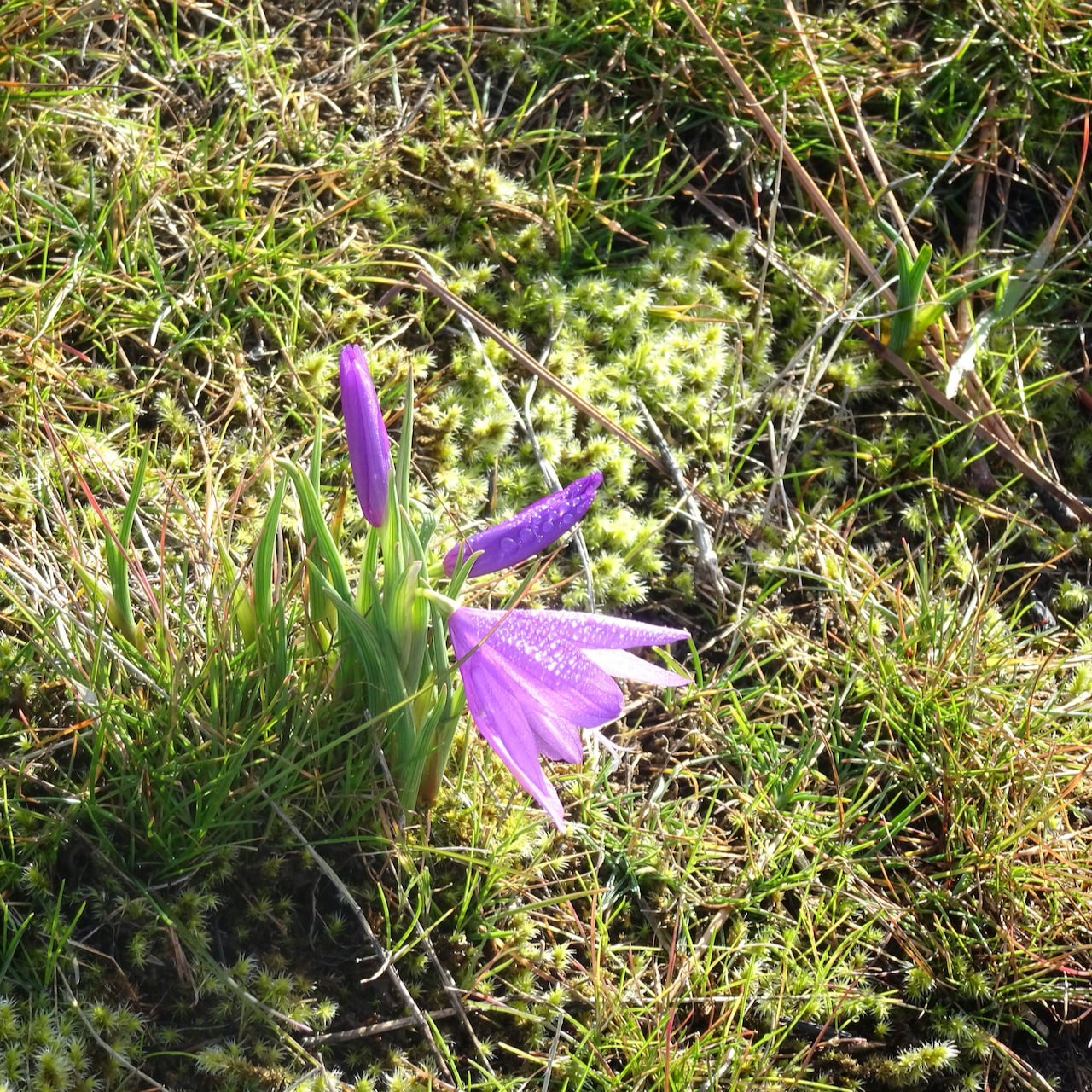
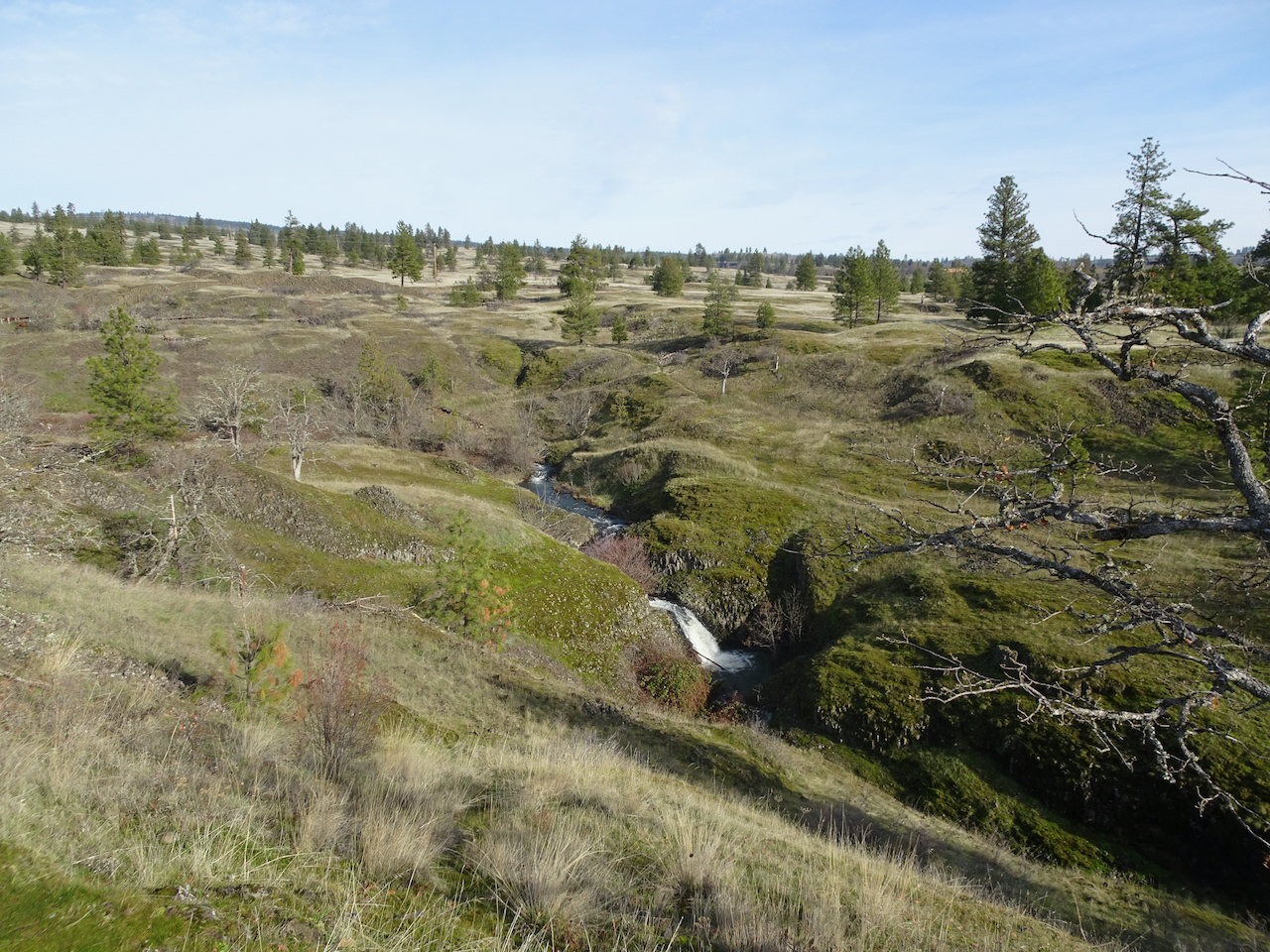
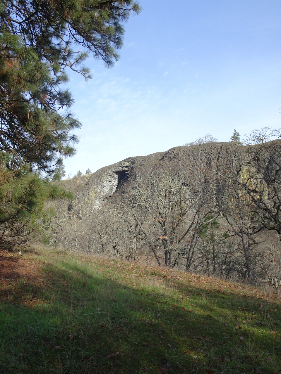
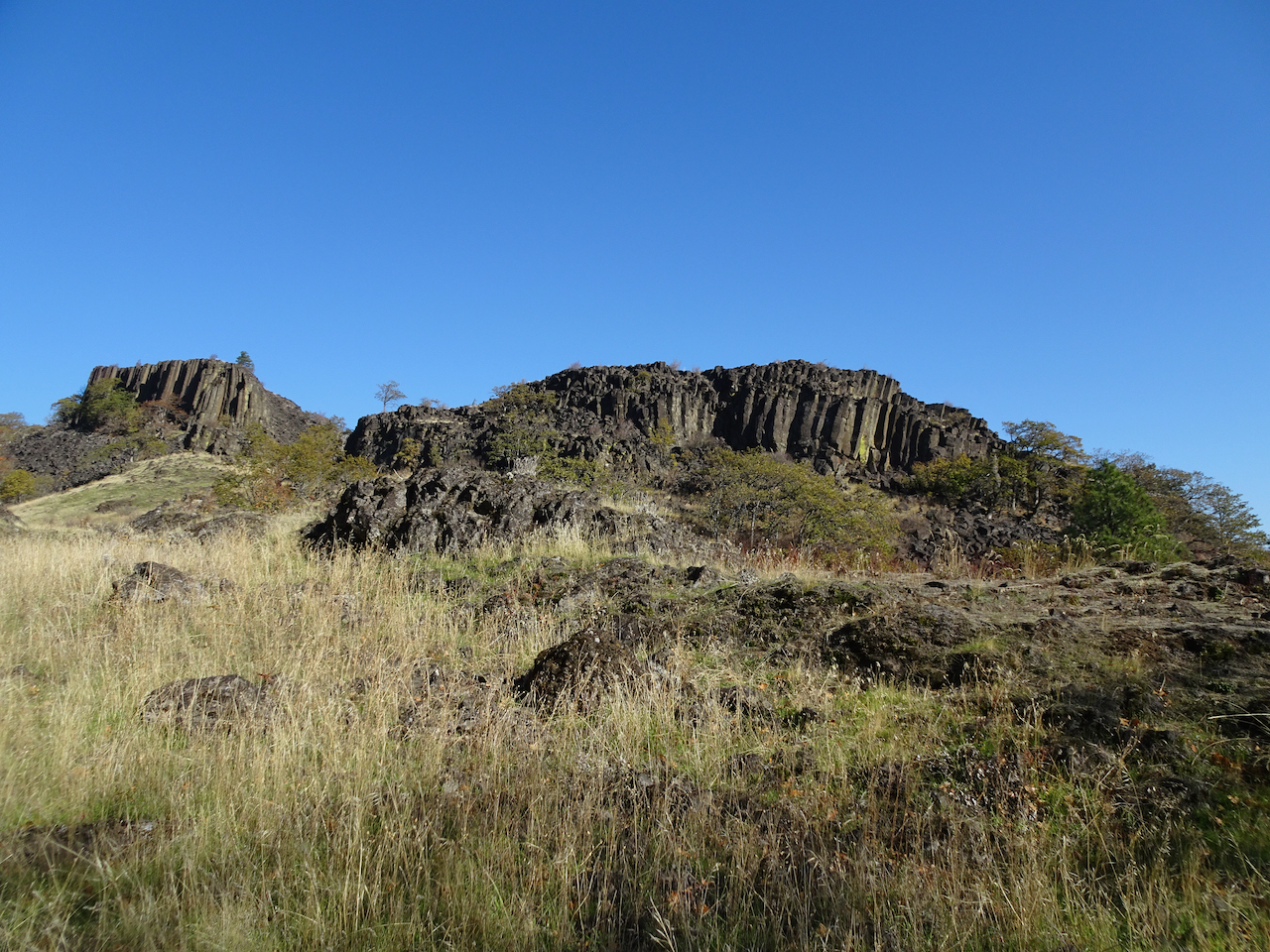
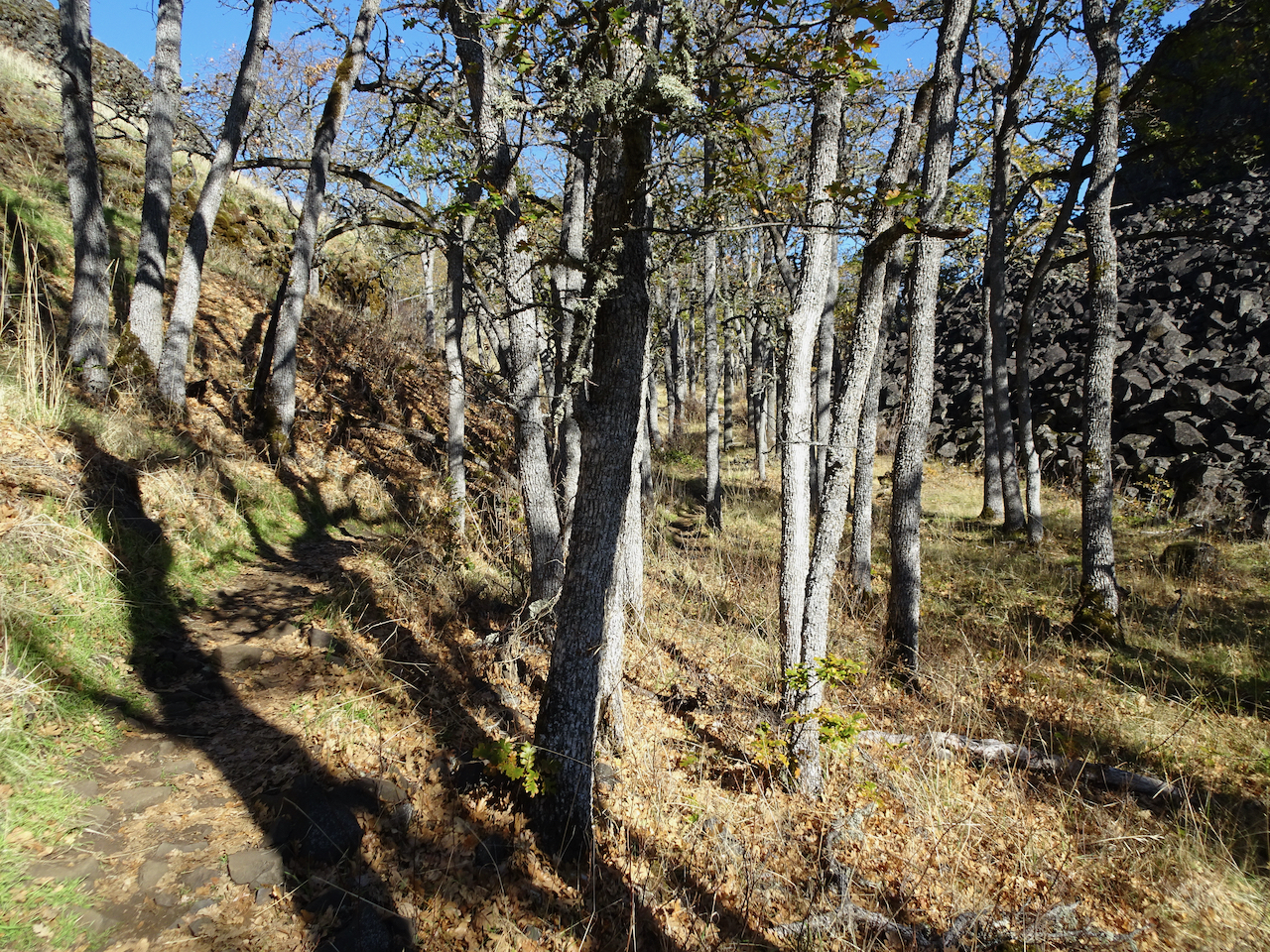
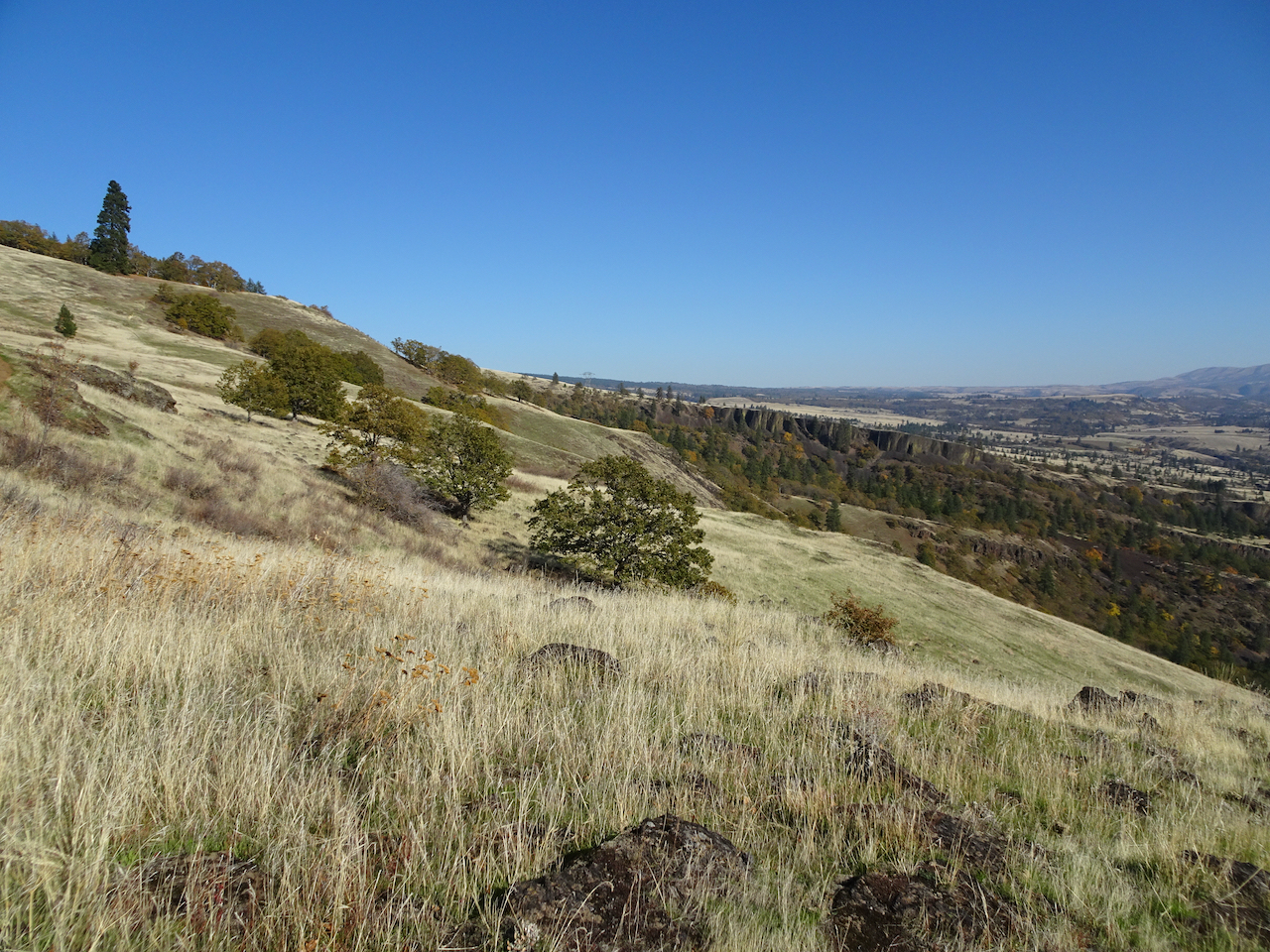
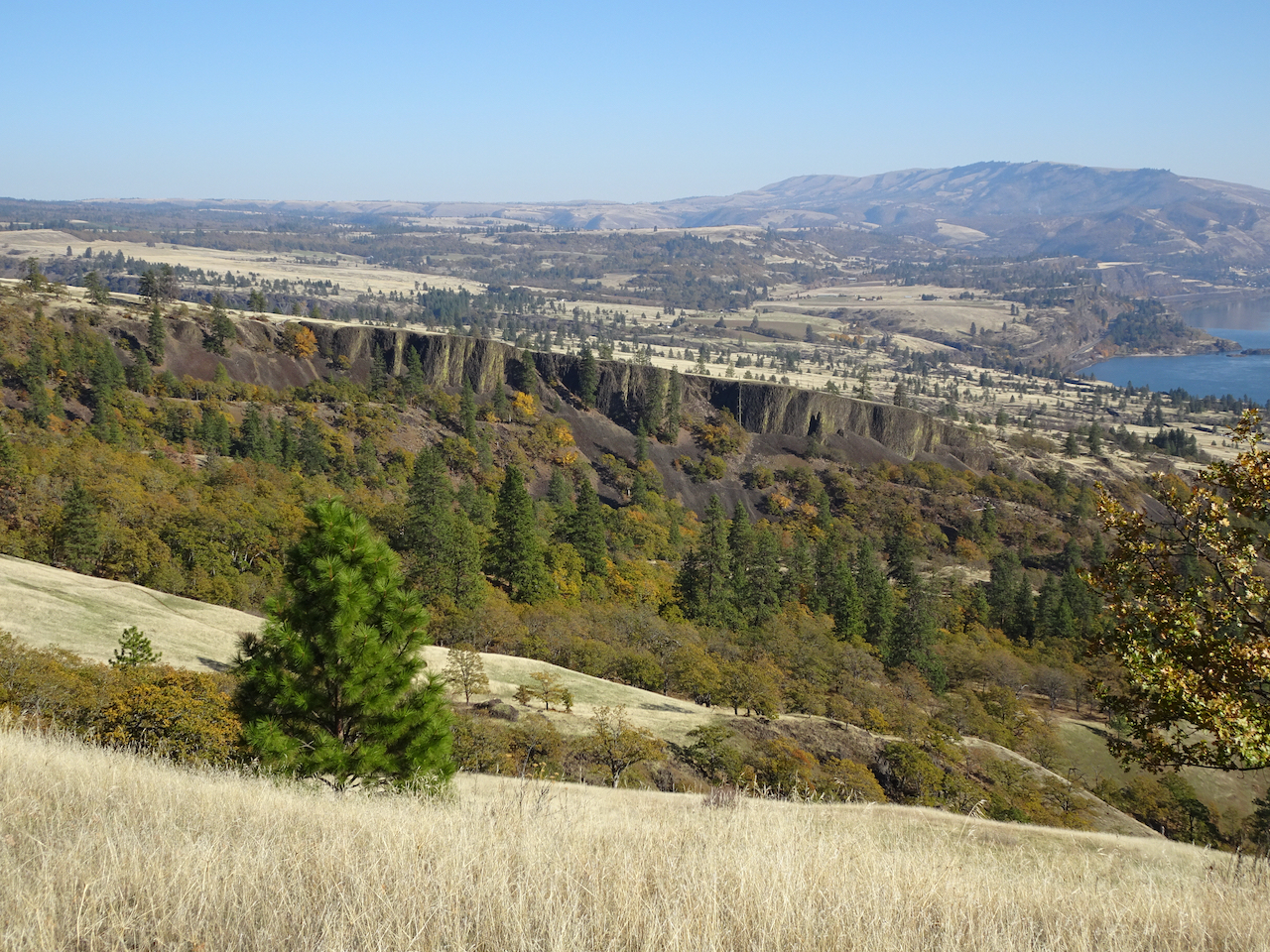
2) On March 11th we hiked Tom McCall Point and around Rowena Crest, east of Hood River in Oregon, to see the fields of  grass widows.

DSC05921

Thousands of grass widows on the plateau below Tom McCall Point.

DSC05924

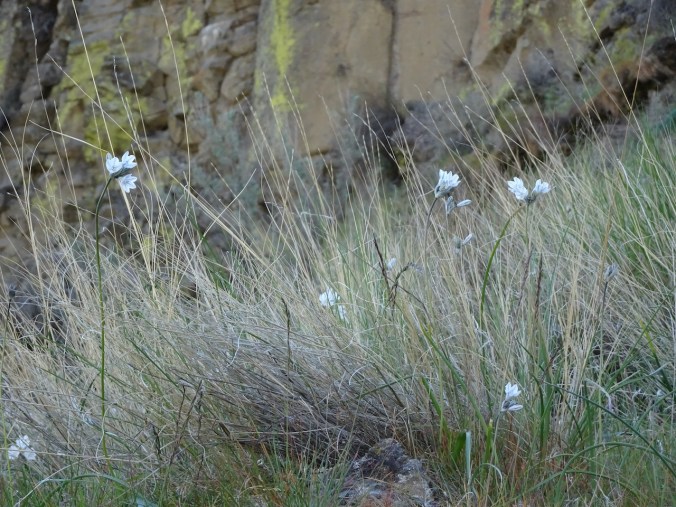
Grass widows

DSC05925

More grass widows…

IMG_2867

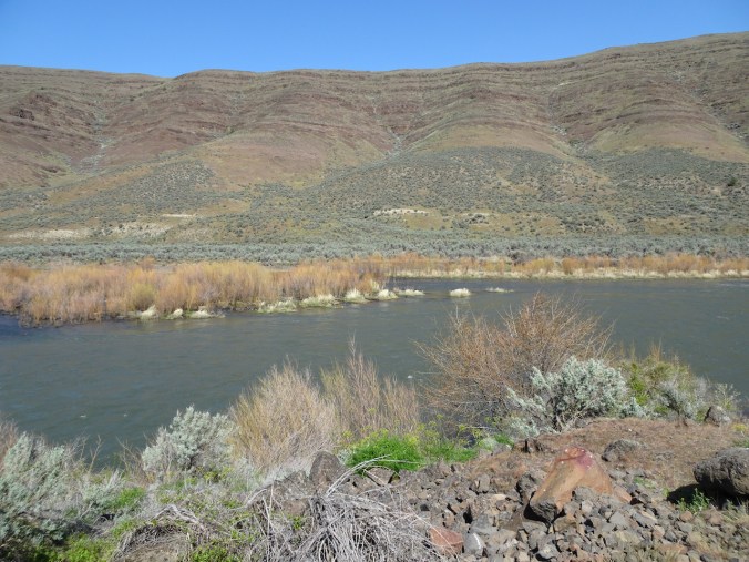
Columbia River reflecting the Cherry Orchard cliffs in Washington.

DSC05943

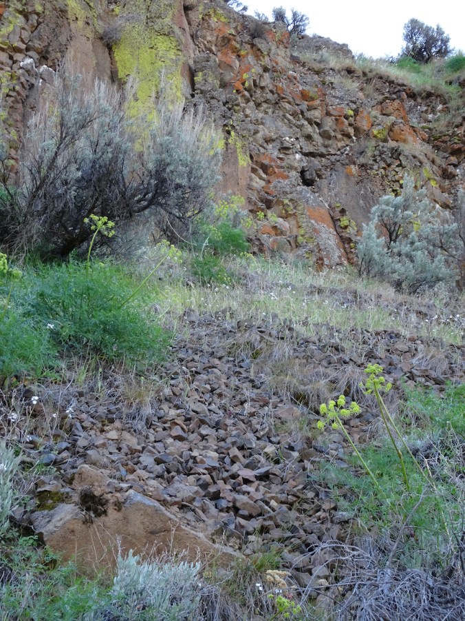
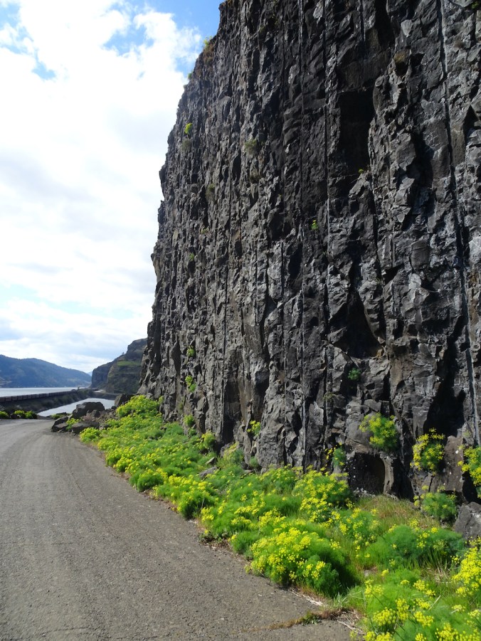
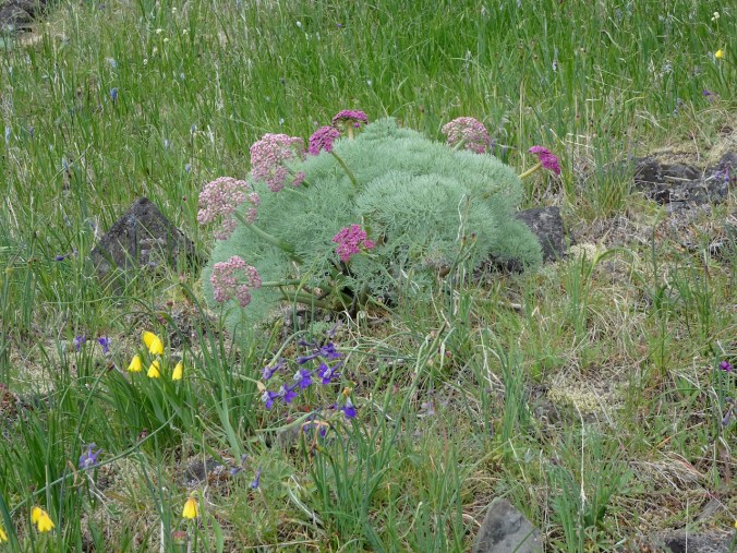
Parsley alley

DSC05947

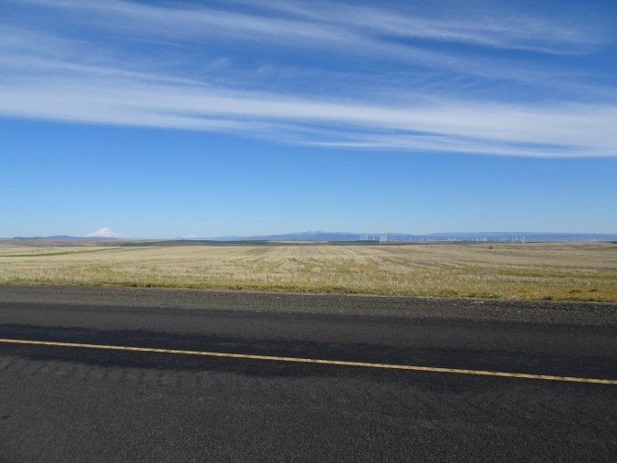
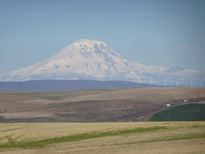
Mt Adams and Rowena Plateau, from near the top of Tom McCall Point.

DSC05969

Tiny flowers of spring whitlow grass.

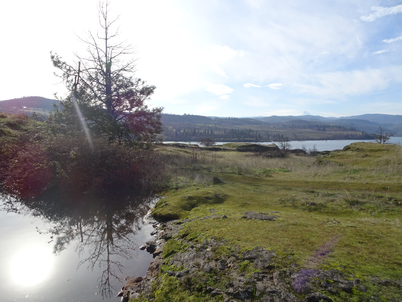
Then we walked around Rowena Crest, closer to the river:

DSC05980

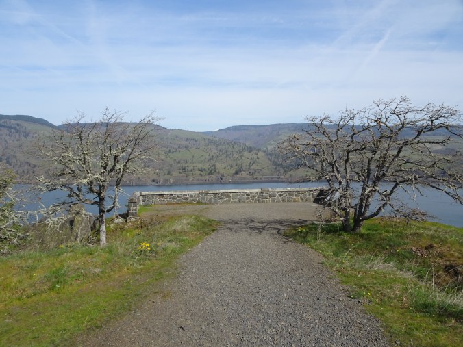
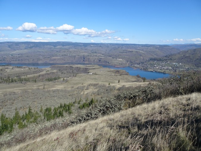
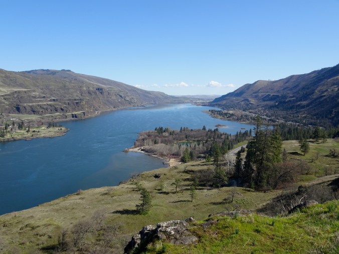
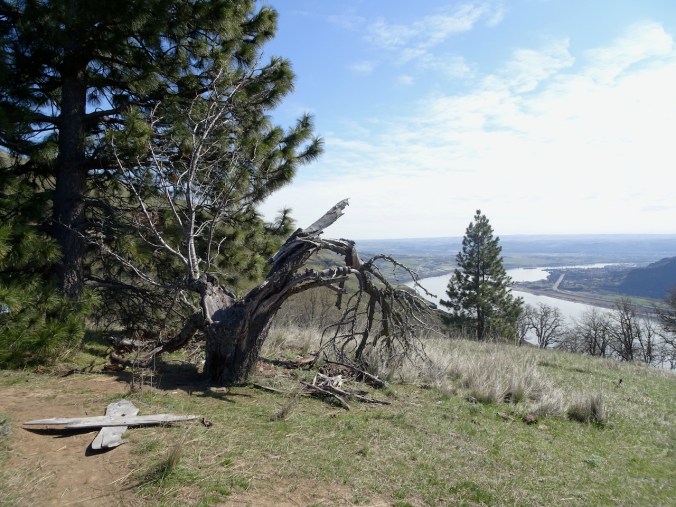
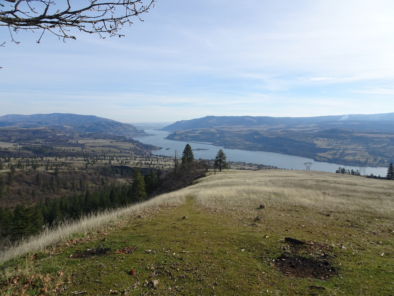
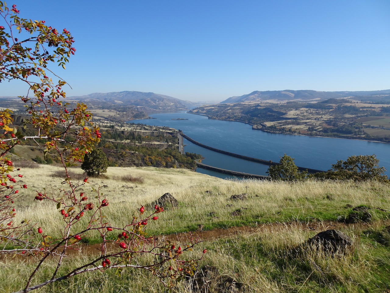
East view from Rowena Crest cliffs – kettle lakes in the foreground.

DSC05989

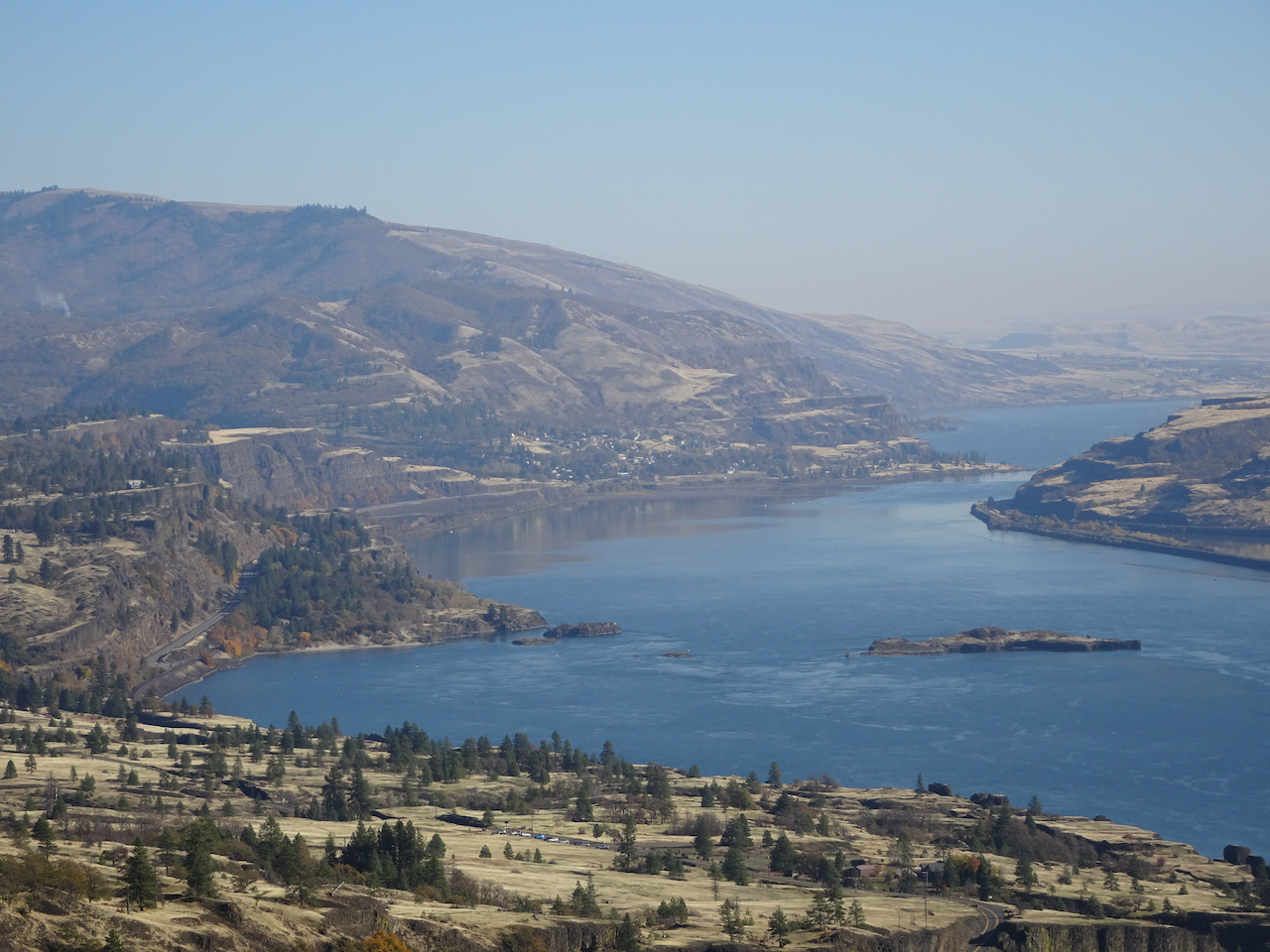
Westerly view.

DSC05998

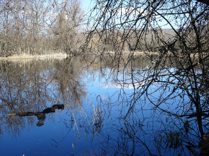
One of the lakes on Rowena Crest.

DSC05999

Abstractions in the lake reflections…

DSC05997

DSC06002

And more grass widows!

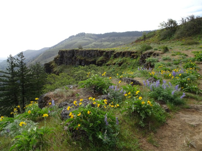
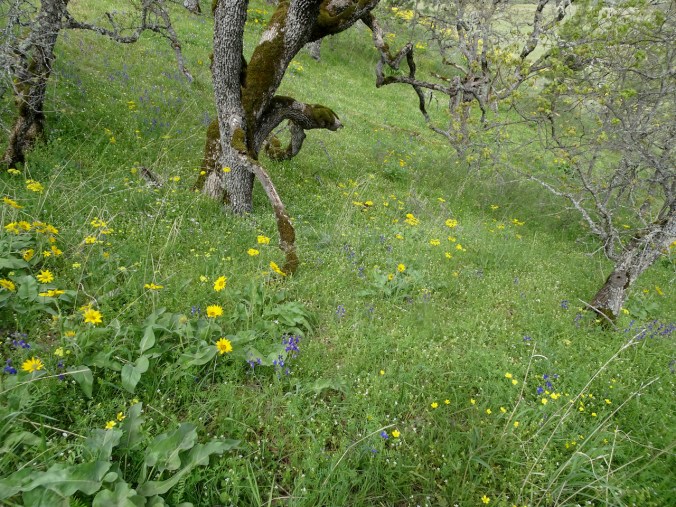
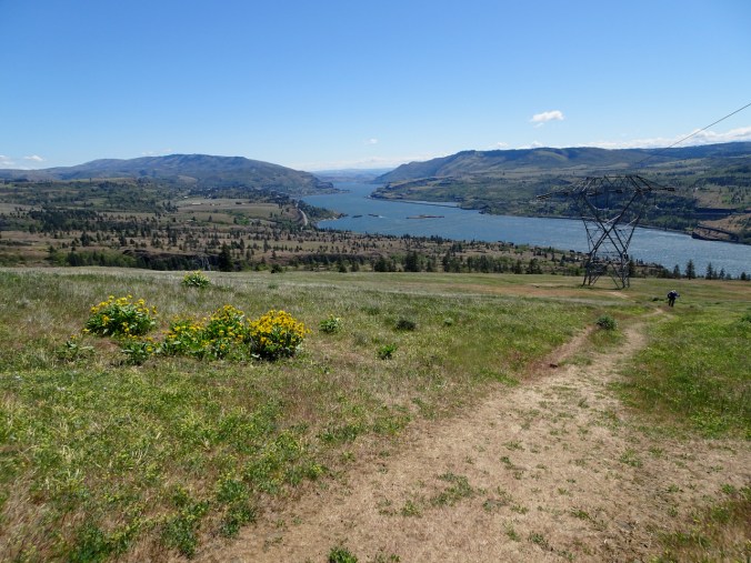
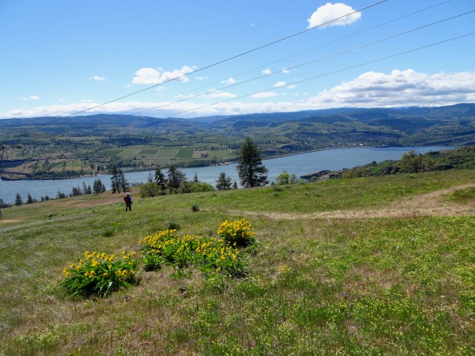
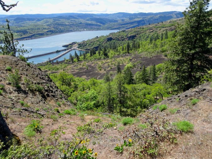
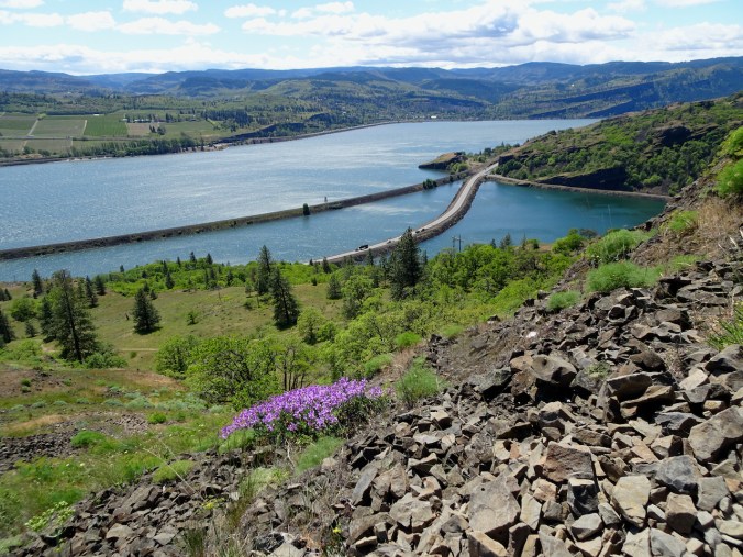
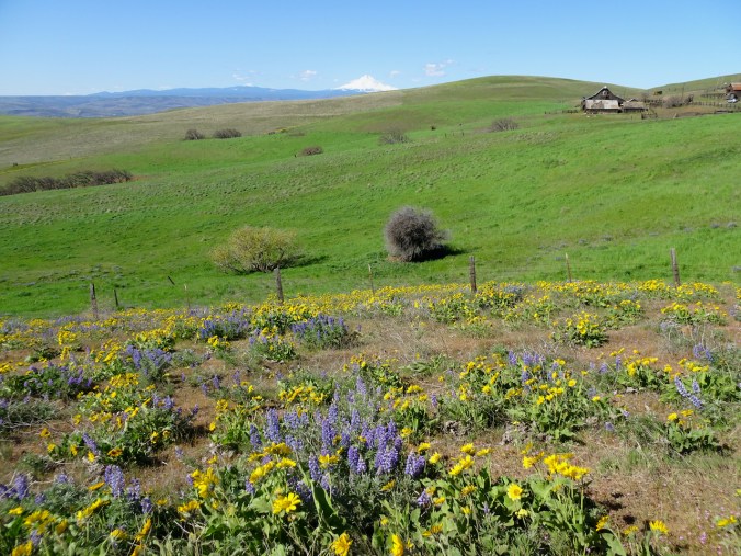
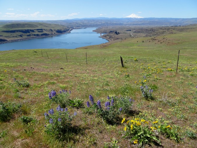
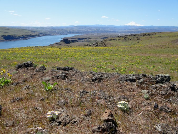
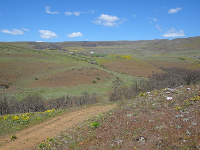
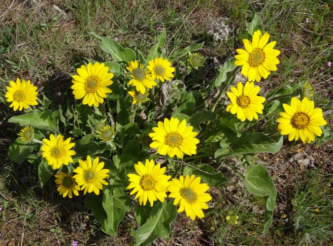
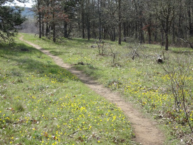
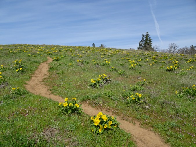
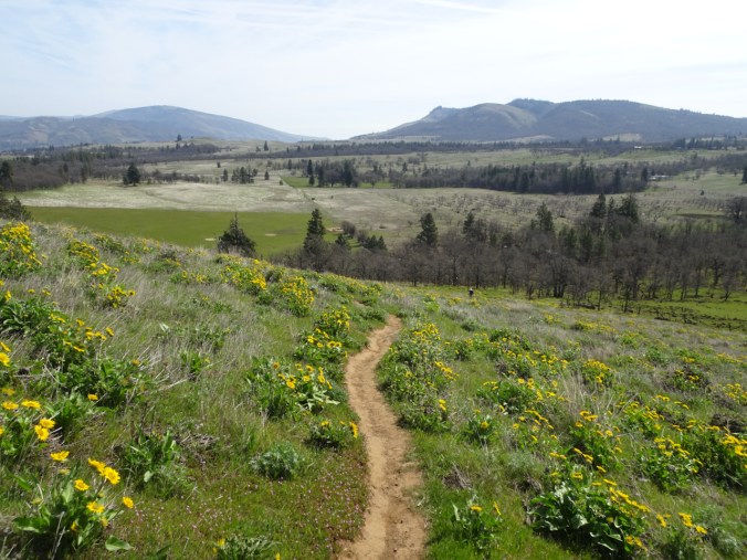
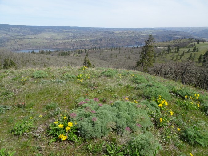
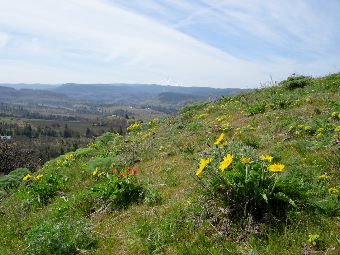
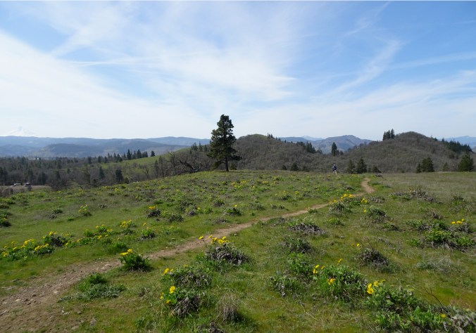
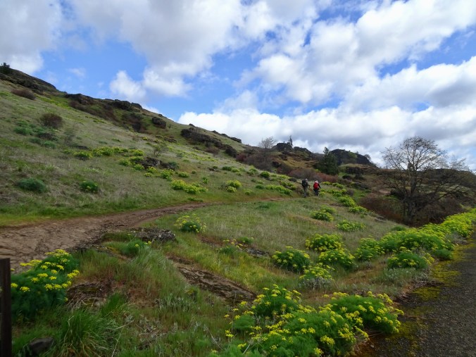
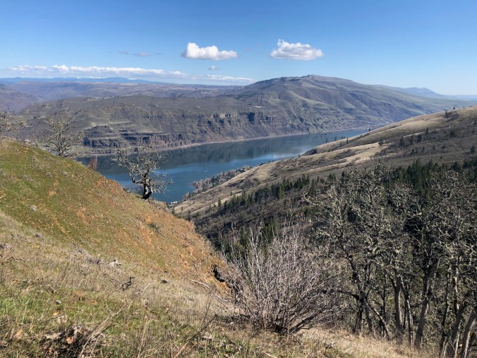
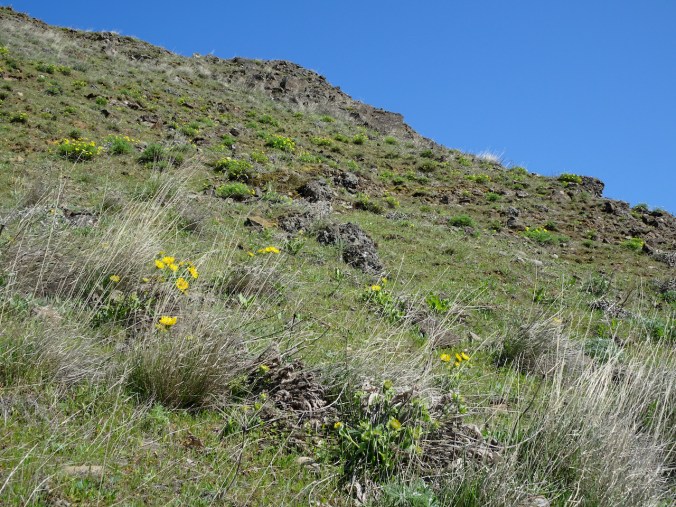
3) The next week, on March 16th, we went out across the river to Lyle Cherry Orchard again. No squalls this time – a perfect hiking day, and the first of the bright yellow balsam root blooms were opening as we hiked.

DSC06009

Hiking up above the Convict Road.

DSC06006

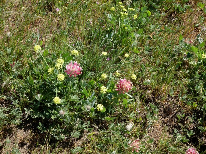
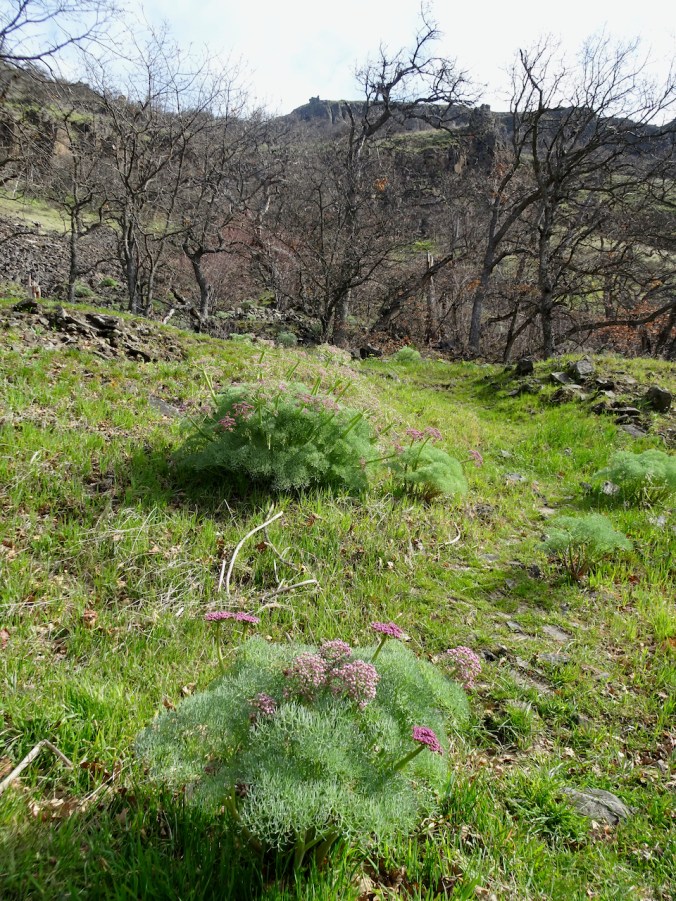
Columbia Desert Parsley in full bloom.

DSC06056

Balsam root opening on the upper slopes.

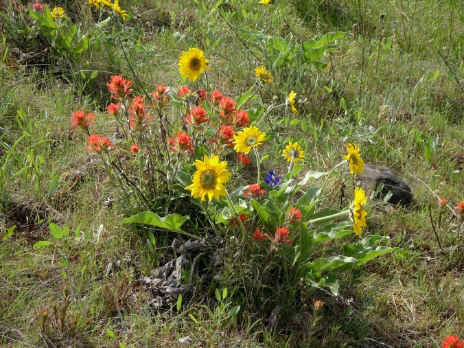
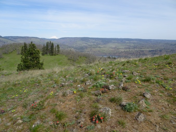
Lots of flowers showing for the first time this spring:

Stunning views from the cherry orchard:

DSC06045

Eastward, one of the remaining cherry trees.

DSC06057

Westward, balsamroot

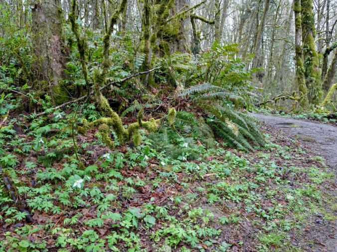
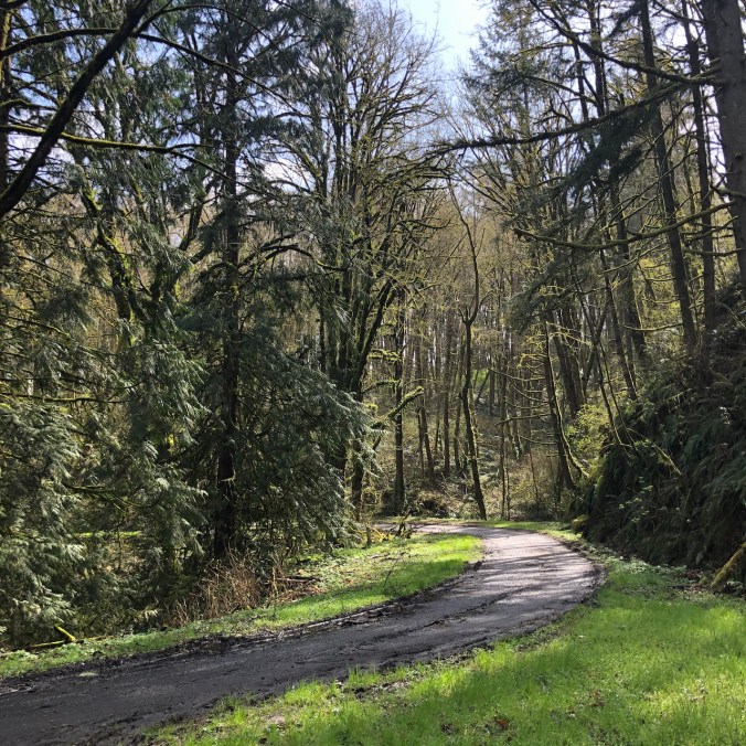
4) We also walked a fast loop through Tryon Creek Park, on March 17th, where the very first of the trillium were opening, a little later than last year.

DSC06093

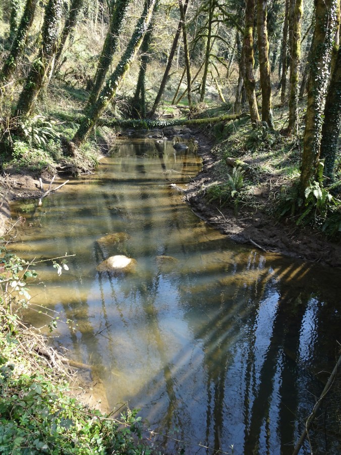
Tryon Creek

DSC06098

First trillium of spring

Around Portland

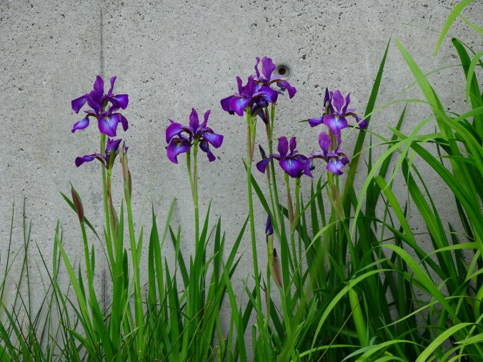
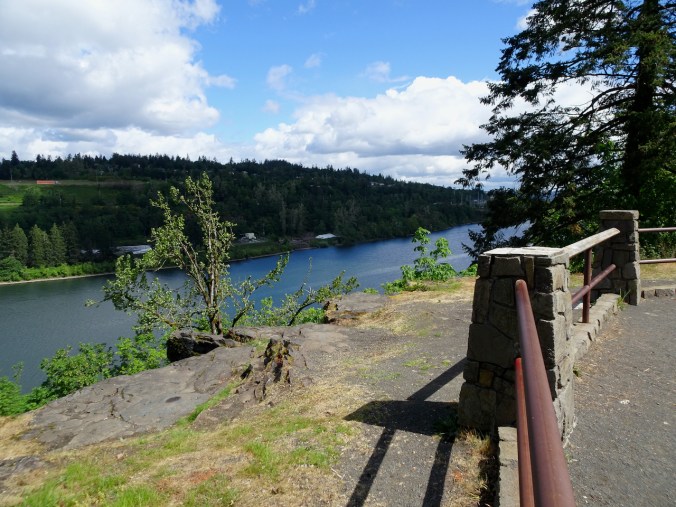
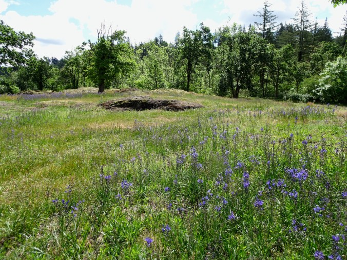
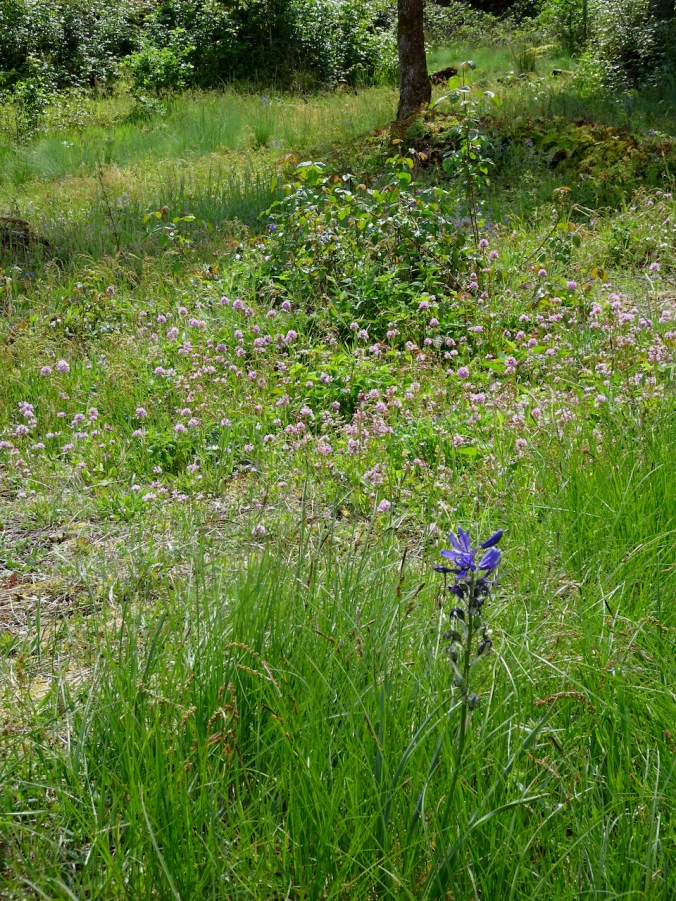
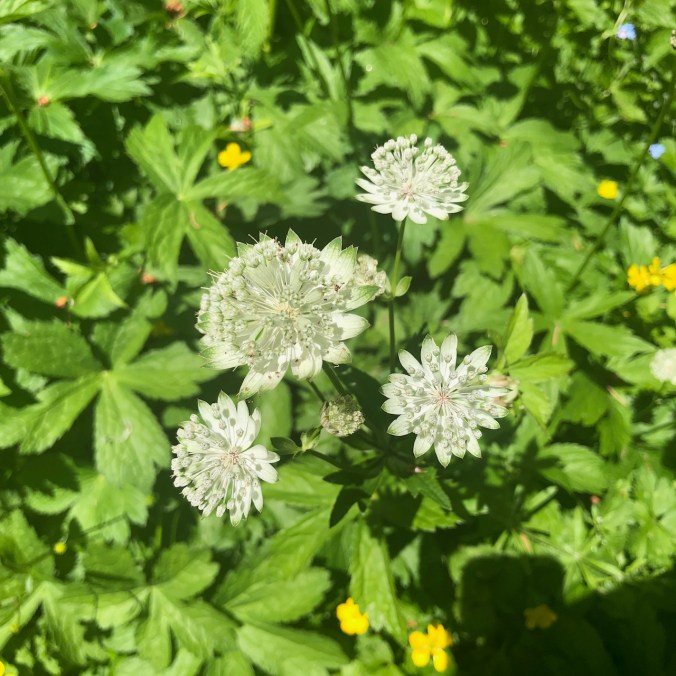
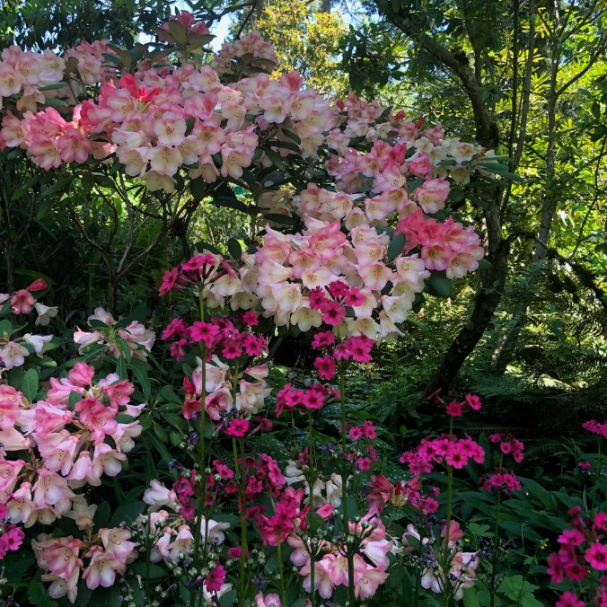
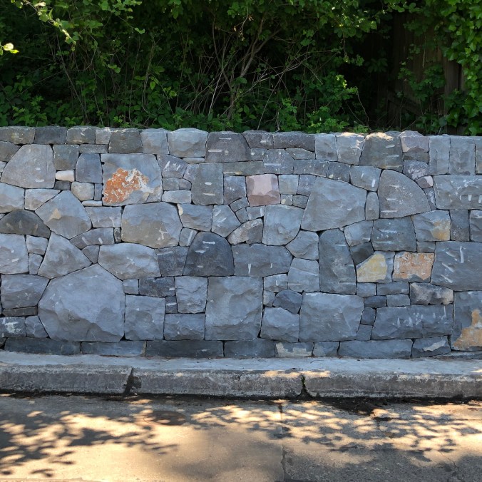
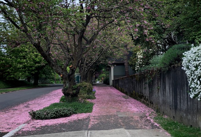
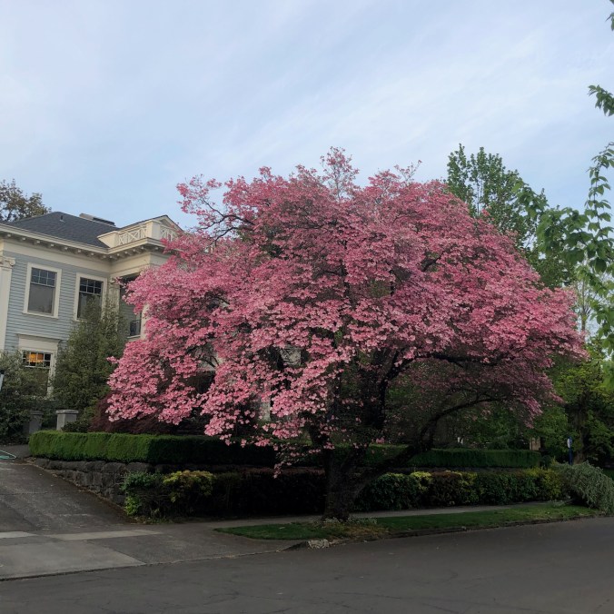
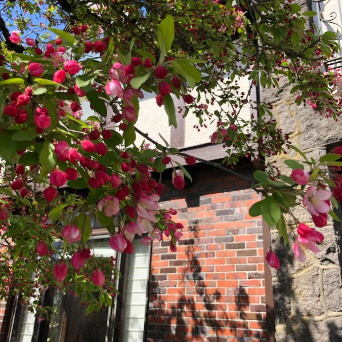
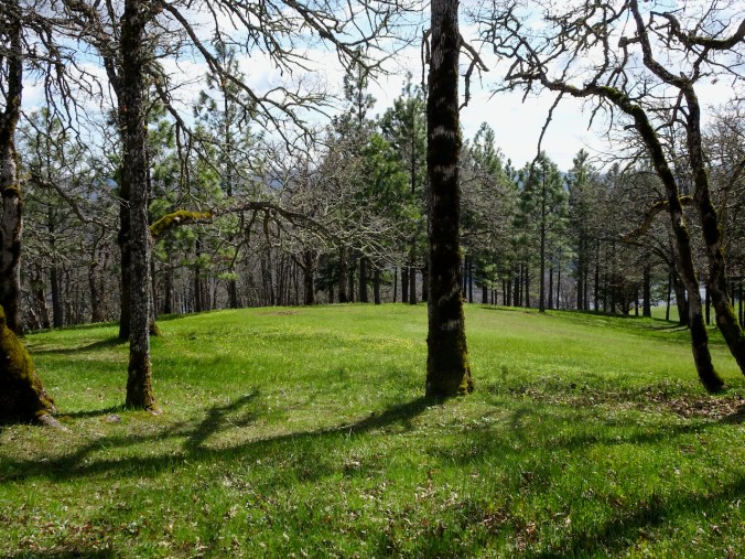
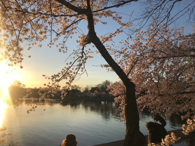
My neighborhood is also blooming.

Knitting

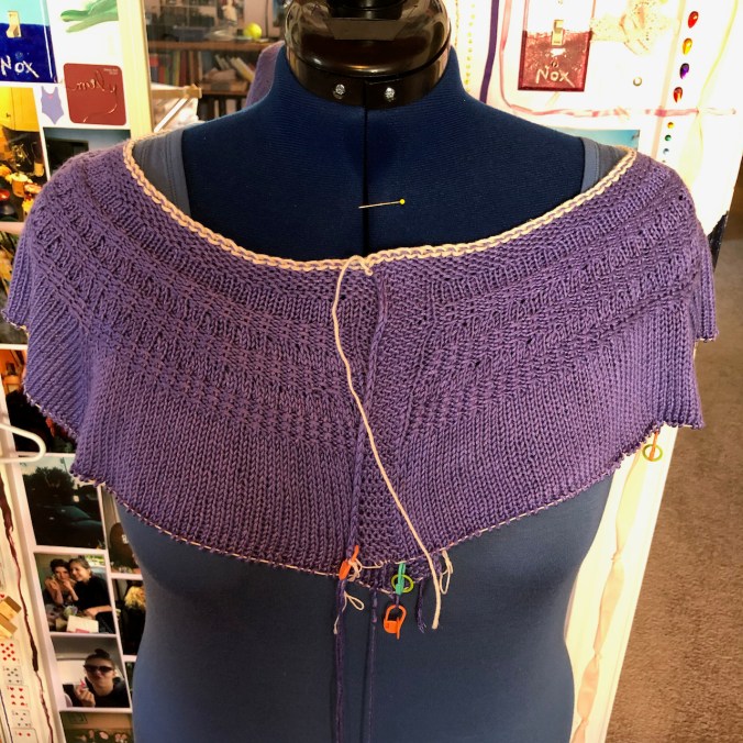
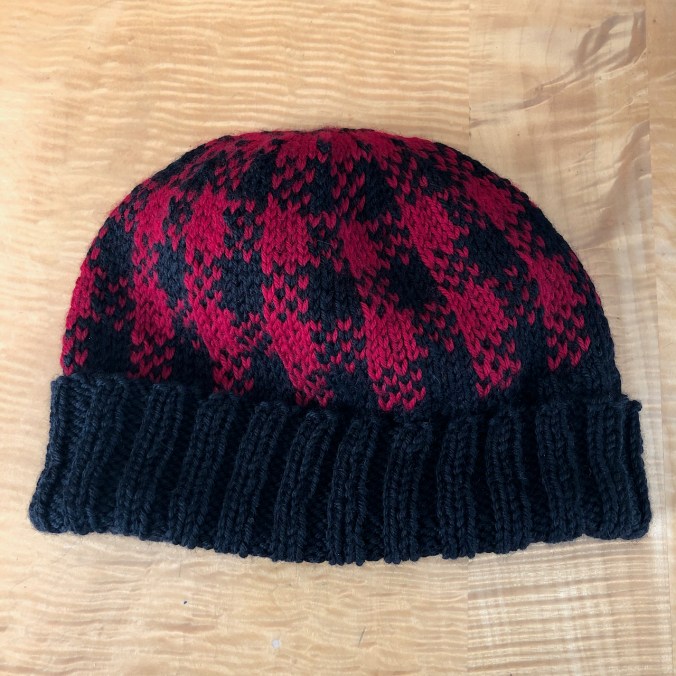
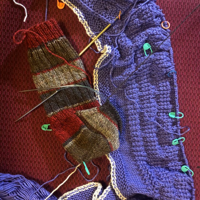
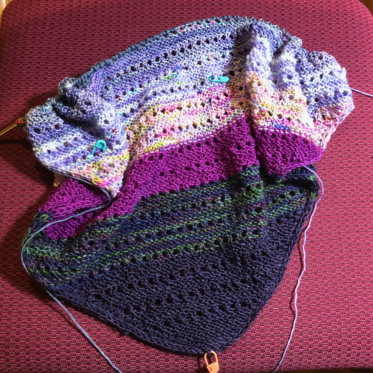
I finished knitting a pair of socks for me and another hat and a cowl for the guild charity project, and cast on new socks and a cardigan.

And…

I hold the more difficult challenges to the outside world in my heart. This week it is yet another uniquely American gun violence episode in Georgia, another hate crime, anti-woman, anti-Asian. I know in my heart it is all true, and part of the work we all have to do – bring out all the biases into the light of day and see how they harm so many. I am listening and learning more each day, and it all rings true, and saddens me. I pledge to myself to be as much of an ally as I can recognize. Listen and learn. Validate. Search for the commonalities and not the otherness. From my place on the privilege spectrum.  That is most of what I do, and will do, and am lucky to do. And before I can publish this – yet another mass shooting at a grocery store in Colorado.

As a youngster with all the idealism of youth, I envisioned a giant magnet circling the world sucking away all the implements of violence, all the guns and weapons of war. On days like today with a heavy heart and a less idealistic world view, still I sigh and wish it could be true.

IMG_2823

Image 3-21-21 at 3.32 PM

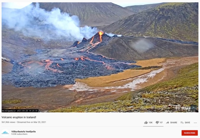
And a volcano is erupting in Iceland!

Begin anew! January 2021

January 20, 2021 –  So far 2021 has not brought much change to our daily life, but the relief of having a new president casts a hopeful light on our future! We celebrated our 36th wedding anniversary this month, with homemade Indian food and leftover Christmas chocolate. We continue in pandemic lockdown mode, staying home unless doing essential shopping, going on neighborhood walks, or weekly out of neighborhood hikes. Vaccines are seeping into the community, mostly to health care professionals and long term care facilities. My husband has temporarily unretired and will be helping with vaccinations. Thus he was able to celebrate inauguration day doubly, as he got his first dose today.

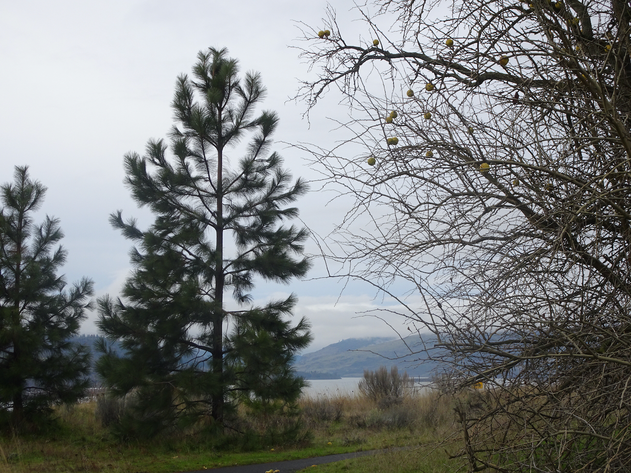
Hiking: We have been on three hiking adventures so far. The first, on January 7th, was our annual trek to see the bald eagle nesting area along the Klickitat River near Lyle, Washington. We saw at least thirty birds, many of them juveniles that still have brown plumage. 

DSC05313

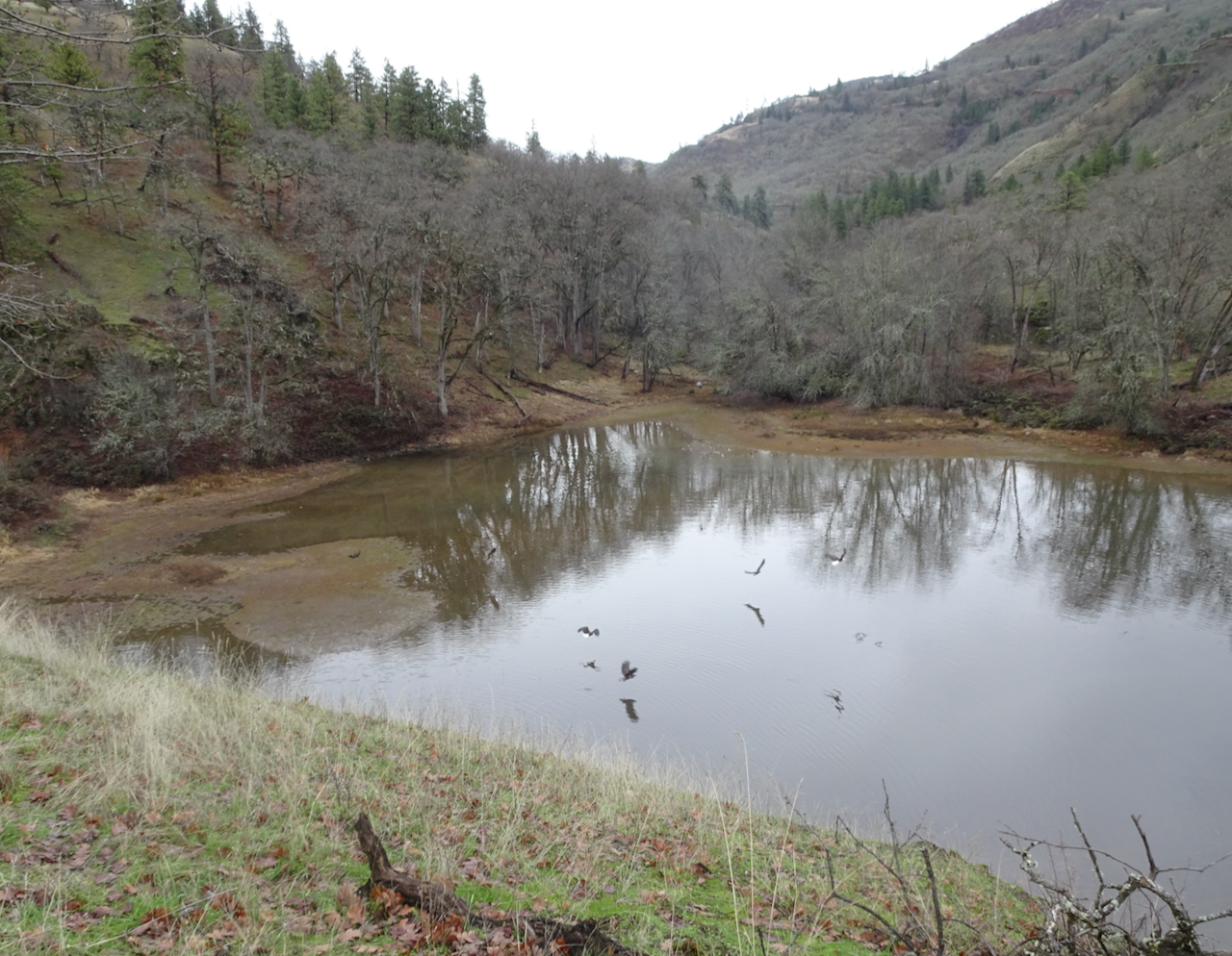
Bald eagles flying across the Balfour-Klickitat pond.

DSC05336

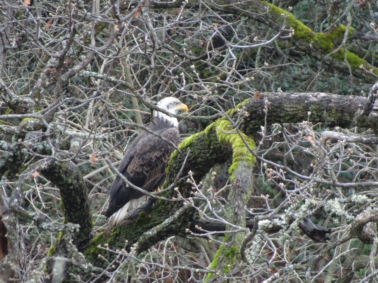
One eagle stayed perched in a tree nearby.

DSC05337

Closer view.

DSC05342

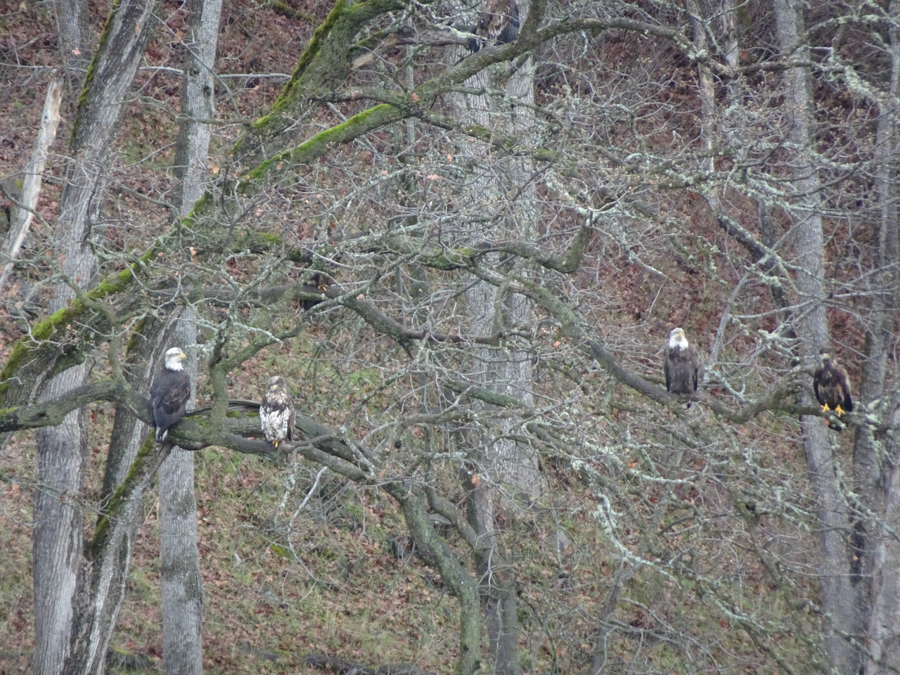
Many more eagles in the trees across the pond.

DSC05343

Zooming in, even more eagles can be seen disguised in the foliage.

DSC05359

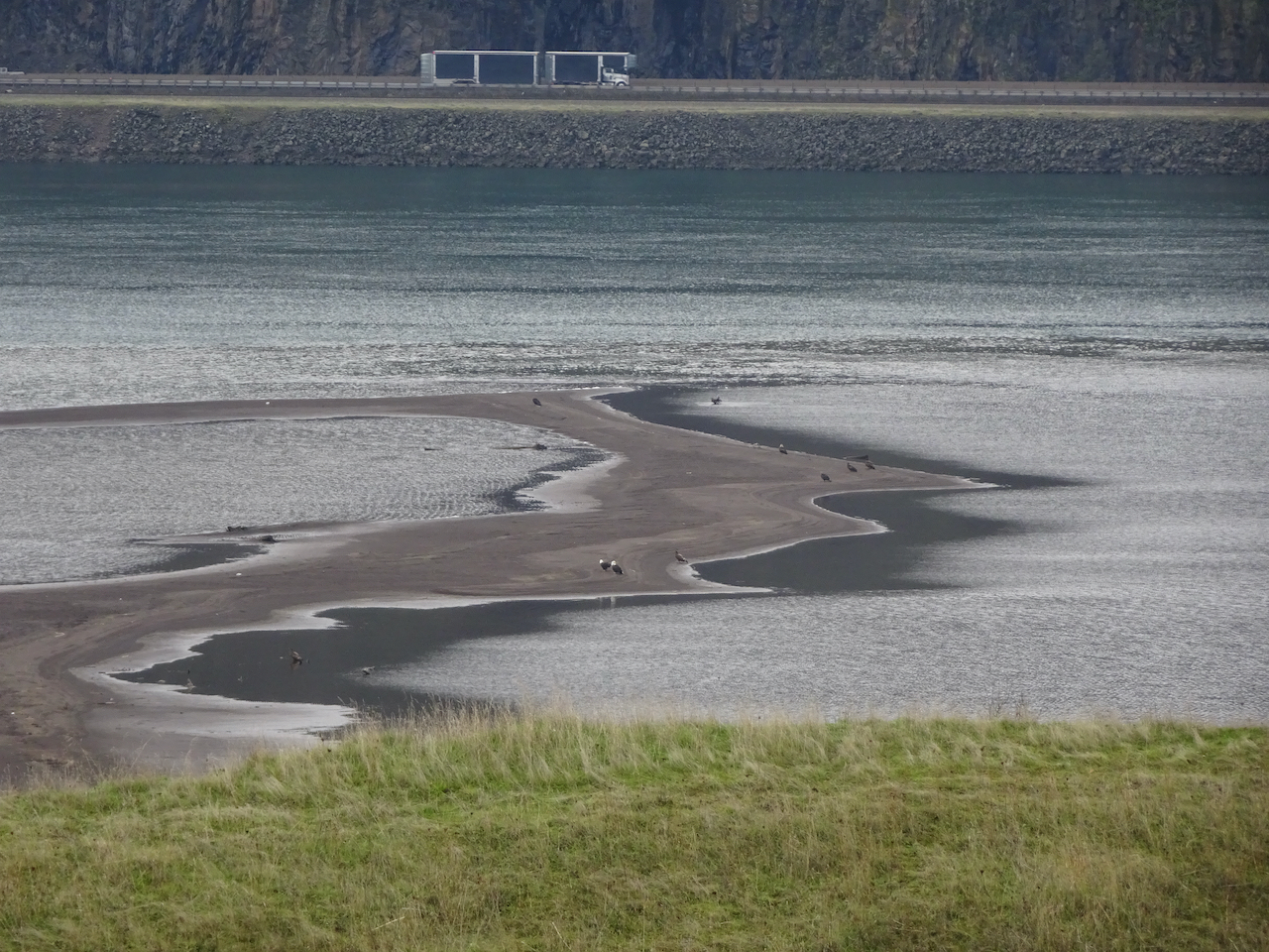
Another dozen eagles were out on the sand bar where the Klickitat River flows into the Columbia River.

DSC05357

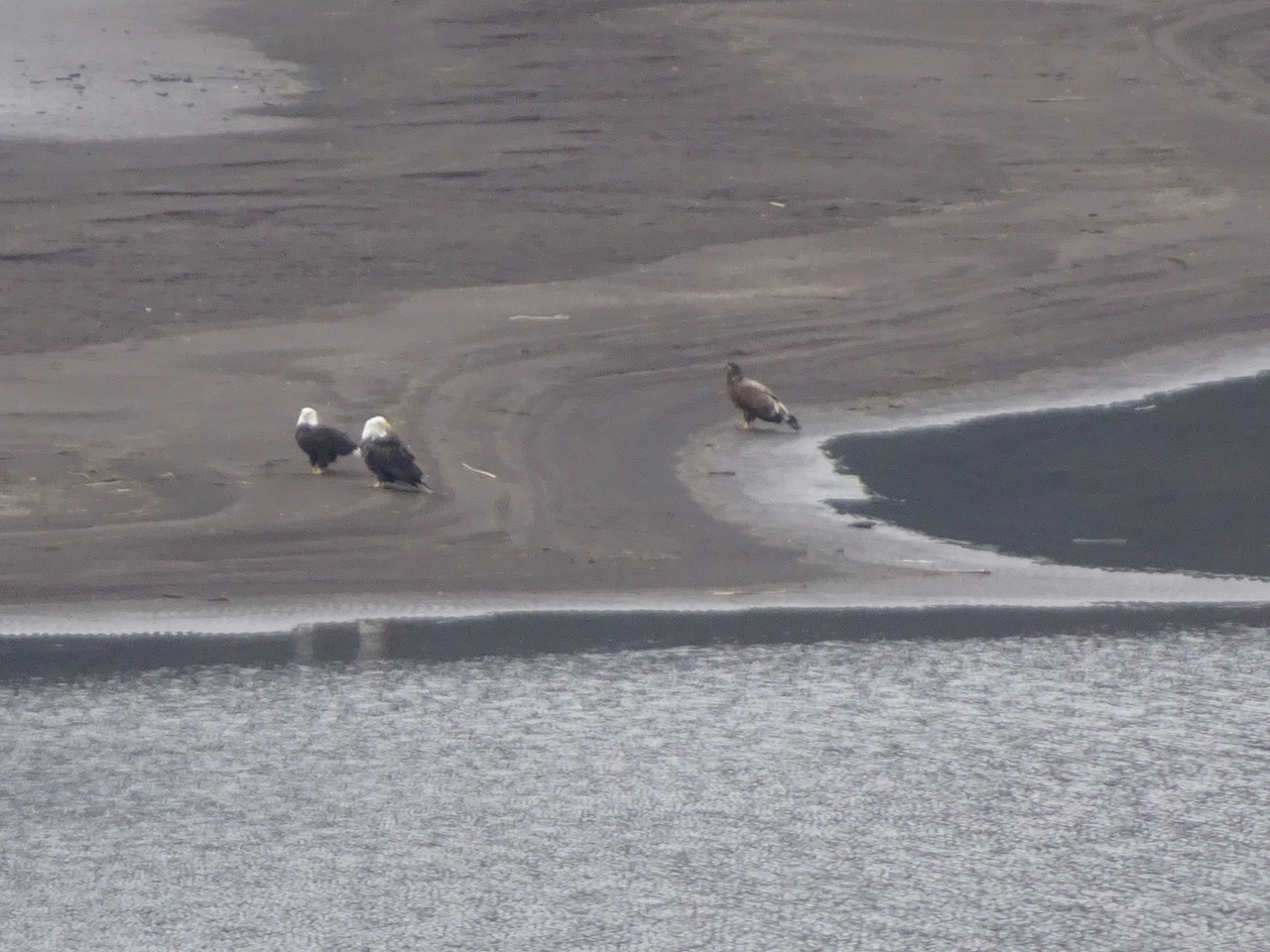
Two adults, one juvenile bald eagle on the sand bar.

DSC05369

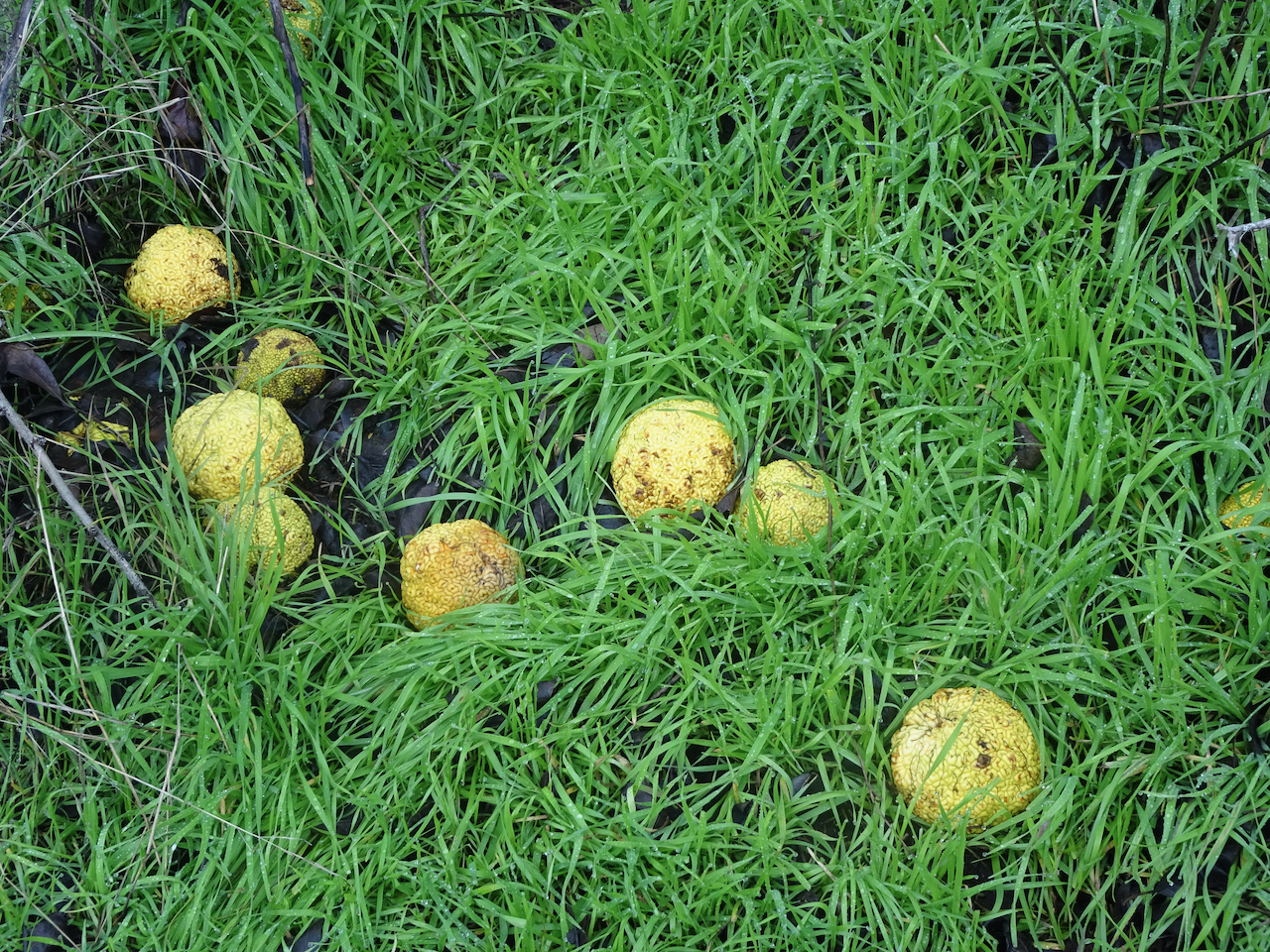
Osage oranges along the trail here.

DSC05371

They are a curious fruit.

DSC05384

We walked a couple of miles along the Klickitat River trail.

DSC05396

Downy woodpeckers were in the bushes nearby.

DSC05404

This is a converted rail trail with a nice even tread.

DSC05421

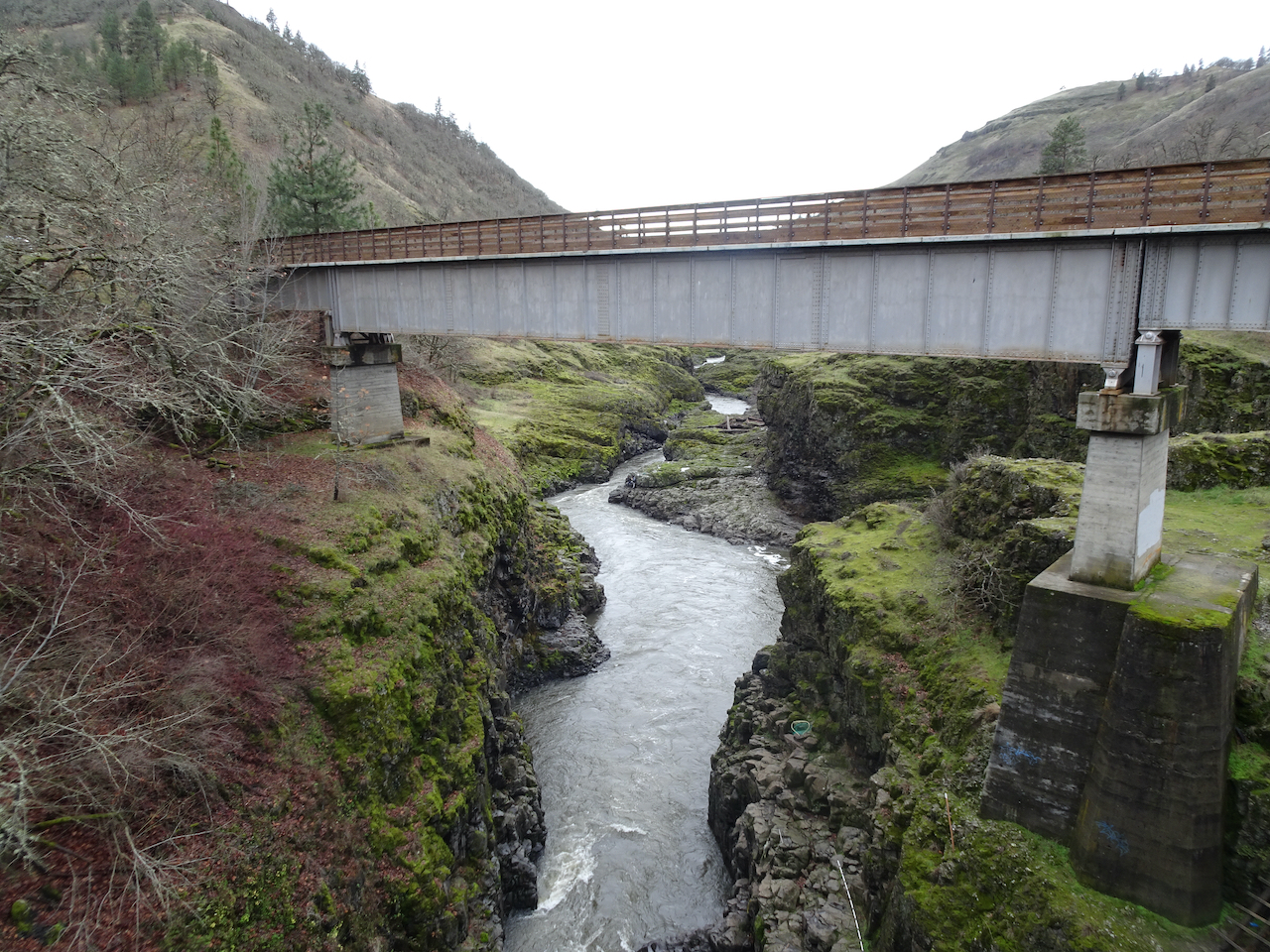
We turned around at the Fisher Hill Trestle.

DSC05413

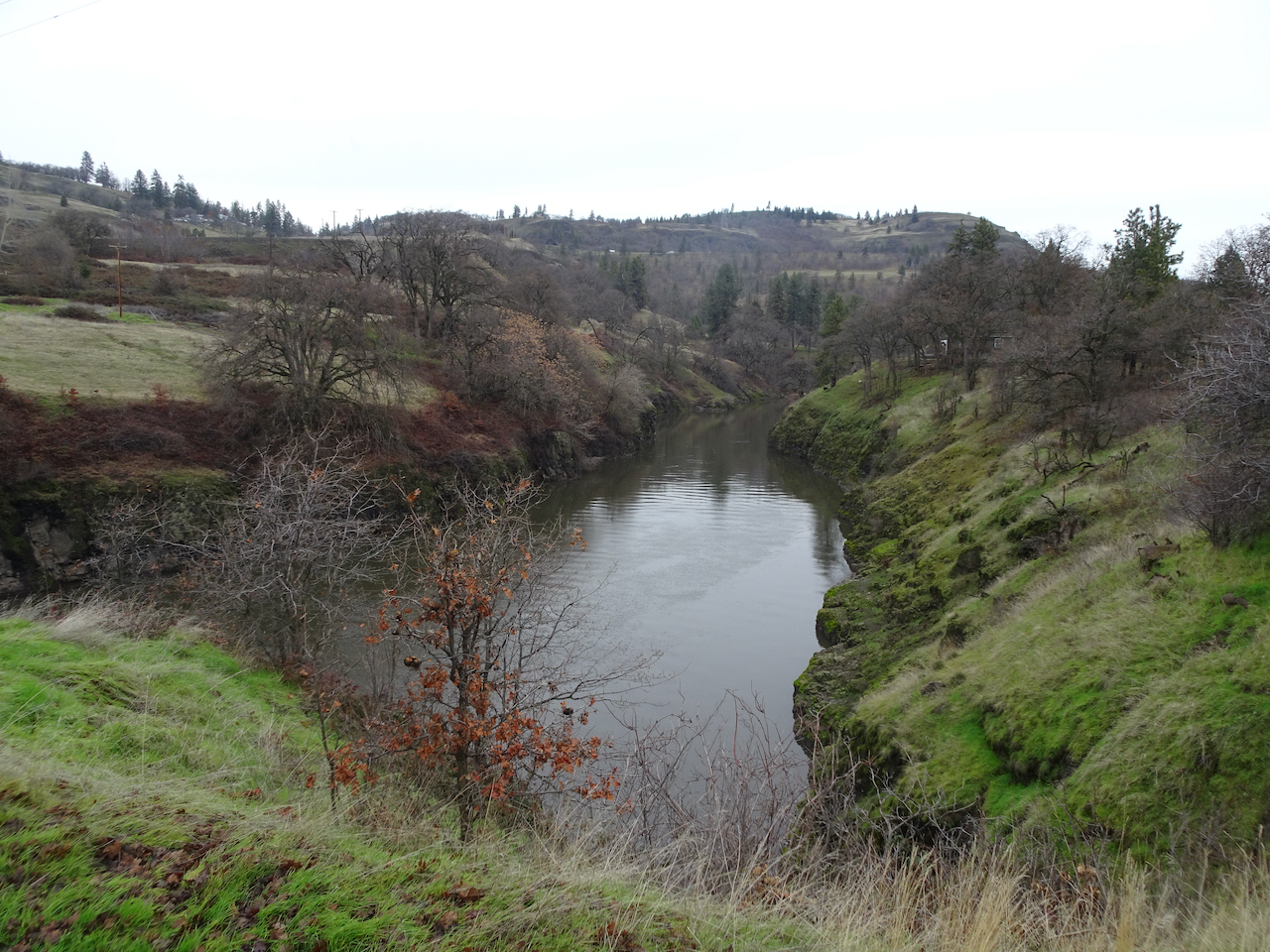
View down the Klickitat River from the trestle.

DSC05407

A side stream cascading into the Klickitat River.

DSC05424

On our return walk we saw a congregation of a couple of dozen eagles circling overhead.

On January 14th, we walked around Oaks Bottom Wildlife Refuge in Southeast Portland. The blue sky was reflected beautifully in the water, and we saw cormorants, herons, and a barred owl near the trailhead.

DSC05445

Blue sky.

DSC05456

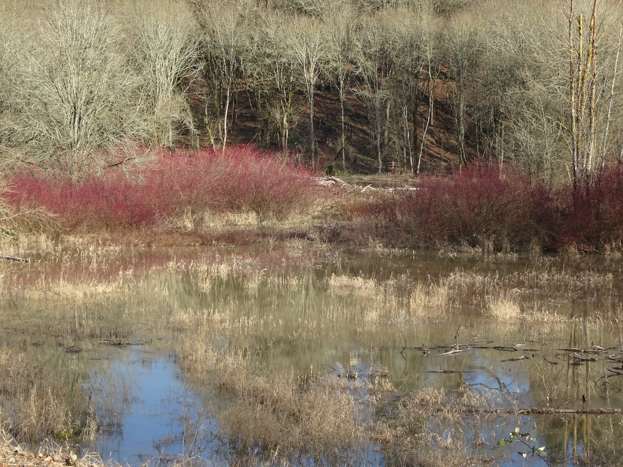
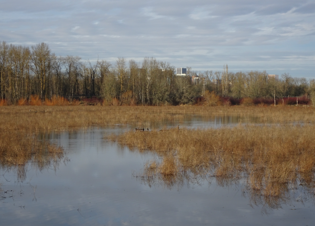
Reflections in the marsh.

DSC05485

Winter foliage.

DSC05490

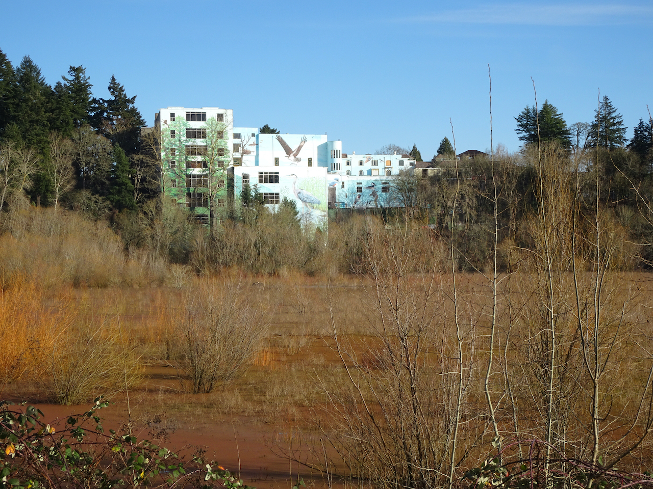
Muraled Mausoleum across the marsh.

DSC05498

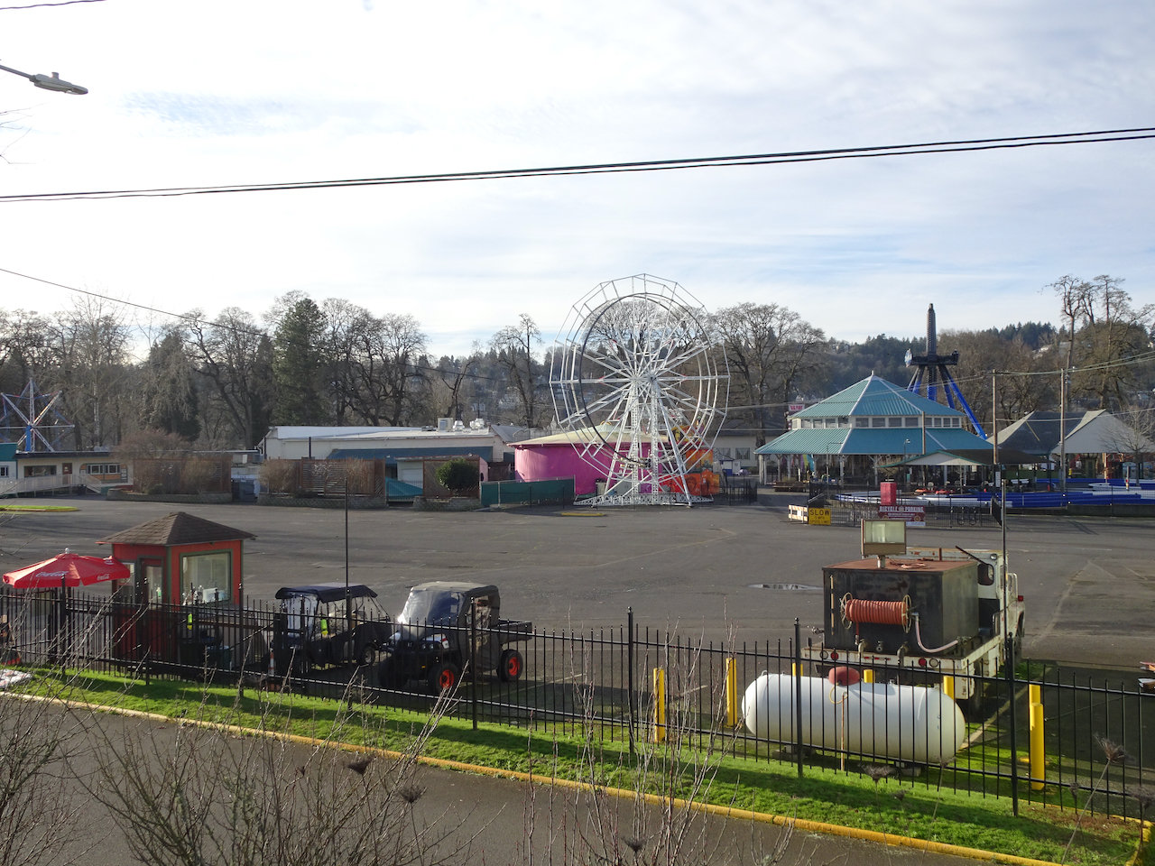
Oaks Park on winter/Covid hiatus.

DSC05522

Cormorants and herons, Downtown Portland.

DSC05513

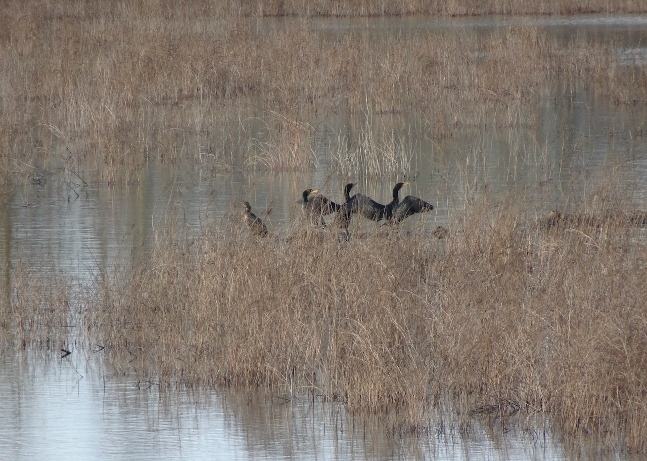
Cormorants.

DSC05548

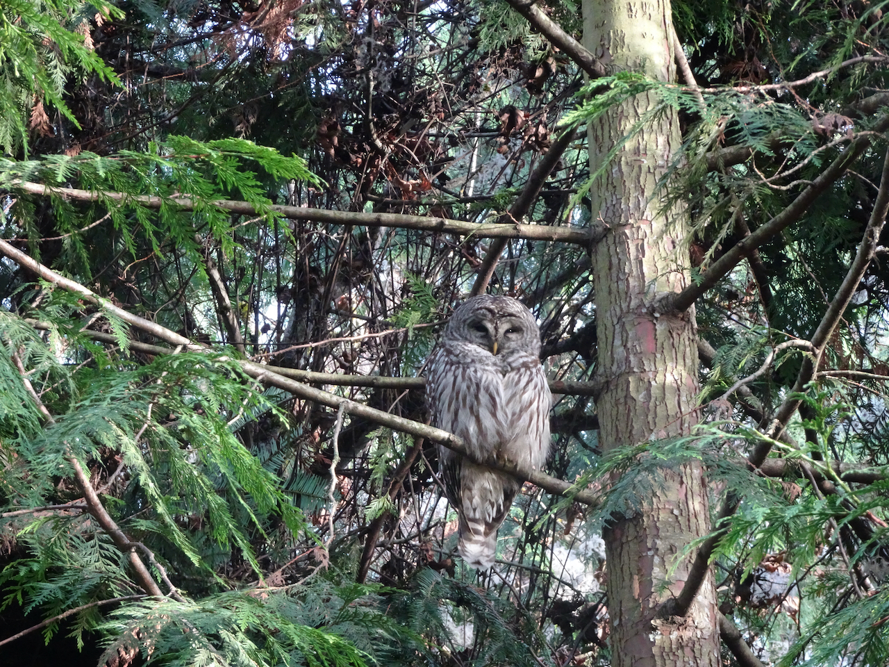
Barred owl.

Back out at Catherine Creek, near Lyle, Washington, on January 19th, we found the first grass widow of spring, then hiked a long loop up Atwood Road, across the top of Sunflower Hill, then down the Desert Parsley Trail back to Rowland Wall, thus completing some of the gaps in our map there. It was a beautiful day – chilly, but conducive to hiking up hill at a steady pace to see the eastern gorge spread below magnificently.

DSC05557

First grass widow of spring!

DSC05560

Catherine Creek waterfall set in the winter landscape.

DSC05572

Mt Hood to the west.

DSC05574

The arch from Atwood Road.

DSC05578

An old stove near Atwood Road.

DSC05580

Lunch view from the top of Sunflower Hill.

DSC05590

Oak tree, Mt Hood, noonday sun.

DSC05602

Looking up at our guide Ponderosa from The Desert Parsley Trail.

Knitting: So far this year I have finished knitting a sweater and a gnome, I’ve started a blanket and a new pair of socks:

IMG_2511

Farallon Cardigan

IMG_2470

Here We Gnome Again

IMG_2641

Habitation Throw, using my “advent” yarns exchanged with my knitting group

IMG_2587

Artists Garden Socks

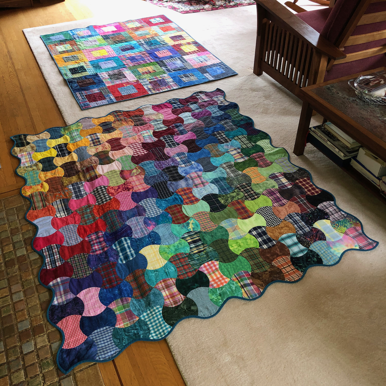
Quilting: I finished my Plaid Rectangles Charm Quilt, a companion piece to my Plaid Applecore Charm quilt.

IMG_2564

Plaid Rectangles Charm Quilt

IMG_2571

Companion quilts.

A New Day! After a long, satisfying hike yesterday, I got up way too early (for me) to watch the inauguration celebration. I felt some trepidation, due to the recent insurrection. I am very relieved to report that all proceeded beautifully. The participants were diverse, eloquent, hopeful, forward looking! I cried as I witnessed the swearing in of our first female vice president! The singing, the president’s speech, and the prayers were relevant, meaningful, beautifully delivered.  I adored the young poet laureate, Amanda Gorman, and the firefighter who signed as well as spoke the Pledge of Allegiance. The outgoing vice president was gracious in the transition. The colorful wool coats of the ladies brightened a blue sky day, when the Capitol, unfortunately, had to be surrounded by military lockdown, as the previous occupant never really conceded to his violent, deluded followers. I am disappointed that my daughter, sitting in her apartment about a mile away from the proceedings, could not witness the day. She assured me they remained safely within, while the din of helicopters continued above. Perhaps, going forward, the domestic terrorists will withdraw and think about the bill of goods they were sold, the lies told, the violence fomented by a greedy, disappointed narcissist who was only ever out for personal profit and aggrandizement, with no concern for the common good, no interest in public service. Good riddance! Meanwhile, executive orders and initiatives are already putting to right some of the damage, and asserting to the world that we want to participate in finding solutions for global problems.  

IMG_2624IMG_2626IMG_2623


Hiking in November, 2020

A gathering of late reports….

Monday, November 2nd, The Labyrinth

My favorite, often visited, eastern Gorge trail on a windless day with beautiful low autumn light. (Hike #69 for 2020, 4.4 miles, 1000 feet)

DSC04705

Trailhead, Rowland Lake, perfectly calm and reflective. Our destination is the tall Ponderosa Pine, left of center.

DSC04707

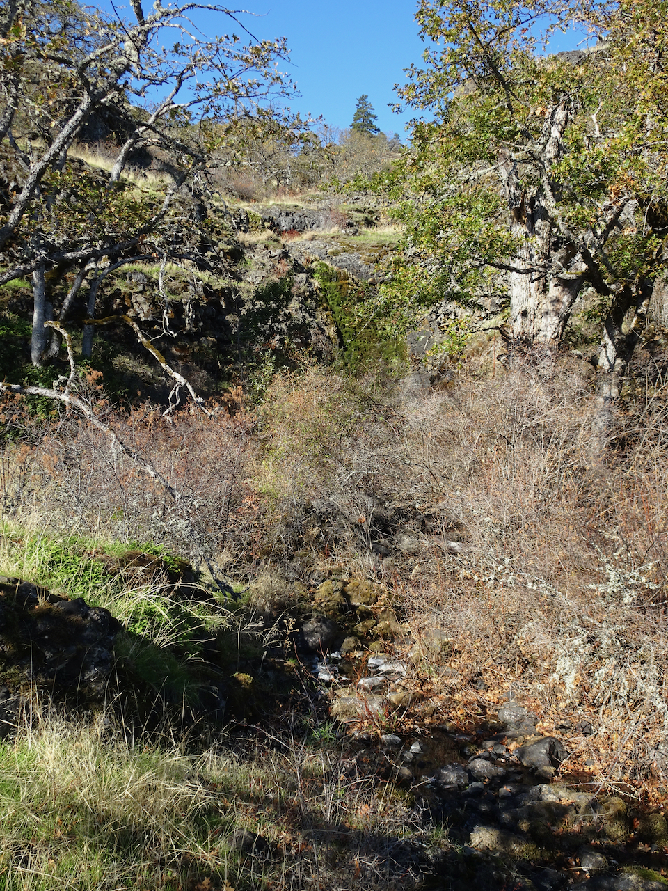
The Old Hwy 8 waterfall is completely dry.

DSC04709

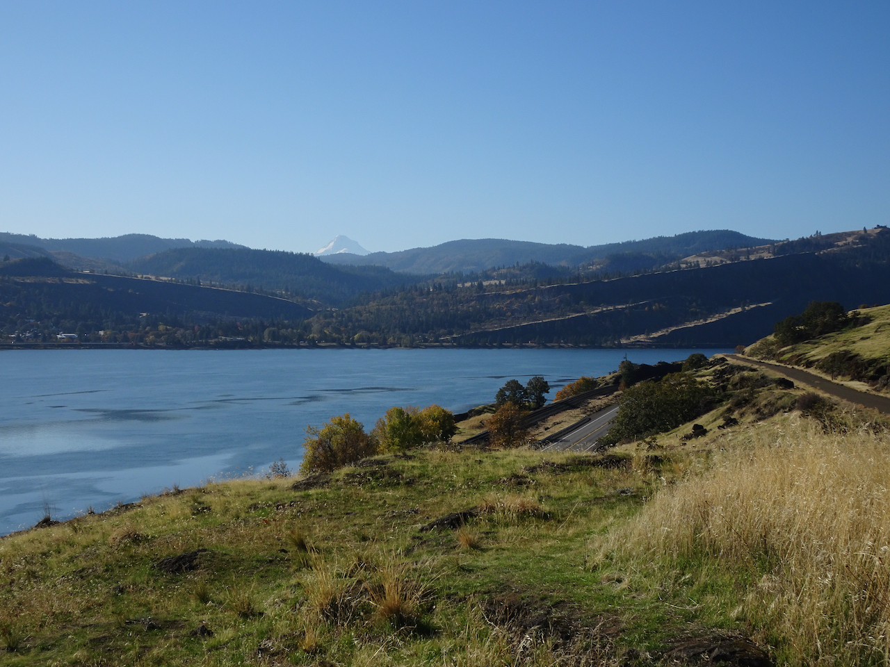
Mt Hood on view to the west across the Columbia River.

DSC04712

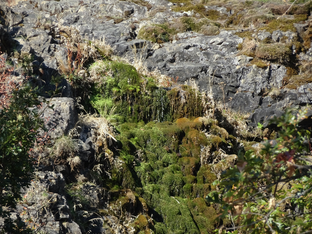
The labyrinth waterfall is almost dry…

DSC04714

A few drips in the mossy wall,

DSC04723

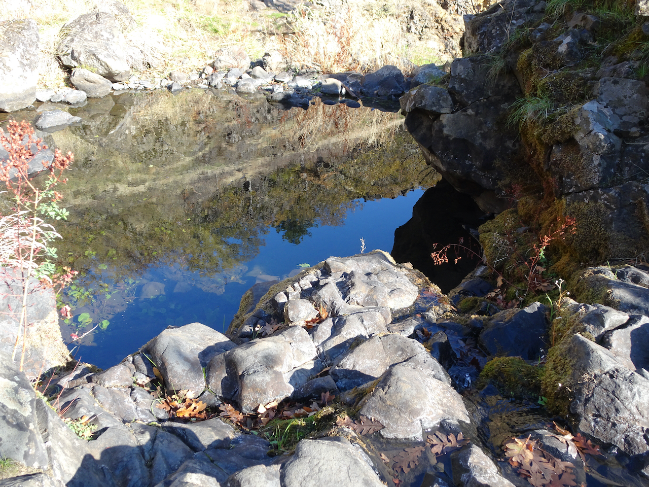
and some still pools below in the streambed.

DSC04734

We wind around columnar basalts surrounded by golden grass,

DSC04748

Through the oak grove.

DSC04755

Mt Hood still on view in the glare, as the sun moves west

DSC04758

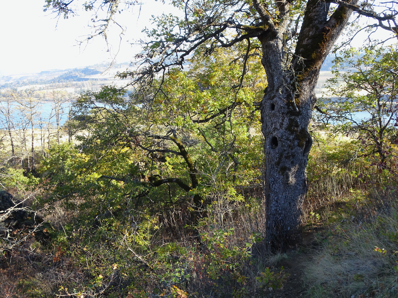
We pass a favorite trailside oak tree,

DSC04760

Almost to our destination Ponderosa…

DSC04763

The eastern Gorge beyond

DSC04768

Rowland Wall and the Catherine Creek area slopes.

DSC04771

Zoom in on Lyle and Memaloose Island

DSC04772

Tom McCall Point and the orchards of Mosier on the descent.

DSC04780

The haunted oak tree bids us farewell.

Monday November 9th, Dry Creek Falls

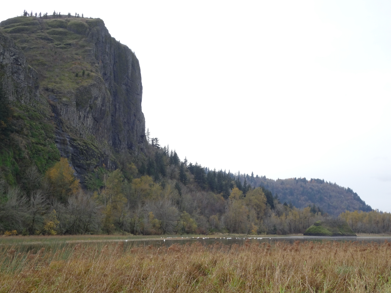
We spotted the winter swans in Mirror Lake at the base of Crown Point as we made our way through The Gorge to Cascade Locks.

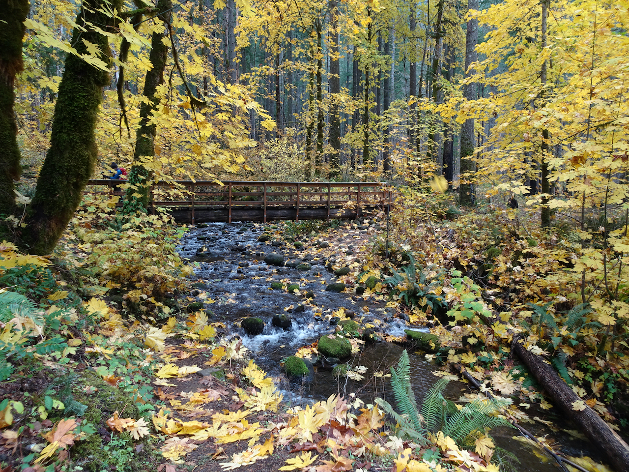
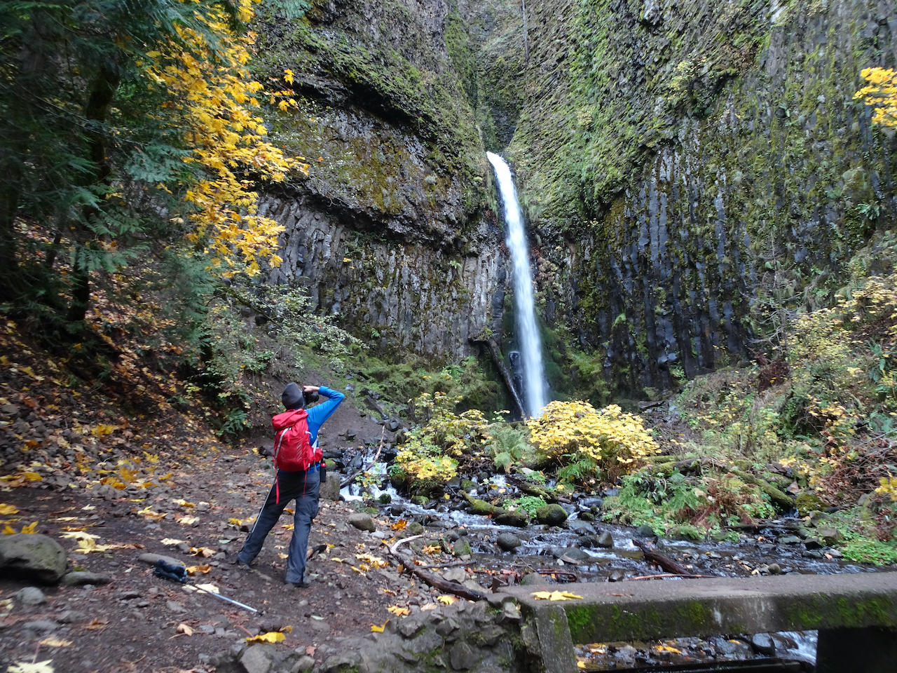
DSC04798DSC04797Dry Creek Falls, which we have hiked many times, is one of the closest waterfall hikes, most of the trails still being closed since the 2017 fire. Today we walked through falling Big Leaf Maple leaves lighting up the partially burned forest. (Hike #70, 4.9 miles, 1050 feet)
DSC04808

DSC04852

Bridge over Dry Creek on the Pacific Crest Trail.

DSC04848

DSC04835

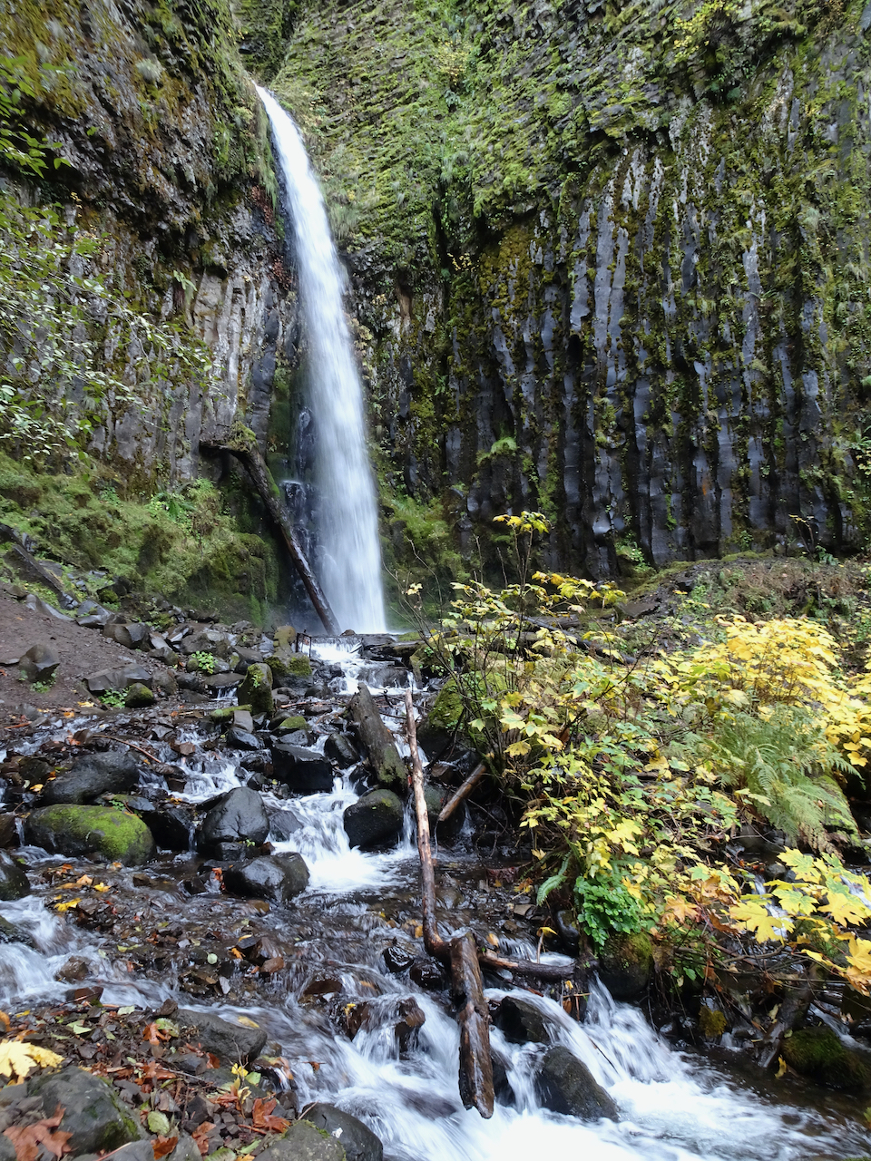
Dry Creek Falls

DSC04832

Monday, November 16th, Finley Wildlife Refuge

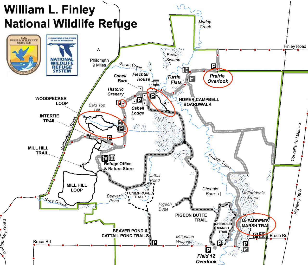
Our first visit to this refuge, on a day when the Willamette Valley to the south was the only partly dry place within a two hour drive from home. Recovered farm land is a winter sanctuary for migratory birds. (Hike #71, 2.5 miles, 150 feet)

Screen Shot 2020-12-26 at 11.35.24 PM

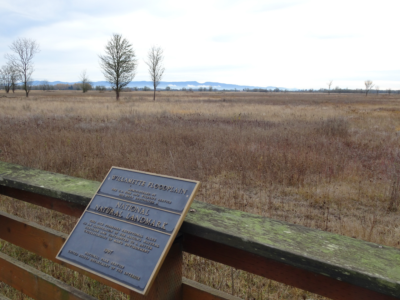
Our first stop, the Prairie Overlook:

DSC04874

Miles of Willamette Valley grasslands.

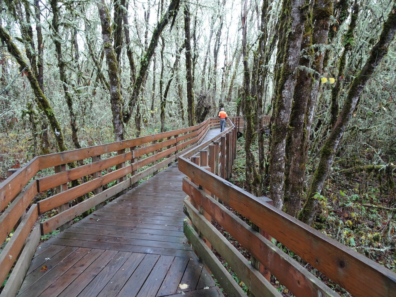
From there, we walked the Homer Campbell Boardwalk through a wetter terrain.

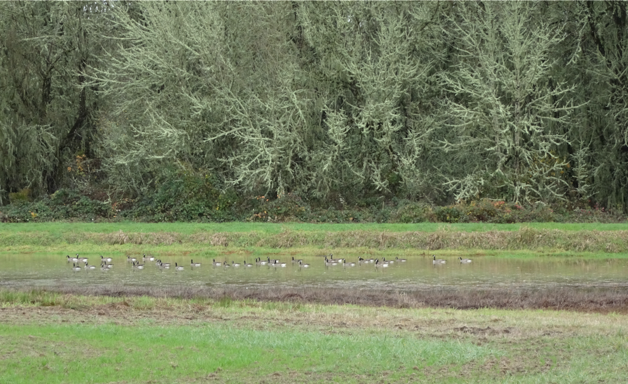
DSC04888

Canadian Geese near the trailhead

DSC04889

DSC04894

The boardwalk…

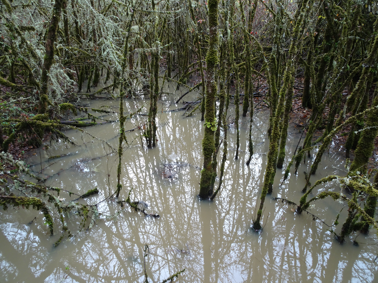
DSC04893

Marshy forests

DSC04898

A bird blind at the end of the winter trail.

DSC04901

Back through the mossy and lichen covered trees.

DSC04907

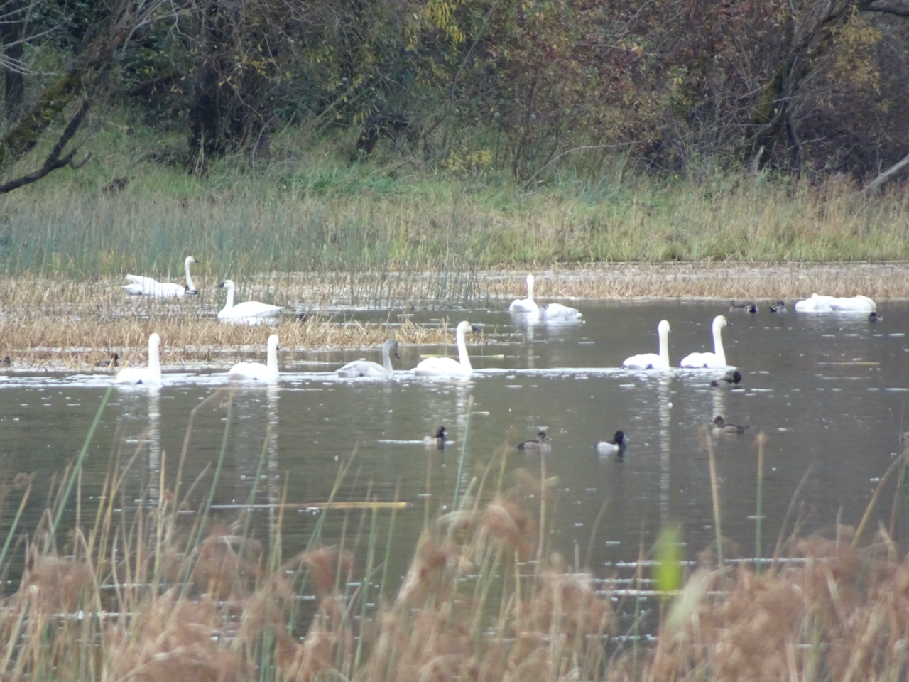
Another hiker told us we would see swans in the McFadden Marsh, so we headed there for our lunch stop.

DSC04916

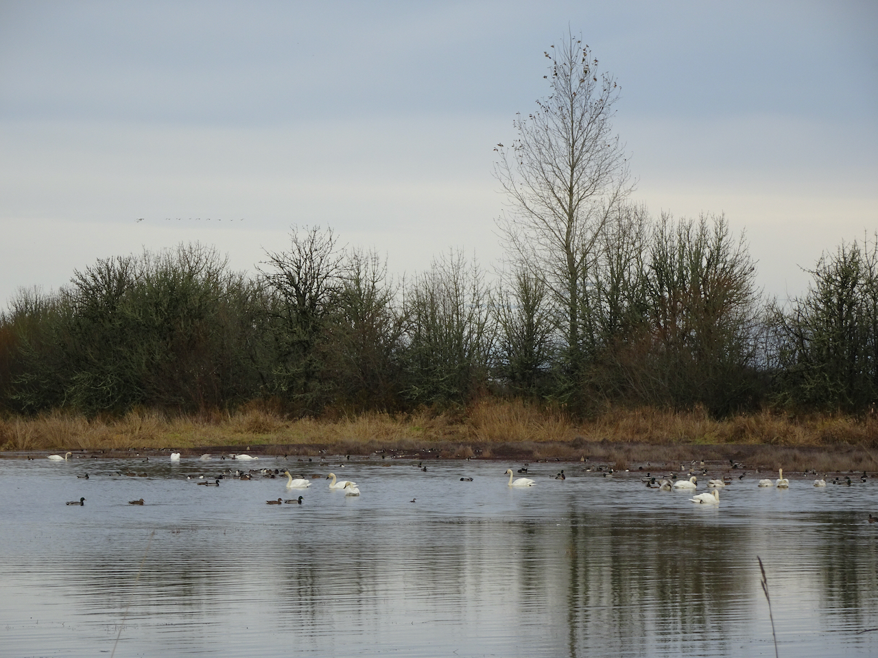
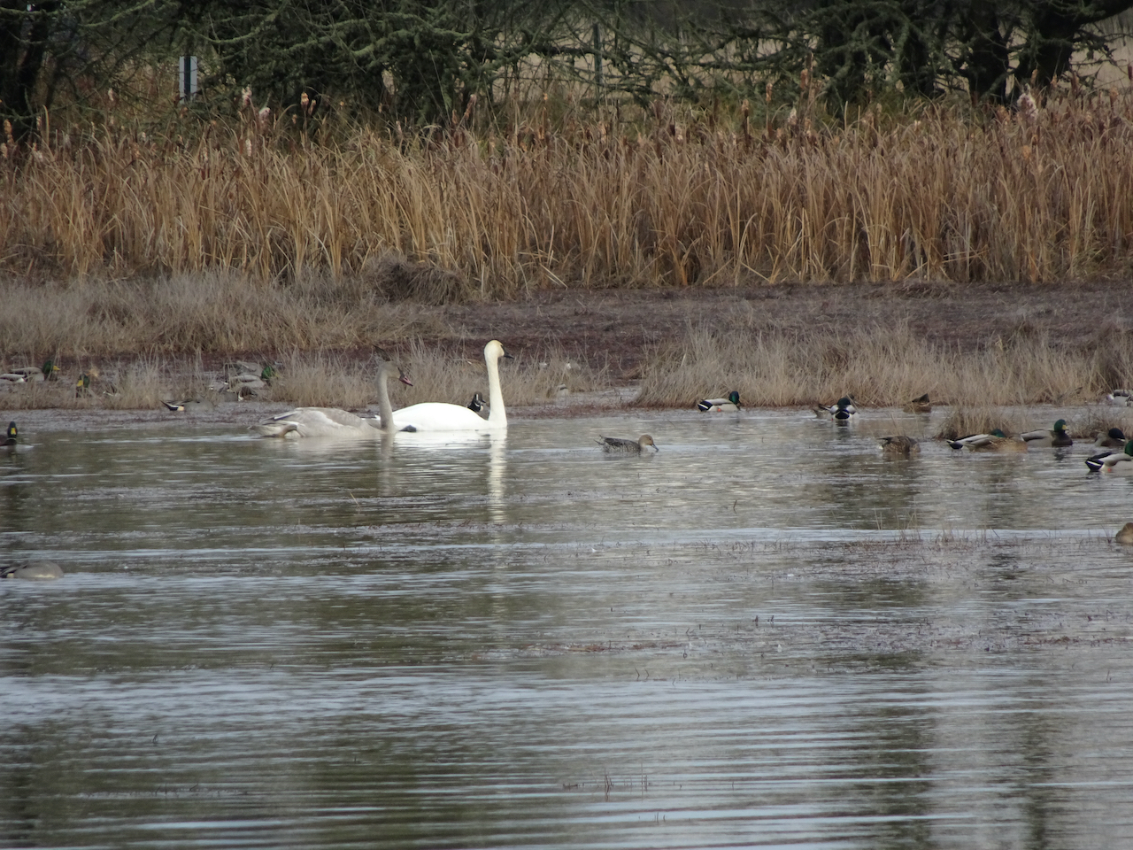
Swans, geese and other water fowl.

DSC04911DSC04919DSC04932

The weather had cleared a bit, so we hiked the Woodpecker Loop trail to stretch our legs a bit more.

DSC04951

Along the Woodpecker Loop trail.

DSC04953

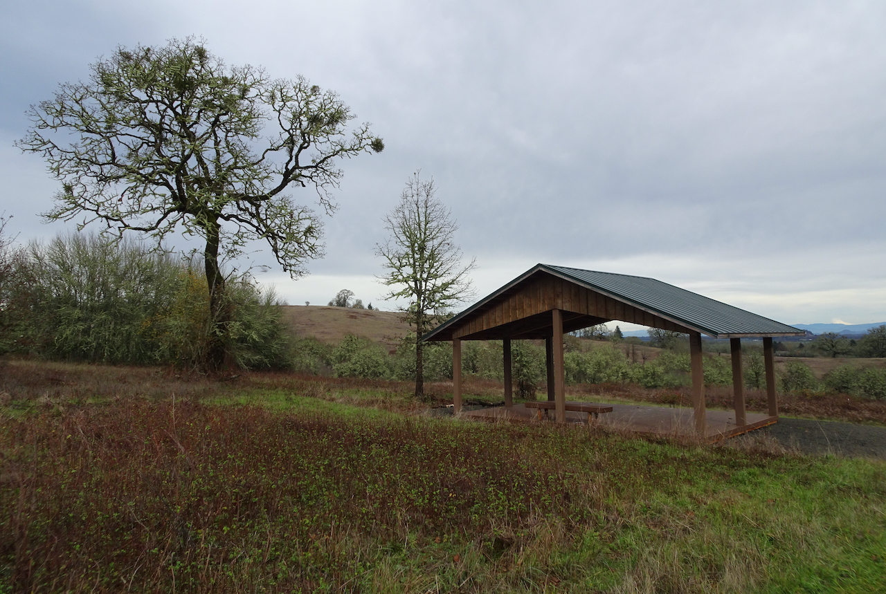
High point – a shelter, and view of some of the high Cascade Mountain peaks to the east.

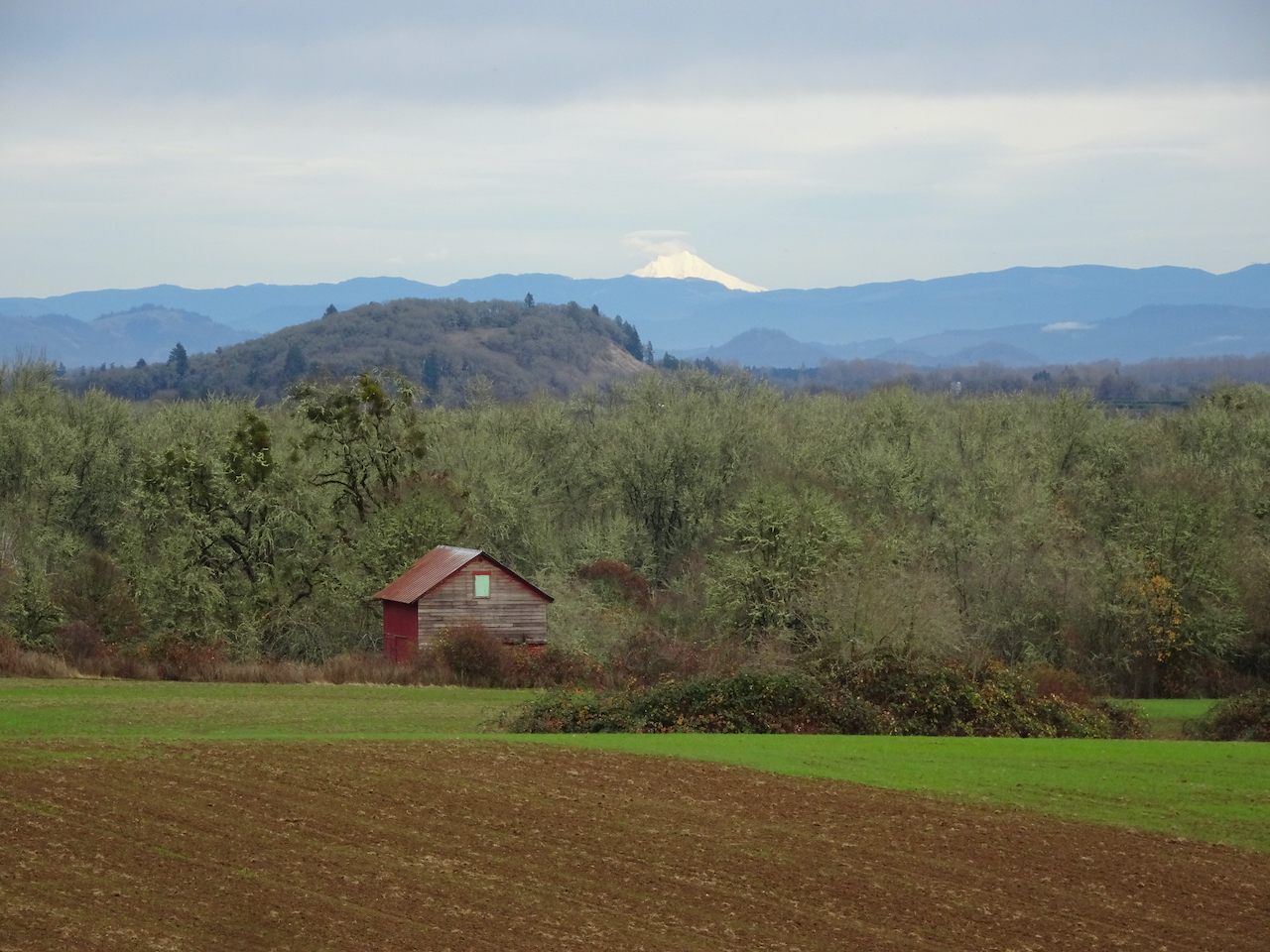
As we began our drive home, we found the best view of the Cascades was from a road pullout above some of the historic farm buildings.

DSC04961

Mt Jefferson

DSC04962

North, Middle and South Sisters.

We enjoyed our day at Finley Wildlife Refuge – anything to get out of the house for a few hours and walk in nature. I would like to visit in other seasons, but we usually have destinations closer to home…

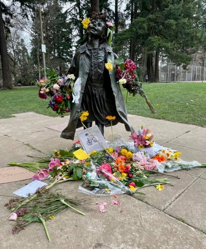
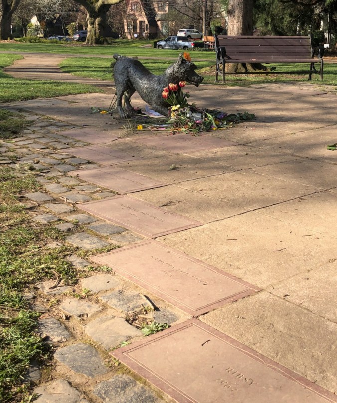
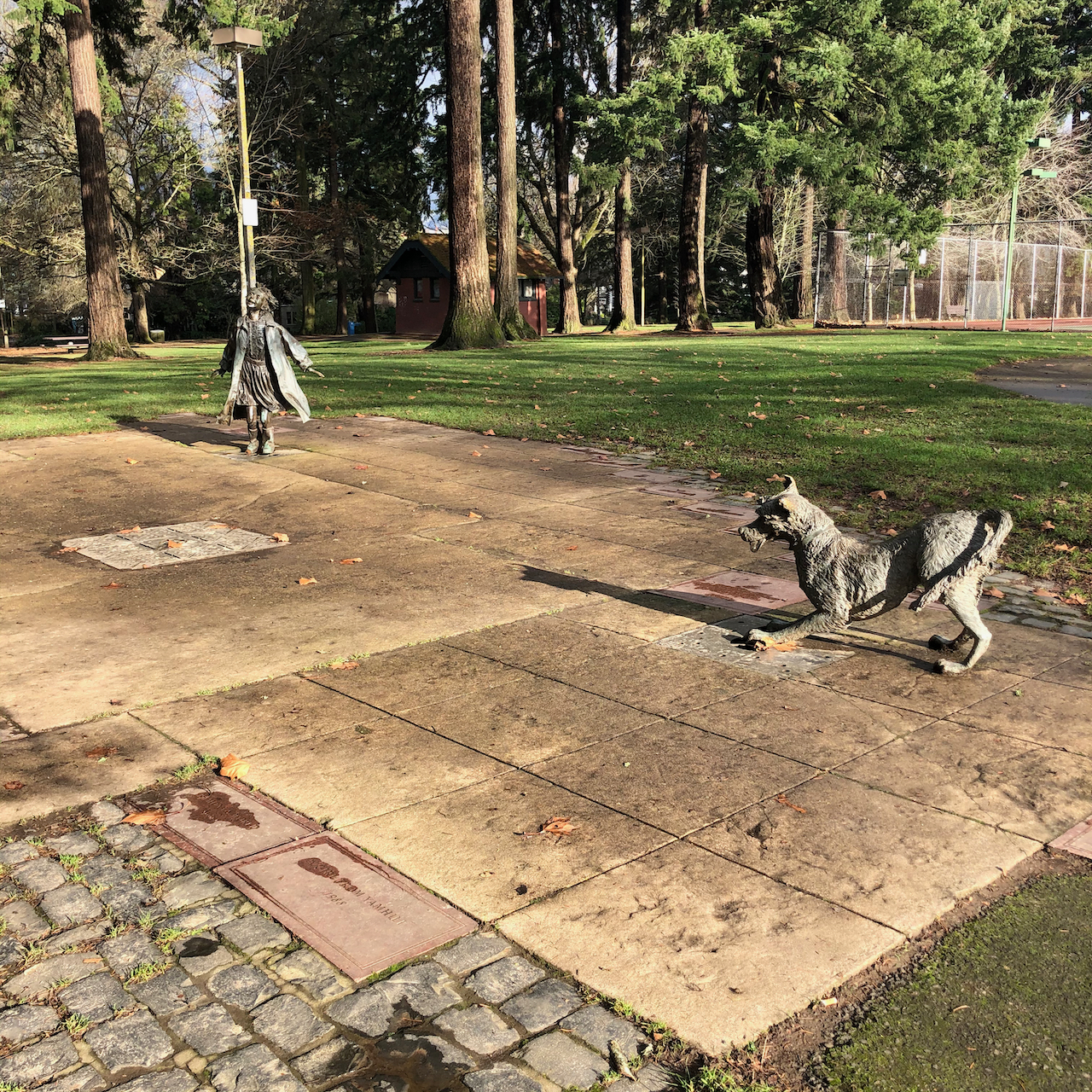
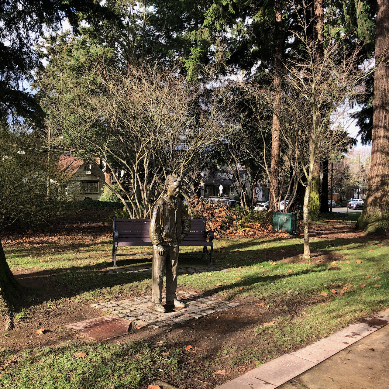
Ramona, Henry, and Ribsy celebrate the winter solstice

December 21st, 2020:

Just about noon, during a sun break between storms, in Grant Park, Northeast Portland, Oregon.

After a long walk up to Alameda Ridge, and along Klickitat Street, I passed through the park on my way home.

IMG_2348IMG_2349IMG_2350

And to think that I saw it on Klickitat Street:

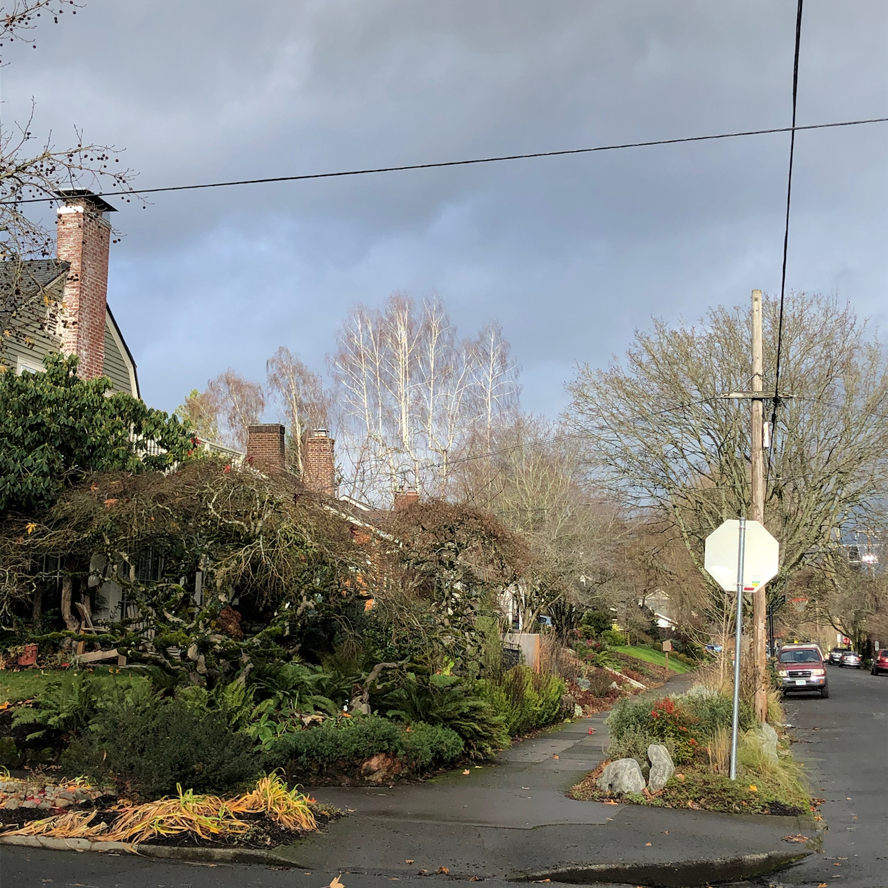
IMG_2337

Low winter sun lighting up trees against the dark clouds.

IMG_2338

Rose hips

IMG_2341

Lemons

IMG_2342

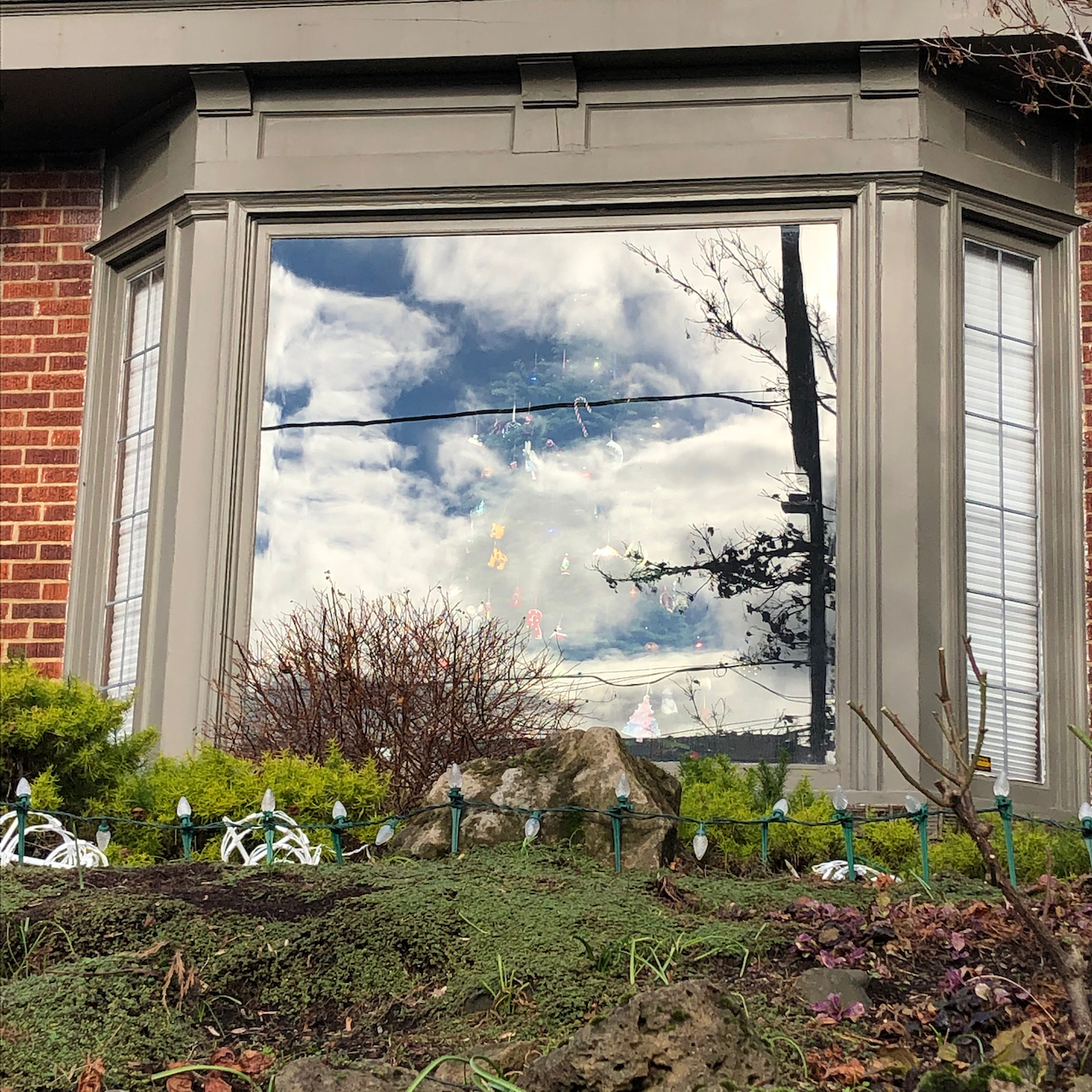
Christmas tree in the clouds.

IMG_2343

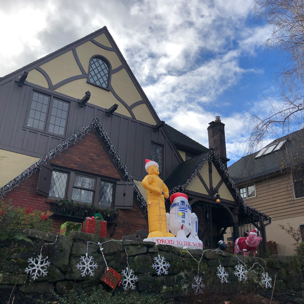
These are the droids, and pig, you are looking for.

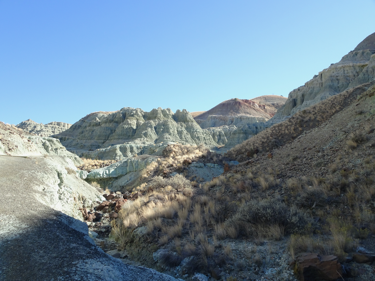
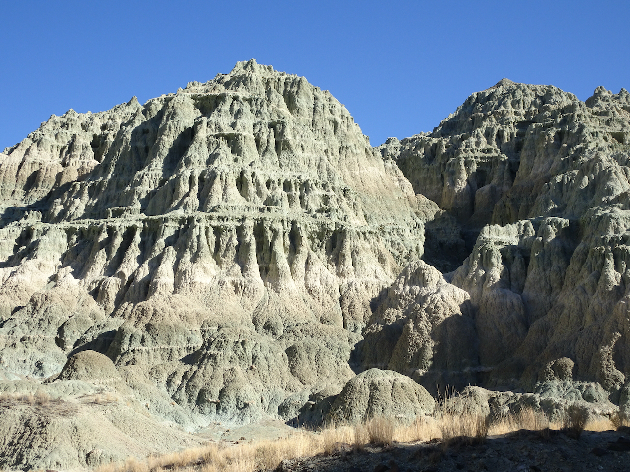
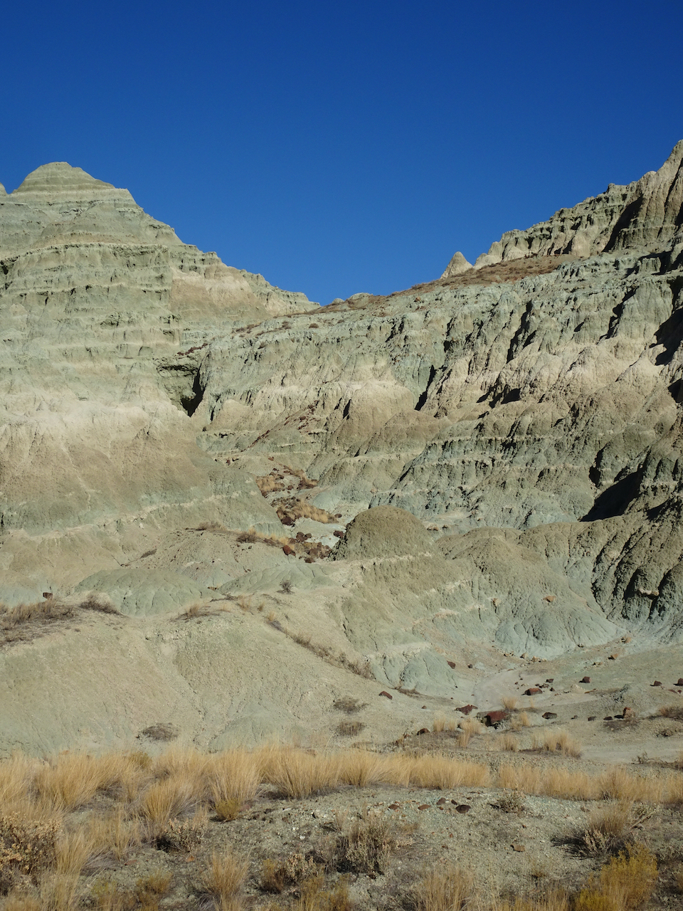
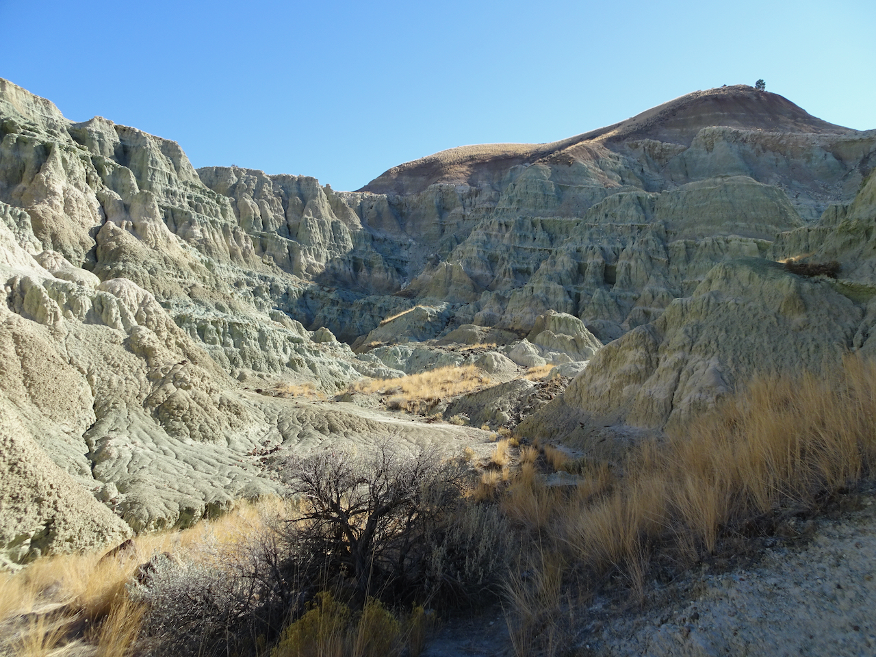
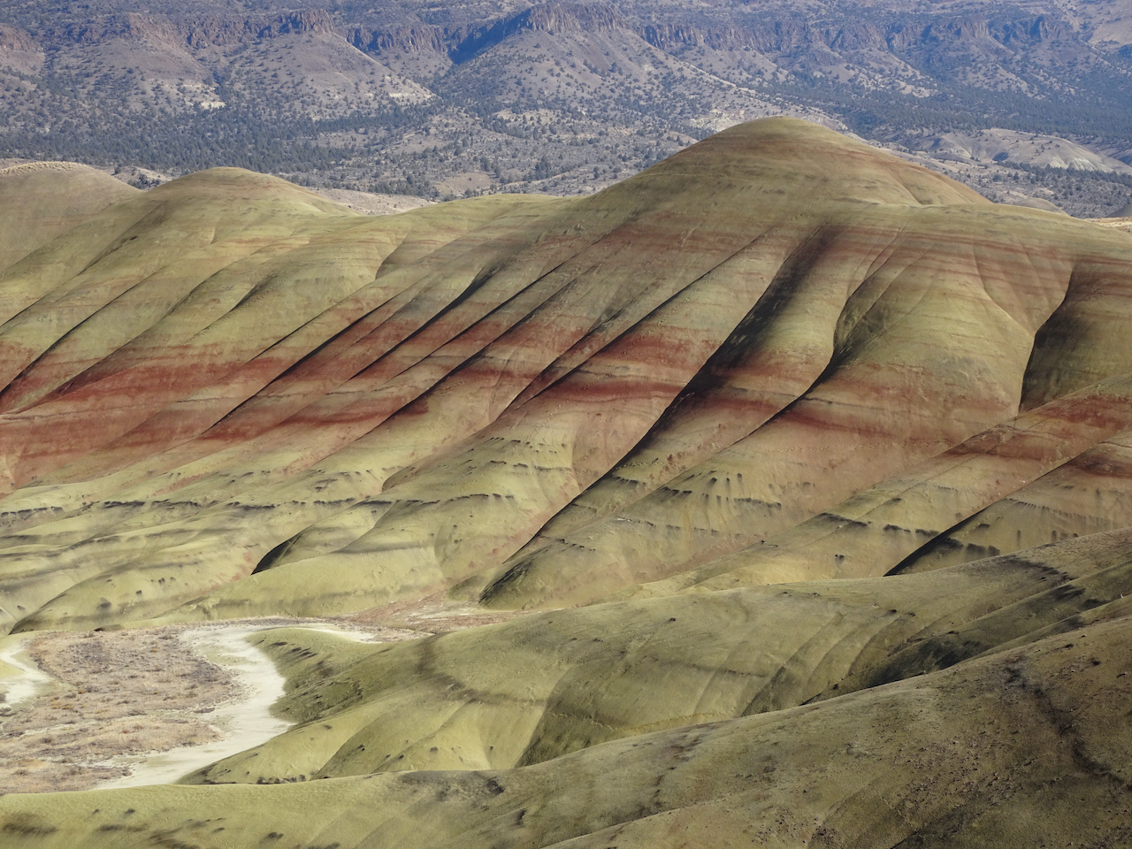
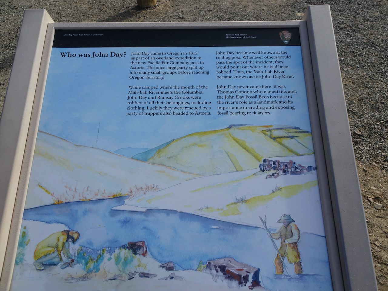
In October we went to John Day Fossil Beds National Monument, Oregon

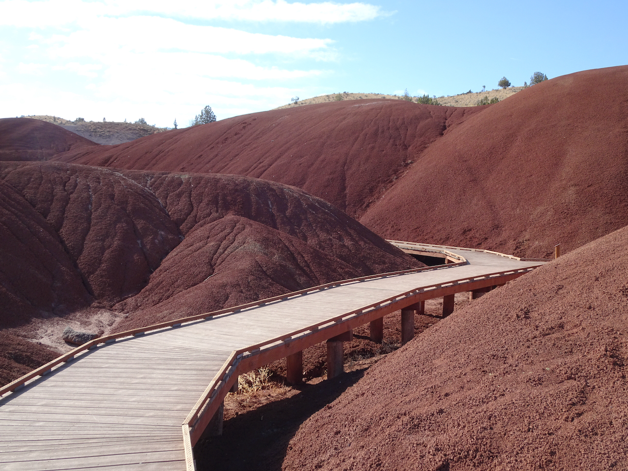
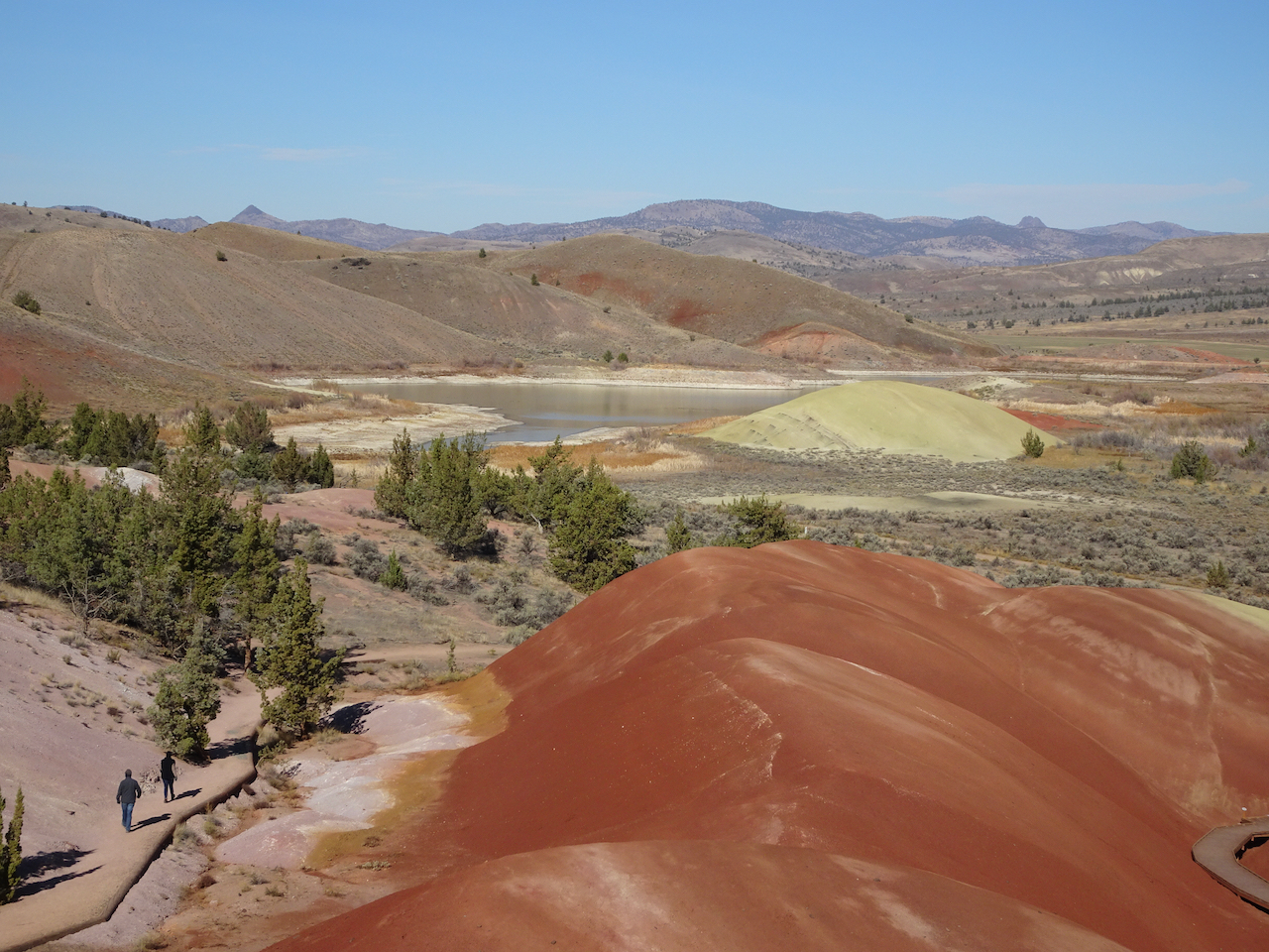
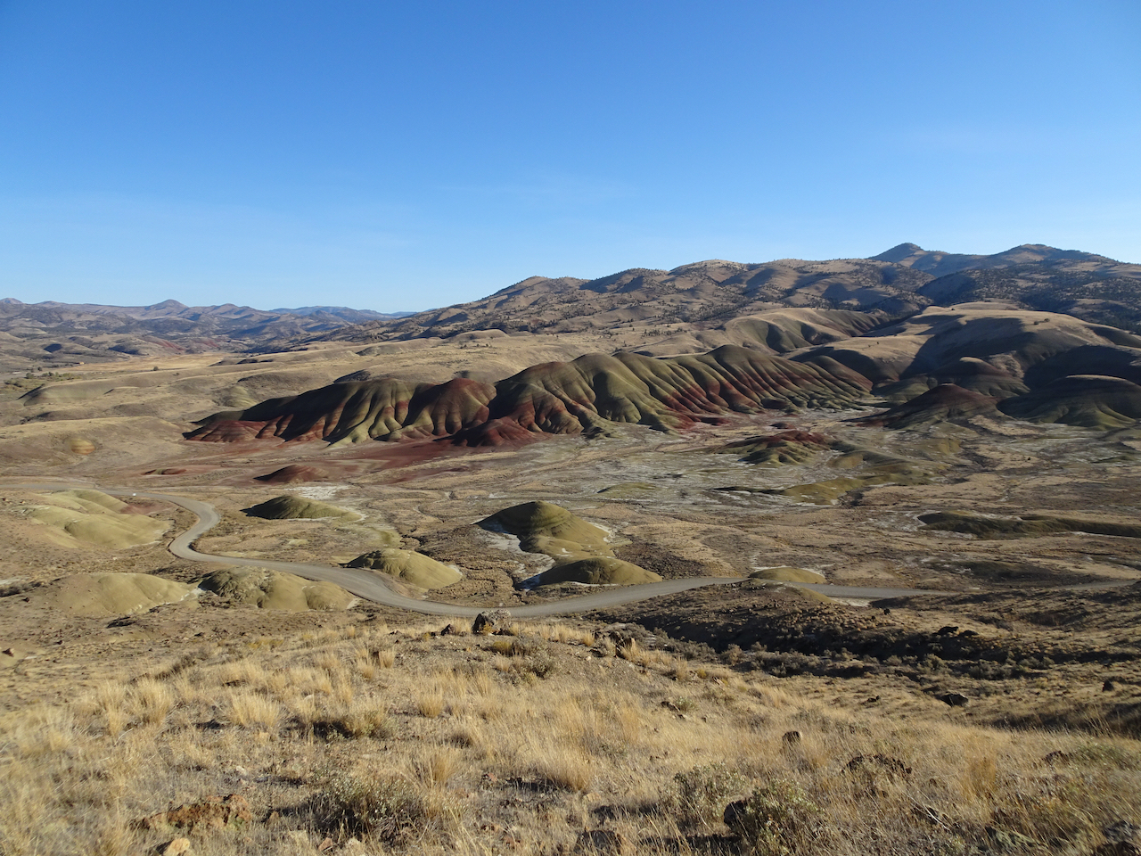
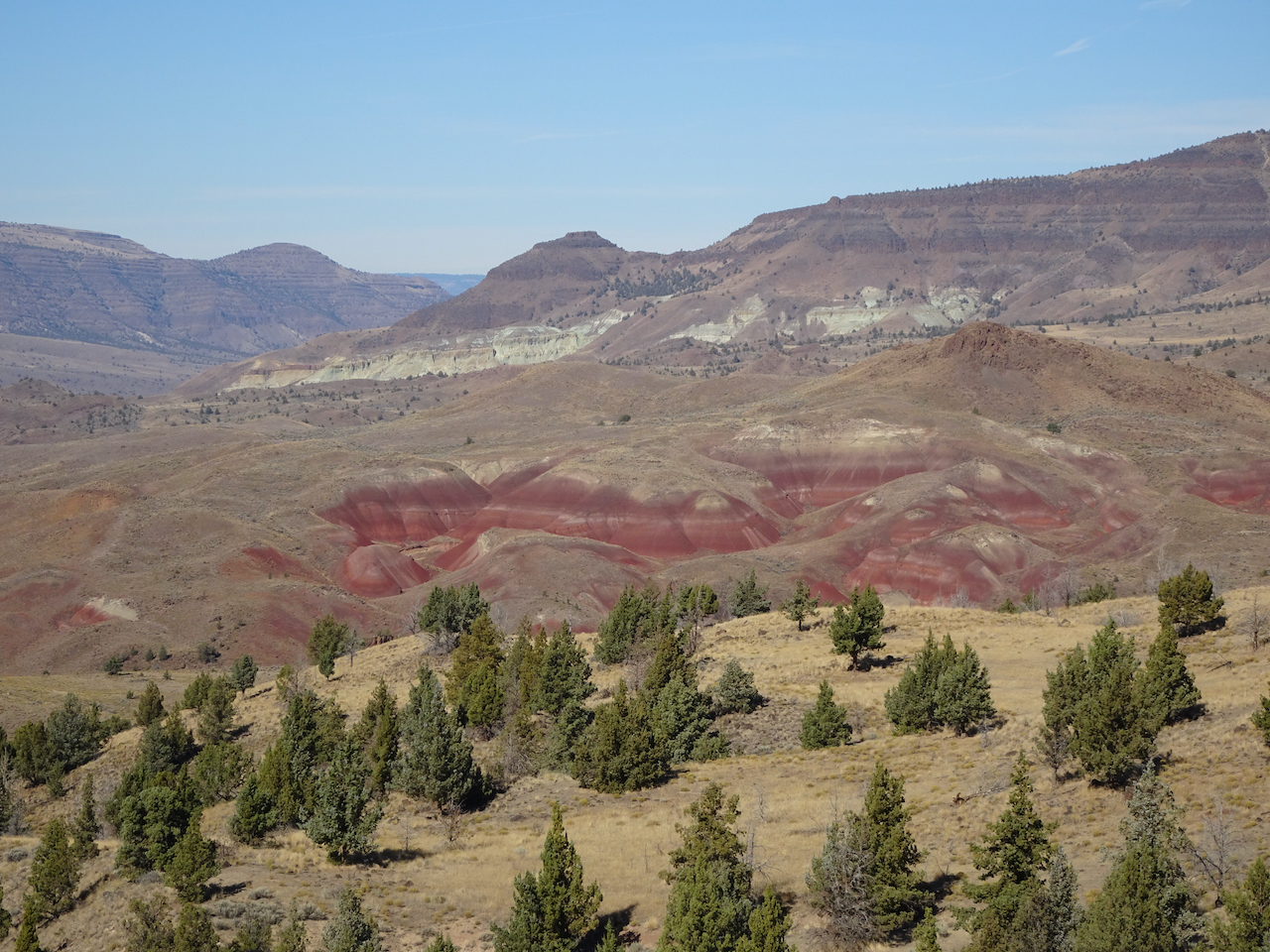
Another socially distant/Covid careful trip. We stayed three nights in Prineville, and had two days to explore the Painted Hills and Sheep Rock units of the National Monument. Indoor exhibits were closed, trails were available for walking. 

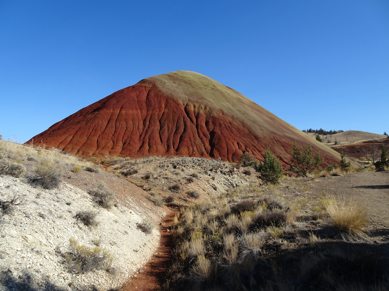
Painted Hills 10/27/2020

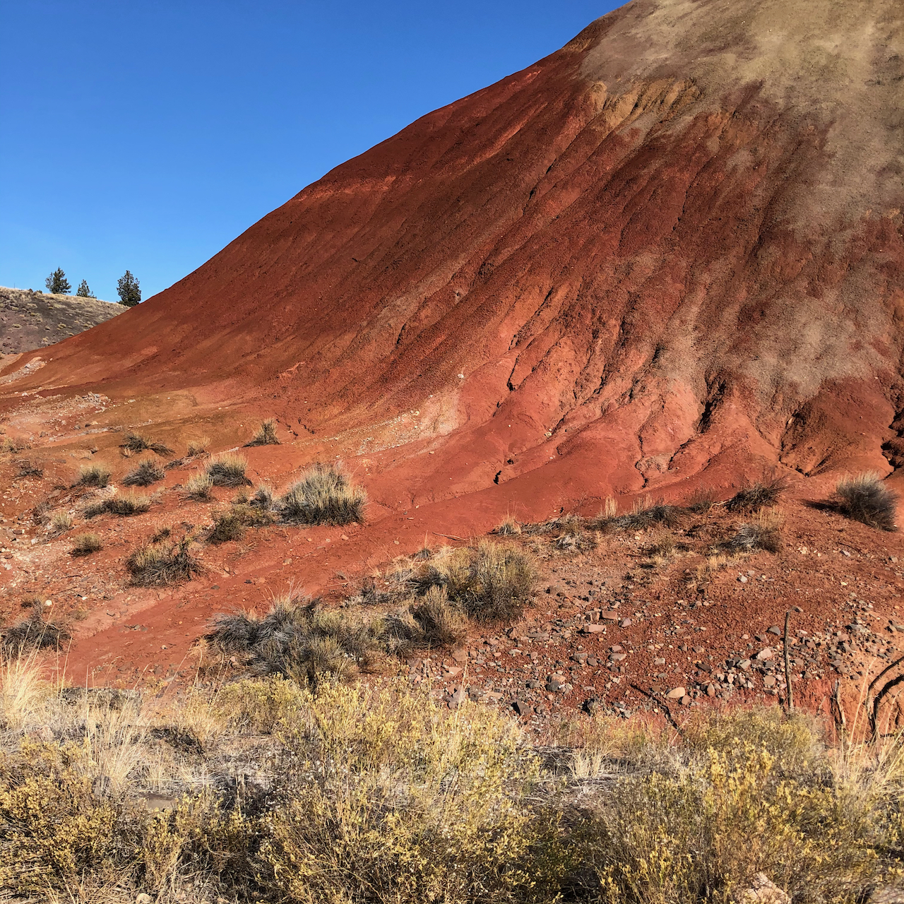
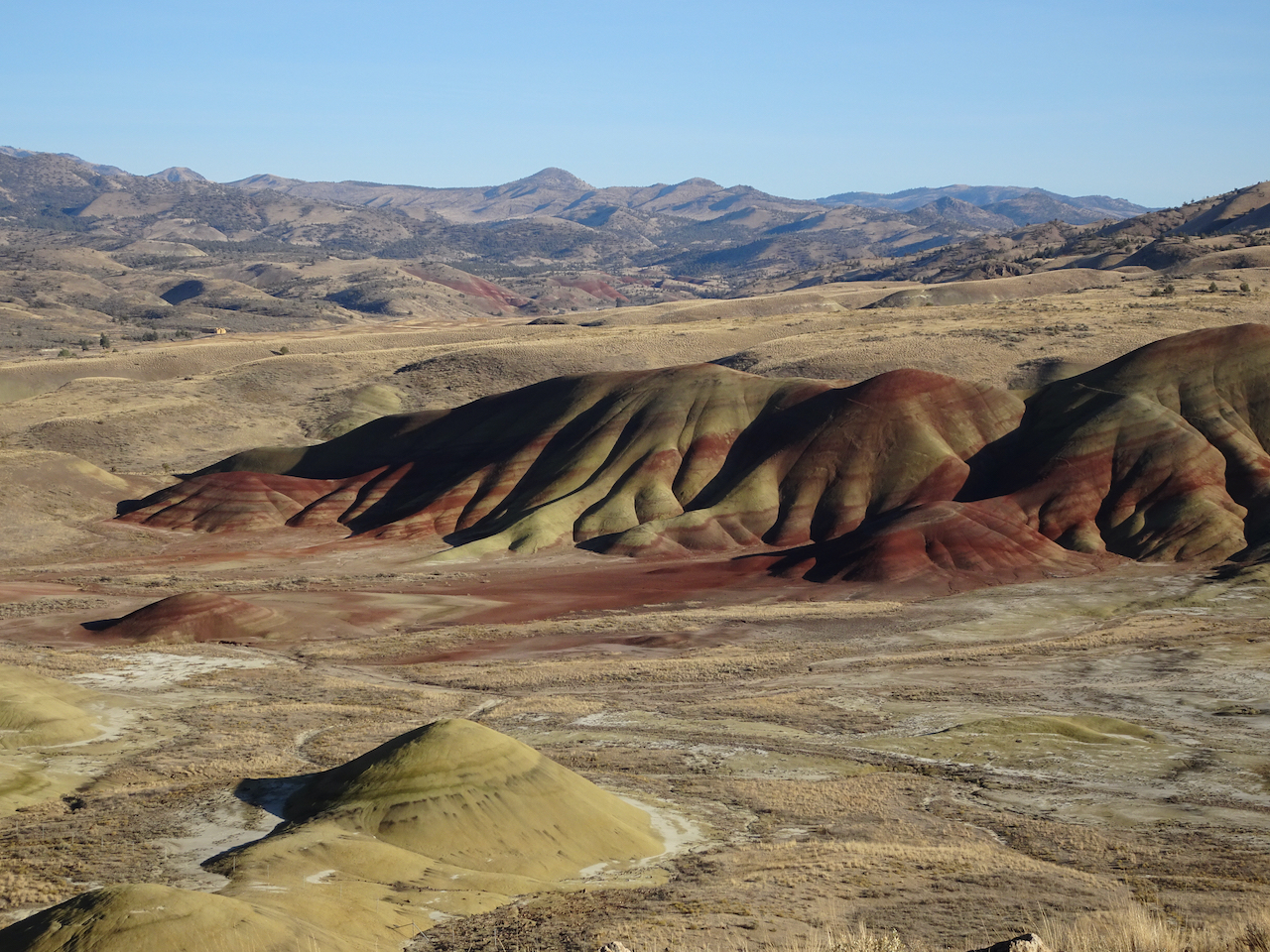
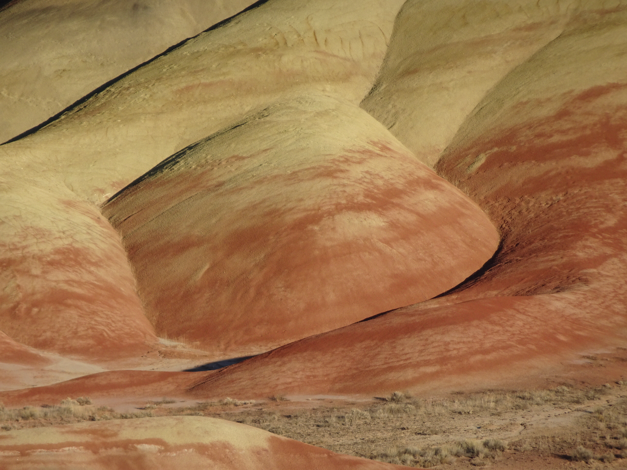
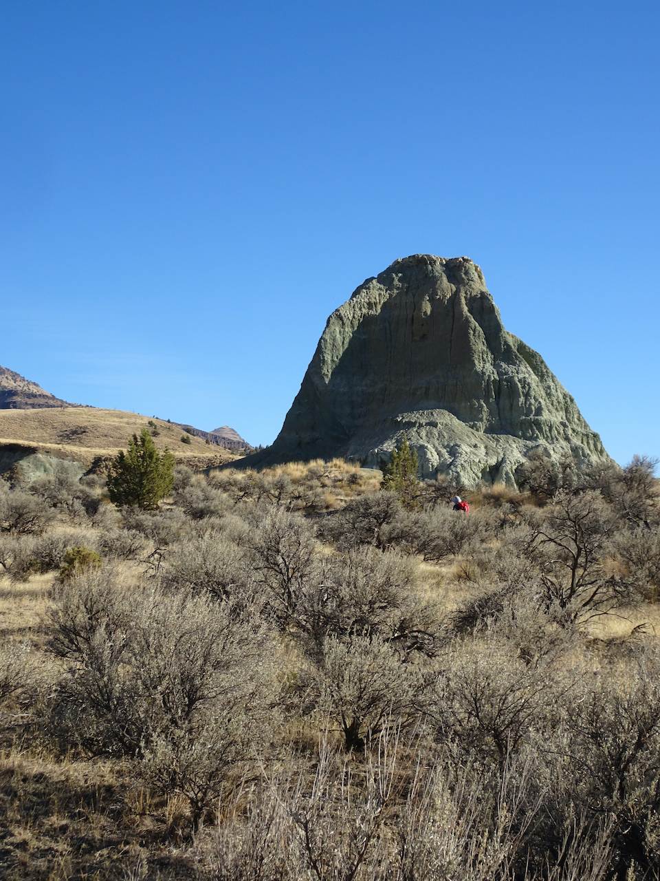
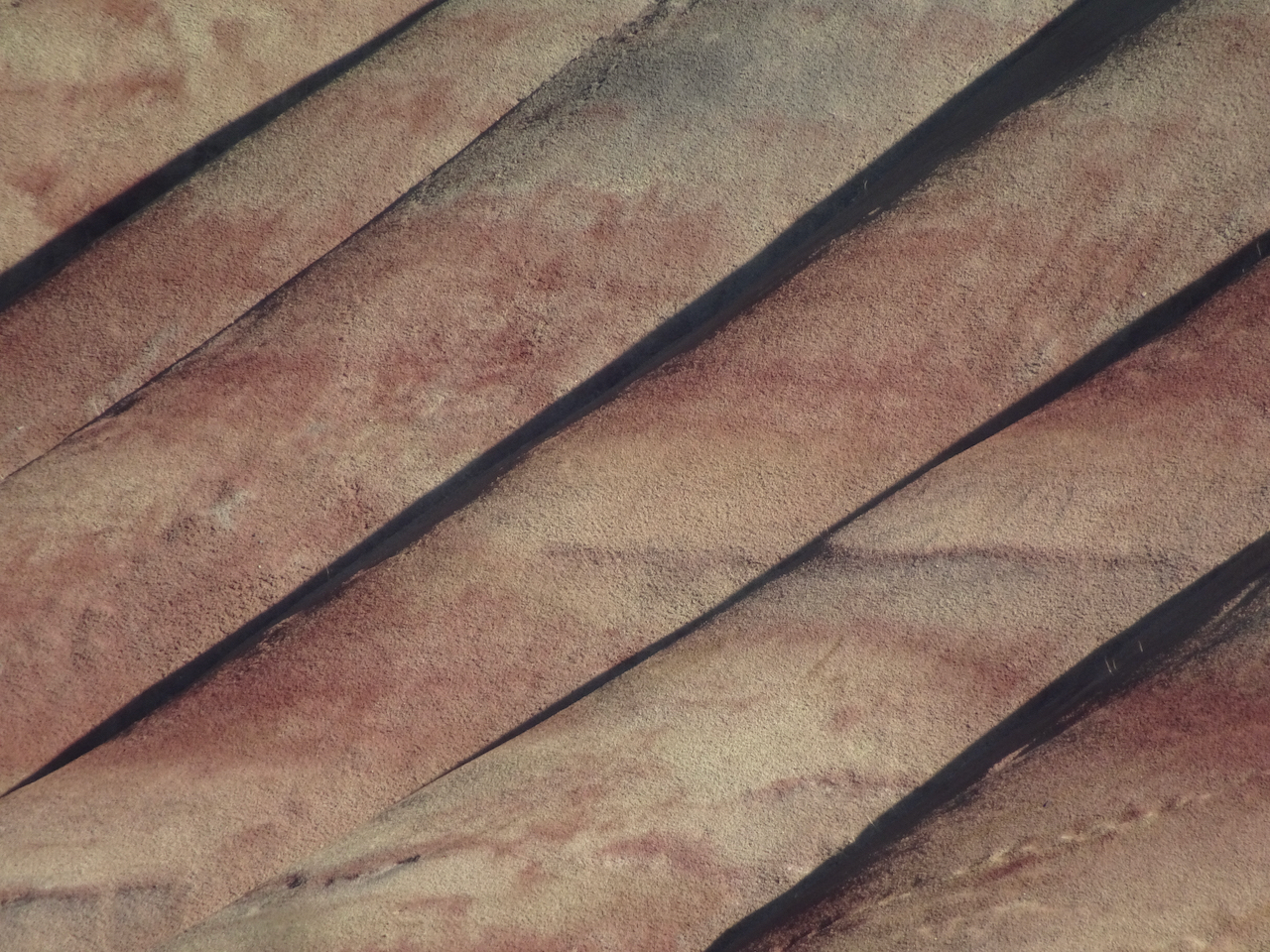
We walked five different short trails, each highlighting an aspect of the ancient lake beds that are exposed now as brilliantly colored and striped landforms. It was bitter cold out in the morning – well below freezing, but warmed up during the day.

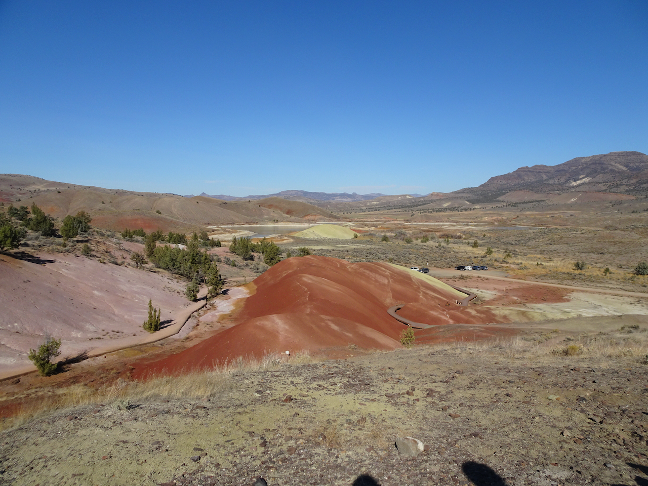
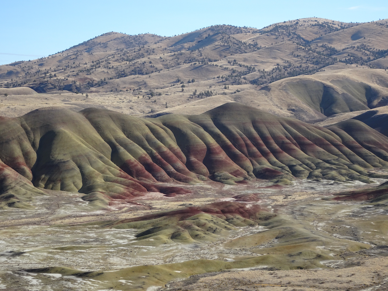
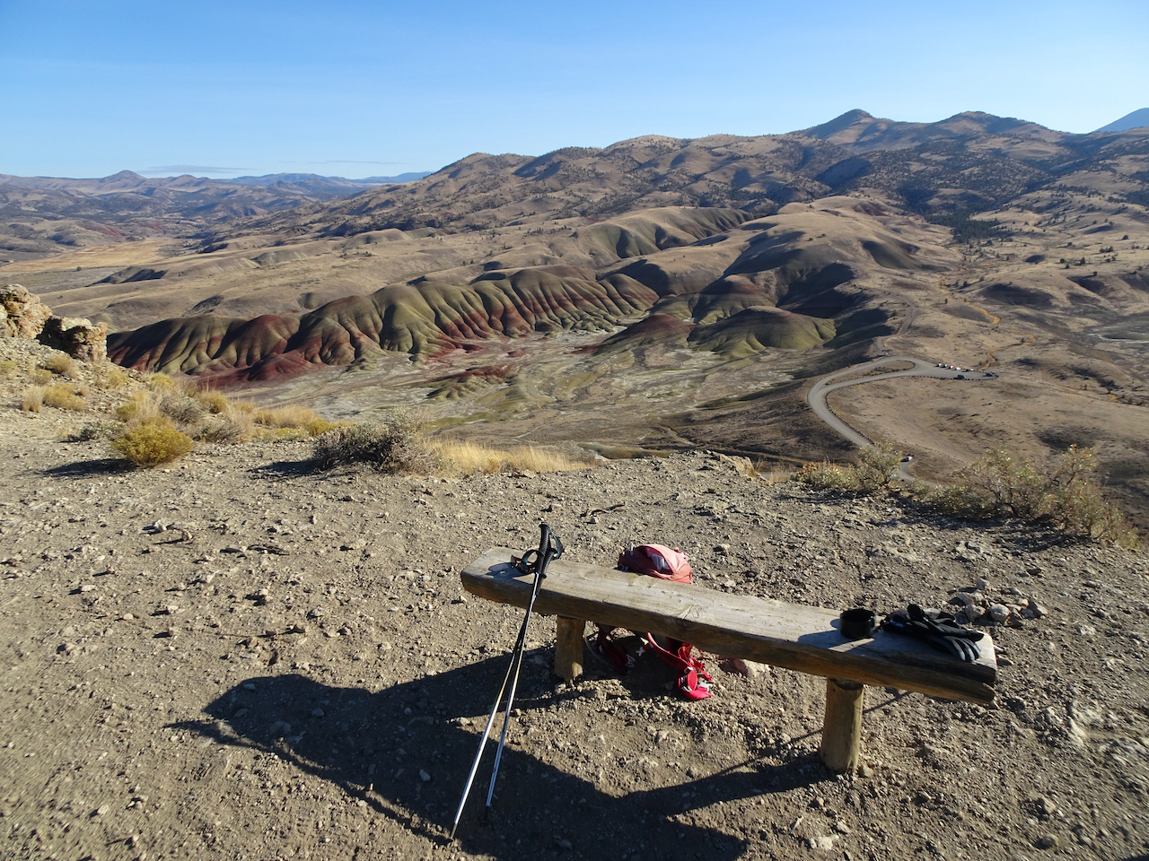
Painted Hills Overlook – The main overlook has an amazing view of the Painted Hills. We walked to the upper overlook for more views.

DSC04271

Main overlook.

DSC04269

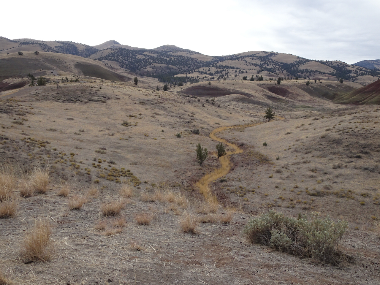
River of grass on the nearby hills.

DSC04284

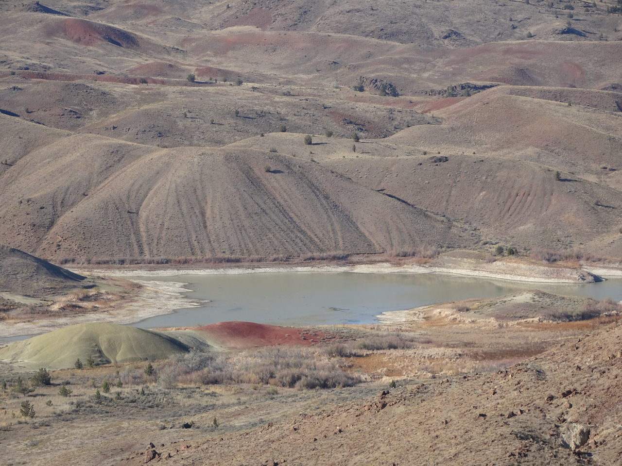
Zooming in from the upper overlook:

DSC04286DSC04287DSC04288DSC04300

DSC04315

Upper overlook

Painted Cove Trail – We next walked the short loop through the red hills near the John Day River.

DSC04316DSC04321DSC04325DSC04335DSC04339

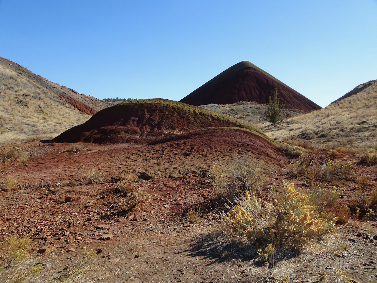
Red Scar Trail – Another short trail that leads past brilliantly colored badlands.

DSC04371

DSC04376

Red Scar Knoll and Red Hill

DSC04383DSC04412IMG_1859

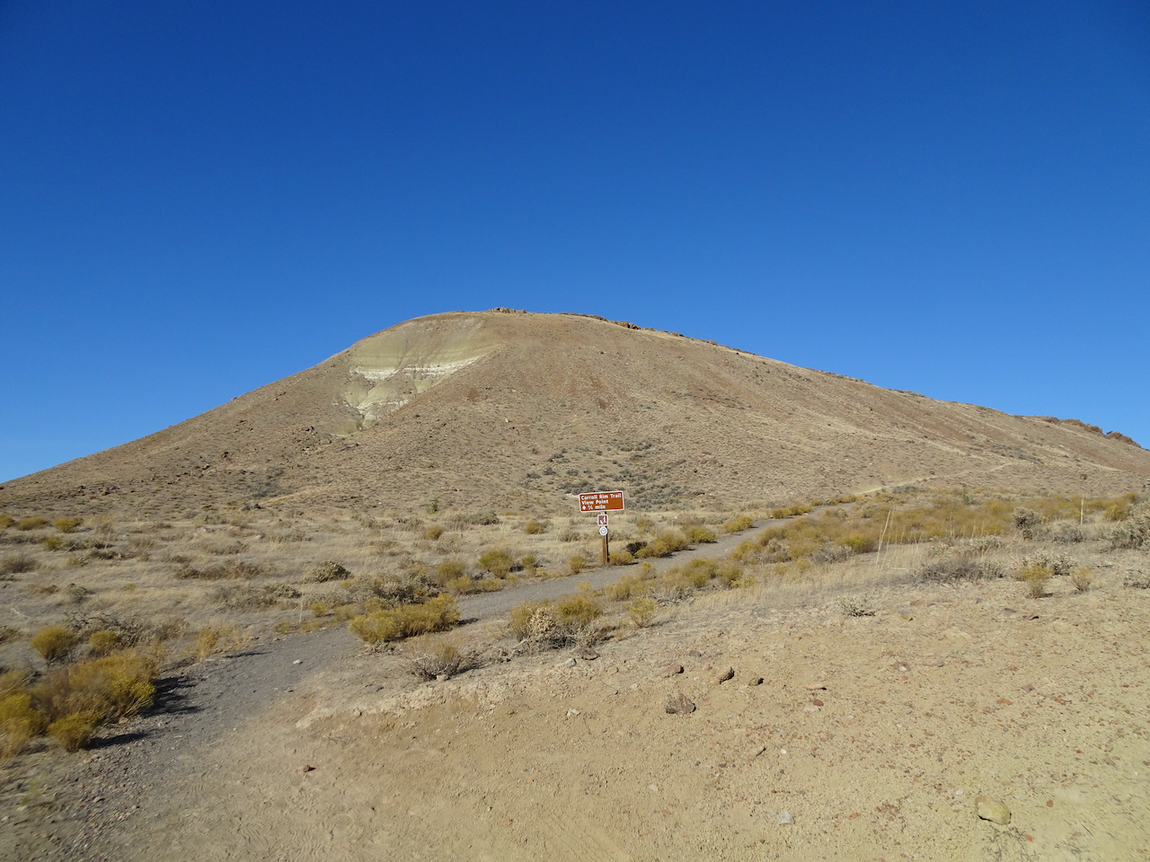
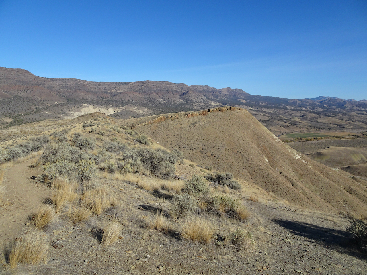
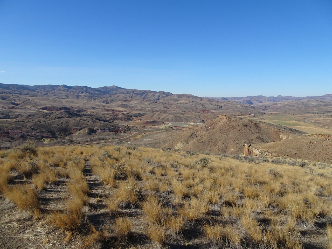
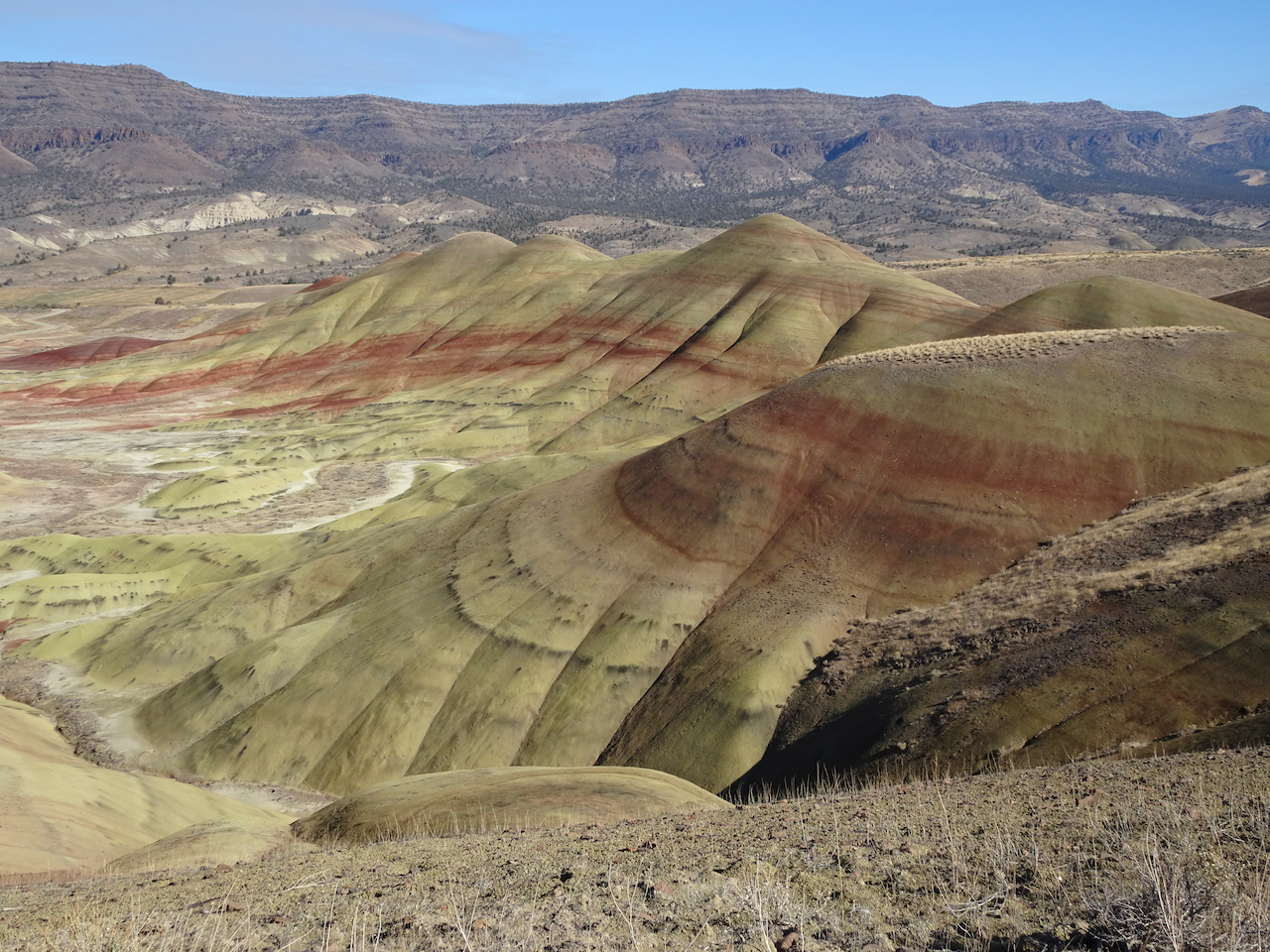
Carroll Rim Trail – Our longest trail for the day (1.6 miles/400 feet) was a walk up to the Carroll Rim. As we hiked up, we could look down on the Painted Hills. From the top, we could see views in every direction.
DSC04420

Carrol Rim

DSC04424

Looking down from the trail.

DSC04451

View from the end of the trail.

DSC04433

View to the east

DSC04435

View to the northwest, Painted Cove area.

DSC04438

Close up of Painted Cove

DSC04485

View to the Painted Hills on the way down.

DSC04488

Back to the Painted Hills Overlook – for another look as the low western light added a glow to the Painted Hills.

IMG_1865DSC04522

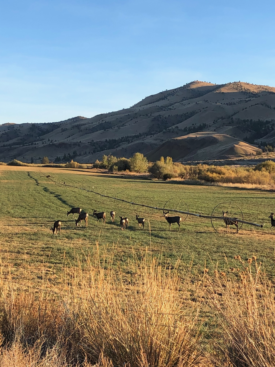
On our drive back to Prineville, we saw a herd of deer, and a view of the Central Cascades.

IMG_1867

Deer near Painted Hills.

IMG_1870

Mt Bachelor, Broken Top and the Three Sisters on the horizon.

Sheep Rock Unit – Blue Basin – 10/28/2020

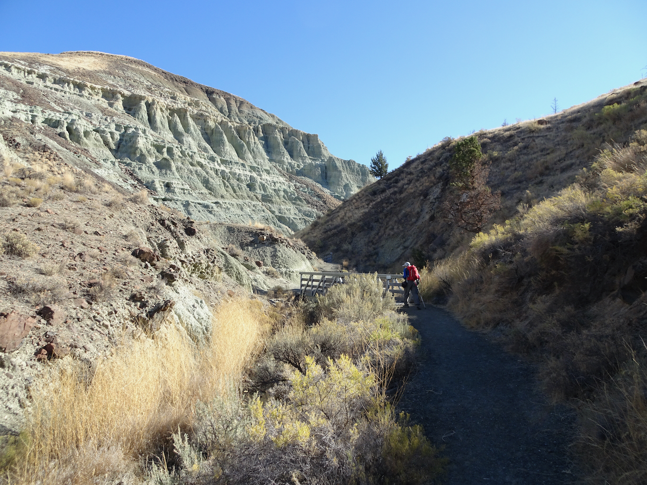
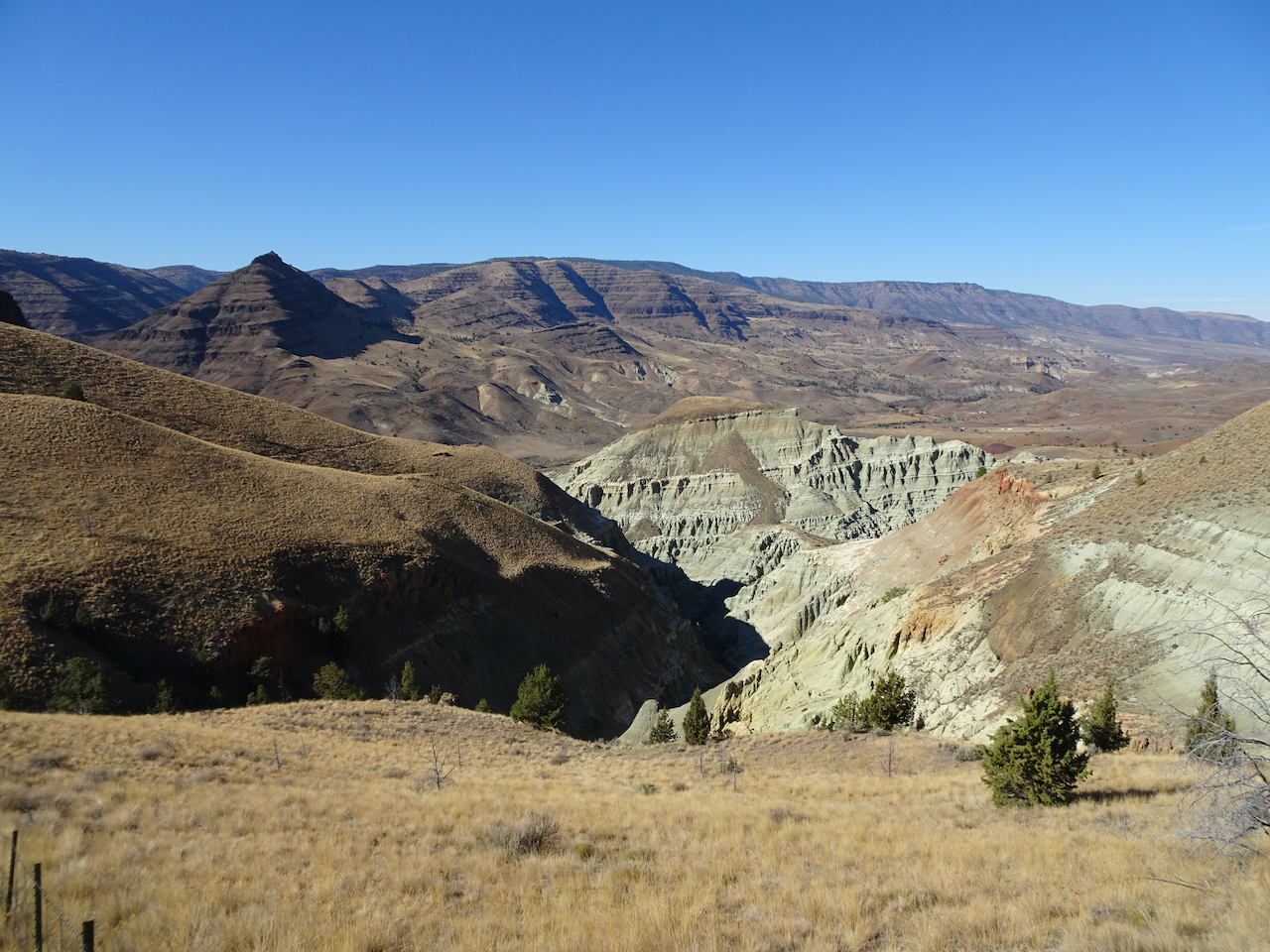
We first walked the Island in Time Trail in the heart of Blue Basin.

DSC04527

Entering Blue Basin – one of many bridges on this trail.

DSC04528

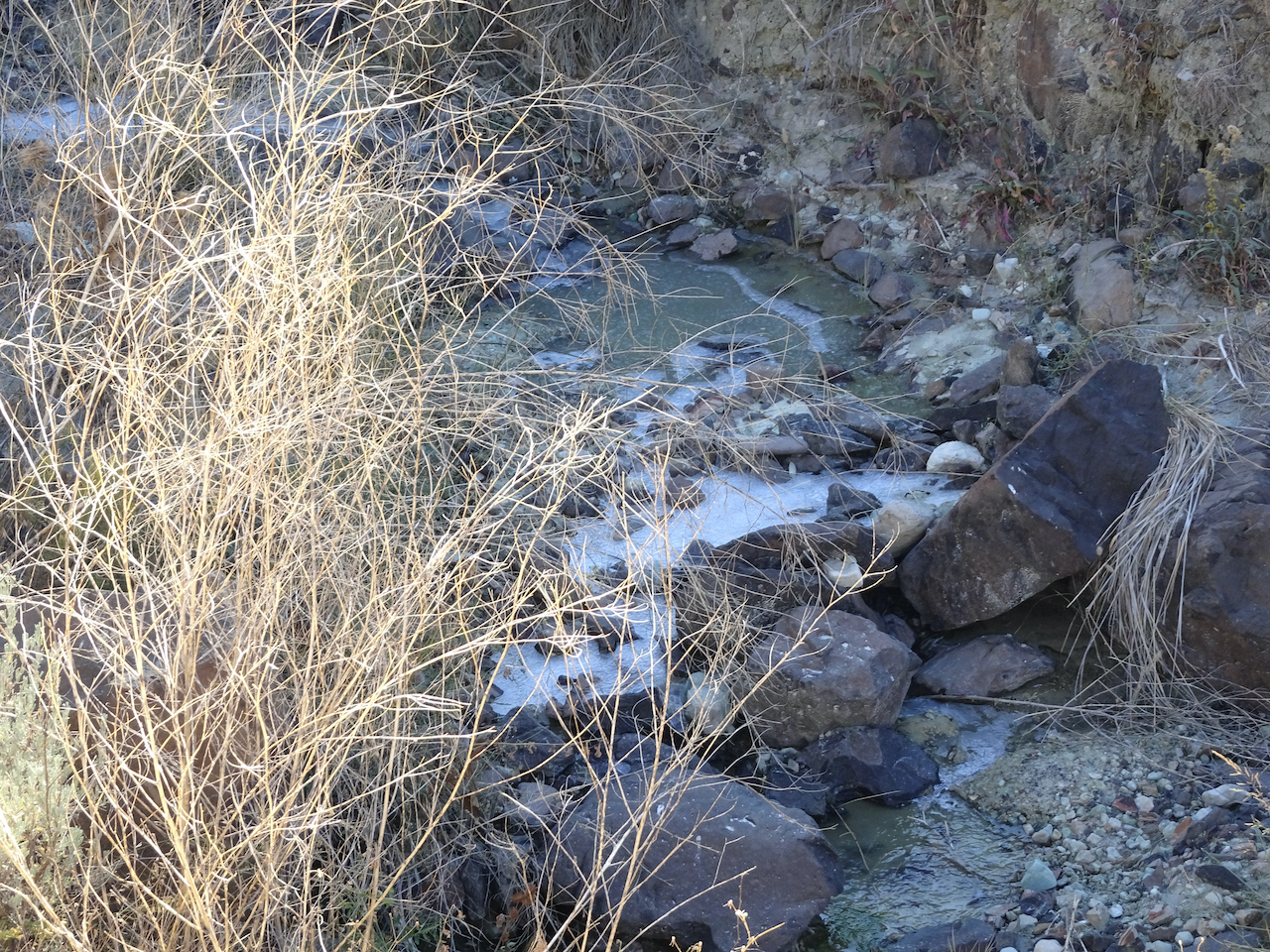
Ice in the creek – last time we were here there was bluish water in the creek.

DSC04544

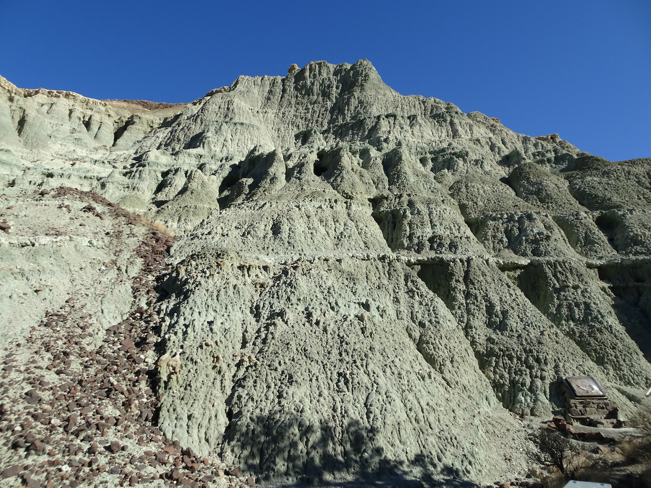
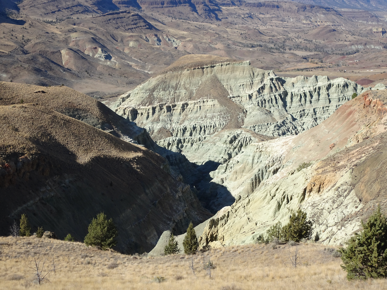
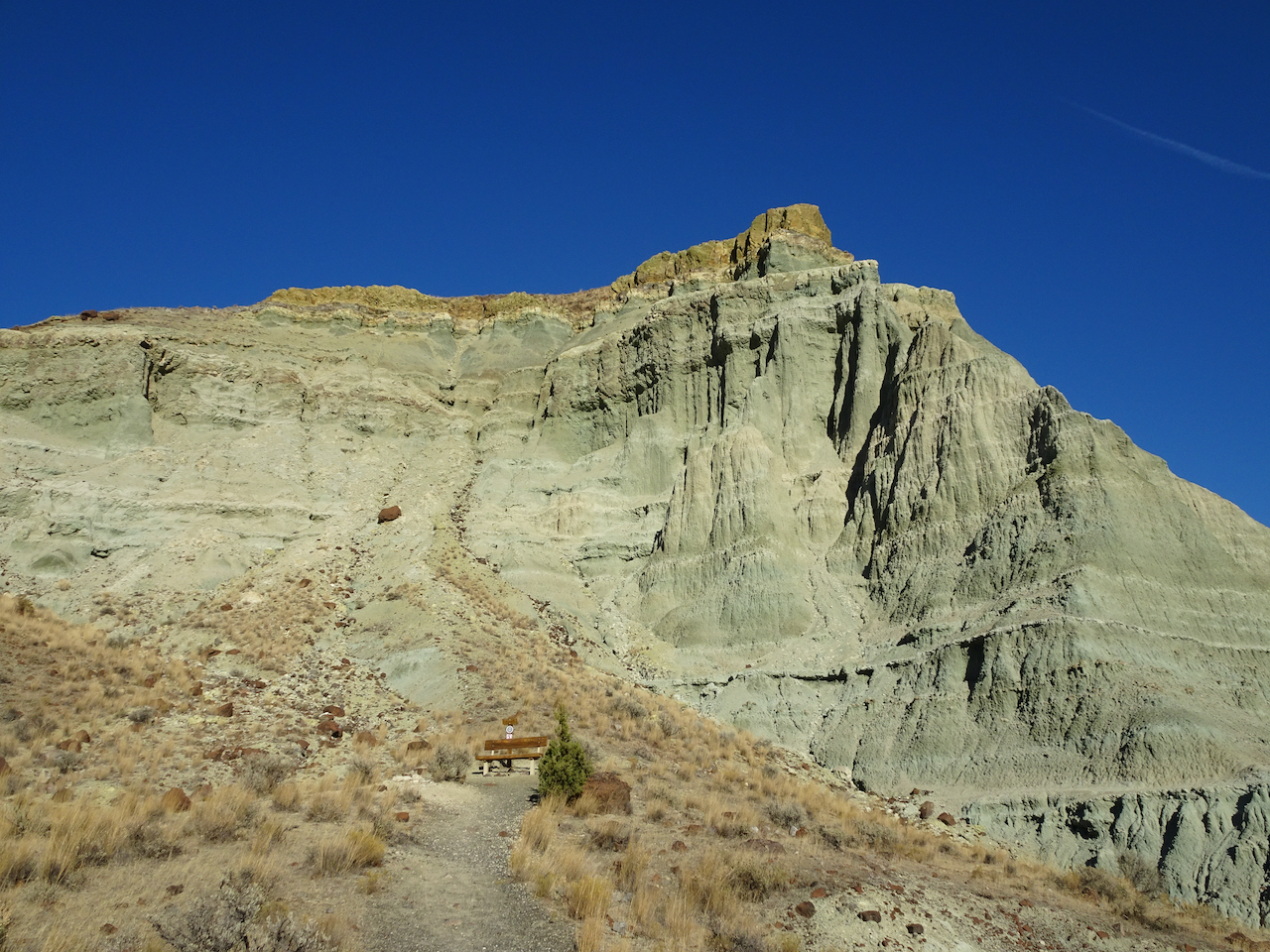
Blue-green volcanic ash claystones.

DSC04545

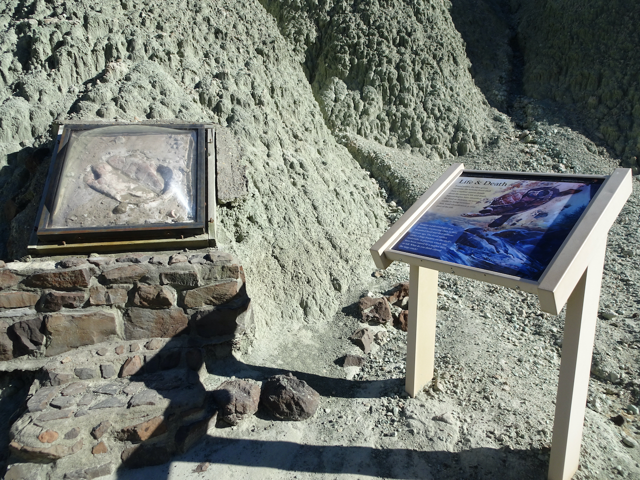
One of many fossil displays along the trail.

DSC04548

We would be hiking on the surrounding hills later in the day.

DSC04562DSC04564DSC04570

DSC04591

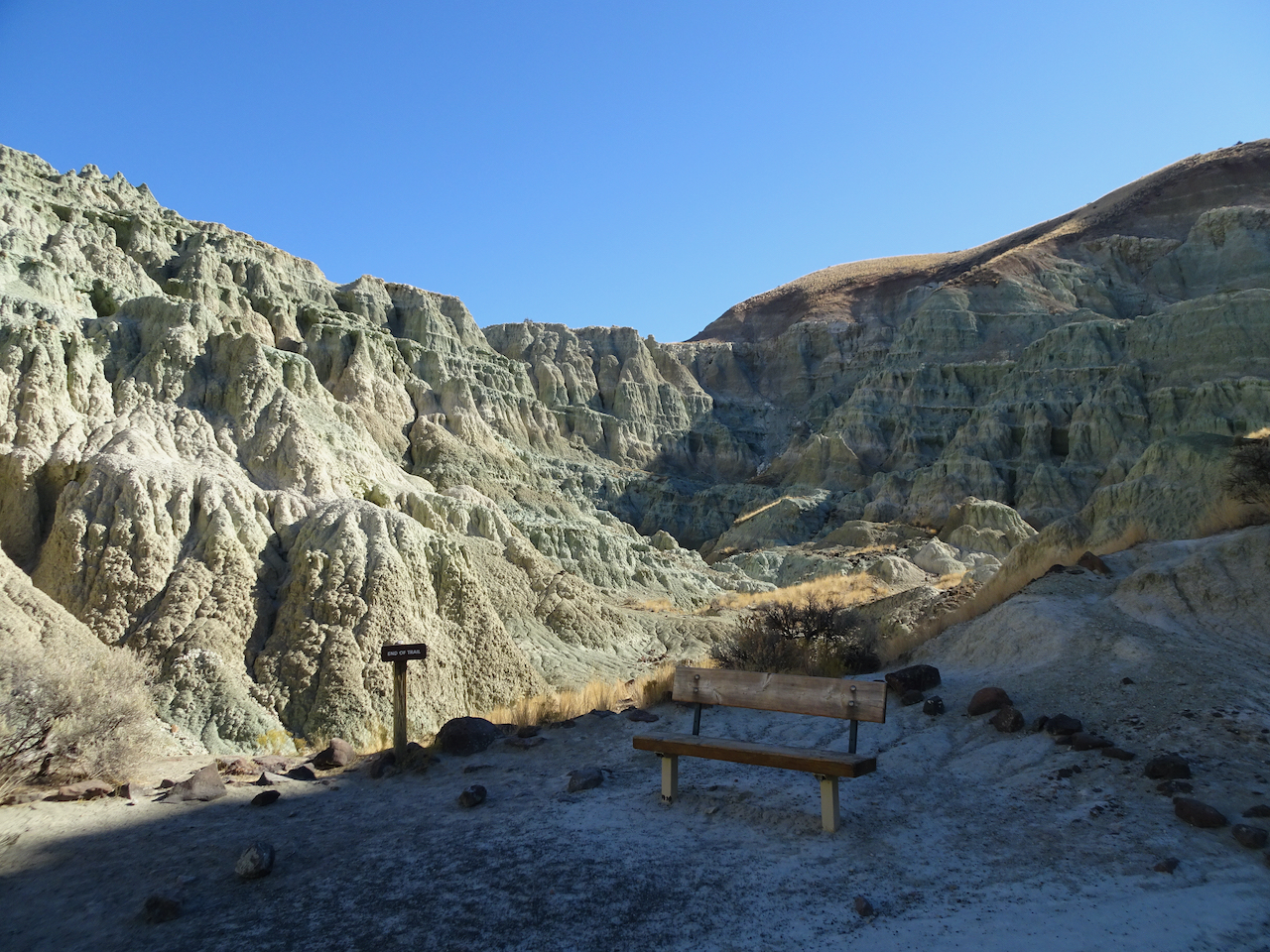
Bench at the end of the trail.

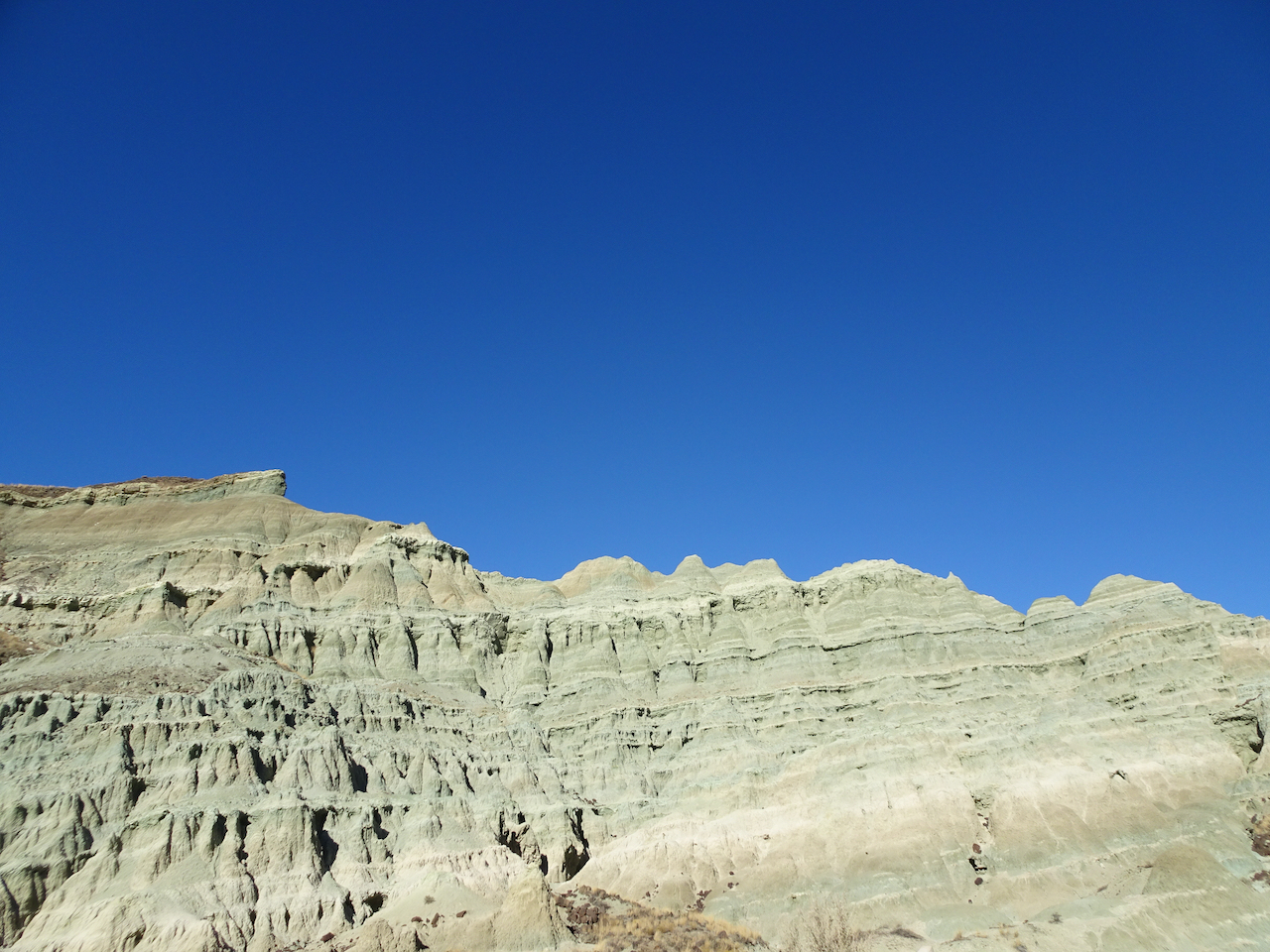
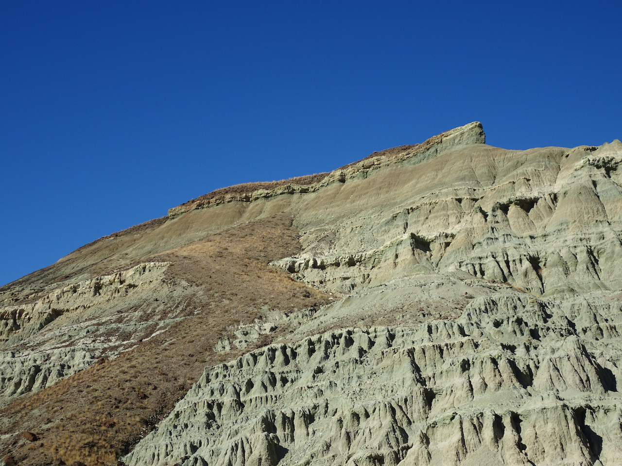
This beautifully eroded skyline was a prominent feature.

DSC04584

DSC04585

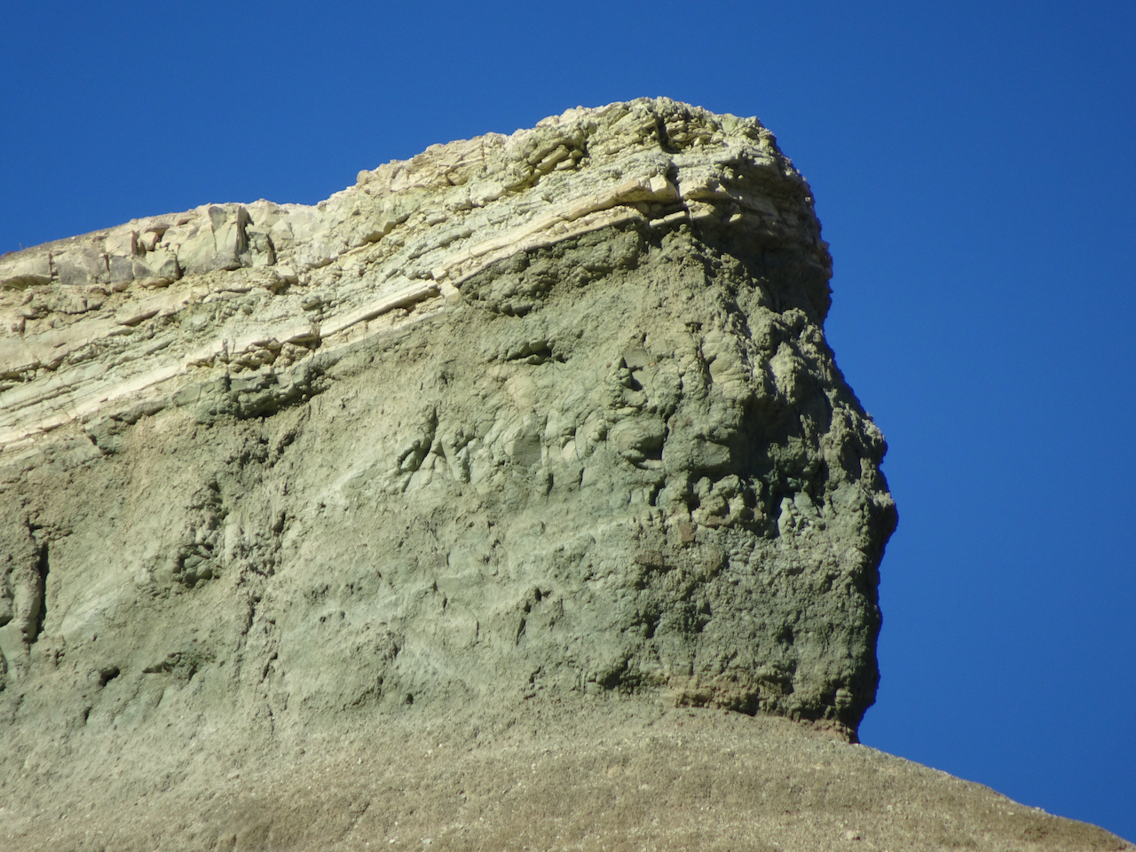
Zooming in on the prow…

DSC04587DSC04588

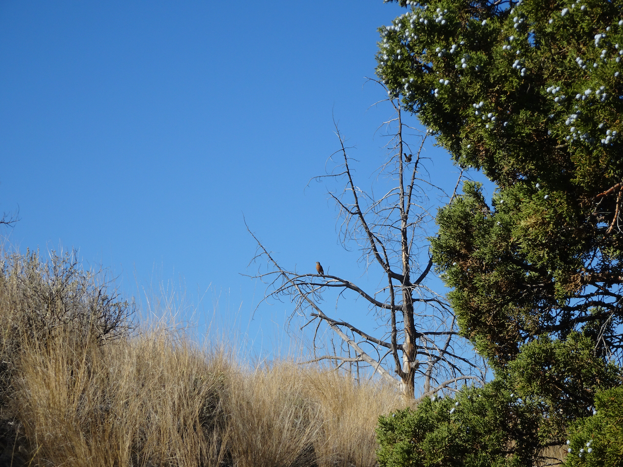
We spotted this little bird on our way out.

DSC04596

After lunch, we hiked the longer Blue Basin Overlook Trail (3.25 miles/ 600 feet) around the encircling mountains. 

DSC04601

North of Blue Basin, the trail passes more blue badlands formations.

DSC04609DSC04611

Continuing up hill…

DSC04627

Boardwalk over mudstone

DSC04632

Views to the north

DSC04634

Robins and juniper berries.

Eventually we reached the viewpoint over Blue Basin –

DSC04643DSC04642

The trail circles around to the south, above the basin, giving views of the same beautifully eroded skyline I noticed earlier.

DSC04648DSC04667DSC04677

Eventually, we descended to the trailhead. 

DSC04680

John Day River Valley.

DSC04682

We also took a short hike on the Story in Stone Trail, located just a few miles north in the Foree unit. We saw similar landforms there.

DSC04691DSC04700

We thoroughly enjoyed our visit to this remote area. We were lucky with sunny, if cold, weather. The trails were mostly empty, an important Covid consideration. Lots of fresh air and a good change of pace from our sheltering at home routines.


Knitting update, neighborhood walks, an art exhibit, and waterfalls…October 2020

Knitting

My fingers have been busy:

IMG_1786

Stripey socks – finished!

IMG_1850

Rio Calina Cowl – getting longer, and I might just make it into a long scarf instead of a cowl.

IMG_1853

Dissent Socks, in honor of Ruth Bader Ginsberg – I’ve finished the ankles – on to the heels!

Walks around the neighborhood,

New signs, whimsy, architectural elements:

Fall colors evolving…

I have been hunting witches and other Halloween displays, to be shared in a later post.

Portland Textile Month, Tiny Pricks Art Installation

We visited the exhibition window to see the stitchery, made by artists who embroider a quote onto a vintage textile as a form of protest. It is not how I want to spend my crafting time – but I was glad to get a chance to see a small sampling of the thousands of pieces that have been contributed to this crowd-sourced artwork.

DSC04262DSC04267DSC04266DSC04260DSC04268

Silver Falls State Park

October 19th – We hiked the 5 mile waterfall loop. It was hard to relax and enjoy the scenery –  there were a fair number unmasked, seemingly Covid-protocol-oblivious hikers. We cut our day shorter than usual. The waterfalls are always beautiful, and the light streaming through the yellow big leaf maples enchanting.
DSC04205

South Falls

DSC04221

Lower South Falls

DSC04238

Double Falls

DSC04244

Middle North Falls

DSC04255

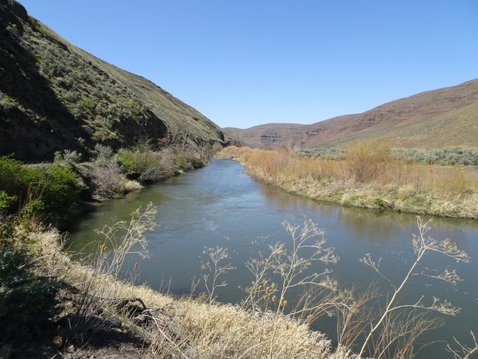
Deschutes River/Ferry Springs Trail, Oregon – October 14th, 2020


Image 10-18-20 at 12.36 PMDeschutes River trail, a smattering of rain, it feels like walking through a purifying mist, and there’s no Covid out here.

DSC04083

Deschutes River

DSC04080

Rabbit brush

DSC04087

Sumac along the trail

DSC04091

Sumac

DSC04110

Raindrops on leaves

DSC04106

Raindrops in the creek

DSC04105

DSC04101

A place to rest

DSC04097

Burned tree from 2017 fire

DSC04096

Golden grasses

I could be wrong, we have passed a few hikers, anglers, a hydrologist; there are boats on the river, workers on the railroad across the river, campgrounds and powerlines nearby.

DSC04111

Looking uphill to the east.

DSC04119

Our trail continues south, upstream.

DSC04122

Columbia Hills to the north.

DSC04123

DSC04125

Rocky cliffs

DSC04128

Seagull in the river

DSC04129

Maybe because in this low desert landscape, with golden light on the black cliffs and the dry grass of late summer, I feel like I can really breathe out here; the scent of the high desert, and a smattering of rain only enhancing the sense of free fresh air.

DSC04132

Climbing up the cliffs..

DSC04133

DSC04134

Golden grasses

DSC04135

Lunch view north.

DSC04138

Looking down at the river from our lunch stop.

DSC04137

DSC04143

Looking down to the river through the rock arch.

Up on the hill now after lunch, golden and desolate views of the rivers, views of the black volcanic rocks that used to enclose cascading waters of Celilo Falls, cascading waters that used to have salmon leaping up them every year, salmon leaping up into the nets of the Celilo people, before the dam.

DSC04146

Ascending the hills.

DSC04150

Closer view of the Deschutes/Columbia Confluence

DSC04152

Windmills on the hills, power transmission lines to the dam, cell towers, highways, train tracks, campgrounds, and yet I feel alone on this golden hillside.

DSC04154

Golden grasses

DSC04157

Dried balsam root will bloom bright gold in spring.

DSC04165

Approaching the upper Ferry Springs crossing.

DSC04166

DSC04169

Ferry Springs

I feel alone even though the powerlines are buzzing above us, the powerlines are transmitting the thoughts and bytes of millions, and yet I feel blessedly alone.

DSC04170

Its all downhill now to the trailhead.

DSC04175

Dry waterfall and power lines humming above.

DSC04181

Back down to river level, with power lines.

I’m not really alone of course – hiking with Dan, in a respite from the city; the desert is a place of wide open freedom – harsh, spiky, dry, rocky, steep, prickly; hidden hazards beyond each cliff, under every rock, yet wide open above, on an autumn day, I am lucky to be here, to be breathing freely.

Bonus content: More River otters! There were six otters playing in the river near the trailhead – 

DSC04183

River otters

DSC04186DSC04192

DSC04195

River otters and ducks

Celilo Falls, Salmon fishing, before the dam:

“Courtesy of the U.S. National Library of Medicine” 

https://www.nlm.nih.gov/nativevoices/timeline/632.html

Fresh Air at the Oregon Coast

September 20 to 23, 2020

We were able to reschedule our planned trip to the central Oregon Coast until after the wildfire smoke cleared out. We stayed in a hotel, brought our own food, and walked on the beaches and trails, following all the covid-safety protocols. Many of the parks and trails along the coast were closed due to the recent windstorms and wildfire smoke event, or due to Covid precautions. But all of the beaches were open for walking.
Screen Shot 2020-10-11 at 2.45.57 PM

Central Oregon Coast, and places we walked on our trip.

Sunday, September 20th

Yachats, Oregon

We arrived in Yachats in the evening, in time to walk along the rocky outcrops near our hotel as the tide was receding, and watch a lovely sunset, with pelicans and gulls.

Yachats sunset

Yachats sunset

Pelican

Pelican

Yachats sunset

Yachats sunset

Pelican peleton

Pelican peleton

Monday, September 21st –

Washburne to Hobbit Beach at low tide – A lovely three mile walk toward Haceta Head.

DSC02869

Tidal pools and sand bars on the beach as we walk south toward Haceta Head.

DSC02893

Rocky outcrop with tide pools.

DSC02900

Sea anemones, barnacles, and mussels.

DSC02909

Blue sky, blue sand.

DSC02915

Ripples.

DSC02928

Return walk north.

DSC02953

A skittering of sand plovers.

DSC02954

Sand plovers, doubled.

Darlingtonia Wayside

After our beach walk we continued south along the coast looking for more adventures. Our next stop was to see a swath of carnivorous plants.DSC03030DSC03026

North Jetty

We followed the north side of the Siuslaw River to it’s mouth and took a walk along the North Jetty, where we again saw pelicans and plovers.

DSC03039

Entry to the North Jetty.

DSC03041

Walking seaward on the North Jetty – those shadows in the distance are birds!

DSC03055

Another skittering of sand plovers! It makes me so happy just to watch them!

DSC03056

Plovers.

DSC03060

Pelicans and other sea birds far out on the jetty.

DSC03074

Pelican in flight!

DSC03087

I spotted one seal nearby.

DSC03091

The dunes and lifeguard tower near the North Jetty entrance.

DSC03102

A line of rocks in the estuary make perfect perches for the seabirds.

DSC03104

Pelicans and gulls on their perches.

Exploding Whale park

As we drove back toward Florence, this park caught our attention. It is named for the infamous attempt to dispose of a washed up dead whale with dynamite, on a nearby beach, about 50 years ago.

DSC03115

Local citizens voted for the park name.

DSC03118

DSC03119

A short walk here reveals nice views of the highway bridge, and the dunes to the south.

DSC03117

Haceta Light House

We stopped briefly south of Haceta Head in the early afternoon to see the lighthouse through the fog. On our return trip north in later in the day, the view was much clearer.

DSC03001

Haceta Head Lighthouse from the beach, through the fog.

DSC03012

Lighthouse from the highway viewpoint, early afternoon.

DSC03126

Lighthouse from the highway viewpoint, late afternoon.

Monday, September 22nd

Wax Myrtle Trail and Lagoon Trail, Siltcoos River

Campgrounds in this area were closed, and the trails were particularly empty on this beautiful September day.

DSC03131

The walk to Wax Myrtle Beach follows the Siltcoos River.

DSC03146

We spotted a heron in the estuary as we got closer to the beach.

DSC03148

Heron.

DSC03224

We followed the Siltcoos River to the sea.

DSC03156

A line of sand dunes border Wax Myrtle Beach.

DSC03158

Dunes and beach.

DSC03170

We walked north to the mouth of the Siltcoos River, where birds were out on the low tide sandbars.

DSC03187

Pelican.

DSC03218

More plovers in the foreground!

As we walked back upriver on our return hike, another hiker pointed out three river otters who were swimming upstream and eating fish along the way. We followed along with them until they disappeared upriver. This is my first time seeing them in the wild!

DSC03225DSC03230

DSC03242

All three otters in this photo – the third one in the upper left corner. They are very fast and hard to photograph!

DSC03253

We walked partway around the nearby lagoon, where these beautiful plants floated on the surface.

DSC03260

DSC03262DSC03274

South Jetty, Siuslaw River

We drove back north toward Florence, and decided to drive out to the South Jetty of the Siuslaw River, just across from where we had walked on the North Jetty the previous day. There were plenty of people out there, also plenty of room to walk on beaches and in the dunes. 

DSC03276

DSC03278

Looking seaward between the jetties. The North Jetty lifeguard tower is on the horizon.

DSC03288

Waves crashing against the South Jetty. Not as many pelicans on the outer jetty.

DSC03282

South Jetty beach from South Jetty.

DSC03294

Seaweed on South Jetty beach.

DSC03302

Swash zone.

DSC03317

Looking south.

DSC03331

Sand dunes to the east all along the beach for miles.

Sunset in Yachats

We had a lovely colorful sky outside our hotel.

DSC03381DSC03388

Wednesday, September 23rd Yachats

We woke up to wind, and predictions of a storm coming in. We walked a short way on the beach in the wind before heading north toward home.

DSC03403DSC03404DSC03415

Seal Rock and Ona Beach

On our drive north, we stopped to look at the Seal Rocks, in the wind. 

DSC03426

Seal Rocks to the south.

DSC03419

Seal Rocks to the north.

We stopped at Ona Beach, just to the north of Seal Rocks, and walked out to the beach.

DSC03430

Crossing Beaver Creek on our way to the beach.

DSC03432

Beaver Creek estuary

DSC03434

Squirrel getting ready for winter.

DSC03436

Ona Beach.

DSC03449

Windblown sand across the tidal flats.

DSC03441

Sand ripples, birds on the low tide bars.

DSC03442

These might be our last pelican sightings for the year.

DSC03447DSC03446DSC03463

DSC03460

Ona Beach, looking south toward Seal Rocks. Too windy to explore today – we will have to come back another time.

Rain started as we headed back to the car. I felt so refreshed from our few days in the fresh air and wide open spaces of the Oregon coast, and thankful that I could be there during this difficult year of pandemic, climate and political crises. 

September – wildfires and smoke

September began with a heat wave, too hot for hiking. I went on my usual walks through the neighborhood, noting the late summer flowers and early signs of fall.

And I finished sewing my summer kimono robe.

We were planning some adventures after the Labor Day weekend, when the trails would be quieter. Instead, quite literally, all hell broke loose. In my last post, I expressed my “hope for a late summer without a local fire season.” I could never have predicted the late summer snowstorm in the Rockies that created an ‘unprecedented’ giant windstorm that swept westward across the continent, fanning the flames of wildfires in every combustible forest on the west coast of North America. We were safe at home, watching in horror, as the news kept getting worse.

Satellite photos from September 11th show the smoke being pulled far out to sea:

After the winds died down, the heavy smoke settled in, limiting visibility, and making breathing painful. We learned how to use the AirNow app to monitor our air quality, constantly refreshing the page, hoping for better results.

For six days I did not go out of doors at all – grateful to have a safe home to harbor in, knowing there were so many families evacuated, and many with their homes burned. Many have still not been able to return; meanwhile the firefighters, Red Cross, and all the social support services have stepped up to aid those in need. I have only gone out once, so far, to pick up a prescription and some groceries. Nobody is walking our neighborhood streets – the air has been too bad. Today it finally shows signs of improvement, and we may be able to step out in the next day or two.

September 16th – our first glimpse of the sun in more than a week.

Knitting

Once again, knitting to the rescue. I have had time to finish a few projects:

And make progress on other projects:

Awake and say
“What time is it?
What day is it? What season?”
No sun,
but not dark,
so…
daytime…

End of summer in a strange year
when all the cues are gone,
and now gone again.
Most things closed down again.
Wildfire smoke blankets our part of the planet.
Fall approaches, but is it the fall of our civilization? Or autumn?
Invisible viruses still pervade the air.
Not quite invisible smoke particles dim our sight, harm our lungs.

A metaphor for the insidious gloom covering our entire nation in an unprecedented election year, the outcome to determine how we will breathe going forward.

9/12/2020

Another couple of pandemic weeks with a birthday, two hikes on Mt Hood, and knitting…

8/17/2020 – I’ve had a birthday, which we celebrated with a hike and a socially distanced takeout Thai dinner with our two sons. Despite the palpable pandemic/political chaos tension in the world I have much to be grateful for. Although I am missing having our usual summer get togethers with extended family, so is everyone in the world right now. I am especially grateful that we saw almost every relation last year, between two weddings and a graduation trip to the east coast. My latest acromegaly lab tests all look good, and, we are eating homegrown tomatoes and basil almost every day.

Birthday cake, flowers from my daughter,
and a few lovely presents.

I have been knitting, knitting, knitting away on a few projects, fingers keeping the anxiety away.

My neighborhood walks continue to reveal signs of encouragement and solidarity.

Also in the neighborhood, late summer flowers, shadow play, interesting architectural elements, and tinges of the autumn ahead….

Two hikes on opposite sides of Mt Hood  –

Burnt Lake August 5, 2020

My birthday hike on the west side of Mt Hood was mostly through shady forest, on a hot day, with a few stream crossings, and late season flowers. The other time we hiked here the mountain was under a cloud, so today we were very glad to see the beautiful reflections of Mt Hood in the lake. Hike #55, 8.5 miles, 1500 feet.

DSC02347

The shady forest

DSC02424

Tree scorched in the early 1900’s.

DSC02383

Mt Hood, Burnt Lake

DSC02375

Mountain close up

DSC02374

Reflection

Notable flowers and plants:

Newton Creek to Timberline Trail,  August 10, 2020

We started from the Elk Meadows trailhead, then walked uphill along the Newton Creek Trail, stopping for lunch near the Timberline Trail junction where we enjoyed lovely views of Mt Hood and Gnarl Ridge. We then walked south on the Timberline Trail toward Mt Hood Meadows for a short distance before turning back. Hike #56, 7.7 miles, 1600 feet.

DSC02428

Moon over Clark Creek

DSC02482

Newton Creek trail

DSC02432

Ghost tree in the forest

DSC02434

Gnarl Ridge beyond Newton Creek

DSC02436

Upstream

DSC02438

Downstream, fireweed

DSC02442

Mt Hood ahead

DSC02444

Lunch view of Gnarl Ridge

DSC02445

Gnarl Ridge closeup

DSC02453

We saw a few tiny hikers crossing Newton Creek on the Timberline Trail.

DSC02459

Glacier closeup

DSC02472

The peak

DSC02471

Backside of pea gravel ridge, which we walked along as far as the descent into Clark Creek.

DSC02464

Return hike down Newton Creek.

Editing note – This is my first post with the New WordPress Editor, so there are lots of formatting inconsistencies. Not loving it, but I suppose I will get used to it as I continue hurling forward into the future, keeping my synapses sharp by constant novelty….