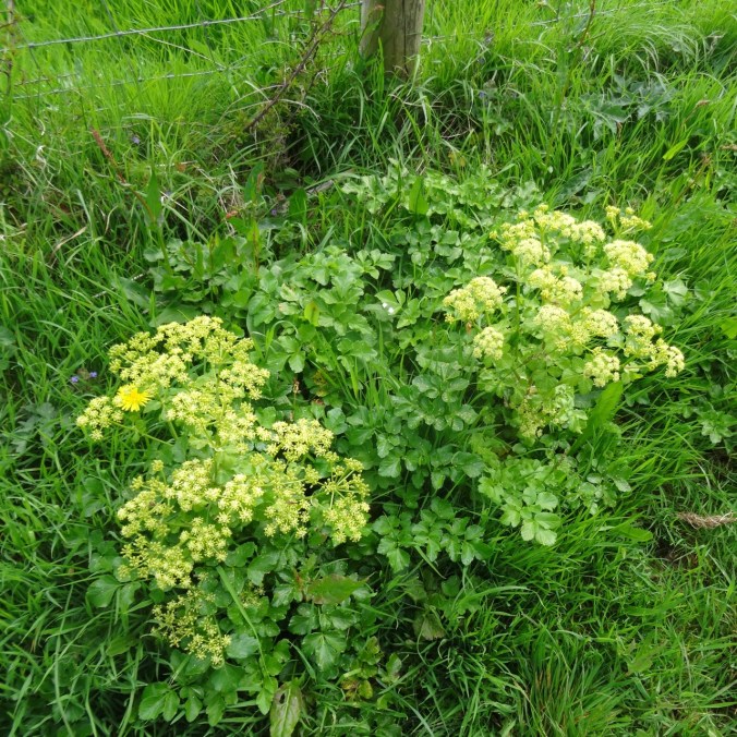
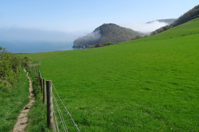
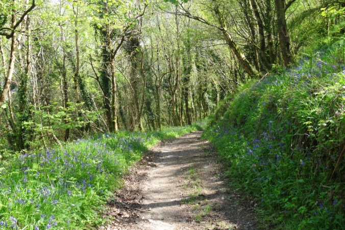
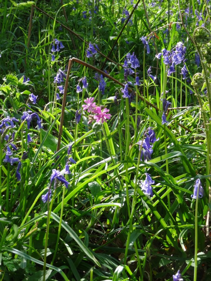
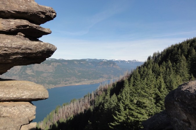
Columbia Hills, WA, Tryon Creek, OR, and some Brioche Knitting

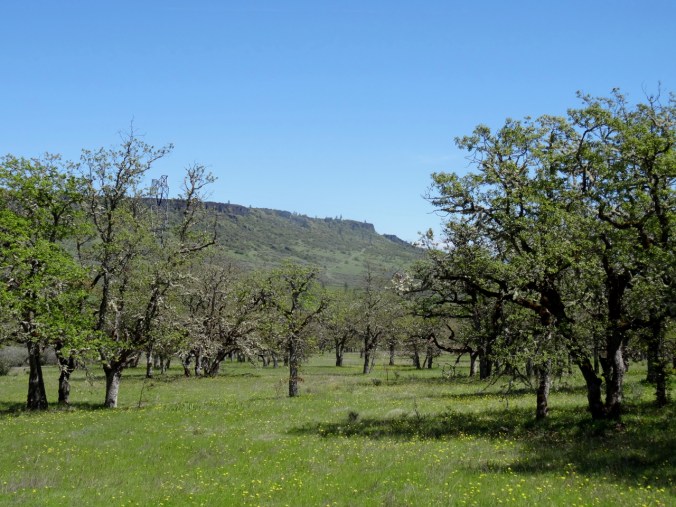
Crawford Oaks 4/4/2019

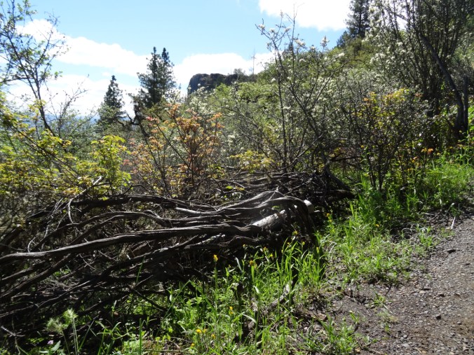
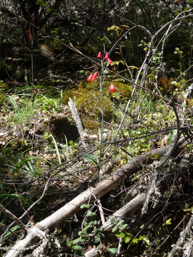
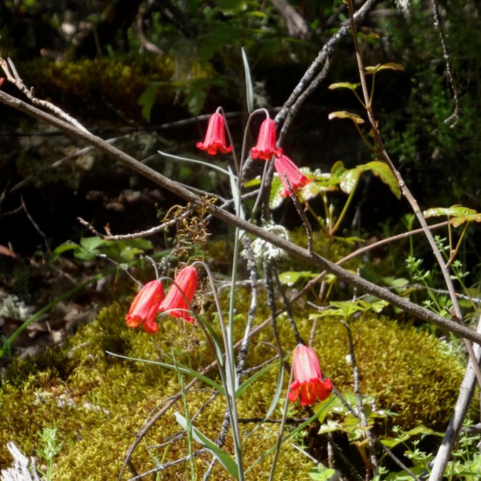
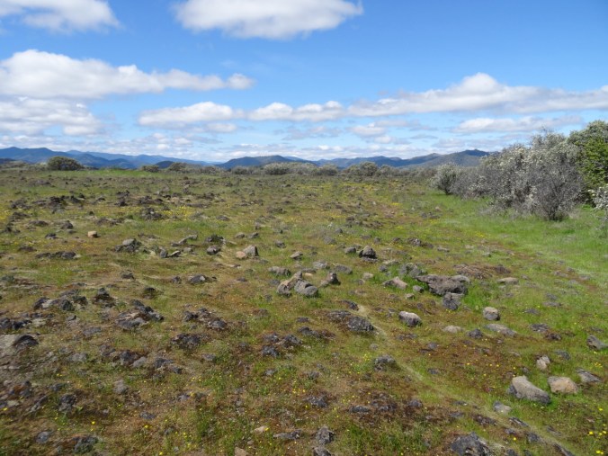
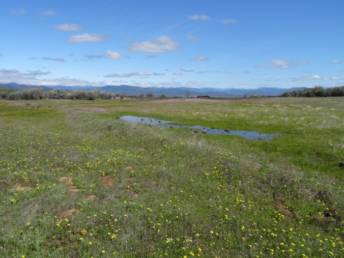
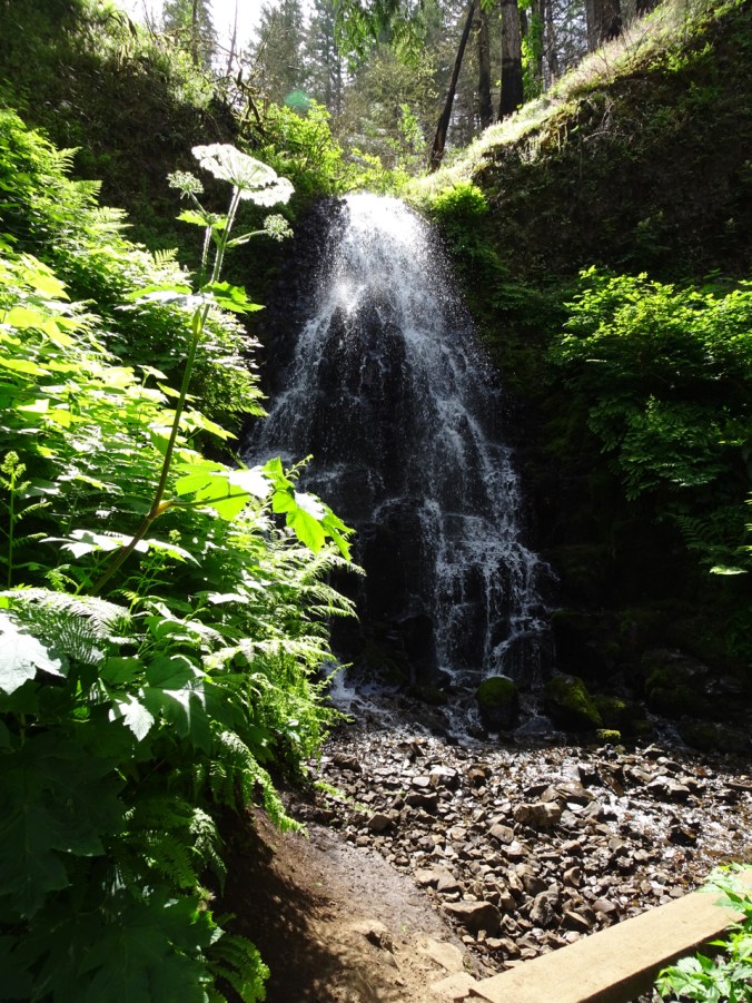
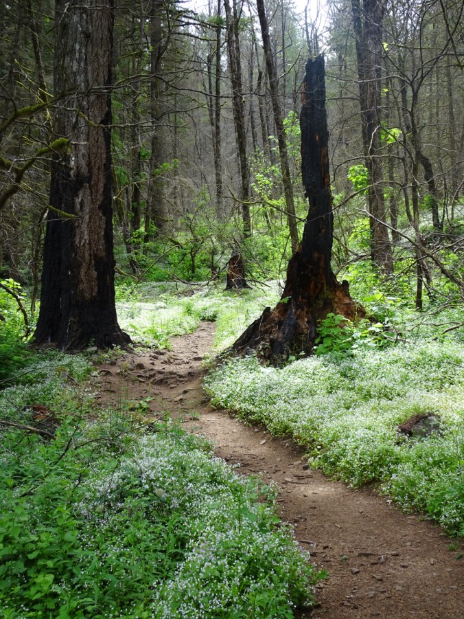
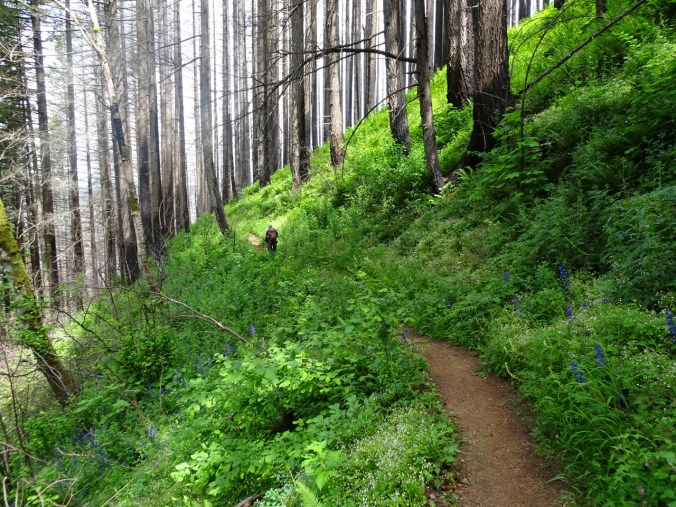
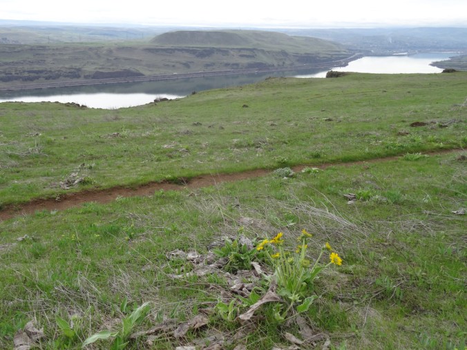
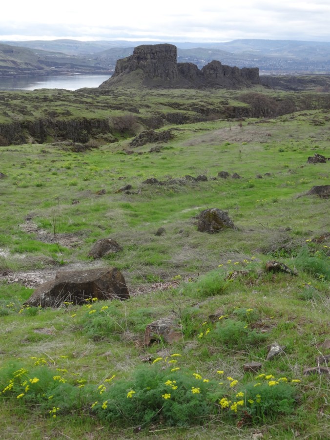
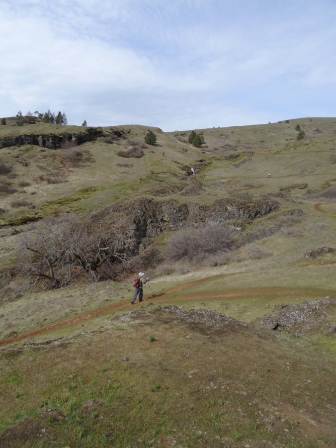
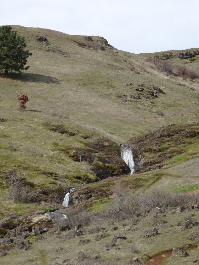
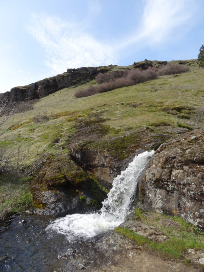
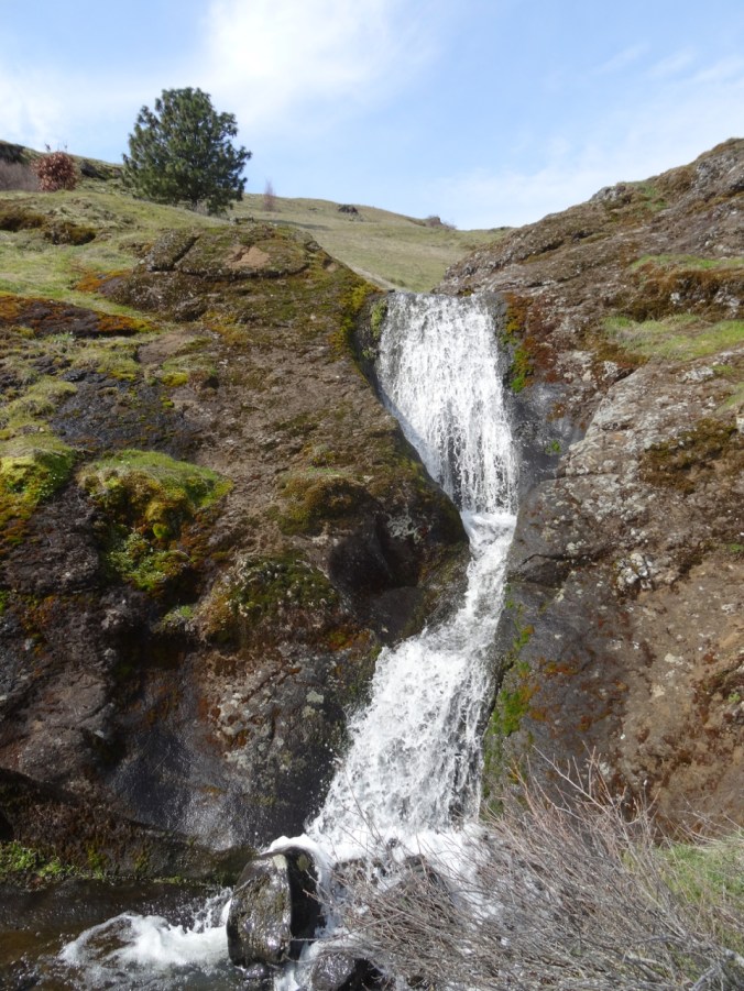
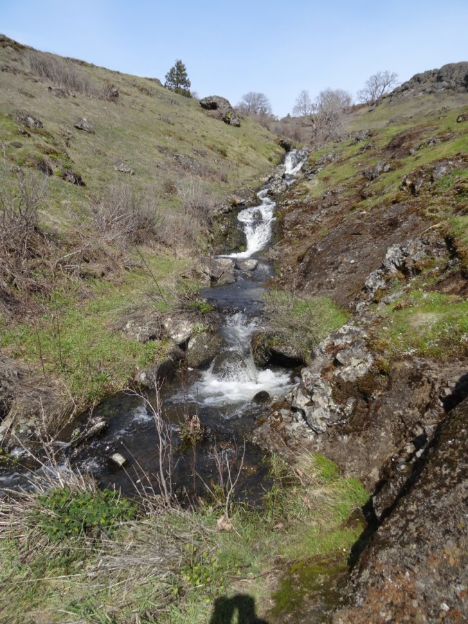
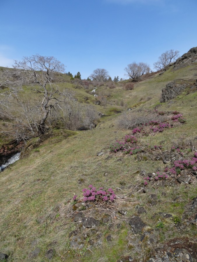
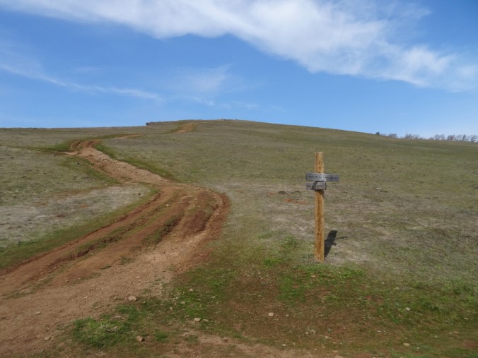
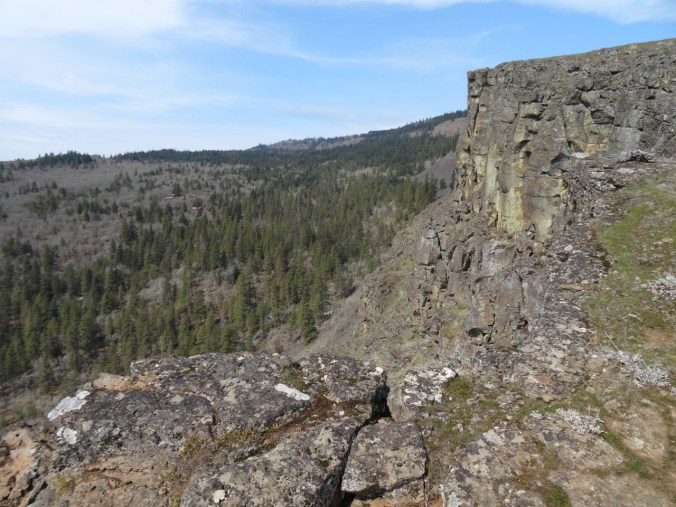
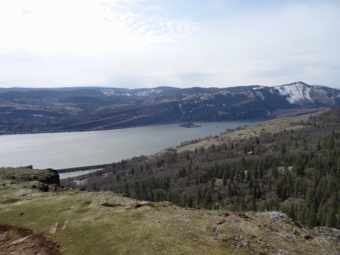
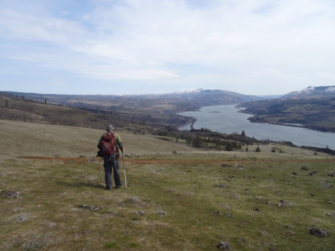
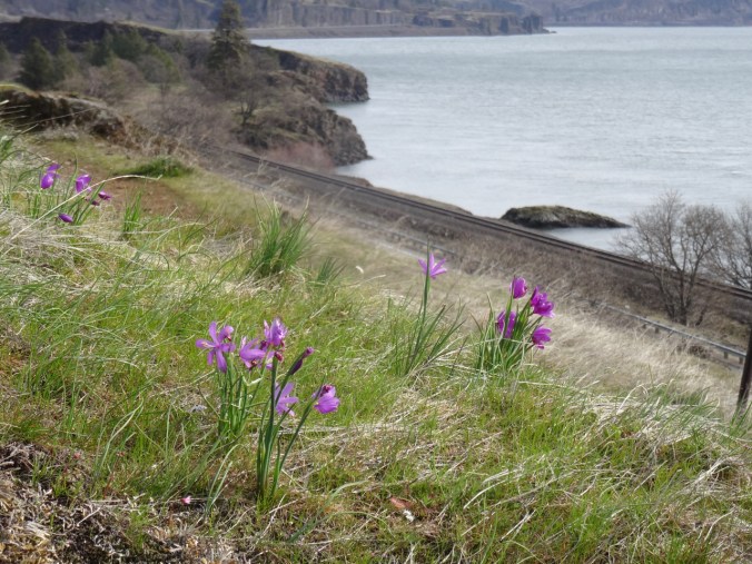
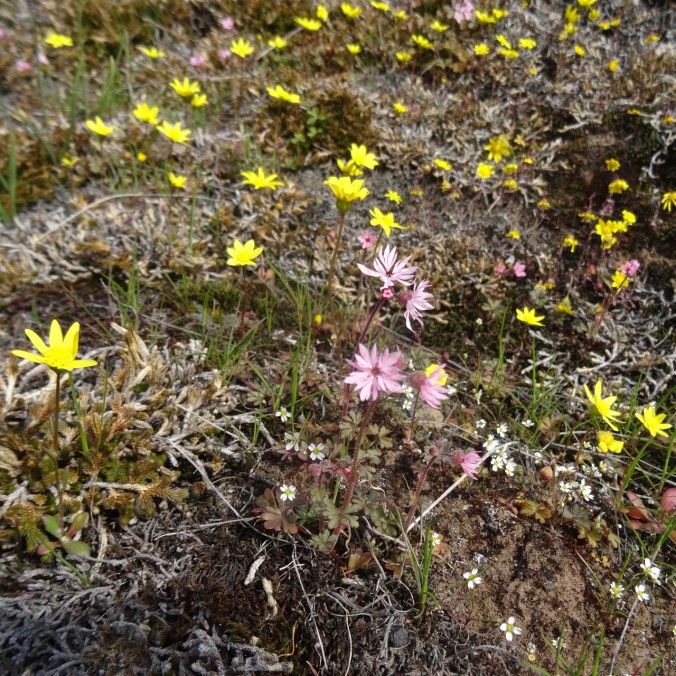
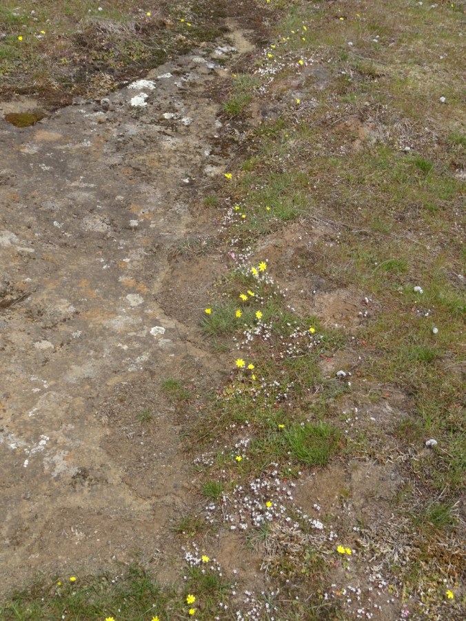
We had to drive 75 miles east to the Columbia Hills to find a dry hike this weekend. We started up the road to Eight Mile Falls, then continued on the Vista Loop. It was a bit late for grass widows and yellow bells, and a bit early for full balsamroot display, so we had a bit of each, on a windless day. A lovely hike, and pretty easy, compared to when we hiked here about a year ago and I was less than two months post surgery. Next spring, we will attempt this hike a few weeks later to get the full balsamroot experience.

DSC02566

Bird welcoming us to the trail.

DSC02570

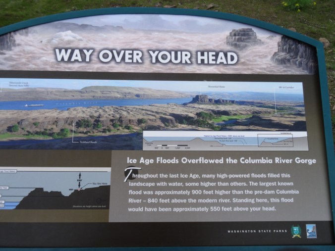
The graphic showing the depth of the Missoula Floods here always impresses me.

DSC02577

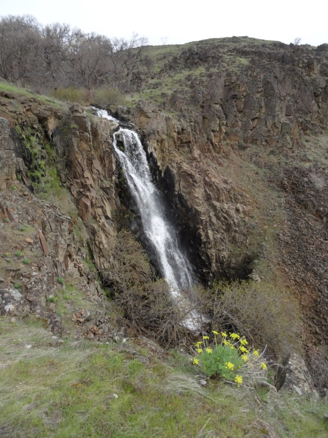
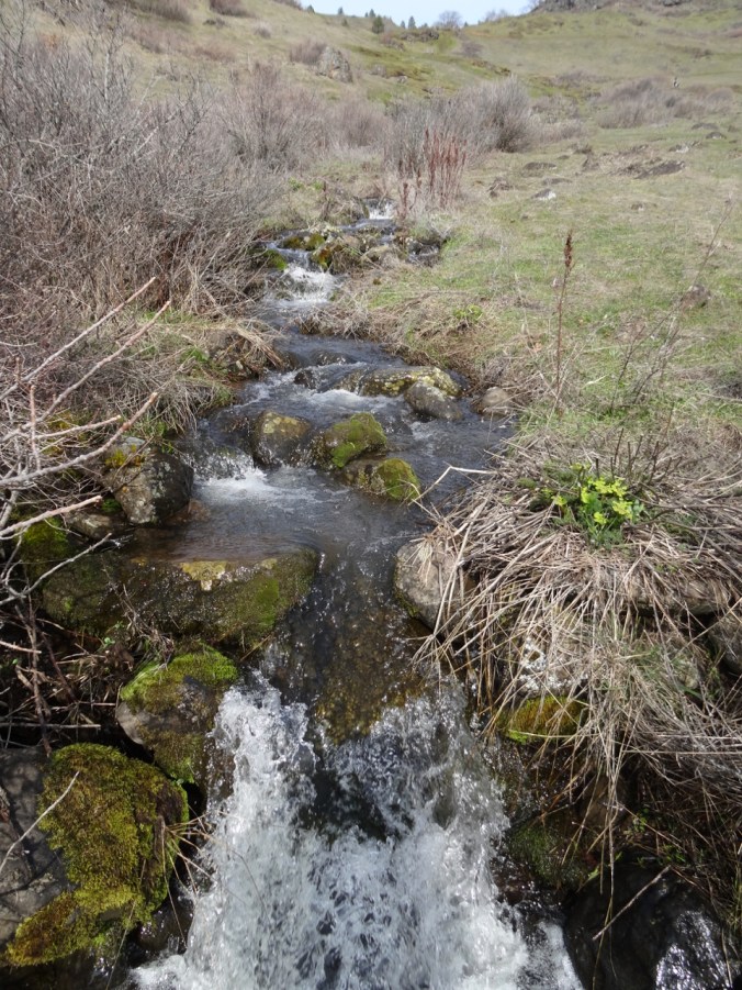
Eight Mile Falls

DSC02581

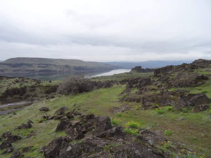
Looking back west toward the river and Horsethief Butte.

DSC02599

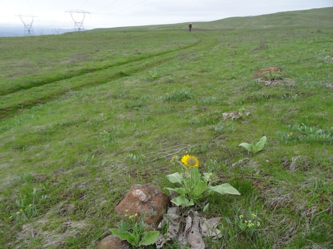
One of the scattered early blooming balsamroots.

DSC02606

View to the west, toward The Dalles

DSC02616

View to the east toward Biggs

DSC02617

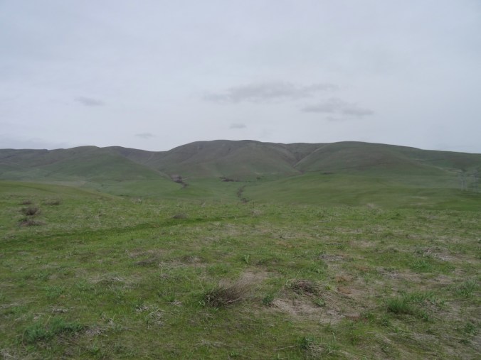
Looking north to the Columbia Hills

DSC02624

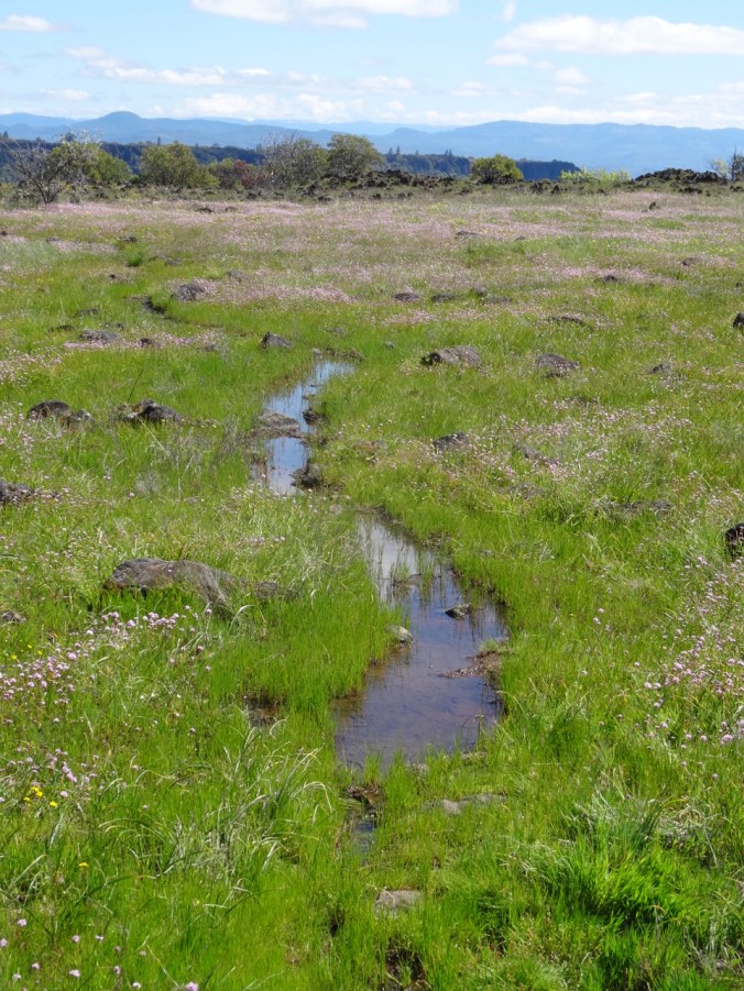
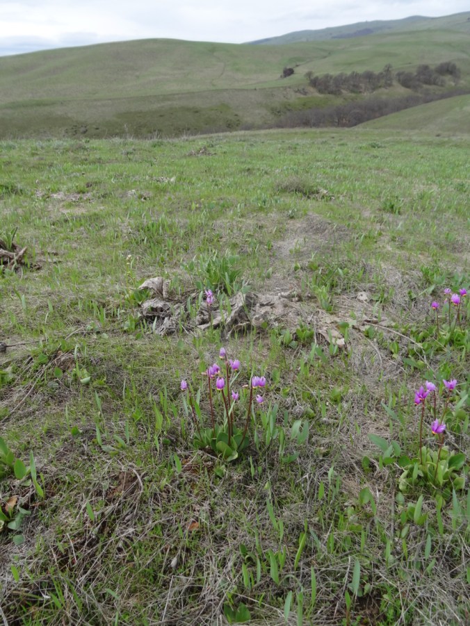
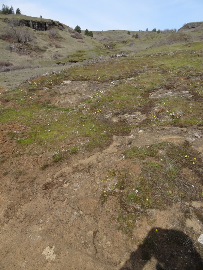
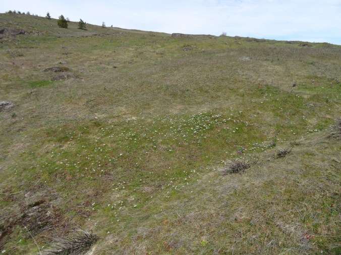
One swale of shooting stars – first of the season

DSC02636

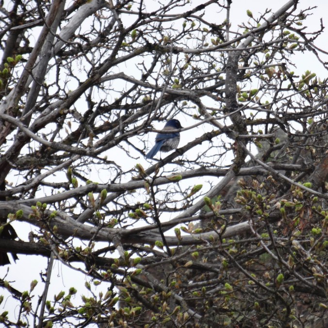
A blue jay near the trailhead

DSC02640

Last look at Horsethief Butte

DSC02643

Hike #15, 5 miles/1000 feet

The wildflower suite:

Sunday dash around Tryon Creek to see the Trillium

4/7/2019   A rainy weekend in Portland, a weather window, so we went:

DSC02663DSC02661DSC02674DSC02681

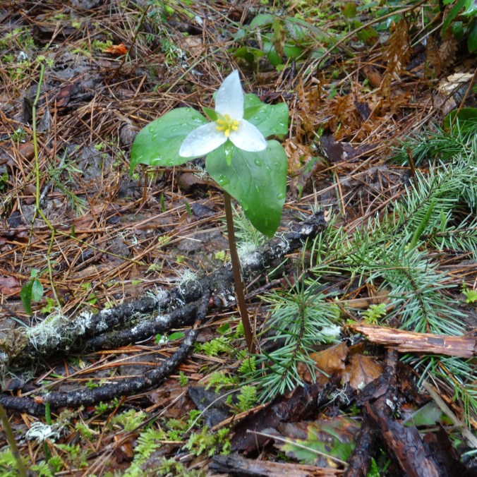
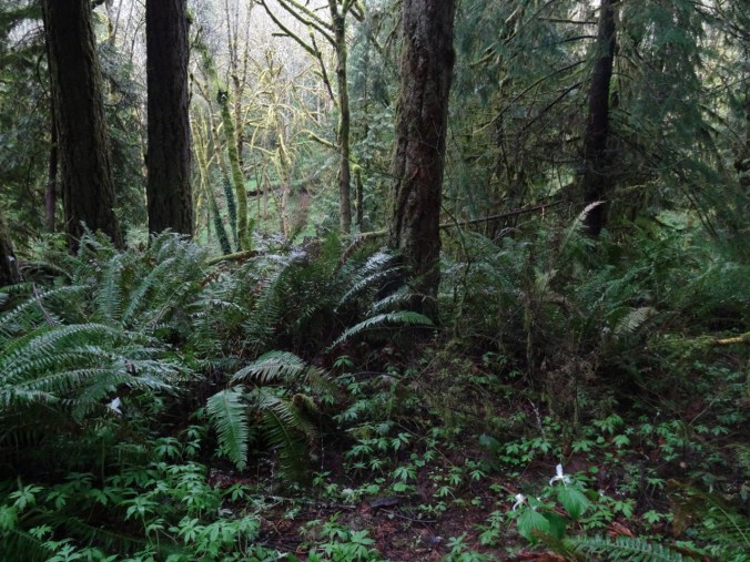
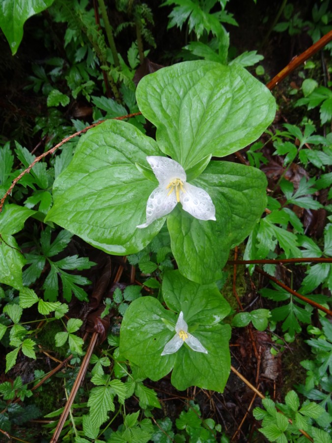
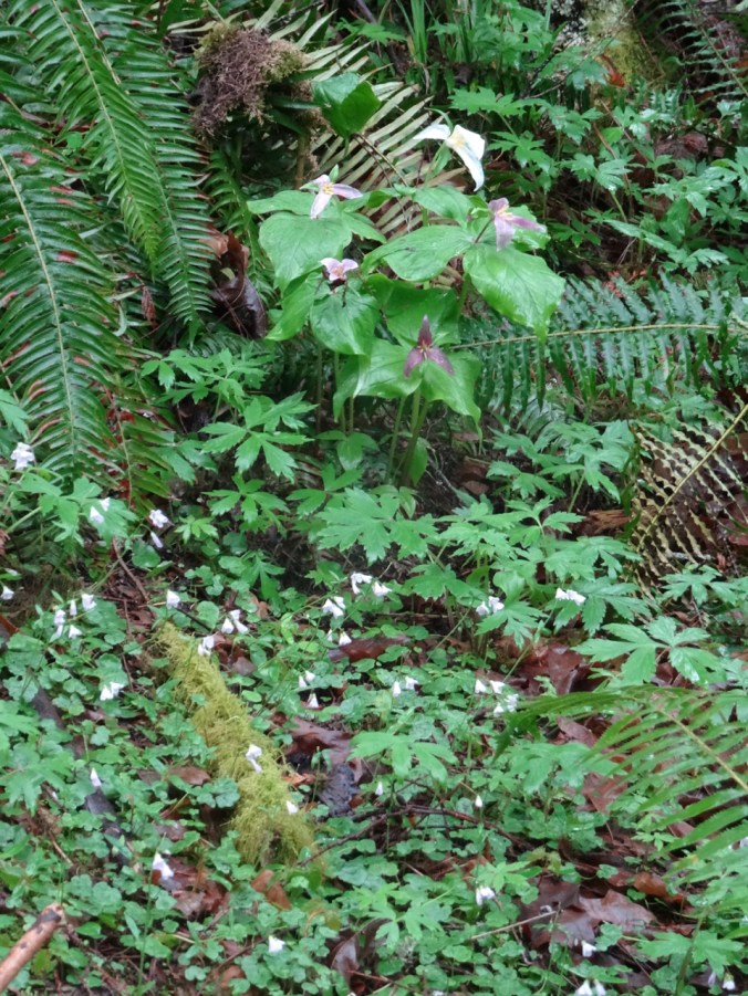
Trillium in swathes in the woodlands, and individually along the trail.

Version 2Version 2

DSC02686

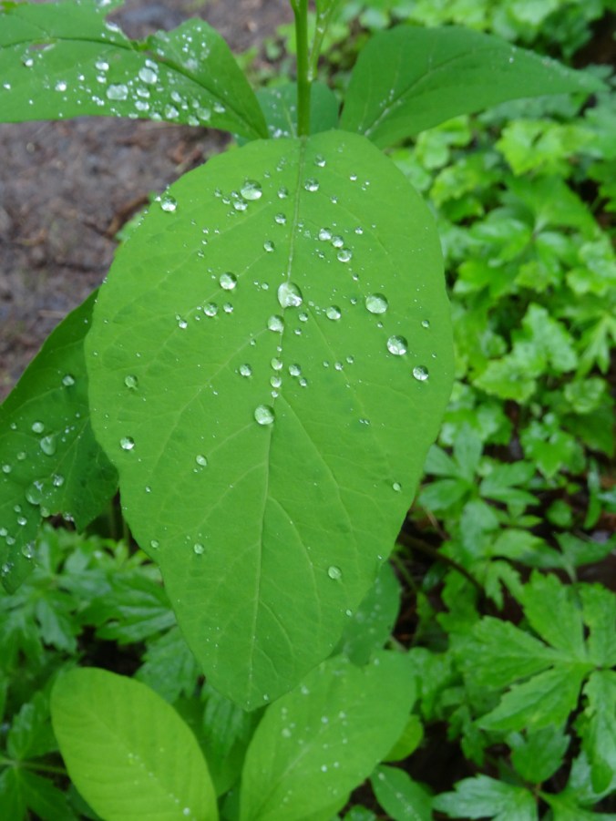
After a weekend of rain, some flowers were becoming transparent

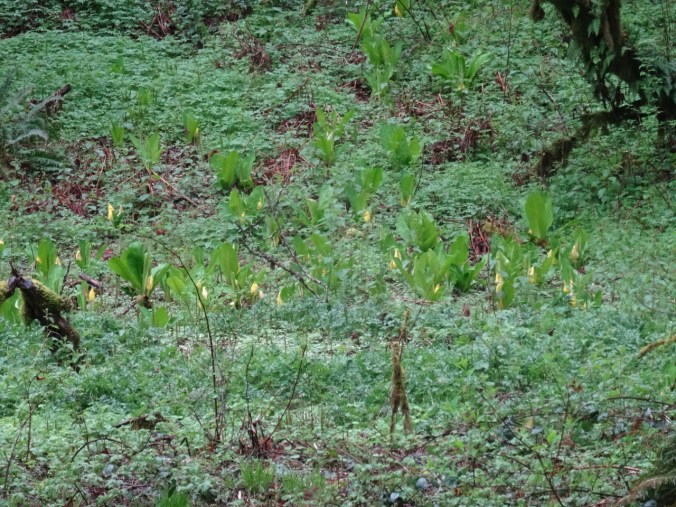
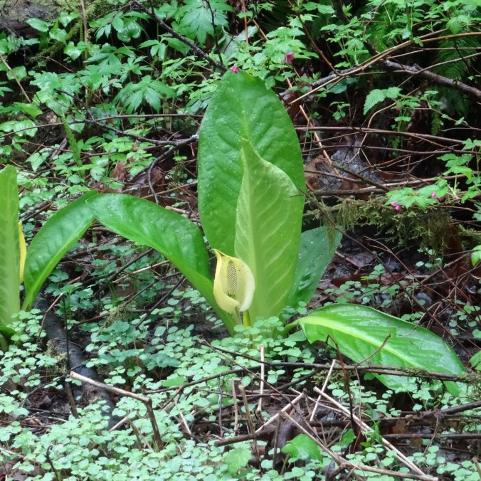
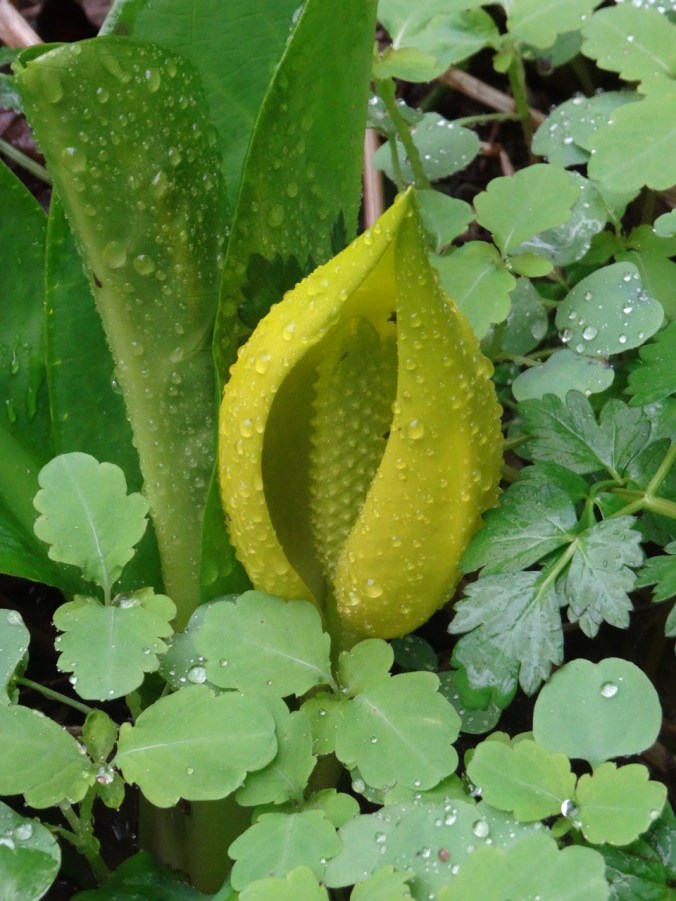
Other flowers included skunk cabbage in the bogs near the creek.

DSC02665DSC02672DSC02698

Lots of water dripping, but we mostly avoided actual rain.

DSC02680DSC02679

DSC02677

cedar

DSC02646

violets

DSC02644

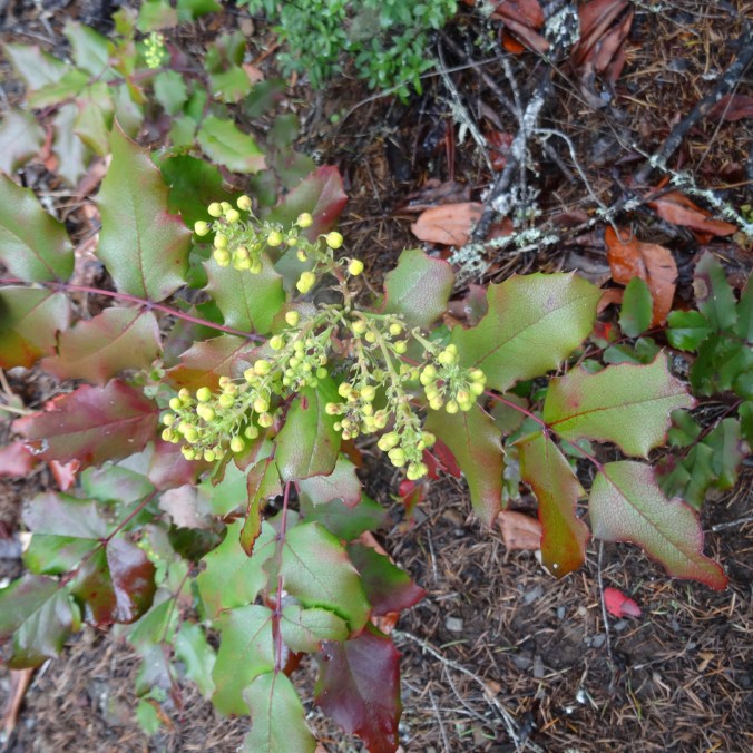
Oregon grape

DSC02667DSC02684

(Hike#16, 2.2 miles, 200 feet)

Knitting

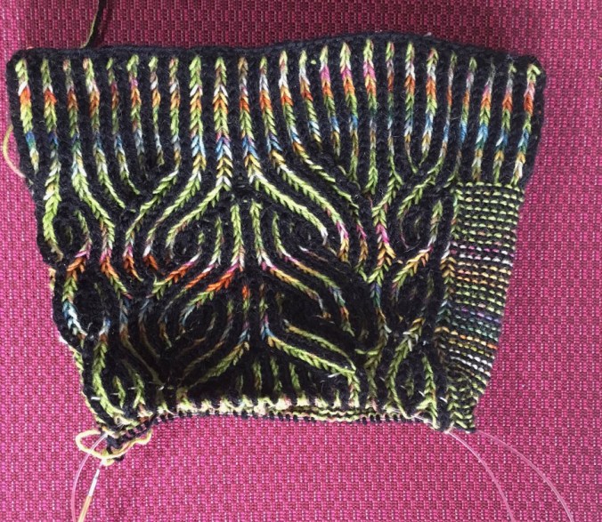
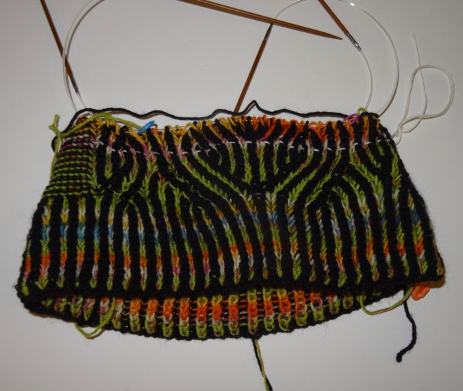
Progress on the Vintage Prim hat, with brioche:

img_2055.jpg

I will just say that there has been frogging, and use of lifelines. I have even learned to fix one or two stitches, but a big fix is still beyond me with this technique. I do love how it looks!

Spring Flowers, Coyote Wall and Portland

Coyote Wall, WA,  Thursday, March 21, 2019

Up the Little Maui trail, more up on the Old Ranch Road and Coyote Wall trails, then, down the Little Moab trail, with the early flower suite just opening…(Hike #13, 4 miles, 1100 feet)

Hiking up the waterfalls of the Little Maui trail:

DSC02313

DSC02315

Gold stars and Salt and Pepper (biscuit root) sprinkled across the landscape.

DSC02319

Long banked switchbacks to aid the cyclists

DSC02322DSC02324

DSC02328

Lunch stop

DSC02329DSC02331

DSC02339

Columbia Desert Parsley guiding the way

Looking up to our cliff-edge destination along Coyote Wall from Old Ranch Road:

DSC02346

Views from the cliff:

DSC02347

First look.

DSC02353

We go a little higher

DSC02356

Looking back toward Oregon; Mt Hood a faint wisp on the horizon.

DSC02361

Our highest viewpoint for the day.

DSC02364

Starting down – looking east toward the Columbia Hills and Tom McCall Point.

The flowers:

DSC02299

Grass widows

DSC02297

Gold and Prairie stars, Spring whitlow-grass

DSC02306

Spring whitlow-grass, my pinky for scale

DSC02317

Swales of gold stars and whitlow-grass

DSC02293

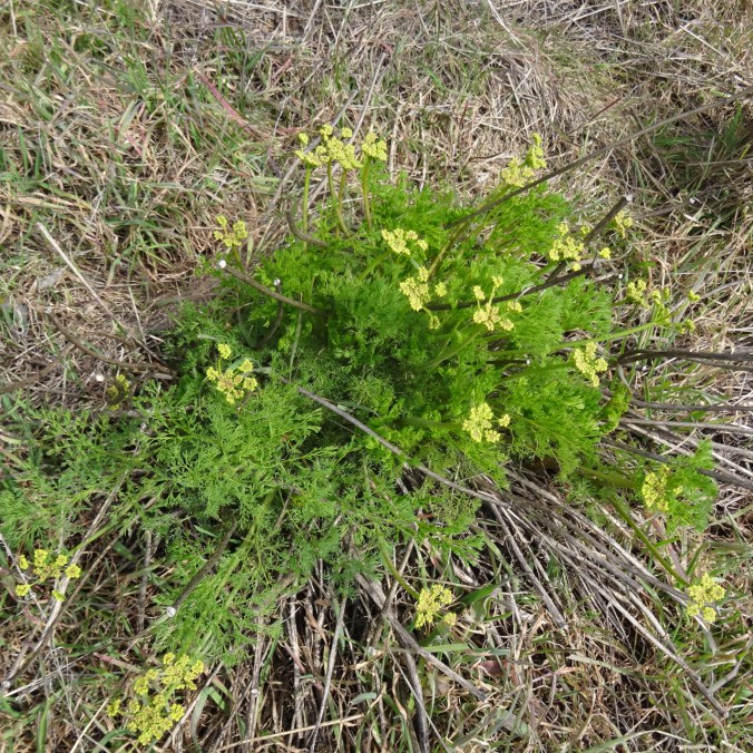
Yellow pungent desert parsley

DSC02309

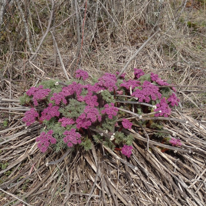
Columbia desert parsley

DSC02371

Salt and pepper, and grass widows all the way down the slope.

Knitting

Learning the increases and decreases that make brioche knitting look so magical…with a lifeline!

DSC02378

Vintage Prim Hat, pattern by Andrea Mowry.

Garden – the first tulip! and Star Magnolias!

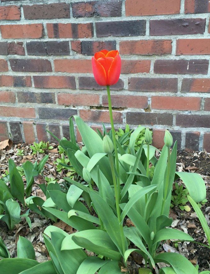
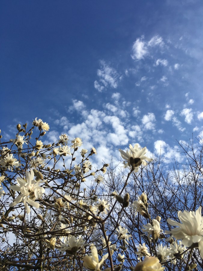
Better late….flowers are opening in the neighborhood:

IMG_1974

Our first tulip

IMG_1967

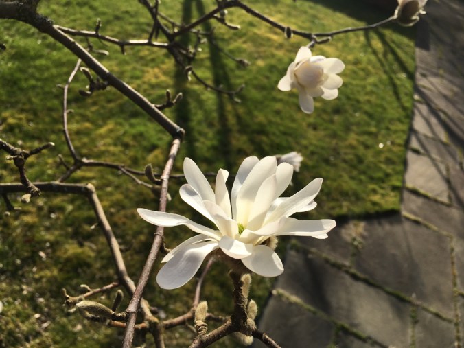
star magnolias

IMG_1964

IMG_1975

I don’t remember the name of these.

Lewis River Waterfalls, a hat finish, and snow in Pdx

January 31, 2019  Moulton Falls, Bells Mountain trail, and Lucia Falls, Washington

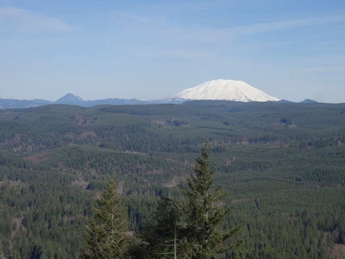
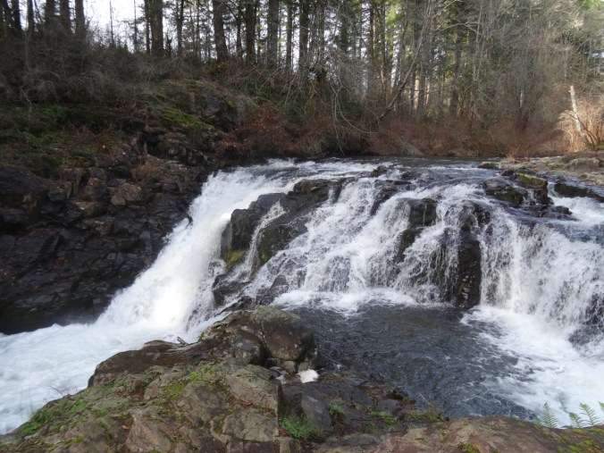
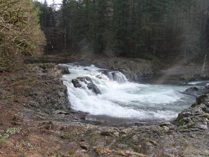
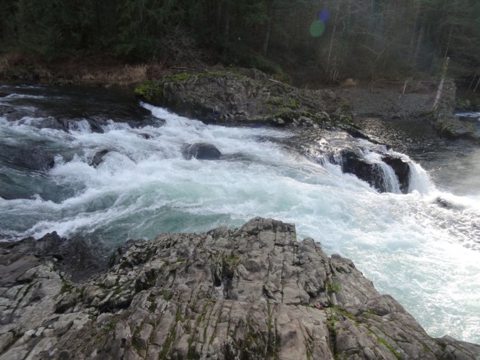
Our first time hiking here. We have passed through on our way to Silver Star Mountain in the summer, and noted the crowds enjoying the swimming holes along the Lewis River near Battleground, Washington. Today we stopped to see the waterfalls in the off season, and to hike up the nearby Bells Mountain trail for a view of Mt St Helens.

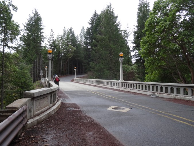
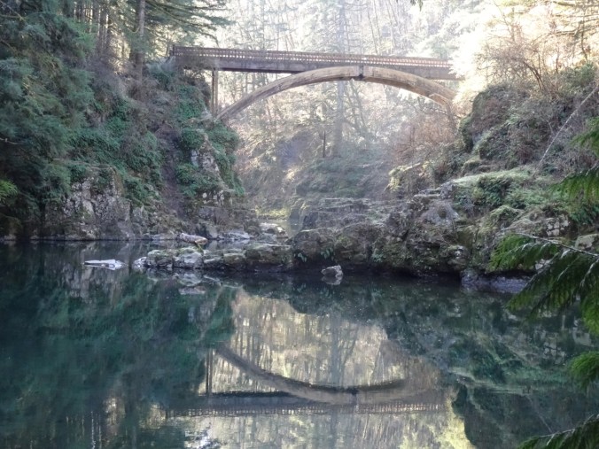
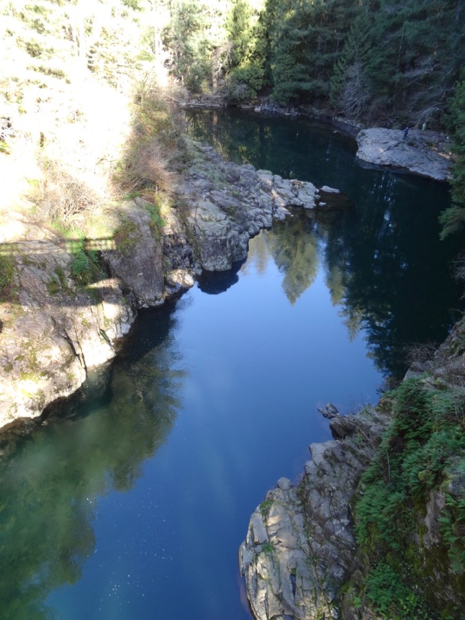
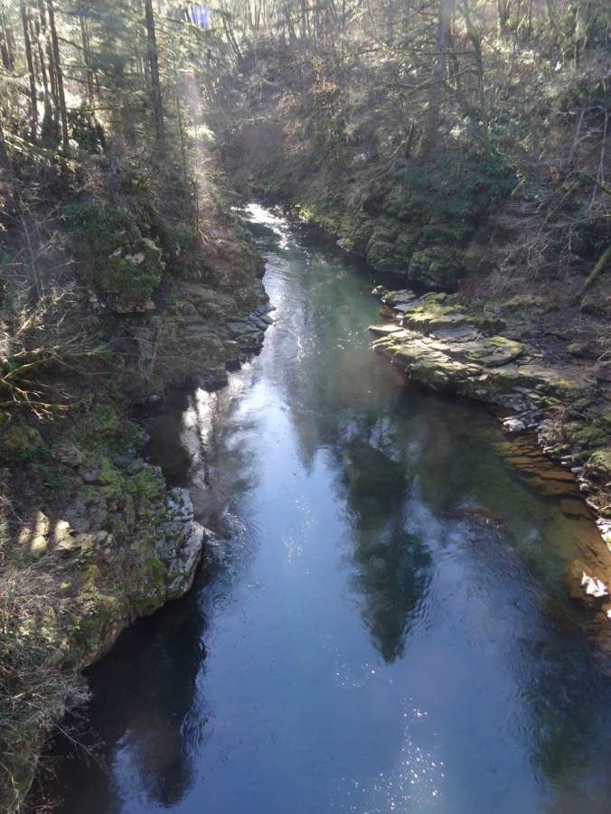
The rails to trails path along the Lewis River goes over this beautiful bridge, the East Fork High Bridge, which is apparently a popular jumping spot in summer.

DSC01629DSC01630DSC01656

DSC01635

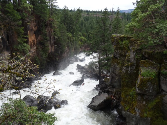
Downstream from the bridge.

DSC01637

Upstream from the bridge.

DSC01648

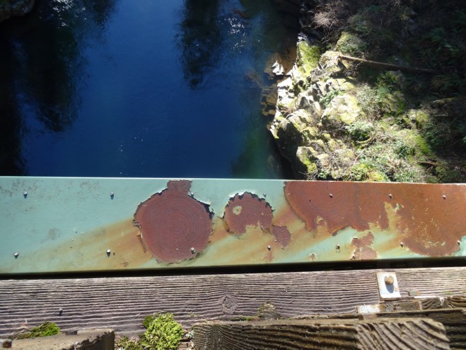
Looking down…

DSC01651

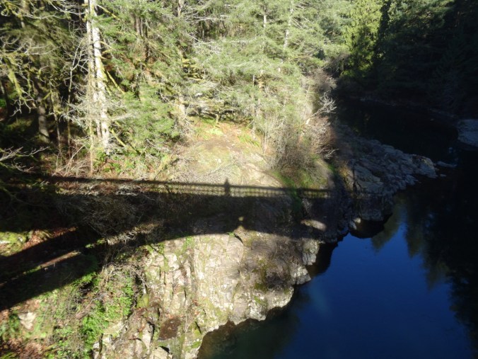
My shadow self portrait.

Up the Bells Mountain trail – about 1000 feet up in 1.5 miles, so a good work out.

DSC01662

Uphill through ferns and second growth forest…

DSC01664

Until we cross a clear cut area, and the view to Mt St Helens opens up.

DSC01665DSC01667

DSC01670

Ice on the trail

DSC01675

Lunch time view – across the Lewis River area to Mt St Helens.

DSC01679

Passing Moulton Falls on the return hike

DSC01696

Nearby Yacolt Falls

And Lucia Falls:

DSC01710DSC01713DSC01721

Total for the day:  6.7 miles, 1100 feet, hike #7.

Knitting

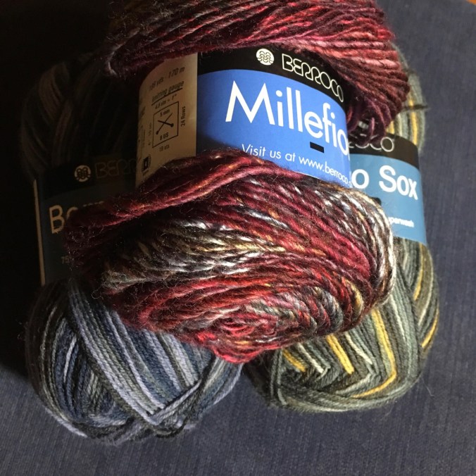
I finished my Brioche Watch Cap, after having to buy an extra skein of Berocco Millifiore yarn, just in time for snow in Portland.

DSC01725

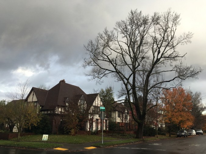
Neighborhood, 2/5/2019

Snow…

DSC01730DSC01732DSC01733

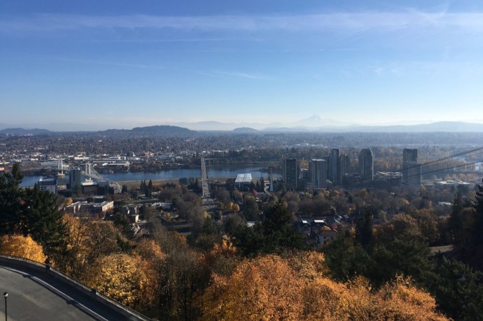
And a view of Mt St Helens and the Ross Island and Tilikum Crossing Bridges from the OHSU eighth floor waiting room. Latest follow up results are all good!

IMG_1843

1/29/2019


Silver Falls and Steigerwald

1/27/2019 Steigerwald Wildlife Refuge, WA

A short walk on a foggy day with one of our sons.

DSC01373DSC01375

DSC01378

Ducks

DSC01446

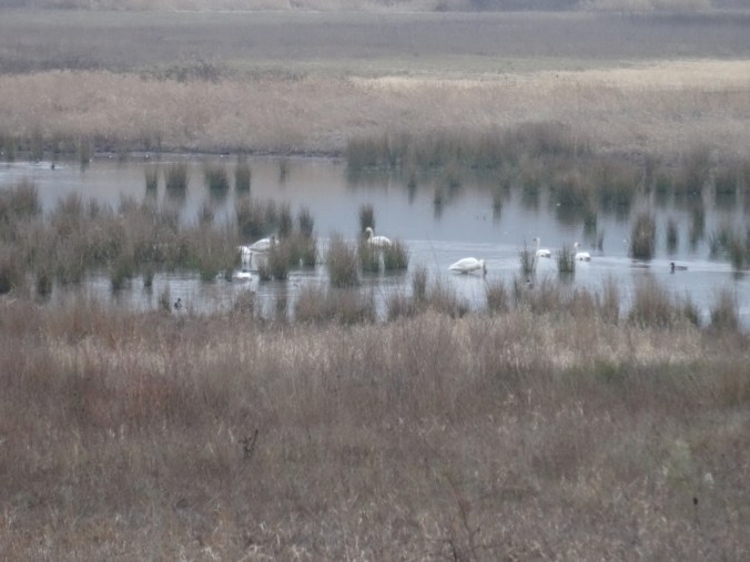
Swans

DSC01390DSC01396

DSC01440

Great Blue Heron near the bridge

DSC01424

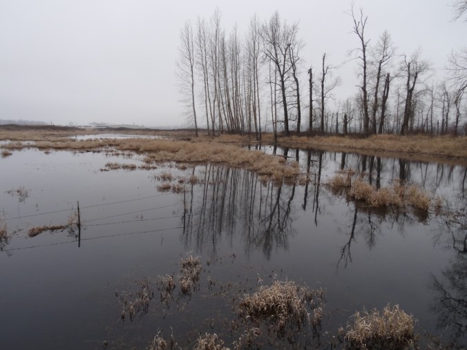
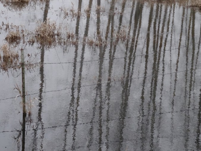
Ephemeral reflections

DSC01425DSC01429DSC01430DSC01432DSC01433DSC01423

DSC01437

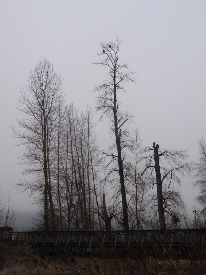
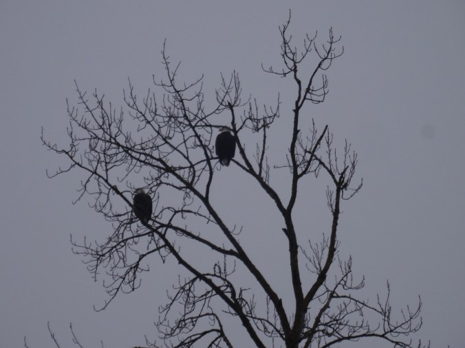
Bald eagle pair watching over all.

DSC01443

2.3 miles, hike #5 for 2019.

1/28/2019 Silver Falls, OR

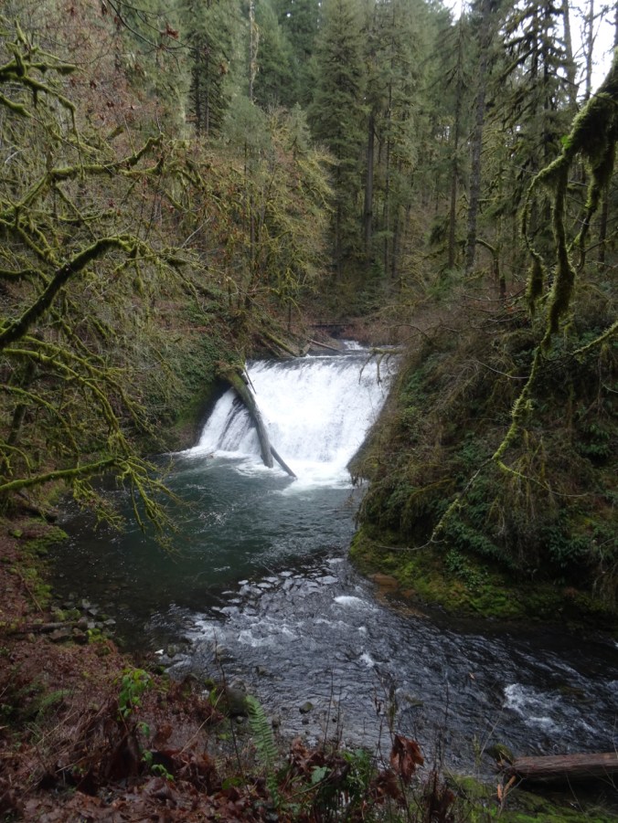
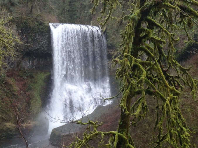
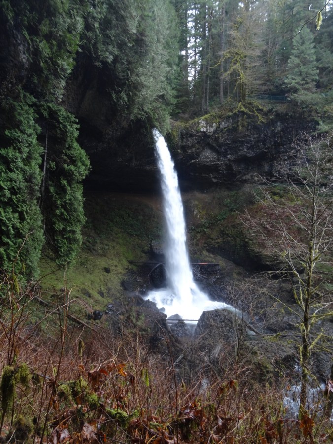
Windy and cold in Portland, but warmer to the south. We drove to Silver Falls State Park in the Cascade foothills east of Salem, Oregon, where the North and South Forks of Silver Creek fall in steep drops or shorter cascades over ledges of volcanic rock. We hiked the Trail of Ten Falls, though we skipped one – so the Trail of Nine Falls. One or more waterfalls every mile of the seven mile loop keeps the trail interesting. Lots of water in the falls, compared to my last visit in August of 2017!

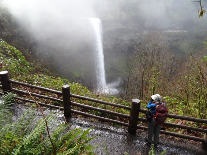
South Falls 177 ft

We started at South Falls, but skipped the path behind the falls as I didn’t want to start out the hike wet.

DSC01454

South Falls from the upper viewpoint

DSC01467

DSC01472

South Falls from the bridge.

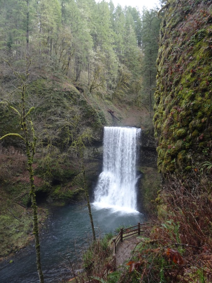
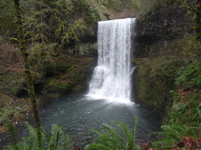
Lower South Falls 93 ft

DSC01484

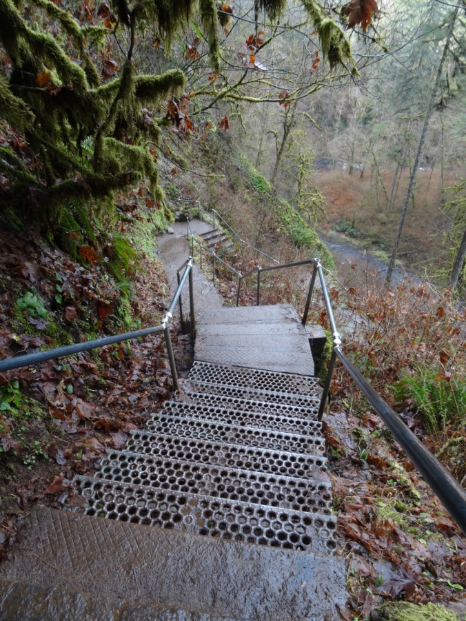
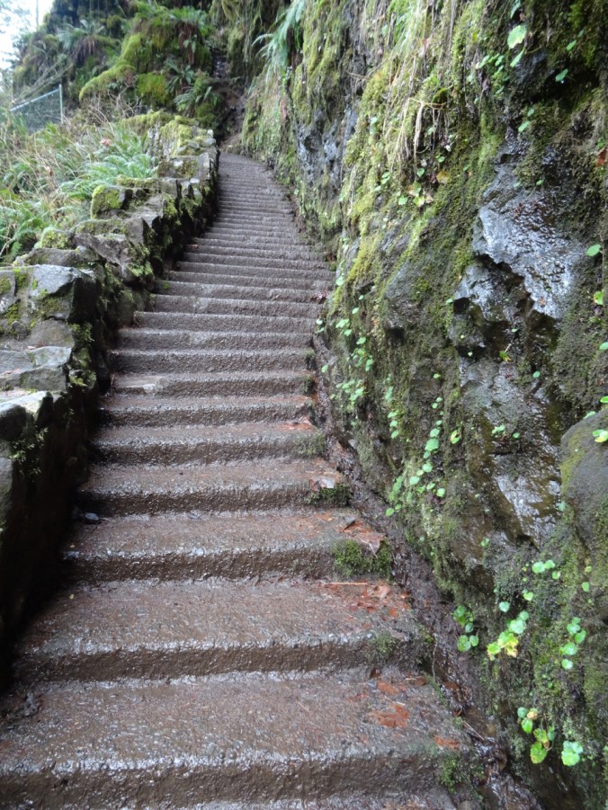
Stairs down the cliff.

DSC01485DSC01493DSC01497

DSC01503

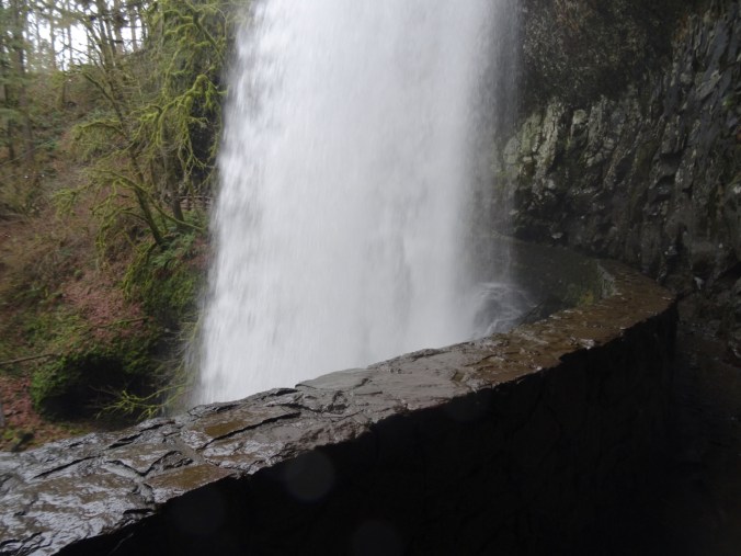
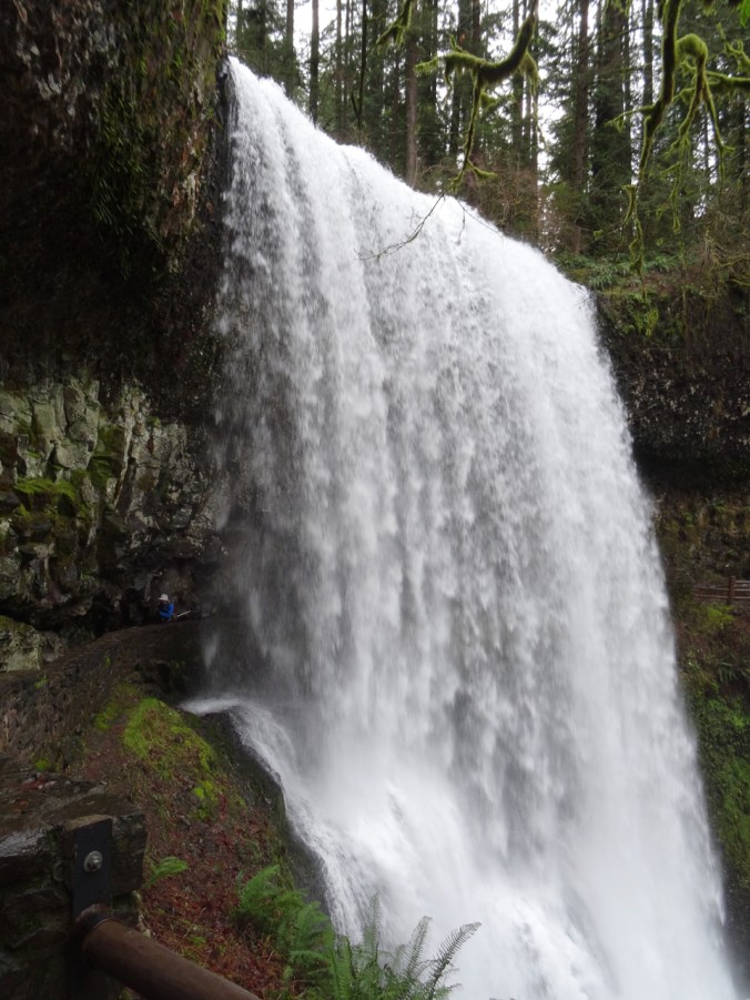
Walking behind the falls.

DSC01509

Dan on the left, emerging from behind the falls.

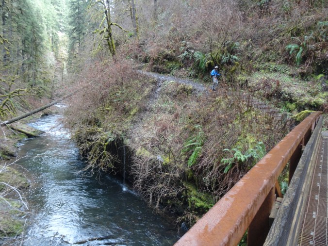
The trail follows the river, with occasional bridge crossings.

DSC01512

Lower North Falls 30 ft

DSC01518

Double Falls 178 ft

DSC01525

Drake Falls 27 ft

DSC01528

Named for the man who created the park.

Middle North Falls 106 ft

DSC01540DSC01545

Twin Falls 31 ftDSC01557

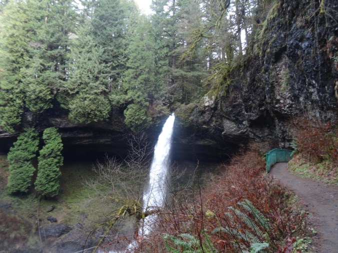
North Falls 136 ft

The trail leads behind North Falls.

DSC01576DSC01584

DSC01590

Behind the falls.

DSC01593

DSC01602

Looking back.

DSC01607

And now we have to climb up out of the canyon.

DSC01608

Looking back down at North Falls.

We did not walk the extra distance to Upper North Falls (65 ft), but followed the Rim Trail toward –

Winter Falls 134 ft

We only saw the upper lip of this one, though there is a trail down to the base.

DSC01620

Winter Falls rim.

This was the last waterfall of the hike (7.0 miles, 1200 feet, hike #6 for 2019).

Wildlife

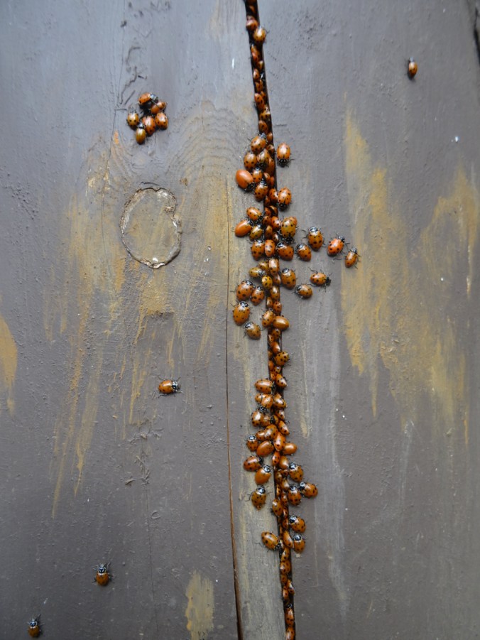
There was a ladybug picnic on one of the fence posts:

DSC01463DSC01465

Valley of Rocks and Woodlands Walk, Lynton, Devon, UK (18-55)

Day 12, May 7, 2018

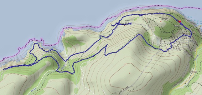
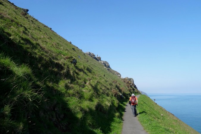
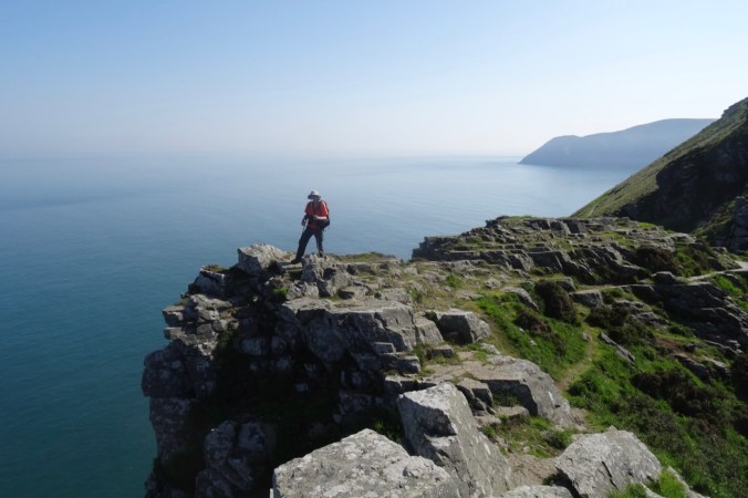
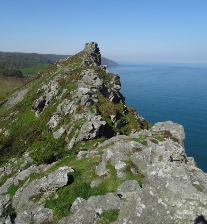
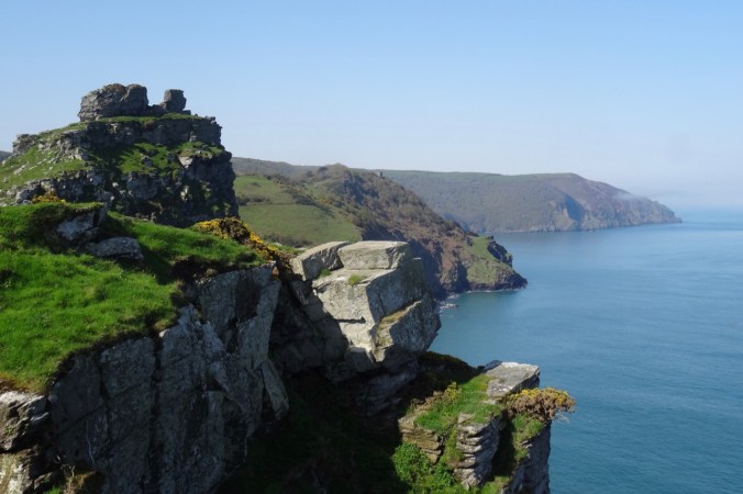
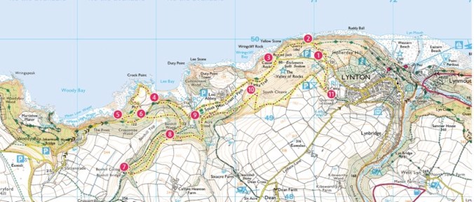
Today we walked a loop trail along the Southwest Coast Path through the Valley of Rocks, then circled back on the hills above the town of Lynton.

Screen Shot 2018-10-04 at 1.11.18 PM

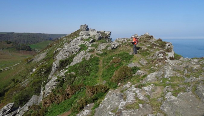
Valley of Rocks: The sun position was better today as we retraced our steps into the Valley of Rocks. We climbed up one of the promontories

DSC04099dsc04104.jpgDSC04105DSC04106

DSC04108

Looking back to the east.

DSC04109

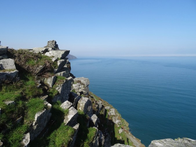
Castle Rock and westward view.

DSC04111

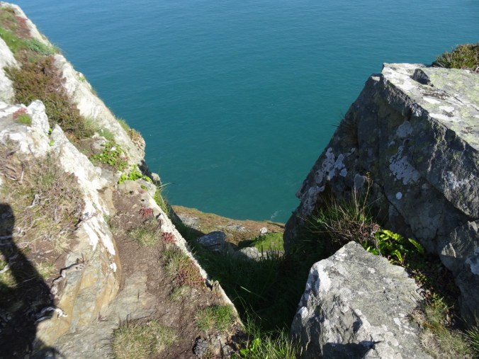
Steep cliffs here.

DSC04112

Quartzite and Slate of the Devonian Lynton Formation

DSC04116

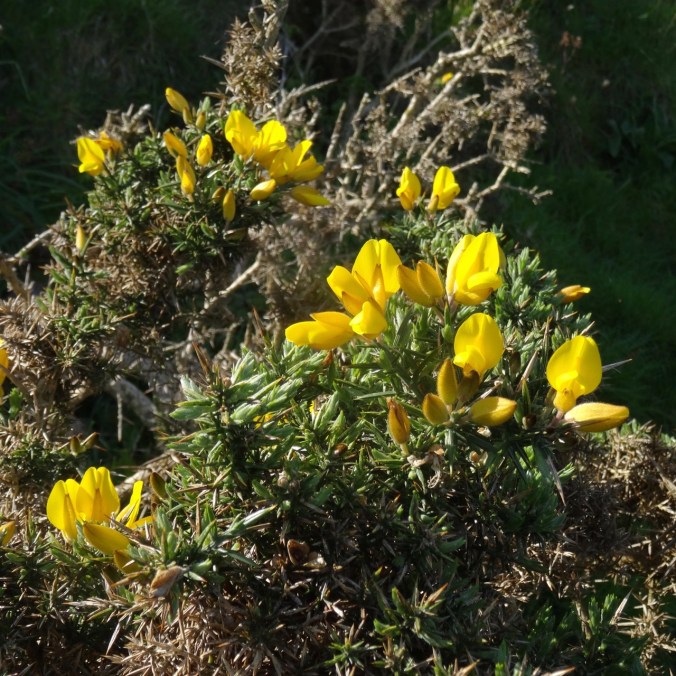
Gorse

DSC04124DSC04133

Beyond the rocks, the path continues on the road past Lee Abbey.

DSC04154

Lee Abbey

DSC04143

Gardens

DSC04144

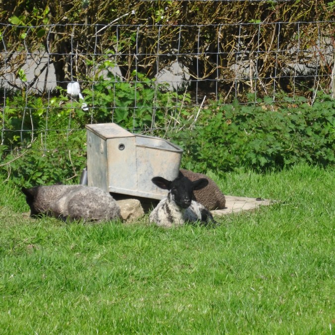
Sheep

DSC04148

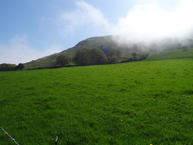
Fog wafting by

DSC04152

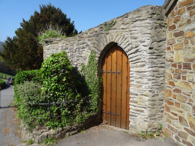
Old door

DSC04153

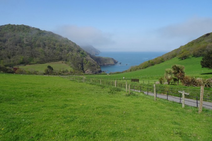
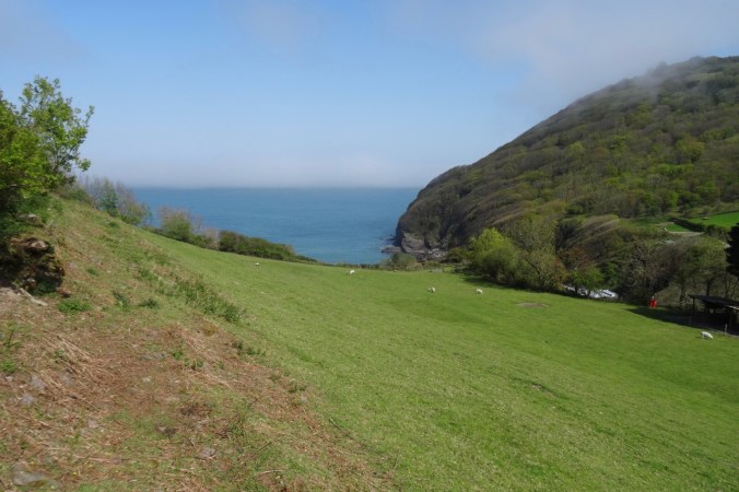
View down to Lee Bay

DSC04158

More sheep

DSC04160

View back to the Abbey

DSC04163

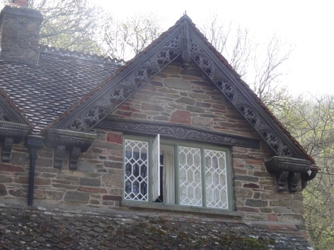
A house along the road

DSC04165

DSC04166

Lee Bay again

DSC04169

Horses riding up the road near Lee Abbey.

Our trail descended to circle around Crock Point, with the fog settling in on us.

DSC04170

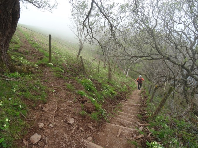
Steep steps down the primrose path.

DSC04171

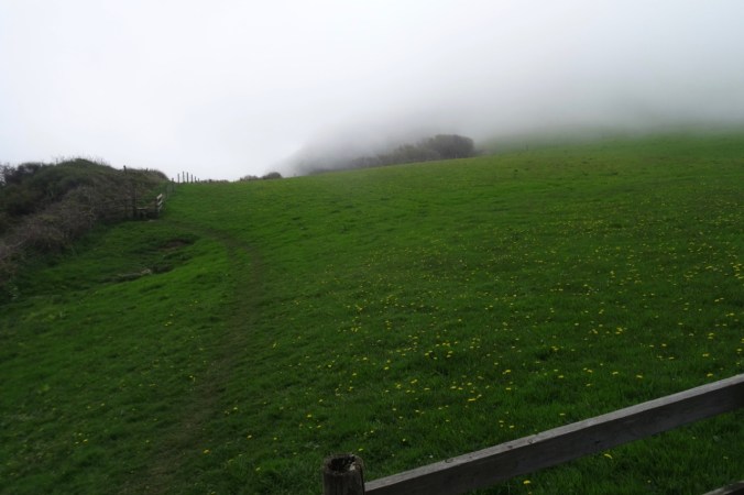
Foggy meadow on Crock Point,

DSC04172

and foggy views beyond the hedgerows.

DSC04174

Plenty of flowers,

DSC04176

And then the fog lifted.

Next our trail wound through Croscombe and Bonhill Woods where we crossed The Lee on Bonhill Bridge.

DSC04183

Our path was lined with bluebells in Croscombe Wood.

DSC04184

Bluebells and Campion

DSC04187

A twisted tree, ferns and bluebells – so very green in here!

DSC04189

Another steep staircase in Bonhill Woods down to the stream.

DSC04190

Bonhill Bridge across The Lee.

DSC04193

The Lee

As we entered the Six Acre Wood we could see back to the Valley of Rocks.

DSC04216DSC04196

DSC04200

A small check dam along the way seemed like water sprite habitat.

Our trial emerged onto the slopes of South Cleave, from which we could look down upon the Valley of Rocks and our earlier path.

DSC04222

Trail up South Cleave.

DSC04218

Looking down on Lee Abbey.

DSC04221

Looking down on Lee Bay.

DSC04223

Valley of Rocks below.

DSC04238

Another view west from South Cleave.

Our path led us down hill and through Lynton before circling back to our lodgings.

DSC04243DSC04244DSC04245

DSC04246

Downtown Lynton.

DSC04247

View over the rooftops to Lynmouth Bay.

DSC04248

Sign showing the paths and the Cliff Railway down to Lynmouth – on tomorrow’s agenda.


Image 12-4-18 at 6.17 PM

Southwest Coast Path Website Map for our Walk. We walked about 7.5 miles, 700 feet elevation.

Evening view of Countisbury Hill and Lynmouth Bay from our little balcony:

DSC04253


Return to Angel’s Rest (18-53)

Angel’s Rest Trail, Oregon   November 24, 2018

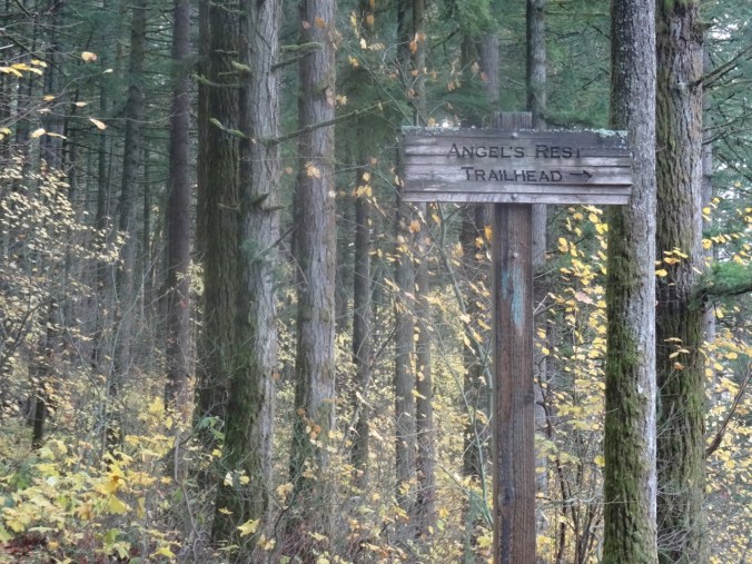
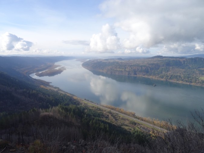
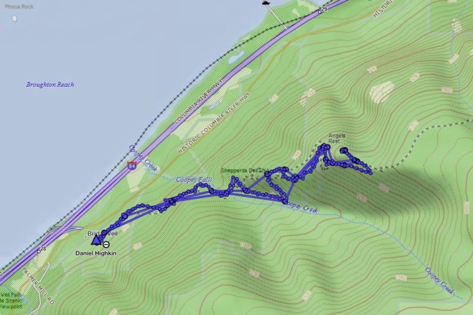
A few trails in the Columbia River Gorge that have been closed since the September 2017 Eagle Creek Fire were reopened for the first time this past weekend. We went to Angel’s Rest on Saturday morning, along with hundreds of other local hikers. It was with care, scrutiny, appreciation, and gratitude that we made our way up 1500 feet to the iconic views over the gorge. The trail was in great shape, thanks to the many trail keepers who have worked on recovery.

DSC00428

Into the woods

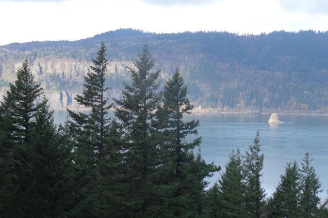
DSC00312

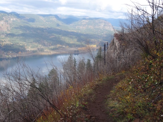
Views of Cape Horn, the Columbia River and Phoca Rock emerge on the lower trail.

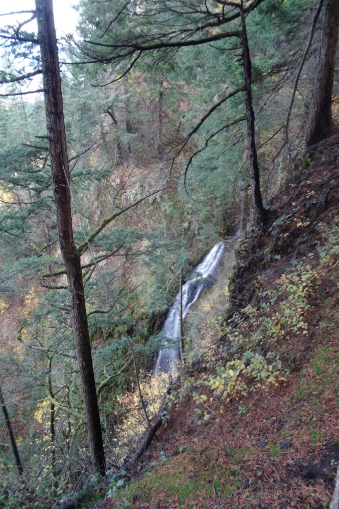
DSC00315

Coopey Falls

DSC00330

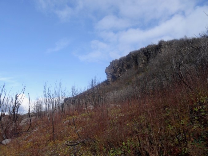
Angel’s Rest – our destination.

The trail begins to switchback up the front of Angel’s Rest.

DSC00339

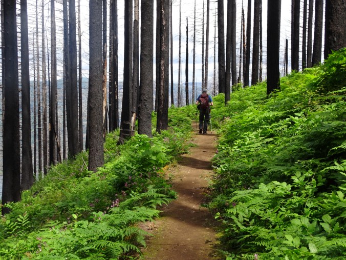
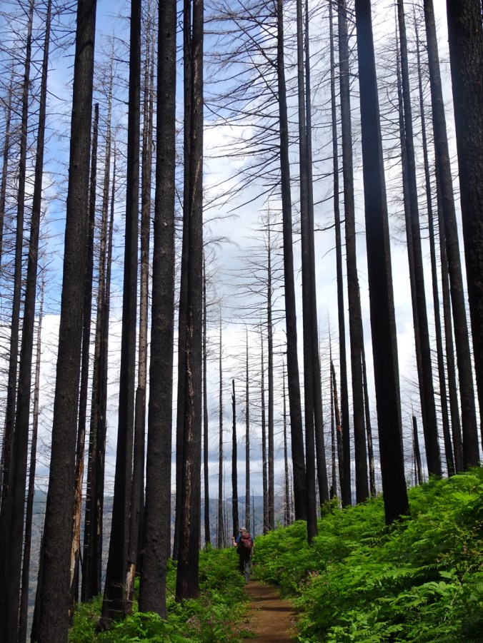
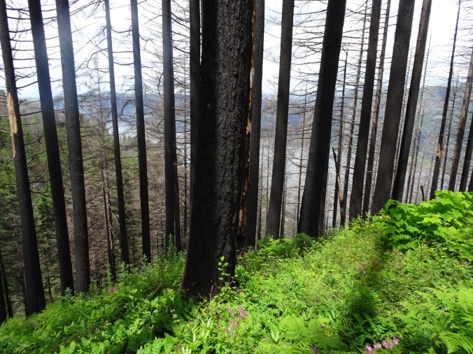
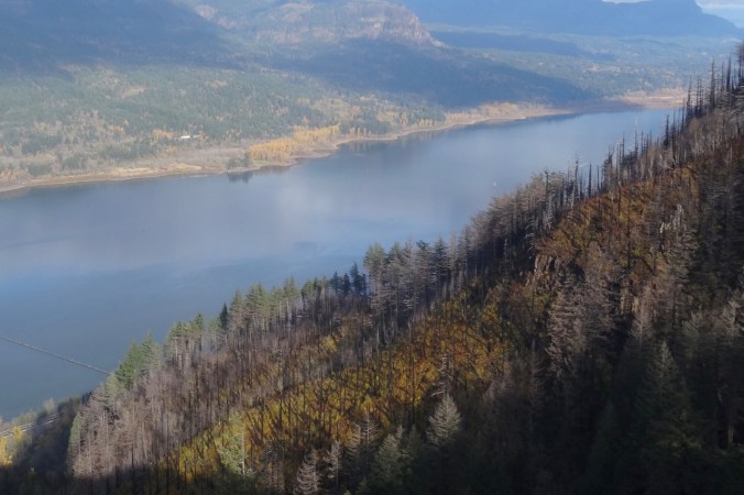
Burned tree trunks and open views line the trail.

DSC00347

First view west toward the trailhead.

DSC00349

Well repaired trail surface next to blackened trees.

DSC00351

Blackened stump.

Nearing the top, the views unfold:

DSC00361

To the west, from near the top.

DSC00370

The Hilary Step of Angel’s Rest – leads to the ridge crest. Sometimes there is a line of hikers waiting to go up or down.

DSC00411

From the top, looking toward the overlook where many rest.

DSC00380

Open view west – toward Portland, Cape Horn in Washington and Phoca Rock.

DSC00387

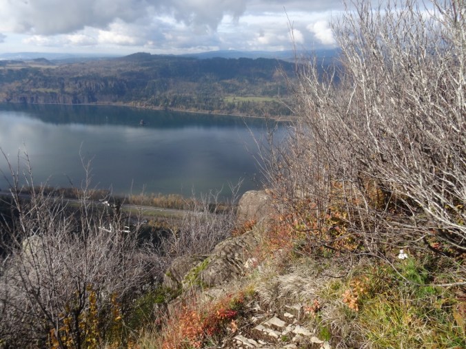
Open view east – toward Hamilton Mountain in Washington.

We wandered around on top for a while, admiring the view from various perspectives, and found a place to eat lunch.

DSC00394

Closer view of Cape Horn in Washington.

DSC00395

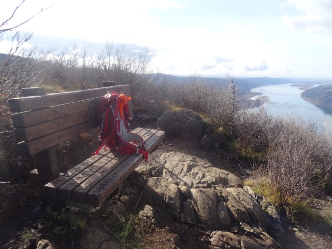
The bench is still there.

DSC00397

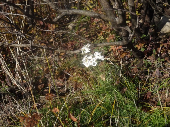
We saw a single blooming white yarrow near our lunch stop.

DSC00396

Yarrow

We headed down, stopping for a few more views along the way.

DSC00404

Looking back toward the top, where the first views are seen.

DSC00407

My shadow in the low November light.

DSC00413

My favorite sculpted shoreline of the Columbia River.

DSC00415

View through the rock piles.

DSC00416

Seasonal berries

DSC00417

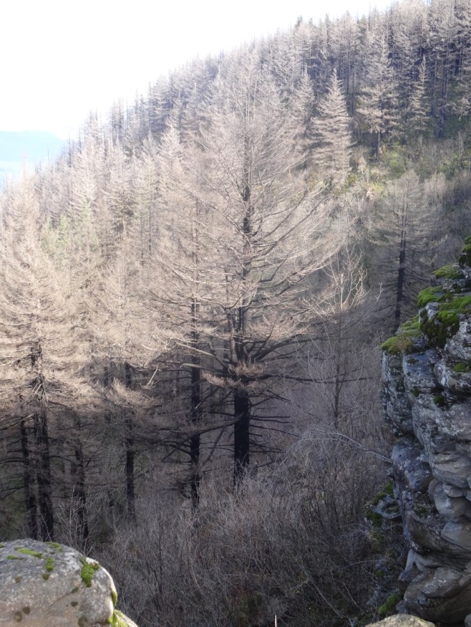
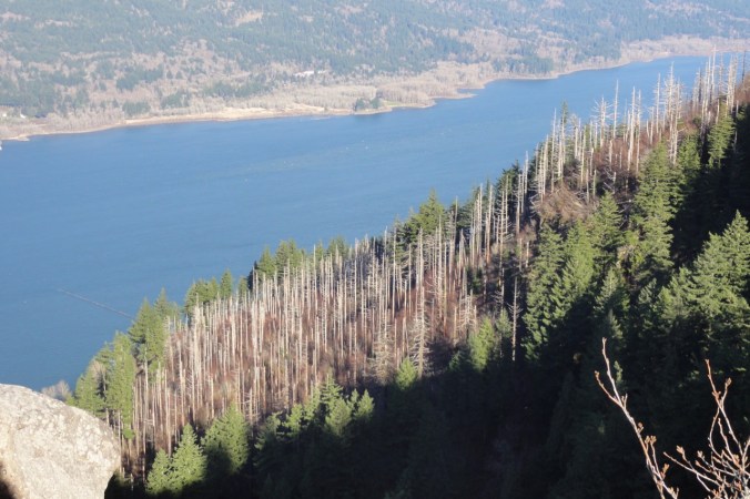
Trees that are burned, dying, no longer evergreen.

Looking back as we hiked down:

DSC00420

Where we were – and much more visible with all the undergrowth burned away.

DSC00422

White berries lined this part of the trail – not sure what they are – possible snowberries, or the dreaded poison oak.

Image 11-28-18 at 1.18 PM

Golden Hike of the year, #62, 5.2 miles, 1500 feet.

Look back:

I found a couple of comparison photos from previous hikes – this one in January of 2013:

DSC00623

January 2013 – the white tree trunks are left from a fire in 1991.

DSC00368

November 2018 – the white trunks are blackened, and the green trees are now dying.

A closer view:

DSC00628

January 2013

DSC00400

November 2018

An image taken in 2017 from Cape Horn looking over to today’s hike to Angel’s Rest.

Version 2

Angel’s Rest, October 2017, From Cape Horn, WA.

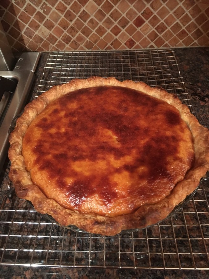
Pumpkin Pie

A lovely Thanksgiving dinner with a small gathering of family and friends.

56455561396__6DC3EE2D-A9BB-4FCC-907B-ADFF24C3AD45

Knitting

Another round cloth. Some new sock and hat yarn acquired from my LYS on Black Friday.

DSC00434IMG_1726

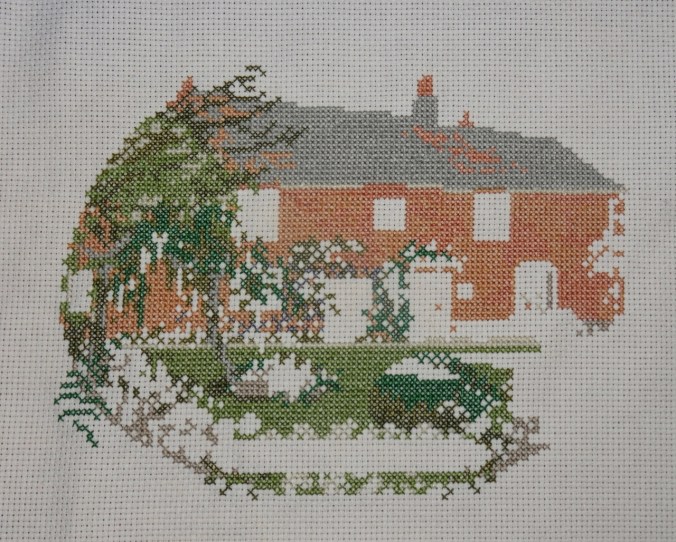
Jane Austen House Cross Stitch

I have been rather obsessively cross stitching in the evenings.

DSC00438

Neighborhood

Leaves fully gone from the flame ash tree.

IMG_1724

Other Adventures

It has been about a year since I was diagnosed with a pituitary tumor. I had another trip through the MRI this week to evaluate the tumor surgery site, accompanied by a Joni Mitchell soundtrack in my head this time. Fortunately, all appears well. And I could see all three mountains from the OHSU tram view patio.

IMG_1709

Mt St Helens on the left; the top of Mt Adams just right of center on the horizon. Tillikum Bridge over the Willamette River on the right.

IMG_1710

Tillikum Bridge on the left; Mt Hood on the horizon – looking east from the OHSU tram patio.

St Agnes to Perranporth, Cornwall, Poldark Country (18-50)

Day 9, Friday, May 4th, 2018

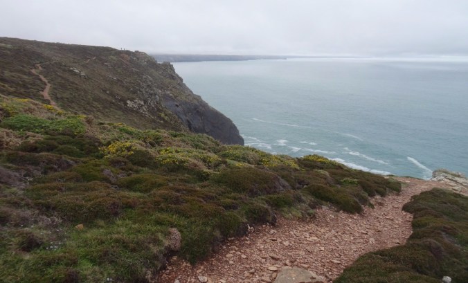
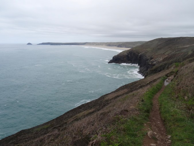
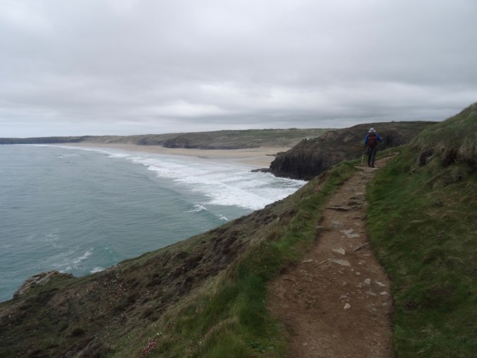
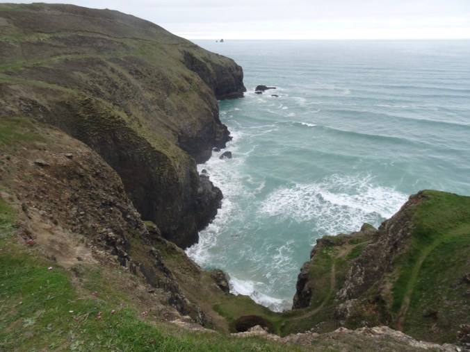
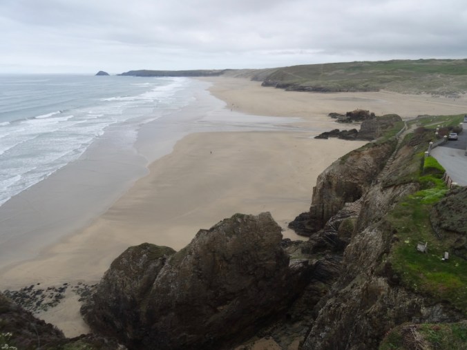
We drove from our lodging in Fowey to Perranporth on the north coast of Cornwall. Dan planned a one way hike on the Southwest Coast Path from St Agnes back to Perranporth. A low cloud ceiling remained for the entire day, but it wasn’t too cold – good hiking weather. We  passed broad moors, coastal cliffs, beaches and tin mines. Some of the scenes for the BBC Poldark series were filmed in this general area.

DSC03573

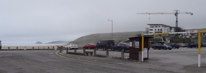
Carpark at the beach in Perranporth.

We parked in Perranporth and took the local bus to St Agnes – a bit of an adventure in itself, because the bus was running almost an hour late. The driver very kindly made sure we got out at the right stop in St Agnes, so at 11 AM, we were finally our way for what would be a ten mile hike, with 1500 feet of total elevation gain, as we walked up and down the coastal cliffs.

Screen Shot 2018-10-04 at 1.03.44 PM

We walked through St Agnes,

dsc03576.jpg

A street sign for Harry Potter fans

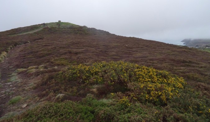
along some farm roads, then uphill to St Agnes Beacon.

DSC03579

First view of the coast over the field

dsc03580.jpg

Our track to the north

dsc03588.jpg

St Agnes Beacon ahead, beyond the gorse

DSC03589

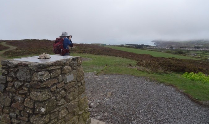
Lunch stop at St Agnes Beacon

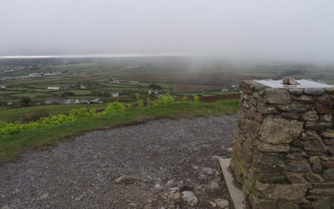
On a clear day the views must be incredible!

dsc03595.jpg

Land of counterpane beyond.

dsc03590.jpg

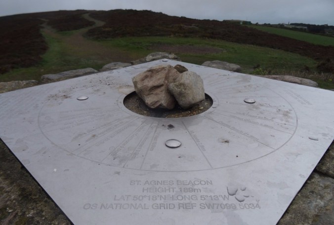
Location finder on the Beacon.

DSC03592

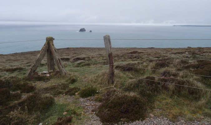
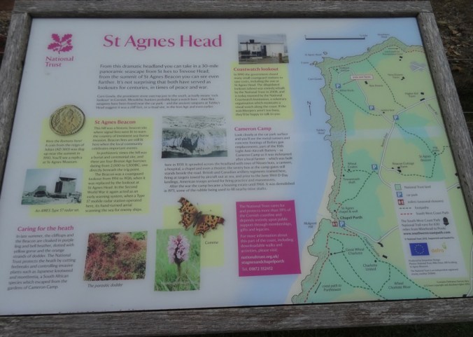
We continued downhill toward St Agnes Head – a promontory on the coast.

DSC03603

Looking west…

dsc03599.jpg

Looking east…

DSC03597

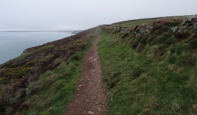
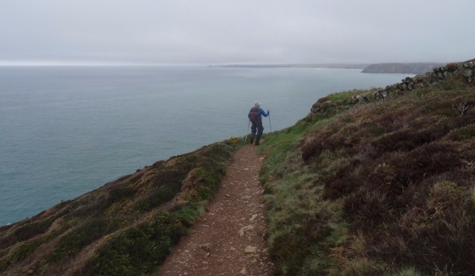
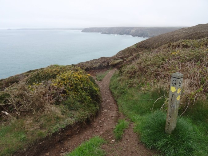
From St Agnes Head we turned east on the SW Coast Path toward Perranporth. The trail stayed above the high cliffs until we reached the descent to Trevaunance Cove.

DSC03612

Gorse along the trail

dsc03614.jpg

Hedgerows

dsc03618.jpgDSC03620dsc03627.jpg

DSC03628

First glimpse of the beach ahead

DSC03629

Old tin mine

DSC03630

The turquoise blue water of Cornwall

dsc03635.jpg

Flower-lined path

There were so many flowers along the path…

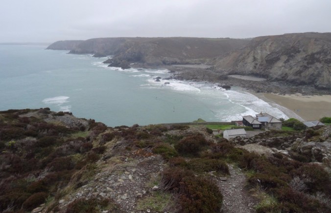
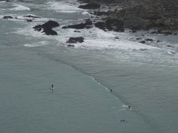
We looked down to Trevaunance Cove, noticing the standup paddlers in the water.

dsc03637.jpg

Trevaunance and Trevellas Coves

DSC03638

Stand up paddle boarders

dsc03642.jpg

Tin mines on the cliffs above Trevaunance Cove

DSC03644

Stairway down the cliffs

DSC03648

Our path along the beach and rocks to Trevellas Cove

Fortunately, the tide was out. We walked across the beach, then picked our way over and around the rocky outcrops to Trevellas Cove, enjoying the tide pooling along the way.

DSC03649

Flowers blooming on the cliffs

DSC03650

DSC03653

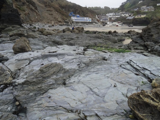
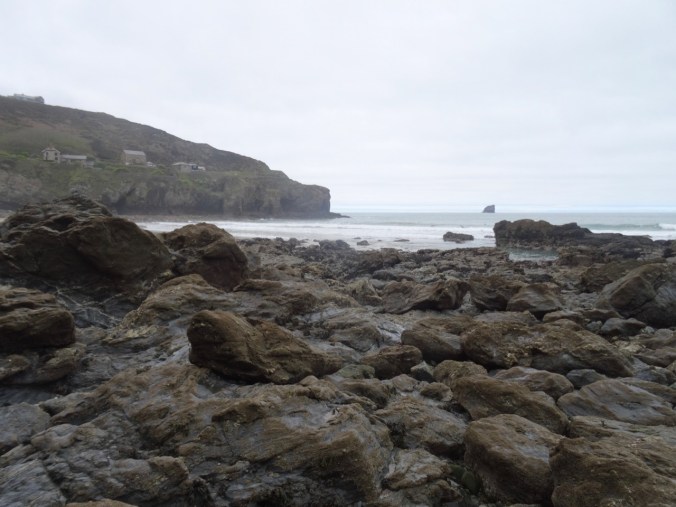
Devonian metamorphic rocks

DSC03655

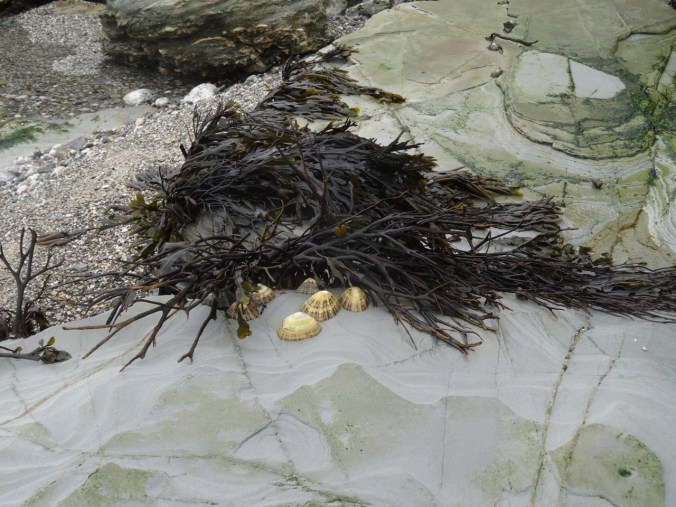
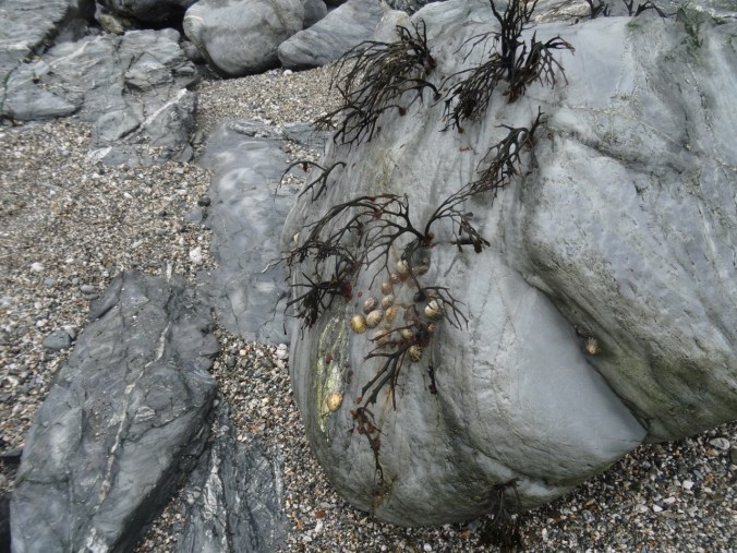
Limpets

DSC03656

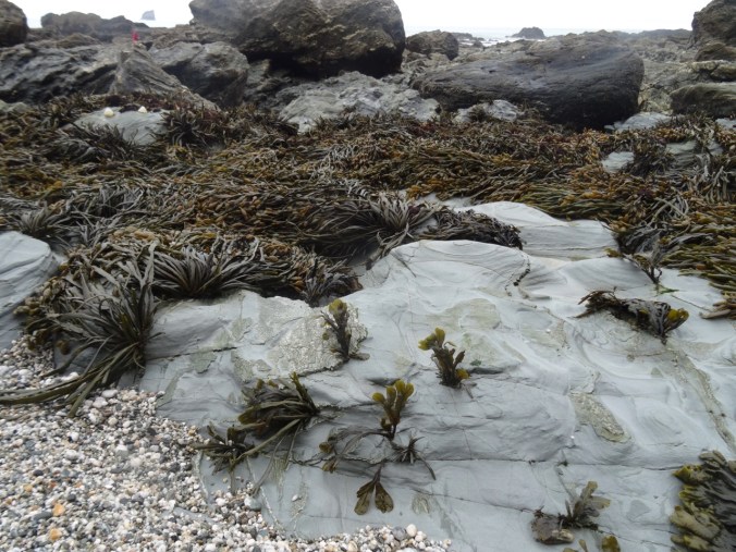
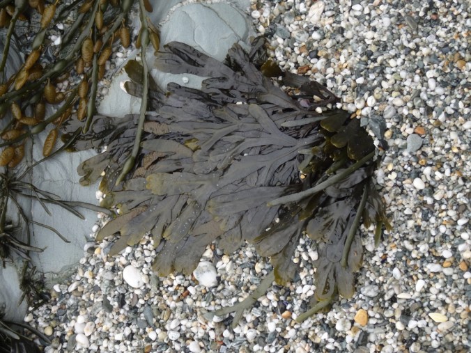
Seaweed

DSC03658

View back to the village at Trevaunance Cove

DSC03661

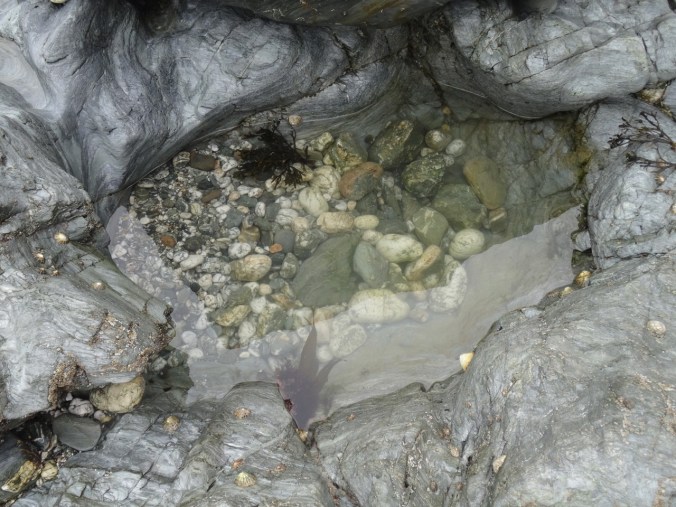
Tidepools

DSC03663

Seaweed and limpets

DSC03665

DSC03668

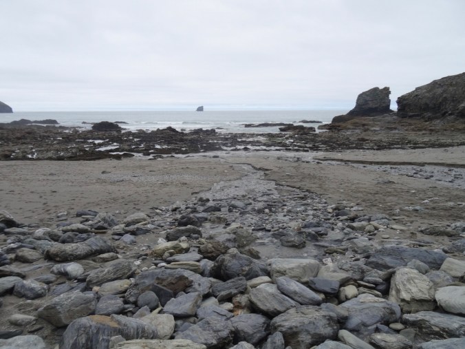
The rocky gap on the beach at low tide

DSC03669

Looking back again

DSC03679

More tide-swept sea weed

DSC03680

Pebbly sand and seaweed

DSC03684

Ebb tide channel

We crossed over into Trevellas Cove and could see our path up the cliffs.

DSC03687DSC03692DSC03693DSC03694

DSC03699

Looking back to our beach crossing

DSC03701

Another look back

Continuing east toward Perranporth, the next section of the SW Coast Path again stayed high on the cliffs with views down to beaches.

DSC03705

DSC03703

Waterfall

DSC03712

DSC03709

Beach caves and arches

DSC03714

We passed old tin mines and tailing piles,

DSC03716

Mine opening in distant cliff

DSC03721

Covered mining site

DSC03719

Closer view of the cliff mine

Ruins of WWII bunkers and an airfield are also along the trail.

DSC03707DSC03724DSC03726

Plenty of flowers and spectacular geological outcrops.

DSC03741

Sea thrift and folded Devonian metamorphic rocks

Eventually, we reached views of the beaches of Perranporth.

DSC03727

View toward Perranporth from Cligga Head

DSC03735

DSC03738

Last look back to the west

DSC03717

Bird covered rocks

We were glad to wind our way down the cliffs to the car park in Perranporth after a long, beautiful hike.

DSC03742DSC03743

The Jaguar GPS led us back to Fowey by the narrowest and hedgerow-bound of winding back roads – we learned from this day to ignore the B roads with lots of numbers. The GPS route would recalculate to stay on A or low number B roads if we ignored turn directions when we didn’t like the look of the road. The new route might be longer in miles, but shorter in time and less scary in narrowness and visibility. Also, the signs that say “Weak Bridge Ahead” are a little disconcerting, though we were sure they meant heavy trucks, not passenger cars. You never know though. Some of the buildings and hedgerows certainly date back to the time of Poldark. Roads that are about two feet from the doors of farm houses cannot really be meant for through travelers. We needed a smarter GPS or more experienced operator. It would have helped if we had looked at the overview map of the route before embarking, but the GPS in the car did not seem to offer this option in a practical way. I personally prefer to preplan my routes with more diligence, but sometimes when traveling, and changing plans on the fly, on the whims of the weather, we wing it – with the consequences of the narrow hedgerow and the blind corners. After this day I used my Google Maps Iphone App and did not use the Jaguar GPS though she did have a charming British accent and manners, directing us, “Please, at the next roundabout, take the second exit toward St Agnes.”

We enjoyed making ourselves a Mexican dinner back at the cottage.

Fowey Estuary Walk, May 3, 2018 (18-47)

Day 8,  Fowey Estuary Loop

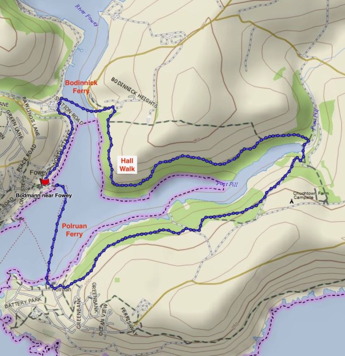
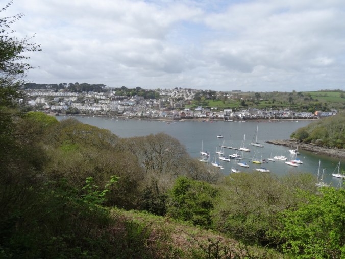
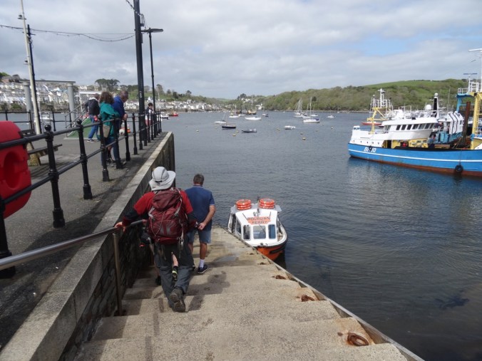
We were settled into a cottage for the next few days, and happy to take a day off from driving. We chose to walk a loop around Fowey Estuary by foot and ferry.

Screen Shot 2018-10-18 at 3.53.13 PM

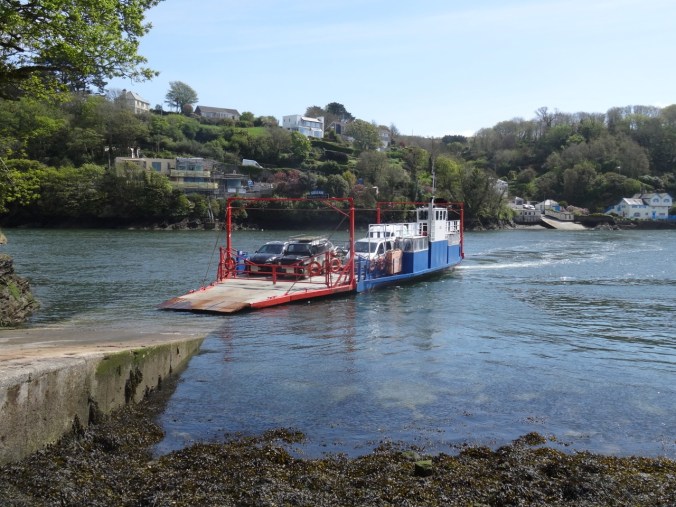
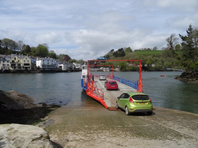
We walked from our cottage down to the ferry crossing at Bodinnick.

DSC03449

Waiting for the ferry to dock.

DSC03450

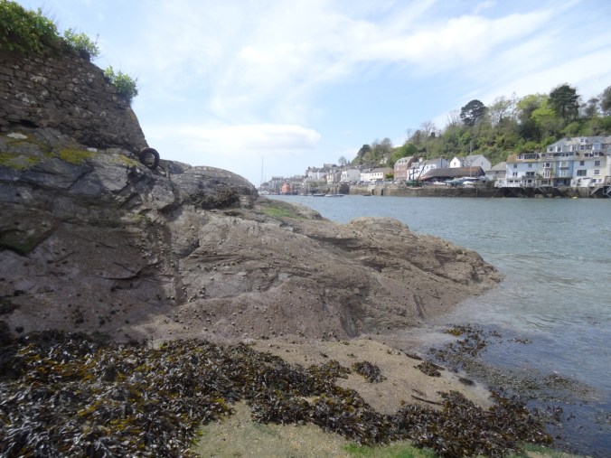
Rocks and barnacles at the Bodinnick landing.

DSC03452

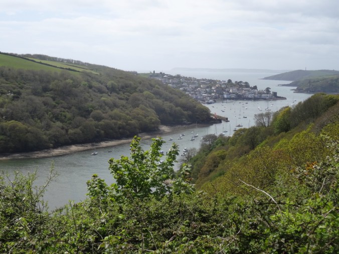
Looking back to Fowey.

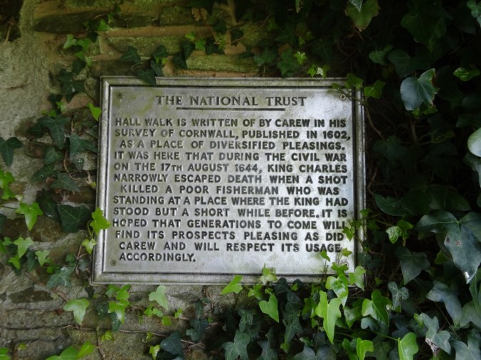
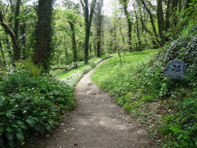
After our brief ride across the river, we walked up hill onto the bluffs above the estuary. Most of our trail was part of the Hall Walk, a National Trust property with historical markers, beautiful wildflower displays, and great views of the landscape.

DSC03465

Hall Walk

DSC03468

Looking toward the English Channel

DSC03471

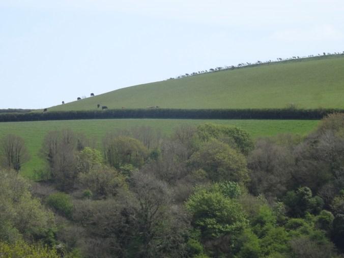
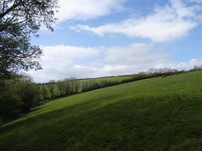
Fields on Bodinnick Heights

DSC03476

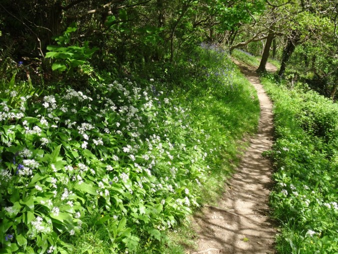
Wildflower-lined path

DSC03478

A place to rest and look at the view.

We were lucky to be here when many flowers were in bloom!

DSC03459

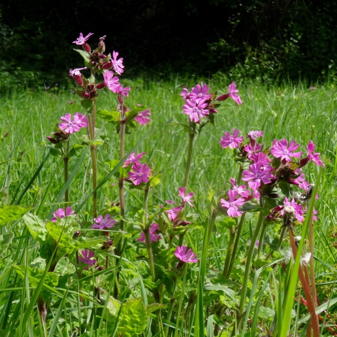
Red campion

DSC03460

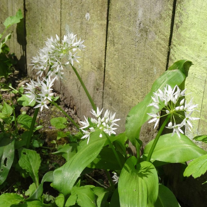
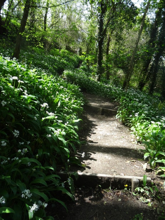
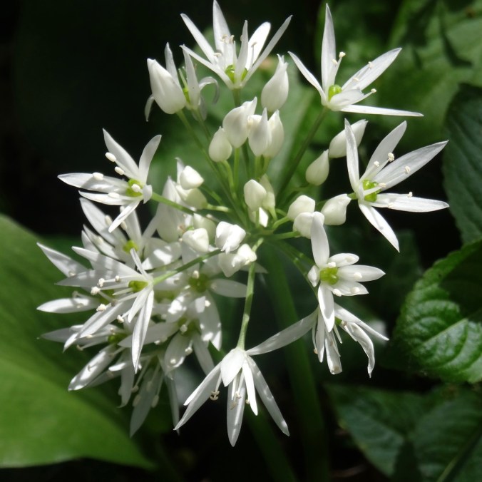
Wild garlic

DSC03493

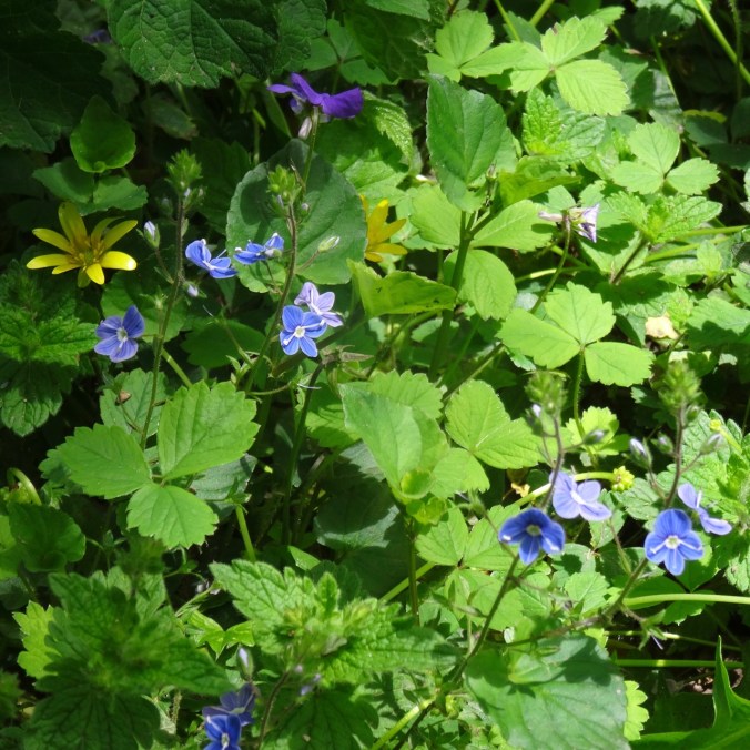
Speedwell

DSC03492

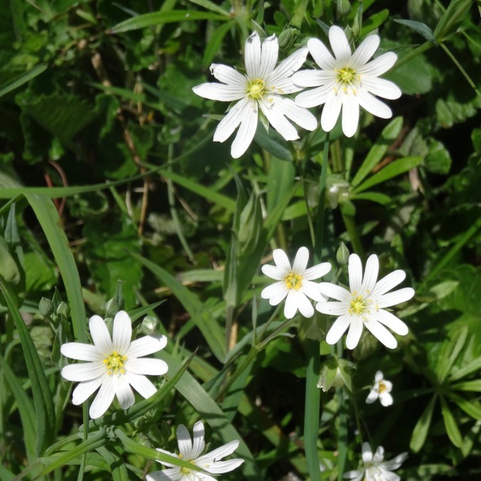
Stitchwort

DSC03494

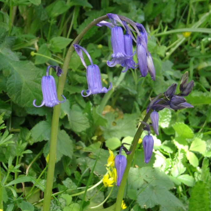
Blue bells

DSC03507

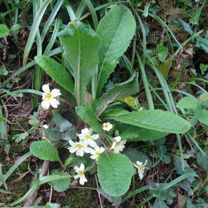
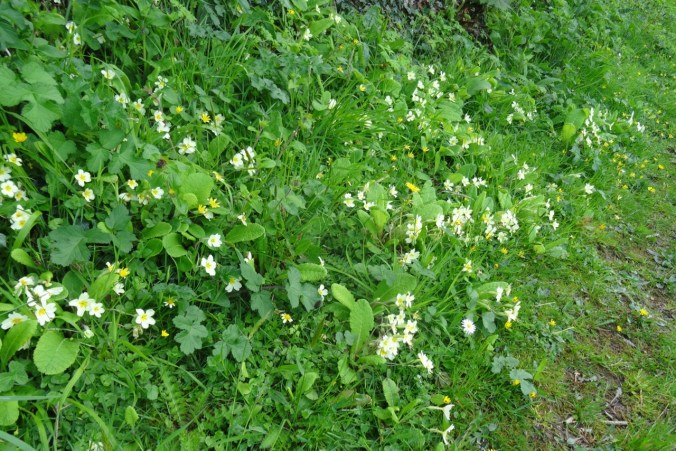
Primroses – at first I thought these were someone’s garden plants gone astray, but after seeing great drifts of creamy white primroses on most of our hikes, I realized that these are native wildflowers here.

DSC03495

Buttercups

DSC03750

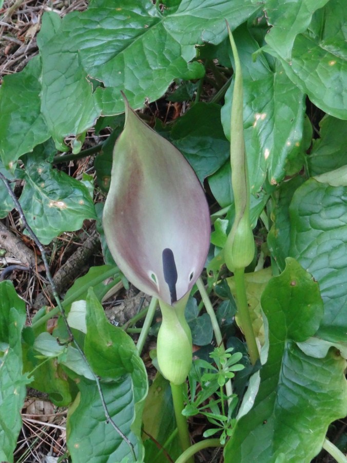
Lords and ladies arum

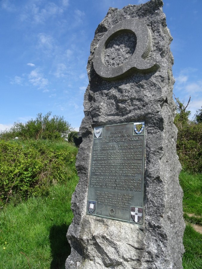
A side path led to monuments to historical figures.

DSC03483DSC03484

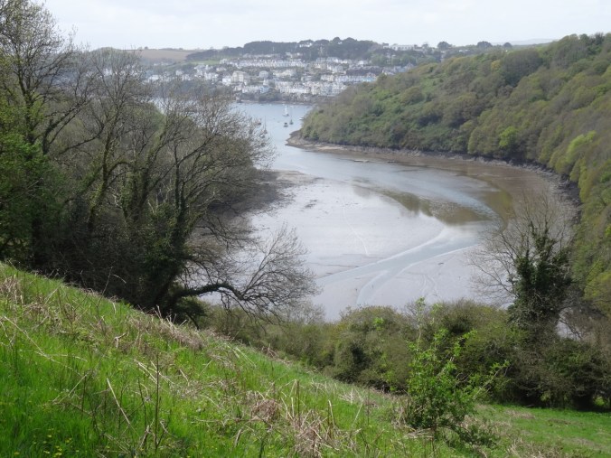
The path then turned eastward along the bluffs above an inlet to the river called Pont Pill.

DSC03481

DSC03485

Looking east across Pont Pill.

DSC03486

Looking west toward River Fowey estuary.

DSC03498

Looking down past red campion and budding trees to Pont Pill.

DSC03501

Up the stairs

DSC03503

View out to sea

DSC03506

Cattle on the Bodinnick Heights

DSC03508

Down another flowery path

DSC03511

More flowers

DSC03513

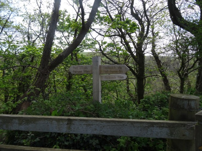
Waypost

DSC03514

Bodinnick Heights again, before the last descent.

We crossed Pont Pill,  and then headed toward Polruan to finish our walk.

DSC03515

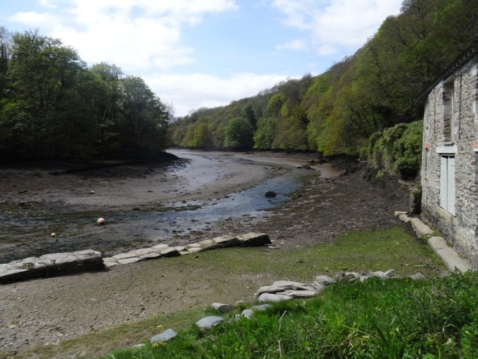
Pont Pill

DSC03517

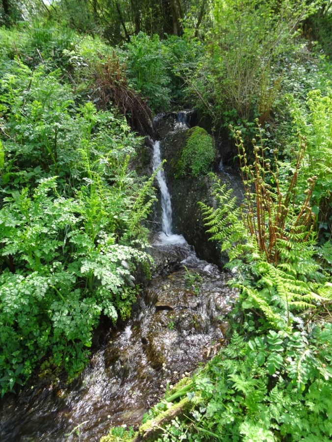
Waterfall on the south side, heading back up onto the headlands.

DSC03521

Wild garlic lined path

DSC03522

Wild Garlic

DSC03527

Primroses

DSC03529

Looking down on Pont Pill.

DSC03530

Looking across to Fowey.

DSC03531

Closer view…

At Polruan we took another ferry back across the River Fowey to Fowey harbor.

DSC03535

DSC03538

Looking upriver…

DSC03540

Fowey harbor – tide is out…
DSC03541

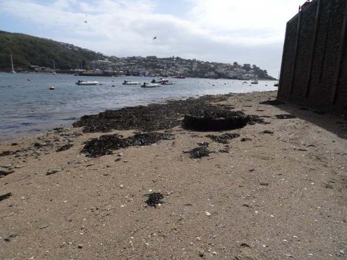
Harbor wall, low tide.

DSC03542

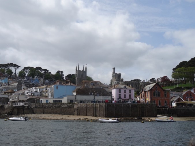
Looking back to Polruan from the landing.

Walking Around Fowey

I then poked around the town and bought a Cornish pasty to supplement our dinner.

DSC03544

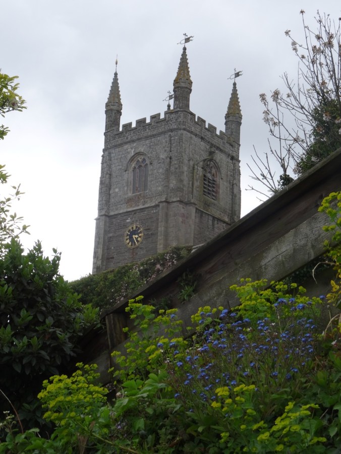
Church tower

I came across these signs on a gate which led me to discover that Kenneth Grahame’s book, Wind in the Willows, was thought to be partly inspired by time he spent in Fowey. DSC03547DSC03546

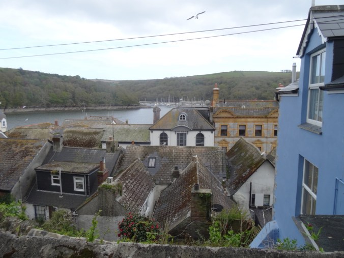
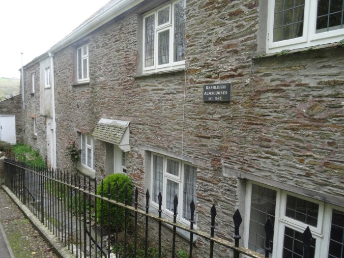
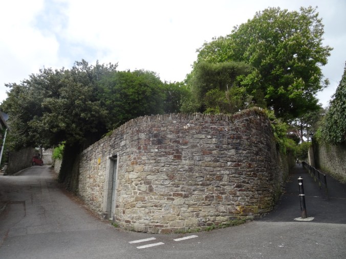
Lots of interesting rooftops, doors, windows, walls:

DSC03548DSC03555DSC03557DSC03559DSC03560DSC03925DSC03456

Back in our cottage, we did laundry and prepared for going farther afield in Cornwall tomorrow.

Falls Creek Falls (18-42)

Falls Creek Falls Trail, Gifford Pinchot National Forest, WA     9/29/2018    (#54)

This trail provides fall foliage along Falls Creek, and an impressive waterfall at the terminus.

DSC09433

Colorful vine maples at the trailhead

DSC09436

Into the woods

DSC09452

Over the first bridge

DSC09459

Along the creek

DSC09475

Over the upper bridge

DSC09476

Around this turn we hear the falls

DSC09479

Then look up and see the upper falls

DSC09483

Middle and lower tiers (about 225 feet high) of Falls Creek Falls viewed from the end of the trail.

DSC09488

Lower plunge pool

DSC09489

Downstream view

After eating our lunch, we returned back down the trail,

DSC09496

Through the vine maple corridor

DSC09497

Under the big leaf maple canopy

DSC09502

With a pause by the stream

DSC09516

And another pause near the trailhead to play with the impressionistic reflections…

DSC09528DSC09536DSC09550DSC09555DSC09556

We saw a variety of leaf displays…

DSC09465

Vine maple – green

DSC09434

DSC09458

Vine maple – turning orange

DSC09443

DSC09501

Vine maple – orange

DSC09469

Solomon seal, with berries

DSC09432

Vine maple – red

My new identification for the day was Pacific dogwood without the distinctive white flowers. In the fall it has red leaves and red seed pod clusters.

DSC09521

About 4 miles round trip and 800 feet.

Screen Shot 2018-10-01 at 6.00.23 PM

CRAFTING

I have made knitting progress on my Ivy Lace Cardigan and a round dishcloth.

DSC09562

Fall Equinox, Indian Heaven, WA (18-41)

East Crater Trail, 9/23/18 (Hike #53)

Indian Heaven is a landscape of lakes, cinder cones, forests and meadows in the Gifford Pinchot National Forest southwest of Mt Adams. The Pacific Crest Trail runs right through the center of the Wilderness on its northward path through southern Washington state. There are abundant wild huckleberries in late summer. By fall, the huckleberry and other foliage display a vibrant spectrum of bright colors – reds, oranges, fuchsias, magentas, yellows, yellow oranges and yellow greens that stand out in sharp contrast to the forest and lake greens and browns, and the sky blue.

Last fall the Indian Heaven Wilderness was closed due to the East Crater Fire that occurred at the same time as the Eagle Creek Fire, so we are back this year after a 2 year absence.

Today we hiked the East Crater Trail to Junction Lake in the center of the wilderness area, then completed a loop that passed several lakes and followed the Pacific Crest Trail back south to Junction Lake.

DSC09141

Red huckleberry bushes in the forest

DSC09154

Layers of color

DSC09159

Unnamed lake just east of East Crater – the burn from last year seen beyond and above.

DSC09260DSC09262

DSC09164

Top of East Crater

DSC09173

Junction Lake

So much color in the meadows!

DSC09167DSC09179DSC09175DSC09182

DSC09184

Ripe huckleberries

DSC09185DSC09190DSC09186DSC09194

DSC09189

Amanita

DSC09200DSC09215

Dropping down to Lemei Lake where we had our lunch:

DSC09202

DSC09209

Lunch view

DSC09215

The southbound section of the Pacific Crest trail was more forested, with views through the trees of a couple of bigger lakes.

DSC09229

DSC09230

Bear Lake

We passed Junction Lake again, then hiked back to the trailhead.

DSC09232

DSC09233

Huckleberry and spirea

DSC09234

Mountain Ash

DSC09246

Huckleberry stump

DSC09245DSC09257

DSC09265

The last little lake on the trail out.

Our total for the day:  9.6 miles/1000 feet elevation.

Screen Shot 2018-09-23 at 9.33.50 PM

Panther Creek Falls

We made a quick stop on our drive home at this massive waterfall complex – there are three creeks that tumble together into the main branch of Panther Creek.

DSC09276DSC09281DSC09279DSC09283

Quilting

I went to the Northwest Quilt Expo in Portland and purchased some fabric for my next quilt project:

DSC09431