Christmas Eve at Dry Creek Falls, and knitted ornaments

December 24, 2019, Cascade Locks, Oregon

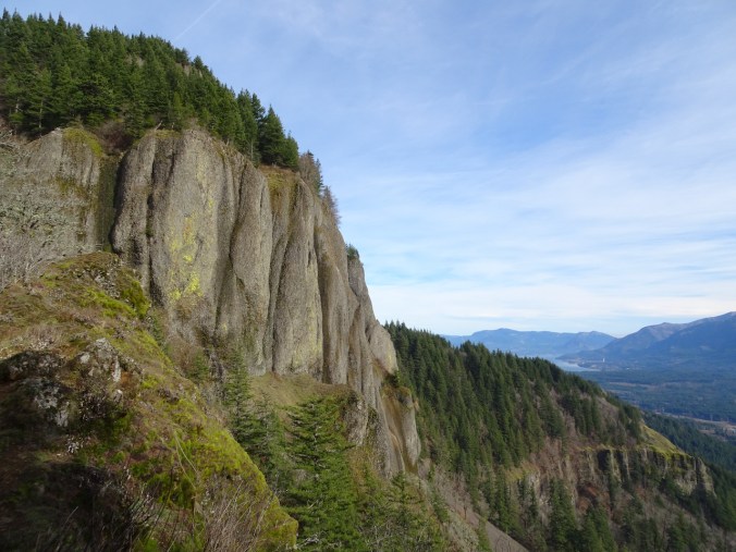
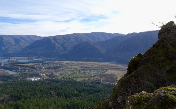
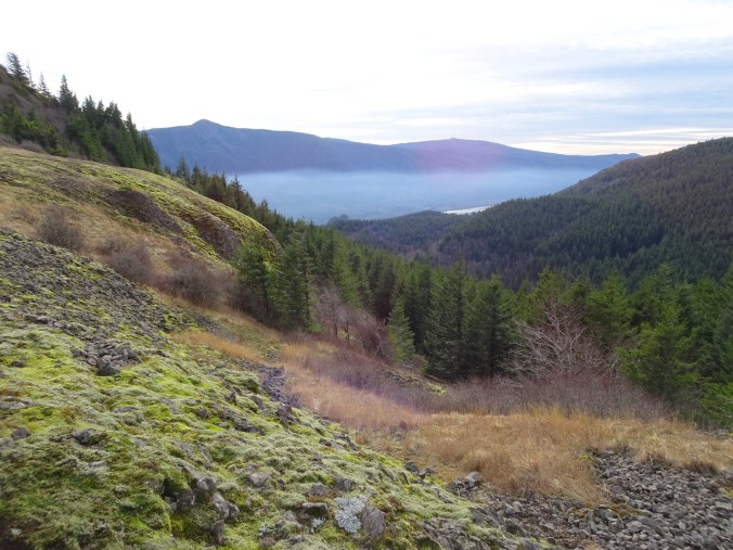
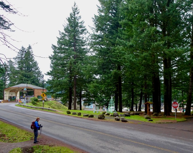
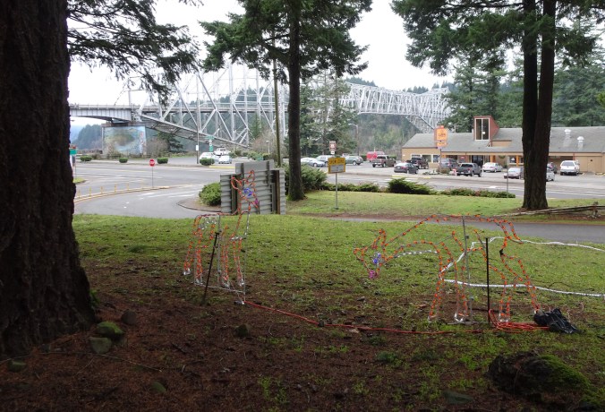
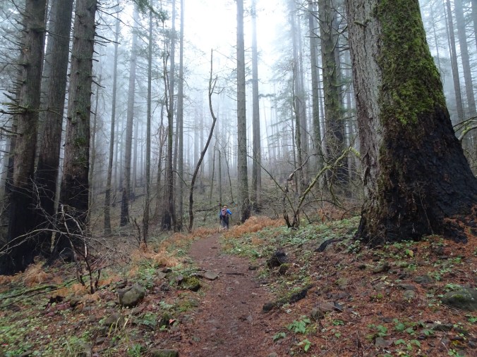
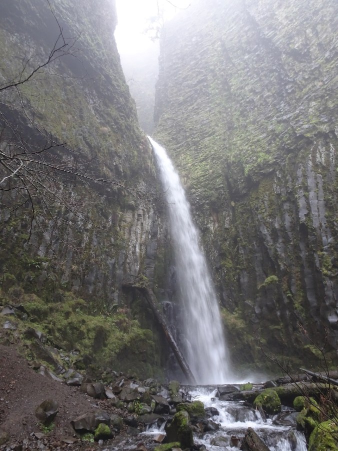
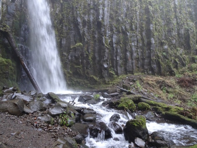
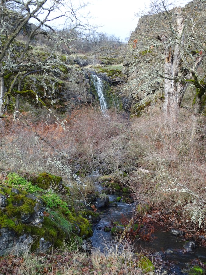
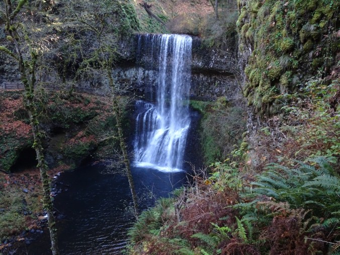
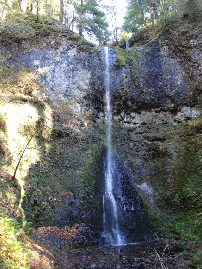
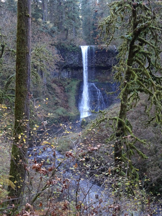
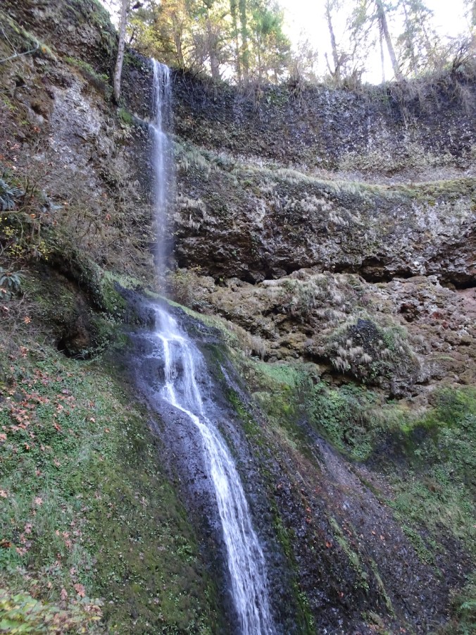
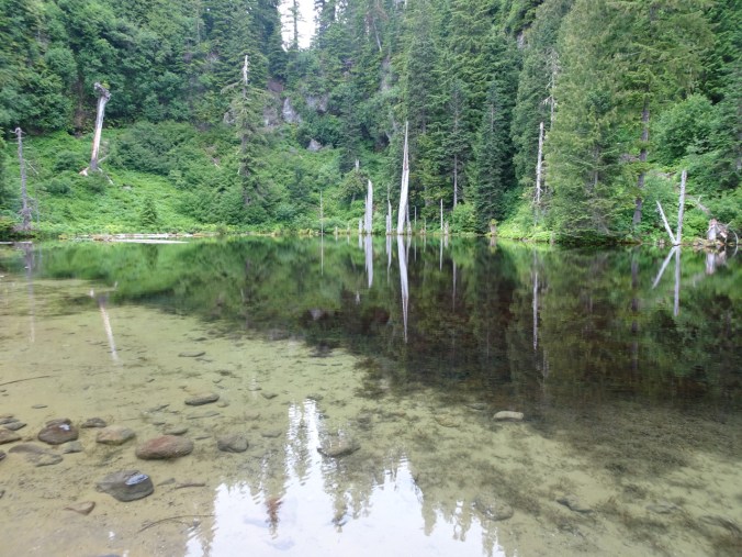
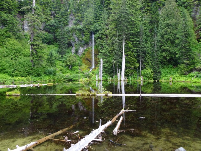
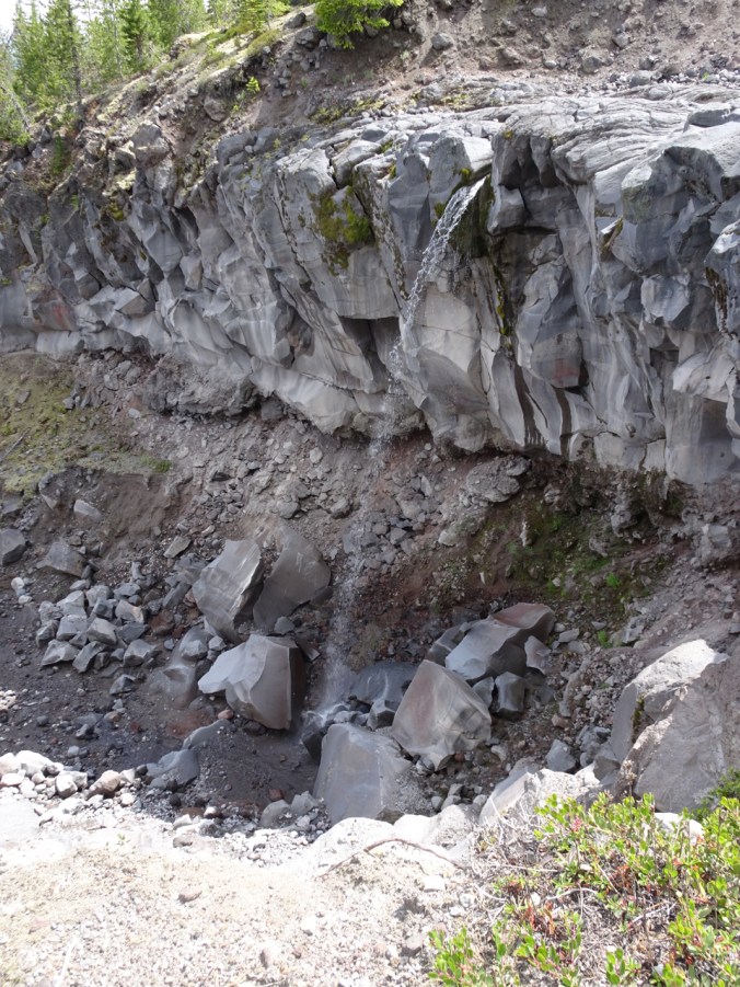
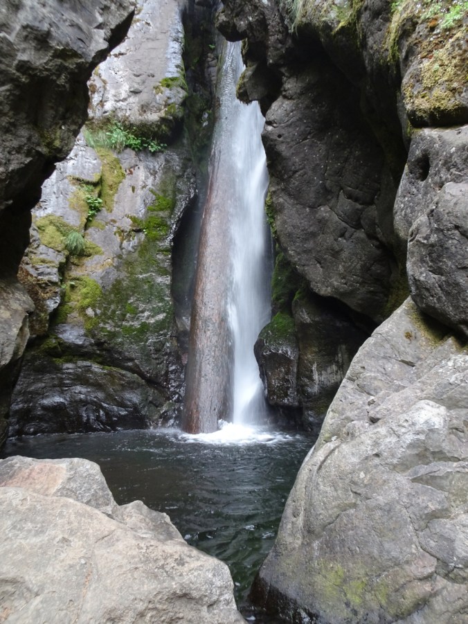
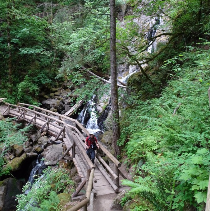
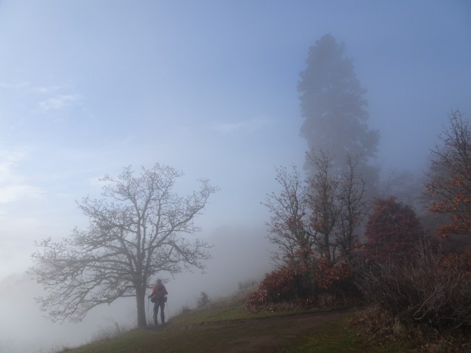
A foggy day – a good time to head into the forest. The trailhead park at the Bridge of the Gods was decorated for the holidays. We hiked in the other direction, south on the Pacific Crest Trail, and up hill away from the Columbia River. It is about 2.5 miles to this lovely waterfall that pours over a columnar basalt cliff. We had it to ourselves for lunch and a photo session. Then back down the trail, back to town, to finish up some elf work.

DSC05200

Bridge of the Gods trailhead

DSC05203

DSC05167

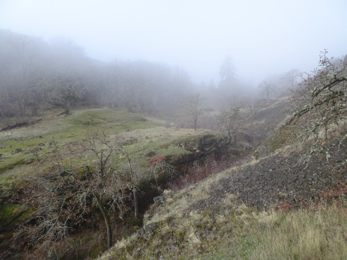
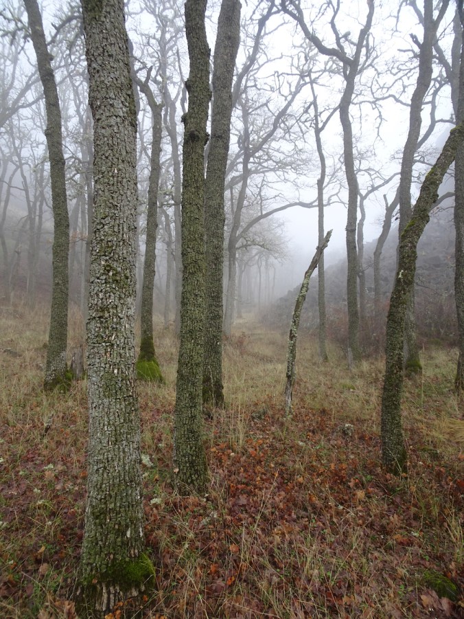
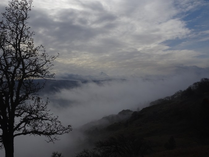
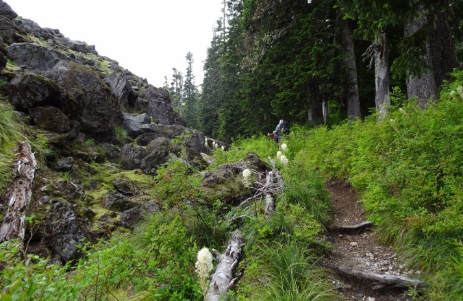
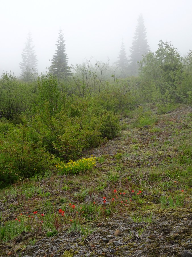
Into the foggy forest that is scarred by the 2017 fire.

DSC05170

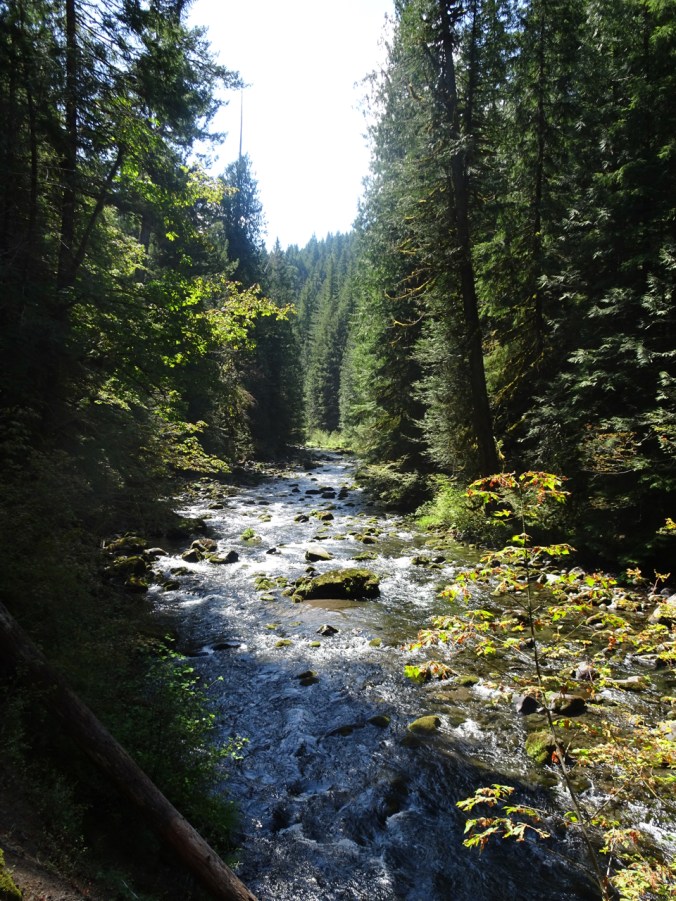
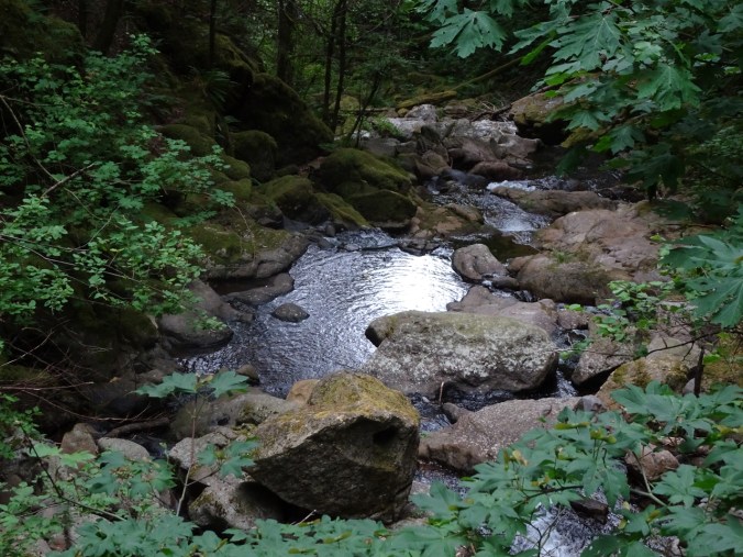
Dry Creek just below the waterfall.

DSC05191

Dry Creek Falls

DSC05177

Closer views:

DSC05188DSC05180DSC05196

IMG_0176

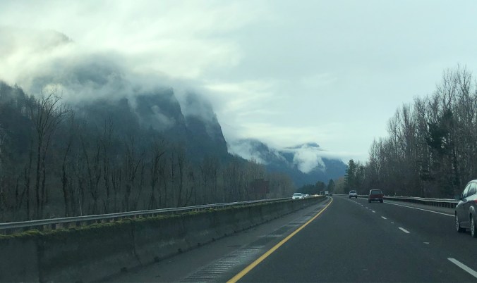
Still foggy on the cliffs as we drive home.

IMG_0174

Hike #58, 5.5 miles, 1050 feet

Back home, I baked a few cookies, wrapped a few presents, and constantly rechecked the airline website as our daughter’s flight from DC was on a long delay. She eventually arrived about 1 am. Her visit for the week is the best present!

Knitted ornaments

DSC05207

I made a little acorn for my friend’s tree – a last minute project. I collected the acorn caps last year after seeing some knitted acorns on Ravelry. It was a very quick project, using a bit of scrap yarn.

DSC05213

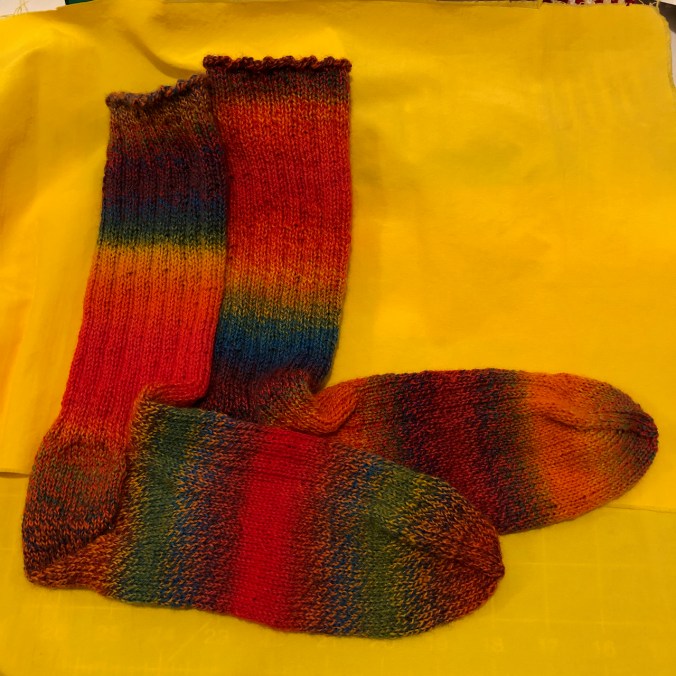
A knitting group friend gave us all ornaments that were knitted by a mouse.


Up the Labyrinth and down Coyote Wall in fog and sun

12/13/2019  Coyote Wall, Washington

Once again we drive through the foggy, rainy Columbia River Gorge to the east side of the Cascade Mountains…

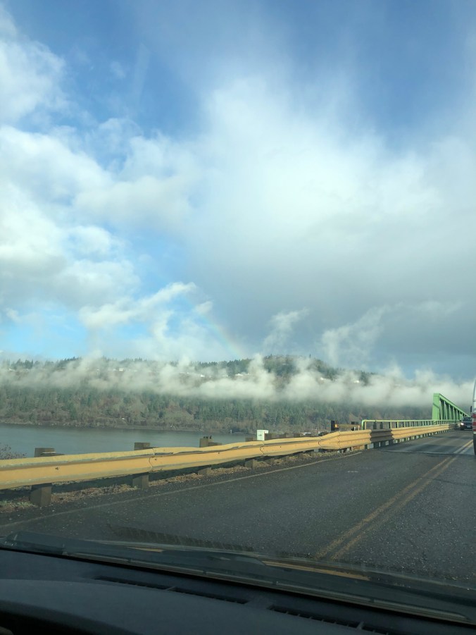
IMG_0119

Rainbow over White Salmon, from the Hood River Bridge.

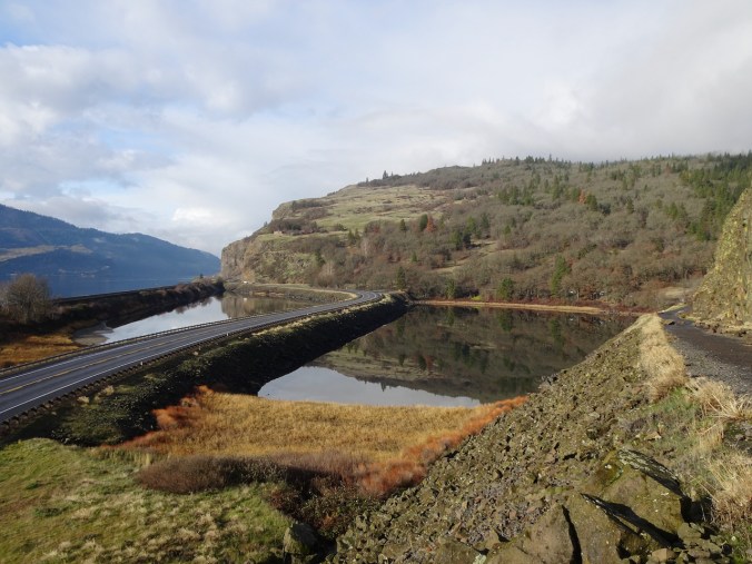
Once again, we walk along Old Highway 8, parallel to the Columbia River…

DSC05058

Look Lake reflections.

DSC05063

Columbia River, Oregon beyond.

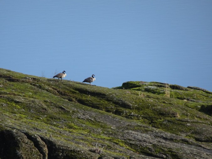
DSC05061

Geese on those rocks above the river.

Once again we hike up the winding trails of The Labyrinth, through layers of shifting fog.

DSC05064

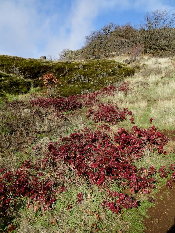
Red Oregon grape along the trail.

DSC05067

Labyrinth waterfall

DSC05075

Fog ahead

DSC05078

My favorite oak grove

DSC05082

The sun is trying

DSC05084

Mt Hood’s flattish top peaking in and out at us as we go higher.

DSC05089DSC05095

DSC05085

Our favorite landmark tree viewpoint – one moment in the fog, 

DSC05096

then clear skies for a while.

Once again we hike higher, then across Atwood Road to the sudden cliff edge of Coyote Wall.

DSC05114

Cliffs of Coyote Wall are just beyond the oak tree

DSC05124

Coyote Wall, Look Lake, Columbia River.

DSC05115

Looking north to the upper slopes of Coyote Wall.

DSC05125

Eastern Columbia River Gorge.

Once again we hike down the ankle breaking bike trails, one called the Crybaby trail, while the fog layers shift and disperse.

DSC05141

East view from Old Ranch Road

DSC05142

Looking back up the wall, fog descending again.

DSC05145

Summer parsley.

DSC05152

Looking East toward the Rowena orchards.

DSC05161

Almost back to the Coyote Wall trailhead.

(Hike #57, 7 miles, 1500 feet)

Knitting…

IMG_0164

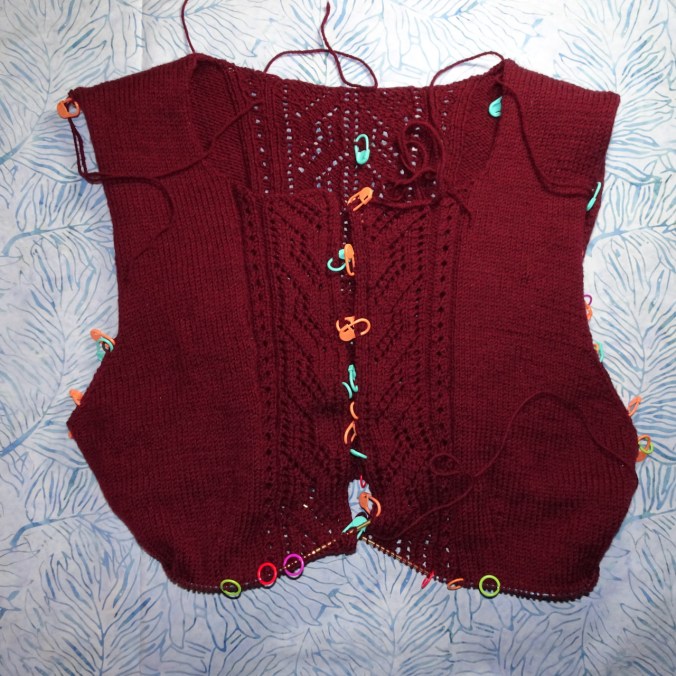
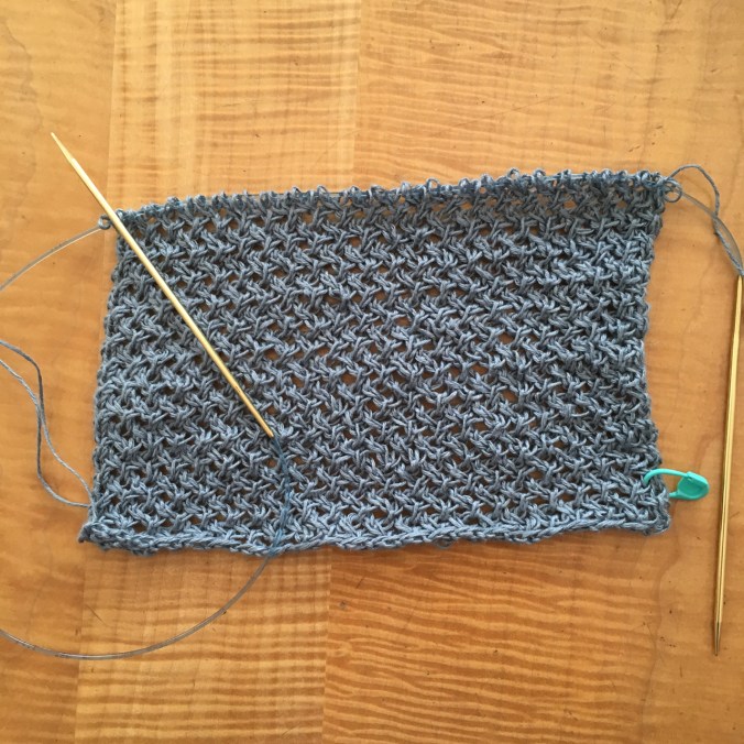
Button bands on the Meris cardigan done; and about two thirds of a Rafa Hat.

Tamawanas Falls, OR

November 10, 2019

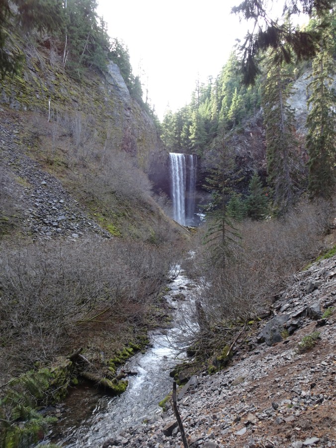
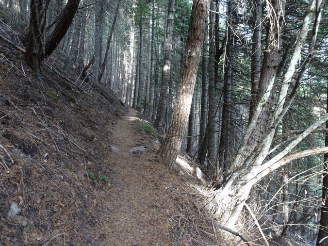
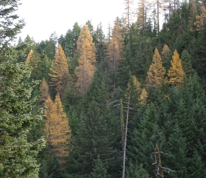
I returned to this popular trail on the east side of Mt Hood with some trepidation, and conquered my fear. The last time I was here, in January of 2016, on snowshoes, my husband slipped over a cornice edge on the trail. He was rescued by some passing snowshoers, but then one of the rescuers slipped all the way down to the riverbank, and had to be rescued by Search and Rescue. I have avoided the trail ever since, even though it is not hazardous when snow free. I do love this trail – I saw my first Columbia Windflowers here one spring, and have enjoyed the hike many times. This day we were late for full fall colors, but saw yellow larches amid the evergreens.  (Hike#52, 5 miles, 800 feet)

DSC04631

East Fork of Hood River, near the trailhead.

DSC04637

First view of Tamanawas Falls.

DSC04641

IMG_0003

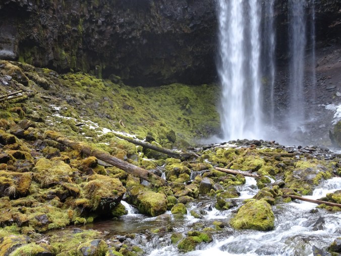
Lunch view, from the island in Cold Spring Creek at the base of the falls.

DSC04660

We explored a bit higher on side trail to Elk Meadows, and have plans to go farther in the future.

DSC04673

DSC04672

Yellow larches.

IMG_0005

Mt Hood from Highway 35 in the afternoon.

Knitting

IMG_0027

I finished the Spiral Cowl, and this biography of Edith Nesbit, a favorite children’s author.

Silver Falls again, knitting update, and the last of the Halloween witches

Silver Falls Loop Trail, November 1, 2019

Some fall colors still about, some frost in the canyon. Always lovely at Silver Fall State Park, Oregon. (Hike #51, 5 miles, 700 feet)

DSC04565

South Falls

DSC04587

Lower South Falls

DSC04593

View from behind Lower South Falls

DSC04614

Double Falls

DSC04620

Middle North Falls

DSC04625

Winter Falls

DSC04599

Frost

DSC04600

Knitting

I have knit past the joining on the Meris Cardigan, and the fit is good. The rows are long, so I will be at this for a while, knitting down the body.

DSC04695

I also finished a striped dish cloth,

DSC04691

and made progress on the Spiral Cowl.

DSC04686

The last witches of Halloween


Finally some knitting! And two new hikes…

Flyway Twist Shawl

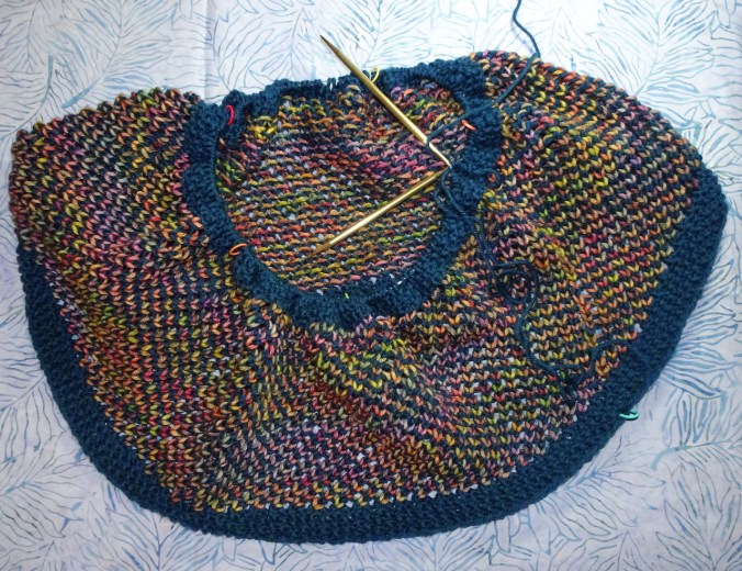
This shawl has been delivered to it’s recipient, so I am happy to share the pictures! The solid yarn is Malabrigo Sock in the Reflecting Pool colorway. The real star of the show is the Fully Spun colorful gradient called ‘Voices in My Head’. It was fascinating to knit with the gradient, watching the colors emerge and play against the teal backdrop. The brioche section in the middle adds variety to both the look and the knitting experience. The pattern is by Veera Valimaki, and is easily obtained on Ravelry.

DSC03297DSC03314DSC03316

Salmon River Trail 8/12/2019

We hiked with friends on a flat easy trail where we could enjoy a shady beautiful setting with lots of time to chat. This was my first time hiking this trail, near Welches on Mt Hood, and I can see why it is often recommended.

DSC03253

Salmon River from the trail.

Image 8-16-19 at 6.17 PM

Hike #39 – 4 miles/200 feet

Cheater hike on the Timberline Trail, Mt Hood Meadows 8/15/2019

I would like to walk all of the 40 mile Timberline Trail around Mt Hood. This is a section I hadn’t done yet.  We rode the Mt Hood Meadows chair lift up 700 feet of elevation (thus, cheating) then began walking north along the trail, as far as Clark Creek. Beautiful flowers, creek crossings and wildflower meadows along the way.

DSC03335

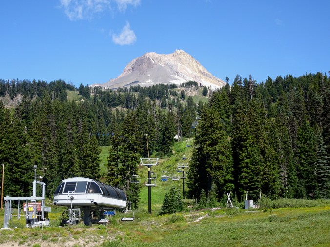
Our cheating enabler – the Stadium Lift

DSC03346

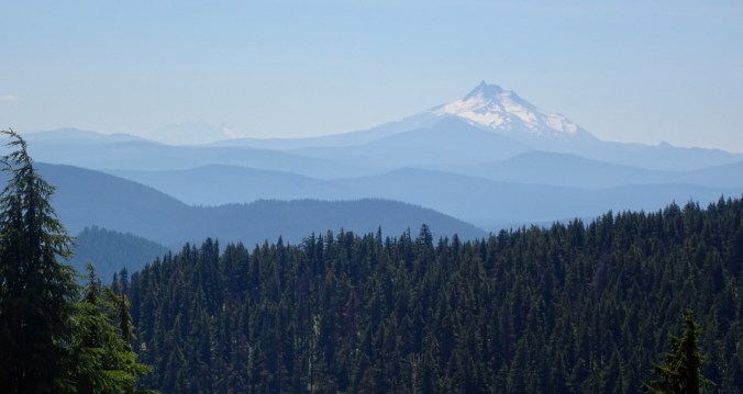
Looking back as we silently rise – Mt Jefferson and a hint of the Sisters.

DSC03350

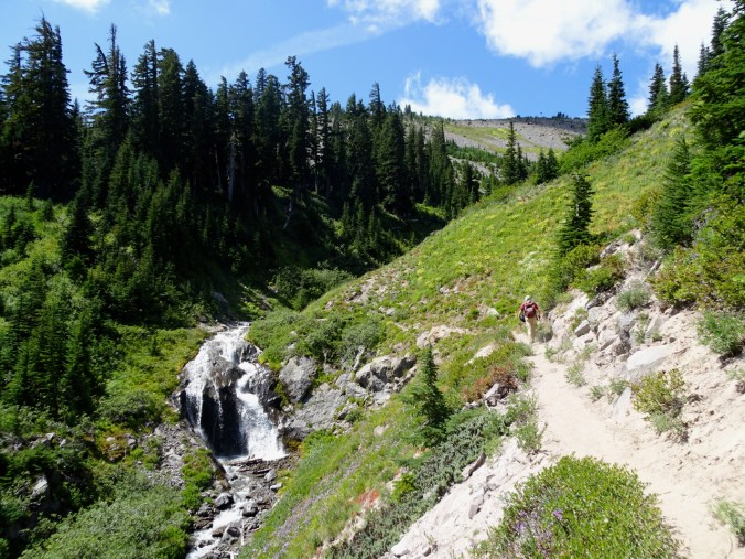
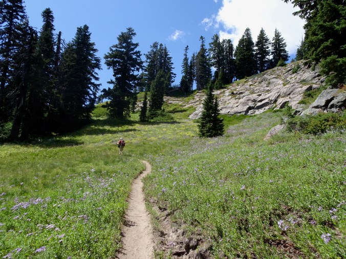
Aster and goldenrod meadows along the Timberline Trail.

DSC03377

Several small, easily crossed creeks along the trail.

DSC03436DSC03357DSC03411

We eventually reached views of ‘Pea Gravel Ridge’, a glacial moraine just beyond Clark Creek.

DSC03431

Pea Gravel Ridge

DSC03405

Downstream view of a branch of Clark Creek.

DSC03390

Upstream view toward a waterfall on Clark Creek.

DSC03404

DSC03398

Mt Hood, summer view

DSC03401

Glaciers

DSC03434

We then retraced our steps and walked south along the Timberline Trail until it began to descend through the woods to the White River crossing – we’ll save that for another day. We passed through beautiful meadows, under ever-present ski infrastructure and views of the mountain. We walked the mile and a half and 700 feet down to the trailhead instead of going back to the chairlift, so we only ‘cheated’ one way.

DSC03422

Clark Creek


DSC03451

Asters, paintbrush, goldenrod, false hellebore, with ski lift.

DSC03437

Mt Jefferson, and a very hazy view of the Three Sisters from the trail.

DSC03460

DSC03481

Tall cotton grass, aptly named, in this moist meadow.

DSC03506

The Timberline Trail continues down through the forest to White River, but we turned back.

Image 8-15-19 at 11.10 PM

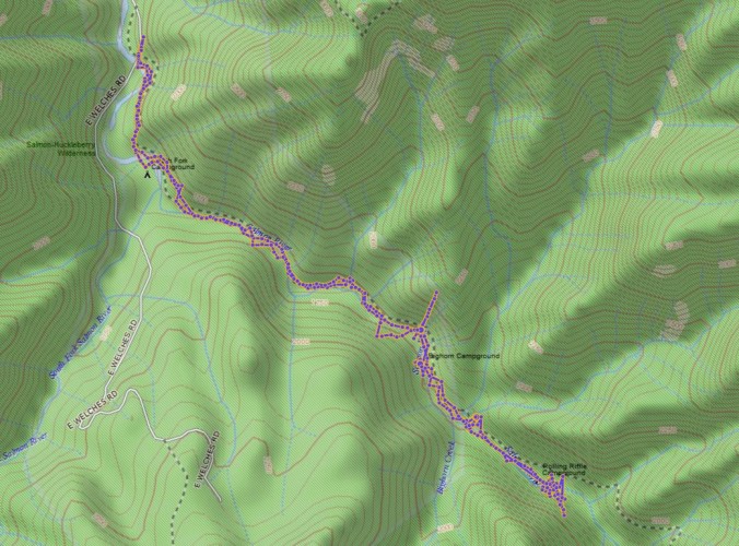
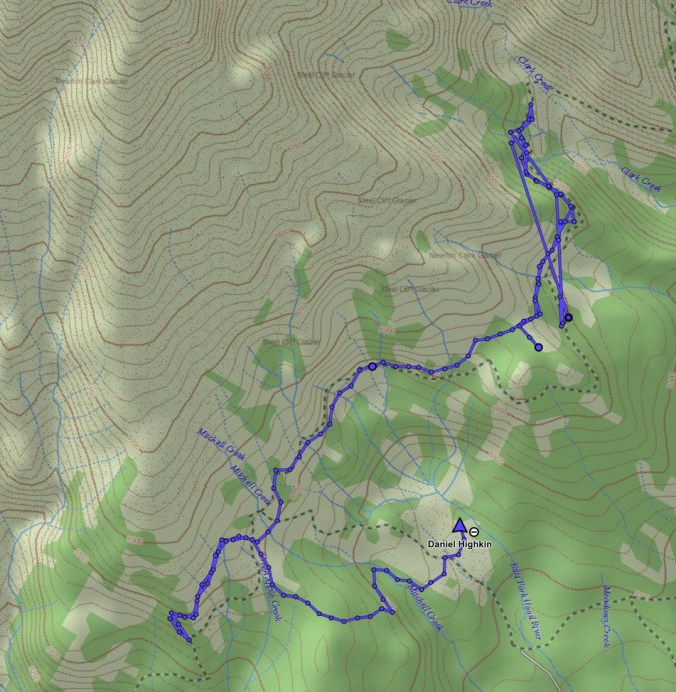
GPS track (with some wandering points). Hike #40, 6 miles/1000 feet.

New or notable flowers:

A few days in Paradise…

Mt Rainier National Park, August 5 – 9, 2019

For my birthday my dear husband planned a visit to Paradise at the height of wildflower season. We stayed in the newly refurbished Paradise Inn, authentically both rustic and lavish, perched at 5420 feet above sea level, and 8990 feet below the top of Mt. Rainier. We hiked many trails in the area from Monday evening to Friday morning, alternately focusing on the incredible wildflower blooms at our feet, and the massive  glaciers looming above us on the slopes of this active volcano. We had sunny days – it was almost too warm on the shadeless trails above timberline. On Thursday the clouds rolled in below us, and we watched their flowing patterns throughout the day. I took more than 700 photos on three long and four shorter hikes. My knees and toes held out admirably. We mostly ate out of our ice chest and suitcase pantry, but had one lovely meal at the restaurant. There are not enough superlatives to describe the wonder – but John Muir’s words, carved into the stairs leading to the mountain from the Visitor’s Center, come close.
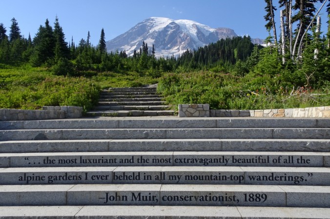
DSC02726

Paradise Inn

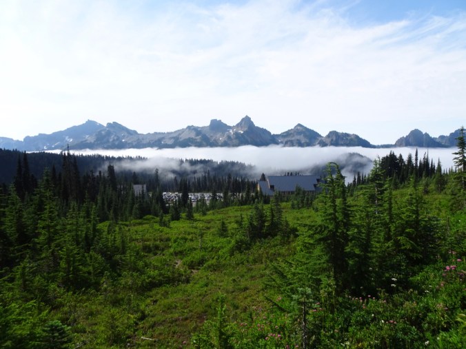
We were lucky to have a room with a view of the Tatoosh Range, immediately to the south.

DSC02518

Looking down from the trail at Paradise Inn and the Tatoosh Range.
DSC02748

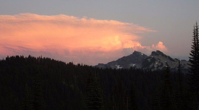
Sunset view from our window.

DSC03211

Paradise Inn and Mt Rainier from Paradise Valley Road.

Hiking Highlights:

Image 8-18-19 at 5.38 PM

Hikes #34 -38, 28.8 miles, 4520 feet

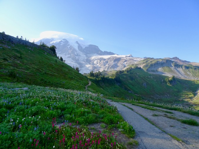
August 5th – Alta Vista – An evening walk with picnic dinner at this amazing viewpoint:
DSC02545

Mt Rainier

DSC02512

Across Paradise Park, preview of the Golden Gate Trail.

August 6 – Pebble Creek and Panorama Point via Golden Gate and Skyline Trails
DSC02563

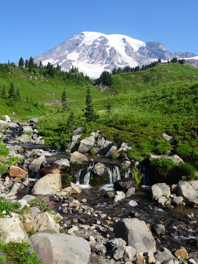
Edith Creek in Paradise Park

DSC02569

Tatoosh Range from the Golden Gate trail.

DSC02596

The lower humps in front of Mt Rainier are our destination.

DSC02604

Snow and pasque flowers along the Skyline trail.

DSC02614

Tiny people on the overlooks ahead.

DSC02623

A peek over the ridge to the barren, recently glaciated valley to the east, where the Paradise Glaciers have receded.
DSC02659

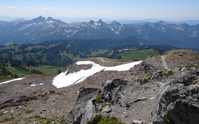
Lunch view, below us – Panorama Point, Paradise Park and Inn, Tatoosh Range.
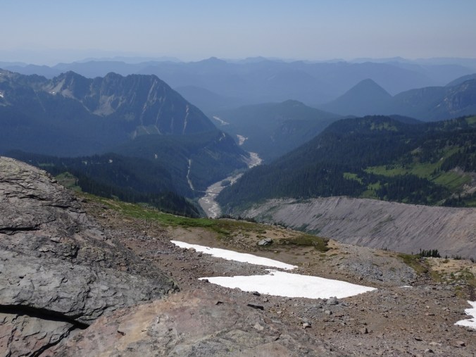
DSC02671

Nisqually River and highway bridge.

DSC02696

Our high point – Pebble Creek. People planning to summit the mountain will camp at the Muir Snowfield on the high ridge above.
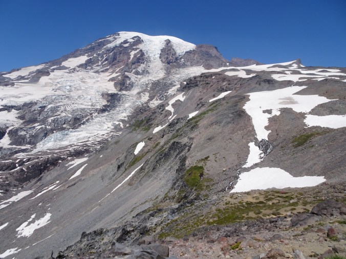
DSC02682

Mt Rainier from Pebble Creek crossing.

DSC02707

Looking down on the anastomosing trail system above Paradise Inn.

dsc02739.jpg

We walked to Myrtle Falls in the evening.

August 7 – Lakes Loop – We hiked downhill from Paradise Inn, past Reflection Lakes, then back up to the Skyline Trail. The ranger assured us the wildflowers along the return hike were incredible, and that was an understatement!

DSC02752

Another morning in Paradise!

DSC02759

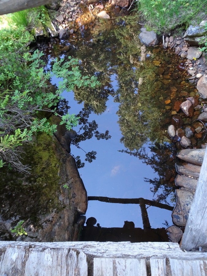
Our reflections in a stream crossing.

DSC02761

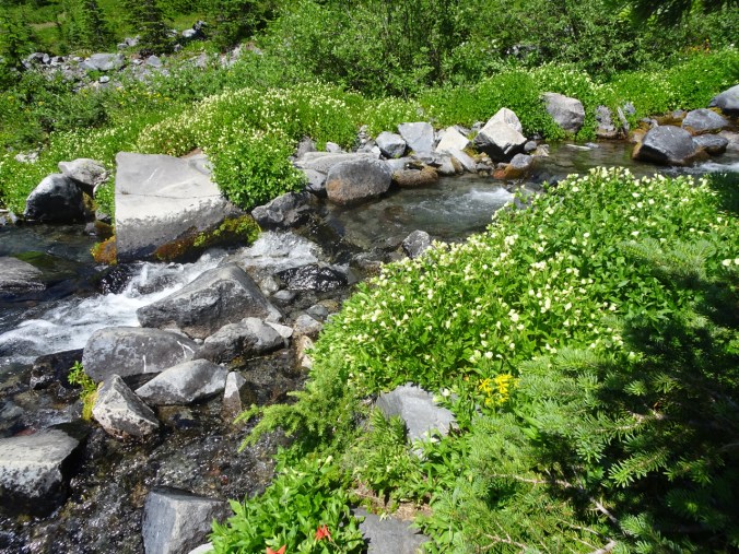
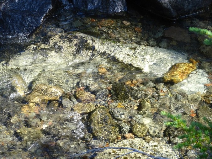
Small waterfall along the way, in the shady forest.
DSC02763

DSC02786

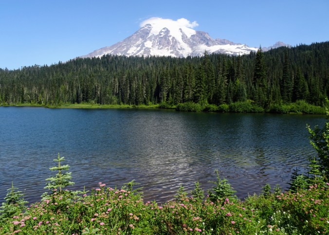
Reflection Lake, a little too much breeze for the reflection today.

DSC02811

Hiking back up – lunch view of Reflection Lakes and Stevens Canyon from Faraway Rock.

DSC02808

Small reflective lake along the trail.

DSC02819

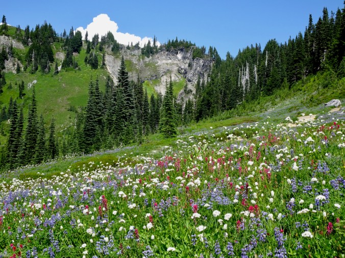
As we entered the meadows along the ridge, the wildflowers were stunning,
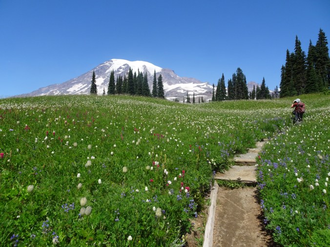
DSC02848

and continued to be so for a couple of miles!

DSC02849DSC02851DSC02864

DSC02867

I am out of words to describe amazing wildflowers at this point, but they do help to pull me along the trail when I get tired.

August 8 – Deadhorse, Glacier Moraine and Glacier Vista trails – This was a lower mileage, less elevation day. We found a bit of solitude on the Glacier Moraine trail, and more amazing flowers, including some marshy, wetland species we hadn’t seen yet.
DSC02884

The clouds rolled in overnight, and stayed all day at about 5000 feet, so we hiked above the clouds most of the day.
DSC02900

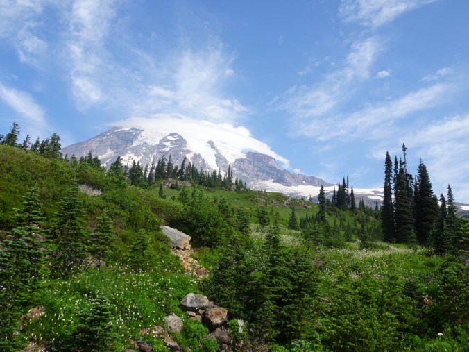
Mt Rainier had a few cloud caps coming and going.

DSC02905

Lush stream meadows along the Deadhorse Trail.
DSC02962

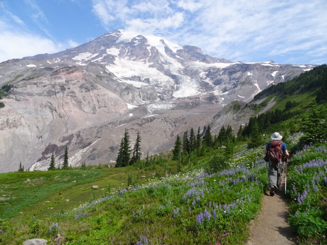
The Glacier Moraine trail leads to a viewpoint on the Nisqually Glacier Moraine.

DSC02967

Neon moss, monkey flowers, saxifrage, etc. along the damp slopes.
DSC03022

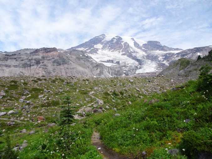
We are headed to the lip of the moraine.
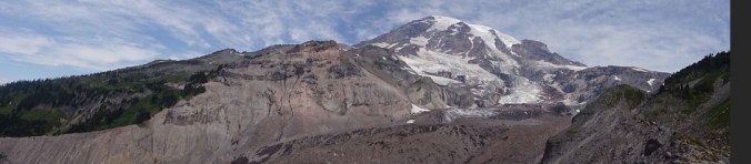
DSC02996

Panorama of my view – can’t begin to take it all in!
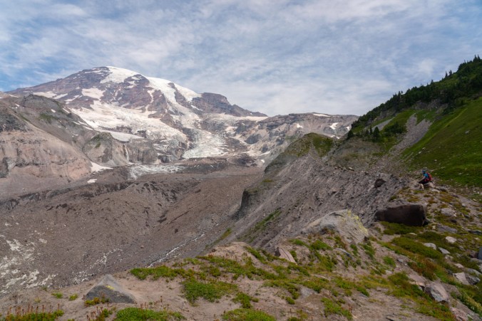
DSC04299

I am sitting on the edge of the moraine, overlooking the Nisqually Glacier.
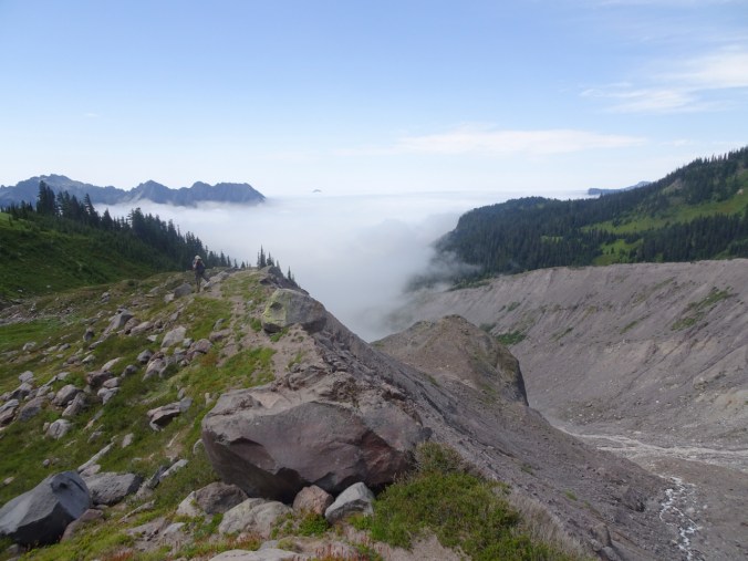
DSC03001

Dan taking the above photo of me as the fog creeps up the Nisqually Valley beyond him.
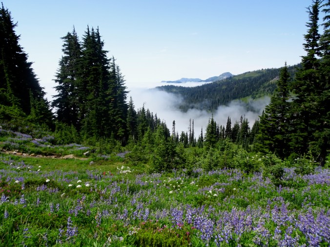
DSC03052

The fog stayed at about that level all day.
DSC03096

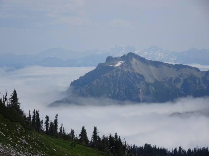
Zoomed view of Stevens Peak in the Tatoosh Range, and the Goat Rocks beyond.
DSC03131

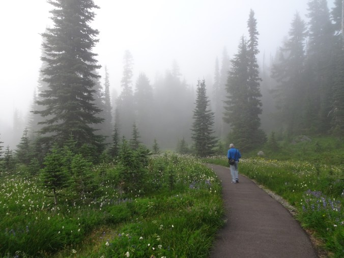
After dinner we walked the Nisqually Vista trail.

August 9 – Christine Falls – On our way out of the park on Friday morning, we took the short hike to the bridge over Christine Falls.

DSC03222

Christine Falls

We stopped for a picnic lunch at Longmire.
DSC03240

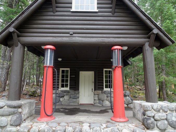
Old gas pumps at the Longmire Visitor’s Center

Glacier Closeups:

Nisqually Glacier – a river of ice.

Waterfalls:

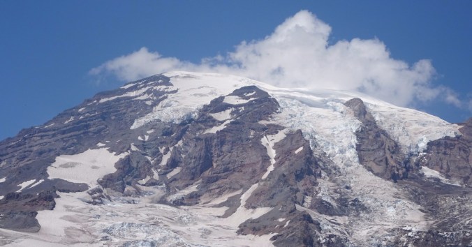
Top of the Mountain:
DSC03072DSC03073DSC03074Muir Snowfield:

DSC02639

Wildlife

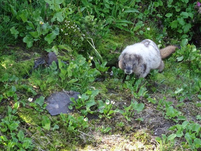
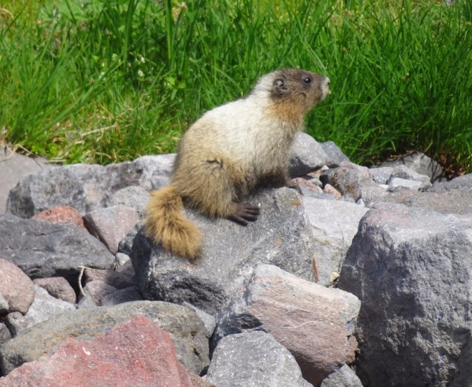
We saw several marmots, deer, and various birds as well as the usual marauding chipmunks.

DSC02595

Marmot eating marsh marigolds near the top of the Gold Gate trail.
dsc02987.jpg

Marmot at a stream crossing on the Glacier Moraine trail, dwarfed by the Mountain above.

DSC02989

Marmot, Mt Rainier

New or notable Wildflowers

So many flowers! I tried to note all that I could identify – at least 65 different types, but I am no expert in discerning the many varieties of some of these:

In all this was a fabulous trip! We had nearly clear views of Mt Rainier during our entire stay. We didn’t move our car all week. No internet or cell service away from the Visito’s Center. I am so appreciative of the National Park Service, and laws that preserve our national treasures such as Mt Rainier!

And a brief Look Back…

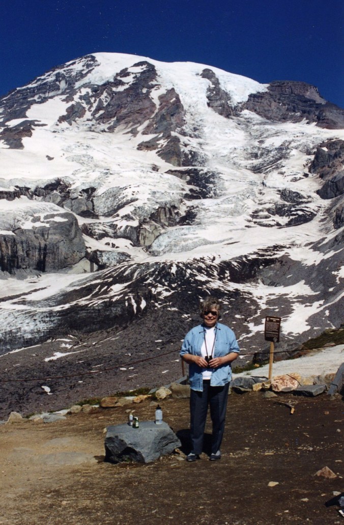
In 1995, when our boys were two and six years old, we spent a long September weekend with my Mom at Paradise. She loved the mountains, and this was her first chance to visit Mt Rainier. She was 71 years old, and not in hiking shape of late, so was proud of herself to make the three mile hike to Glacier Vista overlook, helping to guide our two young ones more than 1000 feet up the trail. This was a couple of years before macular degeneration, and then later, ALS. I thank her for taking us hiking and camping in our youth, even after our father died and she was on her own with nine children. I remember her naming the flowers – paintbrush and lupine and aster, in Tuolumne Meadows. She was a wonder woman, and I wish she was here to wish her a Happy 95th Birthday today! I hope there is chocolate cake on the other side!

img144img145

Someone turned on the waterfall! June Lake and Chocolate Falls, Mt St Helens, July 4th, 2019
We went with good friends to the June Lake Trail northeast of Cougar, Washington, on the south side of Mt St Helens. Image 7-4-19 at 10.33 PMThe walk to the lake is easy, with flowers blooming along the way, and magical mirror reflections at the lake.

DSC01931

June Lake

DSC01933

Mirror reflections

DSC01937

View to the waterfall across the lake.

In February 2016 we snowshoed to this spot – a couple of comparison look back views:

DSC01938

June Lake and waterfall, July 4, 2019

DSC00564

June Lake and waterfall, February 20, 2016

DSC01939

July 2019

DSC00563

February 2016

Today we continued beyond June Lake, up a steep ridge, to the Loowit (around the mountain) Trail, and walked east for a ways.

dsc01947.jpg

Beargrass blooming at the edge of a lava flow along the trail.

DSC01961

Large trees

We turned back west to visit the elusive Chocolate Falls. Our well traveled companion had never ‘seen’ the waterfall, although he had been there a few times. We arrived at the horseshoe shaped cliff, but there was no waterfall.

DSC01998

Dry lip of Chocolate Falls, 2:44 pm.

DSC02004

The waterfall is now “on”, 2:46 pm.

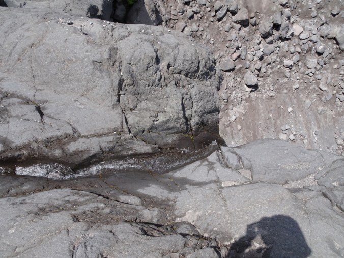
Then some nearby hikers noticed water beginning to flow in the channel above the cliff, and lo and behold, a couple of minutes later, water was plunging over the cliff through a well-worn, polished slot in the cliff edge.

DSC02002

Looking upstream at the channel.

DSC02008

Narrow but steady stream of Chocolate Falls

DSC02011

Looking down at the polished slot at the lip of Chocolate Falls.

The snow fields on the mountain above had warmed enough to send fresh meltwater down the channel. Apparently this is a documented phenomenon here. To us it was a surprise, like a rainbow or a special wildlife sighting – a serendipitous moment of grace and beauty.

DSC01993DSC02017

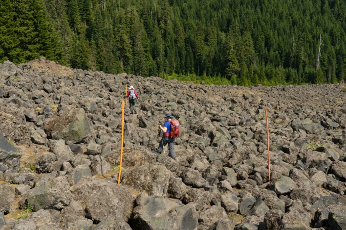
Mt St Helens remained slightly cloud covered, with partial views. The temperature was perfect. Our plan to take the loop trail back to June Lake for the return hike also offered a ‘surprise’. This connector trail is really only a good option in the winter, on snowshoes or skis, when the lava flow boulderfields are snow covered. It took us almost an hour to navigate the half mile connecting trail, and we were very happy not to have twisted an ankle or knee in the process.

untitled-166

Picking our way across the lava flow.

The unexpected elements, the waterfall and the boulder field, added to our adventures on a day suited to celebrating our nation’s commitment to protecting our wilderness areas! (Hike #30, 7.5 miles, 1500 feet)

untitled-168

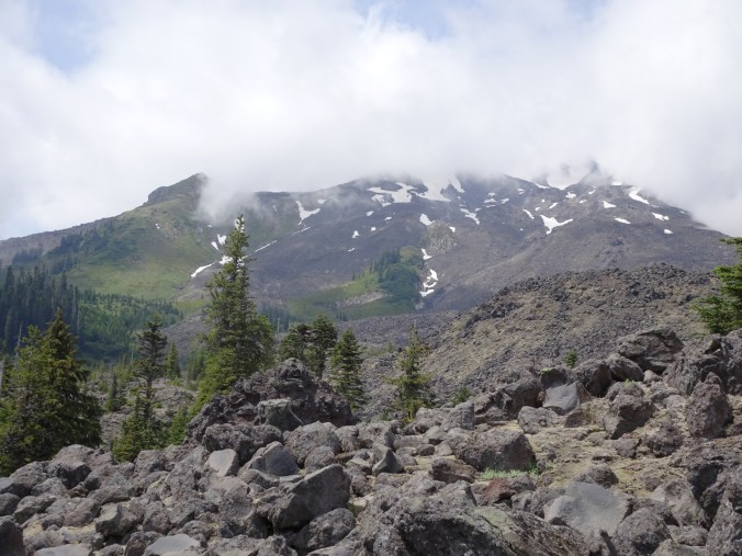
Mt St Helens from the south.

New or notable wildflowers today:

Knitting:

I have seamed and added the top edging to Le Petit Sac, and knit the icord strap.

IMG_2444


Paintbrush and clouds at Mt St Helens, WA

June 21, 2019

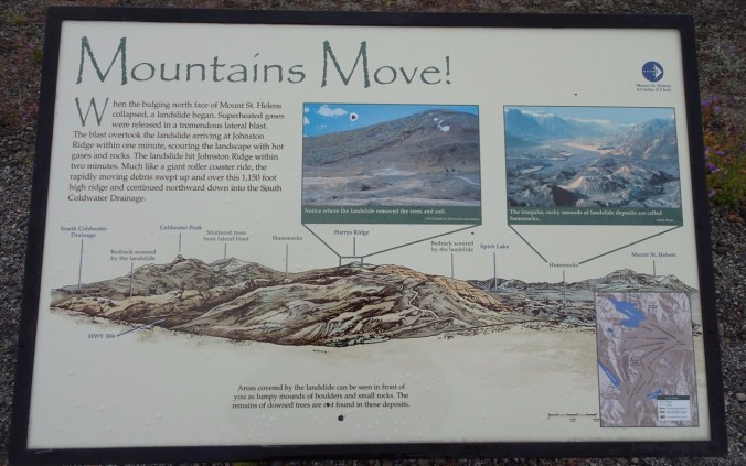
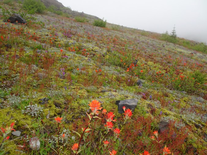
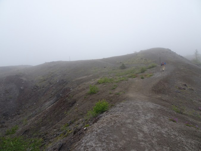
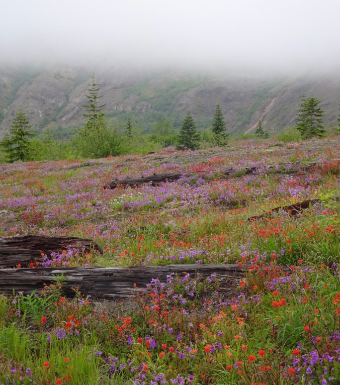
Clouds thwarted our plan to hike to the top of Coldwater Peak, about 13 miles round trip from Johnson Ridge Observatory, and more than 3000′ total elevation gain. Most of Mt St Helens and the Mt Margaret backcountry, where Coldwater Peak resides, were socked in for the day. We didn’t even go to the top of Harry’s Ridge, as the thick cloud layer that hovered when we arrived at the saddle seemed immovable. Instead, we added a side trip to Devil’s Point on our return hike. On the plus side, the wildflower extravaganza was superb, and the all day cloud cover kept the hiking temperatures kind. This trail can be brutal on a hot and cloudless day.
DSC01822

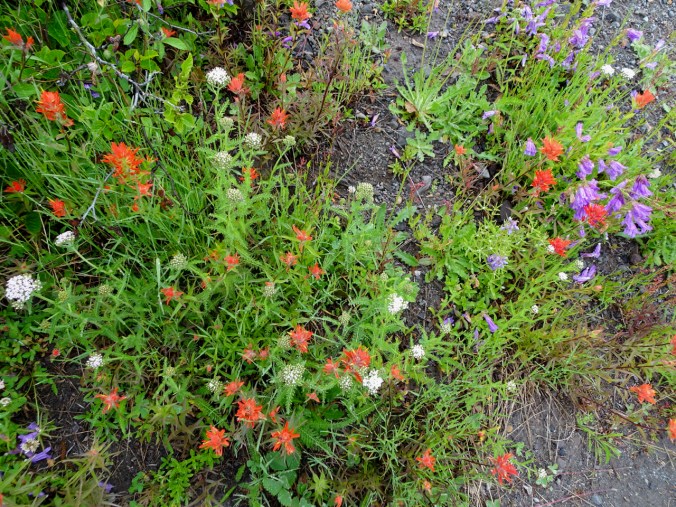
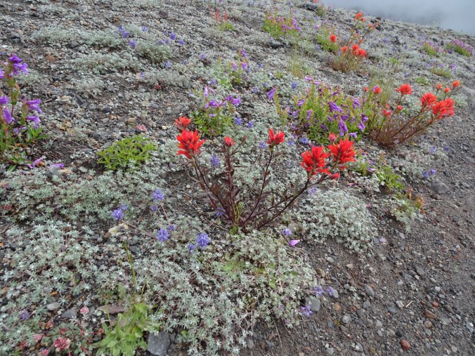
Indian paintbrush, penstemon and yarrow at the trailhead…preview for the day.

DSC01820

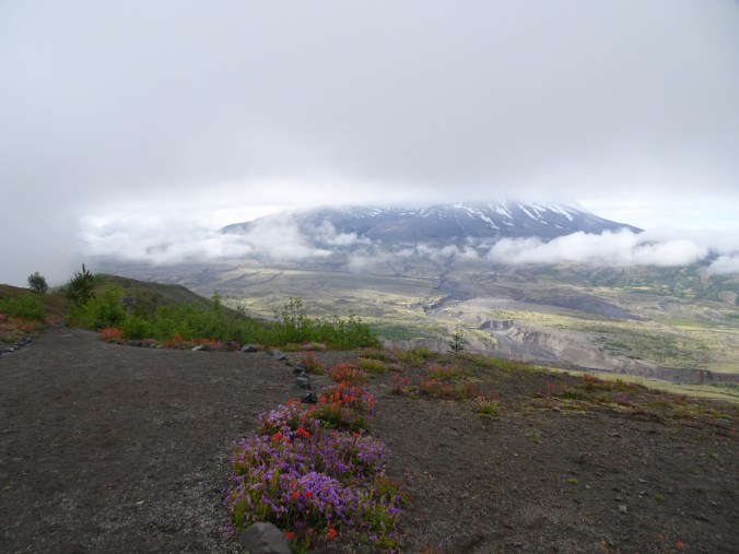
First view of Mt St Helens, with her head in a cloud, and our best view all day.

DSC01829

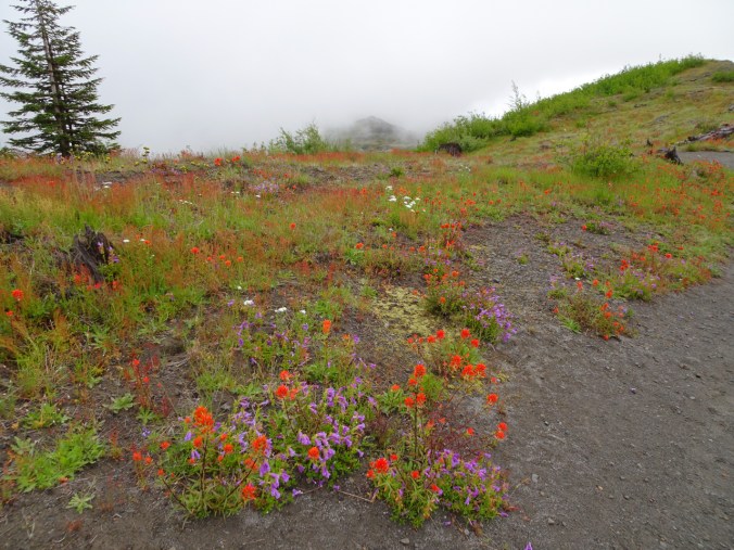
Flowers along the trail.

DSC01836

More flowers – dwarf lupine and pussypaws added to the mix.

DSC01841

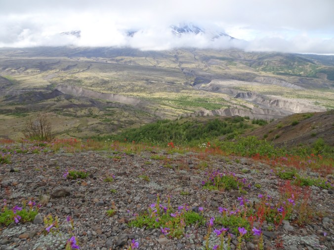
Flowery foreground to Mt St Helens and the pumice plain.


dsc01842.jpg

Clouds on the trail

dsc01844.jpg

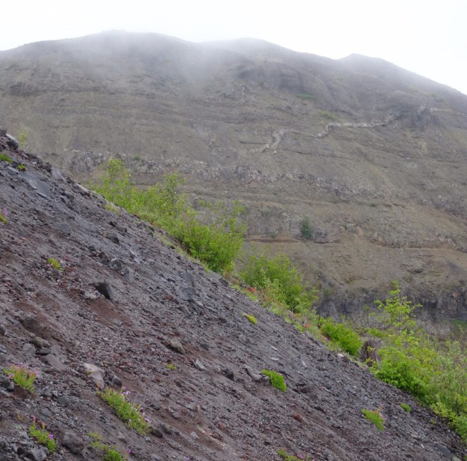
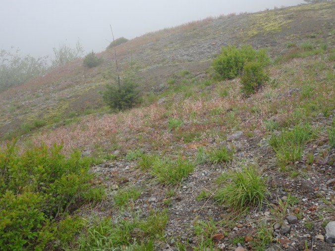
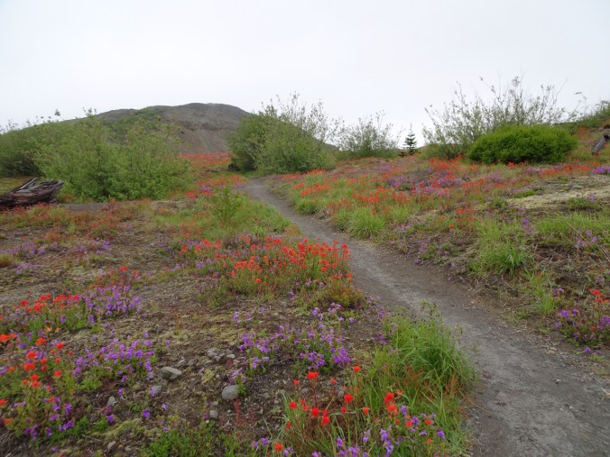
The landscape of today’s trail. We are hiking in the blast zone, and all this greenery has emerged since 1980.

dsc01850.jpg

Approaching the decommisioned western arm of the Devil’s Elbow trail.

dsc01855.jpg

Flowers and clouds

DSC01856

Up the new Devil’s Elbow bypass trail.

DSC01863

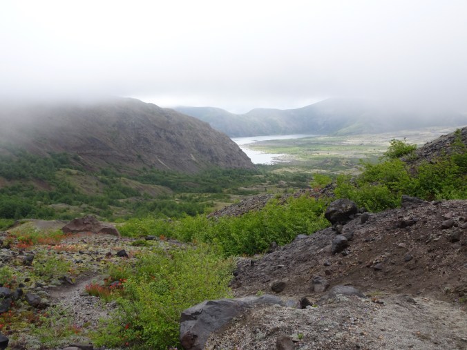
View of Spirit Lake from the top of the bypass.

DSC01868

Paintbrush and dwarf lupine as far as the eye can see….

DSC01873

Still hoping the clouds will lift…

DSC01878

Yellow arnica in this section

DSC01847

Tiny saxifrage flowers

DSC01891

The same tiny saxifrage covers the slope that leads to the saddle with the trail junction between between Harry’s Ridge and the Mt Margaret backcountry.

At this point, we gave up on the clouds lifting, and headed back, enjoying the flowers along the way.

DSC01893

We took the now dead end trail to Devil’s Point to our lunch stop.

DSC01899

Devil’s Point ahead.

dsc01898.jpg

Loowit Falls drains the Mt St Helens Crater Glacier.

DSC01902

Looking back, Harry’s Ridge is still in the cloud.

Lunch views from Devil’s Point:

DSC01905

East: Spirit Lake and the Pumice Plain.

DSC01906

South: Mt St Helens with cloud cap.

DSC01910

West: Johnson Ridge and trailhead. 

As we continued after lunch, the clouds lifted very briefly:

DSC01911

Harry’s Ridge

DSC01912

The Dome in Mt Margaret backcountry partially unveiled.

Hike #29 for 2019, 7.5 miles, 1500 feet. I felt strong at the end of the hike, like I could have made it to the peak and crawled back up the hill to the trailhead at the end of the day. We will return to try another day!

Extra flower photos:

Crafting:

IMG_2343

Knitting progress on Le Petit Sac by Pam Allen, using Sparrow linen by Quince and Co. I often have to knit the left twist rows twice 😉

IMG_2342

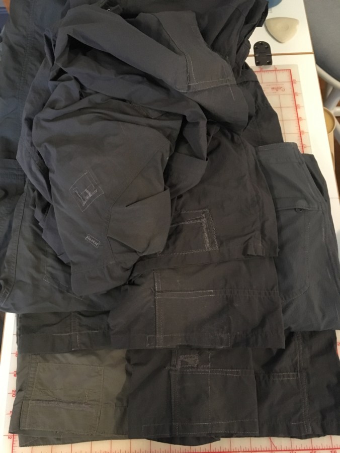
I patched, mended, and reinforced worn seams on six pairs of hiking pants.

IMG_2337

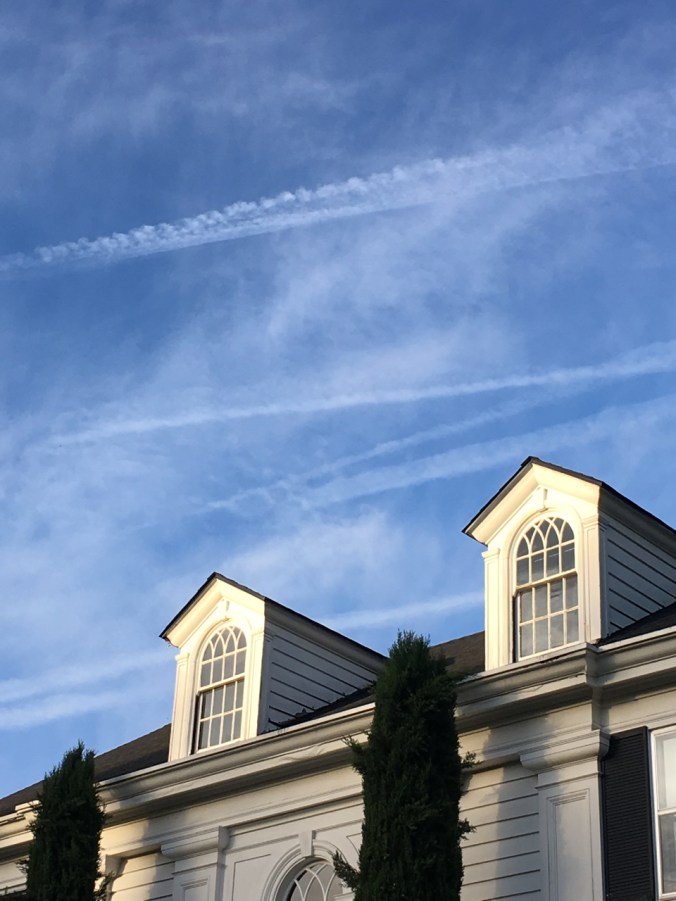
Summer sky with windows.

Lewisia and Clarkia on Hamilton Mountain, Washington

Hamilton Mountain trail, Beacon Rock State Park, Washington, June 14, 2019

We hiked to the top of the upper rocky switchbacks, looking for wildflowers.  I have previously hiked here earlier in the wildflower season – being slightly later meant getting to see both Lewisia and Clarkia in bloom. We had cloud cover most of the day, then Mt Hood peeked out as we began our descent. Hike #28 for 2019, 6 miles, 1500 feet.

Our destination:

DSC01813

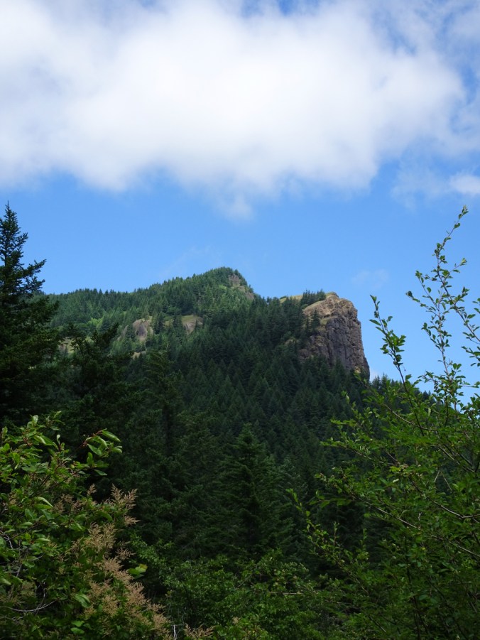
Hamilton Mountain from the power line trail cut.

The waterfall area:

DSC01697

Pool of the Winds

DSC01703

Rodney Falls

DSC01706

Below the bridge

dsc01710.jpg

More woods:

DSC01712

Up the lower cliffs and out onto Little Hamilton Mountain viewpoint:

DSC01751DSC01750

DSC01759

Hamilton Mountain still ahead.

Wildflower meadows in this area:

dsc01728.jpg

Drying out, but full of the Clarkia called Farewell to spring, and blue-eyed Mary.

DSC01770

Farewell To Spring

Farther up the trail, on the rocky upper switchbacks, Columbian Lewisia clings to the cliff edges.

DSC01784DSC01787

Upper meadows with both Lewisia and a few Clarkias up on the slope, as well as bluehead gilia, Oregon sunshine, death camas and blue-eyed Mary:

DSC01794

We stopped near here at the top of the switchbacks for lunch. On the way down, Mt Hood peaked out from under the clouds.

DSC01805DSC01807

More flowers of the day:

Wahkeena-Multnomah Loop After the Fire – A Glorious Wildflower Explosion Amidst the Blackened Trees…

June 6, 2019  – Wahkeena-Multnomah Falls Loop

This area was burned by the Eagle Creek Fire of September 2017. The trails above the waterfalls were closed for over a year, then have been reopened and closed periodically since fall 2018. Instability along the trail, falling trees and sliding slopes have been valiantly repaired by our intrepid trail keepers. The trails were open today. We hiked up Wahkeena Creek and down Multnomah Creek. Much of the understory removed by fire has returned as lush greenery. It was a beautiful hike on a beautiful day, and there were sooo many flowers!!! Of course, by the time we circled back around to Multnomah Falls there were also sooo many people, but most don’t  go above the Benson Bridge. I enjoyed my first foray back onto these trails. (Hike #26 for 2019, 5 miles, 1600 feet)
Wahkeena Trail

dsc01046.jpg

Approaching Multnomah Falls from the parking area.

We started by climbing past Wahkeena Falls, and up several hanging garden switchbacks to  Lemmons Viewpoint:

DSC01133

DSC01142

Tiger lily blooming near the viewpoint.

DSC01144

View across the Columbia River

DSC01145

View upriver to Beacon Rock

The trail continues up Wahkeena Creek beyond Fairy Falls and onto the ridge between the drainages:

DSC01185

Fairy Falls

DSC01217

Millions of candy flowers line the burned forest floor.

The next section of trail, along the upper ridgecrest, has always felt very special to me – a quiet flat trail in the deep forest, high on a steep ridge above the river – immensely peaceful and idyllic. My first time through after the fire was trepidatious, but the trail retains it’s magical quality. Despite the scorched trees and more open view, the feeling of peace remains. These trees will all come down at someday. Today I marvel at the explosion of flowers the extra sunlight has nurtured.

DSC01223DSC01232DSC01244

A couple of comparisons from a June 2014 Hike:

DSC01245

2019

DSC07930

2014

WahkeenaTrail

2014

DSC01246

2019

DSC01250

View downslope to the river.

From here, the trail crosses a couple of flowery drainages before heading down to Multnomah Creek:

DSC01306

DSC01269

Larkspur ahead!

DSC01279

DSC01307

Arnica and columbine

DSC01263

Arnica, bleeding heart

DSC01266

Columbine, iris, bleeding heart

Multnomah Creek

The trail passes several waterfalls along Multnomah Creek:

DSC01332

New sign, burned sign

DSC01336

Multnomah Creek

DSC01338

Flower lined trail

DSC01339

Monkey and candy flowers

DSC01350

Ecola Falls

DSC01358

Wiesendanger Falls

DSC01360

Dutchman Falls

A side spur leads out to the viewpoint at the top of Multnomah Falls (where the crowds of people begin):

DSC01411

The top of falls viewpoint

DSC01395

Looking straight down the falls

DSC01406

View of the parking area, river and beyond

A dozen or so paved switchbacks lead down to the trailhead. Lots of people and flowers along the way:

DSC01418

Rebuilt rock wall along the trail

DSC01439

Burned trail post

DSC01451

Approaching the Benson Bridge

DSC01461

Looking down to the view plaza from the bridge

DSC01467

Multnomah Falls from the view plaza

DSC01472

Looking back from the approach area

DSC01473

Burned trees along the ridgeline

IMG_2325

Trailmap

More flowers: