Return to Angel’s Rest (18-53)

Angel’s Rest Trail, Oregon   November 24, 2018

A few trails in the Columbia River Gorge that have been closed since the September 2017 Eagle Creek Fire were reopened for the first time this past weekend. We went to Angel’s Rest on Saturday morning, along with hundreds of other local hikers. It was with care, scrutiny, appreciation, and gratitude that we made our way up 1500 feet to the iconic views over the gorge. The trail was in great shape, thanks to the many trail keepers who have worked on recovery.
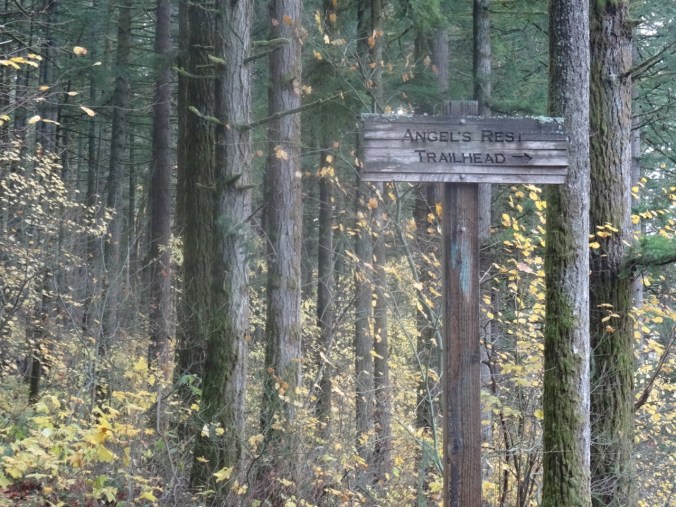
DSC00428

Into the woods

DSC00312

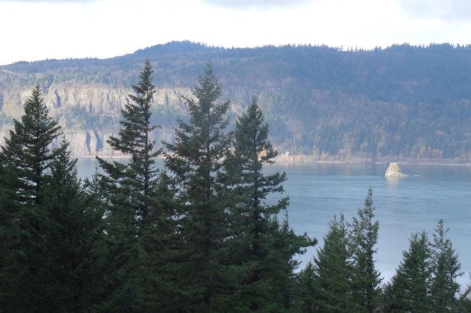
Views of Cape Horn, the Columbia River and Phoca Rock emerge on the lower trail.
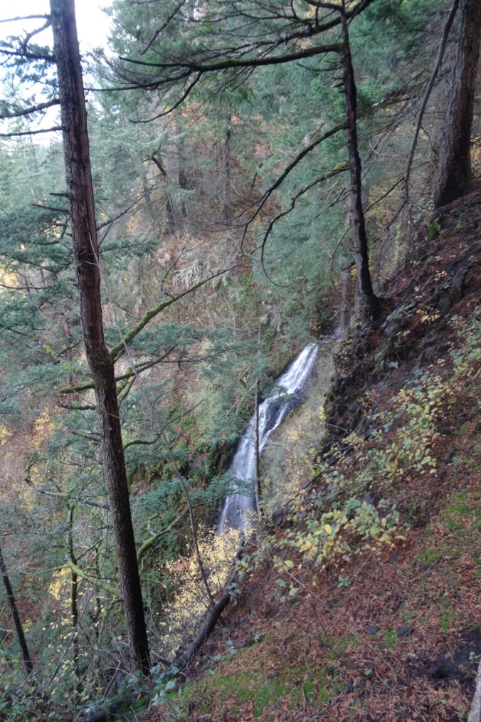
DSC00315

Coopey Falls

DSC00330

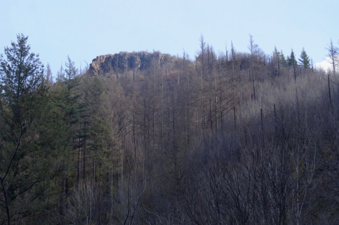
Angel’s Rest – our destination.

The trail begins to switchback up the front of Angel’s Rest.
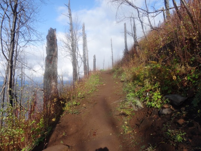
DSC00339

Burned tree trunks and open views line the trail.

DSC00347

First view west toward the trailhead.
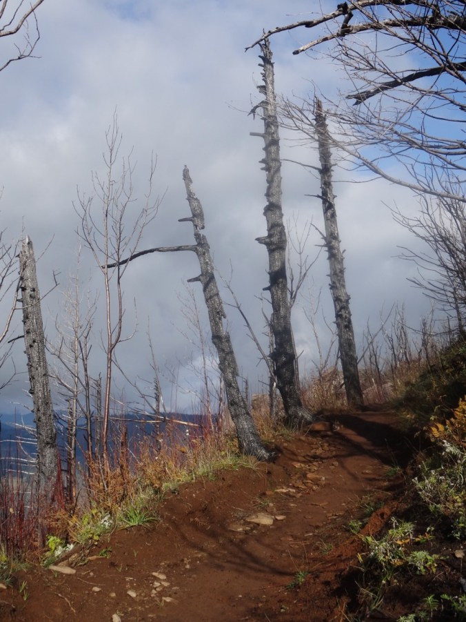
DSC00349

Well repaired trail surface next to blackened trees.

DSC00351

Blackened stump.

Nearing the top, the views unfold:
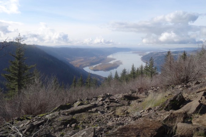
DSC00361

To the west, from near the top.

DSC00370

The Hilary Step of Angel’s Rest – leads to the ridge crest. Sometimes there is a line of hikers waiting to go up or down.

DSC00411

From the top, looking toward the overlook where many rest.
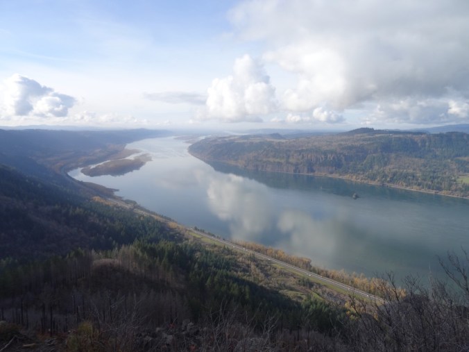
DSC00380

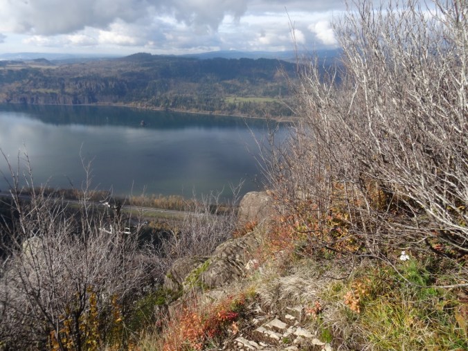
Open view west – toward Portland, Cape Horn in Washington and Phoca Rock.

DSC00387

Open view east – toward Hamilton Mountain in Washington.

We wandered around on top for a while, admiring the view from various perspectives, and found a place to eat lunch.

DSC00394

Closer view of Cape Horn in Washington.
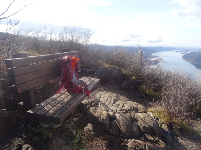
DSC00395

The bench is still there.

DSC00397

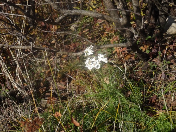
We saw a single blooming white yarrow near our lunch stop.
DSC00396

Yarrow

We headed down, stopping for a few more views along the way.

DSC00404

Looking back toward the top, where the first views are seen.
DSC00407

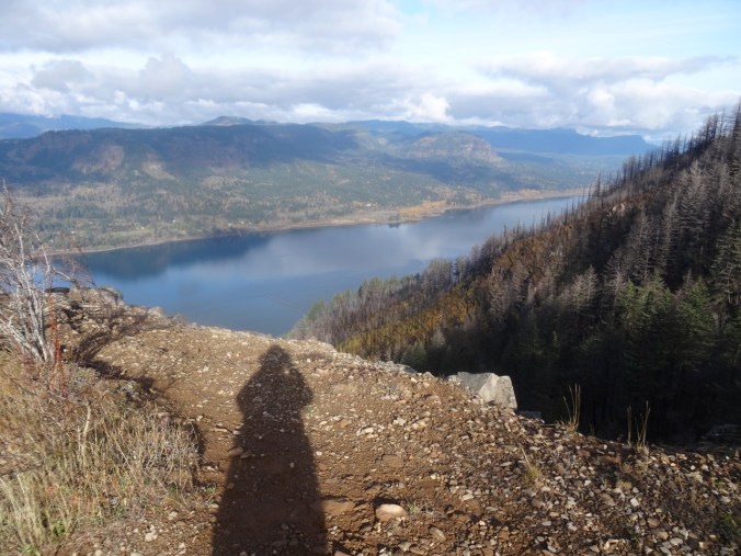
My shadow in the low November light.

DSC00413

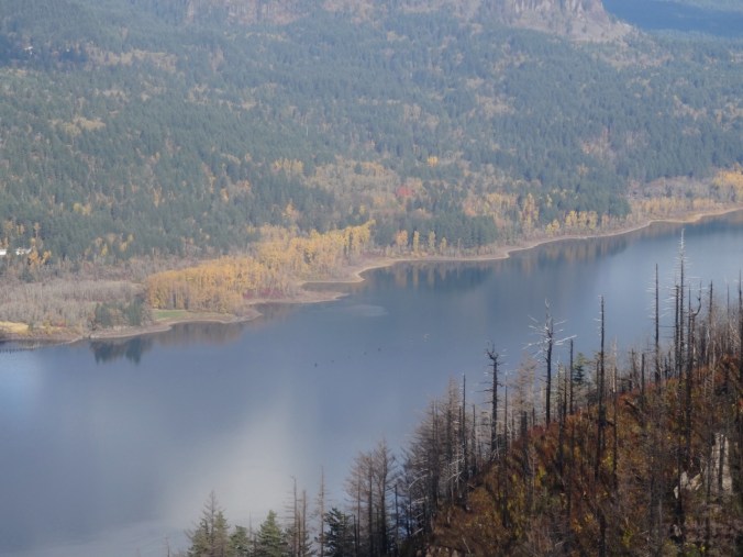
My favorite sculpted shoreline of the Columbia River.
DSC00415

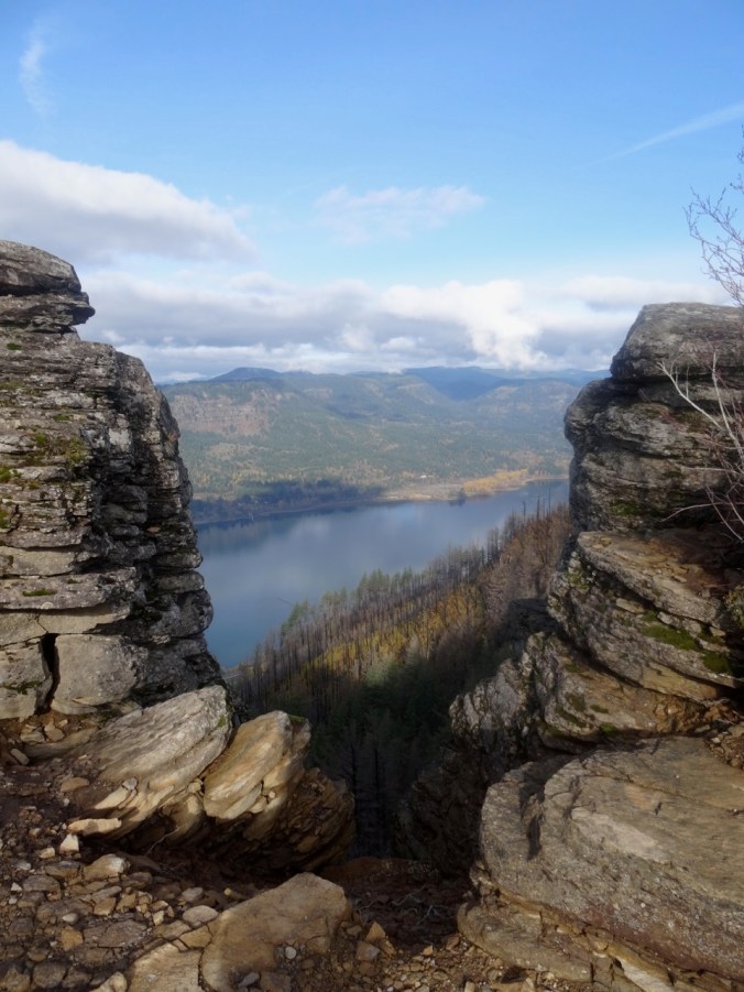
View through the rock piles.

DSC00416

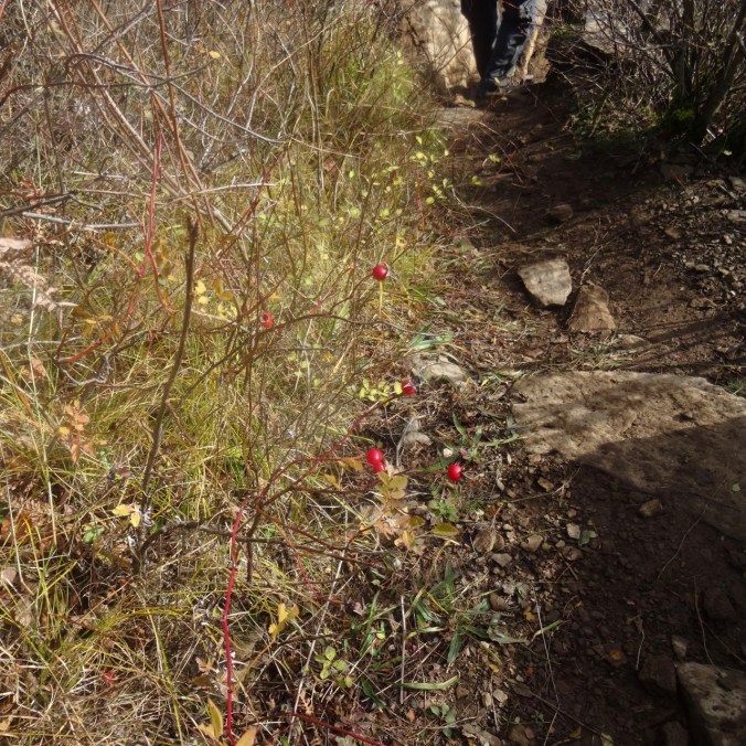
Seasonal berries

DSC00417

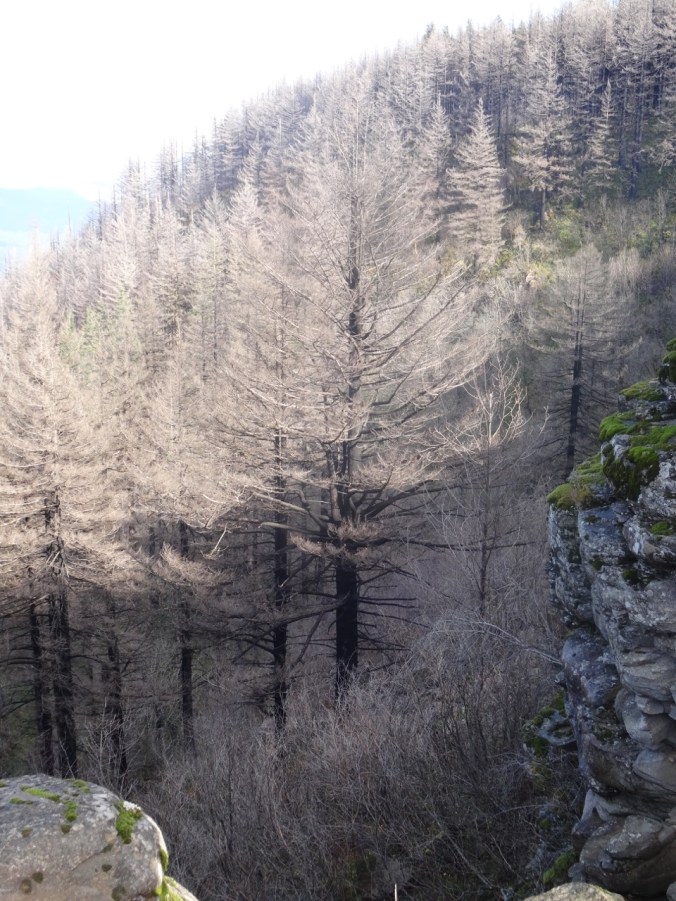
Trees that are burned, dying, no longer evergreen.

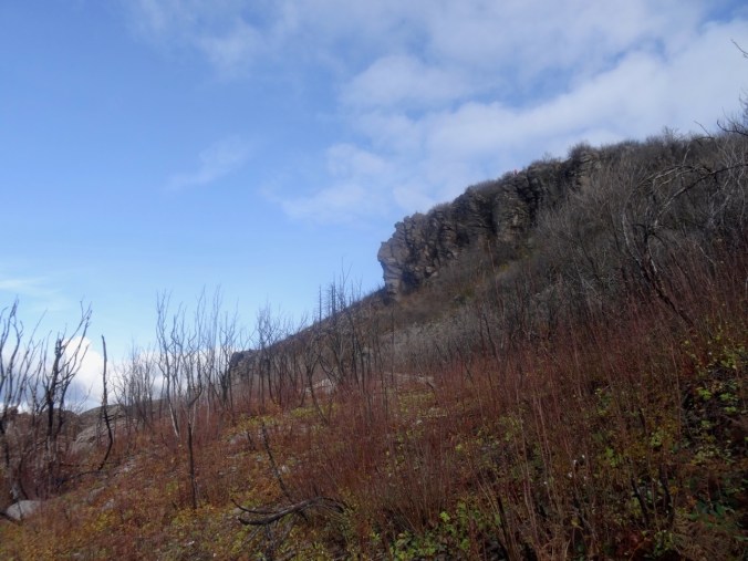
Looking back as we hiked down:
DSC00420

Where we were – and much more visible with all the undergrowth burned away.
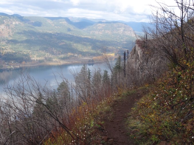
DSC00422

White berries lined this part of the trail – not sure what they are – possible snowberries, or the dreaded poison oak.
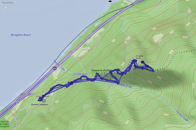
Image 11-28-18 at 1.18 PM

Golden Hike of the year, #62, 5.2 miles, 1500 feet.

Look back:

I found a couple of comparison photos from previous hikes – this one in January of 2013:
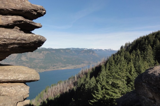
DSC00623

January 2013 – the white tree trunks are left from a fire in 1991.

DSC00368

November 2018 – the white trunks are blackened, and the green trees are now dying.

A closer view:
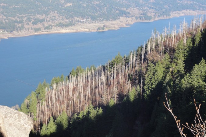
DSC00628

January 2013

DSC00400

November 2018

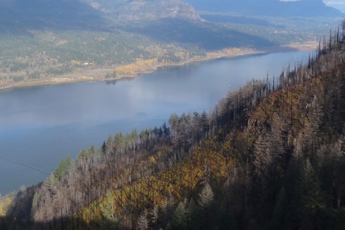
An image taken in 2017 from Cape Horn looking over to today’s hike to Angel’s Rest.

Version 2

Angel’s Rest, October 2017, From Cape Horn, WA.

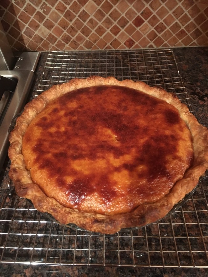
Pumpkin Pie

A lovely Thanksgiving dinner with a small gathering of family and friends.
56455561396__6DC3EE2D-A9BB-4FCC-907B-ADFF24C3AD45

Knitting

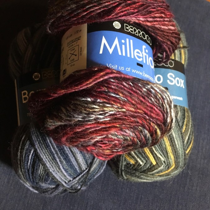
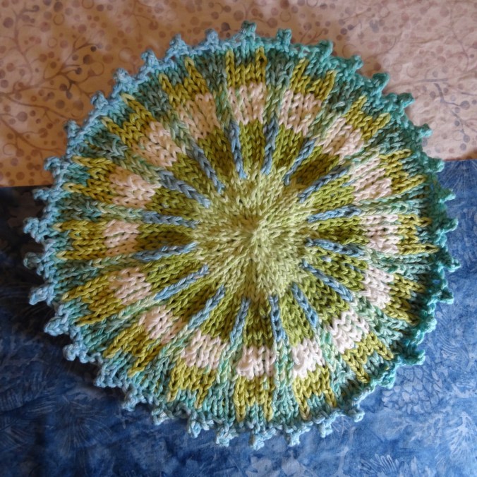
Another round cloth. Some new sock and hat yarn acquired from my LYS on Black Friday.

DSC00434IMG_1726

Jane Austen House Cross Stitch

I have been rather obsessively cross stitching in the evenings.

DSC00438

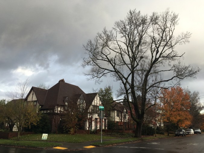
Neighborhood

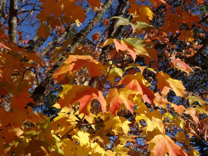
Leaves fully gone from the flame ash tree.
IMG_1724

Other Adventures

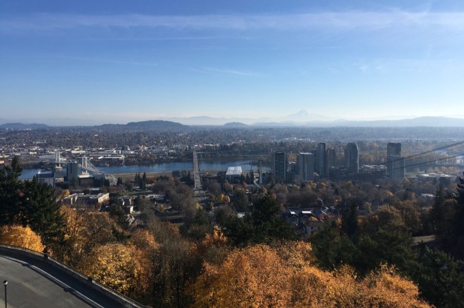
It has been about a year since I was diagnosed with a pituitary tumor. I had another trip through the MRI this week to evaluate the tumor surgery site, accompanied by a Joni Mitchell soundtrack in my head this time. Fortunately, all appears well. And I could see all three mountains from the OHSU tram view patio.

IMG_1709

Mt St Helens on the left; the top of Mt Adams just right of center on the horizon. Tillikum Bridge over the Willamette River on the right.
IMG_1710

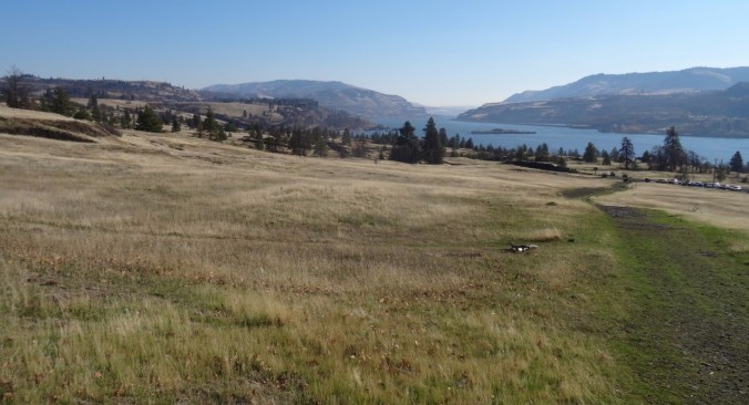
Tillikum Bridge on the left; Mt Hood on the horizon – looking east from the OHSU tram patio.
Rowland Basin from Catherine Creek, Washington (18-51)

Trails of Rowland Basin and Rowland Wall, 11/17/2018

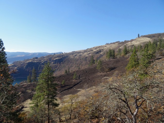
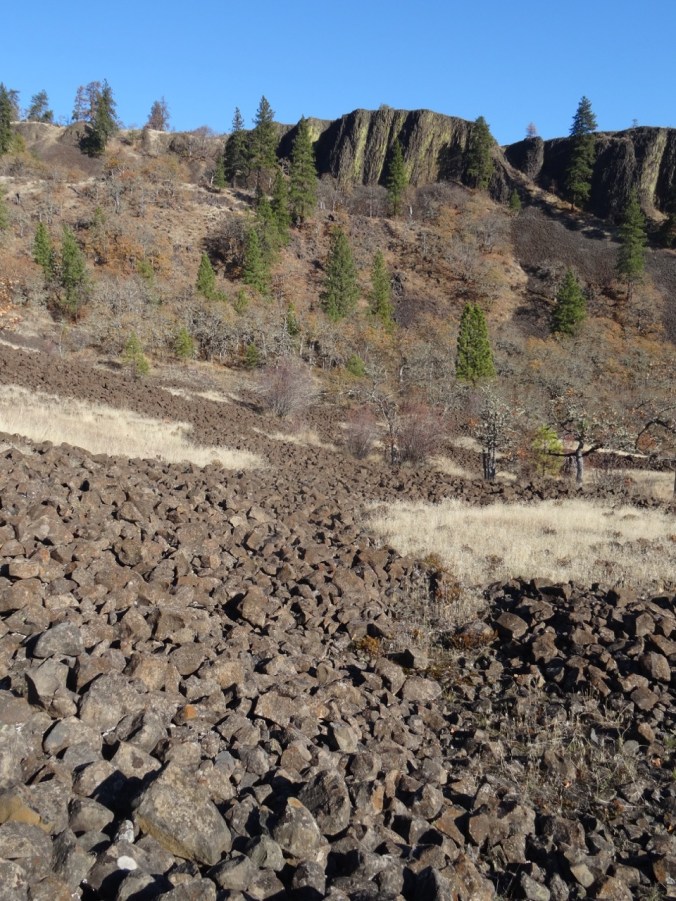
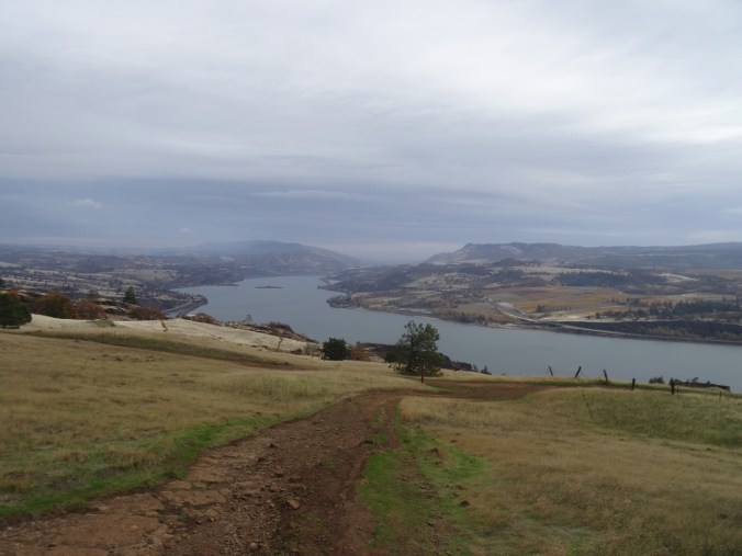
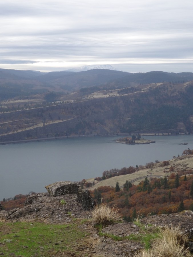
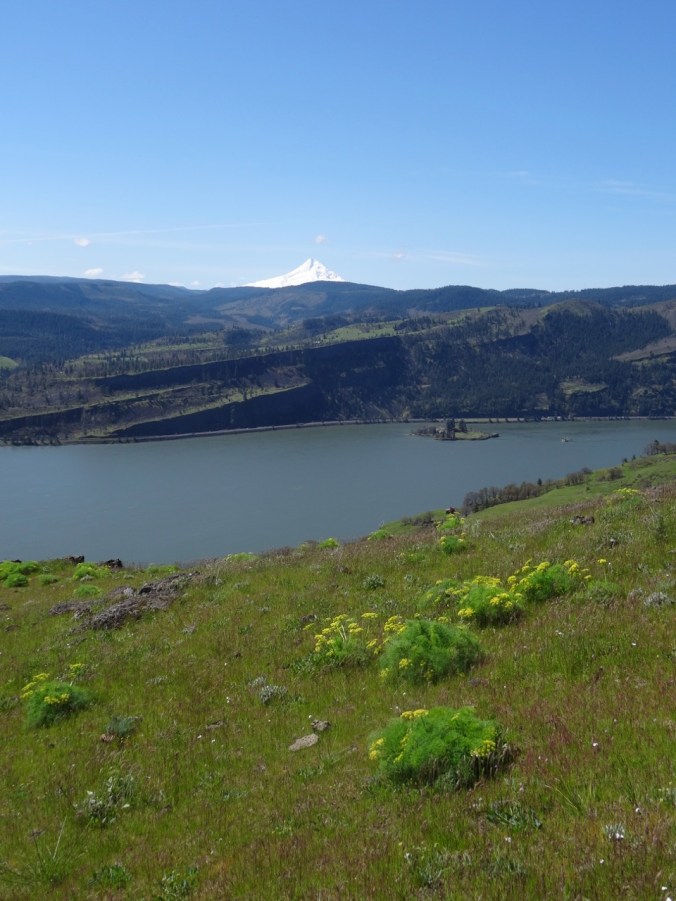
We decided to explore some new to us trails below Rowland Wall. From the Catherine Creek trail head, we walked west to the lower part of the wall, then took a side trail that drops over the cliffs, down the scree slope, and then winds uphill in the valley above Rowland Lake. We traversed oak woodlands, grassy slopes and lava fields. There are historic ‘Indian pits’, associated with native peoples, in this area. We found a spot on the upper grassy slopes for lunch, then continued upward on the looping switchbacks of the ‘Shoestring’ trail, hoping to find the connecting trail to upper Rowland Wall. The trails in this area are not marked, and switch back and forth in tight loops that are a bit confusing – constructed for cyclists. We decided to turn back the way we came for a 5 mile, 1000 foot day, a beautiful day on the trail. (#61)
dsc00217.jpg

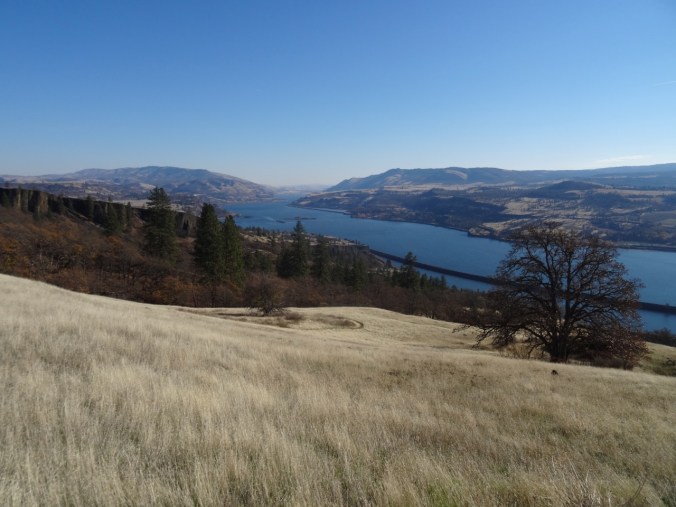
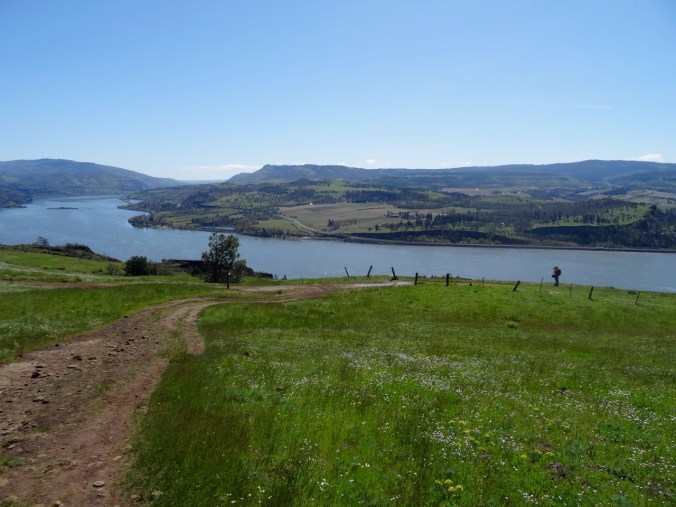
Looking back at the trailhead, and eastward up the Columbia River.

DSC00218

Bitterroot foliage on a rocky outcrop where there will be lovely flowers in spring.

DSC00221

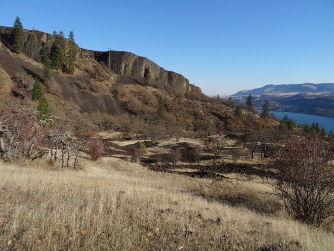
Looking over Rowland Wall into Rowland Basin, where our hike will take us.

DSC00222

Looking west toward Rowland Lake and the Columbia River.

DSC00225

Our trail below the cliff,

DSC00227

Continuing down the scree slope,

DSC00228

Through the oak woodland in the low angle November light.

DSC00230

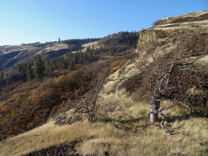
Hiking up the basin beneath Rowland Wall.

DSC00231

Looking back down the trail.

DSC00234

Continuing up – looking west toward the Labyrinth.

DSC00235

An ‘Indian pit’ in the lava field.

DSC00238

Continuing upward.

DSC00239

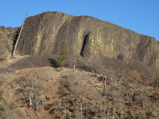
Rowland Wall

DSC00247

Another view east before we hike through more woods.

DSC00250

Then out of the woods, onto the high grassy slope where we would stop for lunch.

DSC00256

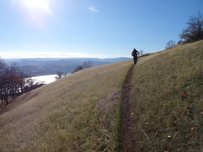
Traversing the bike loops on the grassy slope – Mt Hood is a faint shadow above the two oak trees on the horizon.

DSC00262

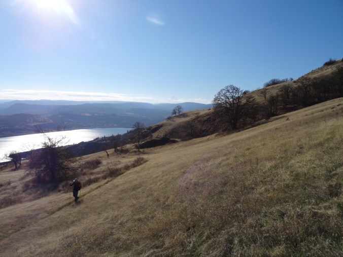
Eastward view from our lunch stop.

DSC00272

Closer view of Mt Hood beyond the oak trees.

DSC00274

Rowland Basin on the way down in afternoon light.

DSC00277

Rowland Wall

DSC00278

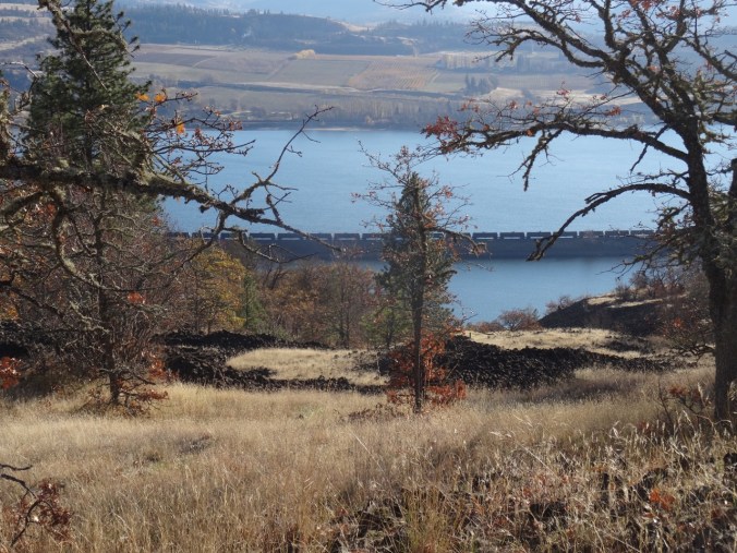
The orchards east of Mosier, Oregon, and oil train waiting near Rowland Lake.

DSC00281

Last look over the wall before returning to the trail head. Our lunch stop was on the bare gold slope in the middle of the picture.

Knitting

I finished two more round cloths in the last couple of weeks.

Coyote Wall, WA (18-49)

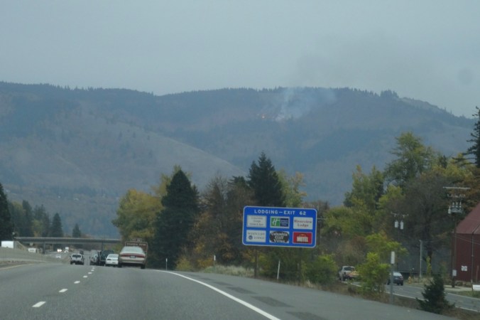
As we drove toward Hood River to cross the bridge to the Washington side of the gorge, we noticed fire burning high on the slopes above White Salmon. We realized it must be a controlled/slash burn, not a wildfire, thankfully.

DSC00119

Little Moab and Old Ranch Road Trails, November 3, 2018 (#60)

We walked up Coyote Wall about half way on an overcast day.

DSC00123

Walking along Old Highway 8 to the trail up Coyote Wall.

DSC00129

First view to the east – a different perspective on the fruit orchards east of Mosier from our Catherine Creek hike last week.

DSC00130

Approaching one of the viewpoints over Coyote Wall on the Little Moab Trail.

DSC00138DSC00139

DSC00160

Looking over the wall and up. The sky is a bit smoky from the fire above White Salmon, just over the hill.

DSC00163

We begin to see the shoulders of Mt Hood under clouds to the south.

DSC00166

Junction of Little Moab and Old Ranch Road trails. We are headed up.

IMG_1672

Lunchtime view to the east

DSC00178

Lunchtime view to the south

DSC00176

Lunchtime view up Coyote Wall

We decided to head down, as the wind was picking up and blowing more smoke toward us. 4.3 miles, 1000 feet for the day.

DSC00202

Looking back up to where we had been on Coyote Wall from the trail head.

Lookback:

Comparing fall and spring views:

DSC00193

View to the east, October 2018

DSC03347

April 2017

DSC00186

View toward Mt Hood, October 2018

DSC03354

April 2017

Knitting

I am blocking the Ivy Cardigan, and I finished another round dishcloth.

DSC00210IMG_1688

Neighborhood

The fall colors have been a pleasure to walk through – my camera can’t quite catch them and yet I try.

IMG_1644IMG_1649IMG_1666IMG_1671

A Crisp Fall Day at Catherine Creek, WA (18-48)

Catherine Creek Arch Trail, October 27, 2018  (#59)

We walked a loop above the arch and part way up Tracy Hill, then dropped down into the oak and big leaf maple-lined canyon in front of the arch. Windless day, river like glass, slanting sun through the clouds enhancing the fall colors.

DSC09991

First stop near the trail head – looking across the Columbia River to the fruit orchards east of Mosier, Oregon.

DSC09992

Our path along the far side of the canyon.

DSC09993

Walking upward toward Tracy Hill.

DSC09996

Looking over dry flower heads back to the river.

DSC00005

Lunch view from the knob just north of the arch.

DSC00008

Lunch view to the eastern gorge, Rowena Plateau and Memaloose Island.

DSC00018

From our high point on Tracy Hill the lowest shoulders of Mt Hood can be seen under the clouds.

DSC00025

Heading down to Catherine Creek.

DSC00034

DSC00047

Orange oak trees, yellow big leaf maple trees.

DSC00048 (1)

The pinnacles of Catherine Creek.

DSC00032DSC00033

We walk by the Arch….DSC00058DSC00062DSC00065

And continue our way back to the trail head, feeling refreshed, before heading back to the rest of our rainy weekend in Portland. 3 miles, 600 feet.

DSC00068DSC00067

On our way to the hike today, we stopped at the Women’s Forum Viewpoint on the Historical Columbia River Highway to look at the view of Vista House, Beacon Rock and beyond.

DSC09983

Knitting

DSC00105

The back and one and a half front panels of the Ivy Cardigan.

Fall Colors at Home

Trapper Creek Wilderness, WA (18-46)

October 20, 2018 – Observation Peak and Sister Rocks

We hiked up and down this roller coaster trail, through autumn light and sun, to viewpoints of the surrounding Cascade mountain peaks rising above a bluish haze.

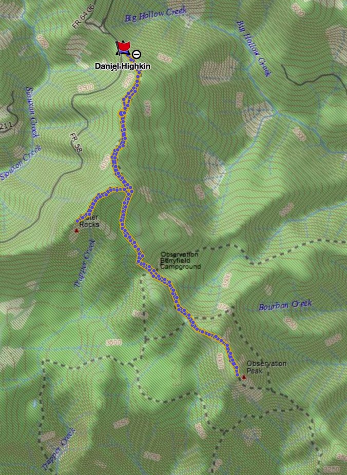
Screen Shot 2018-10-22 at 8.29.52 PM

7 miles, 1575 feet (#58)

Driving to the trailhead on Dry Creek Road we passed through a tunnel of yellow trees.

DSC09898

View through the front windshield…

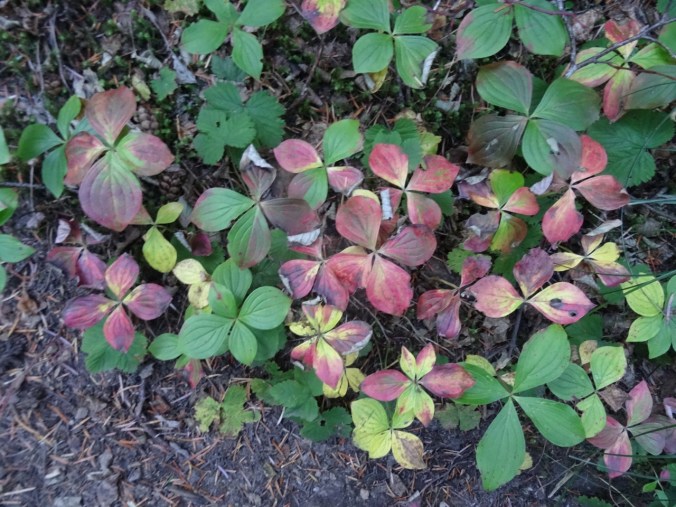
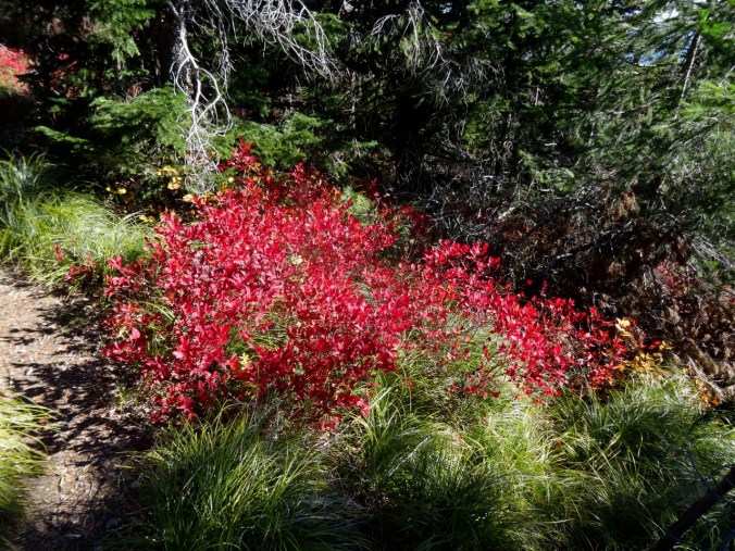
Bunchberry and huckleberry along the trail provided some color.

DSC09902DSC09936

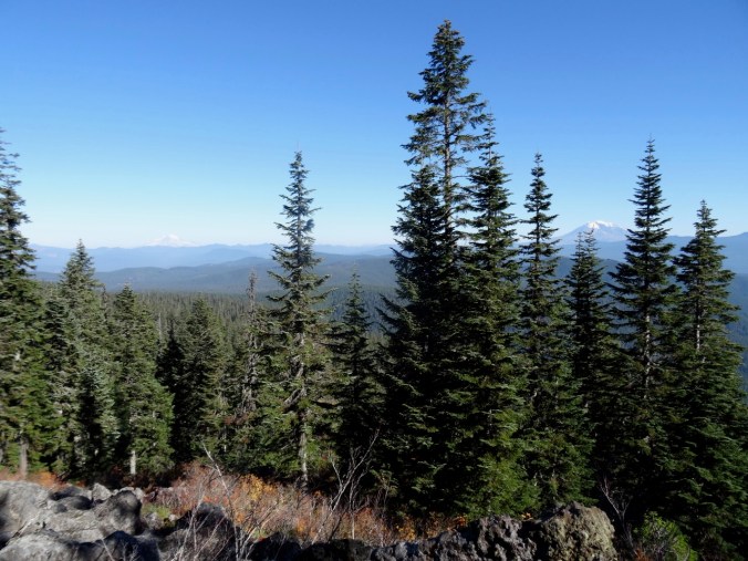
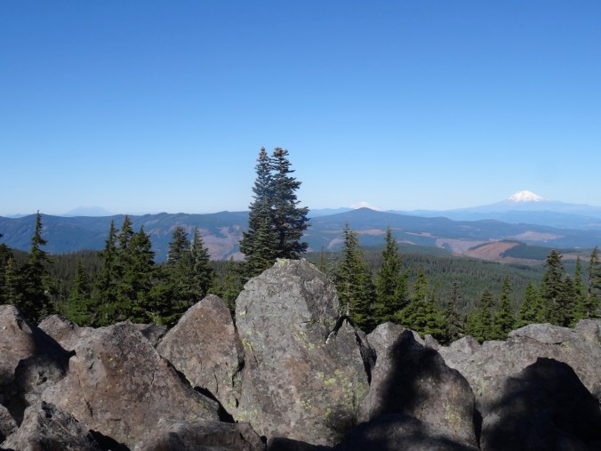
At the top of the first ridge, the views from the rocky outcrop are to Mt Rainier and Mt Adams.

DSC09910

DSC09908

Mt Rainier

We then took the side trail to Sister Rocks, with a great view of Mt St Helens and Mt Hood. Lunch stop.

DSC09913

DSC09914

Dan atop Sister Rock; Soda Peaks on the left.

DSC09920

My shadow and Mt St Helens

DSC09923

Closer view

DSC09925

Mt Hood

The intermediate high point on the Sister Rocks spur provides an excellent view of Mt Adams.

DSC09944DSC09942

DSC09940

Mt Adams

DSC09941

Returning to the main trail, we headed down hill, then back up to the views from Observation Peak of four tall volcanoes rising above the forested landscape.

Version 2

Mt St Helens, Mt Rainier, and Mt Adams from Observation Peak.

DSC09955

Mt St Helens and the Mt Margaret backcountry

DSC09958

Mt Rainier

DSC09966

Mt Adams

DSC09961

Mt Hood

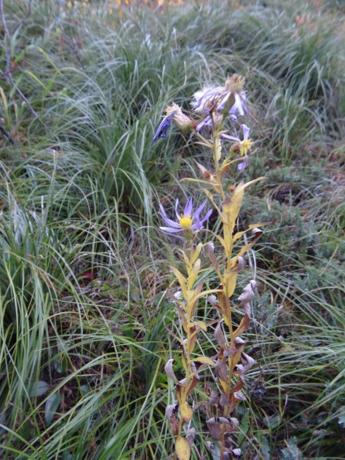
As we departed Observation Peak I spotted what may be the last blooming aster of the year.

DSC09972DSC09971

Mirror Lake

The lake is at the base of Vista Point in Rooster Rock State Park. As we drive through the Columbia River Gorge on I-84 we sometimes see swans here in winter. This morning, no swans, but the fog was lifting poetically, so we stopped to look at the light.

DSC09888DSC09897

Knitting

Another dishcloth finished, and I frogged and am reknitting the front of the Ivy Lace Cardigan.

DSC09974


Owl Point and Hoyt Arboretum, OR (18-45)

Owl and Alki Points and the Rockpile from Vista Ridge   October 12, 2018

This was our first hike on the Owl Point trail, which follows the northern edge of Vista Ridge and leads to views of the north side of Mt Hood and the Clear Branch valley below. Much of the lower elevation landscape was burned by the Dollar Lake Fire in 2011.

Screen Shot 2018-10-13 at 12.16.43 PM

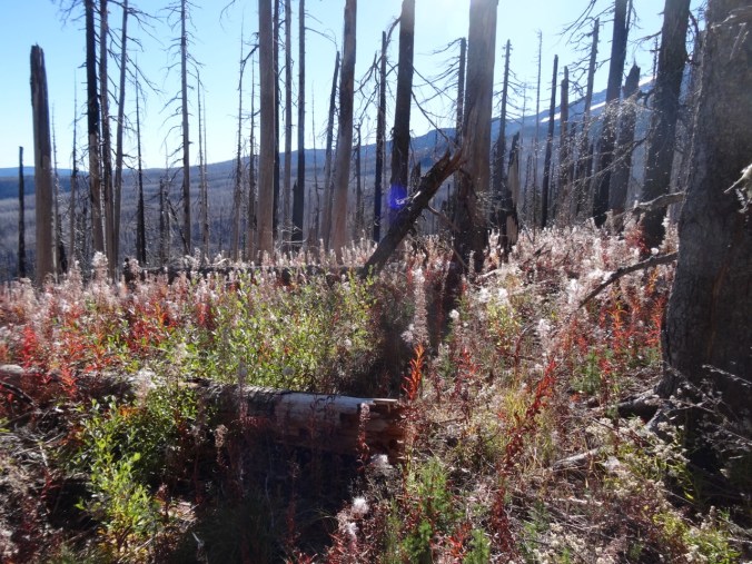
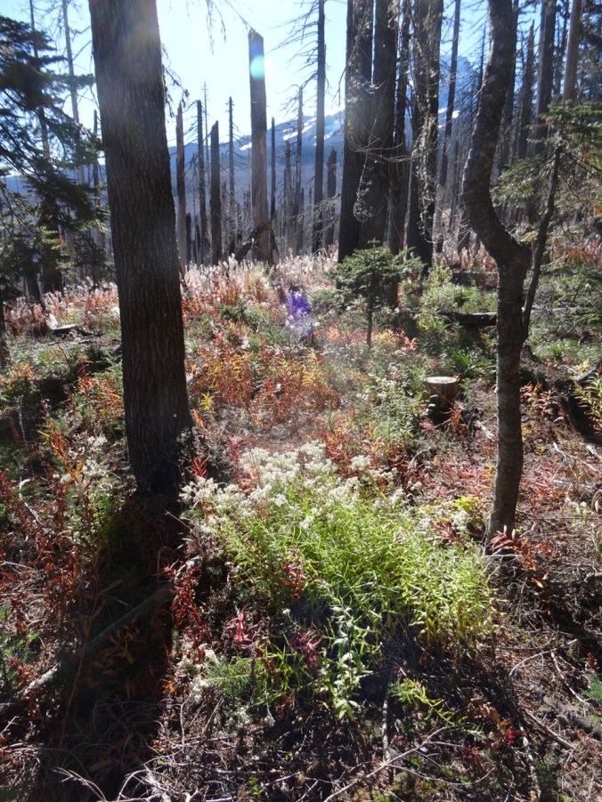
The first views from the 0.3 mile trail junction display the luminous seed heads of abundant fireweed at the edge of the burn zone.

DSC09706DSC09707

DSC09710

Pearly everlasting and fireweed

The trail leads along the ridge, mostly through forest with a few viewpoint and meadow openings.

DSC09726

A meadow

DSC09736

Fungus along the trail

DSC09738

DSC09740

Beargrass and huckleberry

The first major viewpoint along the trail is called The Rockpile:

DSC09741

Approaching The Rockpile

DSC09748

Dan at The Rockpile

We went on a short way to Owl Point where we had lunch and signed in at the trail register.

DSC09754

DSC09757

Owl Point

DSC09770

Dan at Owl Point

The next views are a panorama from northeast to south:

DSC09764

Upper Hood RIver valley in the distance

DSC09765

Laurance Lake

DSC09766

Continuing south – Clear Branch Valley

DSC09767

Lower flanks of Mt Hood and the Dollar Lake burn

DSC09768

Mt Hood

Leaving Owl Point:

DSC09782

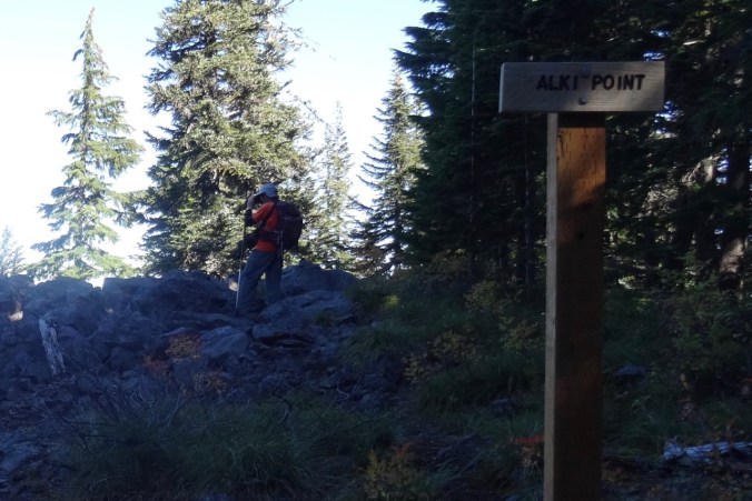
Finally we went on to Alki Point which let us look north into Washington on this brilliant blue day.

Version 2

DSC09793

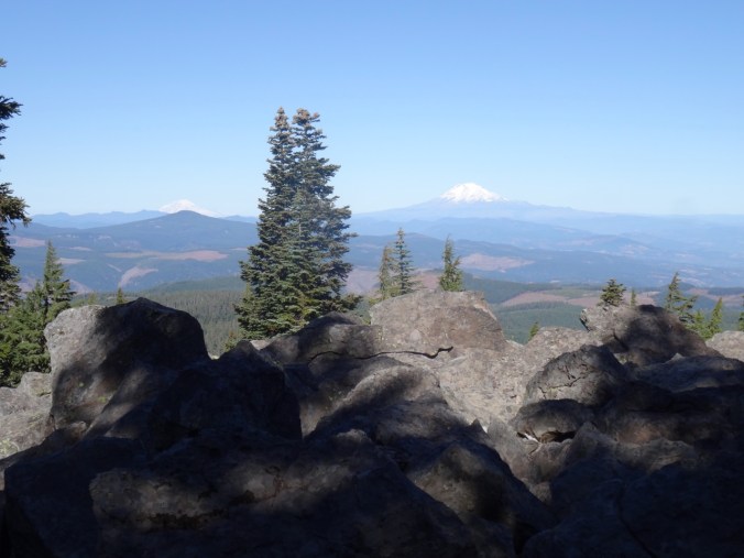
Alki Point – first Mt Rainier (behind Mt Defiance) and Mt Adams come into view.

DSC09802

Farther out on the point, we can also see Mt St Helens.

On our return, we stopped at the 0.8 mile overlook with a better sun angle. The one yellow tree, possibly a larch, stood out in front of The Pinnacle in the grey foothills leading up to the mountain.

DSC09824DSC09822

DSC09814

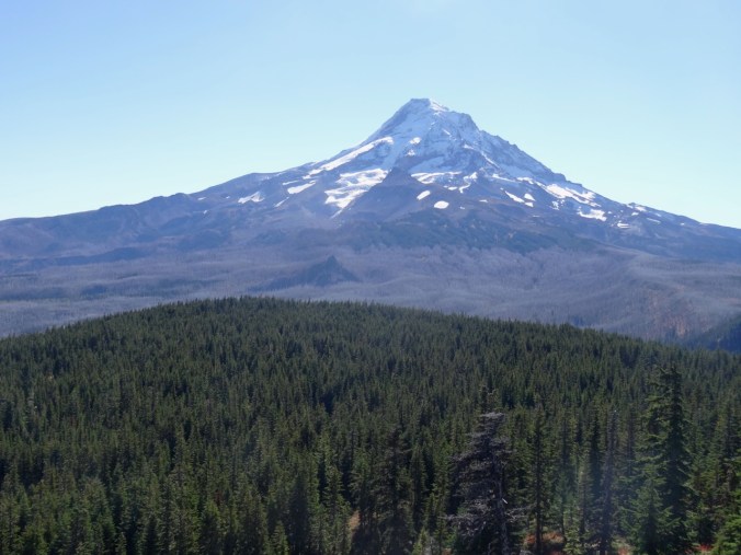
Barrett Spur in front of Mt Hood

DSC09815

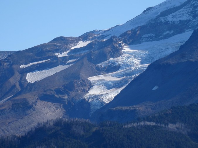
Coe Glacier close up

We enjoyed this trail for great views of Mt Hood from a new aspect.

DSC09721

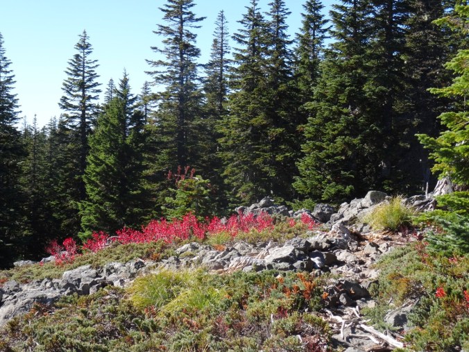
Huckleberry foliage

5.4 miles. 800 feet.  (#56)

Hoyt Arboretum   October 14, 2018

We also took a three mile wander with our son along trails in Hoyt Arboretum in the west hills of Portland to see the fall colors. (#57)

DSC09838DSC09839

Aralia with birds eating the berries:

DSC09854DSC09851DSC09848

DSC09841DSC09870DSC09873

DSC09877

Sassafras

DSC09885

CRAFTING

I finished the Fiore Washcloth.

DSC09831

Steigerwald Lake, WA (18-44)

Steigerwald National Wildlife Refuge    10-7-2018

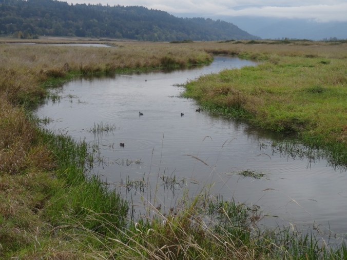
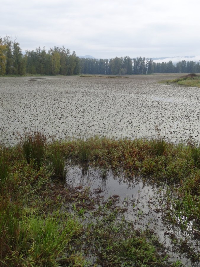
Rainy weekend. We were too early for the migrating birds, but saw foggy cliffs across the Columbia River, a few waterbirds and reflections in Gibbons Creek and Redtail Lake, late season flowers, berries and a few fall colors.   (hike#55)  4.4 miles

DSC09575

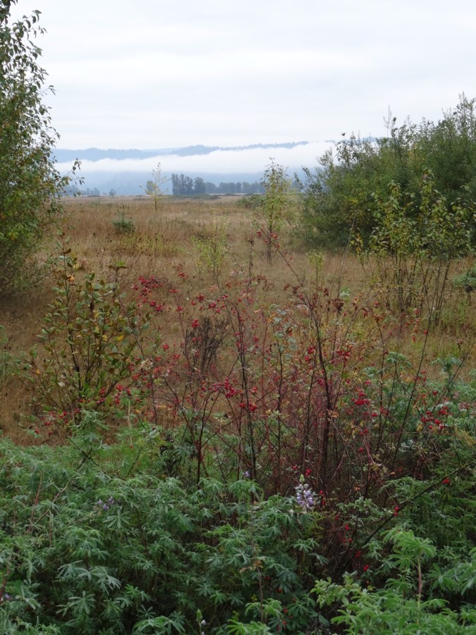
Late lupine, berries, fog on the cliffs across the river.

DSC09579

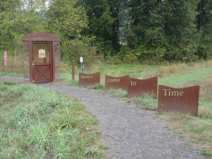
I always appreciate the welcoming path entrance.

DSC09583DSC09703

DSC09587

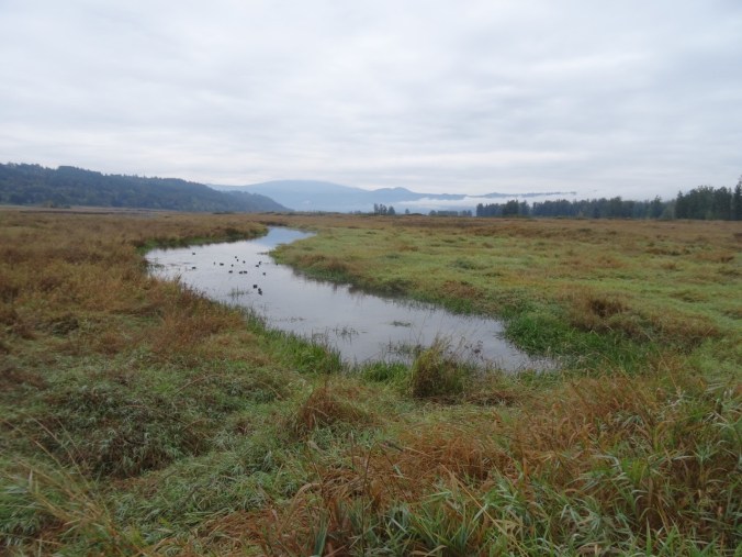
Water birds on Gibbons Creek

DSC09602DSC09610DSC09608DSC09611

DSC09641

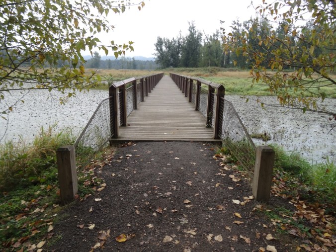
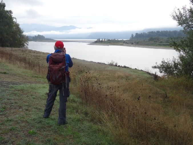
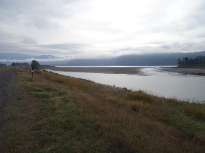
Views of Vancouver Point and Reed Island from the dike path.

DSC09640

The door to the art trail is closed for winter nesting season. Time for the birds to come home.

DSC09639

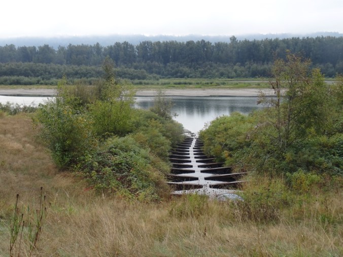
Fish ladder

DSC09665

We walked to the end of the refuge.

DSC09667

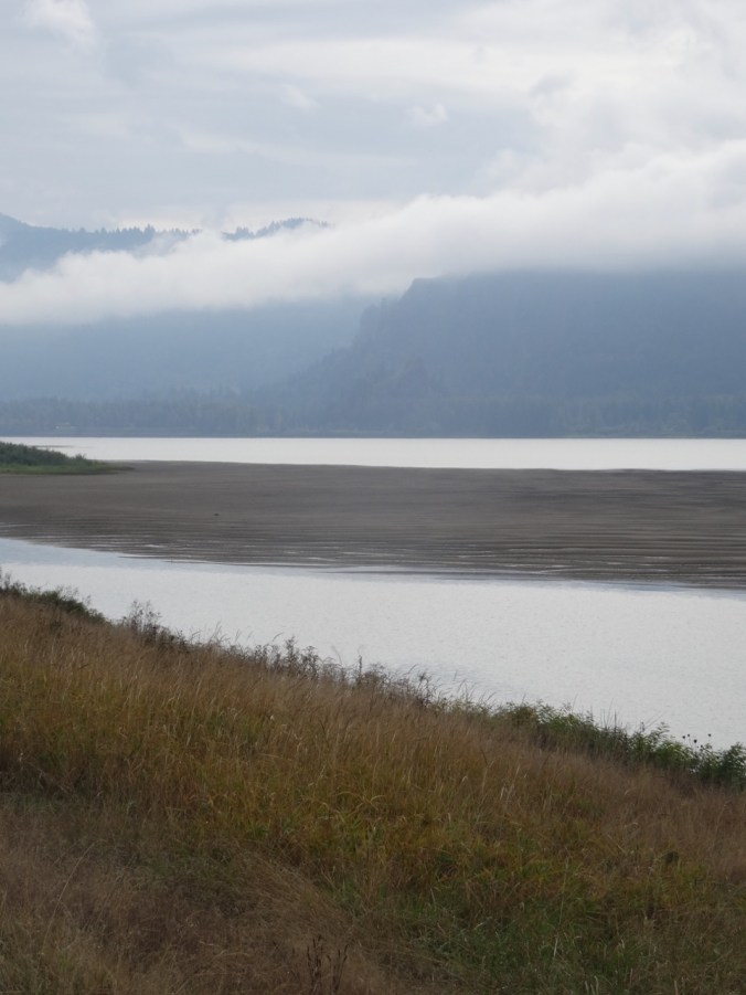
Sand bars between Reed Island and the Washington shore.

DSC09668

Vista House under the fog on the Oregon cliffs.

On our return walk we saw a few more birds.

DSC09670

Snowy egret across the channel

DSC09685

We learned from a trail steward that the refuge is planning to breach the dikes to the Columbia River to reestablish the natural flood plains and wildlife habitat, beginning sometime next year.

Knitting

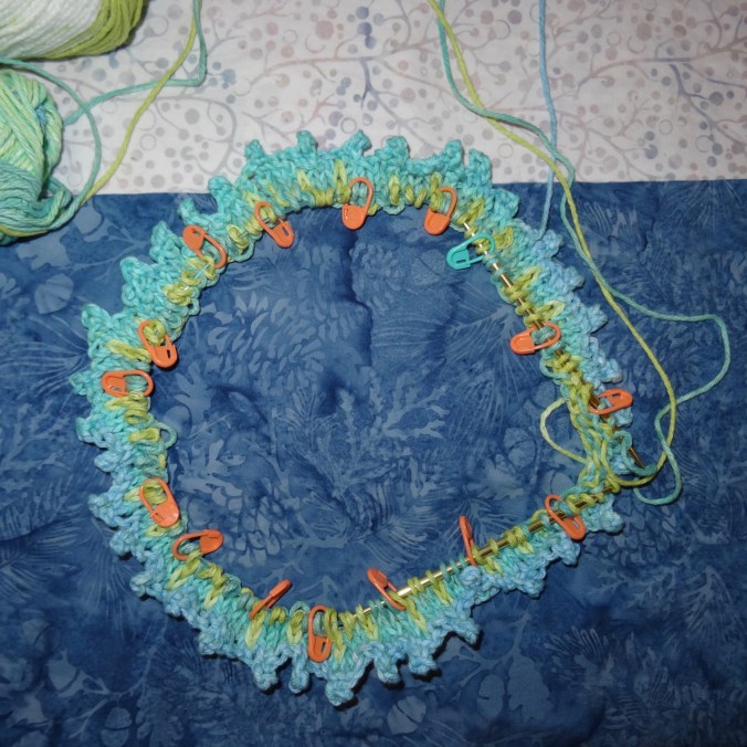
I finished another round dish cloth.

DSC09570

I started knitting a Fiore washcloth. I learned the picot cast on, and I am relearning stranded knitting and catching floats for this project.

DSC09573

Garden

IMG_1040

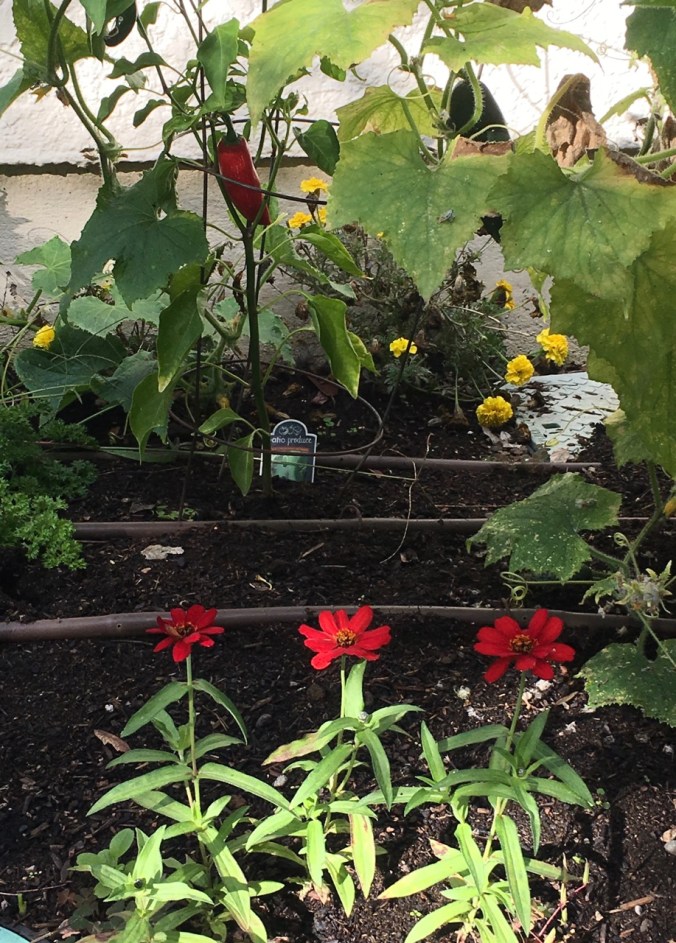
Zinnias and peppers

IMG_1045

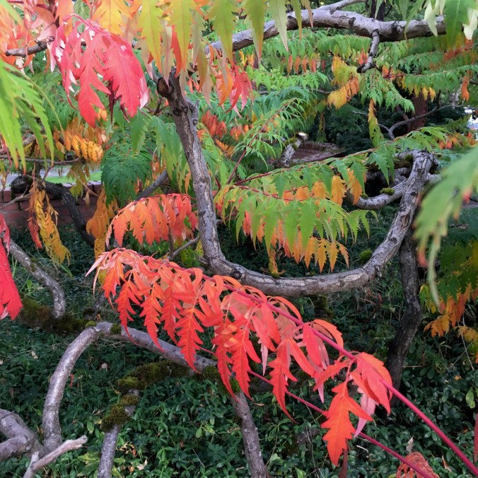
Sumac

IMG_1035

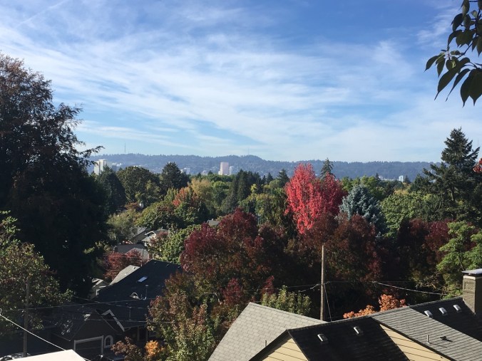
NE Portland changing colors. View from a walk up Alameda Ridge.

Falls Creek Falls (18-42)

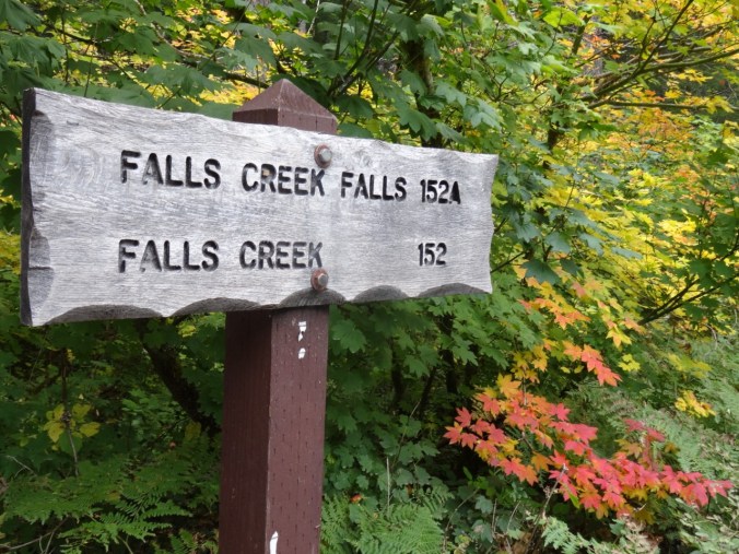
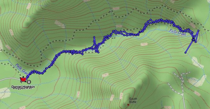
Falls Creek Falls Trail, Gifford Pinchot National Forest, WA     9/29/2018    (#54)

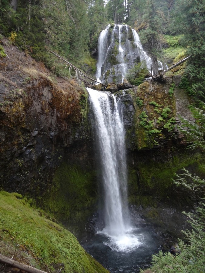
This trail provides fall foliage along Falls Creek, and an impressive waterfall at the terminus.

DSC09433

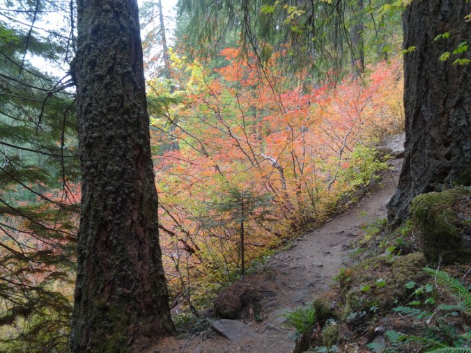
Colorful vine maples at the trailhead

DSC09436

Into the woods

DSC09452

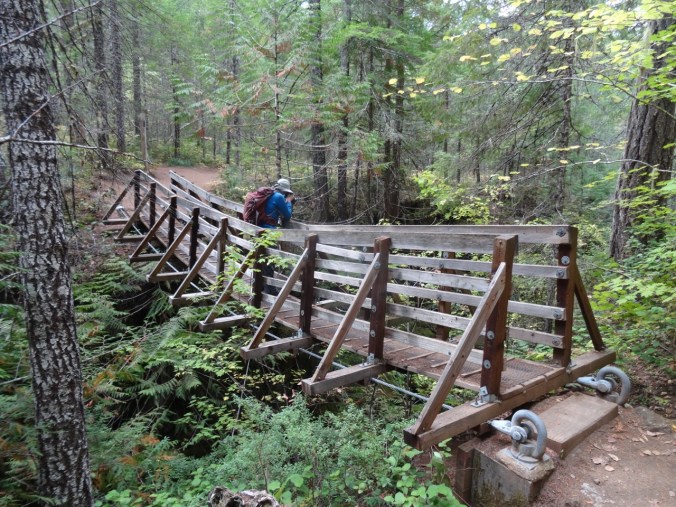
Over the first bridge

DSC09459

Along the creek

DSC09475

Over the upper bridge

DSC09476

Around this turn we hear the falls

DSC09479

Then look up and see the upper falls

DSC09483

Middle and lower tiers (about 225 feet high) of Falls Creek Falls viewed from the end of the trail.

DSC09488

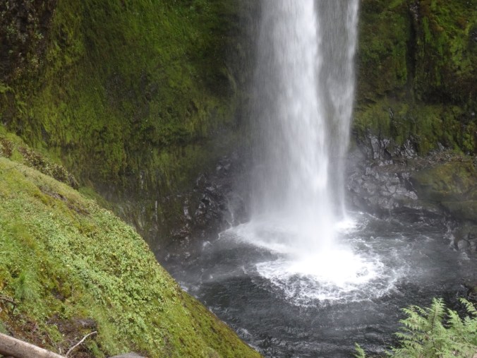
Lower plunge pool

DSC09489

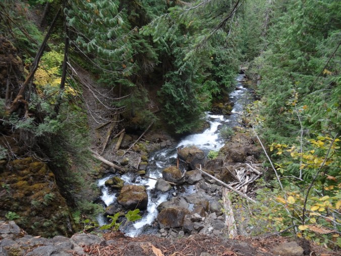
Downstream view

After eating our lunch, we returned back down the trail,

DSC09496

Through the vine maple corridor

DSC09497

Under the big leaf maple canopy

DSC09502

With a pause by the stream

DSC09516

And another pause near the trailhead to play with the impressionistic reflections…

DSC09528DSC09536DSC09550DSC09555DSC09556

We saw a variety of leaf displays…

DSC09465

Vine maple – green

DSC09434

DSC09458

Vine maple – turning orange

DSC09443

DSC09501

Vine maple – orange

DSC09469

Solomon seal, with berries

DSC09432

Vine maple – red

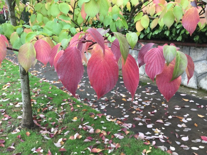
My new identification for the day was Pacific dogwood without the distinctive white flowers. In the fall it has red leaves and red seed pod clusters.

DSC09521

About 4 miles round trip and 800 feet.

Screen Shot 2018-10-01 at 6.00.23 PM

CRAFTING

I have made knitting progress on my Ivy Lace Cardigan and a round dishcloth.

DSC09562

Late Summer Adventures Part 1 – Redwoods and Beaches (18-38)

We were looking forward to a long planned trip to Crater Lake and Mt Lassen, but with  forest fires and smoke in those areas, we rescheduled to Brookings and Sisters, keeping one of our Ashland days in the mix.

Ashland, Oregon  9/8/2018

It was smoky/hazy when we arrived in Ashland. We walked around downtown, including a stop at Websters, the yarn store, and a walk through Lithia Park. We had an early dinner at one of the restaurants along Lithia Creek, then saw the play ‘Snow In Midsummer’ at the Oregon Shakespeare Festival. The story was a modernized Chinese tale about a woman who had been wronged and was seeking justice. Very well done and thought provoking regarding harm that descends through generations.

DSC07849

The pond in Lithia Park, Ashland, Oregon

Darlingtonia, Redwoods and Whaleshead Beach   9/9/2018

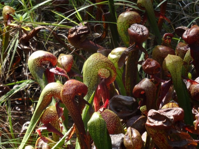
The way to the southern Oregon Coast is through the redwood forests of Northern California. We stopped at Jedediah Smith Redwoods State Park, first at the botanical trail where we viewed the Darlingtonia bog:

DSC07852

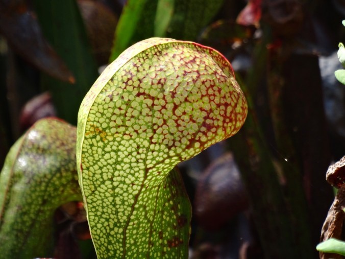
Darlingtonia are carnivorous pitcher plants – they eat insects. This bog is one of the rare preserves for these plants.

DSC07871DSC07881

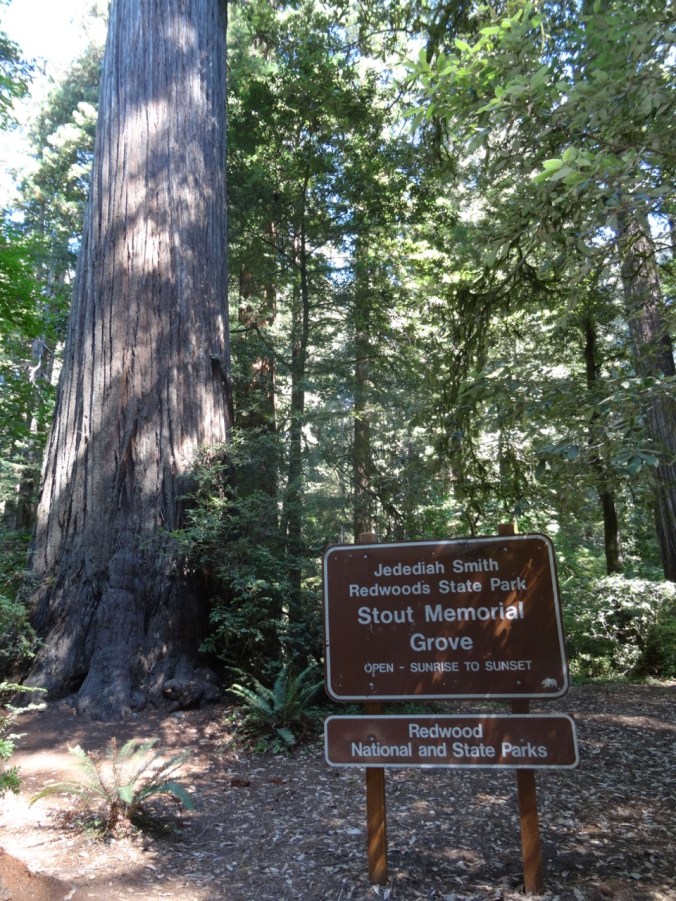
Next we took a short hike (#47) through Stout Grove along the middle fork of the Smith River.

DSC07883DSC07912DSC07911DSC07917DSC07920

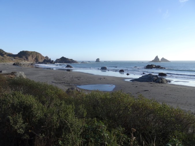
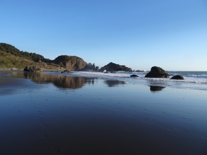
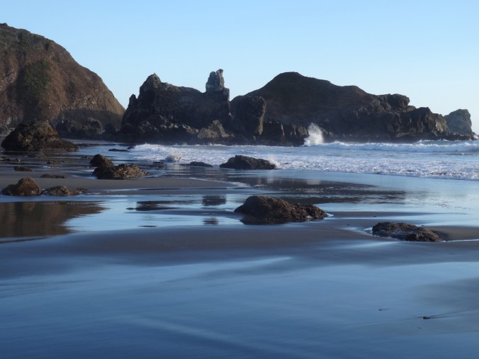
Then we drove north on Hwy 101 back into Oregon to our lodgings near Whales Head Beach. After dinner we took a long walk on the beach as the tide ebbed.

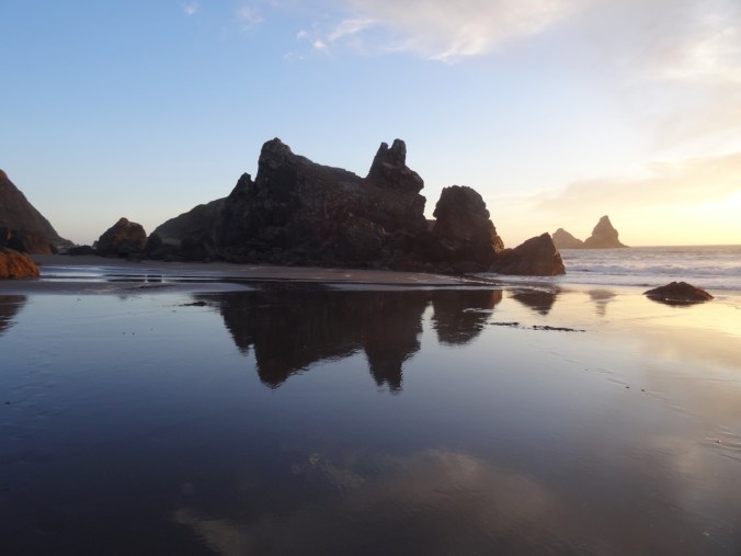
DSC07956

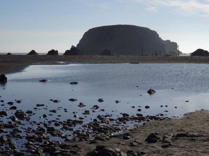
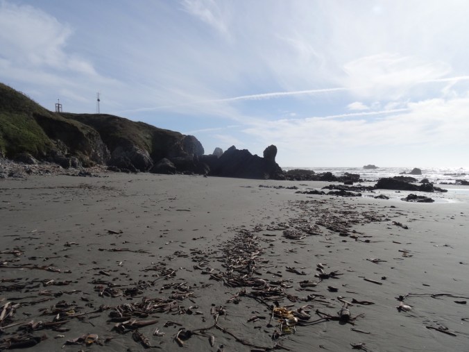
Whalehead Island from the beach

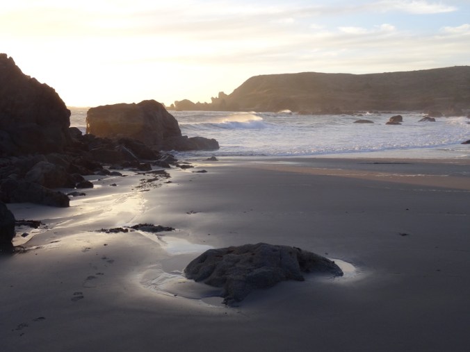
DSC07959

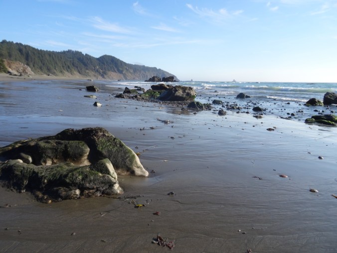
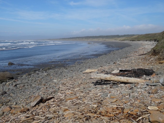
View south

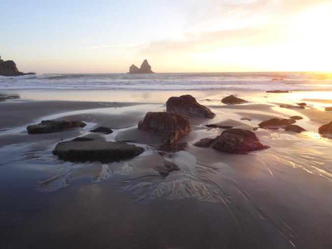
DSC07989

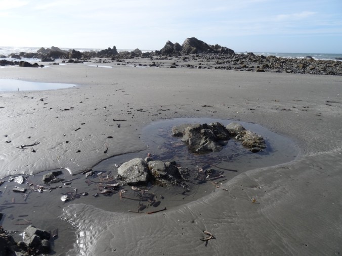
Ebb tide sand patterns

DSC08028

Wind ripples

Boy Scout Tree Redwood Trail and Point St George, CA  9/10/2018

We saw a rainbow at Rainbow Rock while driving south this morning:

DSC08040

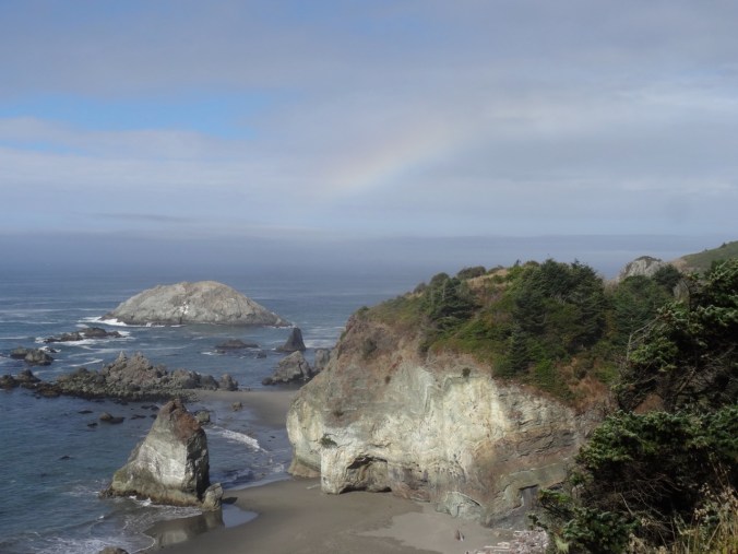
Rainbow over Rainbow Rock

DSC08043

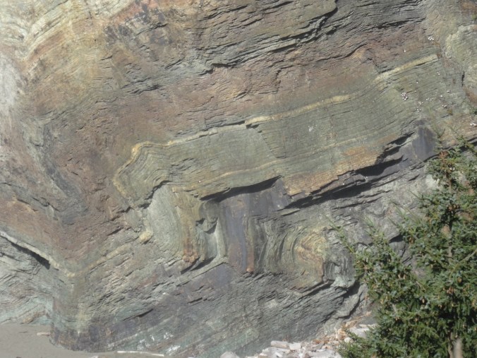
Zoom in view of Rainbow Rock folds

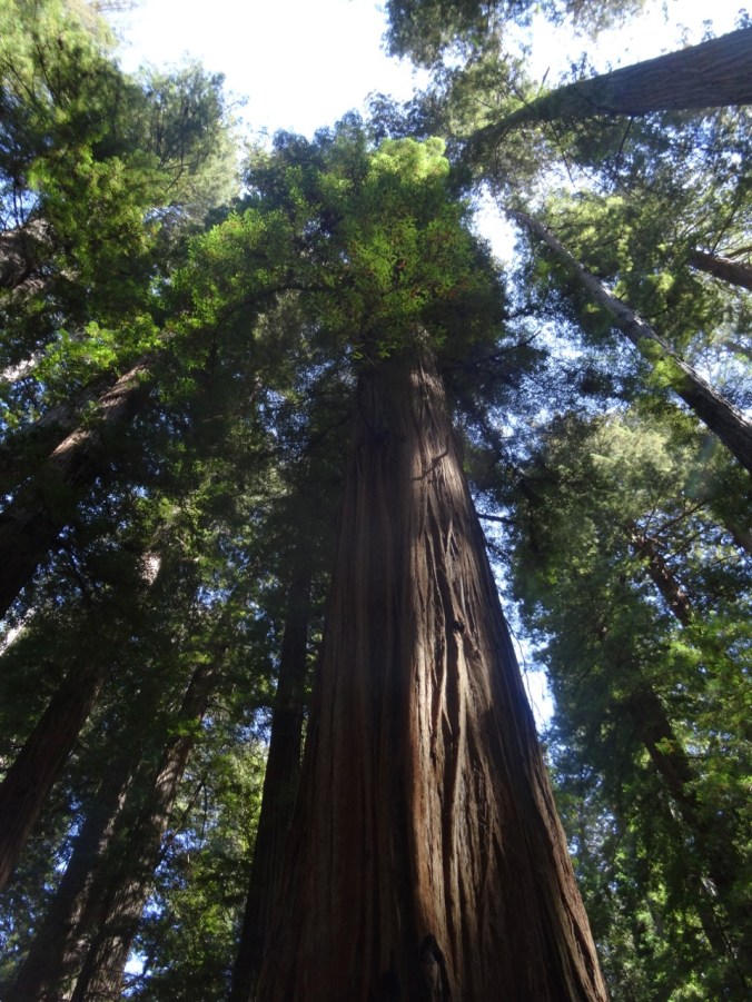
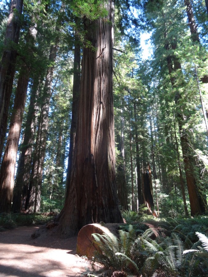
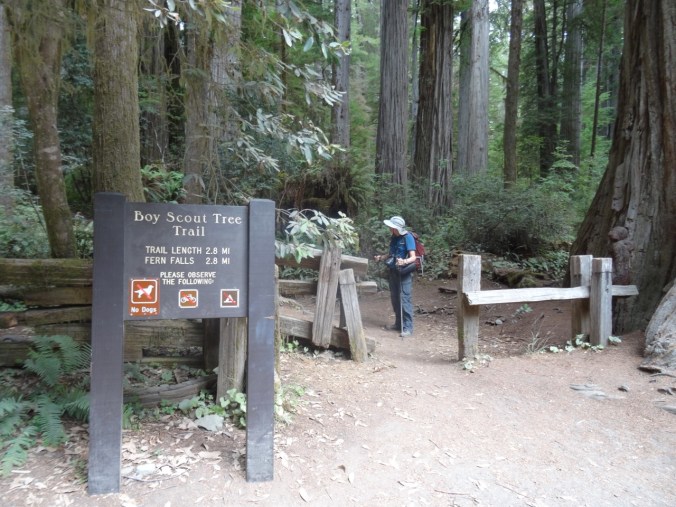
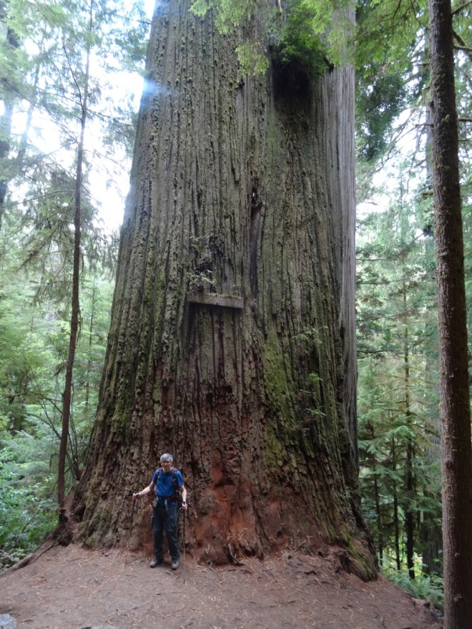
We drove south into Jedediah Smith State Park again to hike the Boy Scout Tree Trail (#48). The forest is lined with oxalis and fern and it is awe inspiring to walk among these very tall, old beautiful trees.

DSC08046

DSC08056

Dwarfed by trees

DSC08097

The Boy Scout Tree

DSC08085

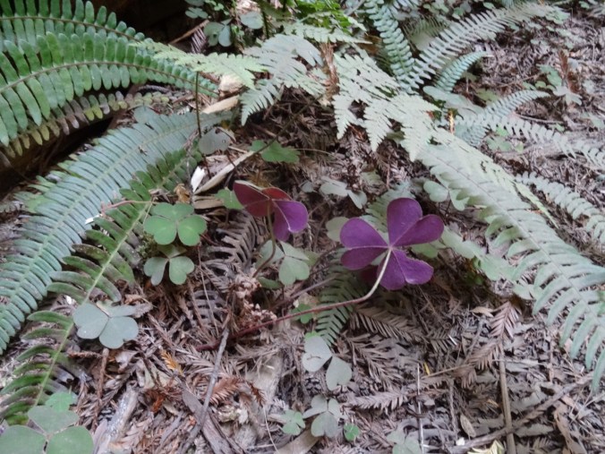
Late Oxalis bloom

DSC08120

The undersides of the oxalis leaves are this beautiful red violet color.

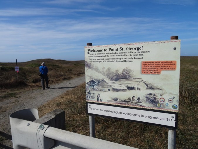
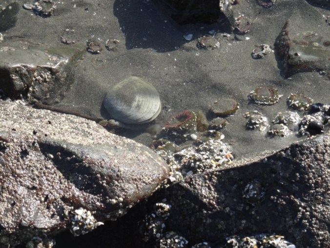
After our hike, we drove to the coast just north of Crescent City, to Point St George, where the tide was receding and we had a chance to explore the tide pools.

DSC08128

DSC08134

Redwood flotsam

DSC08156DSC08153

DSC08191

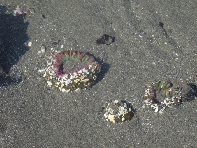
sea anemones

DSC08199

clam, anemones

DSC08212

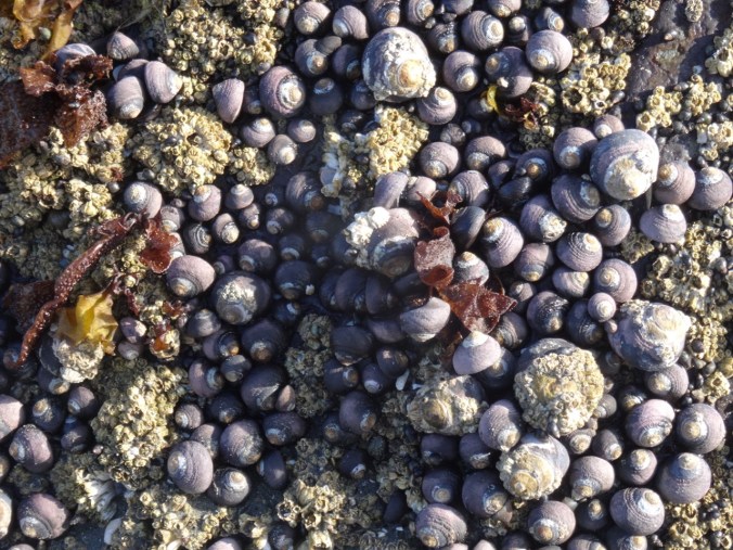
snails

DSC08206

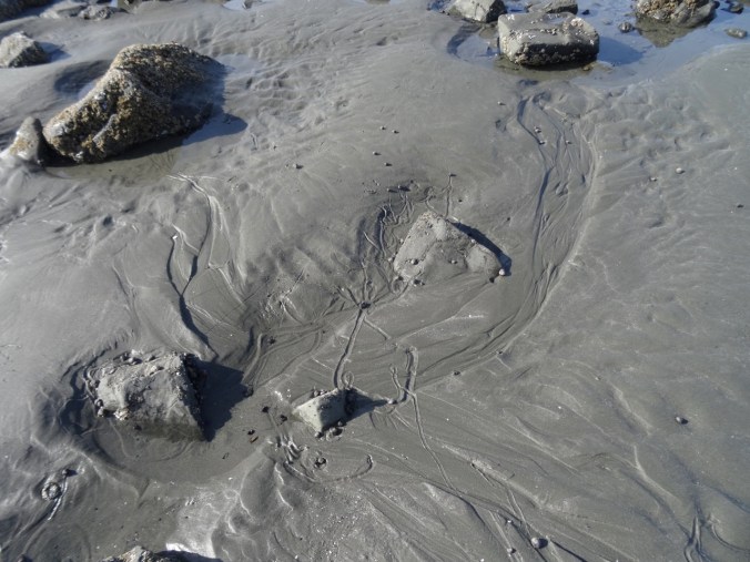
snail trails

Boardman Corridor Beaches  9/11/2018

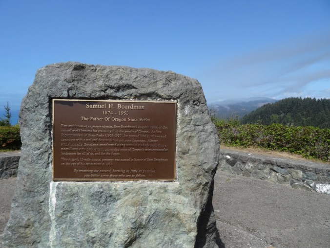
We spent the day exploring the Samuel H. Boardman State Scenic Corridor, a series of viewpoints, short trails and beaches along the southern Oregon coast north of Brookings.

DSC08276

DSC08229

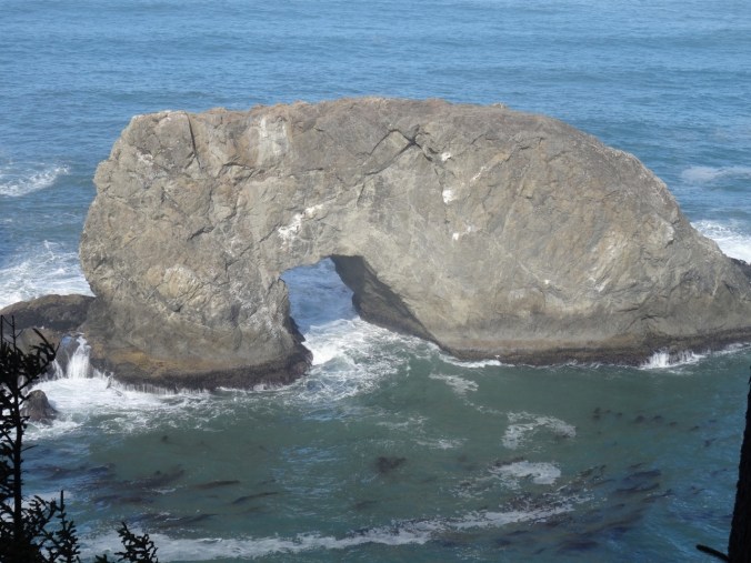
Arch Rock

DSC08251

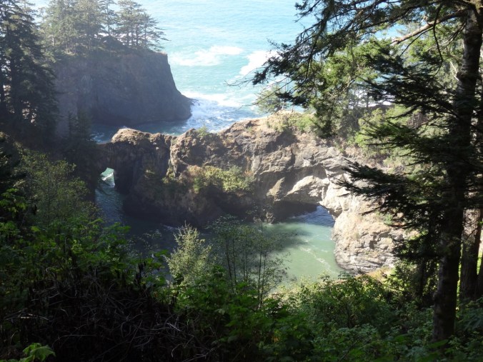
Natural Bridges

DSC08286

Whalehead Island

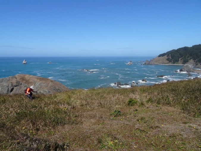
We took a longer hike at Cape Ferrelo (#49),

DSC08255DSC08264DSC08272

and another low tide beach walk at sunset at Lone Ranch Beach.

DSC08289DSC08312DSC08323

DSC08385DSC08392DSC08414DSC08395DSC08397

DSC08415DSC08417DSC08420DSC08427DSC08440DSC08470

Knitting

I made progress on the back panel of the Ivy Lace Cardigan while traveling:

DSC09124

Cloud Cap and Timberline Trail, Mt Hood, Oregon (18-37)

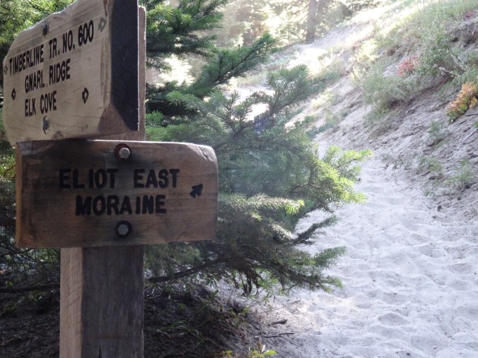
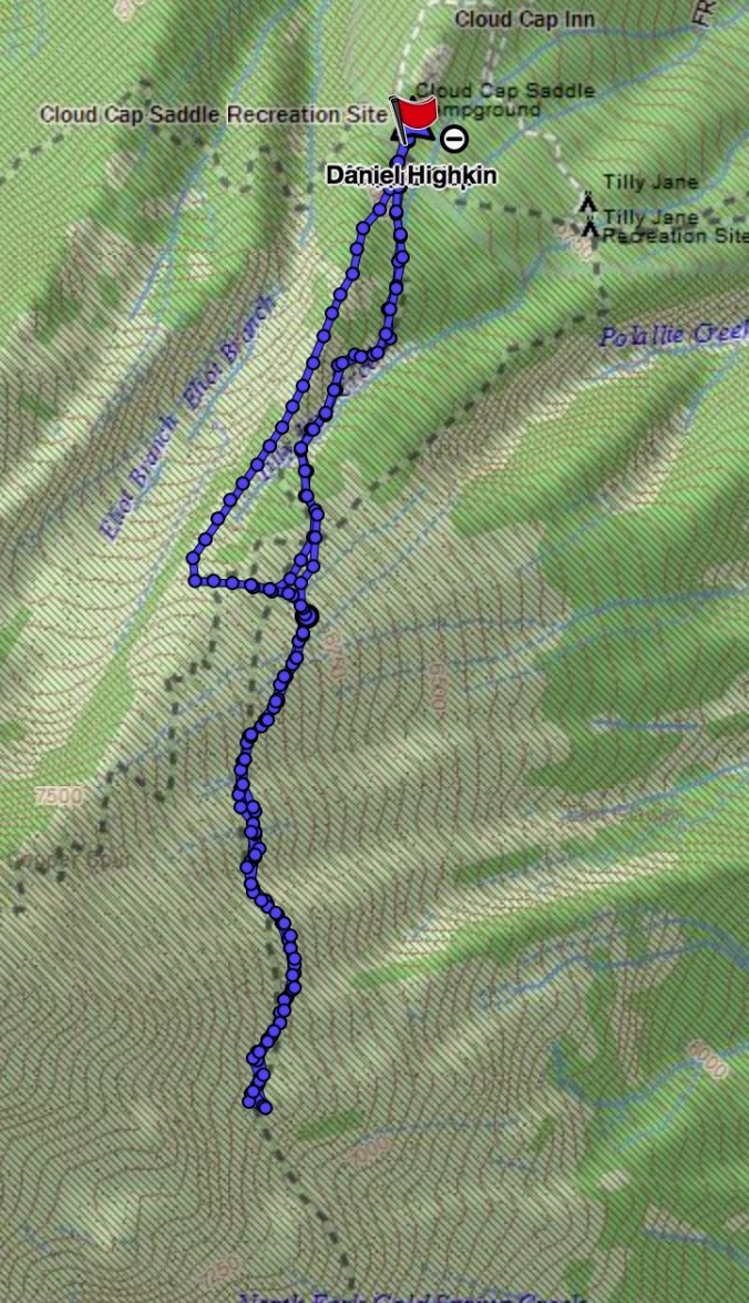
Eliot East Moraine and Timberline Trail High Point     8/31/18       (Hike#46)

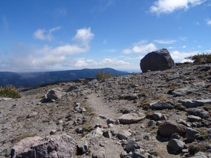
We have hiked here a few times. This is our first time taking the Eliot East Moraine trail along the crest of the moraine.

DSC07843DSC07679

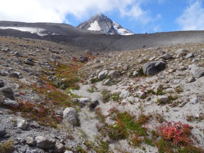
Once up the steep sandy ascent to the crest of the moraine, there is a fabulous view to the Eliot Glacier, and the glacial valley below, the entire way to the Cloud Cap Shelter.

DSC07690

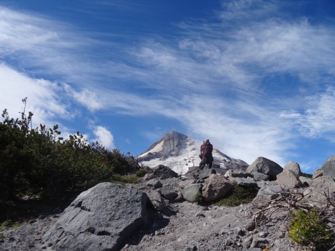
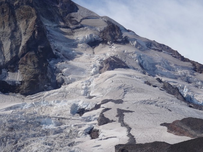
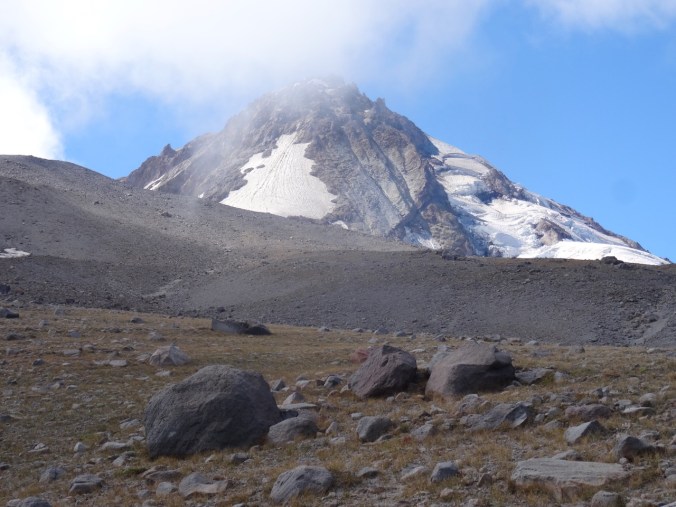
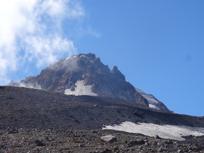
Mt Hood and the Eliot Glacier

DSC07683

DSC07695

Looking east to the high desert

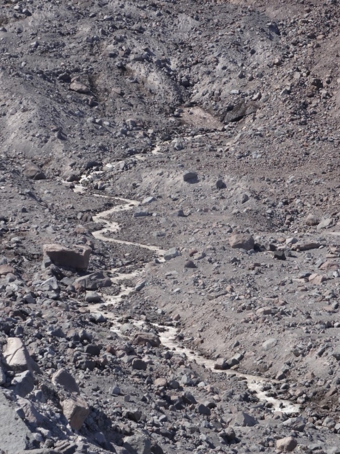
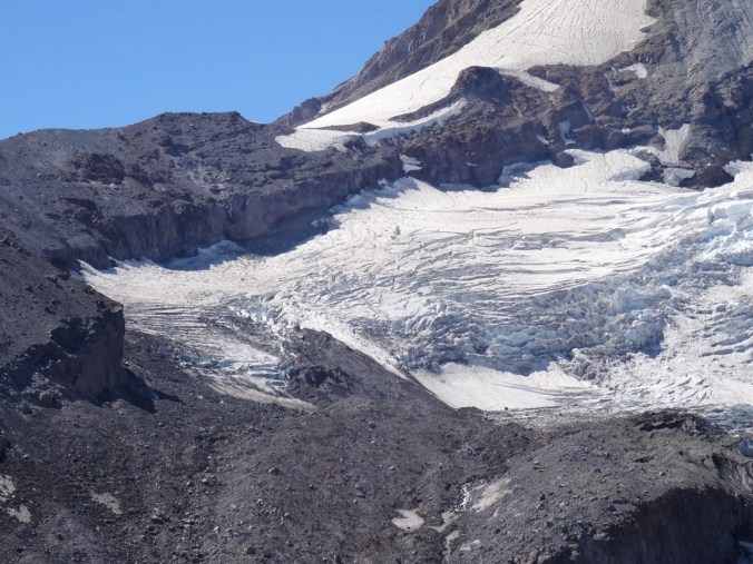
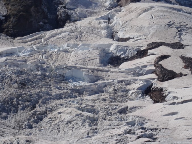
I enjoy zooming in on the textures, crevasses, and steep edges of the Eliot Glacier and the rocky exposed top of Mt Hood in late summer.

DSC07700DSC07702DSC07717DSC07718

The moraine trail joins the Timberline Trail near Cloud Cap Shelter:

DSC07729

Approaching Cloud Cap Shelter.

DSC07734

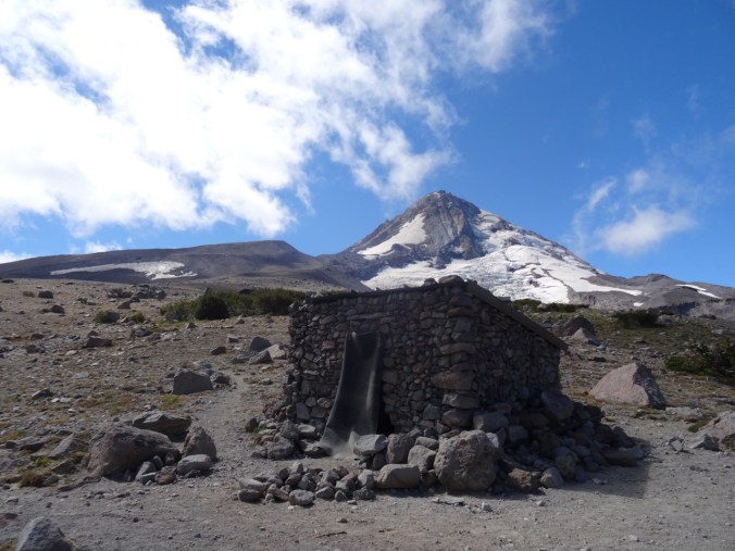
Cloud Cap Shelter; Cooper Spur and Mt Hood beyond.

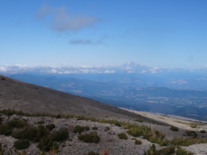
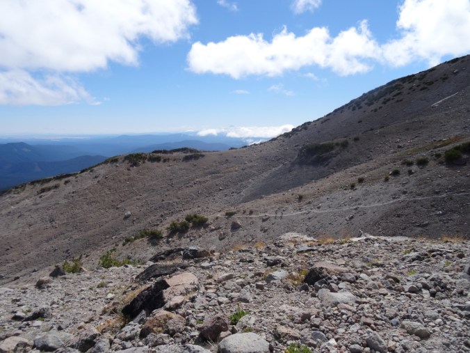
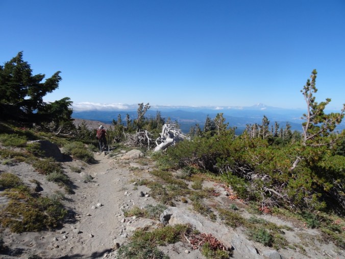
After visiting the Cloud Cap Shelter we continued south on the Timberline trail, up and down the wrinkles of the mountains’ flank, to the 7300’ high point of the trail. Clouds intermittently floated across the top of Mt Hood. We could see the faraway peaks of Mt Adams, Rainier and Jefferson above the blanket of clouds in the distance.

DSC07759DSC07763DSC07778

DSC07784

The only snowfield we crossed this year.

DSC07794

North view to Mts Rainier and Adams

DSC07795

South view to Mt Jefferson, Lamberson Butte and the Timberline Trail continuing south.

By the time we retraced our steps north, the clouds had diminished.

DSC07824

Cloud Cap Shelter again.

DSC07826

The high desert beyond the clouds

We saw a marmot on the Eliot Moraine, and a blue bird on the Timberline Trail.

DSC07710

marmot

DSC07812

blue bird on the rock, Mt Adams beyond

DSC07814

Not many flowers.

The rusty, red and yellow fall hues are beginning to color the vegetation on the rocky alpine slopes.

Screen Shot 2018-08-31 at 10.33.42 PM

6 miles, 1600 feet.

Lookback:

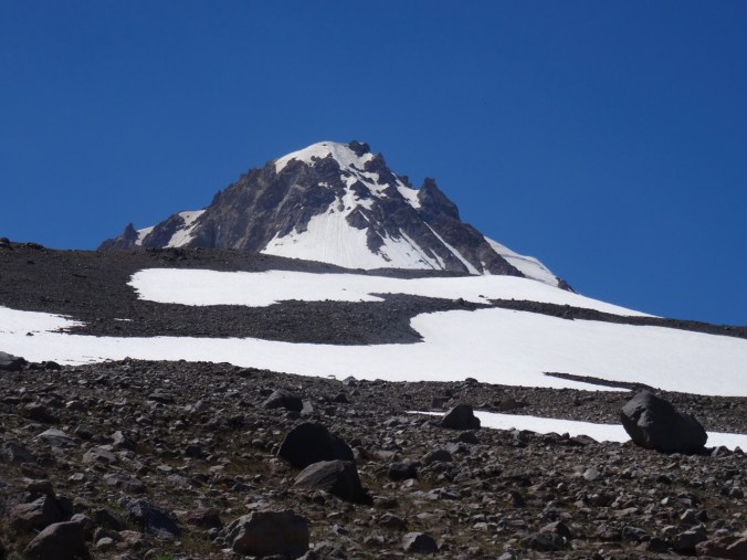
I like to review my photos from previous hikes to compare conditions. There was a lot more snow during our hike a month earlier last year.

DSC07810

Mt Hood from Timberline trail, August 31, 2018

DSC06734

Mt Hood from Timberline trail, July 28, 2017

And a lot more flowers, and a better view of the distant mountains last year.

DSC07831

August 31, 2018

DSC06789

July 28, 2017 – lupine, Mt St Helens, Rainier and Adams

CRAFTING

I cast on another round washcloth, and I have been swatching the Song yarn, trying decide what to make with it.

IMG_0943

We walked through the Art In The Pearl street fair on Labor Day and admired the beautiful artwork. This piece, by artist Kathy Ross, I found especially inspiring.

Kathy Ross, Art In The Pearl, 9/18

Kathy Ross, artist, Art in the Pearl, Portland, Oregon, September 2018