Trails of Rowland Basin and Rowland Wall, 11/17/2018
We decided to explore some new to us trails below Rowland Wall. From the Catherine Creek trail head, we walked west to the lower part of the wall, then took a side trail that drops over the cliffs, down the scree slope, and then winds uphill in the valley above Rowland Lake. We traversed oak woodlands, grassy slopes and lava fields. There are historic ‘Indian pits’, associated with native peoples, in this area. We found a spot on the upper grassy slopes for lunch, then continued upward on the looping switchbacks of the ‘Shoestring’ trail, hoping to find the connecting trail to upper Rowland Wall. The trails in this area are not marked, and switch back and forth in tight loops that are a bit confusing – constructed for cyclists. We decided to turn back the way we came for a 5 mile, 1000 foot day, a beautiful day on the trail. (#61)
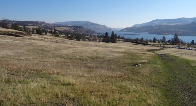
Looking back at the trailhead, and eastward up the Columbia River.
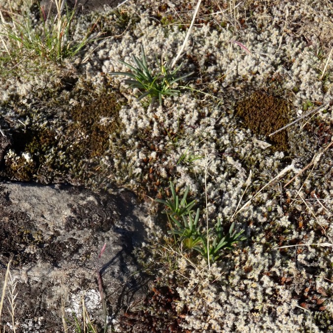
Bitterroot foliage on a rocky outcrop where there will be lovely flowers in spring.

Looking over Rowland Wall into Rowland Basin, where our hike will take us.

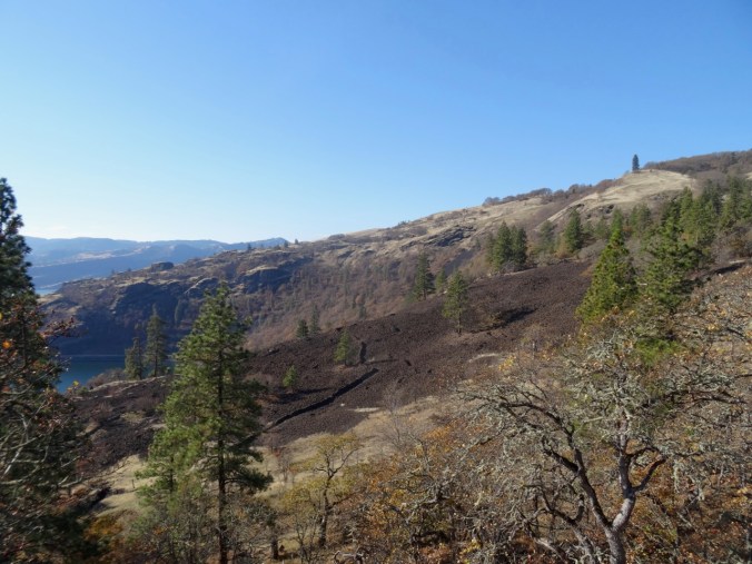
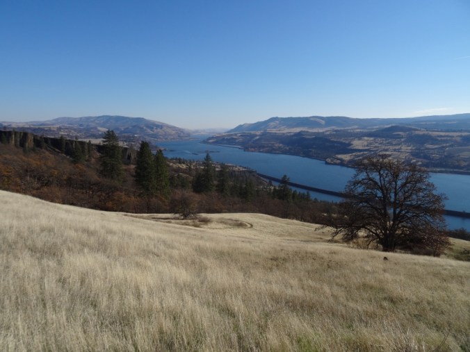
Looking west toward Rowland Lake and the Columbia River.
Our trail below the cliff,

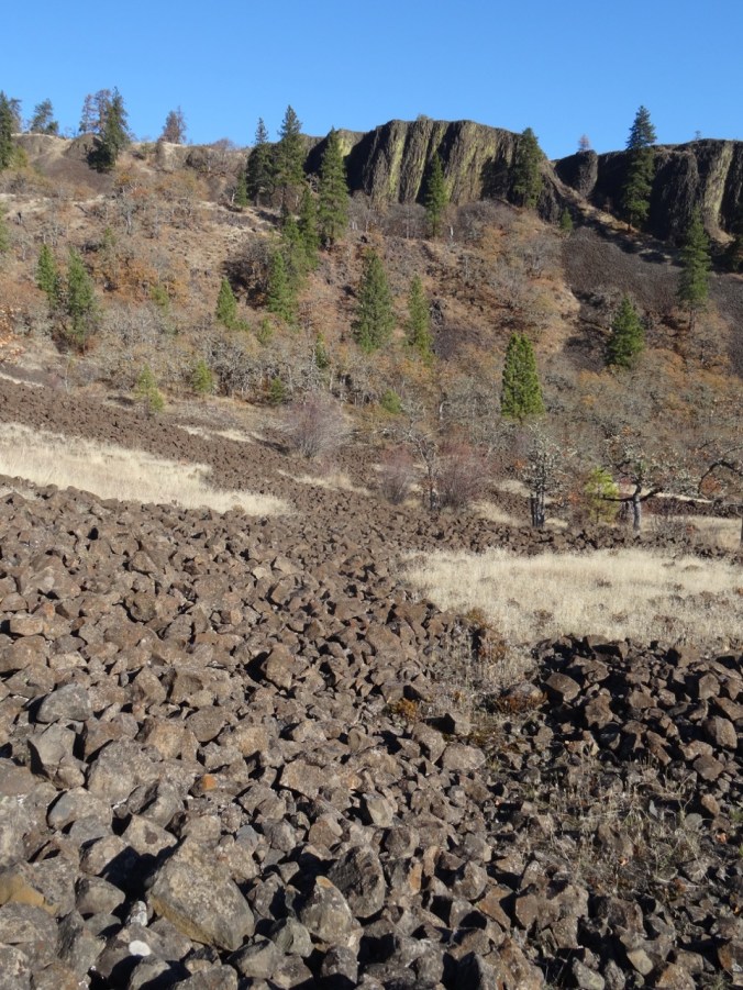
Continuing down the scree slope,
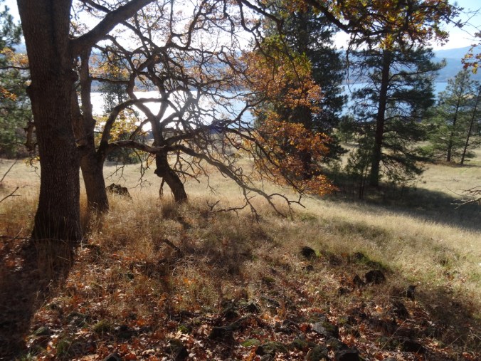
Through the oak woodland in the low angle November light.
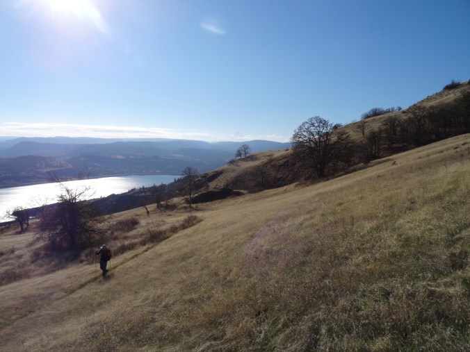
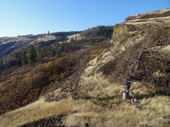
Hiking up the basin beneath Rowland Wall.

Looking back down the trail.
Continuing up – looking west toward the Labyrinth.

An ‘Indian pit’ in the lava field.

Continuing upward.
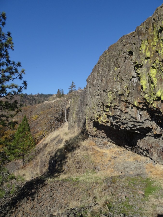
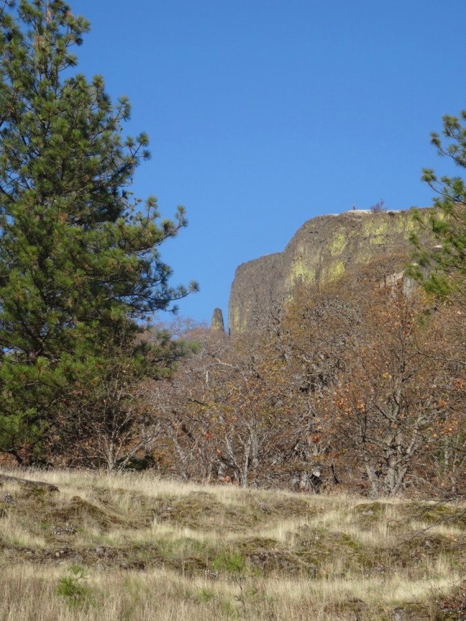
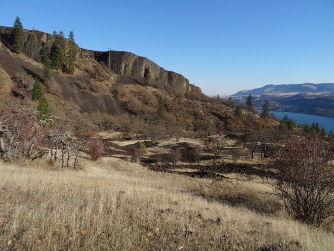
Rowland Wall

Another view east before we hike through more woods.
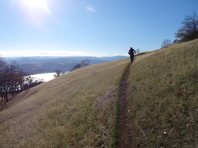
Then out of the woods, onto the high grassy slope where we would stop for lunch.
Traversing the bike loops on the grassy slope – Mt Hood is a faint shadow above the two oak trees on the horizon.
Eastward view from our lunch stop.
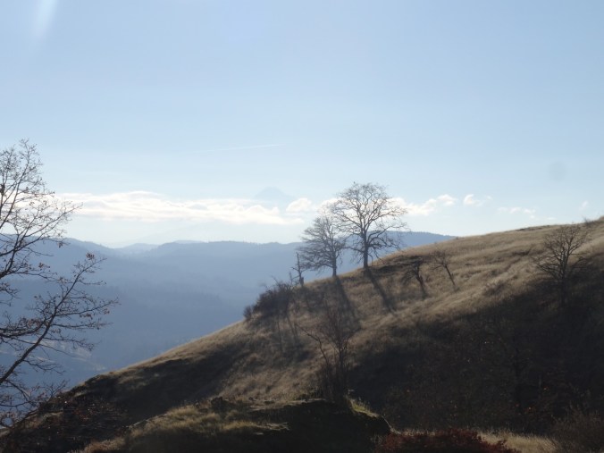
Closer view of Mt Hood beyond the oak trees.
Rowland Basin on the way down in afternoon light.
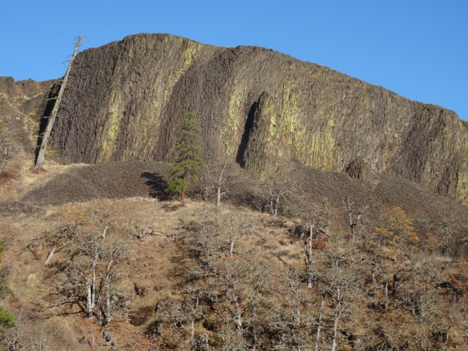
Rowland Wall
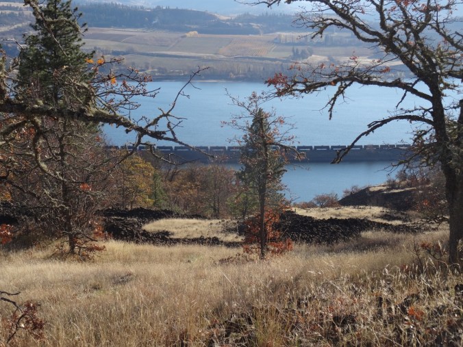
The orchards east of Mosier, Oregon, and oil train waiting near Rowland Lake.
Last look over the wall before returning to the trail head. Our lunch stop was on the bare gold slope in the middle of the picture.
Knitting
I finished two more round cloths in the last couple of weeks.


Pingback: Rowland Wall, WA, and a Darning Pile | Margaret Quilts