November 16, 2019
We left Portland’s dense fog behind as we drove through the Columbia River Gorge to Catherine Creek Recreation Area east of White Salmon, WA. The fog was lifting to the east. I saw the wintering swans in Mirror Lake below Crown Point as we drove past.

Driving east on I-84 toward Crown Point.

Those tiny white dots are swans at freeway speed.
The upper reaches of the Catherine Creek area were still under fog as we hiked upward on the Rowland Wall trail.
Fog above us.
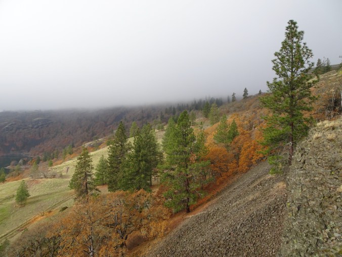
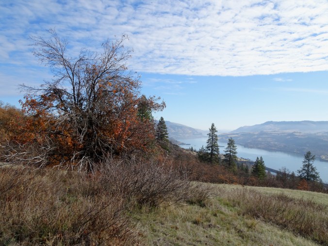
Orange oak trees, black volcanic rocks, golden grasses, Ponderosa pines, Rowland Lake.

Rowland Pinnacle
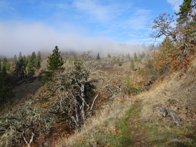
The clouds rose higher as we zigzagged up the trail.
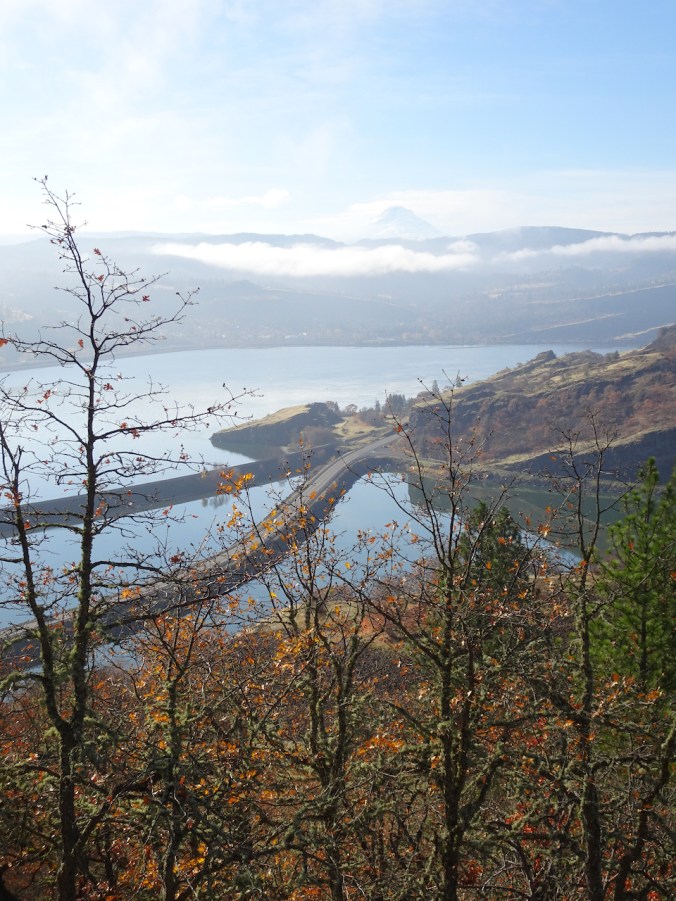
Mt Hood in view as the clouds lift.
A relic apple tree from some past life.
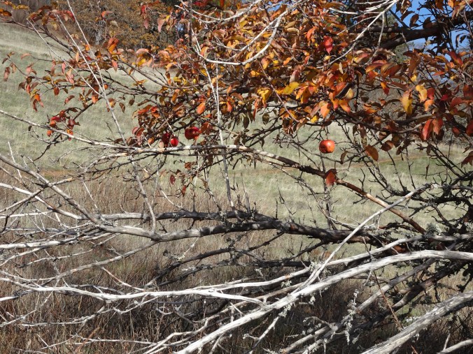
Apples

Blue sky!
We lost the trail when hiking here last year and returned the way we came. Today we lost the trail again, but we were close enough to the top to bushwhack our way up to Atwood Road.

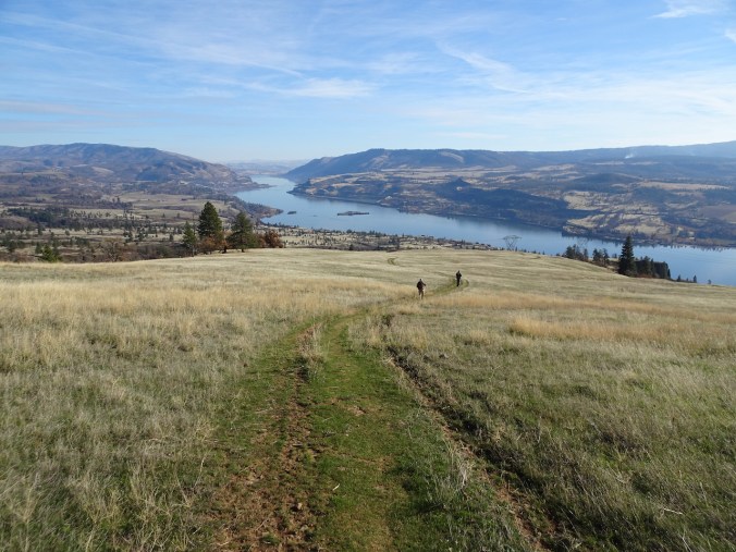
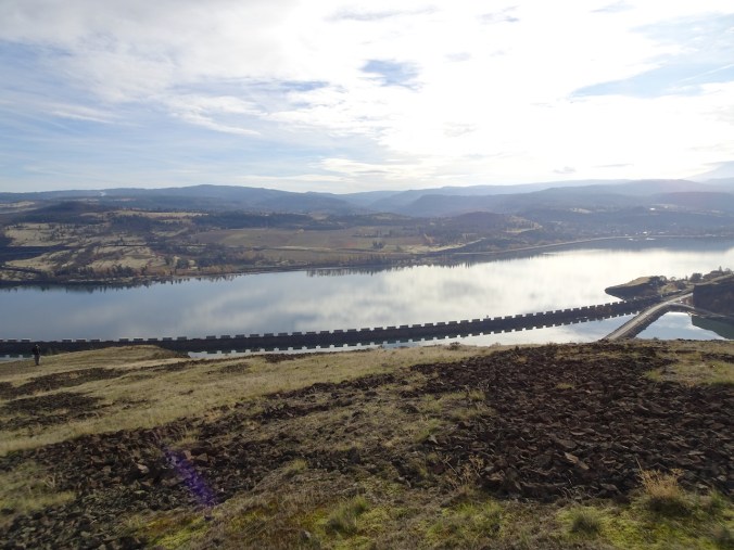
Lunch view – toward our starting point just beyond the Rowland Wall cliff.
After eating lunch with a stunning view of the land rolling away beneath us – river, cliffs, orchards of Mosier, we hiked down Sunflower Hill. At the edge of Rowland Wall, we saw the other end of the connecting trail we missed – we will find it next time! A story in every trail. Not many other people here today. We returned to Portland which was reported to be under cloud all day.
Walking down Sunflower Hill,

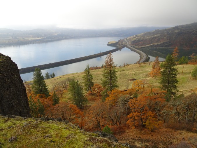
to the edge of Rowland Wall – reflections in Rowland Lake.

Orchards of Mosier across the Columbia River.
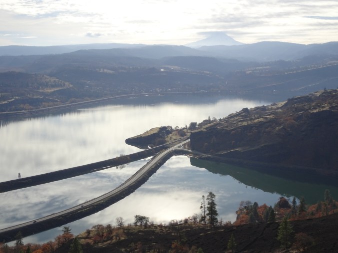
Mt Hood
Another train
Pre wildflower bonus shot:

Bitteroot foliage.
Hike #53, 5.1 miles, 1100 feet.
Knitting
I continue to make progress on my Meris Cardigan – but at three or four 300 stitch rows a day, it is slow going. That includes a little extra knitting when I have to find a dropped yarn over in the lace repeats. Meanwhile, I have isolated my Darning Pile – I hope I can show it finished by next week.
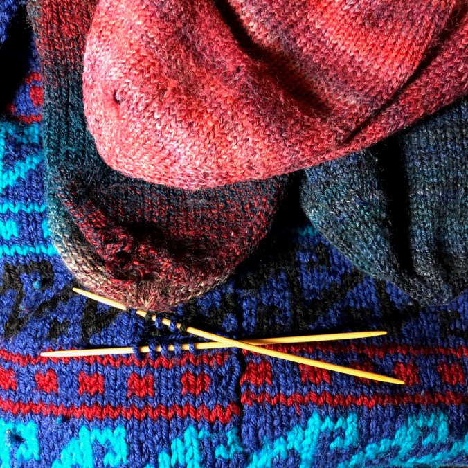
Three pairs of sock toes, and a sweater with a few holes.
