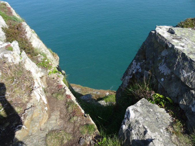
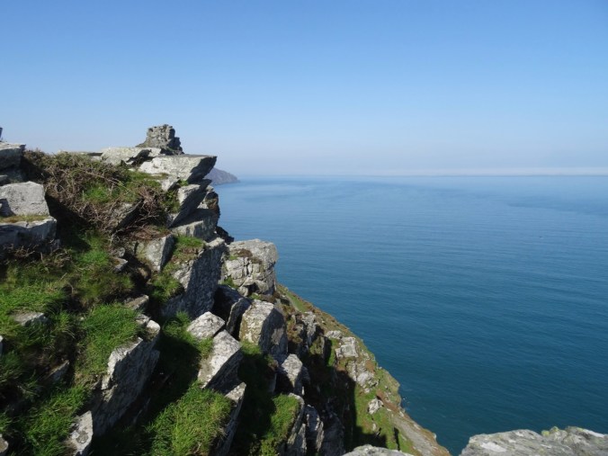
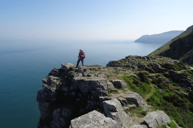
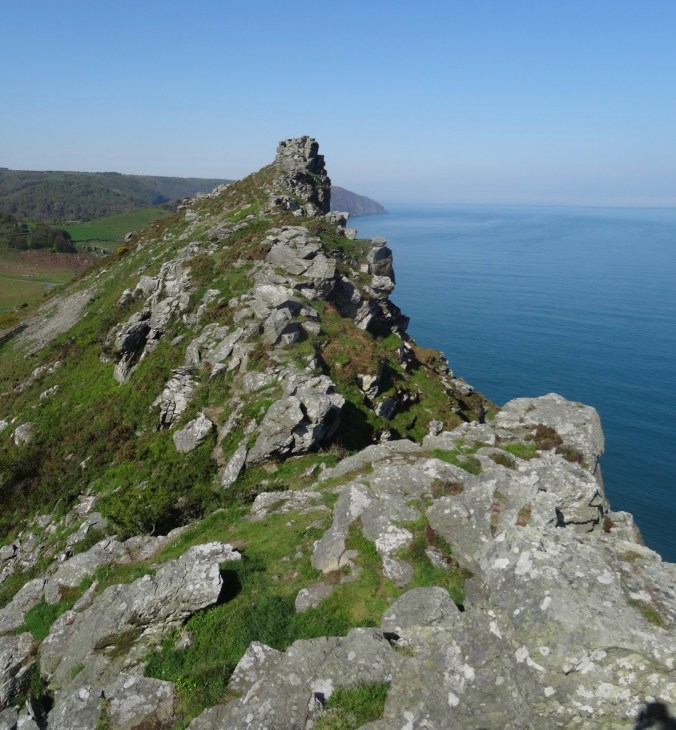
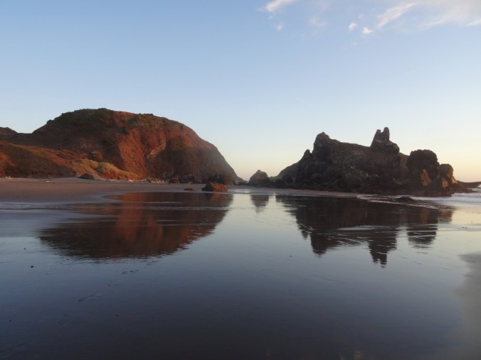
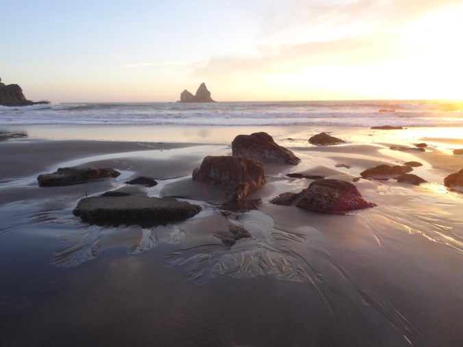
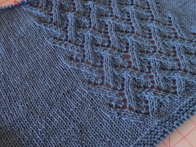
Exploring Exmoor, North Devon and Somerset, UK (18-57)

Day 13  May 8, 2018  Lynton, Lynmouth, Dunster, and Porlock

Image 12-9-18 at 8.54 PM

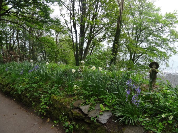
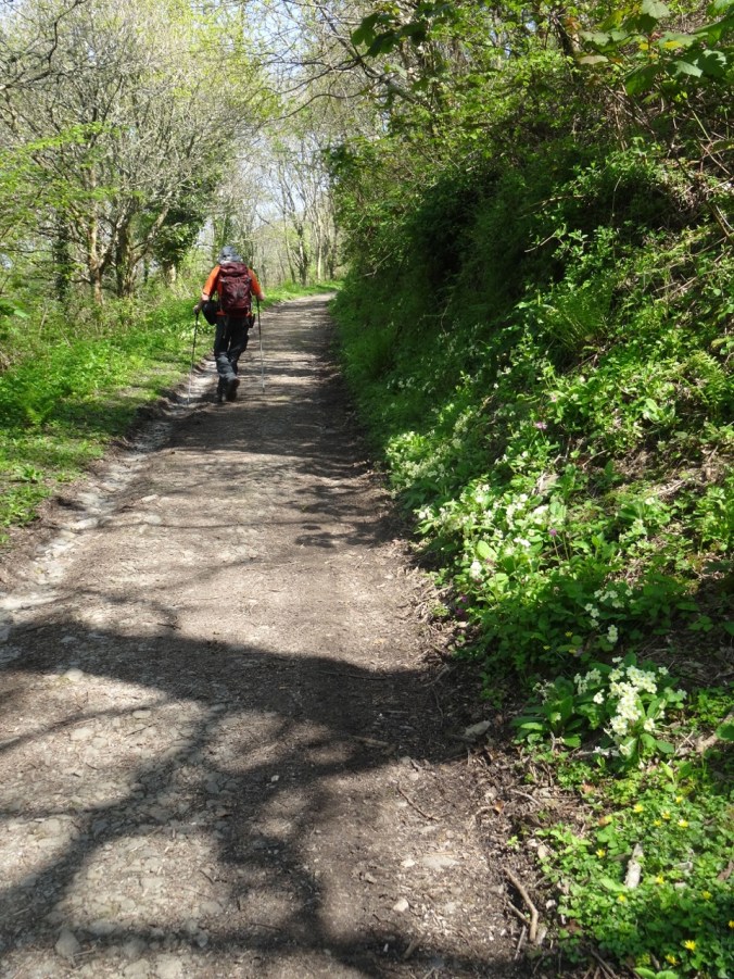
We began this day walking from our lodging down the steep poetry- and flower-lined path to Lynmouth.

DSC04255DSC04258DSC04261DSC04262

DSC04260

Almost to the beach at the bottom of the cliff.

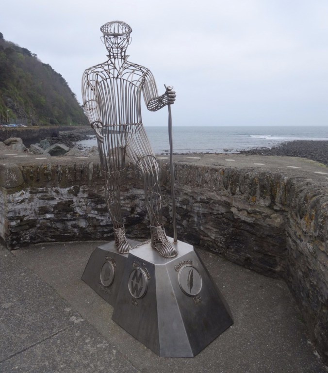
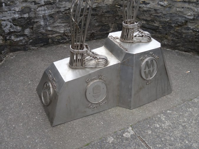
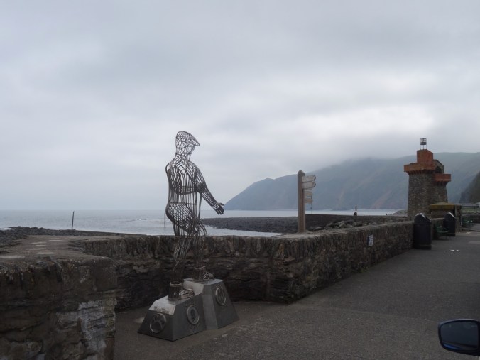
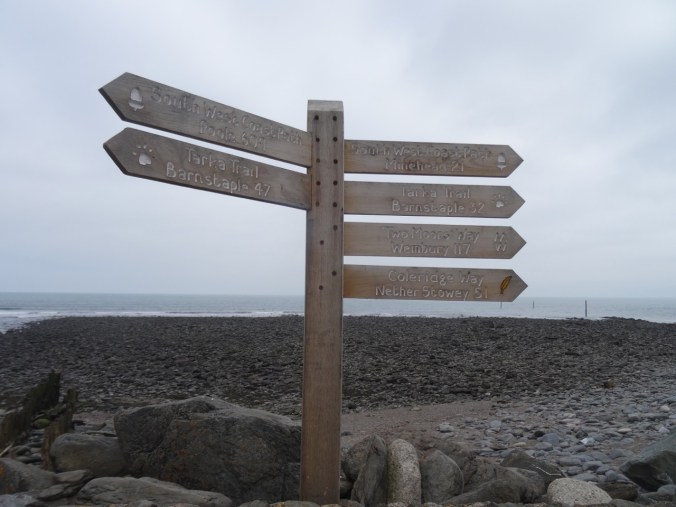
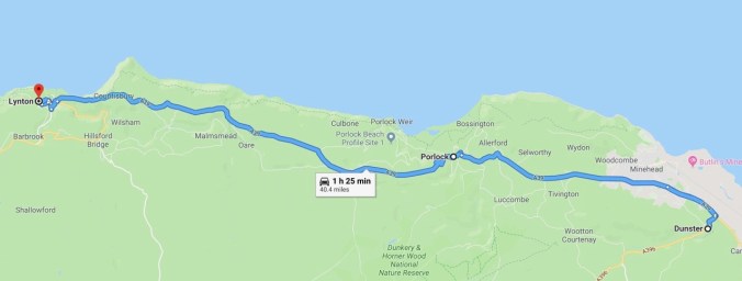
There we visited the Exmoor National Park Visitors Center and made plans to visit Dunster and Porlock, to the east of us. Lynmouth is the intersection of four trail systems in Exmoor, marked by this sculpture of a walker, and the trail signs.

dsc04266.jpgDSC04265DSC04264DSC04267

Lynton & Lynmouth Cliff Railroad

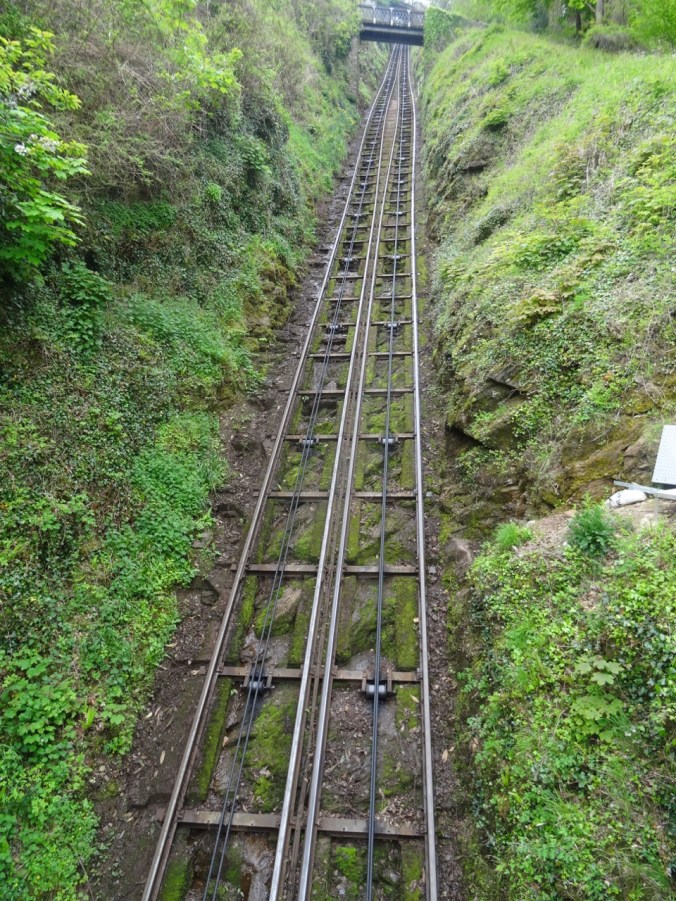
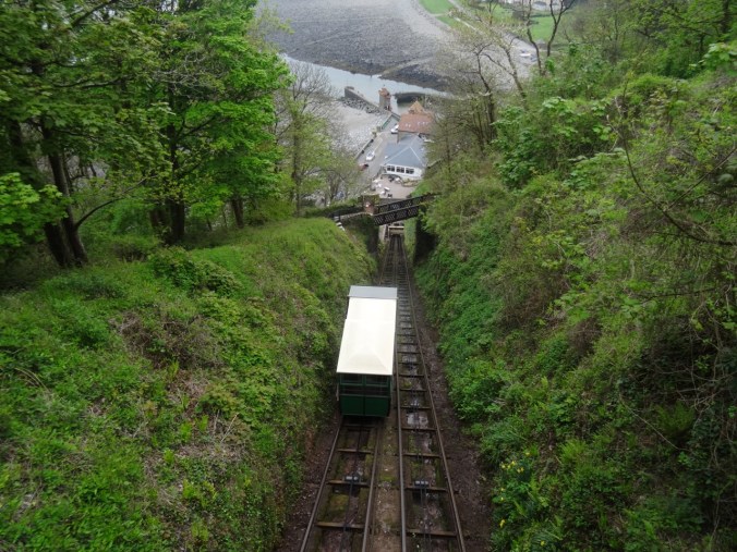
As we walked down the path to Lynmouth, we had crossed the tracks of the Cliff Railroad several times.

DSC04259

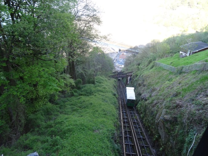
The Cliff Railroad is a Victorian era funicular with two counterbalanced cars connected by cables and pulleys that simultaneously rise or fall as water is released from the water tank of the lower car.  The cars each have 700 gallon water tanks. The tank is refilled from a stream at the top of the cliff, and released to the stream at the bottom of the cliff. The power is completely passive – just gravity imbalance created by the weight differential between the two cars. The railway has been in continuous operation since 1890.

DSC04257DSC04055DSC04256

We returned to Lynton via the Railroad, a much easier way to climb this 500 foot cliff than going back up the path.

DSC04268

Dunster

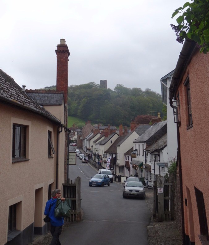
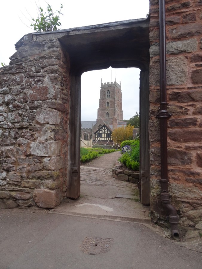
We walked through the medieval town of Dunster. Dunster Castle, on the hill overlooking the town, dates back to at least 1086, shortly after the Norman conquest in 1066.

dsc04334.jpg

DSC04284

Dunster Castle

We walked around some of the castle grounds.

DSC04285

DSC04286

Stables

DSC04294

Gardens

DSC04297

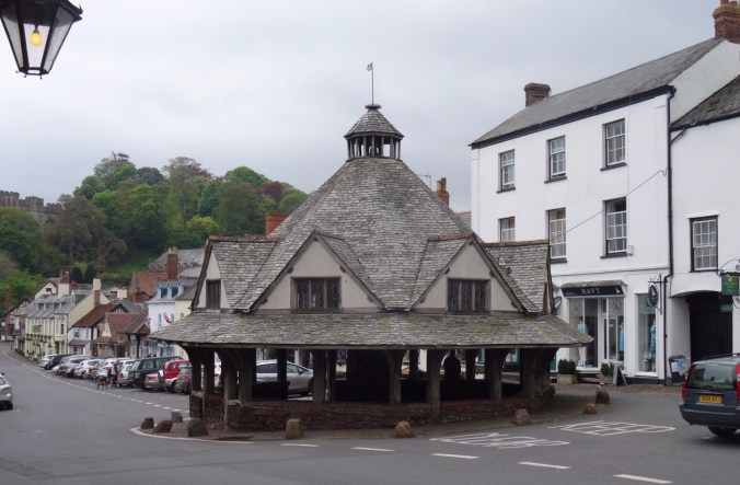
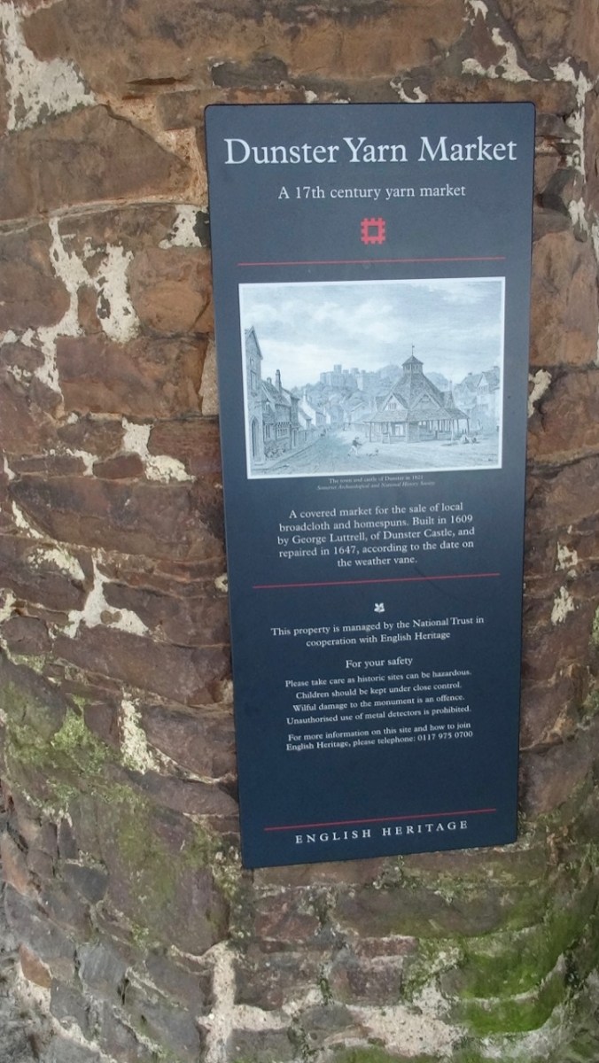
The Yarn Market, where trade in cloth was conducted, is about 400 years old.

DSC04270

DSC04271

Dunster Castle and the Dunster Yarn Market.

DSC04274DSC04277

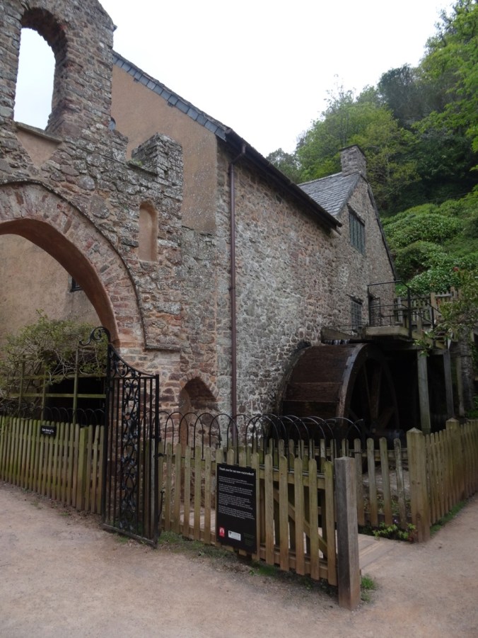
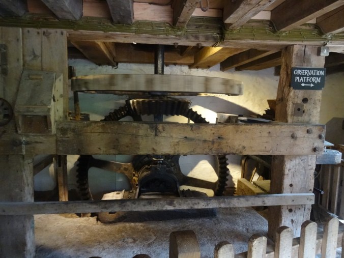
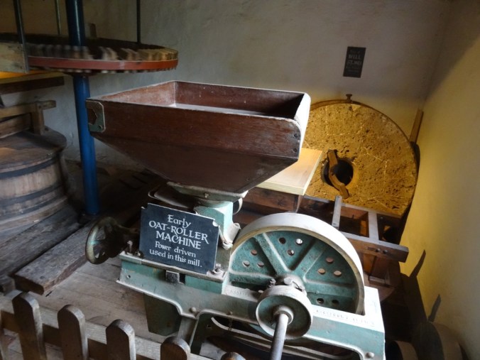
The Water Mill is about 200 years old. We looked at the machinery, but the mill wasn’t in operation today.

DSC04311

DSC04304

The water wheel

DSC04316

DSC04302

One of the flour mills.

DSC04303

DSC04310

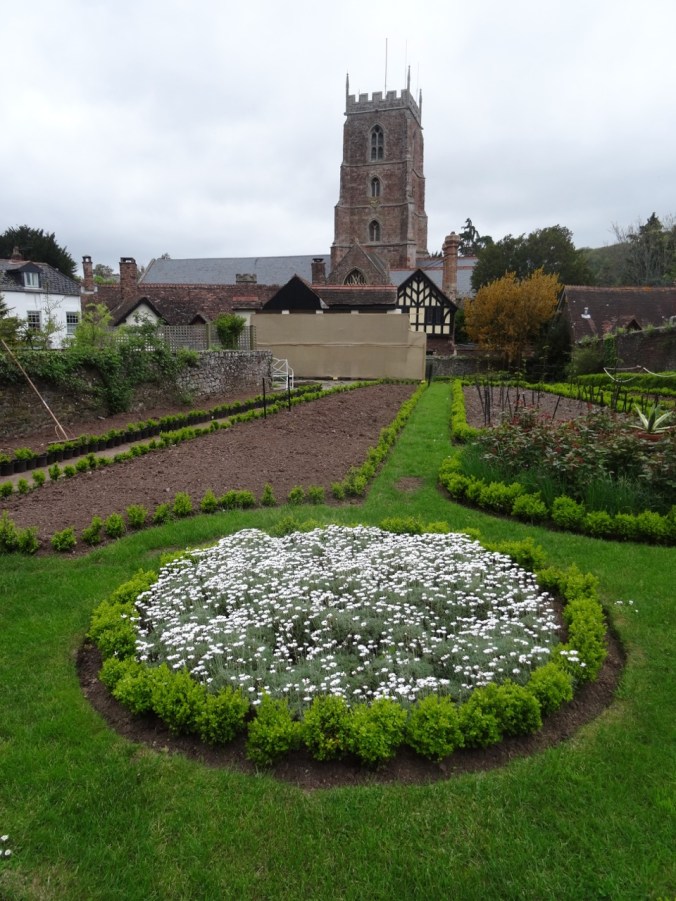
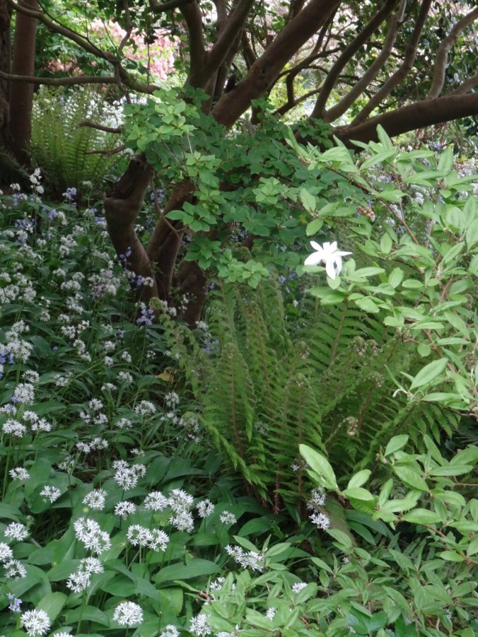
Castle gardens near the mill

DSC04317

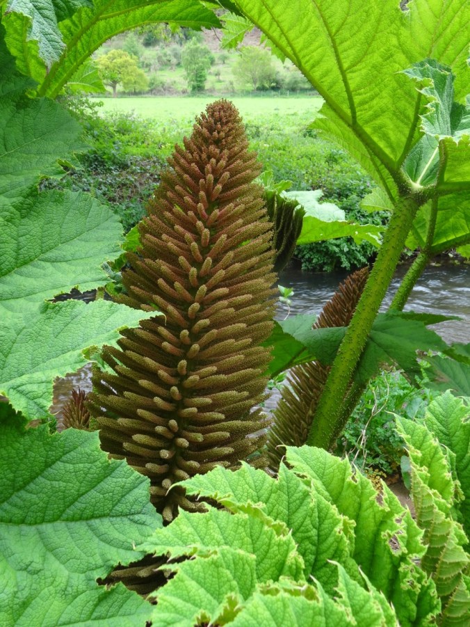
More Gunnera manicata, the giant Brazilian rhubarb, growing along the mill stream.

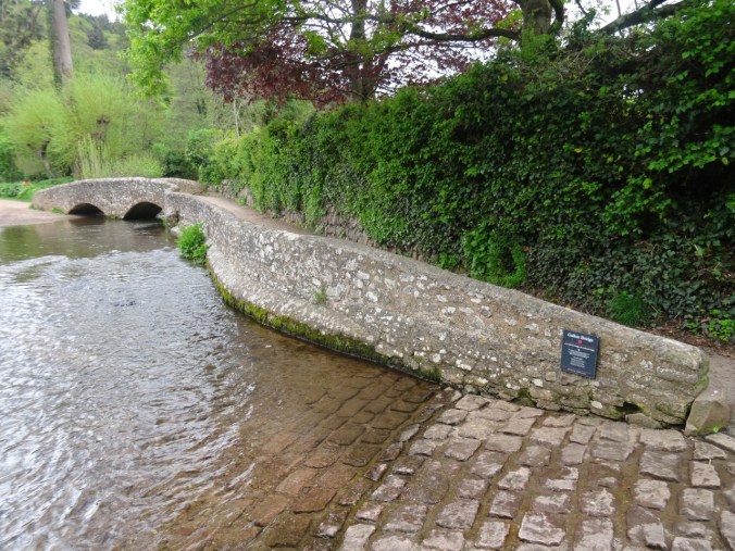
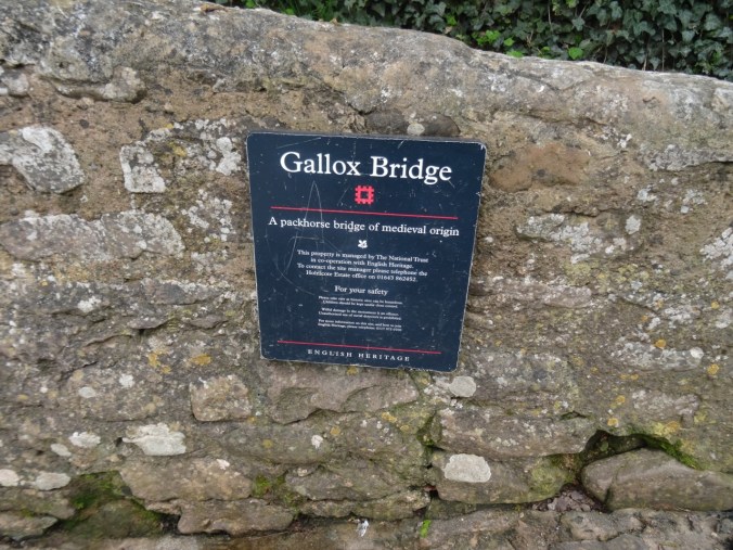
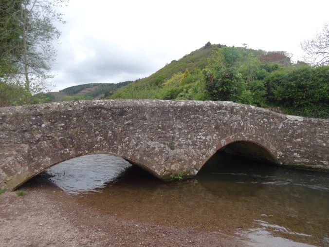
The 15th century Gallox Bridge crosses the River Avill.

DSC04332DSC04323DSC04327

DSC04321

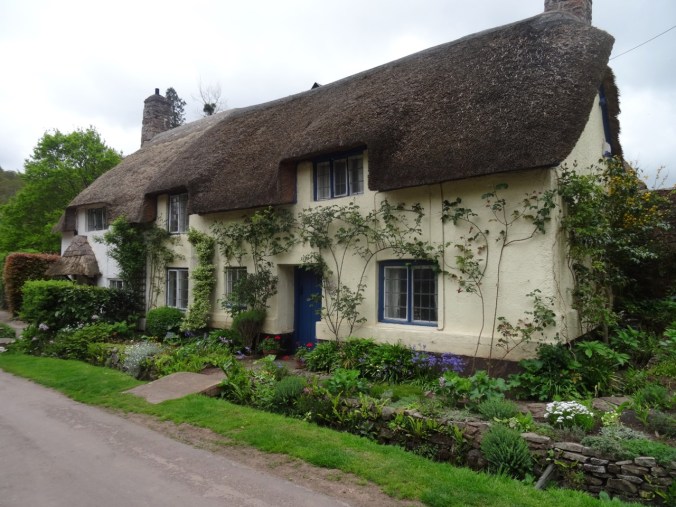
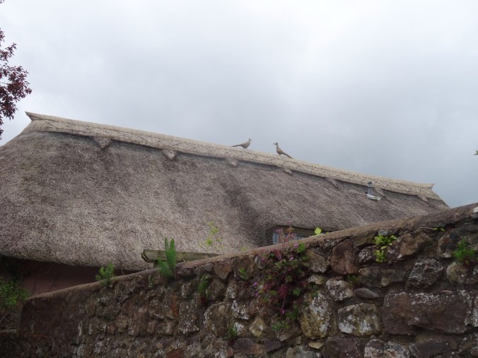
Thatched roofs.

DSC04320

Porlock Marsh

We drove back west to Porlock, where the National Park Guide had recommended a wildlife walk across the marsh.

DSC04336

DSC04337

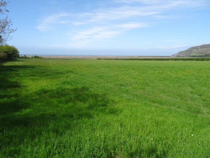
The path to the marsh.

DSC04338

DSC04342

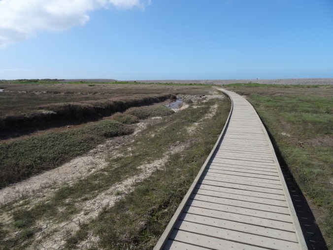
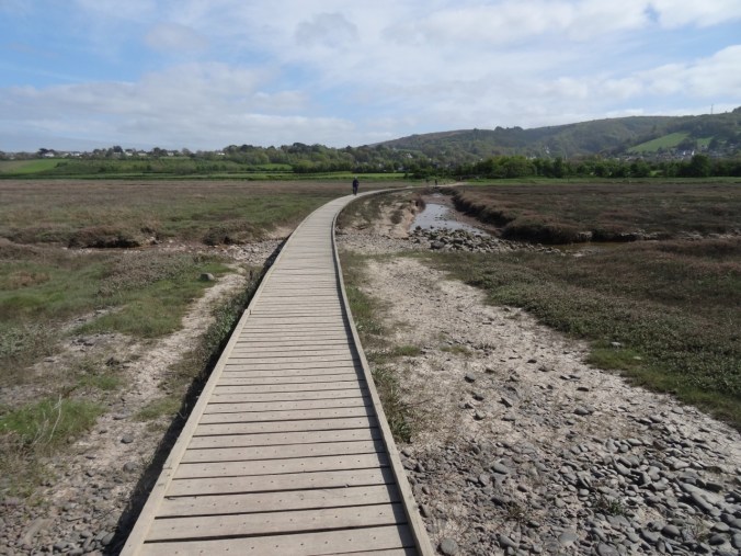
Boardwalks across the marsh

DSC04343

Looking back toward town.

DSC04346

View out to the Bristol Channel from the top of the berm.

DSC04347

View to the east from the top of the shingled berm.

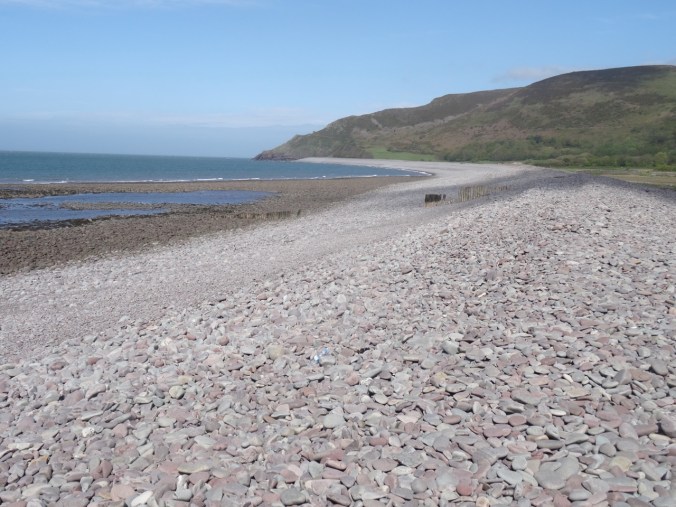
We did not see any wildlife, perhaps because the tide was out, just the shingled beach and the wide views, but it was good to stretch our legs.

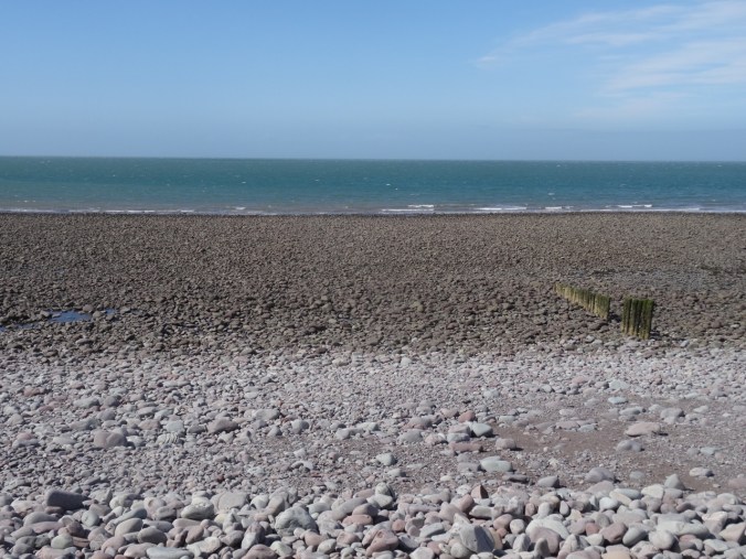
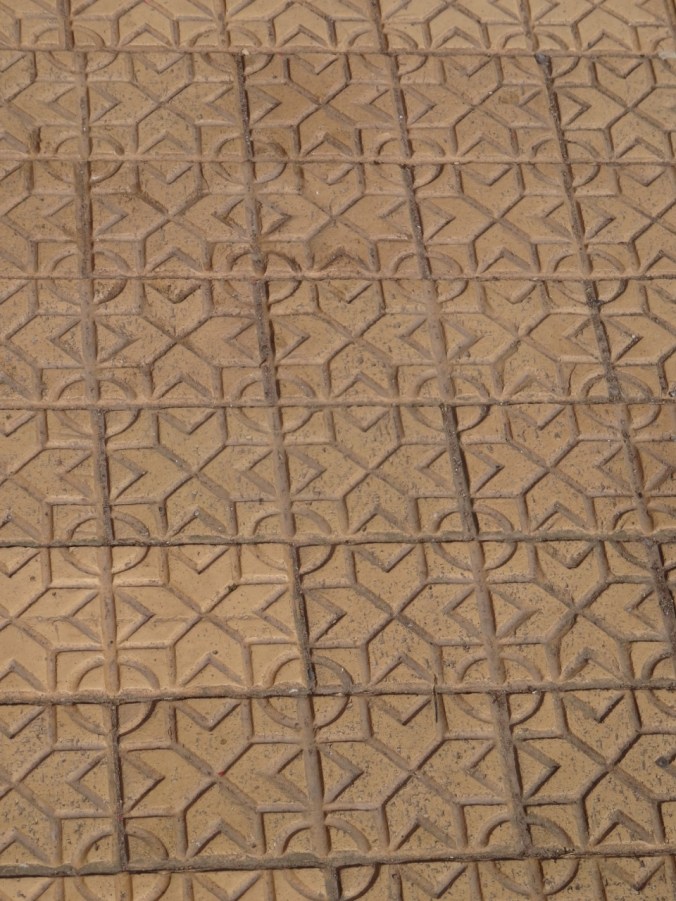
My quilter’s eye noticed geometric patterns in the architecture in Porlock.

DSC04353DSC04354

We stopped at an overlook for the wide view of Porlock. From here, we headed back to Lynton for the dinner.

DSC04358

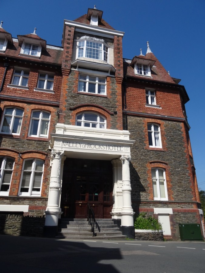
Our Victorian Lodgings in Lynton:

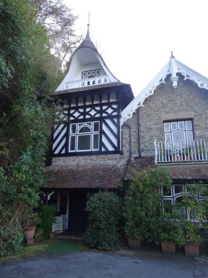
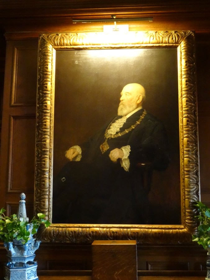
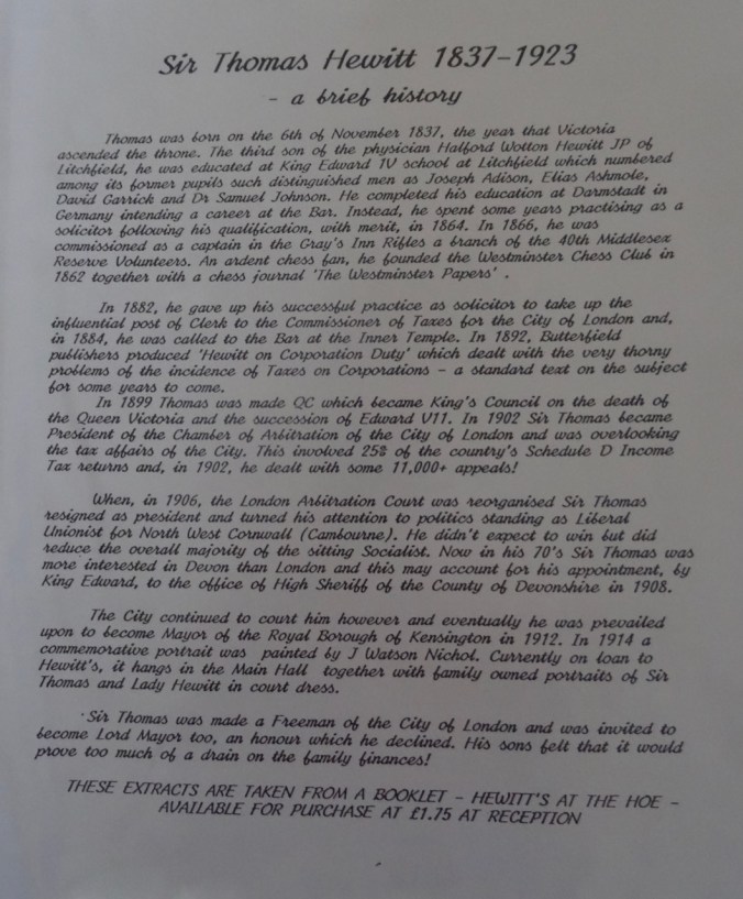
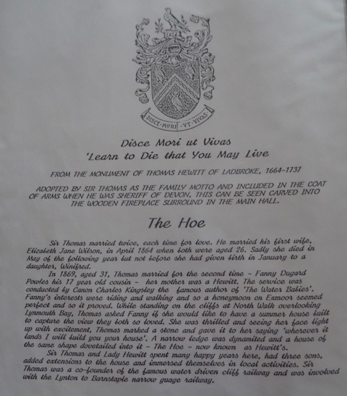
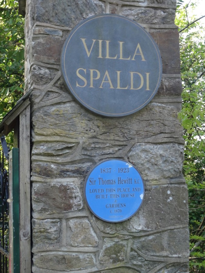
My husband had selected this lodging, so I hadn’t realized before arriving that we would be staying in a converted Victorian manor house, built by a London mogul for his wife in 1870. The home was built on a ledge blasted from the cliff.

DSC04050DSC04084DSC04096DSC04097DSC04251

DSC04043

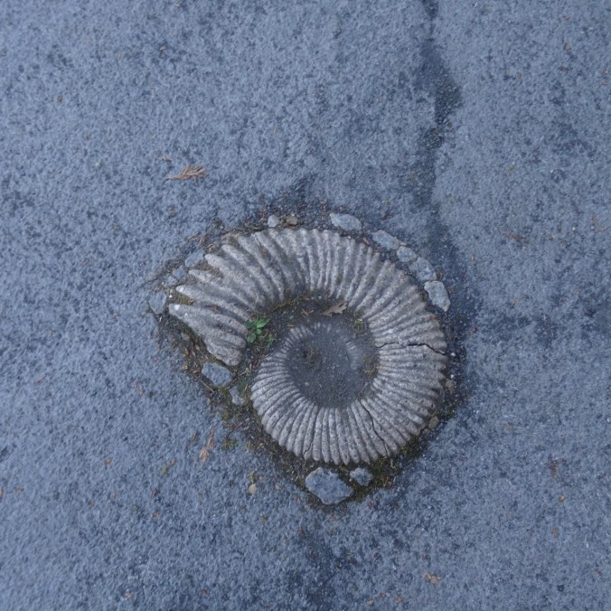
A large ammonite embedded near the entryway.

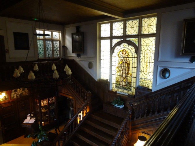
The decor is Victorian, and most of the rooms are situated around a large communal open staircase and balcony, invoking the setting of an Agatha Christie novel.

DSC04046

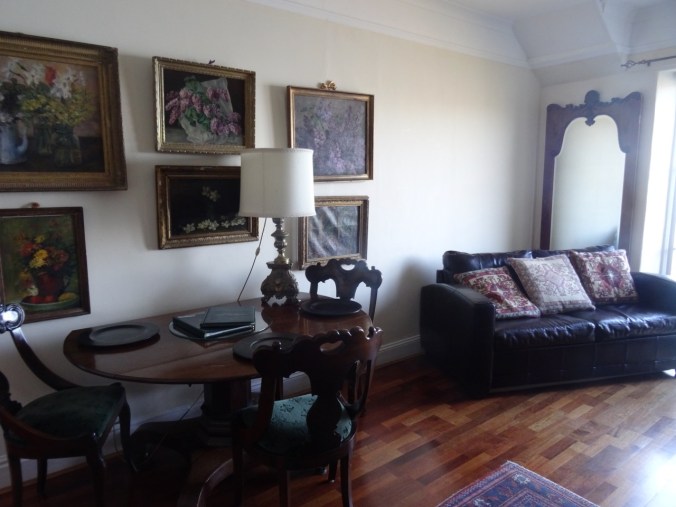
Our living room.

DSC04047

Central stairway

DSC04048

There were few other guests during this off season visit, but I would guess the patio tea service would be popular with walkers going to the Valley of Rocks from the Cliff Railway in the summer.

DSC04051

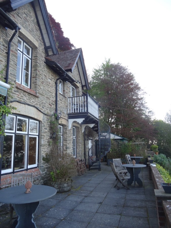
Our balcony and stairs leading down to the patio where tea is served with an amazing view.

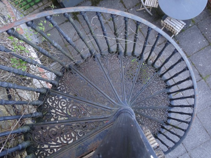
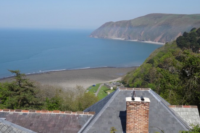
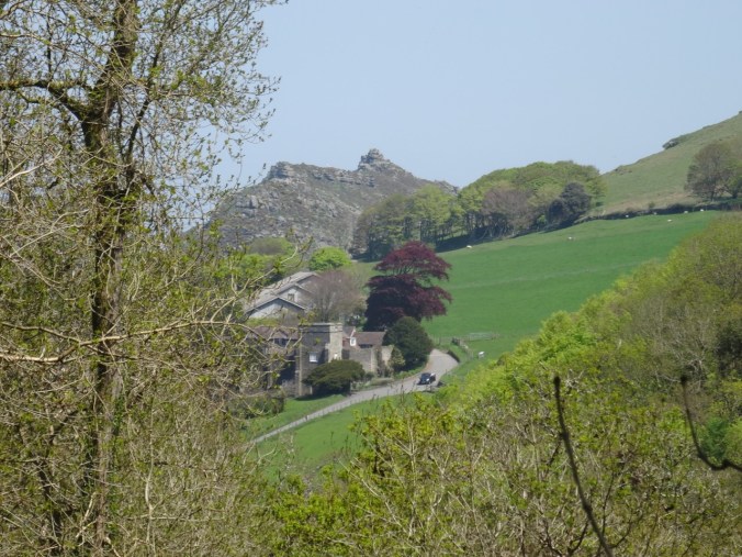
DSC04361Our self-catering apartment had updated plumbing and kitchen, with a private, very tiny balcony and spiral staircase, and a tremendous view across the bay to Countisbury Hill and Lynmouth Bay. We enjoyed the location and historical ambiance.

Valley of Rocks and Woodlands Walk, Lynton, Devon, UK (18-55)

Day 12, May 7, 2018

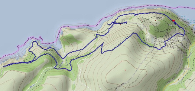
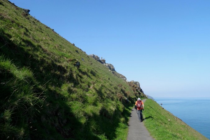
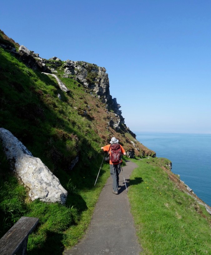
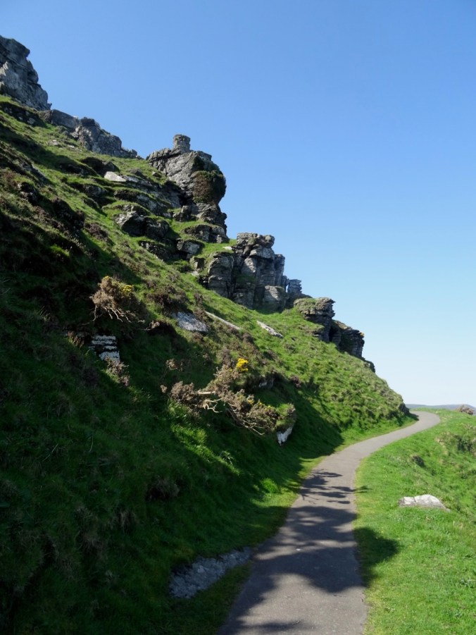
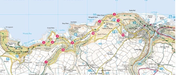
Today we walked a loop trail along the Southwest Coast Path through the Valley of Rocks, then circled back on the hills above the town of Lynton.

Screen Shot 2018-10-04 at 1.11.18 PM

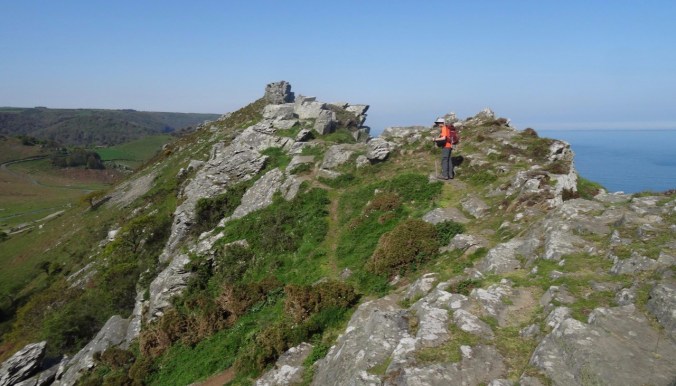
Valley of Rocks: The sun position was better today as we retraced our steps into the Valley of Rocks. We climbed up one of the promontories

DSC04099dsc04104.jpgDSC04105DSC04106

DSC04108

Looking back to the east.

DSC04109

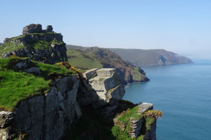
Castle Rock and westward view.

DSC04111

Steep cliffs here.

DSC04112

Quartzite and Slate of the Devonian Lynton Formation

DSC04116

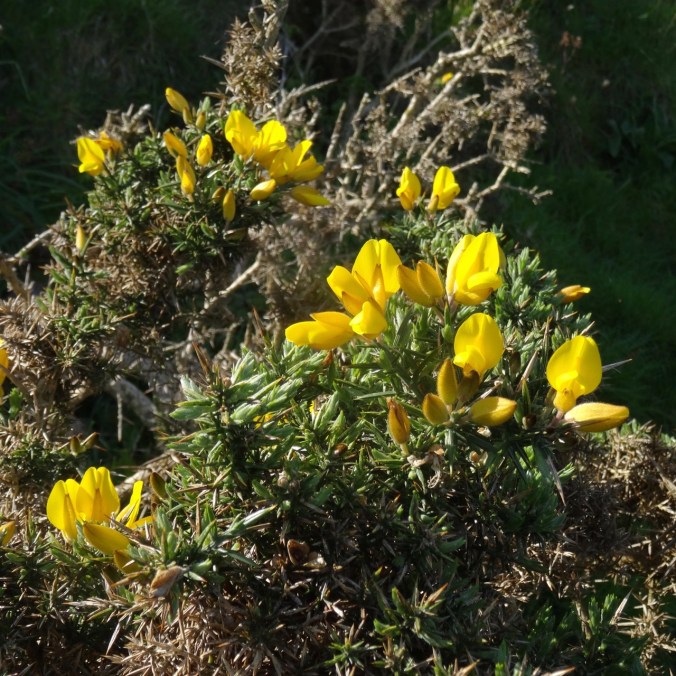
Gorse

DSC04124DSC04133

Beyond the rocks, the path continues on the road past Lee Abbey.

DSC04154

Lee Abbey

DSC04143

Gardens

DSC04144

Sheep

DSC04148

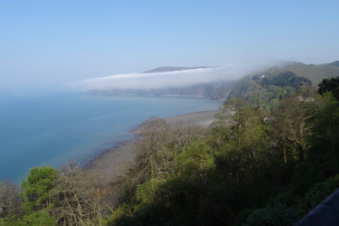
Fog wafting by

DSC04152

Old door

DSC04153

View down to Lee Bay

DSC04158

More sheep

DSC04160

View back to the Abbey

DSC04163

A house along the road

DSC04165

DSC04166

Lee Bay again

DSC04169

Horses riding up the road near Lee Abbey.

Our trail descended to circle around Crock Point, with the fog settling in on us.

DSC04170

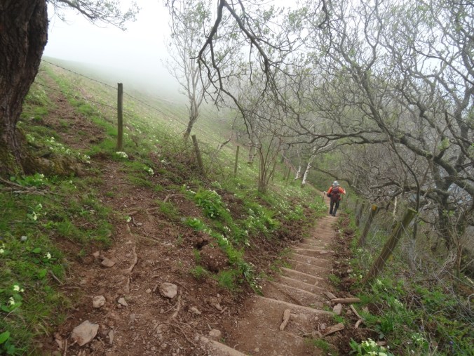
Steep steps down the primrose path.

DSC04171

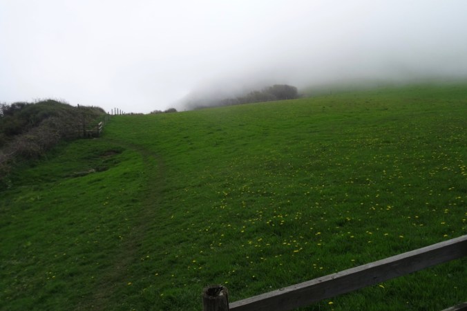
Foggy meadow on Crock Point,

DSC04172

and foggy views beyond the hedgerows.

DSC04174

Plenty of flowers,

DSC04176

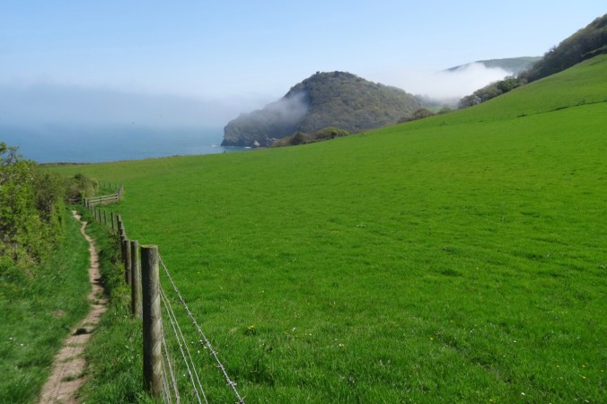
And then the fog lifted.

Next our trail wound through Croscombe and Bonhill Woods where we crossed The Lee on Bonhill Bridge.

DSC04183

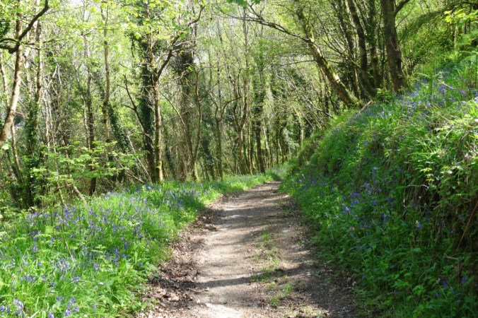
Our path was lined with bluebells in Croscombe Wood.

DSC04184

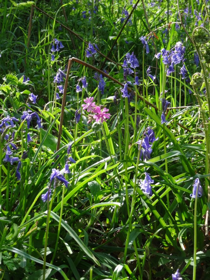
Bluebells and Campion

DSC04187

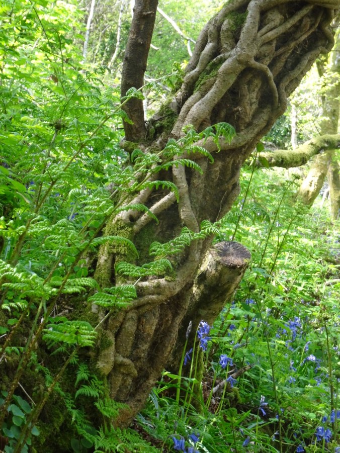
A twisted tree, ferns and bluebells – so very green in here!

DSC04189

Another steep staircase in Bonhill Woods down to the stream.

DSC04190

Bonhill Bridge across The Lee.

DSC04193

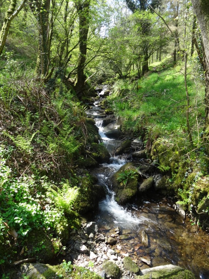
The Lee

As we entered the Six Acre Wood we could see back to the Valley of Rocks.

DSC04216DSC04196

DSC04200

A small check dam along the way seemed like water sprite habitat.

Our trial emerged onto the slopes of South Cleave, from which we could look down upon the Valley of Rocks and our earlier path.

DSC04222

Trail up South Cleave.

DSC04218

Looking down on Lee Abbey.

DSC04221

Looking down on Lee Bay.

DSC04223

Valley of Rocks below.

DSC04238

Another view west from South Cleave.

Our path led us down hill and through Lynton before circling back to our lodgings.

DSC04243DSC04244DSC04245

DSC04246

Downtown Lynton.

DSC04247

View over the rooftops to Lynmouth Bay.

DSC04248

Sign showing the paths and the Cliff Railway down to Lynmouth – on tomorrow’s agenda.


Image 12-4-18 at 6.17 PM

Southwest Coast Path Website Map for our Walk. We walked about 7.5 miles, 700 feet elevation.

Evening view of Countisbury Hill and Lynmouth Bay from our little balcony:

DSC04253


Return to Angel’s Rest (18-53)

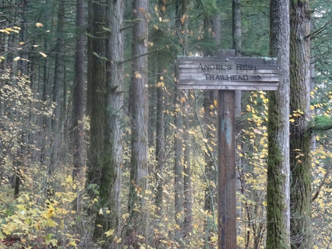
Angel’s Rest Trail, Oregon   November 24, 2018

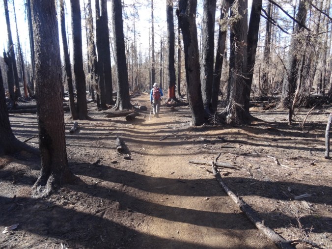
A few trails in the Columbia River Gorge that have been closed since the September 2017 Eagle Creek Fire were reopened for the first time this past weekend. We went to Angel’s Rest on Saturday morning, along with hundreds of other local hikers. It was with care, scrutiny, appreciation, and gratitude that we made our way up 1500 feet to the iconic views over the gorge. The trail was in great shape, thanks to the many trail keepers who have worked on recovery.

DSC00428

Into the woods

DSC00312

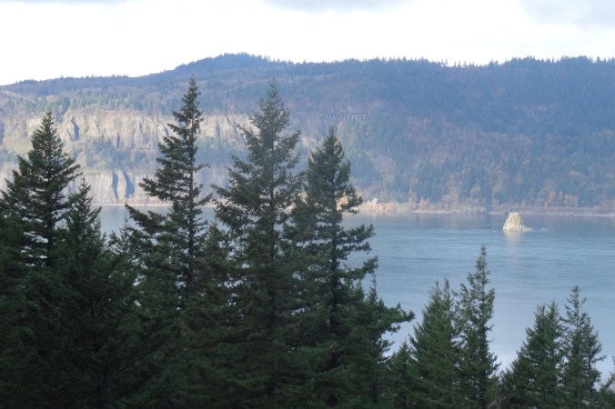
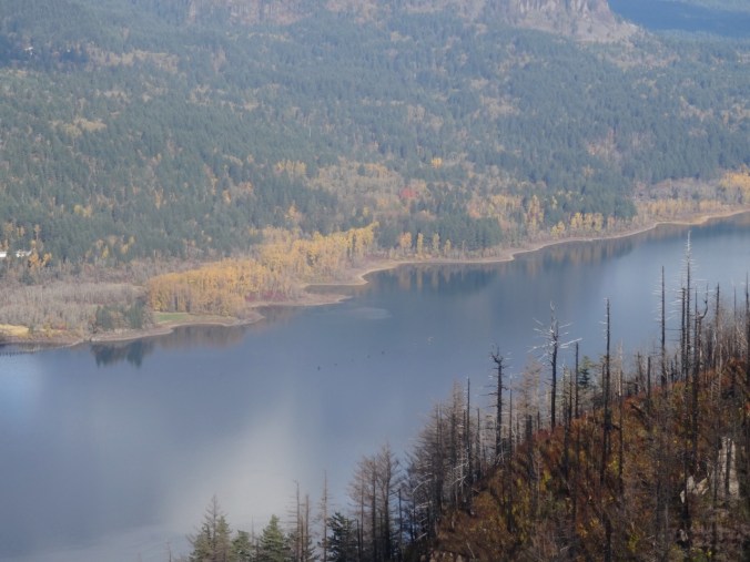
Views of Cape Horn, the Columbia River and Phoca Rock emerge on the lower trail.

DSC00315

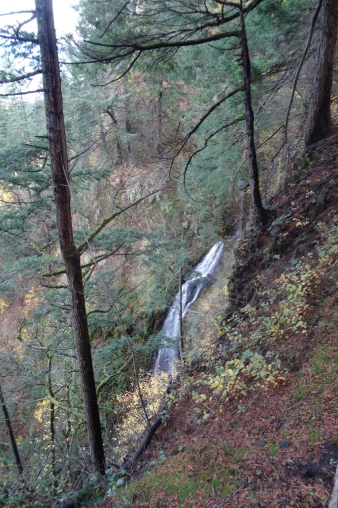
Coopey Falls

DSC00330

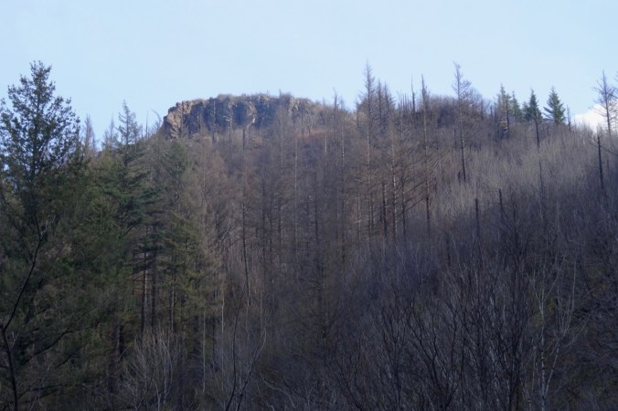
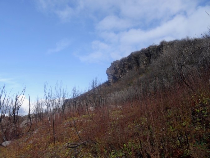
Angel’s Rest – our destination.

The trail begins to switchback up the front of Angel’s Rest.

DSC00339

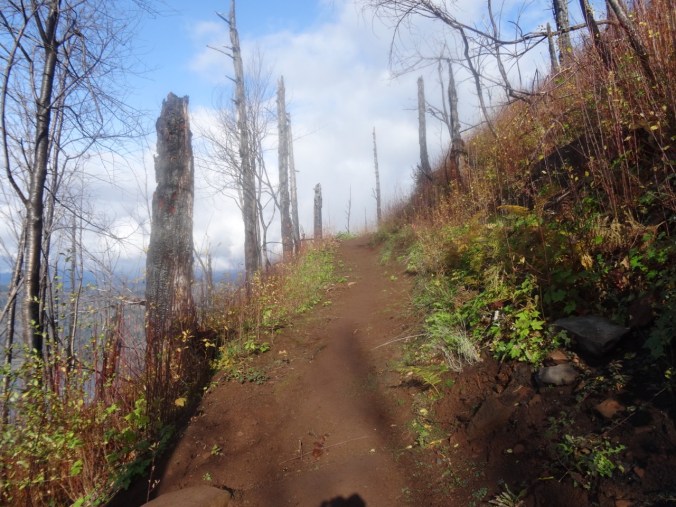
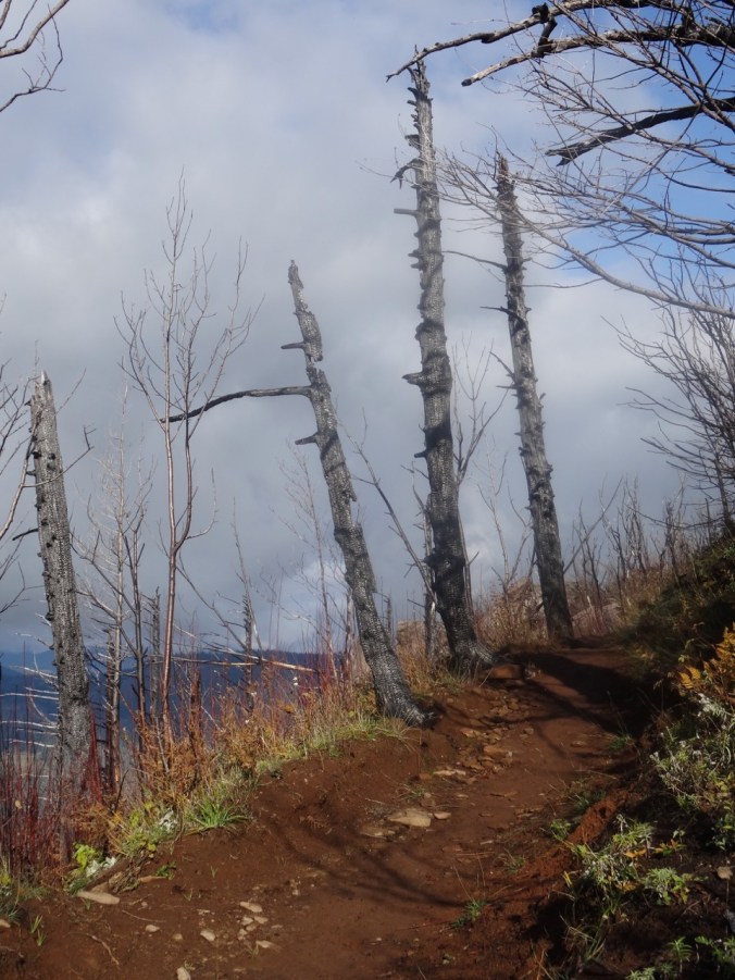
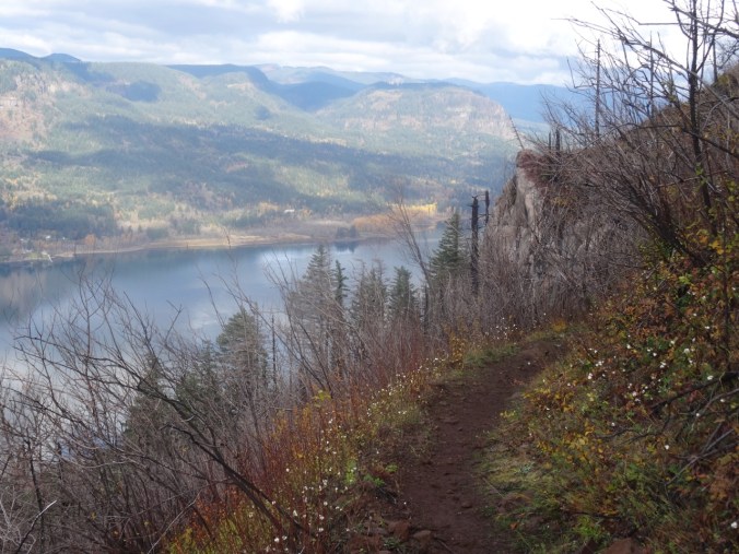
Burned tree trunks and open views line the trail.

DSC00347

First view west toward the trailhead.

DSC00349

Well repaired trail surface next to blackened trees.

DSC00351

Blackened stump.

Nearing the top, the views unfold:

DSC00361

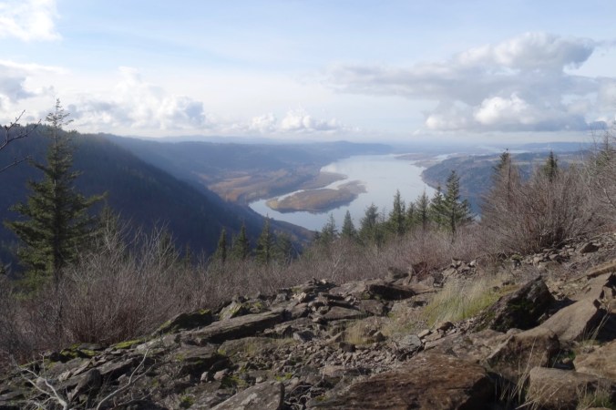
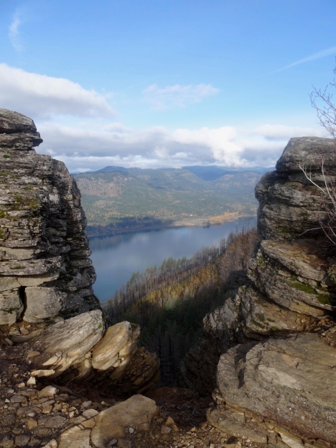
To the west, from near the top.

DSC00370

The Hilary Step of Angel’s Rest – leads to the ridge crest. Sometimes there is a line of hikers waiting to go up or down.

DSC00411

From the top, looking toward the overlook where many rest.

DSC00380

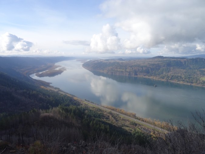
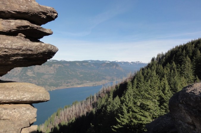
Open view west – toward Portland, Cape Horn in Washington and Phoca Rock.

DSC00387

Open view east – toward Hamilton Mountain in Washington.

We wandered around on top for a while, admiring the view from various perspectives, and found a place to eat lunch.

DSC00394

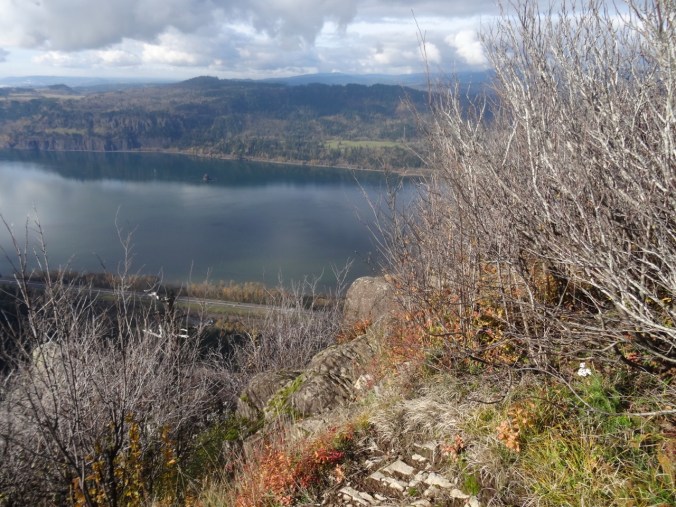
Closer view of Cape Horn in Washington.

DSC00395

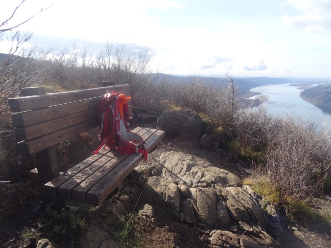
The bench is still there.

DSC00397

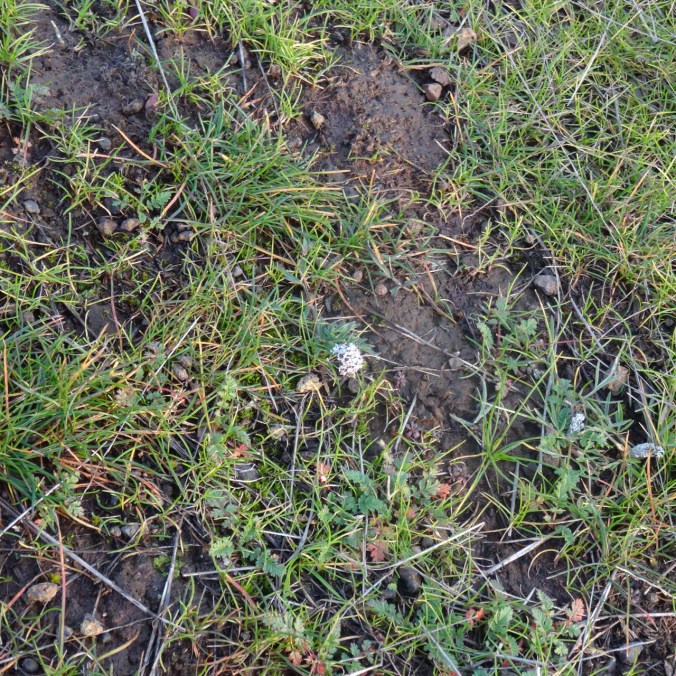
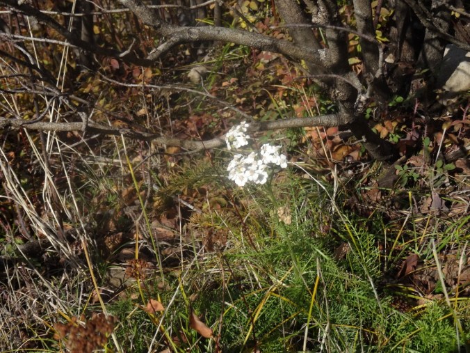
We saw a single blooming white yarrow near our lunch stop.

DSC00396

Yarrow

We headed down, stopping for a few more views along the way.

DSC00404

Looking back toward the top, where the first views are seen.

DSC00407

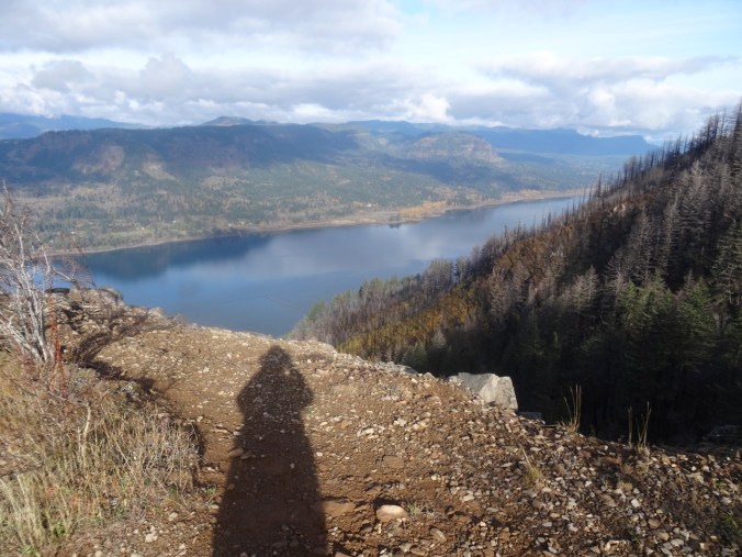
My shadow in the low November light.

DSC00413

My favorite sculpted shoreline of the Columbia River.

DSC00415

View through the rock piles.

DSC00416

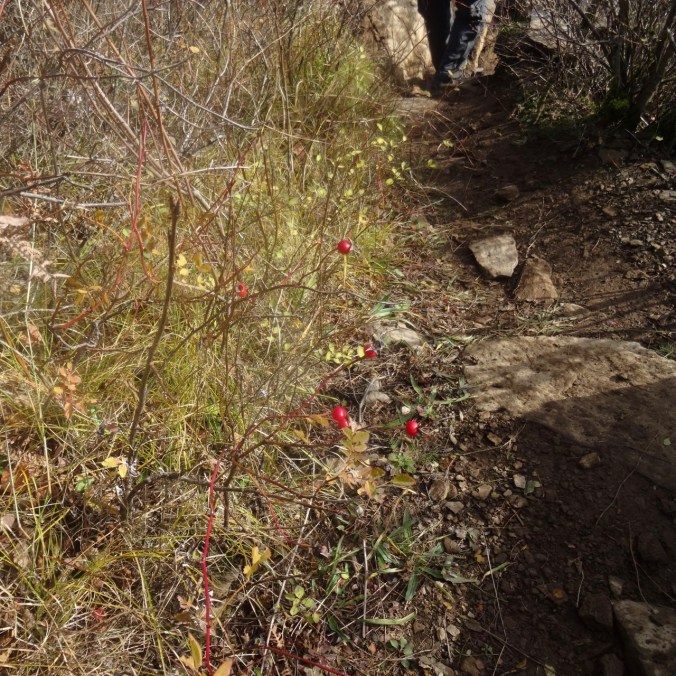
Seasonal berries

DSC00417

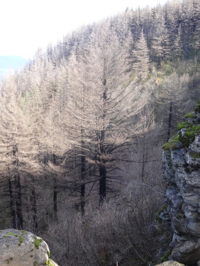
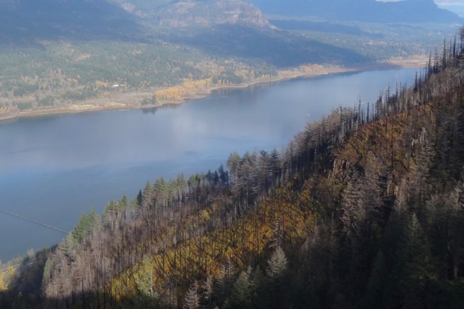
Trees that are burned, dying, no longer evergreen.

Looking back as we hiked down:

DSC00420

Where we were – and much more visible with all the undergrowth burned away.

DSC00422

White berries lined this part of the trail – not sure what they are – possible snowberries, or the dreaded poison oak.

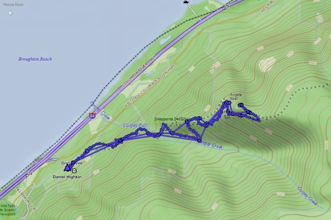
Image 11-28-18 at 1.18 PM

Golden Hike of the year, #62, 5.2 miles, 1500 feet.

Look back:

I found a couple of comparison photos from previous hikes – this one in January of 2013:

DSC00623

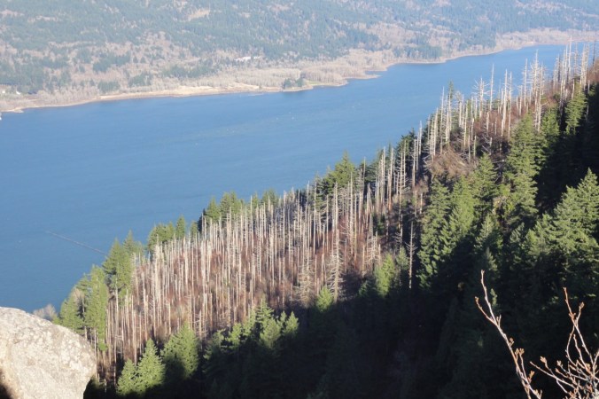
January 2013 – the white tree trunks are left from a fire in 1991.

DSC00368

November 2018 – the white trunks are blackened, and the green trees are now dying.

A closer view:

DSC00628

January 2013

DSC00400

November 2018

An image taken in 2017 from Cape Horn looking over to today’s hike to Angel’s Rest.

Version 2

Angel’s Rest, October 2017, From Cape Horn, WA.

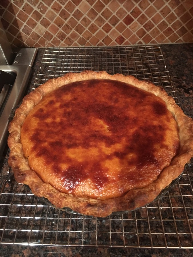
Pumpkin Pie

A lovely Thanksgiving dinner with a small gathering of family and friends.

56455561396__6DC3EE2D-A9BB-4FCC-907B-ADFF24C3AD45

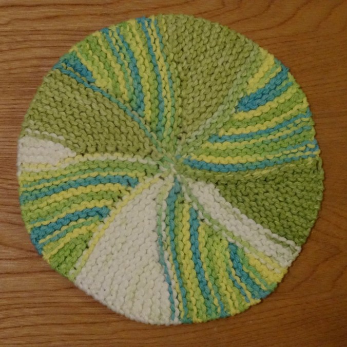
Knitting

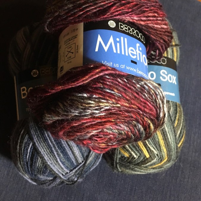
Another round cloth. Some new sock and hat yarn acquired from my LYS on Black Friday.

DSC00434IMG_1726

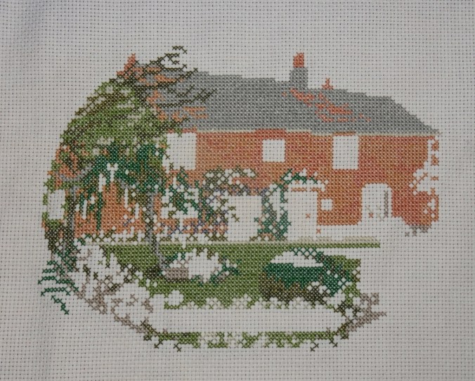
Jane Austen House Cross Stitch

I have been rather obsessively cross stitching in the evenings.

DSC00438

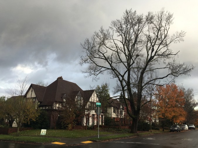
Neighborhood

Leaves fully gone from the flame ash tree.

IMG_1724

Other Adventures

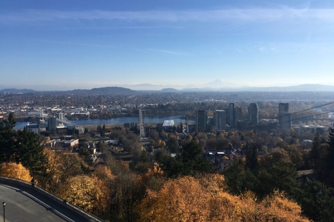
It has been about a year since I was diagnosed with a pituitary tumor. I had another trip through the MRI this week to evaluate the tumor surgery site, accompanied by a Joni Mitchell soundtrack in my head this time. Fortunately, all appears well. And I could see all three mountains from the OHSU tram view patio.

IMG_1709

Mt St Helens on the left; the top of Mt Adams just right of center on the horizon. Tillikum Bridge over the Willamette River on the right.

IMG_1710

Tillikum Bridge on the left; Mt Hood on the horizon – looking east from the OHSU tram patio.

St Agnes to Perranporth, Cornwall, Poldark Country (18-50)

Day 9, Friday, May 4th, 2018

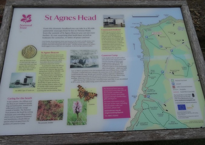
We drove from our lodging in Fowey to Perranporth on the north coast of Cornwall. Dan planned a one way hike on the Southwest Coast Path from St Agnes back to Perranporth. A low cloud ceiling remained for the entire day, but it wasn’t too cold – good hiking weather. We  passed broad moors, coastal cliffs, beaches and tin mines. Some of the scenes for the BBC Poldark series were filmed in this general area.
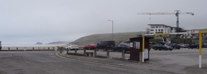
DSC03573

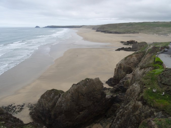
Carpark at the beach in Perranporth.

We parked in Perranporth and took the local bus to St Agnes – a bit of an adventure in itself, because the bus was running almost an hour late. The driver very kindly made sure we got out at the right stop in St Agnes, so at 11 AM, we were finally our way for what would be a ten mile hike, with 1500 feet of total elevation gain, as we walked up and down the coastal cliffs.

Screen Shot 2018-10-04 at 1.03.44 PM

We walked through St Agnes,

dsc03576.jpg

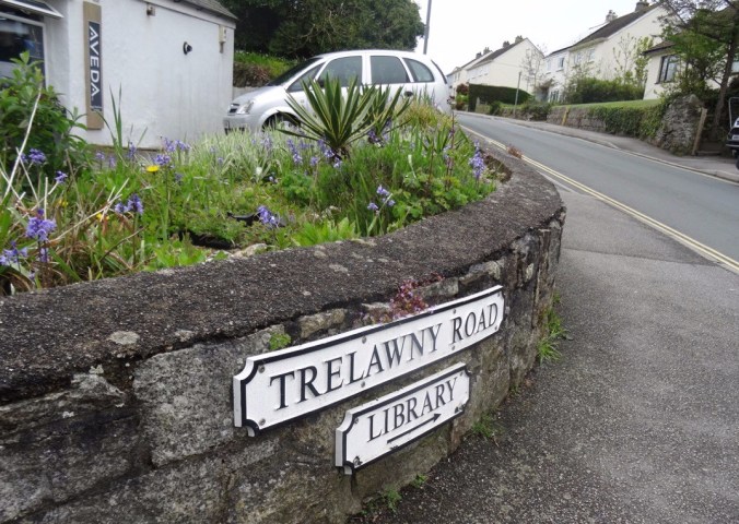
A street sign for Harry Potter fans

along some farm roads, then uphill to St Agnes Beacon.
DSC03579

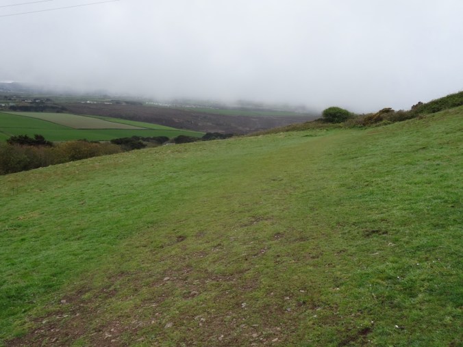
First view of the coast over the field
dsc03580.jpg

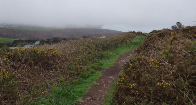
Our track to the north

dsc03588.jpg

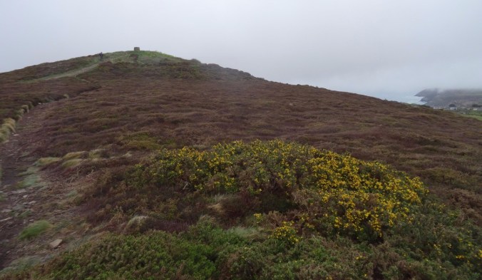
St Agnes Beacon ahead, beyond the gorse
DSC03589

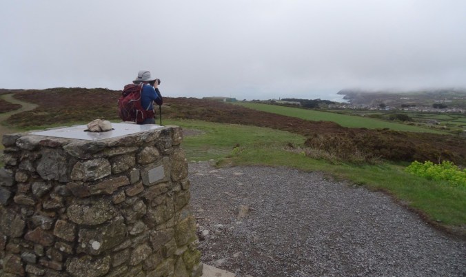
Lunch stop at St Agnes Beacon

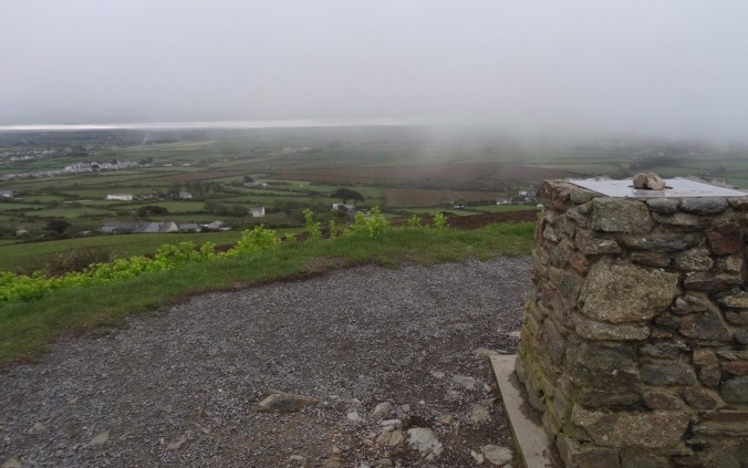
On a clear day the views must be incredible!
dsc03595.jpg

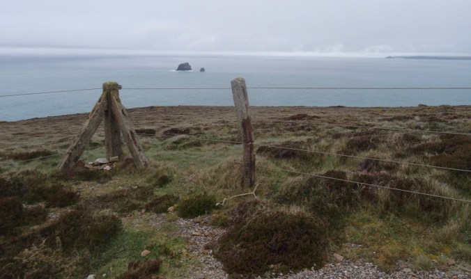
Land of counterpane beyond.

dsc03590.jpg

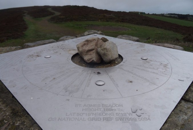
Location finder on the Beacon.

DSC03592

We continued downhill toward St Agnes Head – a promontory on the coast.
DSC03603

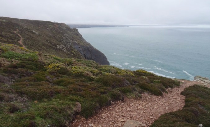
Looking west…

dsc03599.jpg

Looking east…

DSC03597

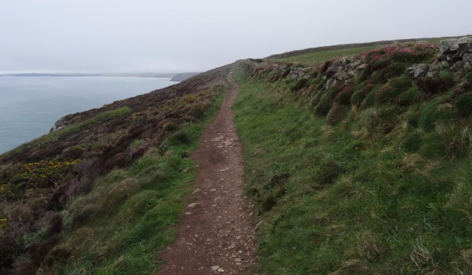
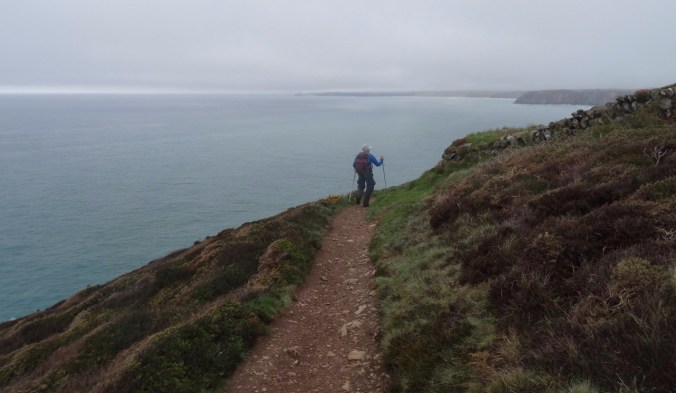
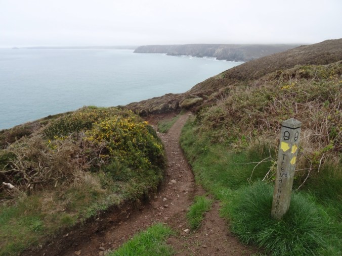
From St Agnes Head we turned east on the SW Coast Path toward Perranporth. The trail stayed above the high cliffs until we reached the descent to Trevaunance Cove.

DSC03612

Gorse along the trail

dsc03614.jpg

Hedgerows

dsc03618.jpgDSC03620dsc03627.jpg

DSC03628

First glimpse of the beach ahead

DSC03629

Old tin mine

DSC03630

The turquoise blue water of Cornwall

dsc03635.jpg

Flower-lined path

There were so many flowers along the path…

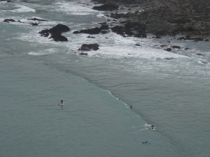
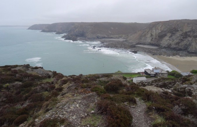
We looked down to Trevaunance Cove, noticing the standup paddlers in the water.
dsc03637.jpg

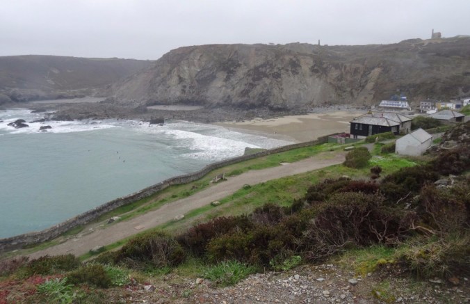
Trevaunance and Trevellas Coves

DSC03638

Stand up paddle boarders

dsc03642.jpg

Tin mines on the cliffs above Trevaunance Cove

DSC03644

Stairway down the cliffs

DSC03648

Our path along the beach and rocks to Trevellas Cove

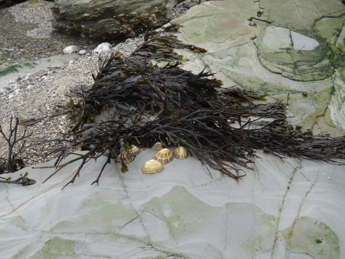
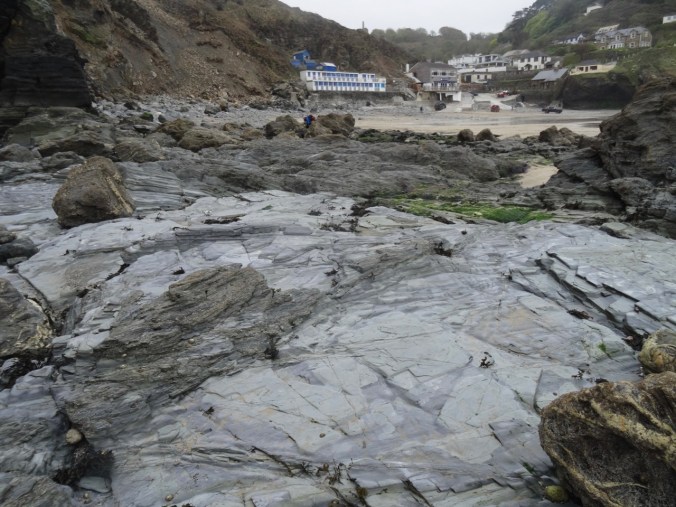
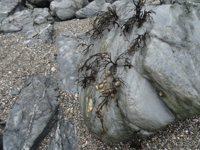
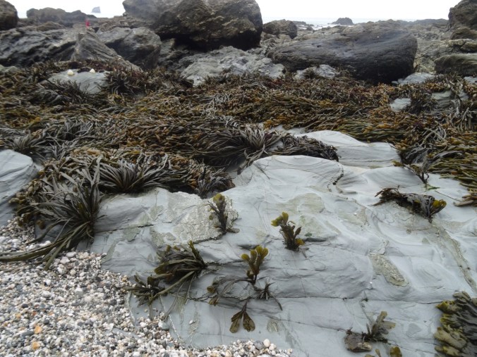
Fortunately, the tide was out. We walked across the beach, then picked our way over and around the rocky outcrops to Trevellas Cove, enjoying the tide pooling along the way.
DSC03649

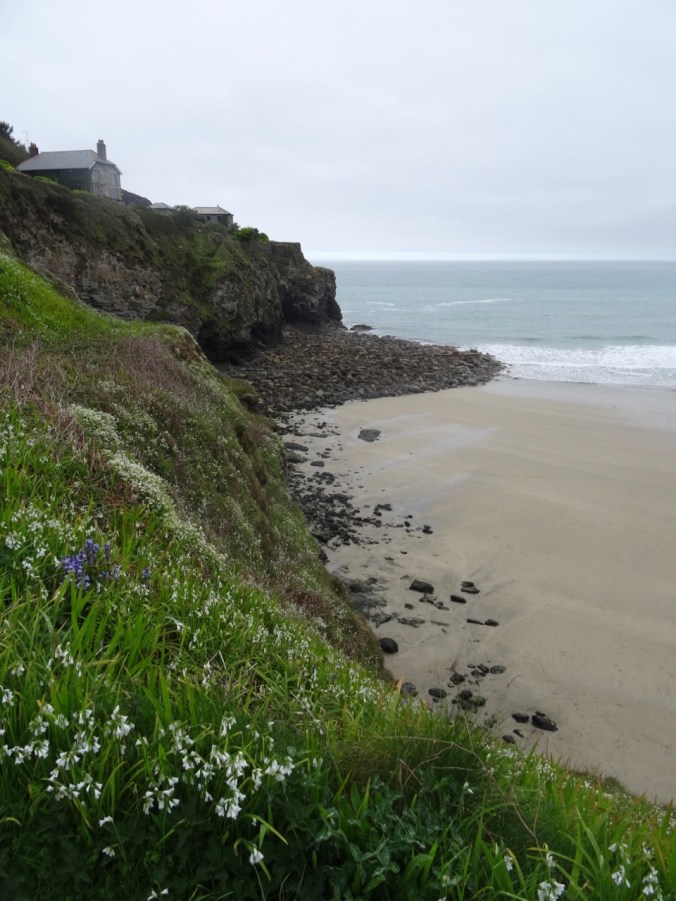
Flowers blooming on the cliffs

DSC03650

DSC03653

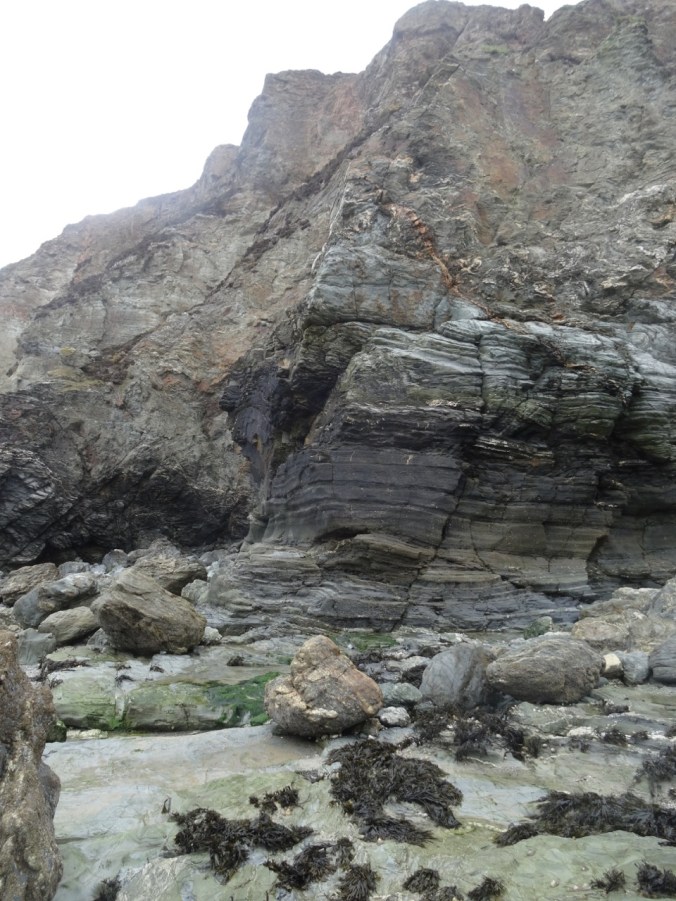
Devonian metamorphic rocks

DSC03655

Limpets

DSC03656

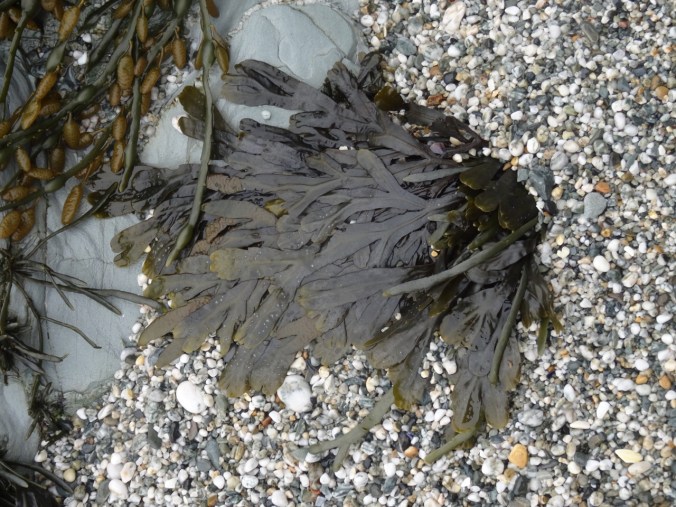
Seaweed

DSC03658

View back to the village at Trevaunance Cove
DSC03661

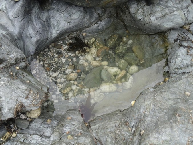
Tidepools

DSC03663

Seaweed and limpets

DSC03665

DSC03668

The rocky gap on the beach at low tide
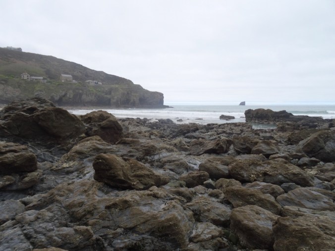
DSC03669

Looking back again

DSC03679

More tide-swept sea weed

DSC03680

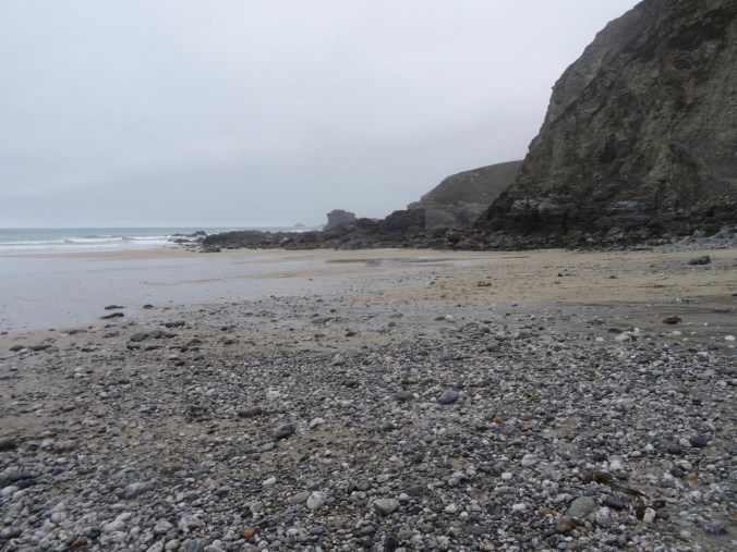
Pebbly sand and seaweed

DSC03684

Ebb tide channel

We crossed over into Trevellas Cove and could see our path up the cliffs.
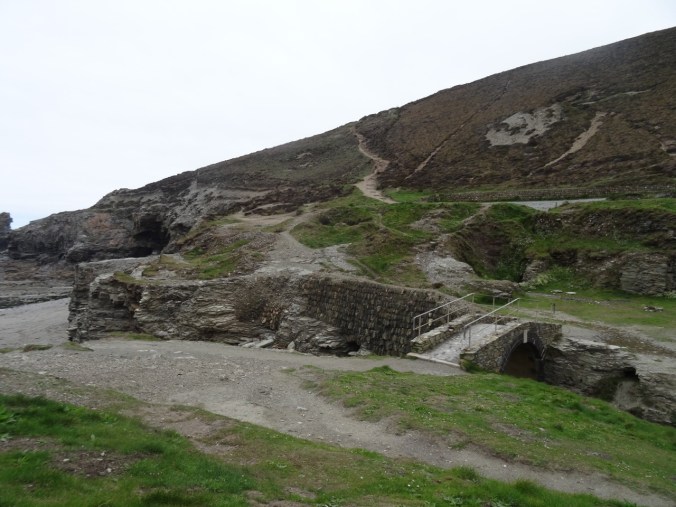
DSC03687DSC03692DSC03693DSC03694

DSC03699

Looking back to our beach crossing

DSC03701

Another look back

Continuing east toward Perranporth, the next section of the SW Coast Path again stayed high on the cliffs with views down to beaches.

DSC03705

DSC03703

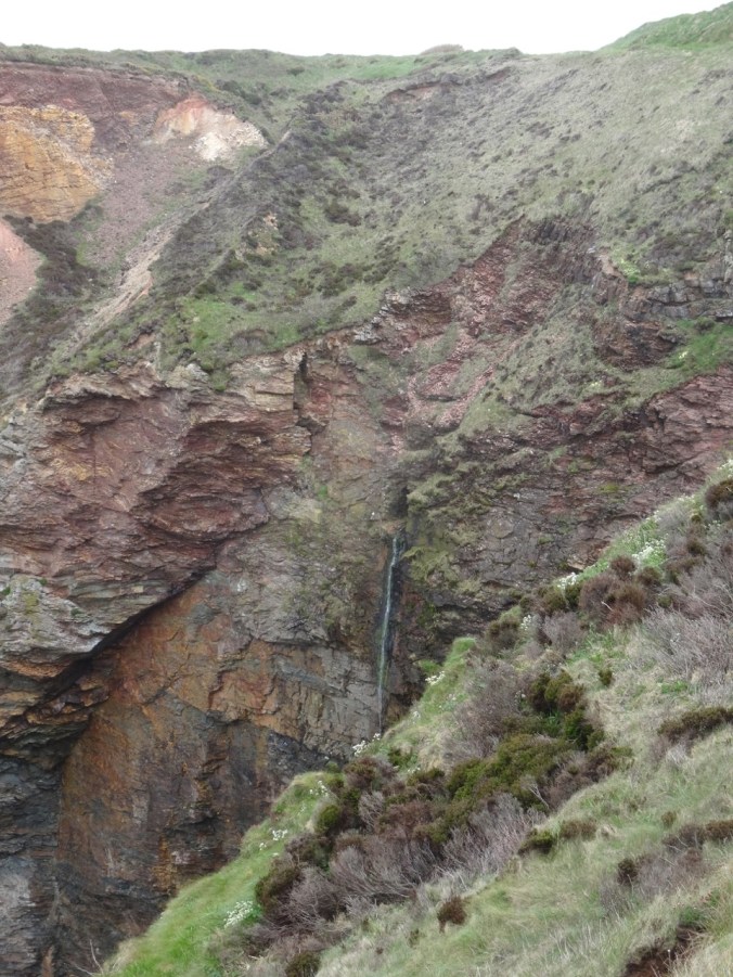
Waterfall

DSC03712

DSC03709

Beach caves and arches

DSC03714

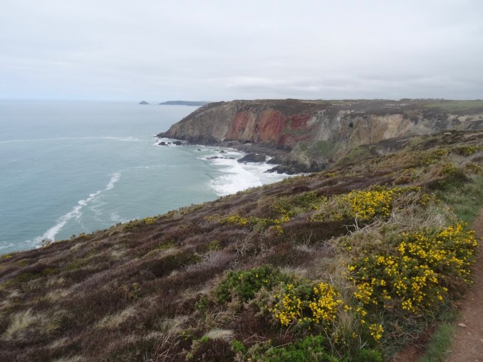
We passed old tin mines and tailing piles,
DSC03716

Mine opening in distant cliff

DSC03721

Covered mining site

DSC03719

Closer view of the cliff mine

Ruins of WWII bunkers and an airfield are also along the trail.
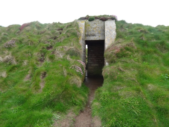
DSC03707DSC03724DSC03726

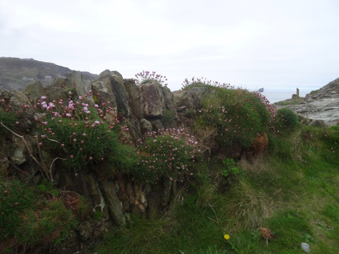
Plenty of flowers and spectacular geological outcrops.
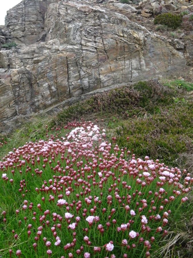
DSC03741

Sea thrift and folded Devonian metamorphic rocks

Eventually, we reached views of the beaches of Perranporth.
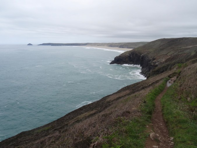
DSC03727

View toward Perranporth from Cligga Head
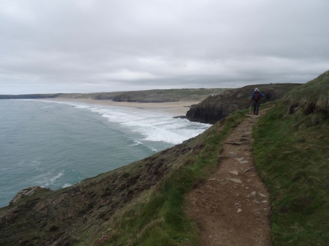
DSC03735

DSC03738

Last look back to the west

DSC03717

Bird covered rocks

We were glad to wind our way down the cliffs to the car park in Perranporth after a long, beautiful hike.

DSC03742DSC03743

The Jaguar GPS led us back to Fowey by the narrowest and hedgerow-bound of winding back roads – we learned from this day to ignore the B roads with lots of numbers. The GPS route would recalculate to stay on A or low number B roads if we ignored turn directions when we didn’t like the look of the road. The new route might be longer in miles, but shorter in time and less scary in narrowness and visibility. Also, the signs that say “Weak Bridge Ahead” are a little disconcerting, though we were sure they meant heavy trucks, not passenger cars. You never know though. Some of the buildings and hedgerows certainly date back to the time of Poldark. Roads that are about two feet from the doors of farm houses cannot really be meant for through travelers. We needed a smarter GPS or more experienced operator. It would have helped if we had looked at the overview map of the route before embarking, but the GPS in the car did not seem to offer this option in a practical way. I personally prefer to preplan my routes with more diligence, but sometimes when traveling, and changing plans on the fly, on the whims of the weather, we wing it – with the consequences of the narrow hedgerow and the blind corners. After this day I used my Google Maps Iphone App and did not use the Jaguar GPS though she did have a charming British accent and manners, directing us, “Please, at the next roundabout, take the second exit toward St Agnes.”

We enjoyed making ourselves a Mexican dinner back at the cottage.

Fowey Estuary Walk, May 3, 2018 (18-47)

Day 8,  Fowey Estuary Loop

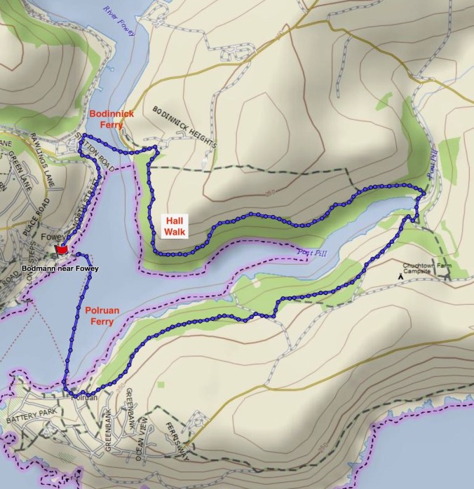
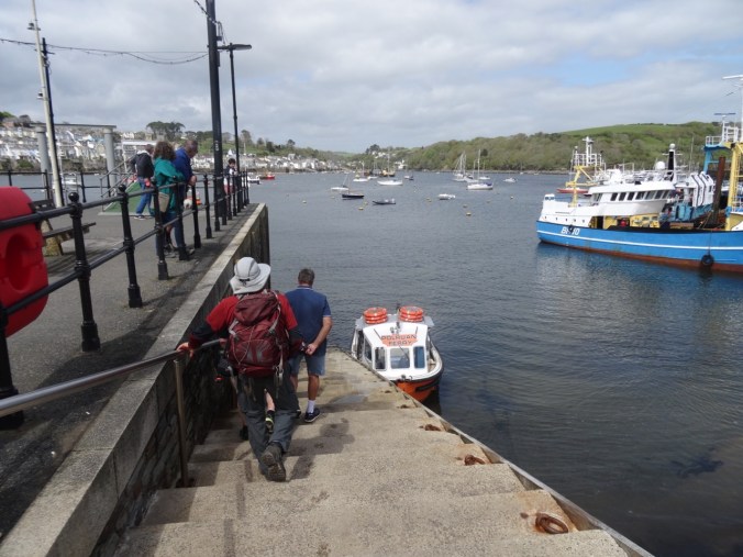
We were settled into a cottage for the next few days, and happy to take a day off from driving. We chose to walk a loop around Fowey Estuary by foot and ferry.

Screen Shot 2018-10-18 at 3.53.13 PM

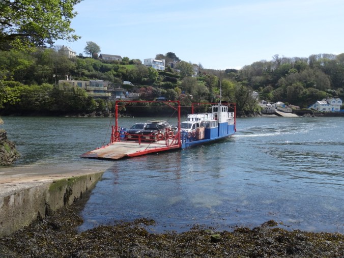
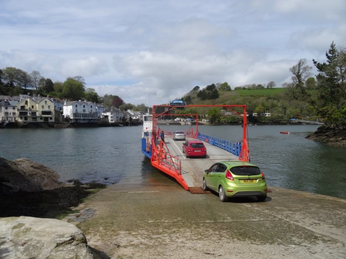
We walked from our cottage down to the ferry crossing at Bodinnick.

DSC03449

Waiting for the ferry to dock.

DSC03450

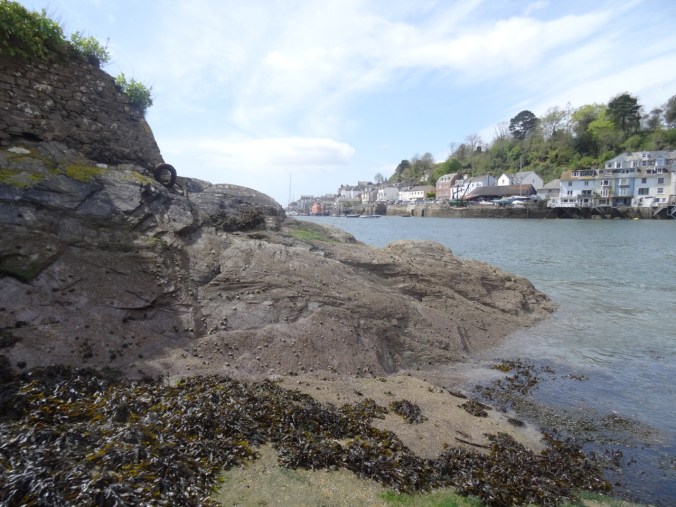
Rocks and barnacles at the Bodinnick landing.

DSC03452

Looking back to Fowey.

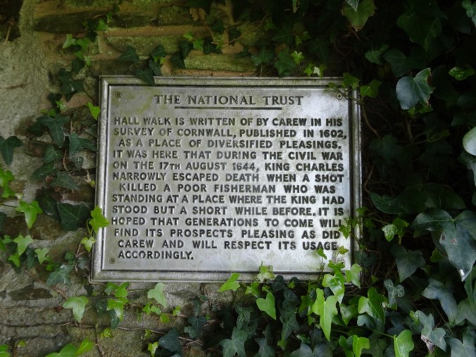
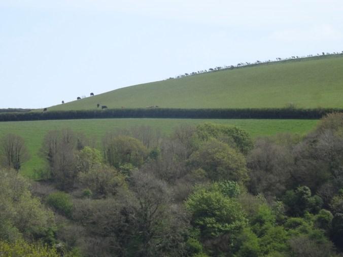
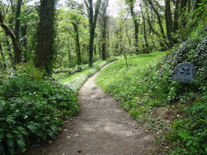
After our brief ride across the river, we walked up hill onto the bluffs above the estuary. Most of our trail was part of the Hall Walk, a National Trust property with historical markers, beautiful wildflower displays, and great views of the landscape.
DSC03465

Hall Walk

DSC03468

Looking toward the English Channel

DSC03471

Fields on Bodinnick Heights

DSC03476

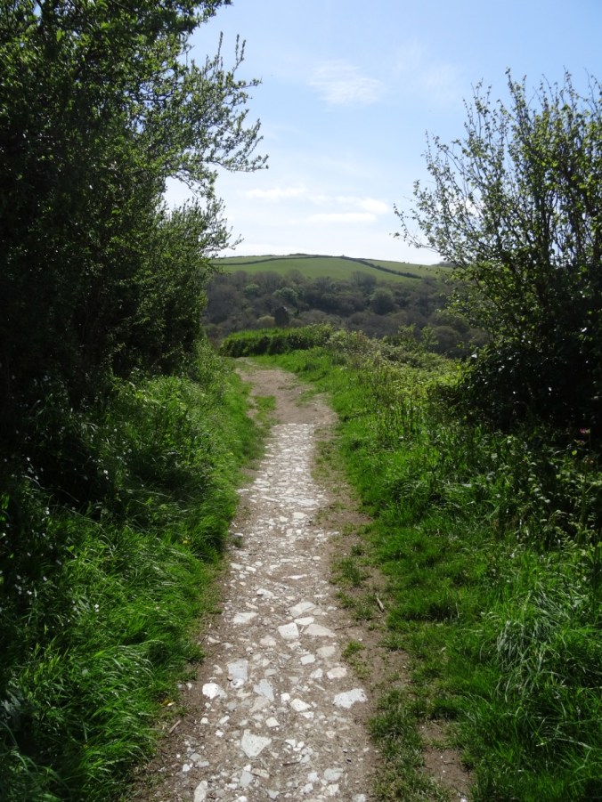
Wildflower-lined path

DSC03478

A place to rest and look at the view.

We were lucky to be here when many flowers were in bloom!

DSC03459

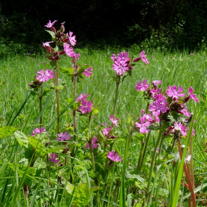
Red campion

DSC03460

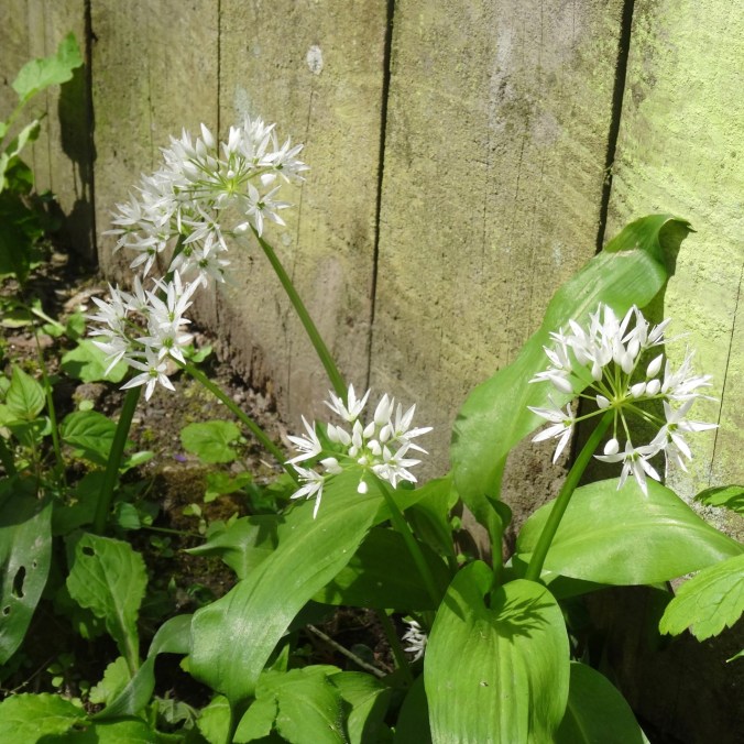
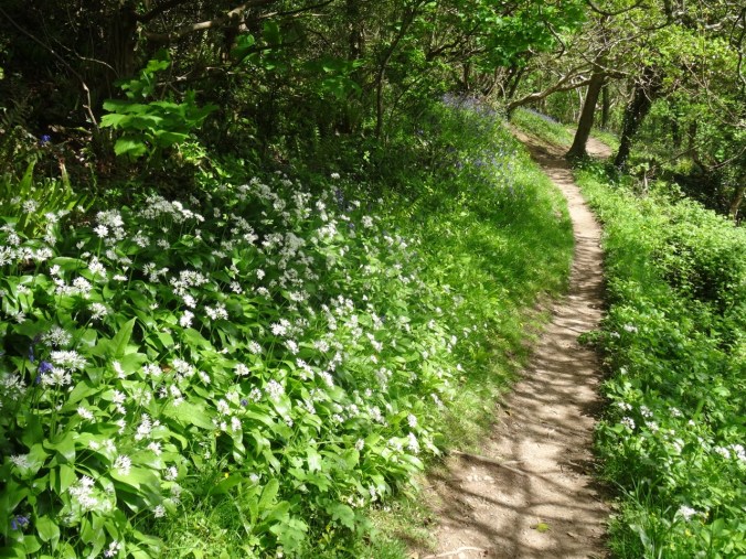
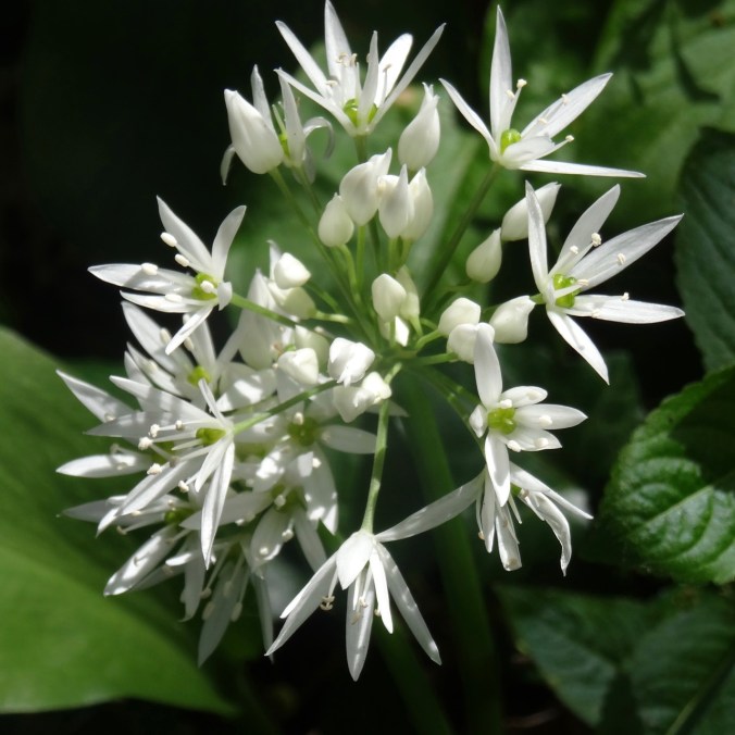
Wild garlic

DSC03493

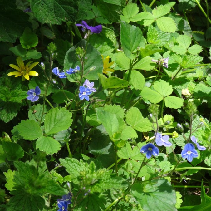
Speedwell

DSC03492

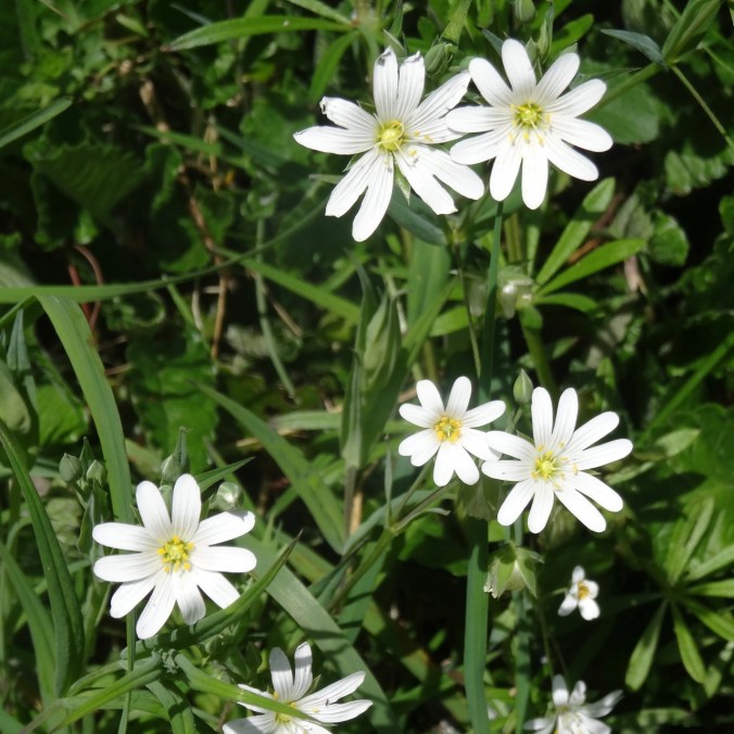
Stitchwort

DSC03494

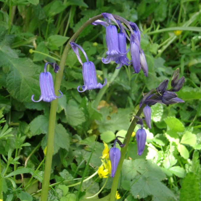
Blue bells

DSC03507

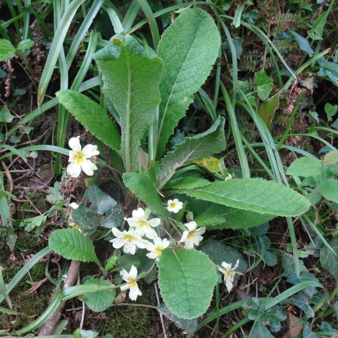
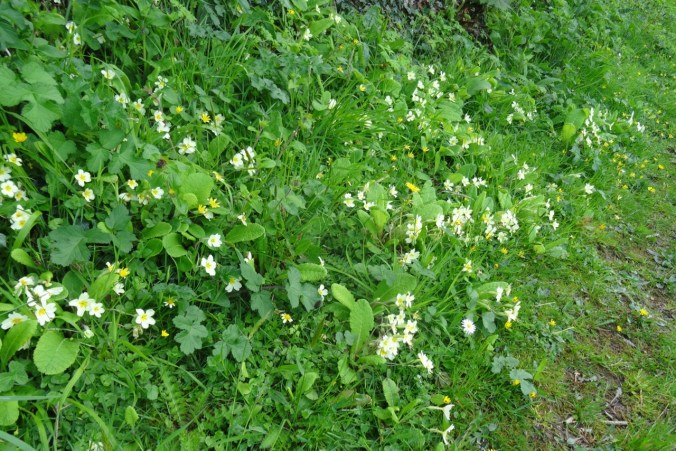
Primroses – at first I thought these were someone’s garden plants gone astray, but after seeing great drifts of creamy white primroses on most of our hikes, I realized that these are native wildflowers here.

DSC03495

Buttercups

DSC03750

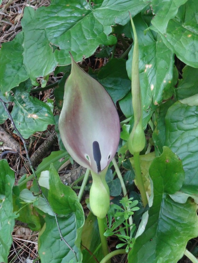
Lords and ladies arum

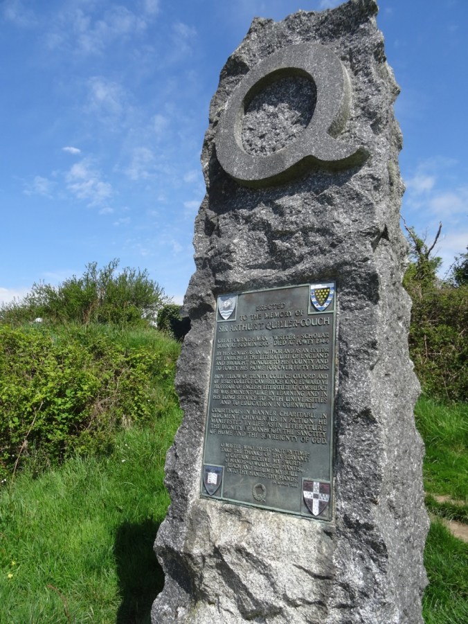
A side path led to monuments to historical figures.

DSC03483DSC03484

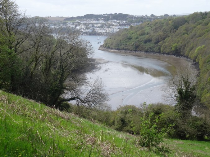
The path then turned eastward along the bluffs above an inlet to the river called Pont Pill.

DSC03481

DSC03485

Looking east across Pont Pill.

DSC03486

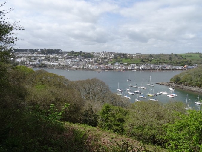
Looking west toward River Fowey estuary.

DSC03498

Looking down past red campion and budding trees to Pont Pill.

DSC03501

Up the stairs

DSC03503

View out to sea

DSC03506

Cattle on the Bodinnick Heights

DSC03508

Down another flowery path

DSC03511

More flowers

DSC03513

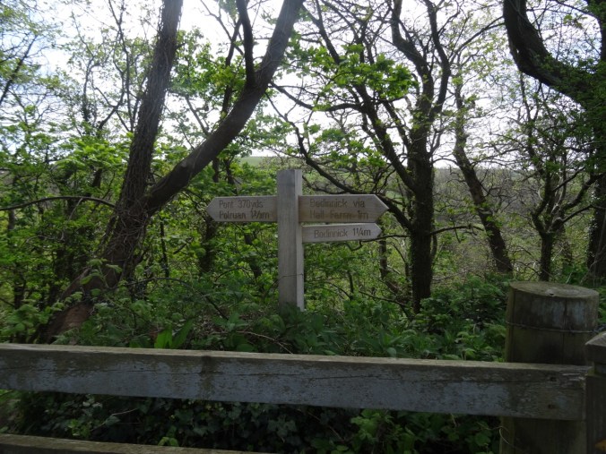
Waypost

DSC03514

Bodinnick Heights again, before the last descent.

We crossed Pont Pill,  and then headed toward Polruan to finish our walk.

DSC03515

Pont Pill

DSC03517

Waterfall on the south side, heading back up onto the headlands.

DSC03521

Wild garlic lined path

DSC03522

Wild Garlic

DSC03527

Primroses

DSC03529

Looking down on Pont Pill.

DSC03530

Looking across to Fowey.

DSC03531

Closer view…

At Polruan we took another ferry back across the River Fowey to Fowey harbor.

DSC03535

DSC03538

Looking upriver…

DSC03540

Fowey harbor – tide is out…

DSC03541

Harbor wall, low tide.

DSC03542

Looking back to Polruan from the landing.

Walking Around Fowey

I then poked around the town and bought a Cornish pasty to supplement our dinner.

DSC03544

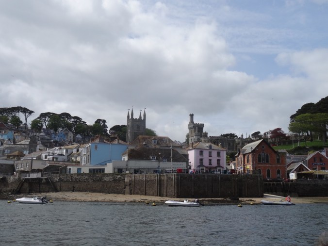
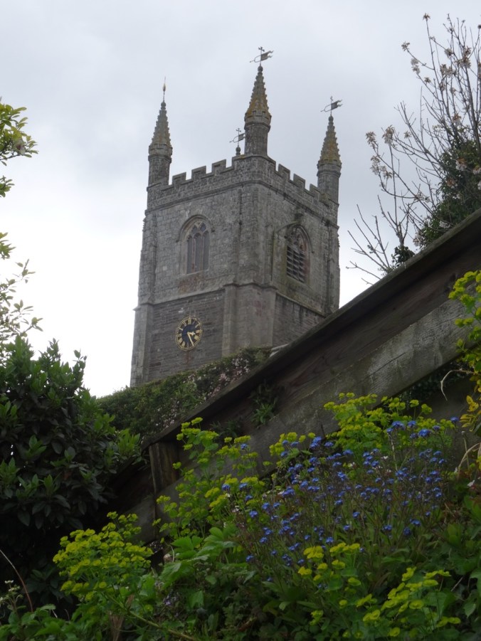
Church tower

I came across these signs on a gate which led me to discover that Kenneth Grahame’s book, Wind in the Willows, was thought to be partly inspired by time he spent in Fowey. DSC03547DSC03546

Lots of interesting rooftops, doors, windows, walls:

DSC03548DSC03555DSC03557DSC03559DSC03560DSC03925DSC03456

Back in our cottage, we did laundry and prepared for going farther afield in Cornwall tomorrow.

Trapper Creek Wilderness, WA (18-46)

October 20, 2018 – Observation Peak and Sister Rocks

We hiked up and down this roller coaster trail, through autumn light and sun, to viewpoints of the surrounding Cascade mountain peaks rising above a bluish haze.

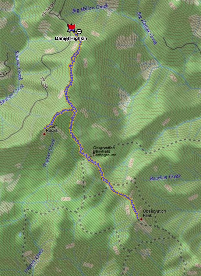
Screen Shot 2018-10-22 at 8.29.52 PM

7 miles, 1575 feet (#58)

Driving to the trailhead on Dry Creek Road we passed through a tunnel of yellow trees.

DSC09898

View through the front windshield…

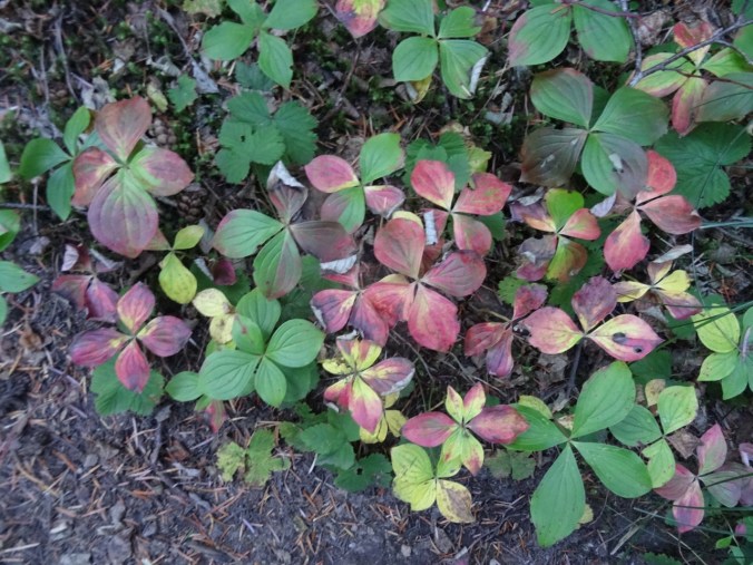
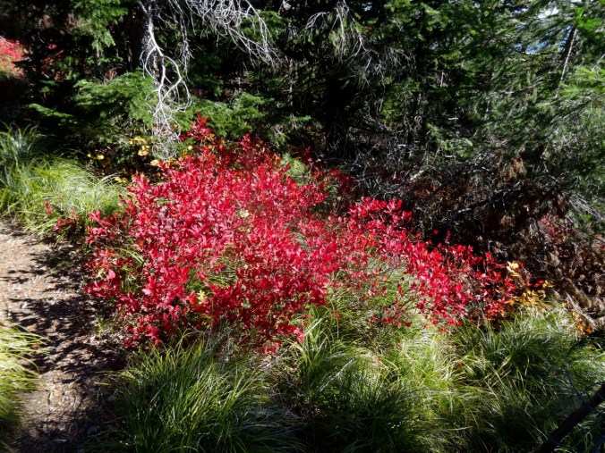
Bunchberry and huckleberry along the trail provided some color.

DSC09902DSC09936

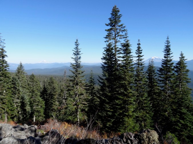
At the top of the first ridge, the views from the rocky outcrop are to Mt Rainier and Mt Adams.

DSC09910

DSC09908

Mt Rainier

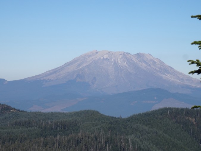
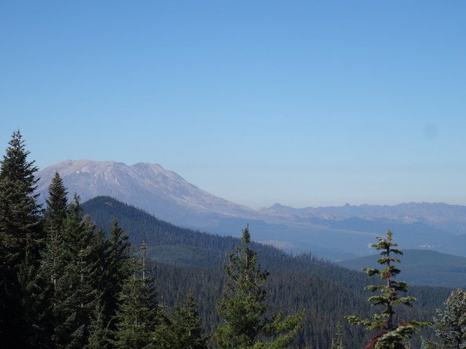
We then took the side trail to Sister Rocks, with a great view of Mt St Helens and Mt Hood. Lunch stop.

DSC09913

DSC09914

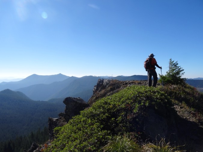
Dan atop Sister Rock; Soda Peaks on the left.

DSC09920

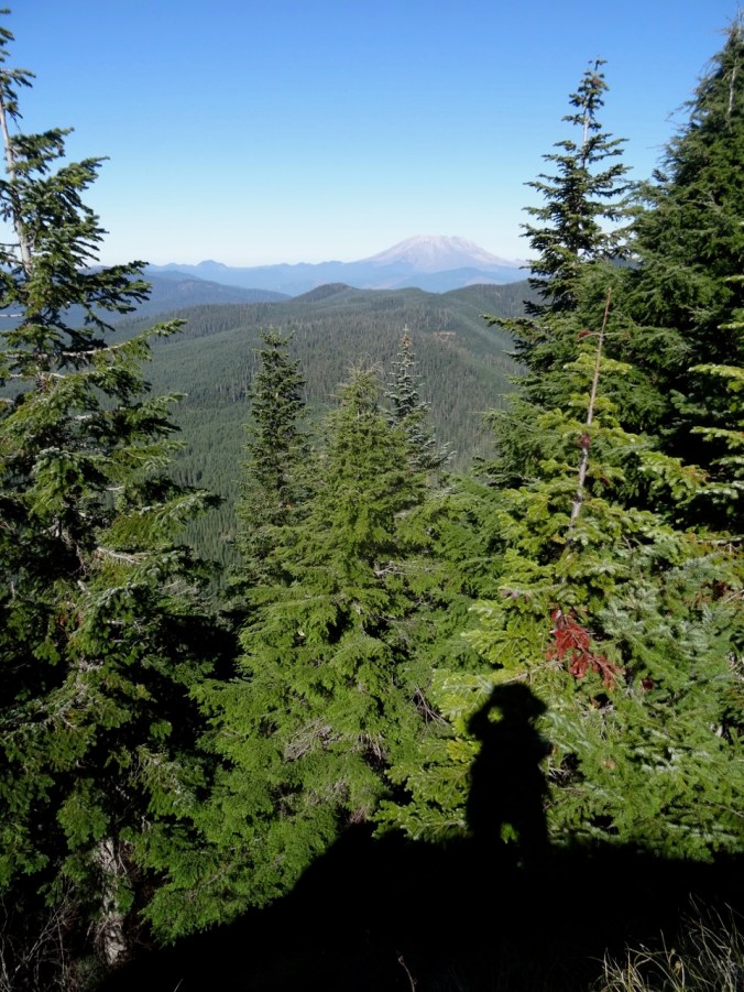
My shadow and Mt St Helens

DSC09923

Closer view

DSC09925

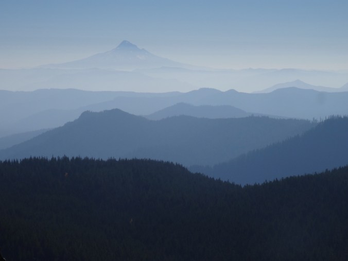
Mt Hood

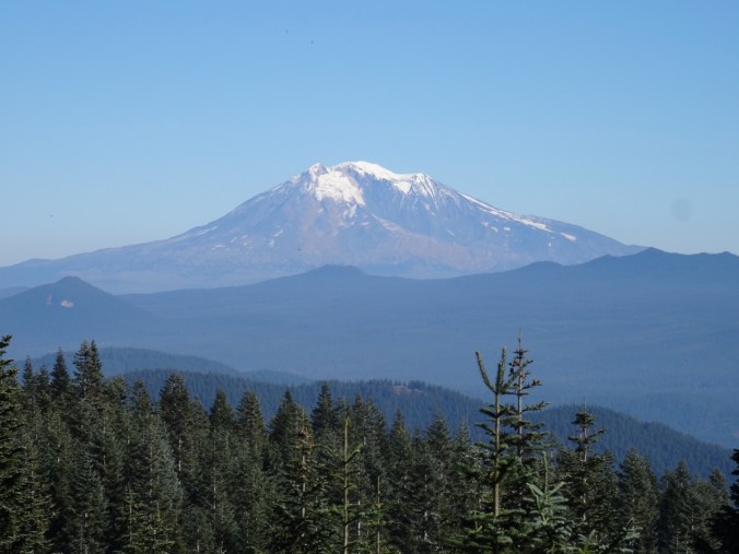
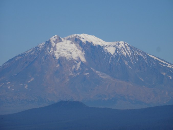
The intermediate high point on the Sister Rocks spur provides an excellent view of Mt Adams.

DSC09944DSC09942

DSC09940

Mt Adams

DSC09941

Returning to the main trail, we headed down hill, then back up to the views from Observation Peak of four tall volcanoes rising above the forested landscape.

Version 2

Mt St Helens, Mt Rainier, and Mt Adams from Observation Peak.

DSC09955

Mt St Helens and the Mt Margaret backcountry

DSC09958

Mt Rainier

DSC09966

Mt Adams

DSC09961

Mt Hood

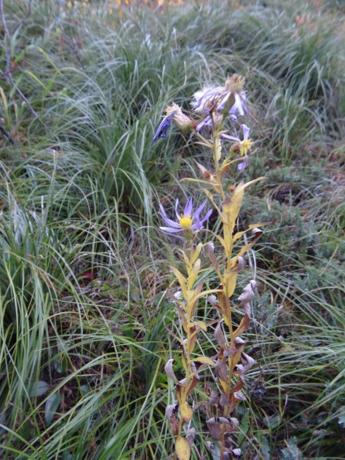
As we departed Observation Peak I spotted what may be the last blooming aster of the year.

DSC09972DSC09971

Mirror Lake

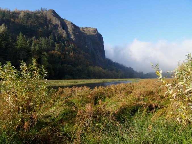
The lake is at the base of Vista Point in Rooster Rock State Park. As we drive through the Columbia River Gorge on I-84 we sometimes see swans here in winter. This morning, no swans, but the fog was lifting poetically, so we stopped to look at the light.

DSC09888DSC09897

Knitting

Another dishcloth finished, and I frogged and am reknitting the front of the Ivy Lace Cardigan.

DSC09974


Late Summer Adventures Part 3 – Three Sisters, Oregon (18-40)

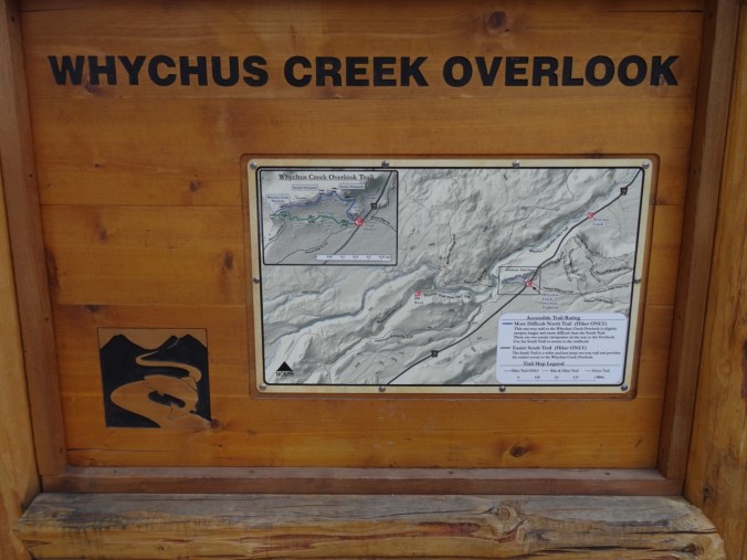
Rest Day    9-14-2018   Whychus River Overlook

DSC08927

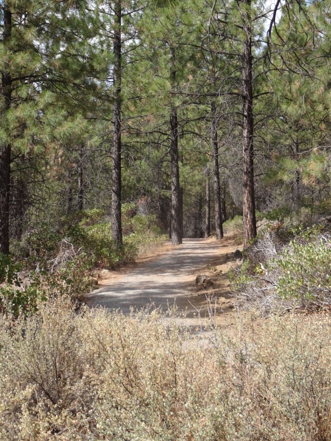
I slowly walked the easy one mile loop (#51) and contemplated distant views of mountains and close up views of the high desert forest. My legs were not up for much more today. Dan hiked down to the river and wandered there for a bit.

DSC08864

Nearly flat trail through the Ponderosa forest

DSC08878

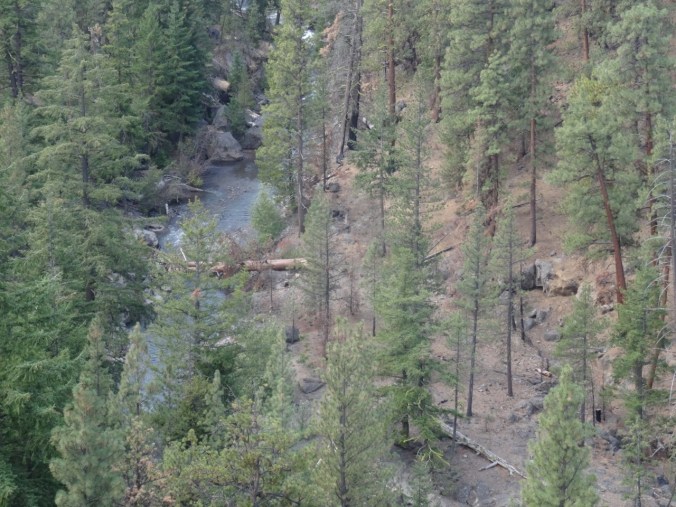
Looking down to Whychus Creek

DSC08879

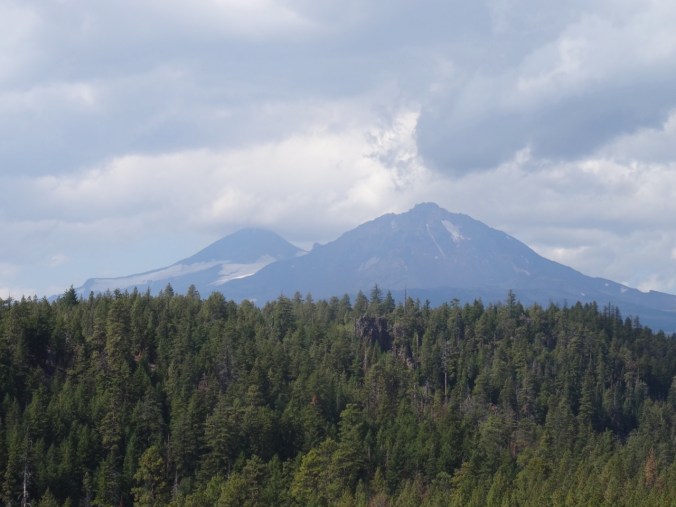
Middle and North Sisters

DSC08885

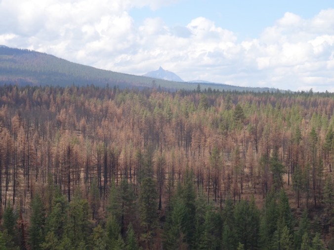
Mt Washington, Pole Creek Fire forest

DSC08869

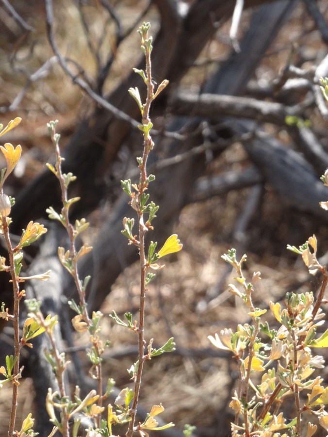
Rabbit brush

DSC08863

Manzanita

DSC08903

Manzanita bark

DSC08895

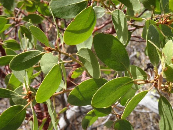
Manzanita leaves

DSC08916

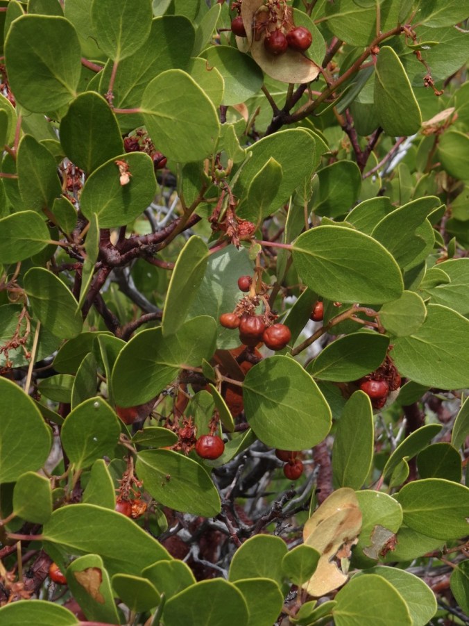
“Little apples”

DSC08893

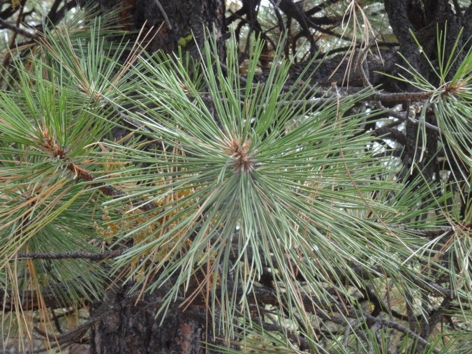
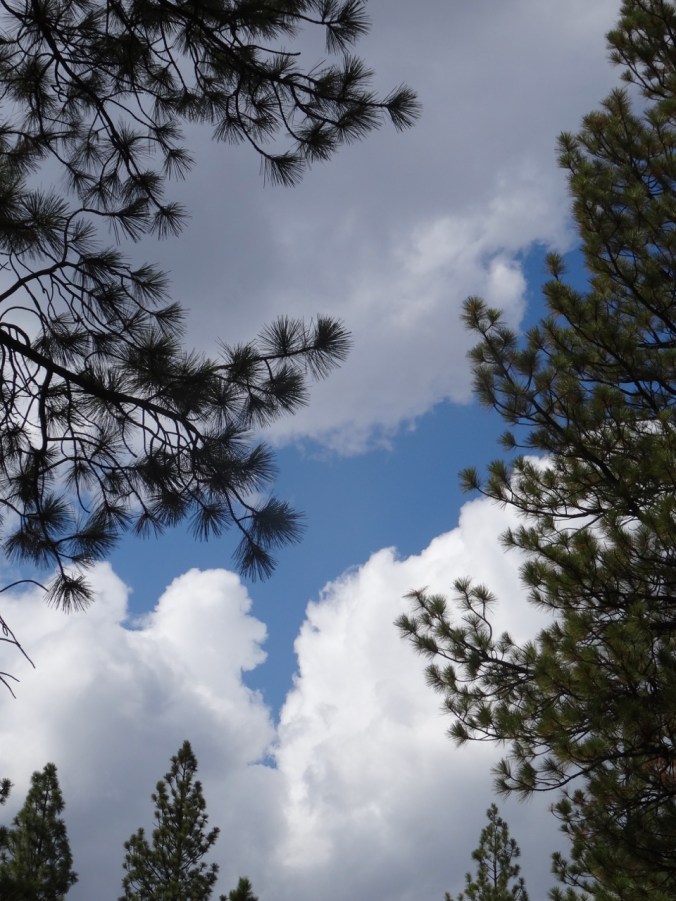
Ponderosa

DSC08919

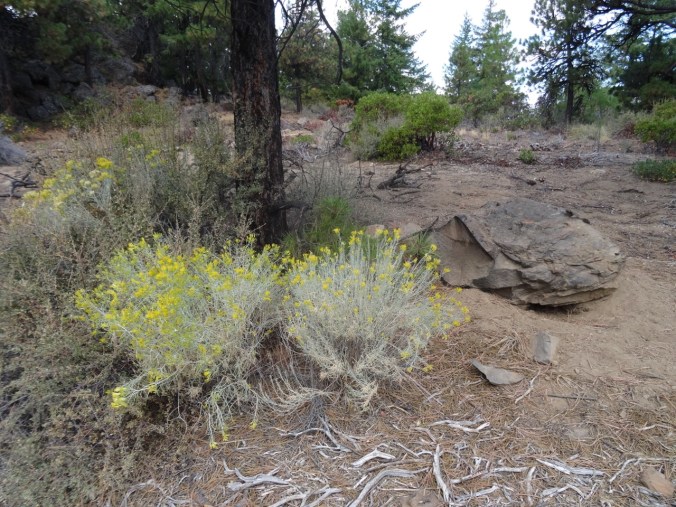
Sage

DSC08913

Sky

DSC08929

Whychus Creek recovery team logo


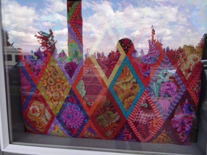
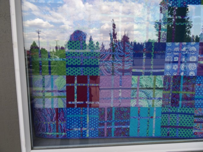
Back in town I visited The Stitchin’ Post, a wonderful quilt store.

DSC08931

Window display

DSC08930

Window display

DSC09131

I bought a small package of Australian-themed fabric.

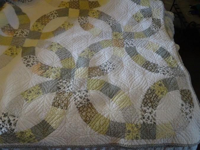
On a related note, we enjoyed having a Double Wedding Ring quilt on the bed in our lodge room.

DSC09122

Tam McArthur Rim    9-15-2018     (#52)

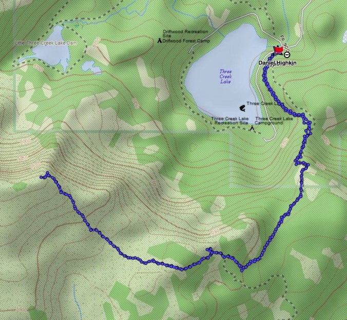
This trail provides another entrance point to the Three Sisters Wilderness, from the east toward Tam McArthur Rim along a ridge that leads toward Broken Top. We had hiked this trail in September two years ago on a clear day. Today we watched clouds cover the peaks, lifting occasionally for views. By the time we reached the top, a bitter wind was beginning to blow and the cloud cover was increasing. We didn’t stay long.

DSC08941

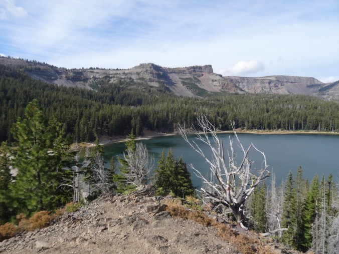
Tam McArthur Rim and Three Creek Lake as seen from the trail

DSC08962

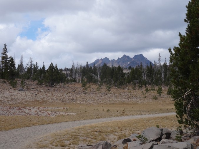
Broken Top appears as we cross the upper plain

DSC08968

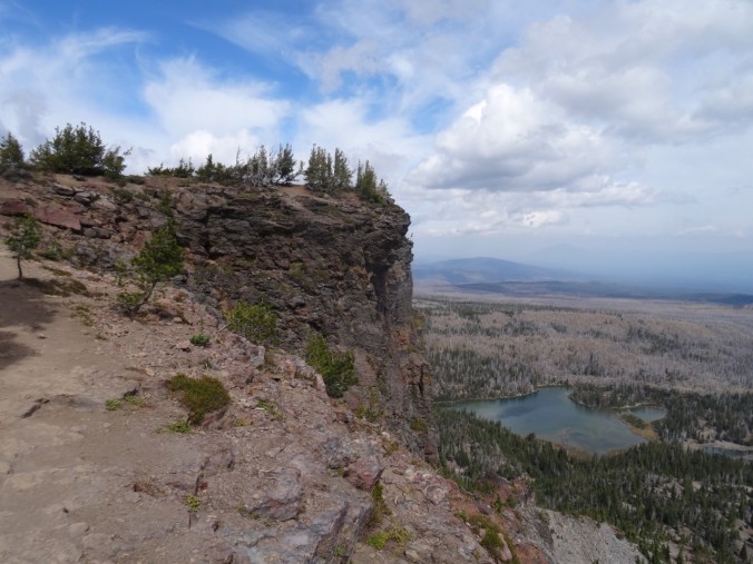
Almost to the top, with Little Three Creek Lake below

DSC08972

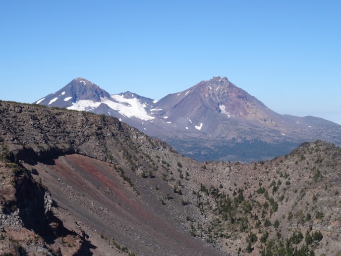
Middle and North Sisters from the End of Trail overlook

DSC08973

Broken Top and South Sister from the overlook

DSC08984

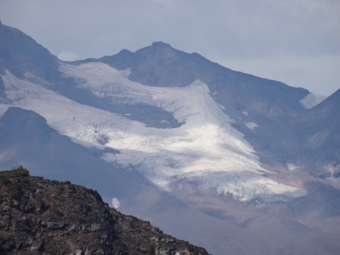
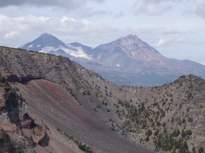
Closer view of the glaciers on Middle and North Sister

DSC08986

All three Sisters, with clouds

DSC09008

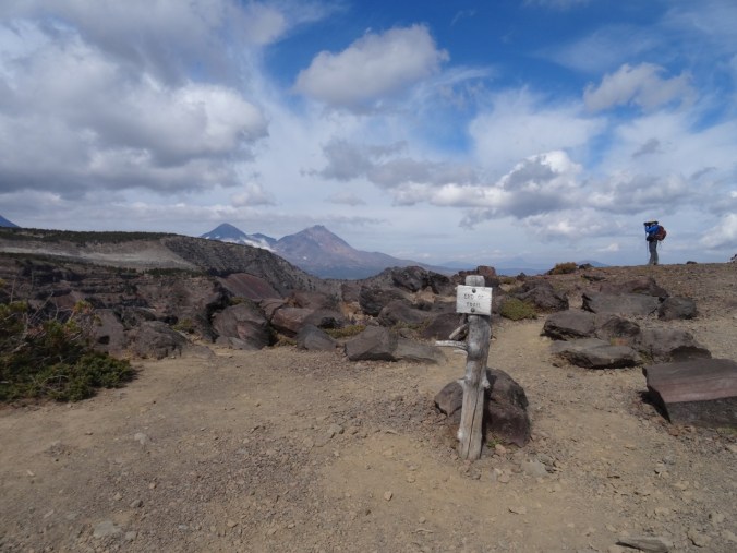
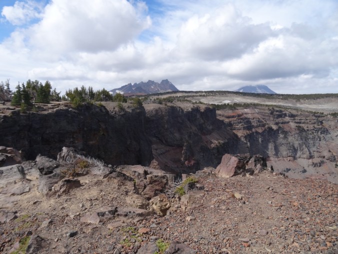
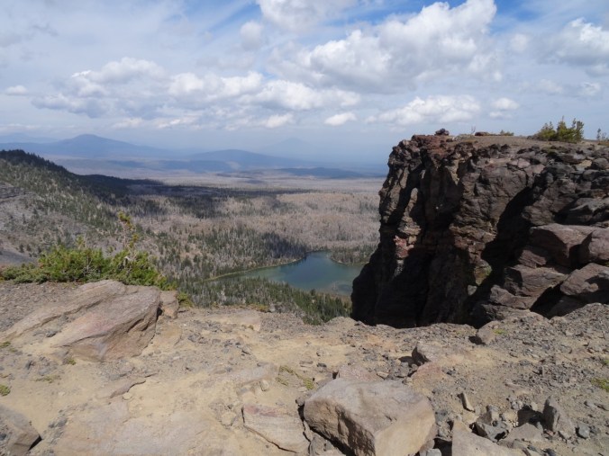
North view beyond Tam McArthur overlook. Pole Creek fire burn zone in the foreground; Black Butte beyond.

DSC08955

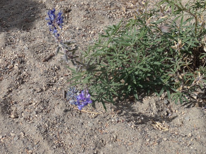
Late blooming lupine

DSC09022

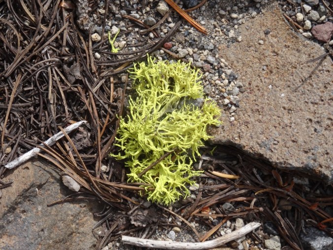
Neon lichen

Lookback to our hike in September of 2016 to compare the views:

DSC08977

Middle and North Sisters, September 2018

DSC09364

In September 2016, on a clear day

We hiked about 5.5 miles/ 1200 feet today.

Screen Shot 2018-09-21 at 4.31.19 PM

Back to Dee Wright/Mckenzie Pass at sunset

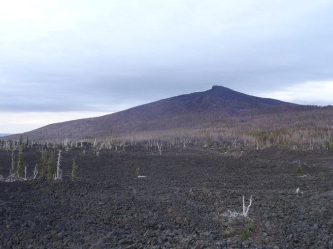
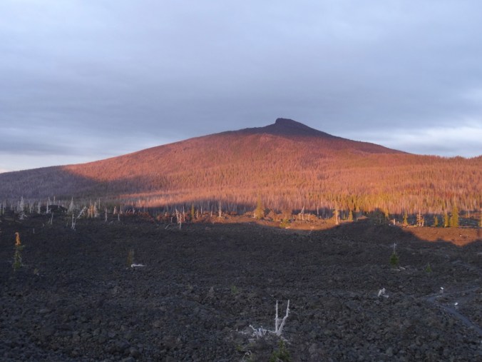
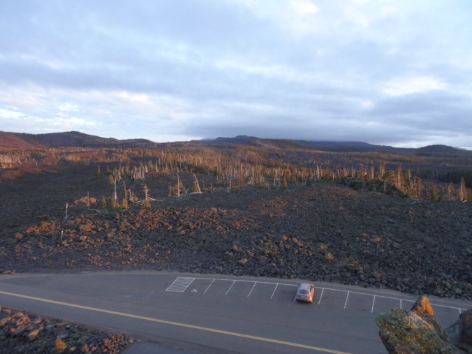
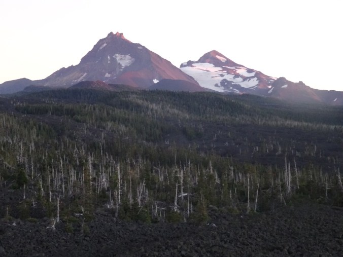
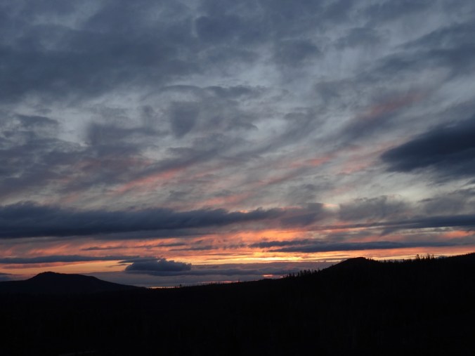
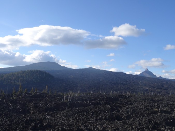
We took our last opportunity this year to spend a little time at the lava lands of Mckenzie Pass – and one of my favorite places in the world. Despite the cold wind we wanted to see the sunset. The Sisters were still covered in clouds, but as the lowering sun streamed in from under the western clouds, Black Crater lit up a bright, ethereal red orange that seemed magical. To the west, the streaky clouds glowed pink and gold.

DSC09045

Lenticular cloud over Mt Washington

DSC09046

Black Crater at 7:01 pm

DSC09057

Black Crater at 7:04 pm

DSC09055

Clouds continue to hide North and Middle Sisters

DSC09499

What North and Middle Sisters look like – from September 2016

DSC09100

Sunset colors to the west

A fitting end to our late summer adventures – back to Portland tomorrow.


Late Summer Adventures, Part 2 – Crater Lake and the Obsidian Trail (18-39)

Crater Lake 9/12/2018

We left Boardman to drive to Sisters, Oregon for another few days of hiking. The webcams at Crater Lake National Park showed the smoke haze had mostly lifted, so we added a side trip to see Crater Lake.

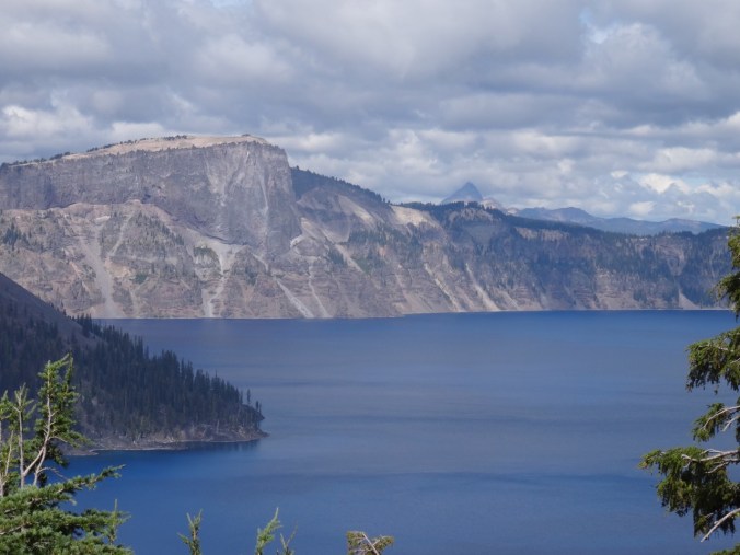
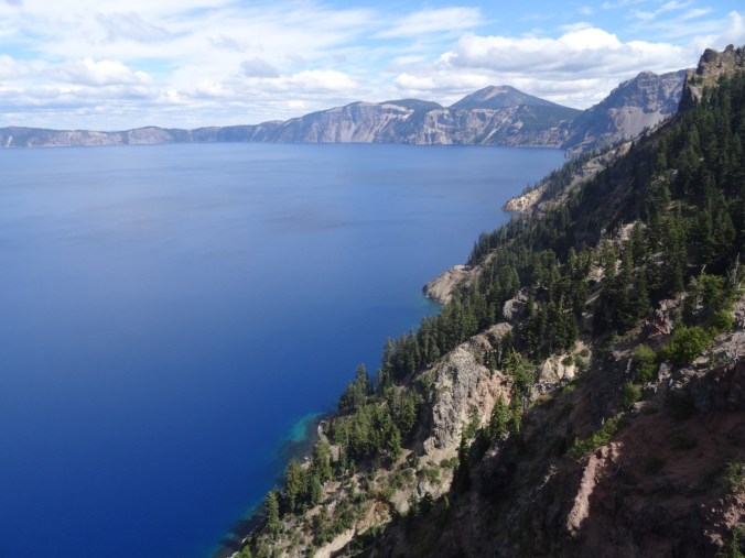
We had been to Crater Lake about 20 years ago, but our visit that summer was early in the season and there was too much snow to do much more than admire the view from the one small area that was accessible. It has been a goal to return and hike down to the lake, take the boat to Wizard Island, and hike to the many viewpoints around the lake. We were foiled again this year by the extremely bad air quality that was present during the time we had planned, but at least we got to see the views on a nearly clear day and admire the absolutely blue water.

DSC08486

Discovery Point – first view of the lake and a sign showing what Mt Mazama looked like before the eruption and collapse that created Crater Lake.

DSC08490

Close view of Llao Rock; Mt Thielson in the distance.
DSC08506

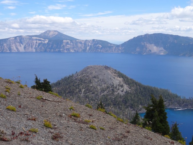
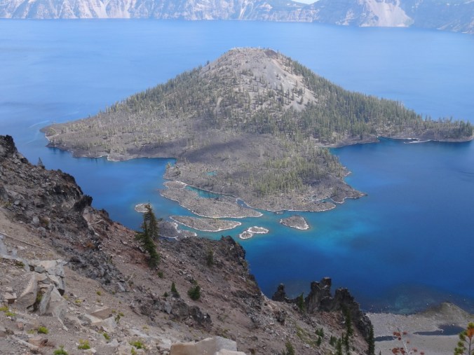
Wizard Island

DSC08498

South view to Garfield Peak

DSC08516

Wizard Island and Mt Scott beyond

DSC08517

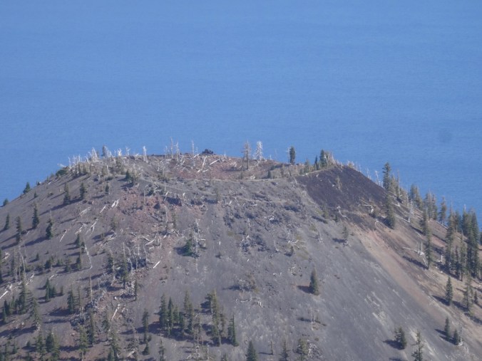
Crater at the top of Wizard Island

DSC08543

The tropical blue water in the shallows around Wizard Island

Obsidian Trail 9/13/2018

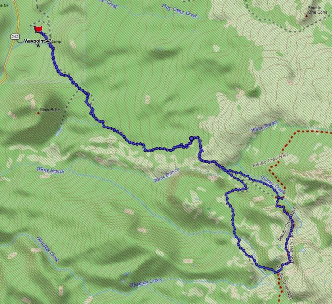
We have stayed in Sisters, Oregon several times, but have yet to explore all of the trails in the area. This was our first time to hike in the Obsidian Area of the Three Sisters Wilderness (#50) (12 miles, 2000 feet).

Screen Shot 2018-09-21 at 4.30.07 PM

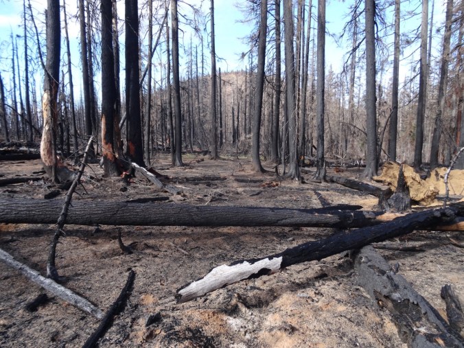
The first few miles are through forest, including part of the 2017 Milli Fire burn zone.

DSC08558

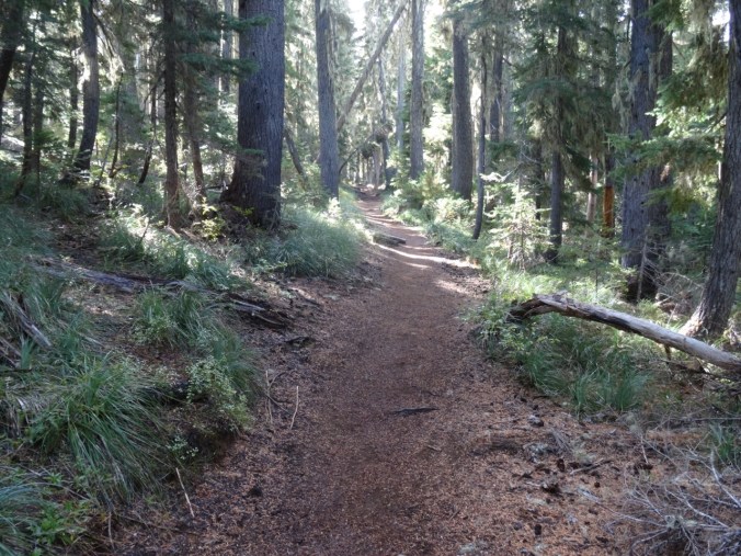
Obsidian trail

DSC08560

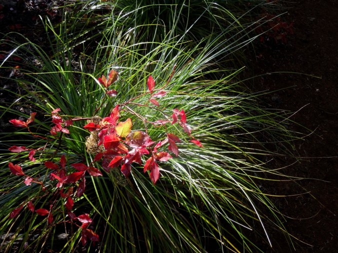
Bear Grass and huckleberry foliage

DSC08563

Sims Butte through the Milli burn zone

At about 3.5 miles, the trail ascends over and through a lava flow, with views to the Obsidian Cliff and to North and Middle Sisters – though today the Sisters were hiding in clouds.

DSC08565

Trail up the lava flow

DSC08568

Obsidian Cliff with burned forest above

DSC08583

Trail through the flow

DSC08588

White Branch Creek on the other side

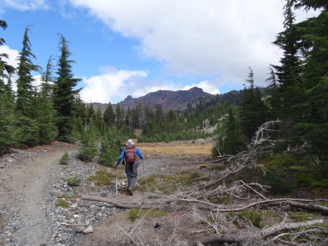
The trail continues up through forest, meadows and past interesting rock formations.

DSC08614

Middle Sister in the clouds

DSC08619

DSC08630

Late summer pasque flower meadow with Obsidian Cliffs beyond

Next we reached Obsidian Falls.

DSC08657DSC08652

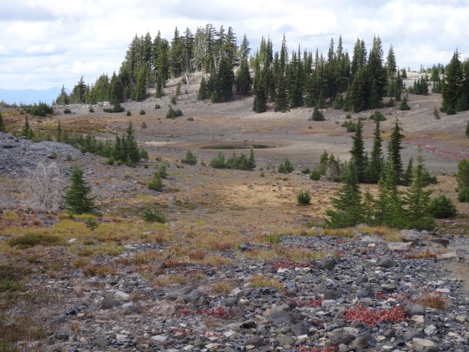
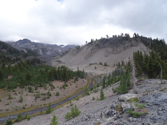
Beyond the falls is a high basin with a spring and a pond between a craggy cliff and an Obsidian flow.

DSC08678DSC08687DSC08695

DSC08699

A bubbling spring at the base of the cliff

DSC08702

Another spring

DSC08707

A pond

DSC08719

Dan photographing the Obsidian flow

DSC08709

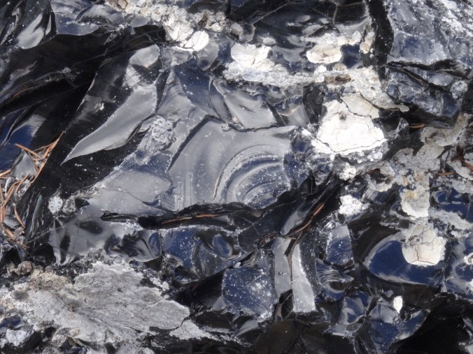
Obsidian flow

DSC08715

Closer view of the obsidian

DSC08717

obsidian

DSC08731

conchoidal fracture

Over the dividing ridge is another pond.

DSC08739DSC08745

We continued around the loop to cloud obscured views of North and Middle Sister, a good view of the Little Brother, and a view down to Glacier Creek.

DSC08746

The Little Brother

DSC08762

Glacier Creek, cloud obscured Sisters

DSC08767

The Little Brother

The trail descends to Sunshine Meadow along White Branch Creek.

DSC08774

Mt Washington and the Belknap Craters from the trail

DSC08776

Huckleberry lined path to Sunshine Meadow

DSC08780

The last magenta paintbrush in Sunshine Meadow

DSC08778

and an obscured view of the Sisters

We continued down the Glacial Way, back over the lava flow

DSC08785

Lava flow ahead

DSC08795

Clearest view of the day of Middle and North Sisters

DSC08816

Fall colors

DSC08822

Collier Cone – a future destination.

and back through the burn zone to the trailhead,

DSC08830

which, after twelve miles for the day, I was very glad to see.

Sparse but welcome wildflowers today:


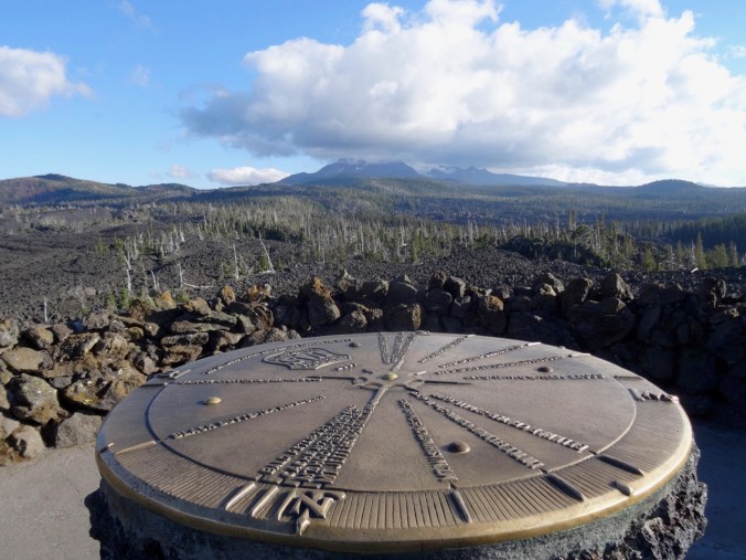
Dee Wright Observatory

We had to drive over Makenzie Pass to return to the town of Sisters at the end of the day, so we stopped for a quick overview:

DSC08833

Dee Wright Observatory

DSC08846

Belknap Craters and Mt Washington to the north.

DSC08850

Cloud covered North and Middle Sisters to the south.

Late Summer Adventures Part 1 – Redwoods and Beaches (18-38)

We were looking forward to a long planned trip to Crater Lake and Mt Lassen, but with  forest fires and smoke in those areas, we rescheduled to Brookings and Sisters, keeping one of our Ashland days in the mix.

Ashland, Oregon  9/8/2018

It was smoky/hazy when we arrived in Ashland. We walked around downtown, including a stop at Websters, the yarn store, and a walk through Lithia Park. We had an early dinner at one of the restaurants along Lithia Creek, then saw the play ‘Snow In Midsummer’ at the Oregon Shakespeare Festival. The story was a modernized Chinese tale about a woman who had been wronged and was seeking justice. Very well done and thought provoking regarding harm that descends through generations.

DSC07849

The pond in Lithia Park, Ashland, Oregon

Darlingtonia, Redwoods and Whaleshead Beach   9/9/2018

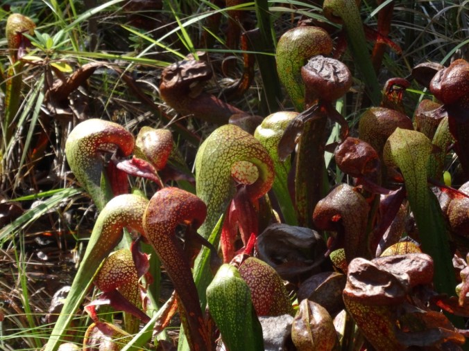
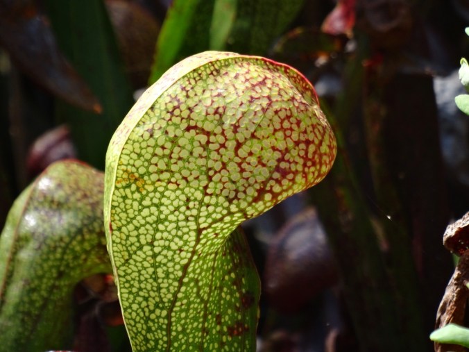
The way to the southern Oregon Coast is through the redwood forests of Northern California. We stopped at Jedediah Smith Redwoods State Park, first at the botanical trail where we viewed the Darlingtonia bog:

DSC07852

Darlingtonia are carnivorous pitcher plants – they eat insects. This bog is one of the rare preserves for these plants.

DSC07871DSC07881

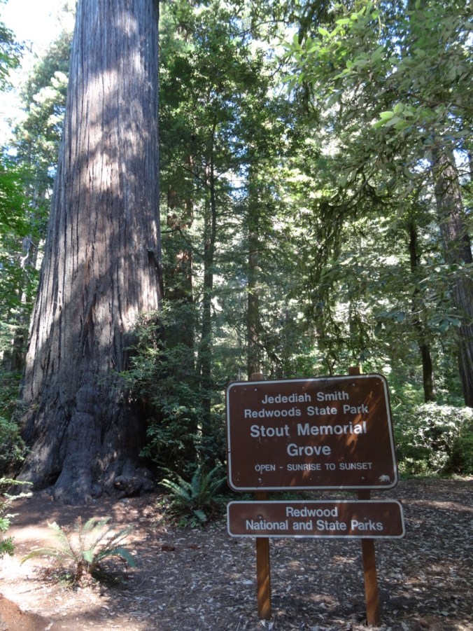
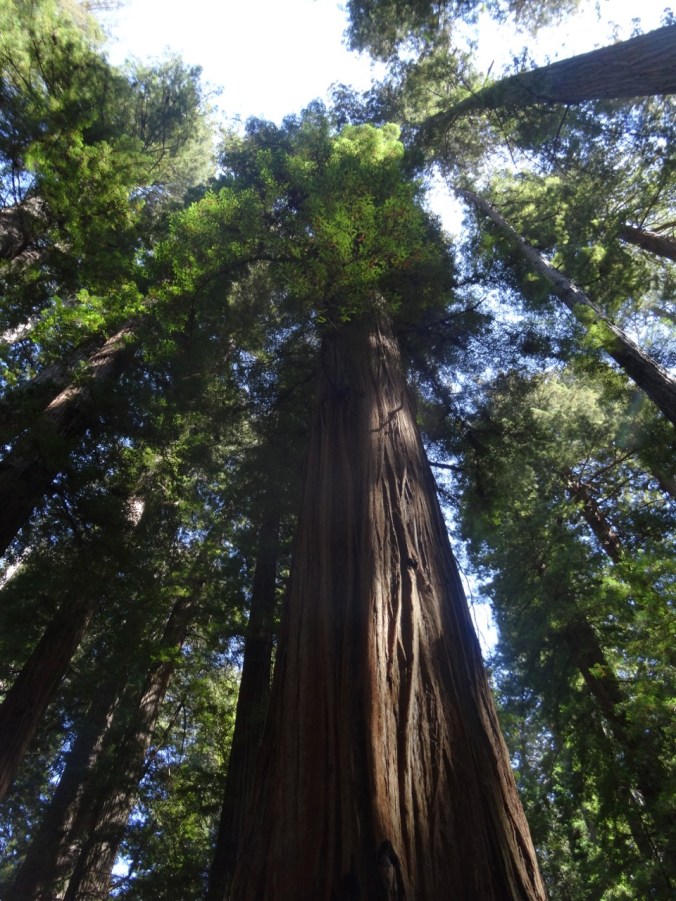
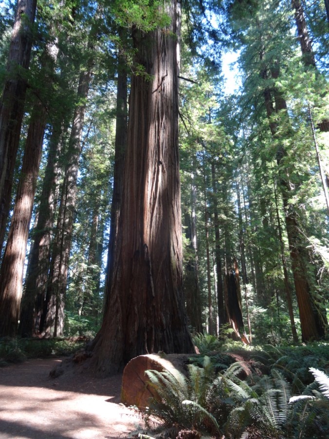
Next we took a short hike (#47) through Stout Grove along the middle fork of the Smith River.

DSC07883DSC07912DSC07911DSC07917DSC07920

Then we drove north on Hwy 101 back into Oregon to our lodgings near Whales Head Beach. After dinner we took a long walk on the beach as the tide ebbed.

DSC07956

Whalehead Island from the beach

DSC07959

View south

DSC07989

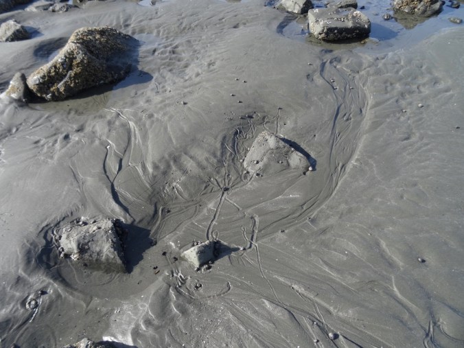
Ebb tide sand patterns

DSC08028

Wind ripples

Boy Scout Tree Redwood Trail and Point St George, CA  9/10/2018

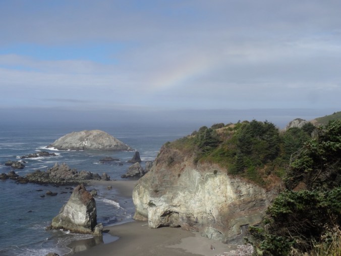
We saw a rainbow at Rainbow Rock while driving south this morning:

DSC08040

Rainbow over Rainbow Rock

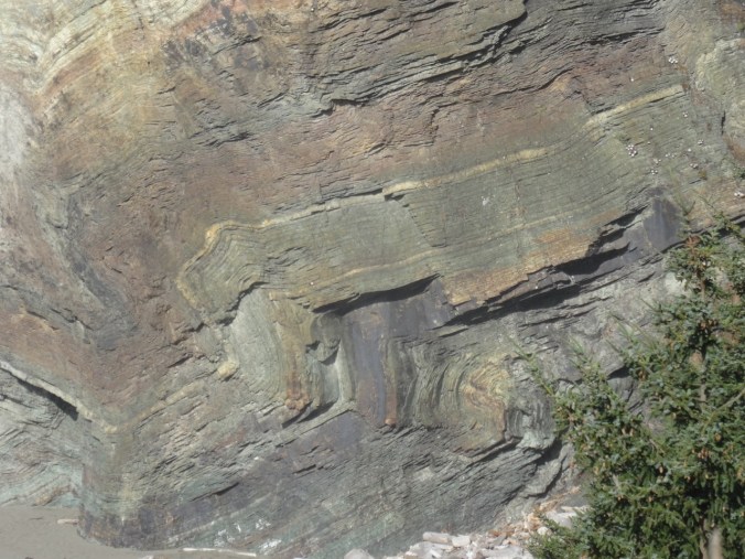
DSC08043

Zoom in view of Rainbow Rock folds

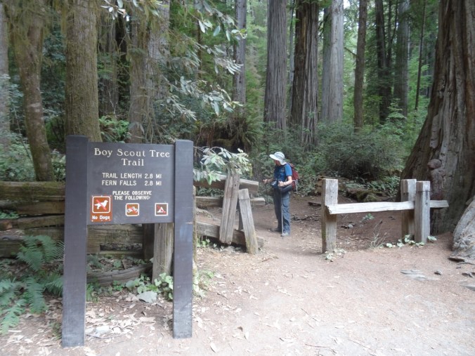
We drove south into Jedediah Smith State Park again to hike the Boy Scout Tree Trail (#48). The forest is lined with oxalis and fern and it is awe inspiring to walk among these very tall, old beautiful trees.

DSC08046

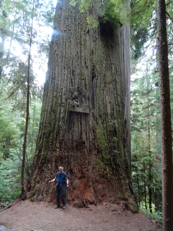
DSC08056

Dwarfed by trees

DSC08097

The Boy Scout Tree

DSC08085

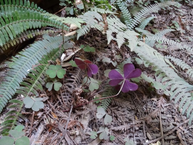
Late Oxalis bloom

DSC08120

The undersides of the oxalis leaves are this beautiful red violet color.

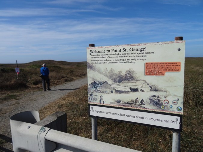
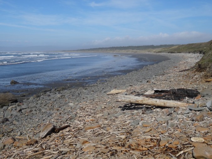
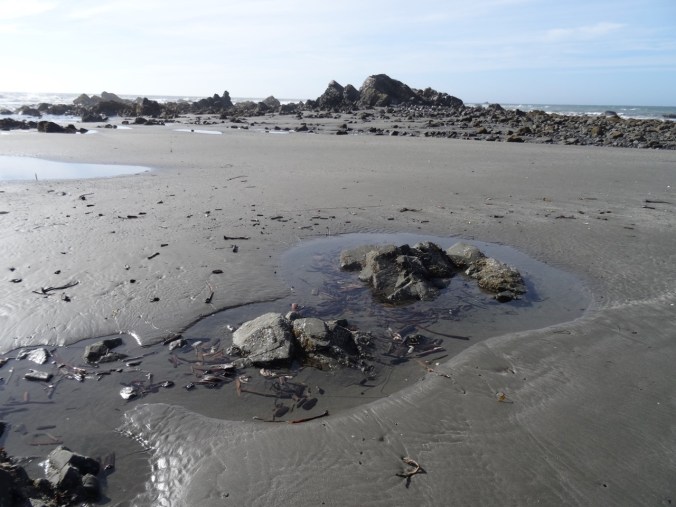
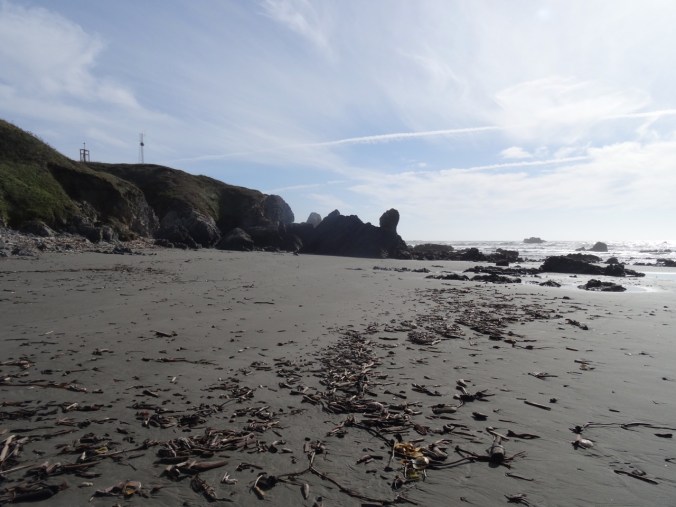
After our hike, we drove to the coast just north of Crescent City, to Point St George, where the tide was receding and we had a chance to explore the tide pools.

DSC08128

DSC08134

Redwood flotsam

DSC08156DSC08153

DSC08191

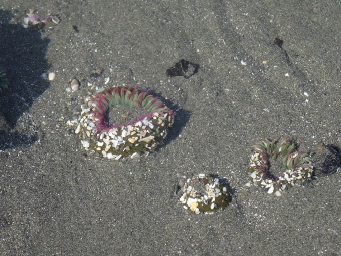
sea anemones

DSC08199

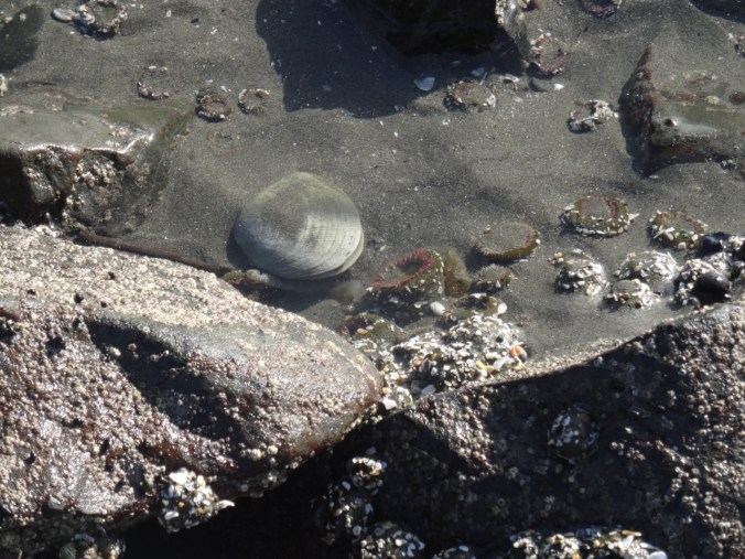
clam, anemones

DSC08212

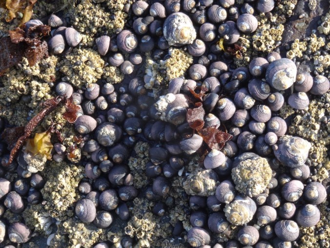
snails

DSC08206

snail trails

Boardman Corridor Beaches  9/11/2018

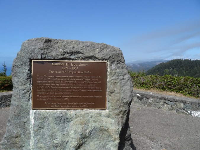
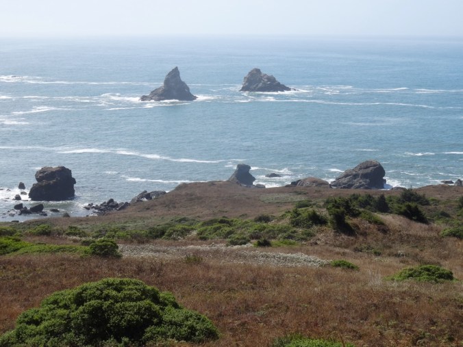
We spent the day exploring the Samuel H. Boardman State Scenic Corridor, a series of viewpoints, short trails and beaches along the southern Oregon coast north of Brookings.

DSC08276

DSC08229

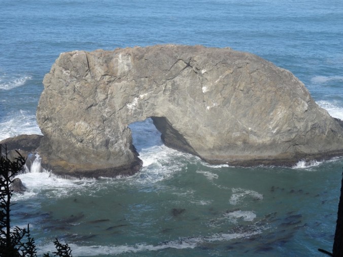
Arch Rock

DSC08251

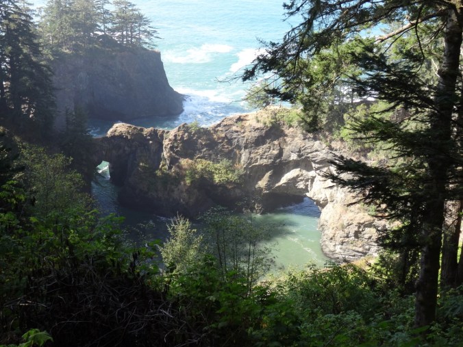
Natural Bridges

DSC08286

Whalehead Island

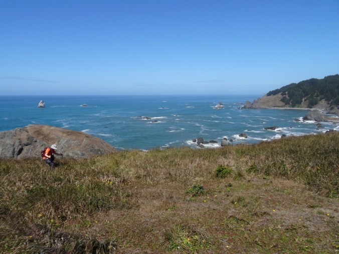
We took a longer hike at Cape Ferrelo (#49),

DSC08255DSC08264DSC08272

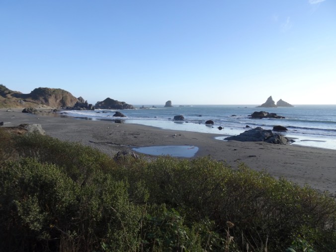
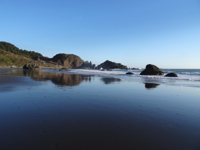
and another low tide beach walk at sunset at Lone Ranch Beach.

DSC08289DSC08312DSC08323

DSC08385DSC08392DSC08414DSC08395DSC08397

DSC08415DSC08417DSC08420DSC08427DSC08440DSC08470

Knitting

I made progress on the back panel of the Ivy Lace Cardigan while traveling:

DSC09124

Cloud Cap and Timberline Trail, Mt Hood, Oregon (18-37)

Eliot East Moraine and Timberline Trail High Point     8/31/18       (Hike#46)

We have hiked here a few times. This is our first time taking the Eliot East Moraine trail along the crest of the moraine.

DSC07843DSC07679

Once up the steep sandy ascent to the crest of the moraine, there is a fabulous view to the Eliot Glacier, and the glacial valley below, the entire way to the Cloud Cap Shelter.

DSC07690

Mt Hood and the Eliot Glacier

DSC07683

DSC07695

Looking east to the high desert

I enjoy zooming in on the textures, crevasses, and steep edges of the Eliot Glacier and the rocky exposed top of Mt Hood in late summer.

DSC07700DSC07702DSC07717DSC07718

The moraine trail joins the Timberline Trail near Cloud Cap Shelter:

DSC07729

Approaching Cloud Cap Shelter.

DSC07734

Cloud Cap Shelter; Cooper Spur and Mt Hood beyond.

After visiting the Cloud Cap Shelter we continued south on the Timberline trail, up and down the wrinkles of the mountains’ flank, to the 7300’ high point of the trail. Clouds intermittently floated across the top of Mt Hood. We could see the faraway peaks of Mt Adams, Rainier and Jefferson above the blanket of clouds in the distance.
DSC07759DSC07763DSC07778

DSC07784

The only snowfield we crossed this year.
DSC07794

North view to Mts Rainier and Adams

DSC07795

South view to Mt Jefferson, Lamberson Butte and the Timberline Trail continuing south.
By the time we retraced our steps north, the clouds had diminished.

DSC07824

Cloud Cap Shelter again.

DSC07826

The high desert beyond the clouds

We saw a marmot on the Eliot Moraine, and a blue bird on the Timberline Trail.

DSC07710

marmot

DSC07812

blue bird on the rock, Mt Adams beyond

DSC07814

Not many flowers.

The rusty, red and yellow fall hues are beginning to color the vegetation on the rocky alpine slopes.

Screen Shot 2018-08-31 at 10.33.42 PM

6 miles, 1600 feet.

Lookback:

I like to review my photos from previous hikes to compare conditions. There was a lot more snow during our hike a month earlier last year.

DSC07810

Mt Hood from Timberline trail, August 31, 2018

DSC06734

Mt Hood from Timberline trail, July 28, 2017

And a lot more flowers, and a better view of the distant mountains last year.

DSC07831

August 31, 2018

DSC06789

July 28, 2017 – lupine, Mt St Helens, Rainier and Adams

CRAFTING

I cast on another round washcloth, and I have been swatching the Song yarn, trying decide what to make with it.

IMG_0943

We walked through the Art In The Pearl street fair on Labor Day and admired the beautiful artwork. This piece, by artist Kathy Ross, I found especially inspiring.

Kathy Ross, Art In The Pearl, 9/18

Kathy Ross, artist, Art in the Pearl, Portland, Oregon, September 2018