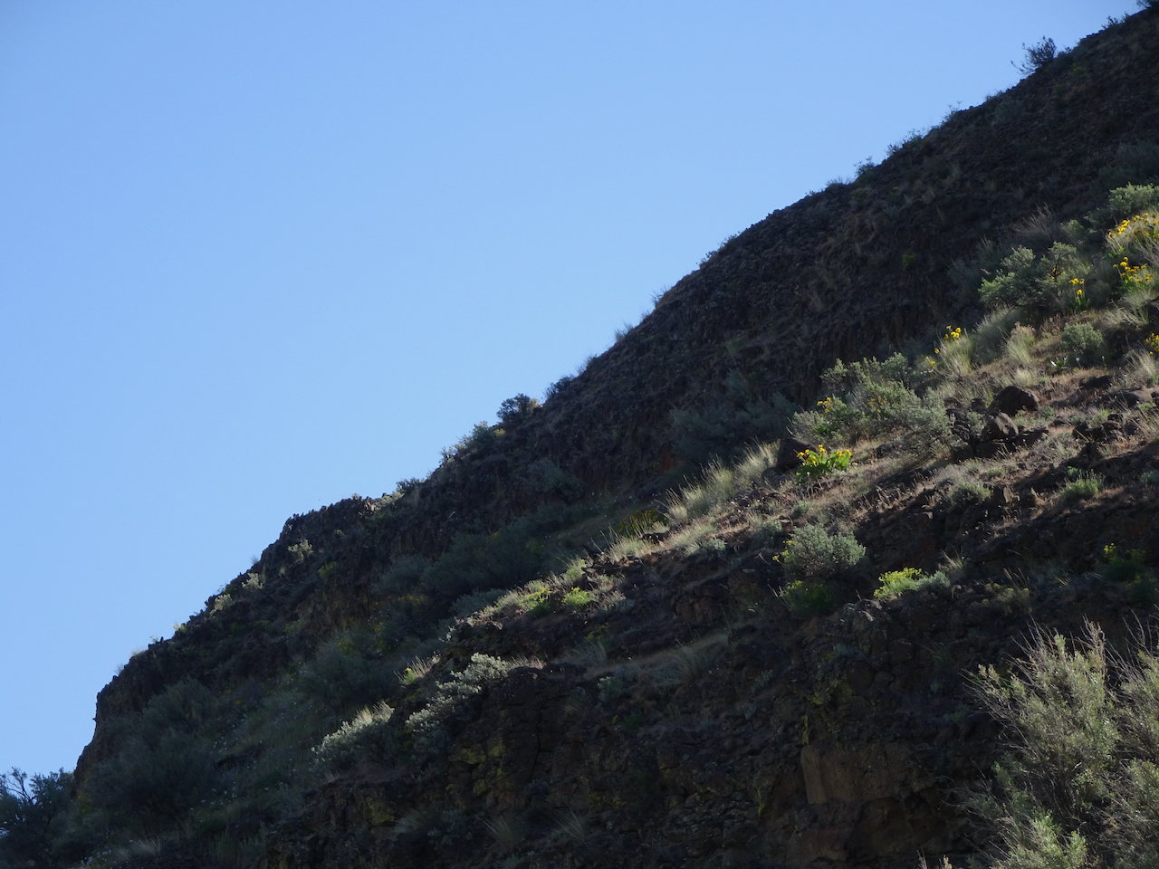
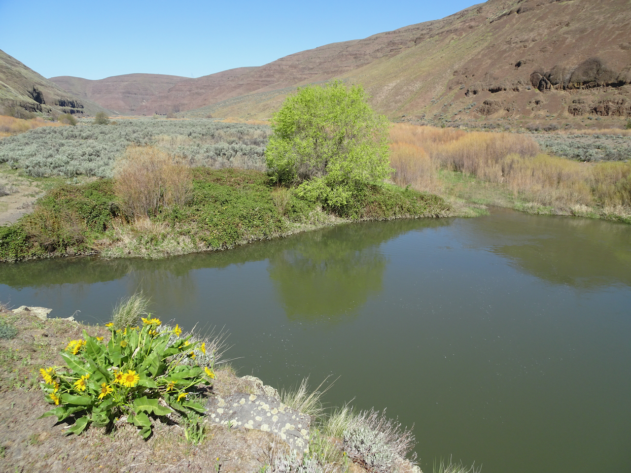
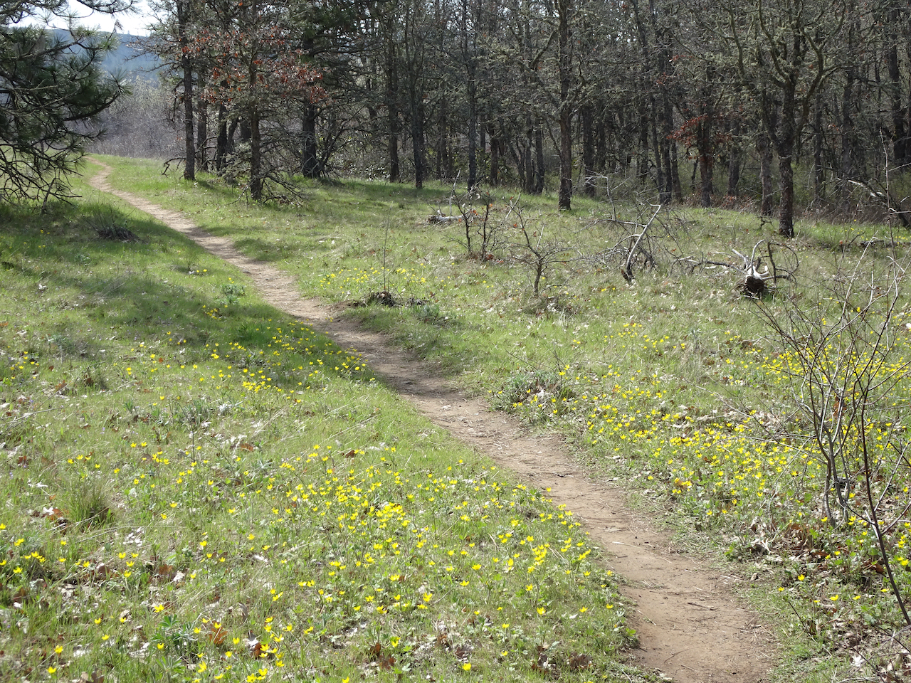
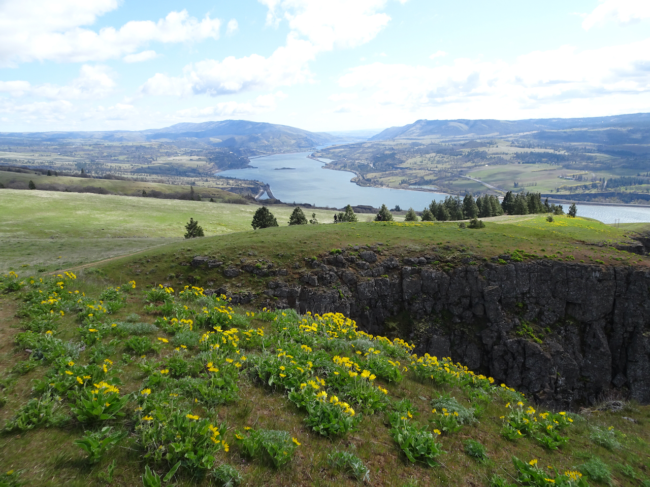
We stayed two nights in Trout Lake, Washington, to be closer to some far flung trailheads in the Gifford Pinchot National Forest. The distance may not be far, in miles, but the nature of the roads requires slow and patient driving. The trails were beautiful, in their fall colors, despite a a bit of rain and early snow.
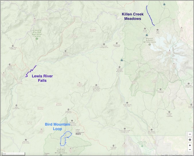
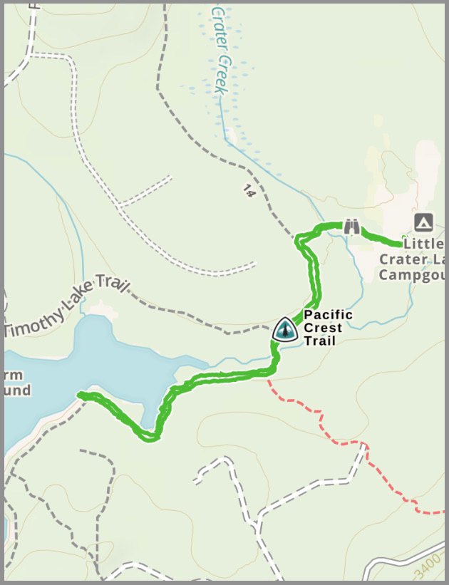
Trail location map
Lewis River Falls – October 6th
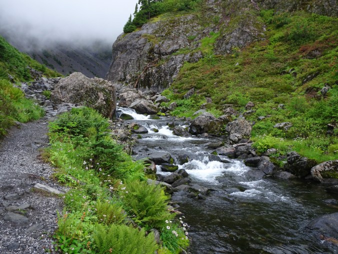
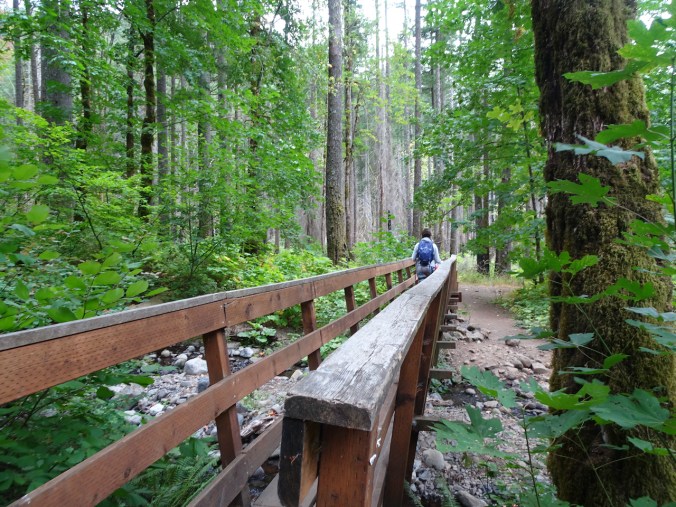
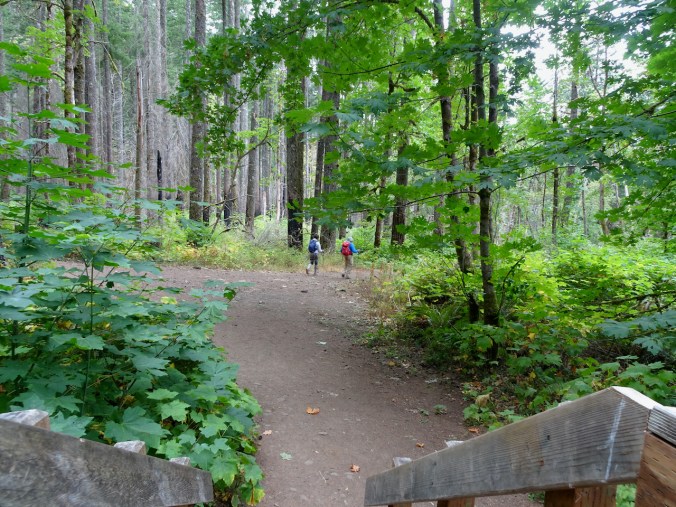
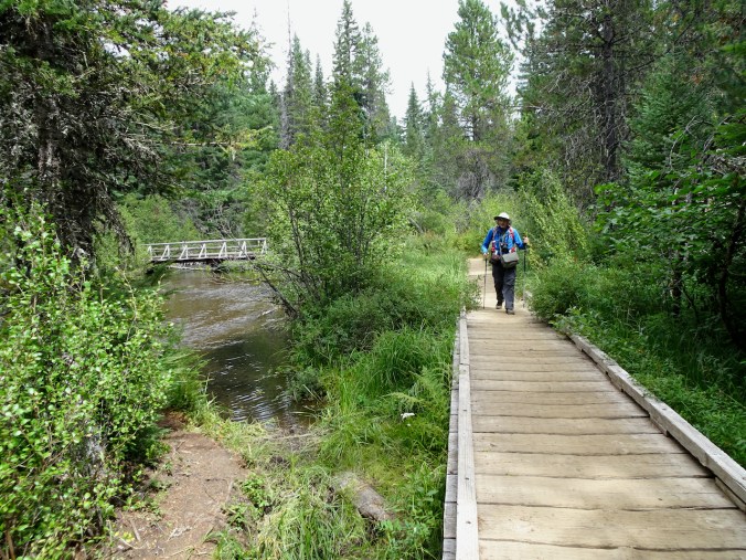
Knowing it would probably rain, we chose a waterfall hike through the forest. This area is extremely popular in summer. However, on this rainy fall day, we had the trail entirely to ourselves beyond the Lower Falls Overlooks near the campground.
Lower Falls: We looked from above, then from one of the downstream side trails.
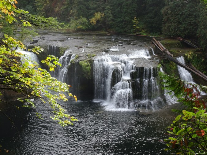
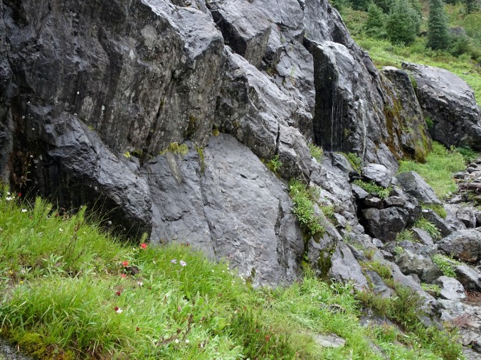
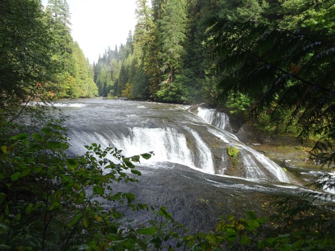
Lower Falls from the overlook

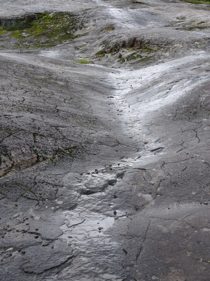
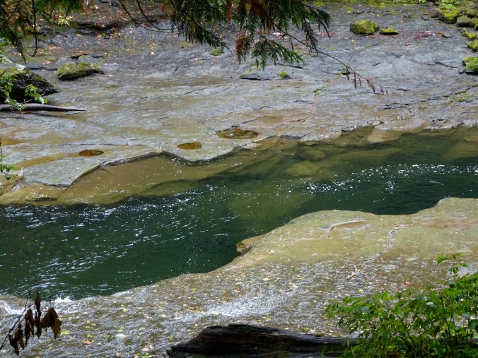
Closer view of the holes in the rocky platform
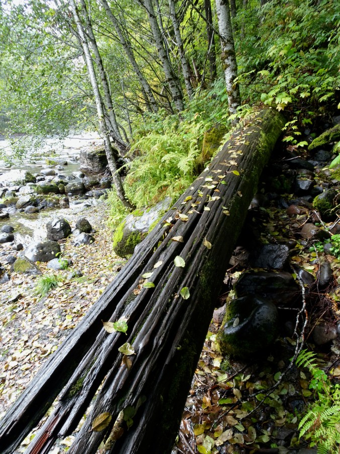
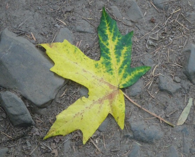
Fallen leaves near the downstream viewpoint
The Lower Falls were mesmerizing:

Lower Lewis River Falls


We walked back upstream along the Lewis River for about three miles, toward the Upper Falls. We passed the Lower Falls again:
Lower Falls with a bit of fall color
We found a beach during a pause in the rain for our lunch break.
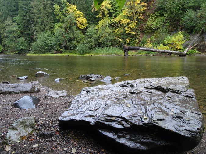
Lunch rock
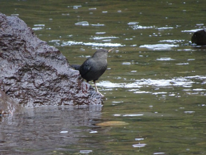
Rock hopper nearby
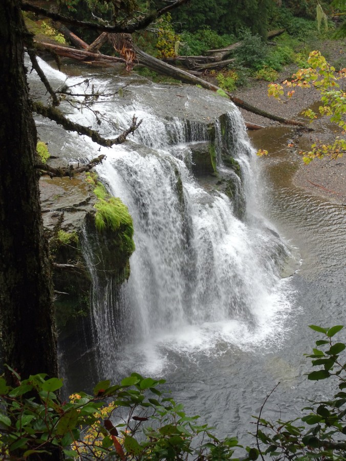
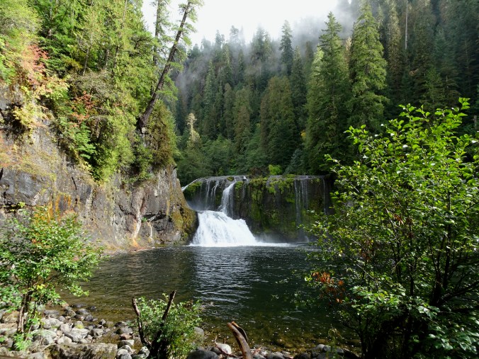
We continued upstream to the Middle Falls:
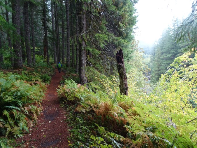
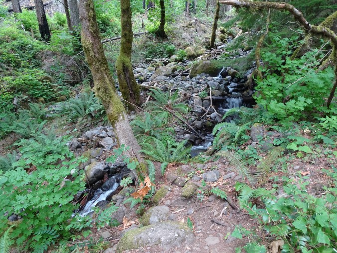
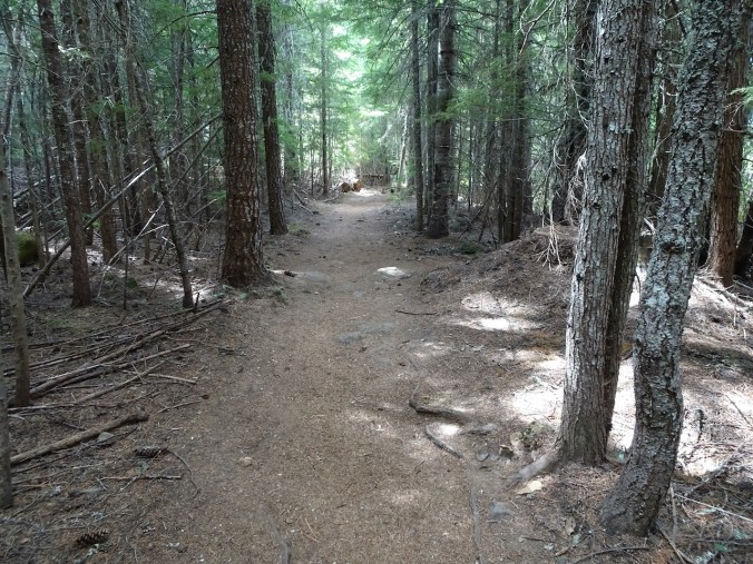
Rainy trail – the trees sheltered us much of the time.
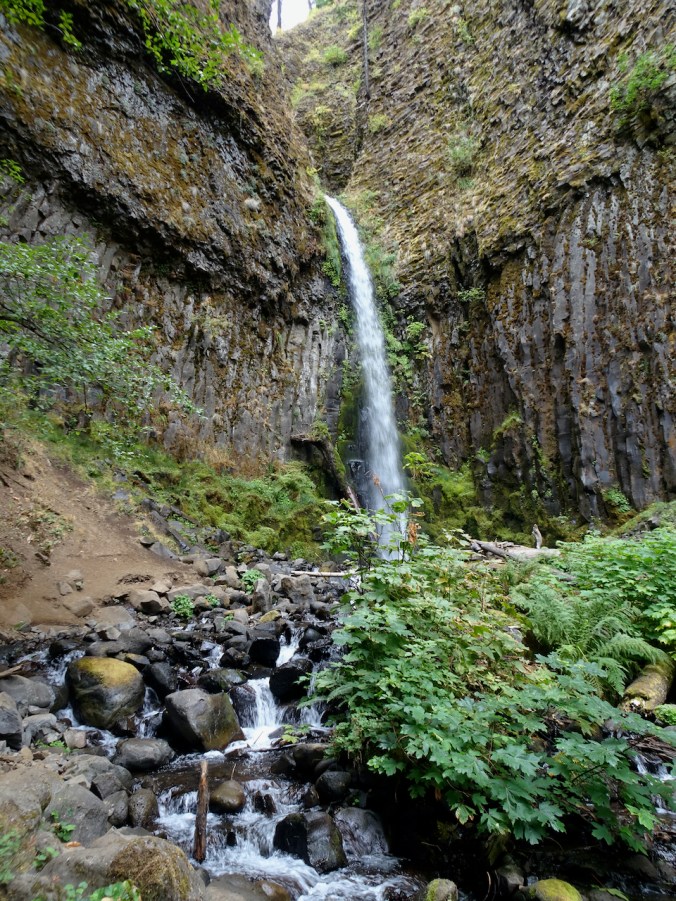
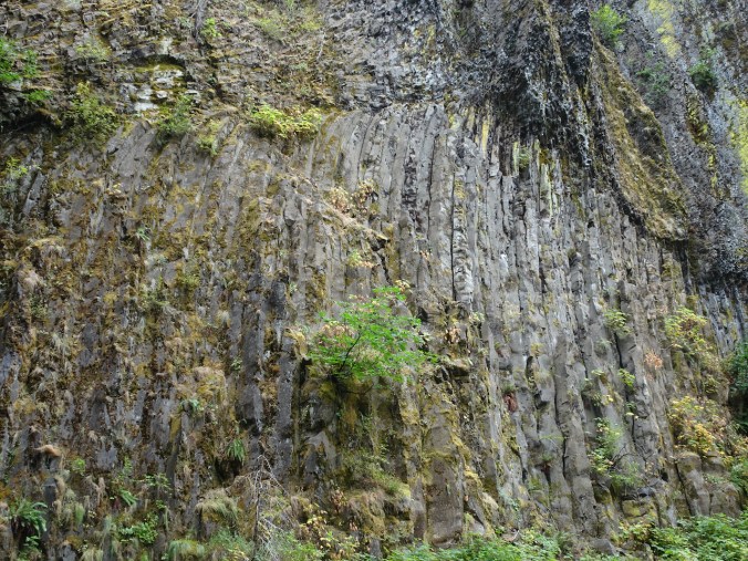
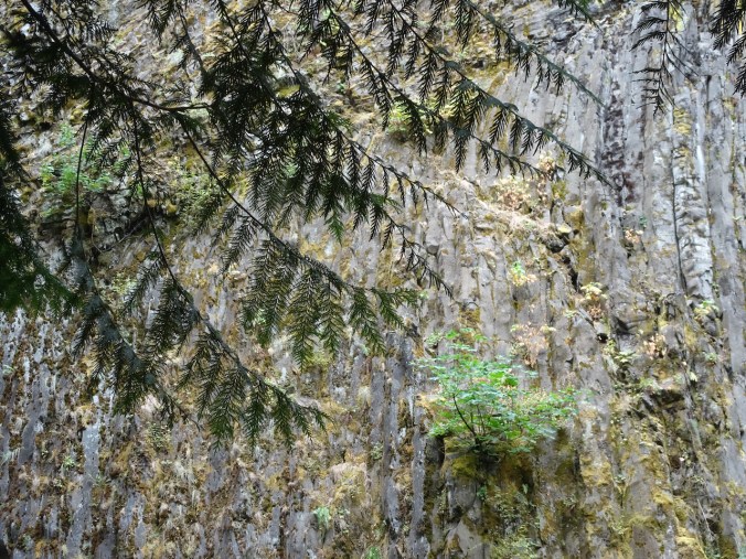
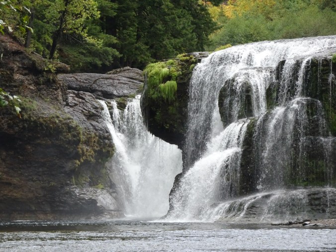
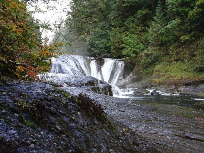
Middle Lewis River Falls
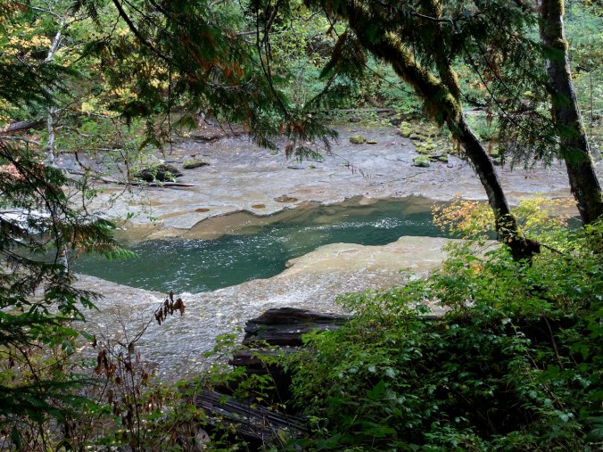
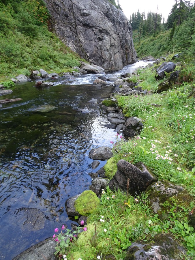
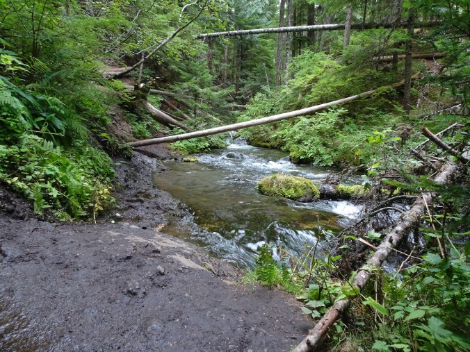
The main channel cuts into the rocky bench below the falls.
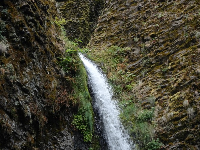
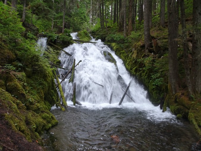
We passed Copper Creek Falls, a tributary to the Lewis River:
Copper Creek Falls
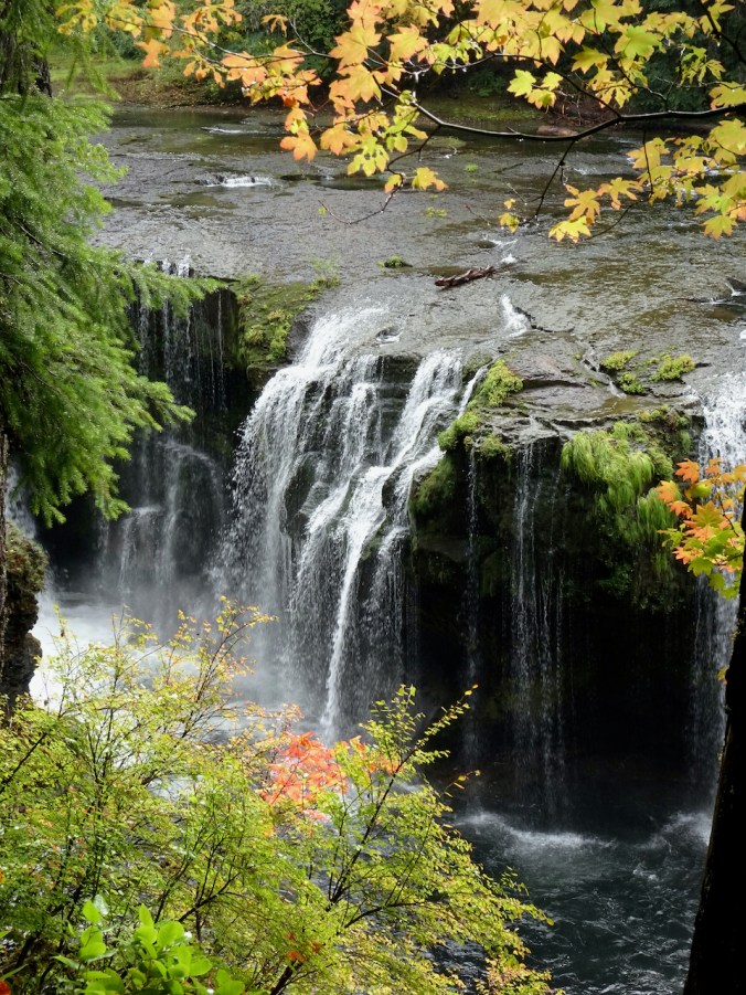
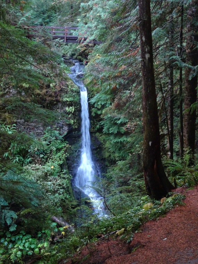
We paused for a rest at the Upper Falls lower viewpoint:
Upper Lewis River Falls

From here we turned back, retracing our steps through the woods, quite satisfied that we have seen most of the Lewis River Falls.
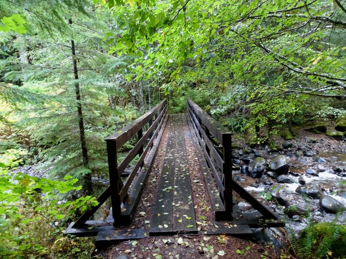

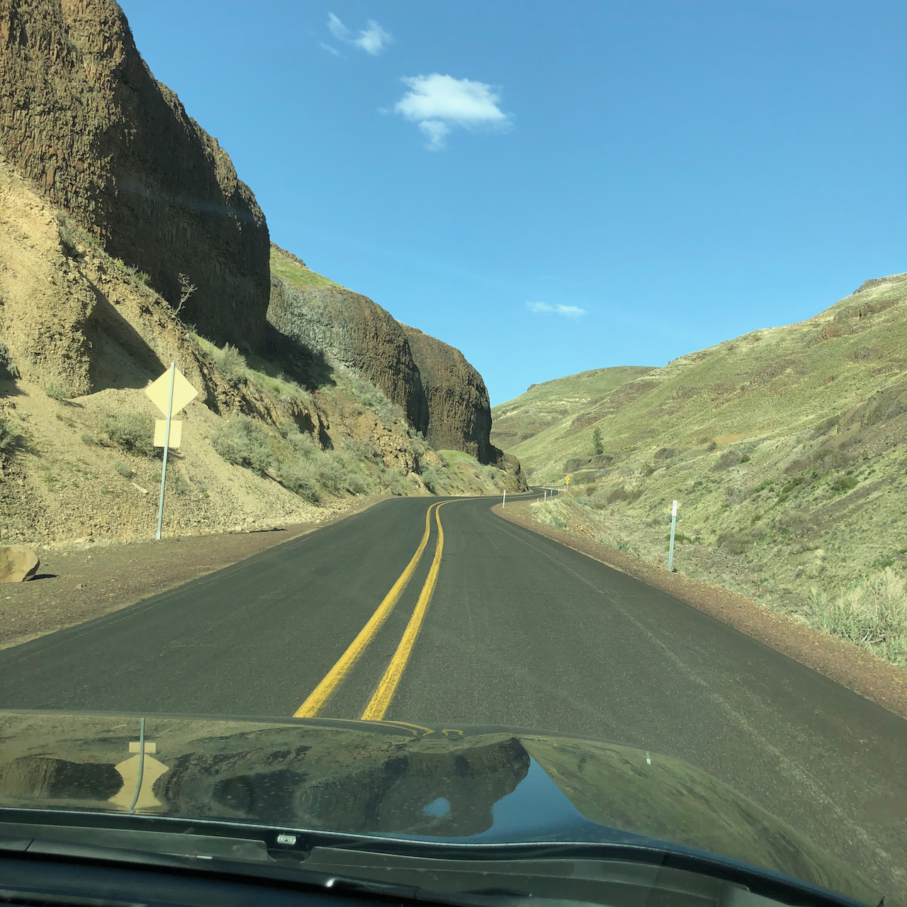
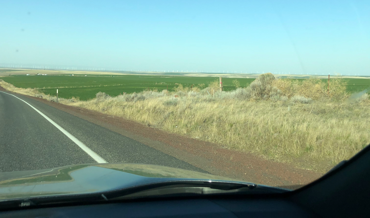
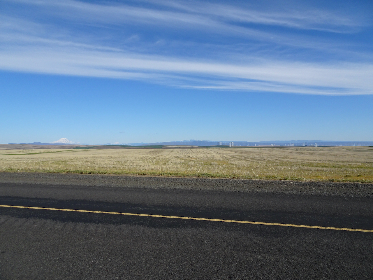
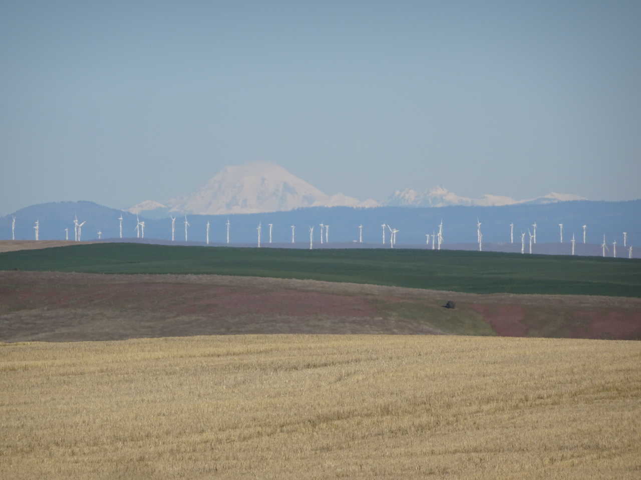
We drove on various Gifford Pinchot National Forest roads to our lodging in Trout Lake. These roads were very slow going, shifting from paved to gravel and extremely potholed!
Killen Creek Meadows, Mt Adams – October 7th
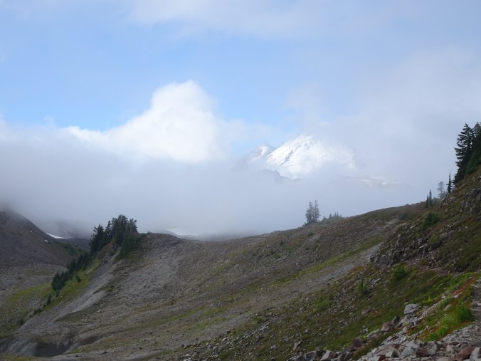
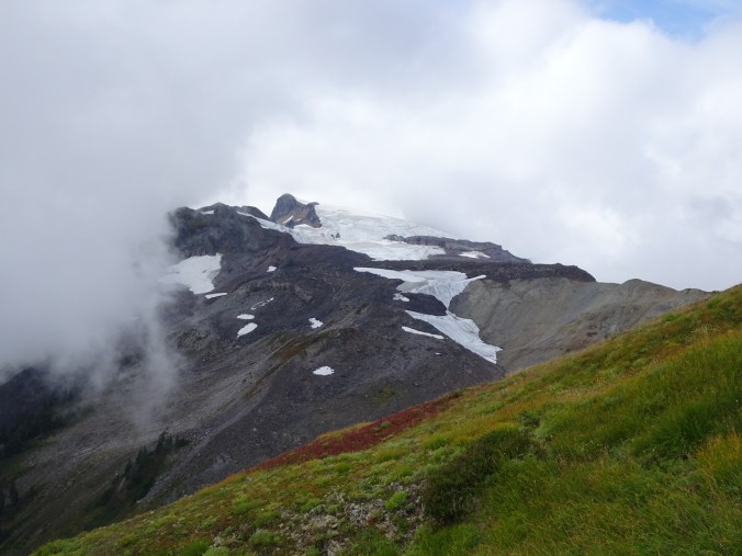
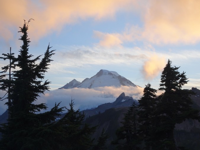
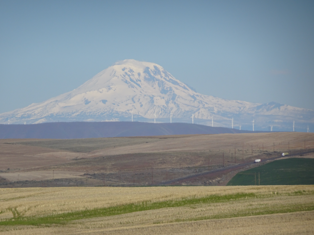
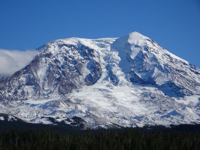
We woke to a glorious blue sky day! The mountain was out, and we looked forward to our hike to Killen Creek Meadows on the northwest flanks of Mt Adams.
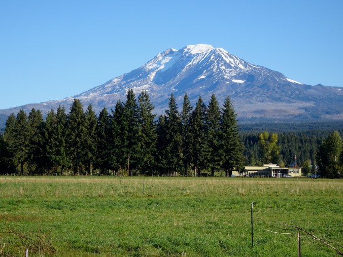
Mt Adams from Trout Lake
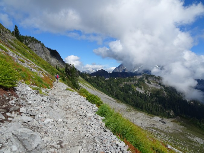
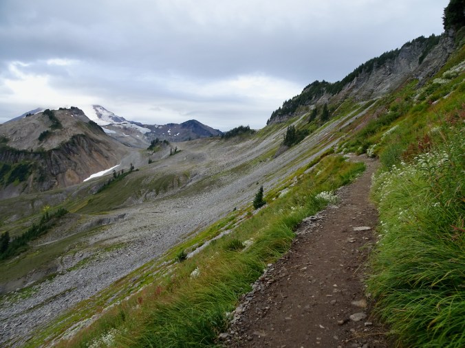
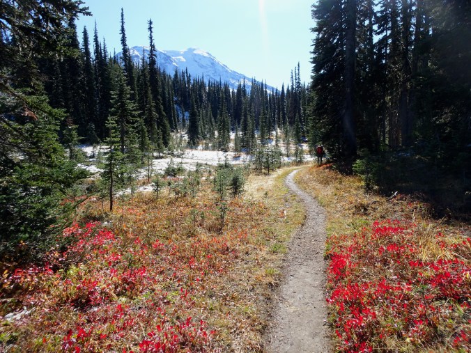
The Killen Creek Meadows to High Camp trail begins in the forest, then emerges into tiers of meadows. We started at about 4500 feet elevation, ascending to about 6000 feet on the 12,281 foot tall stratovolcano.

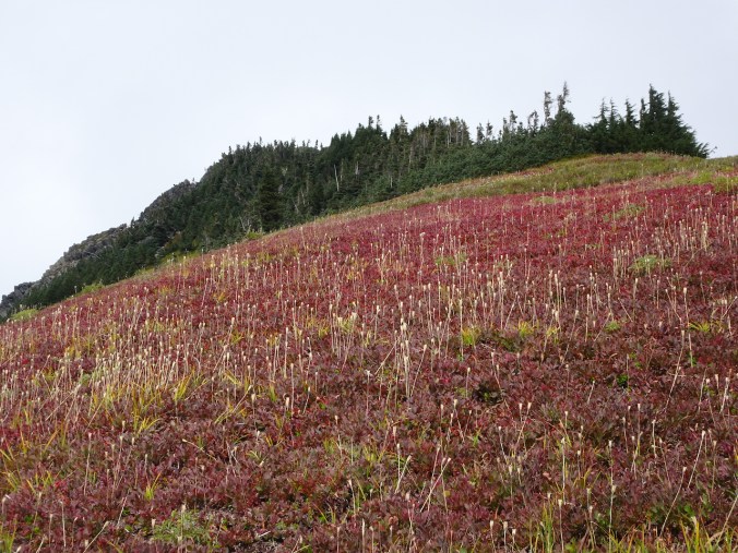
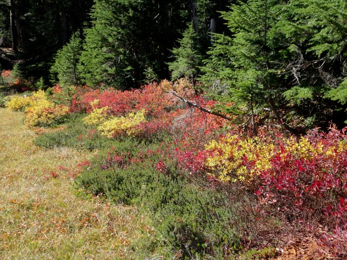
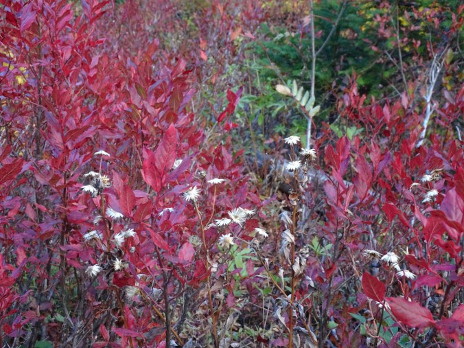
Lots of red huckleberry bushes along the trail.
Fresh snow from yesterday’s storm began at about 5200 feet.

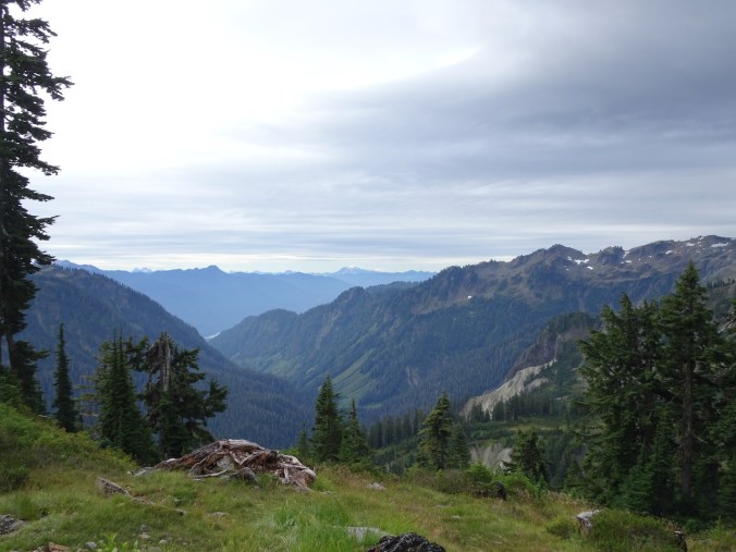
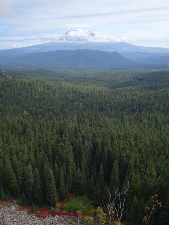
In one forest opening we could see Mt Rainier to the north.
The open meadows provide great views of Mt Adams:

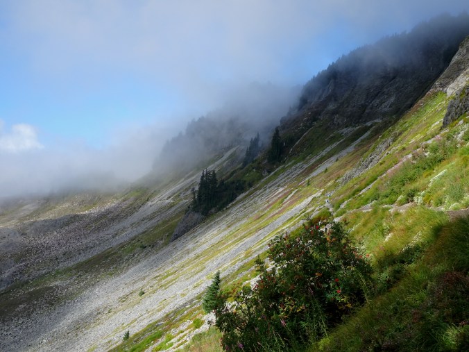
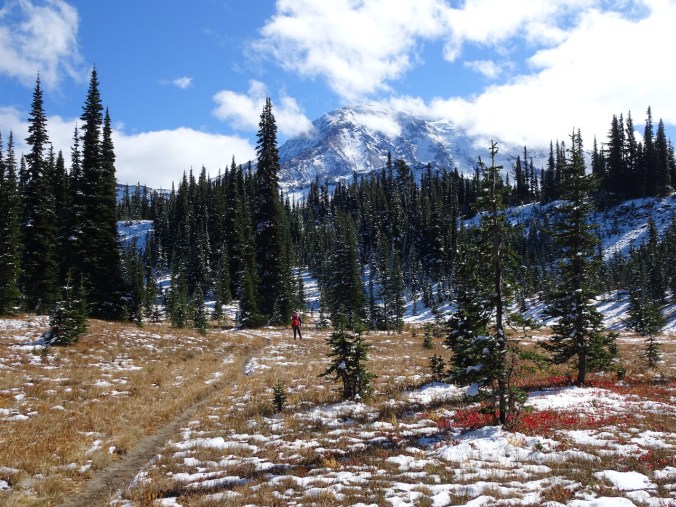
We reached the junction of the Pacific Crest Trail and the High Camp trail at lunch time, after hiking 3.5 miles. The snow was getting deeper, so we decided this would be our turnaround point. We did meet one northbound hiker, Tortoise, while we rested there.

Trail junction/lunch stop
High Camp is somewhere up on this ridge
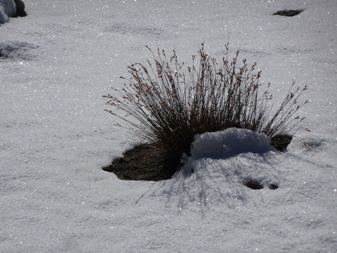
Sparkling snow
We made our way back, admiring the views and the foliage.
Clouds forming in the afternoon
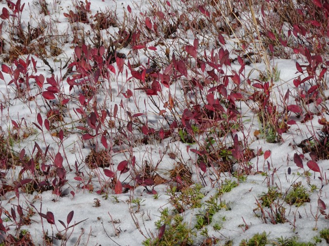
Huckleberries in the snow
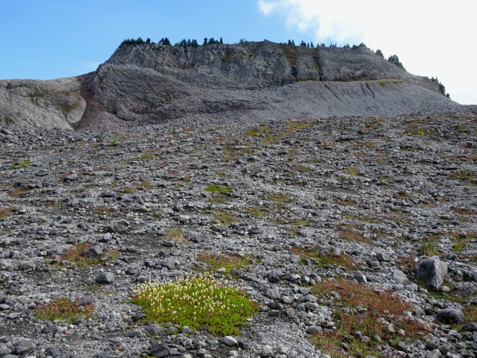
Killen Creek Meadows are known for summer wildflowers, and we plan to return for a future summer adventure.
Takhlakh Lake is not far from the Killen Creek Trailhead. We stopped by for the iconic view on our way back to Trout Lake.

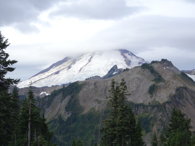
Mt Adams from Takhlakh Lake
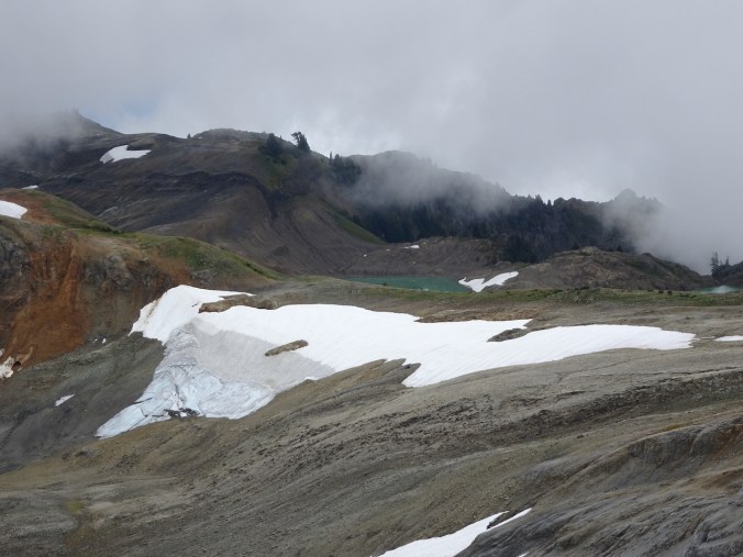
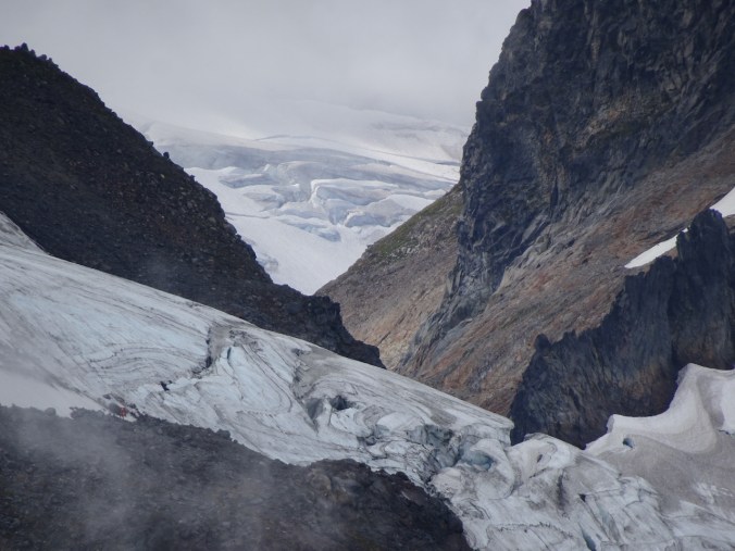
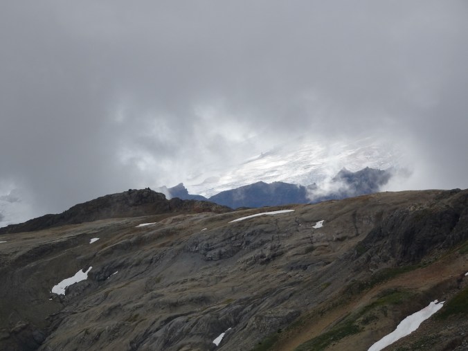
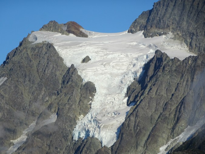
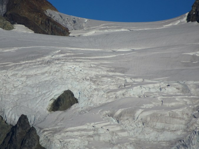
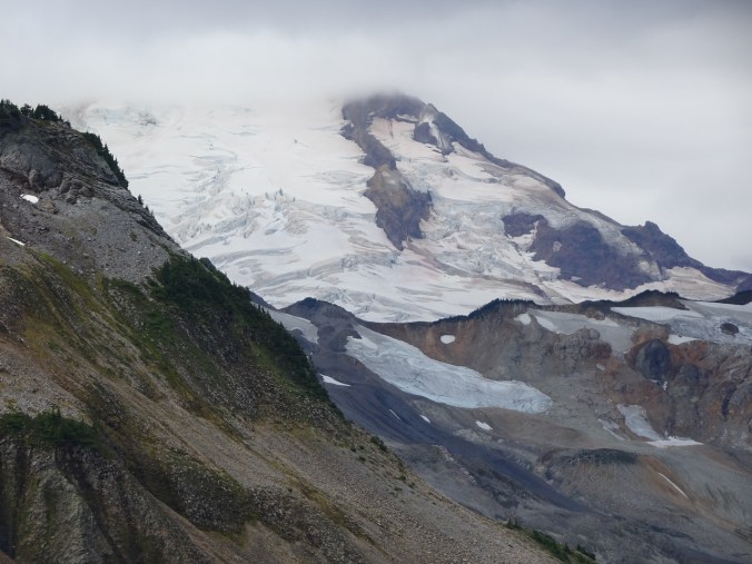
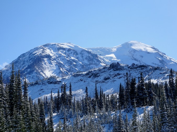
Glacier close ups

Northern flank

An ice cave?

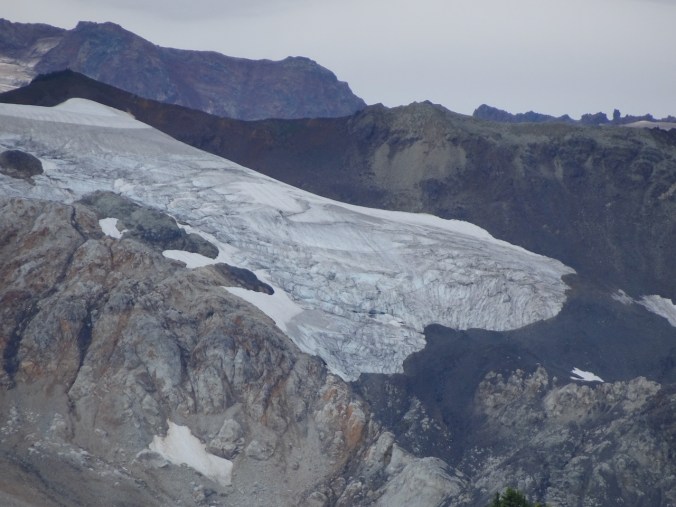
Adams Glacier

Hummocky topography on the south flank
Bird Mountain Loop, Indian Heaven Wilderness – October 8th
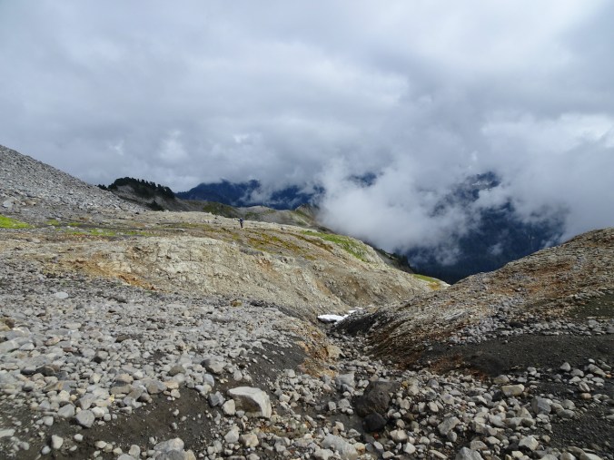
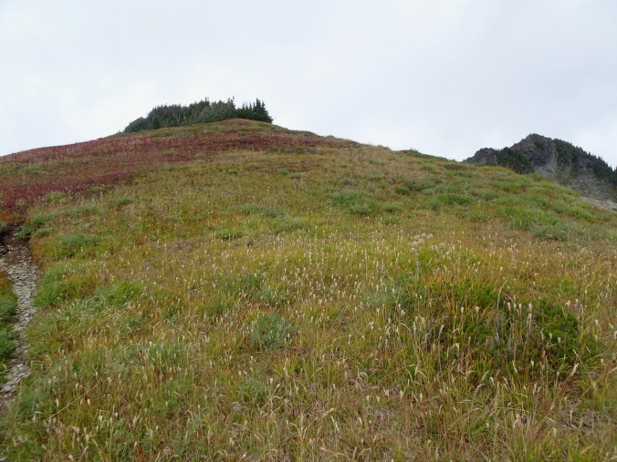
We chose this hike on the northeast side of Indian Heaven Wilderness for our last day. Clouds were coming in, but we had excellent conditions for seeing lots of lovely fall foliage around the meadows and lakes. The trail begins in the forest, and heads up hill to the flanks of Bird Mountain.

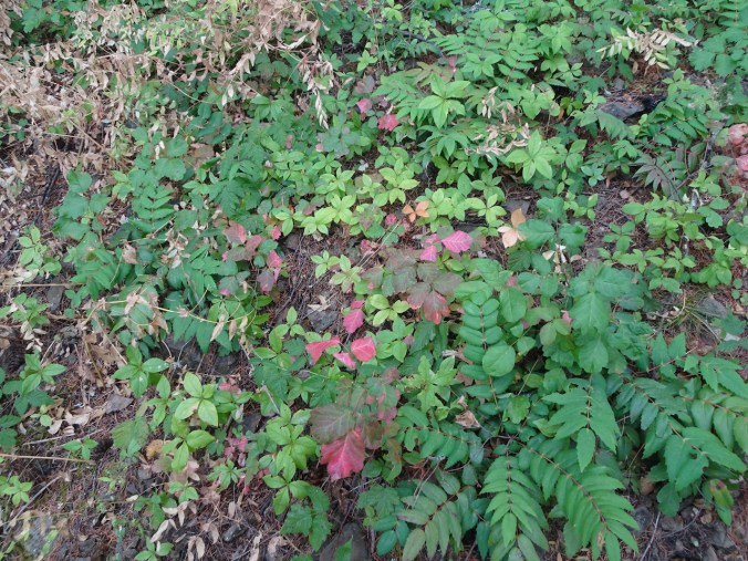
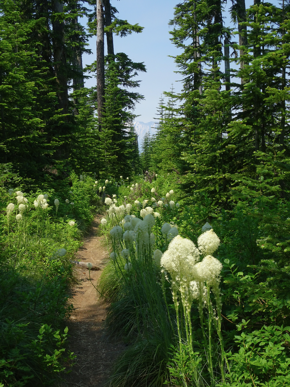
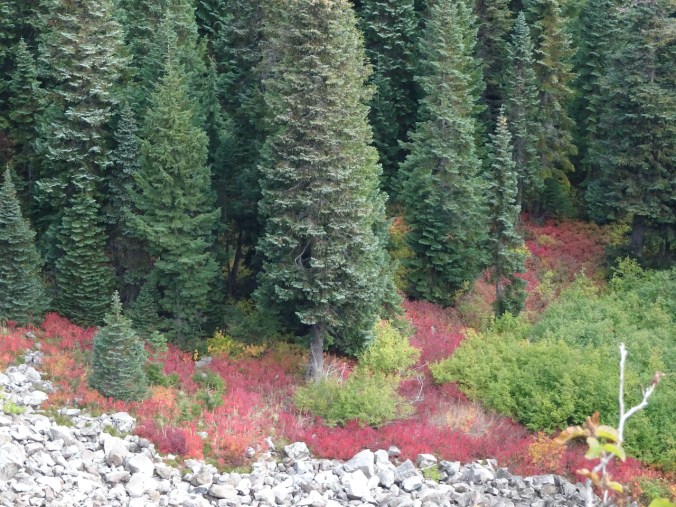
Once again, our trail leads through red huckleberry foliage.
From the shoulder of Bird Mountain, we got views of surrounding peaks, near and far.
Mt Adams to the east

Goat Rocks to the northeast
Sawtooth Mtn, with Mt Rainier in the distance
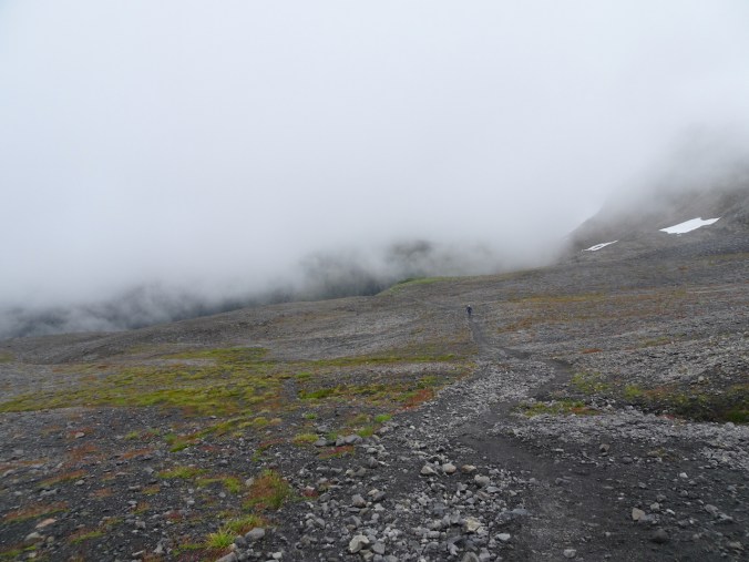
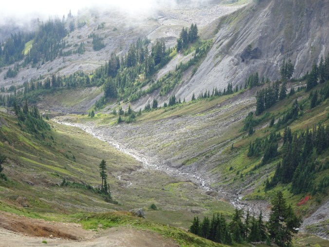
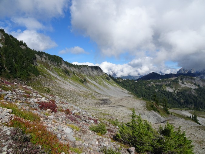
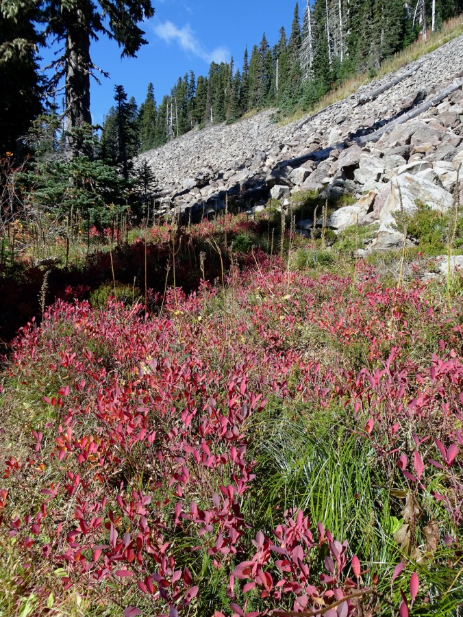
Scree slope beneath Bird Mountain, near our return trail this afternoon.

Continuing south, we would pass near Lemei Rock.
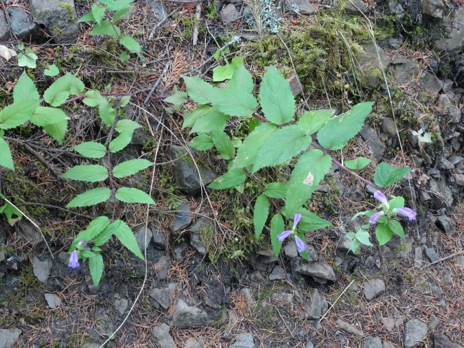
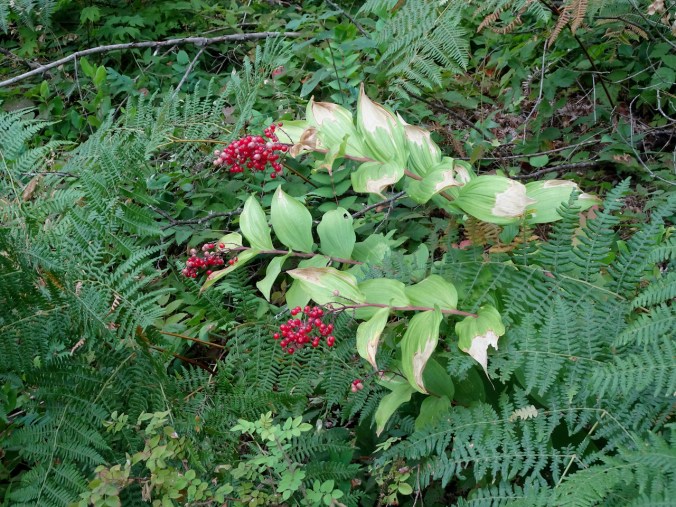
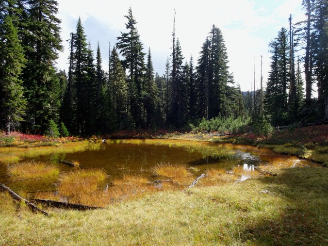
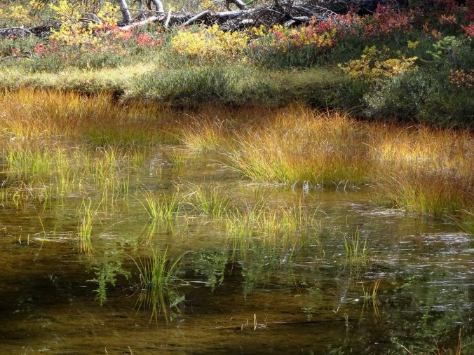
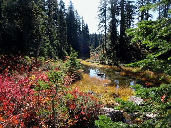
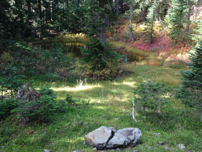
Beautiful foliage, mushrooms, small lakes appeared in the meadows along our trail.
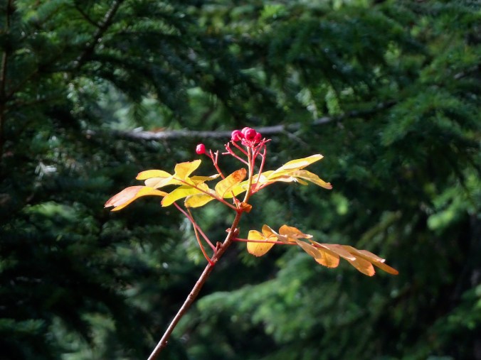
Mountain Ash

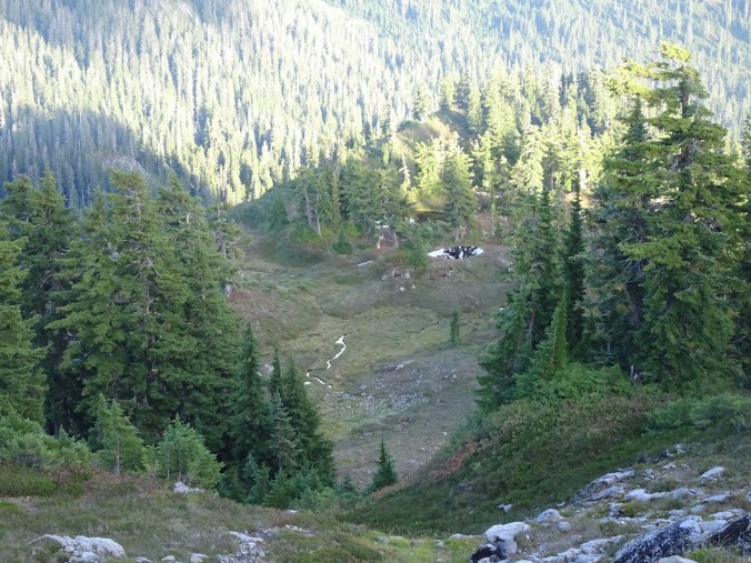
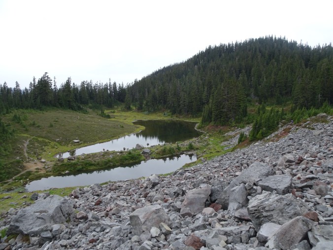
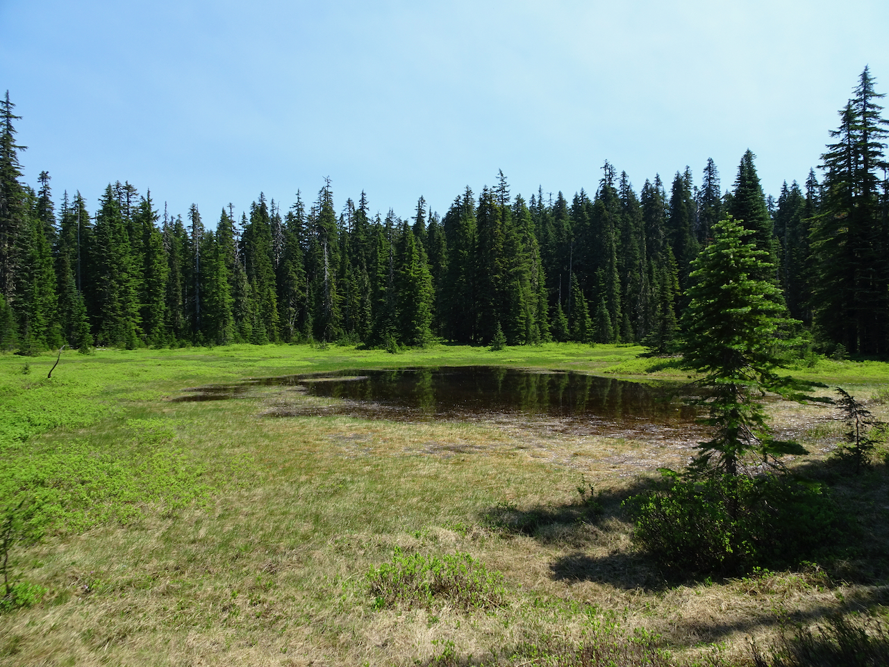
Small lake
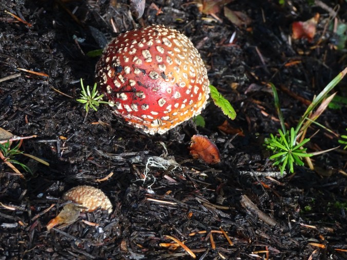
Mushroom
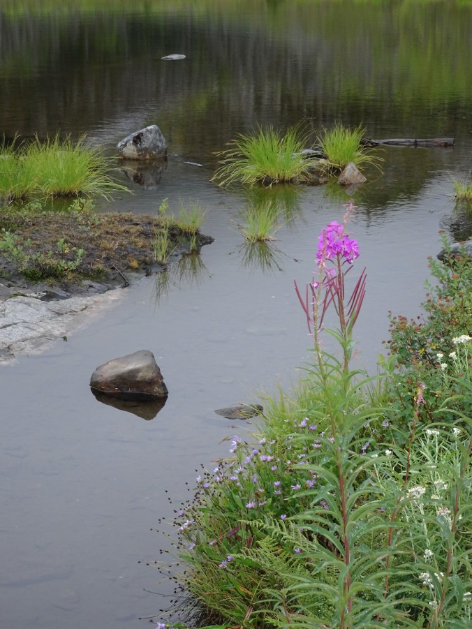
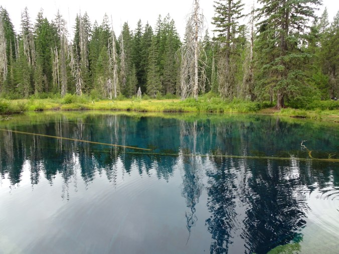
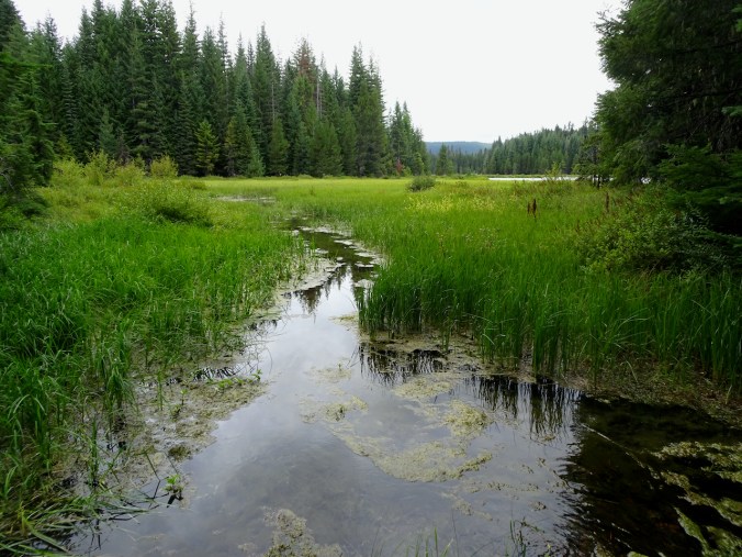
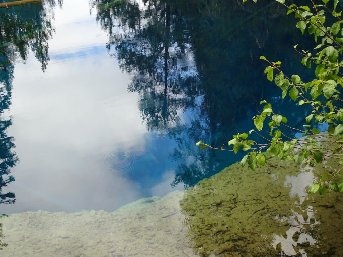
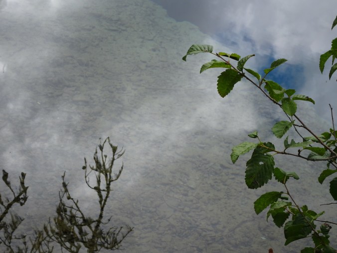
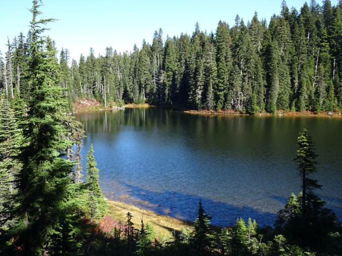
We stopped by this small unnamed lake to eat lunch and admire the reflections and colors.

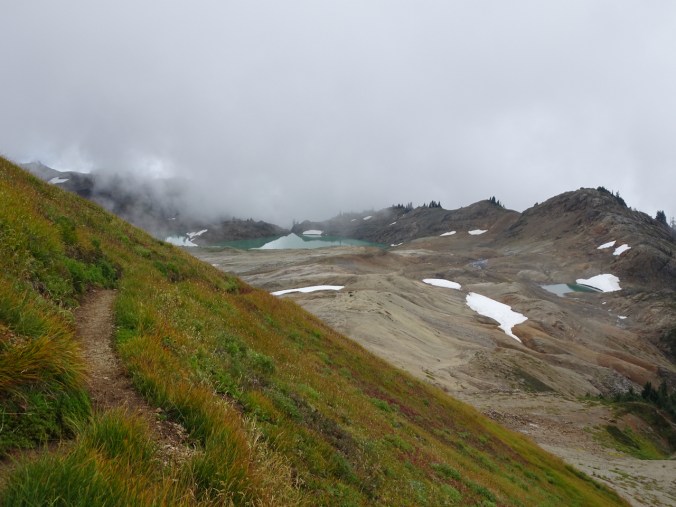
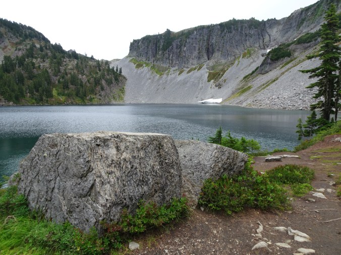
We took the side trail to Deep Lake, passing the Cultus Lake outlet on the way.
Cultus Lake from the Deep Lake Trail
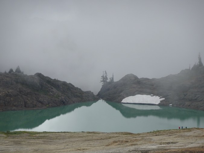
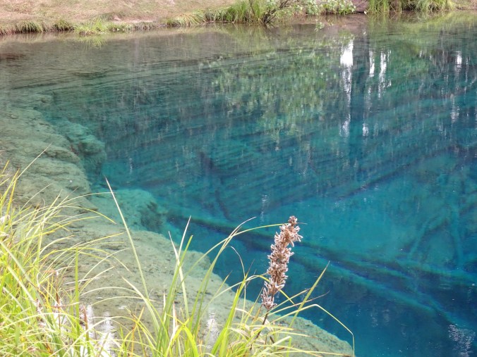
Deep Lake

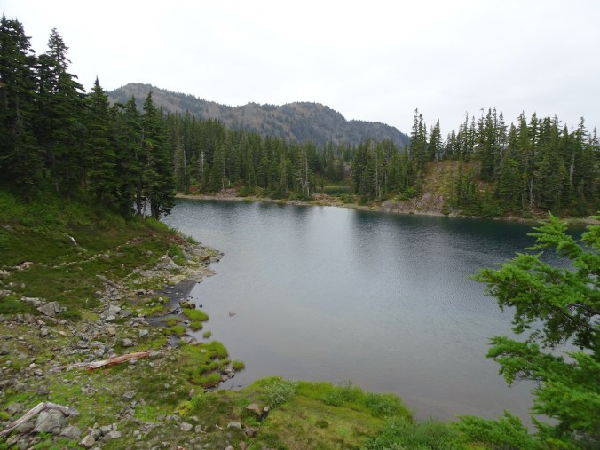
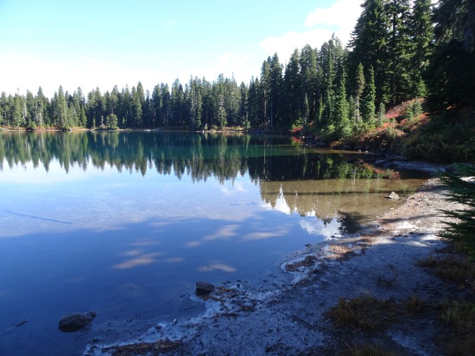
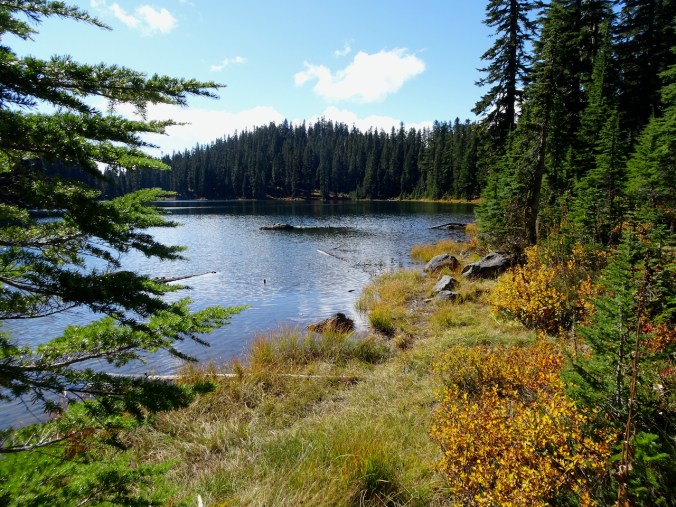
Back on the main trail, we passed Cultus Lake before taking the junction toward the Pacific Crest Trail and Clear Lake.
Cultus Lake
Clear Lake
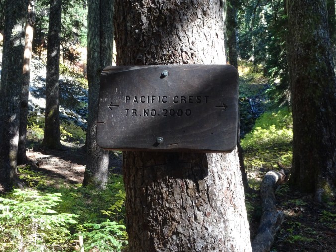
Back on the Pacific Crest Trail, northbound
One of the scree slopes on the west side of Bird Mountain.
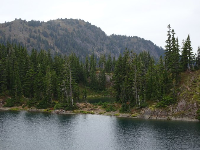
Another unnamed lake by the trail.
We crossed back over the northern shoulder of Bird Mountain, where we could see some views again, before descending through the scree slopes back to the trailhead. Lots of late blooming flowers and seedheads in this area.

Sawtooth Mountain, from Bird Mountain

Mt Adams

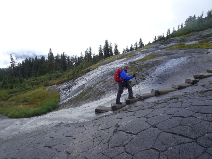
Descending the scree slope – rougher trail in here
Seedheads
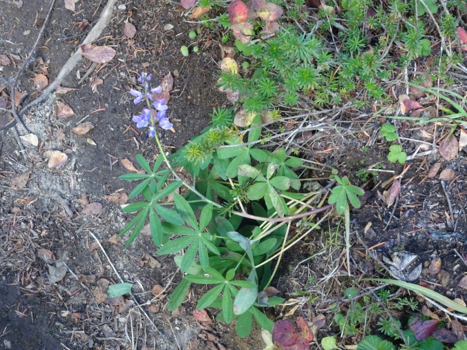
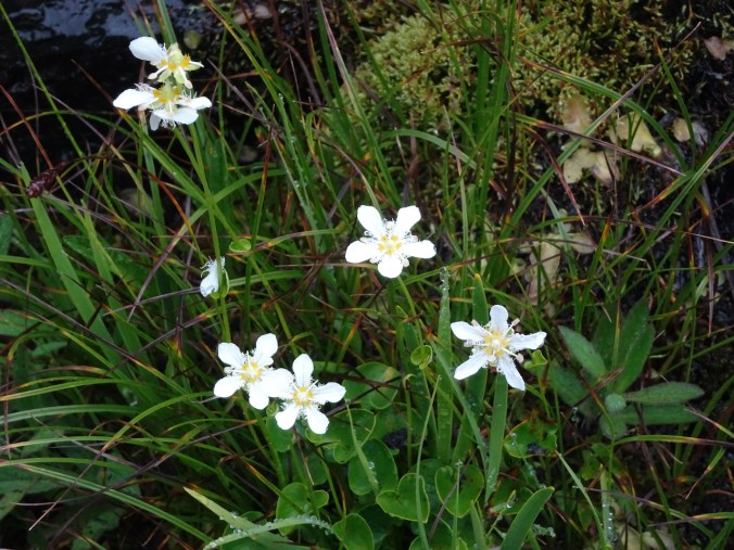
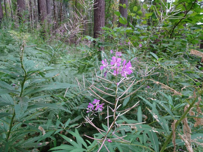
The very last lupine of summer.
This was a very successful trip – three new trails for us, and more added to our list for the future. We’d hiked more than 22 miles, and 4000 feet elevation, and fully immersed ourselves in the autumn foliage.