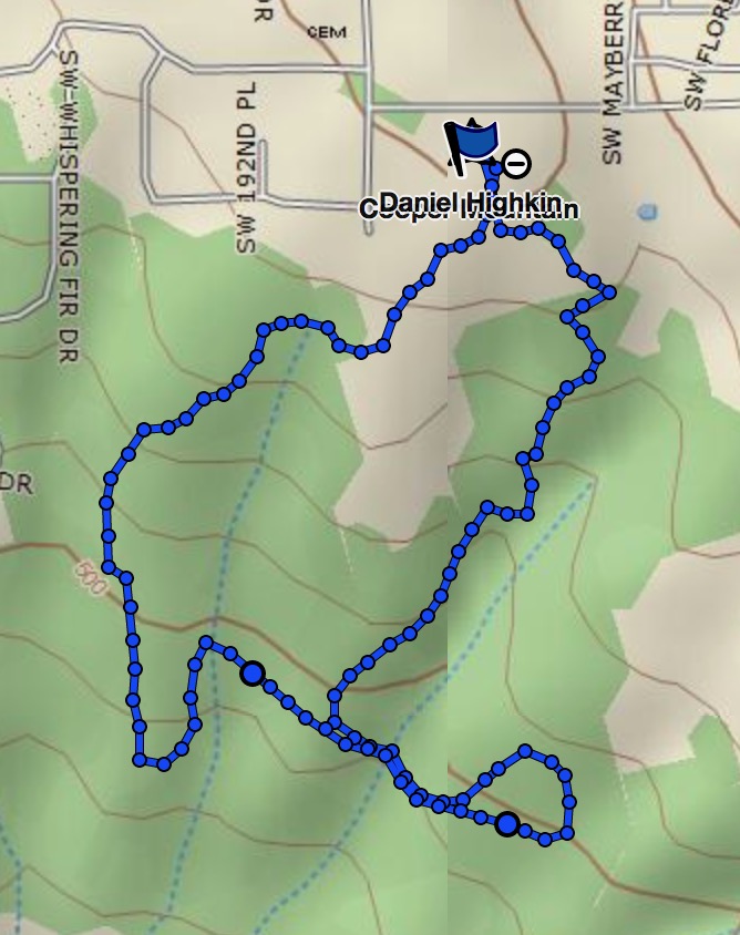
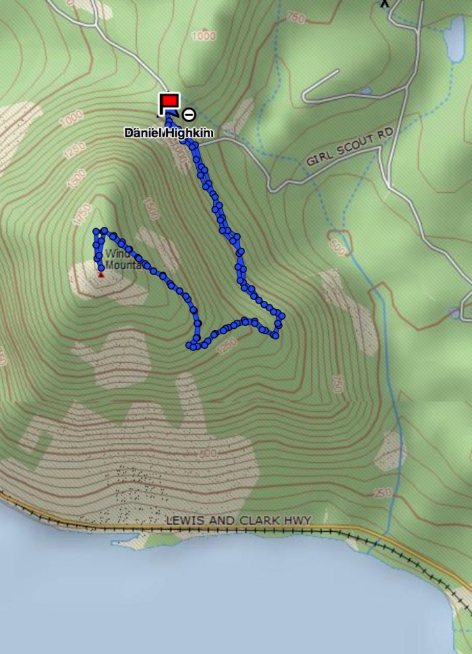
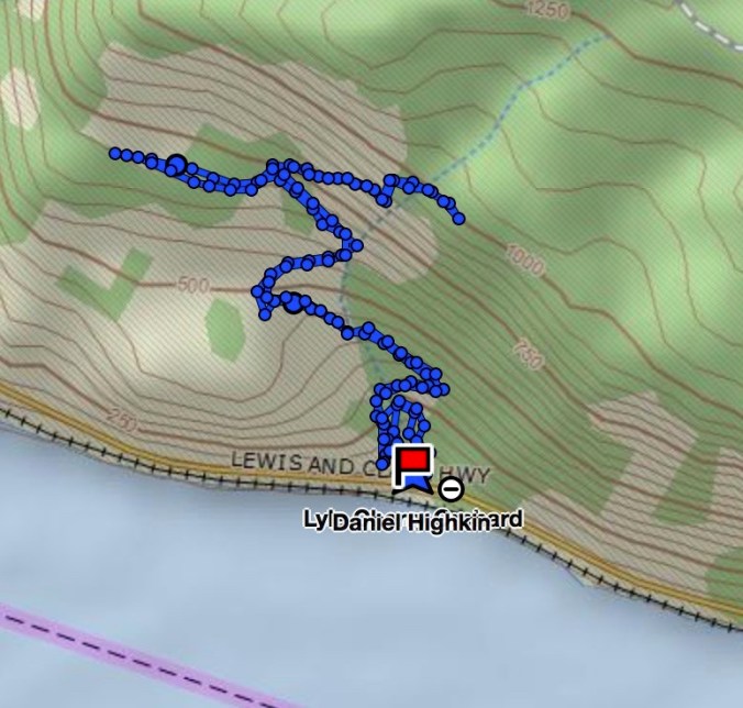
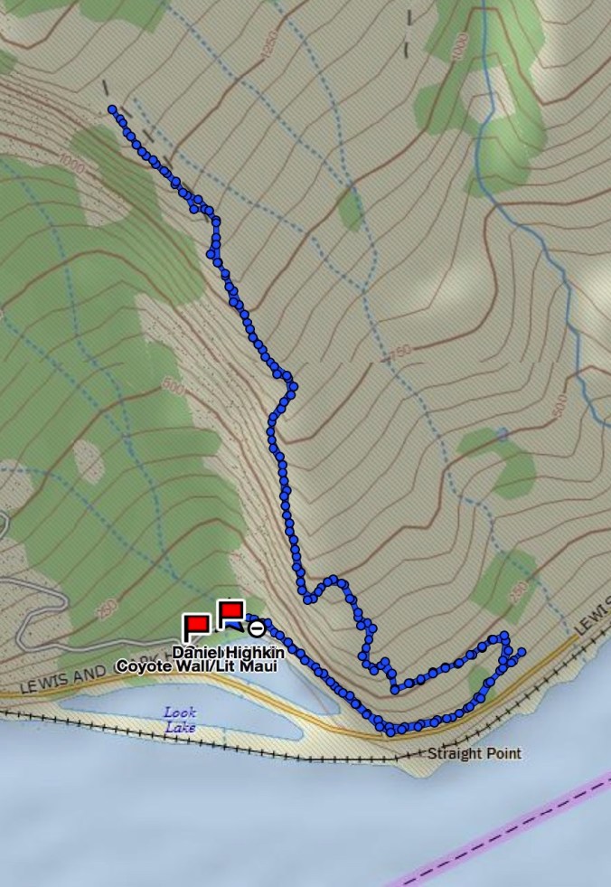
Cape Horn Loop October 14, 2017 (#50 – hikes in 2017)
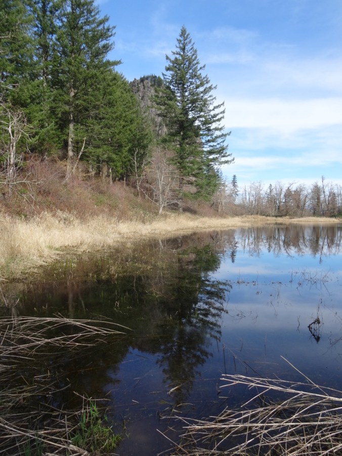
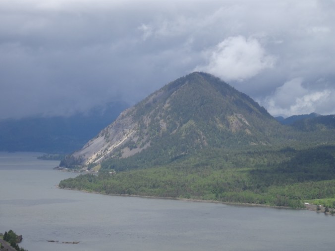
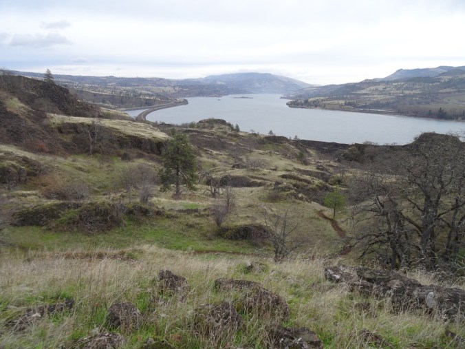
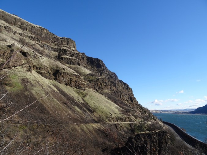
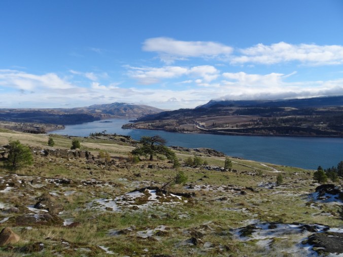
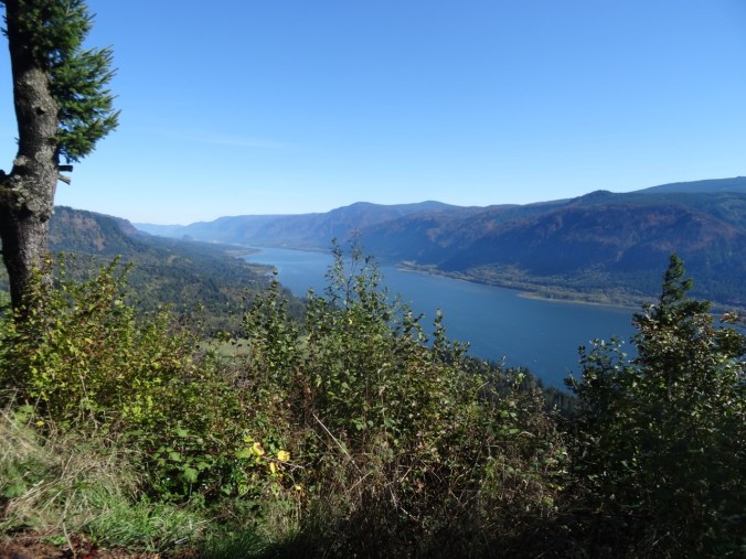
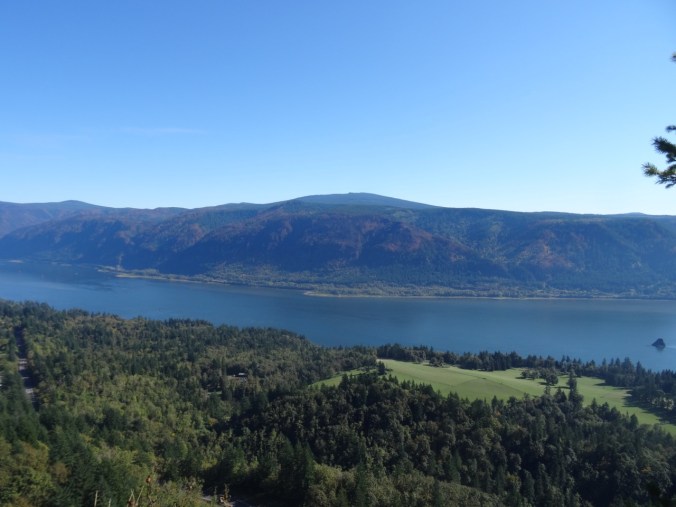
On a beautiful fall day, after several days of rain, we went with friends to the Cape Horn trail just east of Washougal, WA. This view shows the massive cliffs of Cape Horn from Angel’s Rest on the Oregon side of the river. Our trail will follow the road down to the lower green fields, then traverse west along the lower cliffs before heading back up hill to the top of the mountain.
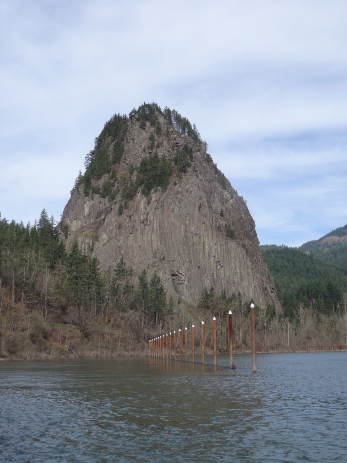
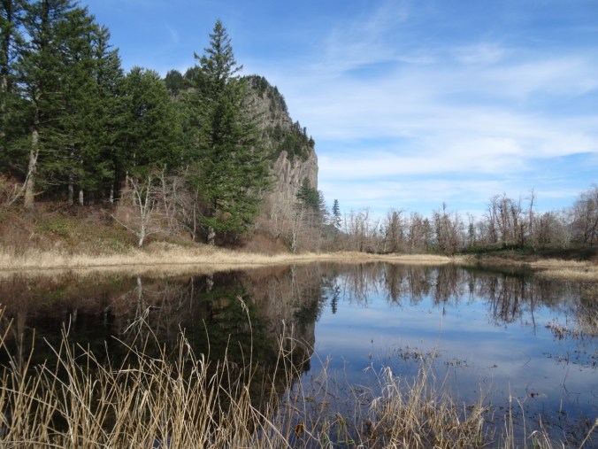
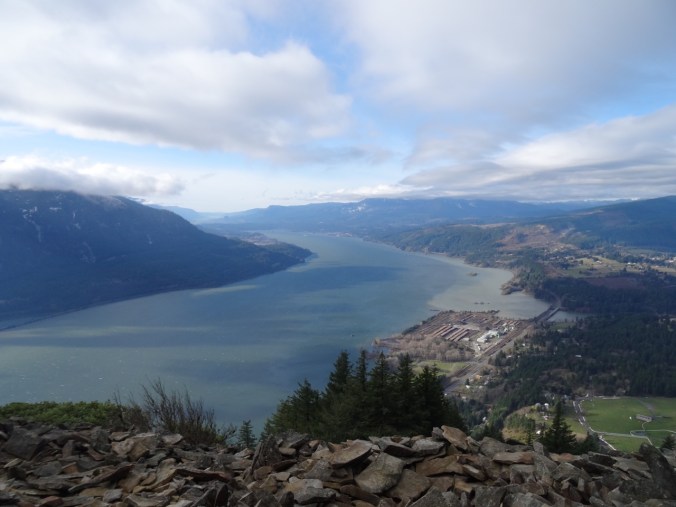
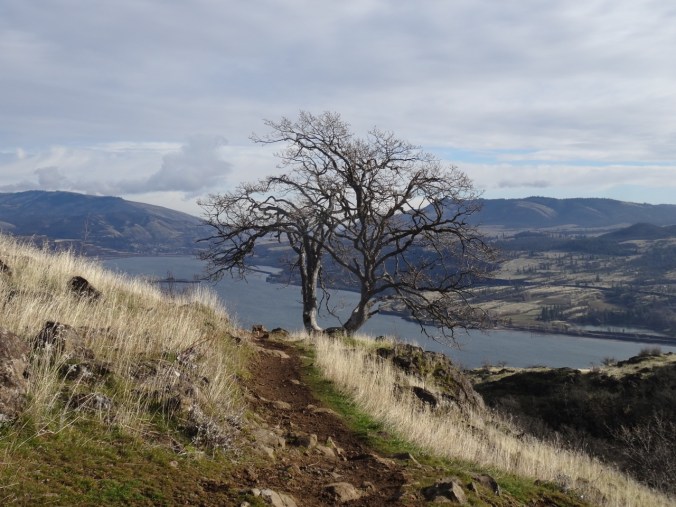
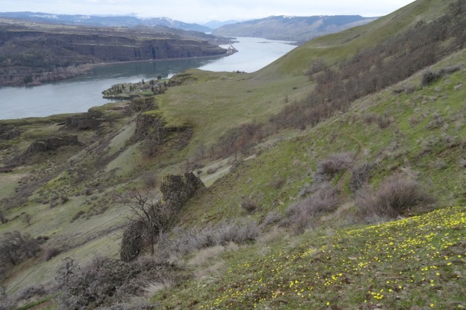
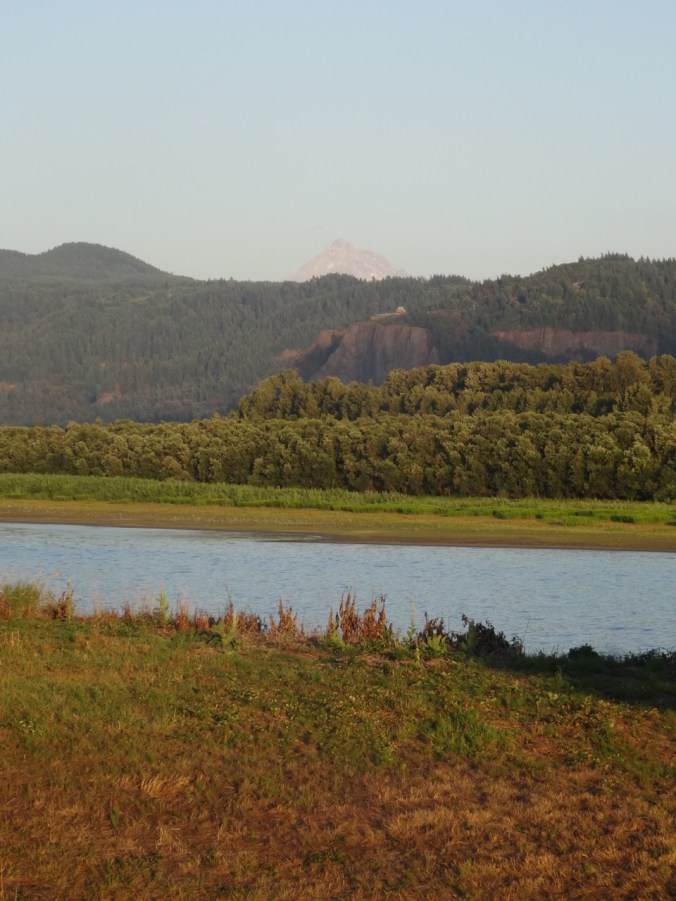
October 2014 Cape Horn viewed from Angel’s Rest
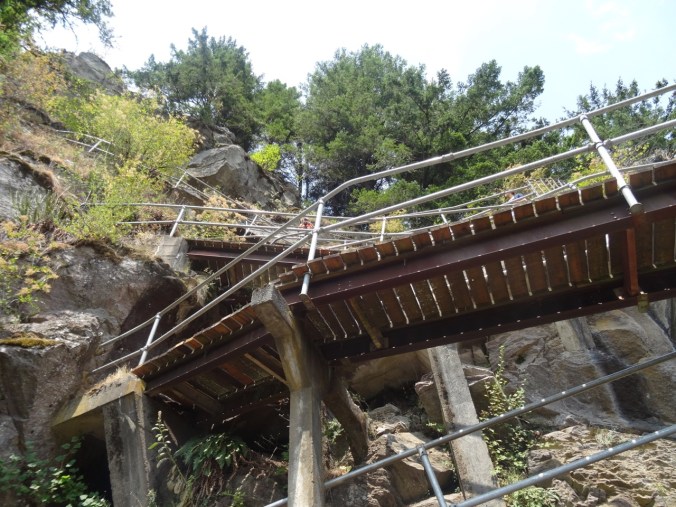
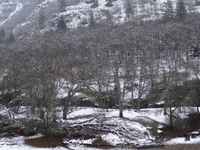
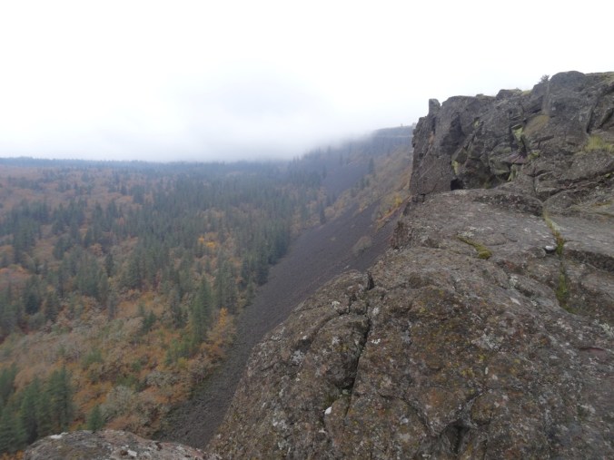
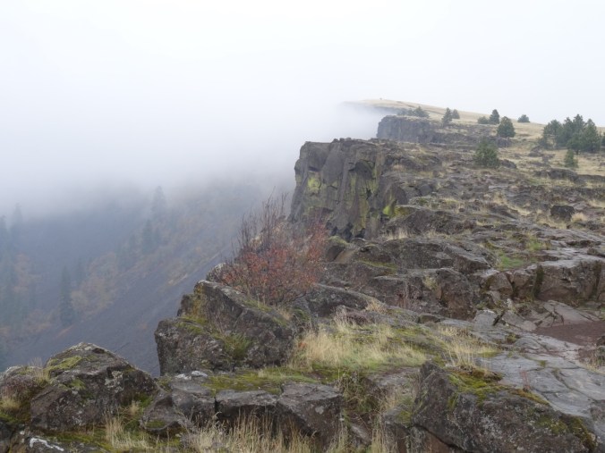
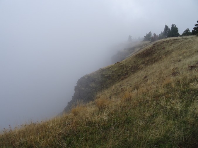
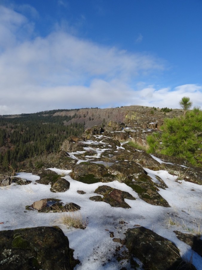
Fog draped the summit when we arrived, so we chose to hike clockwise around the loop, our first views being the highway 14 viaduct above us as we completed the road walk.

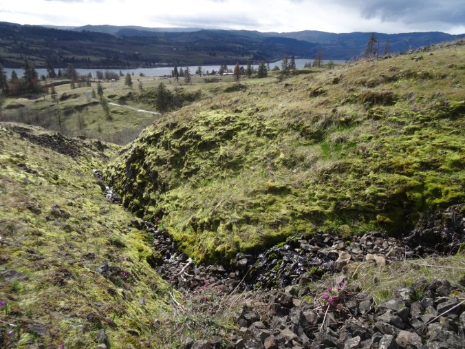
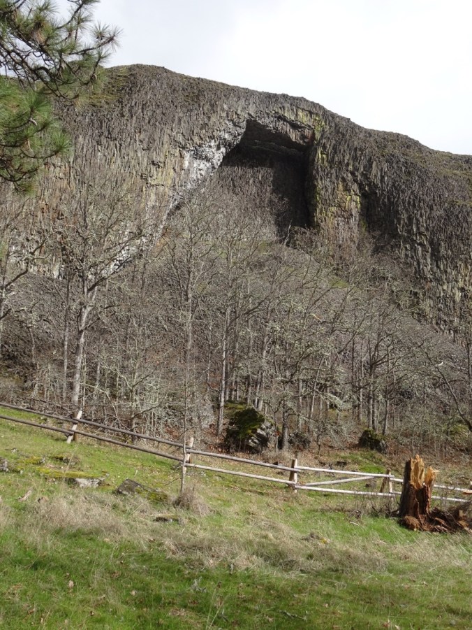
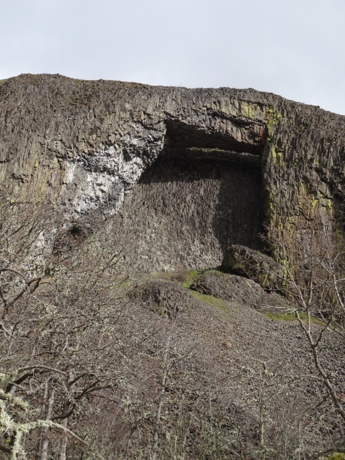
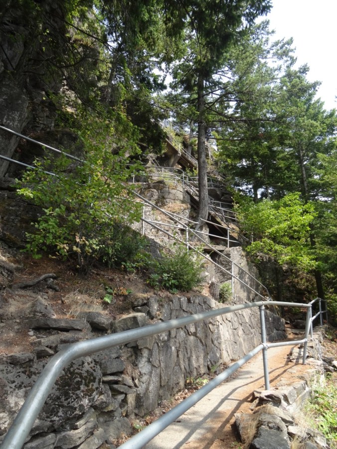
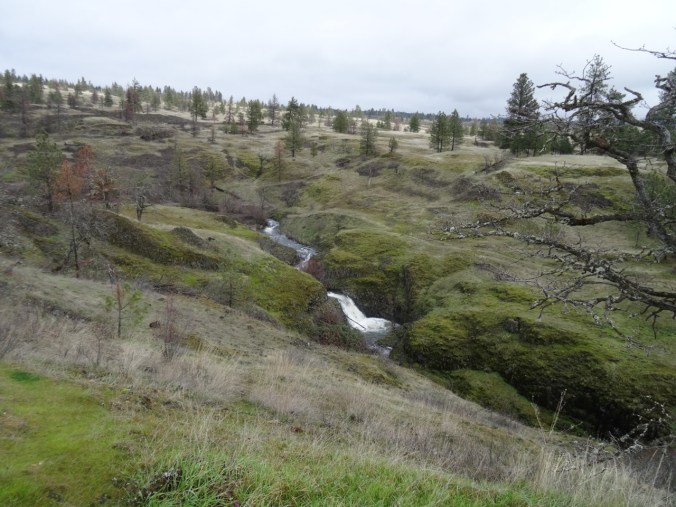
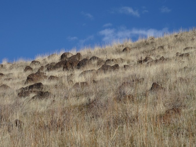
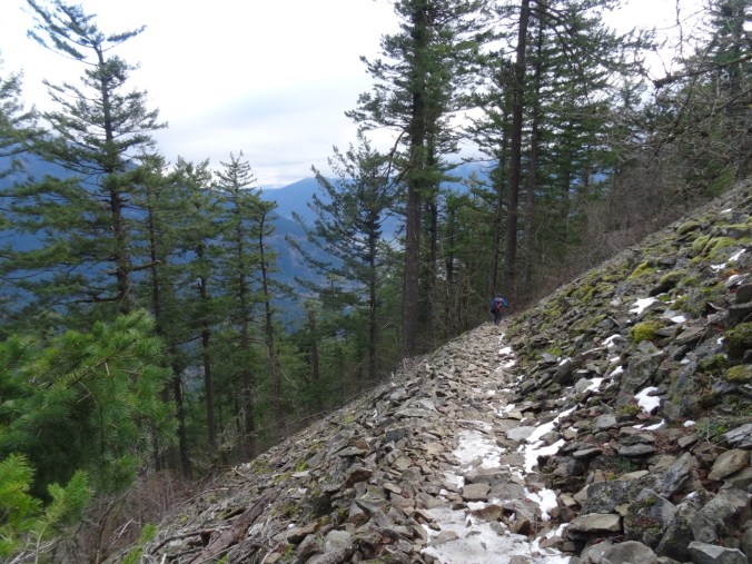
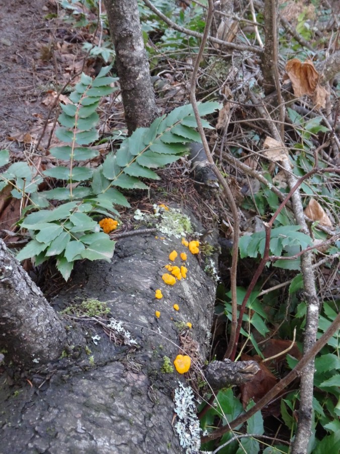
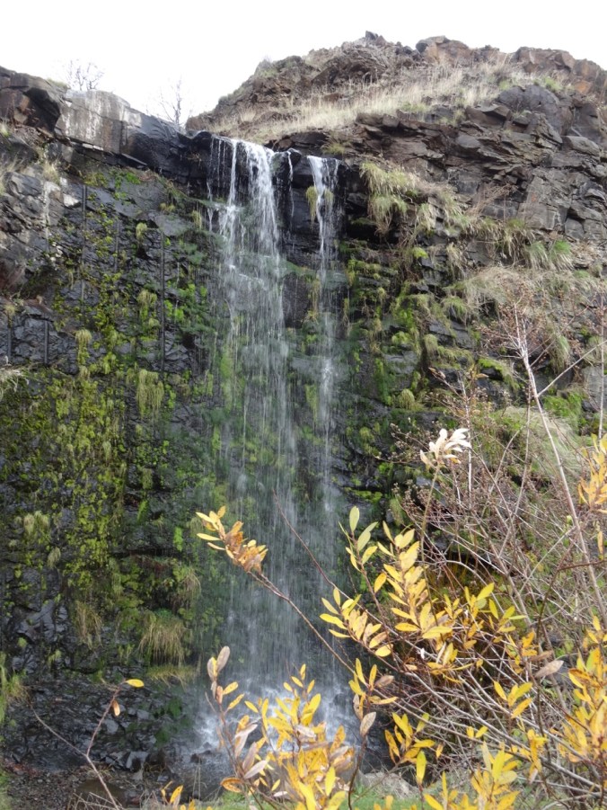
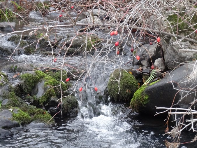
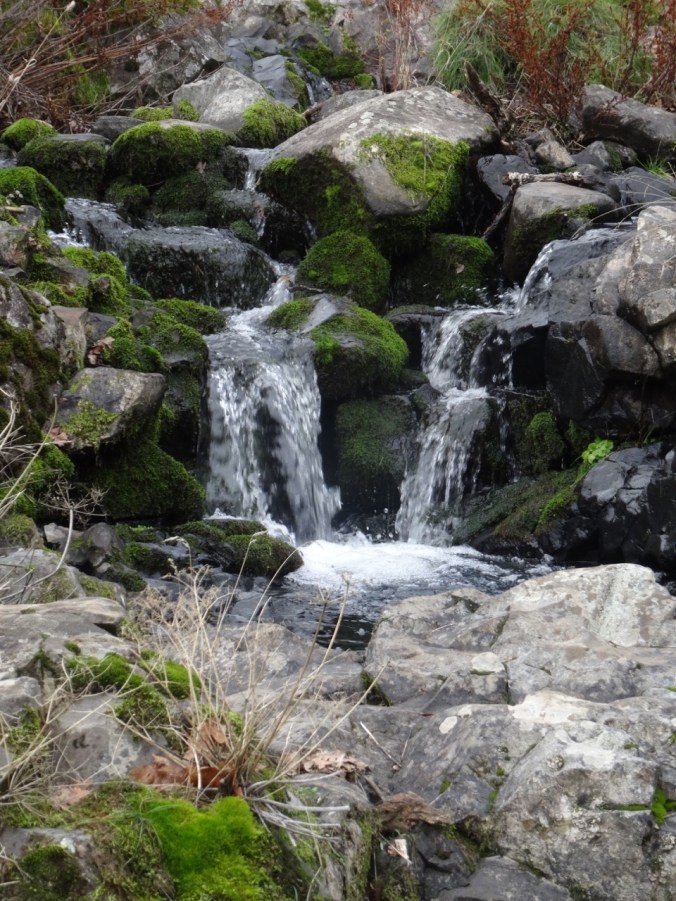
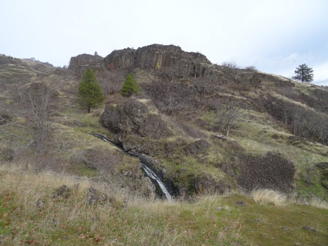
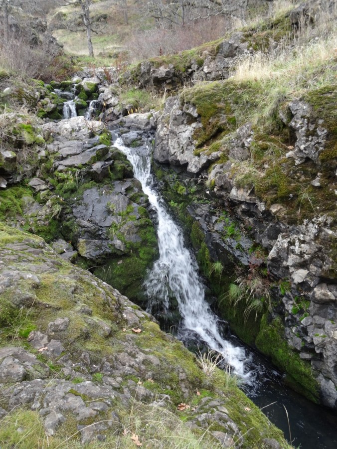
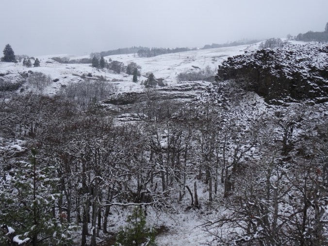
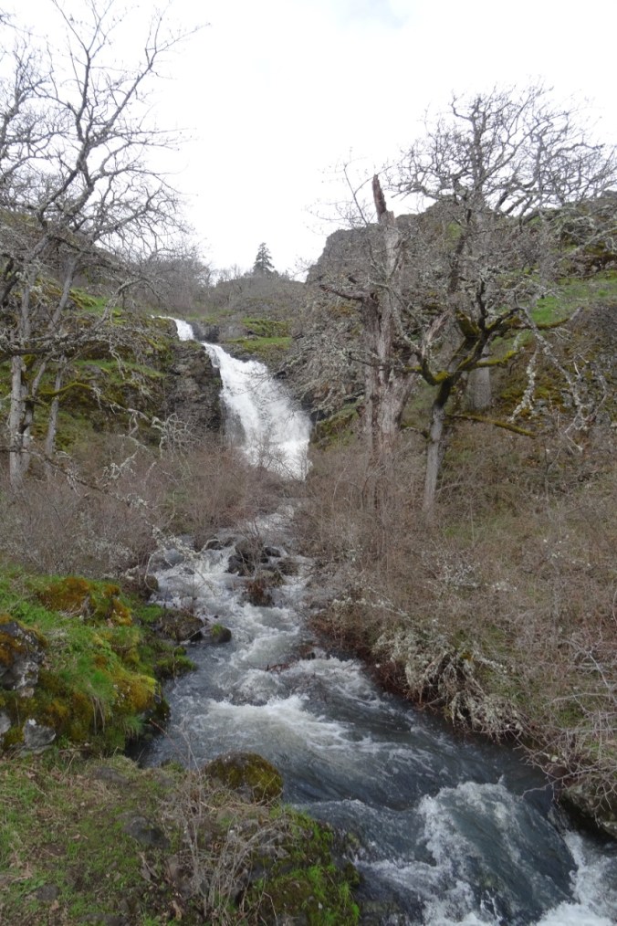
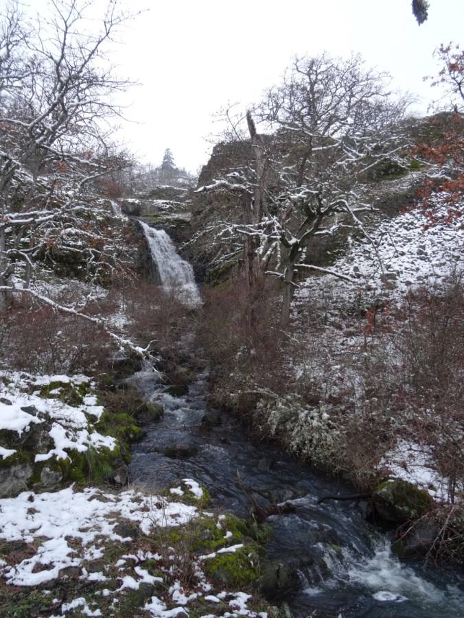
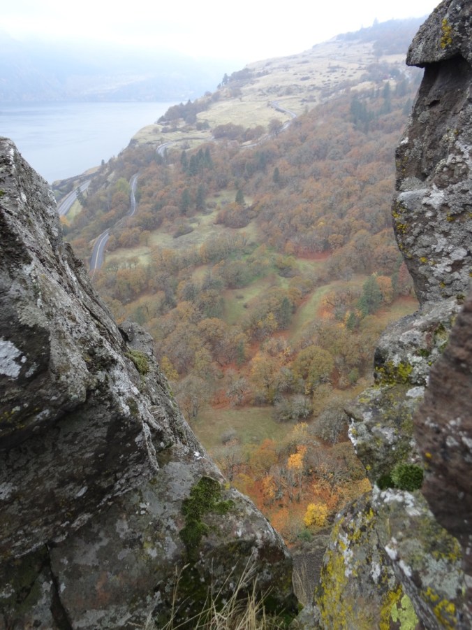
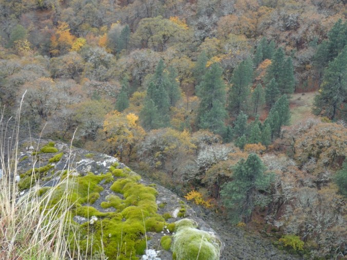
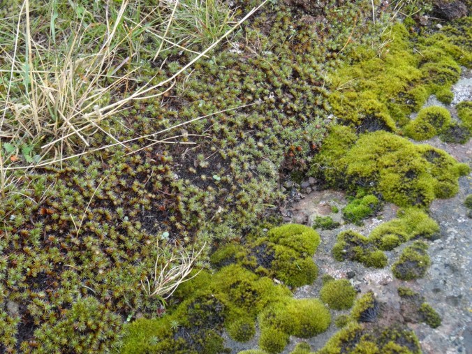
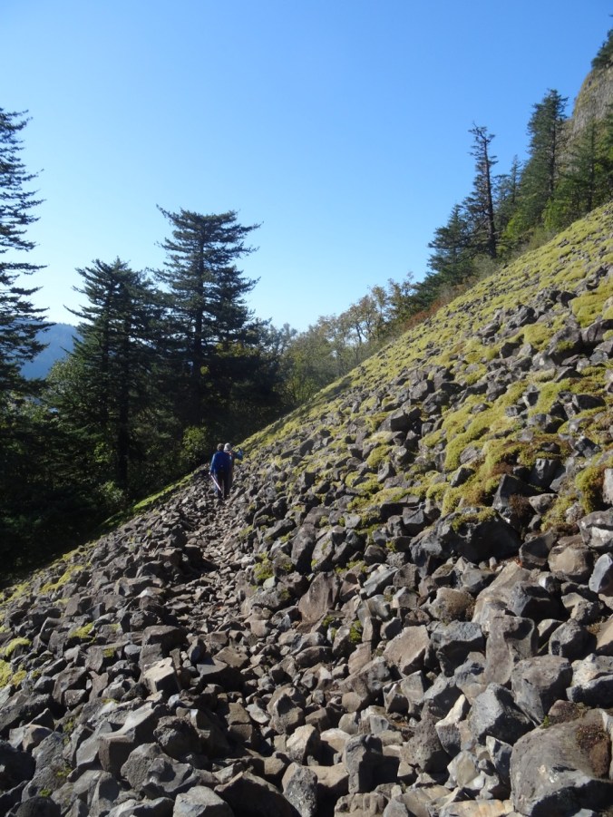
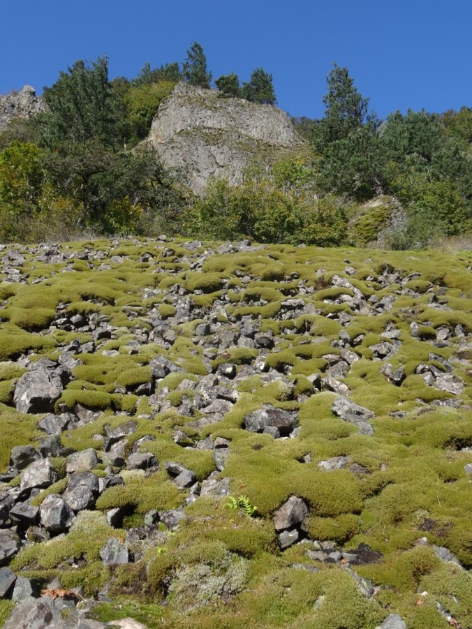
From the road, the trail then enters the forest, and emerges onto the open mossy scree slopes above the cliffs adjacent to the waterfall (which was at very low flow).
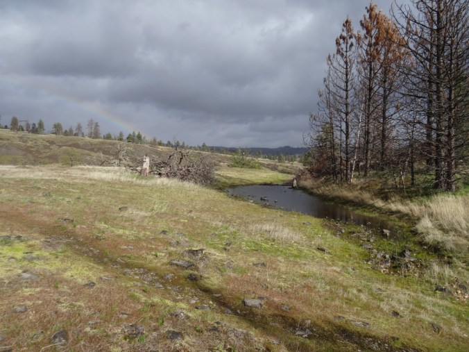
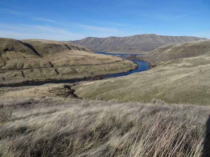
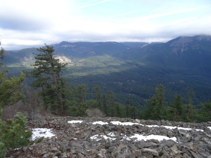
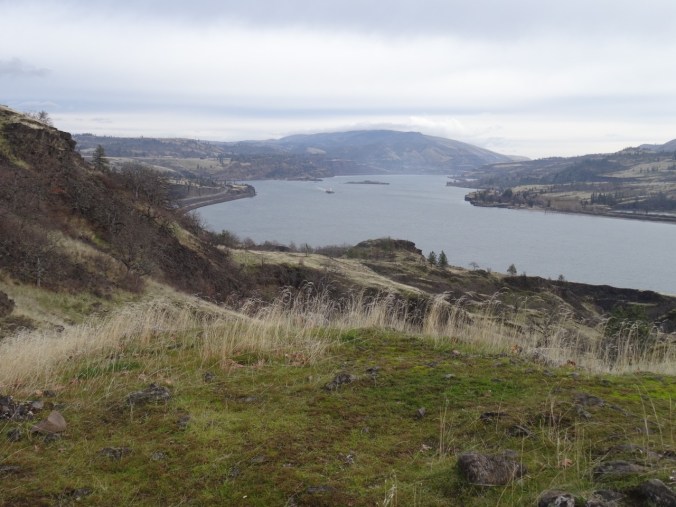
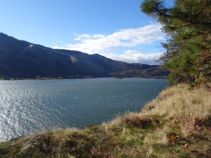
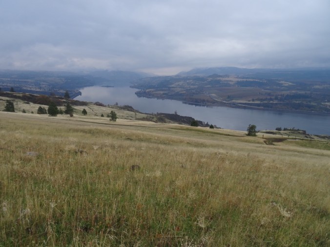
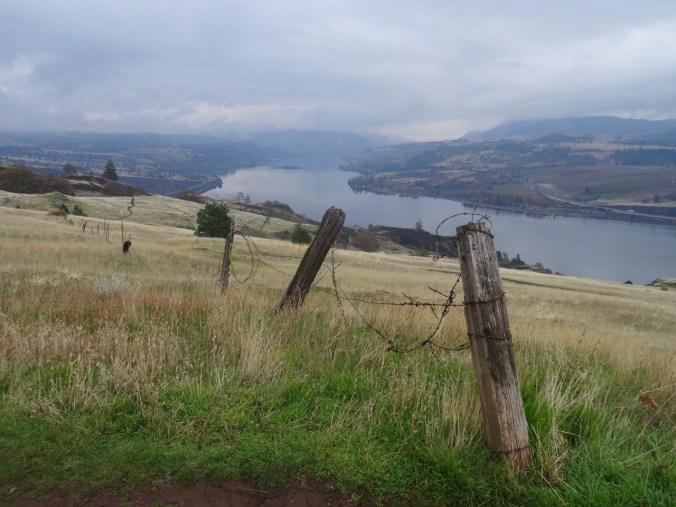
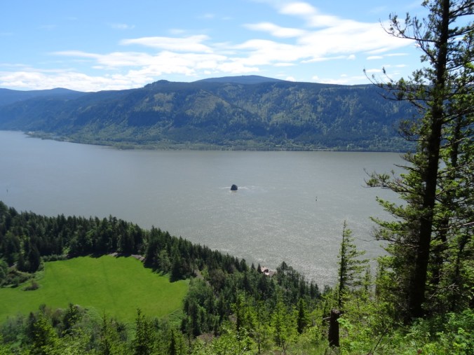
We reached the lowest part of the trail above the Columbia River, and could look east to see Cigar Rock.
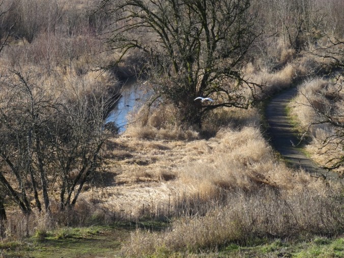
Eastward view toward Beacon Rock, Phoca Rock; fog topped cliffs
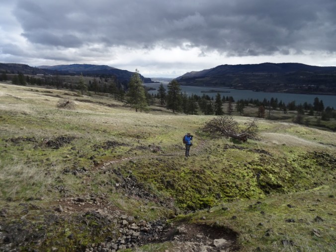
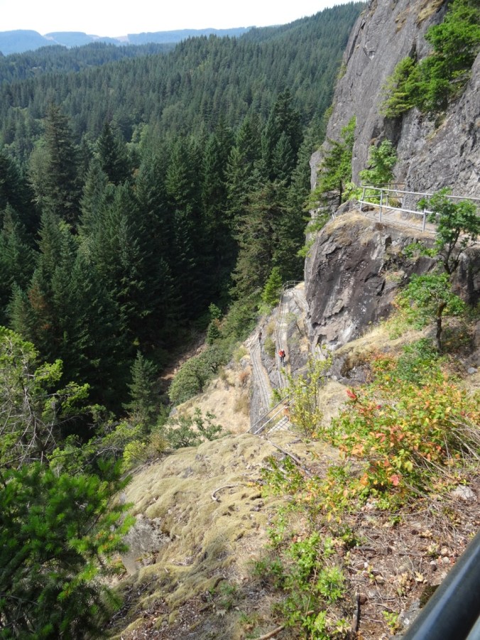
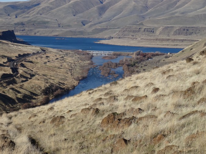
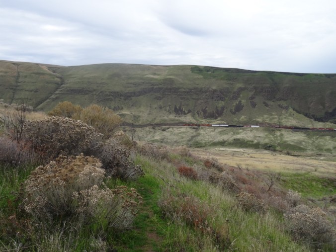
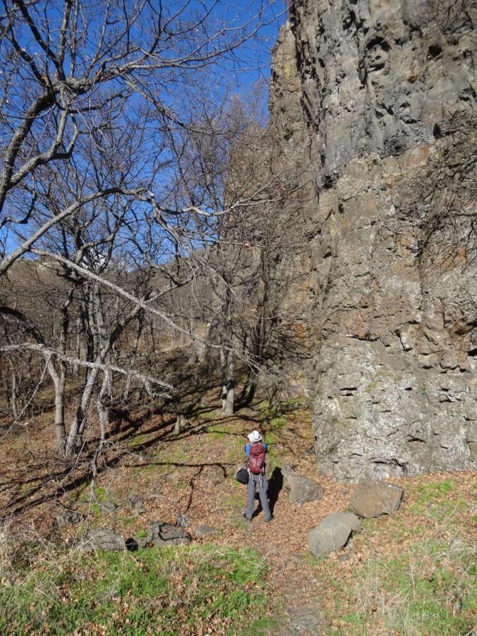
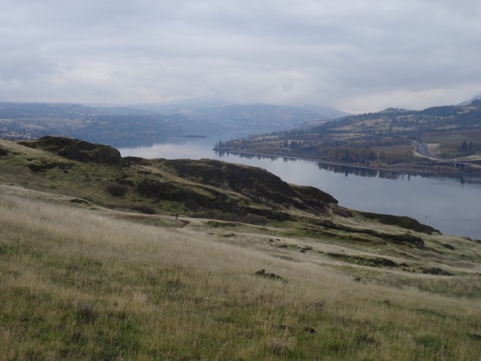
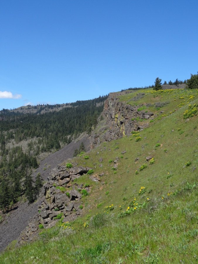
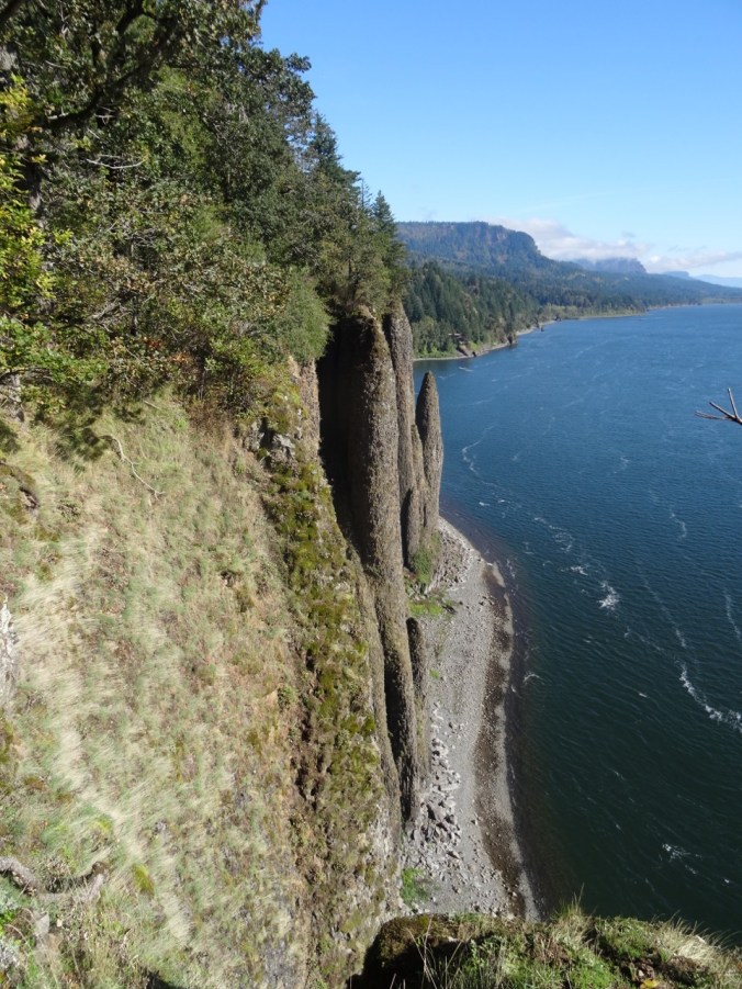
We continued across the cliffs, and opted for the westernmost loop that leads onto a promontory above the western entrance to the train tunnel that cuts through the cliff beneath us.

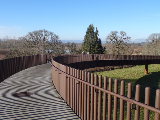
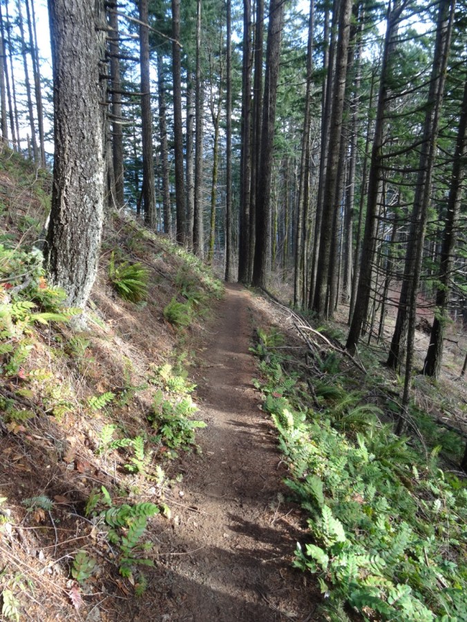
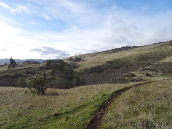
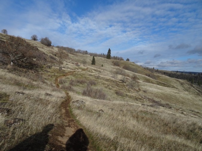
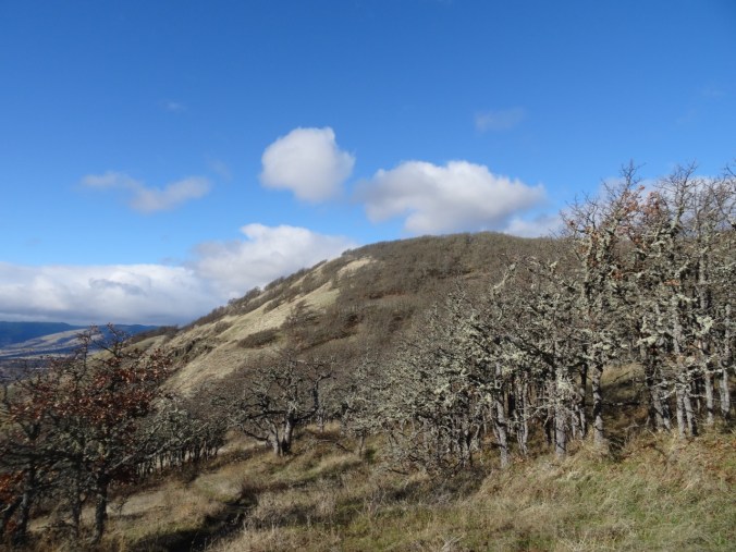
From here, the trail heads upward through various switchback sections, with spurs to the Oak and Waterfall viewpoints, then through the trail tunnel under highway 14, and finally up to the Nancy Russell Overlook, where plenty of other hikers were resting.

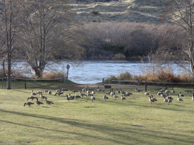
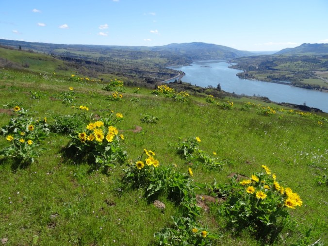
We saw two giant baguettes being transported by barge (or was it sawdust)?
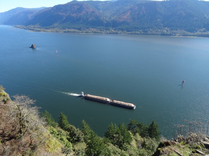
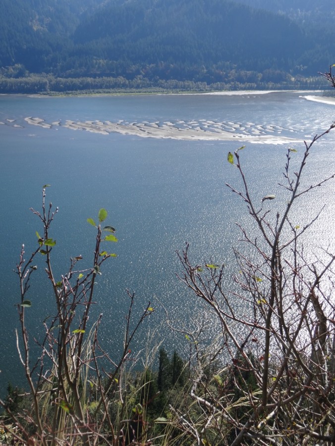
There is a distinct sandbar in the river channel below glinting in the sun.


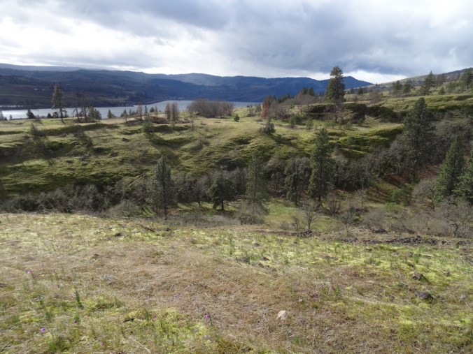
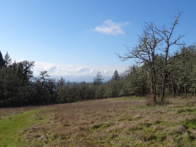
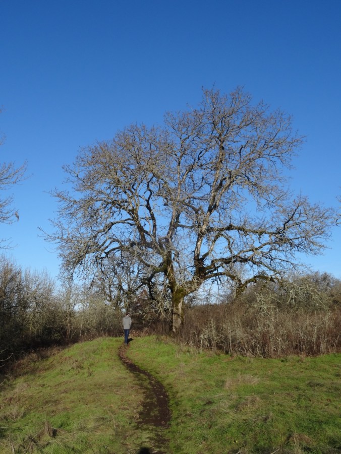
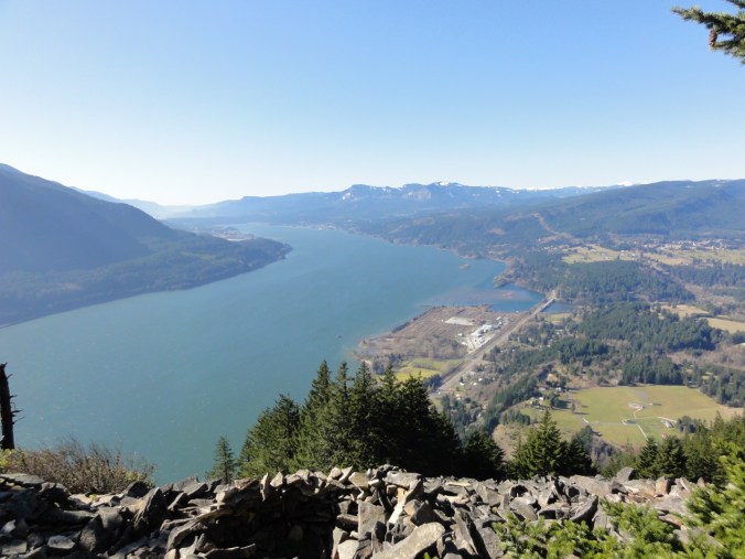
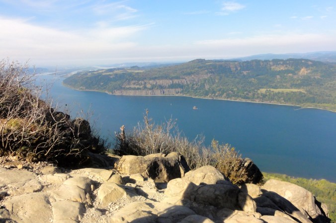
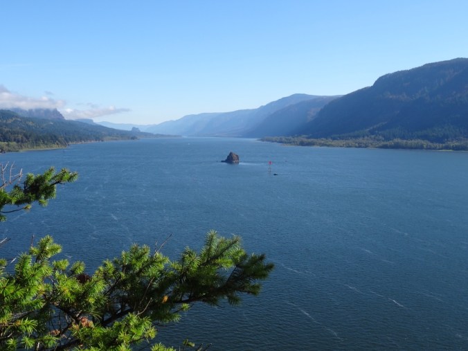
Next, the traverse along property boundaries to the actual highest point – Pioneer viewpoint. By this time the fog had evaporated.

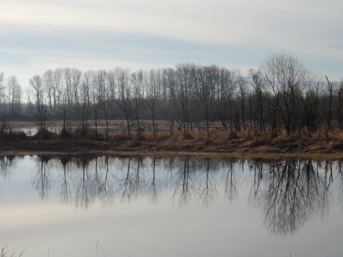
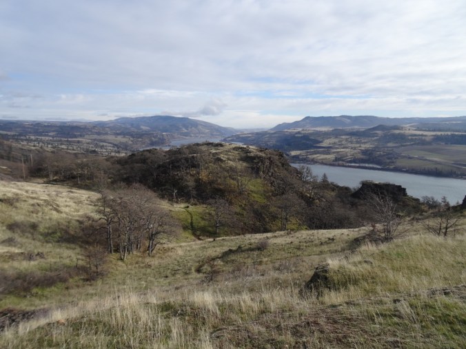
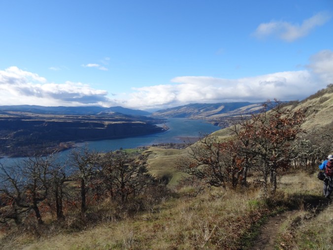
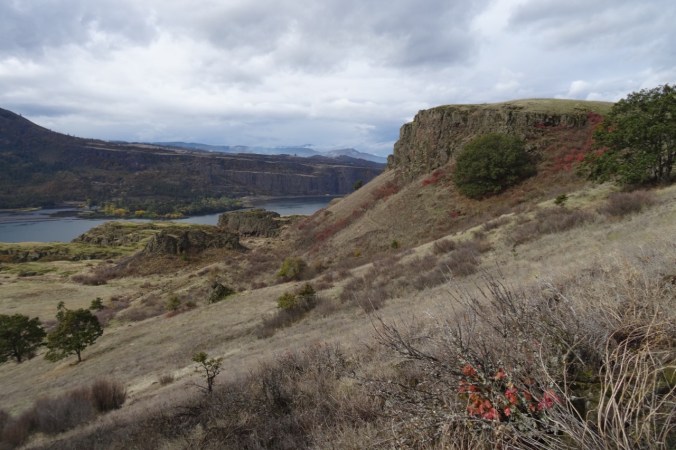
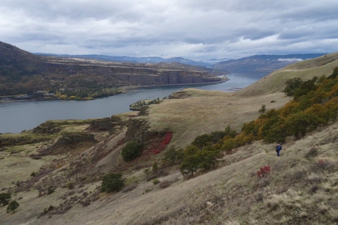
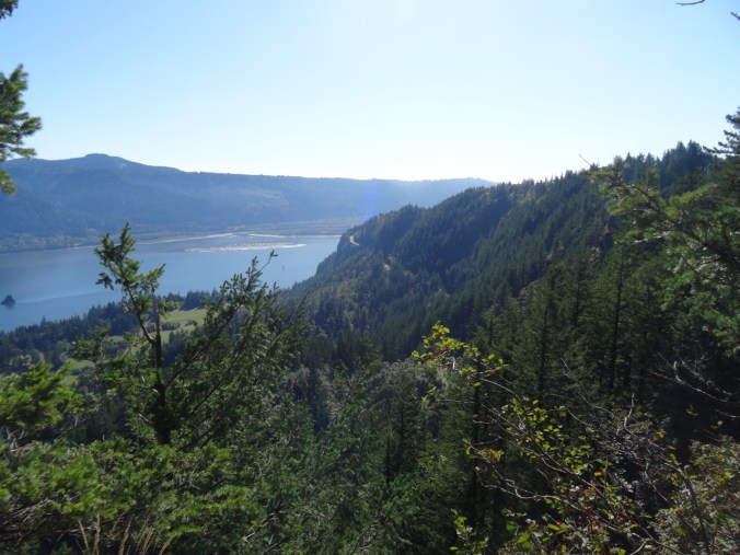
View to the east upriver from Pioneer Point
View to west from Pioneer Point, including Hwy 14 viaduct
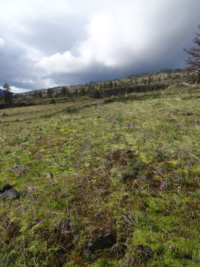
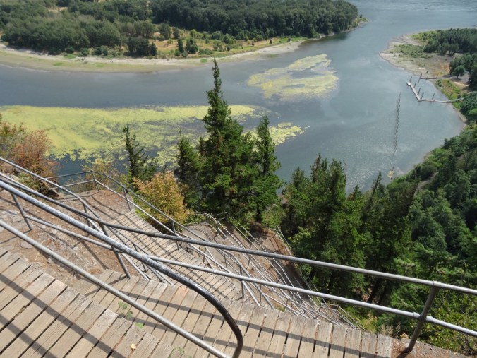
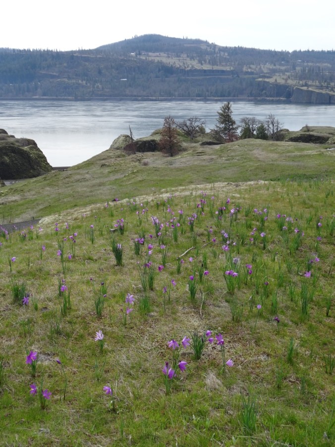
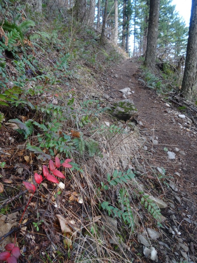
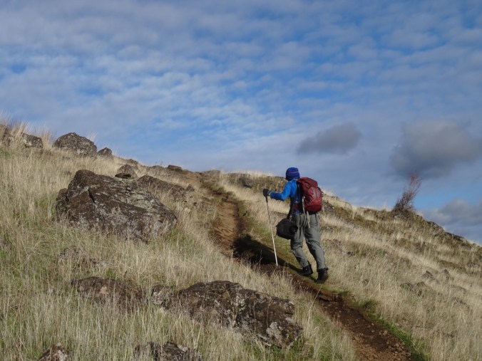
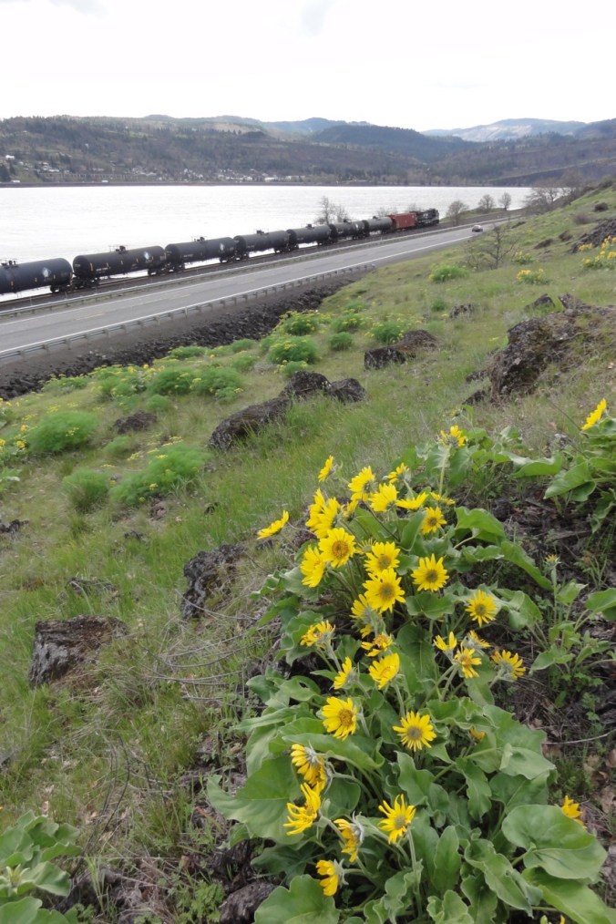
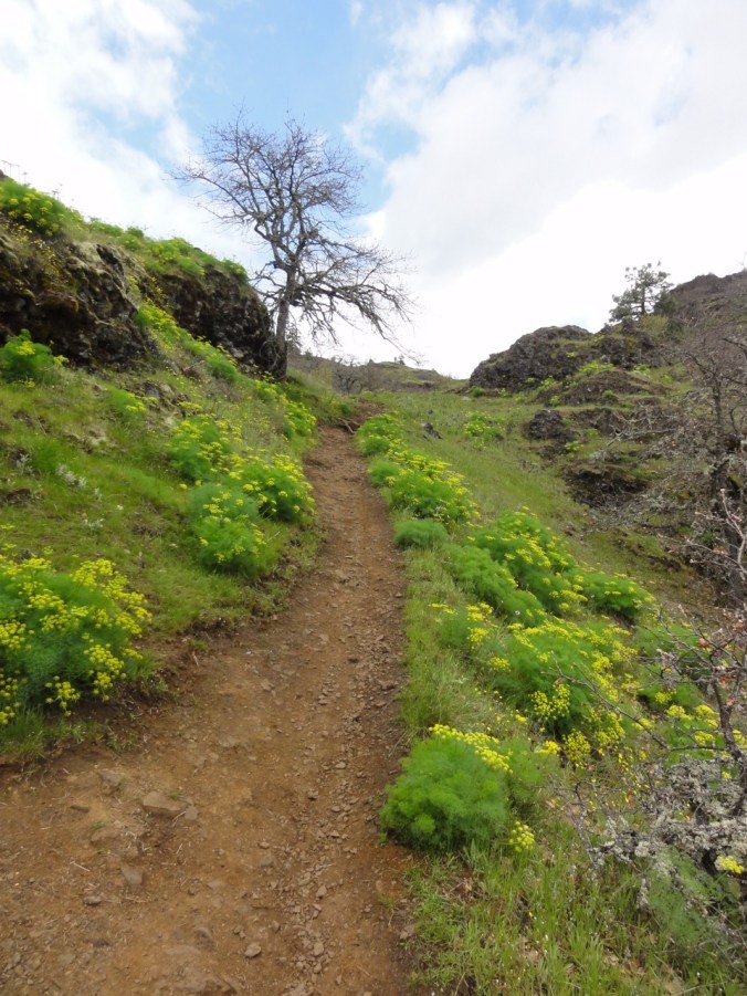
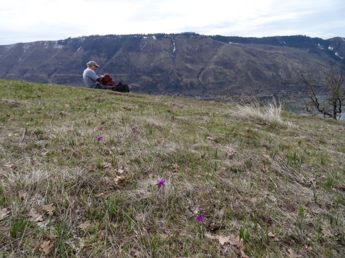
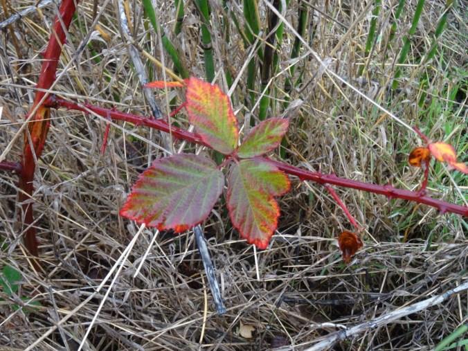
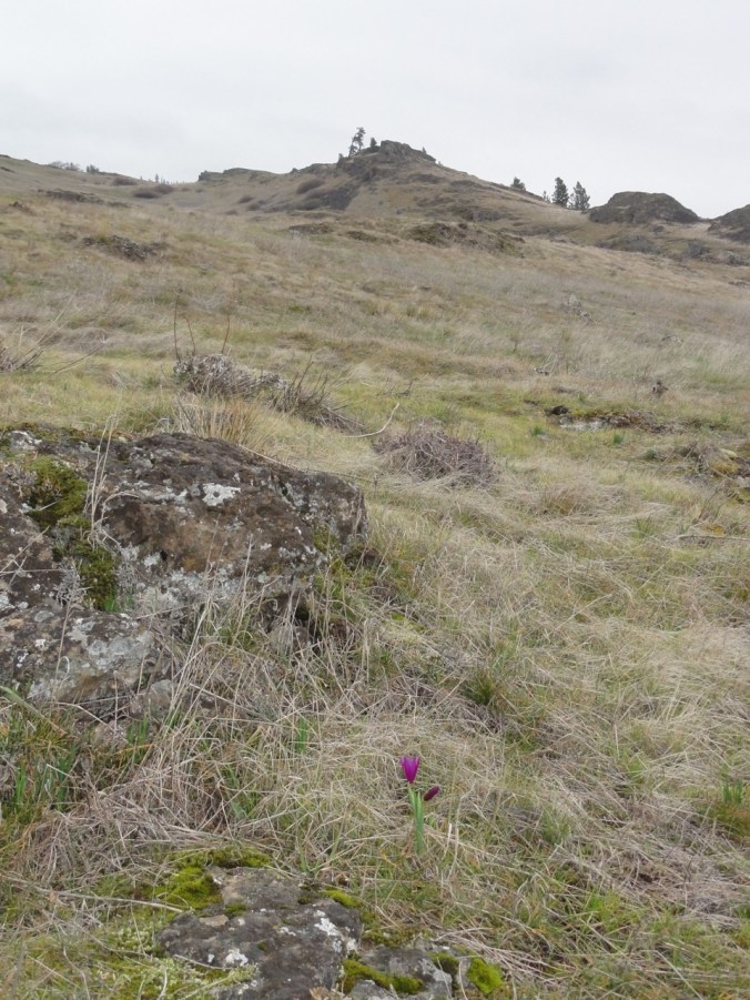
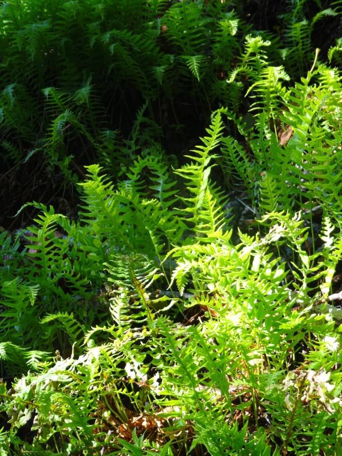
From there it is all downhill, down the steep switchbacks to the trailhead. We were a bit early for the fall color display, and saw only one flower, a penstemon, whereas in the spring the trail is lined by hanging gardens of wildflowers.

The last penstemon
It was a lovely day for a hike. On a side note, the turftoe plate I was using in my right boot seemed to delay the onset of pain in my arthritic big toe for a couple of miles, and I hope this tool will allow me to continue with longer hikes.

Total for the day: 7.5 miles, 1350 feet.
Look back:
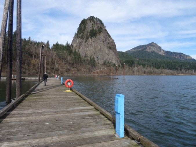
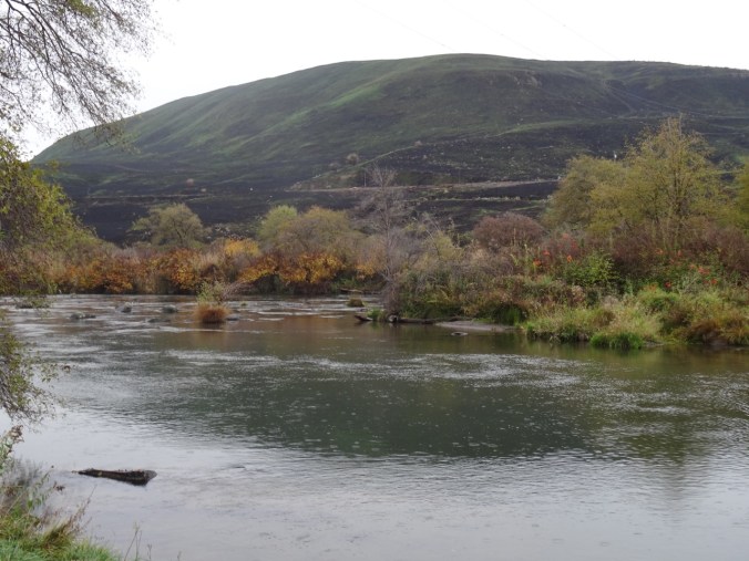
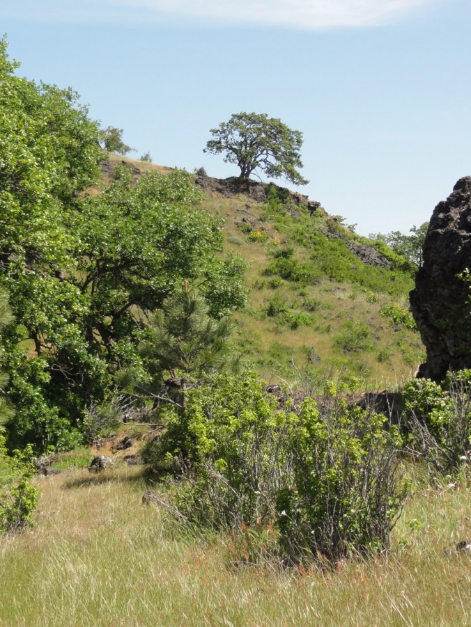
We have hiked this trail several times – though we have only completed the full loop a couple of times because the lower cliff area is closed from February to July for peregrine falcon nesting. In 2014, when we hiked the lower loop, we saw a train exit the tunnel beneath us.

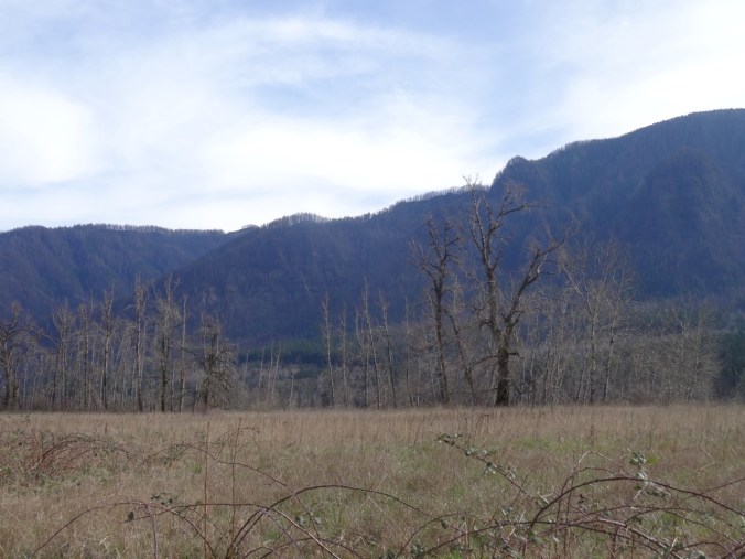
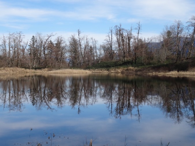
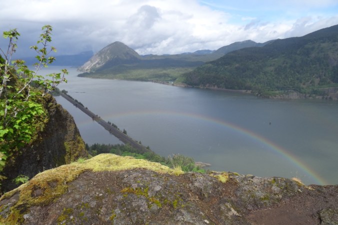
The most striking comparison is the new view of burned up Angel’s Rest, almost directly across from Cape Horn on the Oregon side of the river. Green in the past, it is now brown.
Angel’s Rest 2014
Angel’s Rest 2017
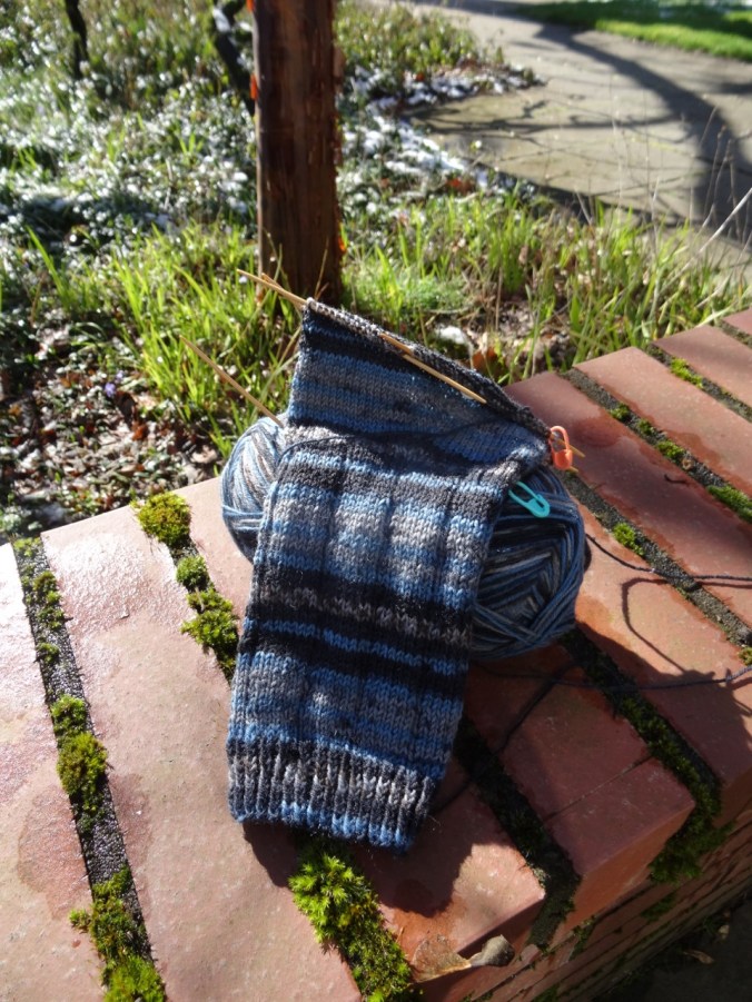
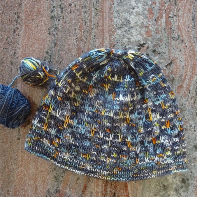
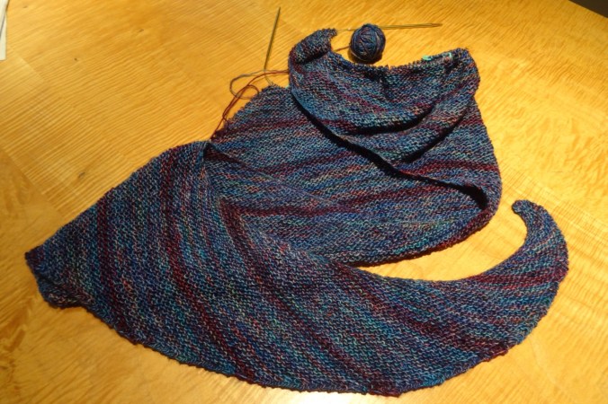
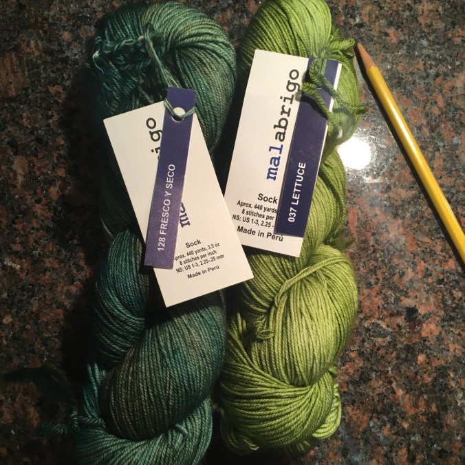
Crafting:
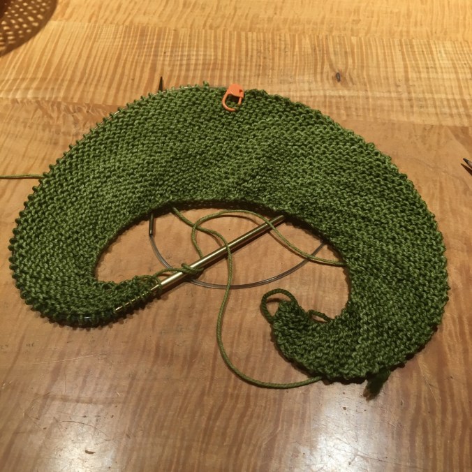
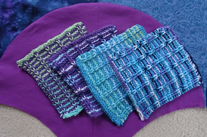
I have knit two more tortillas and a square purple wash cloth, as well as mended four pairs of hand knit socks in time for winter.
I have been planning my giant clam shell quilt, but have not yet made a satisfactory template. More on that later.