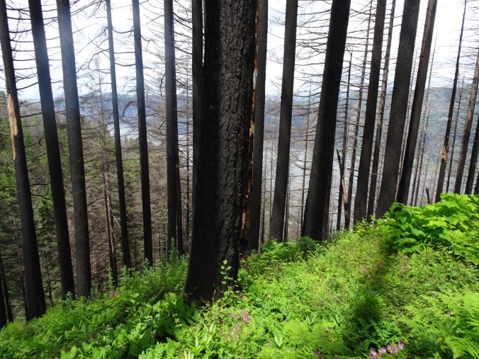
June 6, 2019 – Wahkeena-Multnomah Falls Loop
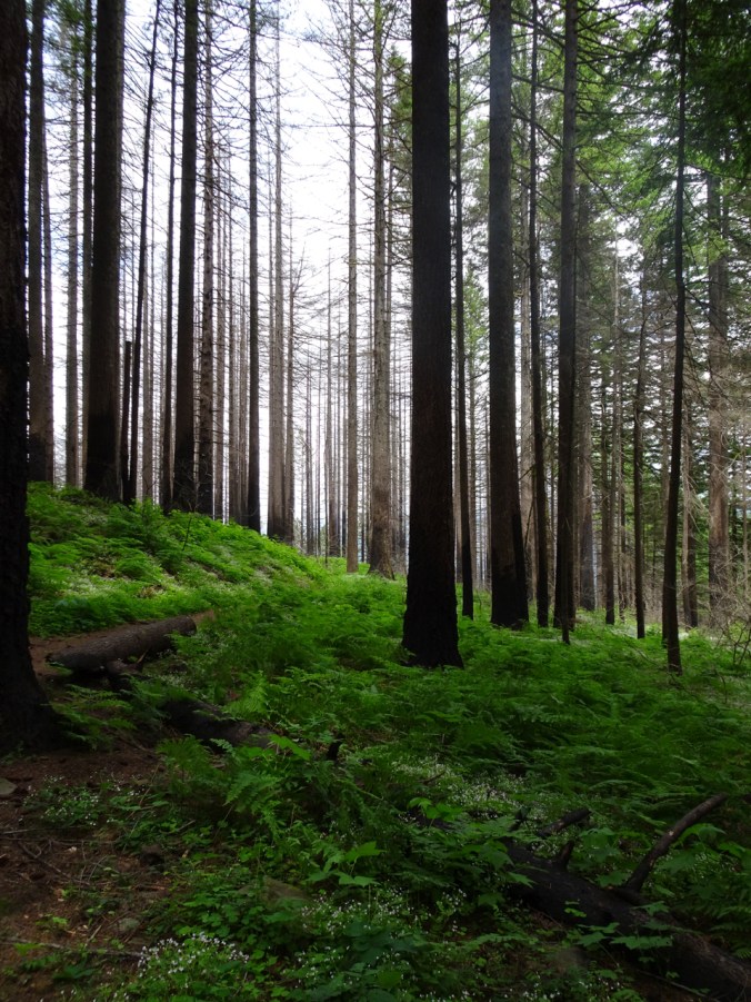
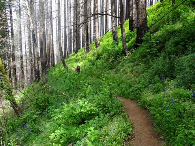
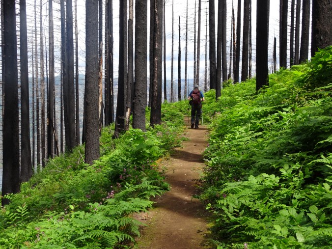
This area was burned by the Eagle Creek Fire of September 2017. The trails above the waterfalls were closed for over a year, then have been reopened and closed periodically since fall 2018. Instability along the trail, falling trees and sliding slopes have been valiantly repaired by our intrepid trail keepers. The trails were open today. We hiked up Wahkeena Creek and down Multnomah Creek. Much of the understory removed by fire has returned as lush greenery. It was a beautiful hike on a beautiful day, and there were sooo many flowers!!! Of course, by the time we circled back around to Multnomah Falls there were also sooo many people, but most don’t go above the Benson Bridge. I enjoyed my first foray back onto these trails. (Hike #26 for 2019, 5 miles, 1600 feet)
Wahkeena Trail

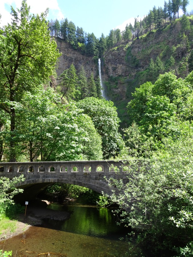
Approaching Multnomah Falls from the parking area.

Wahkeena Falls
We started by climbing past Wahkeena Falls, and up several hanging garden switchbacks to Lemmons Viewpoint:

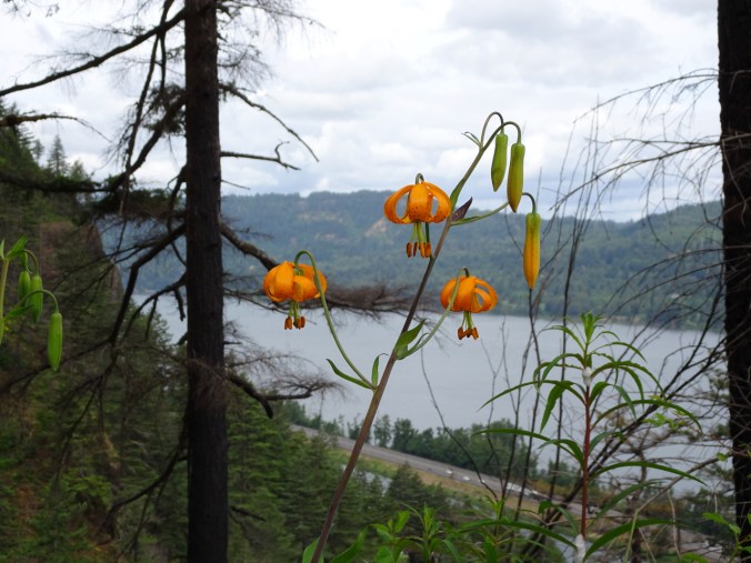
Tiger lily blooming near the viewpoint.
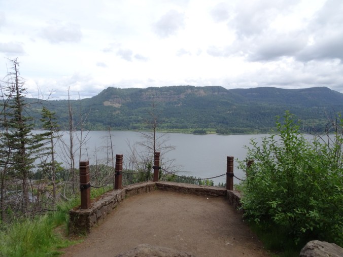
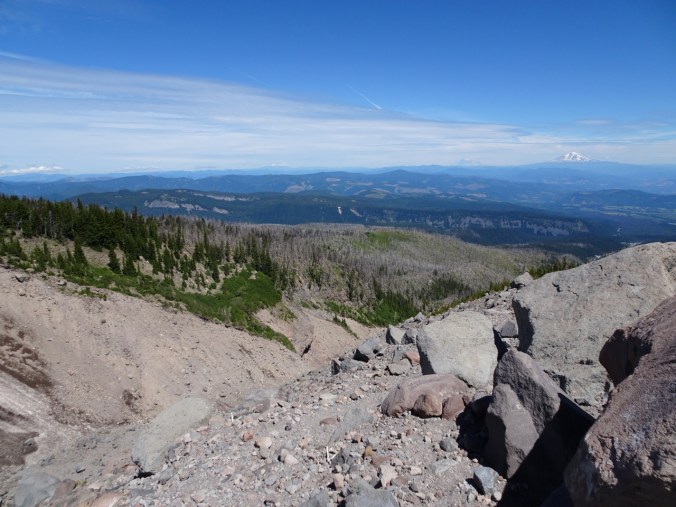
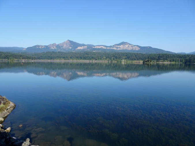
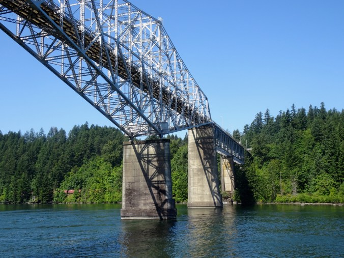
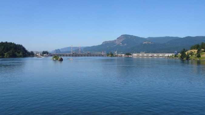
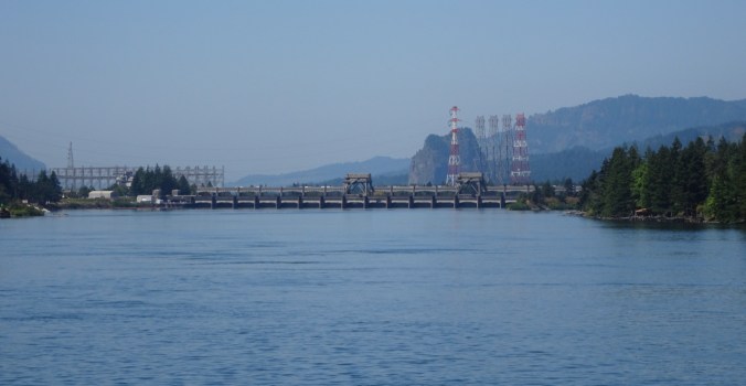
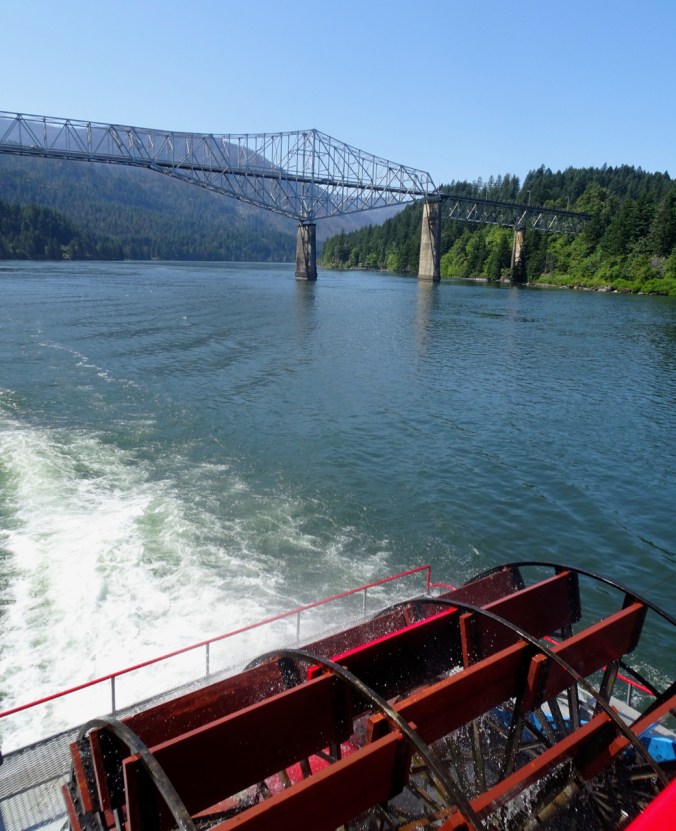
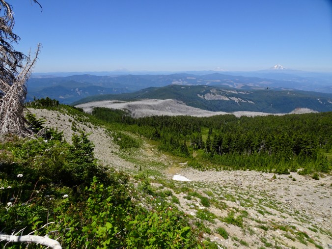
View across the Columbia River

View upriver to Beacon Rock
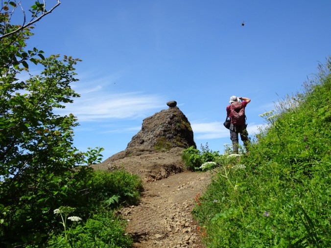
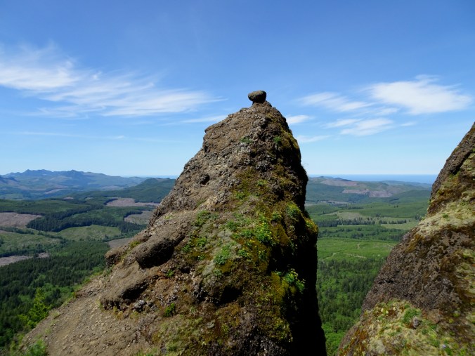
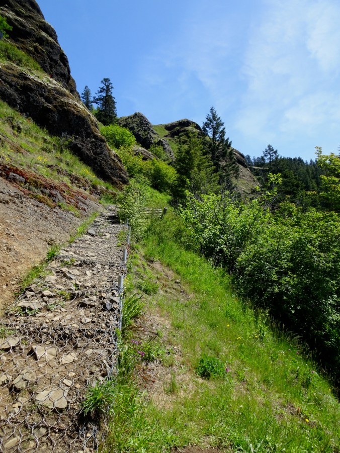
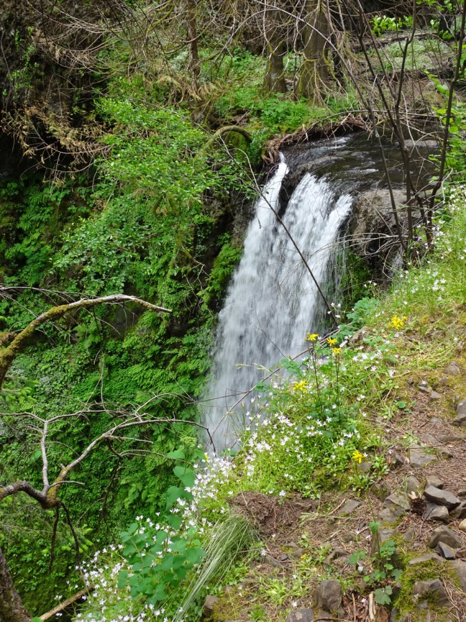
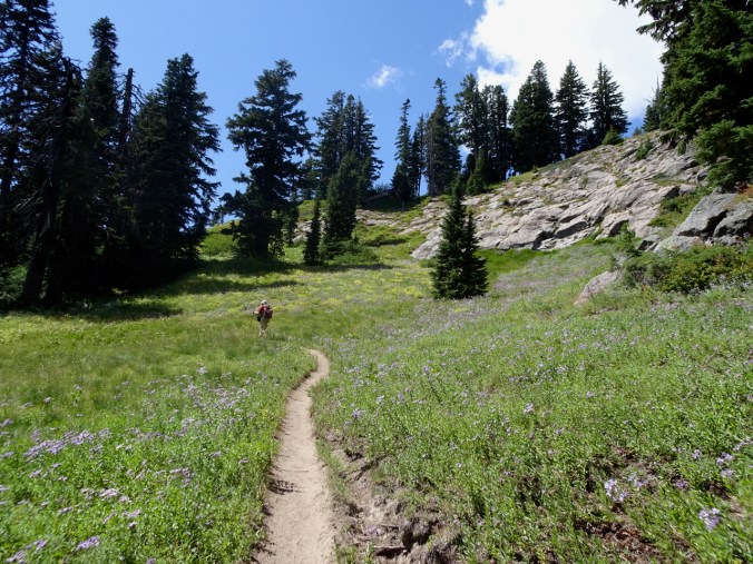
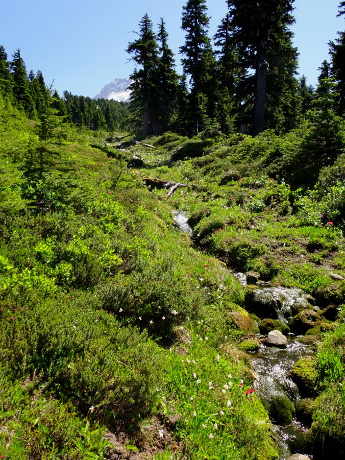
The trail continues up Wahkeena Creek beyond Fairy Falls and onto the ridge between the drainages:
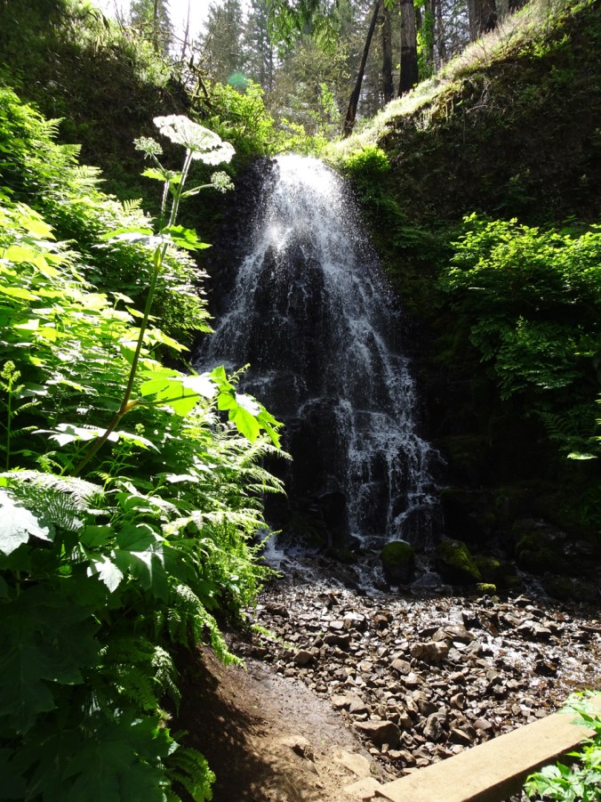
Fairy Falls
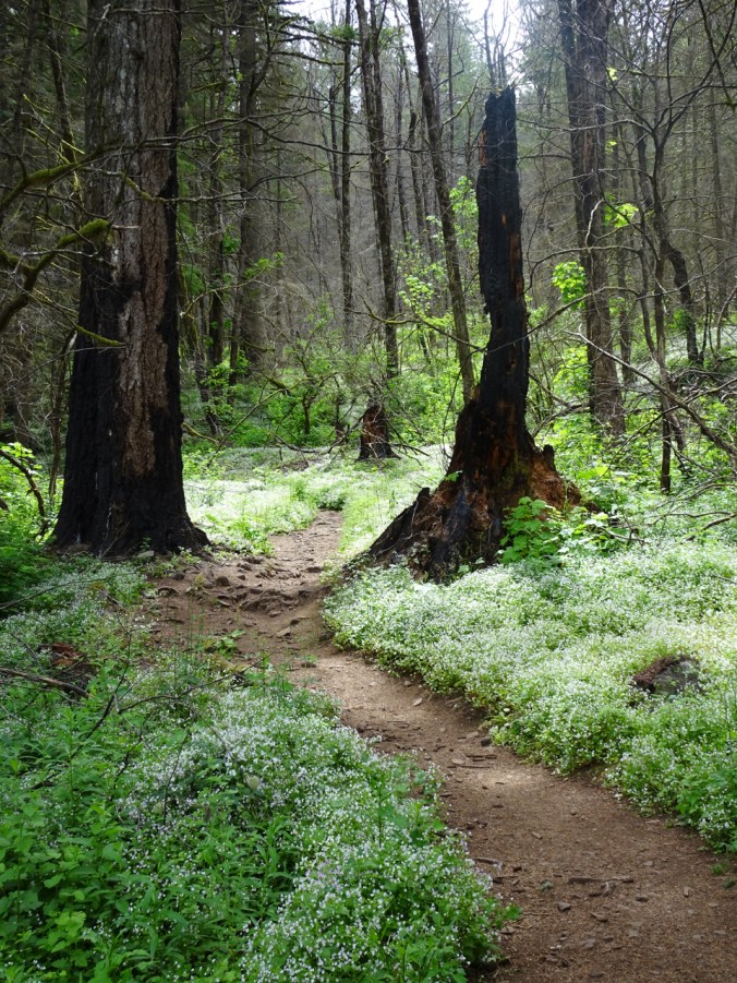
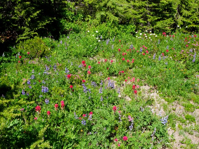
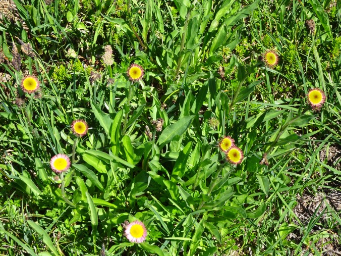
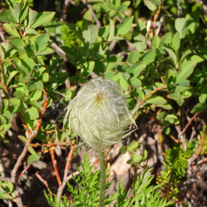
Millions of candy flowers line the burned forest floor.
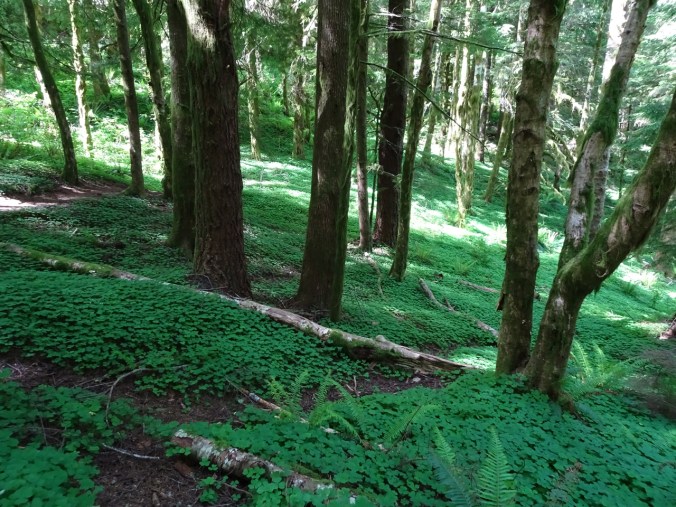
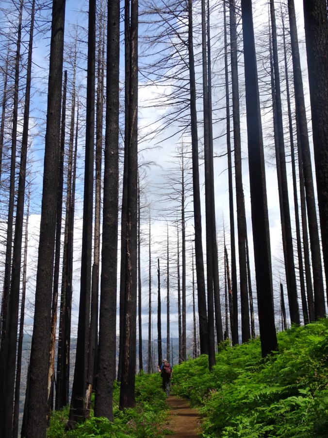
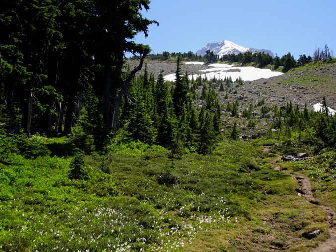
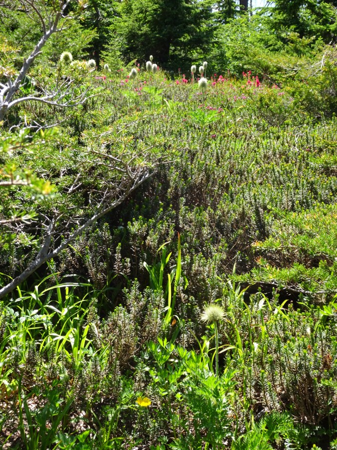
The next section of trail, along the upper ridgecrest, has always felt very special to me – a quiet flat trail in the deep forest, high on a steep ridge above the river – immensely peaceful and idyllic. My first time through after the fire was trepidatious, but the trail retains it’s magical quality. Despite the scorched trees and more open view, the feeling of peace remains. These trees will all come down at someday. Today I marvel at the explosion of flowers the extra sunlight has nurtured.
A couple of comparisons from a June 2014 Hike:
2019

2014
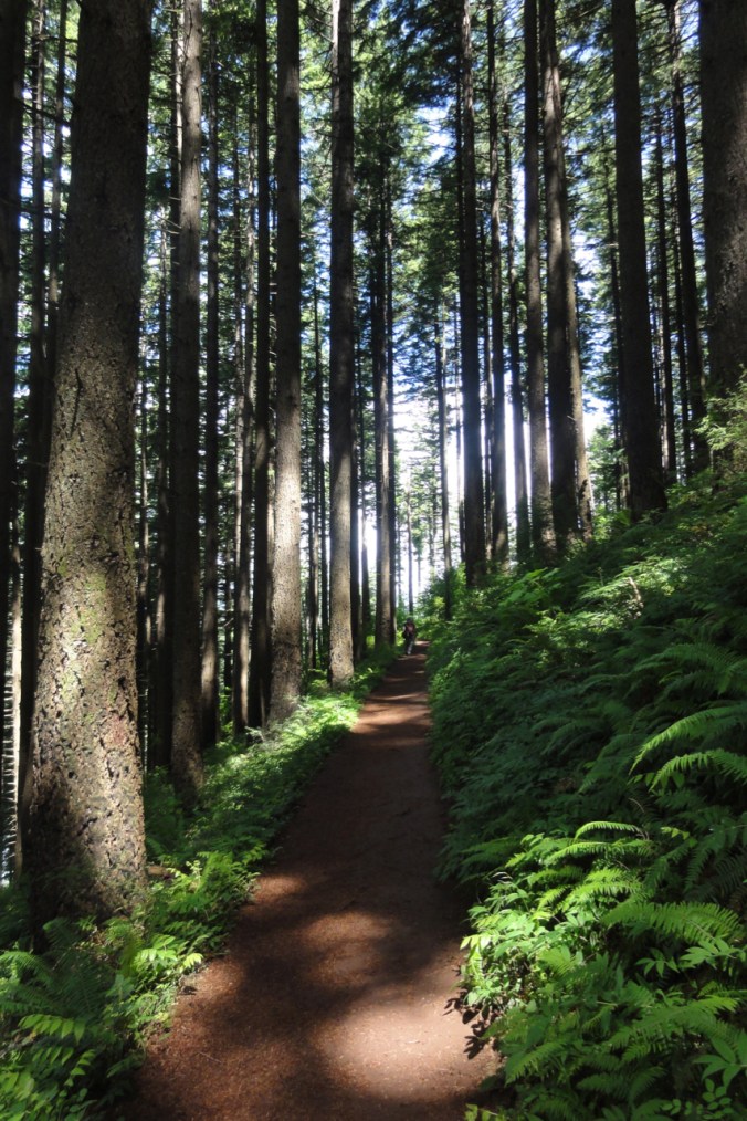
2014

2019
View downslope to the river.
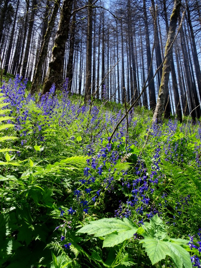
From here, the trail crosses a couple of flowery drainages before heading down to Multnomah Creek:


Larkspur ahead!

Arnica and columbine
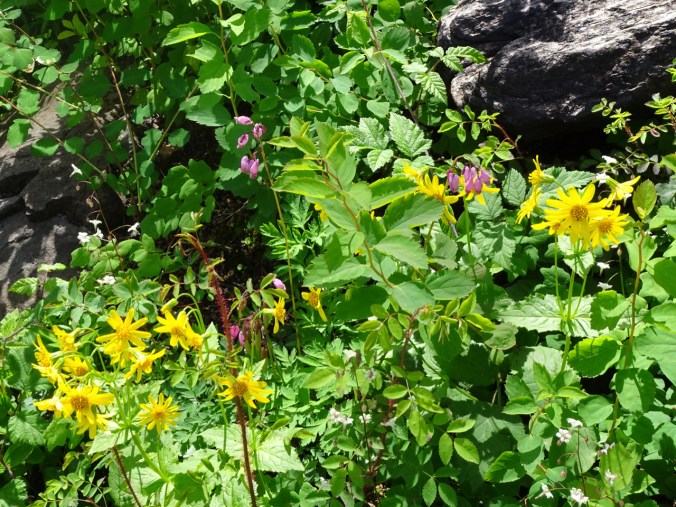
Arnica, bleeding heart

Columbine, iris, bleeding heart
Multnomah Creek
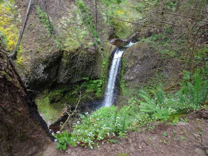
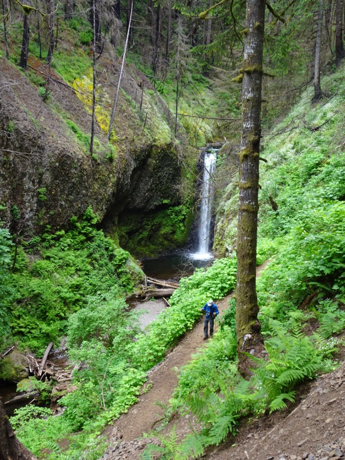
The trail passes several waterfalls along Multnomah Creek:
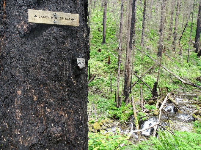
New sign, burned sign
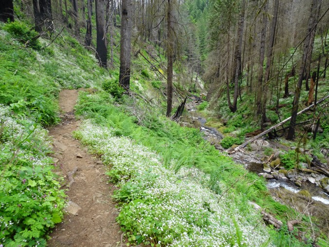
Multnomah Creek
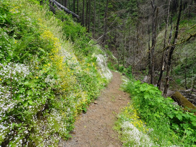
Flower lined trail
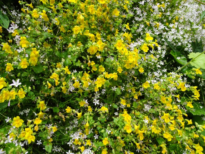
Monkey and candy flowers
Ecola Falls
Wiesendanger Falls
Dutchman Falls
A side spur leads out to the viewpoint at the top of Multnomah Falls (where the crowds of people begin):
The top of falls viewpoint

Looking straight down the falls

View of the parking area, river and beyond
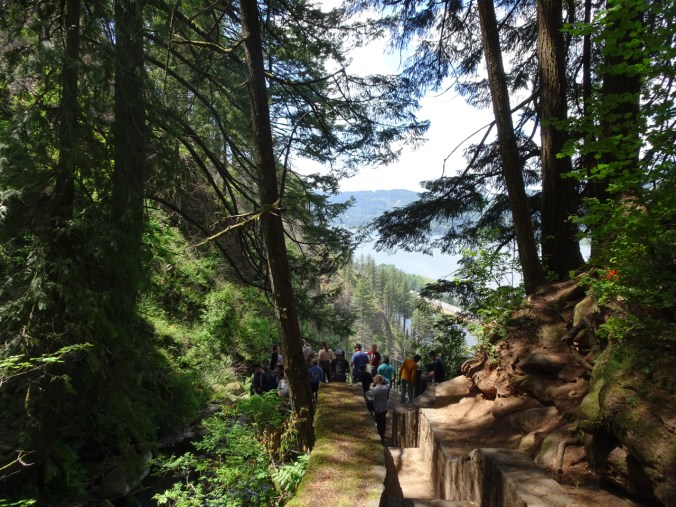
A dozen or so paved switchbacks lead down to the trailhead. Lots of people and flowers along the way:

Rebuilt rock wall along the trail
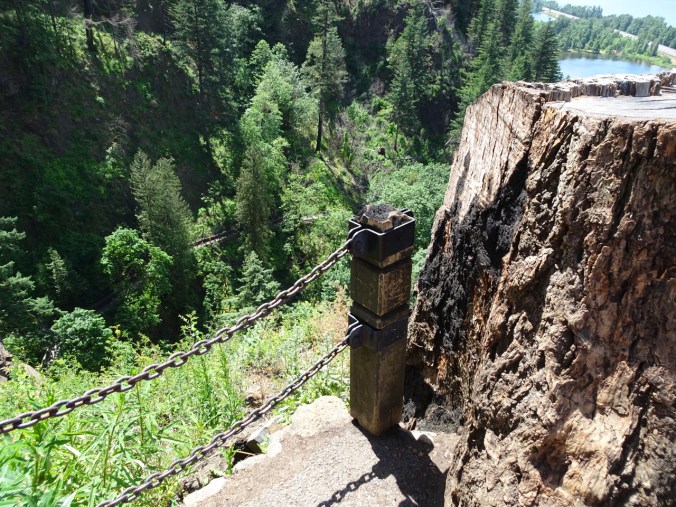
Burned trail post
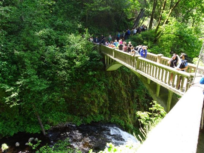
Approaching the Benson Bridge

Looking down to the view plaza from the bridge

Multnomah Falls from the view plaza
Looking back from the approach area
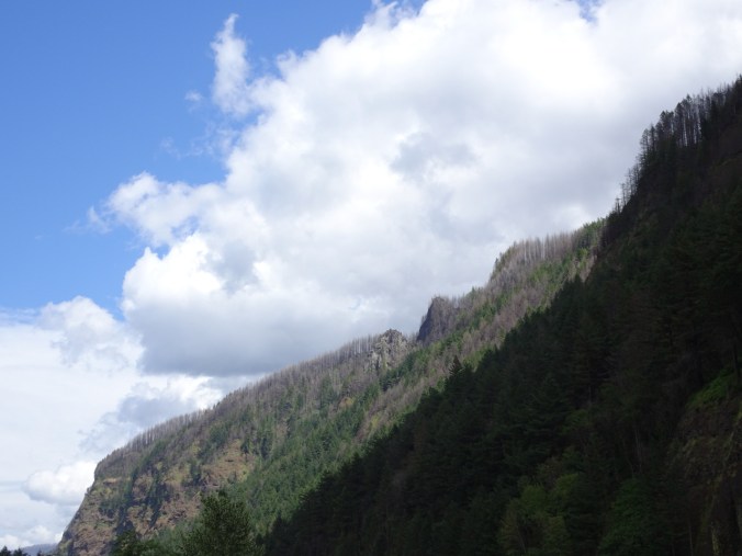
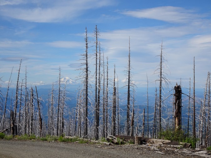
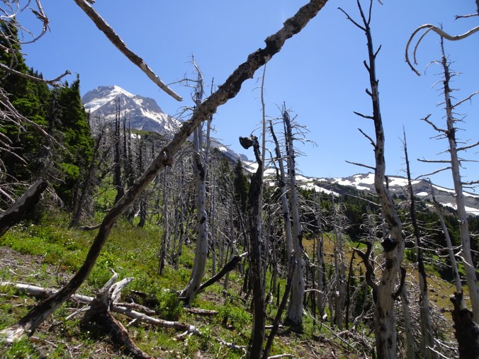
Burned trees along the ridgeline
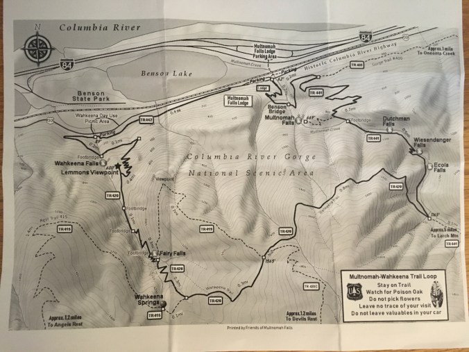
Trailmap
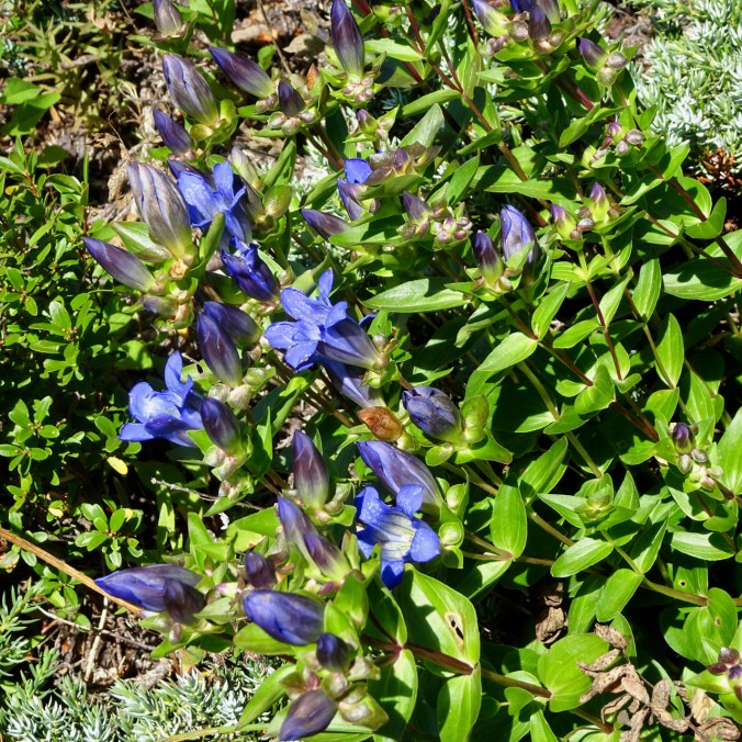
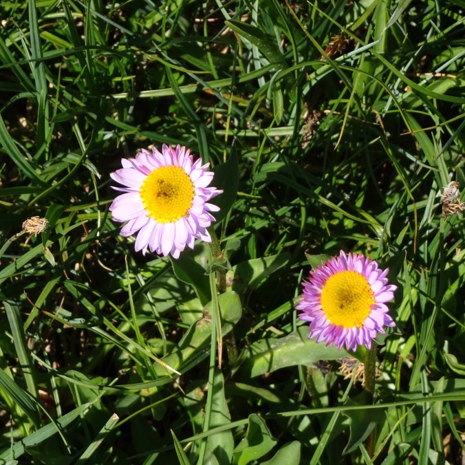
More flowers:

corydalis

nine bark

paintbrush

vetch

littleleaf candy flower

fireweed

mock orange

Oregon sunshine

fringe cup

lupine


 I spun while cheering on the superhuman athletes who propel themselves on bicycles for 21 days! So many ways to win in Le Tour de France – jerseys, stages, sprints, mountain tops, combatitiveness, even a red lantern for the last place finisher, and I feel I have won too, by spindling every day. I am looking forward to adding more spinning to my crafting time.