The first couple of weeks were very cold, followed by many days of rain dripping down the windows, yarn loops sliding by on the needles, and just a few sun breaks. A tsunami from Tonga, the Omicron surge just beginning to decline, a trip to Joshua Tree cancelled…another pandemic month in Portland.
Hikes:
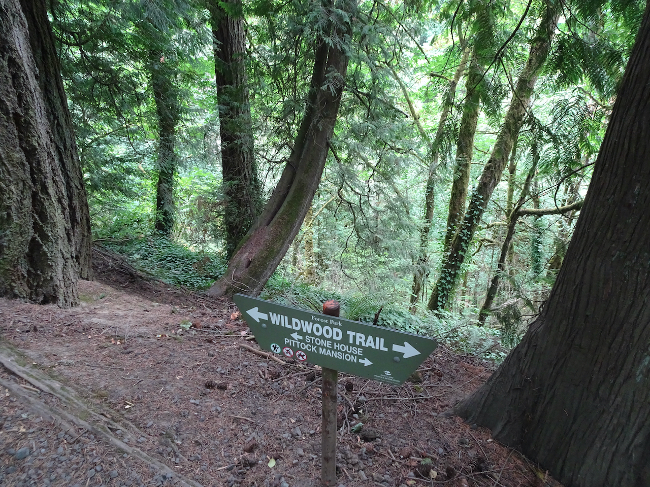
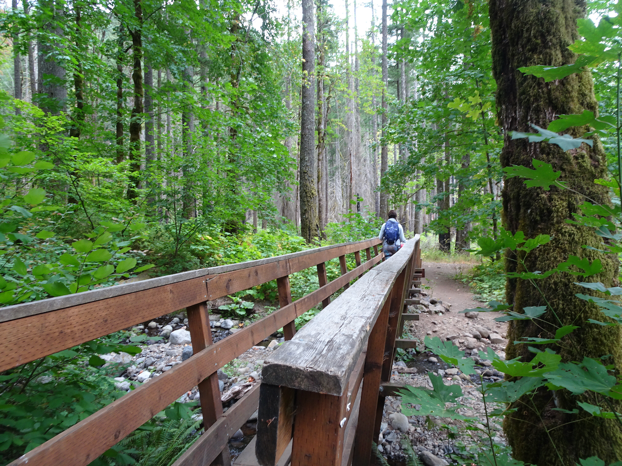
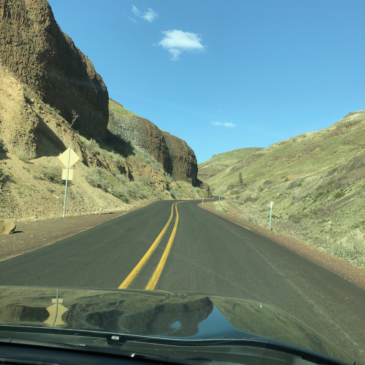
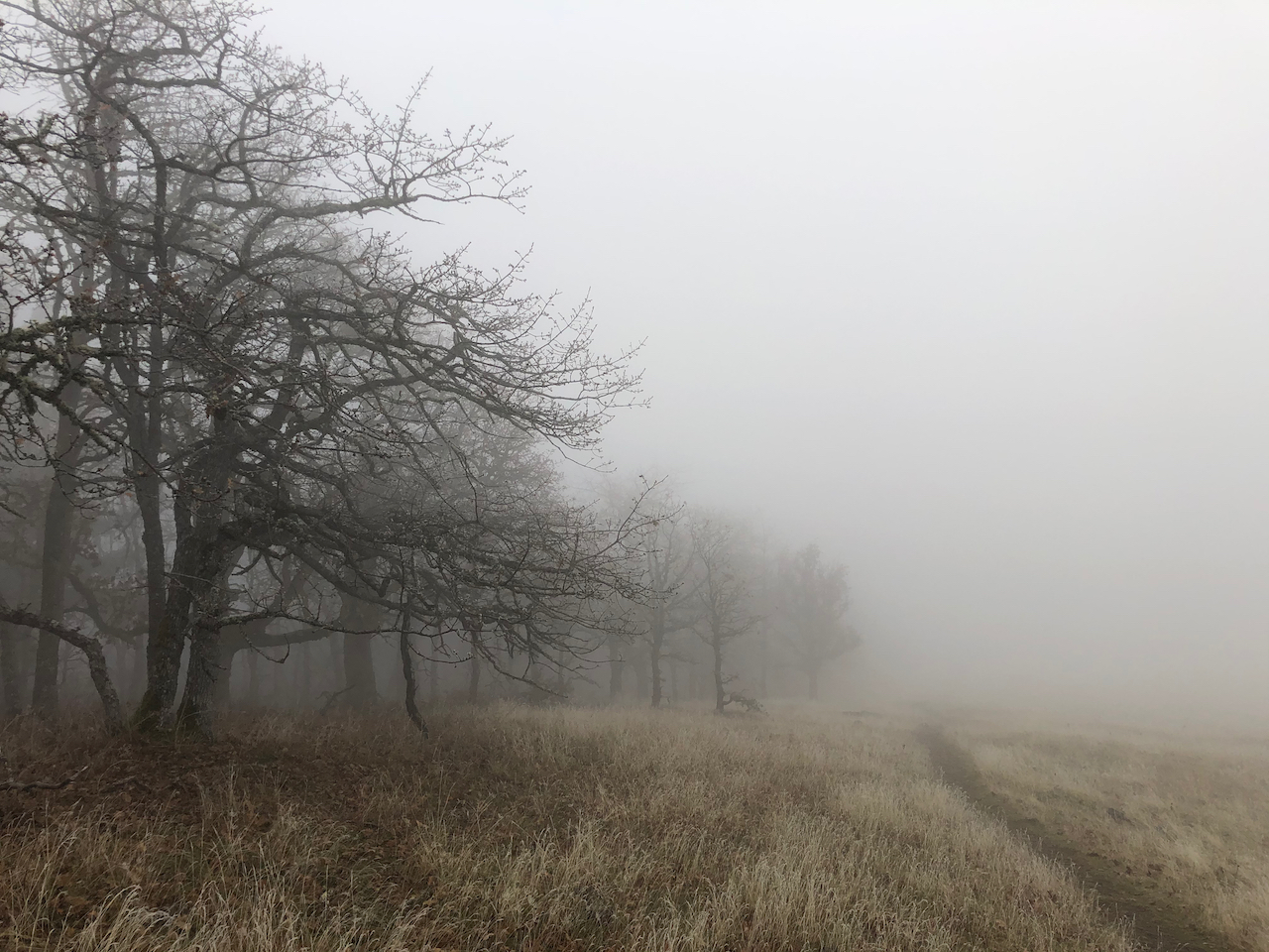
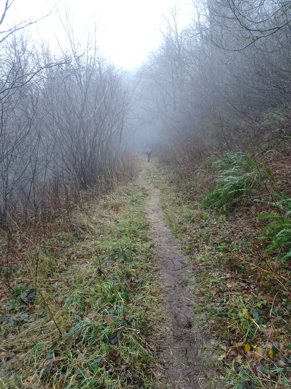
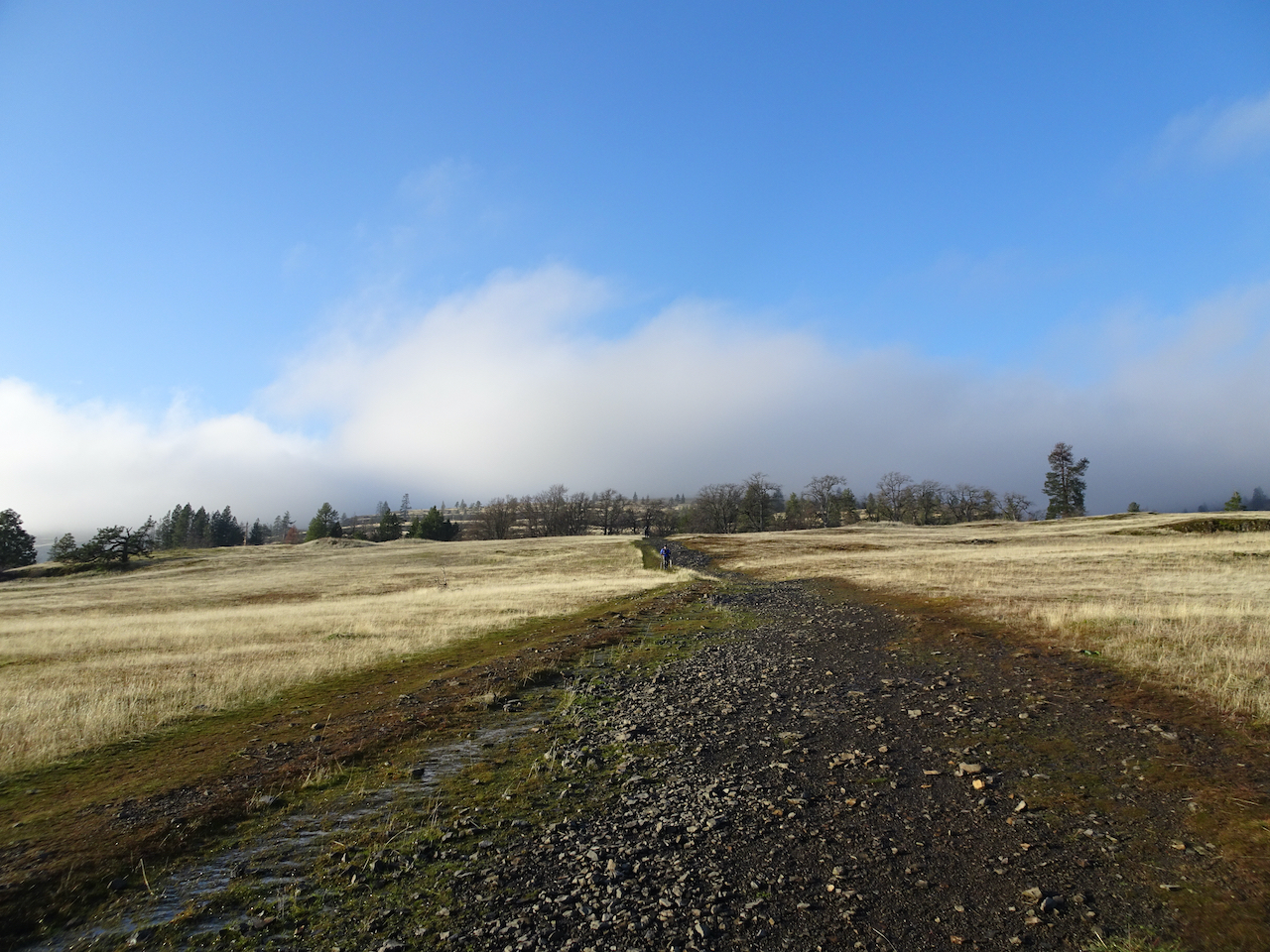
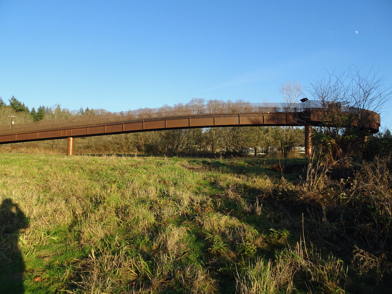
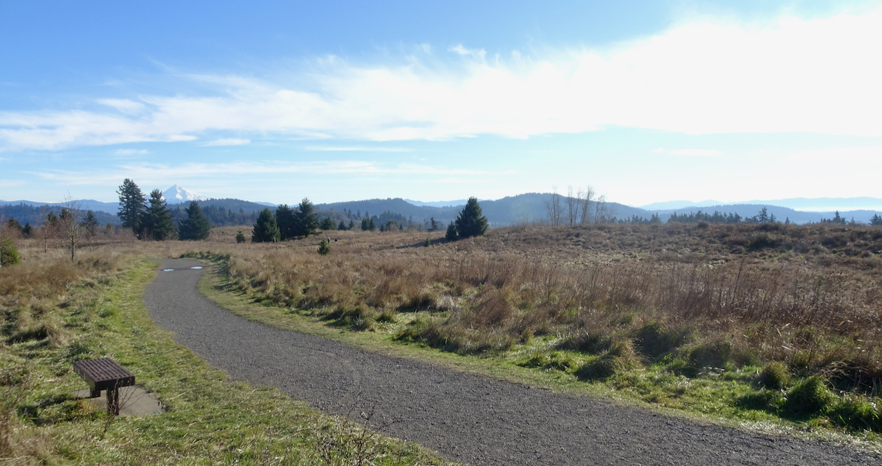
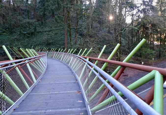
1/9/2022 Wildwood Trail to Pittock Mansion in Portland – A rare sunny day – everyone out on the trails – we continued our section hike of the Wildwood Trail, completing about 3 more miles as we hiked up and back to Pittock Mansion from the arboretum, crossing the new Barbara Walker Bridge for the first time.
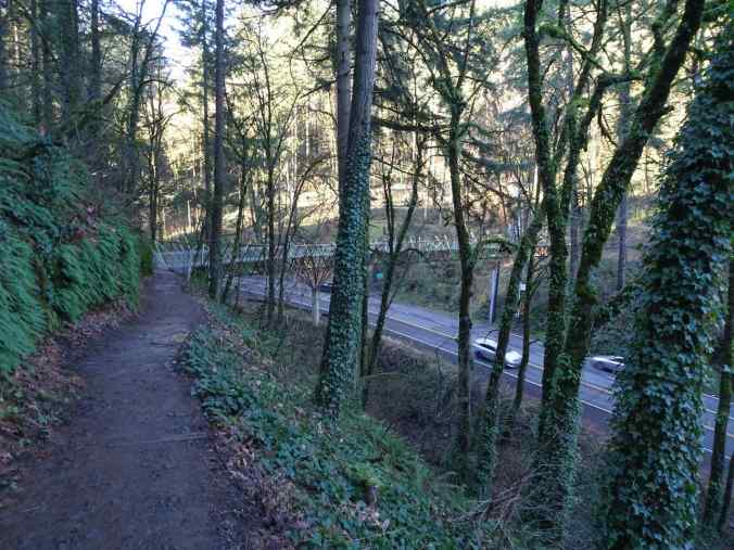
Up until last year, hikers had to scurry across the very busy Burnside Street.
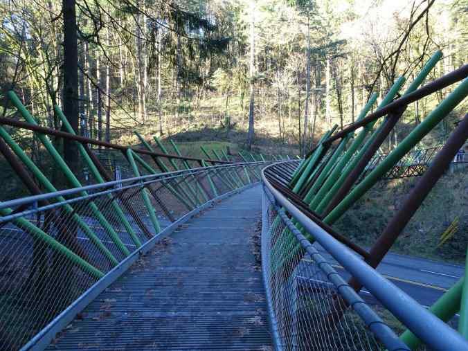
Barbara Walker Bridge.

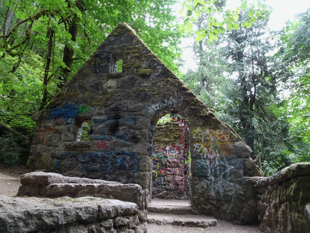
Urban trail graffiti
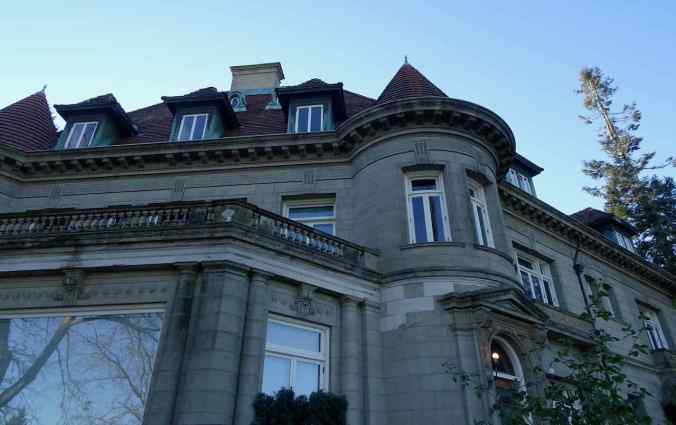
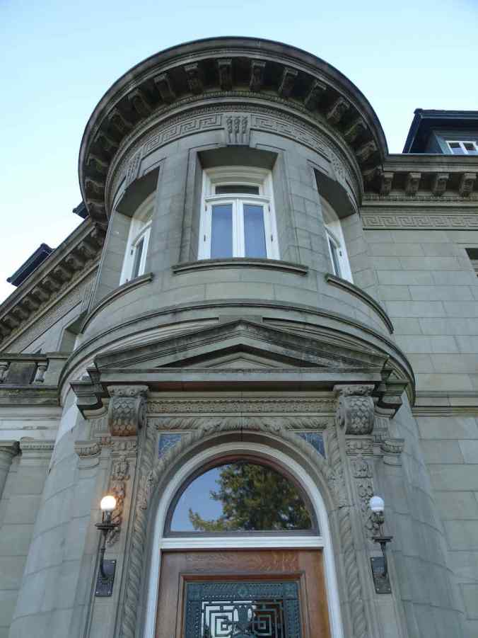
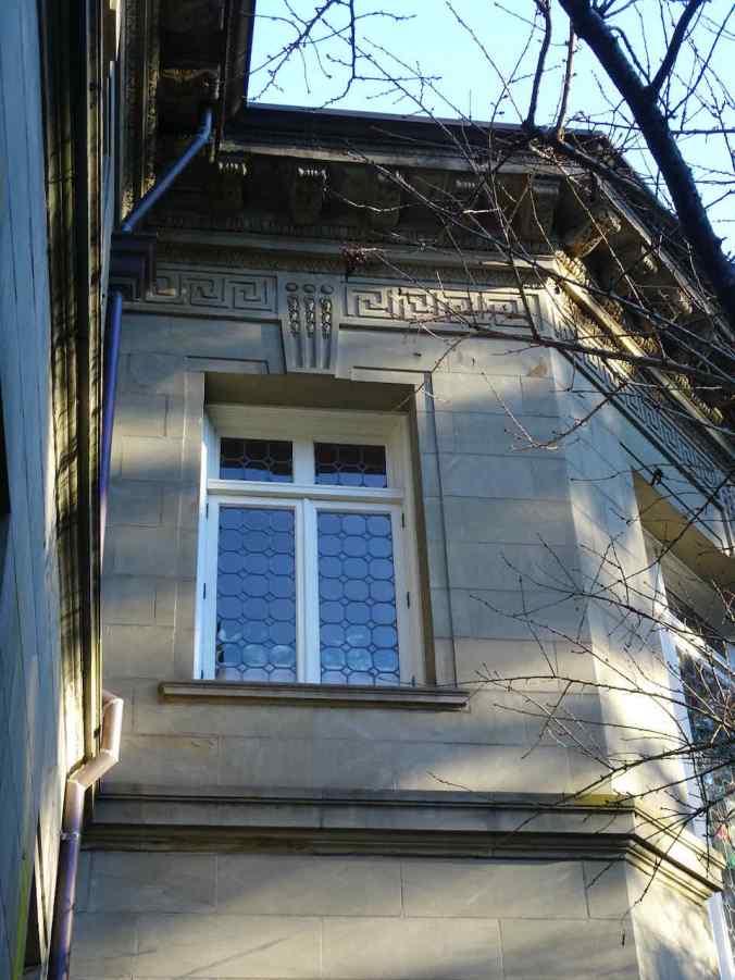
We reached the 1914 Pittock Mansion, and walked around to the viewing areas…
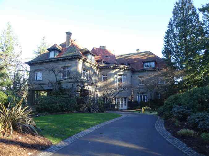
Pittock Mansion

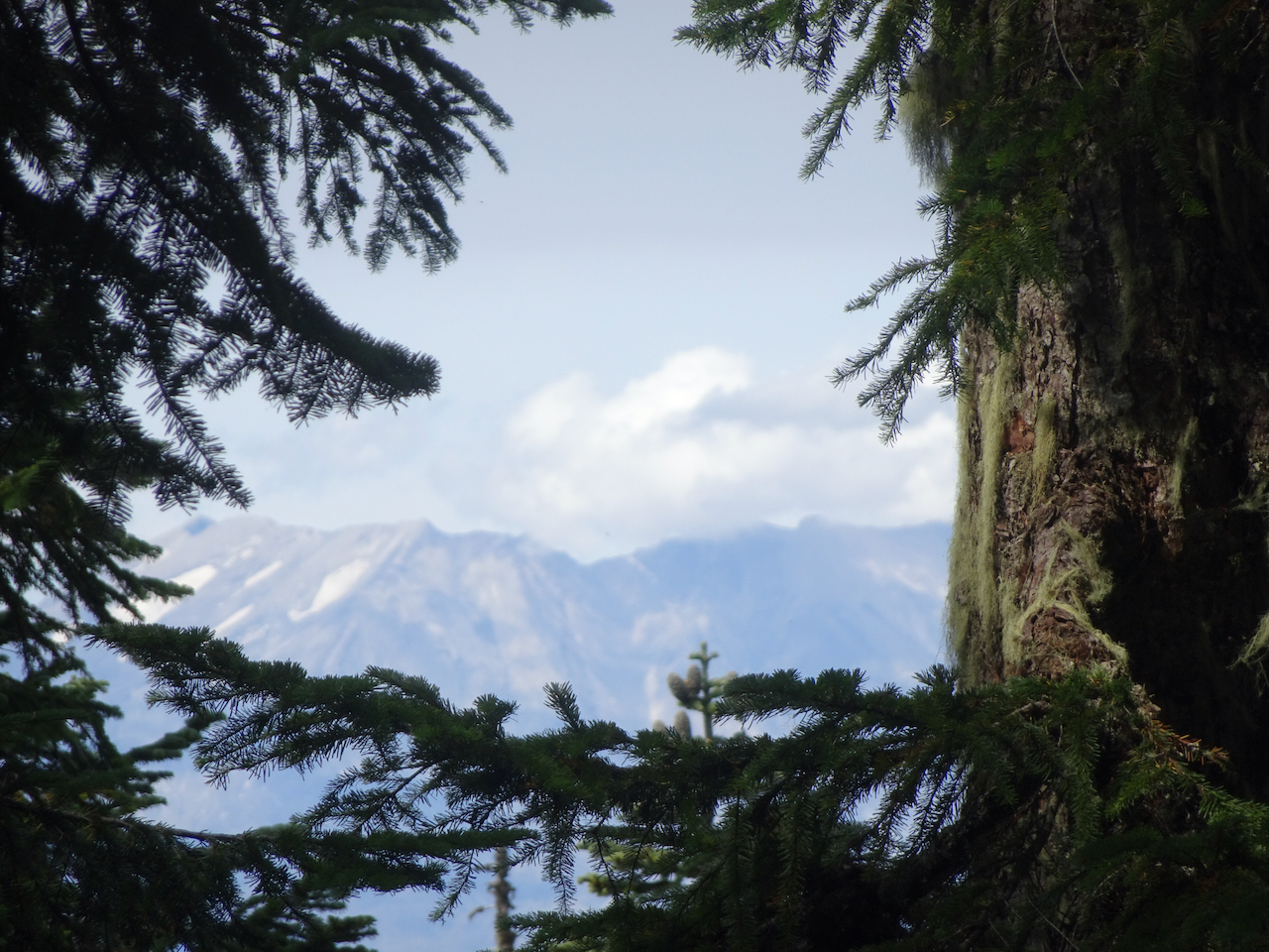
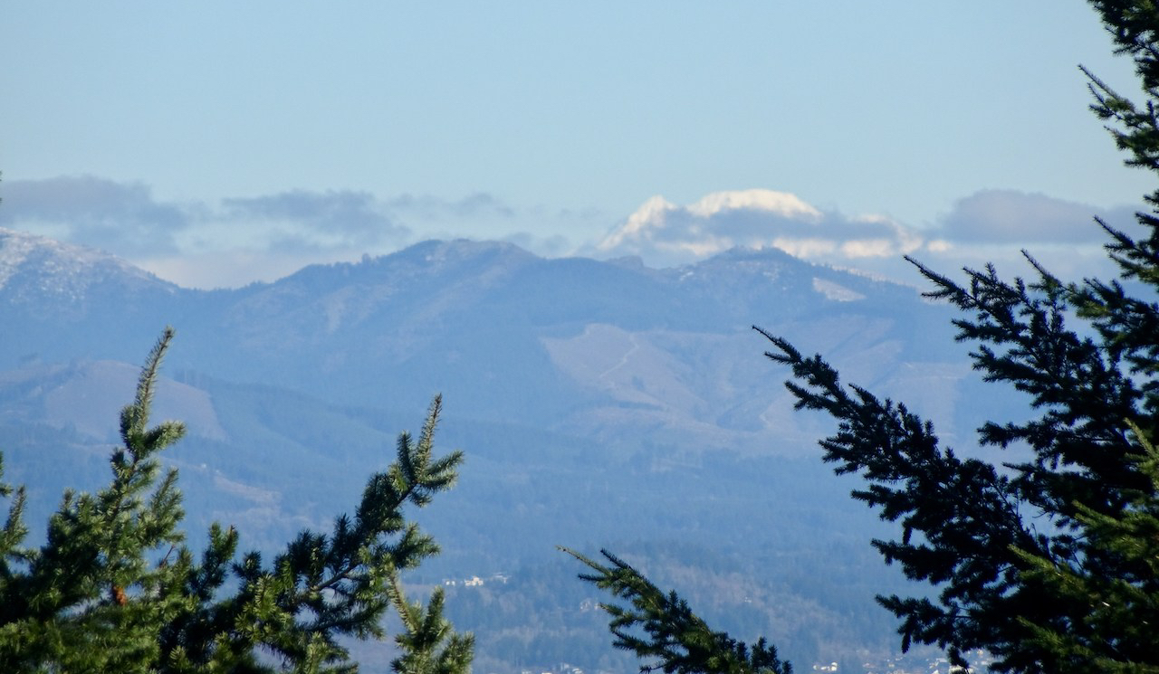
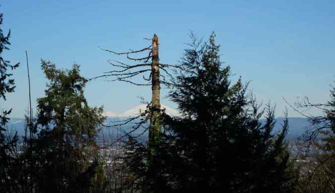
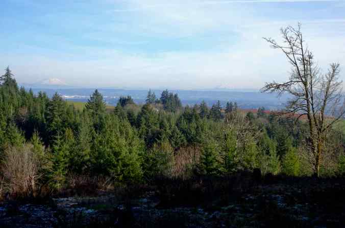
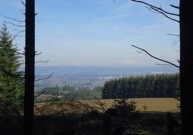
Views from the property to the Cascade Mountains…

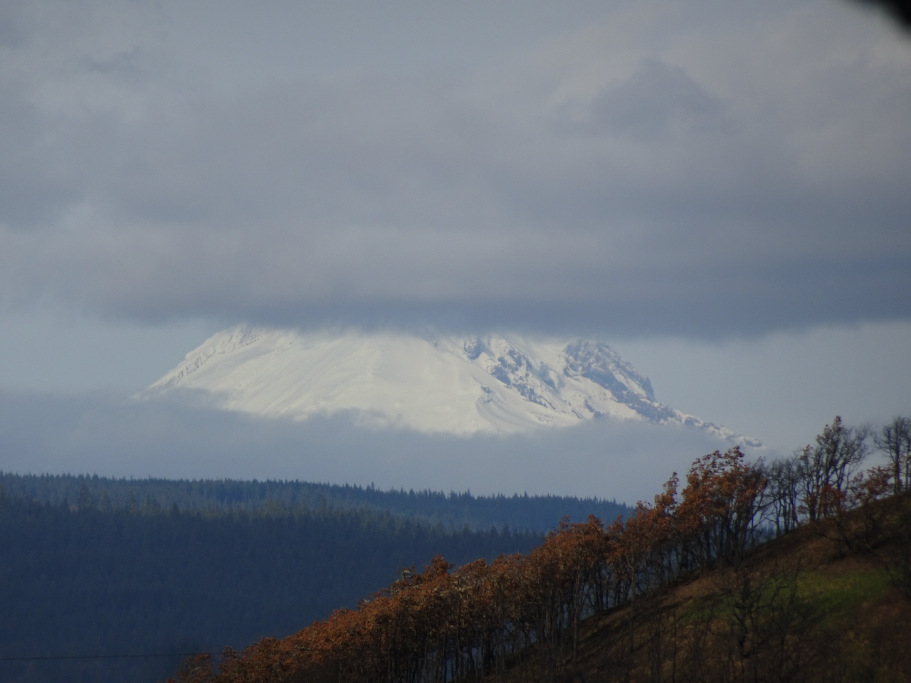
Mt Hood
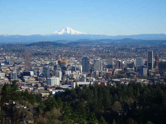
Portland and Mt Hood

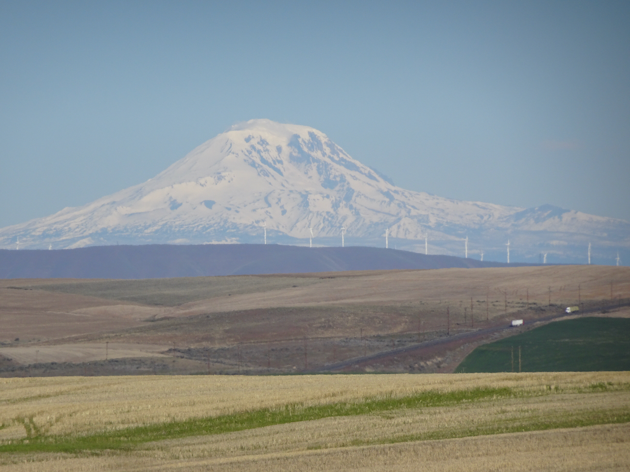
Mt St Helens
Mt Rainier beyond Mt St Helens
Returning back over the Barbara Walker Crossing…
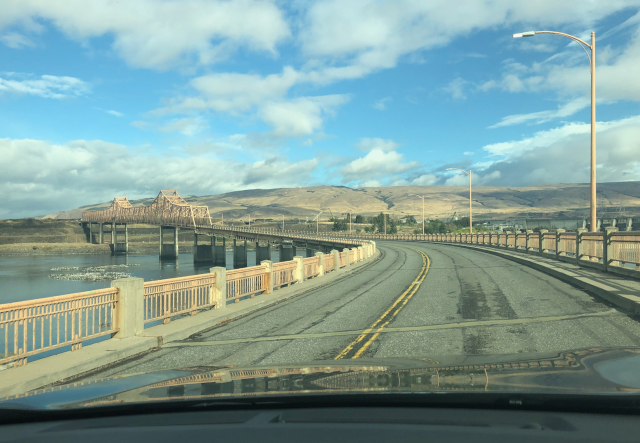
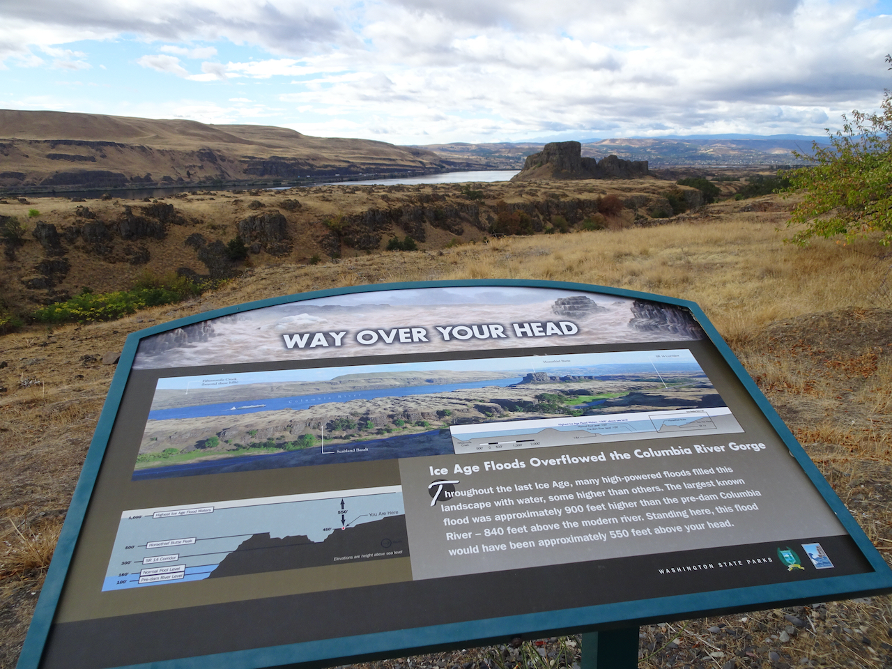
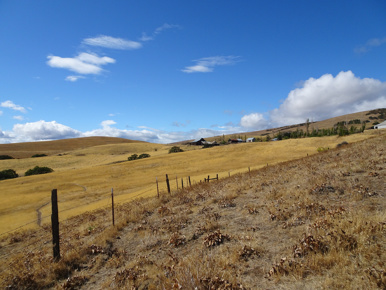
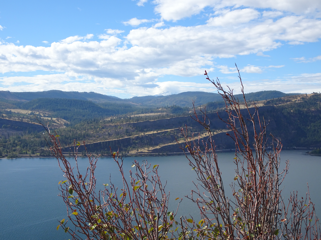
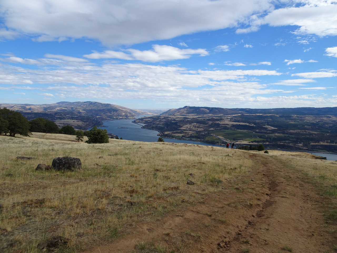
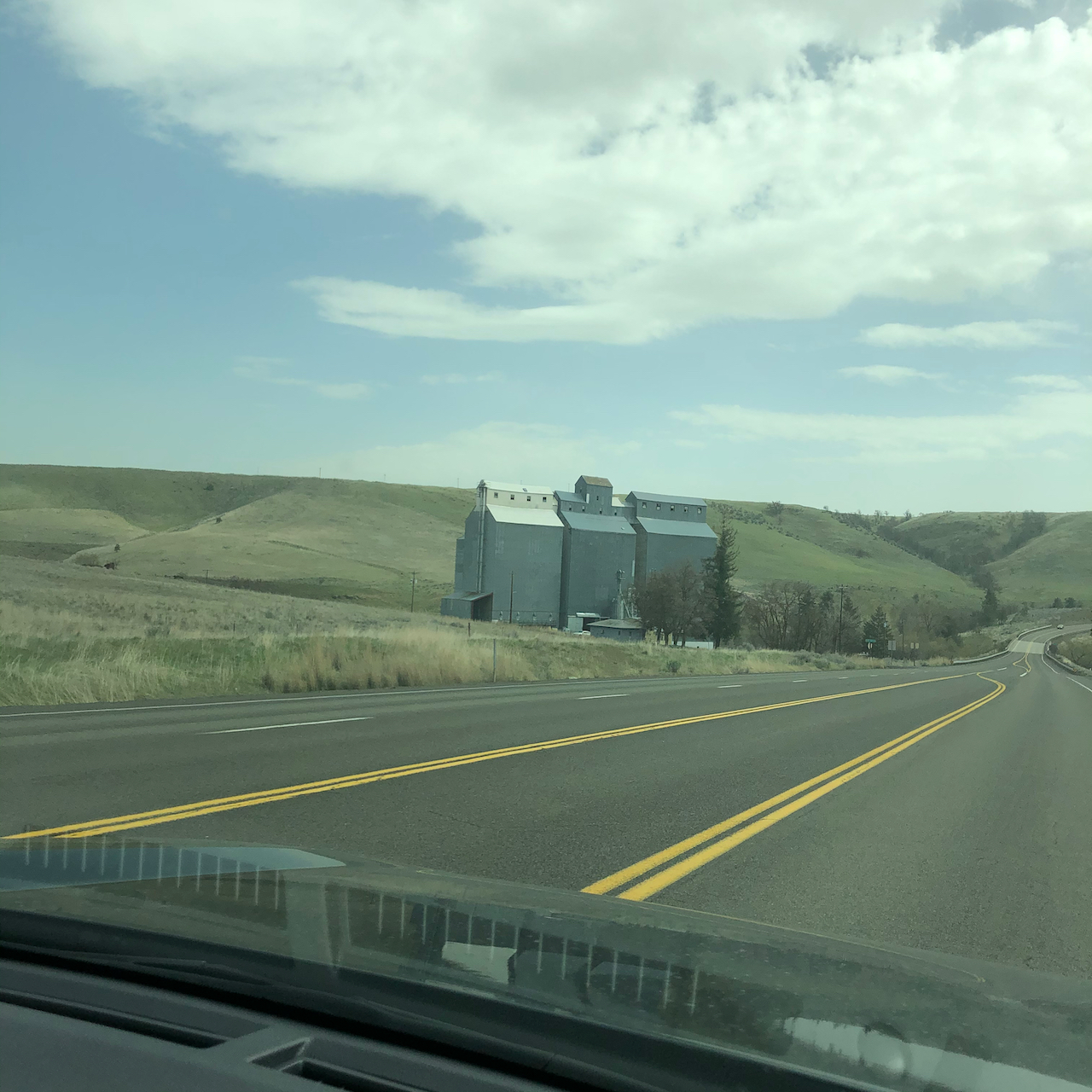
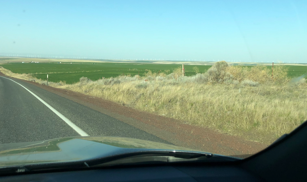
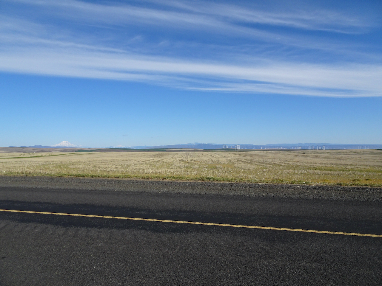
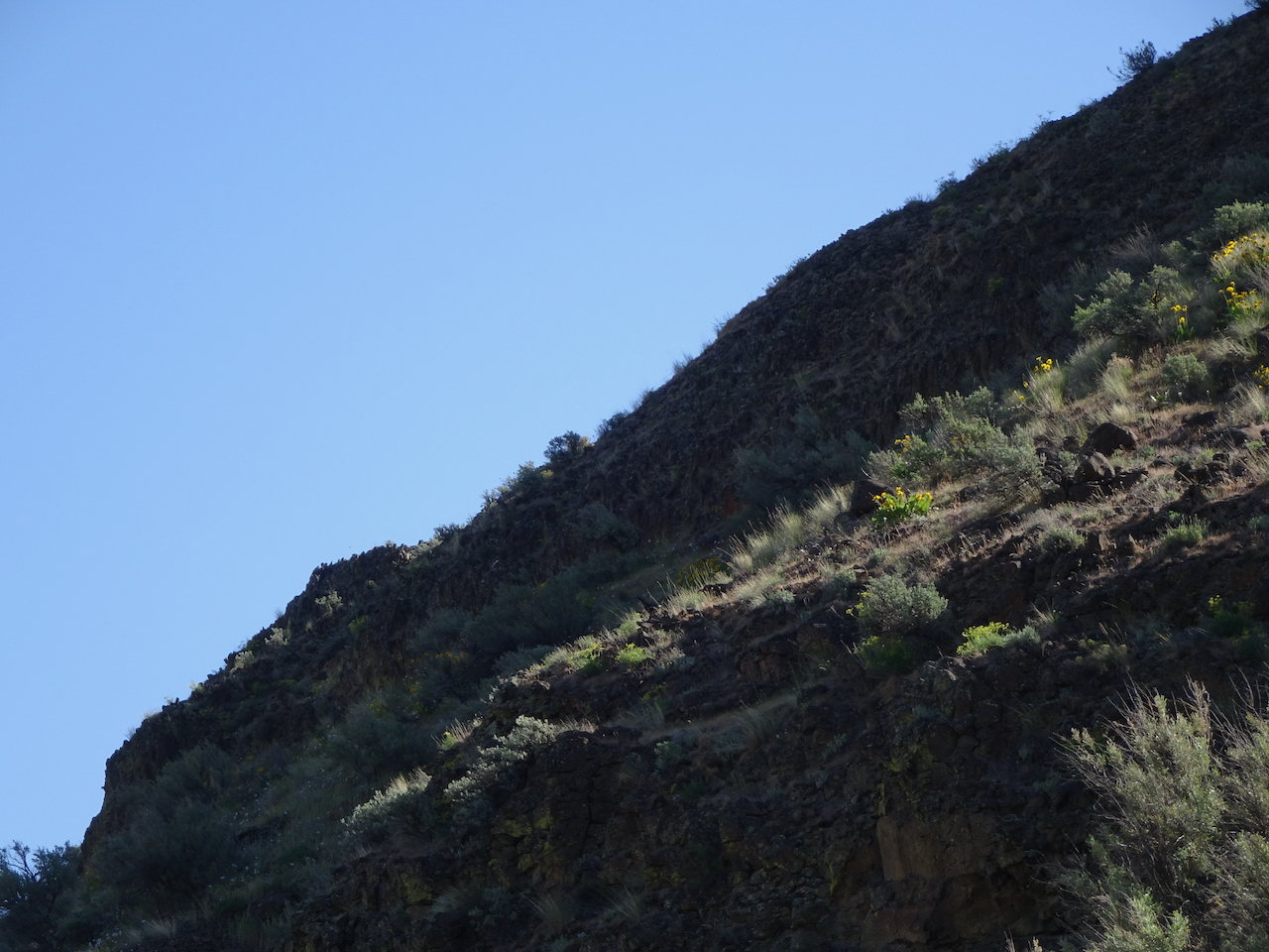
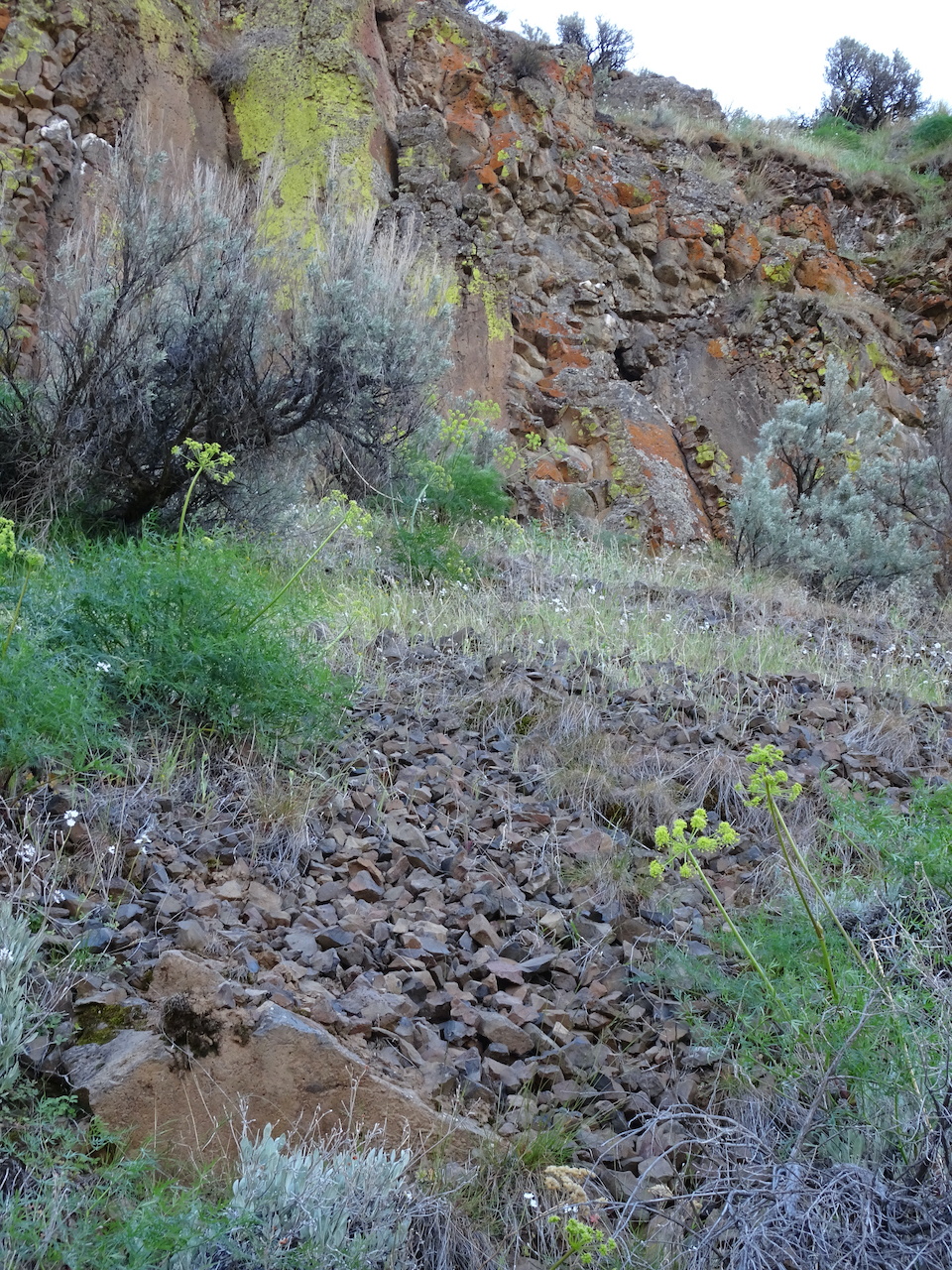
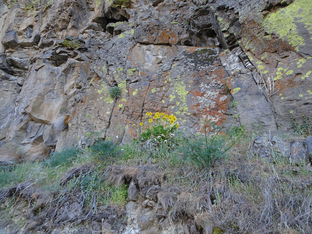
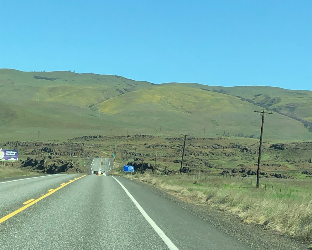
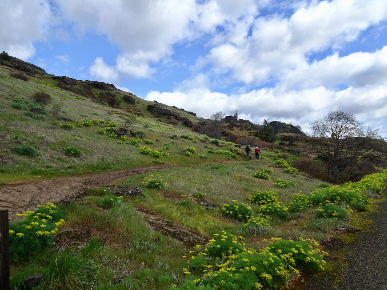
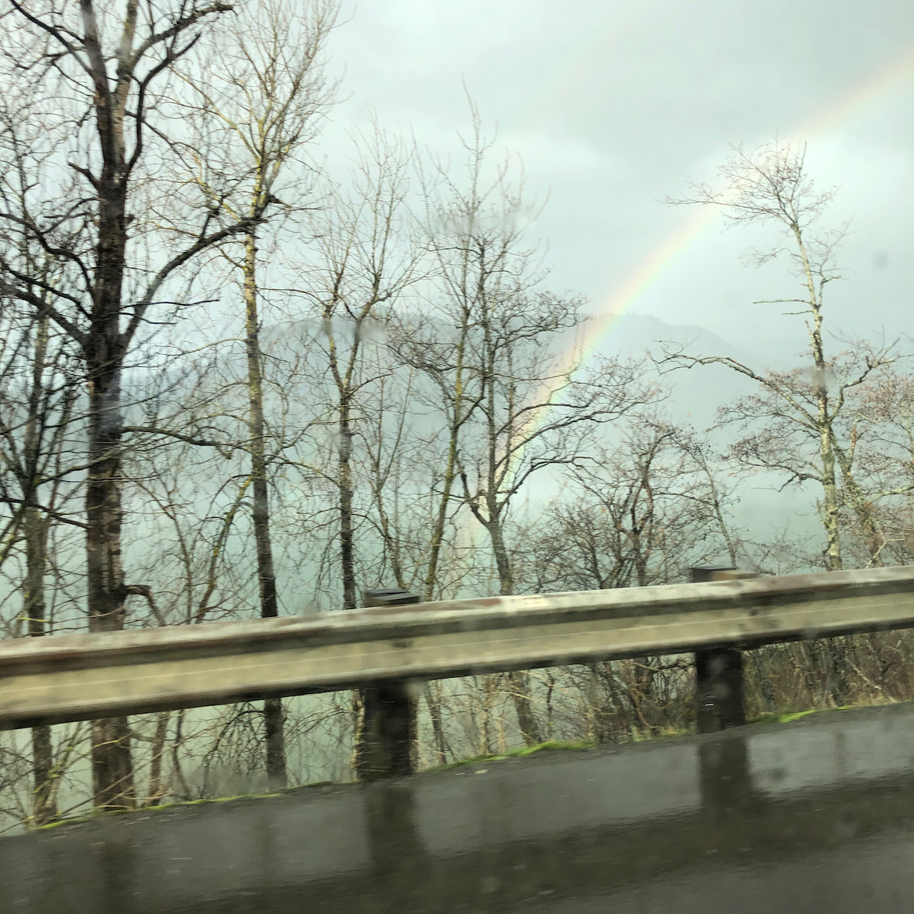
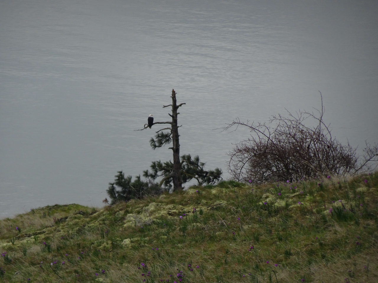
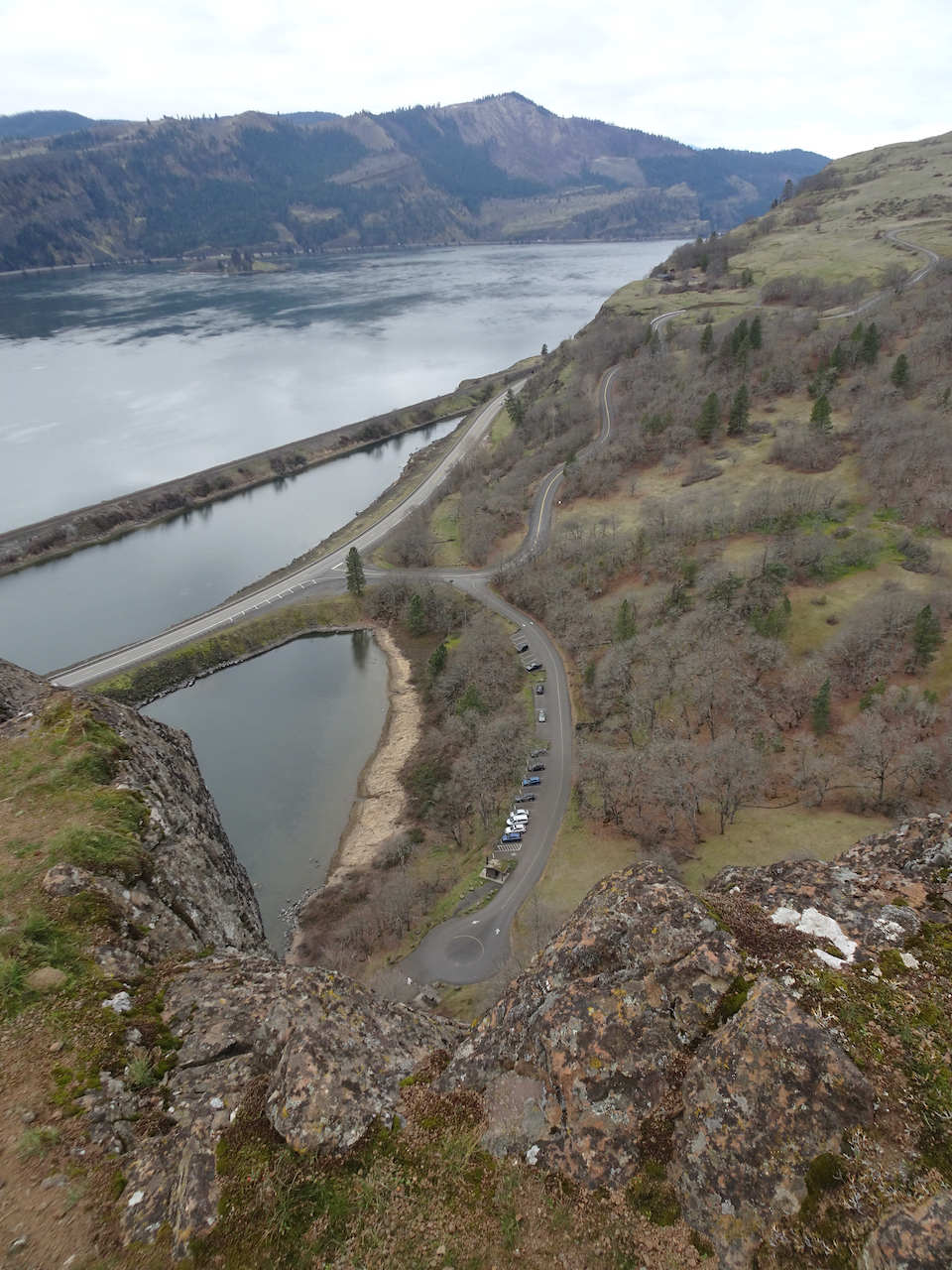
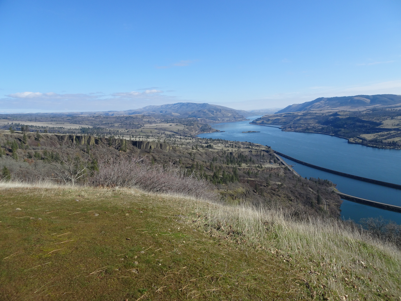
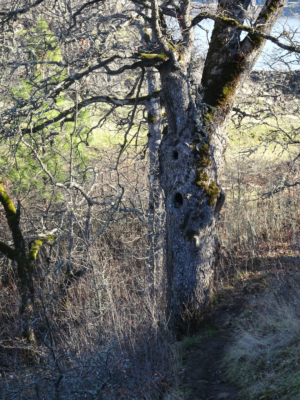
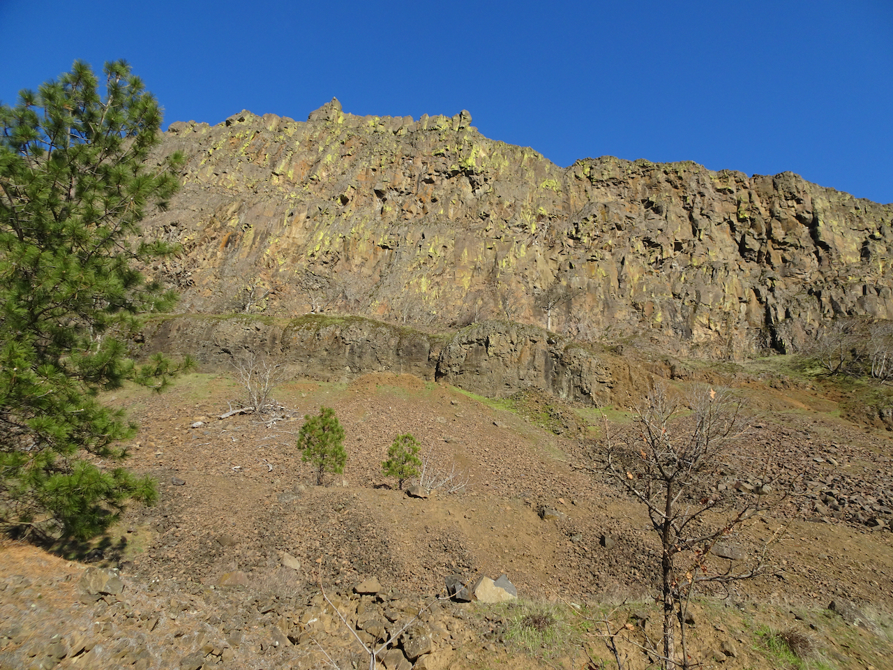
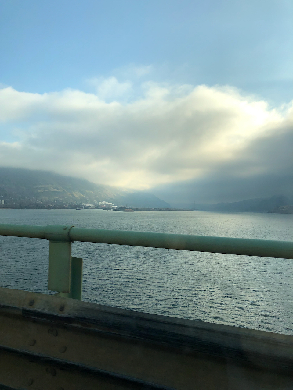
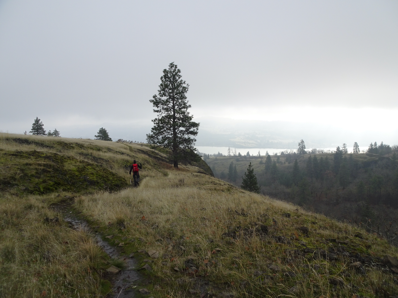
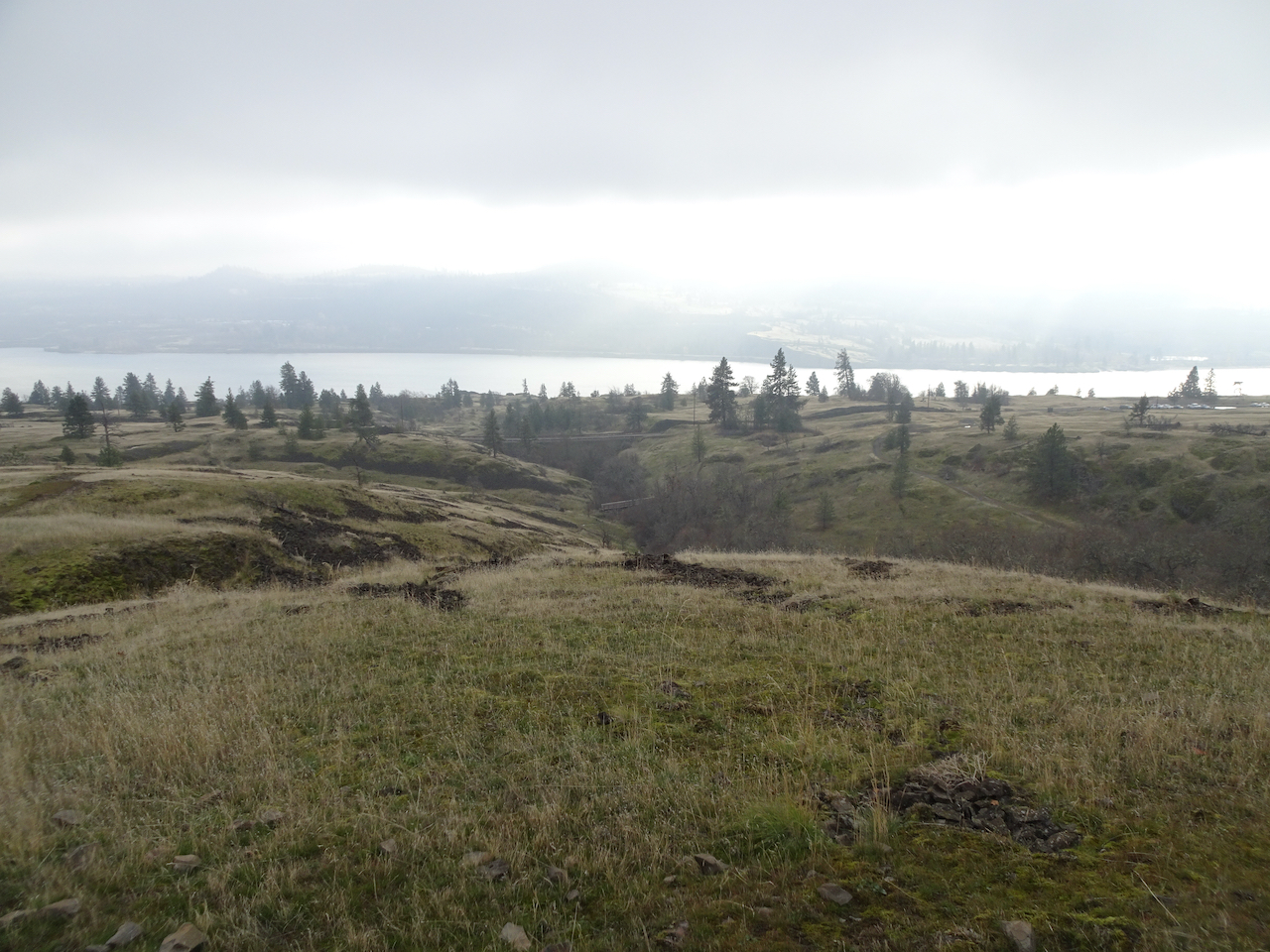
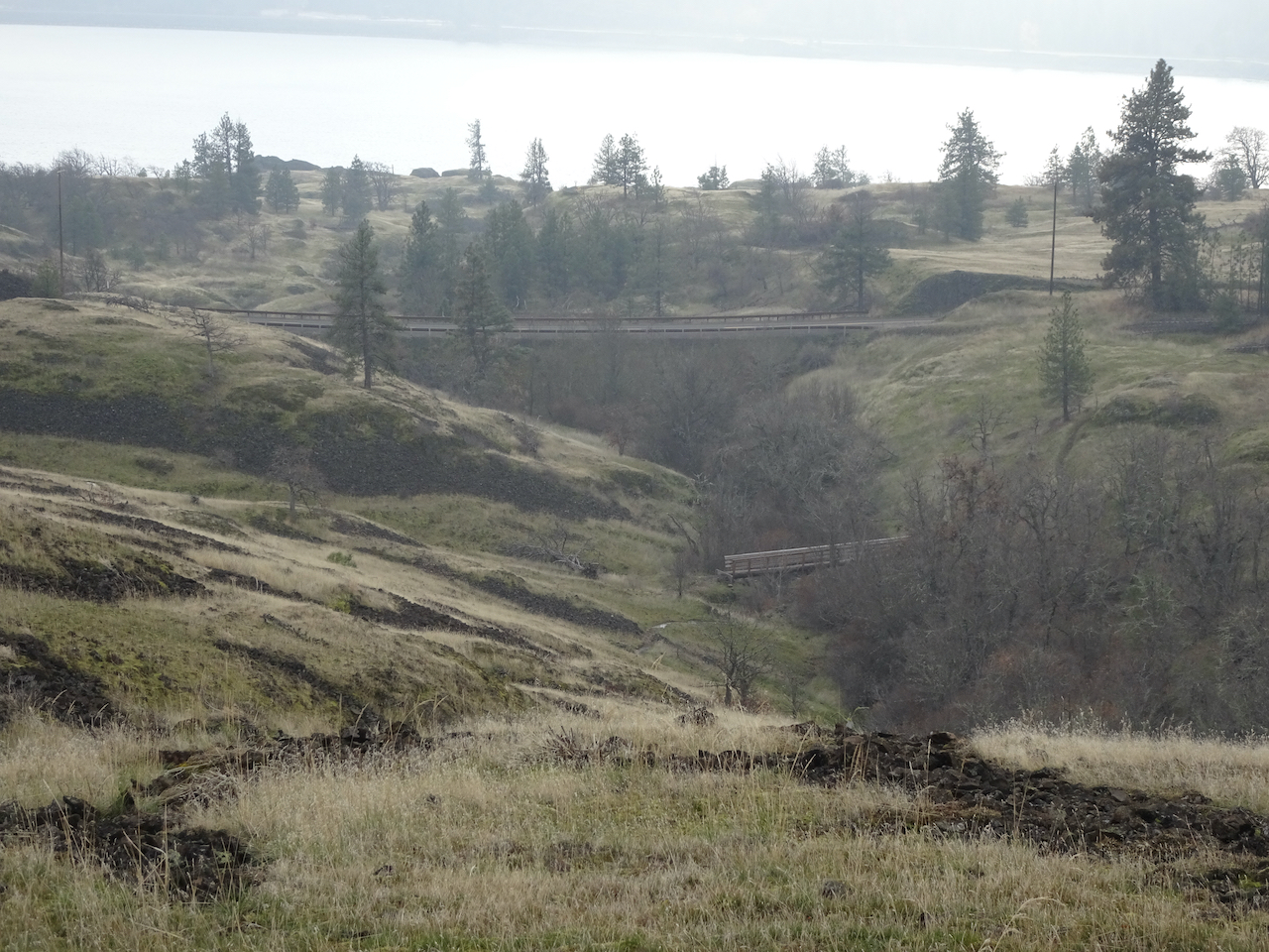
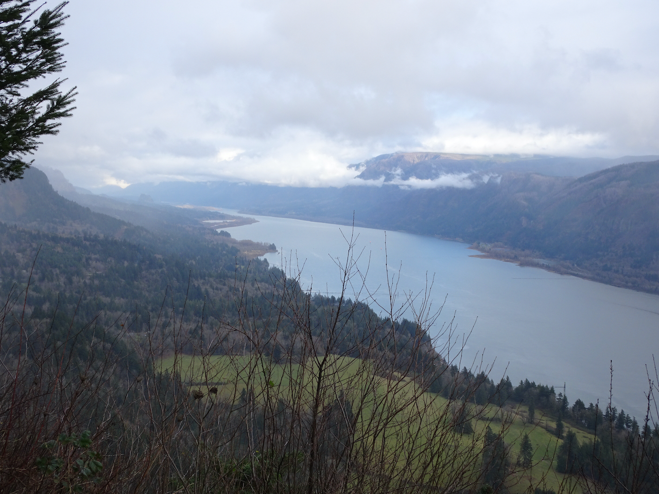
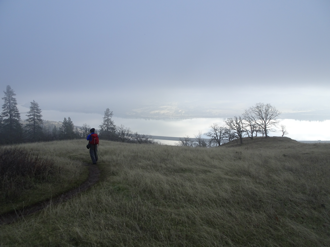
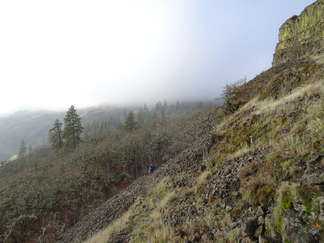
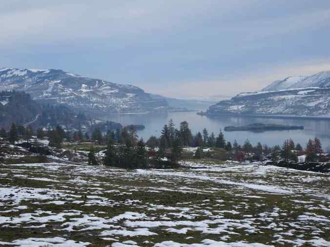
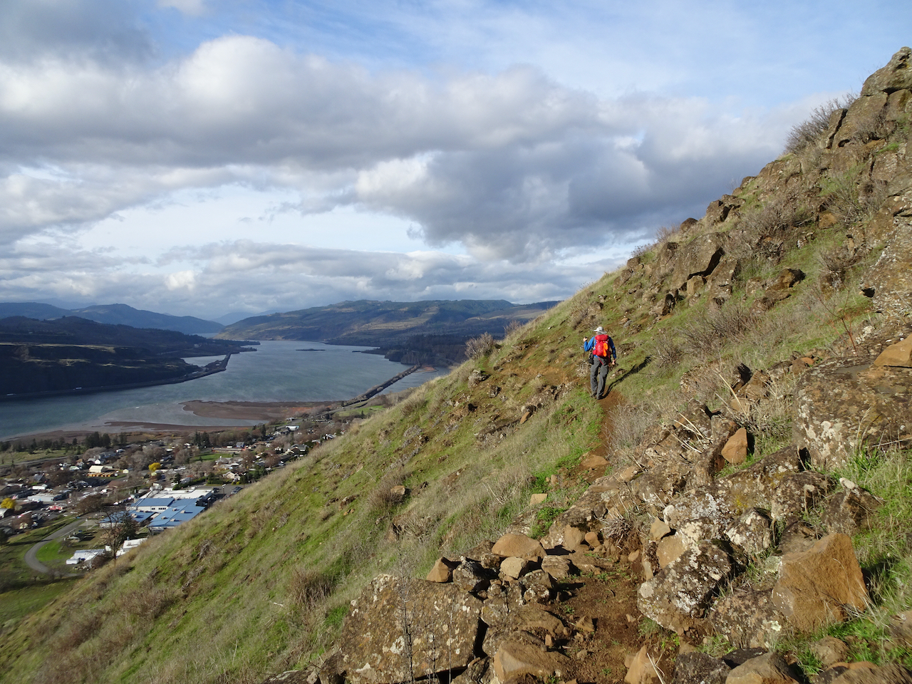
1/12/2022 Eagles and snow near Lyle, WA – Our annual trip to see the eagles at the Balfour/Klickitat Preserve:

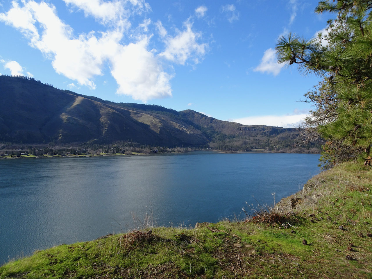
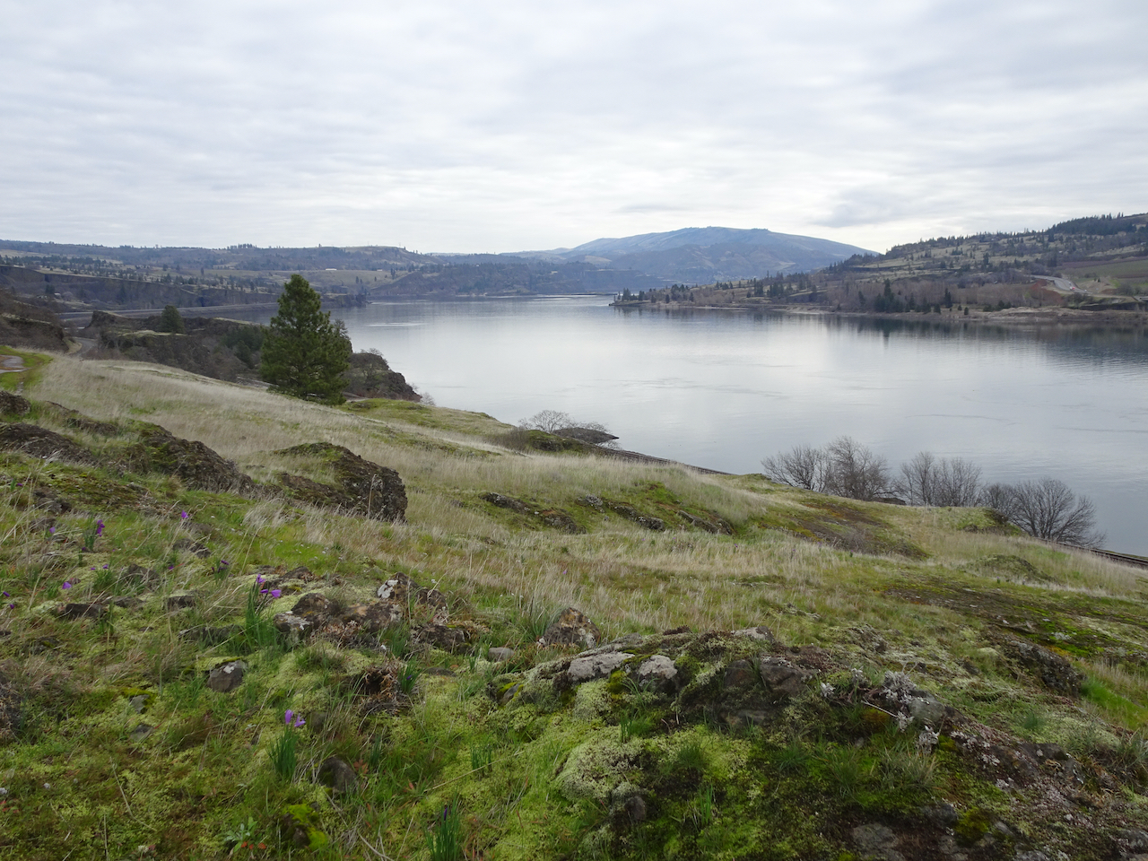
Calm Columbia River looking east from the Hood River Bridge.

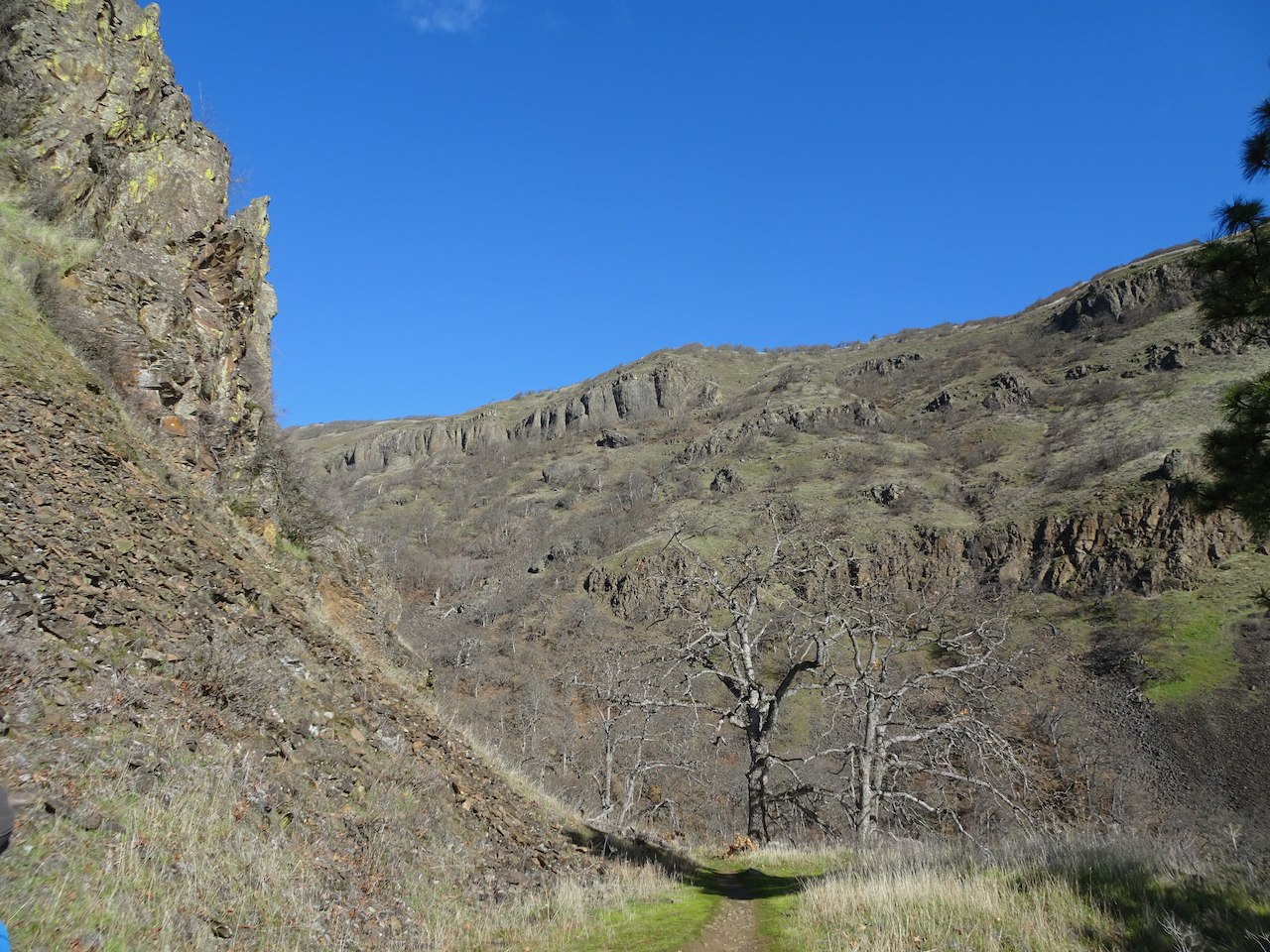
Snowy ground near Coyote Wall.
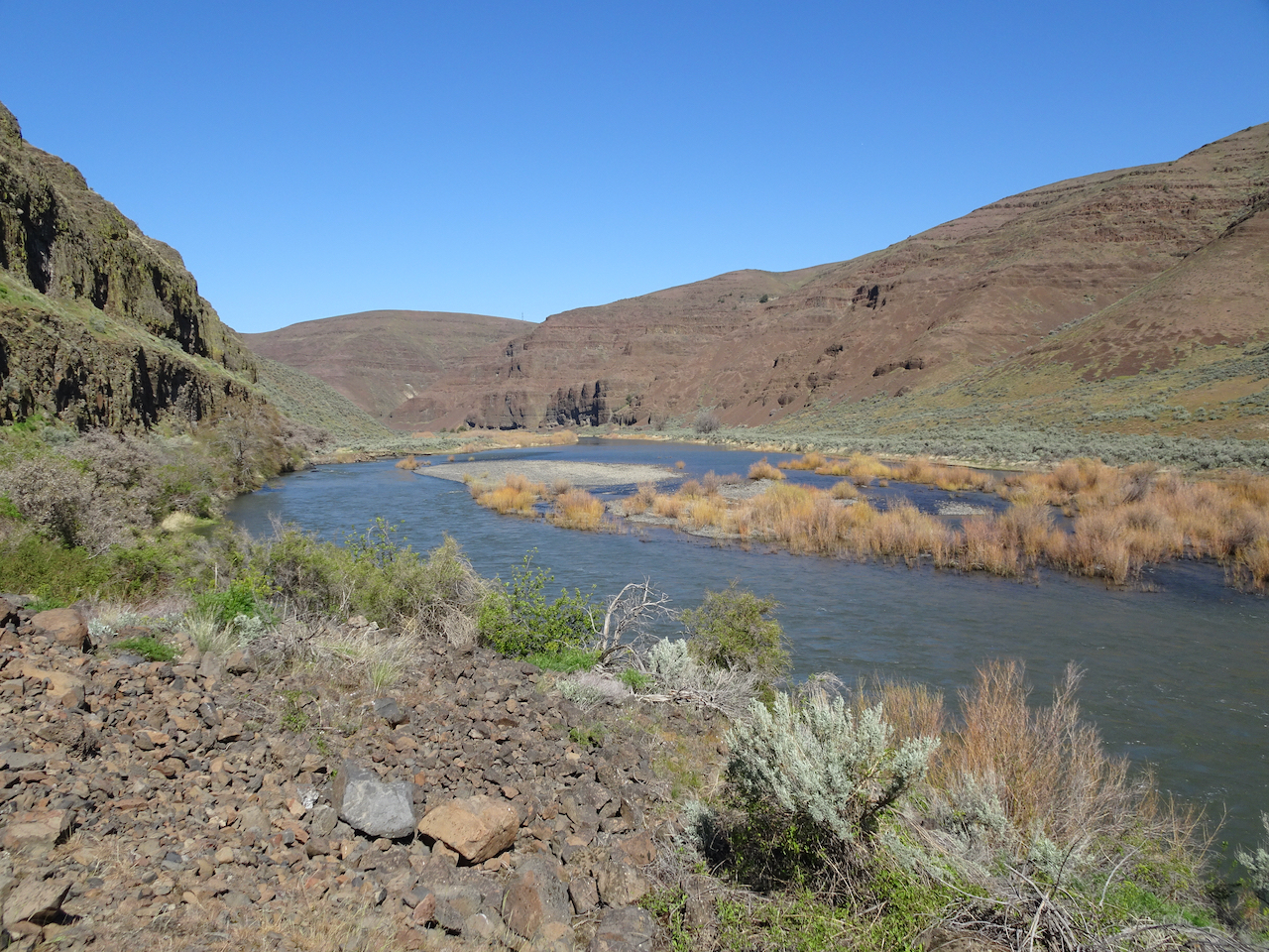
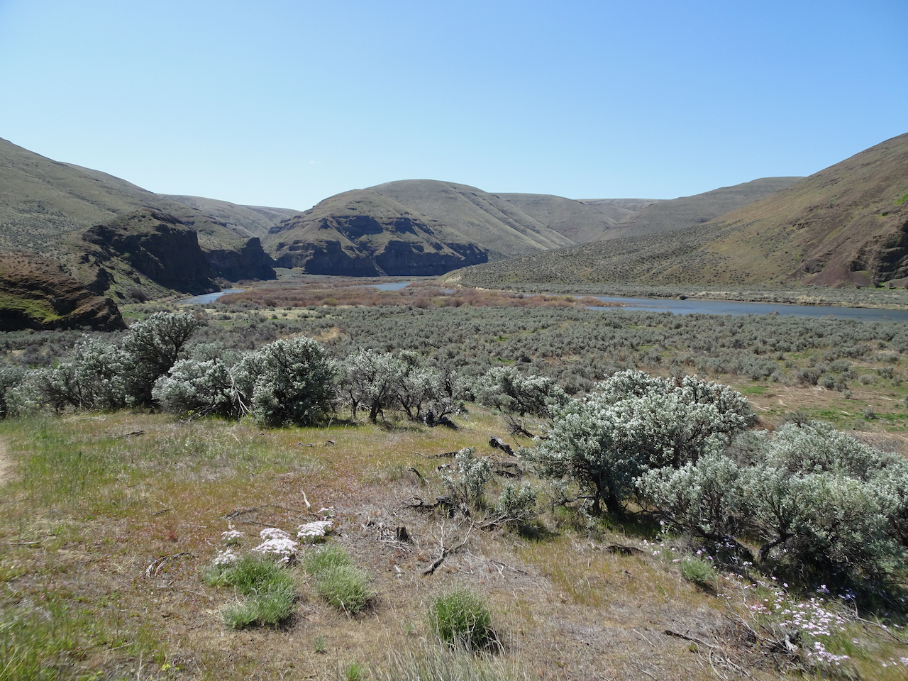
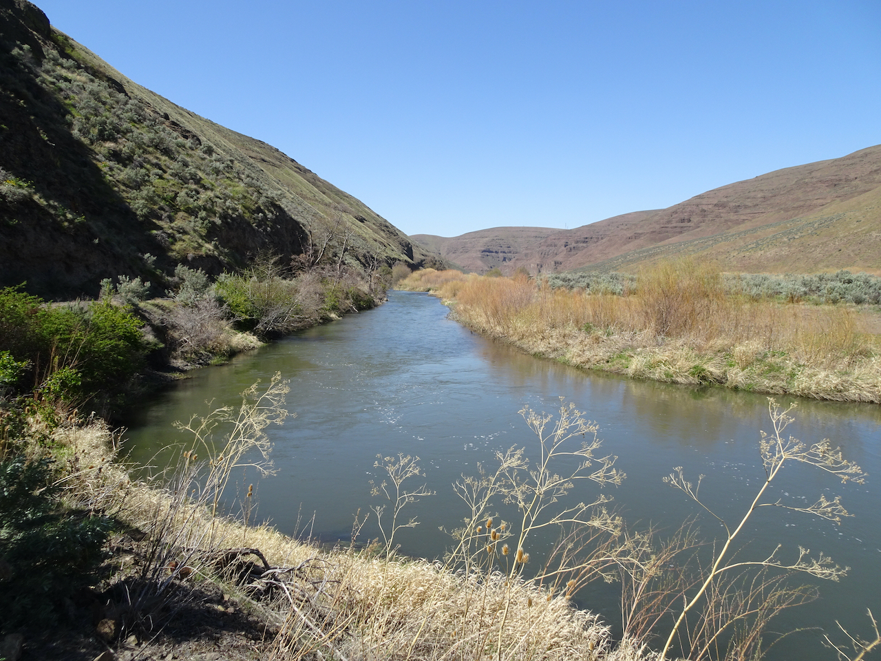
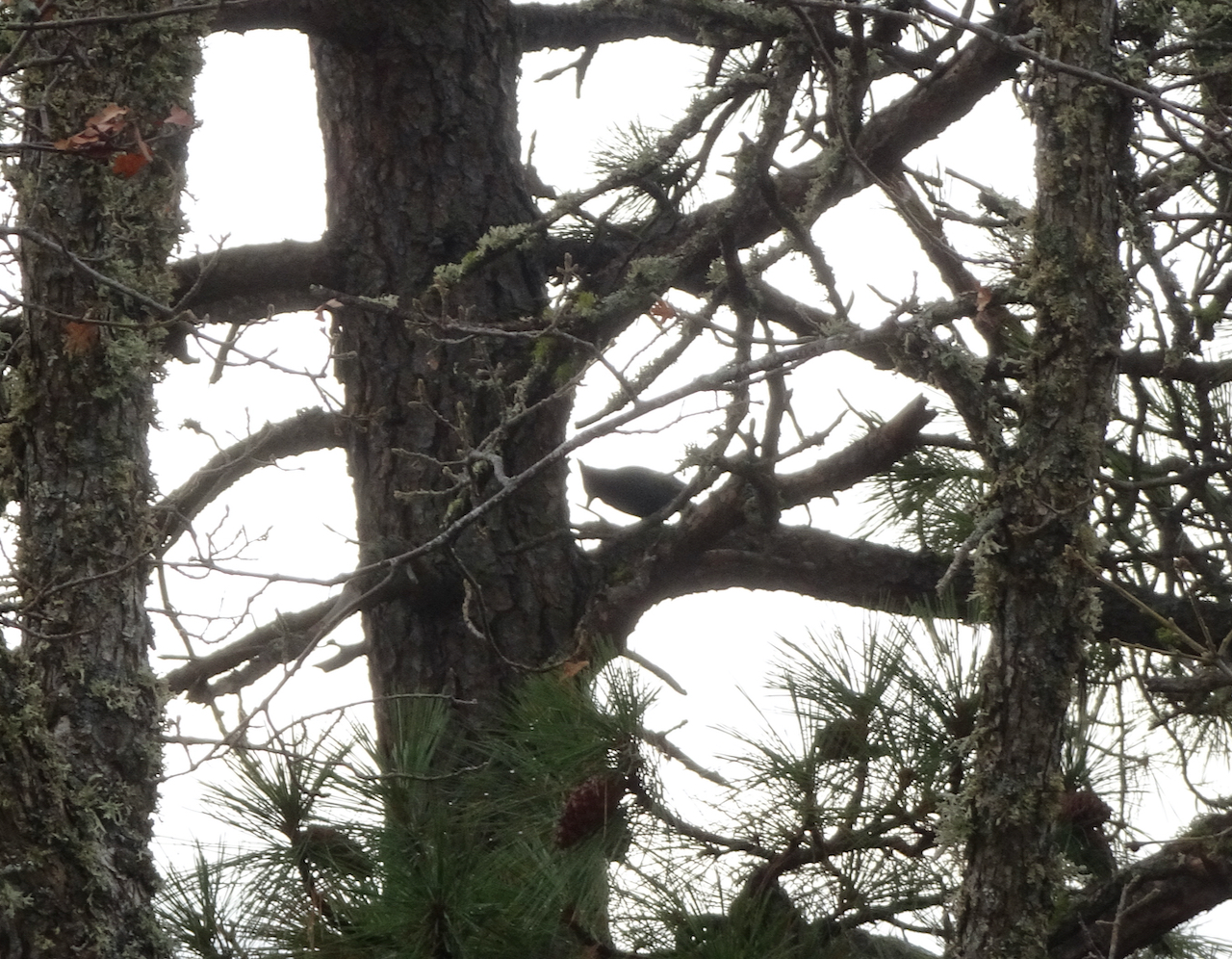
We walked to the eagle viewing area near the mouth of the Klickitat River:

Osage oranges along the trail
Frozen lakeshore, eagle flying above the island
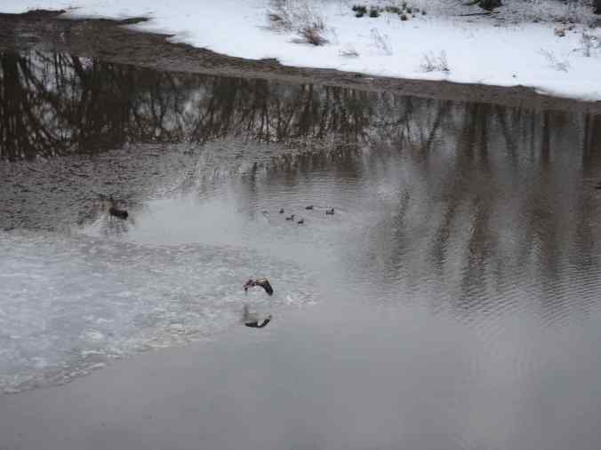
Eagle and ducks

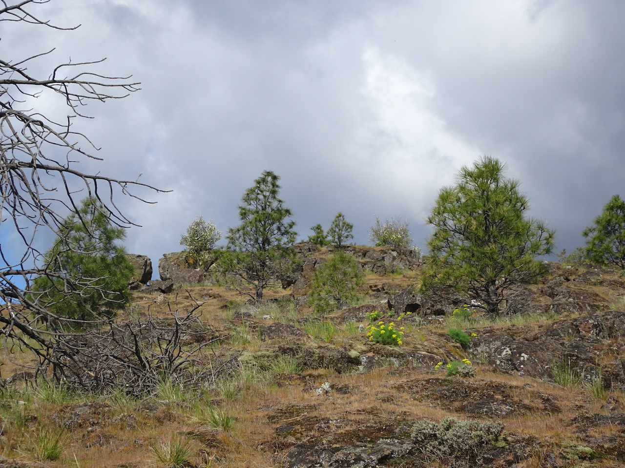
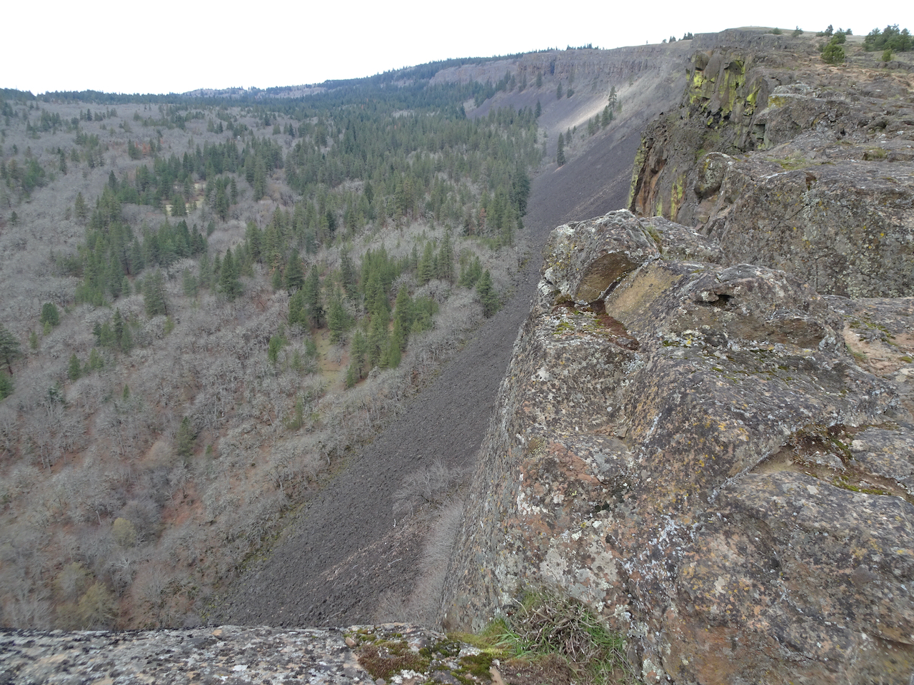
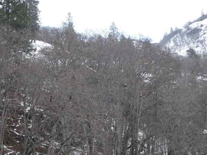
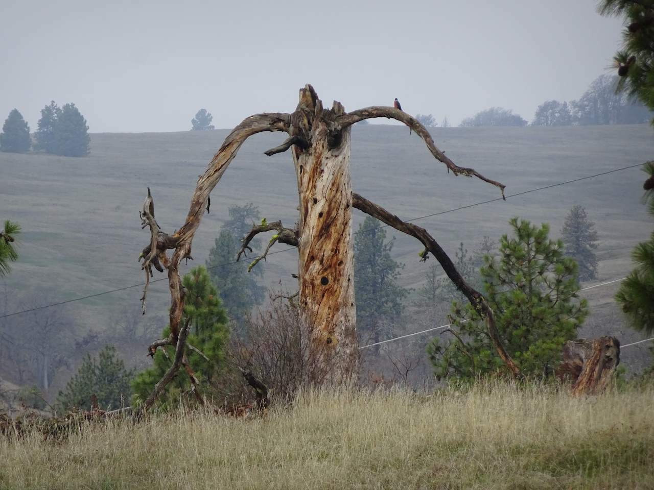
Looking up Klickitat Canyon – white eagle heads in the trees.

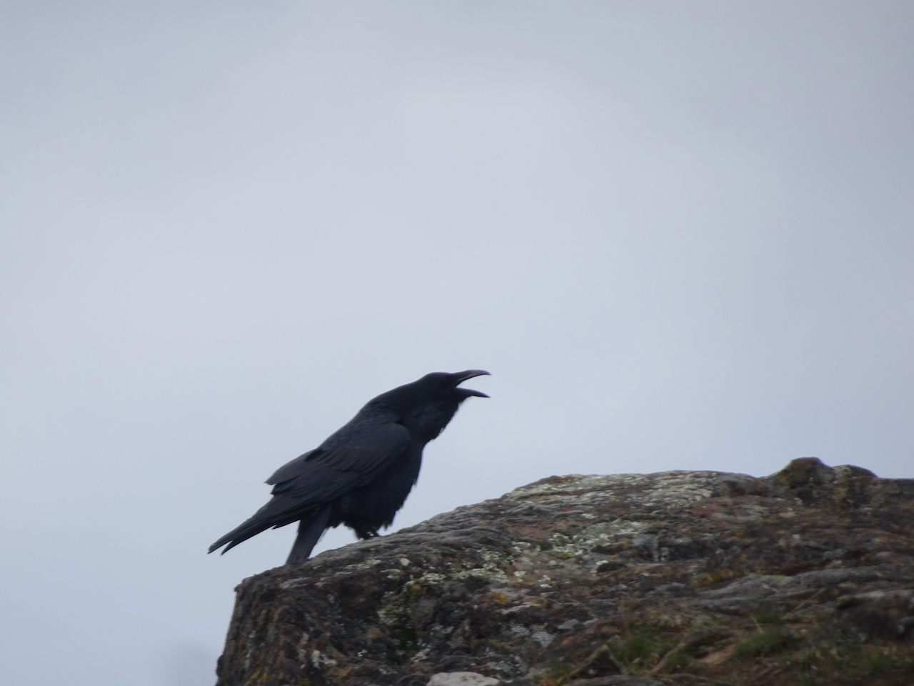
Bald eagle
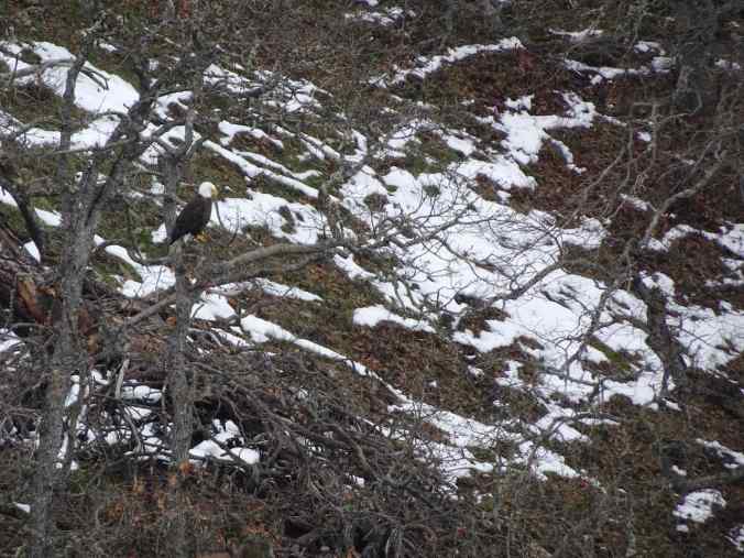
Bald eagle
We saw more than twenty today.

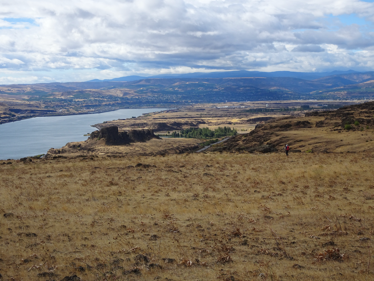
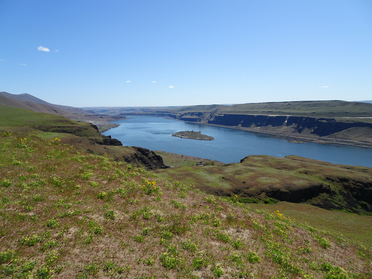
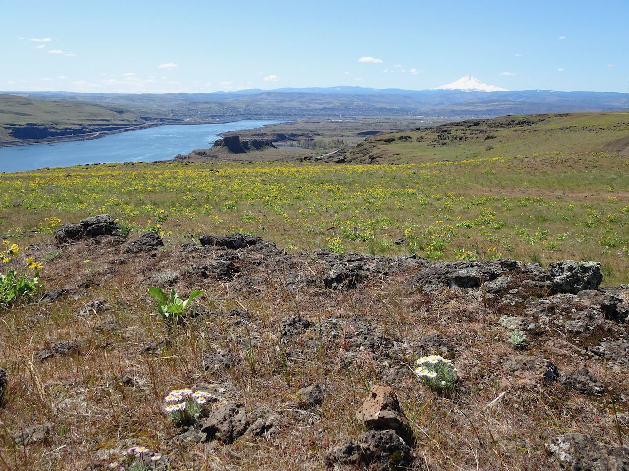
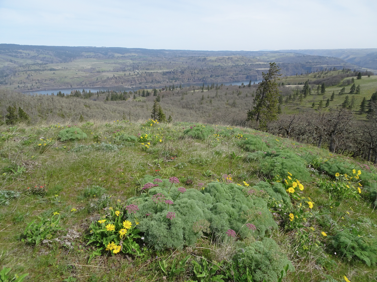
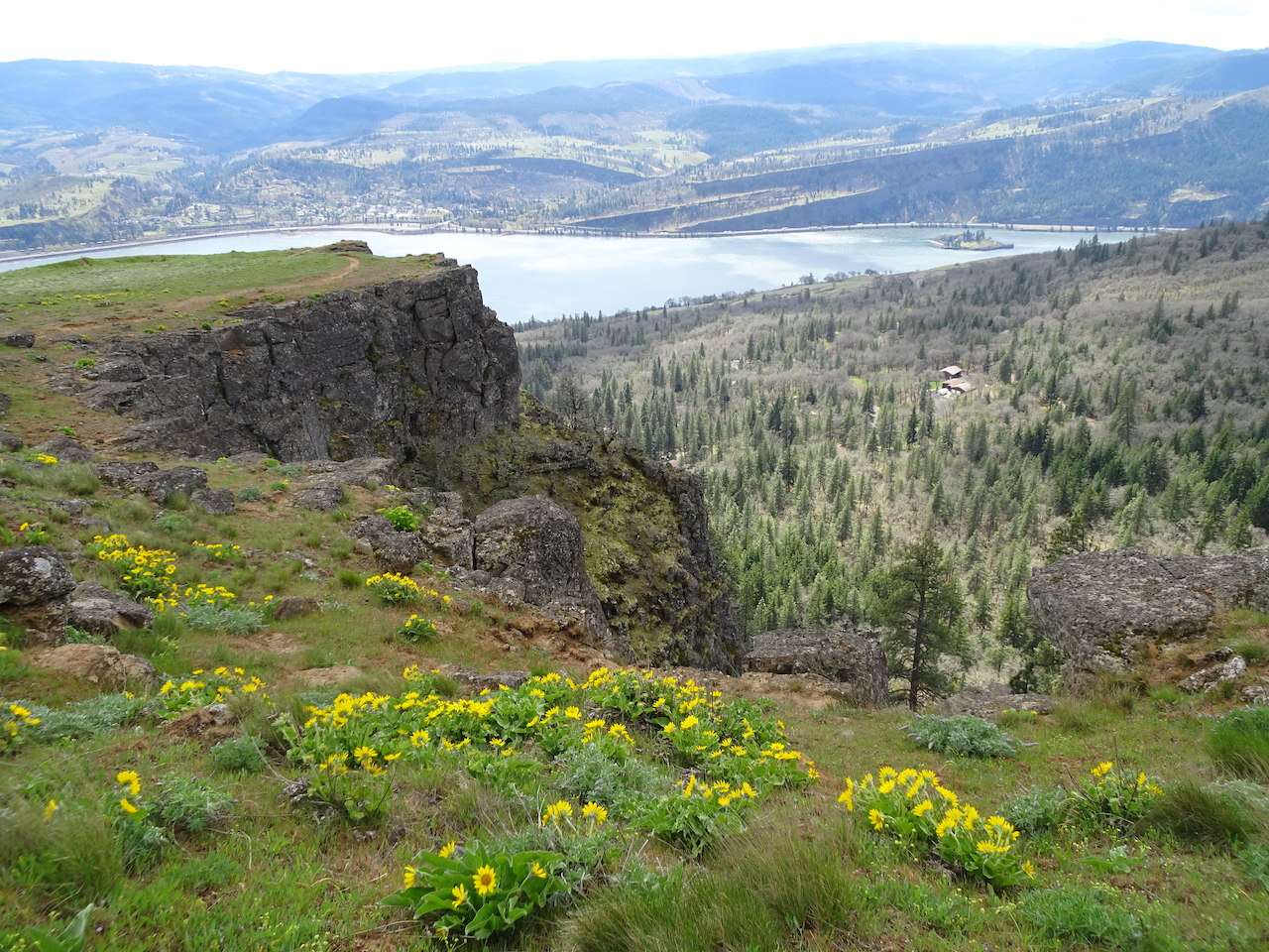
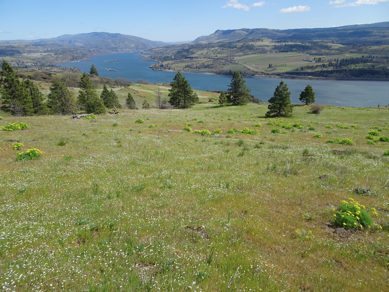
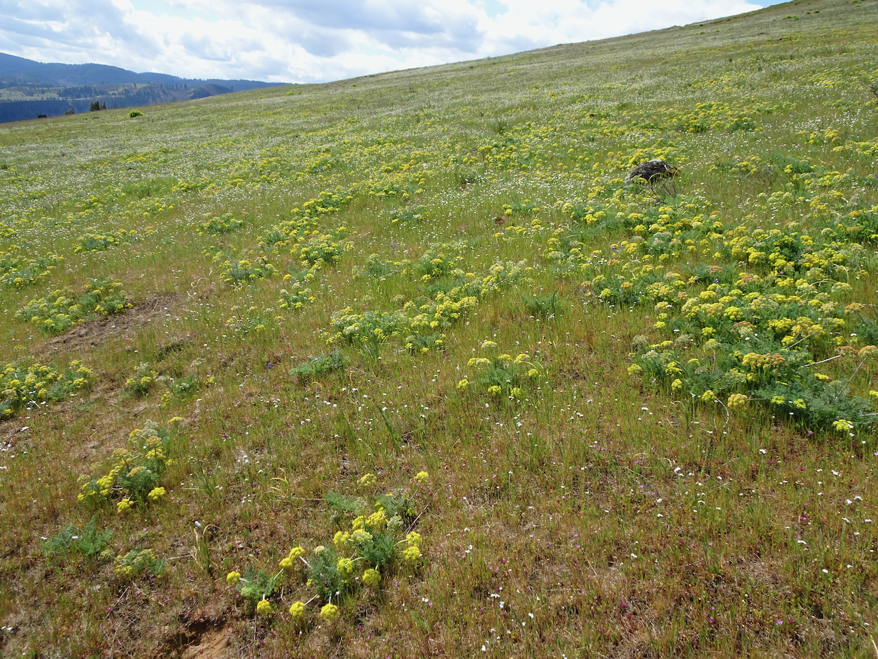
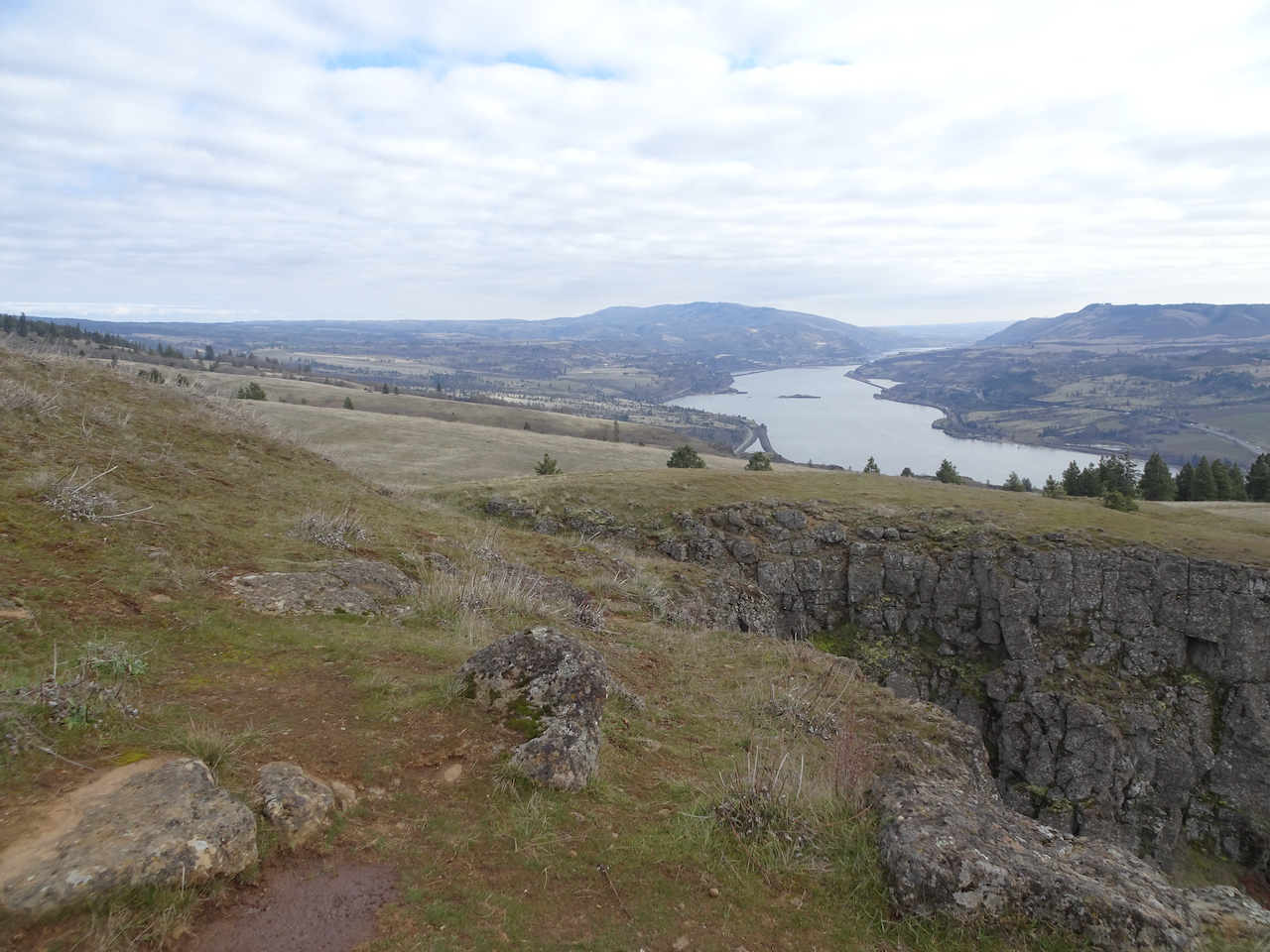
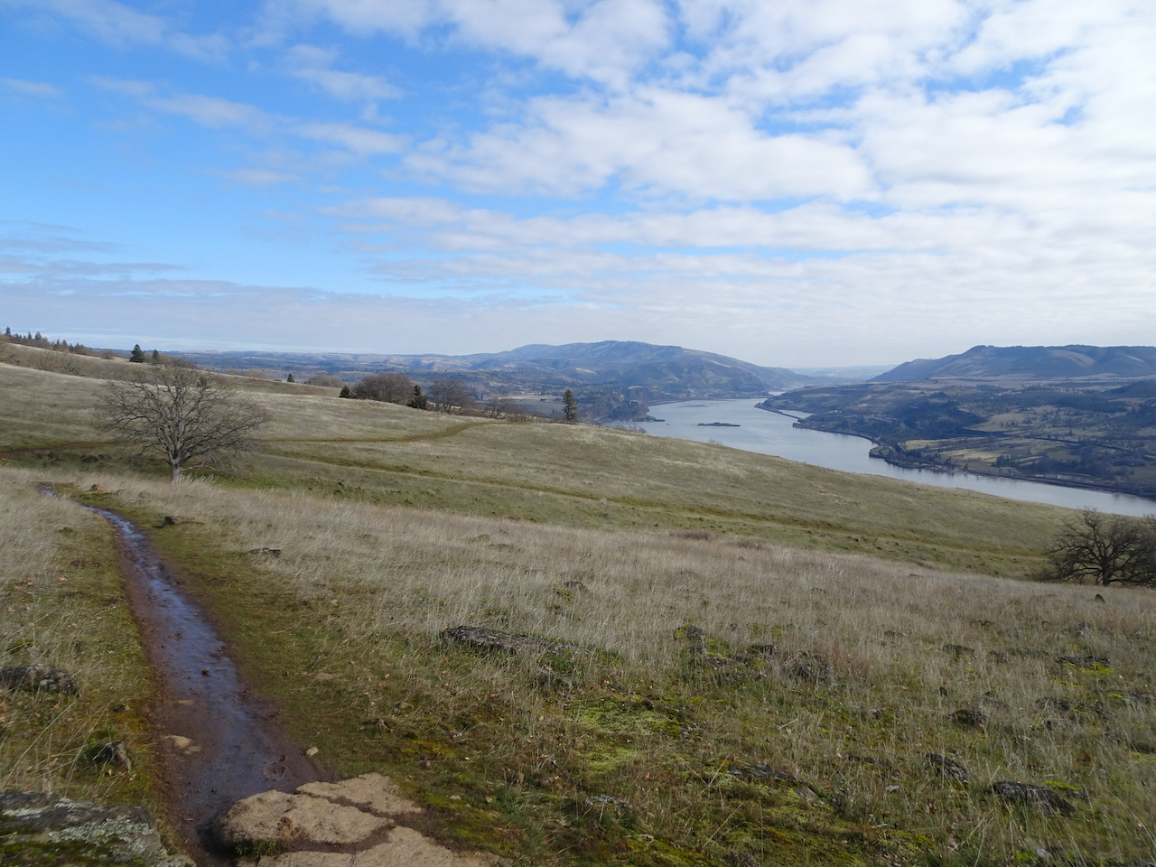
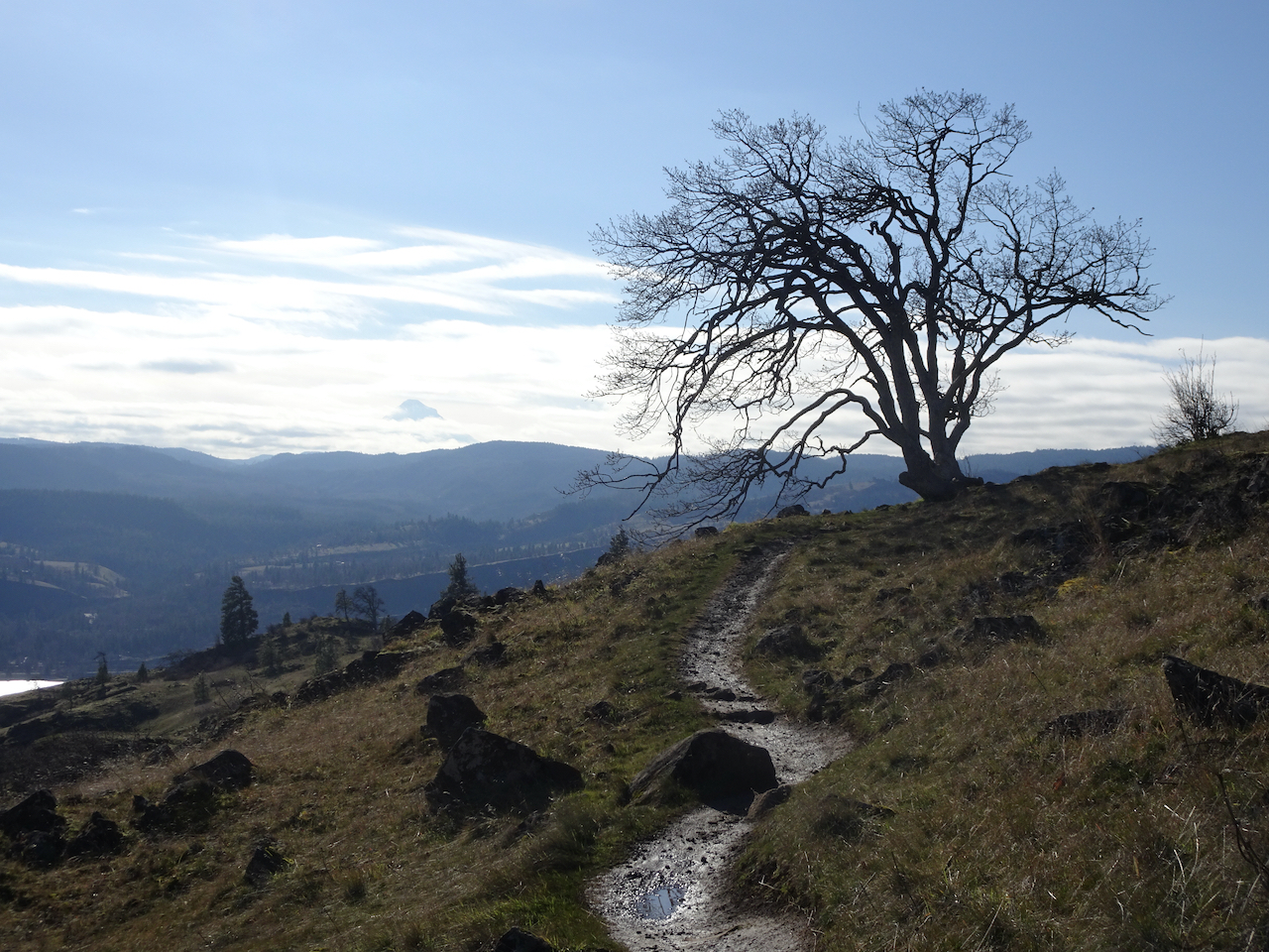
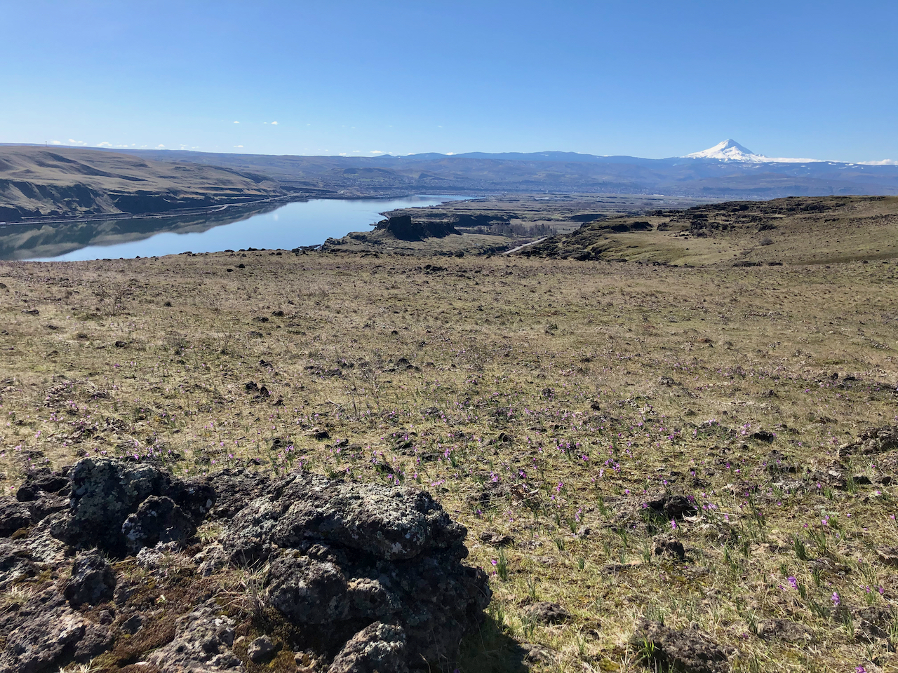
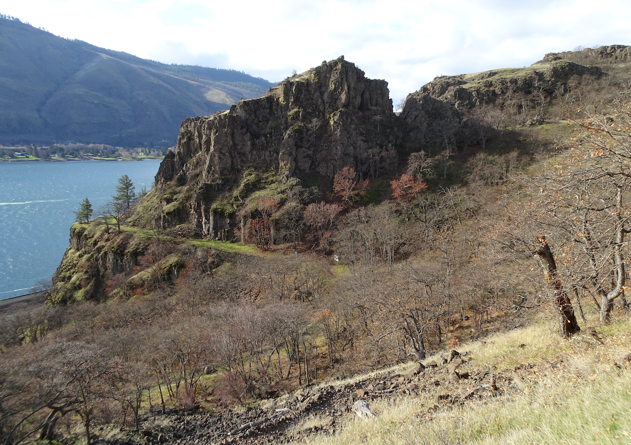
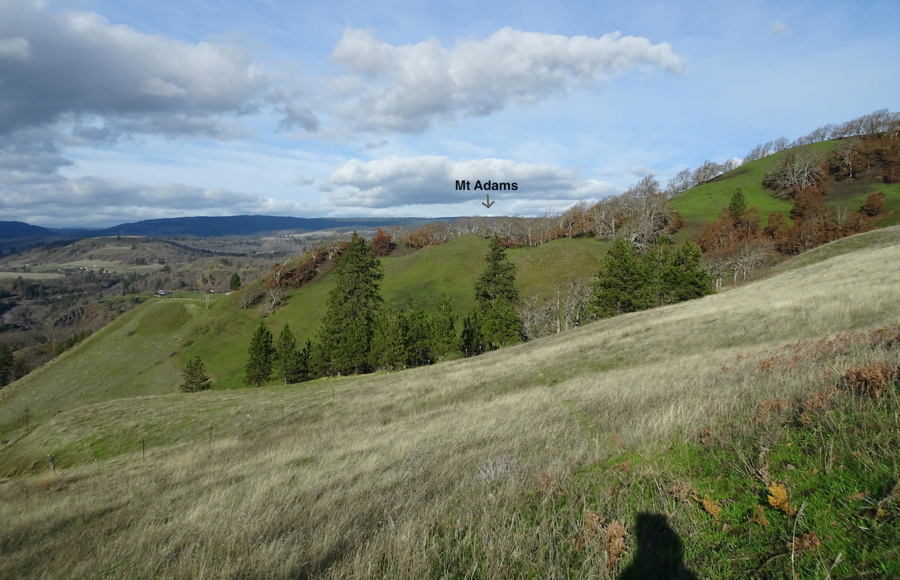
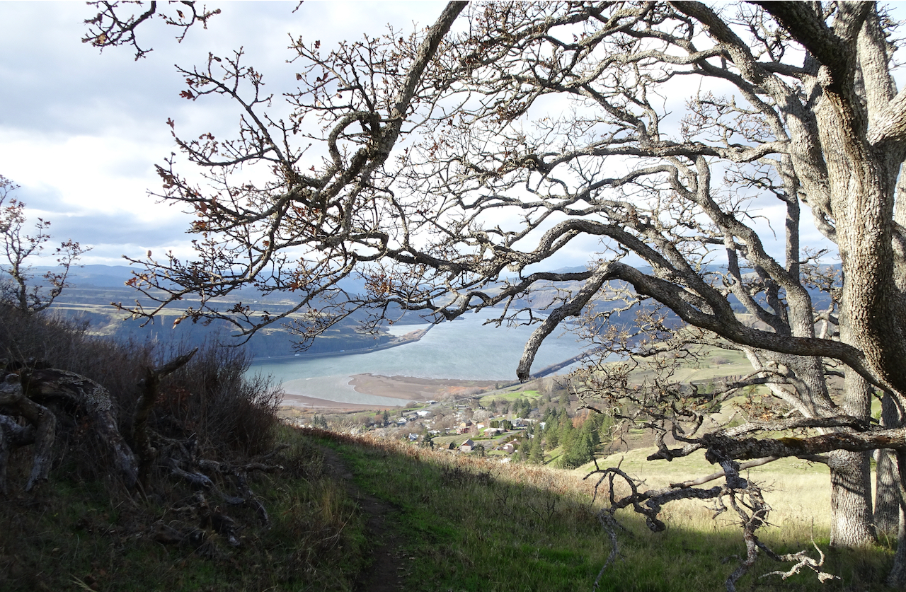
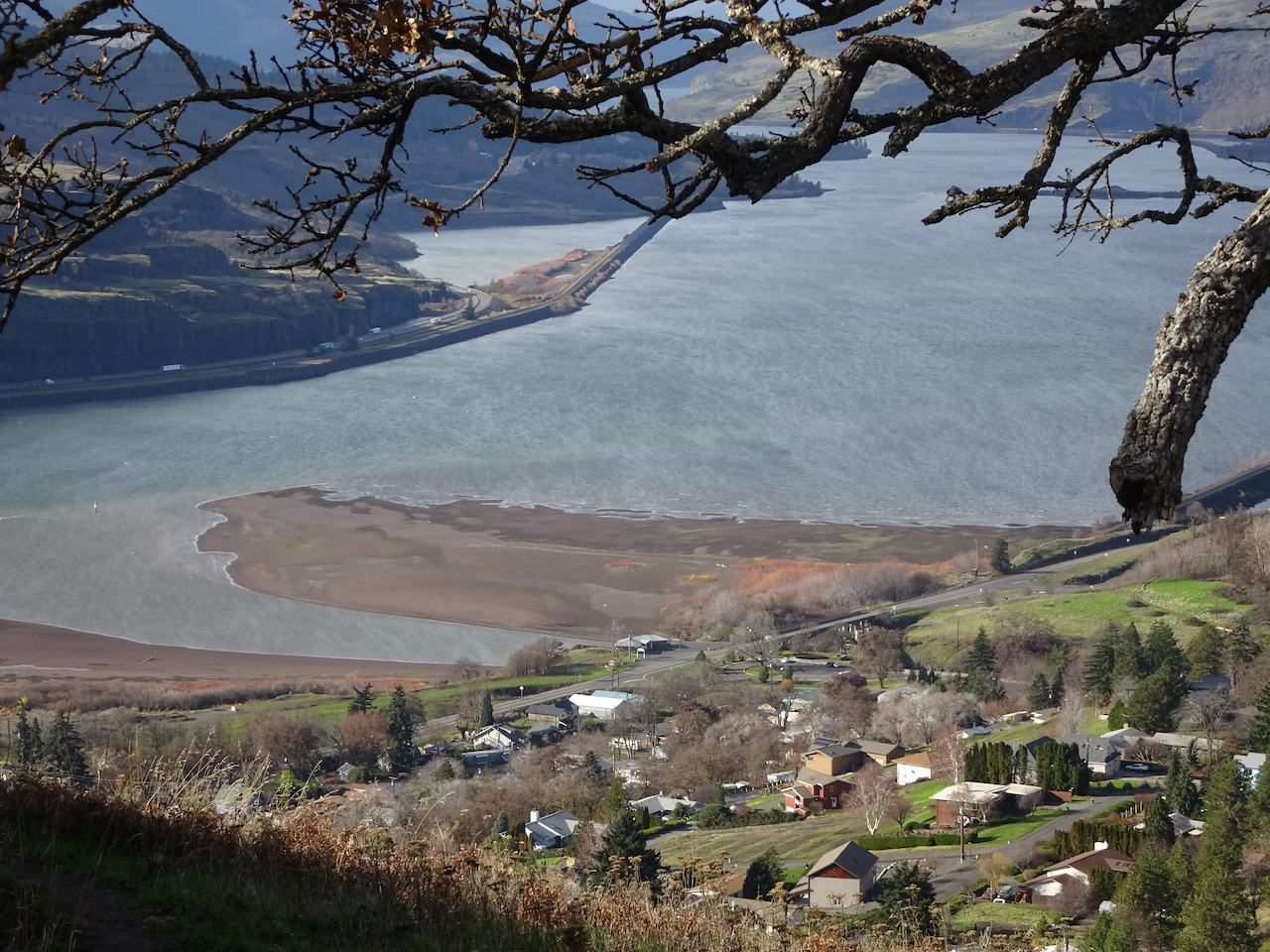
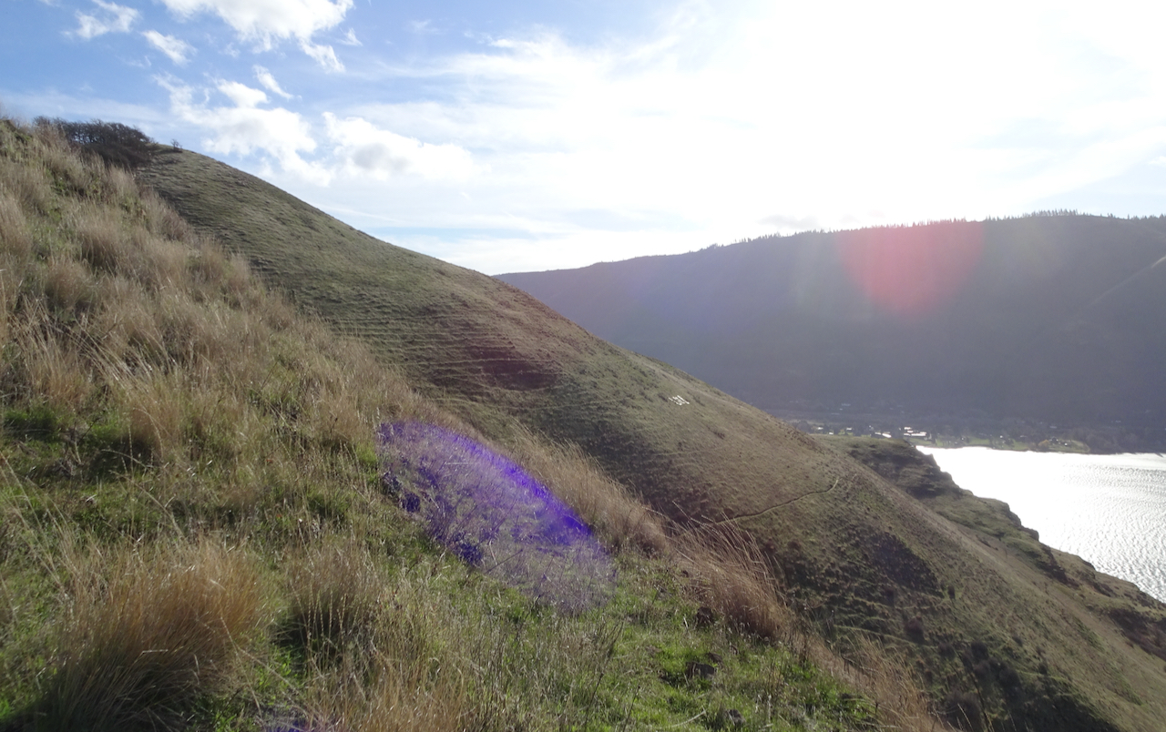
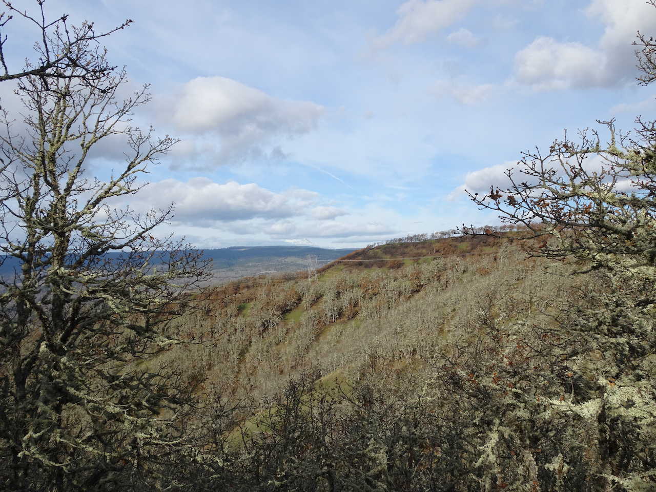
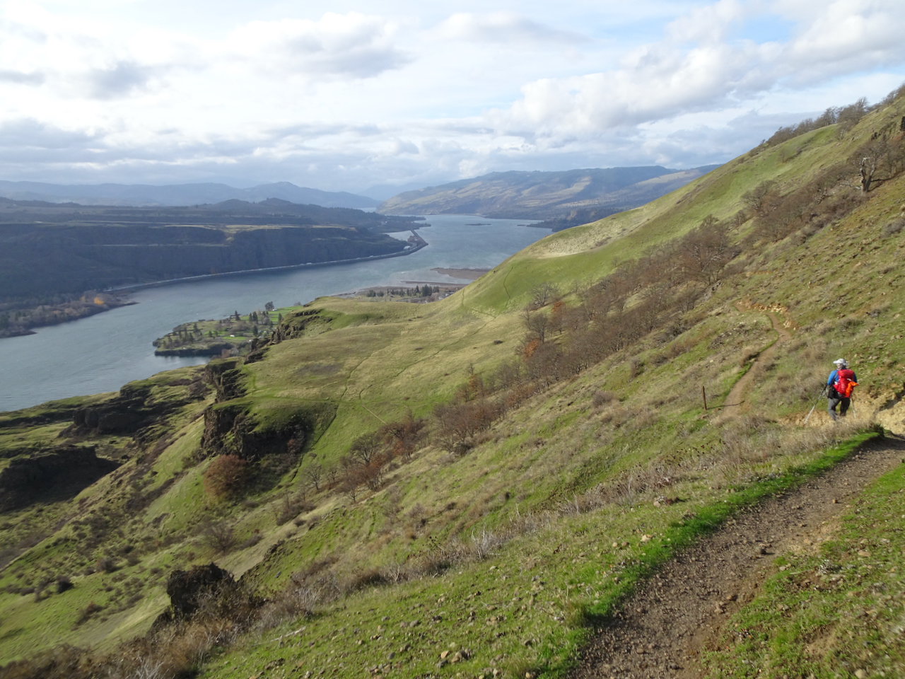
Looking south to Tom McCall Point.
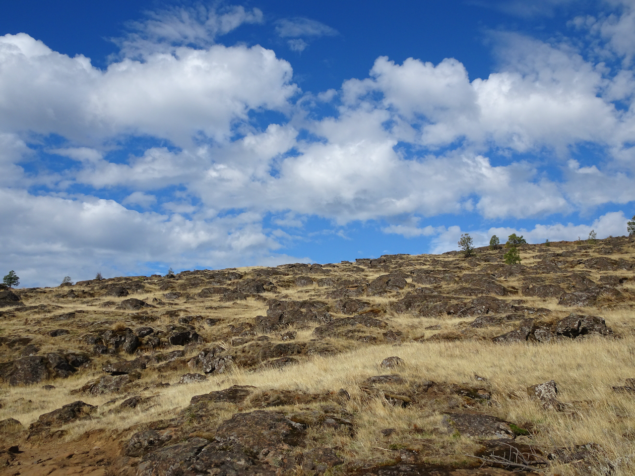
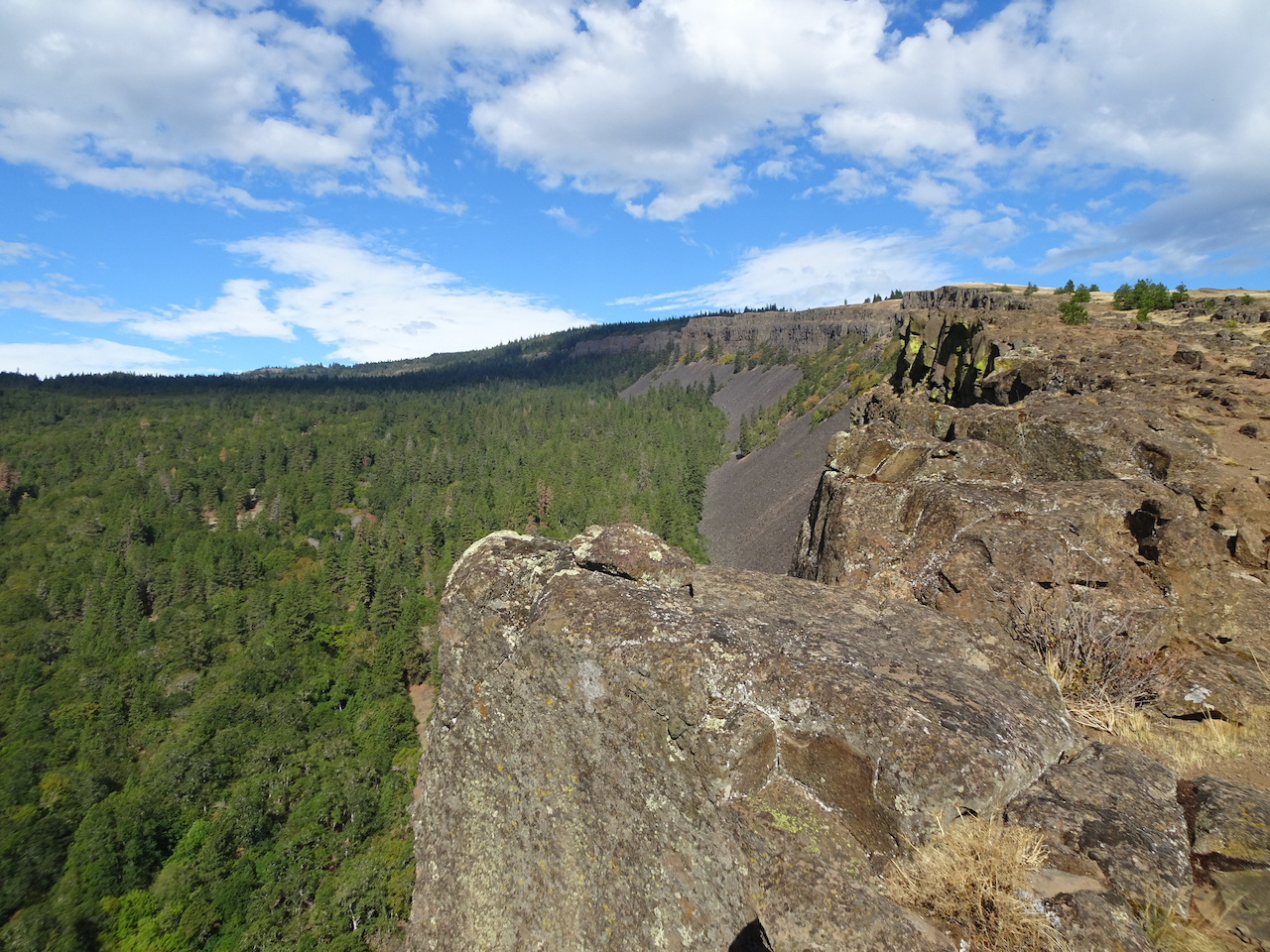
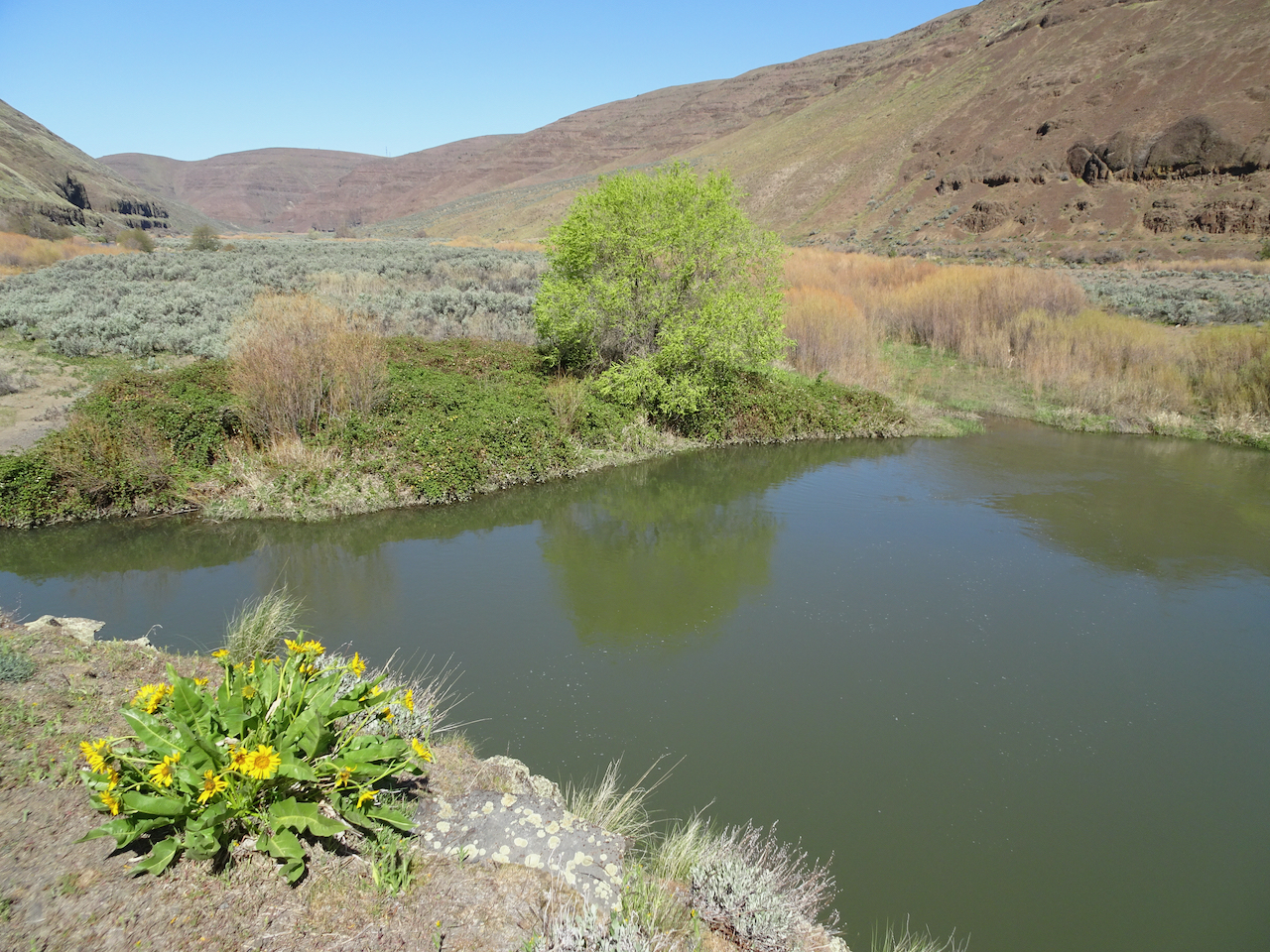
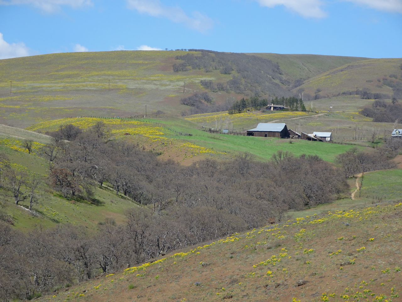
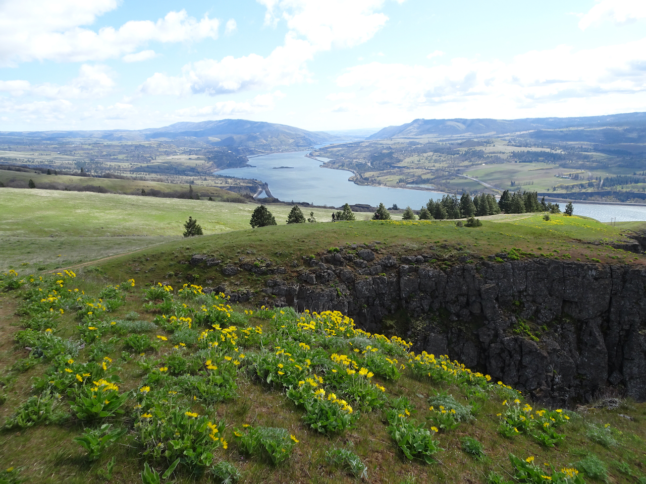
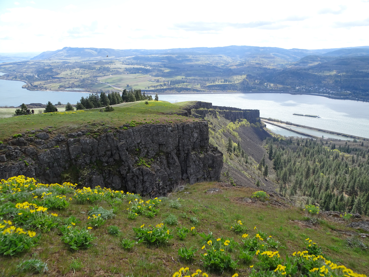
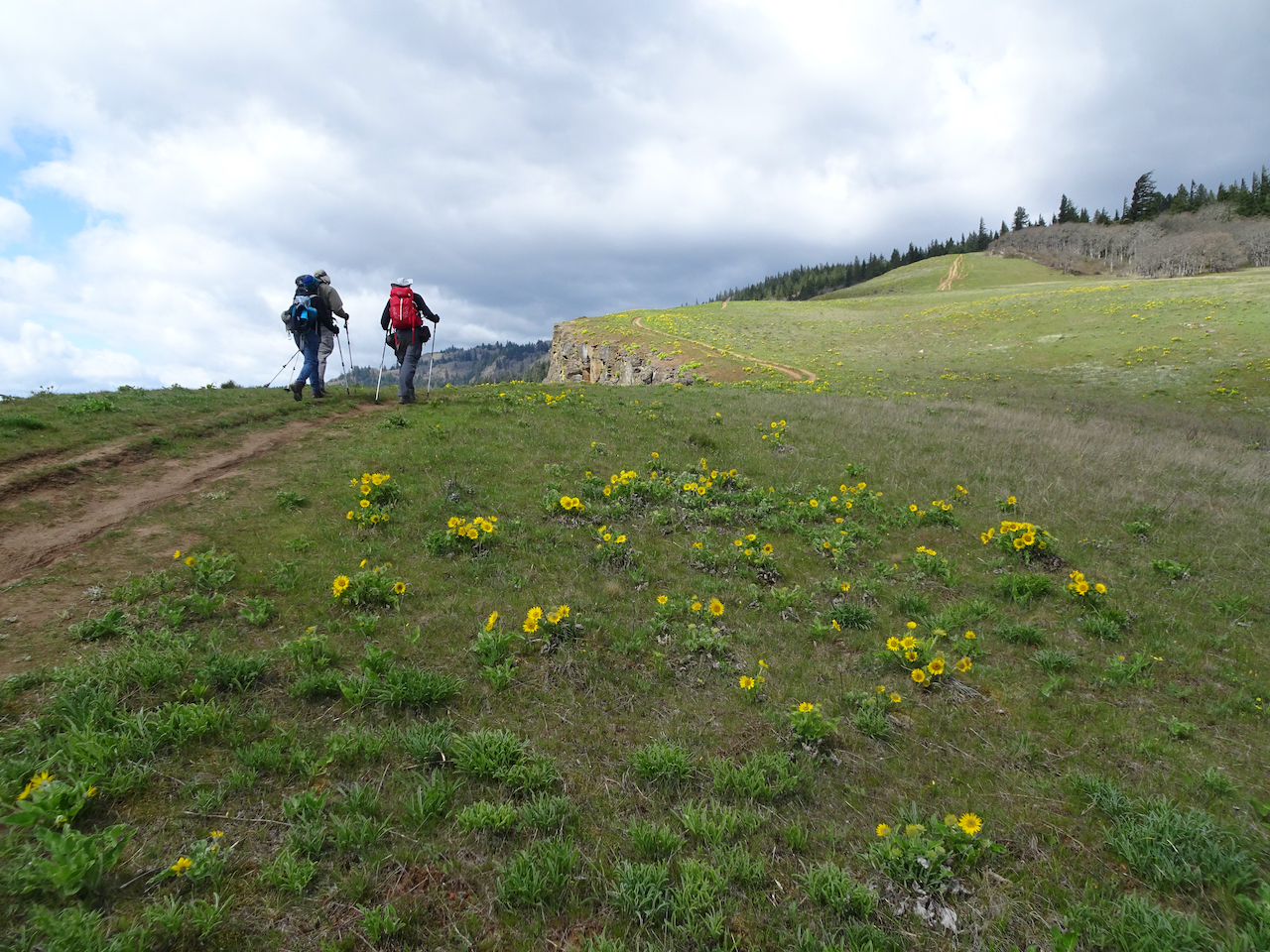
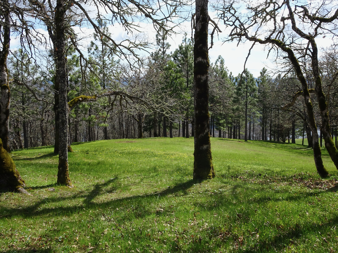
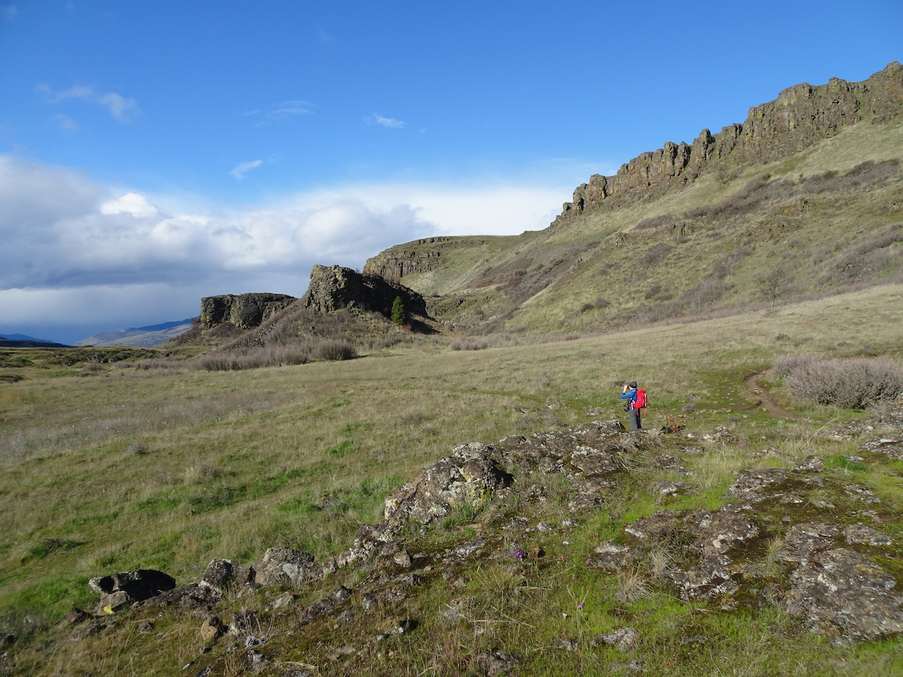
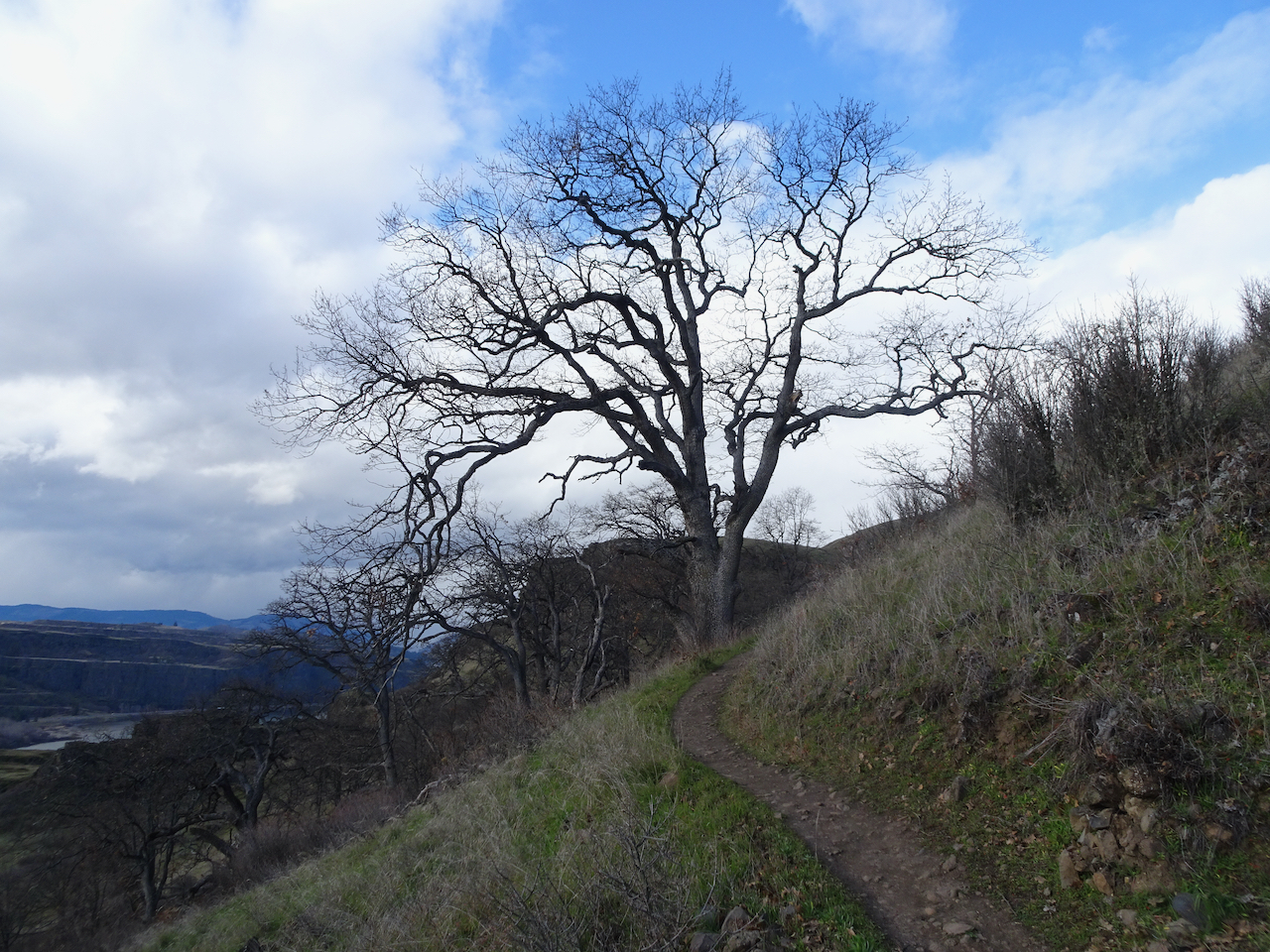
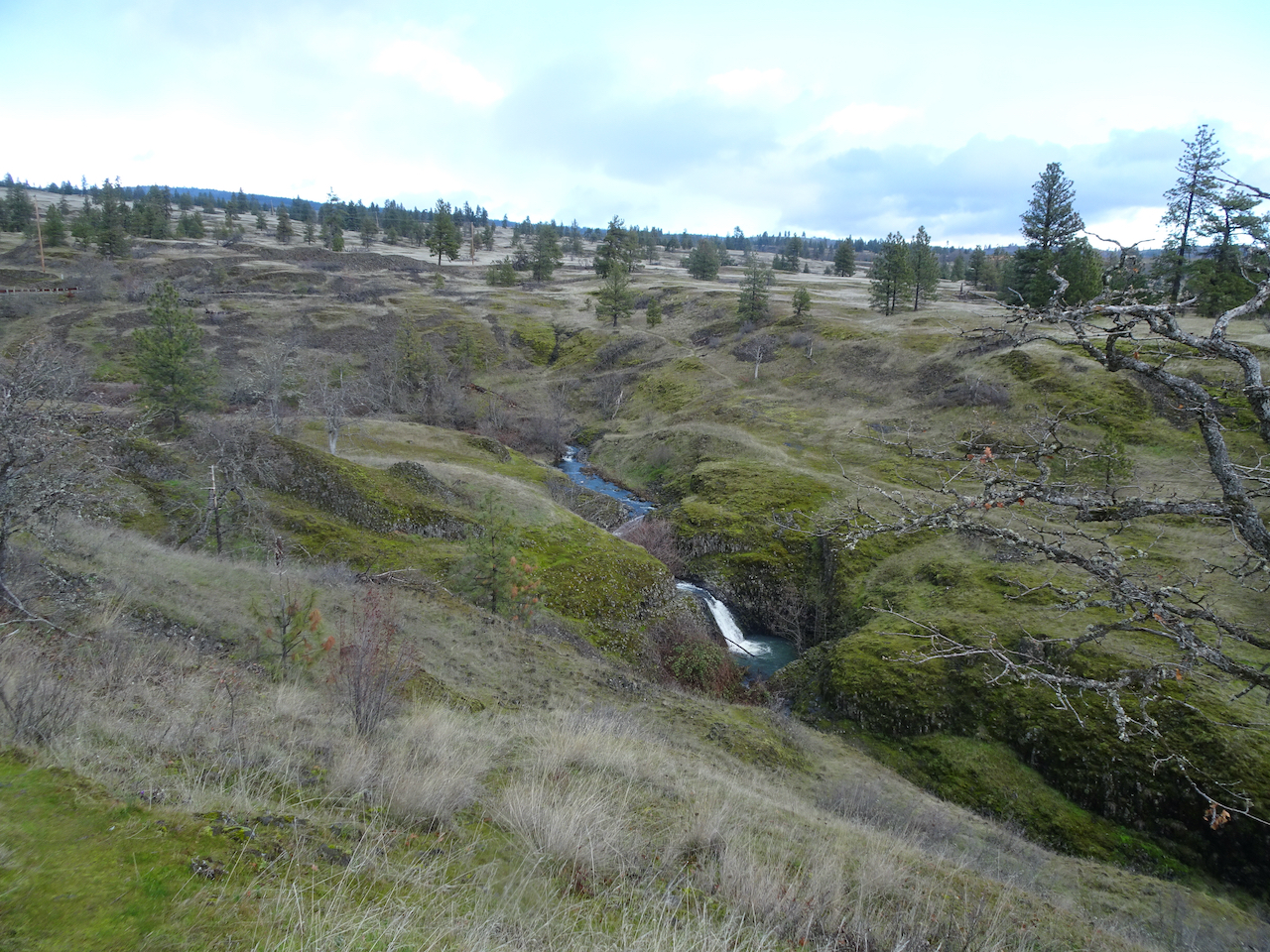
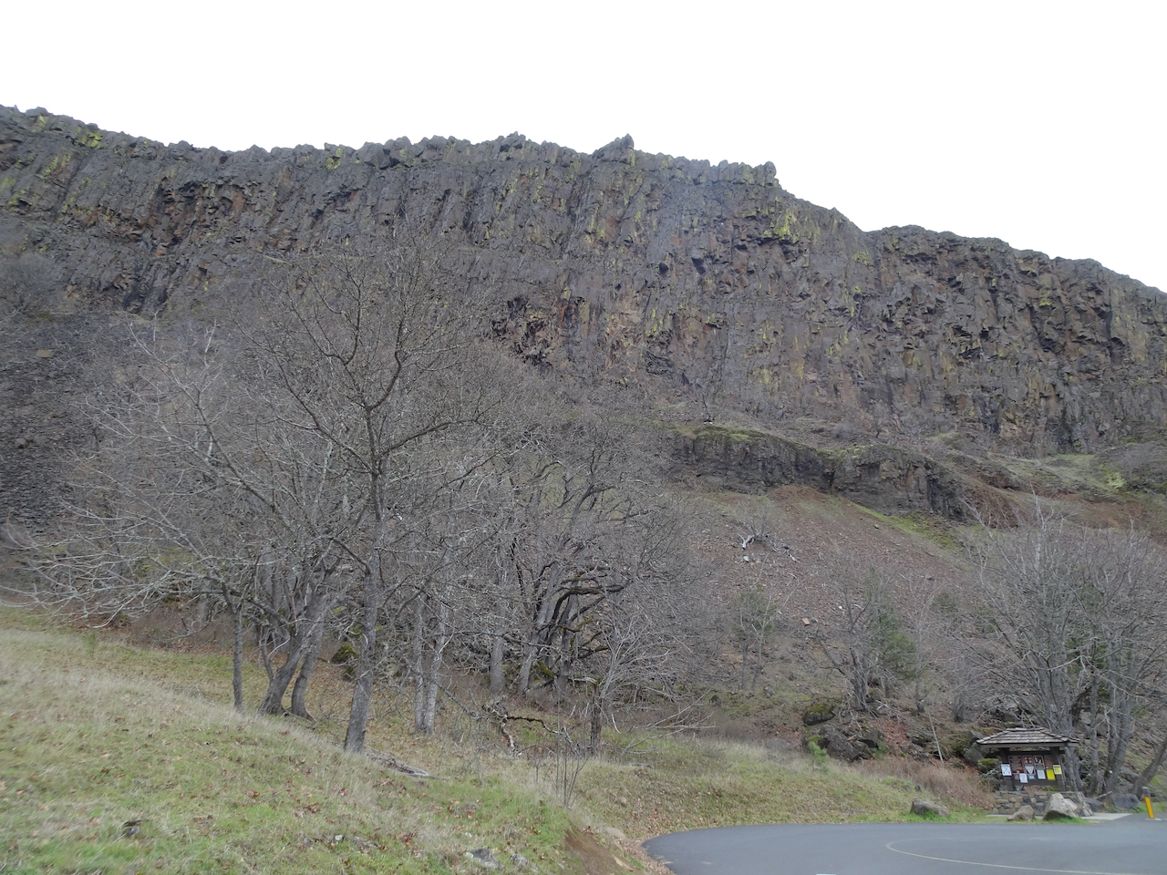
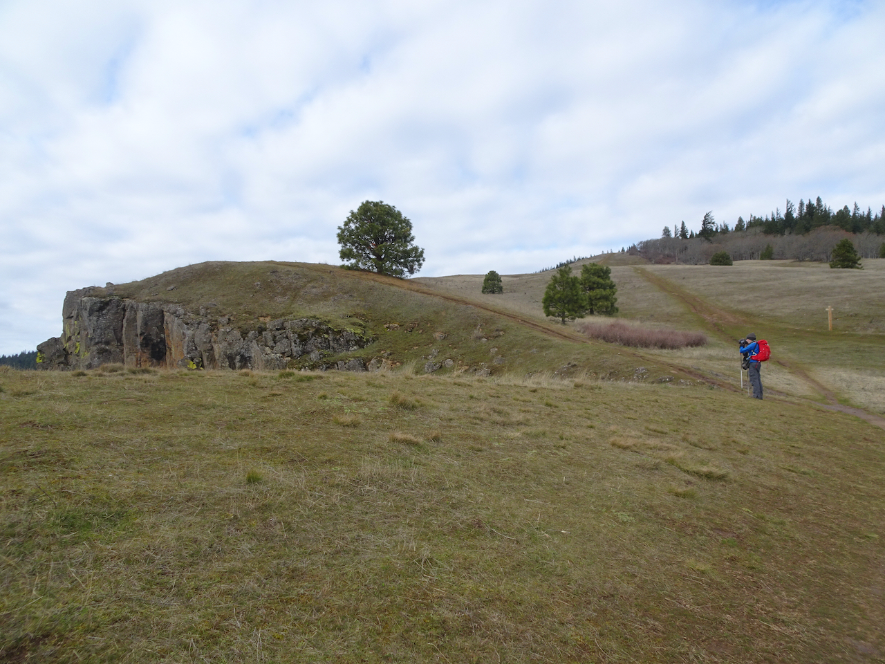
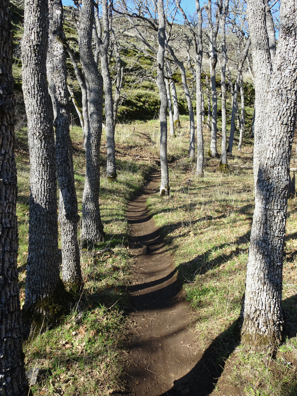
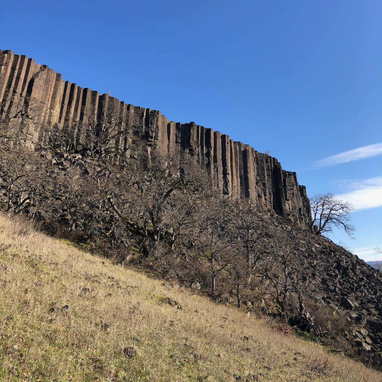
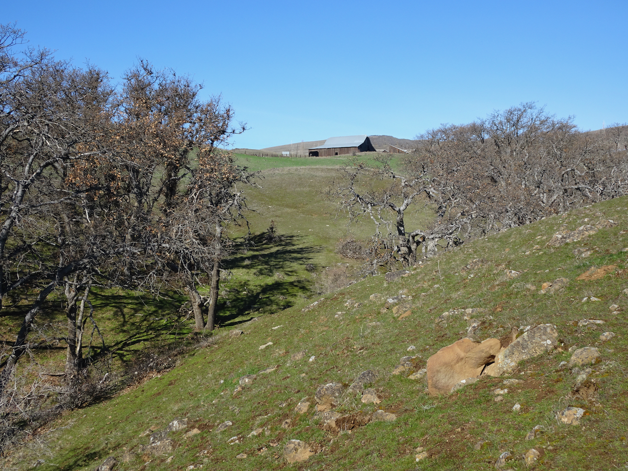
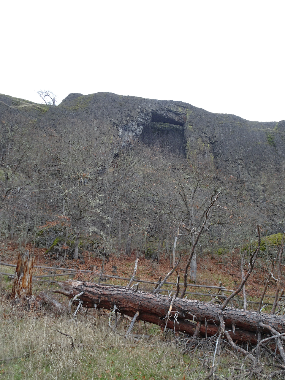
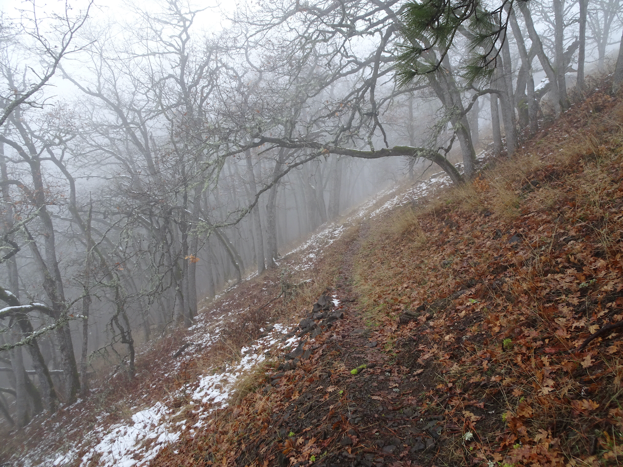
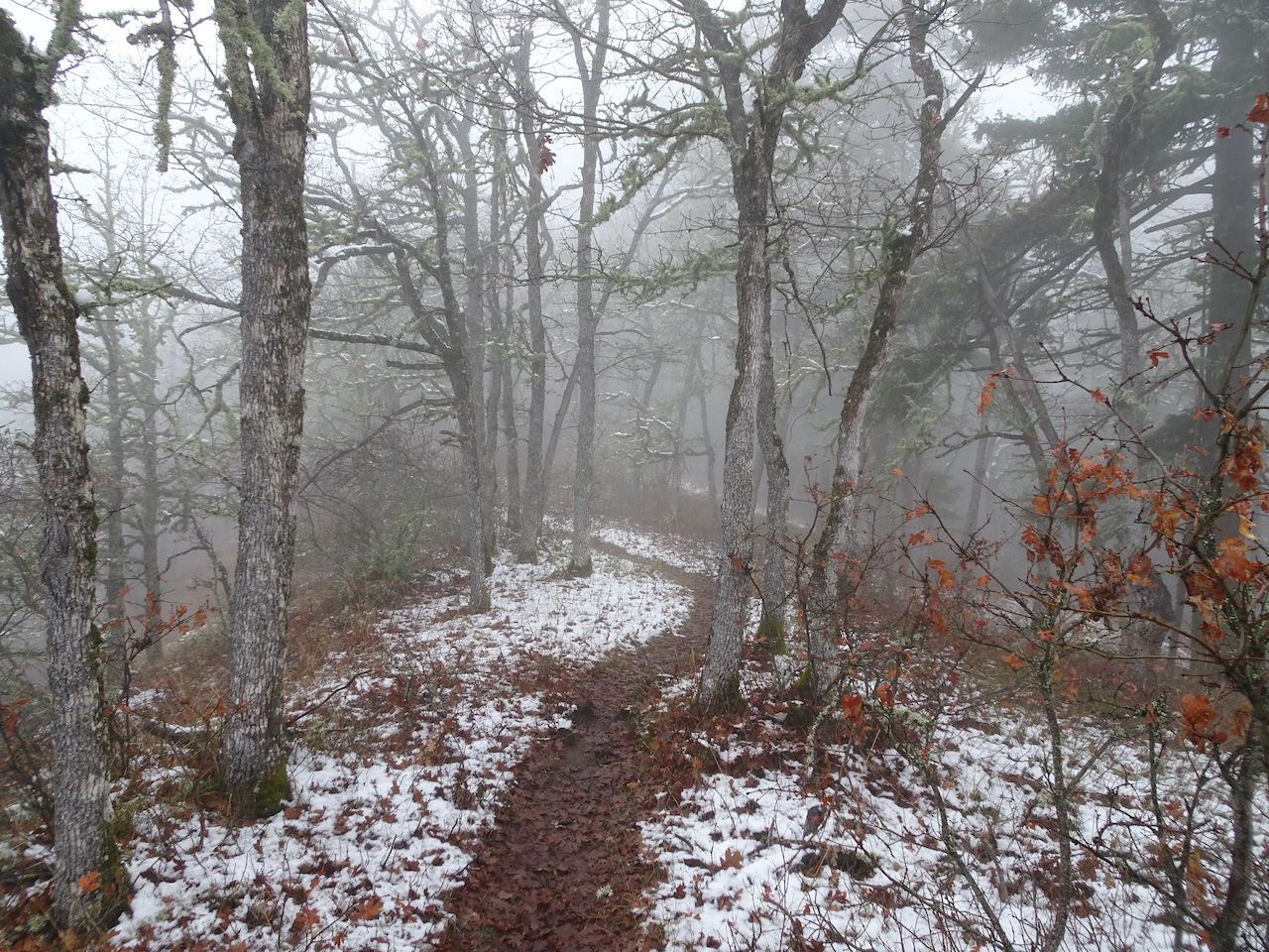
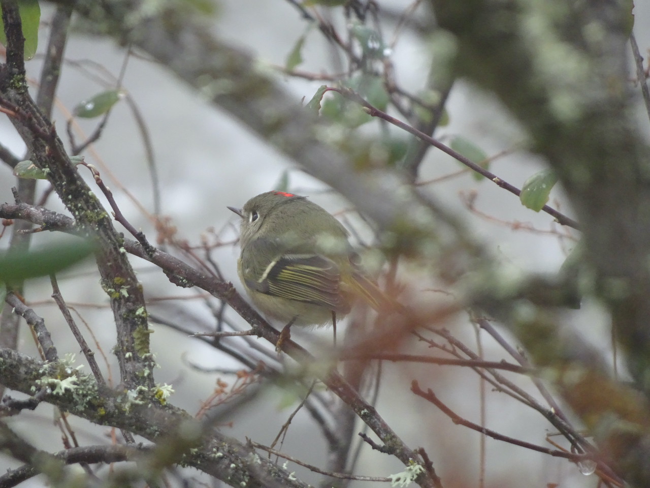
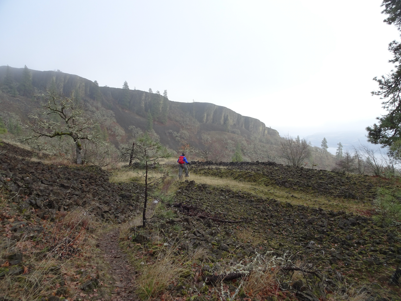
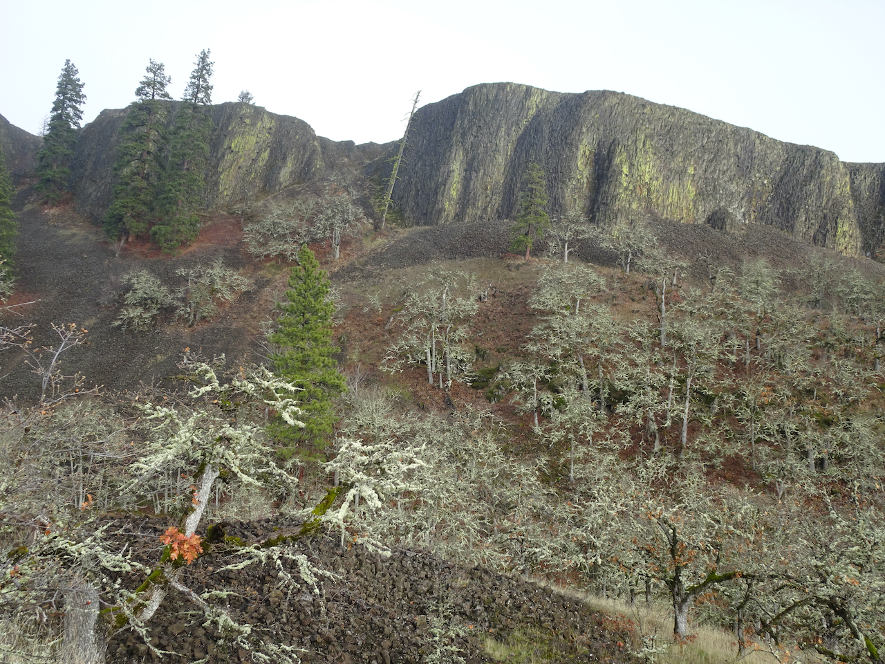
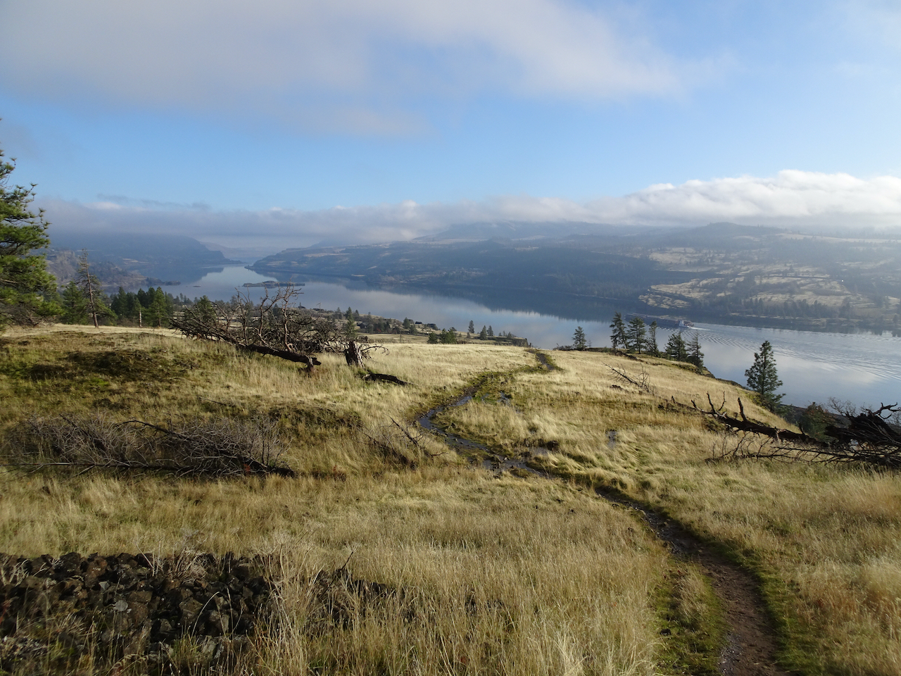
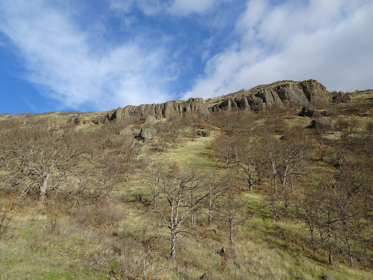
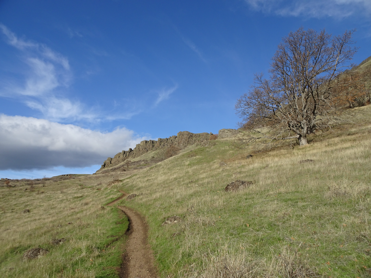
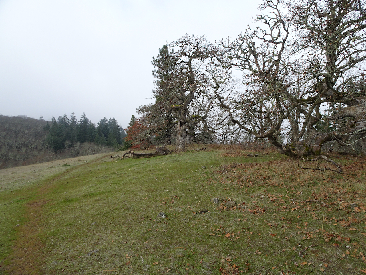
Next we walked some of the trails at nearby Catherine Creek.

Snowy slopes at Catherine Creek

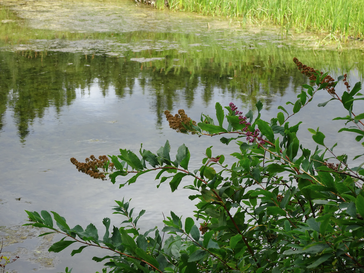
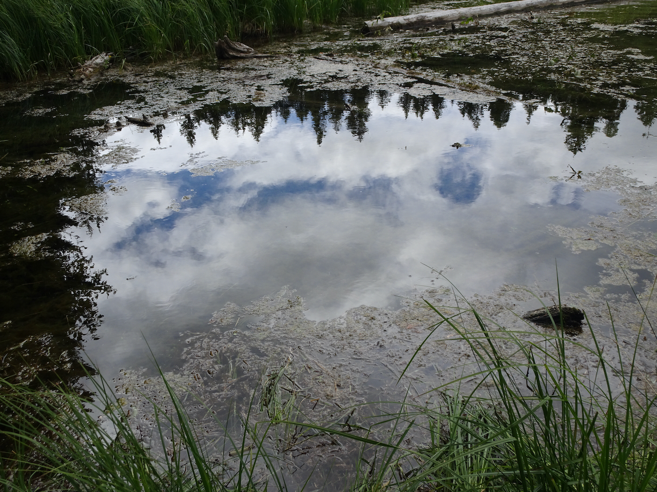
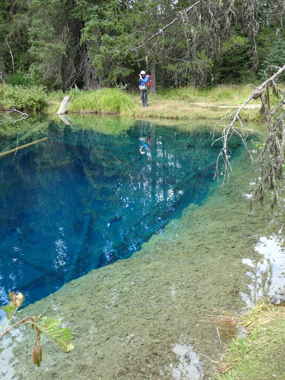
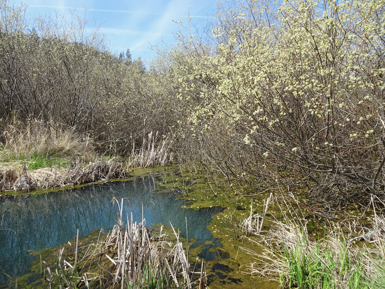
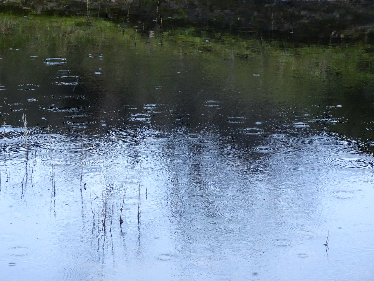
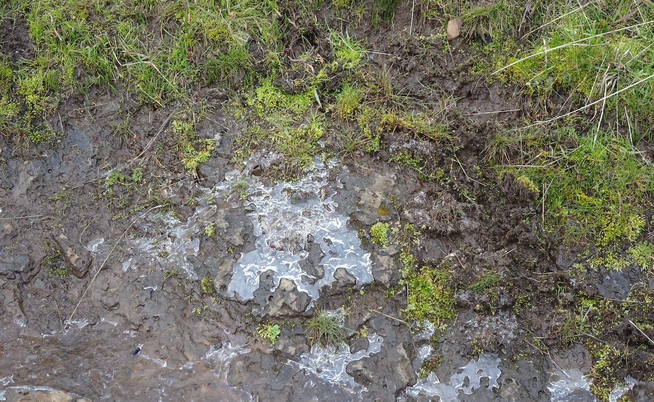
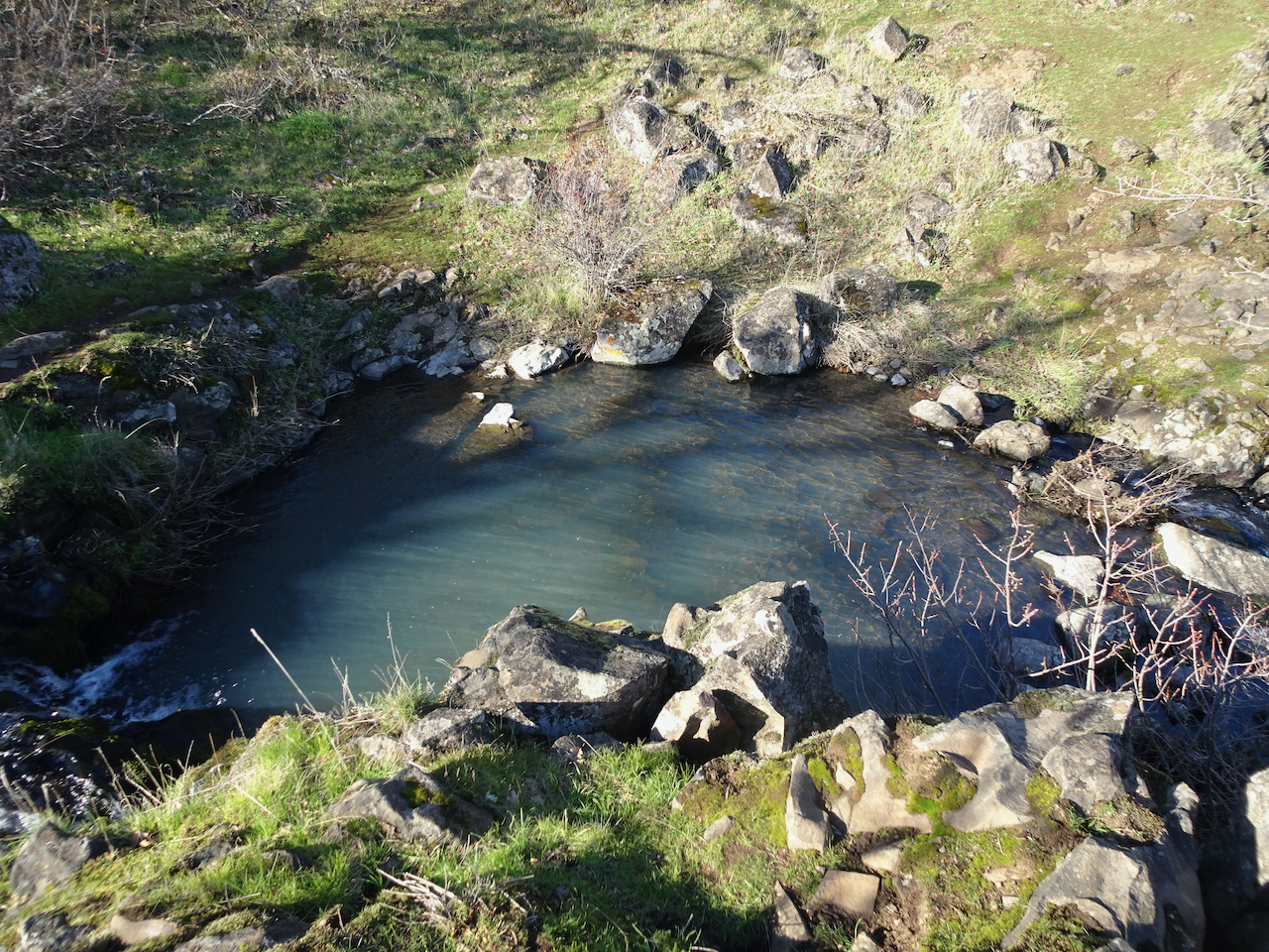
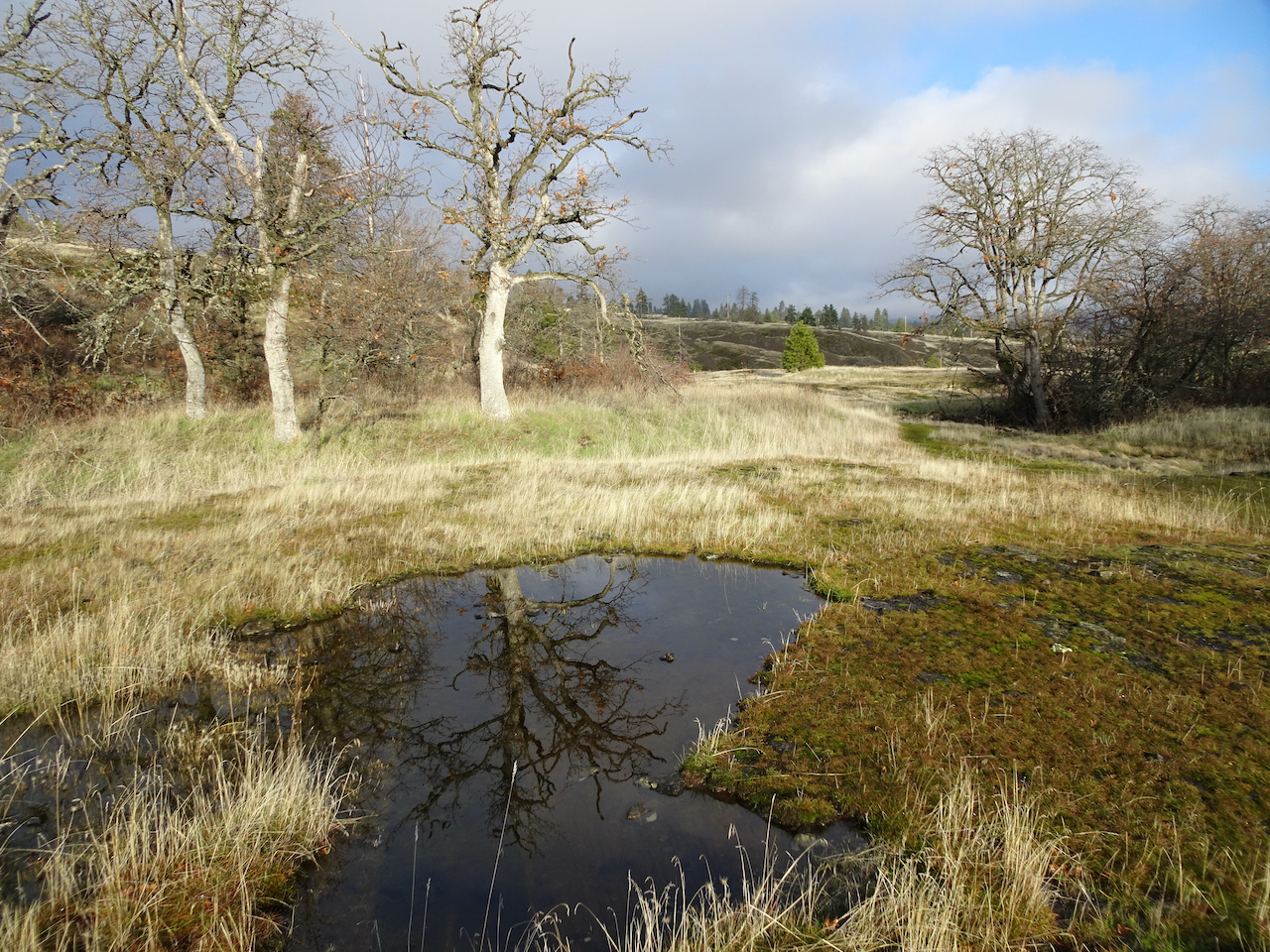
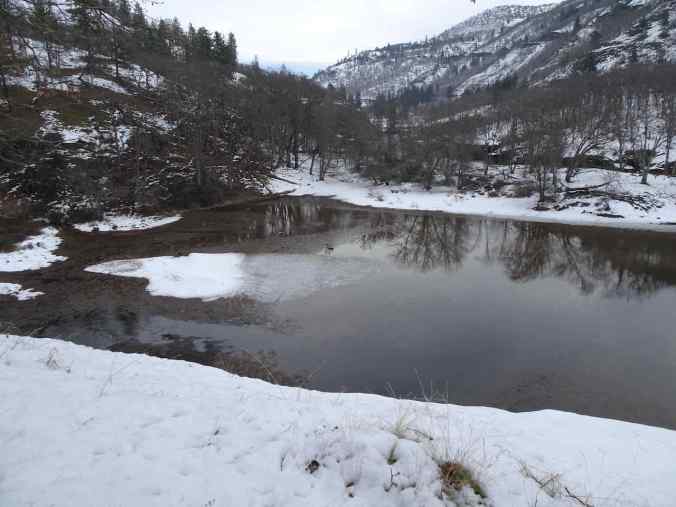
Frozen Fairy Ponds
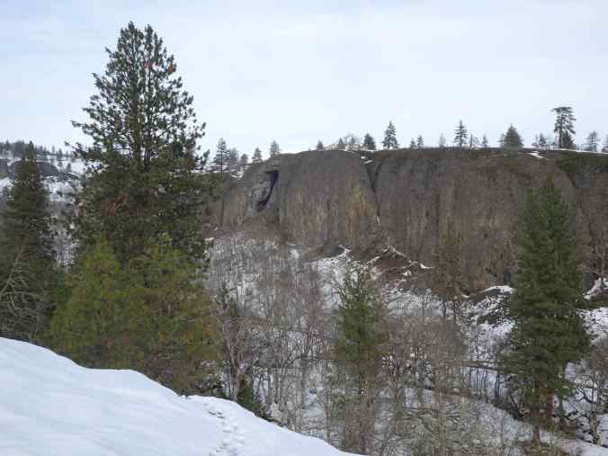
The arch

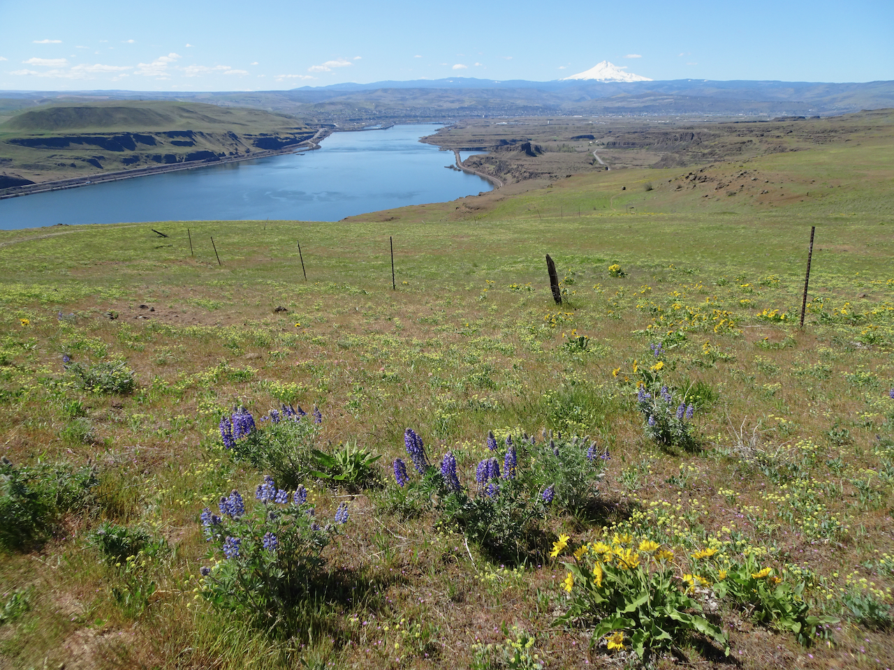
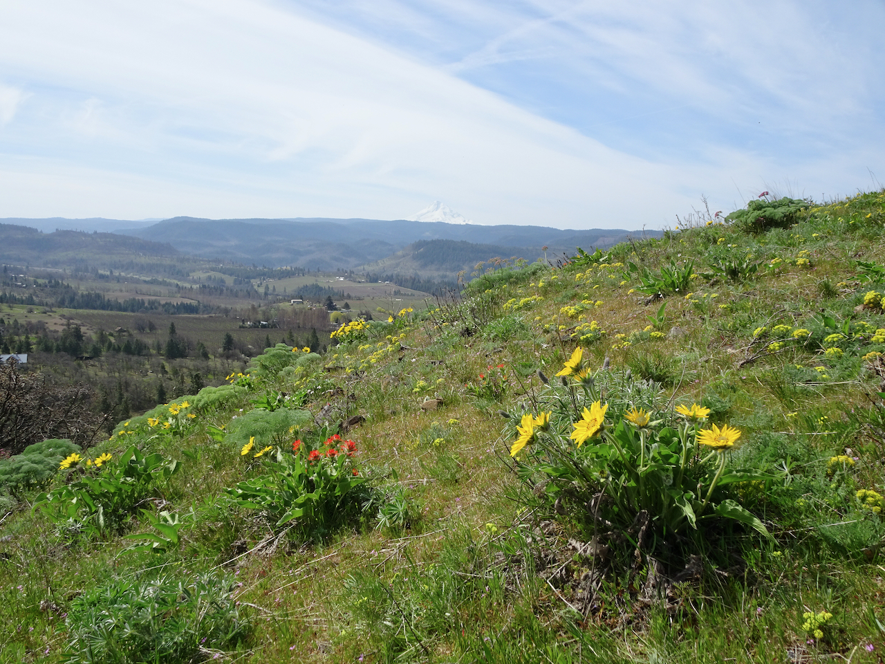
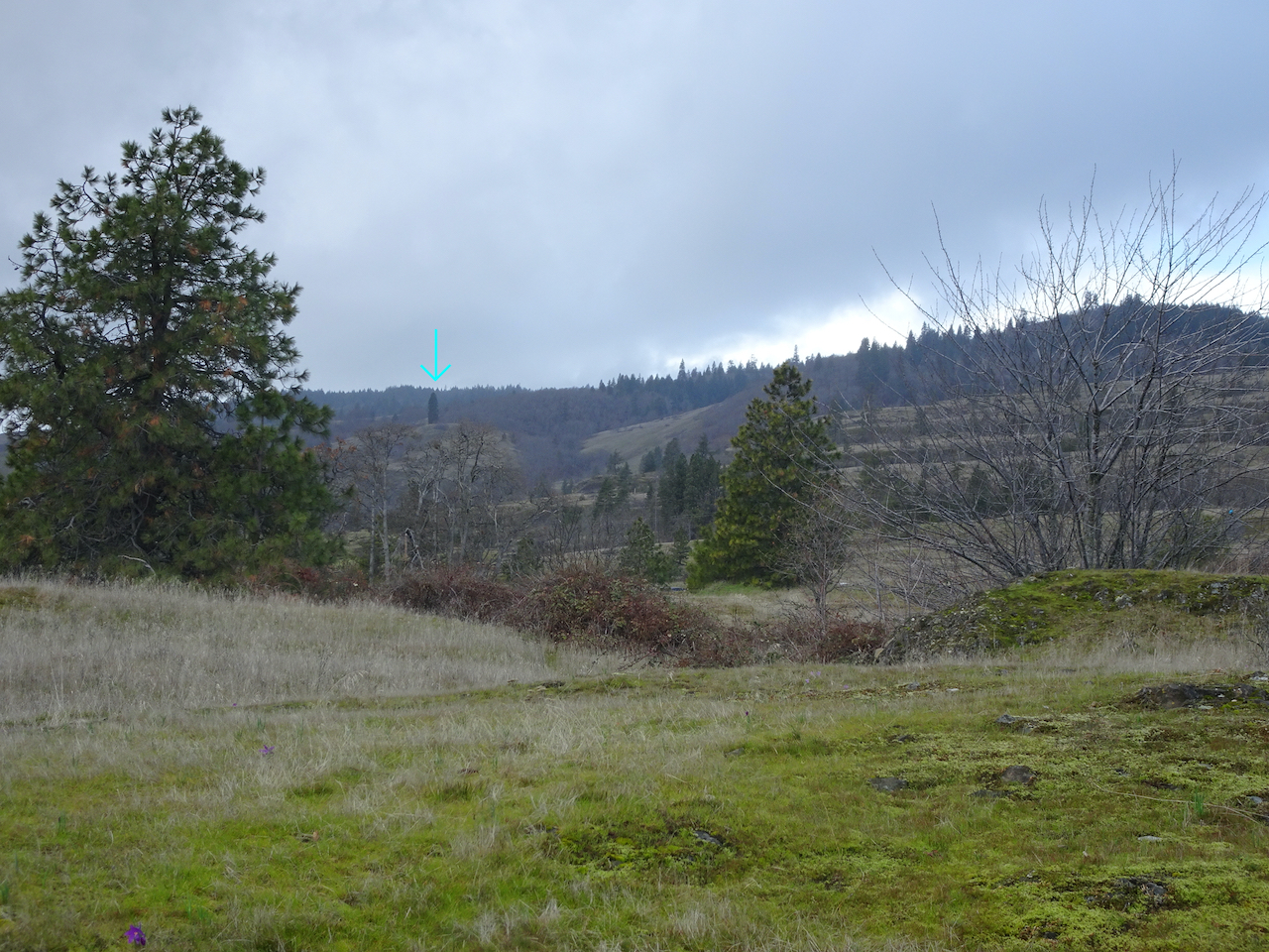
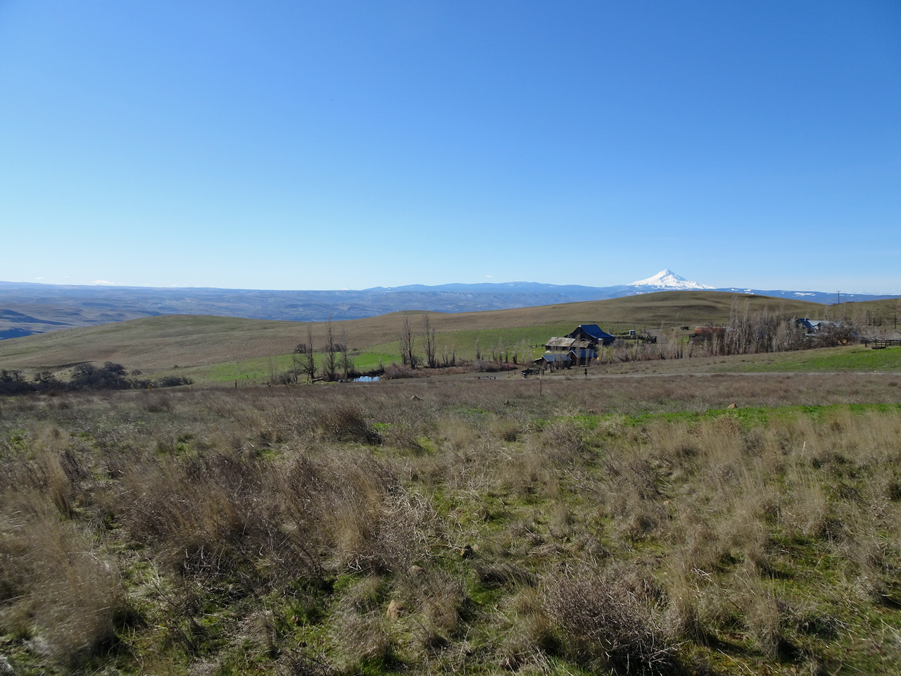
Mt Hood and the orchards of Mosier
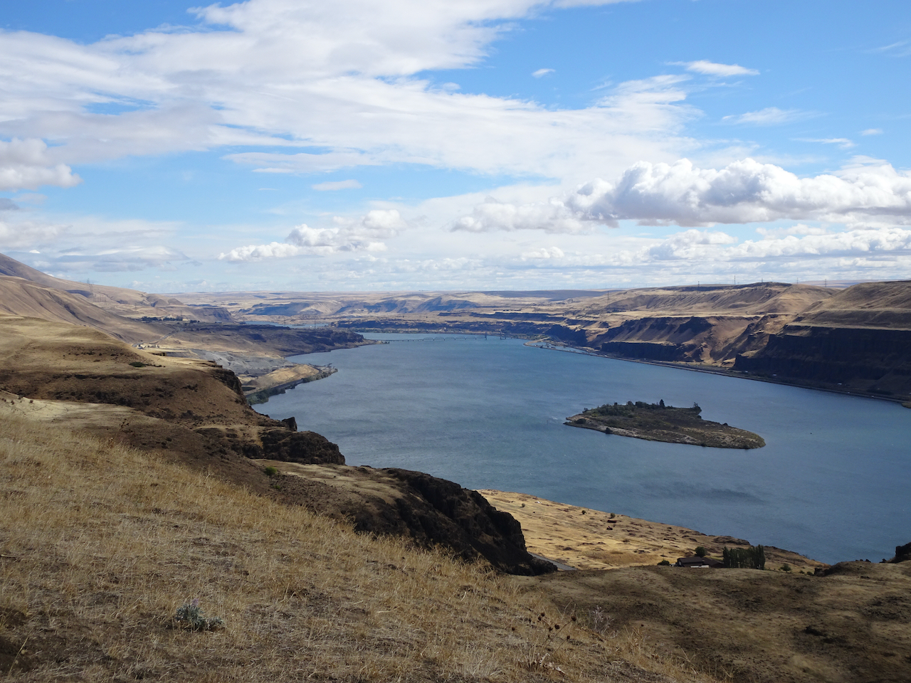
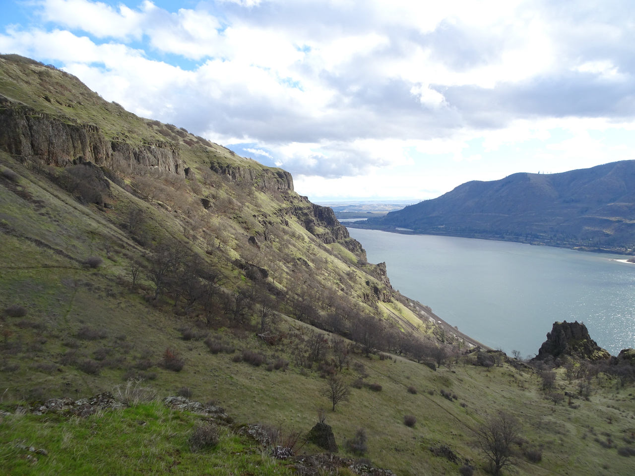
Eastern Gorge

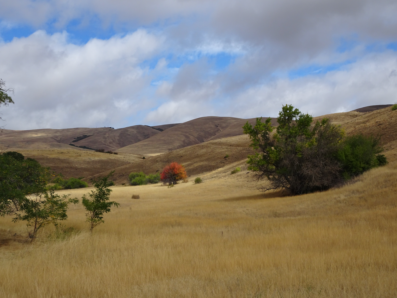
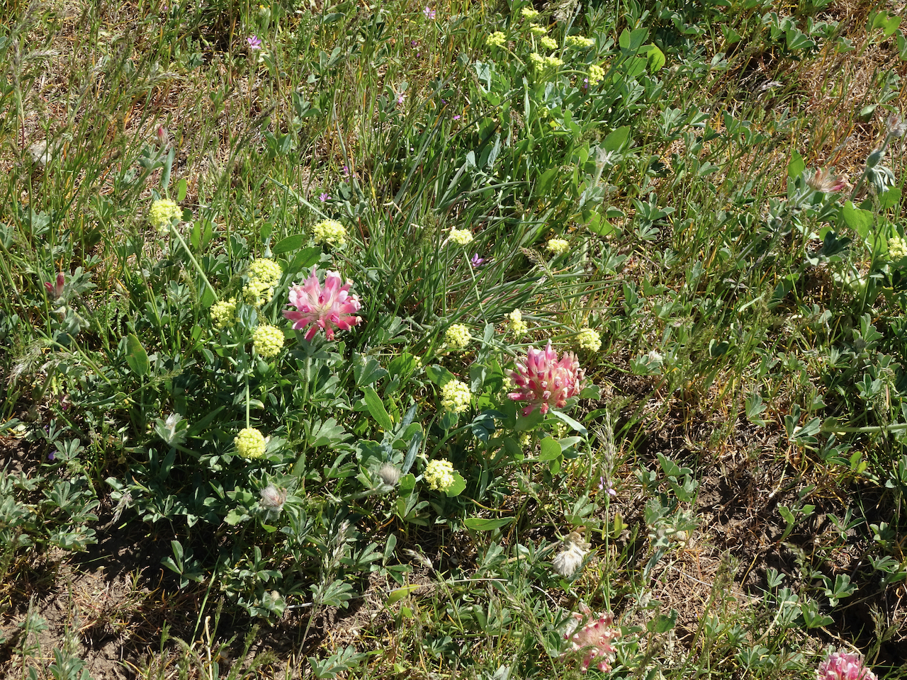
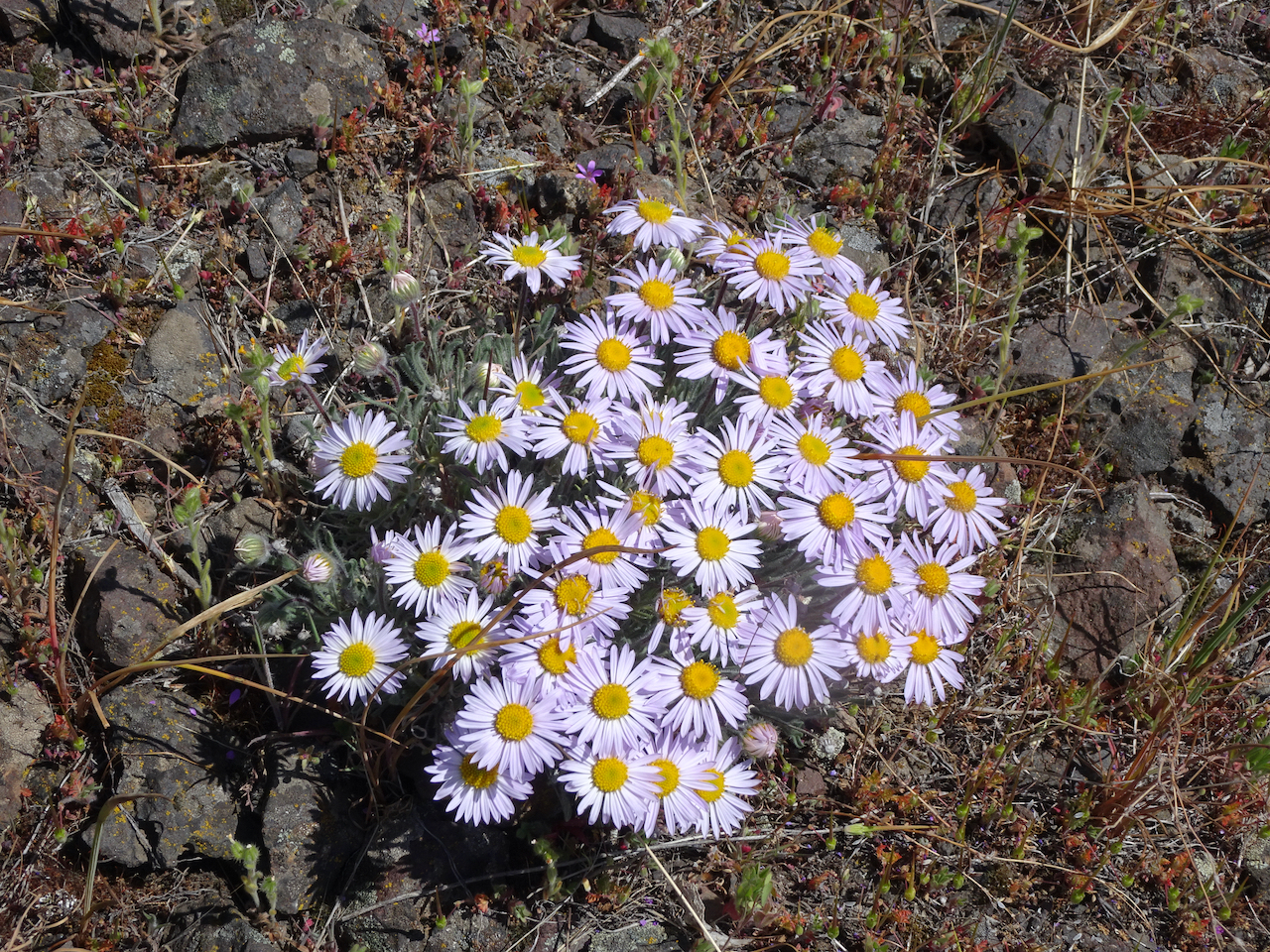
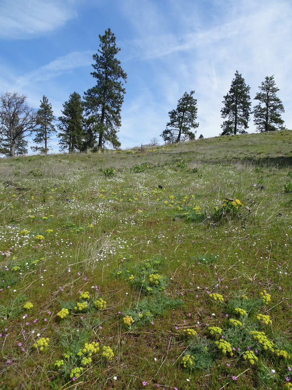
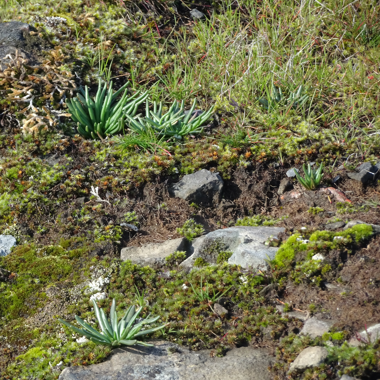
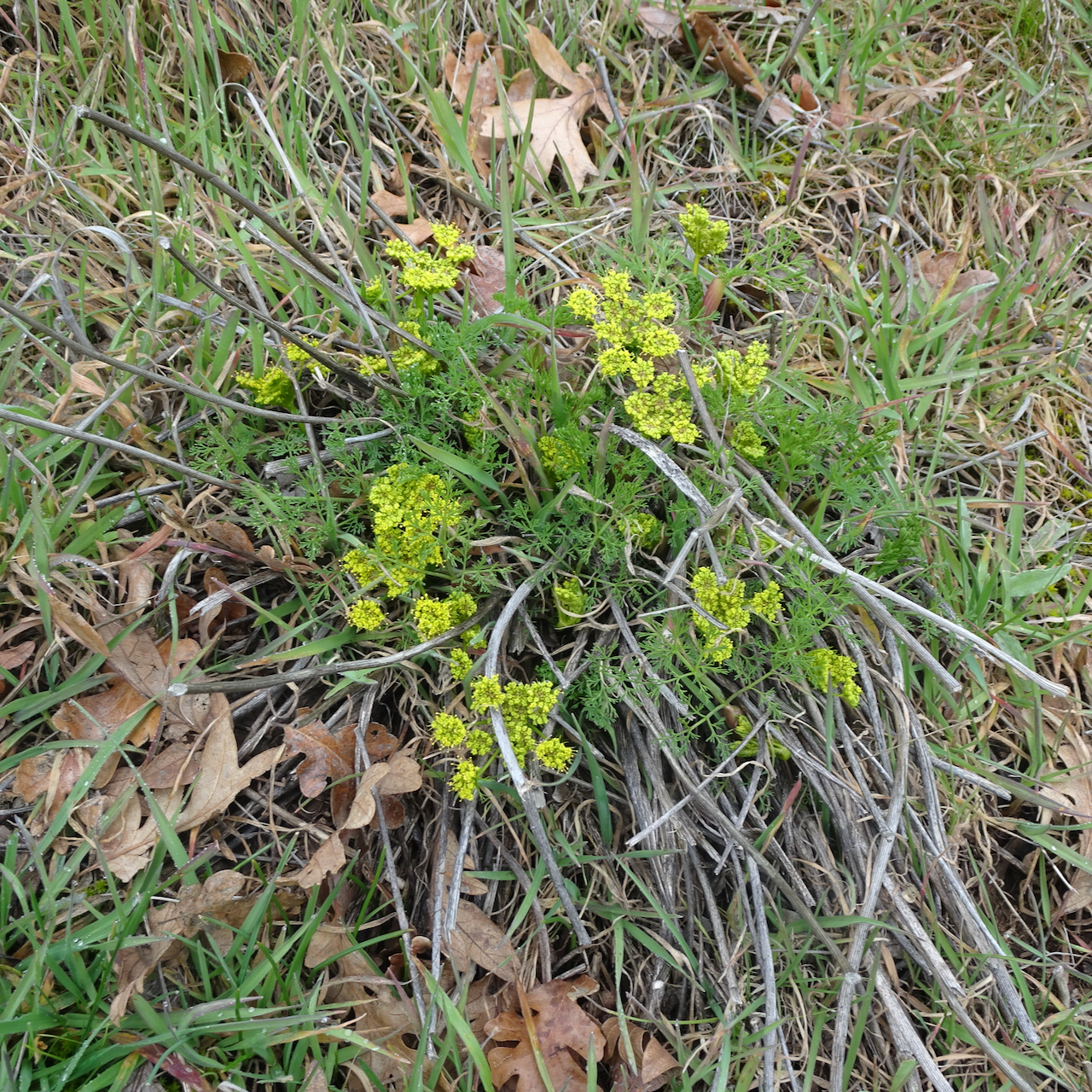
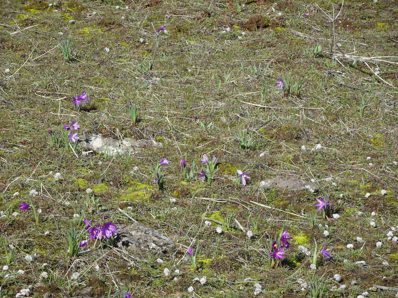
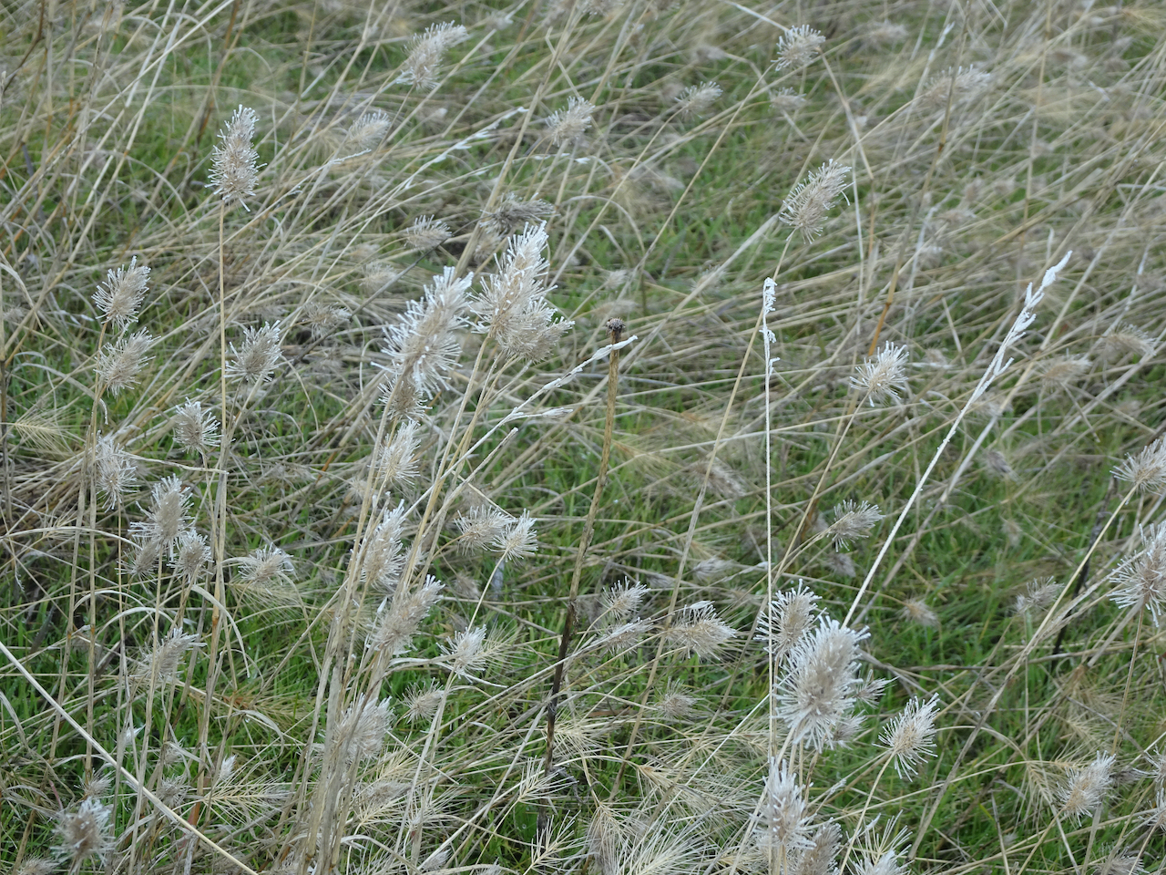
Grass widow foliage, but no blooms.

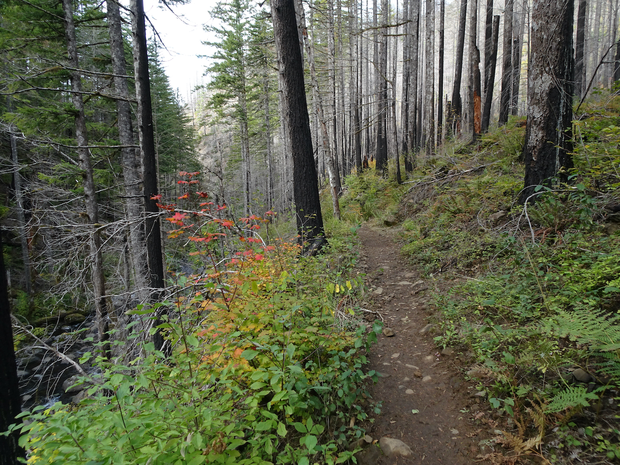
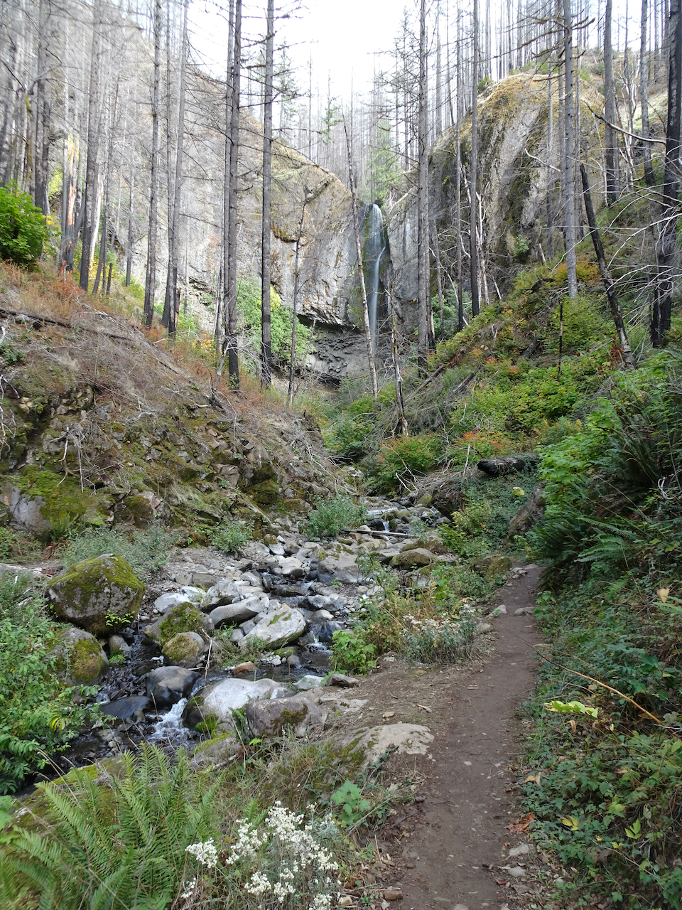
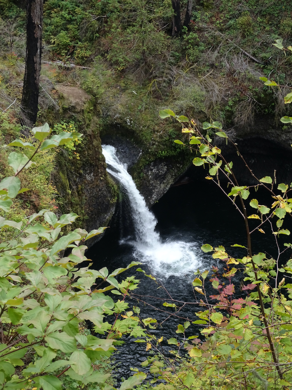
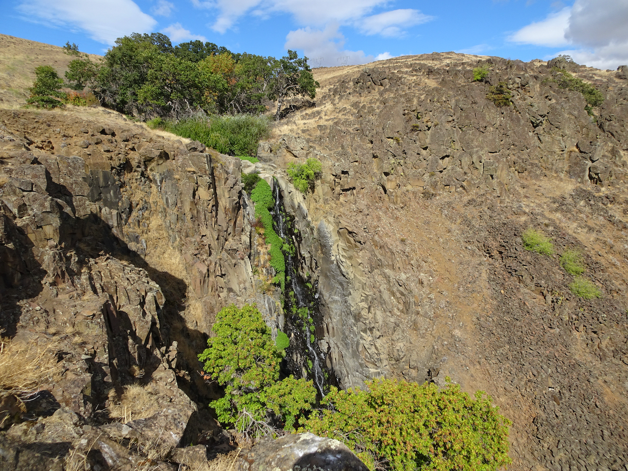
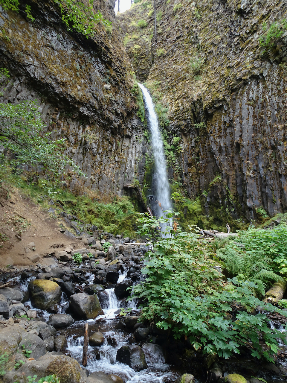
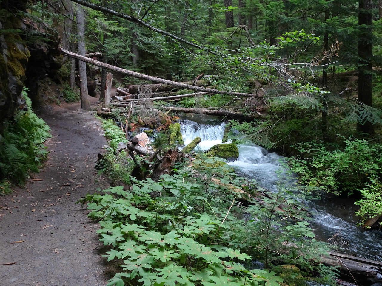
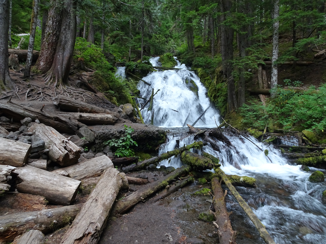
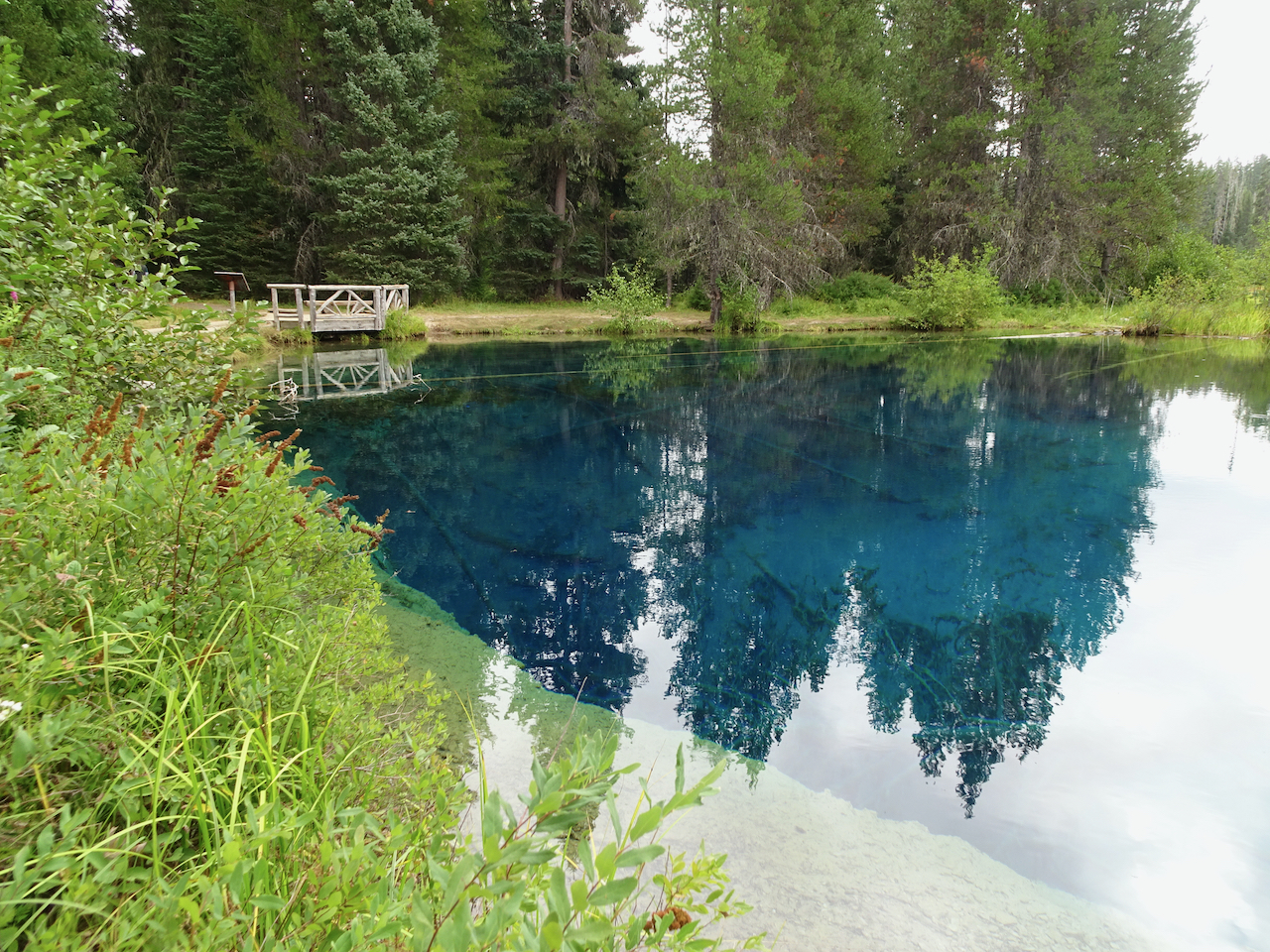
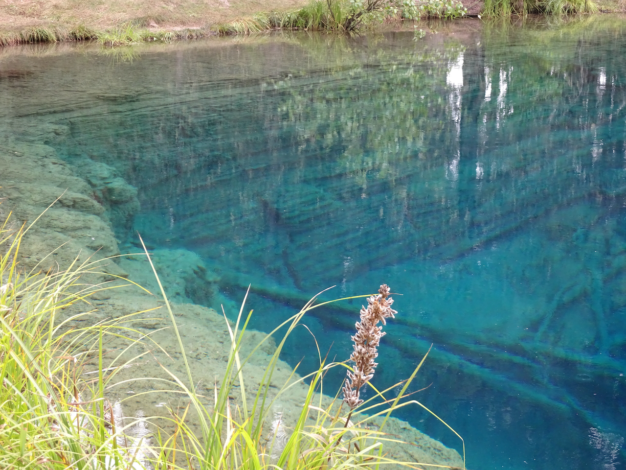
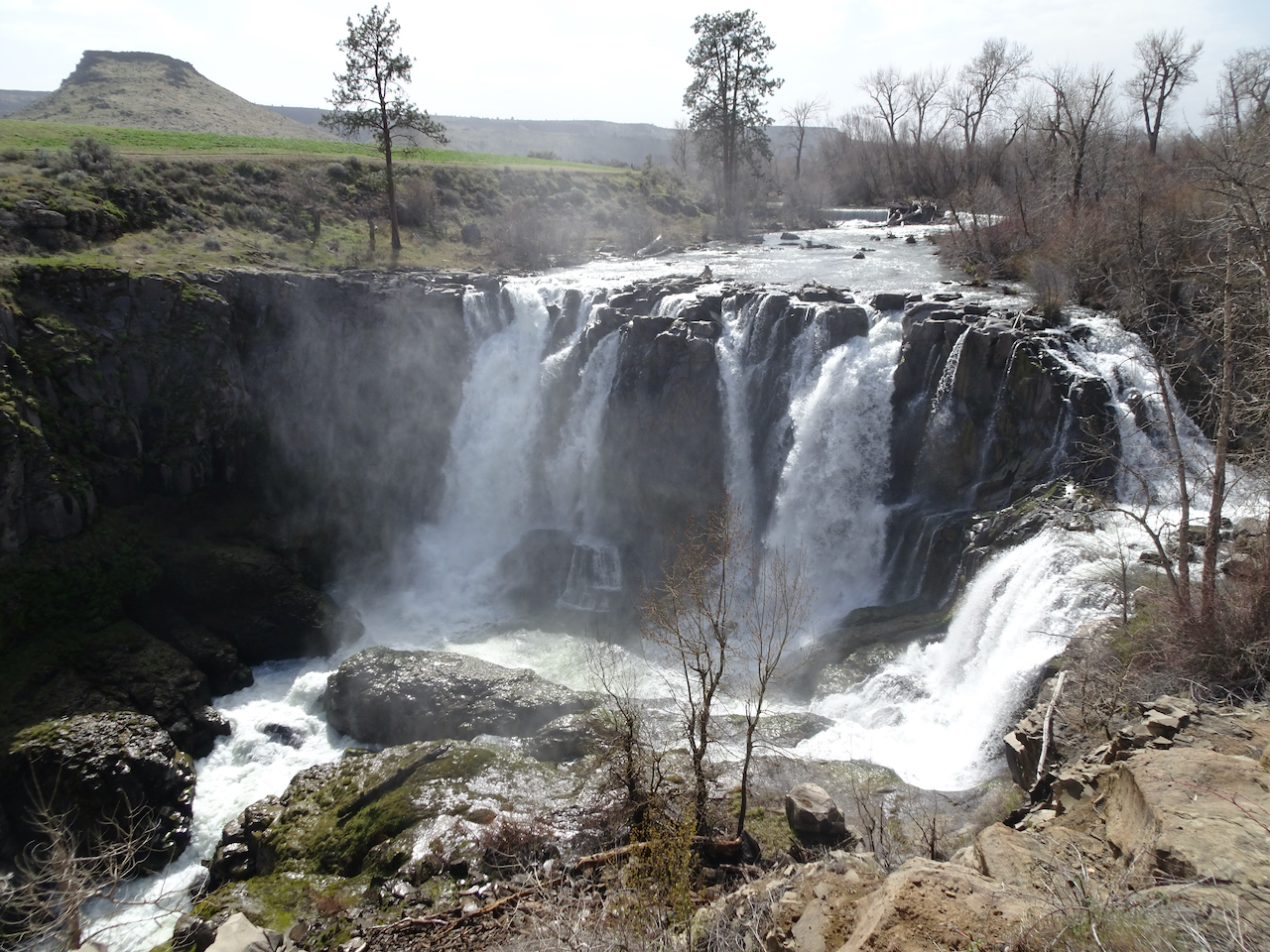
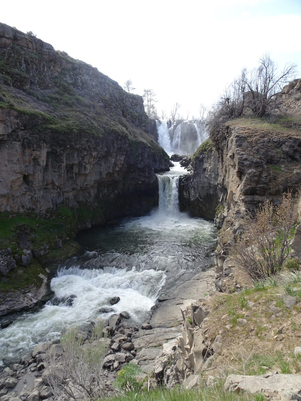
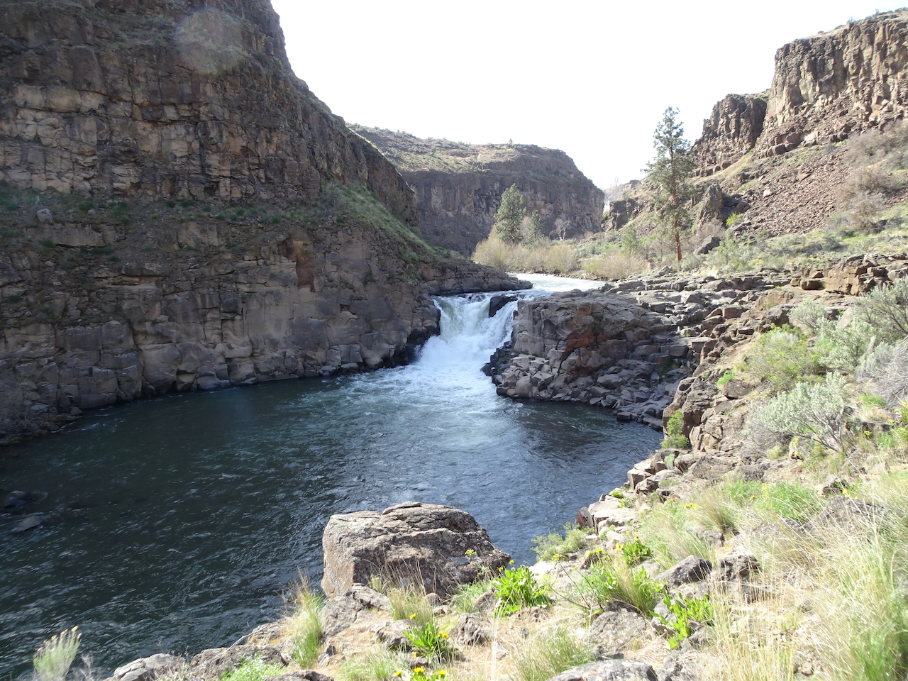
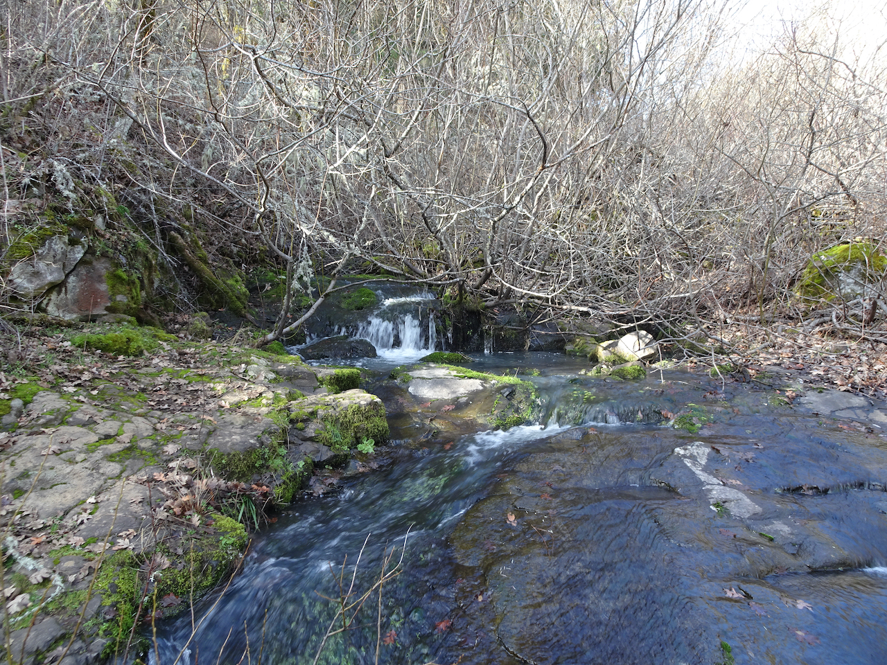
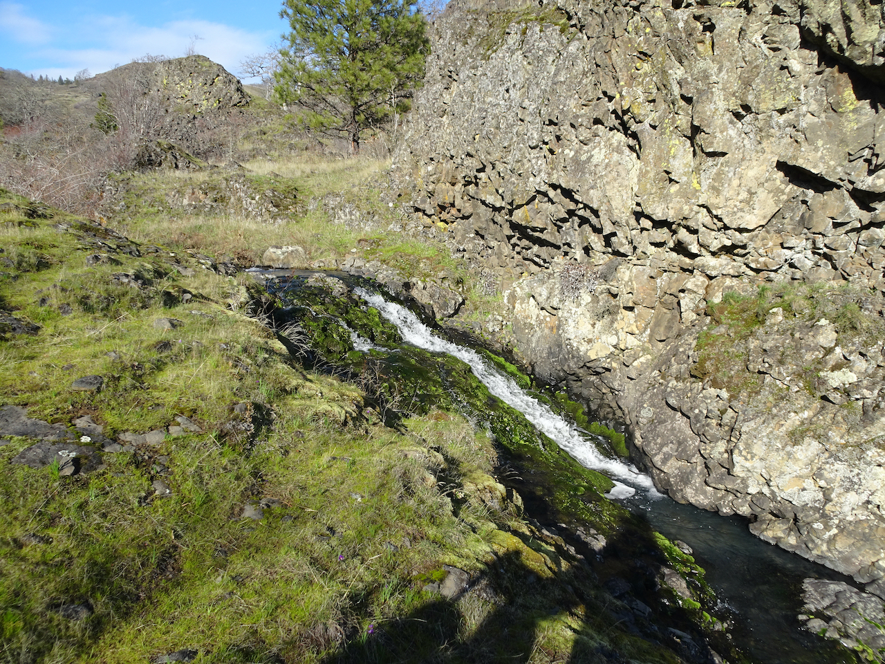
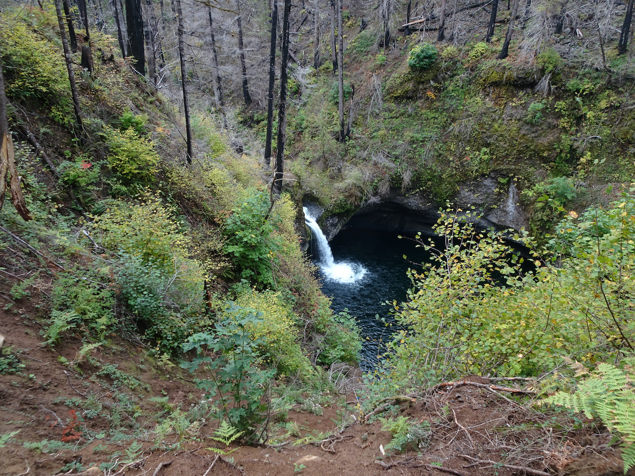
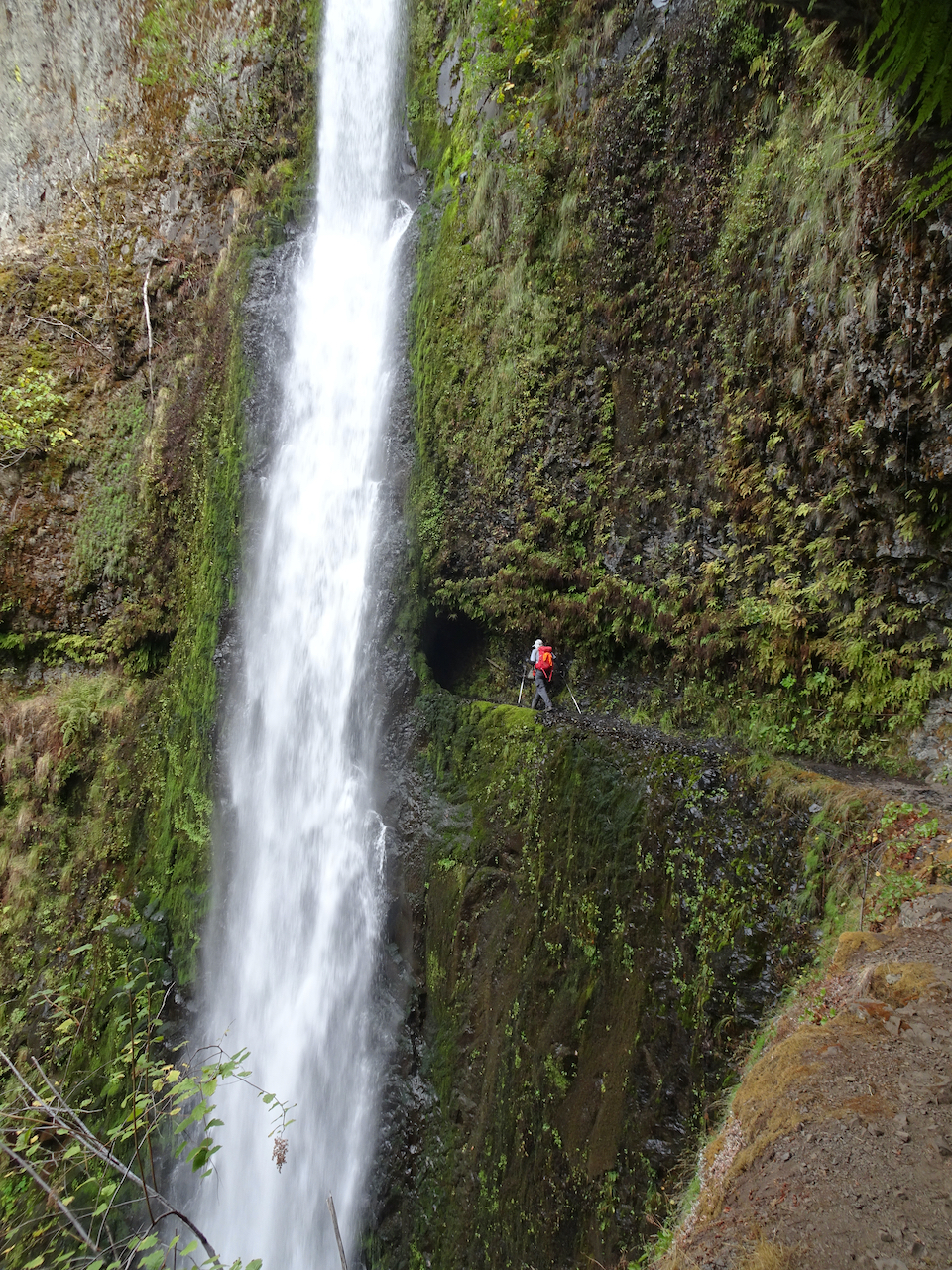
The waterfall.
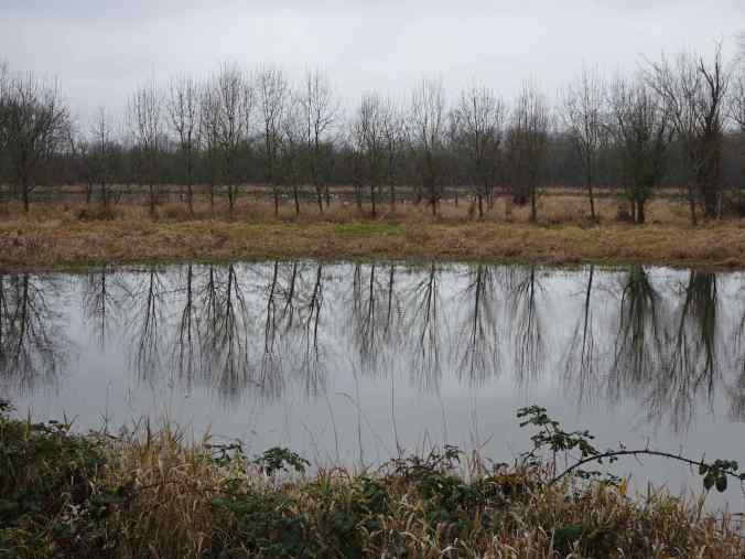
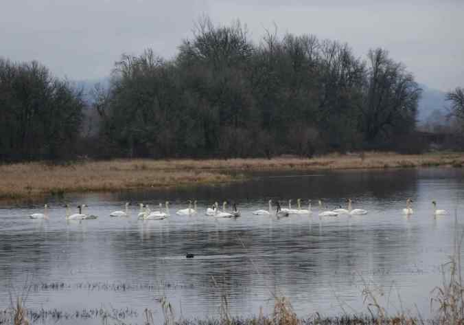
1/18/2022 Swans at Ridgefield Wildlife Refuge, WA – We walked the 2.5 mile Oaks to Wetland Trail.
Swans in the distance, from the railroad bridge
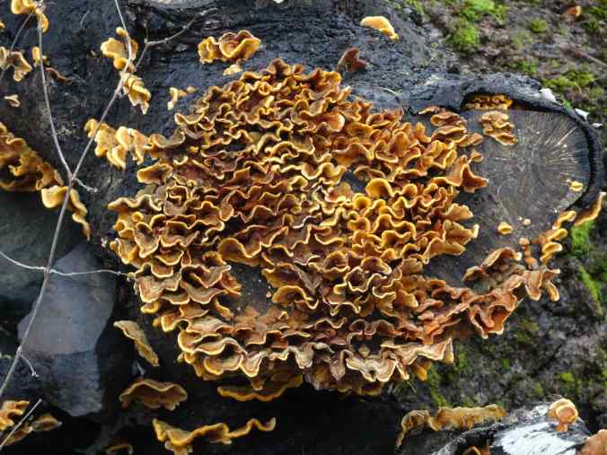
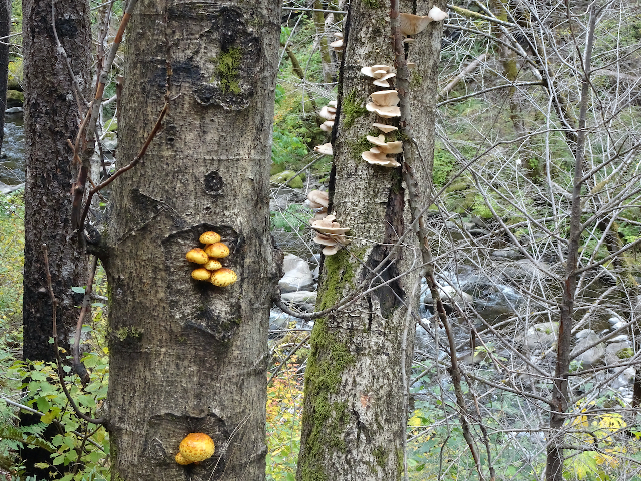
Fungus
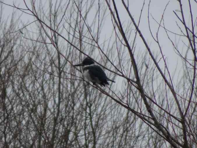
Belted kingfisher

Trumpeter swans
Then we drove the auto tour, looking for more swans.

Plenty of tundra and trumpeter swans in the northern lake…


American coot
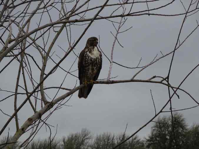
Northern harrier next to the road.
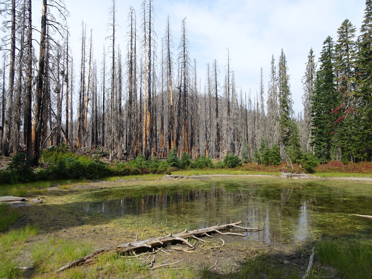
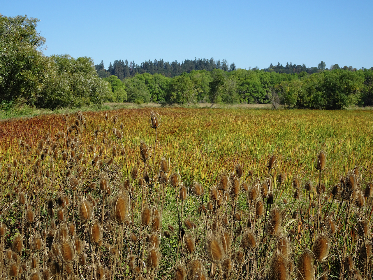
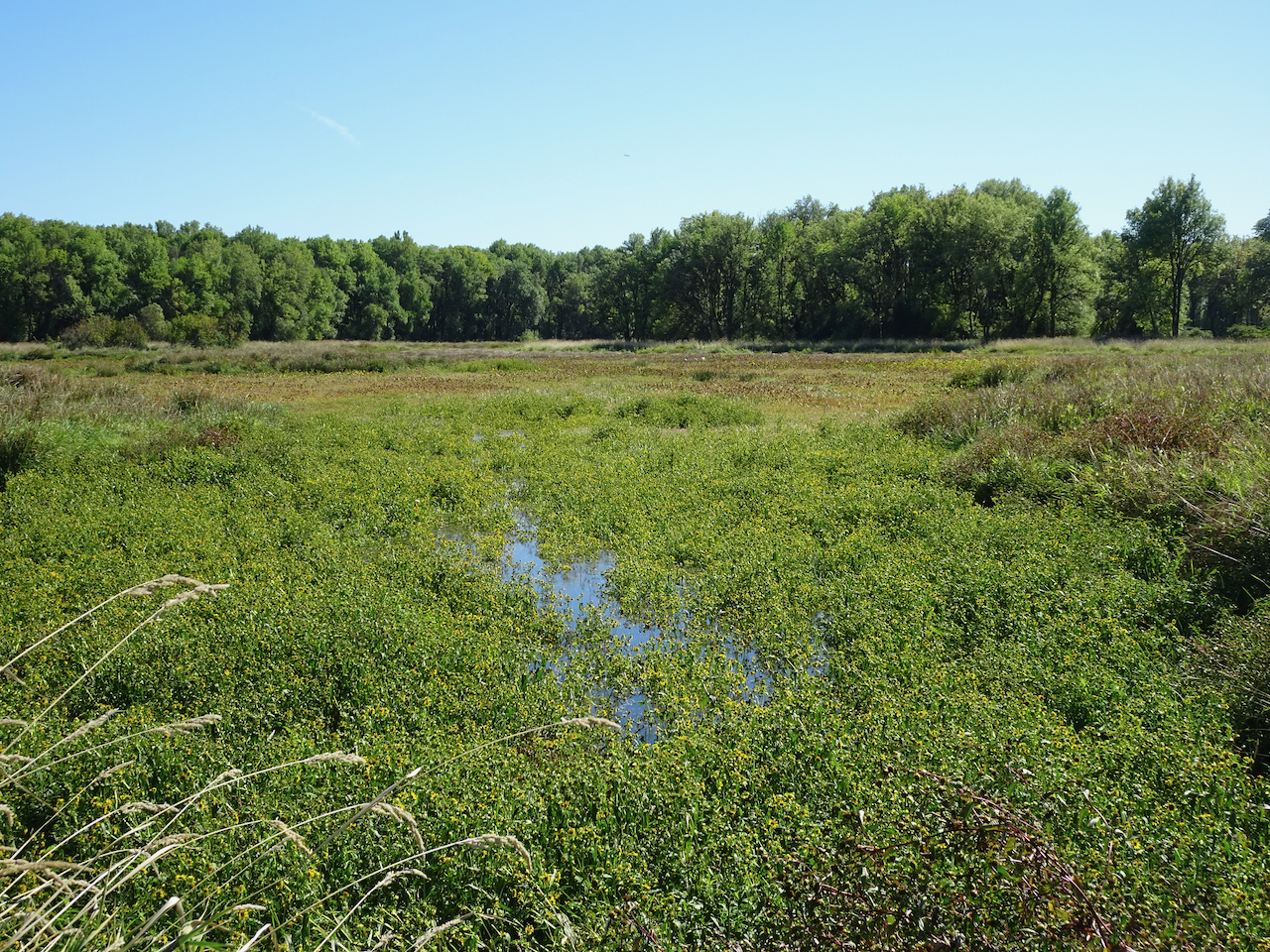
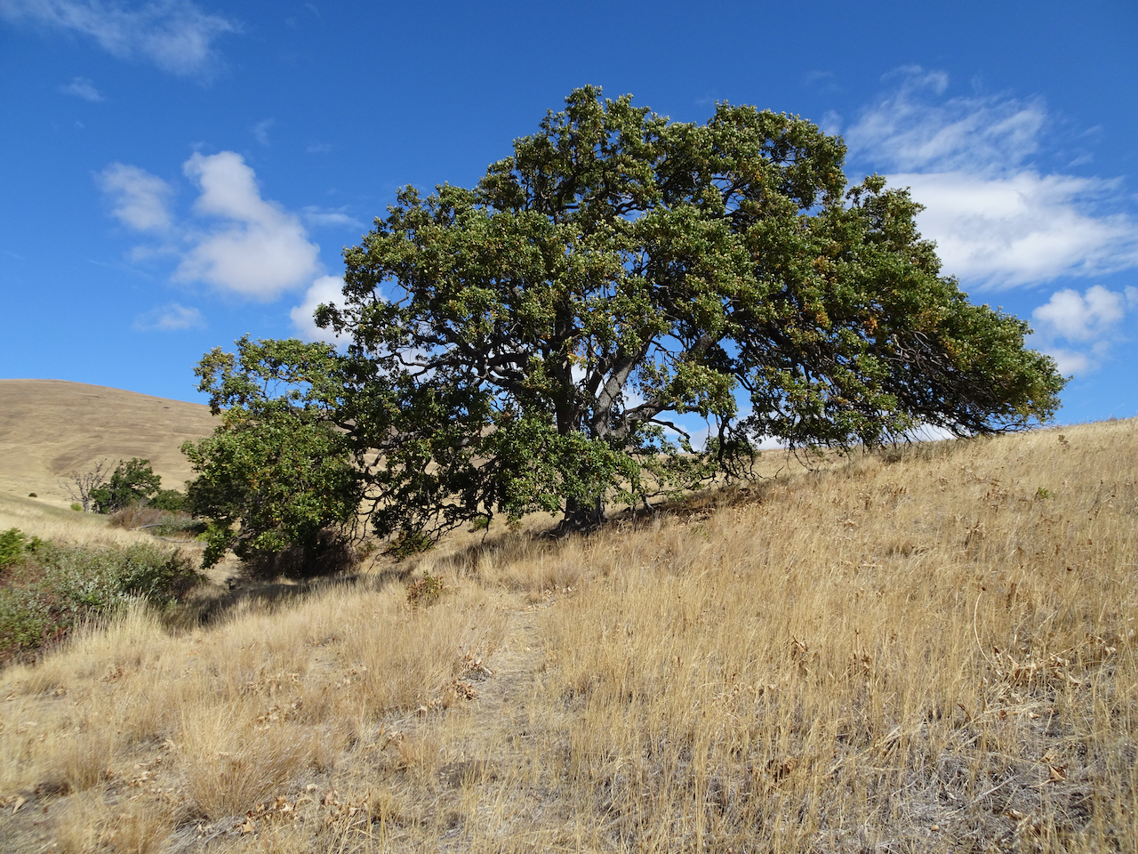
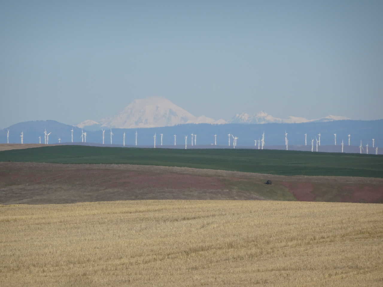
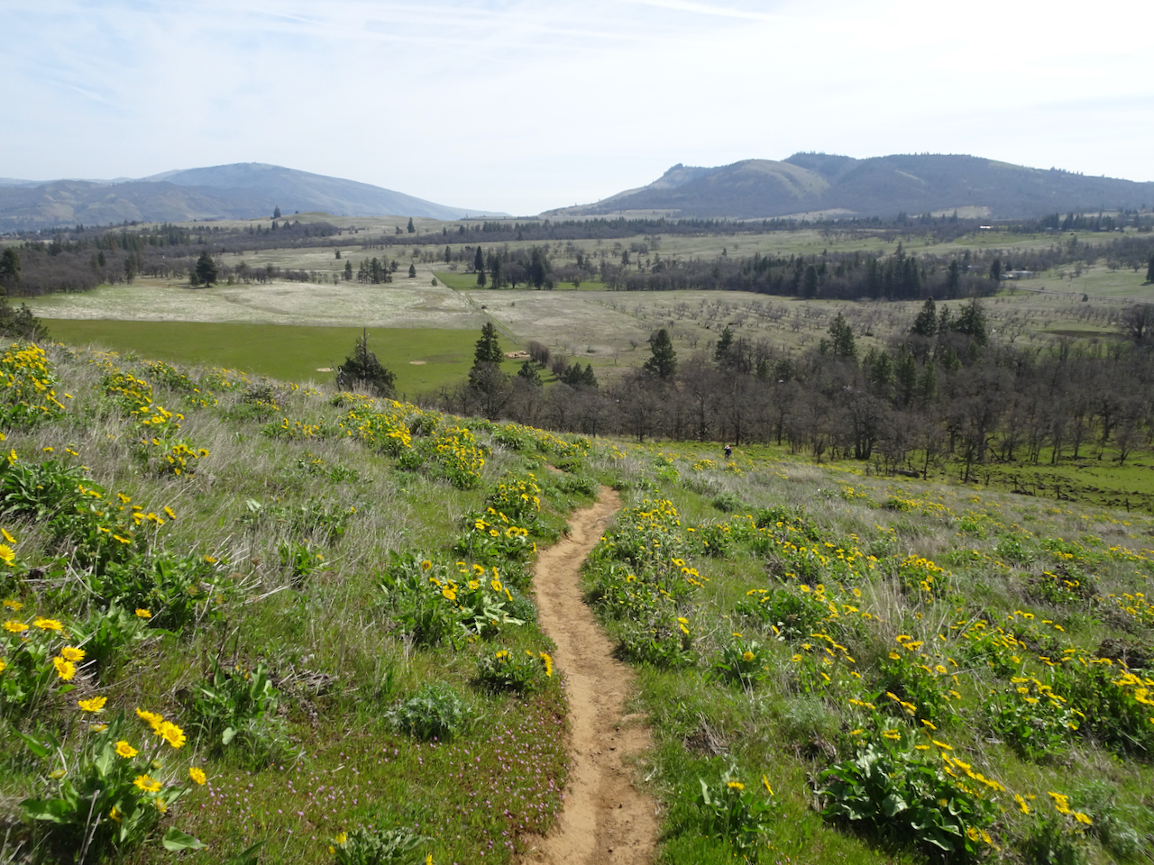
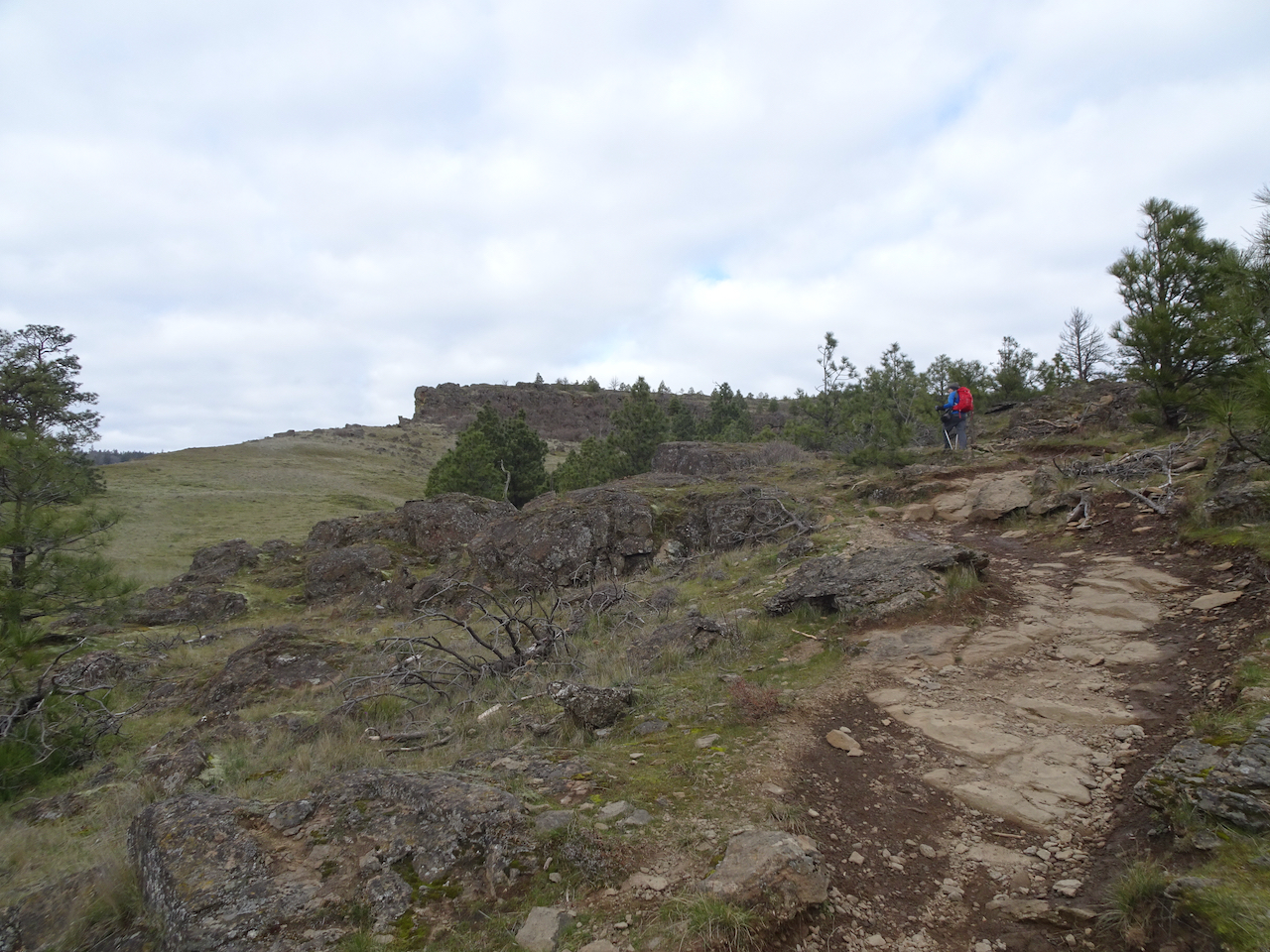
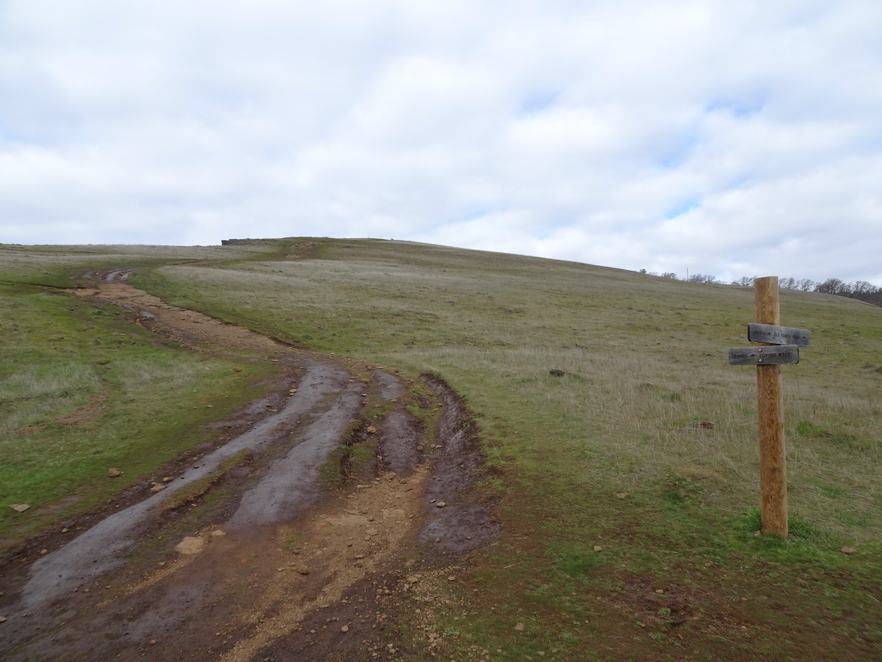
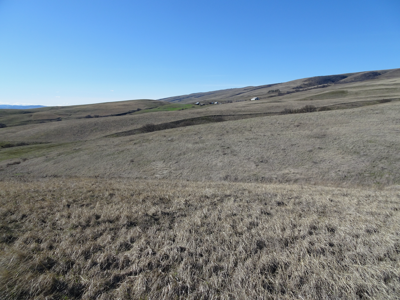
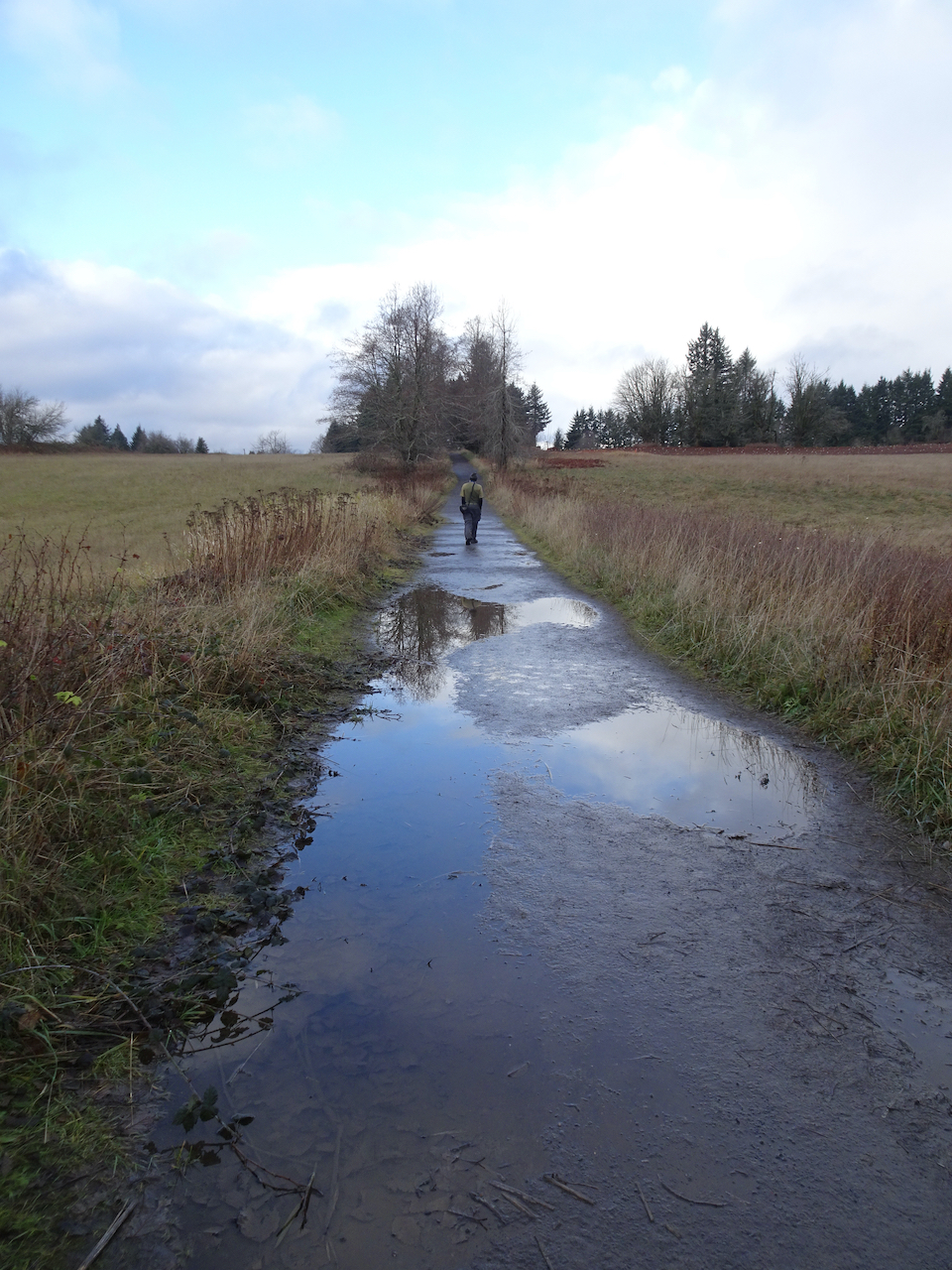
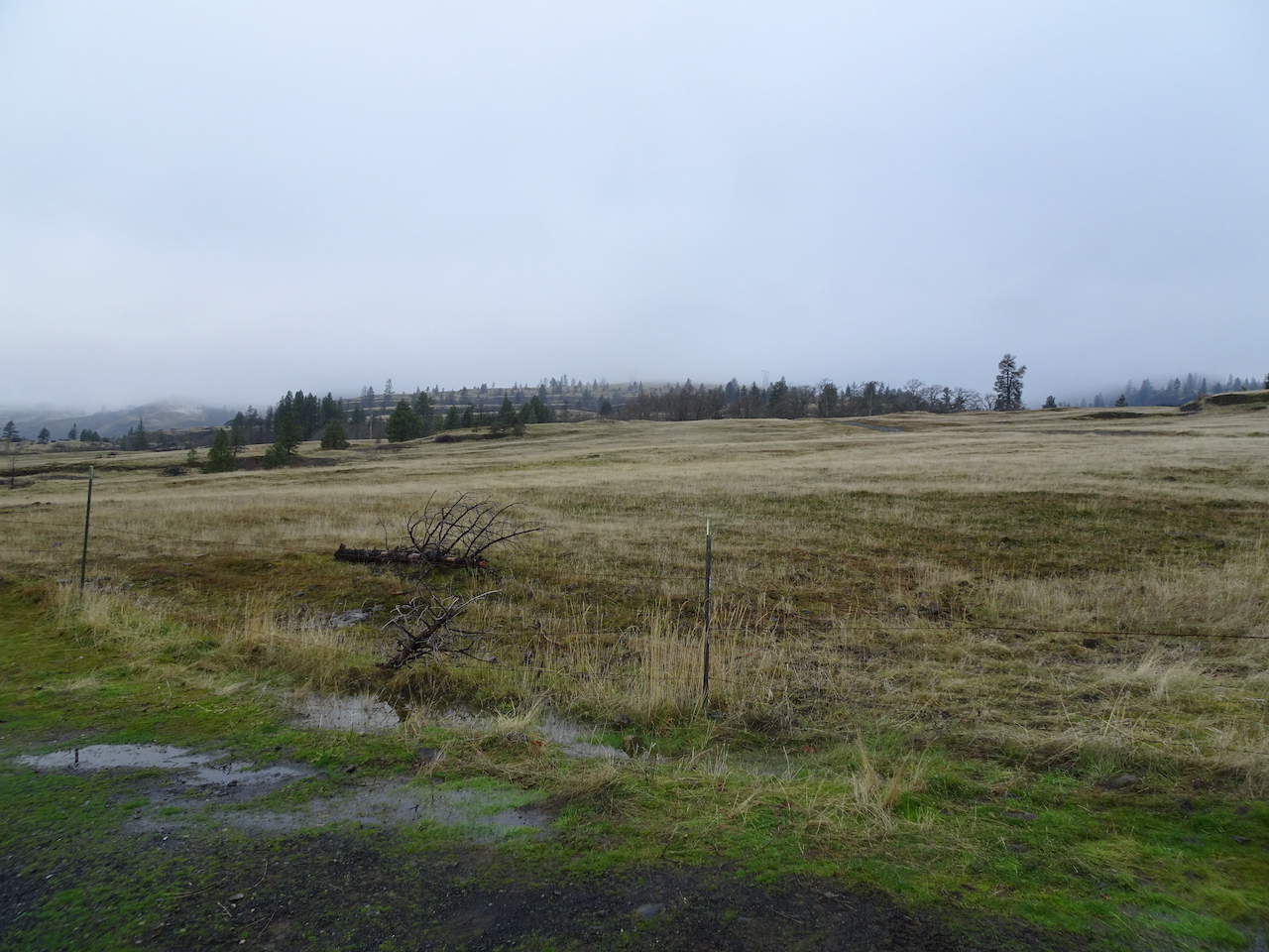
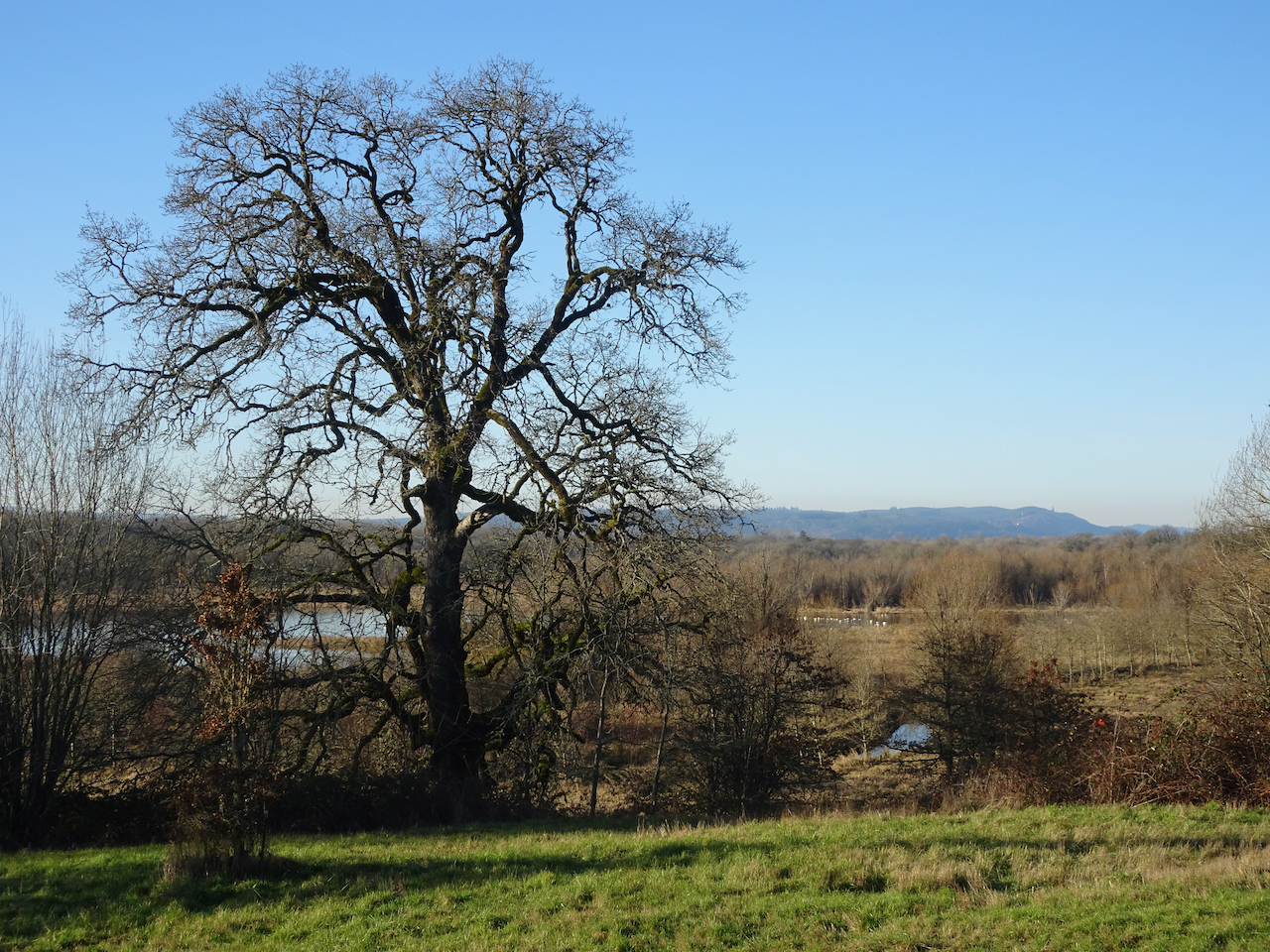
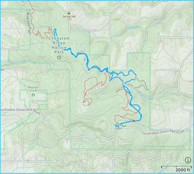
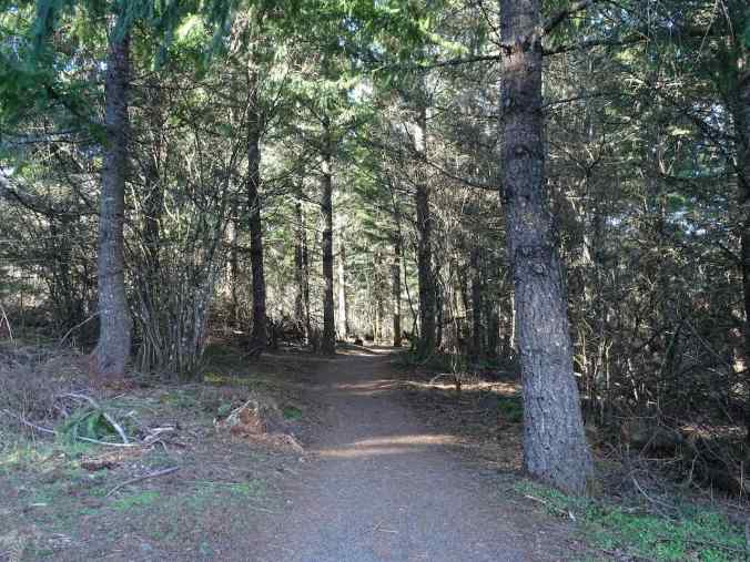
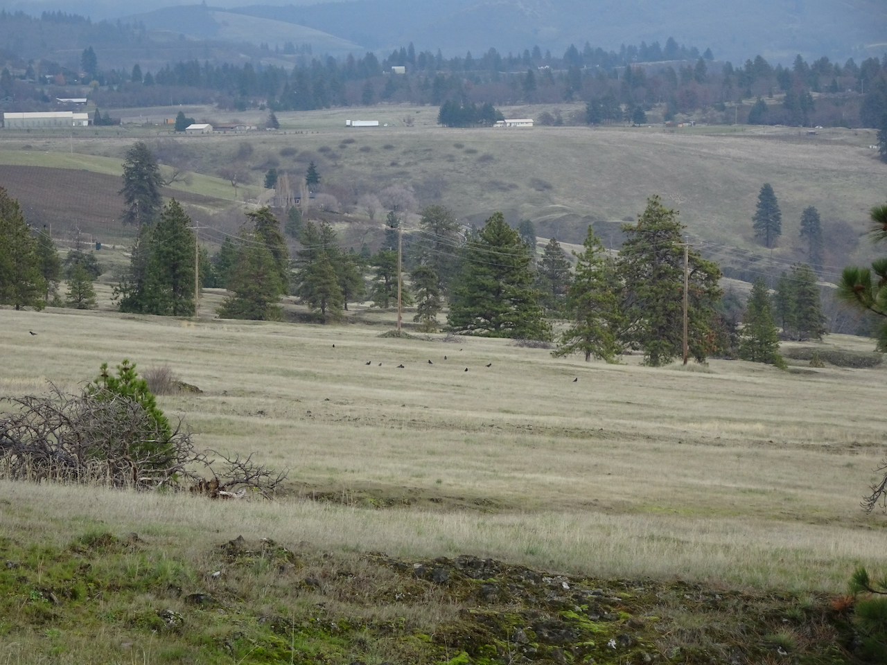
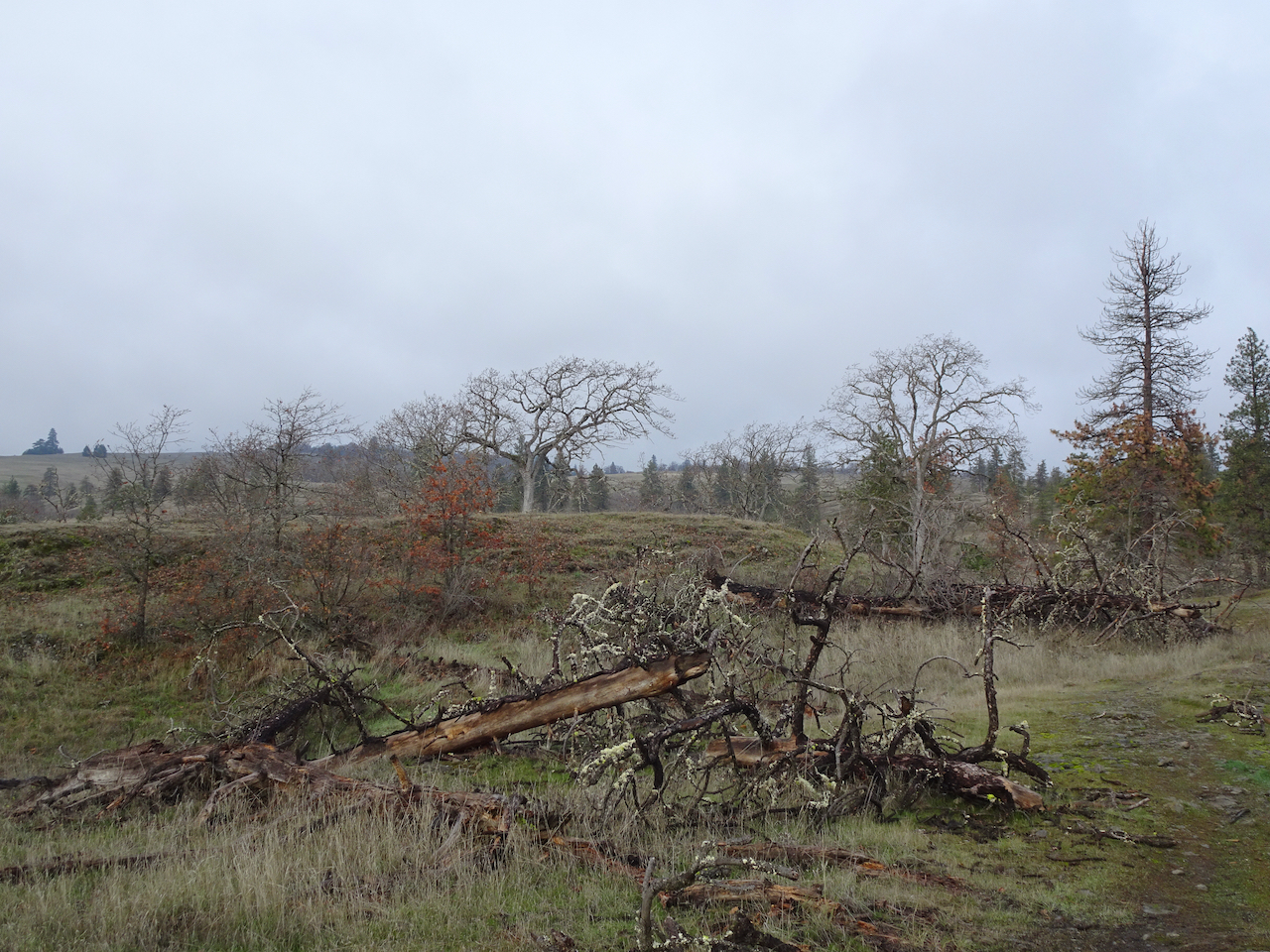
1/28/2020 Chehalem Ridge Nature Park, OR – Our first visit to this new park south of Forest Grove. We walked almost six miles on the trails, quiet today with a few views of the distant mountains.
Chehalem Ridge Nature Park
Mt St Helens and Mt Adams
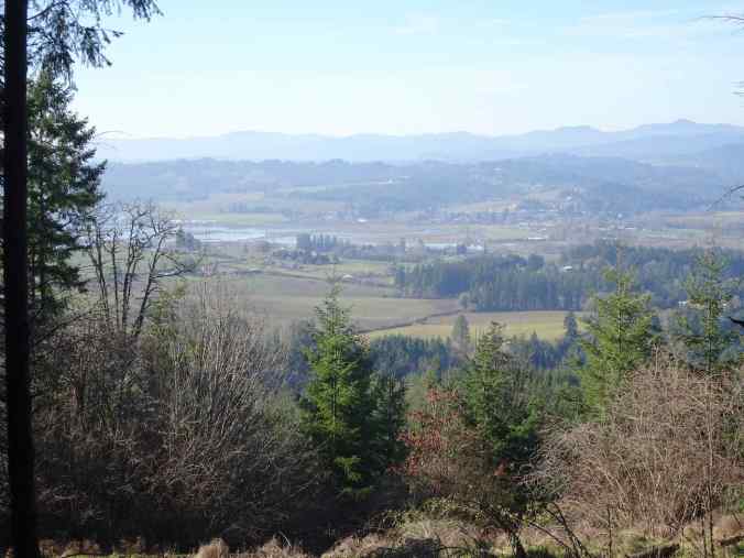
Farmlands and Coast Range to the west
Mt Rainier and Mt St Helens
Neighborhood:
On our first sunny day, I went outside for what seemed like the first time in weeks, to see blue sky and low angle winter shadows:


1/16/2022 – Another sunny day, we met friends and walked a long loop on the hilly streets south of downtown Portland.

Mt Hood from SW Portland

Mt Hood and the Tilikum Bridge over the Willamette River
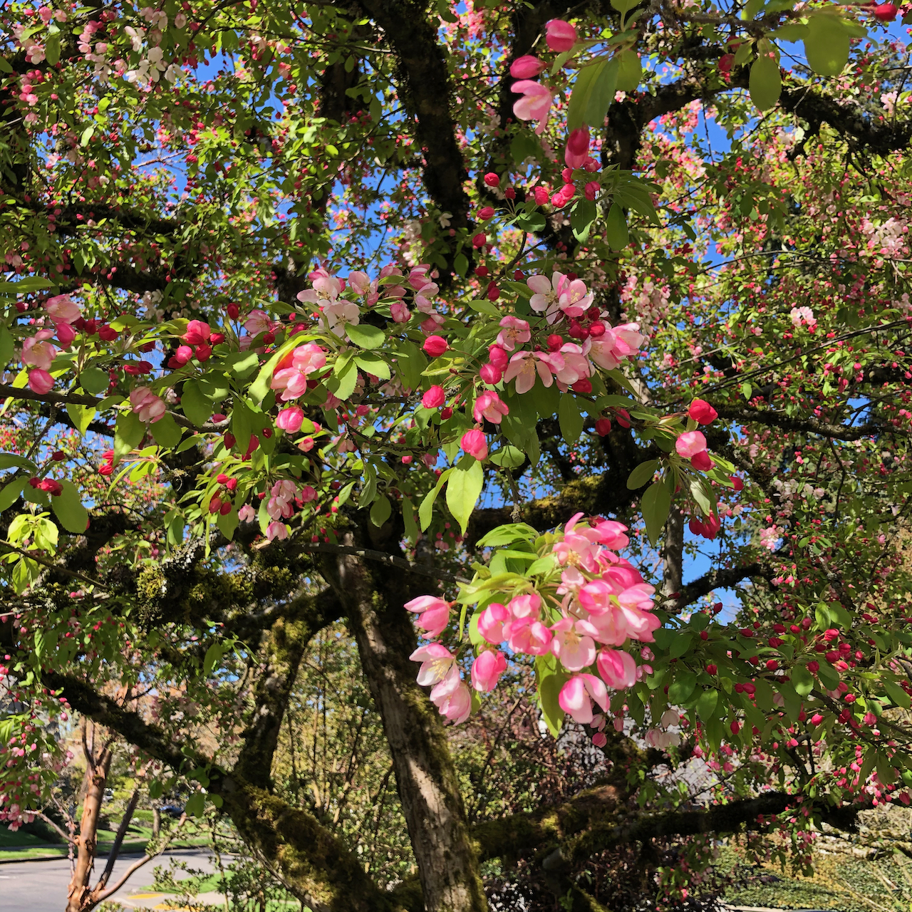
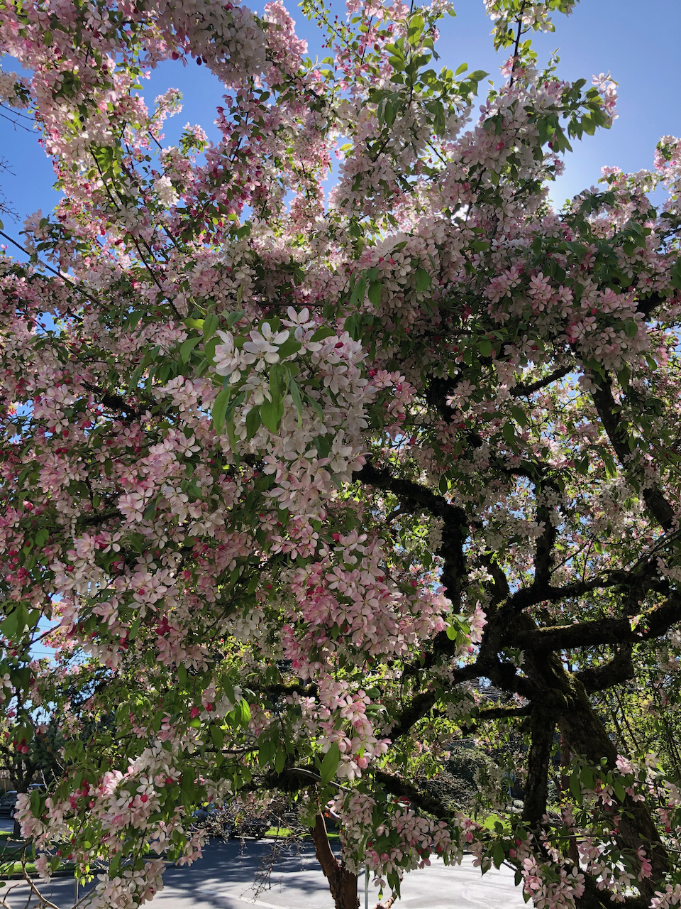
By the end of the month, viburnum and crocus were beginning to bloom…


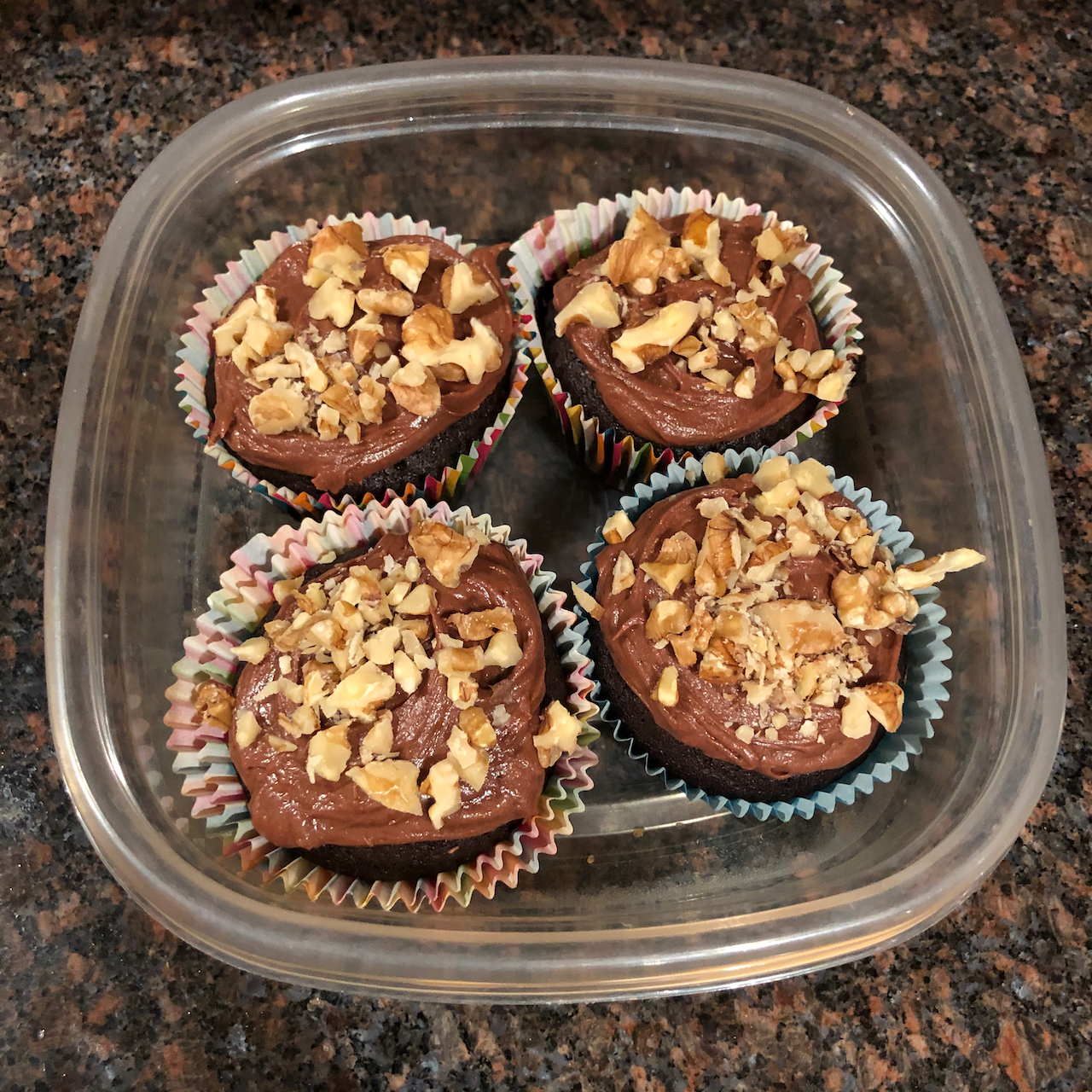
Knitting:
I did get a lot of knitting done this month, since the outdoors were so inclement. And I am still meeting once or twice weekly with my knitting group over Zoom.
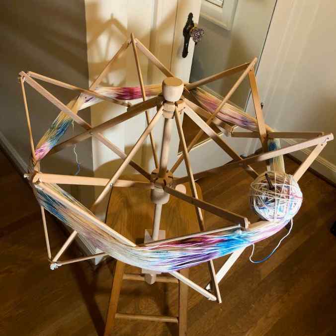
Winding yarn on my new swift.
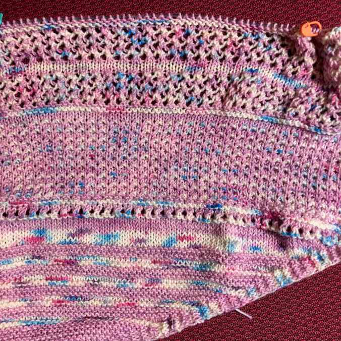
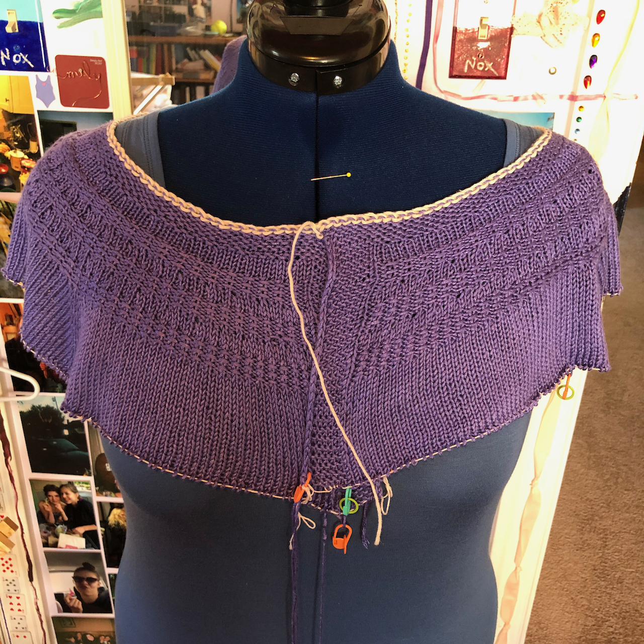
Rose City Yarn Crawl Mystery Shawl, in progress
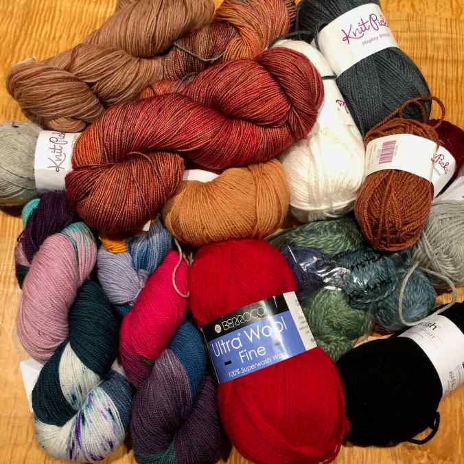
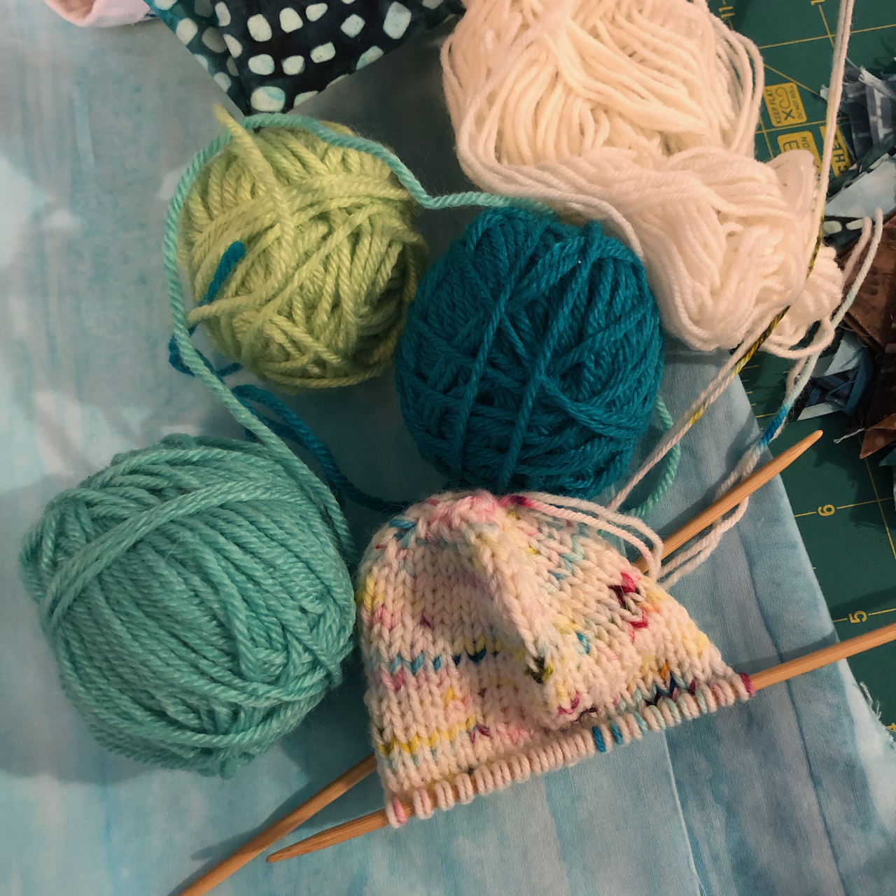
New pile of yarn from the guild to make hats for our service project.
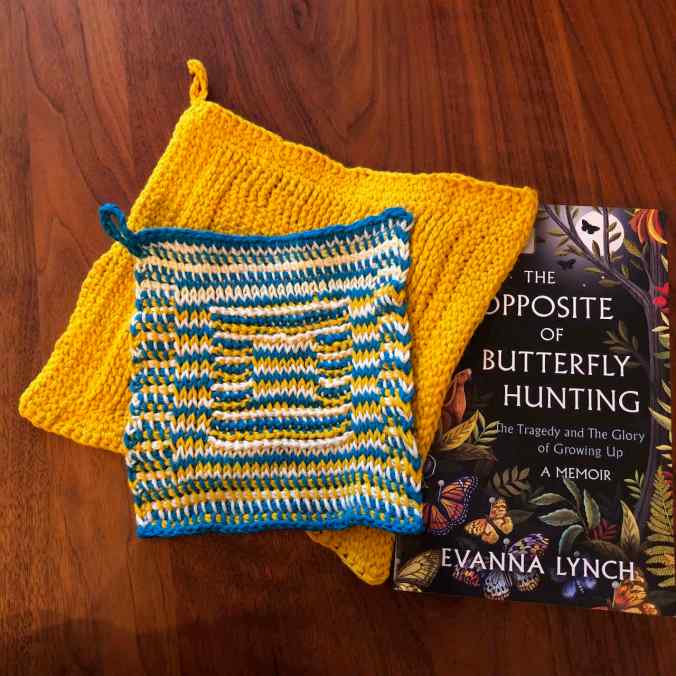
I used online tutorials to learn Tunisian crochet.

I finished a languishing WIP – The Ella Improv Cowl, by Cecelia Campochiaro, using marling and sequence knitting techniques.

A Gnoah gnome, (Imagined Landscapes), sent via Intergalactic Gnome Transport to the burgeoning colony in Washington DC.
Addenda:

The volcano in Tonga!
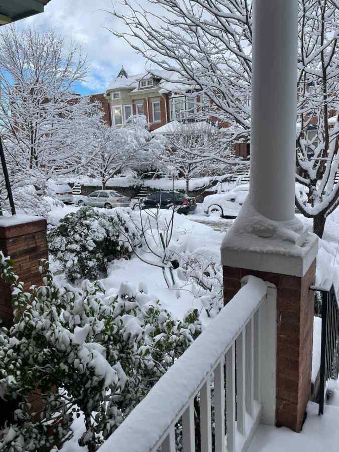
The snow in DC.
Other adventures – January 10th was the 4th anniversary of my pituitary surgery. With constant vigilance and good doctors, all my hormone levels are now within the normal range. I feel healthy and strong and grateful for early diagnosis and the miracles of modern medical science, especially the monthly injections that keep the acromegaly in check.

On to February – pandemic numbers are going down in our neck of the woods – we may actually travel somewhere – stay tuned.


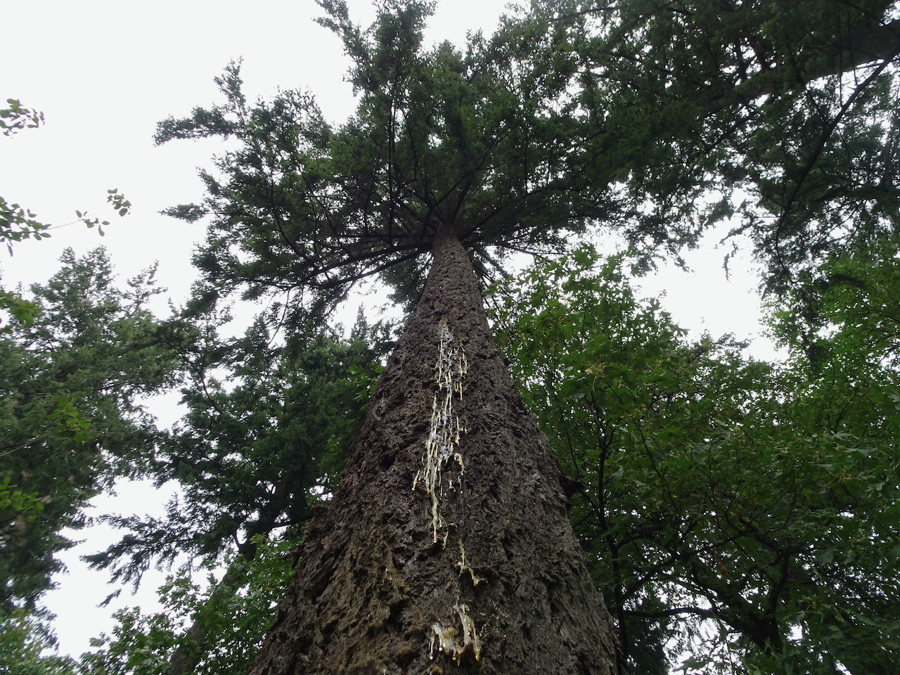
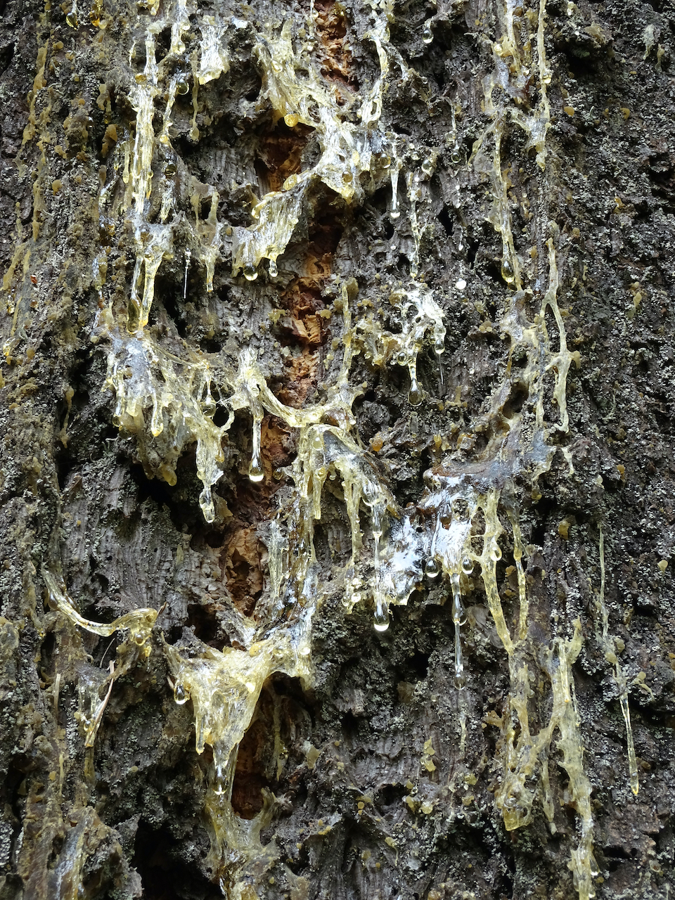
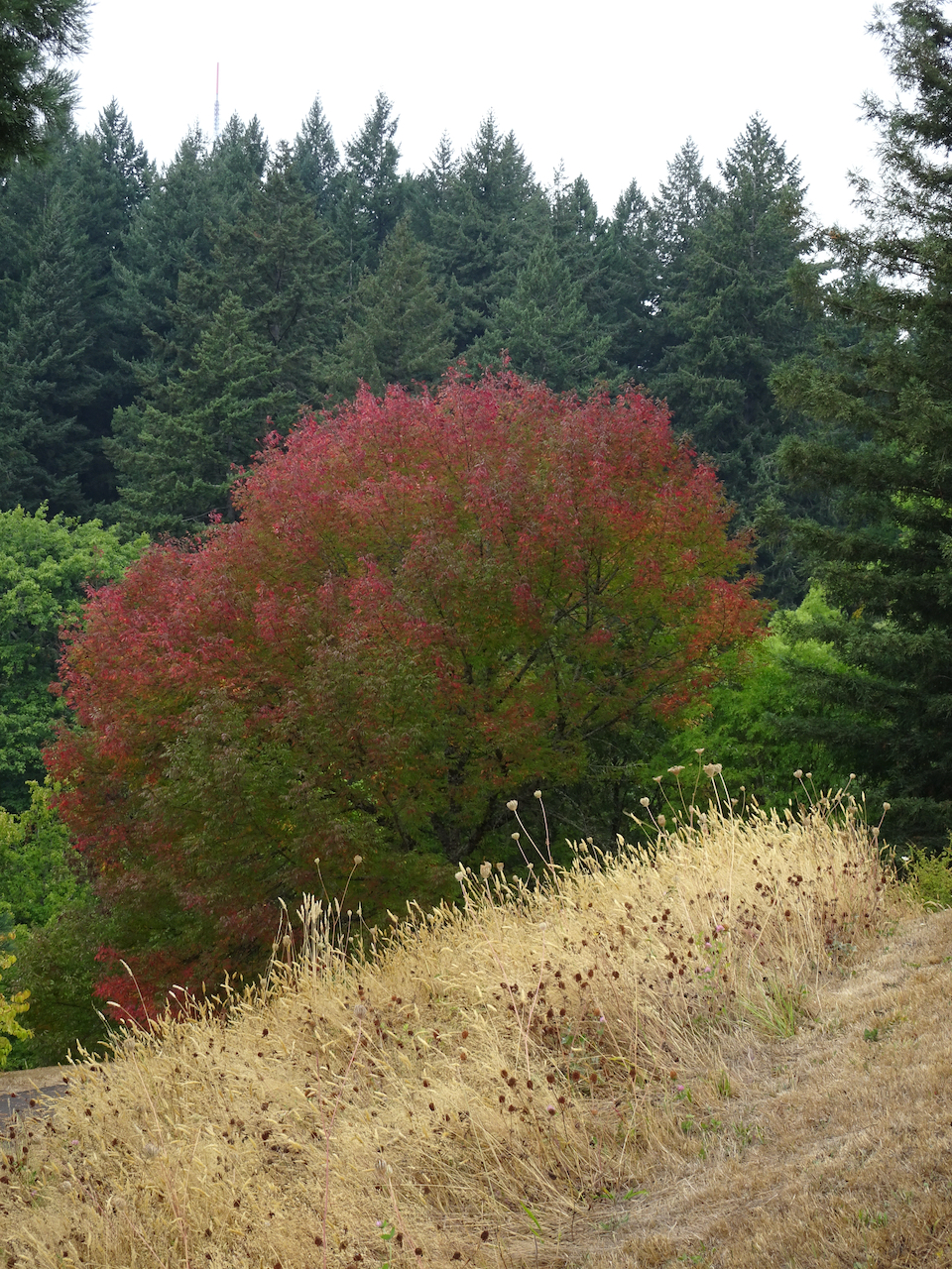
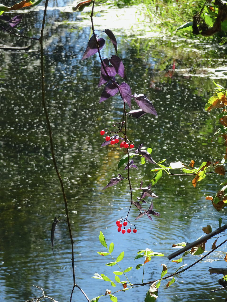
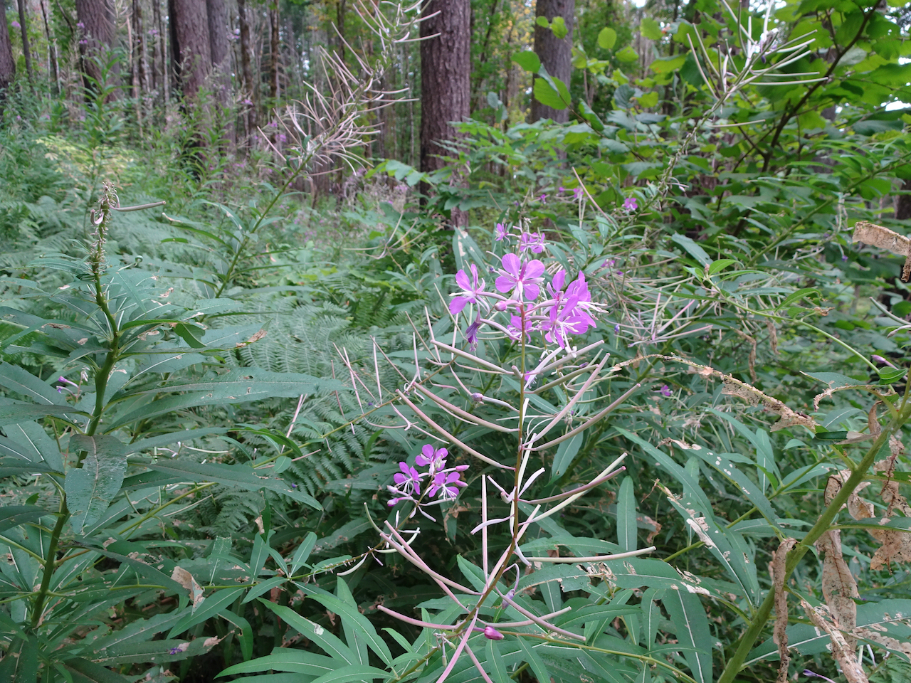
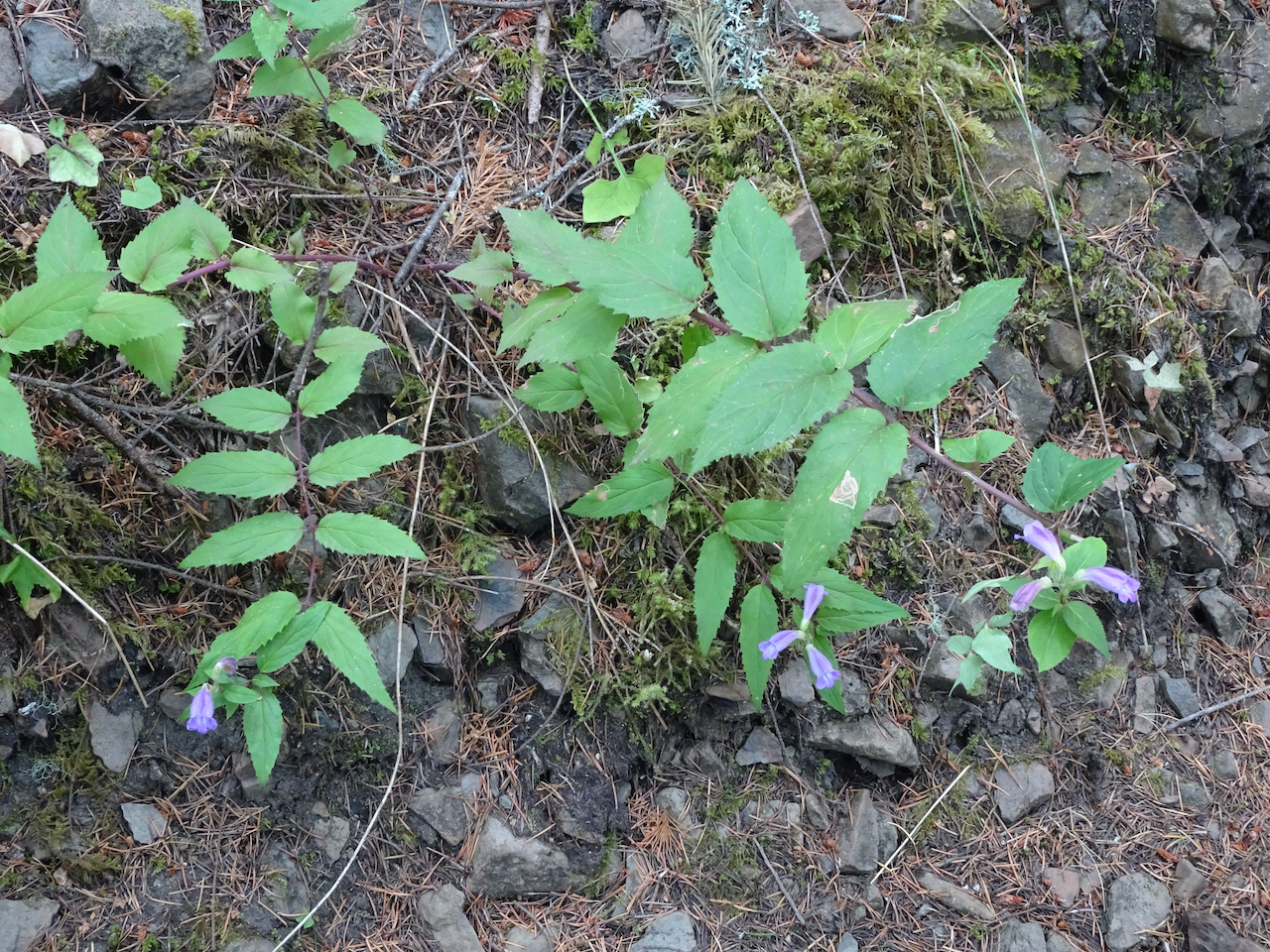
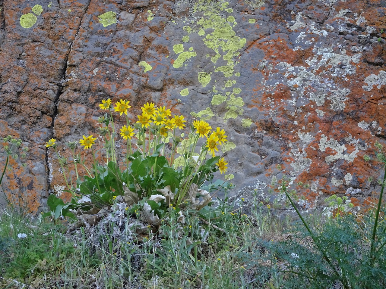
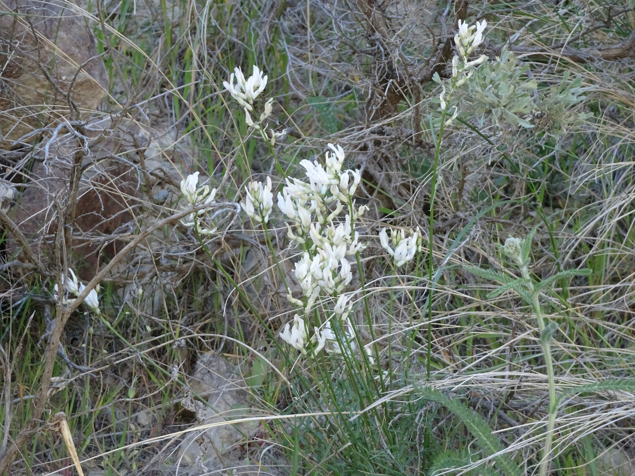
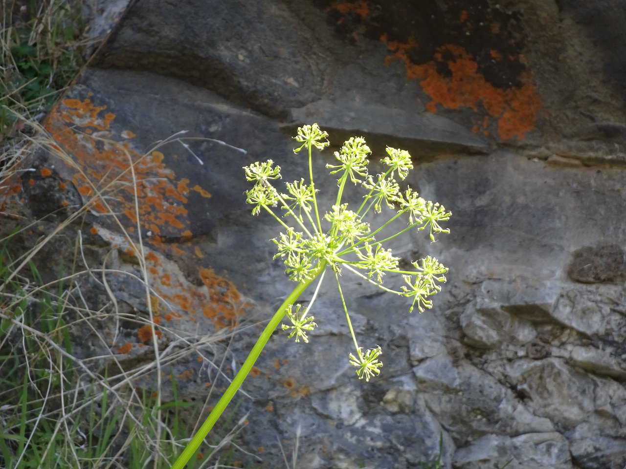
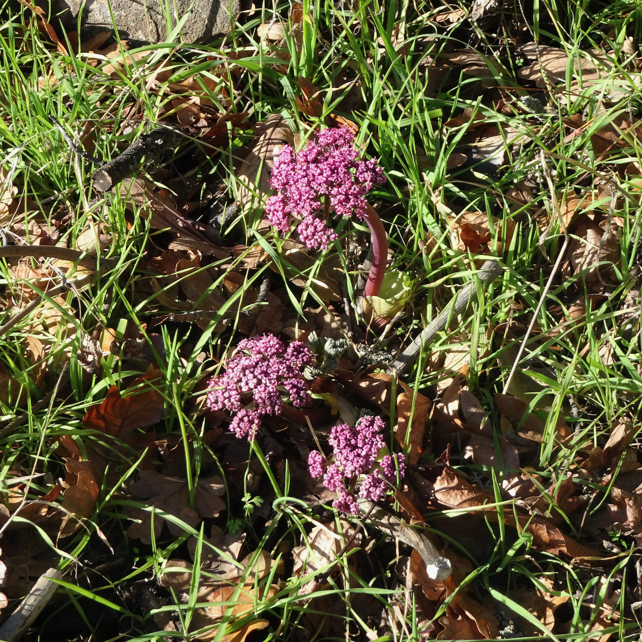
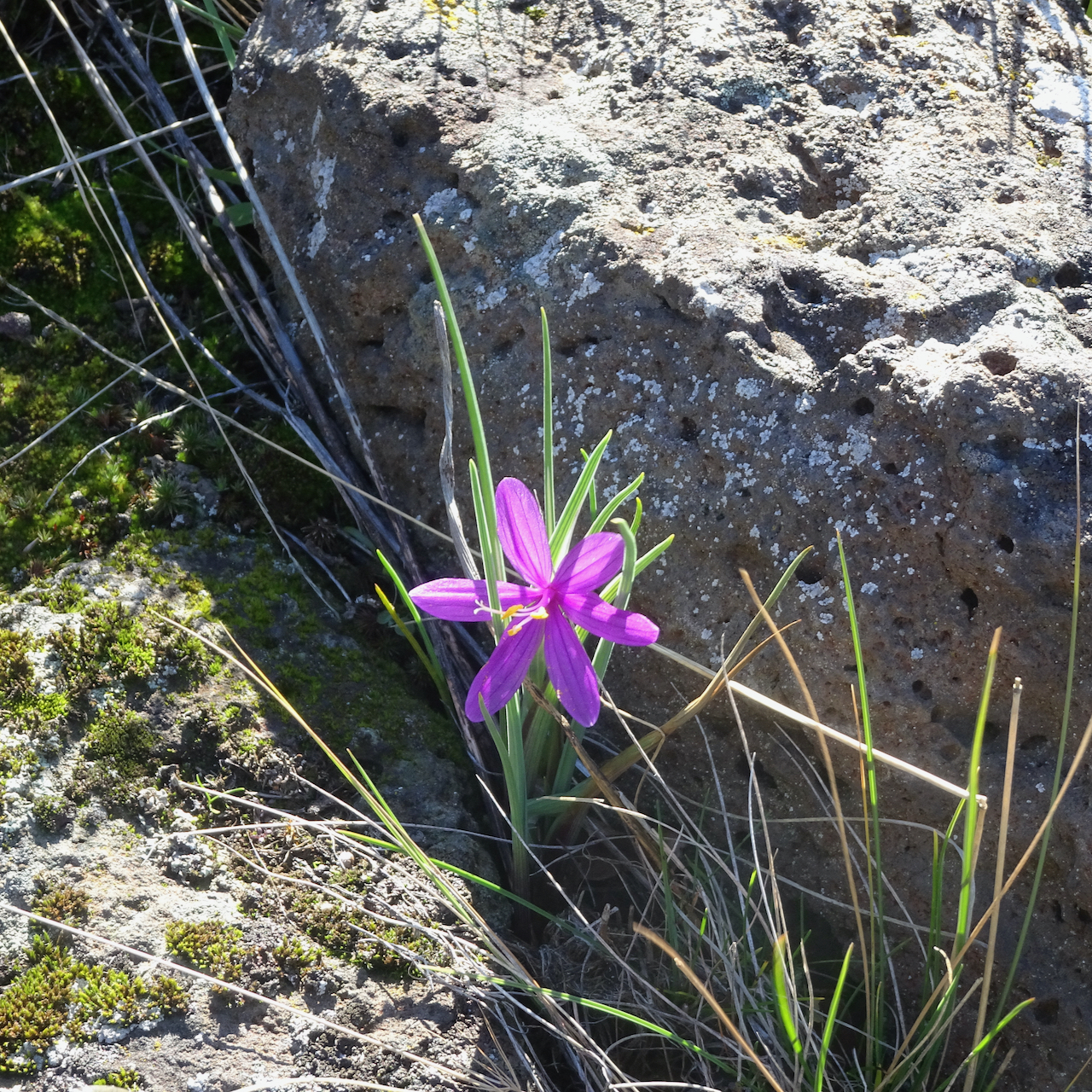
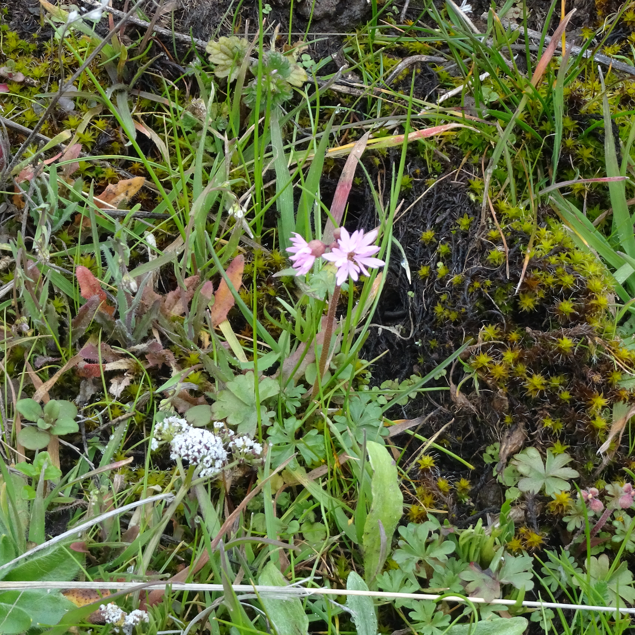
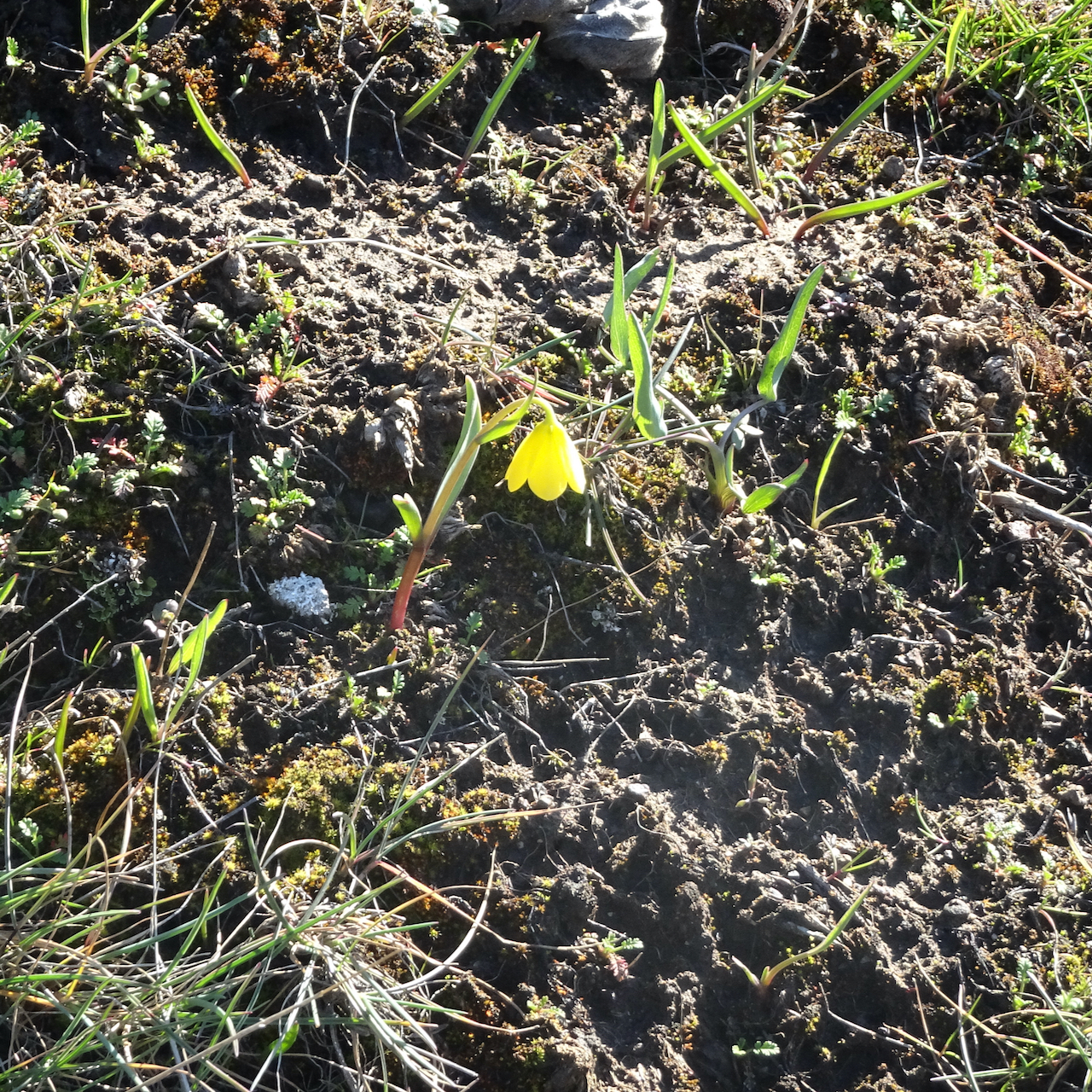
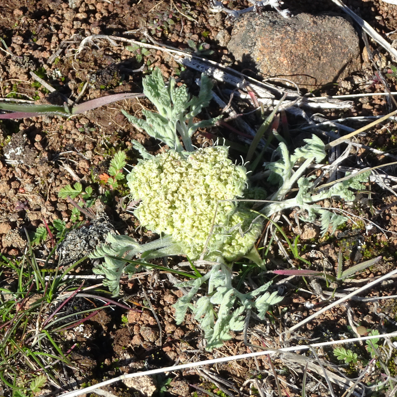
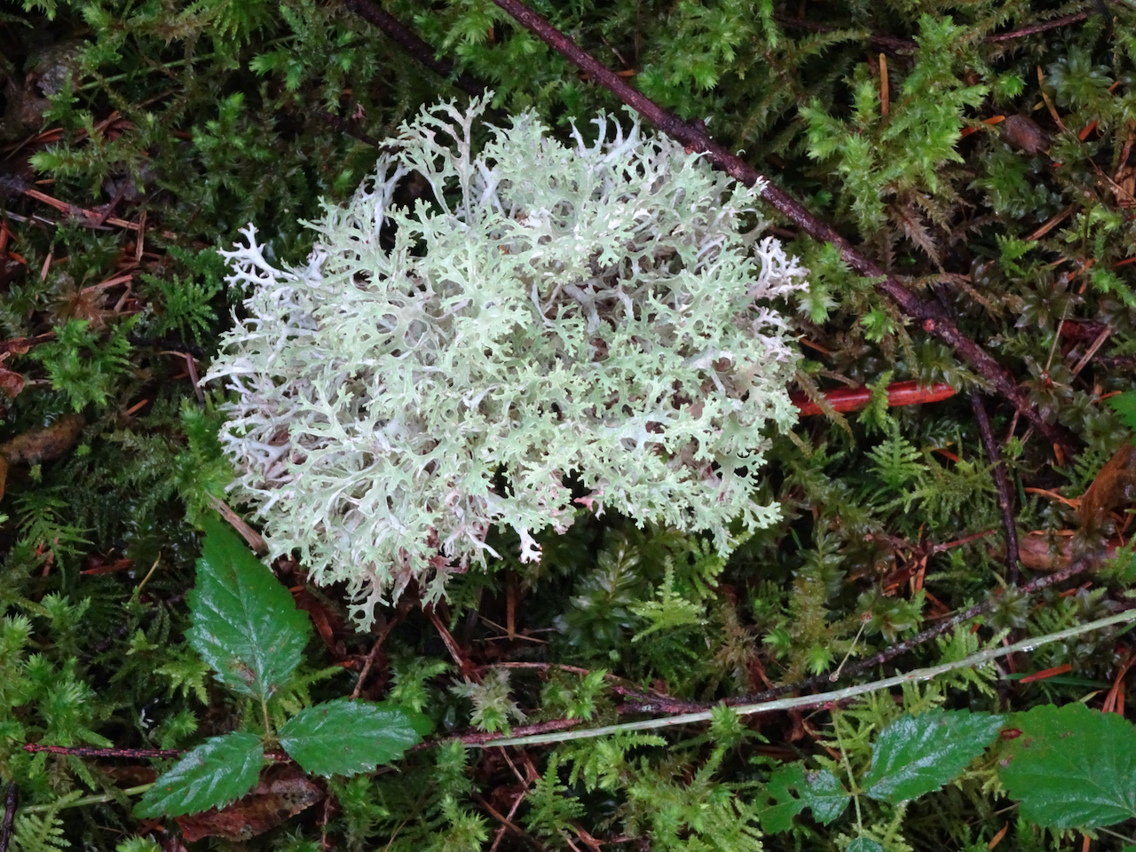
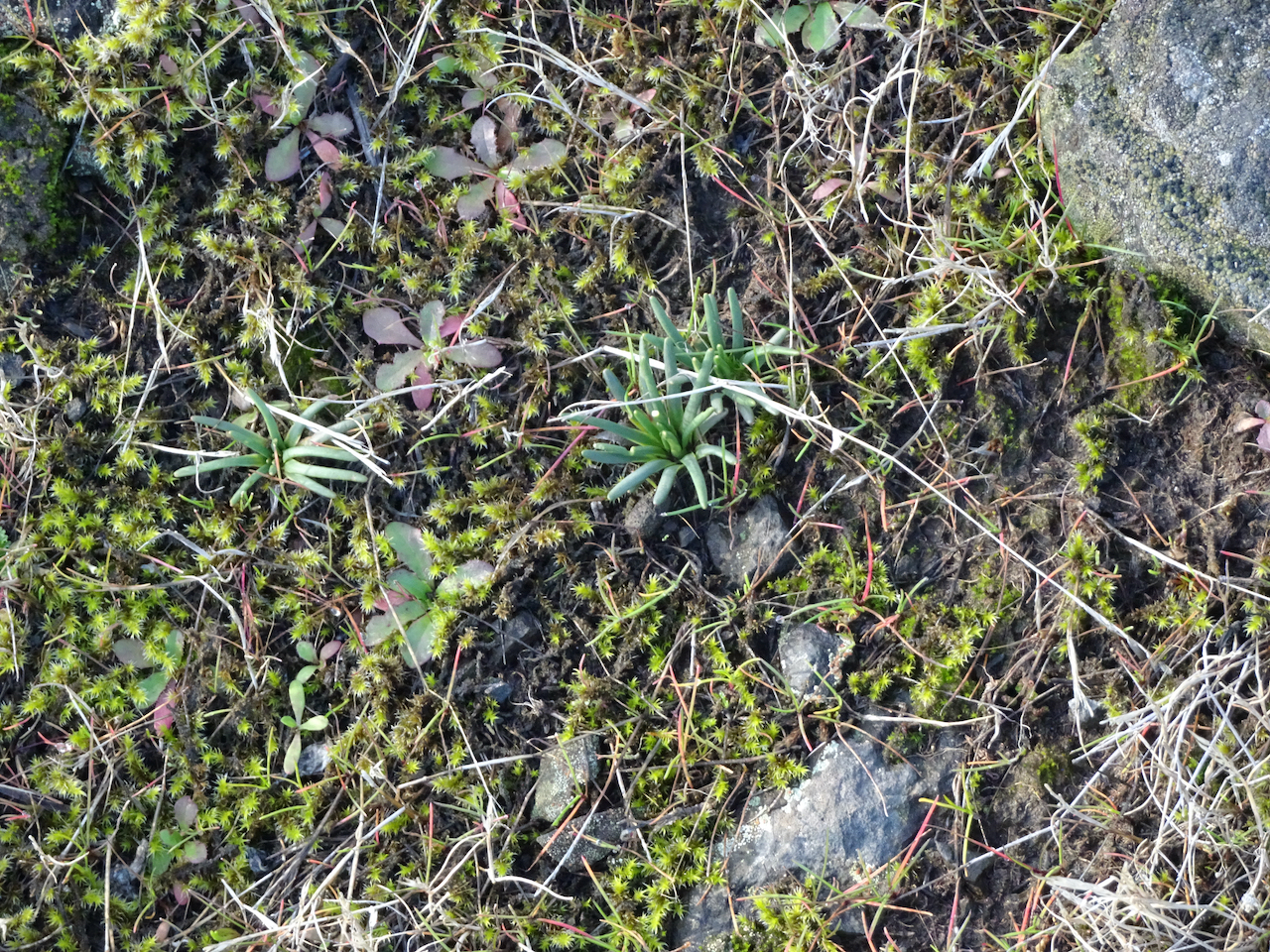
 some of our plant friends in their winter garb:


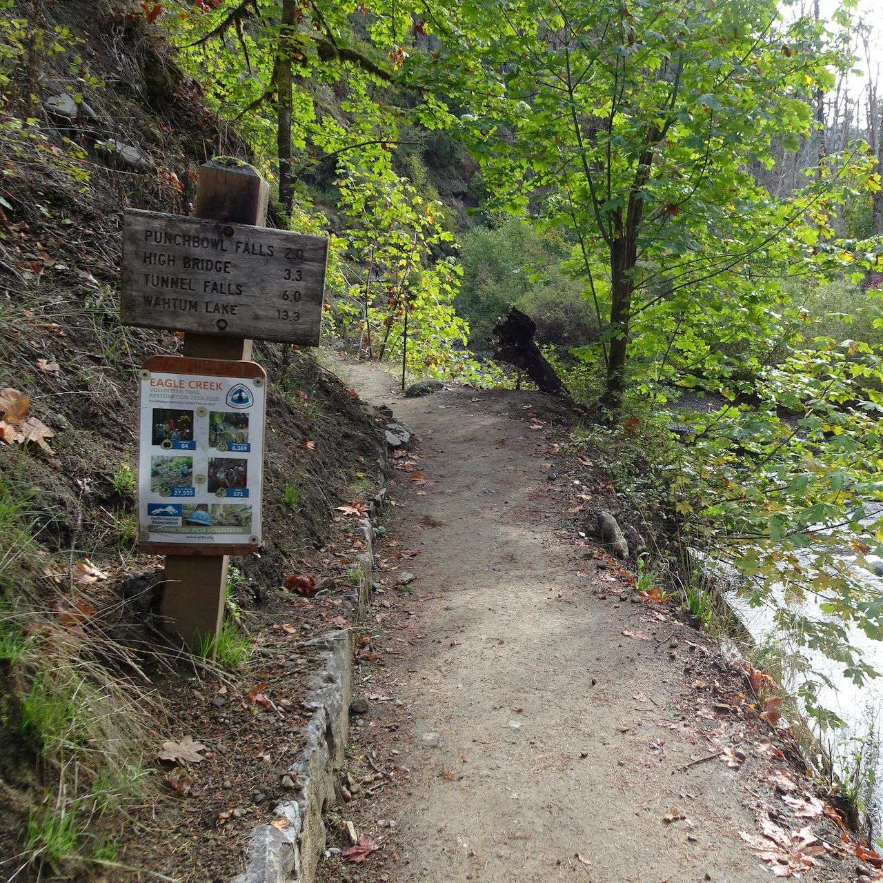
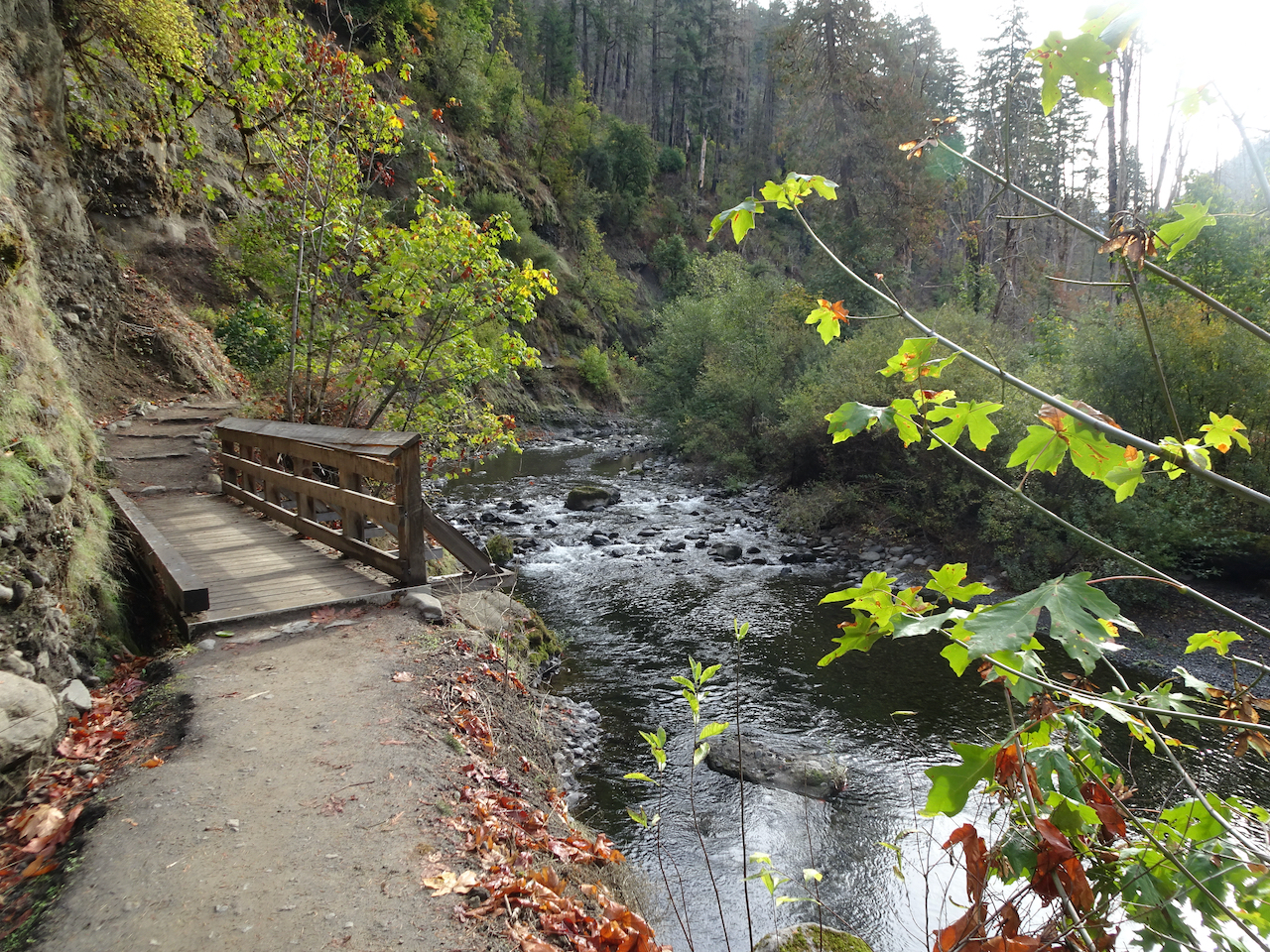

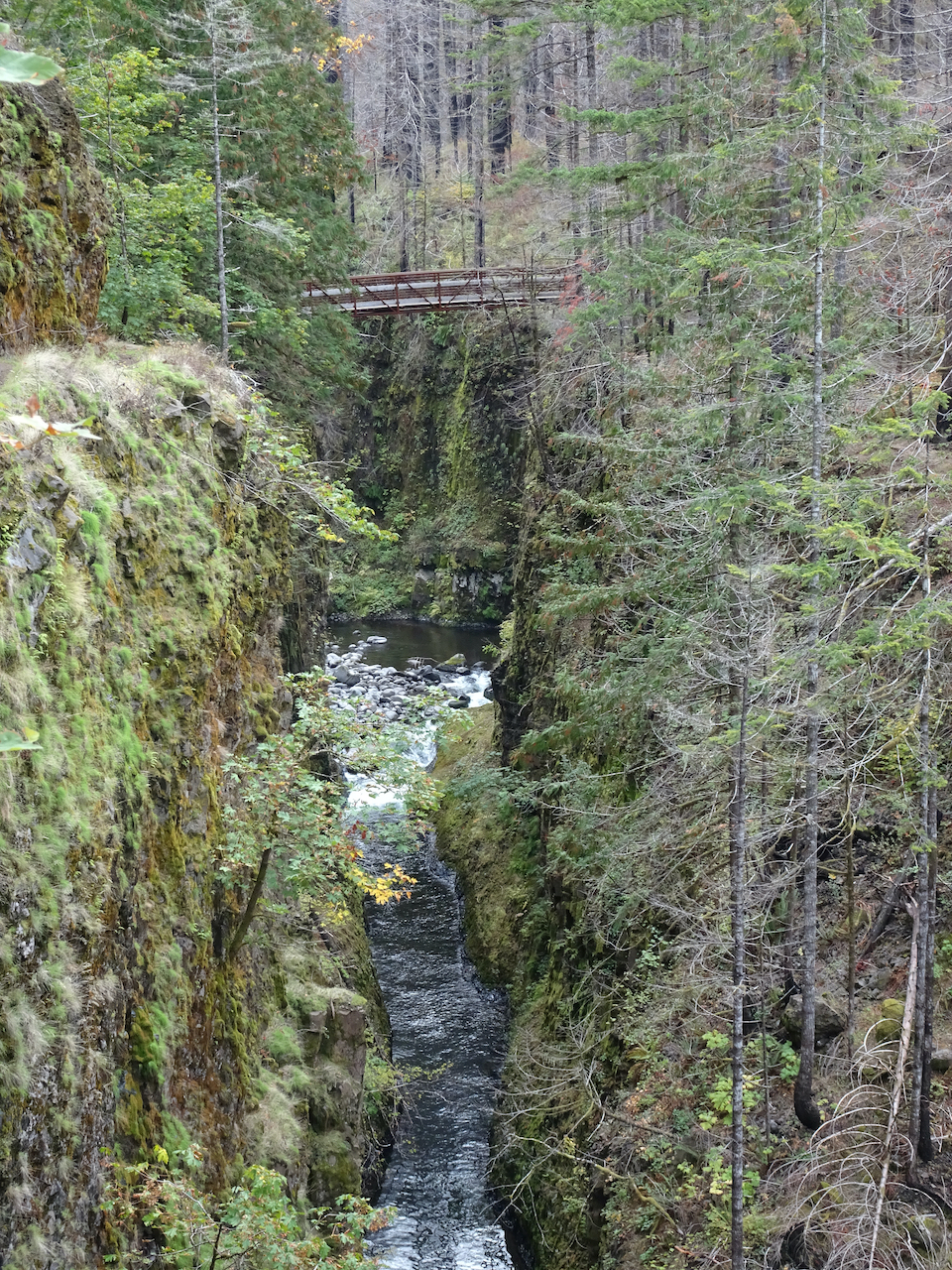

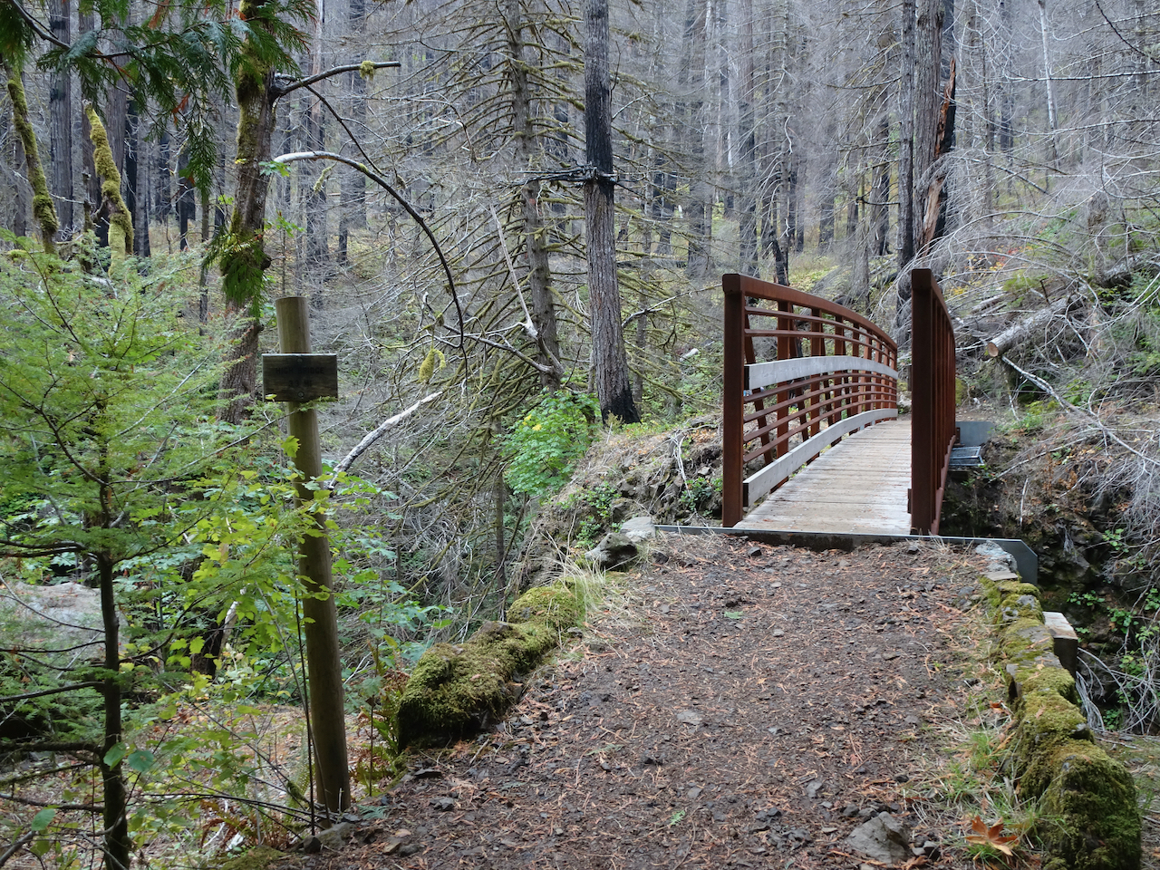
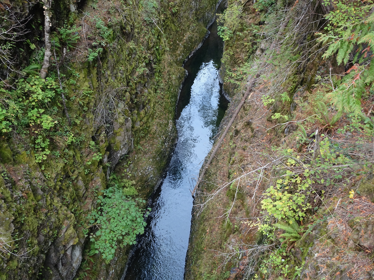


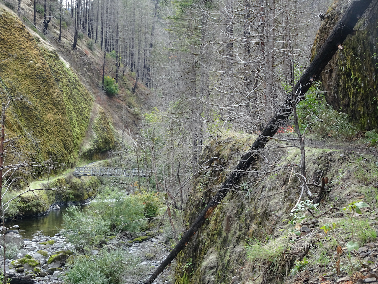
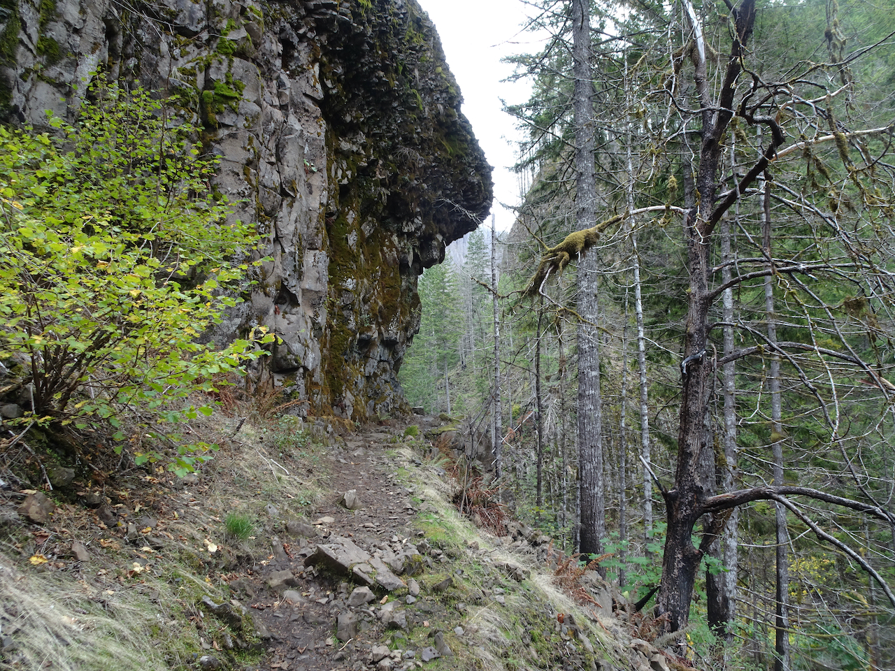
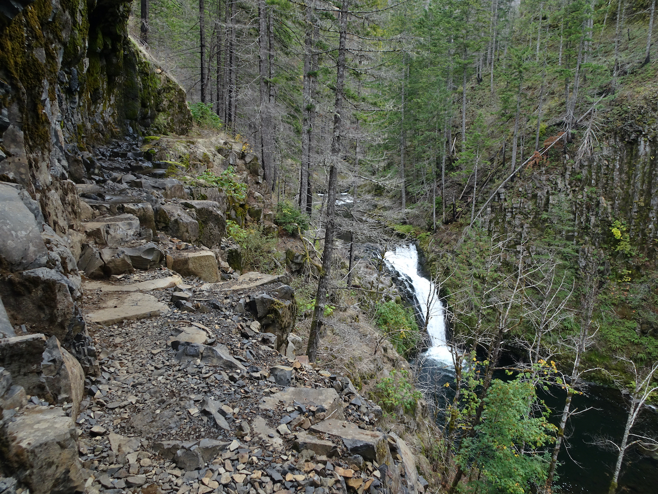


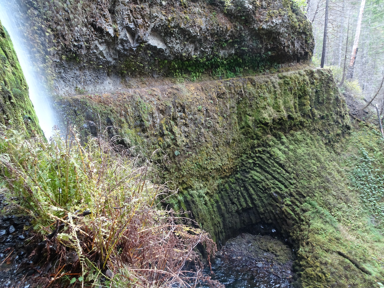
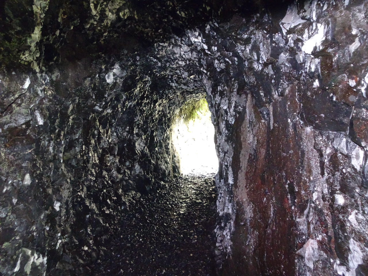

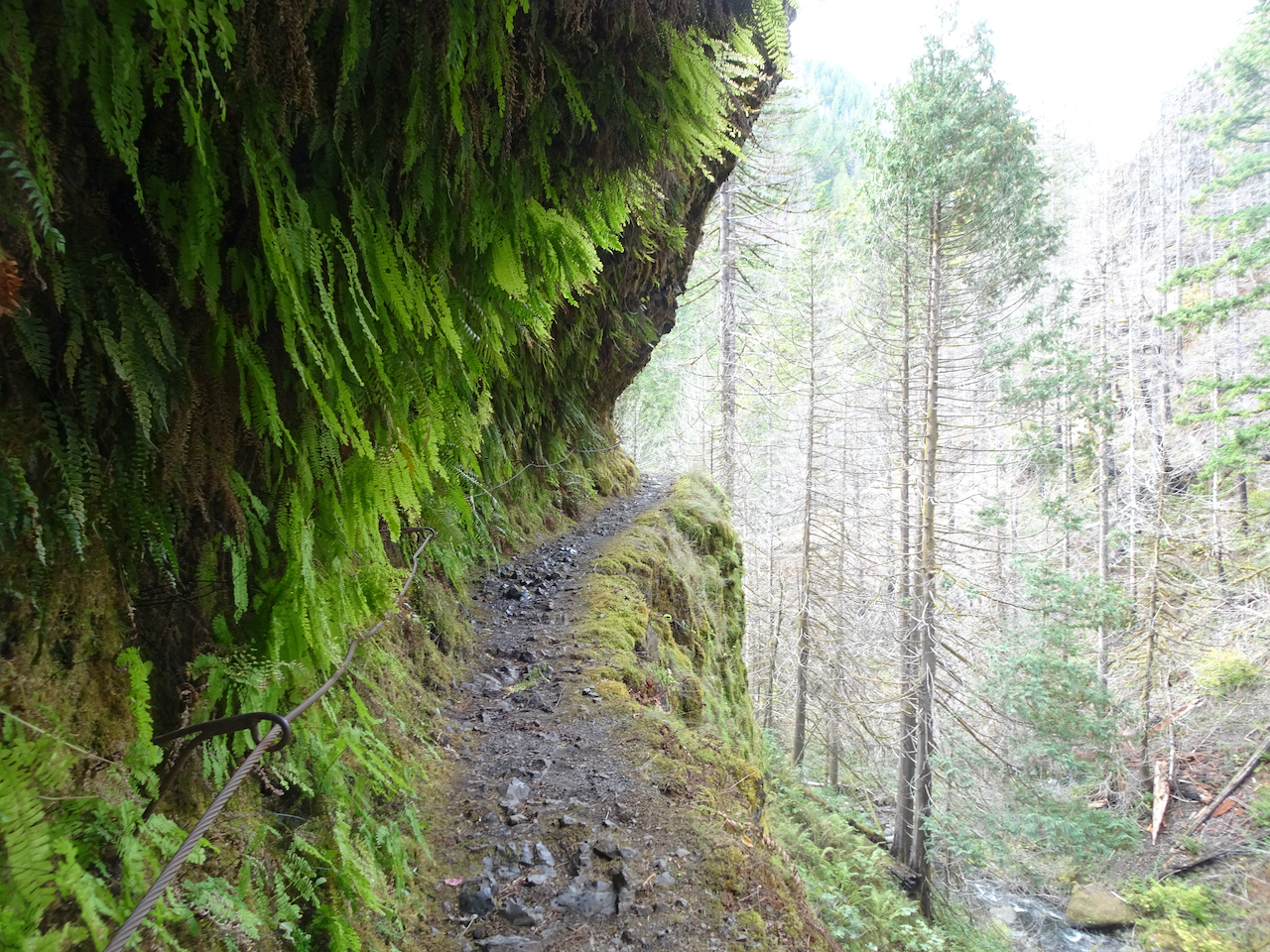

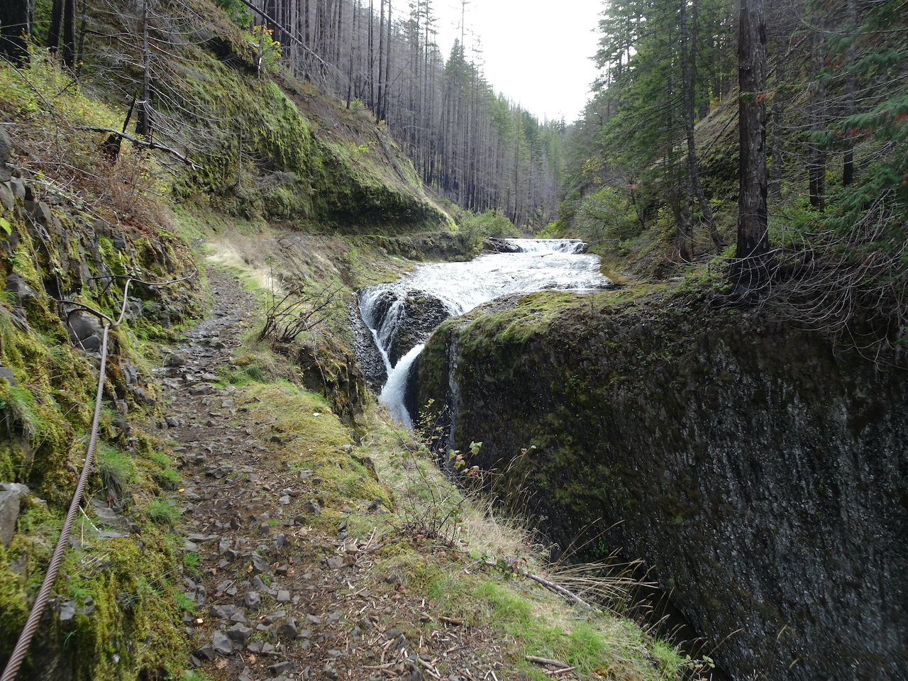


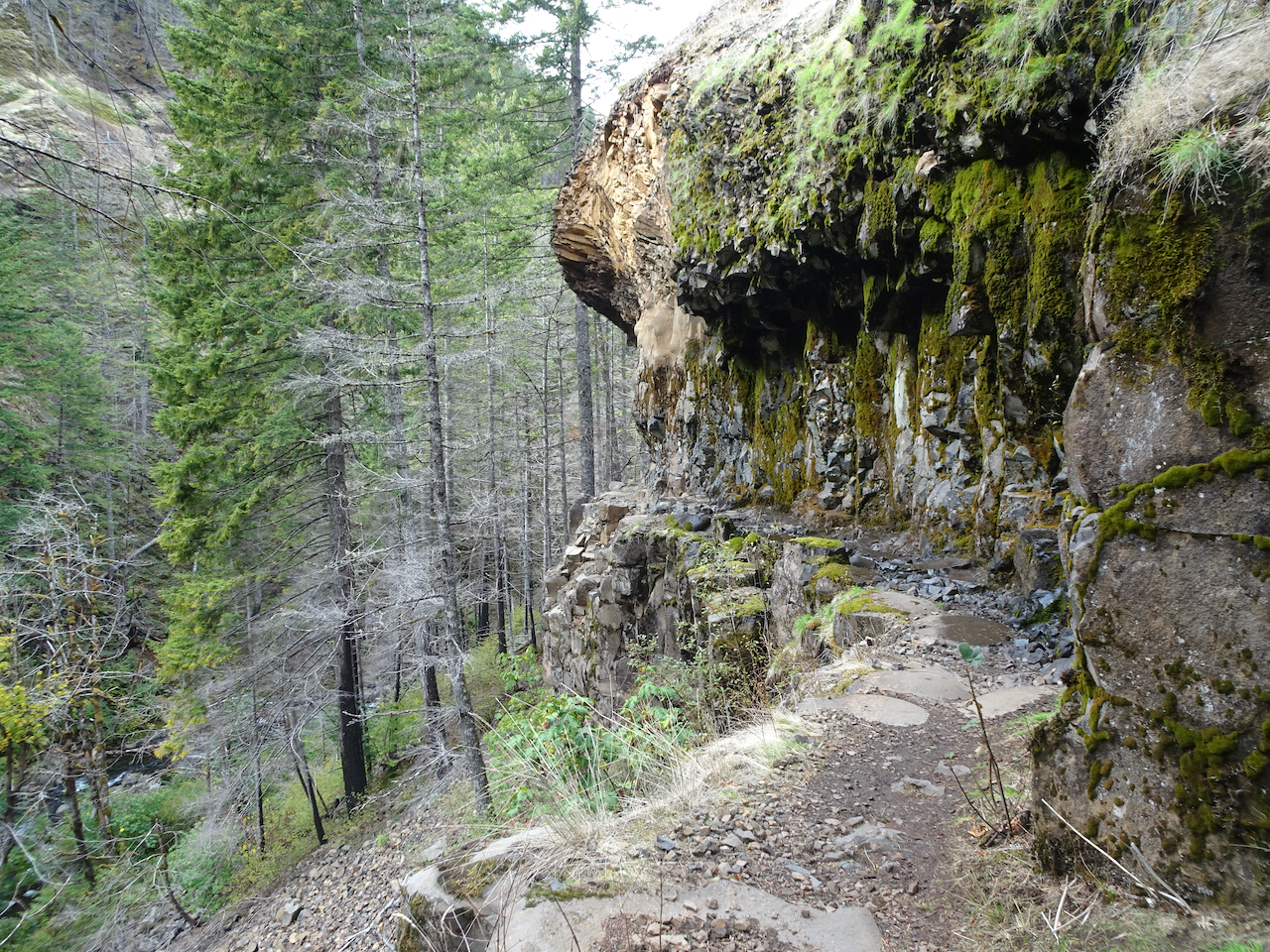
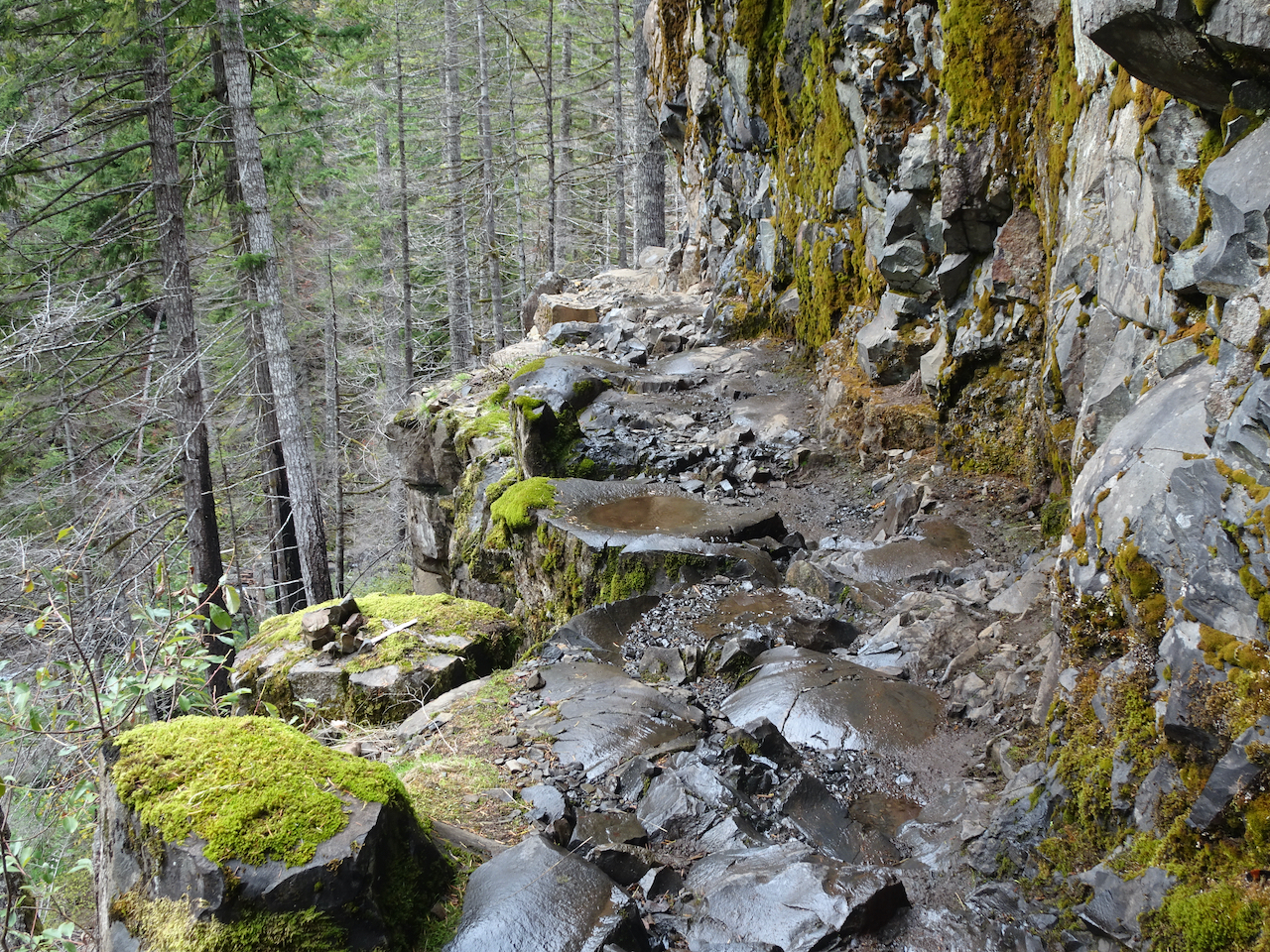
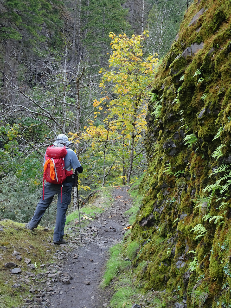
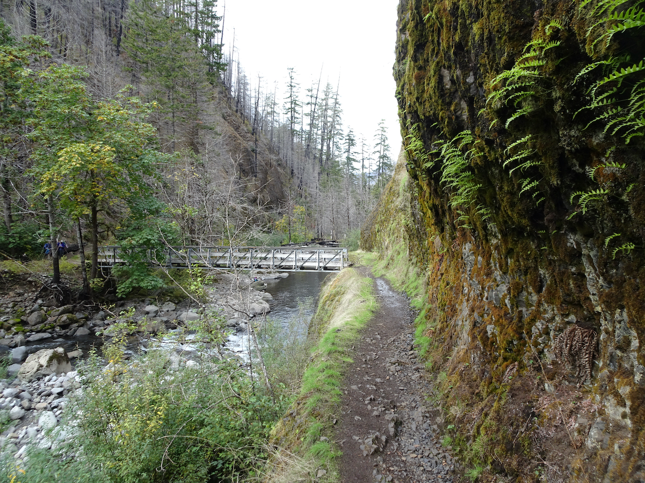
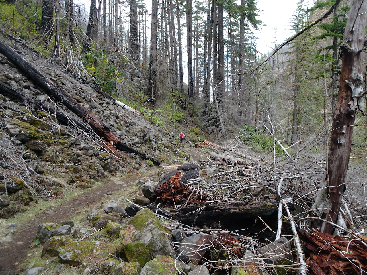
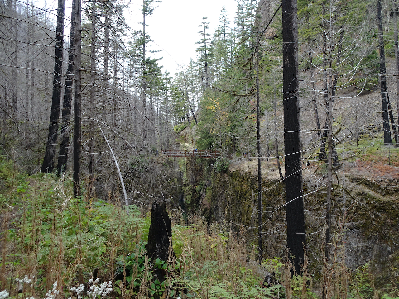
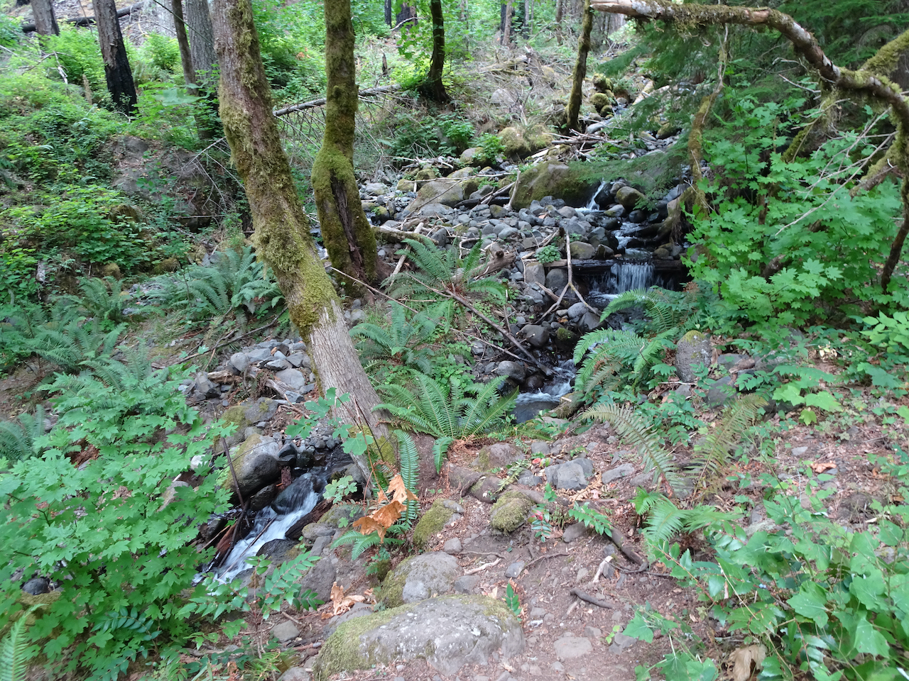
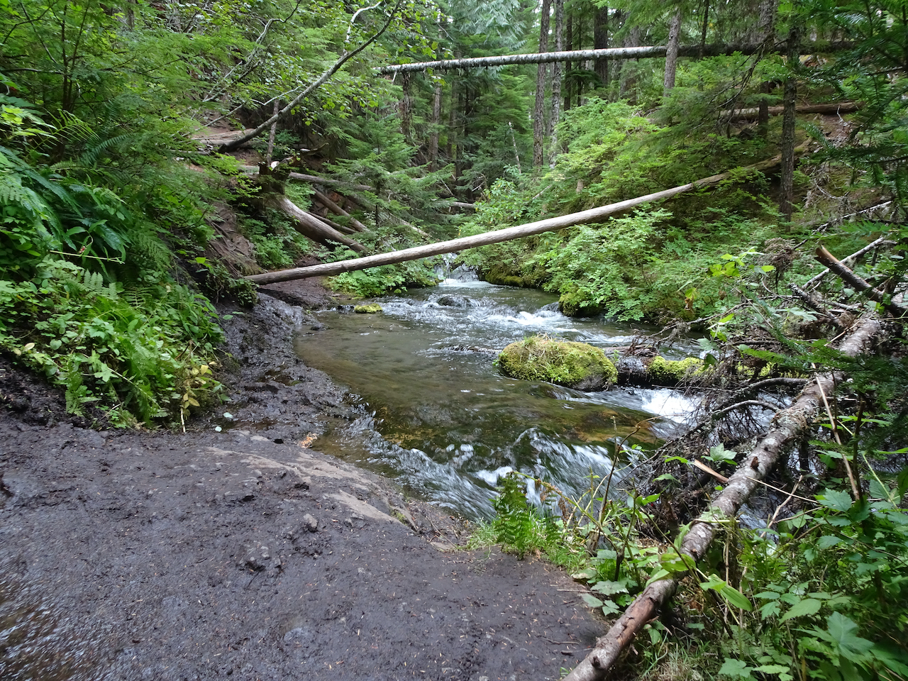
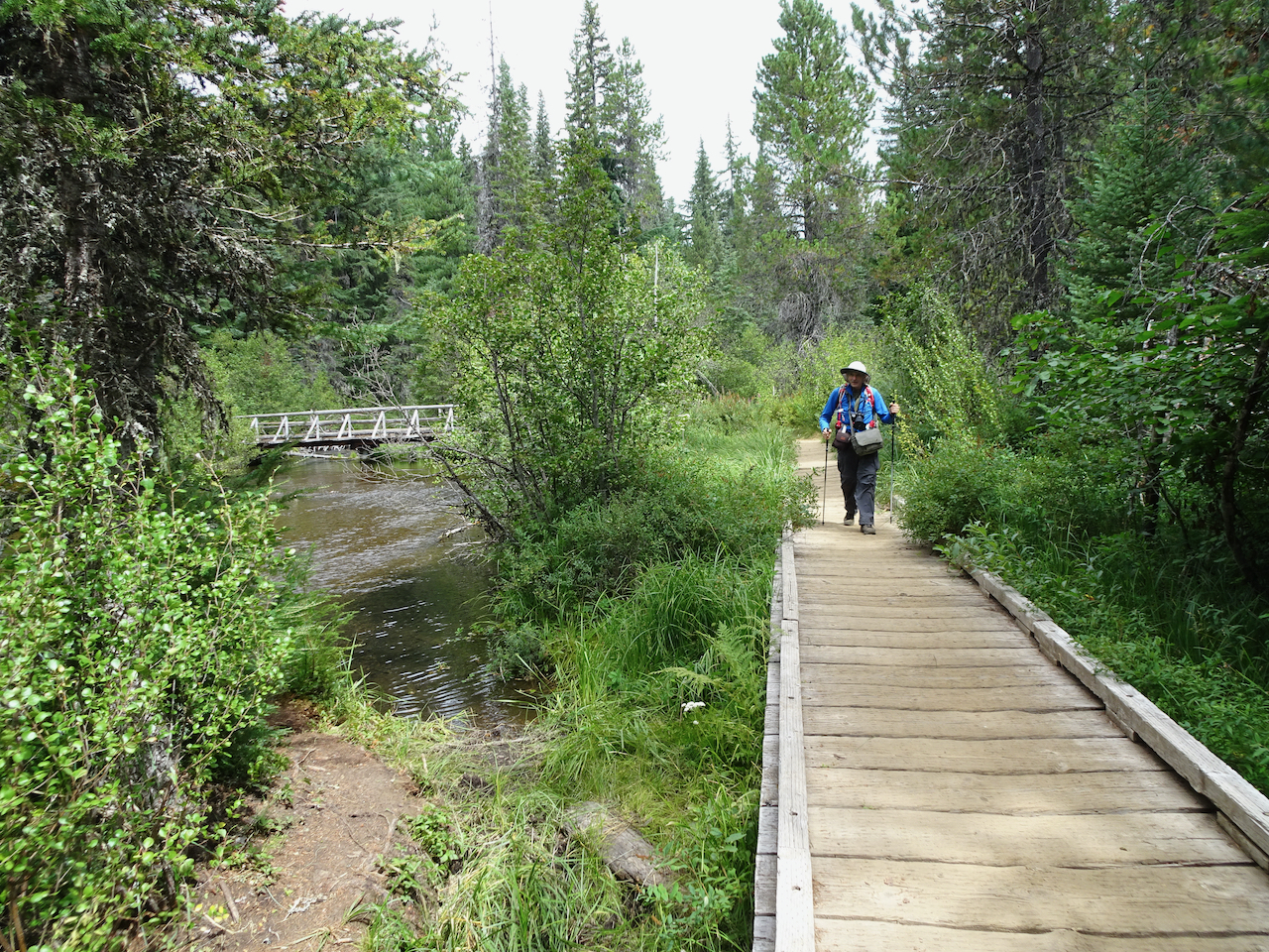
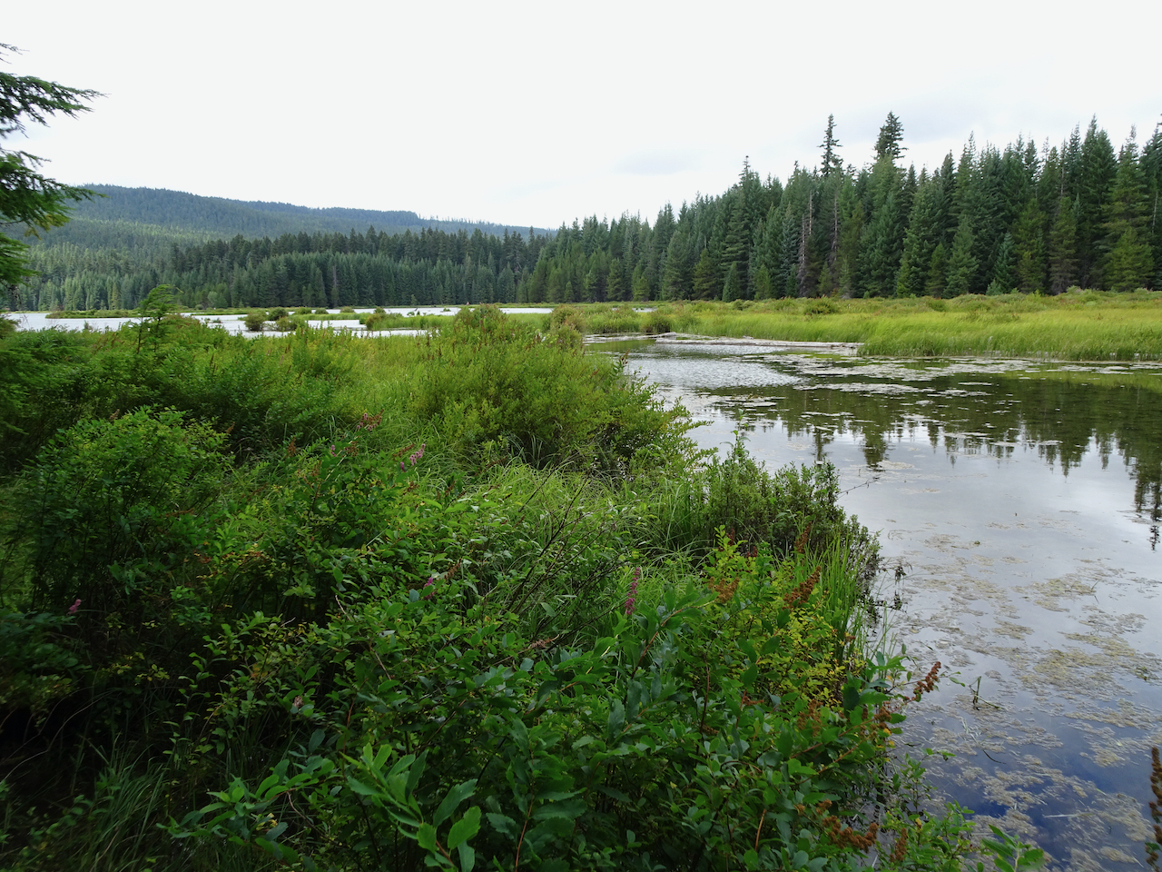
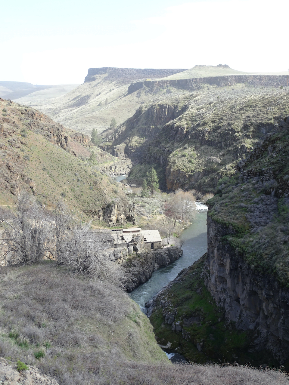
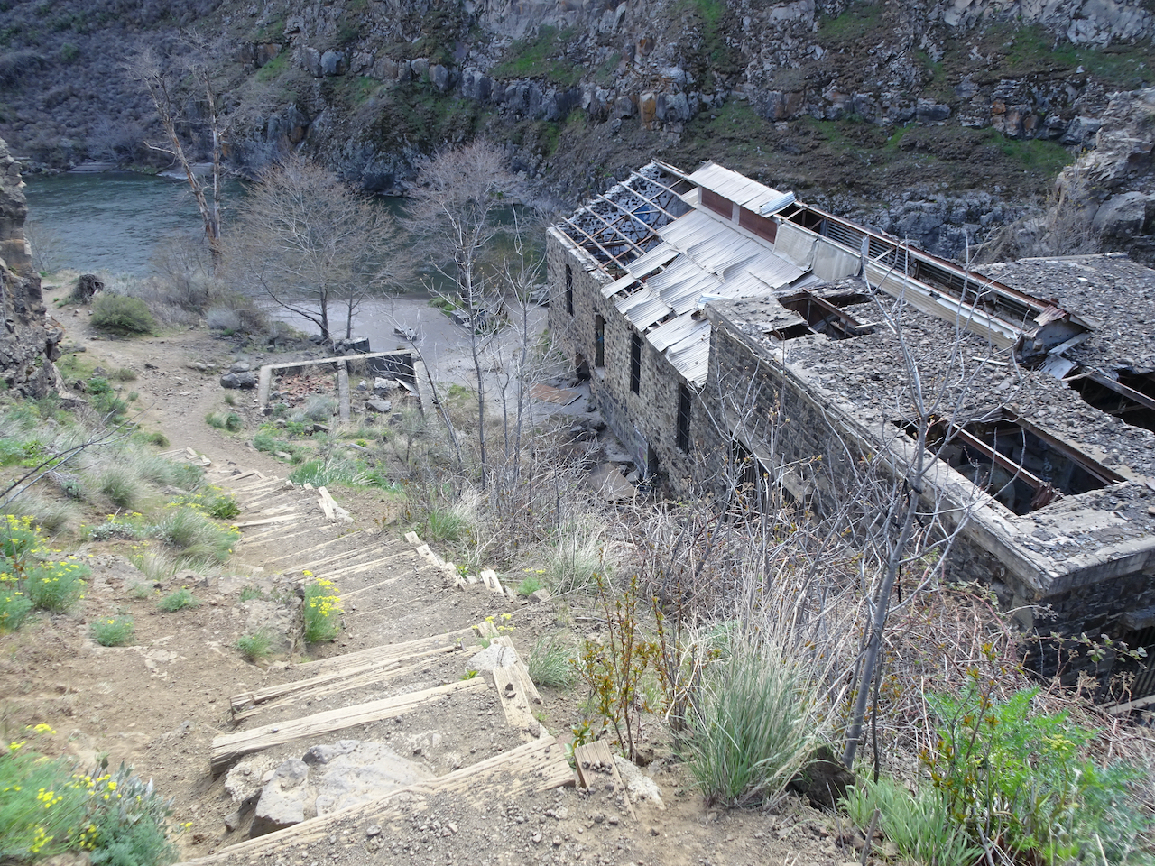
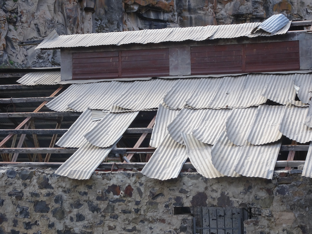
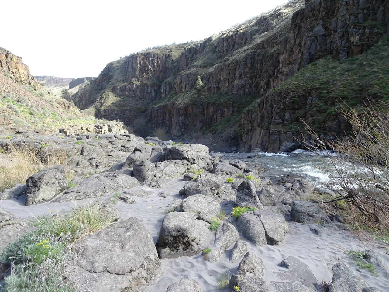
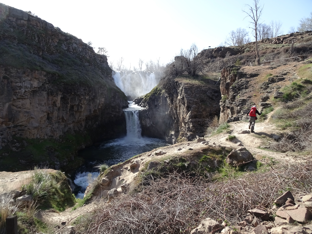
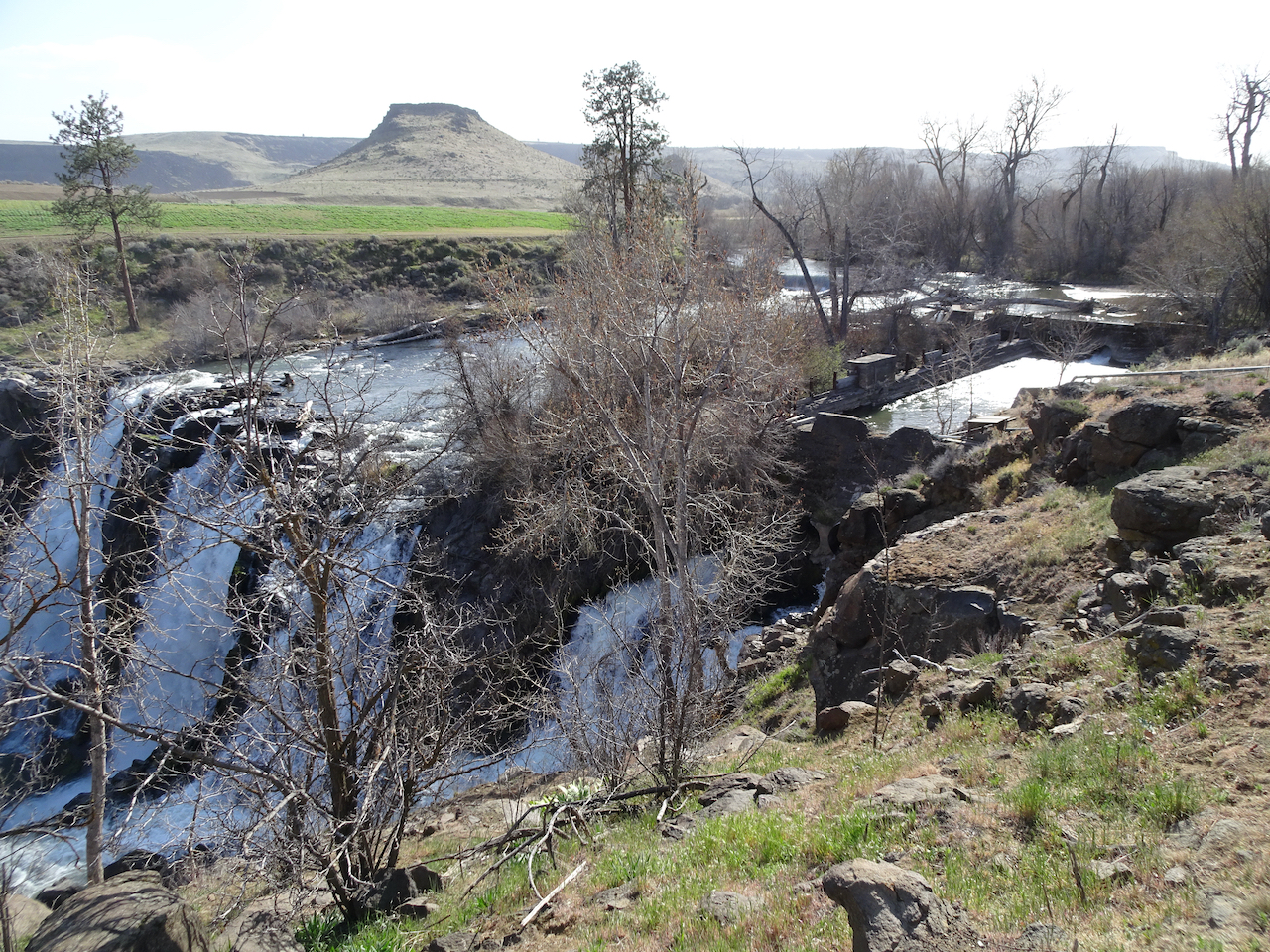
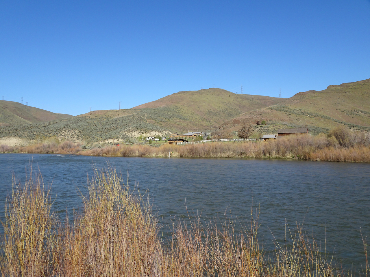
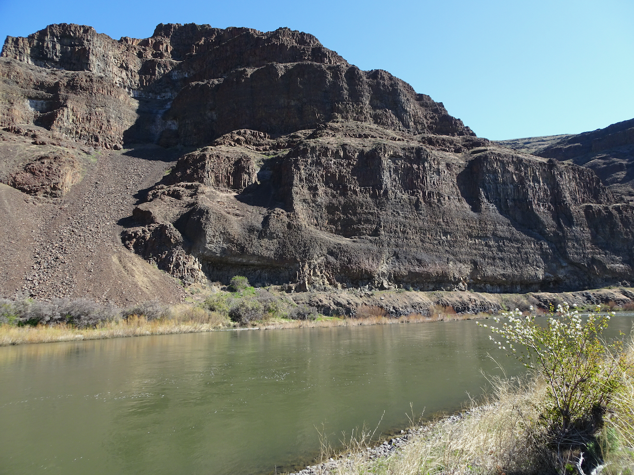
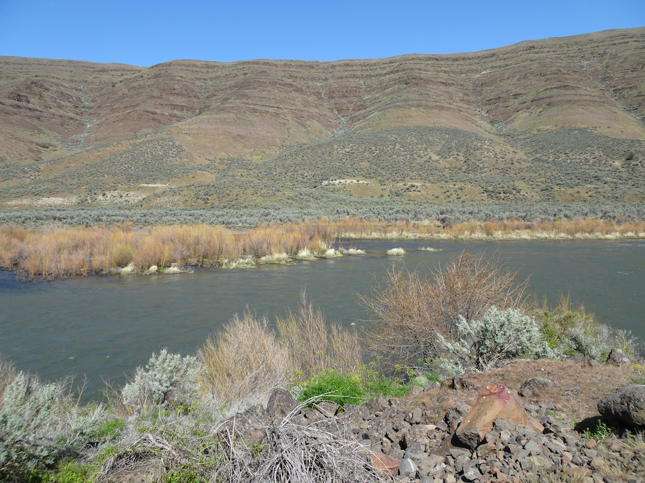
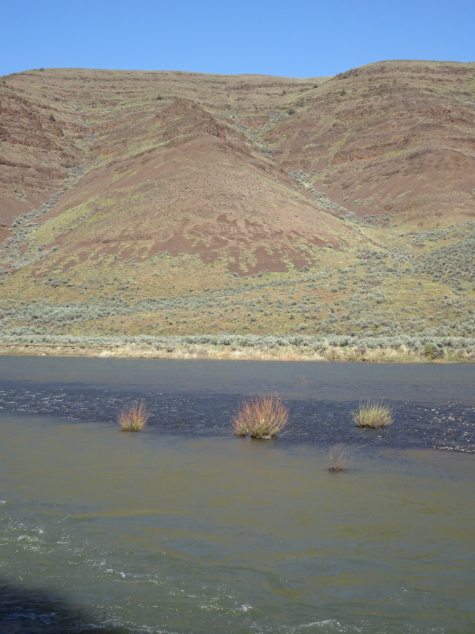
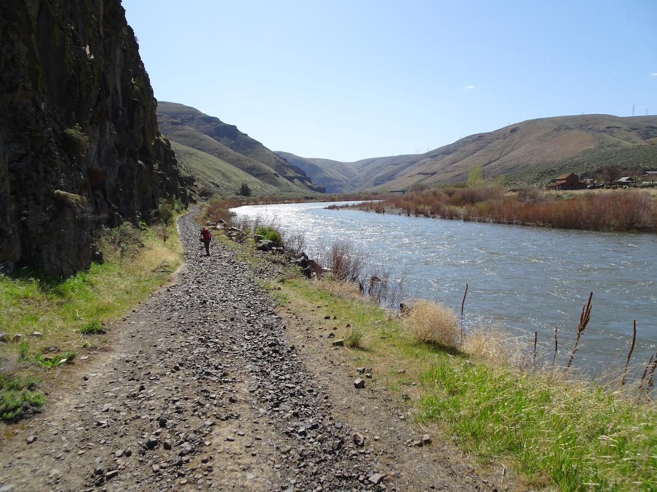
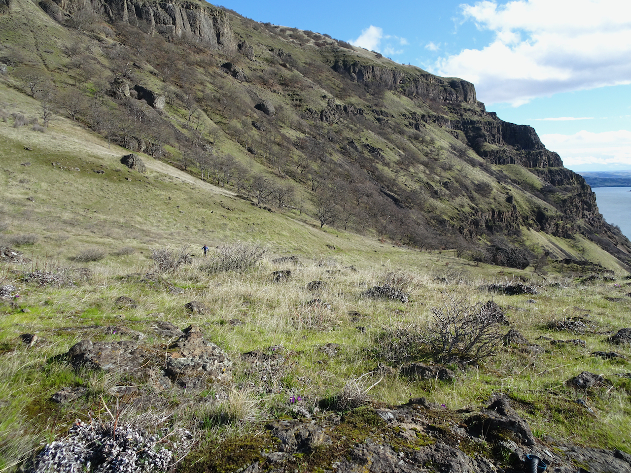
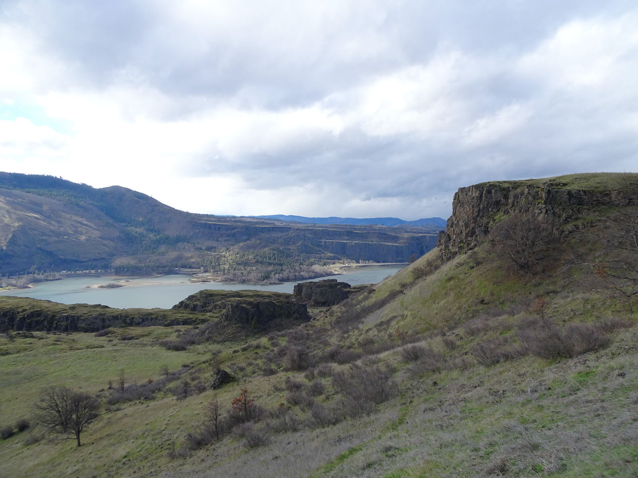
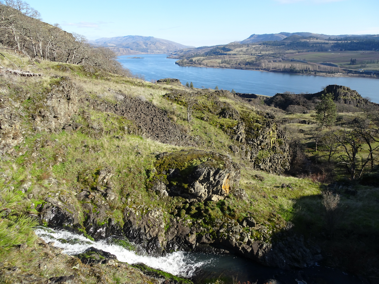
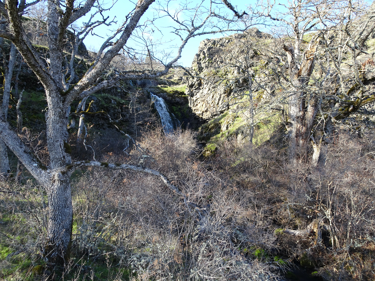
 We continued hiking downstream: