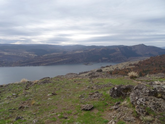
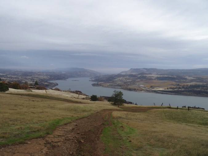
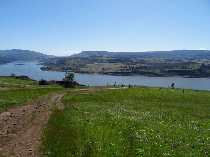
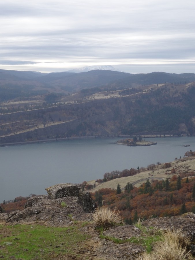
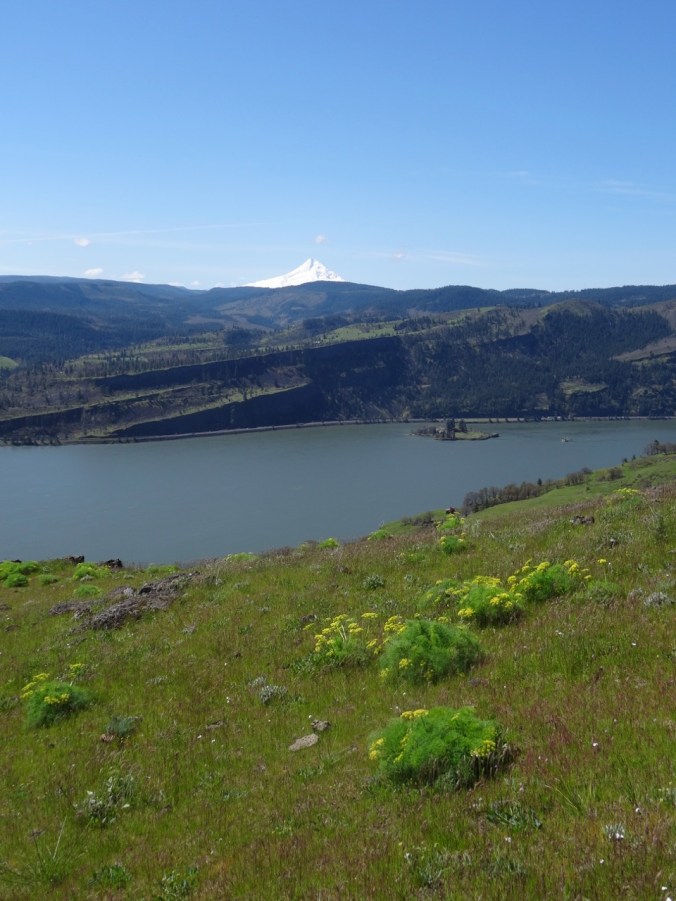
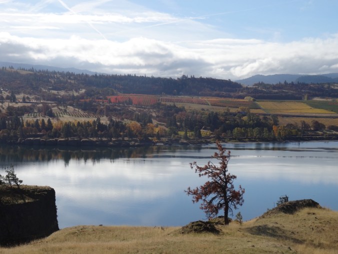
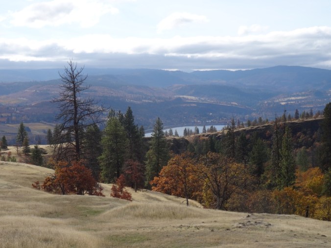
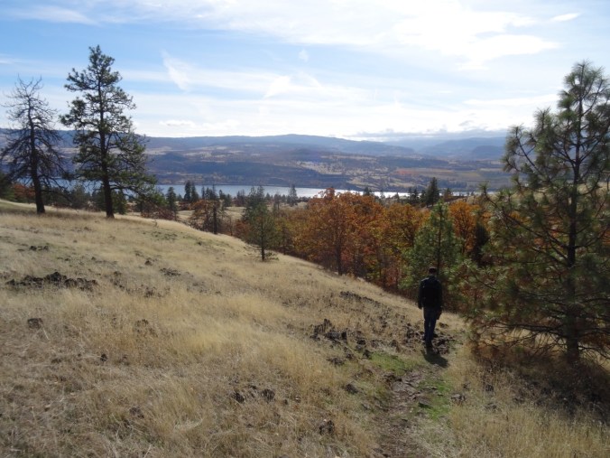
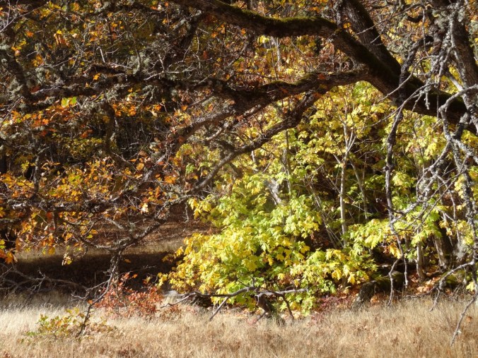
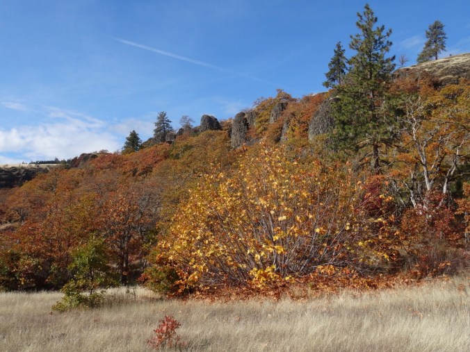
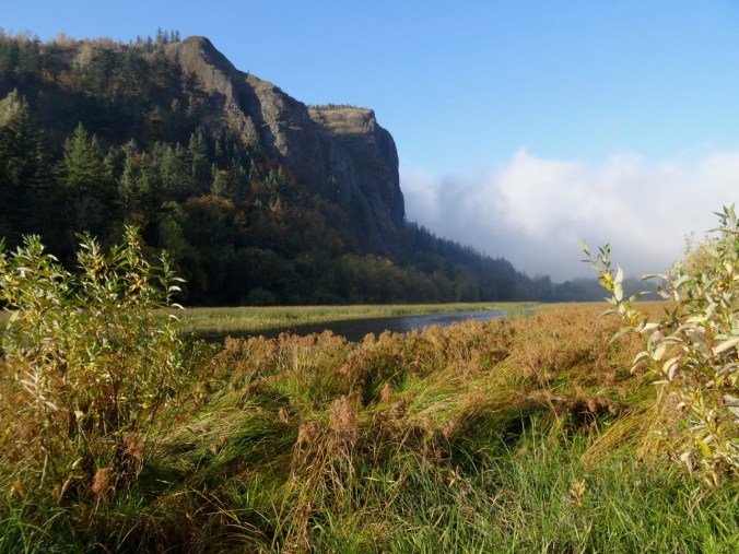
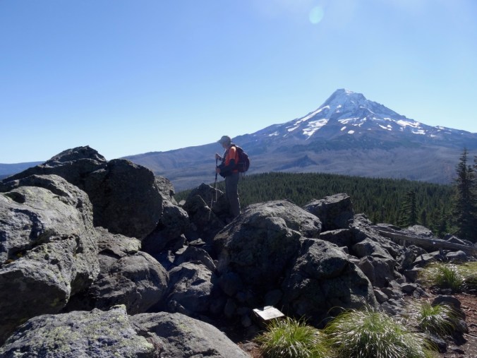
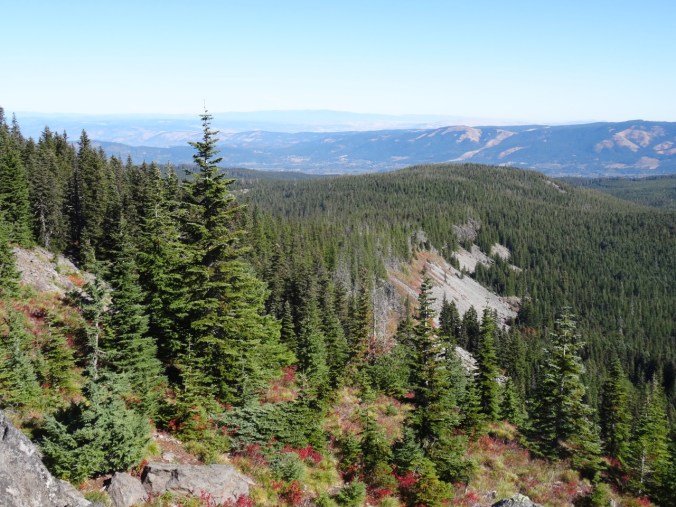
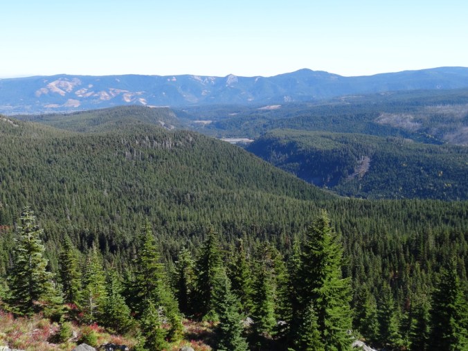
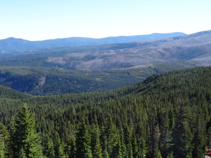
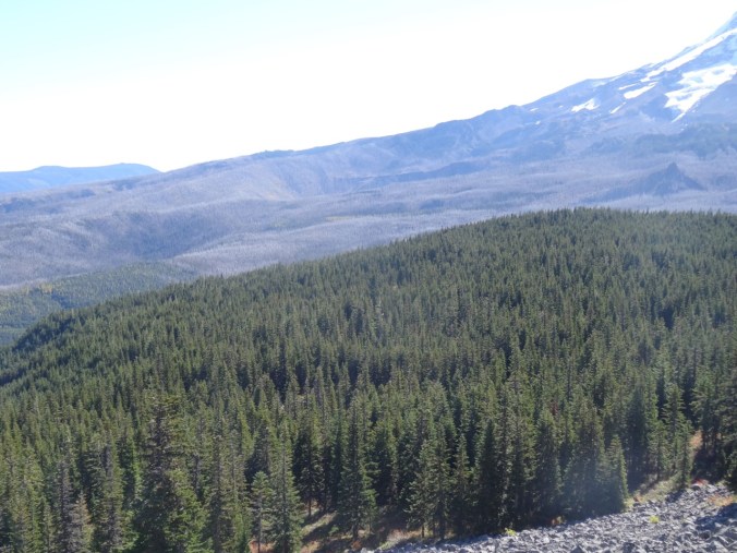
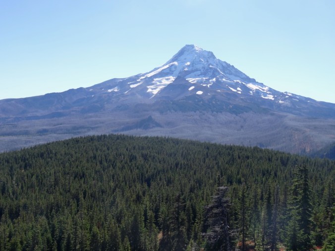
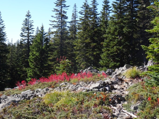
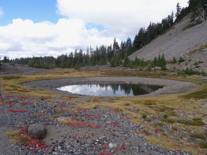
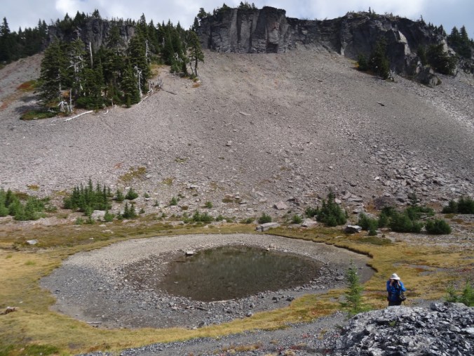
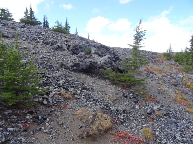
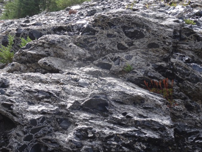
Rowland Basin from Catherine Creek, Washington (18-51)

Trails of Rowland Basin and Rowland Wall, 11/17/2018

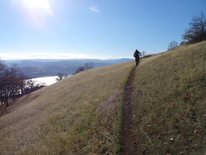
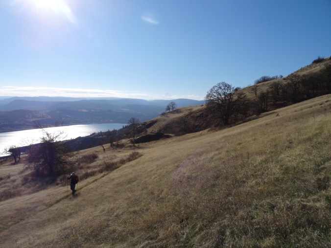
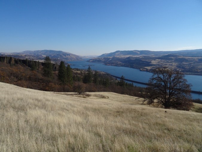
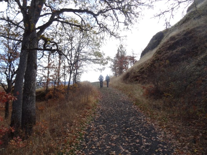
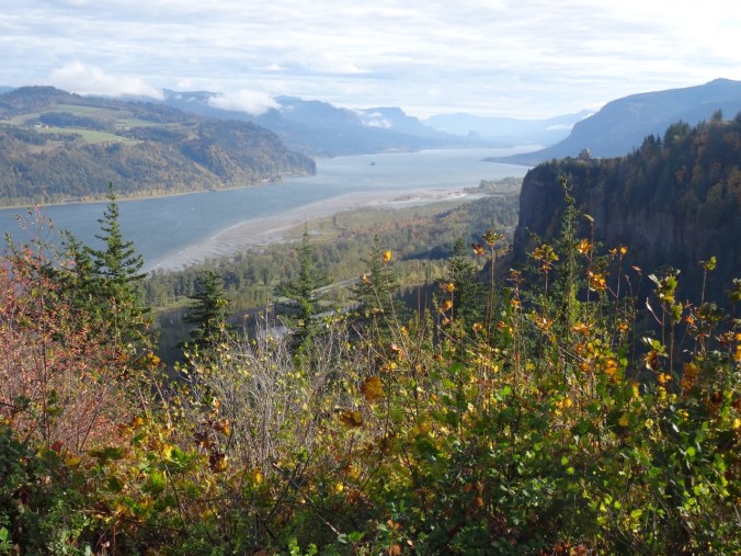
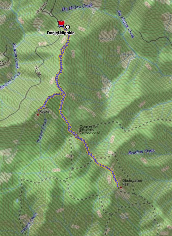
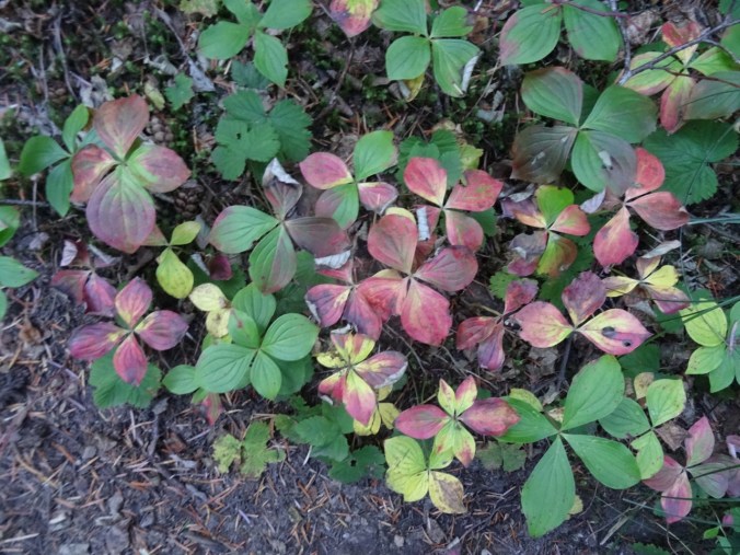
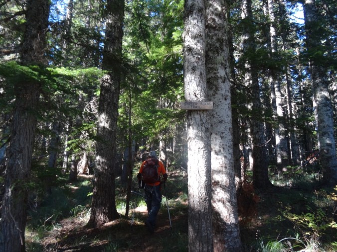
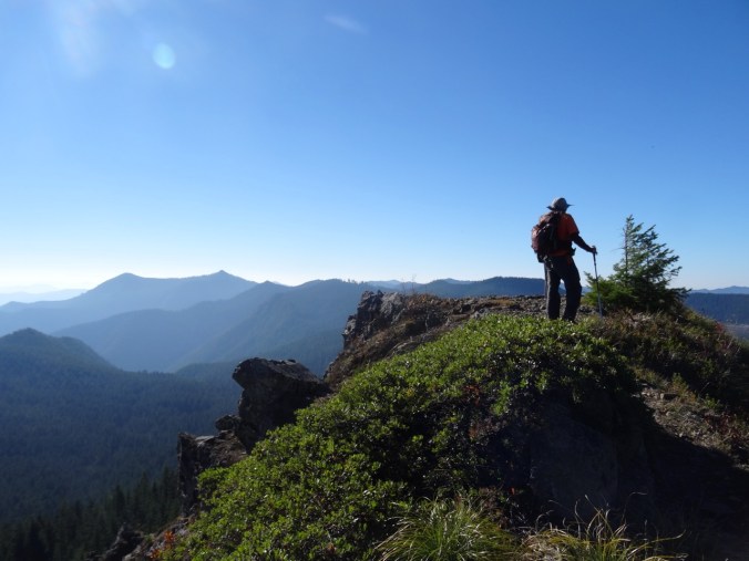
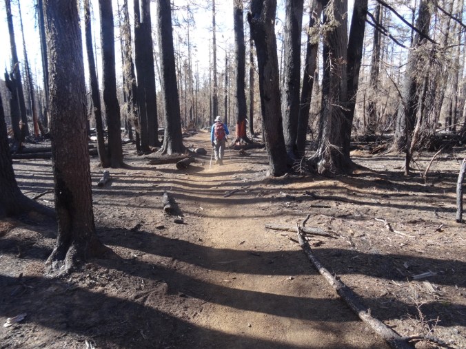
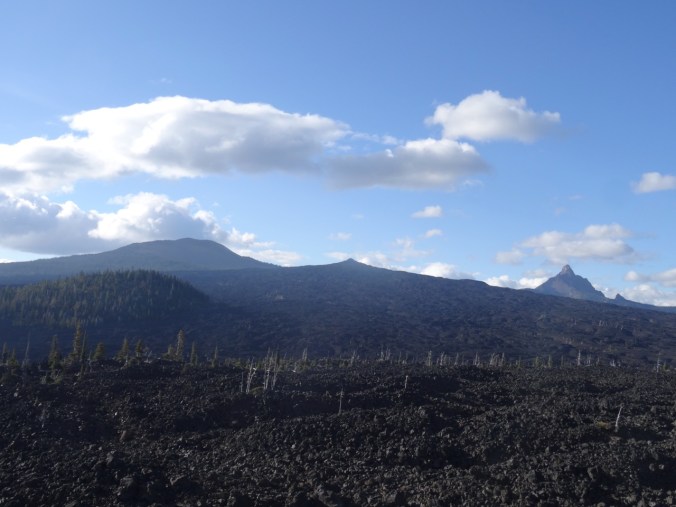
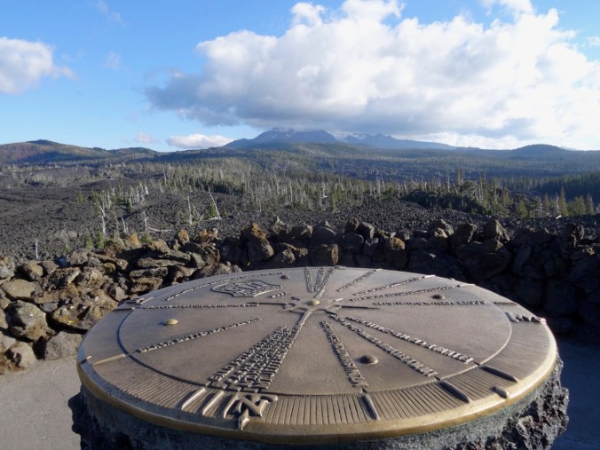
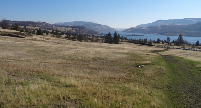
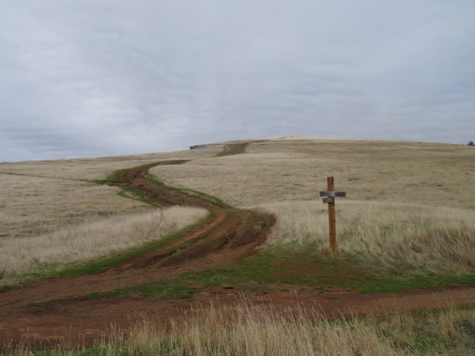
We decided to explore some new to us trails below Rowland Wall. From the Catherine Creek trail head, we walked west to the lower part of the wall, then took a side trail that drops over the cliffs, down the scree slope, and then winds uphill in the valley above Rowland Lake. We traversed oak woodlands, grassy slopes and lava fields. There are historic ‘Indian pits’, associated with native peoples, in this area. We found a spot on the upper grassy slopes for lunch, then continued upward on the looping switchbacks of the ‘Shoestring’ trail, hoping to find the connecting trail to upper Rowland Wall. The trails in this area are not marked, and switch back and forth in tight loops that are a bit confusing – constructed for cyclists. We decided to turn back the way we came for a 5 mile, 1000 foot day, a beautiful day on the trail. (#61)

dsc00217.jpg

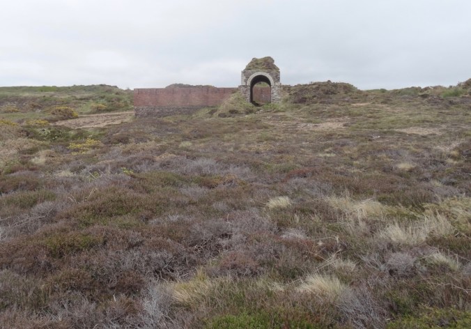
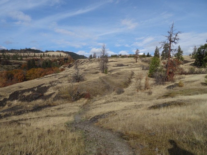
Looking back at the trailhead, and eastward up the Columbia River.

DSC00218

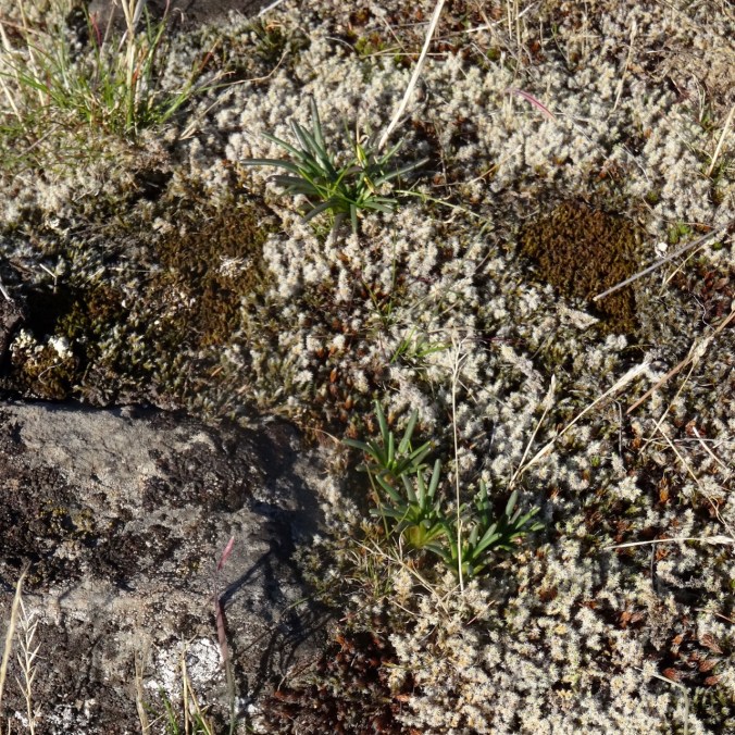
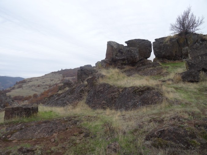
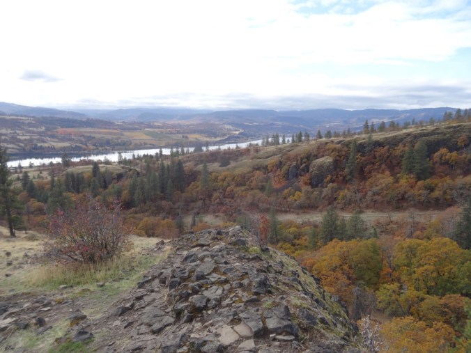
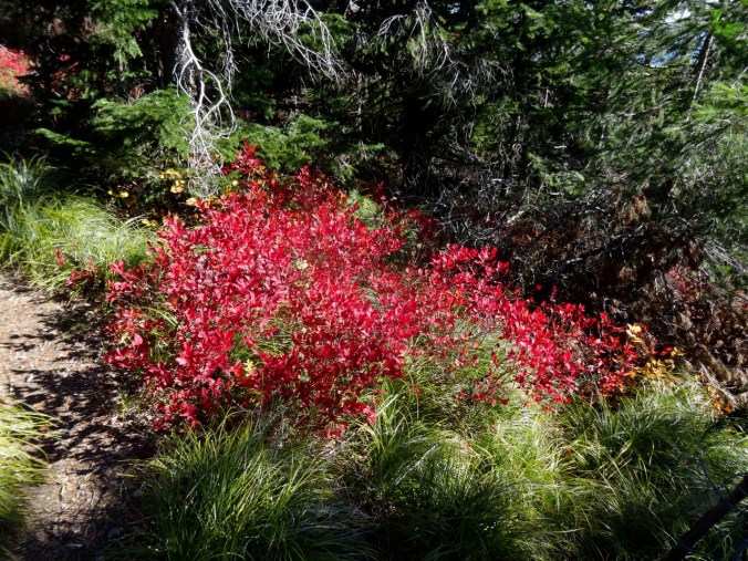
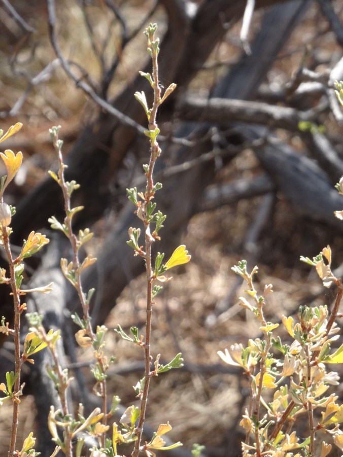
Bitterroot foliage on a rocky outcrop where there will be lovely flowers in spring.

DSC00221

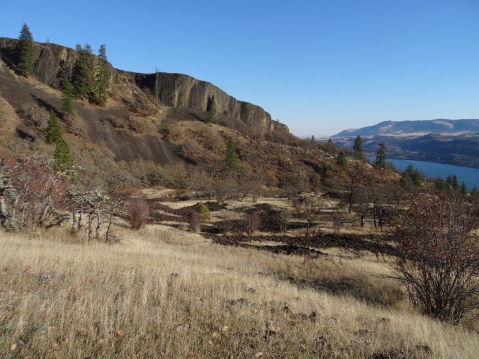
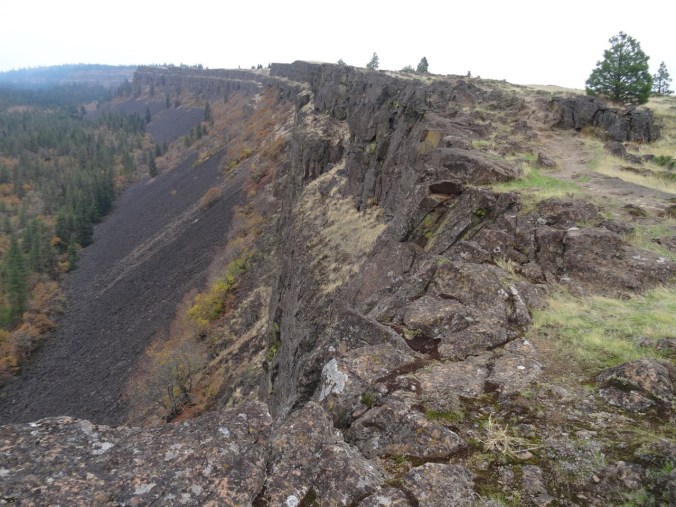
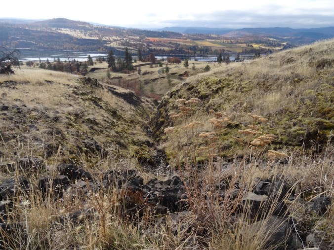
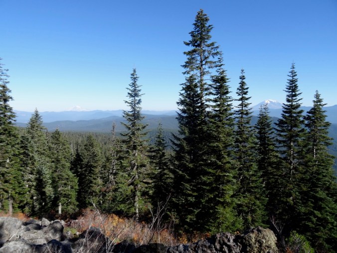
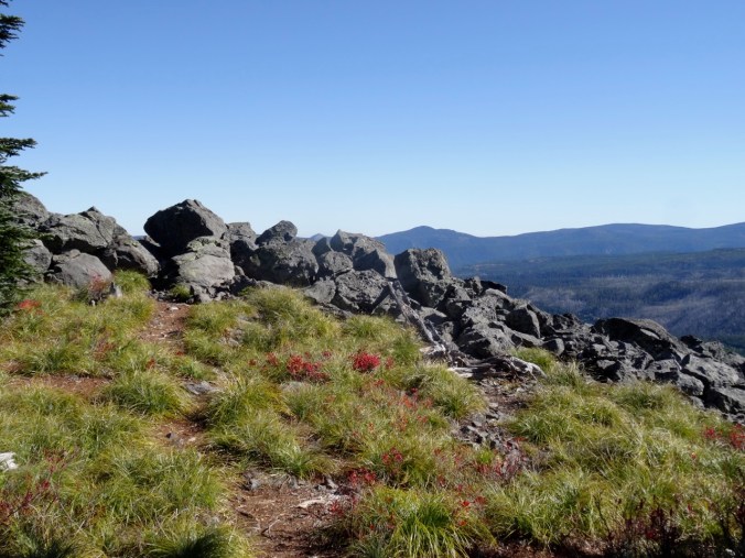
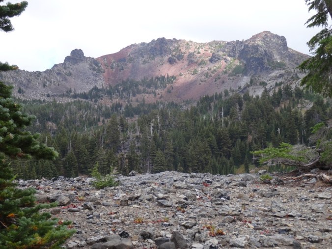
Looking over Rowland Wall into Rowland Basin, where our hike will take us.

DSC00222

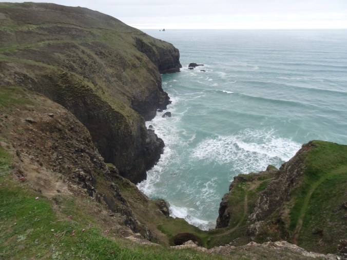
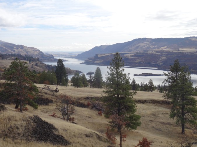
Looking west toward Rowland Lake and the Columbia River.

DSC00225

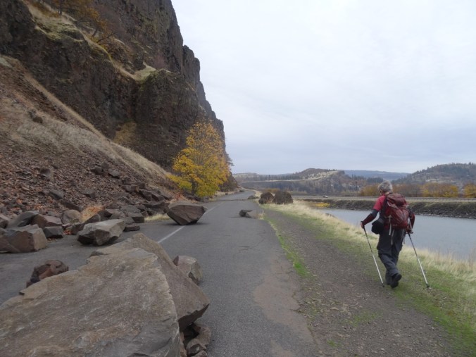
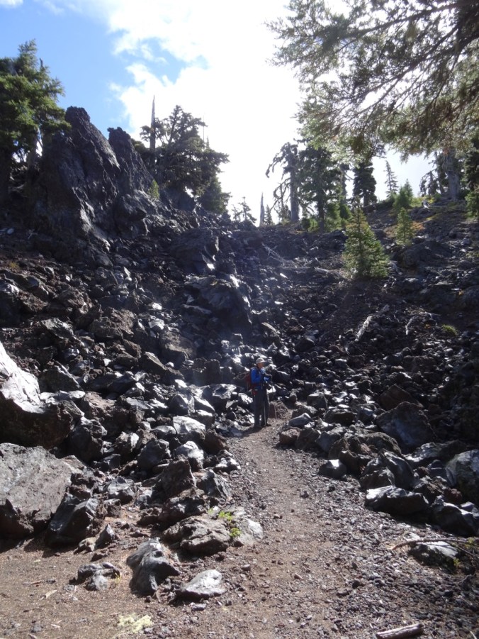
Our trail below the cliff,

DSC00227

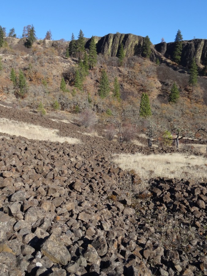
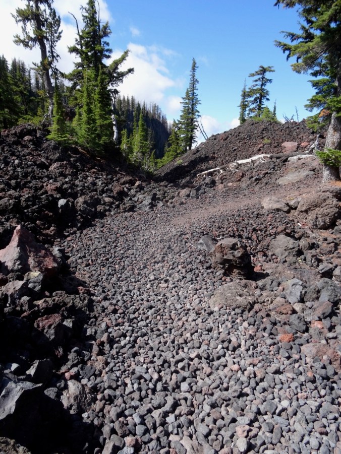
Continuing down the scree slope,

DSC00228

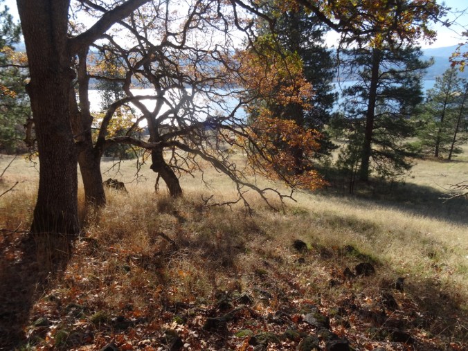
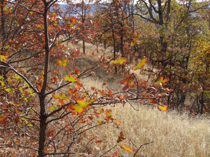
Through the oak woodland in the low angle November light.

DSC00230

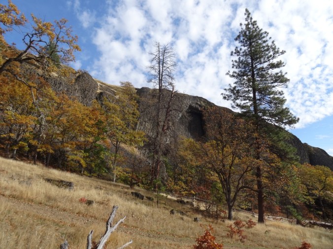
Hiking up the basin beneath Rowland Wall.

DSC00231

Looking back down the trail.

DSC00234

Continuing up – looking west toward the Labyrinth.

DSC00235

An ‘Indian pit’ in the lava field.

DSC00238

Continuing upward.

DSC00239

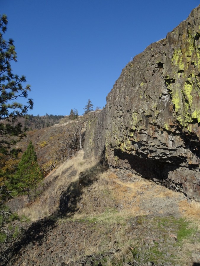
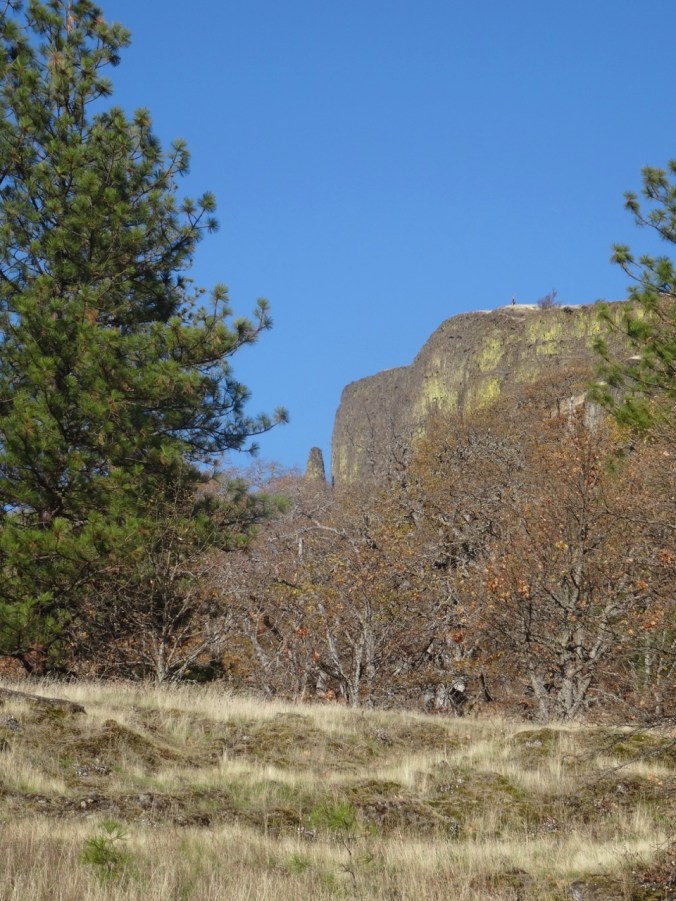
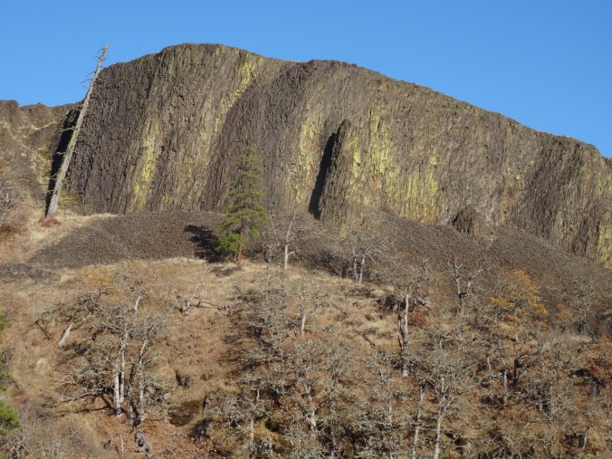
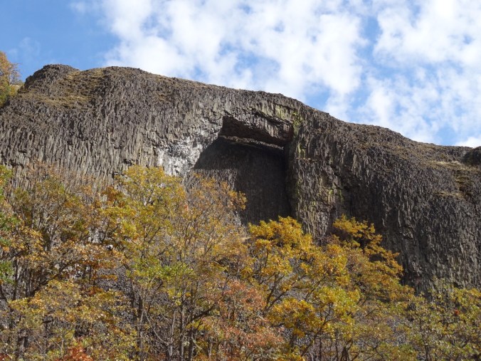
Rowland Wall

DSC00247

Another view east before we hike through more woods.

DSC00250

Then out of the woods, onto the high grassy slope where we would stop for lunch.

DSC00256

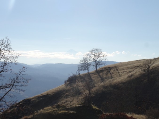
Traversing the bike loops on the grassy slope – Mt Hood is a faint shadow above the two oak trees on the horizon.

DSC00262

Eastward view from our lunch stop.

DSC00272

Closer view of Mt Hood beyond the oak trees.

DSC00274

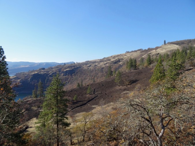
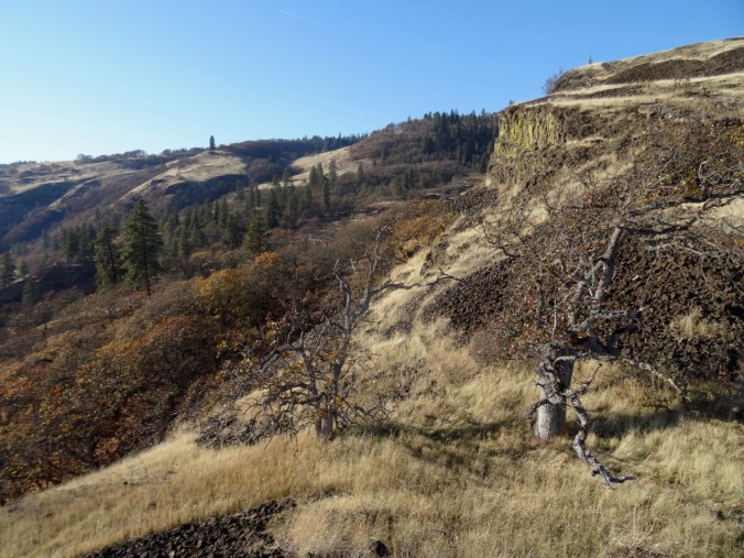
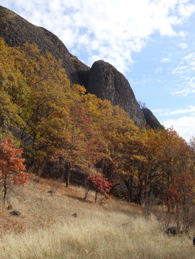
Rowland Basin on the way down in afternoon light.

DSC00277

Rowland Wall

DSC00278

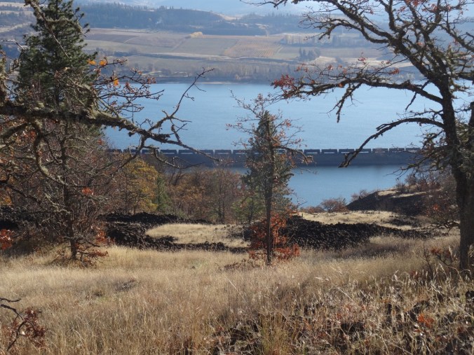
The orchards east of Mosier, Oregon, and oil train waiting near Rowland Lake.

DSC00281

Last look over the wall before returning to the trail head. Our lunch stop was on the bare gold slope in the middle of the picture.

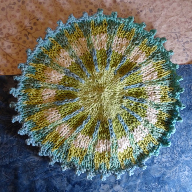
Knitting

I finished two more round cloths in the last couple of weeks.

St Agnes to Perranporth, Cornwall, Poldark Country (18-50)

Day 9, Friday, May 4th, 2018

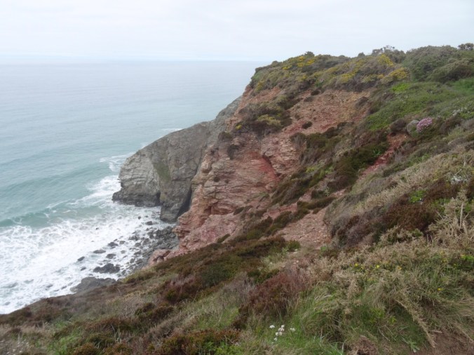
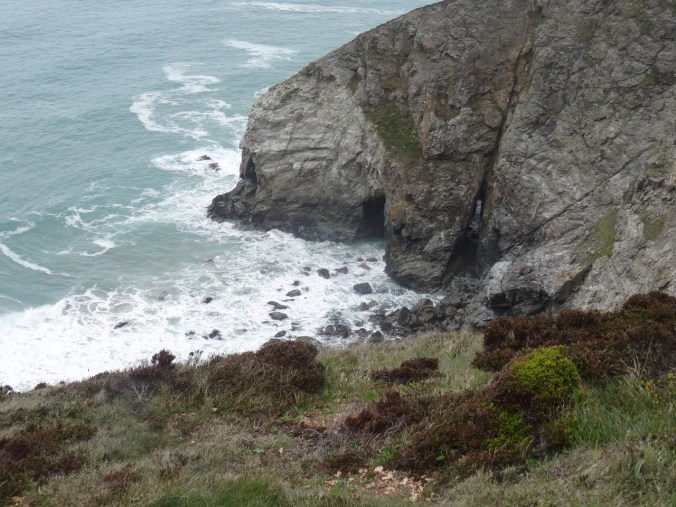
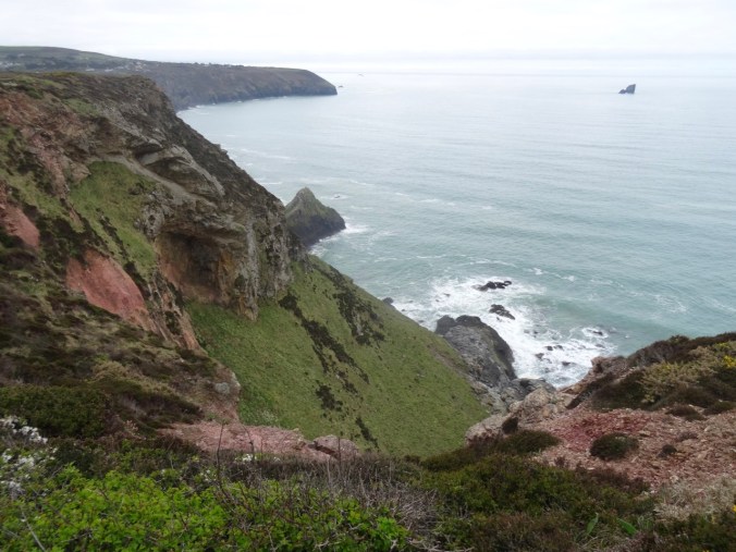
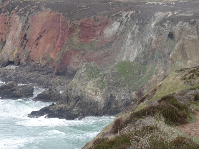
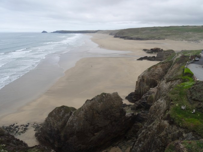
We drove from our lodging in Fowey to Perranporth on the north coast of Cornwall. Dan planned a one way hike on the Southwest Coast Path from St Agnes back to Perranporth. A low cloud ceiling remained for the entire day, but it wasn’t too cold – good hiking weather. We  passed broad moors, coastal cliffs, beaches and tin mines. Some of the scenes for the BBC Poldark series were filmed in this general area.
DSC03573

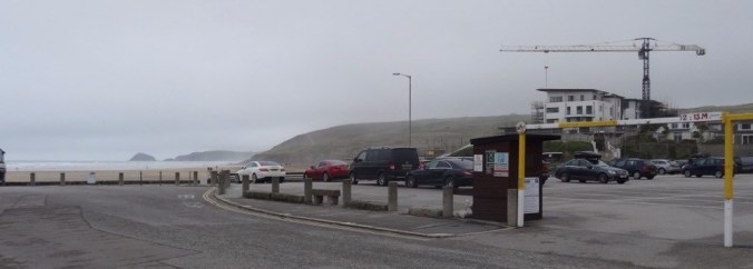
Carpark at the beach in Perranporth.

We parked in Perranporth and took the local bus to St Agnes – a bit of an adventure in itself, because the bus was running almost an hour late. The driver very kindly made sure we got out at the right stop in St Agnes, so at 11 AM, we were finally our way for what would be a ten mile hike, with 1500 feet of total elevation gain, as we walked up and down the coastal cliffs.

Screen Shot 2018-10-04 at 1.03.44 PM

We walked through St Agnes,

dsc03576.jpg

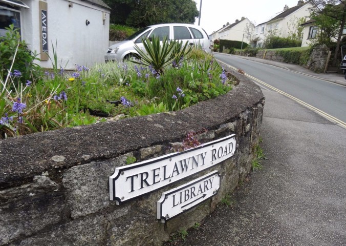
A street sign for Harry Potter fans

along some farm roads, then uphill to St Agnes Beacon.
DSC03579

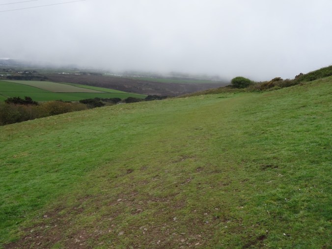
First view of the coast over the field
dsc03580.jpg

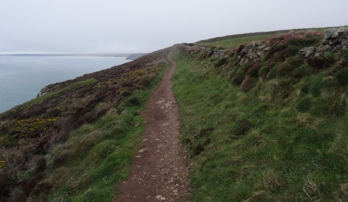
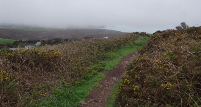
Our track to the north

dsc03588.jpg

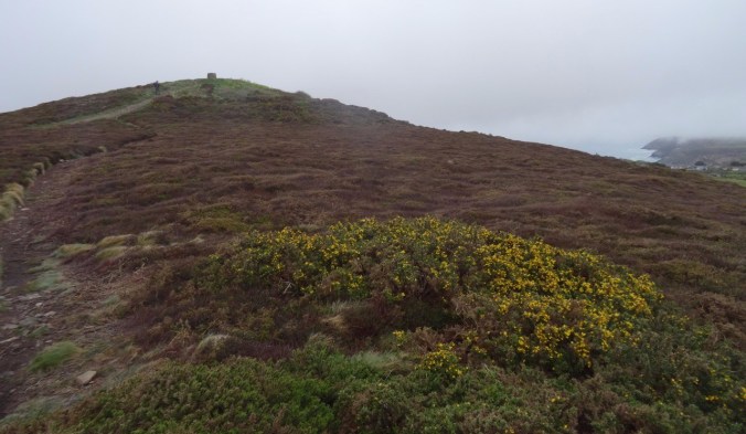
St Agnes Beacon ahead, beyond the gorse
DSC03589

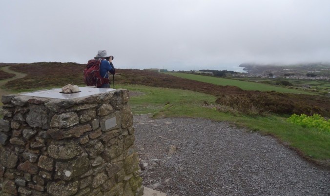
Lunch stop at St Agnes Beacon

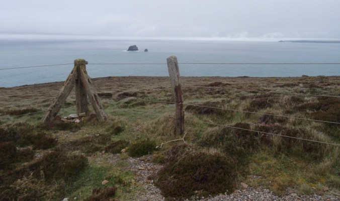
On a clear day the views must be incredible!
dsc03595.jpg

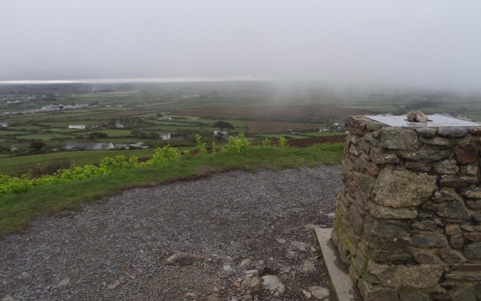
Land of counterpane beyond.

dsc03590.jpg

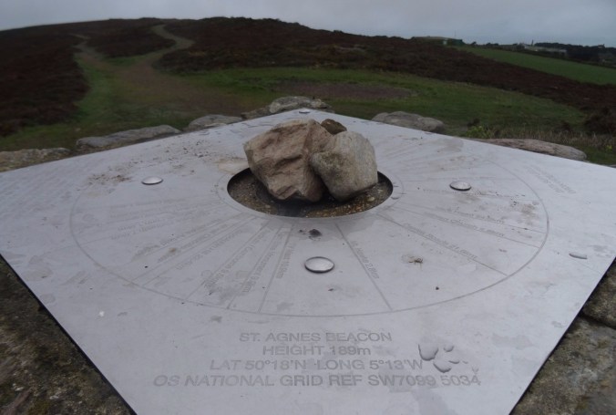
Location finder on the Beacon.

DSC03592

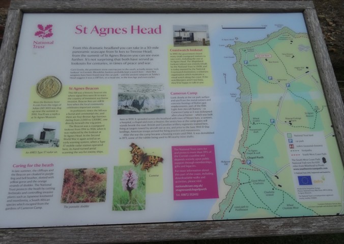
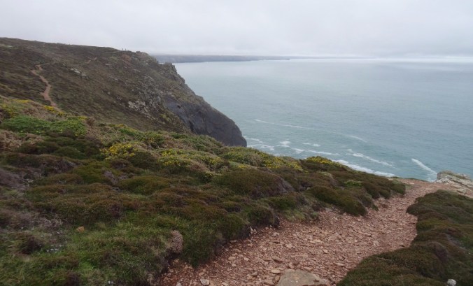
We continued downhill toward St Agnes Head – a promontory on the coast.
DSC03603

Looking west…

dsc03599.jpg

Looking east…

DSC03597

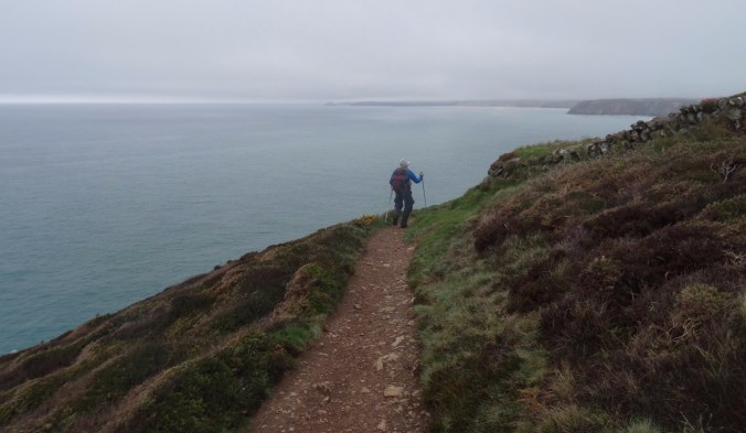
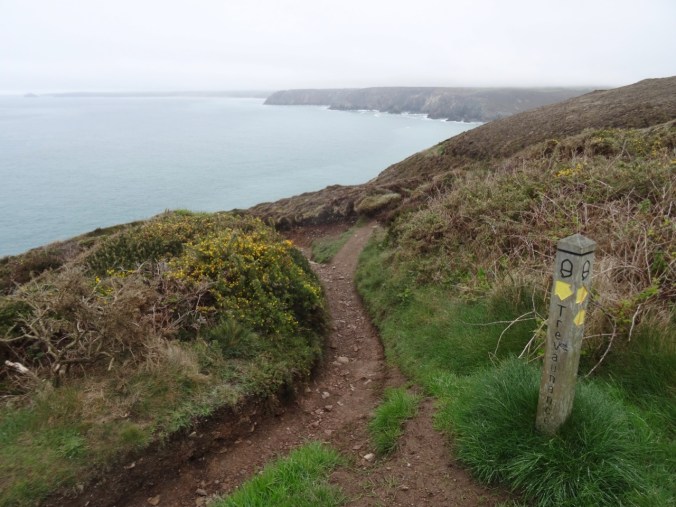
From St Agnes Head we turned east on the SW Coast Path toward Perranporth. The trail stayed above the high cliffs until we reached the descent to Trevaunance Cove.

DSC03612

Gorse along the trail

dsc03614.jpg

Hedgerows

dsc03618.jpgDSC03620dsc03627.jpg

DSC03628

First glimpse of the beach ahead

DSC03629

Old tin mine

DSC03630

The turquoise blue water of Cornwall

dsc03635.jpg

Flower-lined path

There were so many flowers along the path…

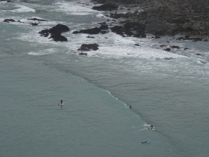
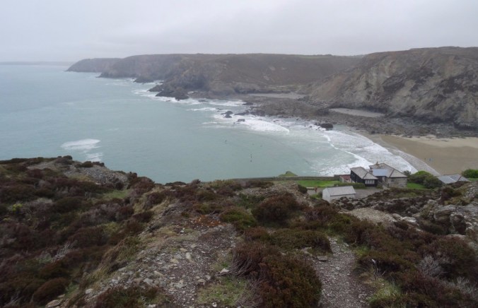
We looked down to Trevaunance Cove, noticing the standup paddlers in the water.
dsc03637.jpg

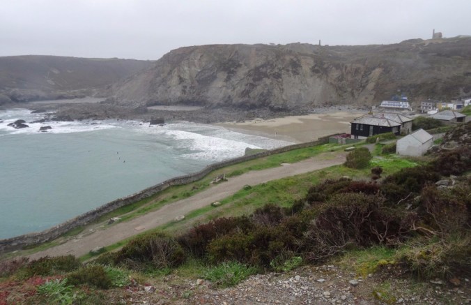
Trevaunance and Trevellas Coves

DSC03638

Stand up paddle boarders

dsc03642.jpg

Tin mines on the cliffs above Trevaunance Cove

DSC03644

Stairway down the cliffs

DSC03648

Our path along the beach and rocks to Trevellas Cove

Fortunately, the tide was out. We walked across the beach, then picked our way over and around the rocky outcrops to Trevellas Cove, enjoying the tide pooling along the way.
DSC03649

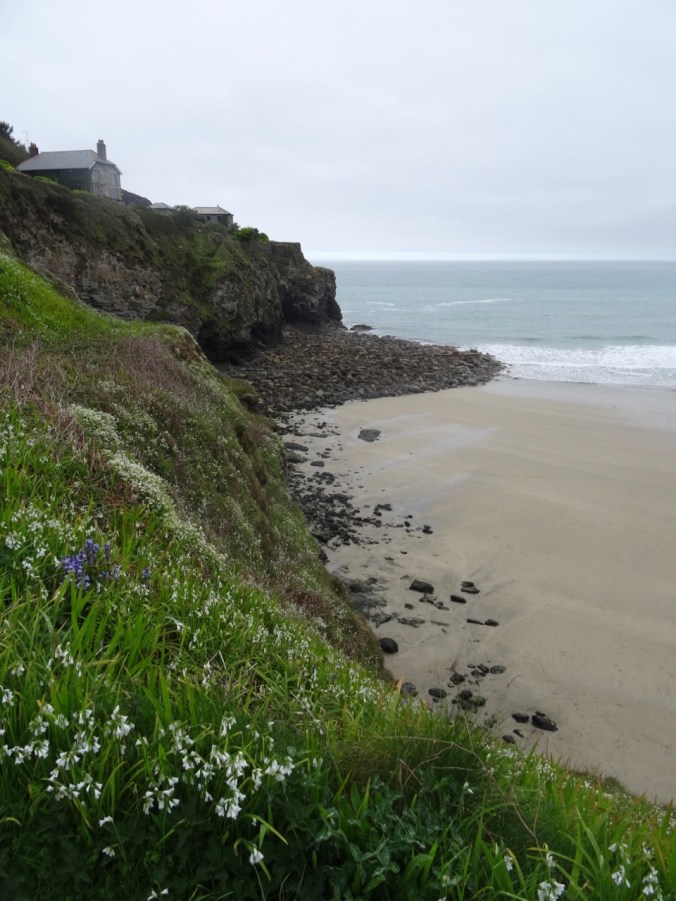
Flowers blooming on the cliffs

DSC03650

DSC03653

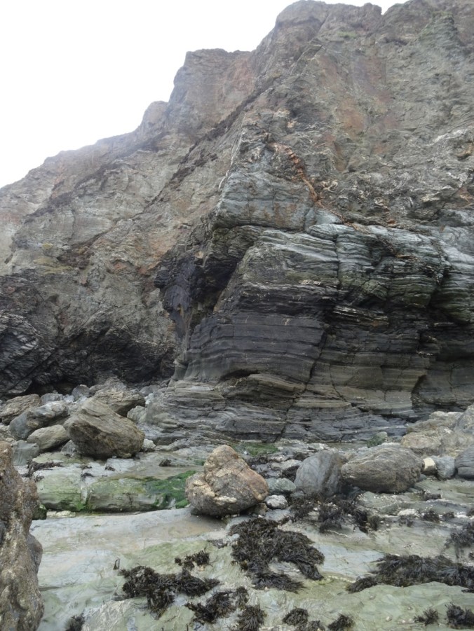
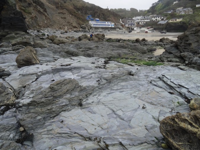
Devonian metamorphic rocks

DSC03655

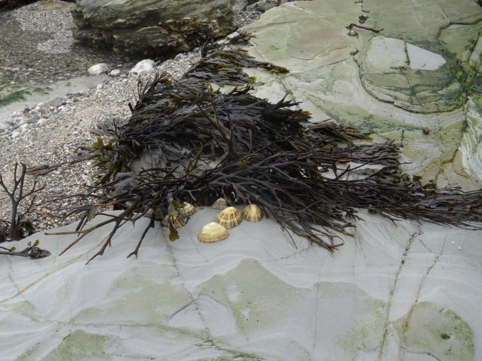
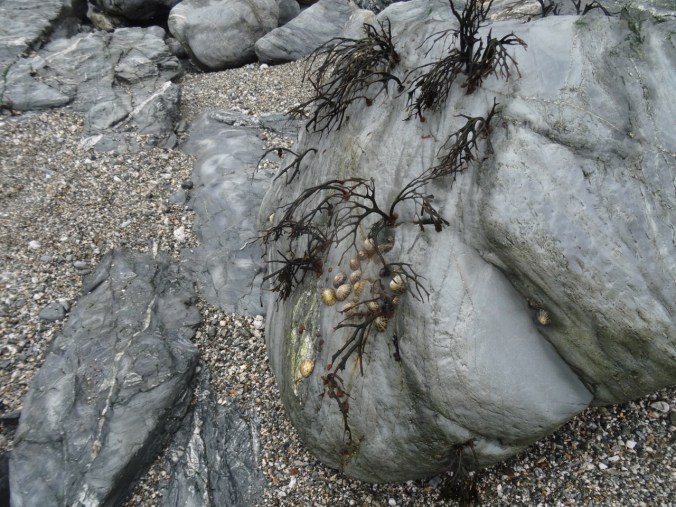
Limpets

DSC03656

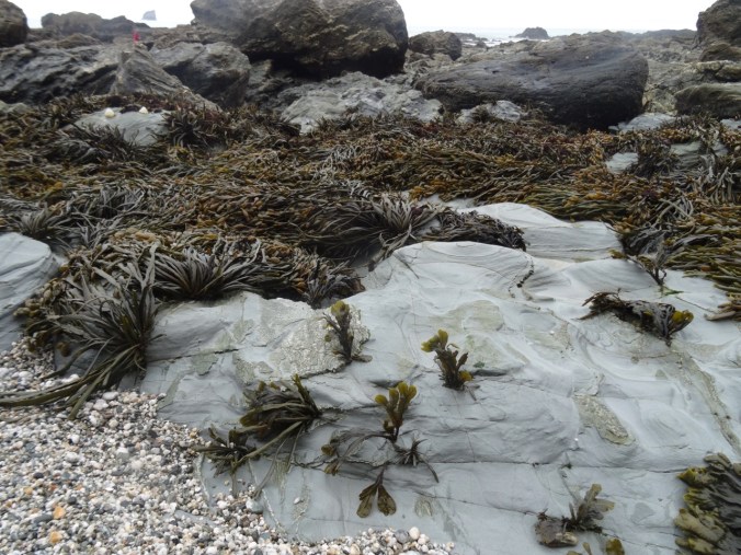
Seaweed

DSC03658

View back to the village at Trevaunance Cove
DSC03661

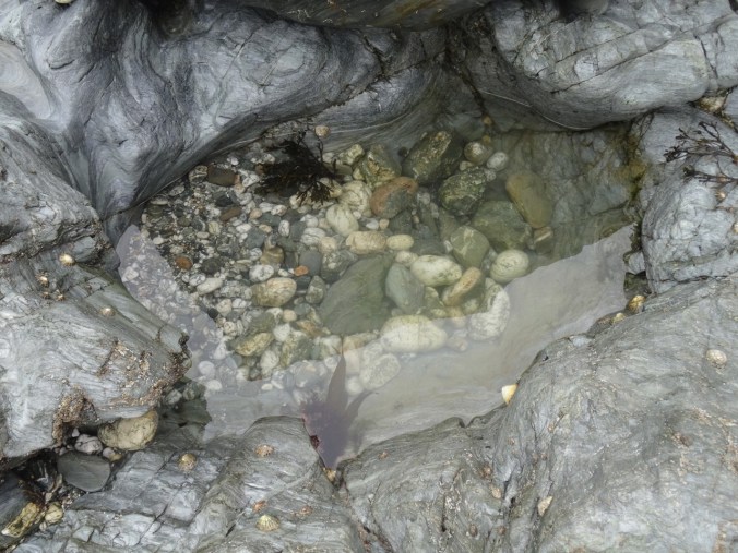
Tidepools

DSC03663

Seaweed and limpets

DSC03665

DSC03668

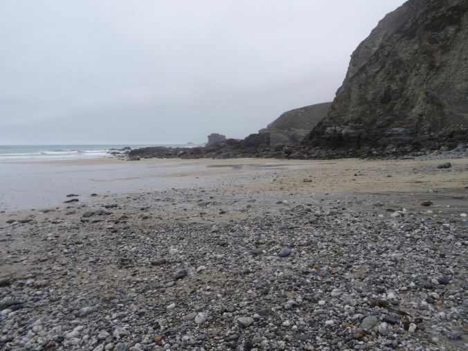
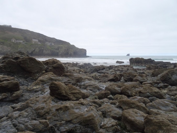
The rocky gap on the beach at low tide
DSC03669

Looking back again

DSC03679

More tide-swept sea weed

DSC03680

Pebbly sand and seaweed

DSC03684

Ebb tide channel

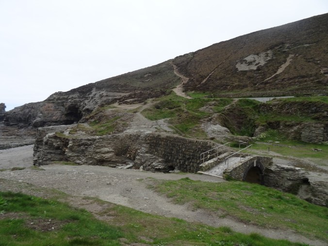
We crossed over into Trevellas Cove and could see our path up the cliffs.
DSC03687DSC03692DSC03693DSC03694

DSC03699

Looking back to our beach crossing

DSC03701

Another look back

Continuing east toward Perranporth, the next section of the SW Coast Path again stayed high on the cliffs with views down to beaches.

DSC03705

DSC03703

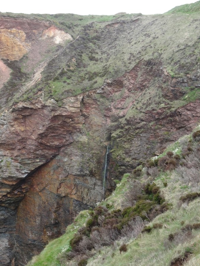
Waterfall

DSC03712

DSC03709

Beach caves and arches

DSC03714

We passed old tin mines and tailing piles,
DSC03716

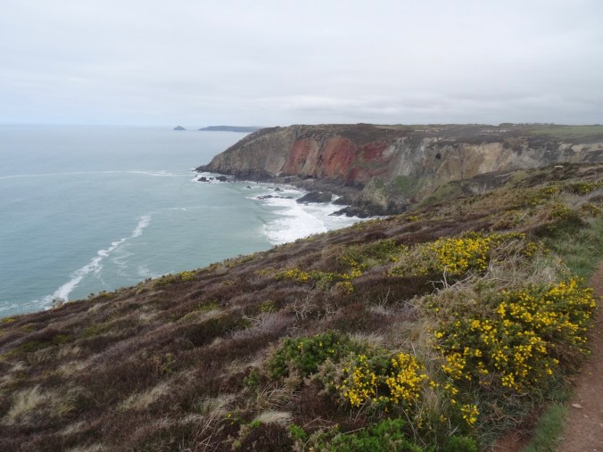
Mine opening in distant cliff

DSC03721

Covered mining site

DSC03719

Closer view of the cliff mine

Ruins of WWII bunkers and an airfield are also along the trail.
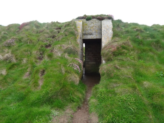
DSC03707DSC03724DSC03726

Plenty of flowers and spectacular geological outcrops.
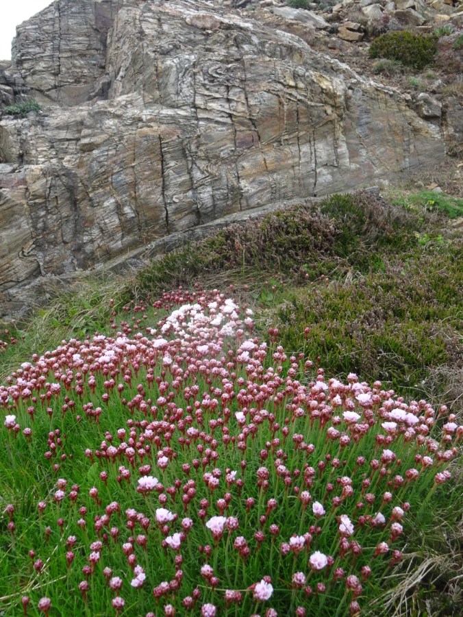
DSC03741

Sea thrift and folded Devonian metamorphic rocks

Eventually, we reached views of the beaches of Perranporth.
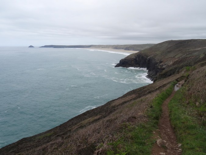
DSC03727

View toward Perranporth from Cligga Head
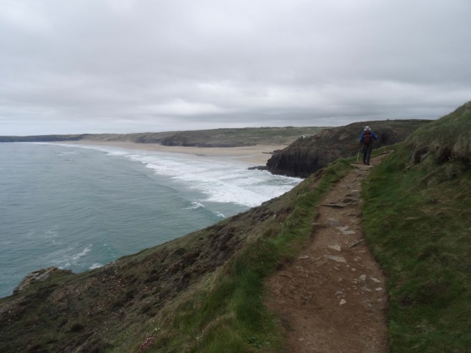
DSC03735

DSC03738

Last look back to the west

DSC03717

Bird covered rocks

We were glad to wind our way down the cliffs to the car park in Perranporth after a long, beautiful hike.

DSC03742DSC03743

The Jaguar GPS led us back to Fowey by the narrowest and hedgerow-bound of winding back roads – we learned from this day to ignore the B roads with lots of numbers. The GPS route would recalculate to stay on A or low number B roads if we ignored turn directions when we didn’t like the look of the road. The new route might be longer in miles, but shorter in time and less scary in narrowness and visibility. Also, the signs that say “Weak Bridge Ahead” are a little disconcerting, though we were sure they meant heavy trucks, not passenger cars. You never know though. Some of the buildings and hedgerows certainly date back to the time of Poldark. Roads that are about two feet from the doors of farm houses cannot really be meant for through travelers. We needed a smarter GPS or more experienced operator. It would have helped if we had looked at the overview map of the route before embarking, but the GPS in the car did not seem to offer this option in a practical way. I personally prefer to preplan my routes with more diligence, but sometimes when traveling, and changing plans on the fly, on the whims of the weather, we wing it – with the consequences of the narrow hedgerow and the blind corners. After this day I used my Google Maps Iphone App and did not use the Jaguar GPS though she did have a charming British accent and manners, directing us, “Please, at the next roundabout, take the second exit toward St Agnes.”

We enjoyed making ourselves a Mexican dinner back at the cottage.
Coyote Wall, WA (18-49)

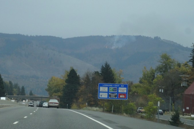
As we drove toward Hood River to cross the bridge to the Washington side of the gorge, we noticed fire burning high on the slopes above White Salmon. We realized it must be a controlled/slash burn, not a wildfire, thankfully.

DSC00119

Little Moab and Old Ranch Road Trails, November 3, 2018 (#60)

We walked up Coyote Wall about half way on an overcast day.

DSC00123

Walking along Old Highway 8 to the trail up Coyote Wall.

DSC00129

First view to the east – a different perspective on the fruit orchards east of Mosier from our Catherine Creek hike last week.

DSC00130

Approaching one of the viewpoints over Coyote Wall on the Little Moab Trail.

DSC00138DSC00139

DSC00160

Looking over the wall and up. The sky is a bit smoky from the fire above White Salmon, just over the hill.

DSC00163

We begin to see the shoulders of Mt Hood under clouds to the south.

DSC00166

Junction of Little Moab and Old Ranch Road trails. We are headed up.

IMG_1672

Lunchtime view to the east

DSC00178

Lunchtime view to the south

DSC00176

Lunchtime view up Coyote Wall

We decided to head down, as the wind was picking up and blowing more smoke toward us. 4.3 miles, 1000 feet for the day.

DSC00202

Looking back up to where we had been on Coyote Wall from the trail head.

Lookback:

Comparing fall and spring views:

DSC00193

View to the east, October 2018

DSC03347

April 2017

DSC00186

View toward Mt Hood, October 2018

DSC03354

April 2017

Knitting

I am blocking the Ivy Cardigan, and I finished another round dishcloth.

DSC00210IMG_1688

Neighborhood

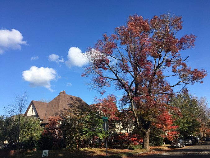
The fall colors have been a pleasure to walk through – my camera can’t quite catch them and yet I try.

IMG_1644IMG_1649IMG_1666IMG_1671

A Crisp Fall Day at Catherine Creek, WA (18-48)

Catherine Creek Arch Trail, October 27, 2018  (#59)

We walked a loop above the arch and part way up Tracy Hill, then dropped down into the oak and big leaf maple-lined canyon in front of the arch. Windless day, river like glass, slanting sun through the clouds enhancing the fall colors.

DSC09991

First stop near the trail head – looking across the Columbia River to the fruit orchards east of Mosier, Oregon.

DSC09992

Our path along the far side of the canyon.

DSC09993

Walking upward toward Tracy Hill.

DSC09996

Looking over dry flower heads back to the river.

DSC00005

Lunch view from the knob just north of the arch.

DSC00008

Lunch view to the eastern gorge, Rowena Plateau and Memaloose Island.

DSC00018

From our high point on Tracy Hill the lowest shoulders of Mt Hood can be seen under the clouds.

DSC00025

Heading down to Catherine Creek.

DSC00034

DSC00047

Orange oak trees, yellow big leaf maple trees.

DSC00048 (1)

The pinnacles of Catherine Creek.

DSC00032DSC00033

We walk by the Arch….DSC00058DSC00062DSC00065

And continue our way back to the trail head, feeling refreshed, before heading back to the rest of our rainy weekend in Portland. 3 miles, 600 feet.

DSC00068DSC00067

On our way to the hike today, we stopped at the Women’s Forum Viewpoint on the Historical Columbia River Highway to look at the view of Vista House, Beacon Rock and beyond.

DSC09983

Knitting

DSC00105

The back and one and a half front panels of the Ivy Cardigan.

Fall Colors at Home

Trapper Creek Wilderness, WA (18-46)

October 20, 2018 – Observation Peak and Sister Rocks

We hiked up and down this roller coaster trail, through autumn light and sun, to viewpoints of the surrounding Cascade mountain peaks rising above a bluish haze.
Screen Shot 2018-10-22 at 8.29.52 PM

7 miles, 1575 feet (#58)

Driving to the trailhead on Dry Creek Road we passed through a tunnel of yellow trees.

DSC09898

View through the front windshield…

Bunchberry and huckleberry along the trail provided some color.

DSC09902DSC09936

At the top of the first ridge, the views from the rocky outcrop are to Mt Rainier and Mt Adams.

DSC09910

DSC09908

Mt Rainier

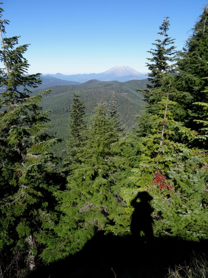
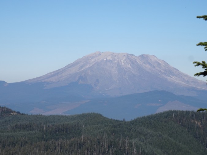
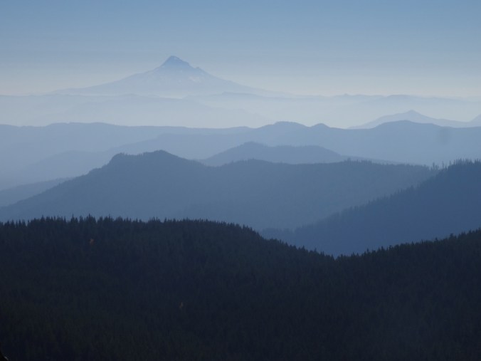
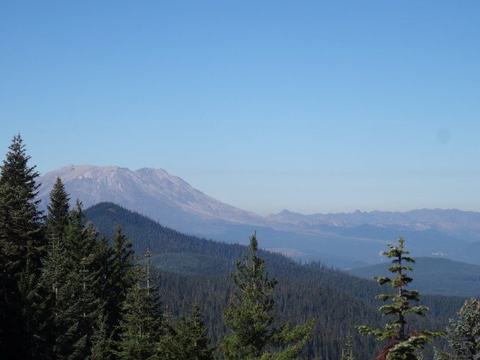
We then took the side trail to Sister Rocks, with a great view of Mt St Helens and Mt Hood. Lunch stop.

DSC09913

DSC09914

Dan atop Sister Rock; Soda Peaks on the left.

DSC09920

My shadow and Mt St Helens

DSC09923

Closer view

DSC09925

Mt Hood

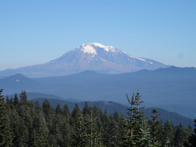
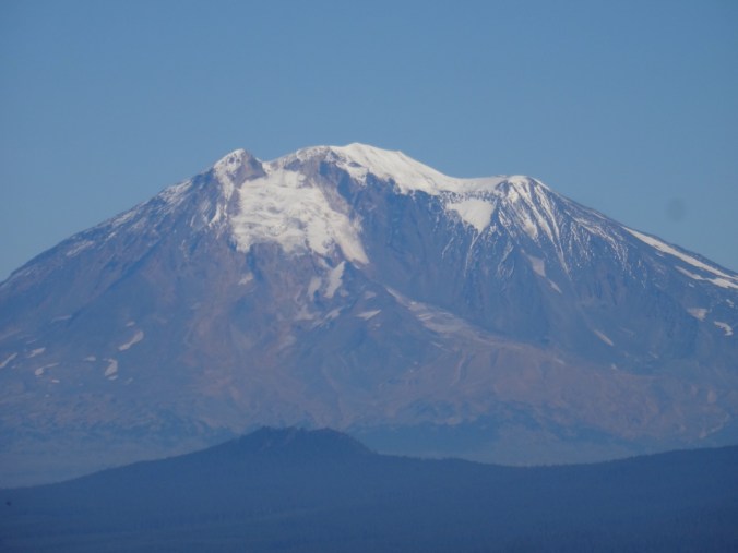
The intermediate high point on the Sister Rocks spur provides an excellent view of Mt Adams.

DSC09944DSC09942

DSC09940

Mt Adams

DSC09941

Returning to the main trail, we headed down hill, then back up to the views from Observation Peak of four tall volcanoes rising above the forested landscape.

Version 2

Mt St Helens, Mt Rainier, and Mt Adams from Observation Peak.

DSC09955

Mt St Helens and the Mt Margaret backcountry

DSC09958

Mt Rainier

DSC09966

Mt Adams

DSC09961

Mt Hood

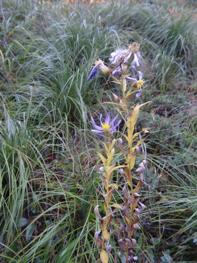
As we departed Observation Peak I spotted what may be the last blooming aster of the year.

DSC09972DSC09971

Mirror Lake

The lake is at the base of Vista Point in Rooster Rock State Park. As we drive through the Columbia River Gorge on I-84 we sometimes see swans here in winter. This morning, no swans, but the fog was lifting poetically, so we stopped to look at the light.

DSC09888DSC09897

Knitting

Another dishcloth finished, and I frogged and am reknitting the front of the Ivy Lace Cardigan.

DSC09974


Owl Point and Hoyt Arboretum, OR (18-45)

Owl and Alki Points and the Rockpile from Vista Ridge   October 12, 2018

This was our first hike on the Owl Point trail, which follows the northern edge of Vista Ridge and leads to views of the north side of Mt Hood and the Clear Branch valley below. Much of the lower elevation landscape was burned by the Dollar Lake Fire in 2011.

Screen Shot 2018-10-13 at 12.16.43 PM

The first views from the 0.3 mile trail junction display the luminous seed heads of abundant fireweed at the edge of the burn zone.

DSC09706DSC09707

DSC09710

Pearly everlasting and fireweed

The trail leads along the ridge, mostly through forest with a few viewpoint and meadow openings.

DSC09726

A meadow

DSC09736

Fungus along the trail

DSC09738

DSC09740

Beargrass and huckleberry

The first major viewpoint along the trail is called The Rockpile:

DSC09741

Approaching The Rockpile

DSC09748

Dan at The Rockpile

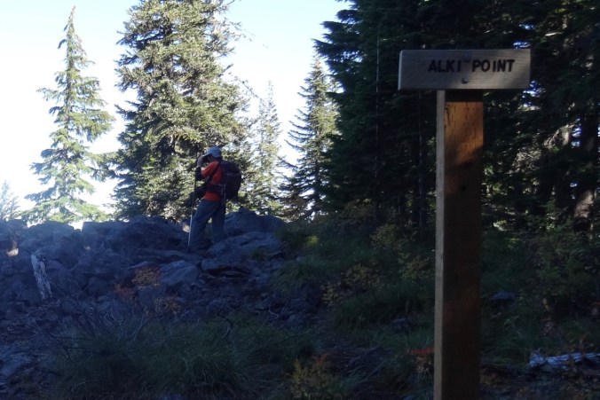
We went on a short way to Owl Point where we had lunch and signed in at the trail register.

DSC09754

DSC09757

Owl Point

DSC09770

Dan at Owl Point

The next views are a panorama from northeast to south:

DSC09764

Upper Hood RIver valley in the distance

DSC09765

Laurance Lake

DSC09766

Continuing south – Clear Branch Valley

DSC09767

Lower flanks of Mt Hood and the Dollar Lake burn

DSC09768

Mt Hood

Leaving Owl Point:

DSC09782

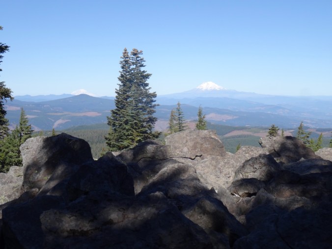
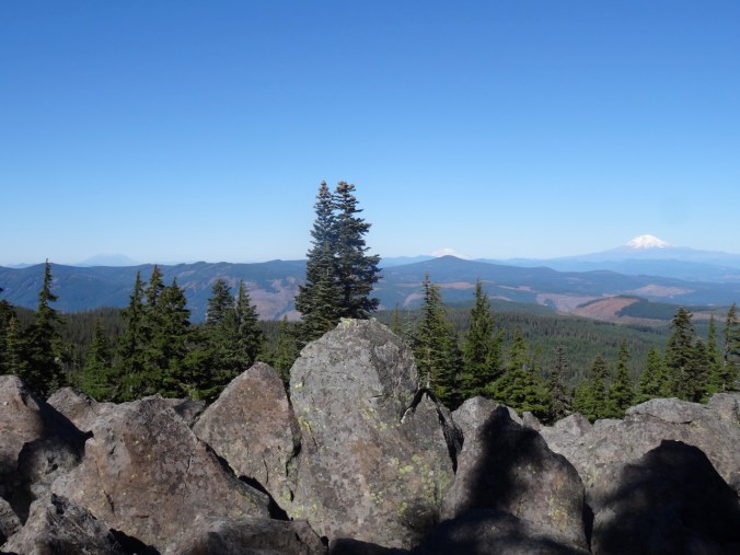
Finally we went on to Alki Point which let us look north into Washington on this brilliant blue day.

Version 2

DSC09793

Alki Point – first Mt Rainier (behind Mt Defiance) and Mt Adams come into view.

DSC09802

Farther out on the point, we can also see Mt St Helens.

On our return, we stopped at the 0.8 mile overlook with a better sun angle. The one yellow tree, possibly a larch, stood out in front of The Pinnacle in the grey foothills leading up to the mountain.

DSC09824DSC09822

DSC09814

Barrett Spur in front of Mt Hood

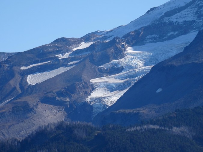
DSC09815

Coe Glacier close up

We enjoyed this trail for great views of Mt Hood from a new aspect.

DSC09721

Huckleberry foliage

5.4 miles. 800 feet.  (#56)

Hoyt Arboretum   October 14, 2018

We also took a three mile wander with our son along trails in Hoyt Arboretum in the west hills of Portland to see the fall colors. (#57)

DSC09838DSC09839

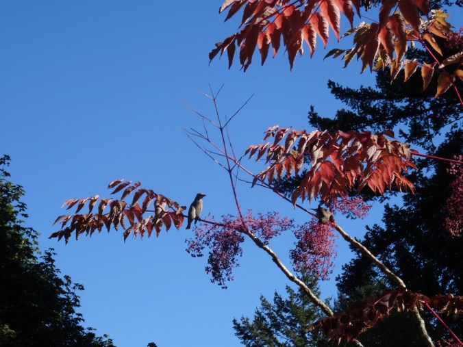
Aralia with birds eating the berries:

DSC09854DSC09851DSC09848

DSC09841DSC09870DSC09873

DSC09877

Sassafras

DSC09885

CRAFTING

I finished the Fiore Washcloth.

DSC09831

Falls Creek Falls (18-42)

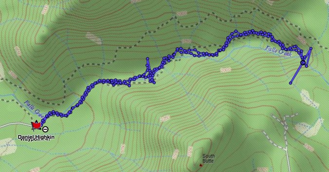
Falls Creek Falls Trail, Gifford Pinchot National Forest, WA     9/29/2018    (#54)

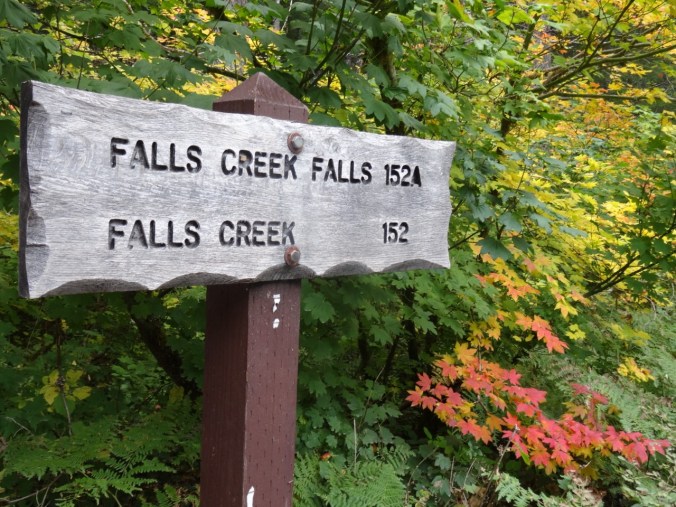
This trail provides fall foliage along Falls Creek, and an impressive waterfall at the terminus.

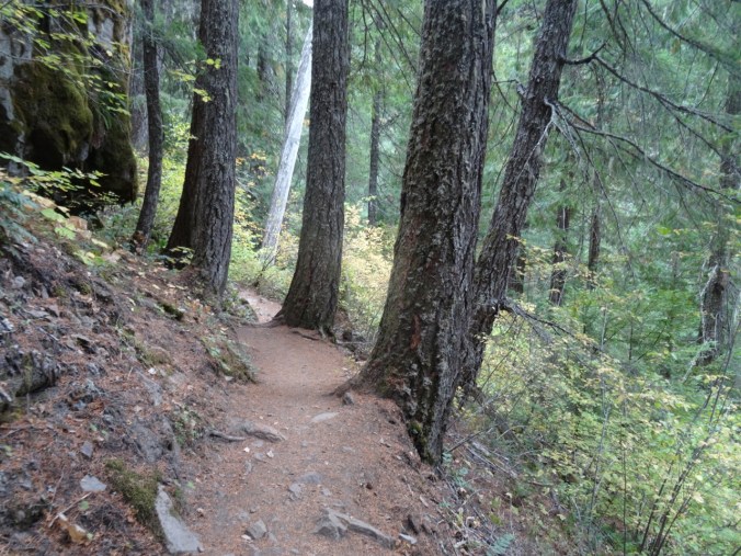
DSC09433

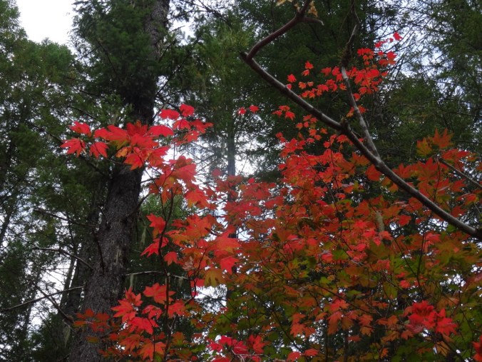
Colorful vine maples at the trailhead

DSC09436

Into the woods

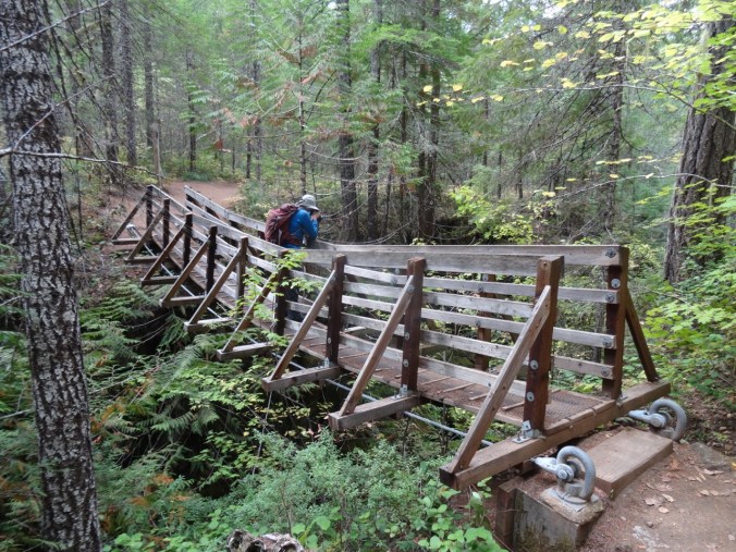
DSC09452

Over the first bridge

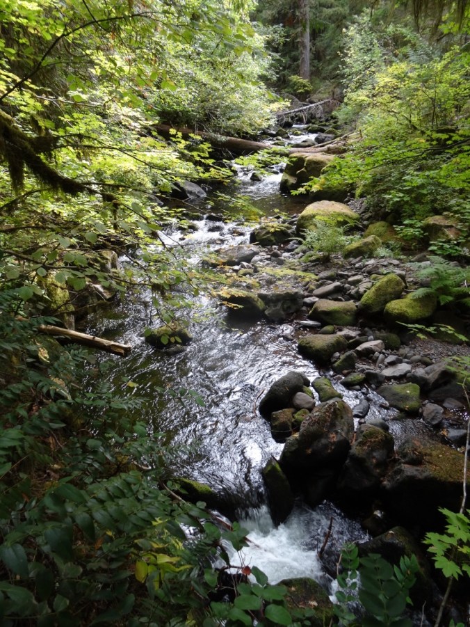
DSC09459

Along the creek

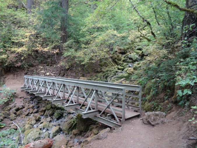
DSC09475

Over the upper bridge

DSC09476

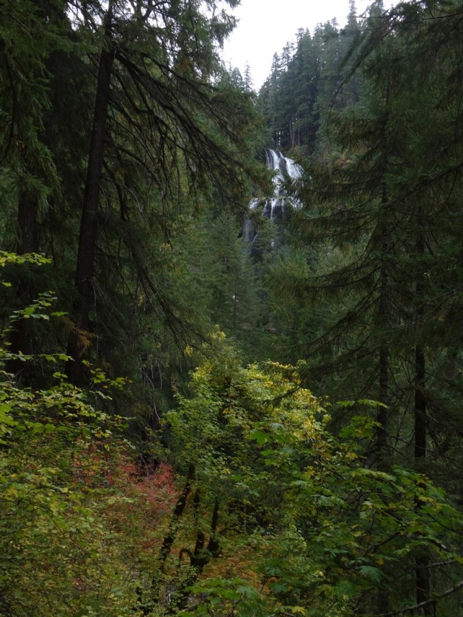
Around this turn we hear the falls

DSC09479

Then look up and see the upper falls

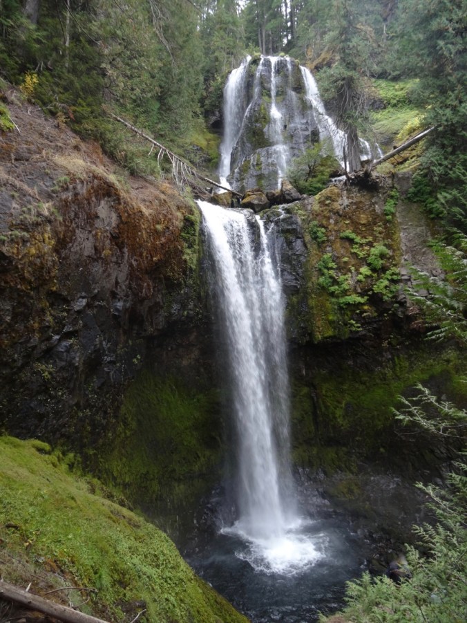
DSC09483

Middle and lower tiers (about 225 feet high) of Falls Creek Falls viewed from the end of the trail.

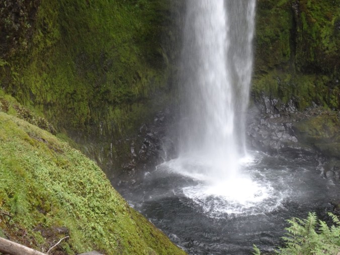
DSC09488

Lower plunge pool

DSC09489

Downstream view

After eating our lunch, we returned back down the trail,

DSC09496

Through the vine maple corridor

DSC09497

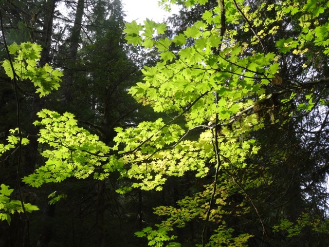
Under the big leaf maple canopy

DSC09502

With a pause by the stream

DSC09516

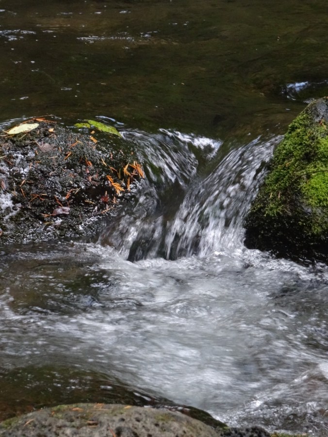
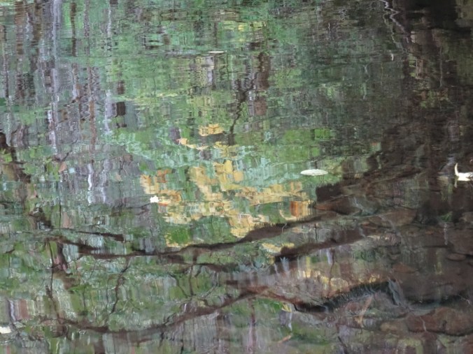
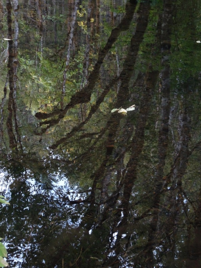
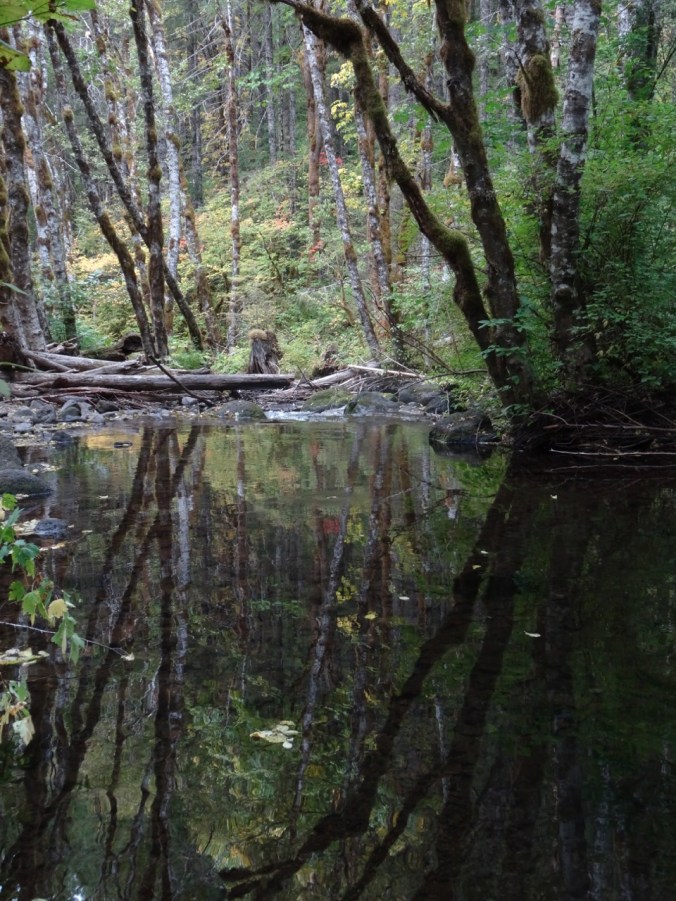
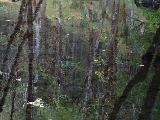
And another pause near the trailhead to play with the impressionistic reflections…

DSC09528DSC09536DSC09550DSC09555DSC09556

We saw a variety of leaf displays…

DSC09465

Vine maple – green

DSC09434

DSC09458

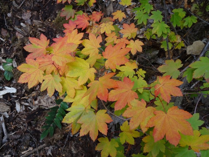
Vine maple – turning orange

DSC09443

DSC09501

Vine maple – orange

DSC09469

Solomon seal, with berries

DSC09432

Vine maple – red

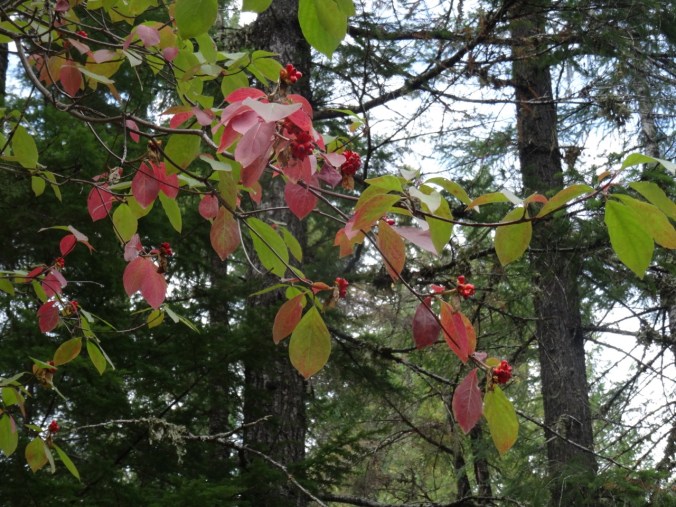
My new identification for the day was Pacific dogwood without the distinctive white flowers. In the fall it has red leaves and red seed pod clusters.

DSC09521

About 4 miles round trip and 800 feet.

Screen Shot 2018-10-01 at 6.00.23 PM

CRAFTING

I have made knitting progress on my Ivy Lace Cardigan and a round dishcloth.

DSC09562

Fall Equinox, Indian Heaven, WA (18-41)

East Crater Trail, 9/23/18 (Hike #53)

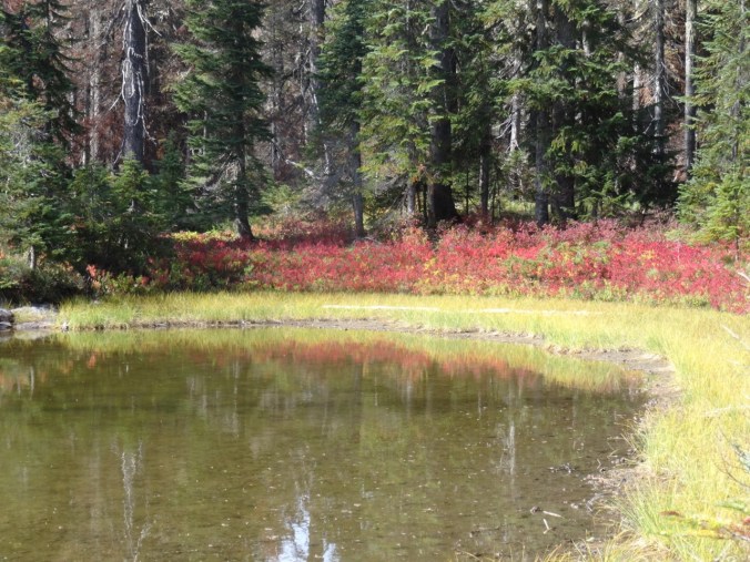
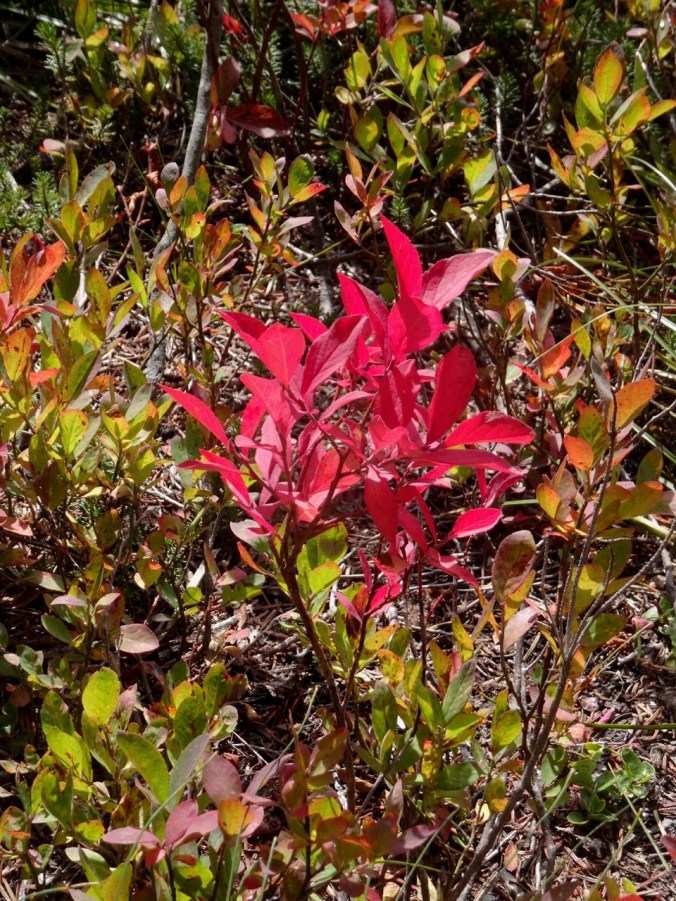
Indian Heaven is a landscape of lakes, cinder cones, forests and meadows in the Gifford Pinchot National Forest southwest of Mt Adams. The Pacific Crest Trail runs right through the center of the Wilderness on its northward path through southern Washington state. There are abundant wild huckleberries in late summer. By fall, the huckleberry and other foliage display a vibrant spectrum of bright colors – reds, oranges, fuchsias, magentas, yellows, yellow oranges and yellow greens that stand out in sharp contrast to the forest and lake greens and browns, and the sky blue.

Last fall the Indian Heaven Wilderness was closed due to the East Crater Fire that occurred at the same time as the Eagle Creek Fire, so we are back this year after a 2 year absence.

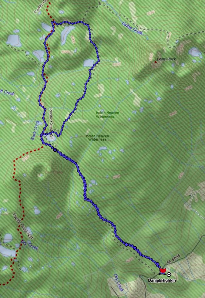
Today we hiked the East Crater Trail to Junction Lake in the center of the wilderness area, then completed a loop that passed several lakes and followed the Pacific Crest Trail back south to Junction Lake.

DSC09141

Red huckleberry bushes in the forest

DSC09154

Layers of color

DSC09159

Unnamed lake just east of East Crater – the burn from last year seen beyond and above.

DSC09260DSC09262

DSC09164

Top of East Crater

DSC09173

Junction Lake

So much color in the meadows!

DSC09167DSC09179DSC09175DSC09182

DSC09184

Ripe huckleberries

DSC09185DSC09190DSC09186DSC09194

DSC09189

Amanita

DSC09200DSC09215

Dropping down to Lemei Lake where we had our lunch:

DSC09202

DSC09209

Lunch view

DSC09215

The southbound section of the Pacific Crest trail was more forested, with views through the trees of a couple of bigger lakes.

DSC09229

DSC09230

Bear Lake

We passed Junction Lake again, then hiked back to the trailhead.

DSC09232

DSC09233

Huckleberry and spirea

DSC09234

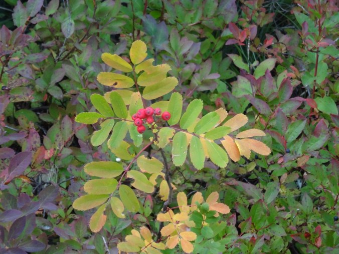
Mountain Ash

DSC09246

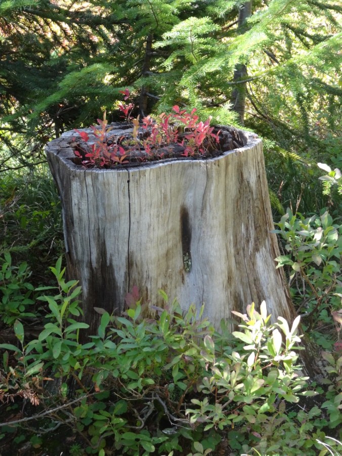
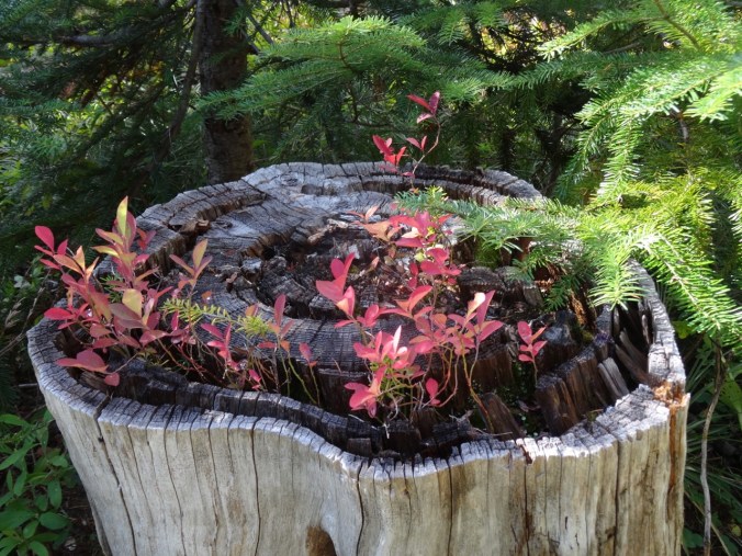
Huckleberry stump

DSC09245DSC09257

DSC09265

The last little lake on the trail out.

Our total for the day:  9.6 miles/1000 feet elevation.

Screen Shot 2018-09-23 at 9.33.50 PM

Panther Creek Falls

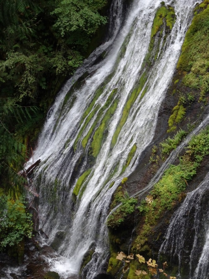
We made a quick stop on our drive home at this massive waterfall complex – there are three creeks that tumble together into the main branch of Panther Creek.

DSC09276DSC09281DSC09279DSC09283

Quilting

I went to the Northwest Quilt Expo in Portland and purchased some fabric for my next quilt project:

DSC09431

Late Summer Adventures Part 3 – Three Sisters, Oregon (18-40)

Rest Day    9-14-2018   Whychus River Overlook

DSC08927

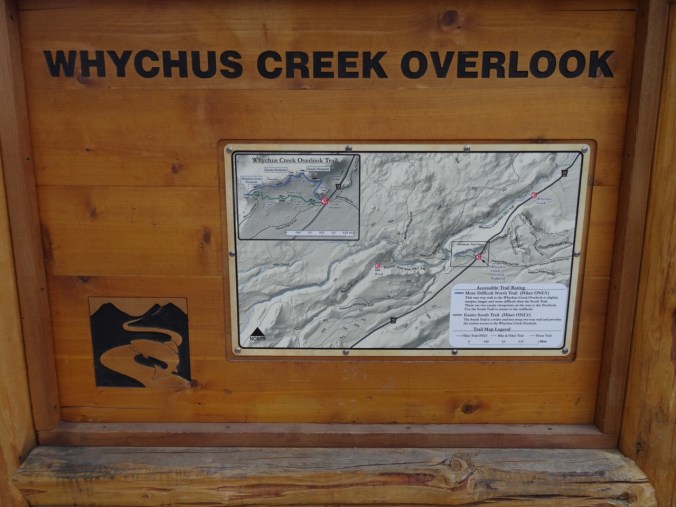
I slowly walked the easy one mile loop (#51) and contemplated distant views of mountains and close up views of the high desert forest. My legs were not up for much more today. Dan hiked down to the river and wandered there for a bit.

DSC08864

Nearly flat trail through the Ponderosa forest

DSC08878

Looking down to Whychus Creek

DSC08879

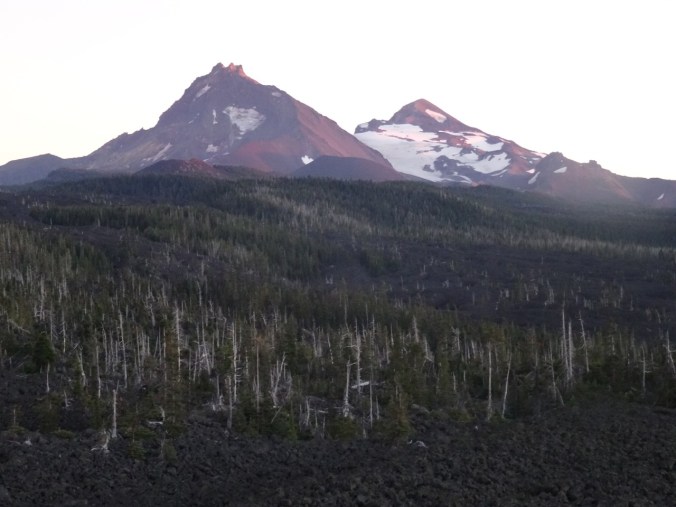
Middle and North Sisters

DSC08885

Mt Washington, Pole Creek Fire forest

DSC08869

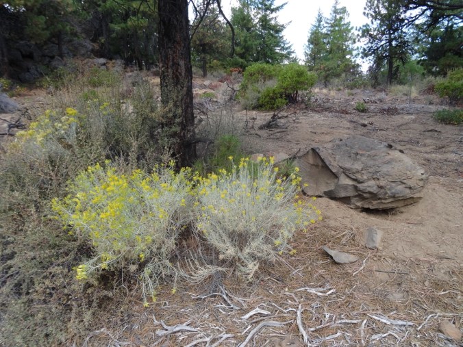
Rabbit brush

DSC08863

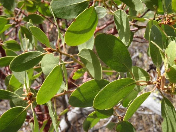
Manzanita

DSC08903

Manzanita bark

DSC08895

Manzanita leaves

DSC08916

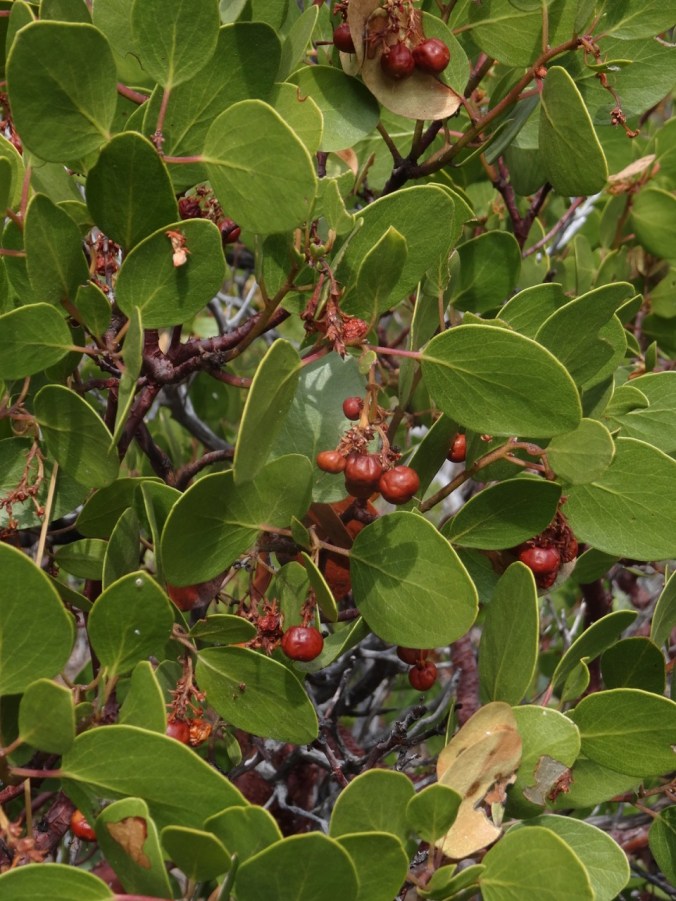
“Little apples”

DSC08893

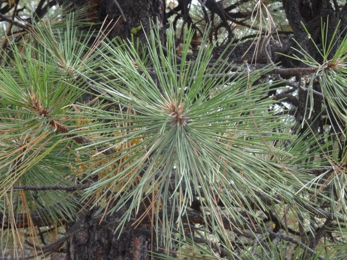
Ponderosa

DSC08919

Sage

DSC08913

Sky

DSC08929

Whychus Creek recovery team logo


Back in town I visited The Stitchin’ Post, a wonderful quilt store.

DSC08931

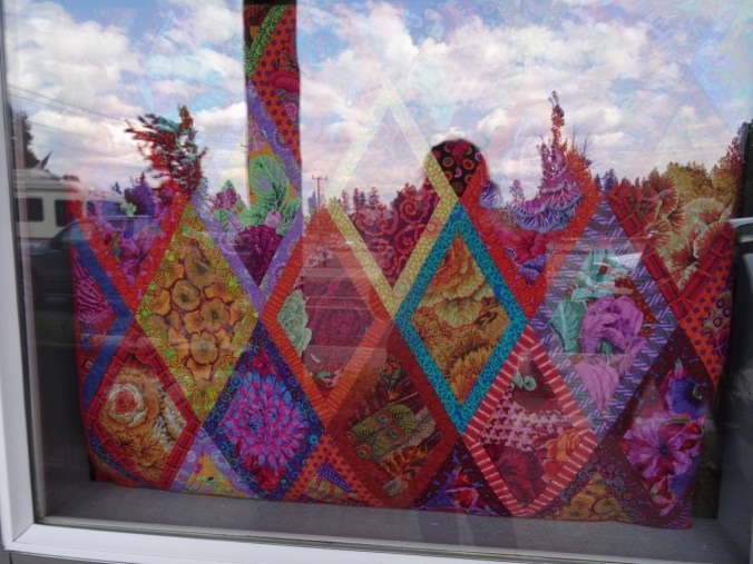
Window display

DSC08930

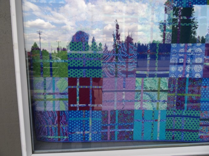
Window display

DSC09131

I bought a small package of Australian-themed fabric.

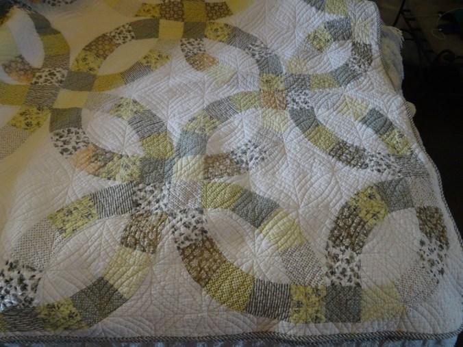
On a related note, we enjoyed having a Double Wedding Ring quilt on the bed in our lodge room.

DSC09122

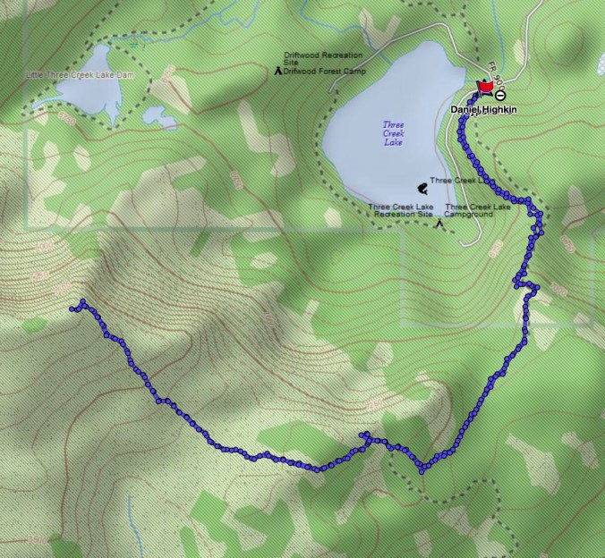
Tam McArthur Rim    9-15-2018     (#52)

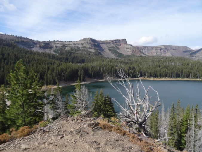
This trail provides another entrance point to the Three Sisters Wilderness, from the east toward Tam McArthur Rim along a ridge that leads toward Broken Top. We had hiked this trail in September two years ago on a clear day. Today we watched clouds cover the peaks, lifting occasionally for views. By the time we reached the top, a bitter wind was beginning to blow and the cloud cover was increasing. We didn’t stay long.

DSC08941

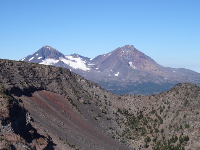
Tam McArthur Rim and Three Creek Lake as seen from the trail

DSC08962

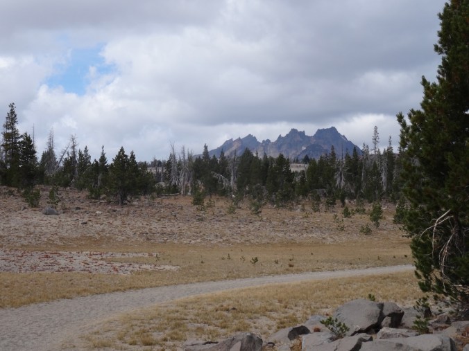
Broken Top appears as we cross the upper plain

DSC08968

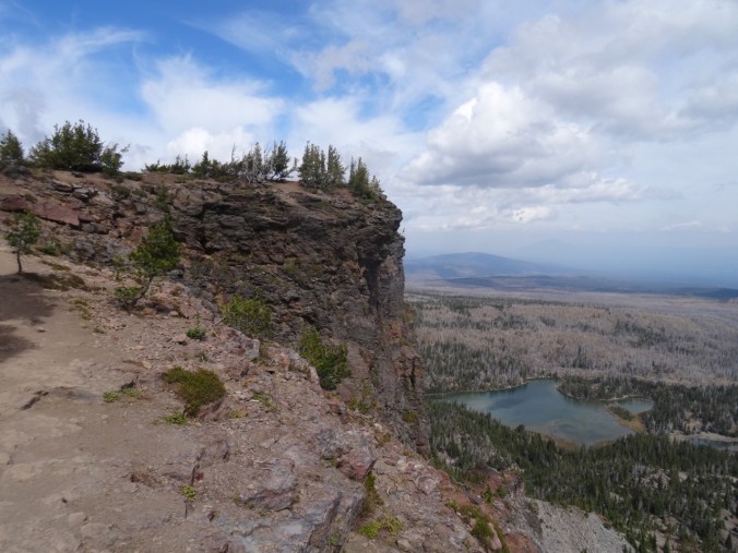
Almost to the top, with Little Three Creek Lake below

DSC08972

Middle and North Sisters from the End of Trail overlook

DSC08973

Broken Top and South Sister from the overlook

DSC08984

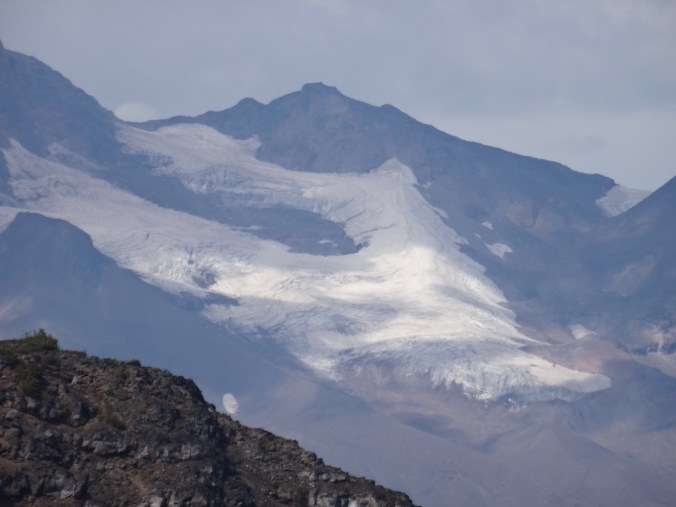
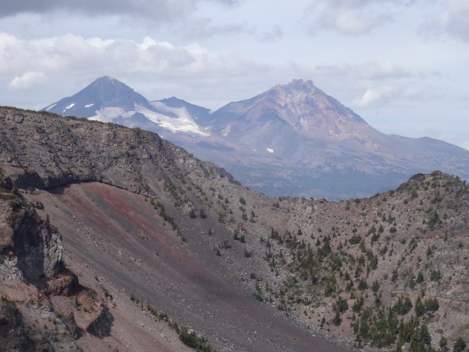
Closer view of the glaciers on Middle and North Sister

DSC08986

All three Sisters, with clouds

DSC09008

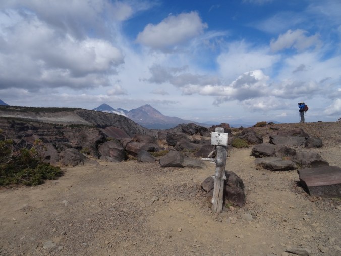
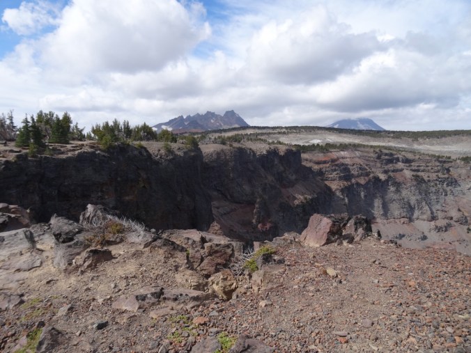
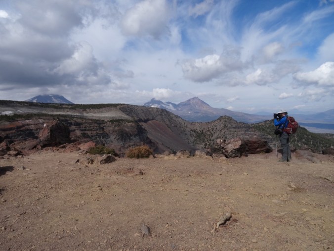
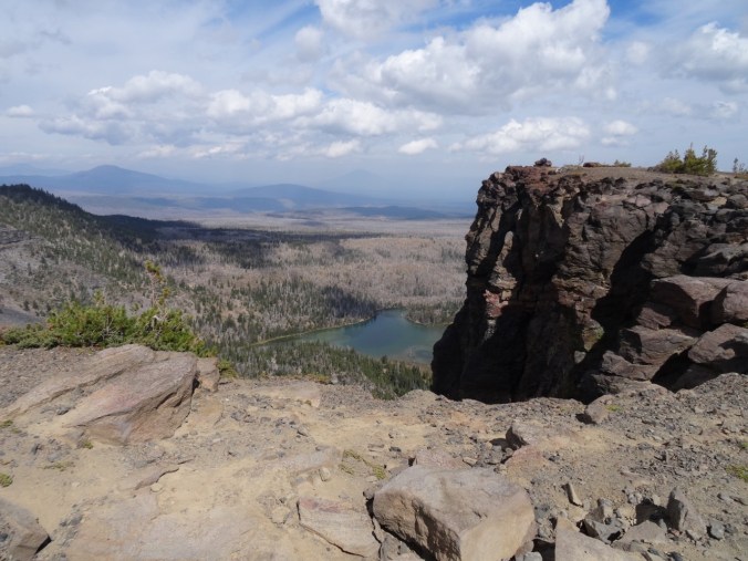
North view beyond Tam McArthur overlook. Pole Creek fire burn zone in the foreground; Black Butte beyond.

DSC08955

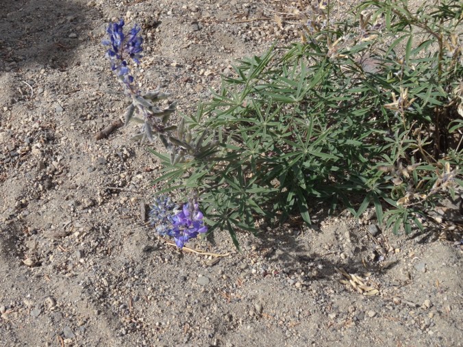
Late blooming lupine

DSC09022

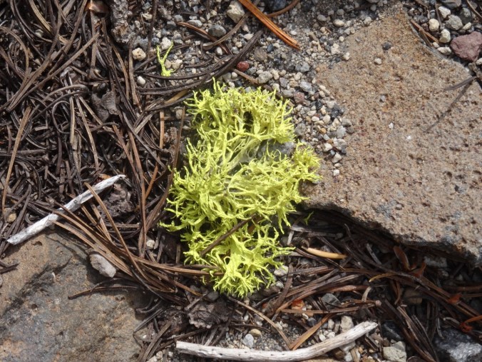
Neon lichen

Lookback to our hike in September of 2016 to compare the views:

DSC08977

Middle and North Sisters, September 2018

DSC09364

In September 2016, on a clear day

We hiked about 5.5 miles/ 1200 feet today.

Screen Shot 2018-09-21 at 4.31.19 PM

Back to Dee Wright/Mckenzie Pass at sunset

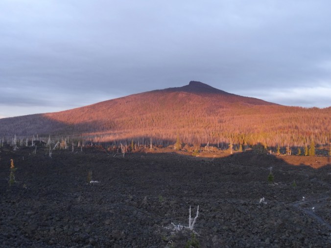
We took our last opportunity this year to spend a little time at the lava lands of Mckenzie Pass – and one of my favorite places in the world. Despite the cold wind we wanted to see the sunset. The Sisters were still covered in clouds, but as the lowering sun streamed in from under the western clouds, Black Crater lit up a bright, ethereal red orange that seemed magical. To the west, the streaky clouds glowed pink and gold.

DSC09045

Lenticular cloud over Mt Washington

DSC09046

Black Crater at 7:01 pm

DSC09057

Black Crater at 7:04 pm

DSC09055

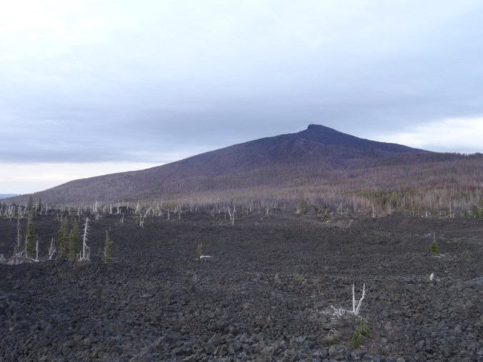
Clouds continue to hide North and Middle Sisters

DSC09499

What North and Middle Sisters look like – from September 2016

DSC09100

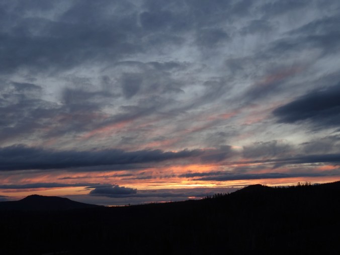
Sunset colors to the west

A fitting end to our late summer adventures – back to Portland tomorrow.


Late Summer Adventures, Part 2 – Crater Lake and the Obsidian Trail (18-39)

Crater Lake 9/12/2018

We left Boardman to drive to Sisters, Oregon for another few days of hiking. The webcams at Crater Lake National Park showed the smoke haze had mostly lifted, so we added a side trip to see Crater Lake.

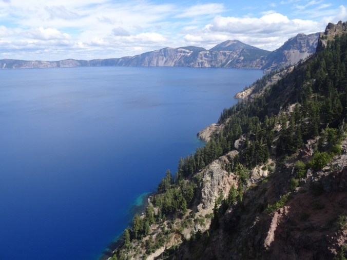
We had been to Crater Lake about 20 years ago, but our visit that summer was early in the season and there was too much snow to do much more than admire the view from the one small area that was accessible. It has been a goal to return and hike down to the lake, take the boat to Wizard Island, and hike to the many viewpoints around the lake. We were foiled again this year by the extremely bad air quality that was present during the time we had planned, but at least we got to see the views on a nearly clear day and admire the absolutely blue water.

DSC08486

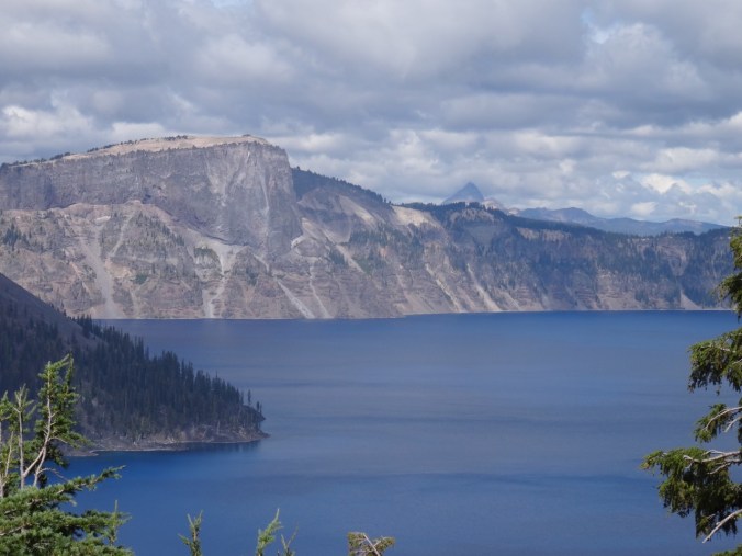
Discovery Point – first view of the lake and a sign showing what Mt Mazama looked like before the eruption and collapse that created Crater Lake.

DSC08490

Close view of Llao Rock; Mt Thielson in the distance.

DSC08506

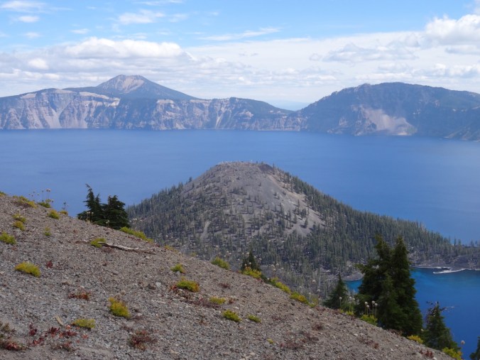
Wizard Island

DSC08498

South view to Garfield Peak

DSC08516

Wizard Island and Mt Scott beyond

DSC08517

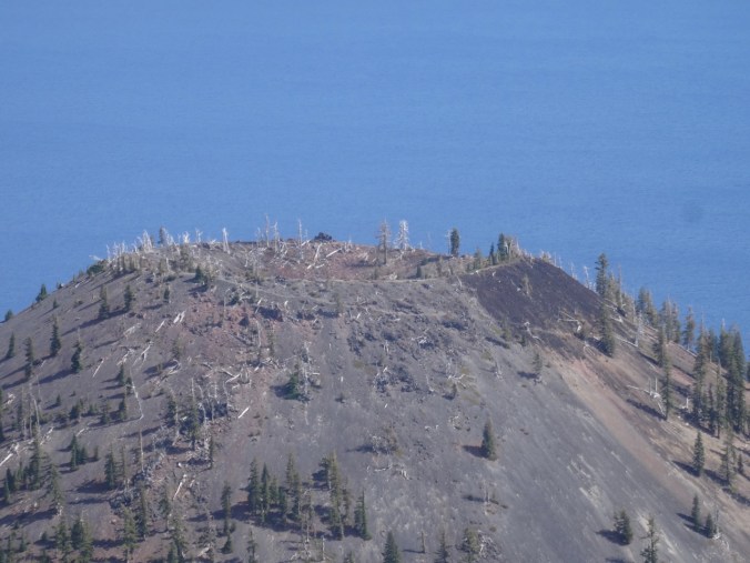
Crater at the top of Wizard Island

DSC08543

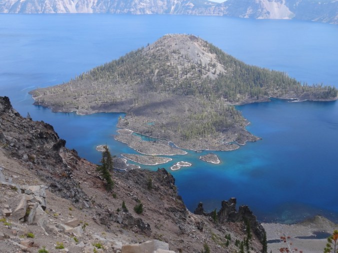
The tropical blue water in the shallows around Wizard Island

Obsidian Trail 9/13/2018

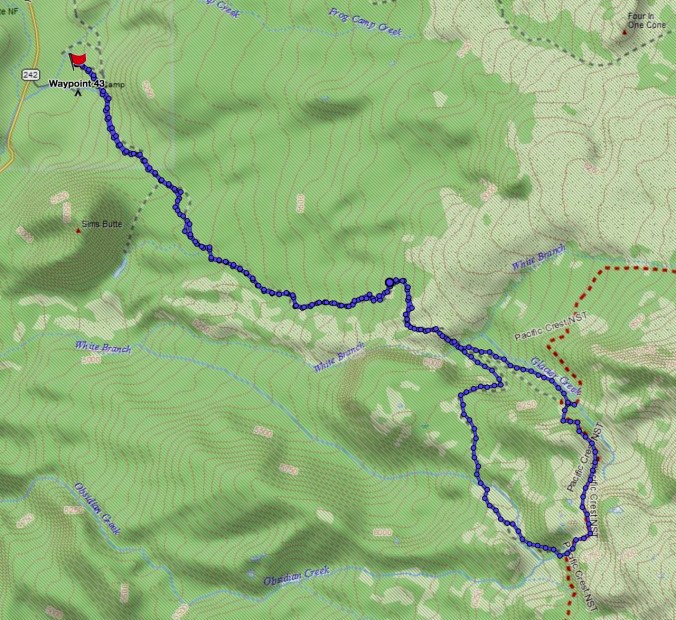
We have stayed in Sisters, Oregon several times, but have yet to explore all of the trails in the area. This was our first time to hike in the Obsidian Area of the Three Sisters Wilderness (#50) (12 miles, 2000 feet).

Screen Shot 2018-09-21 at 4.30.07 PM

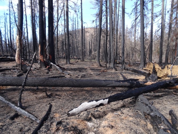
The first few miles are through forest, including part of the 2017 Milli Fire burn zone.

DSC08558

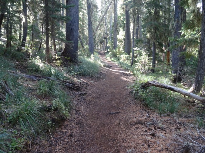
Obsidian trail

DSC08560

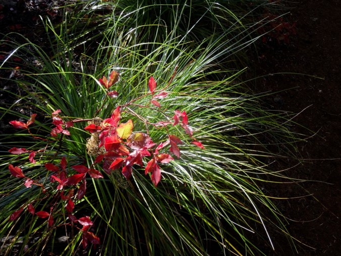
Bear Grass and huckleberry foliage

DSC08563

Sims Butte through the Milli burn zone

At about 3.5 miles, the trail ascends over and through a lava flow, with views to the Obsidian Cliff and to North and Middle Sisters – though today the Sisters were hiding in clouds.

DSC08565

Trail up the lava flow

DSC08568

Obsidian Cliff with burned forest above

DSC08583

Trail through the flow

DSC08588

White Branch Creek on the other side

The trail continues up through forest, meadows and past interesting rock formations.

DSC08614

Middle Sister in the clouds

DSC08619

DSC08630

Late summer pasque flower meadow with Obsidian Cliffs beyond

Next we reached Obsidian Falls.

DSC08657DSC08652

Beyond the falls is a high basin with a spring and a pond between a craggy cliff and an Obsidian flow.

DSC08678DSC08687DSC08695

DSC08699

A bubbling spring at the base of the cliff

DSC08702

Another spring

DSC08707

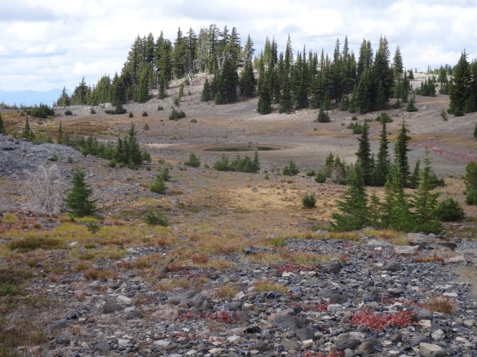
A pond

DSC08719

Dan photographing the Obsidian flow

DSC08709

Obsidian flow

DSC08715

Closer view of the obsidian

DSC08717

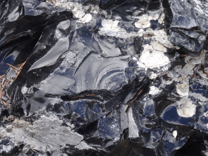
obsidian

DSC08731

conchoidal fracture

Over the dividing ridge is another pond.

DSC08739DSC08745

We continued around the loop to cloud obscured views of North and Middle Sister, a good view of the Little Brother, and a view down to Glacier Creek.

DSC08746

The Little Brother

DSC08762

Glacier Creek, cloud obscured Sisters

DSC08767

The Little Brother

The trail descends to Sunshine Meadow along White Branch Creek.

DSC08774

Mt Washington and the Belknap Craters from the trail

DSC08776

Huckleberry lined path to Sunshine Meadow

DSC08780

The last magenta paintbrush in Sunshine Meadow

DSC08778

and an obscured view of the Sisters

We continued down the Glacial Way, back over the lava flow

DSC08785

Lava flow ahead

DSC08795

Clearest view of the day of Middle and North Sisters

DSC08816

Fall colors

DSC08822

Collier Cone – a future destination.

and back through the burn zone to the trailhead,

DSC08830

which, after twelve miles for the day, I was very glad to see.

Sparse but welcome wildflowers today:


Dee Wright Observatory

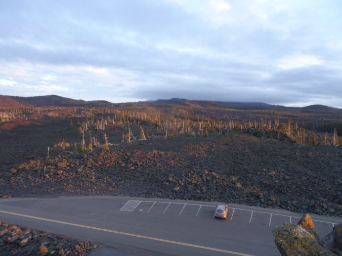
We had to drive over Makenzie Pass to return to the town of Sisters at the end of the day, so we stopped for a quick overview:

DSC08833

Dee Wright Observatory

DSC08846

Belknap Craters and Mt Washington to the north.

DSC08850

Cloud covered North and Middle Sisters to the south.