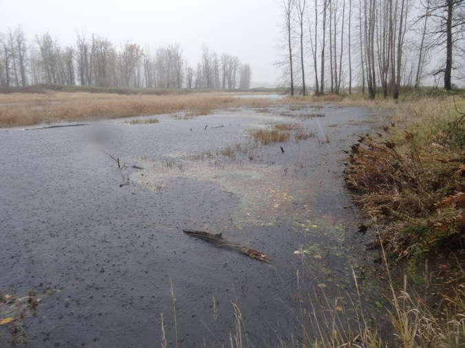
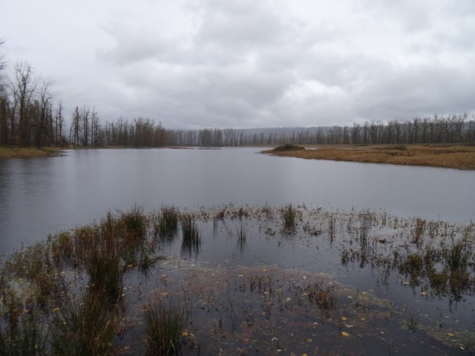
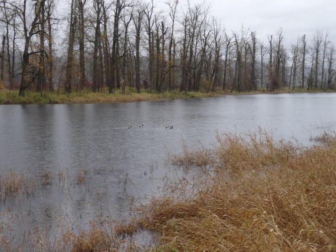
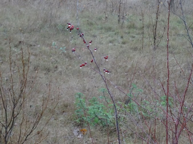
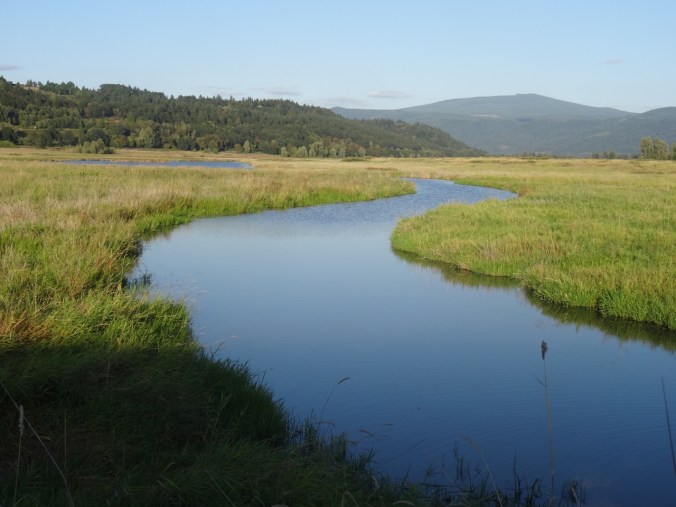
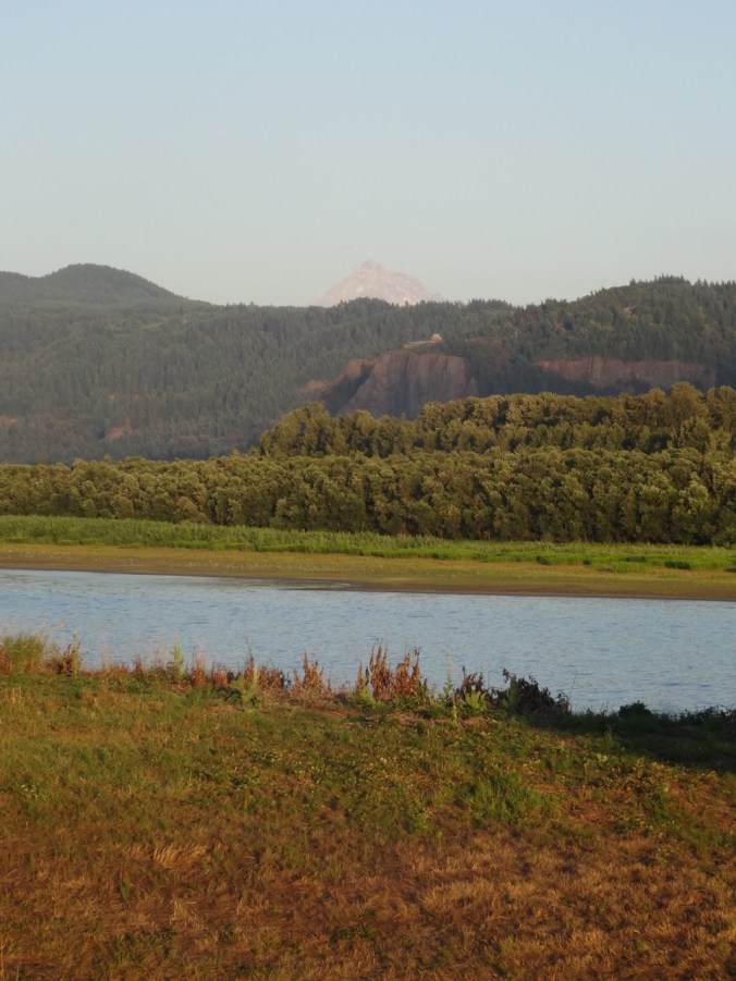
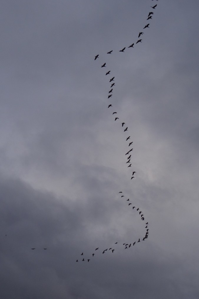
33. Sun and Rain at Steigerwald National Wildlife Refuge, WA, Thanksgiving weekend

Our Thanksgiving drama:  Emily home from Oberlin for the long weekend, Sean here, but covering college basketball games at the PK80 tournament at the Rose Garden, Brian also here and working, but not on Thanksgiving. Good friends to join us for dinner. I baked the pies in the morning, the casseroles in the early afternoon and started the oven to roast the 9 pound turkey at 3 pm.  I rinsed the brine and trussed the bird – and the oven was only at 170 degrees.  Ten minutes later, only 175 degrees.  Eventually realized the oven is never going to get to 500 – it gradually rose to 300 degrees, hot enough to reheat the casseroles, but something is wrong!  Our neighbors generously allowed us to use their oven when their turkey was done, so we were able to eat about 2 hours later than planned – another Thanksgiving dinner that couldn’t be beat (thank you Arlo Guthrie), with plenty of leftovers for the next day. The silver lining was that Sean was home from work by the time dinner was ready.

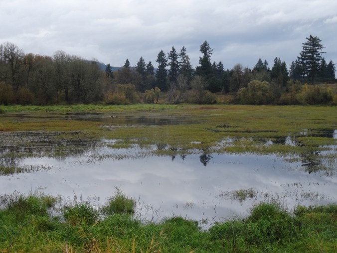
Steigerwald Lake and Columbia River Dike      11/26/2017 (#56)

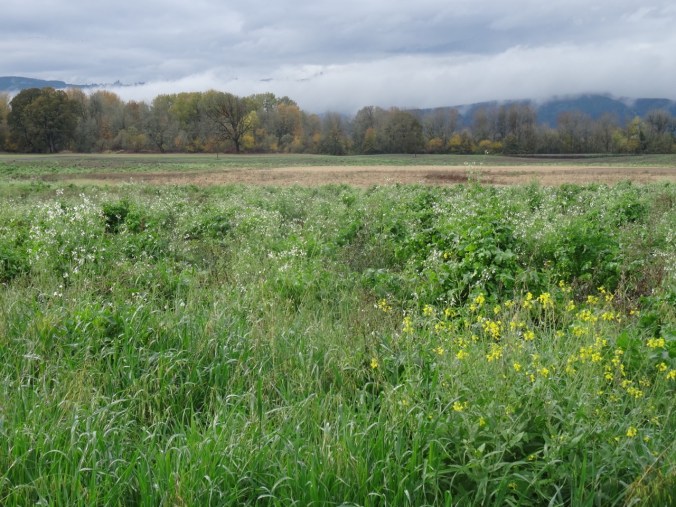
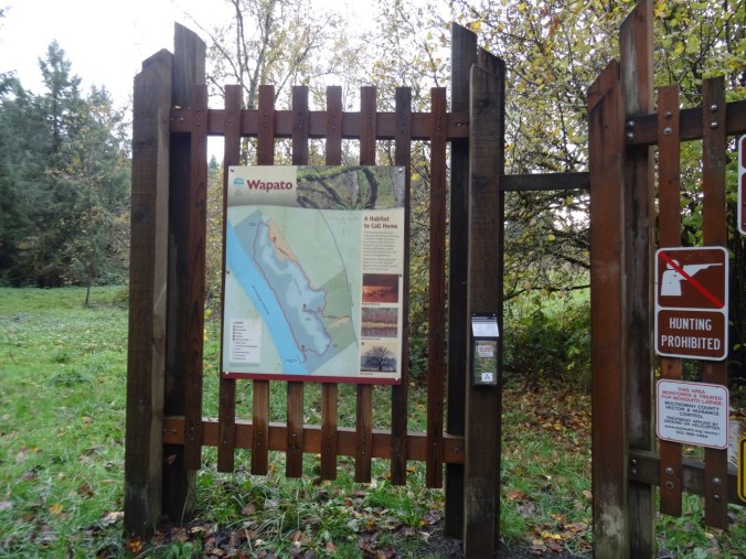
Post-Thanksgiving time/sun window Sunday morning after other family members delivered to airport/work. We drove about 25 minutes to the trailhead near Washougal, Washington.
DSC09944

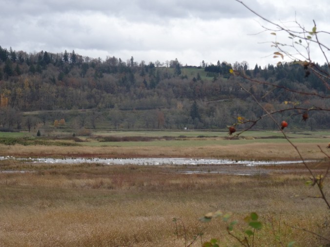
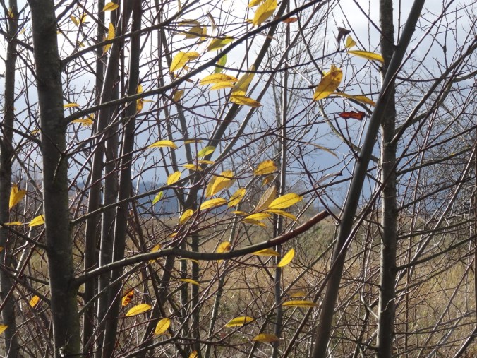
Bright sun and clouds at the start of the trail.
DSC09942DSC09955

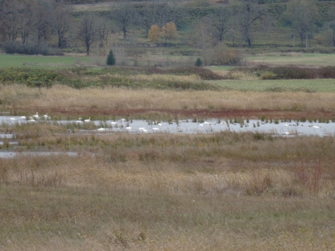
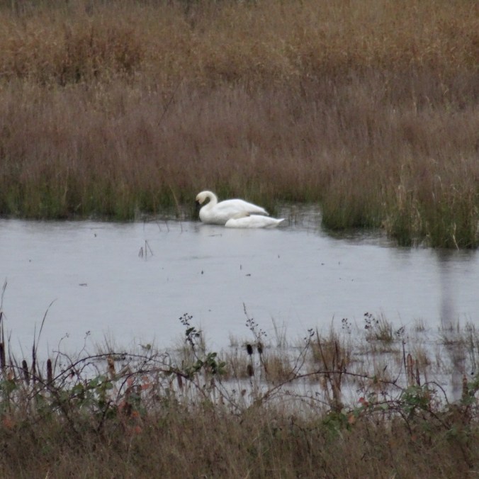
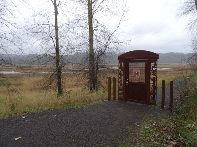
Clouds closing in from the west. Tundra Swans in the lake beyond the closed art trail gate.
DSC00020DSC09956DSC09957DSC00023

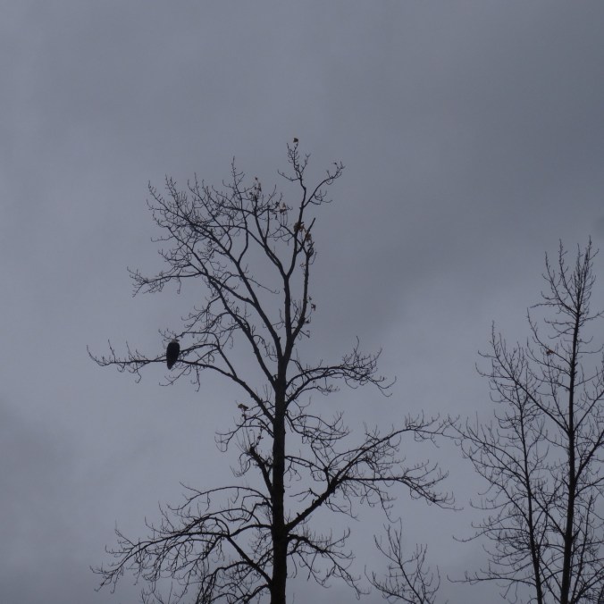
Noisy Canada geese in the distance as a bald eagle flies above them then alights in a tree above the first bridge. We also saw a smaller hawk rustling up the geese.
DSC00015

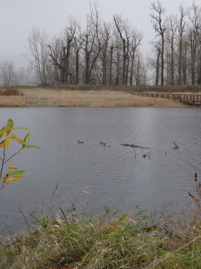
On to the second bridge as the sun dims and the clouds close in — a few wind gusts, a squall, large fat raindrops spatter us and cast rings in the lake.  Three ducks in a row swim away.  Other hikers heading back to the trail head.  By the time we get our hoods up, lenses wiped, the rain has lessened to sprinkle, drizzle, mist.  We are prepared for this.

DSC09970DSC09969DSC09972DSC09973

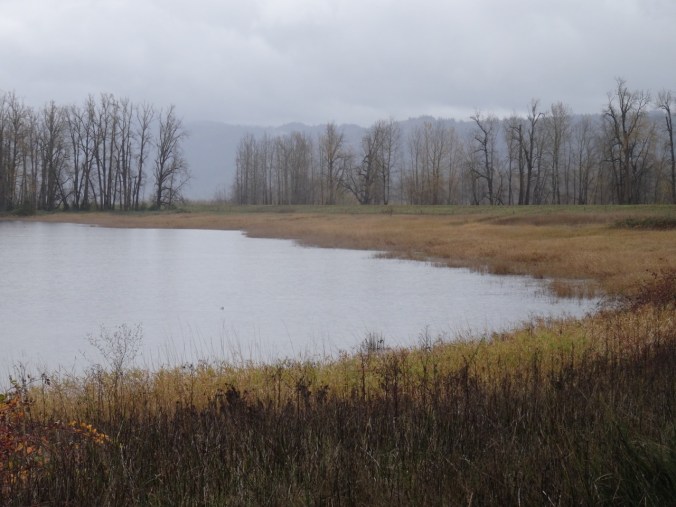
We continue on to the dike and walk east above the Columbia River, Vista House on the horizon through a shroud of clouds closing in.  We walk all the way to the closed gate, though I believe the land beyond is soon to be added to the conserved space. Wind blowing east with the clouds, and the wave caps give the illusion of the river flowing upstream…
DSC09999DSC09982

DSC09988

Vista House across the Columbia River

Returning the same way, and the rain returns.

DSC00012DSC00009DSC00011DSC00007DSC00002

Back to the trailhead, with a few more photo stops.  Light has changed again.  Time to get inside, get dry.

DSC00025DSC09991

DSC00028

White tundra swans in the far lake

DSC00029

We walked about 4 miles round trip.

Screen Shot 2017-11-27 at 6.09.38 PM

LOOKBACK:

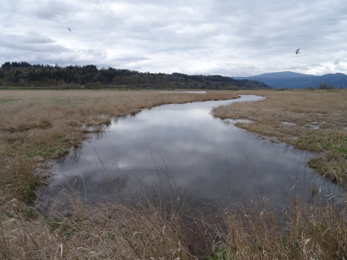
The Steigerwald is a close-in go-to place for us – the light is always spectacular, there is often a resident bald eagle, we often see waterfowl – heron, duck, geese, swans, and on a clear day, the top of Mt Hood is on view.
DSC00042

March 2015

DSC04951

August 2015

DSC01128

March 2016

DSC00166

Vista House, March 2015

DSC04996

Vista House and Mt Hood, August 2015

DSC00842

Ice on the lake, December 2016  

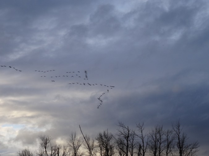
Flying geese:
DSC01137

March 2016

DSC01147

March 2016

CRAFTING:

Our Thanksgiving tableau includes one of Emily’s glove turkeys and several knitted pumpkins.

DSC00034

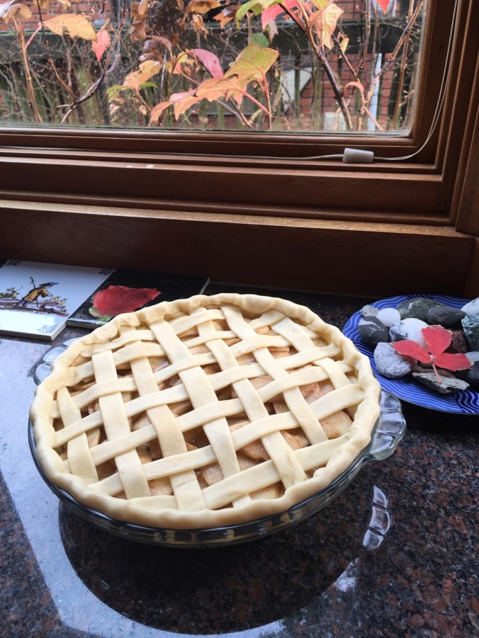
Woven apple pie crust.

IMG_0106

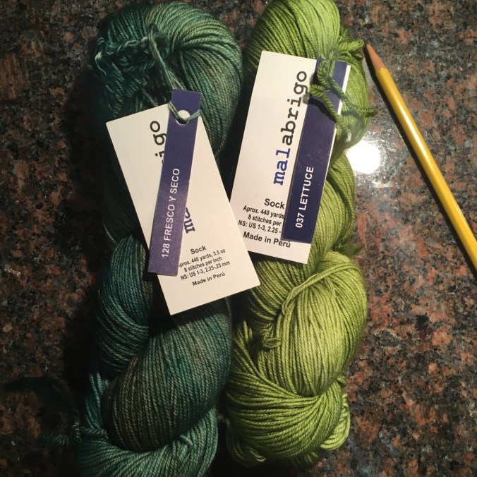
New yarn for a green scarf for Emily

IMG_0121

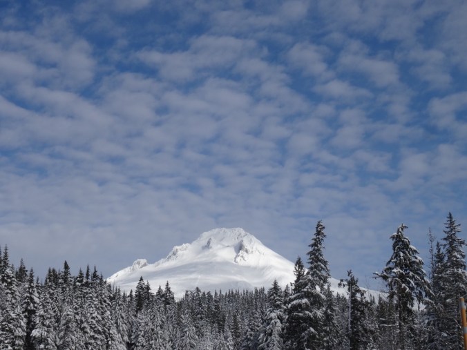
There is a medical issue to be dealt with, so I am adding some words of wisdom for the days ahead:

IMG_0105

32. Trillium Lake Snowshoe, Mt Hood

Trillium Lake Snowshoe  November 18, 2017    (#55)

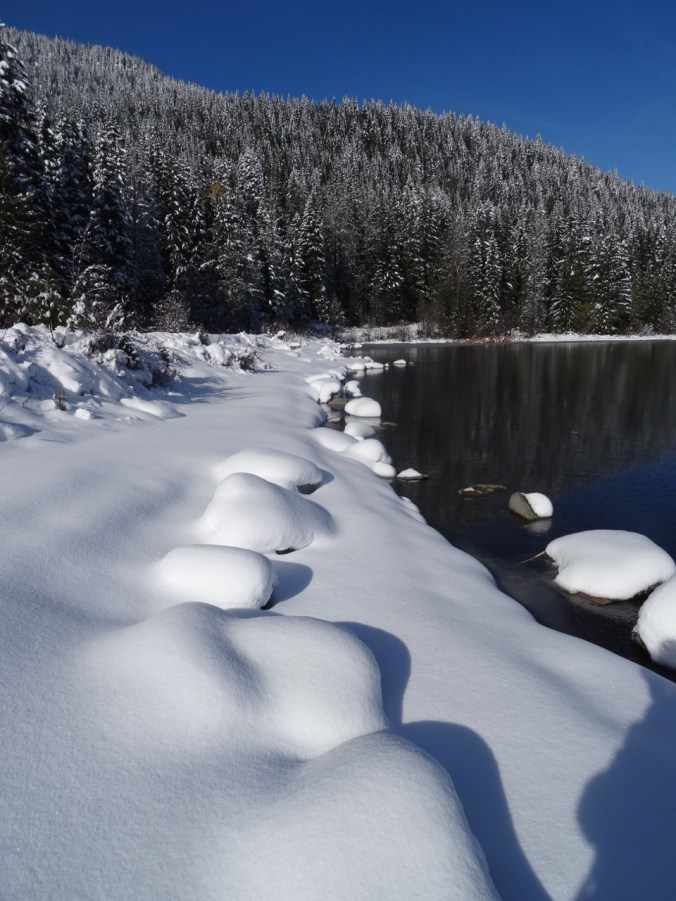
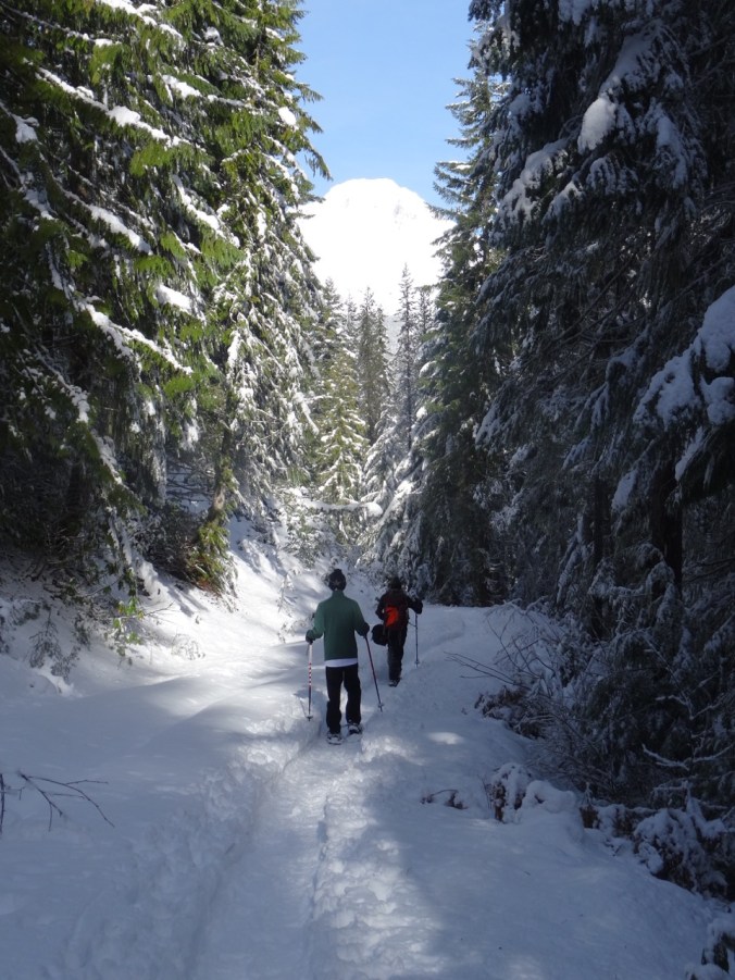
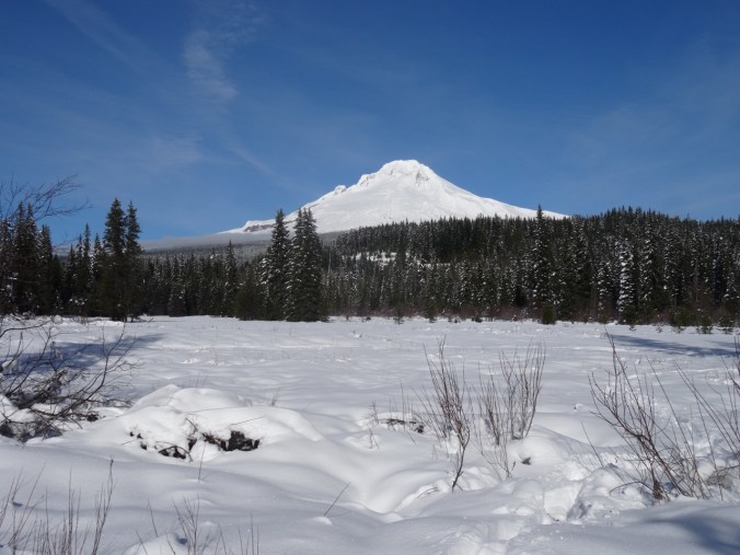
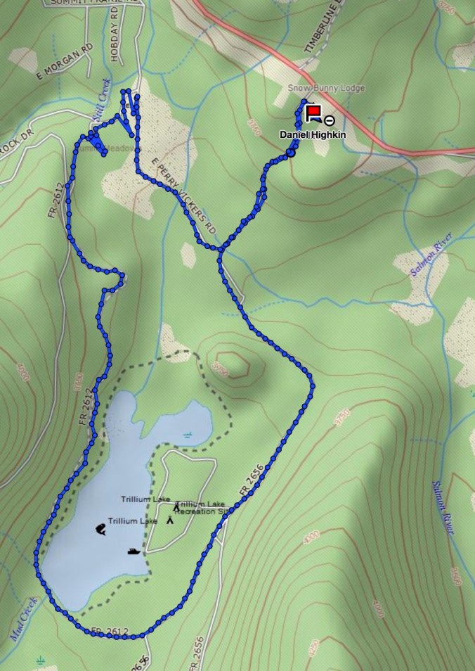
We walked the loop around Trillium Lake from the Trillium Lake snowpark. It was a beautiful blue sky day with plenty of fresh snow.

DSC09872

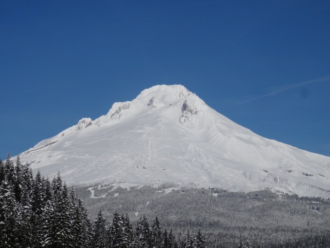
View to Mt Hood from the snowpark

DSC09874

Access road from snowpark to the lake

We stopped near the dam for lunch.

DSC09881DSC09892

The lake has a thin ice layer.

DSC09900

Ice layer

DSC09906

Snowy lake shore

DSC09910

Lunch view

DSC09912

Ski runs above Timberline Lodge on Mt Hood

Continuing around the lake:

DSC09914

Lake view from the southern trail

DSC09916

Mt Hood ahead

Summit meadows

DSC09931DSC09938

5.5 miles/500′

Screen Shot 2017-11-18 at 4.58.31 PM

LOOKBACKS:

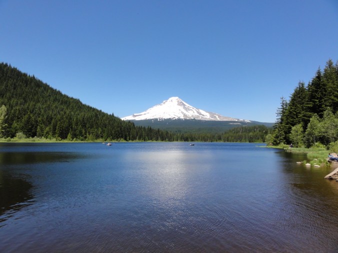
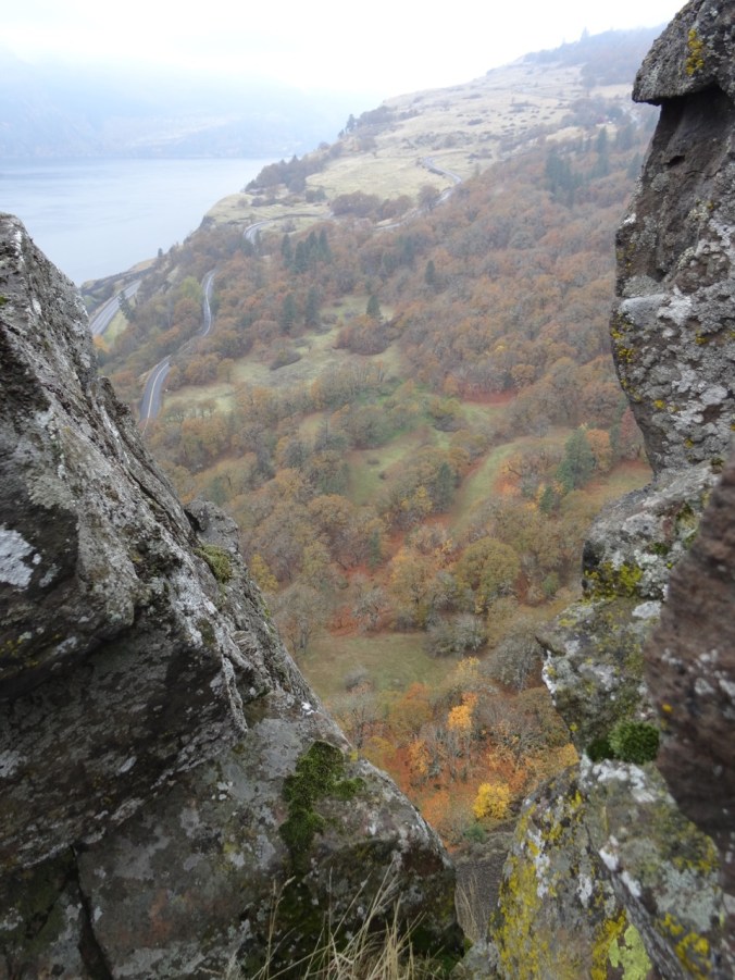
A summer view of Trillium Lake and Mt Hood:
DSC03772

June 2013

Looking back toward Trillium Lake and Mt Jefferson from the slopes of Mt Hood:
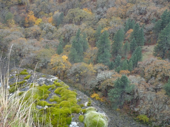
DSC03093

February 2015

CRAFTING:

DSC09868

Two more washcloths, 2 small skeins of handspun yarn.

31. Sauvie Island: Looking for Sand Hill Cranes

Wapato Greenway Trail     November 11, 2017     (#54)

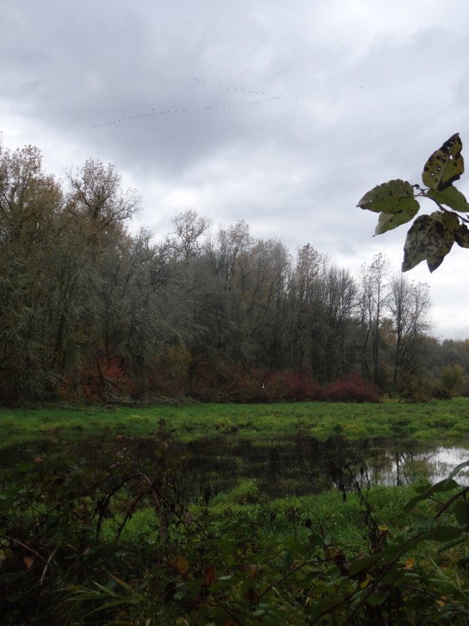
I felt lucky to use a brief dry weather window for a trip to Sauvie Island despite the cold in my head and a rainy weekend. We had heard there are sandhill cranes and snow geese, though many of the trails are closed for hunters. We saw and heard a few cranes off of Reeder Road, but a gunshot chased them away before we could get a good look.

DSC09791

From near the bird blind on Reeder Road

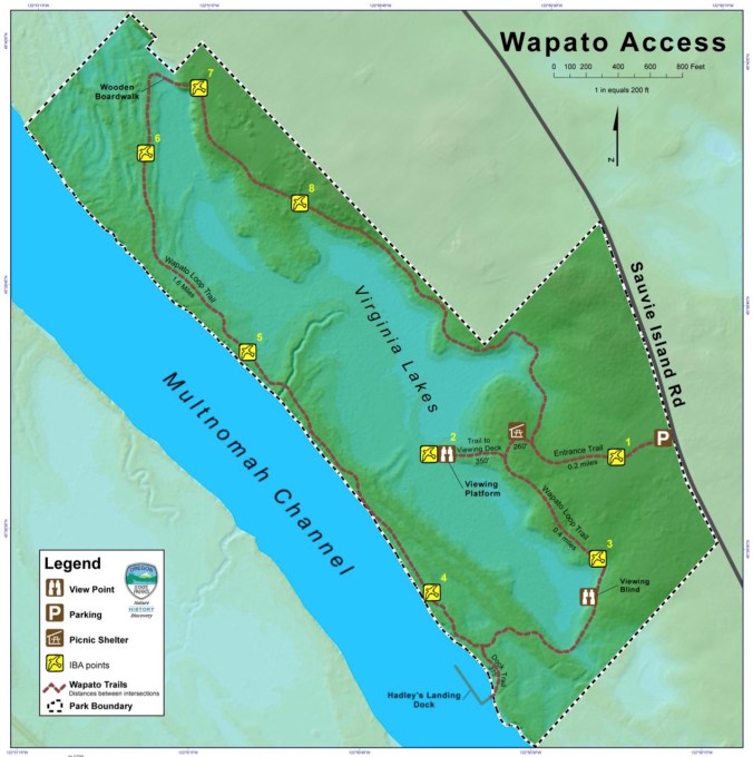
We saw another crane in a wet field on Sauvie island Road. We decided to walk the Wapato Greenway loop trail down to Multnomah Channel.

DSC09792

DSC09794

DSC09796

Virginia Lakes

DSC09831

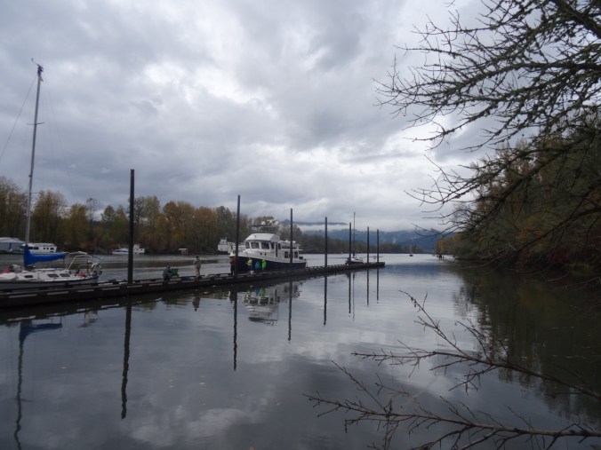
Dock, Multnomah Channel

DSC09842

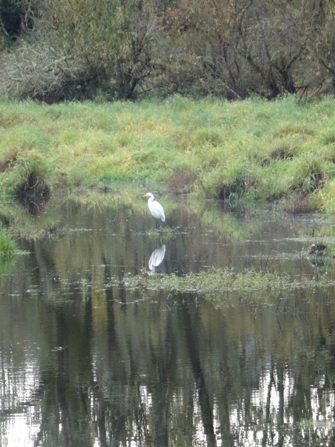
The highlight was a white egret in Virginia Lakes.

DSC09813

DSC09823

The egret is the tiny white speck in the foliage at left of center

DSC09828

Closer view of white egret in red foliage

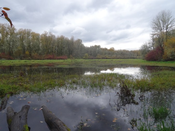
We also saw Canada geese, smaller birds, a few hawks, lots of interesting foliage, clouds and reflections.

This was a new walk for us, but I am sure we will be back. 2.5 miles

Screen Shot 2017-11-12 at 4.31.51 PM

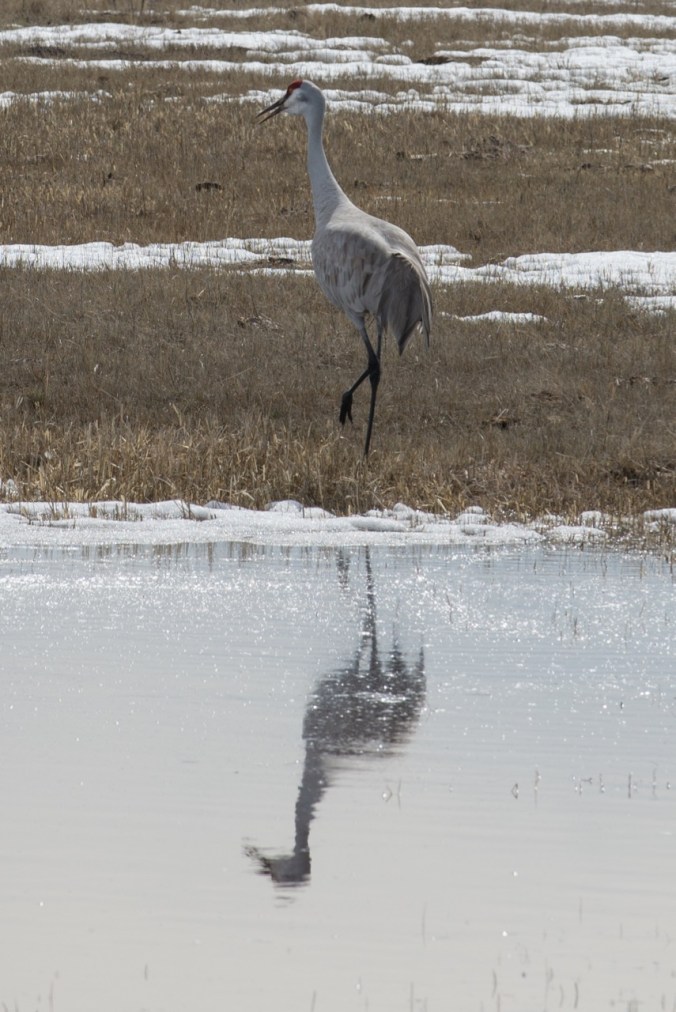
Since I didn’t get a any pictures of the Sand Hill Cranes at Sauvie Island, I am posting this photo from last March near Burns, Oregon.

DSC_9744

Sand Hill Crane near Burns, Oregon, March 2017

30. Coyote Wall, WA

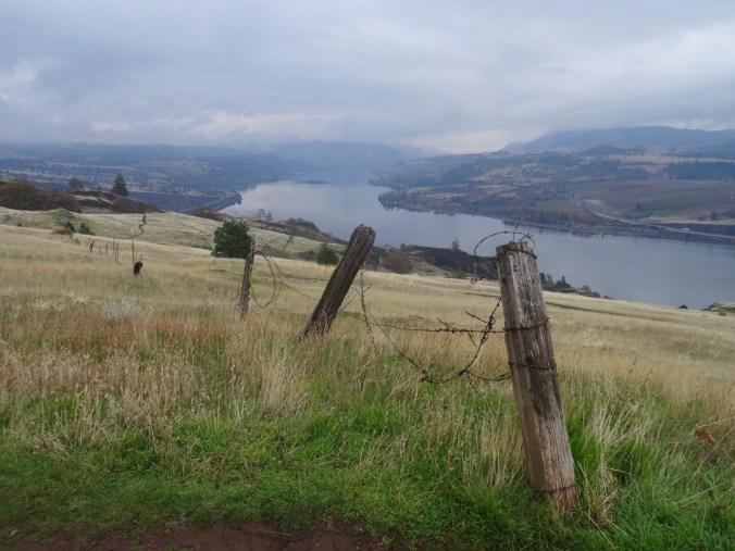
Little Moab trail on a misty day.   Nov 6, 2017  (#53)

DSC09745

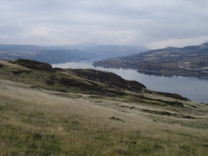
Monday was supposed to be clear in the eastern gorge after a rainy weekend, but the clouds did not move out until afternoon.  Fortunately, the misting rain at the Coyote Wall trailhead dried up about the time we got our boots on.  We walked the old road section, admiring the remains of fall colors, then wound our way up the cliffs of the Little Moab trail.

DSC09698DSC09693DSC09753DSC09755

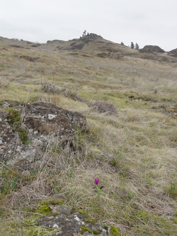
Dried flower seed heads in the grass,

DSC09718

lichen and moss on the rocks,

DSC09735

fog on the top of the wall,

DSC09696DSC09713

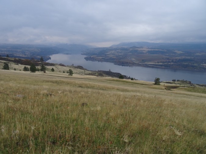
all the views across the windless glassy Columbia River to the Mosier/Lyle/Rowena viewpoints.

DSC09748

‘Twas a good hike at Coyote Wall, with only a few other hikers and bikers sprinkled through our day.

DSC09756

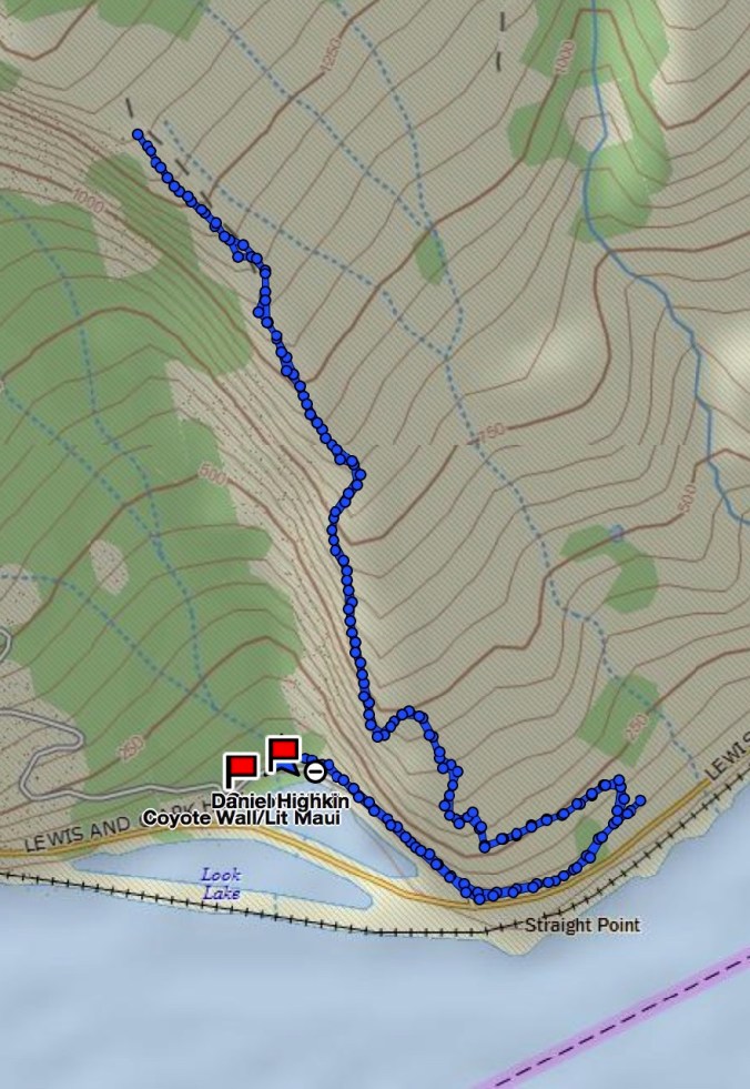
4.6 miles/1300’

Screen Shot 2017-11-07 at 9.27.14 PM

LOOKBACK:

We have hiked here many times – to see the first grass widows in February,

DSC00534

February 2015

the brilliant balsamroot in April,

DSC03375

April 2017

DSC03366

April 2017

the autumnal colors of fall, as we saw today, and snow in winter:

DSC09532

December 2015

DSC09543

December 2015

I am hoping someday the trail below the wall will reopen to hikers – it would be a lovely loop.

Knitting, spinning, quilting:

I have spun more singles and plied, skeined and washed my first practice yarn.

DSC09776

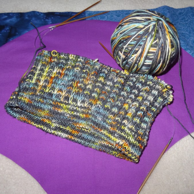
I cast on a Sonic Six hat with the tubular 1×1 rib cast on in Total Eclipse yarn and am enjoying knitting the slip stitch pattern.

DSC09771

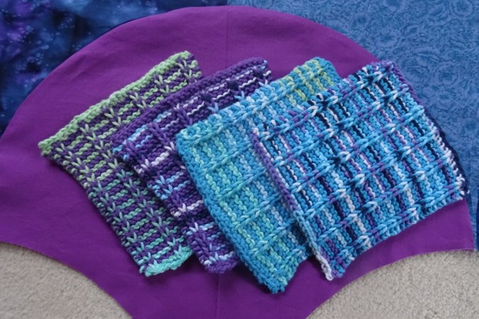
I finished the fourth of the blue and purple washcloths.

DSC09767

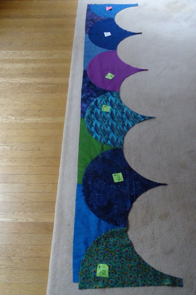
I have sewn the first two rows of the Atmospheric River clamshell quilt – so far, so good.

DSC09766

29. Palmateer Point and Drop Spinning

Palmateer Point, Mt Hood       October 27, 2017      (#52)

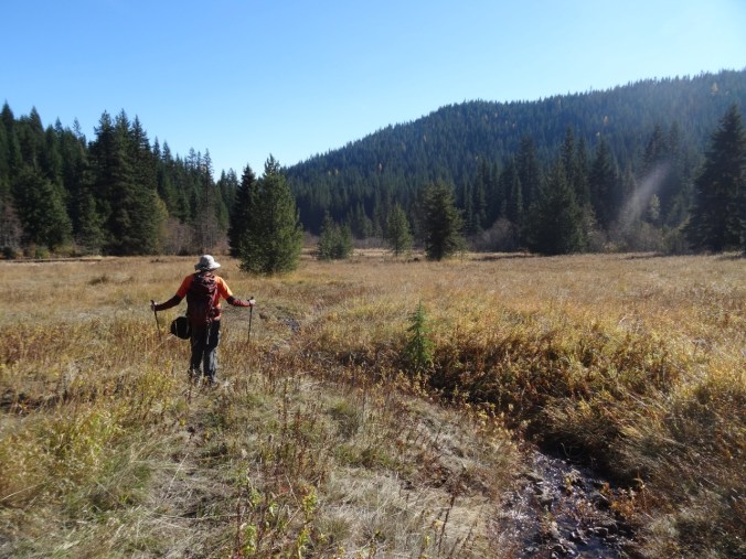
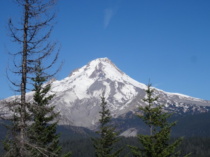
When we were at Frog Lake Buttes in September, we saw the view of Mt Hood included a closer viewpoint at Palmateer Point.  We put that on our list for a future hike, and this late October fall day was perfect.  The hike starts at Barlow Pass, then proceeds south on the Pacific Crest Trail for 1.3 miles before heading east across Palmateer Creek to the rocky bald that is Palmateer Point.  There were landscape views that included the bright yellow triangular larches. Huckleberry and vine maple provide the reds and gold of autumn.   DSC09580DSC09583DSC09571DSC09626From the lunch spot at the top of Palmateer Point we identified the bright orange of Barlow Butte as another spot to put on our future hike list.
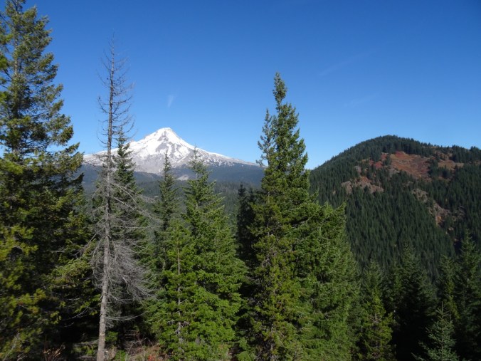
DSC09588

Approaching the top of Palmateer Point, with Mt Hood coming into view

DSC09595

Mt Hood and Barlow Butte

DSC09597

Mt Hood

DSC09592

Barlow Butte

DSC09598

Looking back toward Frog Lake Buttes

We circled around to the meadow called Devil’s Half Acre on our return trip.  The descent to the meadow on a steep hillside crossed by several small streams was really lovely and secluded. We will be back in spring to see the wildflowers in this meadow.

DSC09620DSC09622DSC09640DSC09644

DSC09648

Devil’s Half Acre

Total mileage for the day – about 6.5 miles, 800 feet.

Screen Shot 2017-10-27 at 8.52.02 PM

Jonsrud Viewpoint, Sandy, Oregon

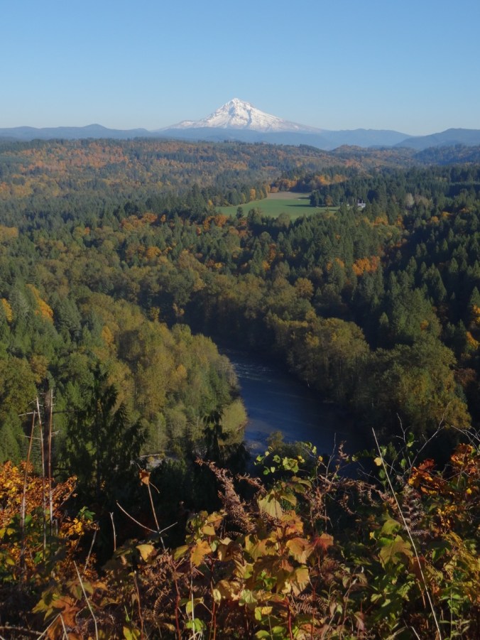
We stopped on the way home to take in the view back to Mt Hood:

DSC09666DSC09657DSC09677

Drop Spinning

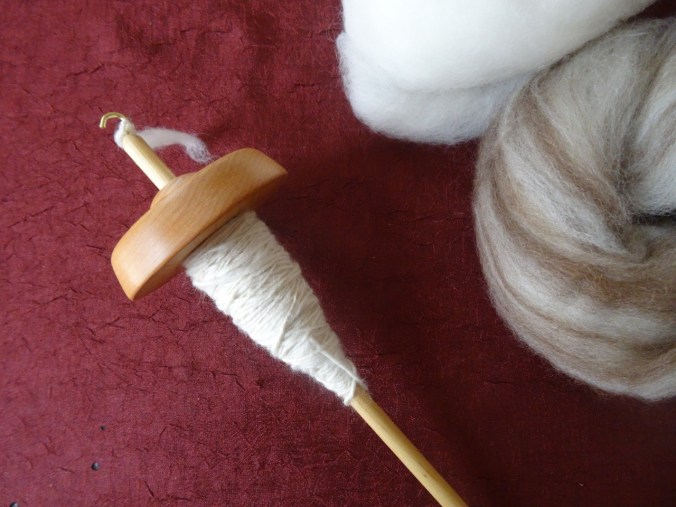
I took a drop spindle class at my local yarn shop, Twisted. I have long been fascinated with how it works as it looks like magic.  I’m glad to have a chance to try it – it is not that hard, but must take lots of practice to make a smooth, even yarn.  I don’t think I will take it up as an obsessive hobby, but I can see the appeal.

DSC09542

My first spinning

28. Atmospheric River Quilt / Tryon Creek Hike 10/22/2107

Heavy rain predicted for the weekend. Meteorologists describe an atmospheric river headed our way. Hiking questionable. Time for some quilting!

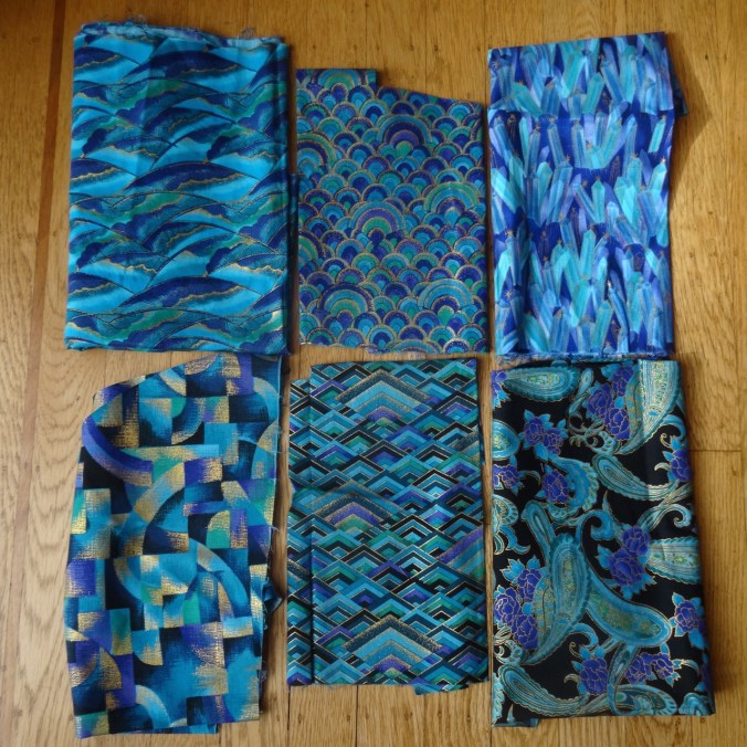
I have finally drawn a successful template for my giant clamshell quilt, and spent some enjoyable moments sorting fabric for the clams. It began with a stack that I purchased approximately 20 years ago at a quilt shop in Bend, Oregon – blue-green-purple with gold metallic accents in geometric patterns.

DSC09521

I have used small pieces in scrap quilts, but have been more recently plotting to use these in a giant clam shell quilt, inspired by one I saw on a bed at the Metolius River Lodge in August of 2012.  That one had 19 1/2″ wide clams.


The dimensions of my available stash limit my clam size to 18 inches maximum. It took me a while to design the clam shell template. I resorted to creating a compass with a piece of graph paper, a pin, and a mechanical pencil.  I traced the half-clam onto freezer paper, and will use the freezer paper template to cut 40 whole clams on the fold, and 20 different half clams, 5 each left, right, top and bottom.  I watched the Latifah Saafir YouTube video on sewing clams without pins, but I have already made drunkard path, apple core and half-circle quilts, so I am familiar with the technique.  These curves will be relatively easy to sew, I hope, with such large circles.

DSC09419

I visually selected a palette of cool colors to go with the focus fabrics. It makes me happy that I can make this a charm quilt in the sense that each fabric is used only once. After cutting the large clams from my larger fabrics, I placed the smaller pieces around the tentative layout to audition for the half clams.


As I looked at the flood of cool, watery colors on the floor, the perfect name popped into mind – Atmospheric River. In the week ahead I plan to finish cutting the half clams and finalize the layout. Then, on to the sewing.

Tryon Creek Hike  10/22/2017   (#51)

Meanwhile, by Sunday afternoon, the atmospheric river had passed over our area, and we headed to Tryon Creek State Park, only 20 minutes away, for a brief hike in the drippy forest.  This beautifully maintained park is one of the oases of nature surrounding Portland. A maze of trails and bridges cross and recross Tryon Creek, providing peaceful moments.
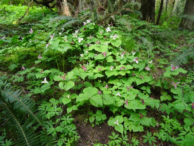
Big leaf and vine maples showing fall color:


Moss, fern and cedar:


Muddy creek reflections:


About 3 miles/300 feet.

Screen Shot 2017-10-22 at 8.31.01 PM

LOOKBACK:

We have hiked in Tryon Creek many times – it is famous for blooming Trillium in the spring.

DSC00503

Trillium at Tryon Creek, April 2015

OTHER CRAFTING:

Kimono robe and socks I made for my daughter for her birthday.


26. The Perfect Fall Hike on Mt Hood

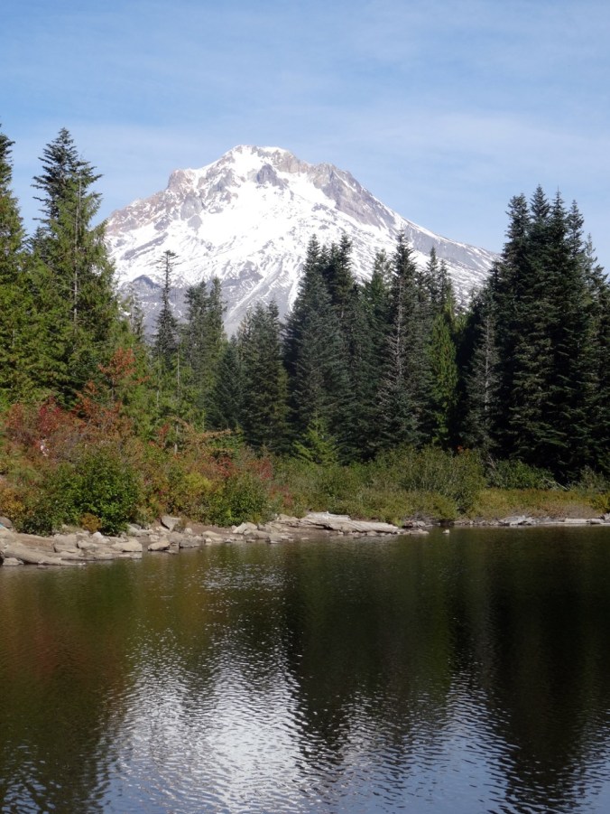
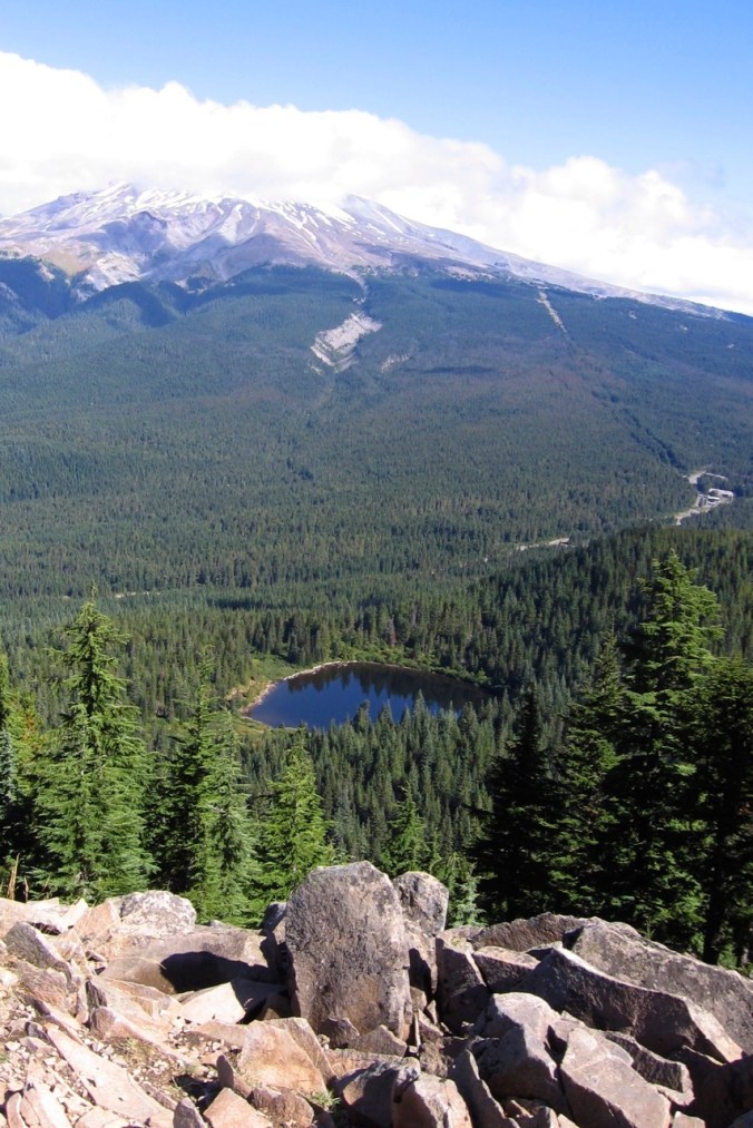
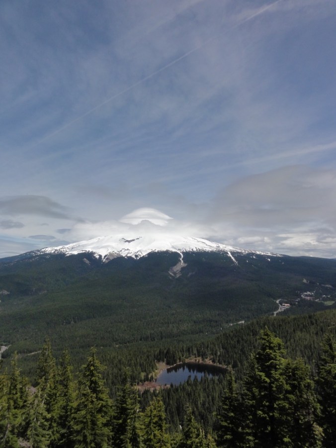
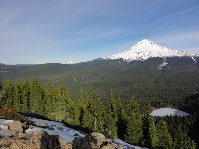
Mirror Lake and Tom, Dick & Harry Mountain, Mt. Hood     October 6, 2017    (#49)

Screen Shot 2017-10-06 at 8.33.54 PM

Sunny skies, shady forest, bright red huckleberry and vine maple on the scree slopes, reflections of Mt Hood in Mirror Lake, five cascade volcanoes in view at the top. Total distance 6.6 miles, 1500 feet.


DSC09255

Mt St Helens, Mt Rainier and Mt Adams to the north

DSC09261

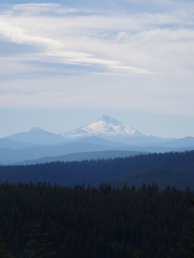
Mt Jefferson to the south


Lookback:

We have hiked here in every season, including with micro spikes on on New Years Day 2014, a low snow year; and a failed snowshoe attempt in January of 2016, when the snow above the lake was too deep to find a safe trail.  Spring and summer flowers, brilliant fall color, fabulous views when not cloudy.  The trail is overly popular for good reason.

Comparison photos: 

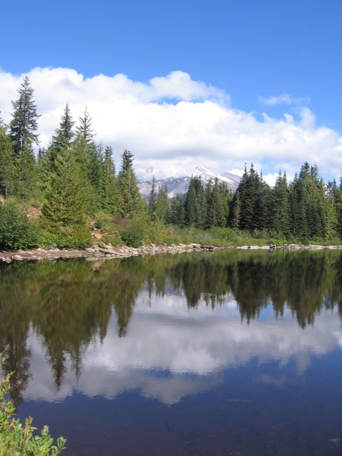
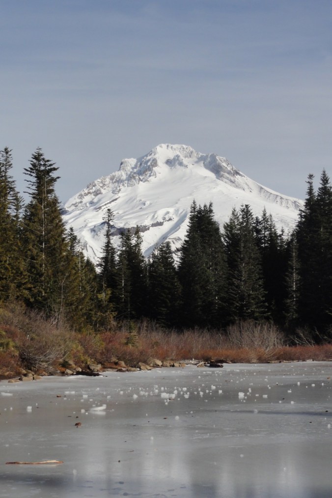
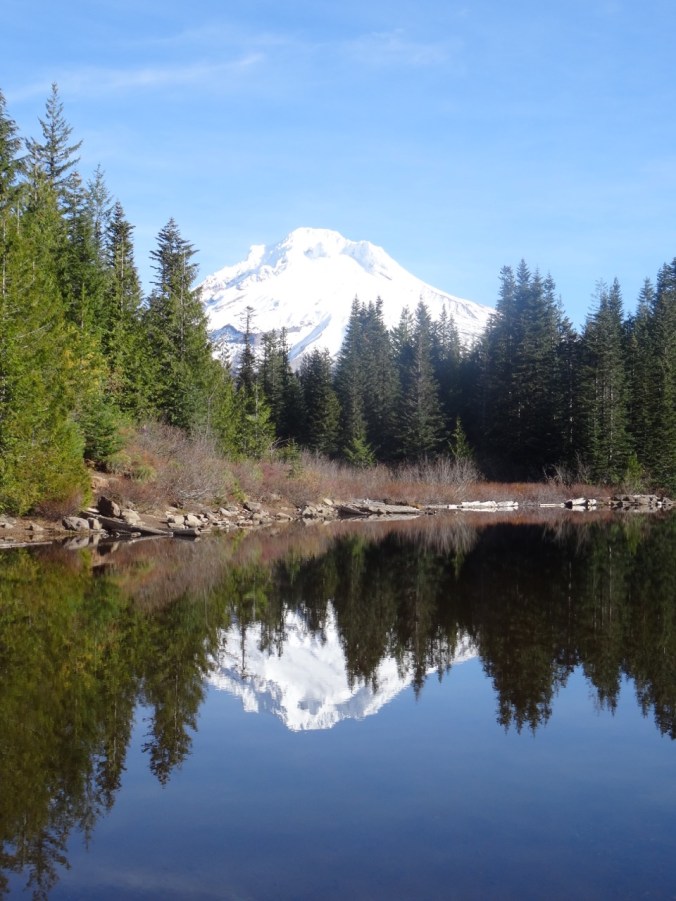
Views from Mirror Lake to Mt. Hood:

IMG_8223

September 27, 2010

DSC09993

January 1, 2014

DSC00011

January 8, 2016

DSC00176

November 4, 2016

DSC09303

October 6, 2017

Views to Mt Hood from the top of Tom Dick and Harry Mtn:

IMG_8210

September 27, 2010

DSC03502

June 1, 2013

DSC00029

January 1, 2014

DSC00203

November 4, 2016

IMG_0044

October 6, 2017

25. Early Fall in the Gifford Pinchot

September 30, 2017    Rainy weekend predicted; possible dry window Saturday to the east of Portland;  Indian Heaven still closed from the Crater Fire; windy along the Columbia River. We decided to try some short hikes in the Gifford Pinchot National Forest between Mt Adams and Indian Heaven, near Trout Lake, WA.

IMG_0036

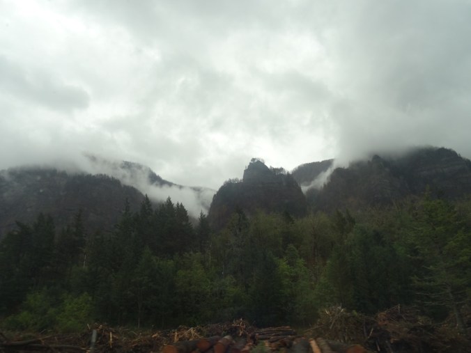
Our first drive through the Columbia River Gorge since the fire: Good photos are posted in official feeds elsewhere.  I was pleased to see how much is not burned. That said, it was sobering to see the extent of the burn: blackened trees on the skyline, blackened forest floors down to the highway in some places, blackened trunks on still green trees.  I felt great appreciation for the fire fighting, for the massive cleanup that has already occurred, and for the challenge ahead. We will be back someday but not soon.

DSC09082

Through the passenger window of a moving car:  Blackened trees on the skyline; slash piles below.

We got a glimpse of Mt Adams and an intense, wide rainbow just as we entered Trout Lake.


Steamboat Mountain  (#48)

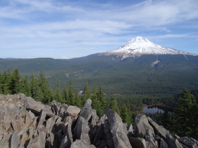
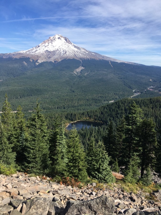
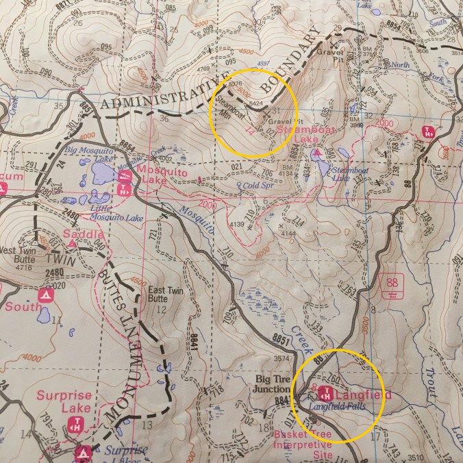
This short hike (1.5 miles, 400′) is touted by Scott Cook in his Curious Gorge book to have some of the best views of the Cascades and a relatively easy trail. The weather was not in our favor, though.  When we parked at the trailhead/quarry, we could just see the top of Steamboat Mountain from the base.


As we hiked up the well graded trail through red huckleberry the clouds closed in.


From the rocky top, I could just make out our Suburu parked at the base, but no mountains, no views.

DSC09103

Looking down at our Suburu (center of photo) from the top


We ate our lunch, hiked down.  We were reminded that we are now in hunting season, as people were firing guns just on the other side of the quarry.

Langfield  Falls

Driving back south toward Trout Lake, we visited Langfield Falls, just east of Tire Junction.  There is a short trail down to the waterfall viewpoint, and another user trail along the creek above the falls. A spatter of rain, a lovely waterfall.


Natural Bridge

Back to Trout Lake, then west about 5 miles, is the Natural Bridge area- a collapsed lava tube with bridges in places of incomplete collapse.  A friend from the Portland Hikers Facebook group had tipped us off to brilliant fall color here, and we found this to be true – even if we were early for the full show.  The inner collapsed tube is overgrown with vine maples that blazed in gradation through the spectrum from bright green, to yellow green, yellow, yellow orange, orange, red orange and red: the analogous colors from half the color wheel on view.  We wandered around for a while, and Dan set up his tripod as we waited for sunbreaks to illuminate the scene.

DSC09140

One of the Natural Bridges


DSC09182

Dan with tripod

23. Visiting the Midwest

As I write this I get an Eagle Creek Fire update:  Rain has finally slowed the fire, and operations are turning to cleanup and recovery.

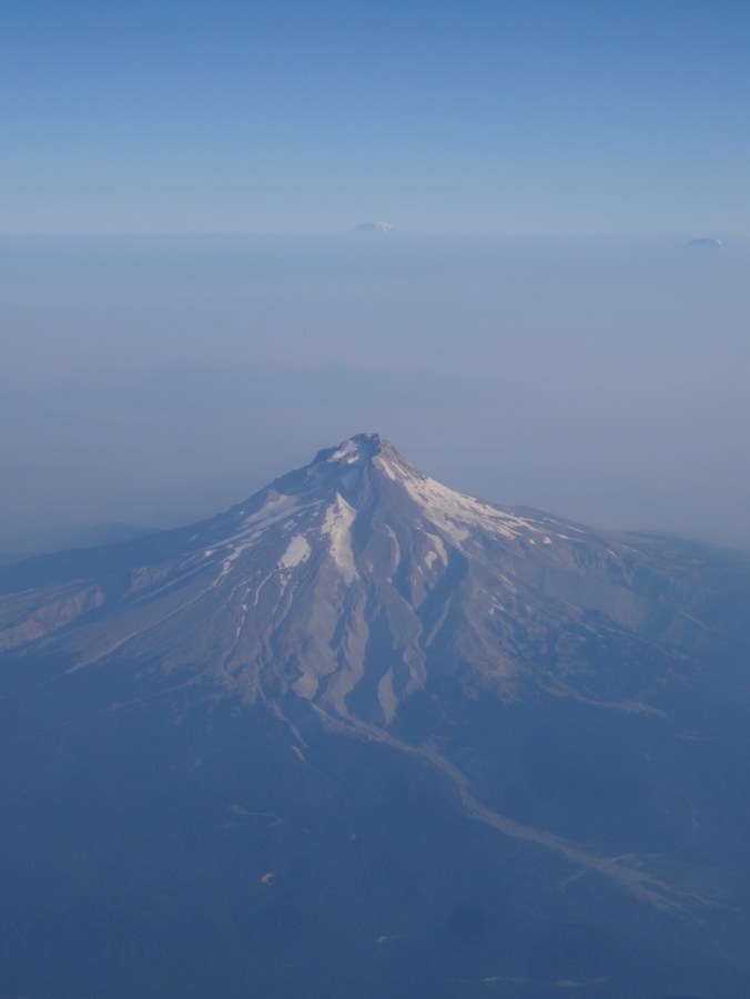
We flew to Ohio, passing over the south side of Mt Hood – smoke not impeding our view today to Mt Adams and Rainier beyond.

DSC07967

Mt Hood, Mt Rainier and Mt Adams

Ohio

Oberlin College

We visited our daughter at Oberlin College in Ohio. I had previously only had a brief peak at the campus the day we moved her into her dorm two years ago.  She and her roommate are now in a two bedroom apartment and enjoying the non-dorm lifestyle. We walked all around campus, seeing the various buildings and rooms where she spends her time. She introduced us to friends that seemed to appear around every corner.  I enjoyed the quiet, but intensely busy vibe on this early-term late summer weekend.  We got coffee from The Local, ate delicious dinners at The Feve and Indian Garden, and joined her for a student prepared lunch at her dining coop.

Brandywine Falls, Cuyahoga National Park, Ohio   Sept. 17, 2017  (#46)

She also wanted to go for a hike.  We chose a 4 mile hike about an hour from campus, the Stanford/Brandywine Falls trail. It was a beautiful sunny day though the humidity was much greater than we are used to in the Pacific Northwest. There was enough shade in the woodlands to stay comfortable, a few summer flowers struggled along, and fall colors were beginning to pop.


Chicago

We then flew to Chicago to visit to our son. Beautiful weather continued on Monday as we enjoyed the Architectural Boat Tour.

Windows and reflections:

After lunch we rented Divvy bikes and rode four miles along Lakeshore Drive trail from Millenium Park back to Lakeview where we were joined by long time friends for dinner.

DSC08332

The Bean, i.e. Cloud Gate, in Millenium Park

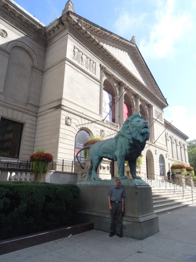
The next day we visited the Chicago Art Institute.

DSC08357

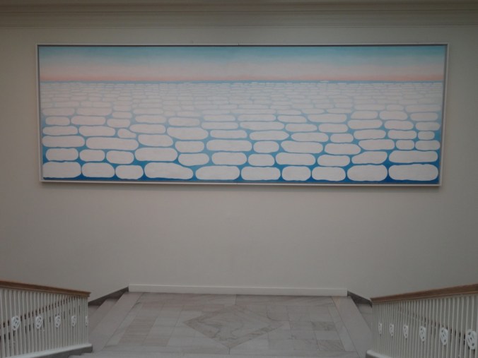
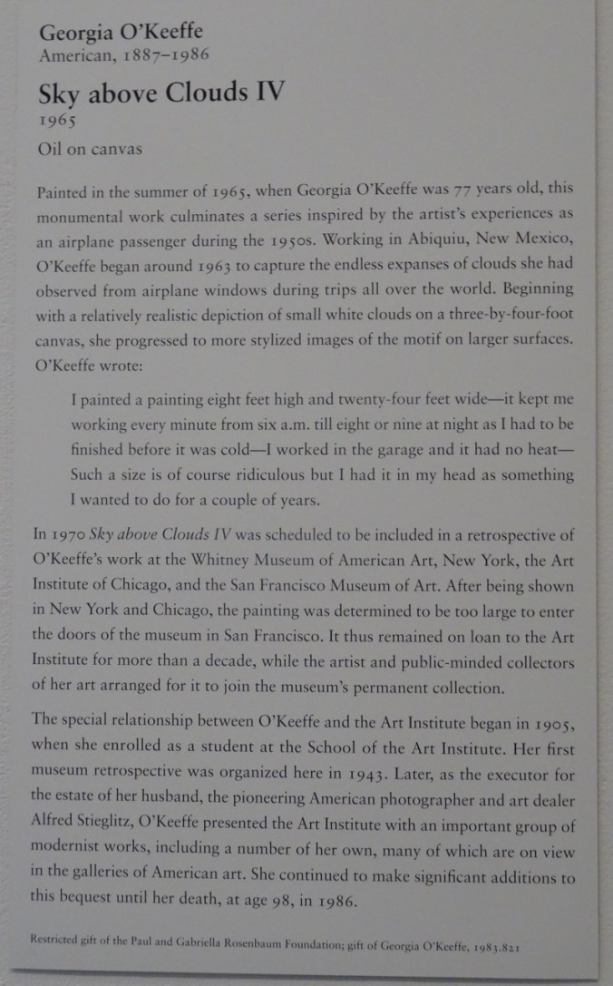
We spent most of our time in the Impressionism and Modern American galleries. My favorite piece was by Georgia O’Keefe, a 24 foot long painting that filled a stairwell:

DSC08426DSC08428

This also caught my eye:

DSC08430

We walked around some of the parks near the Art Institute.

After dinner we went to see Hamilton!

This was my first visit to Chicago, and only lasted two days, but I enjoyed my time, and can see why my son likes living there.

Knitting update:

DSC07915

11 dishcloths

22. Mt St Helens Boundary Trail

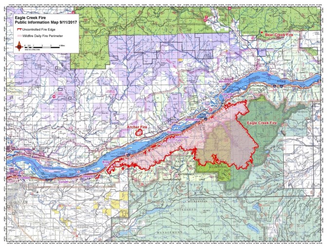
Eagle Creek fire update as of  9/11/17:  34000 acres, 7% contained.

21640885_123414854982697_7881458328682540061_o

USFS Incident Map

Boundary Trail toward Harry’s Ridge     9/10/2017    (#45)

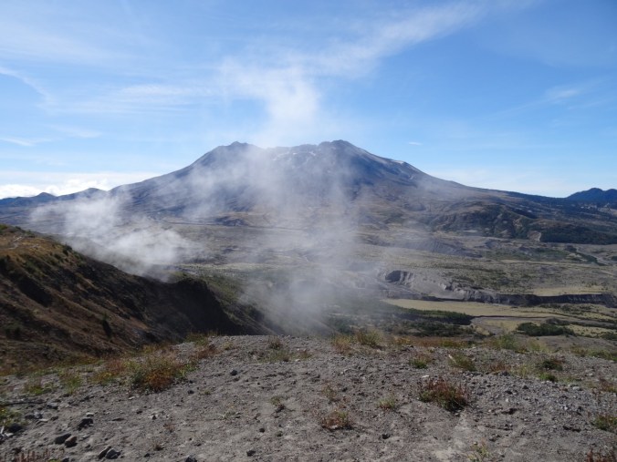
The skies are alternating blue and cloudy today. Unsure of any firesafe place east of us, we opted to drive north to Johnston Ridge, Mt St Helens National Monument.  Clouds that were floating at mountain level when we arrived late morning evaporated during the day.
DSC07837DSC07842

DSC07848

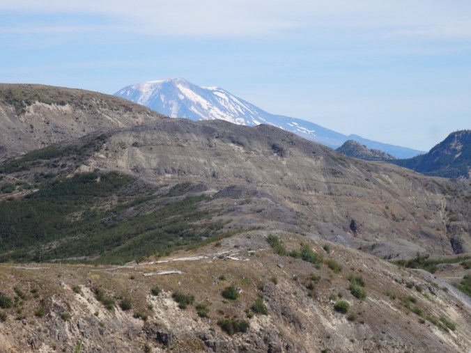
Mt St Helens

We hiked the Boundary Trail toward Harry’s Ridge.

DSC07855

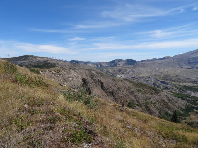
Coldwater Peak, north of the Boundary Trail

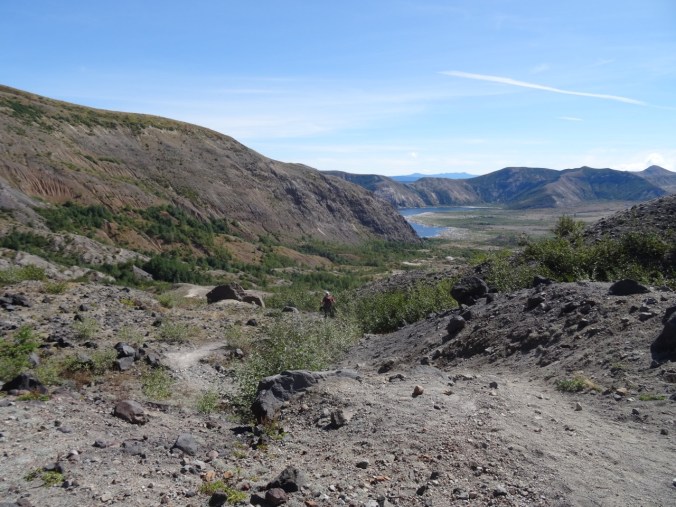
The trail that used to go along a steep, cliffy slope to the grand viewpoint at Devil’s Elbow is now closed.  The new alternate route cuts over the ridge, and has a view to Spirit Lake from the pass at the top of the cutoff. We stopped there for lunch.

DSC07851

Lunch stop at the top of the new cut off trail, with view to Spirit Lake

I decided it was too hot to continue, so hiked slowly back to the observatory.  Dan went on to Harry’s Ridge then met me back at the observatory later.  I had the chance to watch the excellent 16 minute film that simulates the eruption and illustrates the forces of nature during the 1980 eruption.

DSC07861

View while hiking back toward Johnston Observatory

DSC07871

Looking east from the observatory toward Mt Adams

DSC07872

Mt Adams

There are straggling summer flowers in bloom – lupine of both large and dwarf varieties, penstemon, paintbrush, yarrow, an abundant yellow composite, and equally abundant white pearly everlasting gilding the slopes, and standing out strongly in contrast to the early reds of fall.

We stopped at Coldwater Lake to walk the boardwalk trail that illustrates the Birth of the Lake. It was peaceful and beautiful there, with excellent views of Minnie Peak and Mt St. Helens. It is pleasant to walk through shady foliage after spending time in the blast zone. My total mileage for the day was about 5 miles/800 feet.

LOOKBACK:

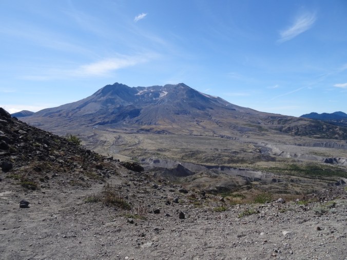
Boundary Trail to Harry’s Ridge – we have hiked this trail in several seasons, with different views of the mountain:

DSC05594

June 2016

DSC07868

September 2017

DSC05602

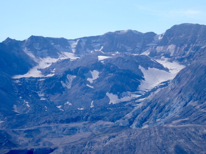
Inner crater dome close up    June 2016

DSC07849

September 2017

Coldwater Lake:

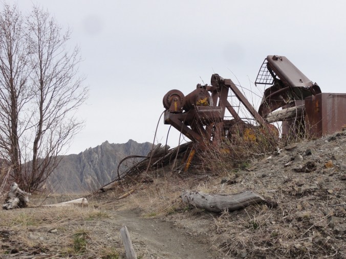
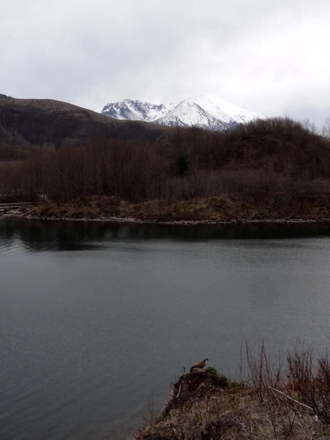
In March of 2015, a low snow year, we walked the 12 mile loop around Coldwater Lake.  The foliage was mostly dormant and brown.  We had views of the mountain, walked by the abandoned logging machinery destroyed by the blast, got some closer views of Minnie Peak.

DSC03346

March 2015   Minnie Peak and old logging machinery on Coldwater Ridge

DSC03371

March 2015    Minnie Peak


DSC03460

March 2015

DSC07882

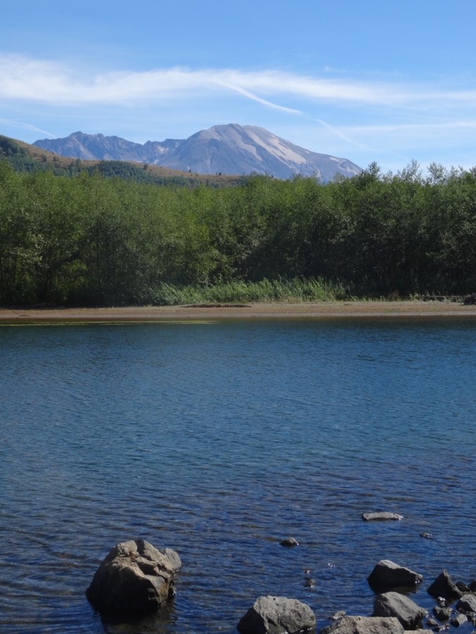
September 2017 Mt St Helens and Coldwater Lake

In Spring of 2017 we were in the area hiking the Hummocks trail, and we visited the Science and Learning Center, which gave us a snowy view of the boardwalk that we walked on today.

DSC01570

February 2017   Looking down on Coldwater Lake