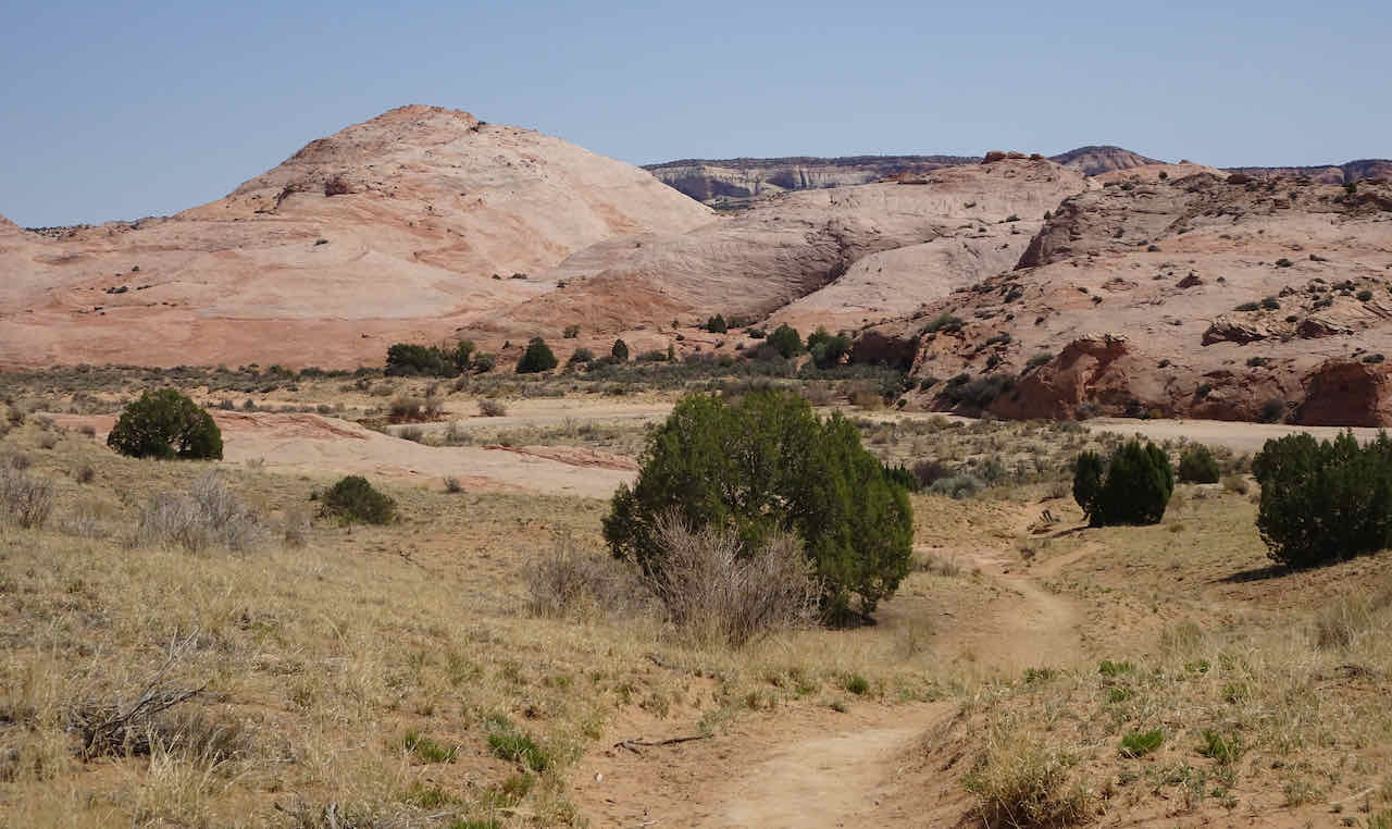
We stayed in a condo near the small town of Glacier, WA and drove to trailheads near Artist Point each day. During previous visits, we had some lovely hikes, but were impeded by snowed-in trails in August of 2010, and rain in October of 2015. We felt lucky to have a good weather window this trip.
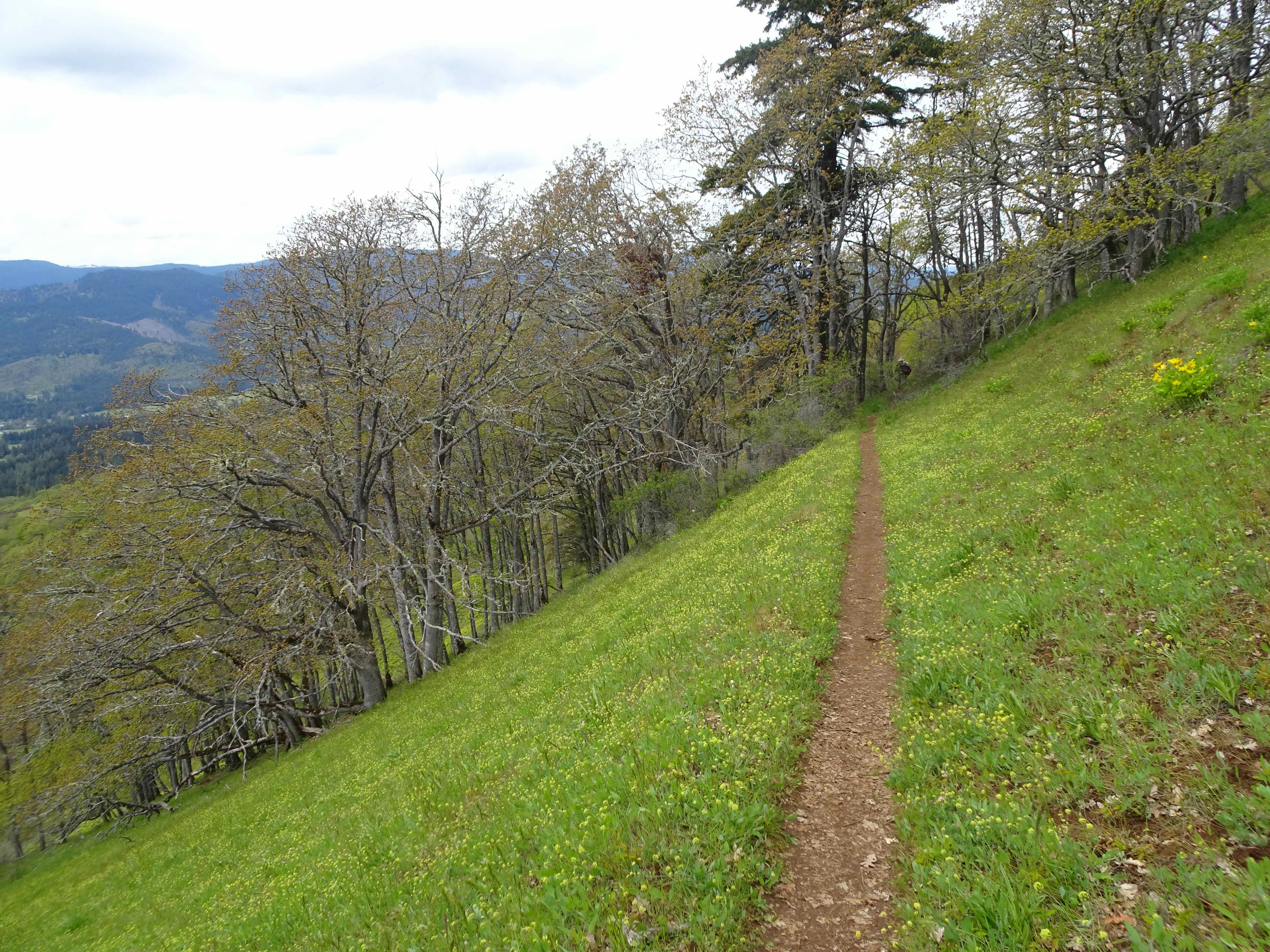
Our four hiking trails – the Ptarmigan Ridge and Chain of Lakes Trails share the same trail from Artist Point for the first mile.
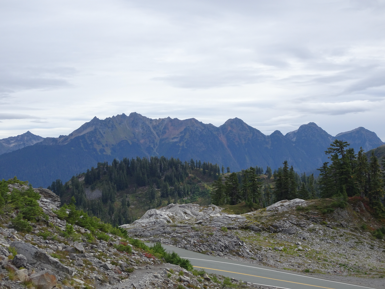
September 12 – Bagley Lakes
The cloud level was just above the Bagley Lakes – no mountain views today, and a bit of rain, but not many people either.
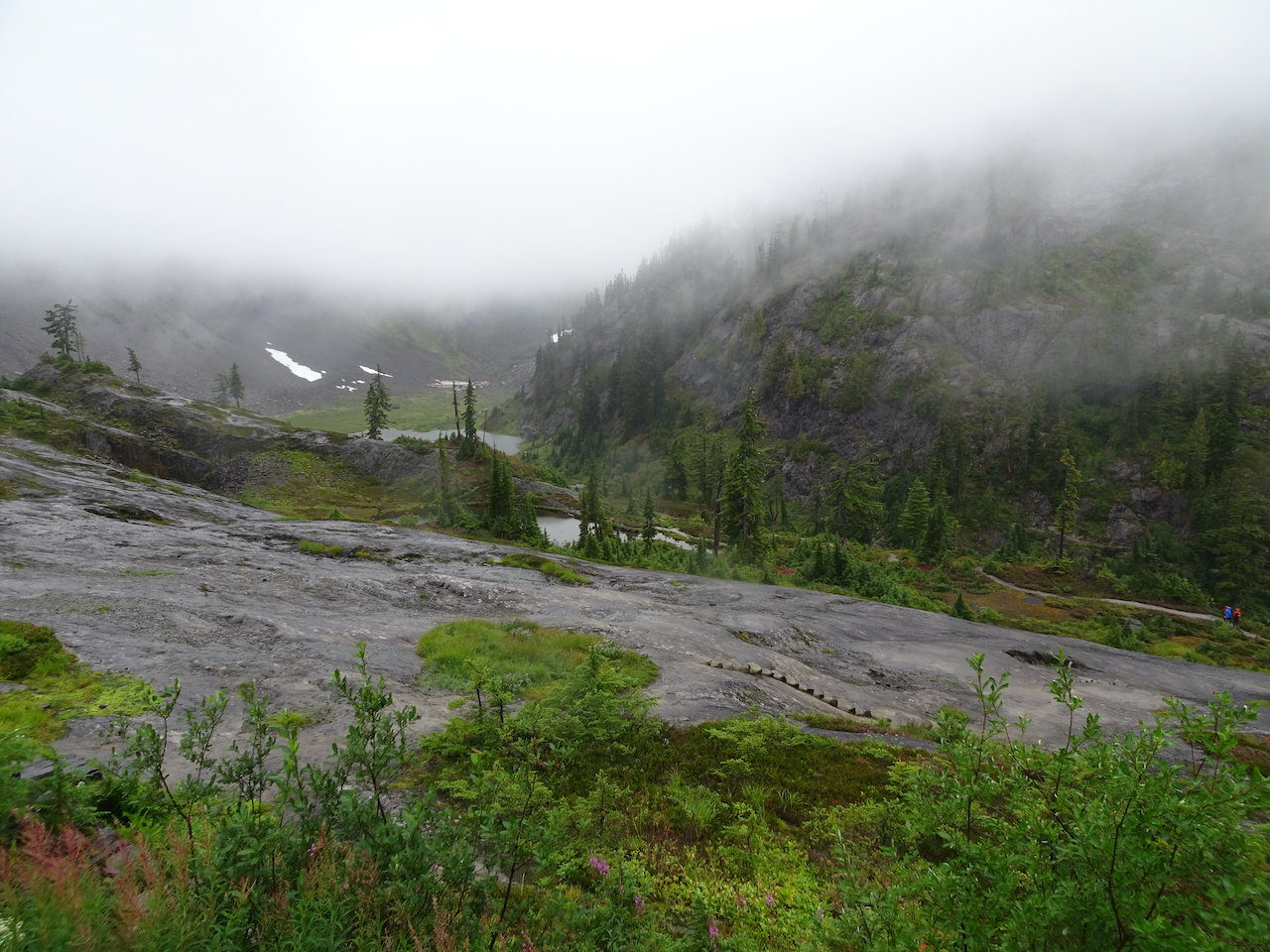
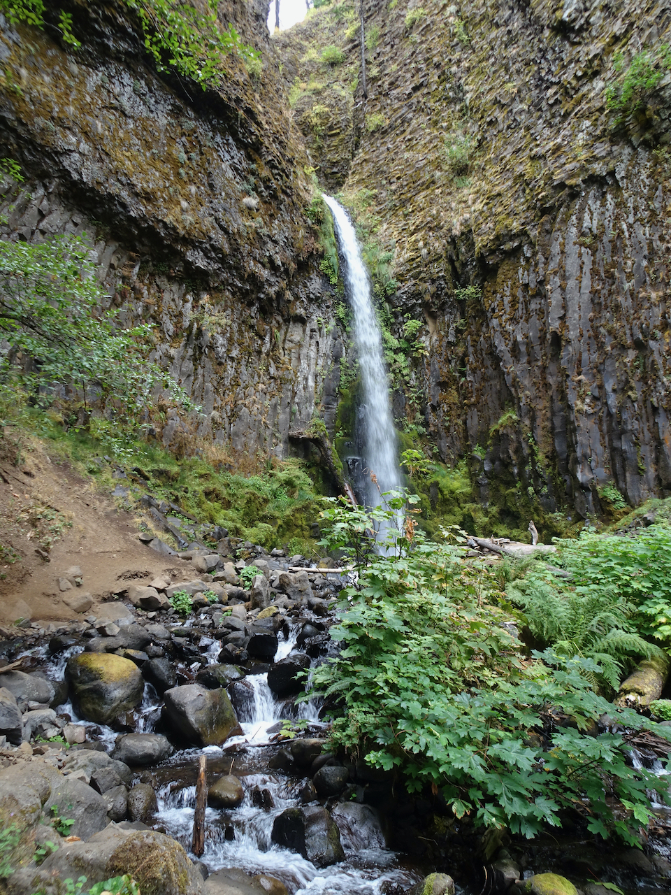
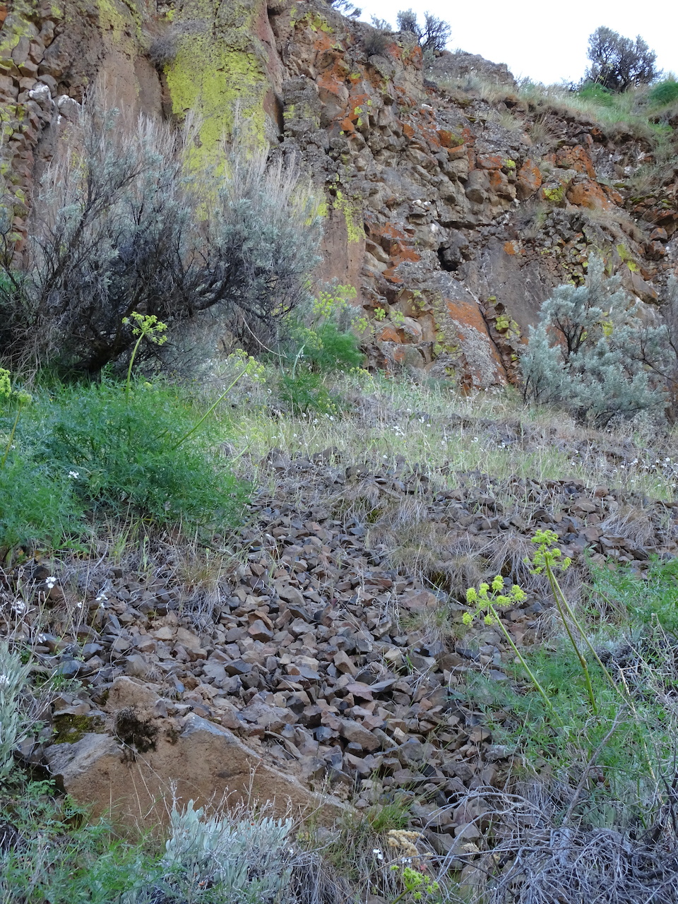
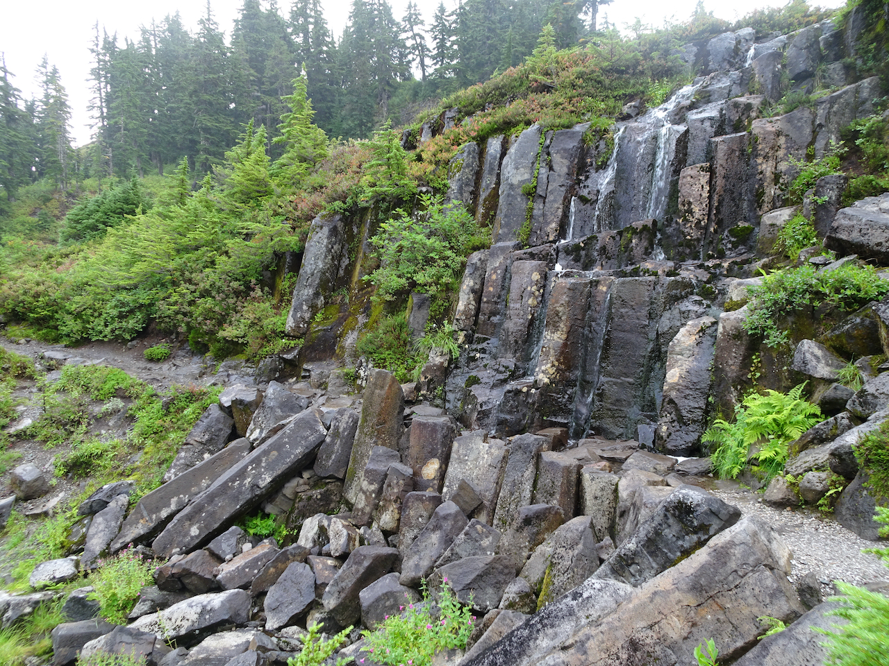
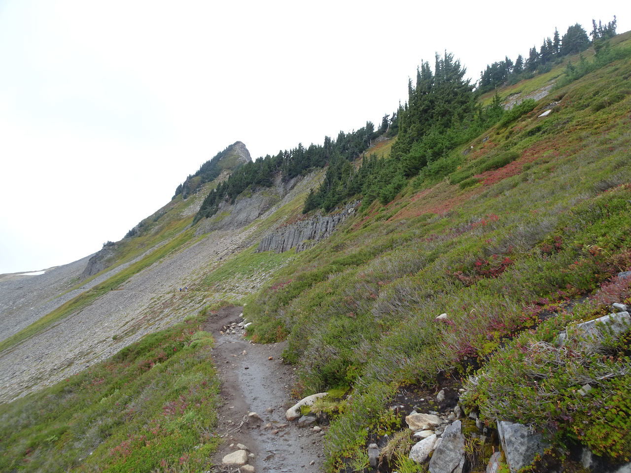
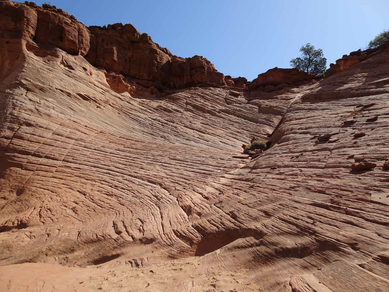
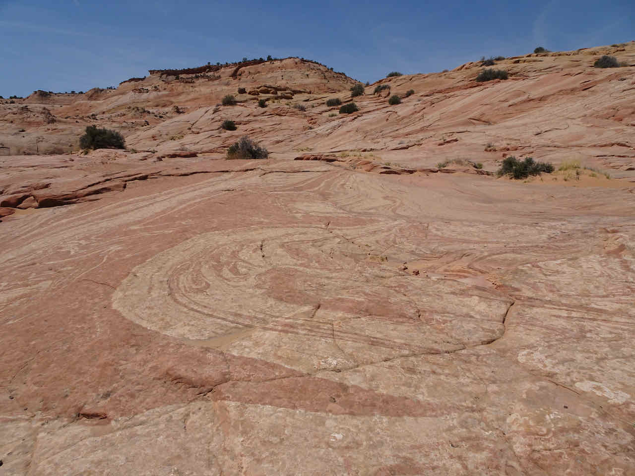
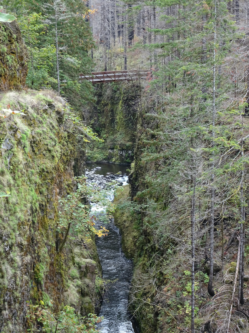
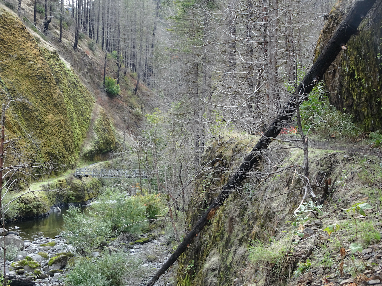
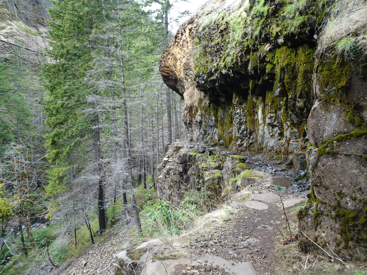
Hiking down the glaciated columnar basalts to the lakes
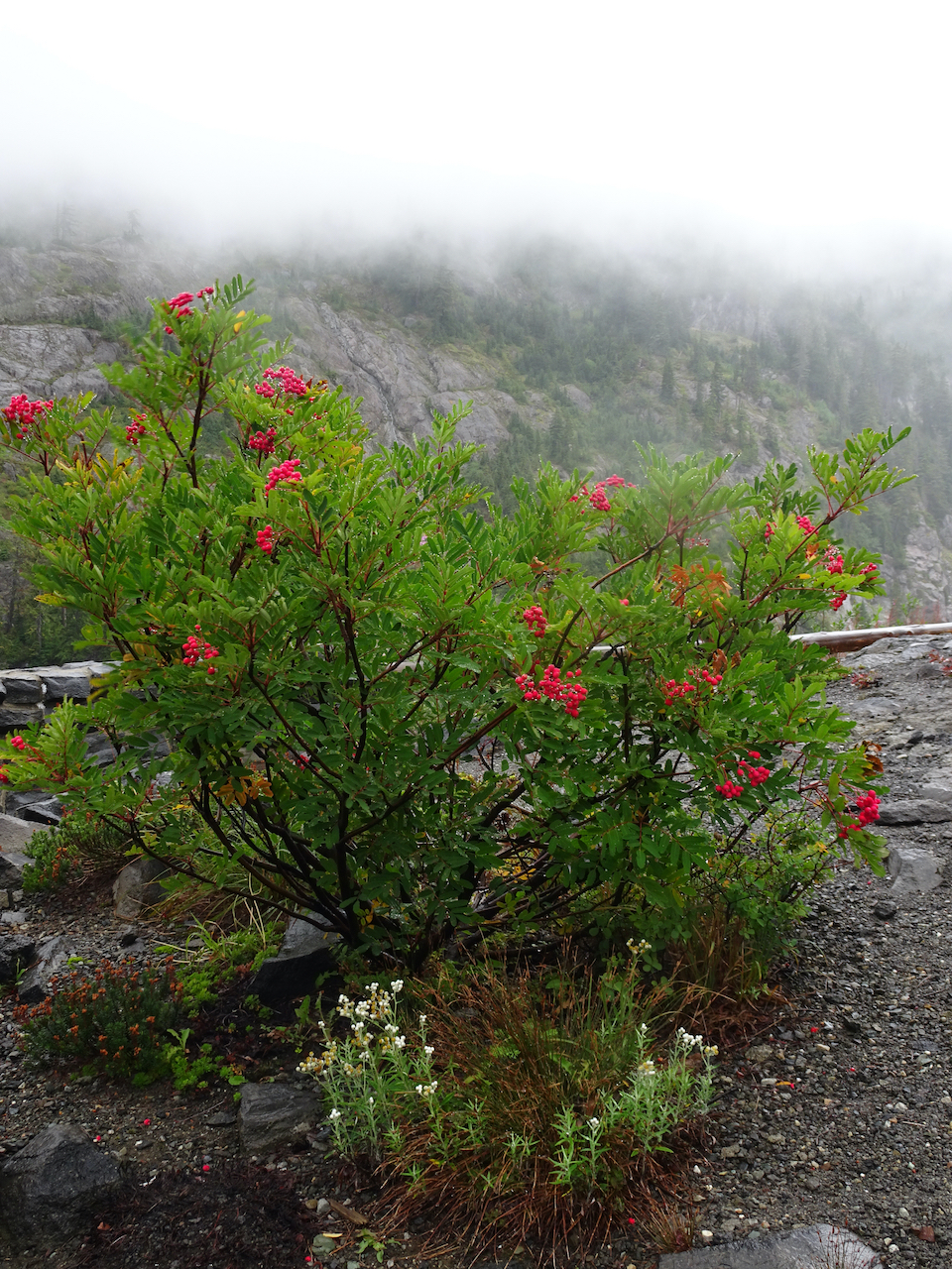
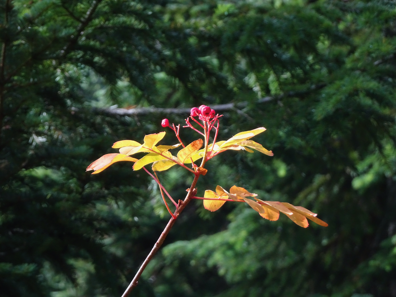
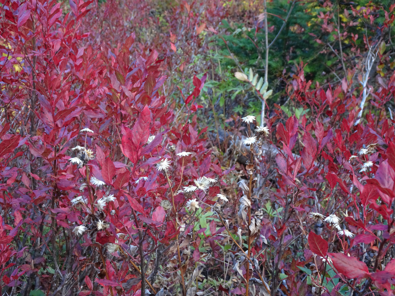
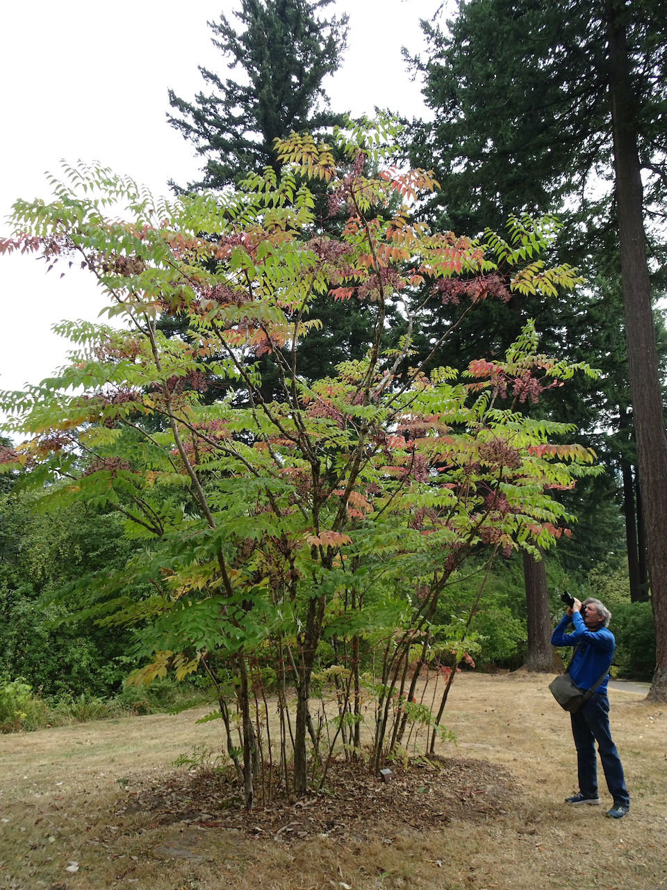
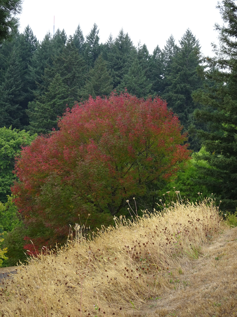
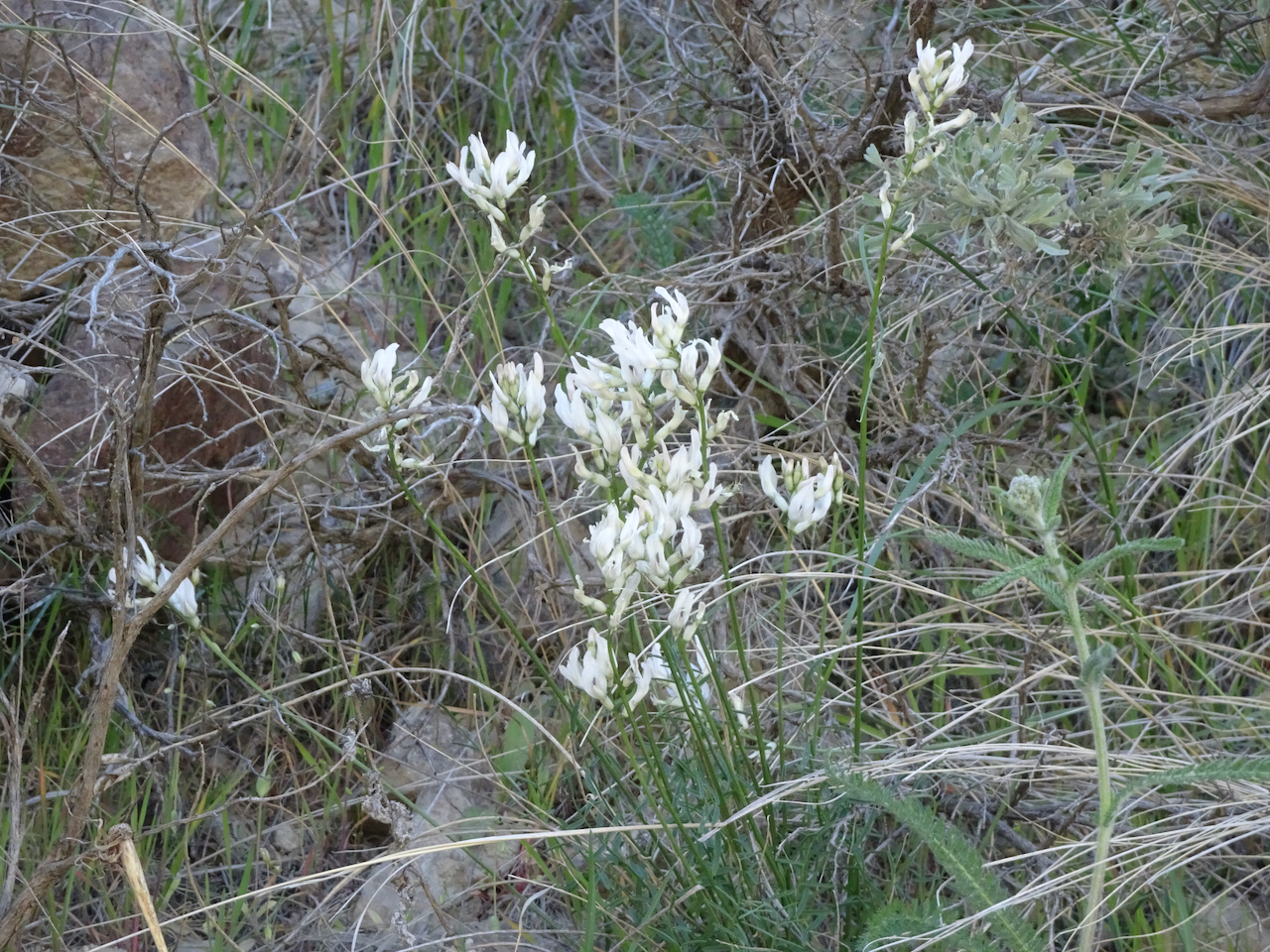
Mountain ash, pearly everlasting, and clouds
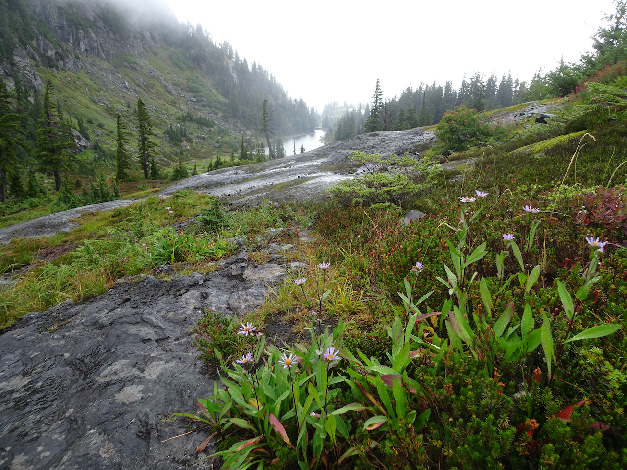
Lower Bagley Lake, asters
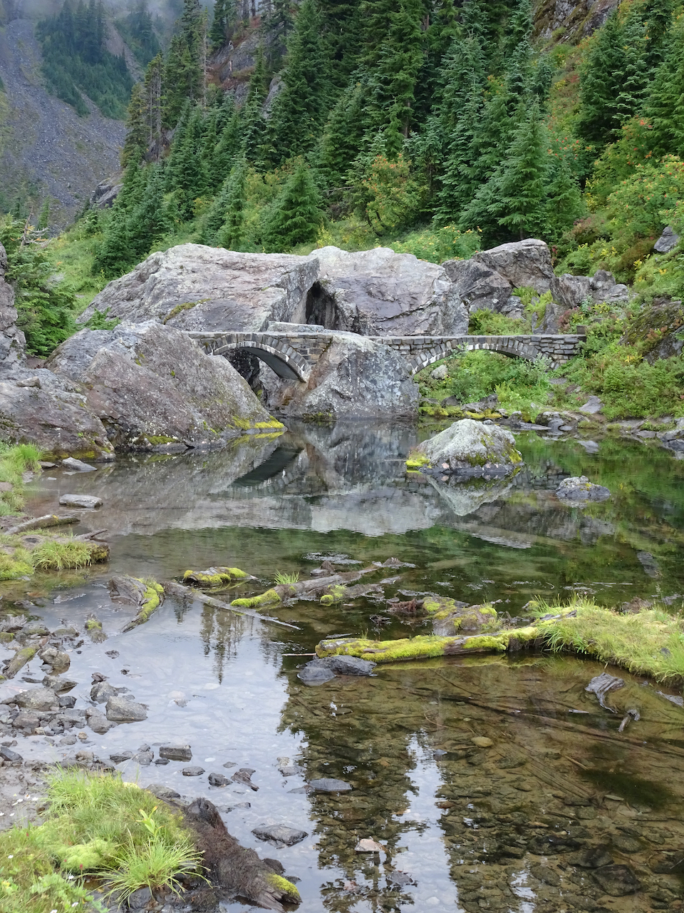
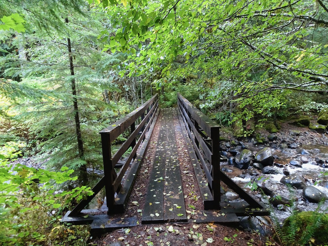
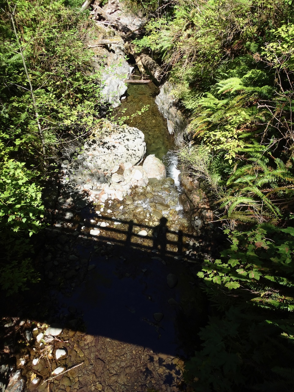
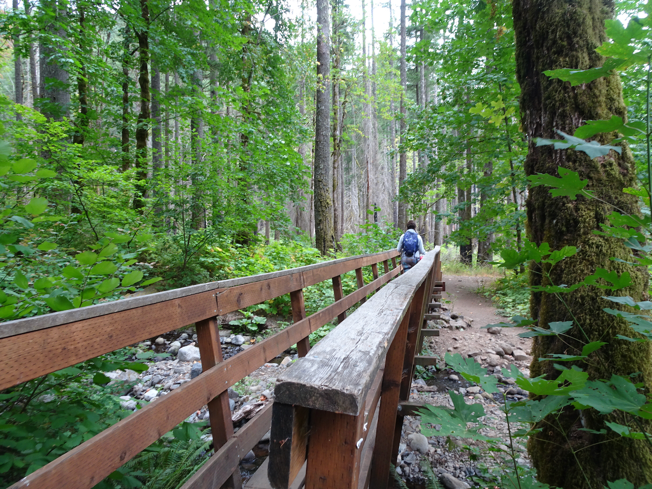
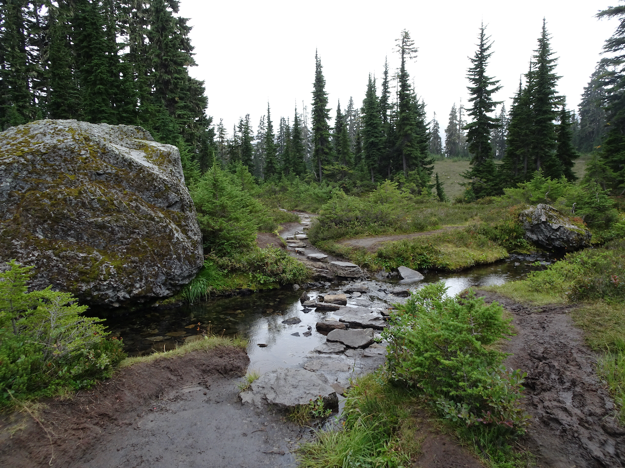
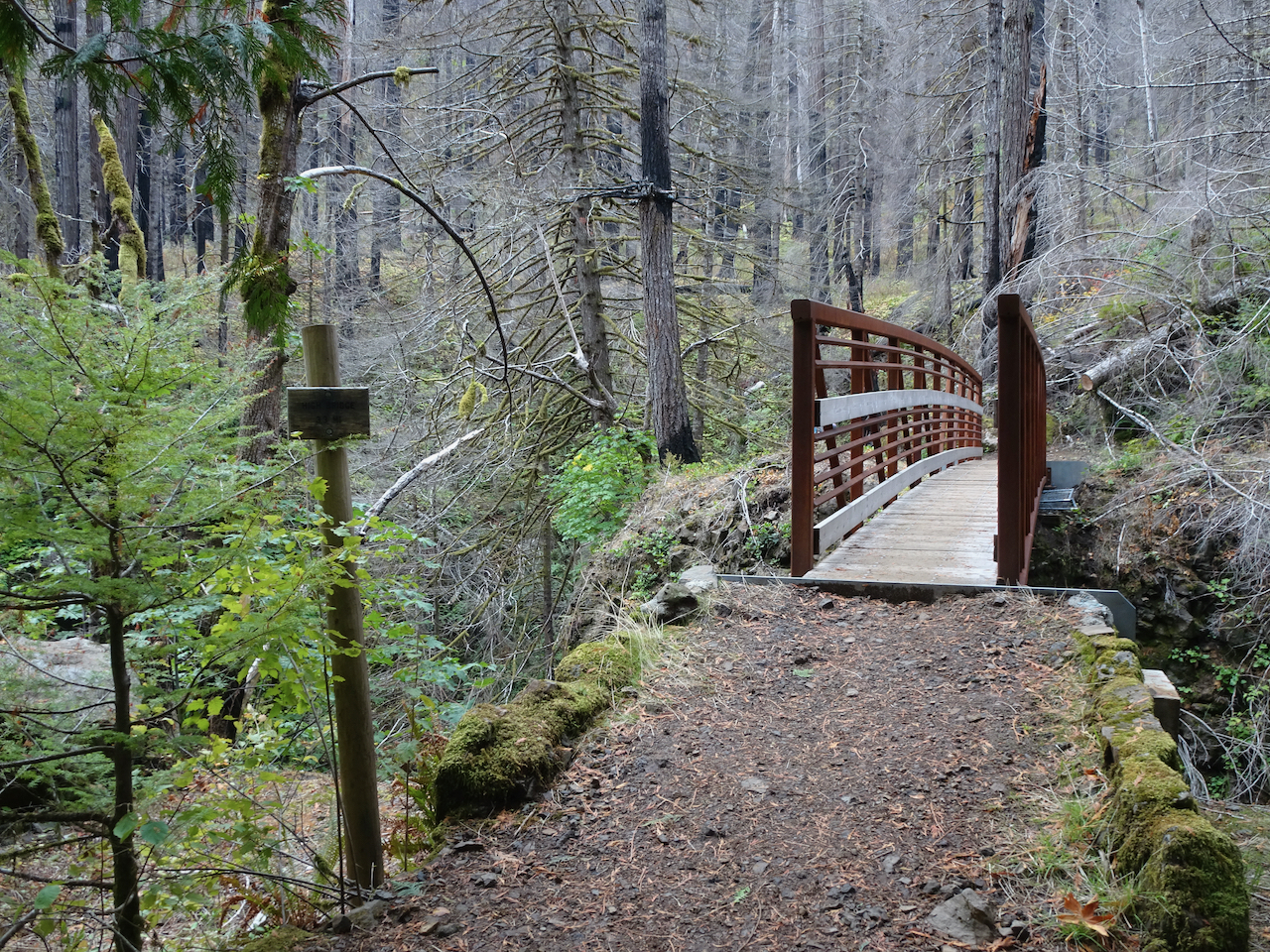
Bridge across Upper Bagley Lake outlet

First we hiked partway around Upper Bagley Lake:
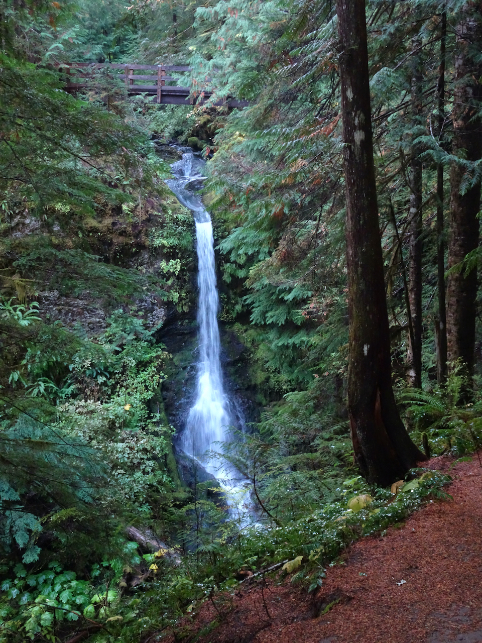
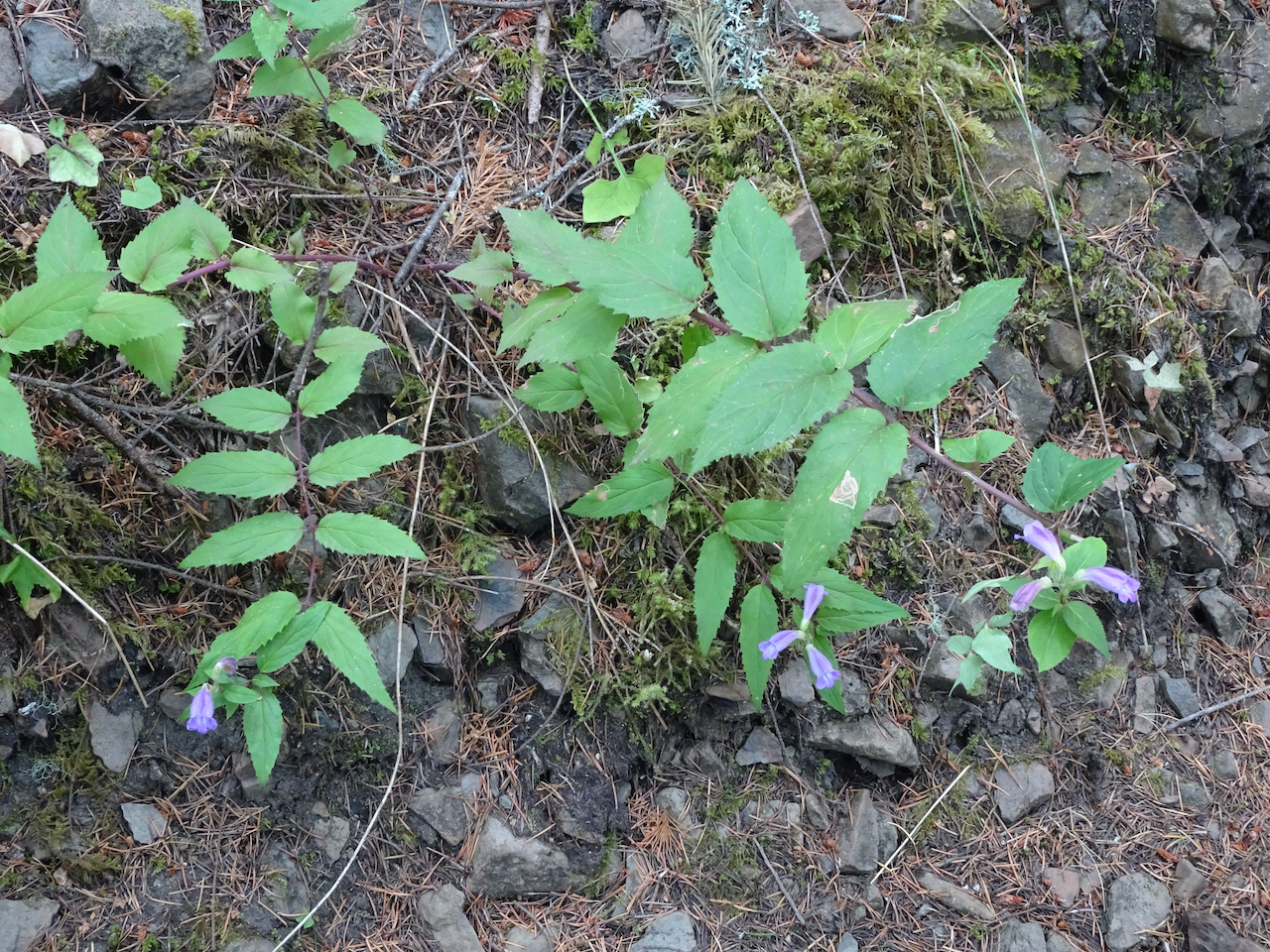
Small waterfall and late paintbrush along the trail
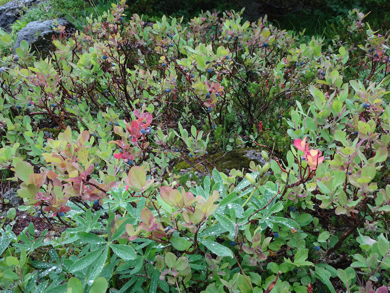
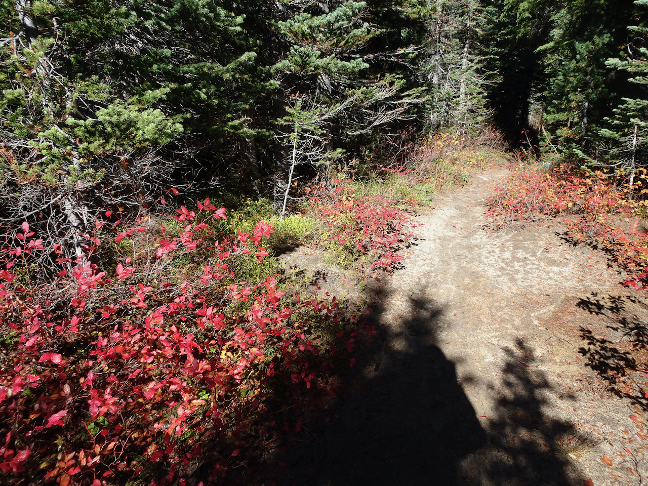
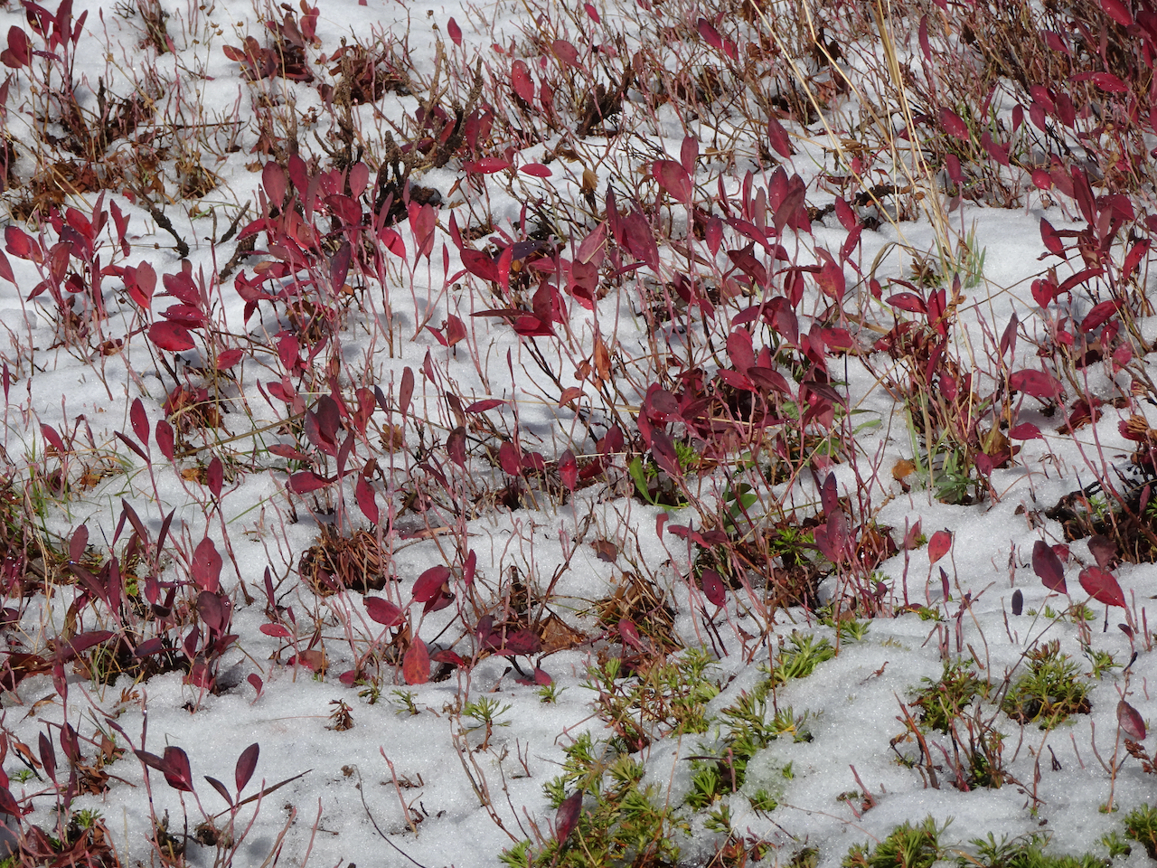
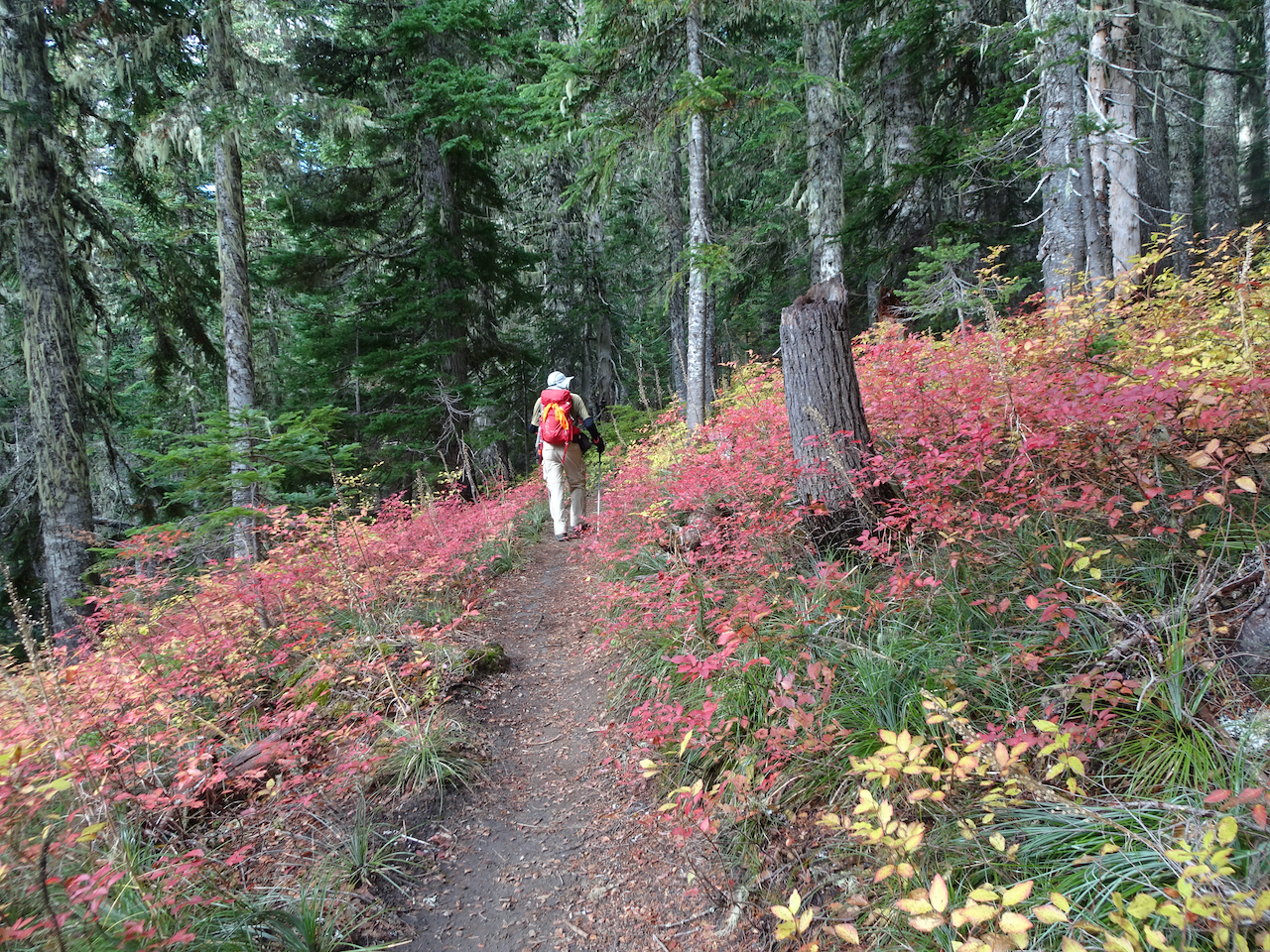
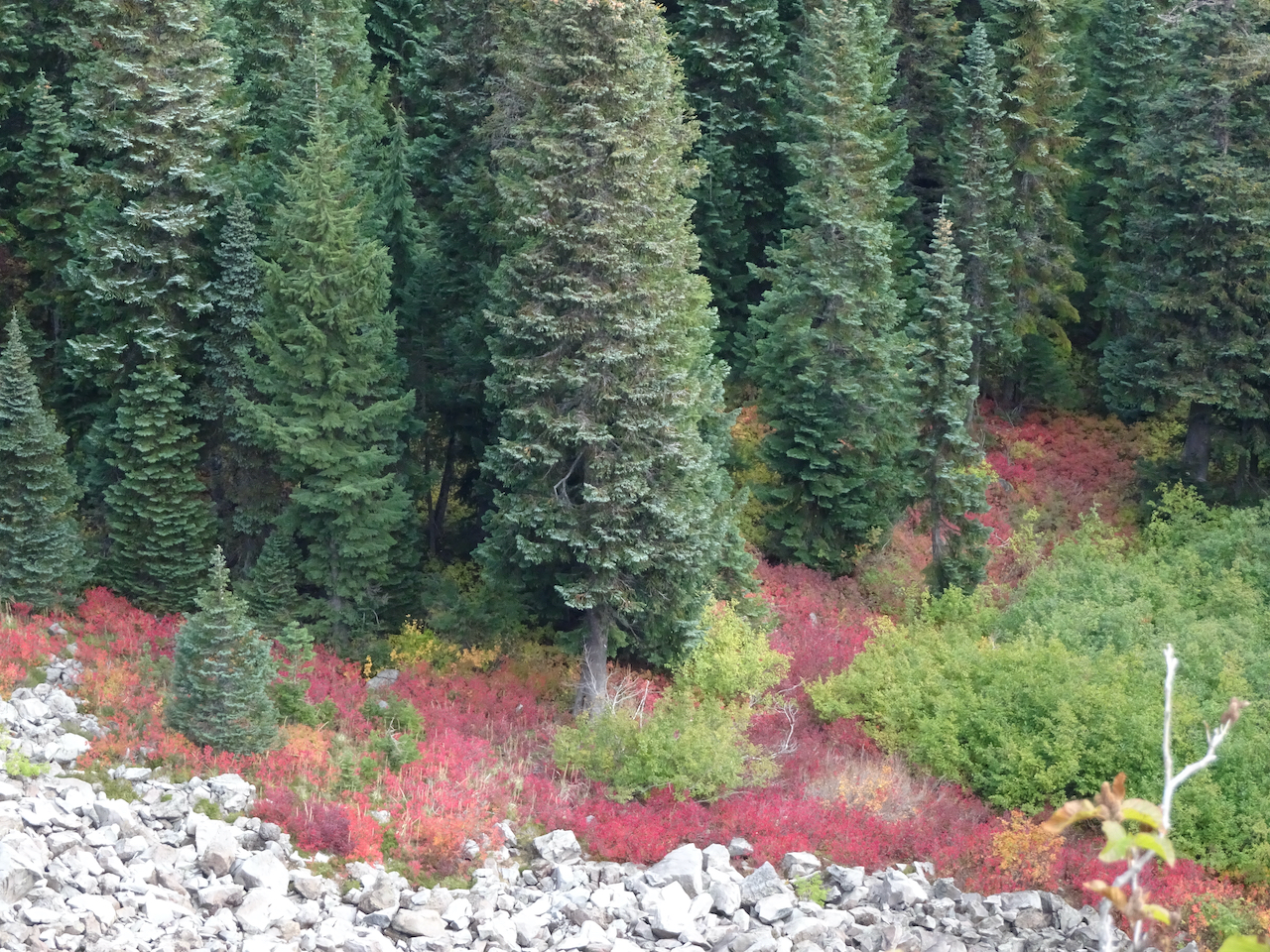
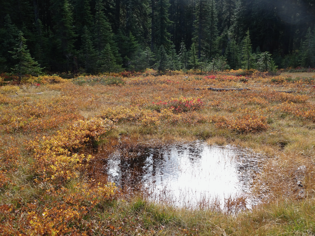
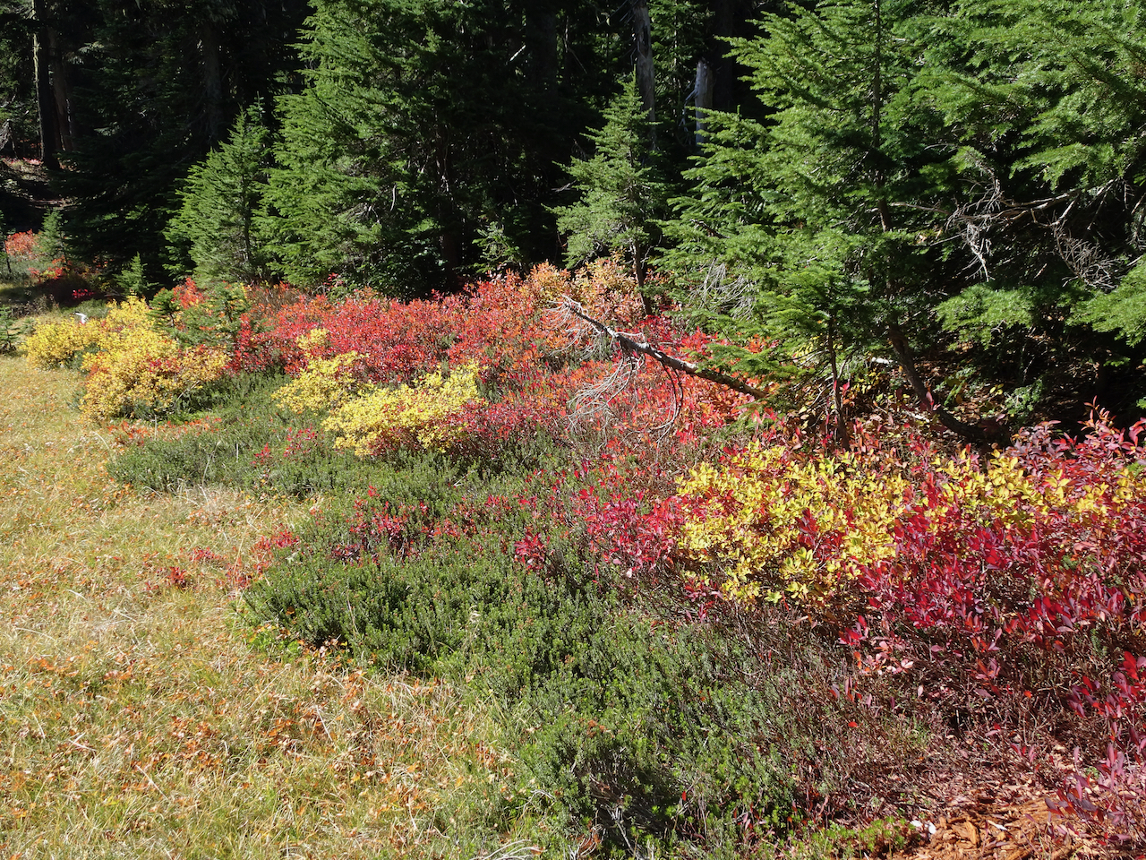
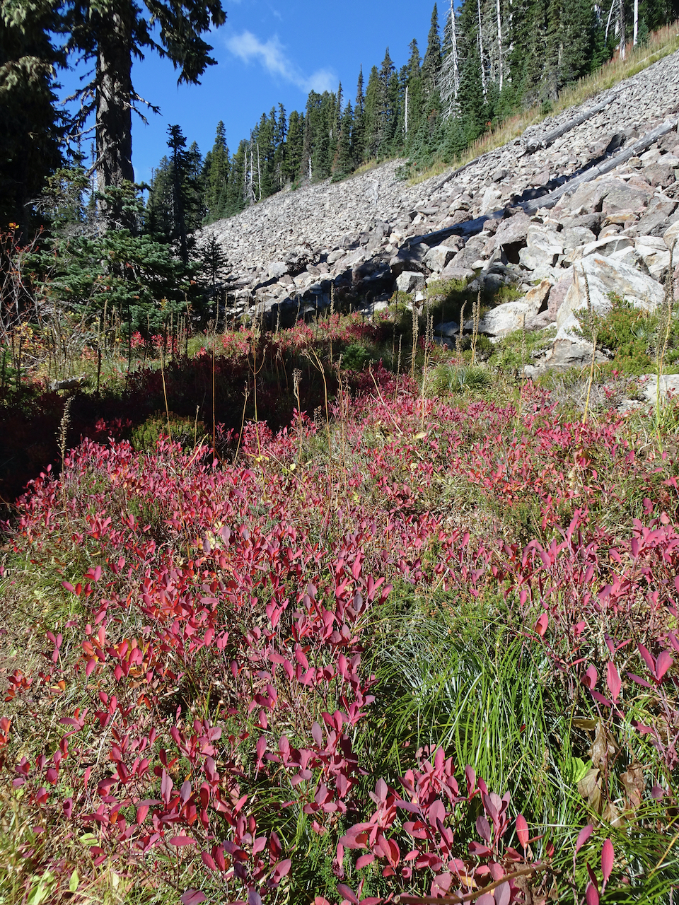
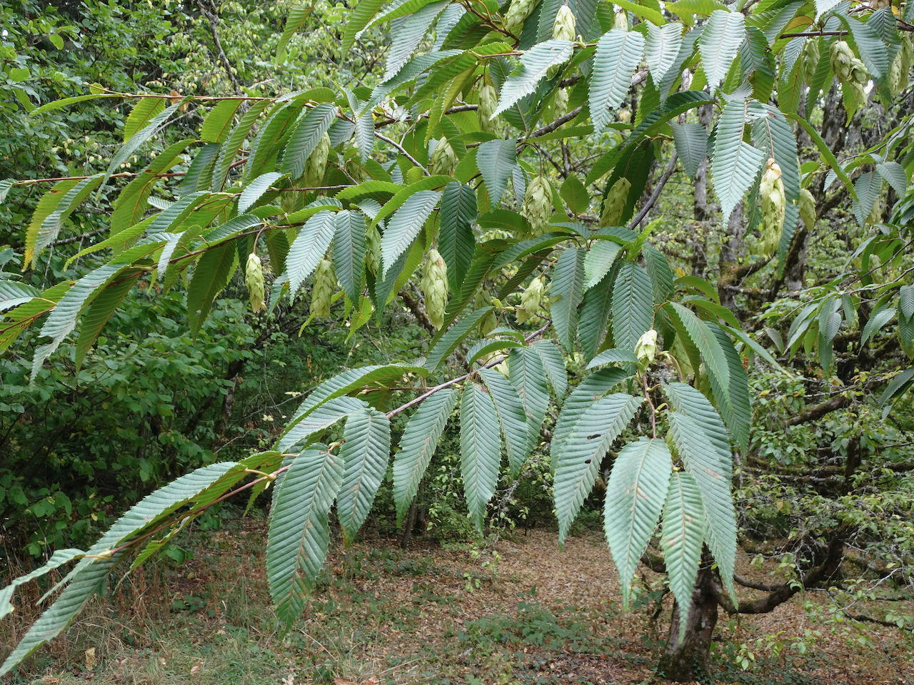
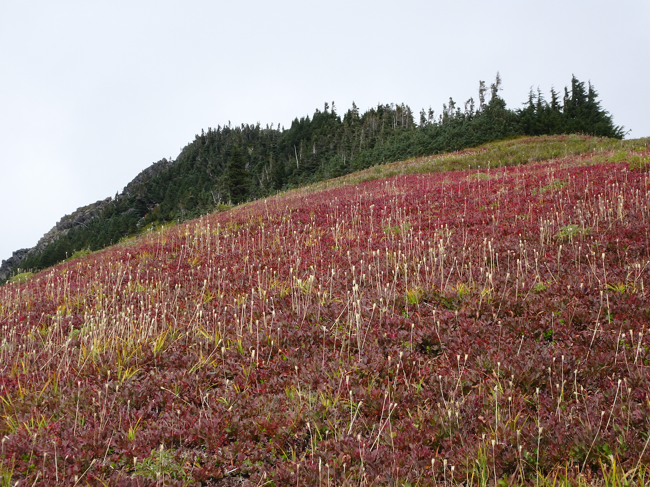
Huckleberry bushes turning red

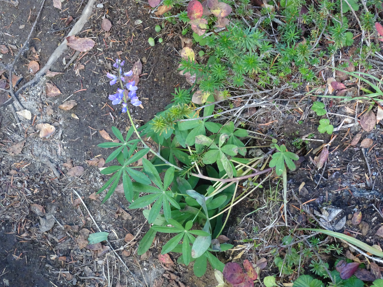
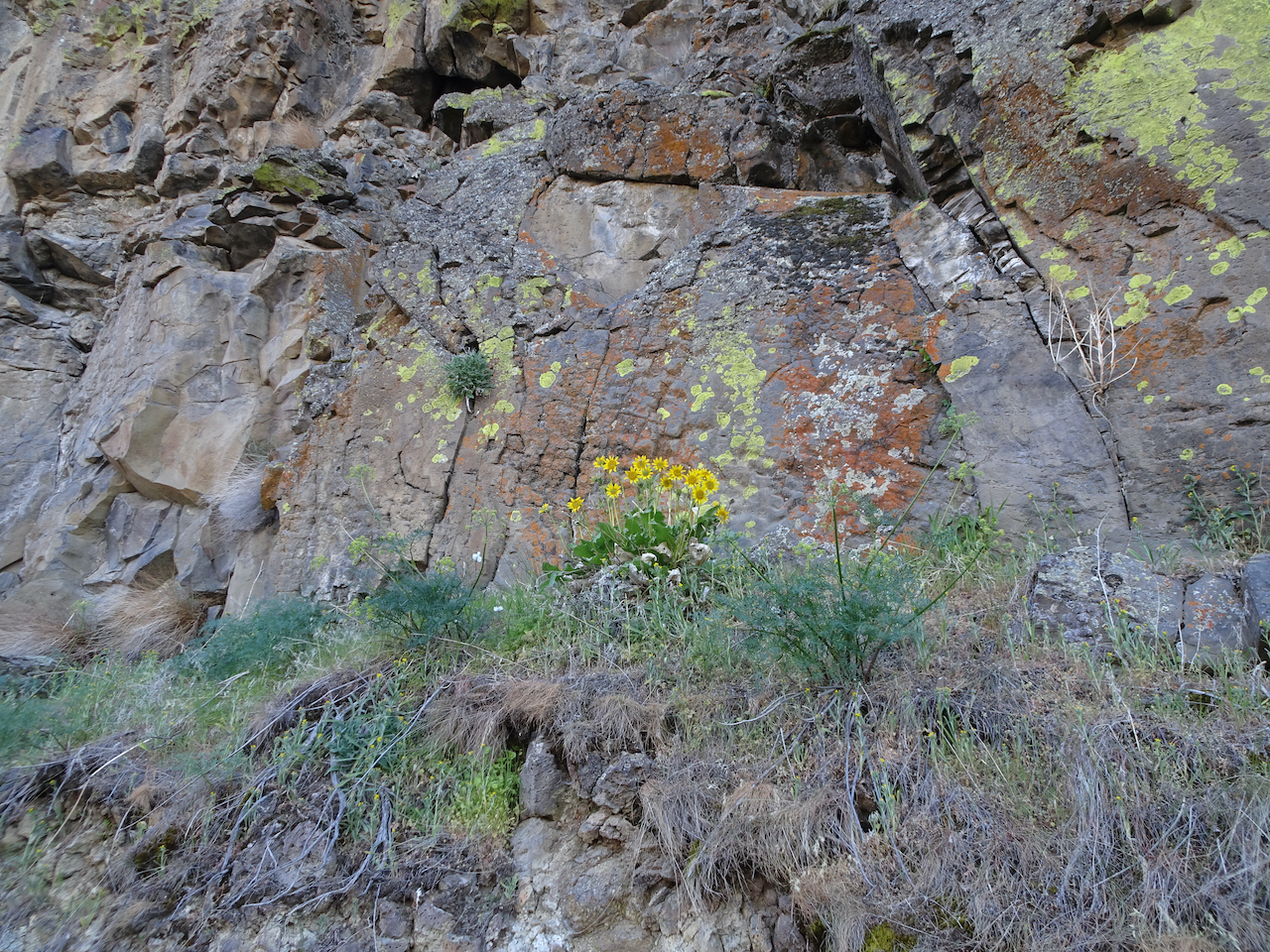
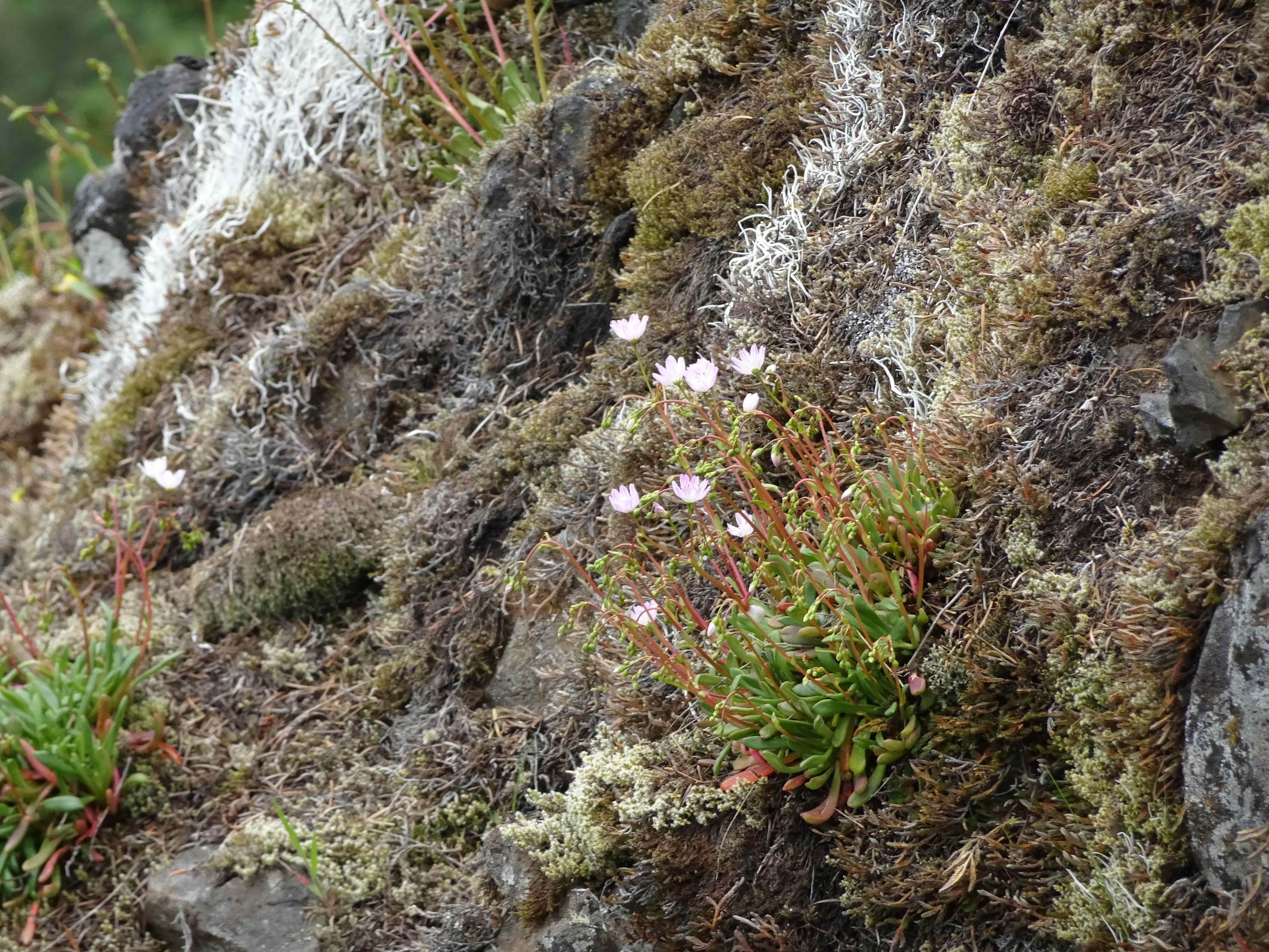
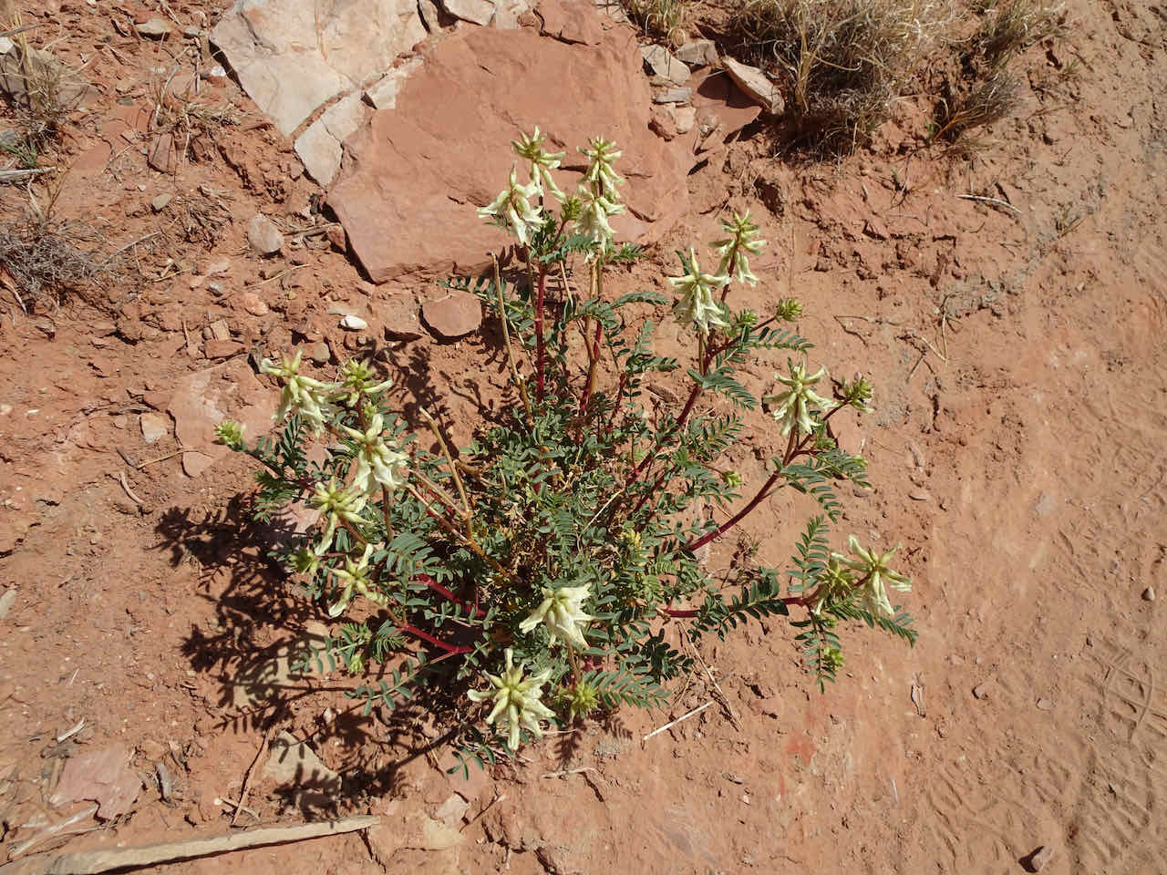
Fringed grass of parnassus in abundance!

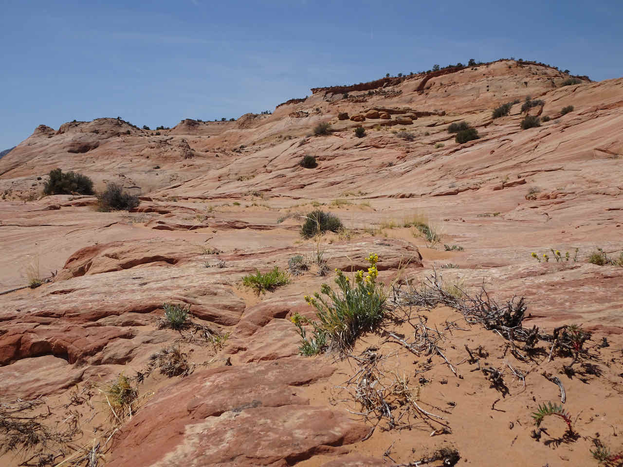
Upper Bagley Lake shore and meadows. On our previous visit this area was full of snow.
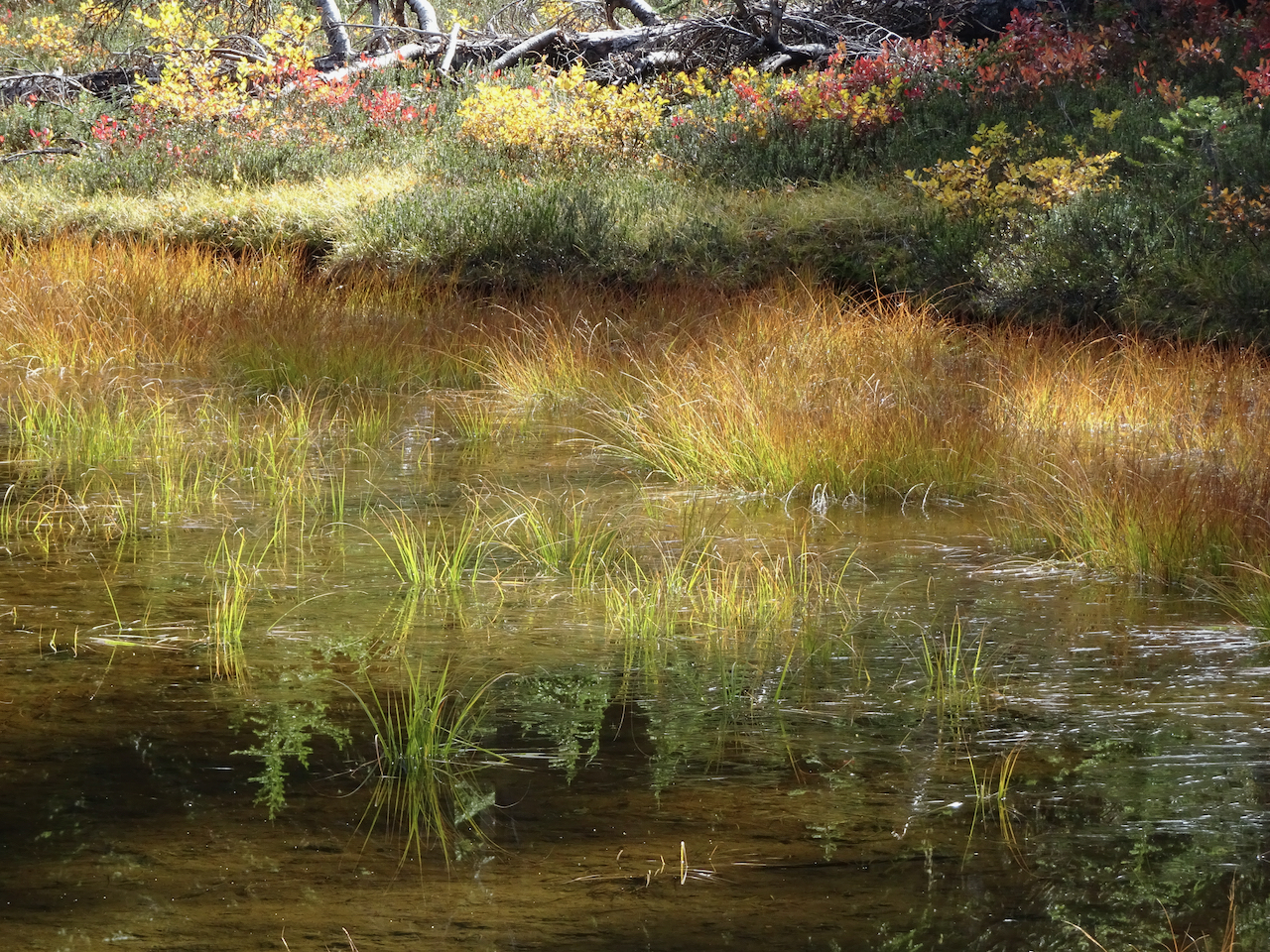
We turned back and walked along the southern shore of Lower Bagley Lake:
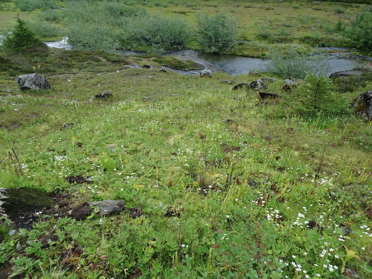
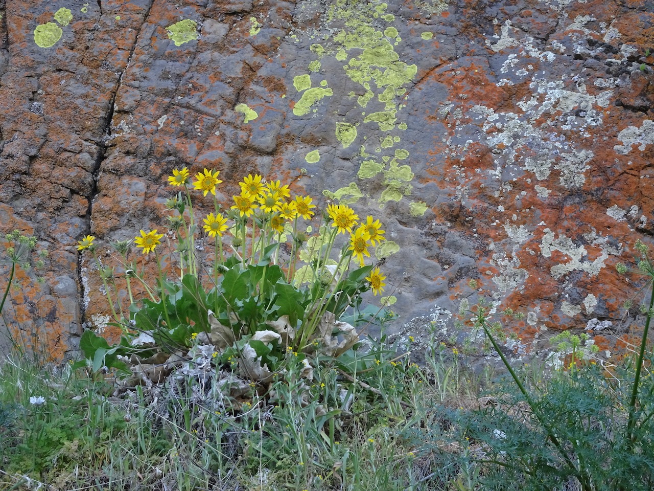
Meadows full of fringed grass of parnassus – previously only seen rarely by me!
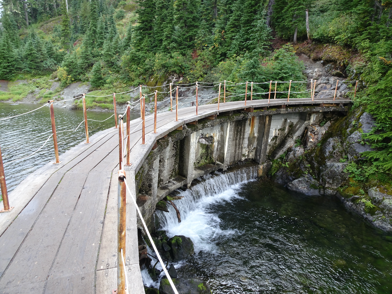
Bridge over the check dam at the lower end of Lower Bagley Lake.
We returned along the north shore of Lower Bagley Lake,
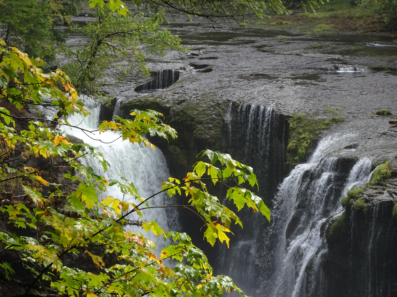
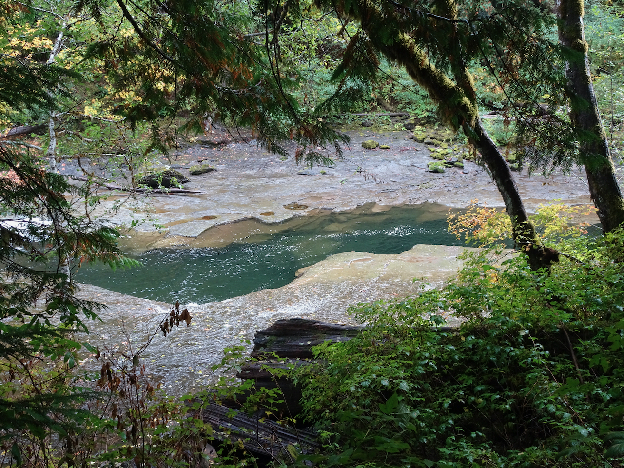
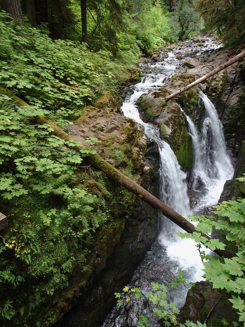
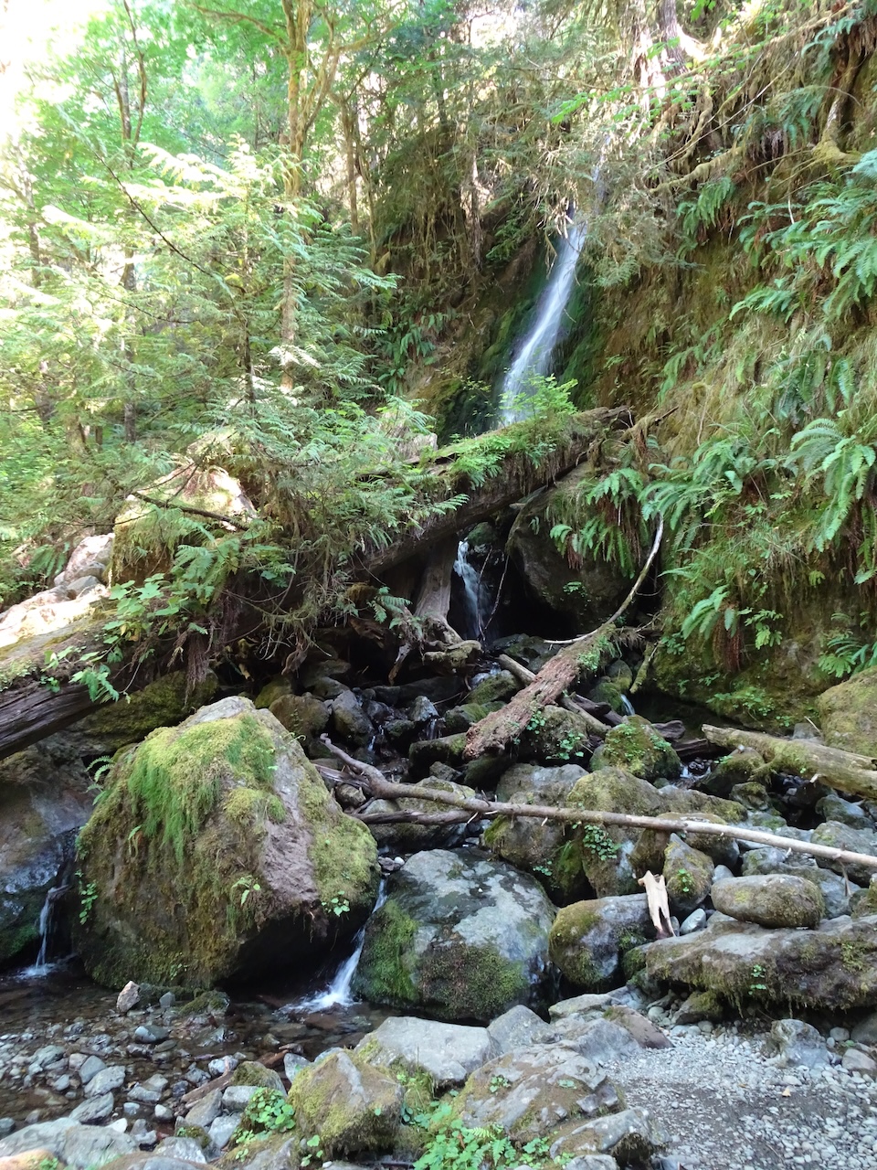
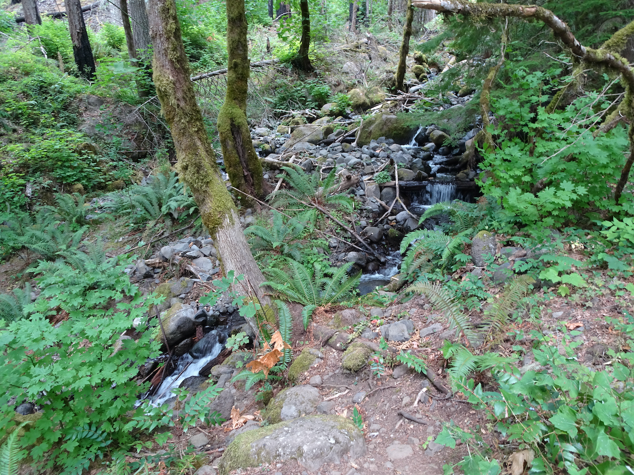
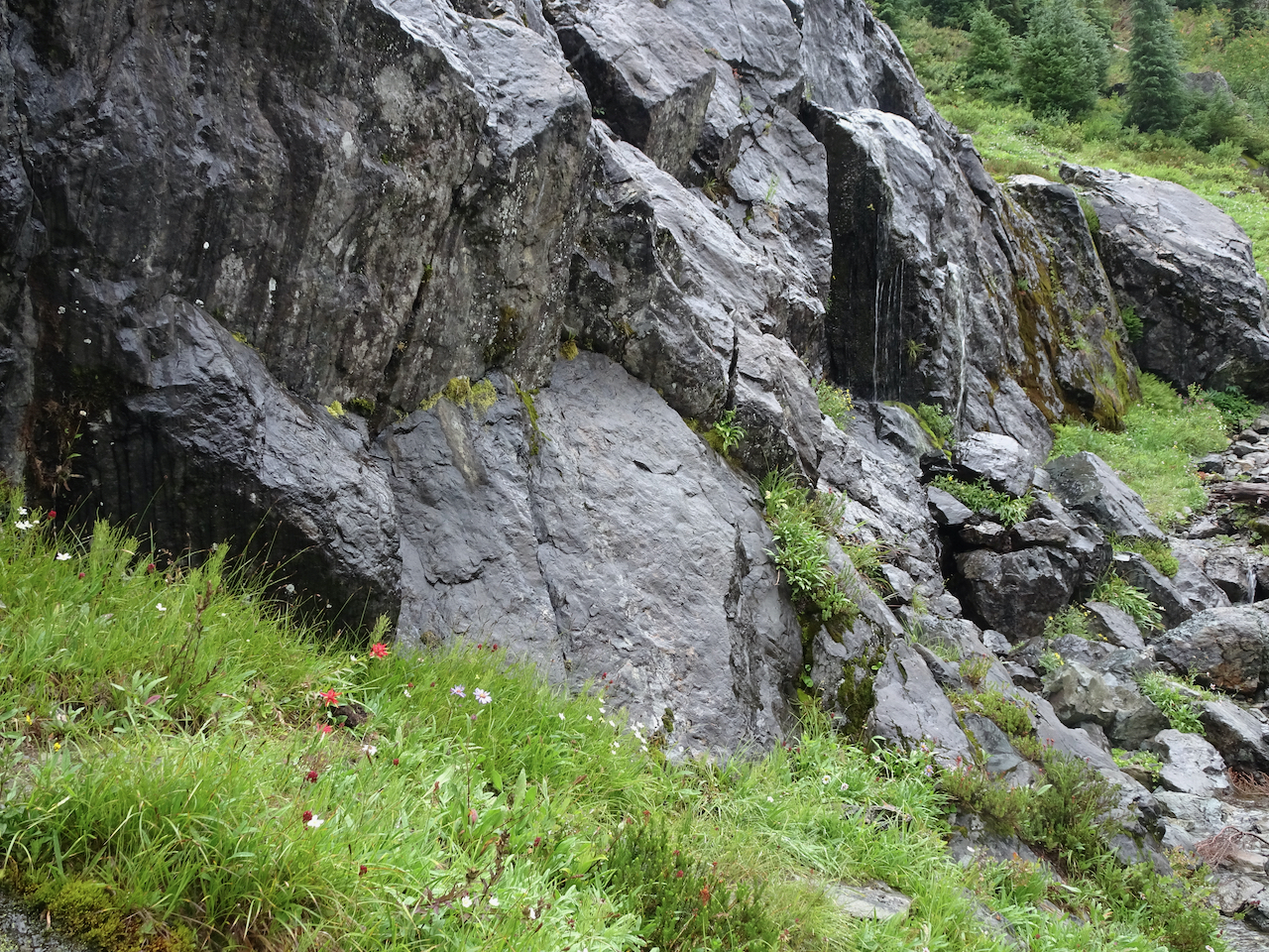
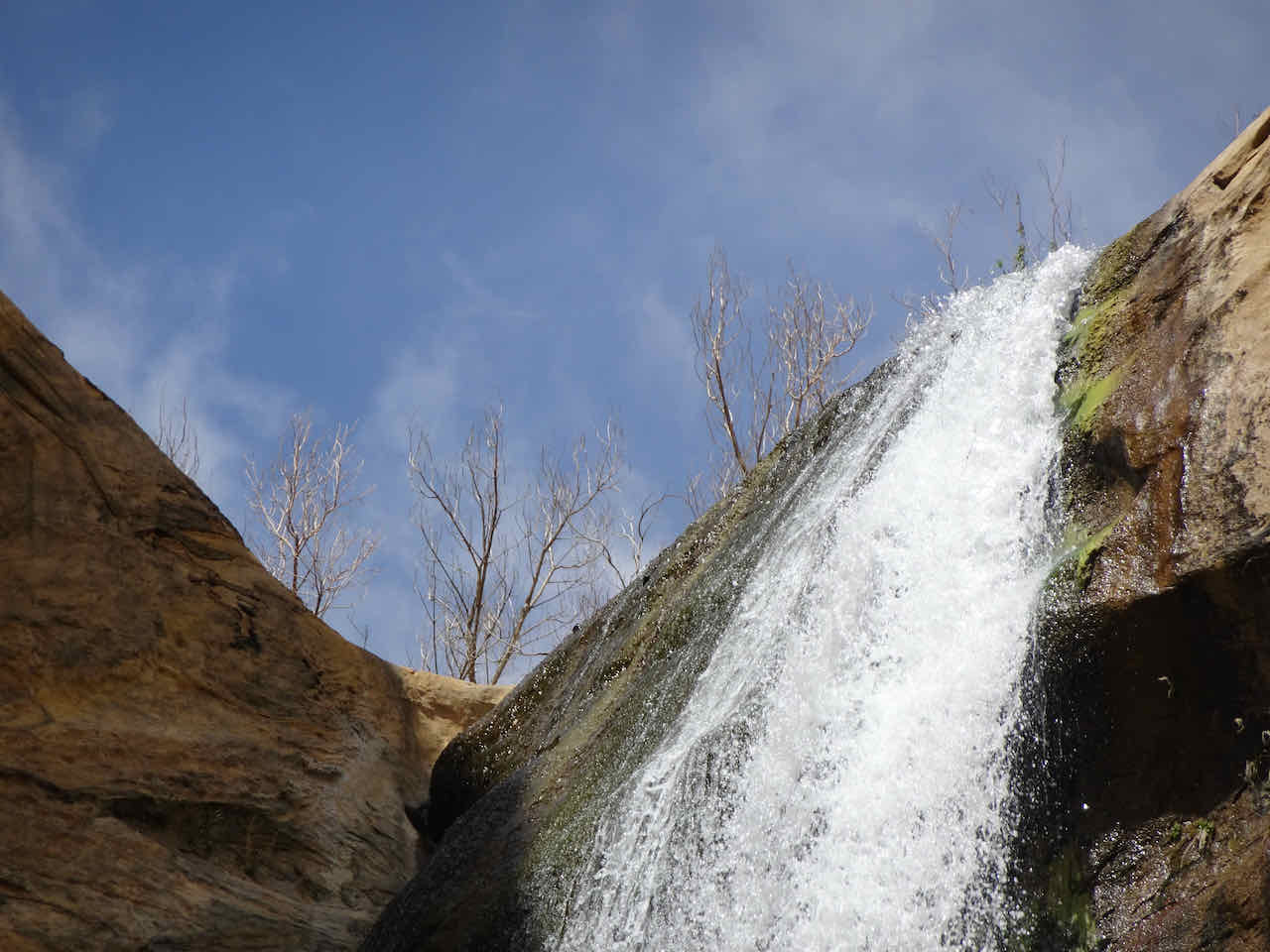
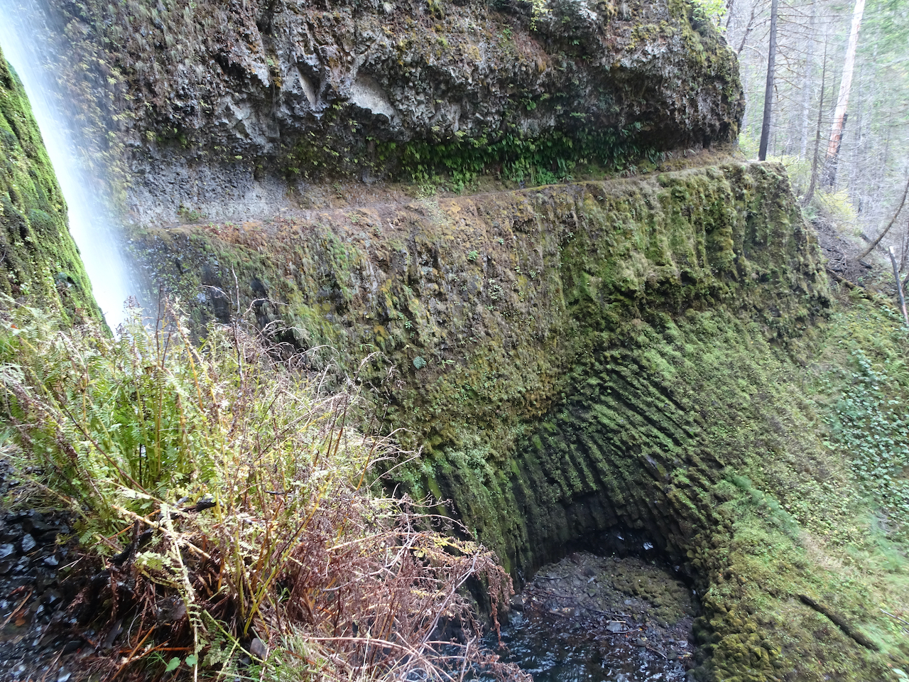
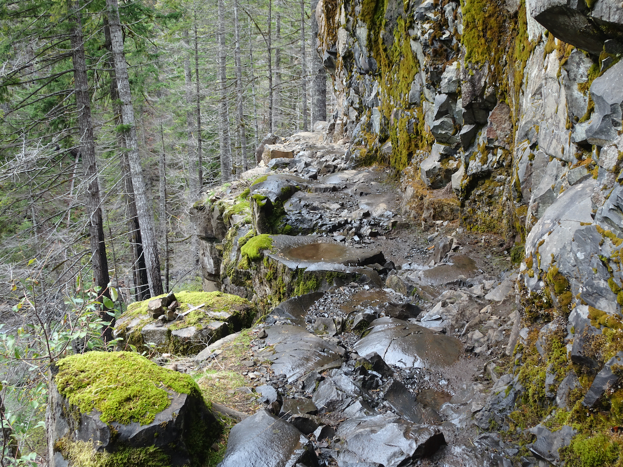
Columnar basalt waterfall
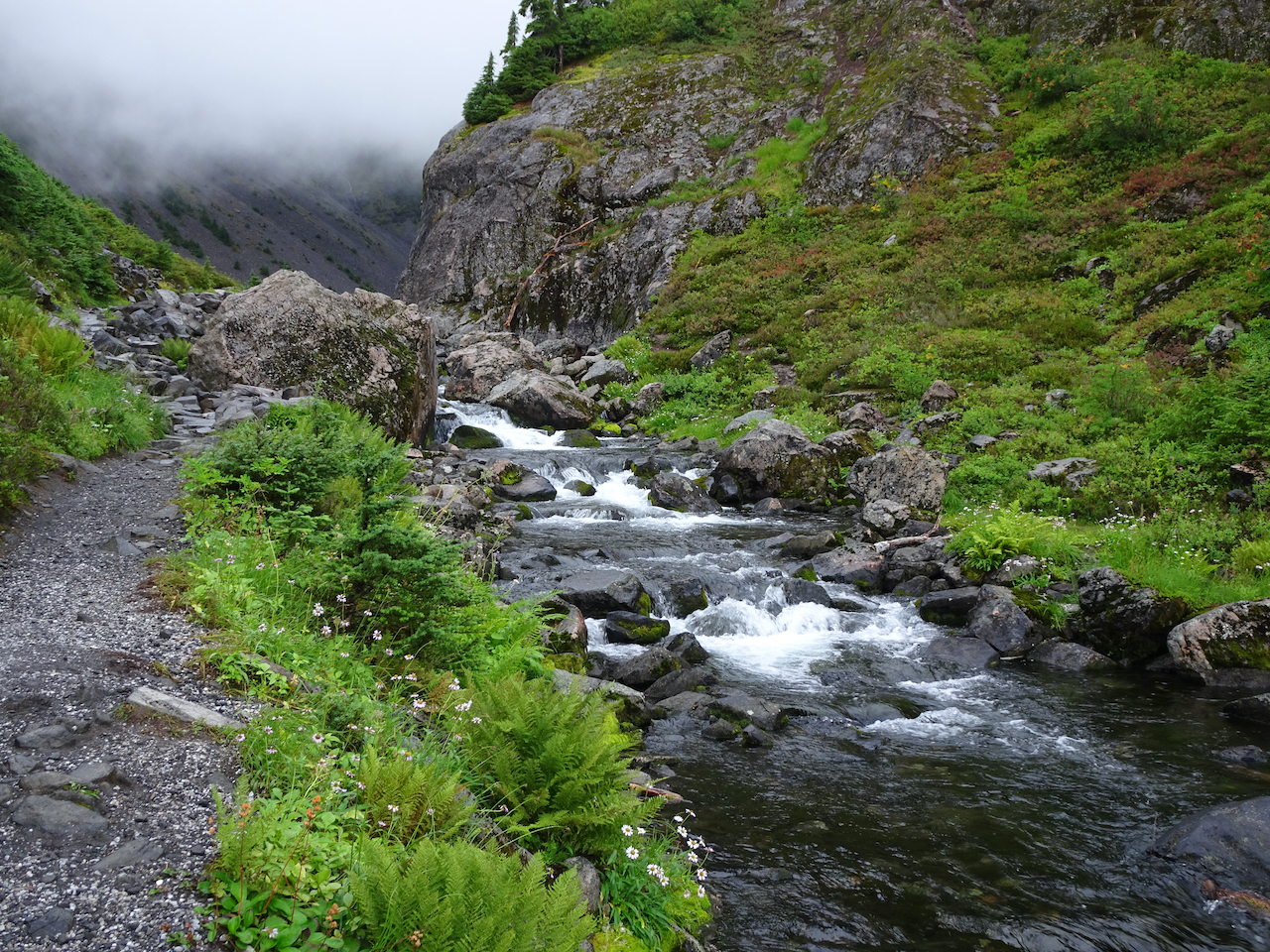
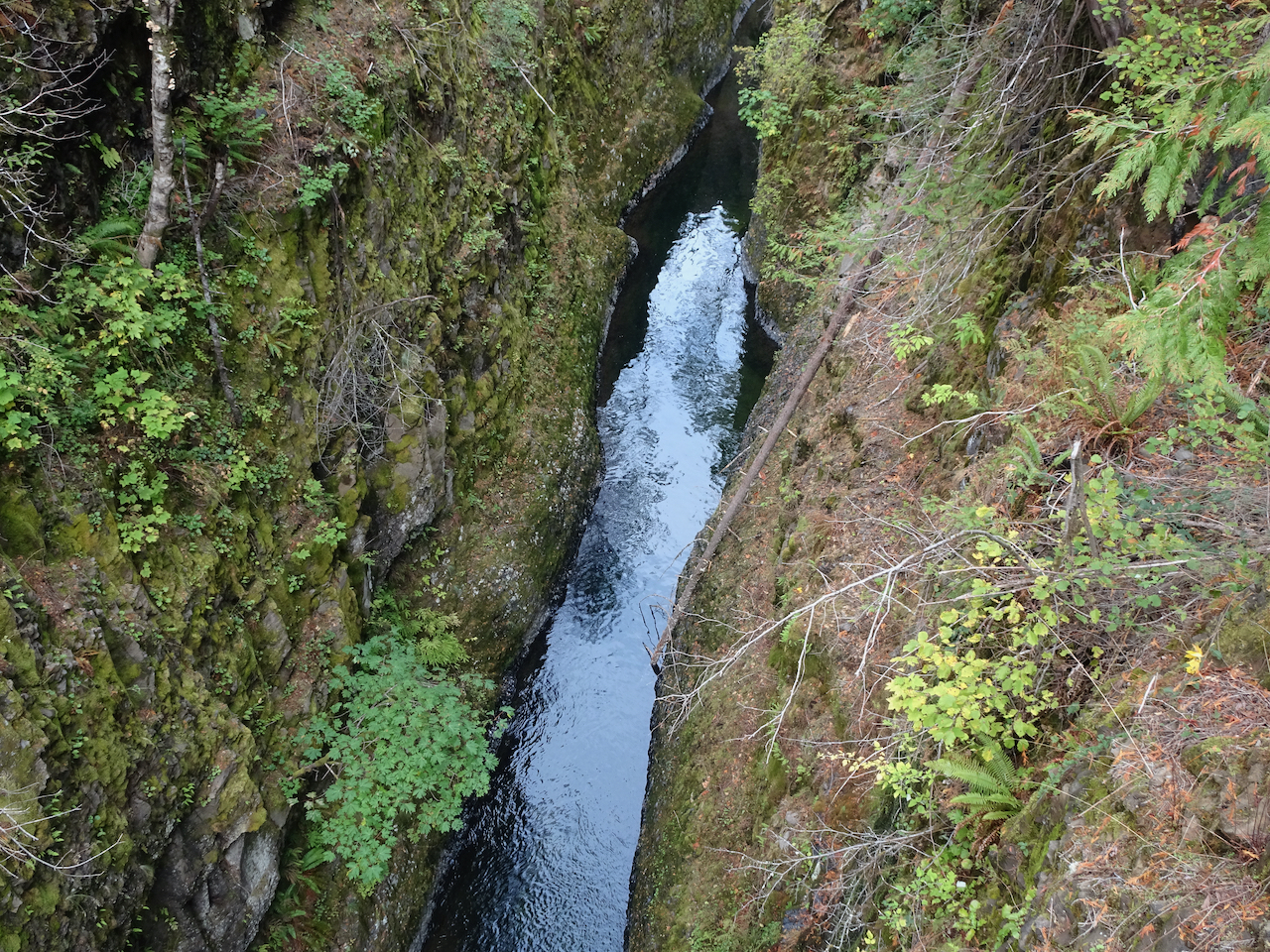
Cascade between the lakes
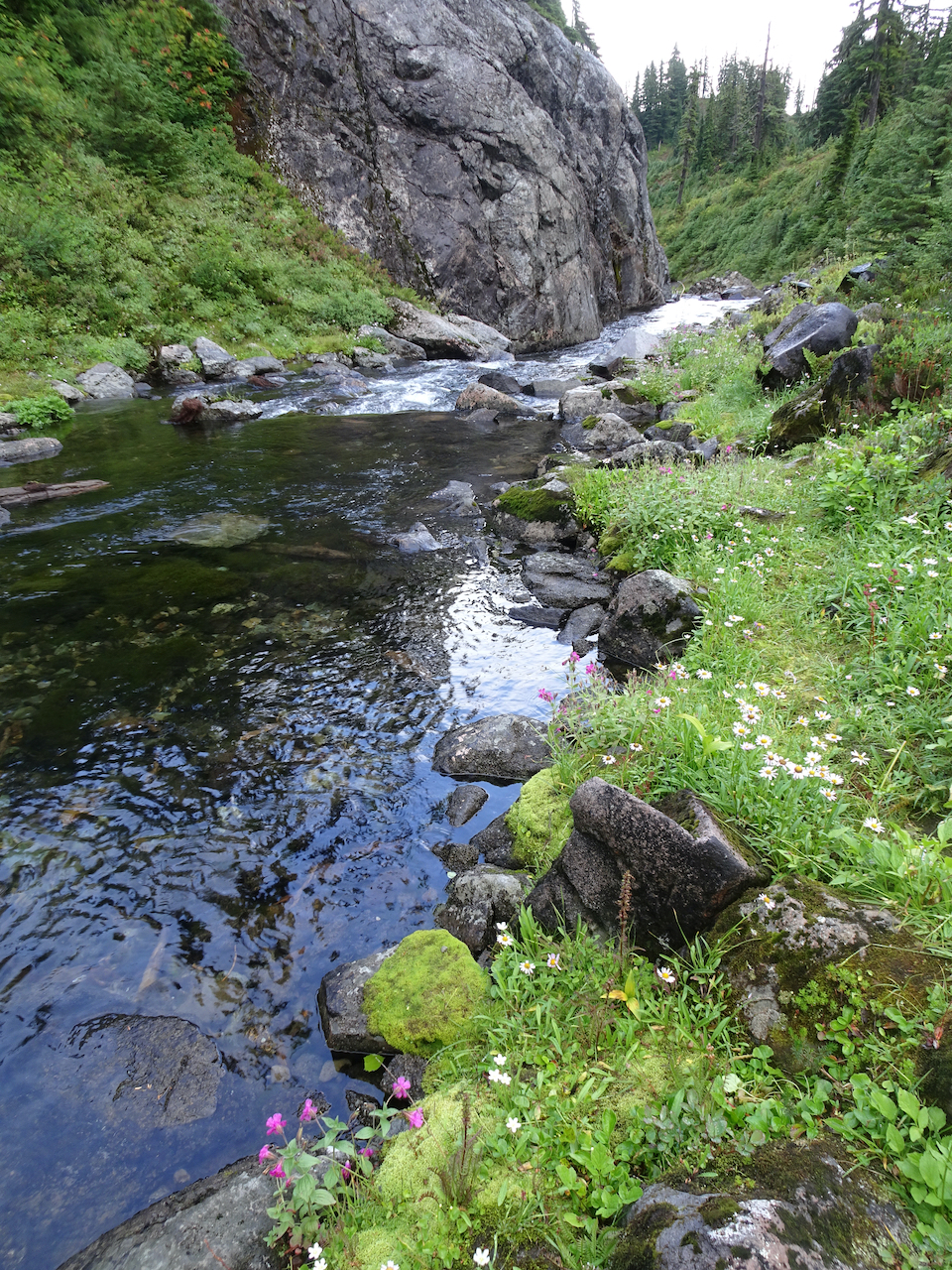
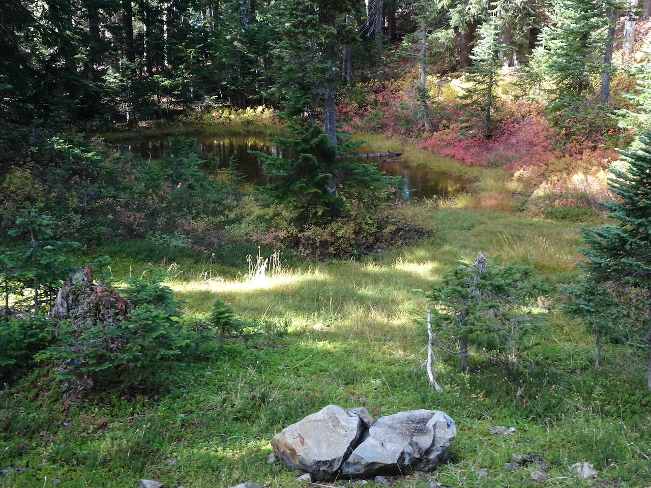
Pool above the cascade
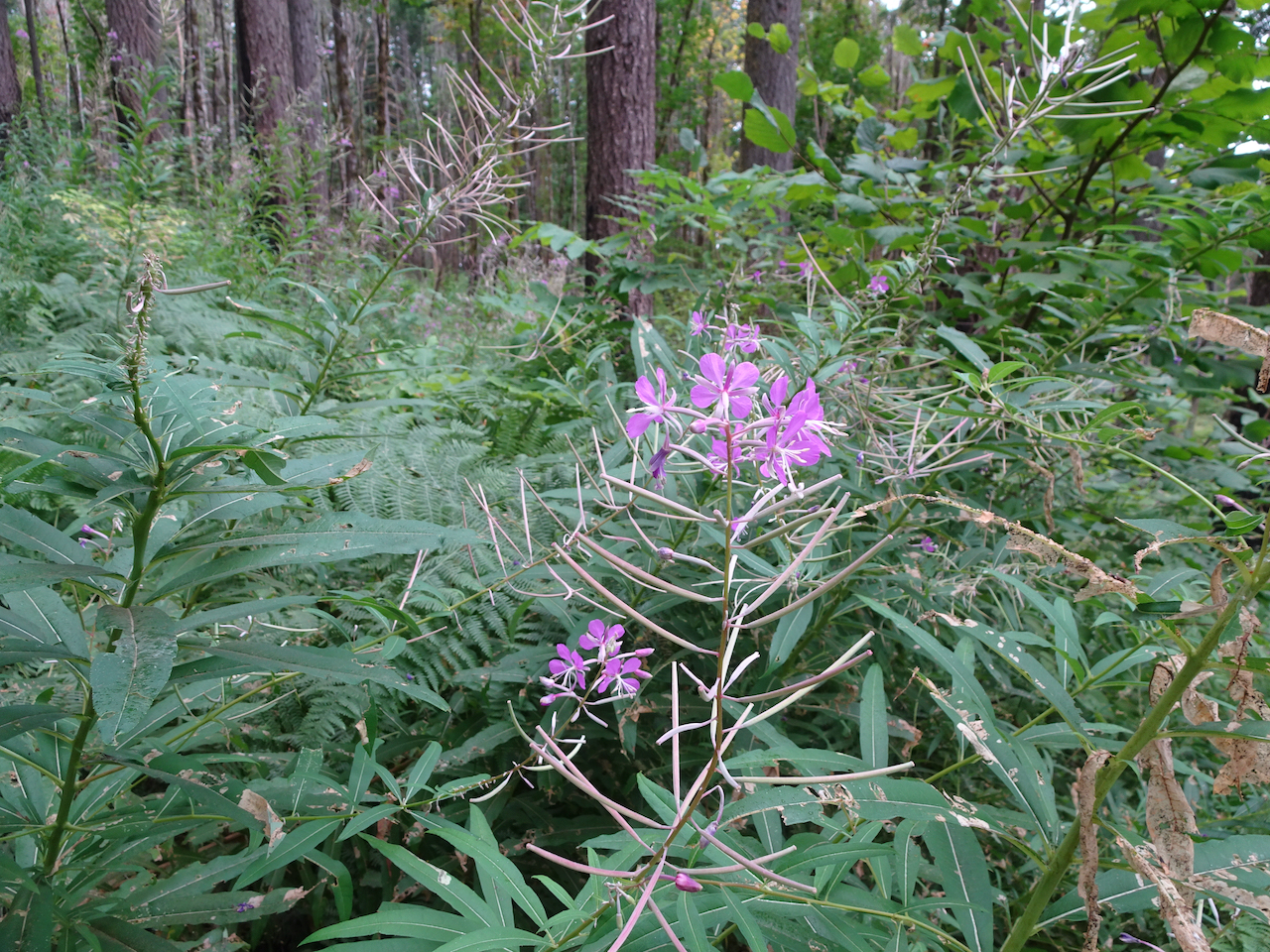
Fireweed
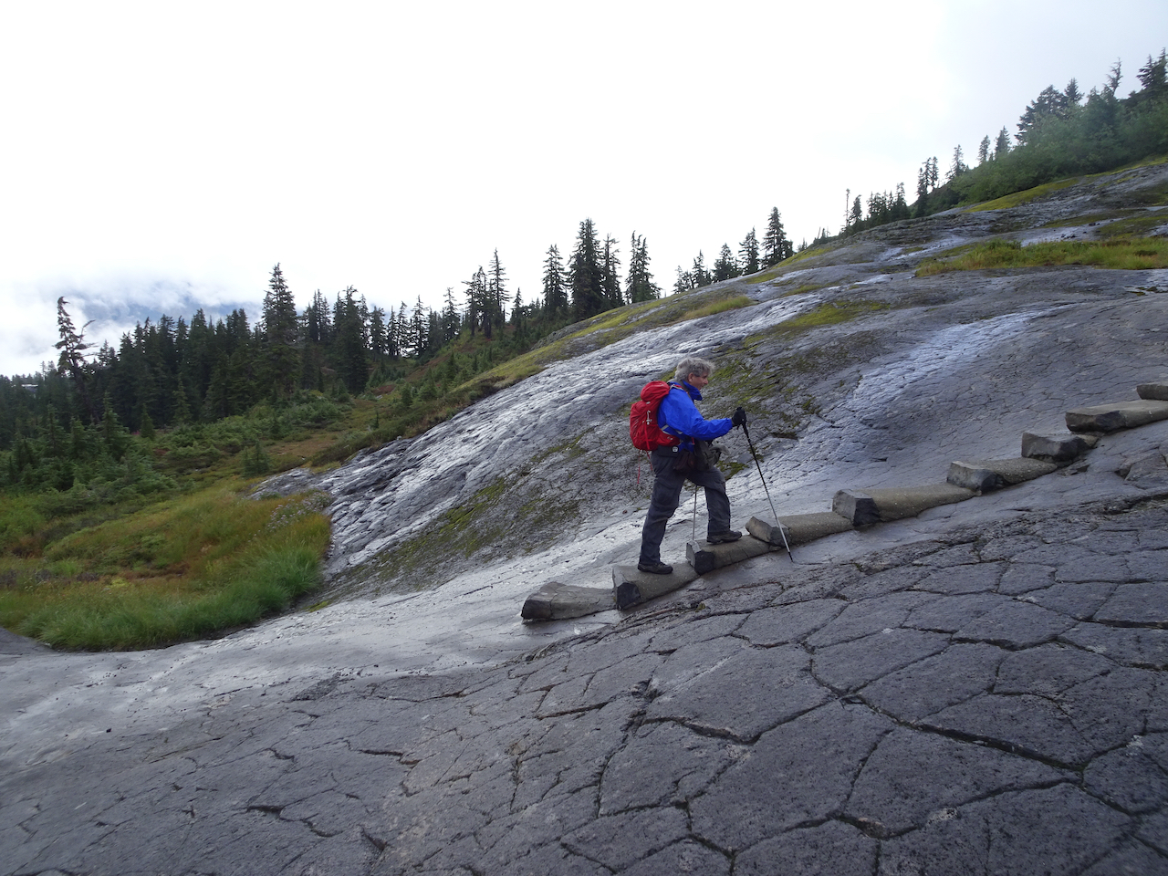
then climbed back up the glaciated basalt surface, having completed the 3 mile loop, clouds lifting just a bit.

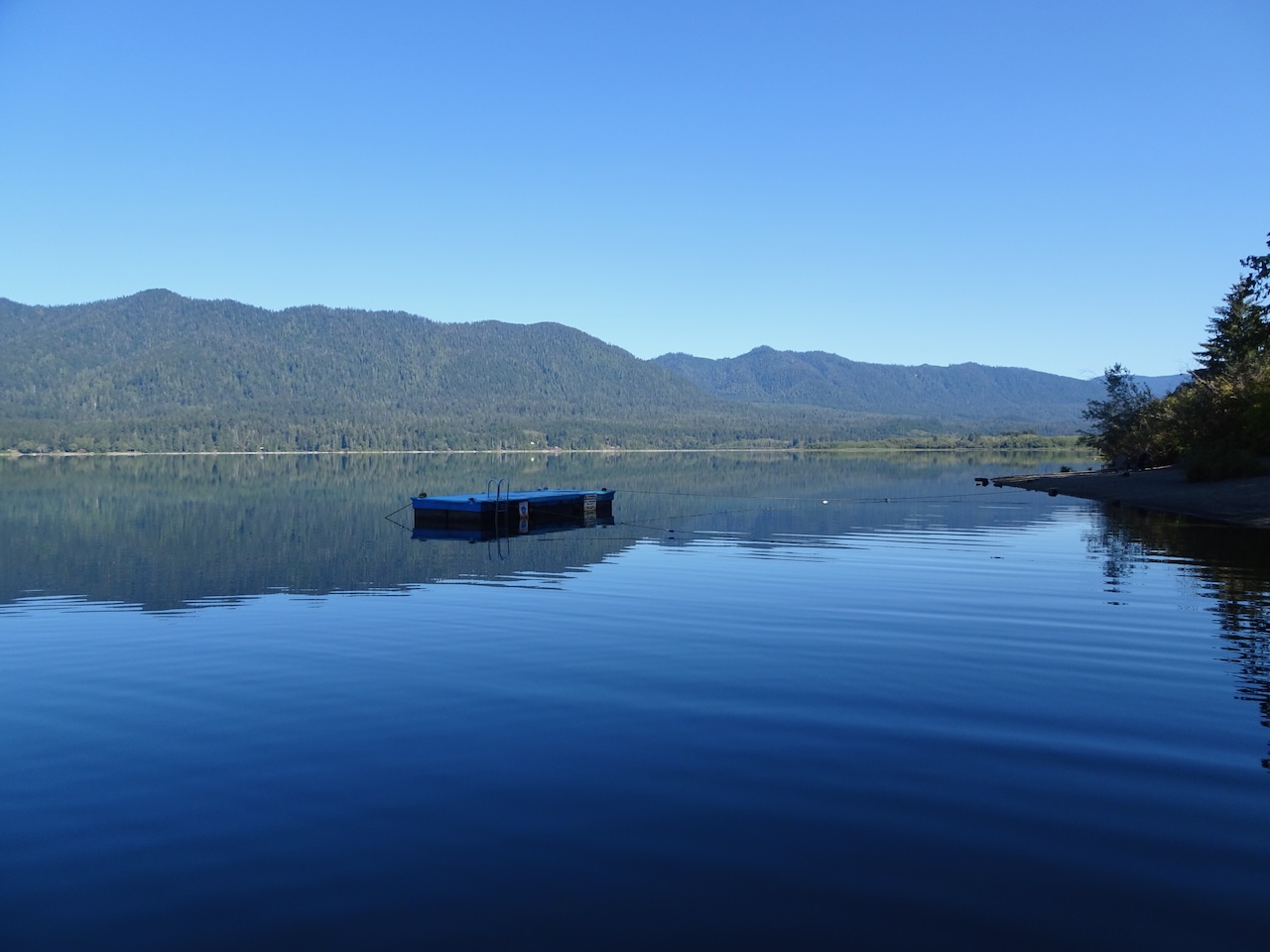
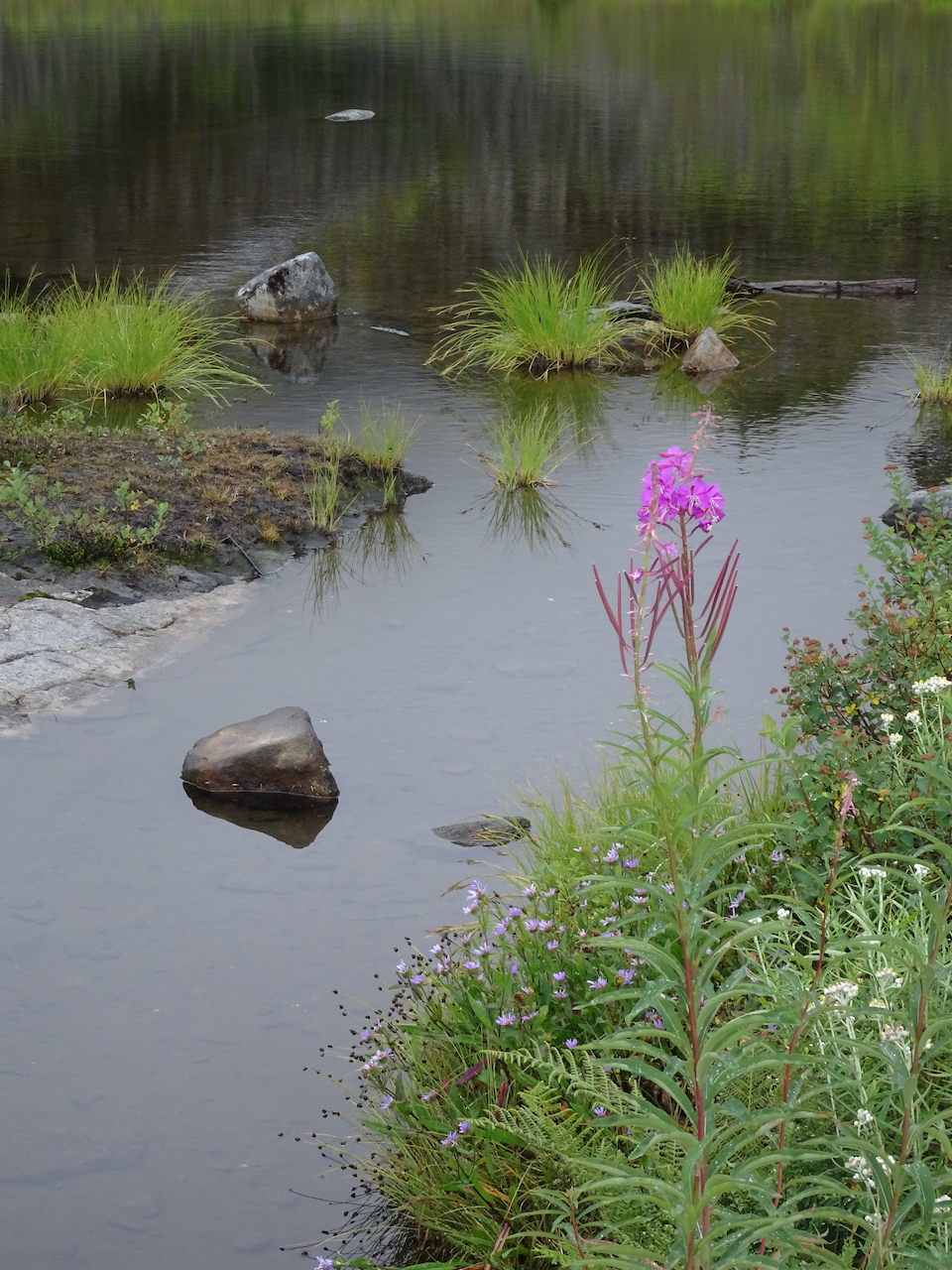
On our drive down the road, we stopped at the Picture Lakes – no mountain views today, but plenty of colorful wildflowers and foliage in the surrounding meadows.

Picture Lake
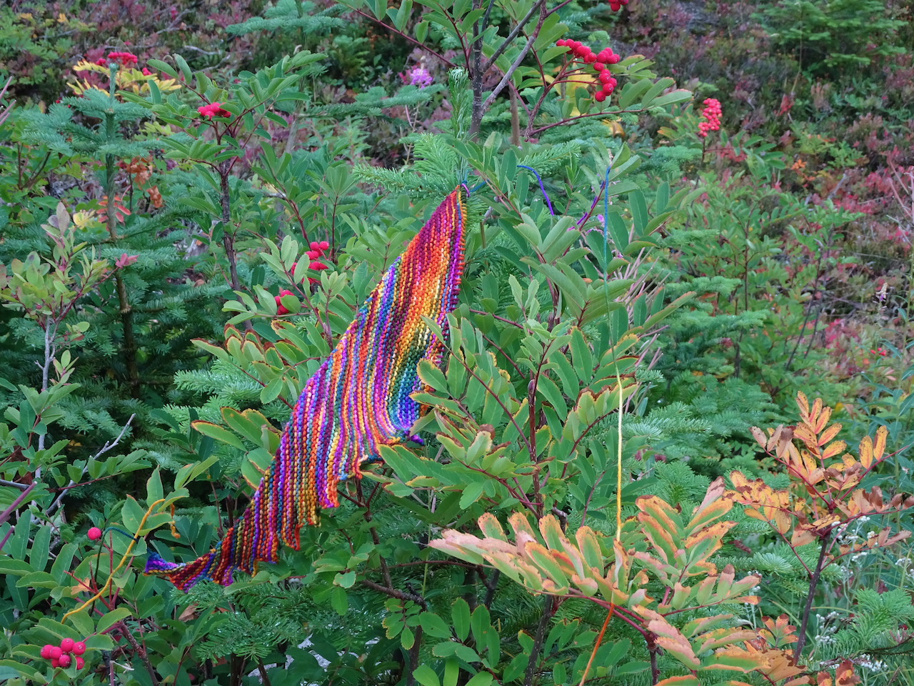
I realized the foliage colors are all there in the Hitchhiker Shawl I am knitting.
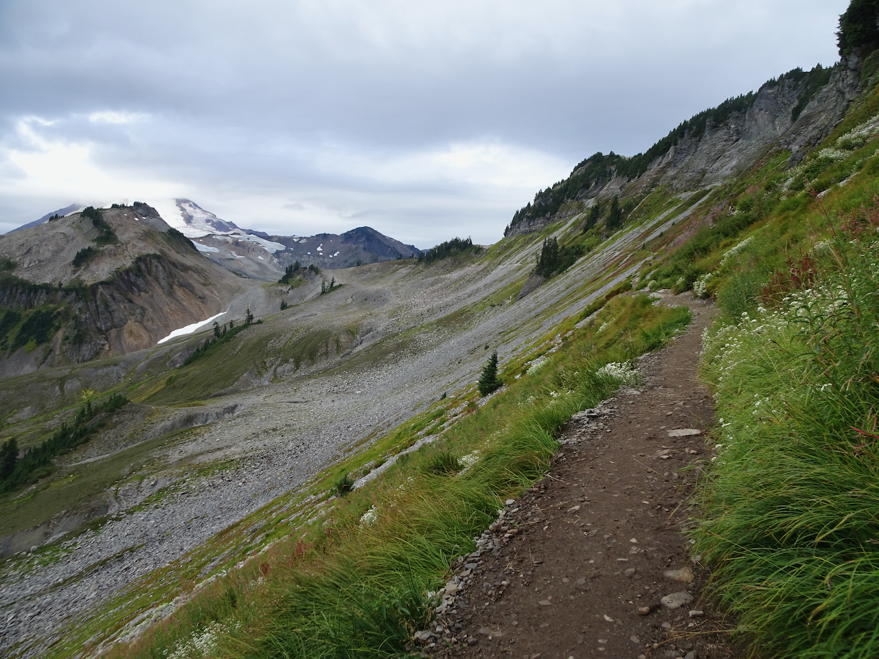
September 13 – Ptarmigan Ridge
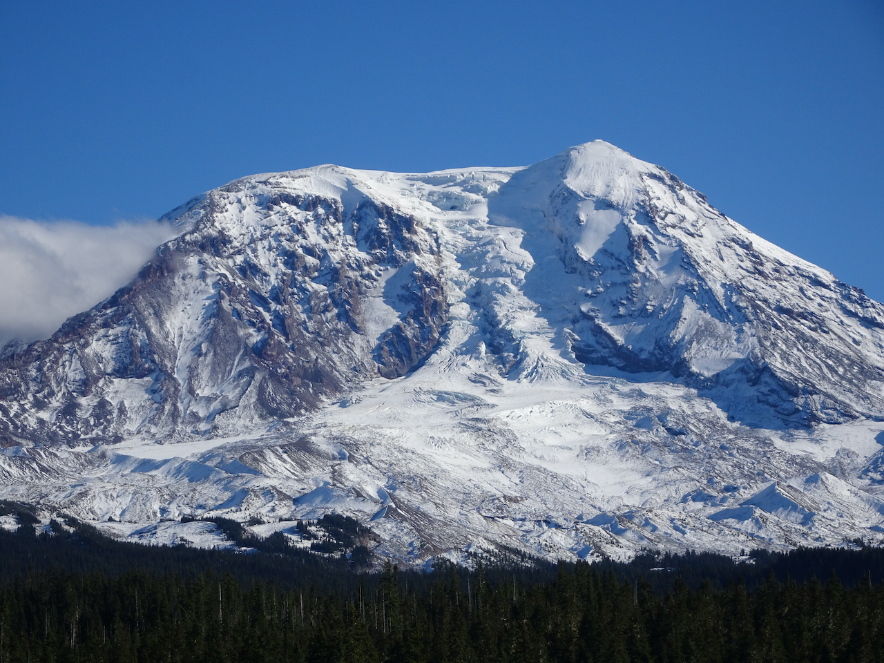
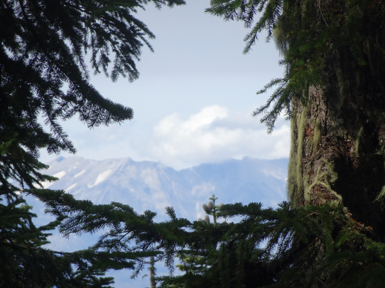
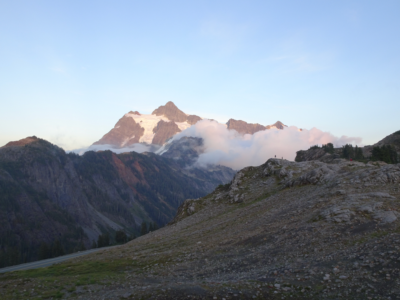
When we arrived at the Artist Point trailhead, Mt Baker was out, though hiding a bit behind fast-moving clouds.
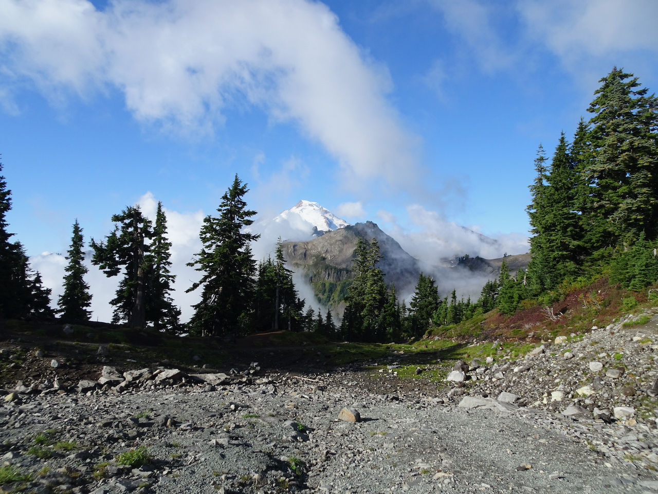
Mt Baker from Artist Point
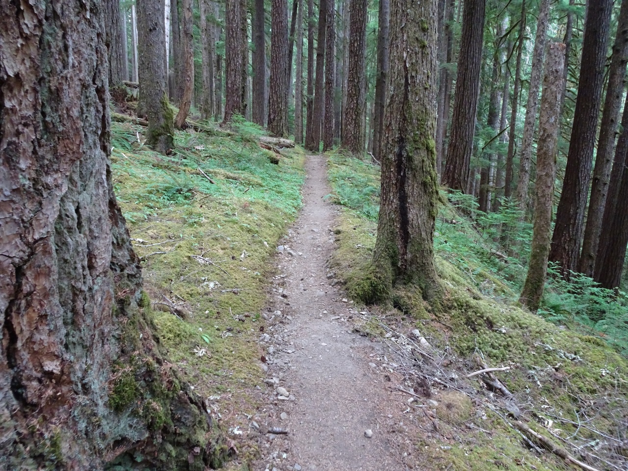
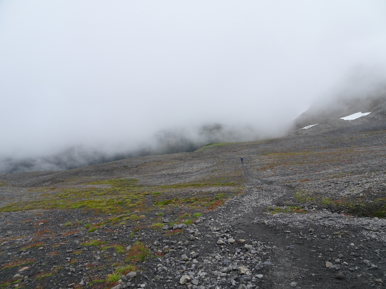
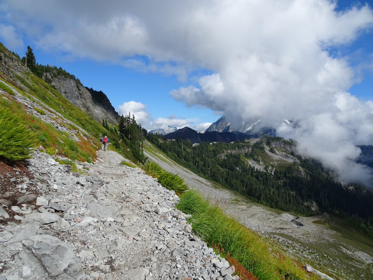
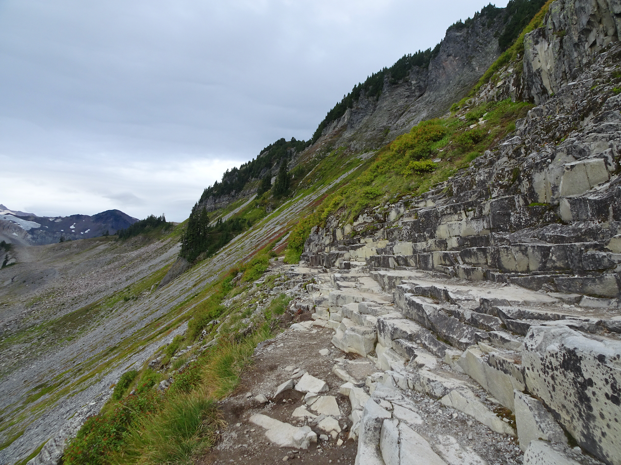
We started along the first mile of trail that is carved into a high cirque, toward the saddle where the Ptarmigan Ridge trail begins.
Trail along the cirque
Saddle, Mt Baker beyond the clouds.
From the saddle, we dropped down into another cirque, then back up to Ptarmigan Ridge, heading toward Coleman Pinnacle.
Hiking up the next cirque to the ridge.
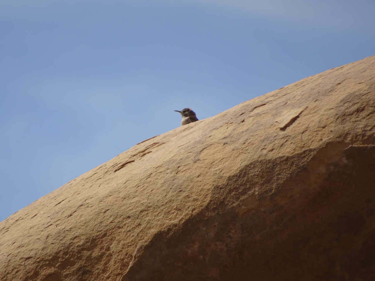
Ptarmigan Ridge
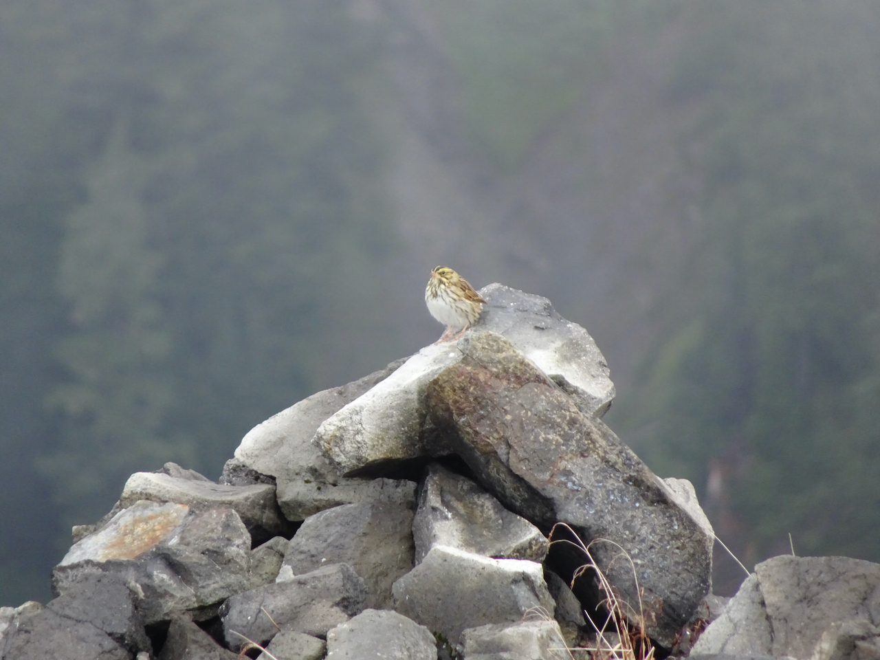
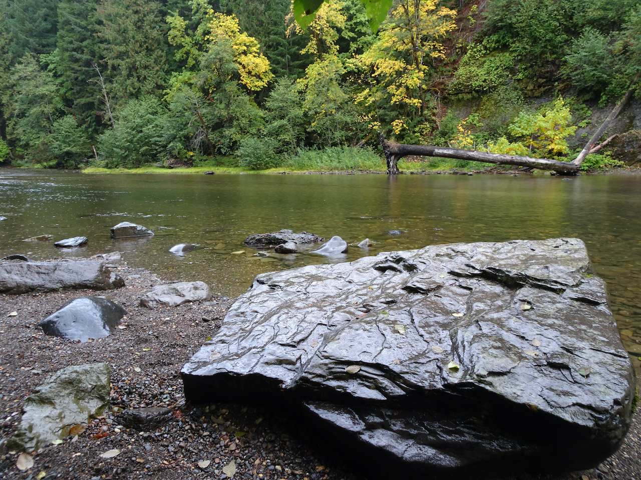
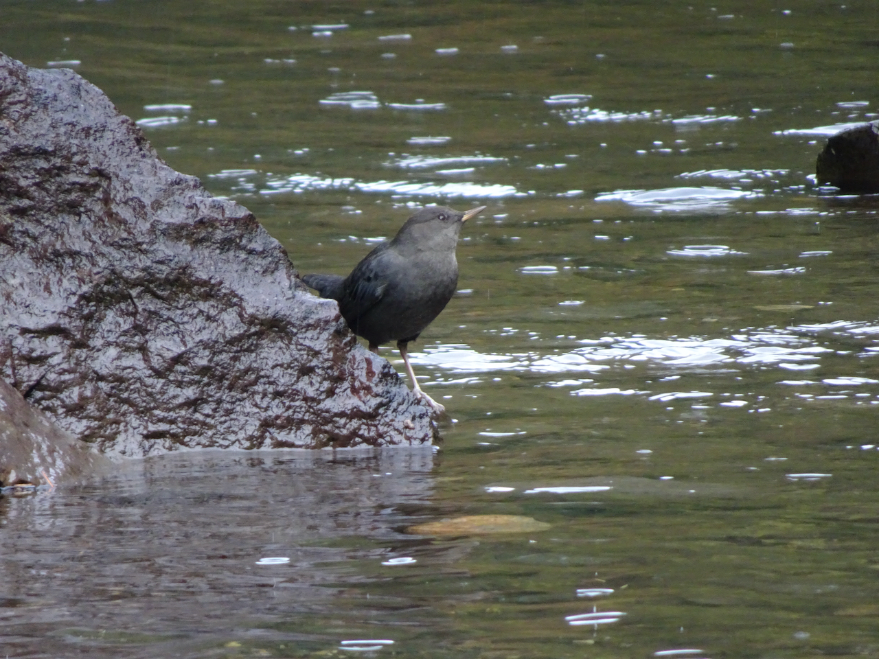
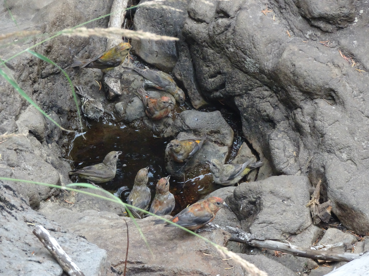
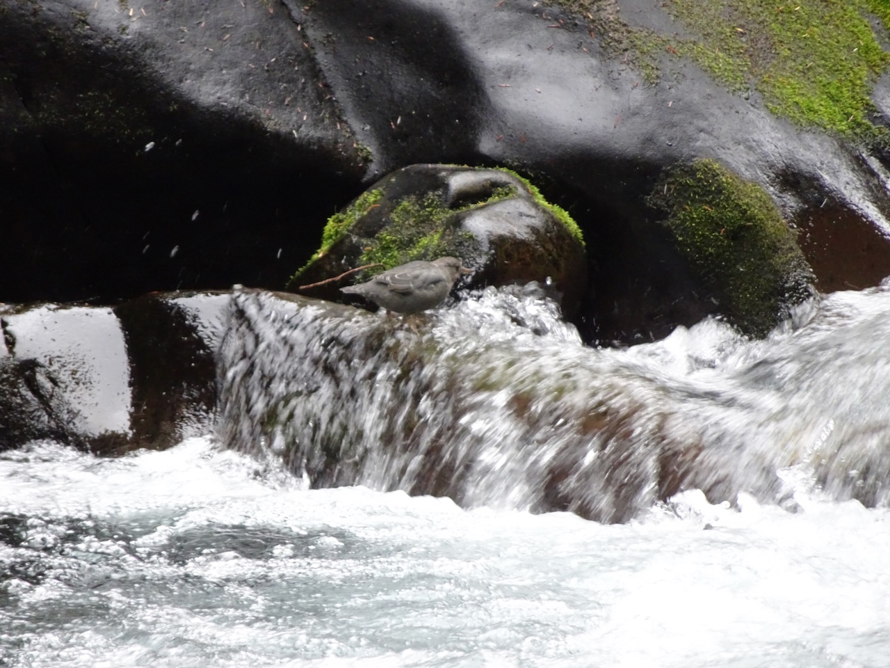
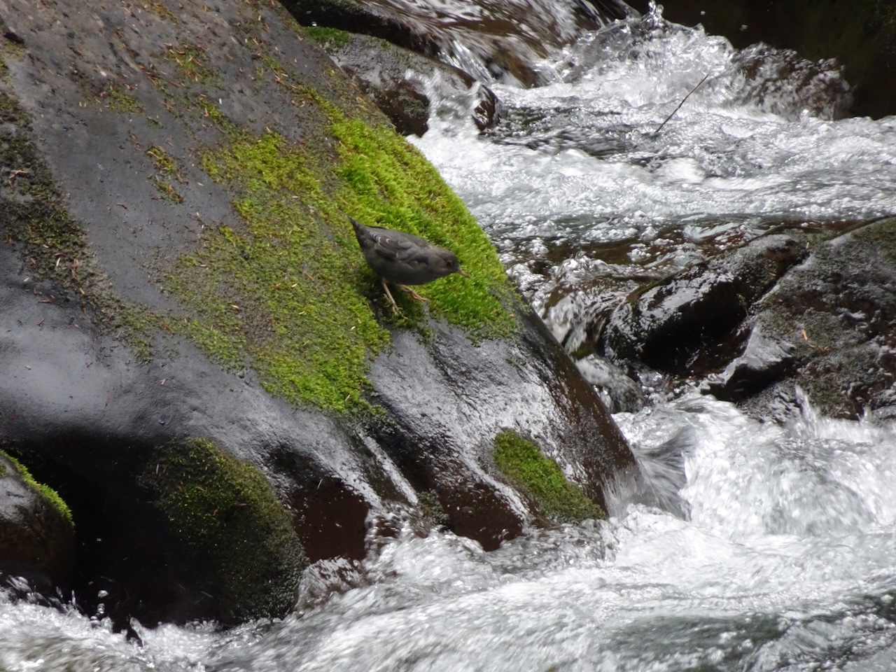
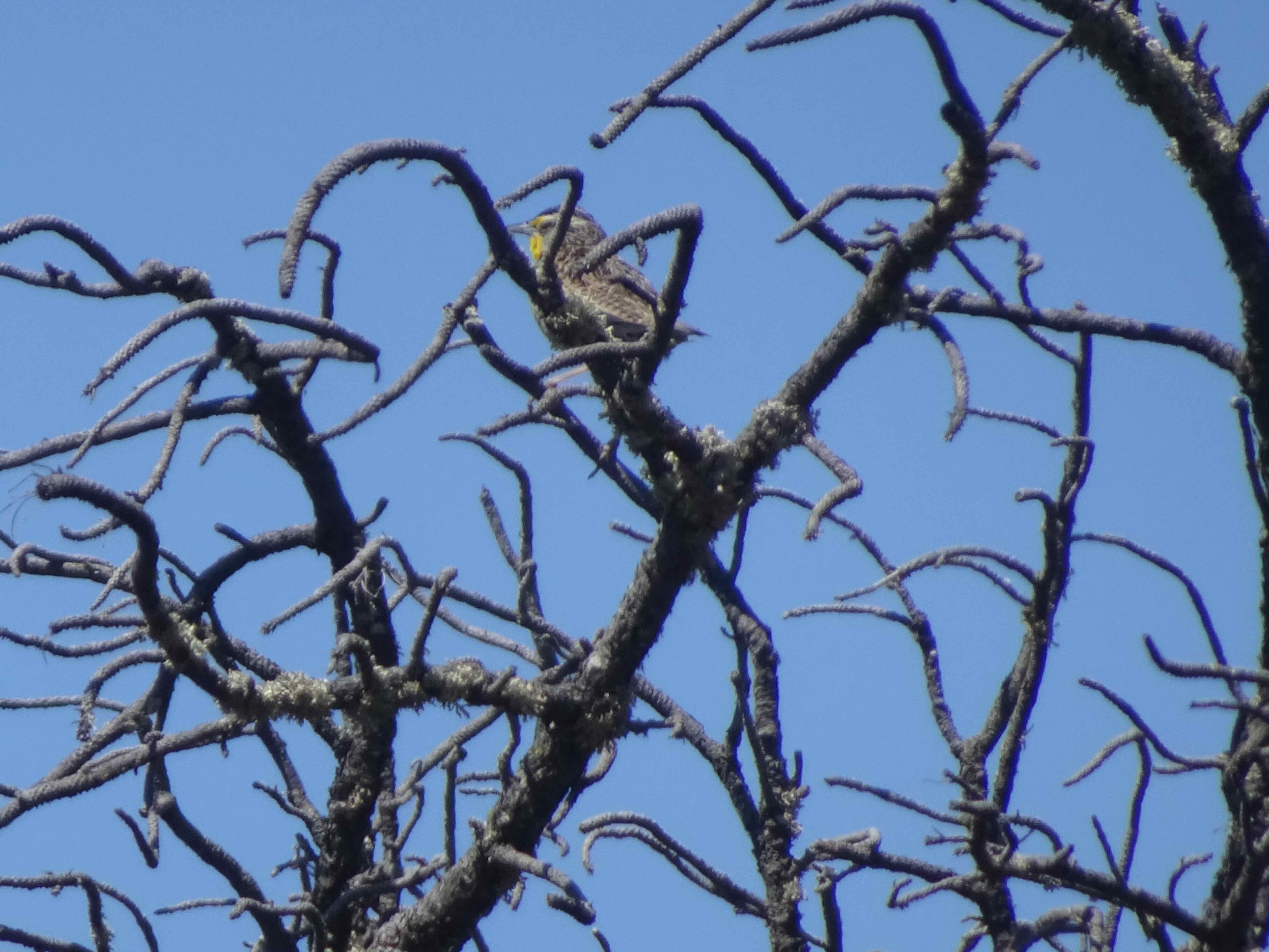
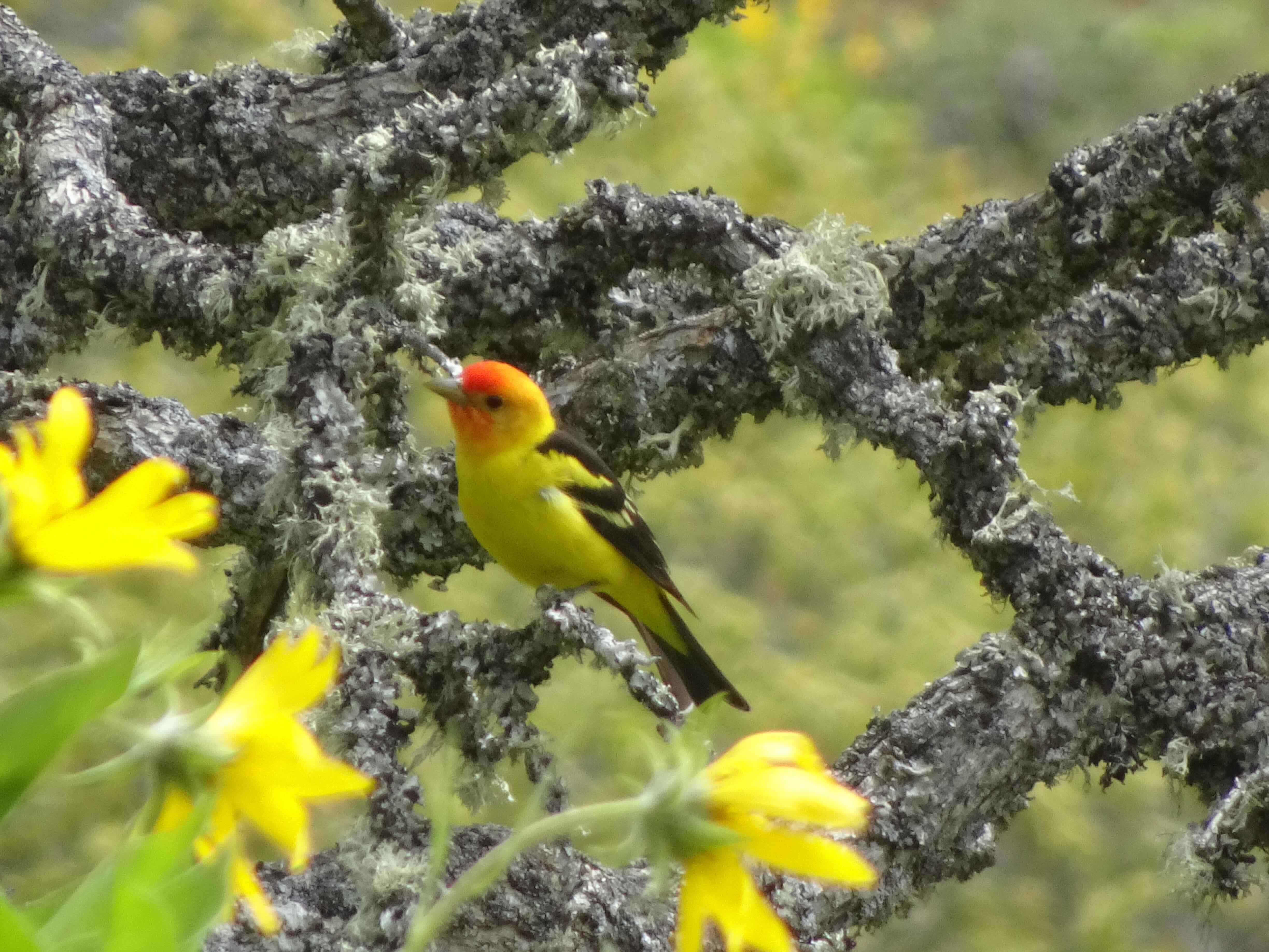
Rock hopping bird

View along the Ptarmigan Ridge trail
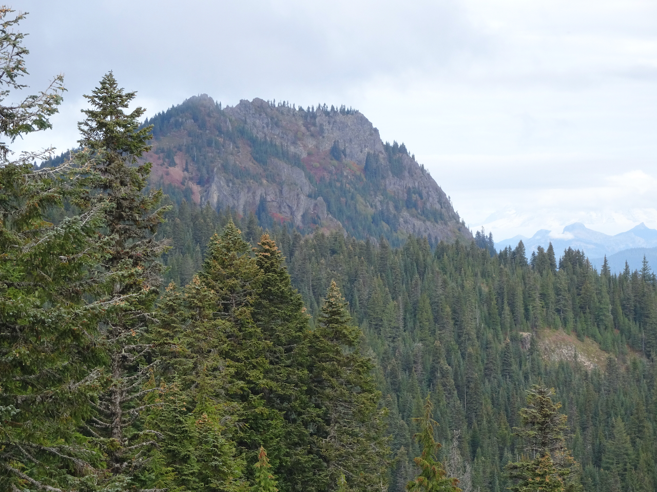
Closer view of our next saddle
Once over that saddle, we hiked toward Coleman Pinnacle.
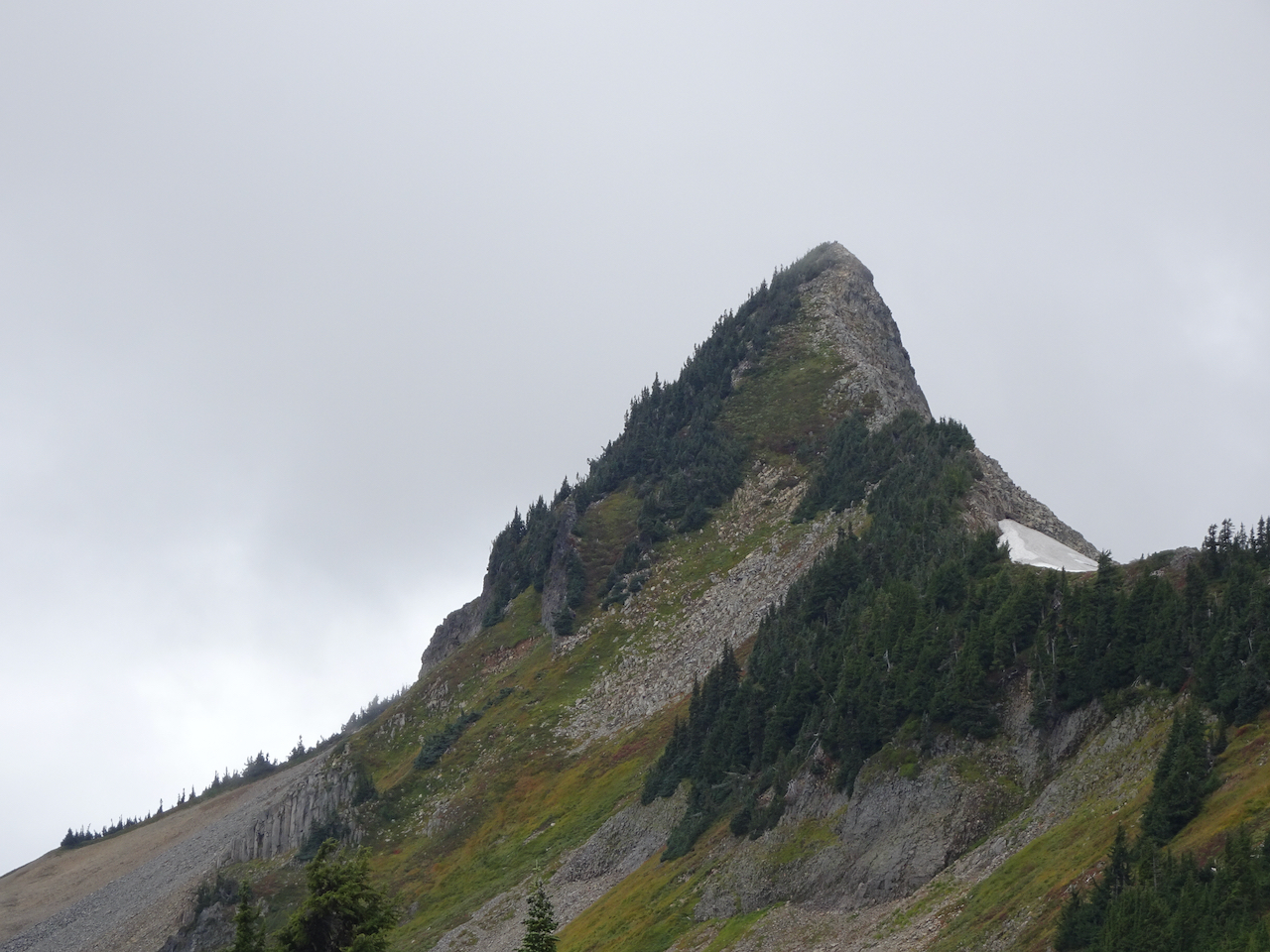
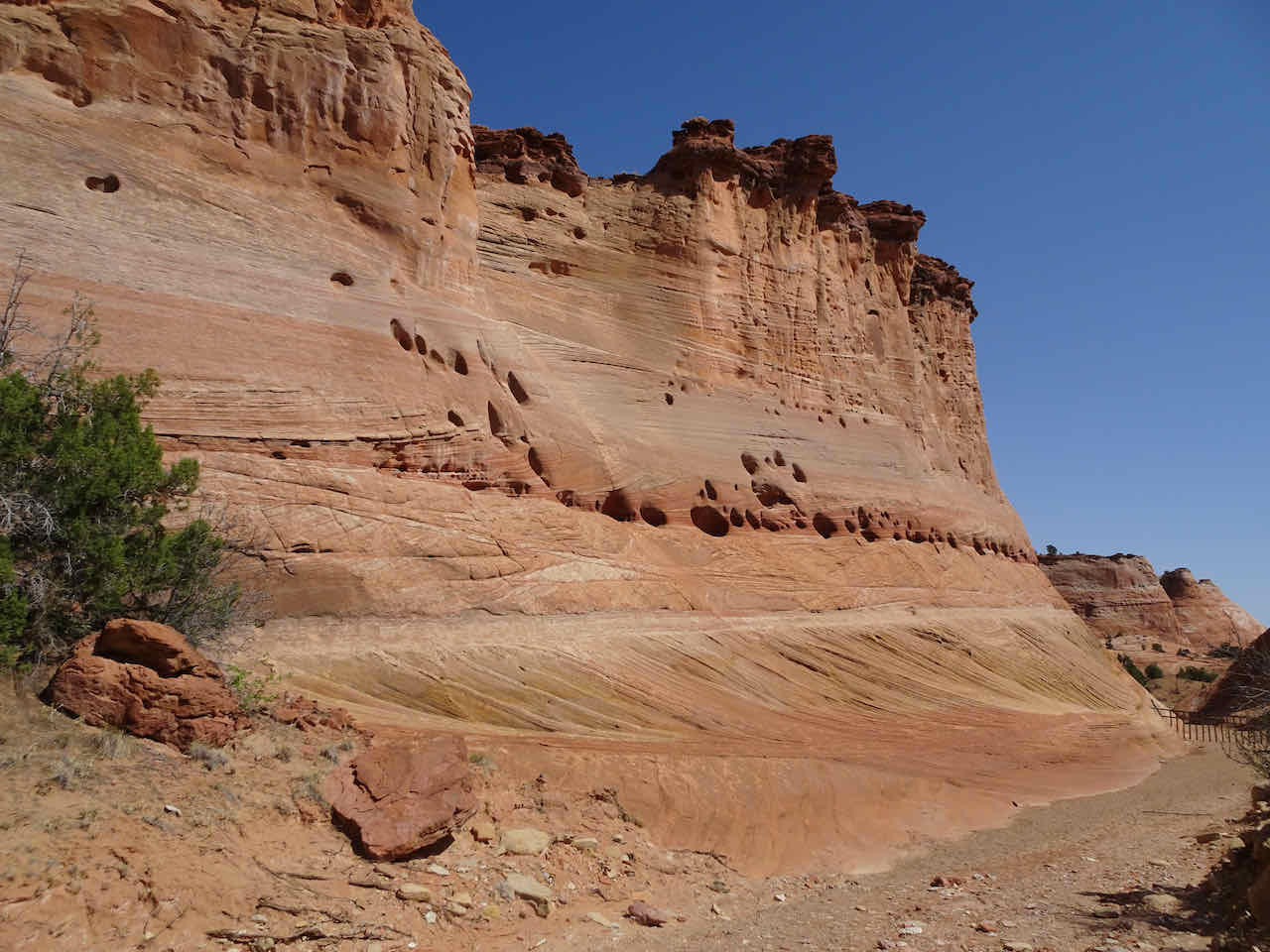
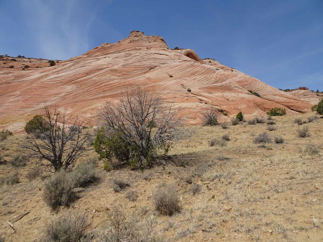
Coleman Pinnacle
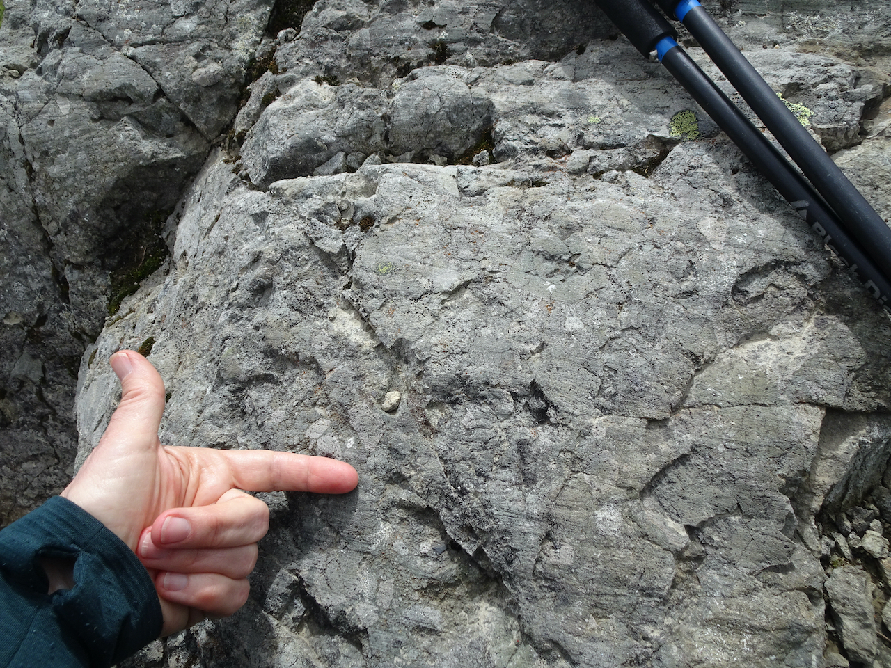
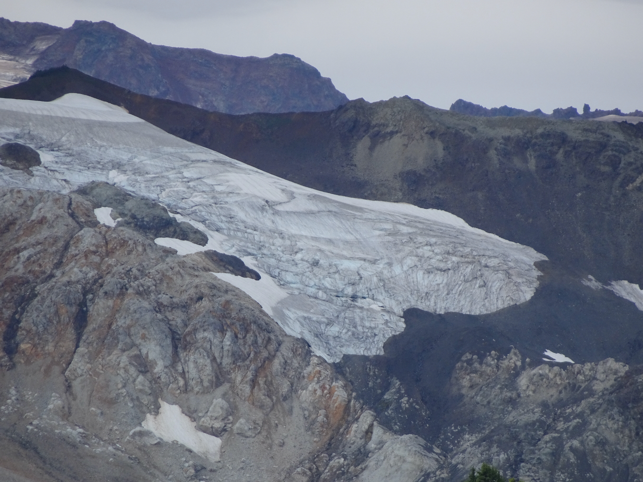
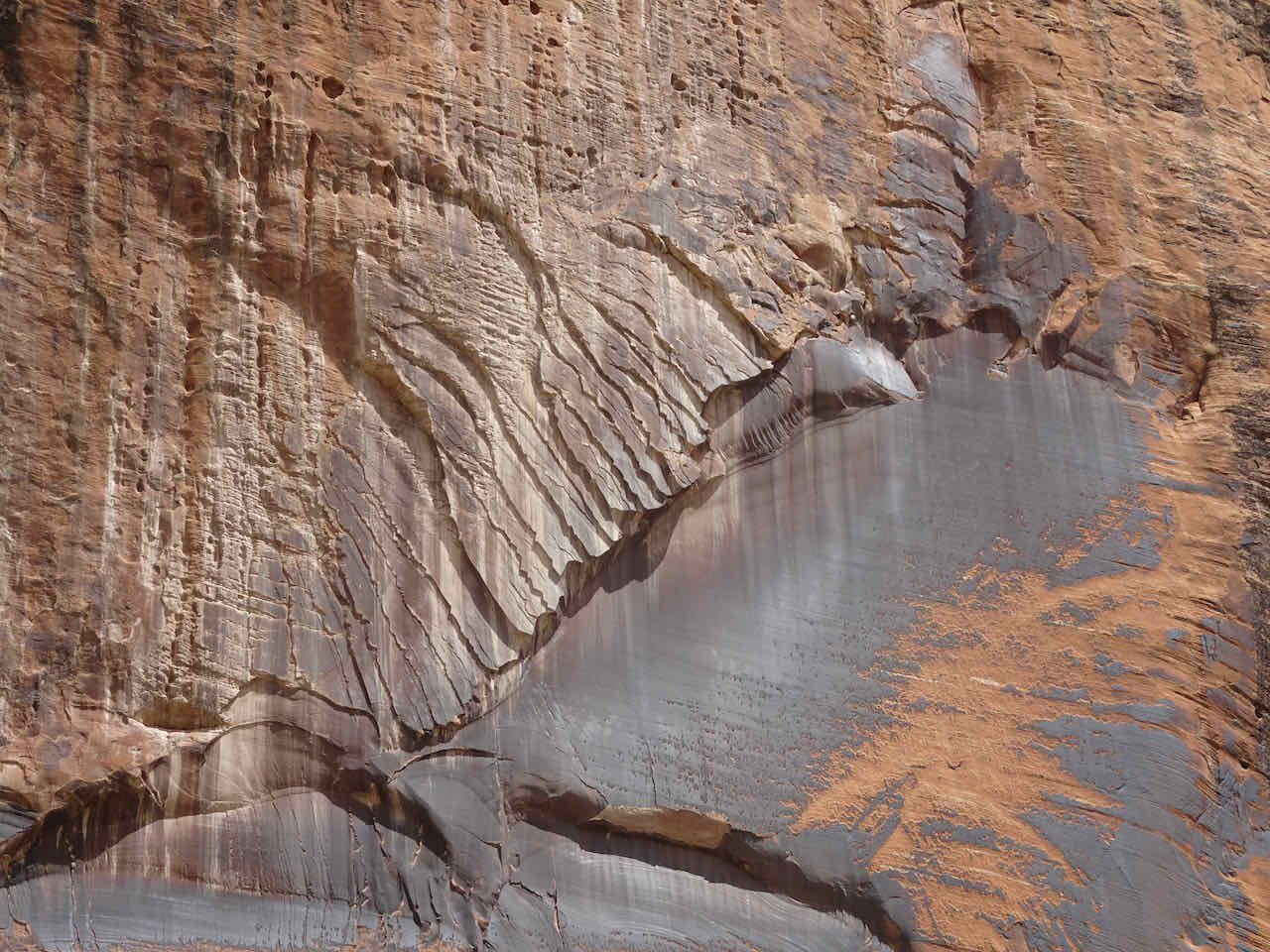
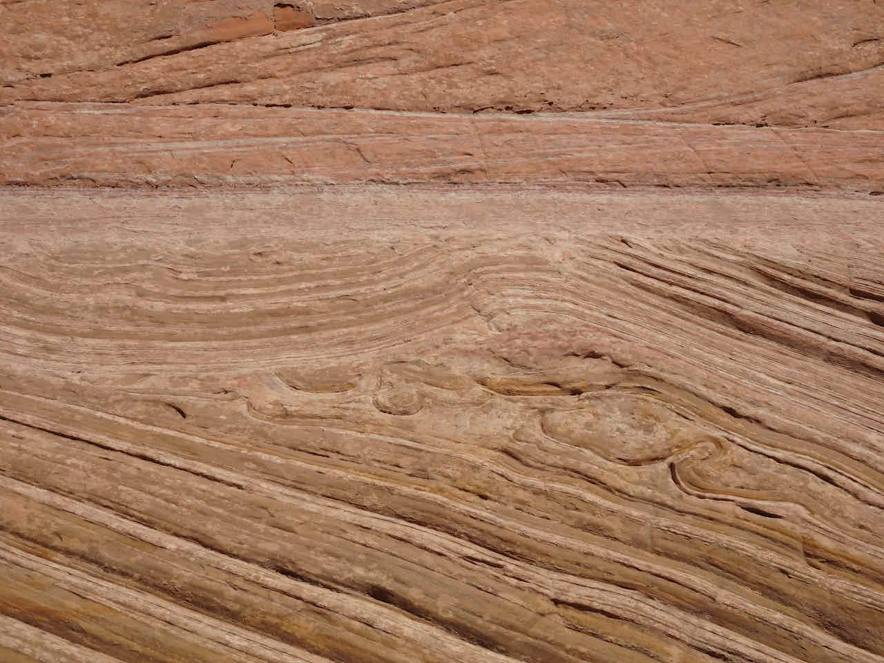
Glacial striations
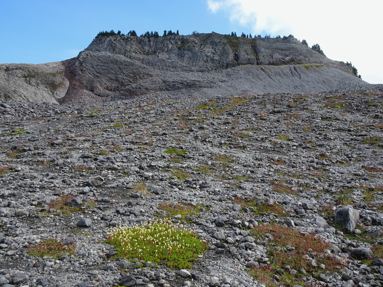
Hiking up the barren, glaciated surface.
We were high enough to look down on Goat Lake,
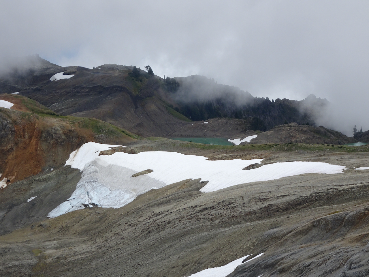
Goat Lake
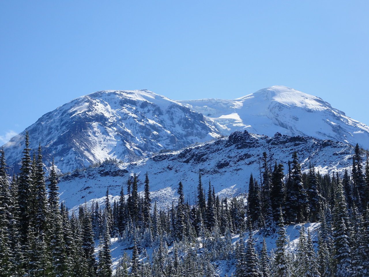
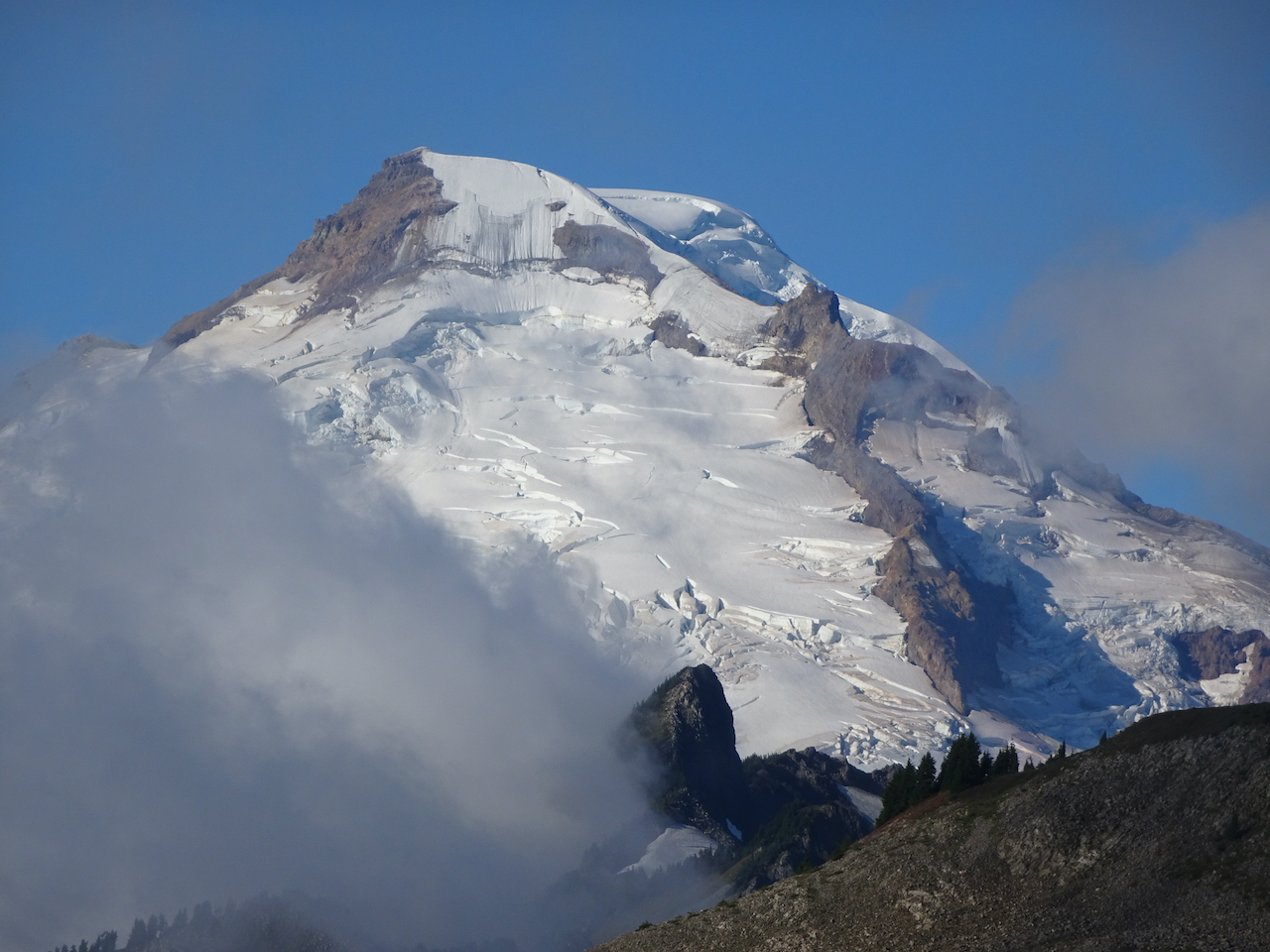
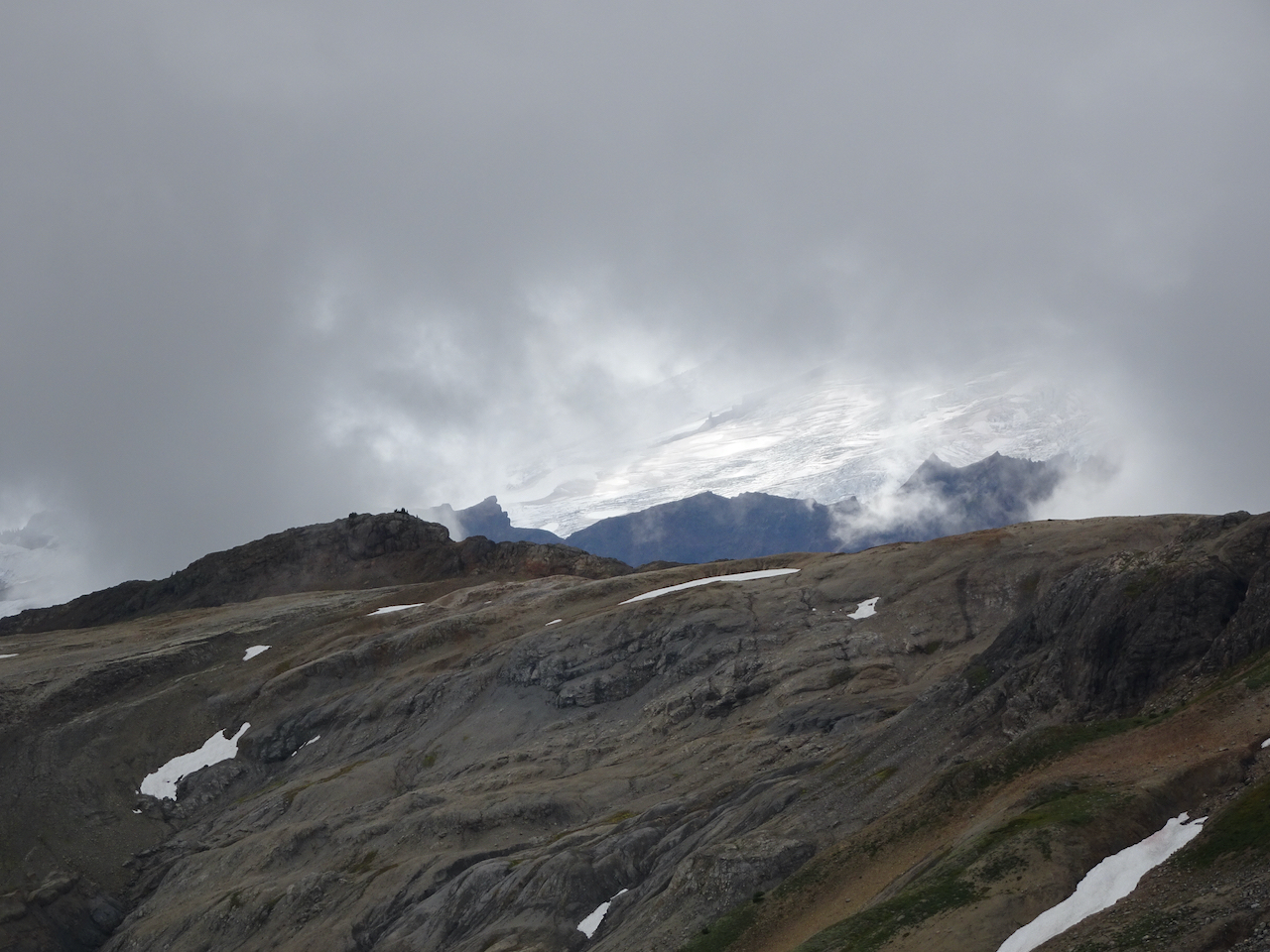
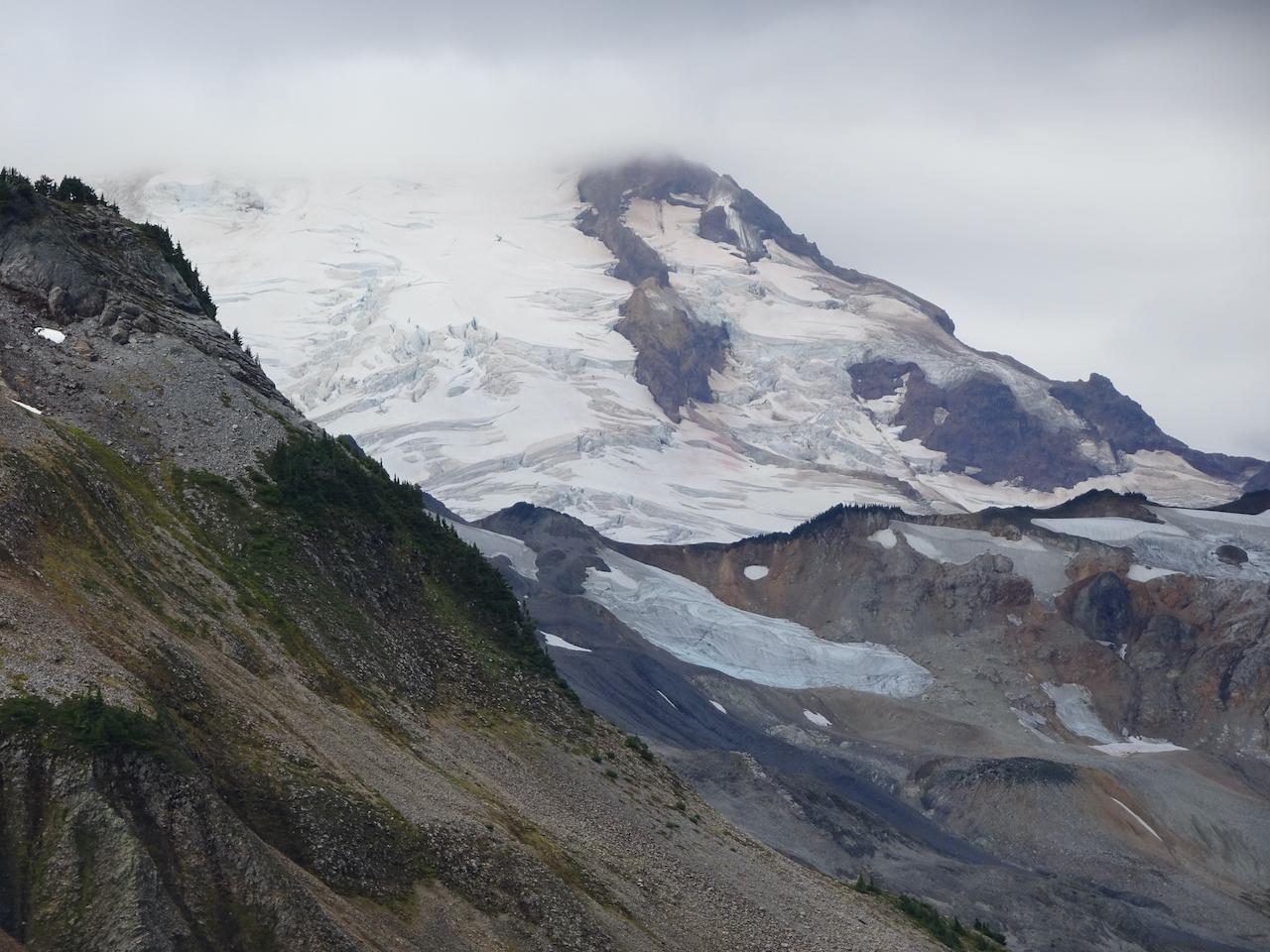
but the mountain remained elusive. One shoulder peeked out, giving us our best view for the day.
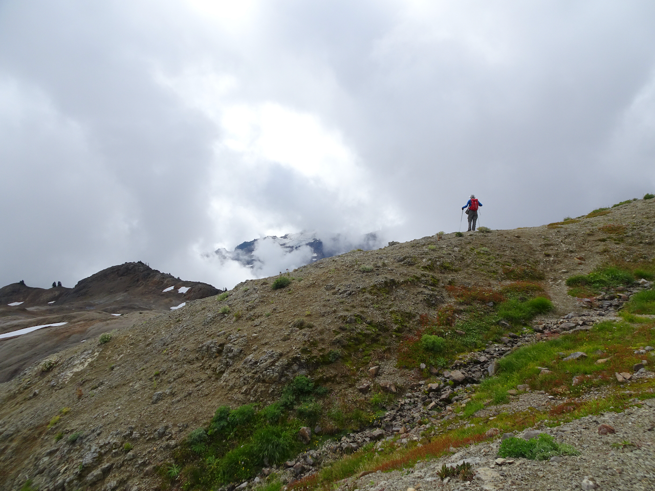
Looking for the mountain
Mt Baker’s shoulder

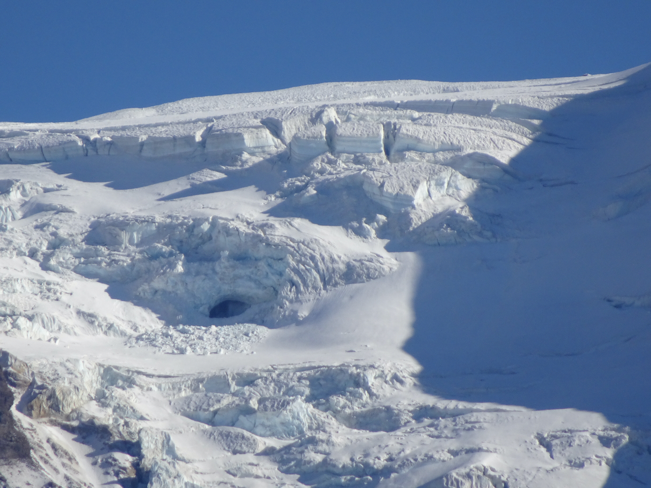
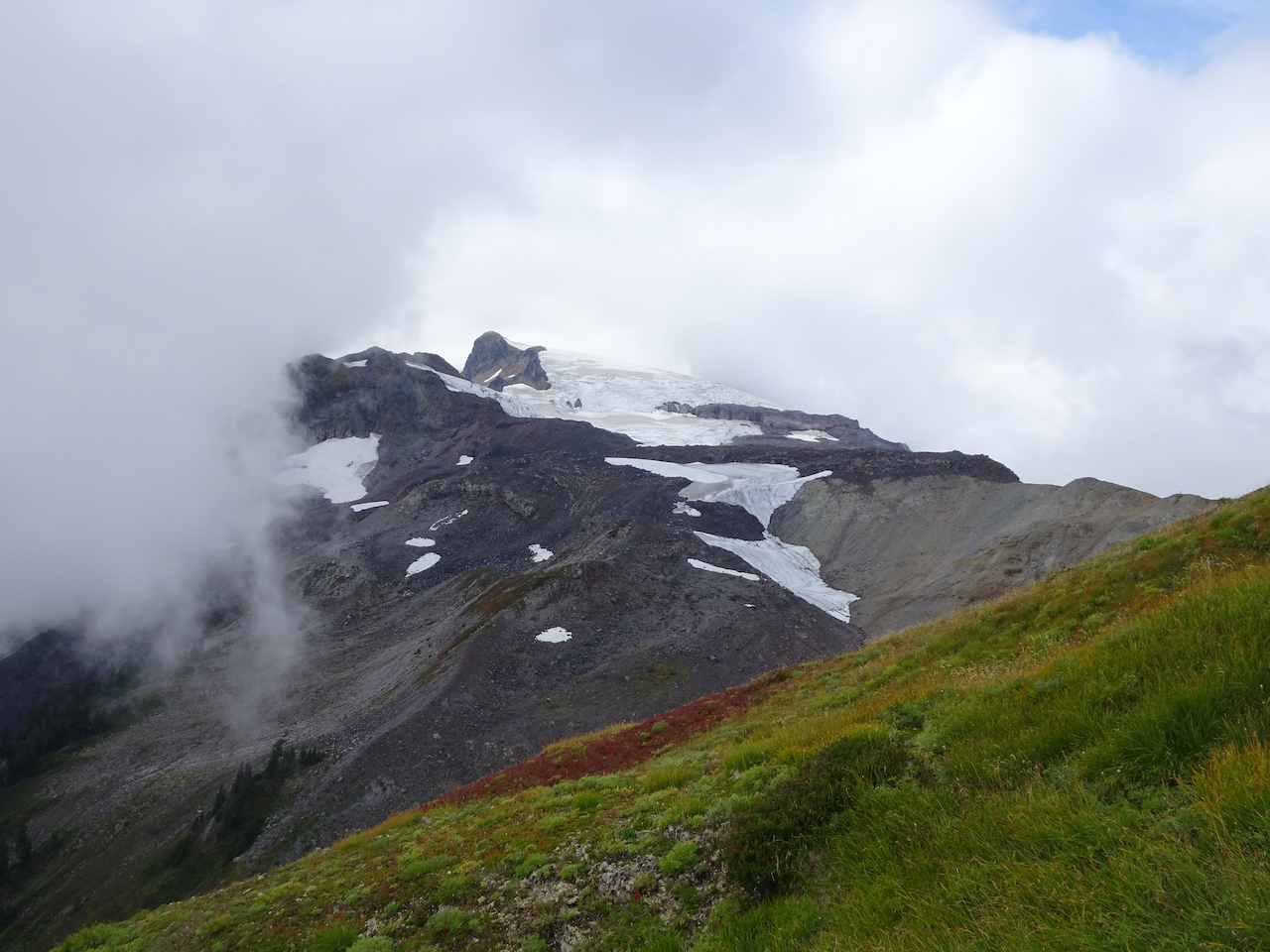
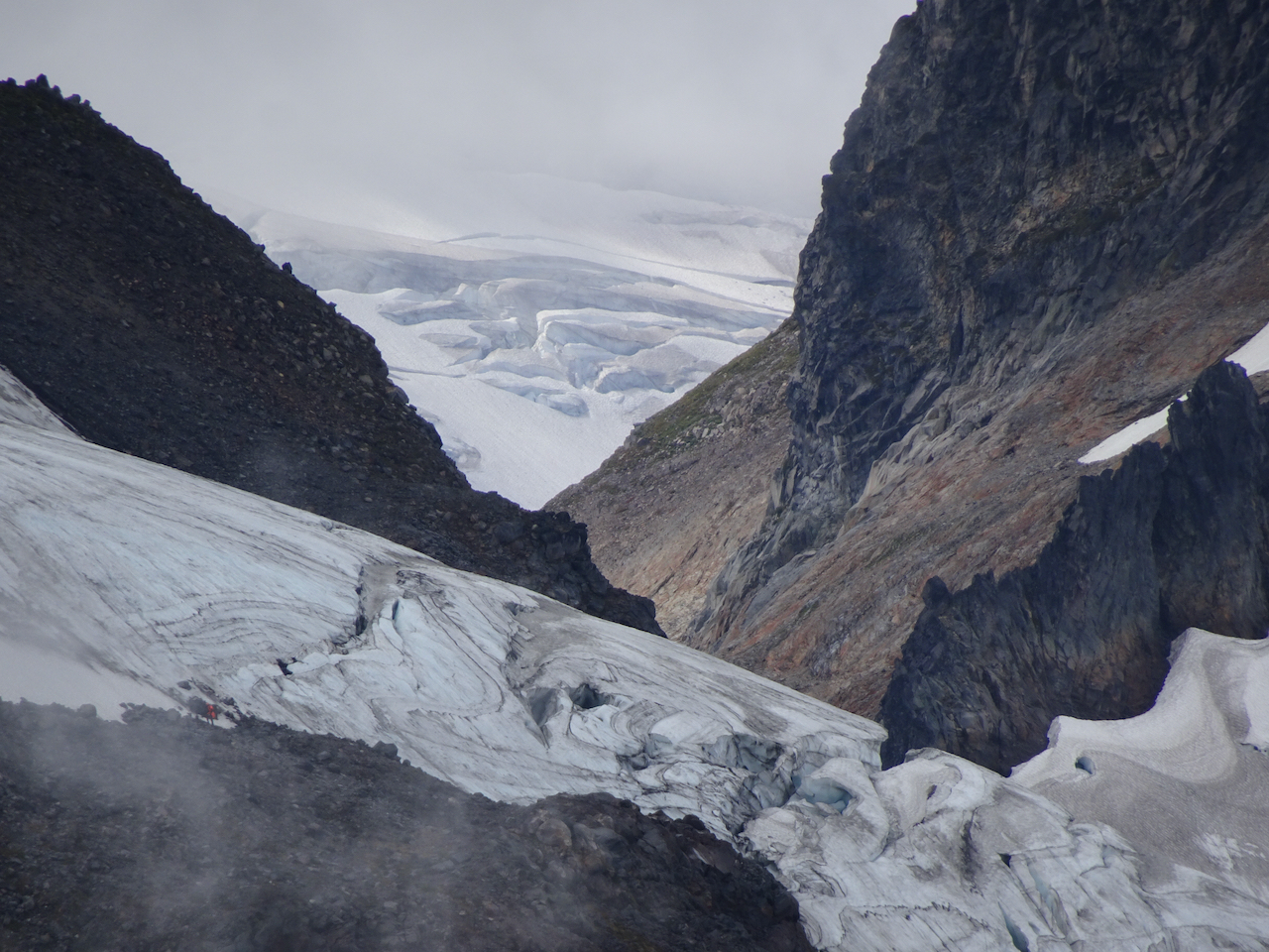
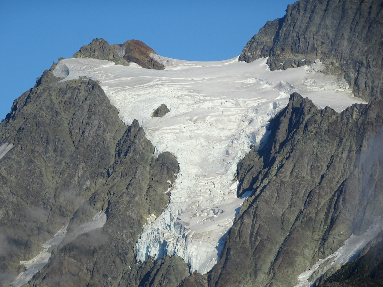
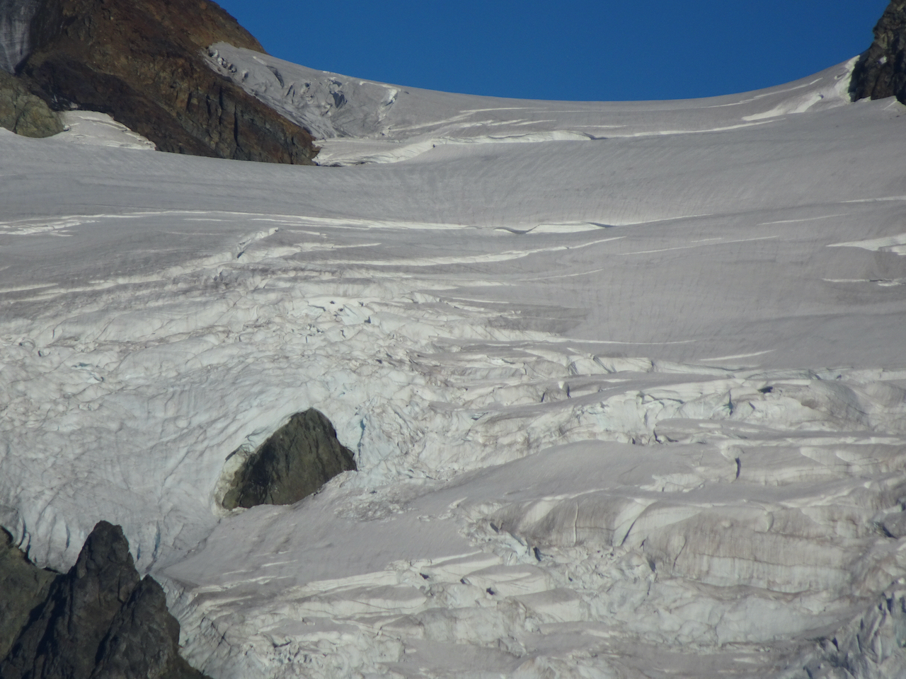
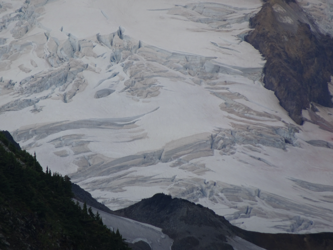
Glacier close ups
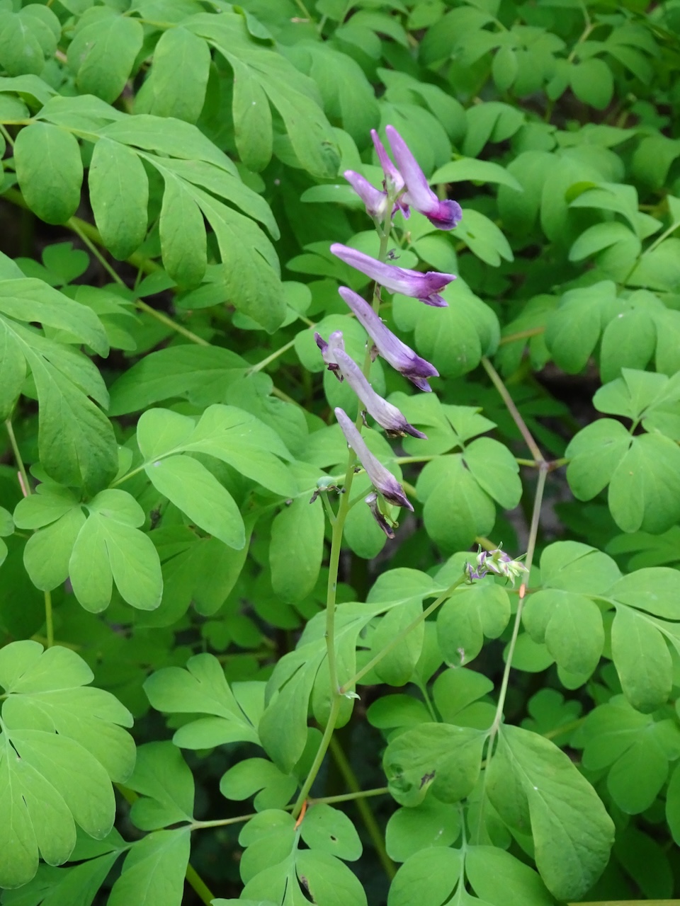
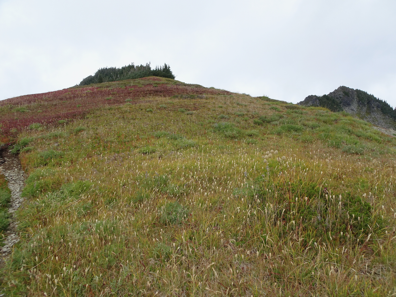
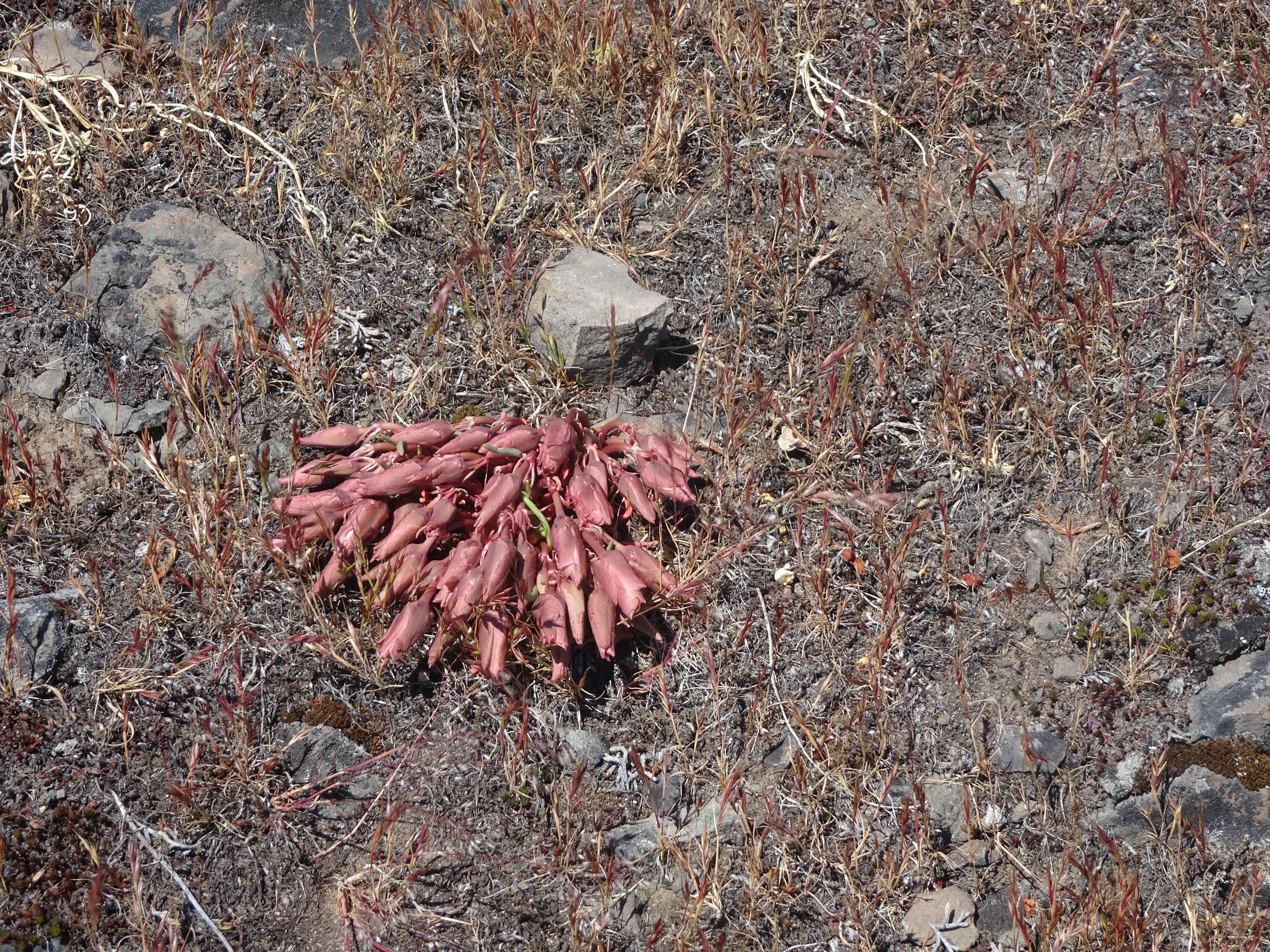
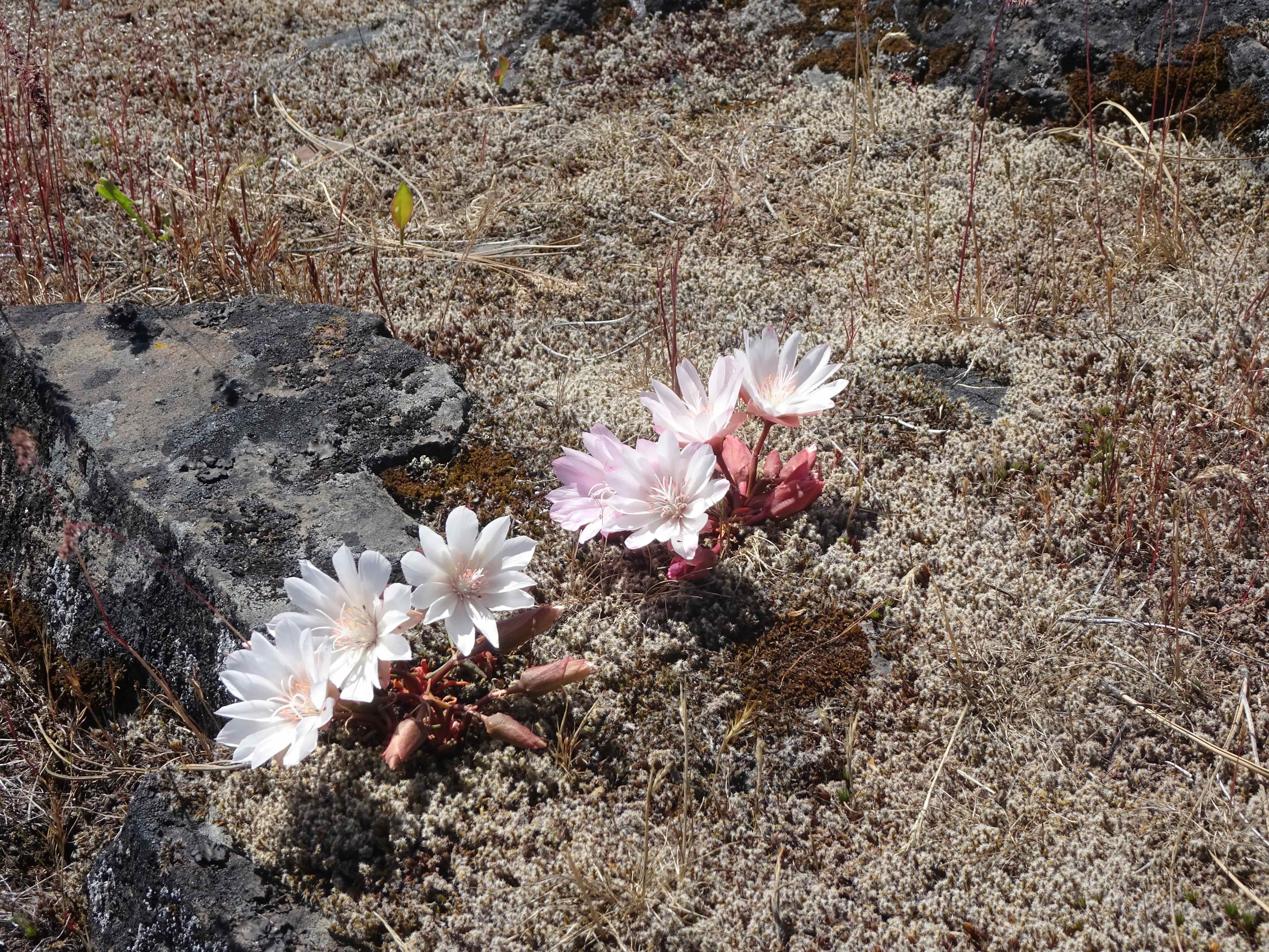
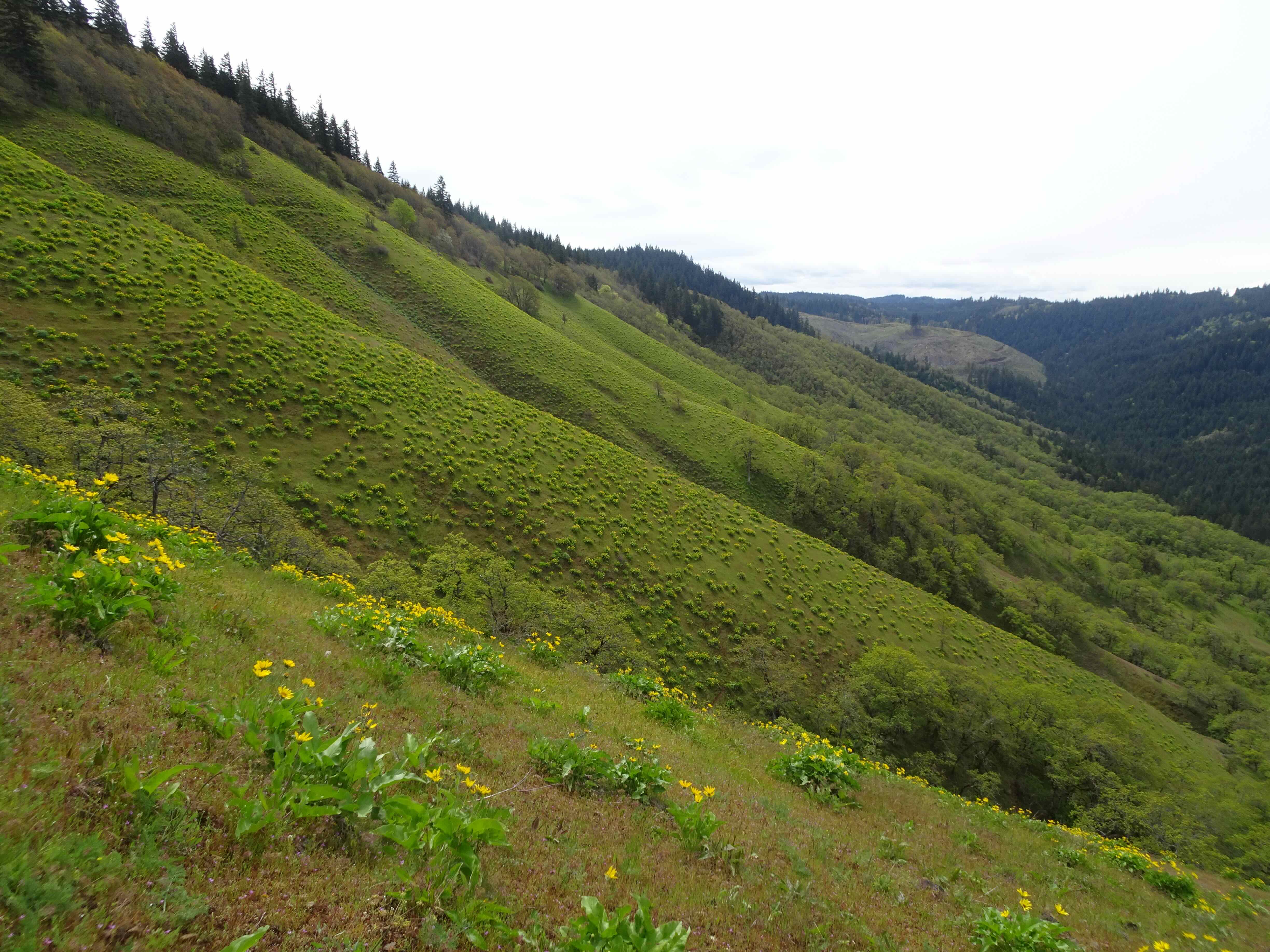
Meanwhile, I was also admiring the foliage colors, and the sea of lily seed heads. This must have been an amazing wildflower meadow a few weeks ago.
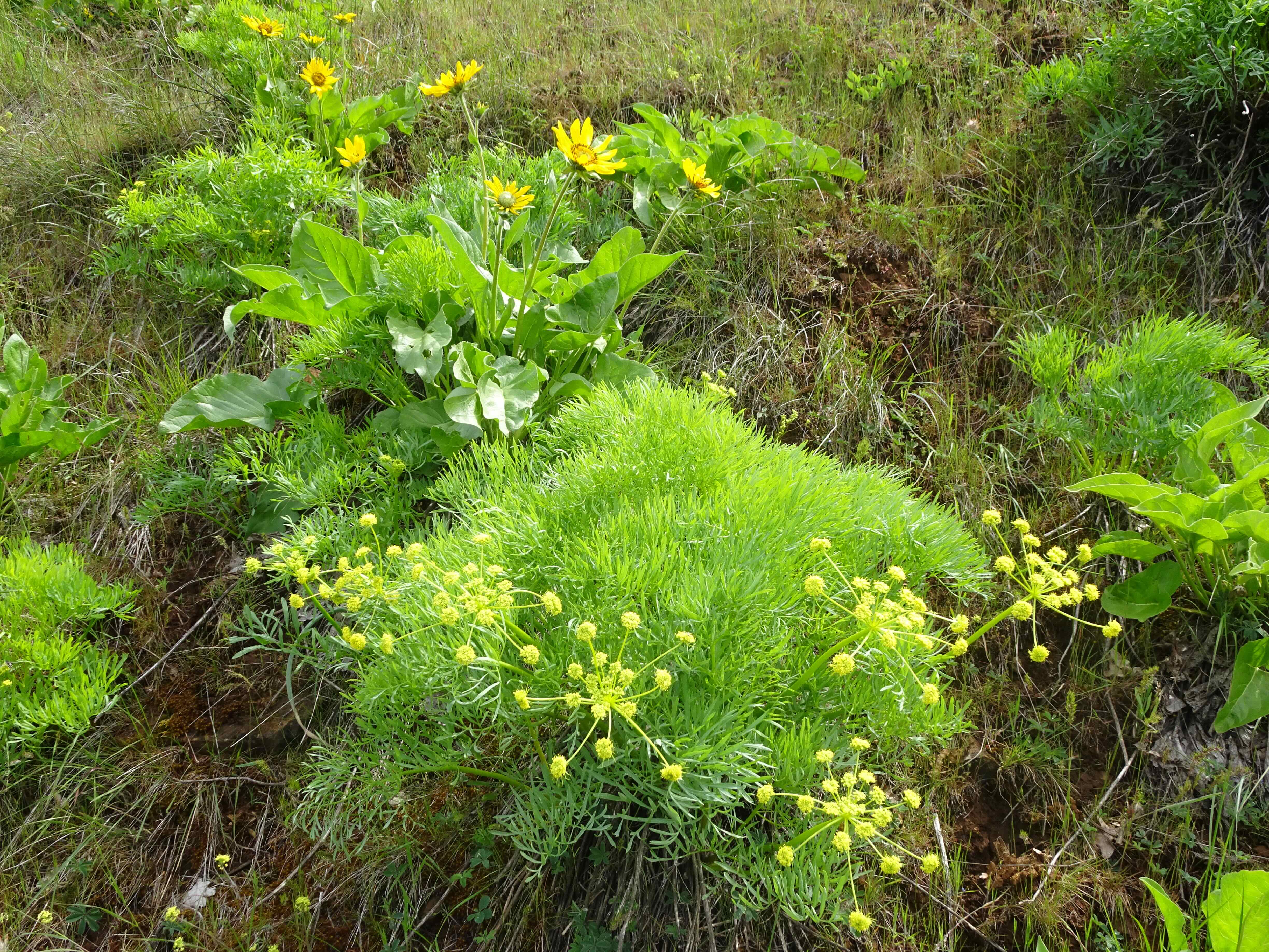
Lily and pasque flower
Lily and huckleberry
The clouds became thicker, so we decided to turn back, after 4.5 miles.

Another look at Goat Lake.

Goat Lake, a few people for scale.
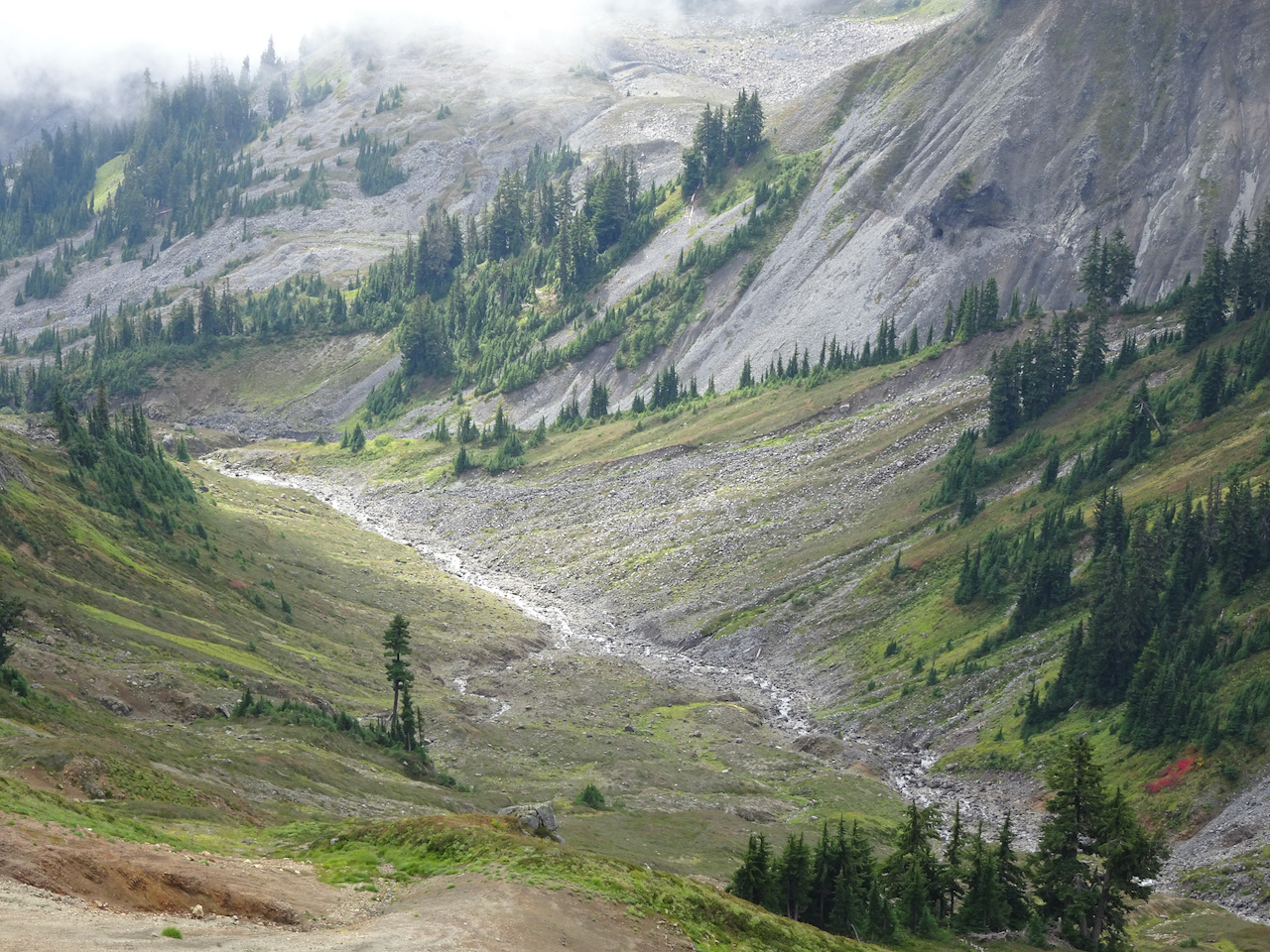
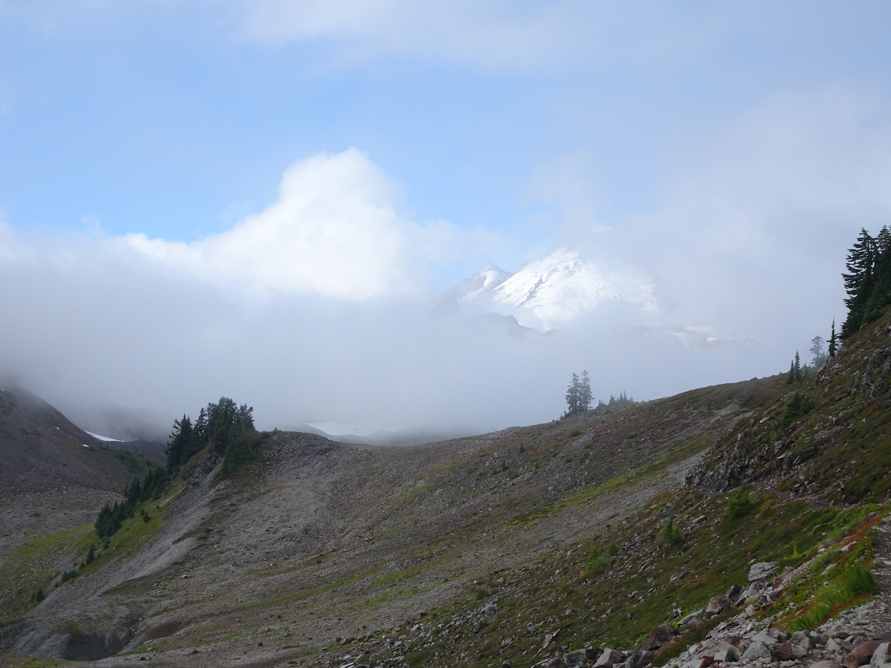
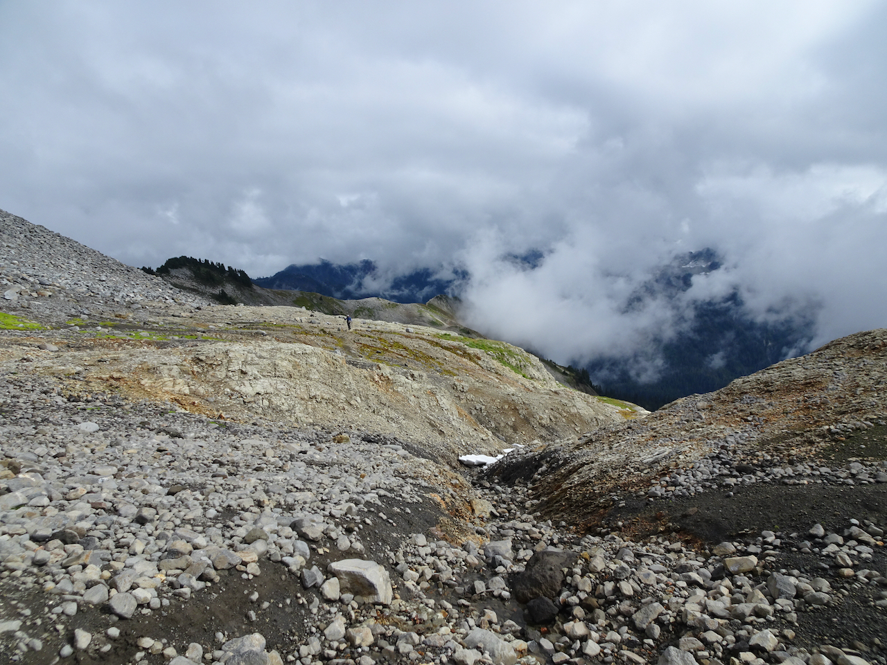
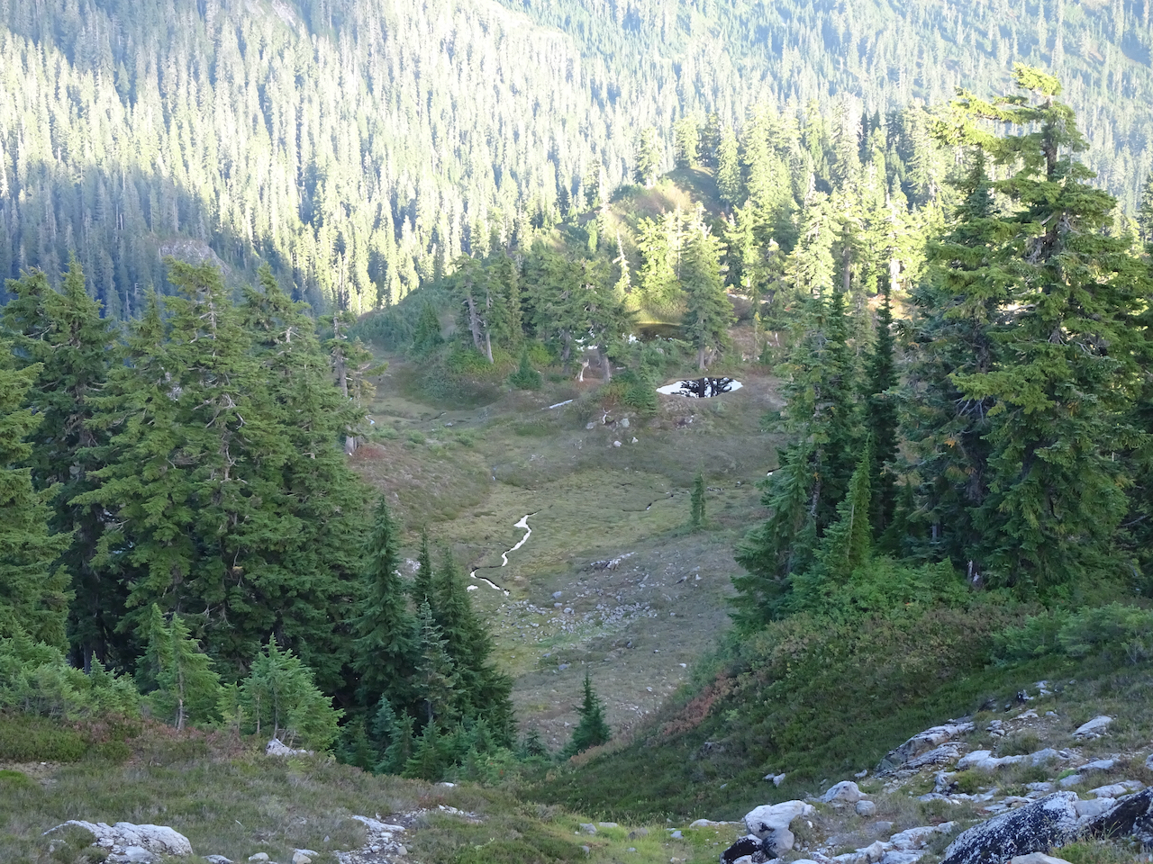
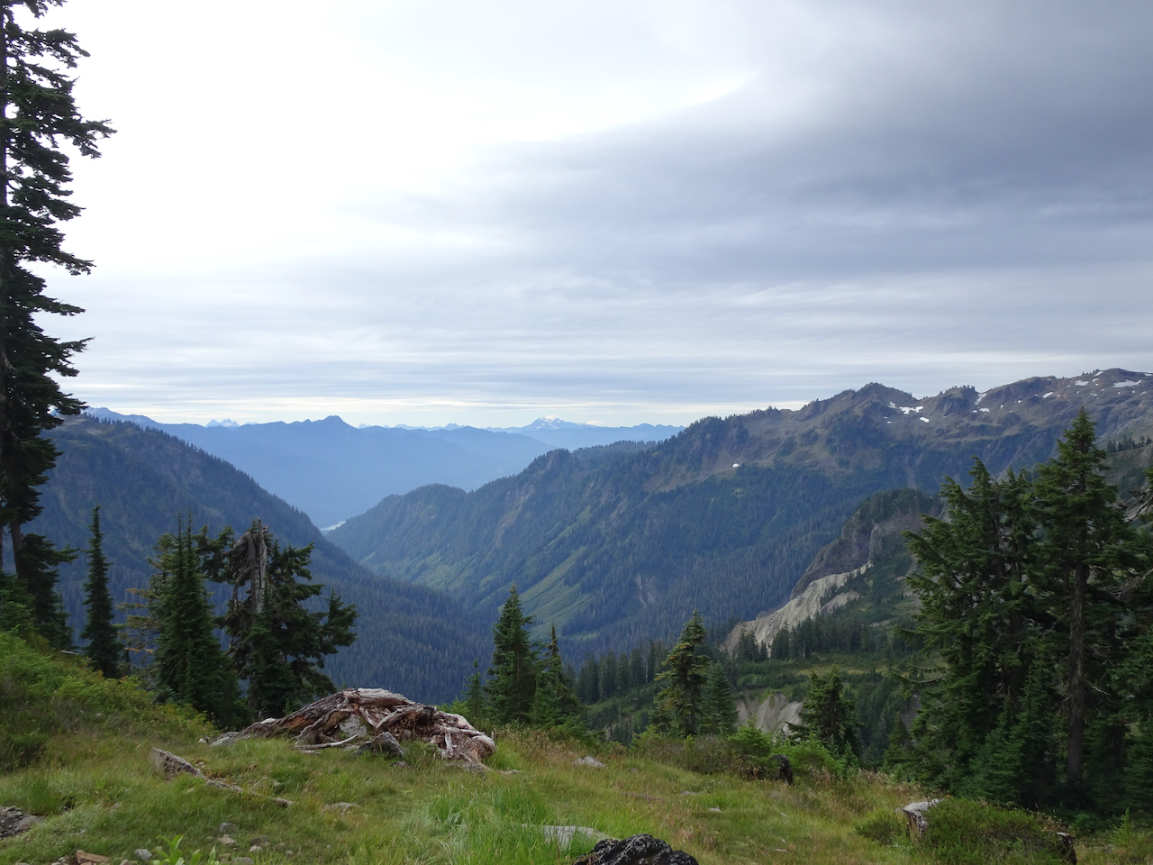
The clouds parted for a minute, giving us a glimpse of this outlet valley below.
One last look back at Mt Baker before we turned the corner at the high saddle.
Returning along Ptarmigan Ridge…
Partridge foot, Happy Bunny Butte
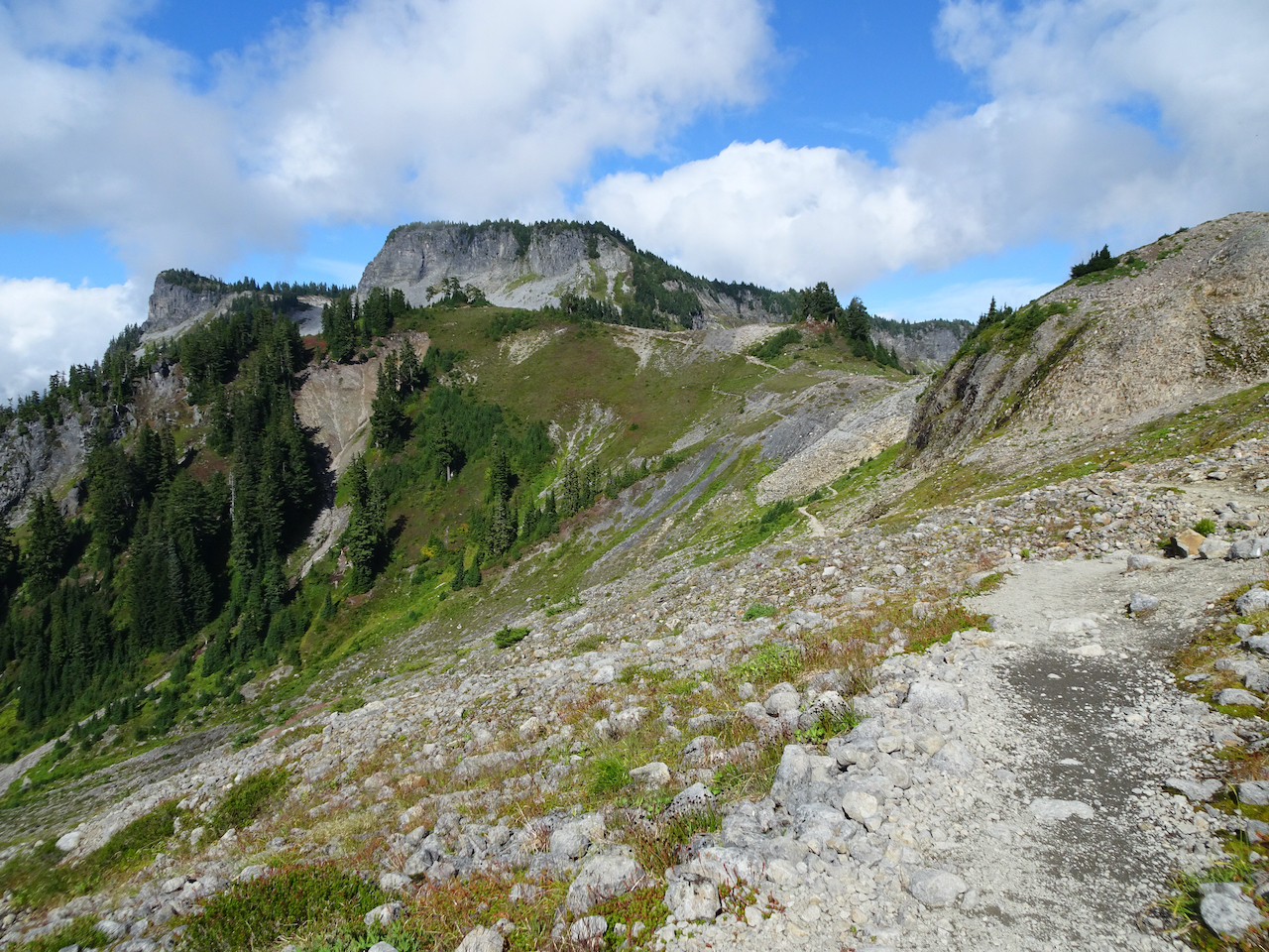
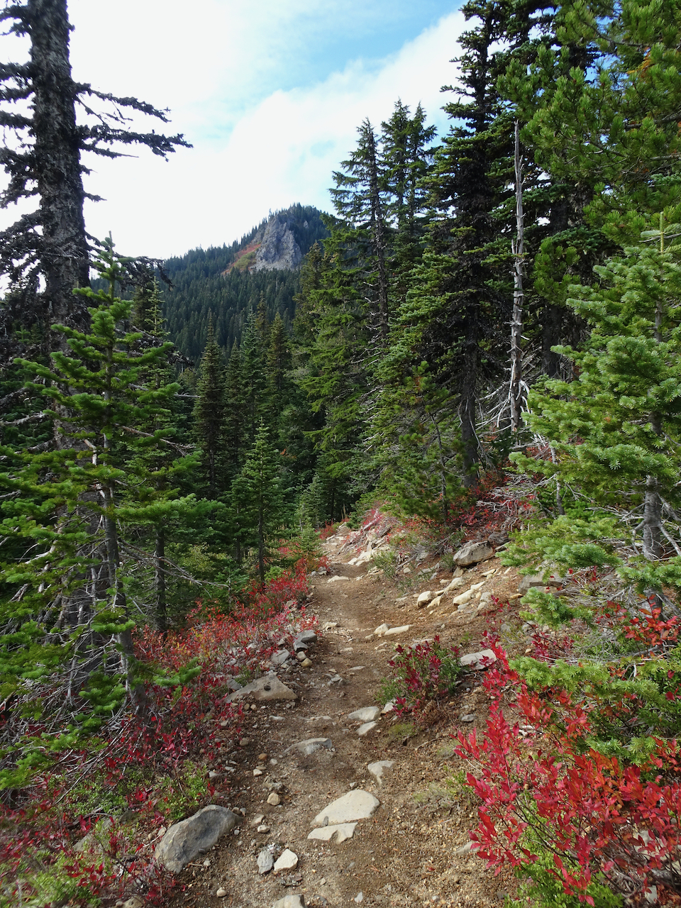
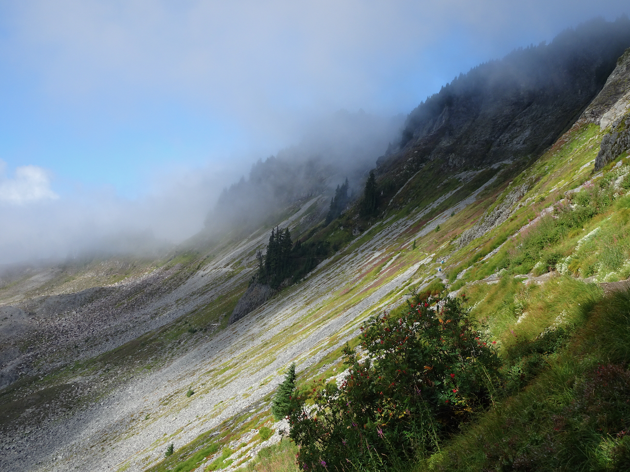
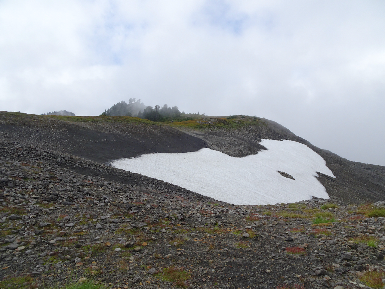
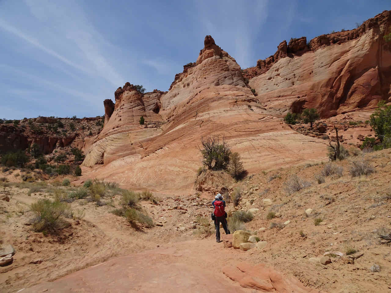
Trail across the western cirque toward the saddle at Table Mountain
Back along the eastern cirque, Mt Shuksan still under clouds
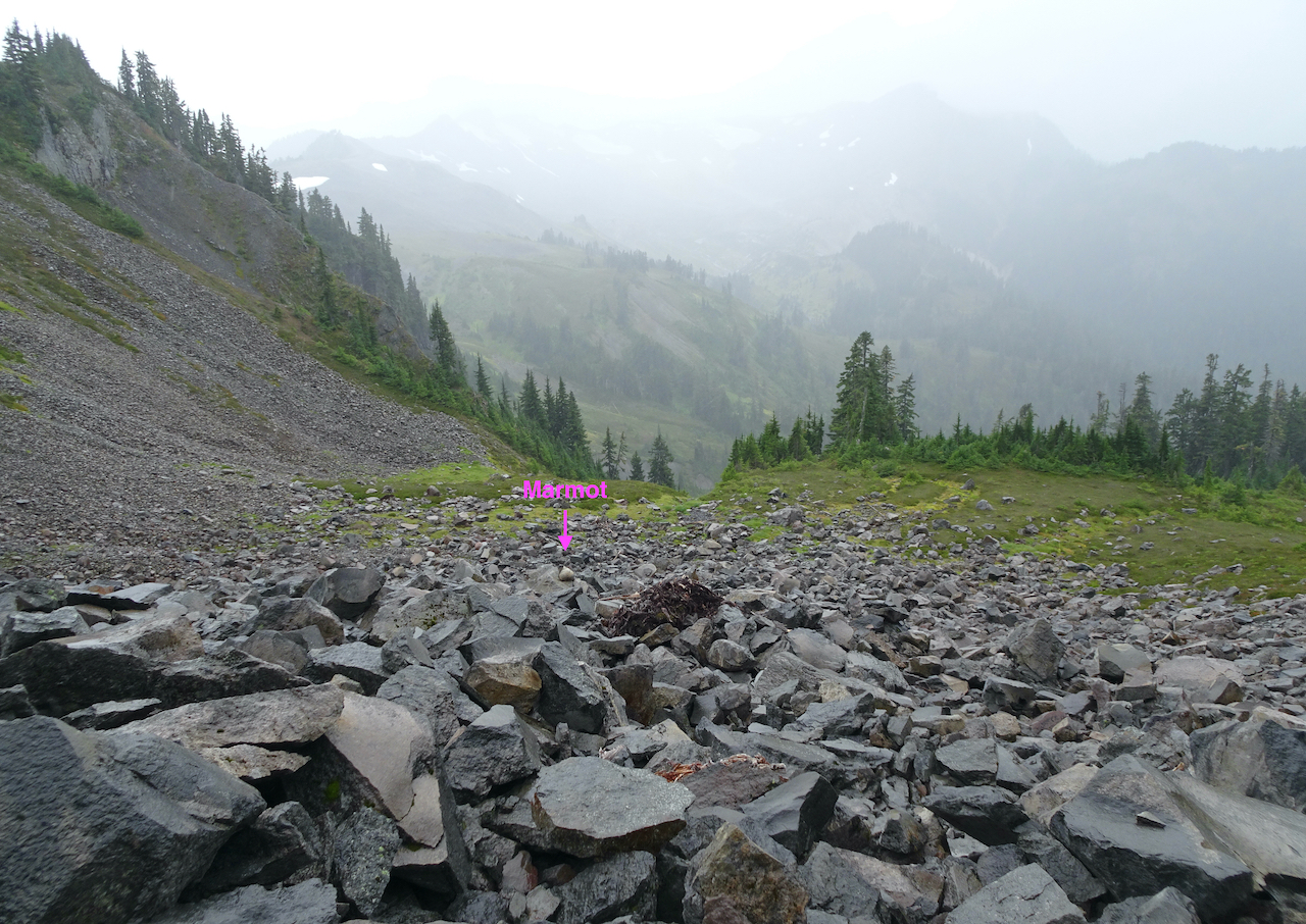
Marmot crossing
Almost back to the trailhead, Mt Shuksan beginning to peek out.
We hiked 9 miles, 1500 feet for the day. We had packed food in our car, just in case the sunset looked promising – one never knows in the mountains.
September 13 – Artist’s Point Sunset / Huntoon Point
We rested for a while in the trailhead area, and were rewarded with more cloud clearing, and some beautiful sunset views. We walked along the Huntoon Point Trail for about a mile, watching the sky, the glaciers, the reflections in the several ponds and tarns along the way. A lovely evening.
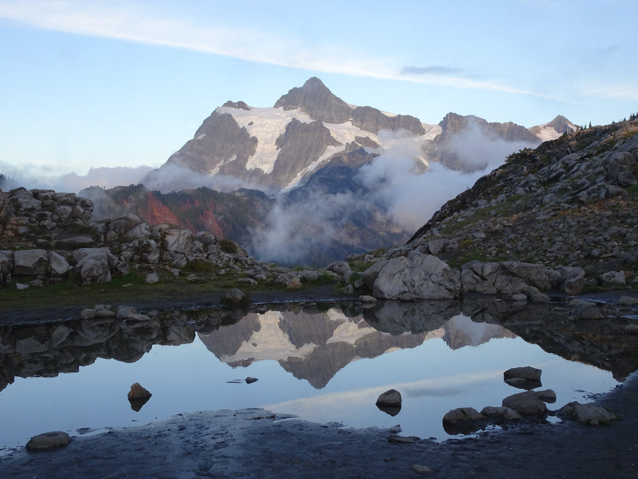
Mt Shuksan:
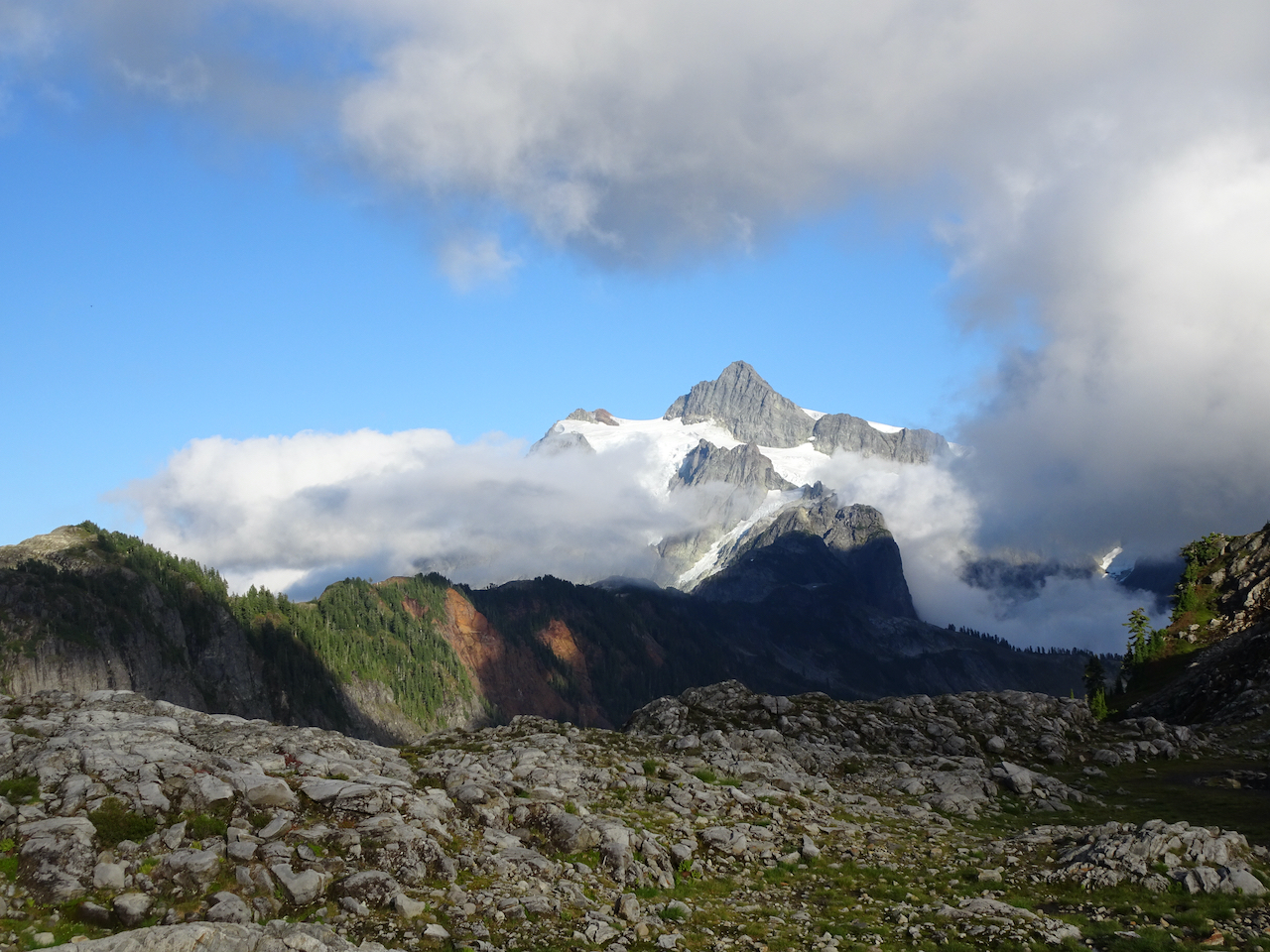

The peak
Glaciers
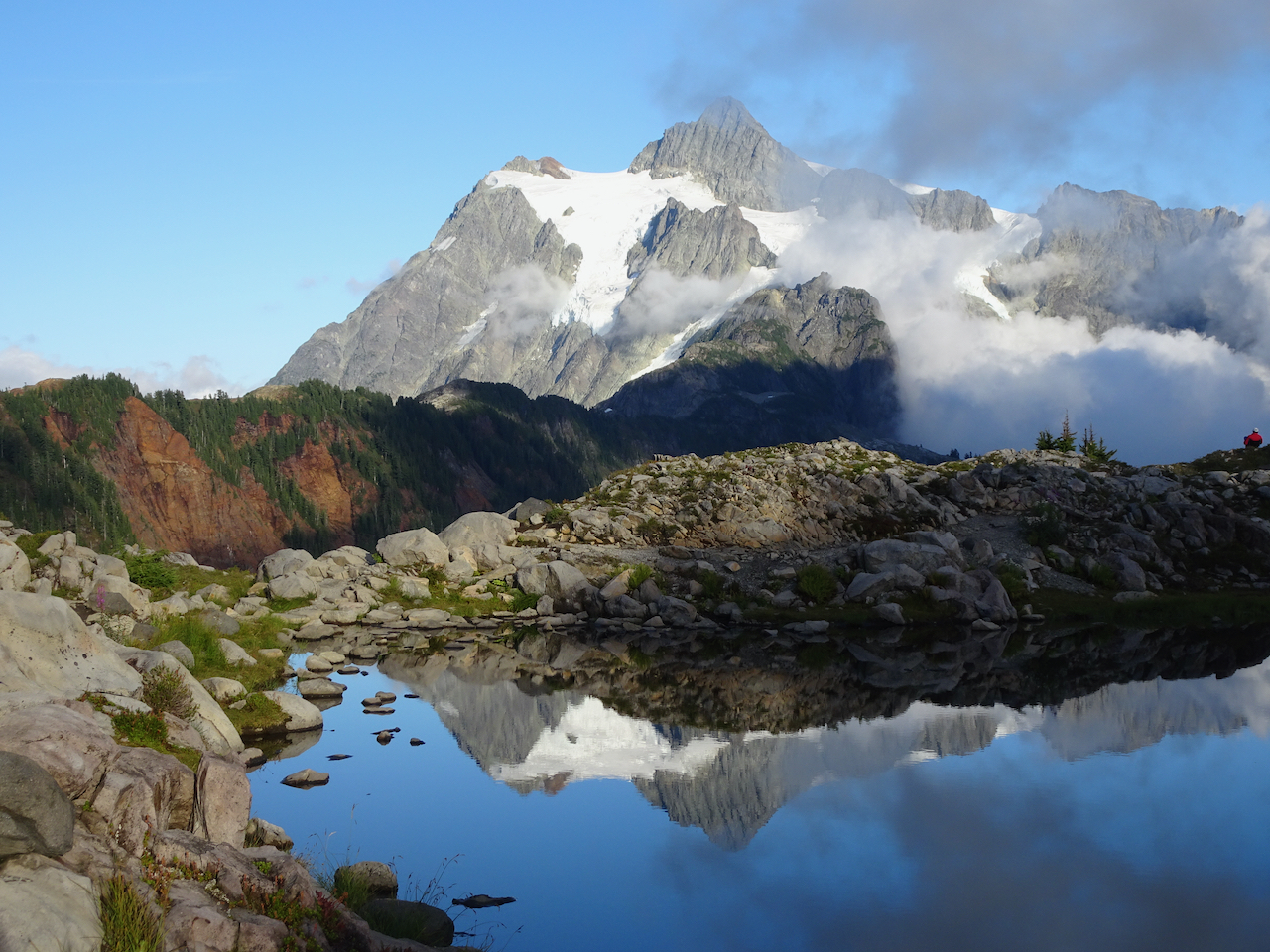
Tarn and trail between Huntoon Point and Mt Shuksan
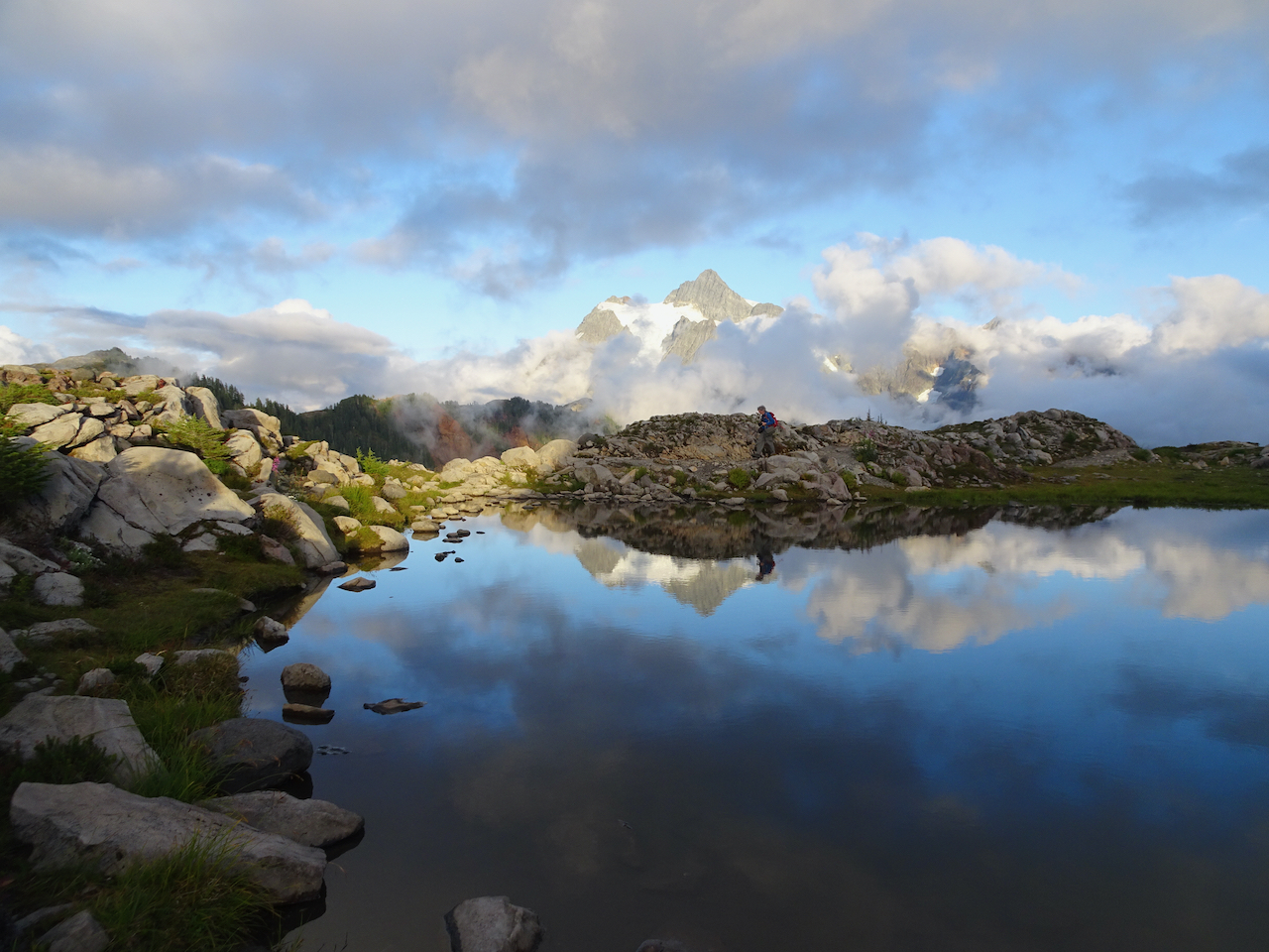
More stunning reflections
Last look.
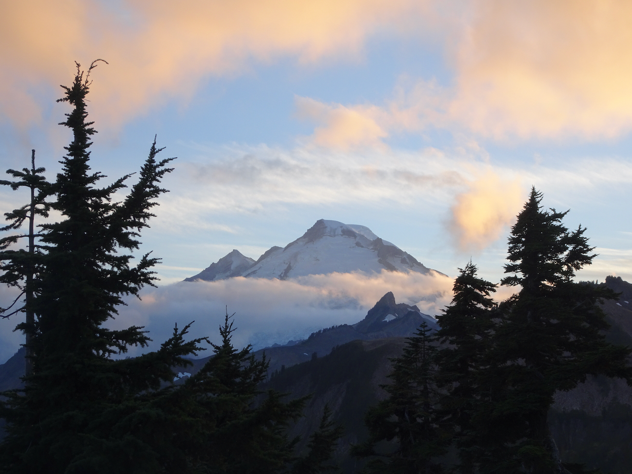
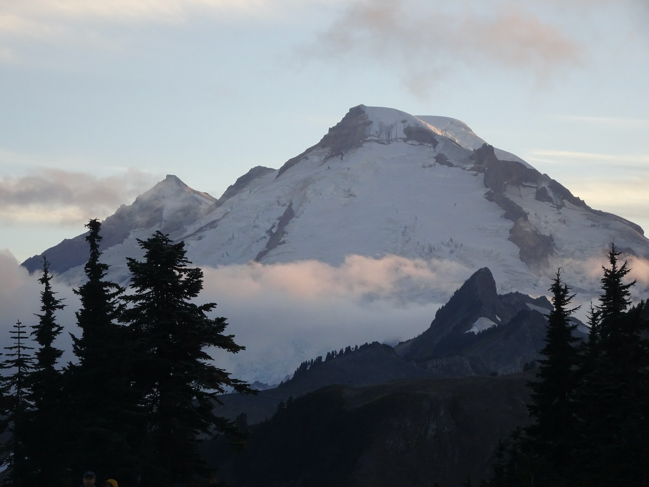
Mt Baker:

Mt Baker; Coleman Pinnacle, which we walked around earlier today, in the foreground.
September 14 – Chain of Lakes
The mountains were out at the trailhead under a higher cloud cover, rain pending…
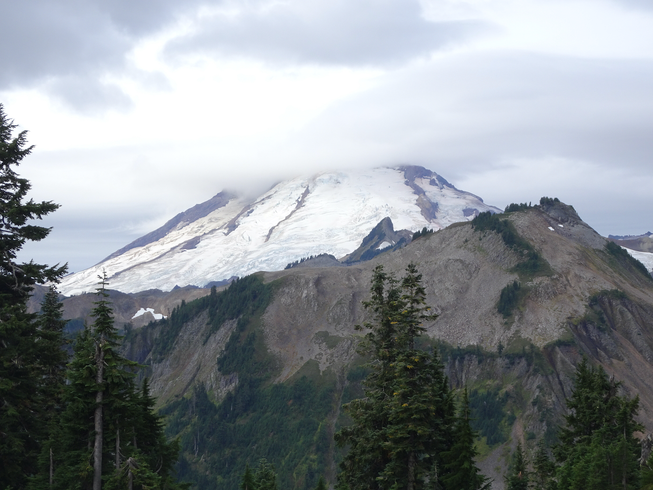
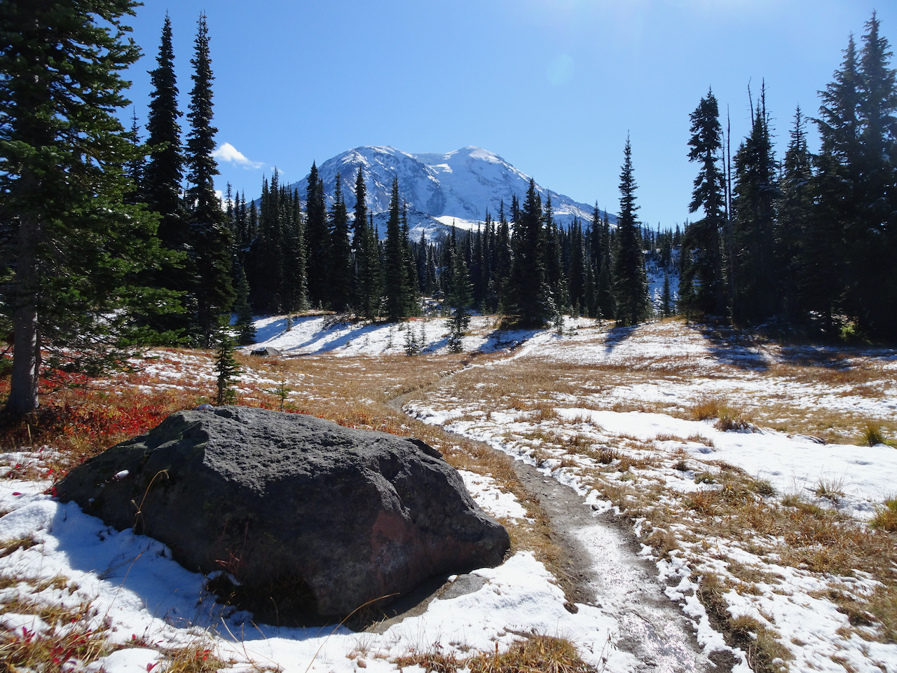
Mt Baker

Mt Shuksan
Cascades to the north
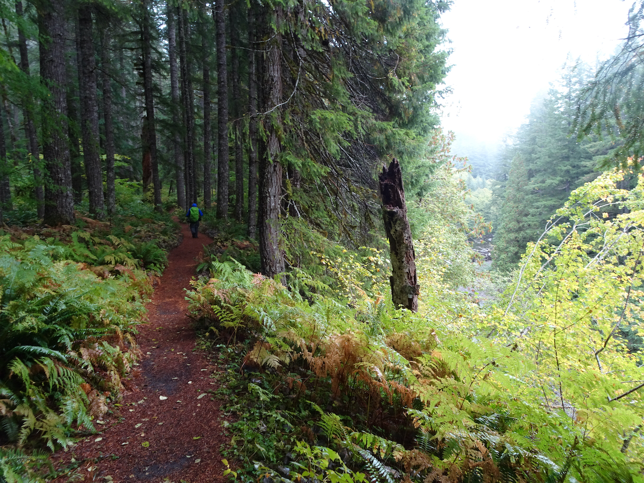
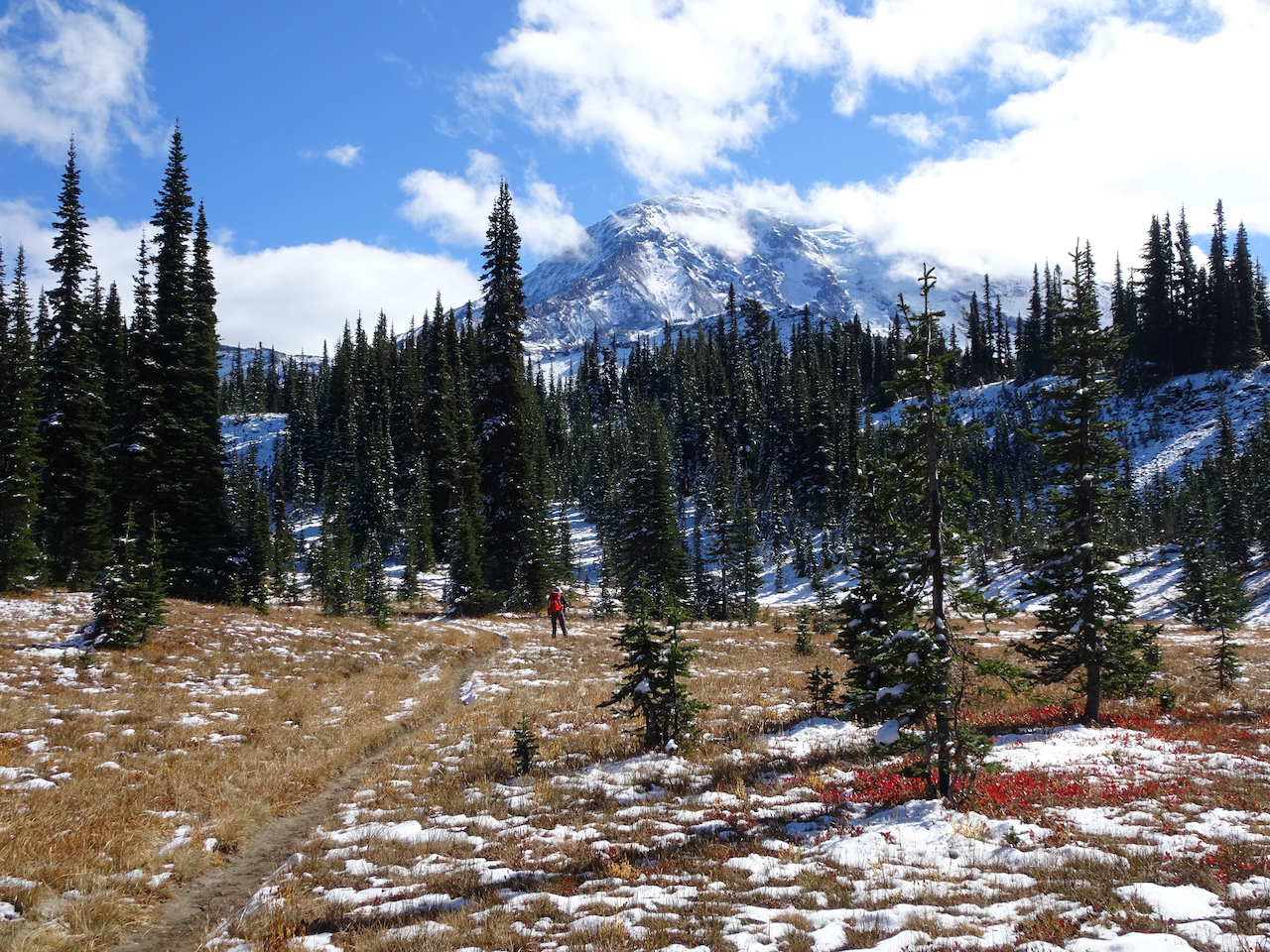
Knowing it might rain by afternoon, we started out on the Chain of Lakes Trail…
Cirque trail
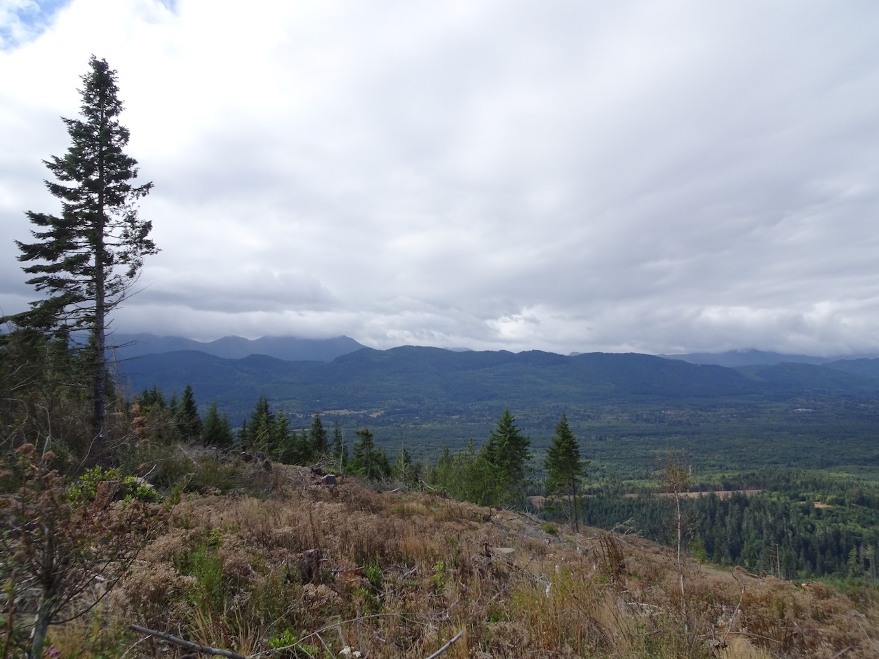
Today we can see the Cascade peaks to the south, and Baker Lake below,
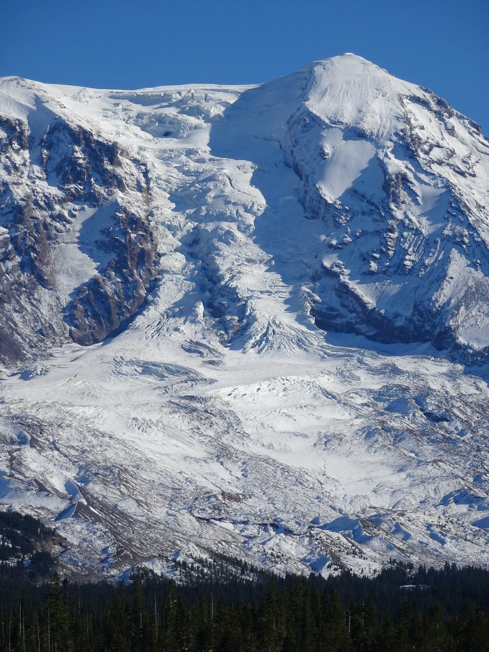
and the glaciers on Mt Baker
Crossing the stone ledges in the cirque
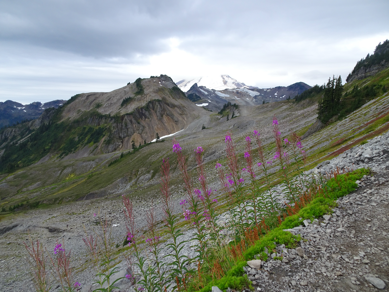
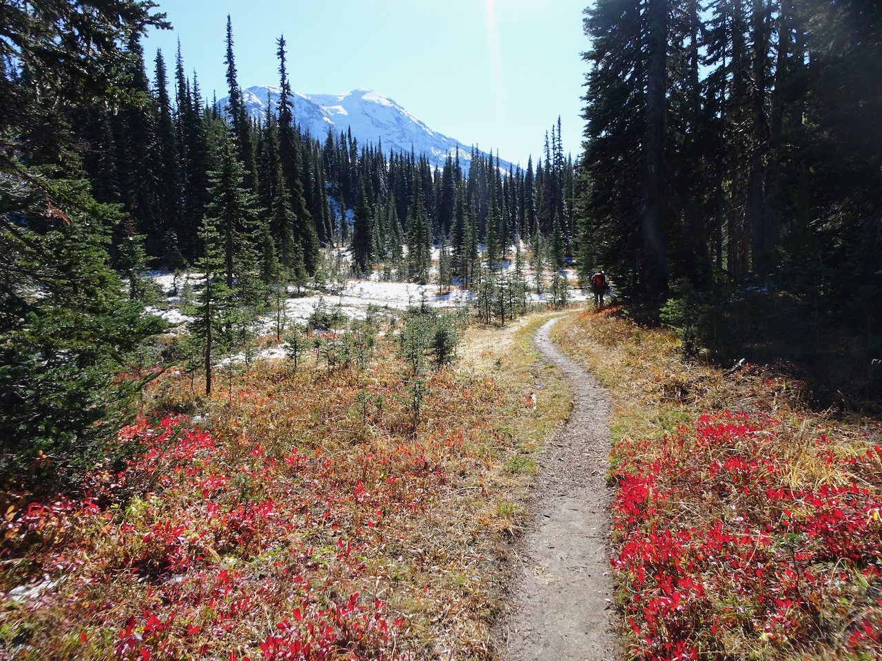
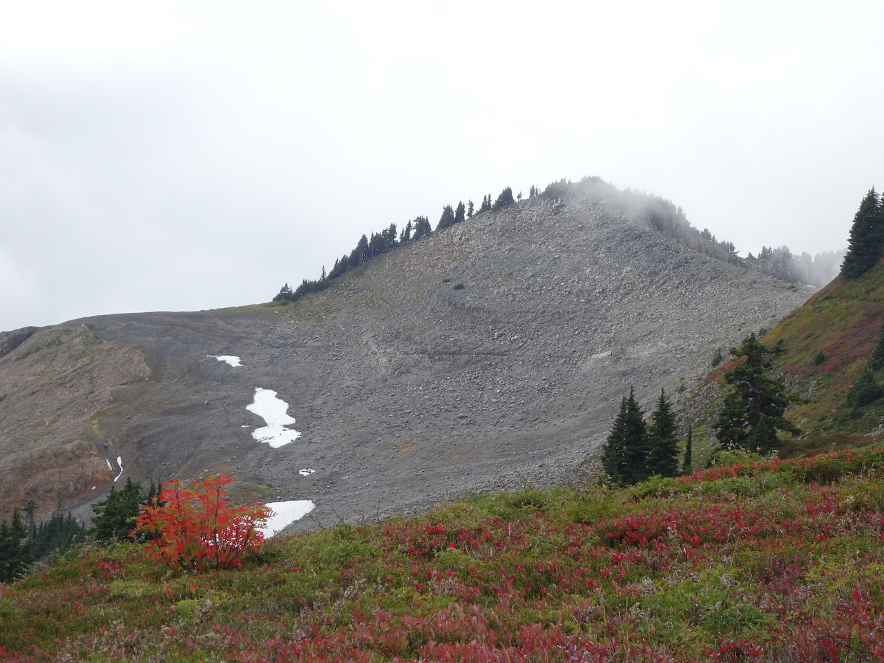
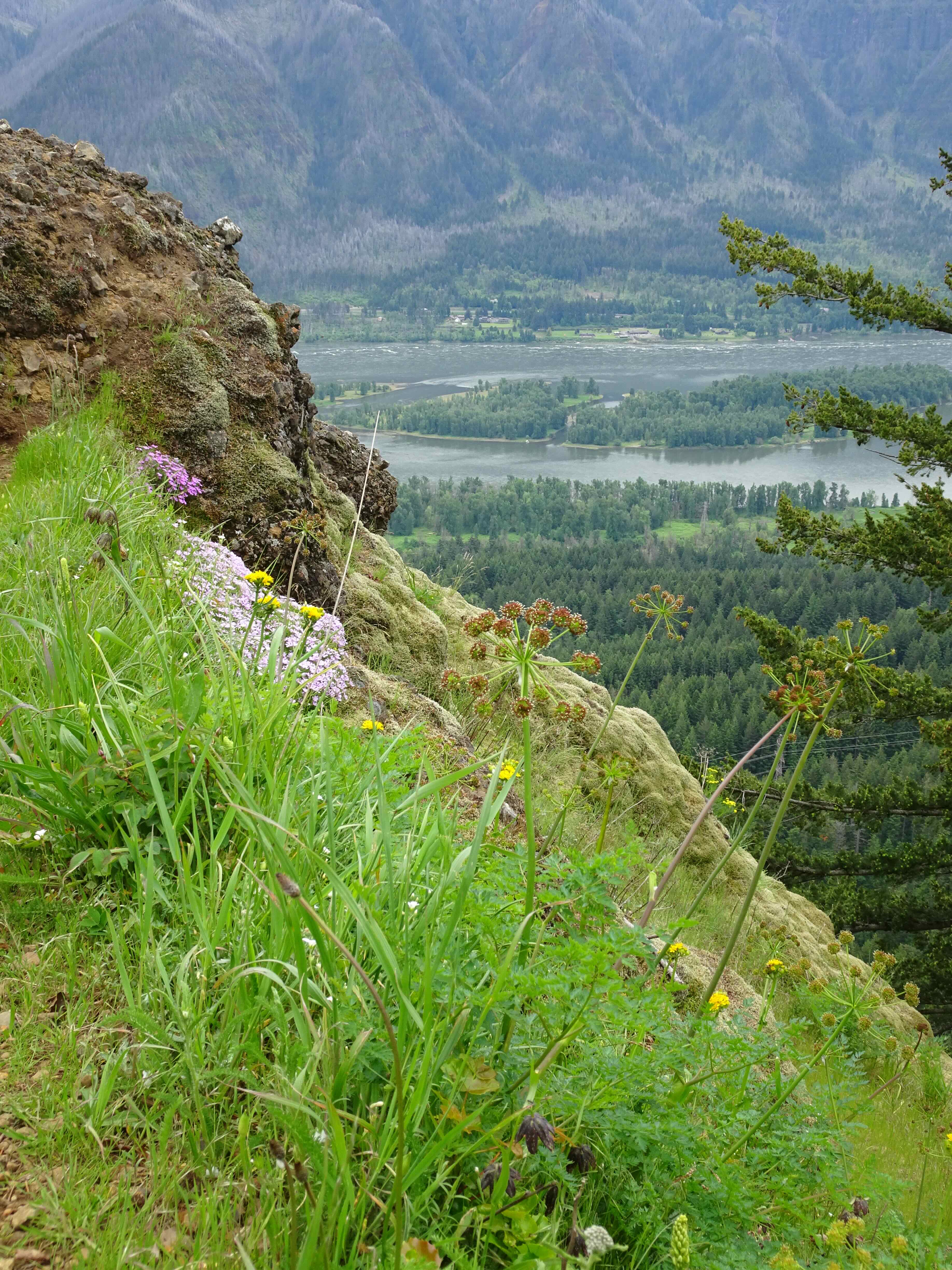
Fireweed and Mt Baker, and our trail junction in the saddle.
From the saddle, we had a better view than yesterday of the Ptarmigan Ridge trail.

Ptarmigan Ridge trail
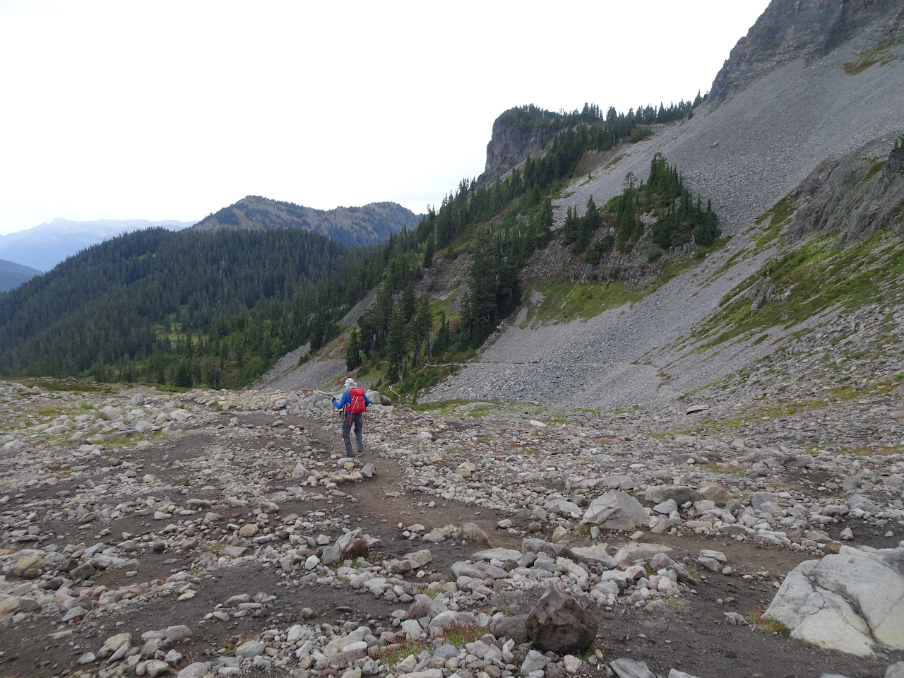
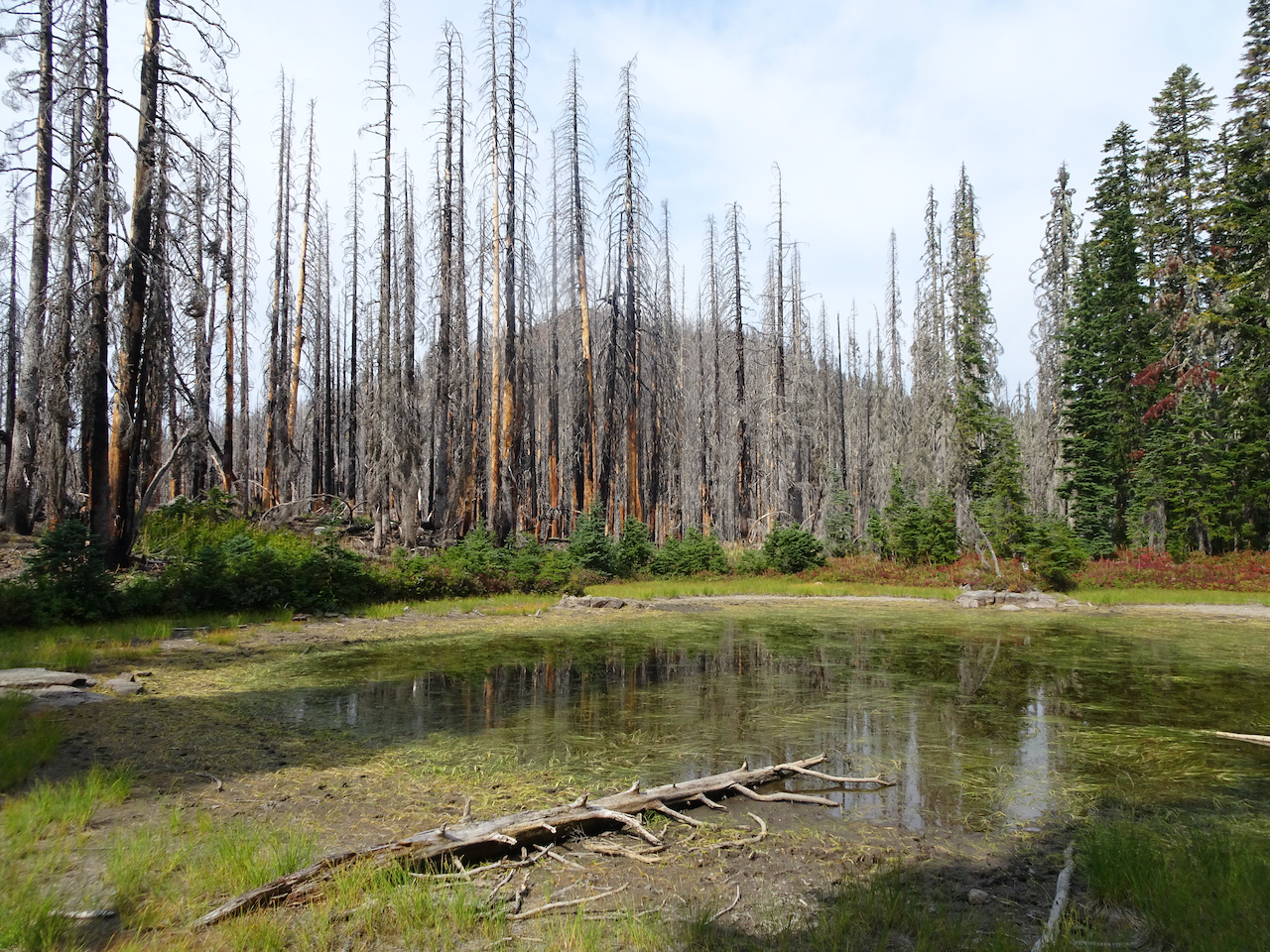
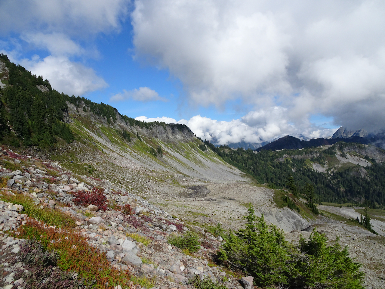
Today we are going north, down the scree slope below Table Mountain, into the Chain of Lakes basin.
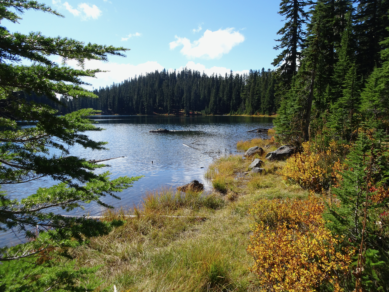
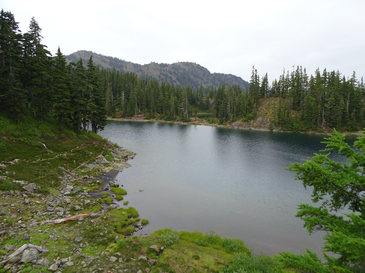
We passed by four lakes in the basin…
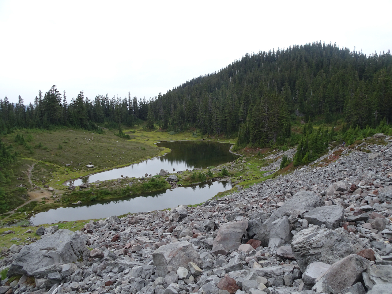
Mazama Lake
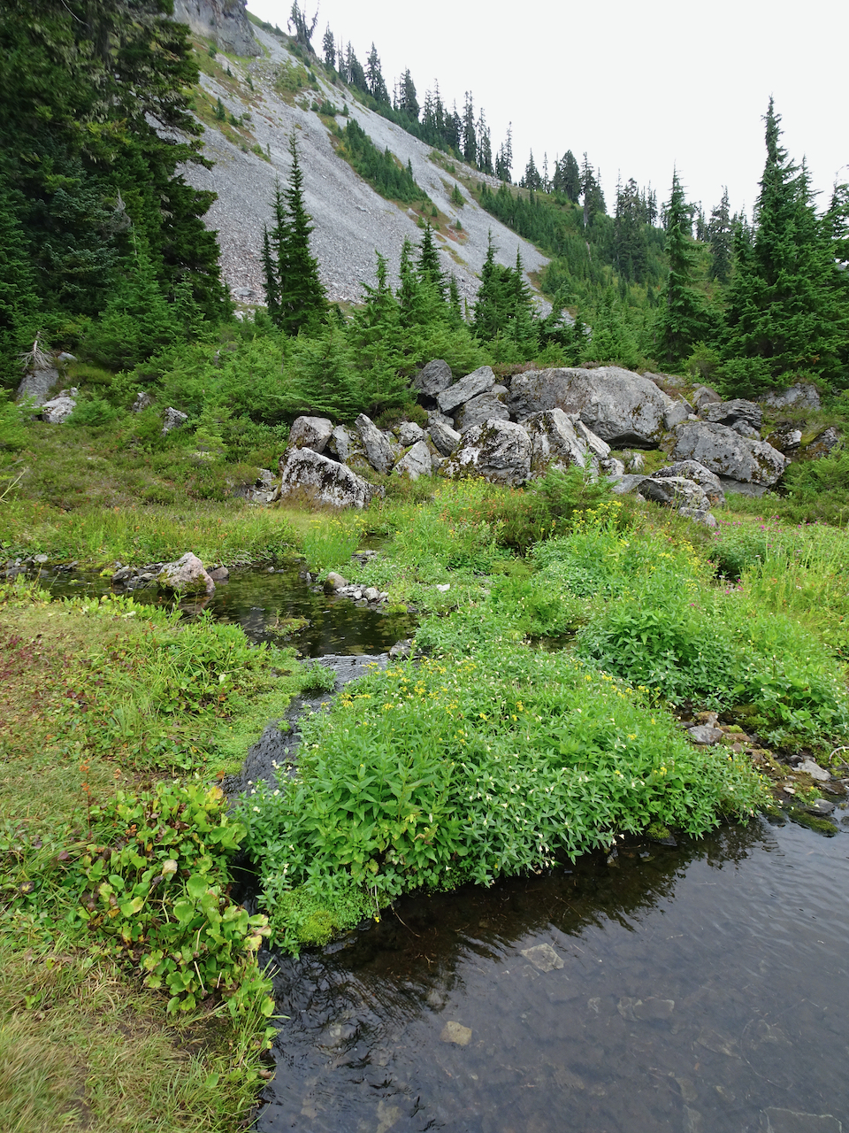
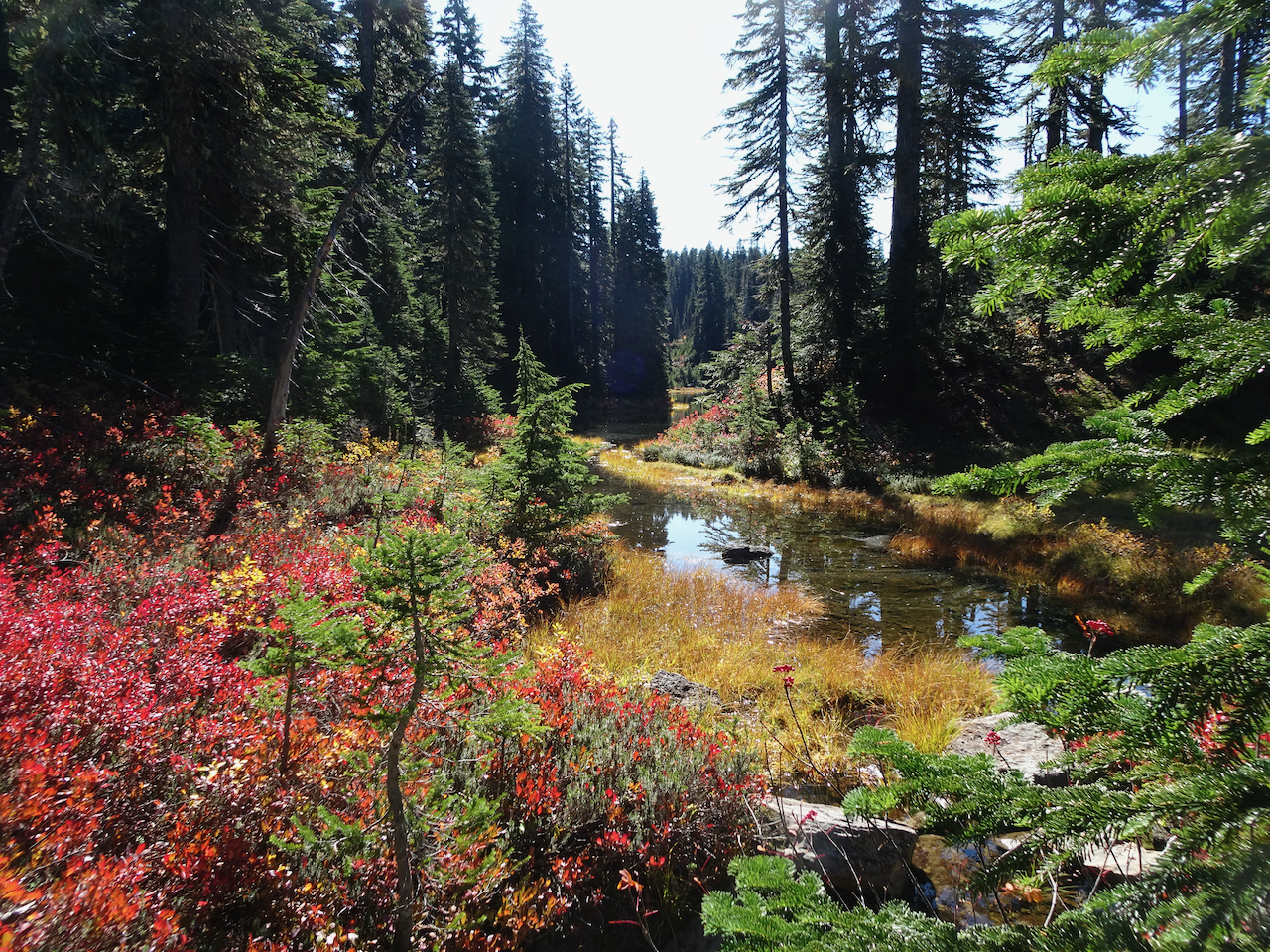
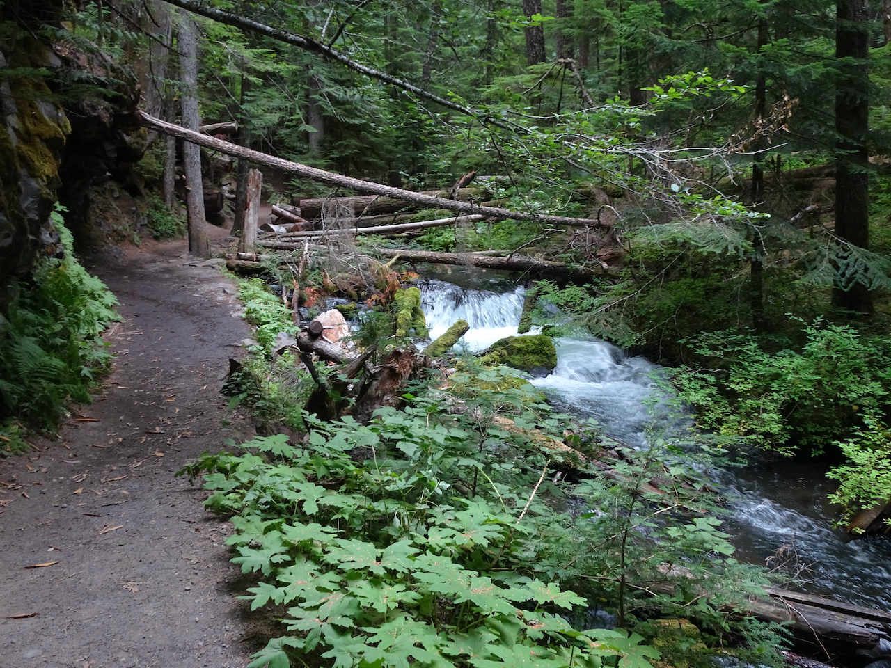
Stream between Mazama and Iceberg Lakes
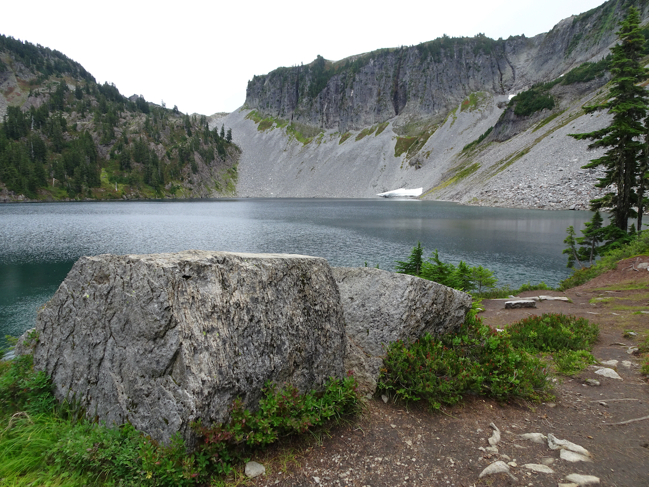
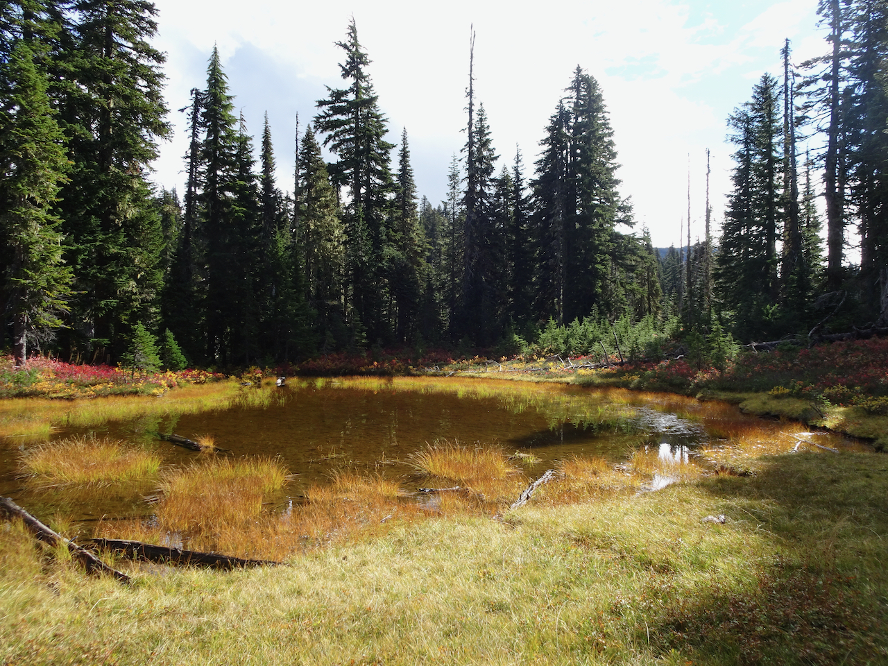
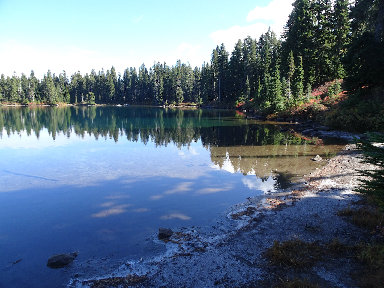
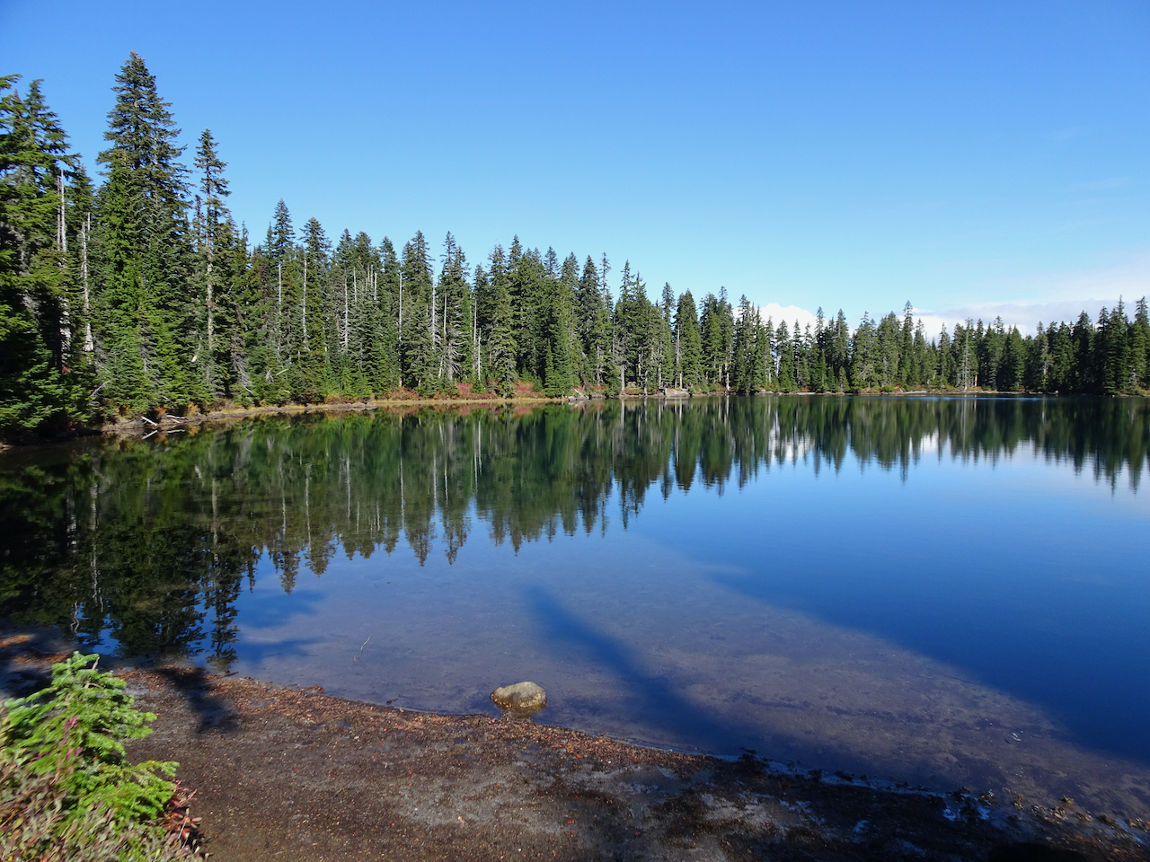
Iceberg Lake
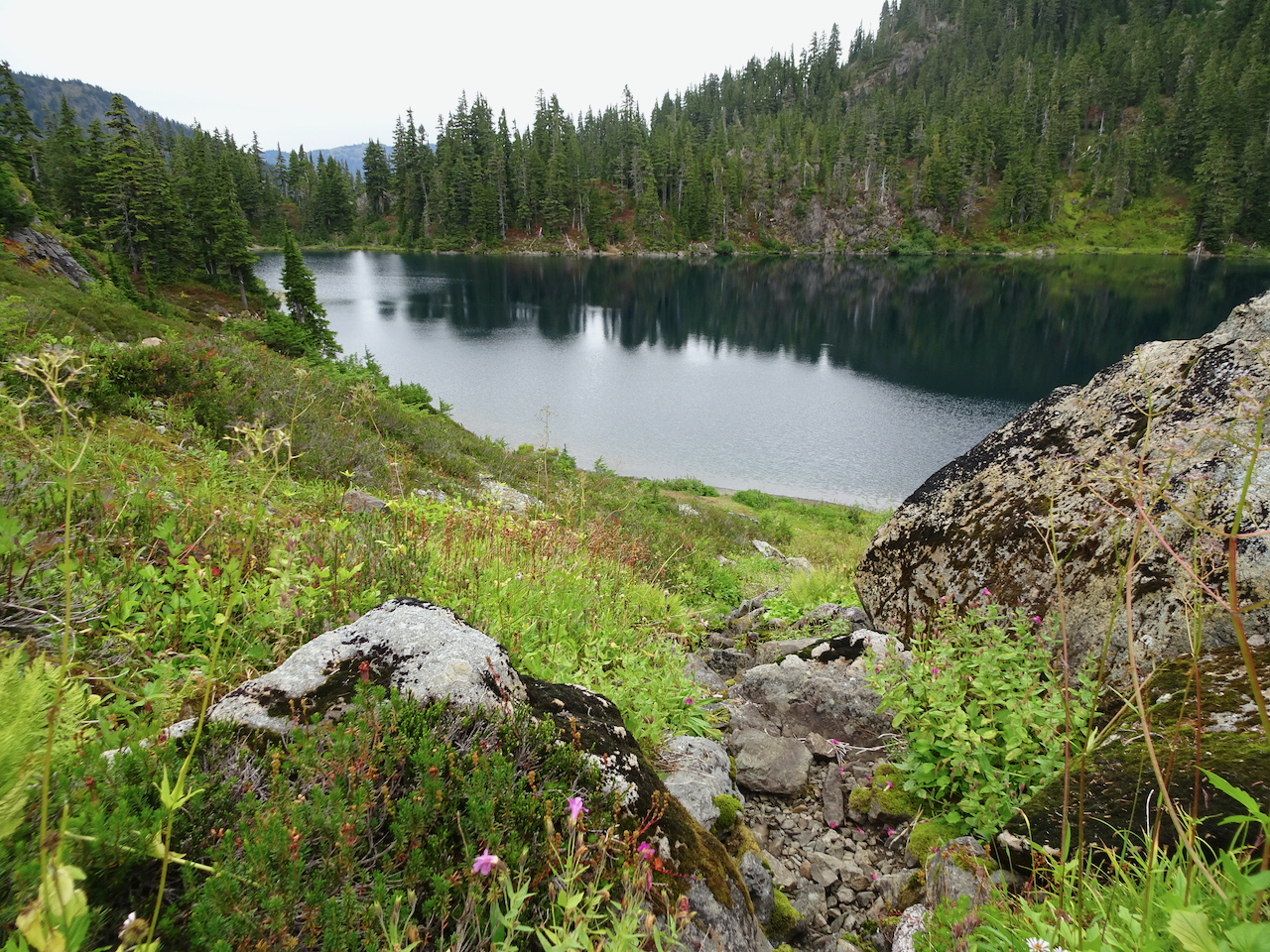
Hayes Lake
We followed the side trail around Hayes Lake, toward Arbuthnot Lake, and found shelter under a few trees to eat lunch just as the rain began.
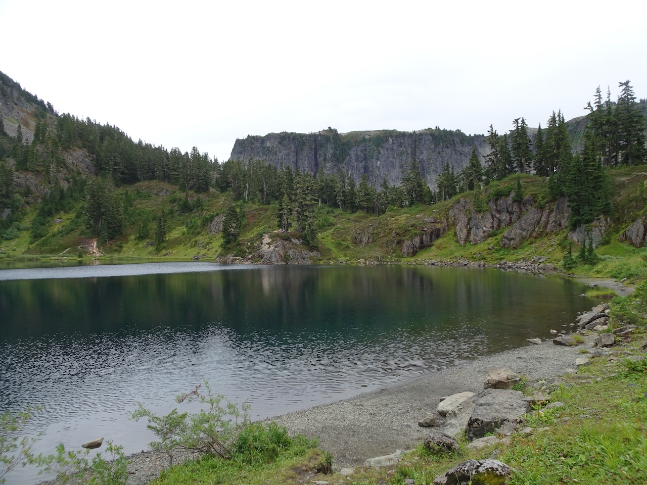
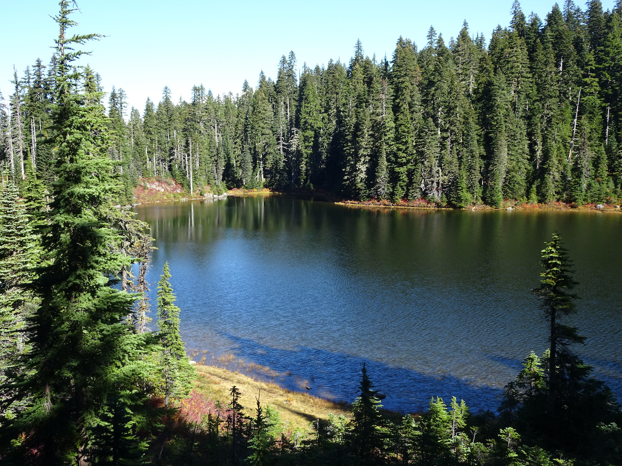
Hayes Lake and Table Mountain
Lunch spot view of Hayes and Arbuthnot Lakes

Closer view of Arbuthnot Lake
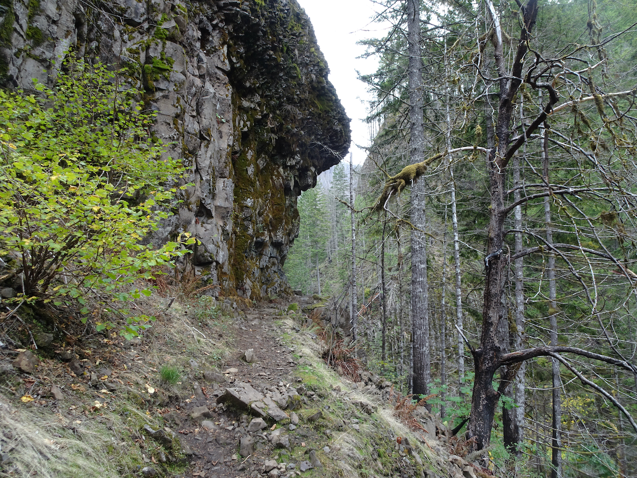
The rain was beginning in earnest, so we turned around to retrace our steps, walking quickly as conditions got worse.
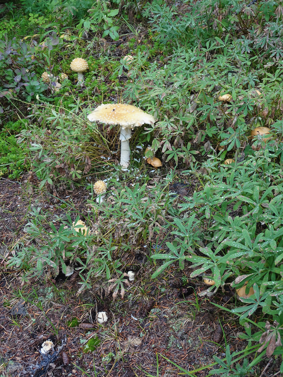
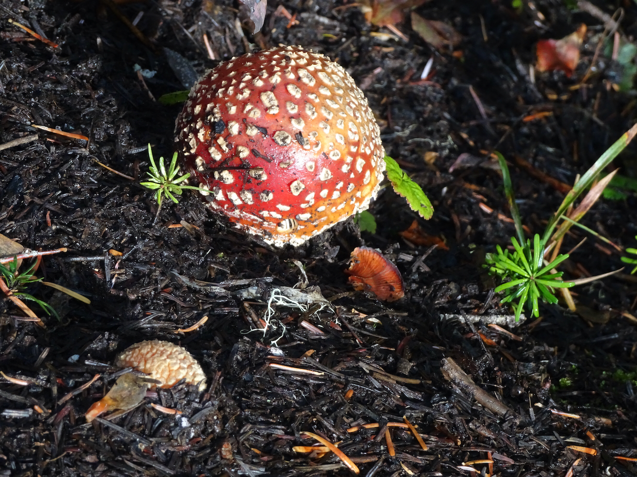
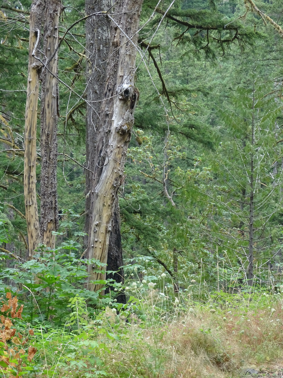
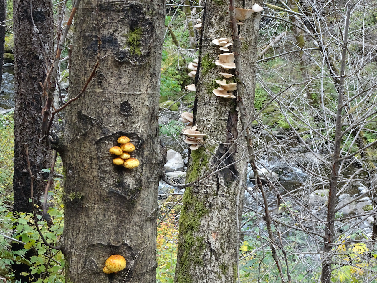
Mushroom forest
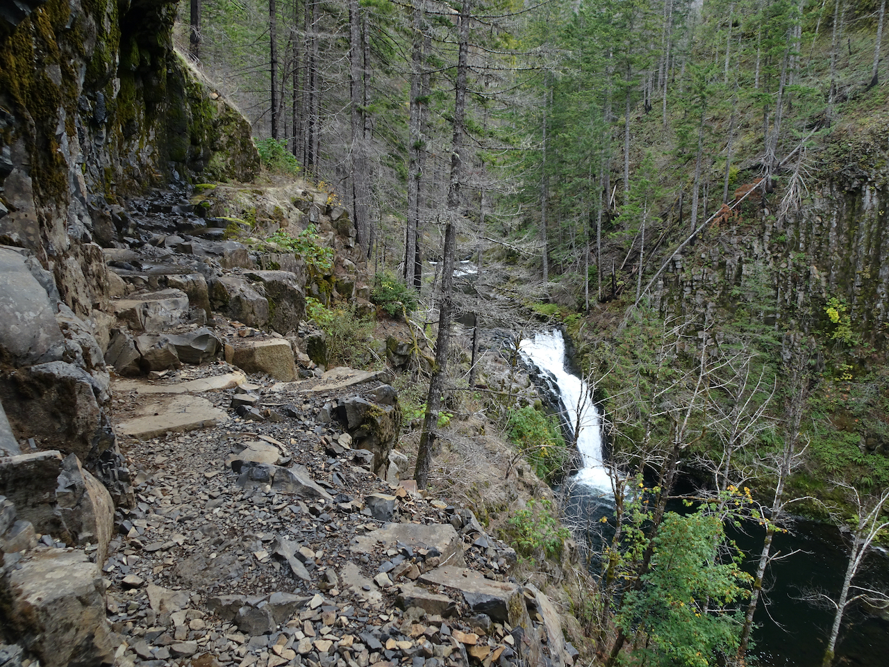
Outlet stream
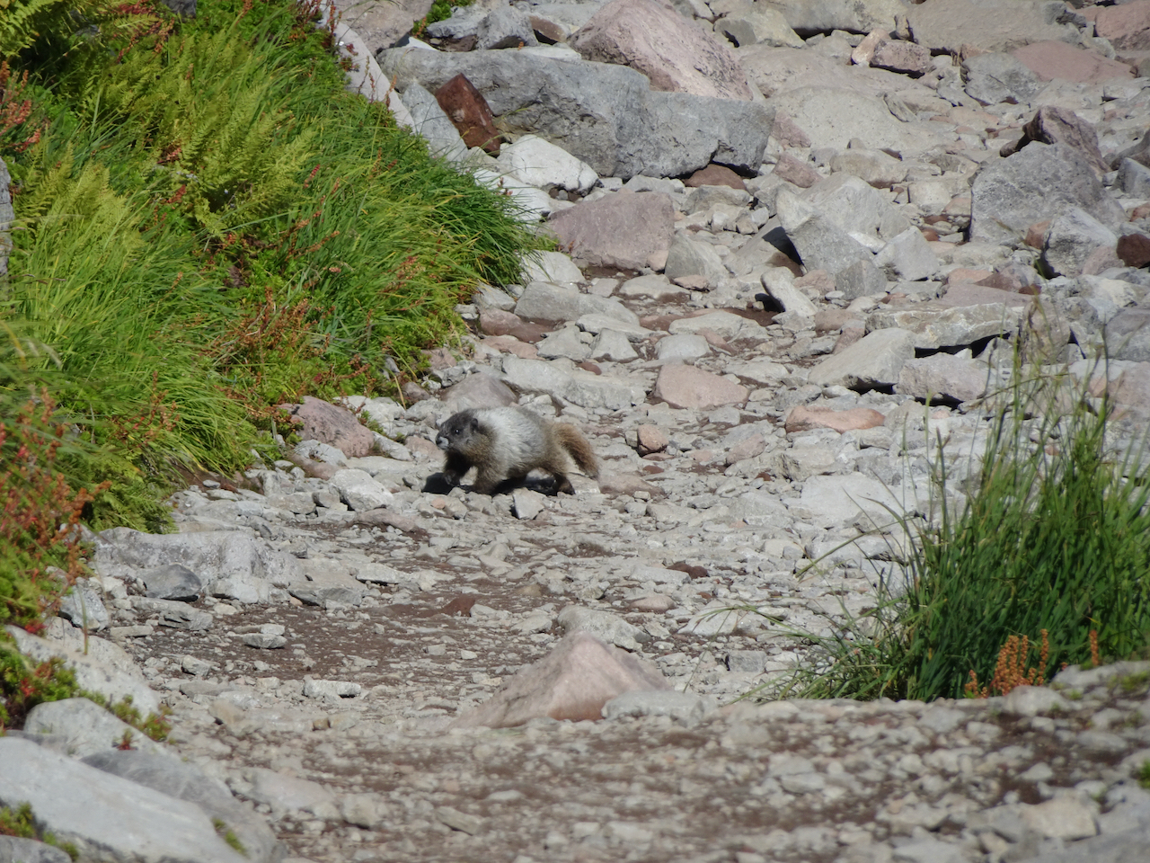
By the time we were hiking back up the scree slope, I was getting pretty tired, after three days of hiking. I paused, and heard a whistle, and saw a marmot down on the rocks below the trail.
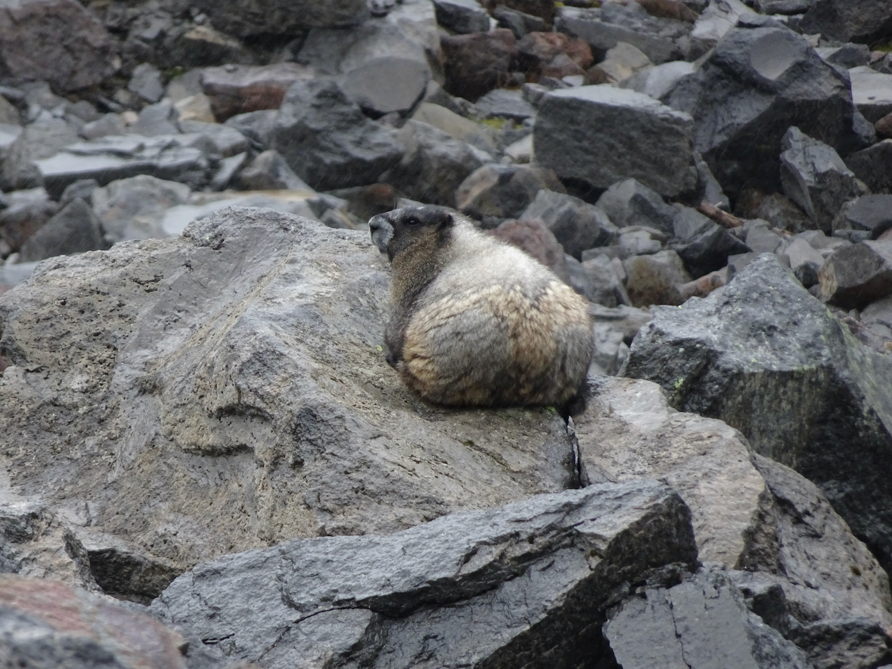
Marmot giving me the side eye as they enjoy their shower.
We still had more than a mile to go in the pouring rain, no more photos today. But we were very happy with our three days of hiking, and seeing the mountains, and came up with a new list of trails to return to, not just here, but along other trailheads in the North Cascades.
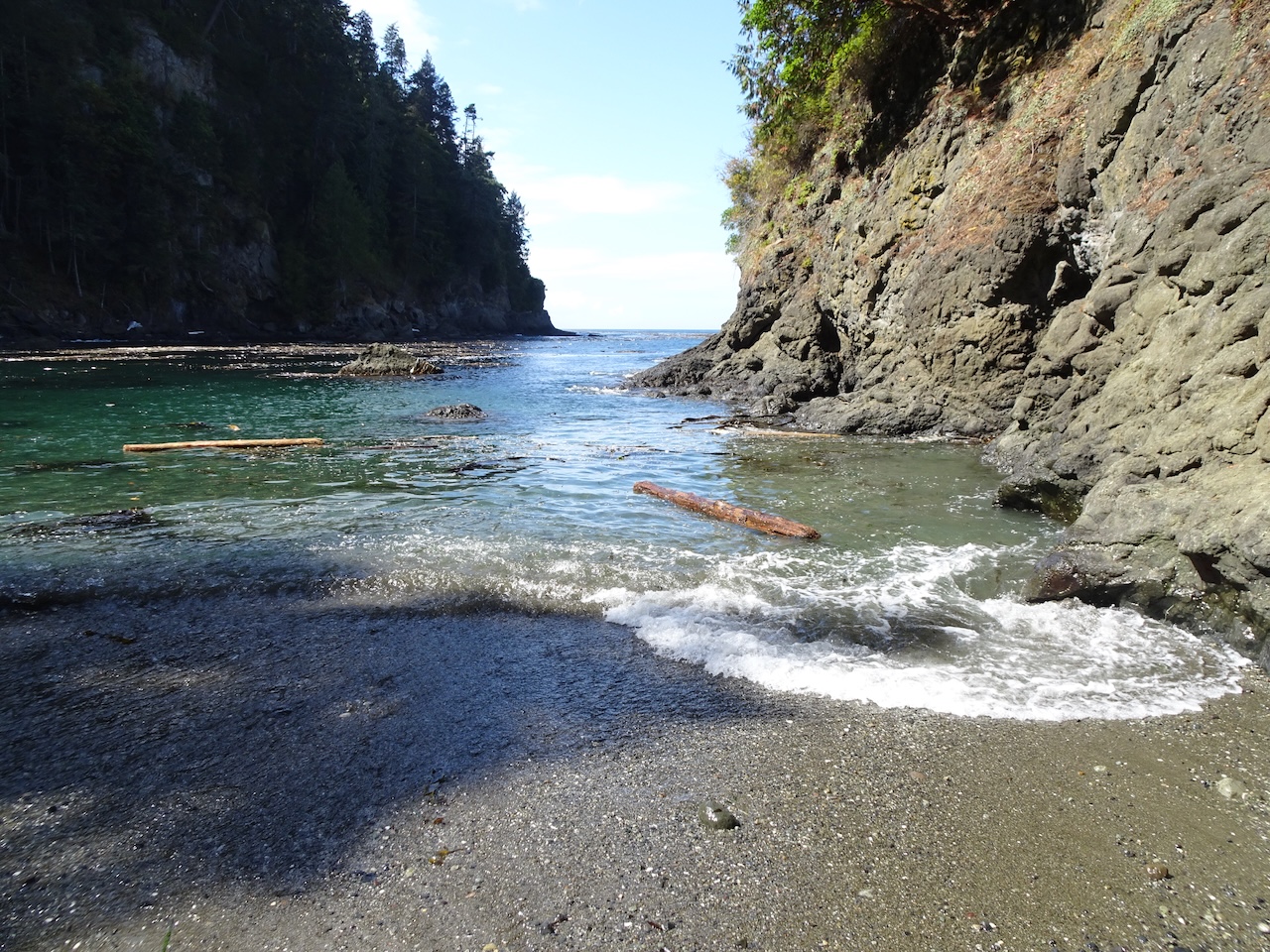
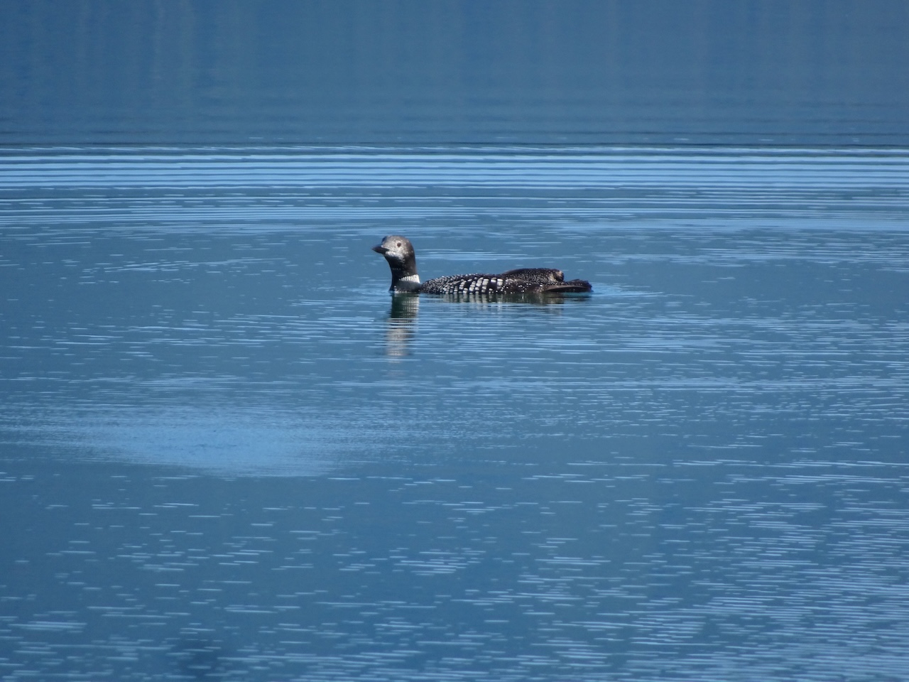
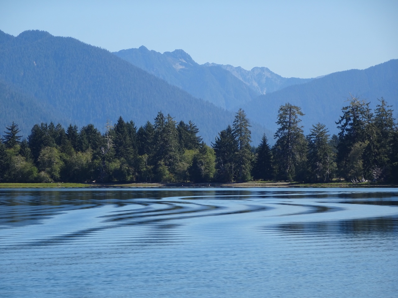
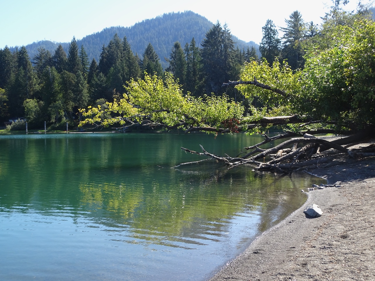
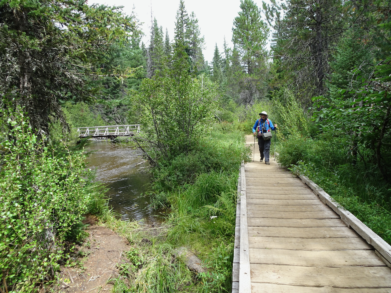
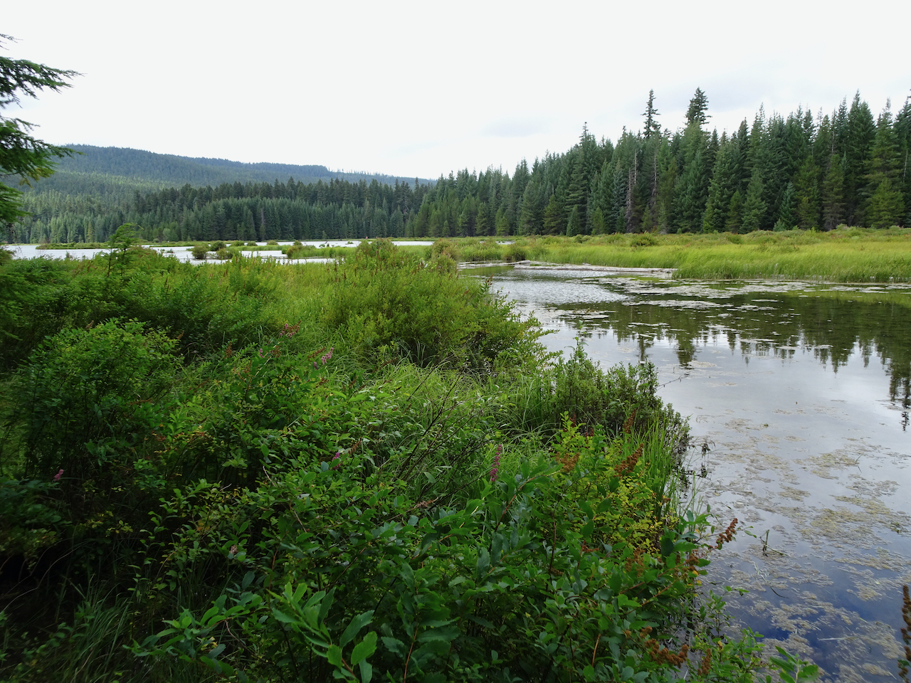
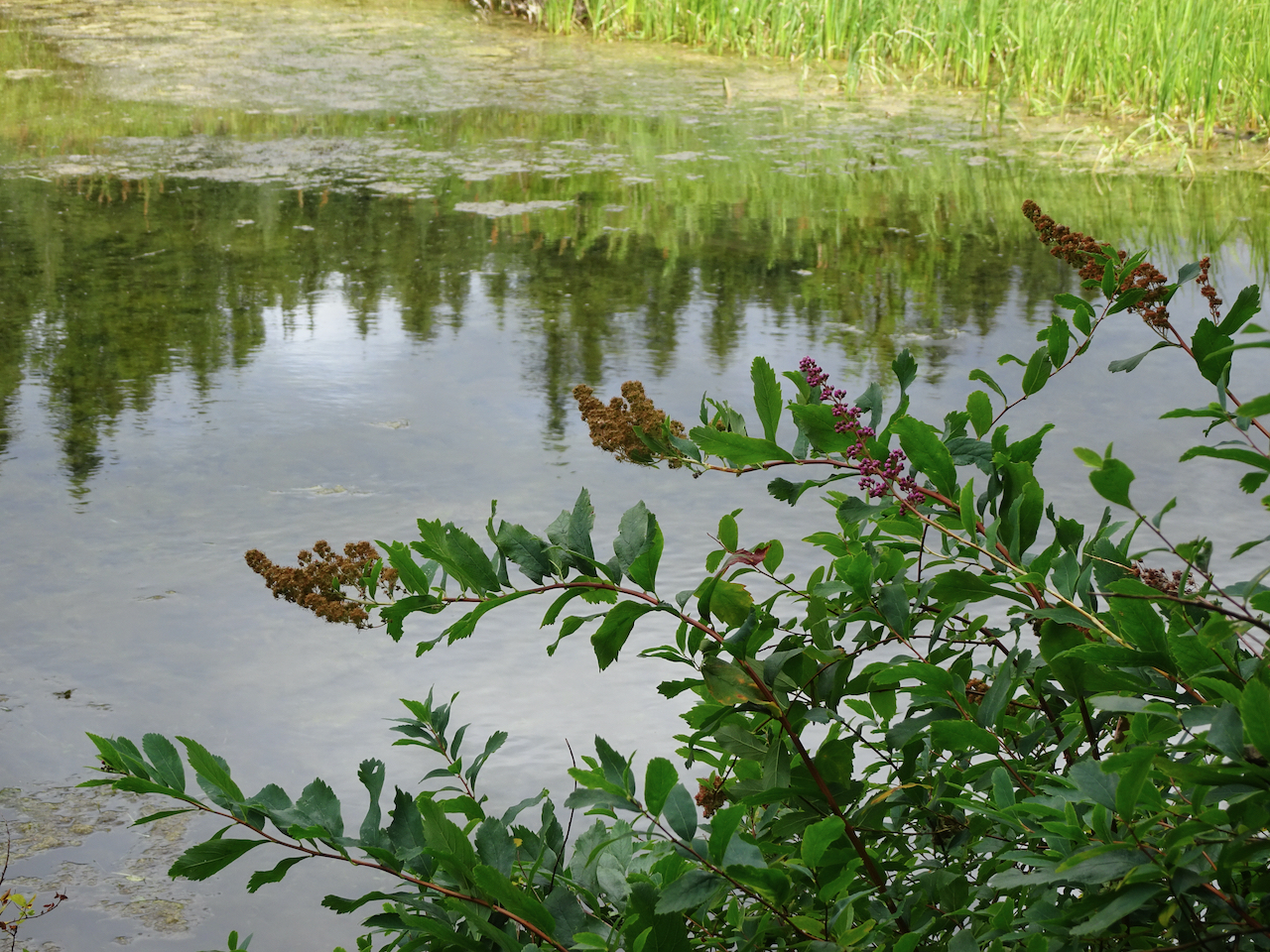
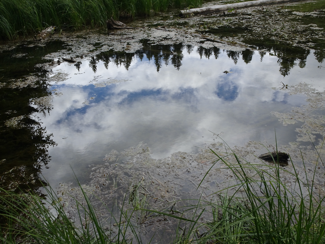
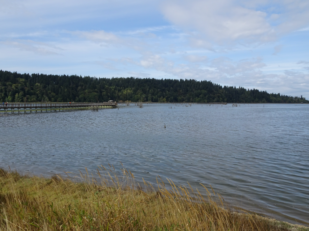
September 15 – Billy Frank-Nisqually National Wildlife Refuge
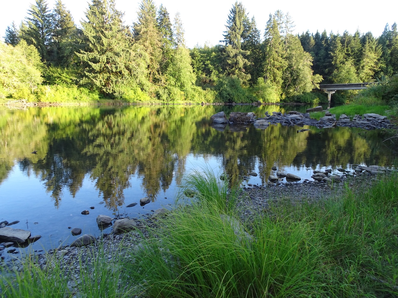
Halfway through our six hour drive home to Portland we took our lunch break at this wildlife refuge at the southern end of the Puget Sound. We walked about two miles, to the beginning of the boardwalk that extends for another mile out into the Puget Sound.
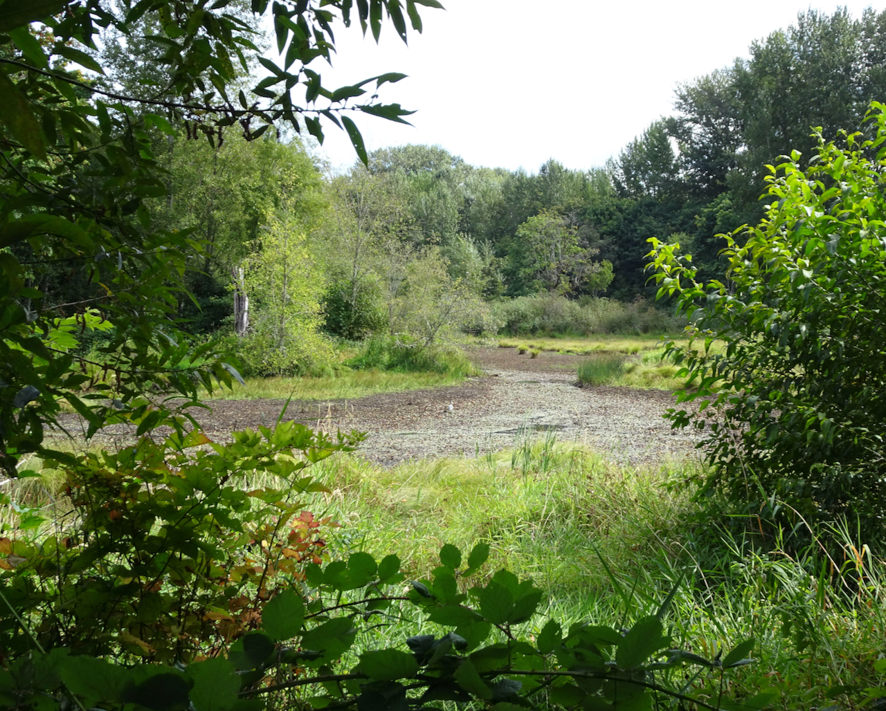
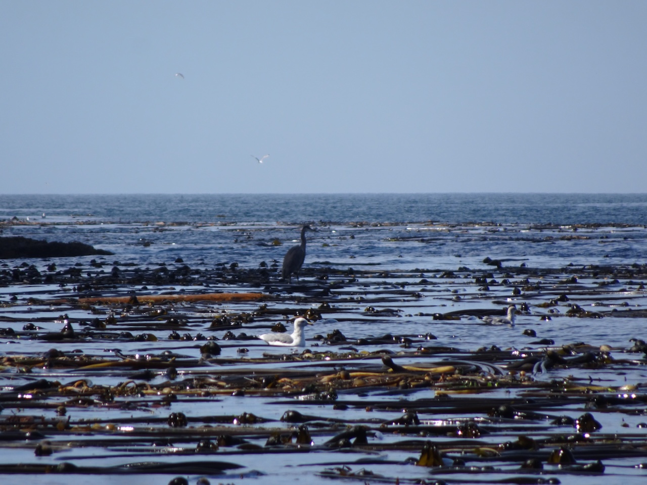
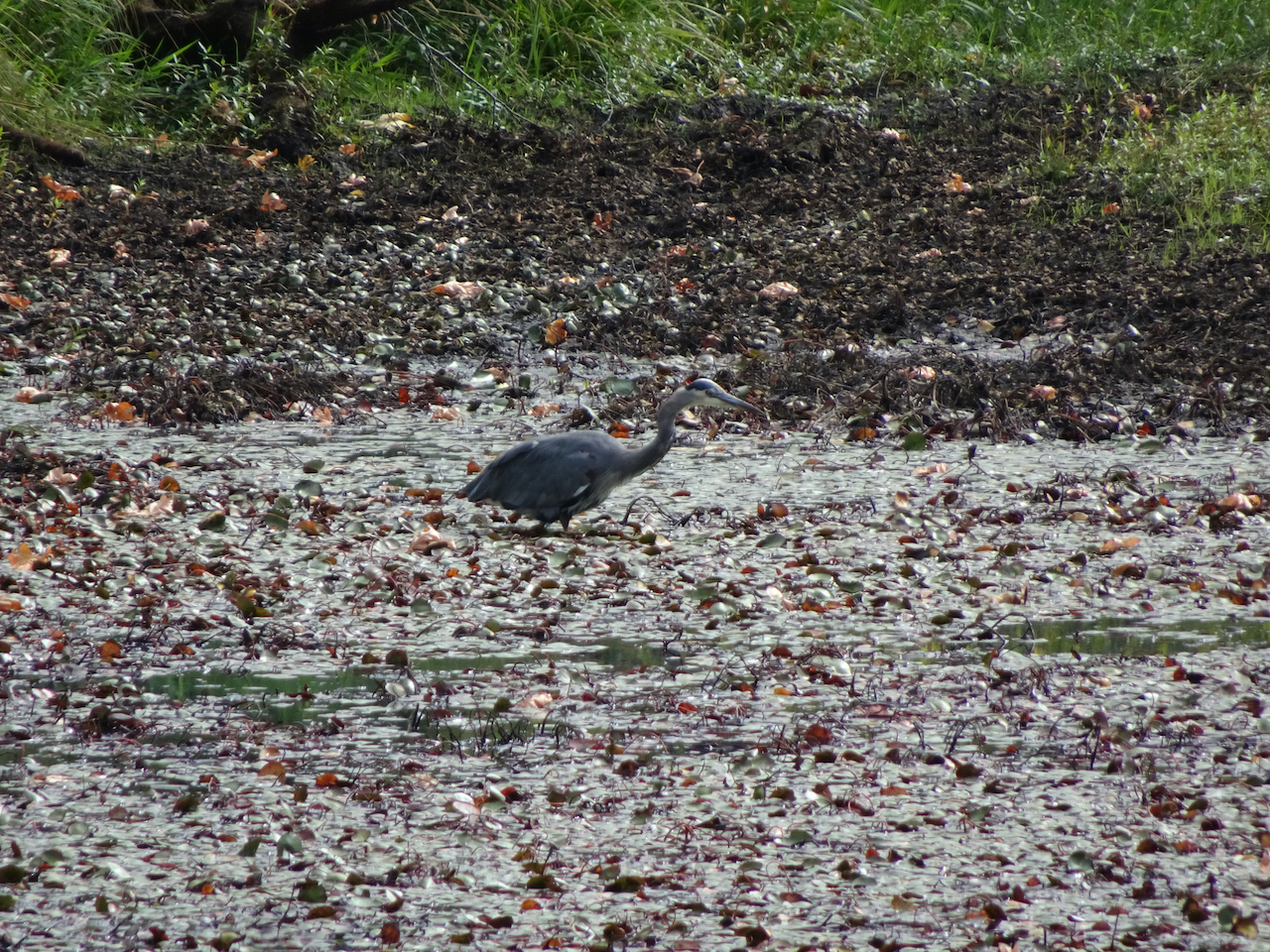
The trail begins near a bog where we spotted a great blue heron.
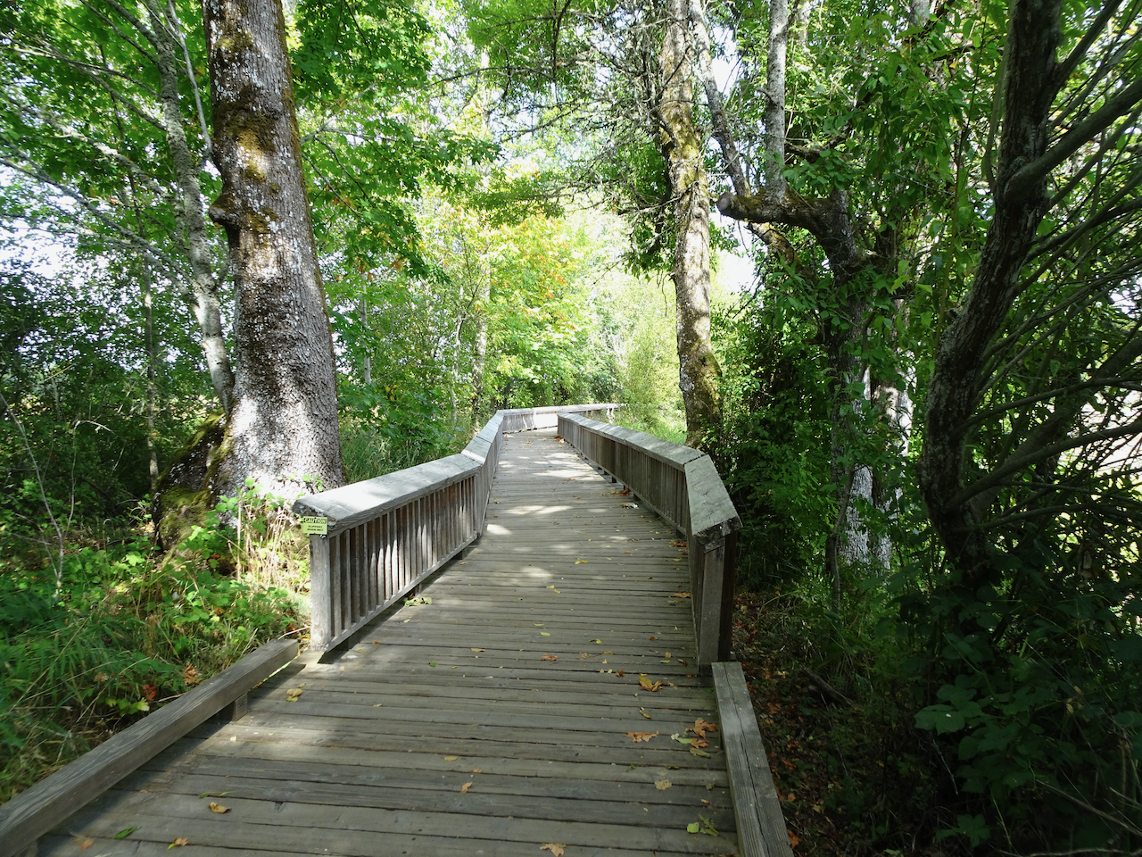
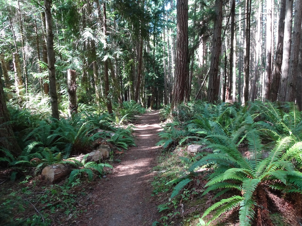
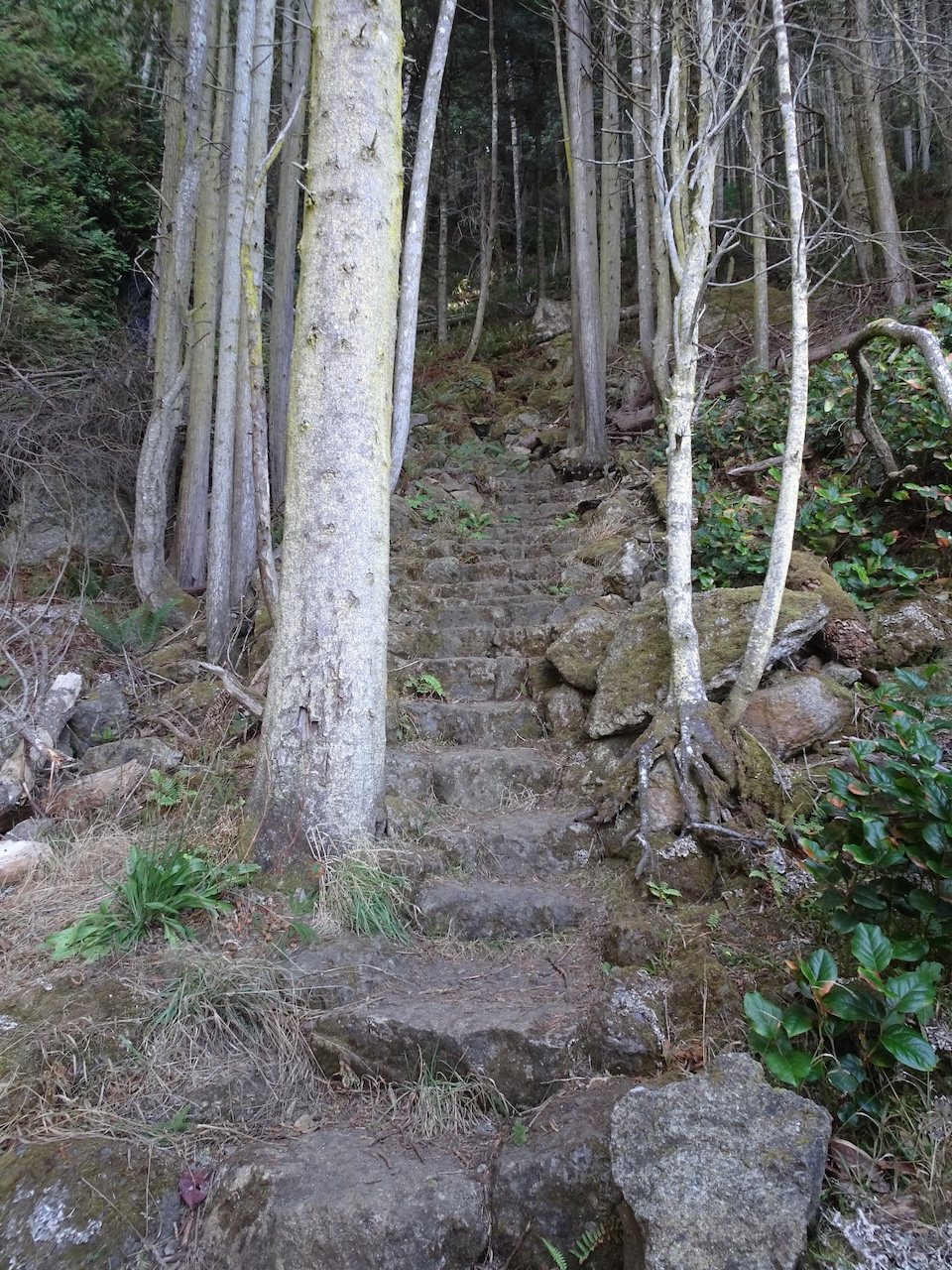
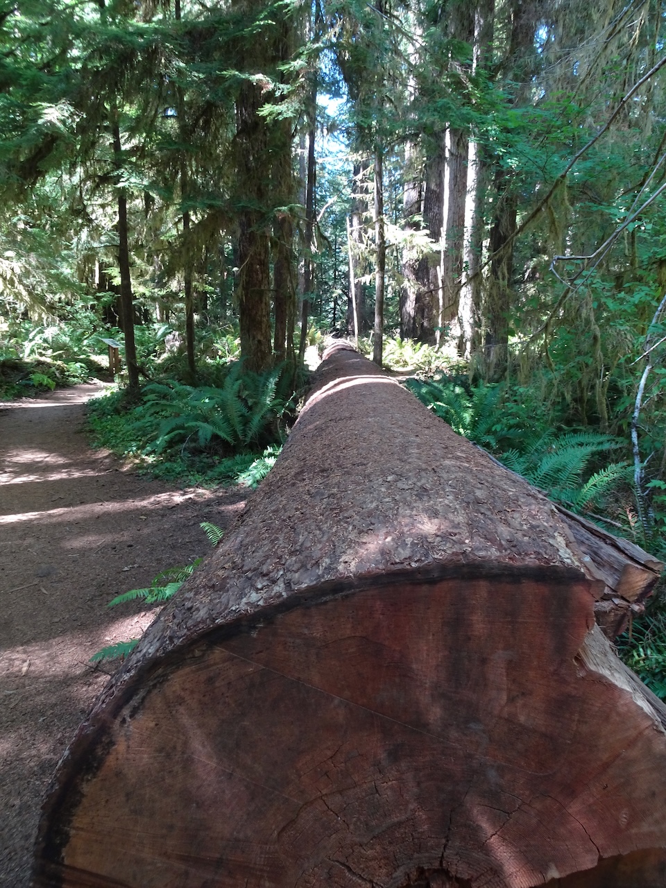
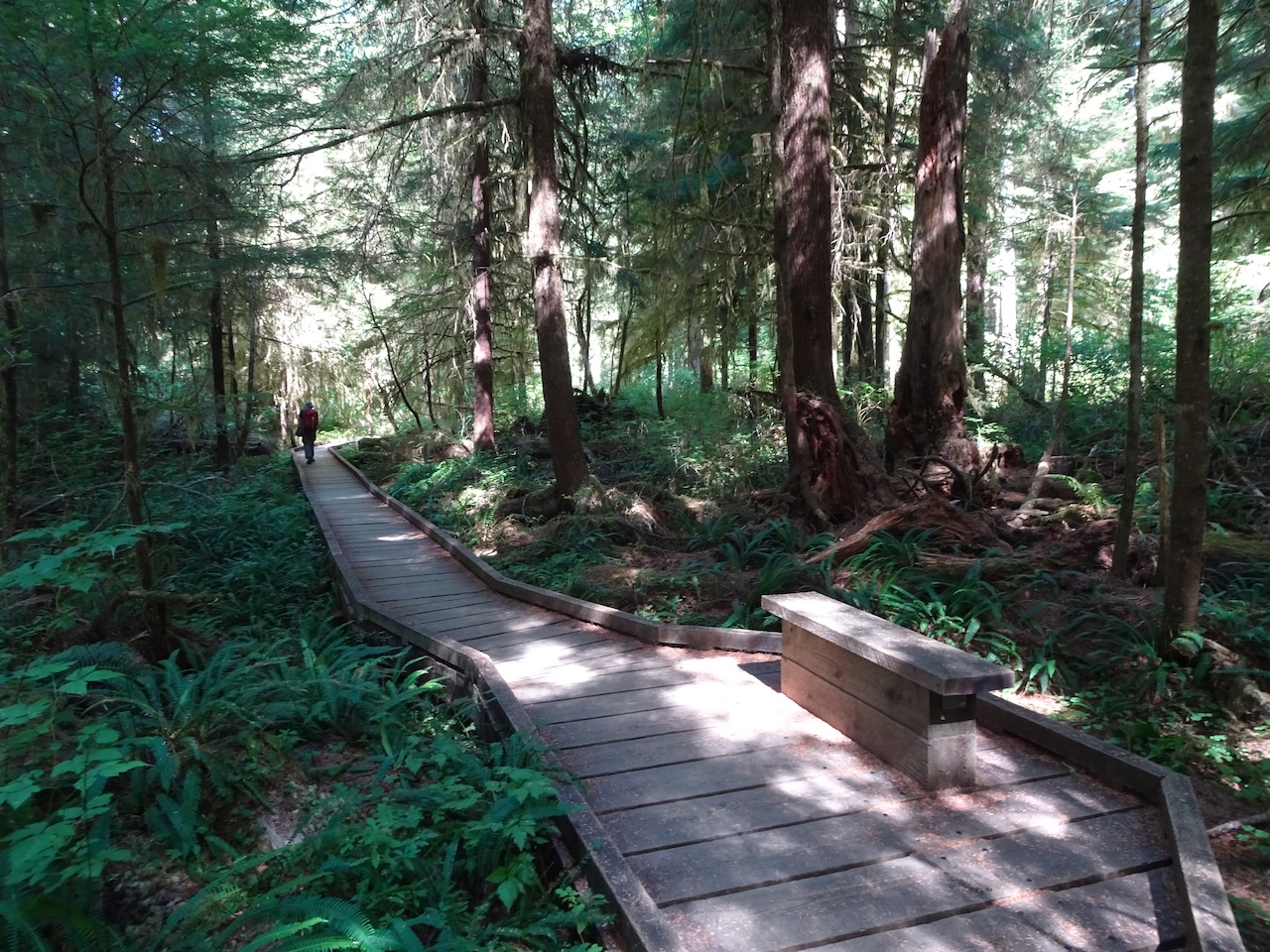
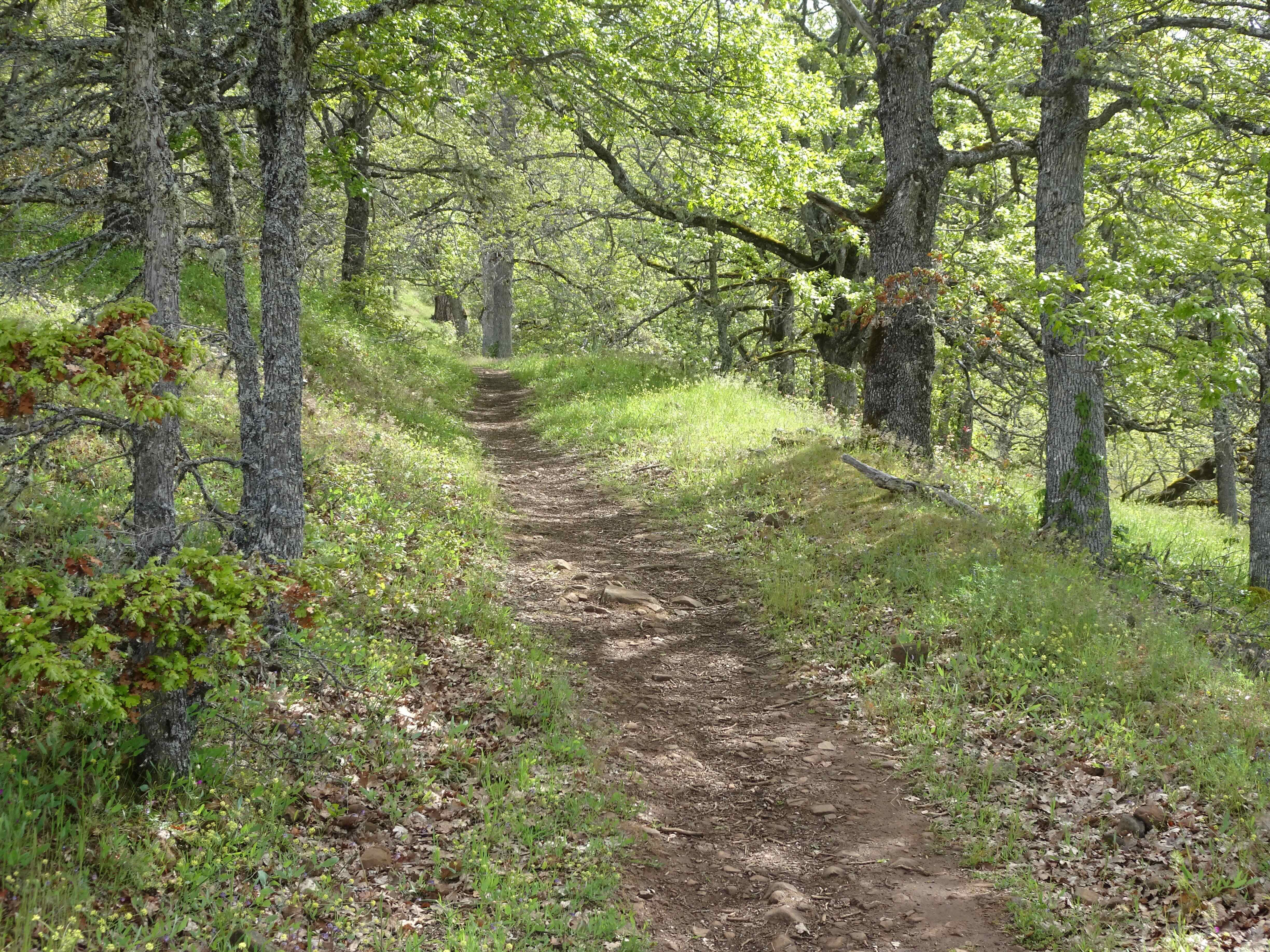
We continued on wooden boardwalks through the woods,
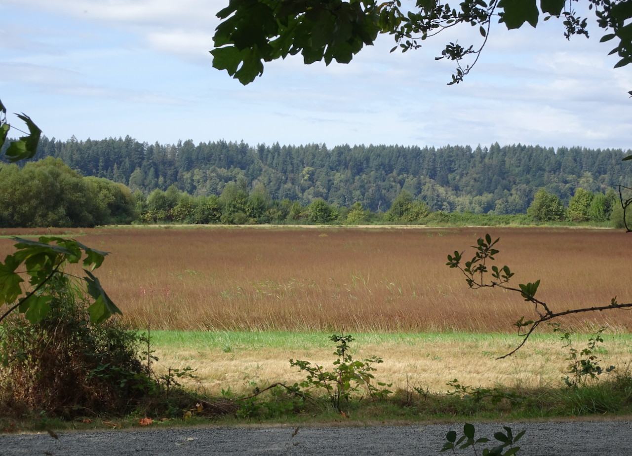
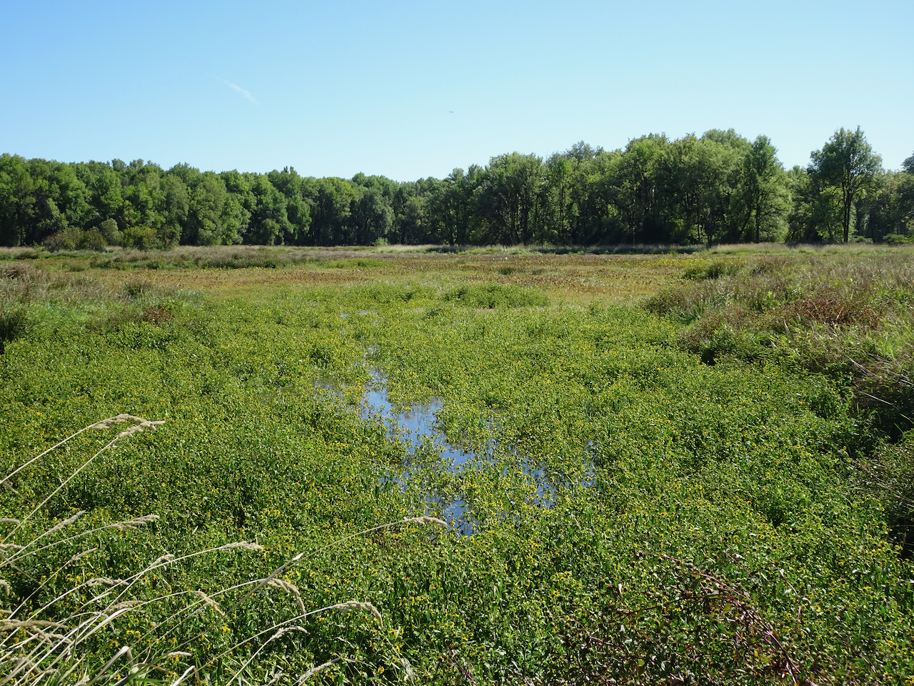
with views to grassy lowlands.
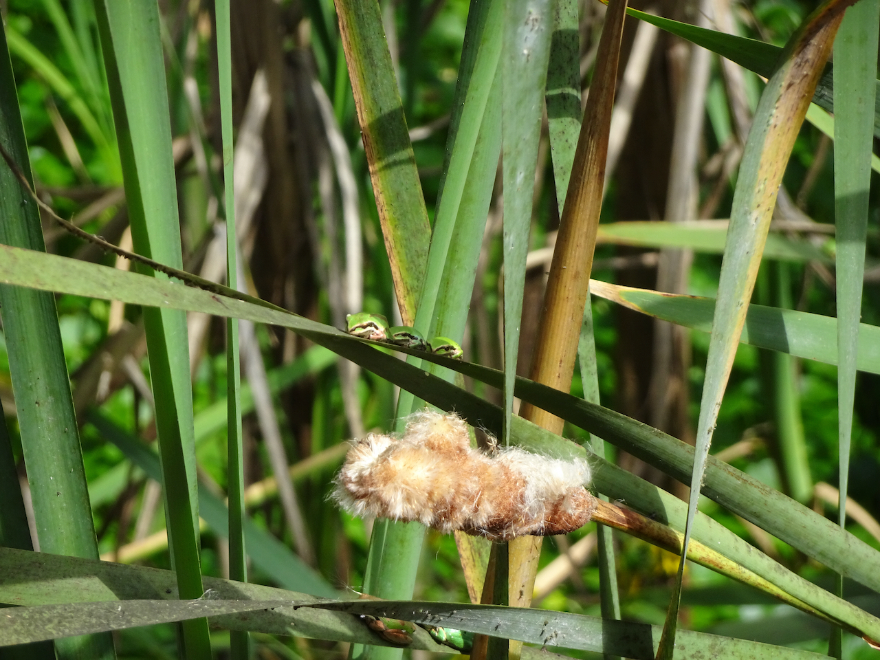
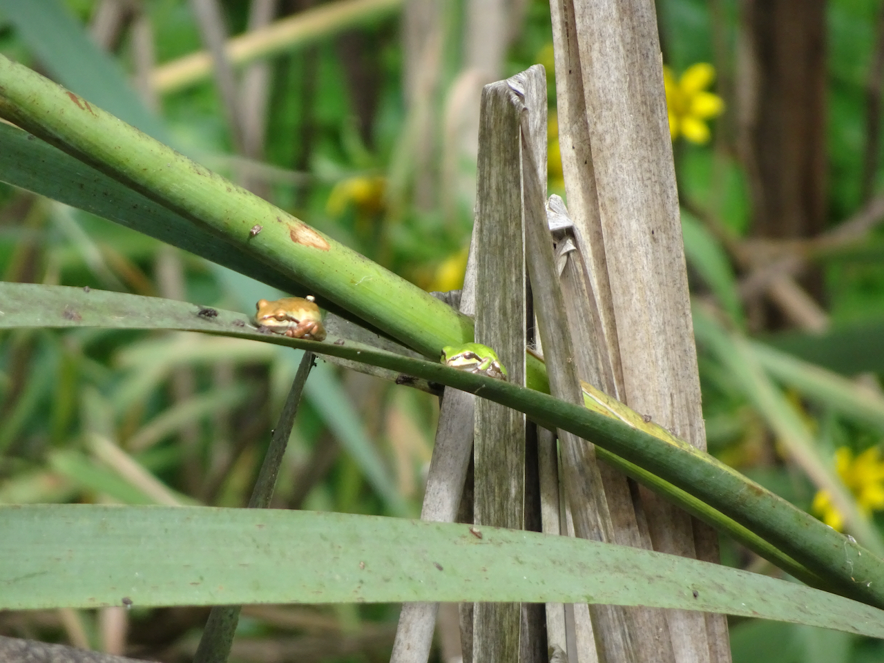
Some other hikers pointed out the tiny frogs on the marsh grasses.

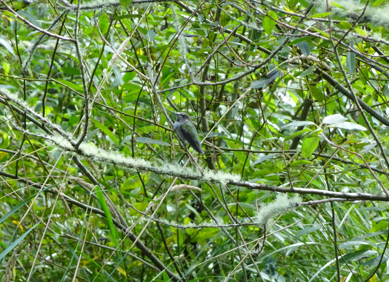
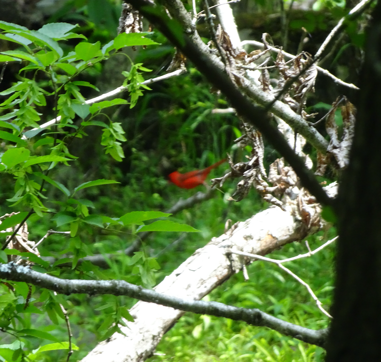
and I spotted a hummingbird.
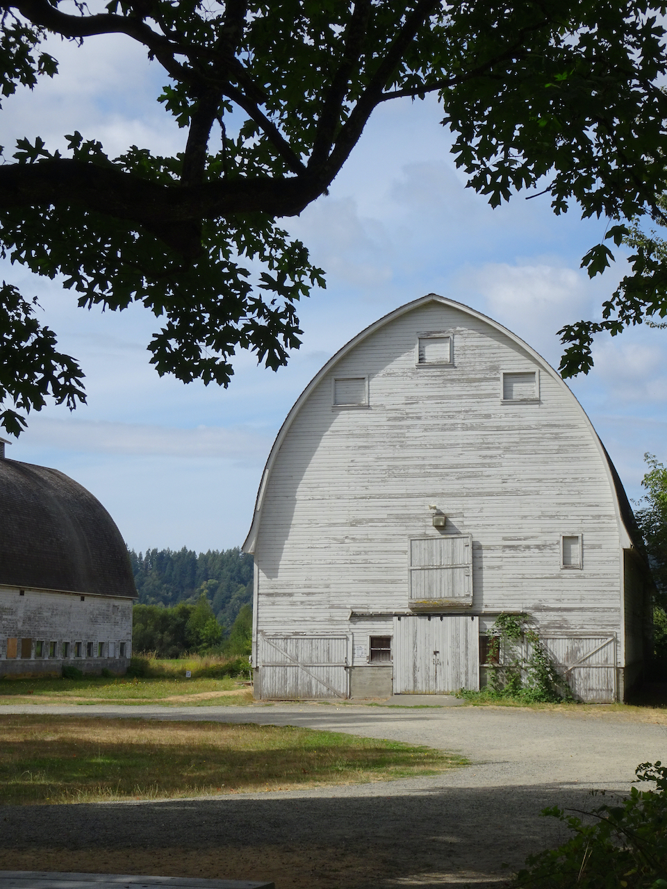
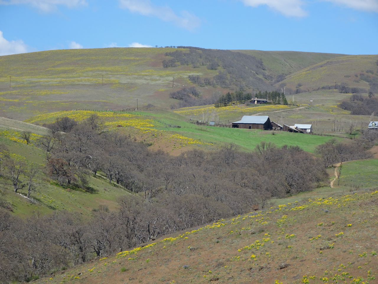
After passing the barn,
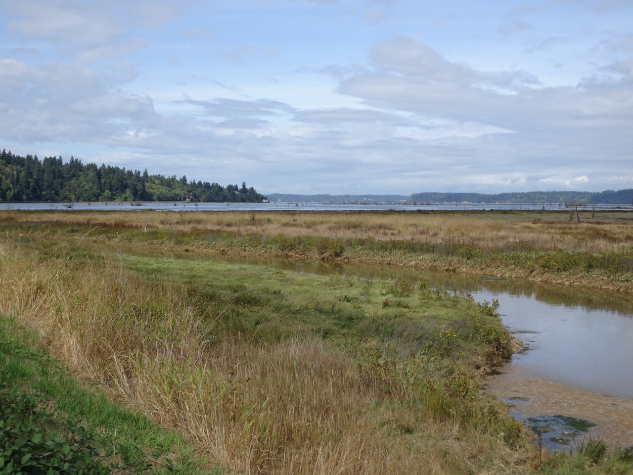
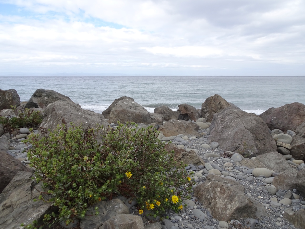
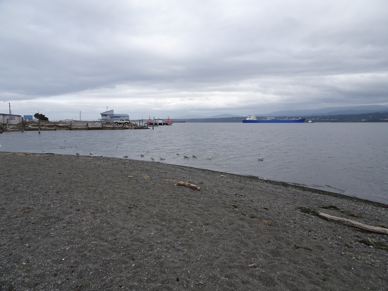
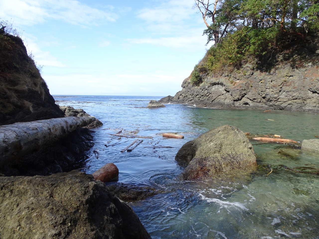
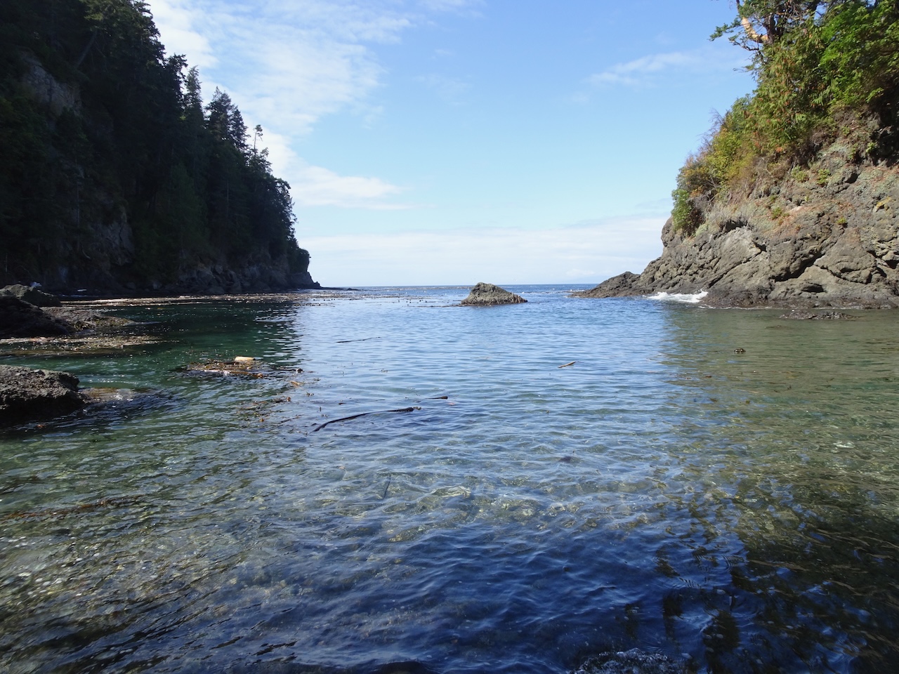
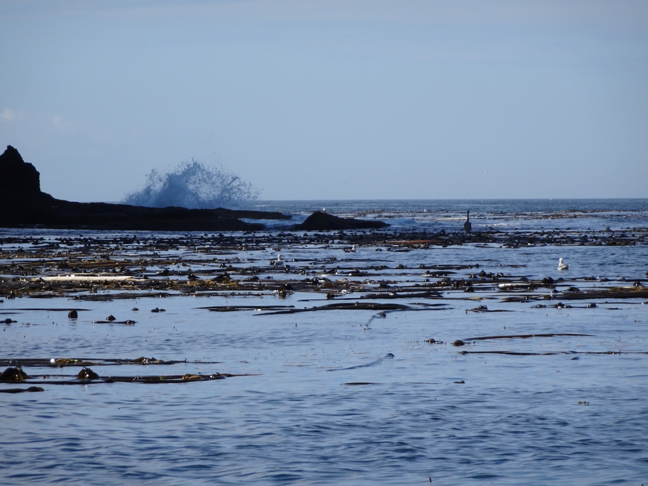
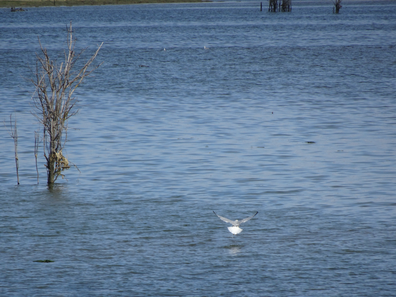
we emerged to wide open views of the southern Puget Sound,
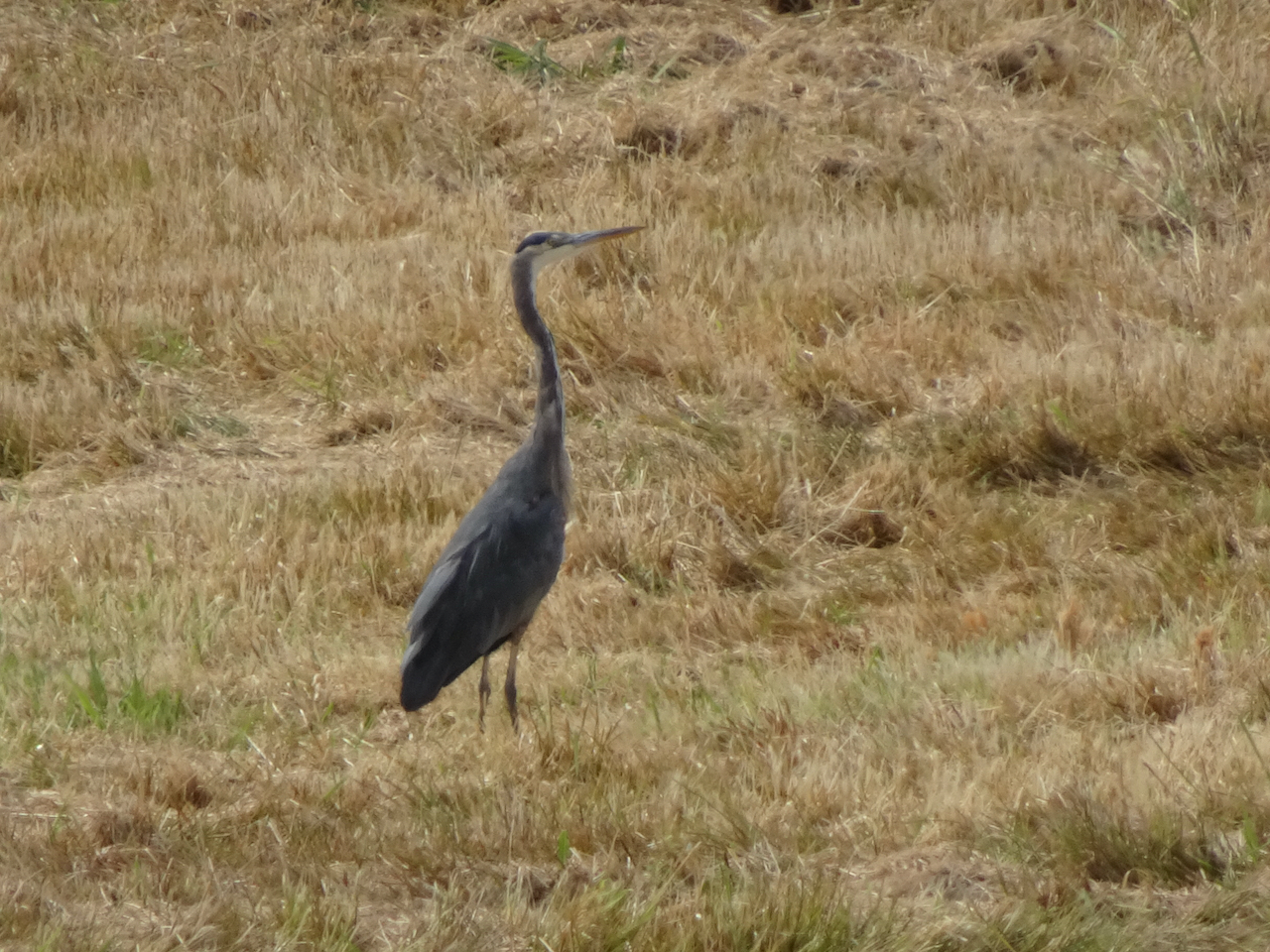
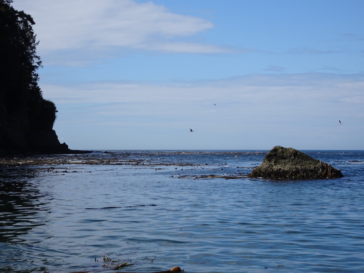
and spotted another heron.
We walked to the very beginning of the mile long boardwalk out over the water,
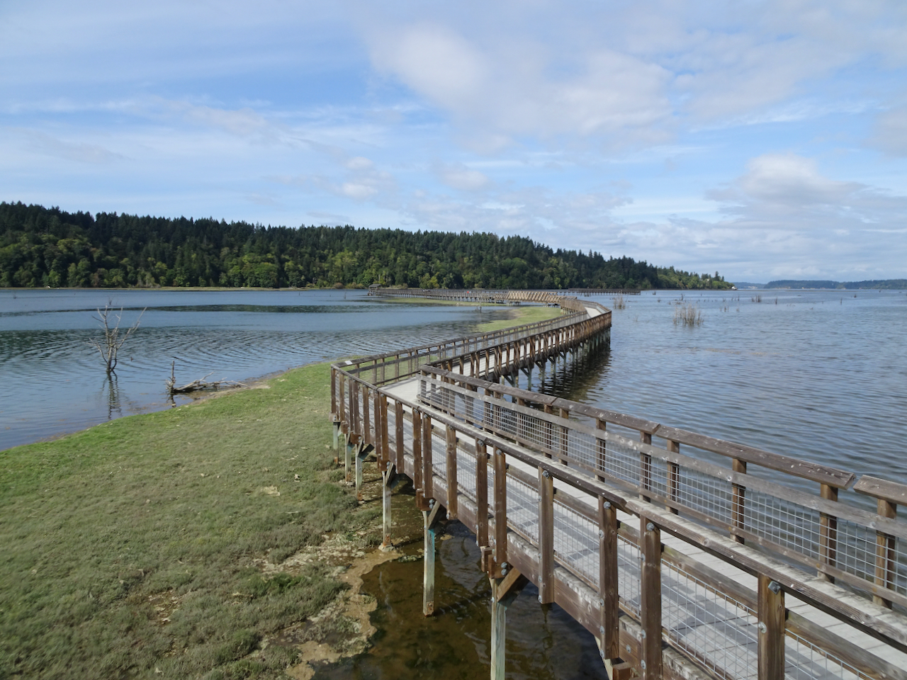
but decided to turn around for the day,

saving our visit to the farthest viewing platform for another day.
We will return!
Thus ended another adventure, leaving me with tired legs, and a new list of places to hike next time.


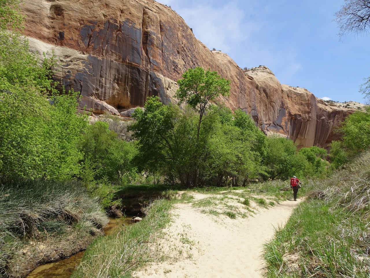


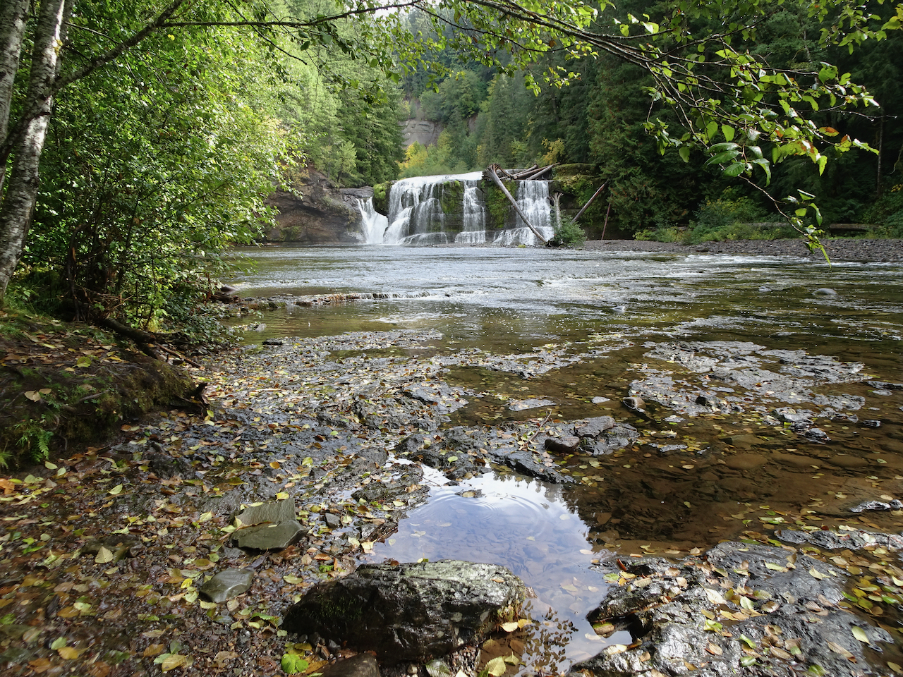
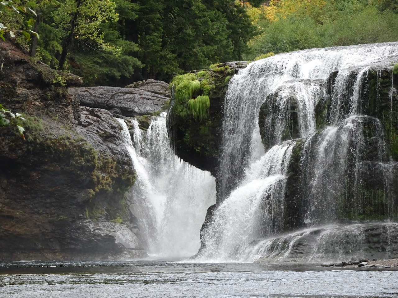
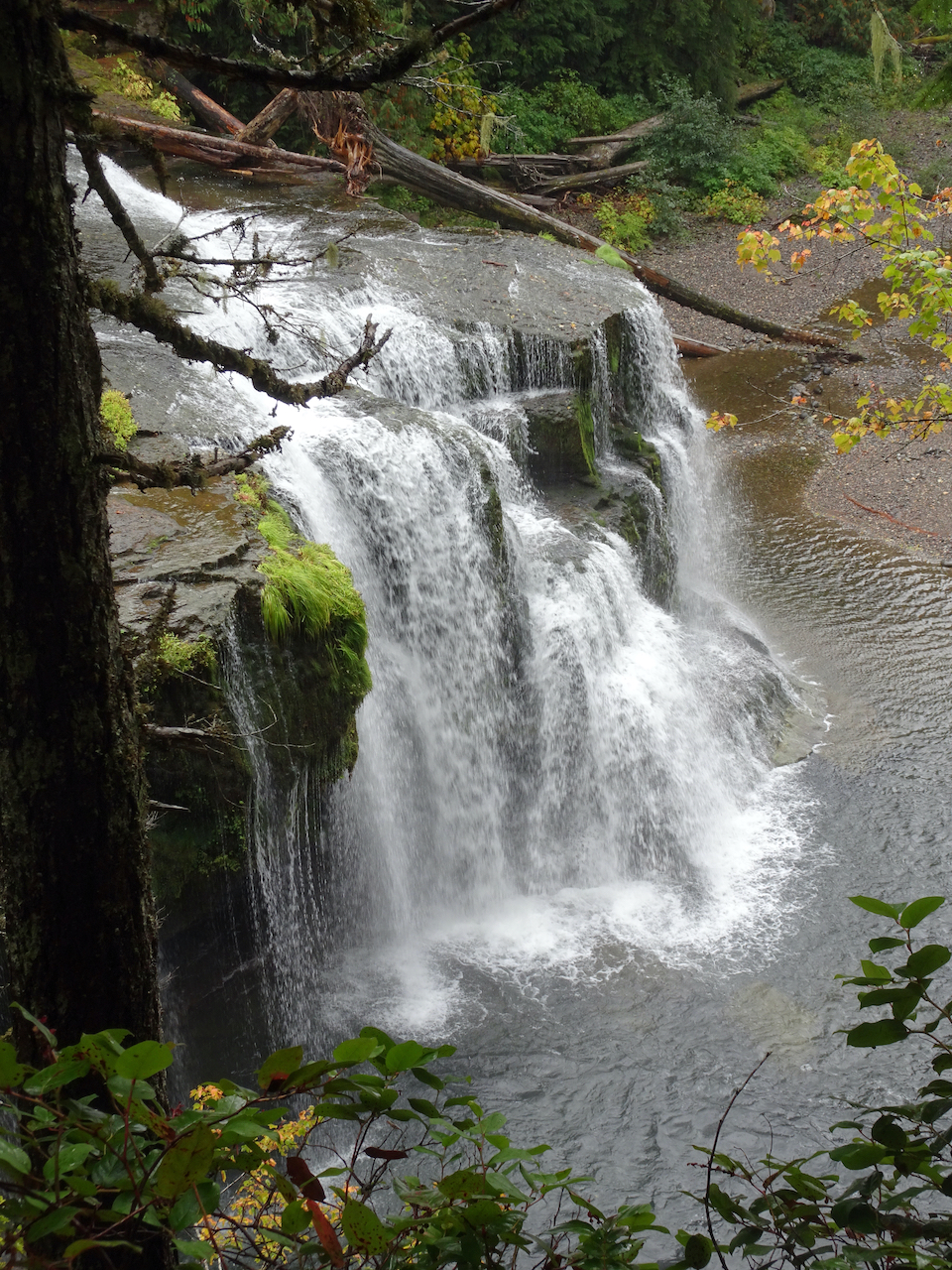
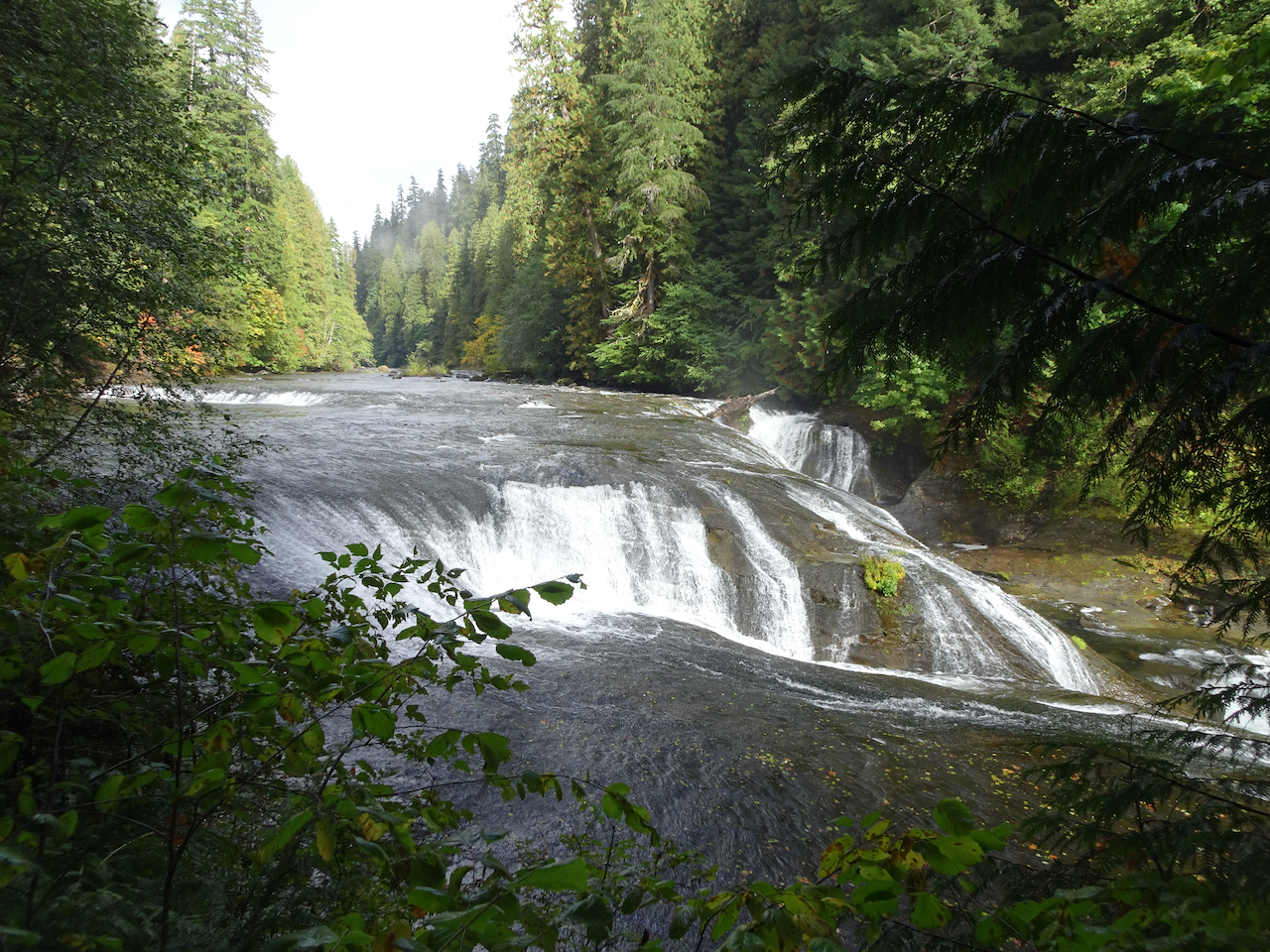
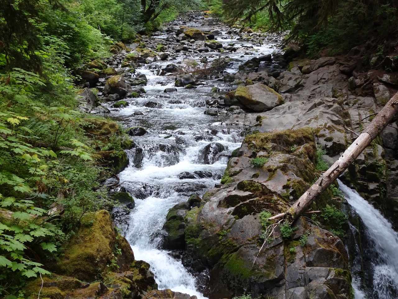
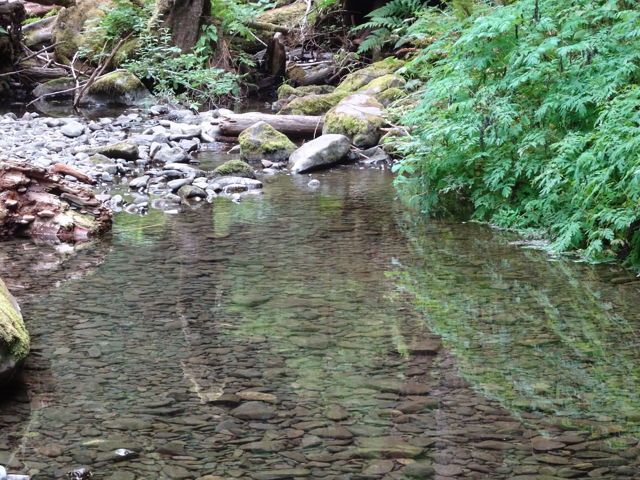
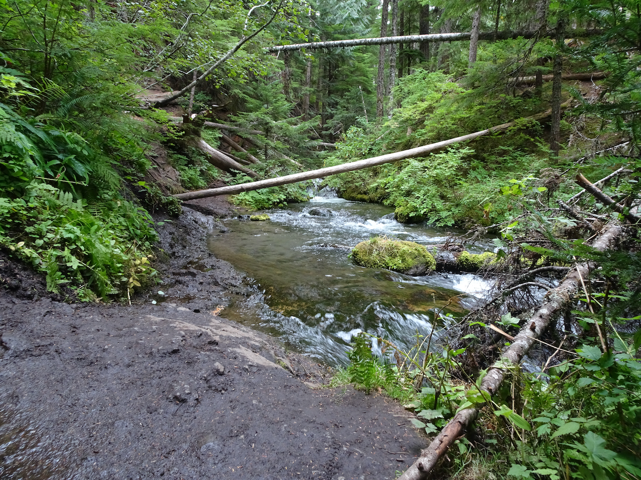
 We continued hiking downstream: