We had five hiking days in September.
9-1 – Mt St Helens area, Lava Canyon and Goat Marsh, WA
These were both ‘new to us’ trails. They are short, and not difficult, so we bundled them into the same day.
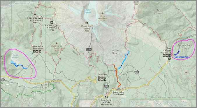
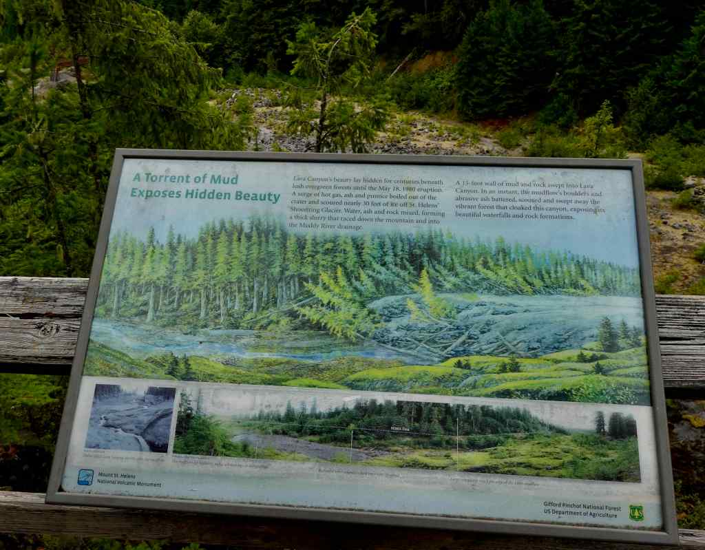
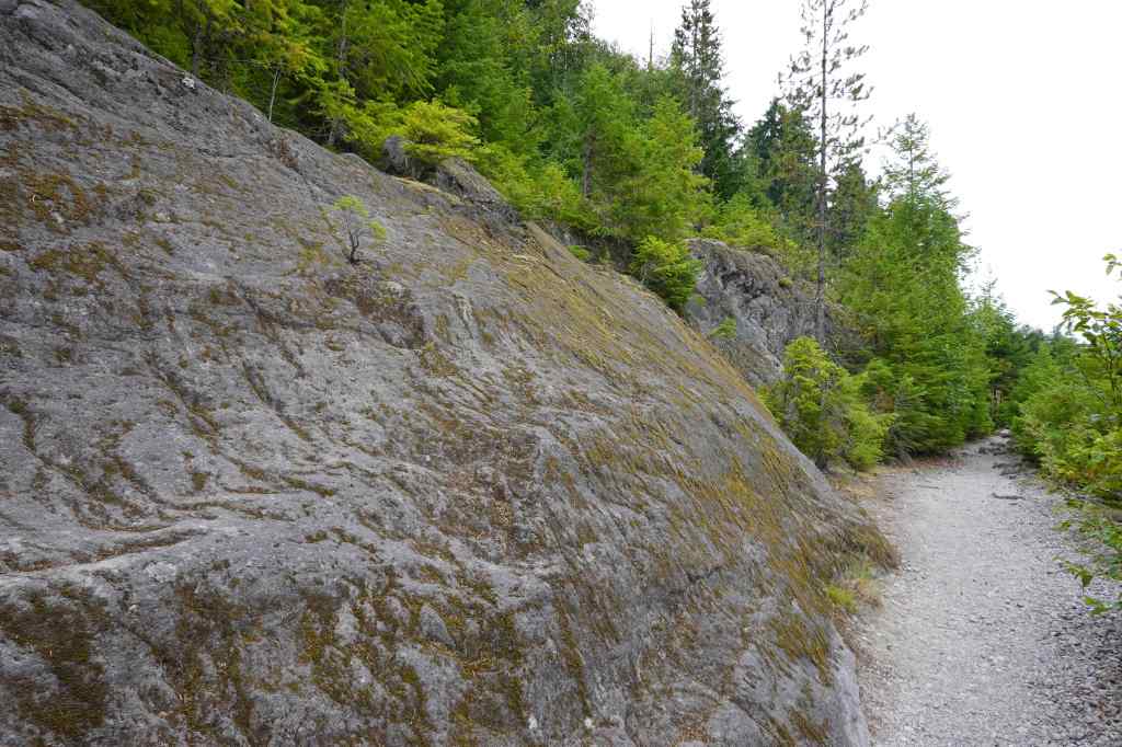
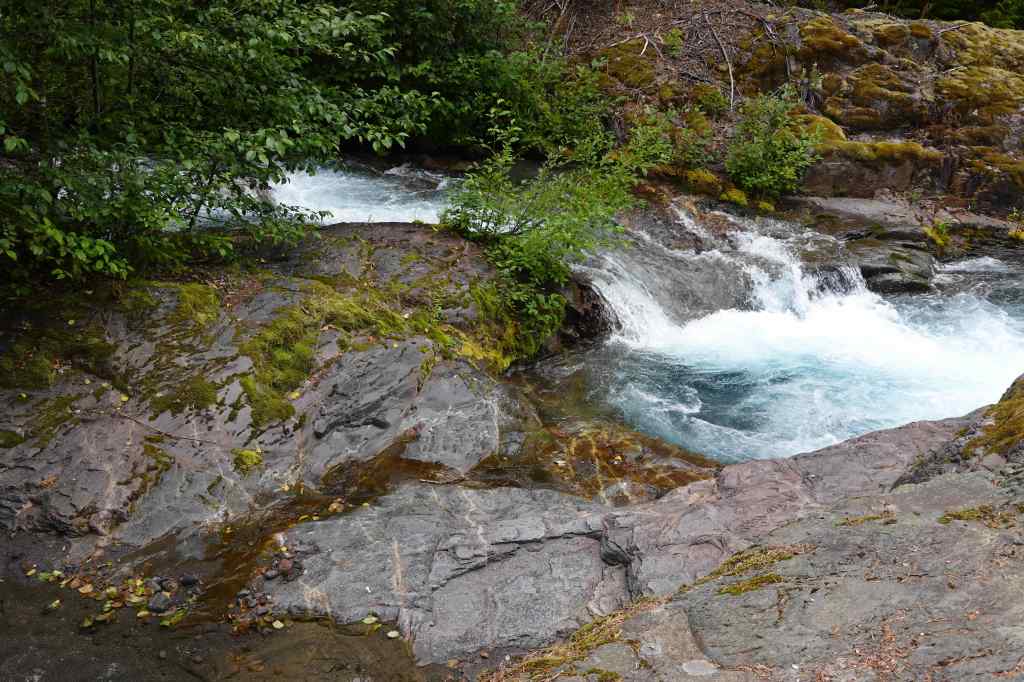
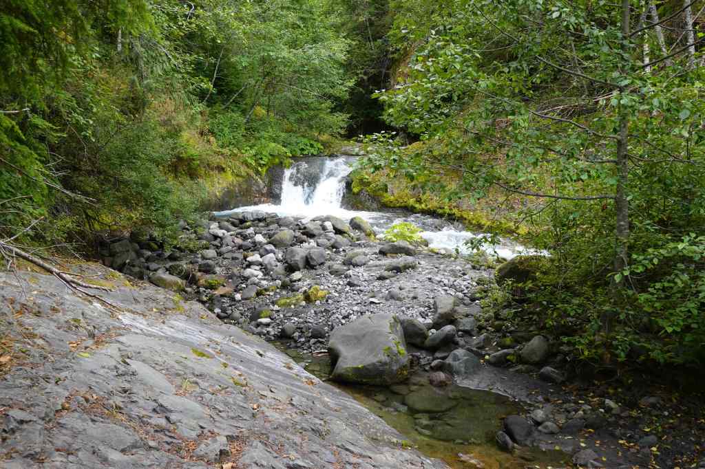
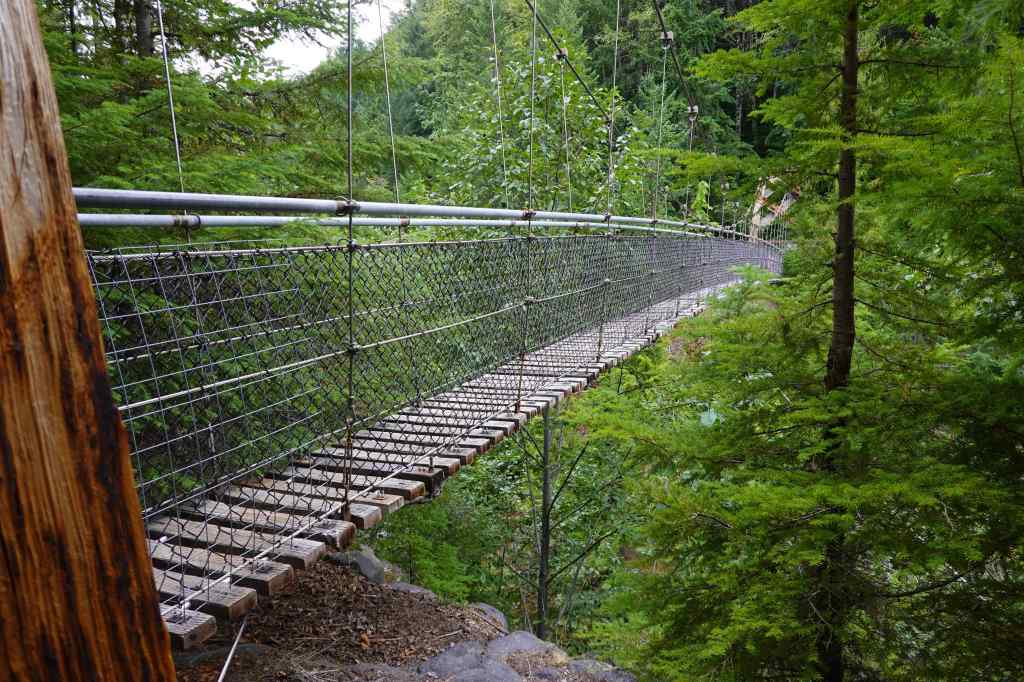
Lava Canyon (1.8 miles, 300 feet) This trail follows both sides of Lava Canyon, on the southeast side of Mt St Helens. Even though this side of the mountain was away from the 1980 blast zone, the canyon was gouged out by a glacier meltwater/mudflow during the eruption event. It is very pretty hike, but the bridge connecting the two trails is now washed out, so we hiked both sides of the canyon.
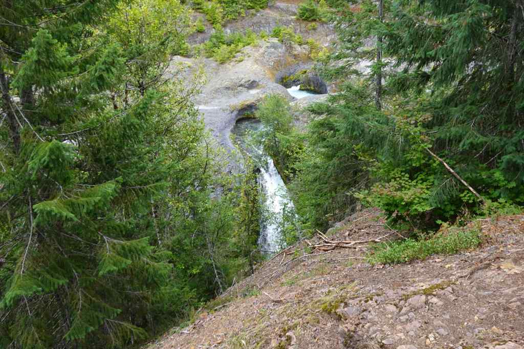
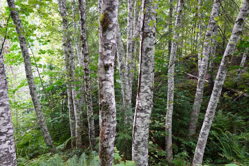
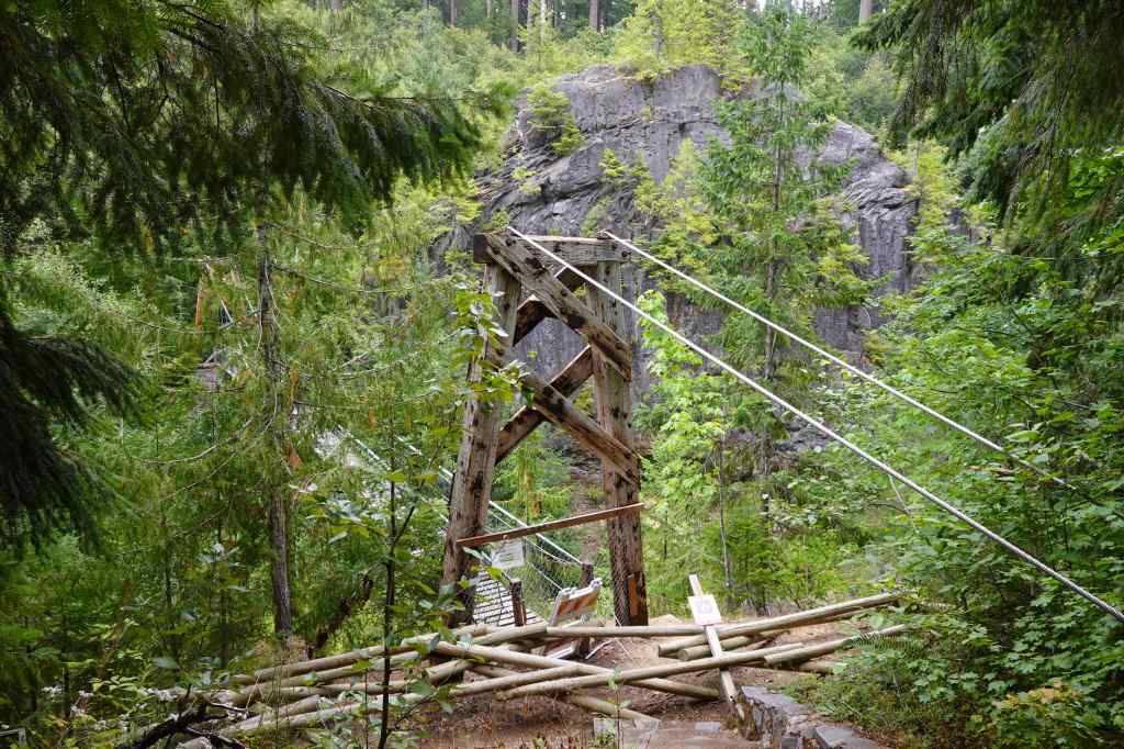
We retraced our steps, then crossed the good bridge to the south side, and walked along the canyon there.
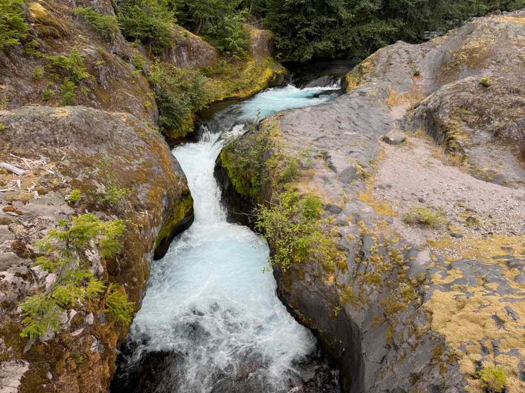
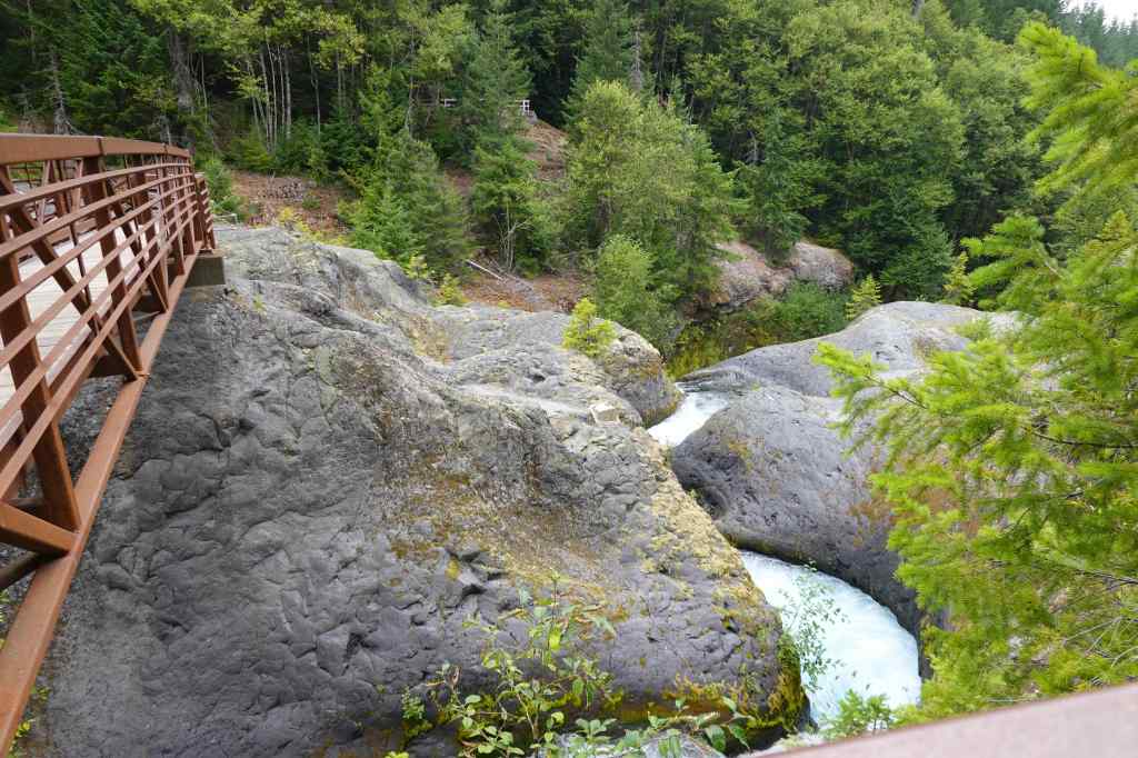
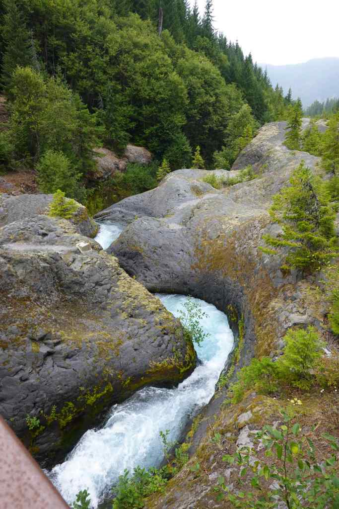
From here, we drove the bumpy Red Rock Pass Road to the west, to the Goat Marsh Trailhead.
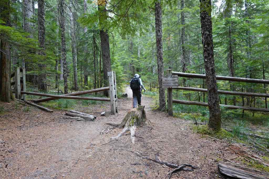
Goat Marsh (2.5 miles, 120 feet) The marsh lakes reflect Mt St Helens on a clear day. We were hiking on an overcast day with no views. We walked through perfectly beautiful forest for a while before reaching the marshes.
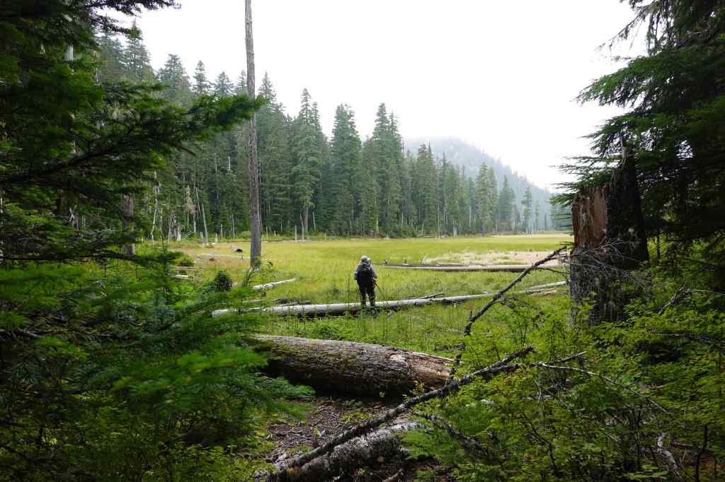
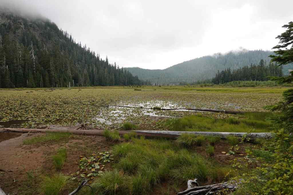
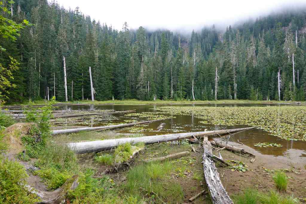
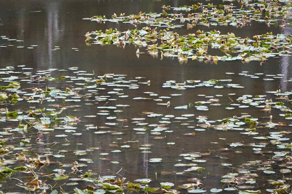
We would like to come back on a sunny spring day when the marshes have more water, and the reflection of the mountain…
9-10 – Tualatin River National Wildlife Refuge, OR
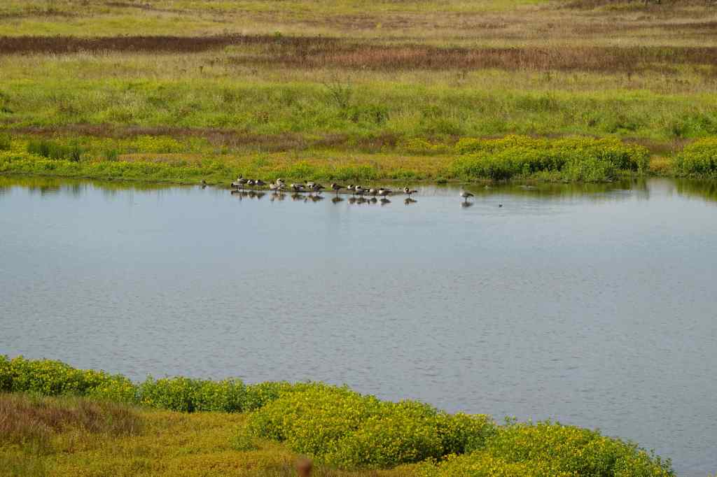
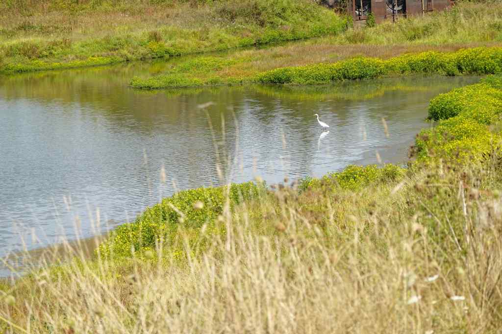
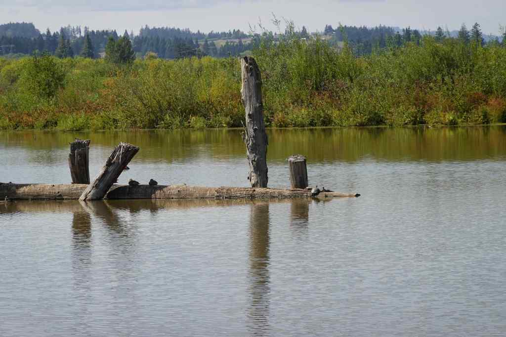
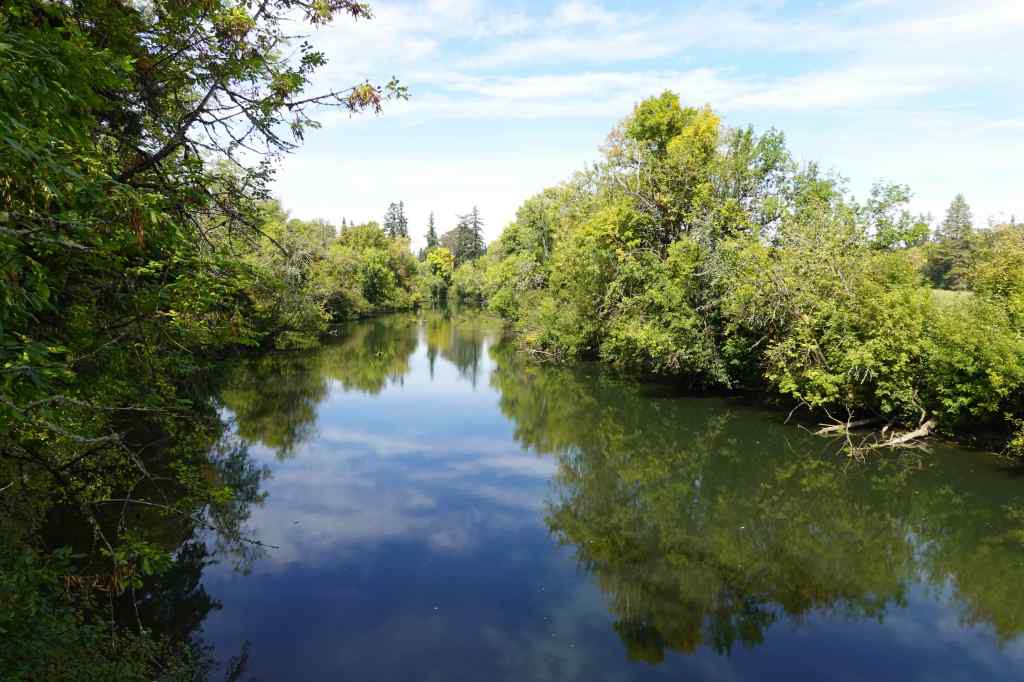
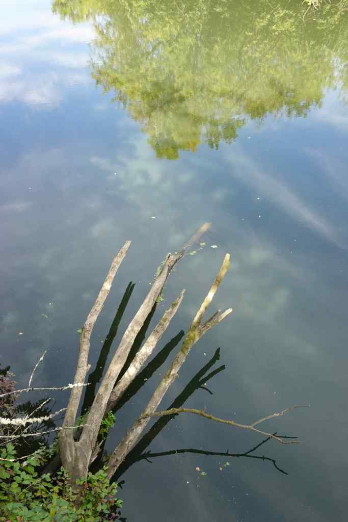
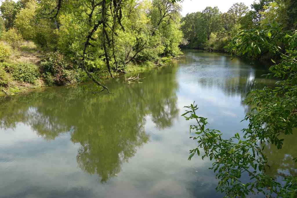
River Overlook and Wetland Trails (3 miles, 50 feet) We were in the neighborhood for some errands, so stopped for a walk. The lakes are not extensive right now, and there were not many birds.
9-21 – Owl Point, Mt Hood, OR
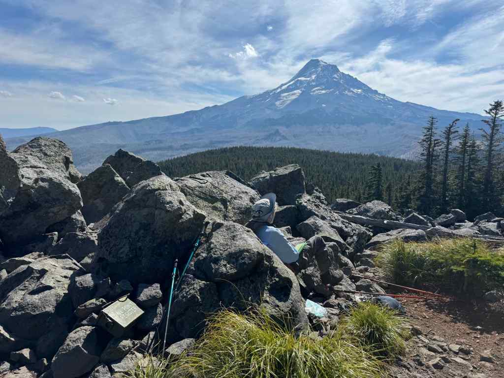
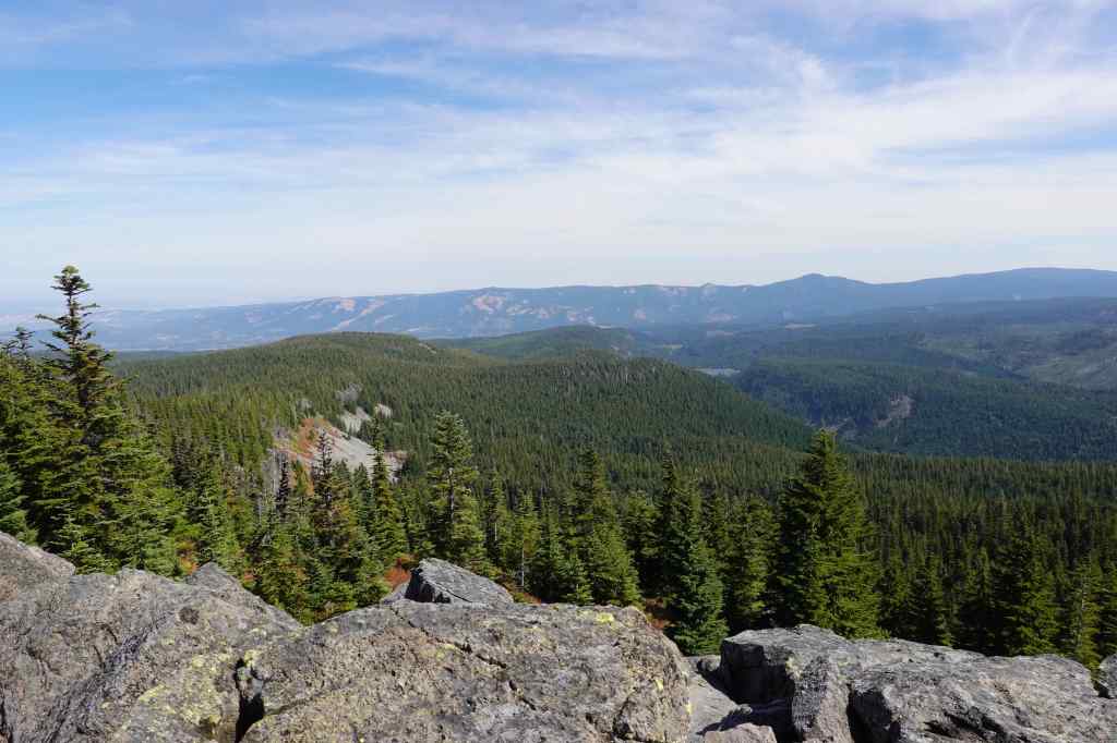
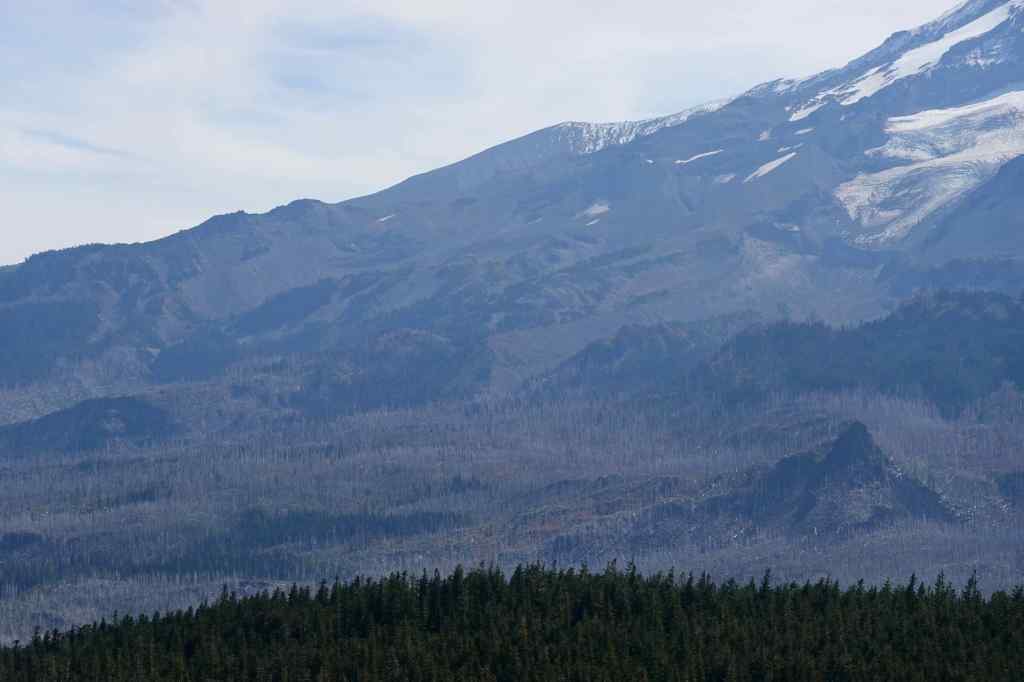
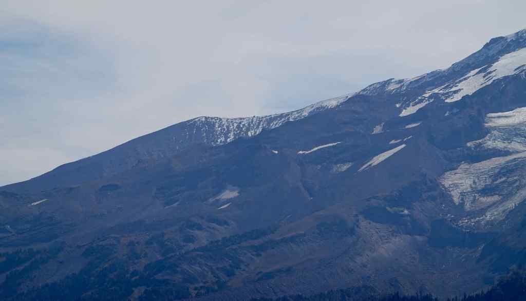
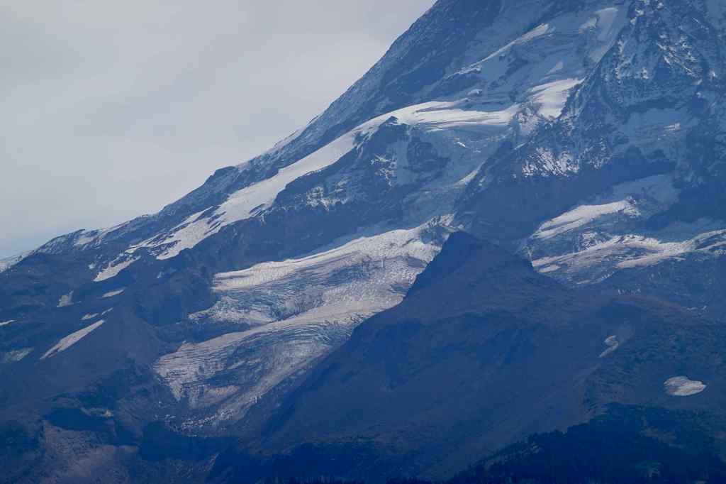
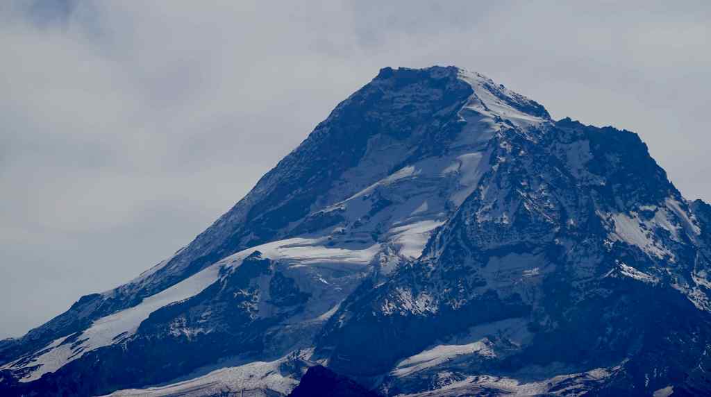
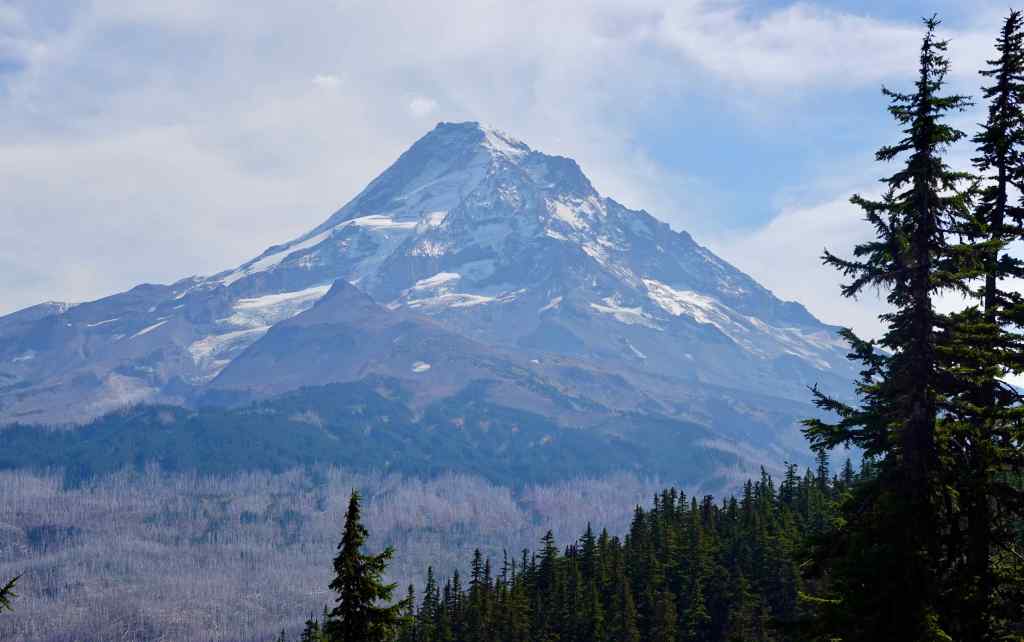
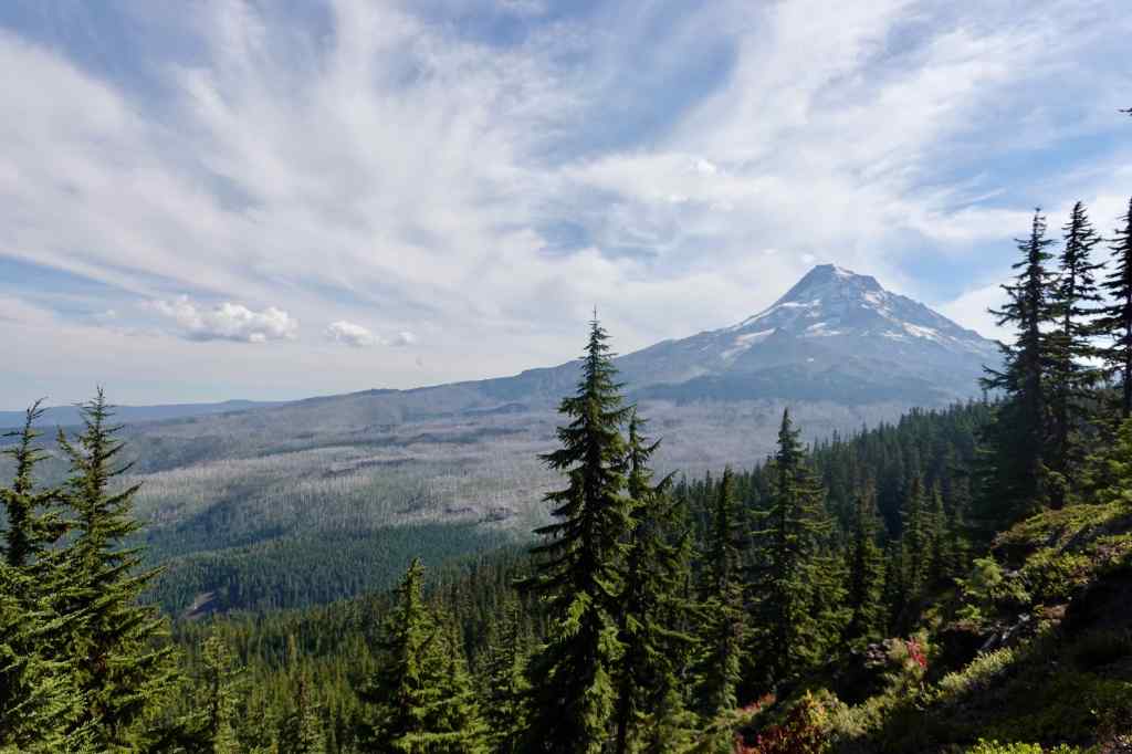
Owl Point Trail (4.5 miles, 600 feet) It was too hot to go up Vista Ridge, where the burned trees offer no shade on a day like today. The Owl Point Trail follows the edge of Red Hill, is mostly shady, and ends at a spectacular view to Mt Hood, with some pretty fall colors in the foliage.
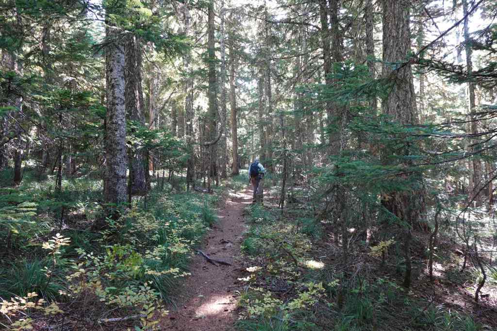
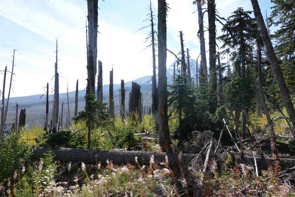
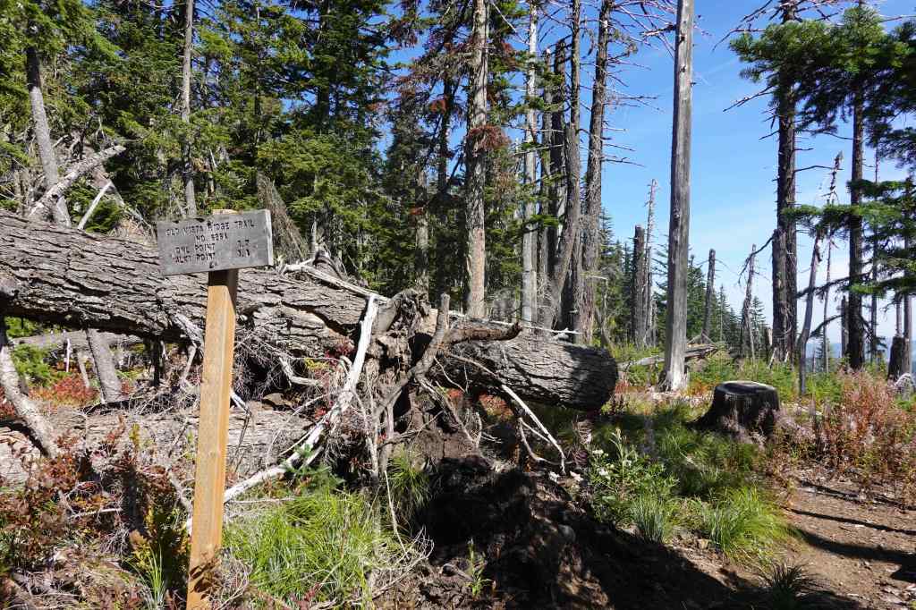
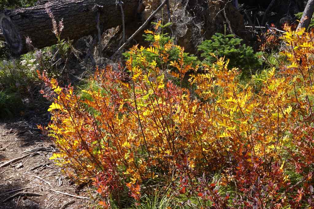
After about 2 miles, we reached the rocky outcrop known as Owl Point.
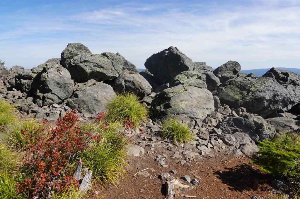
9-23 – Lacamas Lake, WA
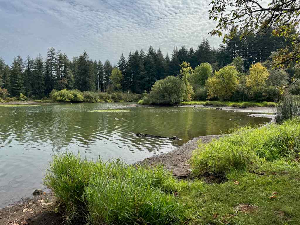
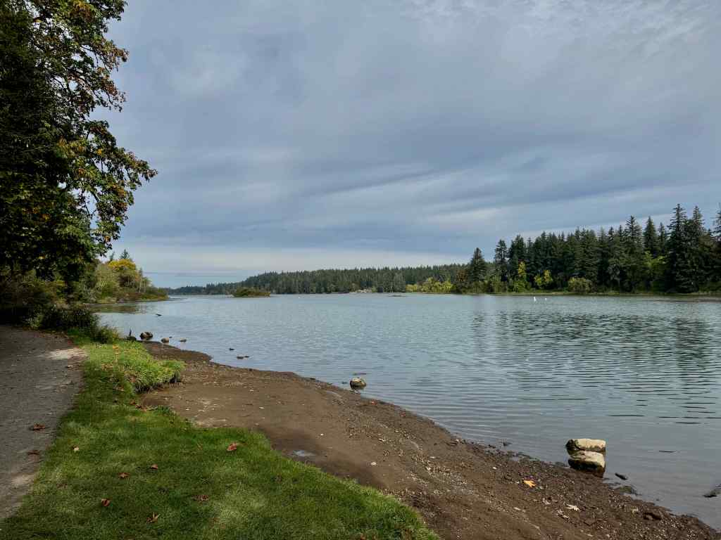
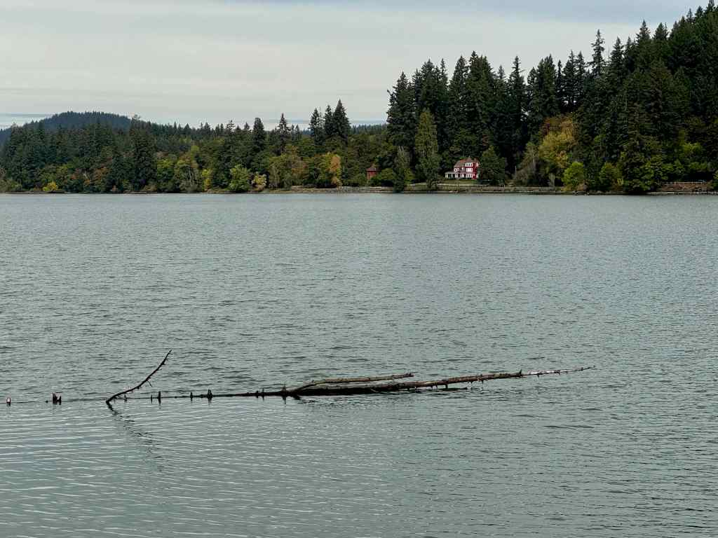
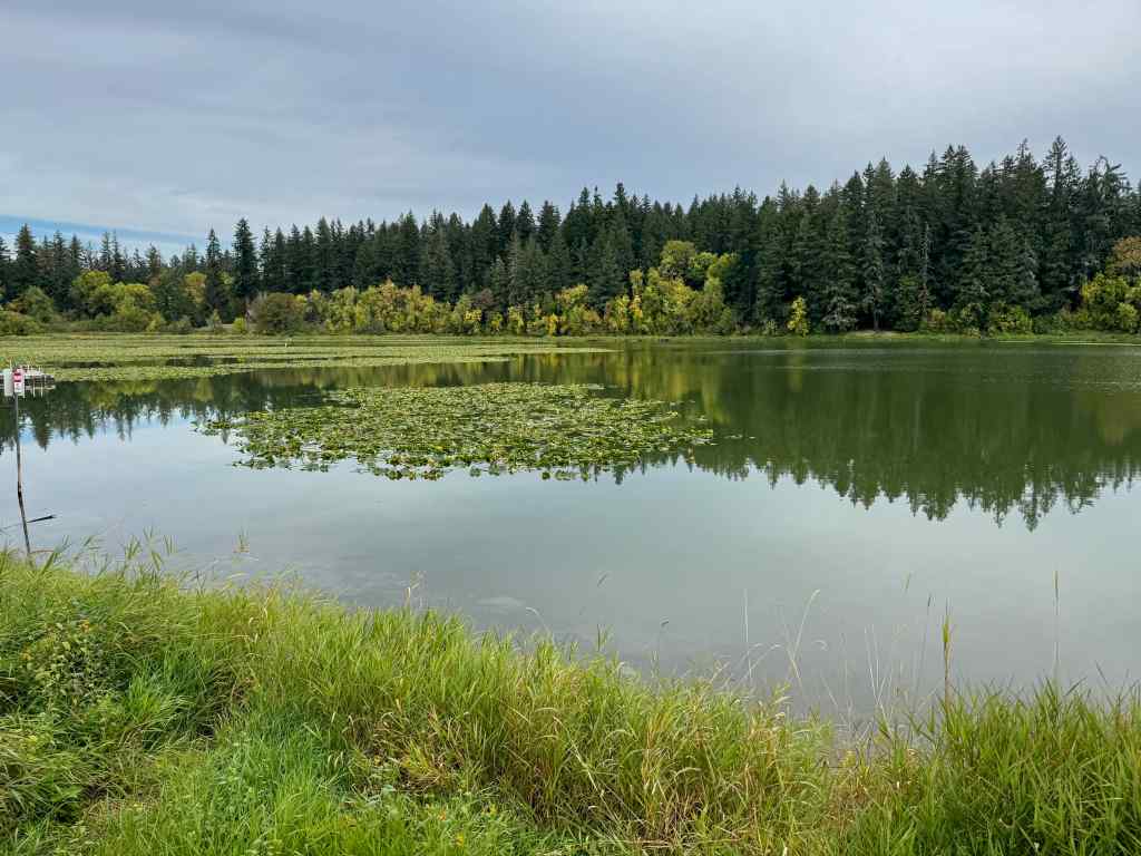
Heritage Trail (5 miles, 30 feet) – We joined friends who live nearby for a walk and talk visit. I hadn’t seen this much of Lacamas Lake before. Many people live nearby, and lots of them run, walk, bike, paddle, and fish in the recreation areas here.

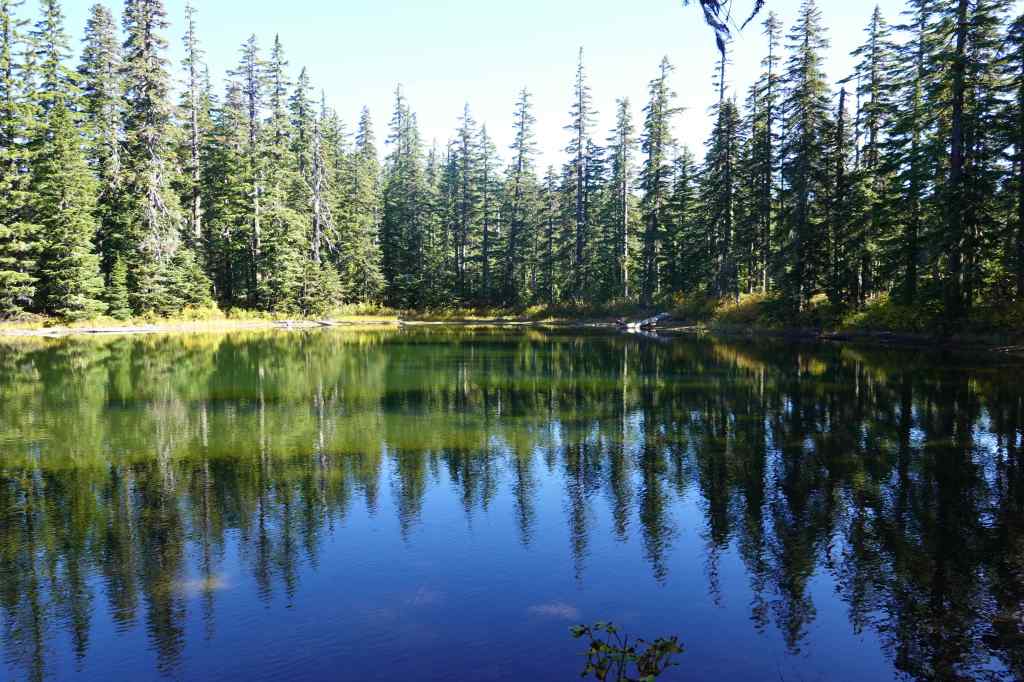
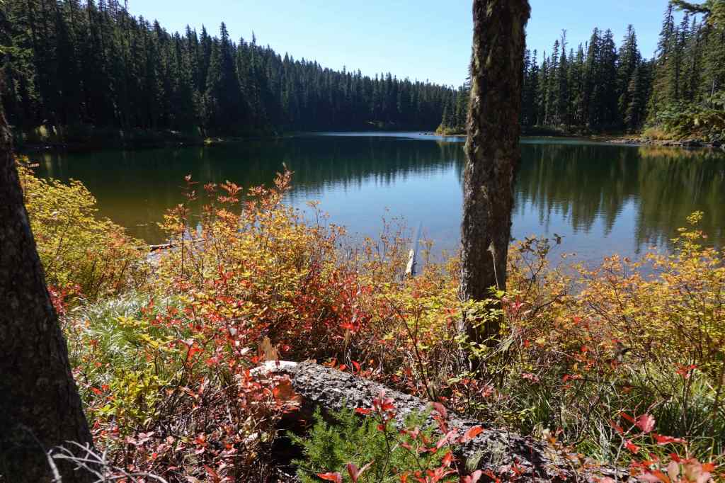
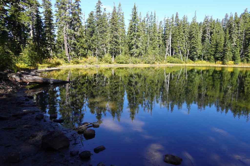
9-28 – Rock Lakes – Old Cascade Crest Loop, Indian Heaven Wilderness, WA
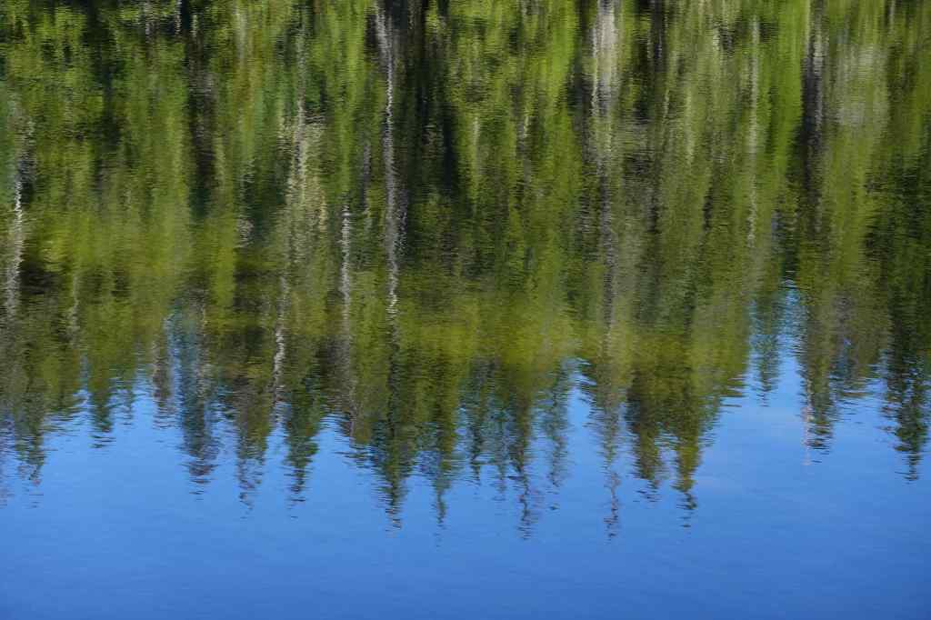
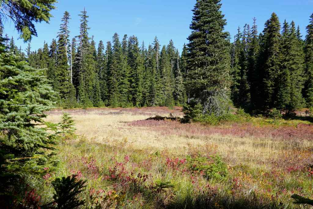
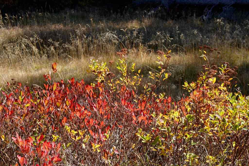
Thomas Lake Trail – (6.3 miles, 700 feet) Indian Heaven Wilderness is full of small lakes and huckleberry meadows and is one of our favorite fall hike destinations.
It is less than a mile up the trail to the first set of lakes.
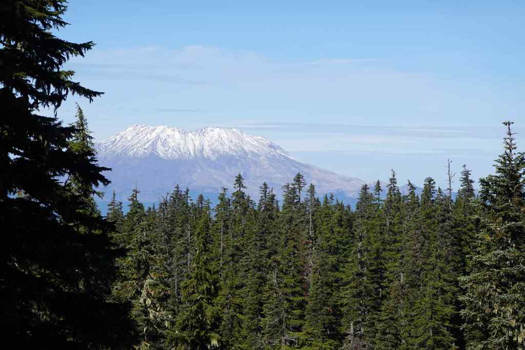
The trail ascends to a viewpoint of Mt St Helens, and more lakes and meadows.
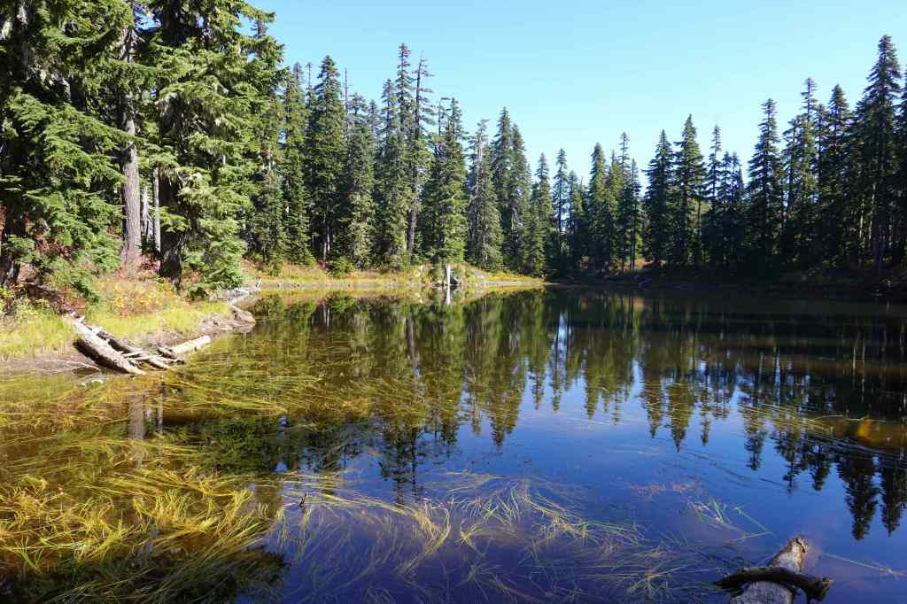
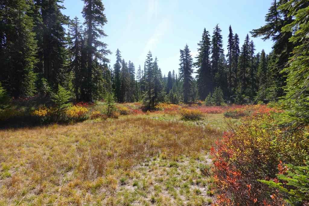
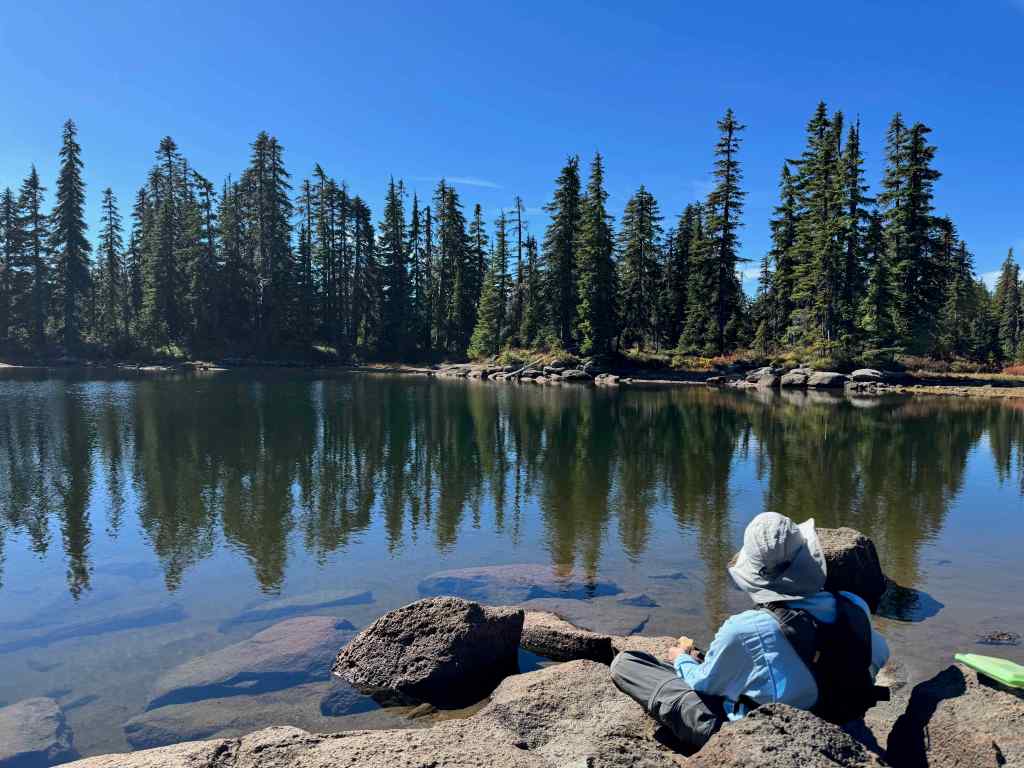
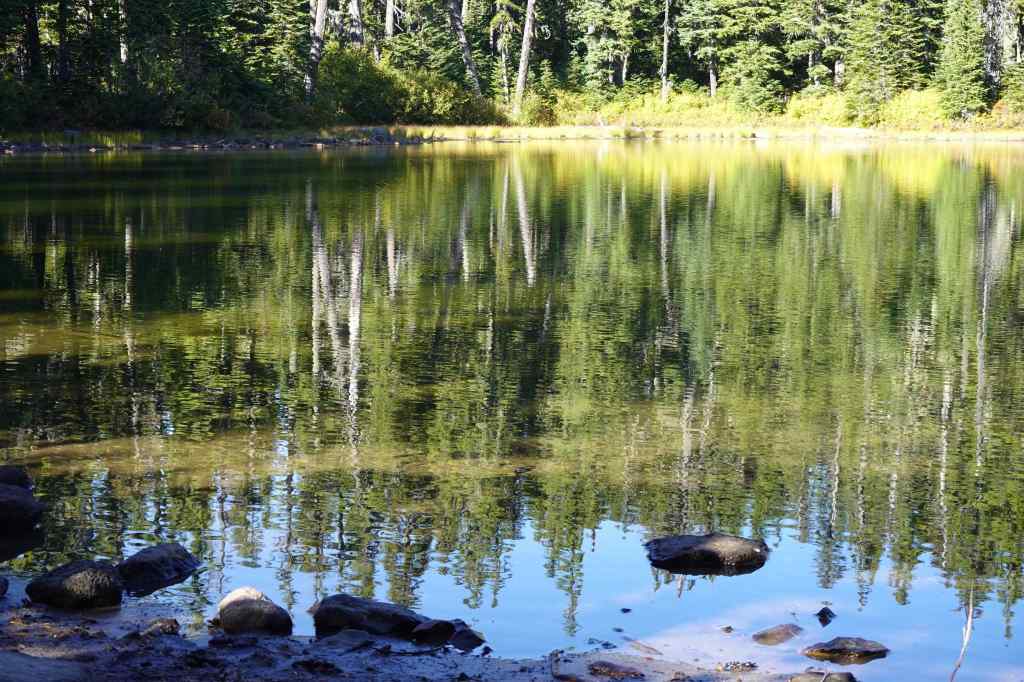
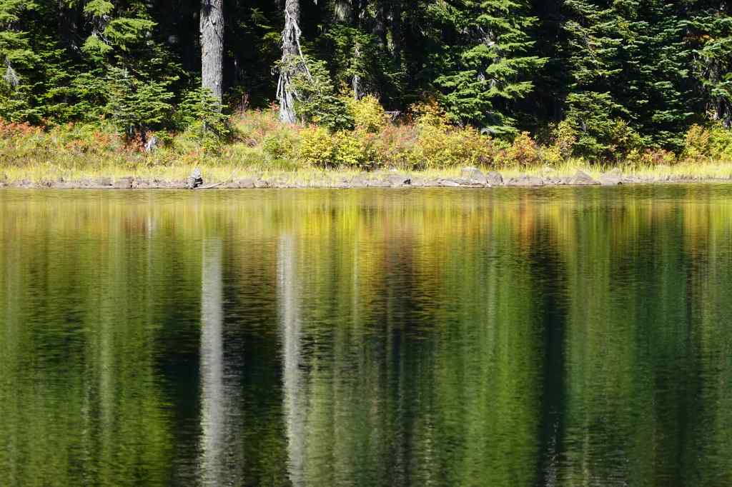
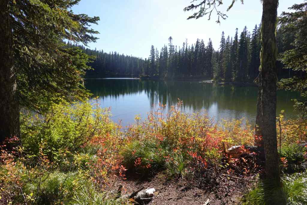
We took a break at Rock Lakes.
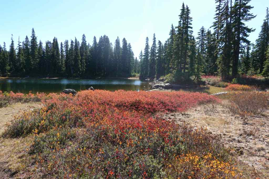
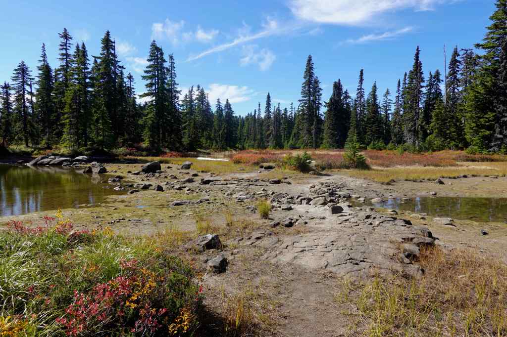
After lunch we continued to the east, toward Junction Lake – there are a few unnamed lakes along the trail.
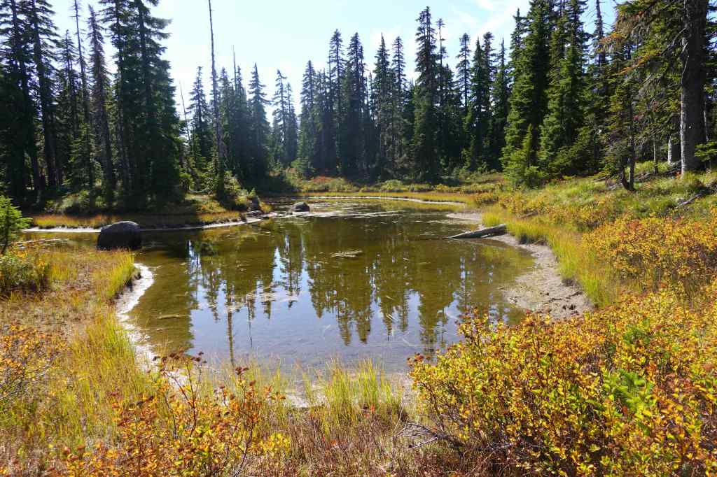
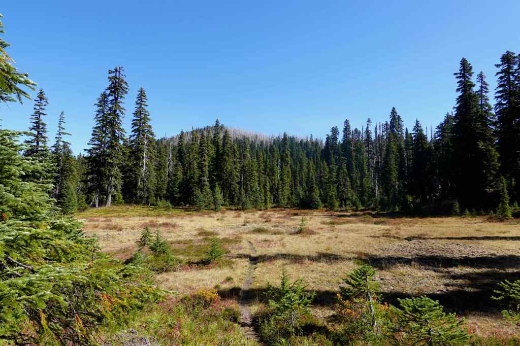
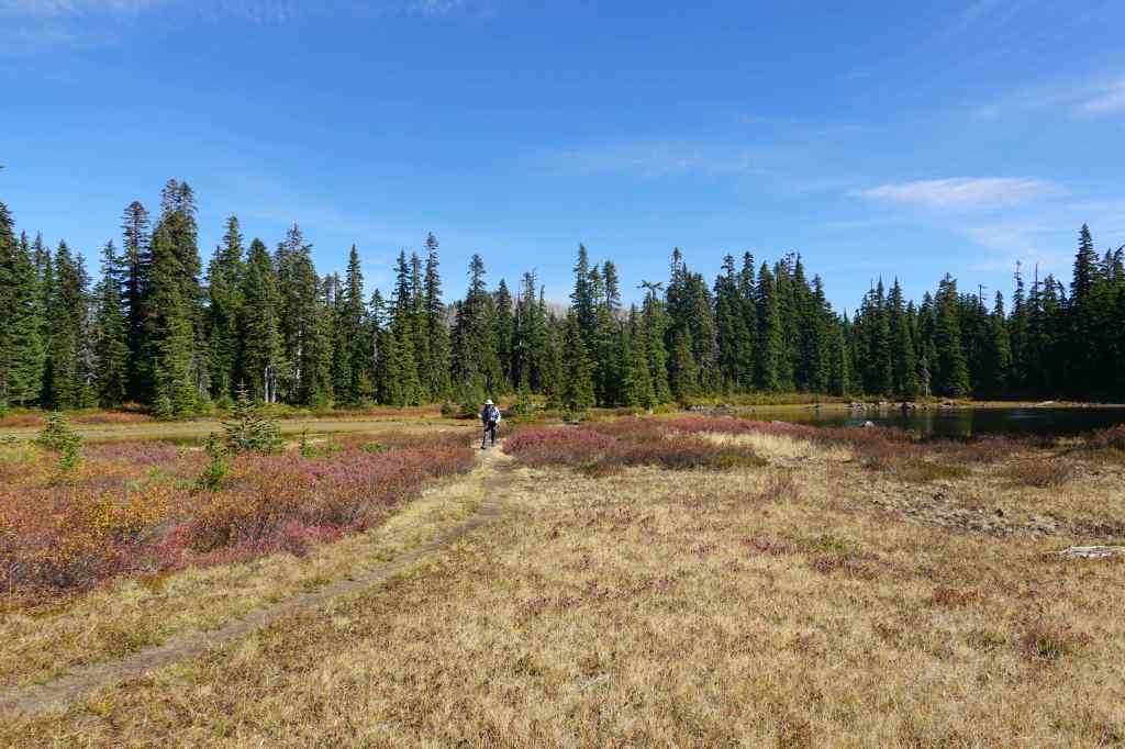
We turned south on the Old Cascade Crest Trail. There are many unnamed lakes and huckleberry meadows – it is my favorite part of this hike!
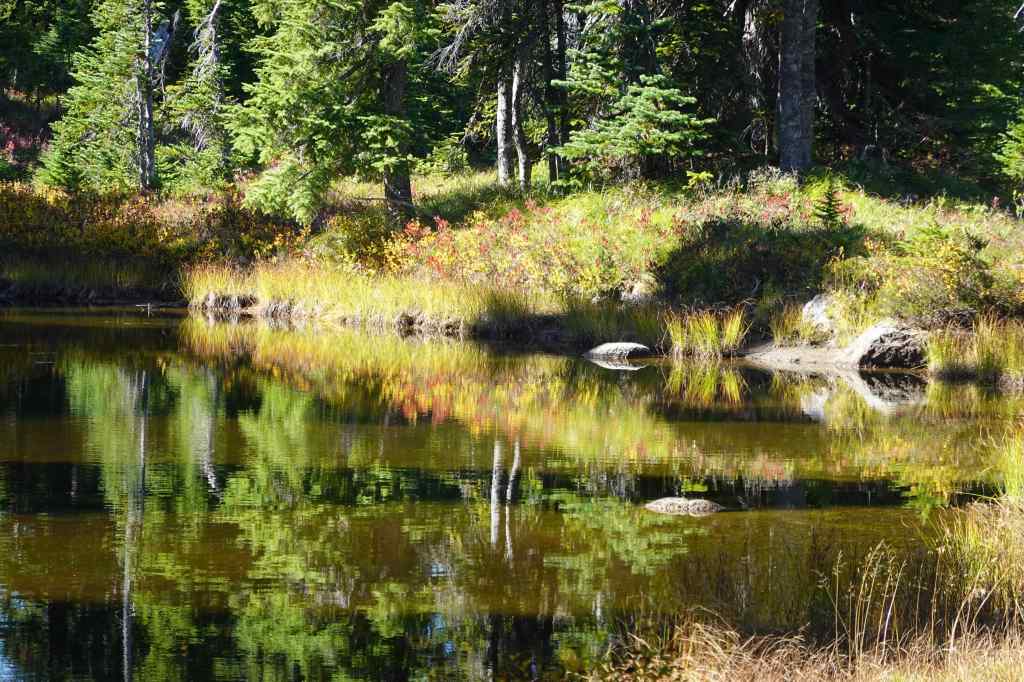
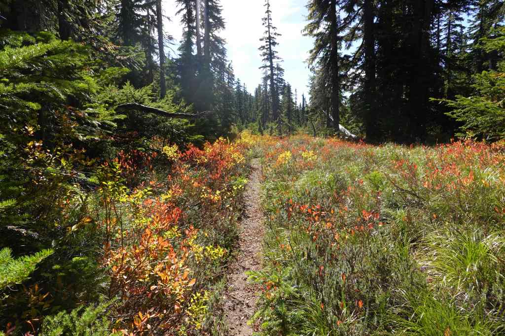
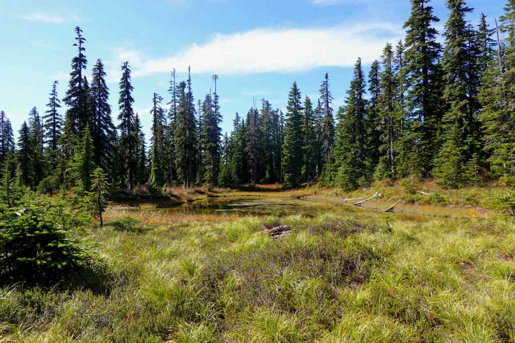
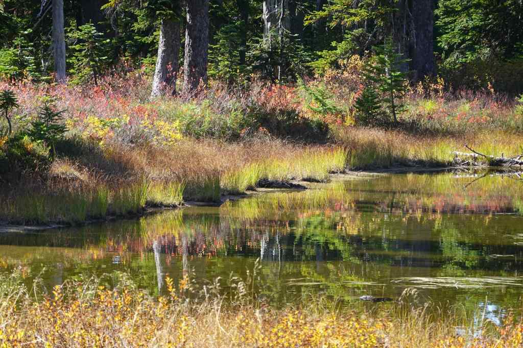
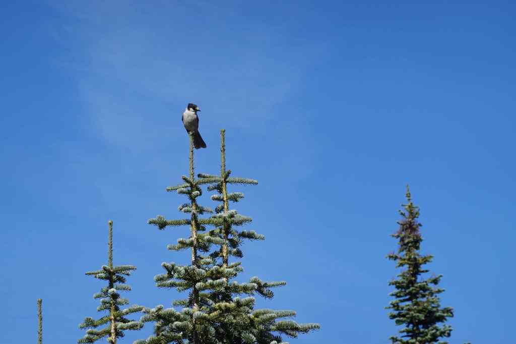
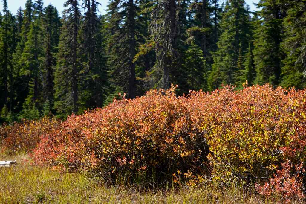
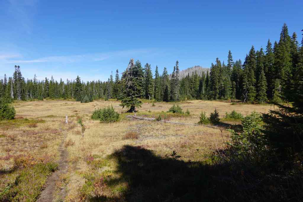
We rejoined the Thomas Lake Trail, then hiked north, passing by Rock Lakes again, before returning to the trailhead.
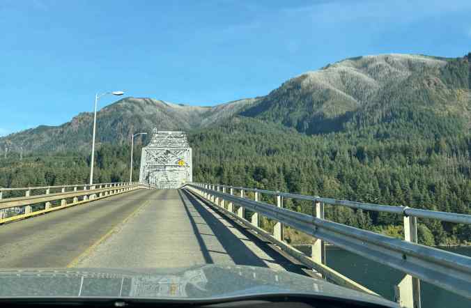
As we returned from this hike, I took a picture of the grey tree fringe in the gorge beyond the Bridge of the Gods – It has been almost 10 years since that fire.
In all, September was a good month for rebuilding my leg strength and stamina. We also took several long walks at the Oregon Coast, during a few days we spent at Rockaway Beach (next post).

