May 16 to June 1, 2019
This post is a summary of our recent trip to visit family and attend our daughter’s college graduation.
CONNECTICUT
We flew to Hartford, then stayed 3 days with family in the New Haven area.
Highlights: While celebrating a family birthday and spending lots of time catching up, we visited places near New Haven that held significance for my husband.
East Rock State Park

View from the top to New Haven and Long Island Sound.
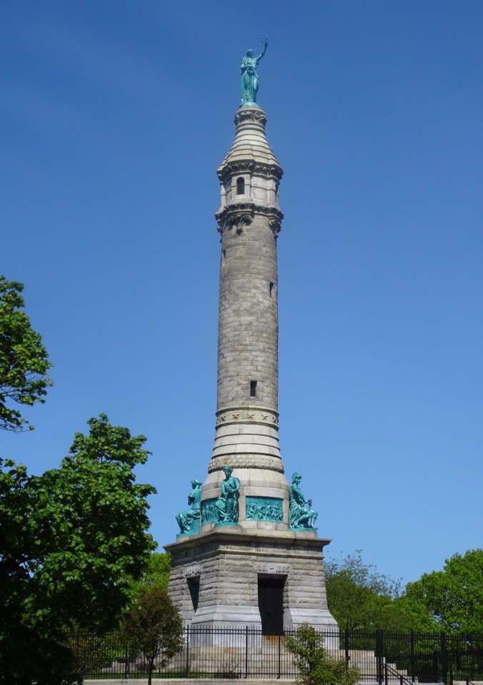
Monument at the top of East Rock.
Looking down on the winter sledding hill, East Rock.
Lighthouse Point was a favorite childhood summer beach, but nobody was selling lemon ice today.

Walking toward the Lighthouse.
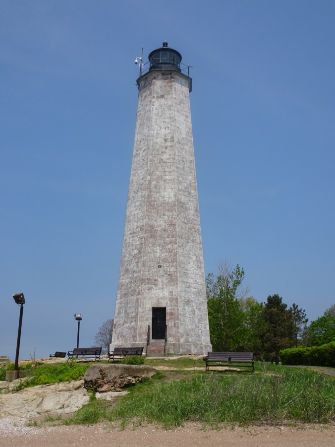
Lighthouse
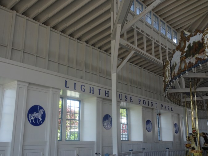
Lighthouse Point Carousel

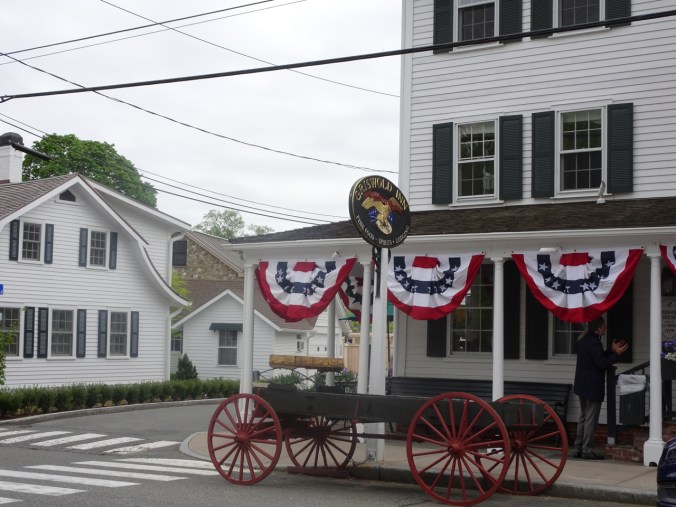
Branford – A beautiful old church near our dinner stop.

Branford, CT
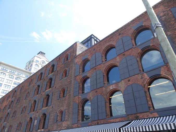
Old Town Essex – The town and waterfront are steeped in early American history.


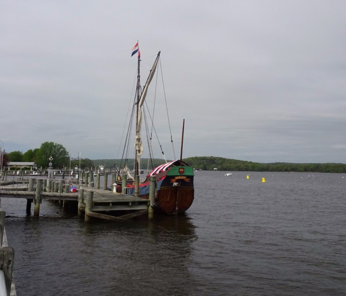

Many of the buildings in town date back to the late seventeen and early eighteen hundreds, and are very well preserved. I loved looking at all the architectural details, especially the half-circle windows.
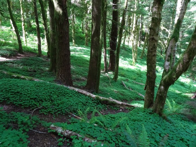
West Rock State Park – We took a 2 mile walk with a friend around Wintergreen Lake and saw ladyslippers in bloom!

Woods along the trail
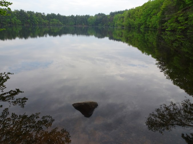
Wintergreen Lake
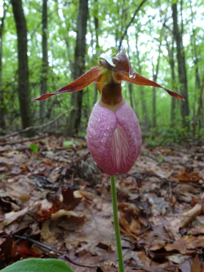
Lady slipper! My first time seeing them!
Hamden – We met a baby grandniece for the first time. We also got to see the damage from the tornado that knocked down 30 trees at the family home about a year ago (actually a lowlight).
The trees along the fence line are gone! They were not able to see the neighboring houses before the tornado.

Newish puppy Bear, with some of the fallen trees piled beyond.

Maya

Niece and grandniece.
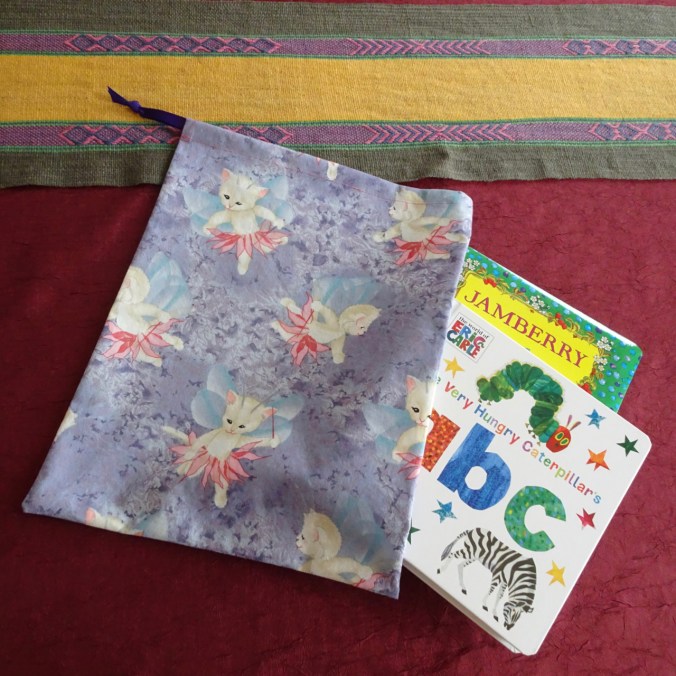
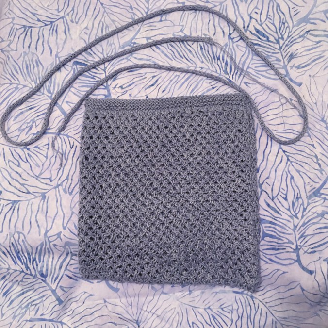
My only crafting in this post: I used one of my daughter’s favorite childhood fabrics to make a gift bag for some books for the little one.
NEW YORK
We took the Metro North train to Grand Central Station. A lot has changed since my only previous visit in 1982. My husband’s cousins met us at Grand Central Station, then drove us to their home in Brooklyn. The next morning they rode with us on the subway from Brooklyn to Penn Station – seasoned New Yorkers and very gracious hosts!

View from the train, somewhere in Connecticut.
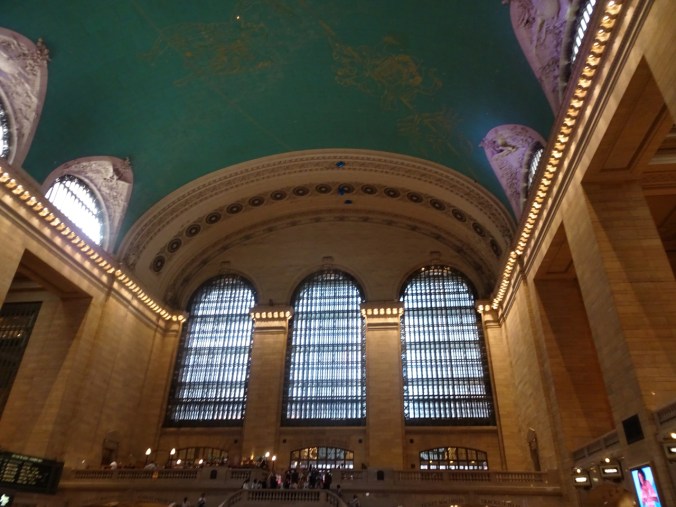
Grand Central Station
Highlights: Cityscapes, wandering around near the Brooklyn Bridge, seeing the Freedom Tower from a distance (we had been to the top of the World Trade Center on my only other visit), a lovely meal and enjoying our cousin’s garden in Brooklyn.

Chrysler Building in Manhattan
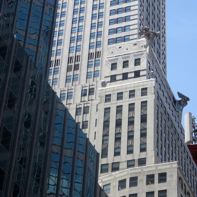
Chrysler Building detail
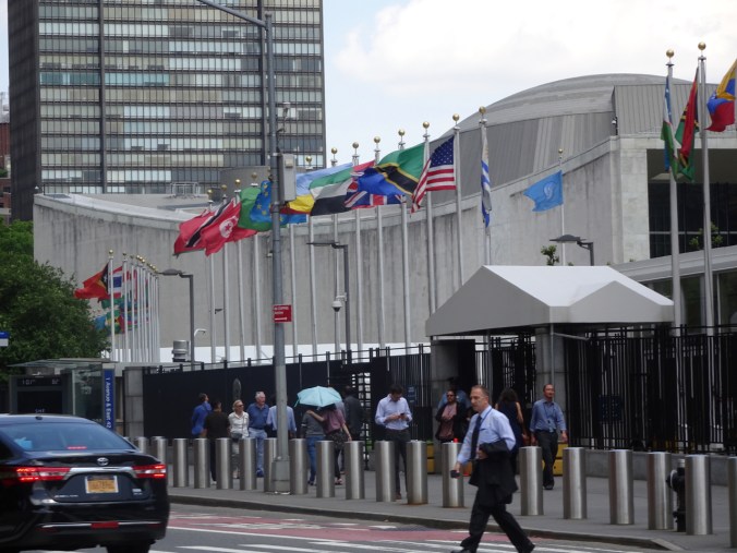
United Nations flags

Sunroof view on the Brooklyn Bridge
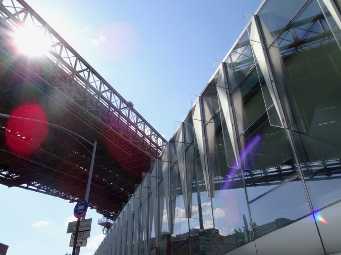
Walking around the waterfront in Brooklyn:
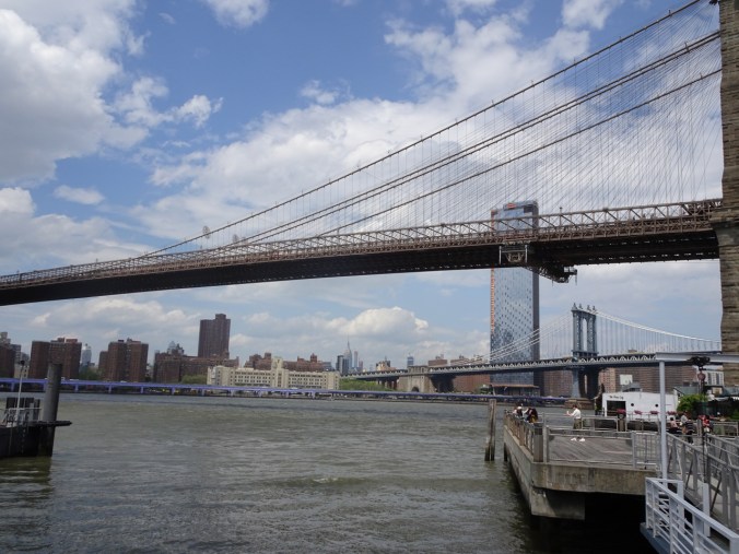
Manhattan skyline beyond the Brooklyn and Manhattan Bridges
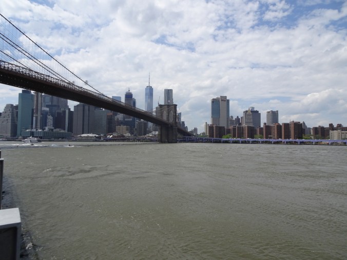
Freedom Tower in the distance.

Closer view of the Freedom Tower and Brooklyn Bridge
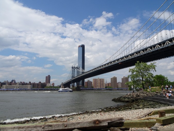
A ‘beach’ under the Manhattan Bridge
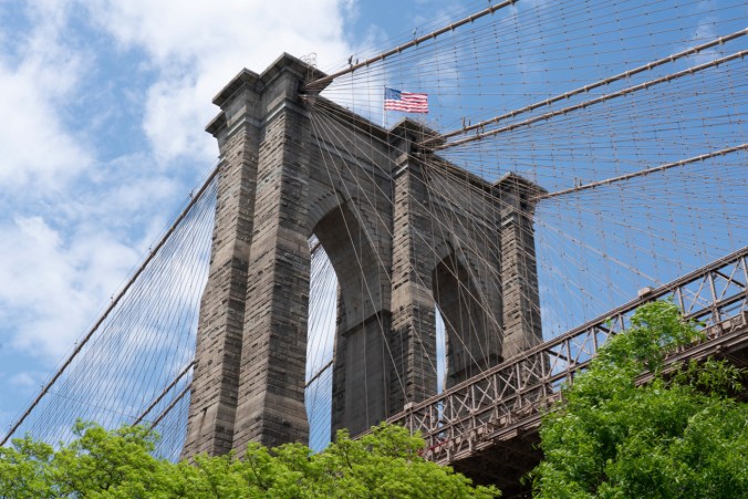
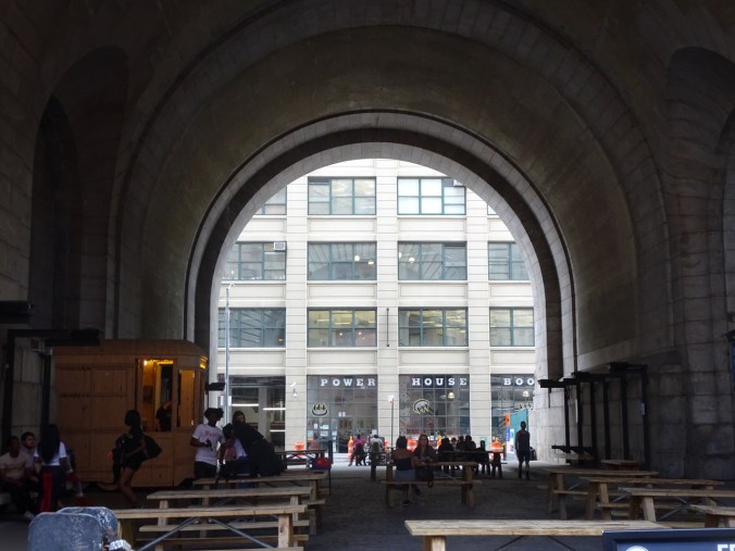
Gothic arches of the Brooklyn Bridge
Old buildings, bridge supports and massive amounts of noise dwarfed us as we walked around. It was a bit overwhelming. I was glad to see it, but cannot imagine dealing with it on a daily basis, especially the noise levels!
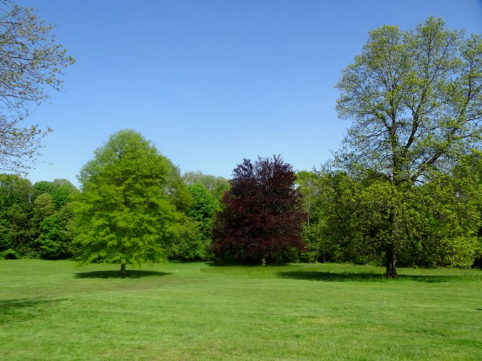
It was more peaceful in our cousin’s back garden.

Tree and cat in Brooklyn.
MARYLAND
We rode Amtrak from New York to Baltimore.
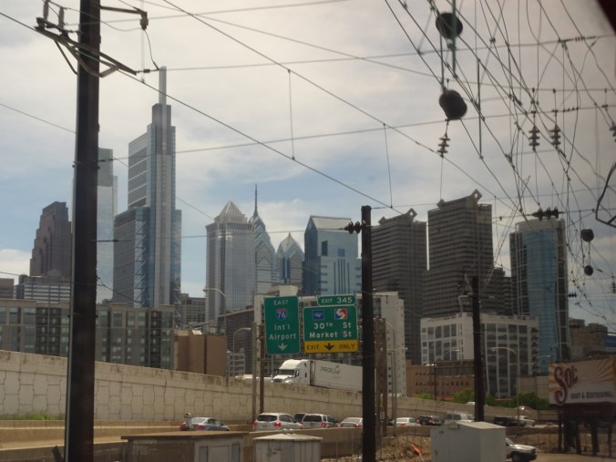
Philadelphia skyline from the train.
Baltimore Union Station
Baltimore Highlights: The highest light was spending time with my husband’s cousins, and enjoying their family stories, good company and hospitality. We spent a day in Annapolis, a bit crazy because it was grad week at the Naval Academy.

Naval Academy

Old bricks in the Naval Academy grounds full of bivalve shells.
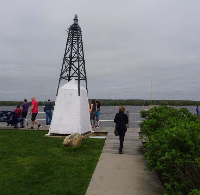
We took a short boat tour of the harbor.
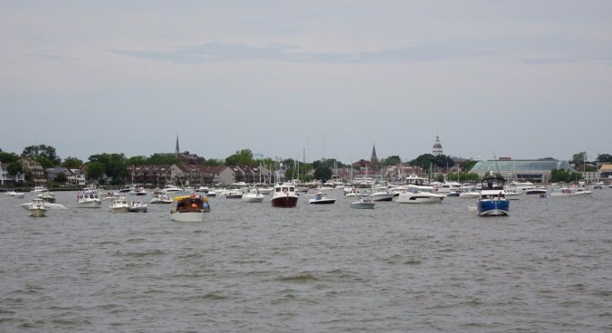
Annapolis from the harbor.
We watched a Blue Angels performance.

My best photo of the Blue Angels.
My husband was able to take some excellent telephotos:
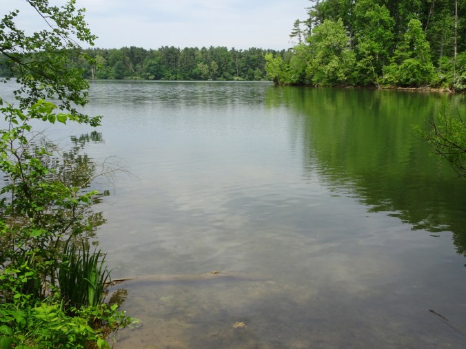
The next day we admired the natural beauty at Loch Raven Reservoir, north of Baltimore,
then had lunch at Ladew Gardens.
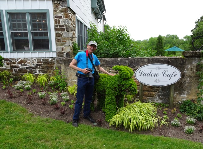
This old estate includes a beautiful manor house and gardens
and is renowned for topiary:
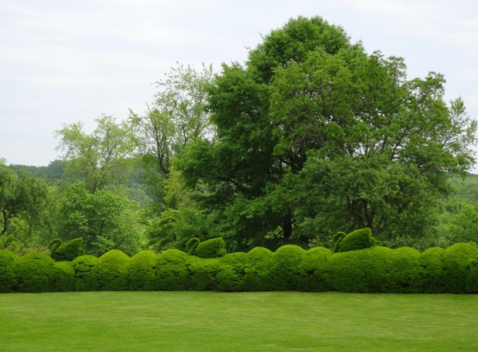
Swans on the hedge.
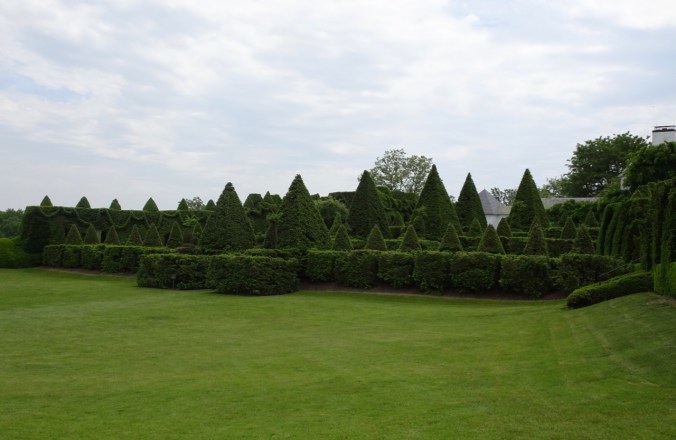
Pointed hedges.
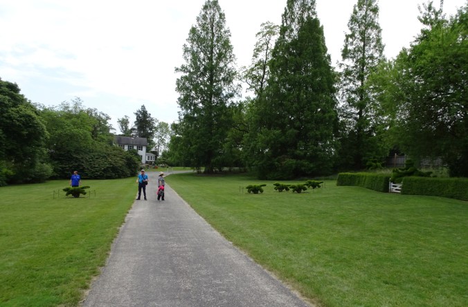
Topiary foxhunt:
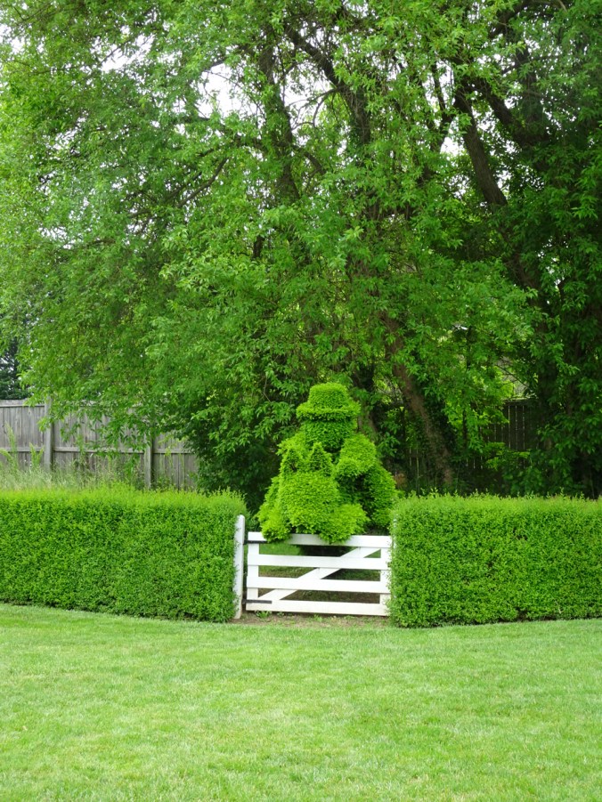
Horseman
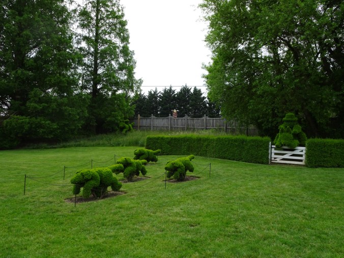
hounds
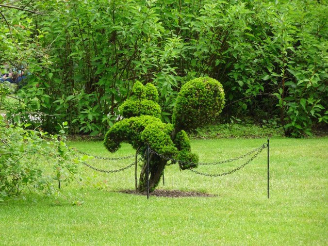
and fox!
We ate plenty of free delicious ice cream, compliments of a family connection to this business:
May 31, 2019
We rented a car to drive from Baltimore to Ohio for the main attraction of this trip – our daughter’s college graduation. Along the way, we stopped at Washington Monument State Park in Maryland for a picnic lunch, then walked a short way on the Appalachian Trail.
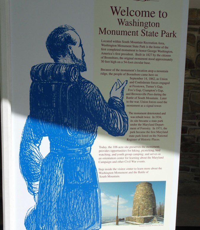
Inset picture shows what the first Washington Monument looks like
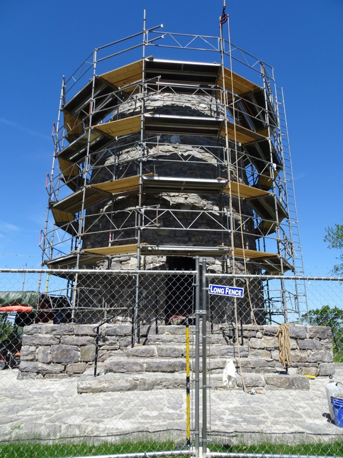
when it is not being repaired.

Views to the south into Virginia from the monument site.

Appalachian Trail – near the halfway point, with about 1200 miles to go to the northern terminus.
On we drove, into
PENNSYLVANIA

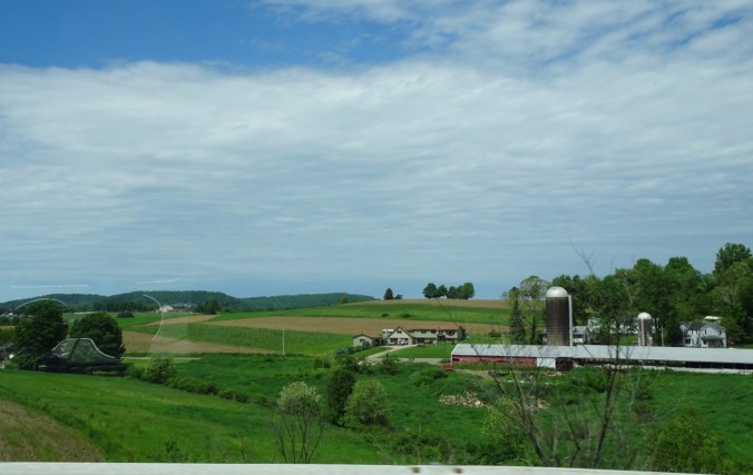
We passed through miles of farm land.
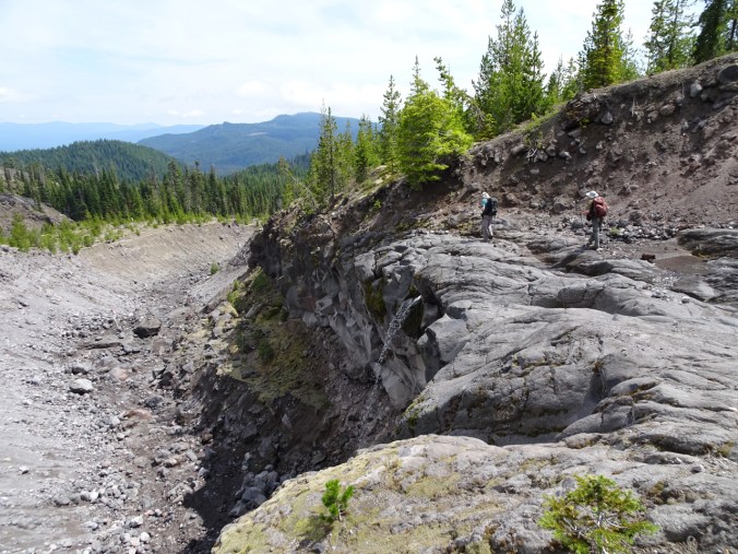
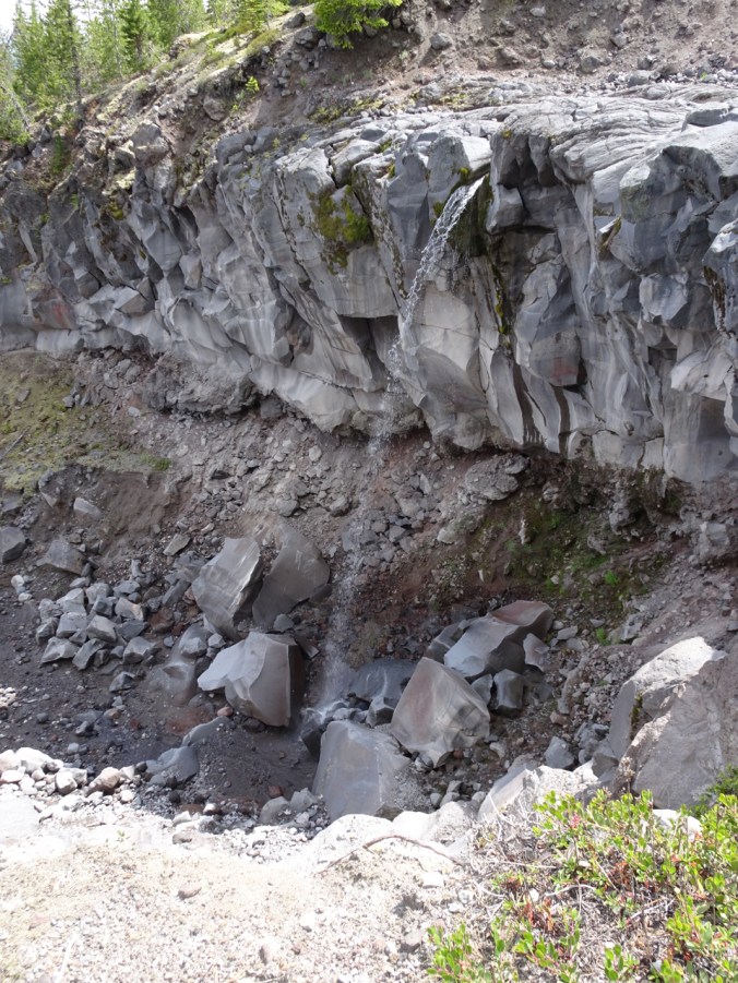
This was my first time driving across the eastern US and seeing for myself some of the geology I had studied in college. I had highway views of the folded strata of the Valley and Ridge province of the Alleghenian orogeny as I followed along on the map.
Folded stratigraphy on the Google terrain map.
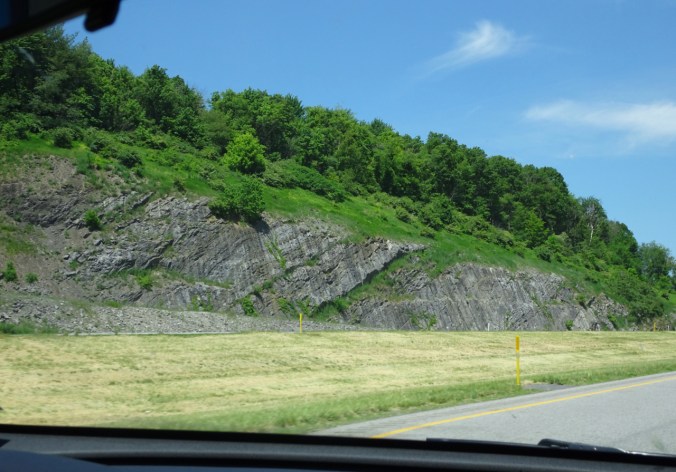
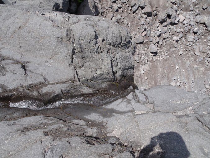
Stratigraphy at highway speed.
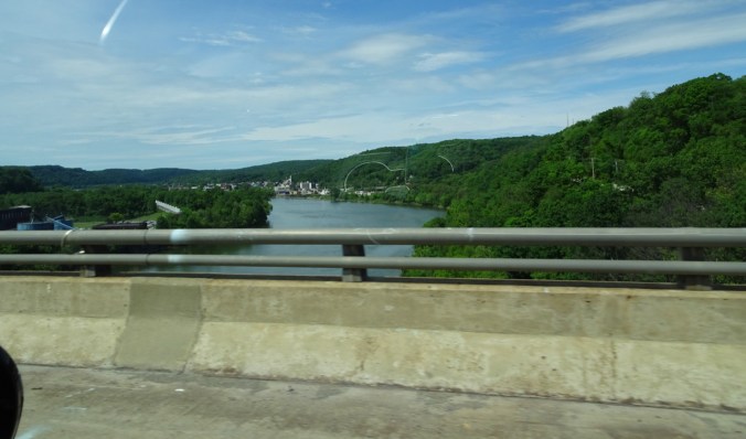
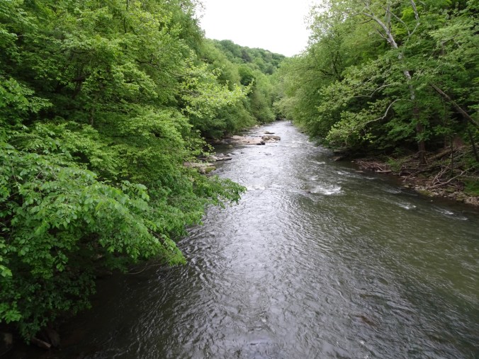
Allegheny River
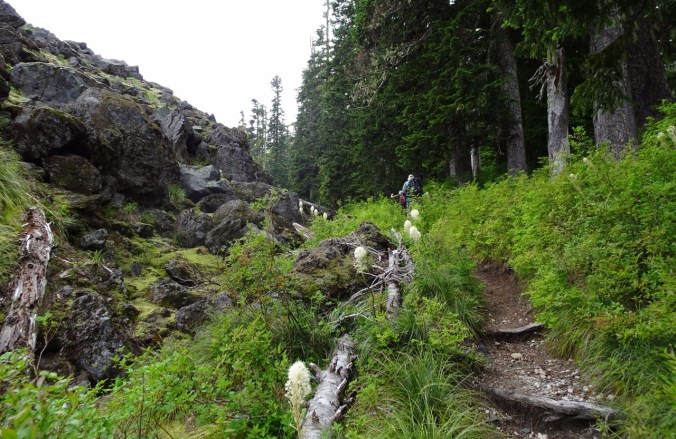
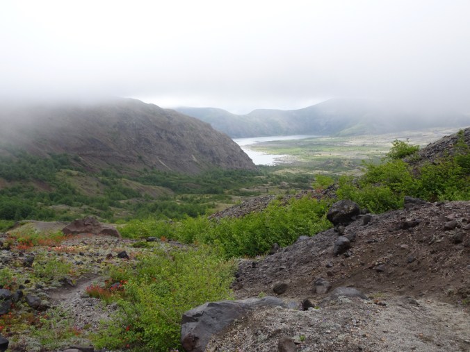
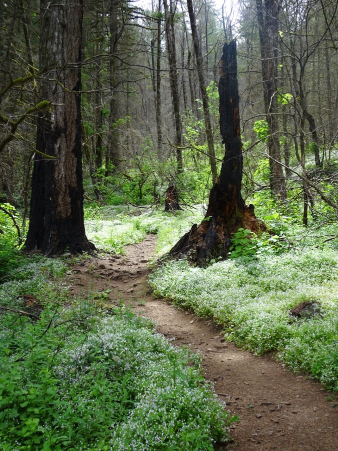
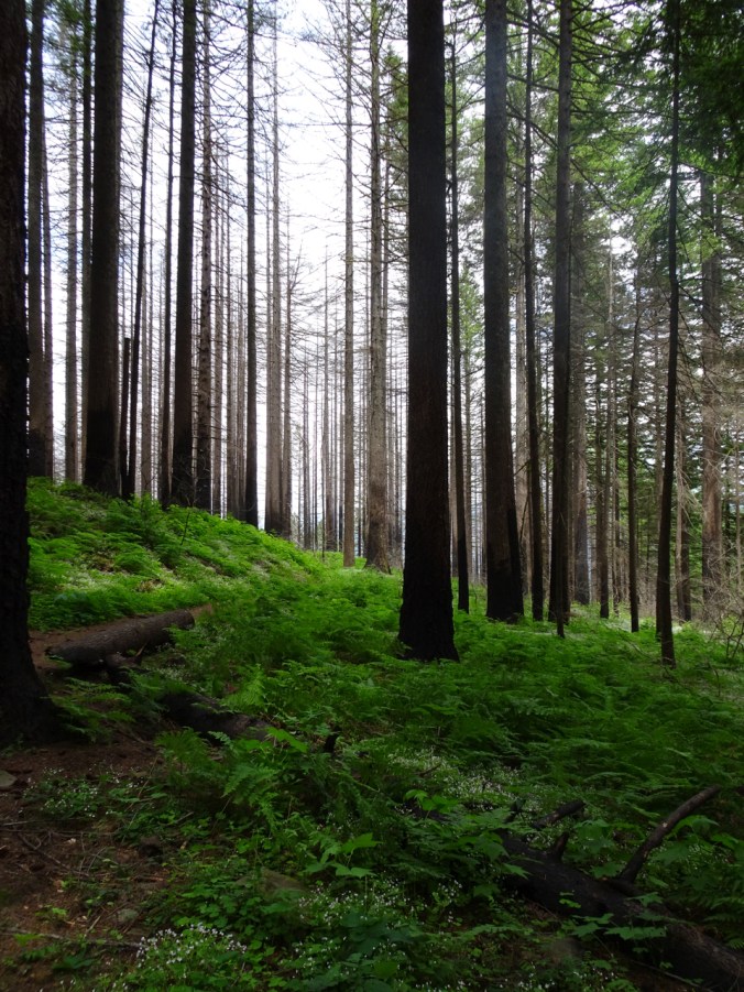
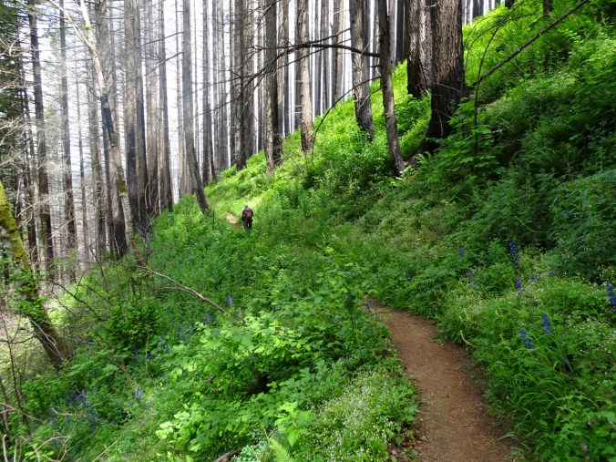
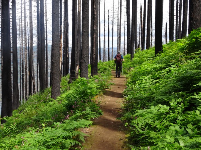
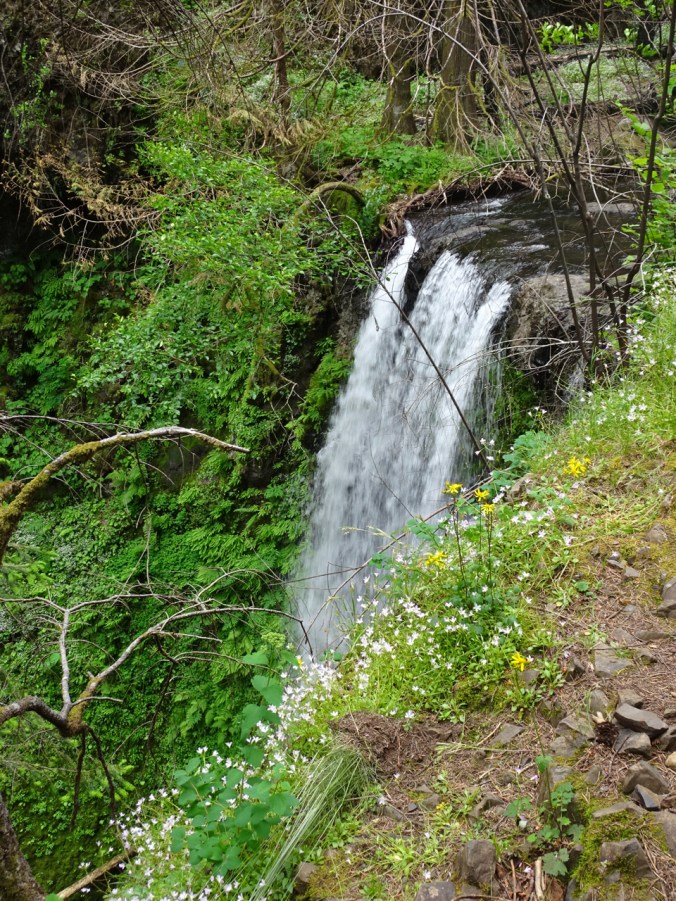
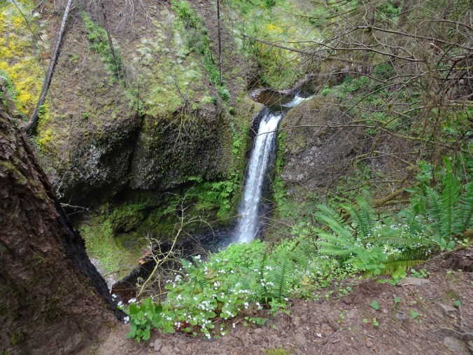
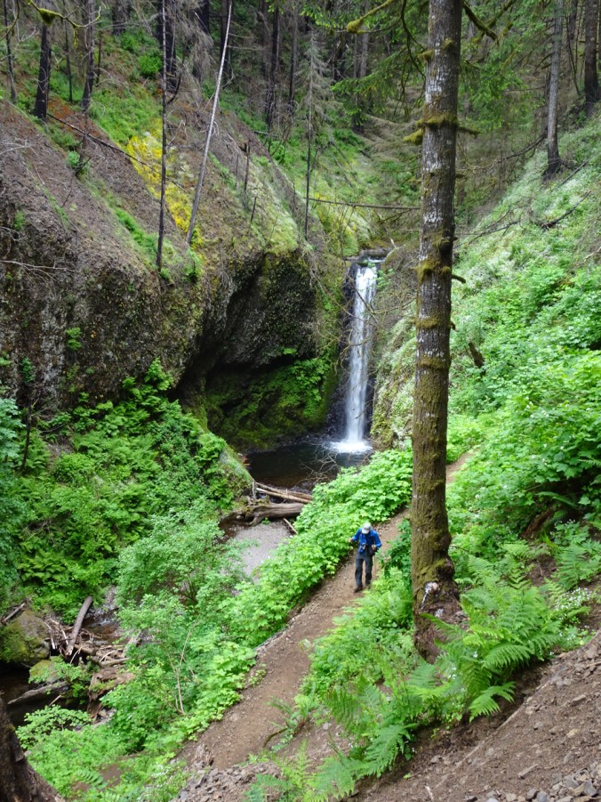
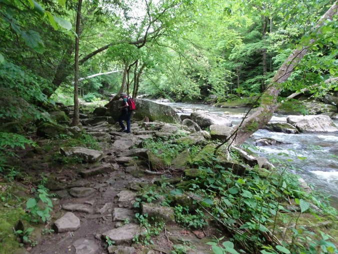
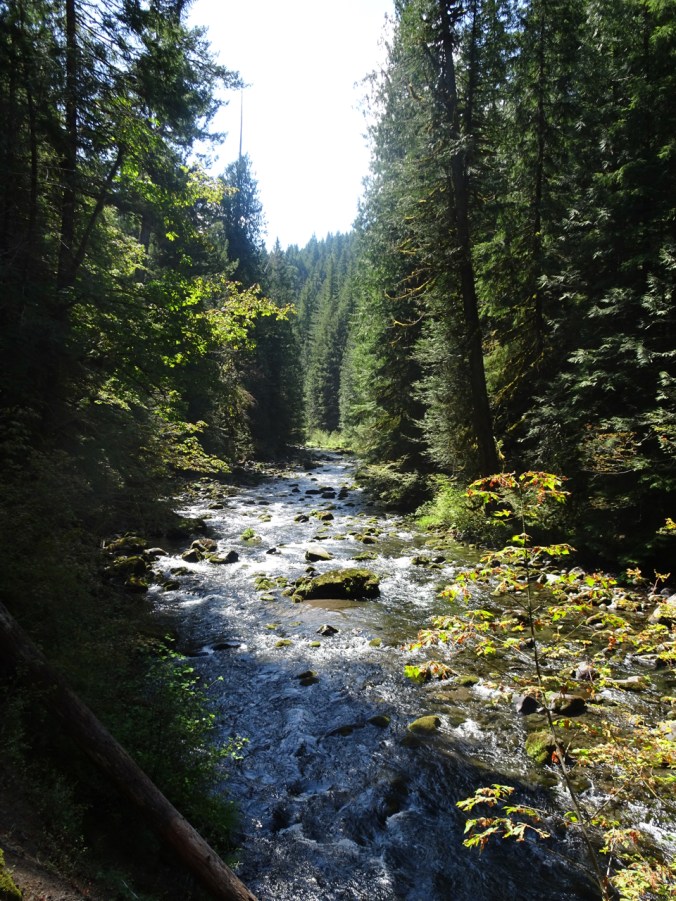
That afternoon we took a 4.5 mile hike along Slippery Rock Creek with a picnic dinner at McConnells Mill State Park near Butler, PA.
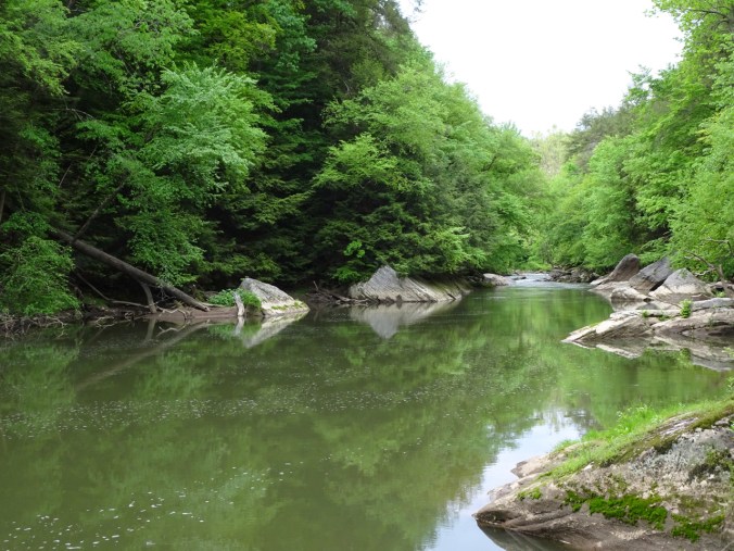
Slippery Rock Creek
McConnell’s Mill and Bridge:
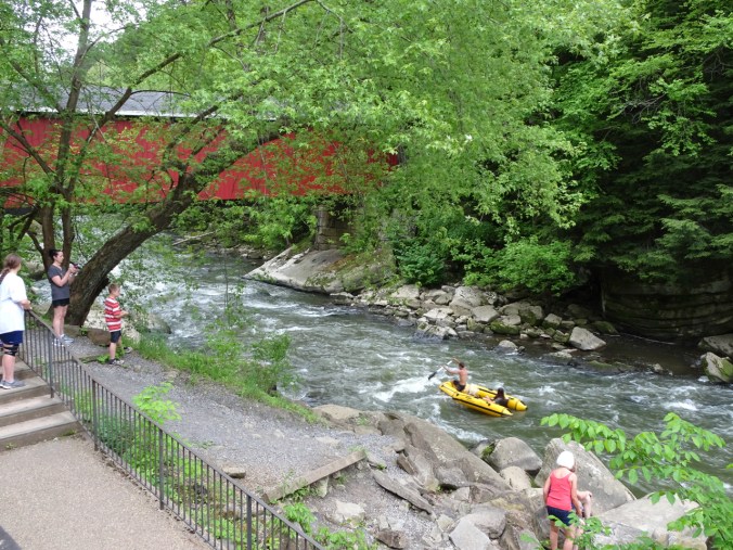
We saw rafters and kayakers on Slippery Rock Creek.
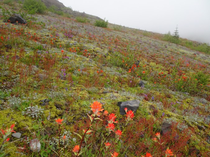
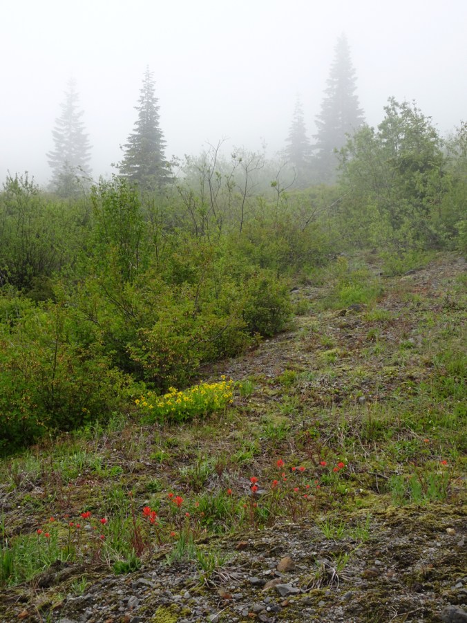
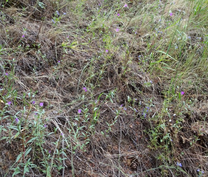
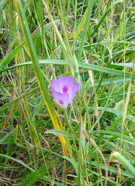
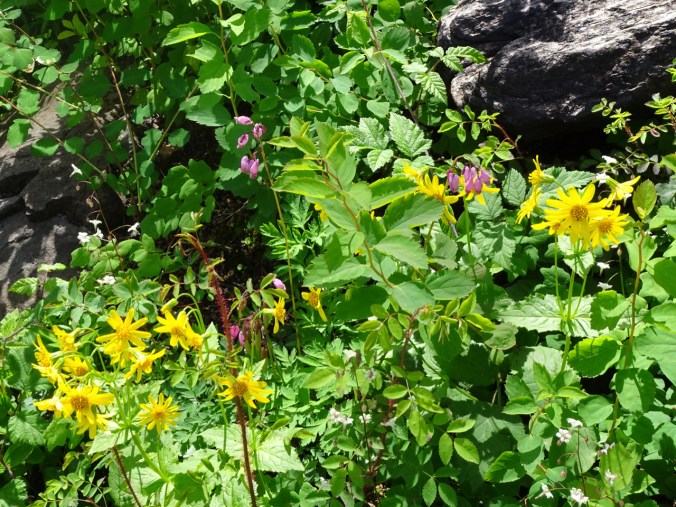
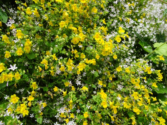
Spring wildflowers along the trail:

Dogwood

Trillium and geranium
The next day we drove on to-
OHIO
We spent a lot of time with our daughter, and met her friends, roommates, and their families, all in town for commencement. Despite rain and thunderstorms on the days before and after, graduation day was sunny but not too hot, and all went as planned. We are very proud of her, and excited for her next adventure – moving to Washington DC where she will begin a good job as a Research Assistant.

arboretum

graduate
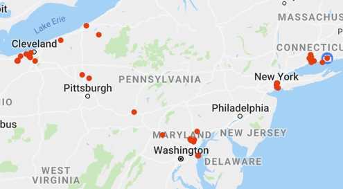
But first, we drove her to Pennsylvania so she could join a bicycle trip with friends who were already en route. We visited many places in the eastern US on this trip, as indicated by my camera GPS map.
Time to head west again, but only as far as
COLORADO
We were met at the Denver airport by my husband’s cousin, his only family member we didn’t think we would see, but who was unexpectedly in town – a great surprise, and one of the best moments of the trip! Highlights– Visiting with family, including my husband’s 99.5 year old uncle, and spending part of a day in real mountains!
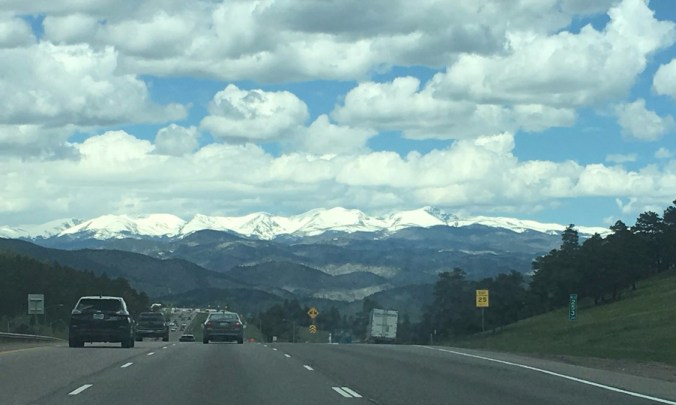
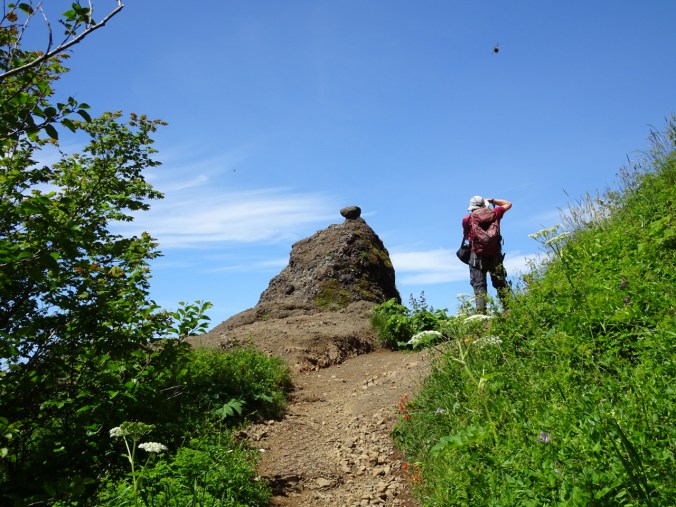
The mountains are calling and we must go!
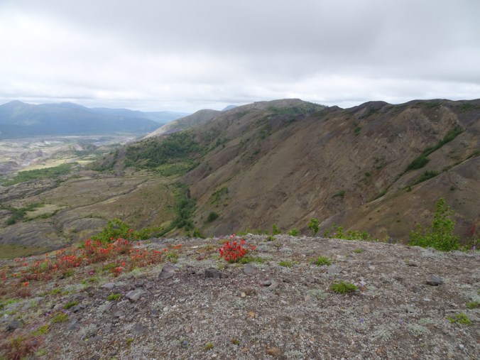
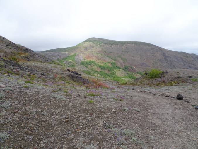
LOVELAND PASS

May 31, 2019
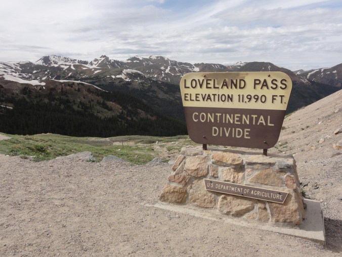
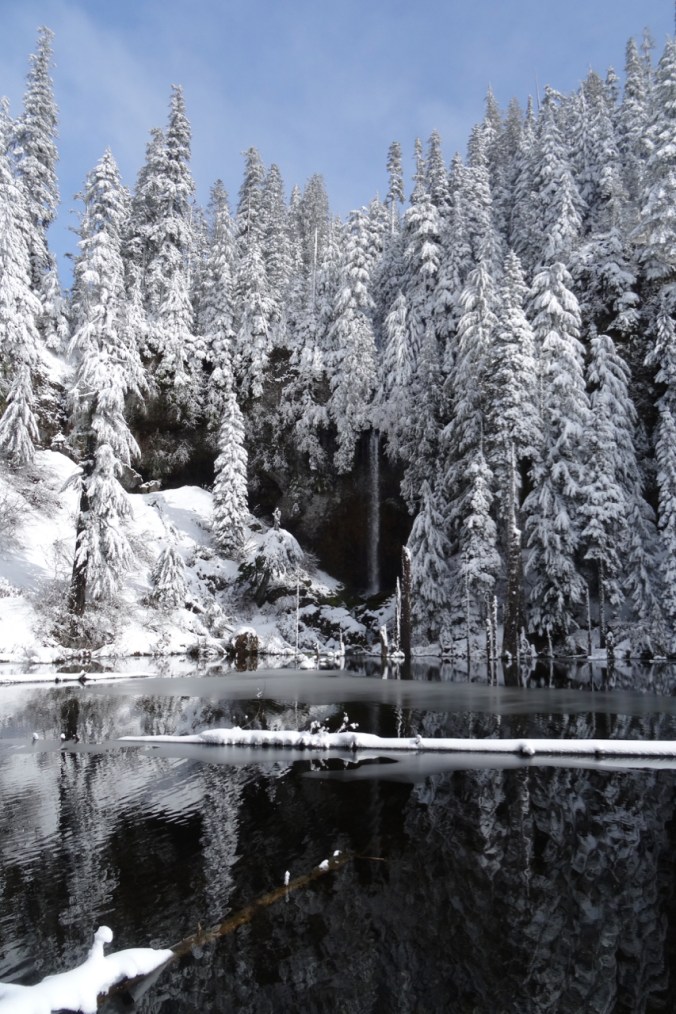
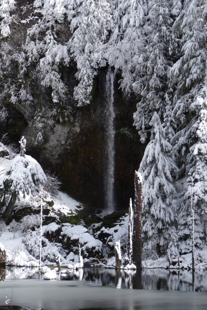
Comparison to when we were here in June of 2013.
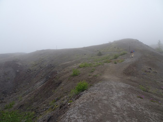
The air was crisp, thin, pure. We walked about 2 miles on the trails above the pass – we were not equipped for snow hiking.


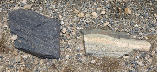
bird, granite, snow
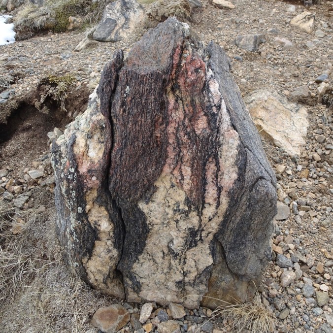
Precambrian rocks – I don’t get to see these where I live!


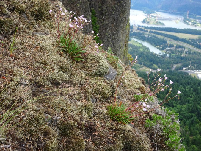
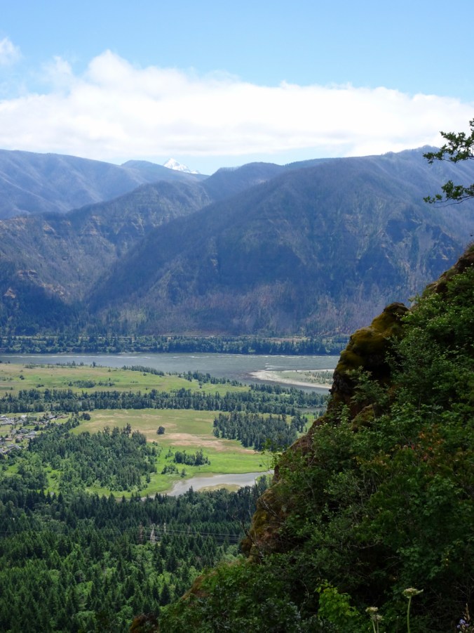
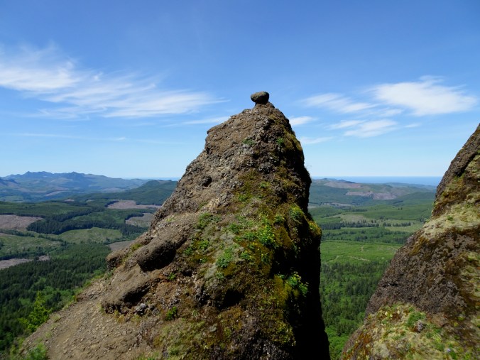
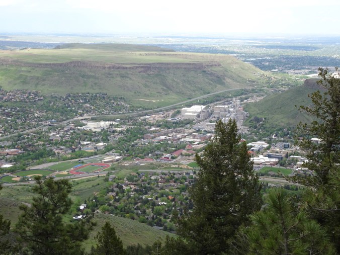
We stopped for views at Lookout Mountain near Golden:
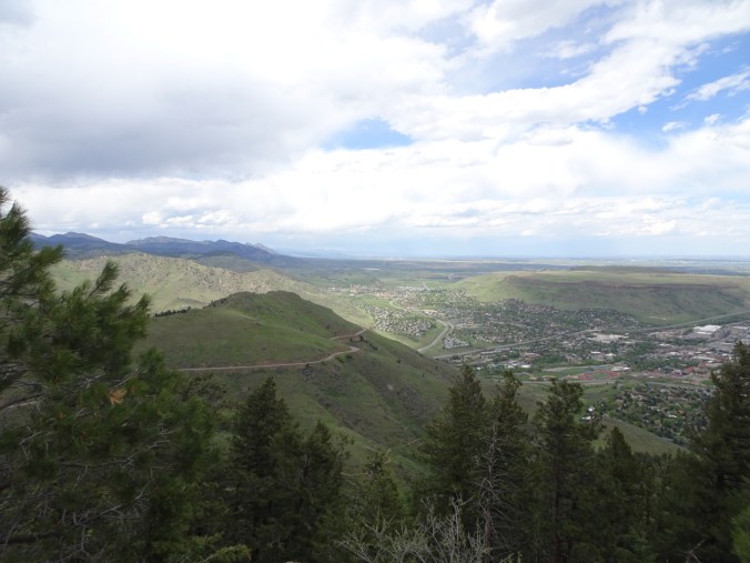
View to the north along the Front Range
Northeast

East to Denver and the Great Plains beyond…
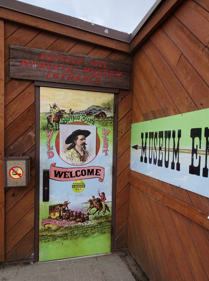
Buffalo Bill Museum and grave on Lookout Mountain.
We flew back to Portland on June 1st, after two and a half wonderful weeks of reconnecting with family, seeing new geography, and launching our daughter into post-college life. America is an amazing country, and we have nebulous plans to see more of it, but for now, there’s no place like home! Tap, tap, tap…
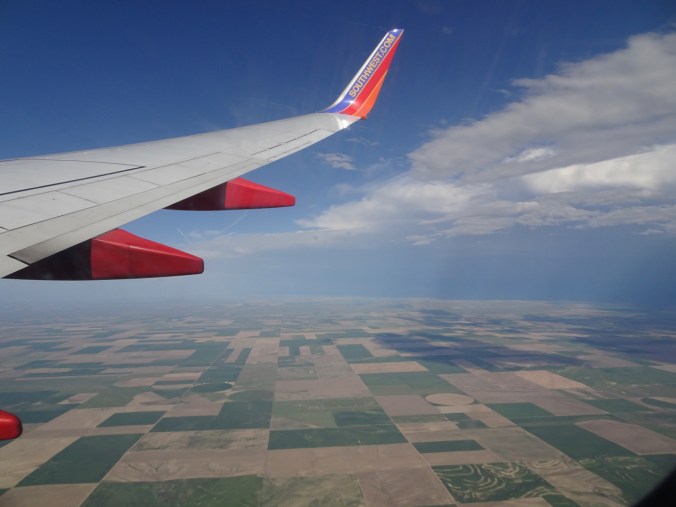
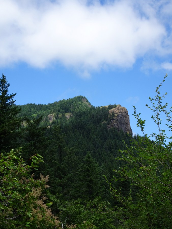
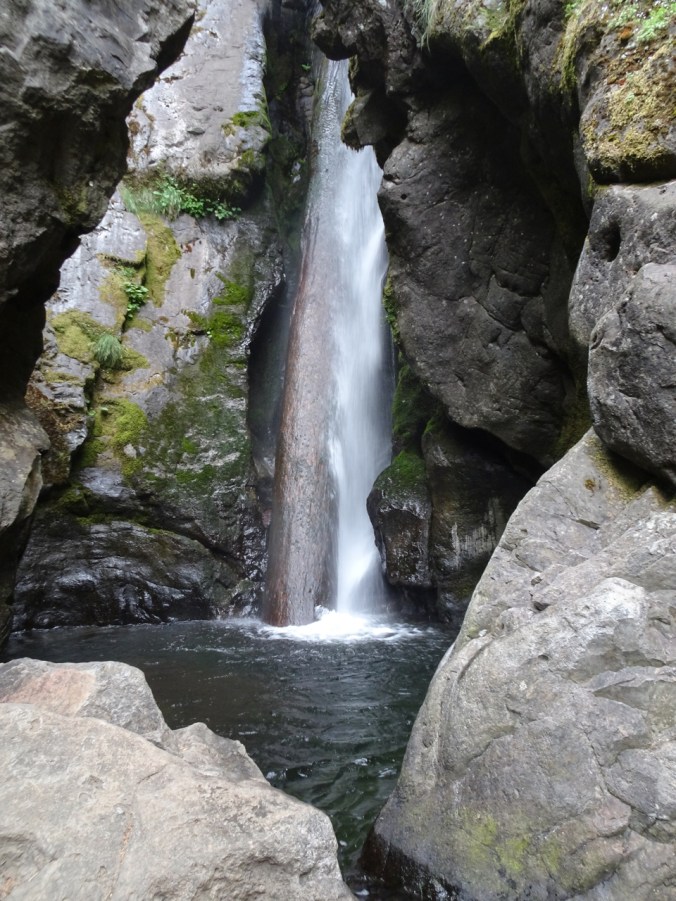
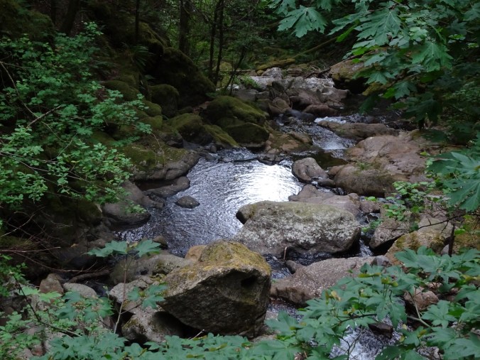
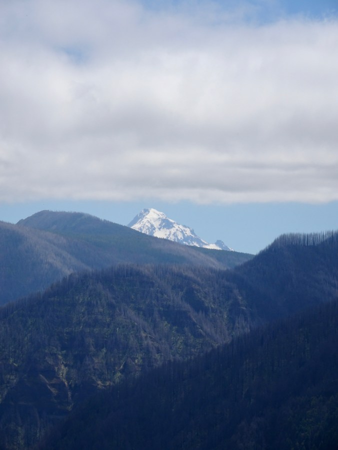
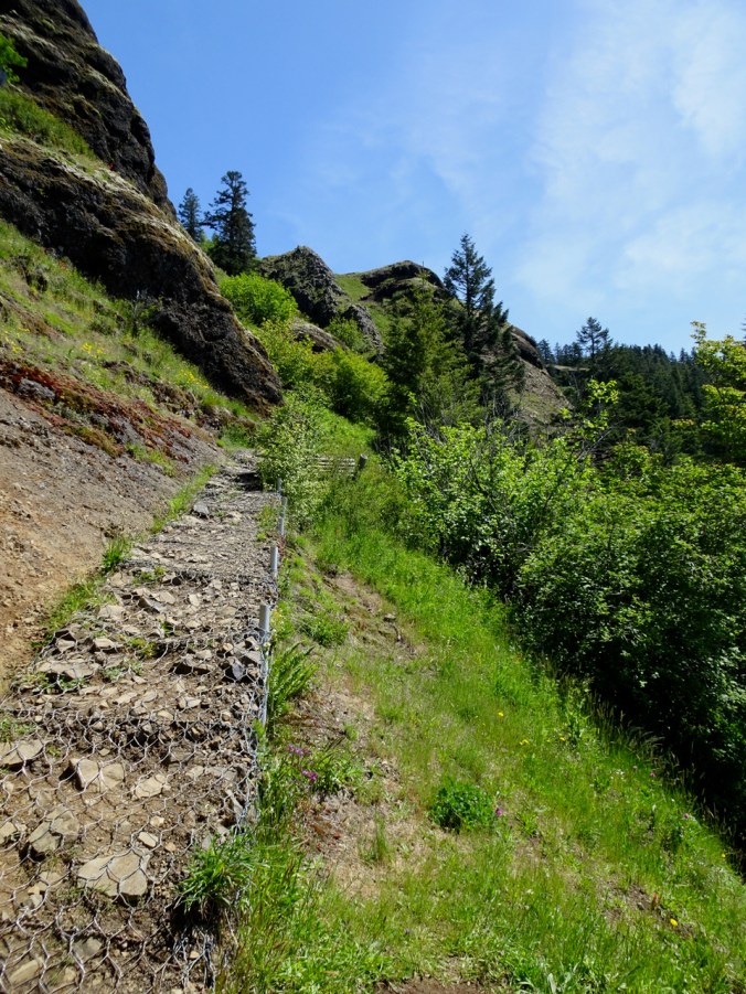
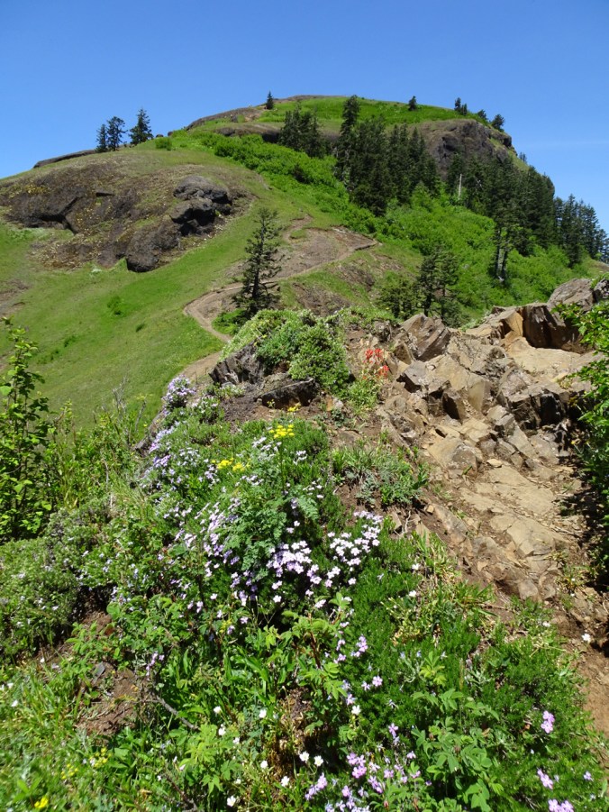
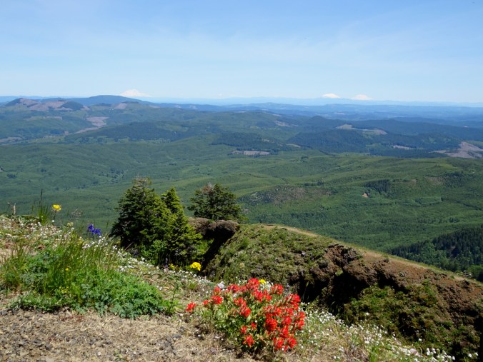
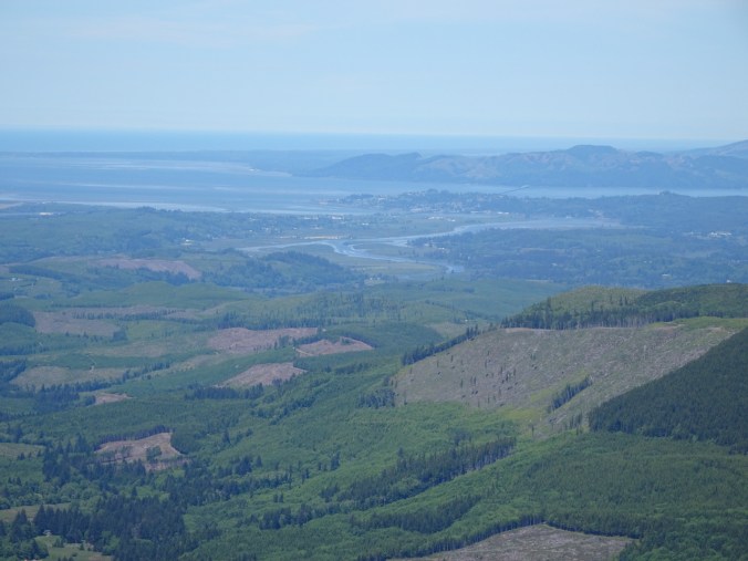
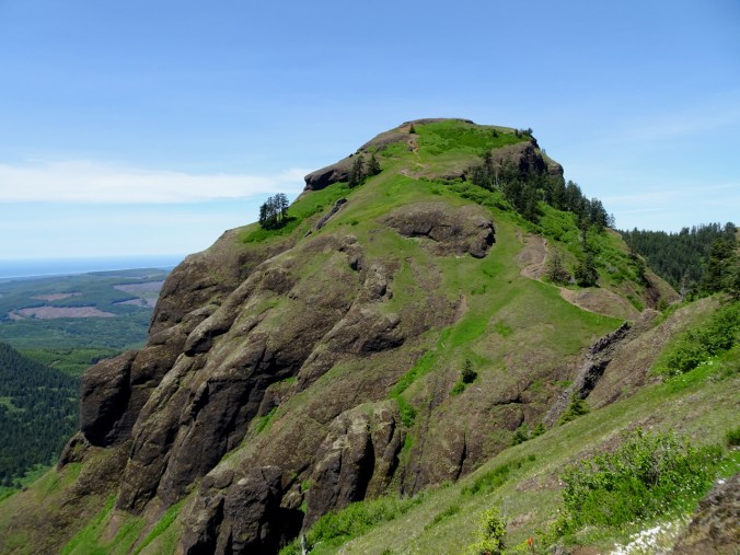
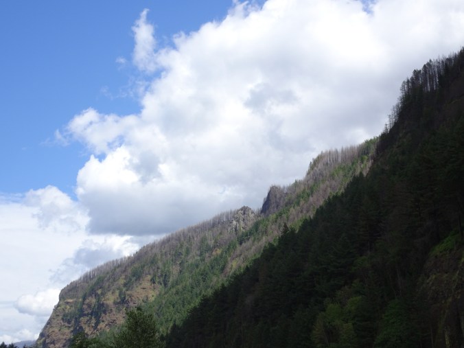
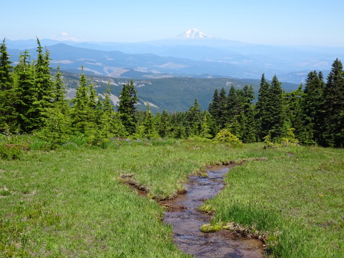
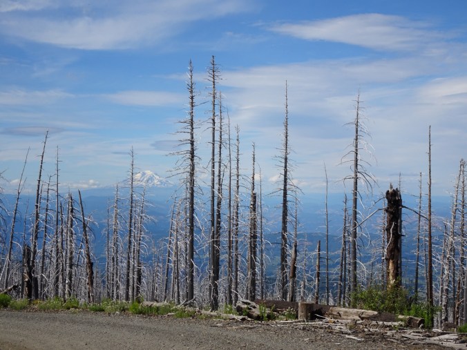
From the high plains of Colorado

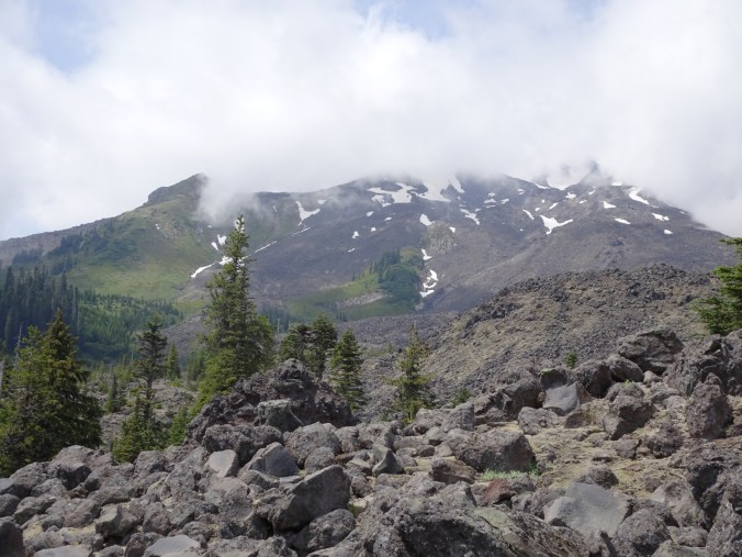
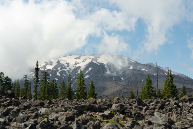
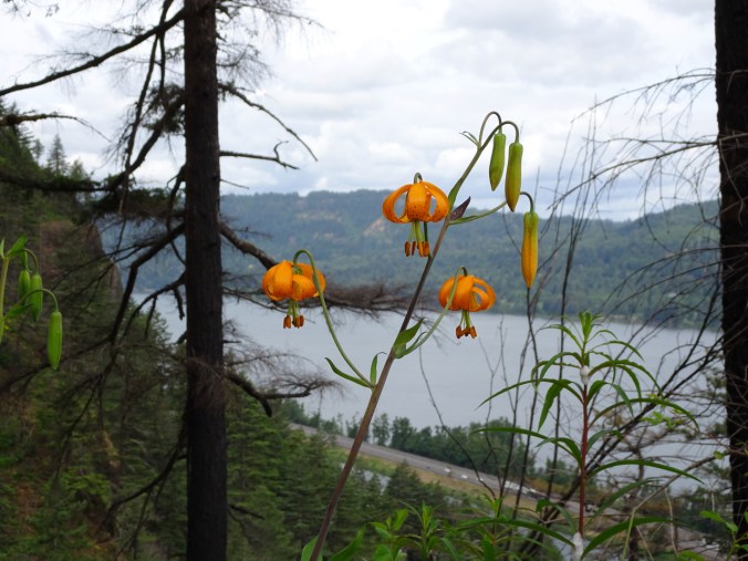
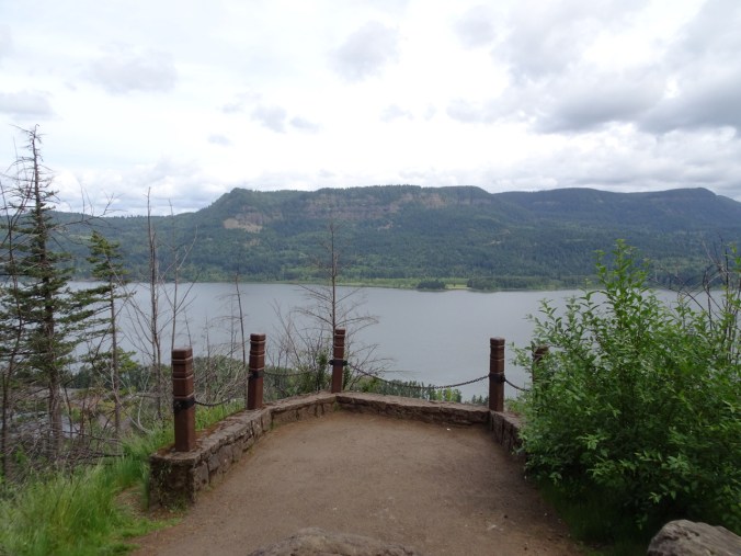
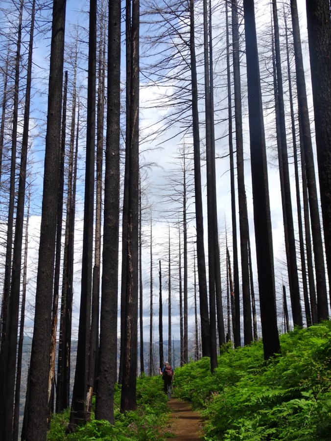
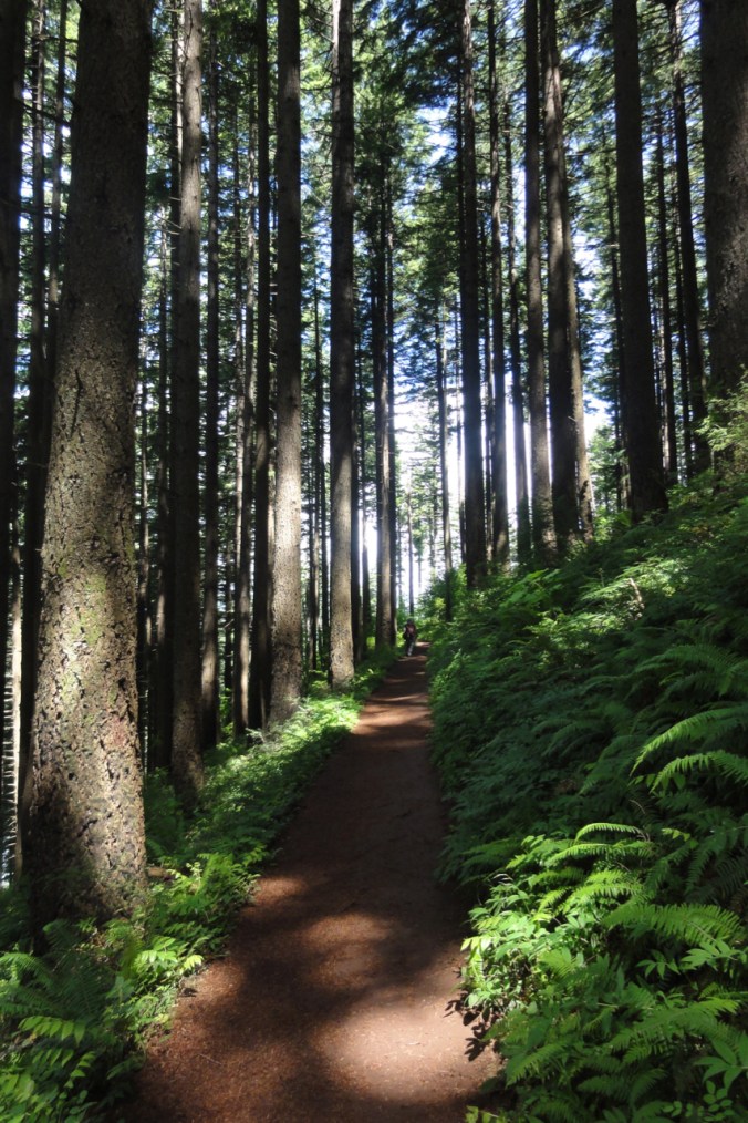
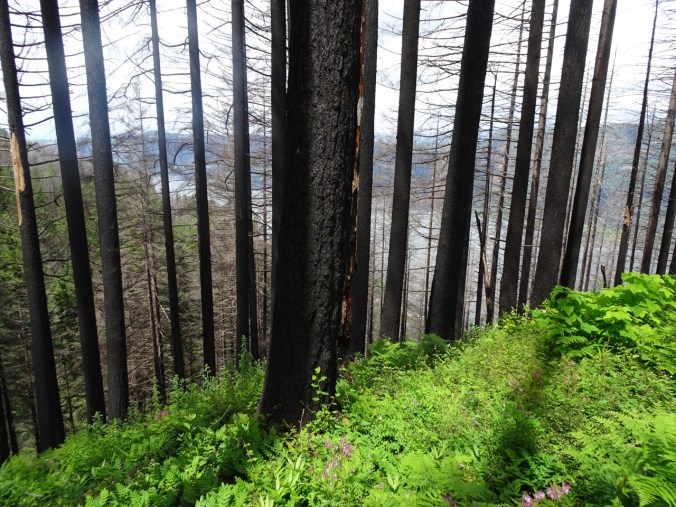
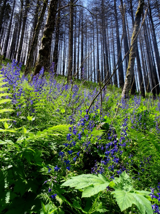
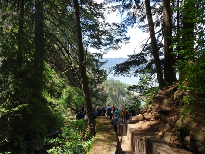
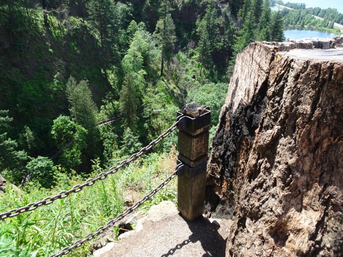
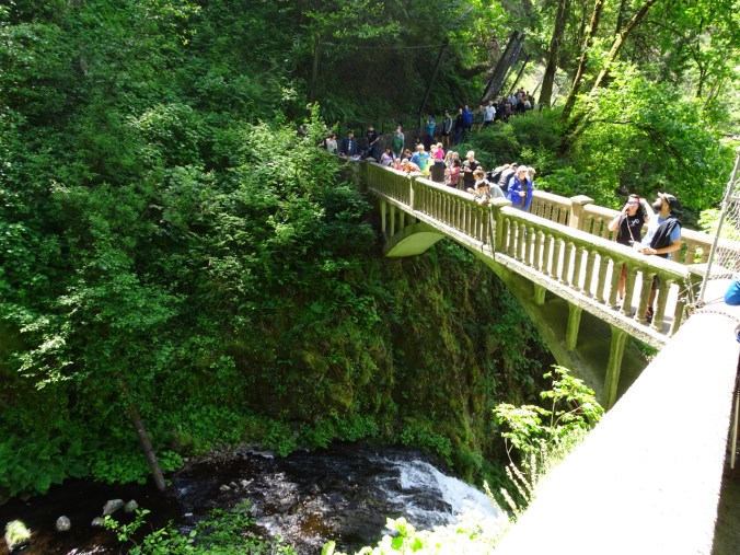
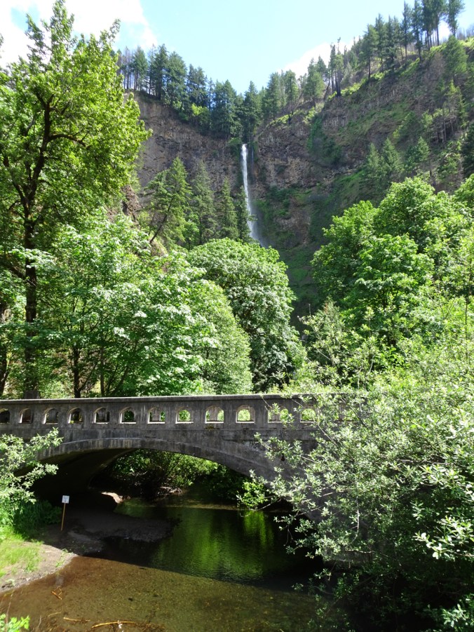
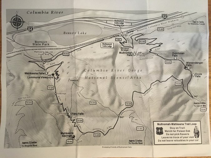
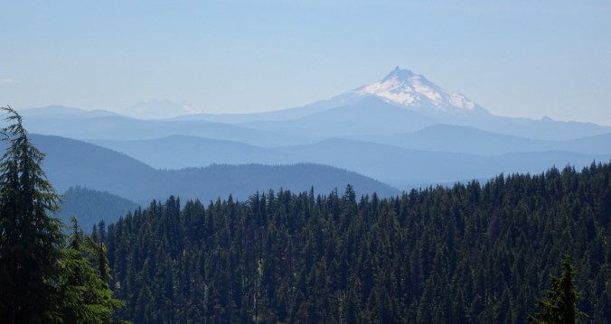
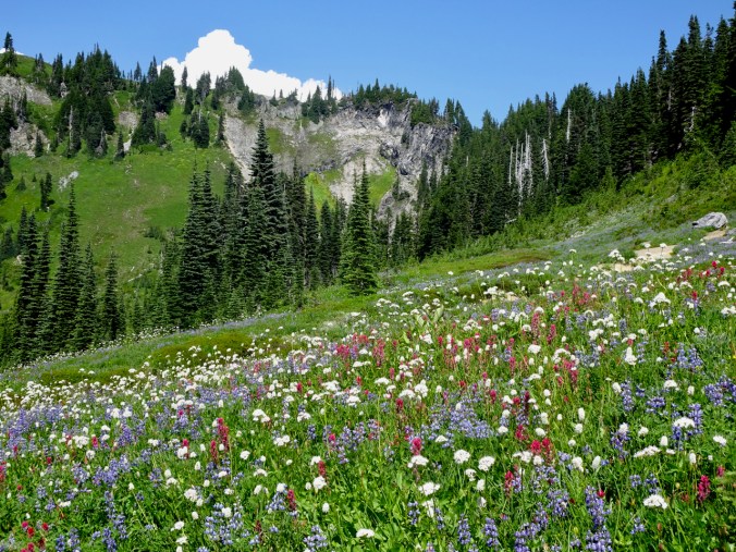
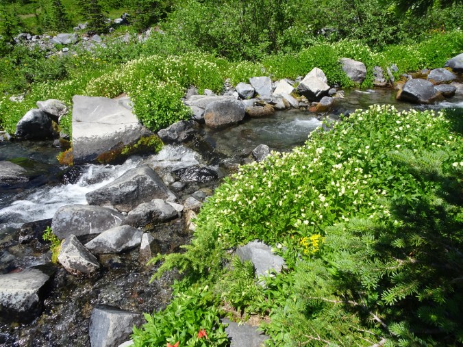
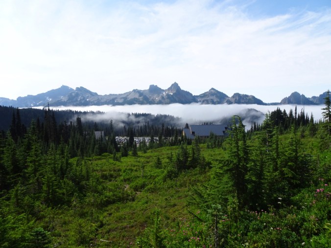
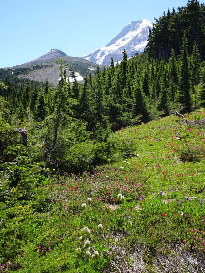
to the Cascade Mountains and Columbia River Gorge.


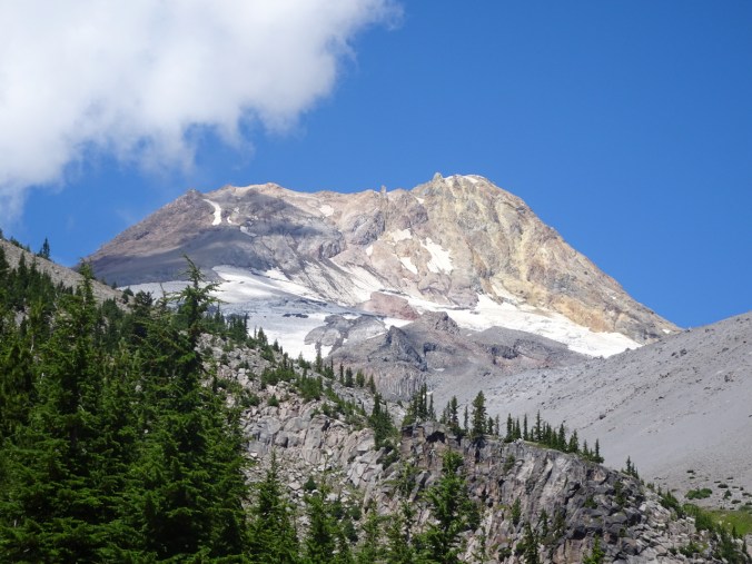
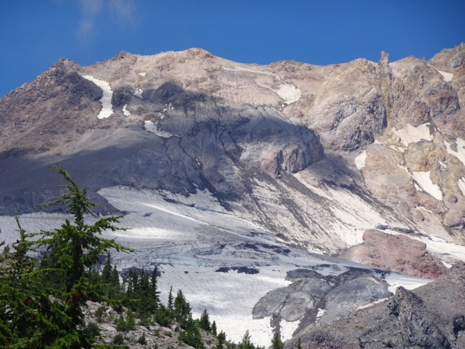


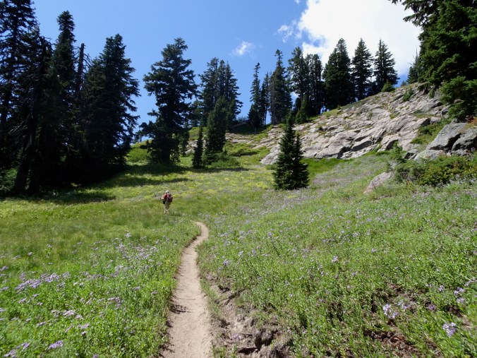


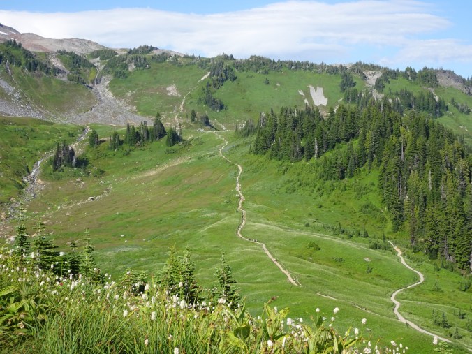


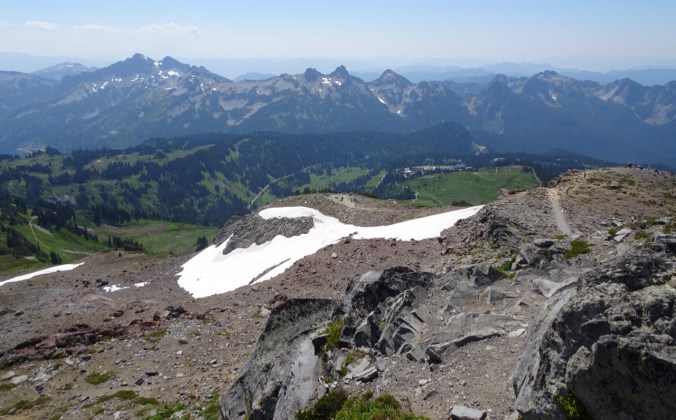
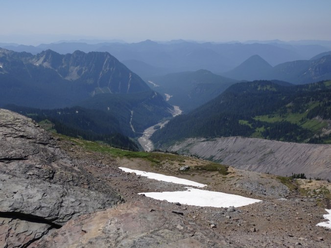
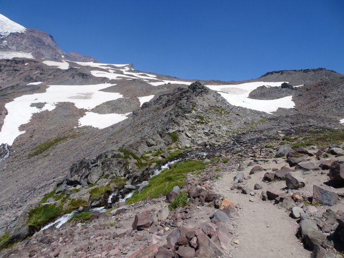
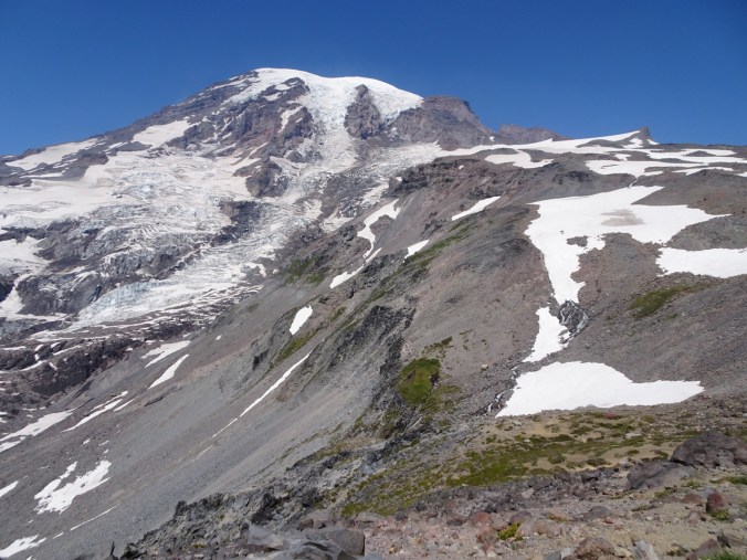


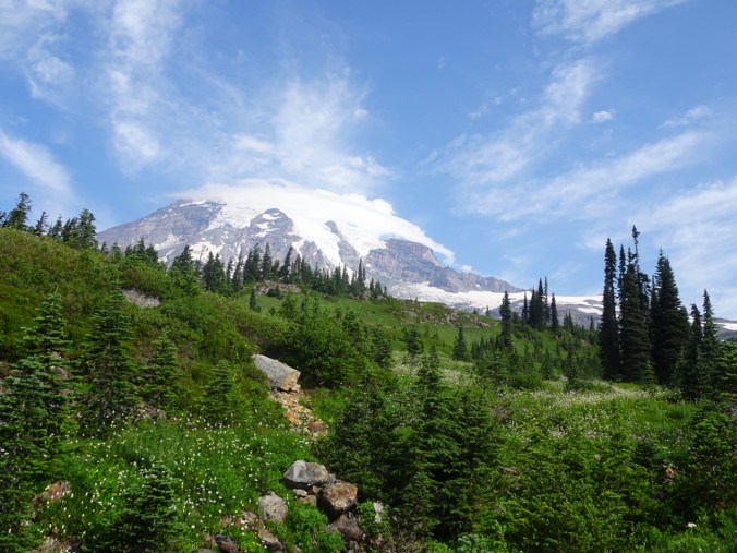

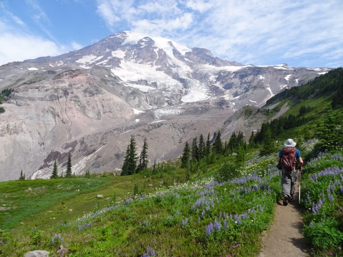

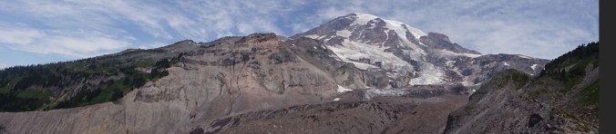
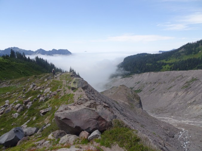
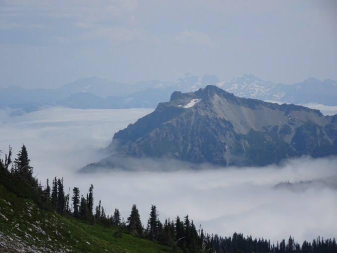


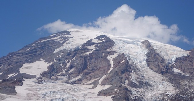
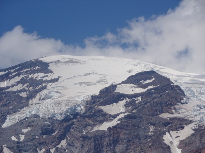
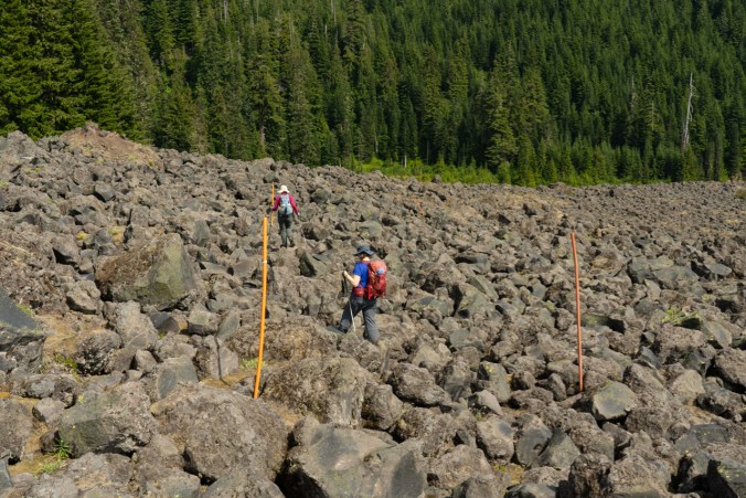
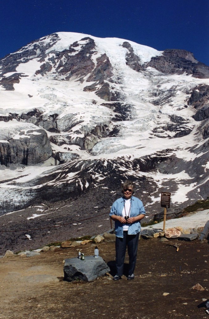
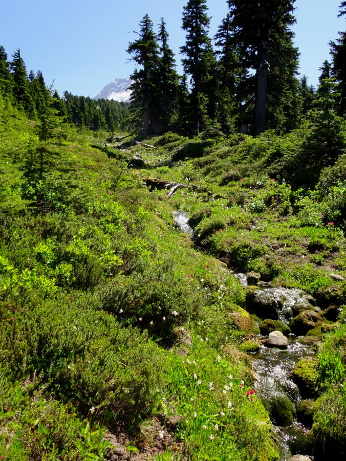
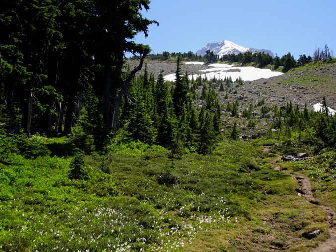
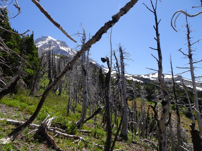
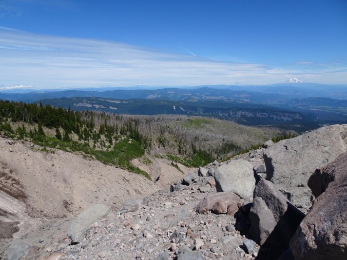
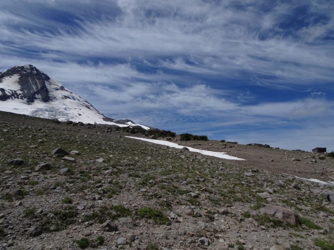
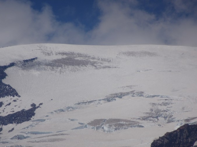 Muir Snowfield:
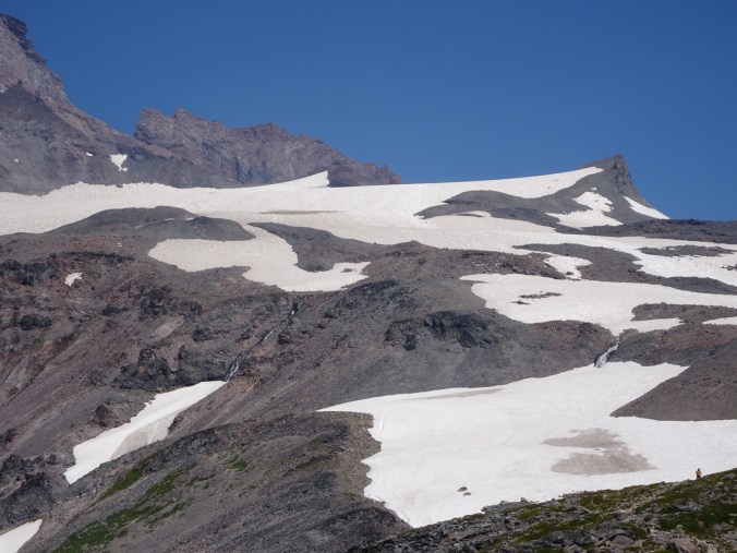


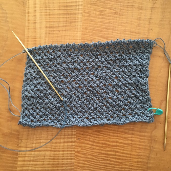
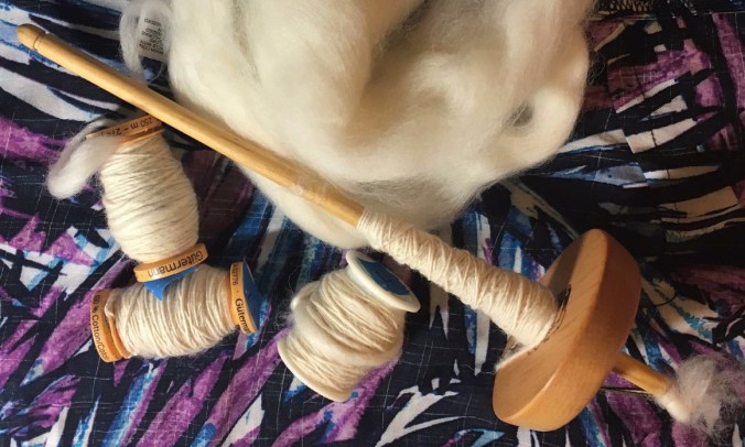 I spun while cheering on the superhuman athletes who propel themselves on bicycles for 21 days! So many ways to win in Le Tour de France – jerseys, stages, sprints, mountain tops, combatitiveness, even a red lantern for the last place finisher, and I feel I have won too, by spindling every day. I am looking forward to adding more spinning to my crafting time.


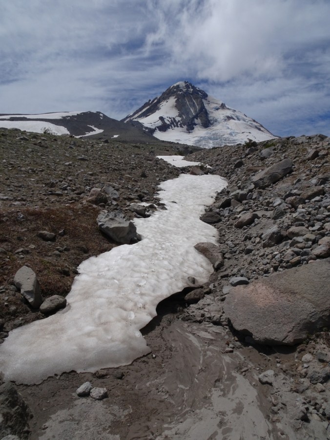


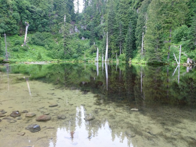
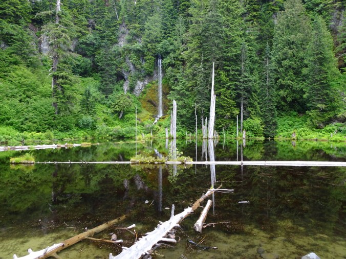
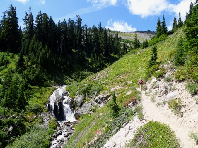
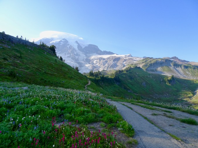
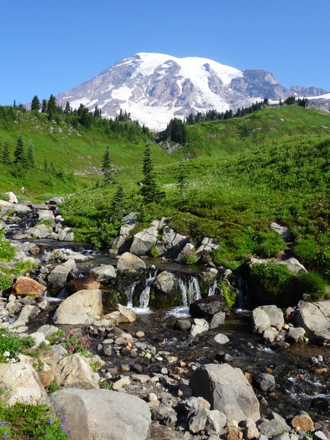
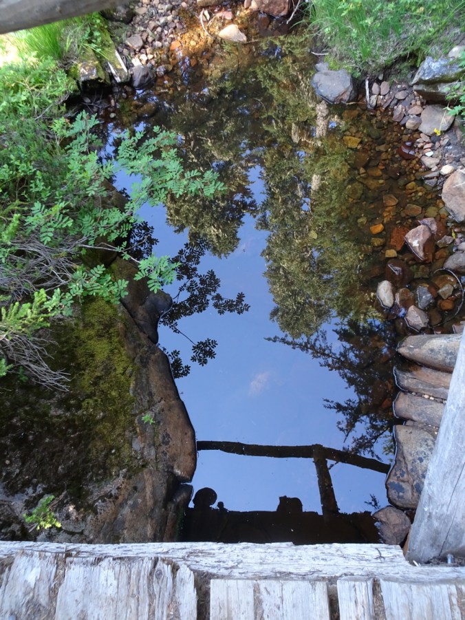
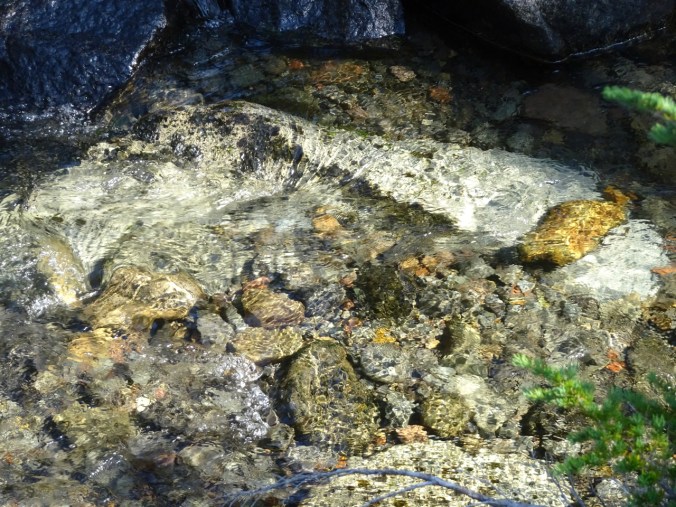
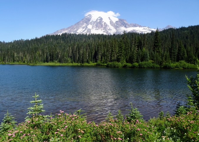
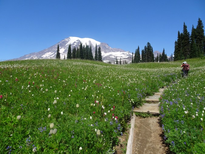
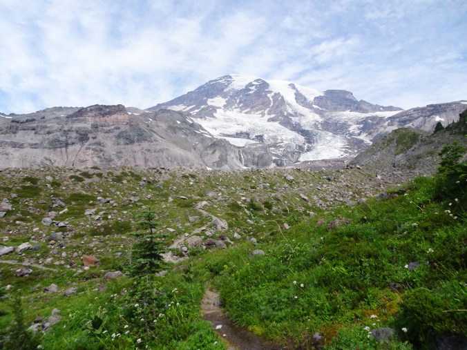
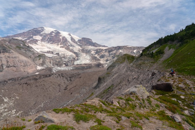
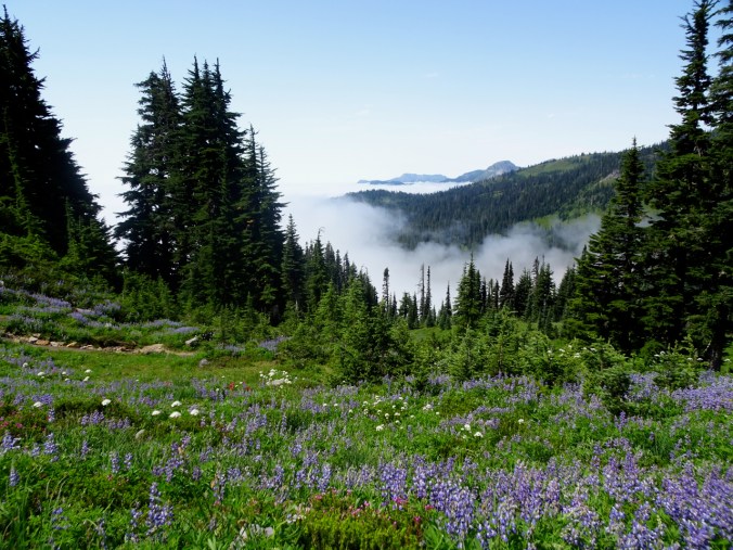
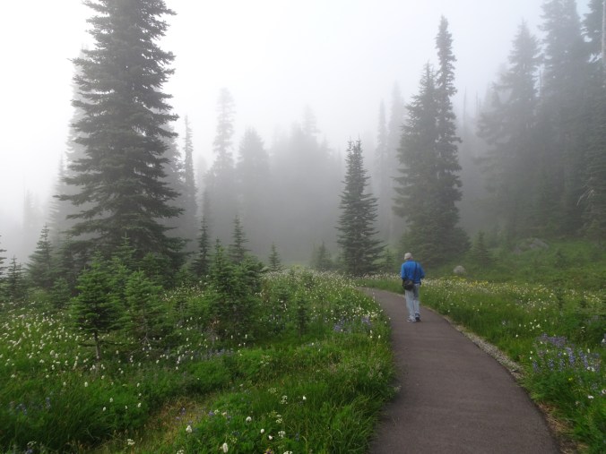
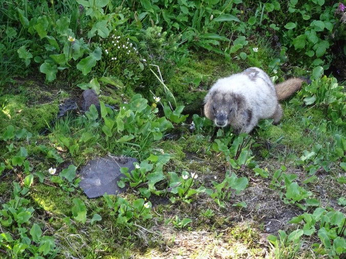
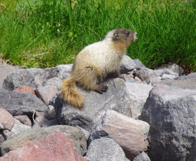
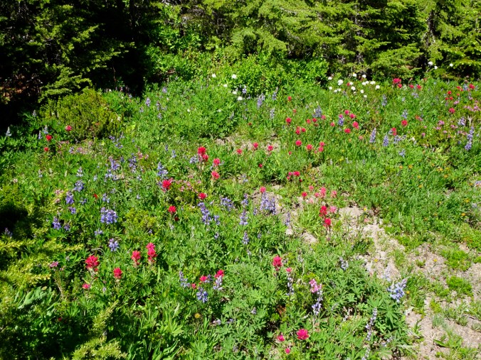
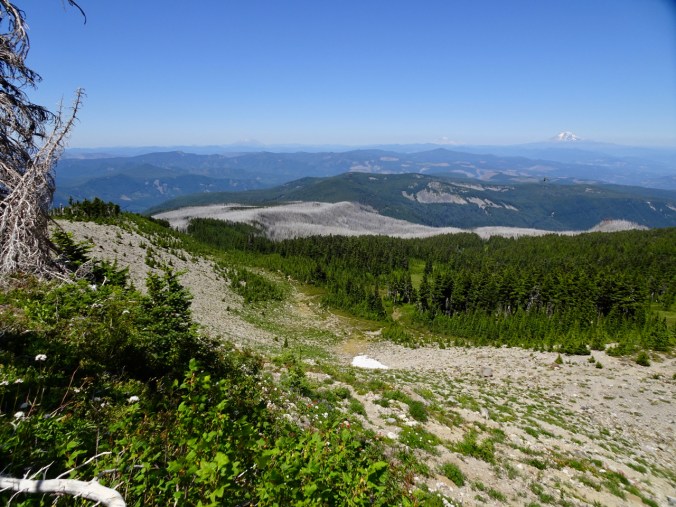
 The walk to the lake is easy, with flowers blooming along the way, and magical mirror reflections at the lake.