We only went on two hikes in December, one in town, and one out in the eastern gorge.
12/1/2025 – Mt Tabor, Portland
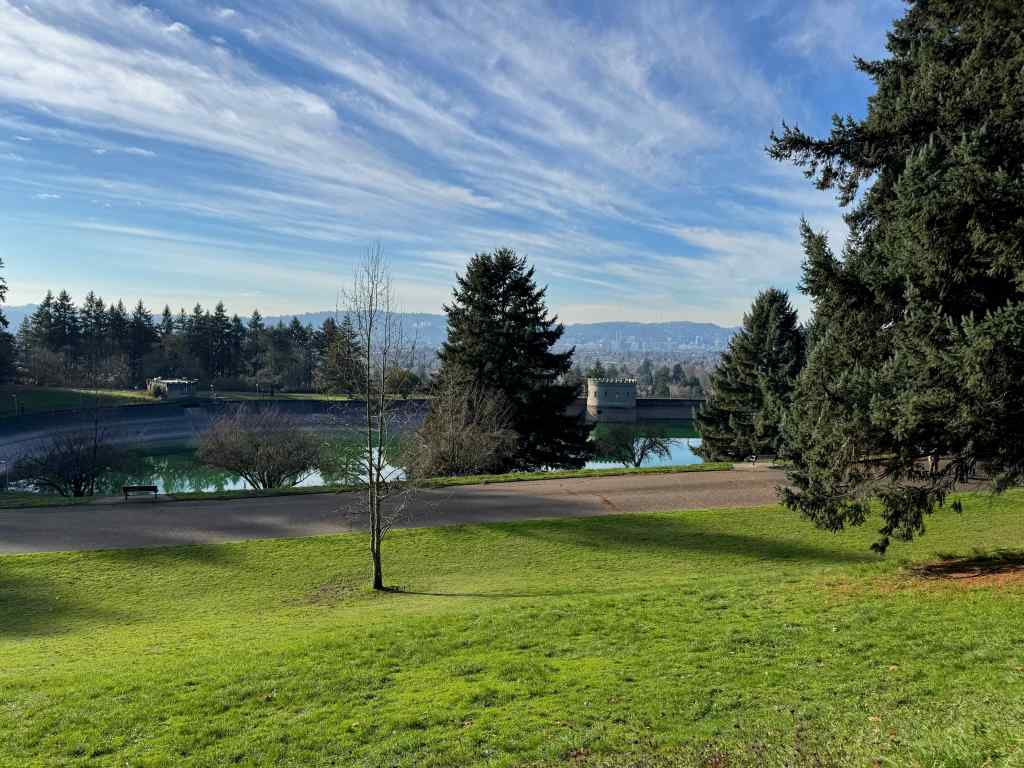
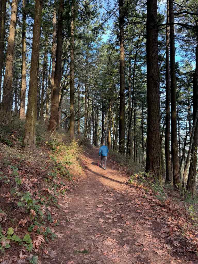
On a sunny day, we drove to our nearest extinct volcano, and walked around its circumference and up to the top, taking in views, and getting a good leg stretch (2 miles, 200 feet). There are many trails that circle around and through the park, and many users, running, walking, and stair climbing. It is a great public space on the east side of Portland.
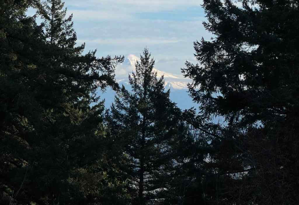
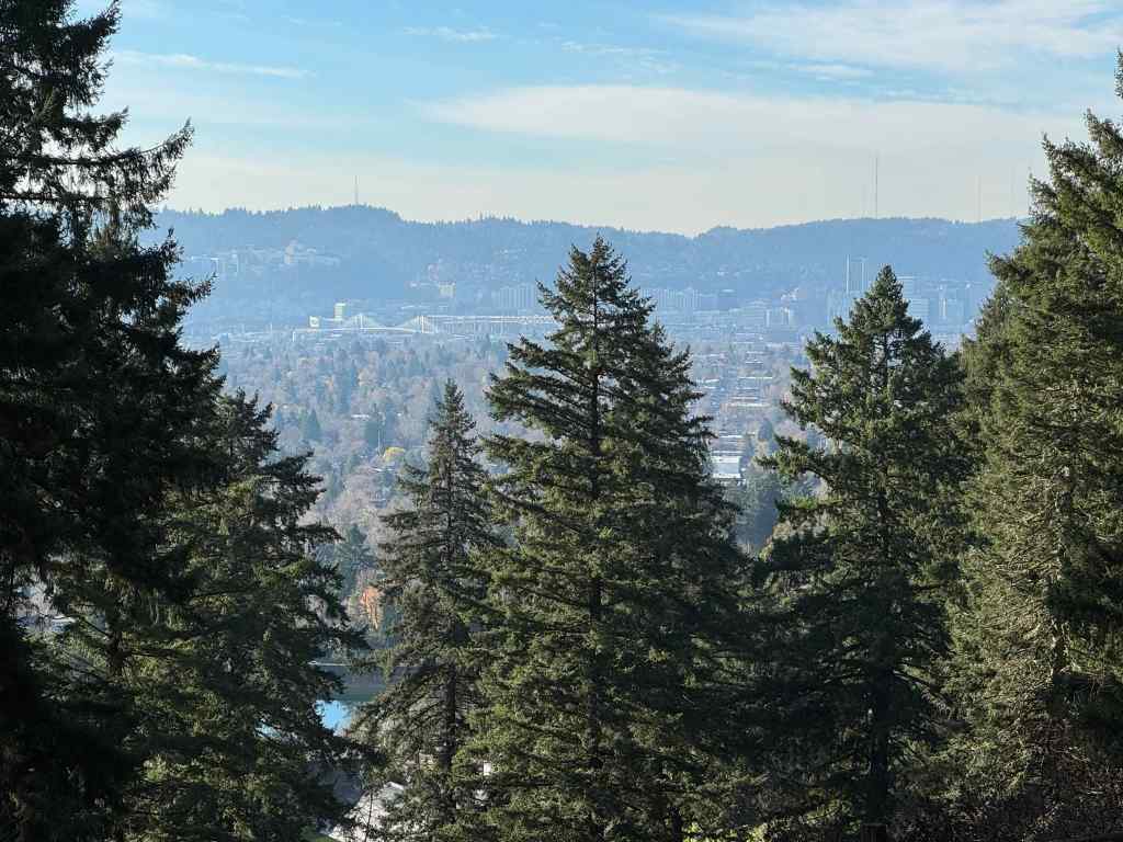
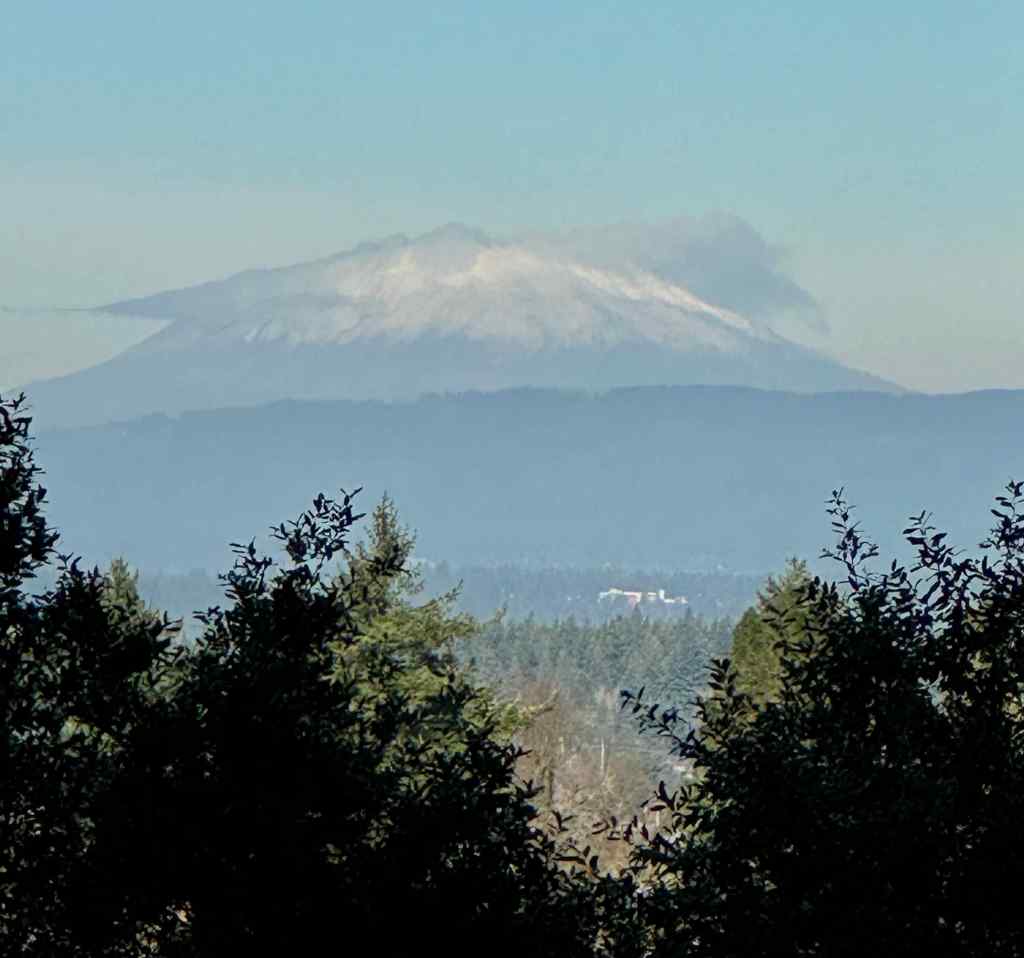
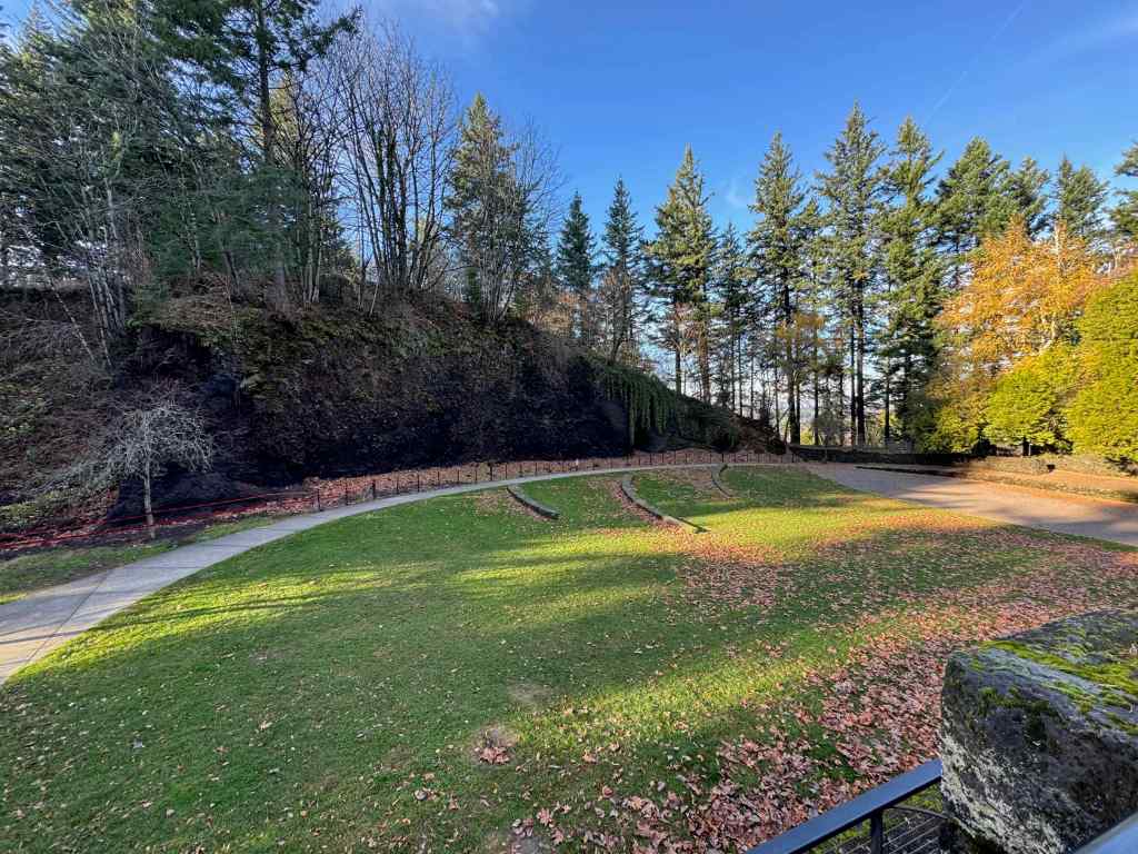
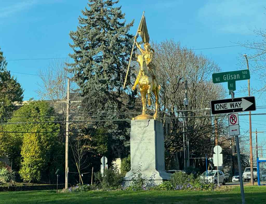
As we gained elevation, we got a western view toward downtown Portland across one of the reservoirs.We continued upward on one of the forested trail to the top.There is a view to Mt Hood through the trees near the summit.And another view toward downtown.We hiked down the northern slope, and got a peek at Mt St Helens.The amphitheater near the parking lot has an outcrop of the volcanic layers.We passed Joan of Arc, glittering defiantly in the sun, in her traffic circle, on the drive home.
12/23/2025 – Catherine Creek, WA
We went with our daughter to this favorite winter hiking spot. This is our second time here since the Burdoin Fire last July. This time, we walked the East Loop above the Arch, and also made a quick trip down to the waterfall viewpoint on the lower ADA trail. (3 miles, 450 feet).
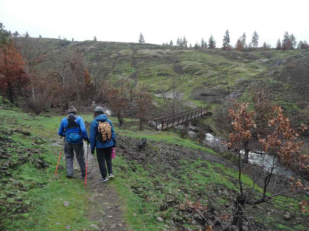
At first we planned to walk the loop that returns by crossing the creek below the Arch, but we wanted to be sure the creek crossing was possible, so we went to look.
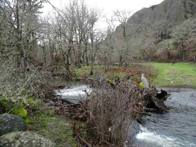
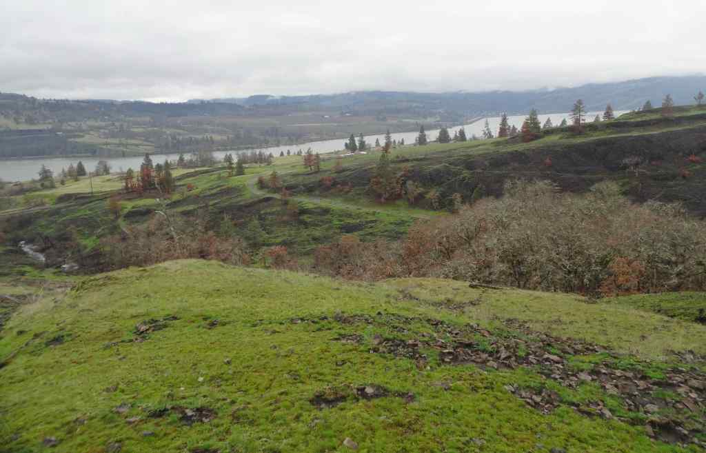
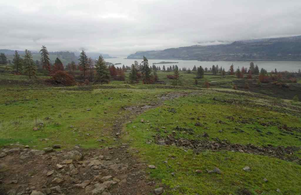
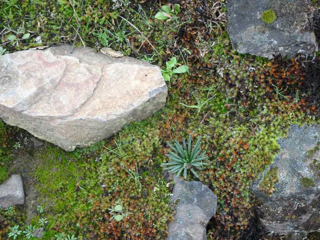
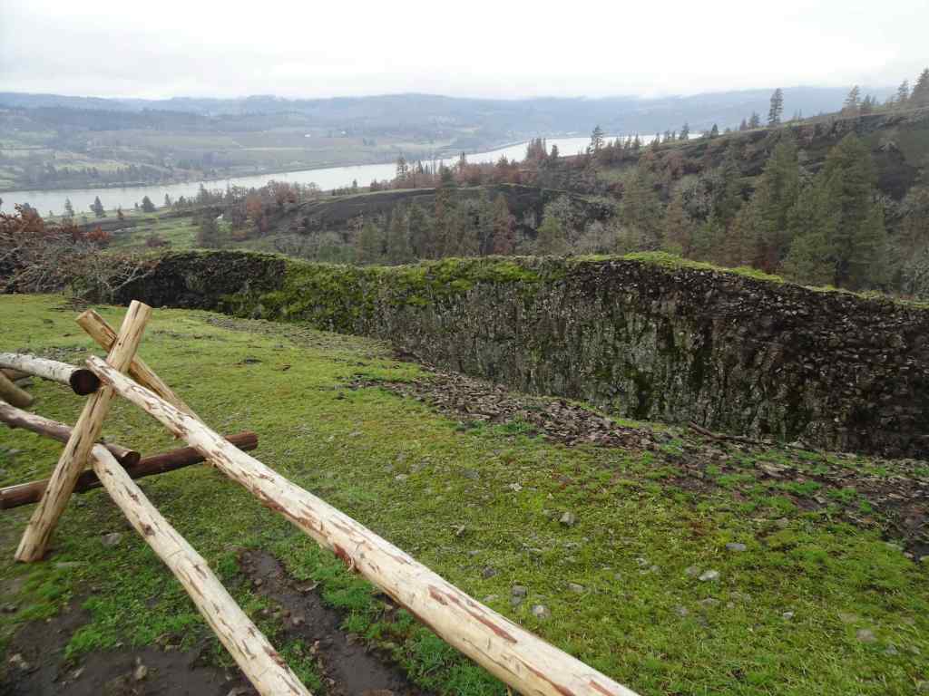
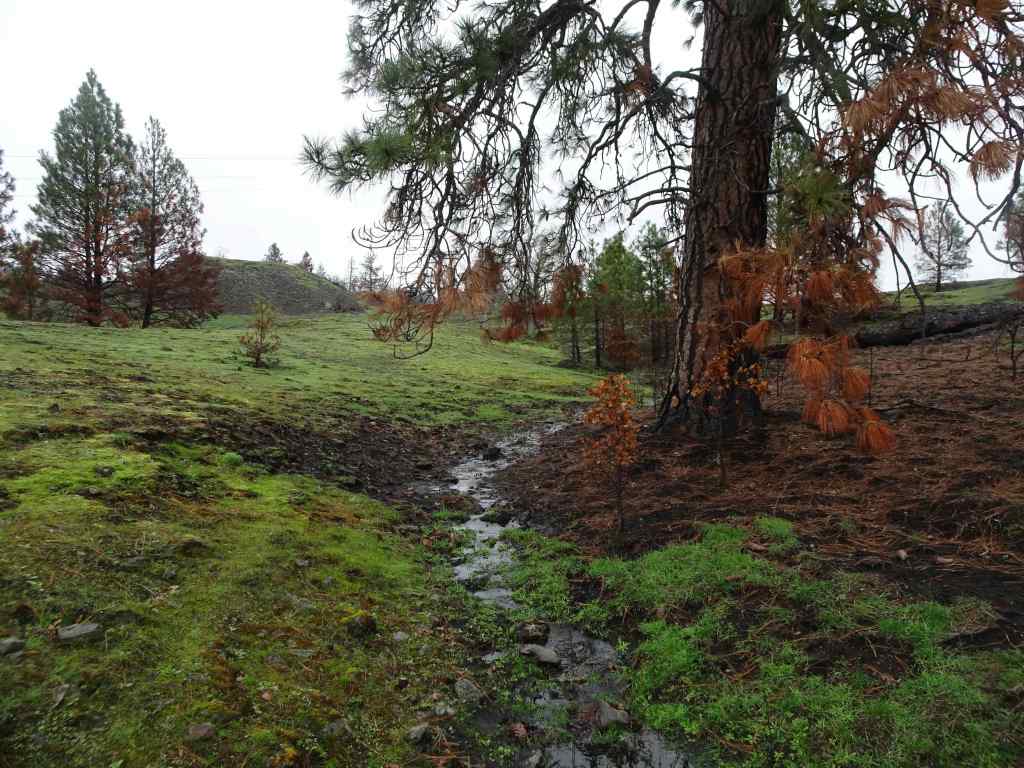
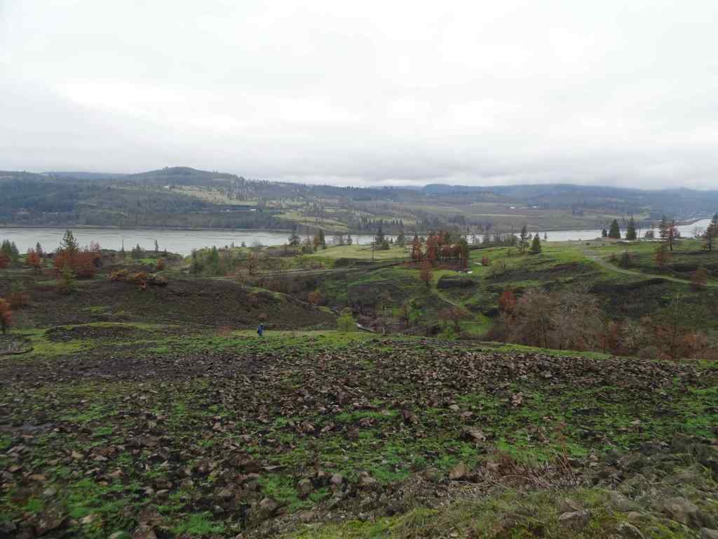
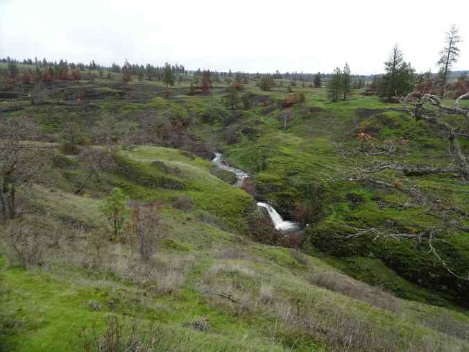
Catherine Creek crossing on the lower Arch trail. The waterfall-like step is actually the plank bridge, now broken and underwater. The road/trail was not accessible without serious wading. So we took the trail above the Arch, and then the eastern return loop.Walking across the burned slopes toward the lower bridge across Catherine Creek. This one survived the fire.Once we reached the slopes near the Arch, we could see across the Columbia River to the west,And to the east.Bitterroot foliage coming up through a rocky, mossy area that likely escaped burning. There were a few unburned areas within this mostly burned slope.View from the top of the Arch, new fence in place.We ate lunch on the rocky outcrop just north of the Arch, then continued our loop to the east, passing scorched pine trees.We returned back across the lower bridge.
Then we took a quick walk down the paved ADA trail south of the parking area, to see the waterfall.
Catherine Creek Waterfall. This side of the road has dead, dry grasses on the slopes because it didn’t burn along the paved trail. But it looks like it did burn across the river.
We enjoyed this hike on an overcast but not rainy day. It was nice to spend some outdoor time with our daughter. And it will be interesting to watch the land here as it recovers from the fire damage.