Crawford Oaks Trail (18-9)

Columbia Hills State Park, WA, Vista Loop    3/3/2018     (#9)

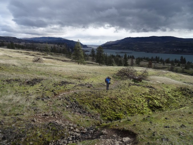
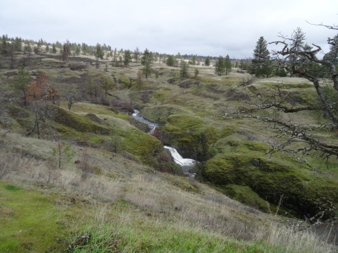
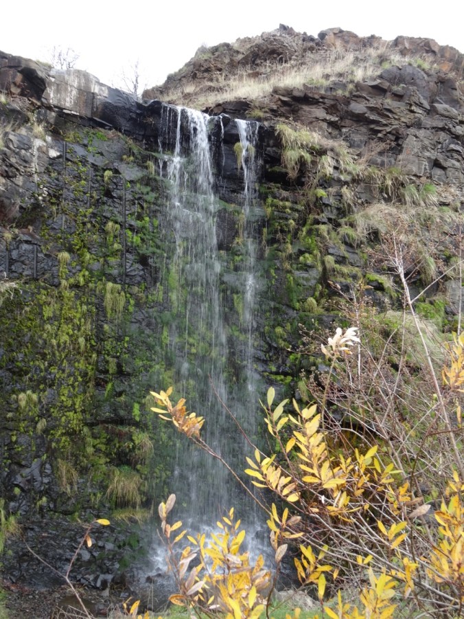
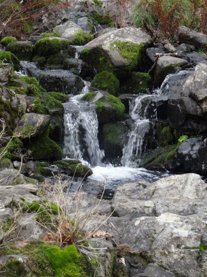
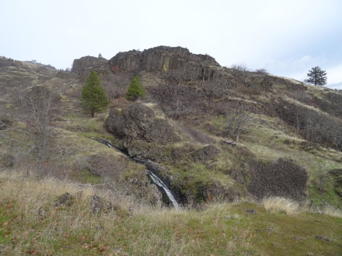
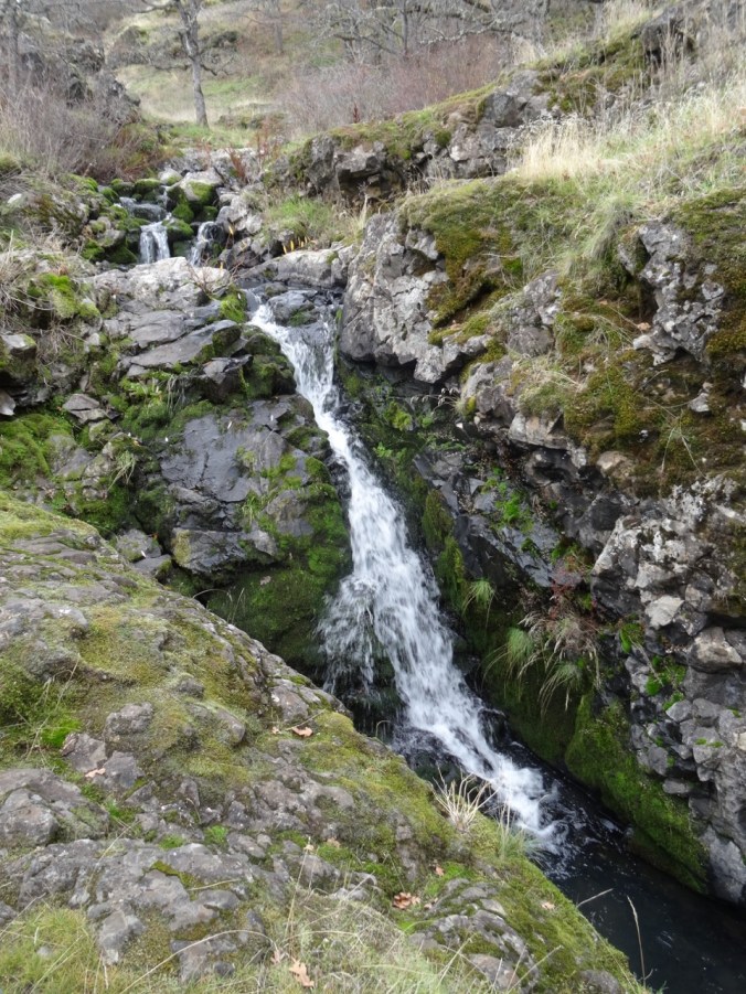
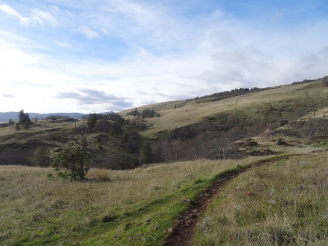
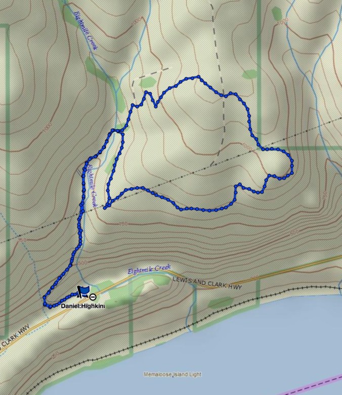
We walked the lower loop from the Crawford Oaks trailhead, passing Eight Mile Falls.

DSC01274

Eight Mile Falls from the trailhead

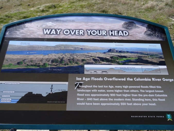
Signs along the way document the depth of the Missoula floodwaters – always an exercise  for the imagination that this landscape was scoured many times!
DSC01198

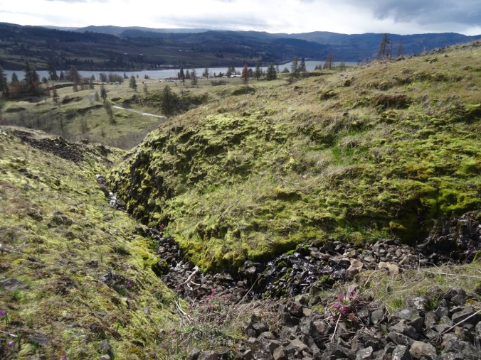
Eight Mile Falls from the trail

DSC01210

Back toward the river and Horse Thief Butte

DSC01272

Eight Mile Falls from the trail

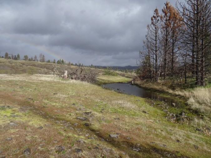
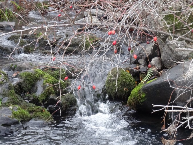
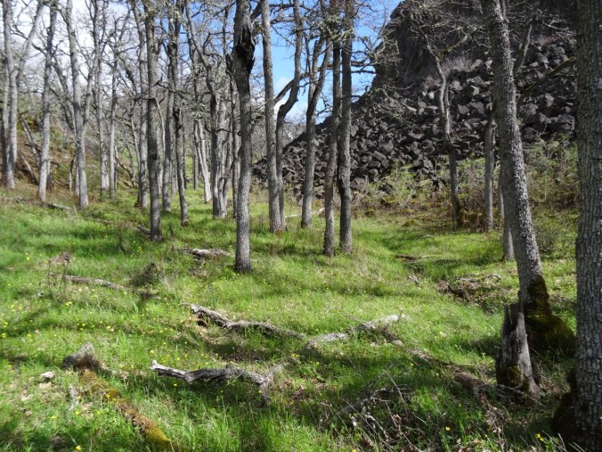
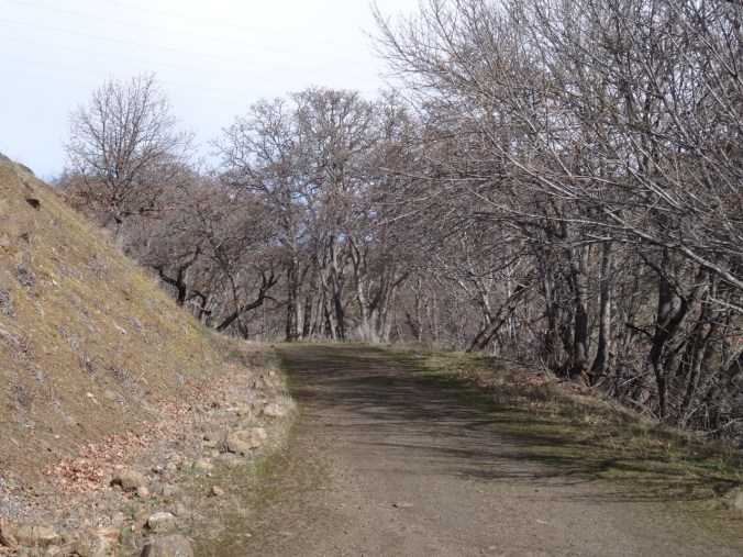
The trail continues on a oak lined road along the creek, then crosses the creek.
DSC01211

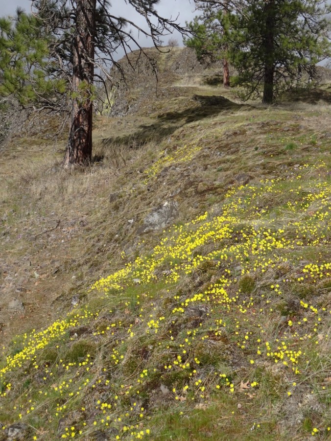
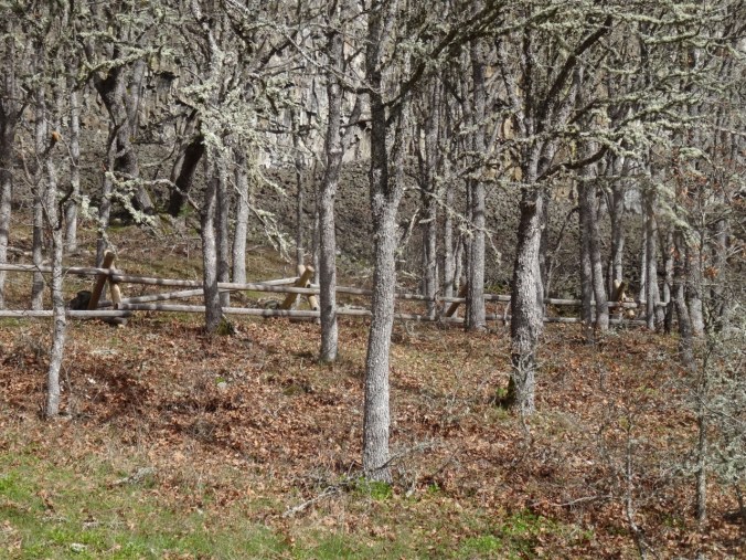
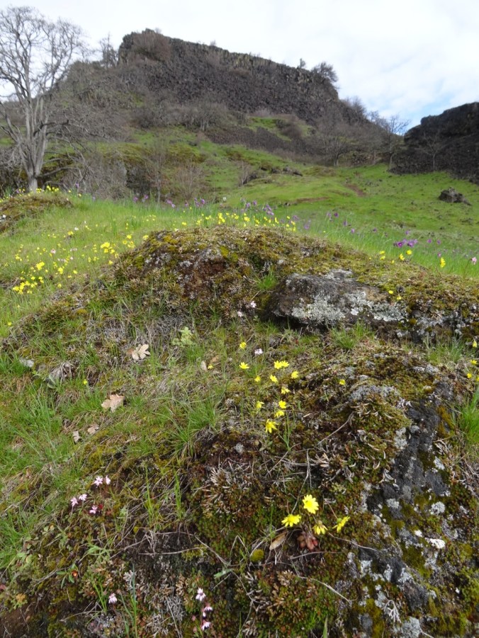
Gold Stars and oak trees

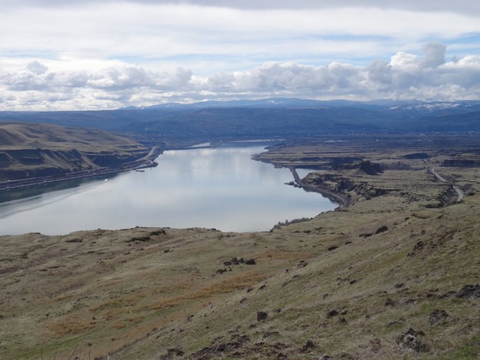
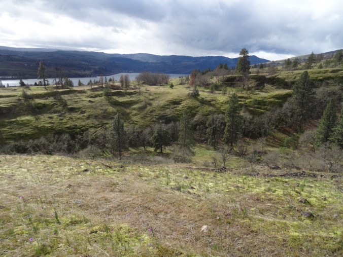
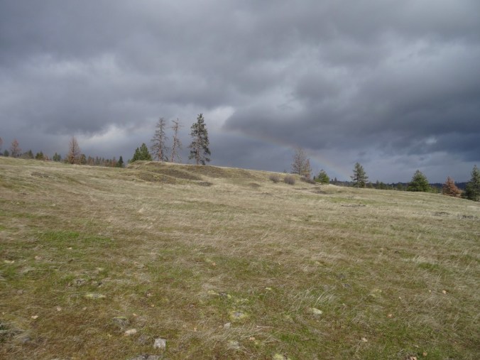
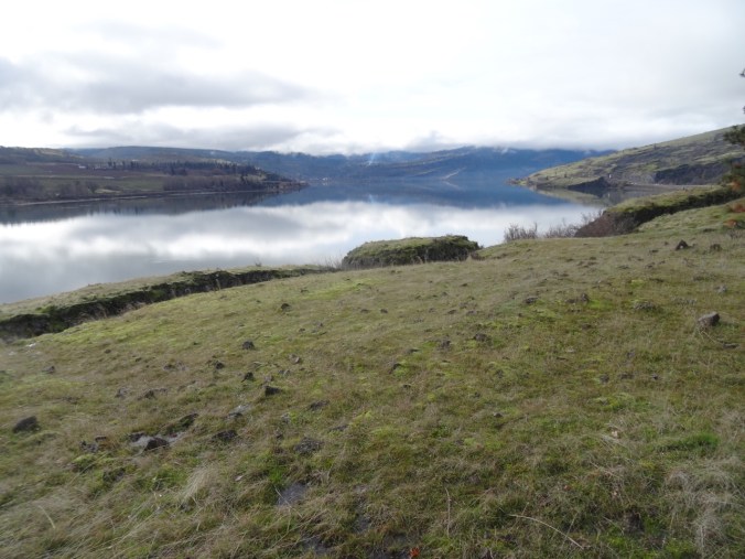
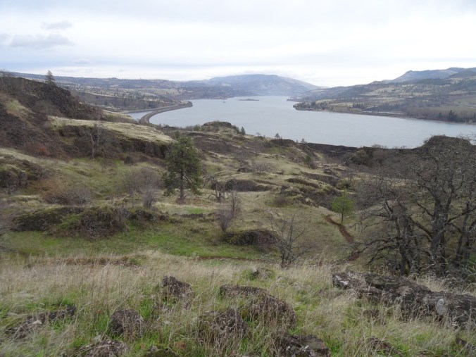
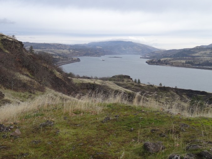
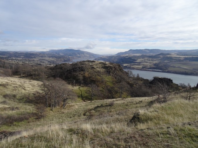
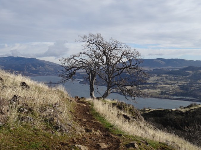
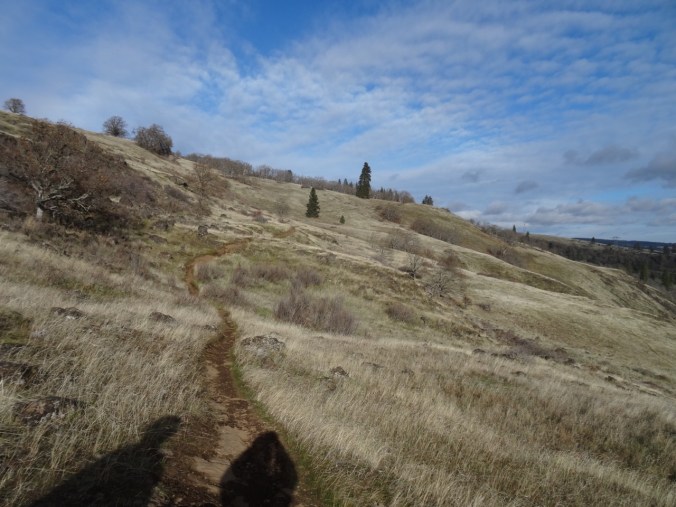
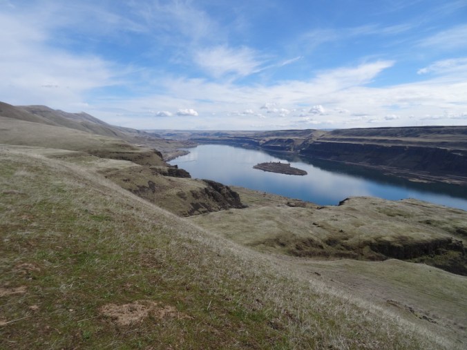
We then headed south  toward the river on the Vista Loop, along along the Missoula Flood scoured benches of volcanic rock, with views east and west in wide angle view.
DSC01241

View east along the Columbia River

DSC01244

West view back toward The Dalles; shoulders of Mt Hood behind the clouds on the right.

The trail crosses the power line corridor a couple of times.

DSC01252

Mt Hood is behind those clouds.

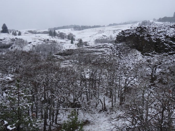
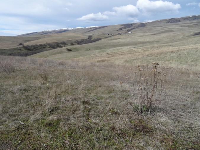
The crest of the Columbia Hills was draped with snow.
DSC01265

Dalles Mountain Ranch and Columbia Hills

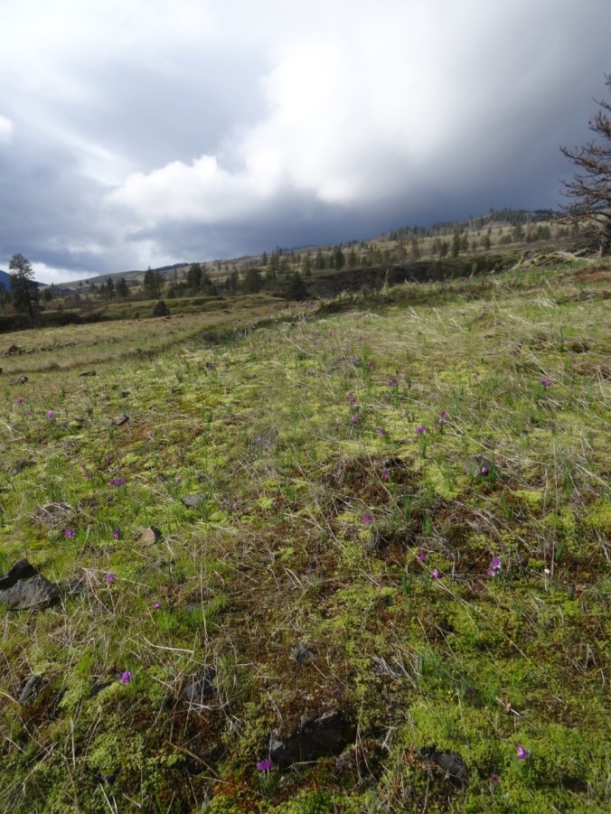
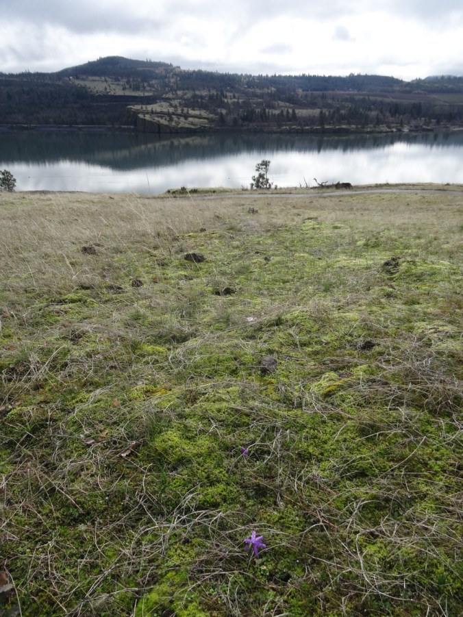
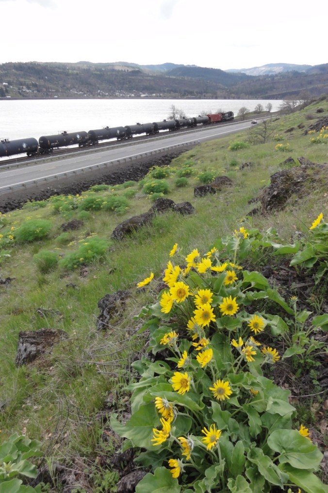
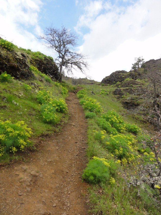
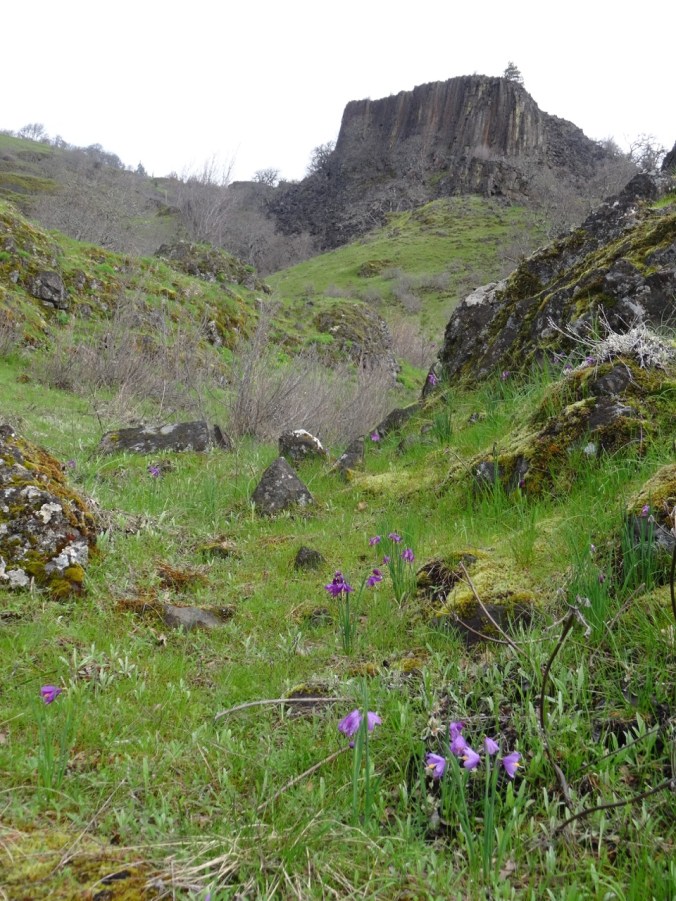
Early spring blooms were sprinkled throughout  the dried grasslands.


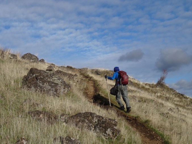
A lovely 5 mile/1000foot hike – I had no problems, but I could feel my quads and triceps were a bit out of shape.
Screen Shot 2018-03-03 at 8.22.29 PM

Quilting

I finished the crosshatch quilting in the center of the Jane Austen quilt, and made the binding.  Still pondering center motifs.

DSC01280

Knitting

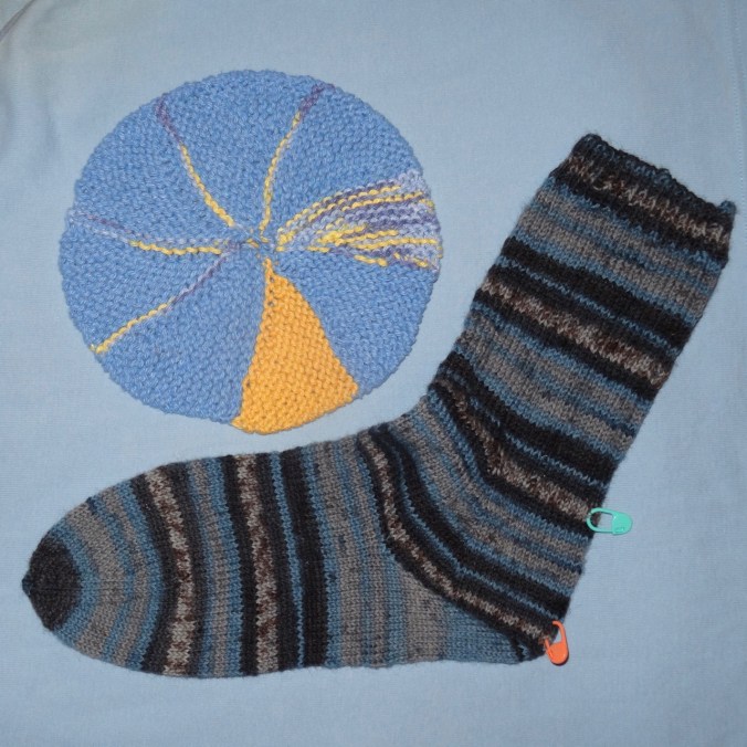
One sock done, another started. The strong heel fits fine – not sure why it isn’t more widely known, especially for people who don’t like to pick up stitches, and don’t like the wrap and turn short row heel.


Also, another scrappy tortilla is in the pile.
DSC01282

In my garden:

IMG_0468

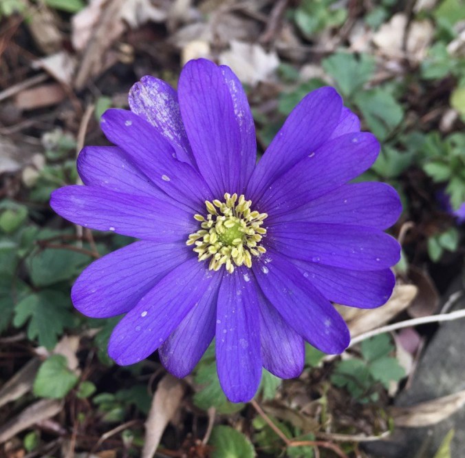
The first wind flower

In the meantime:

It has been almost two months since my surgery. I feel almost normal, but unfortunately, the growth hormone levels have not actually decreased as low as expected. It could still happen, but if not, then there will be trials of medication in store for me.  I am visualizing a completely healthy and functional pituitary.

A Painterly Mist (18-7)

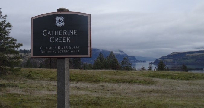
Catherine Creek Arch Loop, WA        2/16/2018     (#7)

Sunshine and clouds, spring flowers and just enough misting rain to create wandering rainbows.

DSC01072DSC01074DSC01080DSC01084DSC01086DSC01088DSC01094DSC01097DSC01105DSC01108DSC01122

We walked the arch loop counterclockwise while noticing the latest spring flowers to emerge.  Purple grass widows sprinkled everywhere in the green, and the first parsleys – yellow, white and purple, as well as white saxigfrage, gold stars, pink prairie stars, and the whorls of green bitterroot foliage.


The bare oak trees around the arch stand out in a textured gray palette.


DSC01114DSC01116DSC01119

After crossing the bridge we sidestepped up the next hill to the fairyland ponds.

IMG_0447DSC01125

Constantly changing light created a sense of walking through a painting.

DSC01126

A short, easy hike and I feel I am slowly regaining stamina. 2.5 miles, 500 feet.

Image-1

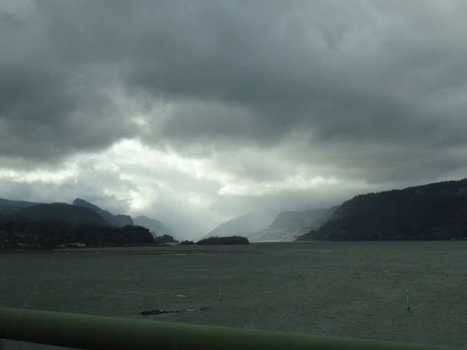
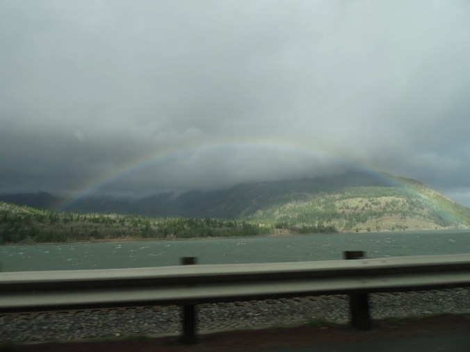
More rainbows and clouds driving through the gorge:

IMG_0445DSC01128DSC01138

Quilting: Thread choices for the Jane Austen Quilt


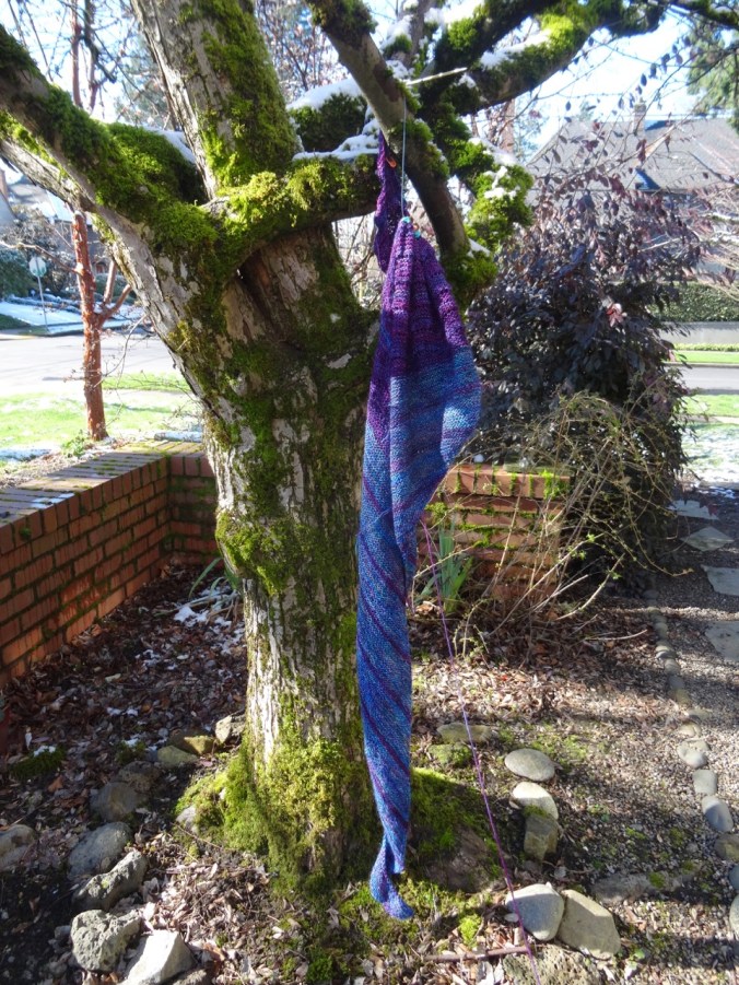
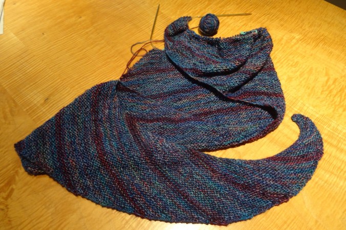
Knitting: Girl in the Nuerosurgery Ward Shawl – Ravellenic WIP  Dancing.

DSC01140

Shawl with light dusting of snow

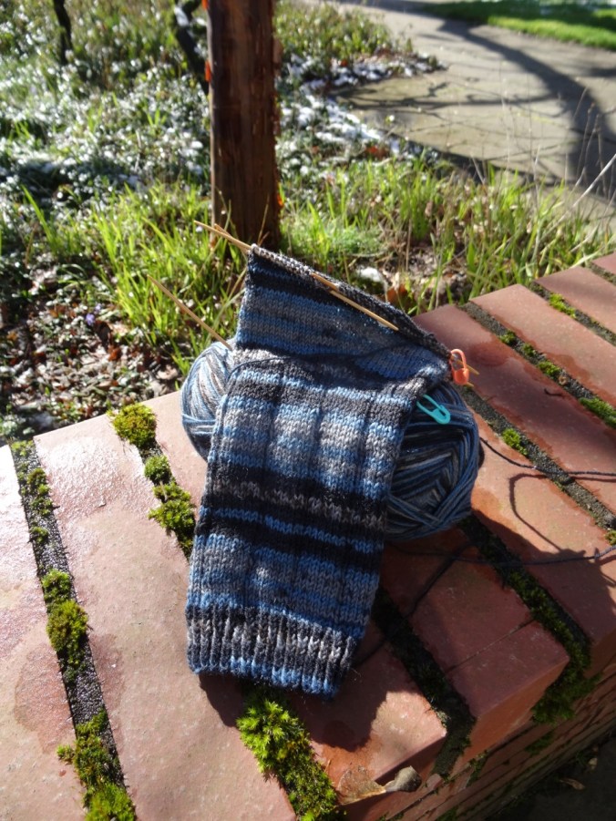
New socks: Berocco Sox yarn knit top down with a simple k7p1 leg, then a Strong Heel – a new to me technique. If it doesn’t fit I will rip back and go with a traditional heel flap.

DSC01142

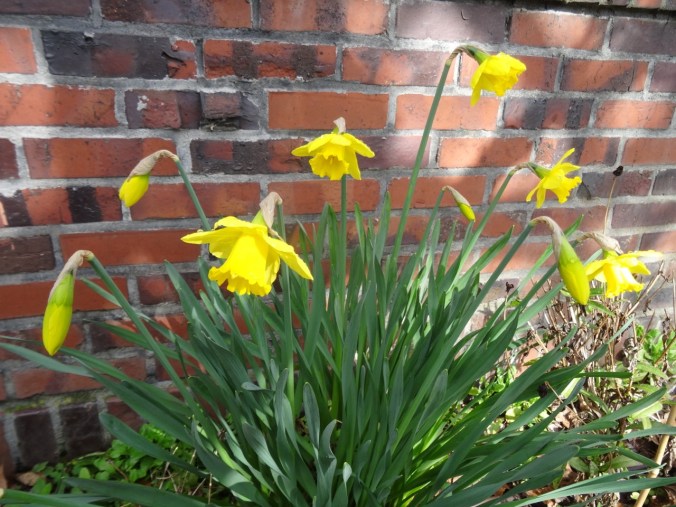
First daffodils in my front yard.

DSC01036

Beacon Rock, Cooper Mountain, Hats, Flowers (18-6)

River to Rock Trail, Beacon Rock State Park, WA    2/10/2018   (#5)

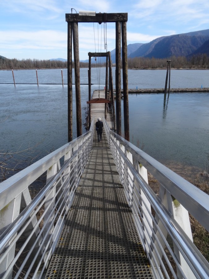
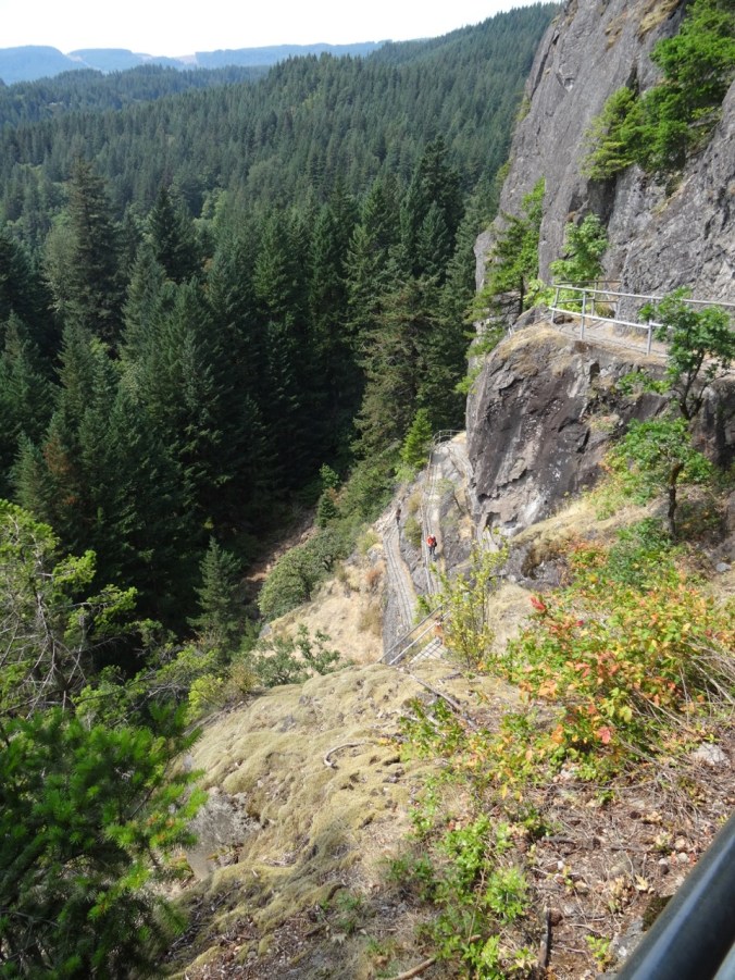
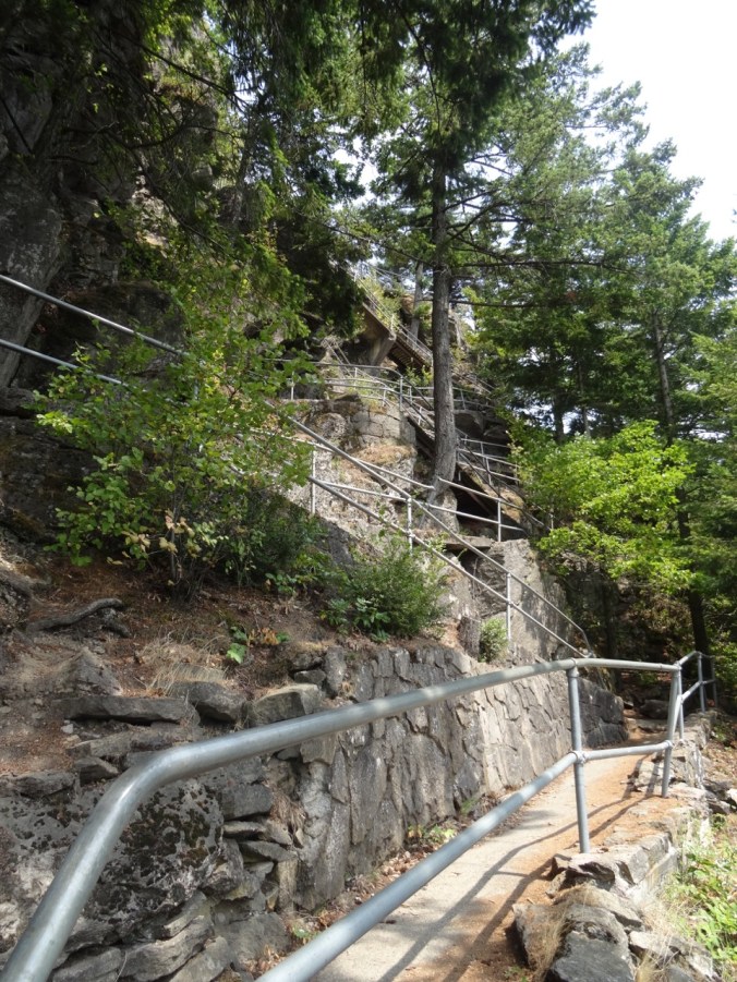
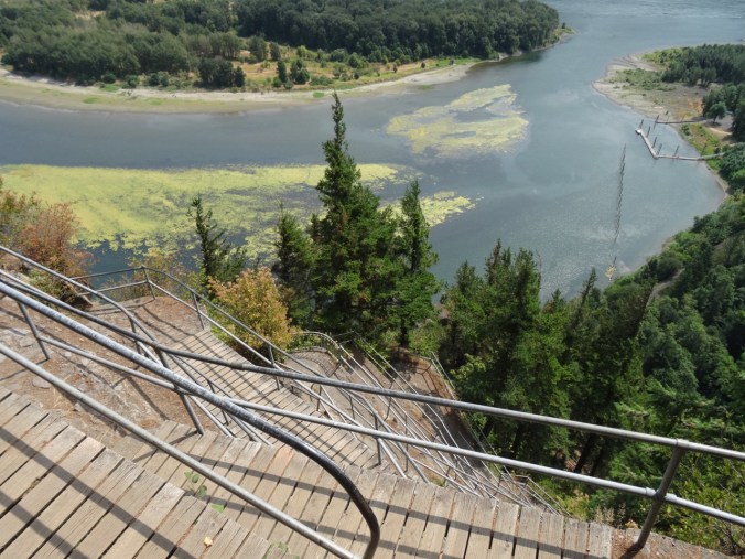
From the switchback staircases on Beacon Rock we have looked down to see a dock on the Columbia River.

DSC04556

August 2015

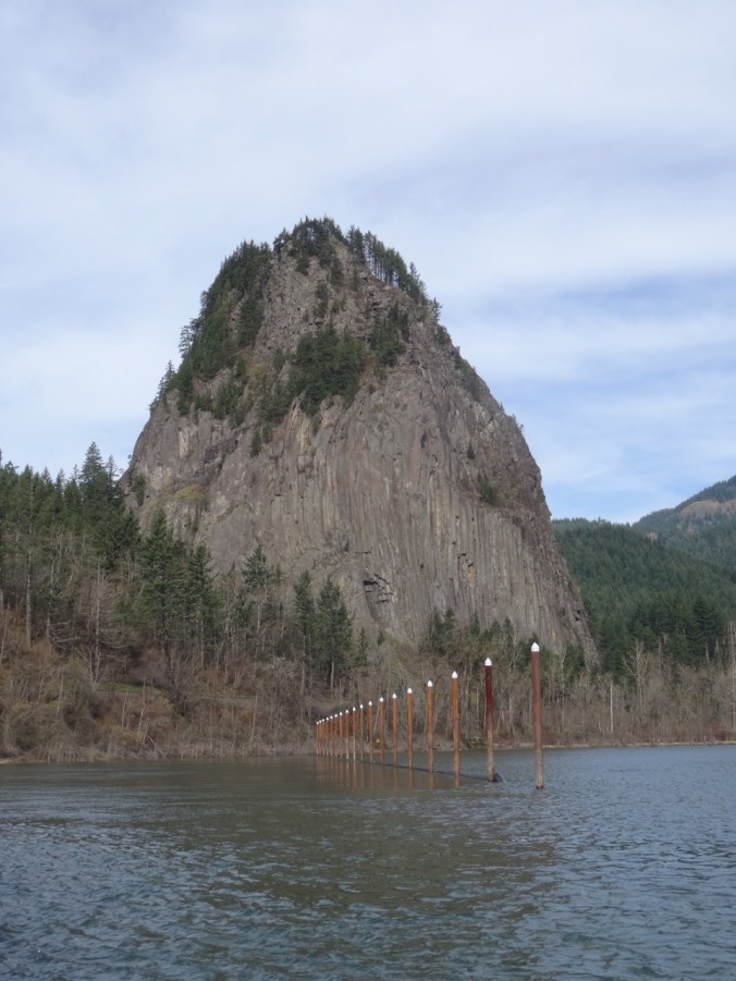
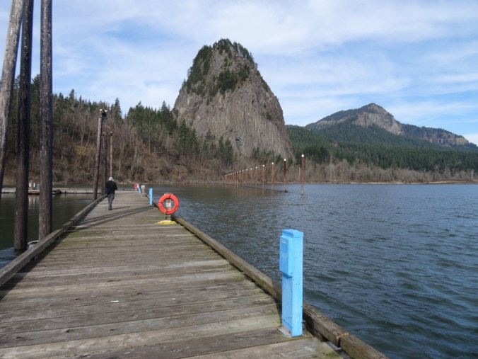
Today we looked up at the ant-sized people climbing the Beacon Rock stairs from the dock. We walked to the dock from the Doetsch Ranch Trailhead. There are great views of Beacon Rock,

DSC00956

Beacon Rock boat dock

DSC00967

Beacon Rock from the boat dock

DSC00969

Beacon Rock, Table Mountain, Aldrich Butte

DSC00971

Stairs and switchbacks

DSC00996

History

DSC00979

and of the burnt trees along the ridge line on the Oregon side of the Gorge.

DSC01000DSC00972DSC00994

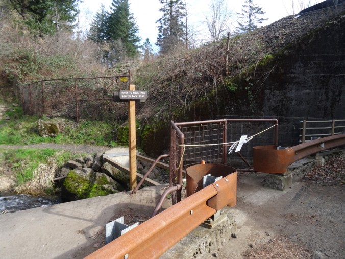
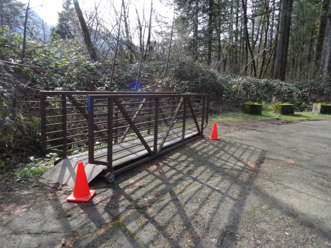
We had planned to continue up the River to Rock trail toward Beacon Rock, but they remove an all important bridge during the winter.

DSC00990

No bridge.

DSC00989

It is parked across the road.

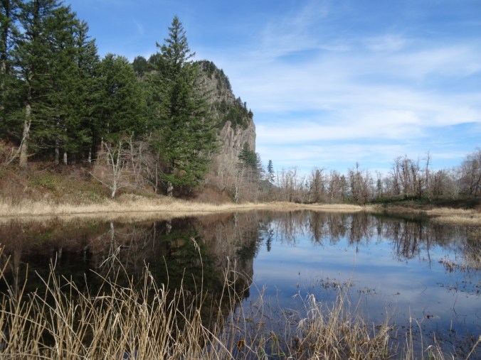
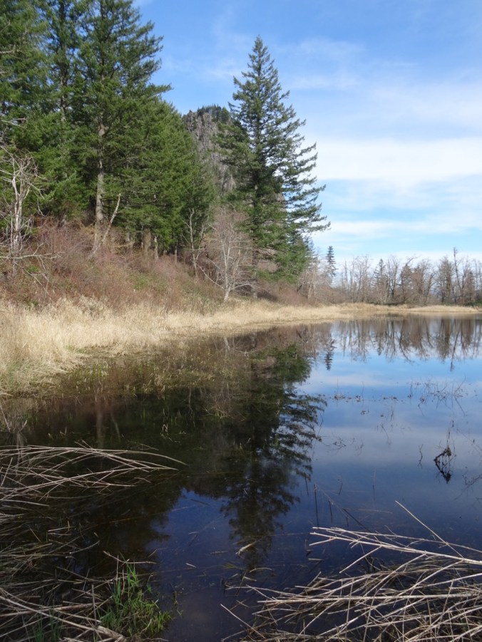
After completing the loop around the former Doetsch Ranch area, we parked at the upper River to Rock trailhead and walked down to the viewpoints around Riddell Lake.

DSC01006

DSC01022

Riddell Lake

DSC01007DSC01009DSC01025

DSC01016

Closest view of the stairs and switchbacks.

Spring plants and natural history – the Missoula Floodwaters were 200 feet above the top of Beacon Rock!


Although I have been feeling well, like I turned a corner in stamina this week, I was glad to reach the top of the small hill back to the trailhead. Today was not the day to climb Beacon Rock, but it was great get a close view of its columnar structure from a new vantage.

Screen Shot 2018-02-12 at 1.15.31 PM

3 miles/200 feet

Lookback:  Switchbacks and stairs on the Beacon Rock trail.

DSC09508

November 2013

DSC04609

November 2013

DSC04606

August 2015

DSC04594

August 2015

DSC04587

August 2015

DSC04571

August 2015

 Cooper Mountain Nature Park, OR    2/11/2018     (#6)

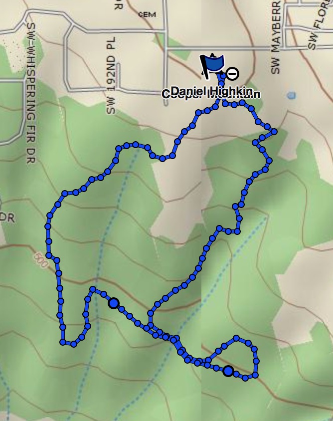
We walked the 2.8 mile loop with friends on a clear cold Sunday. Nice to continue stretching my legs, and the 300 feet elevation change was plenty. We enjoyed the view of the Tualatin Hills as we ate our lunch from a well placed bench on the overlook trail. There should be a good wildflower display here come spring.

DSC01029DSC01033DSC01030

Screen Shot 2018-02-12 at 1.13.12 PM

Cooper Mountain GPS track

Knitting

I finished the second Sonic Six hat, easily winning at yarn chicken, and in good time for Valentines Day.

DSC00930

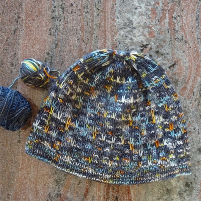
I cast on and finished a bulky weight Brassica hat, out of Collinette Prism yarn in the Fresco colorway. This is the last of the yarn I bought in Scotland last year.

Flowers in the neighborhood:

My yard:

Down the street:

DSC00919

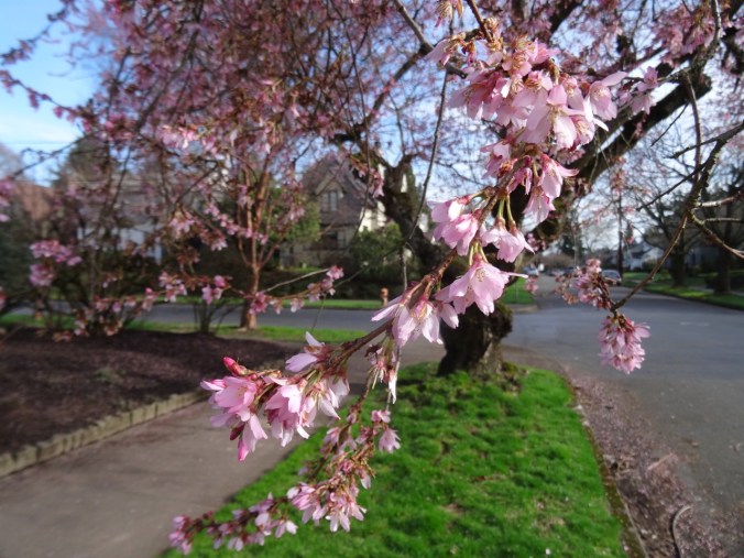
First cherry trees blooming!

DSC00914

heather

DSC00917

Chinese paper bush

Back on the Trail – Grass Widows, Bald Eagles and Osage Oranges (18-4)

This has mostly been a recovery week – taking things very slowly, and with awareness to my limitations. I have been able to walk more, drive the slow back way, and gradually increase all my activities.

Catherine Creek Trail, WA   1/28/2018      (#3)

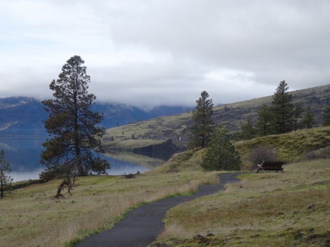
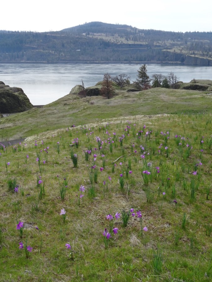
I saved my weekend energy for a walk on one of the easiest trails – the Universal Access  trail at Catherine Creek just east of Hood River along the Columbia River. We often include this trail as a quick stop on our hiking trips to see the latest blooms.  Today at my slow pace I appreciated the paved surface and benches along the way, the small details and micro landscapes. Grass widows are beginning to bloom.

DSC00751DSC00768

DSC00757

View to the west, labyrinth waterfall in the distance

DSC00782DSC00762DSC00801

Lookback: A couple of pictures with snow, and with more flowers:

DSC01230

1/27/2017

DSC00712

2/26/2016

Balfour-Klickitat Eagles

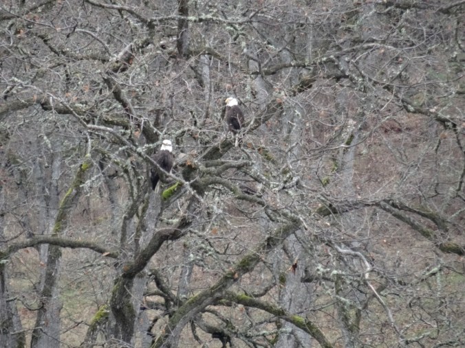
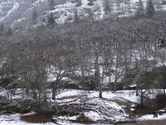
We also stopped at the Balfour-Klickitat trail near Lyle, WA to look for bald eagles in their nesting area. We saw about a dozen, mostly juveniles, perched in the trees around the pond, and taking occasional practice flights.

DSC00814

White spots are bald eagles

DSC00823

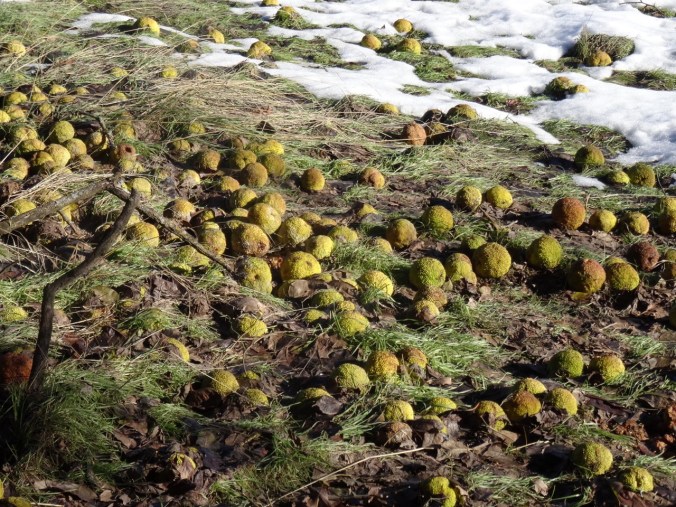
Another highlight of this location are the Osage oranges, at this point, mostly lying on the ground in colorful curious piles. Signage explains that the fruit is inedible, but that the thorny dense foliage was used as a natural fencing material by settlers in the west in the 1800’s.

DSC00806DSC00826


Lookback : A couple of pictures from snowier days:

DSC09792

12/28/2015    Six eagles

DSC00981

12/30/2016   Osage oranges

Knitting and quilting

Progress on the Girl in the Neurosurgery Ward Shawl:

DSC00829

My sister sent me a bouquet of fabric as a get well gift – a beautiful rainbow of batiks that will fit beautifully into my collection for my rainbow themed quilts in planning stages.

IMG_0421

And the first crocus peaked up in my front yard:

img_0418.jpg

36. Labyrinth Hiking

The Labyrinth Trail, WA            12/16/2017         (#58)

East out of the Portland mist, through the frosted central gorge to the open dry eastern gorge, this time to the Labyrinth, trailhead at the Hwy 14/Old Hwy 8 intersection at Rowland Lake.

DSC00220

Waterfall along Old Hwy 8

The aptly named trail winds gently upward between columnar basalt buttes and a cascading stream.

DSC00229DSC00263DSC00264

DSC00240DSC00254DSC00267DSC00251


Bare trees, gold grasses, dried flower seed heads, lichen splotched talus piles, higher and higher, rising to views to the south of the Columbia River, the orchards, fields and cliffs around Mosier, Oregon.

DSC00266

To the east the open skies of the Columbia Plateau beckon; to the west, the lowering clouds of western Oregon gloam, this whole area scoured by the Missoula floods. We explore some of the side trails around the waterfall,

DSC00234

at the base of a columnar basalt butte,

and to our lunchstop viewpoint.

Then on up a bit more,

past the cliff that is covered with purple desert parsley in spring,

DSC00335

View toward Coyote Wall

DSC00339

past the oak tree on the trail’s edge,

DSC00348DSC00351

to the next high point.

DSC00357DSC00360DSC00363

Wind rising, we agree to turn around. Down we go, light changing, shoulders of Hood briefly exposed, back to the old highway then home.

LOOKBACK

During our first hike here in June of 2012, I was enchanted, just exploring the bones of the landscape, the windings between rock exposures then covered with halos of pinkish grass.

DSC05633

May 2012

We attained a high viewpoint back down to Rowland Lake and the river and began to realize the potential. Future trips saw the cliffs and mounds adorned with yellows and purples of spring wildflowers,

DSC05592

Mt Hood from Old Hwy 8 approach trail, May 2012

DSC06832

Balsam root near Hwy 8, April 2014

DSC06743

April 2014

DSC02842

Grass Widows, March 2017

DSC02807

Gold stars, March 2017

DSC01902

Buttercups in oak woodland, March 2016

DSC06806

Columbia Desert Parsley, April 2014

the white snows of winter,

DSC09847

December 2015

DSC09884

December 2015

and actual rainbows.

DSC00722

December 2016

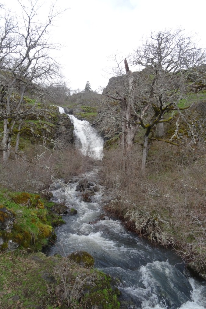
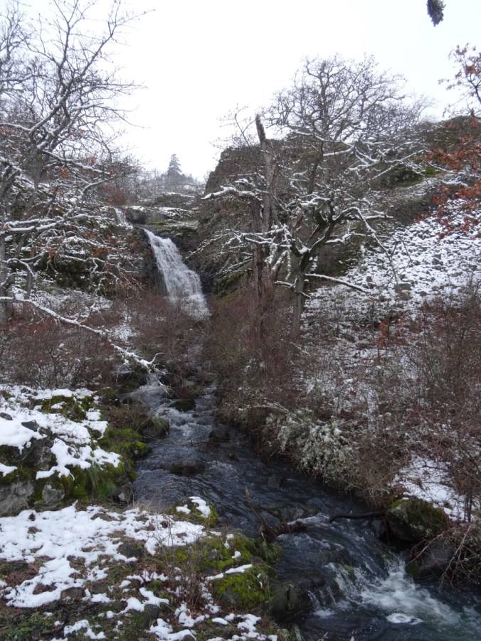
Some comparisons: the waterfall –

DSC05620

May 2012

DSC02834

March 2017

DSC09831

December 2015

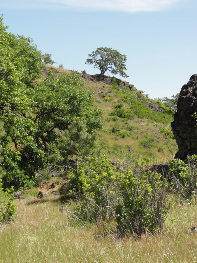
the oak tree –

DSC05667

May 2012

DSC09893

December 2015

We also brought back poison oak and left behind one contact lens.  We have explored a few of the side trails – there are many more to look forward to.

CRAFTING

Knitting the green shawl: finished another tortilla and the Sonic Six hat.

Decorating the tree – Diamond Log Cabin Christmas Tree Skirt (Quilt In A Day pattern) made in the early 2000’s.  I have learned a lot about color and fabric choices since then, but It still fits our decor and I like it well enough to continue to use it. The rest of the tree decorating is waiting for one child to be home from college.

24. Frog Lake Buttes, Mt Hood

Frog Lake Butte, Mt Hood, Oregon      9/24/2017     (#47) 

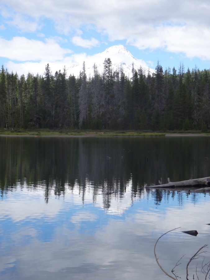
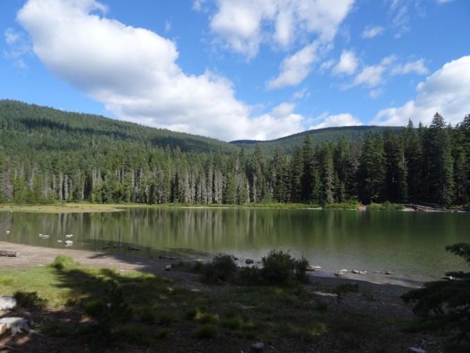
A beautiful sunny day with only a few people fishing at Frog Lake when we began our hike.

DSC08809DSC08794

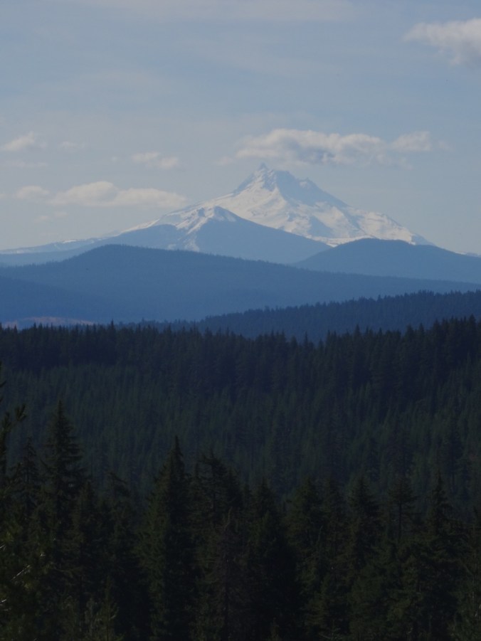
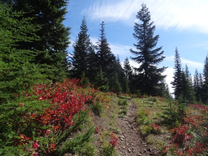
Views of Mt. Jefferson and red huckleberry bushes on the way up.

DSC08812DSC08815

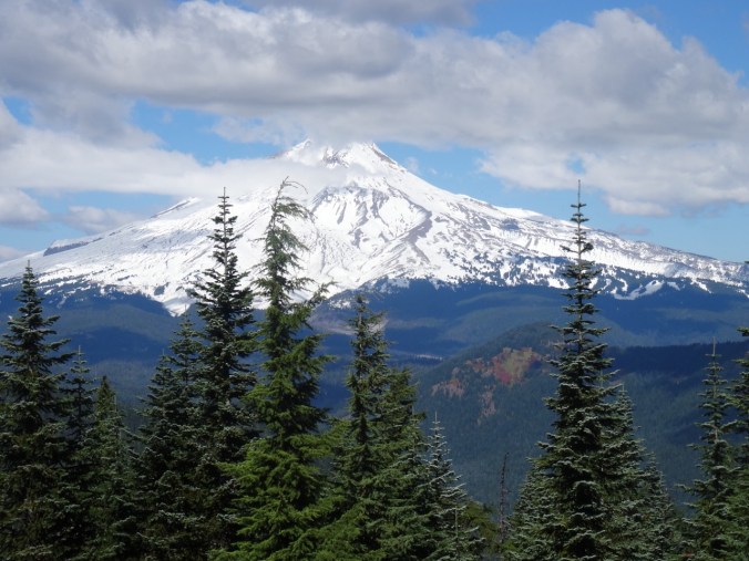
A bit of snow from last week at our view point of Mt Hood atop the butte.

DSC08833DSC08816

A few asters and a million frogs in the meadow and around the lake shore on our return.  The frogs must have been sleeping this morning, but they were hopping all around my feet in a few areas.

DSC08847

2 cm frog on the rock

DSC08851

aster

DSC08880DSC08889DSC08891DSC08894

Looking back on the Frog Lake Buttes from the west side of the lake.

DSC08905

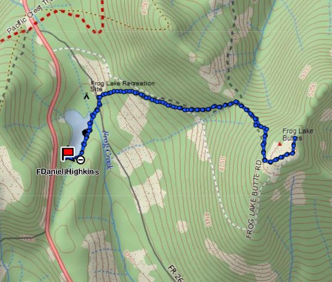
About 6 miles, 1500 feet.

Screen Shot 2017-09-25 at 10.20.56 PM


SaveSave

23. Visiting the Midwest

As I write this I get an Eagle Creek Fire update:  Rain has finally slowed the fire, and operations are turning to cleanup and recovery.

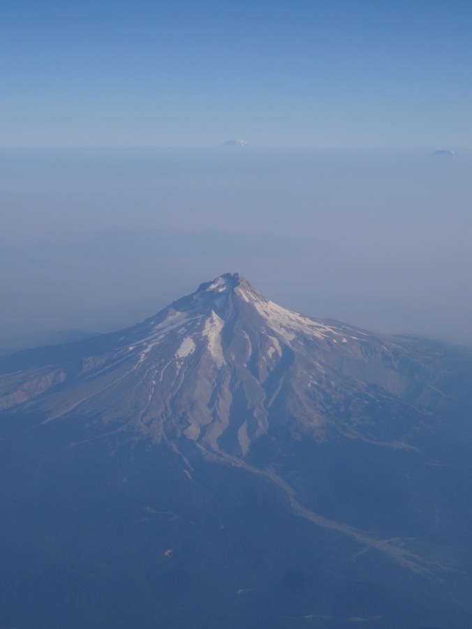
We flew to Ohio, passing over the south side of Mt Hood – smoke not impeding our view today to Mt Adams and Rainier beyond.

DSC07967

Mt Hood, Mt Rainier and Mt Adams

Ohio

Oberlin College

We visited our daughter at Oberlin College in Ohio. I had previously only had a brief peak at the campus the day we moved her into her dorm two years ago.  She and her roommate are now in a two bedroom apartment and enjoying the non-dorm lifestyle. We walked all around campus, seeing the various buildings and rooms where she spends her time. She introduced us to friends that seemed to appear around every corner.  I enjoyed the quiet, but intensely busy vibe on this early-term late summer weekend.  We got coffee from The Local, ate delicious dinners at The Feve and Indian Garden, and joined her for a student prepared lunch at her dining coop.

Brandywine Falls, Cuyahoga National Park, Ohio   Sept. 17, 2017  (#46)

She also wanted to go for a hike.  We chose a 4 mile hike about an hour from campus, the Stanford/Brandywine Falls trail. It was a beautiful sunny day though the humidity was much greater than we are used to in the Pacific Northwest. There was enough shade in the woodlands to stay comfortable, a few summer flowers struggled along, and fall colors were beginning to pop.


Chicago

We then flew to Chicago to visit to our son. Beautiful weather continued on Monday as we enjoyed the Architectural Boat Tour.

Windows and reflections:

After lunch we rented Divvy bikes and rode four miles along Lakeshore Drive trail from Millenium Park back to Lakeview where we were joined by long time friends for dinner.

DSC08332

The Bean, i.e. Cloud Gate, in Millenium Park

The next day we visited the Chicago Art Institute.

DSC08357

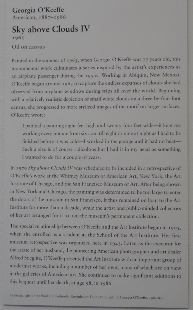
We spent most of our time in the Impressionism and Modern American galleries. My favorite piece was by Georgia O’Keefe, a 24 foot long painting that filled a stairwell:

DSC08426DSC08428

This also caught my eye:

DSC08430

We walked around some of the parks near the Art Institute.

After dinner we went to see Hamilton!

This was my first visit to Chicago, and only lasted two days, but I enjoyed my time, and can see why my son likes living there.

Knitting update:

DSC07915

11 dishcloths

22. Mt St Helens Boundary Trail

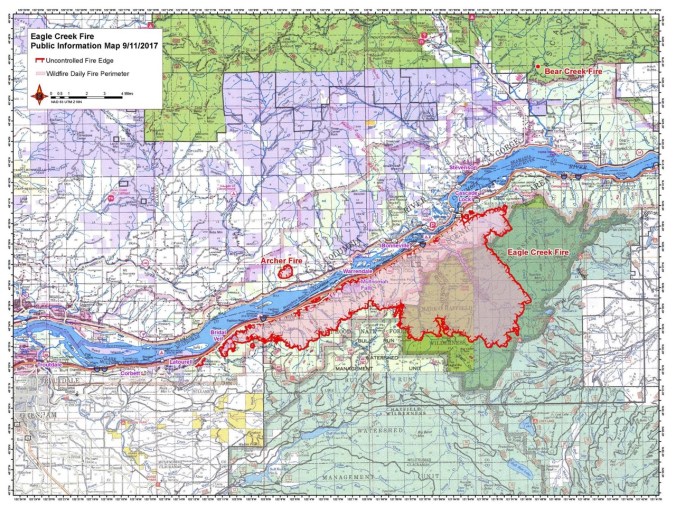
Eagle Creek fire update as of  9/11/17:  34000 acres, 7% contained.

21640885_123414854982697_7881458328682540061_o

USFS Incident Map

Boundary Trail toward Harry’s Ridge     9/10/2017    (#45)

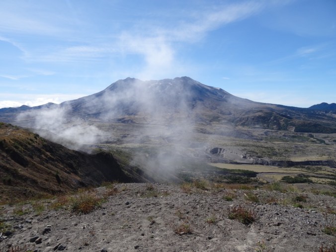
The skies are alternating blue and cloudy today. Unsure of any firesafe place east of us, we opted to drive north to Johnston Ridge, Mt St Helens National Monument.  Clouds that were floating at mountain level when we arrived late morning evaporated during the day.
DSC07837DSC07842

DSC07848

Mt St Helens

We hiked the Boundary Trail toward Harry’s Ridge.

DSC07855

Coldwater Peak, north of the Boundary Trail

The trail that used to go along a steep, cliffy slope to the grand viewpoint at Devil’s Elbow is now closed.  The new alternate route cuts over the ridge, and has a view to Spirit Lake from the pass at the top of the cutoff. We stopped there for lunch.

DSC07851

Lunch stop at the top of the new cut off trail, with view to Spirit Lake

I decided it was too hot to continue, so hiked slowly back to the observatory.  Dan went on to Harry’s Ridge then met me back at the observatory later.  I had the chance to watch the excellent 16 minute film that simulates the eruption and illustrates the forces of nature during the 1980 eruption.

DSC07861

View while hiking back toward Johnston Observatory

DSC07871

Looking east from the observatory toward Mt Adams

DSC07872

Mt Adams

There are straggling summer flowers in bloom – lupine of both large and dwarf varieties, penstemon, paintbrush, yarrow, an abundant yellow composite, and equally abundant white pearly everlasting gilding the slopes, and standing out strongly in contrast to the early reds of fall.

We stopped at Coldwater Lake to walk the boardwalk trail that illustrates the Birth of the Lake. It was peaceful and beautiful there, with excellent views of Minnie Peak and Mt St. Helens. It is pleasant to walk through shady foliage after spending time in the blast zone. My total mileage for the day was about 5 miles/800 feet.

LOOKBACK:

Boundary Trail to Harry’s Ridge – we have hiked this trail in several seasons, with different views of the mountain:

DSC05594

June 2016

DSC07868

September 2017

DSC05602

Inner crater dome close up    June 2016

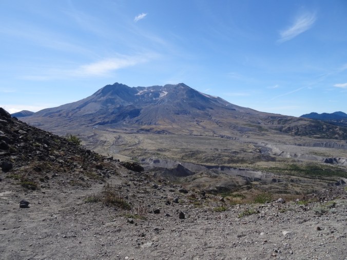
DSC07849

September 2017

Coldwater Lake:

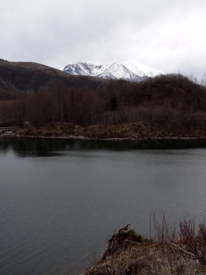
In March of 2015, a low snow year, we walked the 12 mile loop around Coldwater Lake.  The foliage was mostly dormant and brown.  We had views of the mountain, walked by the abandoned logging machinery destroyed by the blast, got some closer views of Minnie Peak.

DSC03346

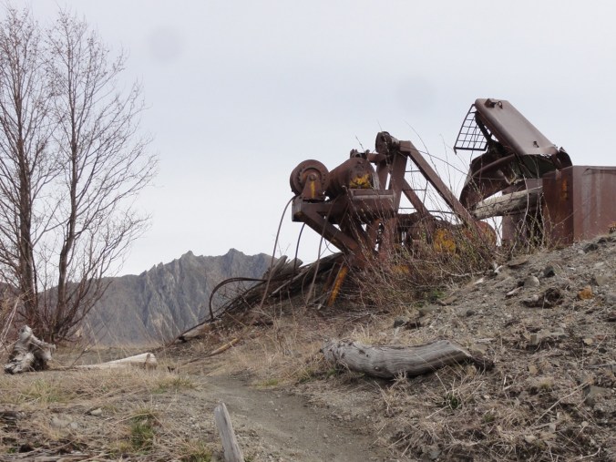
March 2015   Minnie Peak and old logging machinery on Coldwater Ridge

DSC03371

March 2015    Minnie Peak


DSC03460

March 2015

DSC07882

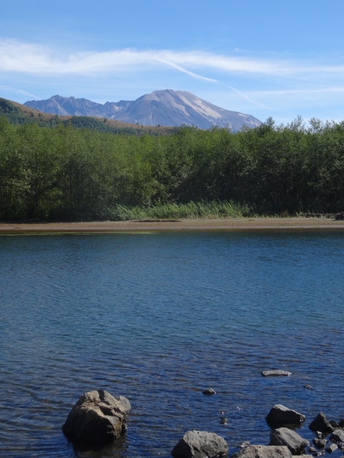
September 2017 Mt St Helens and Coldwater Lake

In Spring of 2017 we were in the area hiking the Hummocks trail, and we visited the Science and Learning Center, which gave us a snowy view of the boardwalk that we walked on today.
DSC01570

February 2017   Looking down on Coldwater Lake


19. Vista Ridge again, Fireweed this time

Vista Ridge, Mt. Hood, Oregon   8/25/2017   (#43)

Looking for another trip to subalpine elevations, we walked up the Vista Ridge trail on the north side of Mt. Hood, as we had in late June.  This time, instead of millions of avalanche lilies, we were treated to the late summer swath of pink fireweed through the burn zone, with readily picked huckleberries along the way.  We could see the dried seedheads of the earlier lilies.  Other blooming plants in the burn zone were pearly everlasting and goldenrod, and plenty of Sitka Mountain Ash with ripening clusters of red berries provided additional color.

DSC07387

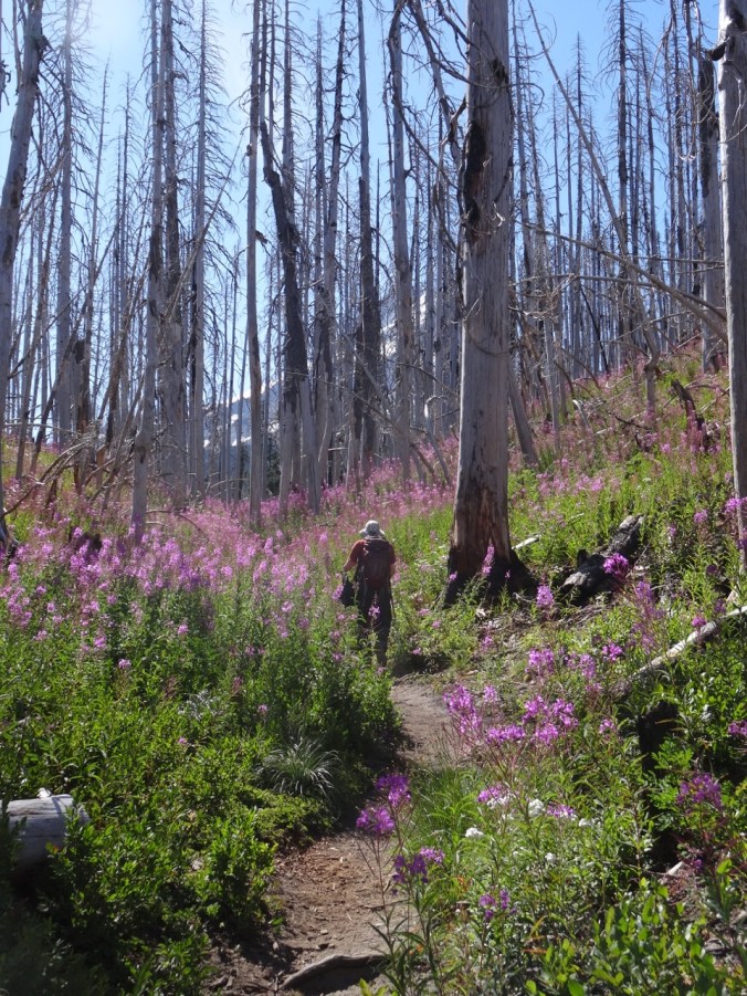
Fireweed and pearly everlasting understory in the burn zone

DSC07388

Mt Hood from the switchback viewpoint

DSC07399

Dried avalanche lily seedheads

DSC07402

Golden rod and fireweed

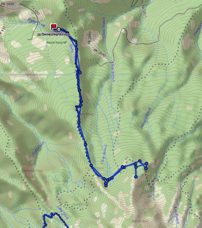
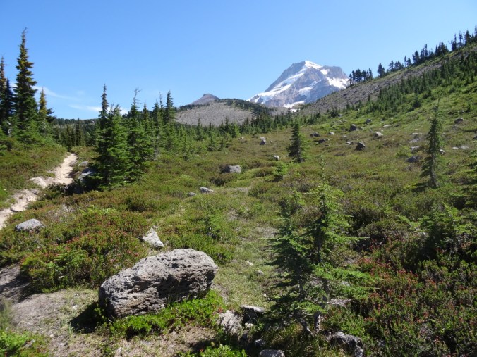
We reached the timberline trail, and rested in a shaded pocket at the edge of Wy’East basin, as lovely an alpine meadow as one could hope for – though the flowers are fading in the open areas. We continued walking east toward Elk Cove, hopping over the small strands of Clear Branch Creek that trickle down through Wy’east basin. Pink monkey flower, yellow groundsel, purple aster and lupine, and magenta paintbrush were the main riparian blooms.

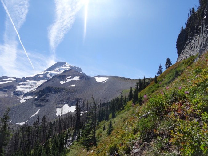
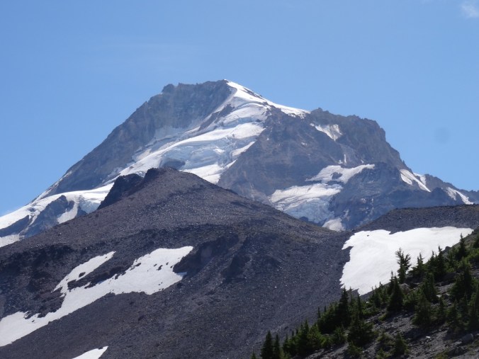
We admired the view of the three Washington peaks from various angles, and turned the corner toward Elk Cove, with the rocky cliff of Barrett Spur to our right, and the looming peak of Mt Hood and its glistening Coe Glacier to the south.

DSC07435

Mts St Helens, Rainier and Adams

DSC07446

Turning the corner of Barrett Spur toward Elk Cove, with Mt Hood looming above

DSC07449

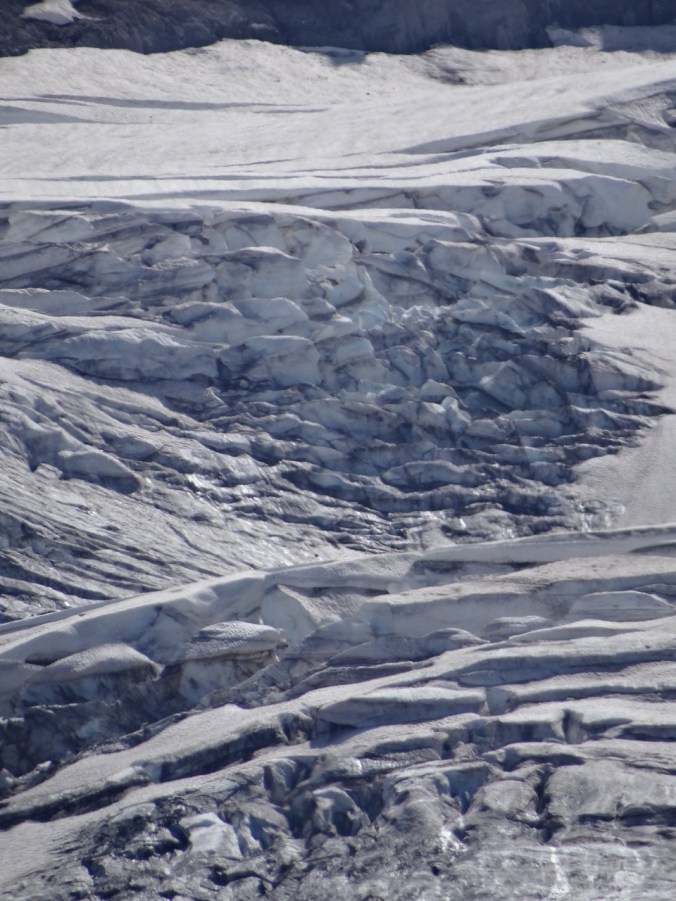
Close ups of the Coe Glacier

DSC07451DSC07450DSC07453DSC07452

We continued about half way down to Elk Cove, far enough to see the hanging meadow of pasque flowers, and the long drawn out ridge of Barrett Spur. That was our turn around point for the day.

DSC07462

Mt Hood and Barrett Spur

DSC07469

Pasque flower seed heads

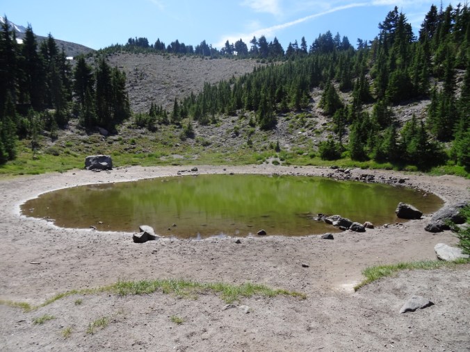
Heading back toward Wy’East basin, we located the trail that leads up to Dollar Lake.  It is really more of a puddle.

DSC07470

Dollar Lake

DSC07475

Barret Spur and Mt Hood from the ridge above Dollar Lake

Back on the Timberline Trail, we meandered up the side trail to the upper part of WyEast basin to take in the slightly wider view of the horizon to the north.

From there, we retraced our steps back down the Vista Ridge trail, admiring the intense coral/red violet color of the fireweed, and greeting my favorite ghost trees on the way down.

Our total for the day was 9 miles/ 1500 feet.

Screen Shot 2017-08-27 at 9.13.37 PM

GPS track

LOOKBACK:

I perused my photos from our previous hikes up Vista Ridge.  Our trip in August of  2014 had more blooming flowers in the upper meadows.

DSC09148

August 5, 2014

DSC00463

March 29, 2015

DSC07517

August 25, 2017

The photo from August of 2013, taken only two years after the 2011 Dollar Creek Fire, shows a mostly blackened environment.  The contrast with the with the avalanche lily / fireweed lined trail of this year is striking, and shows how fast the vegetation is restarting. I didn’t get a picture of the abundant low huckleberry bushes along some parts of the trail – I was too busy eating the ripe berries.

Knitting and other home front activity:

18. Late Summer on Mt Adams, Stagman Ridge Trail

Stagman Ridge, Mt. Adams, Washington      8/20/2017     (#42)

DSC07271

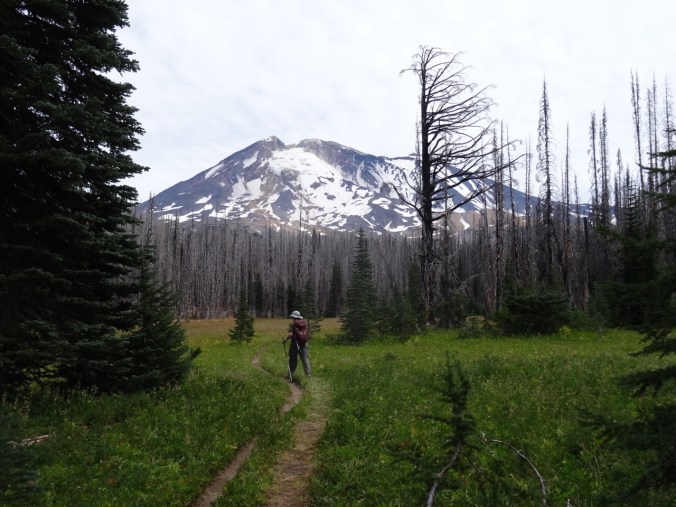
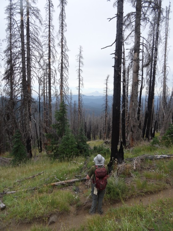
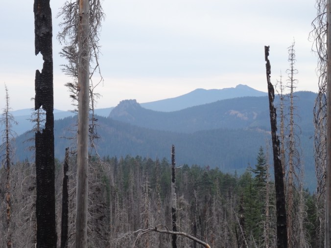
Looking for a hike that avoided wildfire smoke and eclipse traffic, we headed to the west side of Mt. Adams, north of Trout Lake, WA.  This was our first time hiking this trail. We like to hike in Bird Creek Meadows this time of year, but that area is closed due to the massive Cougar Creek Fire of 2015. The area around Stagman Ridge was also recently burned, by the Cascade Creek Fire of 2012. The trail traverses through burned forest, with occasional forays into unburned terrain. The silver lining is mountain views through the ghost trees.

DSC07121DSC07155

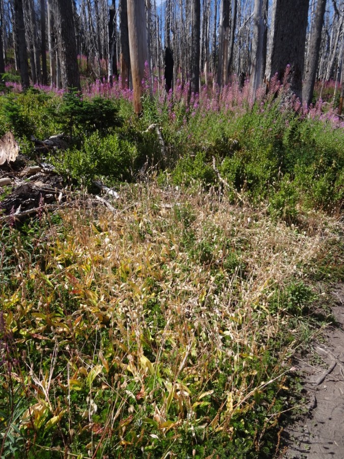
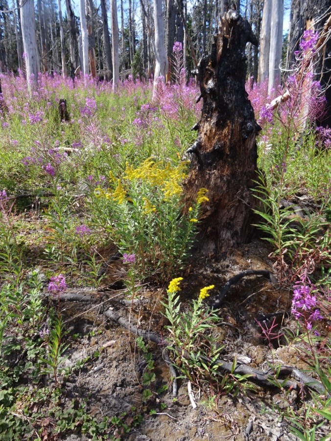
In many burned places the underlayer is green, topped by a pink swath of fireweed. Pearly everlasting and golden rod are abundant at lower elevations.

Higher up, the last of the asters, lupine and licorice root were hanging on in shady areas.

The open meadow at about mile 3 was green but past bloom – most likely thanks to the intense two week heat wave of early August.  I would like to return when this meadow is in full bloom – with the open view of Mt Adams to the east – it is a lovely spot.

DSC07189DSC07190DSC07192

DSC07193

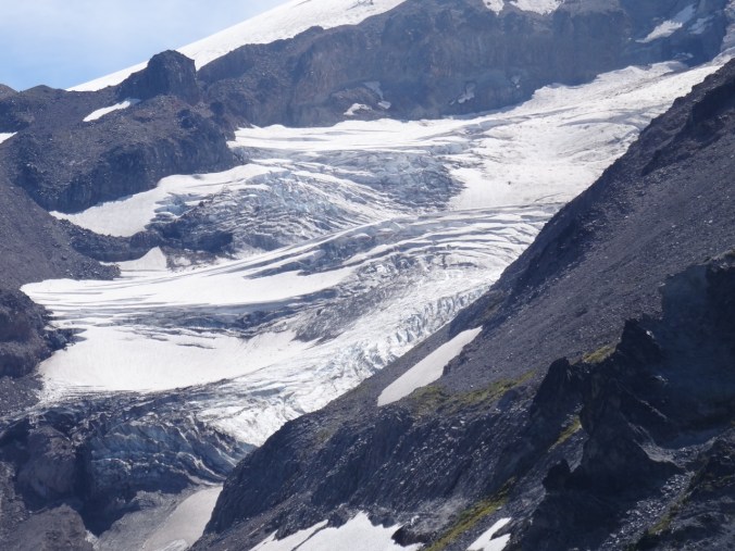
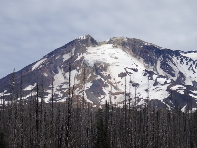
Glacier close up

We continued on past the meadow to the Graveyard trail junction, then crossed the small creek and headed west toward Lookingglass Lake. Riparian flowers lined the creek crossings.

We decided the crossing of Cascade Creek looked difficult so we turned back after a rest at the water with great views of the mountain.

DSC07235DSC07238DSC07242DSC07247

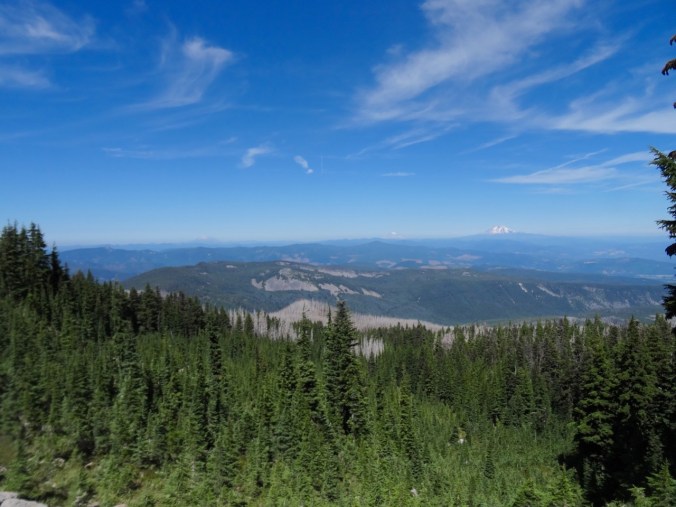
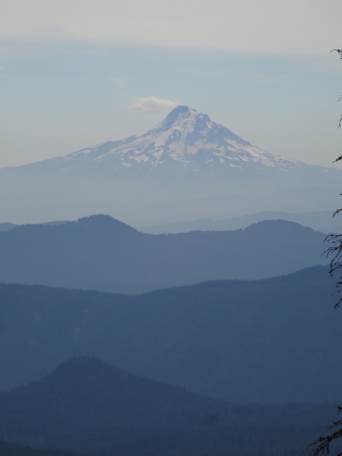
On the way down, we noticed the distance views of Mt St Helens, Mt Hood and west toward Indian Heaven.

DSC07264

DSC07265

Mt St Helens

DSC07311

DSC07310

Mt Hood

DSC07318

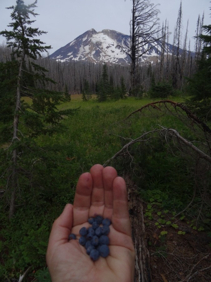
There were plenty of huckleberries for the picking.  Berries, flower seedheads and tints of red foliage in the huckleberry and vine maple foreshadow the coming of fall.

A few other items of interest along the way:

DSC07278

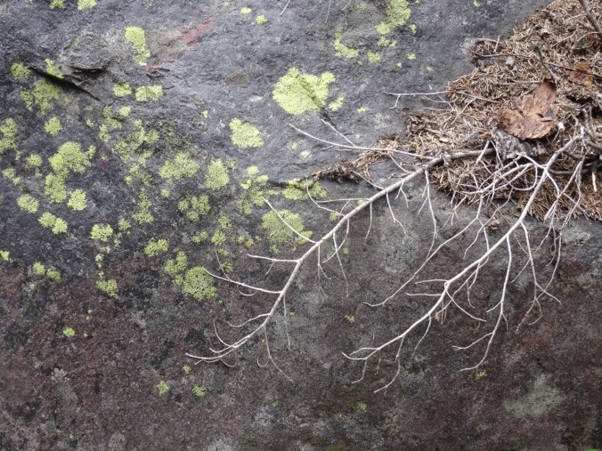
lichen and roots

DSC07166

ghost tree

DSC07115

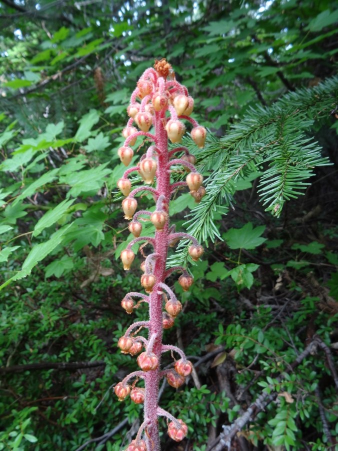
My first time seeing pine drops

Our hike was approximately 9 miles with 1500 feet elevation gain, and the flower count was 34, with 5 berries.

Mementos from my Peruvian travelers:

DSC07058

Knitting:

DSC07023

two more tortillas for the collection

And of course, the Eclipse, which I watched at 99% in my front yard: